2 minute read
OVER-THE-RHINE


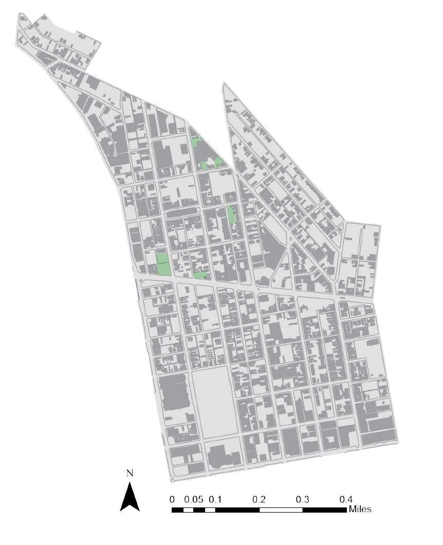
The objective of these maps was to plan a site analyses in the neighborhood of Over-the-Rhine, Cincinnati and create an intervention that could help revitalize the neighborhood.
Advertisement
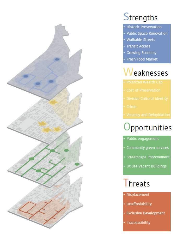
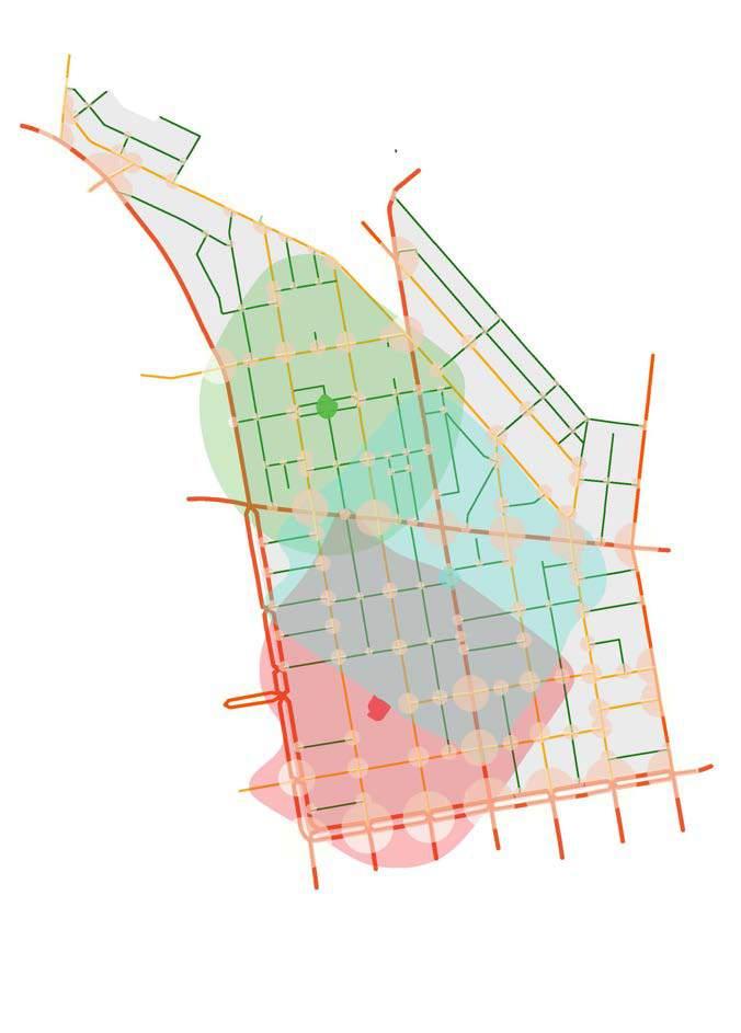
This imageability map focuses on the different aspects of a neighborhood which is districts, nodes, landmakrs, main roads, and smaller roads, along with the boarder and paths. This imageability is a more complex and cleaner version of the previous map. This map utilizes nodes in a more rectangular way which highlights the social intersections of Over-the-Rhine The senseability map shown is a 3D map made of pins to show an abstract depiction of the rising/ declining population in the neighborhood according to height of the pints creating almost like a topographic element.
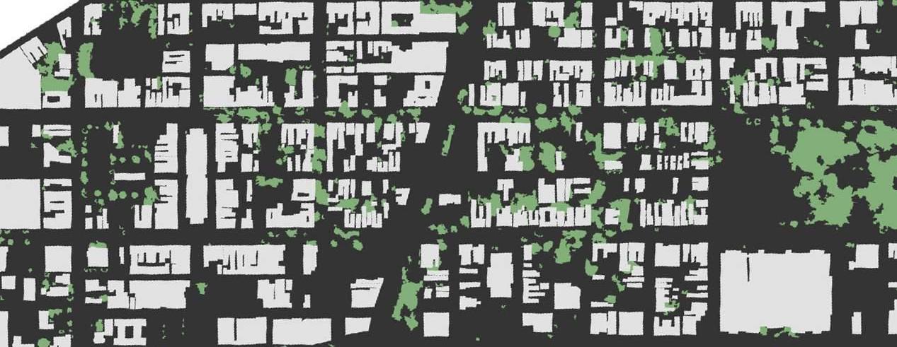
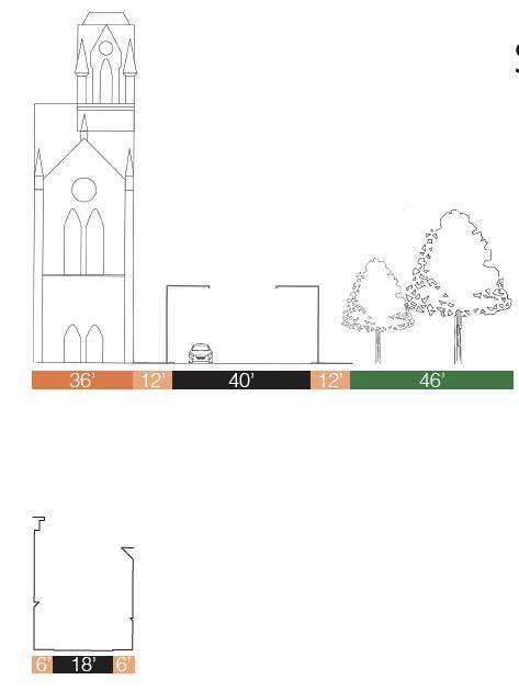
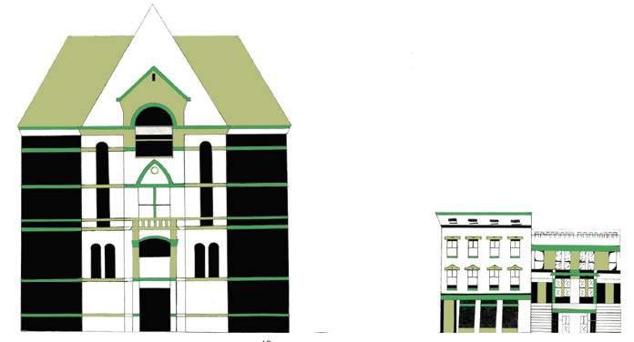
The purpose of this assignment is to understand built form of the neighborhood using basic urban analysis techniques such as figure ground, linkage mapping and place typologies including architectural, landscape and streetscape elements.

The point was to understand land use designation of parcels and properties. This includes identifying, mapping and analyzing several transportation characteristics of the neighborhood and learn basic concepts related to a

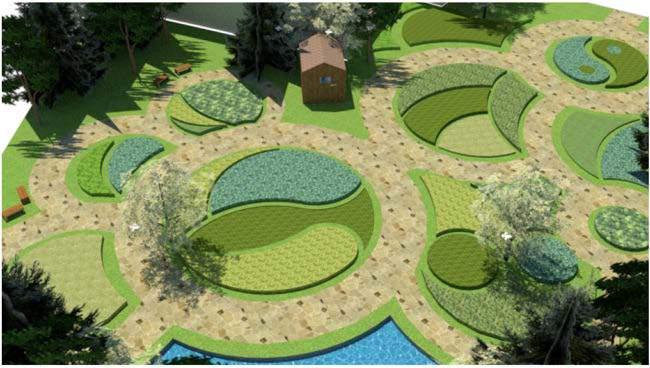
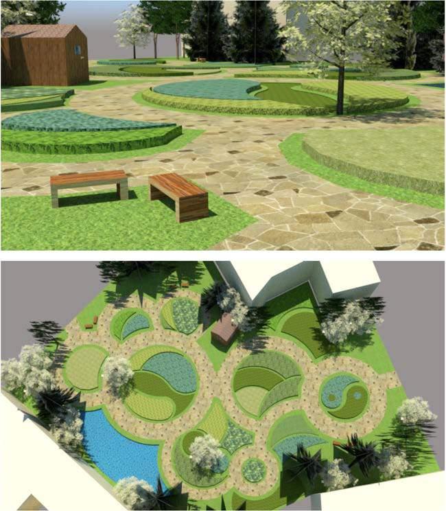
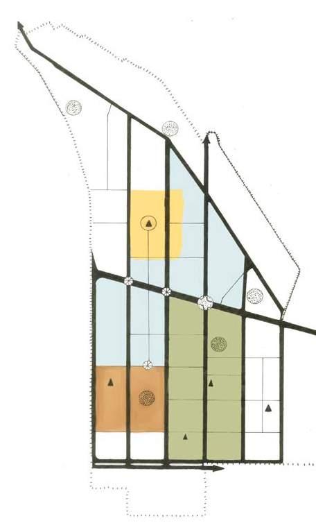
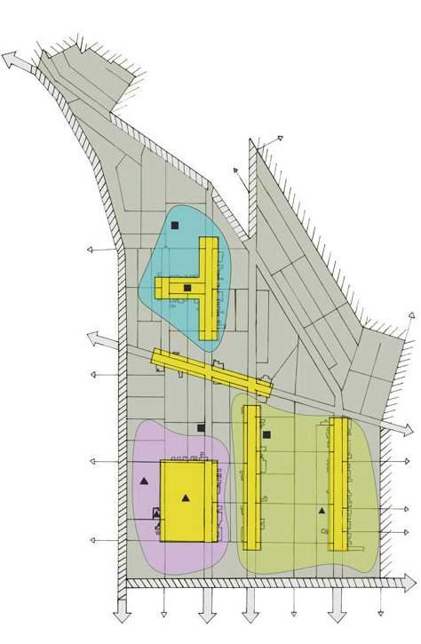
The purpose of this assignment is to recognize urban planning/design issues and opportunities in the neighborhood and make recommendations for change. The plan is to implment permacultures in vacant spaces in order to promote healthy living and self-sustainablility for a low cost. Youth Groups or environmental activist groups would be in charge of these permacultures. These gardens can encourage farm to table services, and they can use these ingredients for social/food halls either to test rising businesses, prep cooking or job training. There are mentions of how one can maintain the area; however, the purpose of a permaculture is the ability of crops cultivating each other.