2 minute read
APP MEMBER PROFILE

APP MEMBER PROFILE Lynker: Your full-service marine regulatory and science partner!
Lynker is a mature, full-service marine science and technology firm with an expansive West Coast, Alaska, and Pacific Islands presence. We deliver innovative services and products needed by ports, including tide and current monitoring, climate impact studies, ship strike avoidance, restoration, dredging, logistics, federal and state permitting and regulatory compliance, grant writing, and more. We offer our fellow APP members and their partners unique breadth and depth in scientific research, advanced technologies, environmental assessments, and practical know-how to implement intelligent solutions that balance multiple priorities, maximize return on investment, and actively address emerging needs. This includes assisting ports with required environmental analyses required for building new or repairing existing infrastructure, dredging, and other activities.
Advertisement
Our relevant performance includes vessel maintenance program development, Deepwater Horizon Injury Assessment, program facilitation, and physical monitoring. Lynker facilitated program management between NOAA’s Office of Coast Survey, Integrated Ocean Observing System program, universities, and Long Beach oil refineries. This included a high-resolution
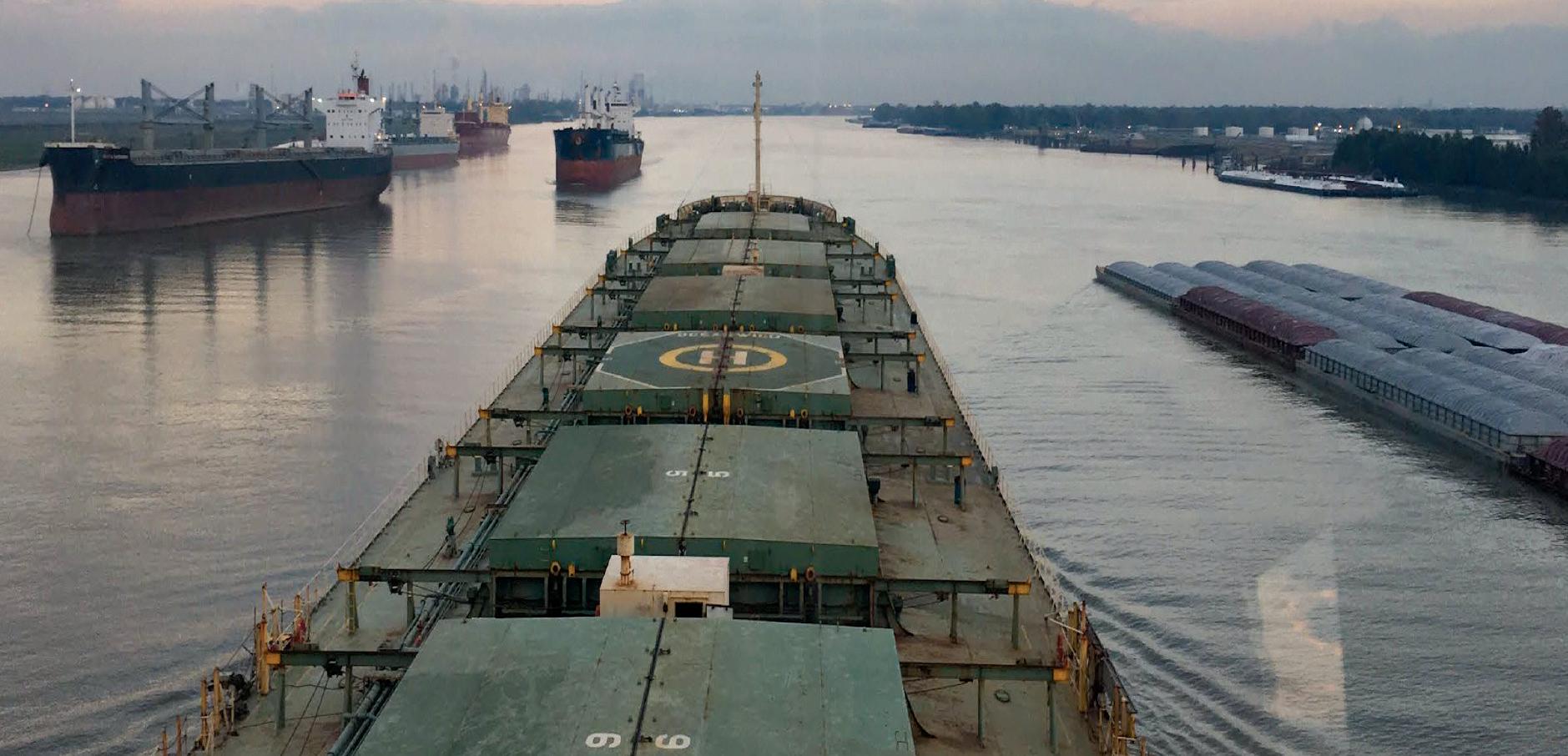
Lynker staff tending a CO-OPS buoy in Florida. seafloor survey, new buoy installation, and creation of a wave model that feeds a real-time ship motion model. Our efforts helped increase allowable draft, allowing millions of dollars of additional material to be brought in per trip. A fully laden, ultra large crude carrier with a draft of 67 feet in a channel of 76 feet successfully transited to the Tesoro Pier in Long Beach, CA.
Lynker personnel contribute to NOAA National Ocean Service (NOS) efforts to assist commercial vessels navigating port waters. NOS’ Center for Operational Oceanographic Products and Services (CO-OPS) has three program areas: Physical Oceanographic Real Time System (PORTS), Operational Forecast Systems (OFS), and tide/current observations and predictions. A PORTS consists of combinations of various sensors (water level, air gap, meteorological, visibility, current meters) that provide commercial vessels with real-time information about conditions within the port. CO-OPS personnel help design sensor systems, platforms, and other products, and monitor real-time data. OFS provide water levels, currents, wind, salinity, and water temperature predictions. There are currently 14 OFS, all of which provide critical data for commercial vessel trip planning.
Lynker also assists CO-OPS with tide and current observations and predictions. CO-OPS provide historic, realtime, and predicted data regarding water levels and currents through the National Water Level Observation Network and National Current Observation Program. This data is a chief source for official tidal predictions that allow marine vessels to safely transit ports. Lynker personnel contribute to everything from designing and installing systems, monitoring data, creating predictive models, and displaying past, present, and future data for public use. We look forward to working with you!
To learn more about Lynker Technologies, visit: www.lynker.com