
3 minute read
Map 14: BroadRiverBay andBroadRiver(3.8miles)


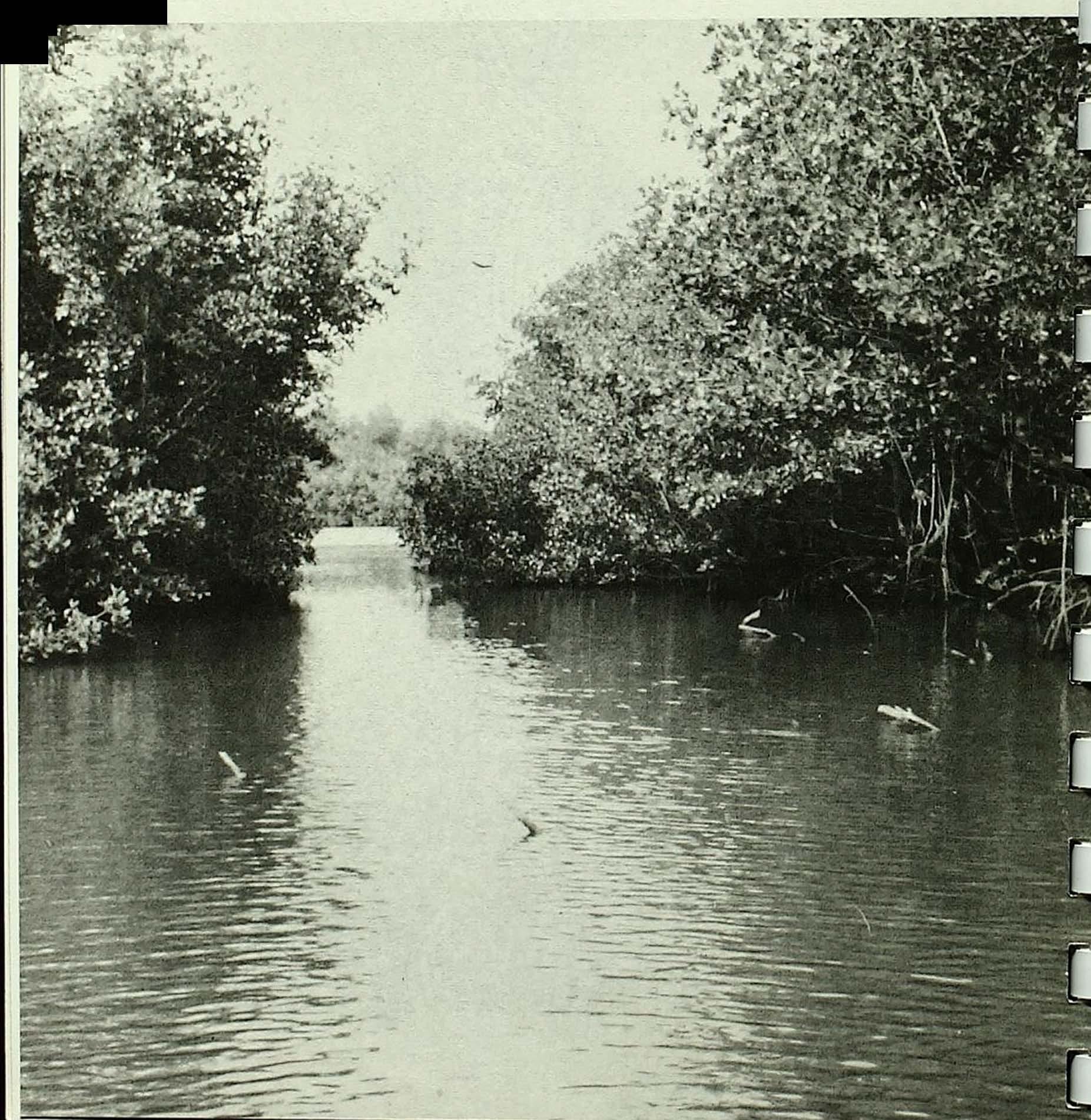
Broad River Bay is a two and a half mile long wide spot in the river. The water is deep and there is often a strong current. There are several large snags at the western end of the bay, and caution should be taken to avoid them.
Along Broad River there are some fairly tall trees. Most of the taller, straight ones are white mangroves. The mangrove vegetation along the edge of the water is not as extensive as it appears. Just beyond the thin row of trees the sawgrass prairie extends for miles.
Advertisement
You are now on a stretch of approximately five miles, from marker 26 to marker 25, with no additional navigation aids. The only major turnoffis the Cutoff to Rodgers River, which affords the visitor another interesting side trip. A circuit trip can be made by using the Rodgers River to run eitherout to the Gulf or back to the inside by way of Rodgers River Bay.
From Broad River Bay by way of Broad River it is about five miles to the Gulf of Mexico. The Broad River water depth is between 7 and9 feet, andthe Rodgers River depth is about 7 feet at mean low tide.
Storms
Every year between June and November an average of eight to ten tropical storms build up in the Atlantic or Gulf and spin their way up through the Caribbean. Some of these storms intensify to hurricane strength (winds above 74 mph) and threaten the mainland. Some years as many as two or three storms may strike the coast, while in other years they may all blow themselves out somewhere in the North Atlantic.
Any boater launching a boat in Florida waters during the hurricane season should be aware of expected weather conditions. Boaters at all times should pay close attention to posted storm warnings.
STORM WARNINGS
RED FLAG: Small Craft Warning (winds to 38 mph)
2 RED FLAGS: Gale (up to 54 mph)
SQUARE RED 2 SQUARE RED FLAG WITH FLAGS WITH BLACK BOX: BLACK BOXES: Whole Gale Hurricane
Map 15: BroadRiver to WoodRiver(3.6 miles)
Broad River campsite, approximately one-tenth ofa mile north of Wood River, offers boaters apicnic table,grill, and a clearing for camping. For boaters staying overnight in this vicinity, there are numerouspossibilities for loop trips and explorations. The U.S. CoastandGeodeticSurveychart #599..SCshouldbeusedifsidetripsaremadehere.
Between BroadRiverand BroadCreekarethemostnarrowandshallow creeks along the Wilderness Waterway. If you enter thisareaat lowtideit is best to run outside to the Gulf, using the unmarked alternate route insteadof thewaterway,between markers25 and J7 (see Map 16).
Watchfor the manysnags in the shallow creeksalongthe waterway

Map 16: Wood River to Broad Creek (4.8 miles)
Broad Creek between markers 17 and 21 is very shallow, and between 21 and 23 passable only at high tide. Other creeks are passable most of the time, some with less than half-full tide. Even then the boater may have to lift his motor over logs that criss-cross the creeks. Run only at very slow speed to avoid hitting snags sticking up out of the water, and in shallow water, logs on the bottom. This route should not be attempted by boats over 18 feet in length, and for complete assurance of safe passage at low tide, all boats are advised to take the alternate route to the Gulf and around.
The simple alternate route takes only about I 5 minutes of time and could save perhaps an hour of frustration. Using the alternate route, pass two creeks emptying into the Gulf between Broad River and Broad Creek, and turn up the third opening, as shown on the map, picking up the waterway again on the other side of the narrow creeks described above.
Going to the outside is also very rewarding at this point if one wants to shell along a sandy beach or wade in the warm Gulf waters. Just north of the mouth of Broad River the white sands of Highland Beach stretch for about three miles. During low tides larger boats wiJI have to anchor offshore, as the slope from shore is very gradual.
The shallow waters of Broad Creek and the narrow creeks between it and Broad River provide some of the best feeding grounds for many of the Park's wading birds. American egrets, snowy egrets, Louisiana herons, and white ibis move about in th.is area in great numbers. During the summer and fall roseate spoonbills can be seen wading along the edge of the creeks during low tides.

Even though it is an excellent opportunity to see bird life, these narrow, shallow creeks may go completely dry during low tides, and the alternate route is strongly recommended.
Roseate Spoonbillsfeed alongthe westcoastin summermonths

Map 17: BroadCreek toHamey River(5.2 miles)
Throughout the Park, rivers, bays, and islands carry the names of famous explorers or early settlers. The Harney River was named for Lt. Col. William S. Harney of the United States Army, who led a savage campaign againsttheSeminoleIndiansduringthe 1830'sand 1840's.
It was on December 4, 1840, that Harney and !tis men started on the expedition that brought him eventually out to the Gulf of Mexico bythe river that nowbearshisname. The expeditionwasorganizedto pursue and capture the Indian Chief Chekika, whose band had raided Indian Key across Florida Bayandkilledanumber ofpeopleincludingthe famousDr. Henry Perrine. Hamey's party started out from the mouth of the Miami River into the glades in canoes. They found the Indian leader and his people at Chekika's hammock about 35 ntiles west of Mianti. Here, Chekika was shot and hanged. After this raid Harney and his soldierscontinued in theircanoes to travel west from hammock to hammock,searching out and destroying Indian camps. Twelve days after the start ofthe expeditionthesoldiersemerged on the GuJfcoast.


