QUAIL CROSSING, PHASE I
BEING A SUBDIVISION OF A PORTION OF PARCEL A OF PARTITION PLAT NO. 1992-7
SURVEYOR'S CERTIFICAT :
LLIAMS ERED PROFESSIONAL LAND SUR THE STATE OF OREGON, NG DULY SWORN, DEPOSE AND WTH OREGON REVISED STA ON REVSED STATUTES CHAED BY ME, OR UNDER 92, 93 AND 209 OF 2002 AT THE REQUEST OF PAT BAUER, AND THAT I HAVE CORRECTLY SURVEYED AND SUBDIVISION PLAT OF "QUAIL CROSSING, PHASE I" LOCATED SOUTHWEST ONE-QUAR TER (SW 1/4) OF SECTION 15, IN TOWNSHIP 17 SOUTH, RANGE . WILLAMETTE MERIDIAN CITY OF BEND, DESCHUTES COUNTY, OREGON, AND IS A PORTION OF PARCEL 'A', PARTITION PLAT NO. 1992-7 AND THAT A 5/8" IRON ROD WITH YELLOW PLASTIC CAP MARKED "HWA" EXISTS AT THE "INITIAL POINT" AND THE PROPER PARTICULARLY DESCRIBED AS FOLLOWS:
BEGINNING AT SAID INITIAL POINT, ON THE WEST BOUNDARY LINE OF SAID PARCEL A, SAID BEGINNING POINT ALSO BEING THE SOUTHEAST CORNER LOT 1 OF THE PLAT OF MORNINGSTAR FIRST ADDITION AS RECORDED ON SEPTEMBER 09, 1980 IN PLAT CABINET B, PAGE 772 IN THE OFFICE OF THE DESCHUTES COUNTY CLERK: THENCE ALONG THE BOUNDARY COMMON TO SAID PARCEL A AND SAID PLAT OF MORNINGSTAR FIRST FOLLOWING TEN (10) COURSES: FEET; NOR ET:
NORTH WEST 70.35
NORTH EAST A DISTANCE OF 148.34 FEET; NORTH 02'04'58" WEST A DISTANCE OF 63.67 FEET; NORTH 29'48'03" EAST A DISTANCE OF 164.69 FEET;
COMMON BOUNDARY LINE SOUTH 8312' E OF 162.58 FEET; THENCE 51.87 FEET ALONG A NON-TANGENT CURVE TO THE RIGHT MTH A RADIUS OF 330.00 FEET. THE CHORD OF WHICH BEARS SOUTH 1117'56" WEST F 51.81 FEET: THENCE SOUTH 81*29'37" EAST A DISTANCE OF 226.21 FEET WEST RIGHT-OF-WAY LINE OF 18TH 80.00 EACH
SIDE O CENTERLINE); THENCE ALONG SAID RIGHT-OF-WAY LINE SOUTH ORNINGSTAR DRIVE (60.00 EOOT MDE RIGHT-OF-W IH RIGHT-OF-WAY LINE OF MORNINGSA DRIVE (60.00 FOOT WDE RIGHT-OF-WAY, 30.00 FEET EACH SIDE OF CENTERLINE): THENCEf MORNINGSTAR DRIVE THE FOLOING TO 2) COURSES
SOUTH TANCE 127.45 FEET AL CURVE 330.00 FEET, THE CHORD OF WHICH BEARS sO FOR A DISTANCE OF 126.66 FEE ; SOUTH 67'47'34" WEST A DISTANCE OF 214.52 FEET GINNING, TERMINUS OF THIS DESCRIPTION.
CONTAINS 9.45 ACRES, MORE OR LESS, OF WHICH 2.46 ACRES ARE TO BE DEDICATED AS PUBLIC STREETS
PLAT INDEX:
SHEET 1: SURVEYOR'S CERTIFICATE ARATIO
YOR'S NARRATIVE
SHEET 2: PLAT SIGNATURES
POST-MONUMENTATION NOTE
SHEET 3: BOUNDARY RESOLUTION 1" = 100' SCALE
SHEETS 4-5: PLAT DRAWING 1" = 50' SCALE
SURVEYOR'S NARRATIVE:
WE WERE R BAUER TO PREPARE THE SUBDIVISION PLAT OF "QUAIL CROSSING, PHASE APPROVED BY THE CITY OF BEND PER NOTICE OF AND DECISION FILE NUMBER PZO1-476, BY THE CITY OF BEND DATED APRIL 12, 2002.
THE EAST BOUNDARY OF THIS PLAT WAS ESTABLISHED BY HOLDING THE FOUND MON E OF 18TH STREET. THIS LIN CREATE THE HT-OF-WA PLAT BOUNDARY.
MORNINGSTAR DRIVE. THE TANGENT DIRE MONUMENTS ON SAID SOUT HT-OF-W INTERSECTION MONUMENT VERY WELL. THE CENTERLIN STAR RADIL H (r3) OF SAID MORNINGSTAR WAS ALU GSTAR DRIVE WAS FEE SO BOUNDA
THE WESTERLY PLAT BOUNDARY WAS ESTABLISHED BY HOLDING THE RECORD DISTANCE OF 40.40 FEET (r1) FROM THE WESTERLY STONEWOOD DRIVE AND THE FOUND MONUMENTS ALONG SAID WESTERLY BOUNDARY, ITH THE EXCEPTION OF THE TWO MONUMENTS NEAR MONUMENTS NEAR EAR THE NORTHEAST CORNER OF LOT 4, "MORNINGSTAR FIRST ADDITION". THE AREAS BETWEEN LOTS 3 AND 6, AND LOTS 5 AND 8 WHERE BOUNDARY
THE NORTHERLY BOUNDARY OF THIS PLAT WAS ESTABL CLIENT'S INSTRUCTION BEARINGS THE CENTERLINE OF 18TH STREET PER CS12356, AS NORTH 00°04'39" WEST.
DECLARATION:
QUAIL CROSSINGS, INC., AN OREGON CORPORATION, VESTEE OF THE LAND SUBDIMISION OSSING. AND MORE PARTICULARLY DESCRIBED IN THE SURVEYOR'S CERTIFICATE HEREUNTO ATTACHED, H SAID LAND TO BE PLATTED AS SUCH PLAT AND DEO SING, SUBDIMIDED IN AGCORDANCE WITH ORS AND VER BANK FFICIARY UST REGORDED FEBRUARY 27, 2003 IN VOLUME 2003, PAGE 1326 RE PHASE I" AS DESCRIE CROSSING, PHASE T AS DESC HEREUNTO ATTAC THE RIG VE TORS WAYS WOOD DRIVE, CRESTED COUR RUC FOREVE OV O E ER FOR SIRE SAID STREETS AS SHOWN ON SHEETS 4 AND 51 MAINTENAN SHOWN ON SHEETS 4 AND 5 FOR THE CONSTRUCTION, INSTALLATION, MAINTENA PUBLIC OL SAND FUR FURTHTHER BLIC A FURTHER CRANTS THE SLOPE FASEMENTS AS SHOWN ON END FOR PE PLACEMENT: AND FORTHER GRANTS THE SLOPE EASEMENTS AS SO A TY OF BEND FOR FILL SLOPE PLACEMENT; AND FURTHER GRANTS THE SIDEWALK EASEMENTS WHICH AFFE 9, S1, 52, 34 AND 35 AS SHO ON SAID SHEETS 4 AND 5 FOR PUBLIC ACCESS; AND FURT S THE SIGN EASEME AFFECT PORTIONS OF LOIS 26 FOOT WDE PRIVATE SEWER EASEMENTS WHIC PORTIONS Of LOis 2 AND 3. HE 15.00 FOOT WDE PRIVATE S EASEMENT00 500 WDE EENCE PORTIONS OF SAID LOTS 2 E BENE 1 AND 35; AND FURTHER RESERVES TH AND
(SEE SHEET 2 OF 5 FOR DECLARATION SIGNATURES)
REGISTERED LAND SURVEYOR OREGON
DAVID R. WILLIAMS EXPIRES: 30 JUNE, 2004

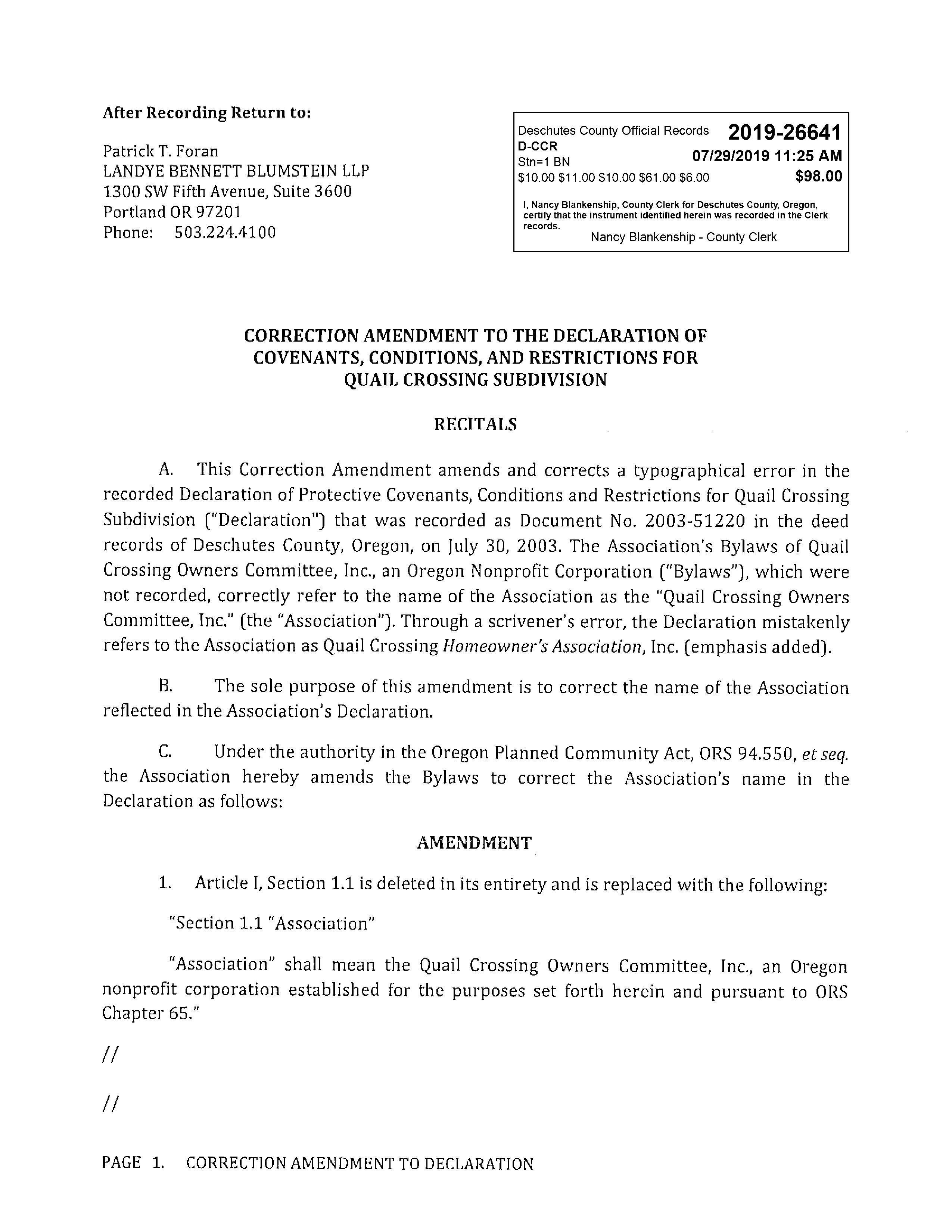
After Recording Return To:
Quail Crossing Subdivision
335 NE Lafayette Ave. Bend, Oregon 97701
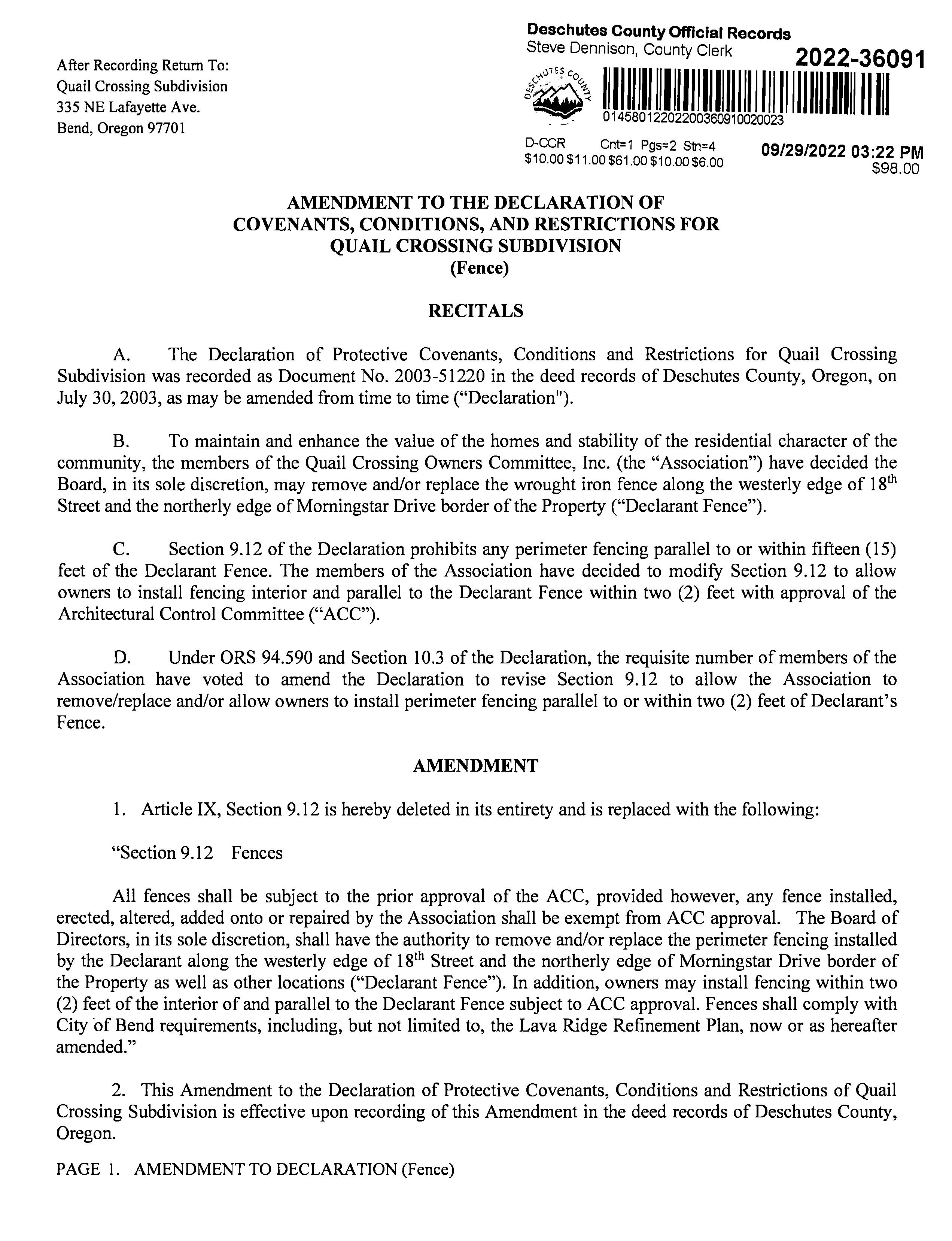
AMENDMENT TOTHE DECLARATION OF COVENANTS, CONDITIONS, AND RESTRICTIONS FOR QUAIL CROSSING SUBDIVISION (Fence)
RECITALS
A. The Declaration of Protective Covenants, Conditions and Restrictions for Quail Crossing Subdivision was recorded as Document No. 2003-51220 in the deed records of Deschutes County,Oregon, on July 30, 2003, as may be amended from time totime ("Declaration").
B. To maintain and enhance the value of the homes and stability of the residential character of the community, the members of the Quail Crossing Owners Committee, Inc. (the "Association") have decided the Board, in its sole discretion, may remove and/or replace the wrought iron fence along the westerly edge of 18th Street and the northerly edge of Morningstar Drive border of the Property ("Declarant Fence").
C. Section 9.12 of the Declaration prohibits any perimeter fencing parallel to or within fifteen (15) feet of the Declarant Fence. The members of the Association have decided to modify Section 9.12 to allow owners to install fencing interior and parallel to the Declarant Fence withintwo (2) feetwith approval of the Architectural Control Committee (" ").
D. Under ORS 94.590 and Section 10.3 of the Declaration, the requisite number of members of the Association have voted to amend the Declaration to revise Section 9.12 to allow the Association to remove/replace and/or allow owners to install perimeter fencing parallel to or within two (2) feet of Declarant's Fence.
AMENDMENT
1. Article IX, Section 9.12 is hereby deleted in its entirety and is replaced with the following:
"Section
9.12 Fences

All fences shall be subject to the prior approval of the ACC, provided however, any fence installed, erected, altered, added onto or repaired by the Association shall be exempt from ACC approval. The Board of Directors, in its sole discretion, shall have the authority to remove and/or replace the perimeter fencing installed by the Declarant along the westerly edge of 18th Street and the northerlyedge of Morningstar Drive border of the Property as well as other locations ("Declarant Fence"). In addition, owners may install fencing within two (2) feet of the interior of and parallel to the Declarant Fence subject to ACC approval. Fences shall comply with City of Bend requirements, including, but not limited to, the Lava Ridge Refinement Plan, now or as hereafter amended."
2. This Amendment to theDeclarationofProtective Covenants, Conditions and Restrictions of Quail Crossing Subdivision is effective upon recording of this Amendment in the deedrecords of Deschutes County, Oregon.
1.
(Fence)