5 minute read
All Points Between


All Points Between
By Stephen Sostaric
Advertisement
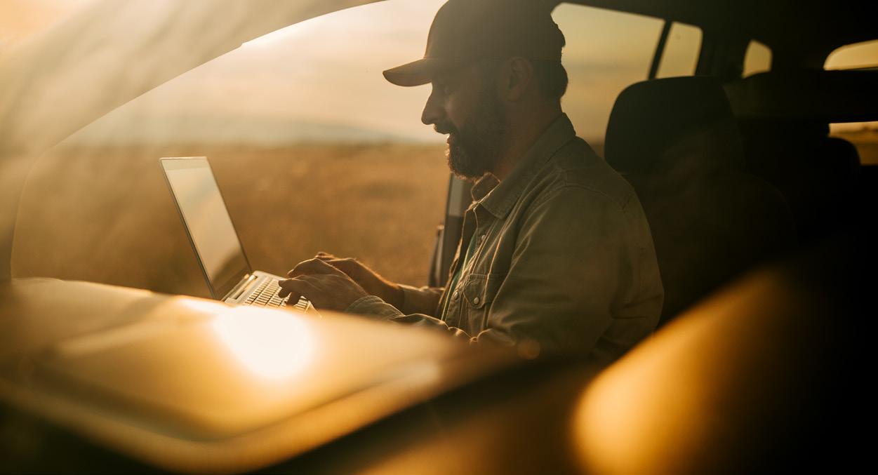
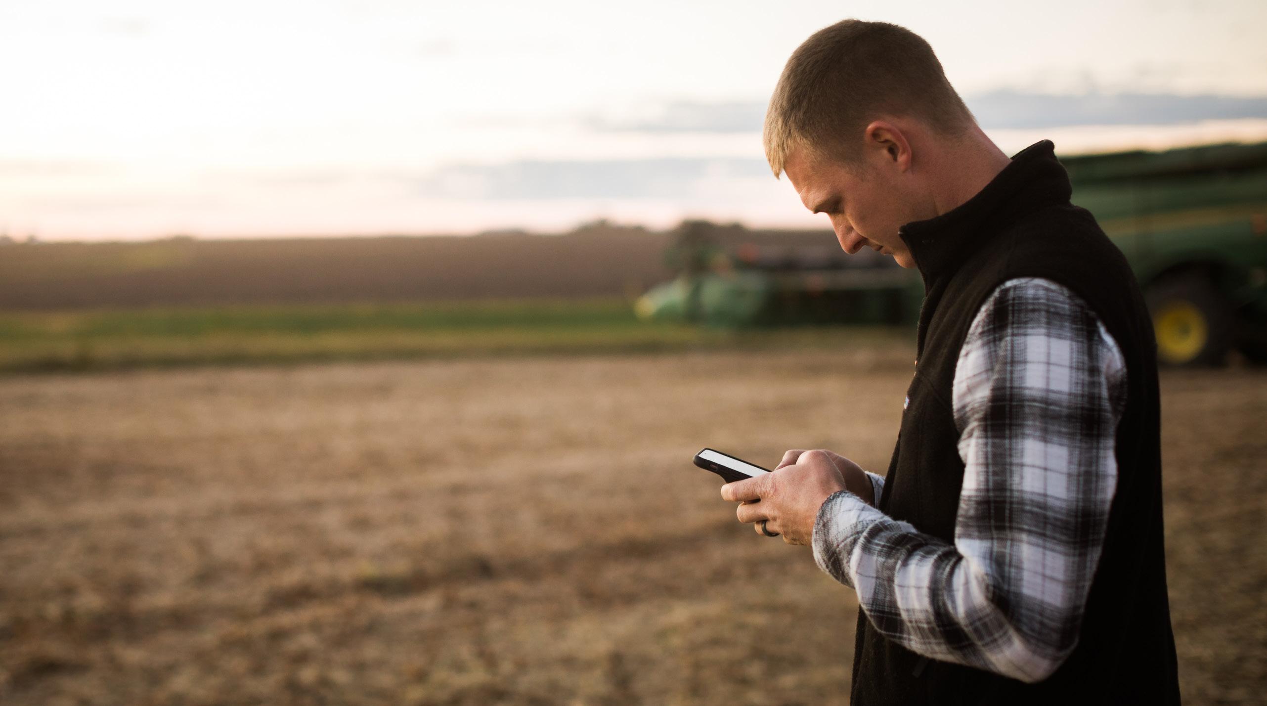
In early 2020, the whole world shut down, everyone stayed home, and life as we knew it moved online. Virtual connection became our only link to the outside world. This massive shift laid bare something that farmers all over the country had known for a long time: broadband infrastructure in rural areas of the United States is often, at best, weak and in many areas non-existent. It also created the opportunity for new collaborations, born to address the great digital divide in Illinois.
The Illinois Soybean Association’s Rural Broadband Task Force was revived to examine the state of rural broadband in Illinois and what could be done to improve the situation. It quickly became apparent that the available maps examining broadband access were not as accurate as they could be, meaning any efforts to address the problem wouldn’t be using the best possible data. The task force and its partners were given a boost when a connection was made with the Department of Geography, Geology, and the Environment at Illinois State University.
John Kostelnick, Professor of Geography and Director of GEOMAP, and Jonathan Thayn, Director of the Environmental Systems Science & Sustainability Program, were able to bring their mapping expertise and knowledge along with that of their students to better equip the task force for the work ahead. The goal of the project is to create an easy-to-use toolkit that can be scaled up and made available for counties around the state of Illinois to do their own improved broadband analysis. “This is a chance to see how mapping is beneficial throughout the process of expanding rural broadband access,” said Kostelnick. “Our job is to figure out ways to answer some of the questions around rural broadband.”
Working with five of their undergraduate students, Kostelnick and Thayn are bringing together various pieces of data to map the current status of broadband and the expansion opportunities as well as quantifying the benefits of improved coverage to agricultural production and profitability. The team is comparing what the existing state and Federal Communications Commission (FCC) broadband maps show for cur- rent internet speed availability as compared to on-the-ground speed testing. United States Department of Agriculture cropland data provides a more refined benefits analysis by showing what is grown where and what kind of internet service is available. LiDAR surface scans from the state provide an accurate picture of vertical assets that can be used for equipment to broadcast a broadband signal. “We are working to use free data and software to identify these vertical assets to install repeaters,” said Thayn. “This way, the students can create an easy-to-follow process to identify these assets. It’s a methodology so anybody can make it work.”
As part of creating this process, real-world testing and analysis need to be done to make sure it functions well. A cross-section of fifteen counties around the state was selected for this after considering several factors. The Connect Illinois broadband improvement program divides the state into ten regions. At least one county in each of these regions is part of the testing.
Other factors considered included topography, geographic location within the state, and if that county had high corn and soybean production. “Most likely these counties are the leading producers in their respective regions,” said Kostelnick. Strategic partners involved with the ISA Rural Broadband Task Force also helped determine the counties selected to give the team a “foot in the door” to conduct the initial work.

John Kostelnick

Jonathan Thayn
The initial counties for analysis include Bond, Christian, Clinton, Edgar, Hancock, Henry, Iroquois, Kankakee, LaSalle, Macoupin, McLean, Ogle, Schuyler, Washington, and Wayne.
According to the project timeline, much of the production and vertical assets analysis are complete, and now it comes down to whether or not the process will work. Five of these counties - Edgar, Hancock, McLean, Ogle, and Schuyler – are part of a workshop with the Benton Institute for Broadband & Society in Wilmette. “That partnership gives a kind of field testing for the project,” said Thayn. These counties were added to the initial list of ten once their applications for the Benton workshop were accepted.
While mapping products aren’t quite ready for use, the project is already creating positive impacts. “The work that we’ve done has already been used to argue for the utility of GIS (Geographic Information Systems) in this project,” said Thayn. “It’s a tool around which we are building a consensus, using a mutual language to describe broadband problems.”
Kostelnick and Thayn don’t see the work done on broadband
Funded by the Illinois Soybean Checkoff as the only benefit to come out of this project. “I’m excited to see what we do next with the connections made. There is a lot of potentials to apply this technology and software to other uses in ag,” said Thayn.

According to the project timeline, much of the production and vertical assets analysis are complete, and now it comes down to whether or not the process will work.
Kostelnick sees the potential for not only agriculture but the field of geography as well. “Some of the grandest challenges are geographic. This helps us look at how geography matters and the value added by looking at what geography can contribute. This demonstrates the utility of mapping to inform good decision-making in a way that makes sense, is cost effective, and successful in terms of deployment.”
He adds, “We are grateful to work with ISA and other part- ners as the project has grown. It’s a demonstration of how a university can partner with others in the community and work collaboratively to meet the challenges everyone cares about.”
For those interested in learning more, a final report for the pilot project will be available later this spring.