Ivan Valin
Associate Professor of Practice
Head, Division of Landscape Architecture
The 2024–2025 Annual for the Division of Landscape Architecture presents a selection of outstanding student work and teaching across our five degree programmes in landscape architecture, heritage conservation, and sustainable environmental design. Each programme has a distinct educational mission, yet together they share a commitment to improving our built and natural environments by educating students within a culture of collaboration, critical inquiry, creativity, and responsible engagement with the communities and ecosystems they serve. The Division’s diverse staff provides students with a wide range of knowledge and expertise, grounded in world-class research and innovative design practice. Together with a dynamic group of invited guests, researchers, adjunct professors, alumni, professional practitioners, and community members, our students encounter a broad range of perspectives and skills that greatly enhance their core education.
Hong Kong is the ‘living laboratory’ that grounds this educational approach, and we frequently engage with the city’s dense urban fabrics, intertwined infrastructural networks, steep topography, protected landscapes, and rich cultural histories to understand the complex interactions between natural and built systems. Studying in Hong Kong also offers ready opportunities to explore the wider region of East and Southeast Asia through travelling studios, structured field trips, interdisciplinary workshops, and student exchange programmes. Against this diverse backdrop
of socioeconomic and ecological contexts, we explore the urgent issues arising from unconstrained and rapid urbanization, including ecological degradation, community displacement, habitat loss, and climaterelated threats. Central to our teaching is the capacity to work across scales and to synthesize multiple forms of knowledge encountered in these different locales. Our ability to collaborate with the communities, institutions, and professionals at work in this region equips our students with a unique toolkit for new forms of impact, challenging them to imagine new modes of practice and alternative forms of agency in a rapidly changing world.
Students in the Division have substantial resources to draw upon, including the Faculty of Architecture’s own shared facilities, such as a newly renovated fabrication workshop and an expanded robotics laboratory. Following HKU’s progressive mission, we are steadily incorporating emerging technologies—such as advanced digital tools, environmental simulation, and AI—into our curriculum and challenging students to incorporate these new methods into their work. At the same time, our landscape and conservation programmes, in particular, maintain a strong emphasis on fieldwork and situated practice. Sitebased observation and direct engagement of specific communities and ecologies are hallmarks of effective landscape design and conservation practice. Learning how to work in the field, to read systems of complexity and time, and to serve communities is a vital skill not easily replaced by remote data or disembodied intelligence.
The material gathered in the following pages—student work; courses; events, activities, and initiatives; the field trips in Hong Kong and abroad; and the collaborations and partnerships we have undertaken—all depend on the immense efforts and dedication of our staff, teaching assistants, administrators, and invited guests. Finally, we extend our gratitude to our students for their hard work and dedication to excellence in the Division of Landscape Architecture, year after year.
Natalia Echeverri
Senior
Lecturer,
Programme Director (MLA/PDLA),
Division of Landscape Architecture
The Master of Landscape Architecture (MLA) is a twoyear postgraduate degree accredited by the Hong Kong Institute of Landscape Architects. The program is committed to teaching landscape architecture as an interdisciplinary field, integrating core competencies with developments in planning, conservation, urbanism, and ecology. The curriculum tackles critical social, economic, and environmental issues within Southeast Asia and the Greater Bay Area, addressing both urban and rural contexts to solve density and development challenges.
The course structure is divided into tracks, including design studios, history and theory, technology, and media. The initial studio examines landscape systems and public realm along Hong Kong’s coastal trail, while subsequent studios in Ho Chi Minh City and Chiang Mai involve fieldwork and community engagement. Advanced studios explore biodiversity, tectonics, rapid urbanization, and infrastructure. The program culminates with an individual thesis, covering a broad array of subjects such as environmental conflicts and advocacy, landscape conservation and heritage, and the exploration of landscape design and planning practices across the region.
Year 1
Fall Semester
Studio I
Landscape Media
Landscape Technology I
Landscape History and Theory I
Year 2
Fall Semester Spring Semester Spring Semester
Studio II
Landscape Plants and Ecology I
Landscape Technology II
Landscape History and Theory II
Studio III
Landscape Plants and Ecology II
Thesis
Landscape Architectural Practice
Thesis Prep
Elective Elective Elective
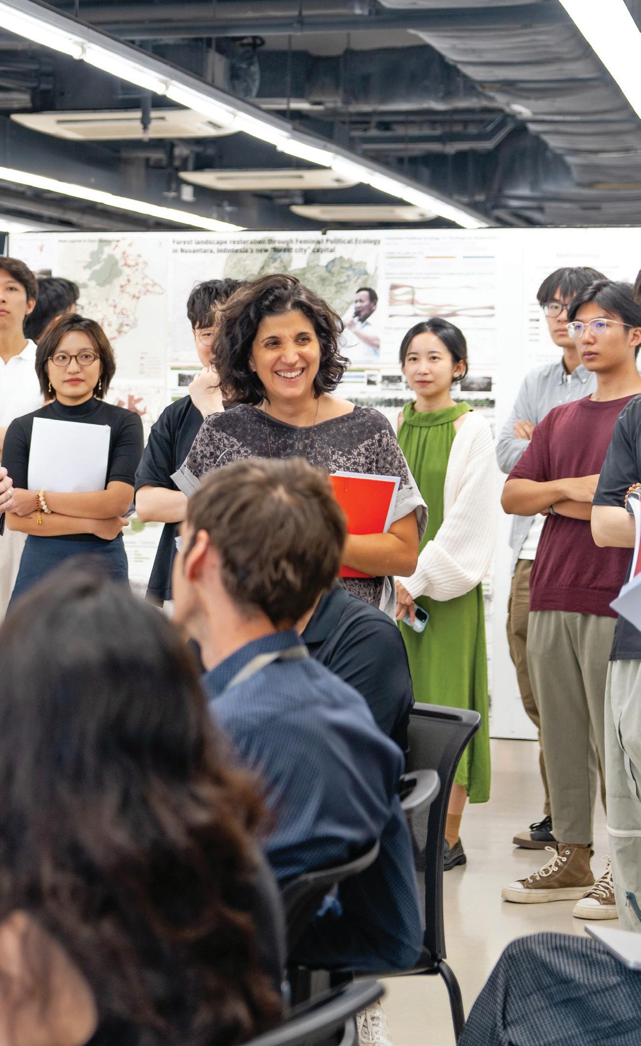
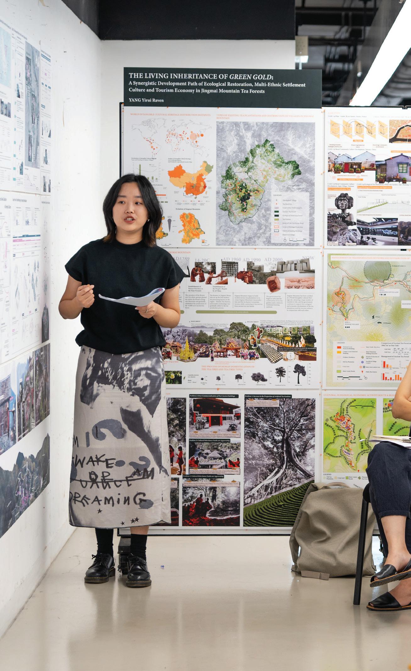
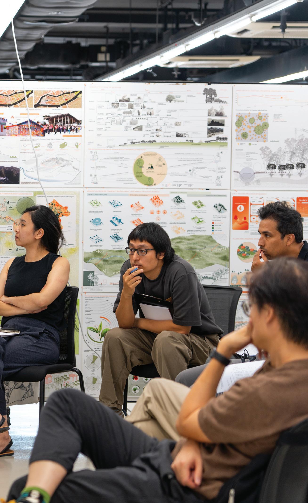
The Landscape Thesis is a year-long, student-led design and research project that caps our Master of Landscape Architecture (MLA) program. The thesis project gives our students the opportunity to define and explore their own individual interests and positions on contemporary landscape architecture while synthesizing the knowledge and skills gained from their landscape education at HKU. Thesis projects also provide a crucial platform for discussion and debate among students, advisors, mentors, and the wider academic and professional community of landscape architects, architects, planners, ecologists, sociologists, and geographers who are invited to jury the students’ presentations. These debates about the practices, theories, and methods of landscape architecture and its important role in environmental stewardship strongly define the ambition of landscape architecture at HKU.
Students begin with the Thesis Preparation course, which covers the primary methods and positioning of landscape architectural research and guides students in drafting a research statement, case studies, and literature review. Students work with their advisor through one of several tracks of Final Thesis Review panel discussion landscape research that help align students’ interests and ambitions broadly with their advisors’ domains of knowledge. Student theses this year resounded landscape architecture’s principal role in bridging the architectural, civil engineering, and planning fields with ecological science and environmental conservation.
Students’ theses covered a wide range of topics, including environmental and humanitarian conflicts, public participation and advocacy, artificial intelligence, smart cities, and landscape conservation and heritage, as well as challenging the status quo of design and planning practices in sites across Hong Kong, greater China, and Southeast Asia.

Huanyang Li Mutsing
Advisor: Ivan Valin
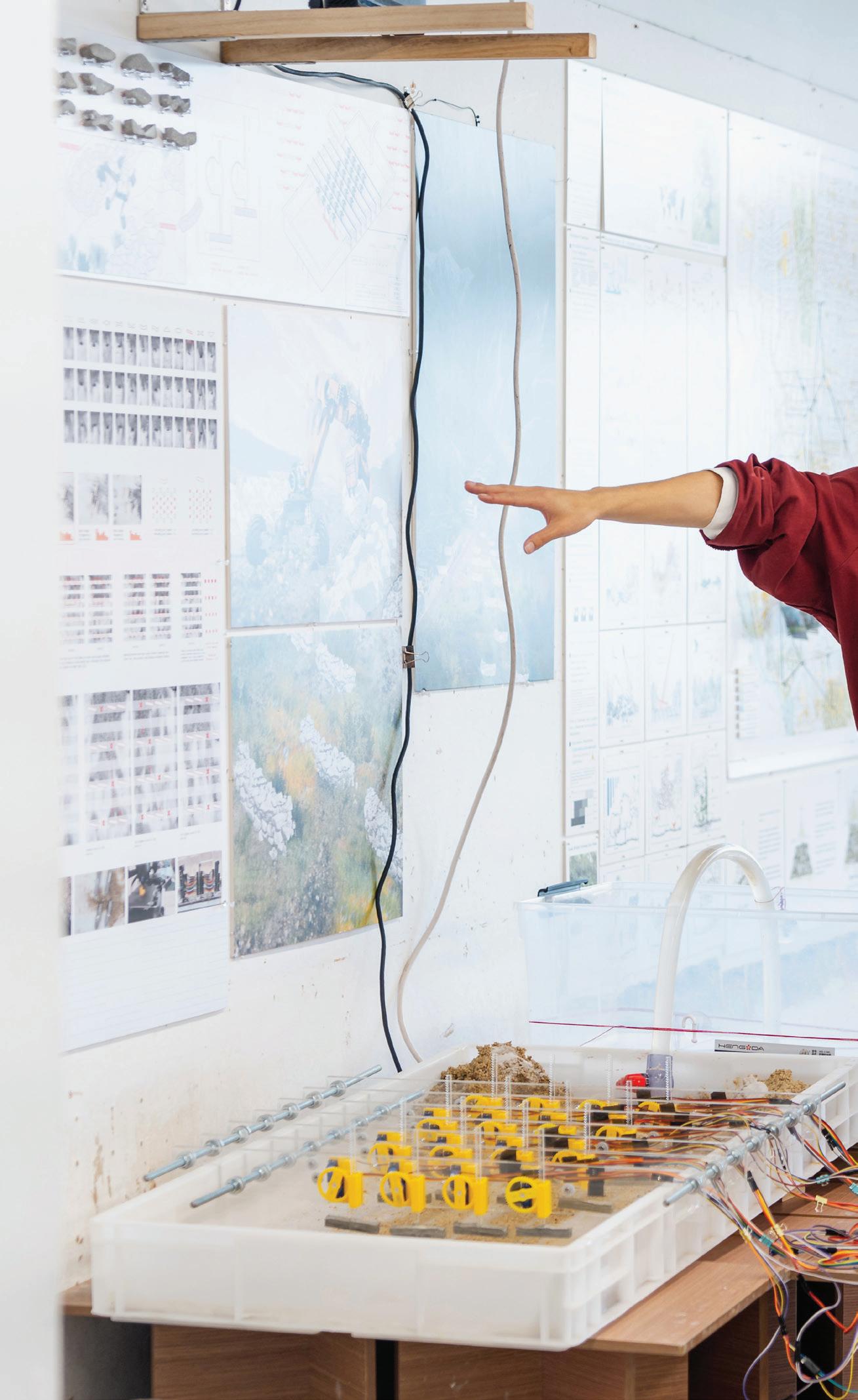
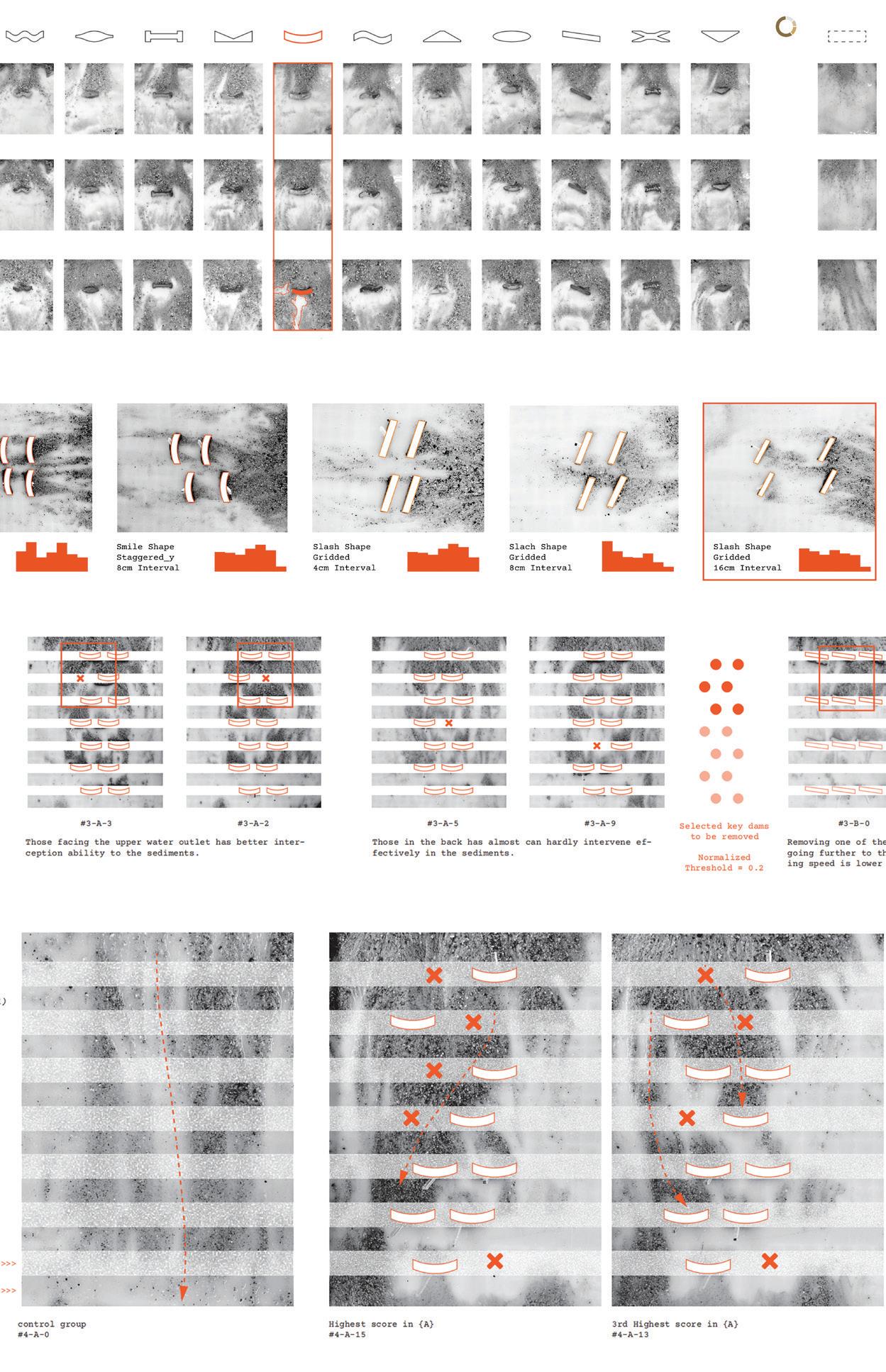
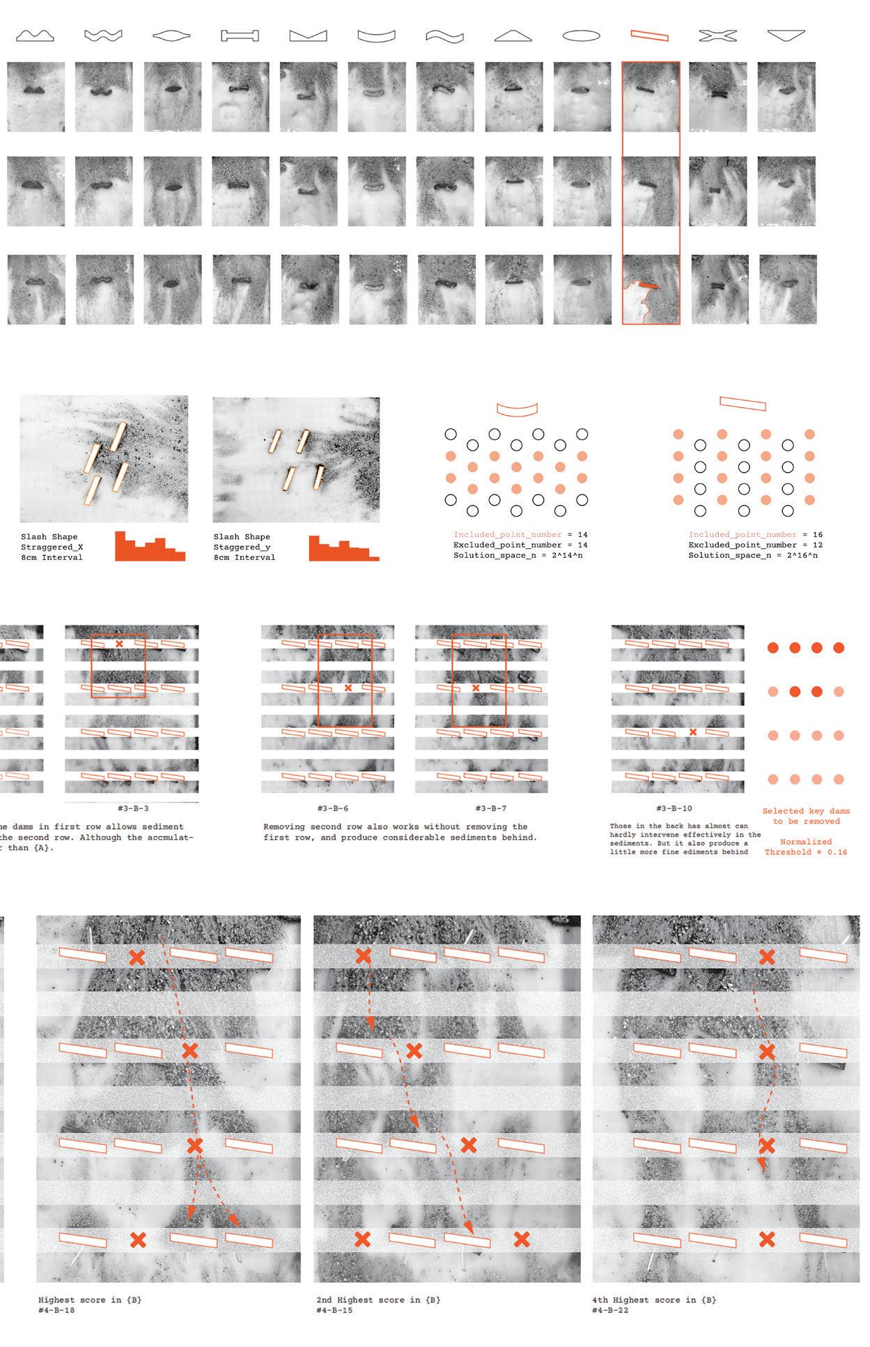
This thesis project integrates an automated construction system that modifies the hydro-morphology of a landslide-prone valley river through real-time sensing, continuous operation, and learning. Its aim is to create diverse ecosystems and prepare the terrain for potential disasters. The machine not only continuously adjusts the river’s morphology based on preset goals but also learns from past actions to develop more effective intervention strategies. It functions as follows:
1. Automatically clears rocks from the site and uses them to build specific structures.
2. Allocates a limited number of rocks to regulate water flow, influence sediment deposition, reshape river morphology, and promote ecological succession to reduce valley erosion and resist debris flows.
3. Repeatedly constructs and dismantles structures, refining its strategies through continuous learning.
Predicting water flow and sedimentation has always been timeconsuming, complex, and highly sensitive to disturbances. From an information perspective, the machine captures real-time terrain conditions, directly linking actions to outcomes for more responsive and nuanced understanding of complex data. From an operational perspective, it utilizes unprocessed heavy materials from the site, with robust algorithms that eliminate reliance on human expertise, labor, and additional cement materials. Its continuously updated models provide interventions that ultimately offer new insights into hydrological and ecological dynamics.

Lung Ha Lo Annie
Advisor: Xiaoxuan Lu
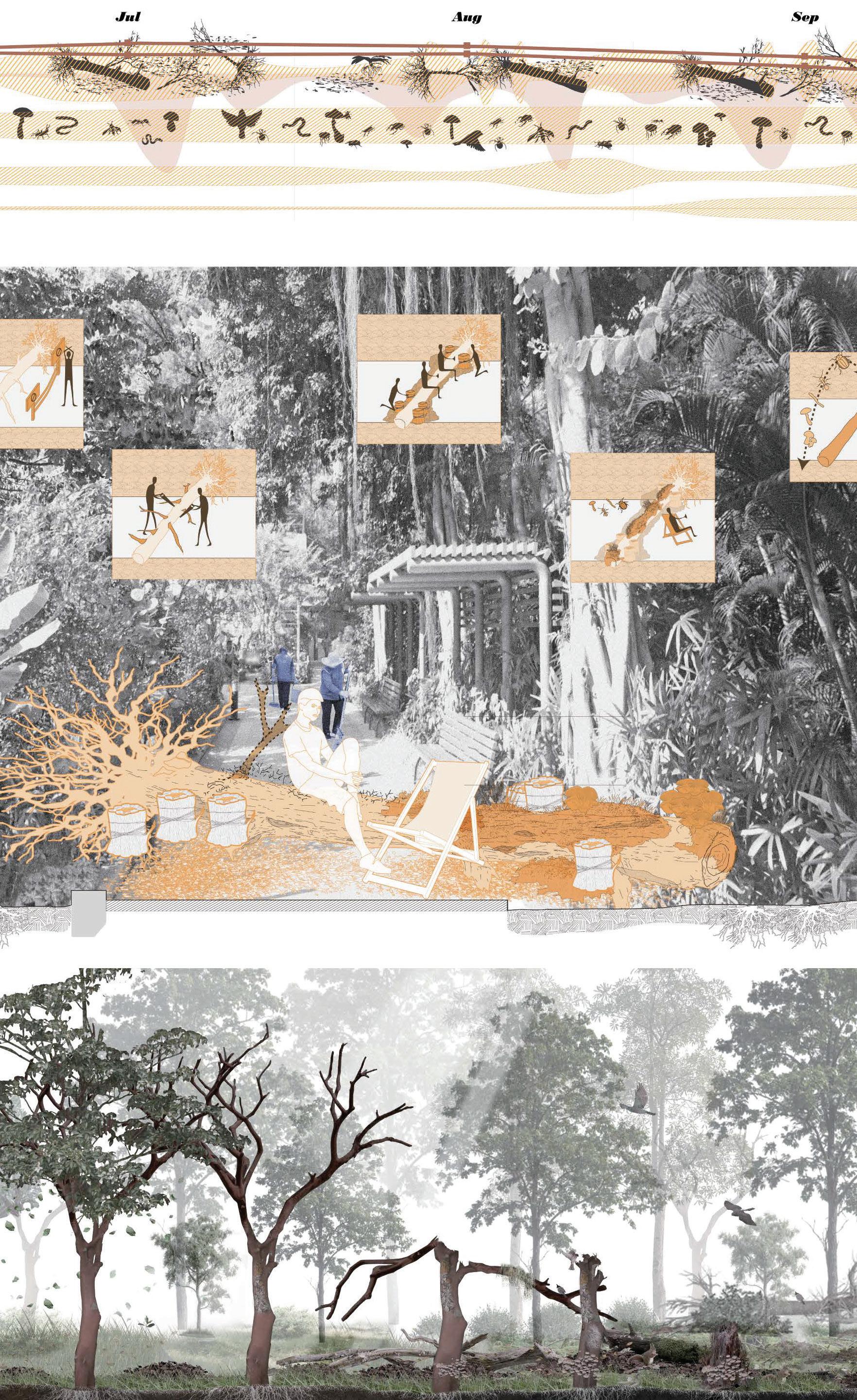
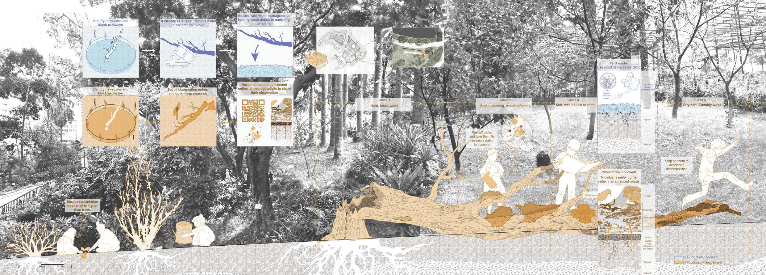
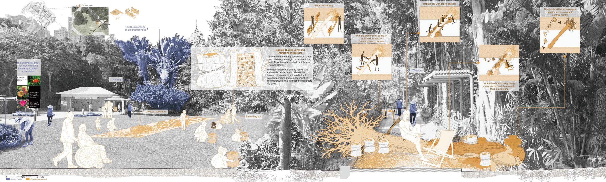
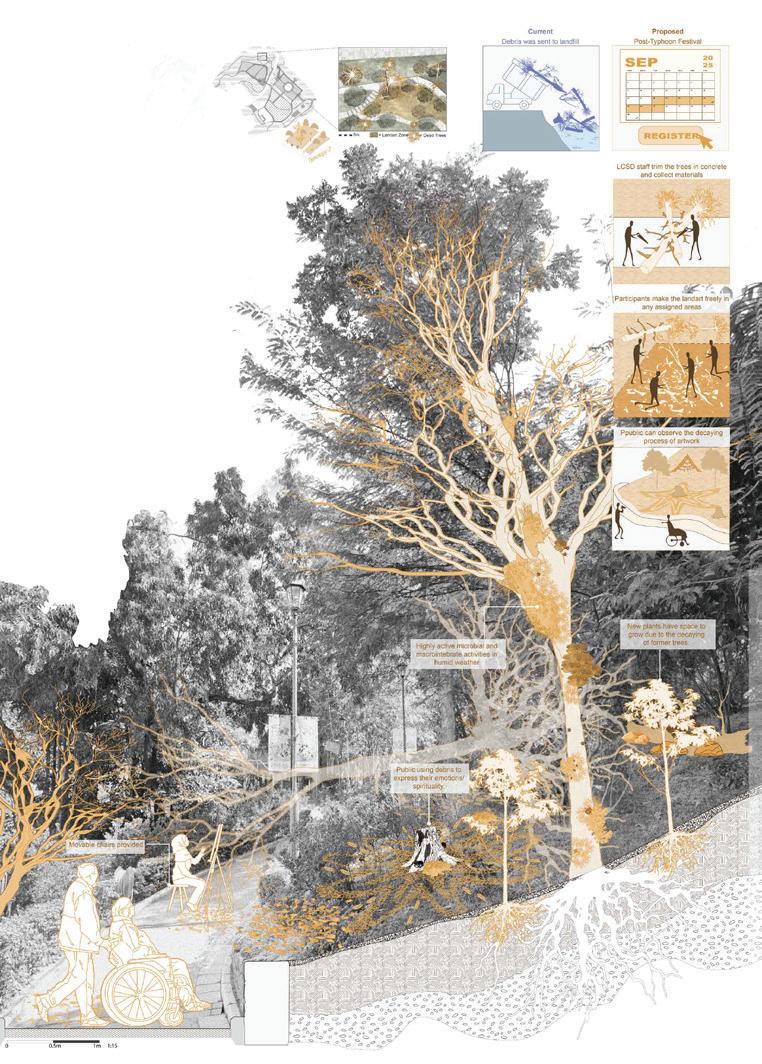
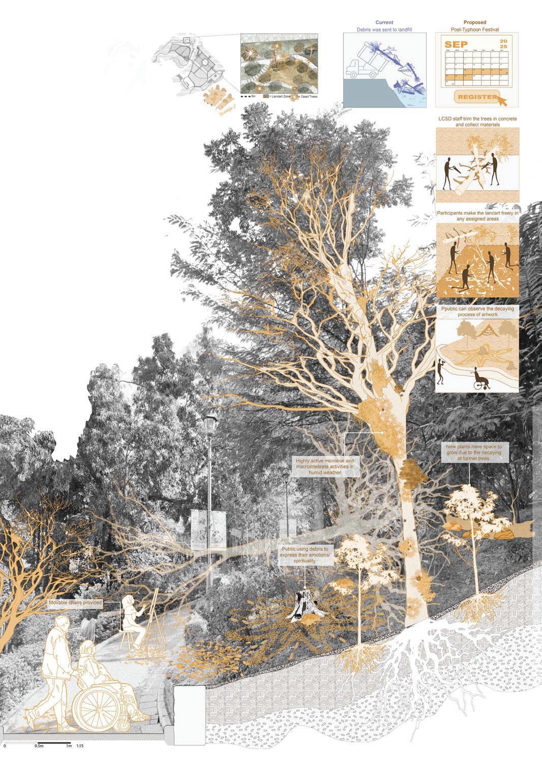
This thesis examines the Hong Kong Zoological and Botanical Gardens (HKZBG) through an ecofeminist lens, critiquing its systems of control over human and non-human life. Being one of the world’s oldest educational botanical gardens, HKZBG reflects hk planting management model which reinforce colonial binaries. It prioritises cleanliness, order, aesthetic, and mastery over nature by enforcing rigid maintenance that marginalizes plants’ death, decay, and decomposition-vital parts of urban natural cycles. It also shapes public perceptions of urban nature.
Ecofeminism critiques these patriarchal hierarchies, advocating for equality and mutual care. This thesis emphasizes recognizing decay as vital to growth, death, and renewal, fostering biodiversity and resilience. By embracing decay, the HKZBG can shift from appearance-driven to process-oriented management, reimagine relationships between order, chaos, and life’s dynamism, nurturing deeper connections between people and natures. The project shifts public perception of decay to celebration by cultivating a new landscape aesthetic, while considering diverse human and nonhuman needs. It highlights the spiritual resonance of plant life cycles as metaphors for human emotions, envisioning the HKZBG as a vibrant, inclusive space, challenging Hong Kong’s utilitarian urban landscape paradigm.

Yumeng Li Blair
Advisor: Bin Jiang
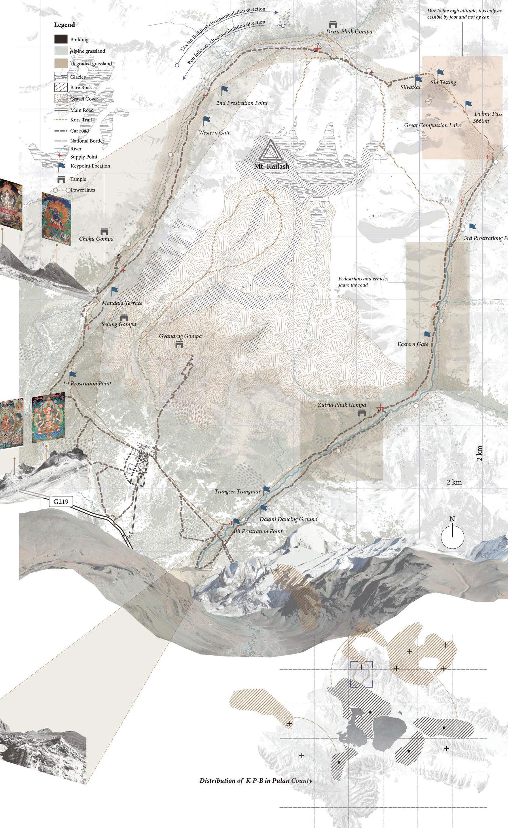
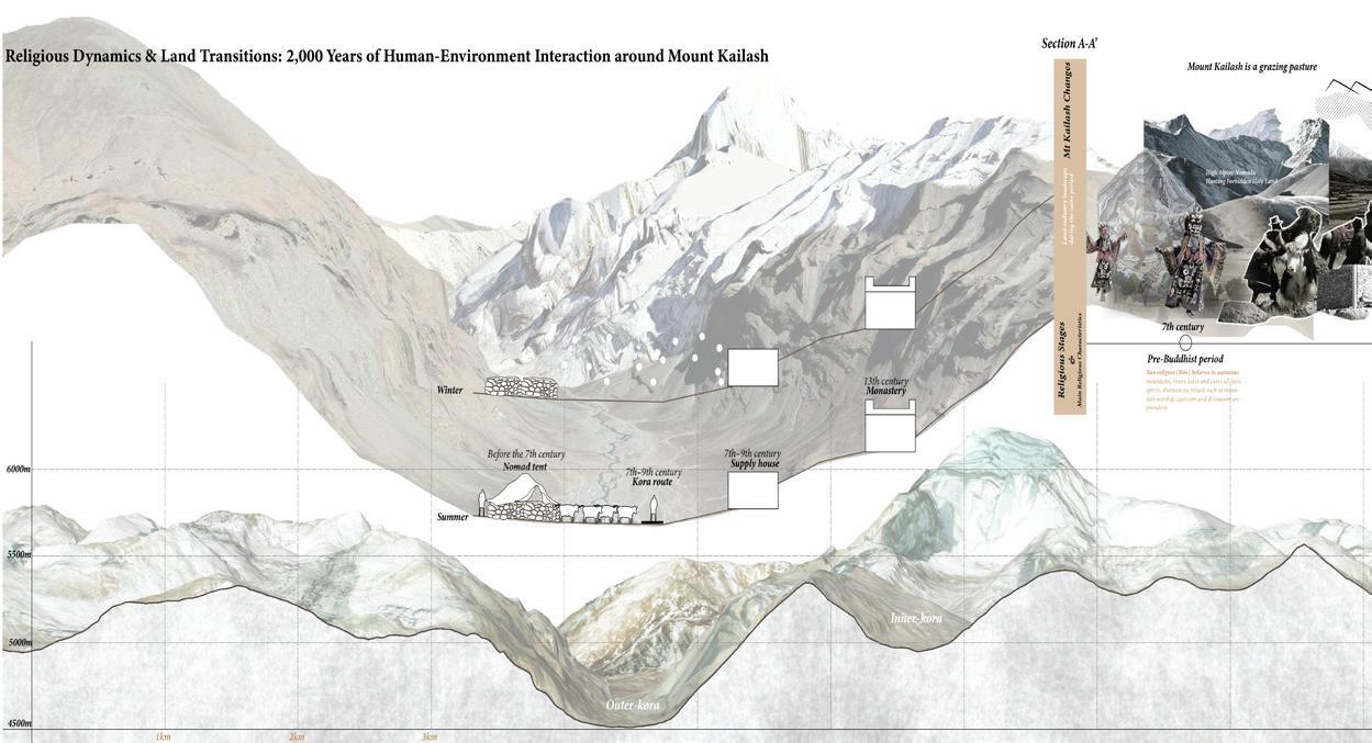
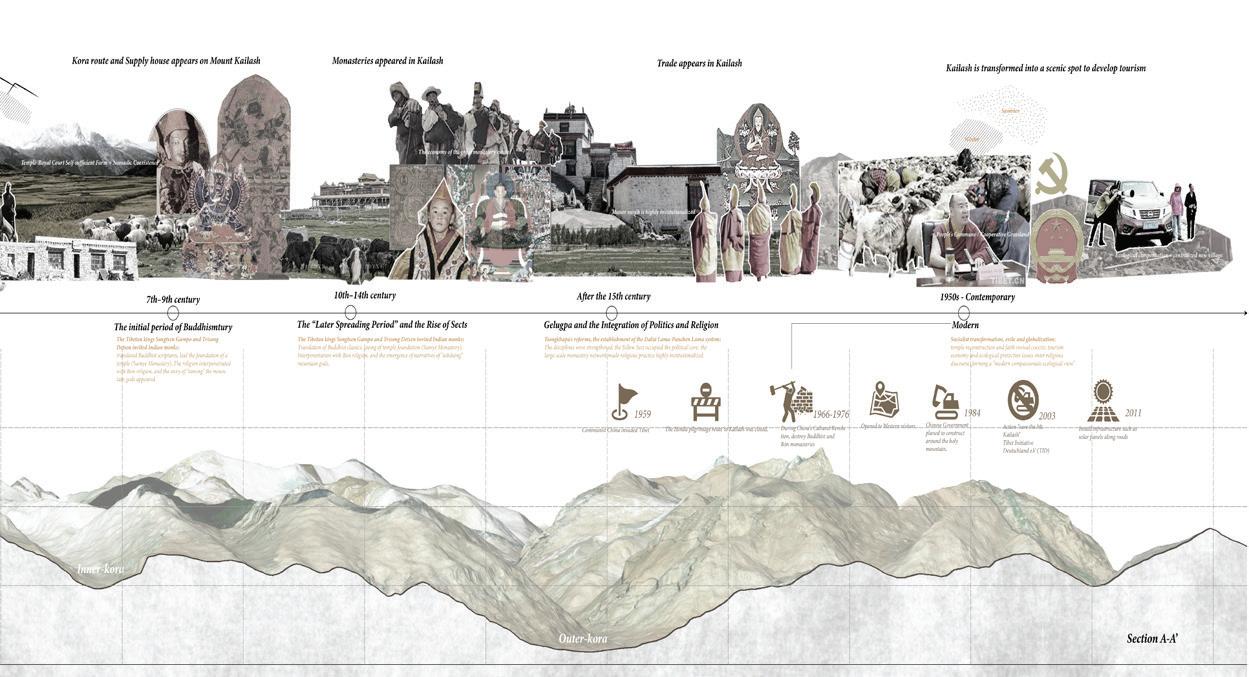
Mount Kailash, Tibet’s most sacred pilgrimage mountain, is increasingly shaped by China’s “Western Development” and tourism policies, bringing surging visitors and growing tension between sacred values, economic pursuit, and ecological fragility. Using AI-assisted analysis of over 120 visitor reviews, this thesis identifies four conflicts—sacredness vs. commercialization, local rights vs. external capital, fragile ecology vs. tourist surge, and outdated infrastructure vs. modern expectations.
Findings show that external investors dominate decision-making, marginalizing local communities whose ritual-based practices once safeguarded the mountain’s ecology. Drawing on Berkes’ Knowledge–Practice–Belief (K–P–B) complex, these practices are reframed as an indigenous governance model—a spiritual “carrying capacity” that regulates ecological balance through sacred norms.
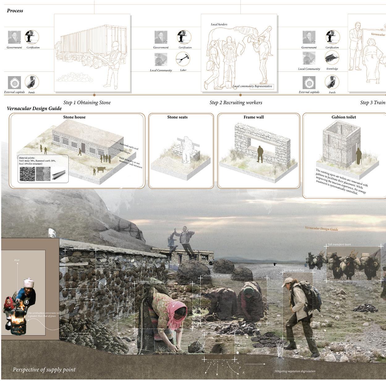
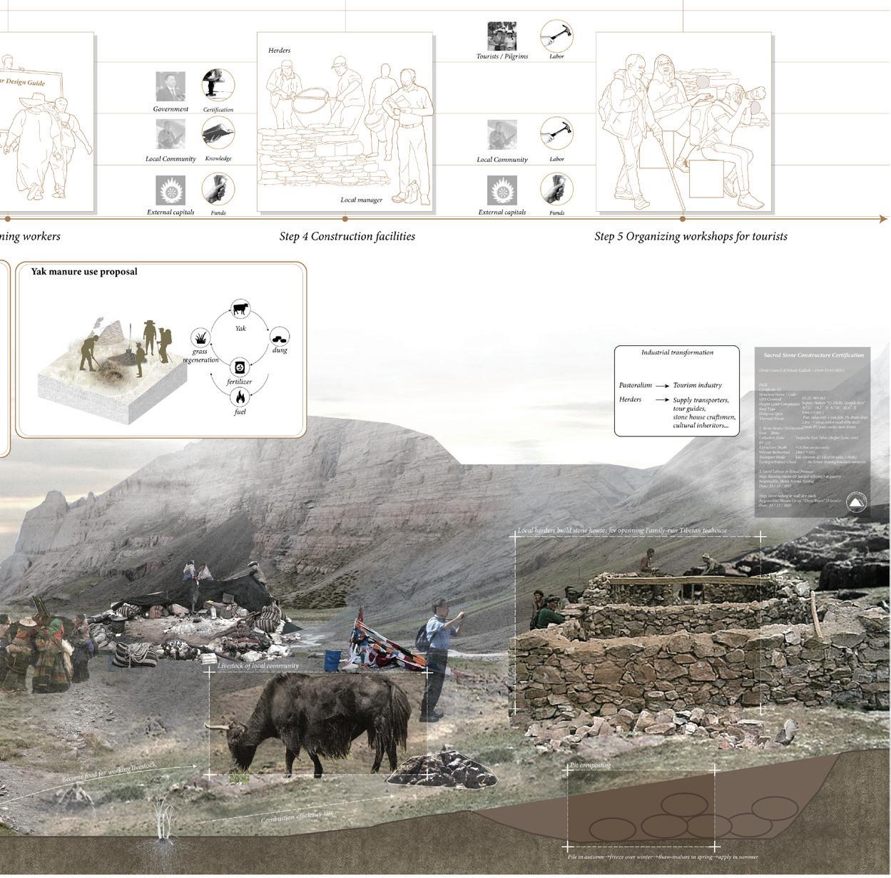
Integrating K–P–B with the theories of Limits of Acceptable Change, Lefebvre’s production of space, and community empowerment, the thesis proposes a three-pillar strategy:
(1) Design – community-led vernacular construction and lowimpact infrastructure;
(2) Planning – rotational pilgrim routes and time-based visitor management;
(3) Management – co-management bodies, revenue sharing, and ecological monitoring.
Ziyuan Li Lexie
Advisor: Francisco Cevallos Barrgan
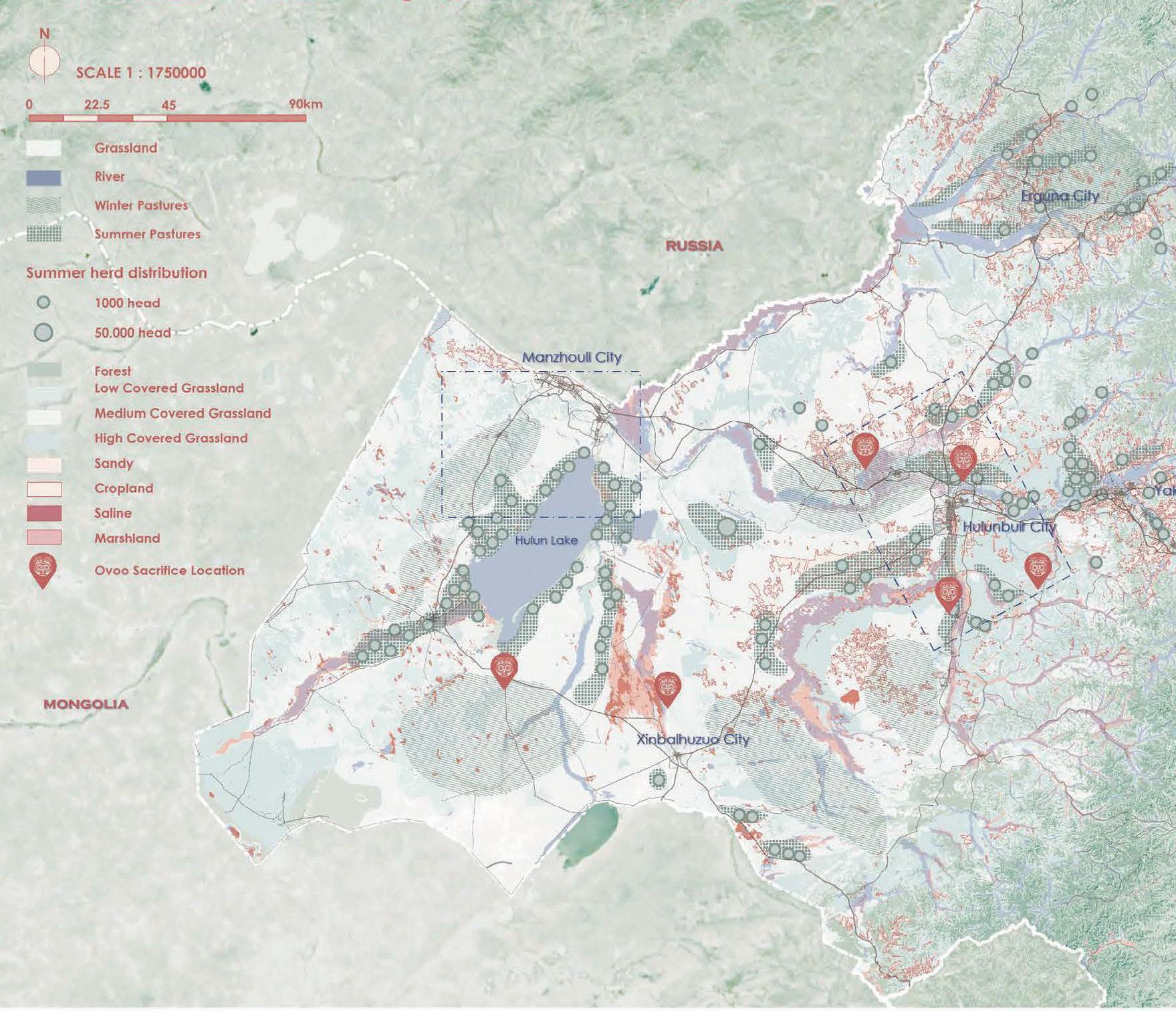
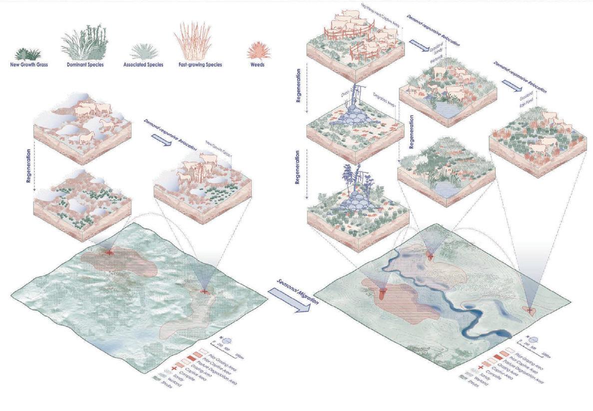
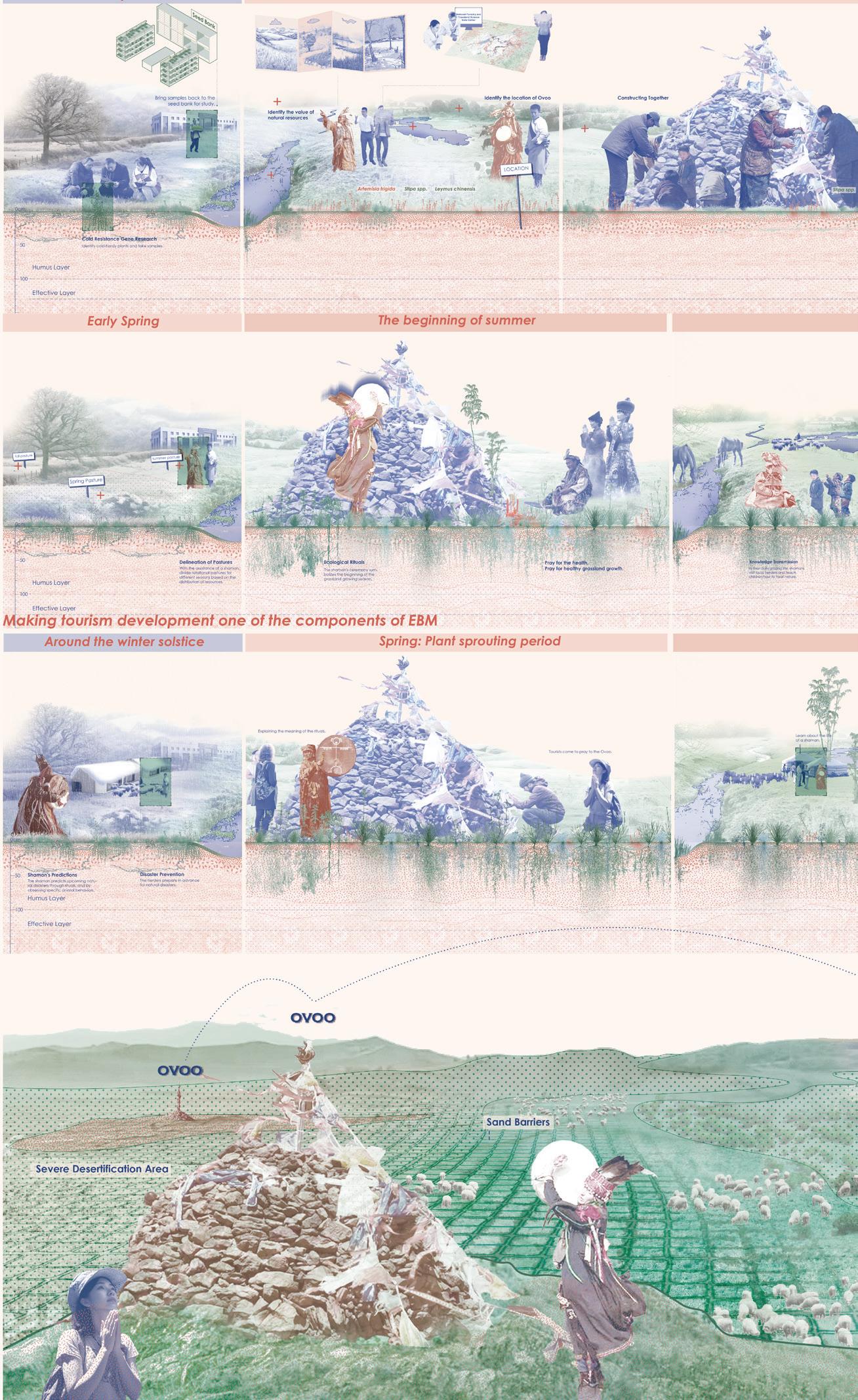
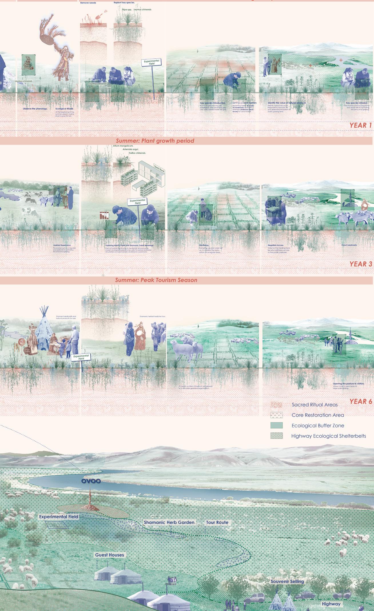
The degradation of Inner Mongolian grasslands, driven by extensive mining and industrialization, reveals a critical rupture between scientific and traditional ecological knowledge (TEK). Historically, TEK—embedded within Shamanic cosmology and materialized through Ovoo rituals and grazing sanctuaries—enabled sustainable grassland regeneration. Subsequent institutional reforms and the commercial appropriation of Shamanism have marginalized this knowledge.
This study proposes an ecosystem-based management framework that employs geospatial analysis of existing Ovoo sites to design a dynamic restoration system, comprising core, buffer, and utilization zones. By integrating shamanic guidance with expert collaboration, Ovoos will initially function as ecological restoration hubs, transitioning later into a network of sacred tourism nodes to foster long-term grassland recovery.
Tai Wai Nullah
Geyu Wu Gehry
Advisor: Mathew Pryor
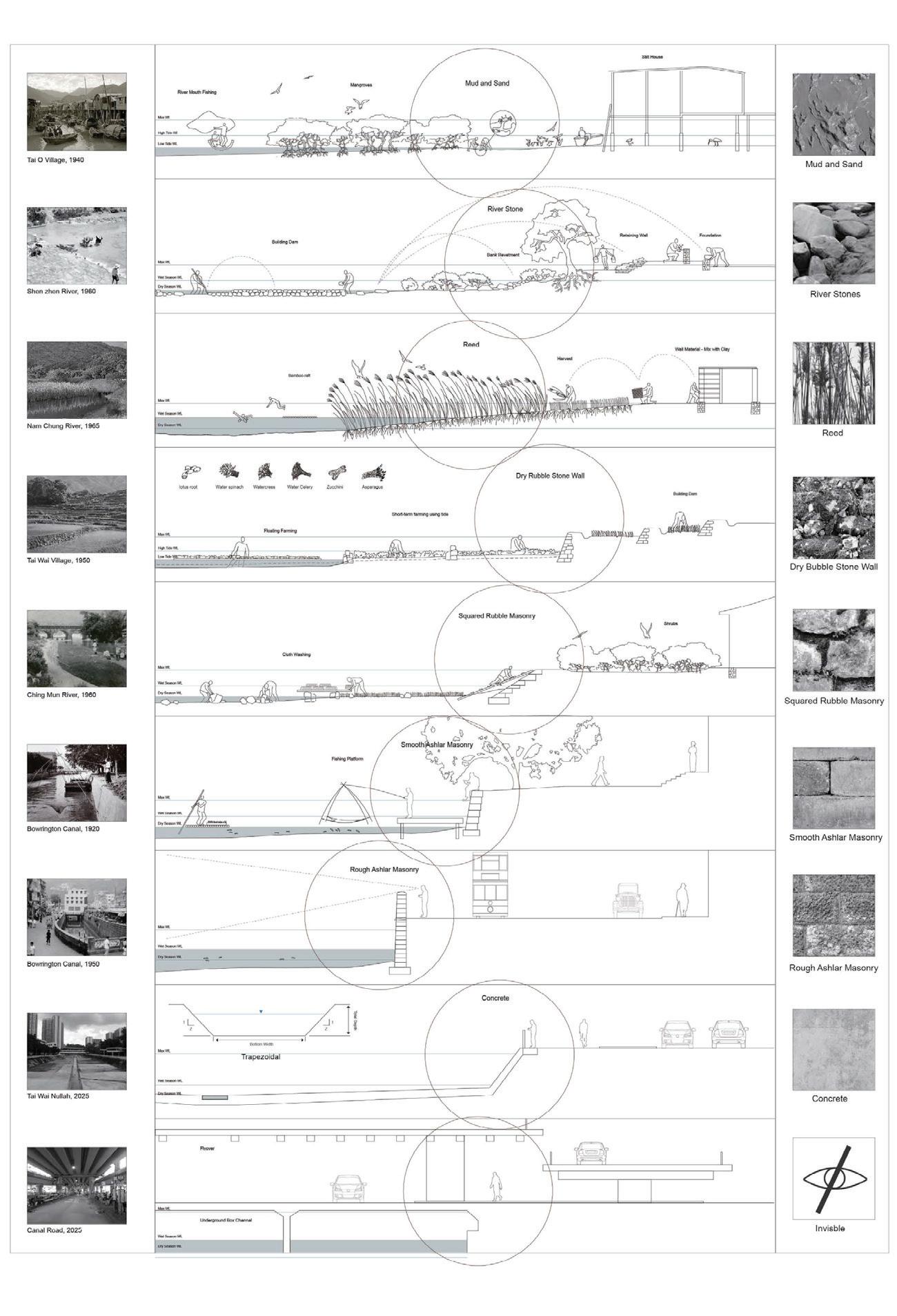
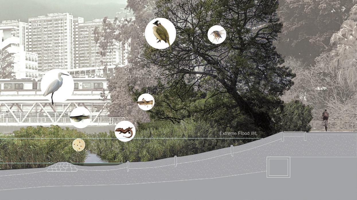
This thesis explores the evolution of human-river interactions in Hong Kong, analyzing how historical settlements adapted to rivers via agriculture, water-based livelihoods and management. It critiques current river revitalization efforts—focused mainly on ecological restoration and aesthetics—proposing a culturecentered model to reconnect urban communities with waterways while safeguarding rivers’ cultural identity.
Hong Kong’s rivers, shaped by the Pearl River Delta’s hydrology and mountainous terrain, feature short, steep streams with rapid runoff and seasonal fluctuations. Pre-urbanization, they were socioculturally vital, sustaining riparian communities that developed adaptive practices aligned with natural rhythms. Post-20th century, engineering works channelized or buried rivers, eroding their ecological functions and cultural significance.
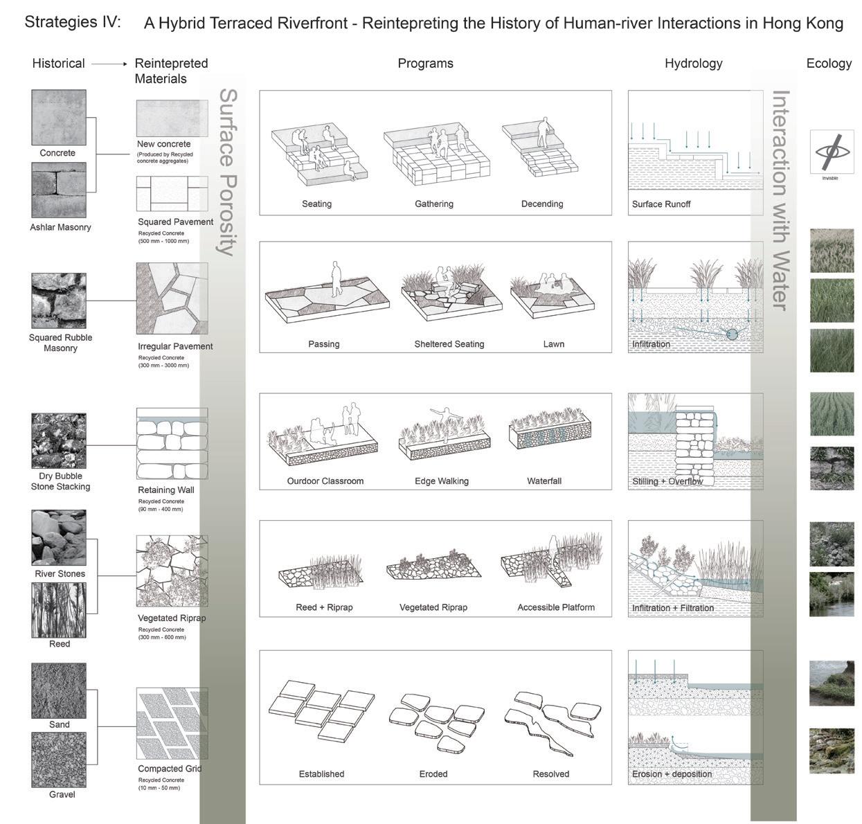
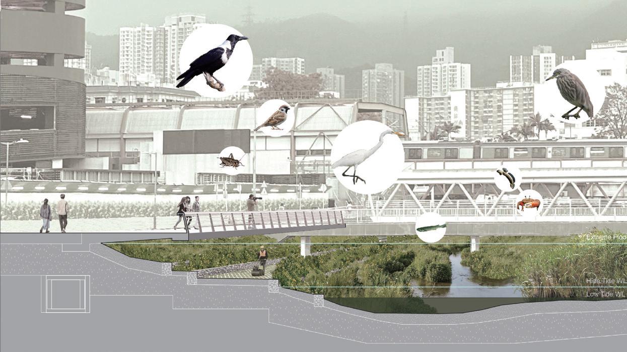
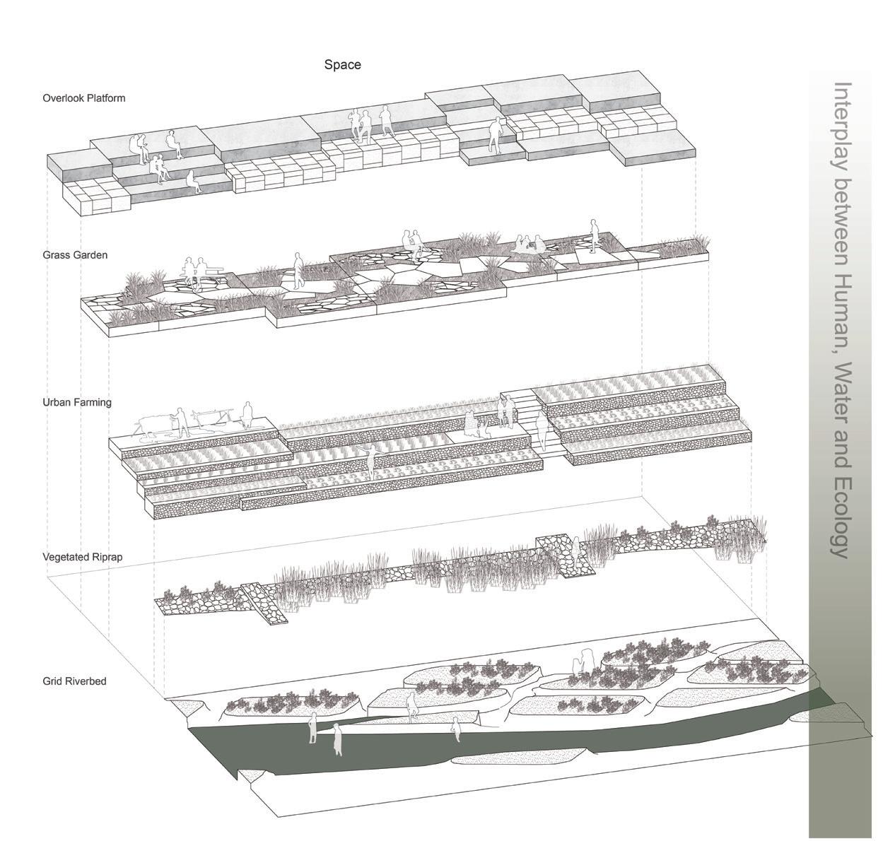
Since 2015, Hong Kong’s “Water-friendly Culture” policy has driven green, scenic upgrades, but these lack cultural engagement. Taking Tai Wai Nullah as a case, the thesis puts forward a culturally responsive framework (Enclosing, Reprofiling, Cleaning, Rafting) to integrate ecological repair and cultural reactivation, reviving Hong Kong’s human-water heritage and creating multifunctional river landscapes.
Han Ban Advisor: Natalia Echeverri
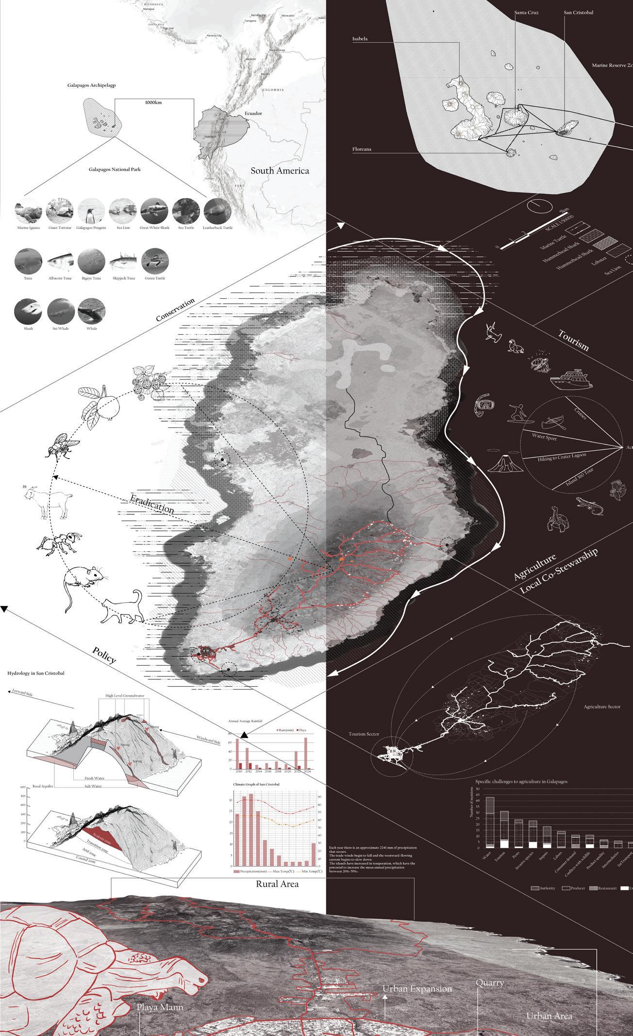
The Galápagos Islands, a UNESCO World Heritage Site renowned for their unique biodiversity, face a critical paradox: their ecological fragility is at odds with escalating tourism-driven economic ambitions. This situation epitomizes the global tension between ecological preservation and human livelihoods. Focusing on San Cristobal Island, where an extremely high proportion of agricultural land lies abandoned due to tourism growth, and agricultural activities are marginalized by conservation policy rooted in the Galápagos National Park’s (GNP) framework, this thesis challenges traditional conservation paradigms that frame humans as threats to “ pristine” ecosystems, advocating instead for inclusive strategies that recognize farmers as vital actors in socio-ecological resilience.
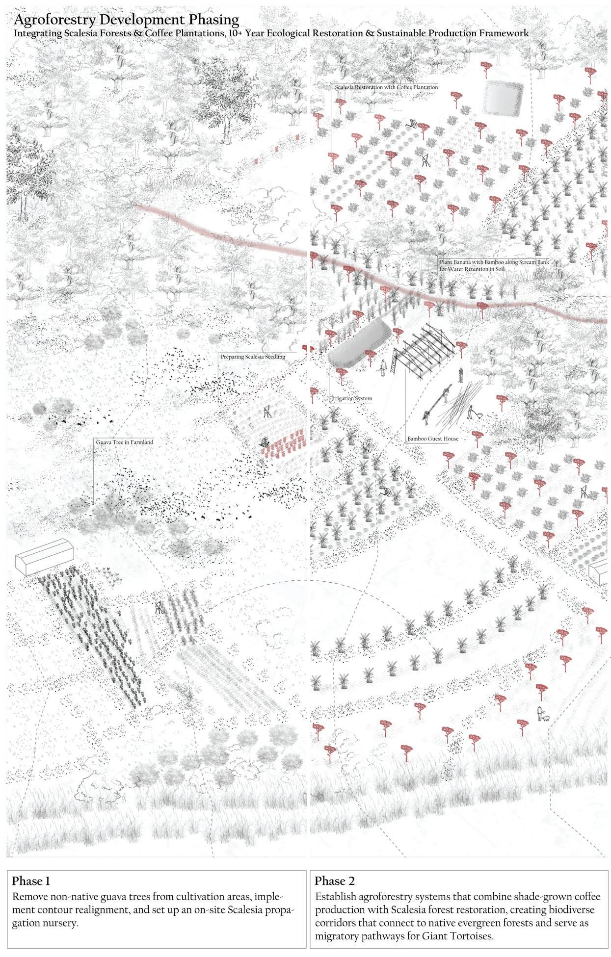
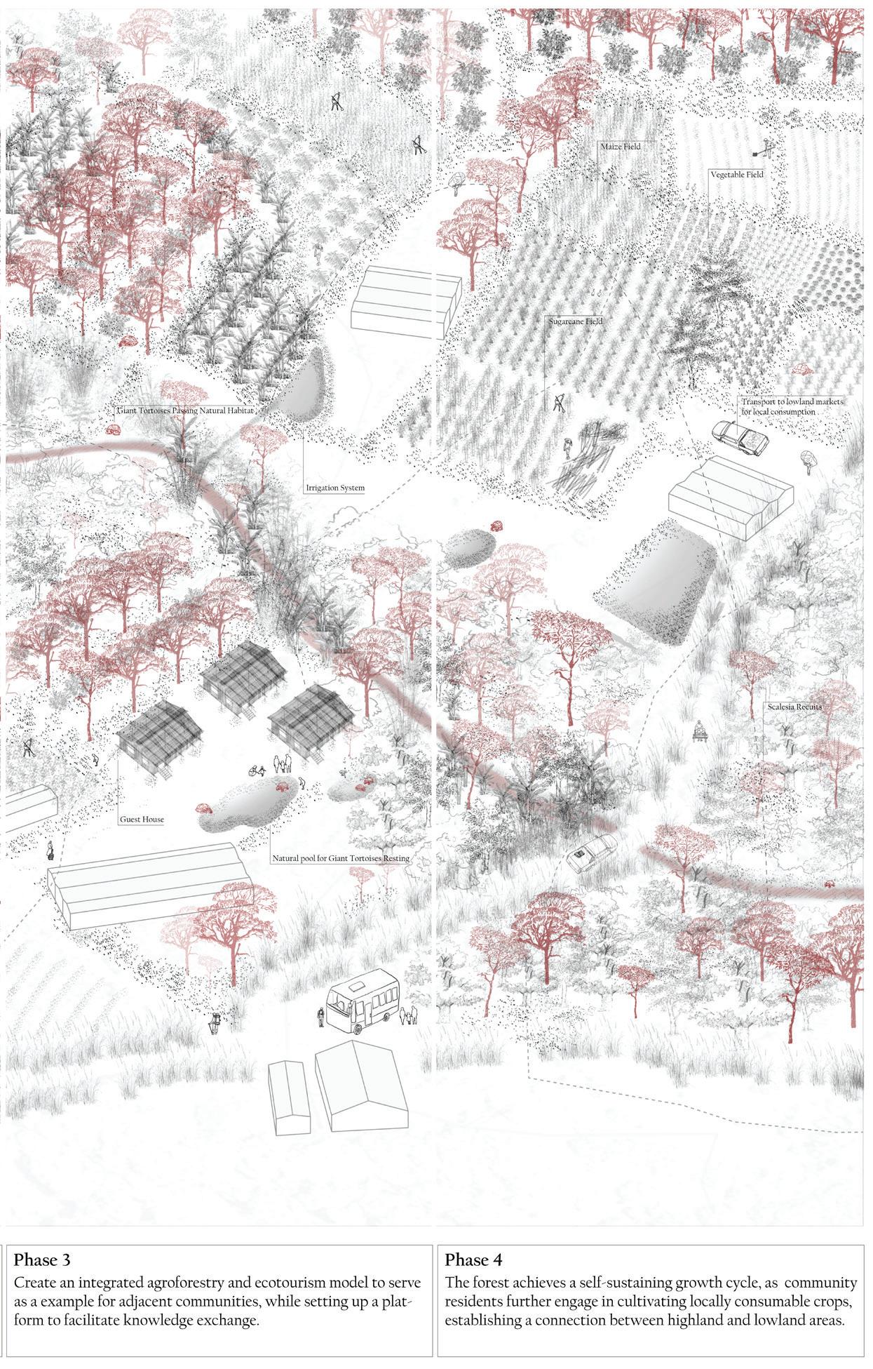
Farmers in San Cristobal Island contend with water scarcity, invasive species, and wildlife conflicts. This thesis proposes 30-year resilience strategies: decentralizing water systems; cultivating agroforestry mosaics; establishing multifunctional buffers that create corridors between farms and protected areas by reintroducing original species such as scalesia trees, giant tortoises; and redistributing tourism revenue to reintegrate agriculture into the socio-ecological landscape.
By centering farmers as landscape co-stewards, this approach rejects rigid distinctions between native and introduced species or conservation and agricultural production. It prioritizes San Cristóbal as a pilot for designed coexistence, redefining “pristine” through adaptive landscapes built upon regenerative landscape interventions that integrate agroecology, local knowledge, and novel ecosystems.
Jiani Du Jennie
Advisor: Ashley Scott Kelly
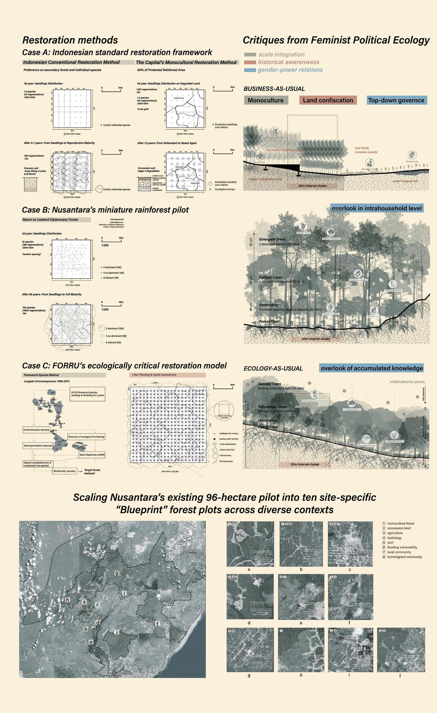
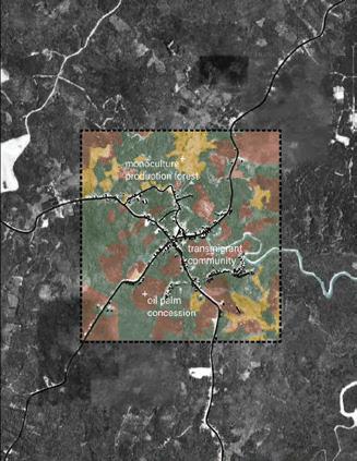
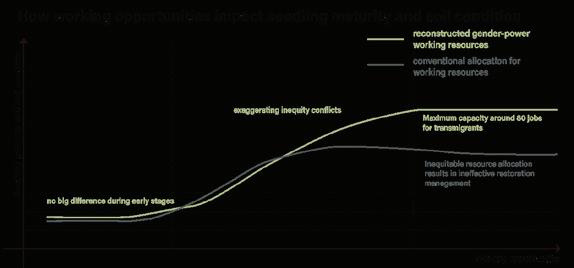
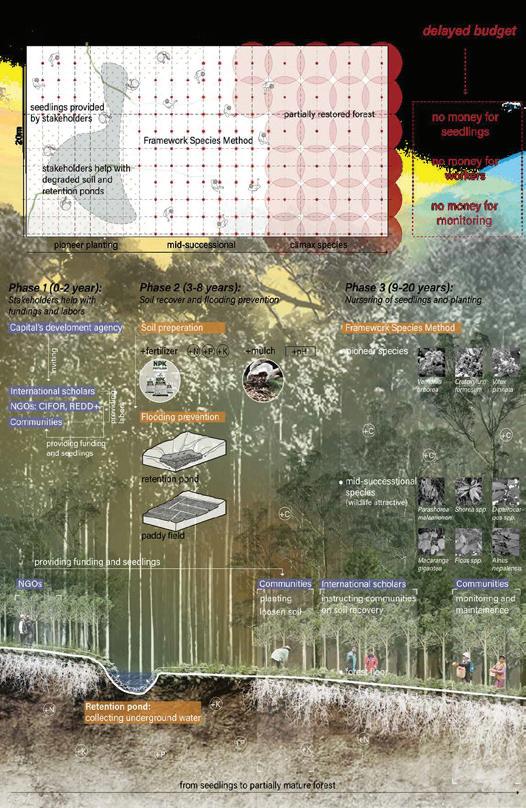
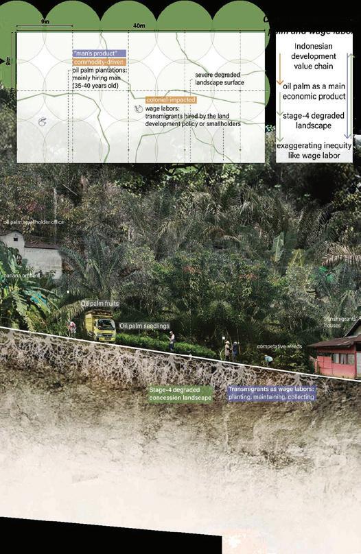
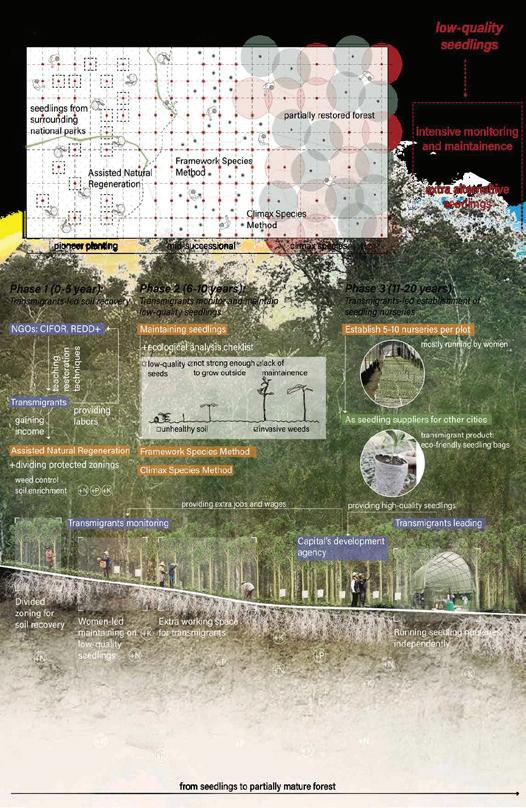
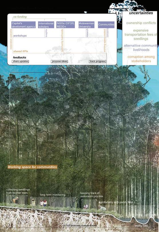
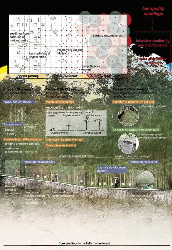
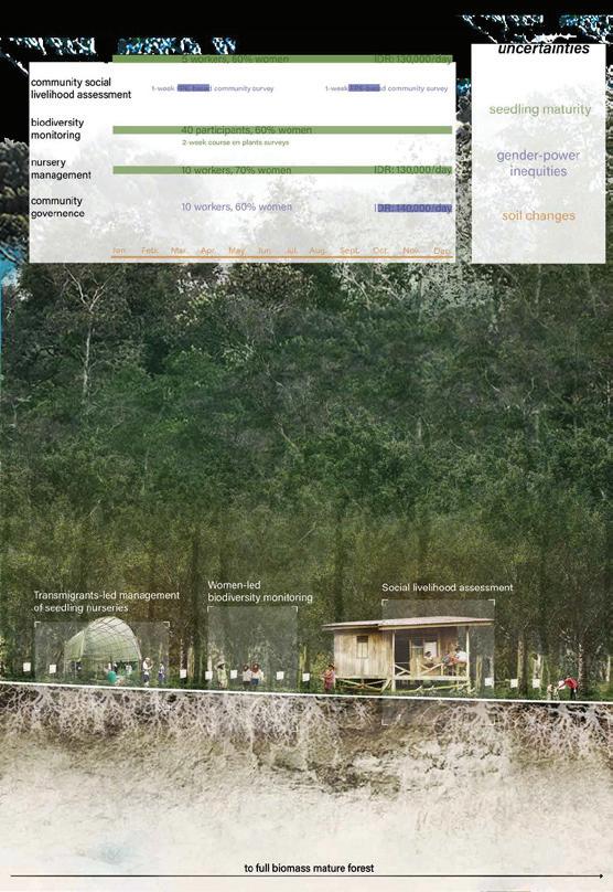
This thesis applies FPE’s three pillars of scale integration, historical awareness, and gender-power relations to East Kalimantan, where Indonesia’s relocated national capital of Nusantara plans to restore a new rainforest in a “green forest city”, currently under construction.
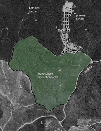
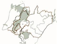
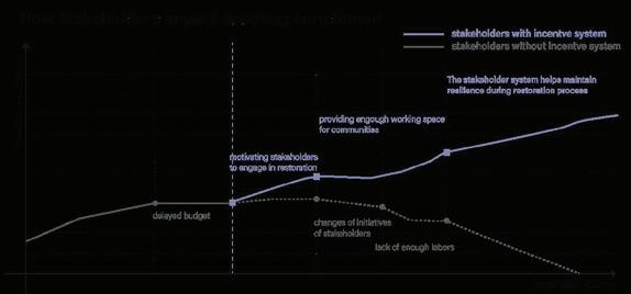
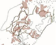
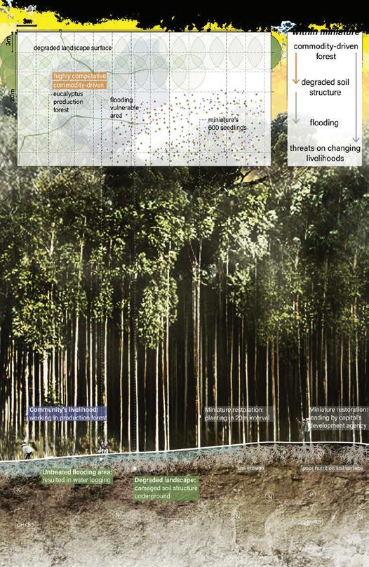
Following FPE, restoration success should be measured not simply by outcomes but by process. This thesis’s methodology includes: (1) modifying both the standard Indonesian restoration frameworks and a more ecologically critical restoration model, by Thailand’s Forest Restoration Research Unit, according to the three pillars of FPE; (2) scaling Nusantara’s existing 96-hectare pilot into ten site-specific “blueprint” forest plots across diverse contexts, taking into account land use and land cover, demographics, flooding vulnerability, and historical livelihoods; (3) constructing scenarios for three plots with some of the most complex conditions; and (4) designing an alternative value chain system that recognizes development uncertainties while accumulating landscape knowledge.
Wenyu Zhang Vincent
Advisor: Vincci Mak
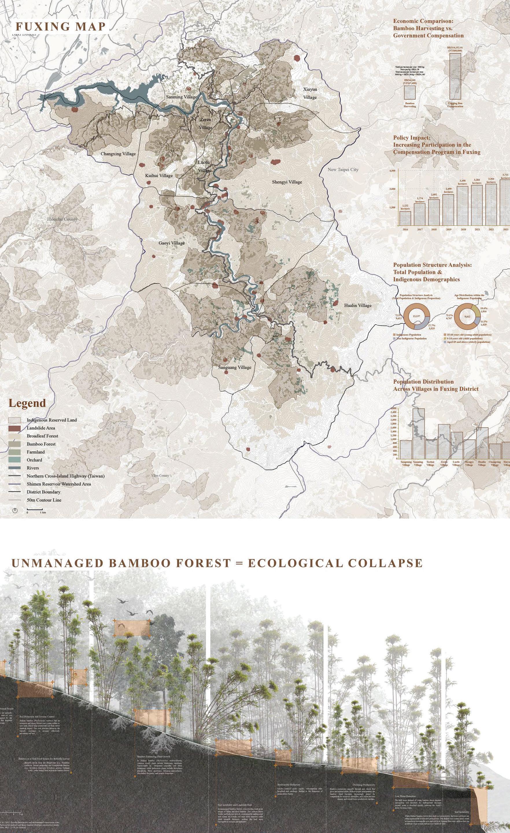
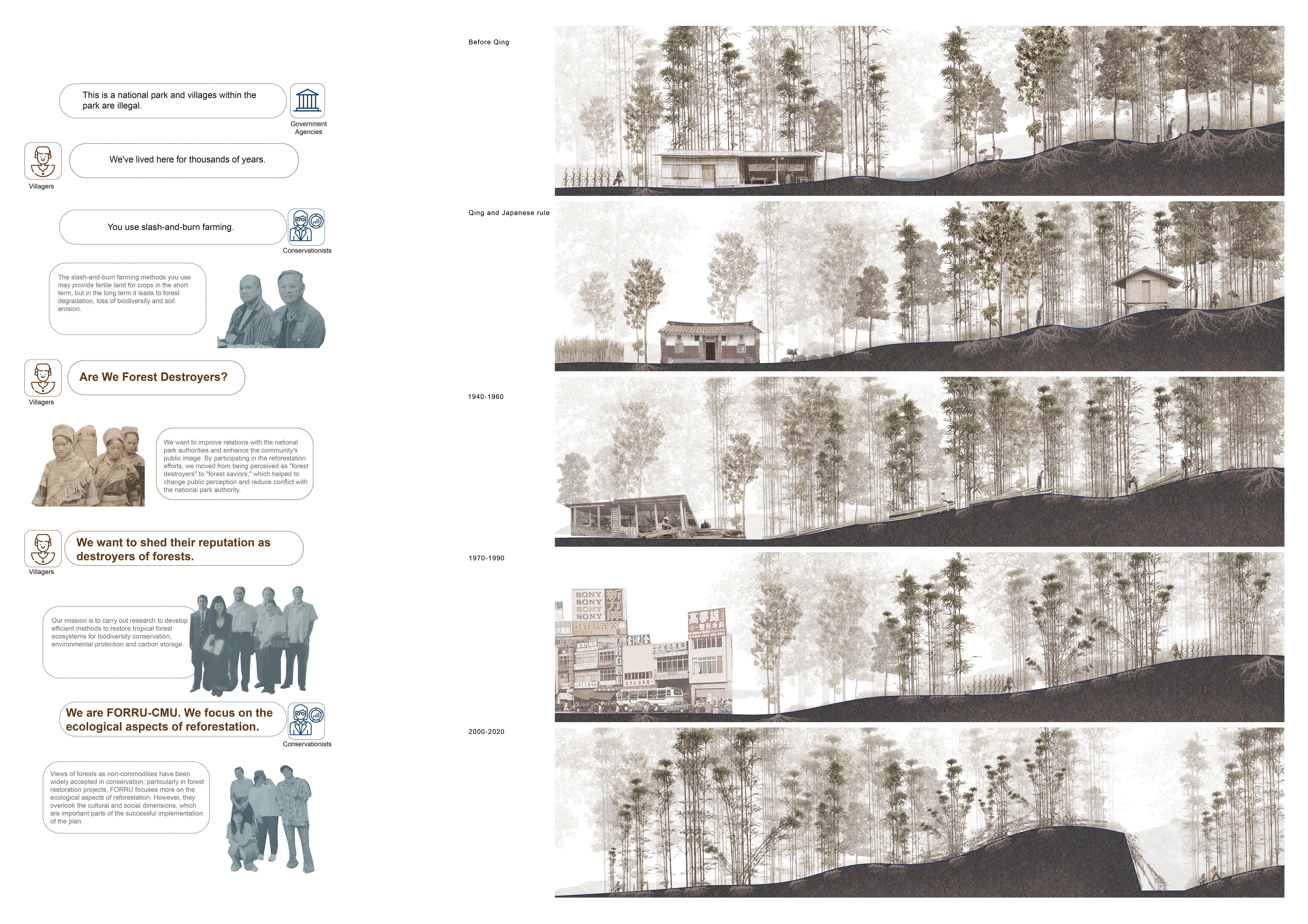
This thesis investigates bamboo forest governance in Fuxing, Taoyuan, examining how conservation policies, land tenure, and economic systems intersect with Indigenous livelihoods. While bamboo forests are vital for erosion control, carbon storage, and local economies, government-led interventions have disrupted traditional Atayal management practices, leading to ecological degradation and socio-economic dependency.
Since the mid-20th century, market-driven bamboo monocultures and restrictive policies-such as logging bans and subsidy programs-have reduced Indigenous agency and incentivized forest abandonment. Without active management, Makino bamboo becomes overcrowded, increasing landslide risks and undermining conservation goals.
In response, this thesis proposes a multi-scalar framework that centers Indigenous participation through three strategies: (1) community-led ecotourism combining bamboo craft and agroforestry experiences; (2) diversified bamboo agroforestry integrating medicinal herbs and food crops; and (3) a knowledge production system that merges Traditional Ecological Knowledge (TEK) with scientific monitoring. By reframing conservation as an active, community-driven process, the project offers an alternative governance model rooted in cultural resilience, ecological restoration, and local empowerment.
agriculture
The Atayal practiced shifting cultivation (slash-and-burn), using forest land for small-scale farming (e.g., millet, taro), but allowed land to lie fallow to restore nutrients, preventing excessive deforestation.
Slash-and-burn agriculture
The Atayal practiced shifting cultivation (slash-and-burn), using forest land for small-scale farming (e.g., millet, taro), but allowed land to lie fallow to restore nutrients, preventing excessive deforestation.
Slash-and-burn agriculture
The Atayal practiced shifting cultivation (slash-and-burn), using forest land for small-scale farming (e.g., millet, taro), but allowed land to lie fallow to restore nutrients, preventing excessive deforestation.
The Atayal practiced shifting cultivation (slash-and-burn), using forest land for small-scale farming (e.g., millet, taro), but allowed land to lie fallow to restore nutrients, preventing excessive deforestation.
Slash-and-burn agriculture
The Atayal practiced shifting cultivation (slash-and-burn), using forest land for small-scale farming (e.g., millet, taro), but allowed land to lie fallow to restore nutrients, preventing excessive deforestation.
Han People’s Land
People’s Land
Han People’s Land
Han People’s Land
Economic opportunities increased, but without long-term benefits
Most Atayal worked as laborers, lacking control over the industry and unable to accumulate wealth.
Economic opportunities increased, but without long-term benefits
Most Atayal worked as laborers, lacking control over the industry and unable to accumulate wealth.
Economic opportunities increased, but without long-term benefits
Economic opportunities increased, but without long-term benefits
Most Atayal worked as laborers, lacking control over the industry and unable to accumulate wealth.
Economic opportunities increased, but without long-term benefits
Most Atayal worked as laborers, lacking control over the industry and unable to accumulate wealth.
Most Atayal worked as laborers, lacking control over the industry and unable to accumulate wealth.
Cultural beliefs respecting nature
Cultural beliefs respecting nature
Cultural beliefs respecting nature
Cultural beliefs respecting nature
The Atayal freely obtained wild animals, edible plants, medicinal herbs, bamboo, and timber from the forest, using them for food, building materials, and daily necessities.
Cultural beliefs respecting nature
The Atayal freely obtained wild animals, edible plants, medicinal herbs, bamboo, and timber from the forest, using them for food, building materials, and daily necessities.
The Atayal freely obtained wild animals, edible plants, medicinal herbs, bamboo, and timber from the forest, using them for food, building materials, and daily necessities.
Cultural beliefs respecting nature
Cultural beliefs respecting nature
The Atayal worshipped ancestral and nature spirits, believing that the forest was home to their ancestors. This led to hunting taboos and forest conservation rules, ensuring that resources were not overexploited.
The Atayal worshipped ancestral and nature spirits, believing that the forest was home to their ancestors. This led to hunting taboos and forest conservation rules, ensuring that resources were not overexploited.
Cultural beliefs respecting nature
Cultural beliefs respecting nature
Cultural beliefs respecting nature
The Atayal worshipped ancestral and nature spirits, believing that the forest was home to their ancestors. This led to hunting taboos and forest conservation rules, ensuring that resources were not overexploited.
The Atayal worshipped ancestral and nature spirits, believing that the forest was home to their ancestors. This led to hunting taboos and forest conservation rules, ensuring that resources were not overexploited.
The Atayal worshipped ancestral and nature spirits, believing that the forest was home to their ancestors. This led to hunting taboos and forest conservation rules, ensuring that resources were not overexploited.
Government land restrictions
Atayal lifestyle remained forest-dependent
Atayal lifestyle remained forest-dependent
Despite restrictions, the Atayal continued to rely on hunting, gathering, and bamboo and timber use.
and Japanese governments delineated indigenous restricting mobility and land use rights.
land restrictions
Japanese governments delineated indigenous restricting mobility and land use rights.
and Japanese governments delineated indigenous restricting
Despite restrictions, the Atayal continued to rely on hunting, gathering, and bamboo and timber use.
Indigenous People’s Land
Atayal lifestyle remained forest-dependent
Despite restrictions, the Atayal continued to rely on hunting, gathering, and bamboo and timber use.
Atayal lifestyle remained forest-dependent
Despite restrictions, the Atayal continued to rely on hunting, gathering, and bamboo and timber use.
Atayal lifestyle remained forest-dependent
Indigenous People’s Land
Despite restrictions, the Atayal continued to rely on hunting, gathering, and bamboo and timber use.
Indigenous People’s Land
Indigenous People’s Land
Government and market-driven expansion
Due
the
Government and market-driven expansion
Atayal involvement in the bamboo industry
Participated in bamboo harvesting, transportation, and processing.
Atayal involvement in the bamboo industry
Participated in bamboo harvesting, transportation, and processing.
processing.
Chun To Hui Anthon Advisor:
Susanne Trumpf
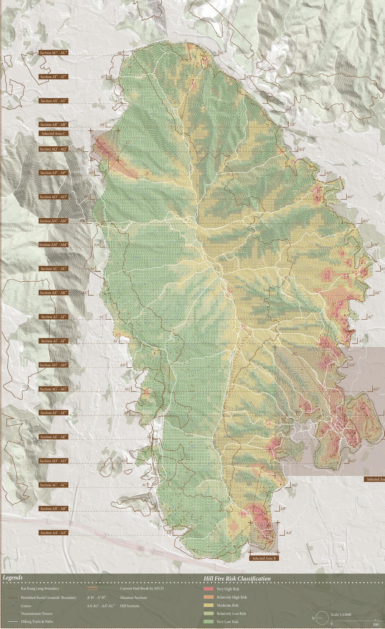
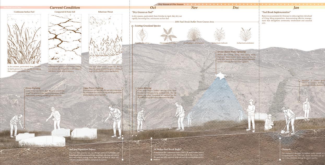
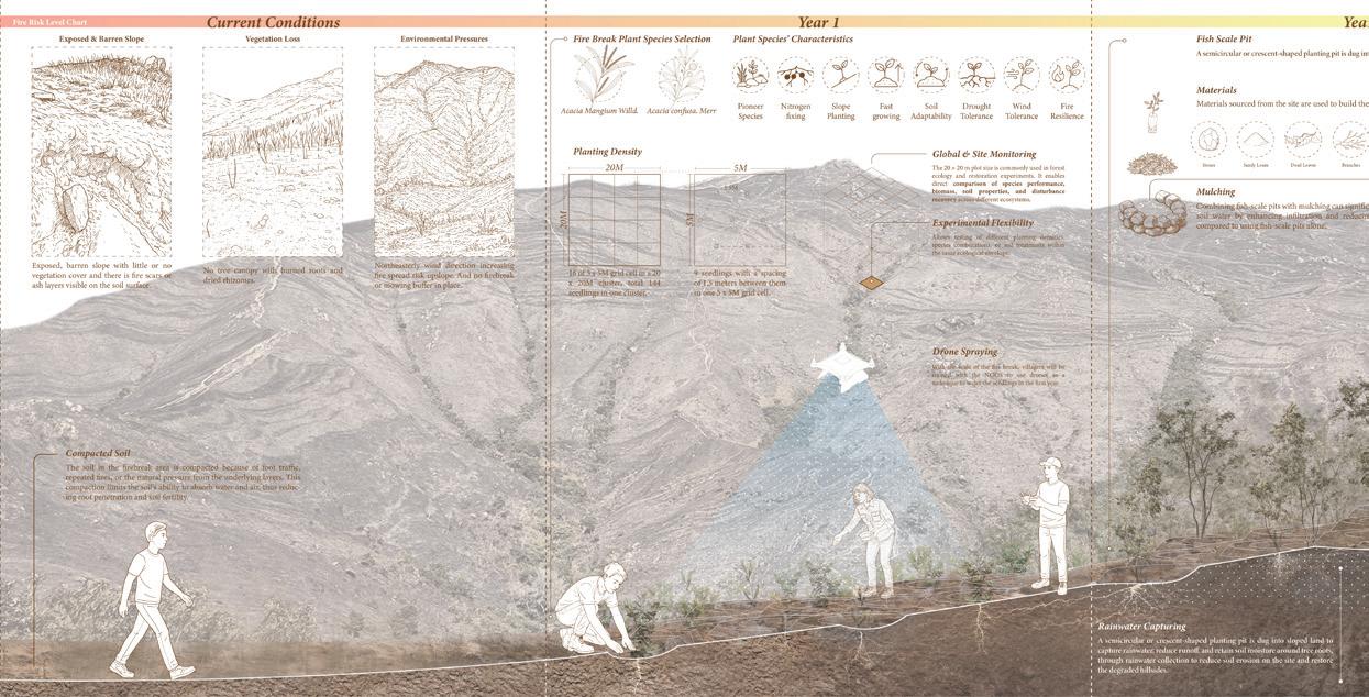
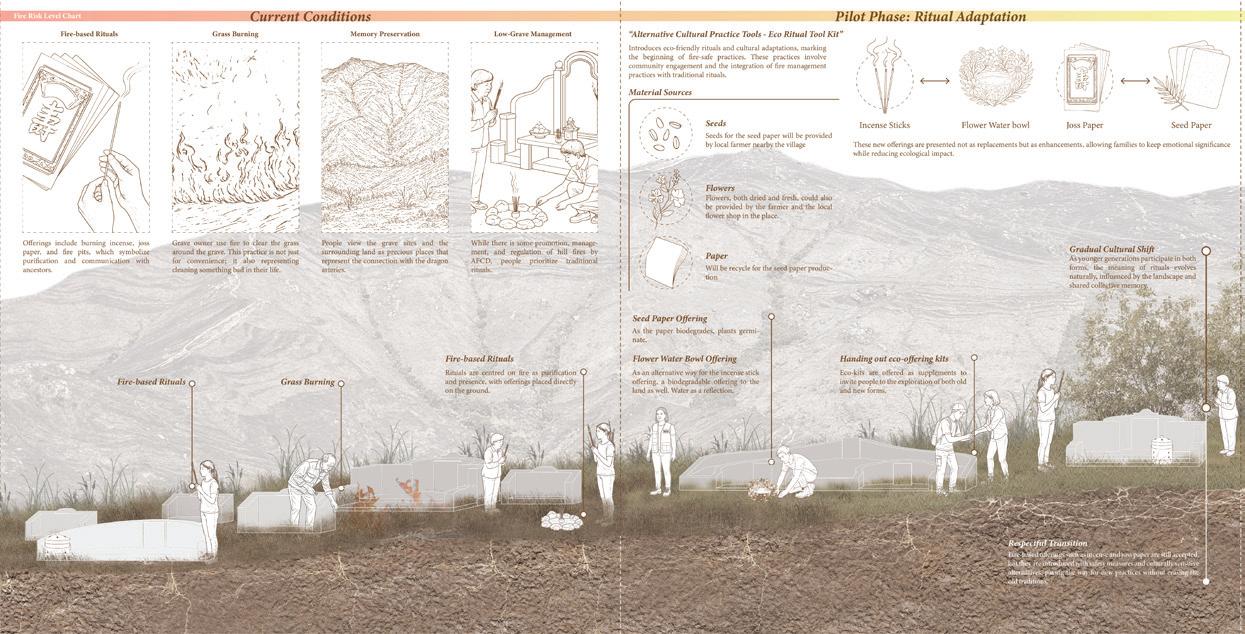
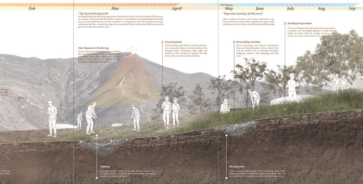
Hong Kong’s country parks face recurring hill fires between October and April, primarily triggered by grave-sweeping rituals in Permitted Burial Grounds (PBGs), especially during festivals like Ching Ming and Chung Yeung. Despite subtropical conditions making spontaneous wildfires rare, the AFCD recorded 575 hill fires from 2004-2020, burning 350,000 trees across 6,261 hectares. Government replanting efforts (8.15 million trees since 2001) are consistently undermined by these recurring fires, with current prevention strategies failing to address cultural ignition causes.
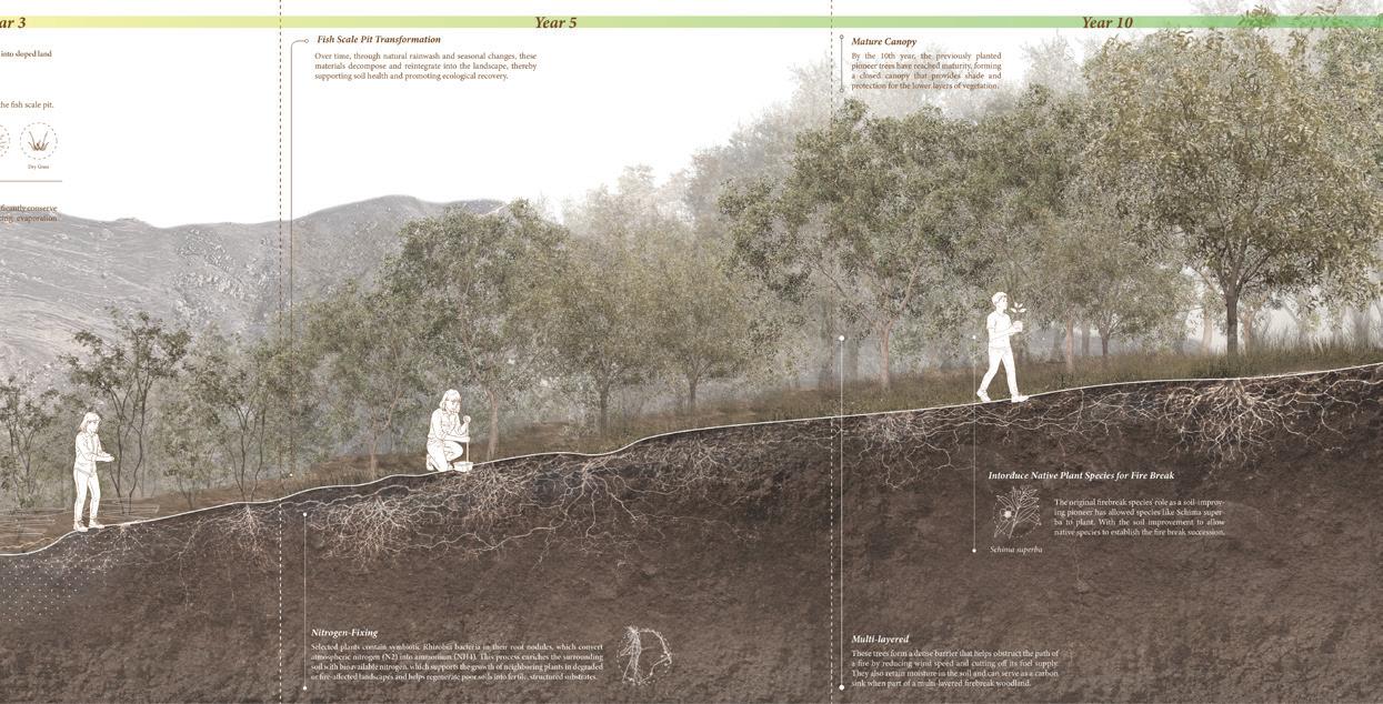
This thesis examines Kai Kung Leng mountain as a case study, where 63% of its country park overlaps with PBG zones. Using GIS analysis, field surveys, and stakeholder interviews, the research identifies fire-prone areas and fire-resilient plant species.
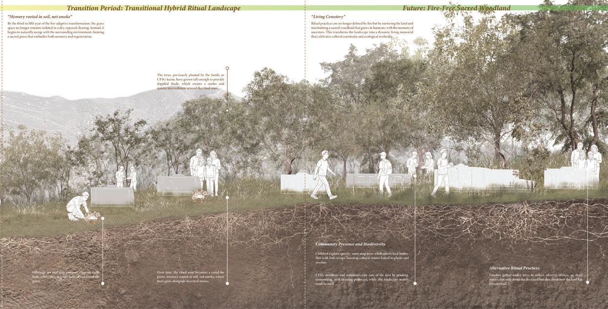
The proposed design framework integrates fire-adaptive afforestation with community forestry, establishing firebreaks and community-led management. Drawing from indigenous practices like Feng Shui Woodlands, it transitions from government management to collaborative co-management based on local knowledge, reinterpreting cultural practices through phased design frameworks. Which advocates a new fire management model that recognizes fire as both a cultural and ecological force.
The design studio sequence exposes students to a range of scales and topics relevant to the practice of landscape architecture, with a particular focus on East and Southeast Asian geographies. The studios are designed to integrate with core courses and enable students to synthesize their growing knowledge and skills through project-based design exercises. In each of the landscape programmes, these projects begin with local sites emphasizing fieldwork, detailed observational methods, and case-study reviews. Design is positioned as the outcome of a rigorous process of interpreting a site’s spatial, material, and experiential dimensions. Later studios introduce students to a site’s socioecological complexities, by engaging with the modes of environmental design and landscape planning.
A noteworthy feature of our design studio sequence is the Southeast Asia travelling studio. In the past year, students in the MLA and BA(LS) programmes spent nearly two weeks in Ho Chi Minh City, Vietnam, and Chiang Mai, Thailand, exploring the environmental impacts of urban and rural development and discussing critical planning issues with local stakeholders, students, and active professionals. These studios challenge the traditional boundaries of the discipline by situating landscape as a territorial practice, incorporating guided research methods, and documenting traditional or alternative forms of environmental knowledge.
Finally, advanced studios taken in the second year introduce interdisciplinary methods and independent, research-based design practice to orient students to their own future careers in the profession. Taught by regional practitioners and visiting academics, students selected from among various studio options to explore concrete fabrication technologies, propose new forms of ecological urbanism in Singapore, or plan for heritage tourism in Shenzhen.
Instructors:
Susanne Trumpf
Laurence Liauw
TA:
Chi Tat Tang
Huanyang Li Mutsing
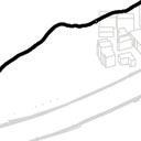
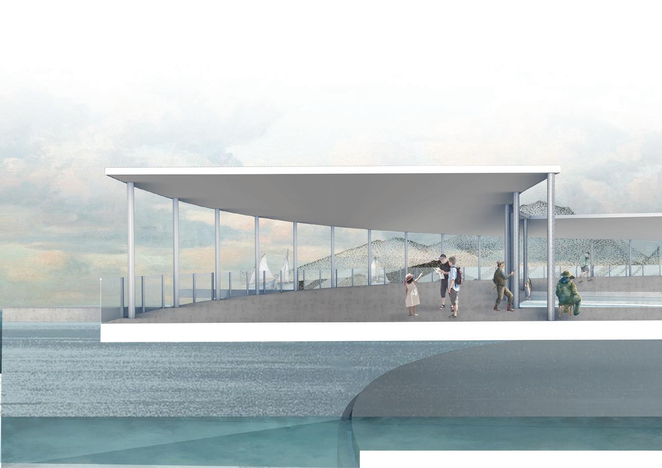
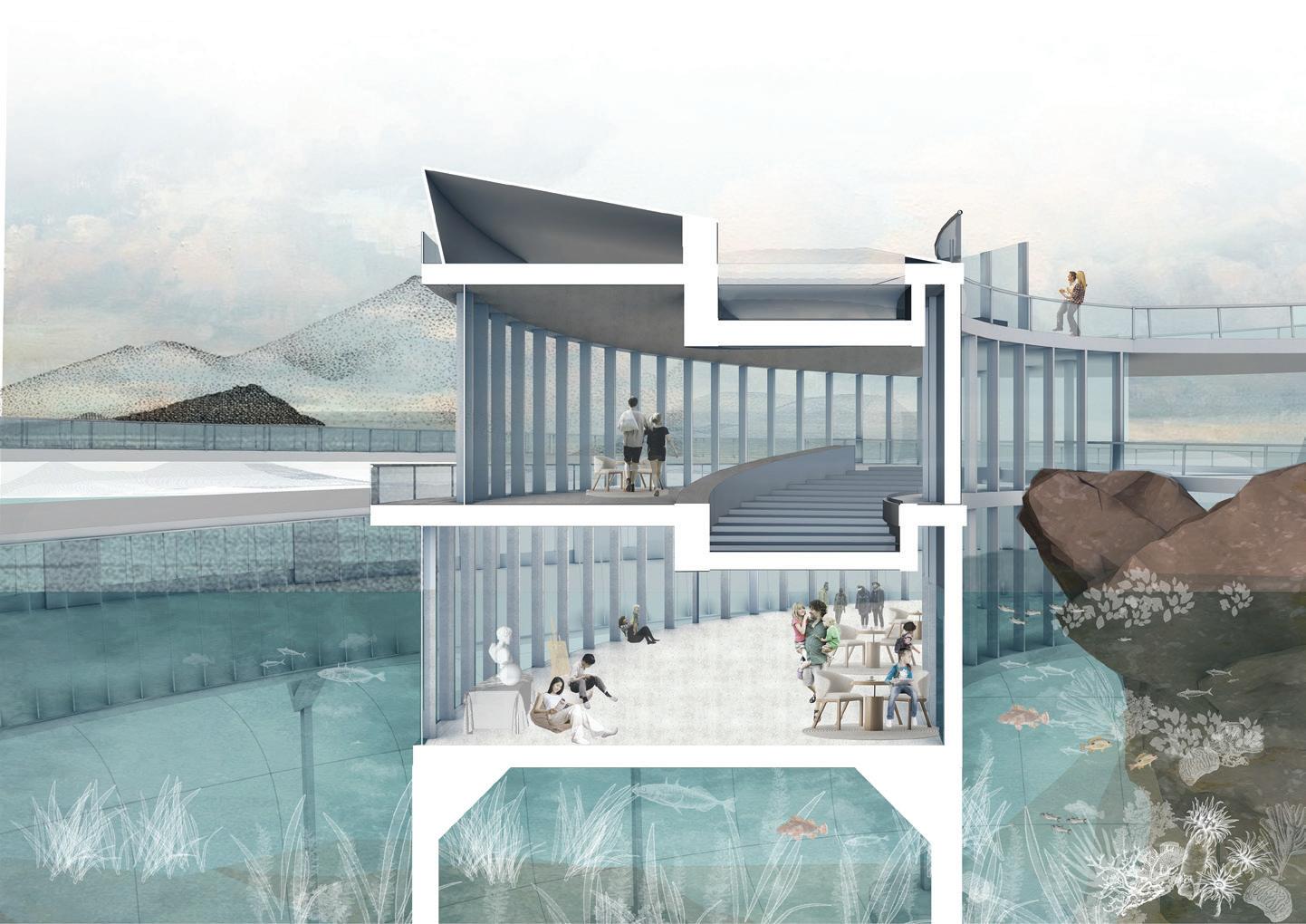
‘Landscape Peripheries’ built on momentum for a recreational circulation network along the Tuen Mun – Tsuen Wan Coastal Trail and used the plan as a catalyst for imagining a more connected, more accessible, more equitable, more ecological, healthier city. The studio was focused in an area of little but growing attention – along the fragmented waterfronts of the south-western New Territories. While Victoria Harbour was the quintessential waterfront of the city – designed, invested, protected – outside of this narrow band of reclaimed land existed a much wider range of spatial and ecological typologies.
These urban and ecological fabrics, dense and layered with their own unique histories, might have been reconfigured around more pedestrian-oriented, nature-centred planning initiatives. How might investment in the trail and accessibility improvements have benefited nearby communities and ecological habitats? How might greater access to natural areas have been balanced with existing conservation and habitat management systems. Ultimately, the studio asked students to explore new ways to see, draw, access and model the landscapes of Hong Kong and propose improved spatial interface conditions around the city’s edge.



























































Instructors:




TA:





















Jutta Kehrer



Jason Hilgefort
Chi Tat Tang









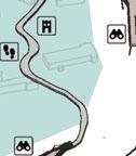



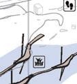











































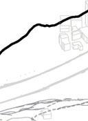
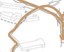



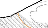















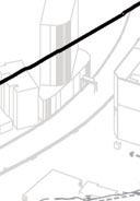

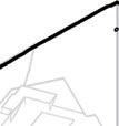





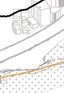


















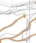

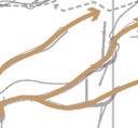






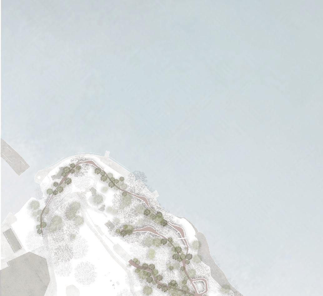

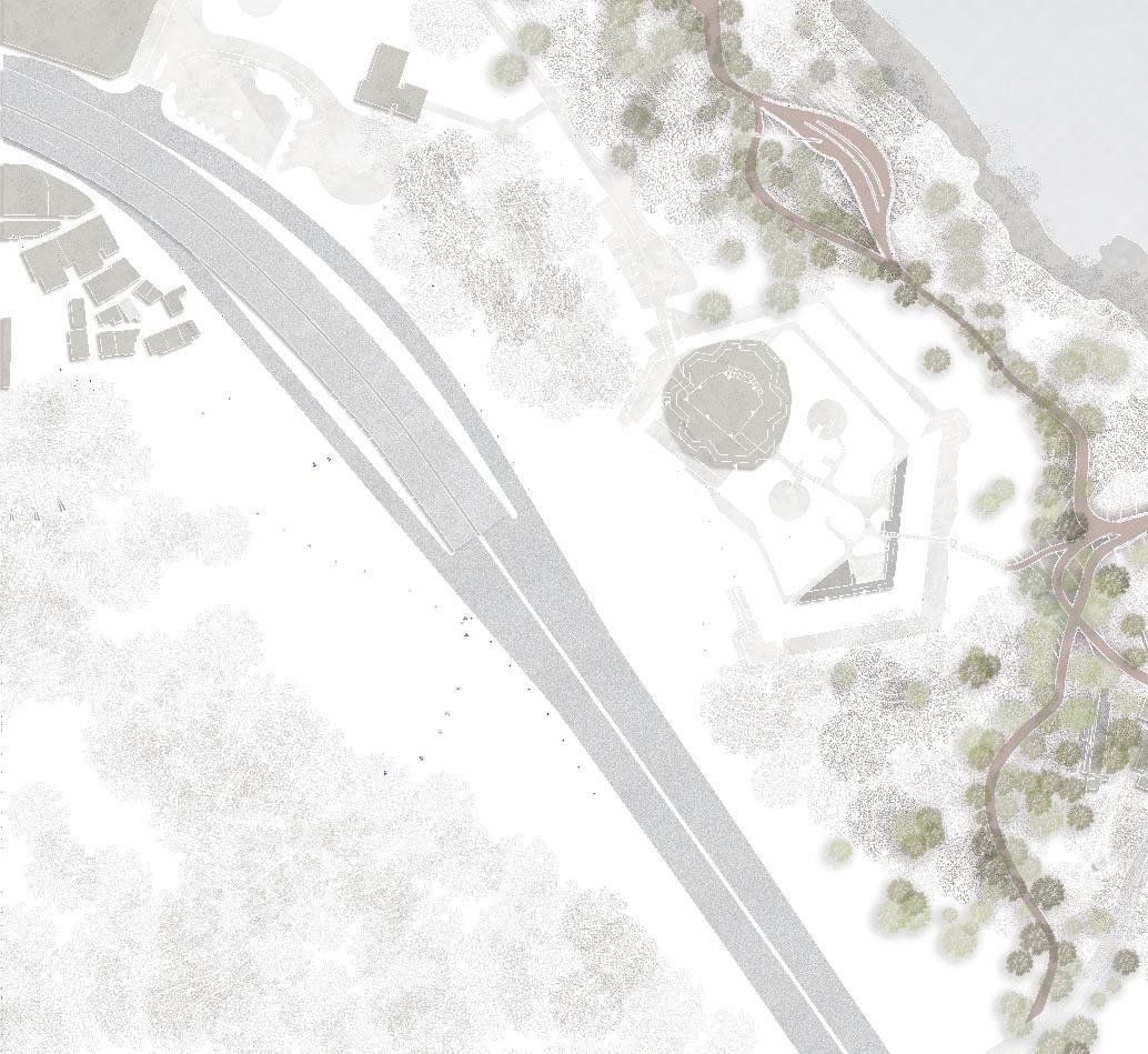
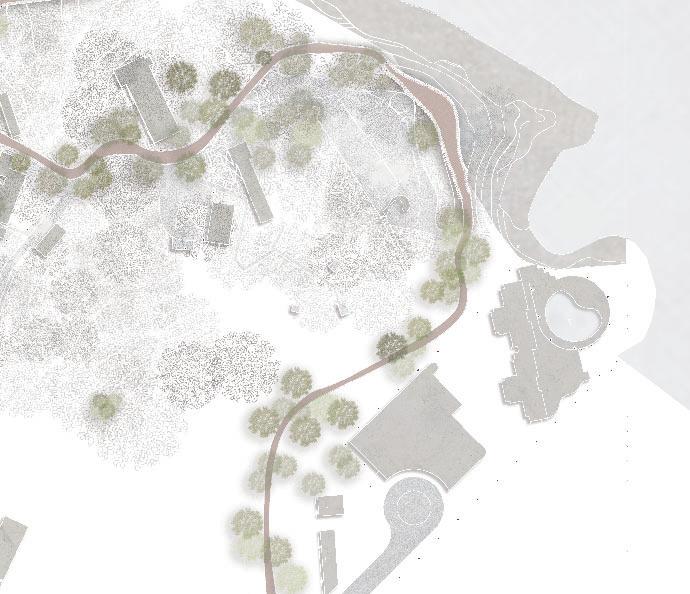
The studio built on momentum for a recreational circulation network along the Victoria Harbourfront and used the plan as a catalyst for imagining a more connected, more accessible, more equitable, more ecological, healthier city. The studio was focused in an area of little, but growing attention – along the waterfronts of the eastern extensions of the Harbourfront plans. While Victoria Harbour was the quintessential waterfront of the city – designed, invested, protected – outside of this narrow band of reclaimed land existed a much wider range of spatial and ecological typologies.
These urban and ecological fabrics, dense and layered with their own unique histories, might have been reconfigured around more pedestrian-oriented, nature-centred planning initiatives. How might investment in the trail and accessibility improvements have benefited nearby communities and ecological habitats? How might greater access to natural areas have been balanced with existing conservation and habitat management systems. Ultimately, the studio also asked students to explore new ways to see, draw, access and model the landscapes of Hong Kong and propose improved spatial interface conditions around the city’s edge.





















ARCH7132 MLA Design Studio II
Instructors:
Ivan Valin
Francisco Cevallos Barragan
TA:
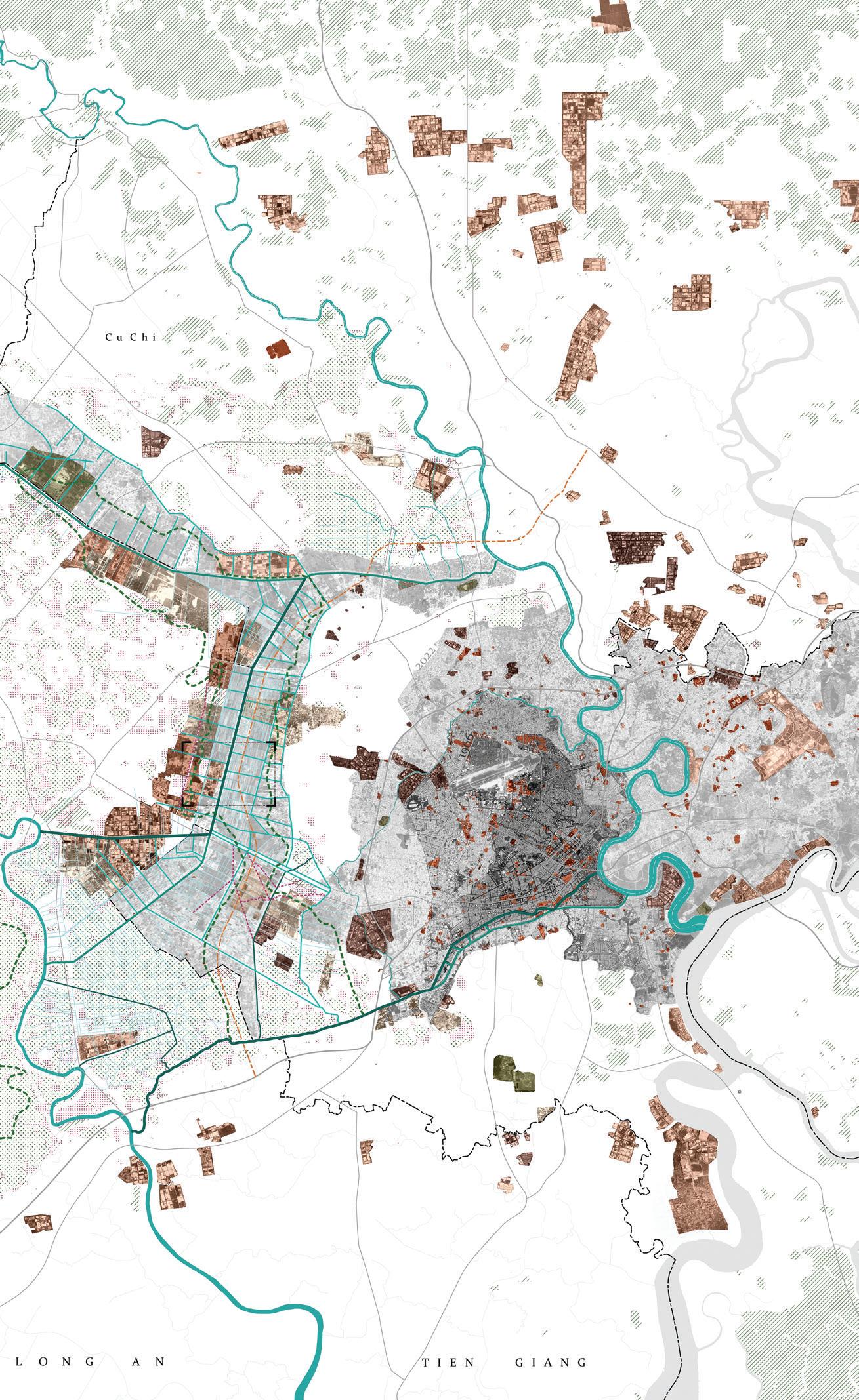
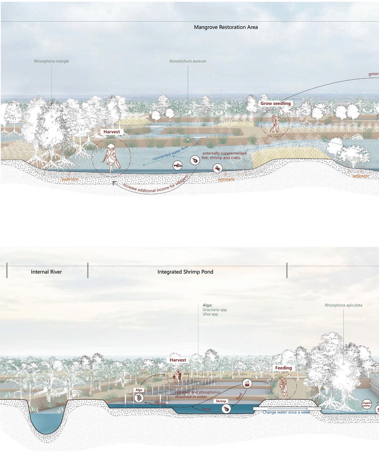
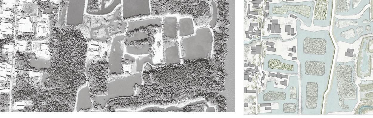
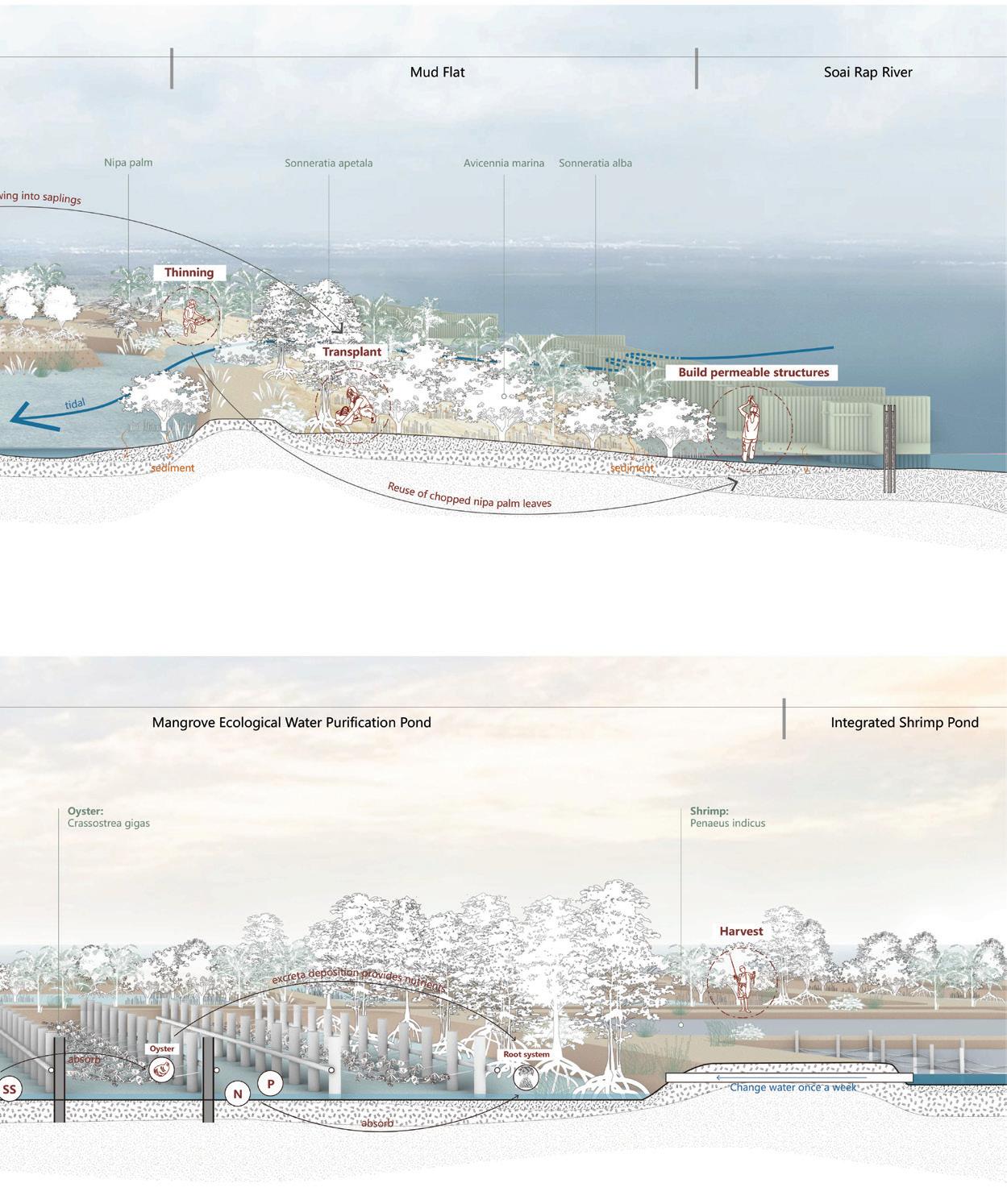
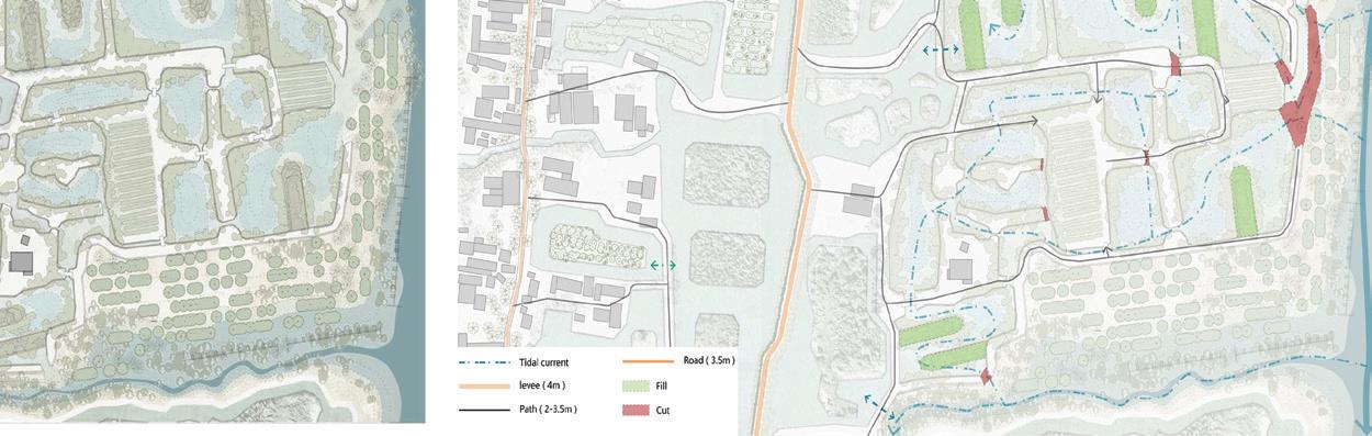
This Landscape Design Studio examined the low-lying peri-urban areas of Ho Chi Minh City, where rapid urbanization has caused the decline of the once deeply linked vernacular practices causing high environmental degradation and heightened vulnerability. Focusing on the floodplains of the Vam Co, Saigon, and Dong Nai Rivers, alongside their socio-economic and environmental transformations, students explored the potential of urban fringe landscapes and envisioned a city-wide Metropolitan Park System, aiming to improve urban ecology, resilience, and community well-being in the face of ongoing metropolitan challenges.
The studio unfolded in three phases: contextual analysis through multi-temporal mapping, on-site documentation through a collaborative field workshop with local and international partners, and individual site-design interventions addressing emergent sitespecific issues.
Instructors:
Xiaoxuan Lu
Hiu Yan Wong Monique
TA:
Kanisa Sattayanurak
Chandima Silva
Finding an effective conservation practice that can address both the needs of local populations and the demands of the global commons has long been a challenge in managing inhabited forests.
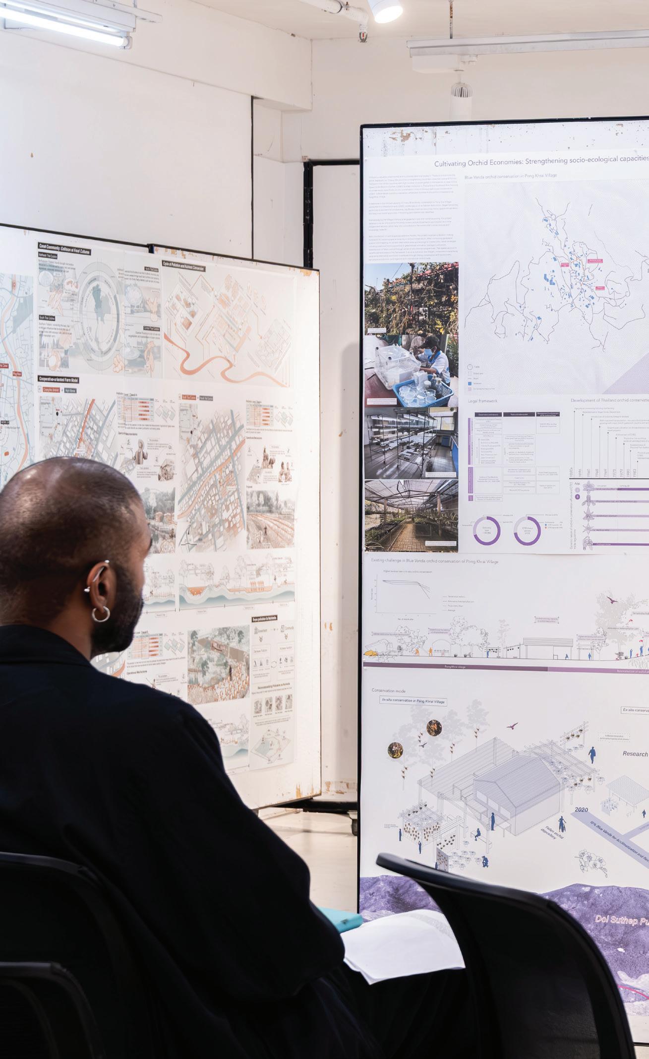
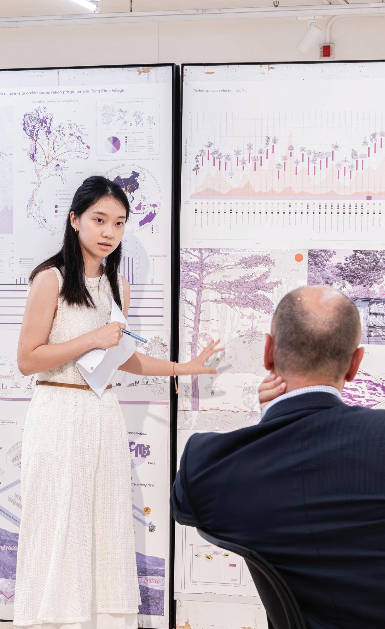
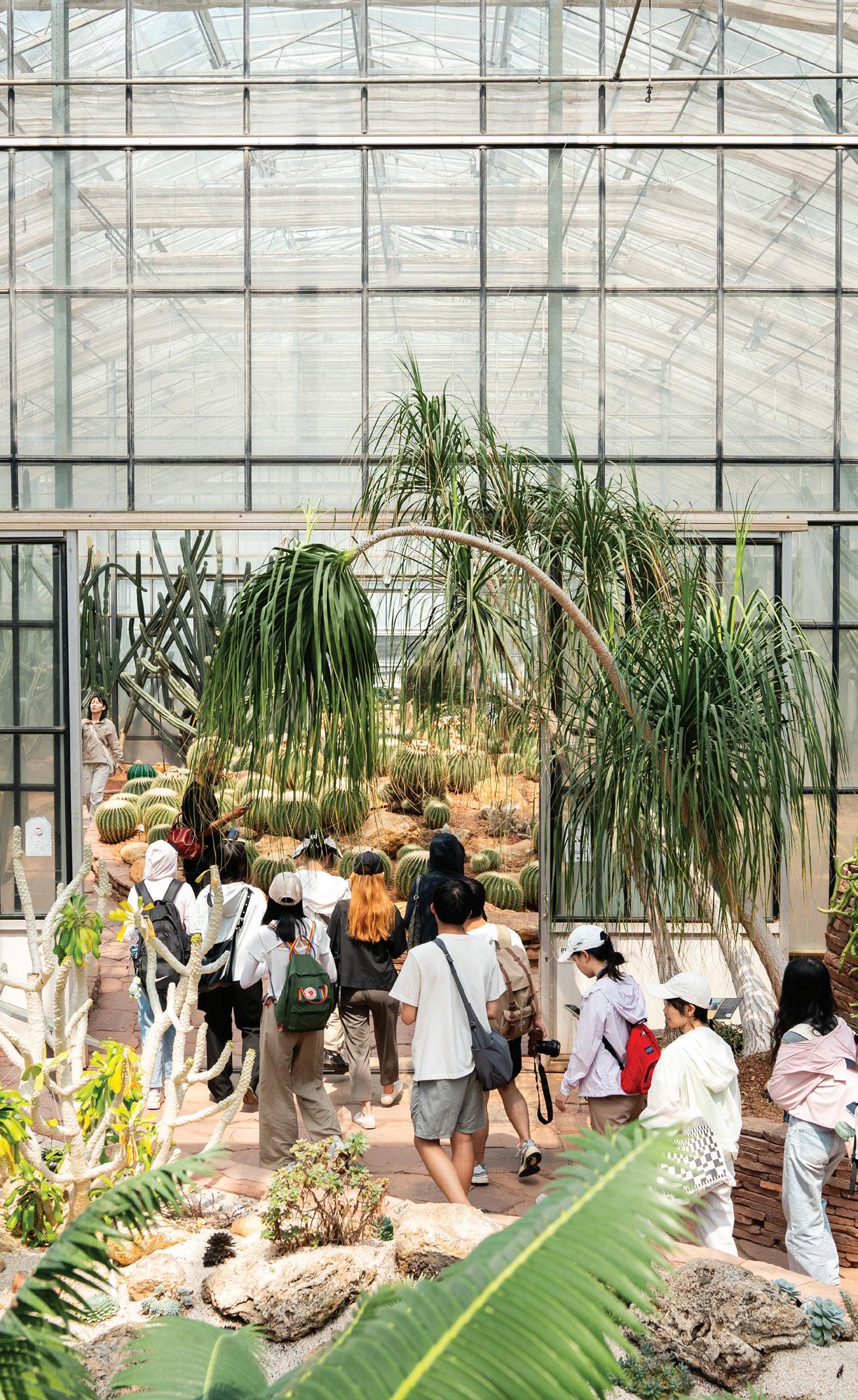
Studio Chiang Mai approached Doi Suthep-Pui National Park as an important case study within a wider examination of cultural and environmental conservation in Southeast Asia.
Students studied past and ongoing territorial activities in the region and explored alternative territorialization strategies that mediate challenges faced by a rapidly transforming national park with cultural, economic, and ecological significance.
Instructor: Michael Kokora
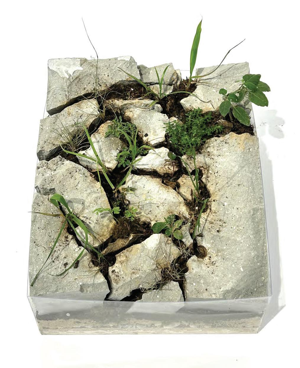
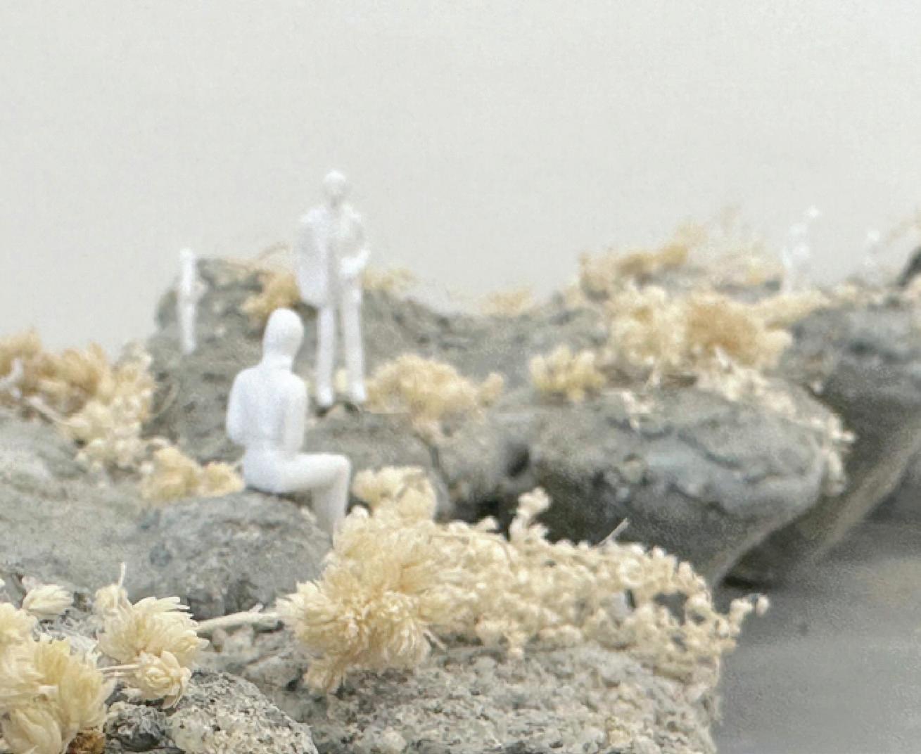
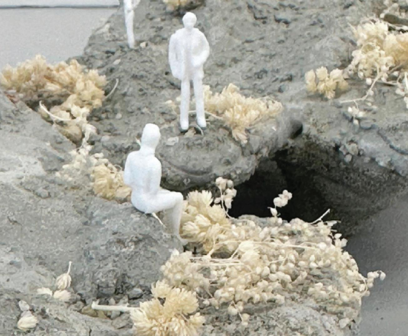
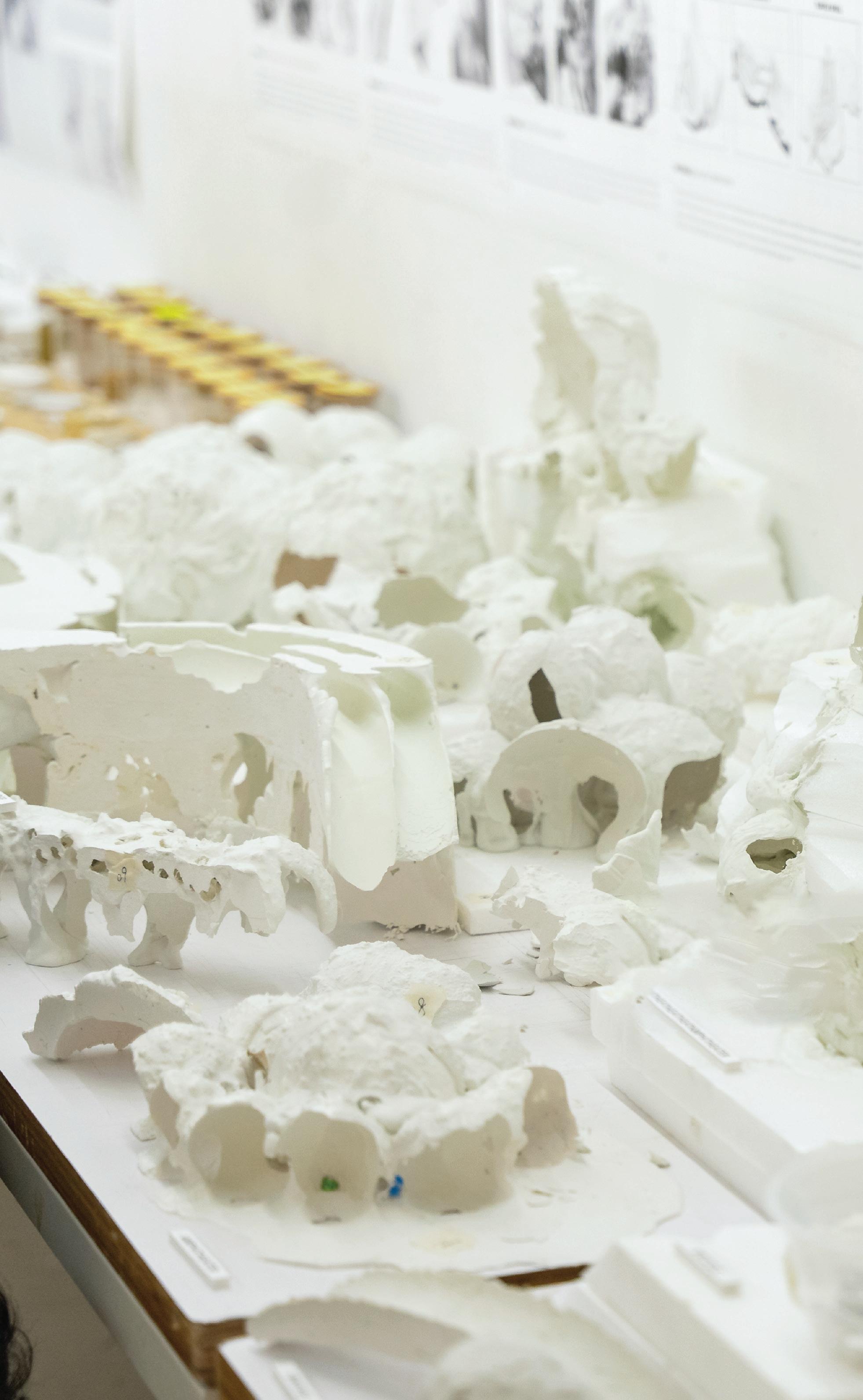
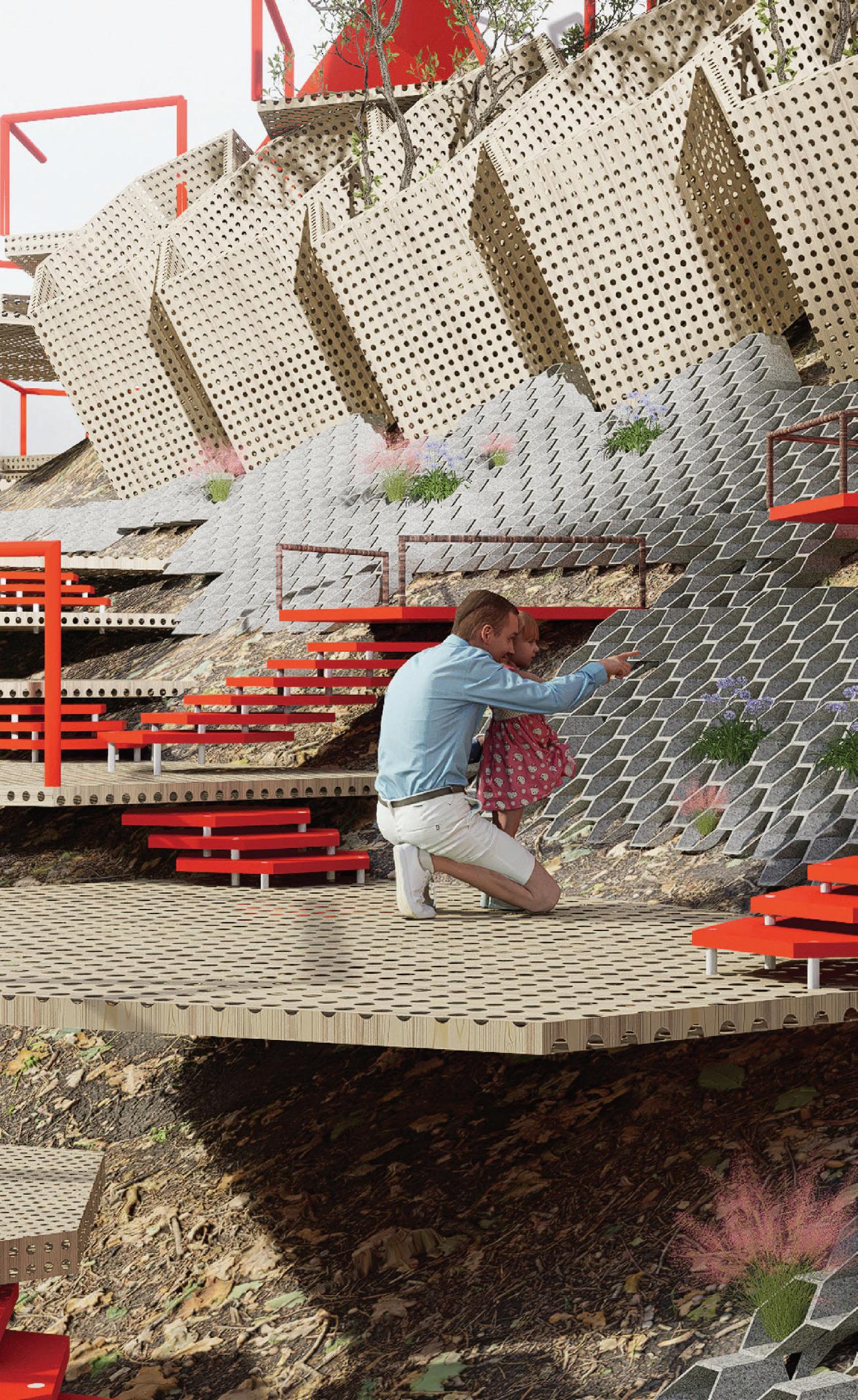
This studio critically explored concrete forms in “Coastal Interface” conditions, exploring three-dimensional spatial form in landscape architecture. In recent years, some of the most innovative uses of materials and creative forms came from projects that blurred the boundary between landscape architecture and architecture. These projects explored unusual construction methods or techniques that revealed the unique properties of the construction materials involved. They also raised questions about what a landscape was and how we perceived the world around us – both the humanmade and the natural.
Unlike a studio that began with a site and worked toward a design response, this studio inverted the process and began with materials and spatial studies. Making was used as the primary form of research in the studio. Actual casting, 3D printing, CNC milling, laser cutting, and analog methods of working with materials were heavily used in the studio.

Instructors:
Yuxin He
Long Zuo
TA:
Yapeng Liu Olly
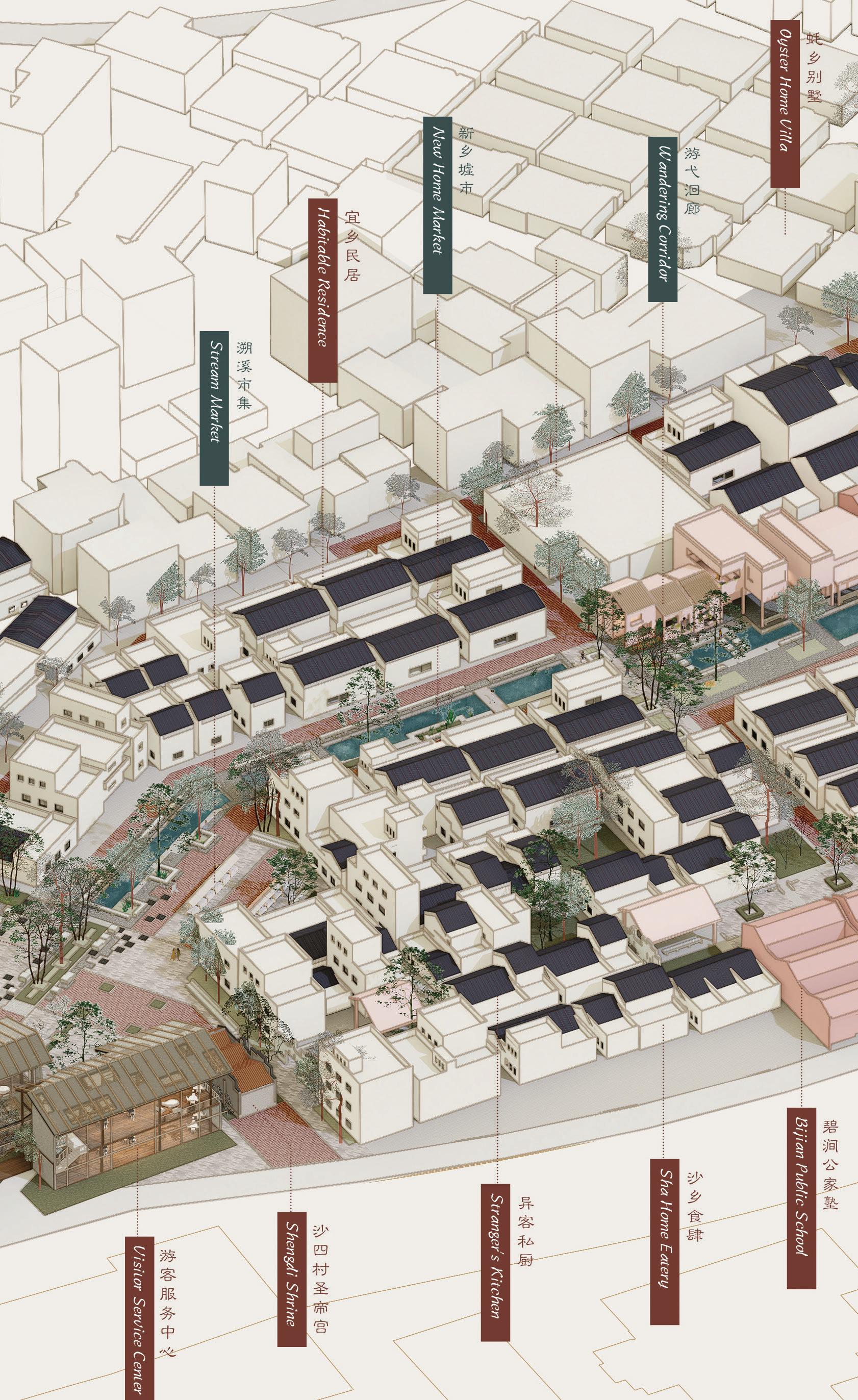
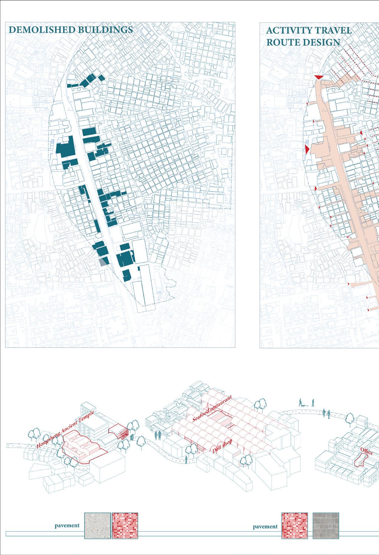
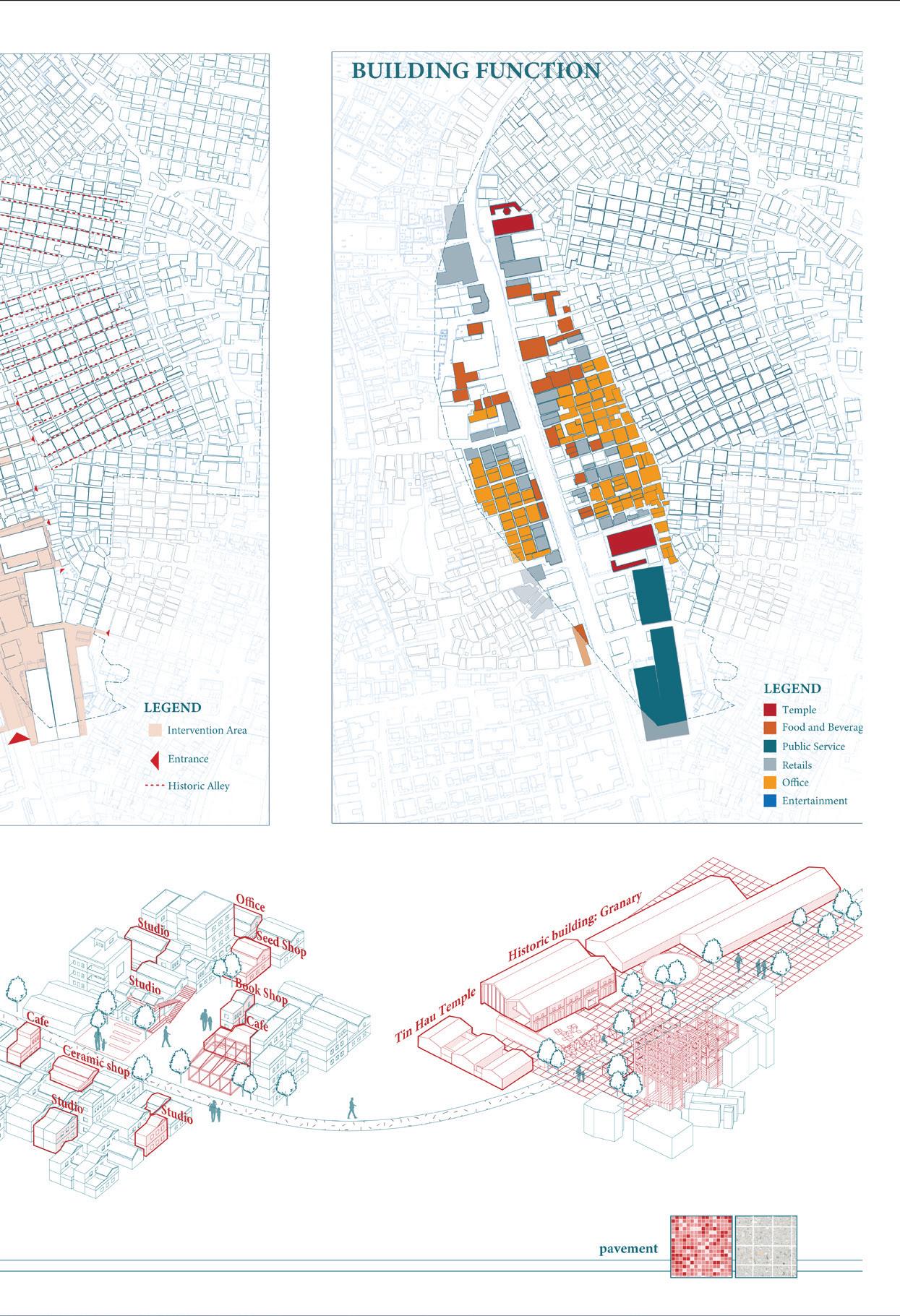
Utilizing the landscape’s inherent extensibility and connectivity, this design course aimed to reconnect people with the land, addressing both the spiritual and practical needs of urban development and societal progress. By deeply studying public landscape space renewal cases and urban renewal models around the world and integrating them with actual project site conditions in Shajing, Shenzhen, the course aimed to equip students with a thorough understanding of stakeholders’ real needs, including residents and development operators.
This approach effectively fostered students’ comprehensive grasp of urban renewal—from policy planning and development operations to practical implementation—moving beyond theory and imagination to create pragmatic, problem-solving, and aesthetically valuable designs. The course aimed to enhance students’ abilities in comprehending urban renewal operations, problem-solving, and aesthetic creativity, while deepening their understanding of the social contributions and roles of landscape urbanism in urban renewal.
Instructor: Zhihang Luo
TA:
Yapeng Liu Olly
Singapore’s urban development is a global benchmark for innovative and sustainable city planning. Over the past few decades, the city-state has transformed from a densely populated, resource-scarce island into a vibrant, highly livable metropolis. Key to this transformation is Singapore’s comprehensive and forwardthinking urban planning policies that integrate environmental sustainability and economic development. Central to these efforts is the creation and management of open spaces, which serve as crucial elements in enhancing urban living standards and environmental health.
This course examined how Singapore positioned open space creation as a pivotal strategy for setting global benchmarks in urban development. It also explored the ongoing challenges the city faced and how landscape architecture could play a leading role in shaping the next-generation sustainable city. The course delved into the unique design approaches embodied in the “Think Like Water” philosophy, aiming to inspire innovative solutions for future inclusive and resilient urban landscapes.
Natalia Echeverri
Senior
Lecturer,
Programme Director (MLA/PDLA),
Division of Landscape Architecture
The Postgraduate Diploma in Landscape Architecture (PDLA) is an intensive one-year curriculum that introduces foundational skills, theories, and concepts of landscape architecture to students without previous training in the environmental design fields. It creates new pathways for students with nontraditional academic backgrounds and experiences to enter the field, creating a multi-skilled cohort capable of bridging traditional disciplinary boundaries and expanding the profession from within.
The PDLA curriculum is constructed around a broad approach to landscape architecture, structured around a sequence of studios that equip students with a set of critical methods for observing, analyzing, and reshaping the physical environment. These studios are designed in conjunction with lectures and seminars on history and theory, visual communication, and landscape technology that help to expand and contextualize design knowledge. The majority of students who have completed the PDLA have gone on to enroll in the Division’s own MLA program or in other overseas postgraduate landscape programs.
Year 1
Fall Semester
Landscape Architecture Intensive
Spring Semester
Studio I Studio II
Landscape Media
Landscape Technology I
Landscape History and Theory I
Landscape Plants and Ecology I
Landscape Technology II
Landscape History and Theory II
ARCH7138 Foundation Studio I
Instructor: Ivan Valin
TA:
Yapeng Liu Olly
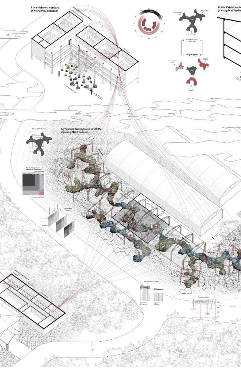
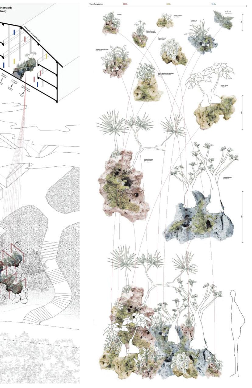
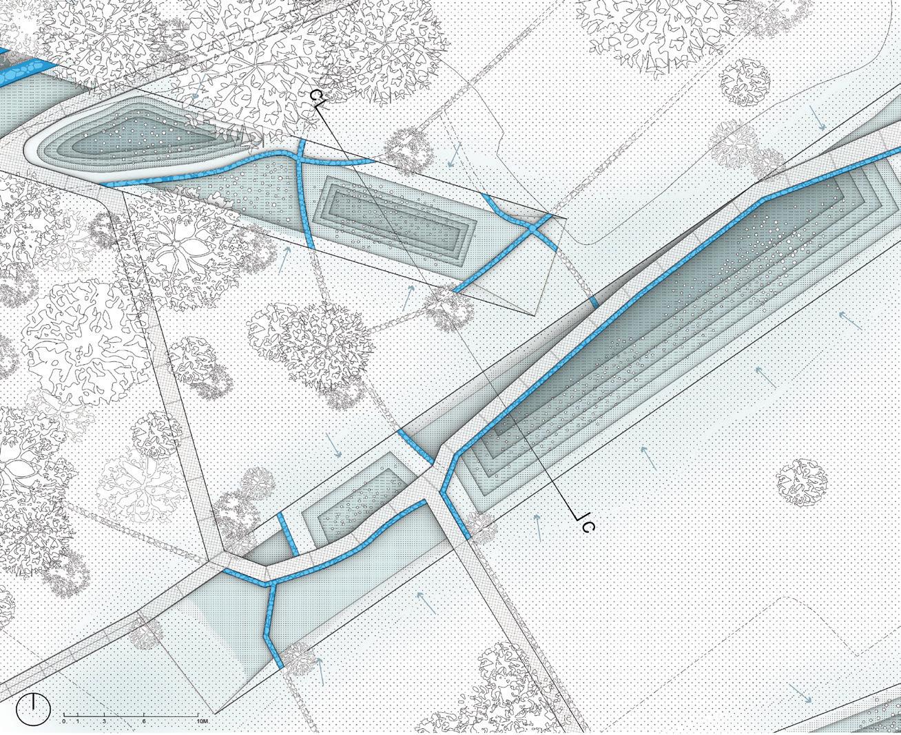
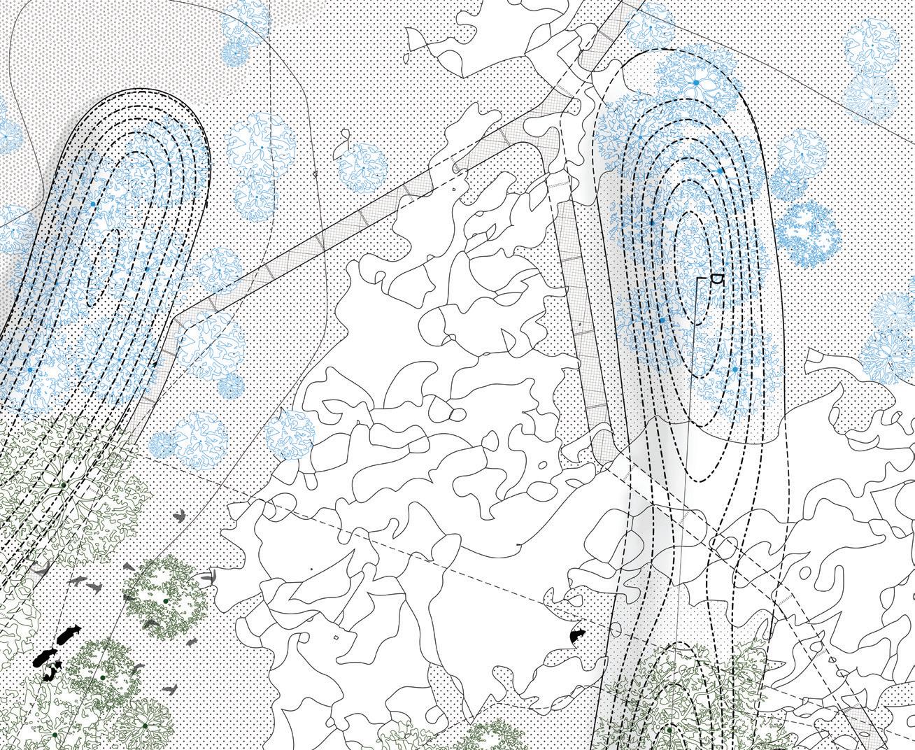
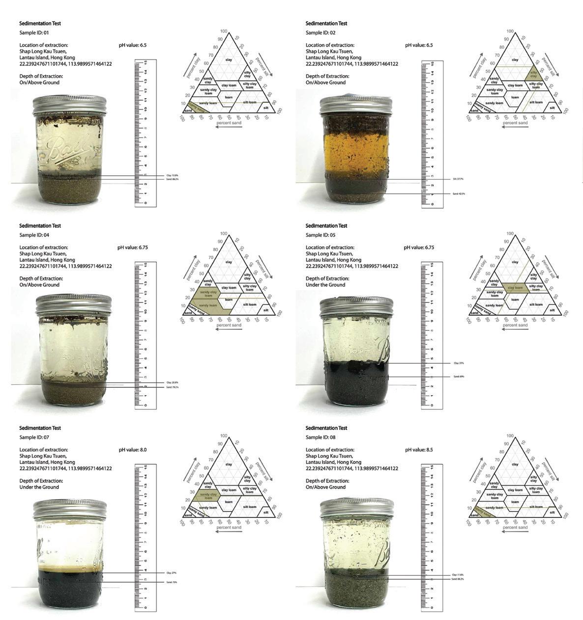
Students began with fieldwork exercises that covered both ‘extensive’ and ‘intensive’ documentary methods. The drawings produced captured the hydrological, pedological, biotic, and microclimatic gradients across the site. Samples helped the students isolate and index the varied conditions within these gradients. Students then developed a topographical/structural assembly and speculated on its patterns of change and adaptation as a driver of larger site transformations.
The final proposal developed an intervention of a “Laboratory for the Living Landscape” aimed at long-term cultivation of the site to increase habitat diversity and adaptivity, expand ecosystem services such as water filtration or soil regeneration, and resist/ adapt to the impacts of climate change.
Instructor: Jutta Kehrer
TA: Yapeng Liu Olly
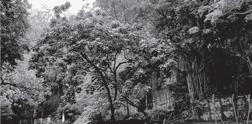
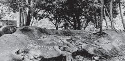
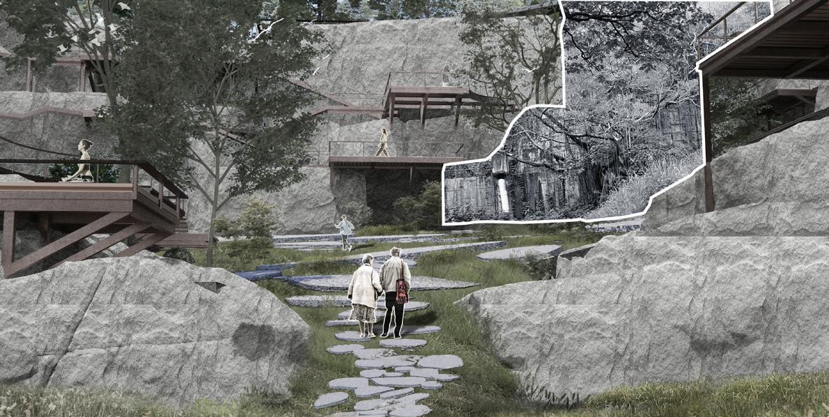
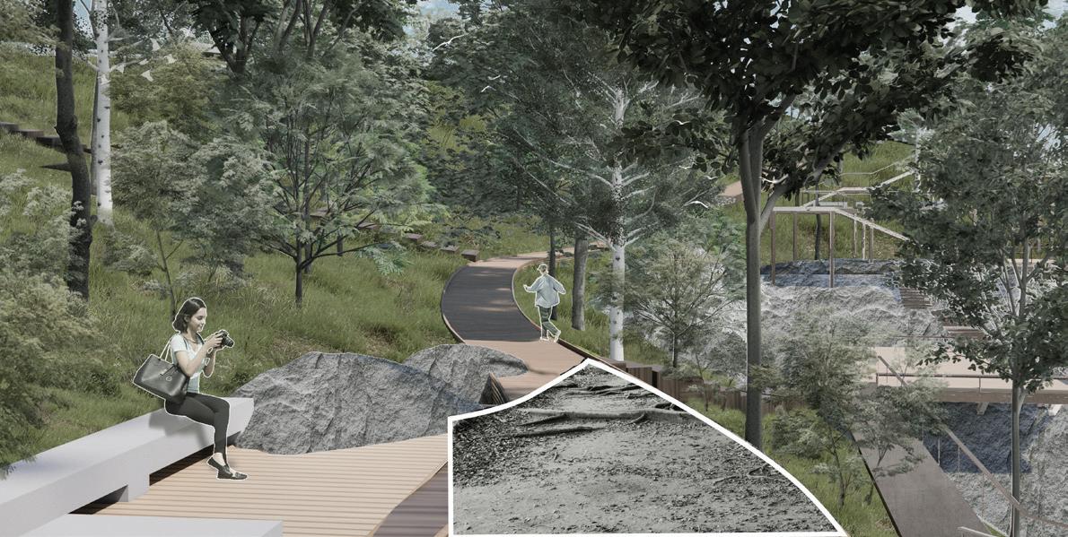
This studio built on a contemporary body of work in landscape, urbanism, geography, and sociology, that asked us to consider the city as not something different from nature, but rather as something that was embedded in and part of it. Where we once modeled nature and ecological processes in terms of their fragmentation, scientists were increasingly modeling urban systems within greater ecological, social, and political systems.
The course centered on three linked exercises.
Project 1 (Case Study Reshuffle) deconstructed contemporary parks through lenses such as color, texture, movement, rhythm, thrill, and pause, then reconstructed insights across cases.
Project 2 combined desktop research and fieldwork: P2a (Time Series) mapped site history via cartography and topographic models tracing Quarry Hill’s land use, coastline, and natural processes; P2b, Urban Parameters, mapped urban parameters— circulation, land use, physical and non-physical boundaries, permeability, edges, natural resources, ground coverage, canopy structure, enclosure and expansion.
Project 3 (Urban Wild Urban Play) synthesized prior analyses to propose concise, landscape-led designs engaging site history, transformations, current socioeconomic dynamics, ecological processes, the physical natural and constructed geographies of the site, using generative models and drawings.
QUIET AREA
Touching
Walking
Doing
Meditation
Watching
ACTIVE AREA
Playing croquet
Do exercises
Playing on a swing
Skateboarding
Dancing
Resting
Skating
Trampolining
Doing
Running
Playing
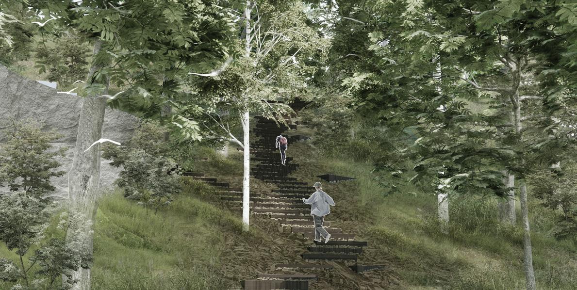
ARCH7191 Landscape Architecture Intensive
Instructor:
Man Si Fan Phoebe
TA:
Ho Yin Tsui Tony
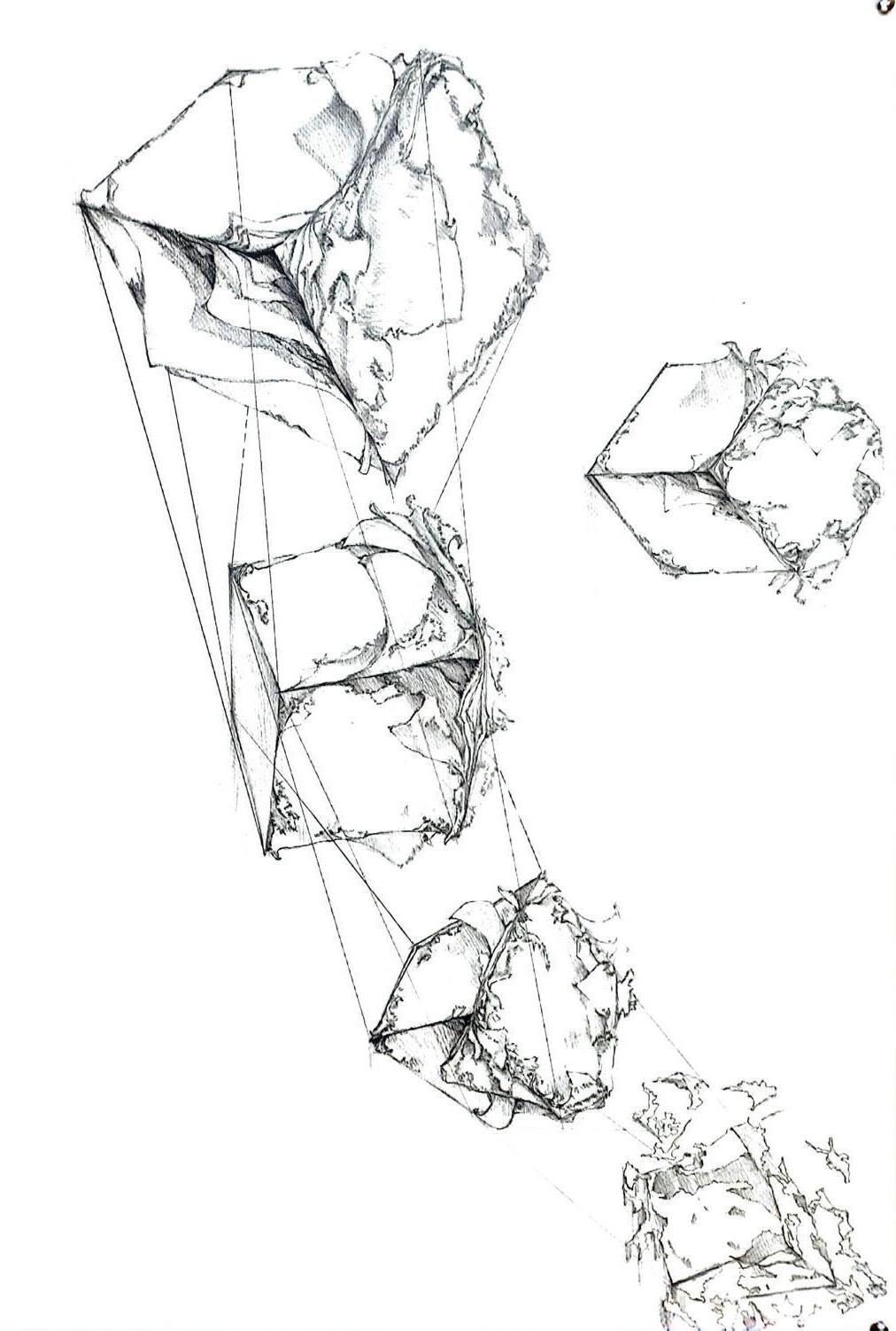
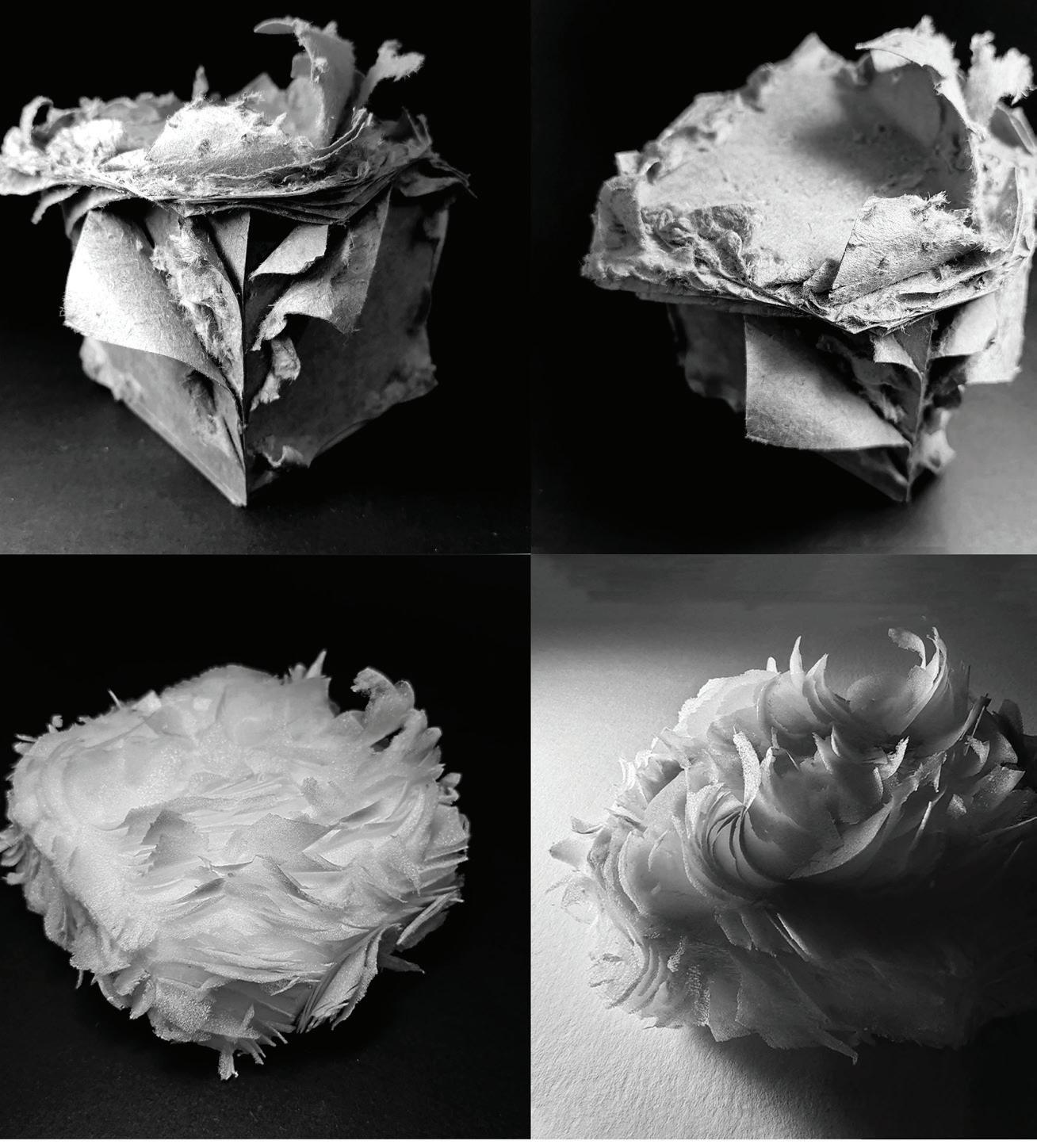
This three-week intensive course introduced students to landscape architecture within the vibrant urban context of Hong Kong. Through careful observation of the city’s diverse open spaces and vacant lots, they gained insights into their unique character and potential. Students explored whether these areas functioned as gardens, parks, or something more, envisioning innovative possibilities for their transformation.
The course emphasized essential representation and mixed media skills, fostering a comprehensive design process. By integrating two-dimensional and three-dimensional techniques, students enhanced their communication of design ideas. This foundational experience prepared them for advanced studies in landscape architecture, equipping them with vital principles and tools.


Xiaoxuan Lu
Assistant Professor
Programme Director (BA(LS)), Division of Landscape Architecture
The Bachelor of Arts in Landscape Studies (BA(LS)) program equips students with a curriculum that emphasizes design, landscape technology, history and theory, and visual communications. We give students a comprehensive grounding in the knowledge, concepts, and skills that landscape architects commonly require to deal with the complex community, ecology, and developmental issues within diverse urban and natural environments.
The BA(LS) program is studio-based, allowing students to work directly with instructors on design projects and guided research studies that integrate both theoretical exploration and practical implementation. The design studio is integrated with concurrent theoretical and technical courses that reinforce the core knowledge of landscape architecture and broaden students’ perspectives across related disciplines.
Year 1
Fall Semester
Landscape Representation I
Landscape History and Theory I
Faculty
Interdisciplinary Course
Common Core Course
English Language Course
Year 3
Fall Semester
Landscape Representation II
Landscape Technology III
Year 2
Fall Semester Fall Semester Spring Semester Spring Semester Spring Semester Spring Semester
Landscape Technology I
Landscape Representation II
Faculty
Interdisciplinary Course
Common Core Course
Chinese Language Course
Landscape History and Theory II
Common Core Course
English Language Course
Year 4
Landscape Technology II
Landscape History and Theory III
Common Core Course
Landscape Representation III
Landscape Technology IV
Landscape History and Theory IV
Common Core Course
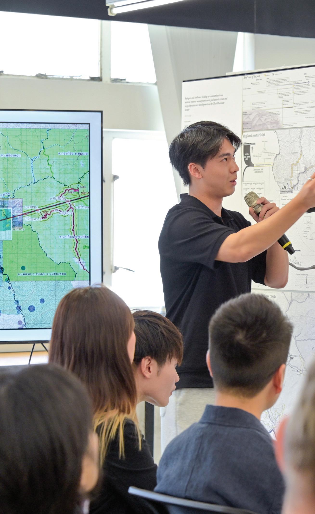
ARCH4202 Landscape Design Studio VI
Instructors:
Ashley Scott Kelly
Yuan Zhuang
TA:
Jiani Liu Vicki
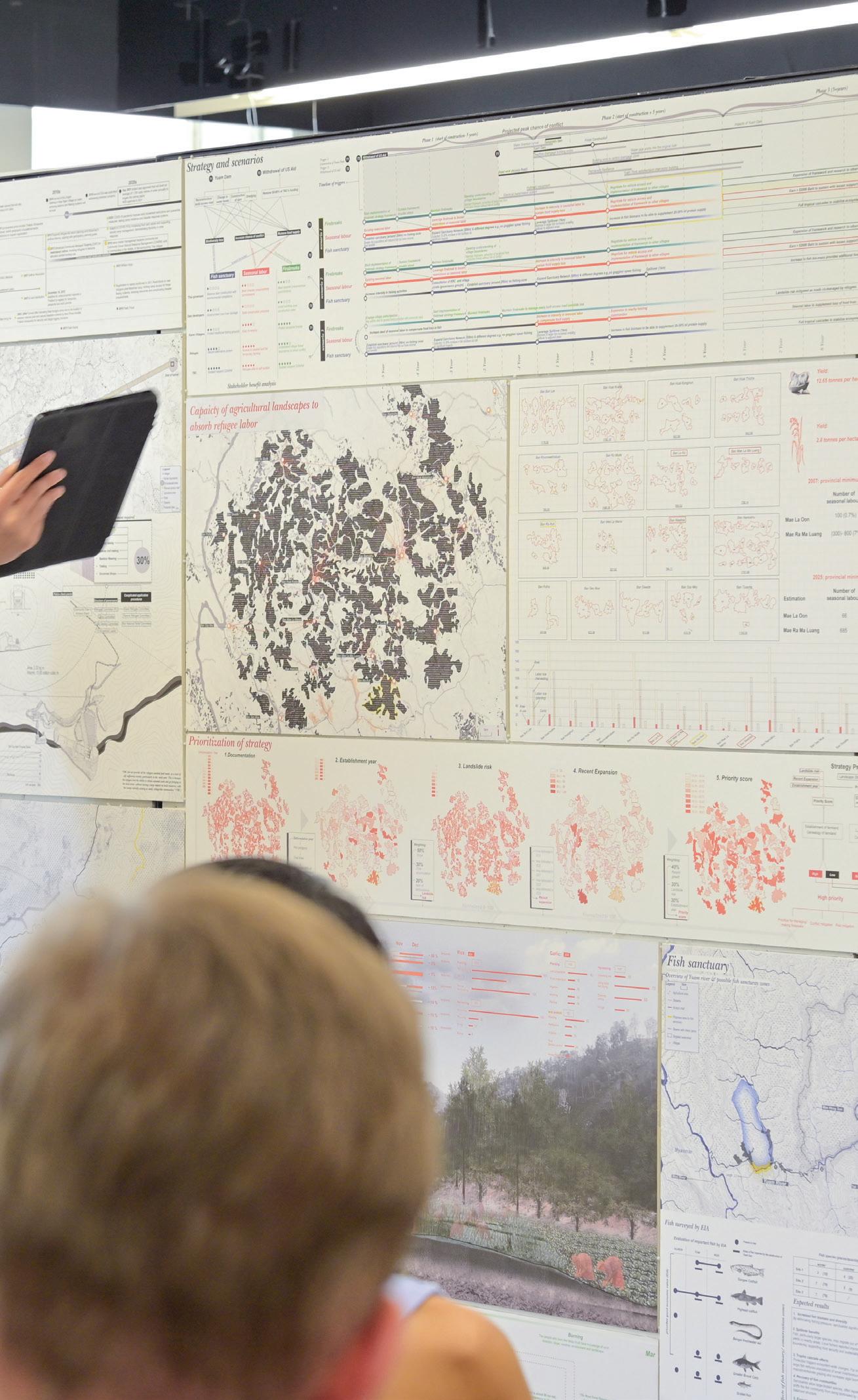
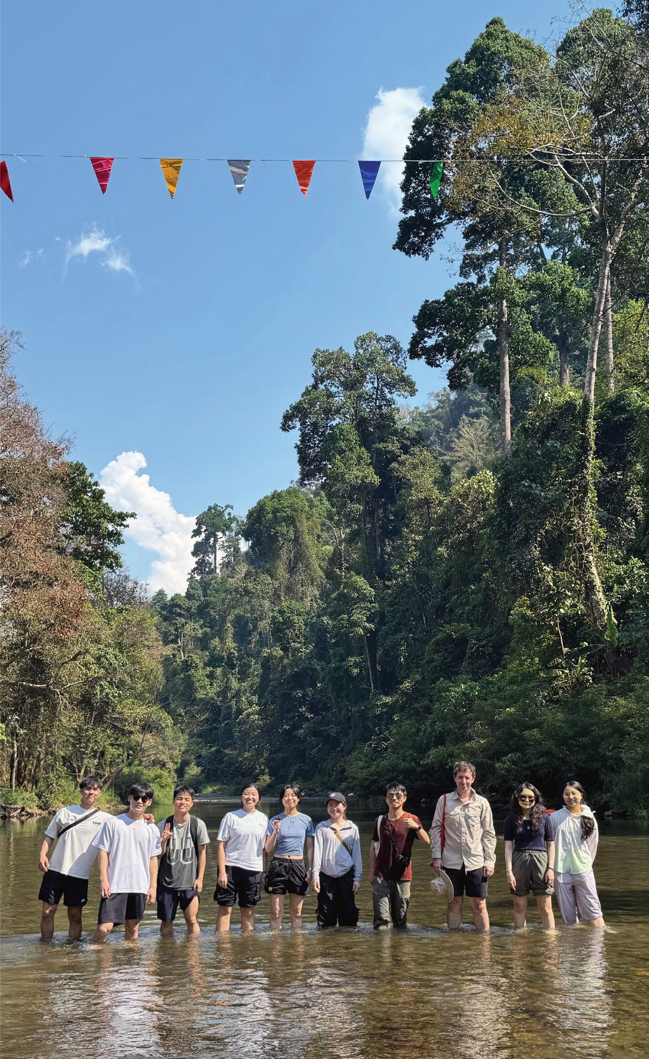
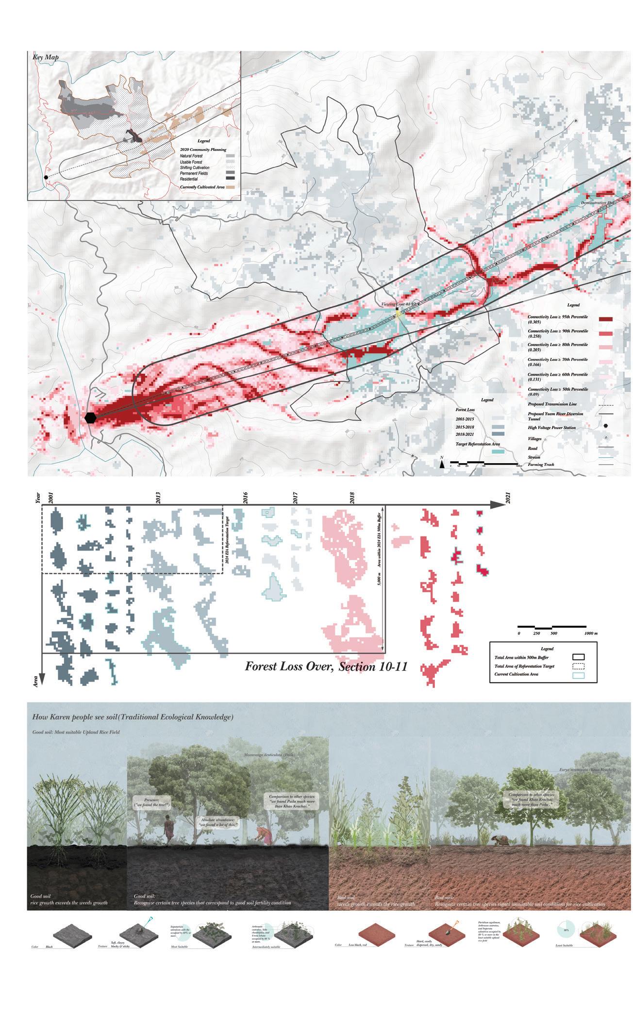
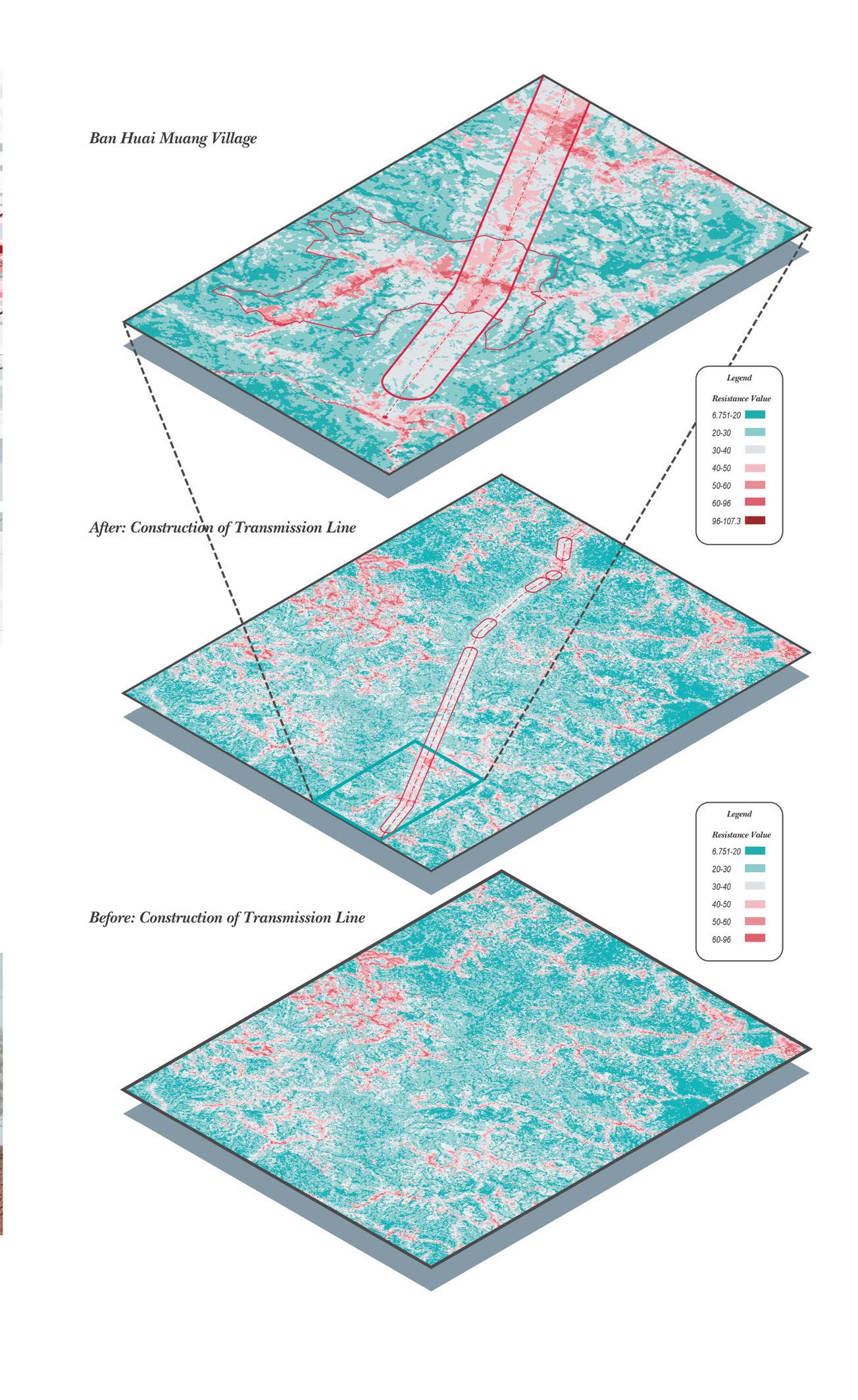
The Thai-Myanmar Border Studio builds on over a decade of HKU Landscape undergraduate experiential learning across mainland Southeast Asia. This year, students travelled more than 500 kilometers overland to meet with human rights and environmental organizations and document large-scale projects at sites planned for hydropower, interbasin water transfer, spoil disposal areas, flow regulation check dams for reservoir construction, river dredging, access roads, and high-voltage transmission lines.
Students individually proposed landscape planning strategies that deployed community mapping, villager research, and citizen science; addressed power and knowledge in scientific reforestation programs; and confronted infrastructure investment and contested value systems in dual-governed regions.
Instructor: Francisco Cevallos Barragan
TA: Ho Yin Tsui Tony
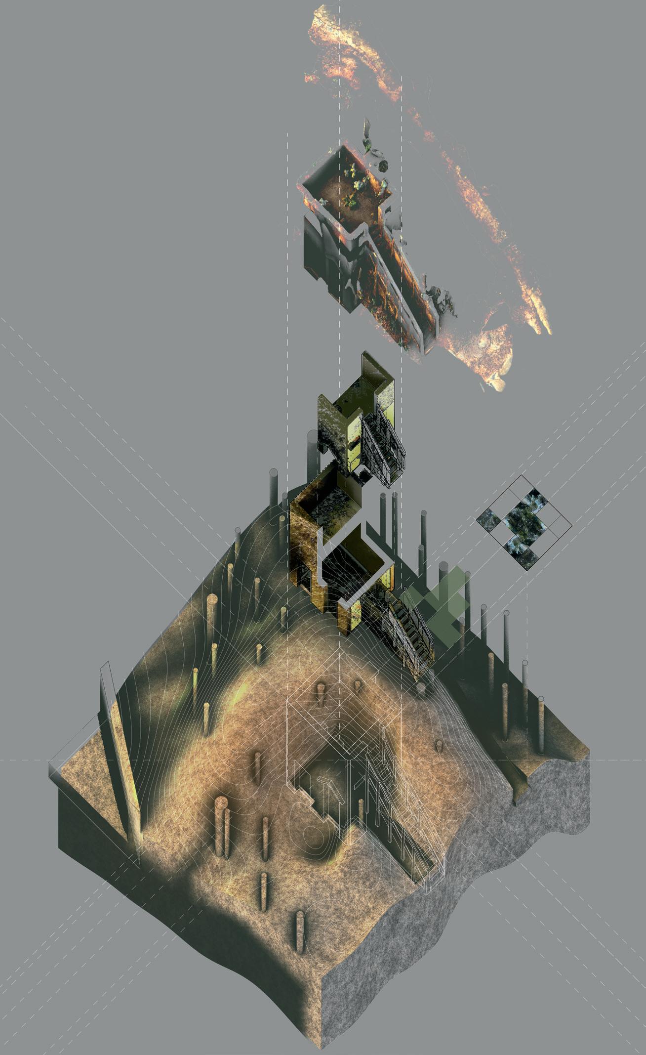
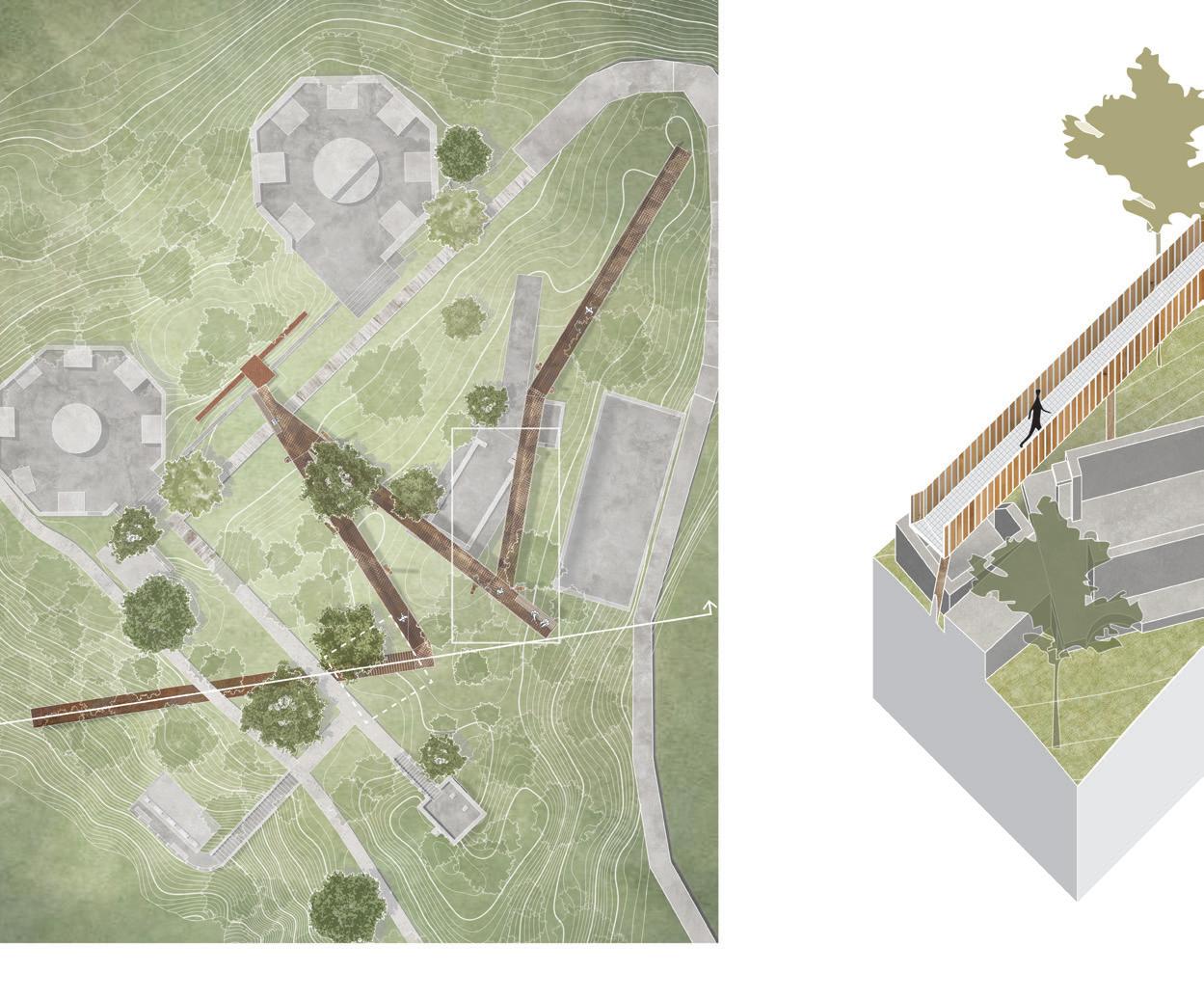
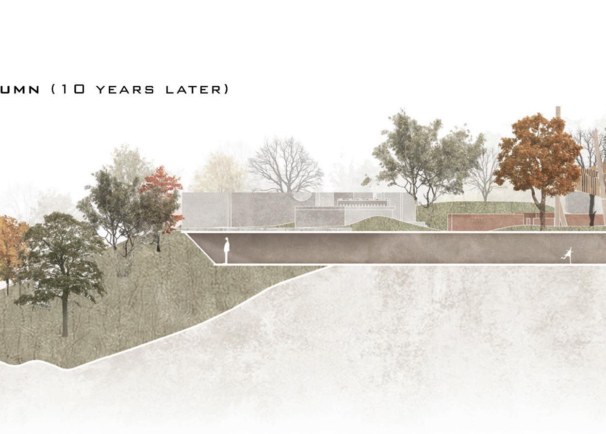
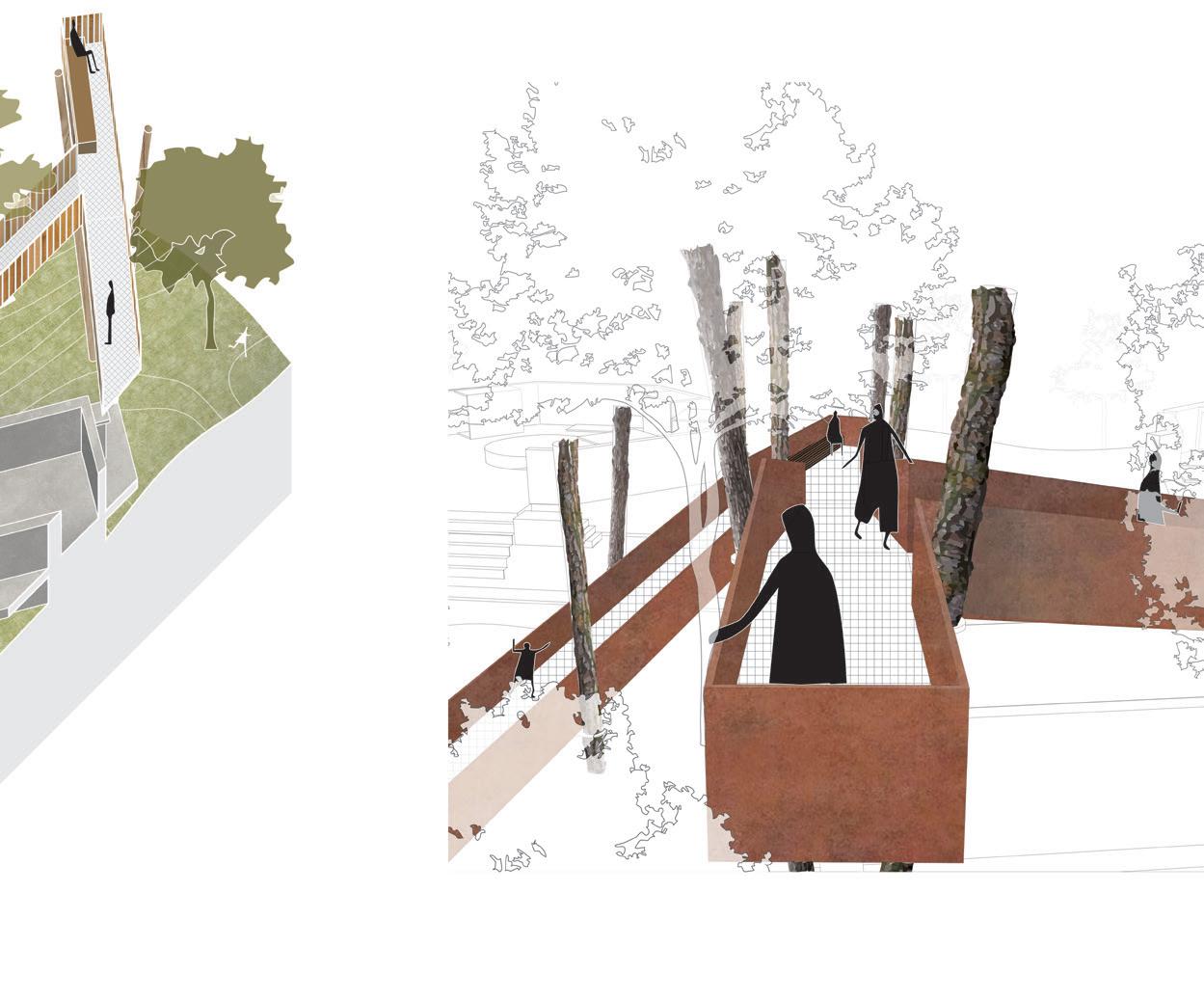
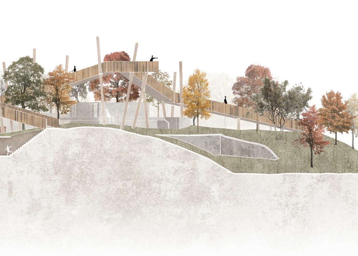
This first studio grounds the foundational theories and concepts of landscape architecture design by examining the relationships between nature and the human scale. Students explored spatial composition and human scale through three interventions on the Pinewood Battery in Lung Fu Shan Country Park. The course approached landscape design as a process where abstraction, speculation, and creativity are articulated through reflection on methods to represent the specific conditions of a given site.
Students developed skills in observing, analyzing, interpreting and crafting concise and logical arguments for site-scale landscape interventions that respond to human proportion. The studio emphasizes the use of conceptual, study, and site models, along with analytical and technical drawings, as drivers of an iterative design process.
Instructors:
Natalia Echeverri
Nik Ettel
TA: Yapeng Liu Olly
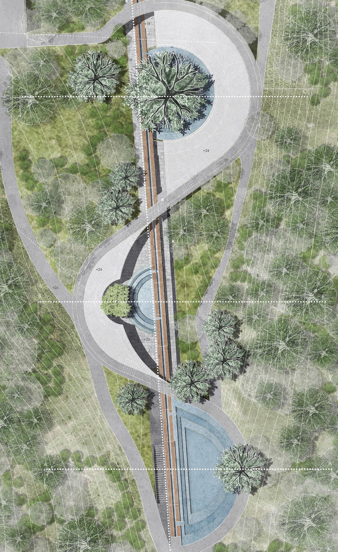
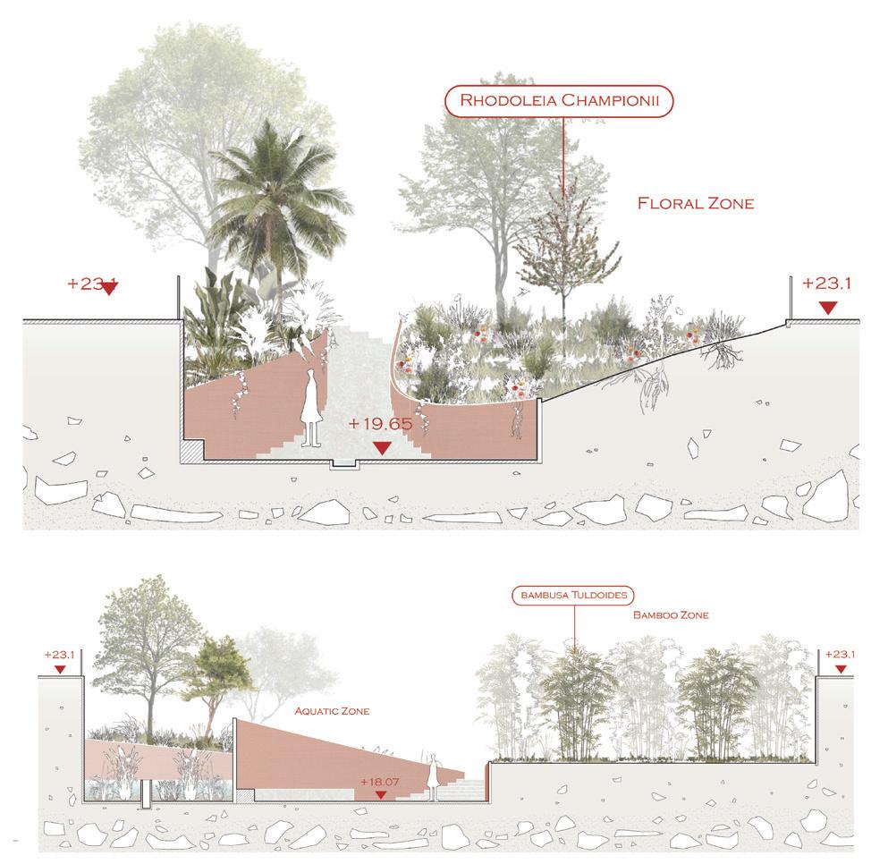
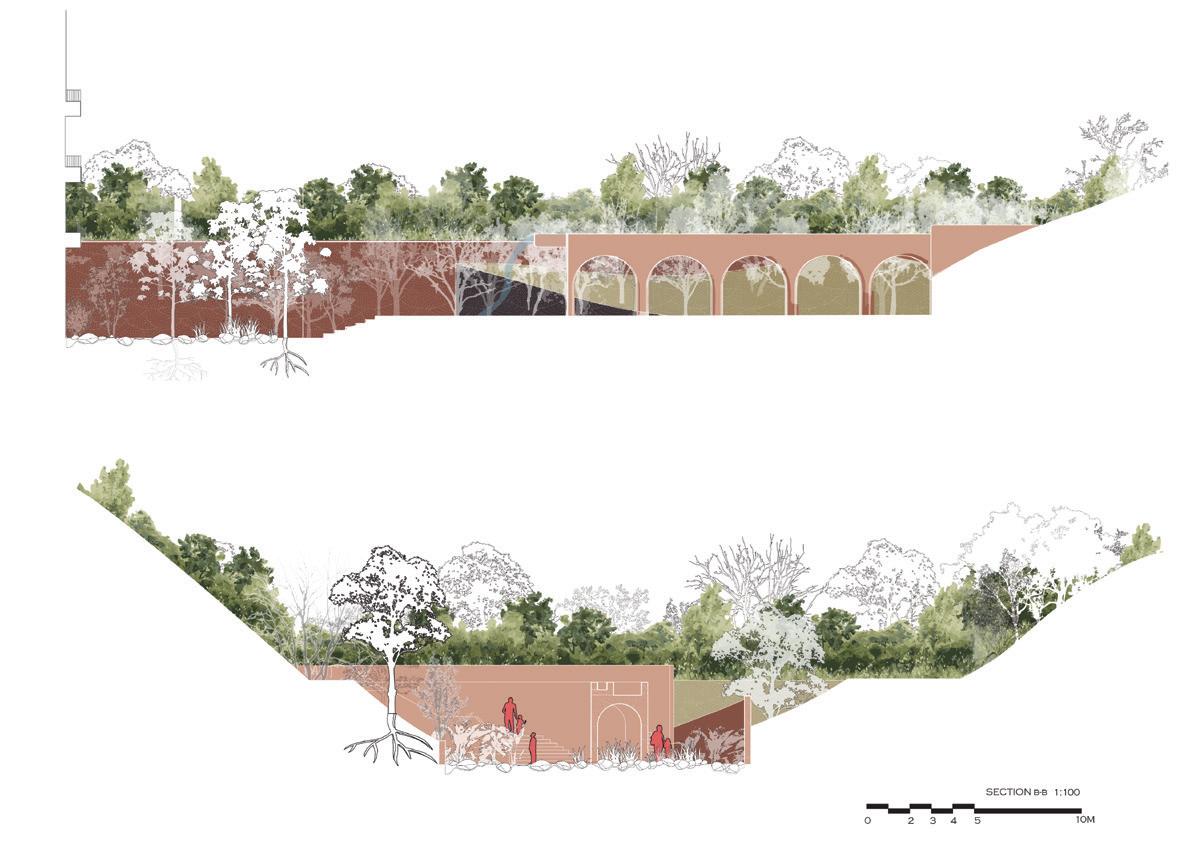
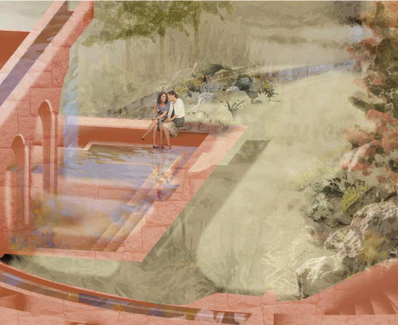
The BA(LS) second year studio focused on the redesign of King’s Park. Now recognized as one of Kowloon’s “”green lungs”” supporting recreation and avian biodiversity, this urban open space fragment was once characterized by barren slopes, terraced cultivation, and colonial military use before its gradual subsumption into the densifying Kowloon.
For their final design project, students intervened in this complex topography and social landscape with a series of “”garden rooms”” nested within the park’s valley. Their designs engaged with the site’s landscape processes and its multiple layers-including geology and soil, geomorphology, cultural histories, and diverse active habitats. The students’ interventions integrated solutions for water management, human comfort, and human/non-human interactions, catering to users such as local schools, birdwatching groups, and nature enthusiasts.

Instructors:
Natalia Echeverri
Sylvia Ng TA:
Yapeng Liu Olly
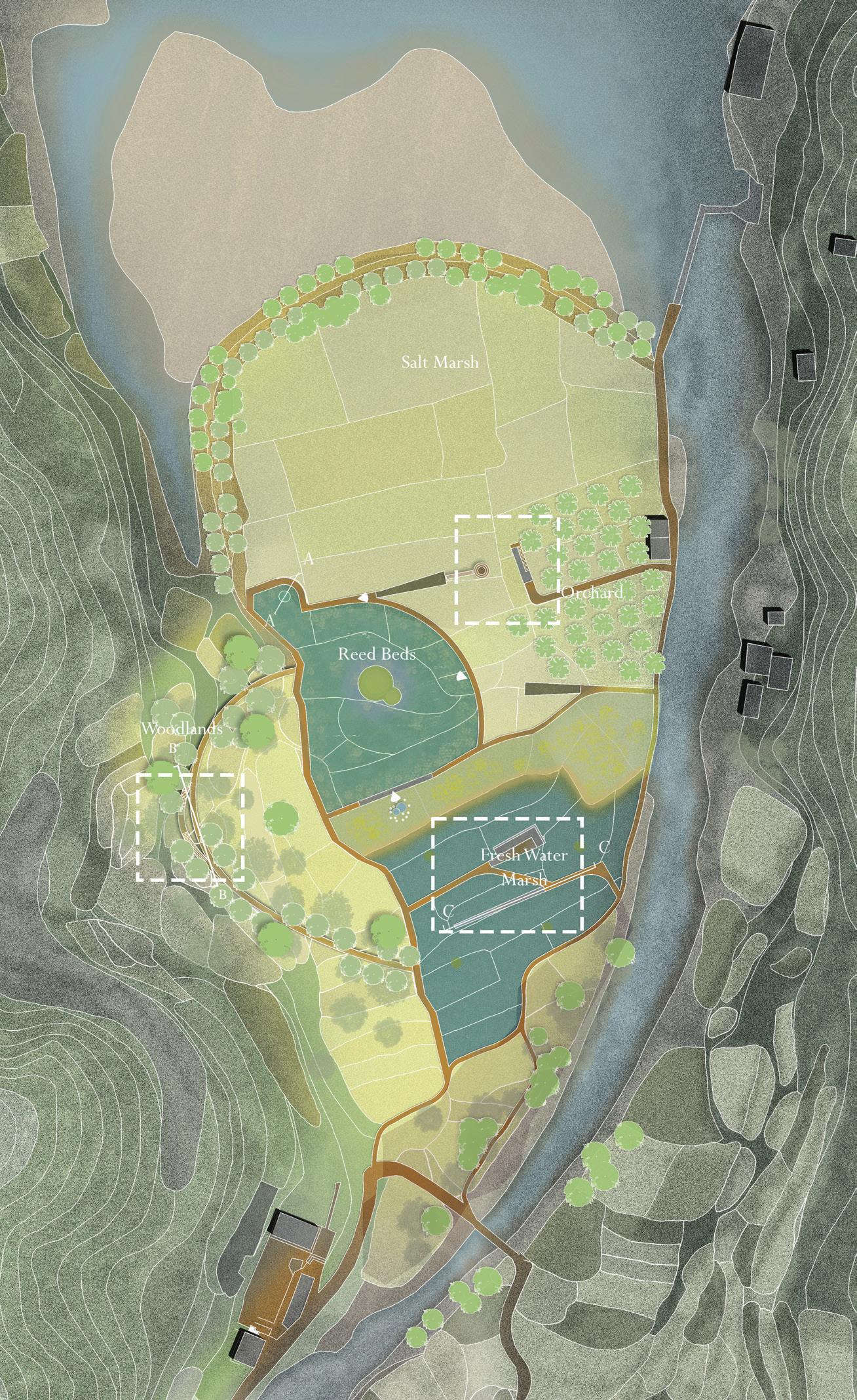
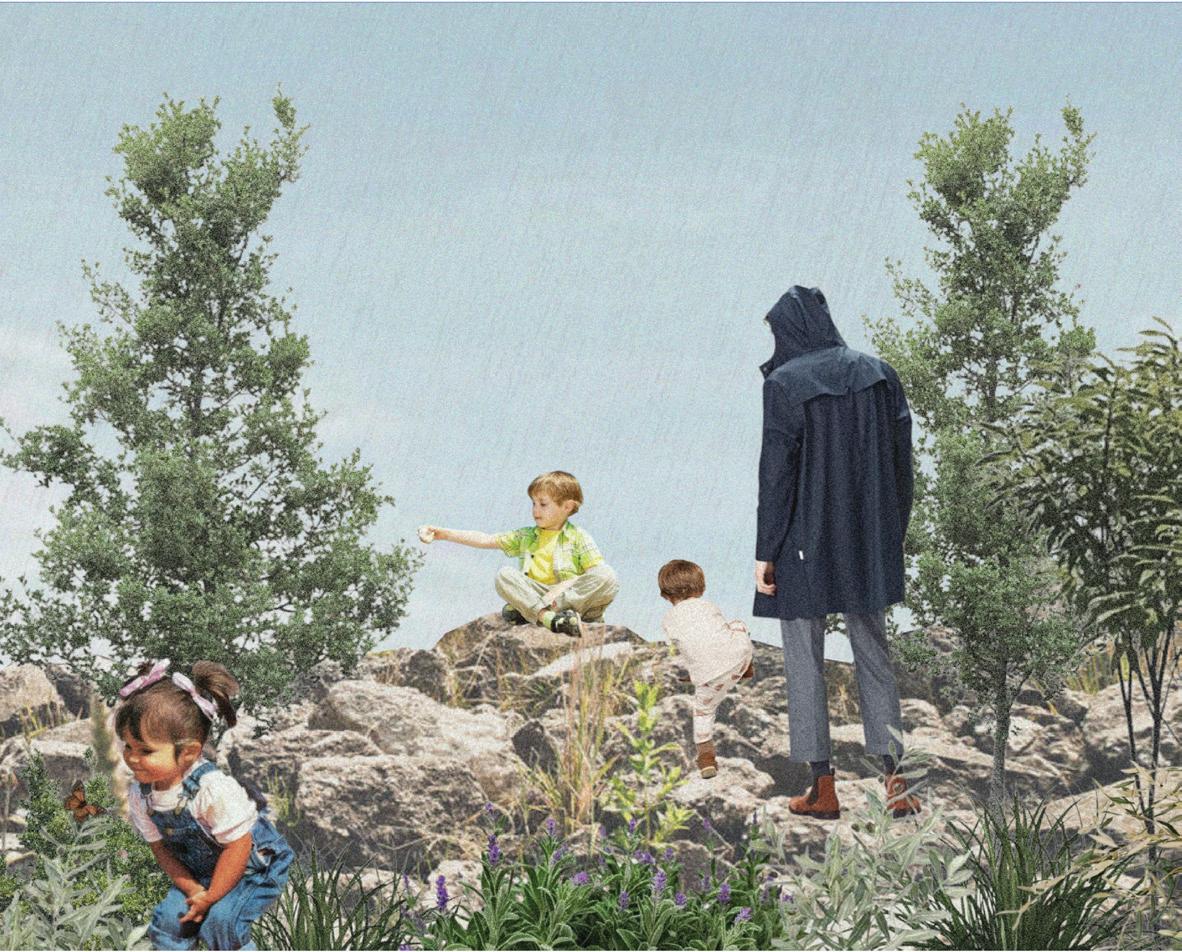
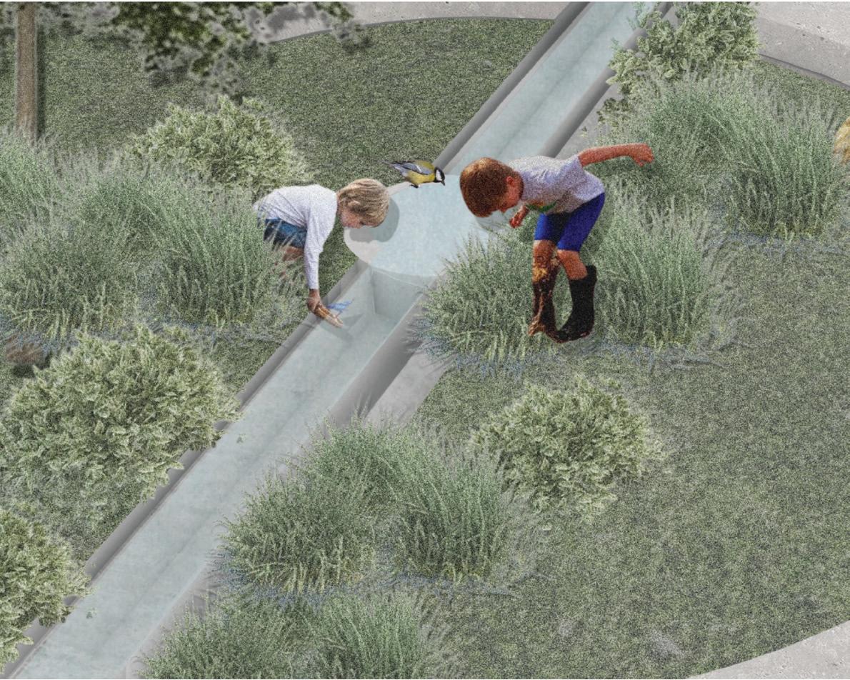
The BALS3 studio focused on Tai Ho, a rural region in northern Lantau Island with a history of conflict that began with the construction of the North Lantau Expressway in 1992, which drastically altered the landscape and led to disputes among villagers, developers, government agencies, and environmental groups. Despite these changes, the valley remains ecologically significant, housing one of Hong Kong’s few remaining natural streams and many species and habitats of special interest leading to its designation as a Site of Special Scientific Interest (SSSI) in 1999. However, this caused tension as environmental regulations limited villagers’ ability to farm or develop their land. Since 2004, Tai Ho had been classified as a priority site for enhanced conservation under the New Nature Conservation Policy (NNCP), but it continues to face development pressure.
Within this complex scenario and working between the watershed and the coast, students designed a series of “wild classrooms” along a network of paths intended for use by schools, birdwatching enthusiasts, nature groups, and new residents. The aim of these interventions was to protect, enhance, and amplify habitat diversity while educating the public on the area’s ecological issues. The proposals considered multiple timeframes and engaged with water and natural systems to balance human comfort with animal needs.

Instructors:
Susanne Trumpf
Ting Liang
TA: Ho Yin Tsui Tony
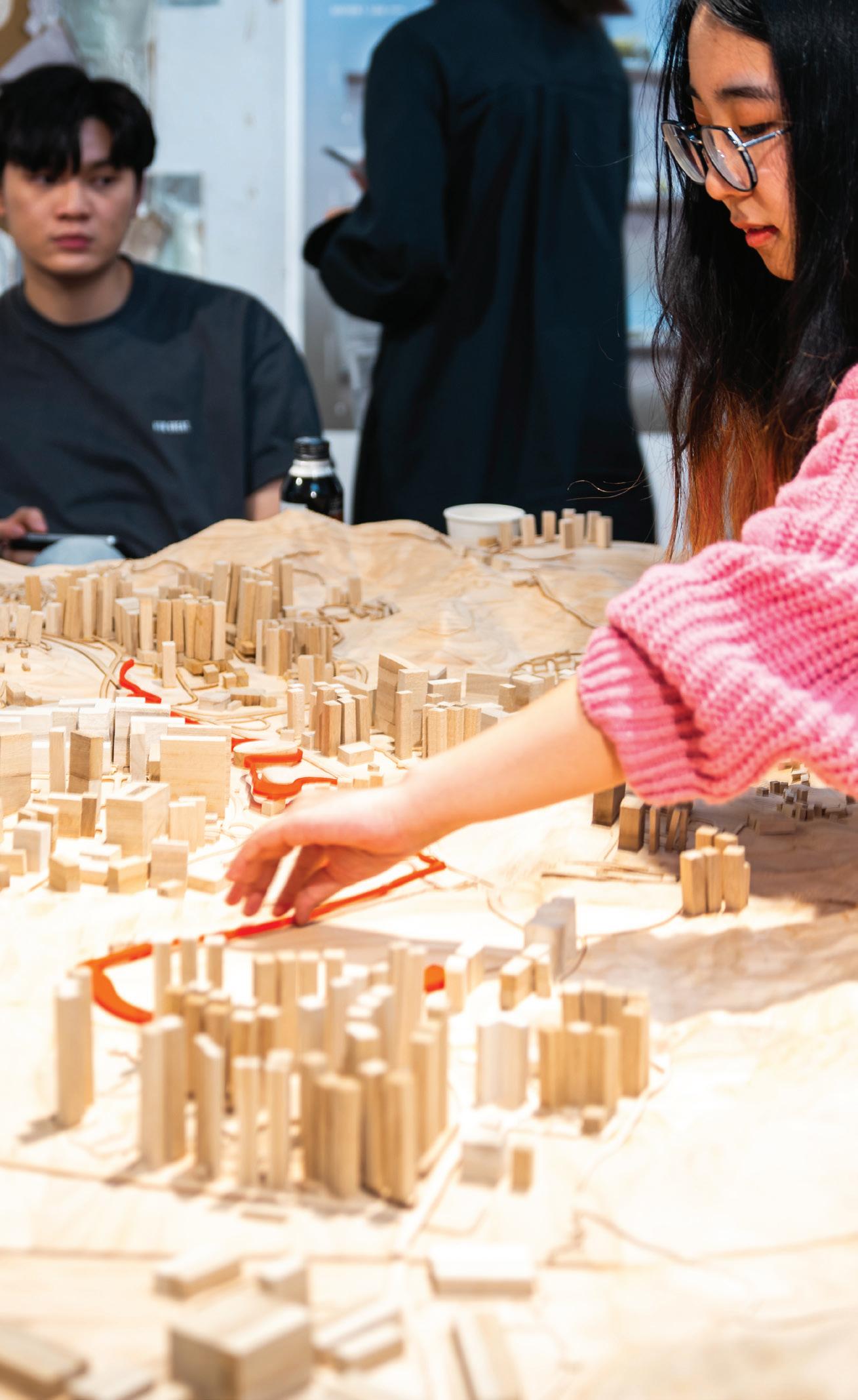
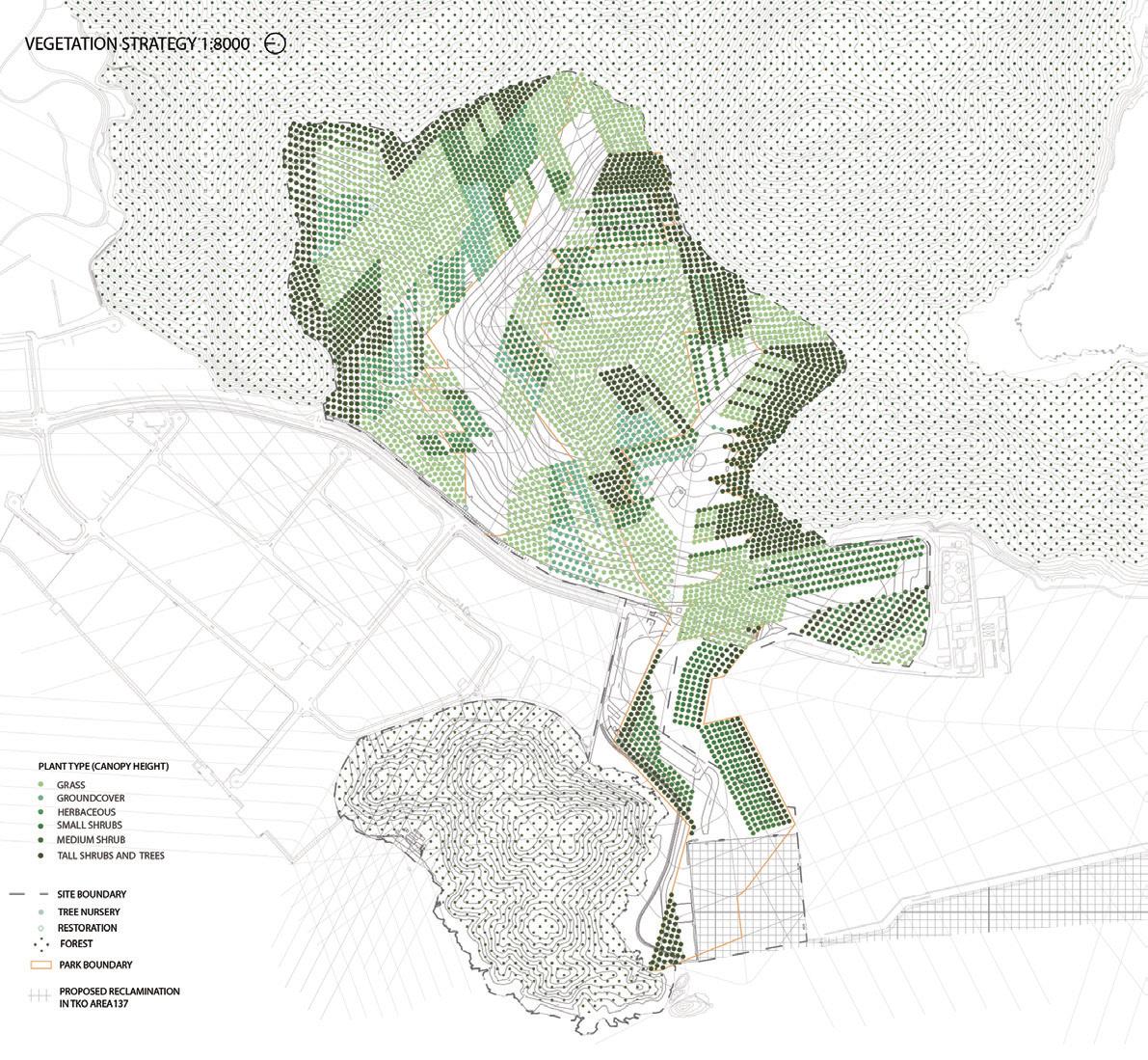
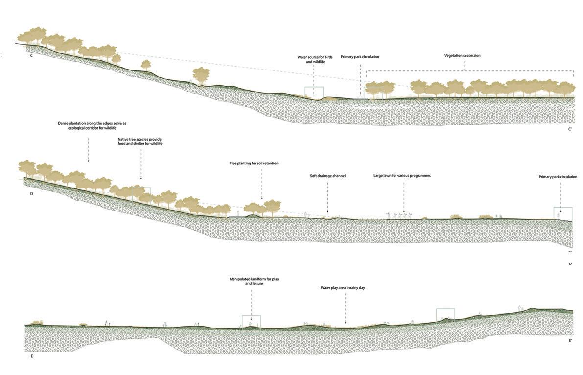
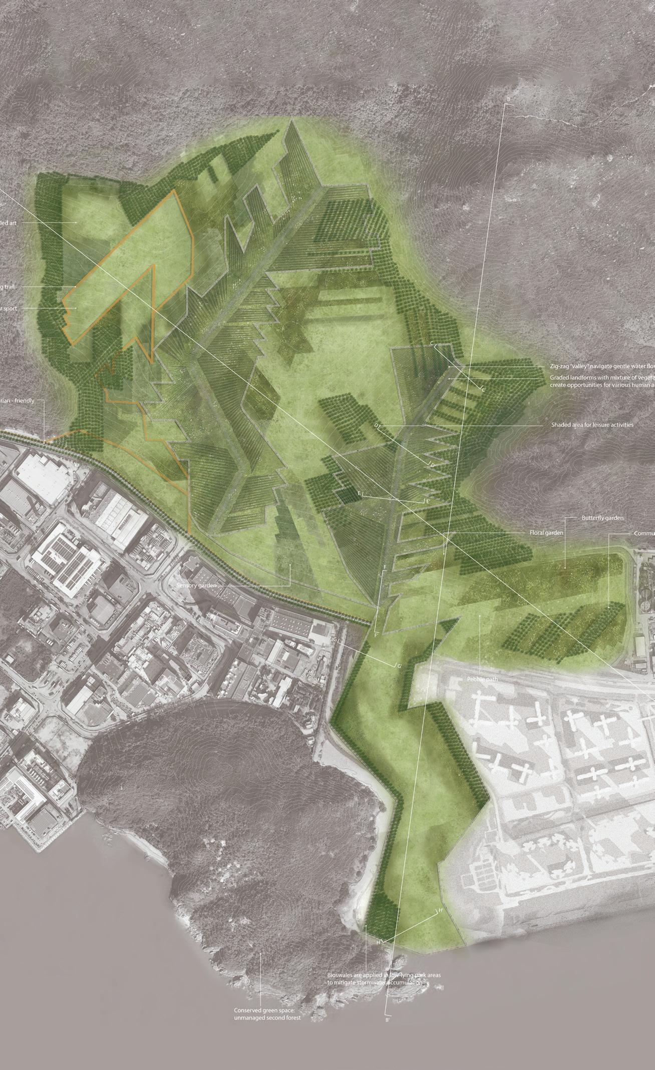
The studio built upon current and planned infrastructures around Junk Bay. It critically examined the urban transformation of Tseung Kwan O from an industrial hub to a densely populated New Town by observing, drawing, and modeling existing conditions. It treated infrastructure and landscaping projects as existing assets and examined their impact on the urban landscape and environment.
Students were encouraged to rethink landscape infrastructures and natural systems to envision new spatial and ecological symbioses for open spaces. Through three assignments, students developed cohesive landscape responses and designed a large urban park that creates accessible and resilient recreational spaces for Tseung Kwan O and beyond.
Instructor: Joanna Natasza Minasiewicz
TA:
Chi Tat Tang
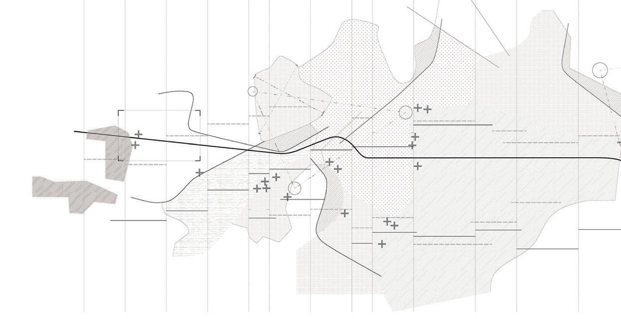
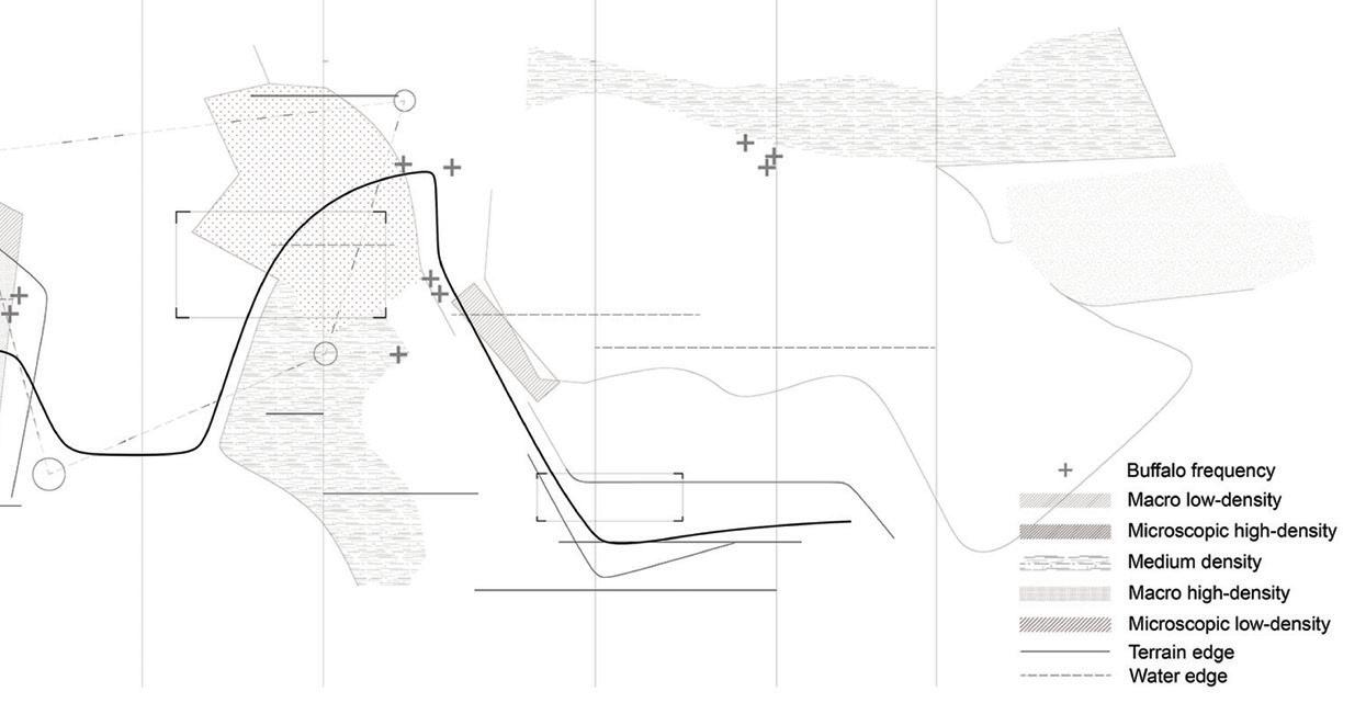
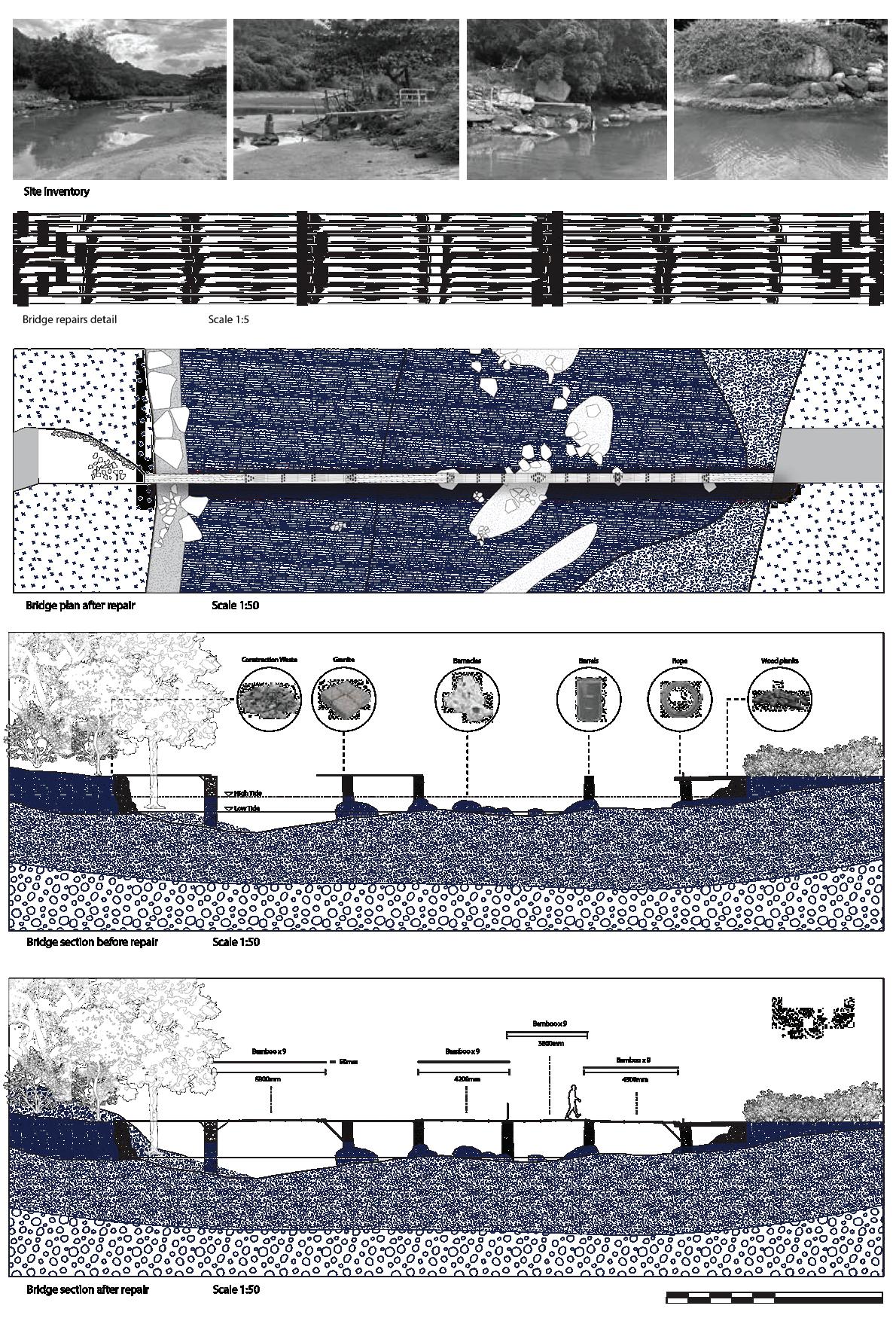
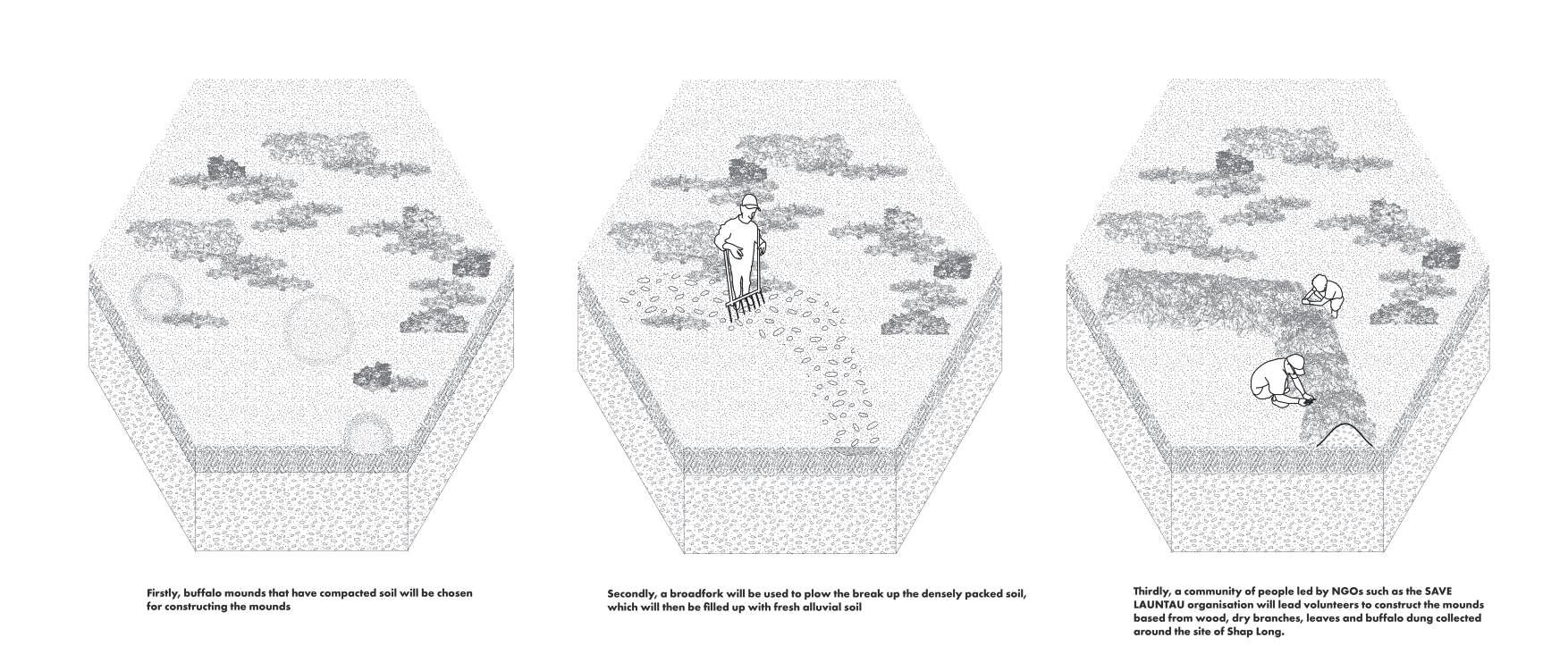
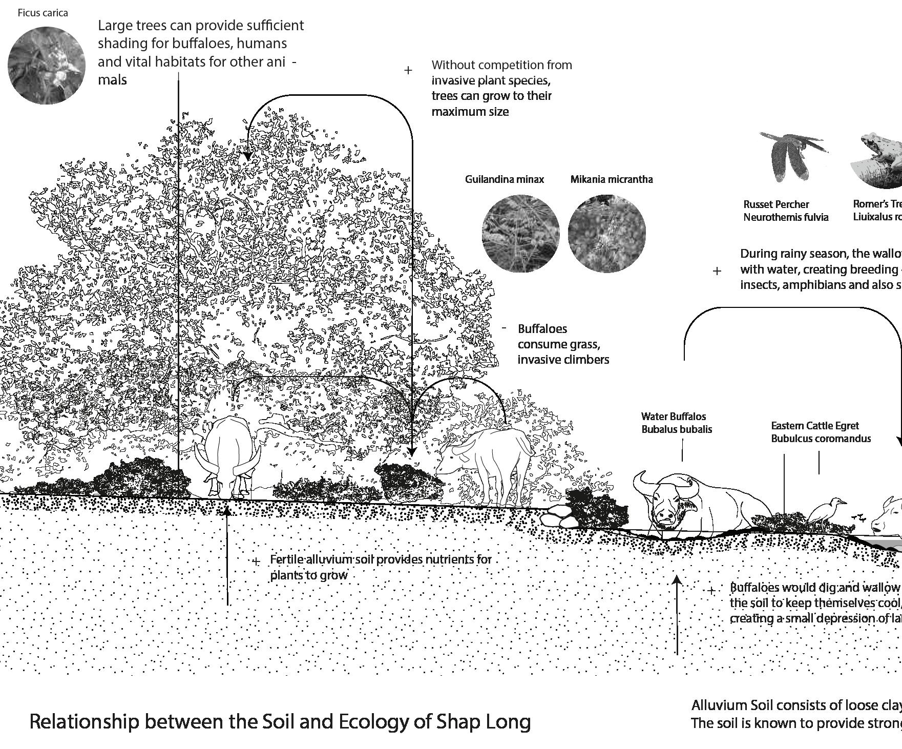
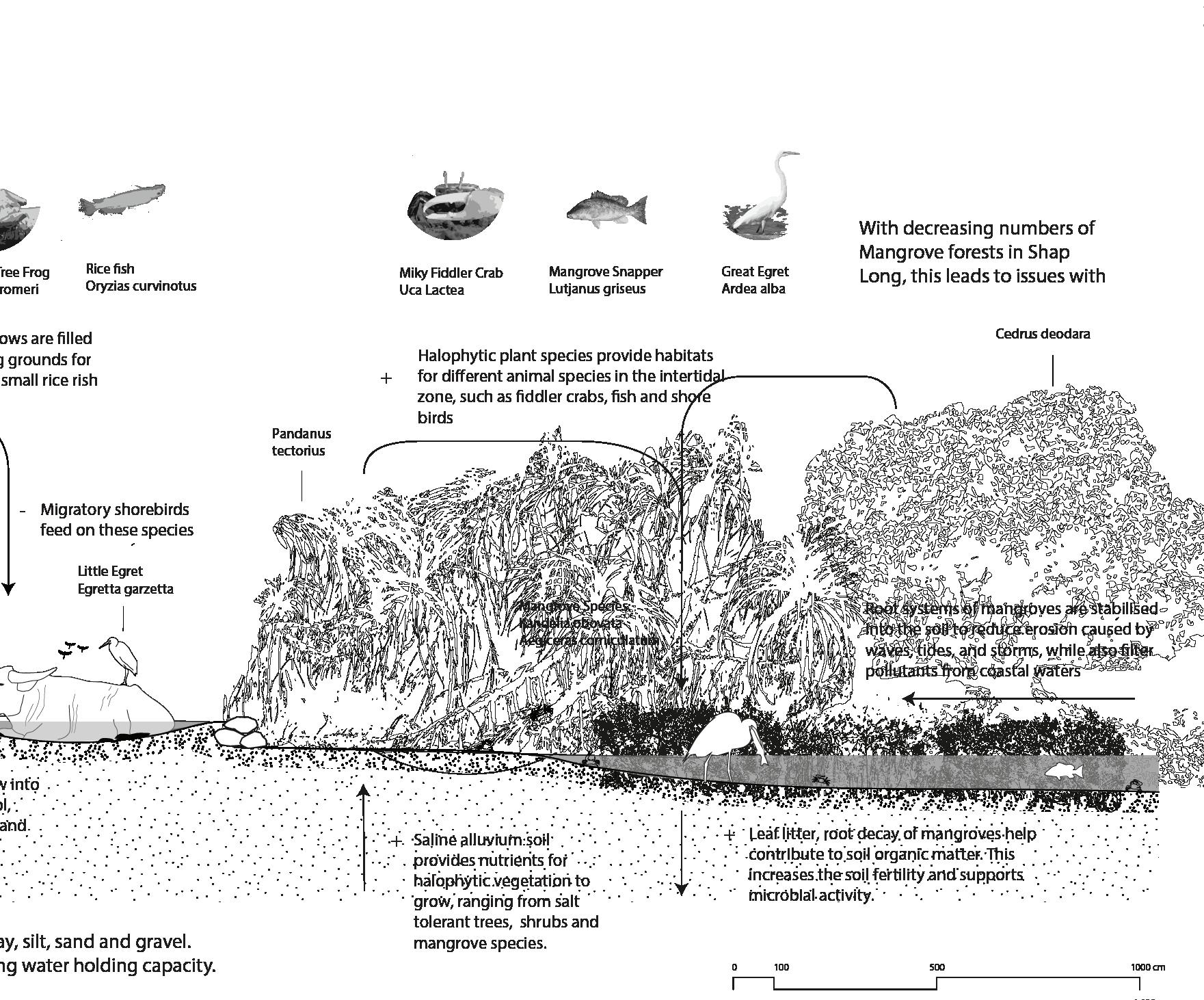
Chi Ma Wan, a quiet South Lantau coastal village, has been facing several challenges: speculative and unregulated development fueled by Small House Policy legacy, socio-economic decline, intertidal biodiversity loss and official plans to eradicate water buffalos, regular inhabitants of the village fields and part of the island’s living heritage.
This studio is structured around research and design strategies to mediate, negotiate and protect Chi Ma Wan Bay, and particularly to mitigate developer’s search of the ‘sea view’ – the ultimate consummation of the environment by the market. Using primarily resources found on site, that be abandoned buildings, dysfunctional infrastructure or discarded materials, students pushed the boundaries of repair and scarcity as design strategy to imagine more regenerative and resilient future for coastal communities of Hong Kong.
Our Planting and Ecology courses systematically integrate the scientific foundations of botany, soil, water, and climate with critical examinations of the sociocultural practices involved in the planning, construction, management, and conservation of natural and designed landscapes. In the coming decades, a major task for landscape architects will be to contribute to reversing biodiversity loss and restoring ecological health at multiple scales. Hong Kong, with its unique settlement patterns, environmental regulations, and history of environmental modification, serves as a significant testing ground for integrating urban and natural systems.
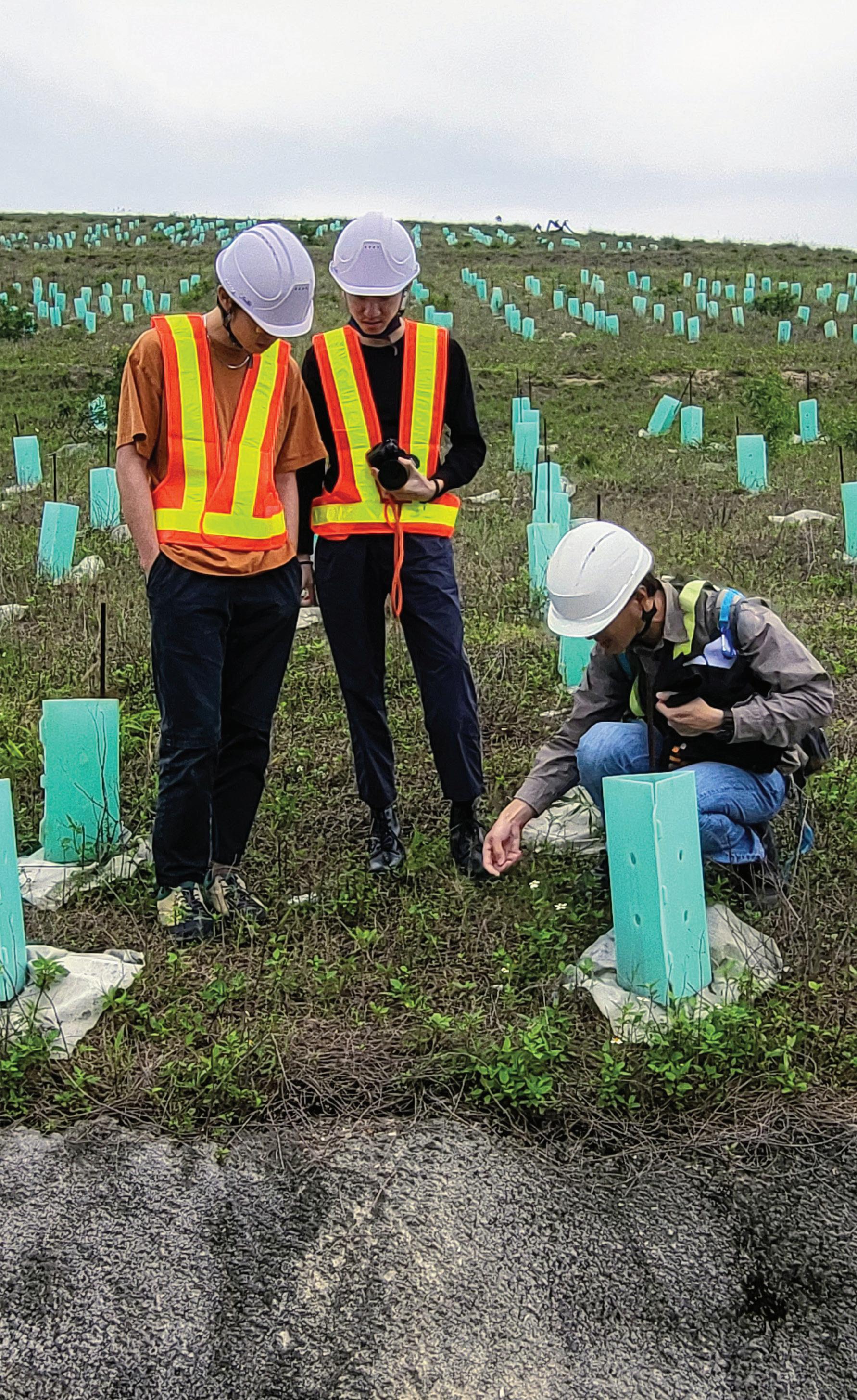
Students in our landscape programmes benefit from field-based learning, through which they explore the territory’s vast country park system, visit worldclass ecological restoration projects, and observe experiments in urban green infrastructure. Planting and Ecology courses are closely linked with the
design studios, encouraging students to synthesize their knowledge of plants and ecology in their site design and planning work. Similarly, studios that travel abroad to Thailand, Vietnam, or Singapore allow students to engage with the interrelated challenges of habitat loss and degradation arising from climate change and uncontrolled development that threaten Southeast Asia’s biodiversity hotspots.
Instructor: Gavin Coates
TA:
Chi Tat Tang
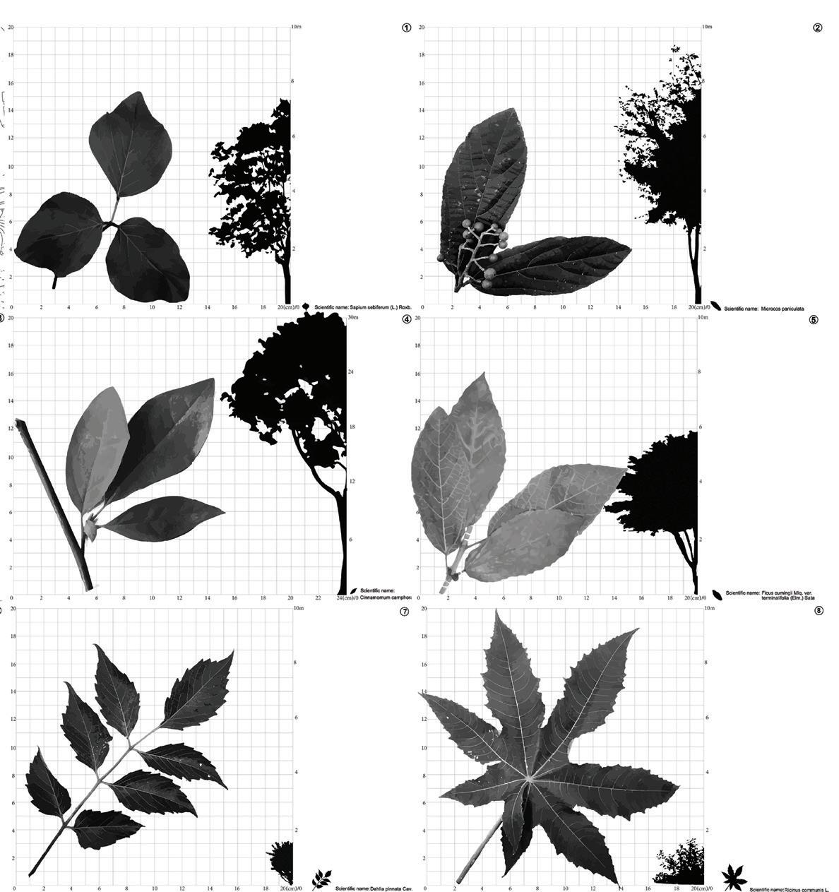
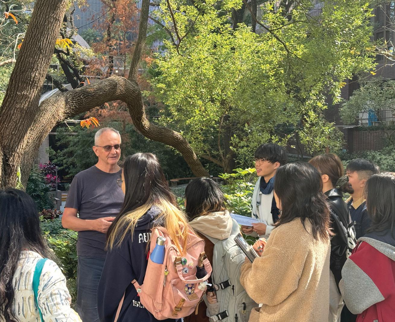
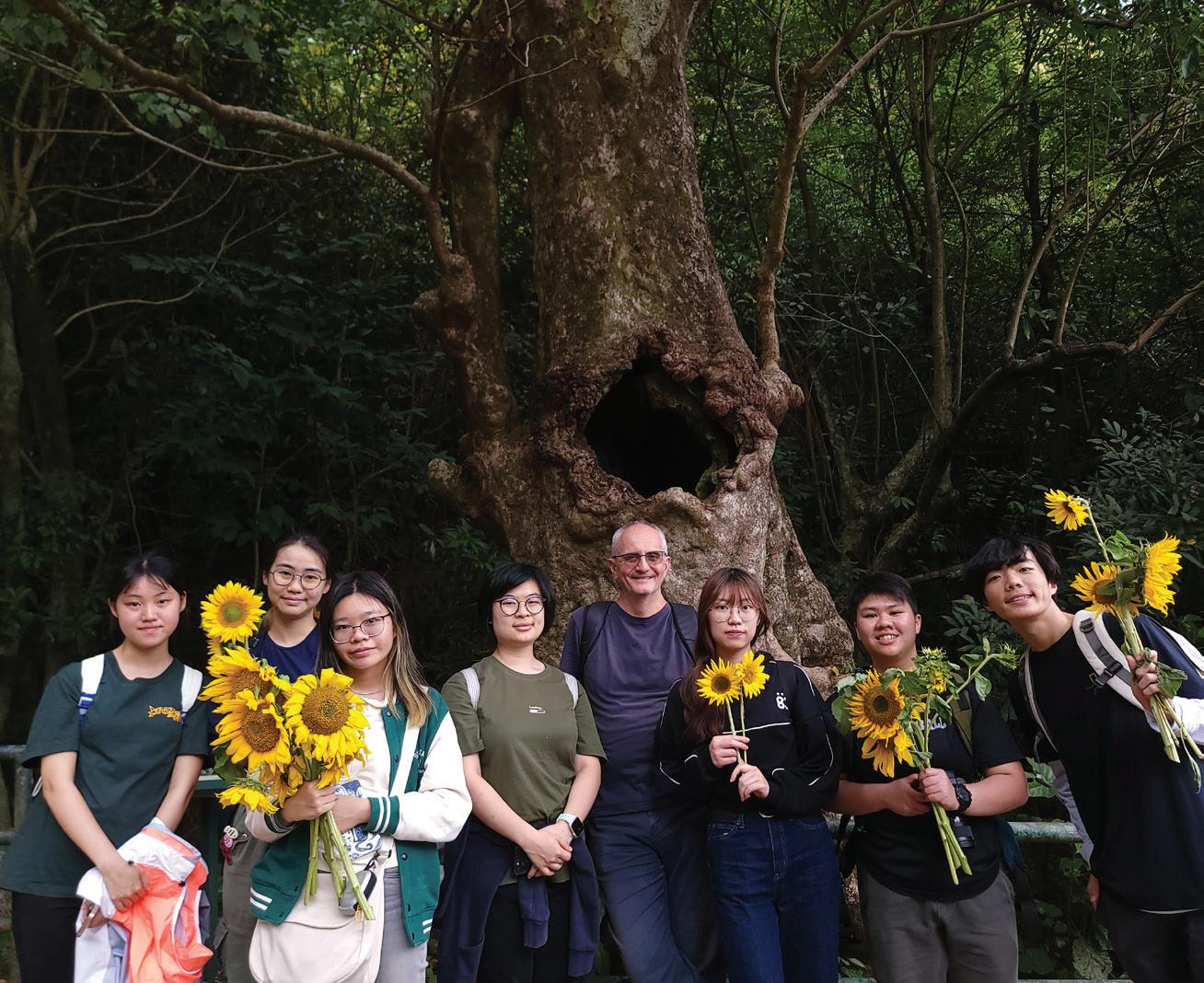
This course equipped students with comprehensive knowledge of plant species and communities in Hong Kong and Southern China. They studied plant characteristics, botany, physiology, and taxonomy while learning planting design principles. Students explored how plant form and ecological habitats influence selection and arrangement, enhancing environmental experiences. Field trips to urban parks, Kadoorie Farm and Botanic Gardens, Lai Chi Wo, and Mui Wo on Lantau provided opportunities to analyze real planting designs, covering topics like plant propagation, horticultural care, and the functional applications of plants in historical and contemporary contexts.
Instructor: James Ian Robinson
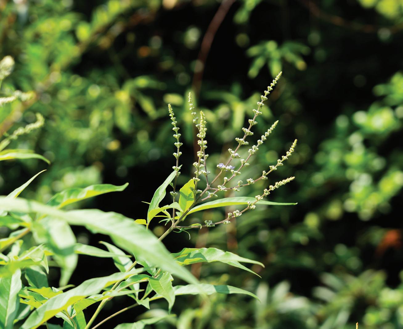
This course is designed to provide students with the essential background knowledge required to successfully manage trees in the urban landscape. After taking an initial overview of the physical and commercial contributions that trees make to the overall quality of life in the urban areas, we then look at Trees and the Law and the obligations faced by managers who are responsible for trees in facilities under their “duty of care”.
Students will then be guided through the process of selecting various trees for different situations by reference to their physical characteristics and what constitutes a “good” tree by reference to its health, form and architecture.
ARCH7152 Landscape Plants and Ecology I ARCH7157 Landscape Systems
Instructor: Gavin Coates
TA: Chi Tat Tang
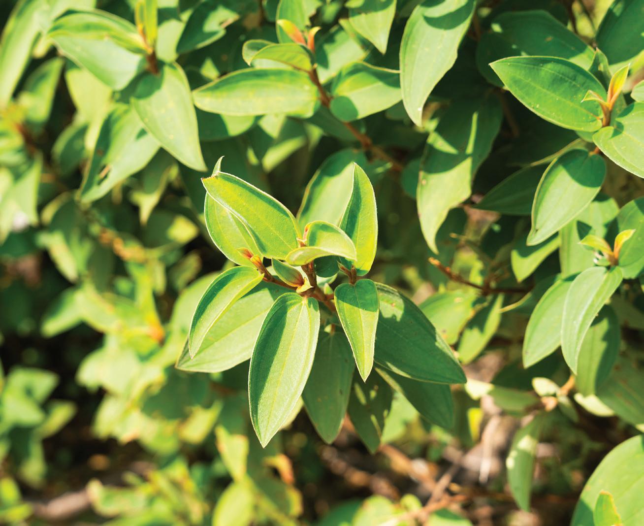
Understanding horticulture is essential for landscape architects. This course equipped students with comprehensive knowledge of plant species and communities in Hong Kong and Southern China. They studied plant characteristics, botany, physiology, and taxonomy while learning planting design principles.
Students explored how plant form and ecological habitats influence selection and arrangement, enhancing environmental experiences. Field trips provided opportunities to analyze real planting designs, covering topics like plant propagation, horticultural care, and the functional applications of plants in historical and contemporary contexts.
Instructor: Mathew Pryor
TA: Jiani Liu Vicki
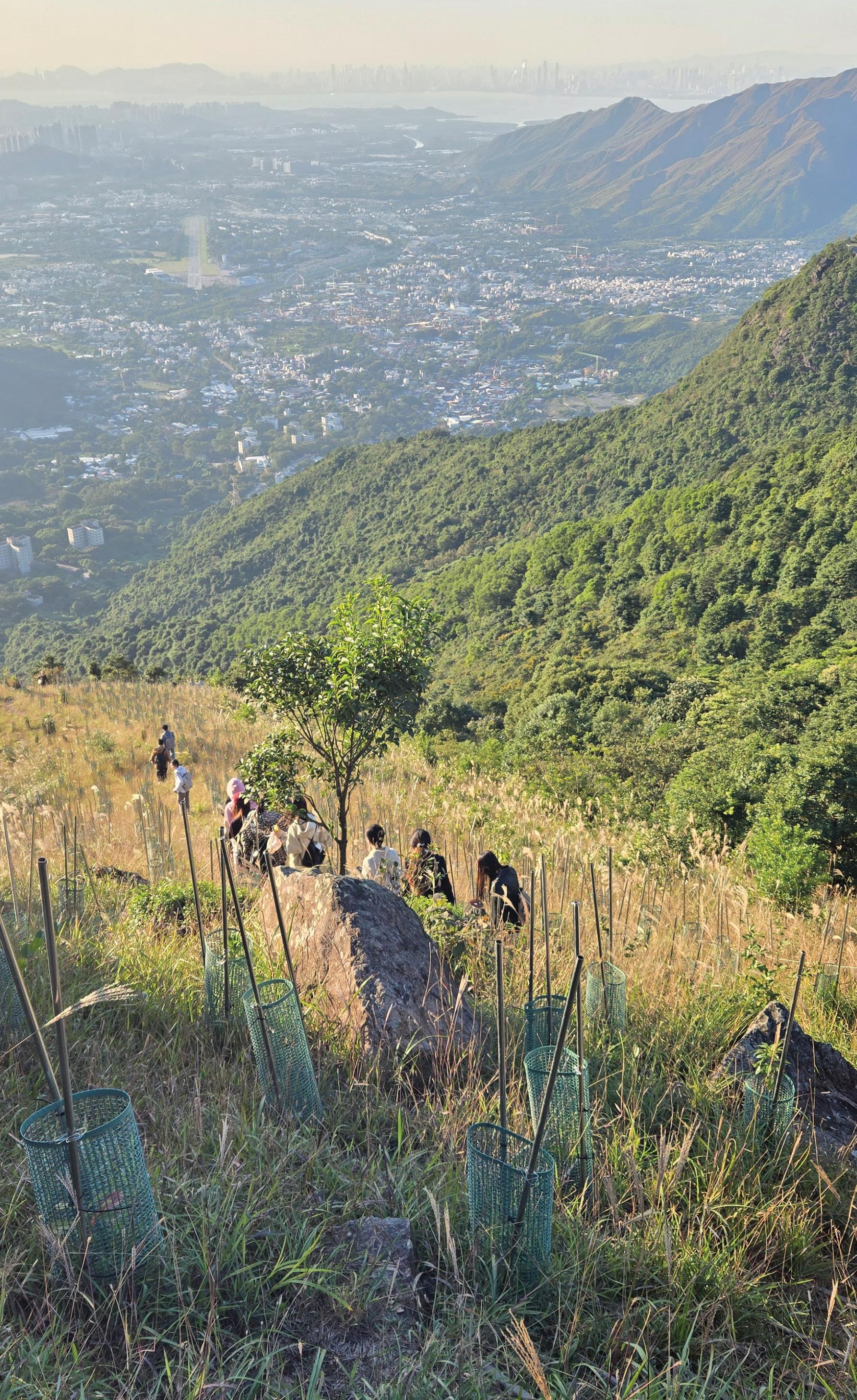
Ecological creation, restoration, enhancement are rapidly growing areas of landscape practice, encompassing restoration rehabilitation or revitalization of disturbed habitats. This course explored these ‘nature-based landscape’ practices, looking at: the natural ecology as the framework for landscape intervention; the development of managed landscapes that balance functional ecological systems with human activities; notable ecological restoration projects in Hong Kong; and methods and approaches commonly adopted by multi-disciplinary teams and stakeholders within both terrestrial and wetland projects.
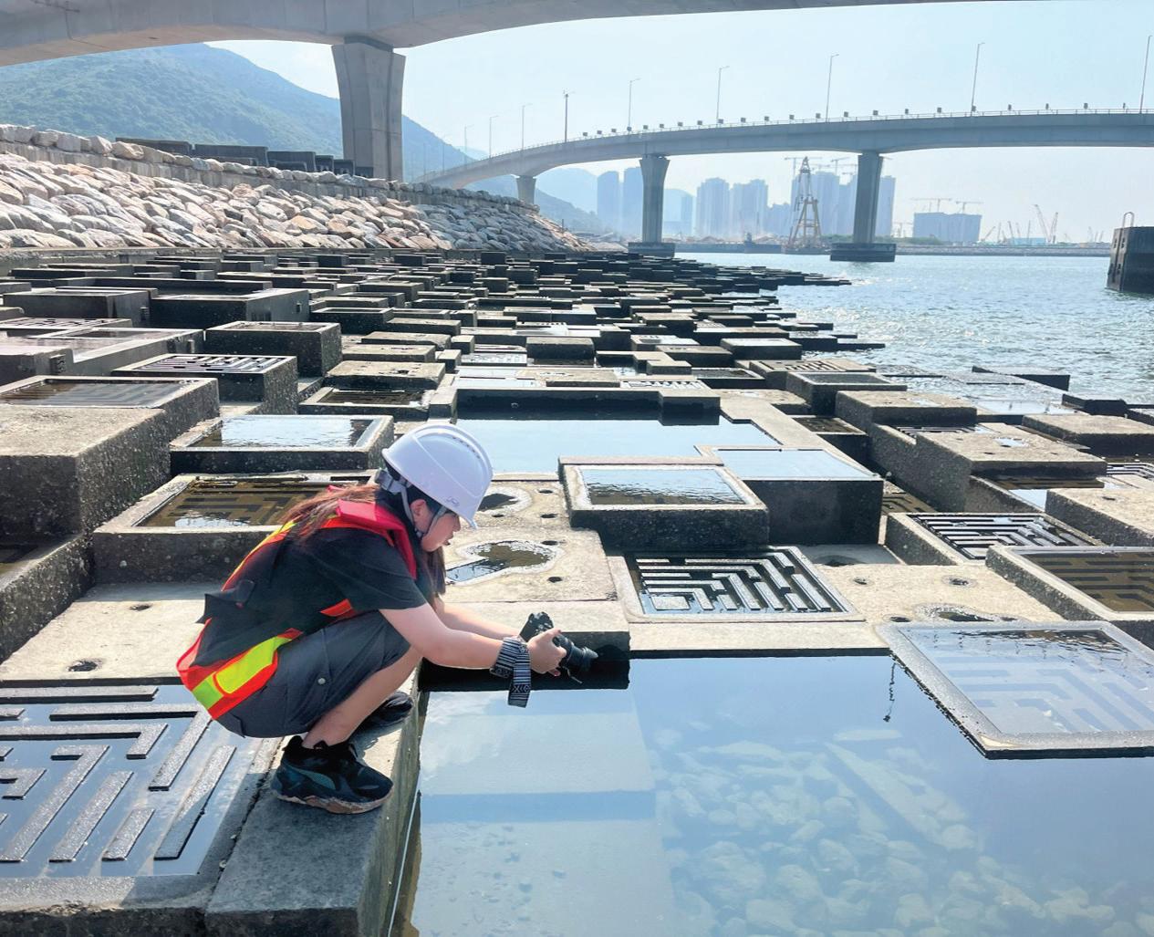
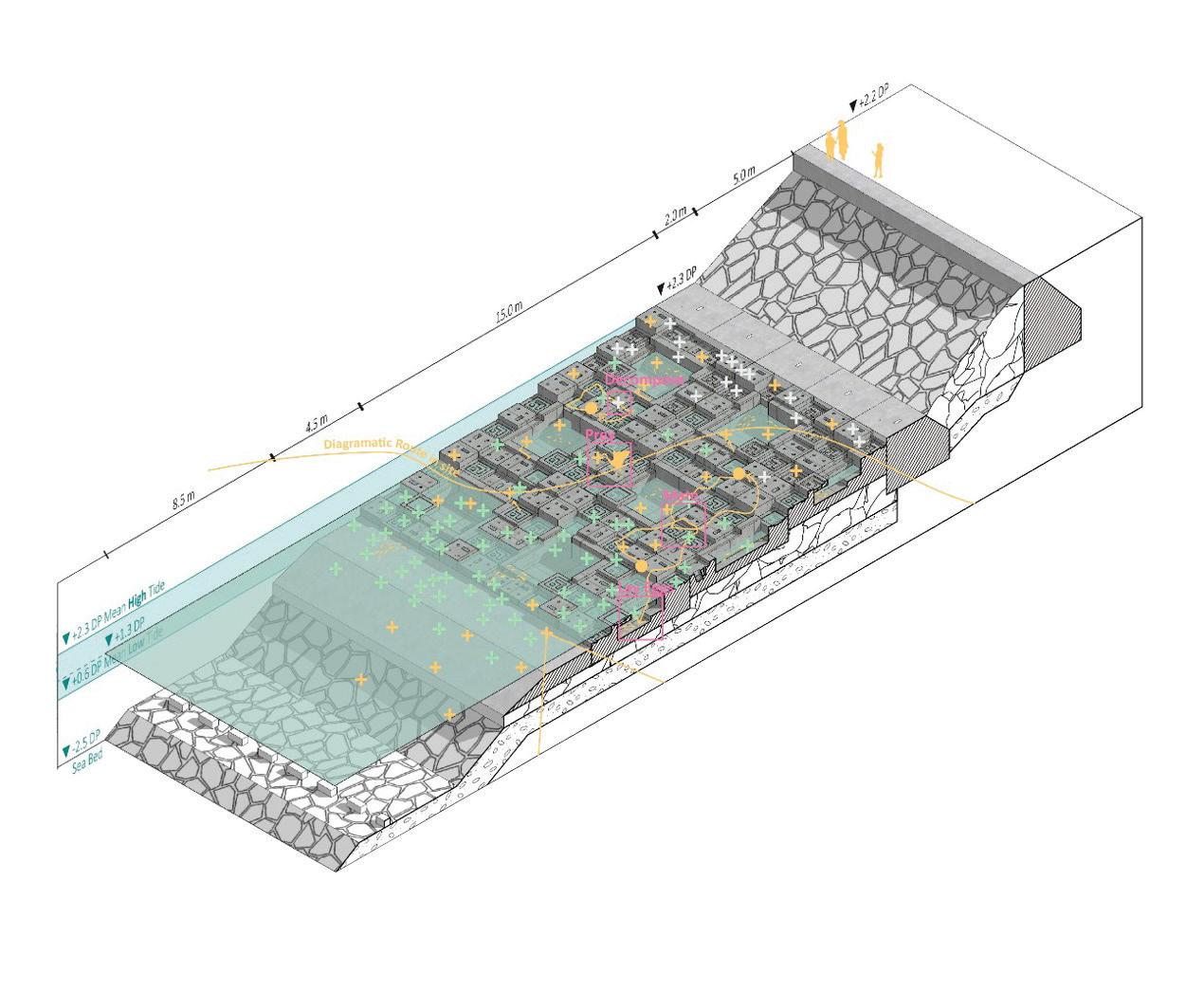
Our Technology and Practice courses address key technical and professional domains of expertise for landscape architects. This sequence of courses provides a practical foundation in both large- and small-scale site engineering and water management, with particular attention to regional construction and management standards, building codes, and environmental regulations.
Students engage with concepts of resilience and sustainability from the perspectives of hydrology and material ecology to challenge “best practices” and imagine new relationships with water and innovative applications for natural and synthetic materials in the built environment. Students are also introduced to international precedents in climateadaptive infrastructure, nature-based solutions, and low-carbon construction, critically examining how technical standards and procurement frameworks shape questions of equity, risk, and environmental justice. This sequence culminates in a course devoted to bridging landscape education and the profession. It includes a detailed examination of international professional practice standards, Hong Kong’s local variations, and licensure requirements, as well as visits to construction sites and design offices across the city.
Instructor: Jutta Kehrer
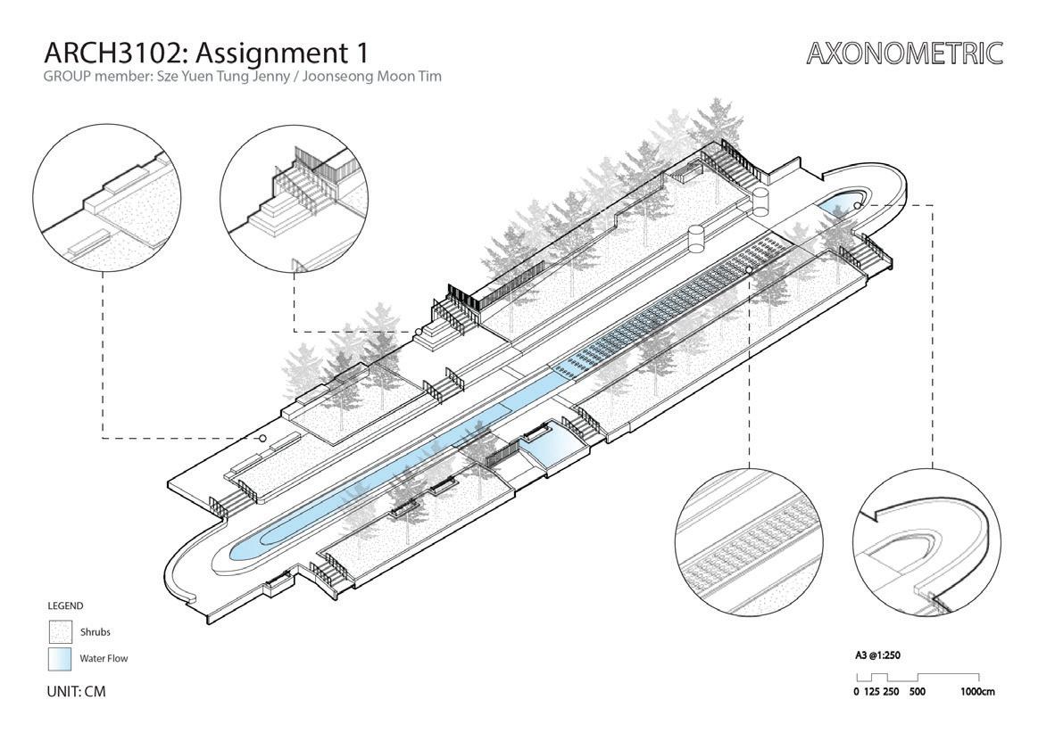
As with any discipline that bridges art and science, the effective practice of landscape architecture depends upon a rigorous understanding of materials and their corresponding technologies. Practitioners engage with a vast spectrum of materials, spanning the natural and the artificial, the inert and the organic, applied across a wide range of spatial and temporal scales.
Technology in Landscape Architecture examined the fundamental components of the natural landscape, the ways in which these can be strategically manipulated to generate new spatial configurations, and how such transformative processes can inform and structure a coherent methodology for design.
ARCH7151 Landscape Technology I
ARCH7158 Landscape Technologies and Techniques
Instructor:
Gavin Coates
TA: Ho Yin Tsui Tony
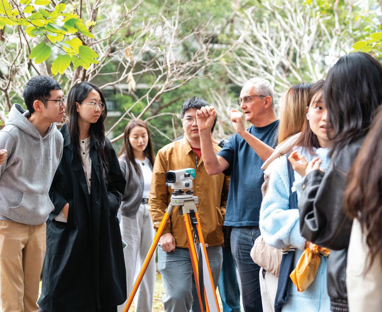
Landscape architects shape both expansive landscapes and urban environments. Understanding the necessary tools and techniques is essential to achieve design goals effectively. This course provided students with a foundational knowledge for engineering sites and translating design objectives into built form. Lectures covered key topics, including topographical analysis and responsive site planning, landform design, structural elements like walls and steps, soils and earthwork, stormwater management, and site layout and road design. Students gained critical skills for successful landscape architecture practice.
Instructor: Ivan Valin
TA: Shu Fai Chan Eddie
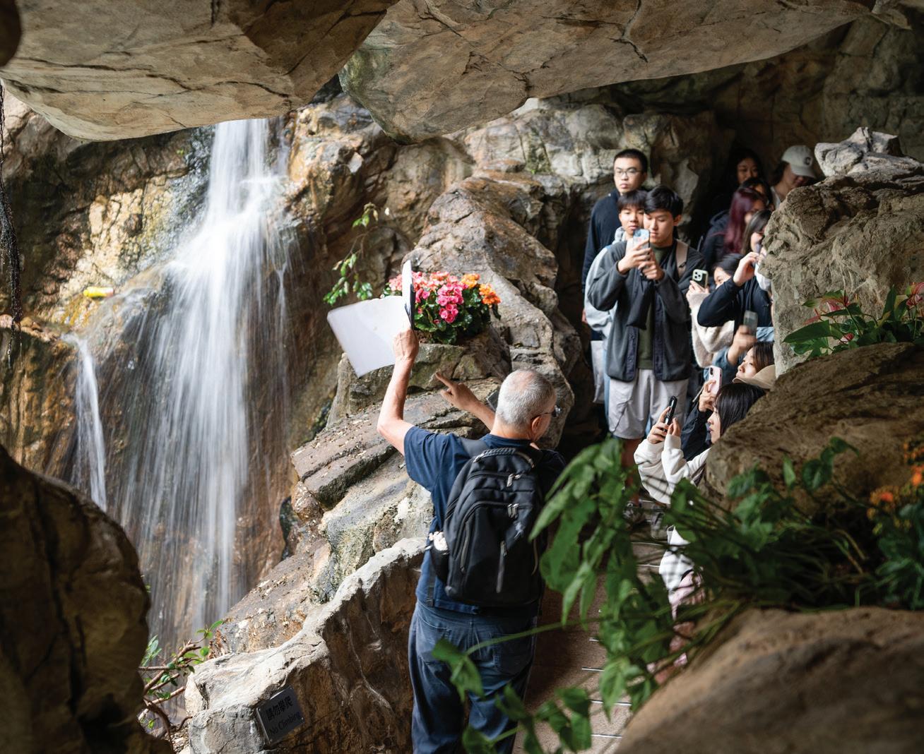
This advanced course in MLA Technologies examined materiality, detailing, fabrication, and performance in landscape architecture. Through case studies and site visits, students explored the relationship between material selection, implementation, and design intent across various project phases. The course was divided into three sections: the first introduced common hardscape and structural materials, focusing on their origins, performance, and life-cycle considerations. The second section covered detailing for paths, stairs, and other landscape features, highlighting essential structural strategies. The f inal section addressed documentation standards throughout design development and construction, while site visits showcased best and worst practices in Hong Kong.
Instructors:
Wilson Barry Mathew Pryor
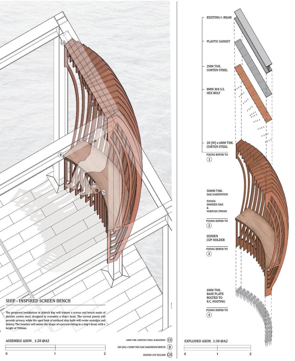
Through immersive activities, students became more familiar with the basic principles, common concerns and requirements of landscape architectural practice, including an understanding of: behaviour, ethics and professionalism; landscape services and consultancy; project team, practice and construction management; procurement and contract requirements. During the course, visits to both landscape practices and an active landscape construction site were arranged in order to gain experience of the key procedures and activities required to manage a design office and to understand the procedures of managing a construction project to ensure successful realisation of the designer’s vision on site.
Our Representation and Media courses introduce students to the essential tools and techniques of design communication, ranging from hand drawing and physical modelling to advanced digital visualisation, film, and immersive media. Foundational courses explore the interrelationships between representation and design, particularly by positioning site observation, analysis, and abstraction as generative components in a rigorous, iterative design process.
Students are encouraged to experiment with multiple modes of drawing, mapping, and image-making to construct spatial narratives and to critically reflect on how representational choices shape environmental understanding and decision-making. Advanced courses take advantage of HKU’s significant traditional shop and digital fabrication resources, exploring the computational possibilities in design and the intricacies of material detailing. These courses also introduce emerging methods in landscape representation, including data-driven visualisation, scenario building under climate uncertainty, and critical cartography that interrogates the politics of visibility, scale, and power in urban and territorial landscapes. Landscape architecture research and practice increasingly rely on robust site analysis and
engagement with larger urban and territorial scales of investigation and intervention. Consequently, we train students to be proficient in Geographic Information Systems (GIS) and to excel in geospatial analysis for the rational, ethical, and innovative use of data in shaping and preserving human and natural environments.
ARCH1103
Instructor: Man Si Fan Phoebe
TA:
Yapeng Liu Olly
Ambiguous Perception: Reimagining Public Space” introduced students to visual representation as a vital tool for conceptual and creative processes. Through hands-on exercises in Hong Kong’s public spaces, students engaged with the dynamic urban environment. They learned that drawings, models, and other representational tools are essential for visualizing ideas in multiple ways.
The course emphasized the crucial link between landscape creation and its depiction, fostering an iterative process of documentation and speculative design. Students employed diverse methods—from observation to interpretation—strengthening their representational, analytical, and creative skills while challenging traditional ways of thinking for future design studios.

Instructor:
Joanna Natasza Minasiewicz
TA:
Ho Yin Tsui Tony
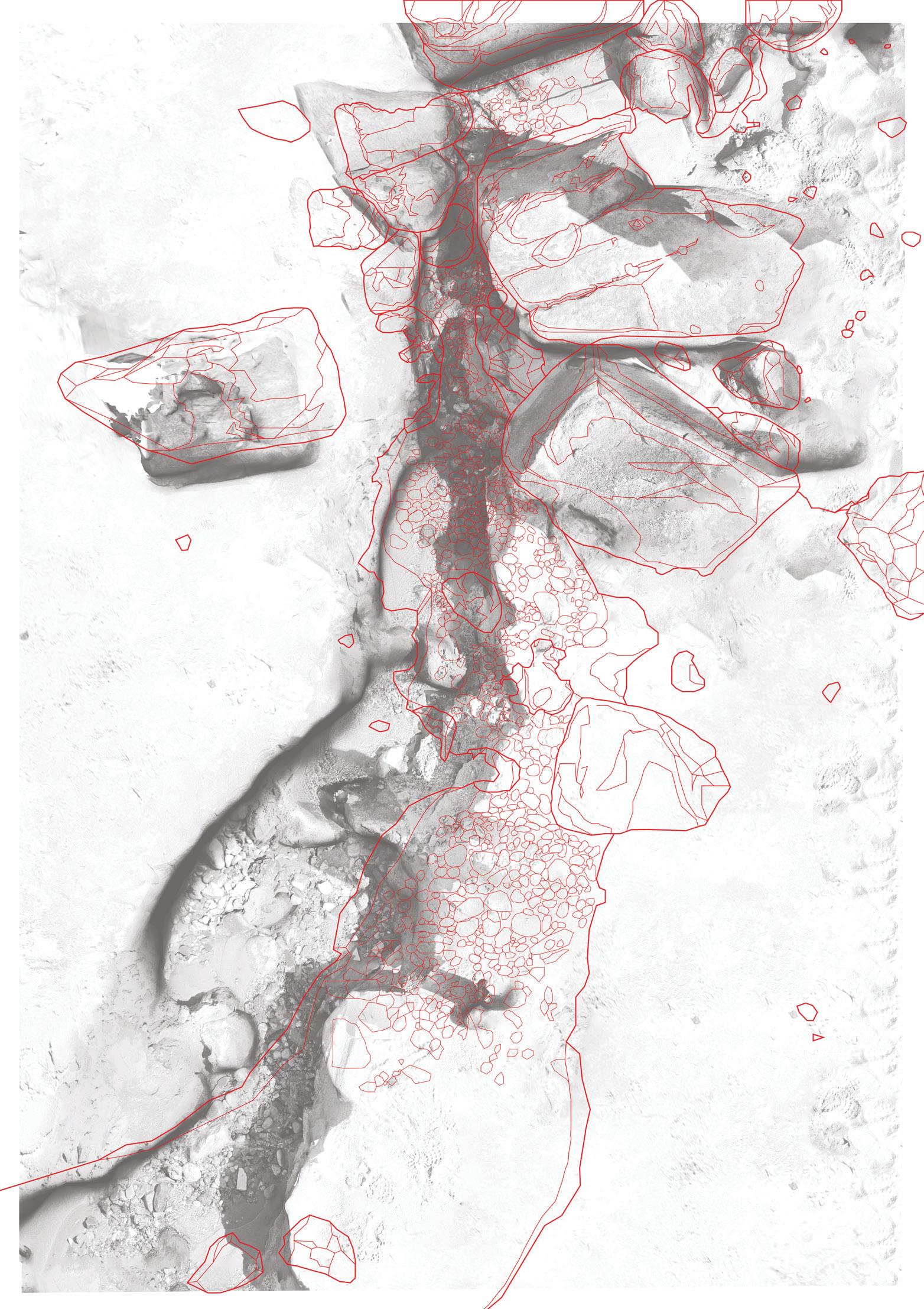
How can we represent the flow of time and matter through a static medium? How to draw climate change? Is it possible to cast landscape? How can a plan and a section convey sensory experience? These questions led students during this projectbased seminar as they attempted to represent the coastal landscape with all its dynamism and complexities. Through 1:1 material experimentation and iterative on-site observations of Nga Kau Wan Beach’s dynamic topography and atmospheric processes, the course merges design inquiry with ecological process.
In this seminar students attempted to interrogate the limits of representing temporal-spatial phenomena—time, matter, and elemental flows—within static media of drawing and model making, in hope of facilitating future climate responsive design strategies.
Instructor: Qijin Huang Hana
TA: Yapeng Liu Olly
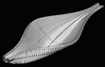
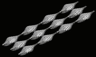
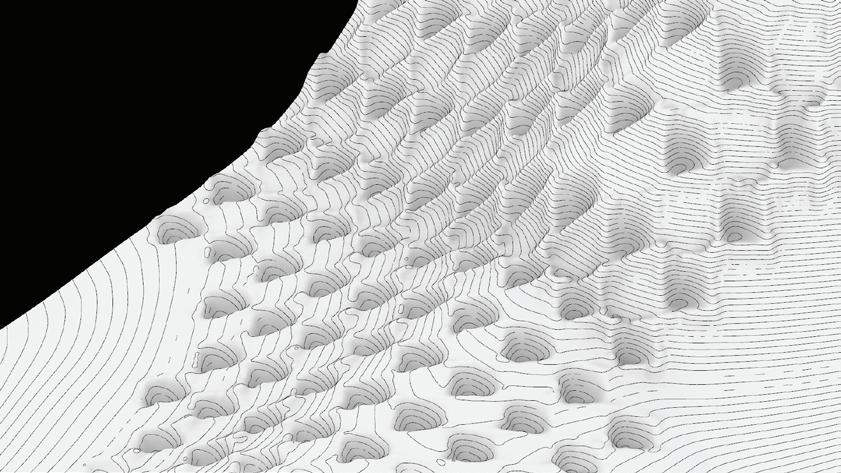
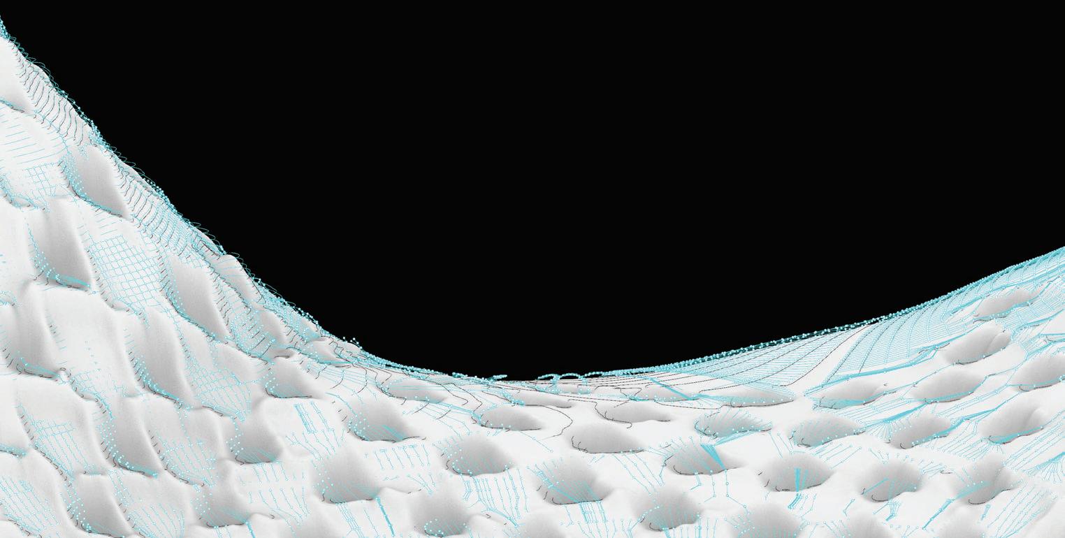
Landscape Representation 3 investigated transformable landscapes—natural, infrastructural, or productive—as dynamic systems that contain layered data and extend beyond aesthetics. The course focused on how human activities, hazards, and environmental forces reshape landforms and behaviors over time. Through research in data visualization, form-finding, and digital modeling, students will develop an operational landscape system or generative landform. Ultimately producing a self-evolving, multiscalar landscape proposal that integrates design intervention with responsive systems.
The course encouraged critical engagement with digital tools and systematic thinking, asking “why” and “how” to foster innovative landscape design. Students explored computational and parametric design methods alongside digital fabrication to experiment with scalable design interventions, from prototypes (1:10) to territorial proposals (1:500). This process emphasized morphological logic, site evaluation, fabrication constraints, aiming to address territorial, environmental, and socio-economic challenges. Key topics included ground morphology, transformable landscapes, systematic design, and parametric prototype proliferation.










Instructor: Nicola Saladino
TA:
Ho Yin Tsui Tony
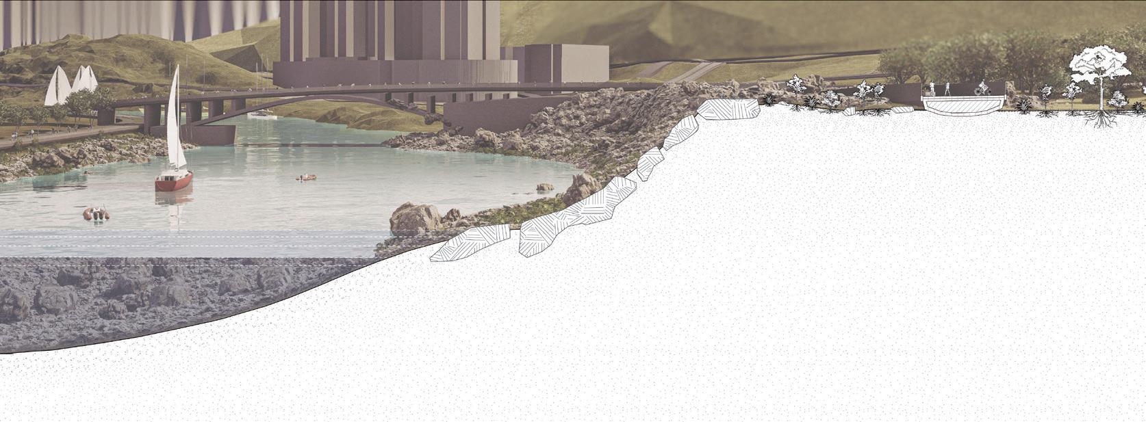
This course aimed to foster awareness and familiarity with rapid technological advancements and computer-aided technologies in design processes. It focused on methodologies drawn from Landscape Urbanism, a contemporary perspective on the city and its infrastructure, integrating ecological and landscape principles at its foundation. In conjunction with Landscape Design Studio 4 (ARCH3204), students worked in-between the infrastructural and ecological networks that are active onsite, trying to understand their internal logics and reciprocal relationships with the objective of developing a comprehensive framework for design interventions.
Specifically, the course explored the potential of a prototypical approach to landscape design and representation, linking innovative tools for site analysis and data visualization to parametric modelling and digital fabrication technology. The use of parametric tools allowed us to analyse the site in depth through extensive layers of information and to develop a design prototype that responds to multiple anthropic and natural parameters at the same time.
Instructor: Natalia Echeverri
TA: Yapeng Liu Olly
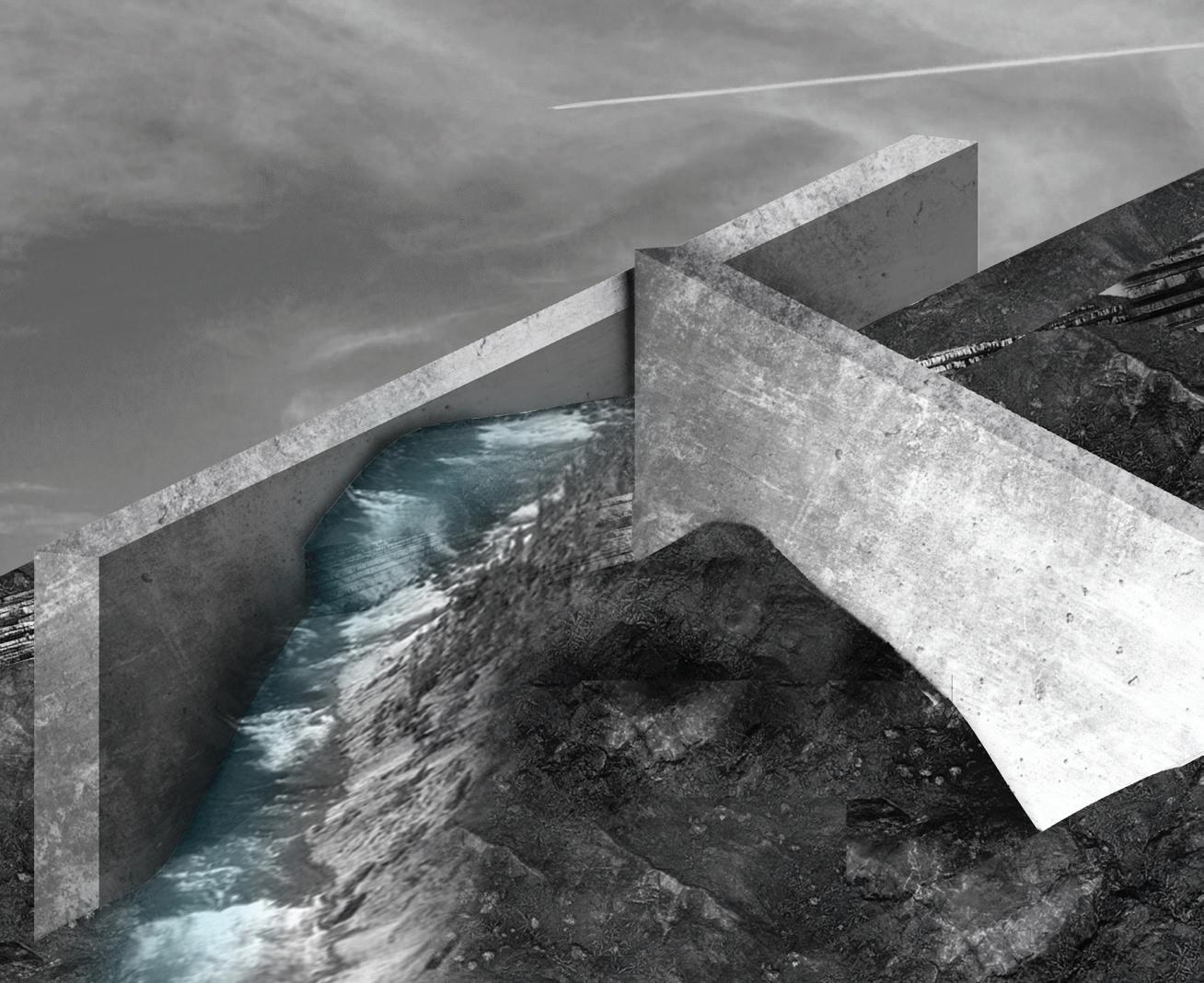
The relationship between the representation of landscapes and the production of landscapes is integral. Drawings, models, or other representational tools offer possibilities to understand the landscape in different ways and are linked to both the design and communication of ideas. The course introduced and then built on established modes of representation to develop composite and complex understanding of the landscape.
As we will shift between drawing and modeling, using hybrid techniques, we examined both technical proficiency and the power of nuance and specificity in your works. Projects in the course were situated in a history of landscape representation, especially as it is impacted by shifting cultural and technological norms.

Instructor: Qijin Huang Hana
TA: Yapeng Liu Olly
Landscape Media II investigated transformable landscapes—natural, infrastructural, or productive—as dynamic systems that contain layered data and extend beyond aesthetics. The course focused on how human activities, hazards, and environmental forces reshape landforms and behaviors over time. Through research in data visualization, form-finding, and digital modeling, students developed an operational landscape system or generative landform. Ultimately producing a self-evolving, multi-scalar landscape proposal that integrates design intervention with responsive systems.
The course encouraged critical engagement with digital tools and systematic thinking, asking “why” and “how” to foster innovative landscape design. Students explored computational and parametric design methods alongside digital fabrication to experiment with scalable design interventions, from prototypes (1:10) to territorial proposals (1:500). This process emphasized morphological logic, site evaluation, fabrication constraints, aiming to address territorial, environmental, and socio-economic challenges. Key topics include ground morphology, transformable landscapes, systematic design, and parametric prototype proliferation.

Instructor: Bin Chen
TA:
Yadian Wang
Ziming Li
Han Wang
Information Systems (GIS) to identify prevalent accident hotspots and accident frequency and causation, enabling a comprehensive understandimprove emergency response management and maximize accessibility to also suggested for certain places. These included building more highways.
ADD MORE WARNING SIGNS
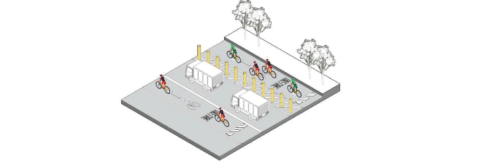
help prevent occurswhen a car, pedestrians and cyclist barrier requires cars moretime to see path.
This course provided an in-depth exploration of applying GIS and advanced tools to analyze and address challenges related to physical and socio-economic landscapes. Students examined topics such as urbanization, land use, land reclamation, population dynamics, environmental exposure, water management, green spaces, and climate factors like temperature and flooding.
cyclists accidents provide a between vehicles, likelihood of
Through hands-on mapping, spatial analysis, and data visualization using vector and raster data, satellite imagery, and big data, they developed critical and creative solutions. The curriculum emphasized real-world problem solving in areas like flood risk, habitat preservation, and urban accessibility, culminating in project presentations and comprehensive assessments.


Spatial Accidents Pattern Analysis
Density maps of all accidents, fatal accidents, serious accidents and minor accidents (left to right) The Kowloon peninsula is the most concentrated cluster for accidents, with high fatal accident density in West Kowloon and Kwun Tong. Other clustersinclude "suen Wan, North district, and Yuen ong. Serious accidents are more prominent in North Hong Kong lsand, Kwun "iong, Tsuen Wan, and YuenLong.
Distribution of hotspots at pedestrian accident locations based on specifc times of the day
Our History and Theory courses examine landscape architecture and environmental planning through an in-depth study of key projects, practices, and texts that are broadly relevant to our evolving discipline. These courses include a review of design histories with particular attention to the environmental, economic, technological, and social dimensions that shape landscape practices across diverse regions and periods. Lessons explore canonical case studies as well as counter-narratives in environmental design and management that challenge the inequalities and socio-spatial hierarchies complicating our field of practice. Ultimately, this thematic track aims to promote critical and reflexive perspectives on contemporary landscape practice among our graduates.
Instructor: Yin Lun Chan Jeremy
The sequence of lectures is topically structured with each week focused on a particular framing or expression of landscape. This is a reading and discussion intensive course. Students are expected to arrive at each session having critically reviewed that week’s readings, identifying topics and questions for discussion. What is landscape? How might it be interpreted, engaged, represented, described, classified, and shaped?
This course explored landscape architecture as a profession, and landscape acting as a discipline, a medium, and an idea. As an introduction to the topic, students are challenged to think critically about landscape in ways that shape an expanded understanding for the relationship between individuals and environment. This expanded understanding were developed through the actions of looking, interpreting, reading, discussing, and ultimately representing landscape. Each of these activities can help reveal the layered conditions, relationships, and processes embedded in any landscape.
ARCH2106 History and Theory II
ARCH7141 Landscape History and Theory I
Instructors:
Francisco Cevallos Barragan Jiali Li
This course sought to understand contemporary positions within the landscape discipline by tracing developments from the early 19th to the 21st centuries. It posited that history, theory, and practice are interdependent, grounding design in specific contexts (Meyer, 1992).
Students reflected on canonical landscape history case studies through a critical research-based essay, along with in-class presentations and discussions. These activities explored intellectual transformations that led to new design and planning methodologies in the landscape architecture discipline.
ARCH2203 History and Theory III
ARCH7159 Environment and Communities of the City
Instructor:
Vincci Mak
TA:
Silva Chandima
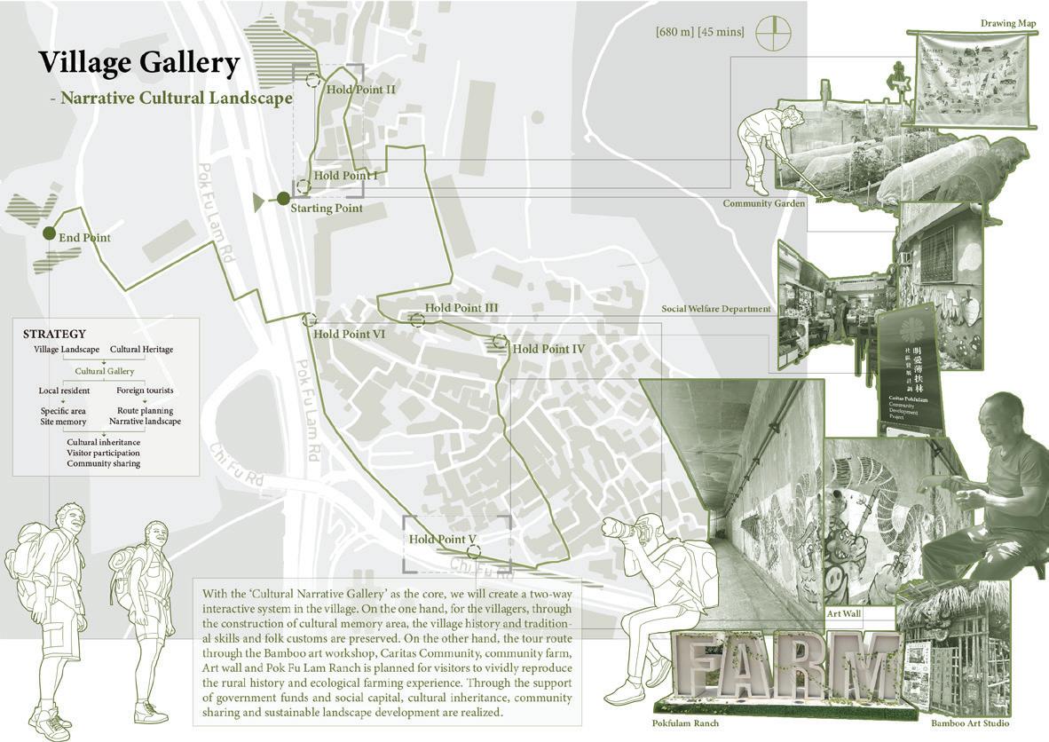
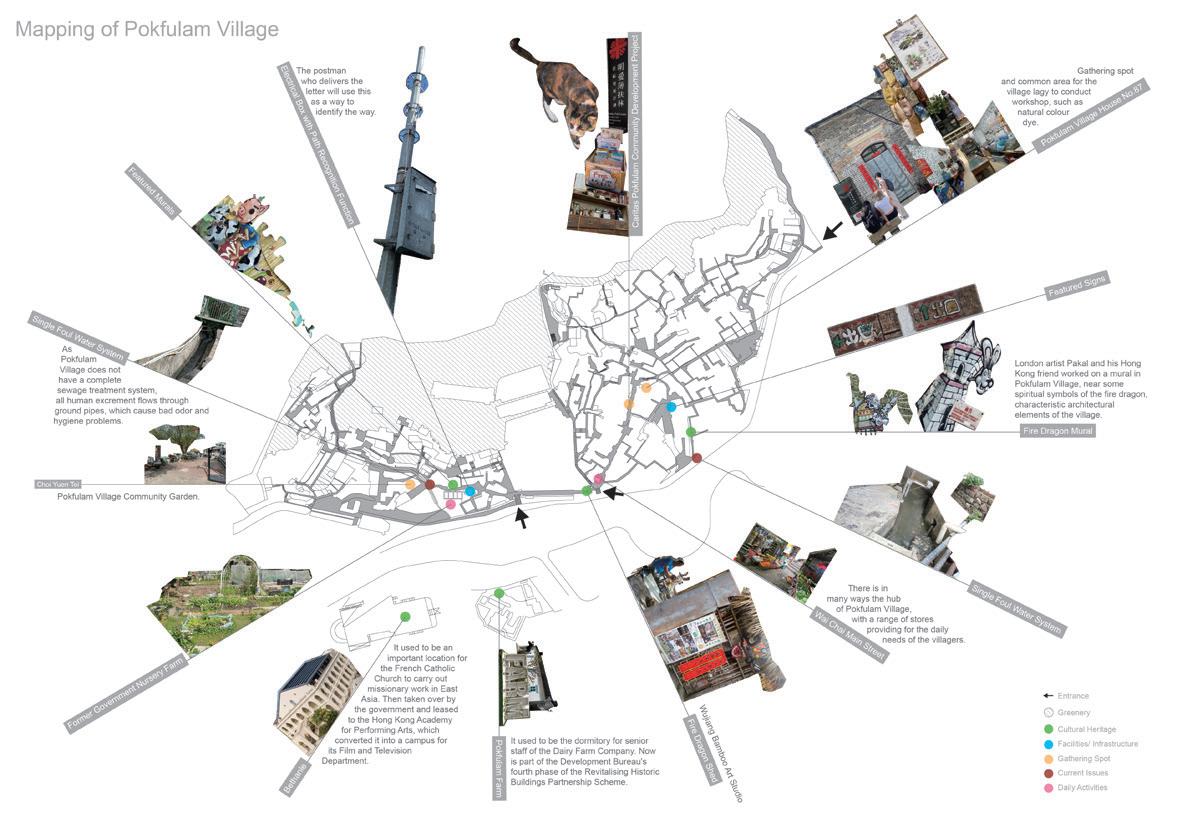
This course provided an introduction to the intertwining concepts of environment, community and design and explored the contexts that shape their relationships in diverse localities. It also introduced students to different perspectives and analytical methods (written and graphical) of studying the built environment and communities. Weekly seminar topics were structured to provide a systematic introduction to key ideas of the social roles and ethics of design practice, and explore the nature of emergent “design activism” in recent years. Readings were paired with lectures to provide theoretical understandings on the concepts discussed.
Case studies were conducted to help students explore how practices/organisations implement these foundational ideologies. To bridge between the concepts and theories learnt in classroom to reality, fieldtrips were incorporated to provide a channel for students to experiment, experience, and reflect their knowledge gained in lectures, readings, and case studies. Ultimately, this course aimed to help students to develop a critical understanding of the complex forces that shape the built environment in the past and present and reflect on the multi-faceted challenges facing design practitioners in the 21st century.
ARCH3205 History and Theory IV
ARCH7142 Landscape history and theory II
Instructors:
Ashley Scott Kelly Francisco Cevallos Barragan
TA:
Jiani Liu Vicki
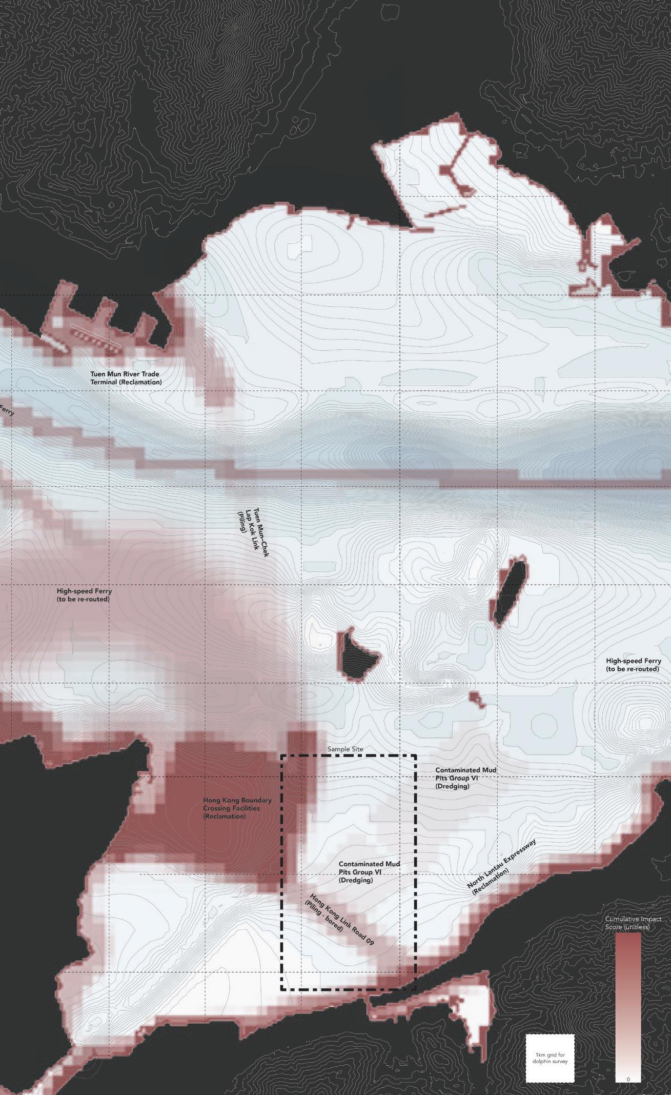
Landscape Planning and Development Theory surveys and contrasts approaches to environmental planning across landscape architecture, urban planning, geography, ecology, and development studies. Students examined contradictions between landscape arts and landscape sciences in legacies of development suitability and GIS, modern landscape ecology and spatial ecology, landscape urbanism, impact assessment, participatory planning, and environmental activism.
Student term projects connected those histories with current technological trends in the predictive landscape modelling of ecological connectivity and ecosystem services in greater China and Southeast Asia, encouraging critical reflection on the use of technical tools for strategic landscape planning and sustainable development.
Instructor: Bin Jiang
The first half of the term was dedicated to defining the limits of exploration. This involved classroom exercises focused on developing a research question, a research statement, a literature review, case studies, theoretical foundations, site selection, and investigation methods. These exercises were supported by readings that encouraged a critical research position within landscape architecture and related fields. In the second half of the term, the focus shifted to exploring data collection and analysis methods, design strategies, future scenarios, and presentation/ exhibition strategies.
The final deliverable for the course was a visualized thesis proposal that also reported on the latest progress. It consisted of a defined research question and statement, a theoretical foundation, results from case studies and the literature review, selected research methods, a plan and progress report on site investigation strategies, chosen design strategies, presented future scenarios, and selected presentation/exhibition strategies.
Linda Shetabi
Lecturer, Programme Director (MSc(Conservation))
The Master of Science in Conservation is designed to empower our graduates with the technical competencies and intellectual skills required to guide decision-making in conservation planning, management, and design in the 21st century.
Through its unique and innovative interdisciplinary approach, the program leverages the Faculty of Architecture’s internationally recognized expertise in planning, architecture, landscape architecture, and building construction, along with their established professional connections, to develop a deeper understanding of heritage within the framework of sustainability. This is achieved by embracing a comprehensive approach that combines cross disciplinary digital and analogue tools, with seminars, lectures, hands-on training workshops, and tailored local and international fieldtrips.
Demonstrating the inseparable link between natural and cultural heritage, the programme nurtures future conservation professionals who advocate for approaches that respect cultural rights, promote inclusive economic growth, enhance climate resilience, and support sustainable development in harmony with people, diverse landscapes and ecosystems. This year in collaboration with the University of Chiang Mai, World Heritage Research Centre at Southwest Jiaotong University and ICOMOS SDG Working Group, our students contributed to heritage conservation efforts in the Asia Pacific Region
by presenting solutions that address climate induced emergencies and urban development pressures that were informed by local contexts and international expertise.
MSc(Conservation) offers two streams of specialization that focus on different expertise of the conservation profession: 1. Conservation Planning and Management; 2. Design for Conservation.
1 Year for full-time mode
2 Years for part-time mode
Fall Semester
Charters and Legislation of Conservation
Methods of Heritage Research and Interpretation *
Built Heritage and Its Significance
Conservation and Assessment Techniques*
Critical Issues in Heritage Conservation
Conservation Planning and Management Studio *
Design For Conservation Studio * Stream 1 Stream 2
Materials and Technologies in Conservation*
Heritage Economics and Sustainable Development* Elective Elective Elective Spring Semester Summer Semester
* Courses offered to part-time students in Year 2 For more details, please visit the program website
Conservation Thesis (Capstone Experience)*
Conservation Thesis
Zhifeng Zhi
Advisor: Linda Shetabi
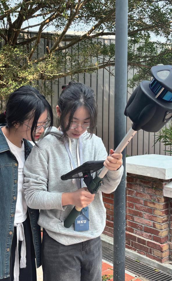
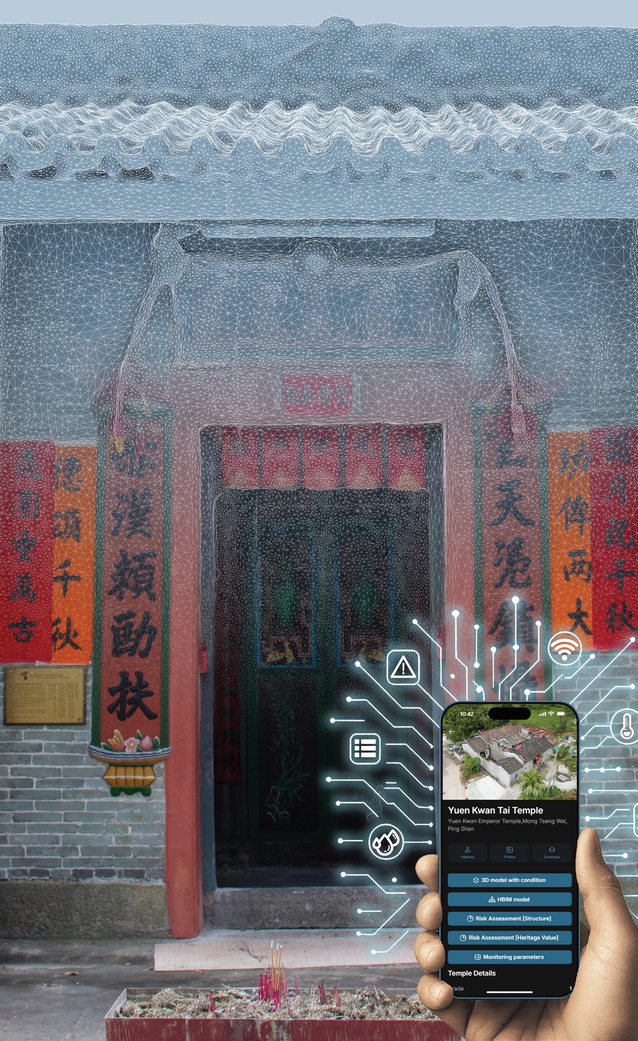
This research addresses critical conservation challenges facing Hong Kong’s temples through the development of a digital preventive conservation methodology, using Yuen Kwan Tai Temple as a case study. Hong Kong temples, particularly those in coastal areas, face significant threats from environmental factors and limited resources for systematic preservation. The study establishes a practical framework integrating multiple digital technologies—LiDAR scanning, photogrammetry, and Heritage Building Information Modeling (HBIM)—to create a mobile application designed for temple managers without architectural or conservation backgrounds, enabling them to intuitively understand building conditions and effectively communicate with conservation professionals.
User testing and professional assessment confirm that this application effectively assists temple managers in monitoring conservation status, even with limited technical resources and expertise. Through the combination of practical monitoring parameters and intuitive interface design, this low-cost methodology makes preventive conservation accessible to numerous community temples in Hong Kong.
Conservation Thesis
Qiangyu Song Advisor: Changxue Shu
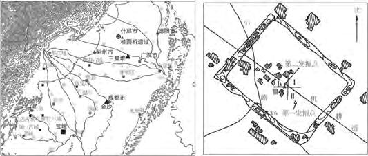
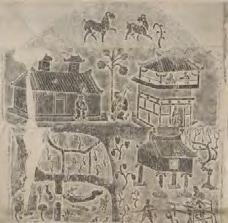
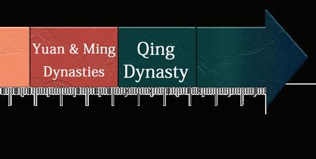
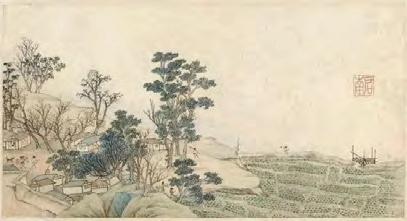
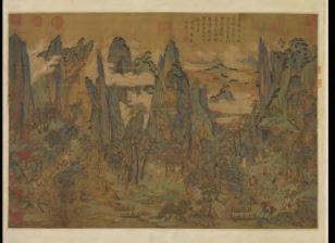
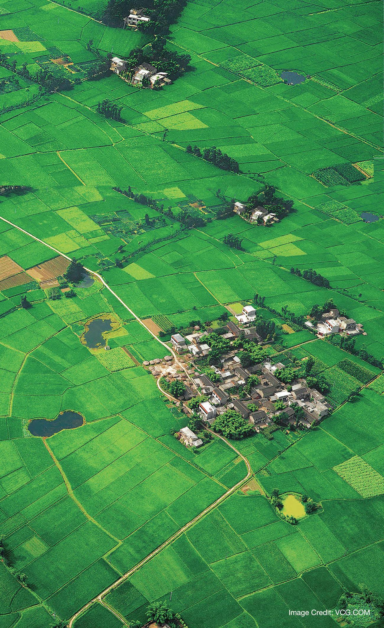
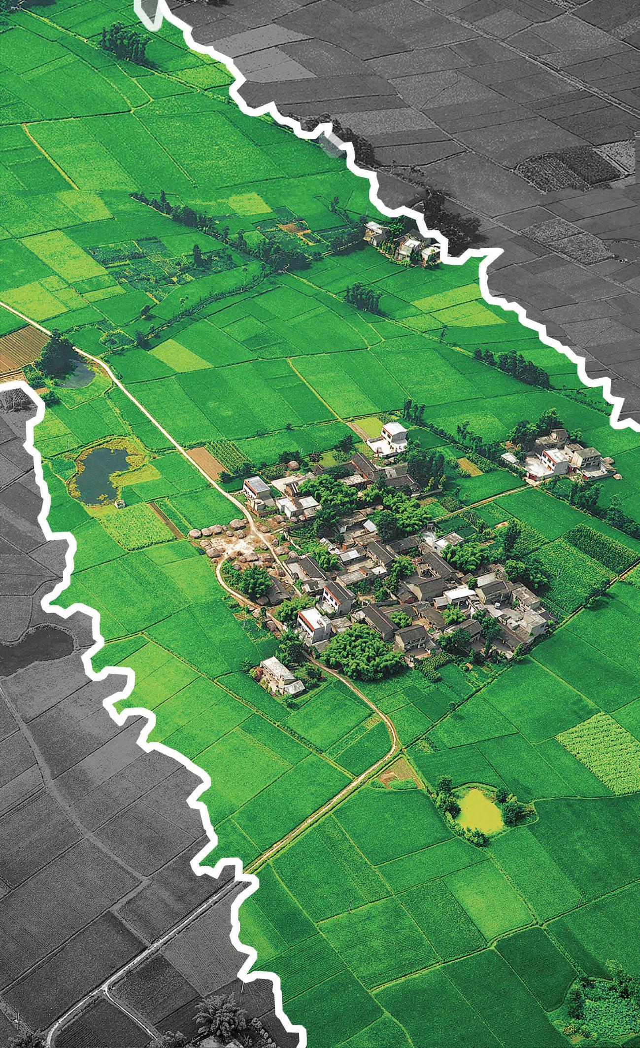
As a particular type of human settlement, Linpan is listed as a national agricultural heritage in China, yet its meaning remains controversial in academia. This research aims to respond to the question of whether the term “Linpan” can represent the agricultural settlements that have existed in the Sichuan Plain since ancient Shu Kingdom peroid ( 4500-3700 years ago) and revisit the process of their historical formation to fill in the gaps in the analyses of the historical rupture of Linpan and immigration factors in the current study.
Based on a combing of historical documents and field surveys of typical Linpan areas in the suburbs of Chengdu, it is found that “Linpan” is not a fixed form since ancient times, but an agricultural settlement gradually formed under the influence of multiple factors. It concludes that the length of the recorded history of Linpan as an agricultural heritage has been amplified and reconstructed in academic research and the identification of heritagization. This thesis takes a historical-critical approach, emphasizing the historical contributions of social change and multiple stakeholders to provide a clearer understanding of the authenticity and diversity of agricultural heritage.


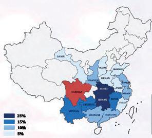
Percentage of immigrants from each province in Chengdu's population in 1909
Source of Data: Chronicles of the Chengdu General Survey ( 成都通览 )


CONS8220/ CONS8221
Instructors:
Montira Horayangura Unakul
Bernard Brennan
TA:
Limiao Huang
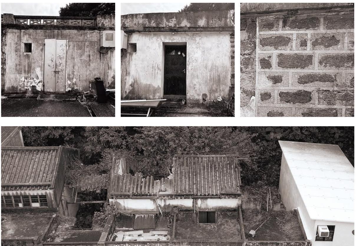
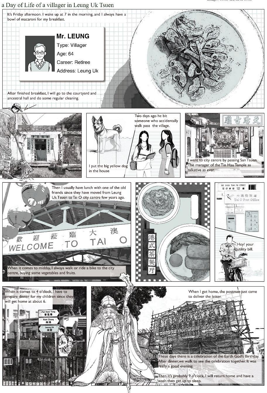
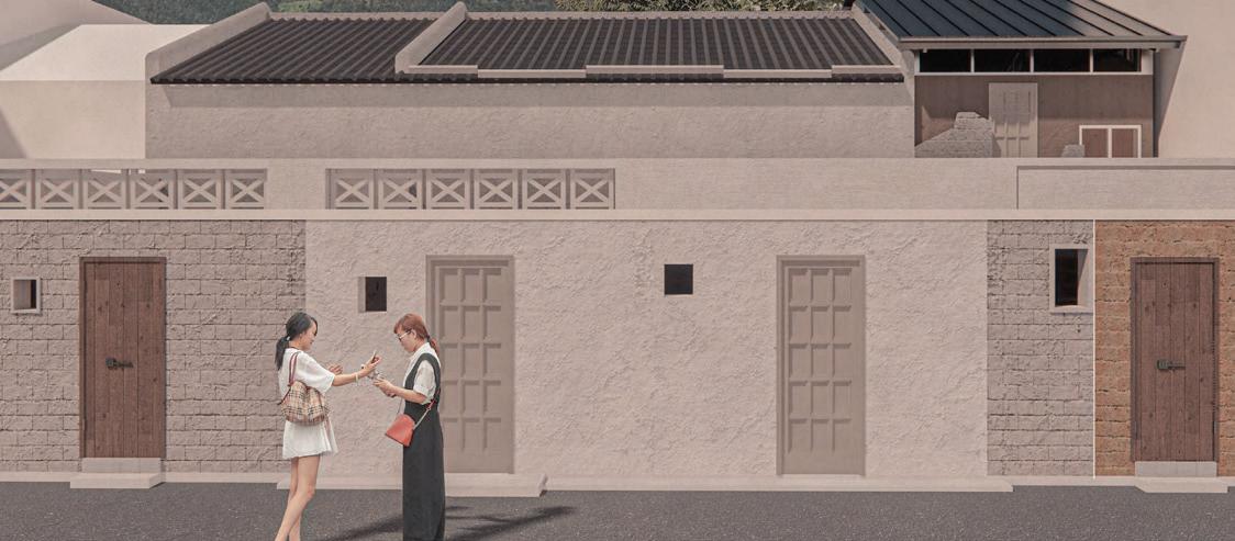
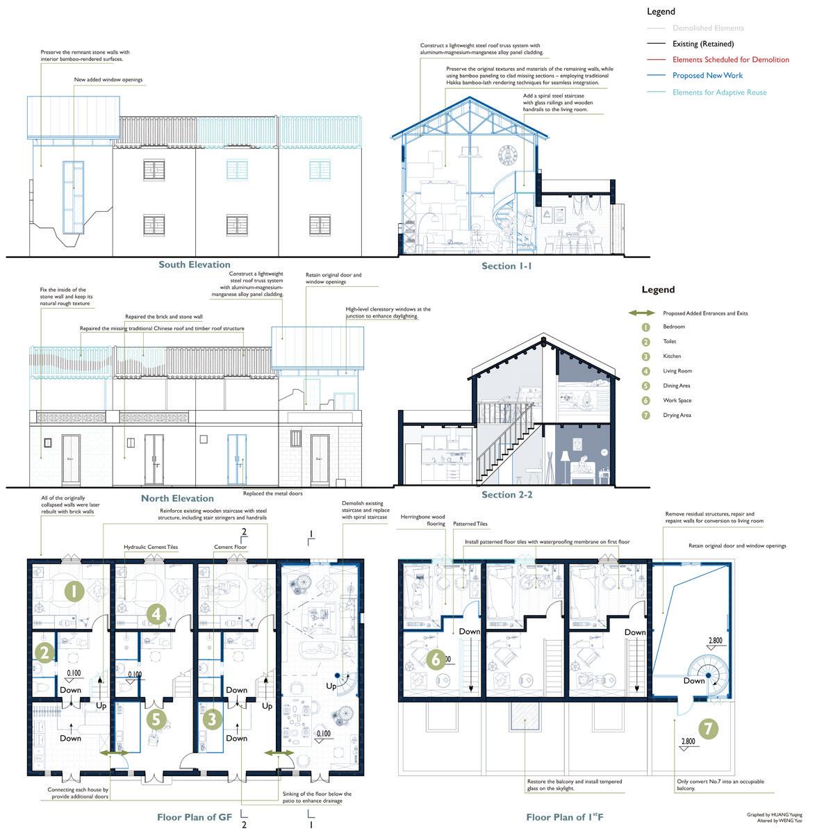
Guided by a value-based approach to conservation, students from both specialisation streams work together on developing ecologically and culturally sensitive interventions and conservation processes on select sites in Hong Kong. The final output is a Conservation Management Plan for each of the selected heritage sites that integrates both management and design proposals. This approach broadens the understanding of historic places from buildings to places that embody multilayered and dynamic systems of tangible and intangible resources, intertwined with historic, socioeconomic, and environmental networks.
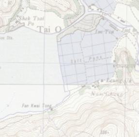
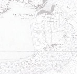
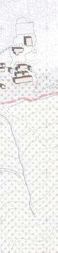
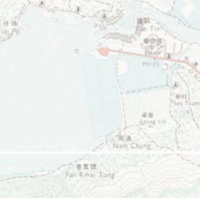
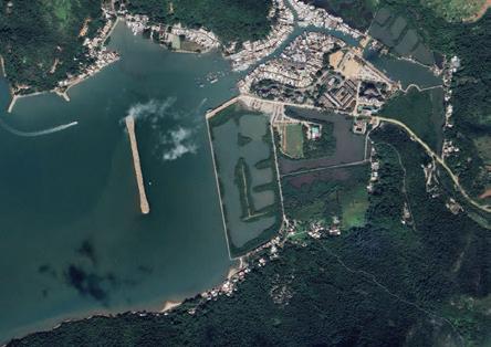
The studios are taught jointly to foster collaborative practices, with management and conservation design students working together to identify heritage significance, deterioration patterns, and environmental and social concerns to develop a shared vision. This year, the studio focused on sites in Lantau linked by the Tung O Ancient Trail: Tung Chung and Tai O. The management students focused on developing policies, visitor management, impact assessments, and resilience strategies, while conservation design students proposed tangible interventions that aligned with the shared vision.




















































































Instructors:
Steven Ray Phillips
Jack Shing Kit Chui
TA:
Limiao Huang
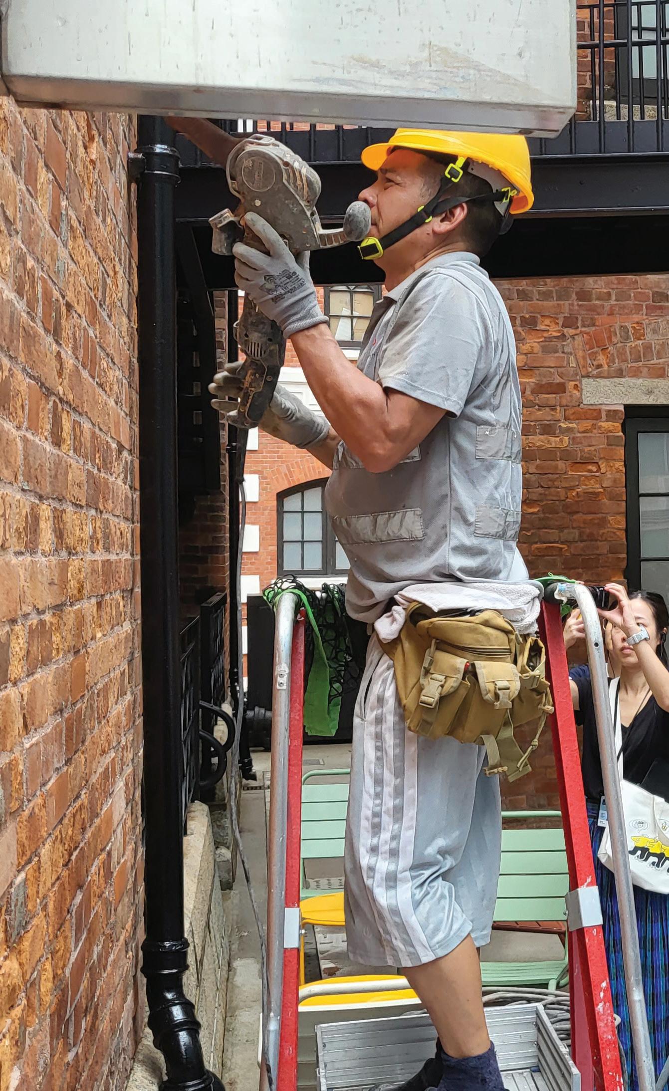
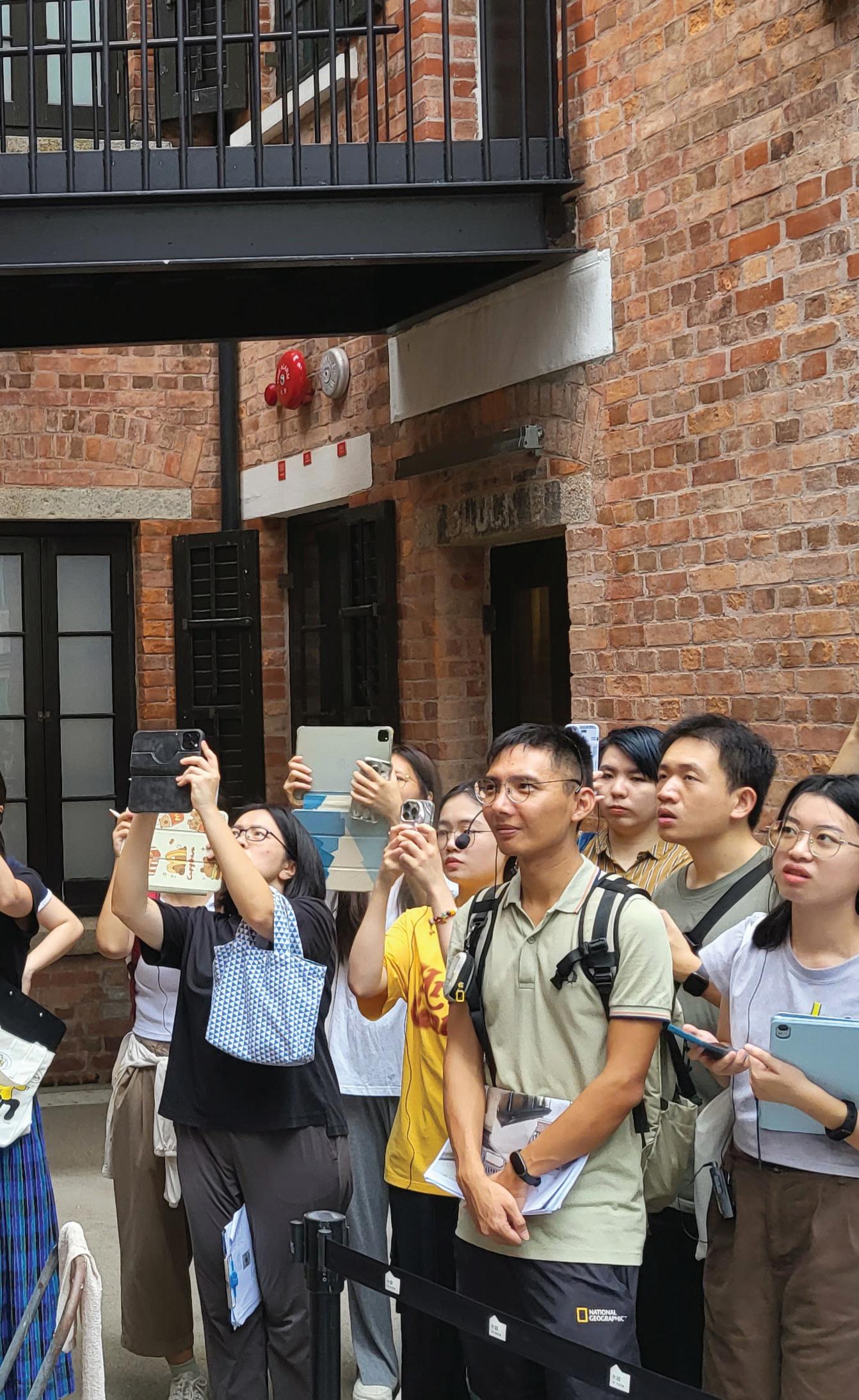
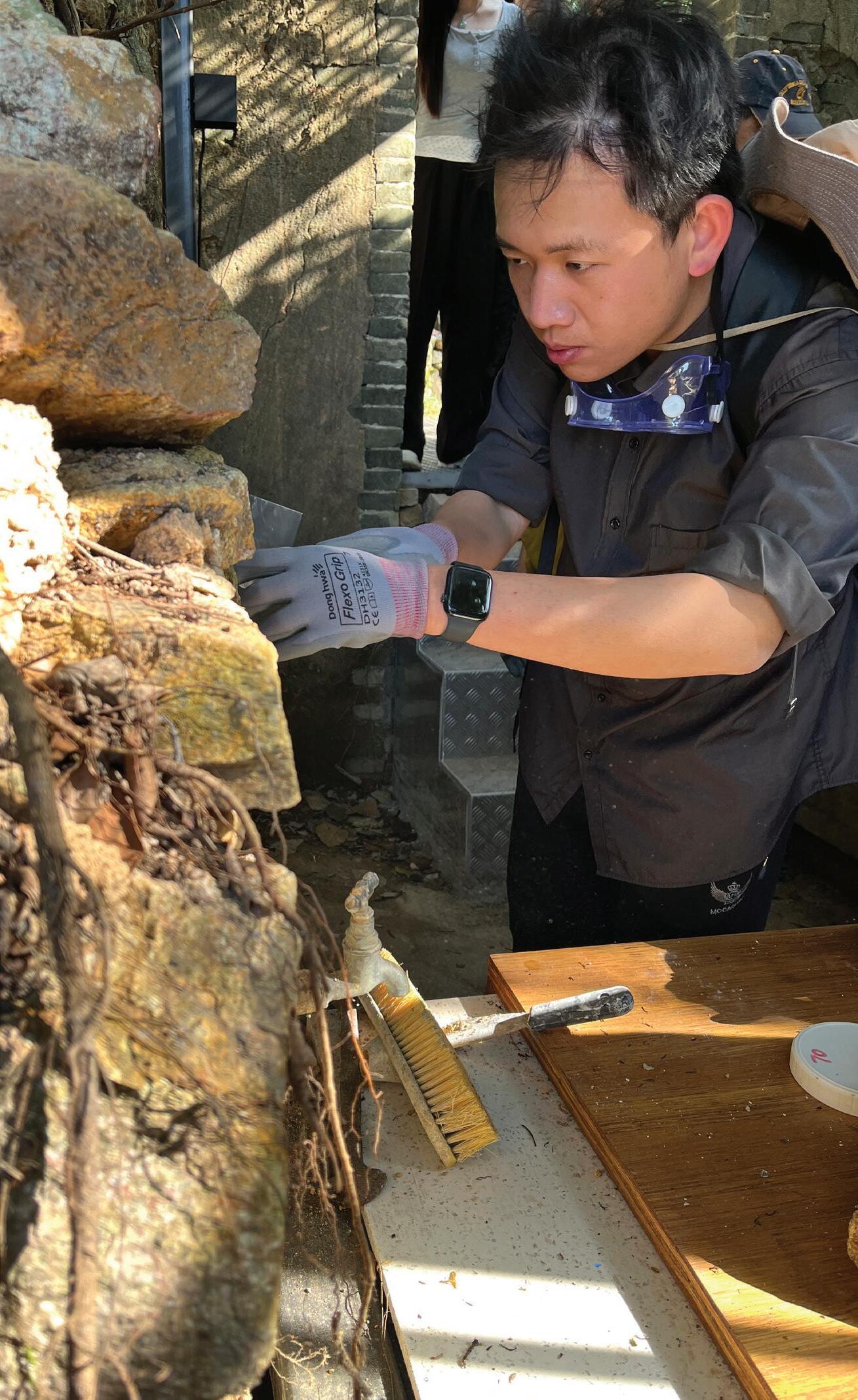
This is a specialised course for students enrolled in the Design for Conservation stream, complementing the CONS8221 Design for Conservation studio. Student began with more advanced technical lectures on material science and construction principles for sustainable conservation techniques. This was complemented by carefully planned field trips and tailored technical conservation skills workshops, that provide hands-on training in real-world contexts.
Each student was required to exercise these skills in the development of technical building assessments, analysing materials, and applying conservation methods for their chosen site, culminating in the production of conservation packages, using systematic procedures on actual projects. The students demonstrated their integrated knowledge and technical skills through assessments and presentations, highlighting their ability to apply theory to practice.
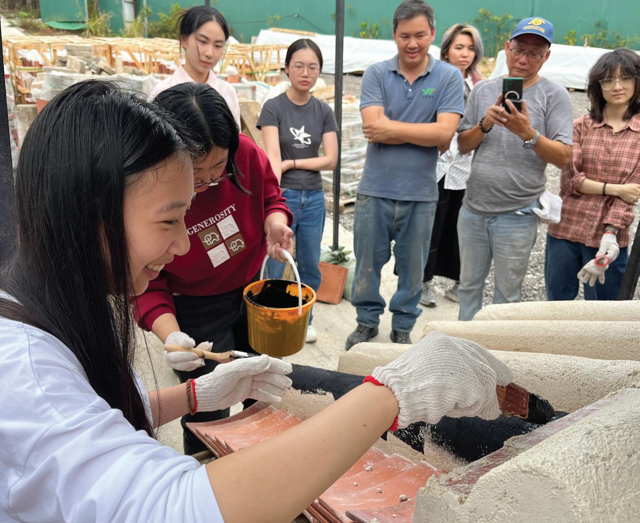
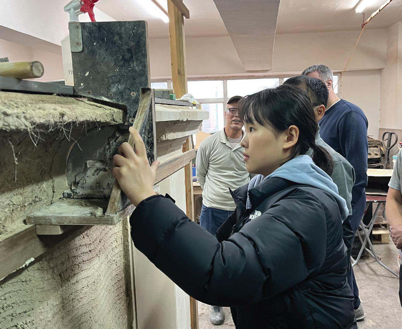
By examining international and national heritage conservation principles, sustainable development policies, and legal frameworks, students investigated Hong Kong’s historic urban landscape to understand how doctrines, charters, and legislation influence heritage site conservation and impact sustainable development activities. Building on this foundation, they explored how governments in the Asia Pacific region and beyond address urban development pressures through case studies, gaining familiarity with a wide range of policy frameworks, legal provisions, and international instruments used elsewhere.
This course provides a comprehensive introduction to the theories and practices of heritage conservation and management. Key topics covered throughout the course include the emergence and evolution of the conservation movement in global and local contexts, emphasizing values-based approaches that connect people, nature, and culture. Students learned to identify and articulate values, preparing a Statement of Significance as a foundation for developing conservation management plans.
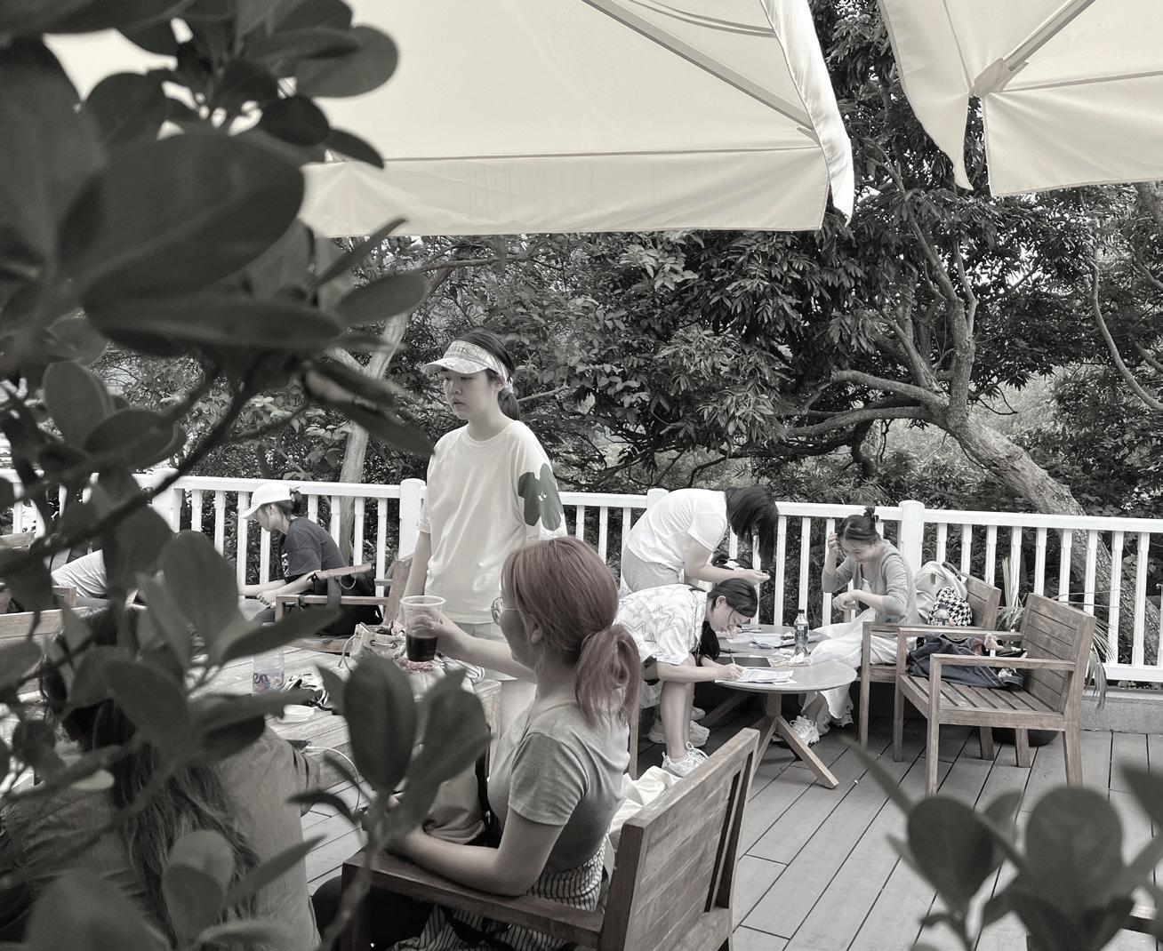
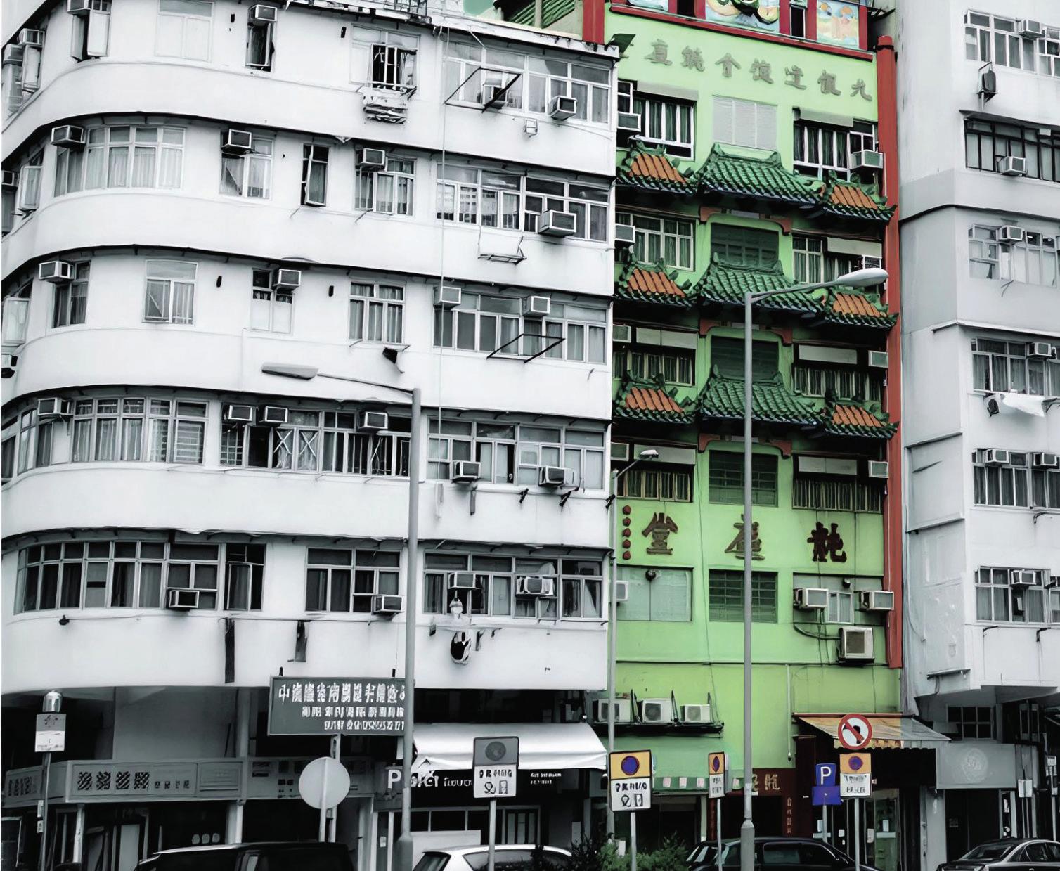
This course begins by establishing a foundational understanding of building types, traditional construction materials, and regional construction techniques specific to Hong Kong and its surrounding areas. This pedagogical approach emphasizes contextual learning, enabling students to appreciate the diversity and complexity of local architectural heritage. Building on this foundation, students took part in tailored field trips designed to demonstrate core principles of material science and construction techniques.
Instructors: Steven Ray Phillips
Jack Shing Kit Chui
TA: Michelle Chelsea Ho
Heritage is increasingly recognised as an essential resource for economic development. This course introduces foundational economic and social theories relevant to heritage and heritage conservation, cultural and social capital, and the governance of commonpool resources. In lectures and seminars, we explored the relationship between heritage and sustainable development to understand how conservation processes can serve as effective drivers and enablers of a more just and sustainable future. By examining case studies from Hong Kong and around the world, we investigated how heritage sites contribute towards the achievement of the Sustainable Development Goals (SDGs) while ensuring financial sustainability and long term resilience.
CONS8222
Instructors: Kiki Ko
Joe Chan
TA: Hui Liang Alys
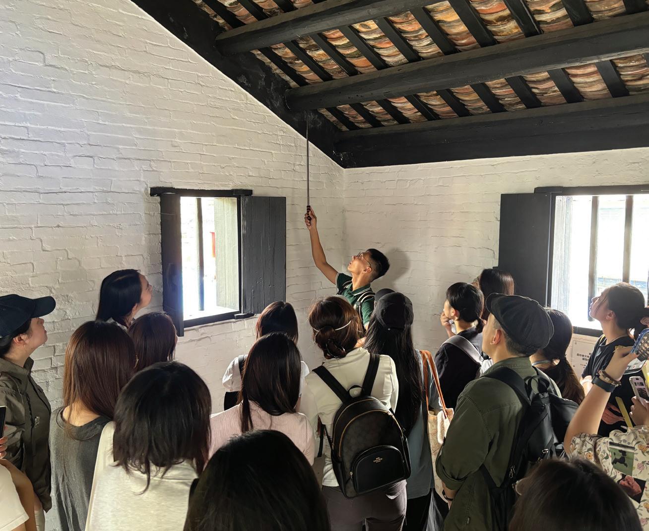
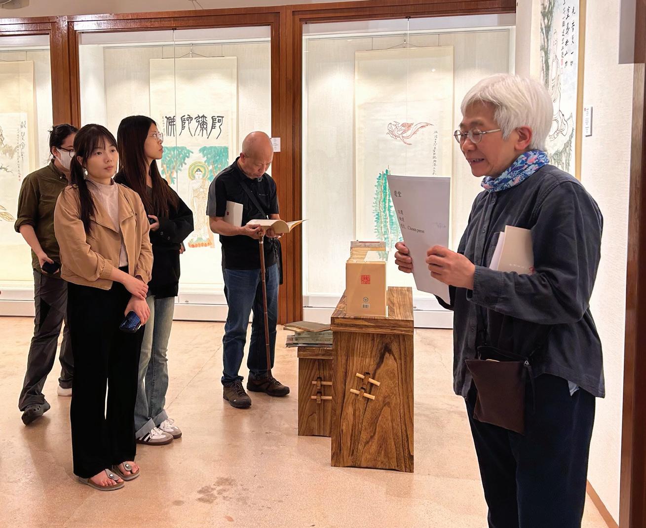
This course throws fresh light on the conventional wisdom and long-standing issues of conservation. Students obtained visionary perspectives on the following field-defining questions: Would the 19th-20th century frameworks of conservation be endangered in the new dynamics of sustainability and digital technology? How to enrich our appreciation of historical built environment? What roles could conservation play? Through a teaching-learning-research combined pedagogy students developed the necessary research skills required to interconnect value assessment and material vulnerability and become more critical of research sources and tools.
The course was designed to guide students through the process of developing a thesis proposal by employing established heritage theories and interpreting archival and sitebased material through rigorous research methodologies and techniques. Through this process, students enhanced their skills in data collection, research, and analysis, while exploring alternative perspectives on historic sites, their values, and their contribution to the global discourse on heritage.
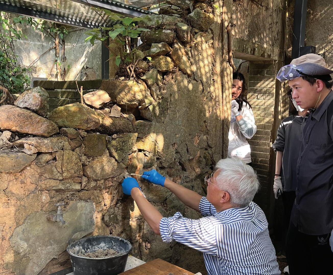
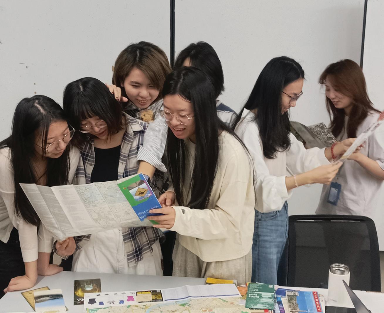
Chao Ren
Bin Chen Professor, Programme Director (MSc(SED))
Associate Professor, Deputy Program Director
Globally increasing environmental awareness and concern, fast urbanization, and technological development have together resulted in an urgent need and opportunity to rethink how we could design, construct and manage our cities in a more efficient, effective and low-cost way.
The Master of Science (MSc) Programme in Sustainable Environmental Design has been offered since Fall 2022. Students enrolled in our taught- postgraduate degrees receive training in scientific research and technique skills and conduct independent research under the guidance of a team of renowned advisors. Candidates are expected to have an educational background in built environment disciplines (architecture, civil engineering, building science and technology, landscape architecture, urban studies, etc.) and/or fields such as environmental science, mathematics, computer science, business, management, and social sciences.
Our MScSED program has been designed with a view to combining specialist study and broad-based training in professional reflection, assessment, and research methods taught by world-class scholars and well-known professionals.
Year 1
Fall Semester
Dissertation Part 1 (Capstone Experience)
Spring Semester
Dissertation Part 2 (Capstone Experience)
Environmental Simulation and Performance Assess Tools
City Risk and Resilience:Emerging Planning Theories and Practices
Elective: Environmental Policy and Management for Megacities
Innovation and Smart Technology for Sustainable Development Bioclimatic Building Design
Green Building Assessment and Climate Responsive Design
Elective: Topical Study II inSustainable Design and Urban Development Designing for a Changing Climate
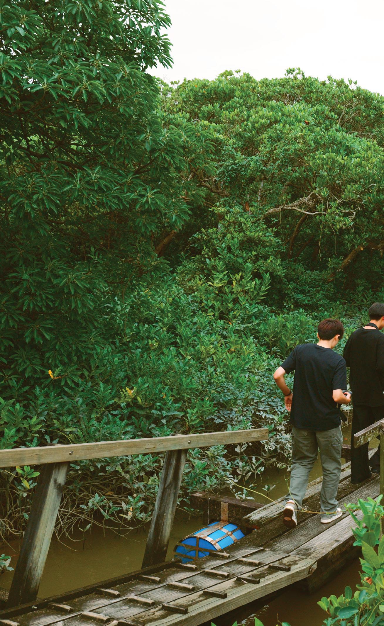
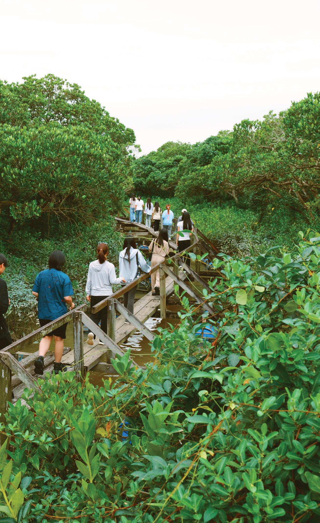


Instructors:
Chao Ren
Bin Chen
Siqi Jia
Sajjad Muhammad
TA:
Shuang Liu
Shengbiao Wu
Xidong Chen
Wangyizhang Zhou
Dissertation is a student-led research project. Throughout the dissertation preparation process, students worked closely with their advisors, participate in regular progress reviews, and demonstrate self-directed independent work on the articulation, development and completion of a research project and their dissertation writing. Students coordinated with their advisors to schedule individual meetings and are expected to manage their work progress in order to reach the required deadlines with satisfactory development. Students were also encouraged to seek feedback from other people (other staff within the Faculty, specialists within other Departments, outside professionals, and, of course, your peers) when appropriate, and to encourage these secondary relationships early.
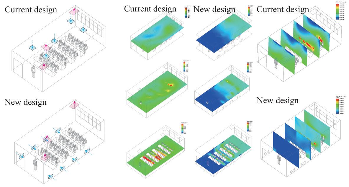
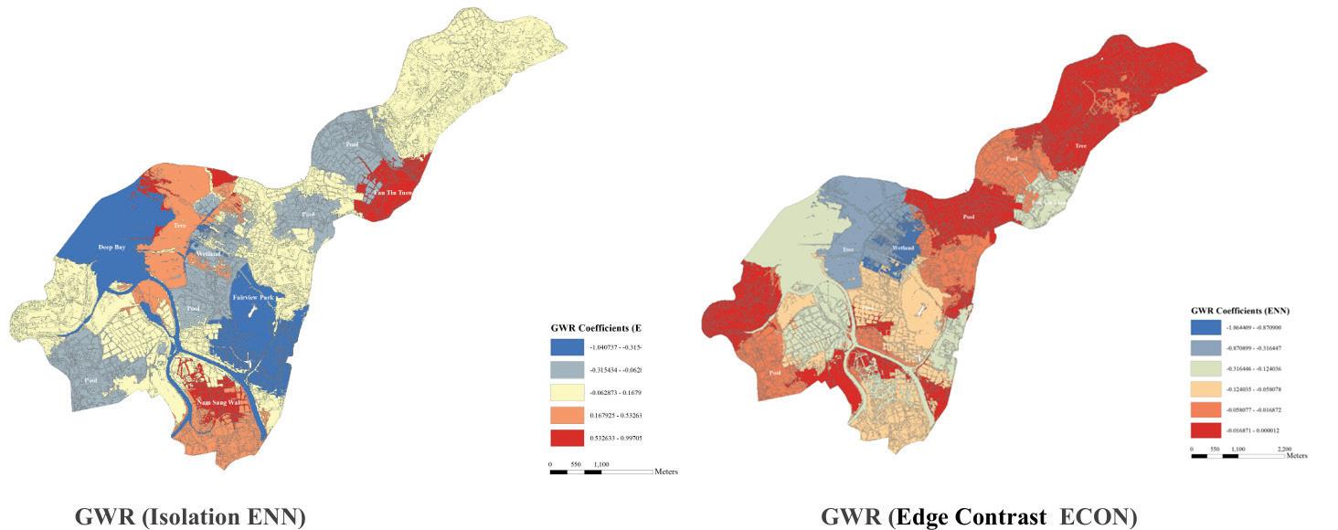
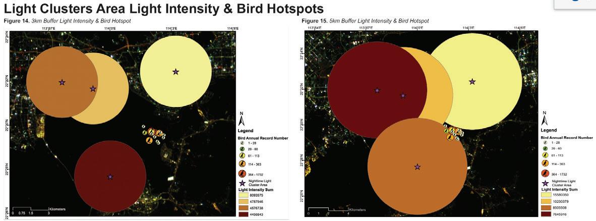
Our living planet is changing with a lot of pressing environmental challenges. It will directly and indirectly lead to impacts on the function of nature and the health of humans. There is a high need to understand environmental changes in the context of multi-scale spaces and times. Geospatial data, such as remote sensing, social sensing, and crowdsourcing datasets, provide new and unique insights to advance our scientific understanding of environmental changes and the interaction between human and environment. The main objective of this course was to empower our studies with basic.
SEED6102
Instructor: Bin Chen
TA: Ziming Li
Han Wang
Yufei Huang
Yadian Wang
Wangyizhang Zhou
This course provided an introduction of climatesensitive design principles and solutions for solving the climate change related environmental problems. Students were encouraged to team up to conduct their own group project. The aims of this module were (i) to provide an introduction to the physical basis of climate change; (ii) to discuss how a changing climate might impact upon the built environment; (iii) to consider what adaptation and mitigation actions can be taken to reduce this impact; (iv) to develop an understanding of how climate resilient builtenvironment and landscapes can be designed.
SEED6203
Instructor: Lutz Katzschner
TA: Wangyizhang Zhou
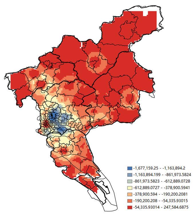
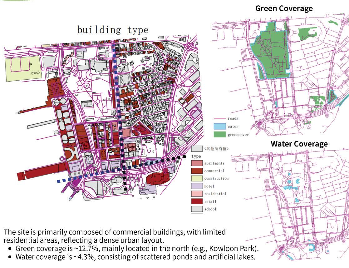
This course introduced the principles of bioclimatic building design and its wider site and urban contexts, so as to maximize human health benefit including thermal comfort and productivity, and minimize the energy needs for heating and cooling of the buildings. The effect of various architectural decisions on the indoor climate and energy expenditure is discussed in details. These quantitative interactions between the effects of the various design details were discussed in details in the class.
SEED6101
Instructors: Zhiwen Luo
Kai Gao
TA: Ruijun Chen
Wangyizhang Zhou
This course focused on the simulation and modelling of environmental sound in the urban context. The module began with the basics of sound and noise, their sources and propagation in urban open space and how they affect the quality of living in cities. The course then introduced the approach and techniques of the modelling of sound propagation in the urban setting, using state-of-art GISbased noise models. Students were asked to undertake traffic noise modelling for an urban neighborhood and suggest ways to improve the acoustical environment.
SEED6103
Instructor: Kin Che Lam
TA: Wangyizhang Zhou Yilun Li
SEED6201
Instructors: Benny Au
Chi Fung Leung
TA:
Wangyizhang Zhou
SEED6202
Instructor:
Yoshiki Yamagata
TA:
Yoshiyuki Kimura
Wangyizhang Zhou
This course first introduced the background and development of green and sustainable development. It then examined the environmental impact of building activities on the eco-system through a number of more established environmental concepts (for example, embodies energy, carbon dioxide emission, energy life cycle assessment, environmental impact assessment). Tools and methods for assessing building’s environmental impact were critically evaluated and applied through case studies.
This course introduced emerging methods for urban climate change risk assessments to enhance the resilience of cities, with a particular focus on our newly developed urban systems design tools that integrate building and transport modeling using Big Data and AI technologies. The megacity of Yokohama is used as a test bed to illustrate the application of tools. By supervising case studies, we encouraged students to develop their own innovative conceptual designs for future sustainable cities based on their individual interests. Proposed future development scenarios need to be tested and refined through intensive discussions and field visits.
Instructor:
Vincci Mak
TA:
Chi Tat Tang
This course aimed to explore the relationship between culture and nature in contemporary rural conservation. Taking tree houses in Hong Kong‘s remote villages as a study, students first documented through making a set of analytical drawings. Besides documenting the present situation, students also researched how the houses were in the past, how the trees grew with the houses while being uninhabited, and speculate how the trees may continue to grow. Since different tree species may be growing at different houses, a set of species analysis was also conducted by the students to understand the growing pattern, rate, and potential issues the tree growth may cause to the house structure.
These analyses formed the basis for students to develop strategic conservation proposals on how the houses and the trees can coexist harmoniously. By developing a future use of these tree houses, students were also to imagine how they may play a role in the future village revitalisation and countryside conservation. Students were expected to spend time on site at the remote villages in Hong Kong, for documentations and engagements with local villagers. Arranged visits were scheduled during class time, but students were also encouraged to make further visits once connections were made.
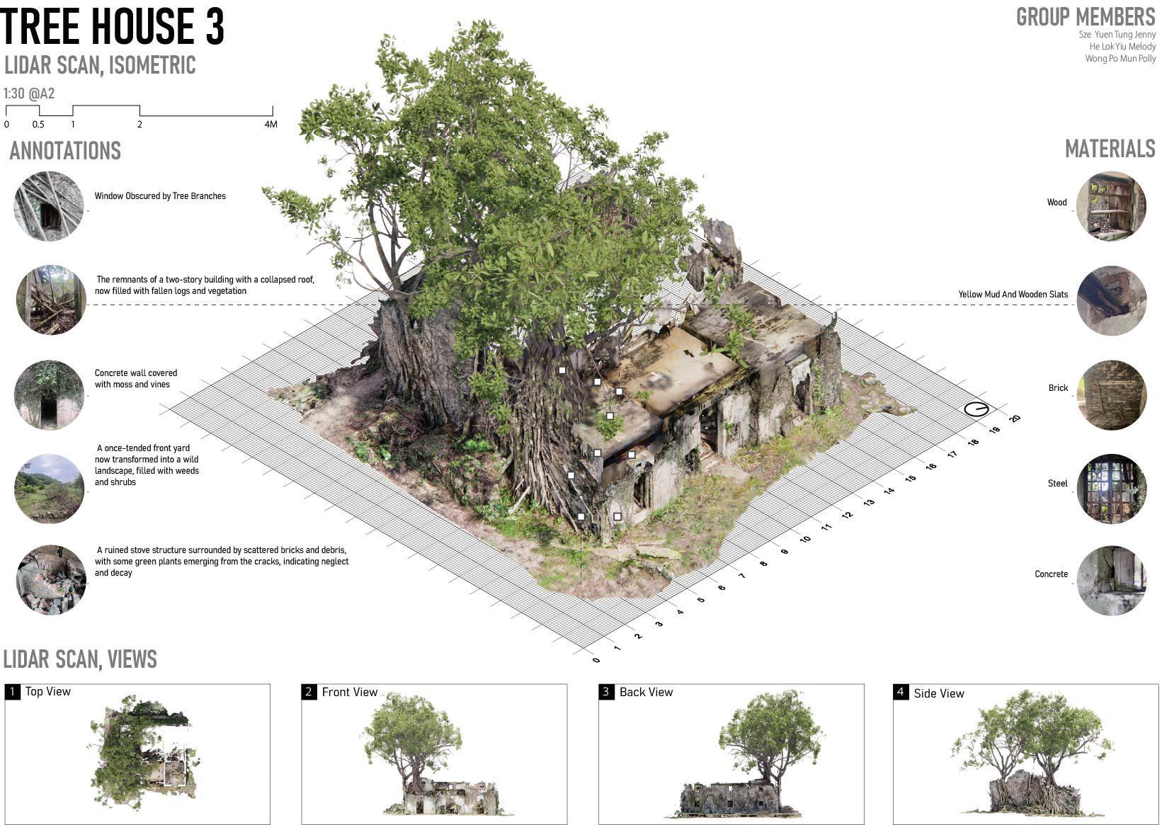
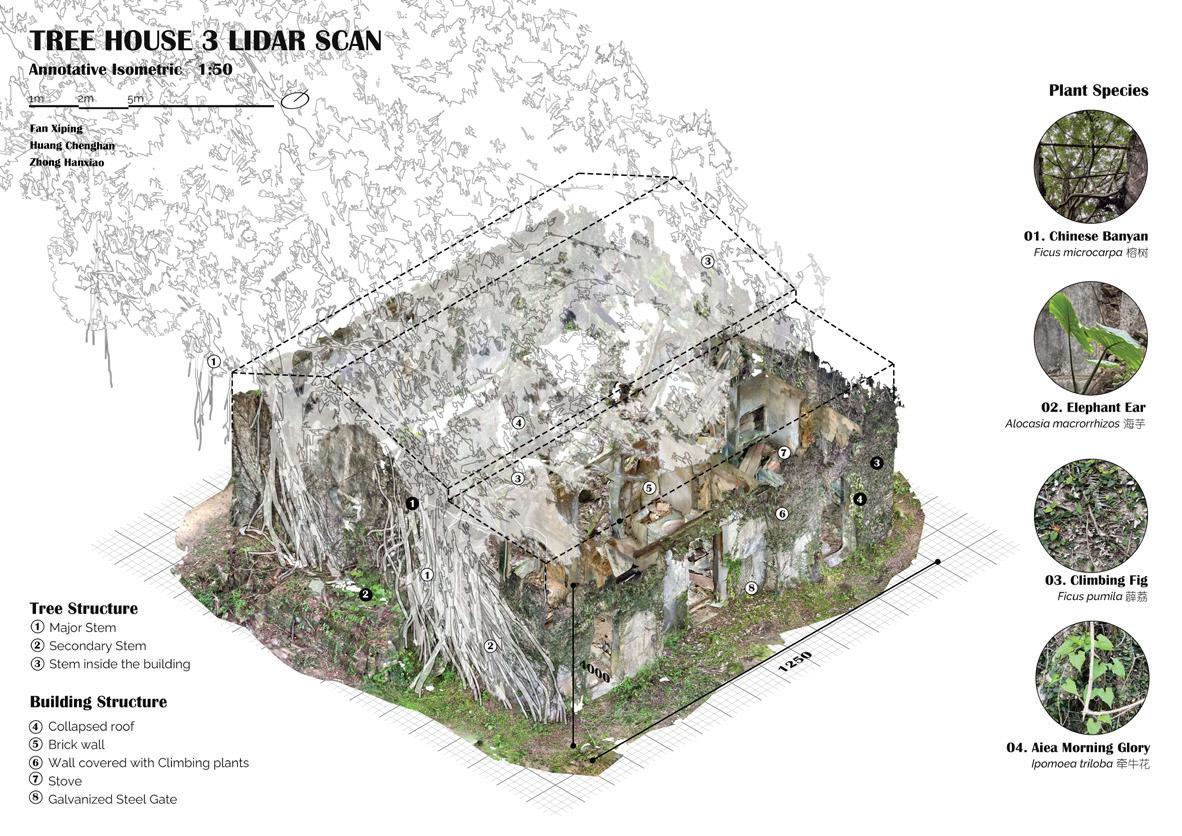
governance
ARCH7381 Advanced topics in landscape and urban research methods
Instructor: Ashley Scott Kelly
Driven by machine learning, geospatial artificial intelligence, and new sensing technologies, environmental planning is undergoing a transition from a regulatory state to a paradigm where the computational prediction of environmental changes dominates environmental and social governance.
In this technology-theory seminar, Landscape in the Predictive State, students explored the geostatistical sciences of spatial ecology and ecosystem services modelling enabling today’s predictions of environmental change in Southeast Asia and Greater China, together with the ethical dimensions of predictive models, such as data bias, competing value systems, algorithmic transparency, real-time monitoring and regulation, and problems with regimes of open data and citizen science.
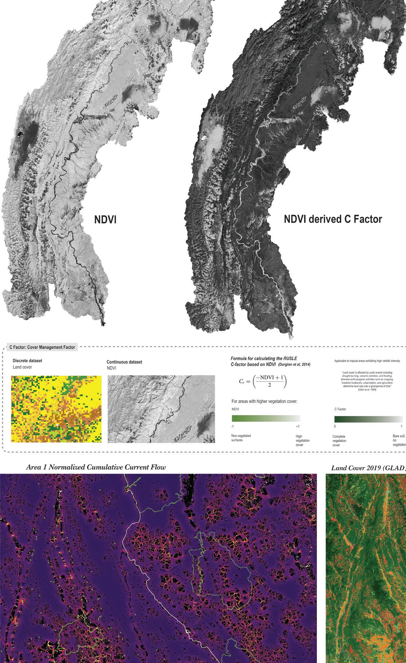
ARCH7359 Components of sustainable landscape design
Instructor:
Cunha Da Dilip
TA:
Yapeng Liu Olly
In this mini-studio students explored two design imaginations, two languages of place, two Hong Kongs. The first is a Hong Kong on the surface of the Earth where ‘land’ is separated from ‘water’. The second is a Hong Kong in a depth of wetness called Ocean that is everywhere in the earth, air, flora and fauna, reaching from above the clouds to deep aquifers.
If in the first Hong Kong we are geographic outsiders, in the second we are hydrologic insiders. While the world is familiar with the first Hong Kong, it is unaware of the second. This studio devised ways to experience, understand, and design Hong Kong in an Ocean of Wetness.
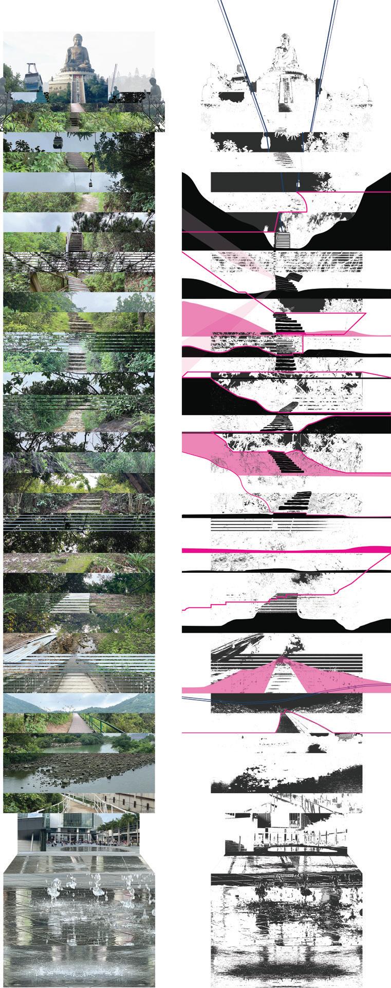
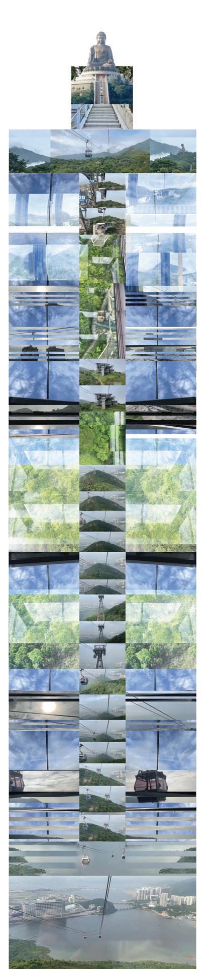
Instructor:
Bin Jiang
TA:
Lin Qiao
Shu Yun
The course invited four rising stars in the field of landscape architecture to deliver four different design workshops. The invited designers brought cuttingedge knowledge and approaches from pioneering design studios to the class. The workshop aimed to let students learn the critical design philosophy, methods, and approaches adopted by influential design studios. Moreover, the course aimed to let students build up professional networks and initiate their career plans by communicating with and following successful role models.
Unlike a conventional design studio, the workshop was more intense, as we aimed to let students finish the majority of the work within the three-day workshop rather than having a large portion of work that needed to be completed in the final weeks. The workshop included a wide variety of activities, such as on-site investigations, seminars, discussions (brainstorms), working model making, sketch and collage making, and quick rendering of conceptual drawings. The activities were specified by the invited instructor to fit their unique topic, objectives, and methods.
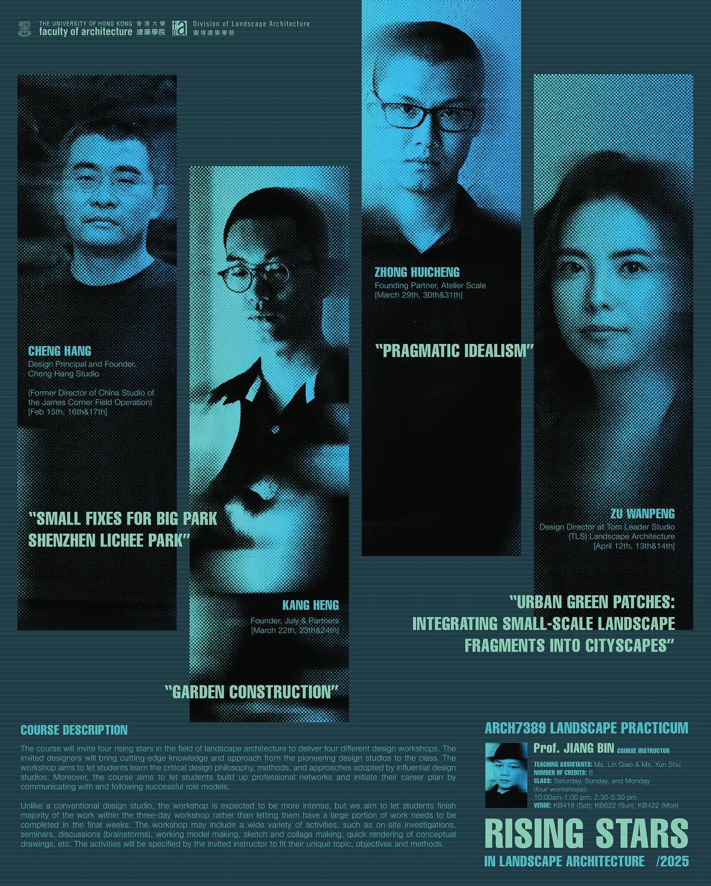
Instructor: Bernard Brennan
TA: Michelle Chelsea Ho
This elective course introduced the concept of cultural landscapes and its relevance to heritage conservation. The course examined cultural landscapes as defined in multiple disciplines such as cultural geography, environmental history, landscape archaeology, as well as its practical implications within international heritage frameworks. Students learned how to identify and assess different types of cultural landscapes and explored new ways of mapping landscape sites within the context of Hong Kong, Greater China, and East and Southeast Asia.
The course also enabled student to address concerns for the protection of the natural environment and conceive strategies for achieving sustainable development through the conservation of cultural landscapes. As part of the learning process, students gained firsthand experiences in Hong Kong culturally significant landscapes, such as Lei Yue Mun, Sham Shui Po, Tai O, and Tung Chung.
Lei Yue Mun
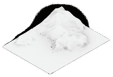
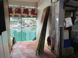



Instructor: Linda Shetabi
TA: Huiwen Tan Everly
The course critically examines digital tools and methodologies essential to contemporary heritage conservation. Through seminars, workshops, and collaborative projects, participants reflect on the ethical dimensions of these methods and the responsibilities of global, national, and local institutions in preserving cultural assets amid escalating environmental and geopolitical challenges.
This year, students selected key historic sites in Hong Kong associated with the city’s military past and traditional religious practices. They conducted field investigations and archival research, followed by advanced digital documentation using LiDAR, photogrammetry, GIS, and 3D modeling to generate precise digital replicas. Leveraging GIS and generative AI, they developed digital narratives enriched with archival footage, photographs, and historic maps—shedding new light on pivotal moments in Hong Kong’s history while illuminating lesser-known stories of bravery and resilience.
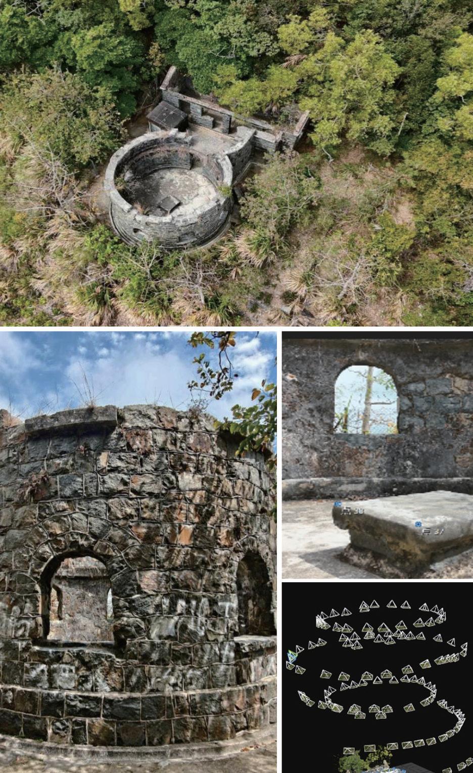
Instructor:
Kam Sing Wong
TA:
Wangyizhang Zhou
Renfeng Wang
This course provided an advanced introduction to public policies for protecting the natural envronment, and to conflicts over the use of those policies and who has the authority to make decisions about them.
The course introduced students to some core concepts in environmental economics and to familiarize students with the dilemmas and trade-offs that governments face in making decisions with respect to the natural environment. It also aimed to make students aware of a range of factors that need to be considered when making environmental policy.
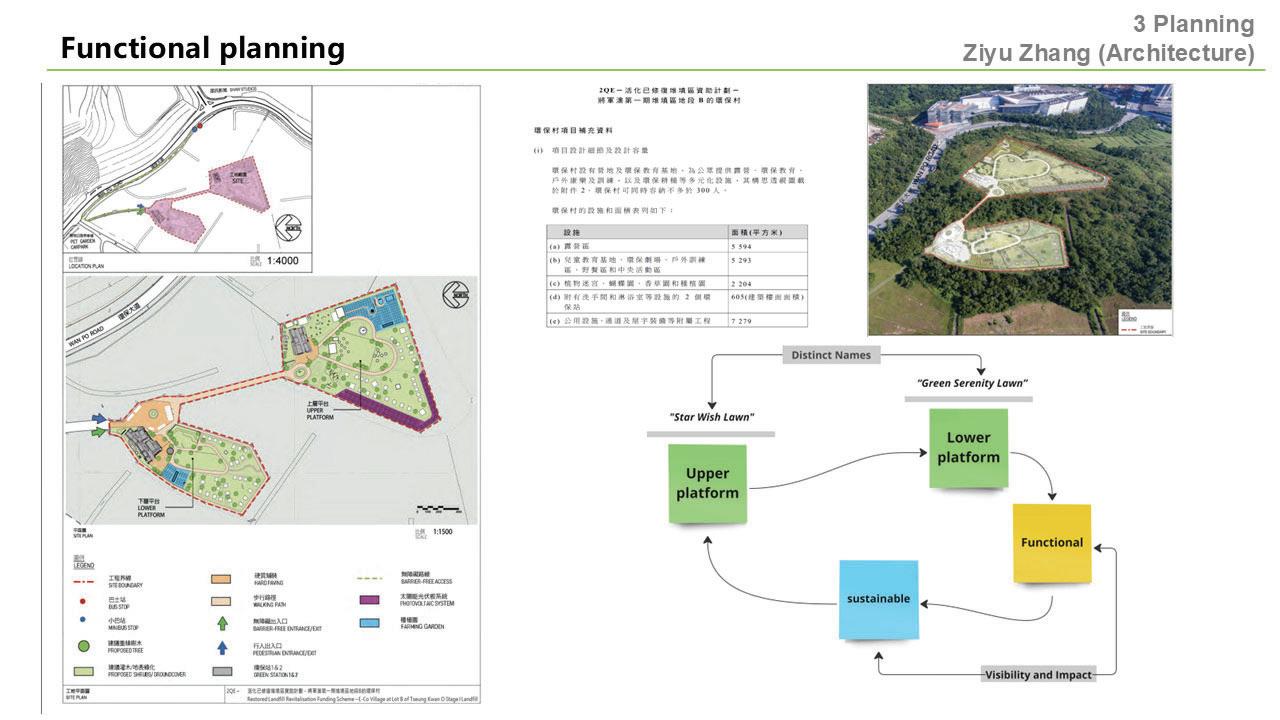
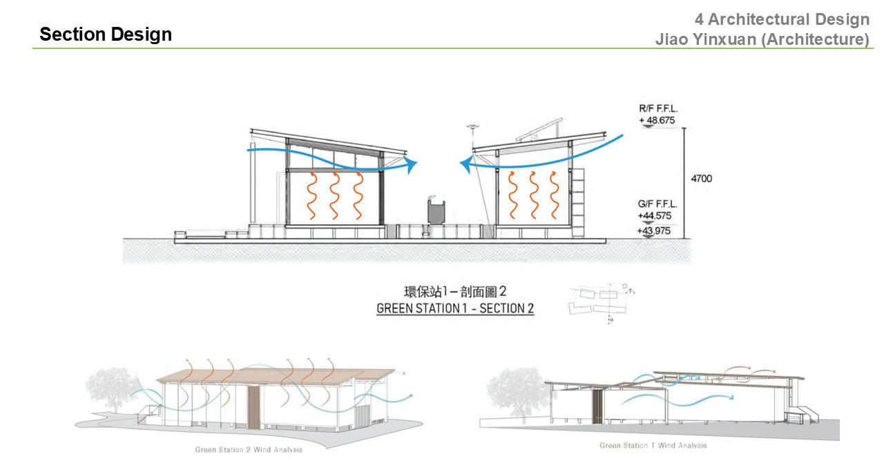
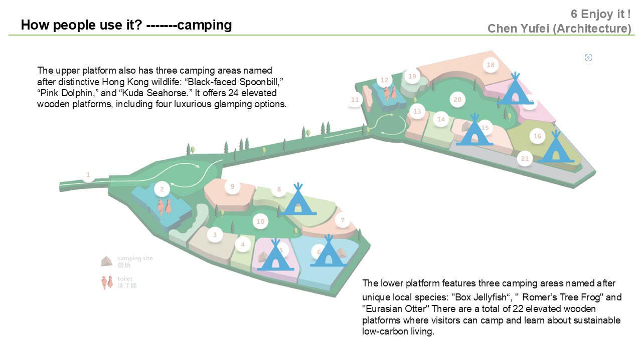
SEED6305
Instructor: Sajjad Muhammad
TA: Wangyizhang Zhou
This course explored resilience-informed disaster risk reduction in urban areas via employing a variety of state-of-the-art tools including geo-information modelling of urban and environmental systems, machine learning, and spatial patterns identification. In the context of Sustainable Development Goals SDG-11 (Make cities and human settlements inclusive, safe, resilient and sustainable) and SDG-13 (Improve education, awareness-raising and human and institutional capacity on climate change mitigation, adaptation, impact reduction and early warning), the course emphasized three purposes.
First, to provide an interdisciplinary perspective and introduction on the conceptual backgrounds of theories related to disasters, their impacts, and community resilience from the viewpoint of high-density cities (i.e., Hong Kong). Second, familiarize students with the practical principles of the applications of geo-information models and basic machine learning to disasters and urban resilience. Finally, use practical cases/examples to establish priorities for resilience building and its communication through interactive platforms for potential stakeholders. In short, the course aims to equip students with in-depth understanding of disaster resilience and assessment frameworks/methodologies via focusing on interconnected urban and environmental systems (in a system-of-systems fashion) to support resilient and sustainable development in the face of disasters.
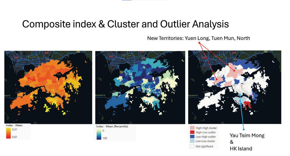
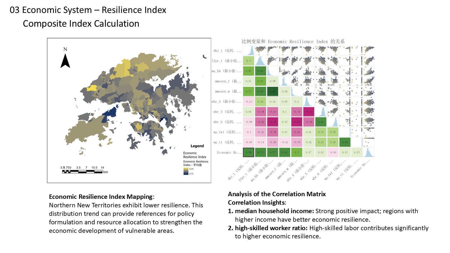
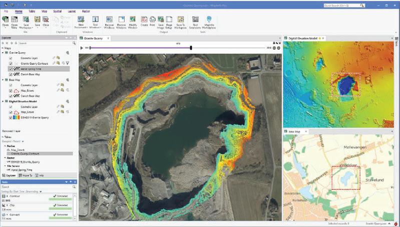
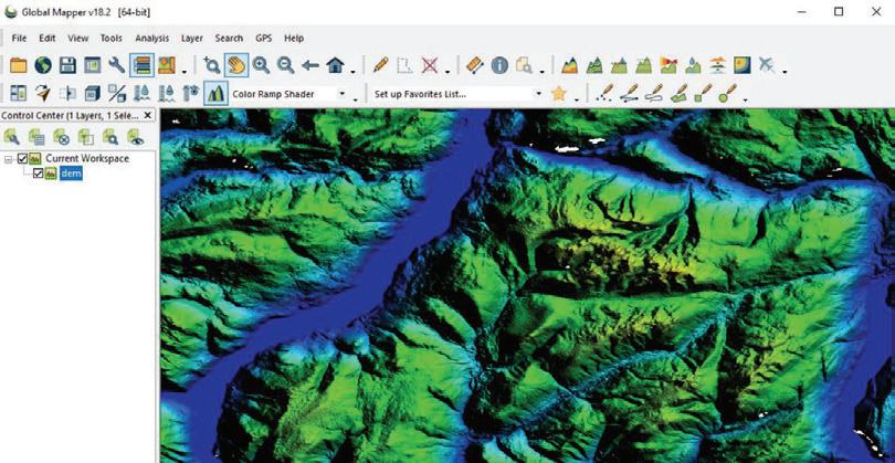
This course explored the application of geospatial analysis and Geographic Information Systems (GIS) to address sustainable development challenges and support the achievement of the United Nations Sustainable Development Goals (SDGs). Through relevant case studies, exercises, and assignments, students learnt how to collect, manage, and analyze geospatial data, and how to apply the GIS knowledge and skills to solve real-world SDGrelated problems. The course aimed to equip students with quantitative tools and methods that support sustainable urban design.
This elective course delved into the subject of advanced ecological design, focusing on wetland creation, remediation, and other ecological restoration techniques. The course material covered historical and traditional approaches to wetland restoration, surveys of restoration and remediation typologies, and their ecological and hydrological characteristics. Additionally, we explored considerations behind wetland planning and implementation, review policy and regulatory frameworks supporting wetland creation in mainland China, and examined emerging technologies in artificial wetland creation and enhancement.
ARCH7305
Instructor:
James Ian Robinson
The course dealt with botanical and horticultural principles and practices in relation to design. It covered the hierarchical nature of the plant kingdom, the physiological relationships between structure and function of plant organs, responses of plants to environmental factors, techniques for plant multiplication, techniques for plant installation, how to manage the planting of interiorscapes, roof structures and green walls, the management of landscaped sites in terms of nutritional requirements and control of pests and diseases and the selection of grass types for a range of uses. The course then look at the essential Contract Documentation required for the letting and management of Landscape and Maintenance contracts.
ARCH7352
Research Seminar in Landscape Technology
Instructors:
Gavin Coates
Nikolas Ettel
Getting our message across to other people effectively is critical in studio reviews, throughout our careers and even as part of our legacies. This course focused on three main communication technologies including spoken storytelling, figurative hand drawing, and videography and GenAI film production. Students were coached in verbal presentation skills by guest speaker Mark Loasby of Connect Communication Ltd. They honed their life drawing skills particularly of the human form, plants and vehicles. Finally, they produced short videos. Emphasis was placed on face-to-face experiential activities such as interviewing, narrating, life drawing, producing collages and short essay films.
Student:
Yadian Wang
Supervisor:
Bin Chen
Collaborator:
Ziming Li
Human proximity to forests fundamentally shapes exposure to natural hazards, biodiversity pressure, and human–nature interactions, yet how this proximity has changed globally over time remains poorly quantified. This research addresses that gap by asking how far people live from forests, how this distance has evolved between 2000 and 2020, and how these changes differ across regions. Using high-resolution population and land-cover data from WorldPop, ESA WorldCover, and GLC_FCS30D, a cloud-based geospatial framework was developed to calculate the distance from each populated grid cell to the nearest forest. These distances were then aggregated to state and national scales using population-weighted averages, enabling consistent spatial and temporal comparison across the globe.
The results show a clear global trend of increasing separation between people and forests, indicating that, on average, human populations are drifting away from forested landscapes. This trend is highly uneven: Africa and South America exhibit the most substantial increases in distance, Europe and North America remain relatively stable, and Asia and Oceania display mixed trajectories. These patterns reflect the combined influence of deforestation, urbanization, and environmental governance, and highlight where growing human–forest disconnection may intensify wildfire risk, biodiversity loss, and land-use pressures.
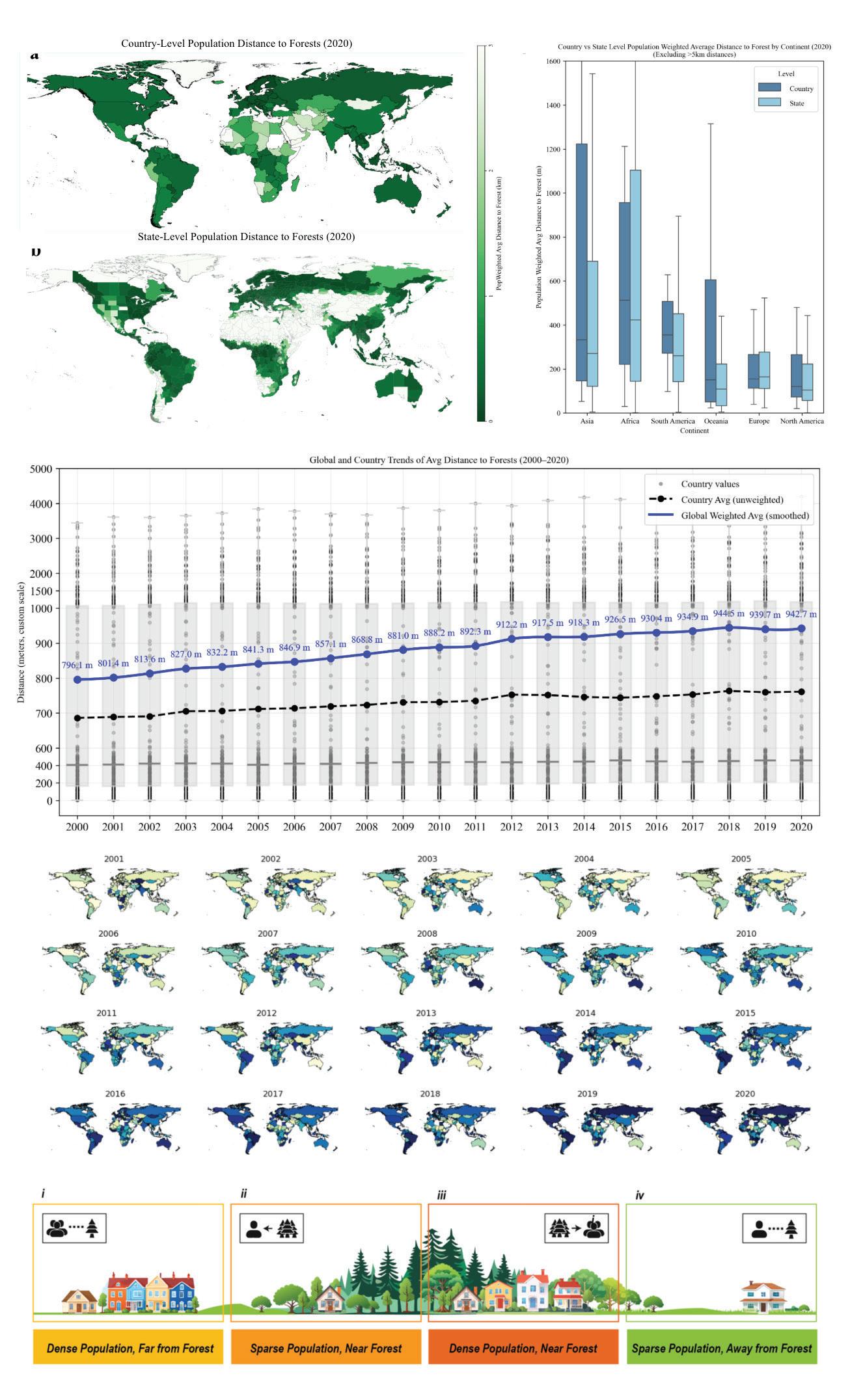
Student: Yufei Huang
Supervisor: Bin Chen
Urban parks are essential public service resources that enhance living environments and promote physical and mental well-being. The opportunity cost of green land in cities is massive, as is their importance to city productivity, warranting more serious attention to systematic monitoring and evaluation of park systems.
Here, we propose a data-driven framework grounded in the supply-demand dynamics of the park-people nexus, to inform strategic greening solutions. Using the one of world’s largest urban area—the Greater Bay Area (GBA) of China as an empirical case study, we reveal that only 55.11% of residents can access parks within a 15-minute walking distance, while 64% live in high-density (>5,000 persons per km2) areas with a per-capita park area of just 4.73 m²—nearly one-third of China’s national standard of 12 m² per person. By evaluating the potential for urban park enhancement and the feasibility of construction costs, our framework presents various greening options, with the most cost-effective scenario involving the development of potential urban parks covering approximately 33.59 km². This could achieve the full park coverage goal, requiring an estimated investment of 16.1 billion CNY. Our method provides a scalable framework for better optimizing urban green spaces in rapidly urbanizing regions.
Practically, we emphasize equitable access to urban parks by proposing an urban park priority index, a comprehensive metric integrating park accessibility, demand-supply of people-park, and park potential. This index provides quantifiable reference derived from large-scale, high-resolution, and multi-faceted spatial data support. Our model also highlights the benefits of implementing ‘Park City’ initiative—a key sustainability goal that expands urban parks services within 15-minute walkable radius.
Student: Renfeng Wang
Supervisor: Chao Ren
This doctoral research refines and standardizes the urban carbon emissions landscape by integrating and modeling multi-source spatiotemporal big data. Through the systematic coupling of remote sensing observations, geographic information, and dynamic socioeconomic datasets, the study develops a high-resolution, spatially explicit framework for quantifying and analyzing urban carbon fluxes. Advanced modeling techniques—including machine learning algorithms and data assimilation methods—are applied to enhance the accuracy, consistency, and interpretability of emission estimates across complex urban environments.
The research focuses empirically on the Guangdong–Hong Kong–Macao Greater Bay Area, a rapidly urbanizing coastal megaregion characterized by significant carbon metabolic intensity and spatial heterogeneity. By tracing the flows and storage of carbon within and across urban systems, the project seeks to uncover the underlying mechanisms driving carbon metabolism, including the roles of land-use change, industrial structure, transportation networks, and energy consumption patterns.
Ultimately, this work aims to produce a standardized, scalable methodological framework (Local Energy Zone scheme) that can support policymakers and planners in monitoring, assessing, and forecasting urban carbon emissions.
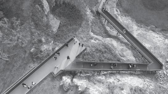
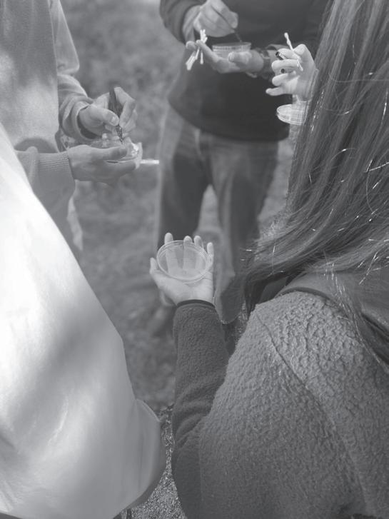
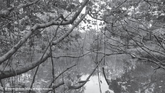

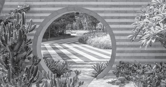
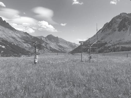
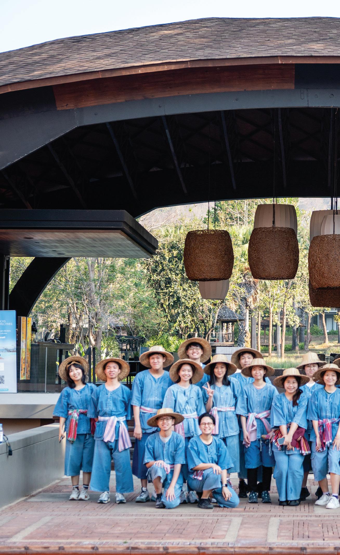
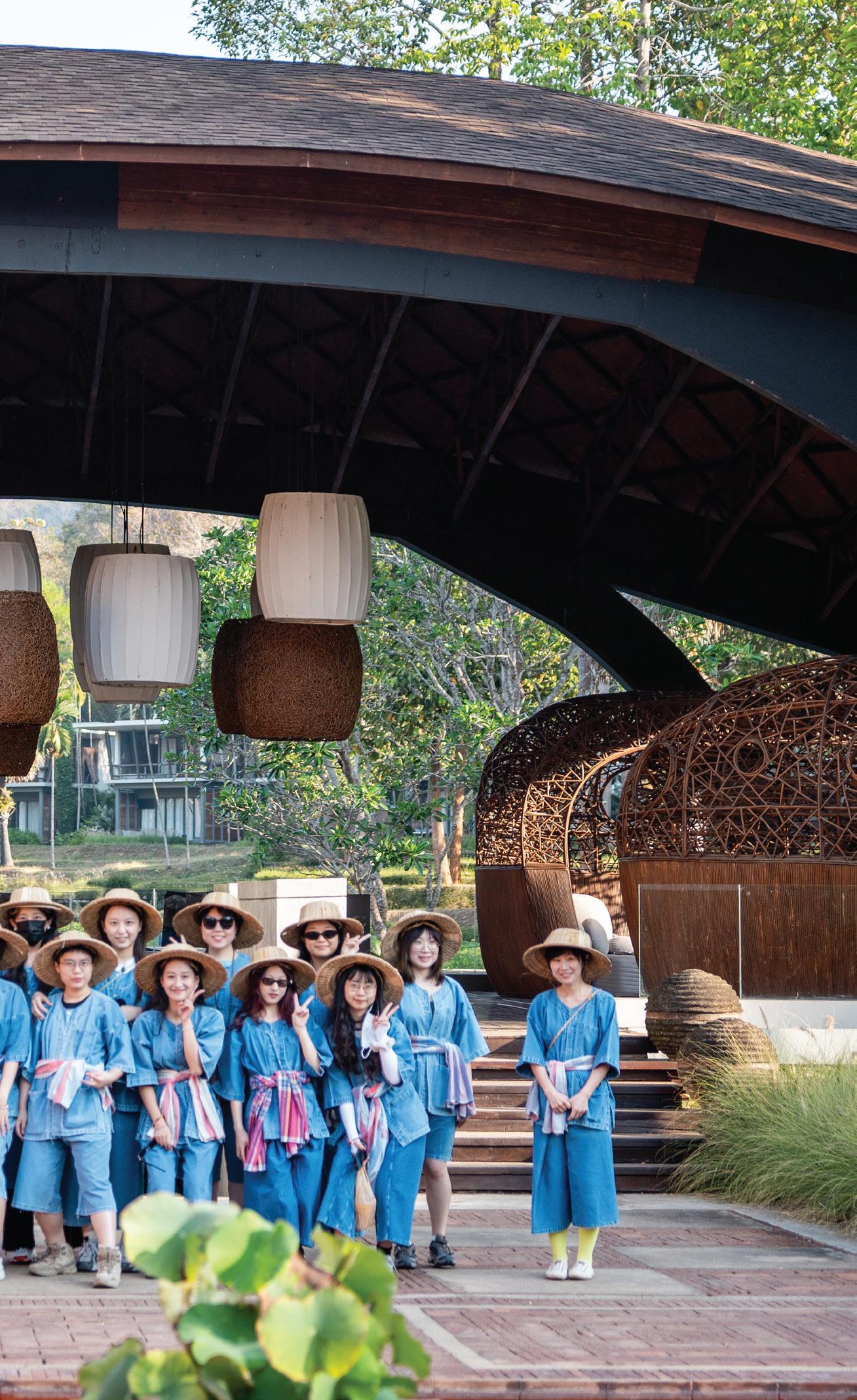
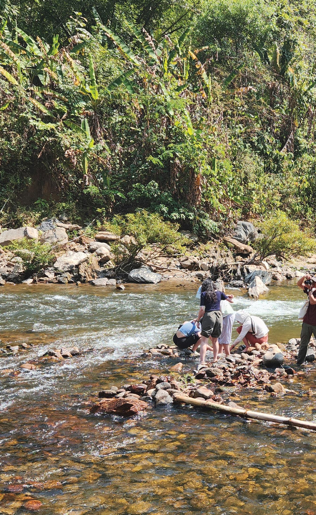
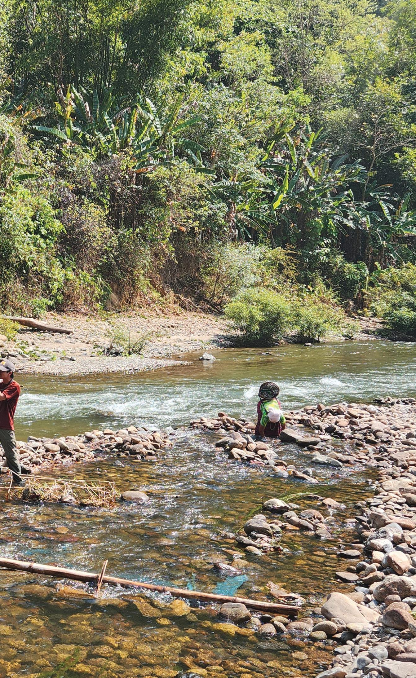
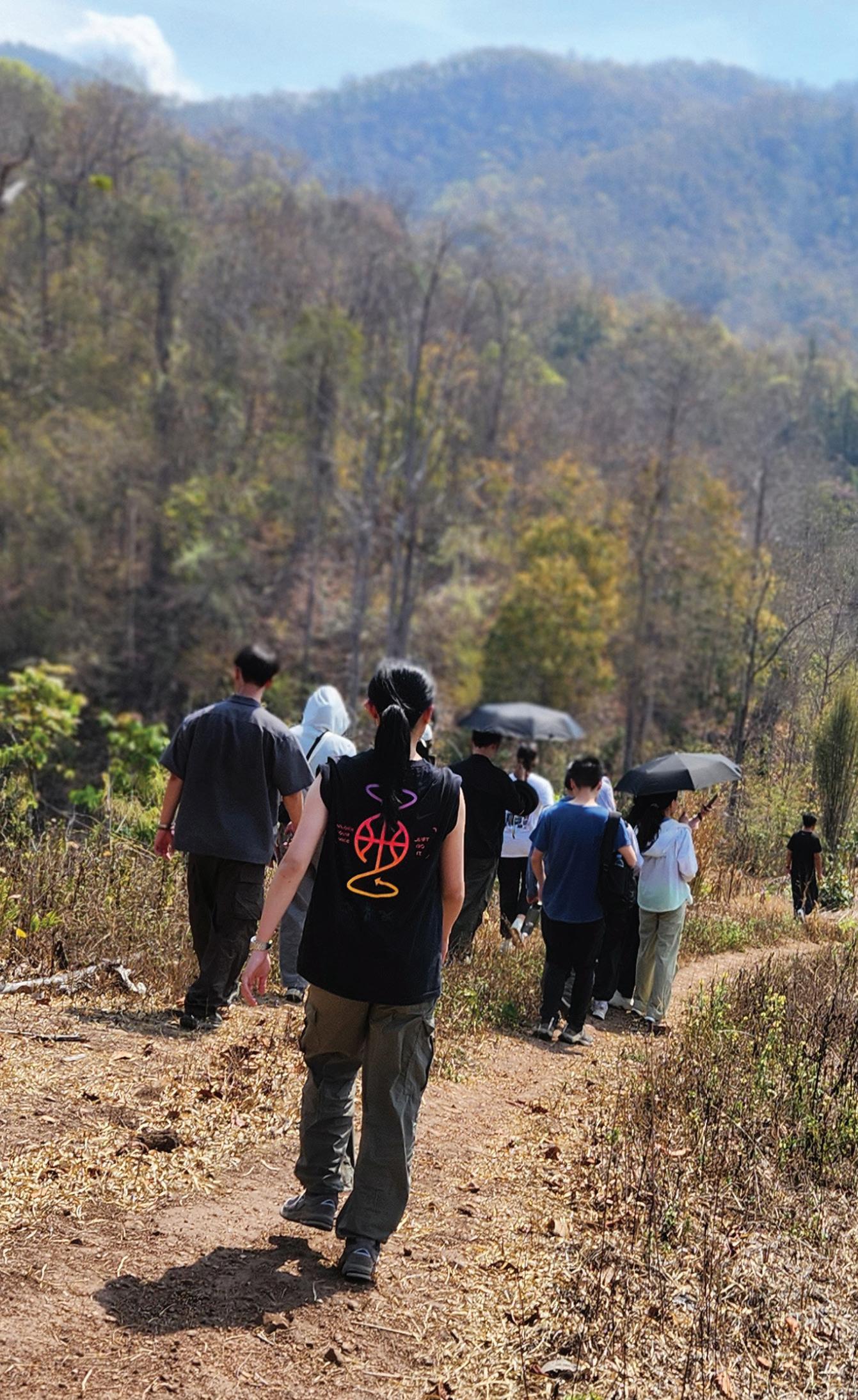
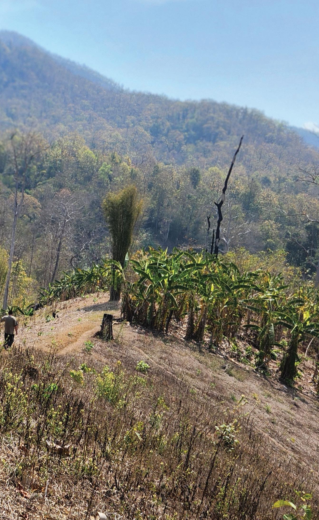
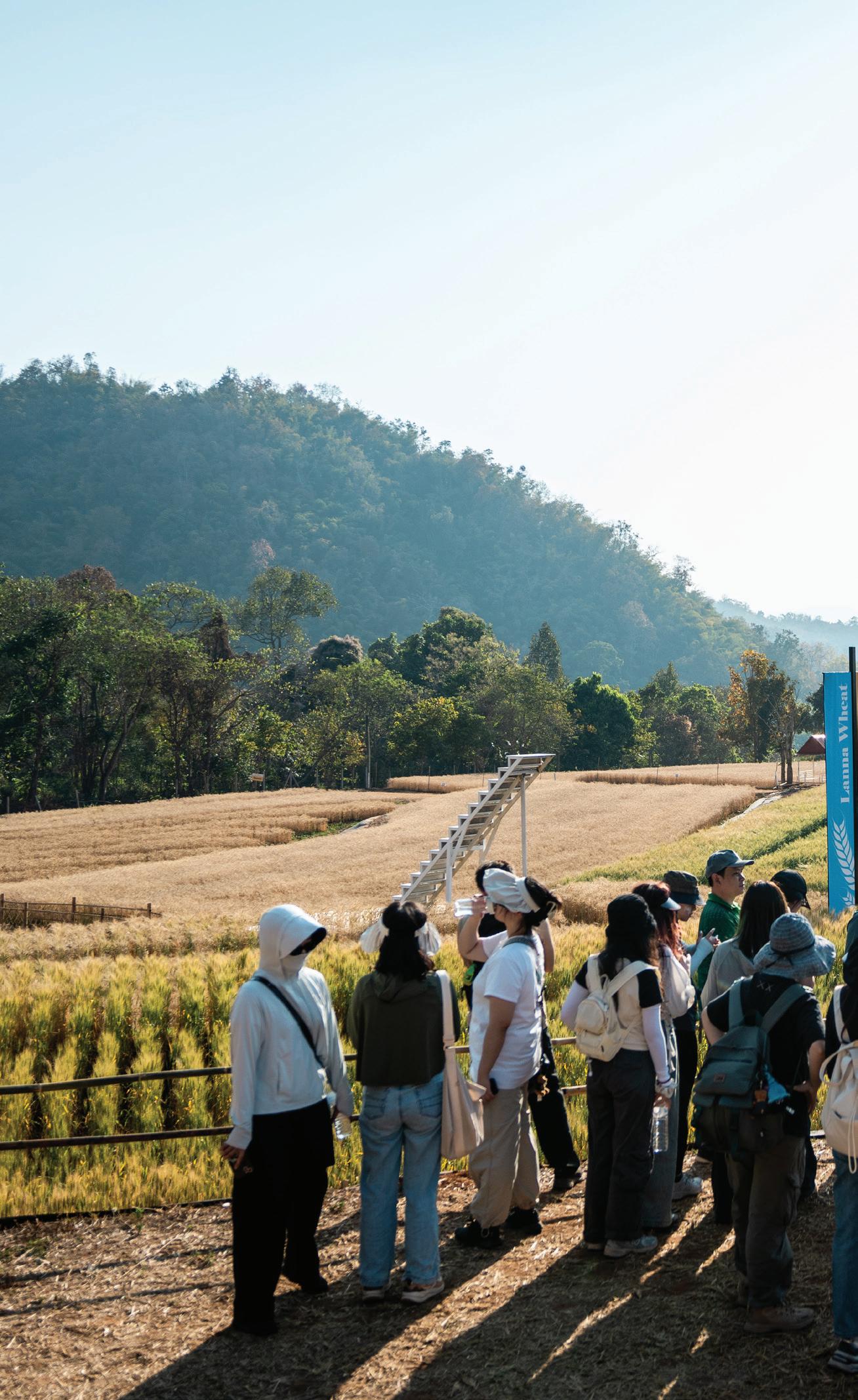
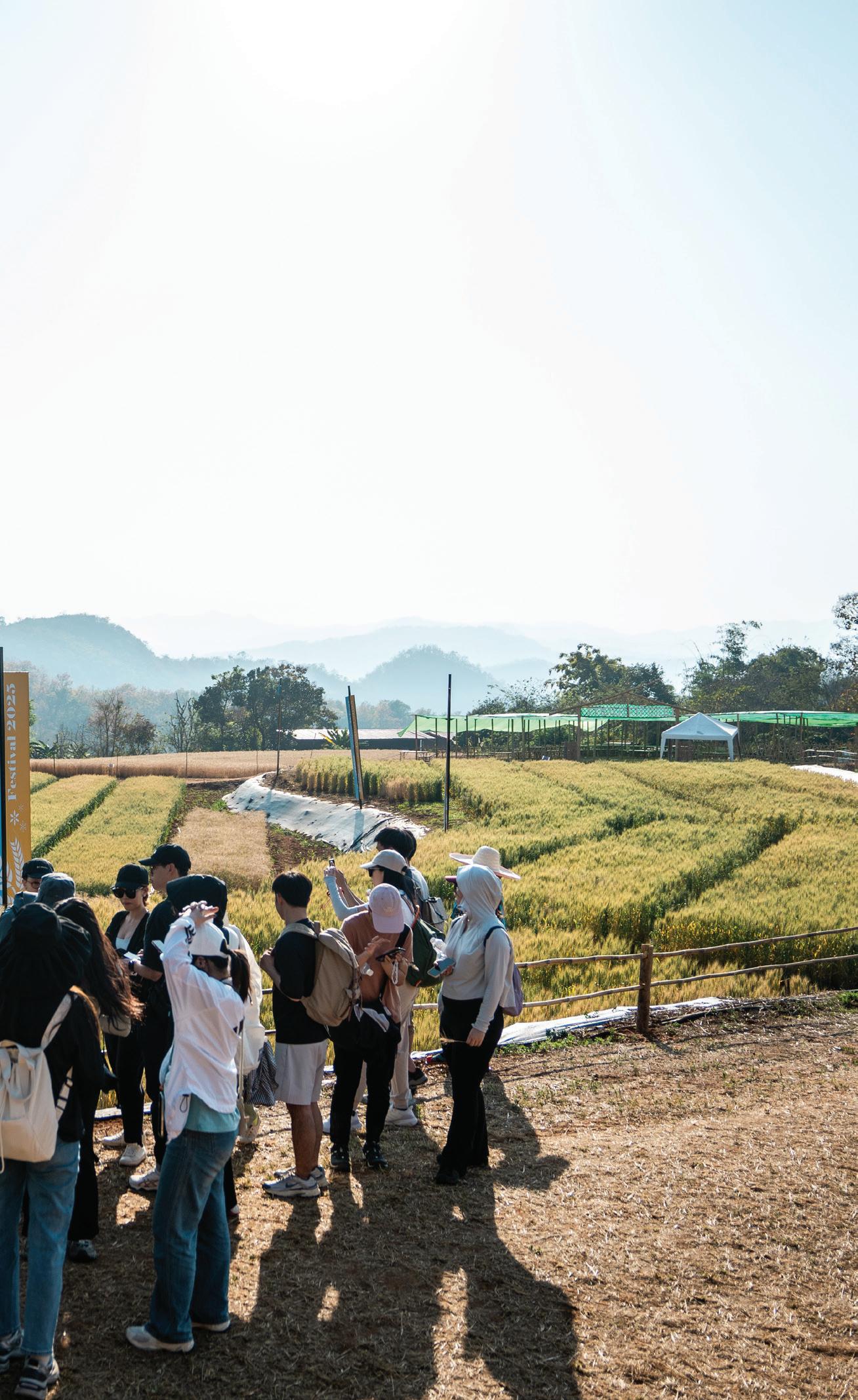
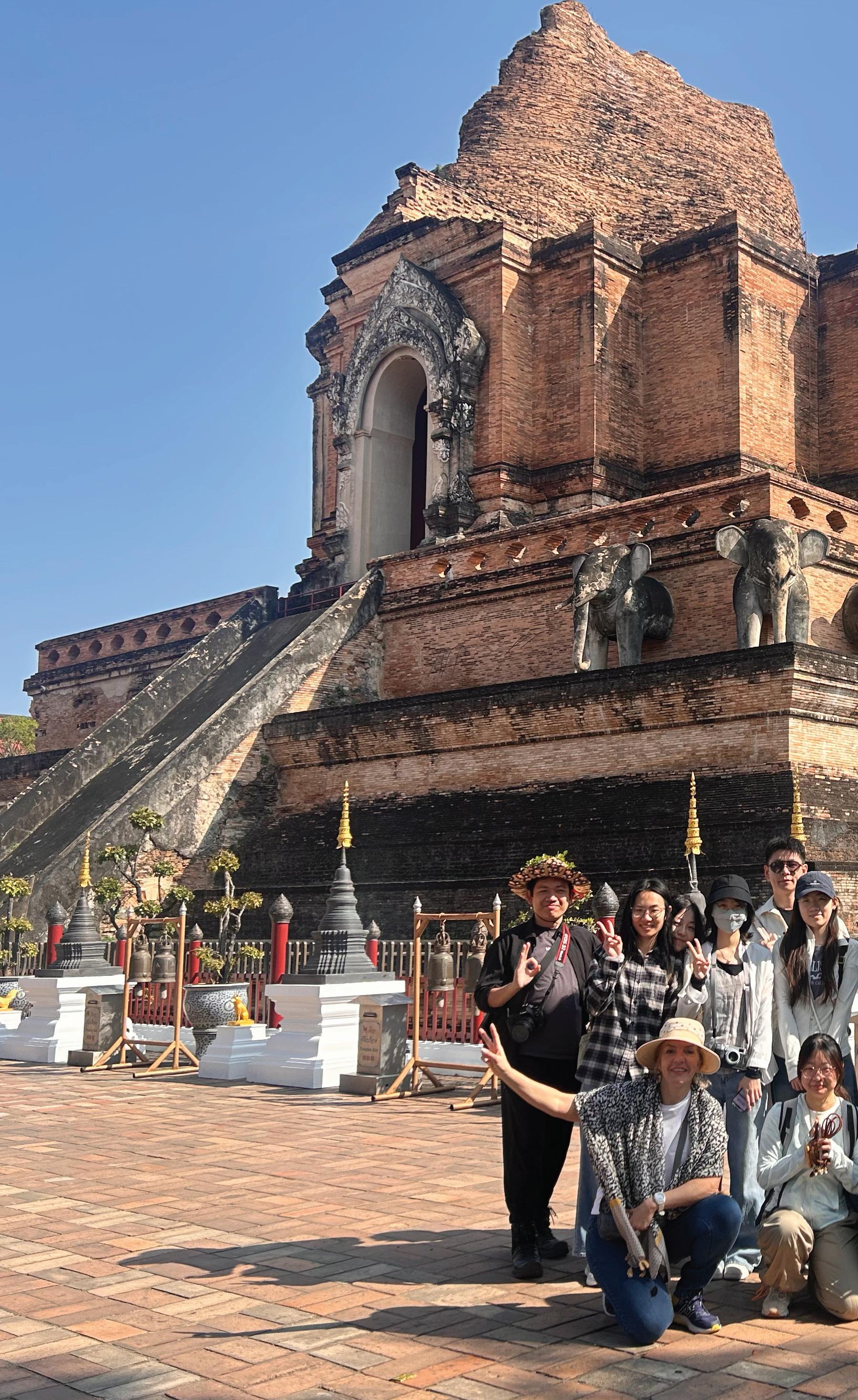
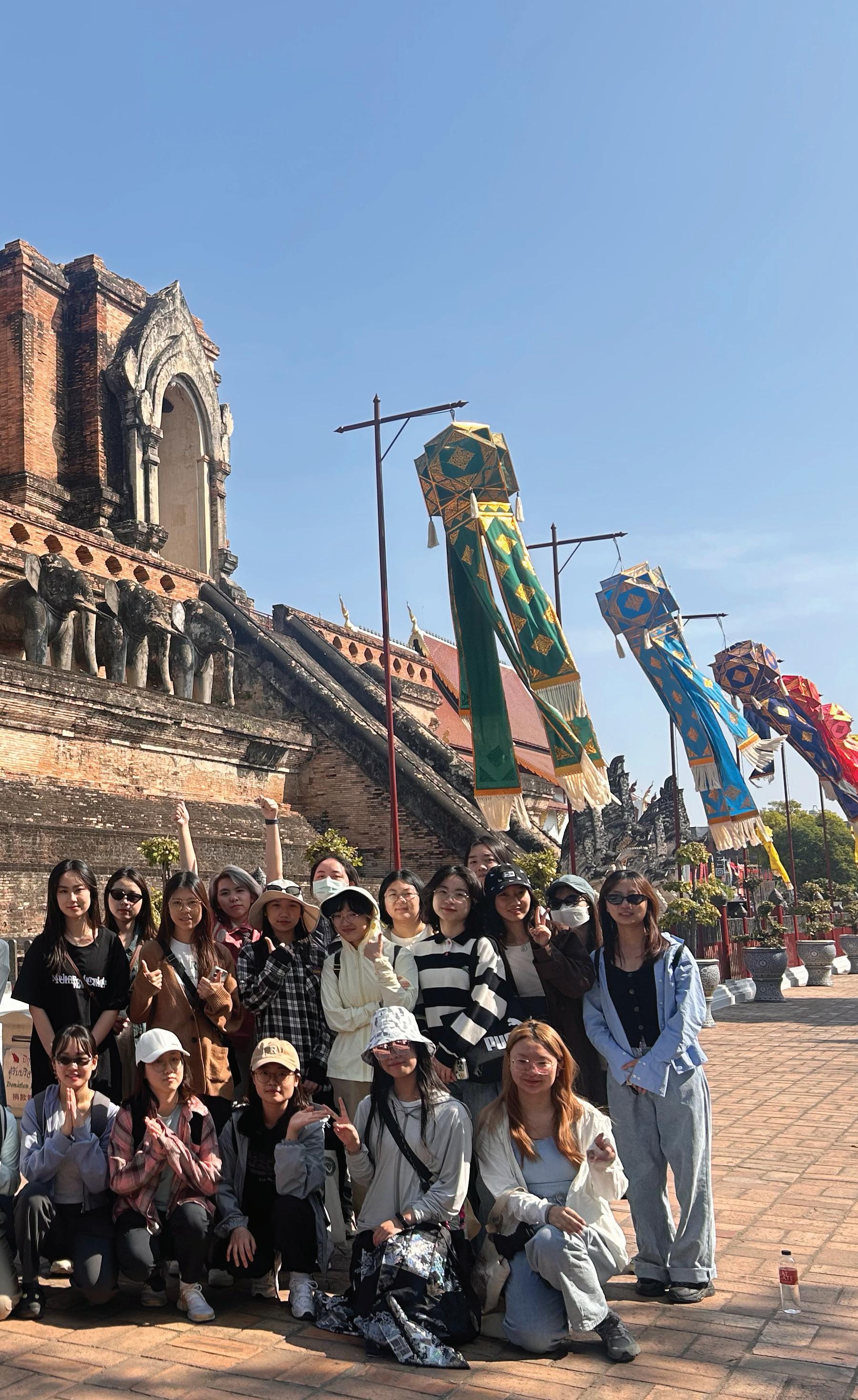
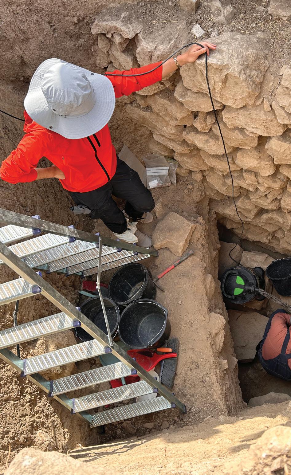
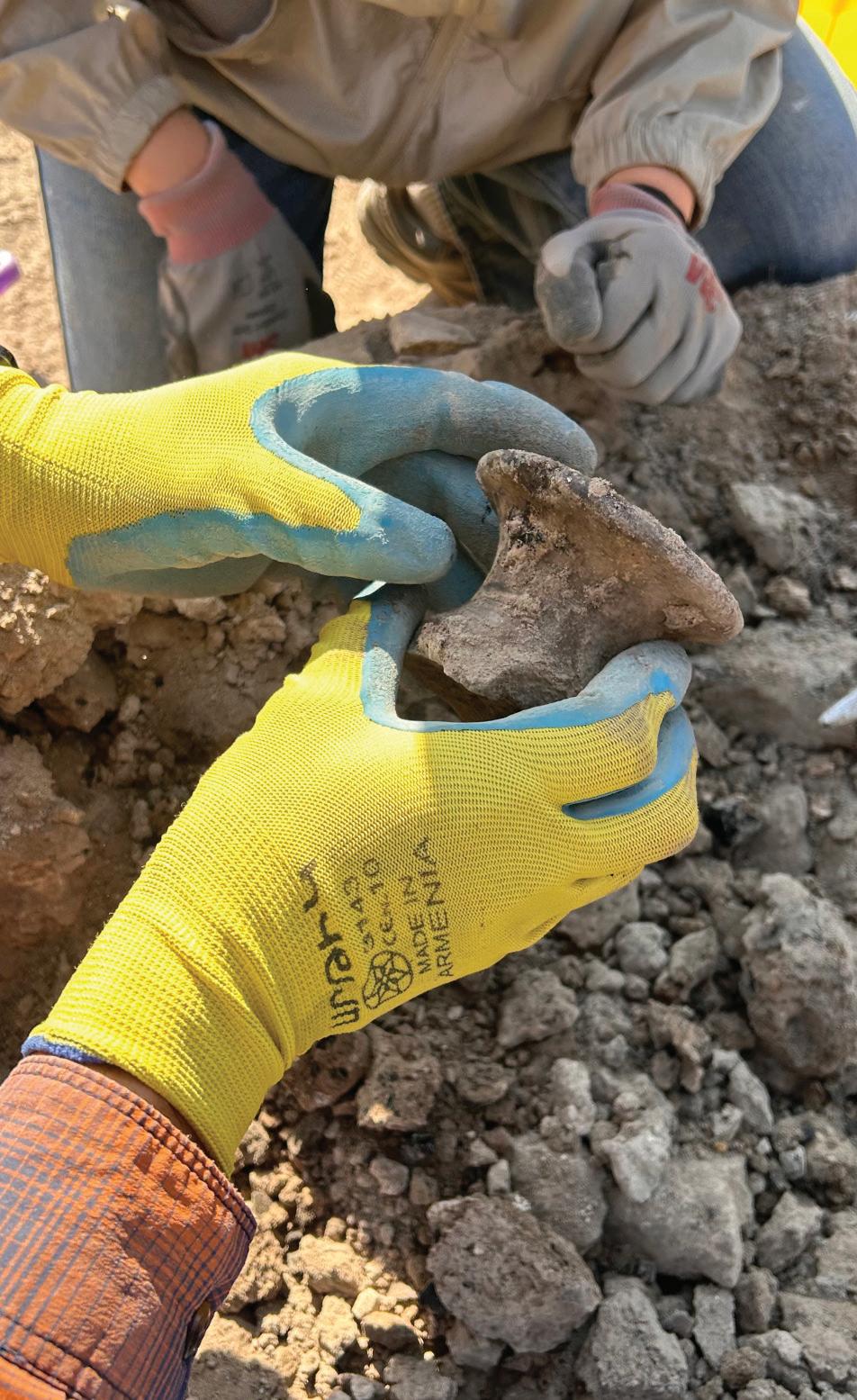
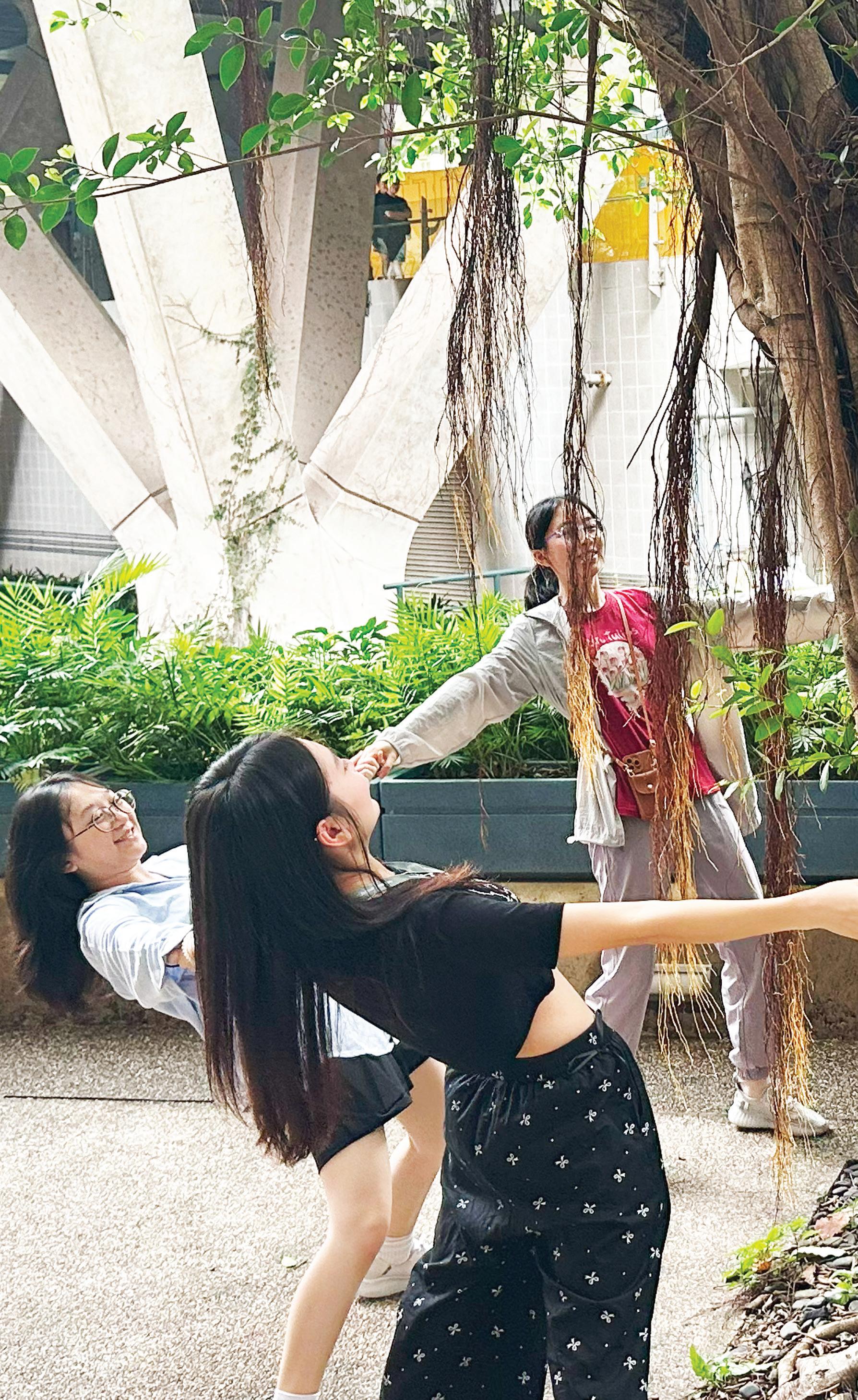
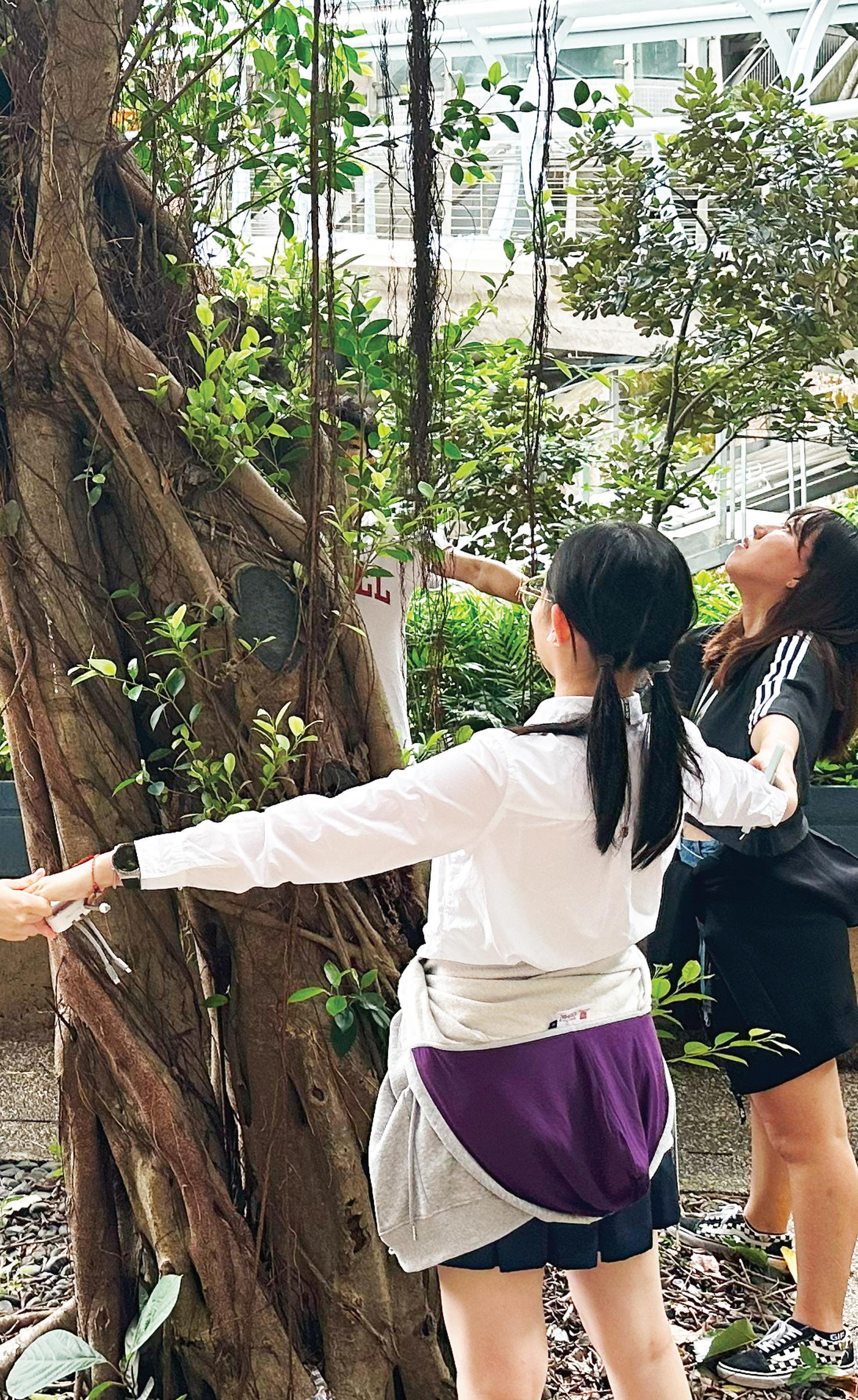
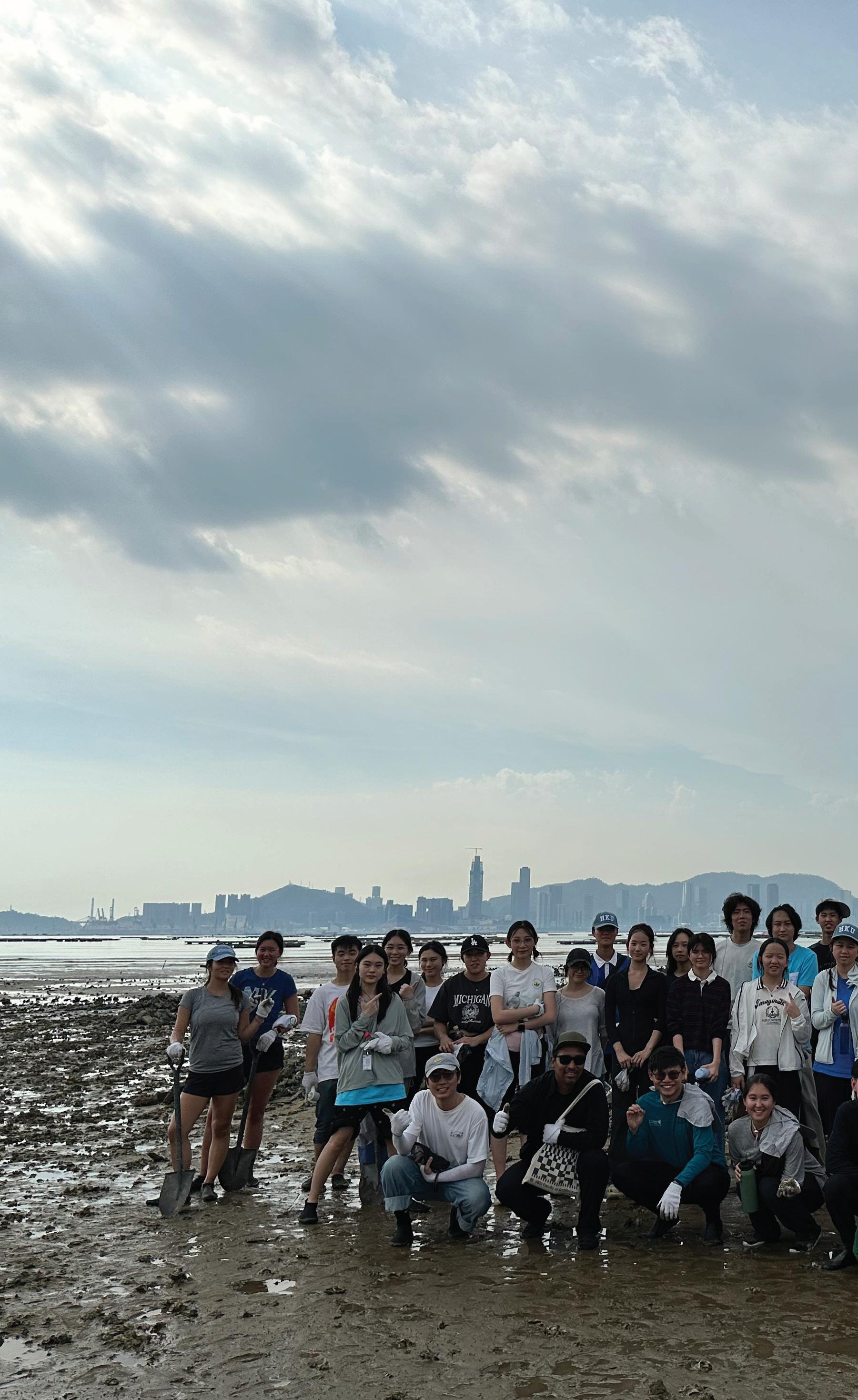
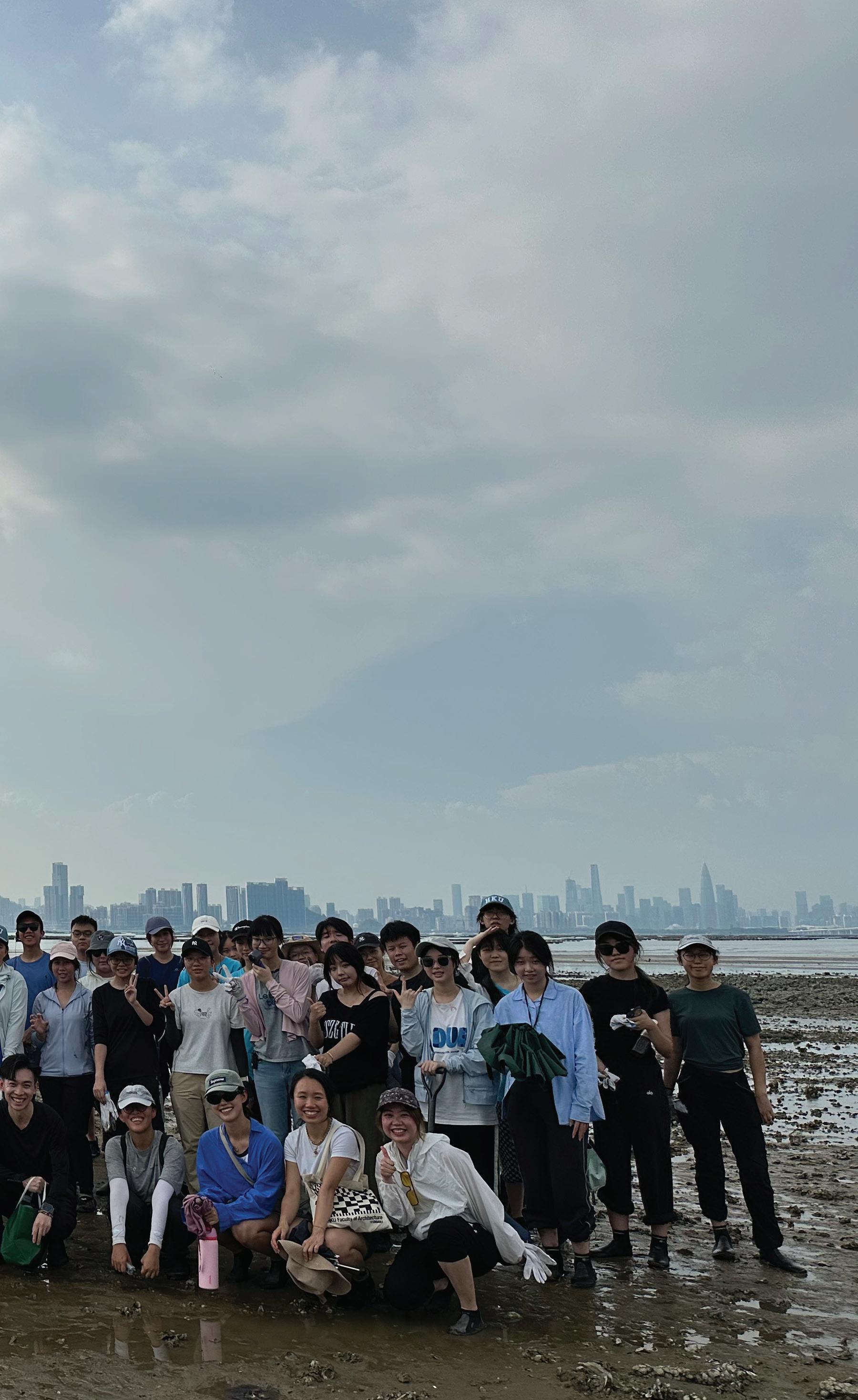
Head of Divison, Associate Professor of Practice
Valin, Ivan
BSc (Arch) Virginia, MLA + MArch UC Berkeley ivalin@hku.hk
Professor
Ren, Chao
BArch; PhD; BEAM Pro renchao@hku.hk
Associate Professor
Chen, Bin
BSc WHU; PhD BNU; binley.chen@hku.hk
Jiang, Bin
BEngUP Hunan; MSLA Peking; PhD Illinois; CELA jiangbin@hku.hk
Associate Professor of Teaching
Pryor, Mathew
BA(Hons) Heriot-Watt; CMLI; RLA; FHKILA; AAHKILA matthew.pryor@hku.hk
Professor of Practice
Unakul, Montira
AB Harvard, MArch + MCP UC Berkeley, PhD Chulalongkorn
Assistant Professor
Kelly, Ashley Scott
BScArch Michigan; MArch Harvard askelly@hku.hk
Shivers, William New Staff BLA LSU; MLA Harvard; PhD Virginia
Division of Landscape Architecture
The University of Hong Kong
Shu, Chang-Xue
BArch & MArch Tongji; MSc Bauhaus Weimar; PhD PoliMi changxue.shu@hku.hk
Lu, Xiaoxuan
BArch SCI-Arc; MLA Harvard; PhD Peking
Senior Lecturer
Coates, Gavin S.
BLA DipLA (Leeds); DipPCDI; CMLI (UK); MCSD (UK); FHKILA; RLA; CA; FHEA gscoates@hku.hk
Echeverri, Natalia
BA Washington; MCP, MArch UC Berkeley
Mak, Vincci W.S.
BArch USC; MLA Harvard wsvmak@hku.hk
Trumpf, Susanne Elisabeth
BArch TU Berlin; MArch TU Delft strumpf@hku.hk
Lecturer
Cevallos Barragan, Francisco
MScArch Spain; MLA HK cbfd@hku.hk
Shetabi, Linda
BA UCLA; MSc(Con) HKU; PhD UofGlasgow shetabi@hku.hk
Research Assistant Professor
Jia, Siqi
BSc SDNU; MSc CUHK; PhD PolyU siqijia@hku.hk
Wu, Shengbiao
BSc WHU; PhD CAS shengwu@hku.hk
Muhammad, Sajjad BS (Hons) GCUF (Gold Medal); MS XMU; PhD CityU
Adjunct Professor
Lam, Kin Che
BA, MPhil HKU; PhD UNE
Katzschner, Lutz PhD Uni Kassel
Yoshiki, Yamagata PhD UTokyo (System Science)
Adjunct Associate Professor
Au, Benny P.N.
BSc (Hons) Imperial; MSc(Eng)(BSE), MSc (EnvMan) HKU
Chung, Andy W.L.
BEng (Hons) CUHK; MSc HKUST
Giam, Ei-kie
BEnvDes BArch (Hons) LEED AP
Jung, David BALA UC Berkeley; MLA Harvard
Kehrer, Jutta MLA & EP Germany
Leung, Chi Fung
BEng (Hons) HKU; MSc Poly
Leung, Man Kit
BA(AS), BArch (Dist), HKU; MPhil Cambridge
Division of Landscape Architecture
The University of Hong Kong
Liauw, Laurence W.W.
BSc (Hons), University of London (City), HKIA, ARB, AADipl
Adjunct Assistant Professor
Brennan, Bernard
BArch DIT; PgDip ARB UCL
Chan, Jeremy Y.L.
BASc(Hons), BES(Hons) Waterloo; MLA UBC; PhD HKU; ASLA; HKILA
Chui, Jack S.K.
BEng SYSU; MSc CUHK
Ettel, Nikolas
BArch AkBild; ir.Arch MA(AH) Bartlett, UCL
Hilgefort, Jason
BUP UC; MArch UBC; PHD candidate RMIT; AICP
He, Yuxin
BEng (Hons), MLA Peking, MLA Harvard
Huang Qijin
BSocSc(ArchS)(Hons) CUHK, MSA Manchester, MA(LU) London
Luo, Zhihang
B.ARCH, MLA, AICP, LEED GA
Ko, Kiki O.Y.
BASc UNSW; MBA UniSA
Kokora, Michael
BA Minnesota; MArch Yale
Ng, Sylvia
BSLA Penn State; MLA UC Berkeley; AA Dipl
Phillips, Steve
BA(Hons), IntArch, MA DipArch RIBA, HKICON
Robinson, James Ian
CHort; HND
Saladino, Nicola
BArch Spain; MA AA London
Wilson, Barry
BA(Hons) Edinburgh; FHKIUD; FHKILA; HKRLA; CMLI.
Wu, Roger Tsan-Sum
BArch Bath
Zuo Long
BArch TJU, MAUD, Harvard
Distinguished Fellow
Wong, Kam-sing GBS, JP
BA(AS)(HKU); BArch(HKU); MASA(UBC); HKIA; RA(HK); AP(HK)
Honorary Associate Professor
Chu, Cecilia
BAA (Ryerson); MA (PolyU); MSc (HKU); PhD (UC Berkeley)
Visiting Professor
Luo, Vincent Z.
MSc, BSc HIT; PhD HKU
Lecturer (Part-time)
Chan, Eric P.W. BSc CUL; MSc Imperial
The University of Hong Kong
Endrizzi, Raffaella New Staff
BScArch, MScArch ETH
Fan Man Si Phoebe
BA(AS) HKU, MArch HKU
Geoghegan, Kevin
BSc Ireland; PhD HKU
Huang, Brandon X. New Staff
BArch Tsinghua; MLA Harvard
Li, Jiali New Staff
BLA HFUT; MLA RISD; PhD HKU
Liang, Ting
Barch ZJU; MLA Harvard
Montero, Claudia
BSArch UST; MArch UPD; MPhil CUHK
Minasiewicz, Natasza
MSc WUST
Wang, Ting
BA(Hons) XJTLU; MLA, PhD HKU
Wong, Monique H.Y.
BALS, MLA HKU
Xu, Sonny M.Q. New Staff
BArch Cornell; MLA (Dist), MArch Harvard
Zhuang, Yuan
BA Denison; MLA Cornell
Post-doctoral Fellow
Yang, Yiyang
BEng SYSU; MUD HKU; PhD CityU
Teaching Assistants:
Ho, Michelle Chelsea
Liu, Vicki J.
Liu, Yapeng Olly
Tsui, Tony H.
Tang, Tat C.
Zhou, Wangyizhang
Administrative Assistant
Lee, Esther S.T. estherst@hku.hk
Academic Programme Officer (MSc(Con), MSc(SED))
Cheung, Tony C.H. tony37@hku.hk
Academic Programme Officer (BA(LS), PDLA, MLA)
Leung, Athena W.M. athenal@hku.hk
Project Officer (Staff grants)
Lai, Spandy Y.C. spandy@hku.hk
Office Attendant
Lam, May M.M.
The University of Hong Kong
Editor
Jin, Jonson Q.
Graphic Design
Anthony Lam
Jin, Jonson Q.
Photographers
Tang Chi Tat
Tsui Ho Yin Tony
Liu Yapeng Olly
Typeface in Use
Inter Tight by Rasmus Andersson
Published by Divison of Landscape Architecture, The University of Hong Kong
Printed in Hong Kong
This book is printed on FSC certified and 100% recycled paper.
Images by Division of Landscape Architecture, The University of Hong Kong. All rights reserved. No parts of this publication may be reproduced, stored in a retrieval system, or transmitted in any form or by any means, electronic mechanical, photocopying, recording or otherwise, without prior permission from Division of Landscape Architecture, The University of Hong Kong.
The content of this publication is based solely on the creator’s respective personal view and hence does not represent the view of the editor,Division of Landscape Architecture or the University of Hong Kong. For information about admissions to the academic programs please contact the Secretary of the Division of Landscape architecture : landscape@hku.hk