
2 minute read
Protected Areas


Texas Mississippi
Louisiana Alabama Georgia
Coahuila
Nuevo León

Tamaulipas


San Luis Potosí Florida


GULF OF MEXICO
La Habana Artemisa Pinar del Río Mayabeque
Matanzas
Hidalgo
Tlaxcala
Puebla Veracruz
Oaxaca Tabasco
Chiapas Yucatán
Quintana Roo
Campeche International Boundaries State/Province Borders
N N
0 200 400 Km
Protected Areas: Terrestrial and Marine
Protected Areas Inside Coastal Belt
Protected Areas Outside Coastal Belt
Coastal Belt
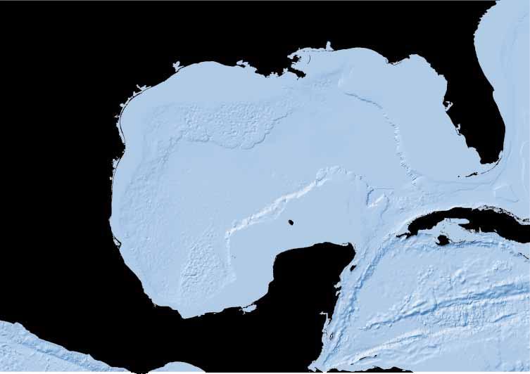
This map represents designated terrestrial and marine protected areas on the international, national, and local levels as of September 2012 for U.S./Mexico and 2010 for Cuba. U.S. marine protected areas that have been designated as gear-restricted areas, fishery closures, and reef fish stressed areas by the National Marine Fisheries Service (NMFS) have been excluded. Most Cuban protected areas on the local level are not shown due to data unavailability.
Cuba, Mexico and the United States have recognized the special value of certain areas because of their high biodiversity; productivity, distinctive nature and ecological or biological value. In many cases they have created marine protected areas (MPAs) to conserve those values. MPAs encompass a broad array of protection from limiting activities to excluding access, the latter of which has created considerable controversy. This is unfortunate as resource managers need as many tools as possible to accomplish what all wish to see, a healthy and sustainable Gulf of Mexico. Many examples exist where stakeholders of disparate interests have come together, like the Flower Garden and Florida Keys National Marine Sanctuaries, to conserve these areas for future generations. These are hopeful models for future conservation efforts.

Arrecife Alacranes or Scorpion Reef is the largest reef in the Southern Gulf of Mexico. It contains five vegetated islands: Isla Desertora, Isla Pérez, Isla Pájaros, Isla Chica, and Isla Desterrada. The reef was declared a National Park, and a “Reserve of the Biosphere” by the United Nations in 1994. Credit: CONANP
4.3% of the Coastal Belt are protected areas Area protected inside the Coastal Belt 105,700 km2

The Flower Garden Banks were discovered by snapper and grouper fishermen in the early 1900’s and named after the brightly colored sponges, plants, and other marine life living in the banks. In 1992, they were designated as a National Marine Sanctuary under the National Marine Sanctuary Act. Credit: NOAA


