GUIDE

HURRICANE CLEAN UPSeparating Your Debris
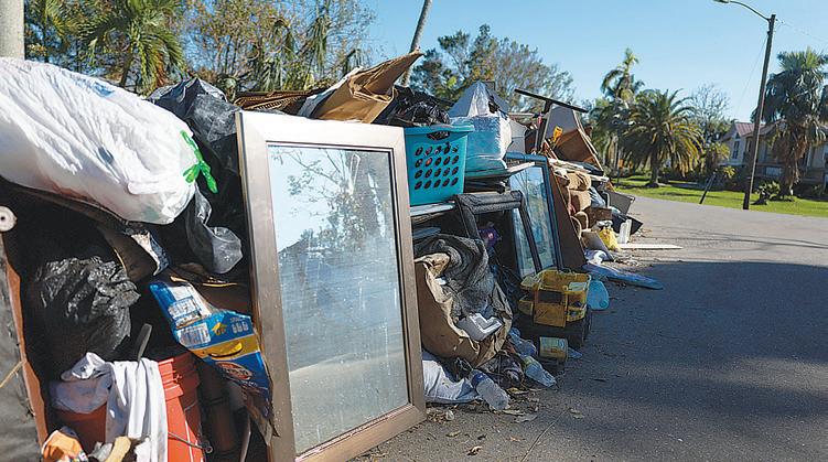
Debris should be placed curbside, without blocking the roadway or storm drains.
NO PICKUP ZONE
Any debris placed from the sidewalk toward your proper ty will not be picked up.
APPLIANCES & WHITE GOODS
CONSTRUCTION & DEMOLITION DEBRIS
Building materials
Carpet
Normal Household Trash
Normal household trash and bagged debris of any kind will not be picked up with disaster debris You should continue to follow your normal garbage removal schedule.
Leaves (do not put in bags) * If you have a lot of leaves and small twigs in plastic bags, please set those aside from any brush piles. Logs Plants Tree branches
Dr ywall
Furniture
Lumber
Mattresses Plumbing
Air conditioners
Dishwashers
Freezers
Refrigerators
Stoves
Washers, dr yers
Water heaters
ELECTRONICS
Computers
Radios
Stereos
Televisions
Other devices with a cord
HOUSEHOLD HAZARDOUS WASTE
Check with your local government.
* The brush will be ground into mulch, so plastic must be avoided.
DEBRIS SEPARATION
Separate debris into the six categories shown.
DO NOT STACK OR LEAN
Placing debris near or on trees, poles, or other struc tures makes removal di cult. This includes re hydrants and meters.
UNSURE WHERE TO PLACE DEBRIS?
If you don’t have a sidewalk , ditch, or utility line in front of your house, place debris at the edge of your proper ty before the curb
FREQUENTLY ASKED QUESTIONS ABOUT HURRICANE CLEAN UP
What is the di erence between storm-related debris and regular household trash?
Storm debris includes any trees, tree limbs and shrubs that went down in the hurricane. Regular household trash is what you would throw away in a typical week.
When will the storm debris be collected from my curb and what should I do to prepare?
There is no schedule for when storm debris will be collected from your neighborhood, but be assured that it will. Cleanup e orts take time.
When will my regular household collections resume?
Regular collections of garbage, recycling and your normal weekly yard waste resume as soon as it is safe for collection crews to do so.
www.charlottecountyfl.gov 941-764-4360

www.collier.gov/solidwaste 239-252-2380
PRE PARE YOUR P ROPERTY FOR ST ORM SEASON BEFORE JUNE 1
www.leegov.com/solidwaste 239-533-8000

• Cut back any trees or branches that contact your house, pool cage, shed or other buildings.
• Thin foliage so wind can blow freely through branches and decrease chances the plant will become uprooted.
• Clean your property of any items that could become a projectile during a storm such as old lumber, broken lawn furniture, etc., and place them at the curb on your regular waste collection day.
• Place trimmings at the curb on your regular collection day. Yard waste must be containerized in a separate yard waste container, paper lawn and leaf bag, or bundled. Yard waste in plastic bags will not be collected.
C H A RLOT TE C O UN TY
10 Containers/bundles not over 40lbs (no plastic bags). Limbs not over 6ft in length/ 10in. in diameter. 4 cubic yards bulk per week.
C O LLIER C OUNTY
Containers and bundles cannot weigh more than 50 lbs. each. Limbs cannot be more than 4 feet in length or 4 inches in diameter. A total of ten 45gallon containers or ten bundles of yard waste may be placed curbside.
Once a storm is named or a hurricane watch / warning is issued:
• Place garbage and recycle carts inside or secure them so they cannot blow or float away due to strong winds or storm surge.
• Do not cut down trees or do any major yard work. Mass cutting produces a burden on the normal collection process.
• Do not begin construction projects that produce debris unless absolutely necessary to protect life and property.
• Secure all debris, and do not place materials of any kind at the curb during a Watch or Warning period.
• Services may be suspended and facilities may close early to prepare for the storm. Residents should monitor local media and their county government websites or social media platforms for information on collection service statuses and any changes to disposal facility operations.
LEE C OUNTY
Containers and bundles cannot weigh more than 50 lbs. each. Limbs cannot be more than 6 feet in length. Up to 50 lbs. of unbundled palm fronds may be placed at the curb. Do not place yard waste in plastic bags.
After the storm has passed:
• Most important – keep storm debris separate from your regular household garbage and recycling.
• Storm debris should be sorted into separate piles for garbage, yard waste, appliances, furniture & other bulky waste, appliances and construction debris as shown in the diagram to the left. Check with your local government regarding set out of household hazardous waste.
• Storm generated debris of any kind that is bagged will not be picked up.
• Pick up will be done with a mechanized claw truck so it's important that you not set debris over buried electric/ phone lines, water meters, hydrants, mailboxes or under power lines. Inspectors will tour each part of the county to determine where collection needs are greatest.
• Be patient. Following a storm, the No. 1 priority is the health and safety of our community and restoration of the county. When collection services resume, place garbage curbside away from storm-related debris on your regular collection service day.
• Debris collection guidance and recovery process updates will be available through local media and on county government websites and social media platforms.
Protecting and Beautifying Your Property for Over 50 Years!
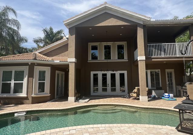
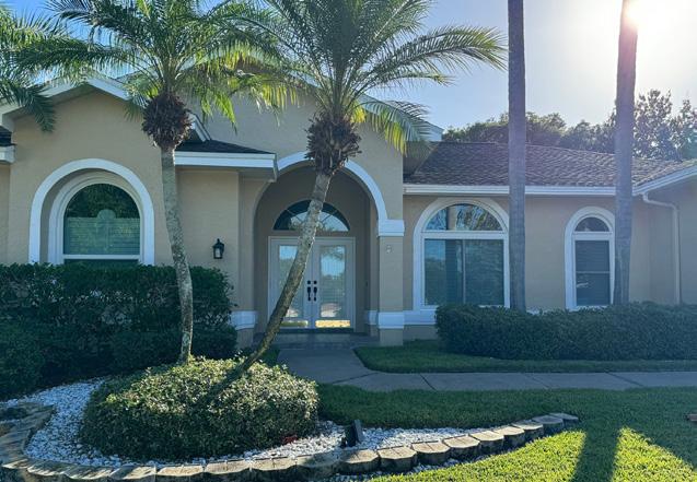
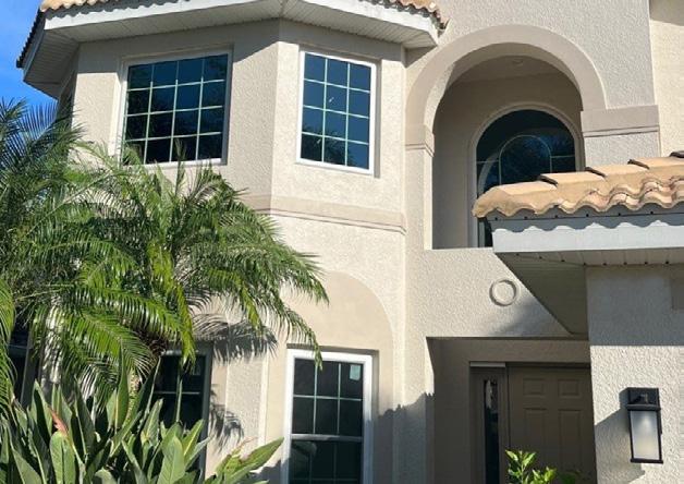
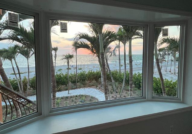
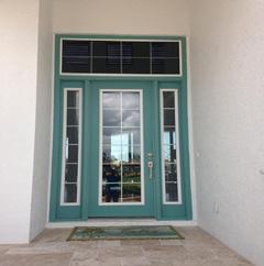
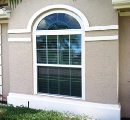
Reece Windows & Doors is a company that is committed to 100% customer satisfaction. This is why we only use in-house installers, offer lifetime warranties, and conduct final inspections to ensure all work is completed to our high standards.
“We had all windows and our front door replaced by Reece and they look and work great. I would definitely use them again.” -Valerie E.





Disaster Legal Services

for Storm Survivors in Florida
The Role of FRLS in Disaster Recovery
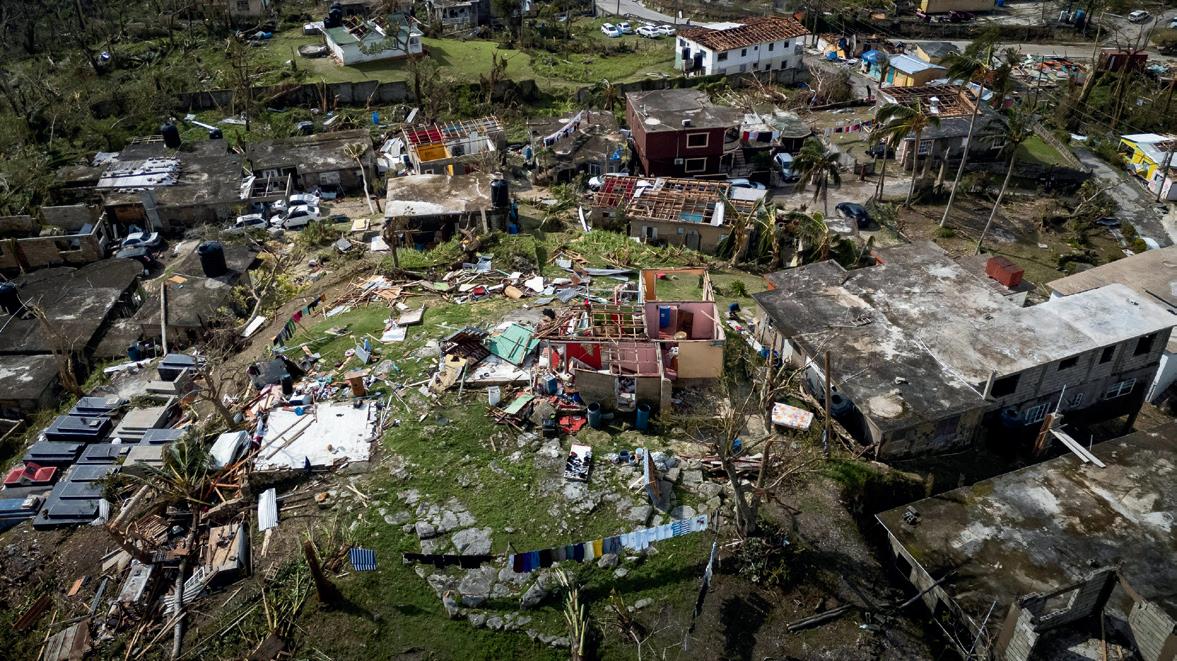
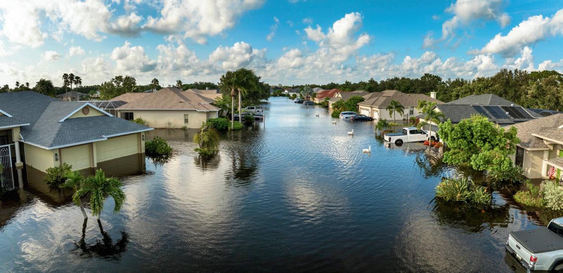
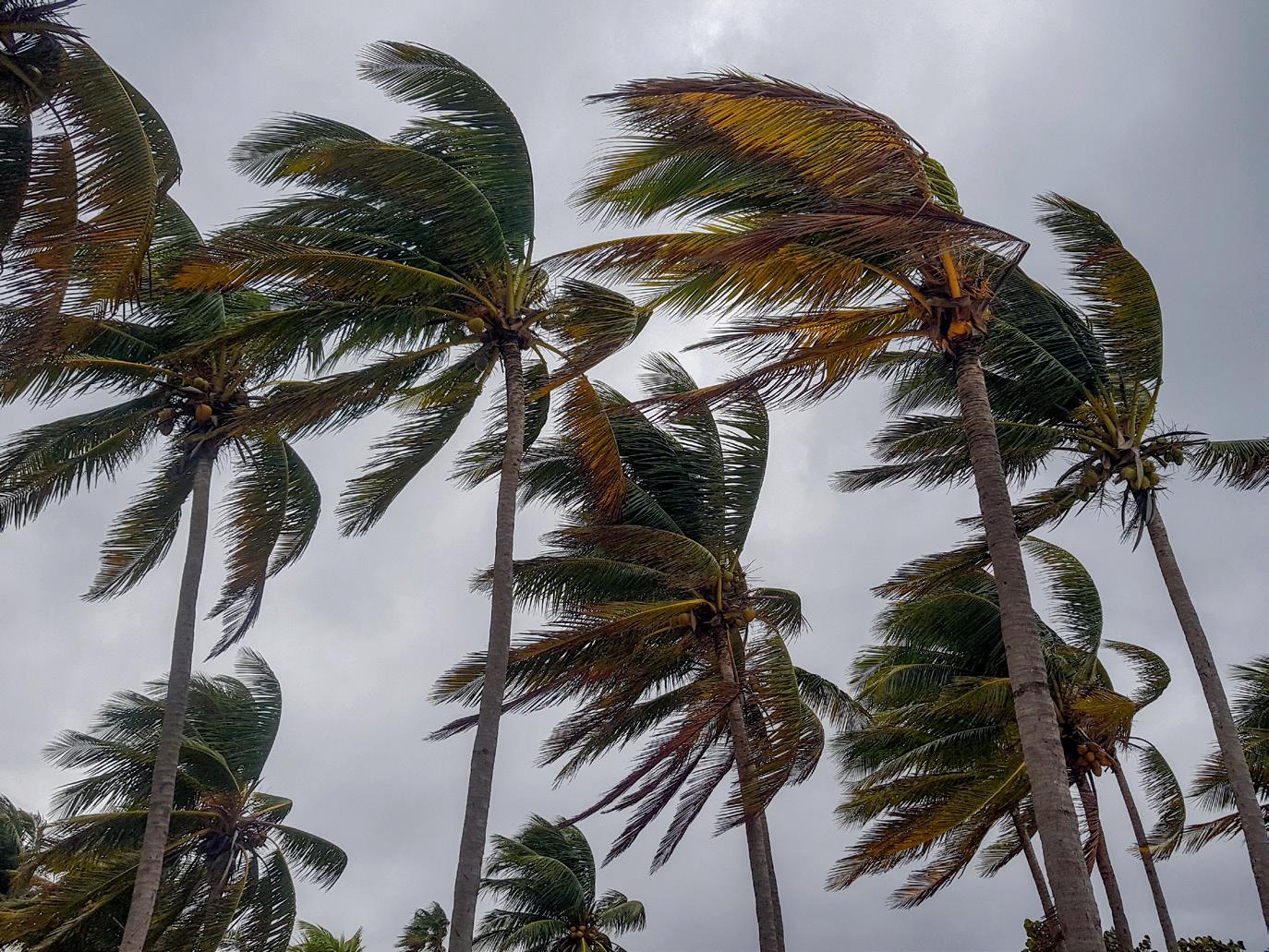
After the winds die down and the waters recede, legal problems remain, creating additional obstacles for families trying to recover.
After a disaster, survivors’ legal needs follow a common pattern.

IMMEDIATELY
After a Storm, Survivors May Need Help To:
Replace critical documents, including birth certificates, driver’s licenses, Social Security cards, property titles, orders of protection, and end-of-life documents. File insurance claims and apply for FEMA assistance. Secure temporary housing.
IN THE FIRST 6 MONTHS, IN THE LONGER TERM,
Property issues, including unlawful foreclosures, evictions, title clearing, and probate. Repair-related issues, such as contractor fraud, scams, and insurance disputes. Power of attorney and decisionmaking authority issues.
Emergency child custody, visitation, and child support matters.
Ongoing property issues, including foreclosures and negotiations with landlords regarding repairs.
Flood insurance disputes. Bankruptcy filings. FEMA appeals and recoupment actions. Domestic violence prevention and protection.
More than three years after Hurricane Ian, FRLS is helping survivors with disaster-related issues such as contractor fraud.

A MESSAGE FROM THE WINK WEATHER AUTHORITY
HURRICANE SEASON IS HERE AND THE WINK WEATHER AUTHORITY WILL ALWAYS KEEP YOU UPDATED AND AWARE.
We call Southwest Florida our slice of paradise, and for good reason.
Sunsets over the Gulf. The Caloosahatchee winding through our communities. Barrier islands, back bays and neighborhoods that stretch from the coast inland. This is a remarkable place to live, work and raise a family.
But living here also means understanding the full picture; with that beauty comes responsibility.
Hurricanes are part of life in Southwest Florida. They always have been, and they always will be. And the people who live here, wheth-
er they’re longtime residents or new arrivals, share the ability to prepare, adapt, endure and recover.
That’s where we come in.
At WINK, we are Southwest Florida’s Weather Authority. Before, during and after every storm, our commitment is simple: to give you the most accurate information, the clearest guidance and the tools you need to make confident decisions.
We invest in the technology to track storms in real time. We build the expertise to interpret what those changes mean for your neighborhood. And we stay with you, on
air, online and in the community, through every phase of a storm.
As Southwest Florida continues to grow, some of our newer residents will have never faced a hurricane. Others have weathered many. This guide is designed to provide you with the critical information needed to help you, your family and your property stay safe during a storm.
We’re not here to create fear. We’re not here to overhype a season. The WINK Weather Authority is here to prepare with you … and to be the resource you can count on when it matters most.




6
A message from WINK News, The Weather Authority
The WINK News Weather Authority presents this year’s hurricane guide.

10 Prepare now for the season ahead
Every tropical storm can have destructive and even deadly consequences. Know your risks and make safety a priority.
12
The 2026 hurricane outlook
The first Atlantic hurricane season outlook from the Colorado State University hurricane research team predicts slightly below-average storm activity in 2026.
16
Terms to know Tropical weather has its own terminology. These are the terms to know to stay safe when hurricanes threaten.
18
The Saffir-Simpson Hurricane Scale
See how a storm’s intensity determines its rating.

20
Southwest Florida evacuation zones
A convenient map to help you determine the zone you live in and what to do if a hurricane is threatening.
22
What makes a Weather Authority?
The WINK Weather Authority is the one to trust to help you stay prepared, informed and safe.
28 Rising Tide
Why storm surge is a hurricane’s greatest threat.
34
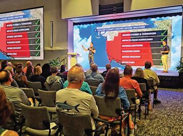
Join The WINK Weather Watcher Team
Sign up today to share your observations and provide early alerts about the weather that’s affecting your community.
38 Preparing your family
What you need to know to keep your family prepared for a hurricane.

40
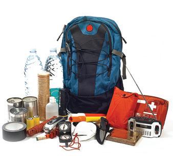
Storm preparation checklist
A complete list of what you’ll need to ride out the storm.
42
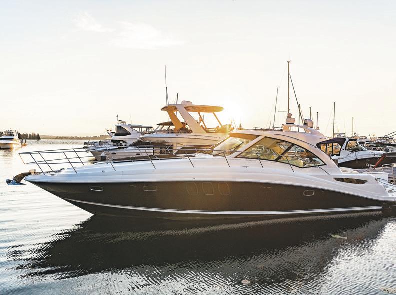
Preparing your home / preparing your boat
Tips to prepare and secure your home and boat to avoid or minimize severe weather damage.
48
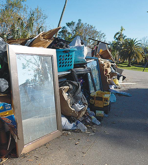
After the storm
Know the dangers you may face during clean-up and recovery in the wake of a storm.
54
Dangers of electricity
See how to protect yourself and avoid injury after a storm due to downed power lines, household wiring and electric vehicles.
60
Post-hurricane safety concerns
Understand the health and safety risks that can arise once a hurricane has passed.
62
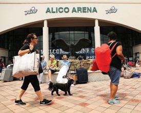
Evacuating to a shelter
Everything you need to know before you evacuate to a shelter.
66
Area shelters and refuges of last resort
An updated list of Southwest Floridaarea shelters, helpful information, resources and a map.
70
Important area phone numbers and websites
A handy guide to find the help you need before, during and after a hurricane. 66
72
Always there WINK News, The Weather Authority, will be there through every storm.
START PREPARING FOR HURRICANE SEASON TODAY
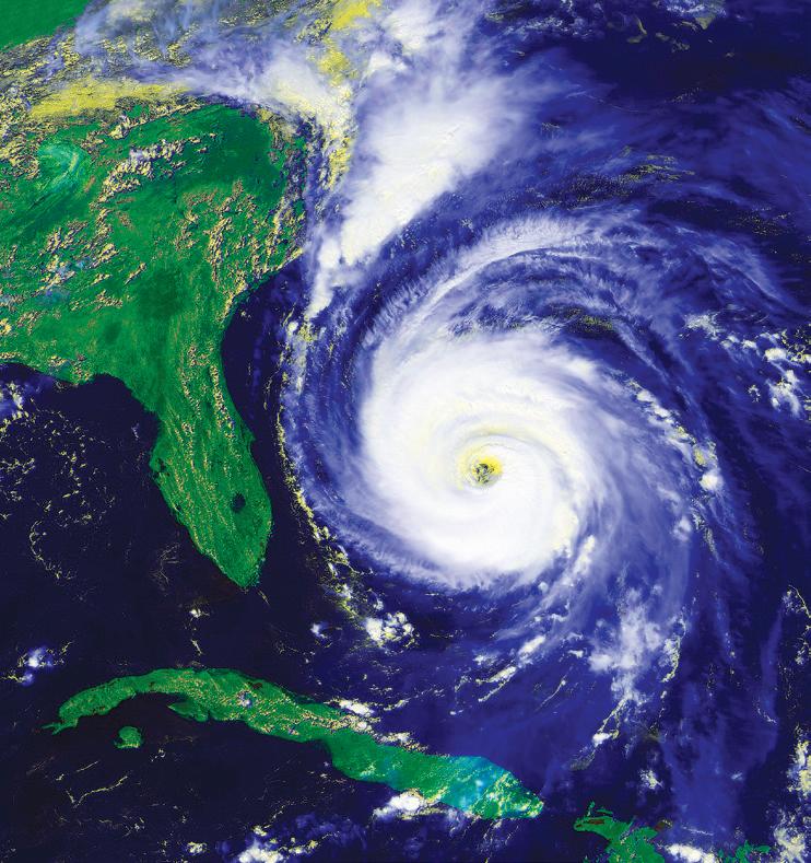
Now is the time to ready your home, family and property for hurricane season. If you wait until a storm threatens Southwest Florida, it could be too late to do what’s needed to protect your family and property.
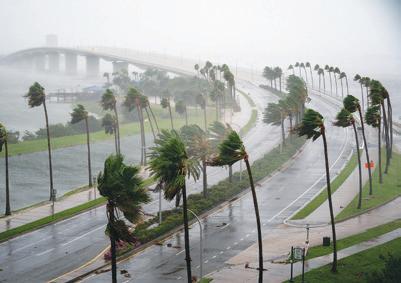
Hurricane season officially runs from June 1 to Nov. 30, and a major storm can strike Southwest Florida at any time during those months. We always hope for a calm hurricane season, but remember that any hurricane, regardless of strength, can be a life-changing experience. The 2025 hurricane season might have been quiet for Florida, but in 2024, Hurricanes Debby, Helene and Milton showed that any storm can bring destructive winds, flooding and storm surge
that can destroy homes large and small, bring down the tallest trees, upend lives and devastate or destroy entire communities.
The 2026 WINK News Hurricane Guide is provided to help you and your family avoid those misfortunes. Complied by WINK News, The Weather Authority, this guide is designed to help you prepare early for the upcoming hurricane season. Keep a copy of the 2026 WINK News Hurricane Guide handy throughout the season so that you’ll be ready to do what’s necessary for the safety and protection of your family, home and property. This guide will highlight the supplies you’ll need, as well as how to establish a communication plan and an evacuation strategy. Most importantly, this guide will provide vital information to help you deal with the effects of a hurricane, physically, emotionally and financially.
The important message from this guide is that preparations and preventative steps taken before hurricane season can play a vital role in helping you and your family survive a hurricane safely. By preparing early and staying informed and alert, you, your family and your friends can make it safely through another hurricane season.
The 2026 WINK News Hurricane Guide is made for you. Please use it to keep yourself, your family and your property safe and sound.







THE 2026 HURRICANE OUTLOOK
RESEARCHERS
The Colorado State University Tropical Meteorology Project team has issued its first 2026 Atlantic Hurricane Season forecast, and it is predicting a slightly below-average tropical weather season.
The Atlantic Hurricane Season runs from June 1 to Nov. 30. The CSU hurricane research team is predicting 13 named storms in 2026, and that six of those named storms will become hurricanes. Of the six named storms, the CSU team is projecting that two will reach major hurricane status. A major hurricane has sustained winds of at least 111 miles per hour and is classified as either a Category 3, 4 or 5 on the Saffir-Simpson scale. An average tropical weather season in the Atlantic basin sees 14 storms, seven named storms and three major hurricanes.
The conditions expected to affect tropical weather activity this year are the slightly cooler-than-normal temperatures in the eastern and central tropical Atlantic and what’s expected to be a strong El Niño climate pattern in the Pacific. A strong El Niño pattern often creates higher levels of vertical wind shear in the tropical Atlantic, which can help minimize hurricane development.
“We are looking at the potential for a moderately strong El Niño event for this hurricane season. Typically, El Niño increases levels of vertical wind shear in the Atlantic. And that increase of vertical wind shear is good for us, bad for the hurricanes,” says Dr. Phil Klotzbach, a senior research scientist with the Department of Atmospheric Science at Colorado State.
“Right now, we are kind of transitioning from the La Niña to over to El Niño. There is still uncertainty as to how strong this El Niño is going to be, but it looks like it’s going to be a pretty robust event.”
Though the hurricane numbers predicted by the CSU team in April are highlighted most often, WINK News Meteorologist Katie Walls cautions that she traditionally has the least confidence in the first forecast. Given that one of the unknowns is the timing of when the strong El Niño pattern will emerge, subsequent hurricane outlooks will likely be revised as the big picture comes into better focus. But, no matter what future forecasts show, Walls says there can still be dangerous tropical weather in Southwest Florida.
“El Niño’s development, and how strong it becomes during the peak of hurricane season, will be a critical factor to watch. El Niño enhances vertical wind shear, the difference in wind speed and direction at various levels of the atmosphere, which can disrupt a storm’s structure and prevent it from intensifying. In favorable conditions, it can essentially tear a developing hurricane apart before it becomes a serious threat,” she says.
“But we have to keep seasonal fore-





2026 Storm Names
The following names have been selected for storms in the Atlantic Basin during the 2026 hurricane season.
ARTHUR BERTHA CRISTOBAL DOLLY EDOUARD FAY GONZALO HANNA ISAIAS JOSEPHINE KYLE LEAH MARCO NANA OMAR PAULETTE RENE SALLY TEDDY VICKY WILFRED
The World Meteorological Organization maintains rotating lists of names for each of 10 tropical cyclone basins. In the Atlantic, for instance, tropical cyclones receive names in alphabetical order, and women’s and men’s names are alternated. The Atlantic list covers just 21 letters of the alphabet, as it is difficult to find enough appropriate names that start with Q, U, X, Y and Z. In very active hurricane seasons, there may be more named storms than there are names on the primary list. When that occurs, rather than using Greek letters—as the WMO has in the past—the organization uses a new list of supplemental storm names.
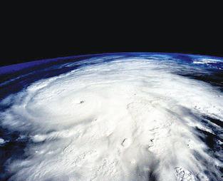
casts in perspective. These outlooks say nothing about where a storm might form, what path it might take, or who might be in its way. Florida will be vulnerable every single year regardless of how quiet a season looks on paper.”
The CSU research team is anticipating a 32% probability of at least one major hurricane making landfall somewhere along the coastline of the United States in 2026. That compares with the average of 43% for the years between 1880 and 2020. In addition, the researchers said the chance of a major hurricane making landfall along the East Coast of the United States, including the Florida peninsula, is 15%; the 140-year average was 21%. The CSU team put the probability of a major hurricane hitting the Gulf Coast — from the Florida panhandle westward to Brownsville, Texas — at 20%. The average from 1880 to 2020 is 27%.
2026 is the 43rd year that the CSU hurricane research team has issued its seasonal hurricane forecast for the Atlantic basin. So far, the 2026 season is exhibiting characteristics broadly similar to hurricane seasons in the years 2006, 2009, 2015 and 2023. Those comparative seasons ranged from slightly below-average Atlantic hurricane activity to being hyperactive, Klotzbach added. The large spread in observed activity in those comparative years highlights the levels of uncertainty that are typically associated with the early April outlook. Updated forecasts will be released by the CSU team on June 10, July 8 and Aug. 5.
AccuWeather, which released its preliminary outlook in March, also predicts an average to slightly below-average number of storms during the Atlantic hurricane season. Noting similarities to the El Niño conditions in 2023, the AccuWeather team is predicting between 11 and
16 named storms for the 2026 Atlantic hurricane season. Of those, they’re predicting four to seven hurricanes and two to four major hurricanes reaching Category 3 or higher. AccuWeather also projects that three to five hurricanes will make landfall in the United States.
In a release, Alex DaSilva, AccuWeather’s Lead Hurricane Forecaster, said that there is roughly a 15% chance of a “super El Niño” developing should ocean temperatures in the eastern Pacific rise at least two degrees. While noting such conditions could sharply reduce tropical storm activity in late October and November, DaSilva cautioned that 2026 could still be an active tropical weather season compared to other El Niño years.
“This year we are very concerned about rapid intensification, very similar to the last couple of years,” DaSilva says. “The risk of fast-strengthening storms and hurricanes is tied to the abundance of warm water, which serves as the fuel for storms. Those (deep) waters are also exceptionally, exceptionally warm.”
Regardless of how the 2026 hurricane season plays out, Walls reiterated the need to prepare early for any storms that do occur. And despite forecasts for a less active season, she added that Southwest Florida residents should still pay close attention to the weather.
“Even a forecast calling for a nearaverage or slightly below-average season offers no guarantee of safety. 2025 produced 13 named storms, and three of them reached Category 5 intensity,” Walls says. “Thirteen named storms on a forecast chart is just a number. It doesn’t tell you whether one of them has your name on it. Every season is different, which is exactly why preparation matters, not just in the years that look dangerous, but every year.”


LEARN THESE TERMS
Center: The vertical axis of a tropical cyclone, usually defined by the location of minimum wind or minimum pressure.
El Niño: The abnormal weather pattern caused by warmer-thannormal water in the central and eastern Pacific along the equator. When the tropical Pacific is warmer than normal, winds at upper levels of the atmosphere (about 30,000 feet) in the tropical Atlantic are stronger than normal, which tears apart hurricanes as they’re forming. The strength or weakness of the El Niño pattern can help determine the severity of a hurricane season.
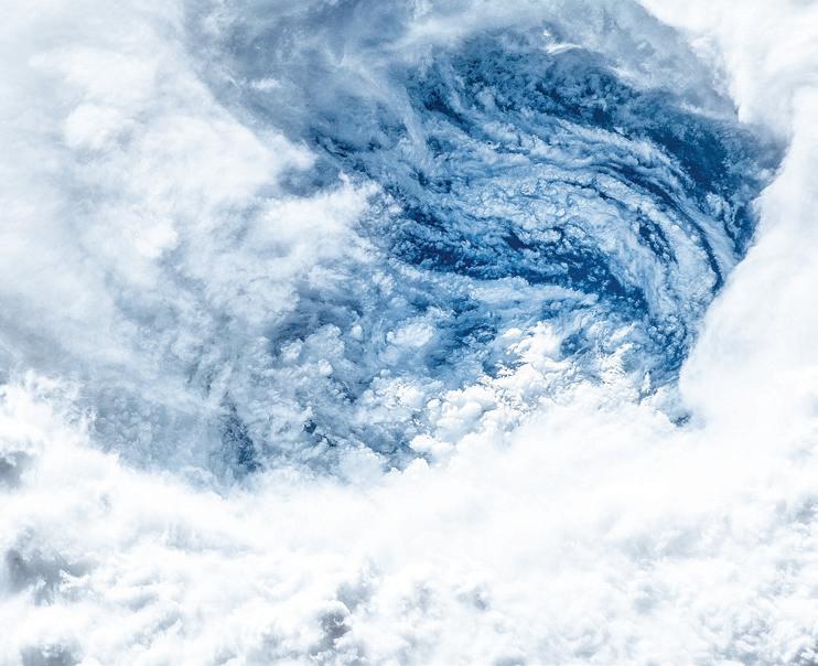
Eye: The relatively calm area in the center of a hurricane. It can range from 5 miles to more than 50 miles wide.
Eyewall: A doughnut-shaped zone of the highest winds and heaviest rain surrounding the eye.
Feeder Bands: Thunderstorms that spiral into and around the center of a tropical system. A typical storm may have three or more bands, usually 40 to 80 miles apart.
Gale Warning: According to the National Oceanic and Atmospheric
Administration (NOAA), this is a warning that indicates 1-minute sustained surface winds between 39 mph and 54 mph.
High Wind Warning: NOAA issues this warning when 1-minute average surface winds of 40 mph or greater last for 60 minutes or longer, or winds gusting to 58 mph or greater, regardless of duration, are either expected or observed over land.
Hurricane Warning: Issued when hurricane conditions — winds of 74 mph or greater — are expected within 36 hours.
Hurricane Watch: Issued when hurricane conditions — winds of 74 mph or greater — are possible within 48 hours.
Landfall: When the surface center of a tropical cyclone intersects with the coastline.
La Niña: This is the opposite of El Niño, and is marked by cooler-thannormal eastern Pacific waters. This
pattern can contribute to an increase in Atlantic tropical activity by weakening wind shear, which enables storms to develop and intensify.
Major Hurricane: A storm with winds of 111 mph or higher.
Right Front Quadrant: In our hemisphere, this is the most destructive part of a hurricane, usually having the strongest winds, roughest seas and highest storm surges. This section of the storm is located in the eye wall to the right of the eye, based on the direction in which the storm is traveling.
Small Craft Advisory: A type of wind warning issued by the National Weather Service when winds have reached — or are expected to reach within 12 hours — a speed marginally less than gale force, 24 to 38 mph.
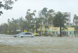
Storm Surge: This occurs when ocean water is pushed toward the shore by the force of the winds swirling around the storm. When this advancing surge combines with the normal tides, water levels may increase by 15 feet or more.
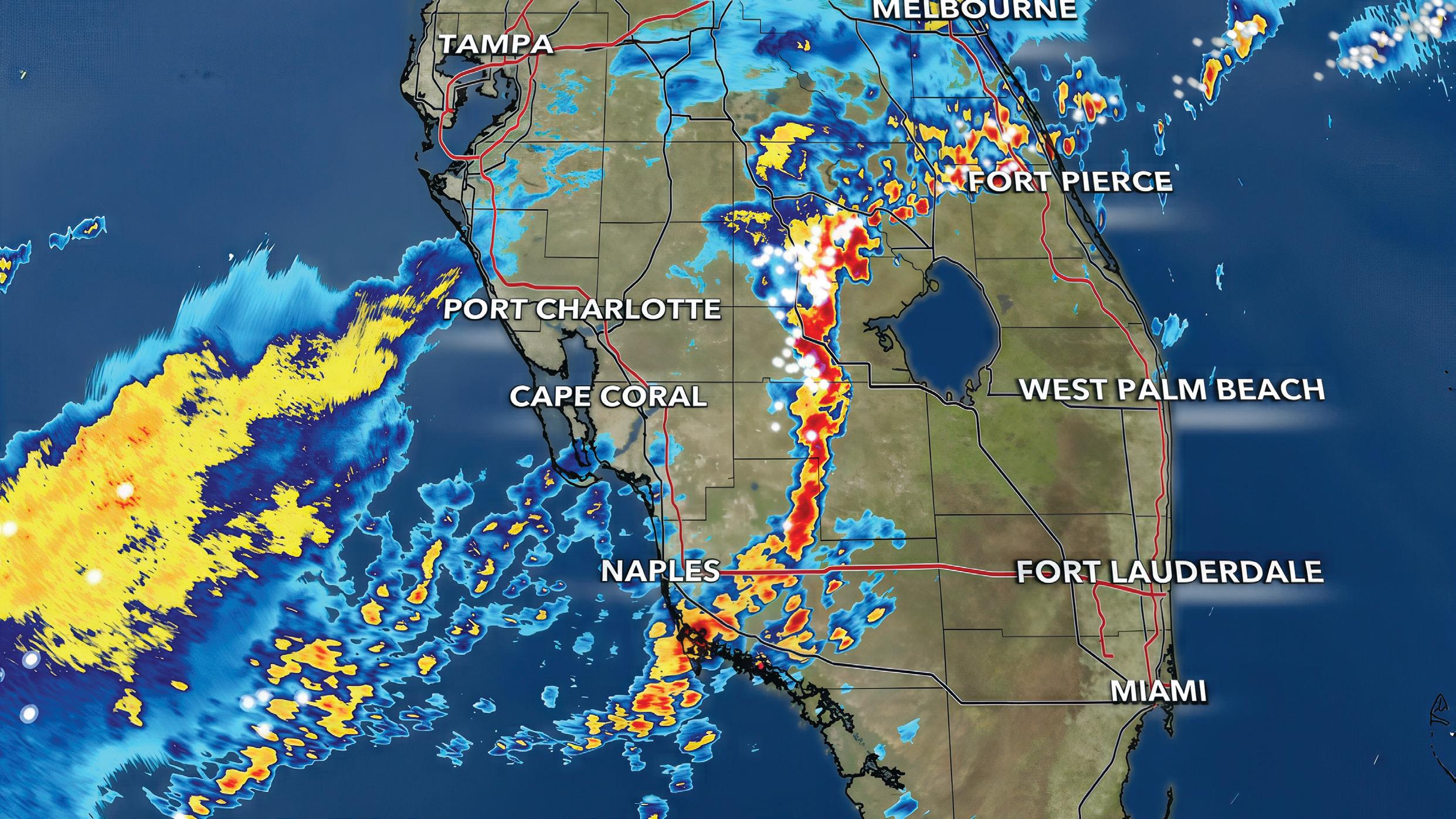
Tropical Cyclone: Rotating, organized systems of clouds and thunderstorms that originate over warm tropical or subtropical waters and are characterized by low atmospheric pressure, high winds and heavy rain.
Tropical Depression: This type of storm forms when a low-pressure area is accompanied by thunderstorms producing a circular wind flow with maximum sustained speeds of less than 39 mph.
Tropical Disturbance: An area of thunderstorms that maintains its intensity for at least 24 hours.
Tropical Storm: A warm-centered, low-pressure circulation with highest sustained winds between 39 and 73 mph.
Wind Shear: Upper-level winds that can blow the tops off hurricanes and prevent vertical development, weakening or destroying them.
HURRICANE GUIDE 2026
THE SAFFIR-SIMPSON HURRICANE SCALE
Category
980-994 74-95
Very dangerous winds will produce some damage
Possibility of getting struck by flying or falling debris that could injure or kill
Older mobile homes (pre-1994) could be destroyed, especially if they are not anchored properly
Some poorly constructed homes can experience damage
Some buildings’ roofs and siding coverings could be removed
Large branches of trees will snap and shallow-rooted trees will topple
Extensive damage to powerlines and poles. Power outages for a few days
Hurricane Debby (2024)
The Saffir-Simpson Hurricane Scale rates storms by Categories 1 through 5 based on their intensity. These categories may change as a hurricane becomes stronger or weaker during the course of the storm.
965-979 96-110
Extremely dangerous winds will cause extensive damage
Substantial risk of injury or death to people, livestock and pets due to flying or falling debris
Older mobile homes (pre-1994) have a very high chance of being destroyed. Newer ones are at risk
Some poorly constructed homes have a high chance of damage
Unreinforced masonry walls can collapse
Many shallow-rooted trees will be snapped or uprooted
945-964 111-129
Devastating damage will occur
High risk of injury or death to people, livestock and pets due to flying or falling debris
Nearly all older mobile homes (pre-1994) will be destroyed. Most newer mobile homes will sustain damage
Poorly constructed homes can be destroyed by the removal of roof and exterior walls
High percentage of roof and siding damage
Many shallow-rooted trees will be snapped or uprooted
Catastrophic damage will occur
Very high risk of injury or death to people, livestock and pets due to flying or falling debris
Nearly all older and newer mobile homes will be destroyed
Catastrophic damage will occur
Very high risk of injury or death due to flying or falling debris even if indoors
Almost complete destruction of mobile homes
Near-total power loss is expected with outages that could last for days to weeks
Electricity and water will be unavailable for days to weeks after the storm
Hurricane Sally (2020)
Hurricane Jeanne (2004)
Poorly constructed homes’ walls can collapse and roof structures can be lost
High percentage of damage to top floors. Steel frames can collapse
Most trees will snap or uproot and power poles will be downed
High percentage of homes will be destroyed
High percentage of buildings will be destroyed
Nearly all trees will snap or uproot and power poles will be downed
Power outages will last for weeks to possibly months. Most of the area will be uninhabitable for weeks
Hurricane Helene (2024)
Power outages will last for weeks to possibly months. Most of the area will be uninhabitable for weeks to months
Hurricane Ian (2022)

SARASOTA COUNTY
CHARLOTTE COUNTY LEE COUNTY
NORTH FORT MYERS
BOCA GRANDE
PORT CHARLOTTE
PUNTA GORDA
FORT MYERS
LEHIGH ACRES
CAPE CORAL
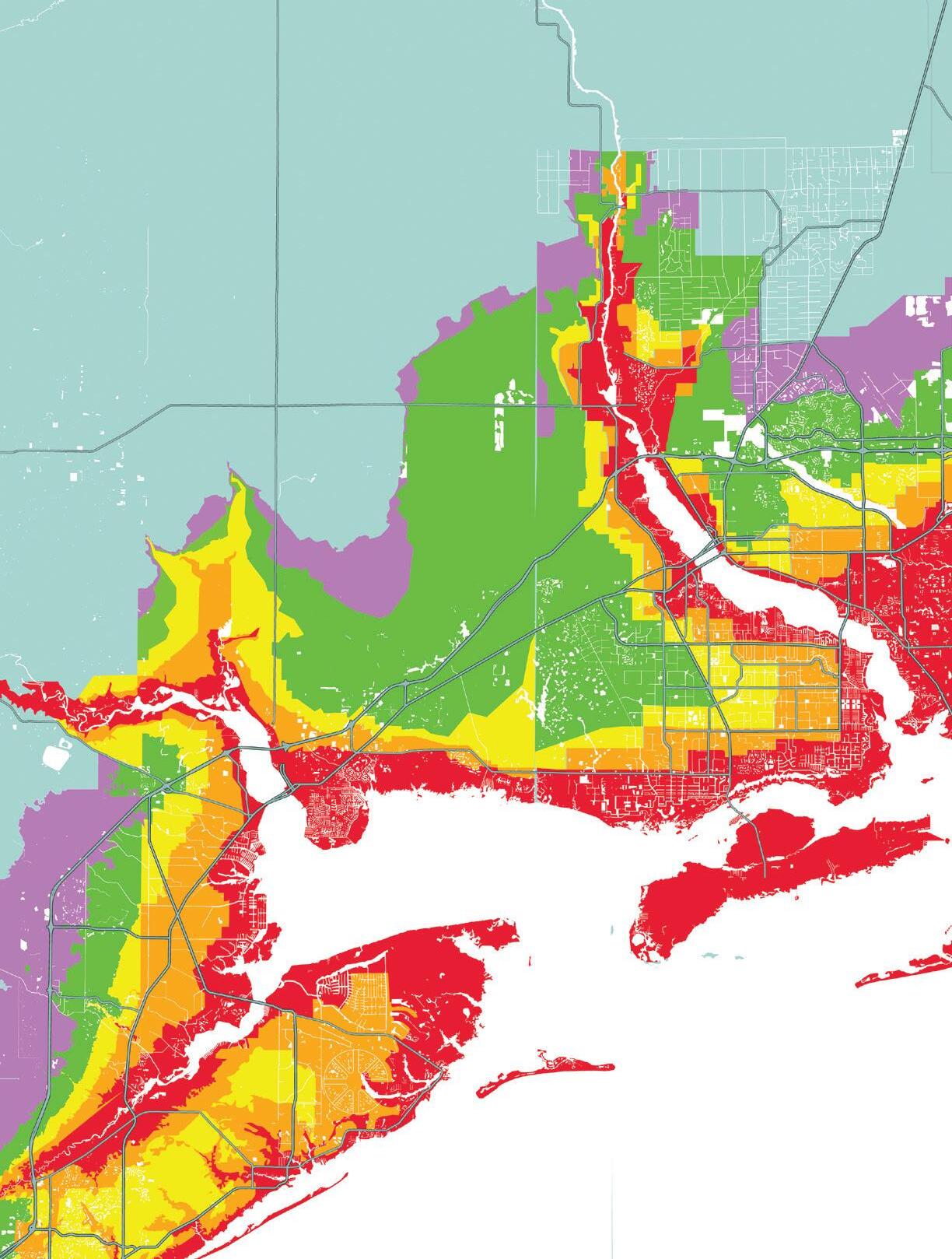
SOUTHWEST FLORIDA EVACUATION ZONES
COLLIER COUNTY
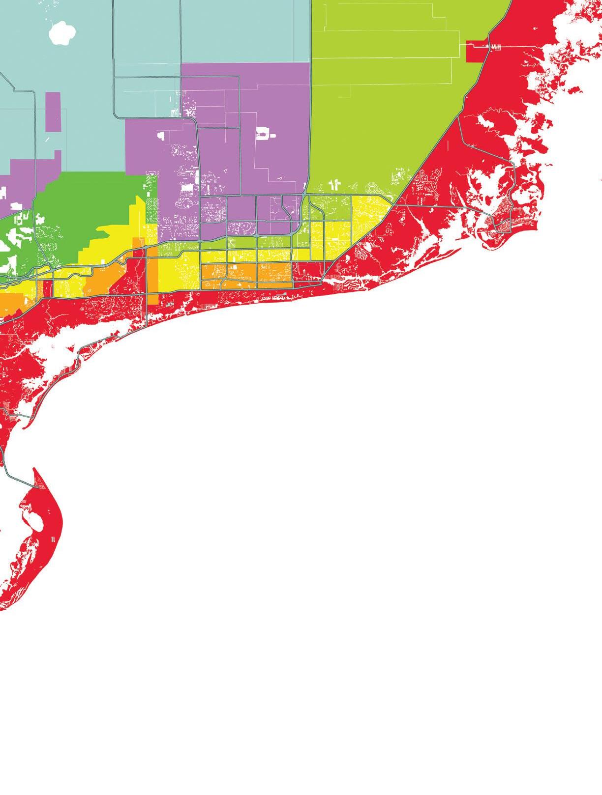
A B C D E
is a less vulnerable area. Wellprepared and well-protected buildings should be safe in all but catastrophic events. Wind, including tornadoes, poses the most significant danger in Zone E.
is one of the least vulnerable areas. Well-prepared and well-protected buildings should be safe during most storms. However, if evacuations are required, the safest option may be to travel to the East Coast.
is very vulnerable and will experience significant impacts from land-falling storms. Evacuation will often be required for a hurricane coming from the Gulf. Winds in exiting storms may also require evacuation. Zone B is still vulnerable to potentially fatal levels of storm surge and some wave action.
is most vulnerable to hurricanes and will be first to be impacted by a land-falling storm. Evacuation is often required for any named storm coming from the Gulf and it also may be necessary for exiting storms. Potentially fatal storm surge and large, crashing waves are the most extreme dangers. is vulnerable to hurricane impacts. A large or powerful hurricane from the Gulf may require evacuations for surge or wind. Wind can pose a danger to unprepared or poorly constructed homes.

For more information, use your phone to scan this QR code or visit:


WHATMAKES A WEATHER AUTHORITY?
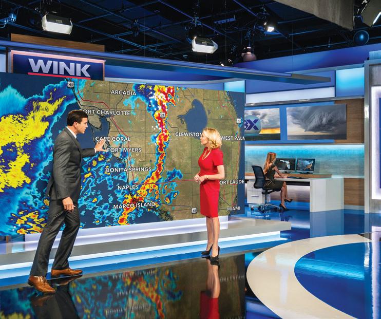
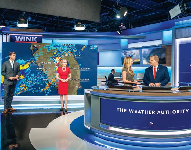
When hurricanes threaten Southwest Florida and lives are at stake, you don’t need hype and sensationalism. Instead, it’s critical that you rely on information you can trust. And that requires an experienced team of meteorologists using the latest technology to deliver the accurate forecasts and timely updates you need to keep your family and your property safe. That’s why, when minutes matter, the team to trust is WINK News, The Weather Authority.
HURRICANE GUIDE
When a major storm forms in the Gulf or in the Atlantic, the first thing most people do is look for information. Given all the national headlines, social media posts, forecast models and spaghetti plots pointing everywhere, it’s easy to feel informed. But knowing what actually matters isn’t as simple. And when hurricanes threaten Southwest Florida, it’s critical to understand and refine all that data and deliver it in a way that helps people make the best decisions for their safety. And that’s what makes WINK The Weather Authority.
Experience You Can Trust
Weather forecasting begins with what are called “numerical weather prediction models.” These computer models start with the current atmospheric conditions and use that data to project the future. But each model is different, and that’s why you’ll often see storm path projections that vary wildly among the models. Plus, every one of those supercomputergenerated model outputs is simply a possibility, not a prediction.
For the WINK Weather Authority meteorologists, the key to all that model data is the ability to interpret it, weigh it, compare it and look for trends. Only once those trends are determined will our meteorologists present a clear explanation of what’s most likely to happen. And that explanation will include not only what the storm will likely do, but also how it will affect Southwest Florida.
“Forecasting isn’t about picking a model to determine where a storm goes,” says WINK News Morning Meteorologist Zach Maloch. “The WINK Weather Authority uses their experience to break down the impacts that matter most for our viewers.”
Consider that slower-moving storms can create more widespread
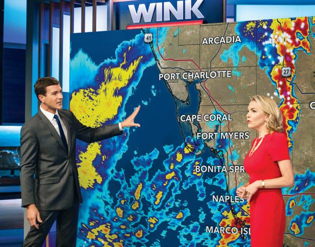
flooding. Storm surge impact can be affected by timing, tides and geography. Higher winds can lead to more power outages. Understanding those nuances and combining that with their technological tools and experience allows WINK meteorologists to communicate the risks posed by a storm to the community. But more than that, the WINK Weather Authority is focused on helping you understand how a storm may affect you, your family and your property, so that you can make an informed, rational choice to ensure your safety.
The Technological Edge
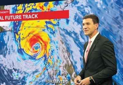
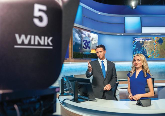
While the WINK Doppler 3X allows our forecast team to precisely track a storm, it also provides high-resolution, real-time data that shows the small changes inside a storm that can create major consequences. That includes the ability to see where rainfall is intensifying, how the winds are shifting and where rotation may be developing. To some, that may just sound like more data. But when a hurricane is threatening, it means earlier warnings that a storm is strengthening, as well as earlier
HERE FOR YOU, HERE WITH YOU

Whether you’re celebrating a new milestone or faced with the unexpected, Suncoast Credit Union is here to support you with more love and less fees.
Ya sea que esté celebrando una nueva etapa o se enfrente a lo inesperado, Suncoast Credit Union está aquí para brindarle apoyo con más amor y menos cargos.
Fee-free checking account1
FREE MEMBER
BENEFITS:
30,000+ ATMs including Publix & Wawa2
Instant CashBack on top brands
BOGO Tickets to FL attractions
BENEFICIOS SIN COSTO PARA MIEMBROS:
Cuenta de cheques gratuita1
30,000+ cajeros automáticos incluyendo Publix & Wawa2
Reembolso instantáneo en sus compras diarias Boletos BOGO para atracciones de Florida
OPEN YOUR ACCOUNT ONLINE OR AT ANY SUNCOAST BRANCH. ABRA SU CUENTA EN LÍNEA O EN CUALQUIER SUCURSAL DE SUNCOAST.
awareness of where the strongest part of the storm will be headed and where flooding may occur.
“In weather, it is not just about seeing the storm. It is about seeing it clearly, and a closer radar reveals the small changes that make a big difference,” Maloch says. “That means you get earlier, more accurate insight into how the storm will affect your area.”
Beyond the range of our radar, the WINK Weather Authority also constantly monitors conditions on a broader level to watch the factors that may affect Southwest Florida today, tomorrow, next week and even next month. That includes the sea surface temperatures in the Gulf and the Atlantic, the steering patterns that determine the path of a storm and the wind patterns in the atmosphere that determine whether a storm will intensify or fizzle out. However, while we always hope for the latter, the weather can always change. And the possibility of those changes is something we monitor closely with
every storm, every variation and every model — every single day.
The WINK Weather Authority Difference
When it comes to the weather in Southwest Florida, it’s important to remember that things can always change quickly and unexpectedly, and that fewer storms don’t mean less risk. But one fact that never changes is that it only takes one storm or one slight track change to destroy livelihoods, homes and lives. We saw it with Hurricane Ian, Hurricane Irma, Hurricane Helene and Hurricane Milton. Though each storm was different in its path and effects,
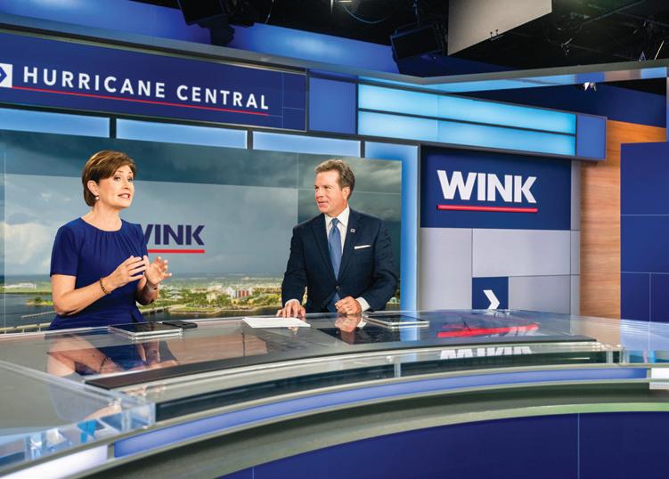
they all required accurate forecasting, clear communication and informed decisions. And that’s what the WINK Weather Authority strives for every day.
Though it’s never been an exact science, weather forecasting has never been more advanced. As computing power grows, the forecasting models update faster and with greater accuracy. Weather radars can detect tornadoes before they form and track them at street level. Satellite imagery has grown more detailed and better defined, and the NOAA Hurricane Hunter aircraft can now provide real-time data from inside hurricanes.
“Our forecasting tools have improved dramatically in the last 20 years, but what matters most is turning that progress into clear, timely information you can trust. Because when a storm is approaching, having accurate information at the right moment can make all the difference,” Maloch says. “That difference is extremely critical when you need to protect your family and your home.”
As the WINK Weather Authority, it’s our job to provide the useful information you need to stay safe before, during and after a storm. When a storm is approaching Southwest Florida and minutes matter, you don’t need noise, alarmism or hype. The WINK Weather Authority has the technology, the experience and the commitment to help you weather the storm. In the end, you need information you can trust. And when it matters most, that’s what we give you. Every storm. Every time.




RISING TIDE
WHY
STORM SURGE IS A HURRICANE’S GREATEST THREAT
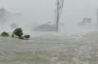
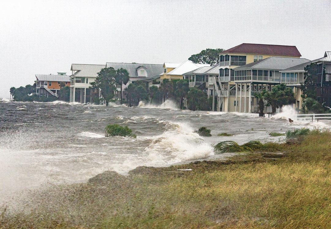
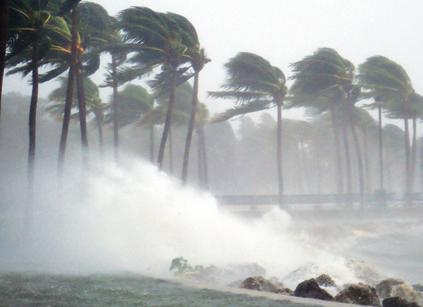
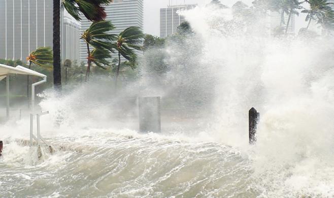
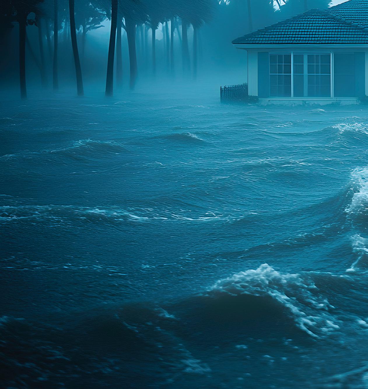
People might picture storm surge as waves crashing onto the beach, but reality is something much bigger and far more powerful.
It’s one of the most dangerous parts of a hurricane, and one of the most misunderstood.
“Storm surge is water from the Gulf that is pushed onto land by a hurricane’s powerful winds,” says WINK News Morning Meteorologist Zach Maloch. “Instead of waves just crashing on the beach, the entire water level increases and spreads into neighborhoods, roads and homes.”
In other words, the ocean rises and moves inland.
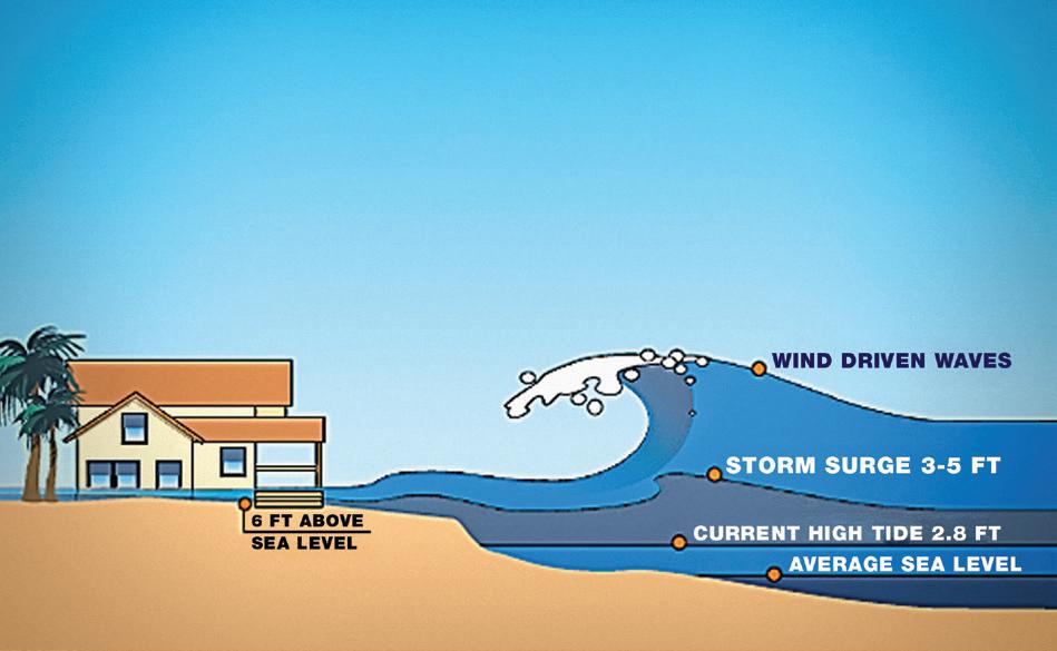
Unlike a tsunami, which is caused by earthquakes and moves quickly across the ocean, storm surge builds as hurricane winds push water toward the coast. The water can continue rising for hours, flooding streets, homes and entire communities.
HOW WE WORK
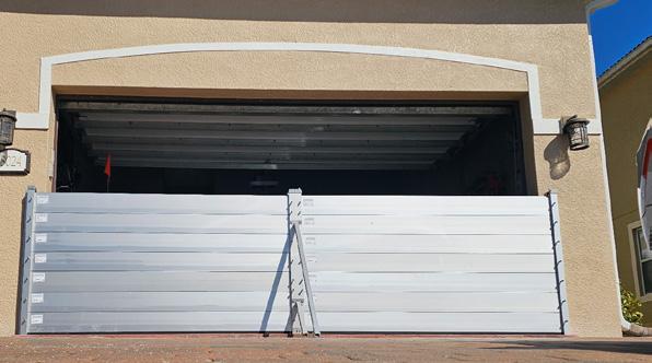
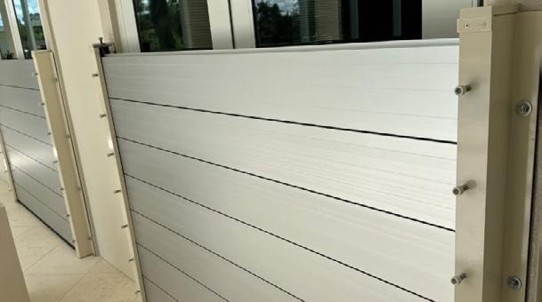
On Site Consultation
Our team will perform a site visit to your property and determine if the structure is suitable and would benefit from flood barrier protection. In most cases we will measure each potential opening that day.
Certified Trained Installers
Our factory trained crews will make sure your flood barrier system is installed properly and functions as designed. The system is only as good as the installment. This is what sets us apart in the industry.
Service After Installation
For many of our clients the added ease and security of having our team inspect-cleanmaintain and deploy their barrier system provides added peace of mind.
At High Risk
In Southwest Florida, the danger of storm surge is especially serious because the region’s coastline is low and flat, which allows water to move inland quickly. Maloch said that’s why meteorologists often call storm surge the most life-threatening part of a hurricane.
“During Hurricane Ian, storm surge caused devastating flooding along the coast and showed just how powerful this type of flooding can be,” he says, noting similar results during hurricanes Helene and Milton.
People who live closest to the coast face the highest risk. Barrier islands like Sanibel Island, Captiva Island and Fort Myers Beach are particularly vulnerable, because they sit just a few feet above sea level and are surrounded by water.
But surge doesn’t only affect beachfront homes. Residents living near waterways can also experience flooding, even miles inland.
“People who live along bays, canals or rivers like the Caloosahatchee River and Imperial River can also experience storm surge flooding,” Maloch says.
“Water pushed by hurricane winds can travel up these waterways and spread into nearby neighborhoods.”
That’s one reason understanding evacuation zones is so important.
Flood zones are based mostly on rainfall and inland flooding risks. Evacuation zones, however, are designed around storm surge. They identify which areas are most likely to flood when a hurricane pushes water inland. To know which zone your home is in, check the map on page 20 or visit floridadisaster.org/knowyourzone/.
If local officials issue an evacuation order for your zone, leaving early is critical.
“The best way for people to protect themselves from storm surge is to take evacuation warnings seriously,” Maloch says. “Leaving early gives families time to get to safer ground before roads flood or winds become dangerous.”
Another reason it’s important to evacuate early is that, once flooding begins, emergency crews may not be able to reach people who stay behind.
Understanding Surge Forecasts
In addition to leaving early, remember that storm surge will often arrive well before the center of the hurricane does. Flooding can begin hours before the eye of the storm reaches land. Even weaker hurricanes can still produce dangerous surge in Southwest Florida because of the shallow Gulf waters and low elevation across much of the region.
Know that meteorologists use two terms when talking about surge: surge height and inundation. Storm surge height refers to how much the ocean rises above normal sea level, while inundation refers to the height to which water rises above ground in a specific area. Since land elevations vary, the same surge height can create very different flooding conditions from one neighborhood to another.
“This is why surge forecasts from the National Hurricane Center typically focus on inundation levels, since they better represent the flooding people may experience in homes, streets and neighborhoods,” Maloch says.
As surge moves inland, it interacts with terrain, buildings and vegetation. In places with little elevation and few obstacles, like much of Southwest Florida, water can spread farther and faster.
The bottom line is simple: Storm surge is powerful, unpredictable and extremely dangerous. And the best way to keep your head above water in an emergency is to know your evacuation zone, pay attention to forecasts and leave when officials say to evacuate.
“When storm surge warnings are issued, they should always be taken seriously,” Maloch says. “Those warnings are meant to protect lives.”



BEFORE THE STORM
Have a backup plan for water in case you lose power, have damage to your equipment, or your well is compromised.
Learn where your electrical and water shutoffs are and how to use them.
Check if your well is able to be run off a generator.
Secure loose items around your water treatment equipment to help prevent damage.
YOUR STORM PREP PARTNER
Whole Home MASTRO Osmosis available with up to 500 gallons of clean water storage.
A microbiological filter provides clean water for drinking and cooking, even during a boil water notice.


AFTER THE STORM
Electrical hazard: Stay away from flooded pumps and other equipment.
After power is restored, flush systems and reset controls.
A change in look, smell, or taste of water can indicate a compromised well.
If your well or septic system has been damaged have a qualified professional:

Clean pump and turn it on
Flush out your well
Disinfect your well
Consider testing water before use
Ensure your system is clean and functional with regular service and maintenance. Serving Lee and Collier since 1983
Schedule an estimate or service today:
Golden Gate Well Drilling
How Tide Sensors Can Help Keep You Safe
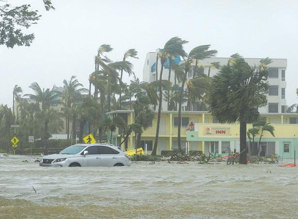
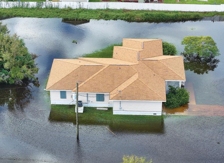
While it’s common to associate howling winds and torrential rainfall with tropical storms and hurricanes, the leading cause of fatalities in hurricanes is flooding related to storm surge. While the danger of storm surge isn’t limited to coastal areas, Southwest Florida’s network of tide sensors help in understanding and reacting to the rising waters generated by hurricanes — which means they can also help protect lives and property.
What Are Tide Sensors?
Strategically installed in waterways and along coastlines, tide sensors are sophisticated devices that gauge the
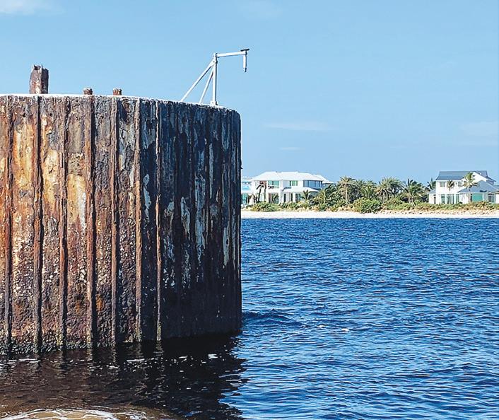
rise and fall of the ocean’s water levels. Through continuous monitoring of tidal conditions, tide sensors provide meteorologists and emergency managers real-time water level measurements. Since much of that data is also available to the general public, those sensors can also help you. Given that storm surges can cause increases in water levels that can
quickly flood roads, homes and businesses in low-lying areas, storm surge-related flooding is often the most dangerous element of a hurricane. However, thanks to the realtime data provided by tide sensors, emergency managers and local residents can have early warnings when storm surge is imminent. That means people may have more time and earli-
er warning to evacuate safely and secure property before the surge reaches dangerous levels. And that can save lives and minimize damage.
“In Southwest Florida, tide sensors are one of the most valuable tools during a storm. We rely on that data to monitor exactly how water levels are changing in real time,” says WINK News Weather Authority Meteorologist Zach Maloch. “That information is critical for providing last-minute evacuation guidance, and helping residents who have already evacuated stay informed about the water levels and potential impacts to their homes and property.”
Flood Warnings for Coastal Communities
Southwest Florida is well known for its beautiful coastline, but the tradeoff for that beauty is a higher risk for flooding. For some communities situated in flood-prone areas, dangerous tidal flooding can occur even during routine high tides. However, with tide sensors monitoring these conditions, residents in flood-prone zones can have early warnings about rising water levels. And, by knowing when and where floods will most likely occur, you can make critical decisions like relocating vehicles or moving to higher ground before it’s too late.
“According to the National Weather Service, coastal flood statements are typically issued for minor flooding caused by high tides or persistent onshore winds, which may lead to water covering low-lying roads or coastal areas,” Maloch says. “A storm surge warning, however, is issued during tropical storms and hurricanes when life-threatening flooding from water being pushed inland by a storm is expected, posing a much more serious risk to homes, roads and coastal communities.”
Prepare Now, Stay Safe Later
As another hurricane season approaches, always remember that preparation isn’t just about having supplies ready—it’s also about keeping informed. Tide sensors are key elements in having the most up-to-date and accurate information about rising water levels. By understanding long-term trends and applying the real-time data when storm-surge relat-
ed flooding threatens, you can make informed decisions that can keep your family safe and avoid or minimize property damage.
Tune into WINK News, The Weather Authority to stay updated on the potential for dangerous flooding during a storm. You can also monitor the NOAA tide sensor network online at water.noaa. gov. To view the Lee County tide sensor network, visit dashboard. hohonu.io.
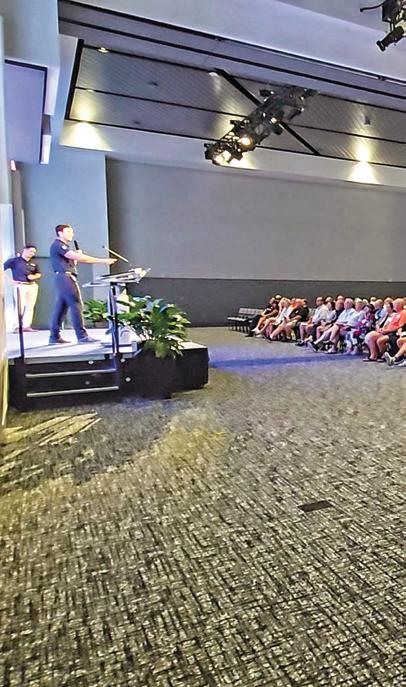
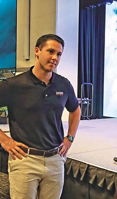
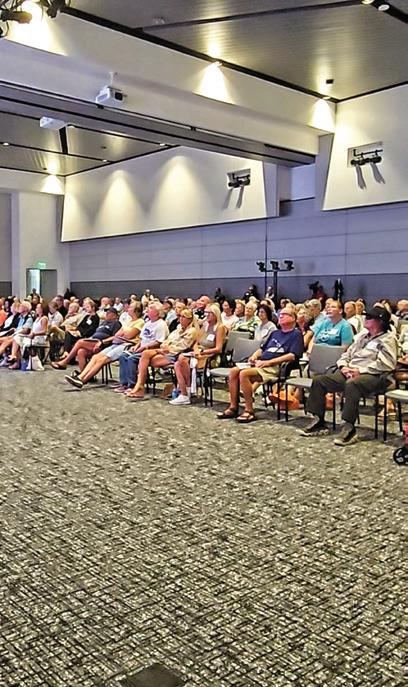
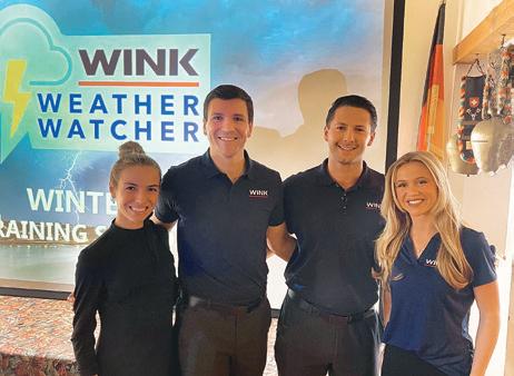
JOIN THE WINK WEATHER WATCHER TEAM!
Are you a weather enthusiast or someone who wants to help shape the weather conversation in your community? Then sign up today to join the WINK Weather Watcher team!
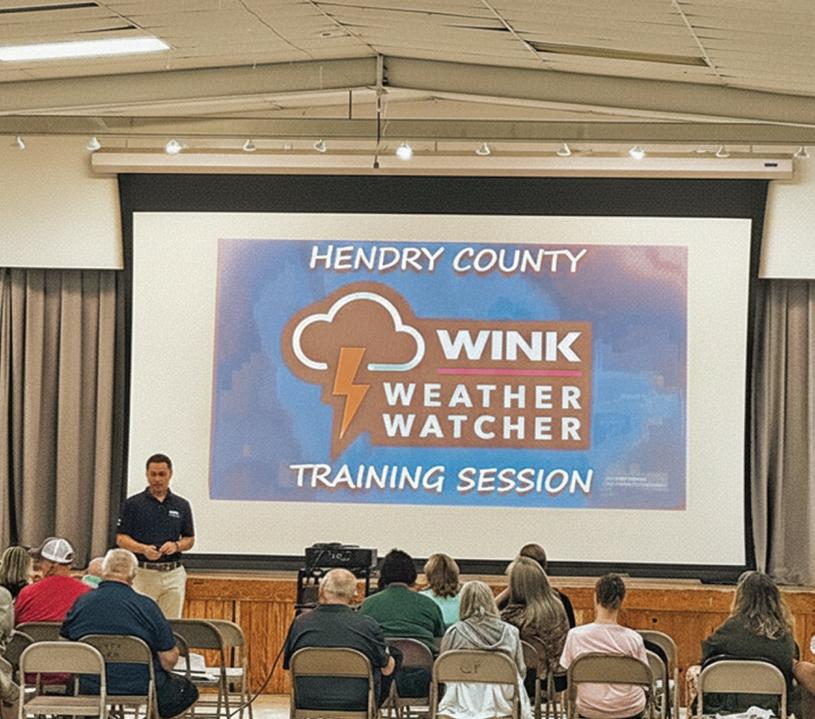
The WINK Weather Watcher network will help connect residents on a local level to the current weather conditions across Lee, Collier, Charlotte, Hendry, DeSoto and Glades counties. As a WINK Weather Watcher team member, your observations and insights can provide early alerts about the weather that’s affecting your street, your neighborhood and your community. And, given that Southwest Florida’s weather can go from sunny to severe in the blink of an eye, there is always vital information you can track, observe and share.
What You Can Expect as a Weather Watcher
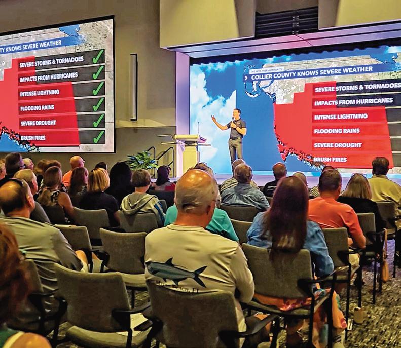
Becoming a WINK Weather Watcher means you can be our eyes and ears across Southwest Florida. As a volunteer, we want you to share your weather measurements, photos and video, whether it’s your best sunrise or sunset, rain totals, severe weather phenomenon or weather-related damage. But those are just a few examples of what you can contribute as a WINK Weather Watcher. Plus, your photos may be highlighted both on-air and online, and credited to you (if you choose to share your name).
Finally, the WINK Weather Watcher Team is open to everyone, regardless of expertise or experience. We’ll even offer training classes hosted by the WINK Weather Authority to give you the knowledge you need to keep an eye on the sky in your neighborhood.
If you’re interested in volunteering for the WINK Weather Watcher Team, signing up is fast, easy and free. Just visit winknews.com and become a WINK Weather Watcher today!

YOUR ADVANTAG AINST THE ELEMENTS


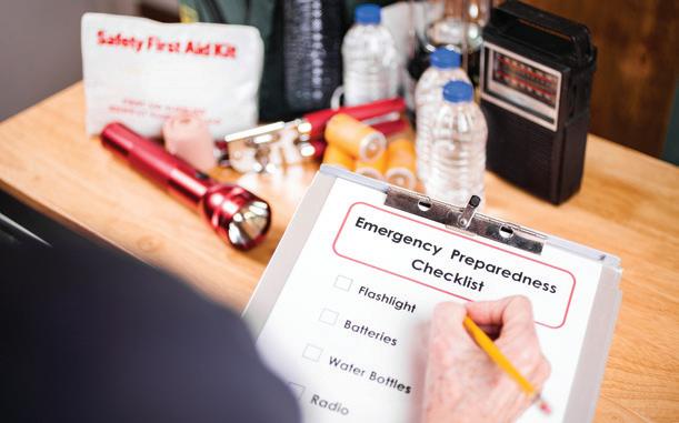
PREPARING YOUR FAMILY
MAKE A FAMILY COMMUNICATION PLAN
Storms don’t follow a playbook, and a hurricane can throw the most meticulous plans into chaos. If your family isn’t together when a hurricane hits, do you have a plan for how to get in touch with each other? Have you designated a meeting spot ahead of time? What if your area is evacuated? These questions illustrate why it’s critical to create a plan now so that everyone will know what to do, how to find each other and how to communicate in an emergency.
• Choose the same person for each family member to call or email, so that everyone has a single point of contact. During or after a hurricane, it might be easier to reach someone who is out of town or outside the state.
• Ensure the contact person is the “ICE” (“In Case of Emergency”) contact in your cell phone. If you’re injured, emergency personnel often will check your ICE listings to reach someone you know. Notify the person you’ve listed
ahead of time that he or she is your emergency contact.
• Make every member of your family aware of the emergency contact’s phone number and be sure they have a cell phone or a prepaid phone card to call that person.
• Unless it’s an emergency, text, don’t talk. Texting may be easier and you won’t tie up phone lines for emergency workers. Text messages can often get around network disruptions when phone calls can’t.
• Keep your family’s contact info and meeting spot location in your backpack, wallet or cell phone, or taped inside your school notebook.
• Designate someone from outside the area to be the primary contact for out-of-town relatives and friends to check on your well-being. Following a hurricane, landlines and cell phone networks could be out of service for extended periods.
BE PREPARED AND STAY AWARE
Being prepared and staying aware when hazardous weather threatens is vital.
A communication plan is only one element of what you’ll need to have in place with your family when a hurricane is imminent. Meet with your family to establish a plan for how to respond to a natural disaster well before hurricane season begins. Here are some ideas:
• Understand the type of hazards that could affect your family.
• Know your home’s vulnerability to potential storm dangers.
• Establish your evacuation route and destination. Plan to go to family or friends who live in safer areas. Use county evacuation shelters only as a last resort.
• Have an alternate plan ready should your friends be out of town, your primary evacuation route be flooded or other unforeseen circumstances arise.
• Assemble a family communication plan as outlined above.
• Plan for what to do with your pets if you need to evacuate (see below).
• Review your homeowners and flood insurance policies and keep them with you in a secure, waterproof place. Waiting until the storm arrives is the wrong time to check if you have the proper insurance.
• Register any
individuals with special needs with your county’s emergency management office.
• Create a list of prescription medicines that you will need to refill and take with you.
• Stock non-perishable emergency supplies and food.
• Prepare a disaster supply kit.
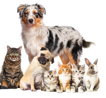
PREPARE YOUR PETS
Be sure to plan for your pets, too. Consider having two different pet emergency kits:
• In one, put everything your pets will need to stay where you are.
• The other should be a compact, portable version to use if you and your pets have to evacuate.
• For more information and a detailed list of disaster preparedness tips, go to aspca.org.

GET YOUR SUPPLIES NOW:
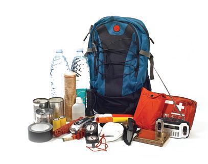
FOLLOW THESE CHECKLISTS
Supplies are a critical part of every family’s health and safety. Assemble the supplies you’ll need well in advance of hurricane season each year. It pays to be prepared.
When a storm is threatening, time to shop will be limited. If supplies are even available, you’ll have to scramble to find them. In recent hurricane seasons, many Southwest Florida residents faced shortages of plywood, batteries, flashlights, water, ice, generators and other storm necessities.
When a storm is predicted to make landfall near Southwest Florida, shopping lines are long, shelves are stripped bare and stress levels rise. Supplies can be divided into several categories, but the essentials should be gathered ahead of time and kept easily accessible throughout the hurricane season.
THE ESSENTIALS
These are the supplies you should always have on hand. Be sure to place the items that you will most likely need for an evacuation in an easy-to-carry container.
A minimum of one gallon of water per person per day. Keep at least a threeday supply per person on hand.
Additional water for food preparation and sanitation.
Bags of ice.
Partially fill plastic soft drink bottles, one liter or larger, with water and place them in the freezer. The bottles will freeze without cracking. If the power goes out, the frozen water will help keep the freezer cool, and when the ice melts, the water will be drinkable.
Fill up your car’s gas tank and portable gas canisters. Make sure those canisters are stored safely.
Keep cash handy. Banks may not be open, ATMs may not be accessible and debit cards and credit cards may not be viable if power is lost.
GROCERIES
Baby formula
Bread
Crackers
Canned fruits
Canned juice
Canned meats
Canned vegetables
Dry cereal
Instant coffee and tea
Peanut butter
Quick-energy snacks
Ready-to-eat soups
MEDICAL SUPPLIES
First-aid kit for your home—for how to stock your kit, consult

the American Red Cross at redcross.org.
First-aid kit for your car
Insulin
Denture needs
Prescription drugs
(minimum two-week supply)
A supply of aspirin or non-aspirin pain reliever
Contact lenses and supplies
Eyeglasses, along with a spare pair, if you have one
Heart and high blood pressure medicine

SPECIAL NEEDS
If you have family members with special requirements, such as infants and elderly or disabled persons, remember to include items and supplies that may be unique to their needs. That can include setting aside anything from extra diapers and baby formula to special medications and a spare walker.
Insect repellent
Itch-relief cream
DOCUMENTS
Important telephone numbers
Record of bank account numbers
Family records (birth, marriage, death certificates)
Record of credit card account numbers and companies
Inventory of valuable household goods—with pictures, if possible
Copy of will, insurance policies, deeds, stocks and bonds
Copy of passports, social security cards and immunization records

TOOLS & SUPPLIES
Battery-operated radio or TV
Flashlight and lanterns
Extra batteries and extra bulbs
Lighter or matches for your grill
Antenna for your TV
Extension cords
(heavy-duty and threepronged)
Manual can opener/utility knife
Plastic sheeting/tarps
Duct tape
Generator
Gas cans
Old towels for cleanup
Paper cups, plates and utensils
Plastic trash bags
Full propane tank
Charcoal and lighter fluid
Camp stove
Sterno fuel
Thermos for hot food
Coolers with ice for cold food
Tree saw for cutting fallen limbs
Hand tools: knife, axe, pliers, screwdrivers and wrench
Hammer and nails
Fire extinguisher
Fix-a-flat
Mops, buckets and cleaning supplies

PREPARING YOUR HOME
Preparing your home for a hurricane is vital. Regardless of size or location, there are precautions that all homeowners should take for the safety of their home and property. That can include strengthening or updating your home’s structure, electrical system or plumbing. And, while the more complex jobs are best suited to licensed contractors, there are several precautions you can take on your own to prepare and protect your home.
✓ Real World Tested
✓ Government Level Tested
✓ 3rd Party Tested
✓ Innovation Award Winner
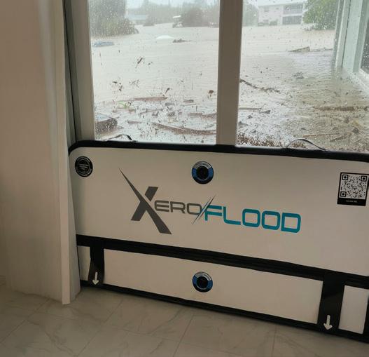
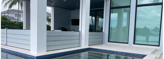
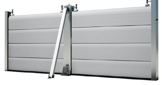
The ONLY flood barrier that protects your home without drilling, brackets, or permanent hardware, making it easy to safeguard what matters most, exactly when you need it.
Tested & Proven - fully tested by the National Research Council (NRC).
Full Report available on request.
Custom Made - doors, garages, any opening, any height.*
DEPLOY INSIDE OR OUTSIDE
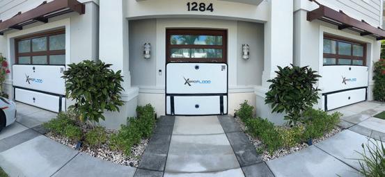
“Having endured 6 floods in 3-years, we explored several options. Ultimately, we truly believe this is the best strategy for our home.” ~ Brian. H, Naples






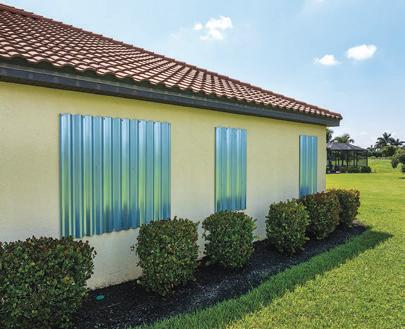
WINDOWS
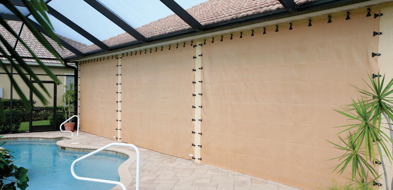
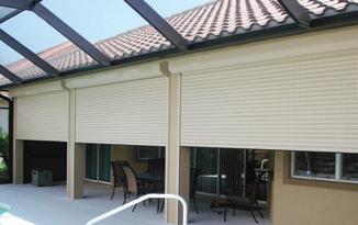
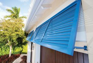
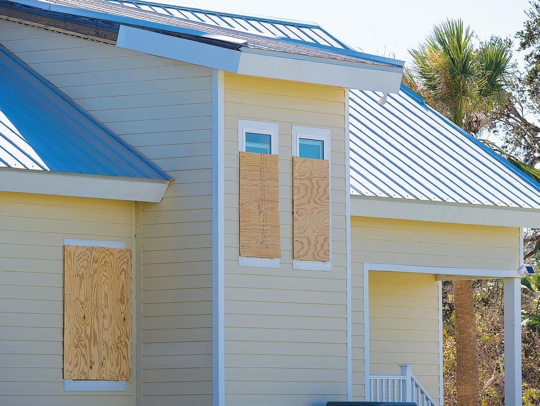
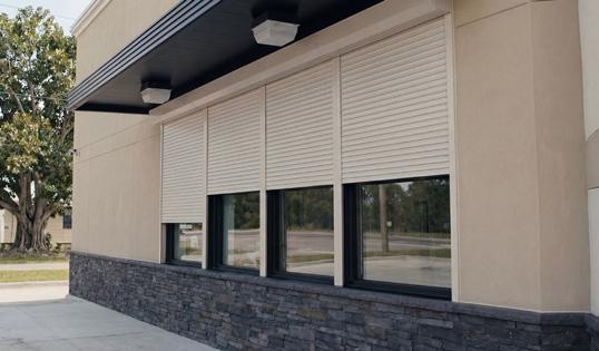
Installing storm shutters over all exposed windows and glass surfaces is the easiest, most effective way to protect your home from a variety of hurricane-related damage. Be sure to cover every window, French door, glass door and skylight in your home. Manufactured storm shutters can be made of steel, aluminum or heavy-duty plastic. Properly constructed and installed plywood shutters can also provide significant protection from hurricane-force winds and debris.
ROOF
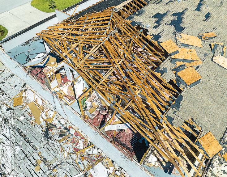
A residential roof can be especially vulnerable to damage from a hurricane’s high winds and debris, so proper roof construction is essential. An inspection by a qualified building professional can determine whether your roof needs reinforcement, and that small investment can save you from thousands of dollars in hurricane damage.
DOORS
The bolts and pins used to secure double-entry doors (with one active door and one that is inactive) may be unable to withstand hurricane-force winds. When making your home
hurricane-ready, check with a local building supply or hardware store to determine the bolt system to best reinforce your doors.
GARAGE DOORS
Hurricane-force winds can easily compromise double-wide garage doors, leaving your home vulnerable to more damage. Fortunately, some garage doors can be reinforced with retrofit kits found at building supply or hardware stores.
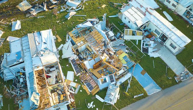
MOBILE HOMES REQUIRE SPECIAL PRECAUTIONS
Mobile homes are especially vulnerable to a hurricane’s winds. Anchor your mobile home with over-the-top tie-downs or frame tie-down straps. When a storm approaches, do your best to secure
your home, then seek refuge with friends or relatives, or at a public shelter. Even if it is securely anchored, do not try to ride out a hurricane in a mobile home under any circumstances. Always follow mandatory evacuation orders if they are issued.
Once you’ve securely anchored your mobile home, be sure to:
Pack breakables in boxes
Remove mirrors
Wrap mirrors and lamps in blankets and place them in the bathtub or shower
Install hurricane shutters or securely cover all windows with pre-cut plywood
Shut off utilities and propane tanks; disconnect electricity, sewer and water lines.


PREPARING YOUR BOAT
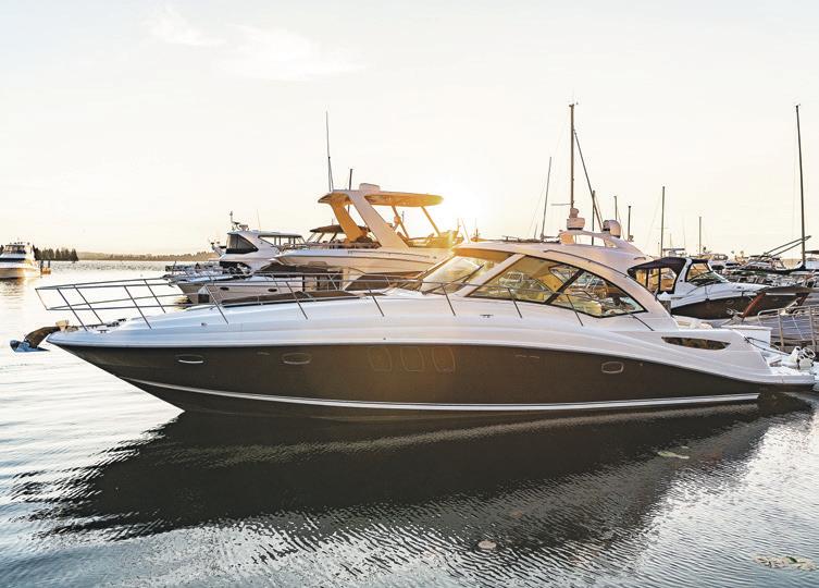
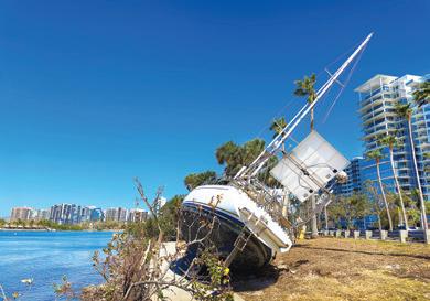
Abundant sunshine, waterways and beaches make Southwest Florida a boat owners’ paradise. But the recreational opportunities provided by our geographic location also leave boats vulnerable to damage from hurricanes and tropical storms.
Regardless of the vessel, the local boating environment or available storage options, every boat owner needs an action plan designed specifically to protect their craft. For the planning, safeguards and preparation needed to protect your boat before a storm arrives, follow these general guidelines.
GENERAL PRECAUTIONS FOR YOUR BOAT
Thoroughly inspect your boat to ensure it is in sound condition. Look closely at the hull, deck hardware, rigging, ground tackle, machinery and electronics.
Check and double-check to ensure batteries are charged, bilge pumps are working, fuel tanks are full, fuel filters are clean, cockpit drains are free and clear, firefighting equipment is in operable condition and lifesaving equipment is accessible and in good shape.
Enhance the watertight integ-
rity of your boat by reinforcing and sealing all doors, windows and hatches with waterproof duct tape.
Secure every item on your boat. Remove or secure all deck gear, portable gear, radio antennas, outriggers, chairs, deck boxes, cushions, bimini tops and side/canvas curtains, sails, boom, canister rafts and dinghies.
Inspect your boat’s deck hardware to be sure it is compatible with your mooring arrangements. Check the size and structural attachment of the primary chocks, cleats, bitts, bollards and winches. As these are high-load/high-stress points, they should have substantial backing plates secured with bolts of commensurate size.
Avoid chafing of mooring lines. A double neoprene hose arrangement has proven to be effective, successful chafing gear.
Make sure storm moorings have doubled lines, whether they’re located dockside or elsewhere. For the second set of lines, use a size larger than the normal lines, including spring lines at a dock.
Create a list of important phone numbers in your phone’s contacts, and keep a hard copy just in case. Include contact numbers for your insur-
ance agent, harbor master and marina facility, plus the United States Coast Guard and National Weather Service.
Purchase all the materials you’ll need ahead of time. That includes additional lengths of mooring lines, screw anchors, fenders, fender boards, chafing gear and anchors.
Make a hurricane action plan specific to your vessel. If you plan to move your boat to a safer location, be sure you have sufficient warning: at least 48 hours (and preferably 72 hours) before the storm will arrive. Rehearse your planned boat movement, including actually visiting the alternate dock or hurricane mooring/anchoring site, to know how long the trip will take and any obstacles you may encounter along the way.
Inventory all your boat’s equipment. Know the items that need to be removed from your boat and keep copies of your equipment inventory aboard the vessel and onshore. Take photos to document the current condition of your boat — inside and out — and keep those photos together with all your other records.
Check to ensure your insurance policy is up to date. Read and review
the policy thoroughly before the beginning of hurricane season. Most boat insurance policies include a great deal of helpful advisory information about what boat owners should — and should not — do if they incur loss or damage to their vessel due to a hurricane or tropical storm.
HURRICANE GUIDE 2026


AFTER THE STORM
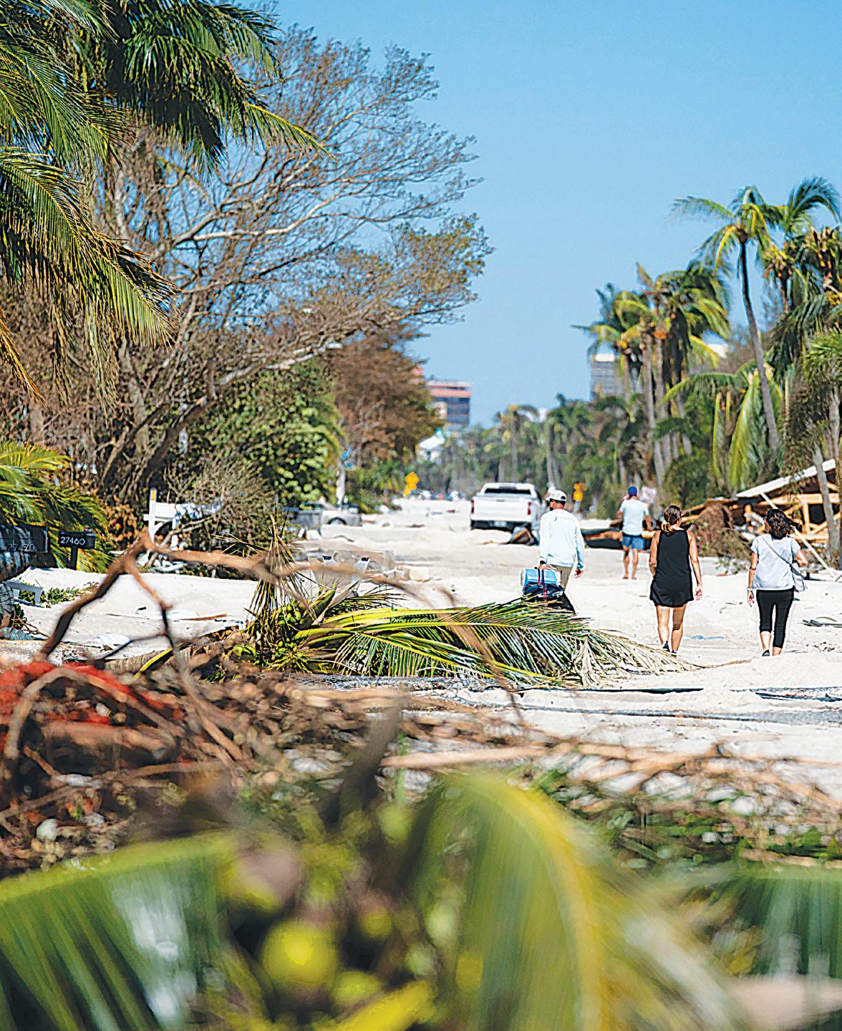
After a hurricane, relief supplies and other types of aid will usually arrive as quickly as possible. In addition, special disaster teams will be sent to heavily damaged areas by insurance companies, state and federal agencies and many private relief organizations.
Depending on the severity of the damage, however, it might take several days for any help or assistance to arrive at a disaster site. Remember, assembling and loading the specific supplies needed for a particular area can take time, and the roads may be blocked by debris and unsafe to travel. Given the potential for a delayed response, it’s vital to ensure you have at least a three-day supply of ice, water and food to sustain you and your family until help arrives.
WHAT TO EXPECT
Regardless of its strength or duration, a hurricane can be a traumatic experience that takes a physical and emotional toll. For some, the hurricane recovery process can be the most difficult part of all.
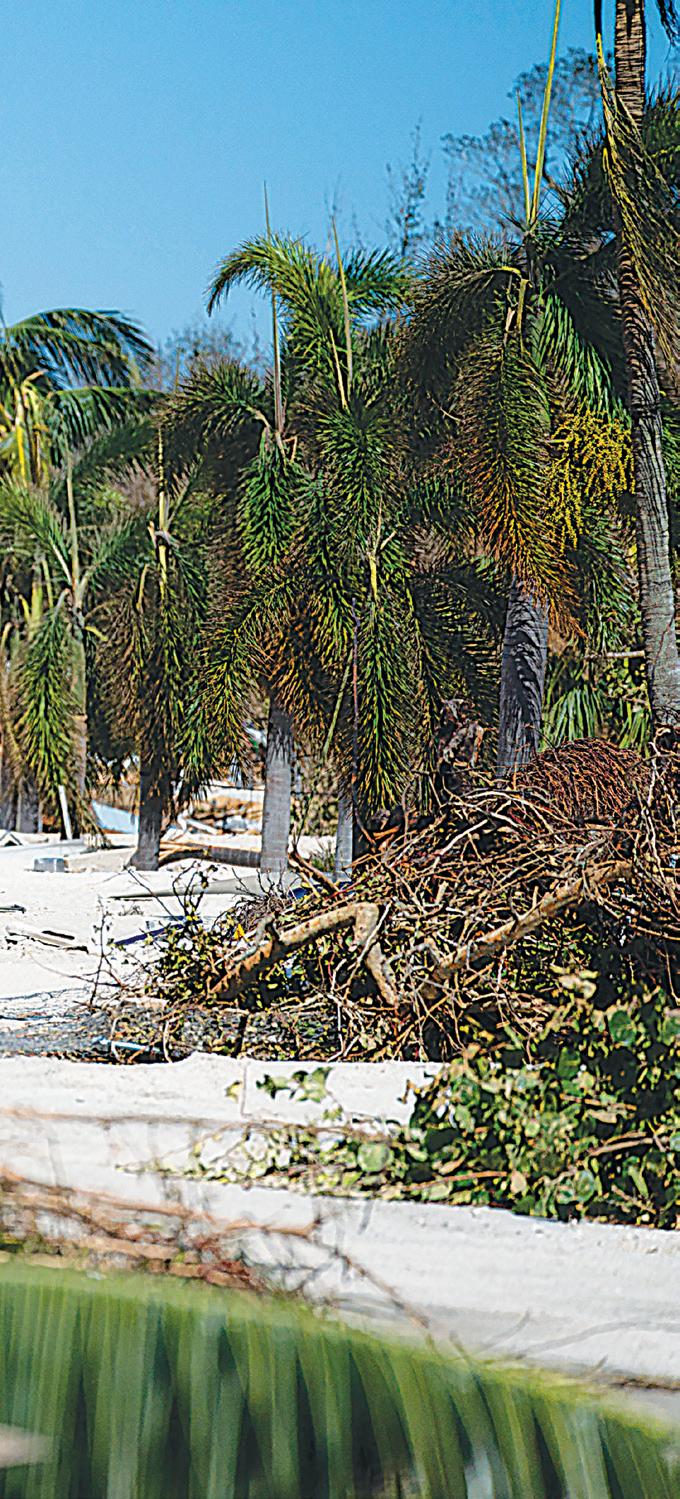
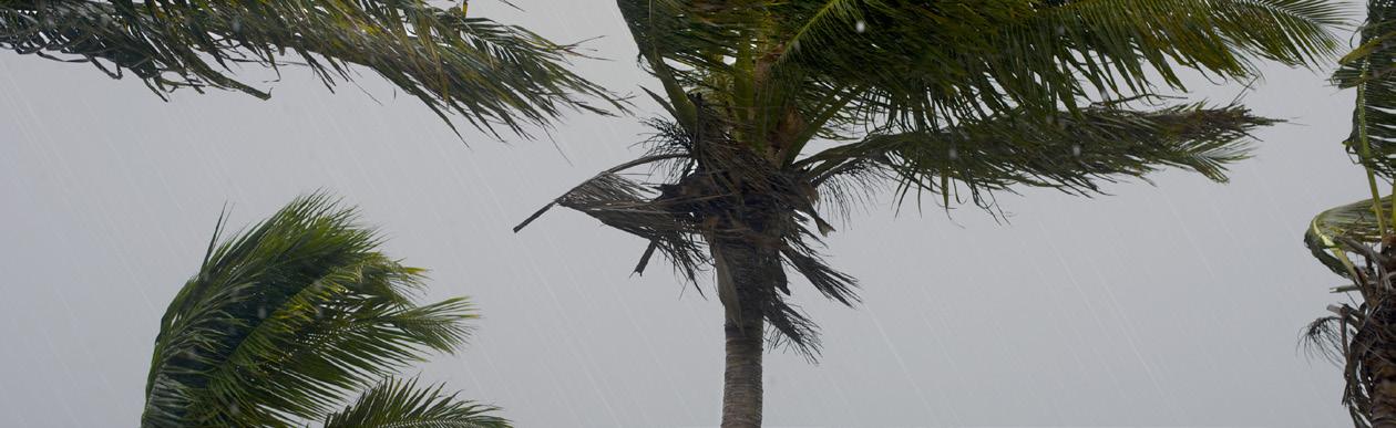
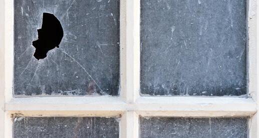
Consider how things might look after a storm with debris strewn across yards, roads and parking lots. Once tidy neighborhoods might now be littered with fallen trees, limbs, gutters and wreckage. Homes and businesses might be damaged or destroyed. There may be no water, sewer, working electric-
HURRICANE GUIDE 2026
ity or telephone service. With no electricity, there will be no air conditioning or refrigeration. Roadways could be blocked or closed anywhere from a few days to several weeks.
A hurricane will affect everyone in some way. It can be difficult and stressful to return to your home or business, assess damage and begin working on cleaning up. However, approaching the situation calmly and with patience and understanding can help you make this a safe and productive time for everyone.
Here are some post-storm procedures and considerations — as well as some important information on disaster assistance and generator safety — to keep in mind during any recovery.
FIRST THINGS FIRST
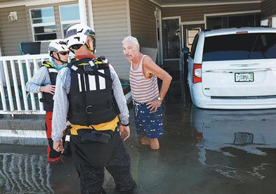
• Wait to return home until authorities give the all-clear to do so safely. Follow any specific re-entry procedures that may have been put in place. Stay tuned to WINK News, The Weather Authority, and winknews. com for recovery information.
• Try to help injured or trapped persons as best you can, but do not move seriously injured people unless they are in immediate danger of further injury. Call for help. Give first aid where appropriate.
• Avoid loose or dangling power
lines. Report them immediately to the power company, police department or fire department.
• Drive only if absolutely necessary. Avoid flooded roads and washed-out bridges. Allow emergency crews to remove fallen power lines and other hazardous debris.
• Proceed with caution when entering your home. Open doors and windows to ventilate or dry the interior. Be on the lookout for snakes, insects and animals that may have been displaced by flood water.
• Check for gas leaks. If you smell gas or hear a blowing or hissing noise, open a window and quickly exit the building. Turn off the gas at the outside main valve and if possible, call the gas company. If you turn off the gas for any reason, it must be turned back on only by a professional.
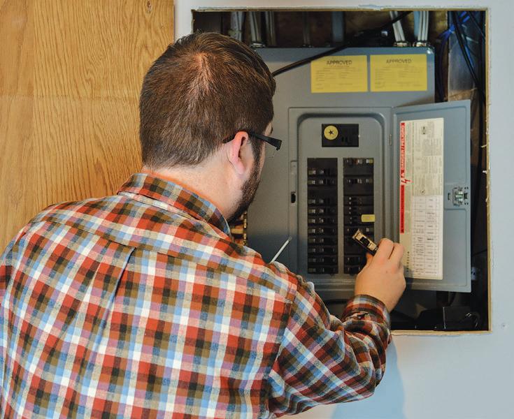
• Look for electrical system damage. If you see sparks or broken or frayed wires, or if you smell hot insulation, turn off the electricity at the main fuse box or circuit breaker.
• Check for sewage and water line damage. If you suspect sewage lines are damaged, avoid using the toilets and call a plumber. If water pipes are damaged, contact the water company and avoid tap water.
• Keep your refrigerator closed as much as possible to protect food from
spoiling. Dispose of any spoiled foods.
• Take pictures to document any damage to your house and its contents for insurance claims. Save receipts — including those for temporary lodging and food — for reimbursement. In addition, keep records such as canceled checks, bills and other documents received for repair work or temporary lodging.
WHAT THE STORM LEAVES BEHIND
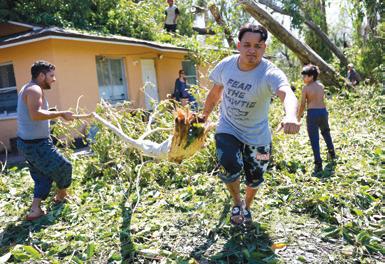
Storm Debris
After a hurricane, it will be necessary to separate your curbside trash. Debris from the clean-up and recovery will be accepted by priority.
• Once roads are cleared, raw garbage such as animal, fruit or vegetable waste will be collected.
• The second priority will be normal household garbage including food waste.
• The third priority is yard waste. Place items such as trees, branches and shrubs in piles that can be easily managed by collection personnel.
• The last collection priority will be construction debris such as lumber, roofing and concrete.
• Your county may accept food waste at the local waste management facility. Contact the facility for dropoff hours.
• Do not block your road with trash or debris.
Storm Debris Removal Information
• Charlotte: 941.575.3600
• Collier: 239.252.2380
• DeSoto: 863.993.4831
• Glades: 863.946.6020
• Hendry: 863.675.5222
• Unincorporated Lee: 239.533.8000

CLEANING UP AROUND AND ABOUT THE HOUSE
Household Priorities
• Pump or bail water out of the house as soon as possible.
• Open the windows to let the house air out and give the walls and floors a chance to dry.
• Shovel mud out before it can dry, then scrub floors and walls with a brush and mild soap and water.
• Make sure all appliances are unplugged as a general safety precaution.
Stoves and Ovens
• Clean the outside with a grease cutter, then with detergent and water.
• Clean the inside with conventional oven cleaner.
Refrigerators and Freezers
• To remove odors, wash the inside and the plastic door gasket with detergent and water.
• Rinse with a cloth and clear water. Wipe dry.
Washers and Dryers
• Pour a disinfectant into the empty washer. Run a 15-minute cycle using the hot water setting.
• Unplug the dryer and wipe the drum and dryer door with a cloth dipped in disinfectant solution. Rinse with a cloth dipped in clear water.
• Leave the dryer door open until all parts are dry, preferably overnight.
• Leave the dishwasher door open until all parts are dry.
Books and Papers
• Place books on end with the leaves separated. When partially dry, pile and press the books. Continue alternating drying and pressing until thoroughly dry.
• If books and papers are very damp, sprinkle some cornstarch between the pages to absorb moisture. Leave the cornstarch in place for
several hours, then brush off.
• When papers and books are almost dry, try using an electric iron set on low heat to flatten the pages. Separate the pages to prevent odors.
• Once books are completely dry, close them and clamp them closed to help them retain their shape.
• Photocopy important papers because they may quickly disintegrate, even if they have dried out.
Swimming Pools
• Remove as much debris by hand as possible and lower the water level to normal.
• Add a chlorinator, as in the form of the 10% hypochlorite granules commonly known as shock. Repeat the process and super chlorinate again and clean the filter frequently until the pool returns to normal.
• Have the gas company reconnect the heater line. If your pool requires structural repairs, choose your contractor carefully.
Looting/Curfew
As soon as the hurricane ends, looting may begin. With walls blown away and windows blown out, residences are often easy targets. Given the widespread fear of looting, some residents choose to stay in their damaged homes to protect their valuables. However, it’s important to note that statistically, crime is actually lower after a disaster. A curfew may be enacted for several nights to combat theft and vandalism.
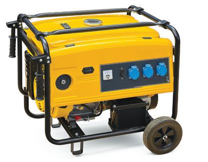
AVOIDING GENERATOR HAZARDS
Be Safe, Not Sorry
Every year, 70 people in the United States die from generator-related carbon monoxide deaths and thousands more are injured. Between 2005 and 2017, the U.S. Consumer Product
Safety Commission noted more than 15,000 people throughout the nation were treated in emergency rooms for some form of portable generator-related carbon monoxide poisoning.
HERE’S HOW YOU CAN AVOID BECOMING A STATISTIC:
• Read the owner’s manual and be sure to follow the manufacturer’s recommendations.
• Do not use a generator until it is properly grounded.
• Plug devices directly into the generator. Never backfeed your house circuits or connect your generator to your house wiring.
• Do not overload the generator capacity.
• Be aware of carbon monoxide poisoning. Never use a generator indoors, outside under a window, on a covered patio or in any space without adequate ventilation.
• Keep flammable items away from generators. The exhaust system is very hot.
• Never refuel your generator inside your home or while it is hot. A serious fire could result.
• Do not use in or around wet areas to prevent electric shock.
• Check all electrical cords to ensure the insulation is in good condition.
• Check the oil and fuel level before starting the motor.
Through Any Storm, Stay Strong, & Let’s Fight The Bite
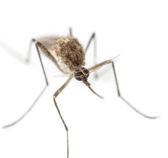
Following a storm, the mix of standing water and warm temperatures creates a perfect environment for mosquitoes to breed, often leading to an increase in populations.
Did you know that even a water bottle cap can be a mosquito habitat area? Don’t grow your own mosquitoes...dump out even the smallest amount of standing water!

After a Storm:
Before A Storm:
• Collect outdoor items that might hold standing water
• Clean debris from gutters
• Cover boats
• Add mosquito prevention items to your hurricane kit:
EPA registered repellent
Mosquito netting
Long sleeves and pants
Fans
Taking preventive steps can help minimize the numbers and protect you and your family from bites.
• Wear EPA registered repellent
• Empty items holding even the smallest amount of water
• Use fans to prevent weak flying mosquitoes from reaching you
• Use netting to prevent mosquitoes from entering household areas
• Report mosquito concerns to Lee County Mosquito Control District by visiting our website at leecountymcdfl.gov or calling (239) 694-2174

DANGERS OF ELECTRICITY
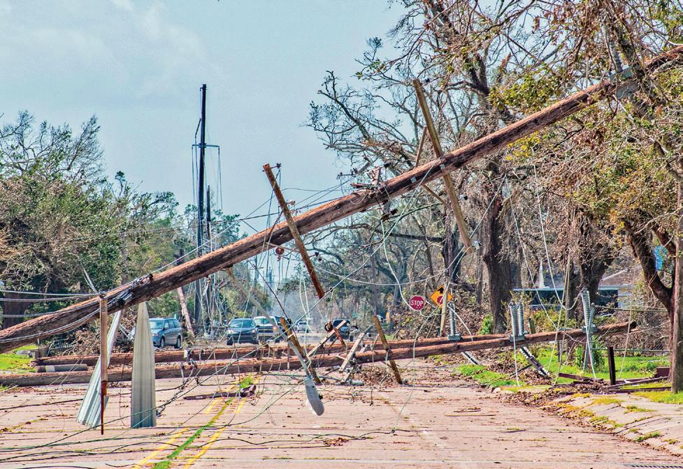
After a hurricane, downed power lines, electrical equipment and household wiring can all be potential dangers. If you’re faced with an electrical hazard, follow these tips to keep yourself and your family safe.
• If your electrical equipment is wet or near water, turn off the main breaker. If you must enter flood water to reach the breaker box or main, call an electrician to turn it off.
• Do not turn electrical equipment back on until it has been professionally inspected.
• Avoid downed power lines, as they may still be energized and dangerous.
Stay clear of water touching downed power lines, and do not trim trees or remove debris near them.
• If you’re removing debris in or around your home, do not pile it under or near electrical lines or equipment.
• Turn off any appliances that were on when the power was lost. They could be fire hazards if left on.
• Avoid using candles due to the risk of fire. Instead, use flashlights or battery-powered lanterns.
• Report any downed power lines to the utility company. Otherwise, keep utility telephone lines clear for emergency calls.
• HOW IS POWER RESTORED AFTER A STORM?
Your electric provider will begin assessing damage and working on repairs to the electrical system as soon as the storm passes.
• Power will first be restored to essential services, such as hospitals, traffic signals, shelters, communication centers and law enforcement.
• Next, your electric provider will restore the greatest number of customers in the shortest time.
• Finally, service is restored to individuals or those that need reconnection of repaired electrical systems. Getty
Plan. Prepare. Patience.
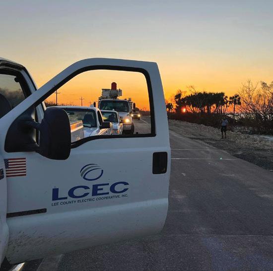
LCEC works year-round to harden the electric system and prepare for storms. Utility customers are encouraged to prepare with a plan that includes special needs, evacuation, and a storm kit.
The plan
LCEC has a tried and true plan that is updated and practiced annually. The electric grid is built to be resilient. Resources and relationships are cultivated in case they are needed.
Preparation is key
LCEC has comprehensive vegetation management, inspection, and maintenance plans to mitigate the potential for outages. When power is interrupted, the LCEC team is prepared to respond as quickly and safely as possible.
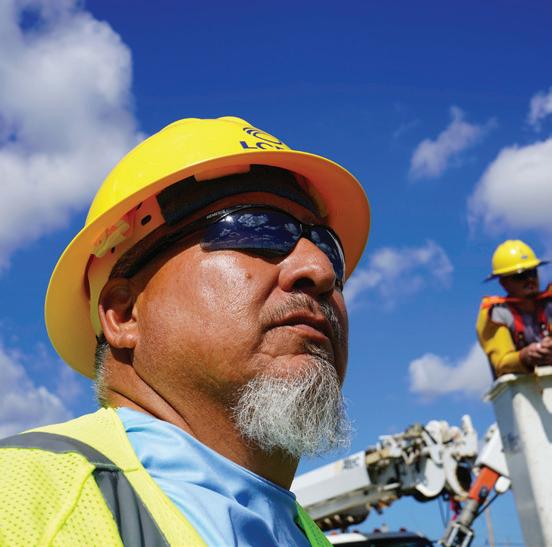
When the lights are out, we are on!
Since 1940, LCEC employees, contractors, and vendors have been there to respond to every major event with a sense of urgency. We know our members depend on electricity to power their lives and we are committed to meeting the needs of our community 24/7/365.
Scan this QR code to visit the LCEC Storm Center for more information about storm preparedness.

• WHAT IF MY NEIGHBOR HAS POWER BUT I DON’T?
Start by resetting all your circuit breakers. If that’s not the issue, then:
• Your home may be on a different feeder line or power transformer.
• The transformer providing power to your location may be damaged. Remember that these are often the last repair priority, as electrical providers focus on restoring the greatest number of customers first.
• Your weather head conduit (the pipe and wire extending above your roof) may be damaged or bent. It must be repaired by an electrician and be inspected before power can be restored.
• If your home has its own underground service that’s damaged, it must be repaired by an electrician and inspected before power can be restored.
• If none of the above are the issue, and your neighbor has power while yours hasn’t been restored, contact your utility.
• ABOUT ELECTRONICS
• Any electronic equipment that has been subject to rain or flood wa-
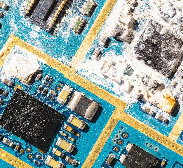
ter may not be salvageable. Attempting to repair it yourself can be dangerous to you and the device. Use extreme caution around wet electronics, especially if trying to repair or restore them.
• Do not open any electronic appliance to dry the internal components.
• Unplug electronic items and allow them to dry thoroughly. While the exterior may be dry, the internal components may not be. Allow several days for complete drying.
• To speed up drying, place equipment in the sun, but monitor it closely. Bright sunlight can damage liquid crystal displays (LCDs) in flat-screen televisions and computer monitors.
• When you’re certain the electronic item is completely dry, plug it in to test. If it doesn’t work immediately, allow another day to dry.
• If the power indicator light comes on, leave the equipment on for about 10 minutes, then turn it off for 30 minutes. Repeat the process while adding an extra five minutes on each subsequent try.
• If the power indicator does not come on, and the outlet is in working order, have the appliance professionally repaired.
• If you see smoke or hear crackling, unplug it immediately and have it repaired.


• ABOUT ELECTRIC VEHICLES AND BATTERY-POWERED ITEMS
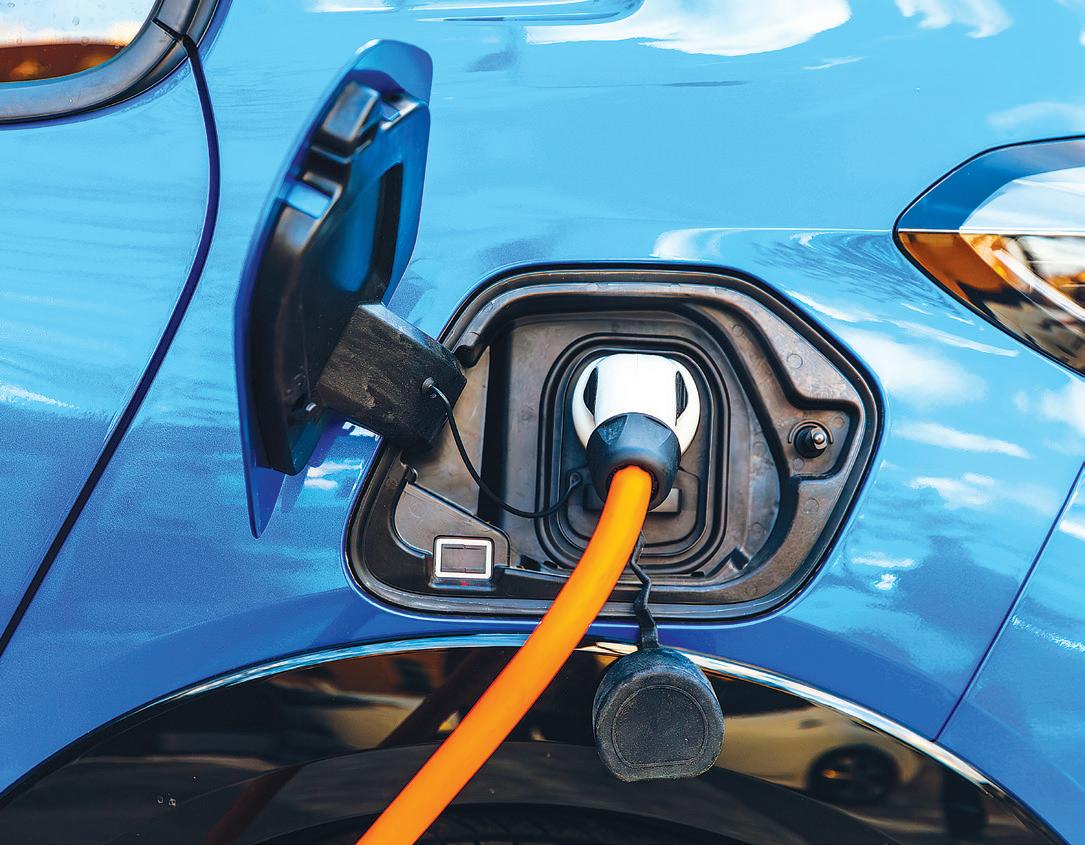
Lithium-ion batteries used in electric vehicles (EV), golf carts, scooters, battery-powered generators and even charging bricks can be very dangerous when subjected to flood waters. A lithium-ion battery exposed to water, especially salt water, can shortcircuit and discharge its stored energy. Called “thermal runaway,” this discharge can create a chain reaction causing the battery cells to ignite and
burn. As they’re often at the bottom of the engine, EV batteries can be especially susceptible to flood damage. To minimize the risk of a lithium-ion battery fire, move the vehicle or item away from any potential flood areas before the storm. After a storm, you can reduce your risk of EV fires by following these steps:
• If an EV is submerged in salt water, unplug it from the wall before power is restored.
• Assume the battery and associated components are energized and fully charged at all times.
• Do not start or drive an electric vehicle that has been flooded until it has been professionally inspected. Thermal runaway can occur hours or days after floodwaters recede.
• If your EV has flooded, put it in neutral and move it at least 50 feet from any structure, vehicle or combustible material.

POST-HURRICANE SAFETY CONCERNS
EVEN ONCE A HURRICANE HAS PASSED, THERE WILL STILL BE SEVERAL HEALTH AND SAFETY CONCERNS TO KEEP IN MIND. TO ENSURE YOUR SAFETY AFTER A STORM, REMEMBER THESE IMPORTANT POINTS.
Health Care
If hospitals and medical facilities have sustained structural damage or loss of power, their operations may be limited. Mobile health units may be available to provide basic services to residents with cuts, scrapes, bruises and mild illnesses. Stay tuned to WINK News, The Weather Authority, for more medical information.
Carbon Monoxide
Carbon monoxide is a poisonous gas that is colorless and tasteless. Symptoms of carbon monoxide poisoning include fatigue, weakness, chest pains, shortness of breath, nausea,
vomiting, headaches, confusion, lack of coordination and impaired vision. It can be easily avoided by not burning charcoal, gas grills or gas-powered generators inside houses, garages, vehicles or tents.
Food Safety
If food that has not been refrigerated for more than two hours has an unusual odor, color or texture and is no longer cool to the touch, it is unsafe to eat. Throw it out.
Drinking
Water
Do not assume that public water supplies in hurricane-affected areas are
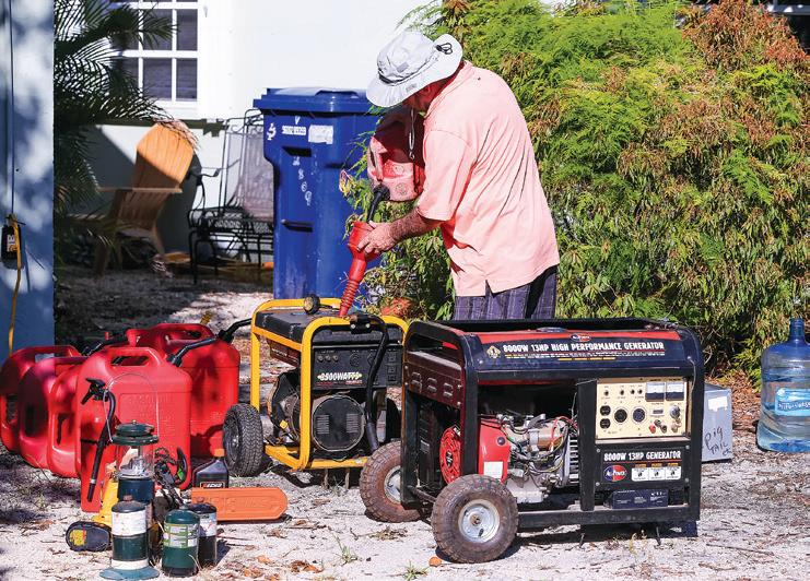

safe to drink. Instead, use bottled water for cooking, eating and drinking until the tap water’s safety has been confirmed by public health agencies. If no bottled water is available, vigorously boil tap water for at least one minute to ensure it is safe to drink.
Hand Washing and Sanitization
Wash your hands often with soap and clean water. If you’re not sure about the source of the water, use an alcohol-based hand sanitizer to decrease the risk of illness, infection or contact with disease-causing bacteria.
Mosquitoes
Mosquitoes will increase in number dramatically after heavy rains and flooding. To minimize your risk of bites and mosquito-borne diseases, public health officials recommend the five D’s of prevention:
• Dusk to Dawn—avoid the outdoors from sunset to sunrise.
• Dress—cover up with longsleeved shirts, long pants and socks.
• DEET—use repellents with DEET, usually 30% solutions. Do not use DEET on children younger than 2 months old.
• Drainage—inspect your home and neighborhood, and dump any standing water where mosquitoes can lay their eggs.
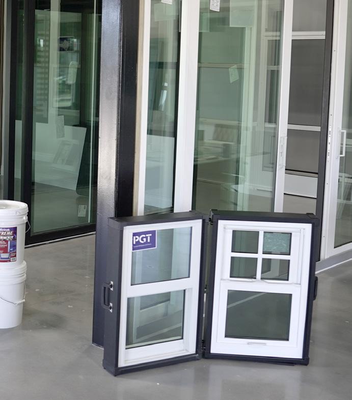





EVACUATING TO A SHELTER
When evacuation orders are issued, officials encourage you to make every effort to leave the area. Given that public shelters will likely be crowded, other evacuation options may include:
Staying at your house if your area is not under an evacuation order, or if you do not live in a mobile or manufactured home.
Going to the home of a friend or family member who lives outside the evacuation zones.
Checking into a hotel or motel that’s outside the evacuation zones.
Traveling to a part of Florida that is not under an evacuation order.
WHAT YOU NEED TO KNOW ABOUT
SHELTERS
If you don’t have a safe place to go, head for a public shelter. Lists of local shelters are available on county websites, as well as in this guide. When planning where you’ll go, remember some shelter locations may not be open and operating if they are too close to the storm and its path. Do not assume every shelter will be
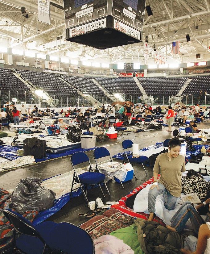
open during every storm. Follow WINK News, The Weather Authority, via website, television or radio for updates.
If you do need to go to a shelter, here are some things for you to consider:
• There is a shortage of evacuation shelters. If you have a safe place to evacuate to, use that alternate location rather than a public shelter.
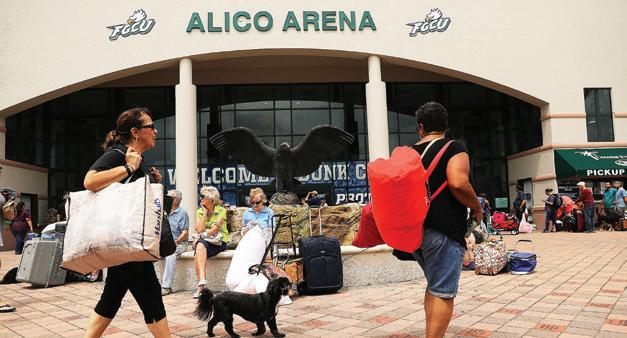
• Shelters are not hotels; they do not provide any conveniences, luxuries or amenities. Bring your family’s disaster supply kit to ensure proper provisions.
• Food and water should be available, but there may be a slight delay in initial service.
• Cots are not provided in generalpopulation shelters.
• Weapons, smoking or alcoholic beverages ARE NOT allowed in shelters. In fact, arriving at a public shelter with weapons or liquor under any circumstances could get you arrested.
• Service animals are allowed at all shelters, but family pets are permitted ONLY in shelters designated as “pet-friendly.” All service animals must have vaccination records and be caged. You must also provide their food, water, leash and waste management.
YOUR ONE-STOP SHOP for Hurricane Prep!
Do

Portable Generators
Extension Cords
Grills & Cooking Supplies
Anchor Systems
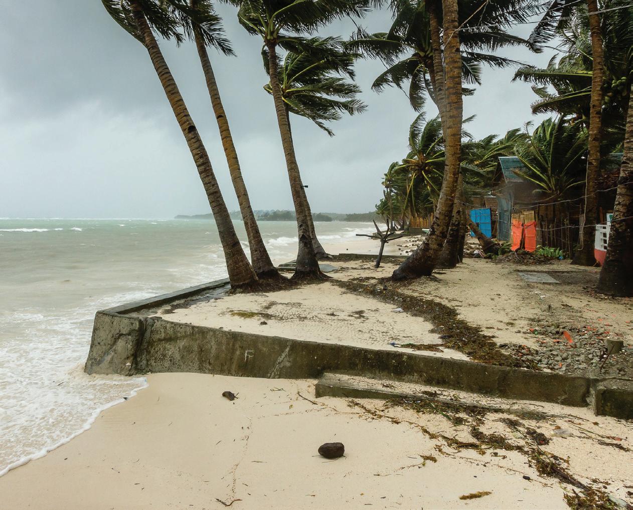
Crank Radios/TV Antennas
Propane & Fuel Cans
Batteries/Battery Packs/Chargers
Weather Sealants
Flashlights
Ice & Coolers
First Aid Kits
Tarps/Bungee Cords






ITEMS TO BRING TO A SHELTER
Drinking water
Snacks or special foods, including foods for special dietary requirements
Lawn chair
Bedroll
Pillows and blankets
Books, magazines or electronics with headphones
Medications
Change of clothing
Personal hygiene items (toothbrush, toothpaste, hand sanitizer, etc.)
Important documents and ID (driver’s license or passport, proof of residence, etc.)
If you are medically vulnerable, remember to also bring your personal health equipment and hygiene products
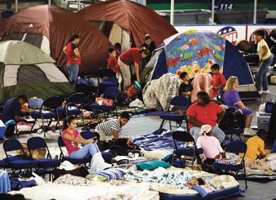
About Special Needs Shelters
A special needs shelter is a temporary emergency facility capable of providing care to residents whose medical condition may require the use of electrical equipment, oxygen or dialysis, as well as to individuals with physical or cognitive conditions requiring assistance from medical professionals. Those eligible to evacuate to a
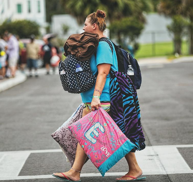
special needs shelter should pre-register with Emergency Management. Here’s what you should know about special needs shelters:
You must register every year. Your application is good for one calendar year only.
A companion or caregiver must accompany you during your time at the shelter. Typically, there are limited staff members on hand.
You will receive a confirmation letter and instructions confirming that you’re on the special needs shelter registry, as well as what to expect if those shelters open.
Remember, although special needs shelters provide more care than a general shelter, they do not provide the level of care found in a medical facility.
About Pet-Friendly Shelters
Prepare a pet supply kit that includes:
Non-perishable food
Water
Medications
Sturdy cage or carrier
Collar and leash
Up-to-date vaccination records
Also consider:
Keeping photos of your pet with you to help with identification if you’re separated.
Placing identification on your pet’s collar.
Using a microchip to help identify your pet should you be separated. Check with your county to see if a local animal services department offers a microchipping program.
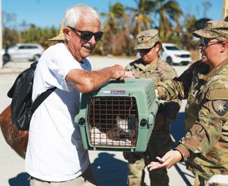
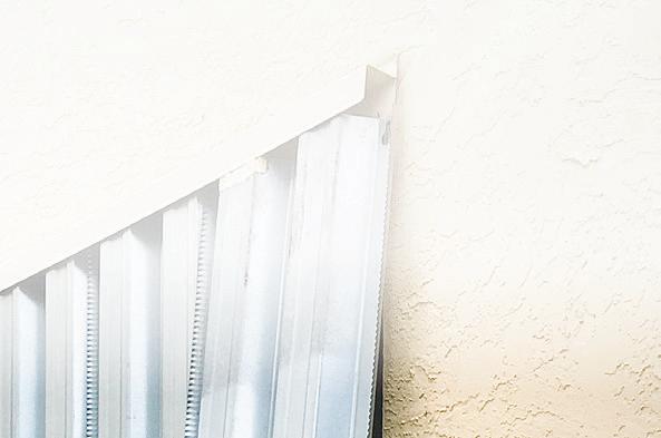

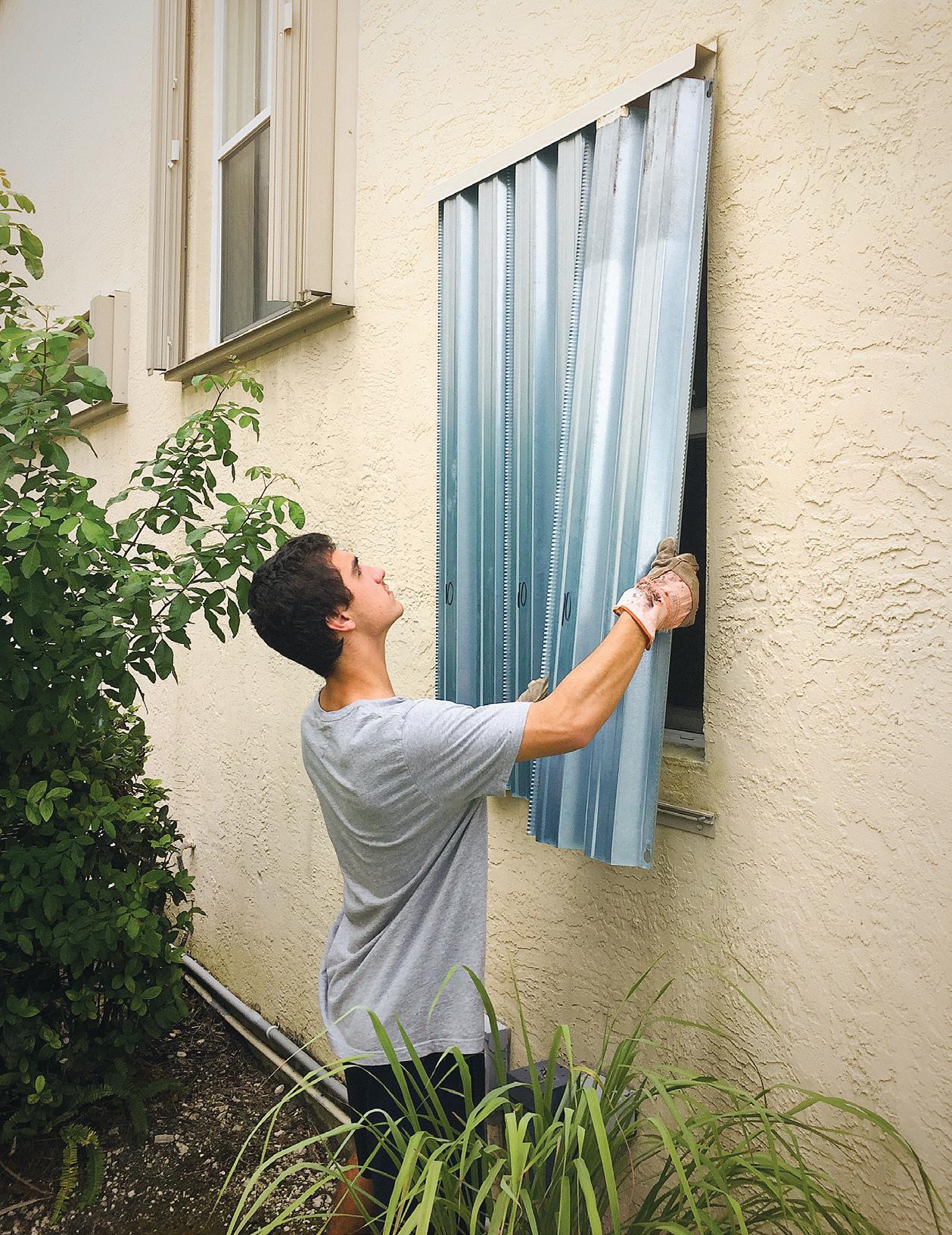
AREA SHELTERS AND REFUGES OF LAST RESORT
CHARLOTTE COUNTY
Emergency Operations Center
% (941) 833-4000 charlottecountyfl.gov/ departments/public-safety/ emergency-management/
* PLEASE NOTE:
Do not depend on a particular shelter or refuge. Sites may, or may not, be opened depending on the size of the storm and the predicted landfall area.
*All Charlotte County shelters are pet-friendly.
PORT CHARLOTTE
• Harold Ave. Regional Park Recreation Center, 23400 Harold Ave.
• Kingsway Elementary School, 23300 Quasar Blvd.
• Liberty Elementary School, 370 Atwater St.
• Neil Armstrong Elementary, 22100 Breezeswept Ave.
COLLIER COUNTY
Emergency Operations Center
% (239) 252-3600 colliergov.net/em
* PLEASE NOTE:
Listen to local radio, check television and visit: colliercountyfl.gov/government/ county-manager-operations/ divisions/emergency-management for additional shelter openings.
* Pets are accepted at all of the elementary and middle schools listed below.
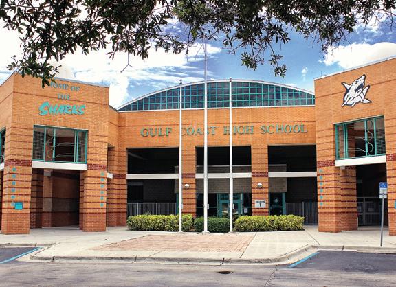
IMMOKALEE
• Eden Park Elementary School, 3650 Westclox St.
• Highlands Elementary School, 1101 Lake Trafford Road
• Immokalee High School, 701 Immokalee Drive
• Immokalee Middle School, 401 Ninth St. N.
• Lake Trafford Elementary School, 3500 Lake Trafford Blvd.
• Pinecrest Elementary School, 313 Ninth St. S.
• Village Oaks Elementary School, 1601 State Road 29
NAPLES
• Aubrey Rogers High School, 15100 Veterans Memorial Blvd.
• Big Cypress Elementary, 3250 Golden Gate Blvd. W.
• Corkscrew Elementary School, 1065 Oil Well Road
• Corkscrew Middle School, 1165 County Road 858
• Cypress Palm Middle School, 4255 18th Ave. NE
• Estates Elementary School, 5945 Everglades Blvd. N.
• Golden Gate Elementary School, 4911 20th Place SW
• Golden Gate High School, 2925 Titan Way
• Golden Gate Middle School, 2701 48th Terrace SW
• Golden Terrace Elementary School North, 2711 44th Terrace SW
• Gulf Coast High School, 7878 Shark Way
• Laurel Oak Elementary School, 7800 Immokalee Road
• Lavern Gaynor Elementary School, 2965 44th Terrace SW
• Lely High School, 1 Lely High School Blvd.
• Mike Davis Elementary School, 3215 Magnolia Pond Drive
• Oakridge Middle School, 14975 Collier Blvd.
• Palmetto Elementary School, 3000 10th Ave. SE
• Palmetto Ridge High School, 1655 Victory Lane—Special needs shelter
• Sabal Palm Elementary School, 4095 18th Ave NE
• Vineyards Elementary School, 6225 Arbor Blvd. W.
DESOTO COUNTY
Emergency Operations Center
% (863) 993-4831 desotobocc.com
ARCADIA
• Turner Center, 2250 NE Roan St.
• South Florida State College, DeSoto campus, 2251 NE Turner Ave. – Pre-Approved Special Needs Only; apply at: snr.flhealthresponse.com
GLADES COUNTY
Emergency Operations Center
% (863) 946-6020 myglades.com/departments/ public_safety/emergency_ management/index.php
* PLEASE NOTE:
Not all shelters will be open in the event of an emergency.


BUCKHEAD RIDGE
• Buckhead Ridge Community Center, 30082 E. State Road 78
• Buckhead Ridge VFW, 29012 E. State Road 78
LAKEPORT
• Lakeport Community Center, 1239 Red Barn Road
• Maple Grove Baptist Church, 12777 State Road 78 NE
MOORE HAVEN
• Doyle Conner Building, 900 US Highway 27 SW
• Moore Haven Elementary School, 401 Terrier Pride Drive
• Moore Haven High School Gym, 700 Terrier Pride Dr. SW –Pet-Friendly
• Ortona Community Center, 2086 Ortona Locks Road
• Washington Park Community Center, 1182 Gamble St.
MUSE
• Muse Community Center, 3897 Loblolly Bay Road
• West Glades Elementary, 2586 State Highway 731–Special Needs and Pet-Friendly
HENDRY COUNTY
Emergency Operations Center
% (863) 674-5400 hendryfla.net/emergency_ management.php
* PLEASE NOTE:
The locations listed below are the county’s primary shelters. Secondary storm shelters will be opened only if needed.
CLEWISTON
• Clewiston High School, 1501 S. Francisco St.
• Pioneer Community Center, 910 Panama Ave.
LABELLE
• LaBelle Middle School, 8000 E. Cowboy Way
• LJ Nobles Senior Center, 475 E. Cowboy Way— Special Needs Only. Must PreRegister.
LEE COUNTY
Emergency Operations Center
% (239) 533-0622 leeeoc.com
*All Lee County shelters are petfriendly.
* PLEASE NOTE:
Not all shelters will be open in the event of an emergency.
CAPE CORAL
• Island Coast High School, 2125 De Navarra Parkway
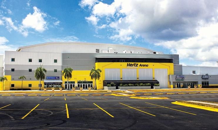
ESTERO
• Estero Recreation Center, 9200 Corkscrew Palms Blvd.
• Hertz Arena, 11000 Everblades Parkway
FORT MYERS
• Dunbar High School, 3800 Edison Ave.
• Gateway High School, 13820 Griffin Drive
• S. Fort Myers High School, 14020 Plantation Road
• Treeline Elementary School, 10900 Treeline Ave.
LEHIGH ACRES
• Amanecer Elementary School, 641 Sunshine Blvd.
• East Lee County High School, 715 Thomas Sherwin Ave.
• Harns Marsh Elementary School, 1800 Unice Ave. N.
• Harns Marsh Middle School, 1820 Unice Ave. N.
• Mirror Lakes Elementary School, 525 Charwood Ave. S.
• Tortuga Preserve Elementary School, 1711 Gunnery Road
• Varsity Lakes Middle School, 801 Gunnery Road N.
• Veterans Park Recreation Center, 55 Homestead Road S.
NORTH FORT MYERS
• N. Fort Myers Academy of the Arts, 1856 Arts Way
• N. Fort Myers Recreation Center, 2000 N. Recreation Park Way
SAN CARLOS PARK
• Alico Arena, 12181 FGCU Lake Parkway E.
TICE
• Manatee Elementary School, 5301 Tice St.
• Oak Hammock Middle School, 5321 Tice St.
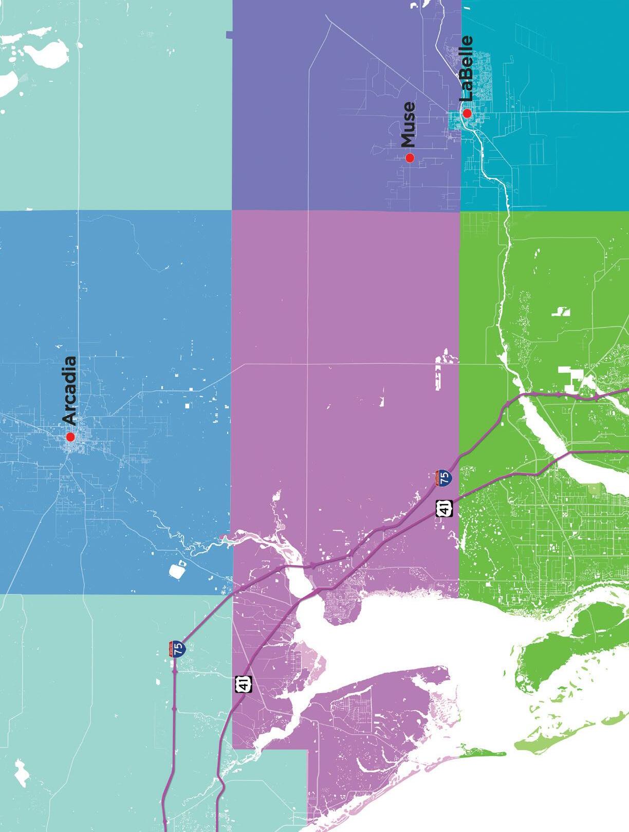
AREA SHELTERS AND REFUGES OF LAST RESORT
Do not depend on a particular shelter or refuge being open during a hurricane. Sites may, or may not, be opened depending on the size of the storm and the predicted landfall area. There often is a shortage of evacuation shelters. If you have a safe place to evacuate to, plan to use that alternate location rather than a public shelter. Shelters are not hotels. They cannot provide any conveniences or luxuries, including cots and bedding.
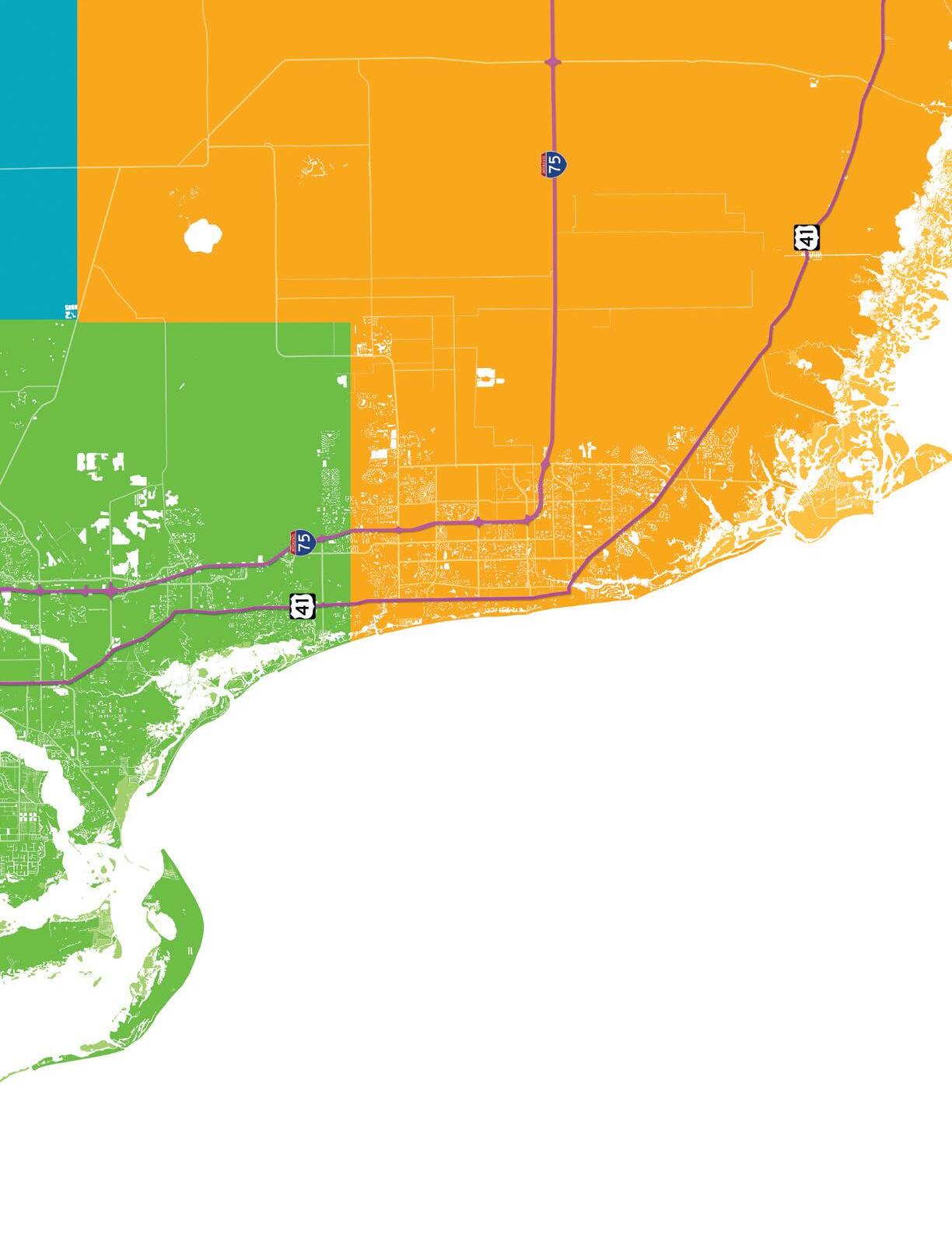
NOTE: Map pin locations are approximate. Please refer to the shelter list on pg. 66 for an
Emergency Operations Centers
% Lee: (239) 533-0622
% Collier: (239) 252-3600
% Charlotte: (941) 833-4000
% DeSoto: (863) 993-4831
% Glades: (863) 946-6020
% Hendry: (863) 674-5400
Hotlines
•Federal Emergency Management Agency Disaster Assistance/ Registration:
% (800) 621-3362
TTY: (800) 462-7585
•United States Small Business Administration:
% (800) 659-2955
TTY: 7-1-1
•National Center for Disaster Fraud Hotline:
% (866) 720-5721
•Florida State Assistance Information Line (SAIL):
% (800) 342-3557
•Florida Department of Financial Services Disaster Assistance Helpline:
% (877) 693-5236 or
% (850) 413-3089 for outof-state callers
•Red Cross Food, Shelter and Financial Assistance:
% (866) 438-4636
•Disaster Distress Helpline:
% (800) 985-5990
•Area Agency on Aging for Southwest Florida Elder Helpline:
% (866) 413-5337
•Florida Attorney General’s Price Gouging Hotline:
% (866) 966-7226
IMPORTANT AREA PHONE NUMBERS AND WEBSITES
Contractor Information
•Florida Department of Business and Professional Regulation Unlicensed Activities Hotline:
% (866) 532-1440
•Florida Department of Business and Professional Regulation (to verify contractor licenses):
% (850) 487-1395
•Department of Agricultural and Consumer Services:
% (800) 435-7352
•Domestic Animal Services:
% (239) 533-7387–Lee
% (239) 252-7387–Collier
Online Resources
• nhc.noaa.gov:
The National Oceanic and Atmospheric Administration experts at the National Hurricane Center are leading authorities on Atlantic Basin hurricanes and tropical storms.
• floridadisaster.org: This is the state’s Emergency Operations Center’s website for up-to-date, statewide information, news alerts and contact information about storms, evacuations, storm surge and shelter information.
• hotels.petswelcome.com for pet-friendly lodging in Florida.
• Bureau of Employee Assistance:
% (800) 342-1741
• Florida Association of Electrical Contractors:
% (407) 260-1511
• Florida Wall and Ceiling Contractors Association:
% (407) 260-1313
• Associated Builders and Contractors of Florida:
% (813) 879-8064
American Red Cross Offices
• Charlotte, Collier, Glades, Hendry, Lee and Sarasota:
% (239) 278-3401 or redcross.org/southflorida
• DeSoto, Hardee, Highlands, Okeechobee and Polk:
% (863) 294-5941 or redcross.org/local/florida/ south-florida/about-us/ locations/mid-florida.html
Power Companies
• FPL:
% (800) 468-8243
• Lee County Electric Cooperative:
% (800) 599-2356
• Glades Electric Co-Op:
% (863) 946-6200
Donation Information
• You can donate food, water, and money: Harry Chapin Food Bank, 3760 Fowler St., Fort Myers.
% (239) 334-7007 or harrychapinfoodbank.org.
• Salvation Army Donation Hotline:
% (800) 725-2769
• American Red Cross:
% (800) 435-7669
Agency Help
• fema.gov:
This is the Federal Emergency Management Agency website, and the official website for the National Flood Insurance Program. It offers detailed instructions on how to prepare for natural disasters, including action plans and safe rooms.
• redcross.org:
The American Red Cross keeps residents informed about response and recovery operations.
• myfloridacfo.com:
In the event of a storm, the Florida Department of Financial Services can assist with banking and insurance concerns.
• flash.org:
The Federal Alliance for Safe Homes, dedicated to promoting disaster safety and property loss mitigation.
• fmo.org:
The Federation of Manufactured Home Owners is a consumeradvocacy group that promotes hurricane safety.




Windham Shores Color Aleia

ALWAYS THERE
WINK NEWS, THE WEATHER AUTHORITY, STAYS WITH YOU DURING A HURRICANE
Should you need to evacuate your home because of a hurricane, you can still take WINK News, the Weather Authority, with you wherever you go. Even if you can’t watch TV, you have multiple options to follow the accurate, up-to-the-minute storm coverage Southwest Florida relies on from WINK News, The Weather Authority.
Reports from the WINK Weather Authority are available over radio, online or on your smartphone. You can follow storm coverage on 96.9 WINK-FM or 97.7-FM Latino, and watch live reports at WINKnews.com or on the WINK News app.
Whenever severe weather threatens, you can always trust WINK News, The Weather Authority, to keep you informed with the latest, most accurate updates you can access anywhere, anytime and anyplace.

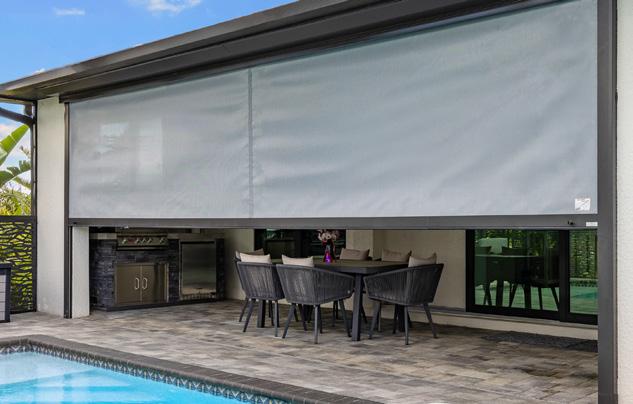
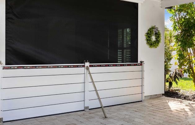


• Professional installation of Generac, Kohler and Cummins generators. Financing available!
The preferred electrical contractor for homeowners and hundreds of high-rises, associations, businesses, and commercial properties across
• Surge protection, Battery systems, Emergency power
• Safety Inspections, Service, Repair and Installation
• Residential, Commercial, Dock, Marine & Boat Lifts
• Electrical Vehicle Chargers
• Fair Transparent Pricing on Panel Replacements
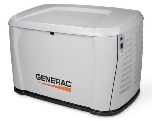
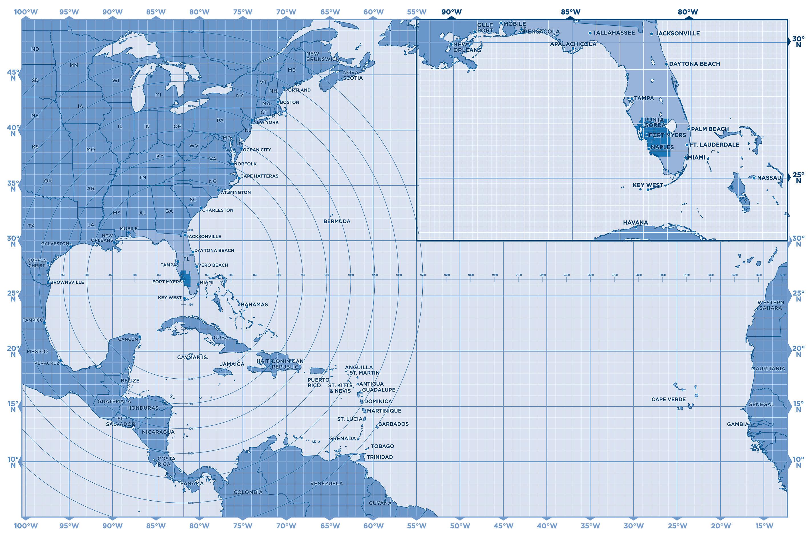
WHERE HURRICANES FORM
This hurricane tracking map charts the areas of the Atlantic, Caribbean and Gulf of America where these powerful storms are most likely to form. These are also the regions that often bear the brunt of hurricanes’ destructive forces. Although we typically consider hurricanes to be tropical phenomena, weather changes off Africa’s west coast have an impact on how these storms are created. And those hurricanes can affect normal weather patterns far to the north and south of Florida and the Gulf states.