ERRATUM.
Page 9 of Part 5.
Change Gip Gip (1980/ OM5.) to Gip Gip (1980/SE 10.)
Table showing level of significance, features of interest and principal uses of monuments recorded in Part 5.
Page 13 of Part 5. Second entry.
Change Anderson’s Quarry, Belair to Anderson’s Quarry, Mitcham.
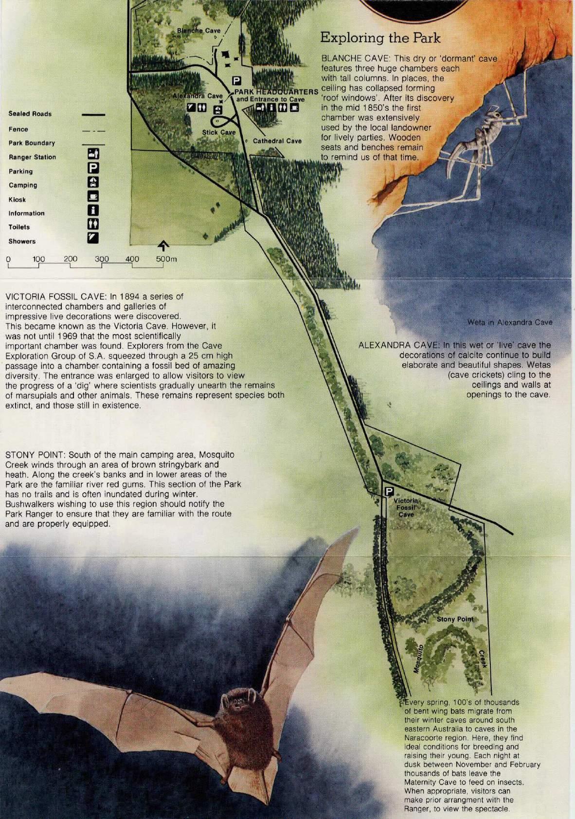
Figure 5. Map of South East Planning Area. Before page 29 of the original text.
Add SE 13 to area labelled “Caves” 12 km. SE of Naracoorte.
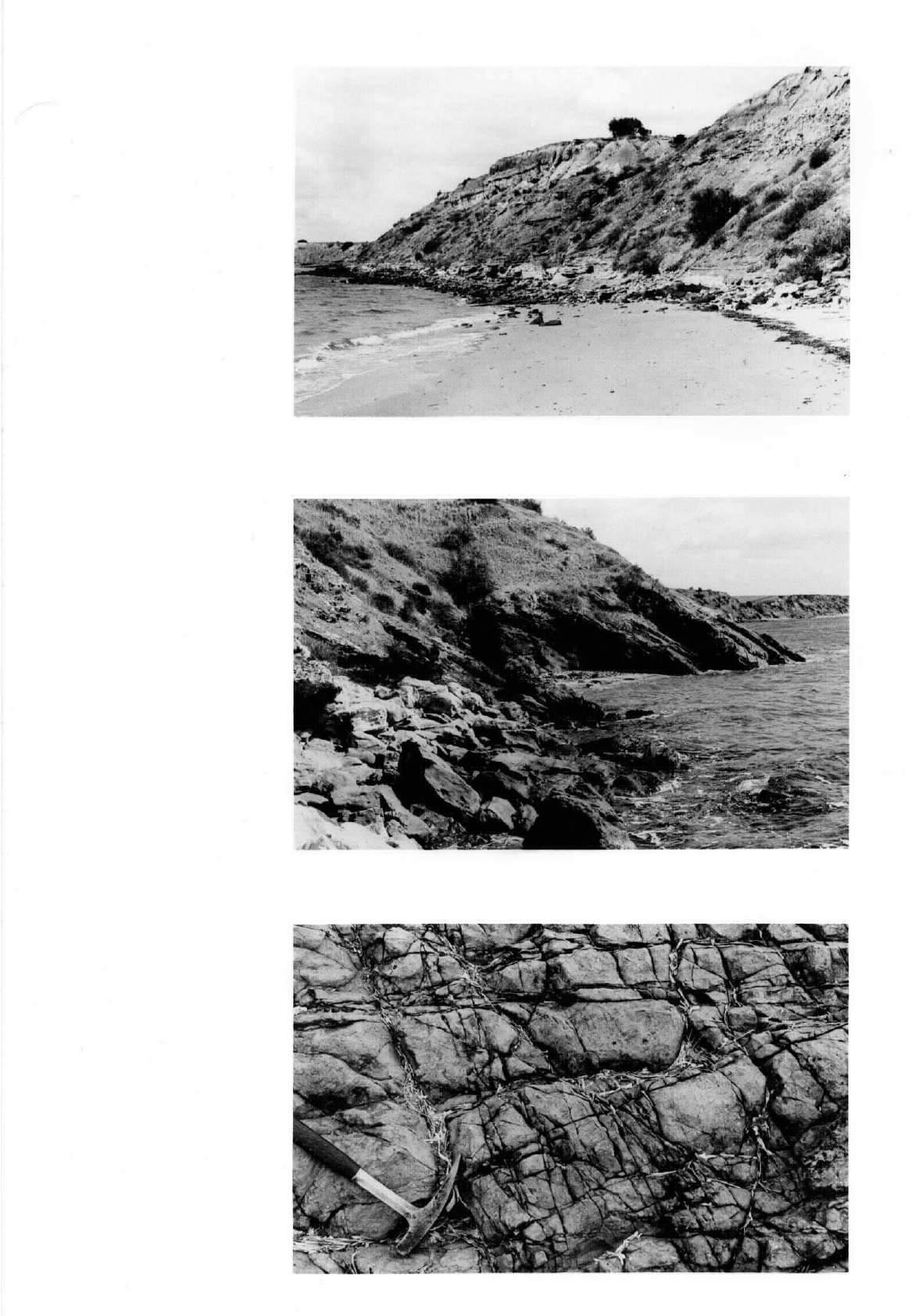
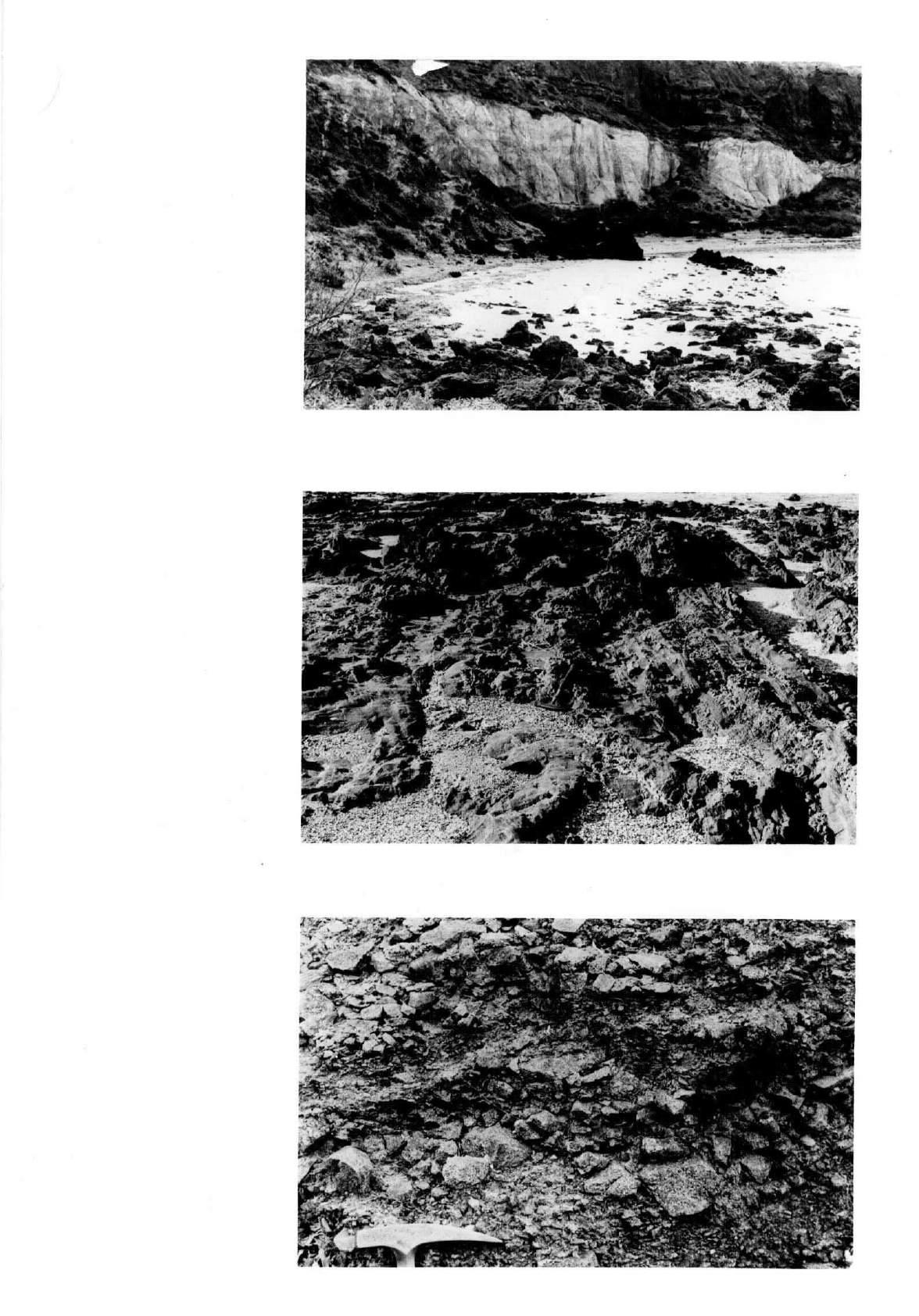
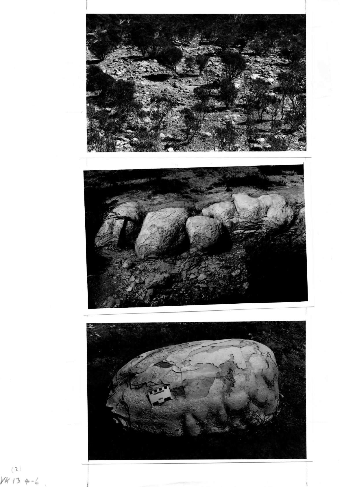
File YK 4. “Sliding Rocks”-Muloowurtie Point.
Page 39 of the original text, General description and location, paragraph 3, lines 1 and 2 ;
1. Change 34º 16' 22'' S to 34º 31' 22'' S.
2. Change 34º 15' 49'' S to 34º 30' 49'' S.
ERRATUM.
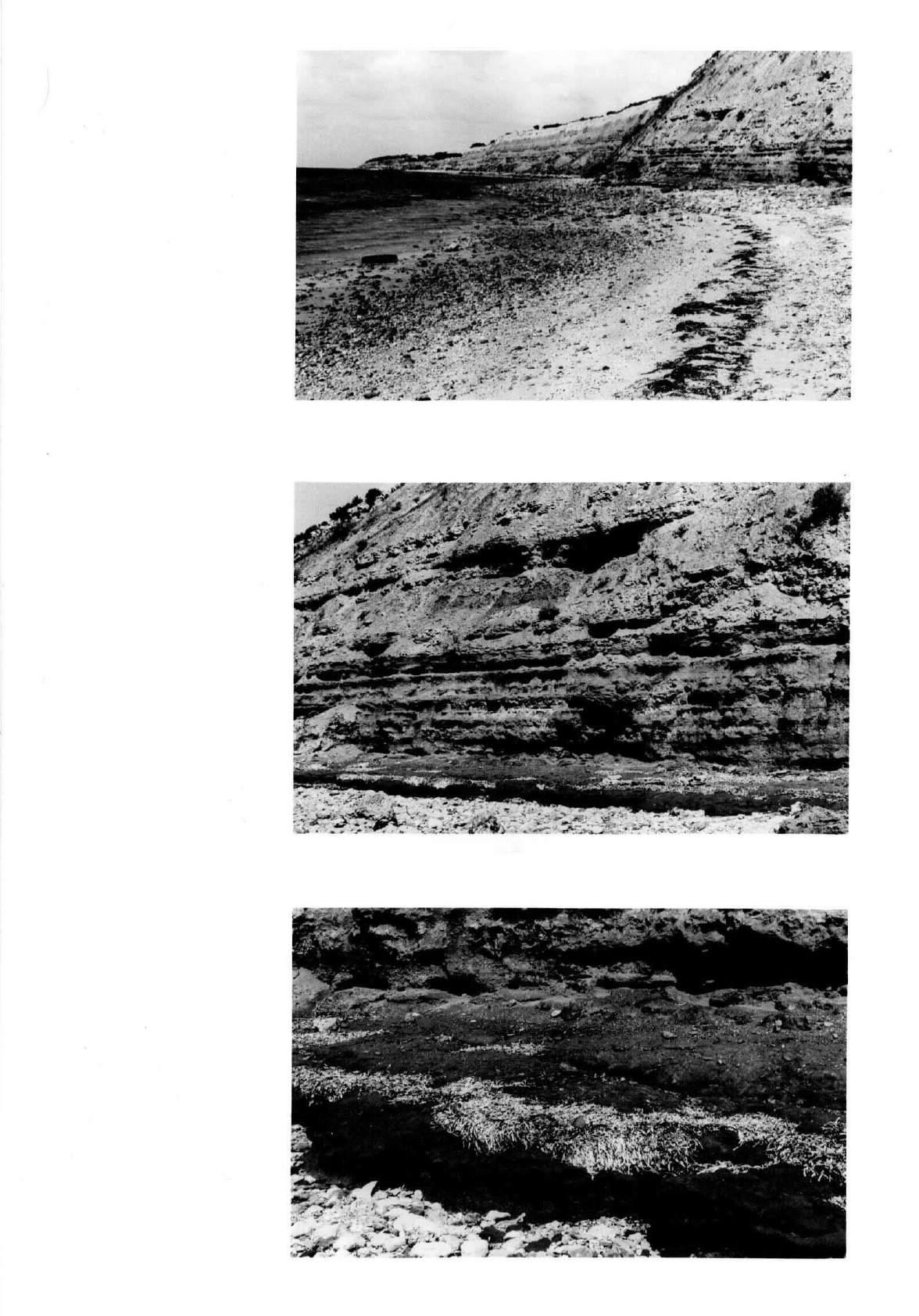
File YK 5. Harts Mine.
Page 42 of the original text, General description and location, paragraph 3 ;
Change 34º 17' 37'' S to 34º 32' 37'' S.
ERRATA.
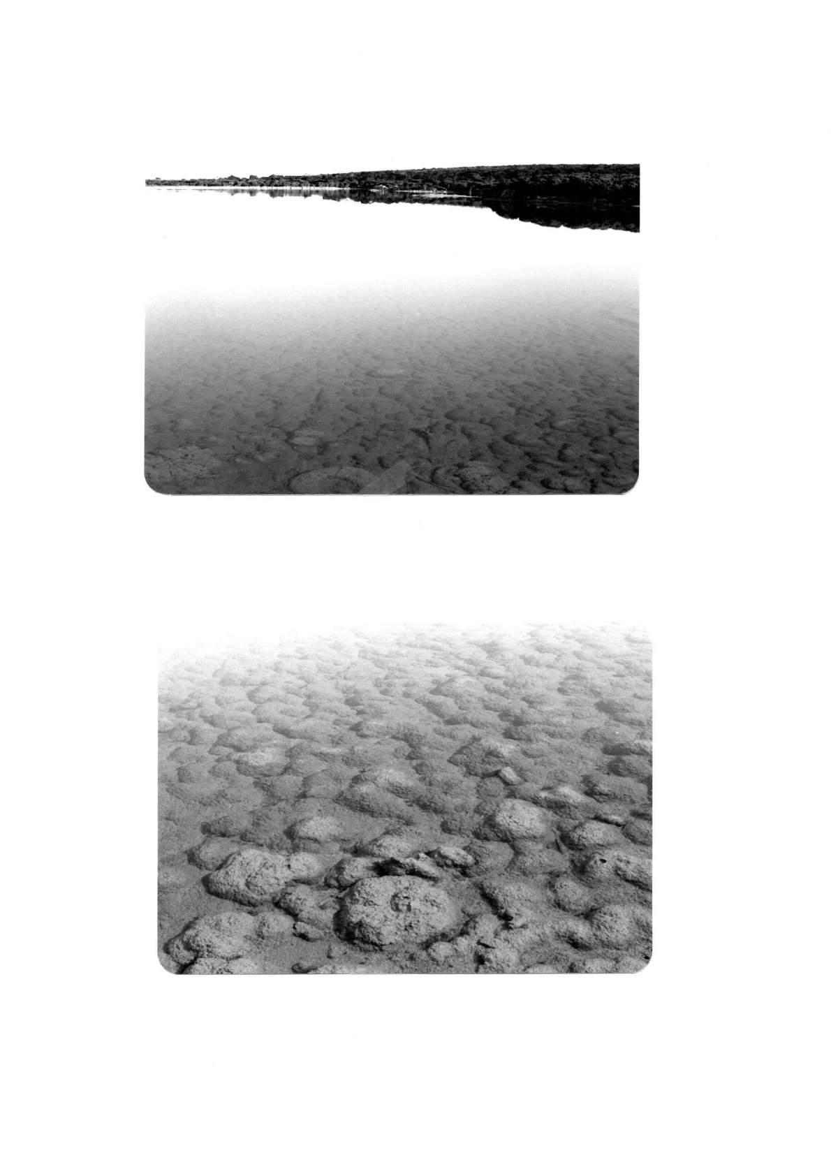
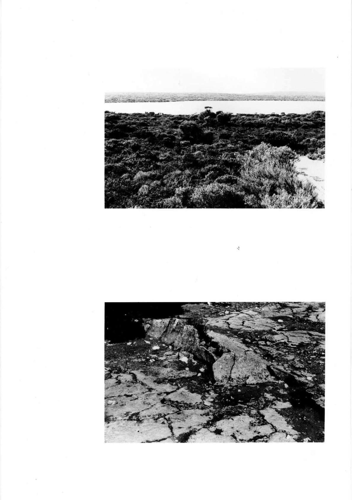
File YK 15. Deep Lake.
Page 68 of the original text, General description and location, paragraph 2 ;
1. Change 35º 16' 31'' E to 35º 16' 31'' S.
2. Change 136º 21' 07'' E to 136º 51' 07'' E
File KI 2. Old Government Quarry, Kingscote.
Page 88 of the original text, General description and location, paragraph 3 ;
Change 37º 38' 41'' E to 137º 38' 41'' E
ERRATUM.
File KI 3. The Big Gully.
Page 92 of the original text, paragraph 4, line 12 ;
Change Cambrain to Cambrian.
ERRATA.
File KI 6. Stokes Bay.
Page 100 of the original text, General description and location, paragraph 3 ;
1. Change 35º 37' 40'' S to 35º 37' 30'' S.
2. Change 137º 12' 43'' E to 137º 12' 20'' E.
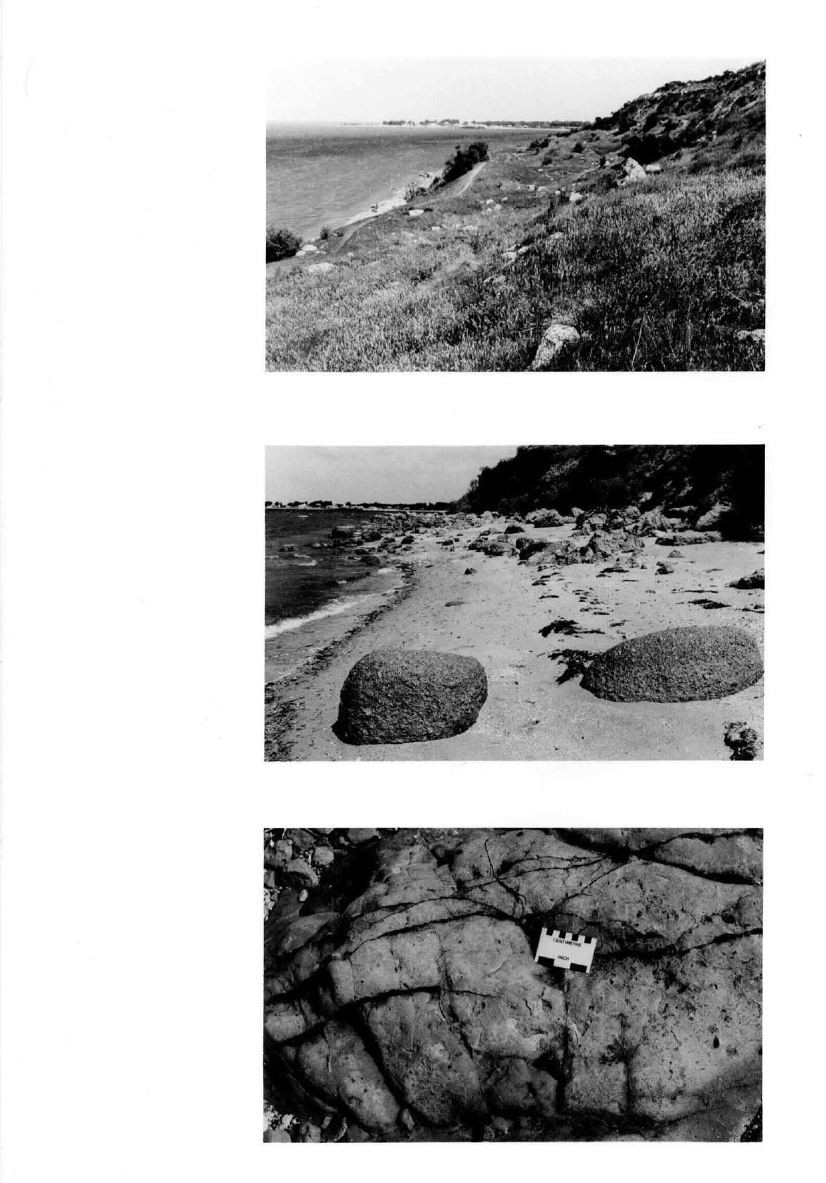
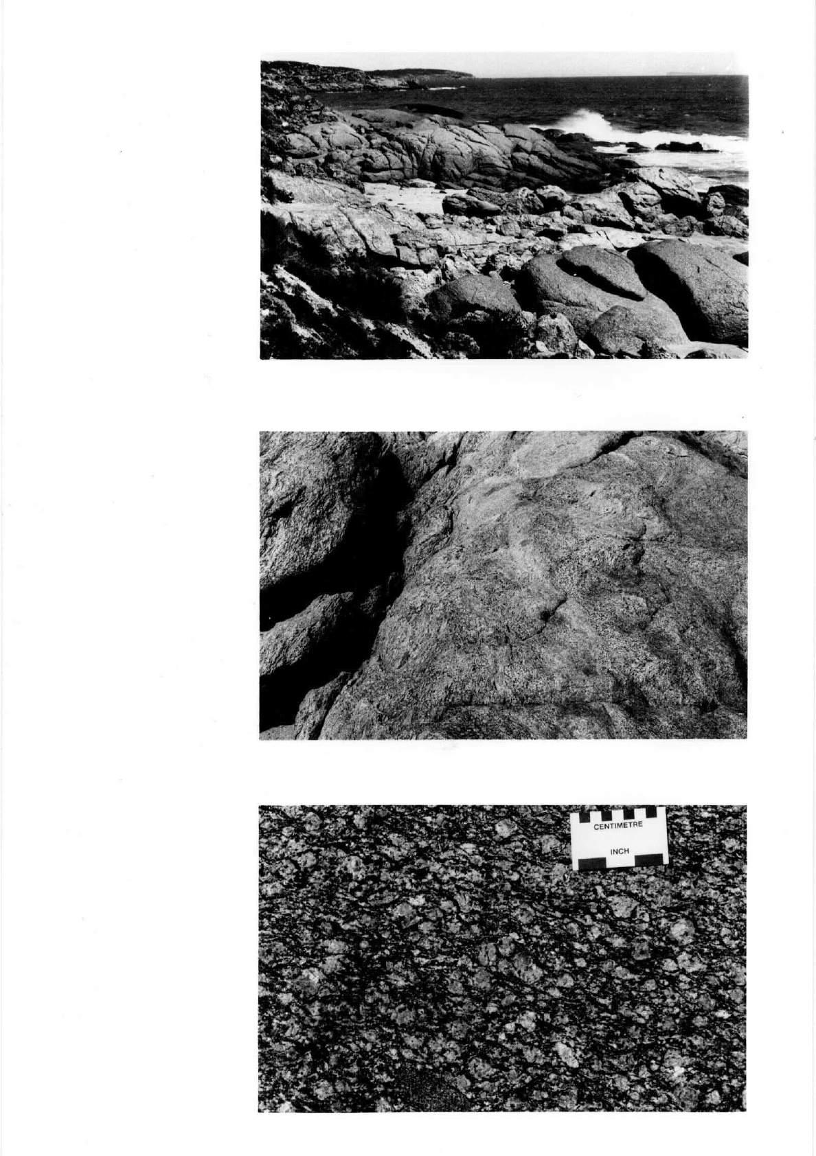
File KI 13. Cape Willoughby Granite Contact.
Page 115 of the original text, General description and location, paragraph 4 ;
1. Change 35º 49' 31'' S to 35º 49' 22'' S.
2. Change 138º 07' 27'' E to 137º 07' 04'' E.
ERRATUM.
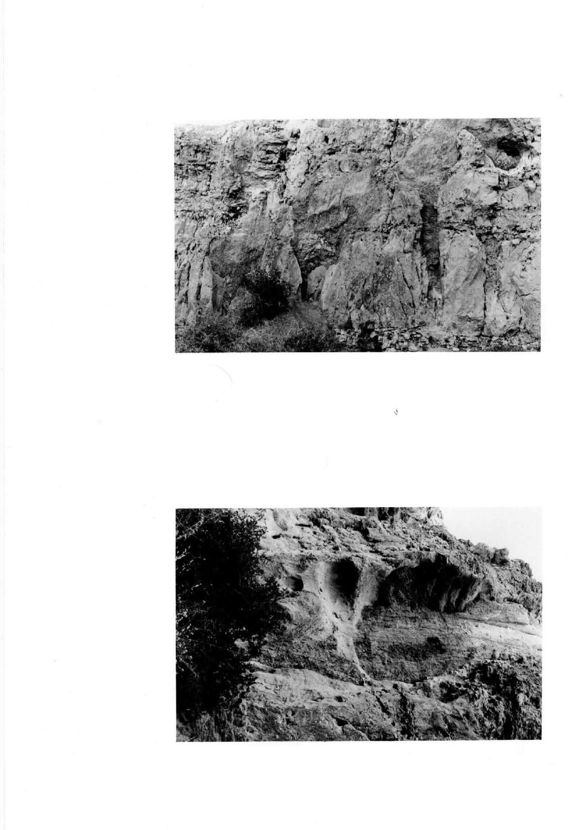
File KI 14. Alex Lookout to Snapper Point.
Page 118 of the original text, General description and location, paragraph 3 ;
Change 138º 00' 51'' E to 138º 01' 15'' E.
ERRATUM.
On page 119 of the original text, paragraph 2, line 1 ; Change Hallet to Hallett.
KI 14. Alex Lookout to Snapper Point.