MONUMENTS
ININ
SOUTHAUSTRALIA.SOUTHAUSTRALIA.
PARTS 19.PARTS 1 - 9.
First Edition. July 2002.
Edited by M. N. Hiern for The South Australian Division of the Geological Society of Australia.
Geological Heritage Sub-committee.
ERRATUM.
File M 1. Hallett Cove.
Page 33 of the original text ; Geological Interest. Line 10 ;
Change Lower Permian to Early Permian.
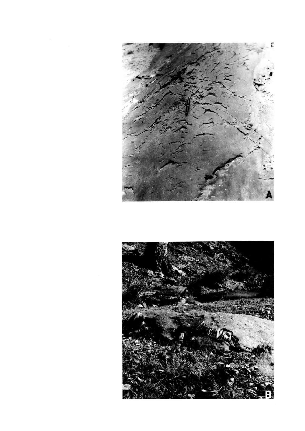
ERRATUM.
File M 2. Waterfall Creek, Hallett Cove.
Page 40 of the original text , General Geology and Precise Locality, Paragraph 2, Line 3.
Change Proterzoic to Proterozoic.
ERRATUM
M 4. Sturt Gorge.
Figure 1 after page 49 of the original text.
Latitude 35º 05' in the top left hand corner of the map is incorrect.
Latitude 35º 01' should be at the latitude where the labelled fault crosses the north-south road to Adelaide.
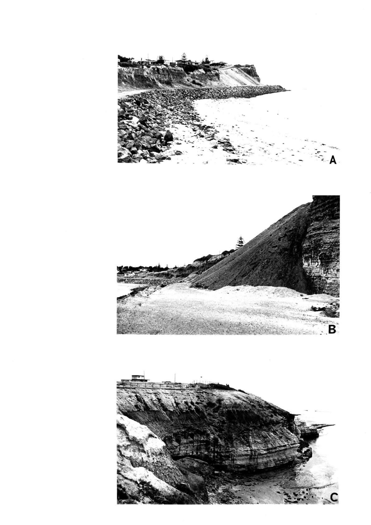
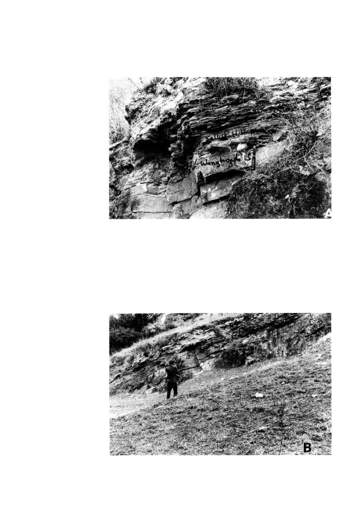
File OM 1. Sellick Hill.
1. Page 68 of the original text ; Item : line 1 ; Change Lower Cambrian to Early Cambrian.
2. Page 68 of the original text ; General Description and Precise Locality , Paragraph 1, line 1; Change Sellick Hill Hotel to Victory Hotel.
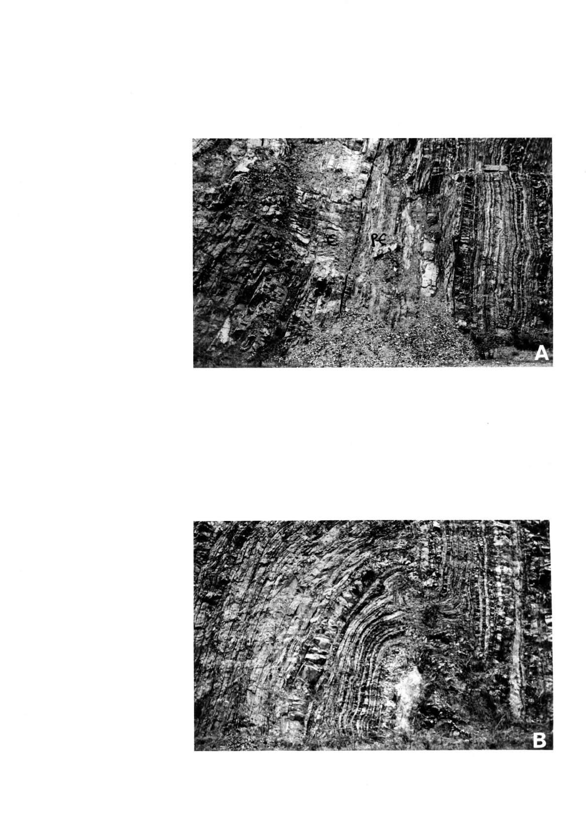
ERRATUM.
File OM 4. Congeratinga River.
Page 78 of the original text ; State of Preservation, line 4 ;
Delete (see map) because the dam is not shown on the map.
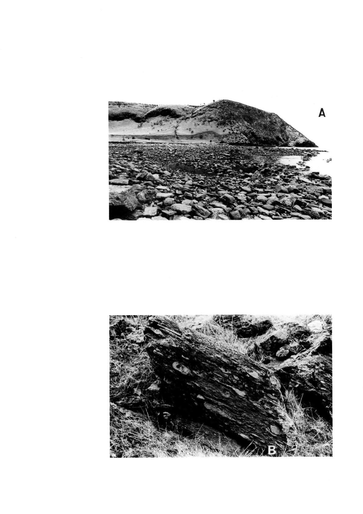
File OM 5. South Coast of Fleurieu Peninsula.
Plate V after page 81 of the original text.
Change (A) FILE OM 6 to FILE OM 5
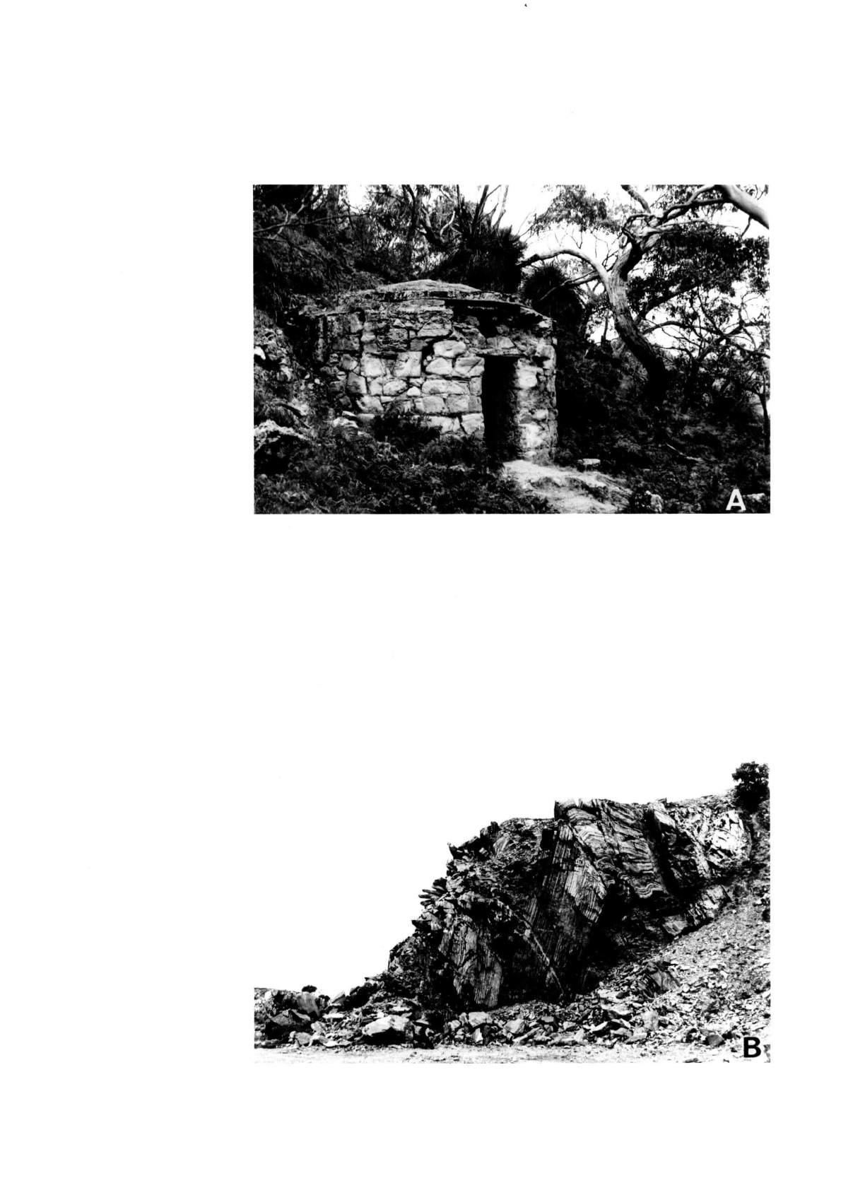
ERRATUM.
File OM 6. Cape Jervis.
Page 84 of the original text ; General Description and Precise Locality. Add to the end of paragraph 2 ;
Also part Sections 161, 209, 210, 318, (containing the type section), 321, 3007 and 3008. For further details of this addendum see Part 2, OM 6 pp 57,58.
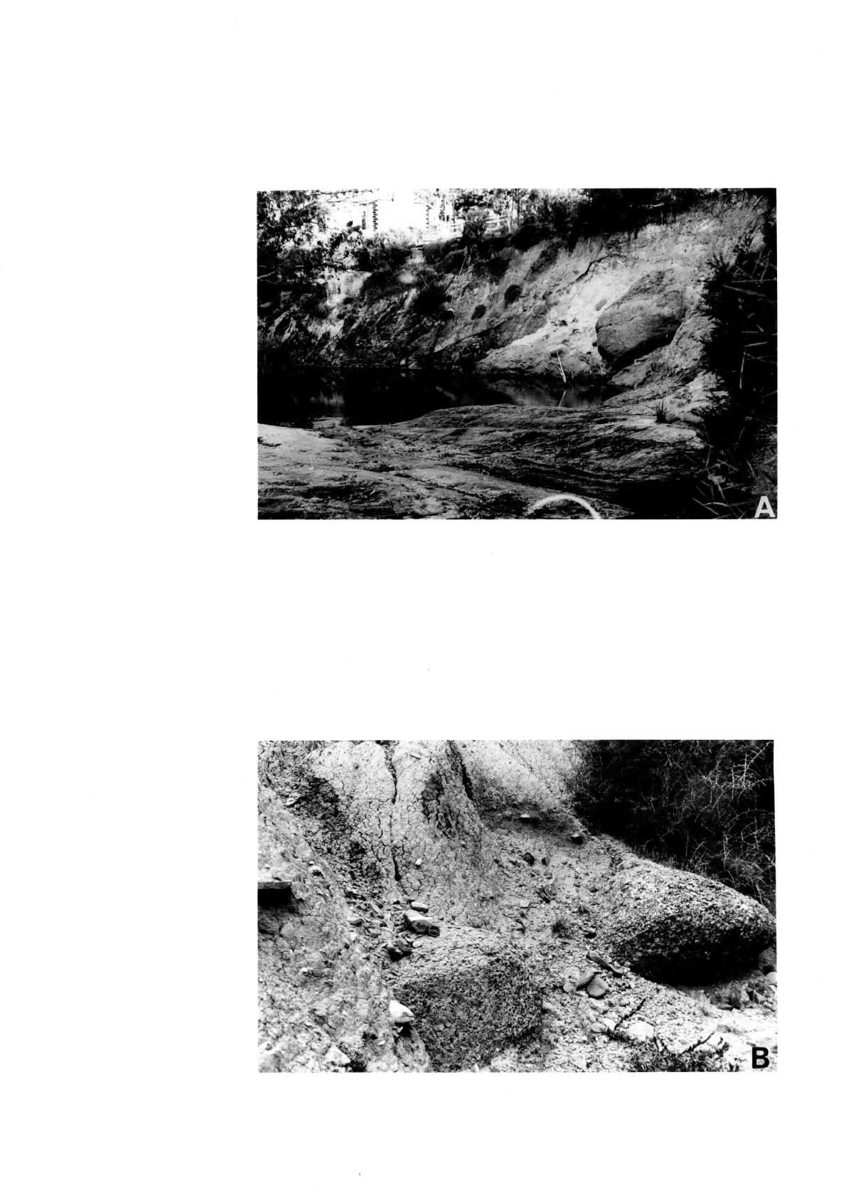
ERRATUM
File OM 13. Second Valley Harbour.
Page 111 of the original text ; Geological Interest , lines 1 and 2.
For clarification replace trend of their axial planes with strike of their axial planes.
File OM 14. Nairne – Kanmantoo Area.
Page 114 of the original text ;
1. In the title add Dawesley between Nairne and Kanmantoo as in the contents page and on the plan.
2. Page 115 of the original text, State of Preservation, line 2 ; Delete at sites (A) and (B) because they are not shown on the plan.
File OM 15. The Palmer Granite Area.
Page 118 of the original text.
1. In line 2 of the first paragraph ; Change Rathjen gneiss to Rathjen Gneiss.
2. In line 4 of the second paragraph ; Change Palmer granite to Palmer Granite.
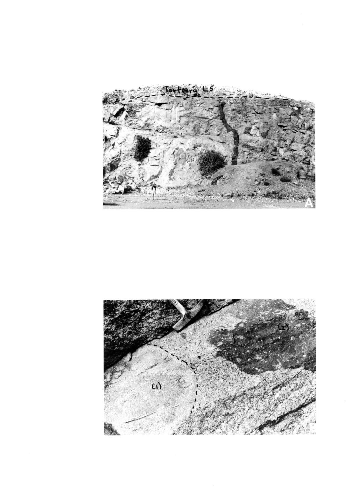
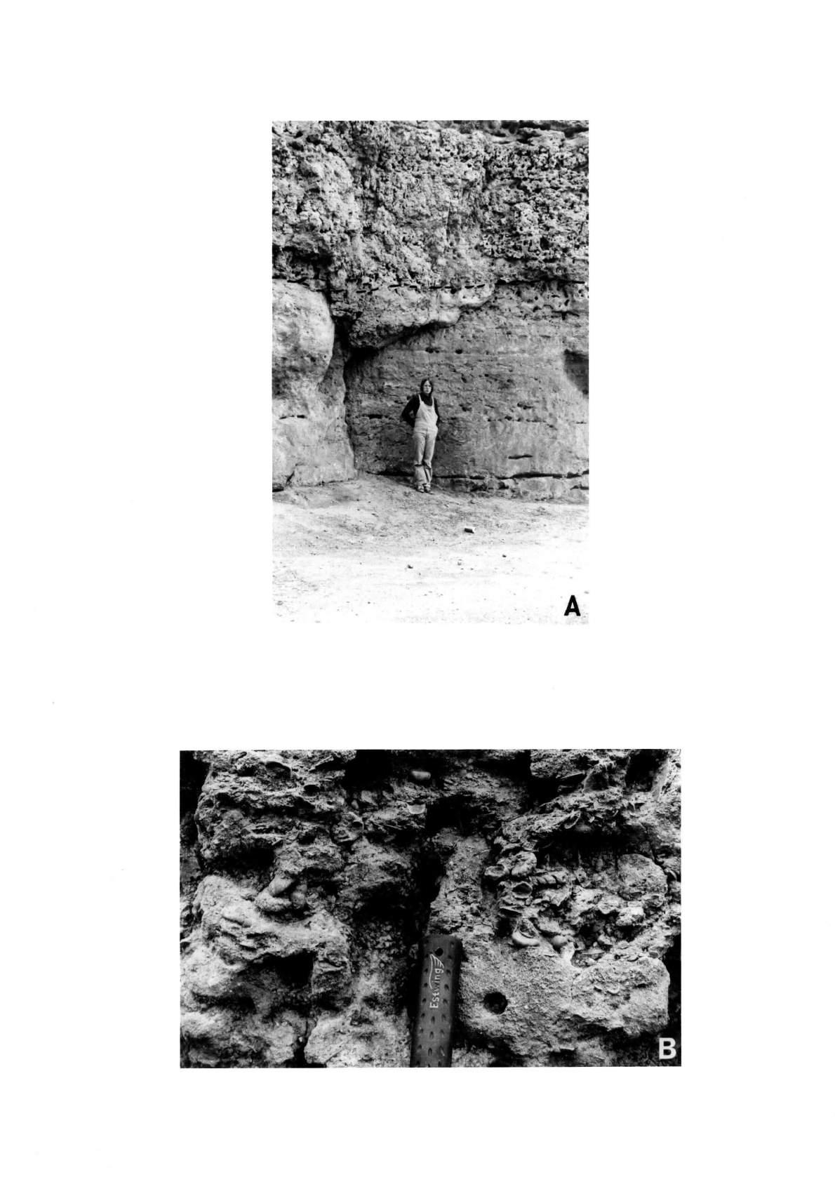
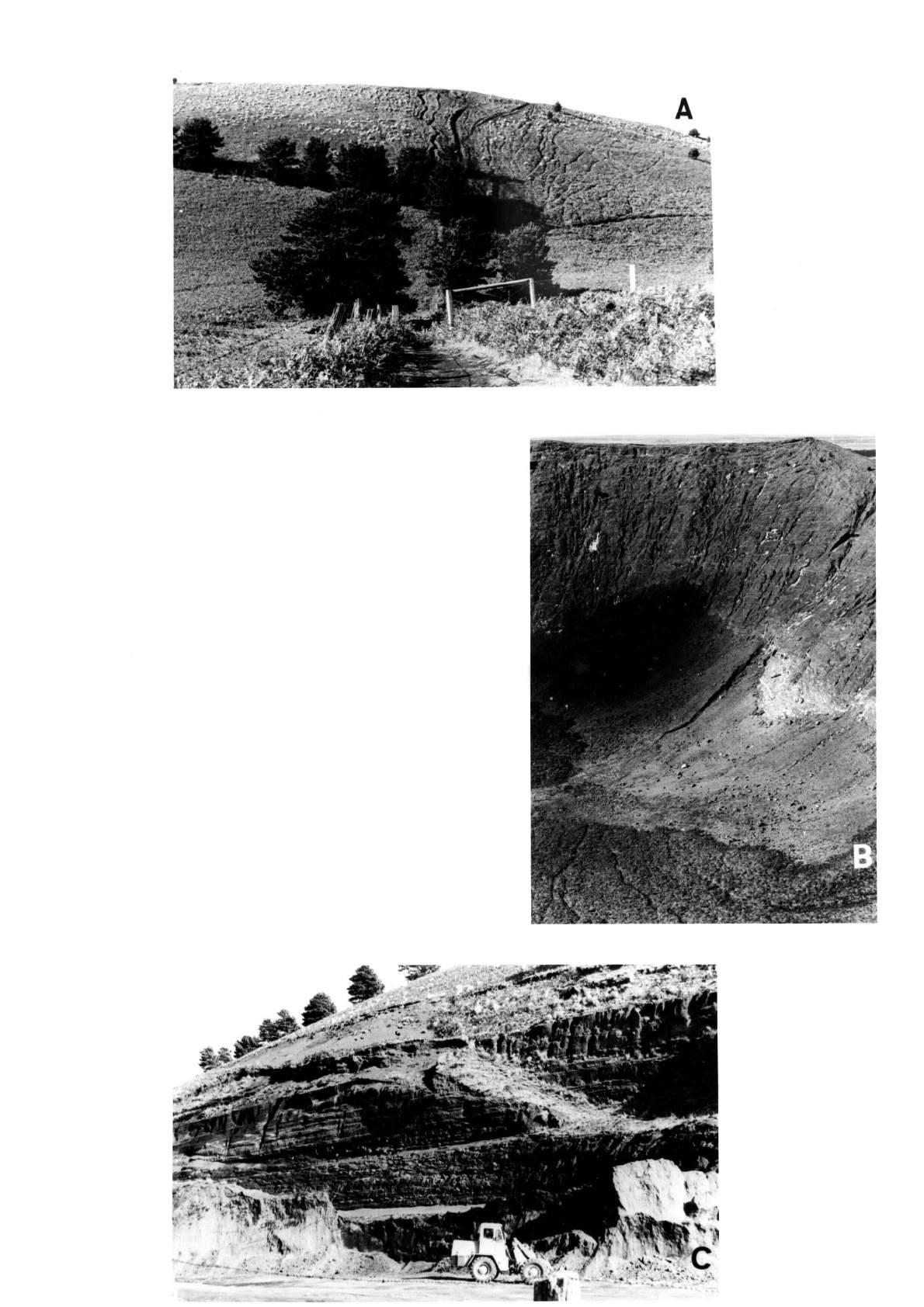
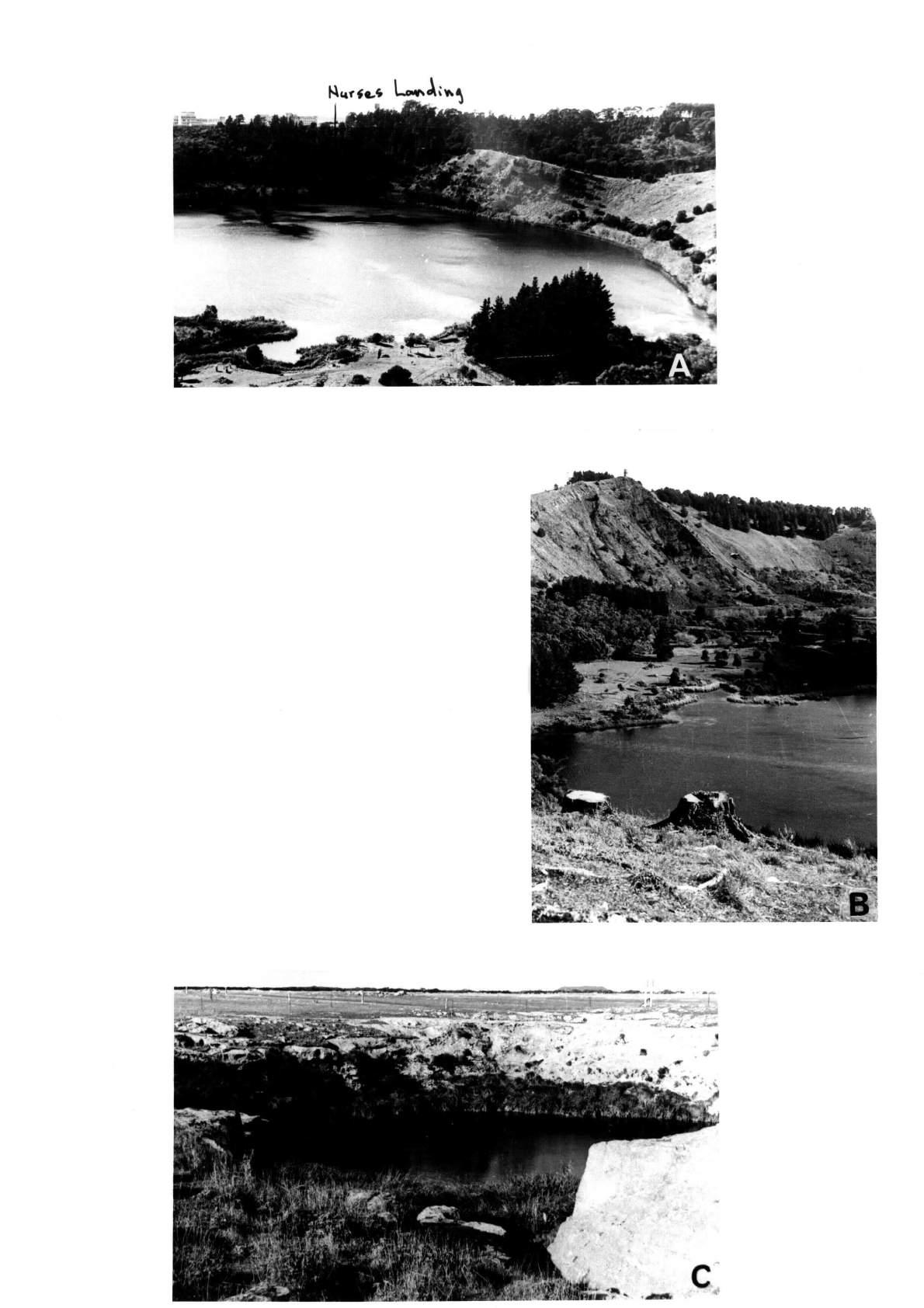
ERRATUM.
File SE 4. Allen’s Sand Quarry.
On page 152 of the original text, General Geology and Precise Locality, paragraph 4 ;
Change the grid reference 140º 42'-43' E to 140º 42' 30'' E.
ERRATUM.
Appendix to File R 1, River Murray Study.
Page 172 of the original text. Location 12.
Change Section BNW to Section 13 NW.
Map for File R 1. The River Murray.
After page 173 of the original text.
Site 12 is missing. It is located half way between Site 11 and Site !3 on the southeastern end of the long winding unit of Pata Limestone extending from near Site 11.