Rock outcrops around Canberra tell us about the early history and evolution of the region’s landscapes.
Tidbinbilla
Where has Australia been in the past?
Paleogeography
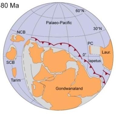
480 million years ago
During the early part of the Paleozoic era Australia was part of the Gondwana supercontinent that also included India, Antarctica, Africa, and South America.
Australia was surrounded by warm waters north of the Equator. The Paleo-Pacific Ocean lithospheric plate was colliding with Gondwana and there were subduction zones, with associated volcanoes and earthquakes, dipping under its AustraliaAntarctica-South America margins, much like the tectonic processes happening today under Japan and Indonesia.
From Li and Powell, 2001.
Ordovician
Canberra region landscapes
The landscapes around Canberra had their origins over 400 million years ago during the Paleozoic geological era on the margins of the Gondwana supercontinent. Since those formative years the landscapes have been shaped and deeply eroded to reveal the rocks we now see at outcrops around Canberra.
This publication was compiled for the ACT Division, Geological Society of Australia, by
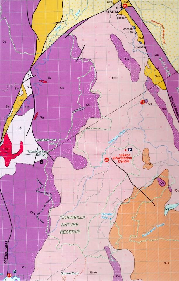
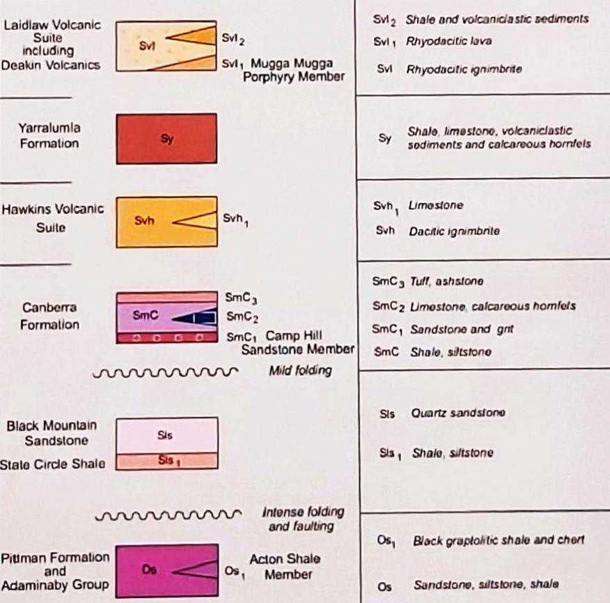
Simplified geology extract from Geological Map of the ACT, 2008.
Douglas Finlayson.
Tidbinbilla
Tidbinbilla Siltstone
Shannons Flat Granodiorite
443.8 Ma
Late Ordovician
Geology Map Legend
The Canberra region is in the southeastern part of the Lachlan Orogen (or Lachlan Fold Belt), a geological province that stretches from near South Australia to the Australian southeast Tasman Sea coast.
During the Paleozoic era this province was subjected to major orogenic (mountain building) events, the Benambran Orogeny
Phase 1 (444-440 Ma) and Phase 2 (431-428 Ma) and the Tabberabberan Orogeny (about 400—370 Ma).
Ma = million years ago
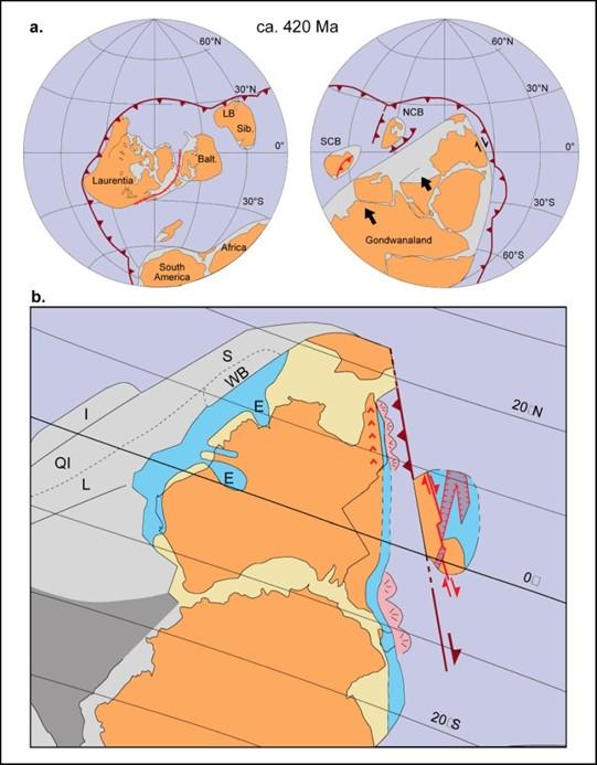
Paleogeography
During the later part of the Paleozoic era, during the Silurian geological period, Australia was still part of the Gondwana supercontinent and still at tropical latitudes with the Paleo-Pacific Ocean lithospheric plate colliding with Gondwana with consequent subduction zones, volcanoes and earthquakes. 420 million years ago Silurian
From Li and Powell, 2001.
Tidbinbilla
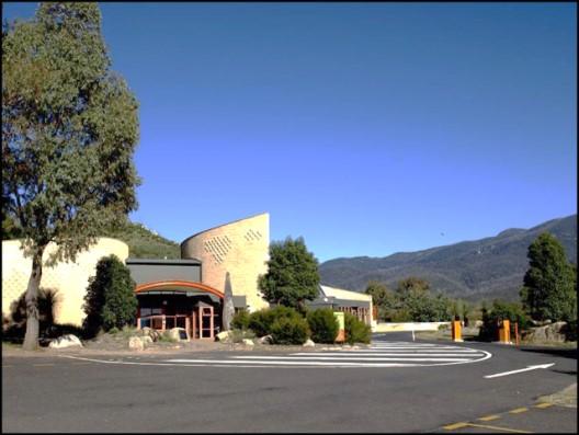
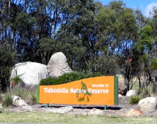
The Tidbinbilla Nature Reserve to the west of Canberra is a popular recreation area. It lies in a horse shoe shaped valley that has an interesting geological history that can be inspected along numerous nature trails.
The easiest route to Tidbinbilla Nature Reserve is via the Cotter Road from Canberra City and the Paddys River Road to the Visitors Centre.
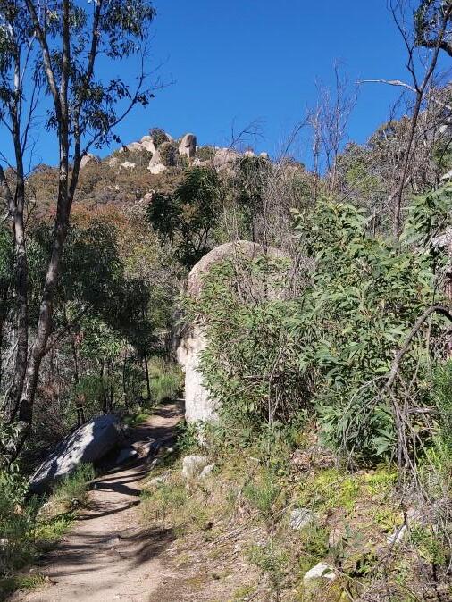
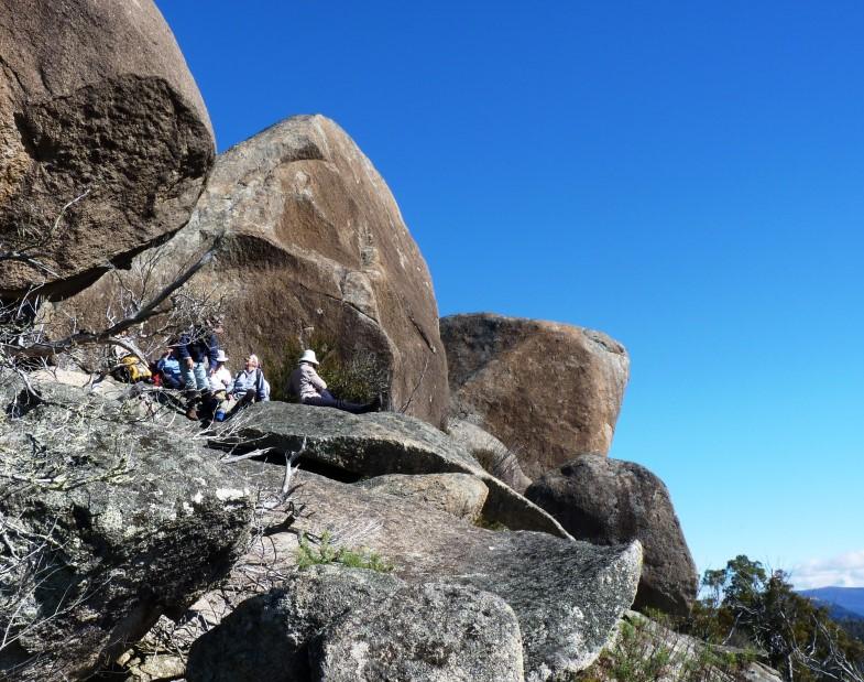
Gibraltar Rocks, a granite outcrop and popular bushwalk within the nature reserve.
Tidbinbilla Rock Units
There are rocks of three ages in the Tidbinbilla Reserve. The oldest are the Ordovician rocks forming the higher parts of the Tidbinbilla Range in the north-west corner of the Reserve, in particular exposed along the upper Camel Back Fire Trail and on the Camels Hump. They are 445-470 million years old and consist of sedimentary rocks such as siltstone, sandstone, and shale of a rock unit called the Adaminaby Group rocks that include the Pittman Formation in central Canberra.
The Adaminaby Group siltstones, along with the Pittman Formation, were deposited as deep-ocean sediments off the coast of the ancient Australian/Antarctica Gondwana coast during the Benambran Tectonic Cycle. At the end of this cycle they were folded and faulted during two phases of the Benambran Orogeny (about 443 Ma and 430 Ma).
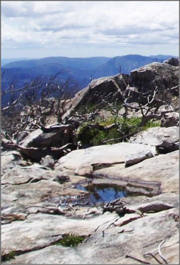
Adaminaby Group siltstones viewed from the Camels Hump.
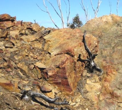
Adaminaby Group siltstones on the Camels Hump.
Tidbinbilla Quatrzite
The second group of rocks are of the Silurian age and occur only on the higher, more inaccessible parts of the Tidbinbilla Range on Mount Tidbinbilla, on the western margin of the Reserve, overlying the Adaminaby Group rocks. They are known as Tidbinbilla Quartzite, ( 427— 443 million years old) consisting of very hard, fine-grained siltstone, breccia and shale. They of the same age as Black Mountain Sandstone seen in the centre of Canberra.
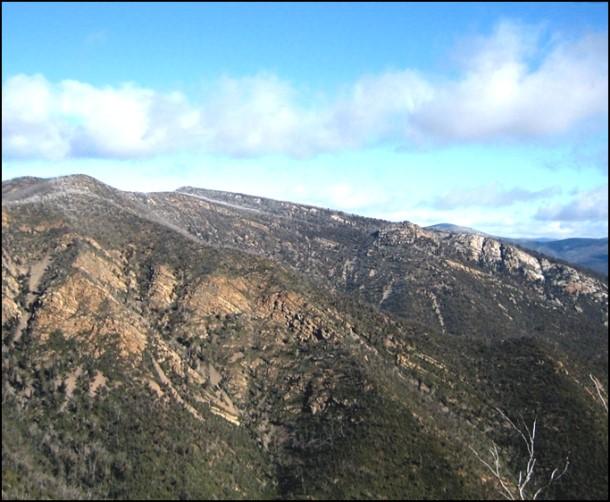
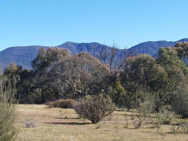
Tidbinbilla Mountain and skyline viewed from the footpath to Gibraltar Rocks.
Tidbinbilla Siltstone on the summit of Tidbinbilla Mountain.
Murrumbidgee Batholith
The third rock unit is a granite pluton within the massive Murrumbidgee Batholith, the Shannons Flat Granodiorite, that was intruded into the older sediments and is about 413 million years old. This is the rock exposed all over the Tidbinbilla valley floor, particularly in the numerous rocky outcrops or tors.
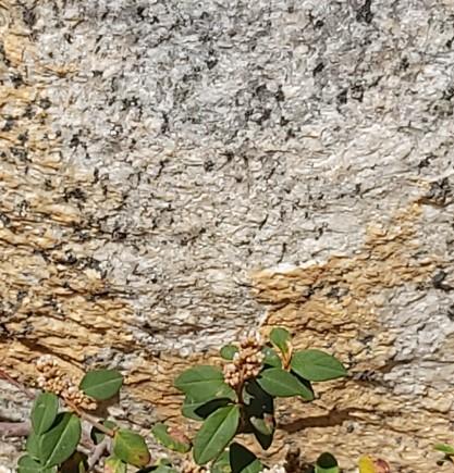
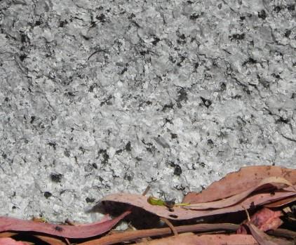
The granite, generally a course-grained rock is composed of several minerals, the most common being quartz (colourless glassy crystals), feldspar (pink, buff or white), and black mica (biotite; dark and flaky).
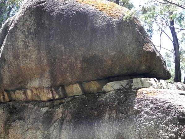
The granite is sometimes cut by veins of two other rock types. The commonest is aplite, a pale brown very fine-grained granite rock (examples of this may be seen at Hanging Rock). Quartz veins are also common in places. Prominent granite outcrops are found at Turkey Hill, Gibraltar Rocks, Hanging Rock, the children’s Discovery Playground, near the main entrance to the Wildlife Sanctuary, and at the Visitors Centre.
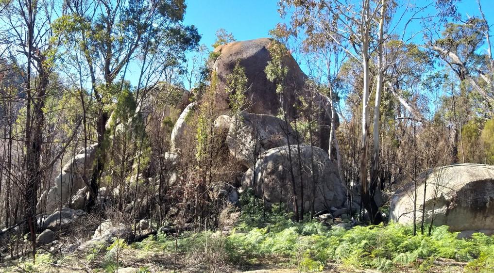
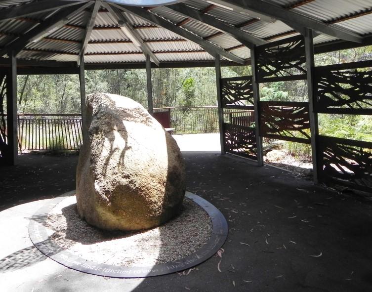
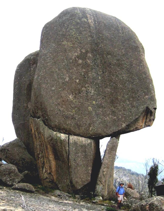
Massive granite tors along the Fishing Gap Fire Trail.
Shannons Flat Granodiorite
Granite plutons make up about 36% of the basement rocks across the Eastern Lachlan Orogen.
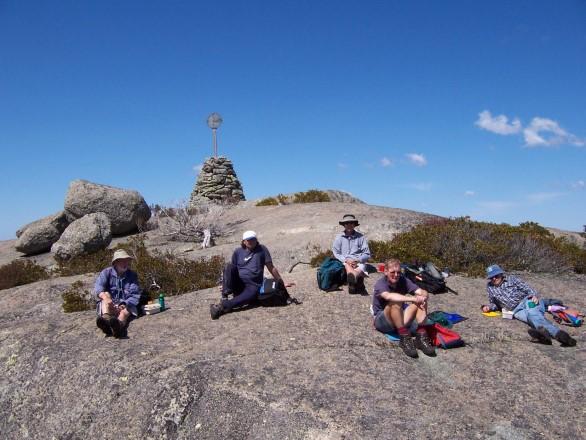
There are massive granite outcrops throughout the Namadgi National Park in the southern part of the Australian Capital Territory, including Spinnaker Rock (above) and Mt Gudgenby (below).
Gibraltar Rock pathway tor.
Tidbinbilla Wildlife Enclosures
Outcrops of Shannons Flat
Granodiorite can be inspected at the car park and entrance to the wildlife enclosures.
Aboriginal Heritage
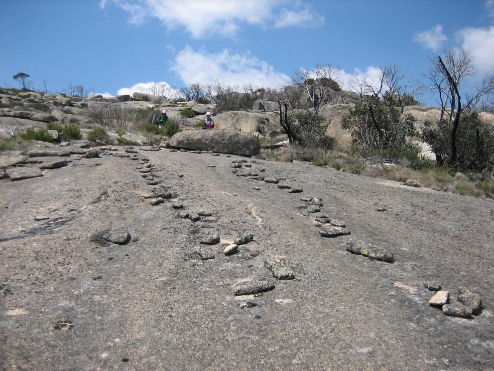
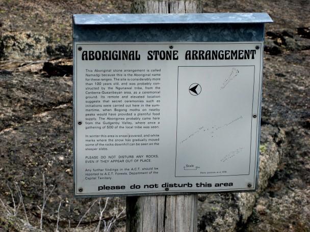
There are aboriginal heritage sites in some remote areas of Namadgi National park that highlight large slabs of Shannons Flat Granodiorite.
Namadgi National Park
There are numerous outcrops of the Murrumbidgee Batholith across Namadgi National Park including along the Tors Walking Track from the old Orroral Tracking Station site in the Orroral Valley south of Tidbinbilla near the Boboyan Road. This spectacular outcrop is near the summit of Orroral Peak.
Further information on all geoheritage sites around Canberra can be downloaded from the Geological Society of Australia web site—
https://www.gsa.org.au/Public/Geoheritage/ and look for ACT Sites and Maps on the pulldown menu.