Landscapes around Canberra -
a geological excursion for students of all ages
Mount Ainslie
Rock outcrops around Canberra tell us about the early history and evolution of the region’s landscapes.

Rock outcrops around Canberra tell us about the early history and evolution of the region’s landscapes.
The landscapes around Canberra had their origins over 400 million years ago during the Paleozoic geological era on the margins of the Gondwana supercontinent. Since those formative years the landscapes have been shaped and deeply eroded to reveal the rocks we now see at outcrops around Canberra.
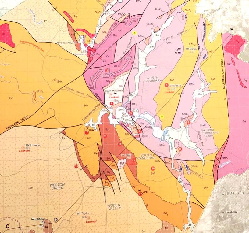
Simplified geology extract from — Geological Map of the ACT, 2008.
publication was compiled for the ACT Division, Geological Society of Australia, by Douglas Finlayson.
443.8 Ma
Late Ordovician
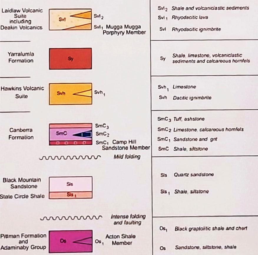
The Canberra region is in the southeastern part of the Lachlan Orogen (or Lachlan Fold Belt), a geological province that stretches from near South Australia to the Australian southeast Tasman Sea coast.
During the Paleozoic era this province was subjected to major orogenic (mountain building) events, the Benambran Orogeny
Phase 1 (444-440 Ma) and Phase 2 (431-428 Ma) and the Tabberabberan Orogeny (about 400—370 Ma).
Ma = million years ago
Paleogeography
480 million years ago
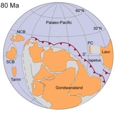
During the early part of the Paleozoic era Australia was part of the Gondwana supercontinent that also included India, Antarctica, Africa, and South America.
Australia was surrounded by warm waters north of the Equator. The Paleo-Pacific Ocean lithospheric plate was colliding with Gondwana and there were subduction zones, with associated volcanoes and earthquakes, dipping under its AustraliaAntarctica-South America margins, much like the tectonic processes happening today under Japan and Indonesia.
Paleogeography
420 million years ago Silurian
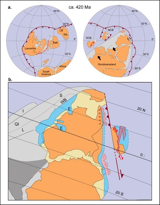
During the later part of the Paleozoic era, during the Silurian geological period, Australia was still part of the Gondwana supercontinent and still at tropical latitudes with the Paleo-Pacific Ocean lithospheric plate colliding with Gondwana with consequent subduction zones, volcanoes and earthquakes.
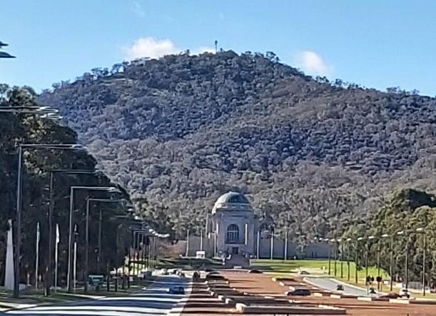
The view from the summit of Mount Ainslie must be on the “to do”list of just about every visitor to the national capital of Australia. The planning axis from the summit towards Parliament House and Red Hill was an integral part of the design accepted for the city put forward by Walter Burley Griffin in 1912.
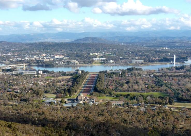
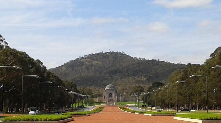
Mount Ainslie provides the backdrop for the Australian War Memorial and other memorials along Anzac Parade.
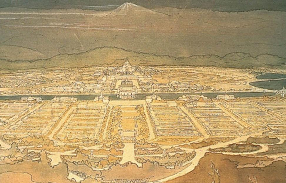
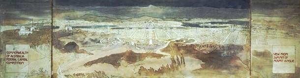
Although they had never visited Australia, a sketch of the possible view from Mount Ainslie was submitted by Marion Mahony Griffin as part of Walter Burley Griffin’s entry in the 1912 competition for the design of Australia’s capital city.
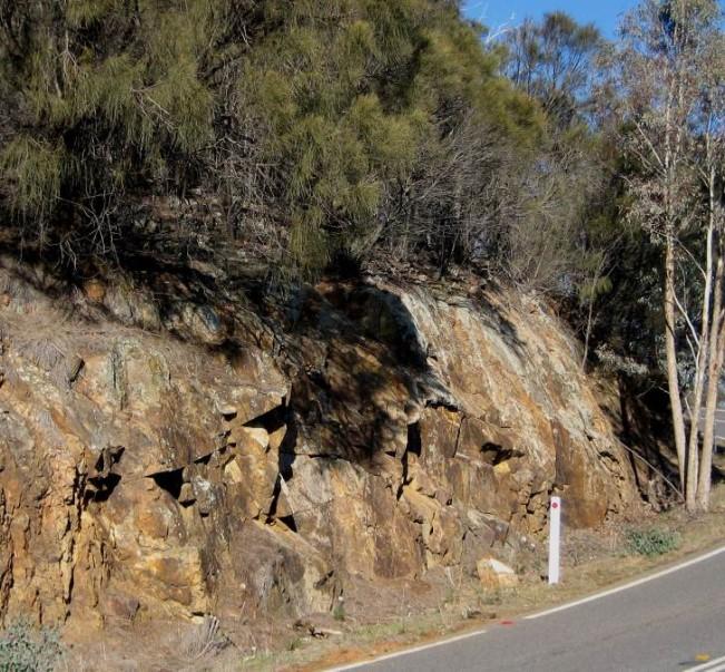
The Mount Ainslie Volcanics are exposed on the road to the summit of Mount Ainslie from Fairbairn Avenue. They are grouped within the Early Silurian Hawkins Volcanic Suite erupted in the period 428-424 Ma during the early part of the Tabberabberan Tectonic Cycle (about 428—385 Ma).
A quarry on the lower slopes of the mountain exposes the most common rock type in the Mount Ainslie Volcanics, a massive, jointed, fine-grained, dacitic ignimbrite which is greenish grey when fresh, weathering orangebrown.
The quarry and summit road outcrops represent excellent exposures of the major rock type of the Mount Ainslie Volcanics. Core samples have been drilled from the outcrops on the summit road for dating purposes.
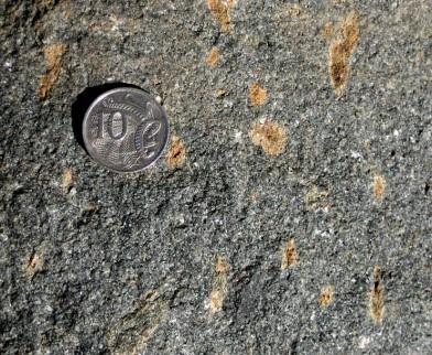
Outcrops of the Mount
Ainslie Volcanics are exposed at the summit car park.
The exact location of the centres of volcanism within the region are unknown.
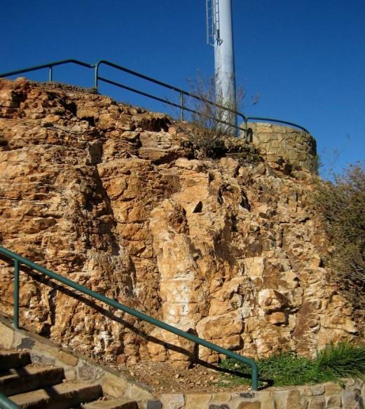
They are also exposed at the rock type section in the disused Mount Ainslie South Quarry near the houses along Cobby Street in the suburb of Campbell.
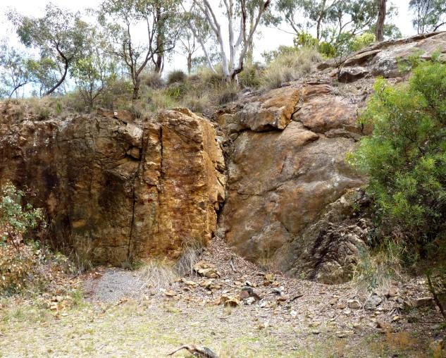
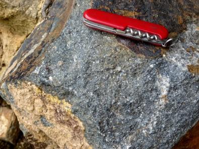
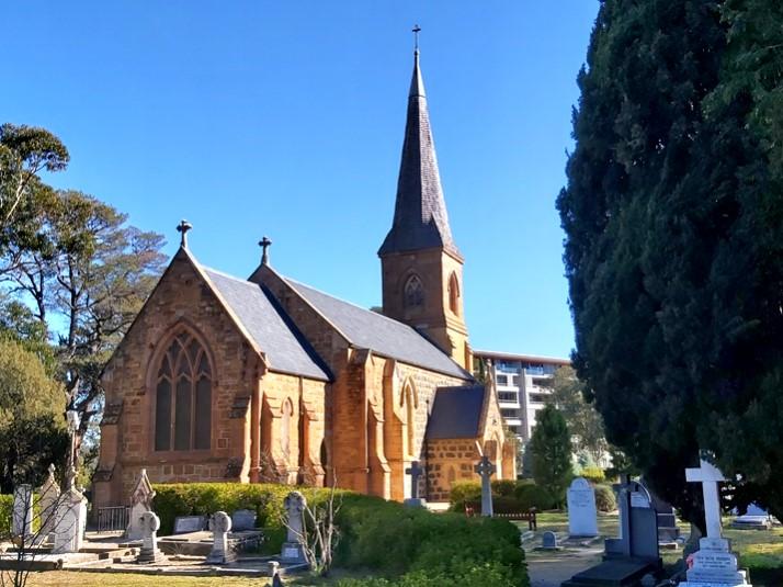
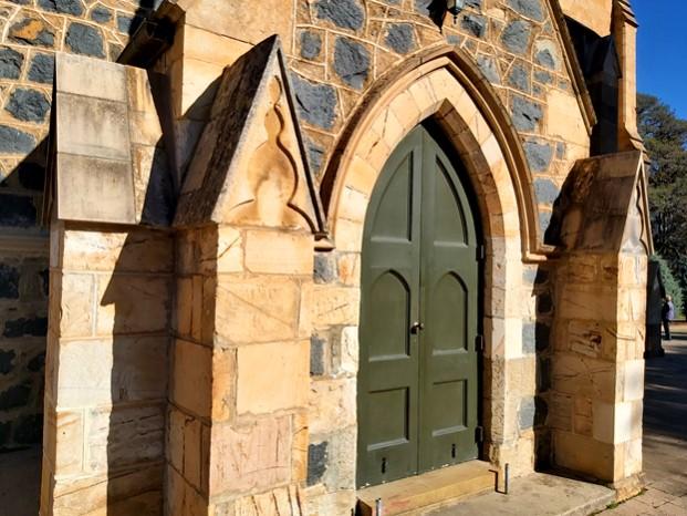
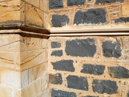
The Mount Ainslie Volcanics from Mount Pleasant were used in the construction of St Johns Anglican Church, Reid, during the period 1841 to 1845.
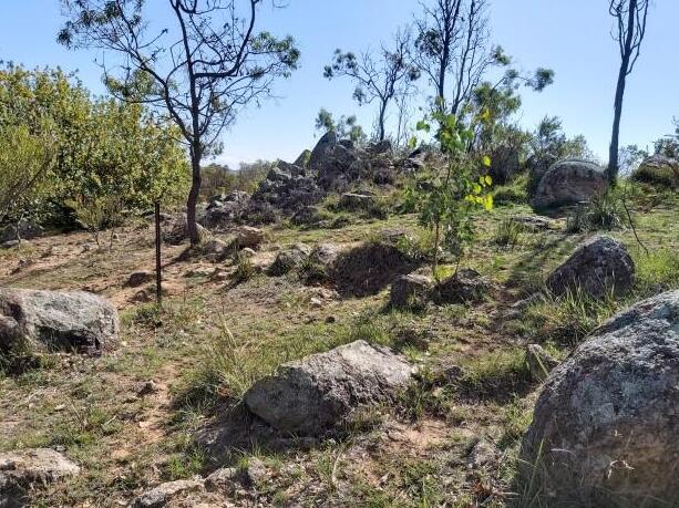
There are also outcrops of the Mount Ainslie Volcanics quite near the city centre at the corner of Limestone Avenue and Quick Street.
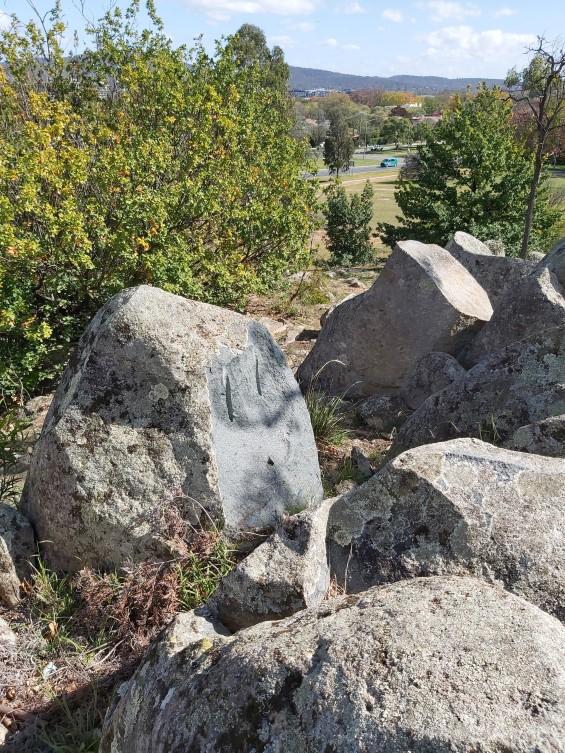
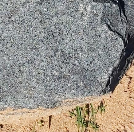
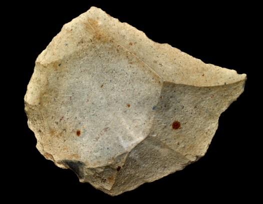
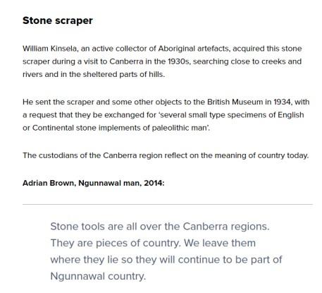
In 1932-33, aboriginal stone tools were found on the lower slopes of Mount Ainslie and sent to the British Museum for its collection. The scraper was not an igneous rock type from Mount Ainslie.
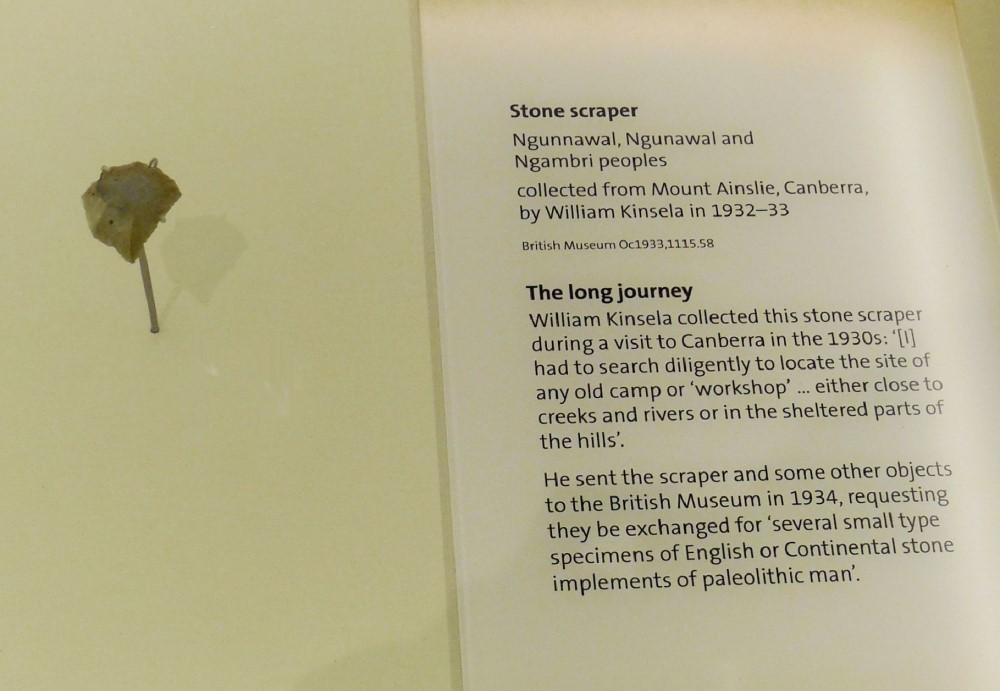
NMA “Encounters” Exhibition, Nov. 2015 Mar 2016

Further information on all geoheritage sites around Canberra can be downloaded from the Geological Society of Australia web site—
https://www.gsa.org.au/Public/Geoheritage/ and look for ACT Sites and Maps on the pulldown menu.