Landscapes around Canberra
- a geological excursion for students of all ages

Dairy Road
Rock outcrops around Canberra tell us about the early history and evolution of the region’s landscapes.


Rock outcrops around Canberra tell us about the early history and evolution of the region’s landscapes.
The landscapes around Canberra had their origins over 400 million years ago during the Paleozoic geological era on the margins of the supercontinent called Gondwana. Since those formative years the landscapes have been shaped and deeply eroded to reveal the rocks we now see around Canberra.
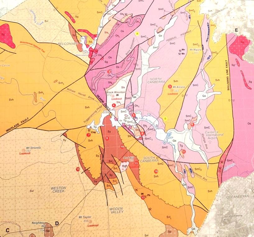
Simplified geology extract from — Geological Map of the ACT, 2008.

publication was compiled for the ACT Division, Geological Society of Australia, by Douglas Finlayson.
443.8 Ma
Late Ordovician
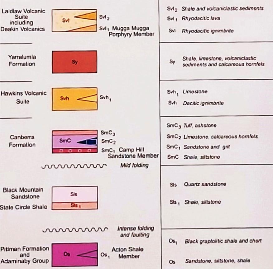
The Canberra region is in the southeastern part of the Lachlan Orogen (or Lachlan Fold Belt), a geological province that stretches from near South Australia to the Australian southeast Tasman Sea coast.
During the Paleozoic era this province was subjected to major orogenic (mountain building) events, the Benambran Orogeny
Phase 1 (444-440 Ma) and Phase 2 (431-428 Ma) and the Tabberabberan Orogeny (about 400—370 Ma).
Ma = million years ago
420 million years ago
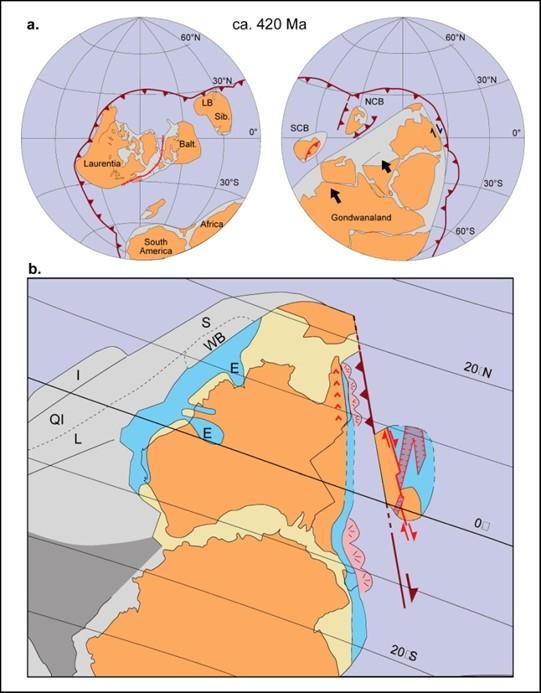
From Li and Powell, 2001.
During the later part of the Paleozoic era, during the Silurian geological period, Australia was part of the Gondwana supercontinent and at tropical latitudes with the Paleo-Pacific Ocean lithospheric plate colliding with Gondwana and with consequent subduction zones, volcanoes and earthquakes.
Outcrops of dark grey, recrystallized limestone are present along the Lake Burley Griffin foreshore of Acton Peninsula near the Museum of Australia. The exposures, which extend for about 80 to 100 metres along the eastern shore of the peninsula, show several karst solution features, particularly rillenkarren (sharp water weathering grooves). Macrofossils (corals) have been identified but are difficult to find.
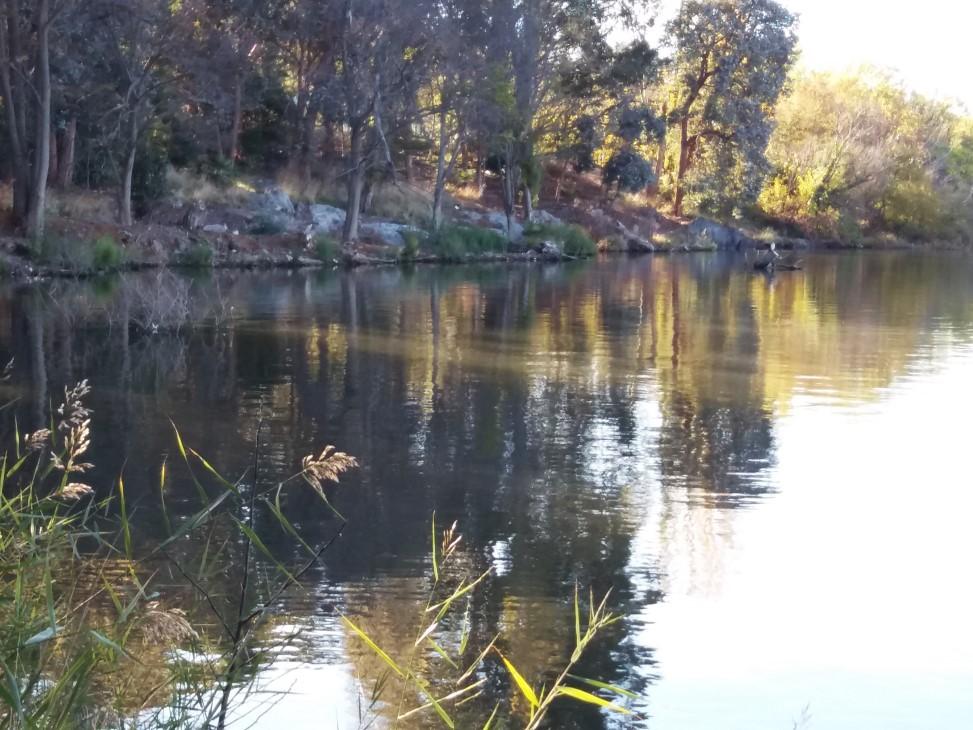
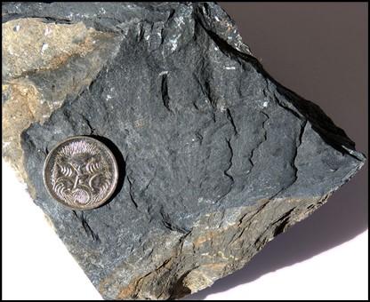
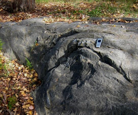
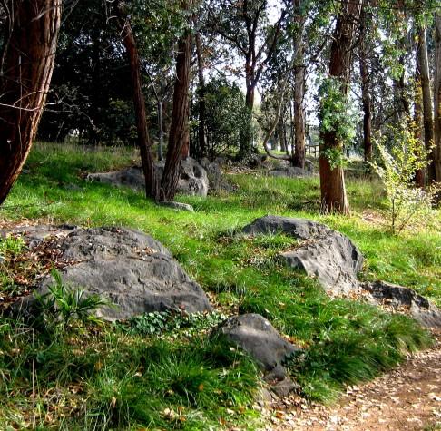
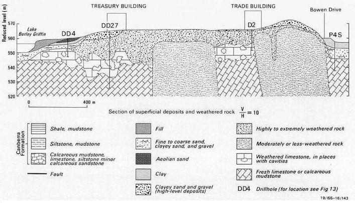
The limestone has been described informally as Acton limestone within the Canberra Formation (428-425 Ma) that also includes collectively other limestones found at shallow levels along Northbourne Avenue near the ABC building, on Mount Majura and elsewhere in the Canberra region, including under the Treasury Building and the ASIO building in central Canberra.
The Acton limestones are thought to have led to the 19th century name for the region“Limestone Plains” after their discovery by the first Europeans to reach the area in early December 1820.
The Acton limestone was used in lime kilns for the production of building mortar from the earliest days of European settlement. During the development of the city of Canberra there were lime kilns at Acton Peninsula. A survey of the limestone resourse was conducted by Taylor and Mahony in 1913.
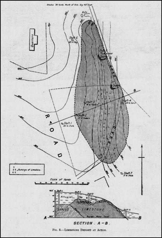
Taylor and Mahony 1913 map of the Acton Peninsula limestone resourse.
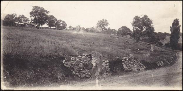
1930’s photo of lime kilns along now Lawson Crescent with now ANU buildings in the background. Photo – Allan Mawer
Limestone rock has been encountered in drillcore acquired during the construction of buildings around Canberra. Within the Parliamentary Triangle the foundations for the Treasury Building encountered voids in limestone that require significant engineering changes to eliminate building collapse.
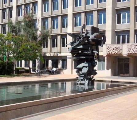
Treasury Building in the Parliamentary Triangle

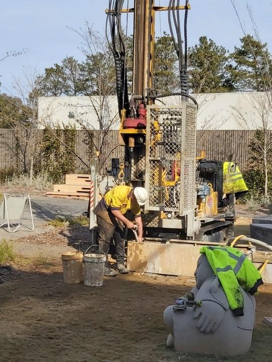
Limestone rock has also been encountered within the Canberra Formation in drillcore acquired during the construction of buildings in Fyshwick just off Dairy Road.
Fossil treasures.
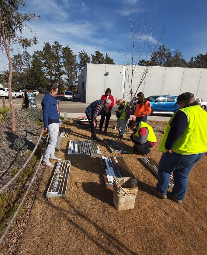
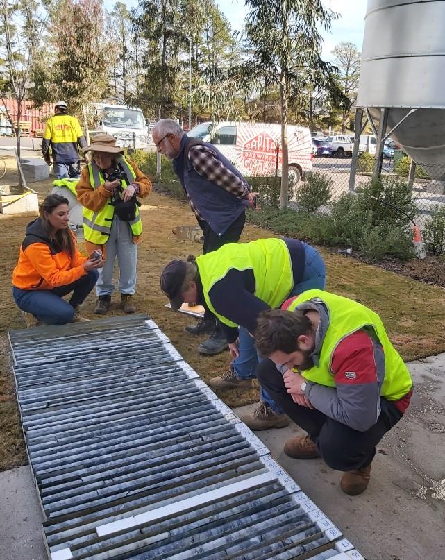
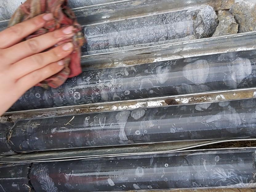
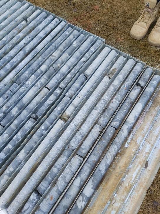
Geotechnical investigations at this site completed to inform future building development included a drillcore to 60m depth. The drillcore provides a good example of richly fossiliferous limestone. The drillcore is not currently on permanent display but may be in future.
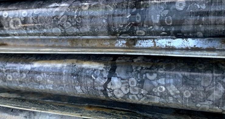
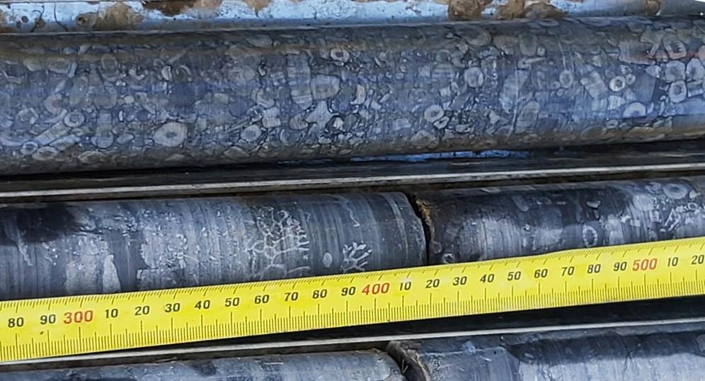
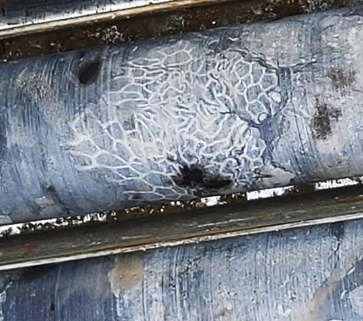
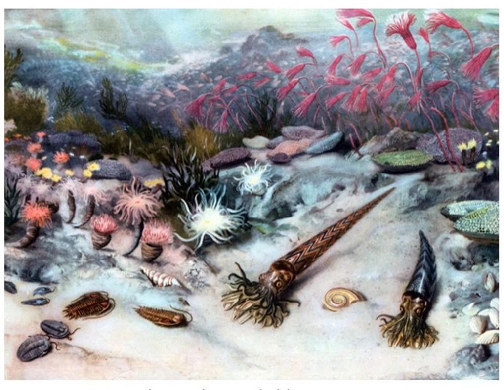
During Silurian times nearly all life on Earth was in the sea.
• Crinoids (sea lilies) under Civic, central Canberra.
• Brachiopods at Woolshed Creek near the Canberra airport.
• Trilobites under the Parliamentary Triangle. American Geophysical Union, 2018
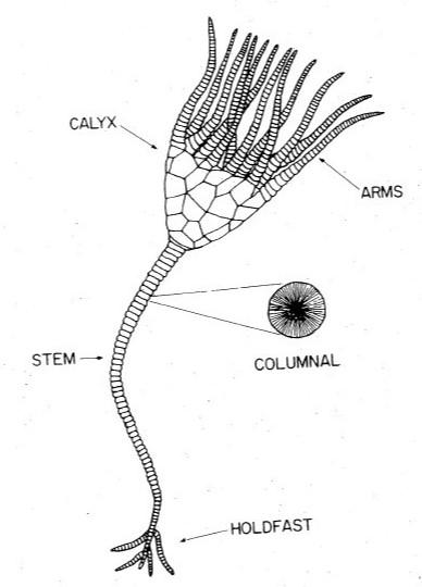
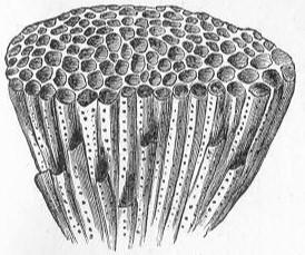
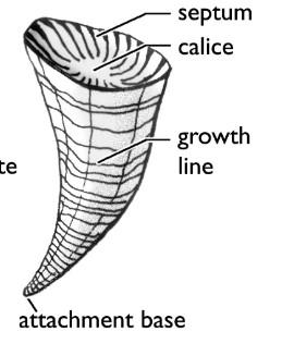
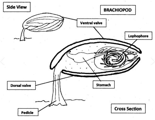
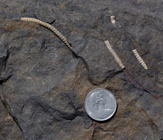
Permian crinoid stems at Ulladulla Harbour.
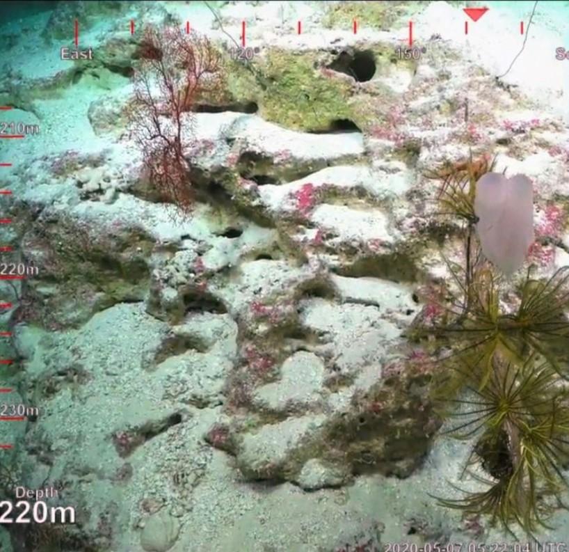
Crinoids on the Great Barrier Reef, 2020.
Most carbonate rocks result from the accumulation of bioclasts created by calcareous organisms. Therefore carbonate rocks originate in areas favouring biological activity i.e. in shallow and warm seas in areas with little to no siliciclastic (quartz, sand) input eroded from land areas.
The eastern part of the Australian continent was at tropical latitudes for a long time during the Paleozoic geological era including the Cambrian, Ordovician, Silurian, Devonian and Carboniferous periods, from about 500 to 300 million years ago. Consequently limestone outcrops around Canberra should come as no surprise.
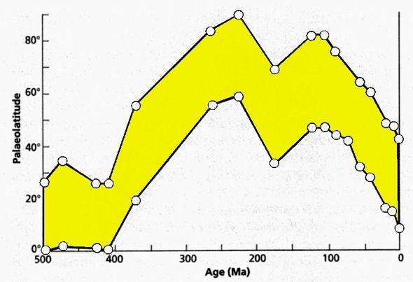
Paleolatitude of continental Australia throughout geological time. (from Geology of Victoria)

Further information on all geoheritage sites around Canberra can be downloaded from the Geological Society of Australia web site—
https://www.gsa.org.au/Public/Geoheritage/ and look for ACT Sites and Maps on the pulldown menu.