Landscapes around Canberra
- a geological excursion for students of all ages
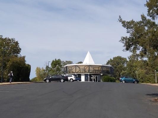
Red Hill
Rock outcrops around Canberra tell us about the early history and evolution of the region’s landscapes.

Red Hill
Rock outcrops around Canberra tell us about the early history and evolution of the region’s landscapes.
The landscapes around Canberra had their origins over 400 million years ago during the Paleozoic geological era on the margins of the supercontinent called Gondwana. Since those formative years the landscapes have been shaped and deeply eroded to reveal the rocks we now see at outcrops around Canberra.
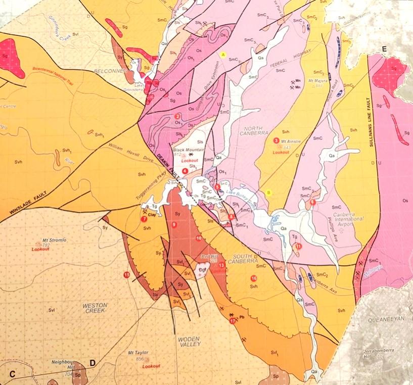
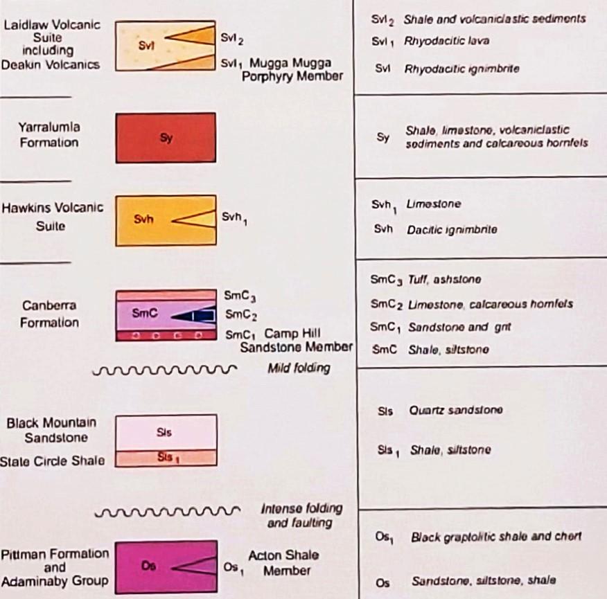
Simplified geology extract from — Geological Map of the ACT, 2008.
publication was compiled for the ACT Division, Geological Society of Australia, by Douglas Finlayson.
443.8 Ma
Late Ordovician
The Canberra region is in the southeastern part of the Lachlan Orogen (or Lachlan Fold Belt), a geological province that stretches from near South Australia to the Australian southeast Tasman Sea coast.
During the Paleozoic era this province was subjected to major orogenic (mountain building) events, the Benambran Orogeny
Phase 1 (444-440 Ma) and Phase 2 (431-428 Ma) and the Tabberabberan Orogeny (about 400—370 Ma).
Ma = million years ago
480 million years ago
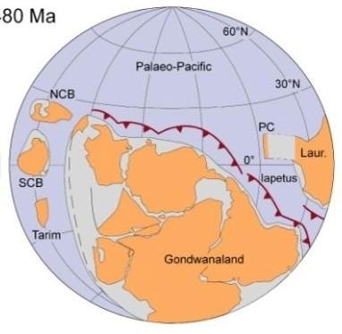
During the early part of the Paleozoic era Australia was part of the Gondwana supercontinent that also included India, Antarctica, Africa, and South America.
Australia was surrounded by warm waters north of the Equator. The Paleo-Pacific Ocean lithospheric plate was colliding with Gondwana and there were subduction zones, with associated volcanoes and earthquakes, dipping under its AustraliaAntarctica-South America margins, much like the tectonic processes happening today under Japan and Indonesia.
420 million years ago Silurian
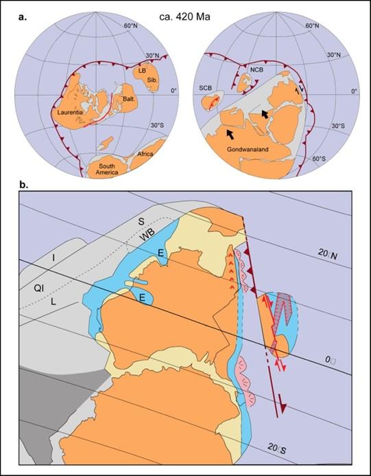
During the later part of the Paleozoic era, during the Silurian geological period, Australia was still part of the Gondwana supercontinent and still at tropical latitudes with the Paleo-Pacific Ocean lithospheric plate colliding with Gondwana and with consequent subduction zones, volcanoes and earthquakes.
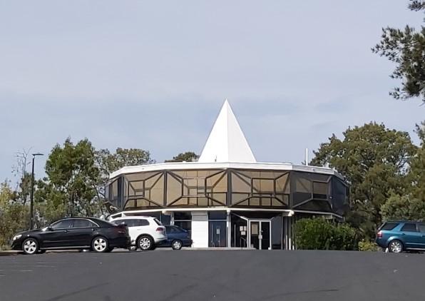
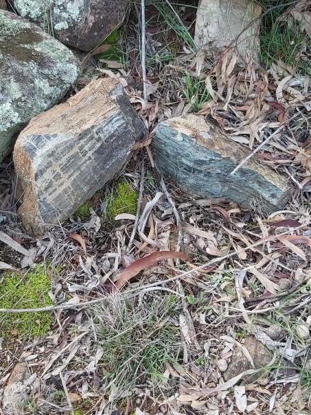
Just behind the café and restaurant at the summit of Red Hill are outcrops of a rock type called hornfels, a hard metamorphic rock that strongly resists erosion. The metamorphosis (mineral transformation) occurred during a Middle - Late Devonian orogenic event during the Tabberabberan Tectonic Cycle.
The rocks were formed when a major orogenic episode buried and “pressure cooked” shales and sandstones of the Yarralumla Formation (about 423 - 424 million years old) seen in outcrops behind Deakin shopping centre. The hornfels resisted erosion to cap Red Hill when the surrounding softer rocks were eroded away.
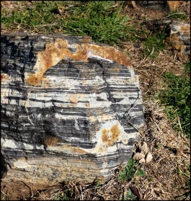
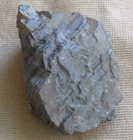
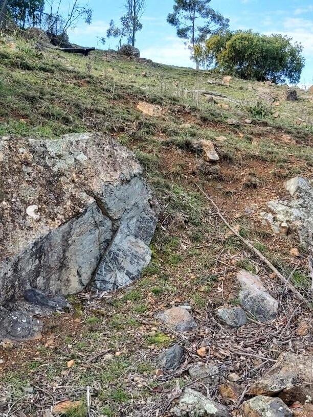
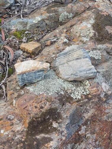
There is a small disused quarry downhill on the southern side from the cafe on Red Hill that has remnants of hornfels rock used for construction purposes.
The small isolated outcrop of Federal Golf Course Tonalite is at the base of Red Hill and near the road going into the golf clubhouse. The outcrop has been drilled and dated.
The small outcrop of Early Devonian Federal Golf Course Tonalite (417+8 Ma) is one of the few outcrops of the Bega Batholith within the ACT.
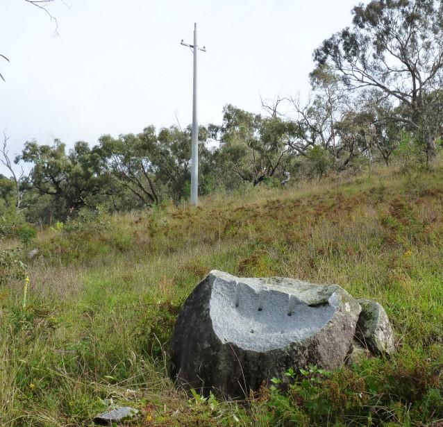
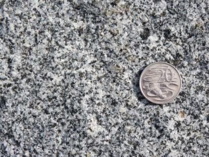
The tonalite pluton is considered to be the heat source for the development of hornfels exposed on the summit ridge of Red Hill from Yarralumla Formation siltstones and sandstones seen in outcrop at the Deakin Anticline and Yarralumla Brickworks.
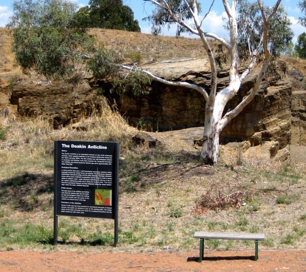
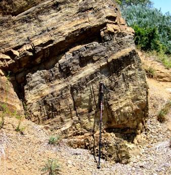
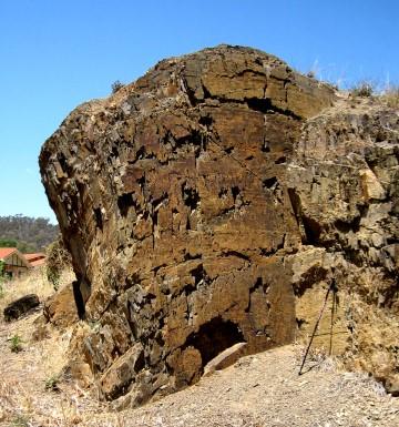
The Deakin Anticline is an outcrop of Yarralumla Formation in the centre of “The Grange” housing development behind Deakin Shopping Centre. The site contains a well developed anticline, with a fault between two rock outcrops in volcanoclastic fine sandstone and siltstone of the Yarralumla Formation (mid-Silurian, 424-423 Ma) deposited in shallow marine conditions. The anticline is particularly interesting since it has various 3-D features of the geometry useful for teaching purposes. The site was quarried to supply crushed rock for the old Canberra Brickworks a short distance away via a tramway.
Further information on all geoheritage sites around Canberra can be downloaded from the Geological Society of Australia web site—
https://www.gsa.org.au/Public/Geoheritage/ and look for ACT Sites and Maps on the pulldown menu.