
Technical Assessment of Woodside’s Browse Turtle Management Plan
Acknowledgements
We acknowledge the Traditional Owners of Country throughout Australia and the Indigenous peoples of the Pacific Islands, and recognises their continuing connection to land, waters, and culture. We pay our respects to their Elders past and present.
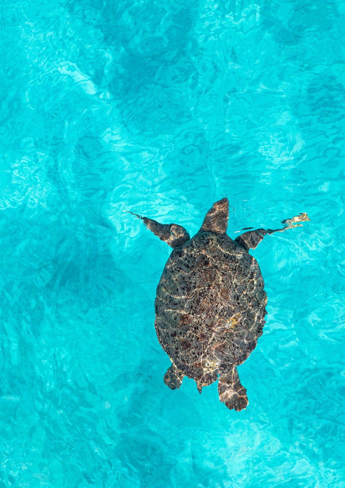
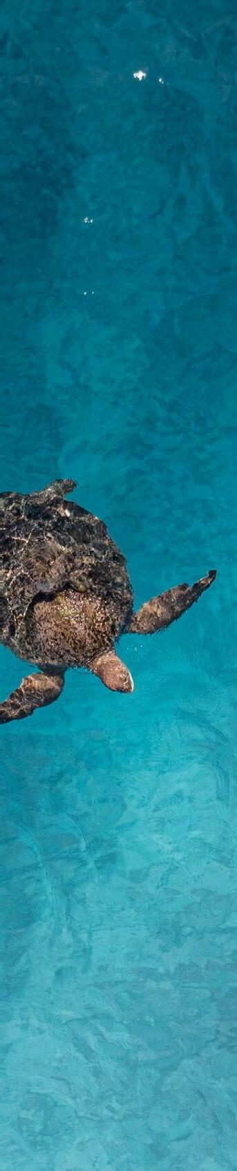
(Cover Image) Turtle in Scott Reef, Western Australia © Alex Westover / Greenpeace
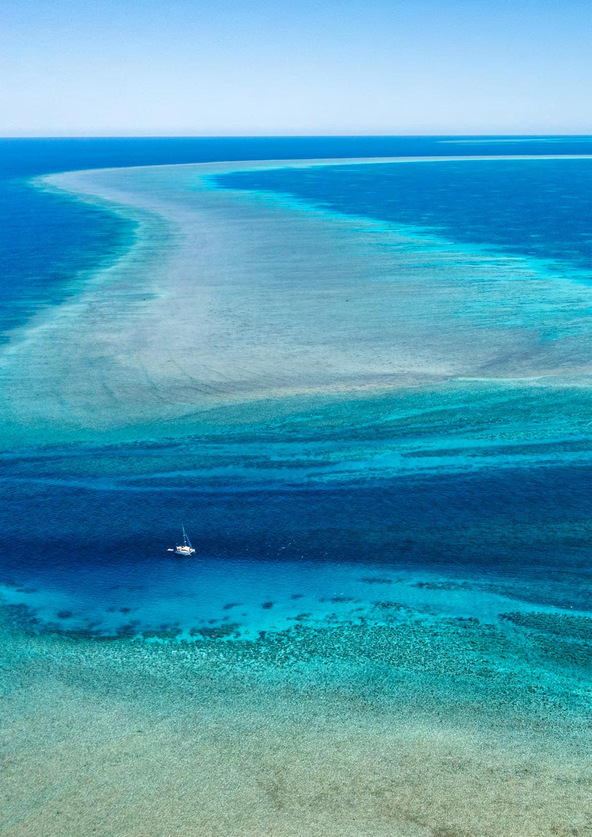
Aerial View of Scott Reef in Western Australia © Alex Westover / Greenpeace
This report was prepared by scientific experts for Greenpeace Australia Pacific: Oceanwise Australia Pty Ltd
4 Cherry Road, Perth, Western Australia, 6018, Australia
Phone: +61 (0) 439996018
Email: ben.fitzpatrick@oceanwise.com.au
Author: Dr Ben Fitzpatrick
© Copyright 2025 Oceanwise Australia Pty Ltd. All rights reserved.
This document may not be reproduced, copied, or distributed without prior written permission.


1. TERMINOLOGY
ACRONYM MEANING
ALMP Artificial Light Management Plan
BIA Biologically Important Area
BoM Bureau of Meteorology
CCWA Conservation Council of Western Australia
EIS Environmental Impact Statement
EPBC Act Environment Protection & Biodiversity Conservation Act 1999
FCTV Fast Crew Transfer Vessel
FME Full Moon Equivalent
FPSO Floating Production Storage & Offloading vessel
G-ScBr Green turtle – Scott Reef / Browse Island genetic stock
MODU Mobile Offshore Drilling Unit
NEBA Net Environmental Benefit Analysis
Recovery Plan Recovery Plan for Marine Turtles in Australia 2017–2027
TMP Turtle Management Plan (Woodside Rev 5, July 2025)
TRD Torosa-R Drill centre
Sea Fan in Scott Reef, Western Australia © Greenpeace / Michaela Skovranova
2. EXECUTIVE SUMMARY
Scott Reef is Australia’s largest offshore coral reef atoll located on the edge of the continental shelf 300kms north of Broome. Woodside has proposed the Browse LNG project which involves construction, drilling, gas extraction, and significant maritime operations at Scott Reef. This involves installing a major well field in deep water next to the reef, extracting gas beneath it, and transporting it along a 900km subsea pipeline to Karratha for processing. This proposal would operate within a 20km buffer of nesting habitat critical to the survival of this population stock of green turtles. This stock of green turtles are genetically unique to, and entirely dependent upon, Scott Reef and Browse turtle nesting rookeries, with some adults migrating as far away as the Gulf of Carpentaria but many staying within the inter-nesting habitat of Scott Reef throughout the year. Woodside’s proposed 2025 Browse to North West Shelf (NWS) Turtle Management Plan (TMP) outlines measures to mitigate impacts from gas drilling and operations on the vulnerable green turtles (Chelonia mydas) of the Scott Reef–Browse Island (G-ScBr) genetic stock, including at Sandy Islet, a critical nesting habitat. The plan falls short in several areas, including:
• Flawed subsidence modeling and unsubstantiated claims of islet resilience not supported by the science with Sandy Islet potentially disappearing within 40 years.
• Assuming a stable population despite a lack of data on population status, lack of adequate consideration of synergies with cumulative climate impacts, and inconsistent with the Recovery Plan for Marine Turtles in Australia 2017–2027 listing this genetically distinct stock as ‘Extremely Vulnerable’ making it one of the most vulnerable of the green turtle populations in Australia
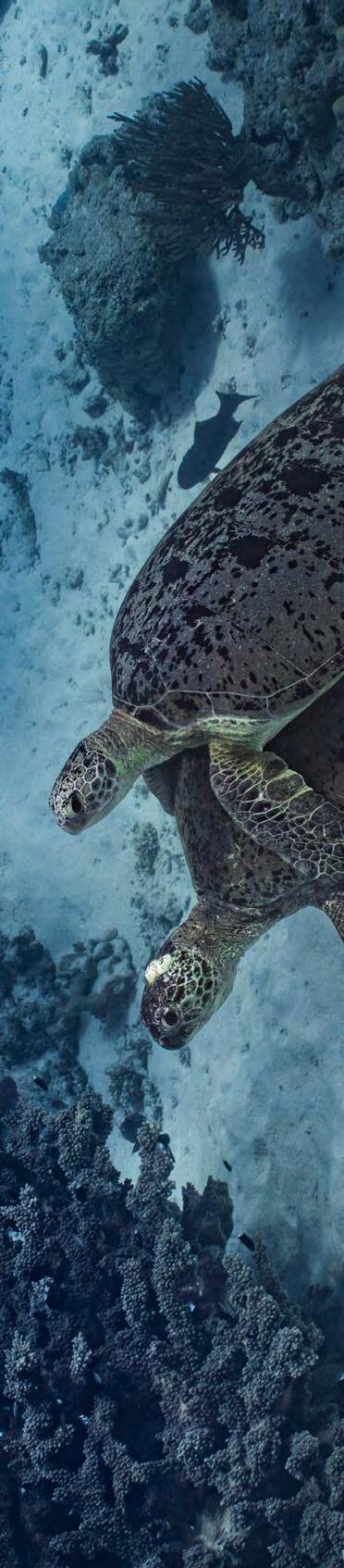
Green Turtles in Scott Reef, Western Australia © Wendy Mitchell / Greenpeace
• An underestimation of modelled lighting impact of the development on Sandy Islet with reflective cloudcover from the coastal Broome location used instead of the Oceanic Monsoon cloud cover experienced at Scott Reef
• An assessment of “No impact is predicted” on dispersing turtle hatchlings, yet no hatchling dispersal data is presented, and despite prevailing northeasterly direction of currents away from Sandy Islet and towards the proposed development during turtle hatching season
• A northeasterly dispersal would also expose hatchlings to increasing risk of light attraction as they move closer to the development, not captured in the TMP
• Proposed beach nourishment without any analysis of risks or suitability for this macrotidal, cyclone prone, subsiding location
• A lack of consideration of the impact of crew transfer vessels travelling at 30 knots within proximity to the migratory pathways of internesting marine turtles
• The lack of data on the life history, status and critical habitats of the G-ScBr stock is inconsistent with the precautionary principle outlined in the Recovery Plan for Marine Turtles in Australia 2017–2027 and under the EPBC Act.
The inadequacy of the Turtle Management Plan’s (TMP) risk assessment is rooted in its assumption of negligible risk despite significant scientific uncertainty and data deficiencies concerning population status, dispersal, and cumulative climate impacts, an approach that contravenes the EPBC Act’s demand for the precautionary principle where “serious or irreversible damage” is possible. Crucially, the TMP misinterprets the primary environmental controls on Sandy Islet, overlooking the unprecedented threat posed by the reversal from receding to rising sea levels, the collapse of carbonate budgets, and the compounding effect of human-induced subsidence, which means residual impacts from the proposed development could accelerate islet erosion, disrupt nesting and dispersal, and pose a risk to migrating internesting adults threatening stock persistence. Consequently, if the project proceeds, Scott Reef’s Green Turtle population faces heightened extinction risk through habitat loss, increased nest failures, exposure to industrial noise and light, increased risk of oil spill and ship strike impacts, and cumulative climate pressures, potentially leading to the collapse of this genetically distinct population and one of the last major offshore Kimberley turtle populations.
3. SANDY ISLET’S UNIQUE GREEN TURTLES IN DANGER
Amongst Australia’s nine genetically distinct green turtle stocks (Chelonia mydas), the highly distinct Scott Reef–Browse Island (G-ScBr) stock is considered ‘Extremely Vulnerable’ in the national Recovery Plan (Commonwealth of Australia, 2017). It is geographically restricted, as one of the last offshore Kimberley populations that relies on Scott Reef’s Sandy Islet, and the nearby Browse Island, as the only two nesting rookeries (Commonwealth of Australia, 2017). Even between these two turtle rookeries, the population shows low but significant genetic differentiation (Dethmers et al., 2006). The long term persistence of this population is considered highly contingent upon the persistence of these vulnerable landforms, with no additional suitable nesting habitats nearby that these turtles might move to, and it being highly unlikely that these populations would move to mainland nesting rookeries (Commonwealth of Australia, 2017). Sandy Islet, a highly dynamic unvegetated sand cay of just 1.8 - 2.4 ha and ~2.5m above lowest astronomical tide, is especially vulnerable to climate change impacts and sea level rise. As few as 100 and up to 1,000 adult females return annually to Sandy Islet laying two and six clutches of 100–150 eggs each, producing thousands of hatchlings critical to the recovery of this population (Guinea, 2010). This rookery is disproportionately important to population viability given the stock’s restricted range, low resilience, and inter-seasonal nesting variation (between 100 and 1,000 females) (Guinea, 2010). Due to historical and ongoing impacts in Australia including fishing, feral predator impacts, nesting beach disruption, and climate change impacts green turtles are listed as:
• Federal – Vulnerable & Migratory (Environment Protection and Biodiversity Conservation Act 1999, 1999)
• Western Australia – Vulnerable (Biodiversity Conservation Act, 2016)
Turtle in Scott Reef, Western Australia © Alex Westover / Greenpeace
With genetically distinct stocks varying in extinction risk depending upon the stocks geographical isolation and specific threat profiles with the G-ScBr particularly extreme. The Recovery Plan for Marine Turtles in Australia 2017–2027 requires that:
“Australia maintains its position promoting recovery of all marine turtle stocks both domestically and in all relevant international agreements and fora. All management decisions and supporting tools continue to be informed by current and robust evidence, noting the precautionary principle. Decisions take into account the cumulative impacts of multiple pressures and resulting actions do not affect listed marine turtles such that they cannot continue to utilise important habitats. Actions undertaken in or adjacent to (i.e. causing ‘downstream impacts’ such as light spill) designated habitat critical to the survival of the species or biologically important areas do not change important behaviours such that the recovery of the stock is compromised. During the life of the plan important foraging grounds, migratory corridors, mating areas and habitat for hatchling dispersal should be identified. All plans of management for marine parks, fisheries and developments promote the recovery of marine turtles and take into account the objectives of this plan. All community based management plans, or land and sea management plans that make reference to marine turtles, have a sustainable management objective. Planning and implementation processes will be supported by the consistent assessment and listing of marine turtles by range jurisdictions according to their national threat status.”
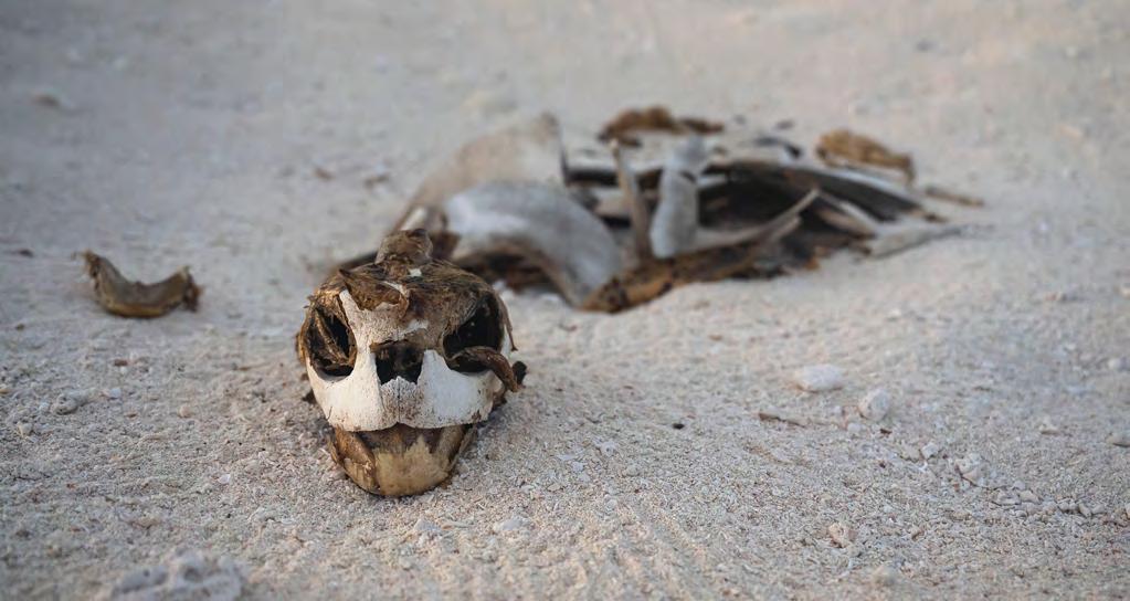
Dead Green Sea Turtle in Nesting Area on Sandy Islet, Scott Reef, Western Australia © Wendy Mitchell / Greenpeace
The Recovery Plan outlines priority actions to support the recovery of Australia’s marine turtle populations including: maintaining / improving legal and management protections (high priority); assessing / addressing anthropogenic threats (very high); understanding climate change and variability impacts (high); measuring population recovery through monitoring at index beaches (very high); describing population structure through genetic identification of the 22 genetic stocks (high); and identifying and protecting habitats critical to survival (high) (Commonwealth of Australia, 2017). Cumulative impacts pose a major barrier to delisting the species under the EPBC Act, with climate change identified as a major threat increasing sand temperatures that alter hatchling sex ratios (feminisation) and sea-level rise leading to the loss of critical nesting beaches. Cumulative stressors of relevance to this proposal at Scott Reef include:
• Climate change (including sand temperature increases affecting sex ratios, sea-level rise flooding nests, and loss of foraging habitats like seagrass and coral)
• Light and noise pollution (including artificial lighting disorienting hatchlings and displacing nesting females)
• Habitat modification and degradation (including oil and gas infrastructure, coastal development, dredging, and port expansion)
• Vessel strikes (e.g. injury and mortality from boat and ship collisions)
• Noise interference (e.g. industrial and seismic noise potentially causing displacement)
• Chemical and terrestrial discharge (e.g. declining water quality affecting the health of foraging grounds)
• Diseases (such as Fibropapillomatosis and other pathogens linked to environmental stress)
• International take (e.g. harvest and trade of meat, eggs, and tortoiseshell of potential relevance at Scott Reef from visiting Indonesian fishing vessels)
With potential indirect or general impacts affecting turtle populations more generally but not necessarily at Scott Reef including:
• Indigenous harvest (managed customary use requiring sustainable co-management)
• Marine debris (ingestion of plastics and entanglement in ghost nets and debris)
• Fisheries bycatch (incidental mortality in trawling, gillnets, and other fishing gear)
• Nest predation (feral animals such as foxes, pigs, and dogs predating on eggs and hatchlings)
Woodside’s proposed Browse project—drilling and gas extraction near Scott Reef—operates within close proximity
to this turtle population, and within the 20km buffer of nesting habitat critical to the survival of this stock (Commonwealth of Australia 2017). The TMP states: “The long-term fate of Sandy Islet at Scott Reef under rising sea levels, increased cyclone intensity and minor subsidence remains to a degree uncertain” (TMP, p.47). The work of Collins et al. (2001) suggests that the long period of slow sea level retreat since ~6500 years ago has been reversed with climate change induced sea level rise now representing an unprecedented threat to this extremely vulnerable rookery (Commonwealth of Australia, 2017). The extraction of gas from the Torosa fields beneath the reef risks uncertain levels of subsidence, which will exacerbate the impacts of greater than average observed sea level rise, the decline of protective coral reef accretion, exposure to increasingly intense cyclone driven storm surge, waves and wind; and natural geological subsidence that characterise this location (Perry et al., 2018), (Collins et al., 2011). Human induced subsidence will stack on top of these impacts, increasing risk of catastrophic nest inundation in the short term and risking the very existence of this extremely vulnerable critical nesting habitat in the long term (Gammon et al., 2023).
4. ASSESSMENT OF THE TURTLE MANAGEMENT PLAN
The TMP claims to safeguard Sandy Islet’s turtles through modelling, mitigation and monitoring (Woodside, 2025a). Below, we identify flaws, drawing on the TMP and appendices, and proposal changes under s.43A.
4.1 Holocene sea levels controls Sandy Islet formation
Sandy Islet has formed since the mid-holocene high stand onset ~7700 years before present, when sea levels were ~2m above present levels (Hijma et al., 2025; Twiggs & Collins, 2010). In this context Sandy Islet is no different to the thousands of transient sandy features that have formed on coral reef cays globally. Collins (2011) reconstructs this ‘Reef Flat Fill’ model of Sandy Islet development from Sandy Islet sediment core data. He identifies this high stand onset from core data, as when reef flat growth finally ‘caught up’ with sea levels at the last interglacial highstand. They determine that this was the critical moment when carbonate sediment surplus could occur, and detected the moment when the very first cay ‘basal’ deposition commenced ~1300 years later ~6500 BP, a lag of hundreds of years. Over thousands of years, as sea levels receded from this high stand, storms deposited sand berms that slowly built up Sandy Islet, elevating its surface to its current 2.5 m above sea level. Over thousands of years, until only very recently, this receding sea level controlled the construction of Sandy Islet. That is until the very recent onset of human induced sea level rise.
Woodside’s Turtle Management Plan impact assessment directly contradicts this science.
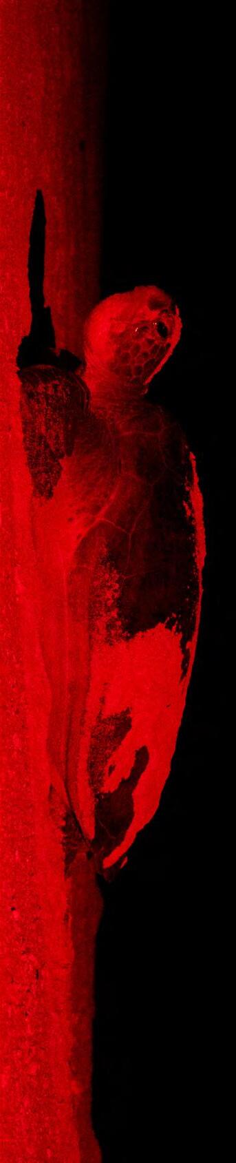
Turtle Nesting at Sandy Islet, Scott Reef, Western Australia
© Michaela Skovranova / Greenpeace
It ignores the established science and instead suggests ‘sea levels have been rising rapidly at times’ completely omitting the major controlling factor from their assessment:
“During the last 8500 years, sea level rise, reef subsidence and ongoing reef growth has been dynamic, with sea levels rising rapidly at times (up to 10 mm/yr), South Scott Reef naturally subsiding at rates of approximately of 0.45 mm/yr and the reef growing at 1-4 mm/yr towards the sea surface (Collins et al., 2011). The 1974 coring results suggest that accumulation of sand has continued throughout these changing reef conditions.”
This is important because their risk assessment incorrectly posits persistence over thousands of years, particularly over the last century, as evidence of its stability despite sea level rise, natural subsidence, cyclones and reef growth (TMP, pg 47). The TMP subsequently concludes that human induced subsidence will be of minor consequence:
“The impact of reservoir subsidence given its minor contribution to future sea height (on the reef flats surrounding Sandy Islet) is not expected to meaningfully influence the long-term fate of Sandy Islet and the turtles that use it as nesting habitat.”
This contradicts the quantifiable reality that Sandy Islet only exists because sea levels have been receding over the last 6500 years, but in the last ~100 years an unprecedented and rapid reversal from naturally receding sea levels to the onset of human induced sea level rise means that the Sandy Islet green turtle rookery is now extremely vulnerable. The addition of human induced subsidence to this reversal, unprecedented over ~6500 years, is not consistent with the long term persistence of this turtle population and the maintenance or improvement of protection as stipulated in the Recovery Plan for Marine Turtles in Australia (Commonwealth of Australia, 2017).
4.2 Scott Reef’s turtles are Extremely Vulnerable
The ‘Capitalisation: Recovery Plan for Marine Turtles in Australia’ determines that climate change represents a high threat to the G-ScBr stock viability. It classifies the rookery at Sandy Islet as extremely vulnerable due to cyclones, thermal plumes / increasing sea temperatures, and rise in sea levels (Commonwealth of Australia, 2017). Scott Reef including Sandy Islet is perhaps the most climate-vulnerable reef in the Indo-Pacific because of a number of factors converging here (Perry et al., 2018):
1. Macrotides – the large 4 metre tidal range scours the cay twice daily, with spring tides mobilising sand just ~20cm below the islet’s maximum height <2.5 m above LAT (Gilmour et al., 2013). Human induced sea level rise is proportional to macrotidal range and estimated at 7.1 mm/
yr or ~28cm over 40 years.This suggests we can expect complete inundation of Sandy Islet during spring tides in coming decades.
2. Sandy Islet’s thin profile makes it particularly vulnerable to erosion leading to likely dissection and means that a single spring tide combined with a 20cm wave surge can result in total inundation of the islet.
3. Coral calcification collapse – Bleaching and acidification have rapidly diminished carbonate budgets and reef accretion potential of coral reefs throughout the region over the last 25 years and Scott Reef is no different. Reef growth is declining which means a relative rise in sealevel. As a result the reef’s diminished ability to dissipate waves means more destructive wave energy arriving at the shores of Sandy Islet (Perry et al., 2018).
4. Cyclone alley – This reduced coastal defence makes Sandy Islet increasingly vulnerable to the intensifying strength of cyclones (some hundreds of kilometers away) that generate destructive long-period swells, possible from every direction, increasing the risk of overtopping during nesting season over time (Gilmour et al., 2019).
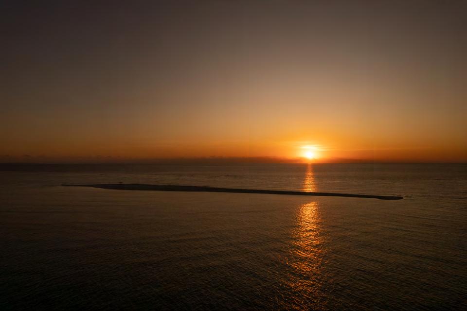
Sandy Islet at Sunset, Scott Reef, Western Australia. © Michaela Skovranova / Greenpeace
5. Remoteness – No nearby reefs means that the recruitment of potential climate-adapted corals from external source reefs are unlikely. This means adaptation and recruitment of in situ coral are the only avenues for the reef to adapt to new thermal regimes making this system extremely vulnerable relative to other reefs in the region (Underwood et al., 2007).
6. Natural subsidence – Scott Reef has been naturally subsiding 0.3–0.4 mm yr⁻¹. Sandy Islet has only persisted in recent years because sea levels have been receding at a faster rate than this natural subsidence over the last 6500 years, and the corals have been able to produce an excess of carbonates and accrete reef as a result. Scott Reef has persisted where many other adjacent reefs have drowned but now the factors are stacked against its persistence with a reversion to rising sea levels and rapid decline in coral reef carbonate production and accretion due to climate change in the last 100 years (Collins et al., 2011).
7. Restricted Range – the G-ScBr stock is considered unlikely to be able to adapt and nest elsewhere when this nesting habitat becomes unsuitable. This makes this stock that nests on just two spatially restricted rookeries located closely together highly vulnerable to these climate related threats and to oil spills.
These local factors put Scott Reef and Sandy Islet on the extreme end of vulnerability to human induced climate change impacts relative to other coral reefs in the Indo Pacific region
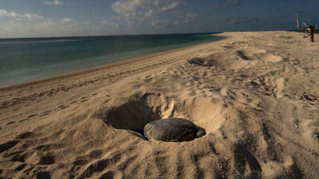
Turtles Nesting at Scott Reef, Western Australia © Wendy Mitchell / Greenpeace
(Perry et al., 2018). Perry et al. (2018) predict Scott Reef will lose net vertical growth capacity by 2035–2050, ending the ability for Scott Reef to maintain pace with periods of sea level rise which it has managed to do over 15 million years. The predicted extra human induced subsidence compounds these factors and the proponent has provided highly variable estimates of this in their documentation (TMP, 2025). For context, perhaps the most accurately measured subsidence due to gas extraction is at an analogous gas field in the Netherlands which resulted in 245 mm of subsidence over 40 years or approximately 5 mm a year (Porada et al., 2024).
In ignoring the fundamental control coral calcification, accretion and associated sand production has over Sandy Islet persistence, the TMP impact assessment directly contradicts the Recovery Plan assessment that Sandy Islet is extremely vulnerable and instead concludes: “...Sandy Islet is dynamic and resilient in the long term.”. This conclusion is based on the flawed premise that short term events in the order of tens of years demonstrate the persistence of this cay; in reality these local vulnerabilities listed above combined with the recent reversal from receding to rising sea levels control Sandy Islet on timescales over hundreds to thousands of years, and this makes this rookery and the stock Extremely Vulnerable (Collins et al., 2011; Commonwealth of Australia, 2017).
4.3 Bruun Rule Maths – Sandy Islet could vanish in 40 Years
Woodside’s TMP does not quantify the stacked cumulative impacts of relative and absolute subsidence, underestimating the impact of human induced subsidence in this context. The proponents’ own estimates of extraction-induced subsidence varies by ~200 times, previously estimated in the Australian Institute of Marine Science (AIMS) Expert Advice at 0.5 – 1.7775 mm/yr or 2.1 – 7.1 cm over 40 years (Australian Institute of Marine Science, 2013). Contrary to this the TMP estimates human induced subsidence at just 0.1 - 0.38mm over 40 years. These claims lack peer-reviewed validation. Bruun’s Rule (Bruun, 1962) can be used to estimate erosion due to these combined sources of subsidence and sea level rise. Using these former values of subsidence provided by Woodside above, taking into account additional sources of sea level change cited in the literature as follows:
• Climate change related sea level rise: 7.1 mm/yr
• Natural subsidence: 0.3–0.4 mm/yr
• Coral reef accretion (unquantified at this point) and
• Proponents’ extraction-induced subsidence estimated at 0.5 – 1.7775 mm/yr or 2.1 – 7.1 cm over 40 years.
And combining these with geomorphological characteristics of Sandy Islet, where:
• R = estimated retreat (m)
• S = total relative SLR = 7.9–9.275 mm yr⁻¹
• L = active profile width = 400 m
• h = depth of closure = 8 m
• B = berm height = 2 m
And using the formula R = S × L / (h + B) we can estimate that between 0.316 – 0.371 m of shoreline retreat per year can be expected at Sandy Islet or 12.6 – 14.8 metres over 40 years. This is half the islet’s width in places and consistent with:
• Increasing rates of nests destroyed through overcrowding as nesting habitat shrinks
• Increasing sea level related salt water intrusion making substrates increasingly less suitable for nesting over time, and
• Increasing likelihood of intense cyclone waves and storm surge overtopping the islet and flooding nests during summer.
So not only is Sandy Islet increasingly vulnerable to overtopping from waves flooding nests, but this also coincides with a period of erosion. The TMP does not adequately assess these risks and instead claims that:
“Sandy Islet is unlikely to disappear below the highwater mark over the 40 years of hydrocarbon production, and evidence to date suggests it is unlikely to become completely submerged in coming decades but will continue to change morphology.” (TMP Pg 48).
This TMP conclusion is inconsistent with known science and the objectives of the recovery plan that is to maintain or improve legal and management protection for marine turtles (Commonwealth of Australia, 2017).
4.4 Beach nourishment
The TMP Section 6.3 proposes the addition of sand sourced from elsewhere within the reef (known as sand nourishment) for subsidence remediation (Table 6-1, pp.70–72), citing Raine Island successes (Smithers & Dawson, 2023). Keeping in mind the TMP states:
“Almost all nourishment projects in the U.S. result in a reduction in nest densities and nesting success (percentage of all turtle crawls onto the beach resulting in nests) during the first year or two following construction (Trindell et al., 1998).”.
Despite flagging beach nourishment as a management response to human induced subsidence and erosion of Sandy Islet, the TMP fails to assess risks of this activity that include:
• Adding sand through pumping or earthmoving can compact the beach, reducing oxygen flow to eggs and cutting hatching success (Andrew Grain et al., 1995).
• For developing embryos and emerging hatchlings, compaction distorts nest chamber shape and impairs gas exchange. It can create shallower nests more prone to flooding, altered sand properties disrupt moisture levels, and temperature extremes. This and differing sand colour can shift incubation temperatures, potentially skewing sex ratios or causing developmental abnormalities, exacerbating the impact of climate change, which is generally increasing incubation temperatures and skewing hatchlings’ gender to female.
• Sourcing sediment from East Hook located on the eastern side of Scott Reef, introduces foreign sediments that can introduce contaminants or nutrient imbalances, which can alter microbial communities critical for hatchling development (Woodside, 2025a).
• Nourishment remains untested against high-case subsidence, macrotides and cyclones that erode added material on a highly dynamic sand cay, subject to sea level rise and with no stable vegetation backing onto the beach.
• Beach morphology can be affected with differential redistribution resulting in the formation of steep escarpments by dumped material for example that can physically block adult females from accessing upper beach zones for nesting.
• Added sediments that are different to native sediments in their composition, density and size can be differentially dispersed depending upon density and size of particles, potentially dispersing more readily than local sediments to smother adjacent reef flat benthic communities including corals.
While the TMP identifies many of these potential adverse outcomes it does not assess if these limit the applicability of sand nourishment in the local context.
4.5 Adult Internesting Habitats
A portion of the Scott Reef’s green turtles stays resident in the vicinity of the reef year round while a large number migrate hundreds of kilometres to the Kimberley coast. Ferreira et al. (2023) synthesised satellite tracking data from 484 marine megafauna, including green turtles, showing high overlap with anthropogenic threats in migratory corridors of the G-ScBr
population. Adults disperse from the Scott Reef rookery to internesting habitats along the entire Kimberley coast, including from the Gulf of Carpentaria to 80 Mile Beach (Guinea, 2010). This places the Browse development directly within the main adult migratory corridor to and from Scott Reef (Ferreira et al., 2023). The proposed development represents:
• An increase in shipping density and increased exposure to ship strike (Ferreira et al., 2023).
• An increase in underwater noise from seismic/drilling which disrupts foraging/resting of a proportion of internesting animals that stay in proximity to Scott Reef outside peak nesting periods (Ferreira et al., 2023).
Vessel strike risks are dismissed in Woodside’s TMP, by the proposed introduction of <6-knot limits “within the state proposal area” (TMP, Section 3.3.2, p.50; Table 4-4, p.58). However this does not apply to fast crew transfer vessels travelling up to 30 knots through migratory corridors and subsequently unquantified probabilities of these fast vessels colliding with turtles in these (TMP, p.50). The TMP does not quantify these threats in internesting habitats and migratory areas, overlooking Recovery Plan requirements to maintain or improve protection throughout their migratory range (Commonwealth of Australia, 2017). Current knowledge is inadequate to assess this risk, instead proposing to address this knowledge gap by collecting satellite telemetry data after approval.
4.6
Claims regarding population status not backed by evidence
The Recovery Plan emphasizes the need to determine population demographics at key foraging grounds and to fill knowledge gaps in life history (Commonwealth of Australia, 2017). While simultaneously acknowledging the lack of data regarding the status of the stock, the TMP asserts “no significant impacts” to green turtles post-mitigation 27 times, but evidence is thin and selective. Overall population estimates for the G-ScBr stock are of largely “unknown” status as acknowledged in the TMP (Section 2.1.8, p.23), yet the plan extrapolates from this sparse data without robust baselines or inter-seasonal trends of any kind:
“There is a lack of data regarding the status of the G-ScBr stock, and existing data are not contemporary. The Recovery Plan lists the status of this stock as “Unknown”. Currently, there are several key knowledge gaps for this stock, as described below.”
As with the unknown status of Adult stock, nesting success and hatchling numbers are equally uncertain:
“limited and complicated by variation in nesting population size”
The limited data obtained from two short surveys conducted a year apart in 2008/9 and 2009/10 are insufficient to establish population status (Guinea, 2010). These numbers are outdated amid climate stressors that have occurred in the 15 years since they were gathered. Rather than address these information gaps to inform an adequate environmental impact assessment, the TMP proposes to instead address these data gaps on adult population status, spatial and temporal aspects of nesting activity and hatchling success and dispersal after the project has been approved, listing a series of baseline data collection including satellite telemetry, remote sensing, adult turtle track census, capture - mark recapture, adult turtle track orientation, incubation success, hatchling arena trials, virtual hatchling dispersal modelling, passive acoustic telemetry, and light monitoring. In other words the TMP proposes to address these baseline data required to assess impacts after approval, contravening the precautionary approach outlined in the Recovery Plan for Marine Turtles in Australia (Commonwealth of Australia, 2017).
4.7 Light modelling: wrong inputs, wrong assumptions
The TMP uses computer modelling (ILLUMINA; Section 3.1, pp.28–40; Appendix A) to predict light impacts on turtles, claiming mostly “low” levels (<0.1 Full Moon Equivalent at the beach). However, the model relies on flawed inputs and assumptions that underestimate real-world effects.
• Cloud cover: Cloud data for the Pure Oceanic Monsoon climate of Scott Reef located 300km offshore is based on BOM records for the coastal town of Broome. Scott Reef experiences very different cloud cover to Broome with increased cloud cover regimes during the wet season (Nov–Apr) (Rutan et al. 2015). The TMP underestimates the potential impact of lighting on turtles since cloudy conditions amplify artificial light glow by up to 377 % (IS4B; TMP, p.36).
• Lighting assumptions: The model adds 150 % extra light for safety (TMP, p.30), but uses blue-rich lights from the FPSO (3000 K) and drilling unit (6500 K), which are more disruptive to turtles than warmer colours, ignoring recovery plan guidance to shift to red light (TMP, p.28).
Results suggest that routine operational FPSO light of <0.001 FME is within safe levels. However during commissioning this is anticipated to be up to 0.236 FME, which is a Level 3 disruptive level. The Drilling unit located at ~18 km away from Sandy Islet is thought to add minimal ligh, while vessels at 20 - 29 km away emit <0.1 FME and assume low hatchling presence (TMP, pp. 36–45). However this is only related to hatchlings at Sandy Islet and is not accounting for hatchlings likely dispersing towards infrastructure within the first 24 hours of hatching. The Woodside TMP model uses unvalidated impact thresholds without real disorientation data available for the
hatchlings, nor even virtual hatchling dispersal modelling which is proposed to be conducted after the proposal is approved. The TMP dismisses Level 3 as “unlikely” even though >0.1 FME can misdirect 50 % of hatchlings (TMP, p.36). Dispersal simulations assume hatchlings swim fast enough (0.49 m s⁻¹) to escape currents, but data from Ningaloo Reef in Western Australia, show light slows them considerably by 30 % and alternatively if the light is in the direction of their natural dispersal it attract them (TMP, p.41). There are a number of potential factors that underestimate potential impacts on hatchlings at Sandy Islet especially during dispersal during key cloudy nesting periods at Scott Reef. The TMP conclusion that “No impact is predicted” on hatchling dispersal is discussed further below (Woodside, 2025a).
4.8 Hatchling dispersal: the hidden risk – 360° threat on a circular reef
Scott Reef is surrounded by ocean. There is no single “seaward” direction – every bearing is offshore. The TMP’s phrase “carries most seaward” (Appendix B, p.150) is misleading. Hatchlings exiting Sandy Islet can move away from Sandy Islet in any compass direction depending upon prevailing oceanographic conditions influenced by the proximity to the channel (Rayson et al., 2011; Addendum, p.3).
Hatchling dispersal is a critical phase: upon emergence (primarily Nov–Apr, peak Dec–Jan; TMP, Table 2-1, p.19), green turtle hatchlings undertake a frenzied swim offshore, covering 20–50 km in 24–72 h at speeds up to 0.5 m s⁻¹, guided by wave cues and an innate magnetic compass toward deeper water to evade nearshore predators (TMP, Appendix B, p.150). In Scott Reef’s complex bathymetry and oceanography—dominated by tidal currents (~0.3 m s⁻¹ average, peaks >1 m s⁻¹) hatchlings can move in any direction with the potential to arrive at the development, occurring within 20 km, within 24 hours of dispersal (Woodside 2025).
No site-specific tracking exists for Scott Reef green turtle hatchlings; proxy data from Ningaloo shows rapid offshore trajectories, but artificial lights can override cues, slowing dispersal (to 0.35–0.44 m s⁻¹), depleting yolk reserves, and attracting them toward hazards (TMP, pp.41–45). The Browse FPSO (~29 km southwest of Sandy Islet; TMP, Figure 3-2, p.35) lies within potential dispersal paths, where prevailing currents (prevailing Ne surface currents, tidal flows and Leeuwin Current influences) could transport hatchlings toward it, increasing exposure to chronic light spill and flaring (TMP, Appendix B, KC5, pp.150–151). Given this lack of data on hatchling dispersal it is difficult to determine the risk hatchlings face encountering infrastructure during dispersal, however:
• Mesoscale north-easterly currents dominate at Scott Reef between November and February, with oil-spill trajectories used in Woodside’s own EIS showing surface water predominantly dispersing north eastward (Woodside, 2025b).
• Gilmour et al. (2013) measured residual currents in the channel at 0.2 m s⁻¹ to the east on spring tides.
• Jenner et al. (2009) pygmy blue whale prey surveys confirm the same east-bound tidal jets concentrate krill to the east.
These suggest that hatchlings will be dispersed on the tide towards development envelopes, FPSO, flare stack, drill rigs, and vessels. This being the case, they will increasingly encounter elevated light greater than 0.1 FME on their initial dispersal away from Sandy Islet, a level at which it is known to override natural cues such as waves, slow their frenzy and create a fatal light-trap as they draw closer to the source. Yet the TMP states that: “No impact is predicted” on hatchling dispersal, and that “Surface currents at Scott Reef will carry hatchlings on, and in the direction, of the tidal flow over extended time frames, reducing the number of hatchlings reaching or aggregating around the facility.” The TMP concludes that “Therefore, it is unlikely that large numbers of hatchlings will either reach or be attracted to the facility.” This is a highly questionable conclusion given a complete lack of hatchling dispersal data and evidence of currents predominantly flowing towards facilities.
4.9 Conformance gaps between the Recovery Plan and the TMP
There are a number of gaps in the TMP that mean it doesn’t align with the Recovery Plan for Marine Turtles in Australia 2017–2027:
• There is a lack of data on the G-SrBr turtle stock life history, its population status, temporal change in the rookery and dispersal of hatchlings in opposition to the precautionary principle.
• It fails to consider cumulative impacts of climate change in concluding that risk from human induced subsidence to the long term persistence of Sandy Islet is insignificant.
• In concluding that Sandy Islet is “resilient in the long term”, the TMP directly contradicts the recovery plan that lists the Scott Reef Browse Population as ‘Extremely Vulnerable’ to climate change.
• It doesn’t comprehensively consider the impact on adult migratory corridors.
• Its assessment of “No impact is predicted” to dispersing hatchlings is based on a complete lack of data, failing to assess risks to this critical life history phase.
• It does not adequately consider risk to the portion of the population that stay in the proximity of Scott Reef during internesting in proximity to the development envelope.
The TMP does not promote recovery of this highly vulnerable population (Commonwealth of Australia, 2017).
4.10 Precautionary principle
The TMP cites a lack of full scientific certainty on numerous occasions yet the EPBC demands caution amid “serious or irreversible damage” uncertainty. The lack of data on this population acknowledged in the TMP and highlighted in the Recovery Plan emphasises low confidence in the TMP’s modelling around potential risks on population status, dispersal, cumulative climate change impacts and synergies with human induced subsidence. Despite this, the TMP assumes negligible risk of these developments in the EIS. This includes a fundamental misinterpretation of the holocene sea level controls on the development and maintenance of Sandy Islet, the reversal from receding to rising sea level, the declining carbonate budgets due to bleaching and acidification, sea levels outpacing accretion, the impacts of increasingly intense storms, and inundation.
6. CONCLUSION
The Recovery Plan considers this stock Extremely Vulnerable (Commonwealth of Australia, 2017). The G-ScBr stock status is currently unknown, and it is unclear if the population has changed in the more than 15 years since the only nesting activity surveys were conducted. The population is likely to be small relative to other stocks and is also highly disjunct and separated spatially from them. It is genetically distinct within a highly constrained environment with just two small rookeries at Sandy Islet and Browse Island. Both of these are highly vulnerable to worsening climate change impacts including sea level rise, marine heat waves, intensifying storms, and related climate change impacts (Gilmour et al., 2019). The population is highly unlikely to be able to adapt and move to new nesting rookeries with the loss of these rookeries (Commonwealth of Australia, 2017). A combination of nesting area loss, accelerated by subsidence, nest failures due to overtopping, overcrowding, disorientation of hatchlings and increased vessel impacts associated with this proposal represent increased extinction risk for this population. This project is likely to accelerate the disappearance of Sandy Islet, and with this main G-ScBr rookery collapsing, this could lead to the extinction of a critical green turtle stronghold of the offshore Kimberley. Woodside’s Turtle Management Plan underplays risks, relies on unsubstantiated assumptions, and fails to align with the Recovery Plan’s precautionary principals or EPBC Act requirements.
Key findings:
• The TMP incorrectly interprets the persistence of Sandy Islet over the last 6500 years as evidence of its resilience, yet the only reason Sandy Islet has persisted is because of receding sea level control over Sandy Islet from 6500 years until recently when this was reversed to human induced sea level rise in the last ~100 years, making this critical green turtle habitat rookery Extremely Vulnerable (Commonwealth of Australia, 2017).
• Subsidence modelling excludes consideration of reefwide synergies with cumulative pressures, particularly climate change associated sea level rise and coral reef growth and accretion of coral skeletons building up the reef framework , and underestimates
Marine Life in Scott Reef, Western Australia © Wendy Mitchell / Greenpeace
human-induced effects, risking cay loss within decades (Commonwealth of Australia, 2017); and not “... unlikely to become completely submerged in the future.” as the TMP (p. 47) claims (Woodside, 2025a).
• Despite the proposal to add sand to Sandy Islet in the instance of erosion, adverse impacts on the turtle rookery from this sand nourishment have not been assessed for its appropriateness nor risks posed to the environment at this macrotidal location (Woodside, 2025a).
• Adult migratory corridors identified as critical in the Recovery Plan overlap high-threat zones, and have been inadequately assessed in the TMP (Ferreira et al., 2023).
• Precautionary principle breached via low-confidence models due to lack of data on the life history of this extremely vulnerable stock (Commonwealth of Australia, 2017).
• Light modelling uses Broome cloud data despite Scott Reef’s wet-season cloudiness, underestimating light glow amplification during turtle hatchling dispersal (Woodside, 2025a).
• In the lack of measured or modelled hatchling dispersal data, the TMP claims “No impact is predicted” on dispersing hatchlings despite prevailing surface currents moving in the north easterly direction from Sandy islet towards the proposed gas drilling and extraction” location.
7. REFERENCES
1. Grain, A. D., Bolten, A. B., & Bjorndal, K. A. (1995). Effects of Beach Nourishment on Sea Turtles: Review and Research Initiatives. Restoration Ecology, 3(2), 95–104. https://doi.org/10.1111/j.1526-100X.1995.tb00082.x
2. Australian Institute of Marine Science. (2012). AIMS Expert Opinion: Subsidence of Scott Reef (interview by Australian Maritime Safety Authority) [Personal communication].
3. Biodiversity Conservation Act (2016). https://www.parliament.wa.gov.au/publications/tabledpapers.nsf/displaypaper/4112882c21779afb896b821448258a780006de5b/%24file/tp-2882.pdf
4. Bruun, P. (1962). Sea-Level Rise as a Cause of Shore Erosion. Journal of the Waterways and Harbors Division (ASCE), 88(WW1), 117–130.
5. Collins, L. B., Testa, V., Zhao, J., & Qu, D. (2011). Holocene growth history and evolution of the Scott Reef carbonate platform and coral reef. Journal of the Royal Society of Western Australia, 94(2), 239. https://www.rswa.org.au/ publications/Journal/94(2)/Collinsetal.pp.239-250.pdf
6. Commonwealth of Australia. (2017). Recovery Plan for Marine Turtles in Australia 2017–2027. {Department of Environment and Energy}. http://www.environment.gov. au/system/files/resources/46eedcfc-204b-43de-99c54d6f6e72704f/files/recovery-plan-marine-turtles-2017.pdf
7. Department of Energy and Environment. (2017). Recovery Plan for Marine Turtles in Australia. Commonwealth of Australia. https://www.agriculture.gov.au/sites/default/ files/documents/recovery-plan-marine-turtles-2017.pdf
8. Dethmers, K. E. M., Broderick, D., Moritz, C., Fitzsimmons, N. N., Limpus, C. J., Lavery, S., Whiting, S., Guinea, M., Prince, R. I. T., & Kennett, R. (2006). The genetic structure of Australasian green turtles (Chelonia mydas): exploring the geographical scale of genetic exchange: PHYLOGEOGRAPHY OF INDO-PACIFIC GREEN TURTLES. Molecular Ecology, 15(13), 3931–3946. https://doi.org/10.1111/j.1365294x.2006.03070.x
9. EPBC, 1999, Department of Climate Change, Energy, the Environment and Water.
10. Ferreira, L. C., Thums, M., Whiting, S., Meekan, M., Andrews-Goff, V., Attard, C. R. M., Bilgmann, K., Davenport, A., Double, M., Falchi, F., Guinea, M., Hickey, S. M., Jenner, C., Jenner, M., Loewenthal, G., McFarlane, G., Möller, L. M., Norman, B., Peel, L., … Fossette, S. (2023). Exposure of marine megafauna to cumulative anthropogenic threats in north-west Australia. Frontiers in Ecology and Evolution, 11. https://doi.org/10.3389/fevo.2023.1229803
11. Gammon, M., Whiting, S., & Fossette, S. (2023). Vulnerability of sea turtle nesting sites to erosion and inundation: A decision support framework to maximize conservation. Ecosphere (Washington, D.C), 14(6), e4529. https://doi. org/10.1002/ecs2.4529
12. Gilmour, J., Ryan, N., Cook, K., Puotinen, M., & Green, R. (2019). Long-term monitoring at Scott Reef and Rowley Shoals 2017: Summary Report. Australian Institute of Marine Science.
13. Gilmour, J., Smith, L., Cook, K., & Pincock, S. (2013). Discovering Scott Reef.pdf. Woodside, Australian Institute of Marine Science.
14. Guinea, M. (2010). Long Term Monitoring of the Marine Turtles of Scott Reef: February 2010 field survey report. Charles Darwin University.
15. Hijma, M. P., Bradley, S. L., Cohen, K. M., van der Wal, W., Barlow, N. L. M., Blank, B., Frechen, M., Hennekam, R., van Heteren, S., Kiden, P., Mavritsakis, A., Meijninger, B. M. L., Reichart, G.-J., Reinhardt, L., Rijsdijk, K. F., Vink, A., & Busschers, F. S. (2025). Global sea-level rise in the early Holocene revealed from North Sea peats. Nature, 639(8055), 652–657. https://doi.org/10.1038/s41586-02508769-7
16. Perry, C. T., Alvarez-Filip, L., Graham, N. A. J., Mumby, P. J., Wilson, S. K., Kench, P. S., Manzello, D. P., Morgan, K. M., Slangen, A. B. A., Thomson, D. P., Januchowski-Hartley, F., Smithers, S. G., Steneck, R. S., Carlton, R., Edinger, E. N., Enochs, I. C., Estrada-Saldívar, N., Haywood, M. D. E., Kolodziej, G., … Macdonald, C. (2018). Loss of coral reef growth capacity to track future increases in sea level. Nature, 558(7710), 396–400. https://doi.org/10.1038/s41586018-0194-z
17. Porada, H., Boelens, R., & Vos, J. (2024). Gas extraction governmentality: The depoliticization of Groningen’s extractive territorialization. Political Geography, 108(103001), 103001. https://doi.org/10.1016/j.polgeo.2023.103001
18. Rutan, D. A., Kato, S., Doelling, D. R., Rose, F. G., Nguyen, L. T., Caldwell, T. E., & Loeb, N. G. (2015). CERES synoptic product: Methodology and validation of surface radiant flux. Journal of Atmospheric and Oceanic Technology, 32(6), 1121–1143. https://doi.org/10.1175/jtech-d-14-00165.1
19. Smithers, S. G., & Dawson, J. L. (2023). Beach reprofiling to improve reproductive output at the world’s largest remaining green turtle rookery: Raine Island, northern Great Barrier Reef. Ocean & Coastal Management, 231(106385), 106385. https://doi.org/10.1016/j.ocecoaman.2022.106385
20. Twiggs, E. J., & Collins, L. B. (2010). Development and demise of a fringing coral reef during Holocene environmental change, eastern Ningaloo Reef, Western Australia. Marine Geology, 275(1), 20–36. https://doi.org/10.1016/j. margeo.2010.04.004
21. Underwood, J. N., Smith, L. D., Van Oppen, M. J. H., & Gilmour, J. P. (2007). Multiple scales of genetic connectivity in a brooding coral on isolated reefs following catastrophic bleaching. Molecular Ecology, 16(4), 771–784. https://doi. org/10.1111/j.1365-294X.2006.03187.x
22. Woodside. (2025a). Proposed Browse to North West Shelf Project: Turtle Management Plan (No. Revision 5). Woodside. https://www.epa.wa.gov.au/sites/default/files/Proponent_response_to_submissions/Attachment%20F%20-%20 Browse%20to%20NWS%20Proposal%20Turtle%20Management%20Plan%20Rev%205.pdf
23. Woodside. (2025b). Request for variation to the proposed browse to nws project (EPA assessment number 2191) [Letter to Environmental Protection Authority]. https://www. epa.wa.gov.au/sites/default/files/S43A/Cover%20Letter_ s43A%20Application_Feb%202025%20%28signed%29%20 REDACTED_Redacted.pdf