1 minute read
Mapping the Southside’s Sustainability Solutions


By Devon McCole Illustrated Map by Libby Walker
Advertisement
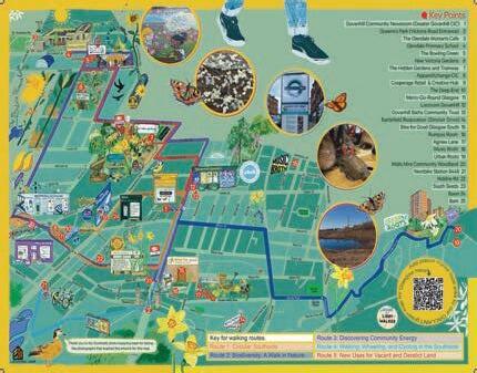
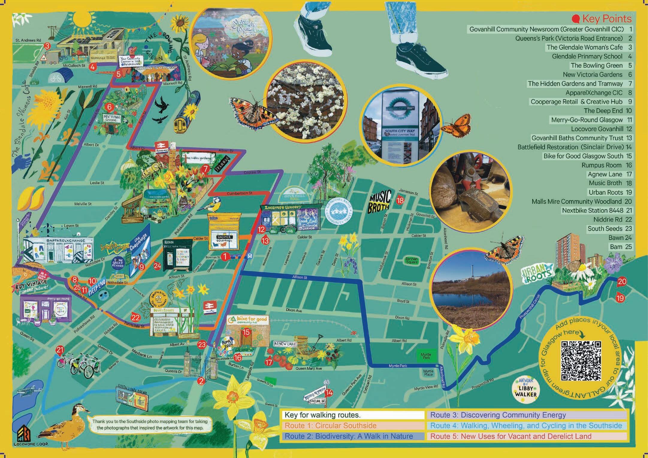
GALLANT is a five year research project trialling sustainable solutions throughout Glasgow. Researchers at Glasgow University teamed up with Open Aye CIC, a creative social enterprise that engages with communities and provides services for social and environmental change, to create the GALLANT Photo Map.
The map was put together by a team of voluntary visual investigators and photographers. The team of gathered in The Community Newsroom to collaborate on the map, which displays information about sustainable projects in the area, as well as where to find them. It also provides self-guided walking tours on themes such as discovering community energy, biodiversity and new uses for vacant land.
Becky Duncan, photographer and founder of Open Aye CIC said:
“Signposting for sustainability opportunities is useful for local residents, visitors and organisations. But perhaps the most significant aspect for me is the idea that’s been nurtured here… that collectively we can make a difference. By connecting, creating and celebrating, this project offered folk a chance to demonstrate that.”
It is a visual representation of the collective action taken by the local community in tackling the climate crisis, and aims to help the city move towards sustainability.
Ria Dunkley, a researcher and educator working on the project, said:
“It's been a real privilege to work with the people who have joined us for the Open Aye photo walks, who have a fantastic variety of skills, life experience, knowledge, creativity and talents. It is a space to convene communities and be part of the solution and we hope that by getting to know neighbourhoods and people living, working and playing in them that there is a butterfly effect in terms of what we do in the photo mapping workshops.”
The map will soon be available in venues across the Southside, including at our Community Newsroom, and members of the community are encouraged to take a copy for themselves and explore the stops and trails on the map.
By
Dylan Beck


