
2 minute read
FINDING yOUr wAy IN thE wOrLD: getting on the road with extra-european navigation systems


by Valeria Guarnieri
A short guide to the main navigation systems - GPS, GLONASS, and BEIDOU
Getting lost in an unfamiliar area or stopping to check a road map are a thing of the past: the widespread use of satellite navigators and geolocation applications has made travel, excursions, and outdoor sports activities easier and safer.

Nowadays, devices to get around easily are within everyone's reach, also thanks to smartphone-based apps, unlike in the past when satellite navigation was reserved for the military sector. Research in that field triggered the development of the very first navigation systems including the famous GPS (Global Positioning System), whose beginnings date back almost 50 years.
The U.S. constellation project was initiated in December 1973 by the U.S. Department of Defense and was designed to do away with the limitations characterizing earlier systems, such as the Navy's TRANSIT satellite navigation system. The GPS was designed to operate seamlessly, virtually globally, and with much higher accuracy than its predecessors.
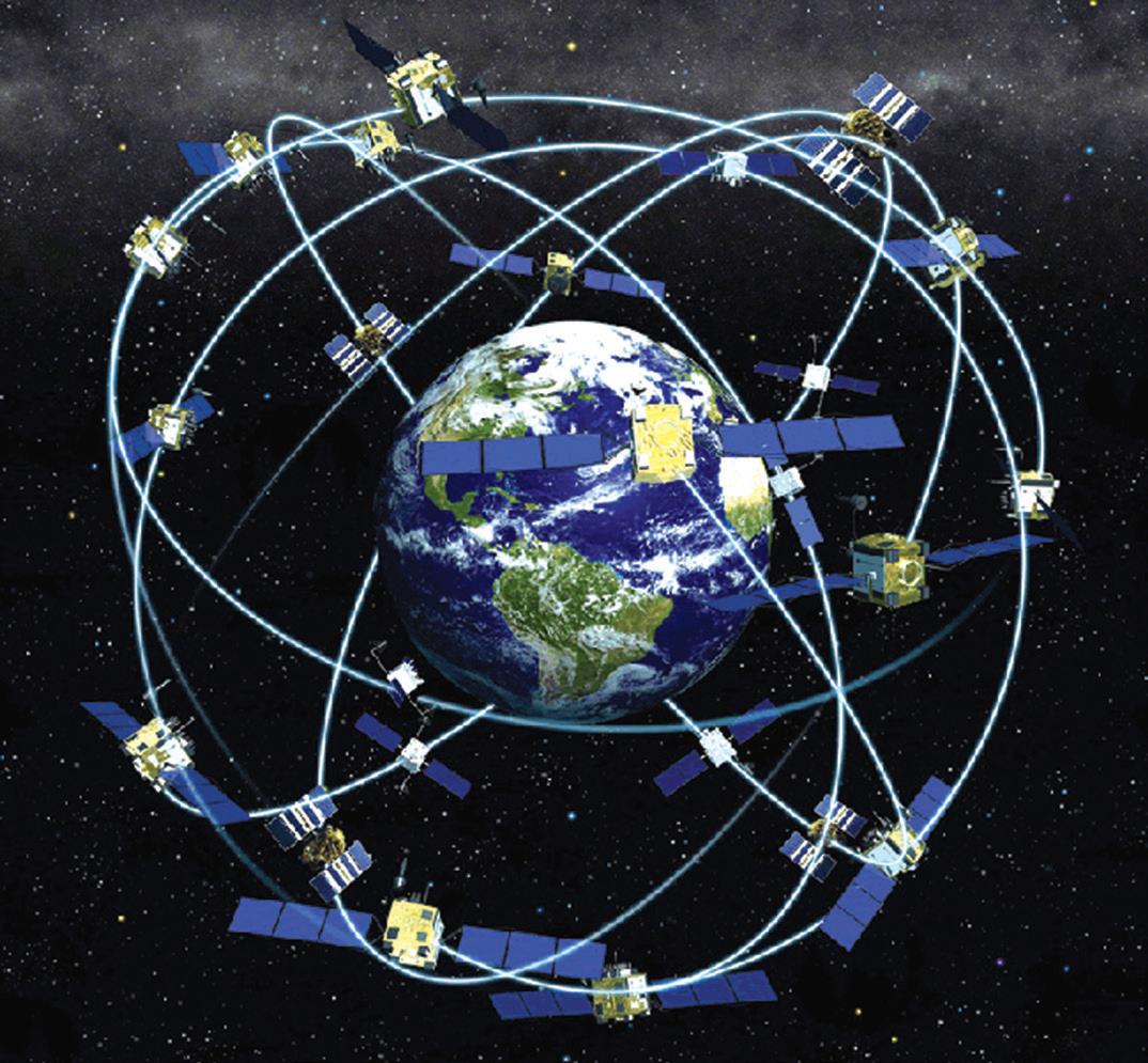
The launch of an experimental satellite in June 1977 was followed by Navstar 1, the first satellite in the GPS constellation that began its journey into space on Feb. 22, 1978. The original constellation included 24 satellites, while the current number of units traveling in Medium Earth orbit (MEO) at an altitude of about 20 thousand kilometers has increased to 32. The deployment of the GPS system for civilian users dates back to 1991, albeit the system was less accurate than in military applications. The issue was solved in the year 2000, while some limitations still remain valid but do not apply to countries that are allies of the United States.
The GPS was born in the midst of the Cold War and it was only natural that the then-Soviet Union set up its own satellite-based system - the GLONASS (GLObal NAvigation Satellite System). Development of the system began in 1976, but the first satellite, named after the program, was launched on October 12, 1982. The constellation was completed in 1995, only to experience a period of decline due to the crisis that hit the Soviet Union. This phase came to an end only in the early 21st century, and the functionality of the system was fully recovered in December 2011. At present, there are 26 satellites in Medium Earth orbit at an altitude of just over 19,000 kilometers, of which 23 are operational.
New realities are emerging in the navigation sector: now that the 'space race' between the United States and the Soviet Union is no more, other players, such as China, have made their debut and are rapidly catching up with the historical space powers.
China has joined the field with BeiDou (Chinese name for the Big Dipper), a system whose project began in 1994 to kick off on October 31, 2000, when the first satellite was launched.
The program has gone through several phases, gradually improving its performance: BeiDou-1, composed of three satellites in geostationary orbit whose coverage was limited to China and neighboring countries. It was decommissioned at the end of 2012. BeiDou-2, active since 2011 for the Asia Pacific region and consisting of 35 satellites (27 of which are in Medium Earth orbit) and BeiDou-3, a constellation completed in June 2020 and composed of 30 satellites (24 of which are deployed in Medium Earth orbit) capable of providing global coverage.

At this point, all you need to do is pick a destination and set off with not a care on your mind ...GPS, GLONASS, BeiDou, and of course the European Galileo will take care of the rest.


