3 minute read
Geomatikkdagene

from Posisjon 2023-2
by GeoForum
Reisebrev fra en av studentene som fikk gratis deltakelse på Geomatikkdagene:

Advertisement
Skrevet av Sven-Arne Quist, sa.quist@hotmail.com Fotografier av Even Fiskum
In the 17th century, my ancestors from Scandinavia arrived in the Netherlands. Coincidentally, this was also around the time that the Dutch printed the first maps of Norway. Four hundred years later, I would love to go back to my roots. As a master student Geo-Information Science at Wageningen University, I need to complete my studies with an internship. And why not in Norway? This would be an ideal opportunity to get to know the country, its lively outdoor culture, and the lovely but confusing language.
But where to start? At a conference of course! A quick online search reveals that Geomatikkdagene is the Norwegian conference on geo-information, and that their student grants are very generous by providing the entrance, accommodation and food all for free.
This year, the conference is held in Trondheim, a place that sounds great for an internship. Not as big as Oslo, and perhaps not as rainy as Bergen. When I arrive, there is still snow, but out in the streets, some sparse rays of sunshine and 4 degrees are enough for people to take off their jackets.
At the conference, there is something to celebrate: Kartverket turns 250 years old, making the national mapping agency older than the constitution! (#priorities). But who said that something old cannot be innovative? Kartverket is actively involved in pushing the state of the art in Norway. Take for instance the pilot studies with green lidar instruments for riverine mapping, or the full-blown digital twin of the entire coastline they are helping to build for Kystverket.
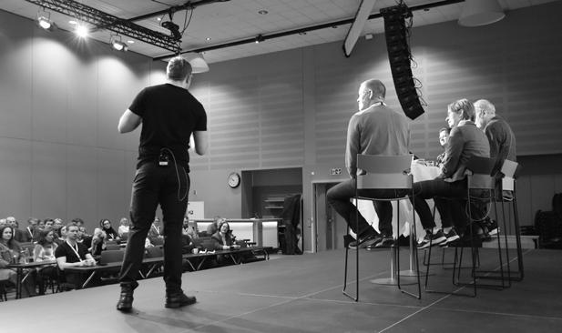
There are a lot of familiar topics during the talks, like updating FKB- or real-estate datasets with machine learning, public participation in urban planning, and like a proper ESA-member, Copernicus satellites are being used. But there is more. Because of the size and harsh climate of Norway there is a lot to map here, making drones commonplace. Even the municipality of Trondheim boasts a fleet of almost 20 devices, making 3D scans of ongoing construction projects and heath scans of buildings. The local eagles don’t seem to mind sharing their airspace.
In between the talks, I meet the companies. It’s nice to see there are friendly faces behind those serious-looking websites. Usually, this is the moment when companies hand out boring promotional materials like pens, water bottles and note pads. But here, companies print their logos on outdoor gear!

In case all this watching and talking makes you feel hungry, this event comes with food. A lot of food. Every meal, including breakfast, looks like a three-course dinner and in the meantime, snacks like waffles with brunost are served. But the most impressive of all: they even have their own craft beer with its own unique label, brewed just for this conference!
With my head full of new information and impressions and a bag full of brunost (per special request of my family) I return to the Netherlands, ready to hopefully come back very soon!

