
ARMADALE
2 AND 3 FEBRUARY 2026
A two day course with the UHI and the RSPB. The course was delivered in person, with both classroom elements held in Armadale Village Hall, as well as outdoor field work in a Peatlands Restoration site near Armadale Village Hall, known as Armadale Farm
This information is supplementary, after discussions with the course leader and is copright Tina Marshall Consultancy Ltd It should not be copied or distributed without the express permission of the author
At the time of writing, Innovate Design in Swindon are reviewing the original specification with a view to submitting the idea of the Fitbit for Scotland to Dragons Den This will not now only apply to Scotland as some of the samples taken were outwith Core Path, as per the operating manual There are no Core Paths in other parts of the United Kingdom, but there are similar soils, and of course peatlands in other parts of the world.
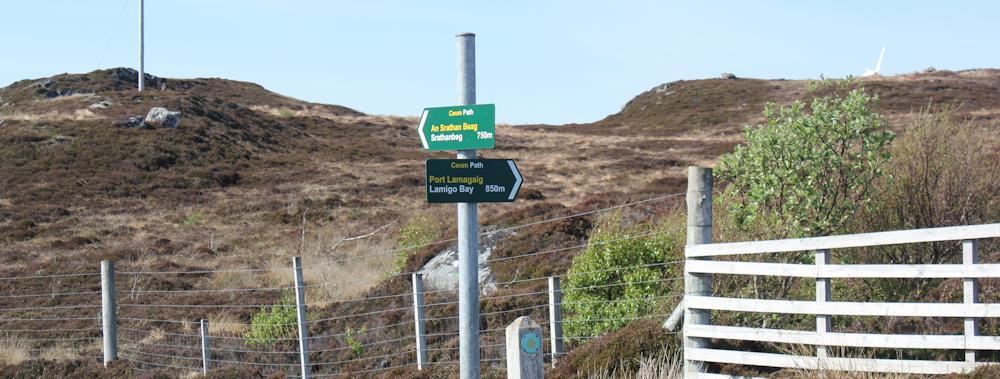
The author attended a two day workship with the UHI on 2 and 3 February 2026 She took one sample off the farm at Armadale, and has other samples from Dunnet Head, Forsinain and other locations and we compared it with the one taken from Armadale. The Brough fault forms Dunnet Head, and there is a clear distinction between the agricultural land and the raised peat bog, whereas the Flow Country is blanket bog, the biggest in the world. It was a privilege to work with Professor Anderson and her team, as well as the RSPB. There will be a full report in Issue 13 of Environmental News with the overview, but this brochure is intended to provide the scientific measurement of the peat. The Climate Change Hubs do not measure scientifically, but are community based groups. The one in Aberdeenshire (NESCAN) is excellent, and we input to theirs for over a year, with the intention of thinking that one day we may link the North Highland Way with a round the coast walking route We also contacted with the excellent work they are doing in Fife and at the Biosphere in Argyll We also visited Gervault House on Forsinard to look at their off grid energy facilities
We are working on that now, and you can see details at http:// www gotravellingwithtina wordpress com
RESEARCH FINDINGS
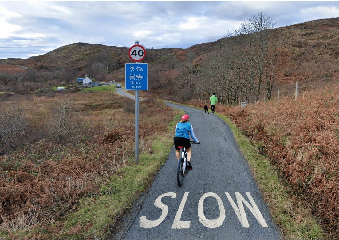
This book is the third in the "Elements of the Environment" series, as instigated by the South Regional College Newry who also assisted with the development of the Passport to the North Highland Way. There are also materials printed in Environmental News from issue 3 onwards, as well as the development of the Fitbit for Scotland. There will be other issues of Elements of the Environment Soil. It is a big subject and is broken down into several issues as a diary. We also have an guide book comprising of the operating manual of the system so far. It is on Lulu. The Ground Monitoring tool was originally design to look at the consistency of the soil with a view to looking at erosion due to human activity. It has since developed and we are looking at other aspects, such as the benthic. It was born out of the Scottish Outdoor Access Code and Land Reform (Scotland) Act 2003, but it became apparent that there would be a wider useage with more work
We used a corer to take the samples, which is about the same length as the depth of the human activity walking and cycling, though horses are more problematic, as they do not have cloved hooves Cow hooves are cloven, as are deer hooves, which are much smaller, though deer can be as heavy as a horse. This needs to be reviewed as part of the proposed discussion group.
MIRELANDS, Lyth, 12 miles from Wick
Could only get a very small piece of soil from the area previously tested. It was not heavy enough to measure at 1gm. 5.5ph.
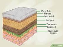
QUINTFALL FOREST, Lyth, 12 miles from Wick The clay is 6" down from the test path We took a sample of 62gm 5 5Ph
We took a sample in the rough It was very dry 16gms 5 5Ph
DUNNET HEAD 58 degrees north We lived at Dunnet Head for 14 years, so are well versed with the area, and where the author's interest in peat started A sample was taken by the path to the viewing point There was a lot of erosion, and it was well trodden 22gm 5 25Ph
Also where there is a dip in the land (which may be a bomb crater from WWII more research required). A sample of 12gm was taken 5.5Ph.
FORSINAIN
By the interpretation board. Very shallow ground. 6gm sample. 5.5Ph. 3
FORSINARD
Dubh
Lochan By 14gm 5ph
ARMADALE
Armadale Farm 58 degrees N(525). 1st stop with pools. N16675
HEATHSFIELD
The next stage is to do a pilot in Heathsfield, a small woodland enroute to Dunnet Head.
RESPECT
On 4 February 2026, I attended an event about Ireland from RESPECT Advancing a Just Transition for Scotland’s Peatlands
After the event, the next day, the author watched a webinar from RESPECT: Webinar: Advancing a Just Transition for Scotland’s Peatlands Just Transition Commission, funded by UKRI, DAERA, NETZero Department, and stands for Rapid Engagement with Stressed Peatland Environments.
Despite the photo of Munsary, no samples were taken at Munsary. The author visited the Lybster area but realised that there would be major windfarms built in the area, as evidenced by the road markings, so this was not investigated further. However, the east coast the Moray Firth Trail, aka the John o Groats Trail, is fraught with problems with access and some farmers are very annoyed and upset that they were not consulted about the trail.
Copyright: Tina Marshall Consultancy Ltd 2026