1 minute read
Council Location and Land Use


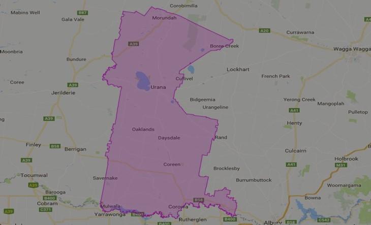
The Federation Council area is bounded by Narrandera Shire in the north, Lockhart Shire and Greater Hume Shire in the east, the Murray River and the Victorian border in the south, and Berrigan Shire and the Murrumbidgee Council area in the west. The Council region extends from the banks of the Murray River in Corowa and Howlong, westward to Mulwala and north east and west to the towns and villages of Savernake, Rennie, Lowesdale, Balldale, Coreen, Daysdale, Rand, Oaklands, Boree Creek, Morundah and Urana.
Federation Council is located in southern NSW approximately 600KM south-west of Sydney and 350KM north of Melbourne and lies on the traditional country of the Bpangerang people and the Wiradjuri people.
Advertisement


