WHO
Licensed Professional Land Surveyors
Nationally Certified Photogrammetrists (ASPRS)
Stereo Operators
FAA Certified Remote Pilots
Photo Technicians
Certified Survey Technicians
Field Surveyors
Utility Markouts & Investigation Technicians
Certified ESBE/MBE/SBE
SERVICES
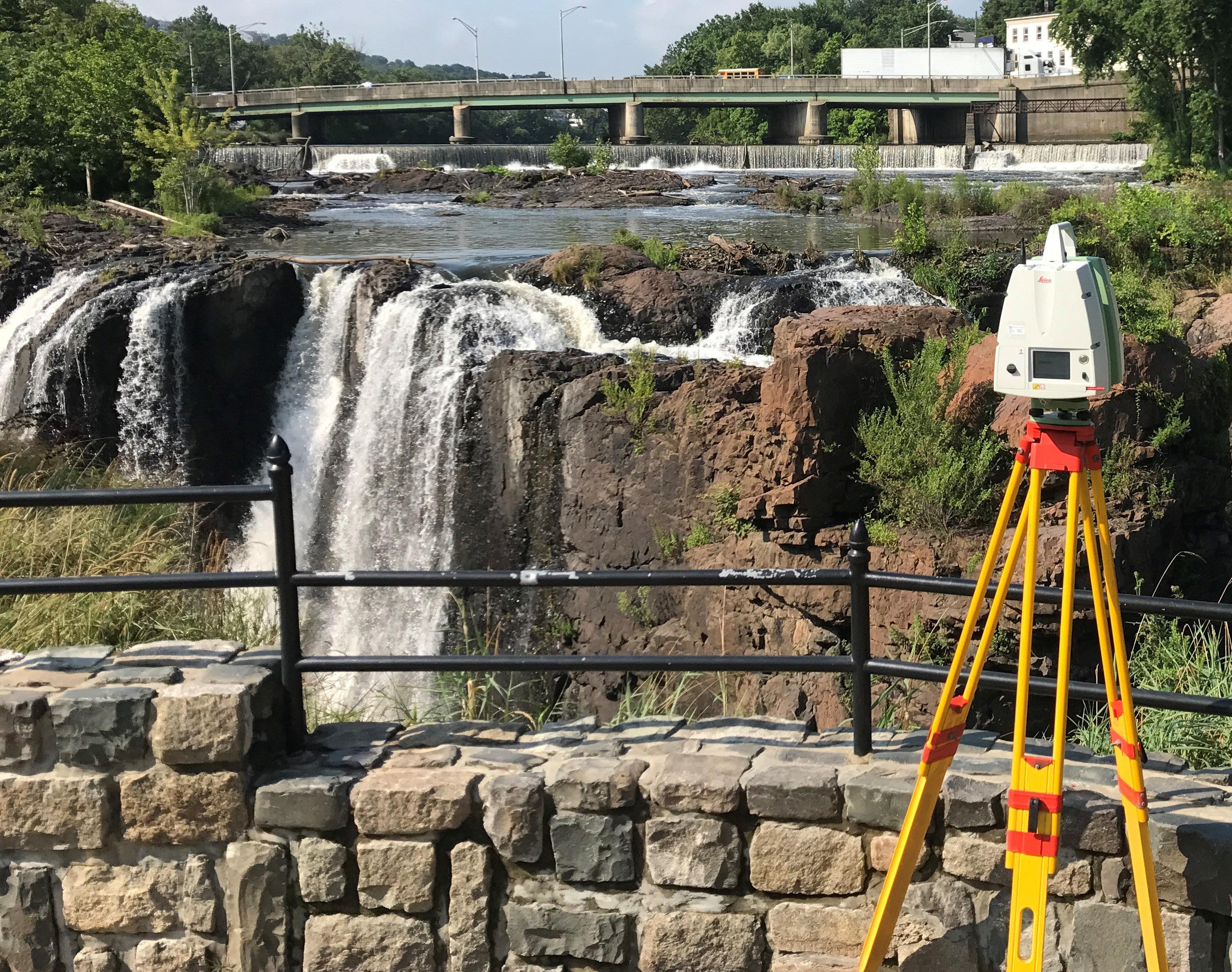
3D LASER SCANNING
3D CAD Models
BIM Integration
Elevation Drawings
Exact As-Built Documentation
Mechanical/Electrical/Plumbing As-Builts
Plan View Drawings
Point Cloud Data
Volumetrics
AERIAL MAPPING
Aerial LiDAR Processing
Aerotriangulation (AT)
Stereo Compilation
Low Altitude Mapping & Photogrammetry (LAMP)
Orthophotography
Digital Terrain Models (DTM)
Digital Surface Models (DSM)
Flood Plain Profiles
Base Mapping for GIS Programs
Image Acquisition
DRONE SURVEYING (sUAS)
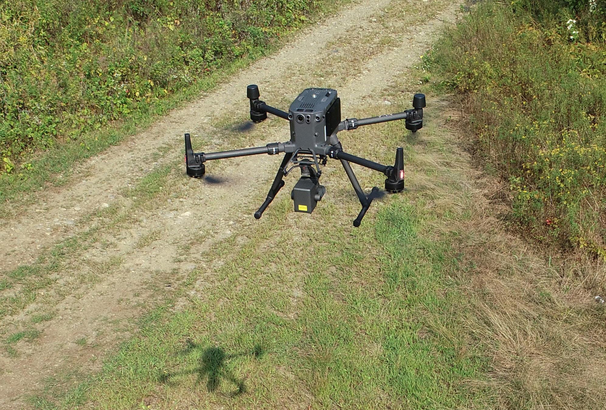
High-Resolution Imagery
Mapping
LiDAR
Volumetric Studies
Construction Monitoring
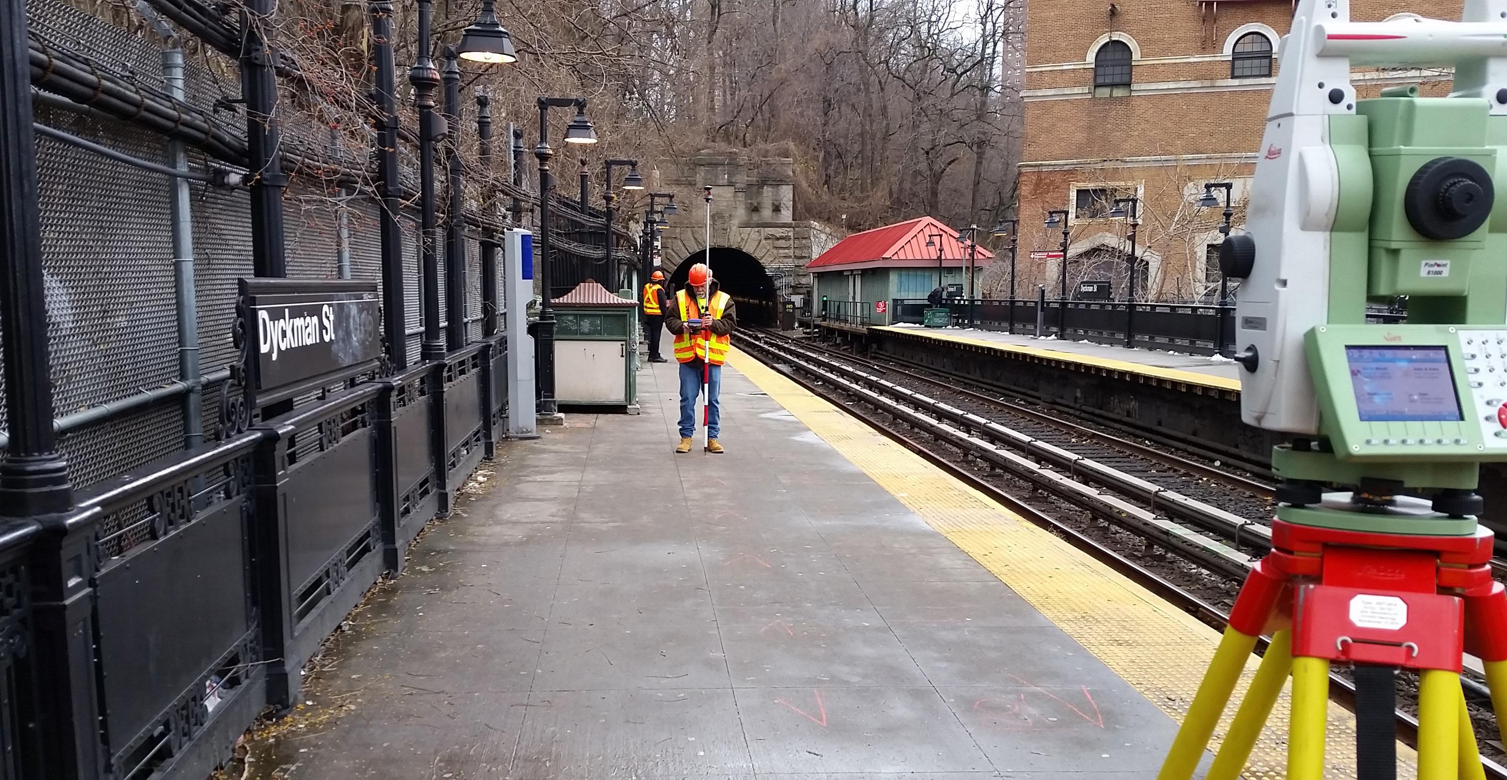
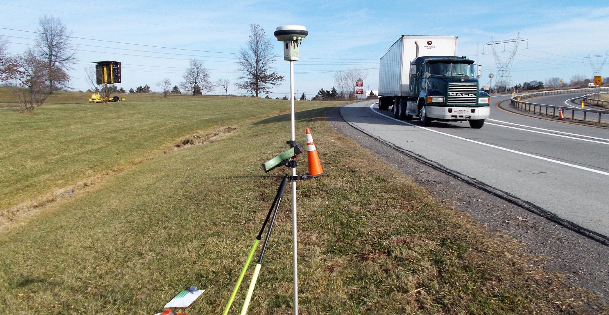
LAND SURVEYING
Boundary Surveys
General Survey Services
Geotechnical & Structural Monitoring
GIS Development
Subsurface Utility Investigation & Markouts
Topographic Surveys
Utility Surveys
SUBSURFACE UTILITY MARKOUTS
DEPTH & LOCATION MARKOUTS OF: Electric Fiber Optics Gas Rebar
Sewer Steam Storm Tanks Water
FOR
The majority of GEOD’s projects are awarded based on qualifications and exemplary past performance.
Our clients include:
Contractors
Consulting Engineers
Architects
Highway Authorities
Federal Agencies
State Agencies
Municipal Agencies
WWW.GEODCORP.COM
Technology plays a vital role in the continued development of our firm. Using the latest and greatest hardware and software builds efficiencies into our systems that we are able to pass onto our clients in terms of time and money.
Since 1961, GEOD has been known for the quality and accuracy of our mapping, having built our reputation through early adoption of innovative measurement techniques, such as Low Altitude Mapping & Photogrammetry (LAMP) and high definition laser scanning. These techniques provide greater information and accuracy to our clients.
3D Laser Scanning
Aerial Photography/ Photogrammetric & LiDAR Mapping
Drone Surveying
Land Surveying
Subsurface
As of October 2021, GEOD Corporation became an affiliated company of MFS Consulting Engineers & Surveyor, DPC (MFS Engineers & Surveyors), a multidiscipline, MBE/DBE/SBE certified civil engineering firm.
This acquisition expands MFS professional survey capabilities while at the same time allowing GEOD to provide its clients with a complete range of engineering including site/civil, geotechnical, structural, aerial mapping & photogrammetry, land surveying, and construction management services from a consolidated source.

Utility Markouts
The Benchmark in Quality, Proven Performance and Reliability Since 1961 24 Kanouse Road, Newfoundland NJ 07435 I P: 973-697-2122 I info@geodcorp.com I www.geodcorp.com
41 0 02’ 50” N
26’ 03” W
74 0
