6 minute read
Market Spotlight Sarasota

Resilient Infrastructure Investments Pay Off
BY NIKESH PATEL, PE, CPM, PTOE, CGC, AICP City Engineer, City of Sarasota
According to the U.S. Census Bureau's Vintage 2022, Florida is the fastest-growing state in the nation. The Florida Office of Economic and Demographic Research predicts Sarasota County alone will see a 27-percent increase in population by 2045.
Investing in sustainable, resilient infrastructure is essential to protect Sarasota's growing population from natural disasters. The City of Sarasota is proactively achieving resiliency by safeguarding Florida's natural resources and infrastructure. Through multimilliondollar projects and strategic partnerships, the city is leveraging innovative technology to improve quality of life.
Strengthening Shorelines
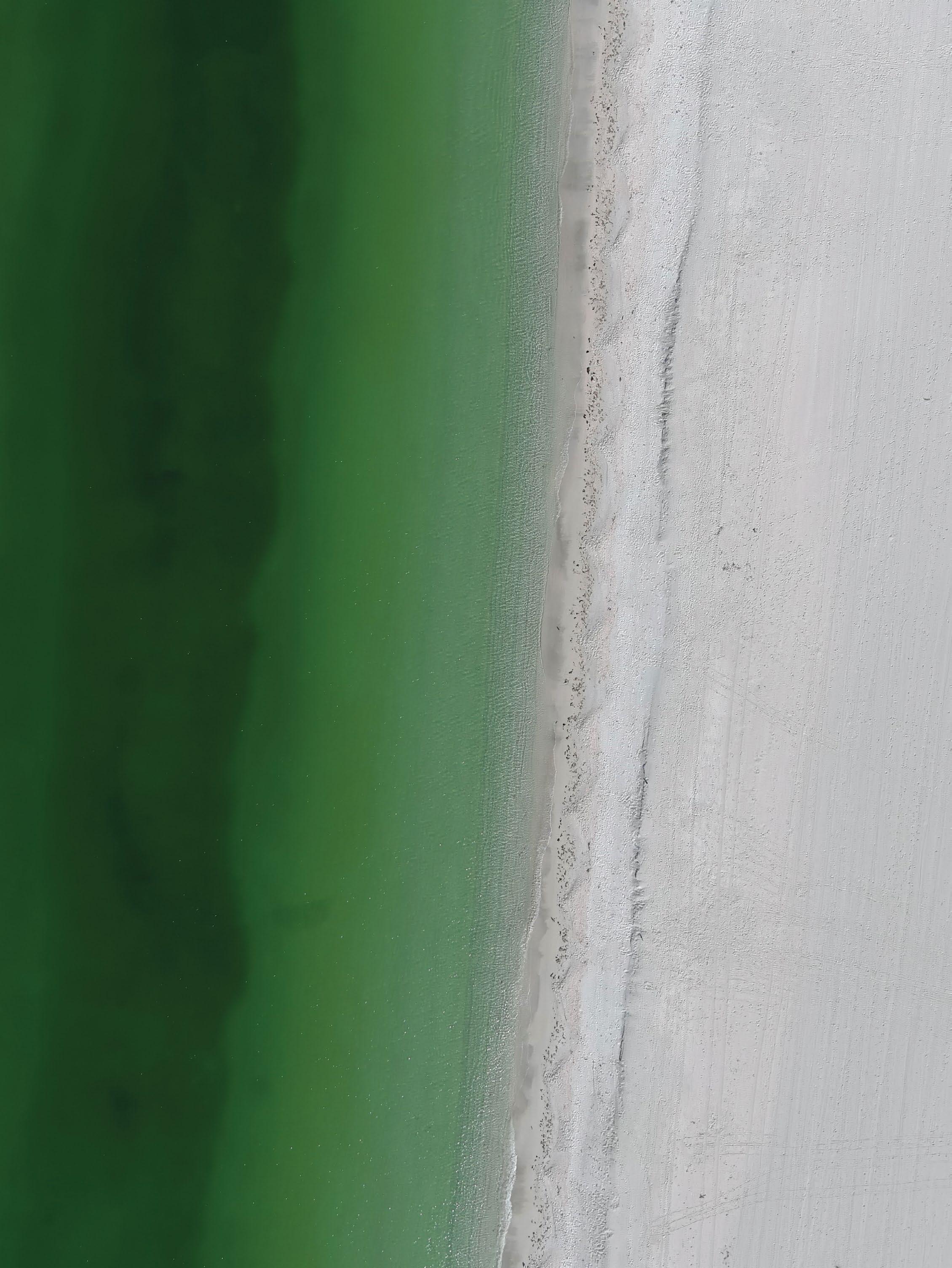
Fortunately, Lido Beach suffered no significant erosion when Hurricanes Ian and Nicole passed through Florida, a testament to the efficacy of the City’s partnership with the U.S. Army Corps (USACE) of Engineers and the Florida Department of Environmental Protection (FDEP) for the recent renourishment project on Lido Beach.
The $12.9 million endeavor dredged Big Pass and pumped roughly 700,000 cubic yards of sand onto a 1.56mile stretch of Lido Key, extending the beach's width by an average of about 300 feet. Two groins of nearly 5,000 tons of armor stone have also been installed along south Lido Beach to reduce erosion effects further.
The City will continue reinforcing Lido Beach by partnering with the FDEP and Sarasota County to construct a vegetated dune. The primary goal of this project is to buffer potential flooding impacts on Benjamin Franklin Drive, upland private property and critical infrastructure. Other benefits include reducing the effects of wave run-up, enhancing the coastal ecosystem, improving storm protection, reducing wind speed, and retaining sand volume. Construction will begin this spring.
On Lido Key, Ken Thompson Park requires a different approach. Years of coastal erosion caused by sea level rise and storms have reduced the shoreline. The City will minimize erosion by overlaying mangroves, grasses, and oyster beds to form a “living shoreline.” This approach outperforms traditional seawalls by restoring the ecosystem for native species, resulting in a biodiverse environment that improves water quality.
Sarasota's first live seawall arrived in 2018 along Bayfront Park. The first phase installed 250 feet of "Eco-Rap" modules, creating an artificial concrete reef attractive to marine life. Another 1,500 feet of seawall will be rehabilitated at Bayfront Park thanks to the new Resilient Florida Grant Program. Over $275 million will be awarded through FDEP, with the City receiving $2.5 million with a City match of a project cost of over $5 million for the Sarasota Bay resiliency projects.
The Bay Park Conservancy has also deployed living shorelines, a partnership project to implement a long-term master plan for 53 acres of city-owned land along Sarasota Bay. This park establishes the region's cultural and economic legacy by prioritizing sustainability and resiliency in its master plan.

City of Sarasota Improvements Map
Gov. Ron DeSantis awarded over $10.4 million to the City of Sarasota to enhance water quality and protect it from erosion, storms, and flooding in Bay Park.
Phase one of construction restored wetlands and enlivened the park's landscaping. Bioswales were created to filter runoff and rainwater into native root systems and drainage infrastructure for treatment before reaching the bay. Bank stabilization and erosion control were achieved by strategically placed rock revetment walls, living shorelines, vegetated flood barriers and retaining walls.
Market Spotlight: Sarasota
DATA-DRIVEN DECISION MAKING
The City recognizes that accurate data is one of our greatest assets. We are collaborating with neighboring municipalities, the State and Federal government, nongovernmental organizations and engaged citizens to expand technological, financial, and physical resources. The collective approach is exhibited by the projects housed in our Smart City Initiative.
This Initiative is an effort to transform the City through strategic planning and innovative technologies targeting resiliency. It includes sea level rise monitoring, red tide mitigation efforts, and installation of fiber connectivity infrastructure and Connective Automated Vehicle (CAV) technology.
Mote Marine Laboratory, our red tide mitigation and sea level monitoring partner, has provided a framework for tracking coastal conditions through the Beach Conditions Reporting System (visitbeaches.org).
The reporting system allows City staff and engaged residents to report beach conditions. Mote and government agencies then use this data to deploy innovative mitigation technologies that will decrease the impacts of red tide and improve water quality.
Similarly, the Sarasota Bay Resiliency Mapping Project uses aerial and ground-based mobile LiDAR to map 15,400 acres topographically. This will provide datasets on streets and infrastructure to identify drainage utility assets and flood-prone areas.
Funded through the Resilient Florida Grant Program, this project will streamline design, produce a surface model for ICPR stormwater and sea level modeling, and serve as a GIS base for future planning. Access to new information will allow our teams to identify vulnerabilities in city infrastructure and create effective adaptation strategies.
RESILIENT INFRASTRUCTURE
Promoting and installing connective fiber infrastructure is key to the City's resiliency strategy. Communication is critical during an emergency, especially for government facilities, hospitals and schools. Fiber connectivity and underground power lines improve durability, bandwidth and security. Underground power lines and fiber optic cable will be integrated into capital improvement projects as Complete Streets transform the City's transportation corridors.
Furthermore, the City of Sarasota continues to increase its reliance on roundabouts. Roundabouts promote continuous traffic flow while naturally slowing vehicles. This creates an improved evacuation route ahead of potential storms that can function during power outages. The traffic pattern reduces idling times, fuel consumption, and air pollution.
The roundabout at U.S. 41 and Gulfstream Avenue is the newest of Sarasota's 13 roundabouts. It became functional in December 2022 and addressed flooding and sea level rise by installing drainage inlets, raising the road, increasing stormwater retention capacity, and improving stormwater treatment.
A world-renowned community like Sarasota is defined by its natural resources, cultural offerings, and bustling downtown. Resilience is the key to ensuring longevity for this charming City. The challenges of climate change, a growing population and extreme weather events require quick, innovative action.
Our City has committed to integrating climate projections in early project planning. The City of Sarasota has more than 60 potential projects in development, all of which empower us to withstand threats and expedite recovery.
