MAKE IGNORANCE EMBARRASSING AGAIN
The Byron Shire Echo • Volume 41 #04 • July 8, 2026 • www.echo.net.au
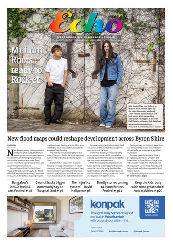
Mullum Roots ready to Rock-et Wild Rocket blast into Mullum as Mullum Roots Festival lights up the town this coming weekend. Three venues around Mullum will host music, while songwriting workshops will happen at the Drill Hall Theatre on Sunday. Full details at: www.mullumrootsfest.com. Photo Jeff ‘It Is Rocket Science’ Dawson
New flood maps could reshape development across Byron Shire Paul Bibby
N
ew flood mapping covering much of the Byron Shire could affect future development controls, with a major new study recommending that planning decisions be based on whichever flood source – river flooding or overland flow – produces the highest flood level. The draft Byron Shire Overland Flood Study, endorsed unanimously by the Floodplain Risk Management Advisory Committee on 25 June, extends flood mapping beyond
Bangalow’s DINGO Music & Arts Festival ▶ p2
traditional river flooding and identifies areas affected by local overland flow, sometimes known as flash flooding. Prepared by consultants Engeny in the wake of the 2022 floods, the study examines local overland flooding across the Byron Shire. It states that in areas where overland flooding overlaps with existing river flood mapping, ‘peak flood levels from each flood source should be assessed, with planning controls applied based on the flood mechanism that produces the highest flood level’.
Council backs bigger community say on hospital land ▶ p4
The new mapping will help strategic land use policy, and flood-related development controls across the Shire. Unlike river flooding, overland flooding occurs when intense rainfall overwhelms drainage systems or flows across land before reaching creeks and waterways. While the mapping has implications for future planning and development controls across the Shire, the study also identifies seven locations where flooding impacts are considered severe enough to warrant further investigation of mitigation works.
The ‘injustice system’ – David Heilpern ▶ p8
The report says the hotspots were identified because they involve concentrations of flood-affected properties or significant inundation. They are located at Parkway Drive in Ewingsdale, Coomburra Crescent and Rajah Road in Ocean Shores, Fingal Street in Brunswick Heads, New City Road and Hollingsworth Lane in Mullumbimby, and Yelgun Creek and Palmer Avenue in South Golden Beach. Preliminary mitigation options identified ▶ Continued on page 5
Deadly stories coming to Byron Writers Festival ▶ p11
Keep the kids busy with some great school hols activities ▶ p20
Thoughtful tiny homes designed and built in Murwillumbah with you and your site in mind.
konpak.com.au
GET IN TOUCH
0434 272 353
info@konpak.com.au
@konpak_homes