6 minute read
Upper North Side Recommendations

Land Use Character Area Recommendations
The Upper North Side is currently the more suburban of the two character areas, with only the area near Upshaw Mill Road having a more historic, urban-oriented development pattern. Land use recommendations for the area suggest a gradual build up of density moving along Dallas Highway from the State Route Highway 92 intersection to the recommended roundabout at Upshaw Mill Road. This takes into account the dominant suburban subdivision development pattern along the closest to State Route Highway 92. It also takes into account the potential for development of larger vacant or underdeveloped parcels along Dallas Highway closer to Stewart Middle School.
Suburban Residential
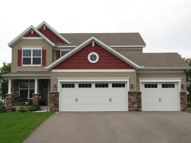
It is recommended that the section of the study area adjacent to the portion of Dallas Highway that will be converted into a cul-de-sac maintain its existing suburban character, corresponding to the existing R-2 zoning category. This character area is described by large-lot single family housing with front-facing garages.
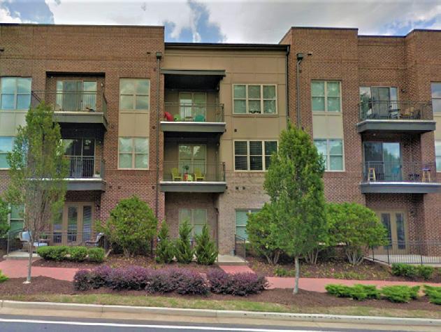
Urban - Residential Village
This recommended character area corresponds small-lot and attached residential single family housing, corresponding to development allowed under the R-5 zoning classification. Currently zoned R-2, these recommended changes would support the redevelopment of the corridor into a walkable environment. One challenege is R-5's 5,000 S.F. minimum lot per unit requirement (4,500 S.F. with common area) that could limit the financial feasibility of attached residential units. A revision of the common area bonus to 4,000 S.F. could help improve the feasibility of attached projects.
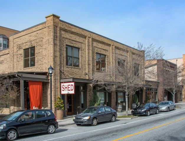
Mixed Use
A mixed use activity center land use character area is recommend to be located at the proposed roundabout. This area would function as the central core for commercial uses for the surrounding area. Only the CBD zoning category currently allows for a mix of residential and commercial uses. An additional zoning category could be created specific to neighborhood-level mixed use activity centers.
1
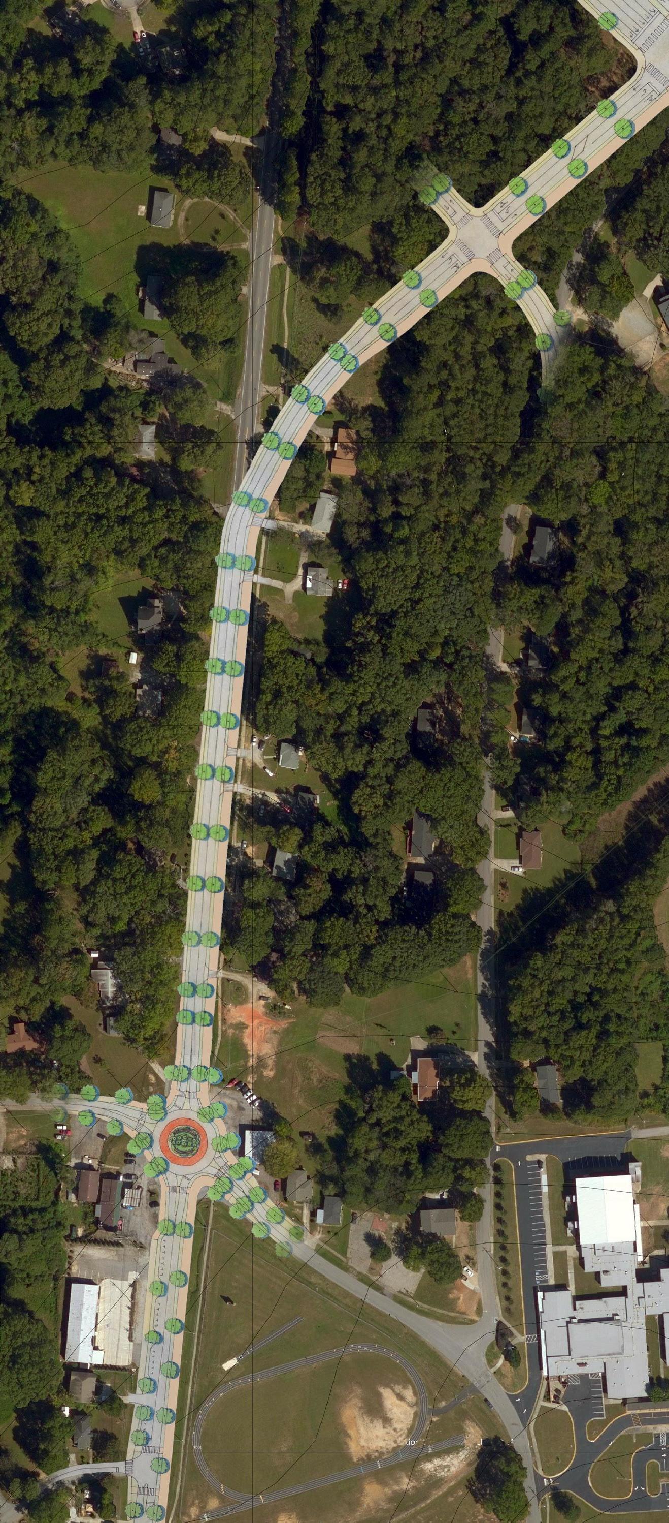
Expand Sidewalk Expand Sidewalk to become a Shared Use Path
The proposed Dallas Highway realignment between the existing right of way extending to the new State Route Highway 92 alignment includes a 5-foot sidewalk. This should be expanded in the future to a minimum of 10-feet to accommodate bicycle and pedestrian users. This proposed Shared Use Path is the final connection between the recommendations within the study area and the 10-foot multi-use trail currently under construction along the Bypass.
Objective
The proposed Shared Use Path will be the final connection between the multi-use trail along the Bypass, and Dallas Highway. It will improve bicycle and pedestrian safety and access along the corridor.
Estimated Planning Level Cost: $183,000
2
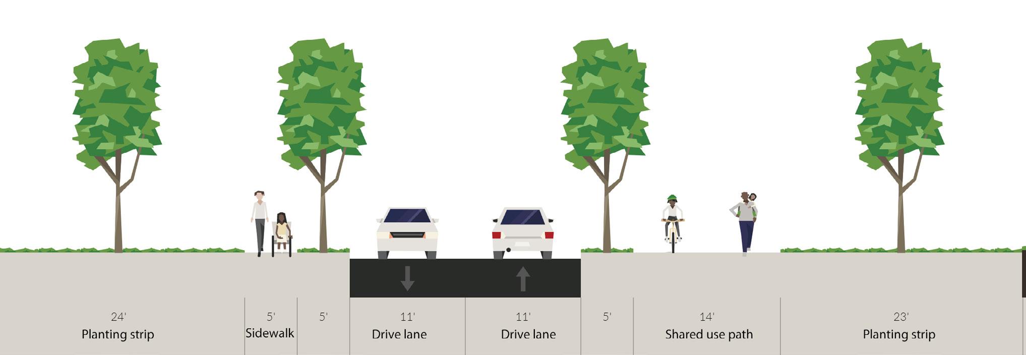
Install Shared-Use Path Install Shared Use Path from Malone Street to Upshaw Mill Road
The proposed cross-section north of Upshaw Mill Road includes a 5-foot buffer with a 14-foot Shared Use Path to accommodate bicycles and pedestrians along the east side of the roadway.
Objective
The proposed Shared Use Path along Dallas Highway will provide bicycle facilities, improve connectivity to neighborhood amenities and improve safety for all users along the corridor.
Estimated Planning Level Cost: $334,000
3
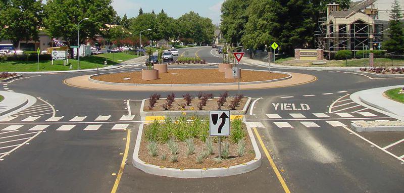
Roundabout Install Roundabout at the Upshaw Mill Road Intersection
Install single-lane roundabout at the Upshaw Mill Road Intersection. Opportunity exists to create a adjacent pocket park once redevelopment occurs.
Objective
The installation of a roundabout at this intersection presents an opportunity to: • Create a gateway into the North Side community. • Improve pedestrian and bicycle connections across Dallas Highway. • Improve vehicular circulation and access to Stewart Middle School. • Improve vehicular safety through the elimination of angle collisions. • Reduce vehicular speeds.
Estimated Planning Level Cost: $1,885,000 Figure 23: Upper North Side Transportation Diagram
2 1
MALONE
4
On-Street Parking Install On-Street Parking and Shared Use Path
The proposed cross-section south of Upshaw Mill Road includes a Shared Use Path to accommodate bicycles and pedestrians along the east side of the roadway, bus stop, and on-street parking on the west side where there is a proposed mixed use node.
Objective
On-street parking gives the perception of reduced roadway width, effectively reducing speeding. It provides a buffer between vehicular traffic and pedestrians on the sidewalk, increasing their level of comfort.
Estimated Planning Level Cost: $189,000
4 3
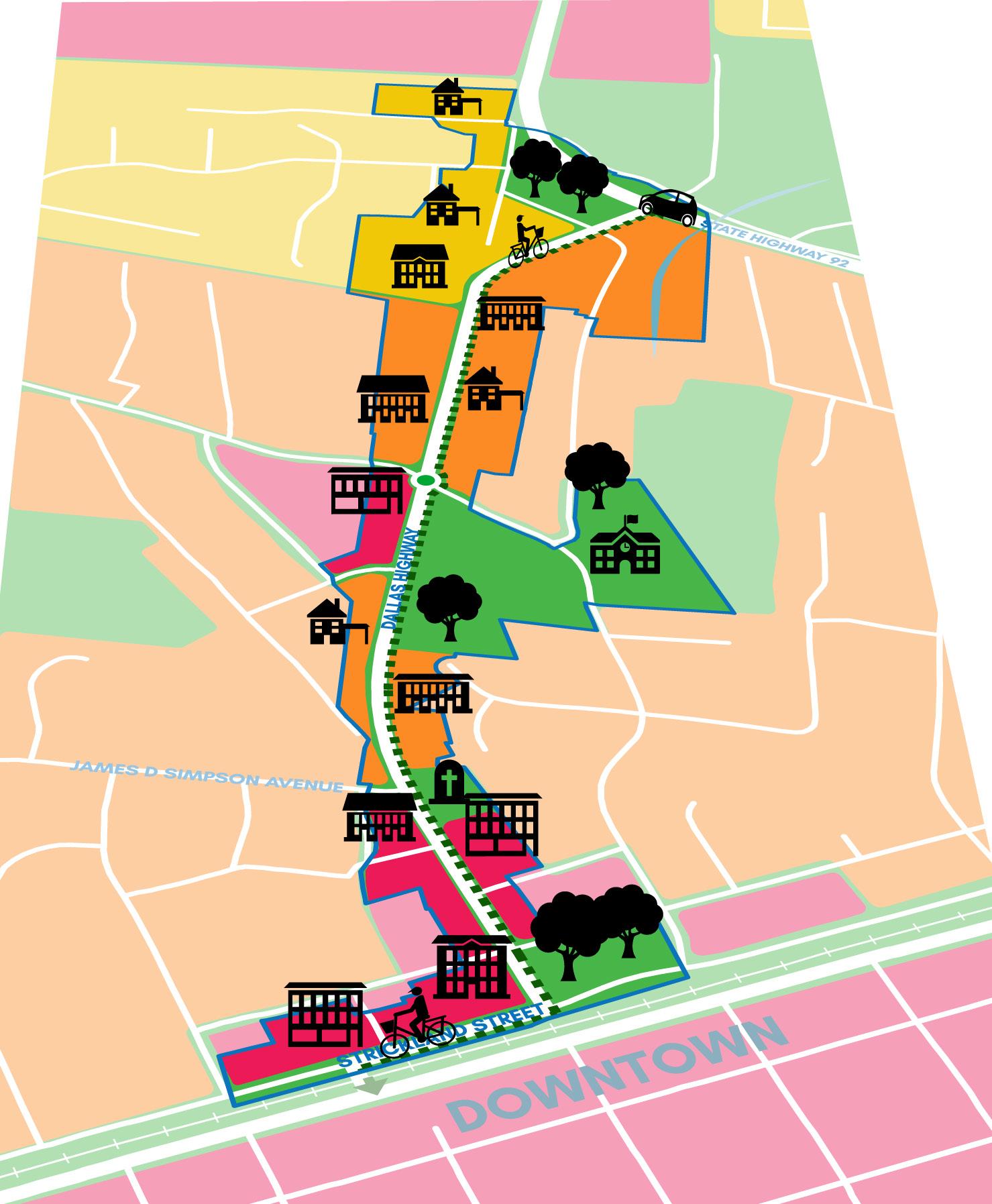
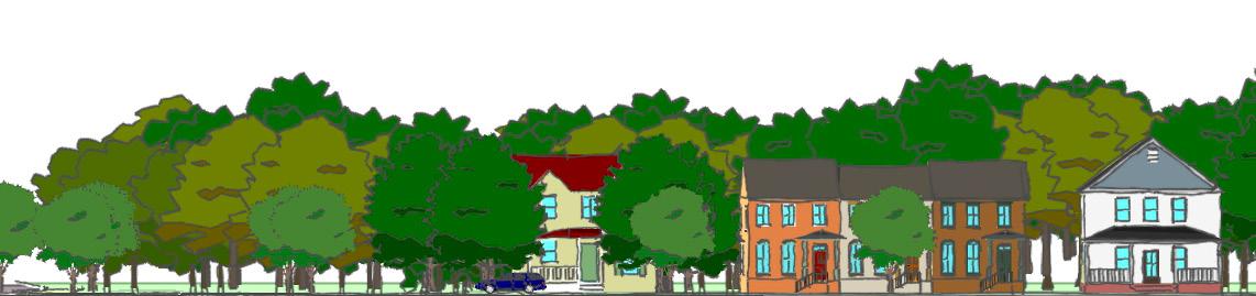
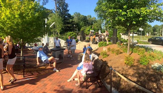
Figure 24: Upper North Side Conceptual Image
Mixed-Use Character Area
A recommended preemptive zoning change for existing commercial property from CG to CBD would permit future mixed-use redevelopment at this site, including ground-floor commercial and 2-3 story residential
Shared Use Path Connecting Spurs
Potential trail spurs running east and west of the proposed roundabout would provide future connection opportunities for a previously proposed trail segment, which connects Willing Workers Park to Dallas Highway, Stewart Middle School, and surrounding residential neighborhoods and subdivisions.
On-Street Parking
On-street parking stalls with tree wells would improve access to commercial space and improve safety by simultaneously reducing traffic speeds.
Bus Stop
A bus stop at this location would provide transit options for local residents.
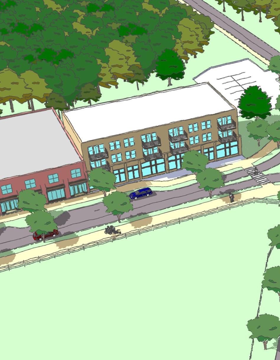
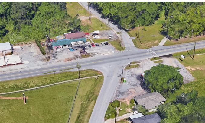
This conceptual image demonstrates how proposed land use, zoning, and transportation policy and project recommendations around the intersection at Upshaw Mill Road and Dallas Highway, when implemented simultaneously, can help the Upper North Side area achieve the goals of multi-modal connectivity, safety, and place making. The intersection is shown how it currently looks in Figure 25.
Shared Use Path
A 14-foot shared use path is recommended that would provide both pedestrians and bicyclists safe and pleasant access to amenities and destinations along the corridor.
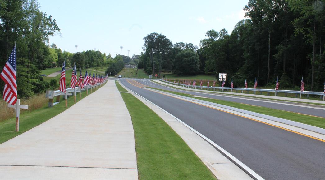
Figure 25: Today's Upshaw Mill Road and Dallas Highway Intersection
Urban - Residential Village
A change in the existing R-2 zoning along Dallas Highway to R-5 would promote single-family residential redevelopment and permit more residential typologies, like cottage court housing. The R-5 category encourages back loaded, alley-way driveways, which would reduce the number of curb-cuts and improve pedestrian and cyclist safety.
Beautification Gateway
Beautification elements for the roundabout would ensure an attractive gateway for both the North Side and Downtown Douglasville.
Roundabout
The development of a roundabout at this intersection would improve both traffic flow and vehicular and pedestrian safety.
Legend
= Mixed Use
= Urban - Residential Village = Historic Preservation
HISTORIC NORTH SIDE RECOMMENDATIONS
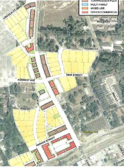
The second set of area-specific land use, transportation, and urban design recommendations are located in the "Historic North Side" study subarea, which is bounded by the section between the Stewart Middle School track and field greenspace and Strickland Street. The major focus area for recommendations is located between Simpson Avenue and Strickland Street, where significant complete street improvements are proposed. Recommendations seek to address the following goals specific to the Historic North Side subarea: • Slow automobile travel speeds and provide a safe and accessible route for pedestrians and bikers crossing the railroad into Downtown. • Lay the groundwork for a mixed use activity center that extends a portion of Downtown into the North Side. • Create a variety of multi-modal transportation options for residents. • Preserve and repurpose historic structures.

= Green Space or Institutional = Proposed Shared-Use Trail
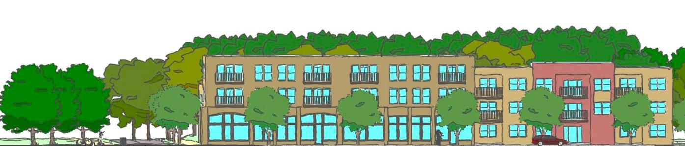
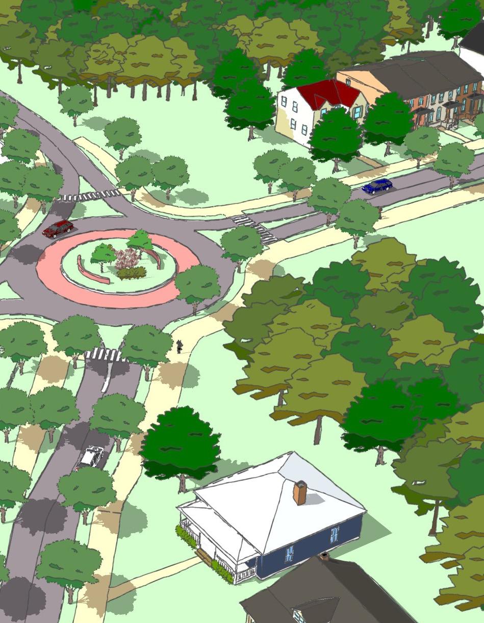
Dallas Highway Example Land Use
An example of potential land use along Dallas Highway between Strickland and Parker Streets is shown below, which includes the "Mixed Use" land use characteristic.