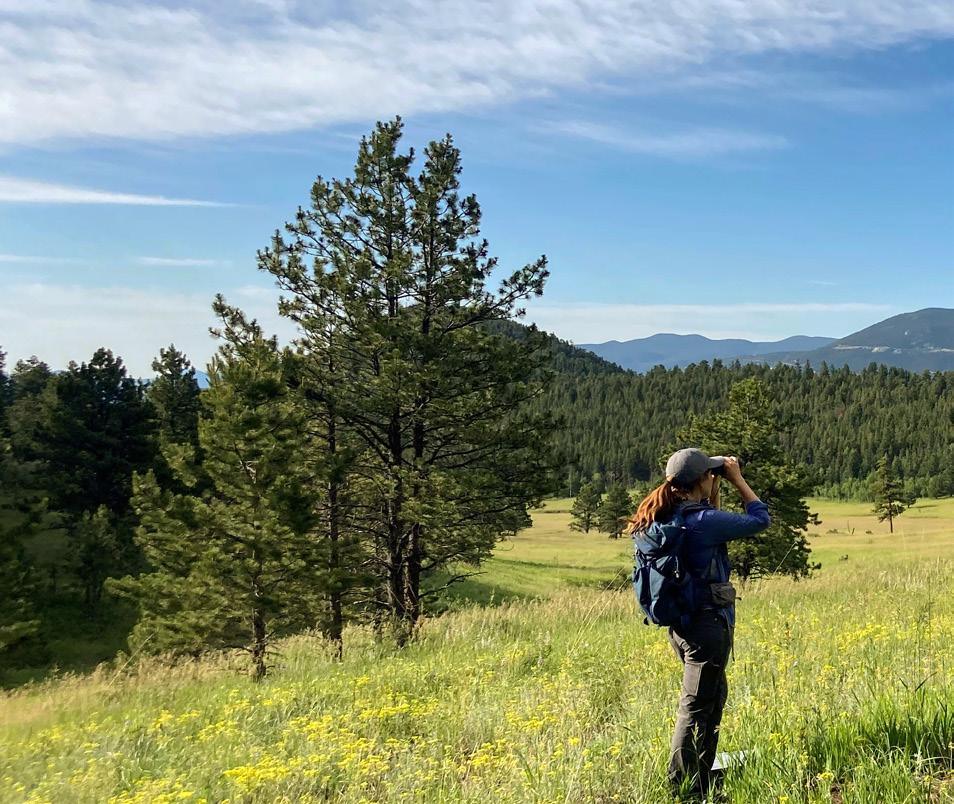
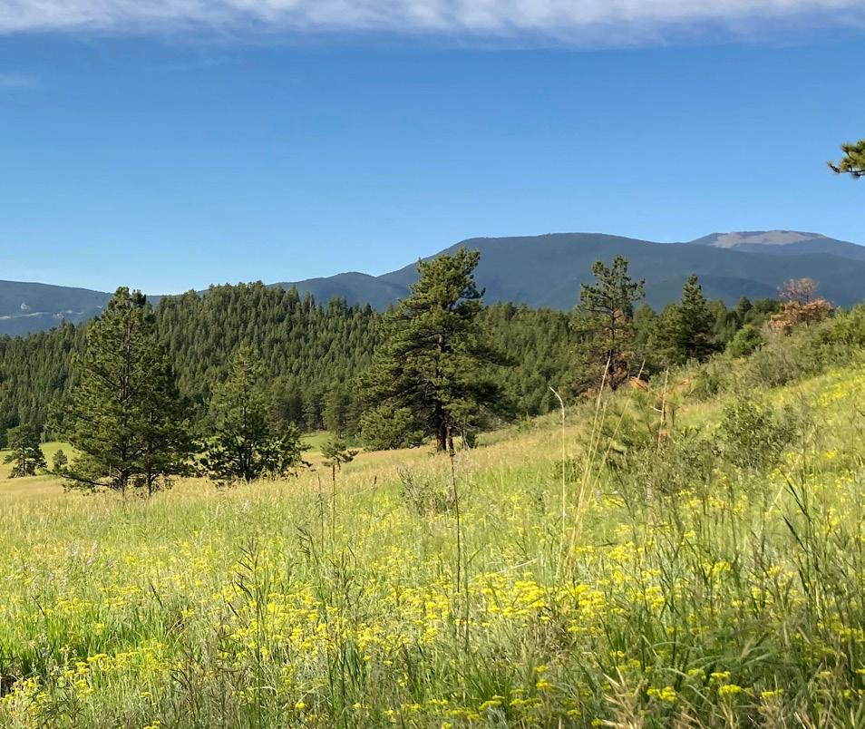
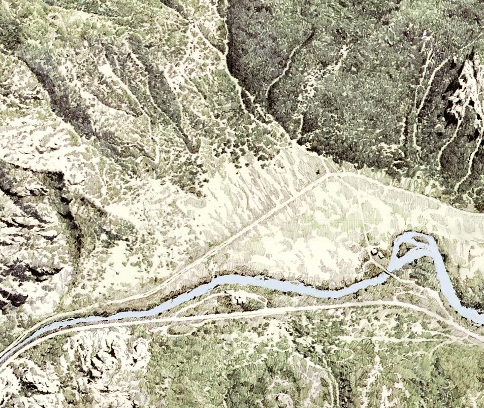
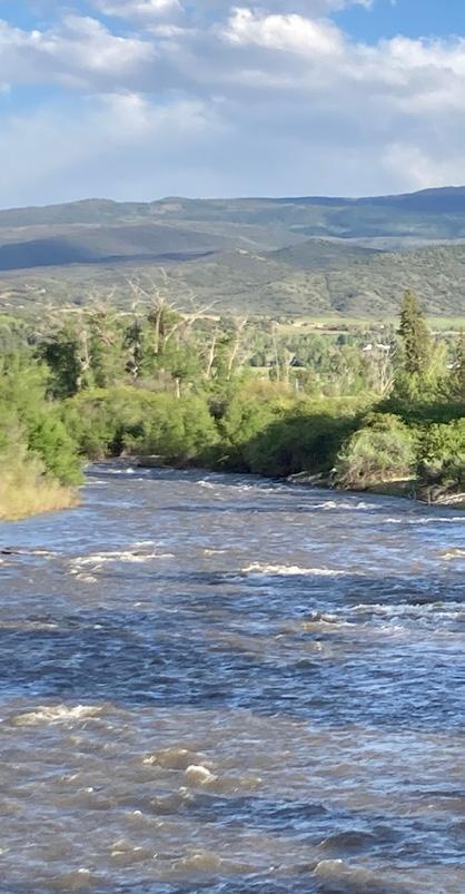
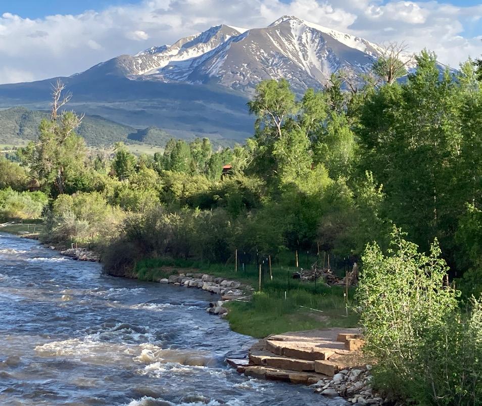
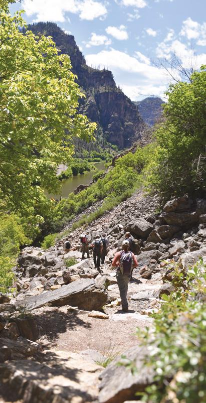
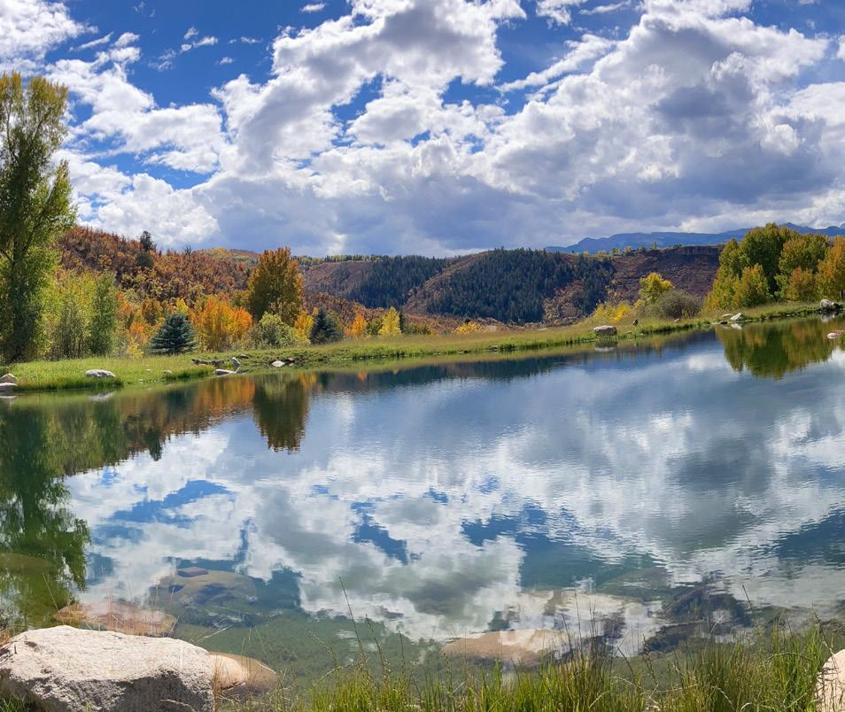
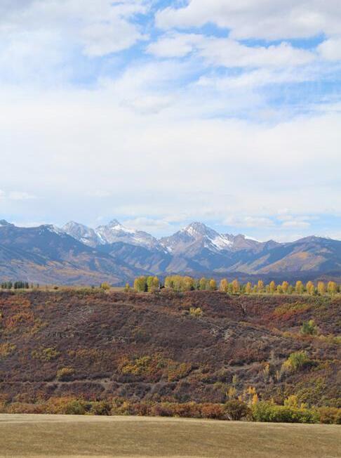
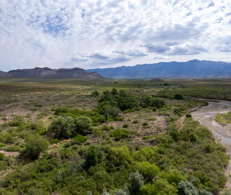
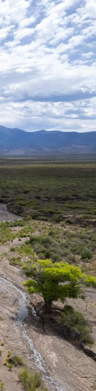
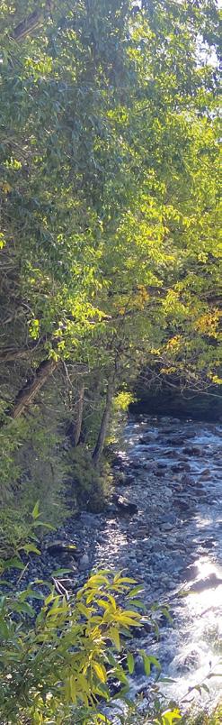
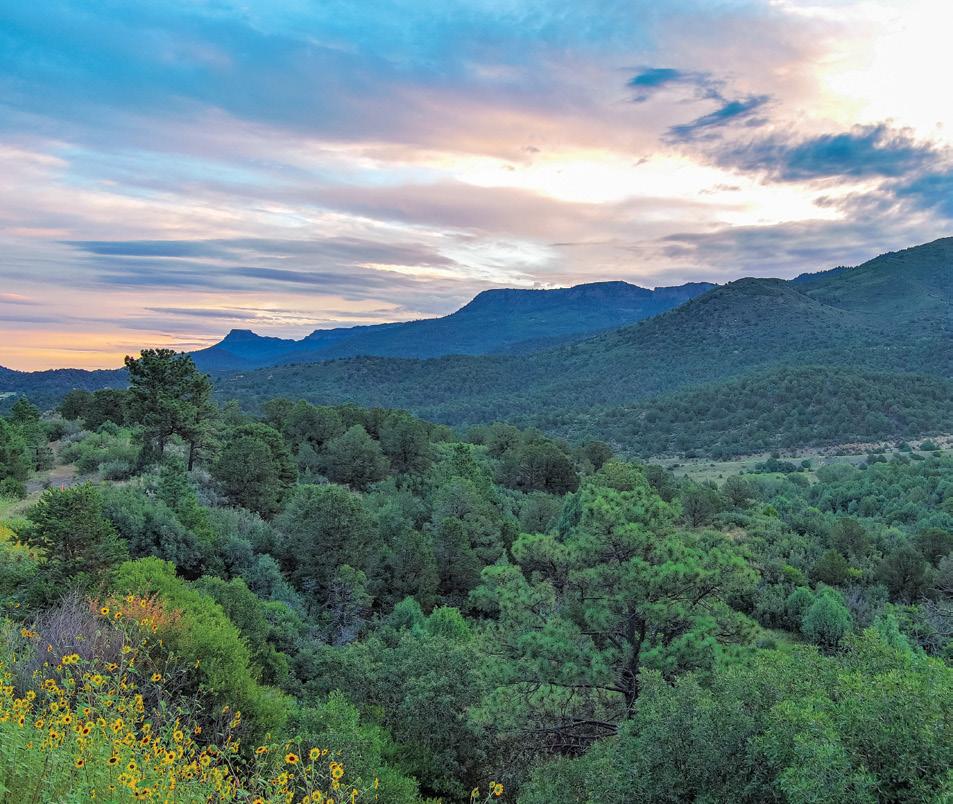
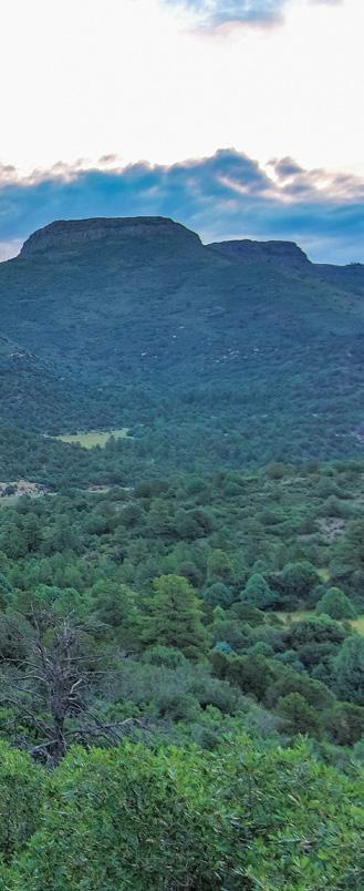
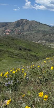
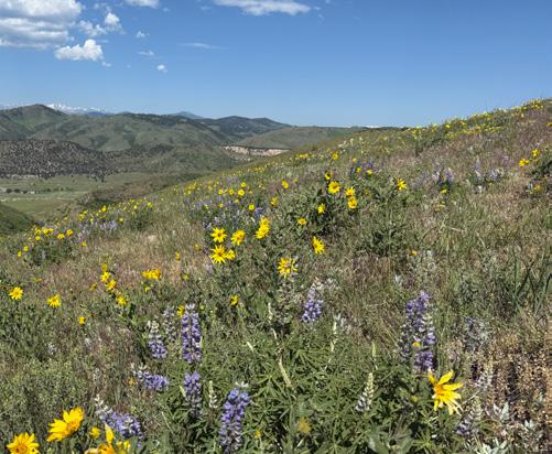
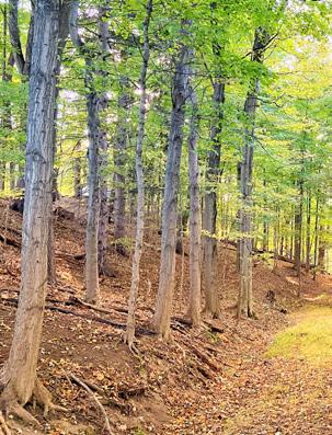
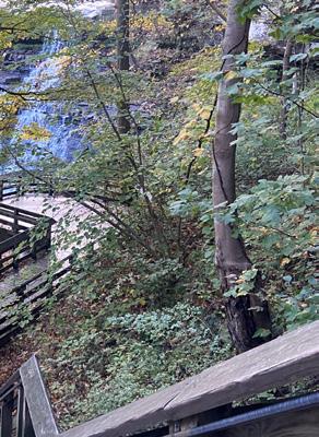
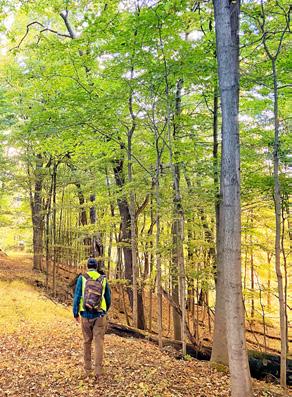
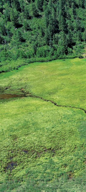
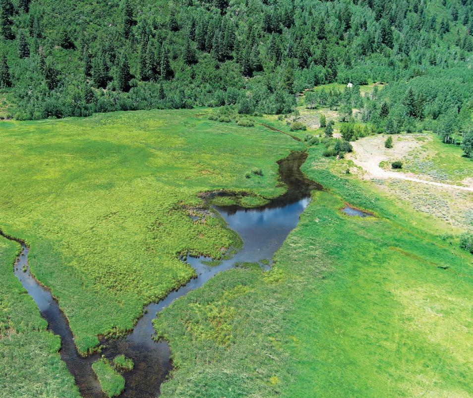
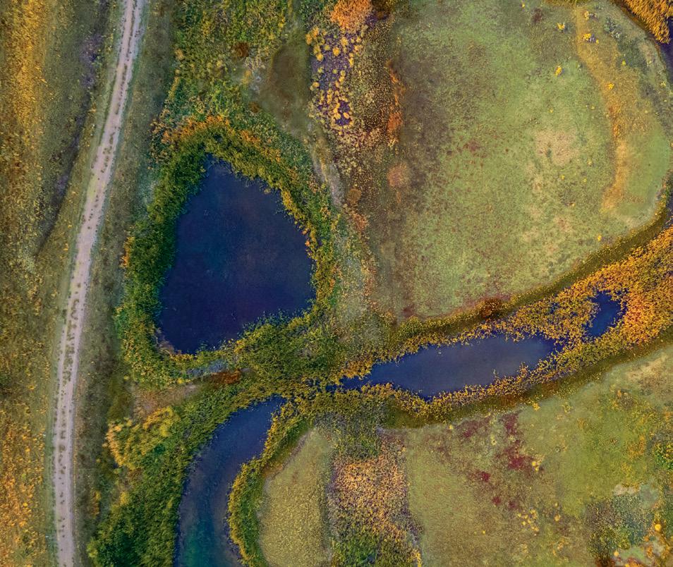
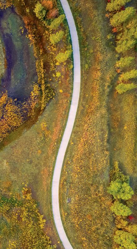
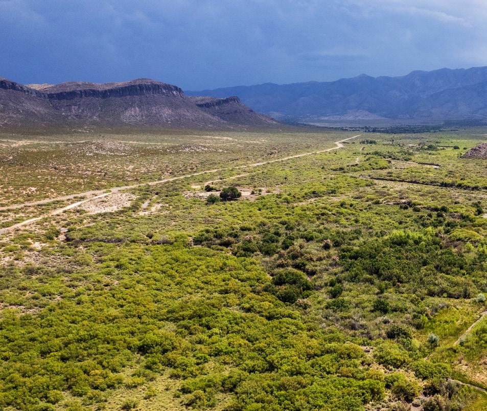
Our ecological services team plays an integral role in supporting DHM’s landscape design practice by grounding planning and design decisions in a clear understanding of natural systems. With decades of combined experience in environmental planning, landscape architecture, and natural resource management across the Western United States, our team helps identify ecological opportunities, constraints, and regulatory considerations early in the design process. This integrated approach allows us to shape landscapes that are both functional and resilient, balancing project goals with habitat value, watershed health, long-term stewardship, and responsible land management.
Our work spans the full continuum of ecological planning, from early site evaluation and regulatory strategy to restoration design, implementation support, and long-term monitoring. We help clients navigate complex environmental requirements while maintaining a clear focus on practical, place-based solutions.
Our services include environmental compliance and permitting, wetland and waters of the U.S. delineations, biological assessments, habitat evaluations, impact analysis, GIS-based mapping, and technical documentation. We support projects involving NEPA, the Clean Water Act, the Endangered Species Act, the Migratory Bird Treaty Act, and related federal, state, and local review processes.
Beyond compliance, we help clients understand the ecological character of a site and identify opportunities for restoration, conservation, and improved land management. This includes work for federal agencies, state parks, municipalities, land trusts, private landowners, and project teams seeking to balance development, recreation, agriculture, habitat, and long-term stewardship goals.
Whether supporting river and wetland restoration, open space planning, trail systems, agricultural lands, or resource management plans, our approach is grounded in field-based understanding, clear communication, and close collaboration with planners, engineers, designers, and agency partners. The result is work that is technically defensible, implementable, and aligned with both regulatory requirements and the broader vision for the land.
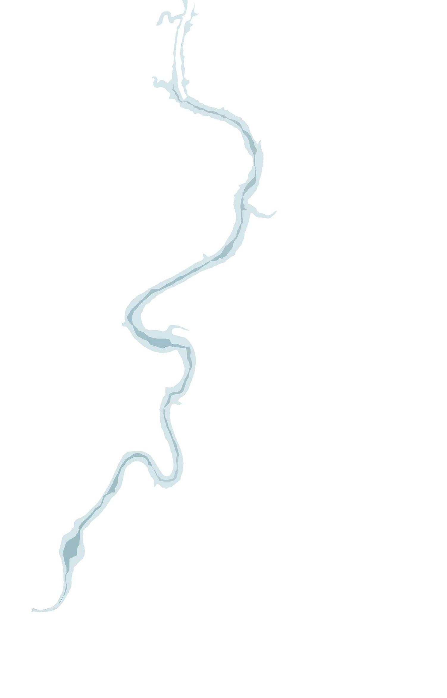
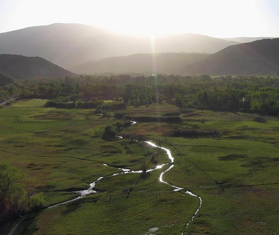
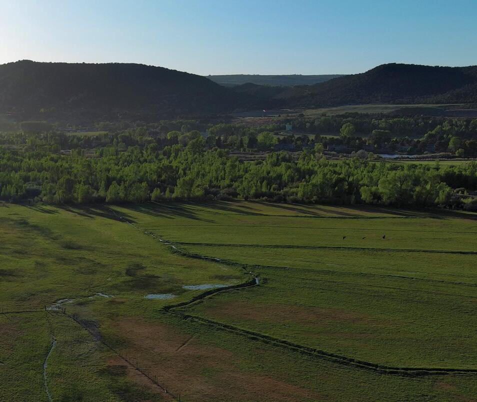
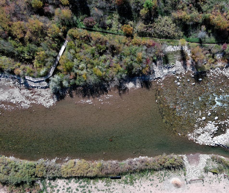
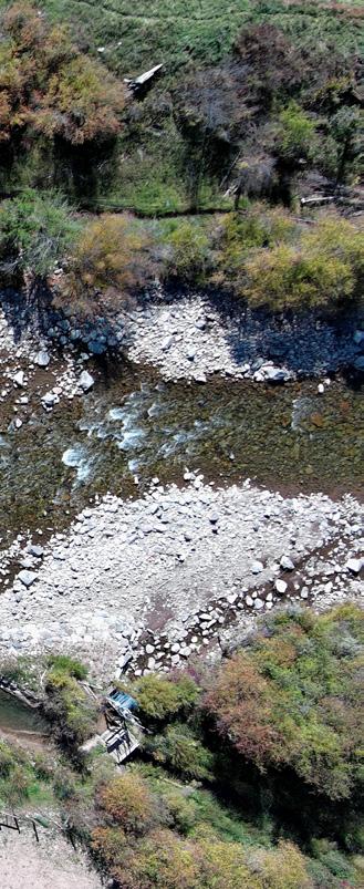
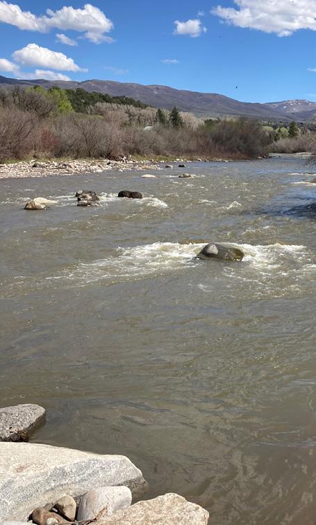
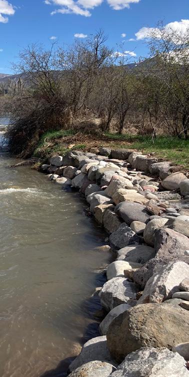
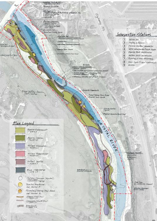
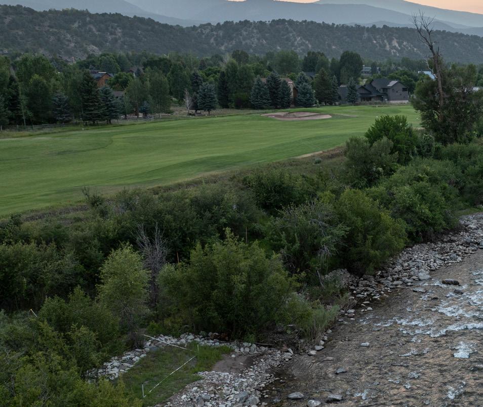
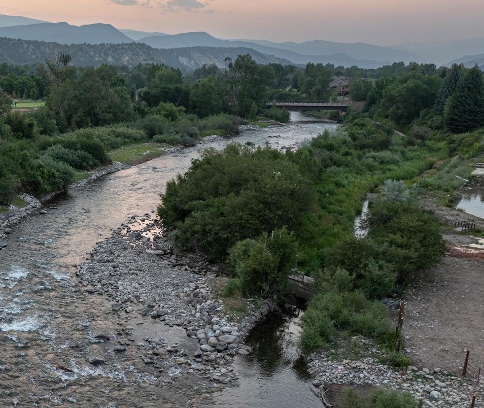
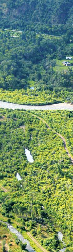
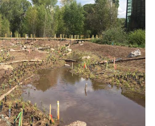
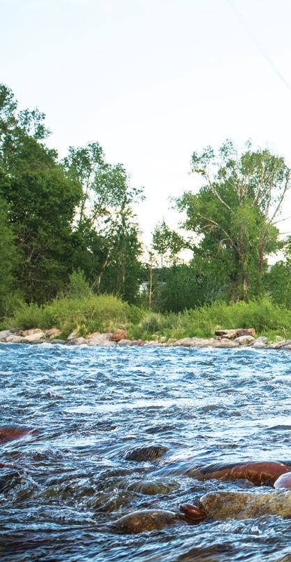
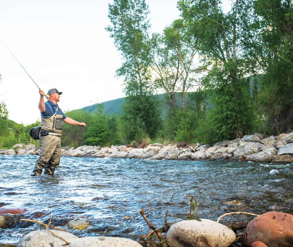
The Crystal River Restoration revitalized a half-mile stretch of the river in Carbondale, Colorado, restoring ecological function while improving agricultural water infrastructure and public access. Once degraded by eroded banks, shallow channels, and an outdated diversion dam, this river reach now supports healthy aquatic habitat, efficient water delivery, and inclusive recreation opportunities. Key improvements include engineered riffles, boulders, and a low-flow thalweg to restore habitat diversity and fish passage; stabilization of 900 feet of banks with native vegetation; and replacement of the push-up dam with a modern, self-regulating diversion structure. Trails, ADA-accessible river access, and interpretive signage were also added to connect the community with the river’s story.
The project reflects more than a decade of collaboration stemming from the 2016 Crystal River Management Plan. A strong network of partners worked together to balance ecological restoration, agricultural needs, and community priorities, creating a regional model for sustainable river management.
PROJECT SERVICES
Ecological Assessment
Bank Stabilization
Riparian Restoration
Wetland Delineation
Regulatory Permitting
Floodplain Improvements
Erosion Control
Revegetation
PROJECT PARTNERS
River Restoration
Roaring Fork Conservancy
Pitkin County Healthy Rivers and Streams
Aspen Valley Land Trust
Great Outdoors Colorado
Colorado Watershed Assembly
Fishing is Fun Bureau of Reclamation
Colorado River District
Colorado Water Conservation Board
Colorado Parks and Wildlife
2025 Colorado Open Space Alliance (COSA) Blue Grama
Award for Outstanding
Achievement in Ecological Restoration AWARDS
Trout Unlimited
CRYSTAL RIVER RESTORATION
CHALLENGES
A key challenge was addressing the river’s impairments, including reduced late season base flows, water quality issues, and sediment accumulation that degraded instream habitat and low water fish passage. The river’s over-widened, flat channels exacerbated these issues, reducing its capacity to transport water and sediment efficiently. Additionally, the project had to navigate complex water rights management and agricultural needs, balancing the desires of local ranchers with the health of the river ecosystem. Significant public outreach gained community buy-in and support, as this restoration was not only about ecological recovery but also about improving the recreational experience for all.
CRYSTAL RIVER RESTORATION
RESTORATION SUCCESS
The Weaver Ditch structure was modernized to improve both efficiency and ecological functionality, reducing sediment loading and enhancing fish passage. Along the riverbanks, invasive species were removed, and native plants were reintroduced to help stabilize the soil and provide critical habitat for birds and other wildlife. A low-flow connectivity channel was created, extending over 2,000 linear feet, restoring water flow patterns that benefit both aquatic species and local agriculture. Over an acre of cobble bars and vegetated areas were introduced to support biodiversity and improve water quality. The creation of accessible riverfront space now provides for recreation, with education, and stewardship activities, interpretive signage to tell the river’s story.
CRYSTAL RIVER RESTORATION
By combining thoughtful design with robust partnerships, the Crystal River restoration project is a successful model for sustainable river management and community-focused conservation. Benefits include improved aquatic habitat, local water rights advantages, and a healthier river corridor.
Coffman Ranch
PRESERVATION
Carbondale, Colorado
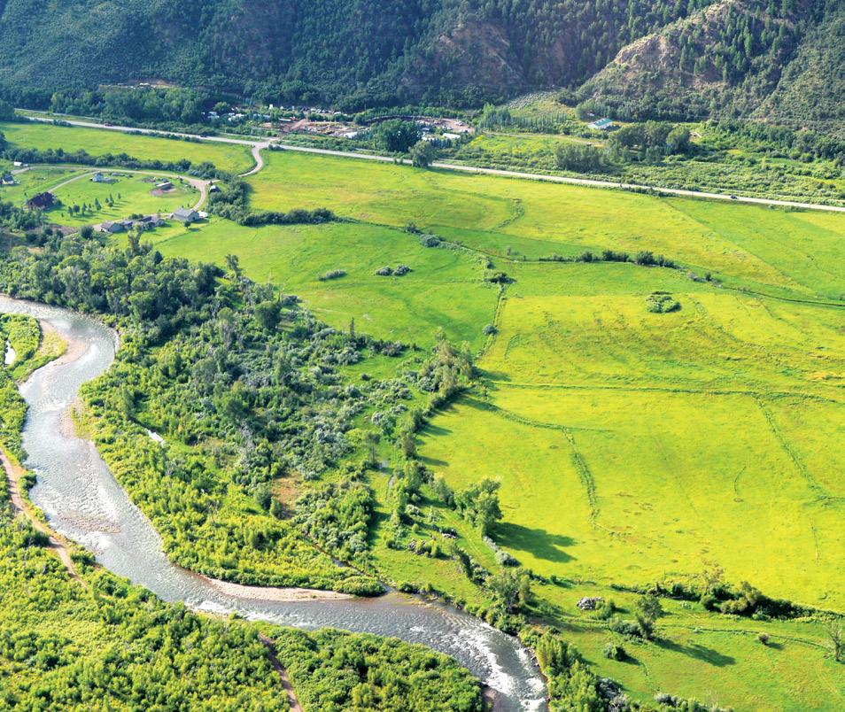
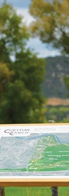
For more than 65 years, Rex and JoAnn Coffman stewarded their ranch with care and dedication. As they prepared for retirement, they sought to protect their land from future development while ensuring its long-term conservation. In partnership with Aspen Valley Land Trust and with support from a Great Outdoors Colorado grant, the Coffmans initiated the purchase and long-term management of the property to secure its future as a working and protected landscape.
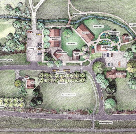
DHM was engaged to provide integrated ecological, agricultural, and master planning services to advance this vision. Our team conducted a comprehensive site assessment, including field surveys, GIS mapping, wetland delineation, vegetation and wildlife evaluations, and agricultural infrastructure analysis. This data-driven approach informed a master planning framework that balances ranch operations with habitat preservation, community access along a one-mile stretch of the Roaring Fork River, and dedicated spaces for outdoor education.
The plan prioritizes ecological restoration, enhancement, and preservation of riparian corridors, wetlands, and sensitive species habitat, while incorporating strategies for native revegetation, invasive species management, regenerative agriculture, hydrologic stewardship, and adaptive land management. Phased implementation and monitoring guidance establish a clear road map for long-term resilience and sustainable land use.
Today, Coffman Ranch serves as a living landscape for learning and stewardship, offering immersive opportunities for future land managers to engage in conservation, climate-resilient restoration, and regenerative agricultural practices. The project stands as a model for how family legacy, sciencebased planning, and collaborative conservation can protect working lands for generations to come.
PROJECT SERVICES
Ecological & Environmental Services
Ecological Assessment & Planning
Ecological Restoration
Habitat Conservation & Enhancement
Planning & Design
Master Planning
Landscape Architecture
Visualization & Graphics
Implementation & Support
Grant & Fundraising Support
Stakeholder Coordination
Project Documentation & Presentation
COFFMAN RANCH
Top left:
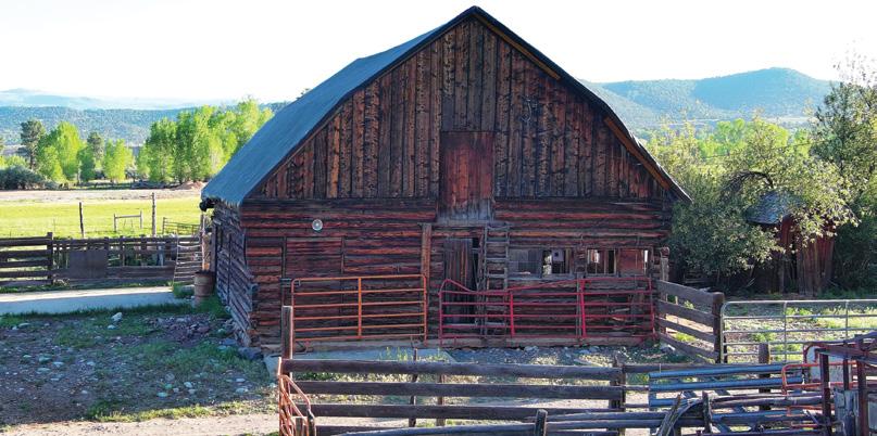
The historic barn at Coffman Ranch tells the story of the land’s ranching past. Once a hub of agricultural life, it now stands as a reminder of the region’s deep-rooted heritage and ongoing conservation efforts.
Top right:
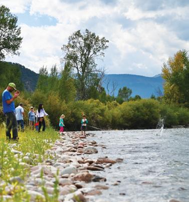
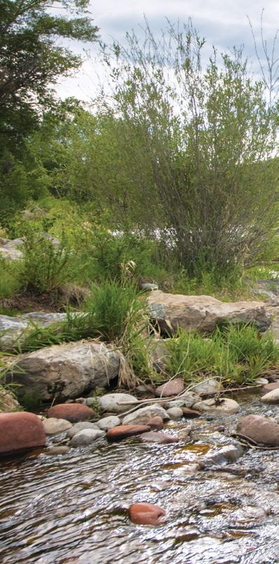
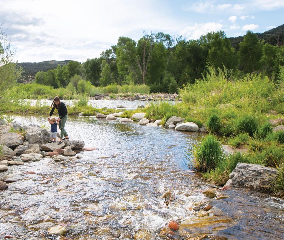
The river offers visitors a chance to connect with nature and learn the rhythms of a healthy watershed.
Bottom left:
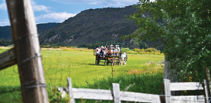
A horse-drawn wagon tour explores the land that still serves as a working ranch, and an outdoor learning center accessible to the public.
Bottom right:
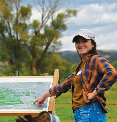
Learning about the ranch’s diverse ecosystems underlines the importance of conservation efforts in preserving this unique agricultural landscape.
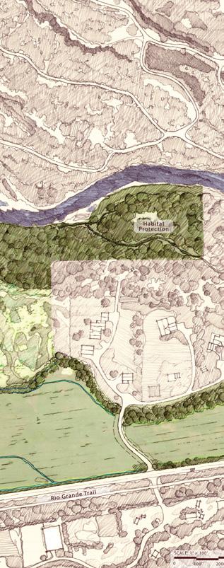
Illustrative graphics were developed as a tool for communicating the overall vision of the property. From habitat restoration and protection to the creation of defined trails and amenities, the plan graphics conveyed a respect for the natural landscape and regenerative agricultural uses that continue today.
Roaring Fork River
RESTORATION
Basalt, Colorado
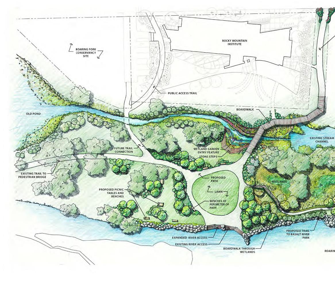
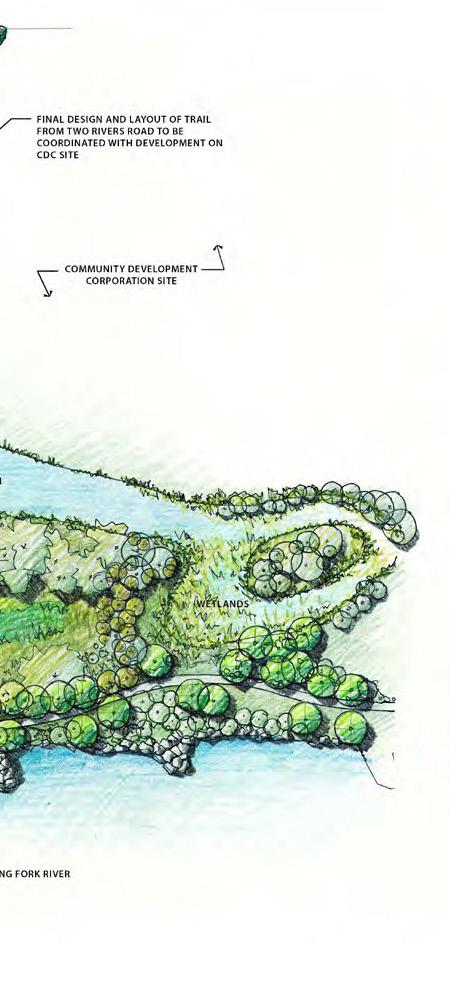
The Basalt River Restoration project transformed a constrained and degraded reach of the Roaring Fork River into a restored river corridor, public open space, and community amenity. Located near downtown Basalt, the project addressed long-standing floodplain, erosion, sedimentation, and public safety concerns associated with an outdated levee and former mobile home park located within the river corridor. Following relocation of residents, the project removed the levee, reconfigured portions of the floodplain, stabilized the river channel, expanded wetland systems, and created new opportunities for public access and riverfront park space.
A defining element of the project was the integration of landscape architecture, ecology, and engineering from the earliest stages of planning through construction. Rather than treating ecological review as a separate technical exercise, the project team used ecological analysis to shape the overall design approach. This allowed river restoration, floodplain function, habitat enhancement, public access, and downtown redevelopment goals to be addressed together. The result was a restored river edge that improved corridor health while reconnecting the community visually and physically to the Roaring Fork River.
PROJECT SERVICES
Ecological Assessment
Landscape Design
River Corridor Restoration
Bank Stabilization
Riparian Restoration
Wetland Mitigation
Regulatory Permitting
AWARDS
Floodplain Improvements
Erosion Control
Native Revegetation
Public Process
Construction Documentation
Construction Administration
2017 CCASLA Merit Award for Design
2015 CASFM Honor Award for Outstanding Achievement
ECOLOGICAL DESIGN AND PERMITTING CONSIDERATIONS
The Basalt River Restoration project required an integrated approach to ecological design, river restoration, and regulatory compliance. Removal of the outdated levee created the opportunity to restore more natural river processes, address sedimentation and erosion, expand wetland systems, and reconnect the Roaring Fork River with downtown Basalt. Design decisions were guided by the need to improve ecological function while also meeting floodplain, wetland, and river permitting requirements.
A primary design consideration was stabilizing the river corridor in a way that supported both hydraulic performance and natural character. The team used cross-sections to study bank grades, elevations, and water-level fluctuations, then developed stabilization strategies that included large boulders, softened bank slopes, planting pockets, and live willow and cottonwood stakes. These measures helped protect the riverbank from erosion while reestablishing native riparian vegetation and habitat value for insects, birds, and fish.
Permitting requirements directly shaped the ecological design approach. River improvements were authorized through a series of three Nationwide Permits, requiring coordination with the U.S. Army Corps of Engineers and the Town of Basalt. Wetland impacts associated with floodplain modifications and redevelopment opportunities required compensatory mitigation at a 2.1:1 ratio, resulting in approximately 0.78 acres of new wetland creation within the project site.
Rather than treating mitigation as a separate compliance obligation, the team integrated wetland creation into the overall riverfront design. The new wetlands became some of the most valuable natural areas on the site, supporting habitat, education, and public access through accessible boardwalks that connect downtown Basalt and adjacent parcels to the river corridor. This approach allowed the project to satisfy permitting requirements while advancing broader goals for river health, community access, and long-term stewardship.
ROARING FORK RIVER
Top left:
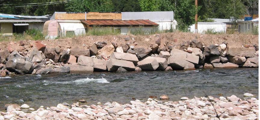
Historic bank armoring and channel confinement limited natural river processes and disconnected the river from its floodplain. Restoration efforts removed hardened edges where feasible and re-established a more resilient, ecologically functional corridor.
Top right:
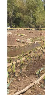
Newly constructed wetlands and native plantings were designed to restore hydrologic connectivity, improve water quality, and establish diverse habitat conditions. Strategic grading and revegetation support longterm ecological succession and floodplain resilience.
Bottom left:
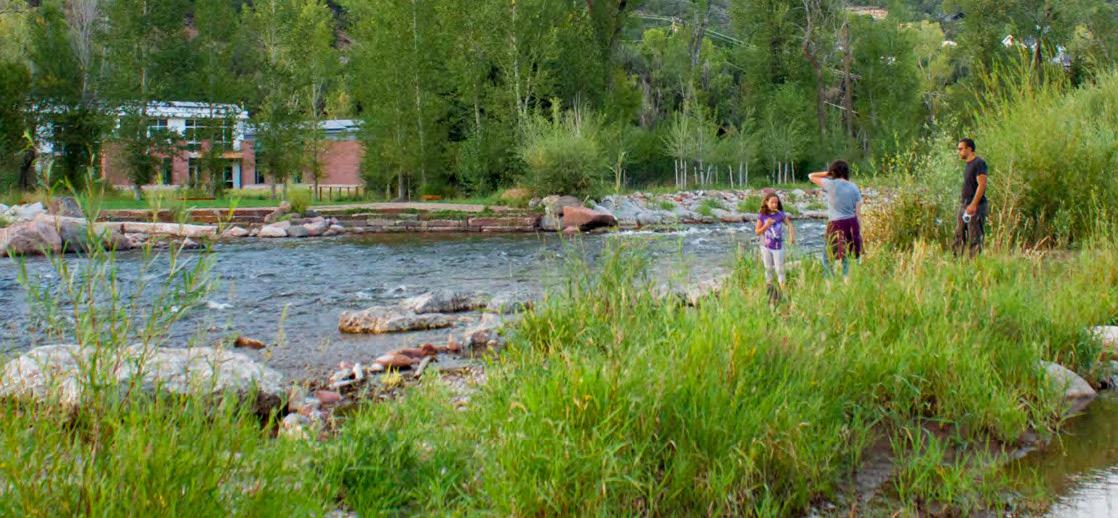
Enhanced river access allows residents and visitors to experience the Roaring Fork River within a restored natural setting. Carefully integrated trails and gathering areas provide recreational opportunities while protecting sensitive riparian habitats and aquatic resources.
Bottom right:
Native wetland communities now provide habitat complexity, seasonal water storage, and natural filtration functions. The restored floodplain dissipates energy during high flows, supports fish and wildlife, and strengthens the long-term ecological health of the river corridor.
Paint Mines Interpretive Park
PRESERVATION
El Paso County, Colorado
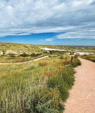
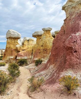
Paint Mines Interpretive Park is a landscape shaped by time, where erosion and wind have carved deep gullies and towering hoodoos that reveal vividly colored layers of ancient soils. Designated as an Archaeological District on the National Register of Historic Places, the park reflects more than 12,000 years of cultural and natural history and supports a rare mosaic of prairie, riparian, wetland, shrub land, and badland habitats.
As visitation increased, the park faced growing challenges related to resource degradation, habitat fragmentation, and visitor management. DHM was entrusted with developing a comprehensive master plan grounded in detailed ecological assessment and community engagement. Our team conducted field surveys, vegetation mapping, hydrologic analysis, wildlife evaluations, and sensitive species assessments to document existing conditions and inform long-term management strategies.
The team developed a plan that balances pedestrian access with resource protection by prioritizing the preservation of high-quality native grasslands, riparian corridors, wetlands, and sensitive wildlife habitat. Restoration and enhancement strategies focus on native revegetation,
invasive species management, soil stabilization, and hydrologic connectivity, while protecting rare plant communities and grassland-dependent species.
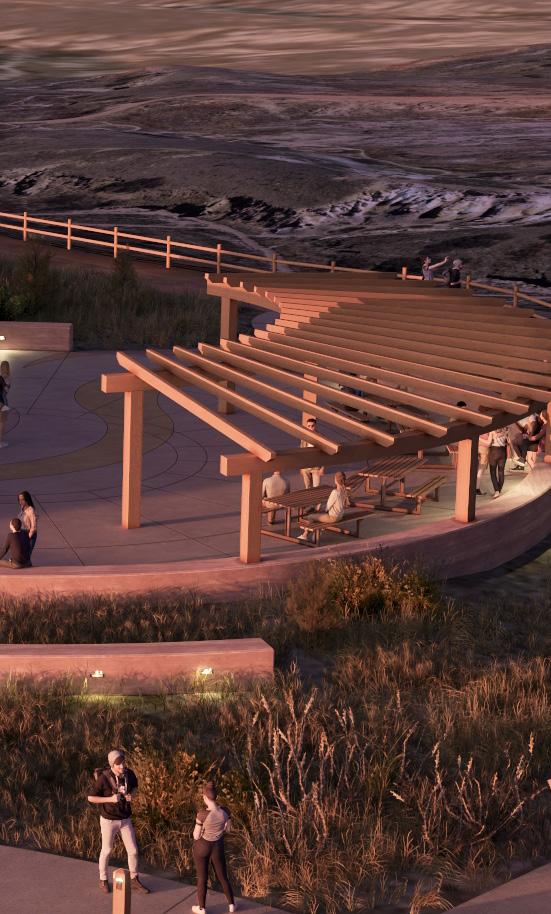
Proposed improvements include accessible trails, improved parking, shade structures, restrooms, interpretive signage, and educational amenities designed to concentrate visitor use, reduce informal trails, and minimize ecological disturbance. Public outreach and interpretive programming foster stewardship by connecting visitors to the park’s geological, ecological, and cultural significance.
Through science-based planning, thoughtful design, and adaptive management guidance, the Paint Mines Master Plan establishes a clear framework for conserving this fragile landscape while enhancing visitor experience.
The project ensures that Paint Mines remains a place of wonder, learning, and connection for generations to come.
PROJECT SERVICES
Ecological and Environmental Services
Ecological Assessment & Planning
Vegetation & Wildlife Analysis
Restoration & Management Recommendations
Planning and Design
Master Planning
Landscape Architecture
Visualization & Graphics
Community & Implementation Support
Public Outreach & Engagement
Interpretive Planning & Education
Stakeholder Coordination
AWARDS
2025 CCASLA – Merit Award for Analysis and Planning
PAINT MINES INTERPRETIVE PARK
Top left:
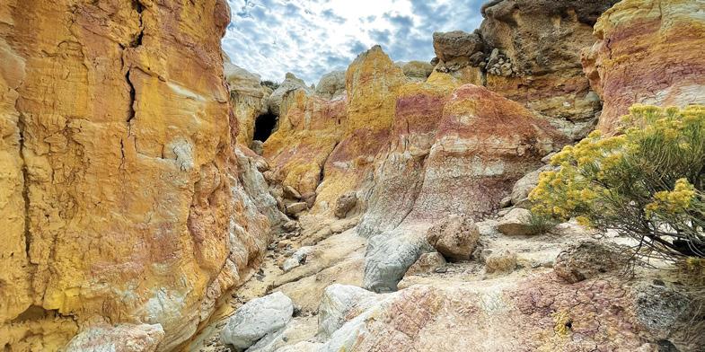
Carved over millions of years by wind and rain, the vibrant clay and sandstone formations at Paint Mines Interpretive Park reveal a story of ancient landscapes and changing climates. Numerous archaeological sites and ancient fossils have been discovered within Paint Mines Interpretive Park. Future interpretive signage will tell the story of the rich cultural history of the Park and trails will navigate visitors away from damaging these sensitive areas.
Top right:
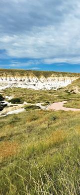
Paint Mines Interpretive Park is situated in a distinctive regional environment, featuring rolling prairies, intermittent creeks, and localized features including critical wetlands and riparian zones. The interface of these components creates an ecosystem that is unusual and special for the region.
Bottom left:
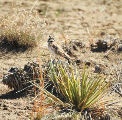
Horned lark is a bird species commonly found at the Park.
Bottom middle:
Thirteen-lined ground squirrels live in the native mixed grass prairie found throughout the Park.
Bottom, right:
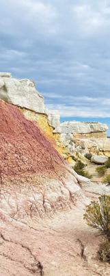
Vibrantly colored hoodoos composed of ancient soil horizons are a main attraction at the Park. These delicate formations are extremely unique in Colorado.
Left:
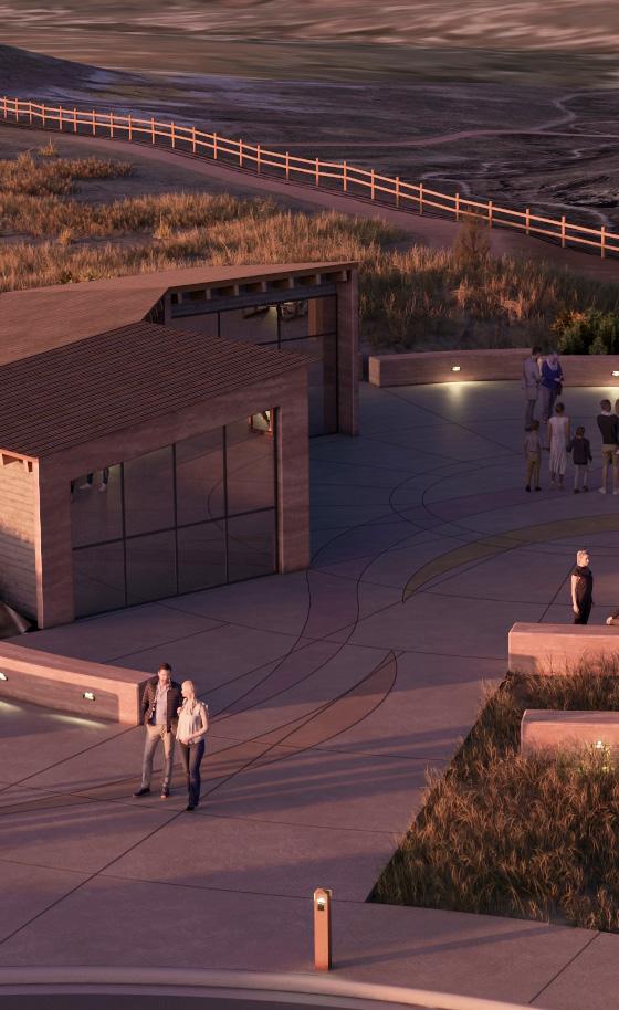
A key element of the proposed overlook trail head is a small visitor center. Linked to the interpretive plaza, it would act as the park’s main welcome point, offering orientation, interpretive exhibits, trail information, and basic amenities such as restrooms and drinking water. The building is envisioned with a low-profile design and carefully positioned to minimize visibility from within the formations. Earth-toned finishes would help it blend into the surrounding landscape, and exterior lighting would be kept minimal to reduce light pollution. A berm along the north side would give the structure a tucked-into-the-hillside feel while providing shelter from wind and intense sun. The trail head itself has been deliberately sited to avoid sensitive vegetation, with conceptual grading designed to minimize impacts on existing habitat.
Top right:
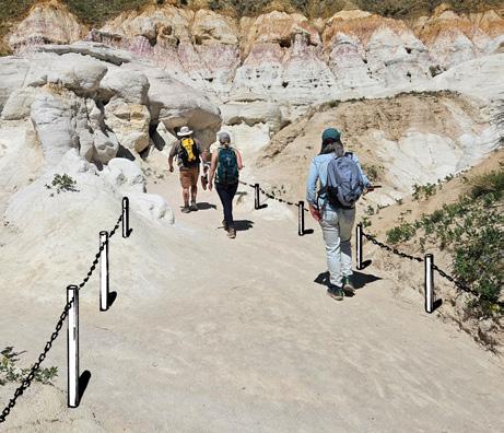
Steel posts and chains will guide visitors through narrower sections of the trail while discouraging off-trail travel into sensitive formations. The materials will be finished in lighter tones to better blend with the natural surroundings. Designed at a low height (approximately 18 to 24 inches) these barriers will help preserve clear views of the formations.
Bottom, right:
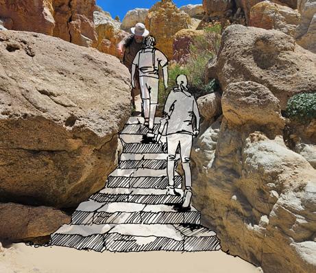
Stone steps added in narrow canyons to help direct visitor traffic, and to provide a safer route along steeper trails. Steps to be constructed with stone to match surrounding formations to blend in with landscape.
Timbers Creek
URBAN DRAINAGE
Parker, Colorado
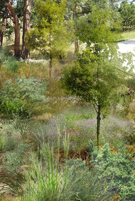
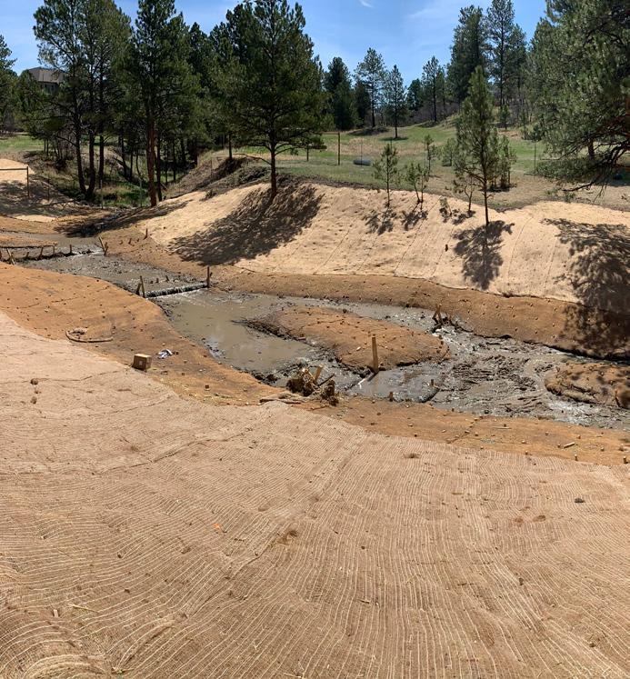
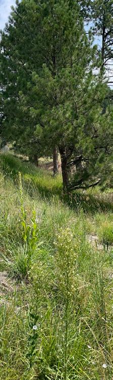
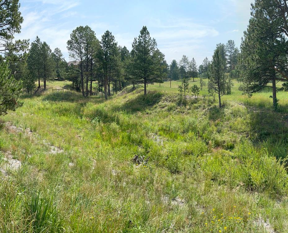
Timbers Creek is a natural drainage corridor located within a densely developed neighborhood in Parker, Colorado, where ponderosa pine forest transitions into shortgrass prairie. Recurrent flash flows had destabilized the channel banks, diminished ecological function, and threatened nearby homes and trails. DHM Design collaborated with the engineering team and the Mile High Flood District to evaluate existing ecological conditions along the riparian corridor. This effort included field data collection on channel characteristics and surrounding ecosystems. The results were synthesized into a visual analysis package and a comprehensive ecological assessment report detailing site conditions, vegetation, wildlife habitat, and recommendations for planting, seeding, and restoration, supported by photo documentation.
In the subsequent phase, DHM partnered closely with the engineering team to develop channel improvements along a
PROJECT SERVICES
Ecological Assessment
Compliance/Permitting
Landscape Architecture
Planting Zones Study
In-Channel Improvements
Construction Administration
one-mile stretch of Timbers Creek. The design incorporated natural stabilization elements including log drop structures and post-assisted willow installations, to slow stormwater flows, reduce erosion, and maintain stable baseflow conditions. The channel alignment was also adjusted to minimize impacts on adjacent trails and residential properties. A coordinated planting strategy introduced native wetland, riparian, and upland species to strengthen corridor resilience and enhance habitat quality. Following construction, DHM prepared vegetation management plans and provided ongoing monitoring of installed plantings. This included coordination with the Mile High Flood District on post-construction services, as well as the assessment and management of noxious and invasive species in collaboration with restoration contractors.
TIMBERS CREEK PROPOSED IMPROVEMENTSPROSPECTIVE RENDERING
WILLOW FASCINES KEYED INTO BANK TO STABILIZE STEEP SLOPE
EXISTING WALK TO REMAIN
RIPARIAN EDGE
EPHEMERAL WETLAND ZONE
LOG DROPS KEYED INTO BANKS
UPLAND ZONE
TIMBERS CREEK - BEFORE
The Canyons
RESTORATION
Castle Pines, Colorado
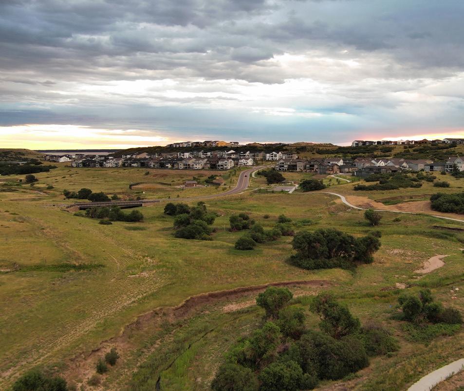
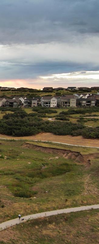
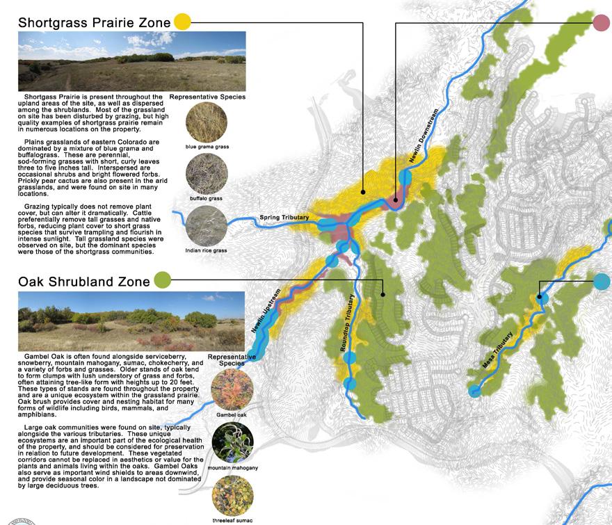
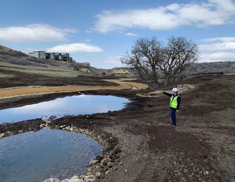
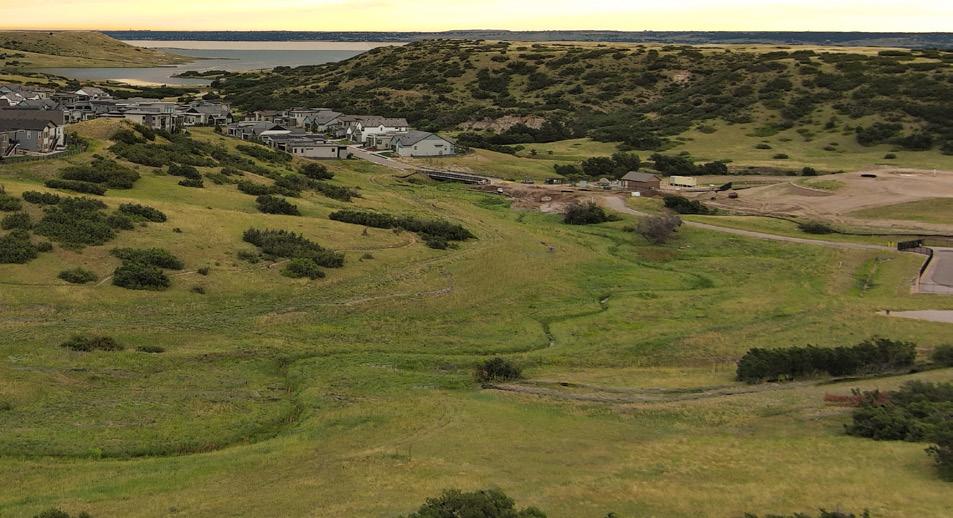
The Canyons is a 1,500-acre master-planned community situated just south of the Rueter-Hess Reservoir near Castle Pines, Colorado. The development envisions a mix of residential areas, recreational amenities, and shared gathering spaces woven through five distinct drainage corridors. Prior to any formal planning or design, DHM Design conducted a comprehensive ecological assessment to give the project team a clear understanding of the site’s natural systems. This analysis identified several key habitat types including shortgrass prairie, lowland riparian areas, oak shrublands, and ephemeral wetlands, based on representative plant and wildlife species. Within these zones, sensitive ecological areas and notable geologic features were mapped to help guide development away from critical resources. Drone technology was also deployed by DHM to capture detailed vegetation data across each tributary, resulting in an extensive baseline data set for the site.
In collaboration with the developer, Mile High Flood District, and the broader design team, DHM contributed to restoration plans for each tributary, ensuring they aligned with the site’s natural character and ecological functions. DHM also played a hands-on role during channel construction, assessing floodplain terraces and wetland benches to create conditions that support diverse native plant communities, from riparian corridors to upland prairie areas.
PROJECT SERVICES
Ecological & Environmental Services
Baseline Ecological Site Assessment & Planning
Drone Survey
Floodplain Improvements
Erosion Control & Bank Stabilization
Monitoring & Field Observation
Noxious Weed Management
Planning & Design
Revegetation & Restoration Planning & Design
Landscape Architecture
Visualization & Graphics
Construction Support
Construction Implementation & Monitoring
THE CANYONS
Following each construction phase, DHM developed vegetation management strategies and worked closely with the Mile High Flood District and restoration contractors to coordinate implementation. The nearly decade-long record of data and recommendations assembled by DHM continues to serve as a critical resource, helping guide the long-term success of the community’s natural open spaces. Nearly ten years after the initial site analysis, our team has supported the restoration and revegetation of approximately three miles of channel and 60 total acres, with additional restoration design and installation anticipated in the near future.
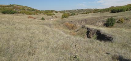
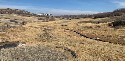
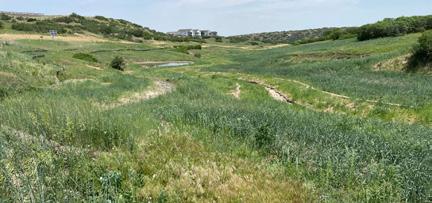
Before Restoration: Channel is deeply incised, eroding the banks
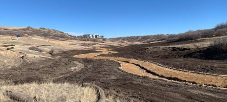
Construction: Raised channel elevation and pulled back banks to reconnect the floodplain
Revegetation Process: Channel seeded with diverse mix of native grasses and forbs
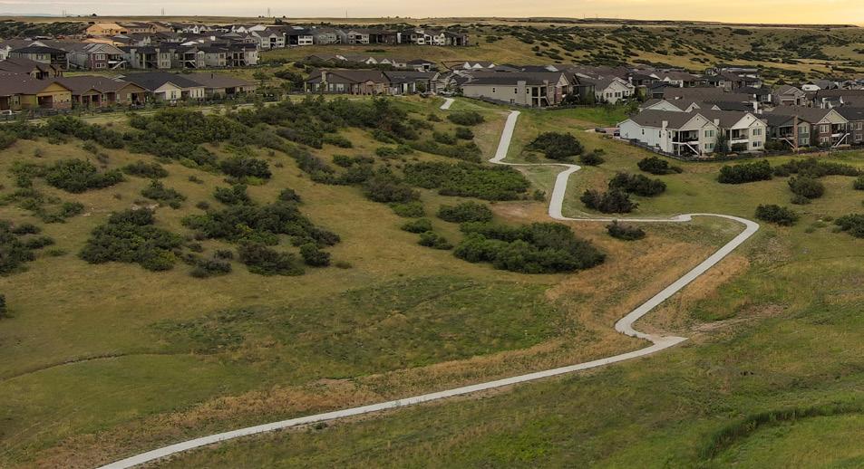
After Restoration: Noxious vegetation monitoring and mapping are critical for successful, long-term restoration
THE CANYONS
Access to natural open spaces within The Canyons is thoughtfully balanced with efforts to preserve and restore local habitats. Maintaining these natural areas was a key priority for the project team. As a result, earthwork disturbance was kept to a minimum, and mature vegetation was preserved wherever possible.
Hanging Lake Trail
RESTORATION
Glenwood Canyon, Colorado
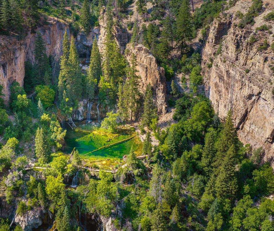
In August of 2020, Colorado’s Grizzly Creek wildfire burned over 32,000 acres in Glenwood Canyon. A year later, debris flow from the fire’s burn scar impacted the Deadhorse Creek drainage, including the beloved hiking trail to Hanging Lake. The iconic and historic tourist destination in the White River National Forest suffered extensive trail damage along with ruined bridges and eroded stream banks. The rushing flow overwhelmed some areas by depositing thick mud, large boulders and logs, making the trail impassable.
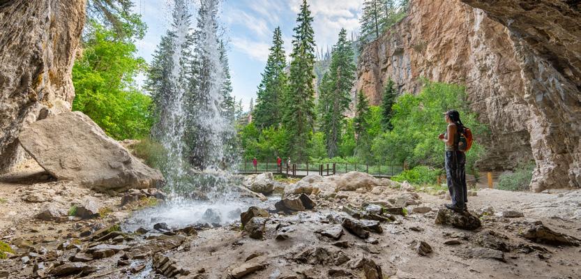
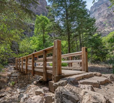
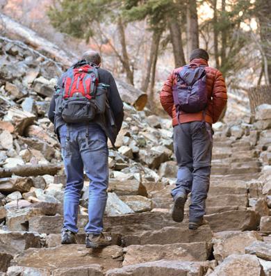
Ascending 1.2 miles and rising 1,000 feet from the canyon floor to Hanging Lake, the trail restoration was a monumental challenge. Working with US Forest Service staff along with other key stakeholders, the design was developed to enhance flood resiliency, aesthetics, interpretation, and overall visitor experience. Our team assessed trail and bridge conditions, completed design and construction documentation for an updated trailhead, realigned sections of trail, and provided ecological restoration at key locations. A new boardwalk at Spouting Rock waterfall and new stream channel crossings included the replacement of seven pedestrian bridges. The restored trail is critical, not only to provide access to one of Colorado’s most cherished natural landmarks, but also to safeguard its future through enhanced resiliency.
PROJECT SERVICES
Landscape Architecture
Master Planning
3D Visualization
Site Design
Design Development
Construction Administration
Regulatory Permitting
Native Revegetation
Construction Documentation
2025 Colorado Lottery Starburst Award AWARDS
HANGING LAKE TRAIL
Top left:
A newly constructed boardwalk allows visitors circle the waterfall at Spouting Rock while safeguarding delicate wetlands from foot traffic.
Bottom left:
One of seven new timber bridge replacements. Bridge crossings over Deadhorse Creek were designed to enhance flood resiliency.
Bottom middle:
Trail improvements included widening stone steps to improve circulation, replacing softer surfaces with stone for greater durability, and rerouting sections of the trail to reduce exposure to seasonal flooding.
Right:
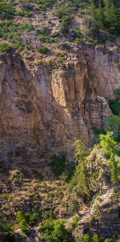
View of the Colorado River and Glenwood Canyon facing south from the Hanging Lake Trail. The upgraded trail was constructed using native materials, allowing it to blend naturally with the surrounding landscape.
Woody Creek Ranch
ECOLOGICAL PLANNING AND DESIGN
Pitkin County, CO
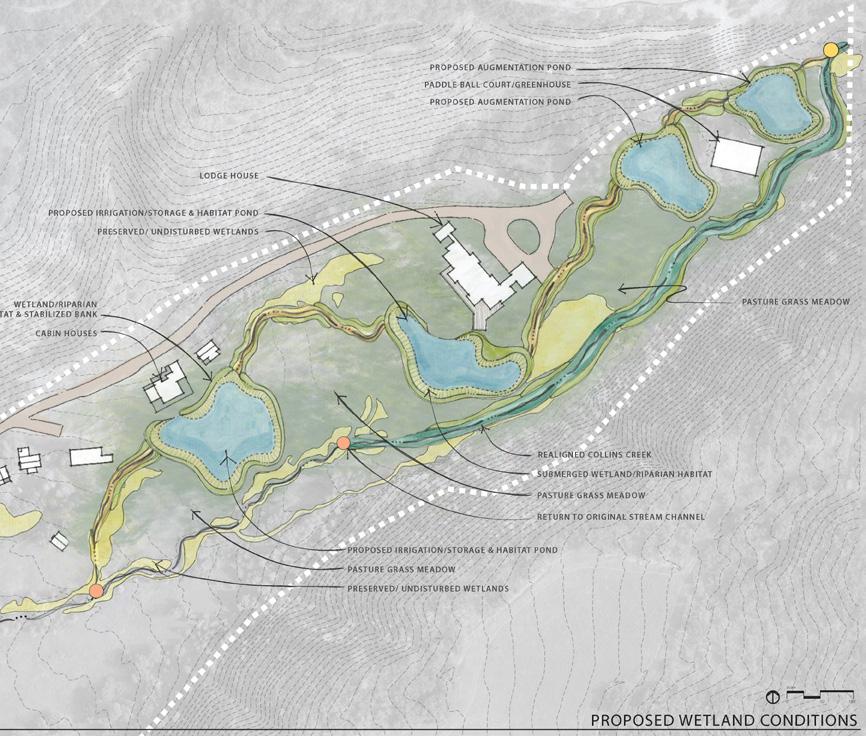
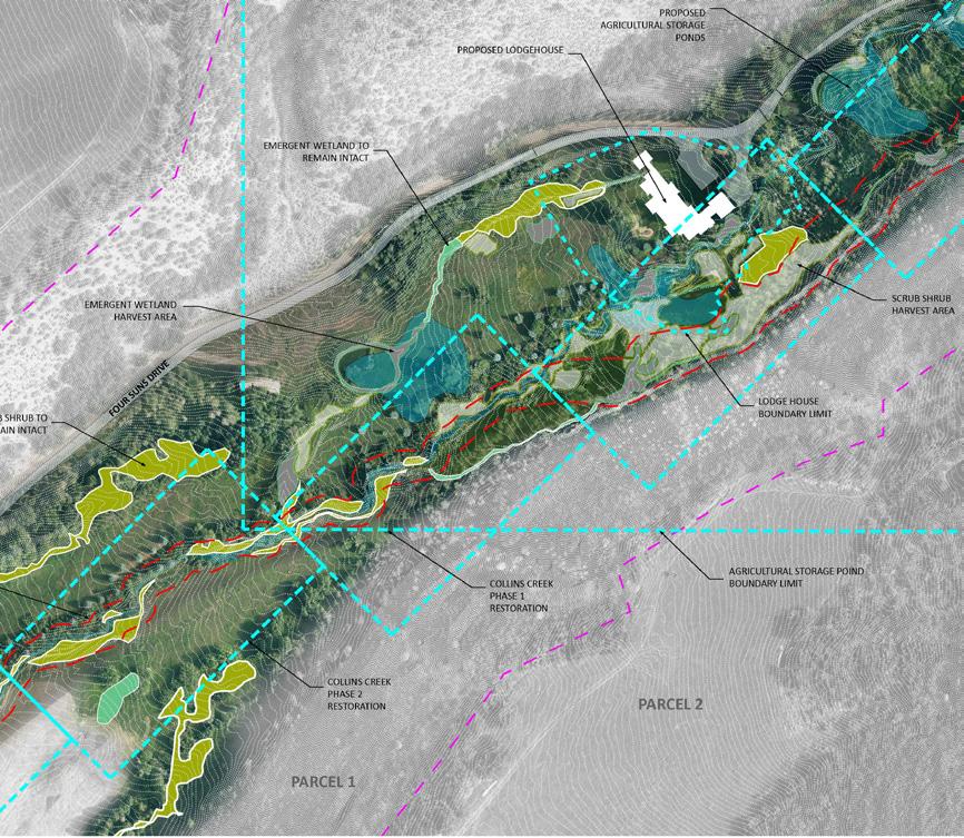
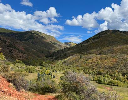
Woody Creek Ranch is a working landscape shaped by Collins Creek and Woody Creek, where longterm resilience depends on aligning agricultural use with ecological health. DHM Design provided integrated ecological planning, ecological design, agricultural strategy, and stream restoration services, establishing a comprehensive framework that supports land stewardship, habitat enhancement, infrastructure improvements, and regulatory compliance.
Through a combination of ecological assessment, adaptive land management planning, and processbased stream and floodplain design, DHM developed strategies that restore natural systems while reinforcing the ranch’s operational goals. The work integrates ecological design with agricultural productivity to improve soil health, vegetation diversity, and wildlife habitat, while implementing targeted stream and riparian restoration and associated access improvements. DHM’s role also included environmental compliance and federal permitting for both restoration and infrastructure components, ensuring that design intent and regulatory requirements were fully aligned.
This integrated approach allowed the project to move seamlessly from planning through implementation. The result is a cohesive, multi-disciplinary strategy that unites ecological design, agricultural function, and stream restoration into a resilient and adaptable working landscape.
PROJECT SERVICES
Ecological & Environmental Services
Ecological & Agricultural Assessment
Wetland & Aquatic Resource Delineation
Vegetation & Wildlife Evaluation
Restoration & Revegetation Planning
Invasive Species Management
Wildfire & Forest Health Planning
Regenerative Agriculture & Pasture Management
Planning & Design
Master Planning
Landscape Architecture
Visualization
Data & Implementation Support
GIS Mapping & Analysis
Phased Implementation Planning
Monitoring & Adaptive Management
ECOLOGICAL & AGRICULTURAL PLANNING
DHM Design led ecological and agricultural planning efforts to guide long-term stewardship of Woody Creek Ranch, focusing on the integration of productive land use with ecological function. The planning process evaluated vegetation communities, soils, hydrology, and existing agricultural operations to identify opportunities for improved land management and system performance.
The resulting framework emphasizes soil health, forage productivity, and habitat quality as interconnected drivers of landscape resilience. DHM developed adaptive management strategies to diversify vegetation structure, address aging or declining plant communities, and reintroduce disturbance patterns that support regeneration and ecological function. These strategies enhance biodiversity while maintaining the ranch’s viability as a working agricultural landscape.
A targeted riparian vegetation management plan supports this broader framework, outlining bioengineering approaches such as willow clump plantings and live stake installations that stabilize streambanks and improve habitat using siteadapted materials. These recommendations are designed to integrate seamlessly with agricultural operations and evolve through ongoing monitoring and adaptive management.
Together, these efforts establish a flexible, longterm approach to land stewardship that aligns ecological processes with agricultural productivity.
STREAM RESTORATION & ENVIRONMENTAL COMPLIANCE
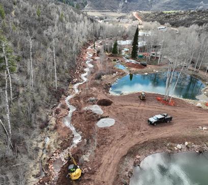
Environmental compliance, permitting, and interdisciplinary coordination supported the restoration of approximately 5,265 linear feet of Collins Creek and Woody Creek. Acting as the authorized agent, DHM secured a Nationwide Permit (NWP 27) from the U.S. Army Corps of Engineers to authorize aquatic habitat restoration and associated improvements.
The design is grounded in process-based restoration principles that reestablish natural channel dynamics, improve floodplain connectivity, and enhance aquatic habitat complexity. Strategic interventions including channel reconfiguration, large wood and rootwad structures, bank regrading, and wetland enhancements work together to stabilize the system while supporting sediment transport, hydraulic diversity, and the formation of deep-water refuge for trout.
DHM coordinated closely with federal, state, and local agencies to navigate Section 404 permitting, water quality certification, cultural resource review, and Endangered Species Act compliance. Construction phasing and best management practices were developed to minimize disturbance and protect jurisdictional waters and sensitive habitats throughout implementation.
Riparian restoration is fully integrated into the stream design, with native revegetation and bioengineered bank treatments reinforcing channel stability and ecological function. These measures support long-term system resilience by establishing self-sustaining vegetation communities adapted to site hydrology and disturbance regimes.
The result is a fully permitted, technically rigorous restoration strategy that improves aquatic and riparian function while aligning with the operational and ecological goals of a working ranch landscape.
Three Rivers Ranch
RESTORATION
New Mexico
Three Rivers Ranch is an expansive and ecologically diverse landscape where the convergence of Three Rivers and Indian Creek supports a complex mosaic of habitats shaped by over a century of ranching and water management. Thoughtful stewardship is needed to balance agricultural use with long-term ecological health.
DHM Design led a comprehensive ecological and agricultural assessment and restoration strategy for the 10,899-acre property, addressing semidesert grasslands, shrublands, pinyon-juniper woodlands, riparian areas, wetlands, and historic agricultural fields.
Building on detailed desktop analysis, GIS mapping, and an intensive multi-day field investigation, DHM documented existing ecological conditions across the ranch using high-accuracy GPS and ArcGIS-based data collection. The team mapped vegetation communities, hydrologic systems, soils, agricultural infrastructure, and wildlife use patterns, revealing a landscape that ranges from intact, high-functioning riparian and wetland habitats to degraded rangelands and fallowed agricultural fields impacted by historic grazing and irrigation practices .
Baseline assessments identified eight distinct vegetation communities and multiple wetland types, with particularly high ecological value concentrated along the Three Rivers corridor, where mature cottonwood and willow systems support critical wildlife habitat and regional biodiversity. Soil analysis
PROJECT SERVICES
Ecological Assessment & Planning
Restoration Strategy & Design
Wetland Delineation
confirmed variable but often degraded soil health, informing targeted restoration approaches tailored to specific site conditions and land management history.
DHM translated these findings into a phased, landscape-scale restoration and management framework focused on restoring ecological function while supporting the ranch’s long-term operational and wildlife objectives. Key strategies include riparian and wetland enhancement, invasive species management, and the re-establishment of native plant communities, alongside the strategic revitalization of agricultural systems to improve soil health and provide high-quality forage.
Hydrologic restoration plays a central role in the plan, including the design of beaver dam analogs (BDAs) and stream improvements to slow water, increase retention, and expand wetland habitat. Agricultural recommendations reintroduce irrigation infrastructure and planting regimes that balance production with habitat value, supporting elk and other wildlife while reinforcing the ranch’s working landscape identity .
The resulting vision is a resilient, high-functioning landscape where ecological restoration, water management, and land stewardship are integrated to enhance biodiversity, strengthen habitat connectivity, and support a sustainable future for both wildlife and ranch operations.
Hydrologic & Habitat Restoration
Agricultural Systems Integration
Regulatory Compliance
Crystal Mill and Townsite
PRESERVATION
Marble, Colorado
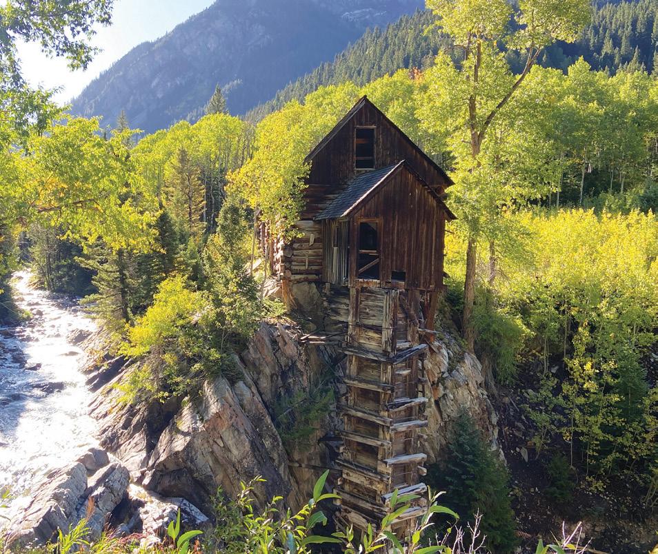
Perched above the Crystal River for more than 130 years, the iconic Crystal Mill stands as one of Colorado’s most treasured historic landmarks. Built in 1892 to power local mining operations, the mill and surrounding townsite were listed on the National Register of Historic Places in 1985. For generations, the property’s owners have upheld a strong tradition of private stewardship, preserving public access and protecting the site’s cultural and natural legacy.
As new partnerships emerged to support long-term preservation and limited, sensitive development, DHM was engaged to provide integrated ecological assessment, site planning, and master planning services. Our team conducted a comprehensive evaluation of existing conditions, including vegetation communities, wetlands and aquatic resources, wildlife habitat, soils, hydrology, wildfire risk, and noxious weed presence. Using detailed field surveys and GIS mapping, we identified ecological opportunities and constraints to guide future land use and permitting.
This analysis informed a planning framework that supports historic preservation while accommodating a small footprint of off-grid development located in a meadow away from the historic townsite. Recommendations include habitat protection, wetland avoidance, defensible space and forest health improvements, invasive species management, and site-specific revegetation strategies. Future improvements will utilize geothermal, hydropower, and photovoltaic systems to minimize environmental impact and enhance long-term resilience.
Today, the preservation of historic resources, proactive natural resource management, and respect for the site’s dramatic alpine setting continue to guide every decision. The Crystal Mill and Townsite project demonstrates how science-based ecological planning, thoughtful design, and collaborative stewardship can secure a sustainable future for one of the Upper Crystal River Valley’s most iconic landscapes.
PROJECT SERVICES
Ecological & Environmental Services
Ecological Assessment & Planning
Wetland & Aquatic Resource Delineation
Wildlife & Habitat Evaluation
Wildfire Mitigation & Forest Management
Noxious Weed Management
Revegetation & Restoration Planning
Permitting & Regulatory Coordination
Planning & Design
Master Planning
Landscape Architecture
Visualization & Graphics
Community & Implementation Support
Public Outreach
Fishers Peak State Park
PRESERVATION
Trinidad, Colorado
Visiting Fishers Peak had long been restricted to the property owners and a handful of lucky guests until it was purchased by The Nature Conservancy and The Trust for Public Land. Upon acquisition, the 30 square miles encompassing the Peak became Colorado’s 42nd State Park. The site has been under private ownership for so long that much of the area remains undisturbed, providing significant opportunities to conserve and protect natural resources. While some areas in Fishers Peak State Park will provide first-class outdoor recreation, all activities will be balanced with the goals of preserving areas of natural habitat and providing stewardship opportunities that will connect humans to nature.
DHM’s ecological staff were engaged to lead the stewardship planning effort, aimed to summarize existing conditions and resources in the park and provide recommended actions for protection, preservation, and management of the park’s unique resources. The effort was highly collaborative, and included close communication with stakeholders, including Colorado Parks and Wildlife, resource specialists, and park managers. The resulting plan is a critical tool for the agency to guide sustainable, culturally respectful, and ecologically responsible park management that is balanced with future visitor use.
PROJECT SERVICES
Stewardship Planning
Ecological Analysis
Best Management Practices
William F. Hayden Park
PRESERVATION & RECREATION
Lakewood, Colorado
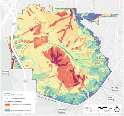
William F. Hayden Park is a 2,400-acre open space in Lakewood defined by rugged foothill terrain, diverse plant communities, and a well-used trail network. As use grows, careful planning is needed to balance recreation with protection of sensitive natural systems. DHM Design is leading the comprehensive planning effort, with the Ecological Services team conducting a detailed ecological baseline assessment and recreation suitability analysis to guide future planning, trail design, and restoration strategies grounded in long-term stewardship.
Field-based ecological inventories were a core component of the project, including multiple pedestrian surveys, high-accuracy GPS data collection, vegetation mapping, and wildlife observations to identify sensitive habitats, riparian corridors, wetlands, native prairies, and areas of disturbance. These data were used to develop a parkwide ecological framework that supports management decisions related to habitat preservation, restoration, and compatible recreation. The ecological baseline report serves as a foundational planning tool, providing science-based documentation of existing conditions.
DHM also prepared a landscape-scale recreation suitability analysis that integrated ecological, physical, and cultural data sets within a GIS-based weighted overlay model to identify areas most and least appropriate for recreational use. The analysis incorporated wetlands, riparian habitats, native prairie, wildlife habitat, steep slopes, cultural resources, and existing disturbance patterns to create a fine-scale suitability surface that prioritizes conservationsensitive areas for avoidance and directs recreation toward lower-impact locations. This approach allowed the team to balance increasing visitation with the protection of highvalue ecological resources.
In addition to technical analysis, DHM staff were heavily involved in trail planning, using on-the-ground knowledge to guide trail alignments, realignments, and access strategies that avoid sensitive habitats, minimize erosion, and reduce user conflicts. Trail design and location recommendations were directly informed by mapped vegetation communities, wildlife habitat, wetlands, and undisturbed core habitat areas to maintain ecological connectivity and preserve wildlife movement corridors. Through the integration of ecological analysis, recreation suitability modeling, and design collaboration, DHM is helping the City of Lakewood protect critical natural resources while providing a sustainable trail system.
PROJECT SERVICES
Ecological & Environmental Services
Ecological Assessment & Planning
Ecological Restoration
Habitat Conservation & Enhancement
Recreation Suitability GIS Analysis
Drone Survey
Planning & Design
Landscape Architecture
Visualization & Graphics
Community & Implementation Support
Cultural Resources
Public Engagement
WILLIAM F. HAYDEN PARK
Top left:
A coyote that calls William F. Hayden Park home illustrates the need for a balance between protecting functional wildlife habitat and providing meaningful recreational access. Thoughtful planning and design help ensure that habitat connectivity and ecological integrity are maintained while accommodating safe and sustainable use by the public.
Top right:
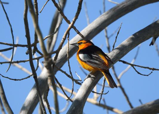
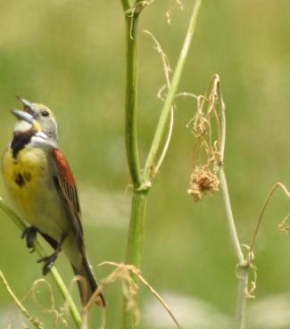
A Dickcissel sings from the open grasslands of William F. Hayden Park, a habitat that supports this sensitive species during the breeding season. Protecting and managing native grassland communities is essential to maintaining suitable nesting and foraging conditions for grassland-dependent birds.
Bottom:
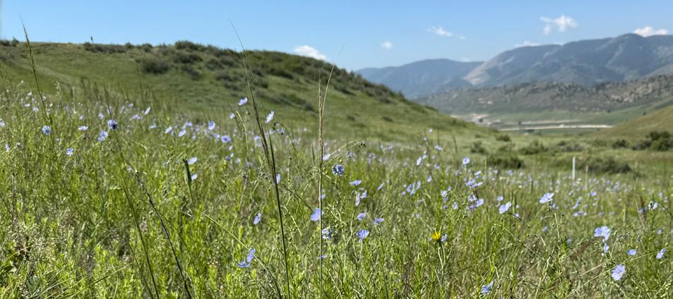
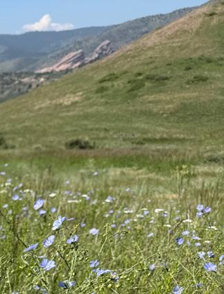
Diverse native mixed-grass prairie of Hayden Park.
Pagosa Gateway
COMPLIANCE
Pagosa Springs, Colorado
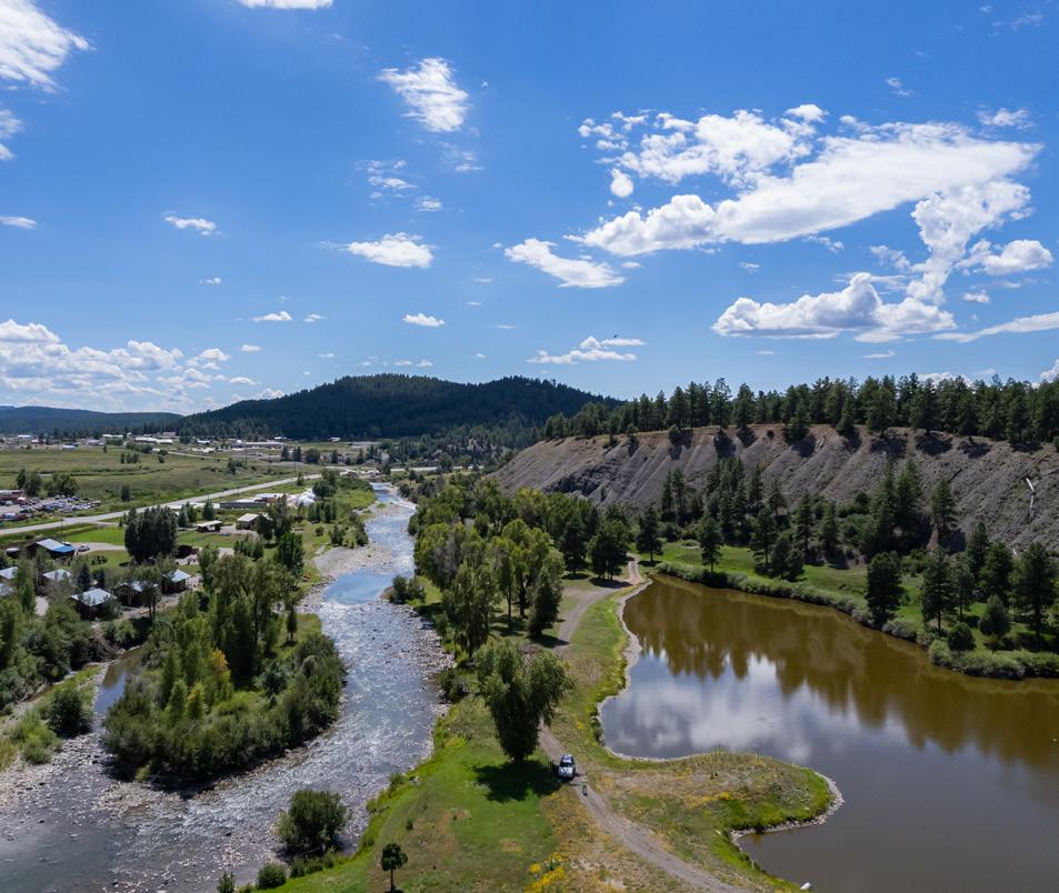
The San Juan River through Pagosa Springs is facing declining flows, rising temperatures, and shifting hydrologic patterns that are affecting habitat, recreation, and overall river health. The Pagosa Gateway Project responds to these pressures by strengthening resiliency along a 1.7-mile reach of the river.
DHM Design, in collaboration with engineering partners and the Town of Pagosa Springs, provided integrated restoration design and environmental compliance services. Funded in part by the Bureau of Reclamation’s WaterSMART Program, the project includes instream and riparian improvements such as low-flow channel construction, bank stabilization, riffle and pool development, vegetation enhancement, fish habitat improvements, and removal of legacy debris to support longterm ecological function.
DHM’s Ecological Services team played a central role in environmental compliance and resource analysis for the project, preparing the NEPA Environmental Assessment (EA) on behalf of the Bureau of Reclamation and supporting the Finding of No Significant Impact for implementation of the Proposed Action.
The EA evaluated potential effects to vegetation, wetlands, wildlife, recreation, water quality, and other environmental resources, and incorporated environmental commitments and best management practices directly into the design. The analysis concluded that restoration activities would result in minor short-term construction disturbance with long-term beneficial improvements to vegetation, wetlands, fish and
wildlife habitat, and recreational safety and access.
DHM also completed a Biological Assessment to support Section 7 consultation under the Endangered Species Act (ESA), which included biological surveys, habitat evaluations, and coordination with the U.S. Fish and Wildlife Service. Field investigations confirmed the presence of suitable habitat for southwestern willow flycatcher and yellow-billed cuckoo, and documented a previously unrecorded population of the federally-endangered Pagosa skyrocket within the project area. The Biological Assessment incorporated site-specific information on vegetation, hydrology, and construction methods to develop effect determinations, conservation measures, and species protection strategies consistent with ESA requirements.
In addition to compliance leadership, DHM provided ecological design guidance throughout the restoration process, ensuring that channel grading, habitat structures, revegetation, and bank treatments were grounded in river processes and ecological function. Restoration included targeted riparian revegetation with native species, invasive vegetation management, floodplain and habitat connectivity improvements, and adaptive management to support long-term vegetative health and wildlife habitat.
PROJECT SERVICES
Ecological Services
Environmental Compliance
Restoration Design
River Enhancements
Rare Plant Species Surveys
Ecological Assessment
Drone Surveys
Rocky Mountain National Park
ENVIRONMENTAL COMPLIANCE
Estes Park, Colorado
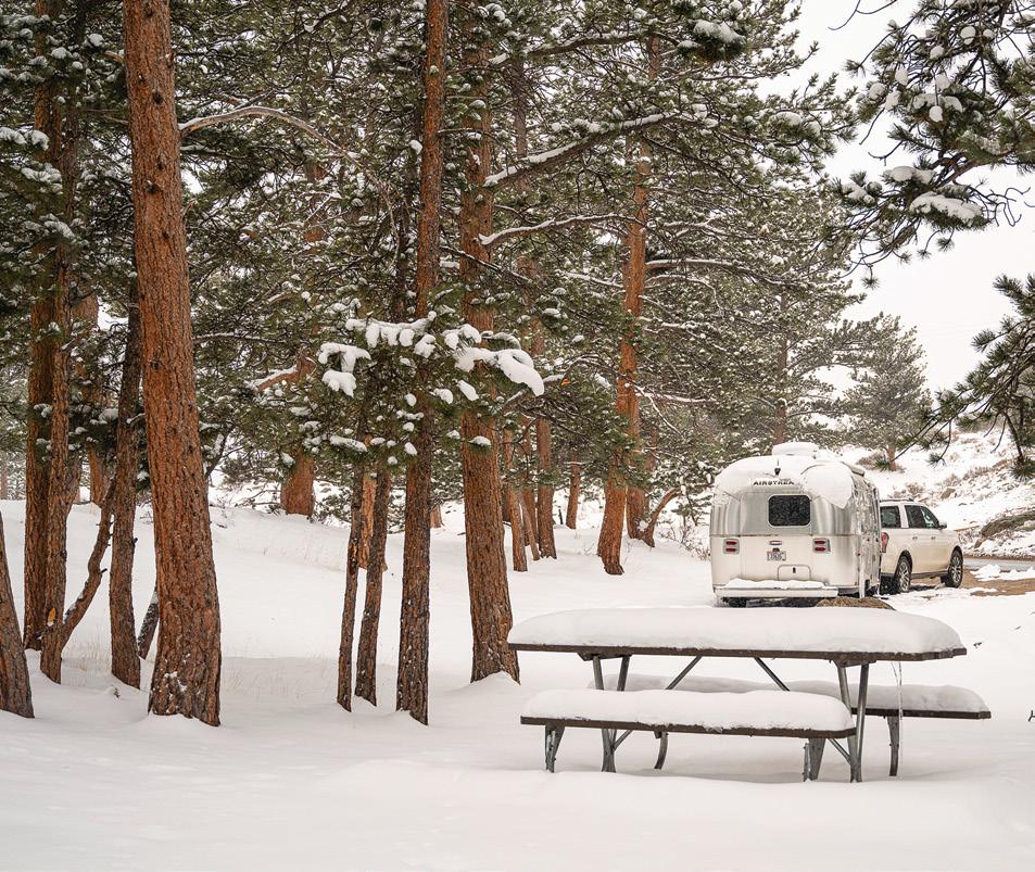
Moraine Park Campground is a historic landscape shaped during the Mission 66 era, where campsites were carefully integrated into the surrounding environment. Today, aging utility systems require upgrades, creating the need to balance essential improvements with protection of both natural and cultural resources. DHM led natural resource data collection and environmental compliance efforts in support of NEPA compliance for the Utility Rehabilitation Project, helping guide upgrades to water, wastewater, and electrical systems while minimizing impacts to the landscape.
DHM’s ecological team completed civic engagement efforts for NEPA, special status plant species surveys and reporting, a wetland delineation and permitting support, and a functional assessment of wetlands (FACWet) for the site. As part of the field-based efforts, DHM’s staff developed a detailed schedule for the field work, coordinated with the park, conducted field assessments, completed appropriate field form documentation, compiled data into federally compliant databases, and generated thorough reports documenting findings.
PROJECT SERVICES
Ecological Services
Preservation, Rehabilitation, and Restoration
Accessibility
Environmental Compliance Water Quality & Waste Water
Cuyahoga Valley National Park
RESTORATION
Cuyahoga Valley National Park holds important ecological and cultural value, yet many previously developed parcels continue to fragment habitat and limit natural processes. Our team was hired to address this challenge by targeting 36 properties totaling approximately 93 acres across the park. DHM Design’s Ecological Services team supported the National Park Service by leading aquatic resource delineation, ESA compliance support, and ecological restoration design to guide the removal of existing structures and return these sites to natural landscape conditions.
Field surveys were conducted across all sites to inventory wetlands, streams, ponds, and other waters of the U.S., and to document resource boundaries in support of Section 404 permitting, NPS Director’s Order 77-1 compliance, and overall project planning. Wetlands were delineated using the USACE three-parameter methodology, including evaluation of hydrophytic vegetation, hydric soils, and wetland hydrology, along with ordinary high water mark identification for stream features. DHM mapped aquatic resources with submeter GPS accuracy, completed paired sample points, and evaluated wetland function using the Ohio Rapid
PROJECT SERVICES
Ecological Assessment & Recommendations
Wetland Delineation
Ecological Restoration
Regulatory Compliance
Assessment Method (ORAM) to inform regulatory review and impact avoidance strategies. In parallel, DHM prepared a Biological Assessment to support Endangered Species Act compliance for the project’s demolition and restoration activities, including literature review, technical document creation, and coordination with the USFWS. The Biological Assessment reviewed listed species such as Indiana bat, northern long-eared bat, tricolored bat, and monarch butterfly and incorporated conservation measures, seasonal restrictions, and best management practices to avoid and minimize impacts listed during demolition and restoration phases.
DHM also played a central role in developing the ecological restoration approach for each property. The restoration design prioritized removal of invasive species such as reed canarygrass, phragmites, cattails, and turf grass, followed by revegetation with parkapproved native seed mixes and plant material. Wetland restoration strategies include integrated mechanical and chemical invasive control, hydrology-informed revegetation, and installation of native wetland plants to improve resilience, habitat quality, and long-term ecological function.
North Star Preserve
PRESERVATION
Aspen, Colorado
Situated just above Aspen, Colorado, and connected to the headwaters of the Roaring Fork River, the ancient wetland at North Star Preserve is a rare and vital ecosystem shaped by millennia of natural forces and cultural history. This 6,700-yearold fen, with its pristine waters and diverse habitats, provides a sanctuary for wildlife and serves as a living link to the region’s ecological legacy.
Following construction of agricultural ditches in the 1950s, the wetland experienced significant water loss. In partnership with Pitkin County, DHM designed restoration strategies to reduce outflow and increase seasonal inundation — conditions essential for the wetland’s long-term resilience. Native plantings and seedings were introduced to support the recovery of natural ecological processes, resulting in a revitalized wetland, improved water quality, and strengthened biodiversity.
PROJECT SERVICES
Wetland Restoration
Monitoring & Field Observation
Invasive Vegetation Mitigation
Three Springs
STORMWATER WETLANDS
Durango, Colorado
Three Springs, Durango’s first traditional neighborhood development, is a vibrant, walkable community and place to live, work, shop, and play. Owned and developed by the Southern Ute Tribe, the area was once a working ranch and agricultural acreage within a wider natural landscape. The community green spaces were carefully designed to mirror selfsustaining ecosystems. Doubling as a passive recreation space, the innovative drainage system features stone blocks that dissipate storm energy while also providing seating areas. Faced with significant drainage challenges, the design team collaborated with the client to incorporate recreation opportunities alongside ecological solutions.
Southern Open Space and Confluence Park were constructed to treat stormwater, restore wetlands, and provide passive recreation. The wetlands, forebay, and water quality swales catch and filter run-off from the impervious surfaces created for the new community. Oil, sediment, and other contaminants are collected and treated by the forebay and wetlands before entering the larger watershed. The wetlands help protect the water quality of Wilson Gulch and the Animas River.
PROJECT SERVICES
Site Inventory & Analysis
Stormwater Management
Riparian Restoration
Water Systems Restoration
Ecological Assessment
Wetlands Permitting
Landscape Architecture
Visualization
2007 CCASLA Merit Award for Planning AWARDS
THREE SPRINGS STORMWATER
REVEGETATION
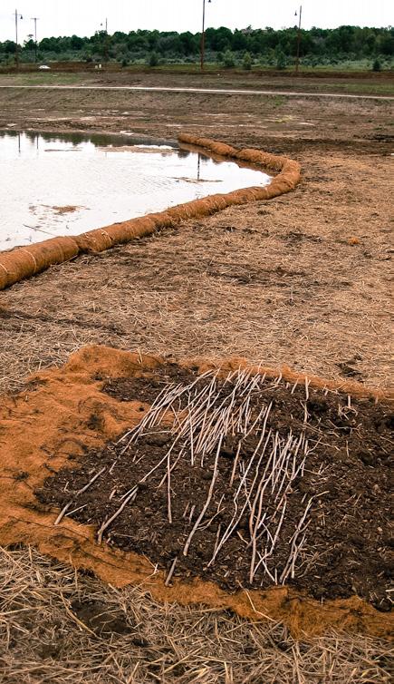
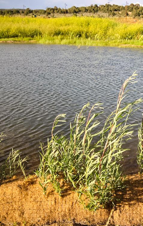
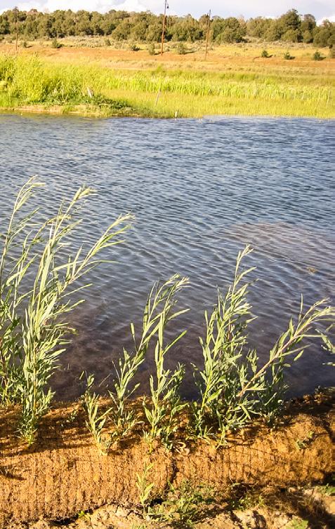
Bioengineering techniques were used for the revegetation, channel stabilization and wetland restoration at Three Springs. This image shows a willow log, constructed using 100% biodegradable coir fabric, topsoil with organic amendment and native willow cuttings. The mixture is rolled up into a 16” diameter log and installed between the toe of the slope and the water’s edge. Willow stakes harvested on-site were installed into the ground deep enough to get to groundwater. Through these techniques a healthy stand of willows, and critical Willow FlyCatcher habitat, has been restored on the once disturbed site. The willows help to stabilize the slope along the edge of the channel and prevent erosion.
Stewardship
We are guided by a deep respect for the natural landscape. As individuals, we are inspired by it. As a firm, we study it, protect it, and design in partnership with it.
Our work integrates art and science, design and ecology. We seek balance between human use and natural systems: restoring landscapes, strengthening ecological function, and enriching the human experience. These principles guide every project we undertake.
DHM brings decades of experience working alongside agencies, landowners, and communities to navigate complex environmental conditions and regulatory frameworks. Our long-standing partnerships with the National Park Service, State Parks, and other public land agencies have shaped a thoughtful, responsible approach to stewardship. We prioritize both protection and meaningful access.
Through science-based planning, collaborative design, and long-term management strategies, we deliver durable solutions that sustain landscapes well beyond project completion.
Our connection to the natural world has taught us to act with humility and care. To honor ecological and cultural heritage. To minimize our footprint. To communicate clearly.