
SPRING 2026
CITY COUNCIL:
Megan Czako, Council Chair
Aaron Glasgow, Vice-Chair
David Grimes, Mayor
Kelley Stocker, Vice-Mayor
Daniela Beckett, Member
Jeff Washburn, Member
Kenneth L. Wright, Member
STAFF:
Monica Dupee, City Manager
Jason Bechtold, Assistant City Manager
Christa Dickey, Chief of Staff
Hillary Bates, Community Affairs Director
J.R. Fourqurean, Parks and Recreation Director
Laura Ball, PLA, ASLA, Parks and Facilities Development Administrator
David Elfland, Planning and Development Department Director
Nate Lang, PE, City Engineer
Jeff Kessler, Project Manager
Elise Scheillin, Planning Manager
Jeff Buehler, Planner
Matt Leasure, PLA, AICP, LEED AP, CPRP, Landscape Architect & Urban Planner
Joe Johnson, PLA, ASLA, Landscape Architect
Jaime Schmotzer, Urban Designer
Gabrielle Smith, Urban Planner
Urban Decision Group, Trail Infrastructure & Demographic Analysis
Rick Stein, AICP, Principal & Owner
Tyler Spears, Senior Consultant


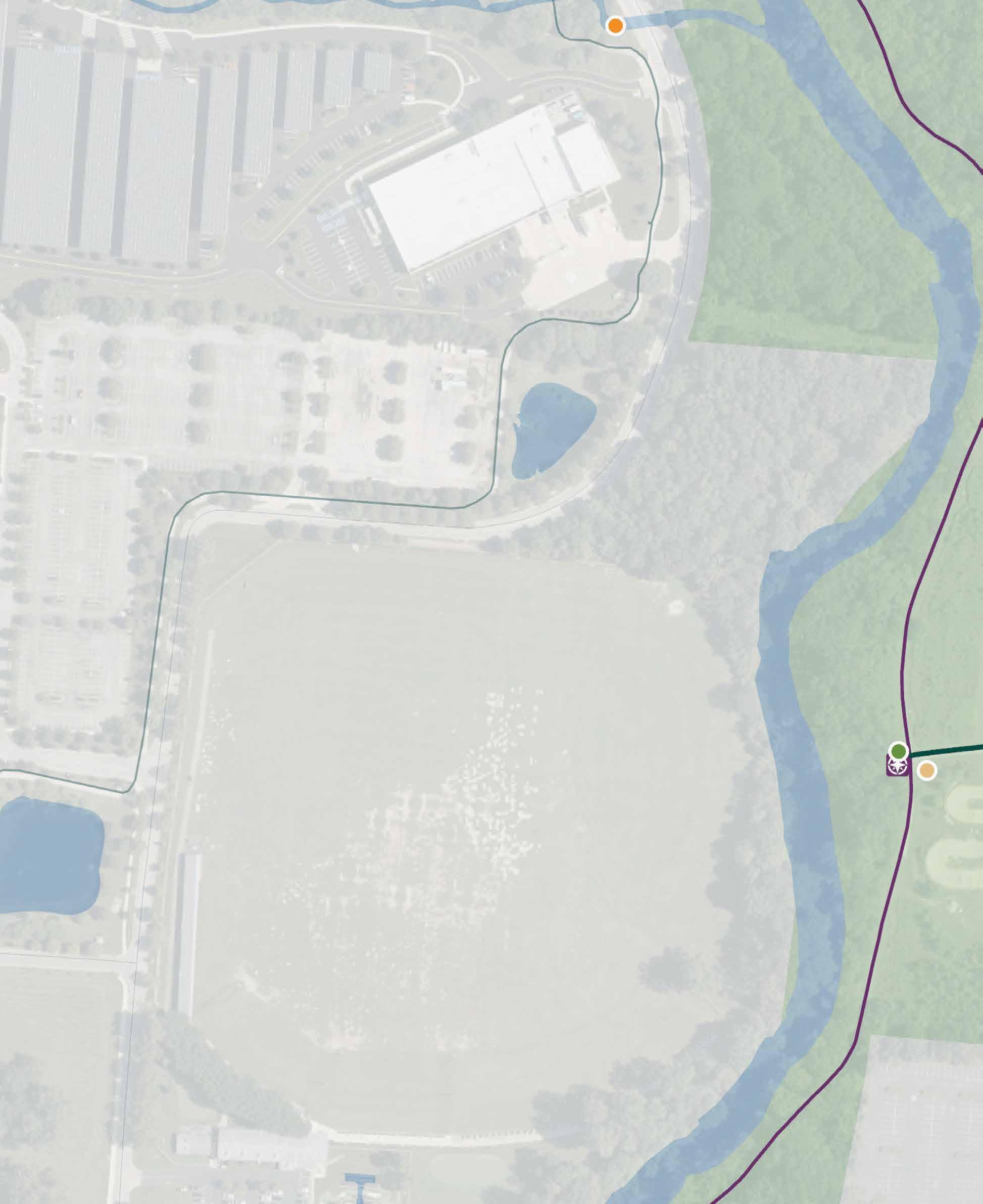
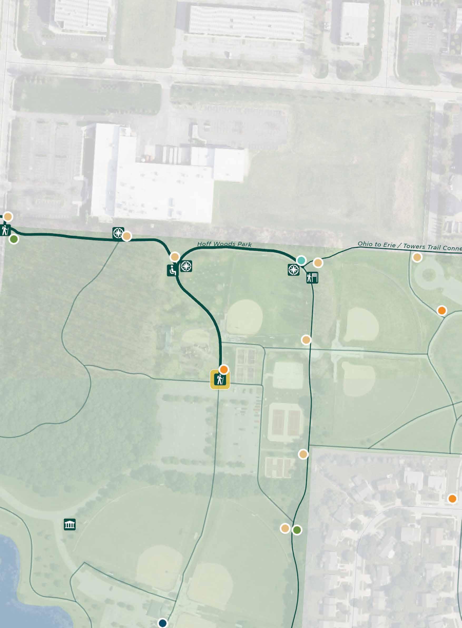
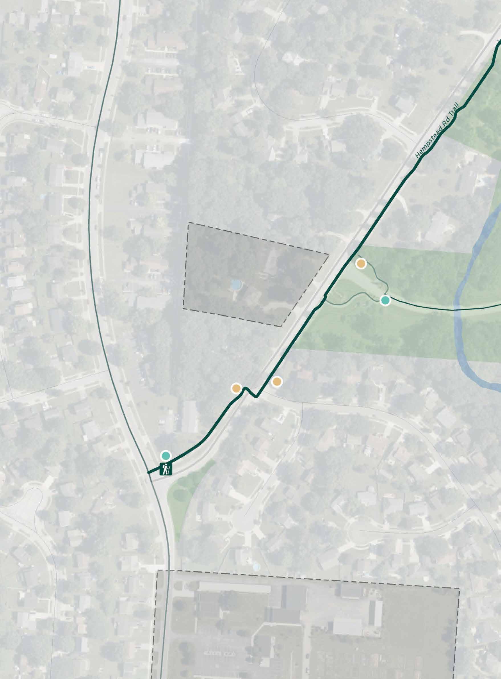
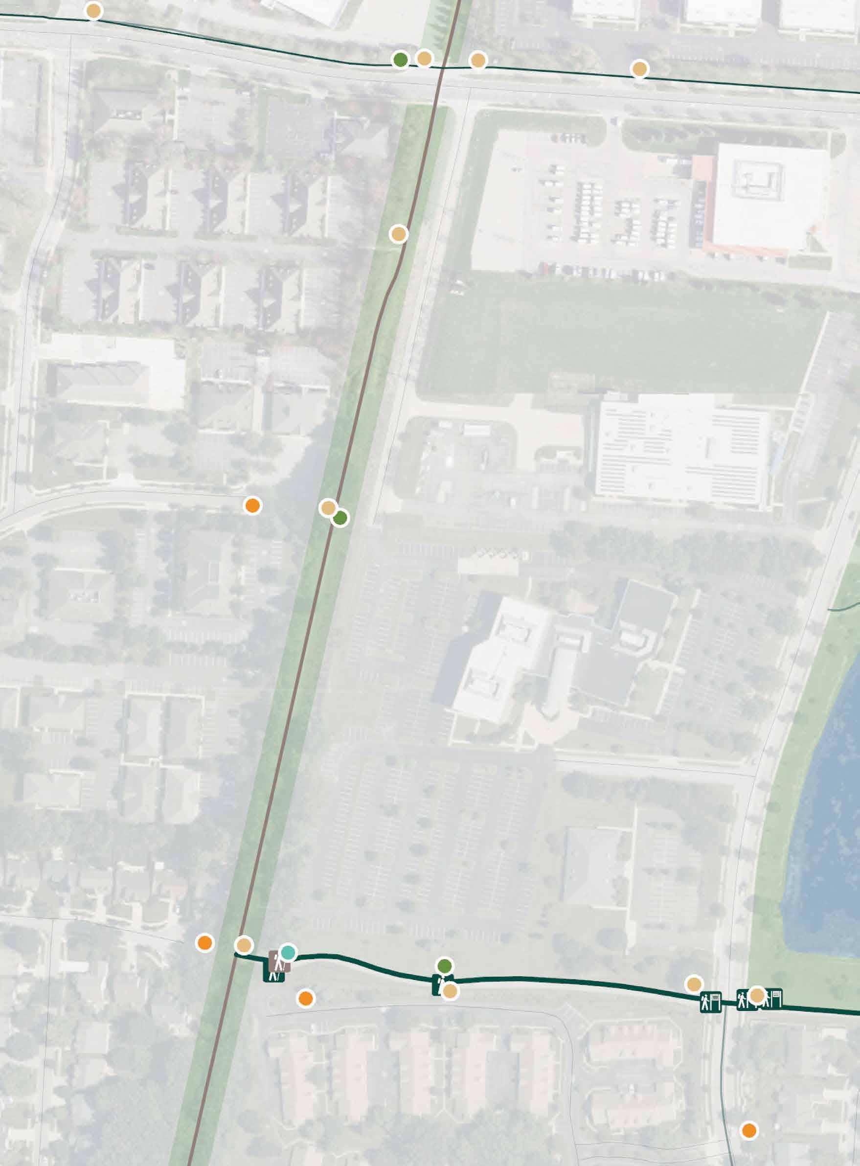
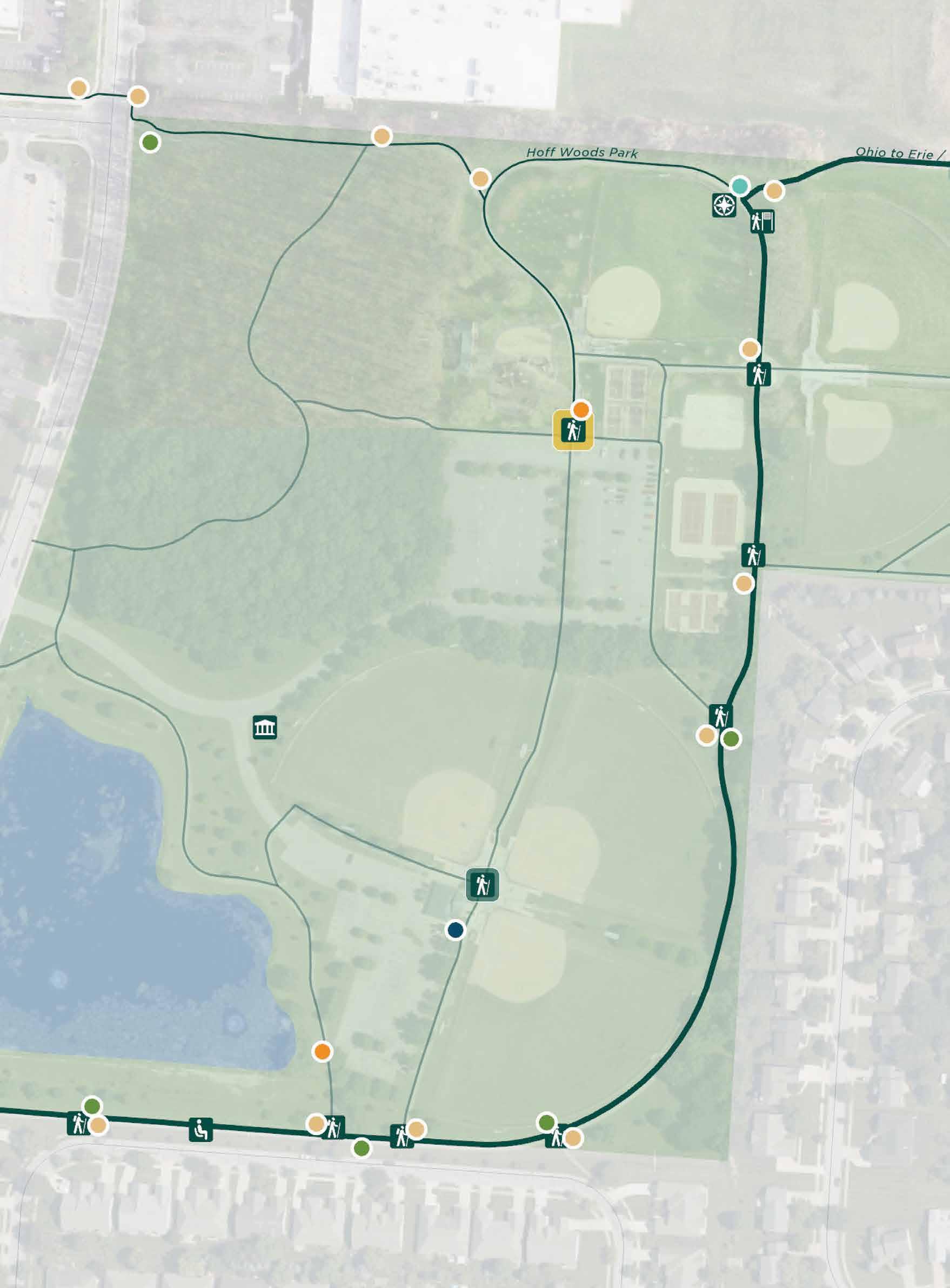
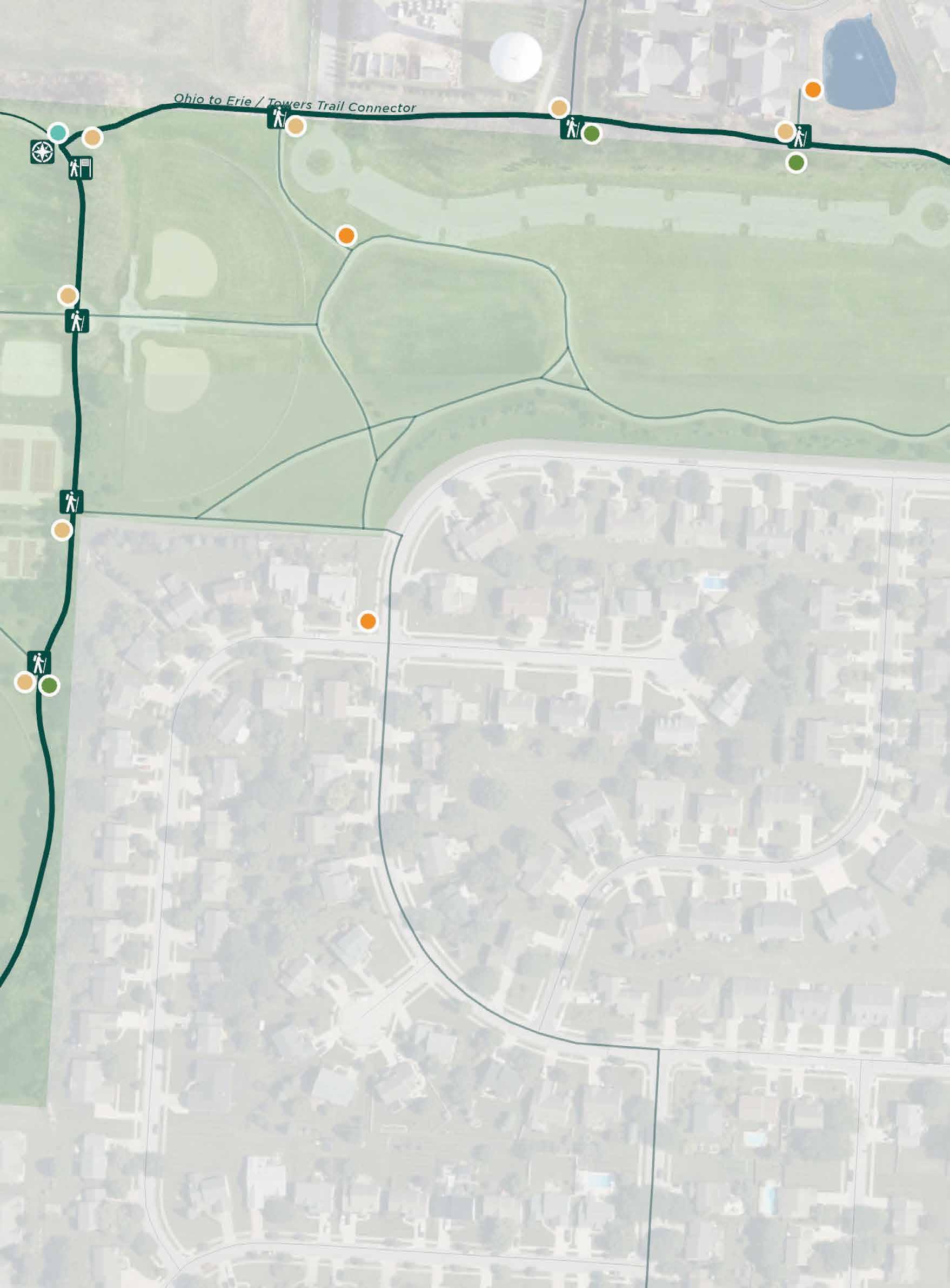
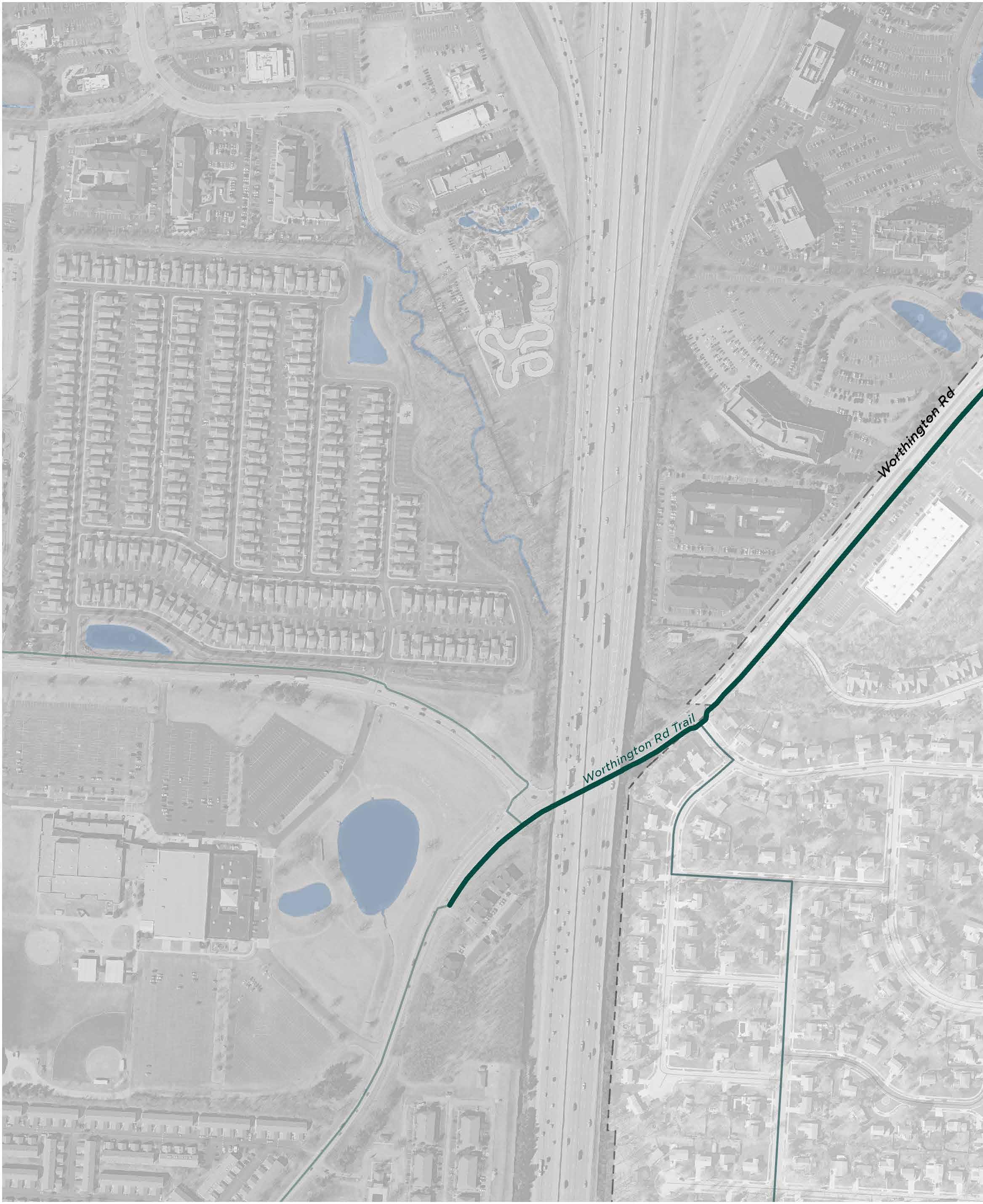
93 | Hoff Woods Trail - Enlargement 6
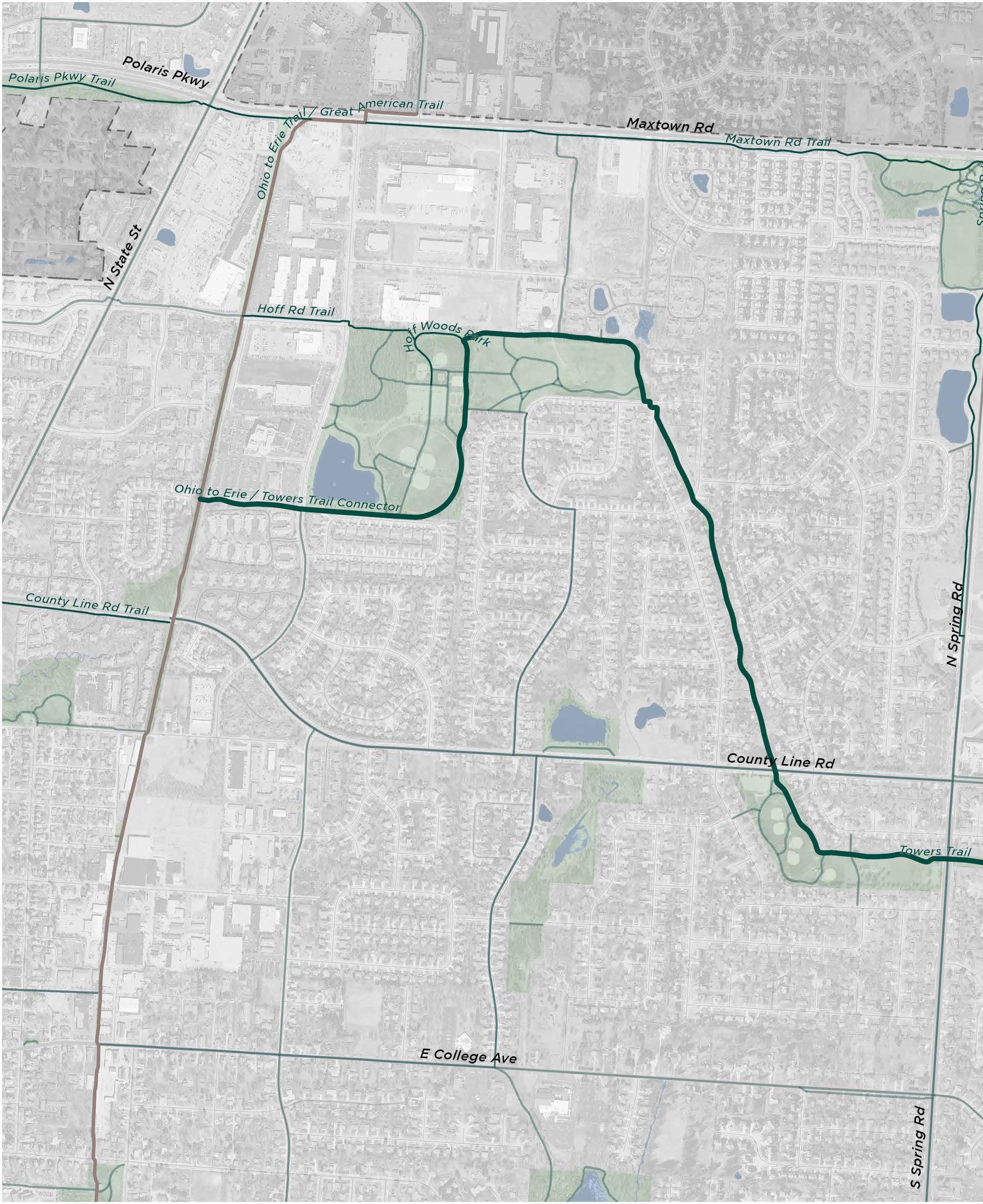
94 | Huber Village Connector Trail - Overview
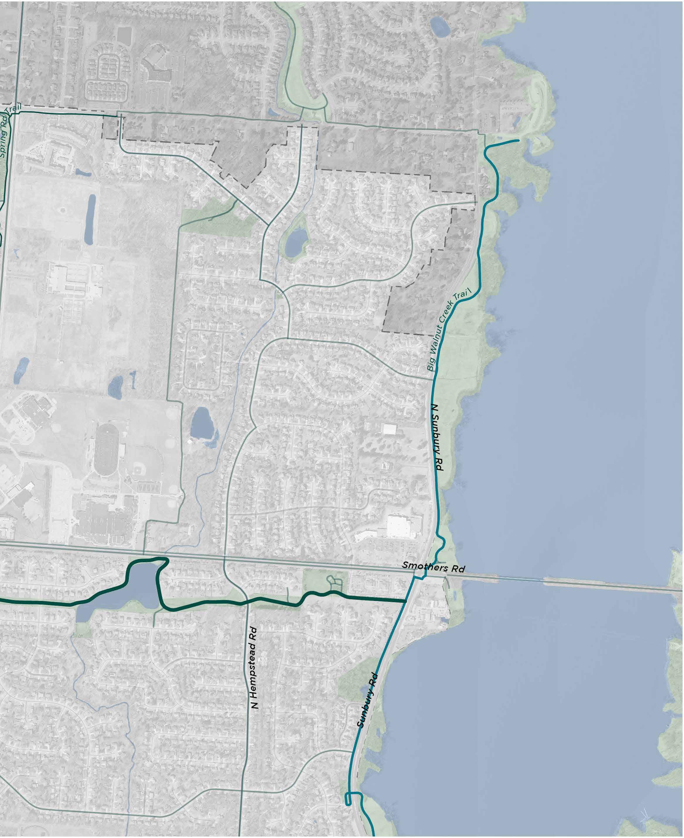
95 | Huber Village Connector Trail - Enlargement 1
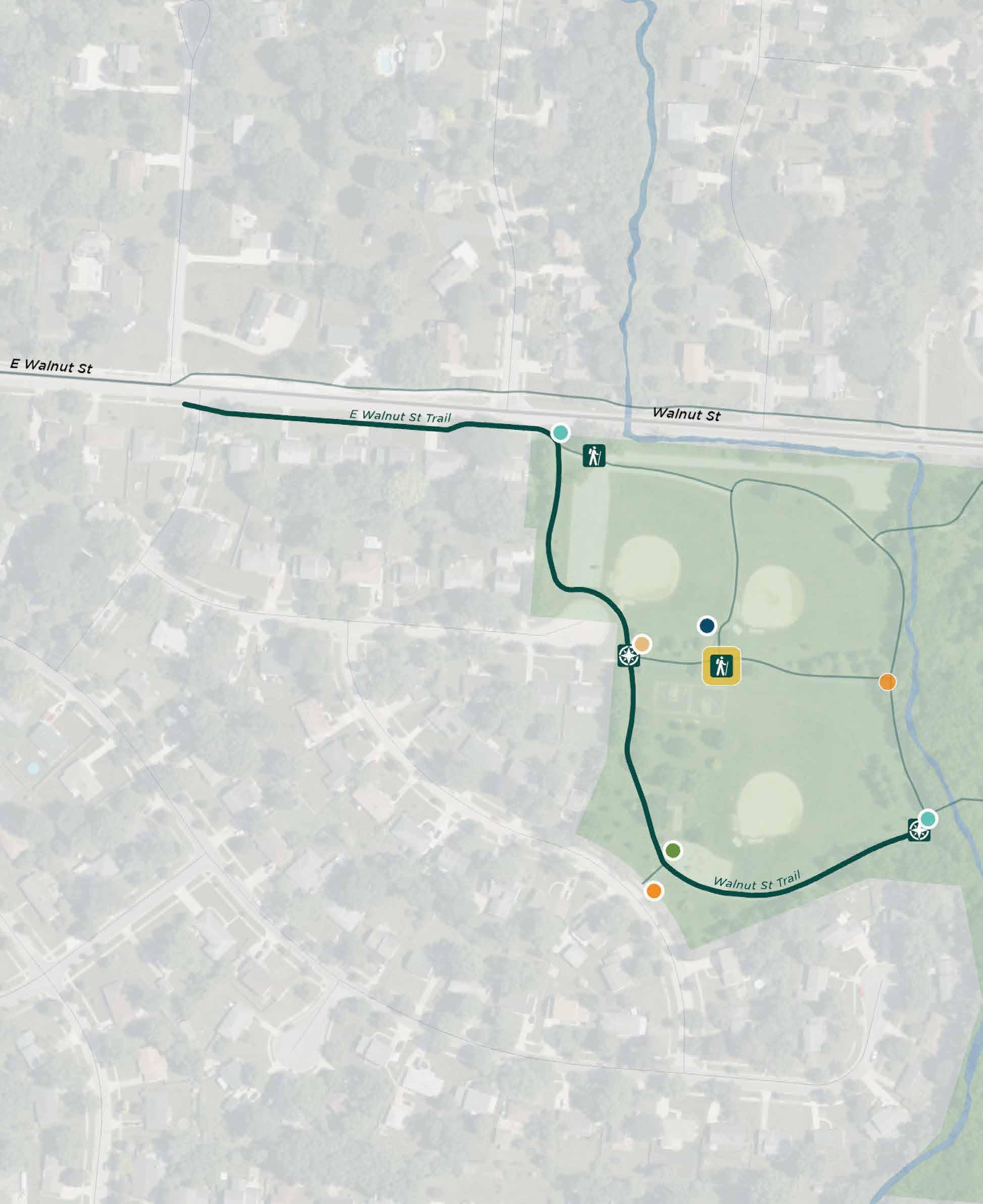
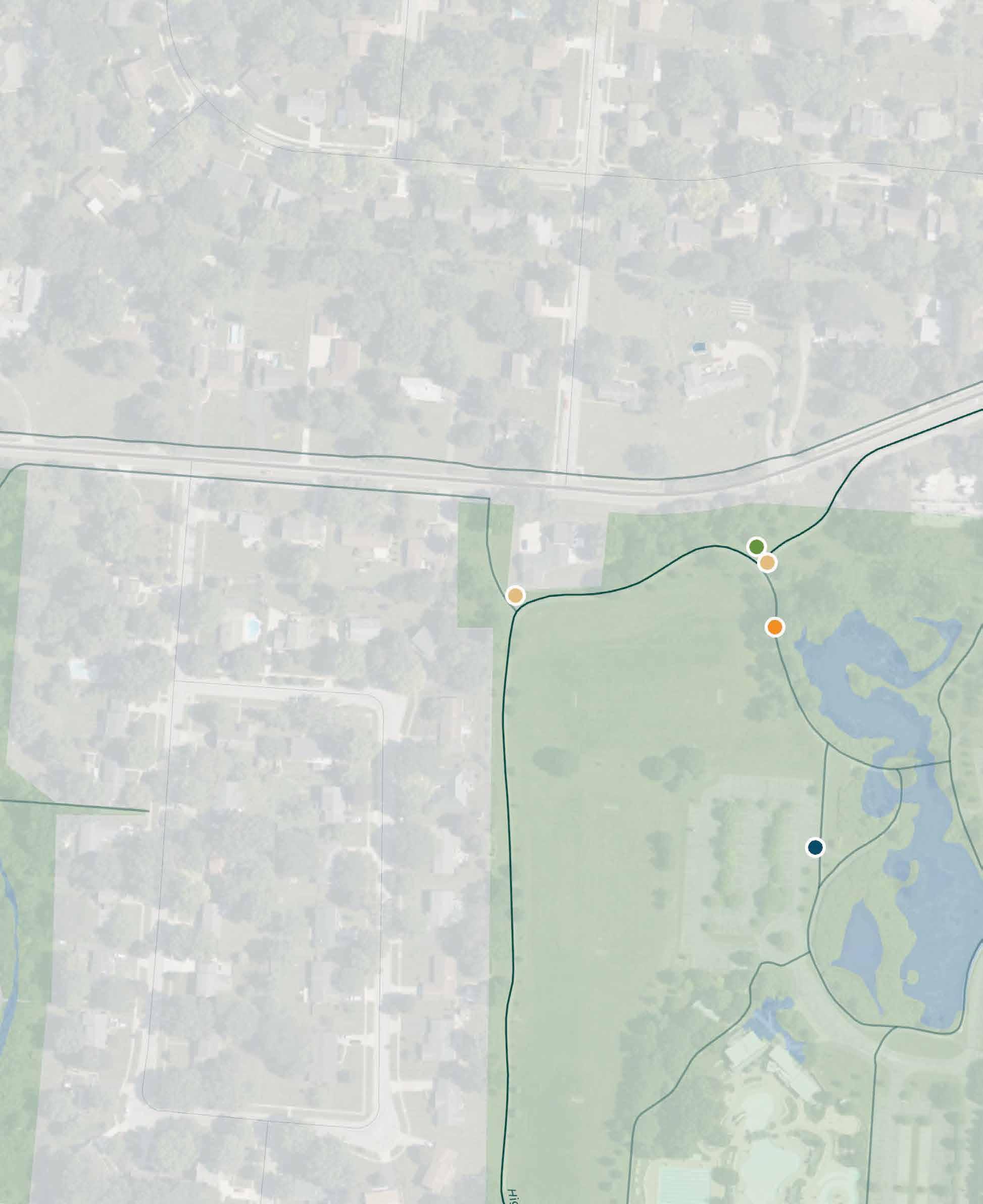
Figure 96 | Huber Village Connector Trail - Enlargement 2
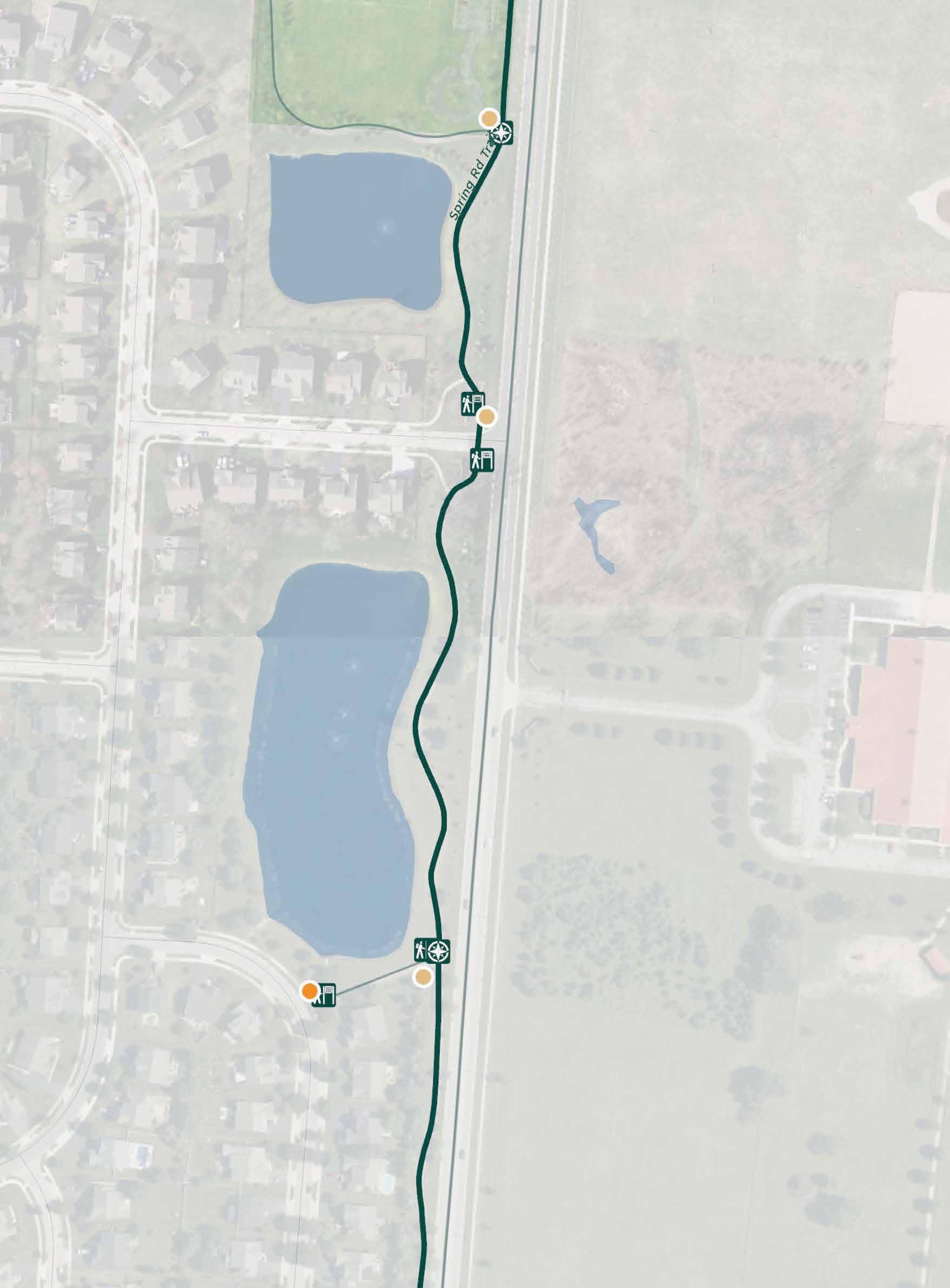
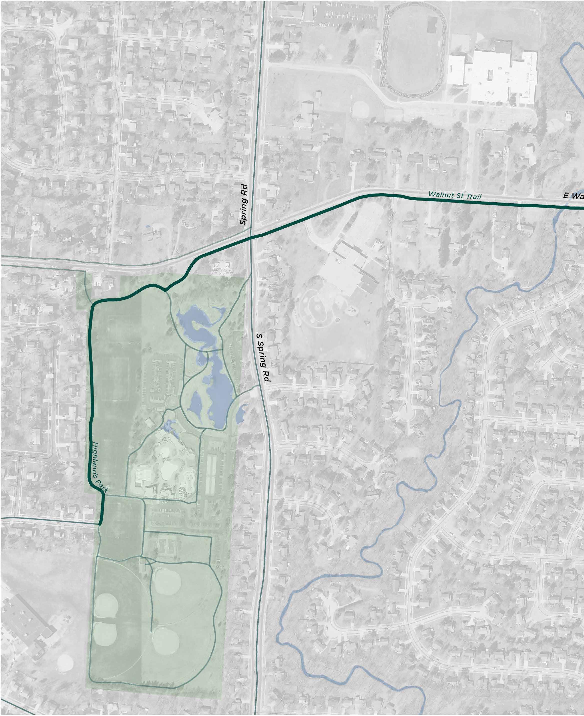
Figure 98 | North Spring Road Trail - Enlargement 1
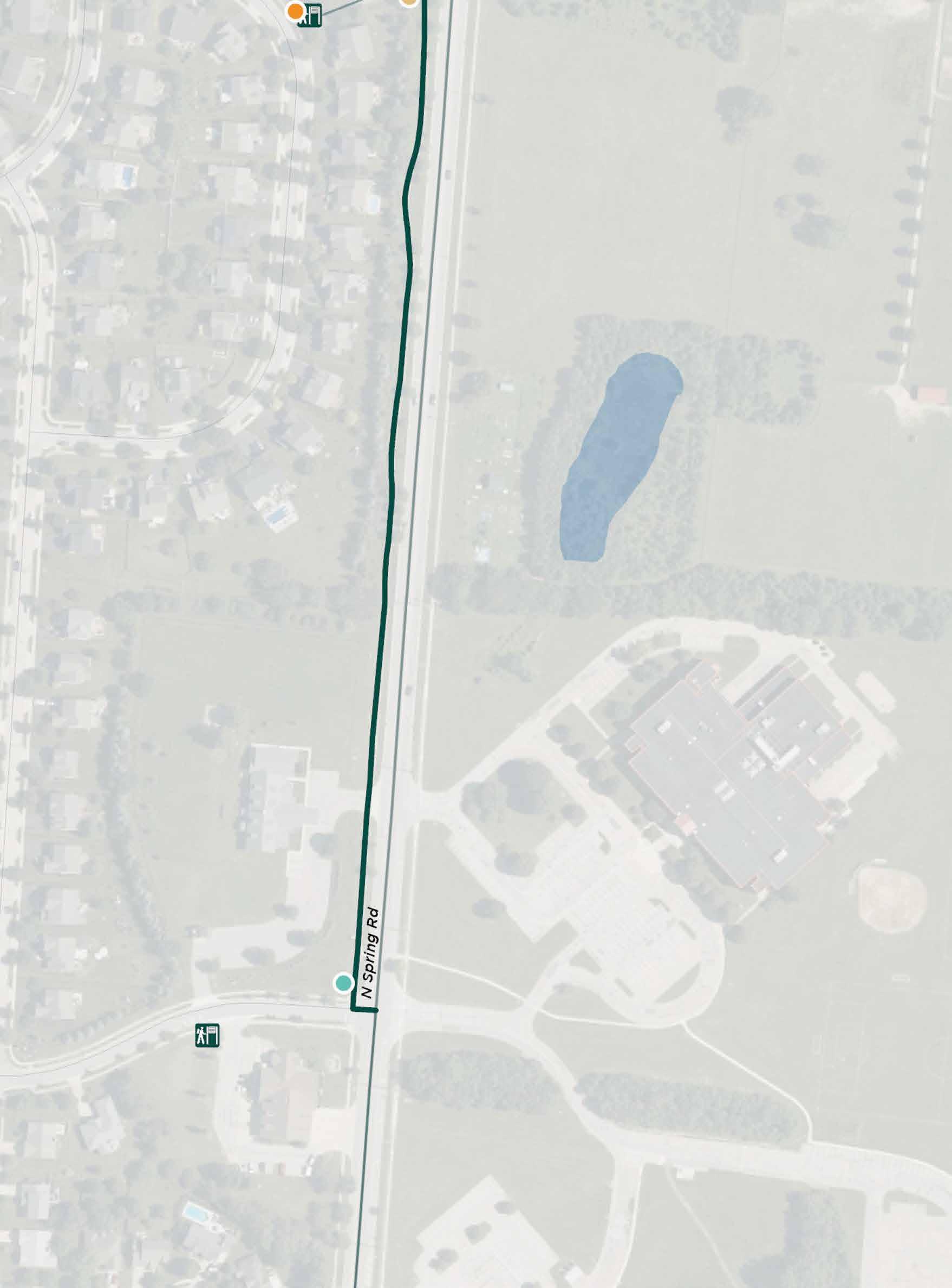
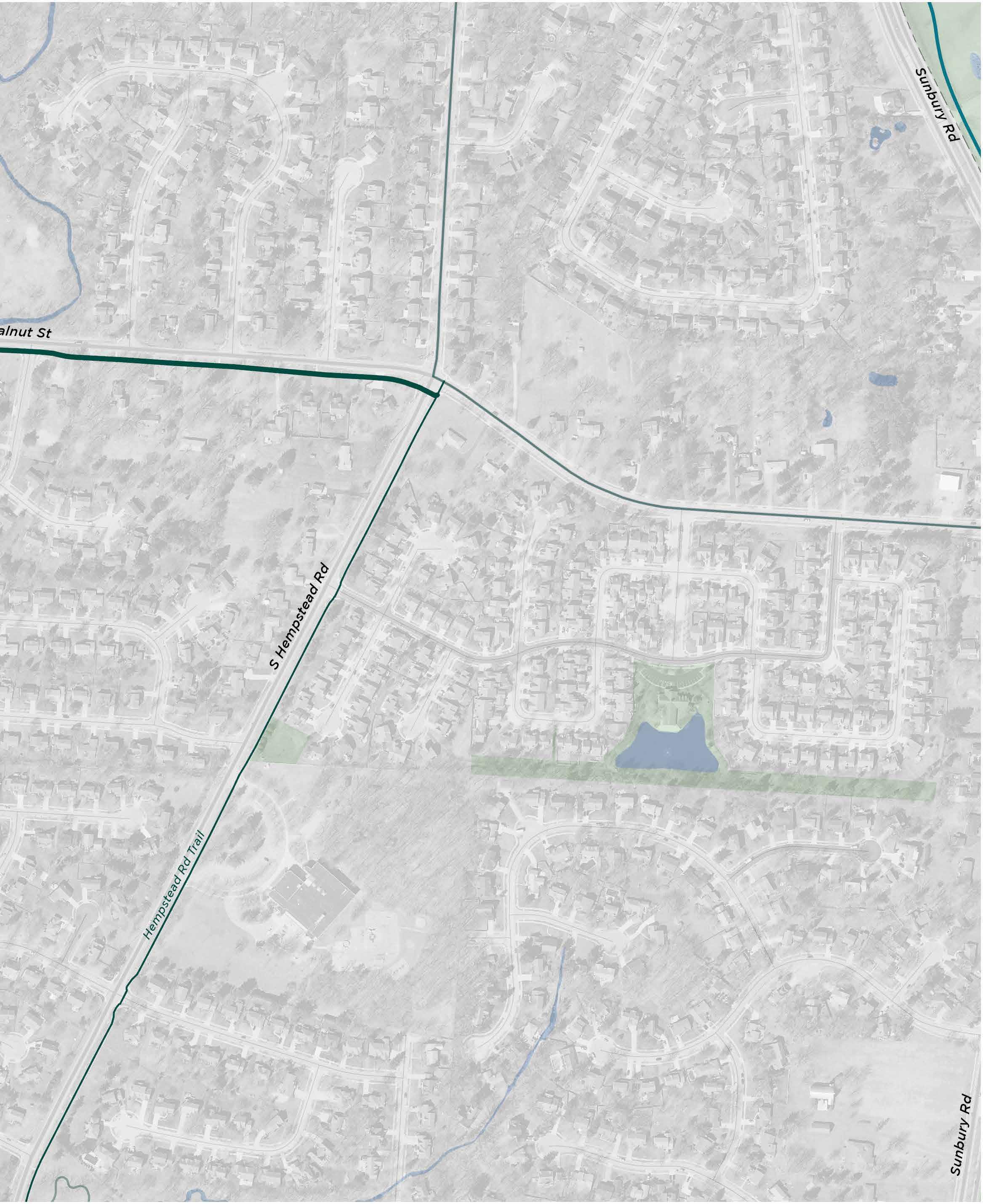
Figure 99 | North Spring Road Trail - Enlargement 2
Figure 100 | North Spring Road Trail - Enlargement 3
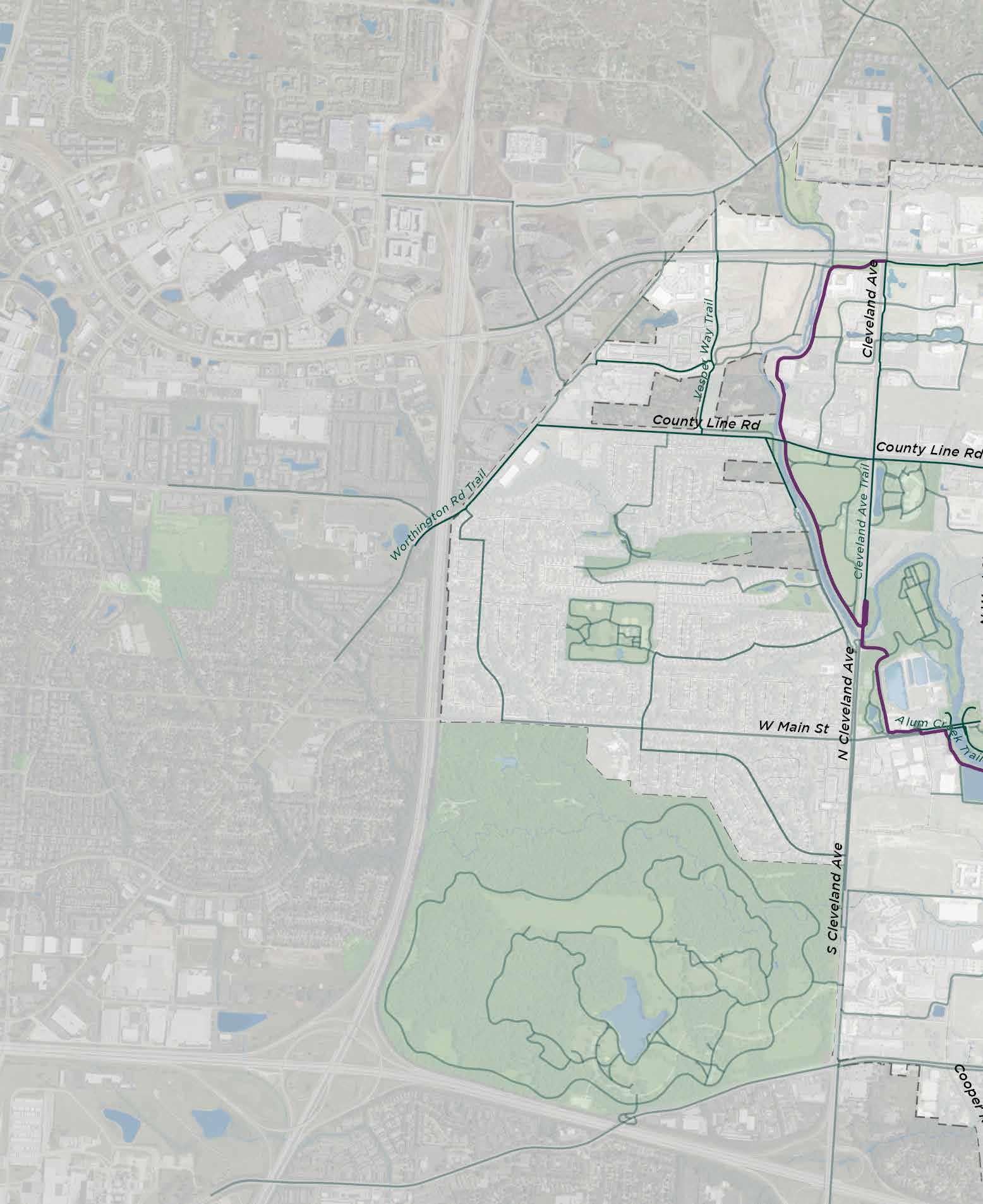
Figure 101 | Ohio to Erie Trail - Overview
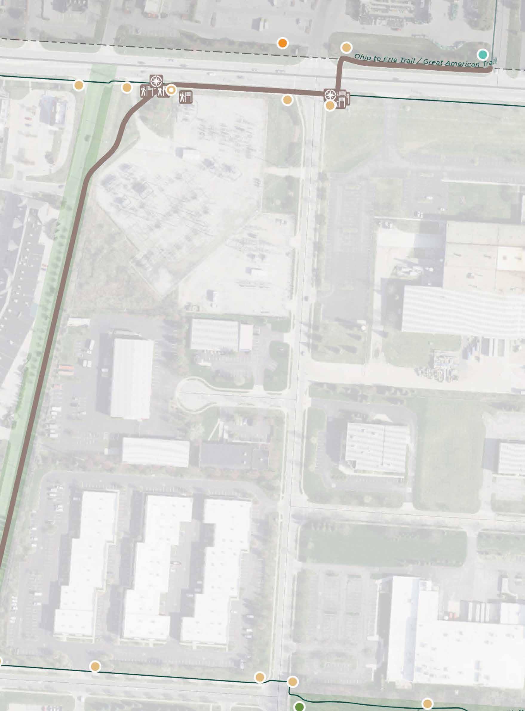
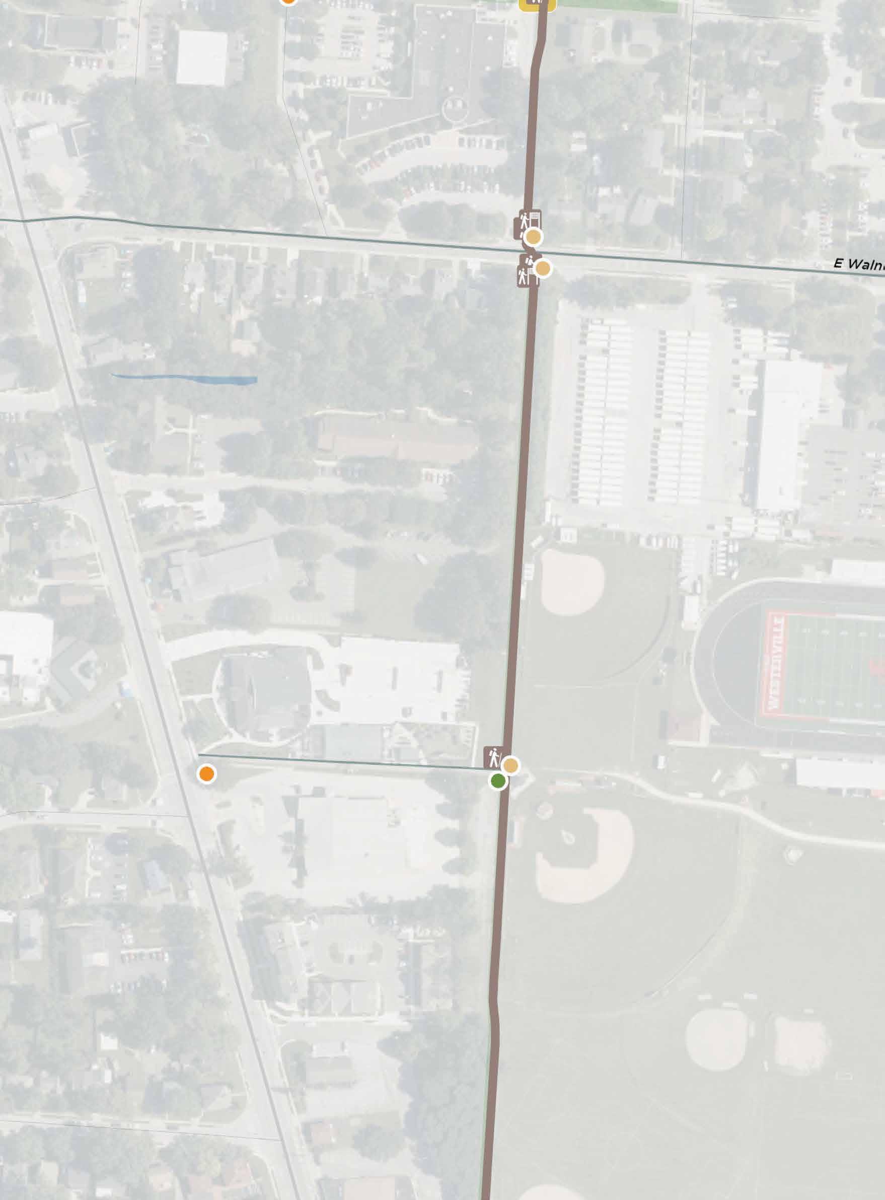
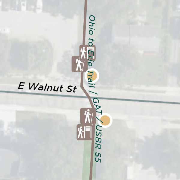
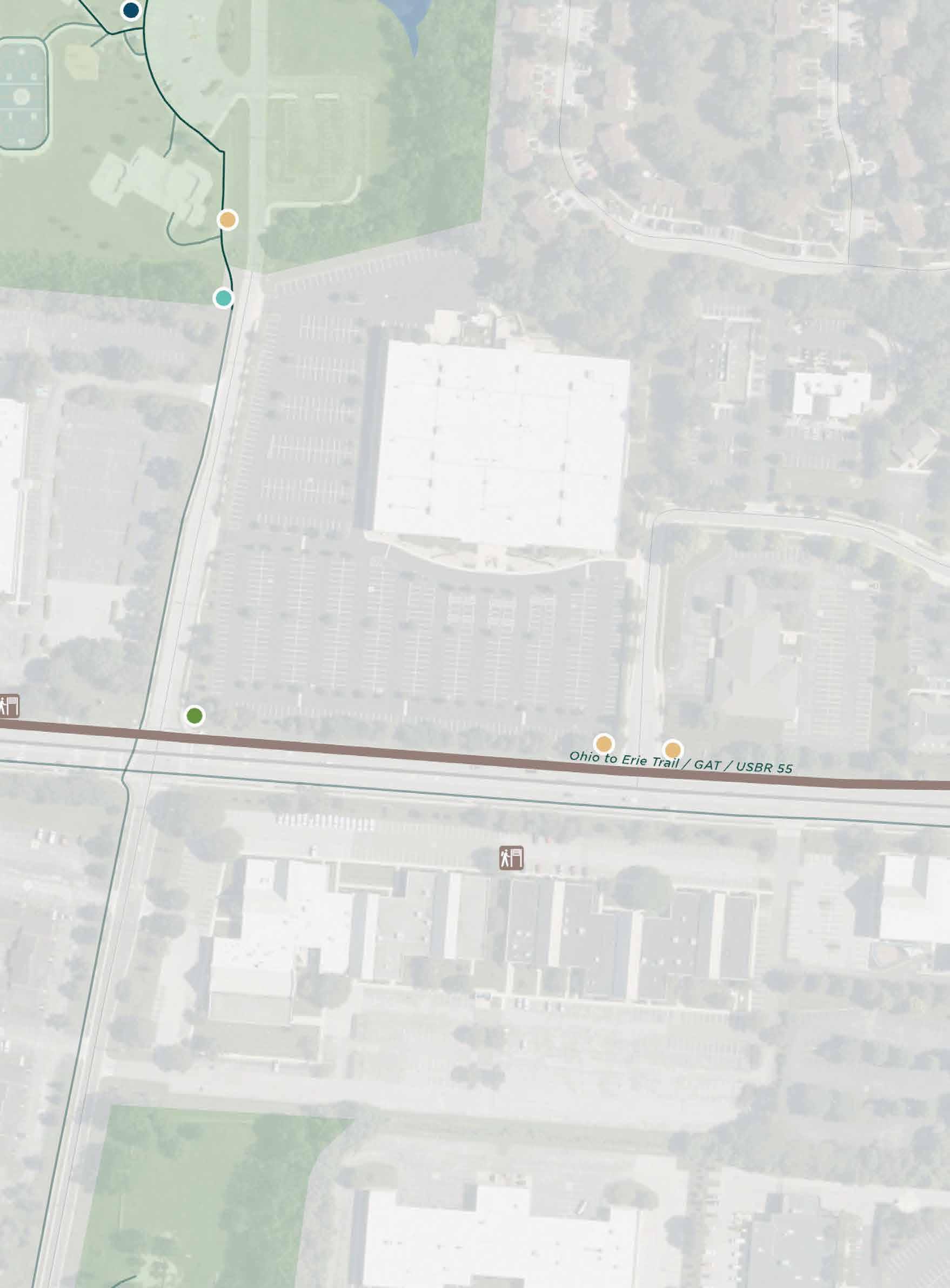
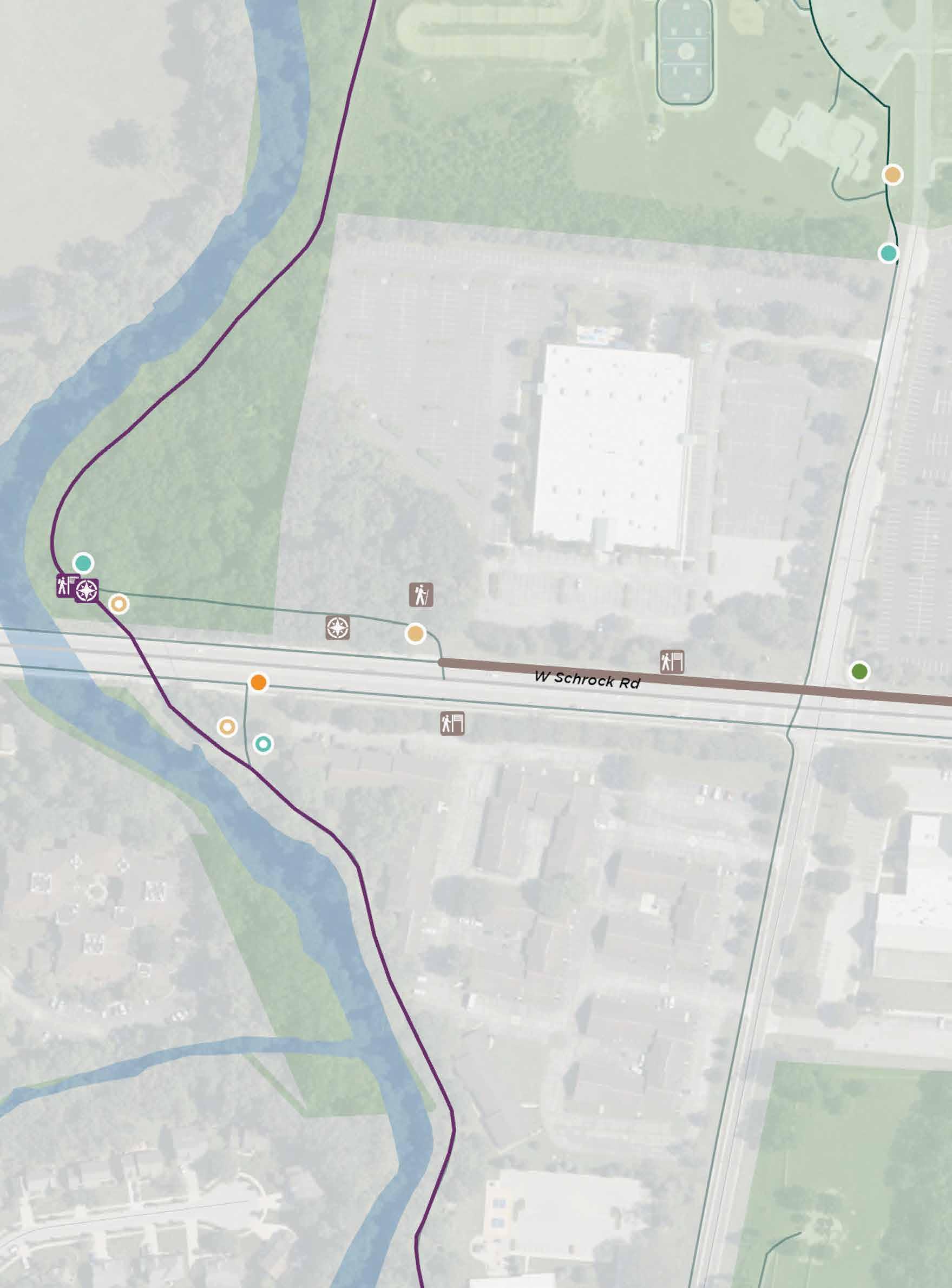
Figure 102 | Ohio to Erie Trail - Enlargement 1
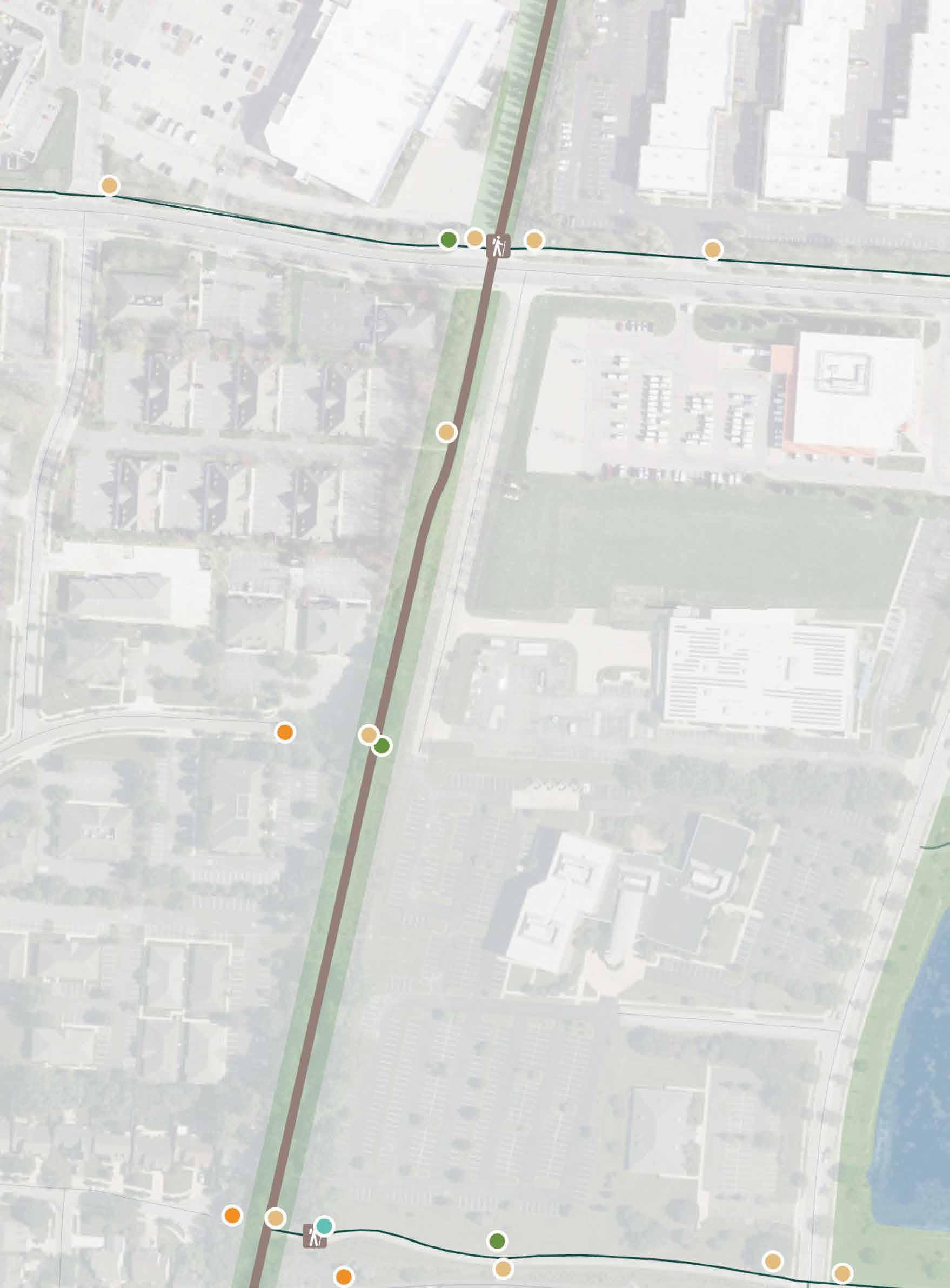
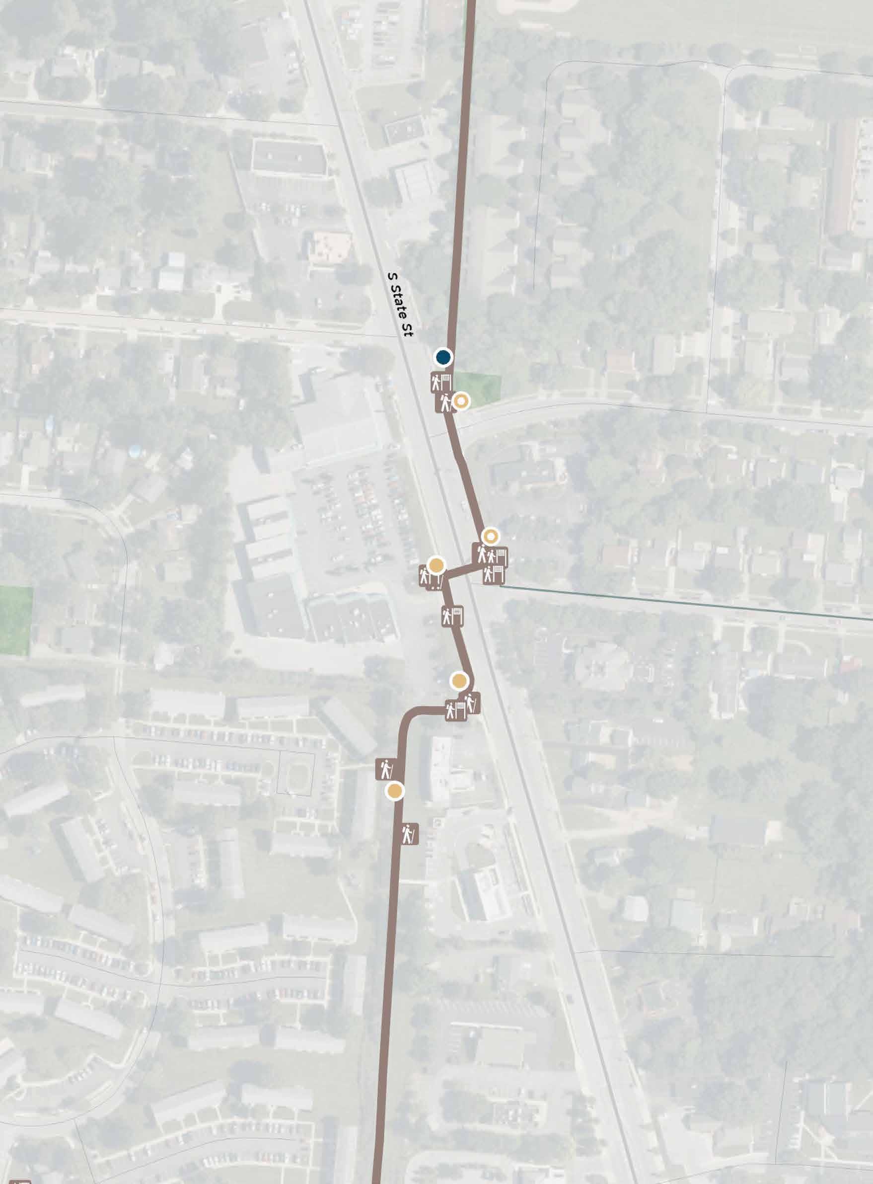
Figure 103 | Ohio to Erie Trail - Enlargement 2
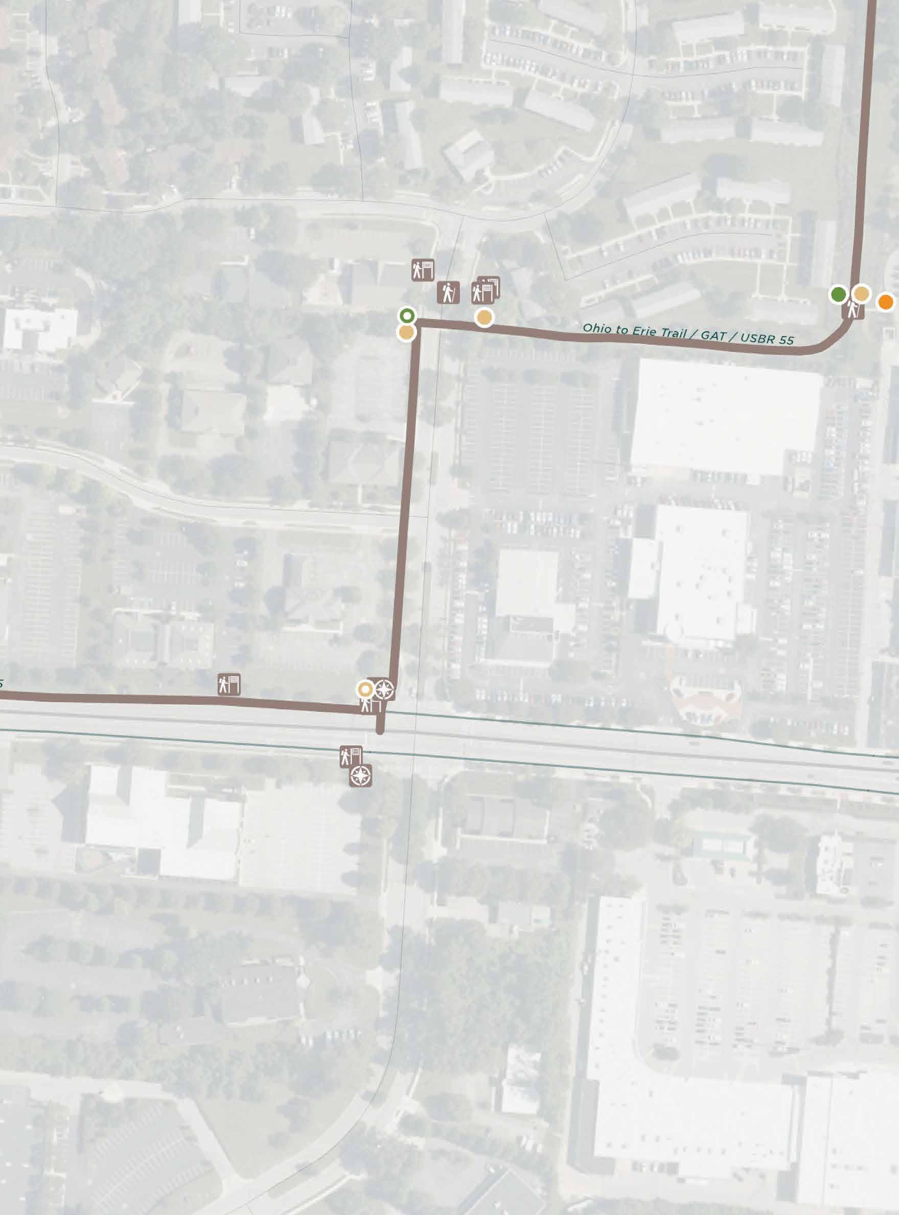
Figure 104 | Ohio to Erie Trail - Enlargement 3
Figure 105 | Ohio to Erie Trail - Enlargement 4
Figure 106 | Ohio to Erie Trail - Enlargement 5
Figure 107 | Ohio to Erie Trail - Enlargement 6
Figure 108 | Ohio to Erie Trail - Enlargement 7
Figure 109 | Ohio to Erie Trail - Enlargement 8
Figure 110 | Ohio to Erie Trail - Enlargement 9
Figure 119 |
Figure
Figure
Figure
Figure
SOURCE:
This plan is part of an initiative to strengthen wayfinding throughout the City of Westerville’s trail network. It builds upon Urban Decision Group’s (UDG) Westerville Trails Audit, which surveyed trail amenities and existing signs along 19 Westerville trails, including both Trails of Regional Significance and local collector, connector, and community trails. As part of the survey, UDG identified confusing places and those where nearby assets were not highlighted. Additionally, UDG documented demographic data for 20-minute walksheds at key places along the trails. The complete UDG Westerville Trails Audit can be found in this plan’s Appendix.
The primary goal of this wayfinding strategy is ensuring that trail users — both Westerville residents and out-of-town visitors — can comfortably and confidently navigate the system and easily access local Westerville amenities. This should allow riders to clearly identify which trail they are following and what local features they can explore.
Because there are several regional trails throughout the City of Westerville, its trails must follow the regional standard and contribute to a cohesive system. The Central Ohio Greenways (COG) Wayfinding Strategy Guide is therefore referenced to
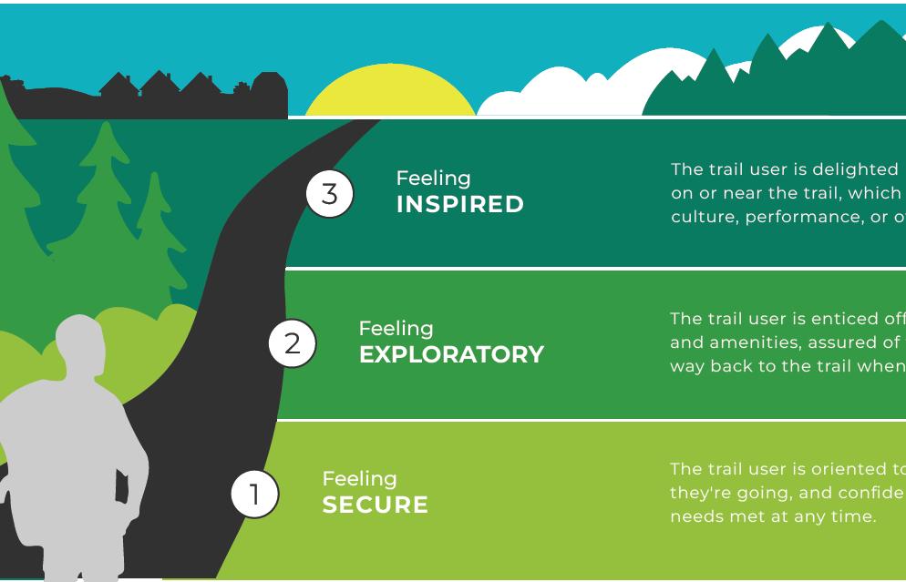
The Ideal Trail User EXPERIENCE
The trail user is delighted by a punctuating experience on or near the trail, which may pertain to the art, history, culture, performance, or other unique aspect of a place.
The trail user is enticed off-trail to partake of local assets and amenities, assured of their ability to find their way back to the trail when they’re done.
The trail user is oriented to where they are and where they’re going, and confident they can get their basic needs met at any time.
support the creation of this plan. This guide provides recommendations for expanding wayfinding in the Central Ohio Region to include a robust system of maps and signs, as well as non-traditional components such as placemaking and public art.
While maps and signage are vital to establish clear and navigable trails, placemaking elements that connect to a community’s unique identity offer trail users a memorable and engaging experience. Innovative and artistic features can become
iconic landmarks that draw visitors and provide navigational cues.
The map below highlights the 13 creative elements that exist along the Central Ohio portion of the Ohio To Erie Trail. Westerville has the opportunity to continue adding to this collection. Chapter 5 of this plan includes a demonstration site showing how public art and placemaking efforts can draw attention to the trail system and create interactive destinations throughout the City of Westerville and Central Ohio.
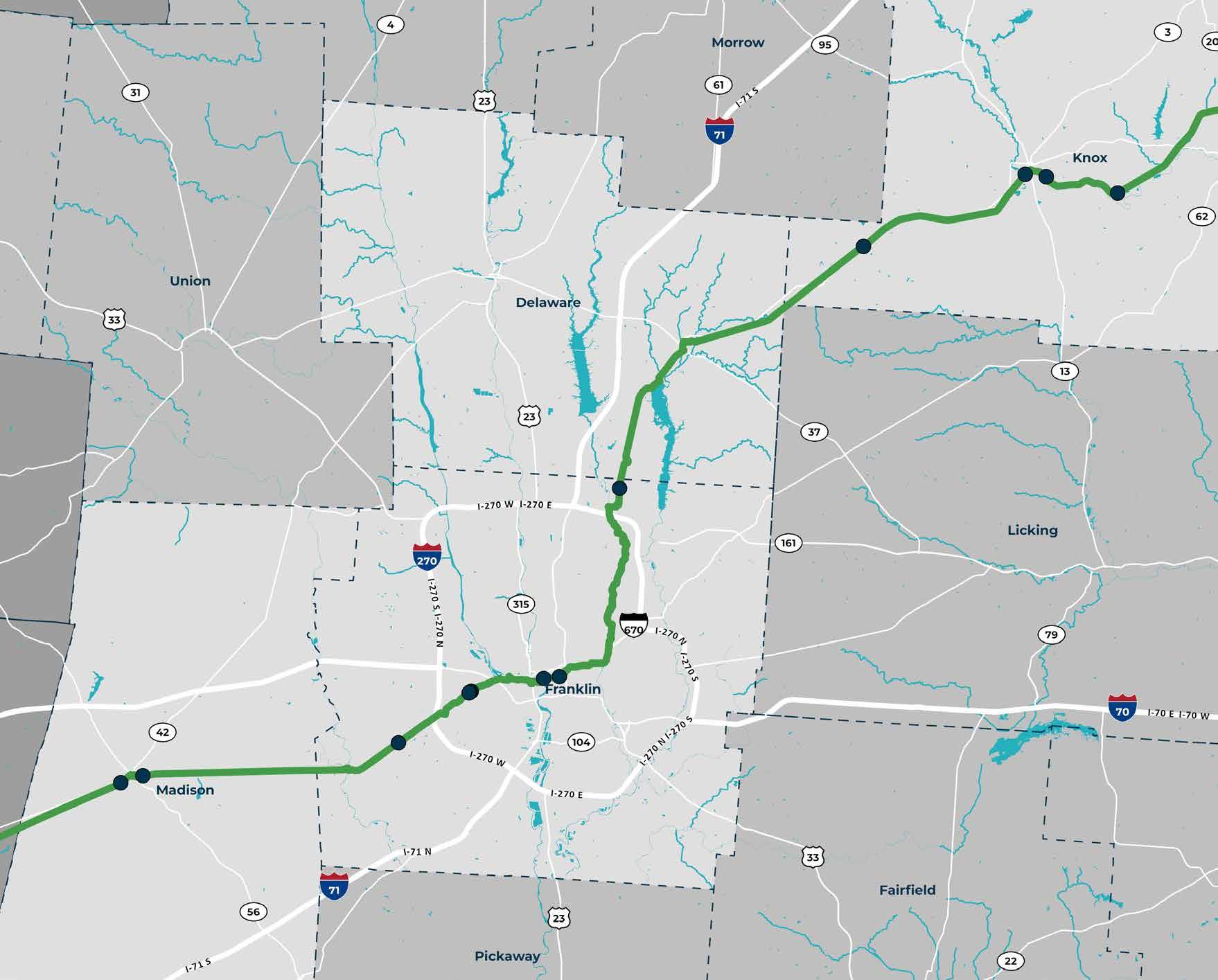
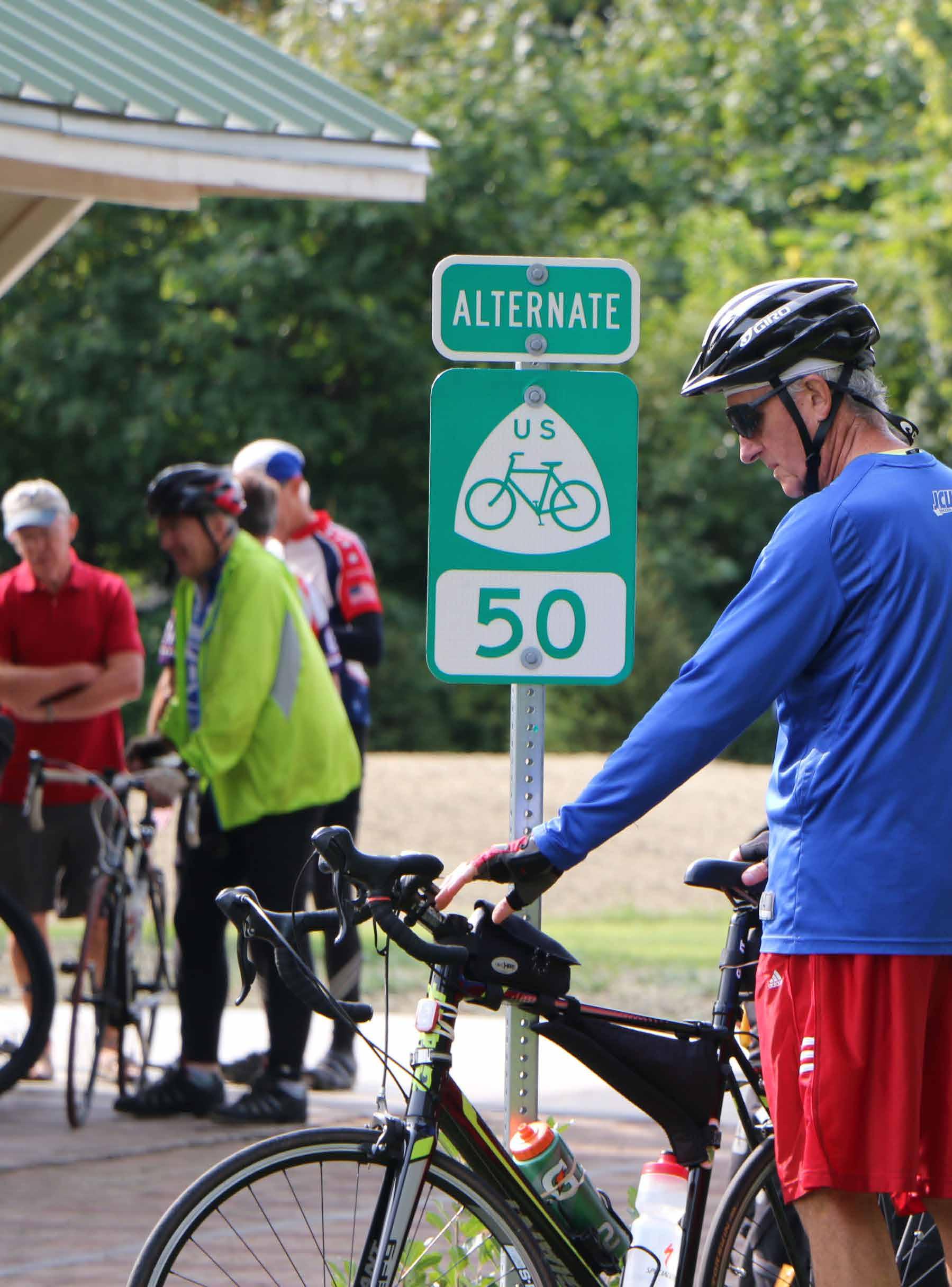
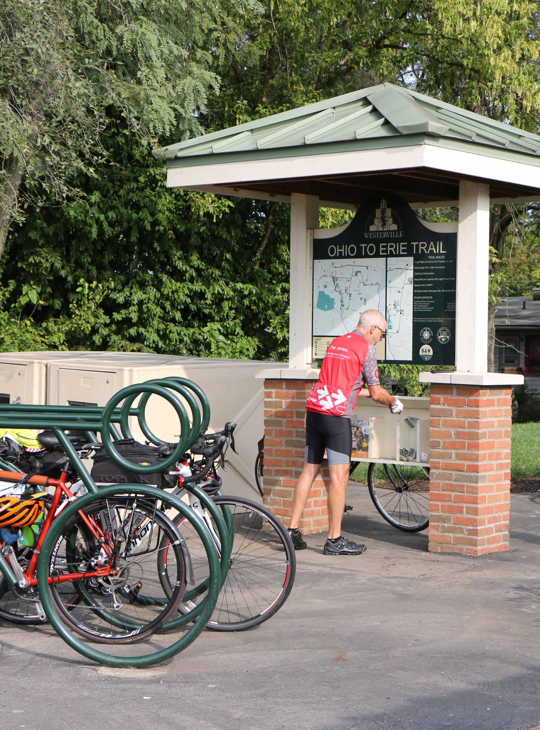
There are 13 sites with creative elements along this segment of the Ohio to Erie Trail — murals, sculptures, creative bike racks, historic structures, and community art projects. Long stretches of trail, however, feature no creative elements at all.
The project began with an analysis of Westerville’s existing trail system. Identification of local destinations, trail access points, and trailhead amenities helped establish a list of assets to be featured on the wayfinding signage. These assets include:
• Key amenities for trail users
» Restrooms, shelters, seating areas, water fountains, emergency information
• Business districts / commercial resources
» Lodging
» General access to food
» Bike shops / relevant retail
• Local landmarks / points of interest
» Historic sites
» Public art
» Environmental features (wetlands, forest, etc.)
• Access points
» Where to get on or off of the trail
» Trailheads

After determining which amenities should be highlighted, sign design guidelines were developed. The guidelines provide recommendations for updating the existing Westerville sign package, and are informed by the COG Wayfinding Strategy Guide. While there are slight variations to distinguish between the local and regional trails, the intent of the guidelines is to produce a cohesive system that can be understood within both Westerville and the broader Central Ohio region.
The proposed sign types were carefully considered to serve a necessary function within the wayfinding system. Additionally, typologies were developed to articulate the recommended placement of each sign type. A complete collection of proposed signs can be found in the Sign Type Chart on page 28. Maps of each trail were developed to demonstrate recommended sign placement locations.
A schedule of proposed signs is provided as a way to estimate the cost of implementing the complete wayfinding signage system.


GATEWAY
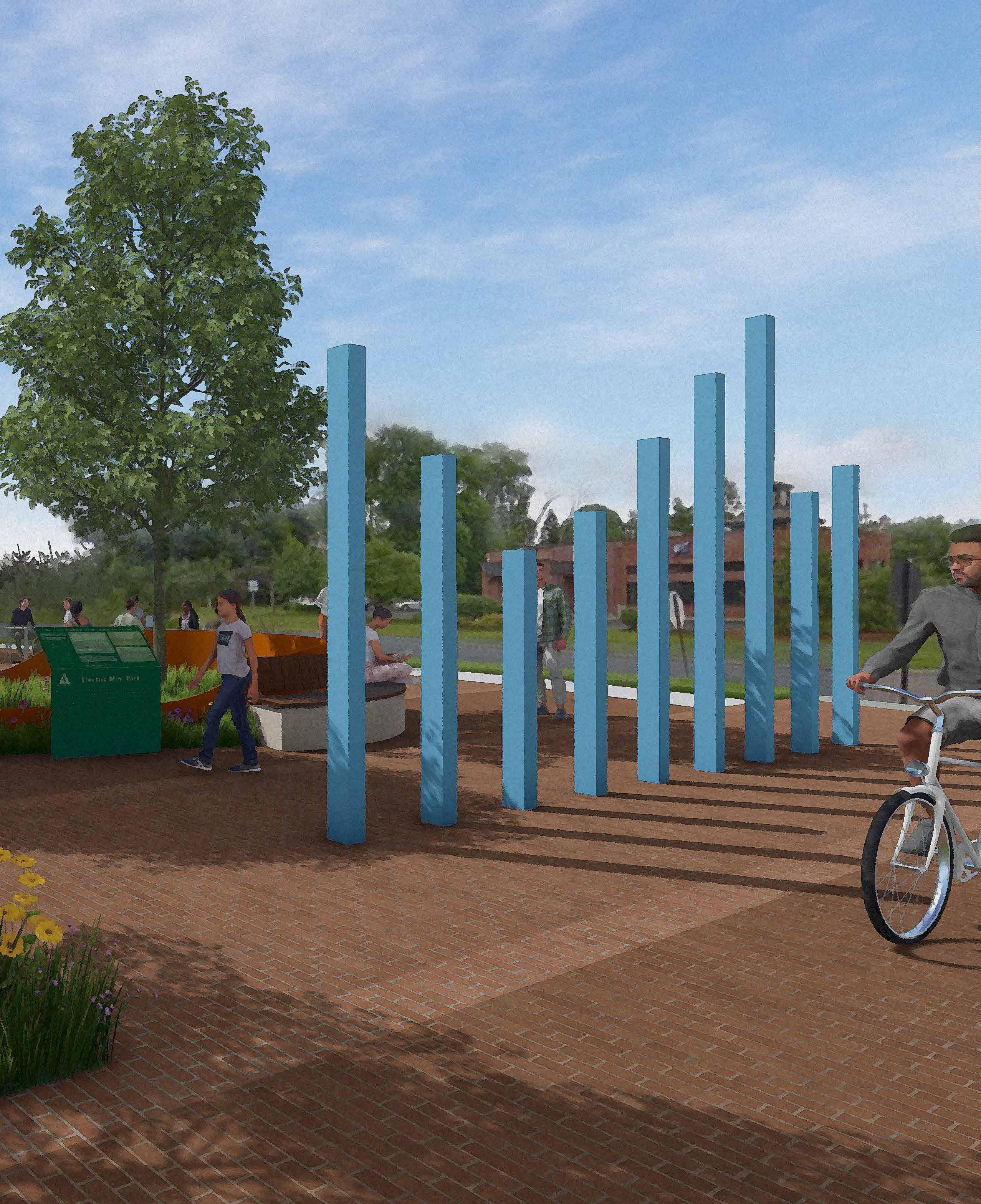
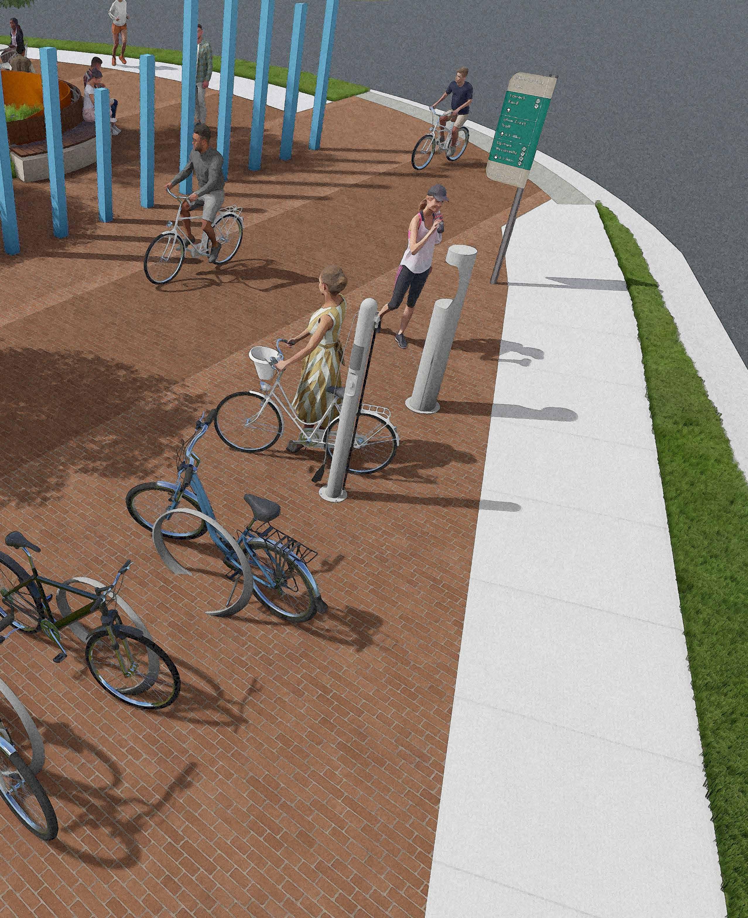
This demonstration site design presents an example of what placemaking along the Ohio to Erie Trail could look like. The site is located along a portion of trail that can be confusing to navigate. The design transforms Electric Mini Park into a bright and welcoming plaza, incorporating public art as a method of wayfinding.
Several conceptual renderings are presented, along with a preliminary plant palette. Public art, specialty paving, unique seating, and enhanced plantings work together to create a space that simultaneously emphasizes the trail and invites community socialization.


CONNECTION
SOURCE: CITY OF
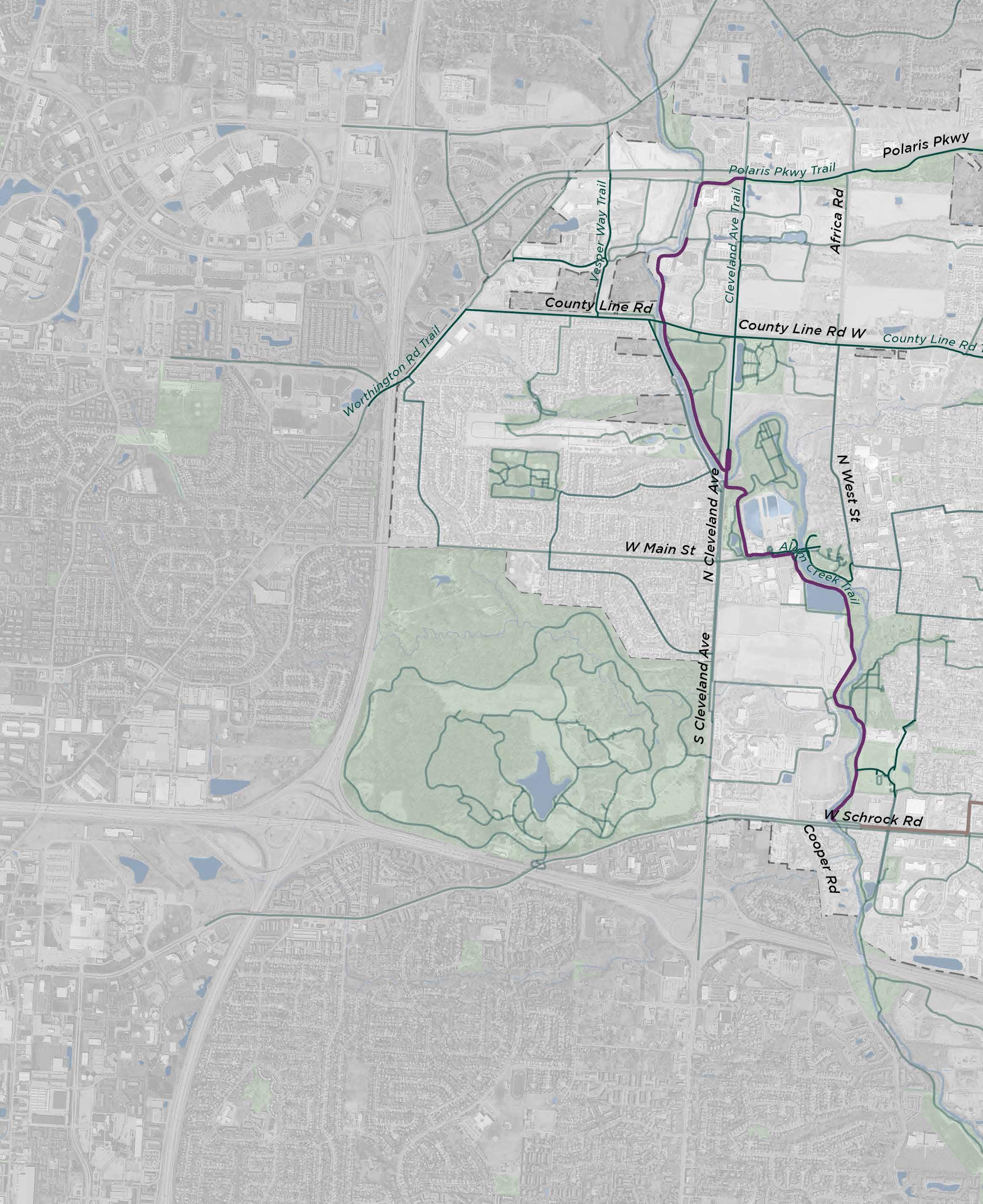
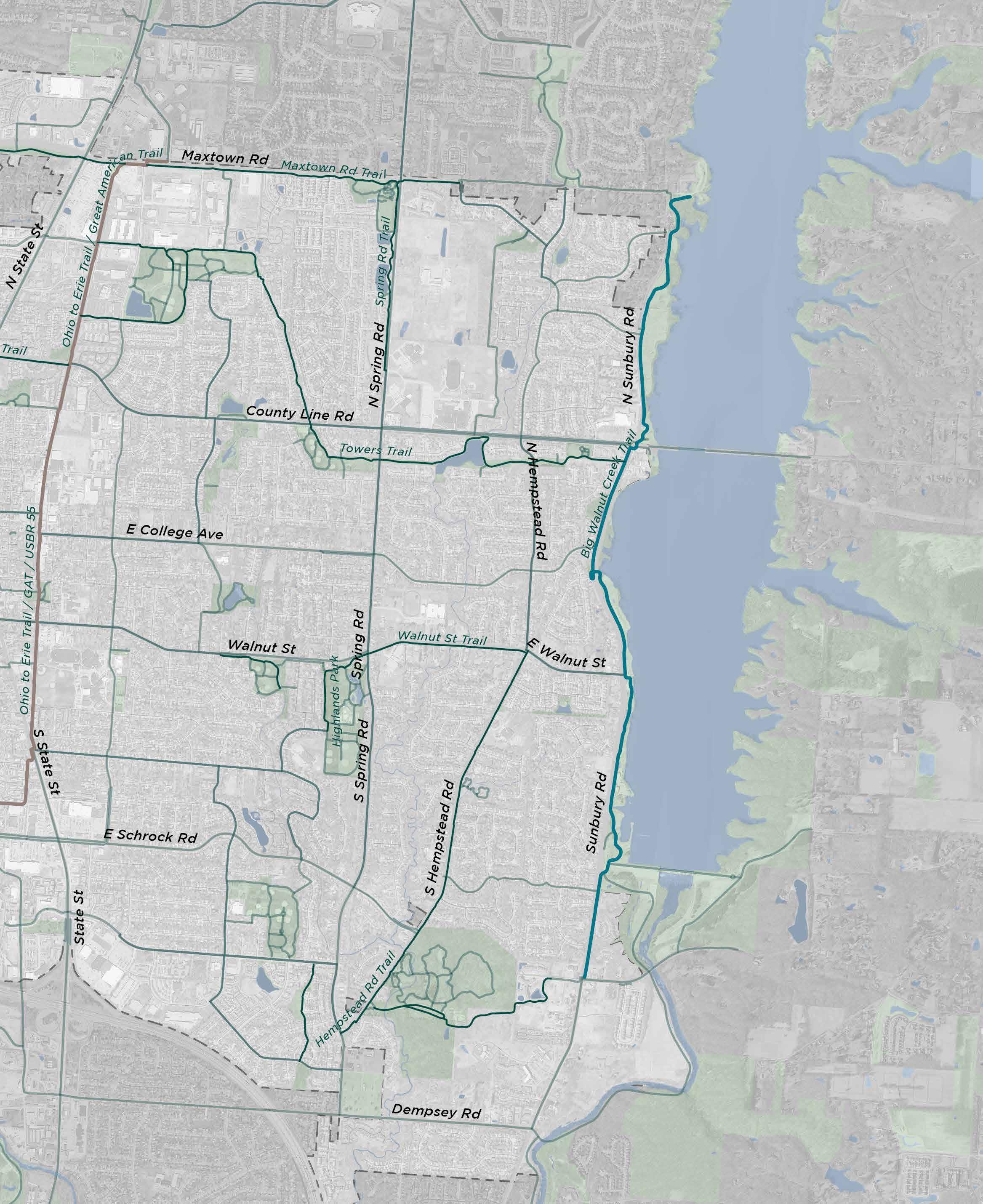
This map highlights destinations and commercial areas in Westerville, as well as areas that are ideal for future development The existing trail network is included to show proximity and access to these destinations from the trail system
Alum Creek Trail
Big Walnut Trail
Ohio to Erie Trail
Collector, Connector, or Community Trails
Leisure Paths
Commercial Areas and Destinations
Strategic Development Locations
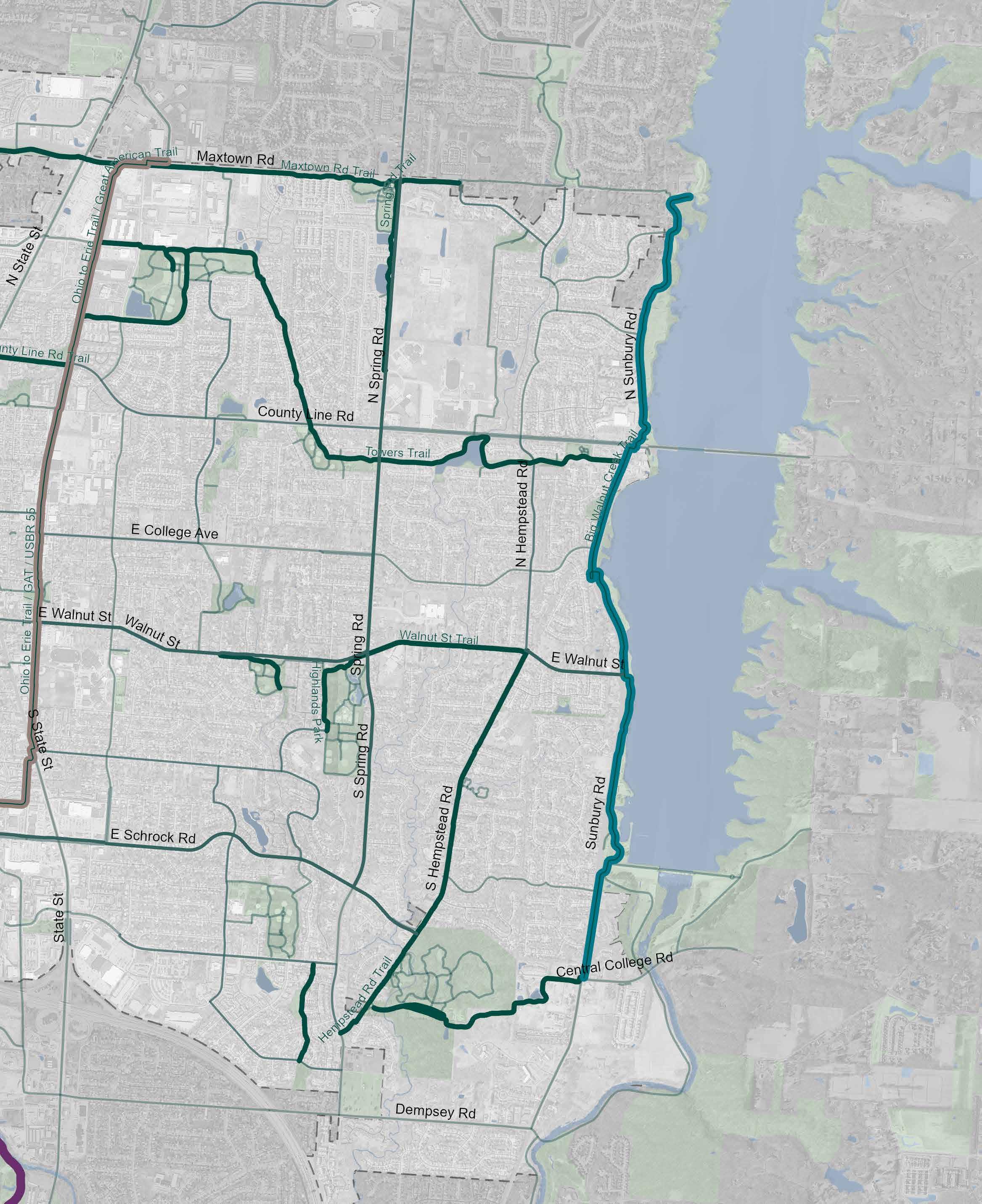
The Westerville trail system is oriented around three regional trails: the Alum Creek Trail, the Big Walnut Trail, and the Ohio to Erie Trail The Westerville system also features a network of collector, connector, and community trails, and leisure paths
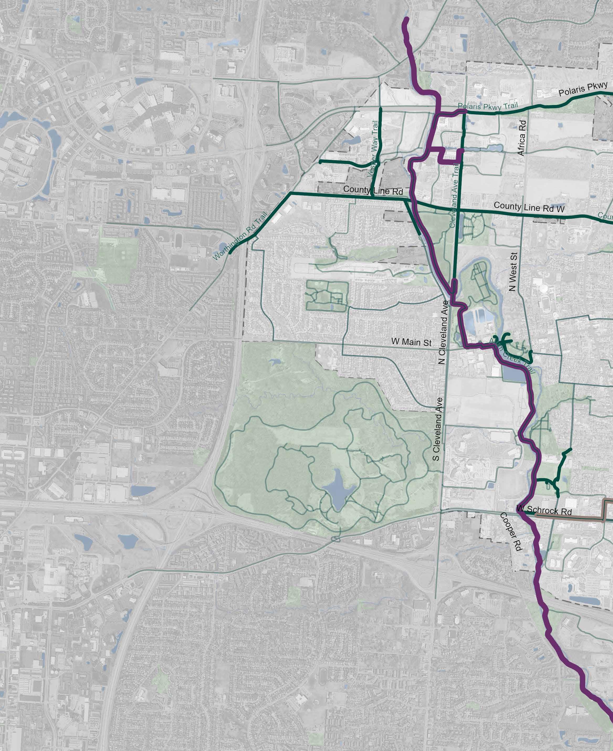
Alum Creek Trail
Big Walnut Trail
Ohio to Erie Trail
Collector, Connector, or Community Trails
Leisure Paths
0 1,250’ 2,500’ 1IN= 2,500FT N
This map highlights access points along Westerville’s regional, connector, collector, and community trails The map also shows the 5- and 10-minute walking boundaries around each of these points. A significant portion of the city is within a 10-minute walk of a trail access point
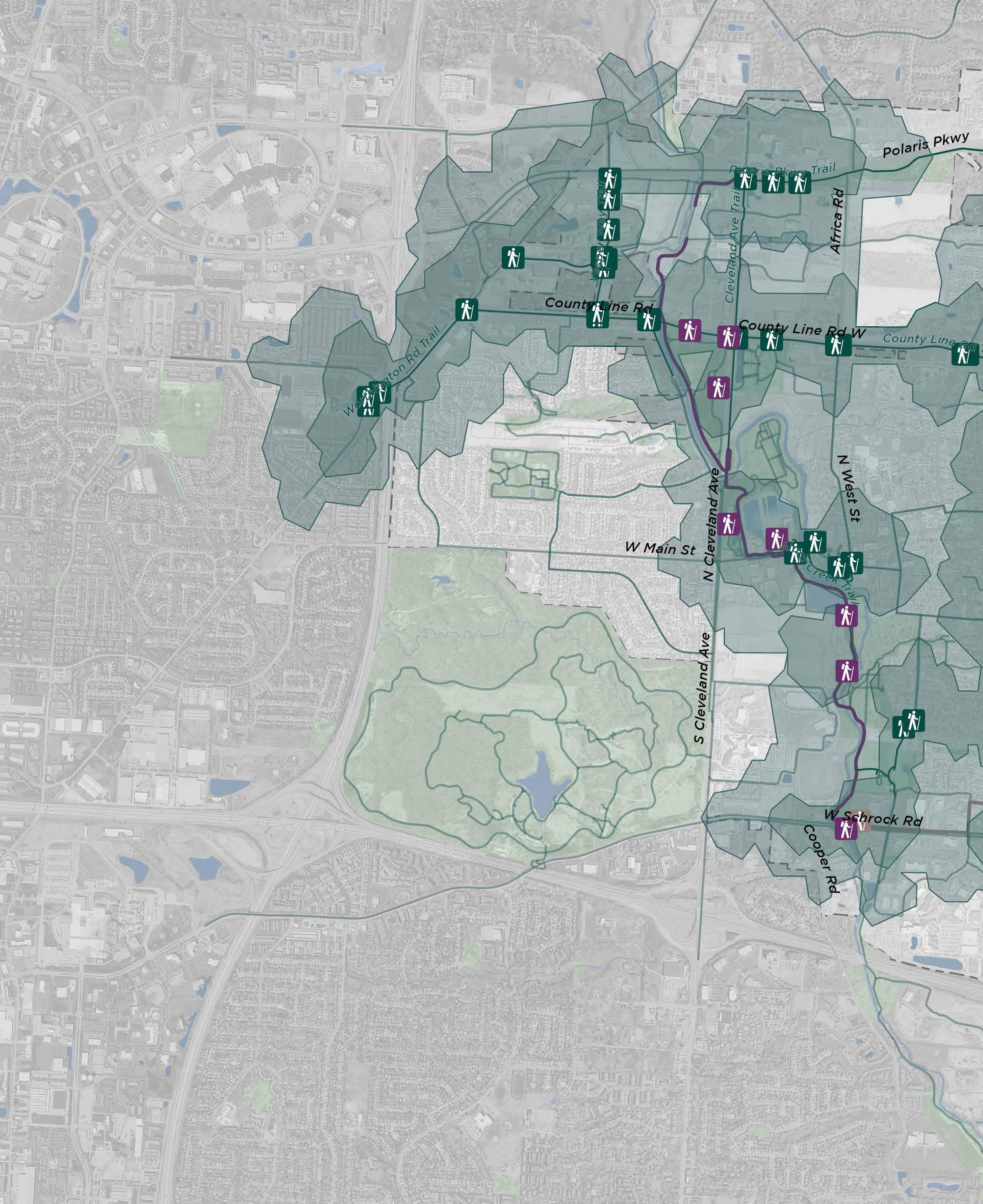
Alum Creek Trail
Big Walnut Trail
Ohio to Erie Trail
Collector, Connector, or Community Trails
Leisure Paths
5 Minute Walkshed
10 Minute Walkshed

Trail Access Point
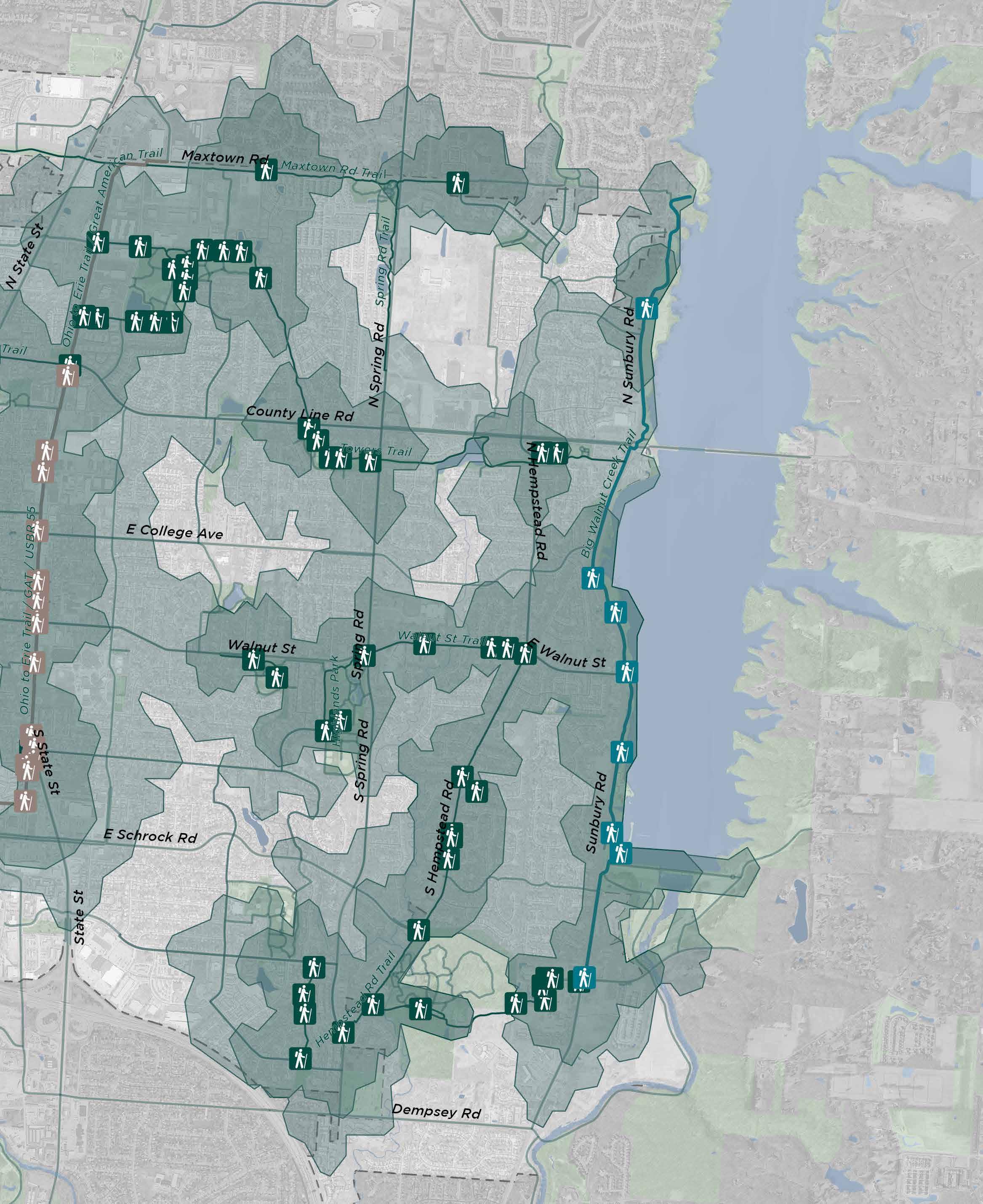
0 1,250’ 2,500’ 1IN= 2,500FT N
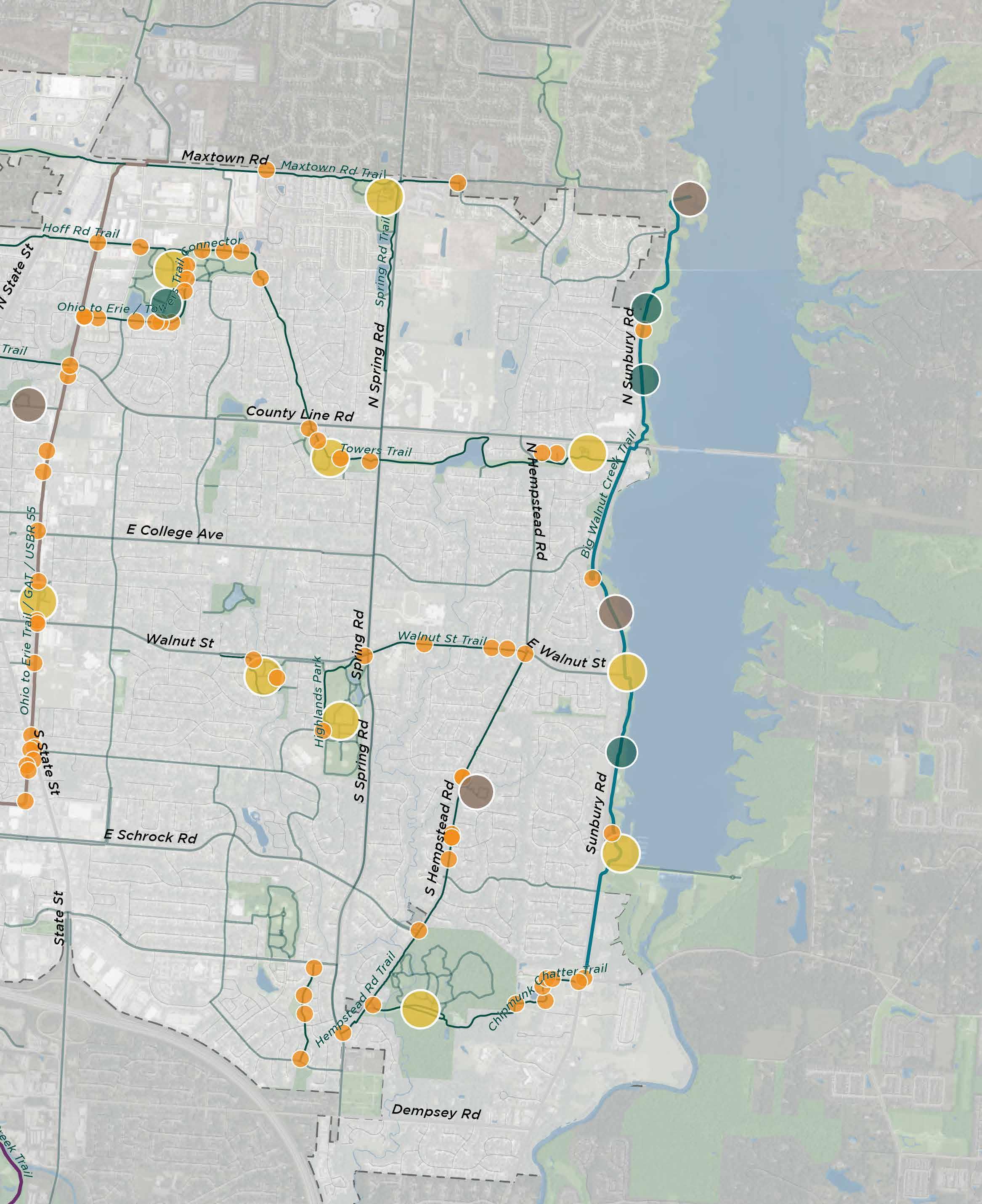
This map documents the amenities available at each trailhead within the City of Westerville . All trailheads have access to streets and roadways . Basic trailheads have parking; Enhanced trailheads have parking and restrooms; and Premier trailheads have parking, restrooms, and shelters . Several trailheads in Westerville have been identified as Gateways of Regional Significance, or major destinations, within the Central Ohio Greenways system
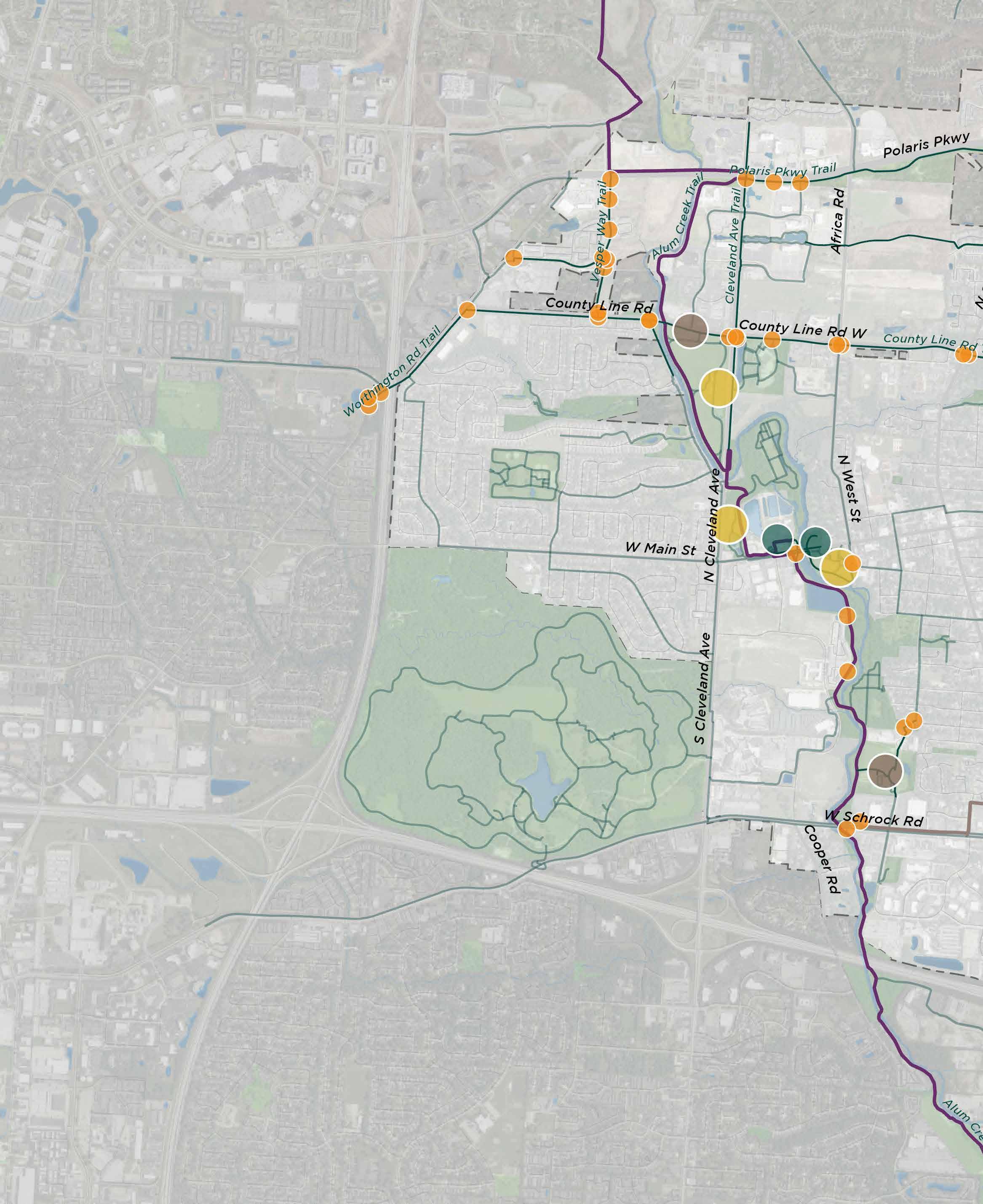
FEATURE REQUIREMENTS ACCESS POINTS
Access to Streets & Roadways
Parking
Restrooms
Shelter(s)
TRAILHEAD LEVELS
GATEWAYS OF REGIONAL SIGNIFICANCE BASIC ENHANCED PREMIER
0 1,250’ 2,500’ 1IN= 2,500FT N
SOURCE:

Colors
• City of Westerville Green is to be the primary sign color.
• Secondary colors should be white or light grey.
• Accent colors depend on the location or amenities at a destination.
» The local sign package will predominantly use Westerville Gold as an accent color.
» Regional trails should use the assigned color described in the COG Wayfinding Strategy Guide as an accent color.
The Frutiger Font family improves cohesion between regional and local sign types.
• +50 spacing and typeface minimum size of 0.75” will improve legibility.
• Minimum spacing between lines of text, and blank space surrounding logos, will improve visual clarity.
Figure 5 | Typeface Specifics and Sizing
CITY OF WESTERVILLE GREEN (PRIMARY)
CITY OF WESTERVILLE GOLD (LINE/ACCENT COLOR)
LIGHT GREY (SECONDARY)
6 | Selective Brand Colors
Destination/Location
• Frutiger Condensed Bold (+50 spacing)
• Largest text size on sign (i.e. 2”)
The information portion of each sign should identify the trail user’s current location (such as the trail system, trailhead, or point of interest).
Routing/Secondary Location
• Frutiger Condensed Bold (+50 spacing)
• Second Largest Text on sign (i.e. 1.5”)
At decision points, secondary information should be displayed clearly, paired with the appropriate directional arrows and icons (see below).
Mileage & Organization
• Frutiger Condensed (+50 Spacing)
• Smallest Text on sign (i.e. 0.75”)
Signs should alert trail users to distances to secondary locations, park or district names, and emergency contact information.
• Directional Arrows (2.5” x 2”)
• Trail Logos (size dependent on sign type)
• Recognition Logos (2” square)
• Symbols (1.75” square)
White symbols overlaid on the primary color will provide high-contrast visual information to supplement the text.
Regional signs may additionally use the stylized Ohio to Erie Trail logo.
Universal National Park Service icons should be used for consistency across the system.
5.0 Miles
Hours of Operation

















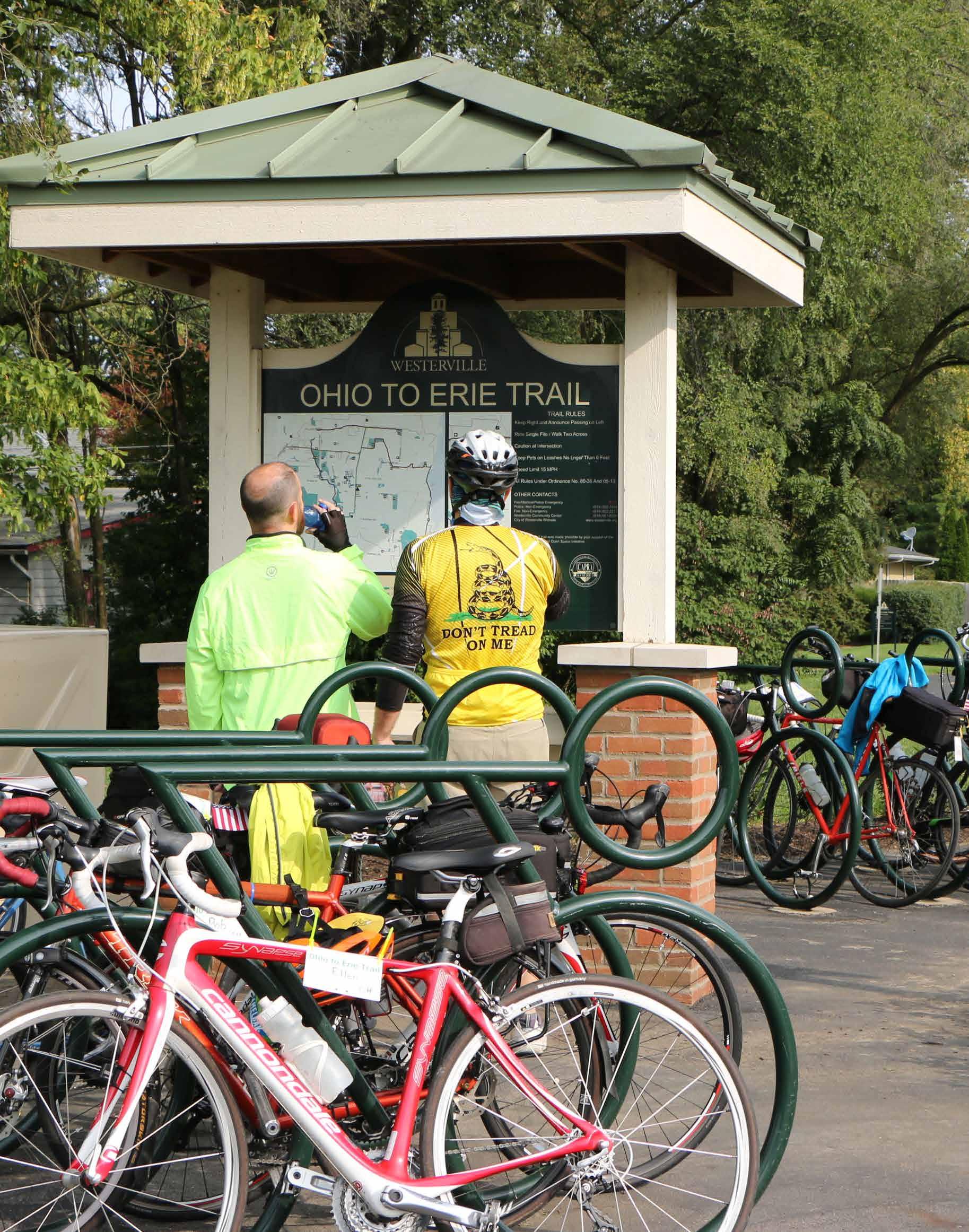
Kiosk signs are intended to draw attention to the trail network and allow people to learn about the adjacent trail and its context within the City of Westerville.
These signs should be placed in parks along local and regional trails. They should be placed in a highly visible part of the park, close to prominent circulation and pedestrian intersections, and before any decision points to adjacent trails.
Existing Signs
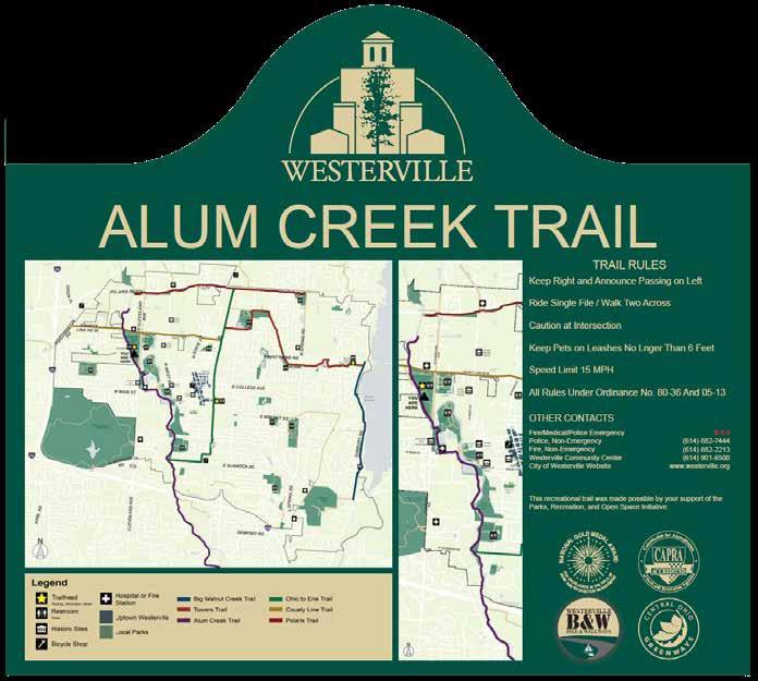
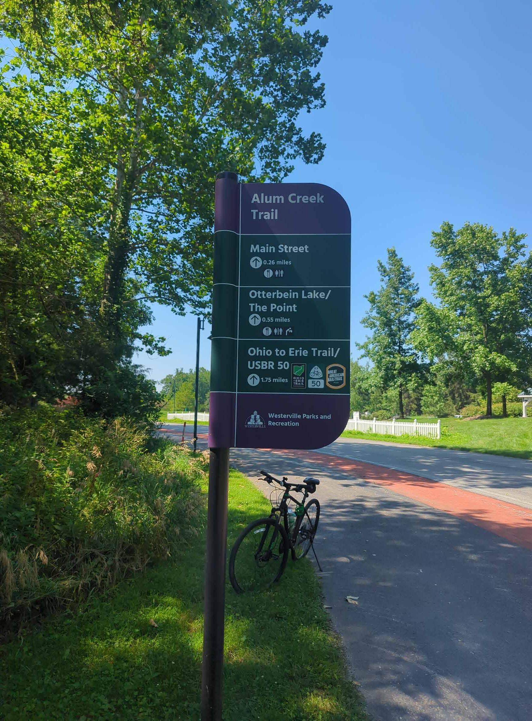
A one-sided panel should be fabricated with a sleeve and installed on a 3” round metal pole. It should contain the regional trail name, corresponding color, and a map of that trail within the City of Westerville.
• 8’ height pole; 1” cap on top
• 19.5” by 51” panel
Proposed Signs
A single-sided panel, with a solid color back, should be installed on 4” square metal poles. It should contain the trail name, Westerville branding, and a map of the trail with its surrounding city context.
• 6’ height pole
• 36” by 48” panel

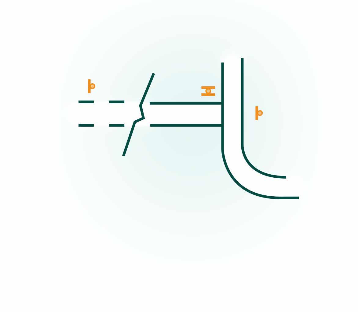
Identifier signs name the trail so users can be sure they are riding on or accessing their intended route. They do not provide directional information, but do provide confirmation to riders of their location.
Identifier signs should be located at confusing or tricky spots on trails, as well as where there are significant distances without other signage. Identifier signs may be used in tandem with directional signs to provide additional clarity at complicated intersections (refer to the sign typologies for additional information).
Existing Signs
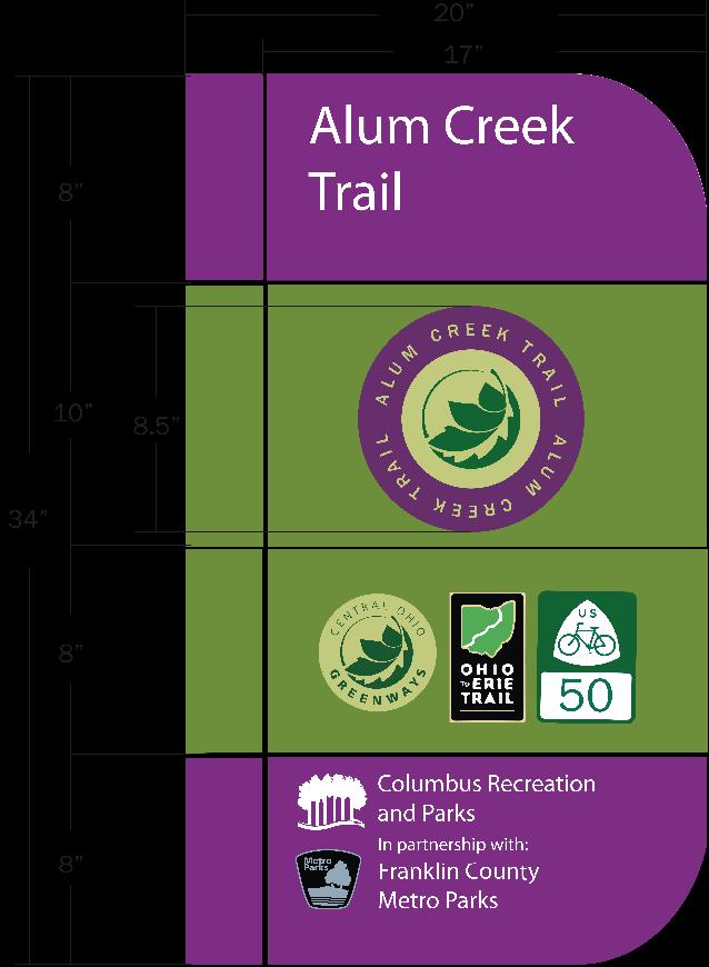

These signs should be double-sided (refer to the sign typologies for additional information). The panels should be fabricated with a sleeve and installed on a 3” round metal pole.
• 8’ height pole; 1” cap on top
• 17” by 34” panel
Proposed Signs
The signs may be double-sided or single-sided depending on their usage (refer to the sign typologies for additional information). The panels and medallions are to be installed on a 2.5” square metal pole.
• 8’ height pole
• 8” diameter medallions
• 16” by 24” panels



Directional signs point riders to nearby amenities and destinations. They can also highlight major roads or indicate how to follow the trail through intersections. These signs should include directional arrows, distances, and relevant amenity symbols.
Directional signs should be located at decision points and intersections. They should be placed so riders can easily understand how to stay on the trail or access nearby amenities.
Existing Signs

These signs should be double-sided (refer to the sign typologies for additional information). Their panels should be fabricated with a sleeve and installed on a 3” round metal pole. They should include COG and Westerville branding.
• 6’ height pole
• 17” by 38” panel
The signs should feature two single-sided panels, installed on a 2.5” square metal pole. They should include the trail name and City of Westerville branding.
• 6’ height pole
• 24” by 32” panel


Trail access signs are meant to direct users to the trail by communicating its access points. They draw attention to the trail and, ideally, attract more people to explore it.
Trail access signs are not located on the trails themselves, but rather in close proximity to them. They can be placed at community landmarks that are adjacent to trails or along paths that lead to the trail.
Existing Signs
The signs should be a single-sided panel, with a solid color back, installed on a 2.5” square metal pole.
• 6’ height pole
• 17” by 17” panel
Proposed Signs

The signs should be a single-sided panel with a solid color back, installed on 2.5” square metal pole.
• 6’ height pole
• 18” by 18” panel


Information signs introduce riders to the trail and provide a map of the entire trail length. The maps give users a sense of where the trail leads and what amenities it provides access to.
Information signs should primarily be located at the beginning and end of each trail. On regional trails where there are major gathering areas, such as parking lots, additional signs are recommended to provide information to users starting their experience from that location.
Existing Signs

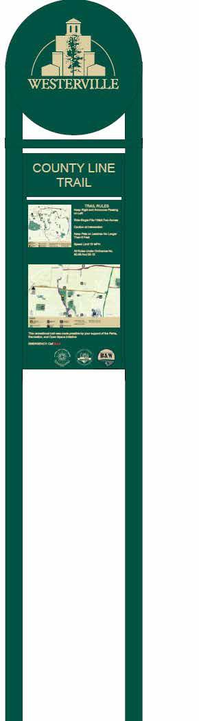
These signs should be double-sided panels fabricated with a sleeve and installed on a 3” round metal pole.
• 6’ height pole; 1” cap on top
• 17” by 24” panel
The signs should be two single-sided panels and medallions installed on a 2.5” square metal pole.
• 8’ height pole
• 18” by 30” panels
• 8” diameter medallions


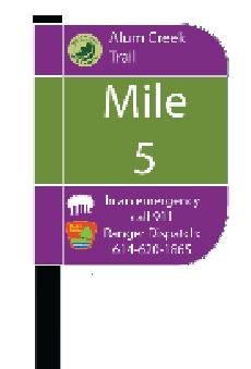
Location marker signs provide users with information about their location on the trail. This can include road name signs, specific mile numbers, or designated trail location ID numbers. They allow riders to know how far they have ridden on the trail and can help them to coordinate assistance in an emergency.
Proposed Regional Signs
While these signs are not currently used in the COG region or in the City of Westerville, they can be placed at predetermined intervals along each trail. Road name signs can be mounted above each trail at underpasses, so riders can understand their location more easily.

Location marker signs should be double-sided panels fabricated with a sleeve and installed on 3” round metal pole.
• 6’ height pole; 1” cap on top
• 17” by 20” panel
Road name signs are single-sided panels and should be mounted on underpasses above trail.
• 8” by 48”; actual width may vary.
Proposed Local Signs
Location marker signs should be two singlesided panels and medallions, installed on a 2.5” pole.
• 6’ height pole; medallion on top
• 17” by 20” panel
Road name signs are single-sided panels and should be mounted on underpasses above trail.
• 8” by 48”; actual width may vary.



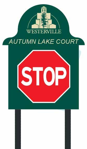
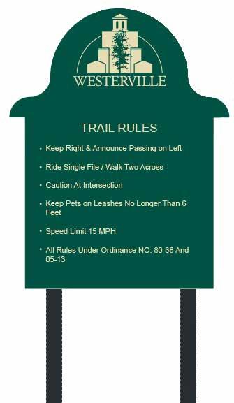
Regulatory signs consist of either standardized road signs, for use at vehicular intersections, or citywide park rules with information including:
• City ordinances and rules pertinent to that location
• Relevant contact numbers for park or system
Regulatory signs can be placed at intersections and should be compliant with Manual on Uniform Traffic Control Devices (MUTCD) standards. Park rules signs should be placed within City of Westerville parks and displayed in prominent and accessible locations.
Existing Signs

These signs should be single-sided panels with a solid color back, installed on a 2.5” square metal pole.
• 6’ height pole
• 17” by 21.5” panel
The signs should be single-sided panels and medallions, installed on a 2.5” square metal pole.
• 8’ height pole
• 18” by 30” panels
• 8” diameter medallions
• Regulatory sign dimensions depend on type of sign and content.
•
•
Temporary sign panels can be used for detours or rerouting trail alignments. If specific messaging is required for events or longer-term detours, sign panels can be custom ordered.
Sign panels should be fixed below existing identifier signs in locations being impacted by rerouted or closed trails.
Proposed Temporary Signs
Single-sided panels with a solid color back should be installed on a 2.5” square metal pole below an existing sign (‘Identifier Sign’ shown).
• 12” by 24” panel
• 4” and 6” height panels (alternative)
Sponsor sign panels can be added or removed from signs as needed to recognize sponsors along specific trails or within park areas.
Single-sided panels with a solid color back should be installed on a 2.5” square metal pole below an existing sign (‘Identifier Sign’ shown).
• 12” by 24” panel
Proposed Sponsor Signs
An interpretive sign can highlight local culture, public art, nature, or any other feature the city wants to educate trail users about. An example of an interpretative sign can be found on the next page. These signs can be placed in parks, along trails, or anywhere the city would like to feature en element.
Proposed Interpretive Sign
The front panel of the sign relays location information and a pattern (laser cut or printed) that reflects the character or identity of the location. The top panel of the sign provides additional information, cultural or historical context, and contact information as needed. The sign is built from a single bent piece of metal.

The example below draws attention to Westerville’s interurban streetcars and railroads and the prominent role they played along the State Street Corridor.

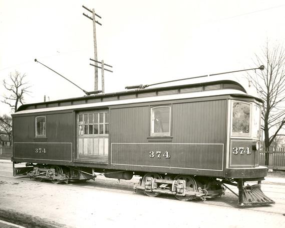
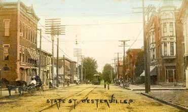
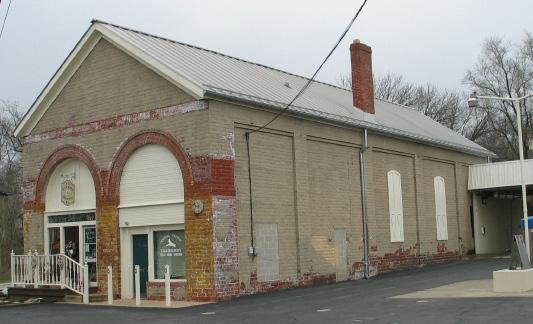
Figure 43 | Interpretive Sign (Enlargement)
The following typologies provide examples of when each sign type should be implemented. These typologies and the recommended
Decision & Access Points
• Directional Signs
» Provide guidance for riders on the trail to understand how to continue on trail or exit to nearby amenities.
• Identifier Signs
» Placed perpendicular to trail access to show entering users which trail they are accessing.
General Trail Identification
• Identifier Signs
» Used if there are long stretches of trail without other signage to assure riders remain on the correct route.
» Can be placed in confusing locations to reinforce navigation of the trail.
locations shown in the following chapter serve as reference points. The actual sign locations should be field located based on the unique conditions of each site before installation
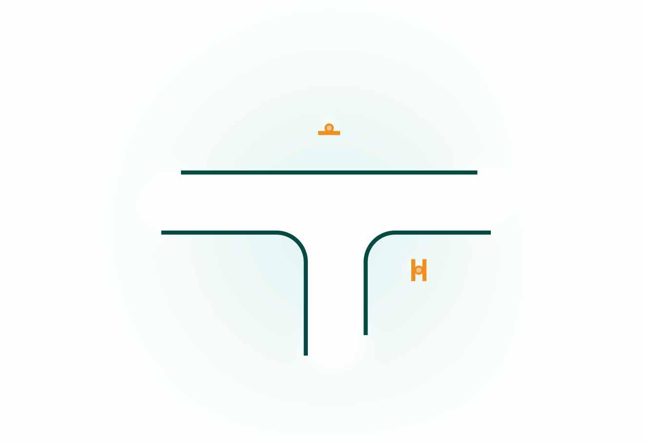

• Information Signs
» Located at the start and end of each trail so riders see where the trail goes and amenities it provides access to.
» If there is a prominent gathering space or major parking area along regional trails, additional signs can provide greater trail context.
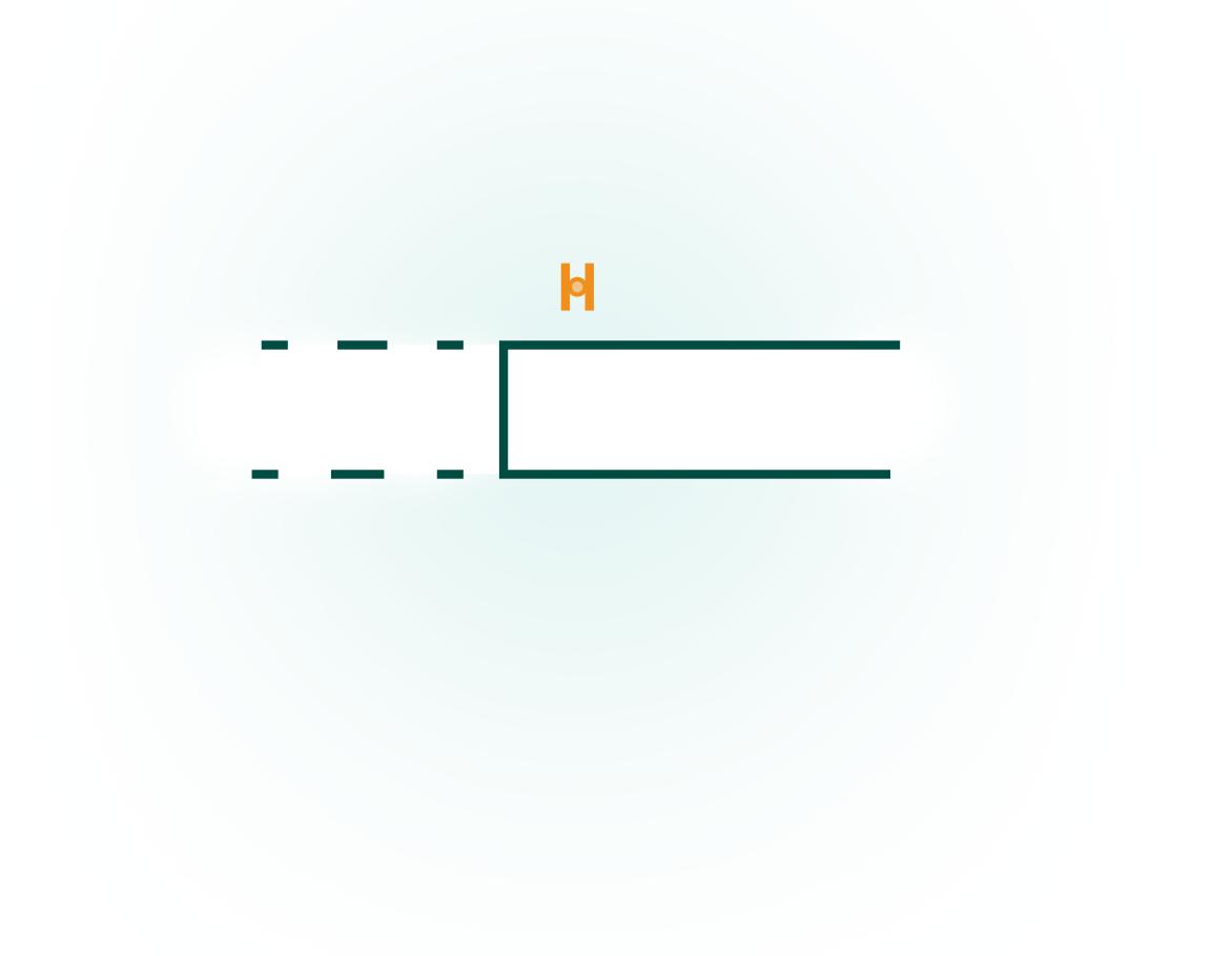
• Directional Signs
» Placed on each side of an intersection so that riders can quickly identify how to follow the trail.
» These point riders to destinations or assets adjacent to the intersection.

• Directional Signs
» Located on each side of an intersection so that riders can quickly identify how to follow the trail.
» Directional signs can also point riders to nearby destinations or assets close to the intersection.

• Directional Sign
» One sign can be placed at minor intersections, if it can be clearly seen from both sides.
» These should be placed so that riders can quickly identify how to follow the trail.
» The directional sign can also point riders to nearby destinations or assets close to the intersection.

• Trail Access Signs
» Should be placed off-trail and direct users towards the trail.
» Located near adjacent park amenity areas to draw attention to the trail.
• Directional Signs
» Provide guidance to riders on the trail to continue on-trail or exit to nearby amenities.
• Identifier Signs (Optional)
» Placed perpendicular to trail access to show entering users which trail they are accessing.
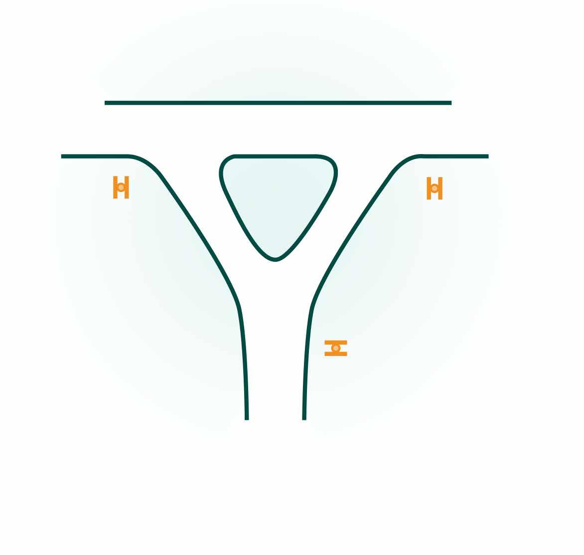
“Y” Intersections
• Directional Signs
» At “Y” Intersections, where multiple paths converge, directional signs should be placed ahead of decision points for ease of navigation.
» If the distance between each arm of the “Y” is less than 50’, one sign may be placed in the center island rather than on both arms.
• Information Signs
» Used where a “Y” intersection includes a trail terminus or other access point.

Boundary TRAILS:
Alum Creek Trail
Big Walnut Trail
Ohio to Erie Trail
Collector, Connector, or Community Trails
Leisure Paths
Enlargement
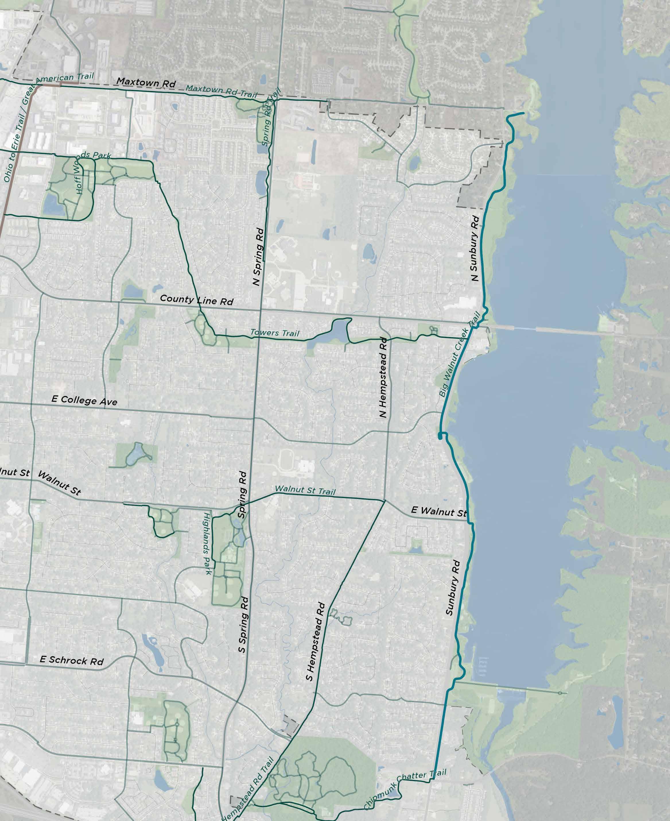
0 1,000’ 2,000’ 1IN= 2,000FT N
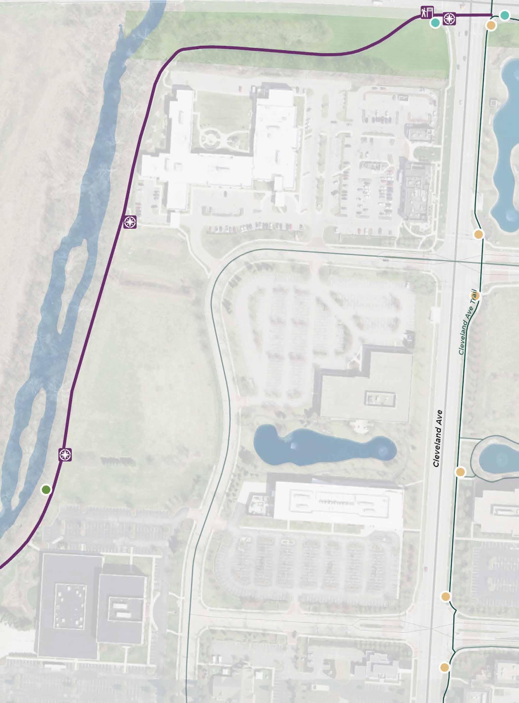
EXISTING SITE ELEMENTS:


Art/Cultural/ Historical Feature Bench Bridge Decision Point Overlooks/ Viewing Points Parks Restrooms Existing Sign Trail Access Trashcan


PROPOSED SIGNS:
46 |
DIRECTIONAL SIGNAGE


Art/Cultural/ Historical Feature
Bench
Bridge
Decision Point
Overlooks/ Viewing Points
Parks
Restrooms
Existing Sign
Trail Access
Trashcan
Trail Access
Directional Identifier
Information
Kiosk
Replacement
ENHANCED TRAILHEAD
0 100’ 200’ 1IN= 200FT N
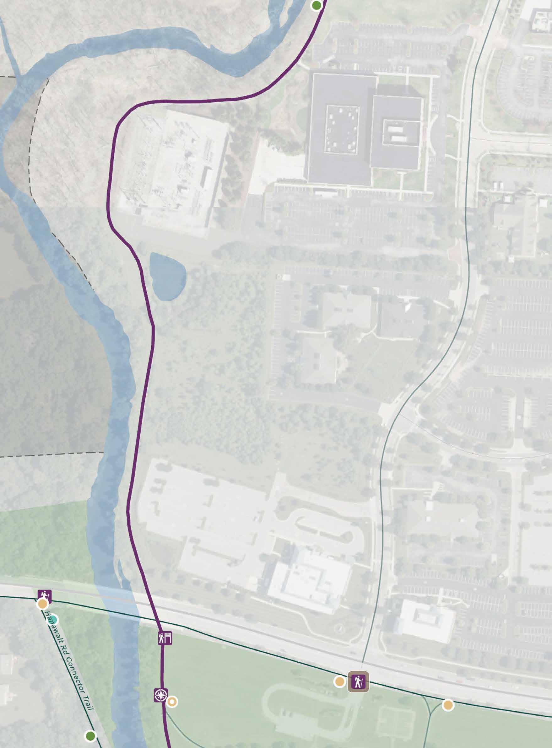
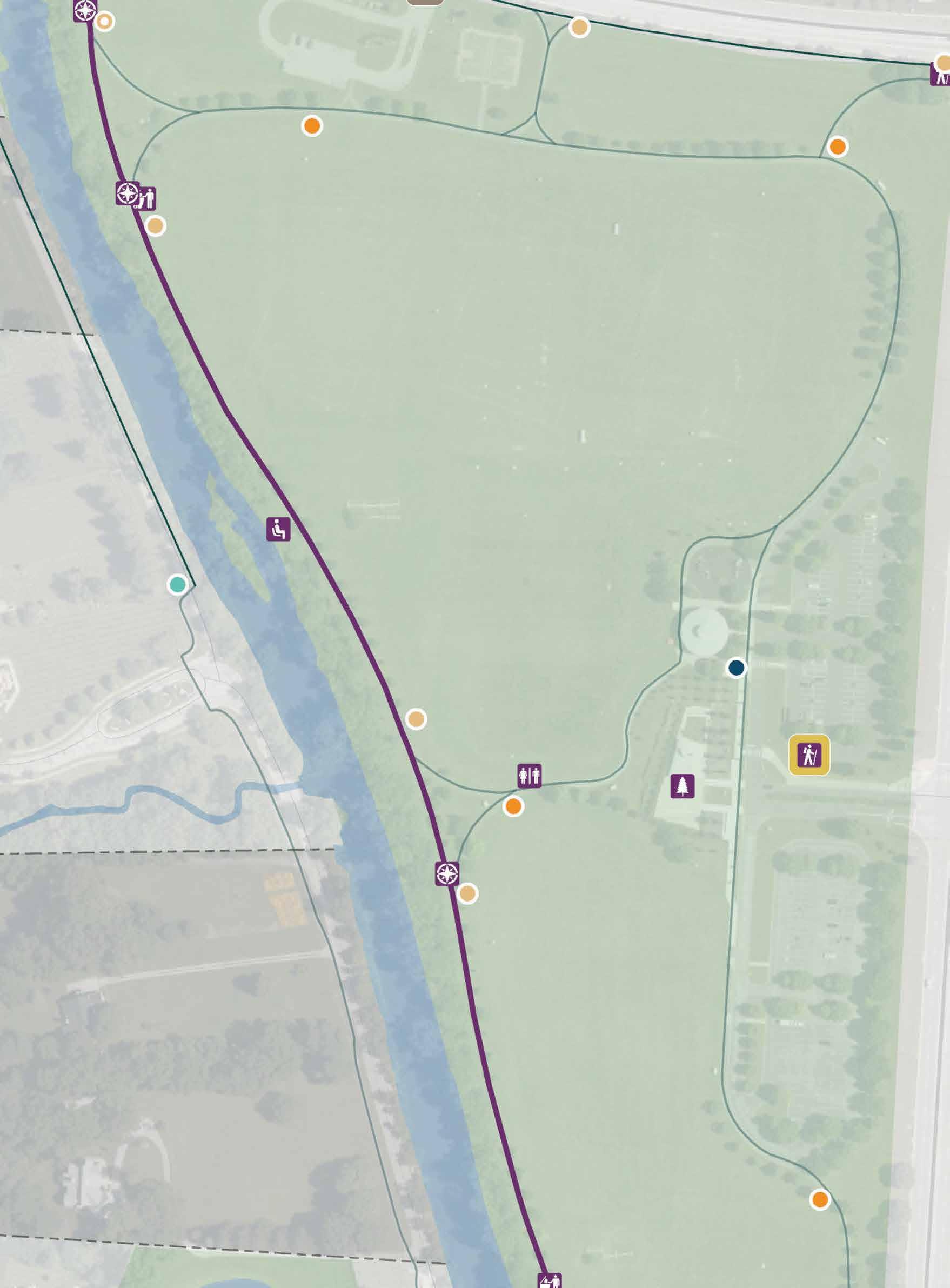
Art/Cultural/ Historical Feature Bench
Bridge Decision Point Overlooks/ Viewing Points
Parks
Restrooms
Existing Sign
Trail Access
Trashcan
Trail Access
Directional Identifier
Information
Kiosk
Replacement
DIRECTIONAL SIGNAGE
TRAIL IDENTIFIER SIGNAGE
DIRECTIONAL SIGNAGE
Art/Cultural/ Historical Feature
Bench
Bridge
Decision Point
Overlooks/ Viewing Points
Parks
Restrooms
Existing Sign
Trail Access
Trashcan
Trail Access
Directional Identifier
Information
Kiosk
Replacement
1IN= 200FT N
0 100’ 200’
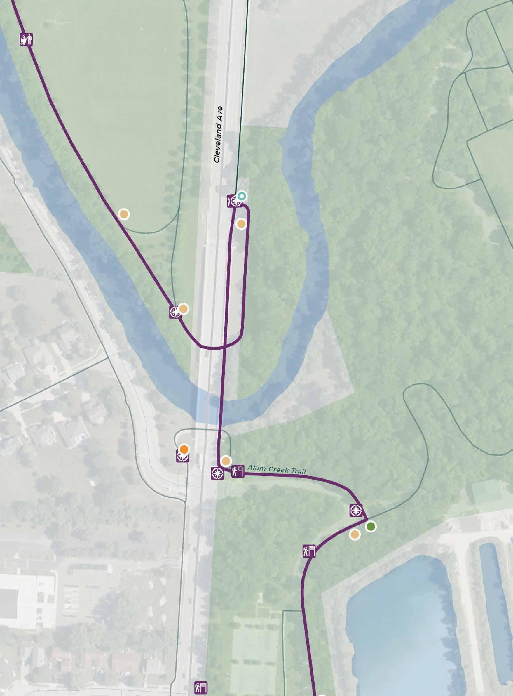
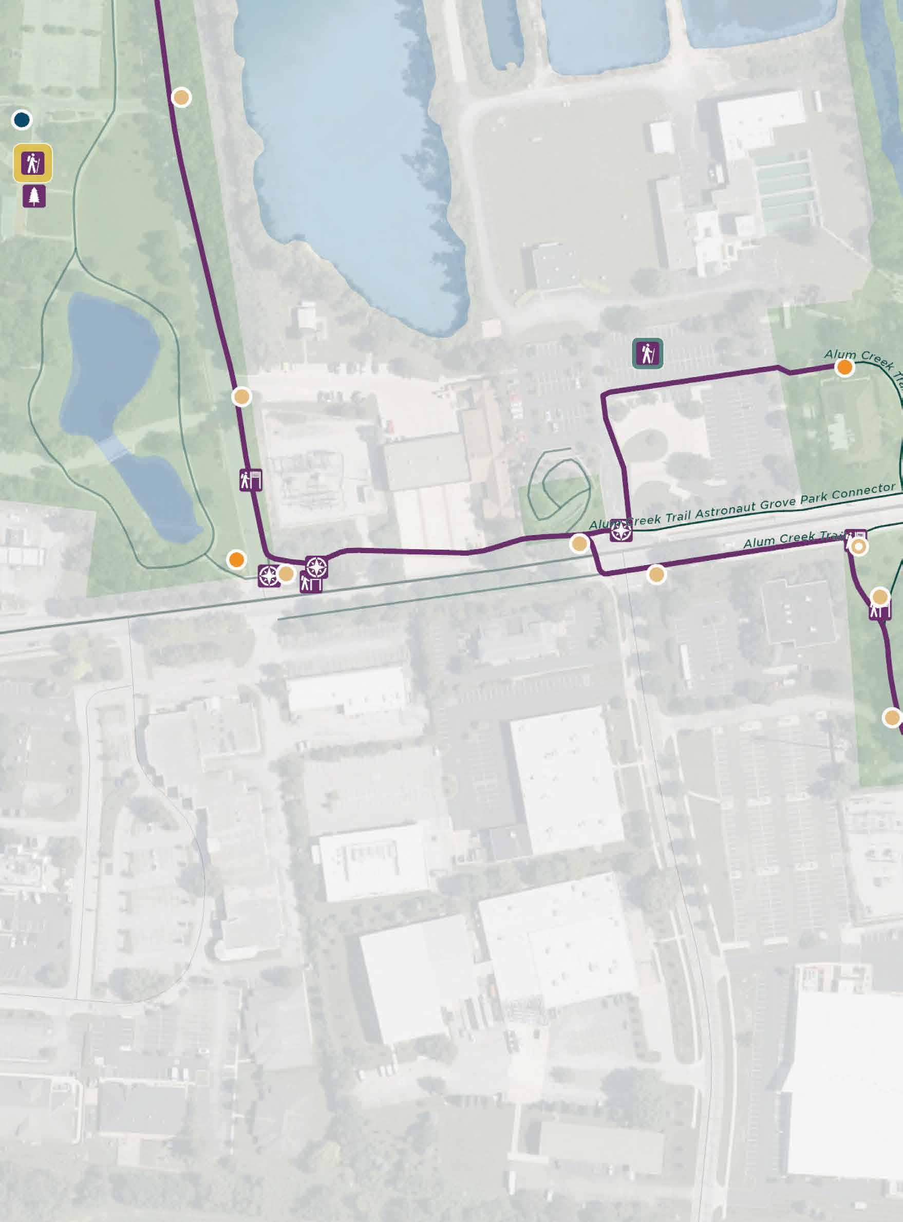
PREMIER TRAILHEAD
TRAIL ADOPTION SIGNAGE
TRAIL IDENTIFIER SIGNAGE
BASIC TRAILHEAD
EXISTING SITE ELEMENTS:
Art/Cultural/ Historical Feature Bench Bridge Decision Point Overlooks/ Viewing Points Parks Restrooms Existing Sign Trail Access Trashcan
PROPOSED SIGNS:
Trail Access
Directional Identifier Information Kiosk Replacement
DIRECTIONAL SIGNAGE
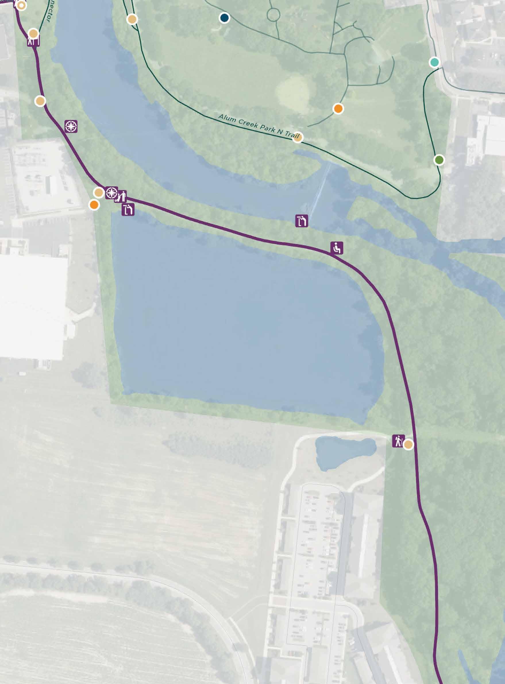
TRAIL IDENTIFIER SIGNAGE
EXISTING SITE ELEMENTS:
Art/Cultural/ Historical Feature Bench Bridge Decision Point Overlooks/ Viewing Points Parks Restrooms Existing Sign Trail Access Trashcan
PROPOSED SIGNS: Trail Access Directional Identifier
DIRECTIONAL SIGNAGE
TRAIL IDENTIFIER SIGNAGE
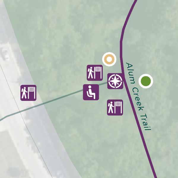
TRAIL ADOPTION SIGNAGE
Art/Cultural/ Historical Feature
Bench
Bridge
Decision Point
Overlooks/ Viewing Points
Parks
Restrooms
Existing Sign
Trail Access
Trashcan
Trail Access
Directional Identifier
Information
Kiosk
Replacement
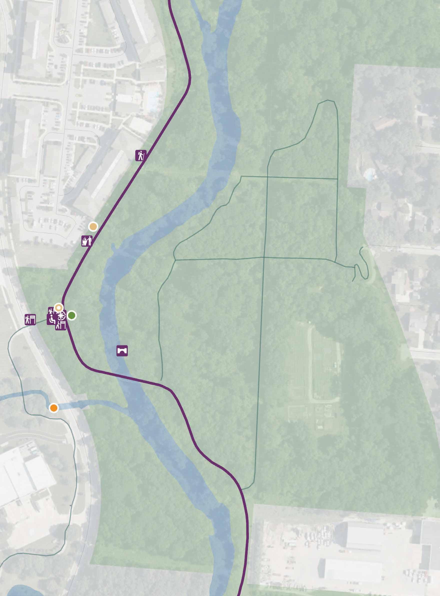
0 100’ 200’ 1IN= 200FT N
DIRECTIONAL SIGNAGE
Art/Cultural/ Historical Feature Bench
Bridge Decision Point Overlooks/ Viewing Points
Parks
Restrooms
Existing Sign
Trail Access
Trashcan
Trail Access
Directional Identifier
Information
Kiosk
Replacement
1IN= 200FT N
0 100’ 200’
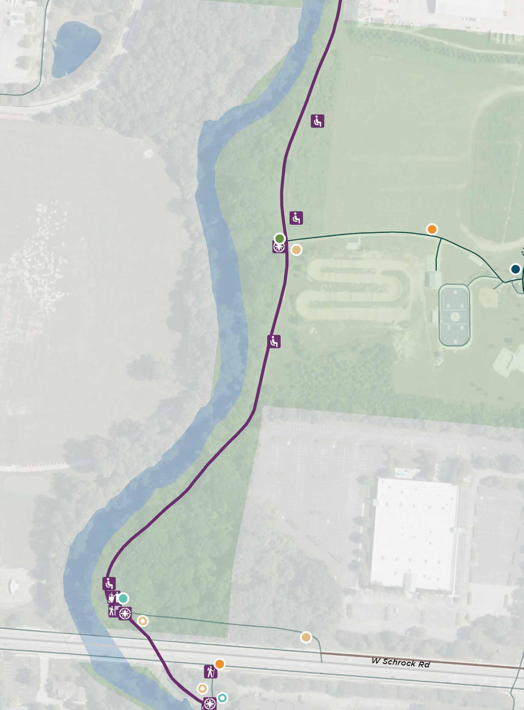
Art/Cultural/ Historical Feature
Bench
Bridge
Decision Point
Overlooks/ Viewing Points
Parks
Restrooms
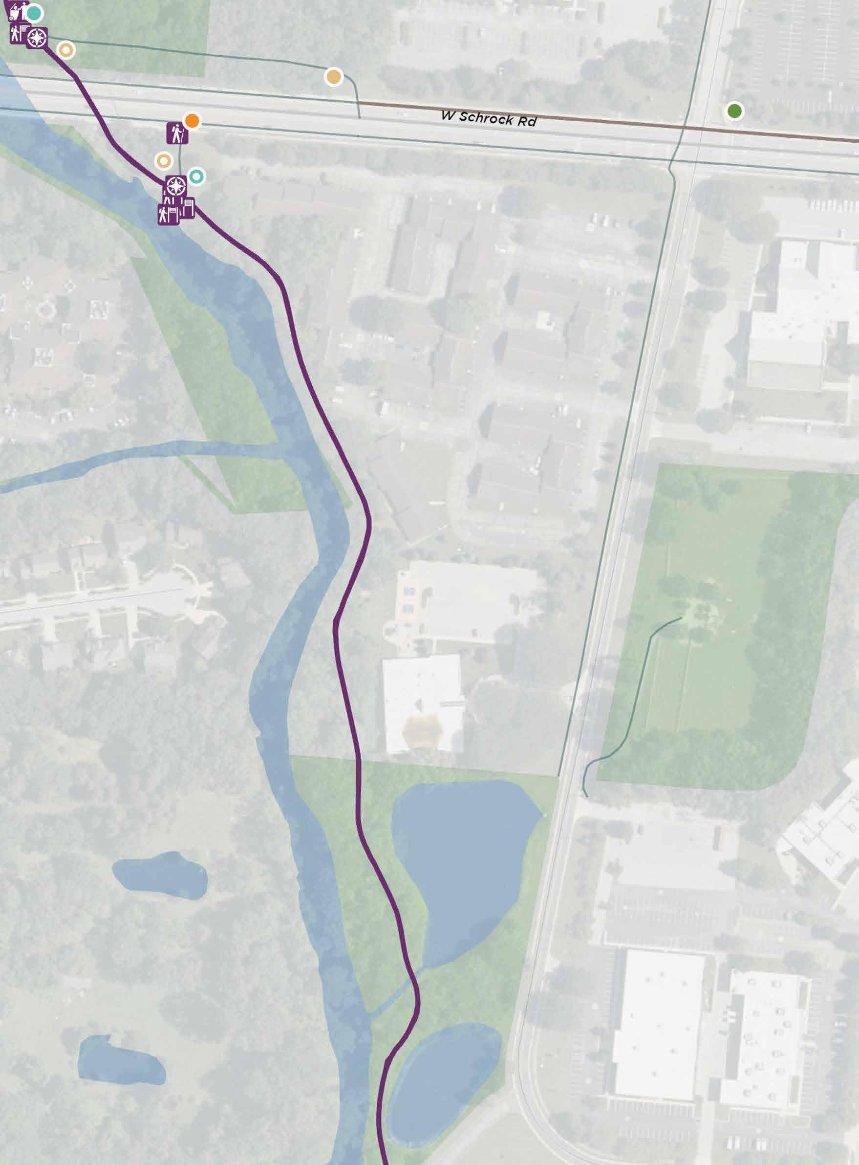
SAFETY SIGNAGE TRAIL INFO SIGNAGE
DIRECTIONAL SIGNAGE
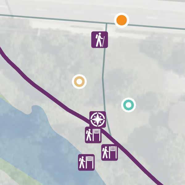
Existing Sign
Trail Access
Trashcan
Trail Access Directional Identifier
Information
Kiosk
Replacement
1IN= 200FT N
0 100’ 200’
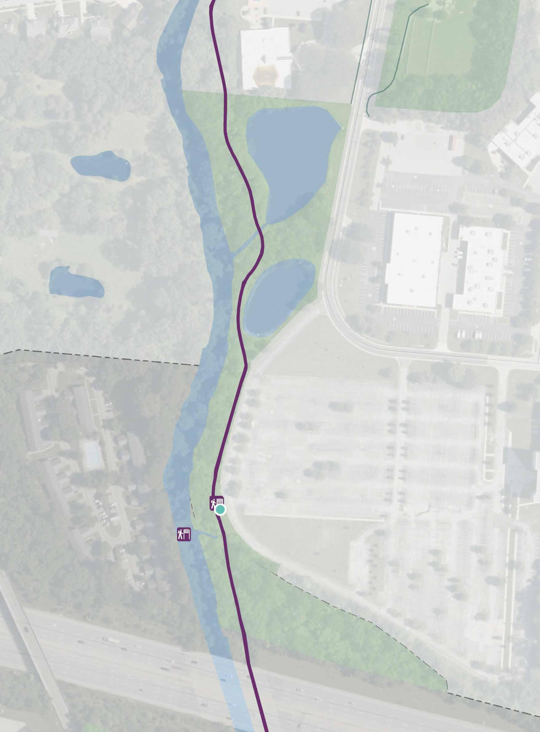
Art/Cultural/ Historical Feature
Bench
Bridge Decision Point
Overlooks/ Viewing Points
Parks
Restrooms
Existing Sign
Trail Access
Trashcan
Trail Access Directional Identifier Information
Kiosk
Replacement
TRAIL ADOPTION SIGNAGE
TRAIL INFO SIGNAGE
1IN= 200FT N
BASIC TRAILHEAD
BIKE ROUTE SIGNAGE
BIKE ROUTE SIGNAGE
DIRECTIONAL SIGNAGE
TRAIL IDENTIFIER SIGNAGE
GROUND MARKINGS
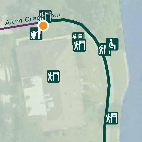
BIKE ROUTE SIGNAGE STOP SIGN
TRAIL IDENTIFIER SIGNAGE
SAFETY SIGNAGE
DIRECTIONAL SIGNAGE
SAFETY SIGNAGE
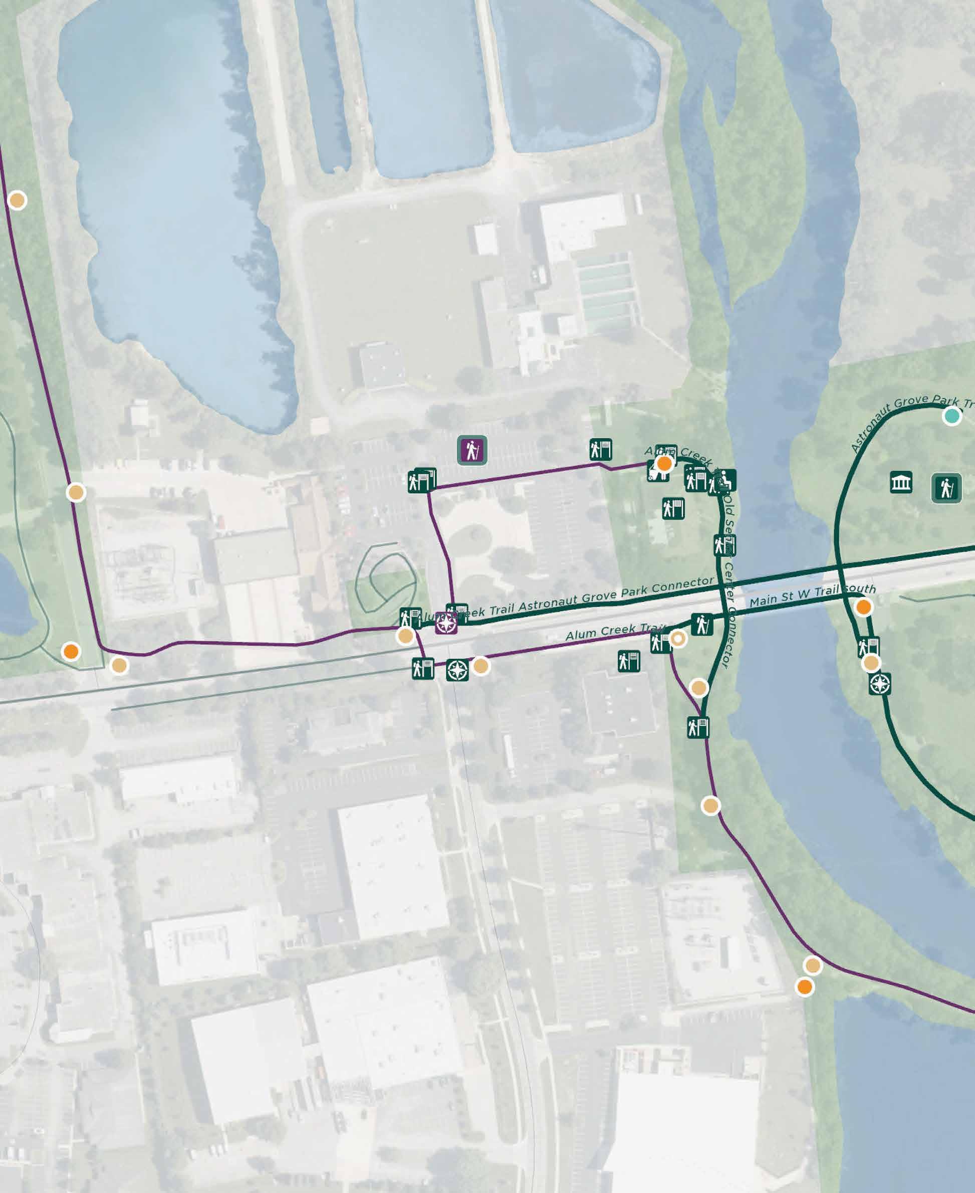
TRAIL ADOPTION SIGNAGE
Alum Creek Trail
Big Walnut Trail
Ohio to Erie Trail
Collector, Connector, or Community Trails
Leisure Paths
Enlargement
Boundary
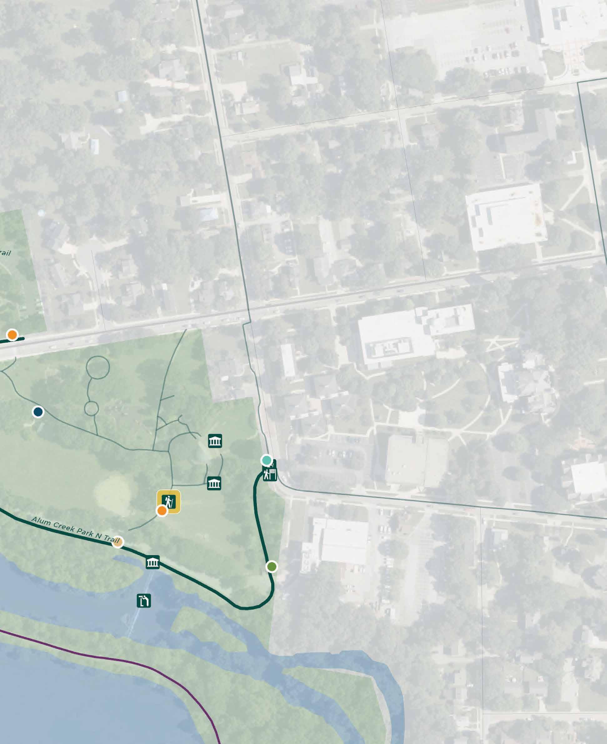
1IN= 200FT N
ENHANCED TRAILHEAD
TRAIL IDENTIFIER SIGNAGE
Art/Cultural/ Historical Feature
Bench
Bridge Decision Point
Overlooks/ Viewing Points
Parks
Restrooms
Existing Sign
Trail Access
Trashcan
Trail Access
Directional Identifier Information
Kiosk
Replacement
Alum Creek Trail
Big Walnut Trail
Ohio to Erie Trail
Collector, Connector, or Community Trails
Leisure Paths
Enlargement
Boundary
SAFETY SIGNAGE
BIKE LANE SIGNAGE
GROUND MARKINGS
BIKE LANE SIGNAGE
0 100’ 200’ 1IN= 200FT N
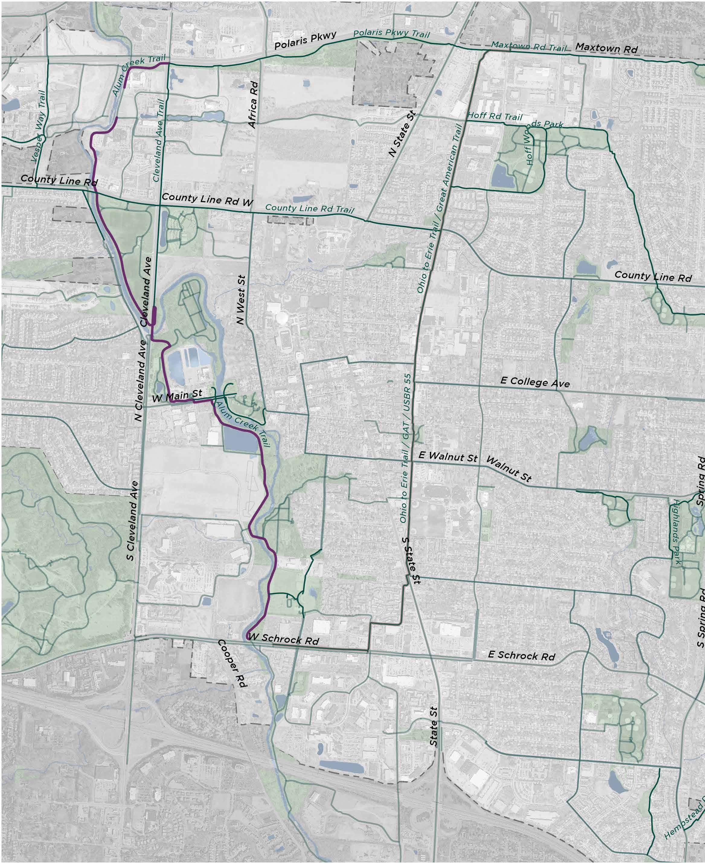
Boundary TRAILS:
Alum Creek Trail
Big Walnut Trail
Ohio to Erie Trail
Collector, Connector, or Community Trails
Leisure Paths
Enlargement
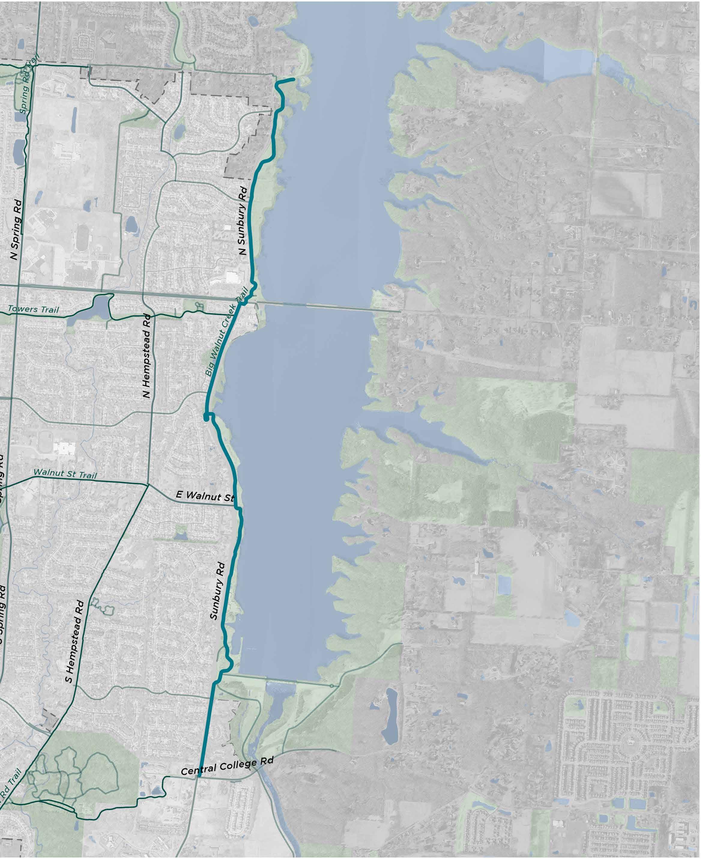
0 1,000’ 2,000’ 1IN= 2,000FT N
ENHANCED TRAILHEAD
Art/Cultural/ Historical Feature
Bench
Bridge
Decision Point
Overlooks/ Viewing Points
Parks
Restrooms
Existing Sign
Trail Access
Trashcan
Trail Access
Directional
Identifier
Information
Kiosk
Replacement
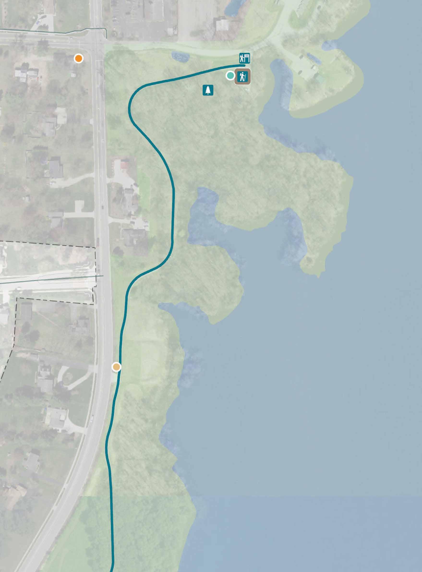
0 100’ 200’ 1IN= 200FT N
Art/Cultural/ Historical Feature
Bench
Bridge
Decision Point
Overlooks/ Viewing Points
Parks
Restrooms
Existing Sign
Trail Access
Trashcan
Trail Access
Directional
Identifier
Information
Kiosk
Replacement
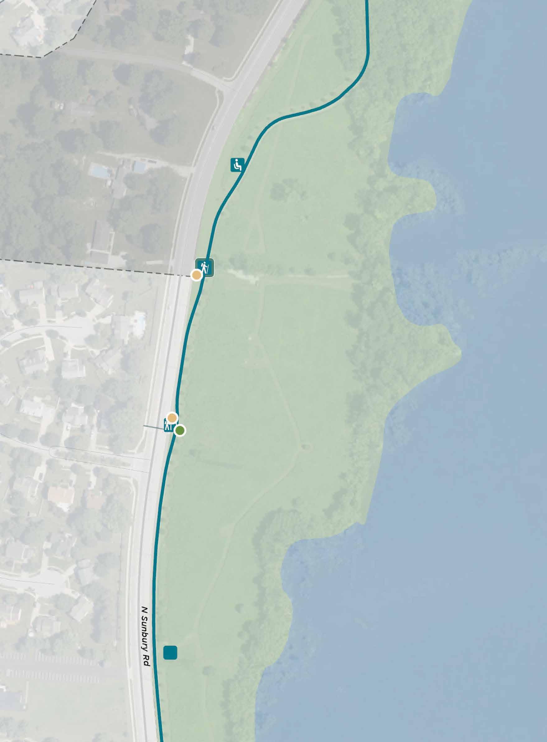
0 100’ 200’ 1IN= 200FT N
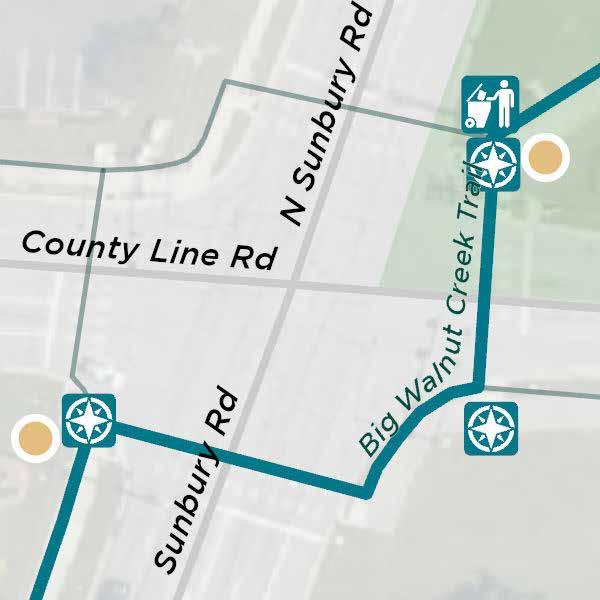
Art/Cultural/ Historical Feature
Bench
Bridge
Decision Point
Overlooks/ Viewing Points
Parks
Restrooms
Existing Sign
Trail Access
Trashcan
Trail Access
Directional Identifier
Information
Kiosk
Replacement
0 100’ 200’ 1IN= 200FT N
TRAIL ADOPTION SIGNAGE
TRAIL SAFETY SIGNAGE
DIRECTIONAL SIGNAGE
Art/Cultural/ Historical Feature
Bench
Bridge
Decision Point
Overlooks/ Viewing Points
Parks
Restrooms
Existing Sign
Trail Access
Trashcan
Trail Access
Directional
Identifier
Information
Kiosk
Replacement
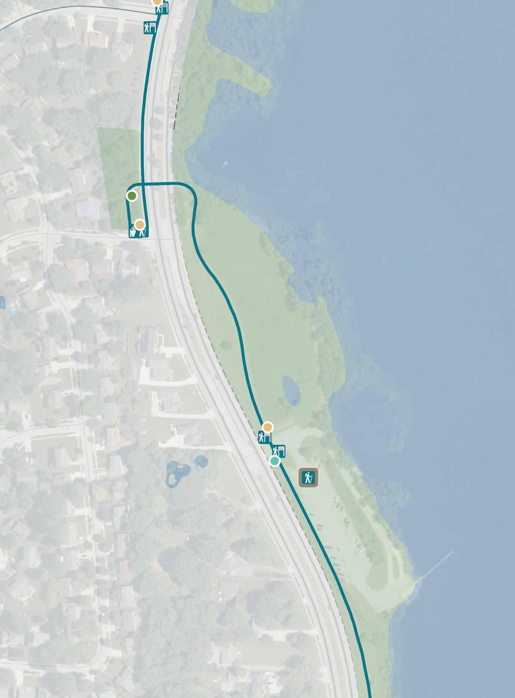
Art/Cultural/ Historical Feature
Bench
Bridge Decision Point Overlooks/ Viewing Points
Parks
Restrooms
Existing Sign
Trail Access
Trashcan
Trail Access
Directional Identifier
Information Kiosk
Replacement
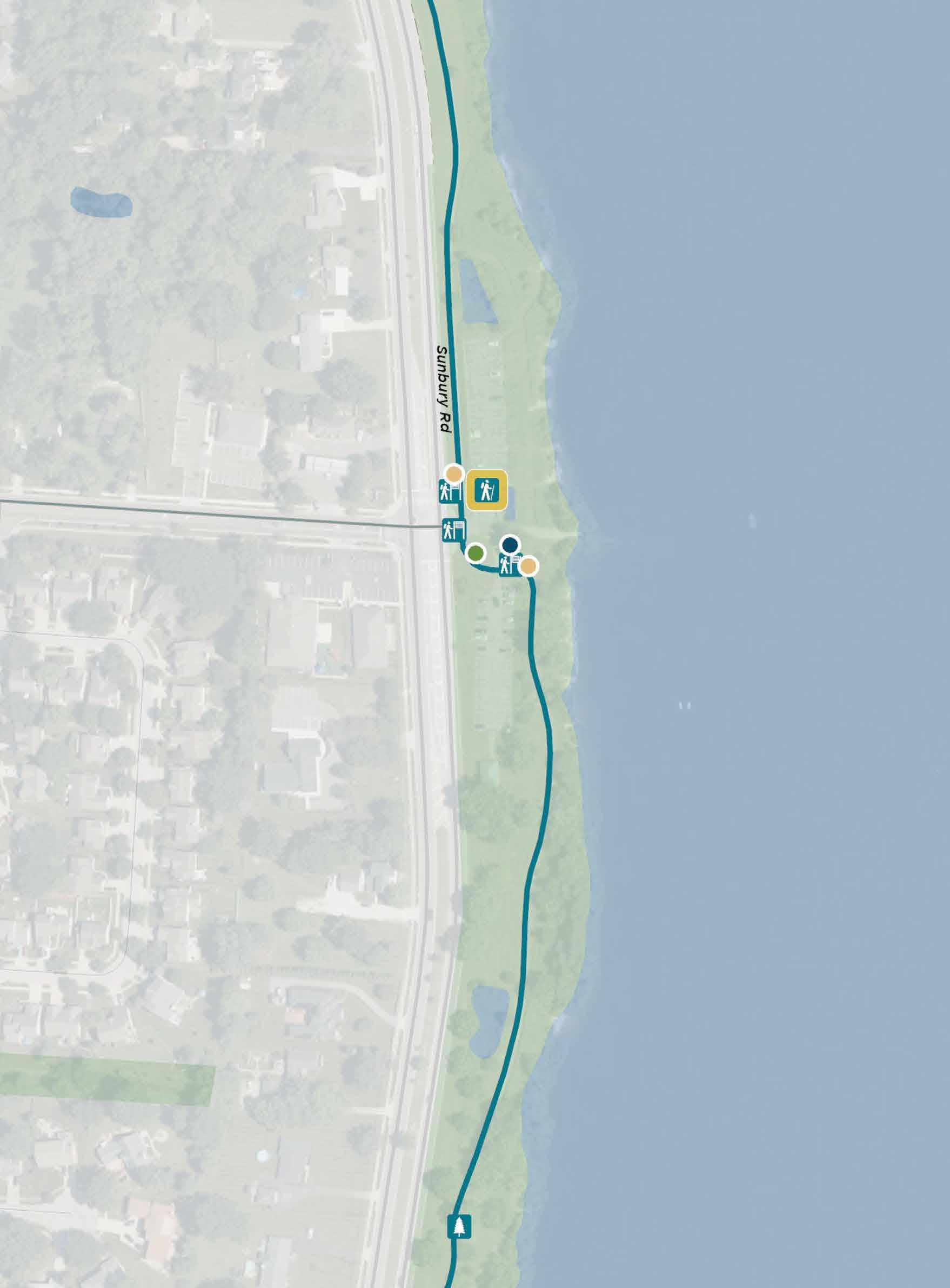
Art/Cultural/ Historical Feature
Bench
Bridge
Decision Point
Overlooks/ Viewing Points
Parks
Restrooms
Existing Sign
Trail Access
Trashcan
Trail Access Directional Identifier
Information
Kiosk
Replacement
1IN= 200FT N
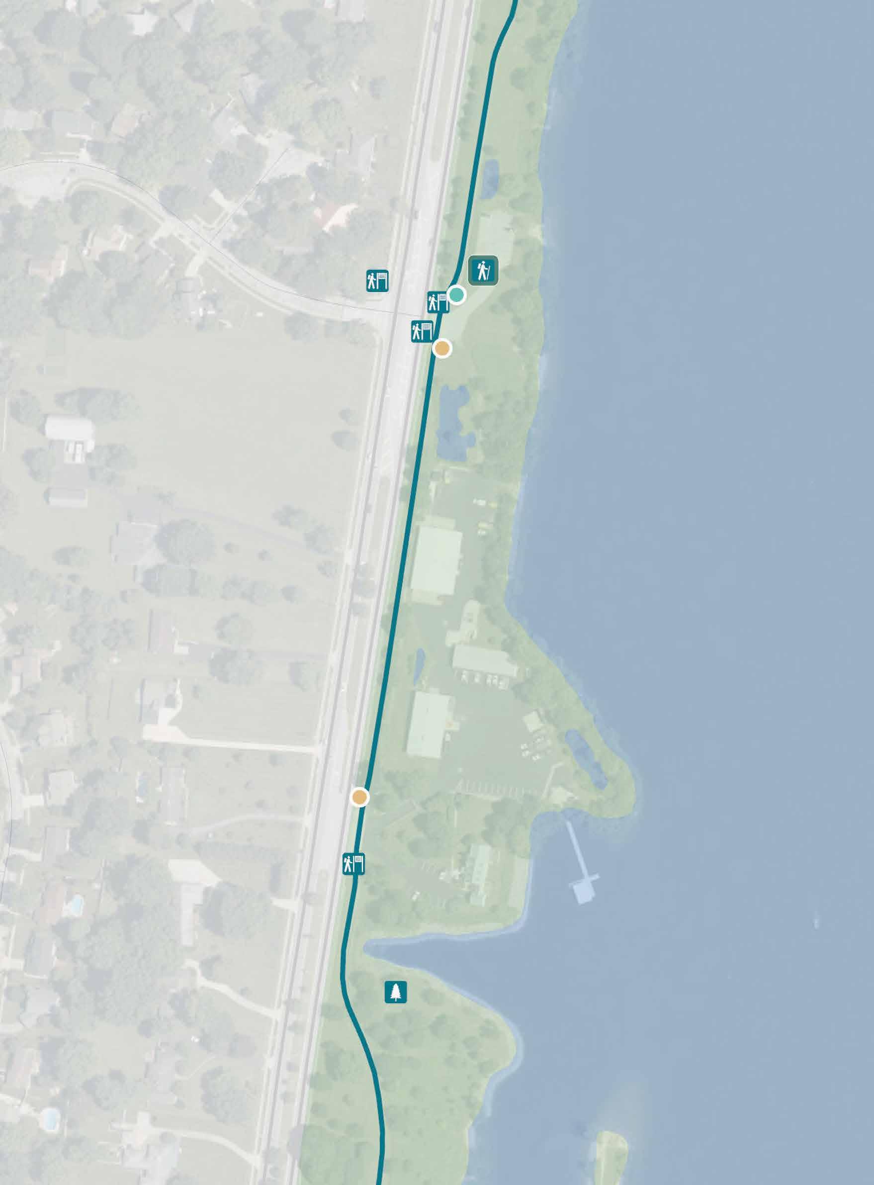
Art/Cultural/ Historical Feature
Bench
Bridge Decision Point
Overlooks/ Viewing Points
Parks
Restrooms
Existing Sign
Trail Access
Trashcan
Trail Access
Directional Identifier
Information
Kiosk
Replacement
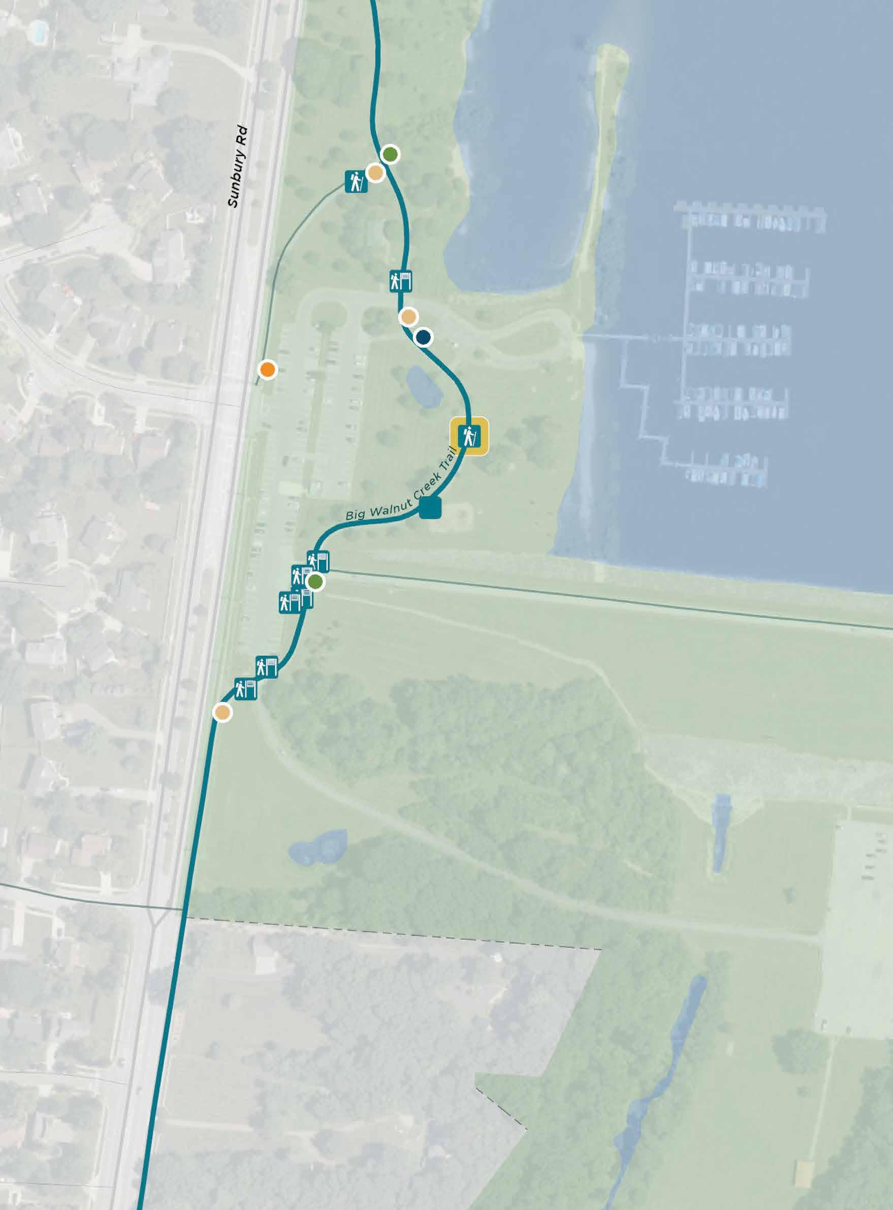
Art/Cultural/ Historical Feature
Bench
Bridge Decision Point
Overlooks/ Viewing Points
Parks
Restrooms
Existing Sign
Trail Access
Trashcan
Trail Access Directional Identifier Information
Kiosk
Replacement
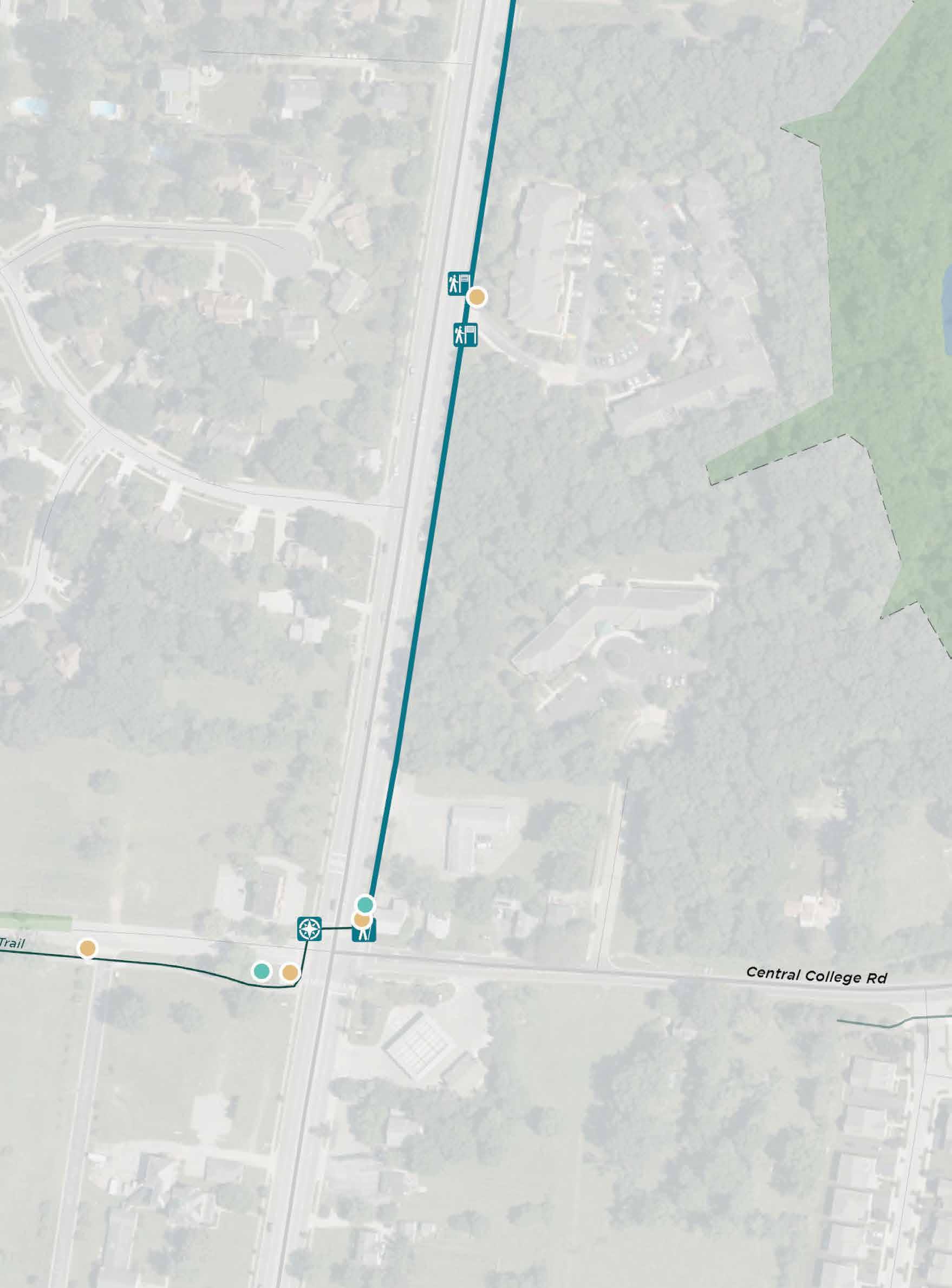
Art/Cultural/ Historical Feature
Bench
Bridge Decision Point Overlooks/ Viewing Points
Parks
Restrooms
Existing Sign
Trail Access
Trashcan
Trail Access
Directional Identifier
Information
Kiosk
Replacement
Alum Creek Trail
Big Walnut Trail
Ohio to Erie Trail
Collector, Connector, or Community Trails
Leisure Paths
Enlargement
Boundary
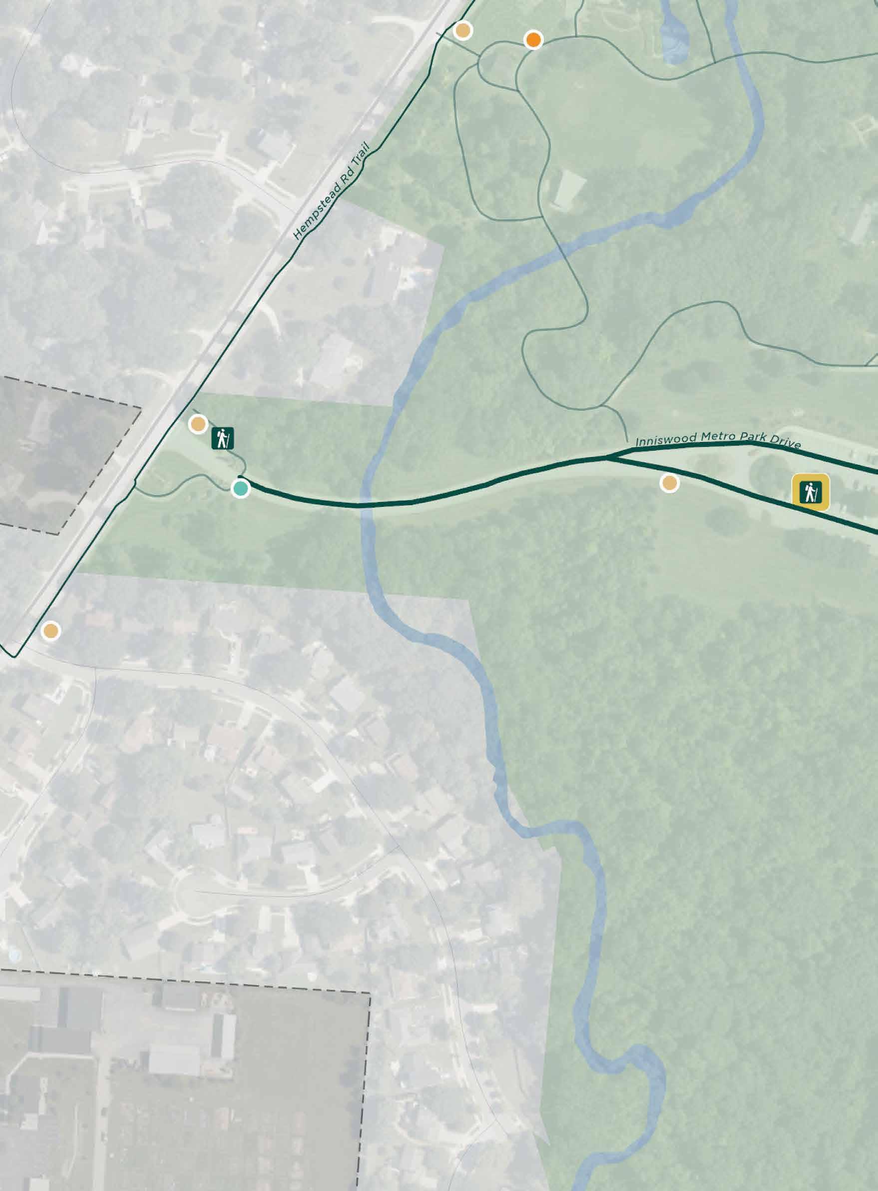
EXISTING SITE ELEMENTS:
Art/Cultural/ Historical Feature Bench Bridge
PROPOSED SIGNS: Trail Access
Decision Point Overlooks/ Viewing Points Parks Restrooms Existing Sign Trail Access Trashcan
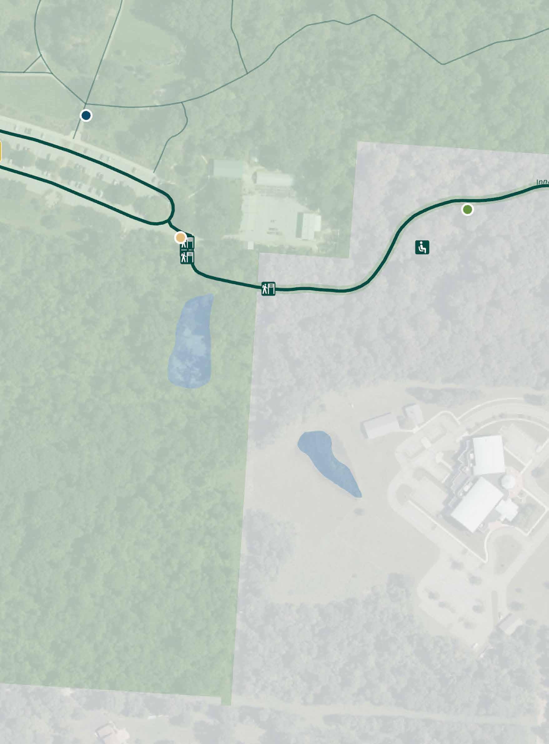
TRAIL ADOPTION SIGNAGE
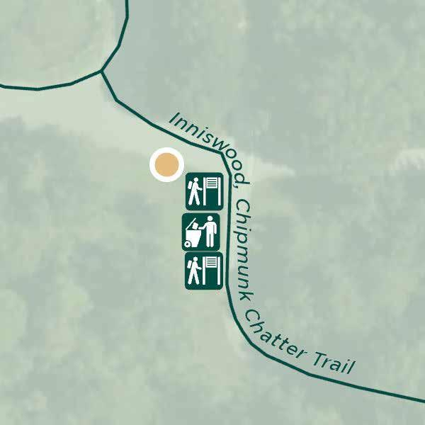
TRAIL IDENTIFIER SIGNAGE
TRAIL INFO SIGNAGE
EXISTING SITE ELEMENTS:
Art/Cultural/ Historical Feature Bench Bridge Decision Point Overlooks/ Viewing Points Parks Restrooms Existing Sign Trail Access Trashcan
PROPOSED SIGNS:
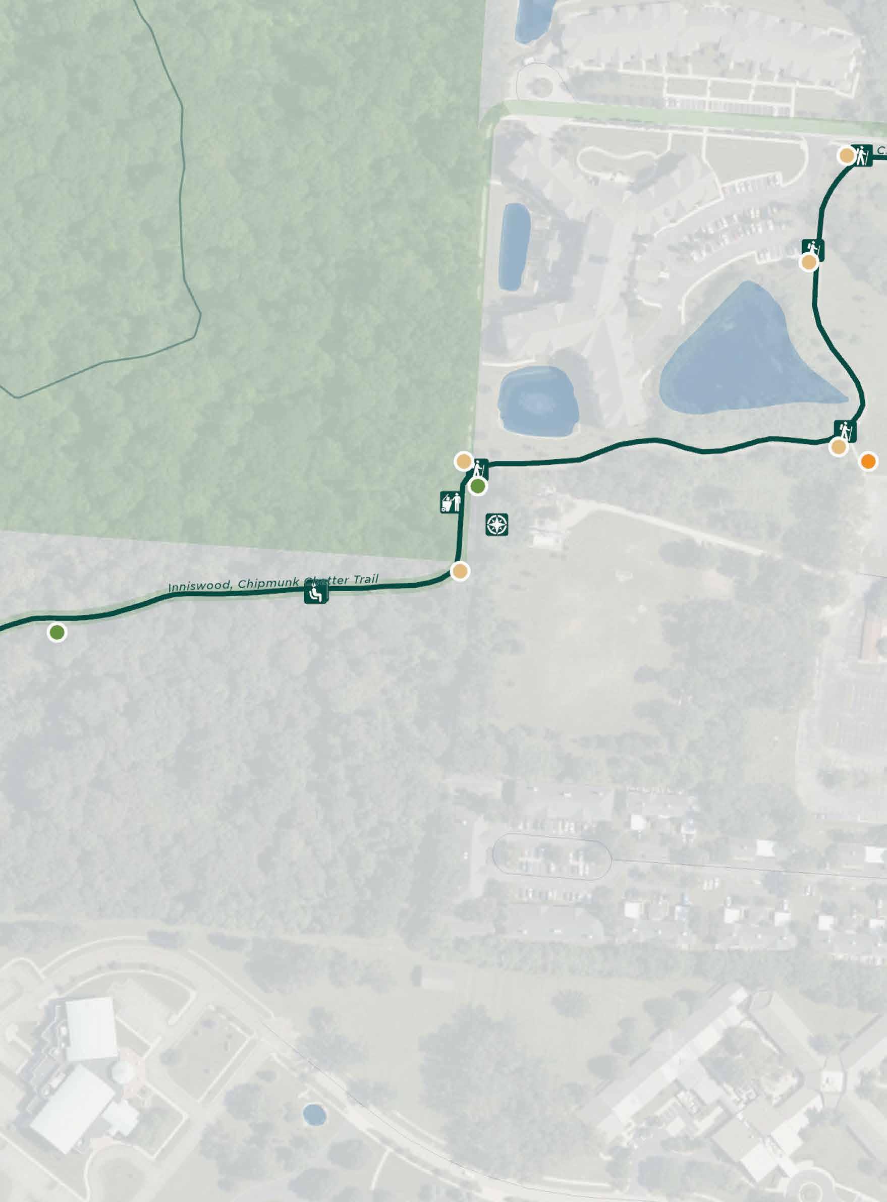
EXISTING SITE ELEMENTS:
Art/Cultural/ Historical Feature Bench
Bridge
PROPOSED SIGNS: Trail Access
Decision Point
Overlooks/ Viewing Points Parks Restrooms Existing Sign Trail Access Trashcan
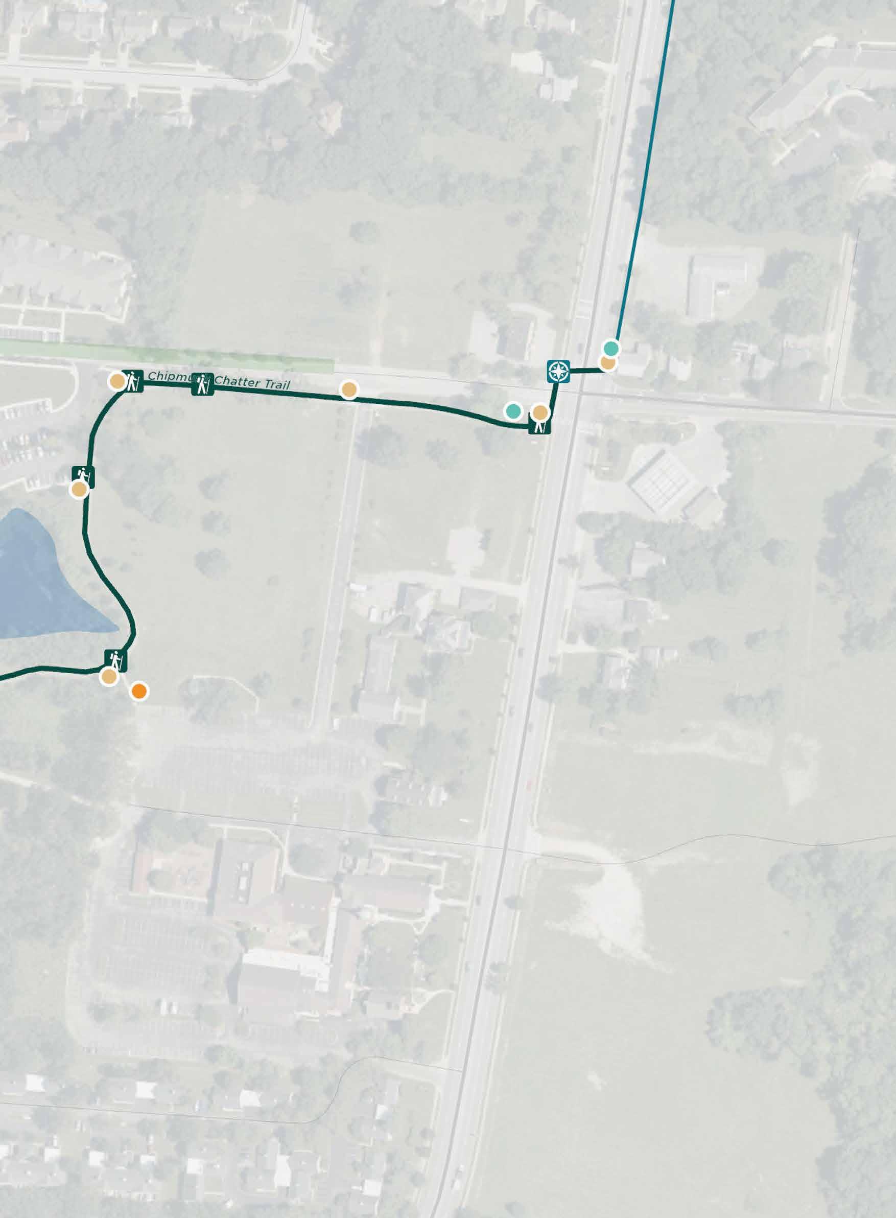
EXISTING SITE ELEMENTS:
Art/Cultural/ Historical Feature Bench
Bridge
PROPOSED SIGNS: Trail Access
Decision Point Overlooks/ Viewing Points Parks Restrooms Existing Sign Trail Access Trashcan
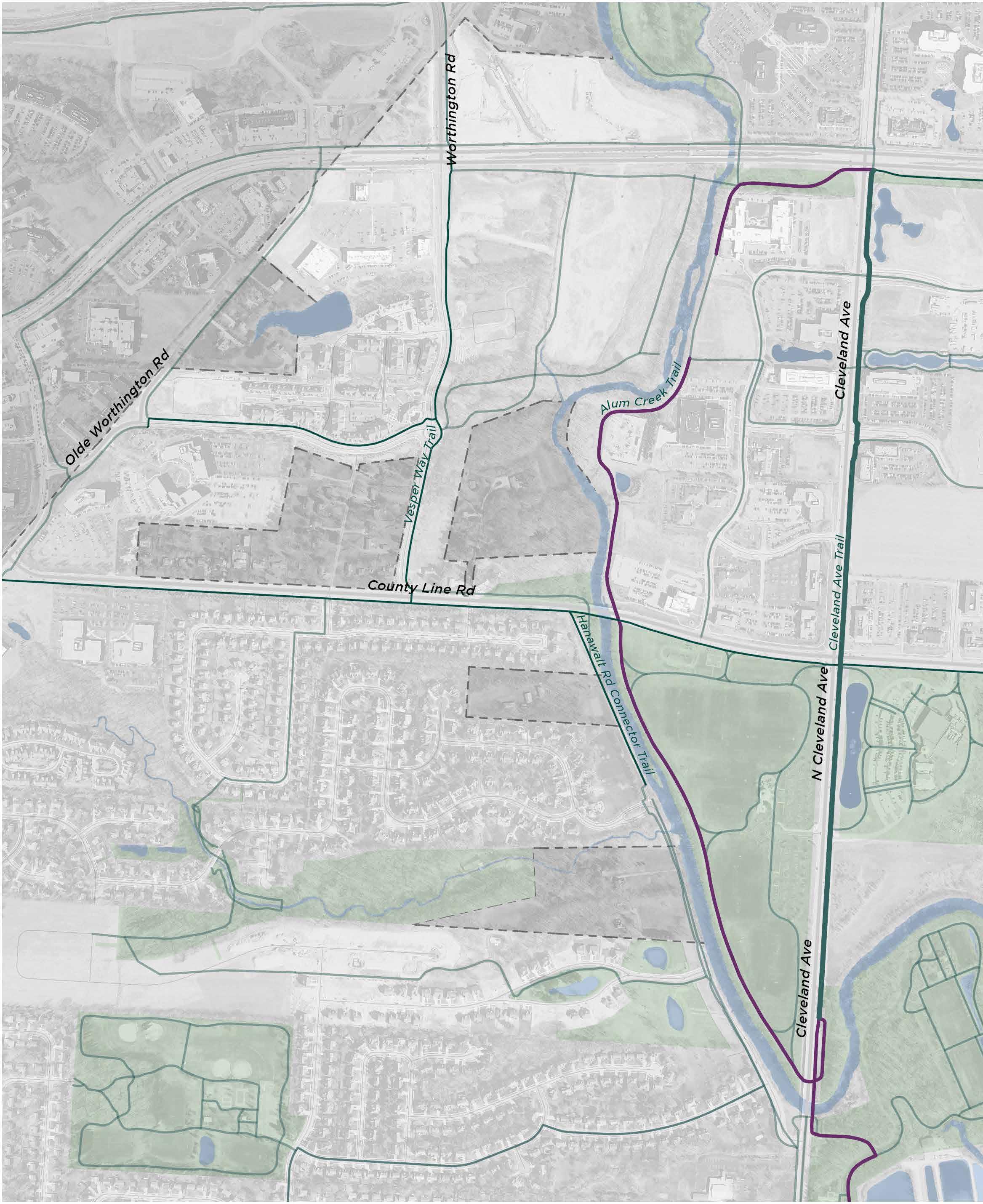
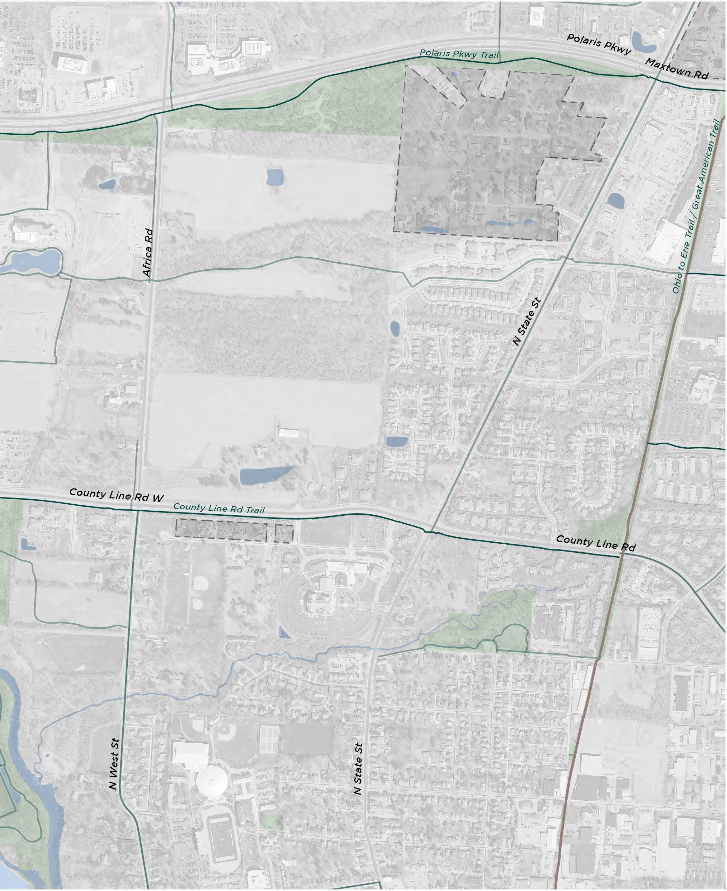
Alum Creek Trail
Big Walnut Trail
Ohio to Erie Trail
Collector, Connector, or Community Trails
Leisure Paths
Enlargement
Boundary
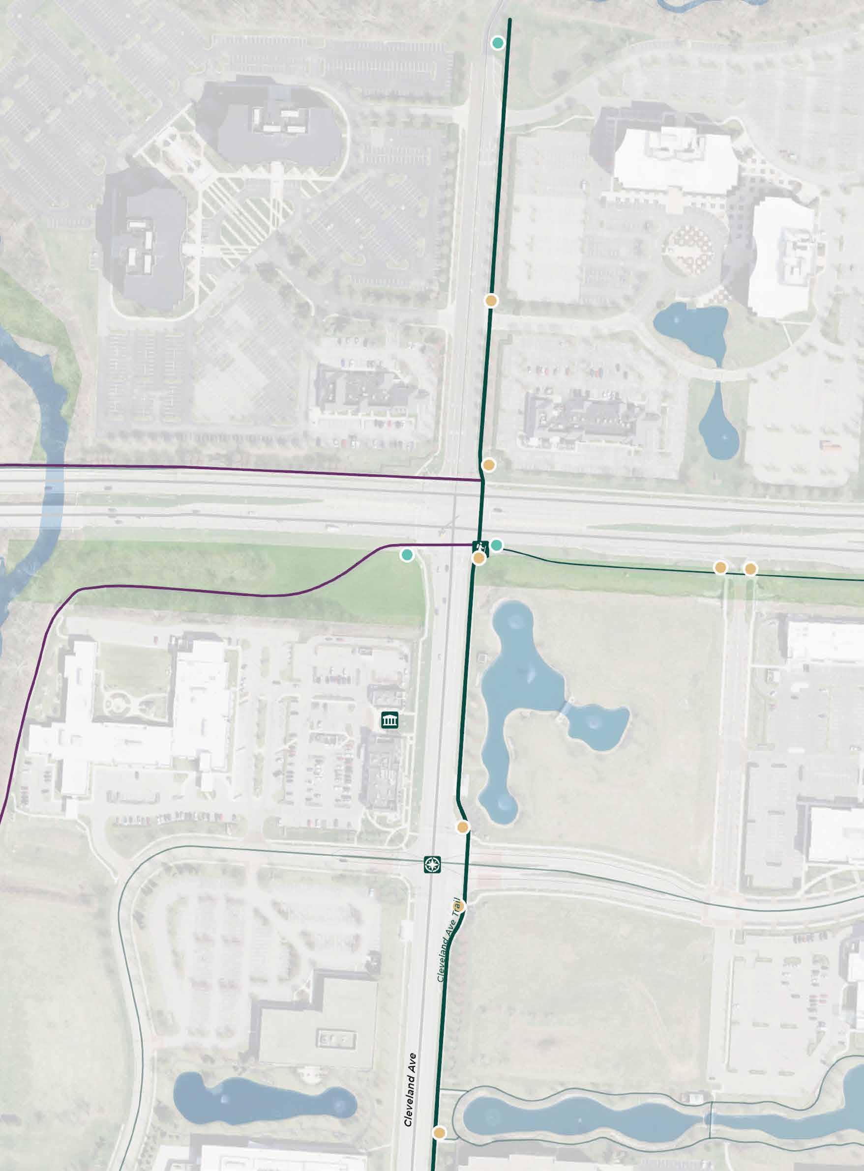
Art/Cultural/ Historical Feature
Bench
Bridge Decision Point Overlooks/ Viewing Points
Parks
Restrooms
Existing Sign
Trail Access
Trashcan
Trail Access
Directional Identifier
Information
Kiosk
Replacement
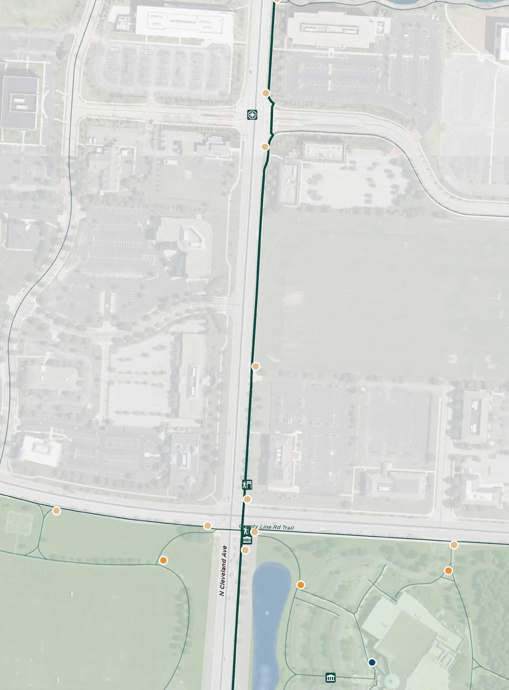
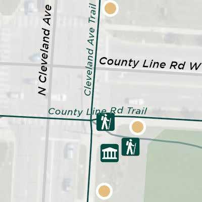
Art/Cultural/ Historical Feature
Bench
Bridge
Decision Point Overlooks/ Viewing Points
Parks
Restrooms
Existing Sign
Trail Access
Trashcan
Trail Access
Directional Identifier
Information
Kiosk
Replacement
Art/Cultural/ Historical Feature
Bench
Bridge Decision Point Overlooks/ Viewing Points
Parks
Restrooms
Existing Sign
Trail Access
Trashcan
Trail Access
Directional Identifier
Information
Kiosk
Replacement
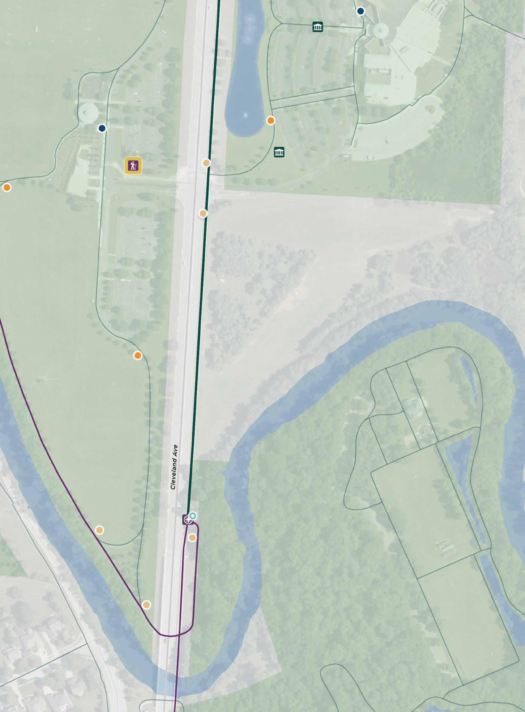
0 100’ 200’ 1IN= 200FT N
SOURCE: CITY OF WESTERVILLE
Alum Creek Trail
Big Walnut Trail
Ohio to Erie Trail
Collector, Connector, or Community Trails
Leisure Paths
Enlargement
Boundary
EXISTING SITE ELEMENTS: Art/Cultural/ Historical Feature
PROPOSED SIGNS:
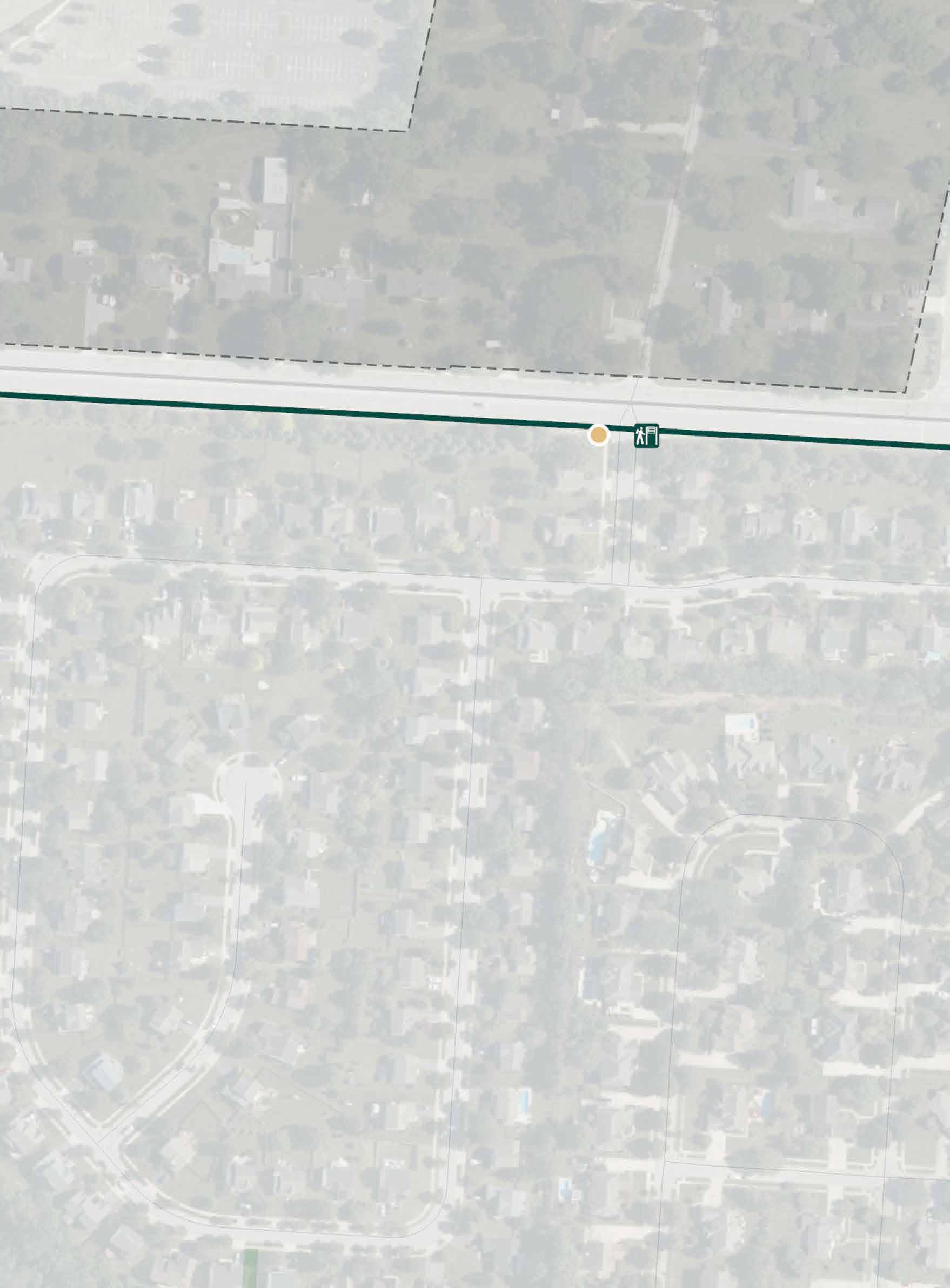
EXISTING SITE ELEMENTS:
Art/Cultural/ Historical Feature Bench Bridge
PROPOSED
Decision Point Overlooks/ Viewing Points Parks Restrooms Existing Sign Trail Access Trashcan
EXISTING SITE ELEMENTS:
Art/Cultural/ Historical
PROPOSED SIGNS:
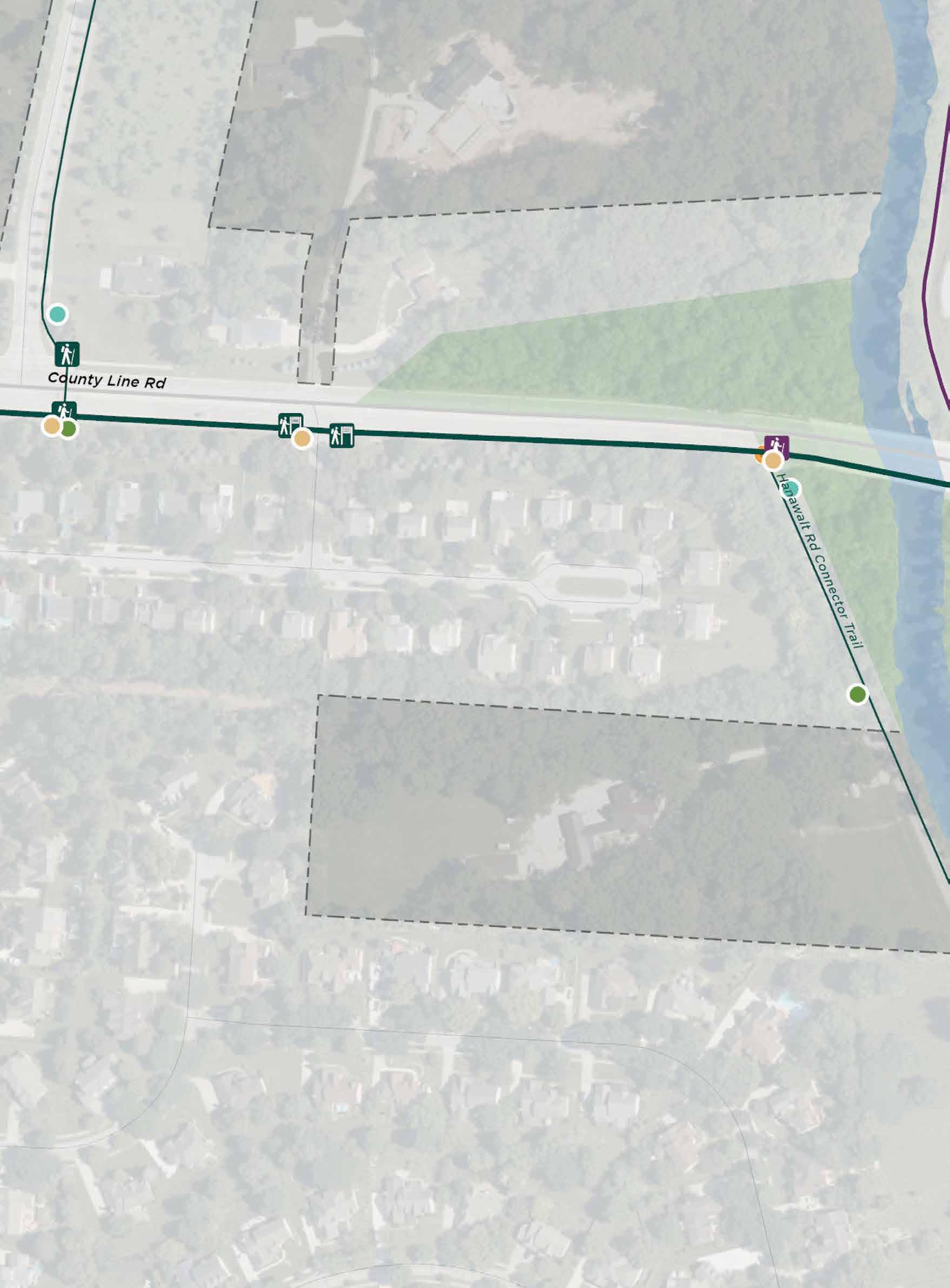
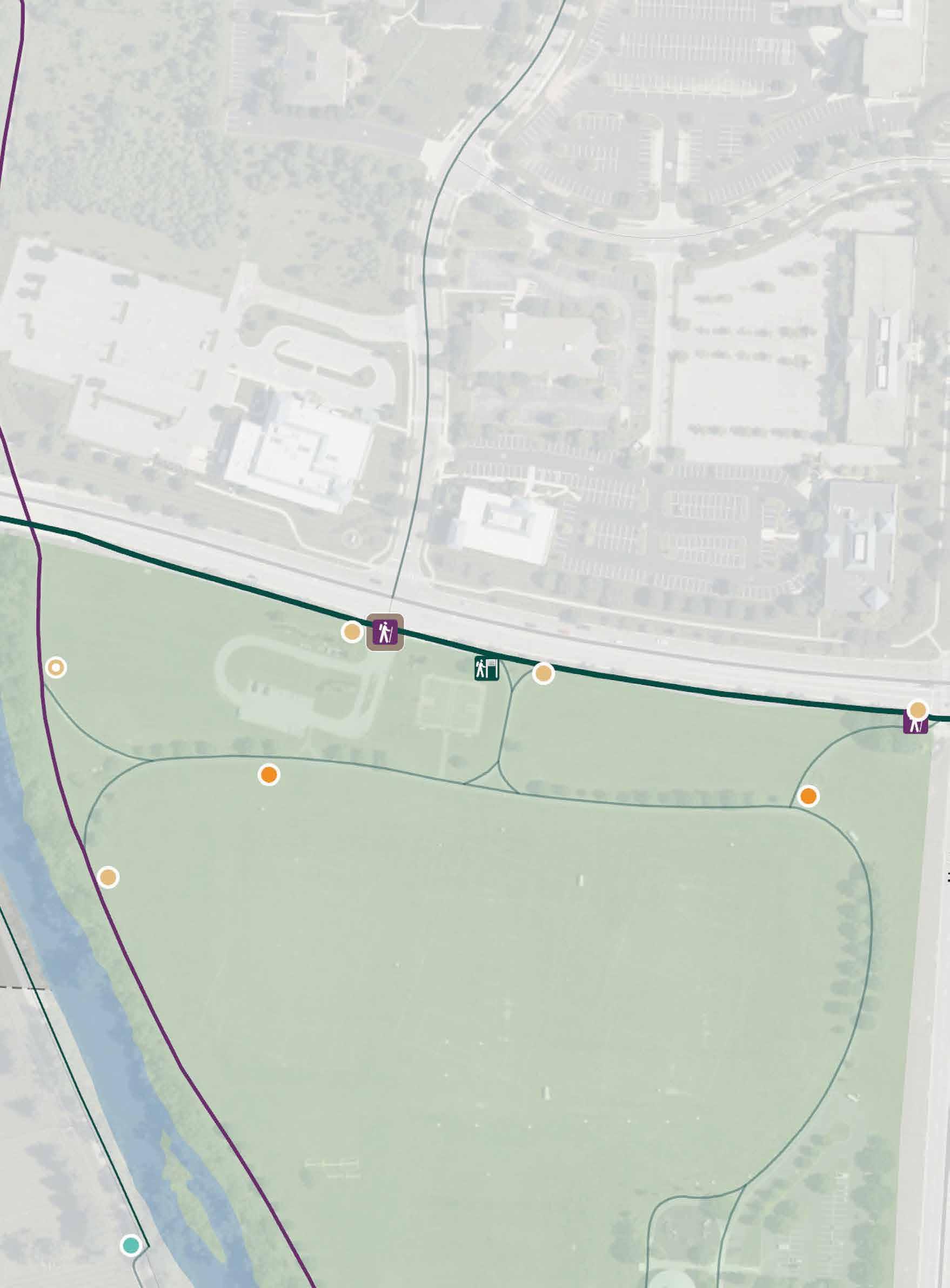
EXISTING SITE ELEMENTS:
Art/Cultural/ Historical Feature
PROPOSED SIGNS:
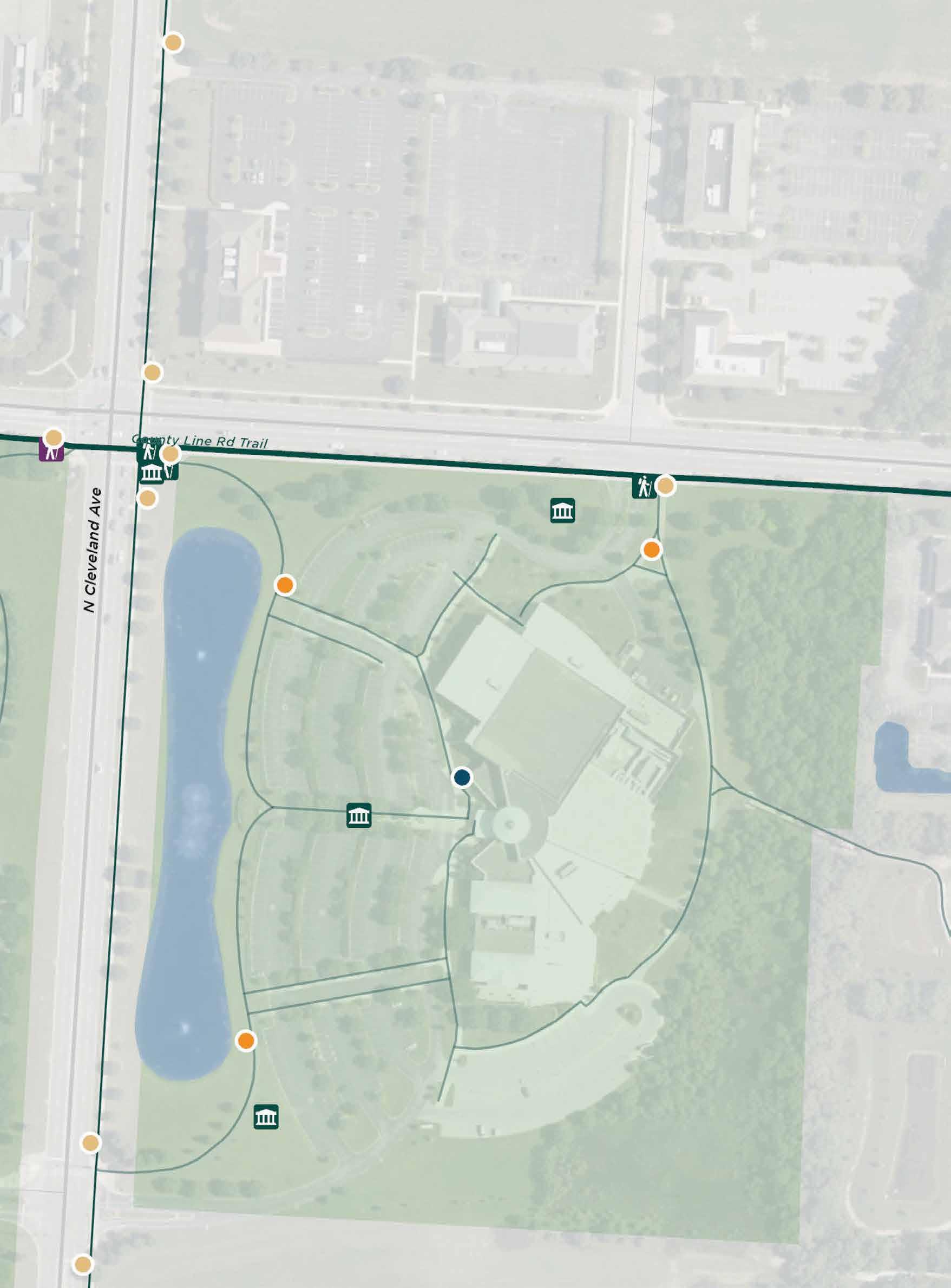
EXISTING SITE ELEMENTS:
Art/Cultural/ Historical Feature Bench Bridge Decision Point Overlooks/ Viewing Points Parks Restrooms Existing Sign Trail Access Trashcan
PROPOSED SIGNS: Trail
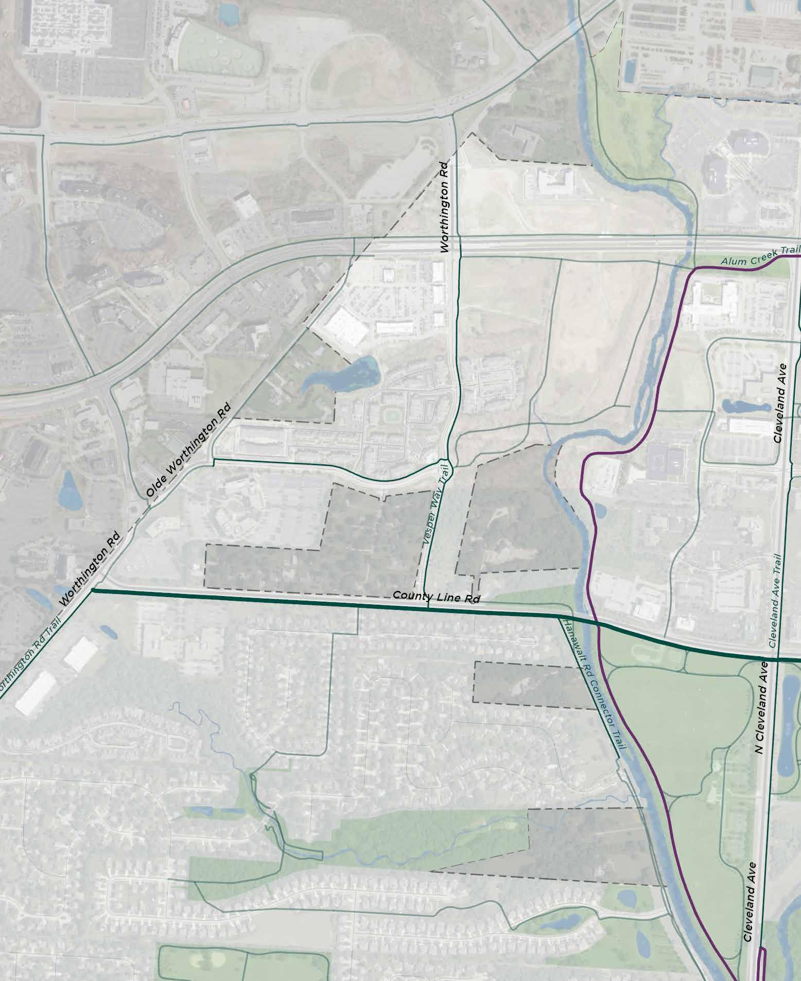
Figure 82 | County Line Road Trail - Enlargement 5
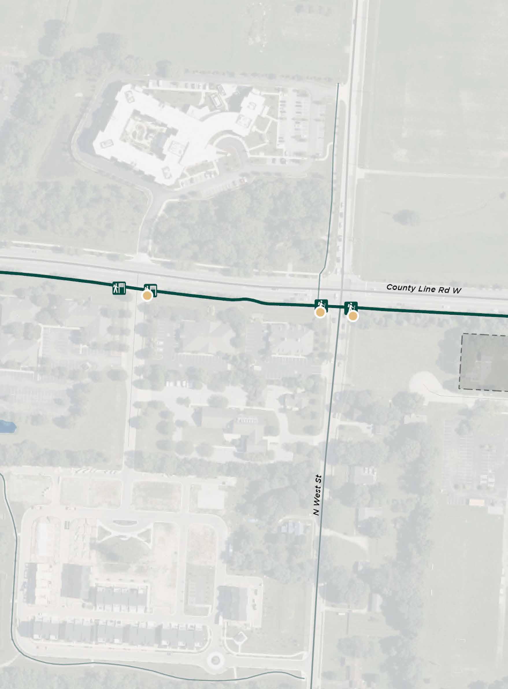
Art/Cultural/ Historical
PROPOSED SIGNS:
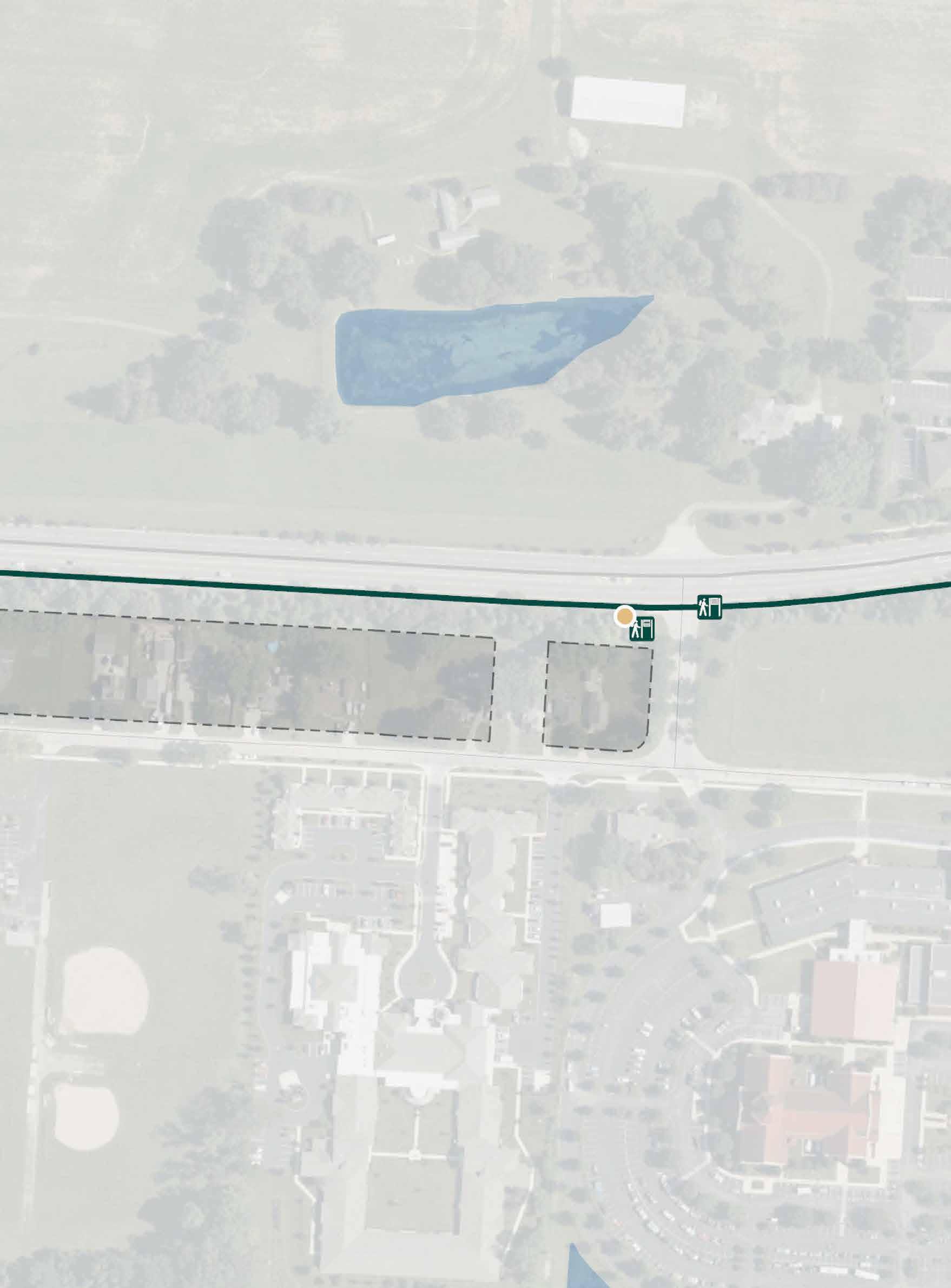
EXISTING SITE ELEMENTS:
Art/Cultural/ Historical Feature Bench Bridge Decision Point Overlooks/ Viewing Points Parks Restrooms Existing Sign Trail Access Trashcan
SIGNS:
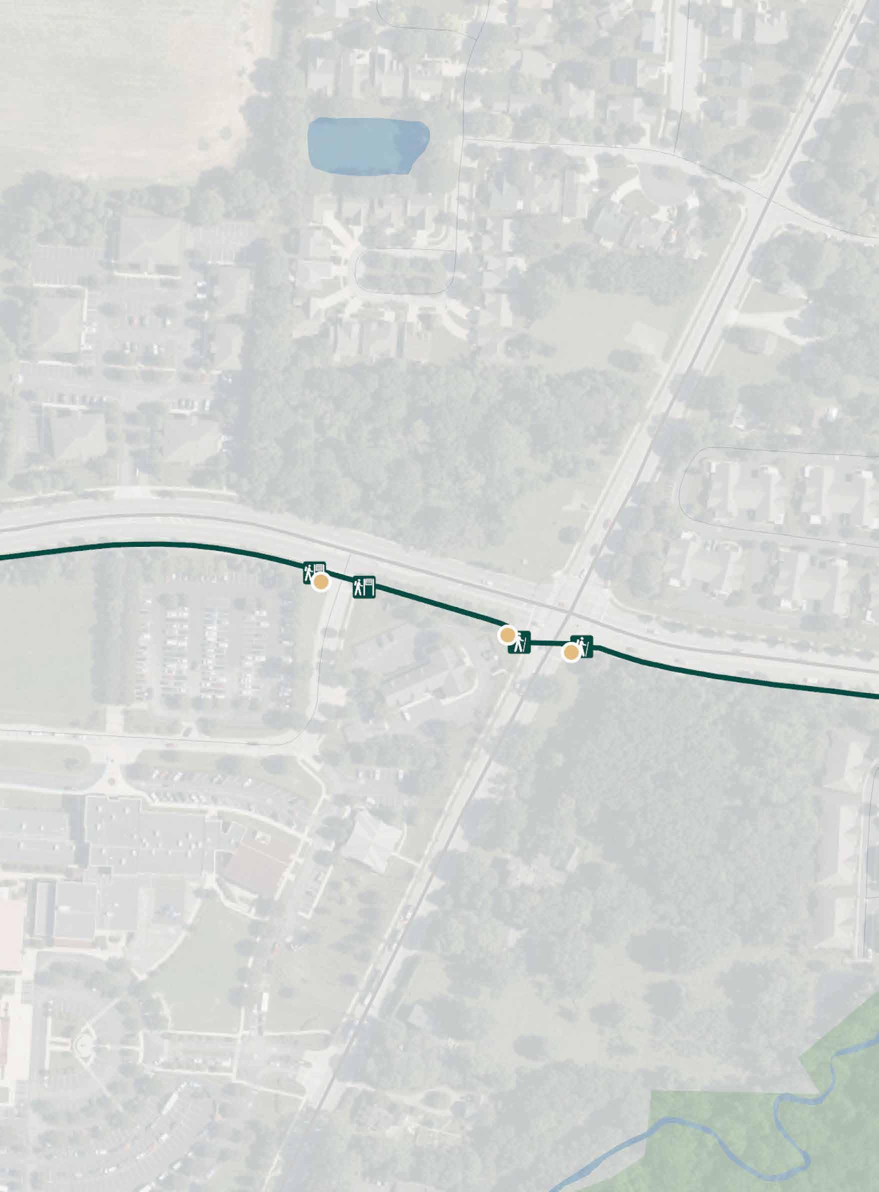
EXISTING SITE ELEMENTS:
Art/Cultural/ Historical
PROPOSED SIGNS:
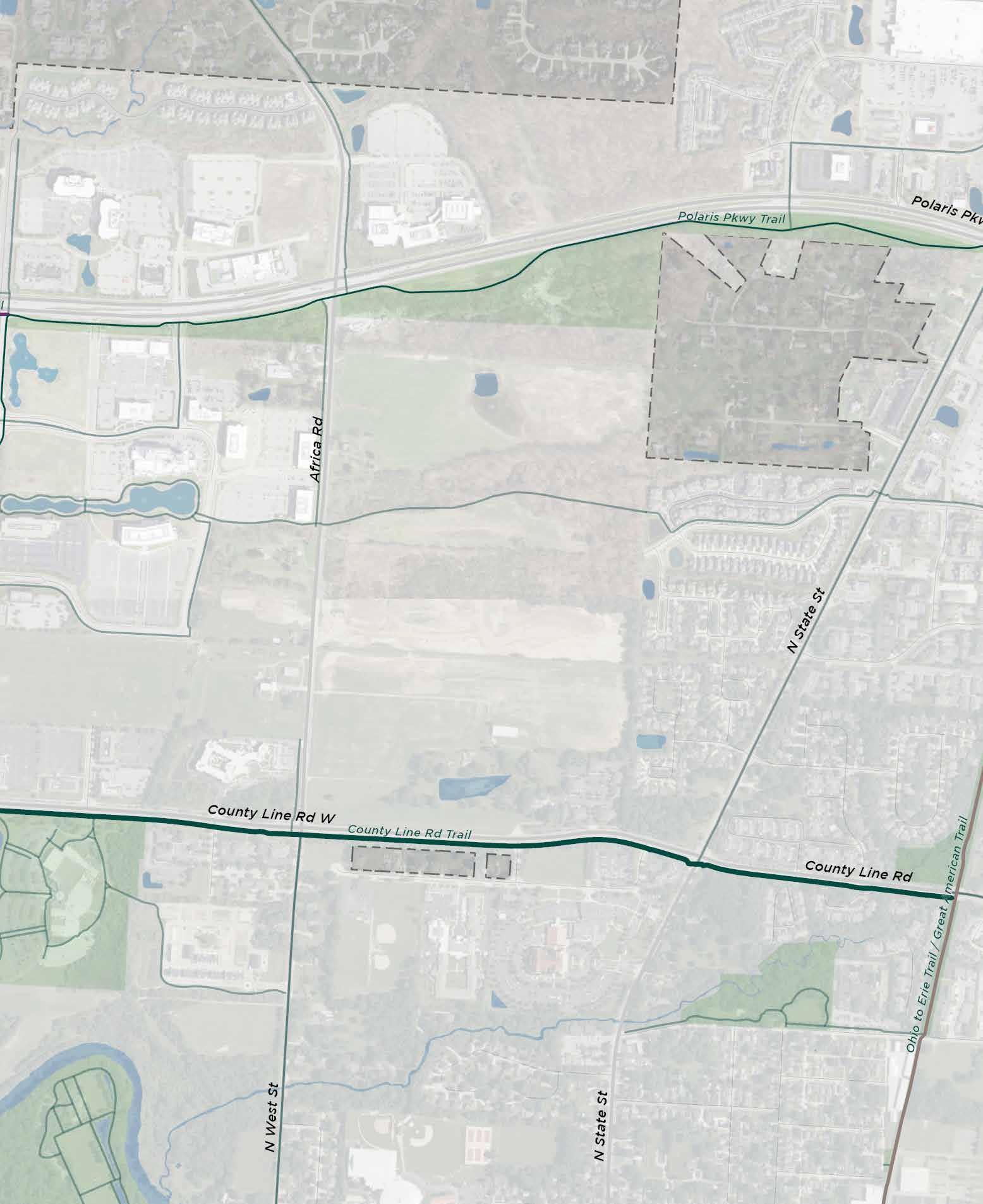
Figure 85 | County Line Road Trail - Enlargement 8
Art/Cultural/ Historical Feature Bench
Bridge Decision Point Overlooks/ Viewing Points
Parks
Restrooms
Existing Sign
Trail Access
Trashcan
Trail Access
Directional Identifier
Information
Kiosk
Replacement
TRAIL IDENTIFIER
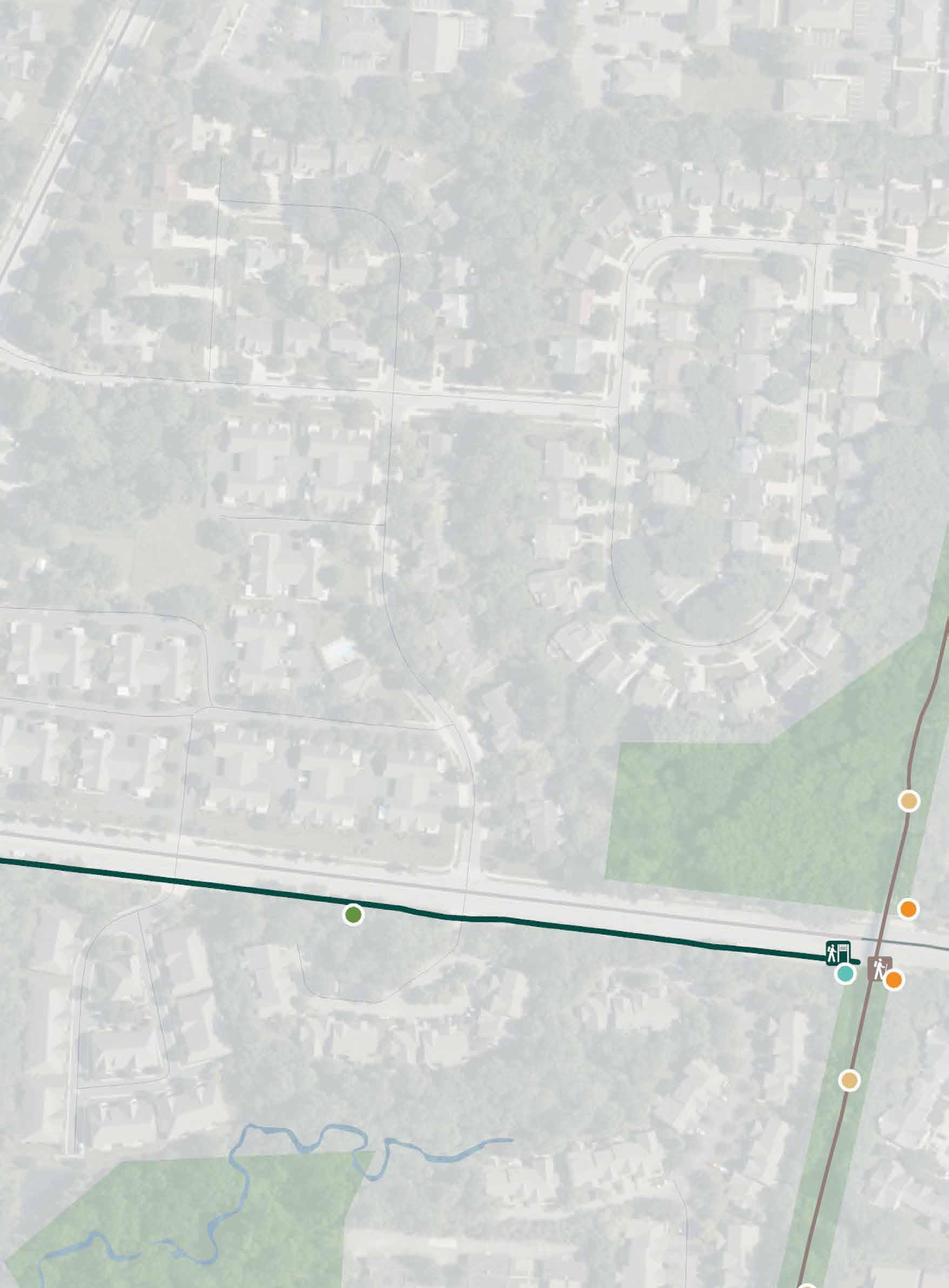
100’ 200’ 1IN= 200FT N
SOURCE: CITY OF WESTERVILLE
Alum Creek Trail
Big Walnut Trail
Ohio to Erie Trail
Collector, Connector, or Community Trails
Leisure Paths
Enlargement
Boundary
EXISTING SITE ELEMENTS:
Art/Cultural/ Historical Feature Bench Bridge
PROPOSED SIGNS: Trail Access
Decision Point Overlooks/ Viewing Points Parks Restrooms Existing Sign Trail Access Trashcan
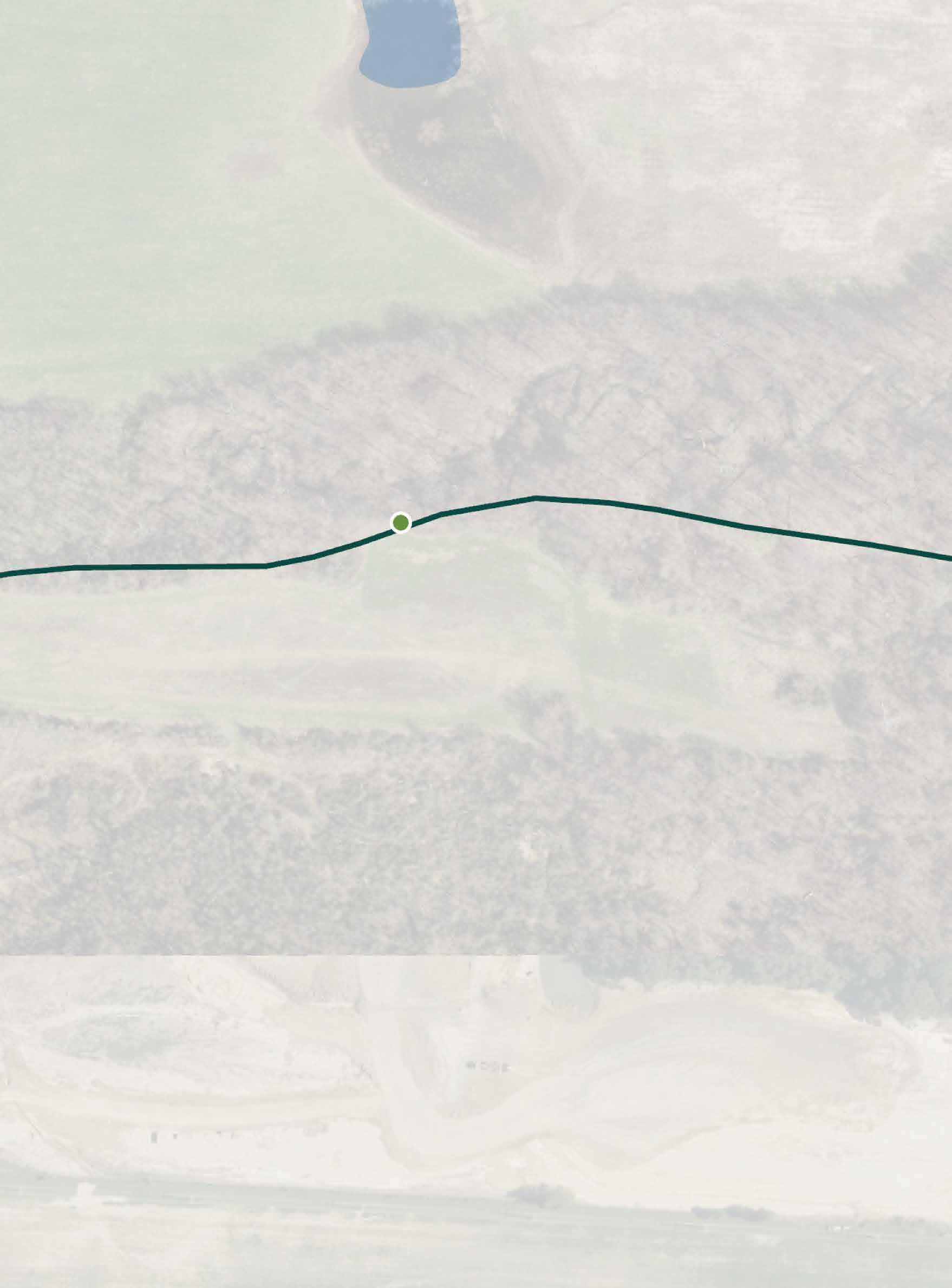
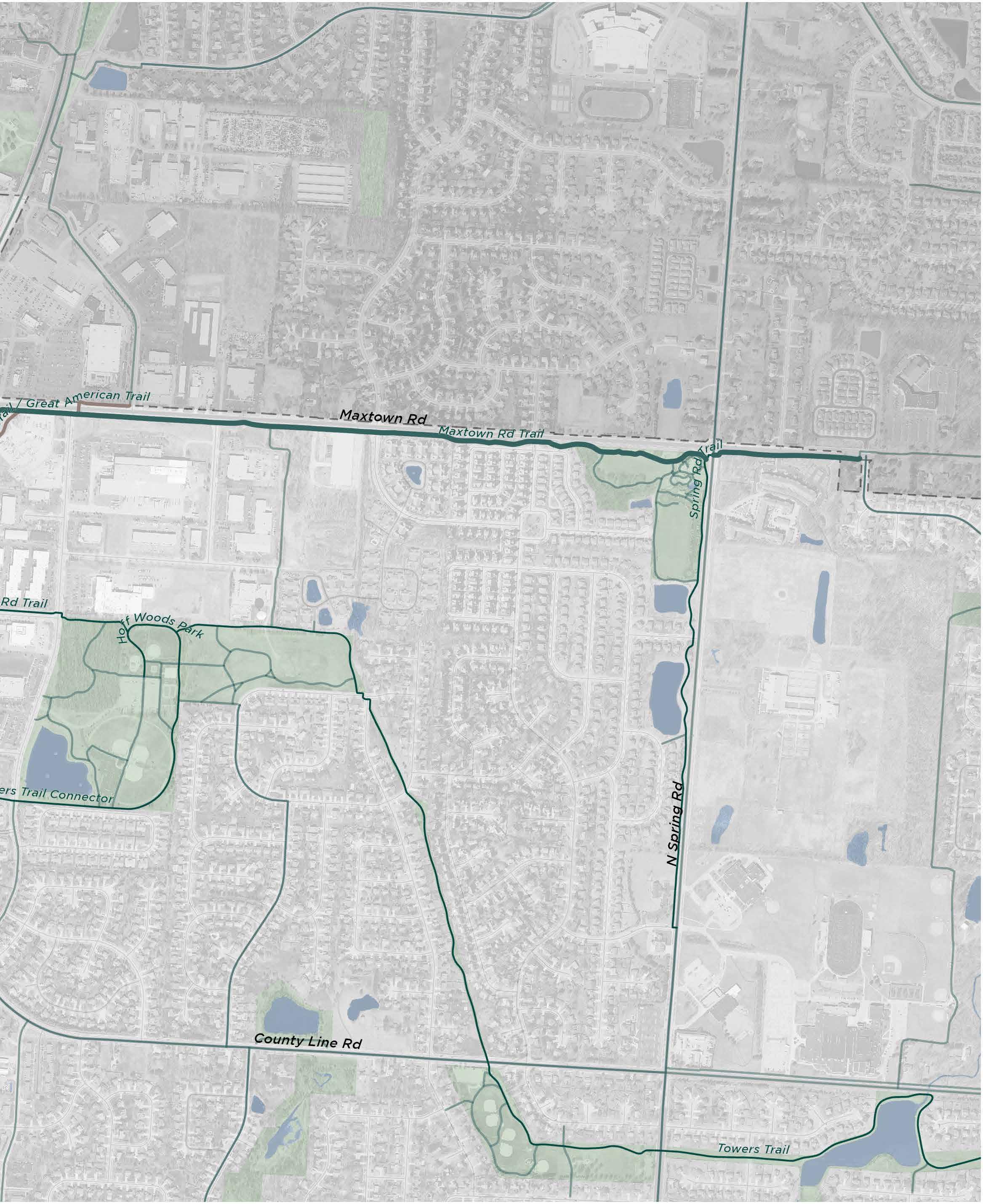
Figure 88 | Hoff Woods Trail - Enlargement 1
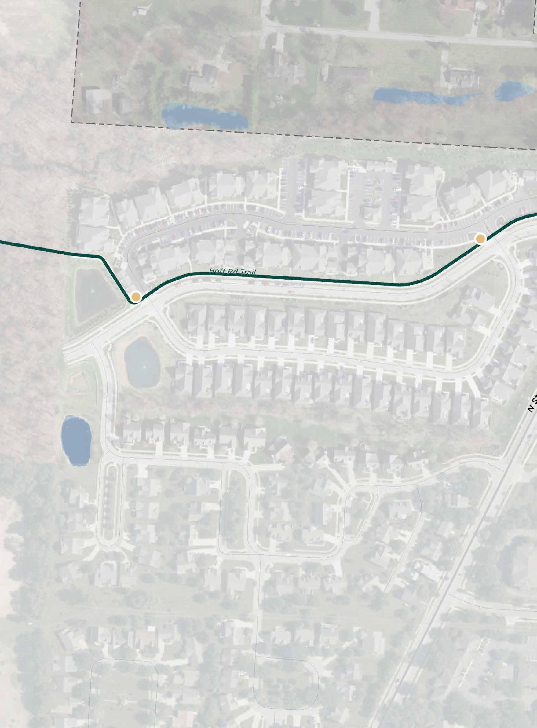
EXISTING SITE ELEMENTS:
Art/Cultural/ Historical Feature Bench
Bridge Decision Point Overlooks/ Viewing Points Parks Restrooms Existing Sign Trail Access Trashcan
PROPOSED SIGNS: Trail Access Directional
Figure 89 | Hoff Woods Trail - Enlargement 2
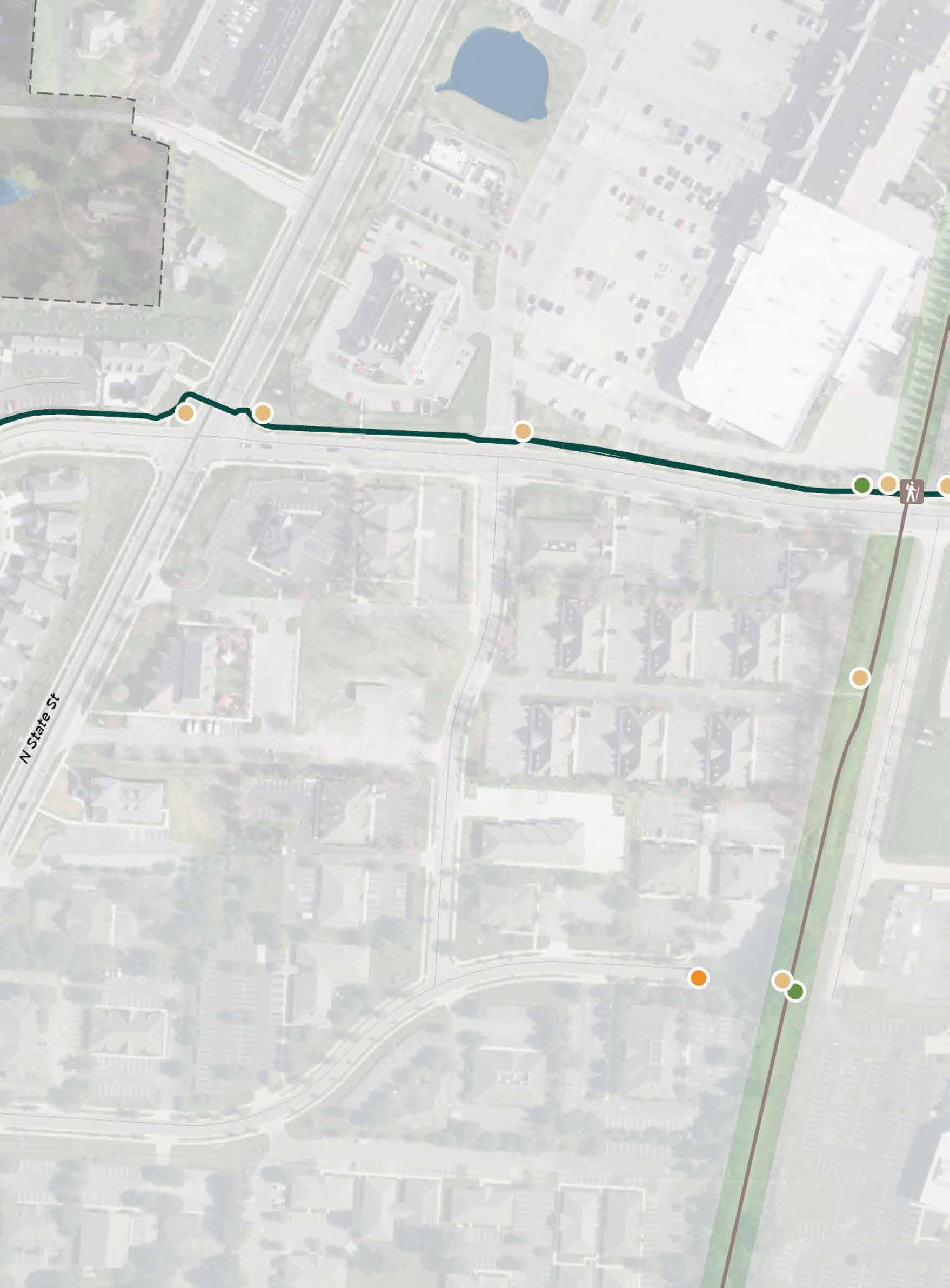
EXISTING SITE ELEMENTS:
Art/Cultural/ Historical Feature Bench Bridge Decision Point Overlooks/ Viewing Points Parks Restrooms Existing Sign Trail Access Trashcan
PROPOSED SIGNS: Trail Access
Figure 90 | Hoff Woods Trail - Enlargement 3
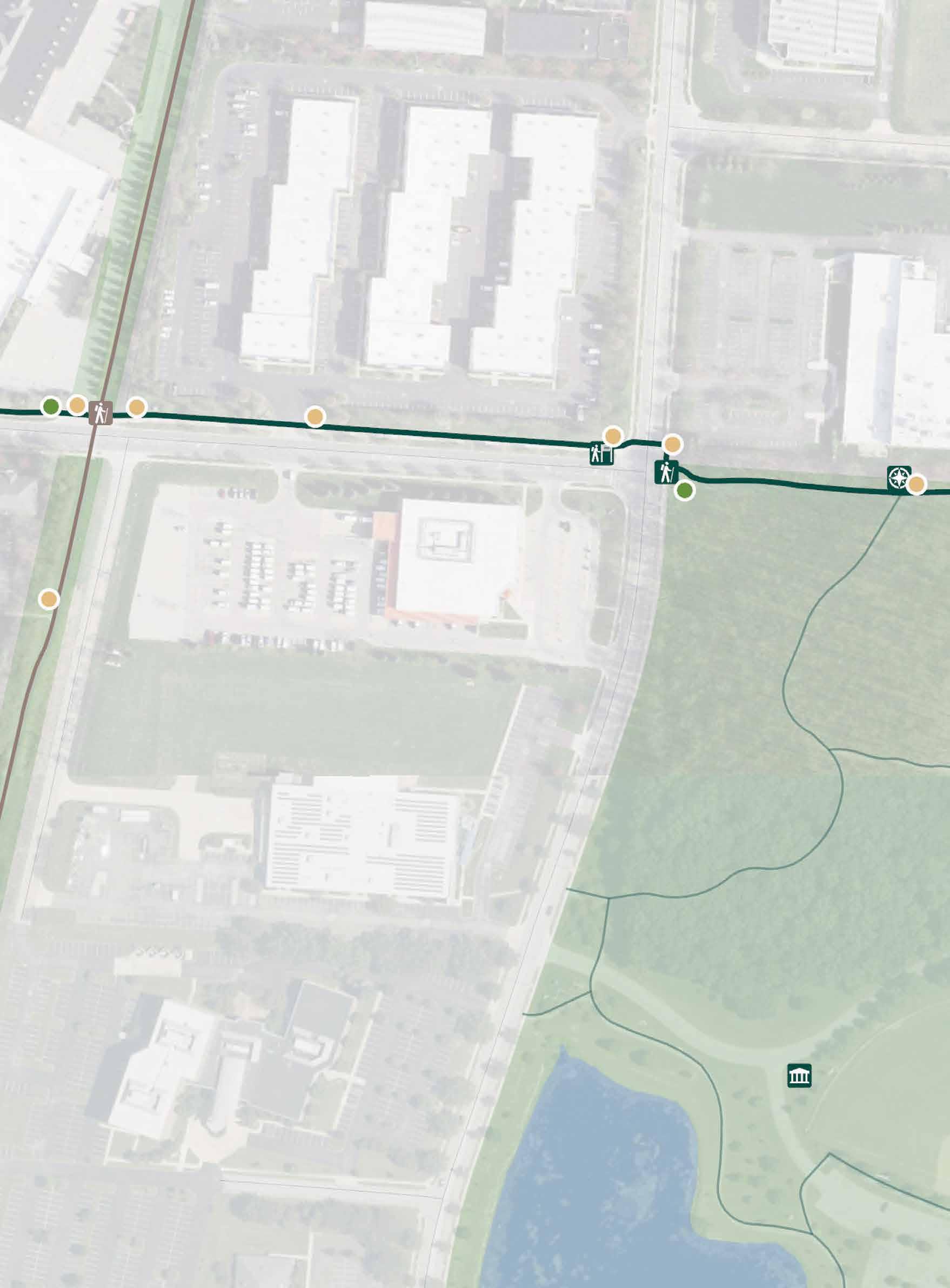
EXISTING SITE ELEMENTS:
Art/Cultural/ Historical Feature Bench Bridge Decision Point Overlooks/ Viewing Points Parks Restrooms Existing Sign Trail Access Trashcan
PROPOSED SIGNS: Trail Access Directional
Figure 91 | Hoff Woods Trail - Enlargement 4
EXISTING SITE ELEMENTS:
Art/Cultural/ Historical Feature Bench Bridge Decision Point Overlooks/ Viewing Points Parks Restrooms Existing Sign Trail Access Trashcan
PROPOSED SIGNS: Trail Access Directional Identifier
Figure 92 | Hoff Woods Trail - Enlargement 5
EXISTING
Art/Cultural/ Historical Feature
PROPOSED SIGNS:
Alum Creek Trail
Big Walnut Trail
Ohio to Erie Trail
Collector, Connector, or Community Trails
Leisure Paths
Enlargement
Boundary
Art/Cultural/ Historical Feature
Bench
Bridge Decision Point Overlooks/ Viewing Points
Parks
Restrooms
Existing Sign
Trail Access
Trashcan
Trail Access
Directional Identifier
Information
Kiosk
Replacement
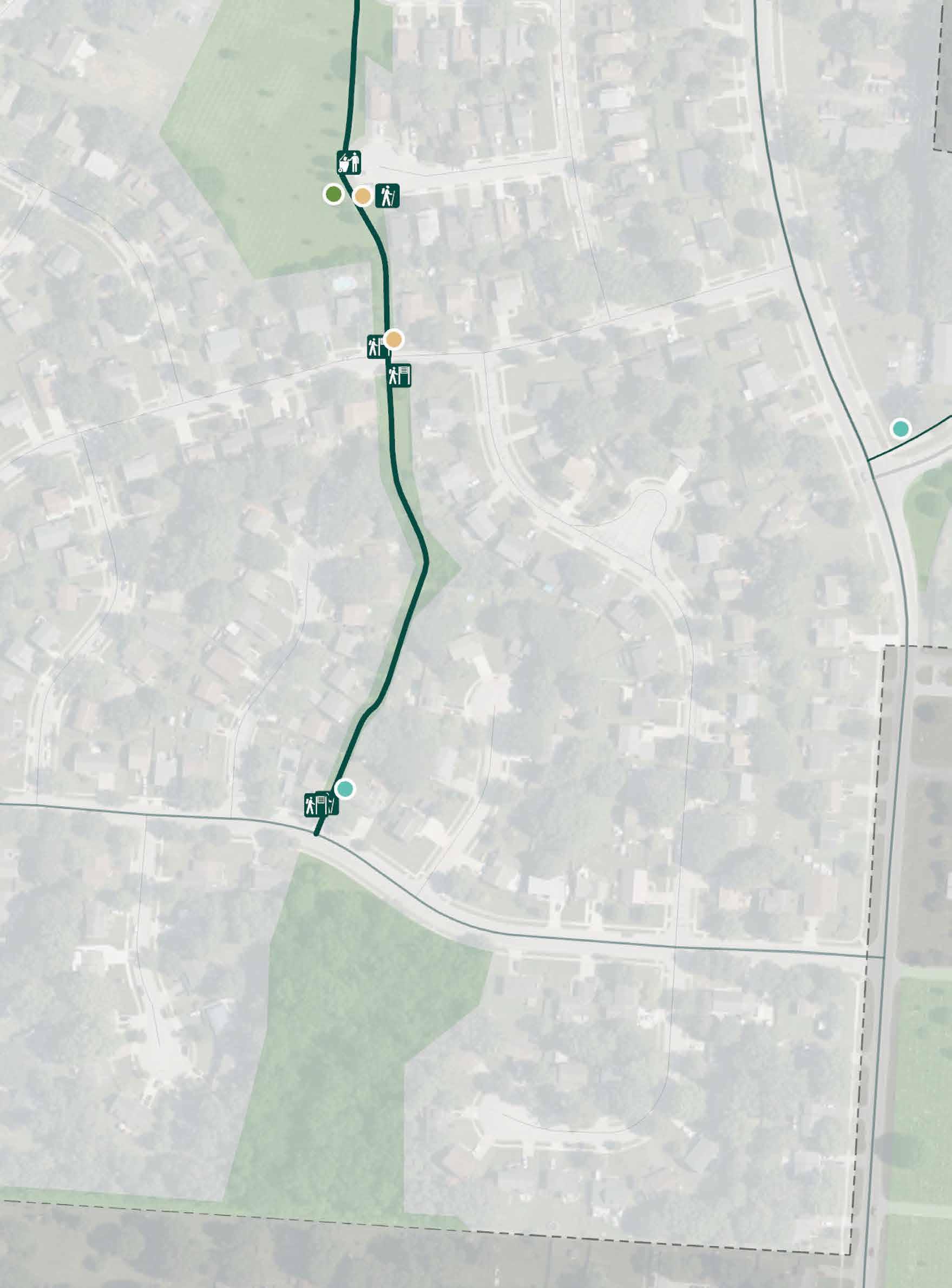
Art/Cultural/ Historical Feature
Bench
Bridge Decision Point Overlooks/ Viewing Points
Parks
Restrooms
Existing Sign
Trail Access
Trashcan
Trail Access
Directional Identifier
Information
Kiosk
Replacement
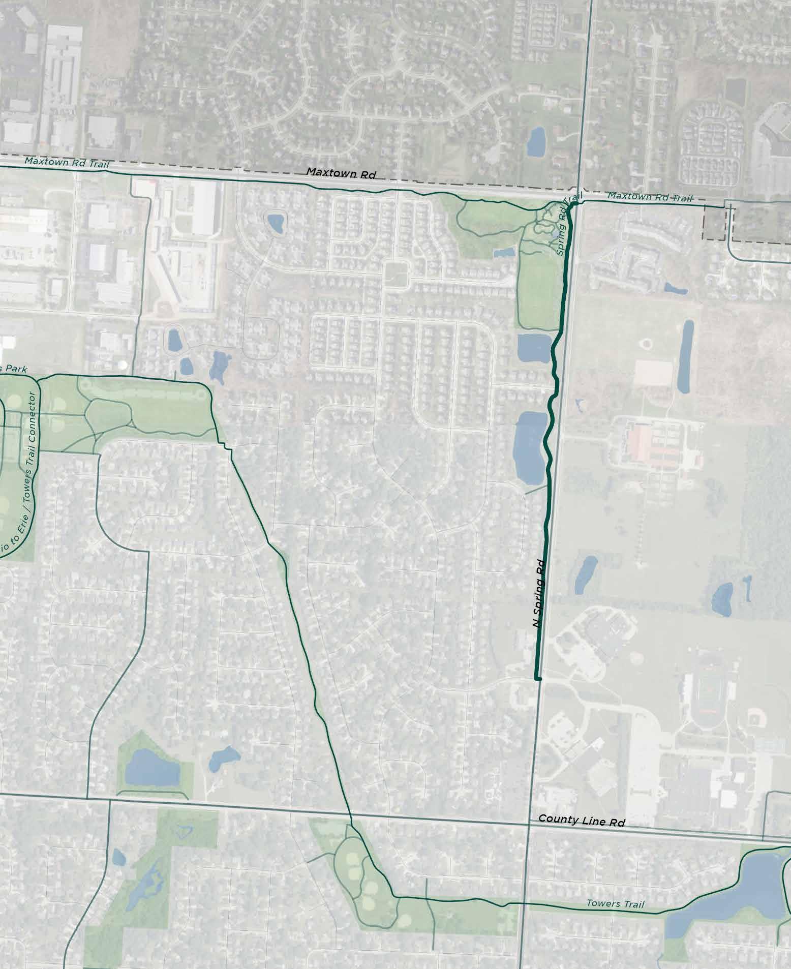
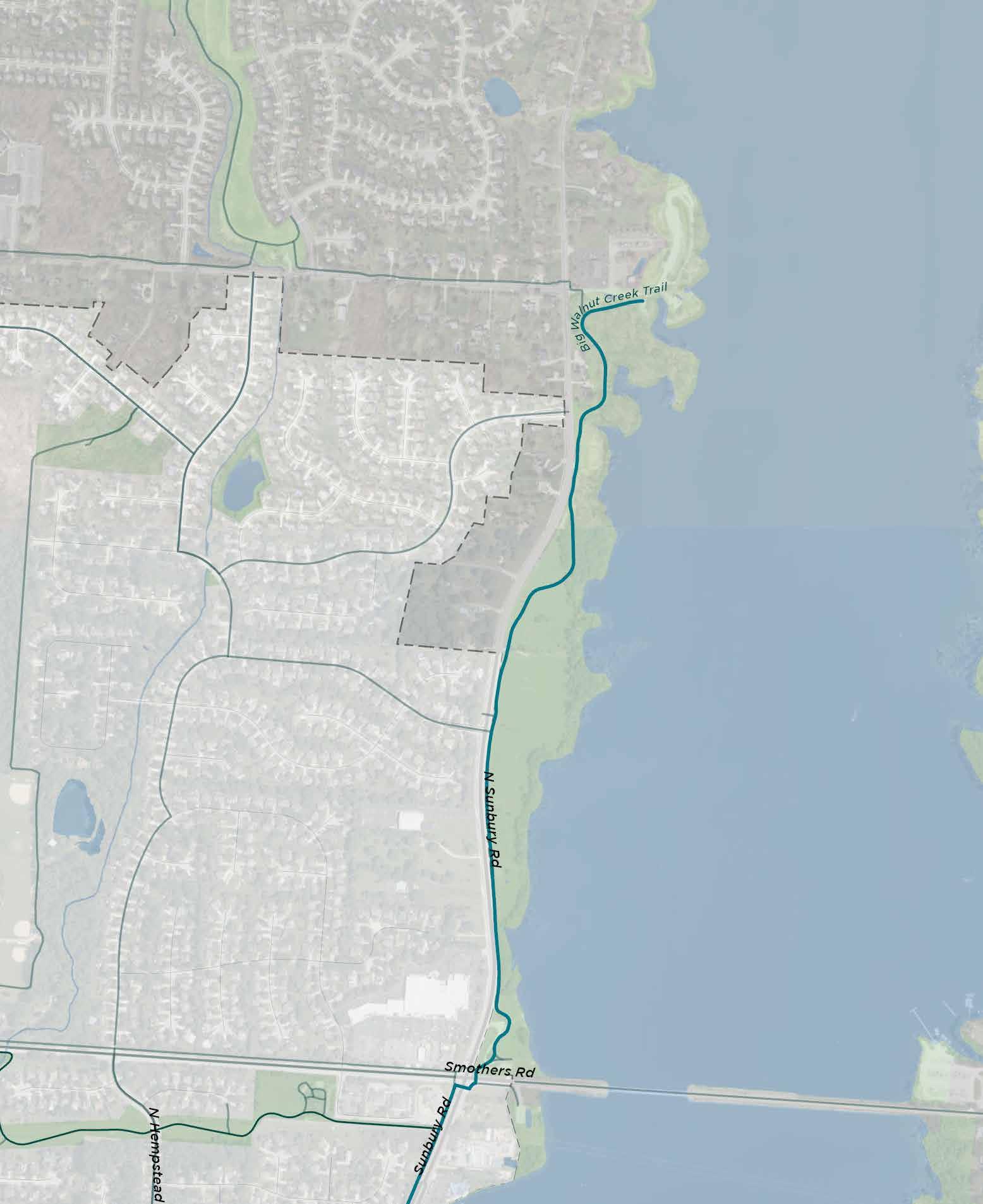
Alum Creek Trail
Big Walnut Trail
Ohio to Erie Trail
Collector, Connector, or Community Trails
Leisure Paths
Enlargement
Boundary
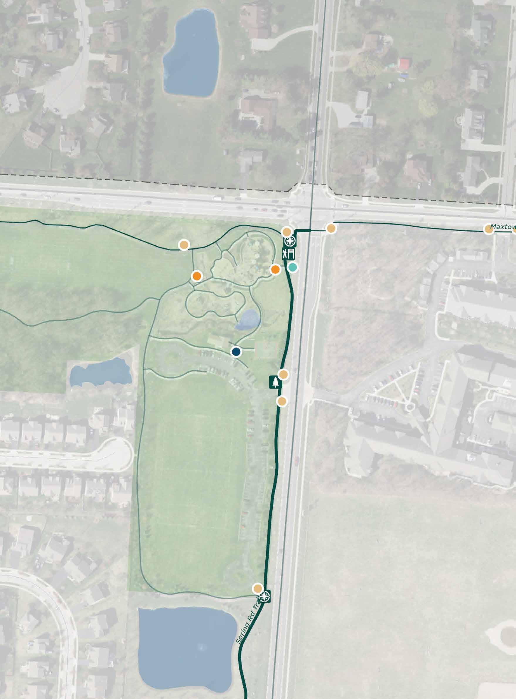

Art/Cultural/ Historical Feature Bench
Bridge Decision Point Overlooks/ Viewing Points
Parks
Restrooms
Existing Sign
Trail Access
Trashcan
Trail Access Directional Identifier Information Kiosk
Replacement
200FT N
Art/Cultural/ Historical Feature
Bench
Bridge
Decision Point
Overlooks/ Viewing Points
Parks
Restrooms
Existing Sign
Trail Access
Trashcan
Trail Access Directional Identifier
Information
Kiosk
Replacement
1IN= 200FT N
0 100’ 200’
Art/Cultural/ Historical Feature Bench
Bridge Decision Point Overlooks/ Viewing Points
Parks
Restrooms
Existing Sign
Trail Access
Trashcan
Trail Access
Directional Identifier
Information Kiosk
Replacement
Alum Creek Trail
Big Walnut Trail
Ohio to Erie Trail
Collector, Connector, or Community Trails
Leisure Paths
Enlargement
Boundary
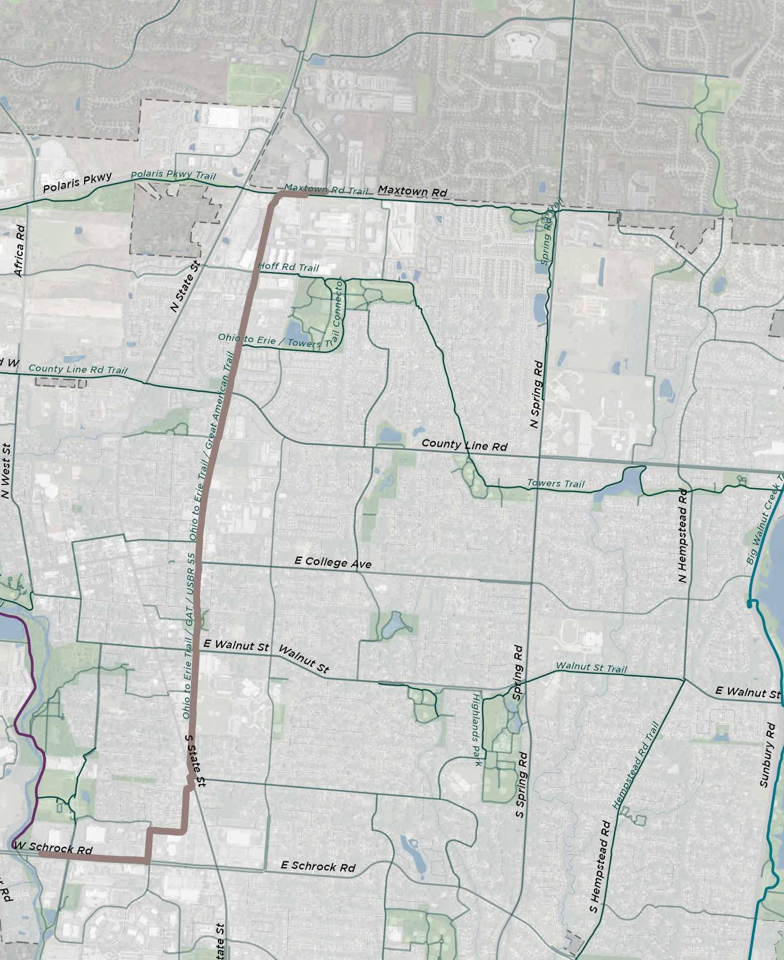
1,000’ 2,000’ 1IN= 2,000FT
BIKE ROUTE SIGNAGE
DIRECTIONAL SIGNAGE
EXISTING SITE ELEMENTS:
Art/Cultural/ Historical Feature
PROPOSED SIGNS:
Viewing
BIKE ROUTE SIGNAGE
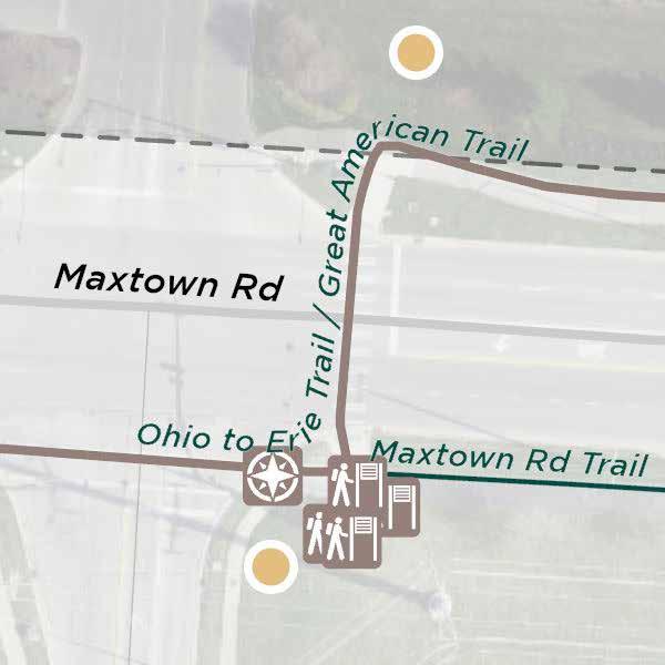
Figure 102 | Ohio to Erie Trail - Enlargement 1
Art/Cultural/ Historical Feature
Bench
Bridge
Decision Point
Overlooks/ Viewing Points
Parks
Restrooms
Existing Sign
Trail Access
Trashcan
Trail Access
Directional Identifier
Information
Kiosk
Replacement
2 0 100’ 200’ 1IN= 200FT N
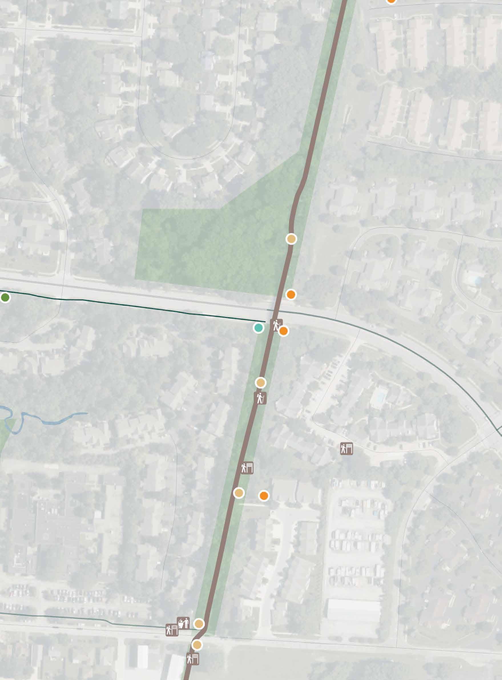
Art/Cultural/ Historical Feature
Bench
Bridge Decision Point Overlooks/ Viewing Points
Parks
Restrooms
Existing Sign
Trail Access
Trashcan
Trail Access
Directional Identifier Information Kiosk
Replacement
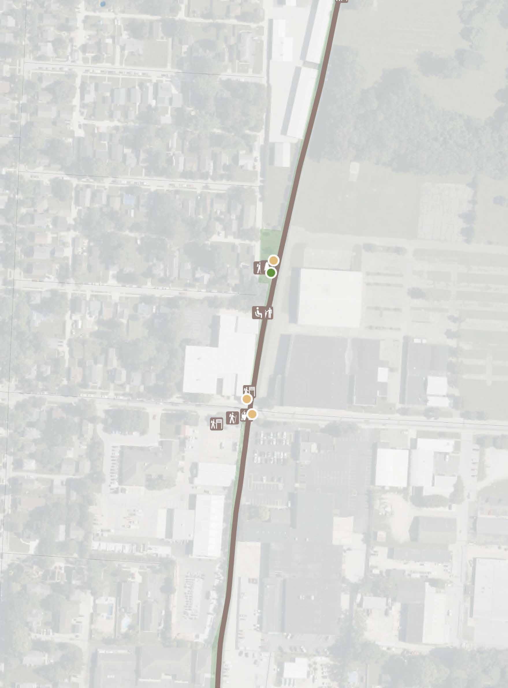
Art/Cultural/ Historical Feature
Bench
Bridge Decision Point Overlooks/ Viewing Points
Parks
Restrooms
Existing Sign
Trail Access
Trashcan
Trail Access
Directional Identifier
Information
Kiosk
Replacement
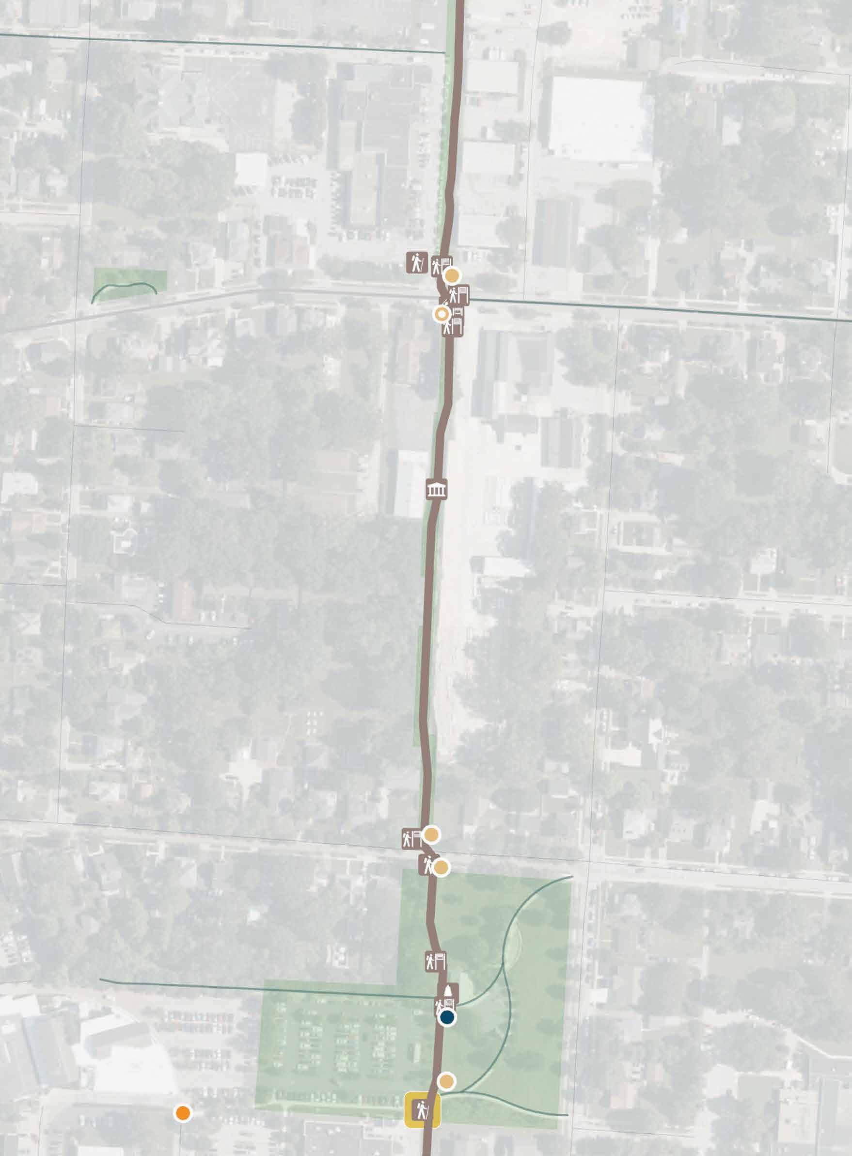
DIRECTIONAL SIGNAGE
Art/Cultural/ Historical Feature
Bench
Bridge
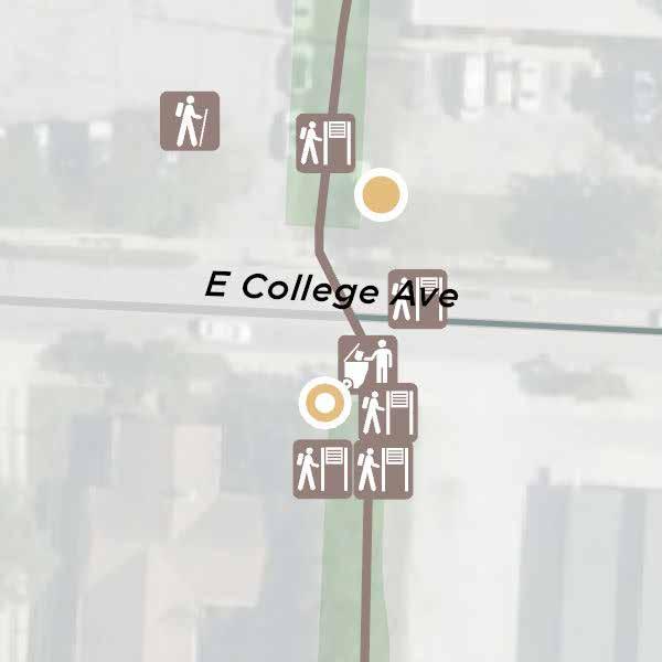
IDENTIFIER TRAIL IDENTIFIER BIKE ROUTE SIGNAGE
SIGN
BIKE ROUTE SIGNAGE
Decision Point Overlooks/ Viewing Points
Parks
Restrooms Existing Sign
Trail Access
Trashcan
Trail Access
Directional
Identifier
Information
Kiosk
Replacement
Art/Cultural/ Historical Feature
Bench
Bridge
Decision Point
Overlooks/ Viewing Points
Parks
Restrooms
Existing Sign
Trail Access
Trashcan
Trail Access
Directional Identifier Information
Kiosk
Replacement
DIRECTIONAL SIGNAGE
TRAIL IDENTIFIER
TRAIL IDENTIFIER
Art/Cultural/ Historical Feature
Bench
Bridge
Decision Point
Overlooks/ Viewing Points
Parks
Restrooms
Existing Sign
Trail Access
Trashcan
Trail Access
Directional Identifier
Information
Kiosk
Replacement
TRAIL ADOPTION SIGNAGE
0 100’ 200’ 1IN= 200FT N
BIKE ROUTE SIGNAGE
TRAIL ADOPTION SIGNAGE
DIRECTIONAL SIGNAGE
DIRECTIONAL SIGNAGE
TRAIL IDENTIFIER
BIKE ROUTE SIGNAGE
EXISTING SITE ELEMENTS:
Art/Cultural/ Historical Feature Bench Bridge Decision Point Overlooks/ Viewing Points Parks Restrooms Existing Sign Trail Access Trashcan
PROPOSED SIGNS:
Trail Access Directional Identifier Information Kiosk Replacement
Figure 109 | Ohio to Erie Trail - Enlargement 8
1IN= 200FT N
BIKE ROUTE SIGNAGE
EXISTING SITE ELEMENTS:
Art/Cultural/ Historical Feature Bench Bridge
PROPOSED SIGNS:
Decision Point Overlooks/ Viewing Points Parks Restrooms Existing Sign Trail Access Trashcan
BIKE ROUTE SIGNAGE
EXISTING SITE ELEMENTS:
Art/Cultural/ Historical Feature Bench Bridge Decision Point Overlooks/ Viewing Points Parks Restrooms Existing Sign Trail Access Trashcan
PROPOSED SIGNS:
Alum Creek Trail
Big Walnut Trail
Ohio to Erie Trail
Collector, Connector, or Community Trails
Leisure Paths
Enlargement
Boundary
1IN=1,000FT N
0 500’ 1,000’
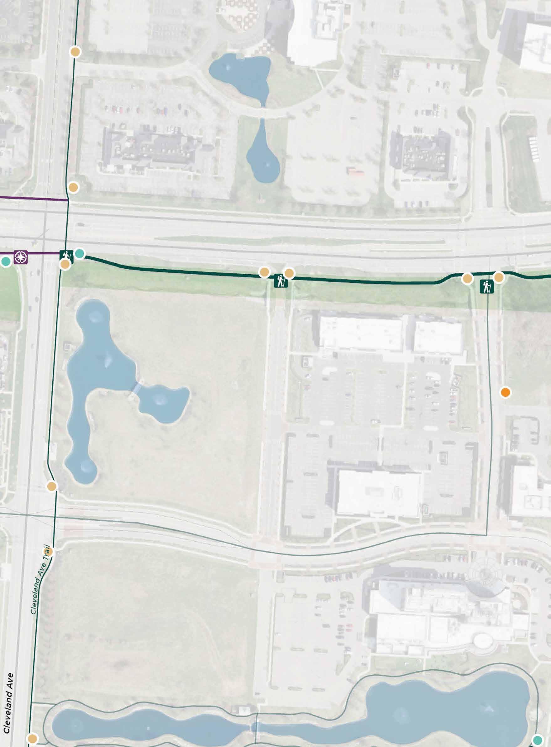
EXISTING SITE ELEMENTS:
Art/Cultural/ Historical Feature Bench Bridge
PROPOSED SIGNS: Trail Access
Decision Point Overlooks/ Viewing Points Parks Restrooms Existing Sign Trail Access Trashcan
Figure 113 | Polaris Trail - Enlargement 1
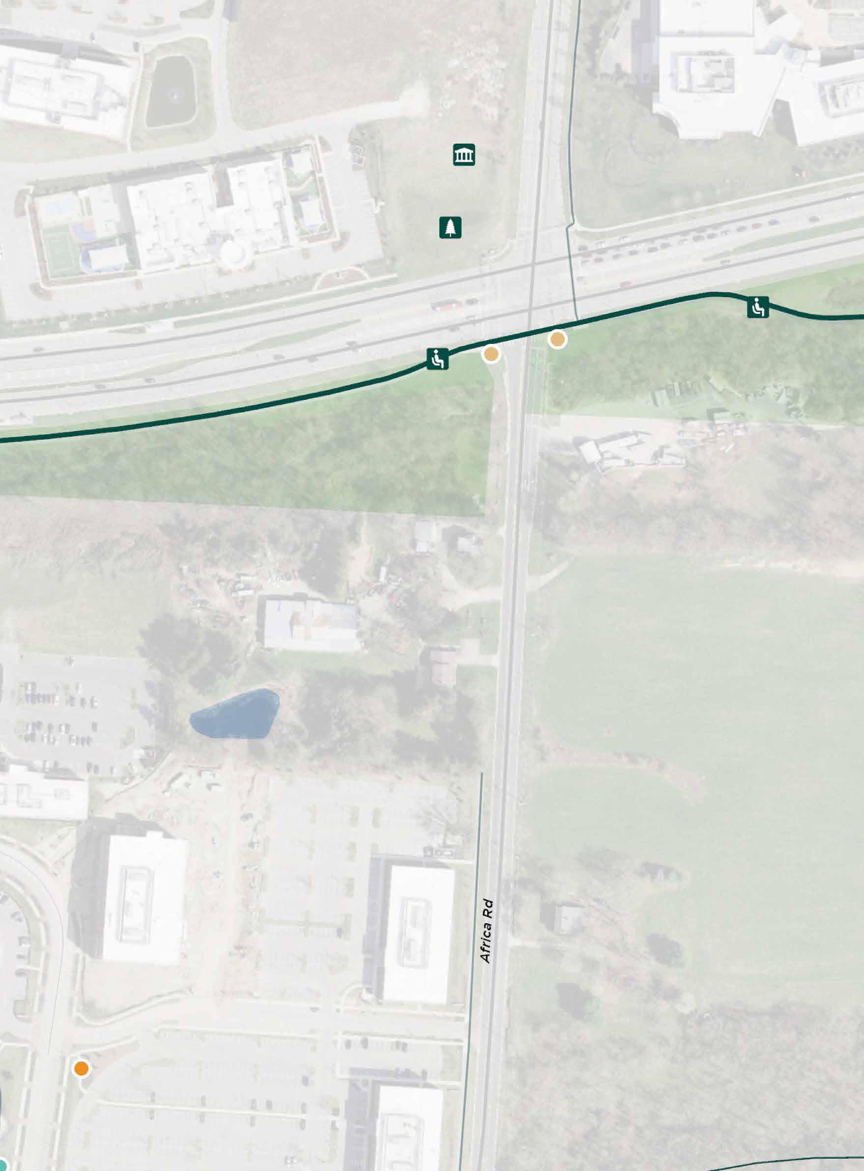
EXISTING SITE ELEMENTS:
Art/Cultural/ Historical Feature Bench
Bridge Decision Point Overlooks/ Viewing Points Parks Restrooms Existing Sign Trail Access Trashcan
PROPOSED SIGNS: Trail Access Directional
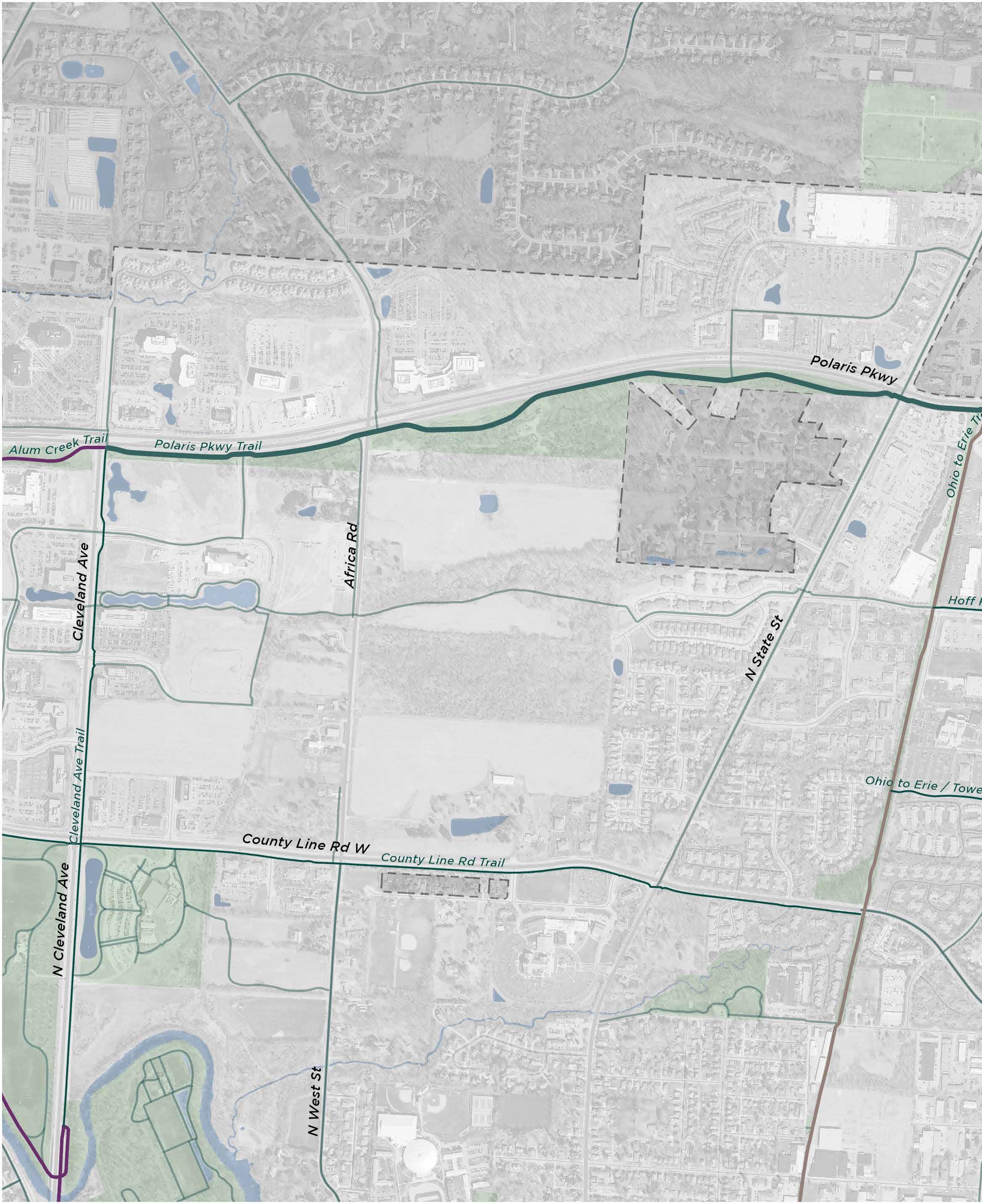
Figure 114 | Polaris Trail - Enlargement 2
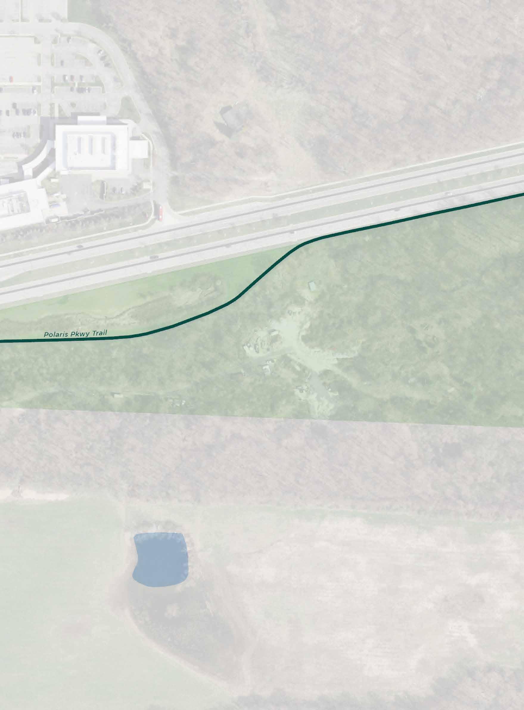
EXISTING SITE ELEMENTS:
Art/Cultural/ Historical Feature Bench Bridge
PROPOSED SIGNS: Trail Access
Decision Point Overlooks/ Viewing Points Parks Restrooms Existing Sign Trail Access Trashcan
Figure 115 | Polaris Trail - Enlargement 3
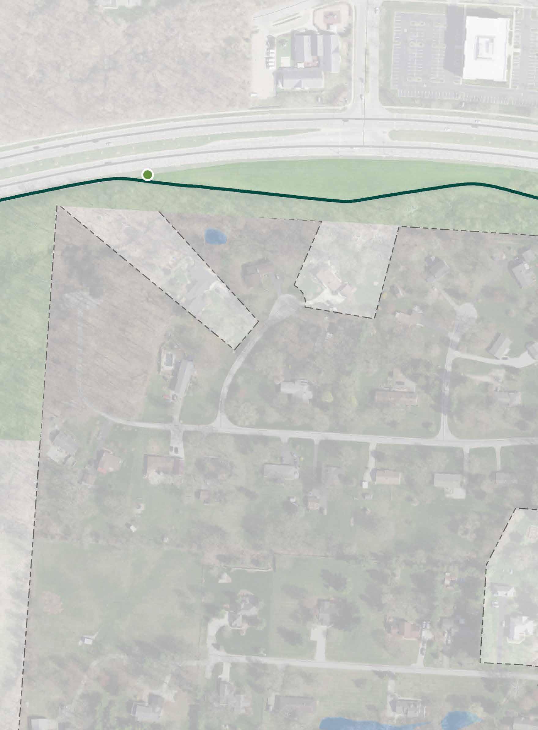
EXISTING SITE ELEMENTS:
Art/Cultural/ Historical Feature Bench
Bridge Decision Point Overlooks/ Viewing Points Parks Restrooms Existing Sign Trail Access Trashcan
PROPOSED SIGNS: Trail Access Directional
Figure 116 | Polaris Trail - Enlargement 4
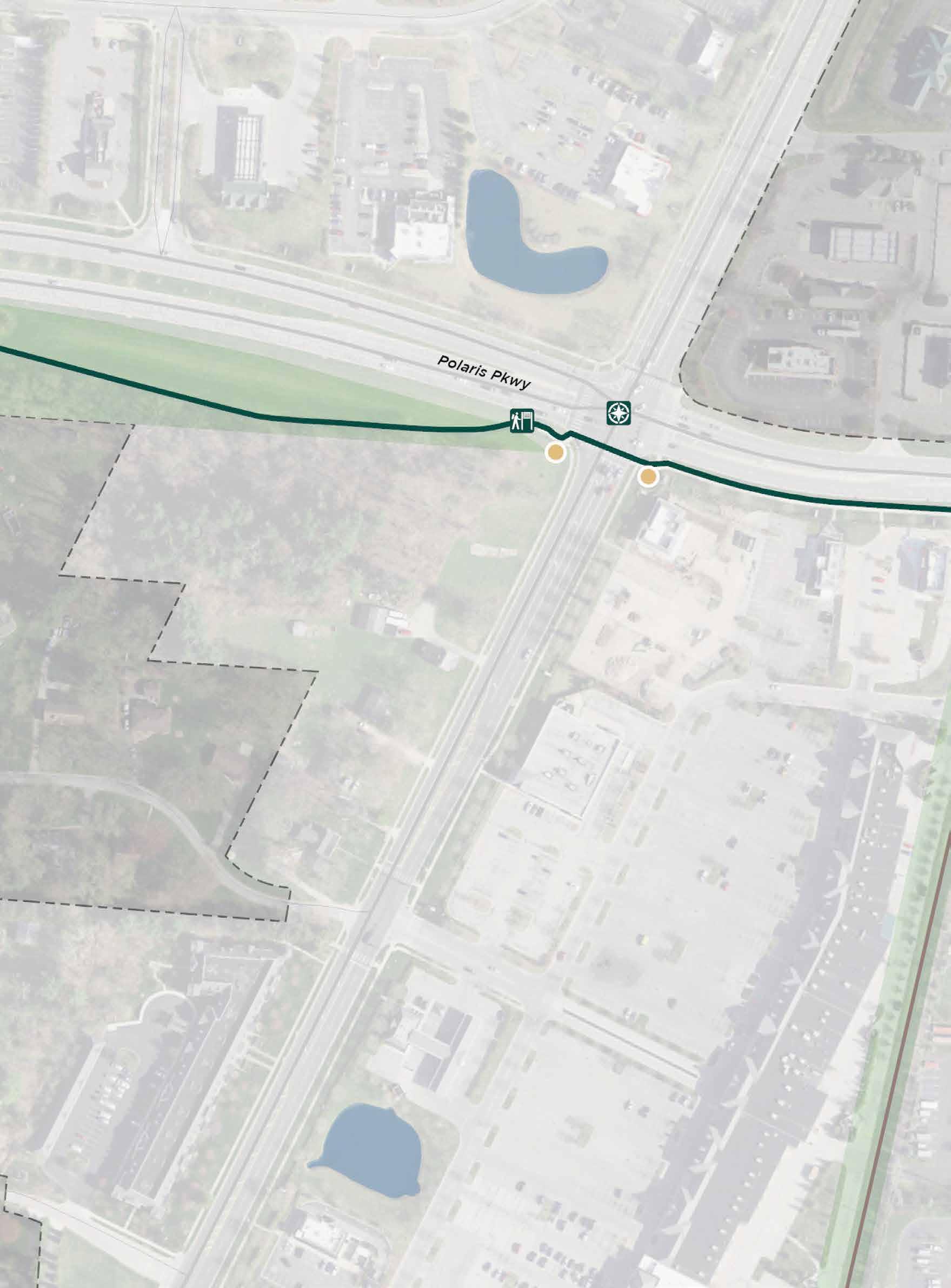
EXISTING SITE ELEMENTS:
Art/Cultural/ Historical Feature Bench Bridge
PROPOSED SIGNS: Trail Access Directional
Decision Point Overlooks/ Viewing Points Parks Restrooms Existing Sign Trail Access Trashcan
TRAIL ADOPTION SIGNAGE
DIRECTIONAL SIGNAGE
TRAIL IDENTIFIER
EXISTING SITE ELEMENTS:
PROPOSED SIGNS:
Trail Access
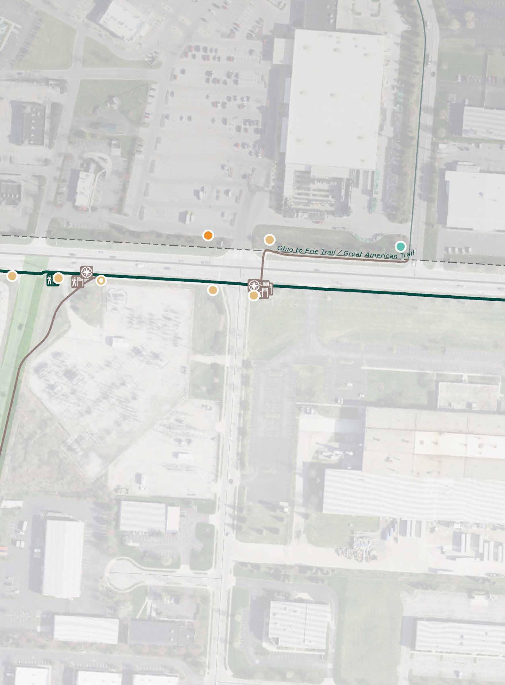
BIKE ROUTE SIGNAGE TRAIL IDENTIFIER
Art/Cultural/ Historical Feature Bench Bridge Decision Point Overlooks/ Viewing Points Parks Restrooms Existing Sign Trail Access Trashcan
Directional Identifier Information Kiosk Replacement
Figure 118 | Polaris Trail - Enlargement 6
0 100’ 200’ 1IN= 200FT N
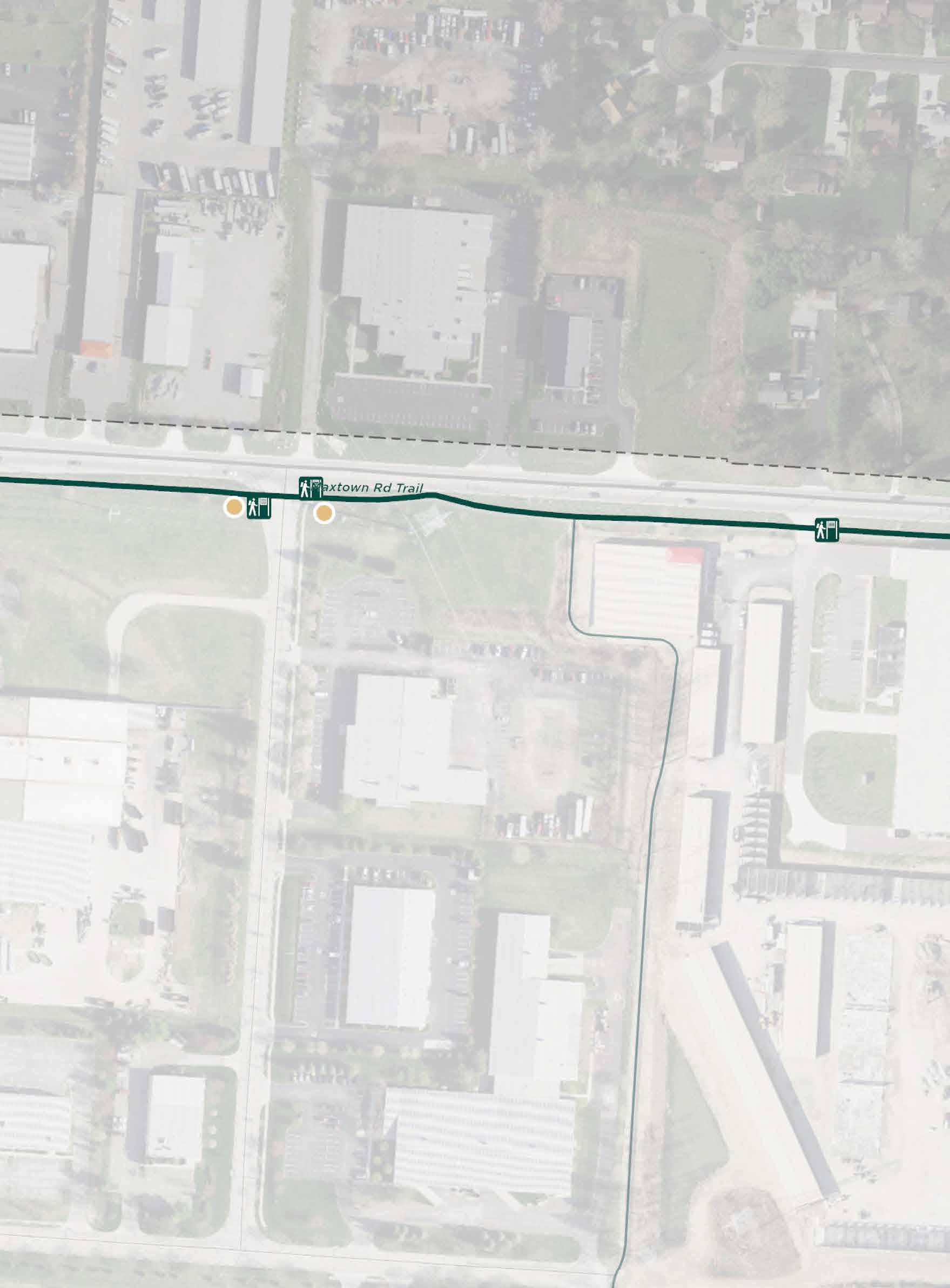
SAFETY SIGNAGE
SAFETY SIGNAGE
EXISTING SITE ELEMENTS:
Art/Cultural/ Historical Feature
PROPOSED SIGNS:
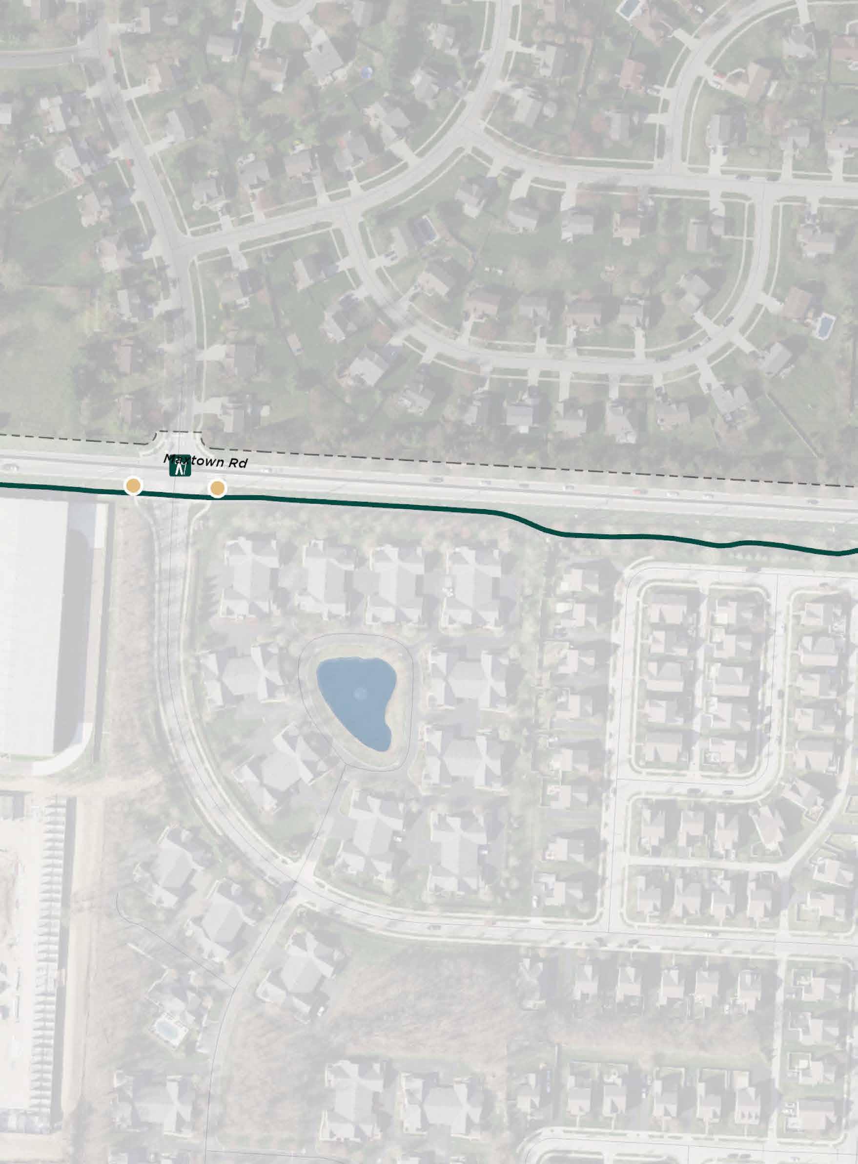
EXISTING SITE ELEMENTS:
Art/Cultural/ Historical Feature Bench
Bridge Decision Point Overlooks/ Viewing Points Parks Restrooms Existing Sign Trail Access Trashcan
PROPOSED SIGNS: Trail Access Directional
Figure 120 | Polaris Trail - Enlargement 8
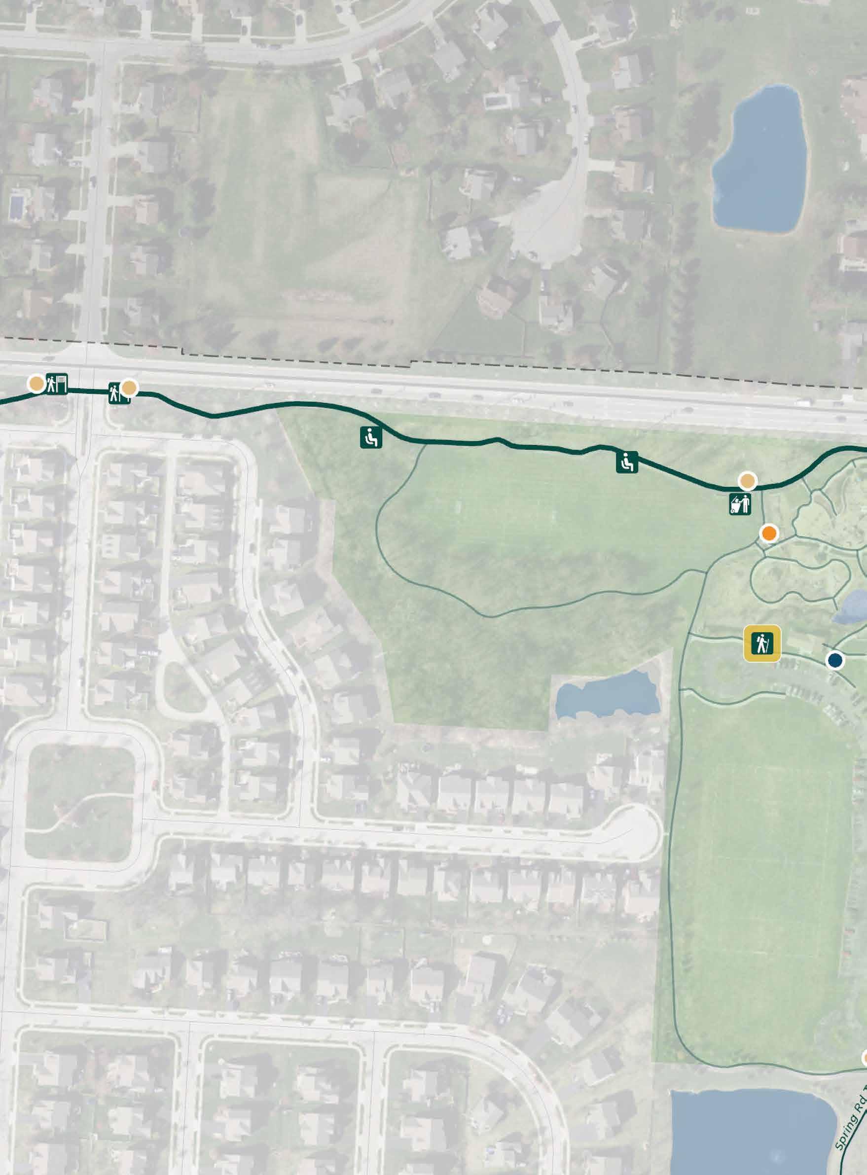
EXISTING SITE ELEMENTS:
Art/Cultural/ Historical Feature
PROPOSED SIGNS:
Figure 121 | Polaris Trail - Enlargement 9
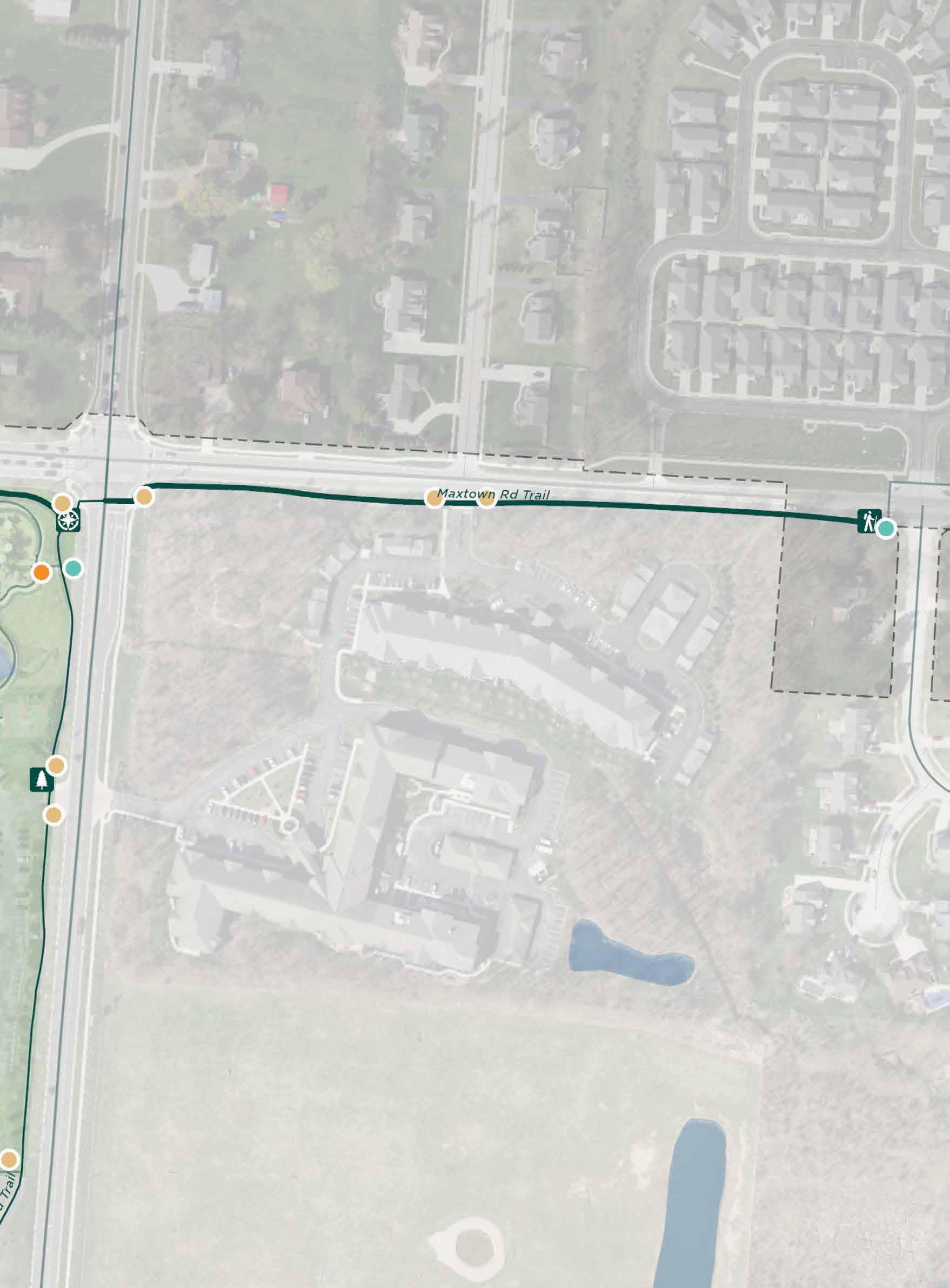
EXISTING SITE ELEMENTS:
Art/Cultural/ Historical Feature Bench Bridge Decision Point Overlooks/ Viewing Points Parks Restrooms Existing Sign Trail Access Trashcan
PROPOSED SIGNS: Trail Access Directional Identifier
Figure 122 | Polaris Trail - Enlargement 10
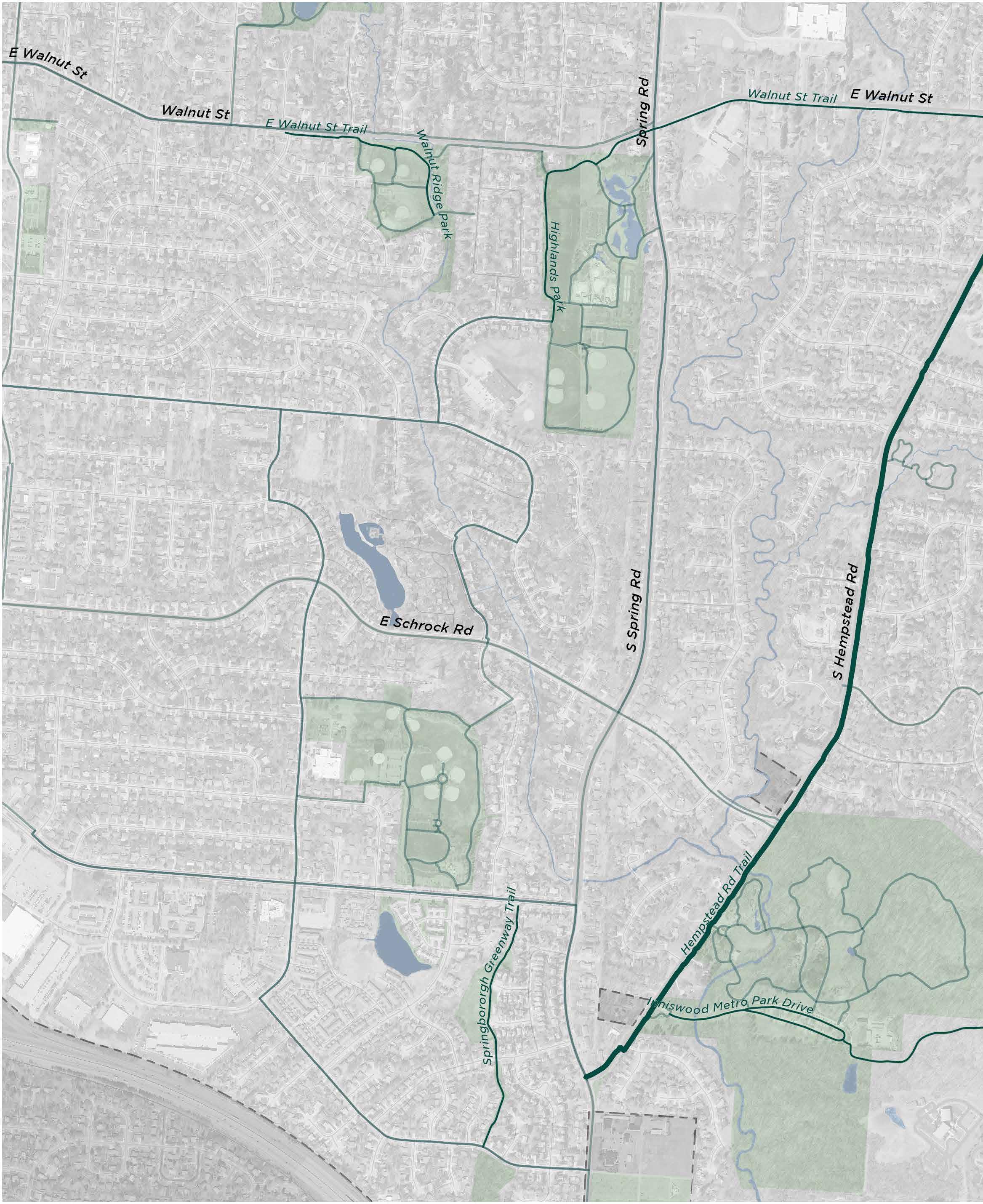
Alum Creek Trail
Big Walnut Trail
Ohio to Erie Trail
Collector, Connector, or Community Trails
Leisure Paths
Enlargement
Boundary
1IN=1,000FT N
0 500’ 1,000’
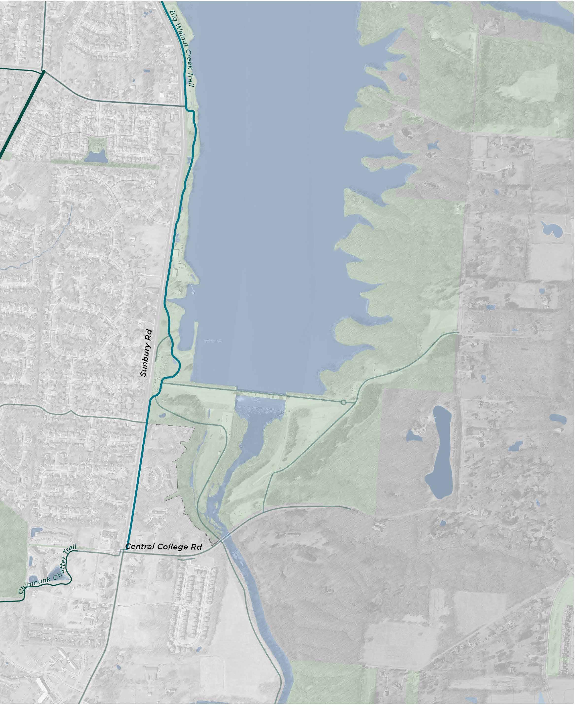
SAFETY SIGNAGE
TRAIL RULES SIGNAGE
TRAIL ADOPTION SIGNAGE
Art/Cultural/ Historical Feature
Bench
Bridge
Decision Point
Overlooks/ Viewing Points
Parks
Restrooms
Existing Sign
Trail Access
Trashcan
Trail Access
Directional Identifier
Information
Kiosk
Replacement
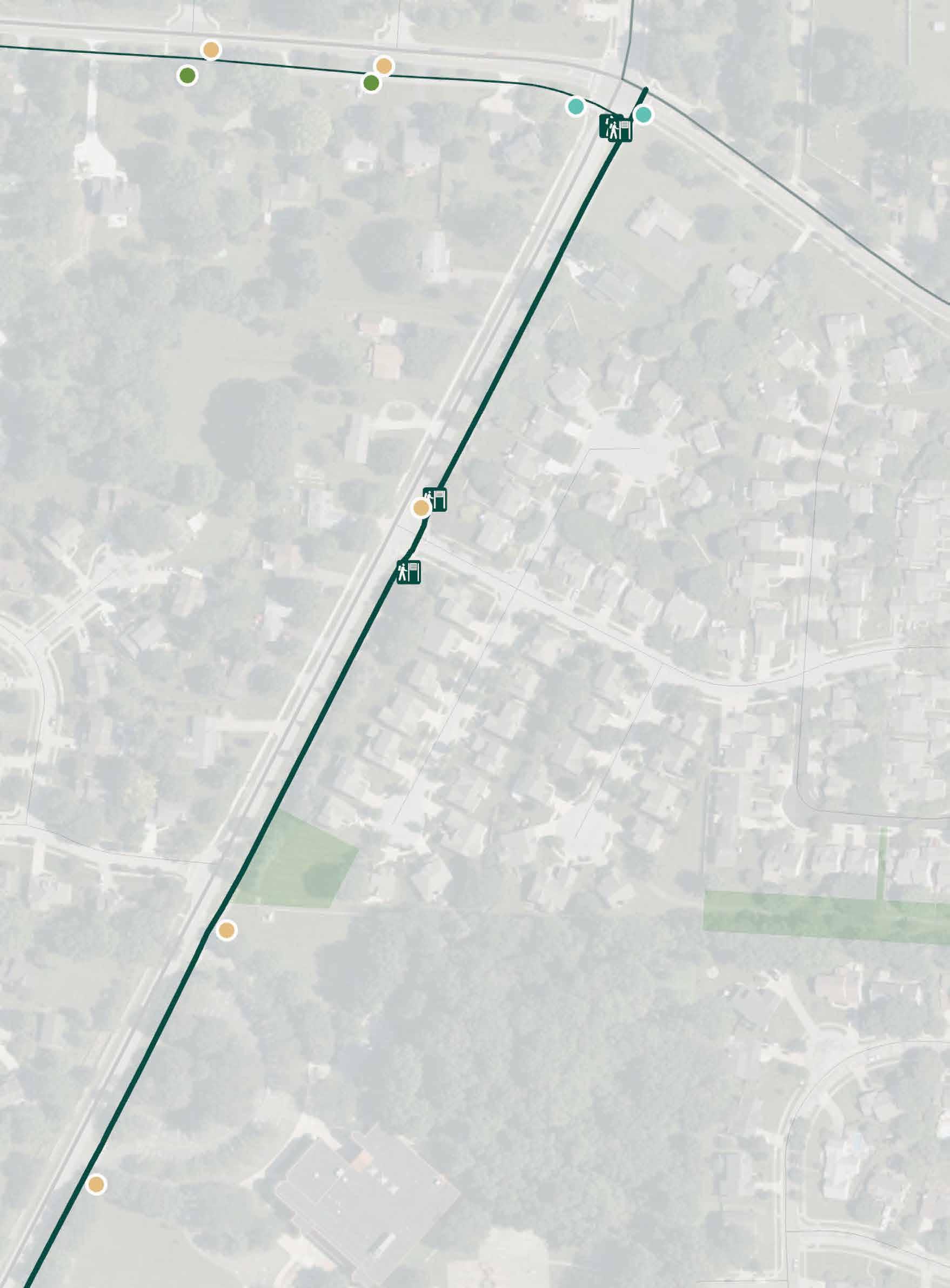
0 100’ 200’ 1IN= 200FT N
SAFETY SIGNAGE
SAFETY SIGNAGE
ENHANCED TRAILHEAD
Art/Cultural/ Historical Feature
Bench
Bridge
Decision Point
Overlooks/ Viewing Points
Parks
Restrooms
Existing Sign
Trail Access
Trashcan
Trail Access
Directional Identifier
Information
Kiosk
Replacement
1IN= 200FT N
0 100’ 200’
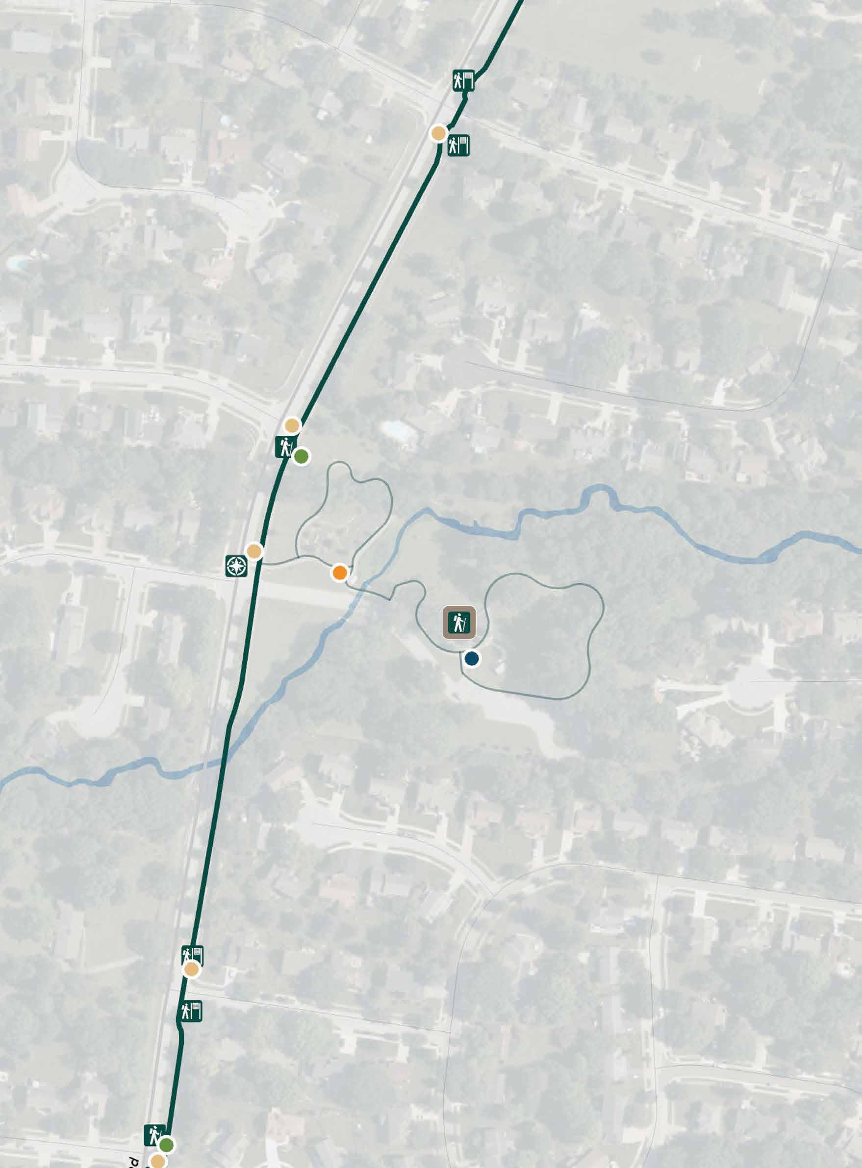
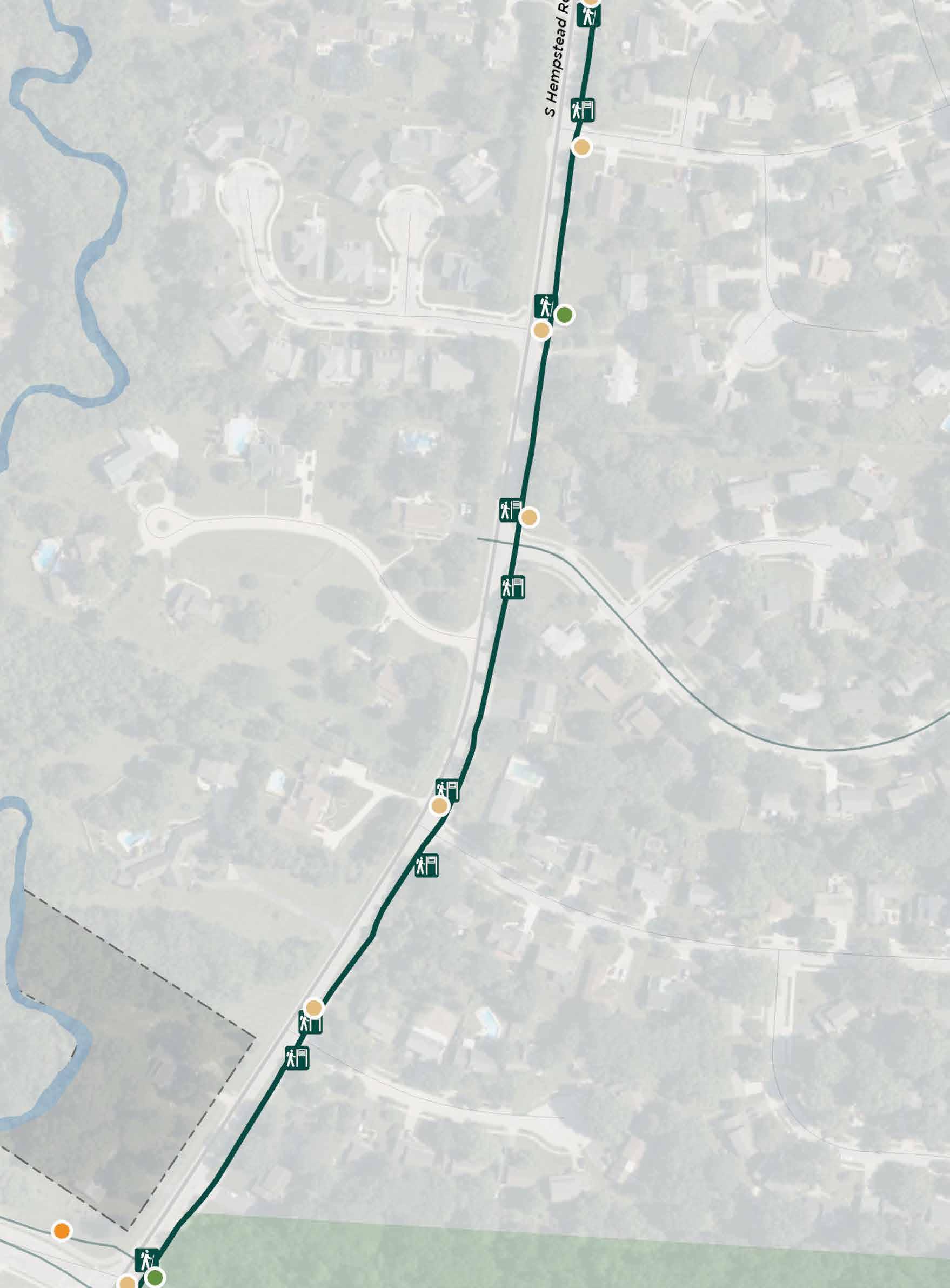
Art/Cultural/ Historical Feature
Bench
Bridge Decision Point Overlooks/ Viewing Points
Parks
Restrooms
Existing Sign
Trail Access
Trashcan
Trail Access
Directional Identifier
Information Kiosk
Replacement
Art/Cultural/ Historical Feature
Bench
Bridge
Decision Point
Overlooks/ Viewing Points
Parks
Restrooms
Existing Sign
Trail Access
Trashcan
Trail Access
Directional Identifier
Information
Kiosk
Replacement
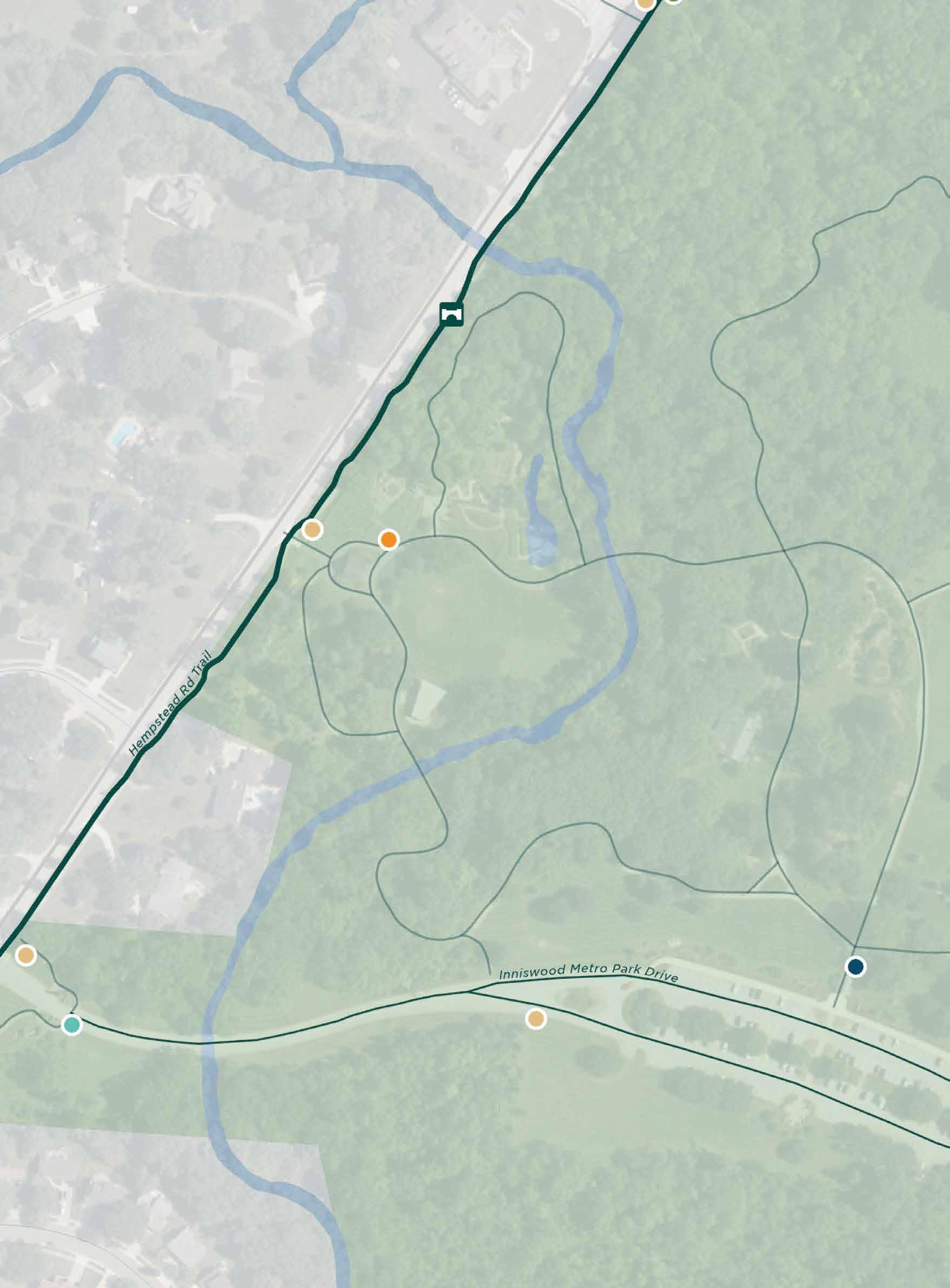
0 100’ 200’ 1IN= 200FT N
Art/Cultural/ Historical Feature
Bench
Bridge Decision Point Overlooks/ Viewing Points
Parks
Restrooms
Existing Sign
Trail Access
Trashcan
Trail Access
Directional Identifier
Information
Kiosk
Replacement
SOURCE:
Boundary TRAILS:
Alum Creek Trail
Big Walnut Trail
Ohio to Erie Trail
Collector, Connector, or Community Trails
Leisure Paths
Enlargement
Art/Cultural/ Historical Feature Bench
Bridge
Decision Point
Overlooks/ Viewing Points
Parks
Restrooms
Existing Sign
Trail Access
Trashcan
Trail Access Directional Identifier Information
Kiosk
Replacement
Art/Cultural/ Historical Feature
Bench
Bridge
Decision Point
Overlooks/ Viewing Points
Parks
Restrooms
Existing Sign
Trail Access
Trashcan
Trail Access
Directional Identifier Information
Kiosk
Replacement
1IN= 200FT N
TRAIL ADOPTION SIGNAGE
EXISTING SITE ELEMENTS:
Art/Cultural/ Historical Feature Bench Bridge Decision Point Overlooks/ Viewing Points Parks Restrooms Existing Sign Trail Access Trashcan
PROPOSED SIGNS:
SAFETY SIGNAGE
Art/Cultural/ Historical Feature
Bench
Bridge Decision Point
Overlooks/ Viewing Points
Parks
Restrooms
Existing Sign
Trail Access
Trashcan
Trail Access
Directional Identifier Information
Kiosk
Replacement
SAFETY SIGNAGE
1IN= 200FT N
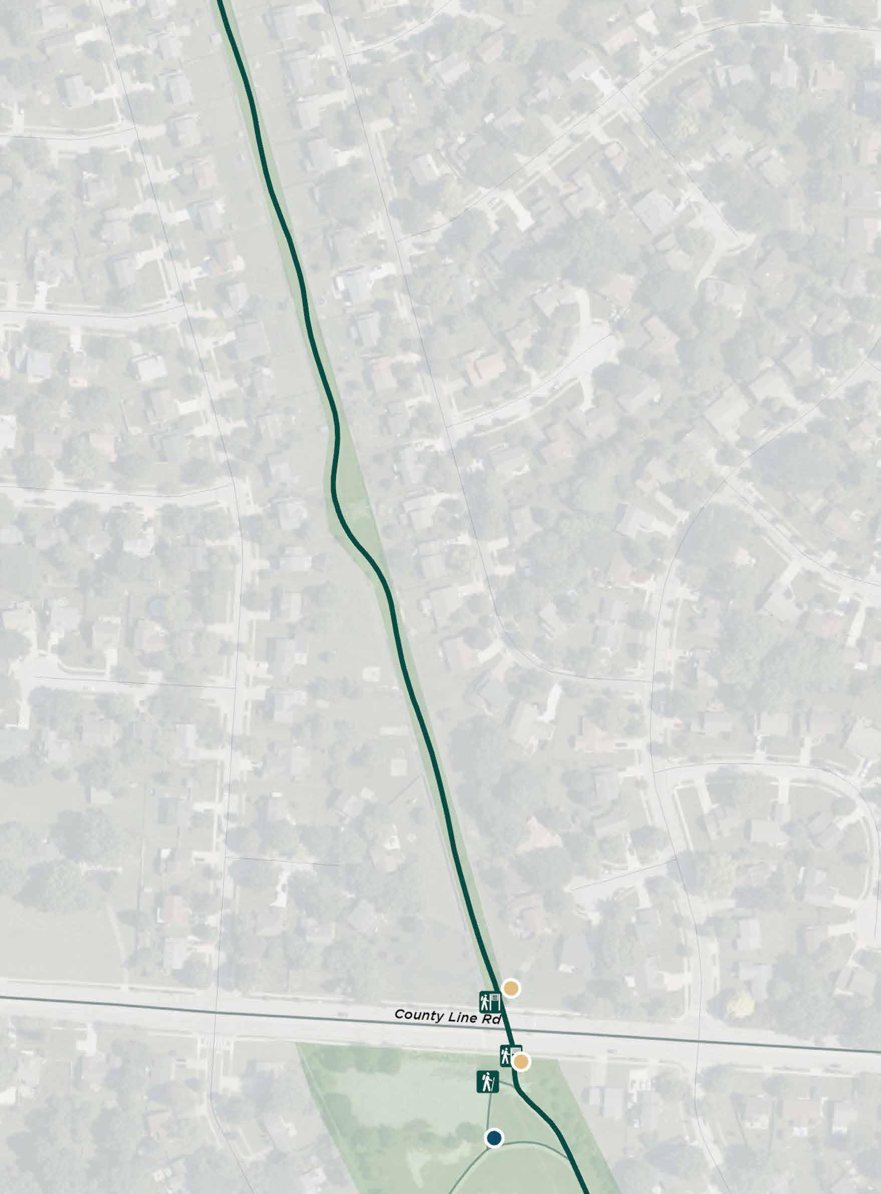
Art/Cultural/ Historical Feature Bench
Bridge Decision Point Overlooks/ Viewing Points
Parks
Restrooms
Existing Sign
Trail Access
Trashcan
Trail Access
Directional Identifier
Information Kiosk
Replacement
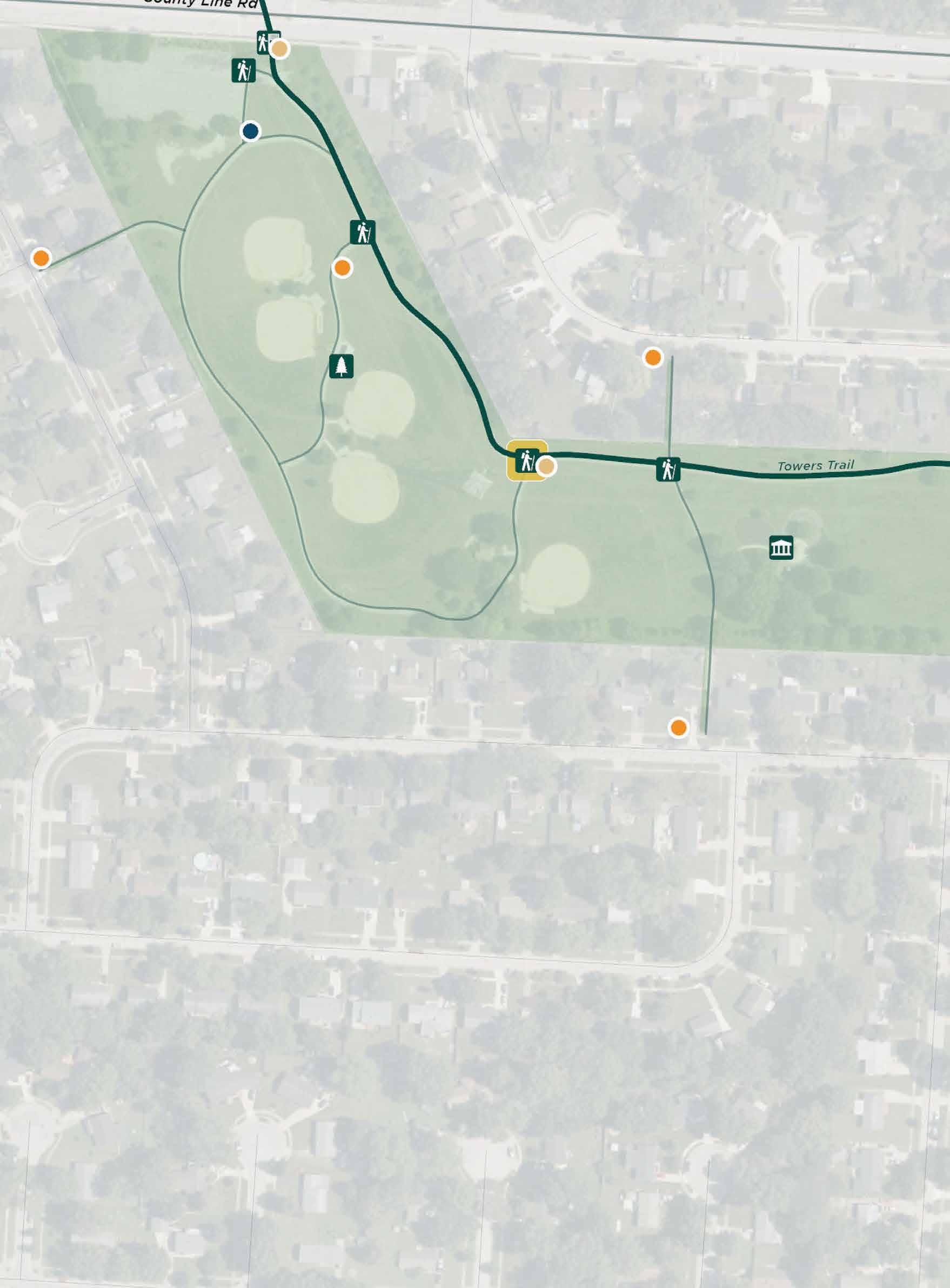
Art/Cultural/ Historical Feature Bench Bridge
PROPOSED SIGNS: Trail Access Directional
Decision Point Overlooks/ Viewing Points Parks Restrooms
Existing Sign Trail Access Trashcan
Figure 135 | Towers Trail - Enlargement 6
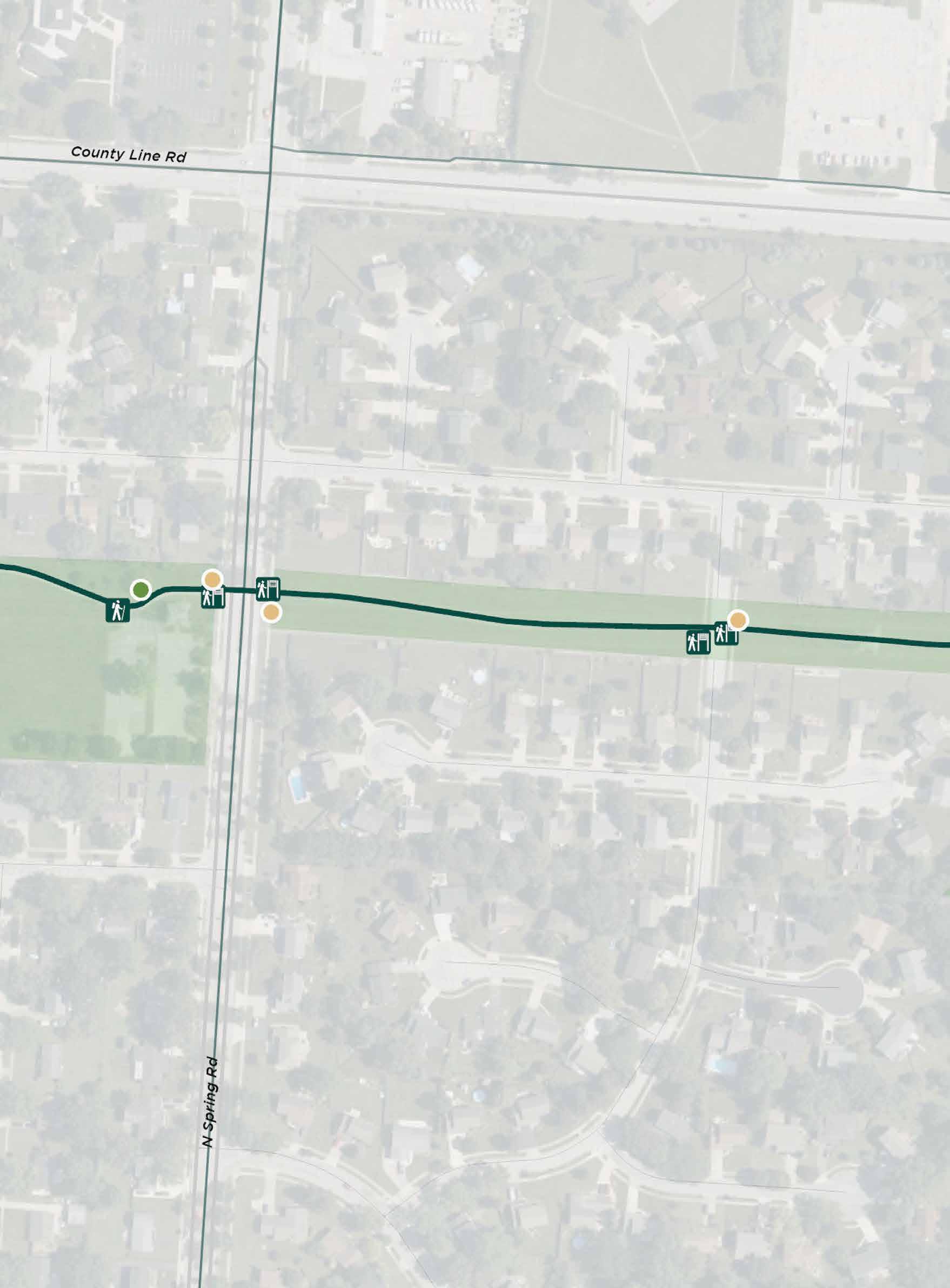
EXISTING SITE ELEMENTS:
Art/Cultural/ Historical Feature
PROPOSED SIGNS:
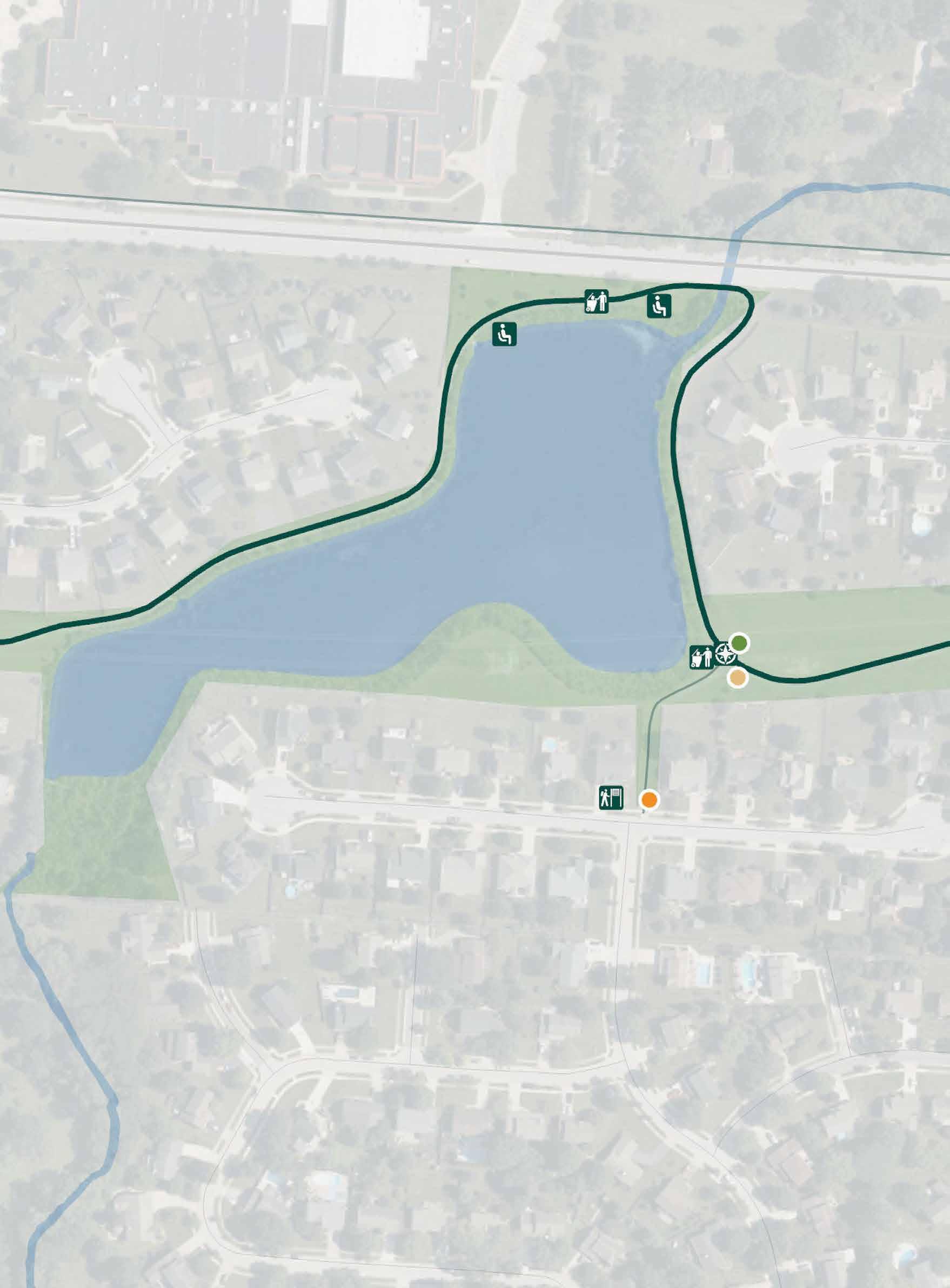
TRAIL RULES SIGNAGE
EXISTING SITE ELEMENTS:
Art/Cultural/ Historical Feature Bench Bridge
PROPOSED SIGNS: Trail Access Directional
Decision Point Overlooks/ Viewing Points Parks Restrooms Existing Sign Trail Access Trashcan
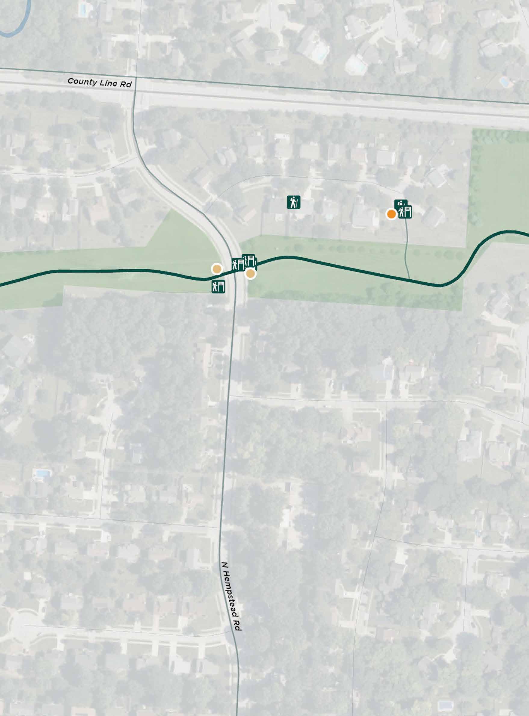
TRAIL RULES SIGNAGE
TRAIL RULES SIGNAGE
TRAIL IDENTIFIER
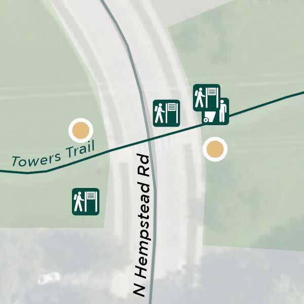
TRAIL RULES SIGNAGE
EXISTING SITE ELEMENTS:
Art/Cultural/ Historical Feature Bench
Bridge Decision Point Overlooks/ Viewing Points Parks Restrooms Existing Sign Trail Access Trashcan
PROPOSED SIGNS:
Figure 138 | Towers Trail - Enlargement 9
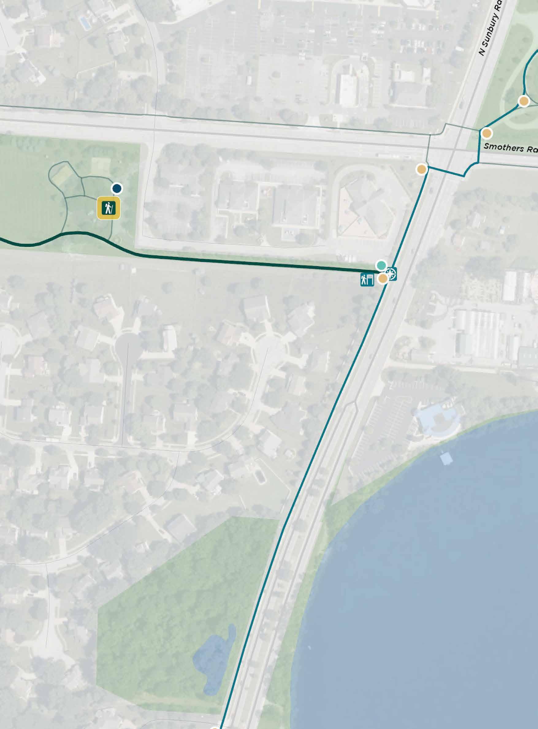
EXISTING SITE ELEMENTS:
Art/Cultural/ Historical Feature
PROPOSED SIGNS:
Figure 139 | Towers Trail - Enlargement 10
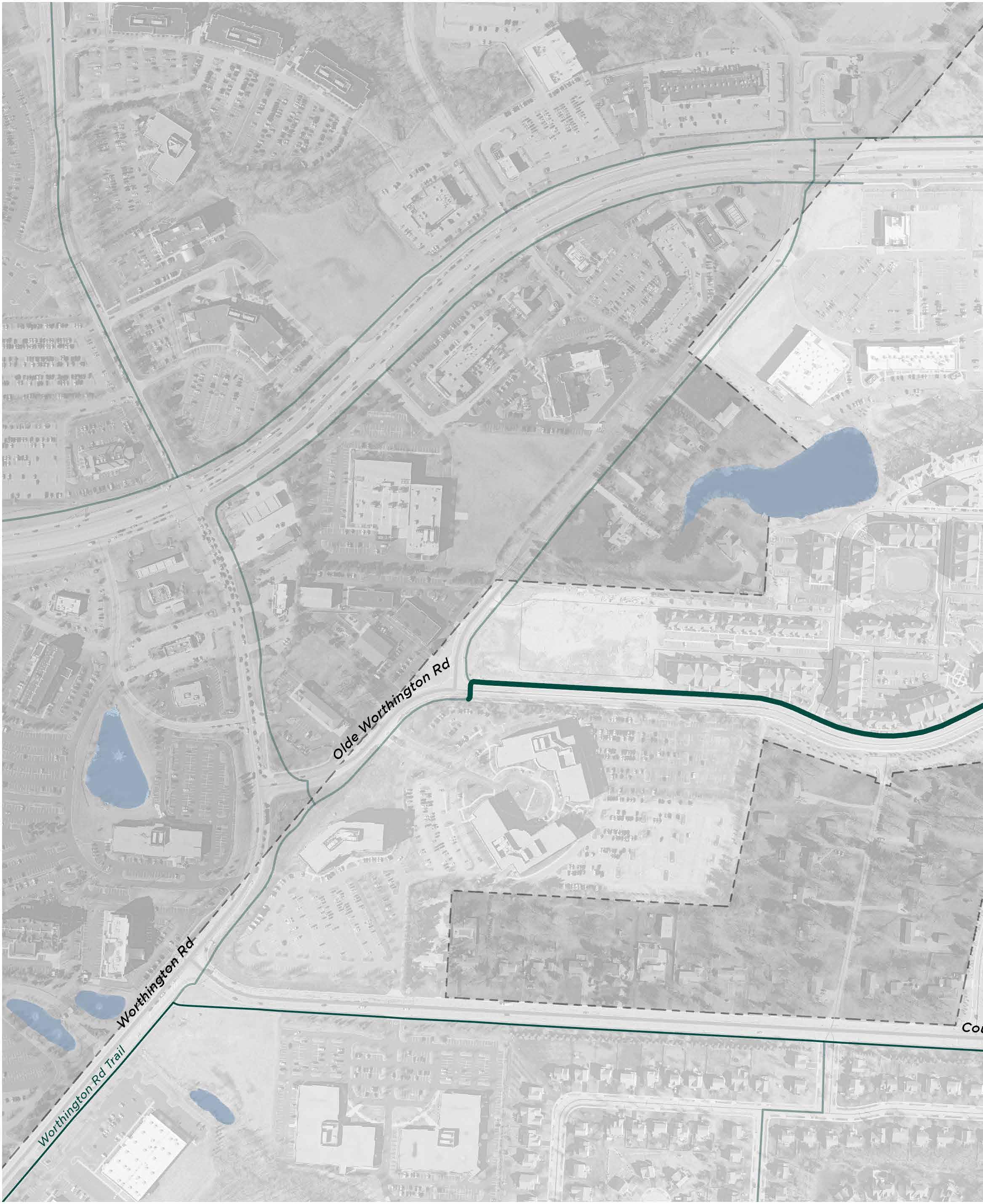
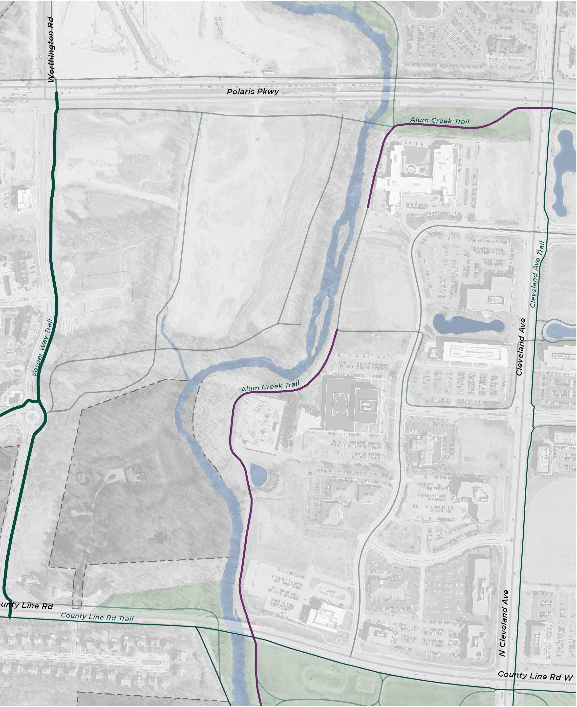
Alum Creek Trail
Big Walnut Trail
Ohio to Erie Trail
Collector, Connector, or Community Trails
Leisure Paths
Enlargement
Boundary
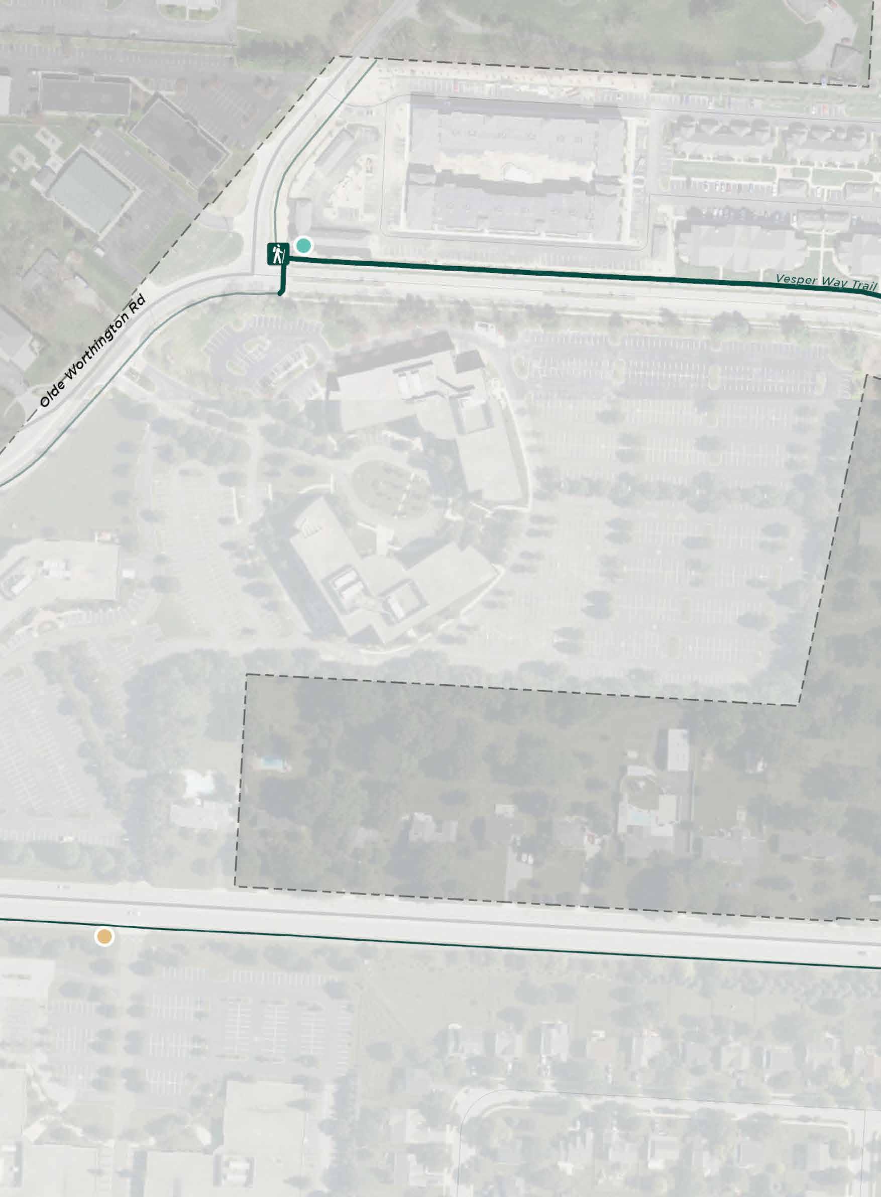
EXISTING SITE ELEMENTS:
Art/Cultural/ Historical Feature Bench Bridge
PROPOSED SIGNS: Trail Access
Decision Point Overlooks/ Viewing Points Parks Restrooms Existing Sign Trail Access Trashcan
Figure 141 | Vesper Road Trail - Enlargement 1
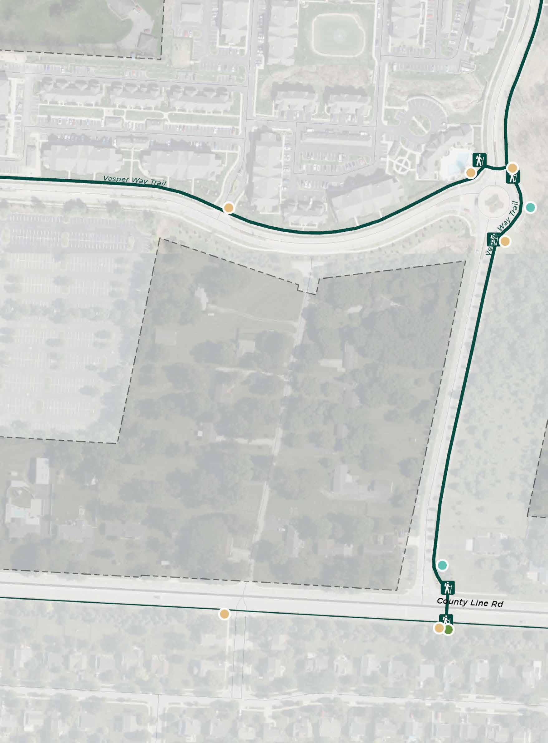
EXISTING SITE ELEMENTS:
Art/Cultural/ Historical Feature Bench Bridge Decision Point Overlooks/ Viewing Points Parks Restrooms Existing Sign Trail Access Trashcan
PROPOSED SIGNS: Trail Access Directional
Figure 142 | Vesper Road Trail - Enlargement 2
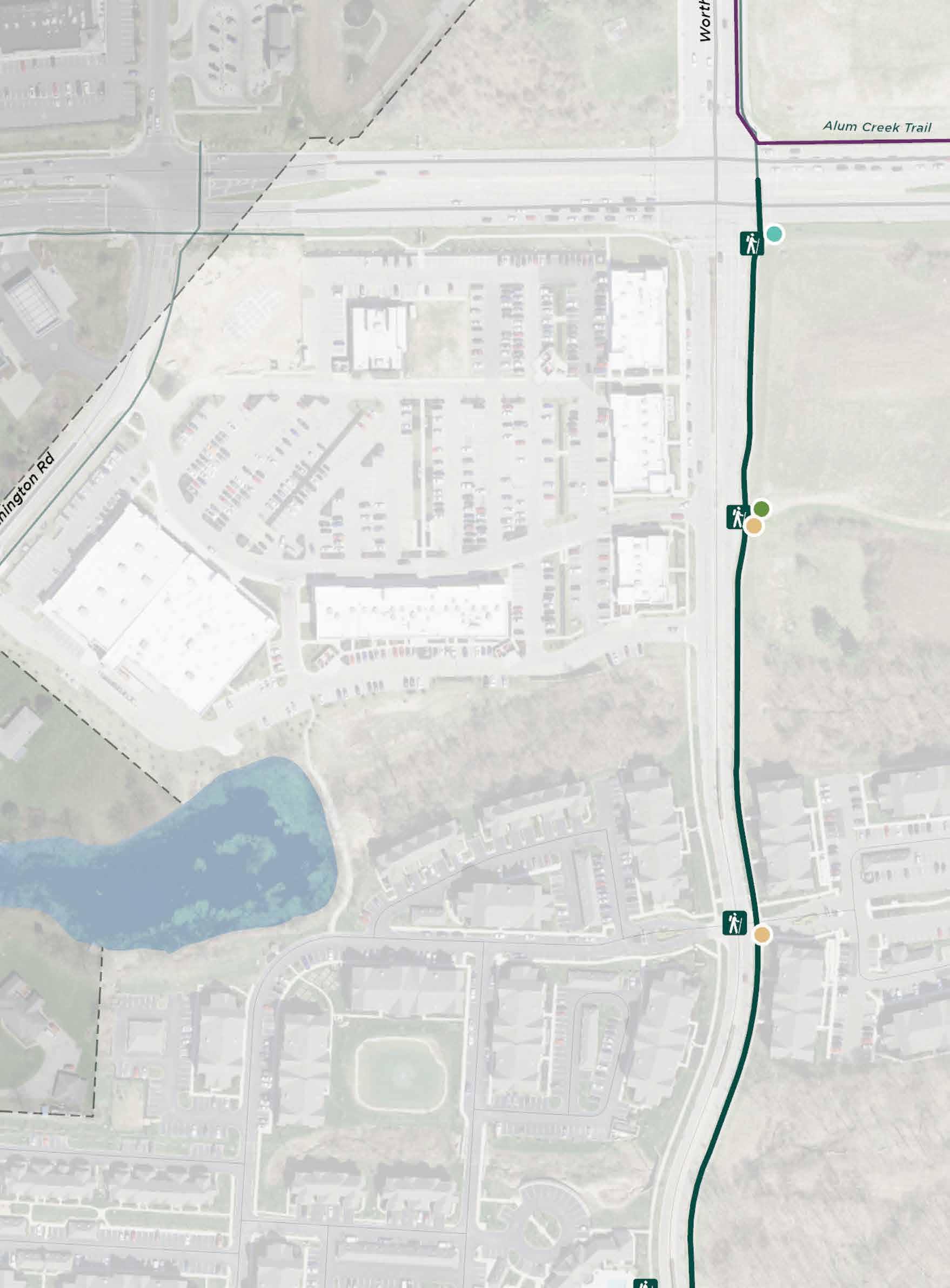
EXISTING SITE ELEMENTS:
Art/Cultural/ Historical Feature Bench Bridge
PROPOSED SIGNS: Trail Access
Decision Point Overlooks/ Viewing Points Parks Restrooms Existing Sign Trail Access Trashcan
Figure 143 | Vesper Road Trail - Enlargement 3
SOURCE: CITY OF WESTERVILLE

Alum Creek Trail
Big Walnut Trail
Ohio to Erie Trail
Collector, Connector, or Community Trails
Leisure Paths
Enlargement
Boundary
Alum Creek Trail
Big Walnut Trail
Ohio to Erie Trail
Collector, Connector, or Community Trails
Leisure Paths
Enlargement
Boundary
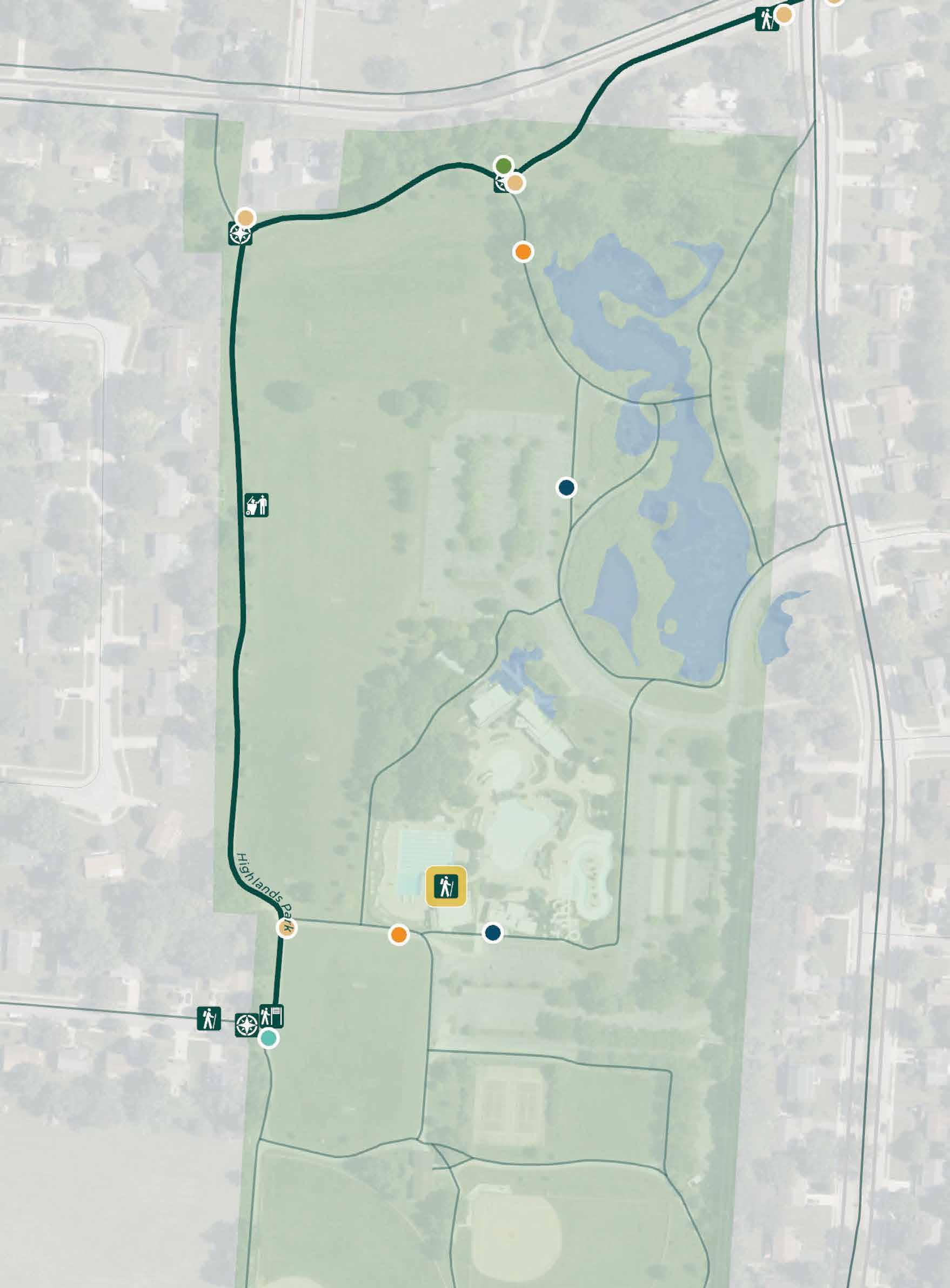
TRAIL ADOPTION SIGNAGE
Art/Cultural/ Historical Feature Bench
Bridge Decision Point Overlooks/ Viewing Points
Parks
Restrooms
Existing Sign
Trail Access
Trashcan
Trail Access Directional Identifier Information Kiosk
Replacement
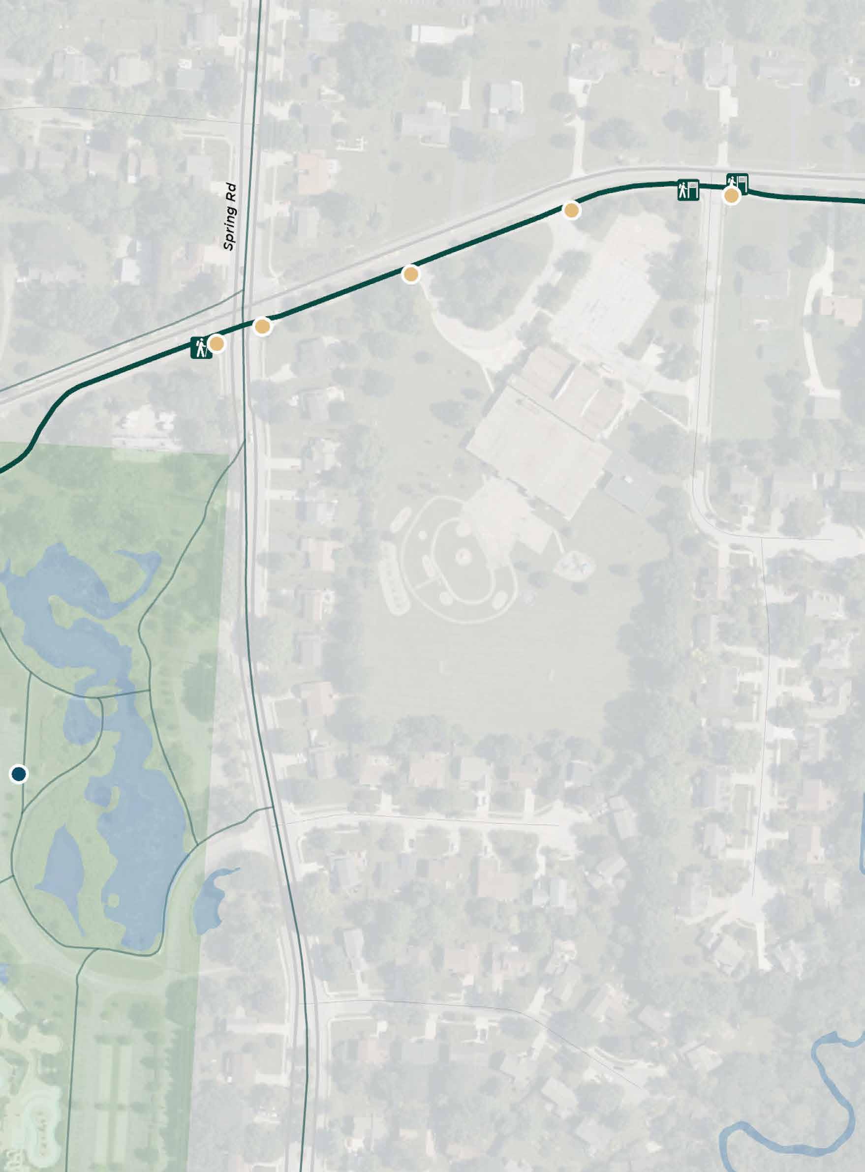
EXISTING SITE ELEMENTS:
Art/Cultural/ Historical Feature Bench Bridge
PROPOSED SIGNS: Trail Access Directional
Decision Point Overlooks/ Viewing Points Parks Restrooms Existing Sign Trail Access Trashcan
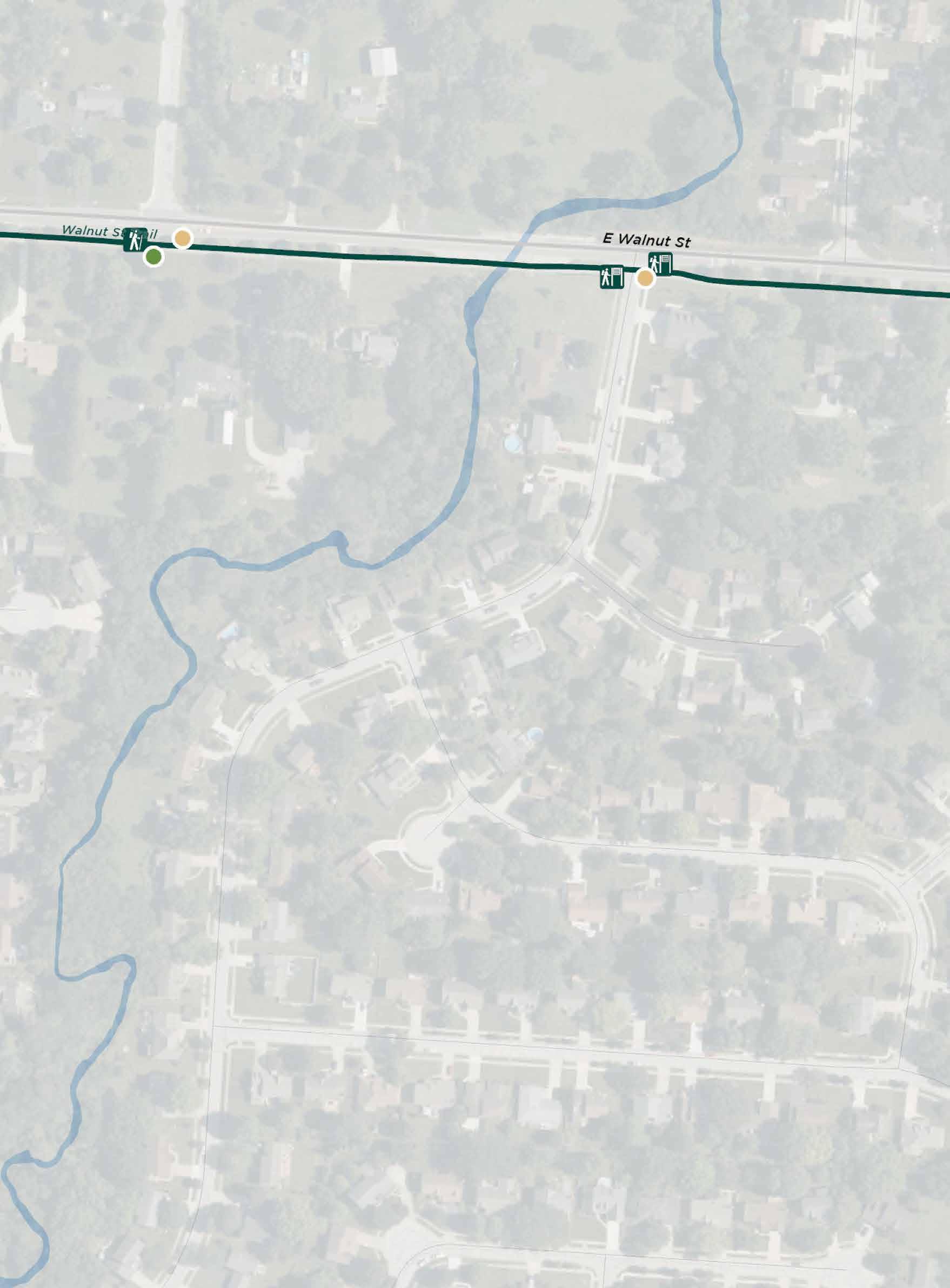
EXISTING SITE ELEMENTS:
Art/Cultural/ Historical Feature Bench Bridge
PROPOSED SIGNS:
Decision Point Overlooks/ Viewing Points Parks Restrooms Existing Sign Trail Access Trashcan
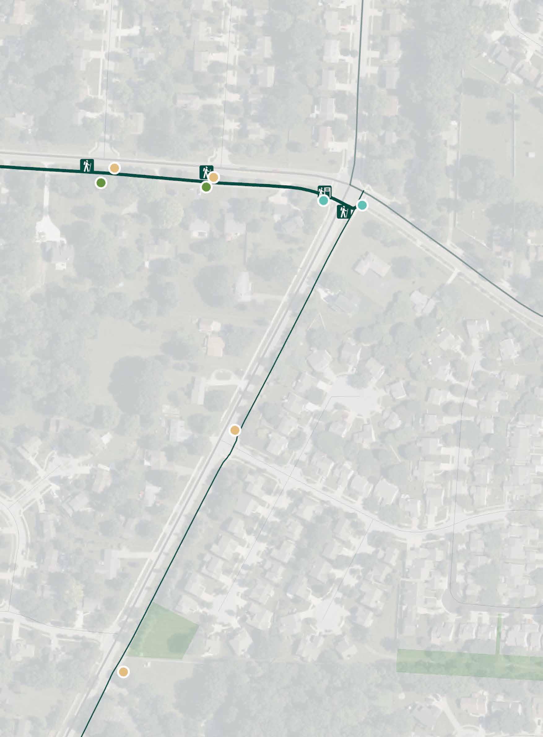
Art/Cultural/ Historical Feature
PROPOSED SIGNS:
Alum Creek Trail
Big Walnut Trail
Ohio to Erie Trail
Collector, Connector, or Community Trails
Leisure Paths
Enlargement
Boundary
EXISTING SITE ELEMENTS:
Art/Cultural/ Historical Feature Bench
Bridge
PROPOSED SIGNS:
Decision Point Overlooks/ Viewing Points Parks Restrooms Existing Sign Trail Access Trashcan
EXISTING SITE ELEMENTS:
Art/Cultural/ Historical Feature Bench Bridge
PROPOSED SIGNS:
Decision Point
Overlooks/ Viewing Points Parks
Restrooms Existing Sign Trail Access Trashcan
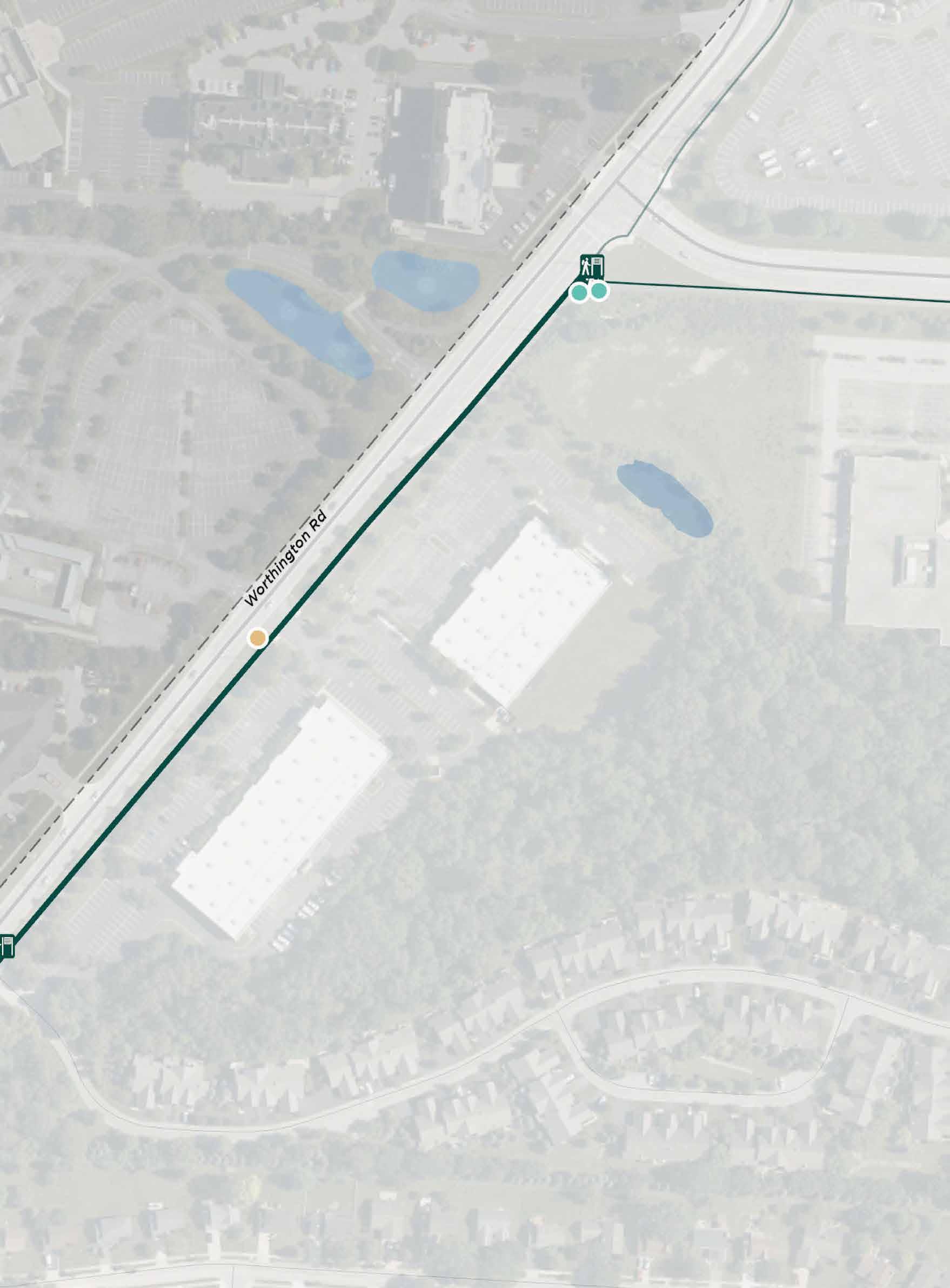
EXISTING SITE ELEMENTS:
Art/Cultural/ Historical Feature Bench Bridge
PROPOSED SIGNS:
Decision Point Overlooks/ Viewing Points Parks Restrooms Existing Sign Trail Access Trashcan
SOURCE: URBAN DECISION GROUP
Site amenities make a space more inviting and comfortable. Some potential amenities include:
• Landscape Plantings
• Specialty Paving
• Signage
• Individual and Social Seating
• Restrooms
• Water Stations
• Bike Racks and Fix-it Stations
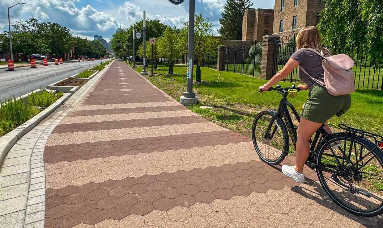

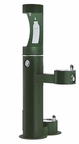

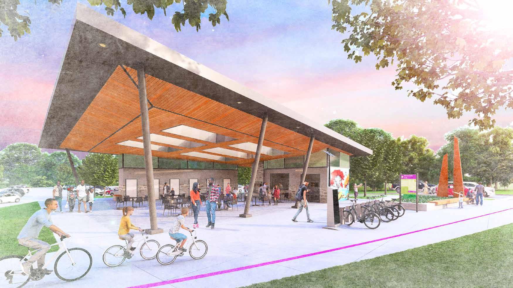
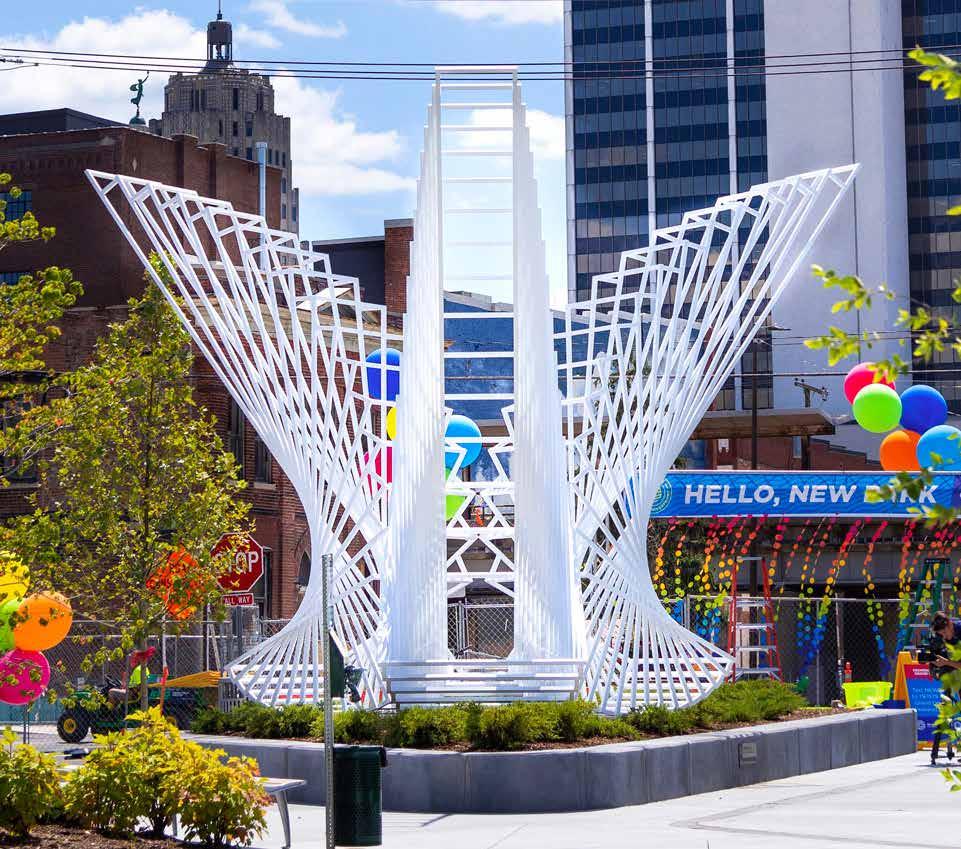
Specialty site elements enhance the unique characteristics of a site. They are engaging and draw attention to a place. These elements can include:
• Shade Structures
• Standalone Public Art
• Custom Lighting
• Interpretative Signage



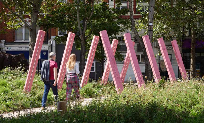
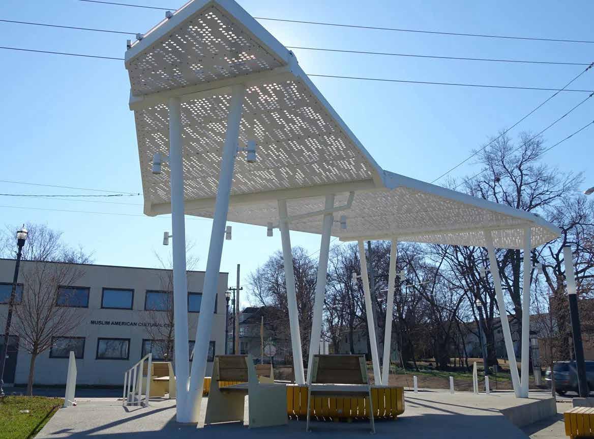
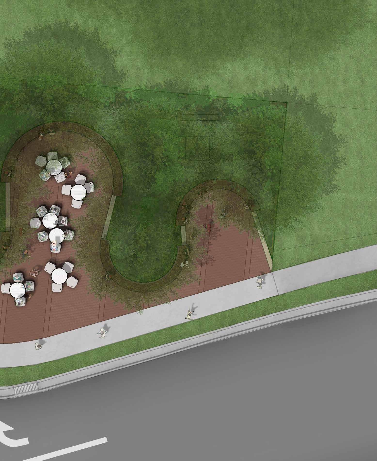
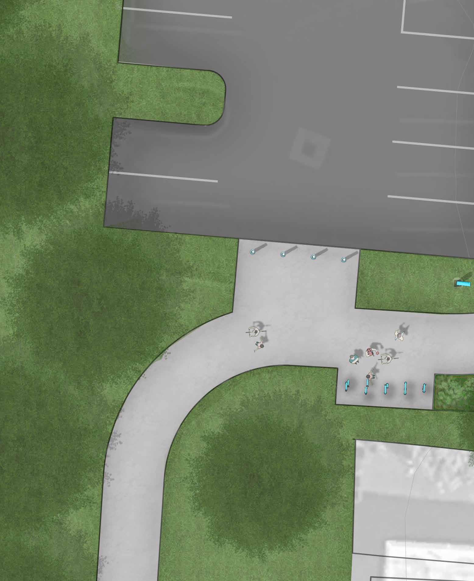
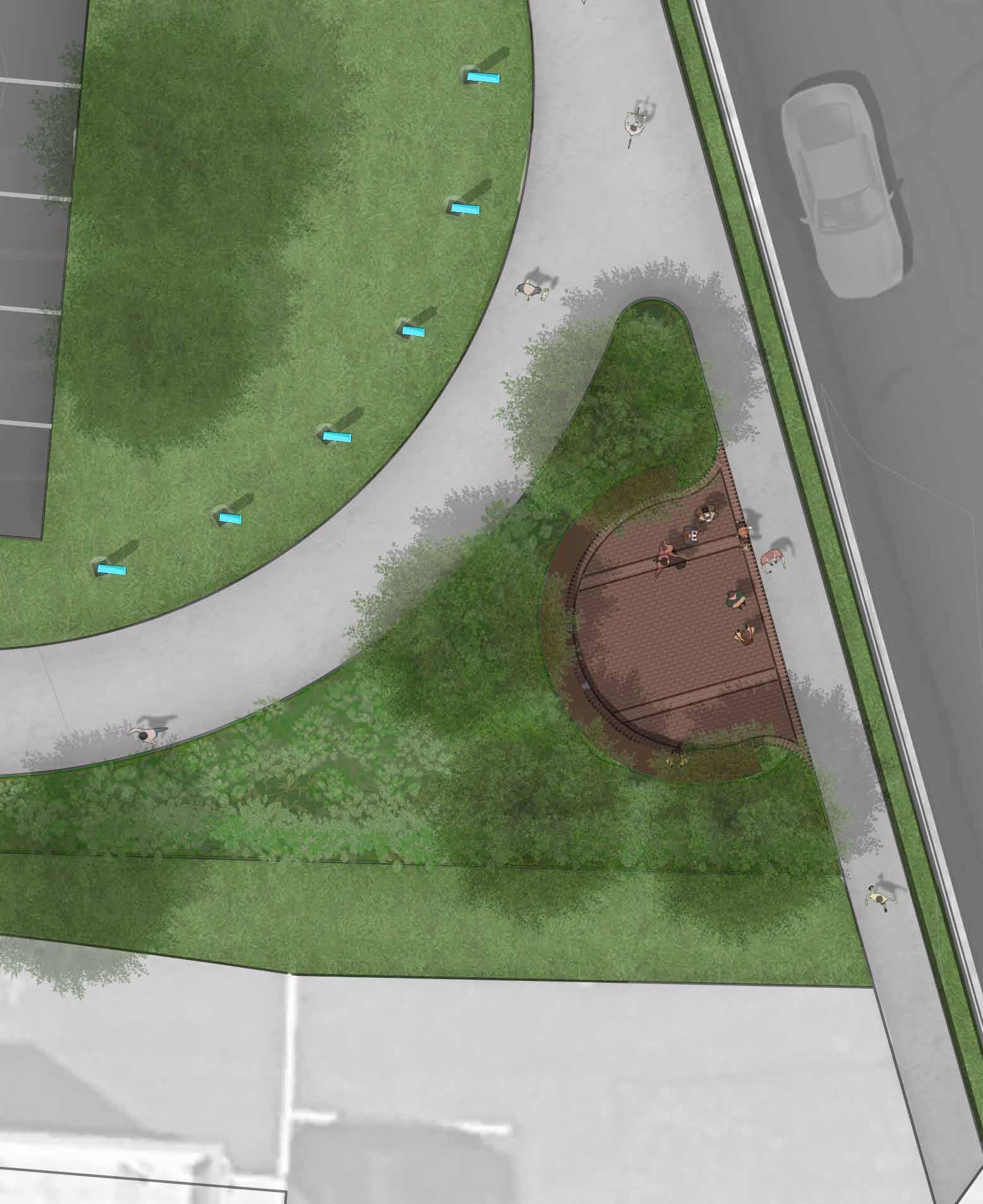
This design reimagines the Electric Avenue Mini Park to be a welcoming destination along the Ohio to Erie Trail. Additionally, the design contributes to wayfinding through the incorporation of public art, signage, specialty paving, and unique seating elements. Listed below are the site analysis and program of requirements that informed the design.
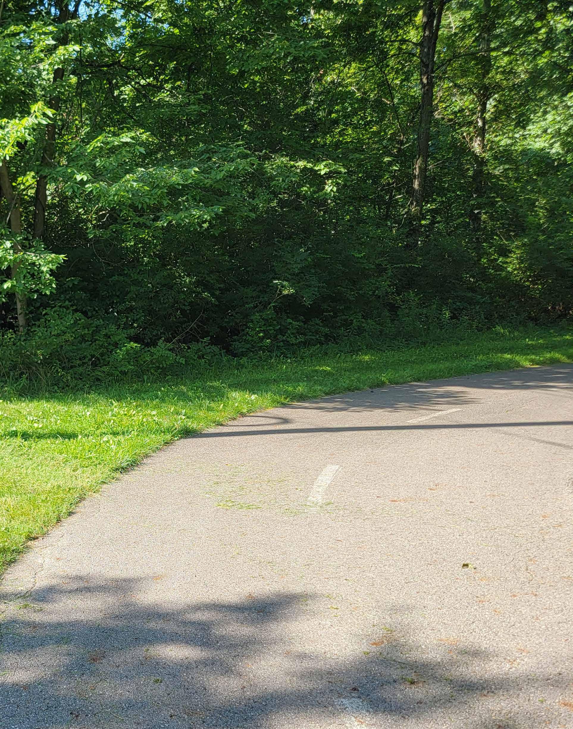
Analysis of existing conditions:
• Existing plantings:
» Edge plantings worn out
» Evergreen screening plants overgrown
• Property:
» Utilities located within landscape bed
» Existing easement and adjacent private property
• Viewsheds:
» Direct views of Ohio to Erie Trail
» Pedestrian travel along sidewalks
» Crossing at Electric Avenue
» Poor visual cues or signage indicating continued trail to south
• Existing amenities:
» Benches
Program of Requirements:
Preferred programming and amenities for the future park:
• Access to streets & roadways:
» Emphasize crossing at Electric Avenue
• Informational signage:
» Interpretive and directional signs
• Bike Infrastructure:
» Bike parking, water filling, repair station
• Seating:
» Buffer area next to road
» Sun and wind protection with shade and plantings
• Wayfinding:
» Public Art
» Visual gateway feature connecting to southern trail access
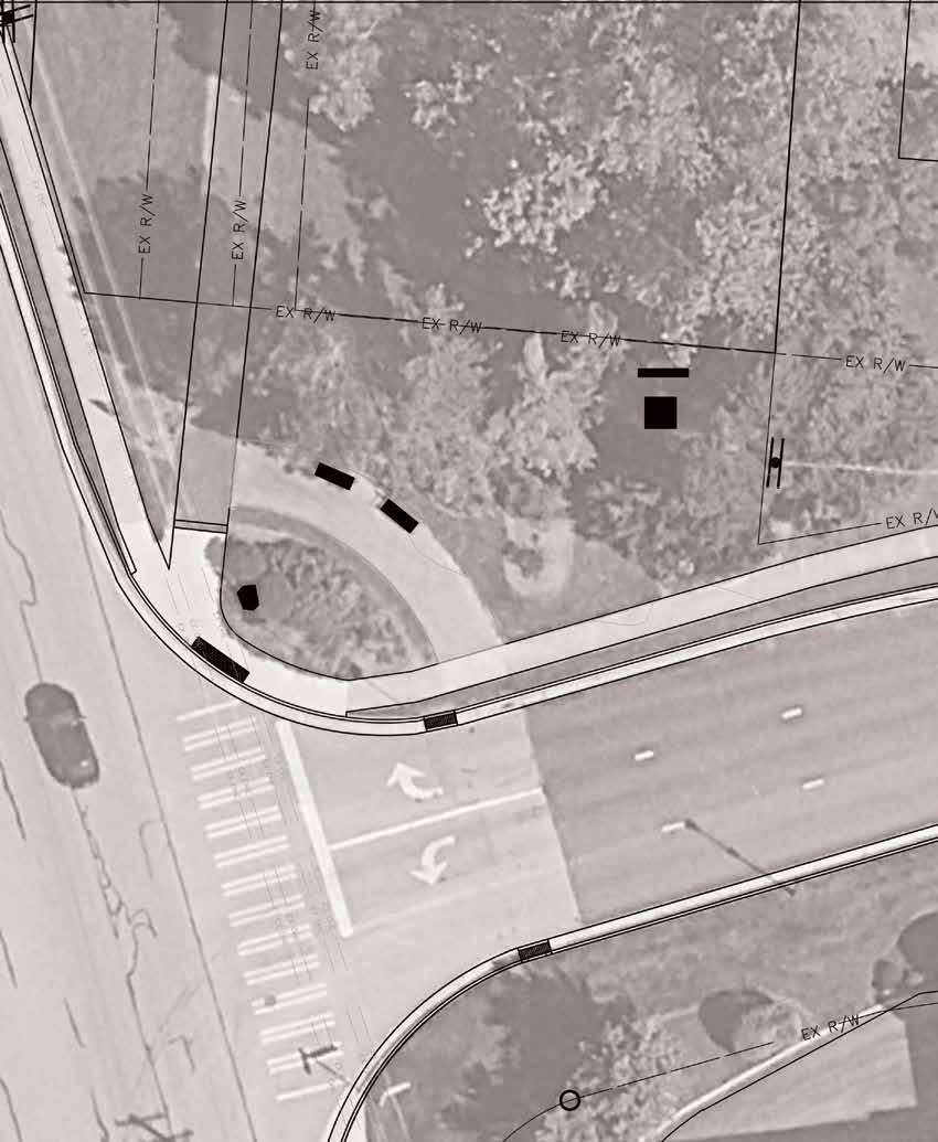
Figure 154 | Analysis Of Conditions
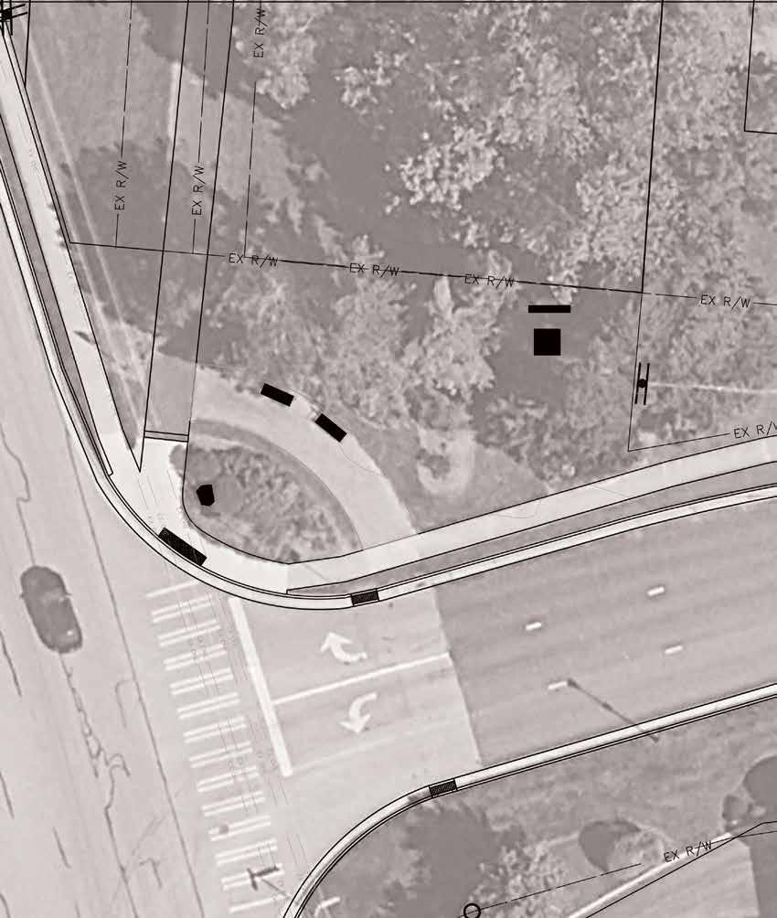
Figure 155 | Program of Requirements
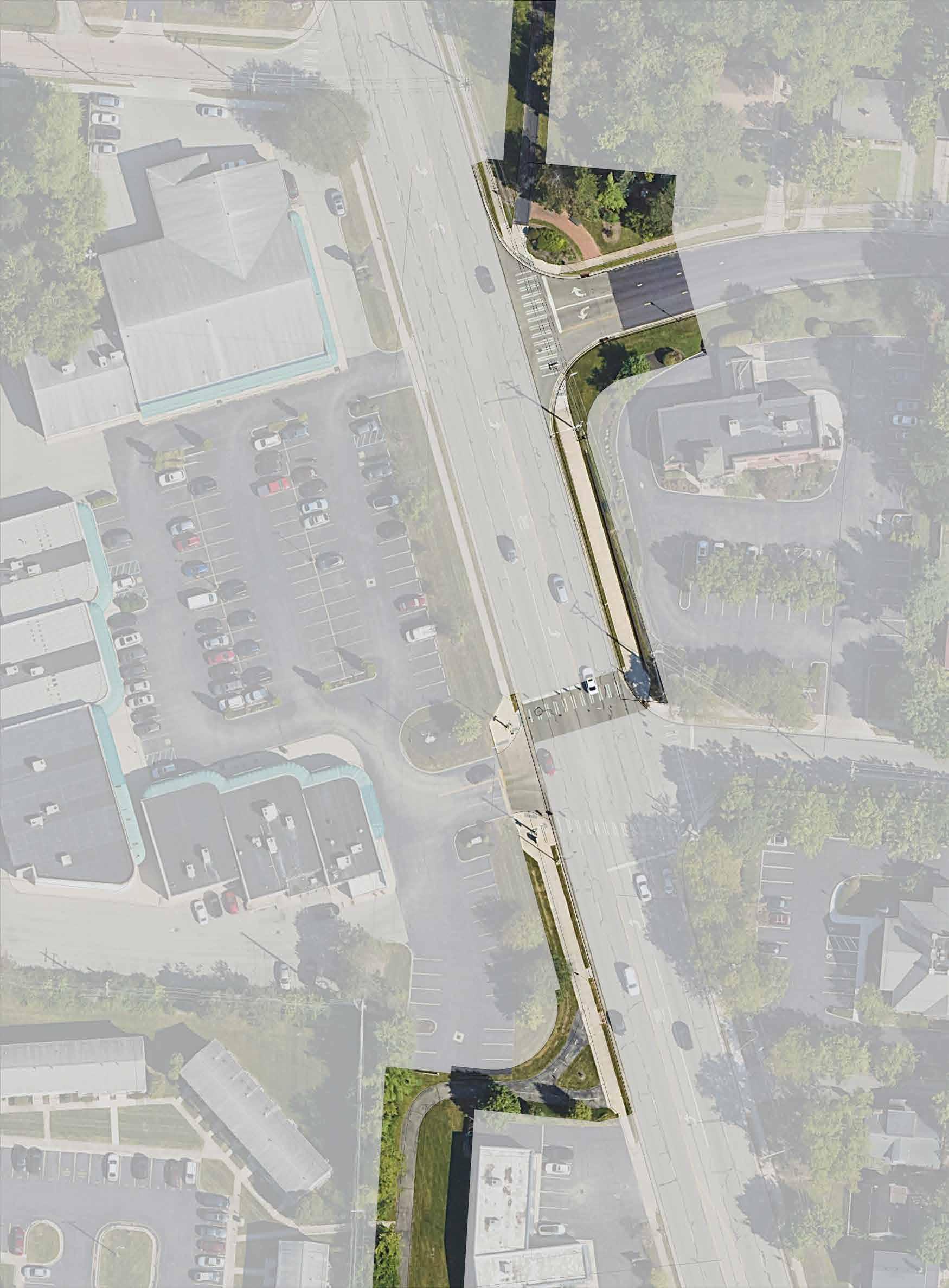
156 | Proposed Site Plan Concept
PUBLIC ART GATEWAY
ELECTRIC AVE MINI PARK
HIGHLY VISIBLE TRAIL CONNECTION
CREATIVE CROSSWALK
ENHANCED TRAIL ROUTE
CREATIVE CROSSWALK
ENHANCED TRAIL ROUTE
HIGHLY VISIBLE TRAIL CONNECTION
PUBLIC ART GATEWAY SOUTHERN TRAIL CONNECTION
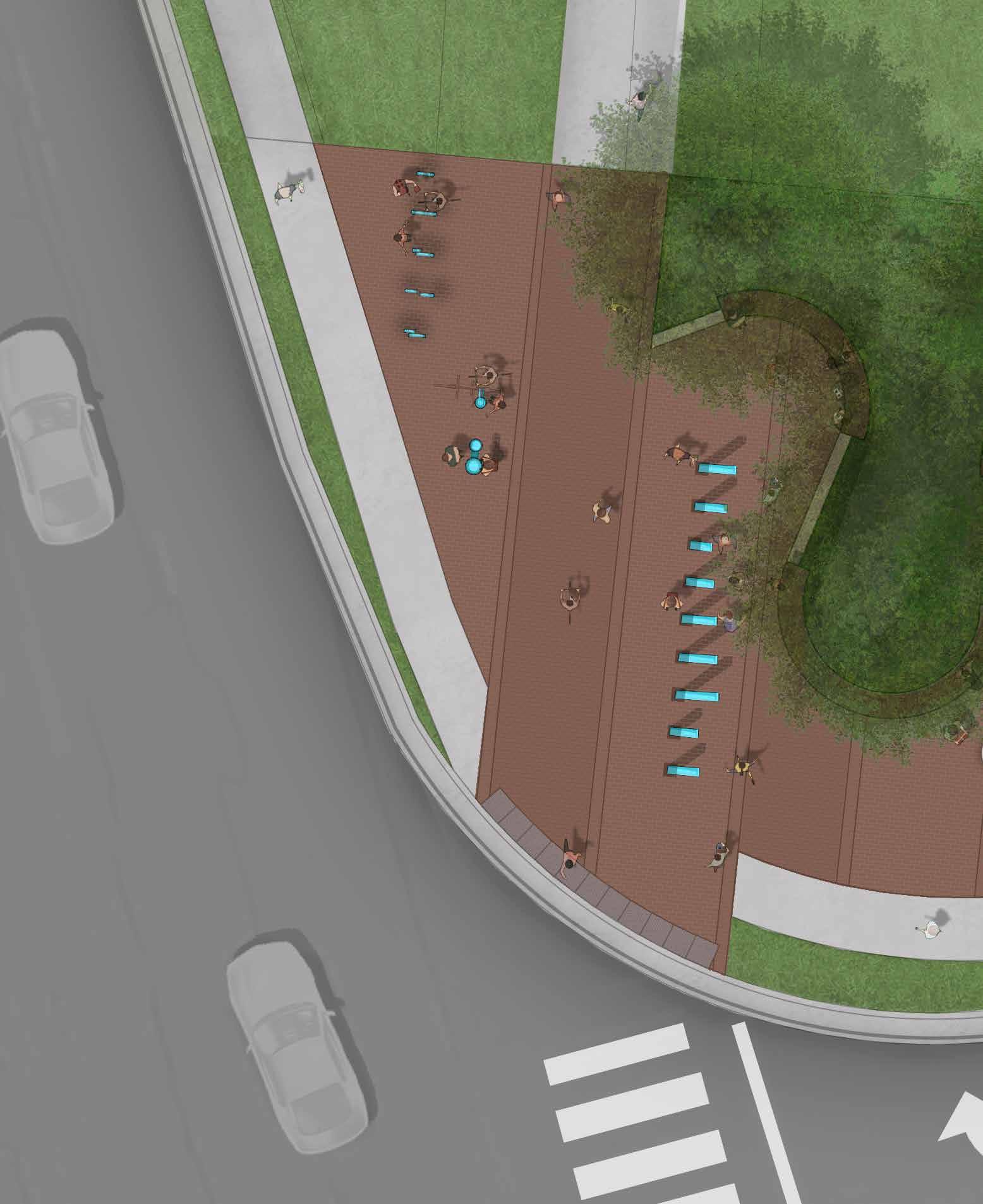
MOVABLE TABLES AND CHAIRS
BENCH SEATING
PLANTING AREA
EXISTING UTILITIES
10FT
PEDESTRIAN ACCESS






Clethra alnifolia ‘Hummingbird’ Hummingbird Summersweet
Cornus sericea ‘Bergeson Compact’ Dwarf Redosier Dogwood
Hamamelis virginiana American Witch-hazel
Myrica pensylvanica Bayberry
Rhus aromatica ‘Gro-Low’ Gro-low Fragrant Sumac
Grasses
Bouteloua curtipendula Side Oats Grama
Carex appalachica Appalachian Sedge
Sporobolus heterolepis ‘Tara’ Prairie Dropseed
Herbaceous perennials
Asclepias tuberosa Butterfly Weed
Symphyotrichum oolentangiense Sky Blue Aster
Symphyotrichum oblongifolium
Coreopsis tinctoria
Aster
Coreopsis
Dalea purpurea Purple Prairie Clover
Echinacea purpurea Purple Coneflower
Gaillardia aristata Blanket Flower
Gaillardia pulchella Indian Blanket
Penstemon mesa Prairie Penstemon
Rudbeckia subtomentosa Sweet Coneflower
Verbena hastata Blue Vervain
3–6’ 24” X X X




















1 This table provides total quantities for sign types across the city trail system, including those on regional and local
2 This opinion of probable cost provided by Designing Local (DL) is made on the basis of information and research no control over the cost of labor, materials, equipment or services furnished by others, or over the contractor(s) proposals, bids or actual project or construction cost will not vary from this opinion of probable cost.
SOURCE: URBAN DECISION GROUP