CENTRAL OHIO GREENWAYS REGIONAL TRAIL GUIDE
June 2026
June 2026
Melinda Vonstein, AICP, Central Ohio Greenways Program Manager
Cheri Mansperger, Associate Director of Geospatial Analysis
Matthew Leasure, PLA AICP LEED AP, Landscape Architect & Urban Planner
Meredith Reed, Urban Planner
Jaime Schmotzer, Urban Designer
Emma Kogge, AICP, Planning Associate
Anne Bothner-By, Senior Graphic DesignerProduction Specialist
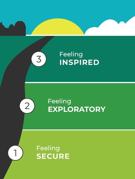
The Regional Trail Guide project follows from work undertaken previously — in particular, the Central Ohio Trail Towns Framework (2022) and Expansion (2023) and Beyond Maps & Signs: A Wayfinding Strategy Guide for the Central Ohio Greenways (2024)� The wayfinding strategy guide includes the image at right, which describes the ideal user experience for all who travel the region’s trails� The Regional Trail Guide’s featured rides, in conjunction with the inaugural Trail Towns of Central Ohio cohort that recently launched, are efforts to enhance the trail user experience Both efforts support people being willing and able to successfully explore trail-adjacent destinations and have experiences that leave them feeling inspired
3
1 2
The trail user is delighted by a punctuating experience on or near the trail, which may pertain to the art, history, culture, performance, or other unique aspect of a place.
The trail user is enticed off-trail to partake of local assets and amenities, assured of their ability to find their way back to the trail when they’re done.
Feeling SECURE
The trail user is oriented to where they are and where they’re going, and confident they can get their basic needs met at any time.
The project team analyzed active transportation and bicycle/pedestrian plans from the 15-county MORPC region, the 5th edition of the Columbus Metro Bike Map, published in May 2016, and bike maps from elsewhere to inform their planning process�
The following plans were reviewed:
• CORPO 2018–2040 Transportation Plan
• Central Ohio Active Transportation Plan (MORPC)
• Columbus Bike Plus Plan
• Dublin Bikeway Master Plan
• Westerville Mobility Plan
• Worthington Bike Ped Plan
• Hilliard Trails Plan
• Grove City Parks, Recreation, and Open Space Master Plan
• Gahanna Parks Comprehensive Master Plan
• Delaware County Bike Plan
• FMCPT Vision
• Knox County Active Transportation Plan
• Perry County Active Transportation Plan
• Fairfield County Active Transportation Plan
• Ross County Active Transportation Plan
• Pickaway County Park & Trail Plan
The plans revealed priority trails and destinations, future connections, and other information that helped the team identify areas to focus on when developing featured rides
The previous edition of the metro area bike map, which was different from the regional trail guide in that it focused solely on Franklin County, was considered the starting point for this project� The project team assessed what worked well on the map and what to change and, when it was determined the map would be the same size and shape as the previous one, drew out what content might be on each panel�
Bike maps from other communities were reviewed to identify types of content to consider and preferred visuals styles�
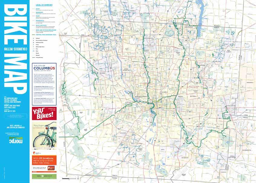
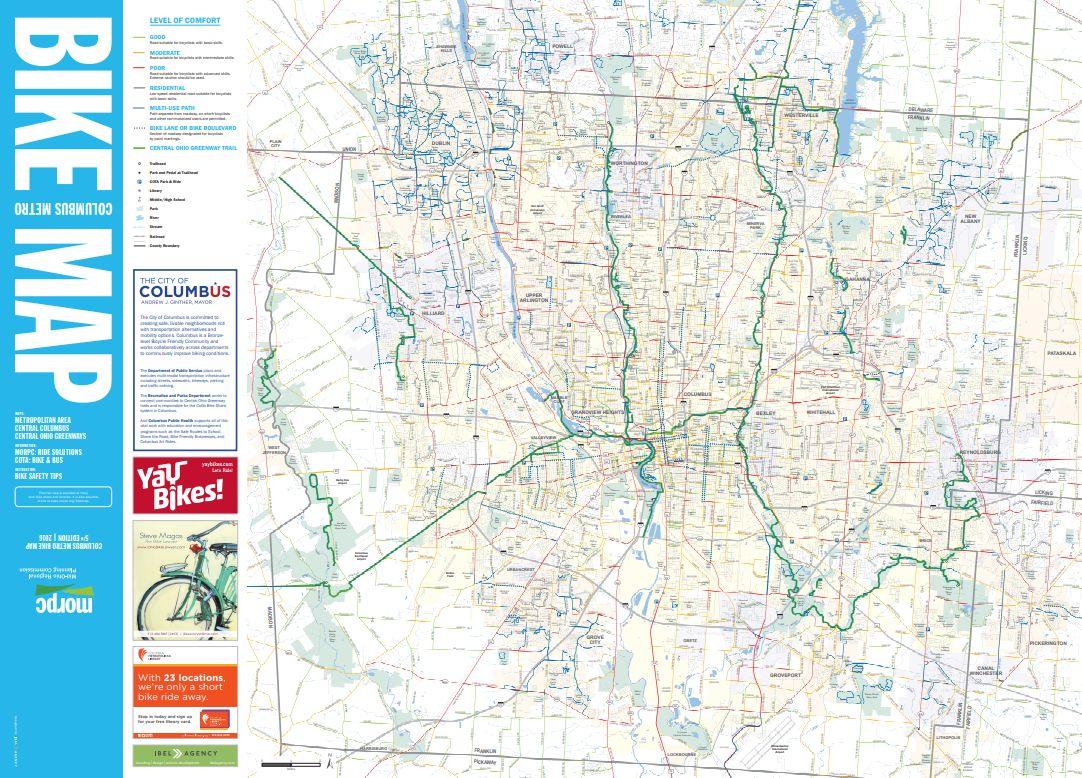
The front of the Columbus Metro Bike Map, 5th edition (left) and a hand-drawn version of how the front of the Regional Trail Guide might be arranged (right).
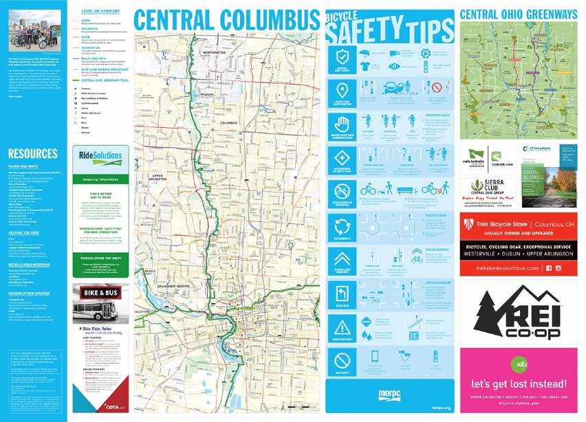
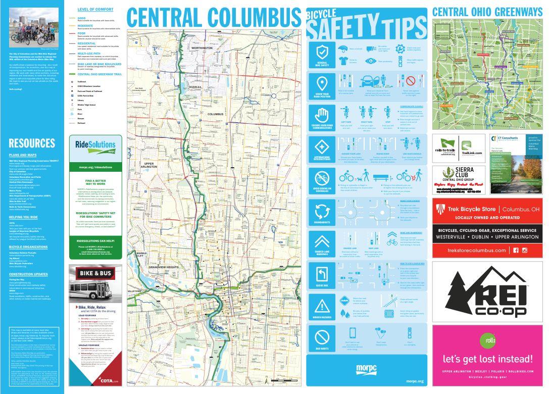
The back of the Columbus Metro Bike Map, 5th edition (left) and a hand-drawn version of how the back of the Regional Trail Guide might be arranged (right).
1.02
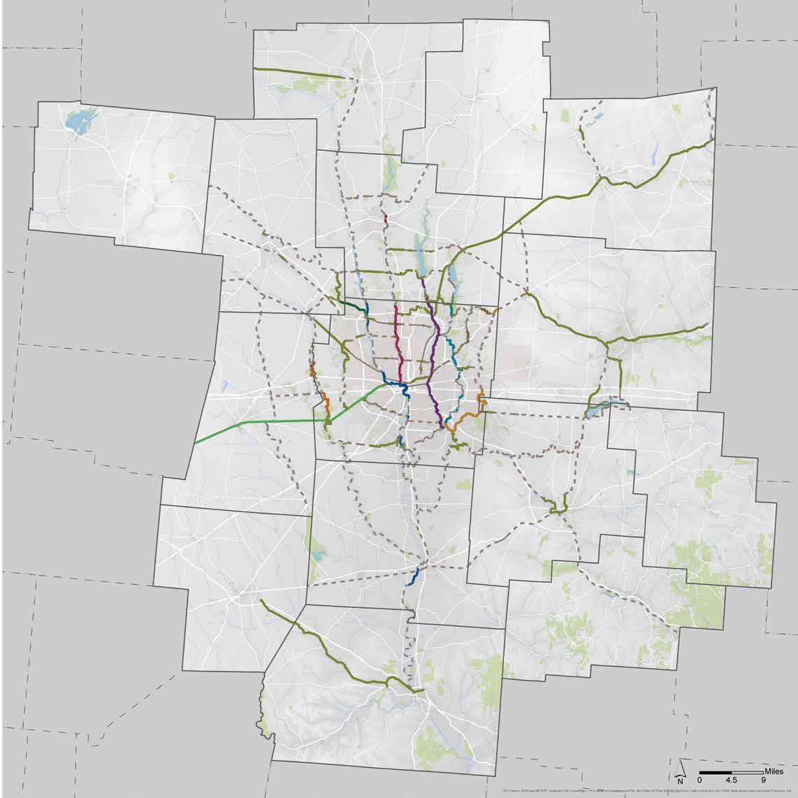
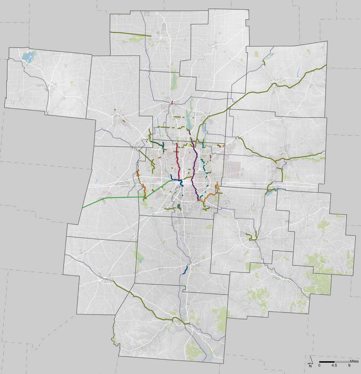
The regional trail map and featured rides were developed from GIS-based trail data provided by MORPC that was stylized in Adobe Illustrator The maps, colors, and symbologies depicted at right were the starting point of an iterative process to balance accuracy and visual clarity at the regional scale� Some lines were simplified, and some smaller bikeways were removed, as the project team worked to discern what information was useful and how it would be most effectively conveyed — the map therefore differs slightly from the GIS linework This is in contrast to the Columbus Metro Bike Map undertaken by MORPC, which is meant to precisely detail all of the city’s roads, trails, and bikeways� Users should consult additional mapping tools when route planning, regardless; both maps and the featured rides will be made available online to support trail users in these efforts�
1.03
The project team sought input into the Regional Trail Guide and the Trail Towns of Central Ohio program by engaging stakeholders in the following ways
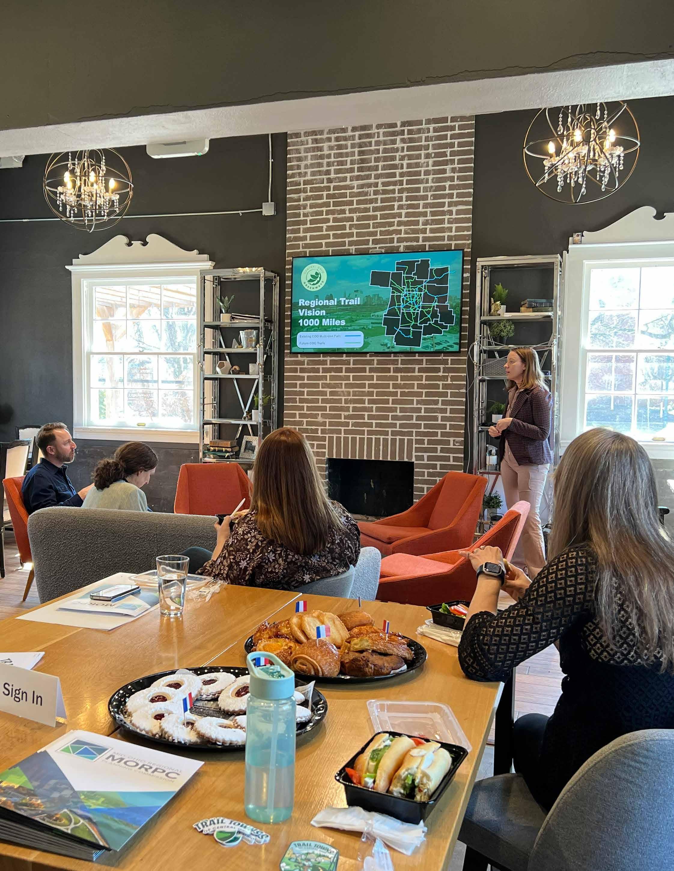
Team members attended in-person COG Planning Studio Workshops in each of the region’s four quadrants during fall 2025 to introduce the project and request support for it� The team later hosted two virtual meetings at which trail managers and Friends, tourism partners, and other stakeholders could provide targeted feedback into the regional trails and destinations that should be highlighted on the featured rides� In addition, project progress was reported to a Steering Committee and other groups periodically throughout the project�
The first Trail Towns of Central Ohio cohort (composed of Westerville, Worthington, Centerburg, Mount Vernon, and London) was supported through this project with facilitated workshops designed to elicit information about their communities’ identities and what they would like to highlight in Trail Towns marketing efforts� Feedback from the workshops was also used to inform the destinations and routes shown on the Regional Trail Guide�
An online survey was promoted to cyclists and others throughout the region during fall 2025 to ascertain how people use bike maps and what information they would find useful on this one It ultimately received more than 550 responses
During April 2026, when the map was 95% complete, MORPC and a number of partners passively displayed it in community spaces and asked members of the public to provide feedback via an online survey� The map was also available during the Columbus Earth Day Festival and Celebrate Trails Day event, at which project team members discussed it inperson with attendees�
The project team developed an online survey, promoted and made available to adult residents of the 15-county MORPC region during November 2025, to better understand:
• Respondents’ current familiarity and confidence with bicycling and the trail system
• Destinations people access via trails and the destinations would they like to
• How people use bike maps and what content they would respond best to
• Factors that influence the types of bike trips people take
• Respondents’ demographics, ZIP codes of residence (i�e�, where they are starting trips from), and modes of transportation
• What about bicycling brings people joy
Specific questions, and responses to them, can be found beginning on page 16; open-ended responses are compiled in their entirety within the Appendix beginning on page 144 �
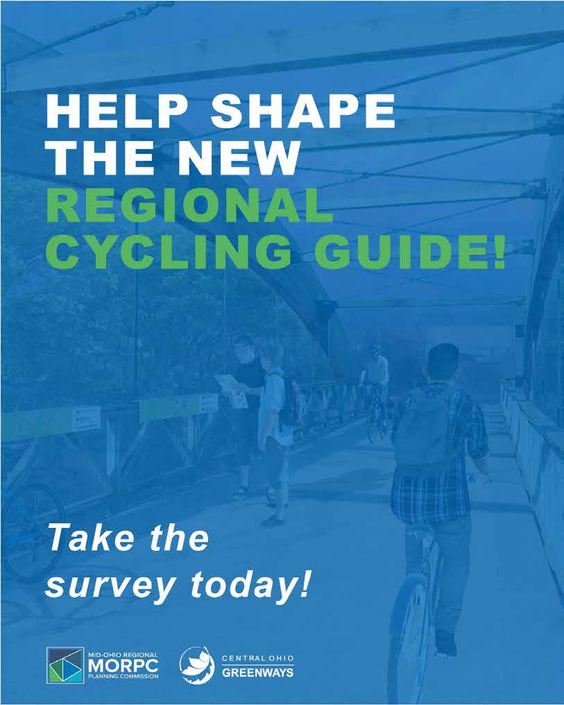
Social media graphic promoting the survey
The survey was promoted in three ways — on MORPC-controlled social media (and shared by partners), through the email lists of community stakeholders, and with fliers posted in community spaces� A custom flier was sent to trail partners and custom graphics were created to align with LinkedIn, Facebook, and Instagram standards
Ultimately, 552 people completed the survey
H E L P S H A P E T H E N E W
R E G I O N A L C YC L I N G G U I D E !
The Mid-Ohio Regional Planning Commission (MORPC) is working to create a Regional Cycling Guide that includes: 1) A map of the entire 15-county* Central Ohio Greenways trail network, 2) Several curated routes with recommended destinations, and 3) Additional information to help people ride the trails in Central Ohio.
*Franklin, Union, Morrow, Madison, Logan, Knox, Licking, Fairfield, Perry, Hocking, Ross, Pickaway, Fayette, Delaware & Marion Counties

Take a brief online survey to share what should be featured on the cycling guide!
Survey results will ensure the Regional Cycling Guide is an effective tool for helping people experience all the trails and nearby communities have to offer.
Everyone aged 18+ is invited to take the survey (whether a cyclist or not).
Scan the QR code with your phone’s camera or visit https://arcg.is/0v8vGK2 to access the survey. TAKE THE SURVEY!

How familiar are you with the paved regional bike trails in Central Ohio?
Select the most applicable answer� (single selection, required)
(n=546)
Very much — I ride them frequently
A bit — I have ridden on a trail or two, but wouldn’t say I’m ‘familiar’
Not at all — I have never ridden them
Are you familiar with Experience Columbus’s Outdoor Trails Pass Program? Select the most applicable answer (single selection, required)
(n=546)
No, I’m not familiar with it at all�
I’ve heard of it�
Yes, very familiar
When planning a bike ride, which do you prefer? (Likert, required)
(n=546)
What is most important to you on a bike ride? (Likert, required)
(n=546)
Creating my own route
No preference
Following a curated route with recommended stops
Both are equally important
The experience of the ride itself
The destinations I’ll experience
Which of the following apply to you? Select all that apply� (random order, multiple selection, required) )
(n=546)
I own a bicycle�
I have safe bike storage�
I ride for recreation�
I can take my bike by car�
I live within 2 miles of a trail�
I ride for work or transport�
I have access to an e-bike�
I have kid(s) under age 12�
What types of places do you go to while riding your bike? Select all that apply� (random order, multiple selection, required)
(n=546)
On a typical weekend or recreational ride, how many miles would you feel comfortable biking in one day? Select the most applicable answer� (Note: A leisurely pace, accessible to most people, would be approximately 10–12mph�) (single selection, required)
(n=546)
Note that multiple people reported the survey would not allow them to rank their responses as instructed. While the extent of this issue is unknown, note that these results may not accurately reflect respondents’ preferences.
When considering a bike ride, what information is most important to you? (rank order, required)
(n=546)
#1
Total distance
#2
The scenery along the trail
#3
Types of destinations available
#4
Rest stop locations
#5
Possible challenging spots
#6
Turn-by-turn directions
#7
Total elevation
Please rank the following types of information based on how important they are to you on a printed map� Rank the options from most to least important� (random order, required) (n=546)
#1
Curated routes and descriptions
#2
Safety information and rules of the trail
#3
Information about future trail projects
#4
Bicycle organizations and businesses
#5
Laws applicable to bicyclists
#6
Tips on how to have a bike adventure
In what way(s) do you use a printed bike map? Select all that apply� (multiple selection, required)
(n=546)
As a tool to better understand the trail system For trip planning
To get inspired by trip ideas
I do not use a printed bike map
As a backup to my devices on the trail
To help encourage bicycling in the community As wall decoration
What is your race and/or ethnicity? Select all that apply (multiple selection, required)
(n=546)
American Indian or Alaskan Native Asian <1% (5)
Black or African American
Hispanic or Latino(a/x)
Middle Easter or North African
Native Hawaiian or Pacific Islander
White or Caucasian I prefer not to disclose my race and/or ethnicity�
(7)
(9)
What is your age? We are only accepting responses from individuals who are 18 years or older (open-ended, optional)
(n=533)
How many people within each age range are permanent residents of your household, including yourself? (numeral input, optional)
(n=546)
What was your household’s income over the last 12 months? (single selection, required)
(n=546)
(5)
$10,000 –$14,999
$15,000–$24,999
$25,000–$34,999
$35,000–$49,999
$50,000–$74,999
$75,000–$99,999
$100,000–$124,999
$125,000–$149,999
$150,000–$174,999
$175,000–$199,999
$200,000–$249,999
$250,000–$299,999
$300,000–$399,999
How many total automobiles — vans, cars, trucks — do members of your household keep at home for general transportation purposes? (single selection, optional)
(n=540)
How many days per week do you typically use the modes of transportation listed below? (numeric input, optional)
(n=546)
I drive a traditional gasoline or dieselpowered vehicle�
I drive a hybrid or plug-in hybrid vehicle�
I ride the bus (public transportation with set stops and schedule)�
I use on-demand transportation (public or private) where I request to get picked up at my location�
I ride a bike (not including exercise or recreation)�
I walk (not including exercise or recreation)�
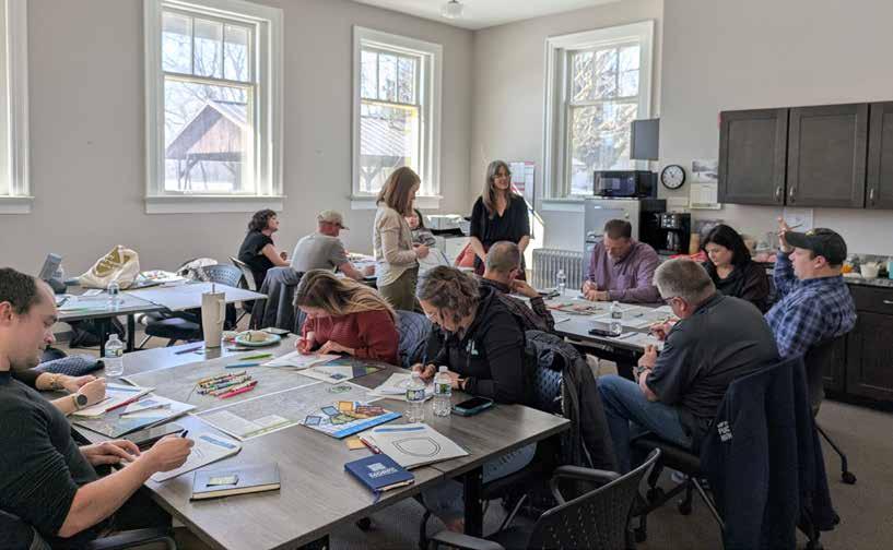
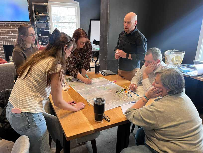
To help inform both the trail guide and the Trail Towns of Central Ohio StoryMap template and custom branded badges, project team members led local leaders, business owners, trail advocates, and others in workshops designed to elicit key elements of community identity�
Members of the five inaugural Trail Towns of Central Ohio communities participated in one 2�5-hour workshop each during February 2026, at which they shared key destinations and cyclist amenities, local stories, cycling routes through their community, and other information to support Trail Towns marketing efforts� Reports summarizing the information received at each workshop were compiled afterwards; these can be found on the following pages
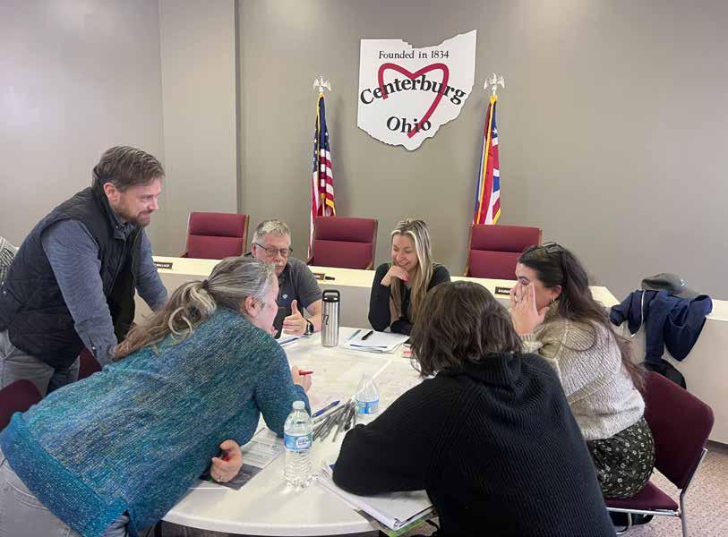
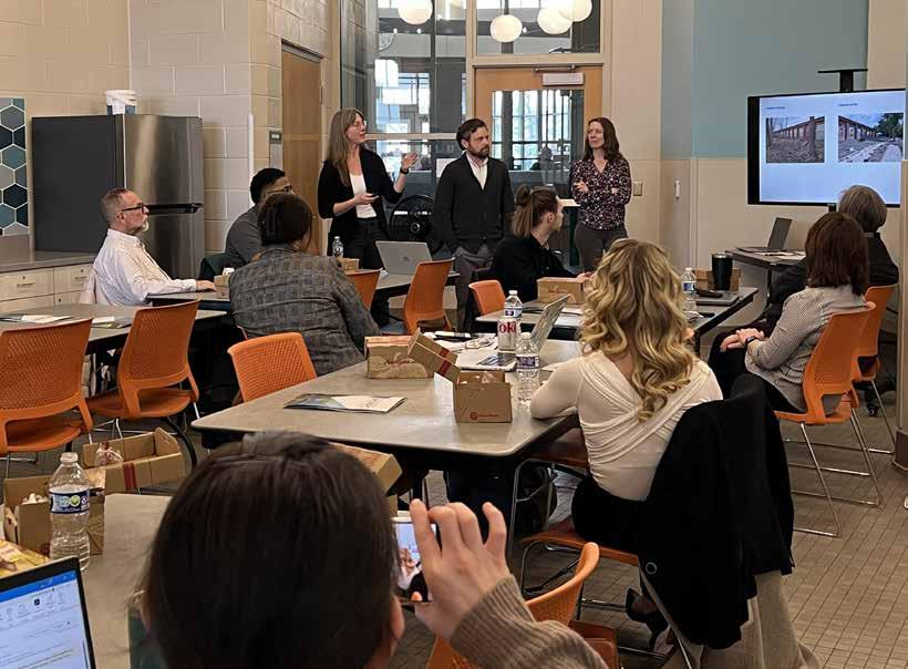
A group of approximately 15 Centerburg residents and other stakeholders met at Centerburg City Hall on Tuesday, February 3, 2026 to participate in activities designed to elicit how they feel about their town and how it should be portrayed in Trail Towns materials� The following is a summary of their responses and images depicting some of the most salient themes in the conversation�
The most common words chosen to describe Centerburg were welcoming, historic, home-grown, and authentic/ genuine Workshop participants did not want Centerburg to be described as ramshackle, but neither did they want it described as polished�
Destinations mentioned most frequently were Memorial Park, where one of the two (contested!) Center of Ohio rocks are located, the high point of the Ohio to Erie Trail (an obelisk), and the Midway Welcome Station marking its midpoint Also mentioned were Kolacheez Cafe Bar, More Space at Your Place, and the 1834 Tavern, among several other local businesses, murals, and historic landmarks in downtown A new green space called Between the Bricks along Main Street will be programmed beginning in summer 2026�
The most commonly cited events were USA Days (late June), the Old Time Farming Festival (late September), and the Heart of Ohio Farmers’ Market (June–September)� The Hometown Market grocery store was referenced as a place where people gather for food trucks, beer and wine tastings, and other community events (lots of bikes are on display inside!)�
Most people cited N Clayton St as the obvious choice for a route to and from downtown but said that it will be unsafe until a TAP-funded project to upgrade it is complete in 2027� N Hartford Ave is a viable alternative in the meantime Main Street through downtown is spotty, with some side paths but other sections with no infrastructure� There are viable parallel streets and alleys, but routes using these could be difficult to convey
The colors indicated for Centerburg were red, white, and black — the colors of their local school system�
If Centerburg were a bicycle, it would be an electric hybrid bike or a kid’s bike
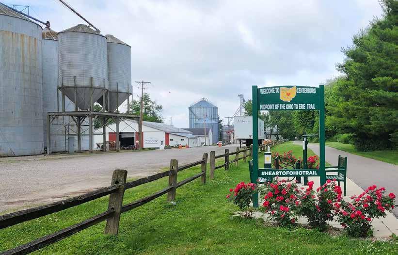
The structures/forms that most evoke a sense of Centerburg are farmland, grain silos, the Mill, an open heart (see their logo), and City Hall/Library� Along
the trail, the selfie station and high point obelisk just north of town were noteworthy�
People like the idea of a splash of red on their badge�
Would it be possible to have a trail be in the shape of their open heart logo?
Imagery to include is farmland (corn and/or soybeans), the mill, grain silos, the rock, and something that refers to their status as the geographic center of Ohio
There is interest in acknowledging the role of Knox County somehow (though not with the shape of the county maybe something like its sun logo?)
Centerburg’s original high school was built in 1883 but torn down in 1910 to make room for a bigger building� Schools were consolidating at that time, and the families who had to move to the Centerburg school were upset about it So the locals came up with “Community Week” full of activities to welcome the newcomers and help them feel better about the transition�
Transportation Themes� Centerburg was established in 1834 when a road was built to connect people from Mount Vernon to the state capital in
Columbus� Then the railroad came through� Now the trail is a major draw, revitalizing Centerburg through outdoor recreation–oriented tourism that supports its small businesses
Centerburg’s claim to fame is being the geographic center of Ohio, but this point of pride is subject to debate, even among locals� The actual center of Ohio is purported to be 20 miles east of Centerburg Nevertheless, within Centerburg two rocks at different sites mark the center of Ohio (one has a time capsule underneath, to be opened in 2104)� One is in Memorial Park, alongside the trail, and the other is in a subdivision nearby Residents say these sites shift with the river, so the center point is always changing�
The story of how the center of Ohio rocks were identified should be followed up on� Apparently a local farmer had one in the middle of his field and offered it as the marker for one of the sites — but this was after the original rock “fell through�” The details of this were unclear�
Centerburg is also said to be the midpoint of the Ohio to Erie Trail, which is���unlikely! But it makes for a great story — Centerburg truly is the heart of Ohio!
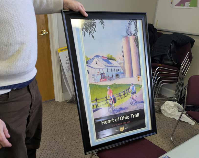
A poster for the trail with Centerburg’s iconic trailside mill and silos depicted.
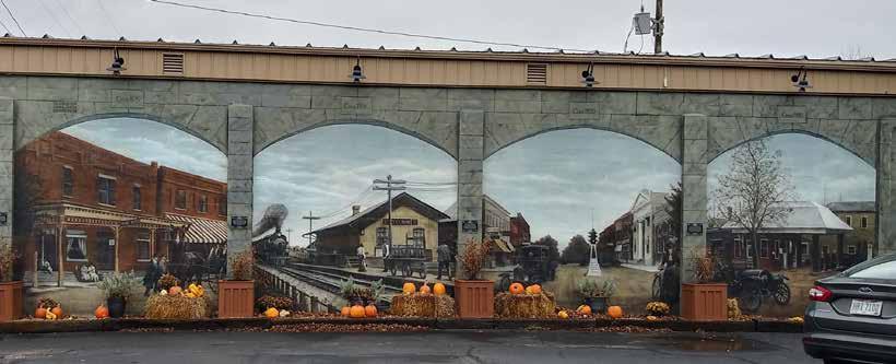
The Centerburg Historic Mural in downtown showcases its history as a transportation hub.
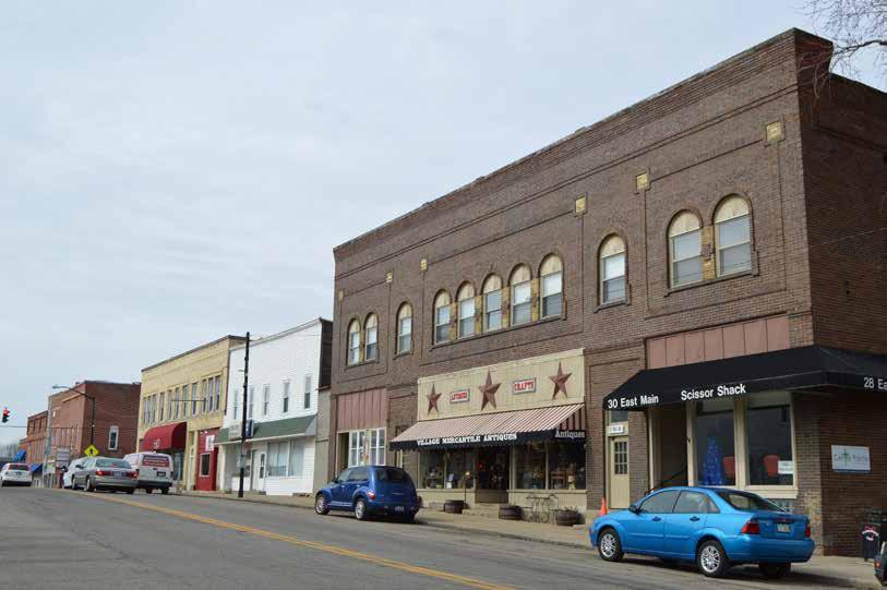
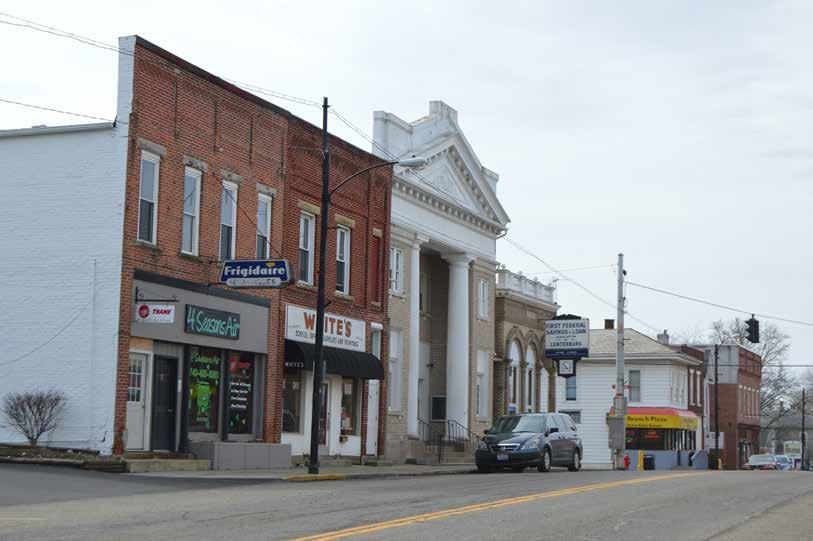
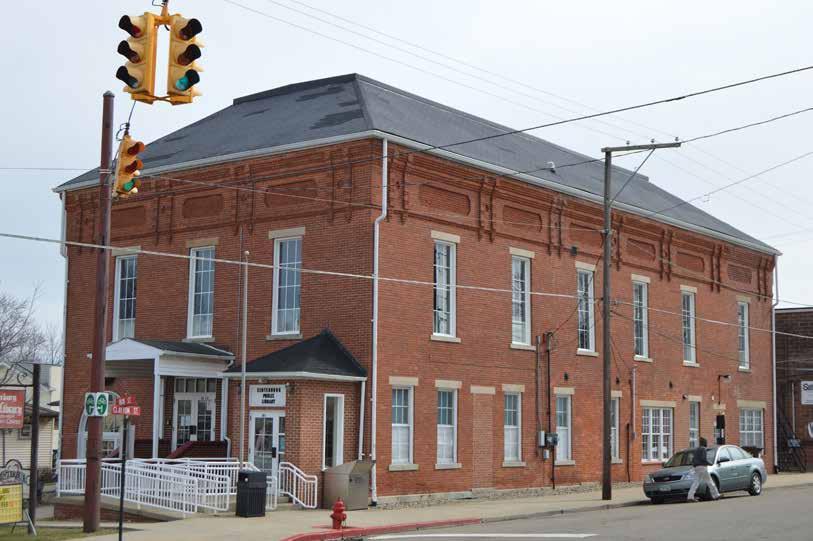
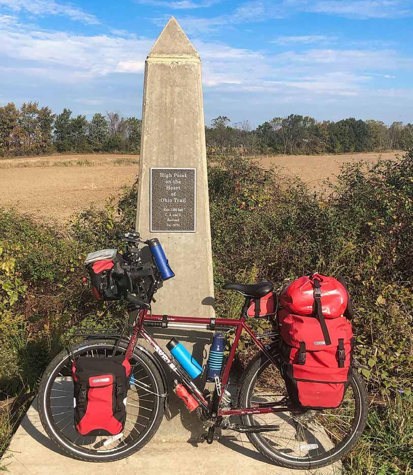
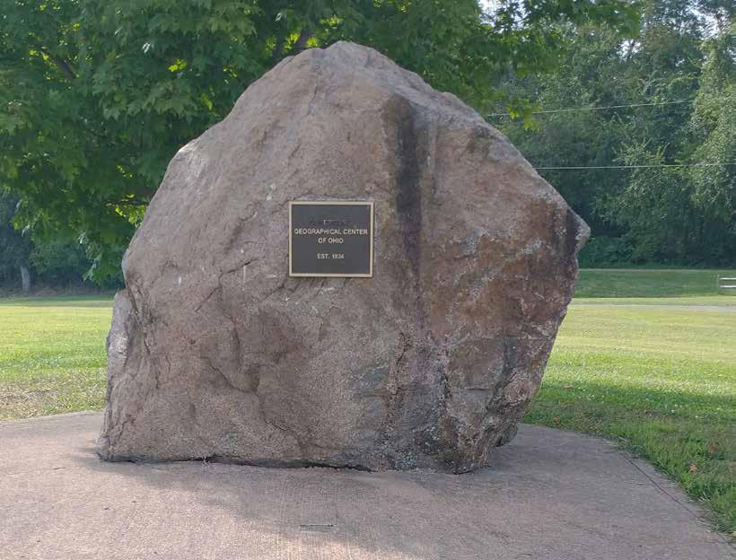
A group of approximately 12 Westerville residents and other stakeholders met at Westerville Community Center on Wednesday, February 11, 2026 to participate in activities designed to elicit how they feel about Uptown Westerville and how it should be portrayed in Trail Towns materials� The following is a summary of their responses and images depicting some of the most salient themes in the conversation
The words most selected to describe Westerville were welcoming, historic, and vibrant, as well as charming and active� Workshop participants did not want Westerville described as boring or cringe
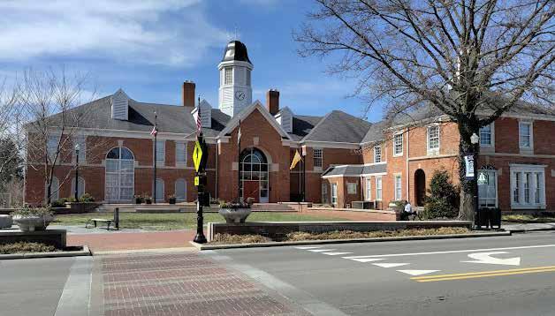
Westerville’s Uptown district is full of restaurants, shops, public art, and entertainment opportunities Specific places mentioned were North High Brewing (trailside), High Banks Distillery (newly opened in the historic post office building), Fox in the Snow, Otterbein campus, and City Hall�
There are also Metro Parks, medical centers, schools, historical sites, libraries, and more nearby
Workshop participants mentioned Uptown’s closed-street 4th Fridays series (May–Oct) as a way to
experience all the district has to offer They also cited the Saturday morning Farmers Market (May–Sept) as a popular draw� The annual 4th of July celebration and Pumpkin Glow events were also noted�
From the Ohio to Erie Trail: Through Hanby Park on a path that becomes Library Rd, which leads to State�
From Alum Creek Trail: Through Alum Creek Park North to Park St, then right on Grove and left on Plum to State�
There is a 4-mile loop through Sharon Woods Metro Park� This connects to the Alum Creek Trail along a sidepath that goes around St Ann’s Hospital
Towers Trail connects the Ohio to Erie and Alum Creek Trails
The colors indicated for Westerville were green and blue, evoking nature, and red — either the cardinal red of Otterbein or a brick red to evoke the area’s brick streets and buildings�
If Westerville were a bicycle, it would be a hybrid
Notable historic figures are Ben Hanby, Squire Fouse, Joseph Selby, and James Westervelt�
The structures/forms that most evoke a sense of Uptown Westerville are
its skyline and murals, Alum Creek, Towers Hall (Otterbein), the Prohibition statue, parks, Hoover Reservoir, the historic post office, and City Hall�
Otterbein’s mascot — a cardinal — was featured in one design This could perhaps be the extra element?
A humorous nod to the Prohibition movement would be to depict the “exploding barrel” of the Anti-Saloon League sculpture�
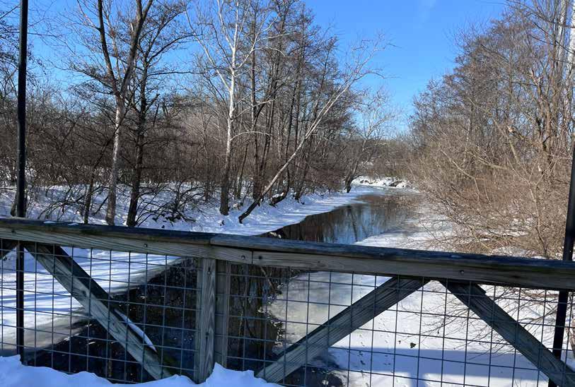
In addition to a trail, several people elevated the Alum Creek in their drawings�
Westerville is known as “a city within a park,” so is important to represent parkland
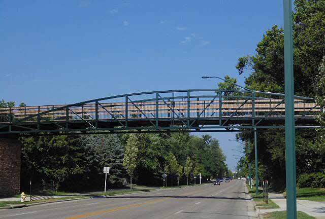
County Line Bridge is a new pedestrian & cyclist bridge on the Ohio to Erie Trail that more than one person cited�
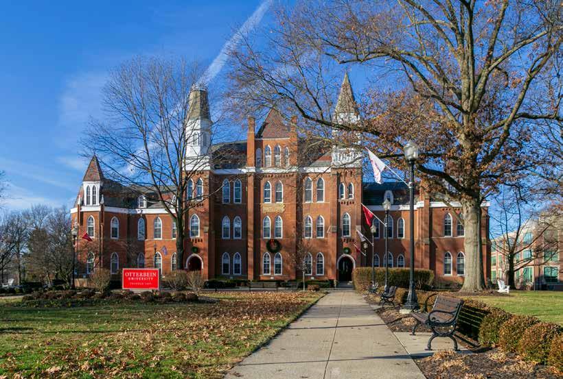
Otterbein College� Founded in 1847 by the abolitionist Church of the United Brethren in Christ — before Westerville was incorporated — Otterbein University was one of the first colleges in the U�S� to welcome women and people of color�
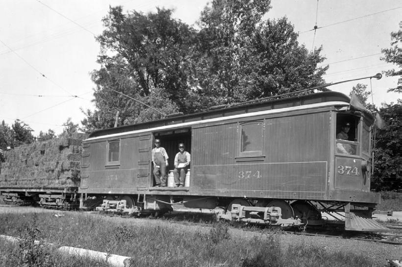
Interurban Rail� The Columbus & Westerville Railway, the area’s first interurban rail in 1895, ran freight and
passenger cars between Westerville and downtown Columbus until 1933
Underground Railroad (URR)�
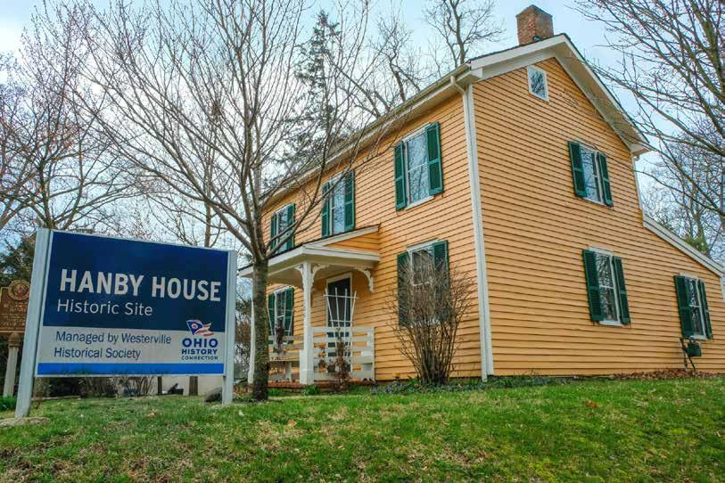
Several Westerville families offered their homes as stops on the URR The Hanby House is one such place� Sycamore Trails Park was recently created to honor those who braved the URR on their path to freedom�
Prohibition� In 1875 and 1879, local advocates bombed a local saloon whose owner opposed Westerville’s strict temperance laws The AntiSaloon League of America moved its headquarters and printing company to Westerville in 1909� The League printed so much material in support of temperance and prohibition that Westerville became the smallest town in the nation to have a first-class post office� The League’s work led to passage of the 18th Amendment banning the sale of alcohol within the U S in 1919
Uptown Reinvention� Citizens of the former “Dry Capital of the World” voted to allow restaurants to sell alcohol in 2004, and alcohol sales citywide in 2006� This change allowed for the explosive growth and development that Uptown has experienced over the past 20 years; the district now even offers a DORA �
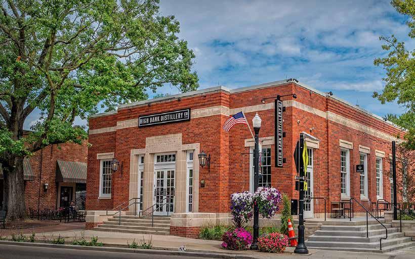
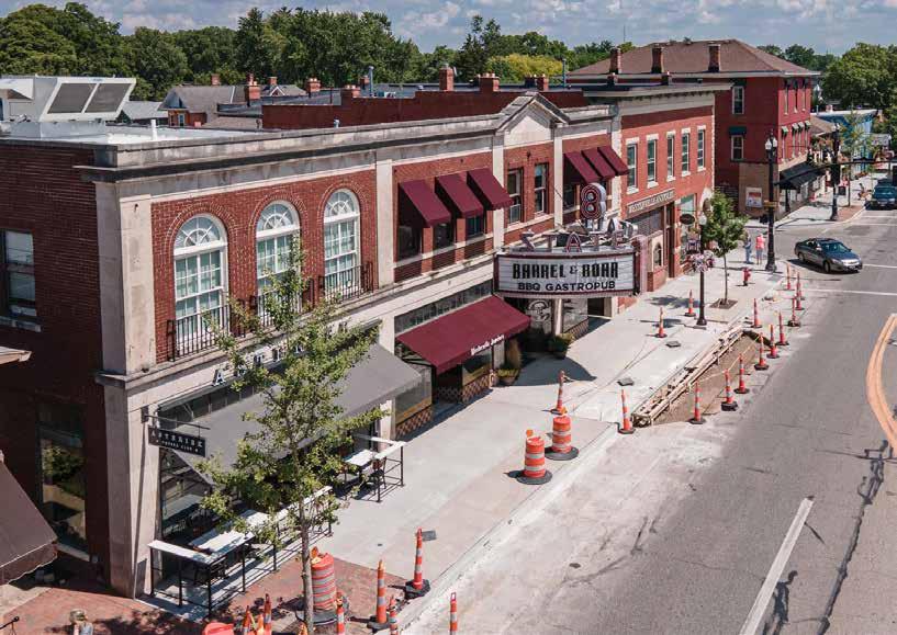
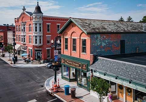
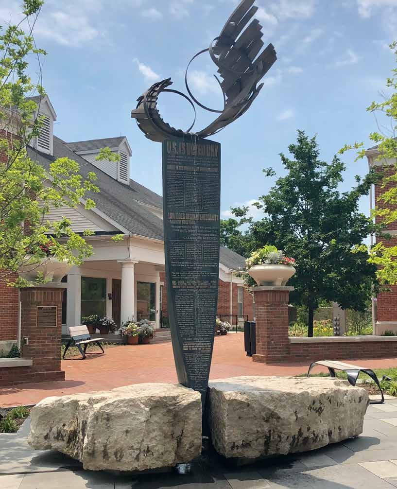
The “exploding barrel” symbolizing Westerville’s history of prohibition.
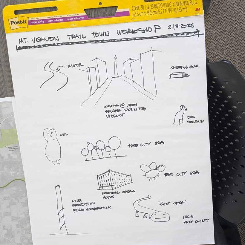
A group of approximately 15 Mount Vernon residents and other stakeholders met at Knox County Visitor’s Bureau on Friday, February 13, 2026 to participate in activities designed to elicit how they feel about Mount Vernon and how it should be portrayed in Trail Towns materials� The following is a summary of their responses and images depicting some of the conversation’s most salient themes�
The words most selected to describe Mount Vernon were welcoming, authentic, historic, and vibrant Participants did not want Mount Vernon to be described as ramshackle or downtrodden�
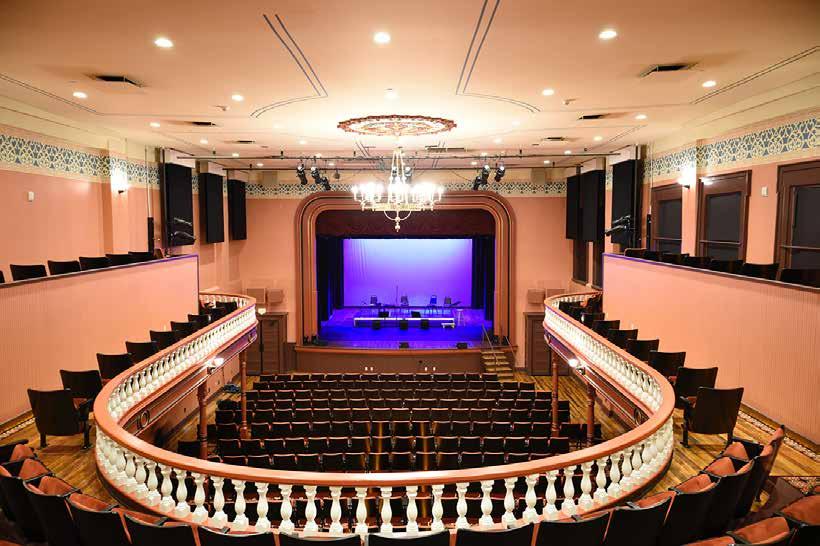
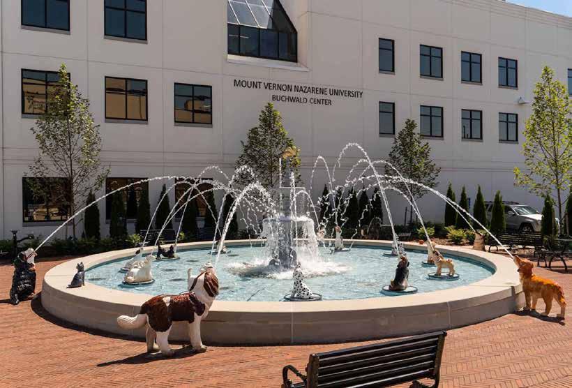
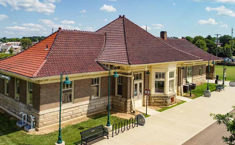
The most popular destinations among workshop participants were Ariel Foundation Park, Dog Fountain, downtown’s Public Square, and the Woodward Opera House� Food options mentioned were Happy Street Bru-Werks, Whit’s Custard, Happy Bean, and Poncho’s Tacos� The Knox County Visitors Bureau (formerly the CA&C Depot) and the Kokosing Gap trailhead were mentioned as common cyclist rest stops
Workshop participants mentioned several events at the Public Square in downtown: Mount Vernon’s First
Fridays series (Jun–Sep) Saturday morning Farmers Markets (May–Oct), the Music & Arts Festival (Aug), and the Johnny Appleseed Fall Festival (Oct) Biketoberfest launches this year as well (Oct)�
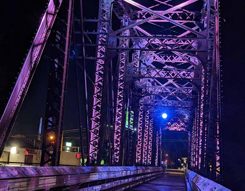
The most comfortable route into downtown would be to cross the trestle bridge along the HOOT trail until reaching Howard Street, then turn left and travel two blocks to Main Street and turn right� There is no bicycle infrastructure along Howard or Main, but the streets are narrow and it is reasonable, and relatively comfortable, for cyclists to take the full lane as necessary�
Mount Vernon’s colors — green, blue, and brown — can be viewed on its website
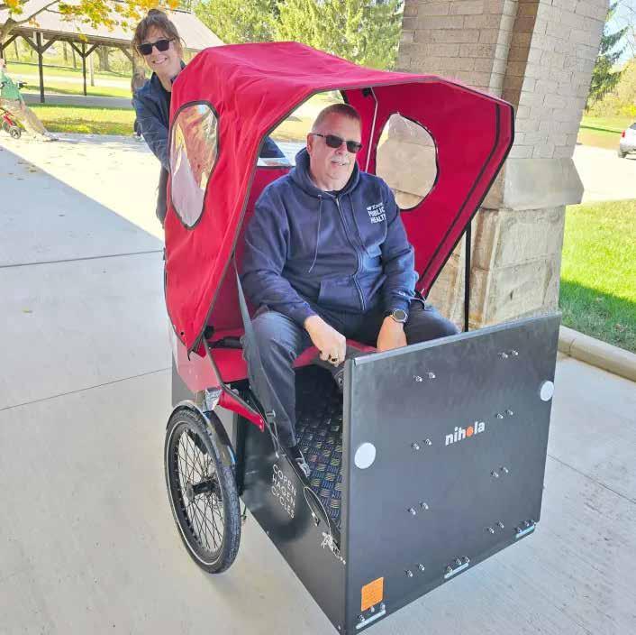
If Mount Vernon were a bicycle, it would be a hybrid or a road racer Community leaders are also very proud of their new wheelchair accessible trishaw bikes�
Notable historic figures are Johnny Appleseed, Jim Buchwald (founder of Ariel Corporation), and Mother Bickerdyke (Civil War nurse)
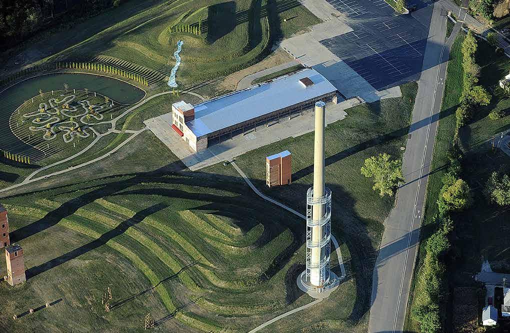
The structures/forms that most evoke a sense of Mount Vernon are the Kokosing River, the earthworks and tower at Ariel Foundation
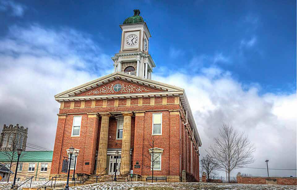
Park, Woodward Opera House (the interior, especially), the Knox County Courthouse, the Public Square and its Union soldier statue, and trestle bridges
The Kokosing River should be represented somehow�
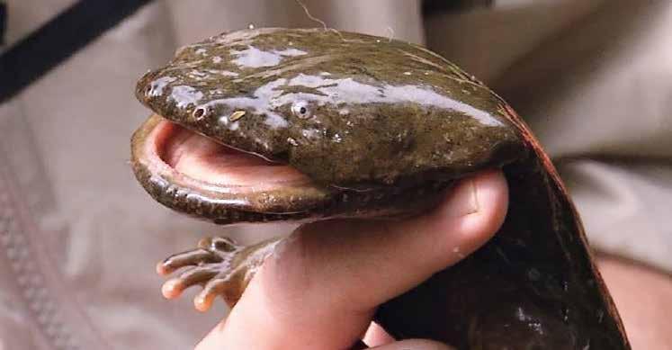
The extra element could be an Eastern Hellbender�
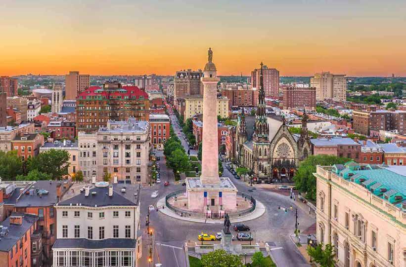
There are two “competing” towers — Rastin Tower in Ariel Foundation Park and the Public Square statue of the Union Soldier Both are important, but it may be that one works better graphically�
Easter egg: a wad of chewing gum?!
MEMORIES & HISTORY
Chewing Gum� A dentist working out of the Woodward Opera House received the first patent for chewing gum — ingredients for which could include chalk and charcoal�
Johnny Appleseed (John Chapman)�
The famed nurseryman owned property in downtown Mount Vernon and lived in town for almost 20 years� He would walk from Mount Vernon to Pittsburgh to acquire seed and float it back along various rivers During the War of 1812, Chapman ran 30 miles from Mansfield to collect reinforcements for a skirmish there between settlers and Native Americans
Kokosing Gap Trail (KGT) & HOOT�
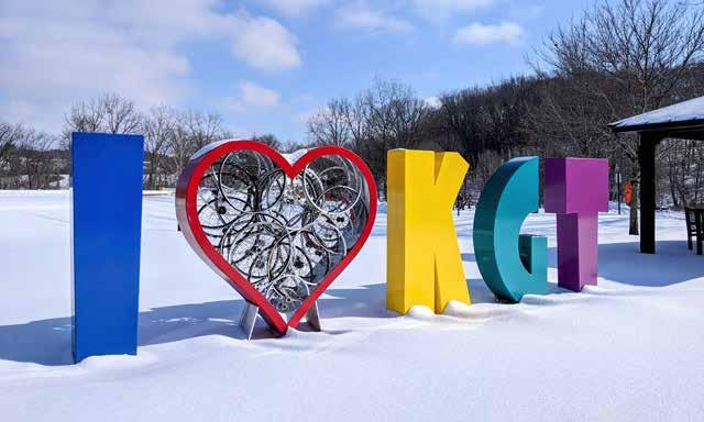
The KGT, which opened in 1991, was among the first 500 American railtrails and one of the first Ohio to Erie Trail segments It is now the longest paved rail-trail in the U S maintained solely by volunteers and donations�
Another significant trail is the Heart of Ohio Trail, which runs 20 miles from Mount Vernon to Centerburg�
Woodward Opera House� Woodward is “America’s Oldest Authentic 19th Century Theater” still standing� The opera house dates to 1851; its first event was a lecture on electricity It was restored, according to strict historic guidelines, 2019� The nowthriving theater has contributed significantly to the revitalization of downtown Mount Vernon
Historic Mount Vernon� Signs around the Public Square, and videos of some of the subjects, can be found online
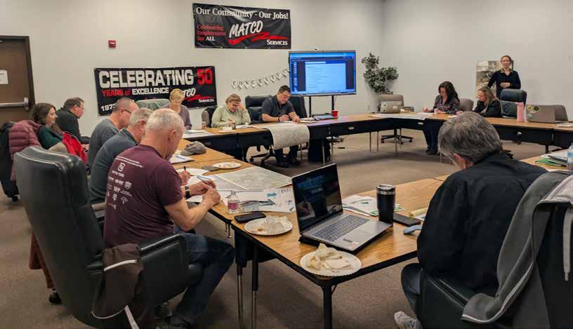
A group of approximately 12 London residents and other stakeholders met at MATCO on Friday, February 20, 2026 for a workshop designed to elicit how they feel about London and how it should be portrayed in Trail Towns materials� The following is a summary of their responses and images depicting some of the conversation’s most salient themes
The words most chosen to describe London were historic and welcoming� People also mentioned charming/ quaint, rural, and safe. Participants did not want London to be described as boring or run-down/ramshackle�
The most commonly cited London destinations were the Community Mural Park and Prairie Grass Trailhead, as well as historic Main Street, where the Courthouse, Phat Daddy’s Pizza, and many other businesses are located� The M&M Diner and London Guest House are trailside, directly west of the murals on Maple St The London Public Library is at the corner of E� 1st St� and S� Walnut St� London Visual Arts Guild is a couple of blocks east of the library
The Friends of Madison County Parks and Trails (FMCPT) group offers the Strawberry Bicycle Tour during the Strawberry Festival (Jun), as well as
Full Moon rides (May, Sep) and an annual pancake breakfast fundraiser� Other important community events include the Madison County Fair (Jul), the London Cobra Show (Jun), Rhythm & Rib Fest (Aug), and the Farm Science Review (Sep)�
FMCPT reports that a new trail alignment may soon be available that would put the trail much closer to Main St� downtown� In the meantime, the two trailheads bordering London offer the following routes:
From Roberts Pass, the recommended route is either to take Maple St� across the railroad tracks, then turn left on E 1st St� and follow it to Main St� OR to follow the trail to Walnut St�, cross the railroad tracks, and continue straight on Walnut until making a left at E 1st�
From Prairie Grass, the recommended route is to follow Midway St� to Richardson St , then turn right onto Olive St , and finally take W Center Street to Main St� Center St� is perhaps the best option to travel between the two trails�
These streets have minimal bicycle infrastructure, but are the best options currently available
London would best be expressed with the colors red and white�
If London were a bicycle, it would be a recumbent�
Notable historic figures are Jonathon Alder (first white settler in Madison County, friend of Native Americans); Dick LeBeau (NFL player); Chick McGree (radio personality); “MOLO” (Mayor of London, Ohio, Patrick Closser); Satch Davidson (MLB umpire); and Rick Renick (MLB player)�
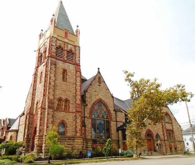
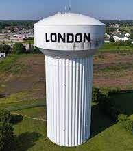
The structures/forms that most evoke a sense of London are farmland and prairies, the historic Courthouse and Methodist Church, the water tower, the “LONDON” bike racks, and Victorian architecture�
London is very rural and agricultural — could the land be a plowed field?
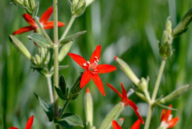
The royal catchfly prairie flower could be the extra element
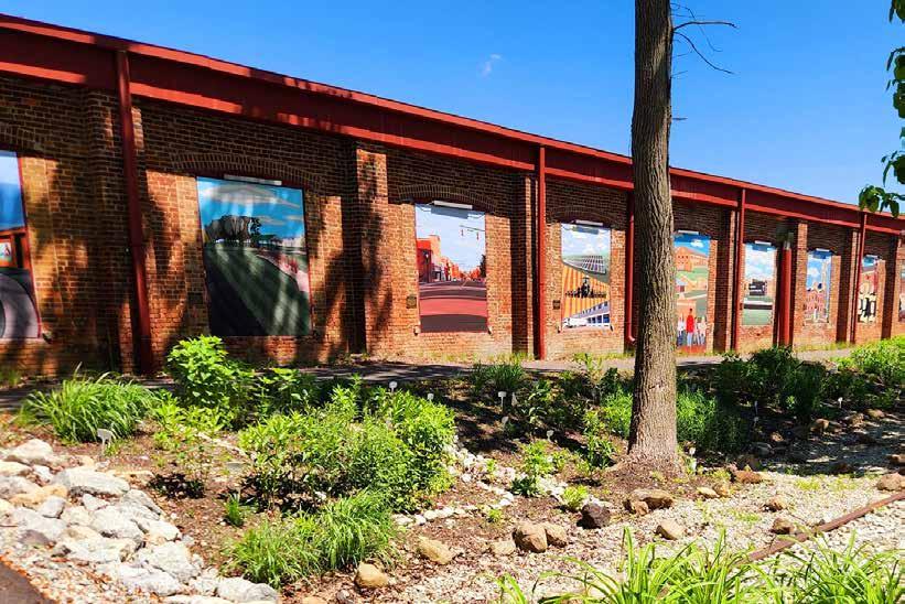
Community Mural Park should be represented somehow
Easter egg: a Brillo pad!
A Whistle Stop� Abraham Lincoln passed through London on his train ride from Illinois to his inauguration in D�C� He did not disembark from the train or give a speech, but rather had a band play the crowd some music
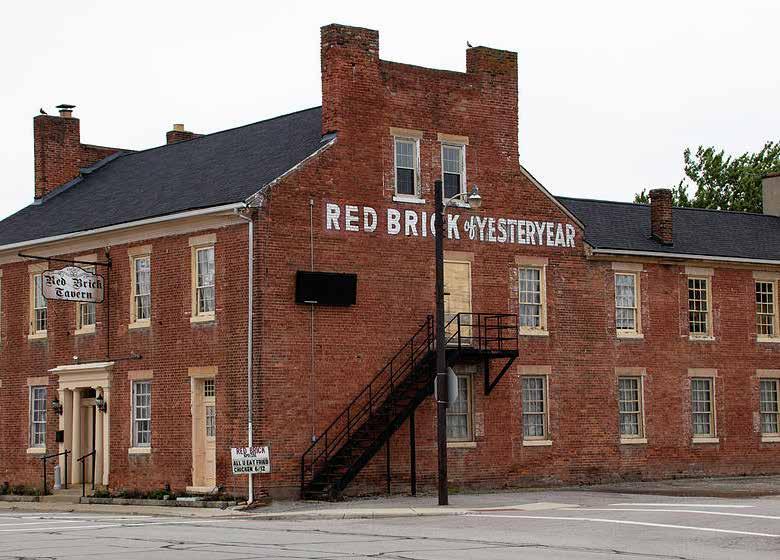
Red Brick Tavern� The tavern was
opened in 1837 and served six U�S� presidents during its time� Its current owners refurbished the space and reopened it as a tavern in 2023
Livestock Sales� From 1856–1912, London held monthly livestock auctions for cattle and thoroughbred horses� Even today the Madison County Fairgrounds hosts livestock sales, and the railroad depot from which cattle were sent to buyers east of Ohio still stands
Jonathan Alder� The first white settler in Madison County (1781), Alder lived for a time with the Mingo tribe in Ohio Country upon being kidnapped and adopted by a local chief� He grew to embrace their way of life and served as a translator between white settlers and Native tribes as an adult Alder also served in the War of 1812 and worked as a farmer until his death at age 75�
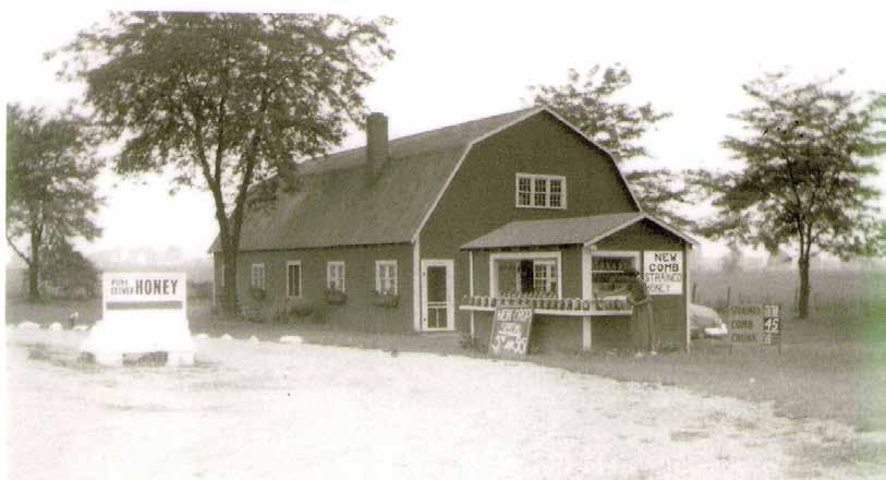
Brillo� When aluminum pans first hit the U�S� market in the early 1900s, there was no good way to clean them Steel wool pads to do so were patented in 1913, and production of them was moved to London in 1921� That facility remains the only place in the U�S� that manufactures Brillo pads�
The Super Outbreak� One of the most intense tornado outbreaks on record passed through London in 1974, tearing the top off the courthouse and destroying the clock tower — both of which have since been restored�
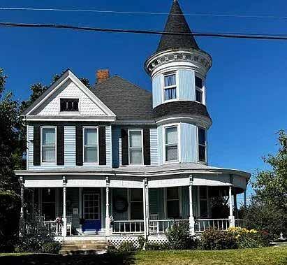
An example of the town’s Victorian architecture.
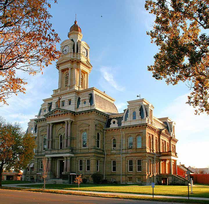
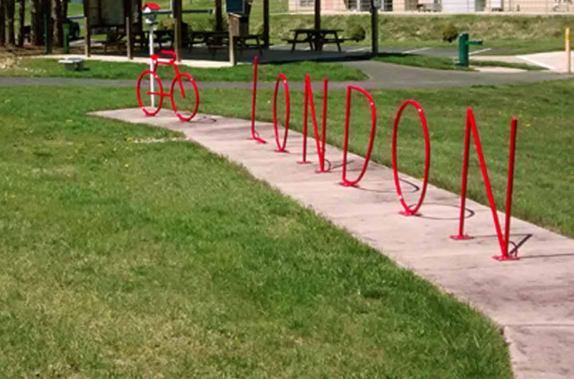
racks referred to as “London Iron.”

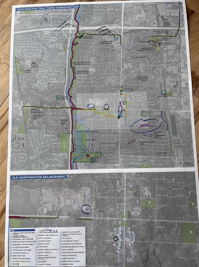
A group of approximately 8 Worthington residents and other stakeholders met at COhatch on Friday, February 27, 2026 for a workshop designed to elicit how they feel about Worthington and how it should be portrayed in Trail Towns materials The following is a summary of their responses and images depicting some of the conversation’s most salient themes�
The words most chosen to describe Worthington were historic and charming� People also mentioned authentic and quaint; words unique to this community were green, intentional, and educated
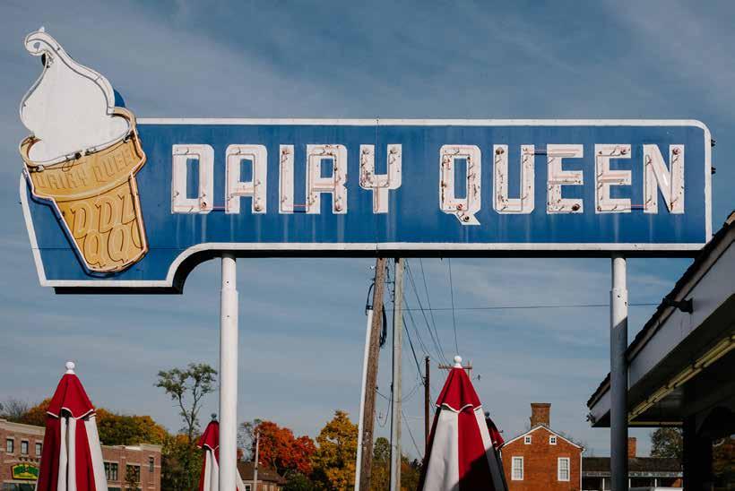
McConnell Arts Center, Worthington Library, several Worthington Historical Society properties, Worthington Pools (2027), Village Green Park, and many historic churches and small businesses are available in the Old Worthington business district� Worthington’s Dairy Queen has been in the same location since 1956� Antrim Park & Lake is a popular trailside destination, and the Rush Creek neighborhood is accessible along comfortable streets from the trail� Olentangy Park features a mountain bike course, skate park, pickleball, and other amenities
The events most mentioned were the year-round Worthington Farmers Market (Central Ohio’s largest), followed by the Arts Festival (Jun), Old Worthington Market Day (Sep), Concerts on the Green (May–Aug), and Sunday Fundays (monthly Jun–Dec)� Festivals in the city typically occur at Village Green Park along High St in Old Worthington
There is a signed on-street route from the trail to Old Worthington: Dublin-Granville Rd to Farrington Dr to Sinsbury Dr to New England Ave Access Rush Creek by continuing on New England past High St to Hartford and turning right, then turning left at South St and riding to the end of the street
The Worthington Community Center is accessible from the trail by way of Whitney Ave/Downs St to Caren Ave/ Highland Ave, then a left turn into the Highland Complex�
Worthington would best be expressed with the colors green and blue, though the color of Georgian brick would also make sense�
If Worthington were a bicycle, workshop participants said it would be a hybrid or an e-bike� However, a mountain bike or a cruiser could also
be appropriate — the city offers two mountain bike parks, and a basket on the front of a cruiser bike could be full of farmers market goodies�
Notable historic figures are James Kilbourne (founder), Jim Lorimer (longtimer mayor and Arnold Classic co-founder), Elizabeth Greer Coit (suffragist), Ezra Griswold (innkeeper, newspaperman), Milie Carter Austin (early African American settler, donated land for the AME church), Lou Briggs (first female councilmember), Martha & Richard Wakefield (Rush Creek founders)
The structures/forms that most evoke a sense of Worthington are church steeples, Jeffers Mound, federalstyle and Usonian architecture, the Olentangy River and trail, tree canopy, and brick sidewalks
BADGE DESIGN
Worthington has a robust hanging basket program they are proud of�
The city is very invested in trees — its Village Green is an official arboretum and Worthington is a Tree City USA �
A steeple/spire should be represented�
Old Worthington is known for its holiday window decoration contest�
Easter egg: a whistle (a factory here is the only place in the U�S� where metal whistles are made)!
A Planned Community� Worthington, established in 1803 (the year Ohio became a state), is one of the Midwest’s first planned communities� The Connecticut-based Scioto Company laid the town out in the New England style, with a grid pattern surrounding a village green� Within just months, a church, school, library, tavern, and other buildings were erected and settlers moved into temporary cabins near the Green�
Village Green� In 1804, Worthington settlers felled 17 trees (in honor of Ohio being the 17th state) to clear thick forest and create Village Green� They drilled a well that everyone shared, and private livestock grazed there until 1836 Militia drilled there before the War of 1812� A streetcar began transporting people from the Green to downtown Columbus in 1893�
Capital Contender� In 1812, Worthington was on a short list of possible locations for Ohio’s new state capital Had that happened, residents believe much of Old Worthington would have been destroyed�
Rush Creek� Architect Frank Lloyd Wright inspired local residents to build what would become 51 homes beginning in 1954, using the Usonian design principles for which he was known The neighborhood is now on the National Historic Register�
The city logo, which features several churches and other historic buildings.
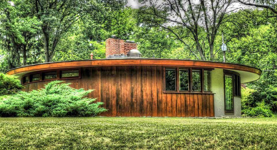
The Usonian round house within the Frank Lloyd
neighborhood.
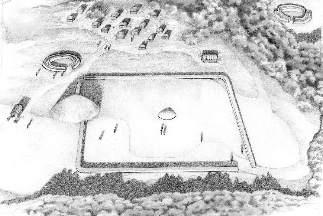
An reconstruction of what the Jeffers Mound would have looked like 100BC–400AD.
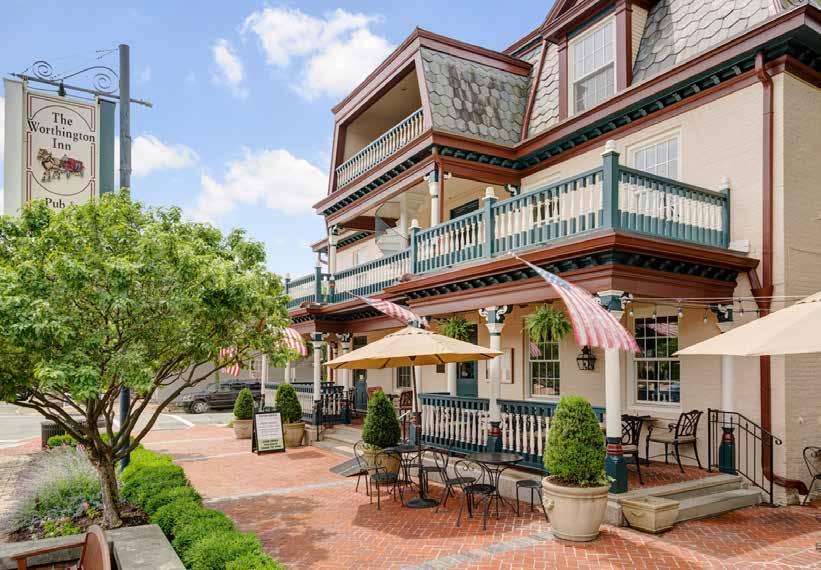
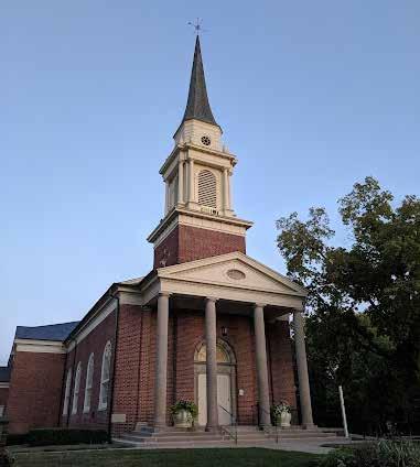
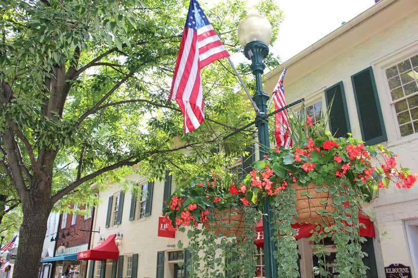
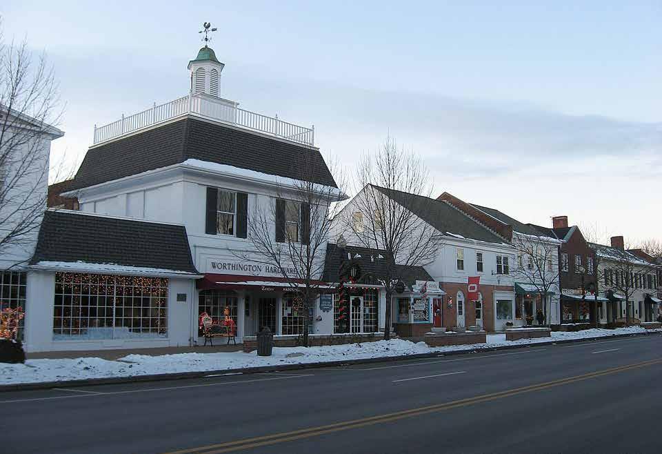
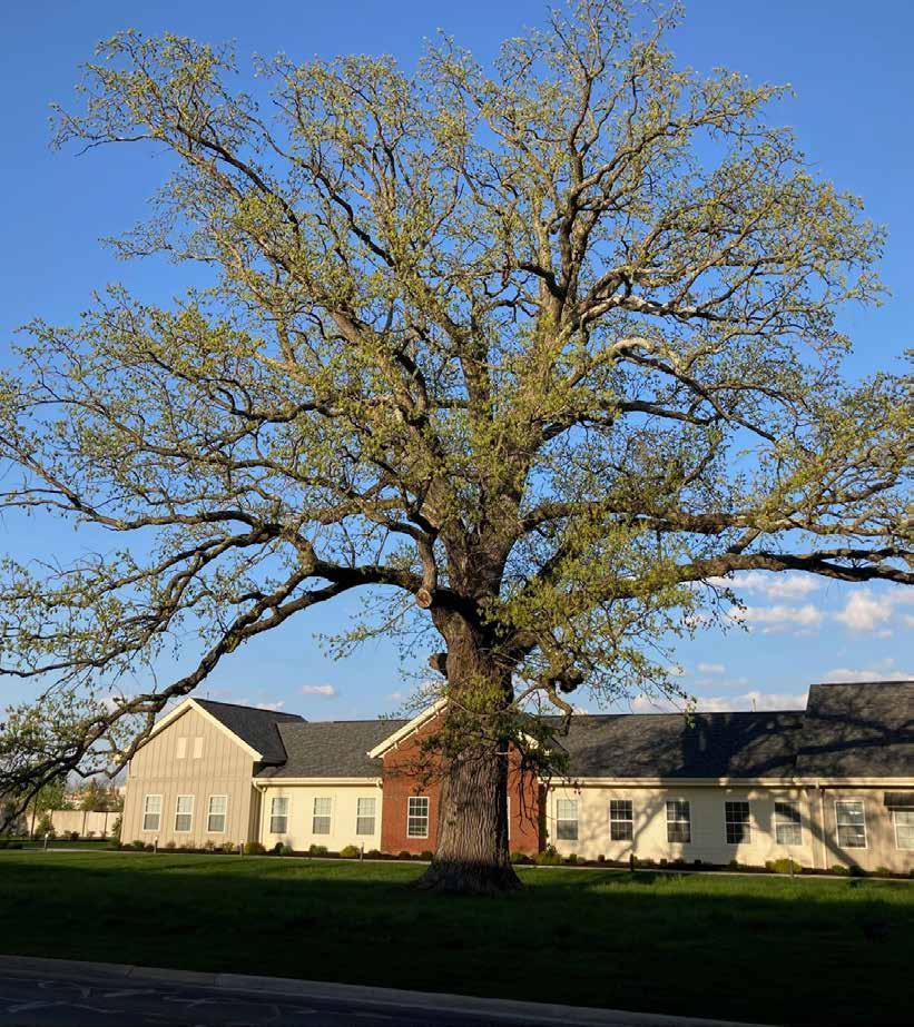
Purportedly the oldest tree in Worthington, dating to at least the American Revolution.
Local trail managers, park rangers, tourism professionals, and trail friends were engaged during two virtual sessions (November 5 and 10, 2025) to elicit from them information about which trails and destinations should be featured on the map, and whether there were any trail updates or issues to note At the meetings, a brief project presentation was delivered and then a series of questions were asked via Mentimeter, an interactive online survey tool� The questions were:
• What city, community, or organization do you represent?
• What is the most important trail or trail segment in your community?
• Where are the best places to start and/or end a journey along that trail?
• What are the best destination(s) you can access from that trail (place & county)?
• Are there any tricky spots along that trail? If so, where?
• What have you noticed about how people use trails in Central Ohio?
• Is there anything else we should consider as we curate cycling routes?
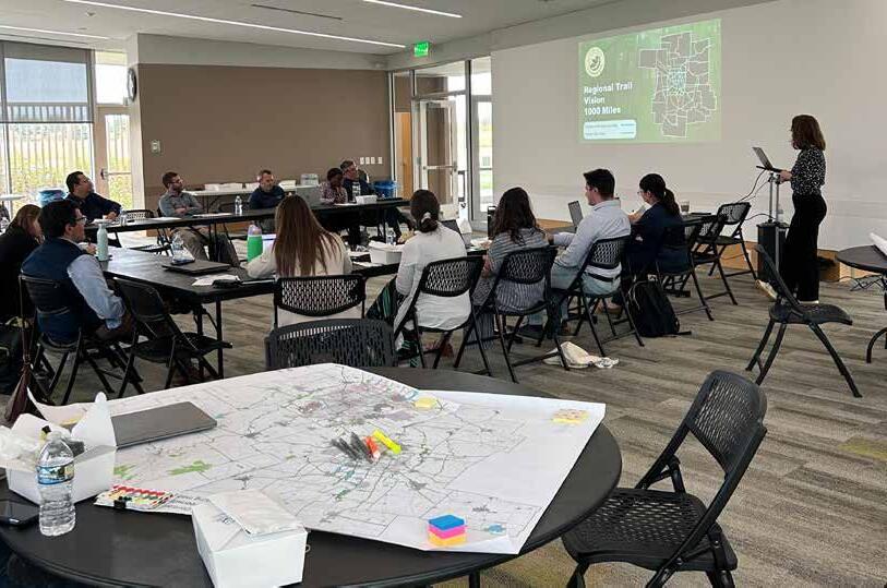
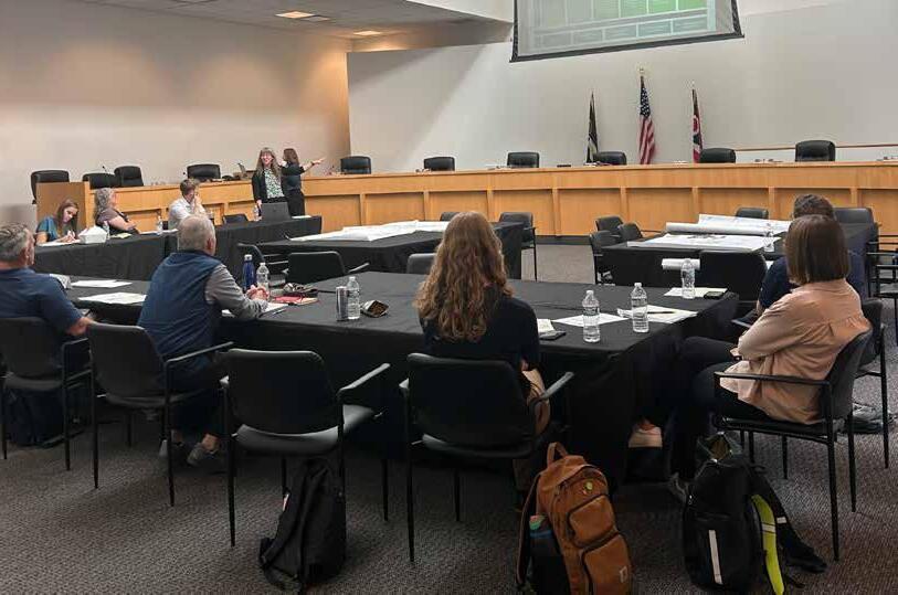
The Trail Manager Meetings were announced during each of the four COG Planning Studio Workshops held during fall 2025, at which project team members presented about the project and its engagement opportunities to local trail advocates, tourism and marketing professionals, trail managers, and other local leaders These occurred September 22 in Worthington, October 2 in Obetz, October 6 in Grove City, and October 7 in New Albany�
• Alta Planning + Design
• Bike Buckeye Lake
• Bikes for All People
• Buckeye Lake Regional Corporation
• Burgess & Niple
• Central Ohio Mountain Biking Organization
• Central Ohio Greenways
• City of Columbus
• Columbus Outdoor Pursuits
• COTA
• City of Delaware
• Delaware County
• Delaware Preservation Parks
• Designing Local
• Destination Grandview
• Destination Hilliard
• Downtown Columbus
• City of Dublin
• Experience Columbus
• Fairfield County
• Friends of Madison County Parks & Trails
• City of Gahanna
• Get Movin’ Union County!
• Glacier Ridge Metro Parks
• City of Grandview Heights
• Grove City
• Heart of Ohio Trail
• City of Hilliard
• Jefferson Township
• Jerome Township
• Knox County
• Knox County Park District
• Knox County Convention & Visitors Bureau
• City of Lancaster
• Logan County
• Logan County Visitors Bureau
• City of London
• LUC Regional Planning Commission
• Madison County
• Marion County Park District
• MORPC Community Advisory Committee
• City of New Albany
• Ohio Department of Natural Resources
• Ohio Department of Transportation
• Ohio Environmental Council
• Ohio History Connection
• Ohio to Erie Trail
• Orange Township
• City of Pickerington
• City of Reynoldsburg
• Ross County
• Ross County Park District
• Ross County Tourism
• Strand Associates
• City of Sunbury
• The Ohio State University
• Union County Tourism
• City of Upper Arlington
• Violet Township
• Visit Fairfield County
• Visit Gahanna
• City of Westerville
• City of Worthington
Using Mentimeter, meeting attendees volunteered spontaneous responses, in real time, to the questions about their priority trails and destinations� These were segmented into several categories and referenced as routes were being built (with the caveat that private businesses would not be featured unless they were longstanding regional attractions)� The Top 5 responses in each category are presented here�
Ohio to Erie Trail
Olentangy Trail
Prairie Grass Trail
Alum Creek Trail
Heritage Trail
x
Prairie Grass Trailhead
Alum Creek Park
Community Mural Park
Old Worthington
Whetstone Park
Downtown Columbus
Hilliard
Old Worthington
Historic Dublin/Bridge Park
Westerville
TOP 5 ATTRACTIONS
The Ohio State University
Hopewell Mound Group
COSI
Farmers Markets (various)
Bridge of Dreams
Ariel Foundation Park
Scioto Mile
Scioto Audubon Metro Park
Park of Roses
Antrim Park
1.07
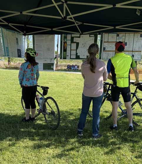
The public was invited to weigh in on draft maps via “Gallery Walks,” during which printed maps and project information were put on passive display at 22 community spaces in the MORPC region during late April 2026� The maps were also made available at the 2026 Earth Day/Celebrate Trails Day event at Scioto Audubon Metro Park on April 26, at a table staffed by MORPC employees and project consultants� Maps featured a QR Code and an invitation for people to take an online survey featuring maps that could be zoomed-in on and the following questions:
• Are there any Central Ohio Greenways regional multi-use trails missing from the map?
• Is anything on the map incorrect?
• Is there any additional feedback that you would like to share regarding the front of the map?
• Is there any overall feedback that you would like to share regarding the back of the map?
Regarding each of the featured rides:
• Have you ridden this route?
• Are there any bike facilities or amenities missing from the map?
• Are there any safety issues along this ride that need further consideration?
• Does anything appear to be mislabeled or misspelled?
Survey respondents were further asked the best place in their community to distribute the maps
Boards placed on display can be seen on the following spread (pages 56-57).
Partners volunteered to host Gallery Walks at the following locations:
• The Well, Hilliard Recreation and Wellness Center (Hilliard)
• Bob Crane Community Center (Upper Arlington)
• Columbus Welcome Center (Columbus)
• Delaware Public Health District (Delaware)
• County Commissioners Office/ Byxbe Building (Delaware)
• Earth Day Columbus (Columbus)
• Ohio History Center (Columbus)
• Columbus Outdoor Pursuits (Columbus
• Gahanna Branch, Columbus Library (Gahanna)
• Grandview Heights Public Library (Grandview Heights)
• Brookpark (Grove City)
• Kolacheez Coffee Shop (Centerburg)
• CA&C Visitor Center (Mount Vernon)
• Logan County Chamber of Commerce and Visitors Bureau Office (Bellefontaine)
• London Public Library (London)
• MORPC (Columbus)
• Prairie Township Community Center (Galloway)
• Chillicothe & Ross County Public Library and other locations (Chillicothe)
• The Ohio State University, Earth Day event (Columbus)
• Union County Health Department (Marysville)
• Westerville Community Center (Westerville)
• Worthington Community Center (Worthington)
The comments from the Gallery Walks addressed items such as:
• Adding or adjusting trail linework
• Labeling additional trails and communities
• Including additional information
• Fixing errors
• Making graphic modifications
The project team carefully reviewed each comment and incorporated edits into the final map�
What is the Regional Bicycling Guide?
Central Ohio’s biking and trail network has changed dramatically over the past decade, and it’s time for a guide that reflects how people actually move today. The Central Ohio Bicycling Guide is a new, regionwide set of maps designed to help people of all ages and comfort levels discover safe, fun, and practical places to ride for transportation, recreation, or family outings. We’re excited to share the first draft of these maps and invite your feedback to help shape a guide that truly works for our communities.
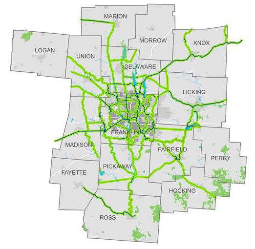
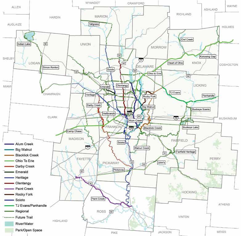
The 15 County Trail Map shows the full regional trail network across Central Ohio, highlighting how local and regional trails connect to communities, parks, downtowns, and destinations throughout the region. This map is designed to help people see the big picture of where trails go today. This map is not meant to show every detail, but instead to:
• Make the regional trail system easy to understand at a glance
• Showcase how trails connect across counties and communities
• Inspire people to try new trips, day rides, and regional adventures
While this map showcases how we get around the region today, MORPC’s Central Ohio Greenways planning efforts are focused on building a connected 1,000 mile Regional Trail Vision linking communities through safe, accessible trails and supporting Trail Towns that use these connections to strengthen local economies, enhance quality of life, and create welcoming places for residents and visitors alike. The map to the right gives you a sneak peek of what we boldly envision for our region’s future.
In the coming years there will be more opportunities to engage with Trail Towns of Central Ohio and help us shape the Central Ohio Greenways network of the future. Let us know how to stay connected with you by completing the survey.
The Mid-Ohio Regional Planning Commission (MORPC) is Central Ohio’s regional planning organization, working with over 90 local governments to guide transportation, land use, and infrastructure planning across the 15 county region. As Central Ohio grows to a region of over 3.15 Million by 2025, MORPC is involved in trail planning to help meet increasing demand for walking and biking, ensuring communities stay connected, healthy, and supported by a safe, region wide active transportation and recreation network.
Earlier in the project, a community survey was completed to give us a better understanding of how people in Central Ohio are using the trail network.
The responses helped us develop featured routes and allowed us to provide a variety of options that would appeal to a majority of riders.
The back of the 15-County Map highlights a select set of Featured Rides which are longer, continuous trail corridors that are especially great for exploring, touring, and regional trips. These routes are meant to be easy to understand, welcoming, and fun to follow. You will be encouraged to check out nearby destinations, cultural attractions, and town centers located along these rides.
The Columbus Metro Bike Map zooms in on what it’s like to bike around the more urbanized parts of our region so you can plan your everyday routes, see connections to neighborhoods, and learn about destinations.
This map highlights trails, bikeways, and the level of biking stress along our roadways across the Columbus Metro area.
A key feature of this map is how it shows different comfort levels for biking, helping riders choose routes that feel safe and comfortable for them. This map is meant to:
• Make biking feel more approachable and doable
• Show how streets and trails work together as a network
• Help people discover easier, calmer ways to get around Columbus
MORPC is asking for feedback on this draft before printing the final version this summer. The final version will be available for free as a folded brochure at select locations such as libraries, community centers, and the MORPC office. Scan the QR code to answer these questions about the draft map:
• Have you ridden these routes?
• Are there any bike facilities or amenities missing from the map?
• Are there any safety issues along the featured rides that need further consideration?
• Does anything appear to be mislabeled or misspelled?
• Where is the best location in your community to distribute the completed maps?





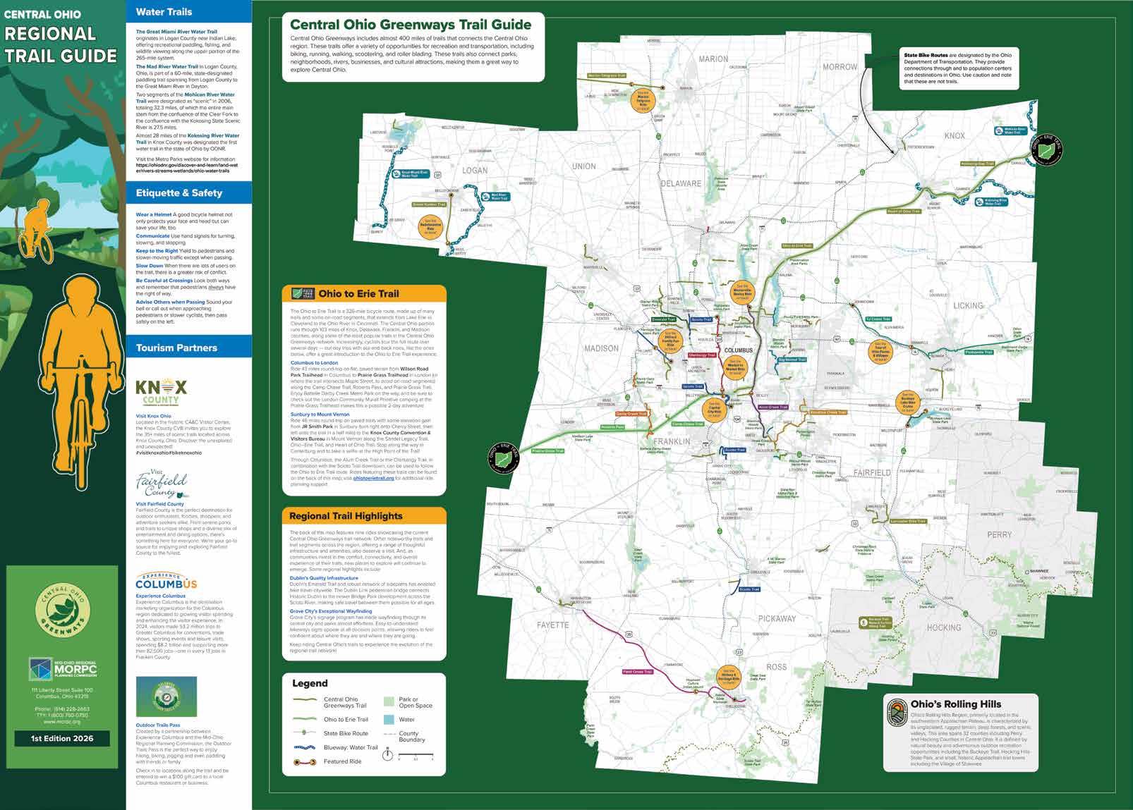
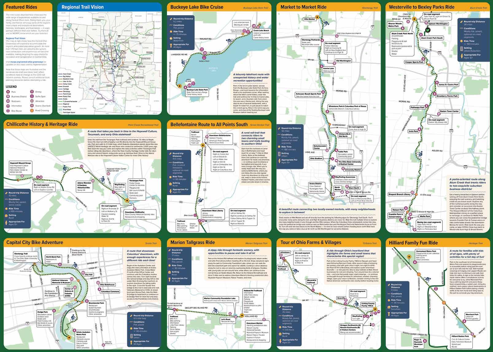
The back of the Regional Trail Guide was intended to feature 7–10 featured rides that would help people in Central Ohio access the COG trail network The project team worked from winter 2025 through spring 2026 to develop viable routes for this purpose, using the criteria and process described in this section
This chapter features the 2-spread route assessments for each trail that was ridden throughout this process For rides ultimately included on the final map, assessments are followed by a draft of the routes, narratives, destinations, and other information to be featured on that map
The project team identified a set of criteria to evaluate potential routes:
• To the extent possible, routes should be spaced to represent the full 15-county MORPC region�
• Routes should mostly be on Central Ohio Greenways trails�
• Routes should highlight unique regional destinations within a mile of the trails
• Rides should be accessible for riders of varying abilities and circumstances
• Routes should minimize stress and facilitate delight
The process to select routes for inclusion on the map entailed the following steps:
• Engaging the Community The project team evaluated community feedback (see Chapter 2) to ascertain priority trails and destinations
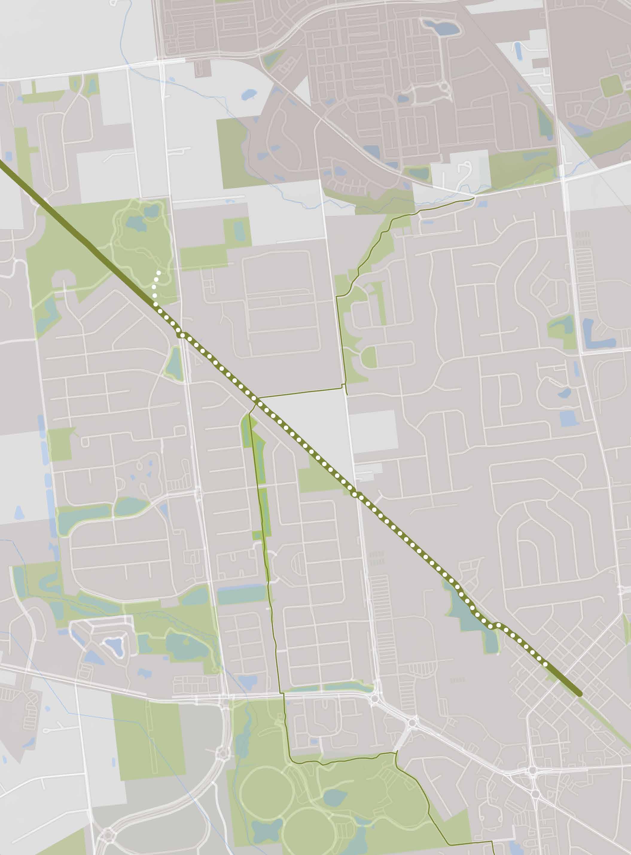
• Identifying Viable Routes� The team assessed which trail segments both responded to community feedback and met the internal selection criteria� These included the 16 potential rides shown on the map at right�
• Riding the Routes� Team members rode 12 routes to assess their suitability for inclusion on the map, noting the following elements and documenting them extensively with photographs:
• Start/end points and their facilities
• Destinations and amenities along or near the trail, and the ease of accessing them
• Potential turnaround points
• Unique elements of the experience
• Tricky spots
• Mileage, time, elevation, and surface
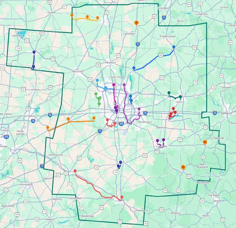
The routes were mapped to ensure they were as geographically dispersed as possible.
• Possible locations for trail counters to help assess ride popularity
• Assessing the Routes The team wrote an assessment report for each route that included a recommendation as to whether it should be considered for inclusion on the map (see these beginning on page 64)
• Mapping the Routes� The team mapped each recommended route, labeled it with essential information and opportunities for exploration, and created a narrative to suggest a way to approach the ride�
Of the 12 routes ridden, 3 were not selected for the map This was primarily due to issues with wayfinding that made them challenging to navigate, and some issues with encountering heavy car traffic Two routes along the Ohio to Erie Trail were not included among the featured rides, but rather located in a section on the front of the map highlighting that cross-state route�
Community members were given the opportunity to provide feedback into the draft routes via Gallery Walks (see page 54) and a community survey (see page 14) available during late April 2026
In addition to developing featured rides for the map, the project team was tasked with recommending safety enhancements and trail counter locations for each These would be used to improve conditions for all trail users and gauge the impact of the Regional Trail Guide over time�
Routes included on the map were considered safe for most users, including children� Some routes broadly considered safe by the project team do include spots where caution is warranted, however — typically at major road crossings — and these were noted on the map� All issues encountered on the trail rides were shared with MORPC staff�
Chapter 9 of Beyond Maps & Signs: A Wayfinding Strategy Guide for the Central Ohio Greenways (page 274) offers tips for siting trail counters: first, ensure sensors are not subject to interference from various factors; second, place them at trail access points near major activity centers or destinations; and finally, consider whether how the type of trail access point being considered influence number of counters and their placement� The following factors were also used to guide trail counter recommendations for this project:
• Identify safe, practical, and representative locations for pedestrian and bicycle counts, focusing on areas with free-flowing movement (i e , trail segments or road stretches rather than intersections)�
• Consider surrounding land uses and nearby generators like schools, grocery stores, and residential areas, as they influence travel patterns and demand
• Entrances/exits to trails at major amenities or destination points to capture usage related to key attractions�
• Select diverse locations (urban/ rural, paths, bike lanes) to capture varied travel behaviors�
• Use pinch points (e�g�, bridges) for accurate counts since they funnel users�
• Keep in mind: Why are we counting? What data do we need? How will we use and share it?
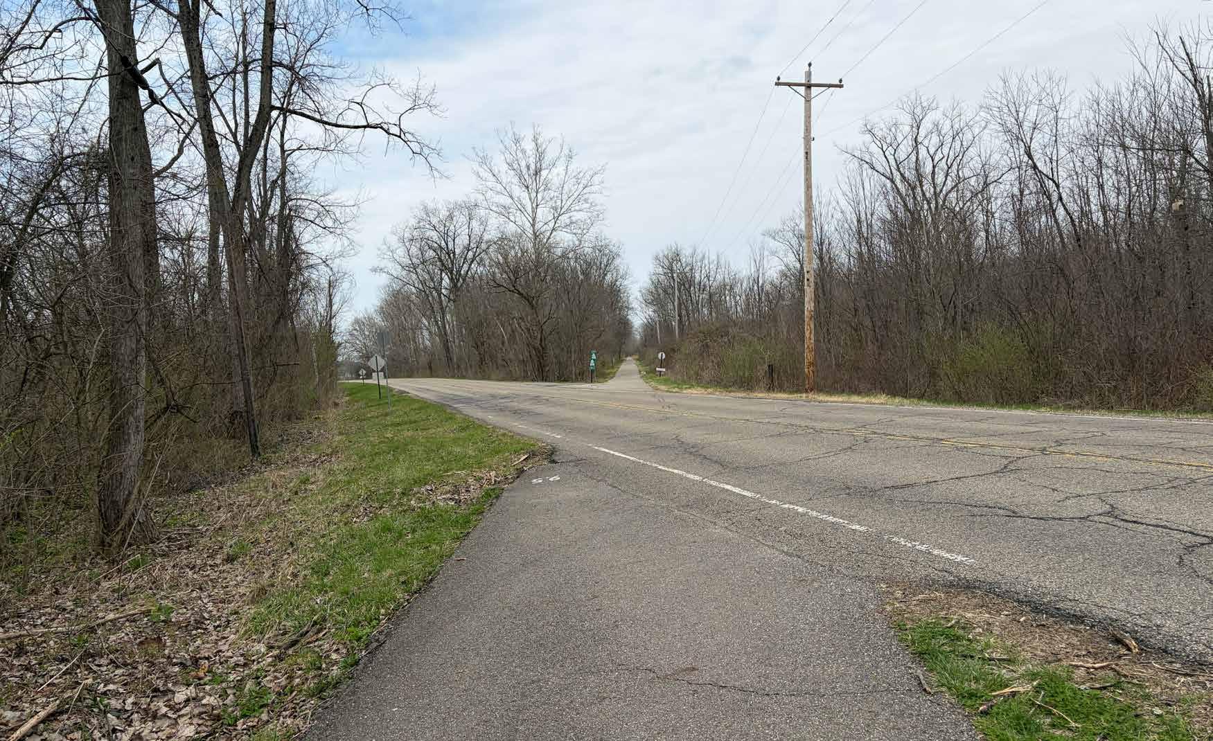
crossing
benefit from safety enhancements.
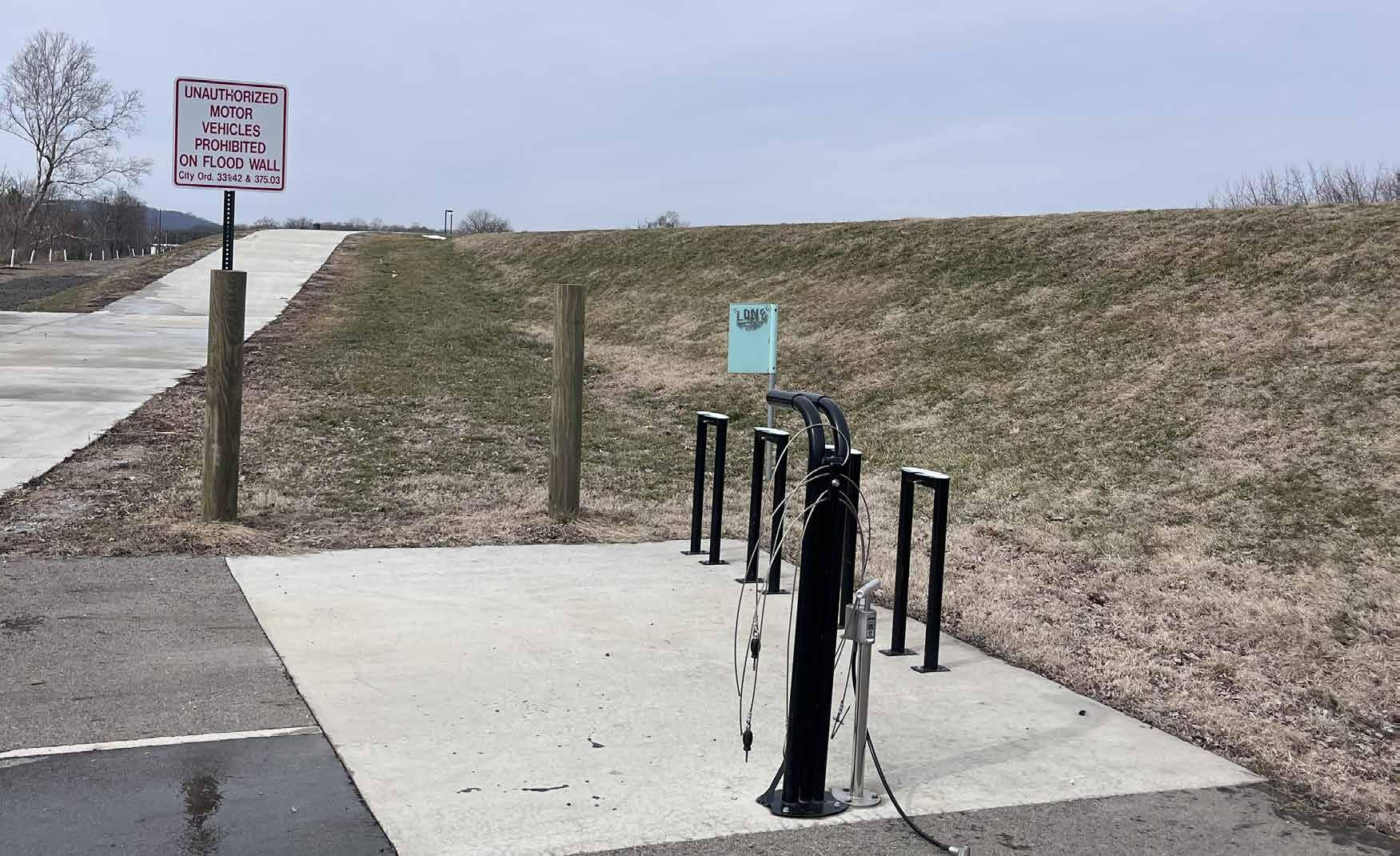
Paint Creek Recreational Trail access leading from the trailhead at Yoctangee Park could be a good location at which to install a trail counter.
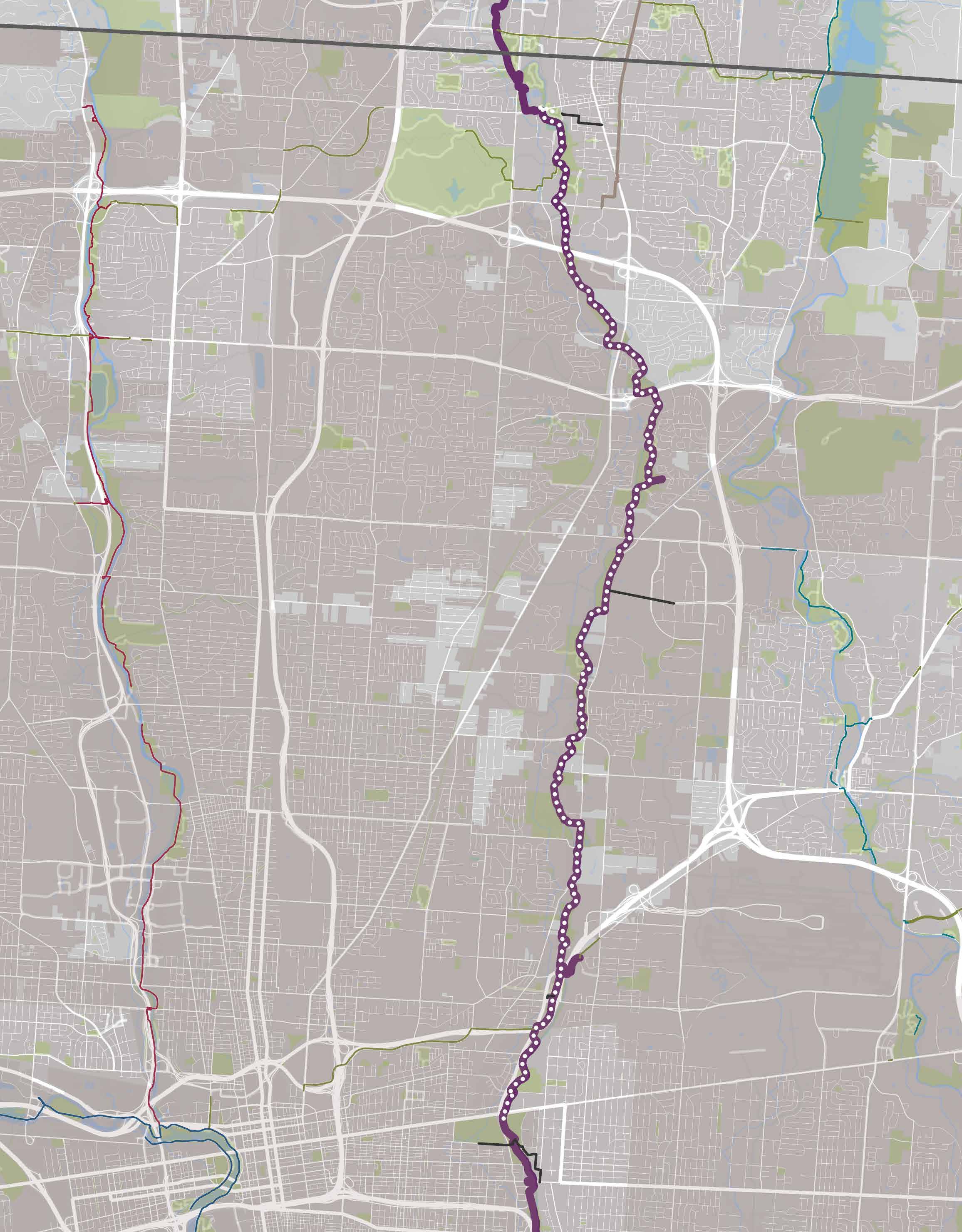
A 17-mile segment of the Alum Creek Trail was ridden by project team members on February 10, 2026� They began their ride at Alum Creek Park North in Westerville and continued to the Jewish Community Center complex in Bexley� Their total ride time was 2 hours at a leisurely pace�
The segment is mostly flat and smoothly paved� It features many bridges and boardwalks, which could be slippery� Wayfinding signs are plentiful and rider amenities are available periodically throughout
The route’s proposed starting point at Alum Creek Park North is an amenityrich destination that offers the perfect launch point into both Uptown Westerville and the trail
The trail runs along Alum Creek, making for a beautiful, natureoriented ride experience�
Wayfinding along this section of trail is exceptional� There was no point at which the riders felt confused as to where they were going�
The route connects to Bexley, Reynoldsburg, other places within Westerville, and many quality destinations in between
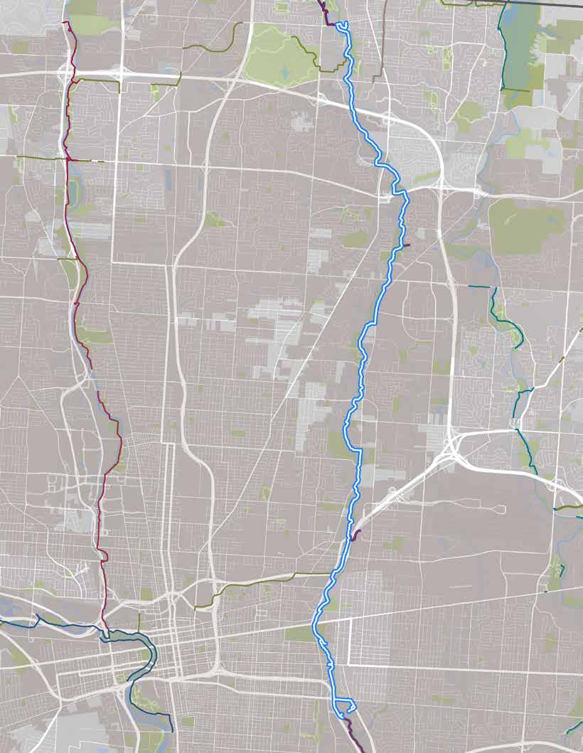
The route, as ridden.
ON-TRAIL & NEARBY DESTINATIONS
• Uptown Westerville
• Westerville Community Center
• Otterbein College
• Ohio Dominican University
• Alum Creek Park South
• Cooper Park
• Casto Park
• Strawberry Farms Park
• Easton Town Center
• Innis Park
• Columbus Library, Shepard Branch
• Nelson Park
• St Charles Preparatory School
• Wolf Park
• Franklin Park, Conservatory & Adventure Center
RIDER AMENITIES (ALUM CREEK PARK NORTH)
• Amphitheater
• Ball fields & courts
• Benches
• Fishing
• Pavilion (reservable)
• Playground
• Port-a-johns
• Restrooms (seasonal)
• Water
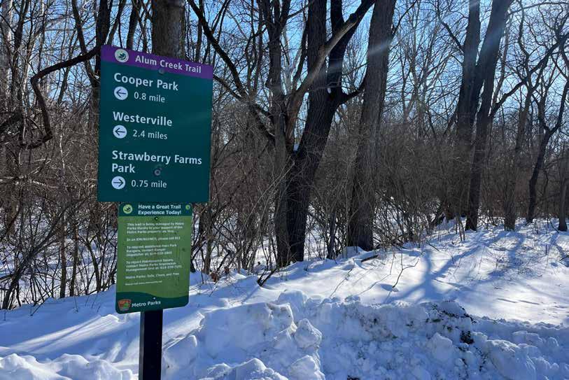
A sign informing riders of the distances to upcoming destinations.
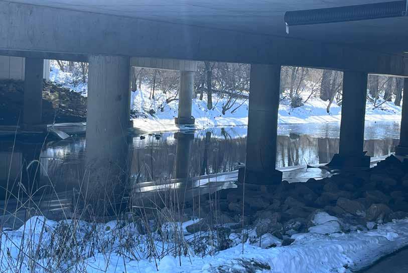
Though this route was experienced as comfortable by the project team members who rode it, they did note the following issues:
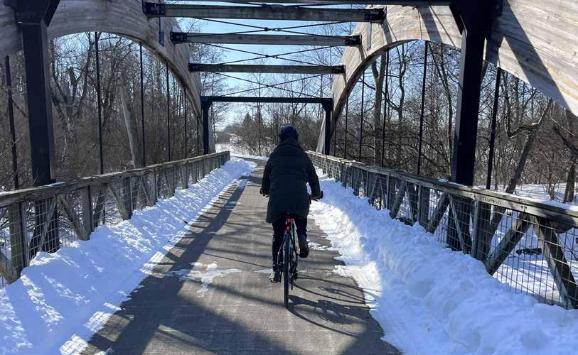
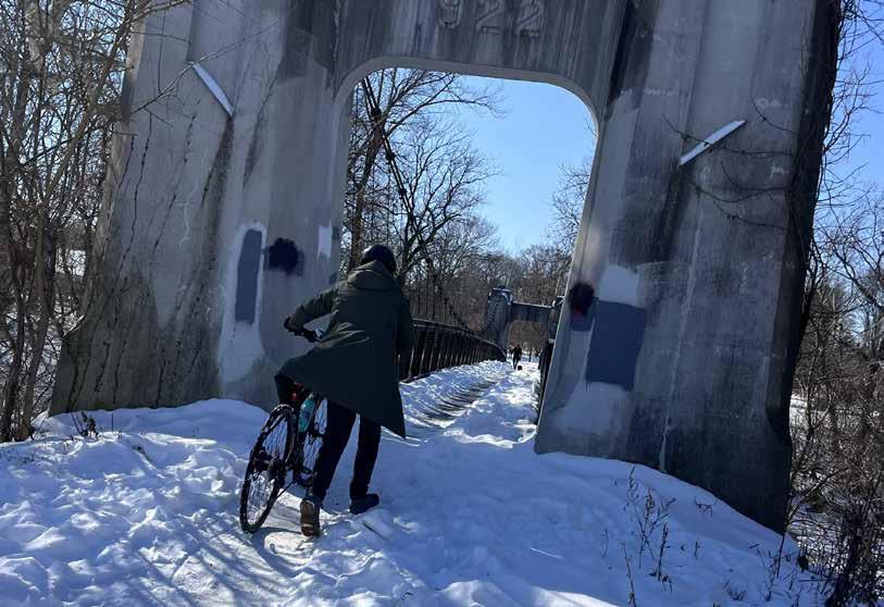
Boardwalks & Bridges: The trail was surprisingly clear of snow (though one rider did hit a patch and crash on the assessment ride), but its many bridges and boardwalks mostly were not, requiring riders to dismount and walk� A permanent sign suggests this is the recommendation regardless of snow accumulation — any precipitation at all renders the bridges very slippery
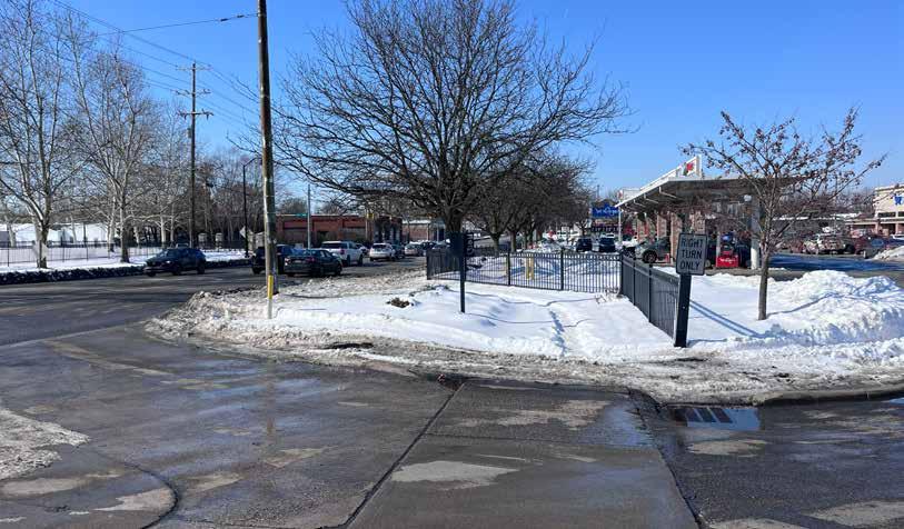
Wayfinding: Beginning in Wolf Park, trail signage was less reliable than it had been to that point At several spots, particularly on Main Street in Bexley, it was difficult to figure out how to continue on the trail� This was made more difficult by the lack of snow clearance on the sidewalks (i�e�, riders had to walk in deep snow to where they thought the crossing might be)�
Intense Intersections: Several intersections were very wide, with significant traffic and a freeway onramp These felt very stressful, and not appropriate for all users One such site is where the trail crosses E 5th Ave at the intersection with 670�
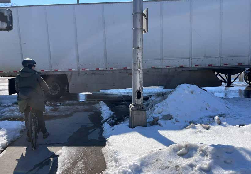
The route along Alum Creek Trail is recommended for inclusion among the regional trail guide’s featured cycling rides because:
• The trail is well signed and in good condition, offers cyclist amenities, and feels safe to ride�
• The ride highlights numerous high-quality community and regional parks�
• The trail segment is somewhat lengthy but feels doable� It introduces people to the idea that riding between two seemingly distant suburbs is possible
• It connects people to places well beyond Bexley
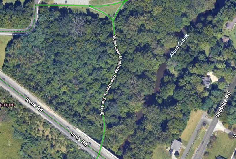
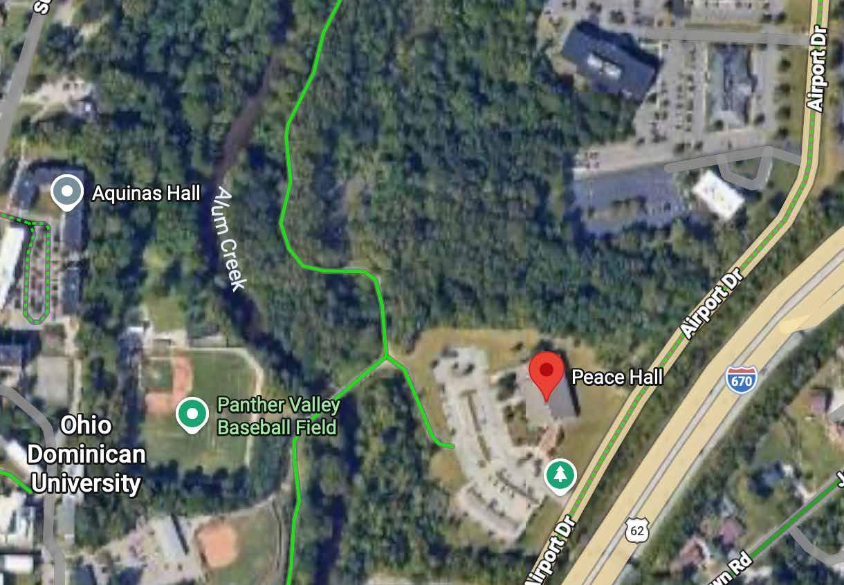
Two trail counter locations are recommended to help assess the popularity of this route:
1� Just south of Innis Park and north of Innis Road (top map)
2� Along the stretch between Valley Dale Ballroom and Ohio Dominican University (bottom map)
A nature-oriented ride through numerous parks that also invites riders into vibrant suburban business districts!
RECOMMENDATION
This route should be considered for inclusion on the map�
Trail: Alum Creek Trail
Start/End: Alum Creek Park North
Distance: 28 total miles (out & back)
Conditions: Mostly flat, paved, optional on-road segments
Ride Time: +/- 160 minutes
Setting: Urban/Suburban
Appropriate For: Ages 12+
A parks-oriented route along Alum Creek that treats riders to two exquisite suburban business districts!
Eat a hearty breakfast in Uptown before setting off from Alum Creek Park North, enjoying the lush scenery and babbling creek as you travel south Explore any of the numerous parks along the way, and consider an excursion into Easton Town Center at about the halfway point� The Shepard Branch of the Columbus Metropolitan Library is a perfect place to recharge, or continue to Wolfe Park where you can cross the pedestrian bridge towards Franklin Park & Conservatory or ride comfortable streets into downtown Bexley for lunch Ride back the way you came, or take COTA’s Cmax bus back to Westerville from High & Broad Sts�
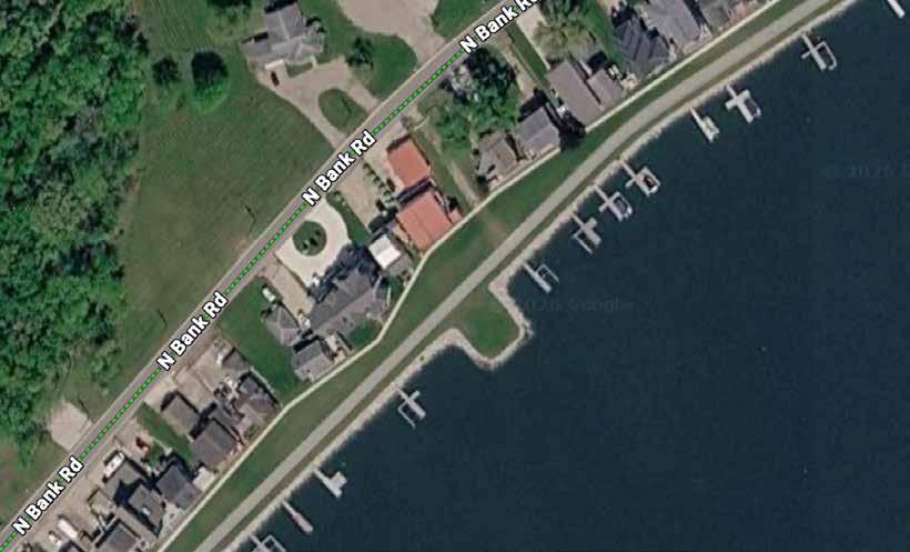
The 4�1-mile Buckeye Lake Dam Trail was ridden by project team members on February 14, 2026� They began at the starting point of the lakefront trail at Lieb’s Island, then rode its full length to North Shore Park and returned via the same route� Their total ride time was approximately one hour at a leisurely pace
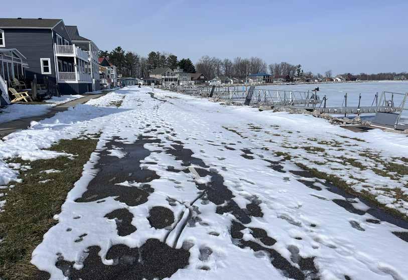
The trail is flat, wide, and smoothly paved� It does not cross any roads� Cyclist amenities are available at several points along the trail� A significant amount of snow had not been cleared at the time of the ride
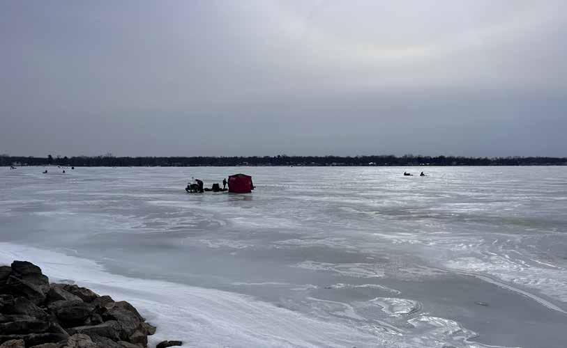
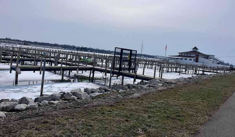
The entire route runs alongside the lake, which is beautiful and attracts people at all times of year
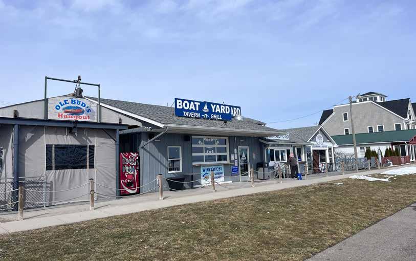
The trail features many trailside restaurants and other destinations, including a small beach Additional unique destinations — including an archery range and a floating Buckeye Lake history museum — are nearby�
Buckeye Lake has a fascinating history that is well represented along the trail; the state park, former amusement park, and canal are all incredible stories
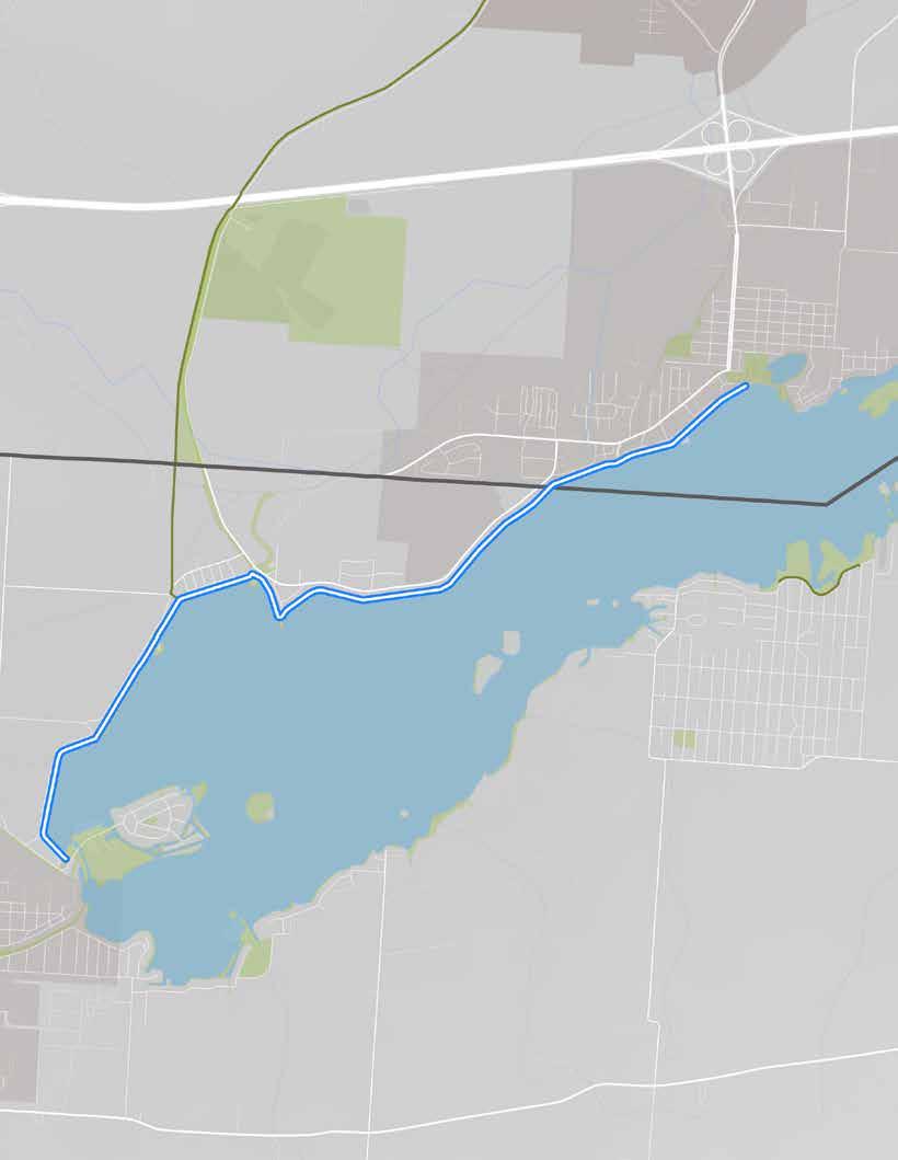
The route, as ridden.
• Buckeye Lake State Park
• Buckeye Lake State Park Archery Range
• Buckeye Lake Museum
• Multiple local restaurants
RIDER AMENITIES
• Beach
• Bike fix-it stations
• Bike parking
• Bike rental
• Boat docks & ramps
• Car parking
• Historic sites
• Kayak rental
• Maps
• Restaurants
• Pavilions
• Port-a-johns
• Restrooms
• Trash cans
• Water
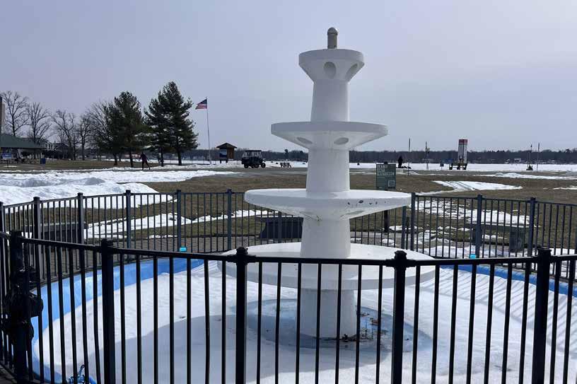
The only remaining artifact from the amusement park that once stood here.
Though this route was experienced as very comfortable by the project team members who rode it, they did note the following issues:
Snow Clearance: Snow may not be a common problem on the trail, but numerous cyclists encountered on the ride were stymied by it Some spots were entirely clear while others required riders to dismount their bikes and walk� The snow does not seem to have been cleared at all, but rather left to melt�
Pedestrian Traffic: The trail and the lake were surprisingly busy for a winter weekend afternoon, and it is assumed that summer months will be extremely busy along this section of Buckeye Lake� Though the trail is wide, cyclists will compete with many other trail users and may have to go very slowly to avoid collisions
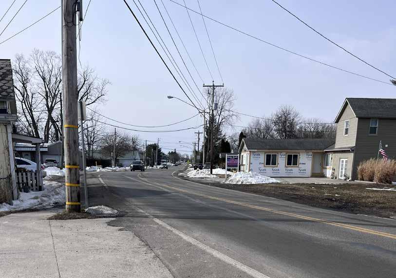
High Traffic Off-trail: Though there are destinations near the trail, for example in downtown Millersport, most of the roads to them do not seem like they would feel safe or comfortable (they were not ridden by project team members for this assessment)
The route along Buckeye Lake is recommended for inclusion among the regional trail guide’s featured cycling rides because:
• As a fully lakefront trail, it is entirely unique within the region�
• Its trailside and trail-adjacent destinations and experiences are very compelling�
• There are ample cyclist amenities available along the trail�
• The ride is safe and easy for people of all ages�
Two trail counter locations are recommended to help assess the popularity of this route:
1 The bumpout along the trail directly north of Orchard Island (top map)
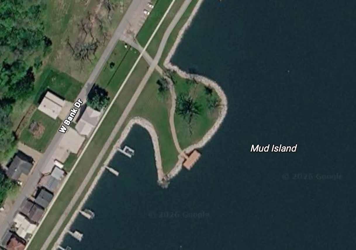
2 The southwestern corner of Mud Island (bottom map)
A leisurely ride that promises waterfront views, local history, and a laid-back, beach party vibe!
RECOMMENDATION
This route should be considered for inclusion on the map
Trail(s): Buckeye Lake Trail
Start/End: Leibs Island Parking Lot
Distance: 8 2 total miles (out & back)
Conditions: Flat, paved
Ride Time: 75 minutes
A leisurely lakefront route with unexpected history and water recreation opportunities!
Park in the lot on Leibs Island — across from the Buckeye Lake State Park Archery Range — and head towards the information kiosk at its southwest corner After reading about the lake’s canal history, enter the trail and continue for 4 miles to Crane Lake, its beach, and a fountain relic from when the area was a theme park� Along the way, stop at one of several restaurants, rent a kayak for water fun, or just pause to watch the crowds go by� Return the same way you came, and stop at the floating Buckeye Lake Museum before heading out�
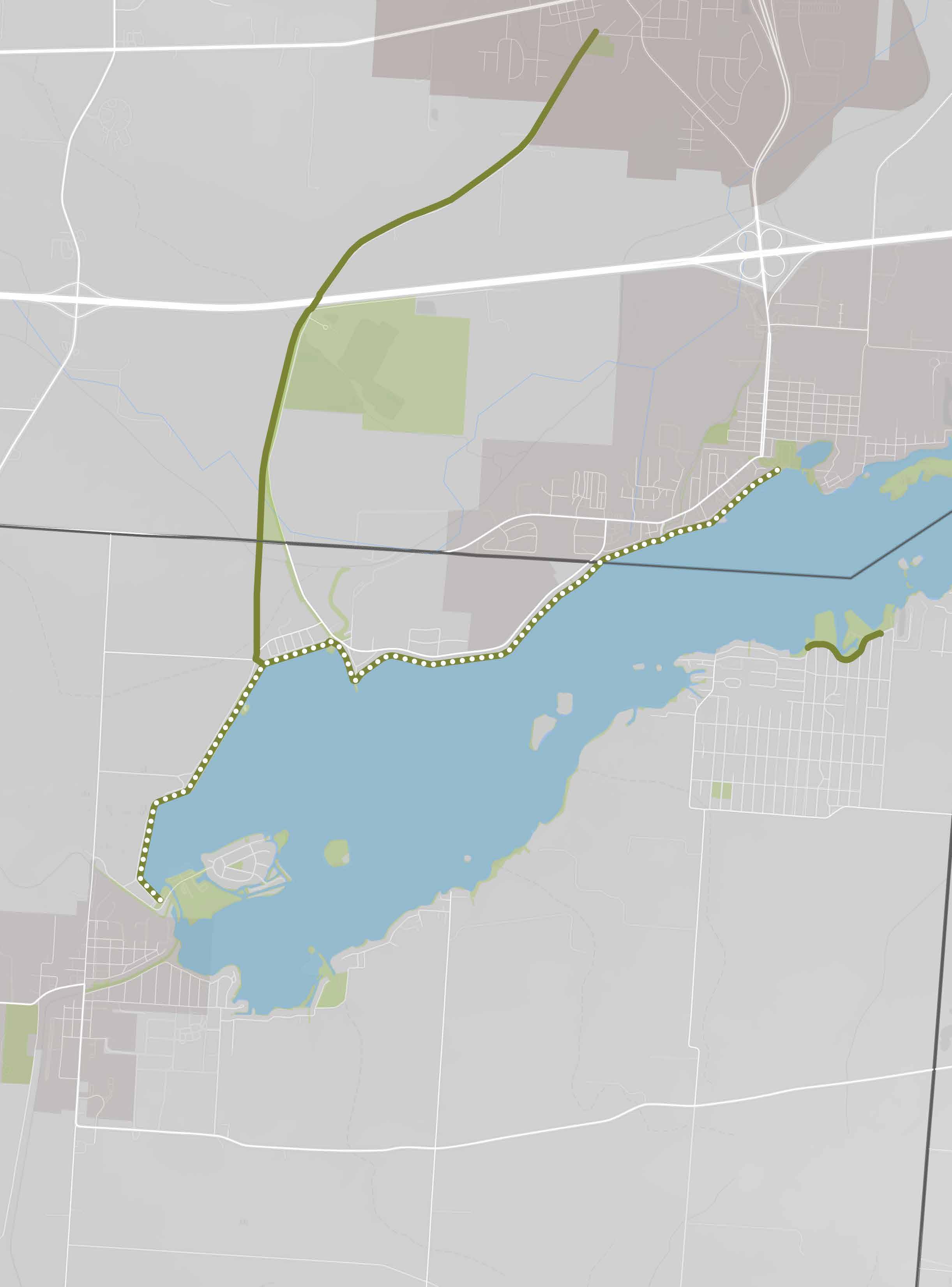
A 3-mile segment of the Heritage Trail was ridden by project team members on January 13, 2026� They began their ride at Heritage Trail Dog Park and continued to the Hilliard’s Station Park entertainment district in downtown, then rode the same route in reverse� Their total ride time was less than 30 minutes at a leisurely pace
The segment, which is fully contained in the City of Hilliard and Franklin County, is flat and smoothly paved� Roadway crossings are signed and feature blinking lights, and drivers seem trained to stop when someone is waiting to proceed� Thoughtful trailside amenities are available, but wayfinding is poor�
The route’s proposed starting point — at Homestead Metro Park, as opposed to Heritage Trail Park, where the test ride began — is relatively small but densely packed with experiences and amenities, including restrooms and shelter, a real caboose on one of the playgrounds, a nature center, and sand volleyball courts�
The route’s proposed ending point at Hilliard’s Station Park is similarly equipped with features including public art, splash fountains, a farmer’s market, restaurants with outdoor dining, a cultural center, and more�
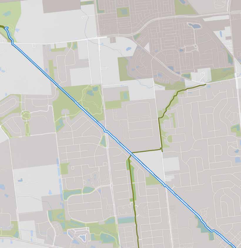
The route also provides comfortable access to the Hilliard YMCA and connects with the Hellbranch Trail, which leads 5�6 miles south to Spindler Road Sports Park Continuing on the trail for approximately 5 miles from Homestead Metro Park connects riders to Cemetery Pike near Plain City�
• Homestead Metro Park
• Heritage Trail Dog Park
• Hilliard’s Station Park
• Hilliard Civic & Cultural Center
• Hilliard Farm Market
• Early Television Museum
• Franklin County Fairgrounds
• Hilliard YMCA
• Hellbranch Trail connection
ROUTE AMENITIES
• Amphitheater
• Basketball & sand volleyball courts
• Benches
• Bike fix-it station
• Bike parking
• Car parking
• Fishing pond
• Nature center
• Pavilions + gazebo
• Playgrounds
• Public art
• Restrooms
• Restaurants & breweries
• Shopping
• Splash fountains
• Trash cans
• Walking paths
• Water
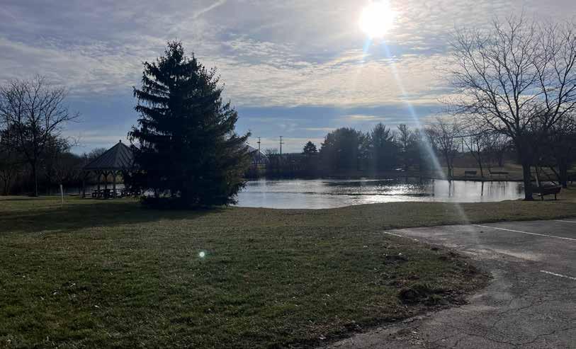
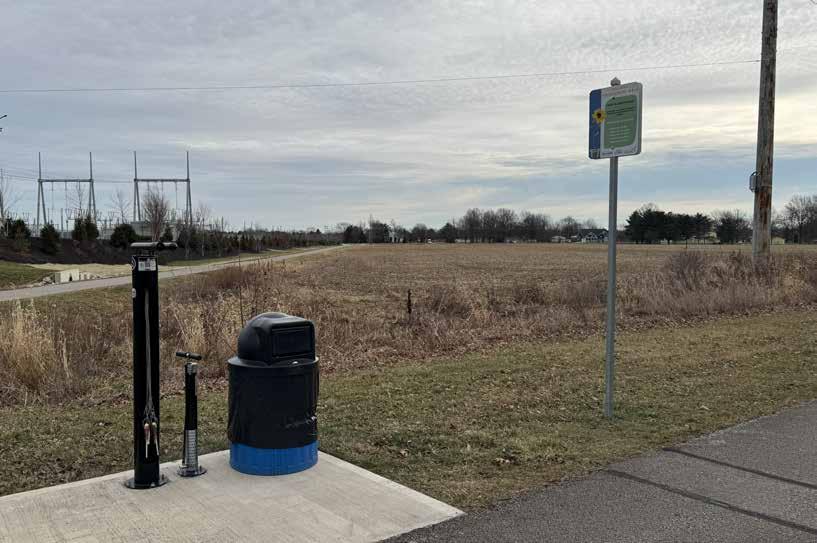
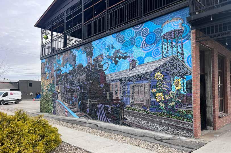
Though this route was generally experienced as comfortable by the project team members who rode it, they did note several issues that could use attention:
Wayfinding: There was no signage indicating that paths from the trail led to Homestead Park, or that Hilliard Station was ahead The trail branched off at a point without any indication of where it led�
Driveway Crossings: As the trail leads into Hilliard Station, it crosses driveways into a parking lot for businesses including Sexton Pizza and the Cultural Center — which is sure to be extremely busy on a Saturday morning during summer�
One-Way Bicycle Lane: The closedstreet bike lane at Hilliard Station was very welcoming, but because it is one-way there was no obvious path for cyclists to head back in the other direction to the trail
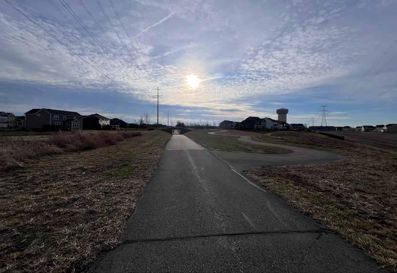
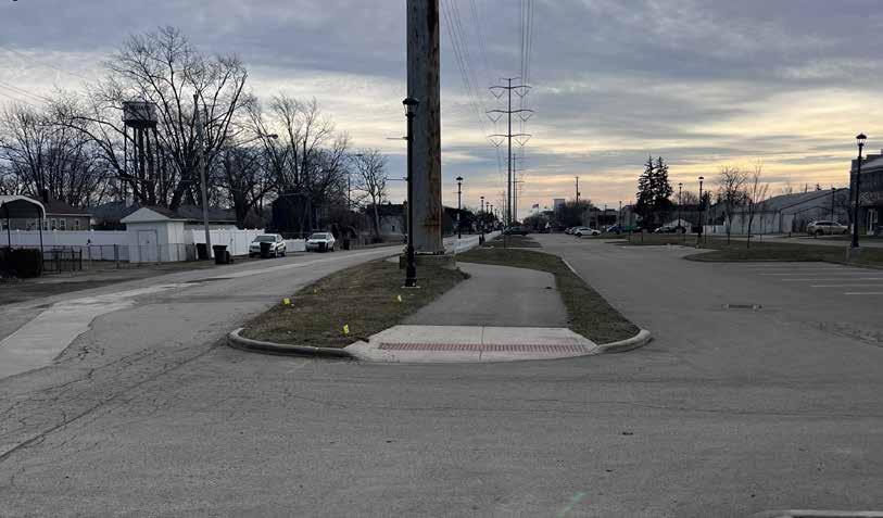
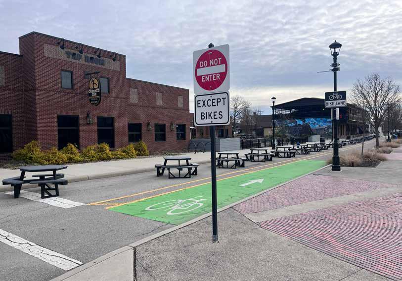
A closed street welcomes cyclists...but how do you get back to the trail?
The route along Heritage trail from Homestead Metro Park to Hilliard Station Park is recommended for inclusion among the regional trail guide’s featured cycling rides for the following reasons:
• The trail is in good condition and feels safe to ride�
• The destinations along the route are varied and high-quality�
• There are ample cyclist amenities available�
• The short distance and abundant activities make for an excellent family-oriented ride�
• The route challenges identified are minor and do not substantially detract from the ride experience
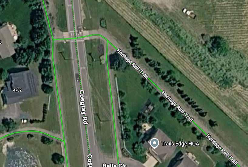
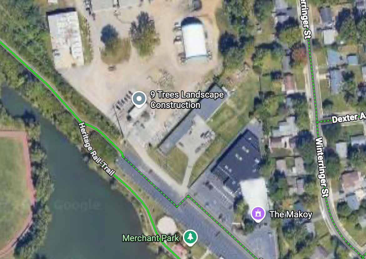
Two trail counter locations are recommended to help assess the popularity of this route:
1� The west side of the intersection between Heritage Trail and Cosgray Road (top map)
2� The point at which the trail heads into Merchant Park, on the way to Hilliard Station Park (bottom map)
A ride that families with kids of all ages can accomplish, with unique destinations and plenty of activities for a full day of fun!
This route should be considered for inclusion on the map�
Trail(s): Heritage Trail
Start/End: Homestead Metro Park
Distance: 4 total miles (out & back)
Conditions: Flat, paved
Ride Time: 30 minutes
A route for families with kids of all ages, with plenty of activities for a full day of fun!
Park in the southeast lot of Homestead Metro Park and explore its playgrounds — one is accessible — before riding past the train car to turn left onto the trail Kids can learn to dismount and walk their bikes through well-marked crossings at Cosgray and Leppert Roads� A sign at the trailside bike repair station offers a mindfulness activity, while Merchant Park has a calming labyrinth and pond� Enjoy food, programming, and unique cultural destinations at Hilliard Station Park before taking a family selfie at the train mural and riding back to the park to conclude your big adventure!
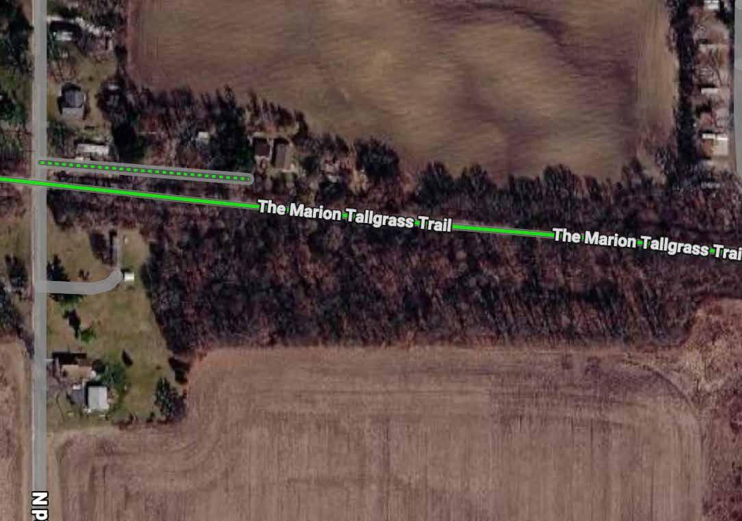
An 11�5-mile segment of the Marion Tallgrass Trail was ridden by project team members on February 25, 2026 They began their ride at Riley Road and continued to Holland Road Trailhead� Their total ride time was 90 minutes at a leisurely pace�
The segment is extremely flat and smoothly paved Roadway crossings are signed and feel safe� Thoughtful trailside amenities are available, and wayfinding is adequate�
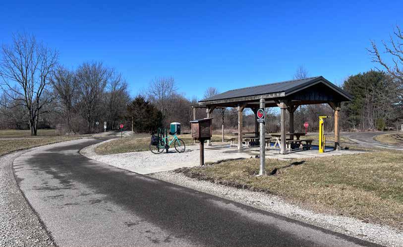
The route features two trailheads that are exceptionally well equipped
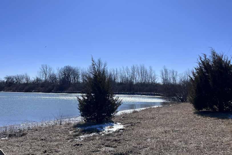
Community Foundation Lake is beautiful and features a lovely walking path and overlook�
The tallgrass fields are lovely and benches to view them have been provided�
Let’s Read storybook signs, Little Free Libraries, and interpretive panels along the path near the Holland Road Trailhead are fun and educational
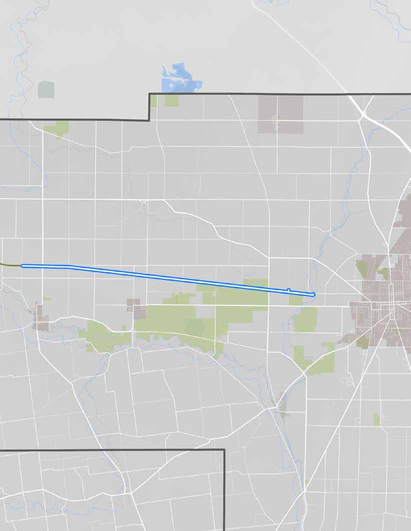
The route, as ridden.
• Community Foundation Lake
• RC Air Field
• Downtown Marion RIDER AMENITIES
• Benches
• Bike fix-it stations
• Bike parking
• Car parking
• Interpretive signs
• Little Free Libraries
• Nature center
• Pavilions
• Picnic tables
• Playgrounds
• Restrooms
• Storybook signs
• Trash cans
• Water
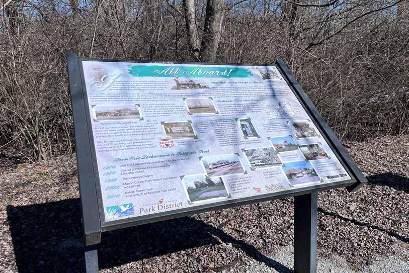
One of many interpretive panels about the
Though this route was experienced as very comfortable by the project team members who rode it, they did note several issues that could use attention:
Poor Connections: The western end of the trail ends abruptly at the county line, and the eastern end does not extend into downtown Marion, forcing cyclists to ride high-stress roads or drive to experience local attractions�
Sandy Path: The path along the lake was sandy and, because it was wet at the time of the ride, impassable by bicycle� There were no racks at which to park bikes and walk instead�
Potential Congestion: Signs indicating 5K and 10K turnaround points from the Holland Road Trailhead suggest that this segment could be congested with runners on race days�
Trail Debris: The trail’s surface is so exceptional that the small sticks littering it (after a couple of very windy days) were especially noticeable
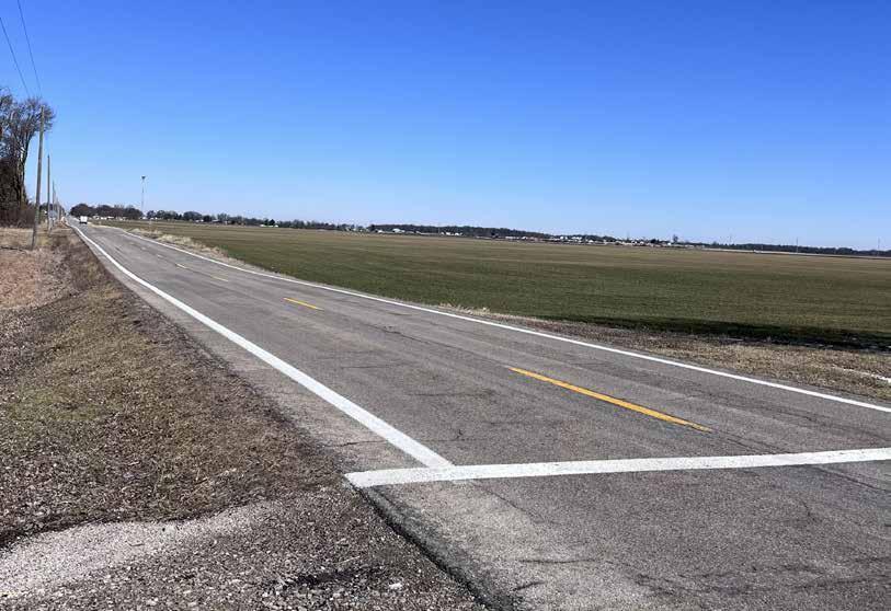
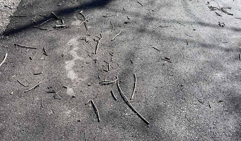
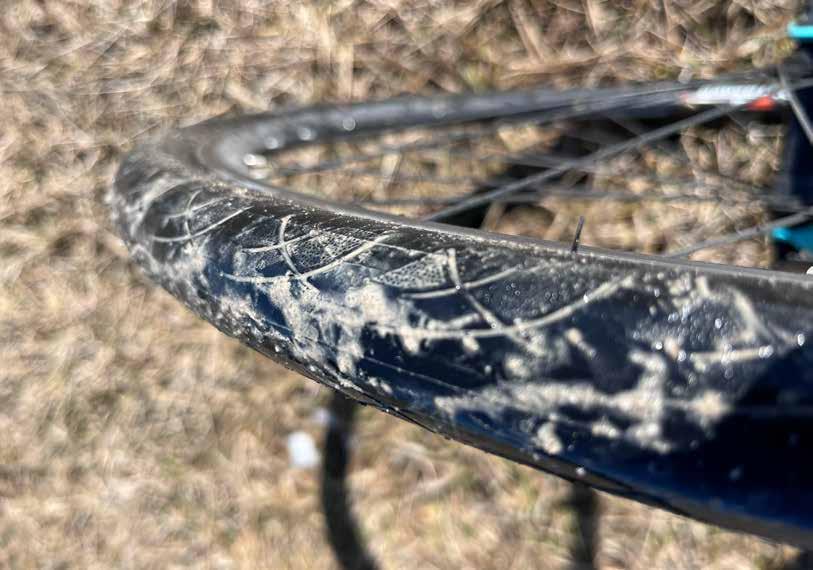
The route along Marion Tallgrass Trail from trailhead on South Street to the Holland Road trailhead is recommended for inclusion among the regional trail guide’s featured cycling rides for the following reasons:
• The trail is in fantastic condition and feels safe to ride�
• Marion is full of unique, interesting destinations�
• Trailheads at both ends have abundant cyclist amenities�
• Community Foundation Lake and fields of tallgrass are beautiful nature scenes�
• The route challenges identified are minor and do not substantially detract from the ride experience
Two trail counter locations are recommended to help assess the popularity of this route:
1� Shortly east of the trailhead at South Street (top map)
2� Just east of Espyville Rd (bottom map)
A zippy ride through fantastic scenery, with opportunities to pause and take it all in!
RECOMMENDATION
This route should be considered for inclusion on the map
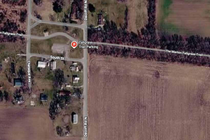
Start/End: Holland Road Trailhead
Distance: 17 total miles (out & back)
Conditions: Flat, paved
Setting: Rural
Ride Time: +/- 90 minutes
Appropriate for: All ages
A zippy ride through fantastic scenery, with opportunities to pause and take it all in!
Park at the Holland Rd trailhead and explore its playground, nature center, and Little Free Library before heading off on the trail Enjoy storybook signs along the path to Community Foundation Lake, where you can walk the 0�8-mile waterfront path and search for wildlife� Continue a short distance along the trail to relax on benches overlooking fields of tallgrass Families with young kids can turn around here, while others can continue to the trail terminus at Hardin-Marion Rd From the Holland Rd trailhead, drive 3 miles to explore downtown Marion’s Harding presidential sites, Wyandot Popcorn Museum, Palace Theatre, and more�
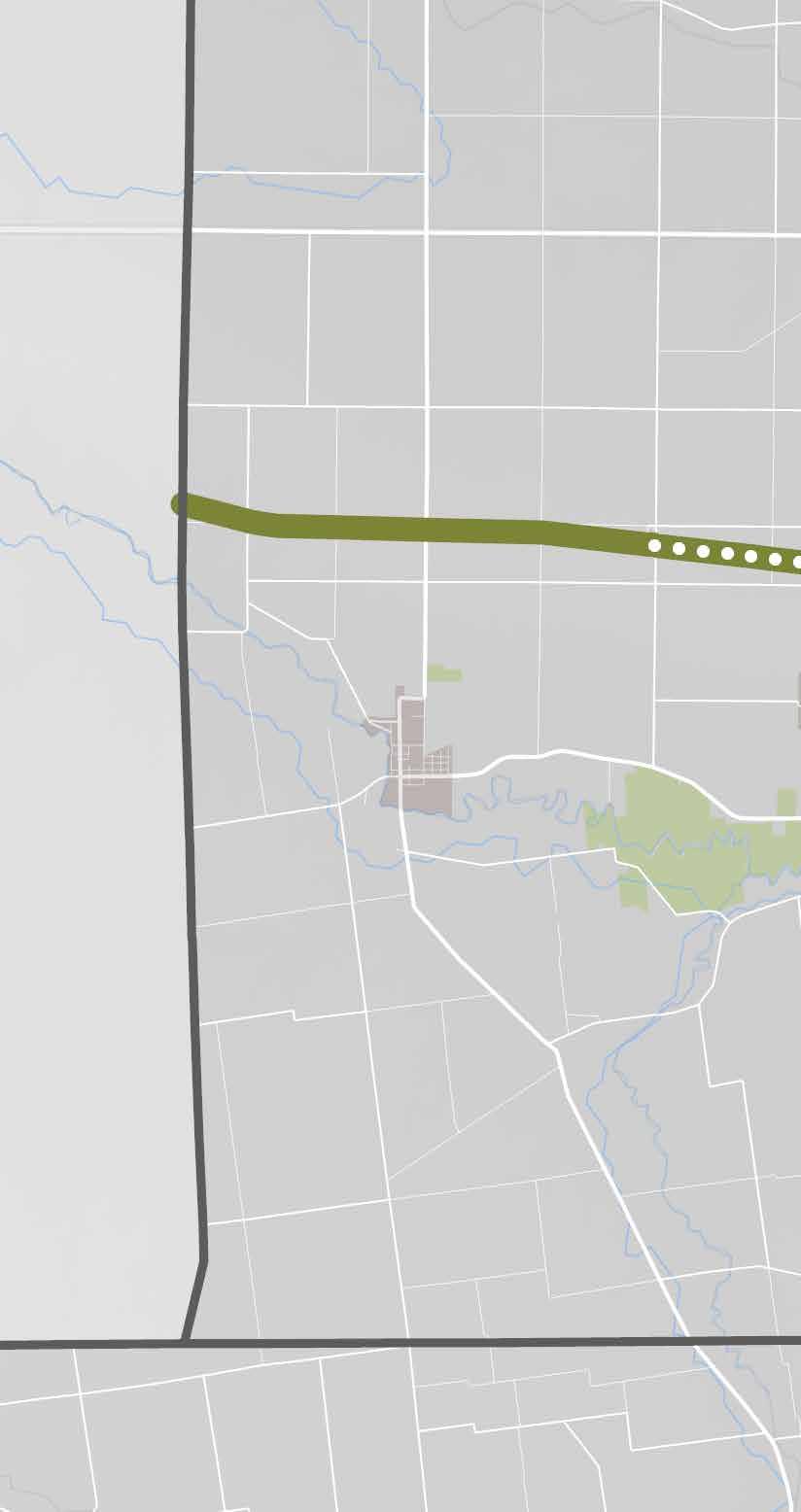
Trailhead
Bike fix-it
Bike parking
Information
Little Free Library
Parking
Picnic tables
Port-a-john
Shelter
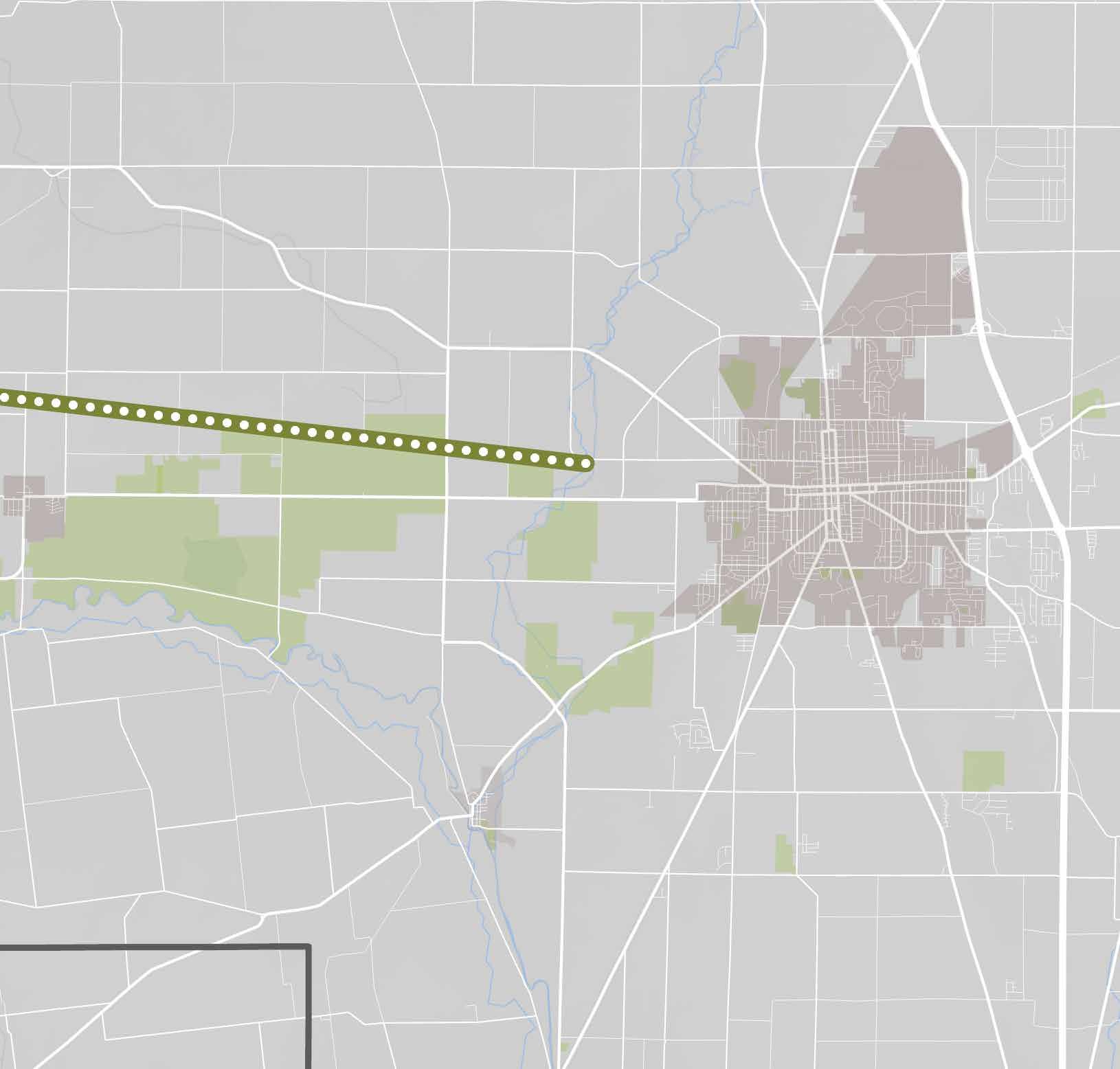
Decliff Big Island Rd
Scenic Overlook
Benches on which to enjoy fields of tall grass
Marion Community
Foundation Lake
Walking path closed when Marion Airfoils are flying.
Let’s Read storybook signs
Holland Rd
Holland Road Trailhead
Information
Little Free Library
Nature center
Parking
Playground
Picnic tables
Restroom/port-a-john
Shelter
Trash can
Water
Downtown Marion
Harding presidential sites
Marion County Historical Society
Wyandot Popcorn Museum
Marion Palace Theatre
Explore-It-Torium
Restaurants & shopping
The 14-mile Olentangy Trail was ridden by project team members on March 9, 2026� They began their ride at ScottsMiracle-Gro Stadium and continued to Hills Market in Worthington� Their total ride time was 90 minutes at a leisurely pace�
The segment is mostly flat and smoothly paved There is only one road crossing along the entire route� Wayfinding signs and trailside amenities are prevalent�
The trail winds through many parks and is within a mile of High Street along its entire distance, providing ready access to several significant small business districts�
The trail is visually interesting and there are many people using it, making it feel safe and vibrant
Most roadway crossings are unnecessary because underpasses have been constructed to avoid them
The trail connects riders to the Scioto Trail in downtown Columbus and to the Camp Chase Trail—and therefore, the Ohio to Erie Trail�
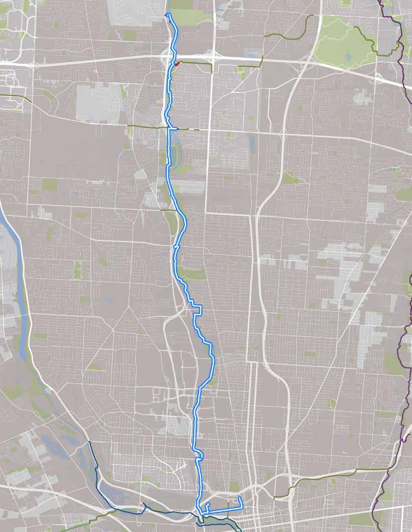
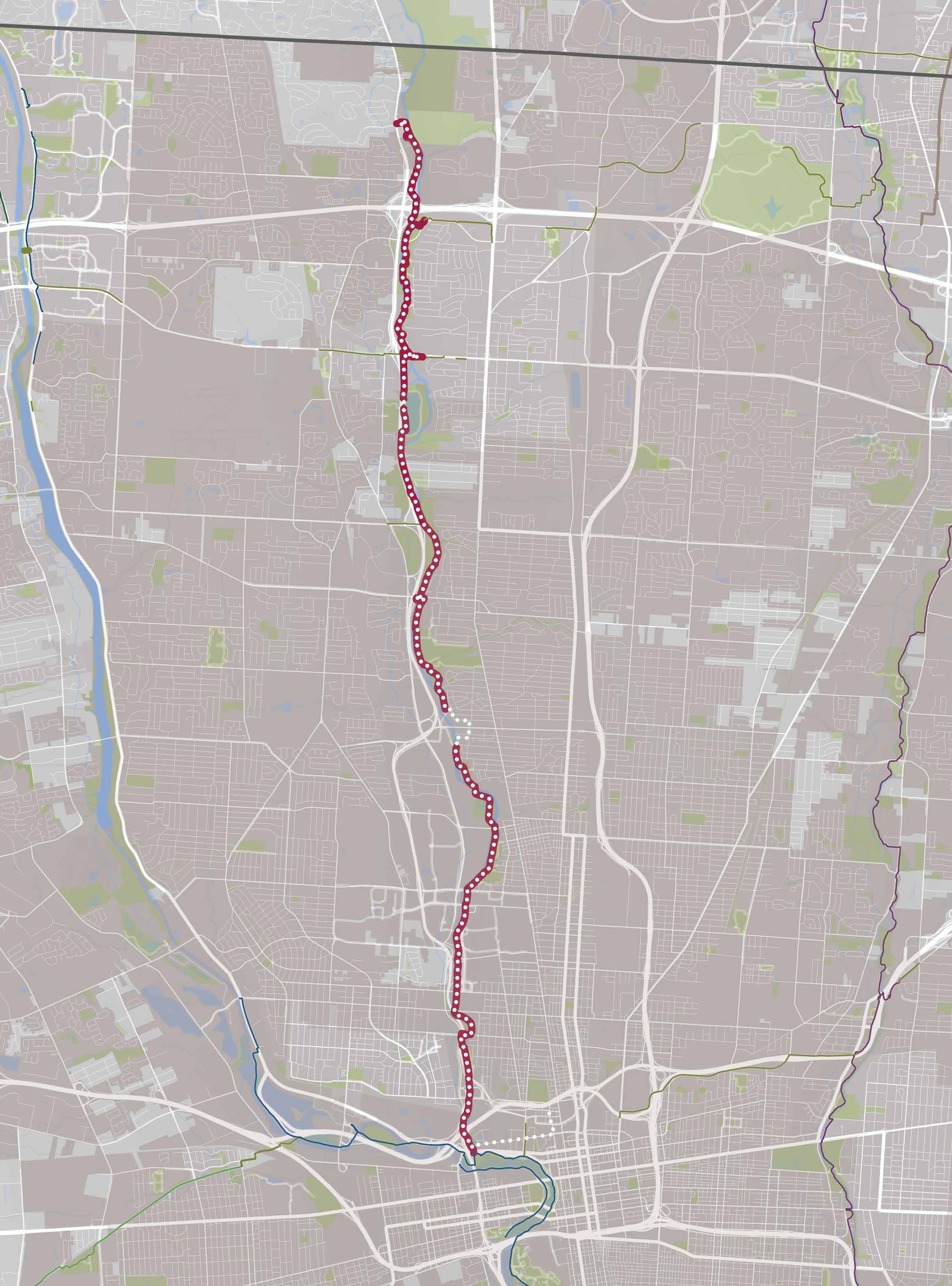
The route, as ridden.
• North Market
• Arena District
• Short North
• Ohio State University & Medical Center
• Tuttle Park Pool & Rec Center
• Whetstone Park & Library
• Clintonville
• Old Worthington
• Antrim Lake
• Olentangy Parkland
• Hills Market
RIDER AMENITIES
• Benches
• Bike fix-it stations
• Bike parking
• Car parking
• Exercise equipment
• Lodging
• Mountain bike course
• Playgrounds
• Public art
• Restaurants
• Restrooms
• Skate park
• Trash cans
• Water
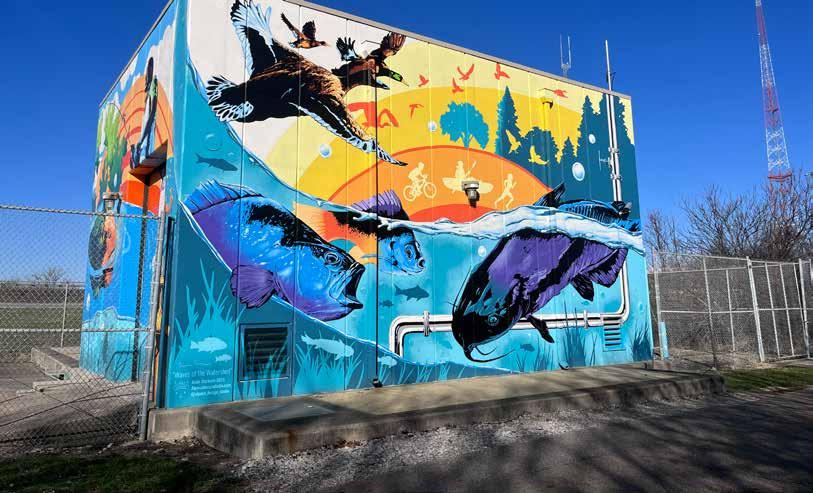
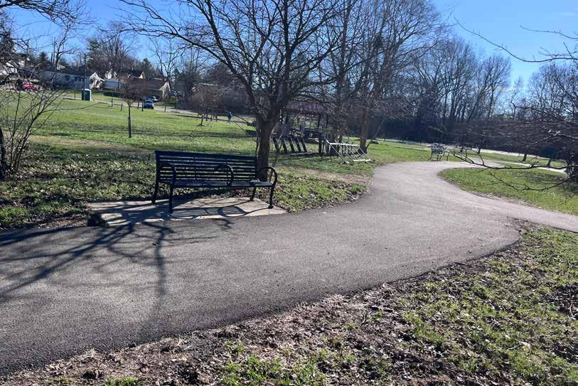
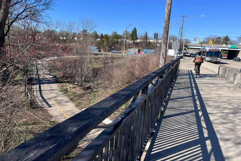
Though this route was generally experienced as comfortable by the project team members who rode it, they did note two issues that could use attention:
Dated Amenities: Some of the trail signs and cyclists amenities were showing signs of wear or vandalism
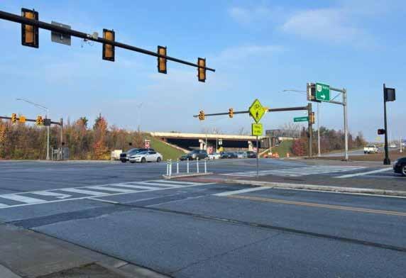
Difficult Crossing: The crossing at North Broadway places riders in the path of traffic turning onto a freeway on-ramp�
Wayfinding Missed Opportunities: More signs could point riders to the business districts and other destinations near the trail�
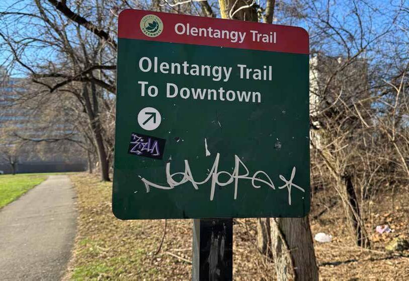
The route along Olentangy trail from ScottsMiracle-Gro Field to Hills Market is recommended for inclusion among the regional trail guide’s featured cycling rides for the following reasons:
• The Olentangy Trail is the backbone of Columbus’ greenways network and offers an exceptional ride experience, with opportunities to explore unique destinations along all of its 15 miles
• The trail is in good condition and feels safe to ride, with ample cyclist amenities available�
• The route challenges identified are minor and do not substantially detract from the ride experience�
Two trail counter locations are recommended to help assess the popularity of this route:
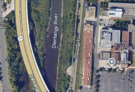
1 North of E 5th Avenue between 315 and Battelle (top map)
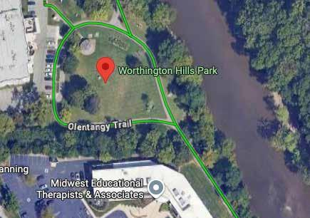
2 Southwest of Worthington Hills Park (bottom map)
A beautiful route connecting two locally-owned markets, with many neighborhoods to explore in between!
RECOMMENDATION
This route should be considered for inclusion on the map�
Trail: Olentangy Trail
Start/End: Hills Market (Worthington)
Distance: 32 total miles (out & back)
Conditions: Mostly flat, paved, optional on-road segments
Setting: Urban
Appropriate for: Ages 12+
Ride Time: +/- 180 minutes
A beautiful route connecting two locally-owned markets, with many neighborhoods to explore in between!
Grab snacks at Hills Market and set off directly from the parking lot, following signs for Olentangy Trail South� You’ll encounter many parks along the trail, and High St business districts are never far� Ride this trail multiple times to explore the many neighborhoods it runs through, and OSU campus� When the Columbus Crew smokestack comes into view, cross the pedestrian bridge and continue east on Nationwide Ave past Huntington Field and Nationwide Arena to Front St� Turn left and ride two blocks to the North Market — it’s time for more snacks before heading back north! Ride back the way you came or take a bus as far north as Old Worthington to cut some distance�
Anheuser-Busch Sports Park
the trail
Bike boulevards Follow signs for Olentangy Trail
Whetstone Park & Columbus Park of Roses Clintonville Branch, Columbus Library Restrooms
A 9-mile segment of the Paint Creek Trail was ridden by project team members on February 17, 2026� They began their ride at Yoctangee Park and continued to approximately 1 mile past the Hopewell Mound Group, then rode the same route in reverse� Their total ride time was 90 minutes at a leisurely pace
The segment is mostly flat with some elevation gain� Its pavement is mostly flat, though there are patched cracks throughout� The one major road crossing is unmarked Wayfinding is mostly adequate, with one confusing spot� A bridge was out 1�5 miles past Hopewell Mound Group, with no signage to alert riders and no detour�
The route features a recentlydesignated UNESCO World Heritage site — the Hopewell Mound Group�
Yoctangee Park is a remarkable city park that features everything from a cultural arts center to pickleball courts, a public pool, skate park, and more� It is within just a couple of blocks from the downtown business district
Much of the route is very scenic and peaceful to ride
The Paint Creek Trail extends an additional 25 miles into Washington Court House�
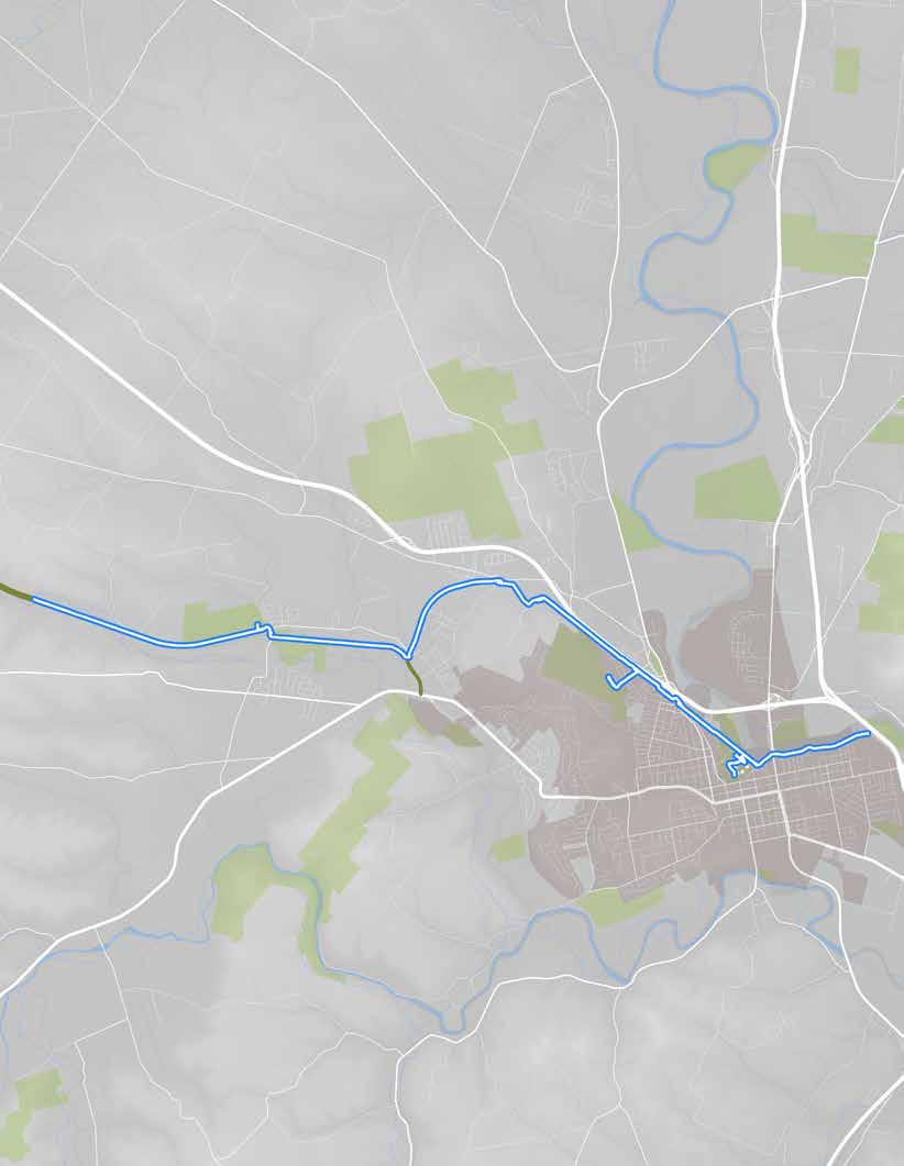
Turnaround Point 1 5 mile past Hopewell Mound Group
Start/End Point YoctangeePark
Recommended Turnaround Point Hopewell Mound Group
The route, as ridden.
& NEARBY DESTINATIONS
• Yoctangee Park
• Downtown Chillicothe
• Hopewell Mound Group
• Adena Mansion & Gardens
• Paint Creek Water Trail
• Pump House Center for the Arts
RIDER AMENITIES
• Ball courts & fields
• Benches
• Bike fix-it stations
• Bike parking
• Car parking
• Community pool
• Fishing pond
• Frisbee golf course
• Pavilions
• Playgrounds
• Restaurants
• Restrooms
• Skate park
• Trash cans
• Water
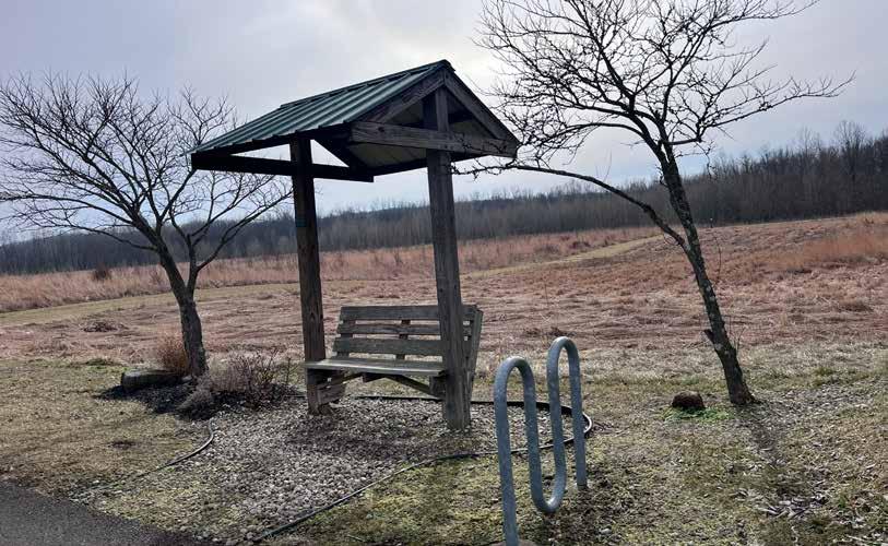
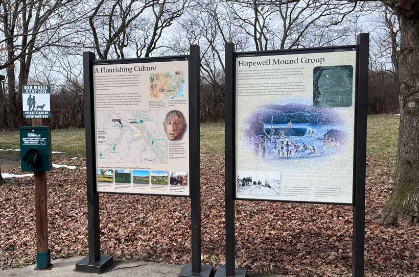
Interpretive signs at the Hopewell Mound Group site.
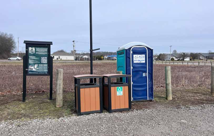
Though this route was generally experienced as comfortable by the project team members who rode it, they did note several issues that could use attention:
Amenities: Restrooms at Yoctangee Park were closed for the season, and no port-a-johns were available As such, it was several miles before riders could access facilities (within a gas station)�
Wayfinding & Signage: The route at Larrick Lane was not officially marked� A bridge was out 1�5 miles past Hopewell Mound Group, with no signage to alert riders and no detour
Trail Access: While there is a trailhead at Yoctangee Park, it was difficult to access due to construction in the area Regardless, it is very challenging to get from the trail or trailhead into the park�
Trail Condition: The trail could be bumpy in spots, given the amount of patched cracks on its surface
Road Crossing: The crossing at Clinton Road and 608/550 features a jog, a gas station driveway, and an absence of markings�
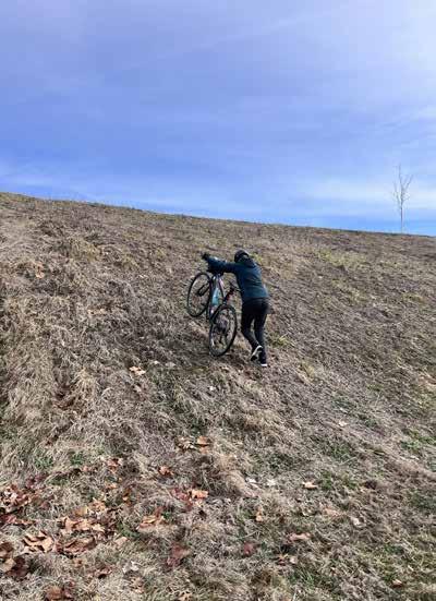
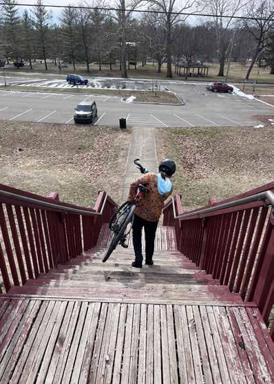
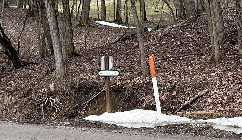
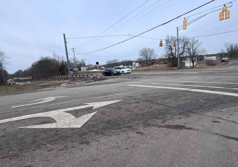
The route along Paint Creek Trail from Yoctangee Park to Hopewell Mound Group is recommended for inclusion among the regional trail guide’s featured cycling rides for the following reasons:
• It highlights one of the most significant cultural amenities in Central Ohio�
• The trail extends a significant distance to offer a higher-mileage experience
• Its starting point at Yoctangee Park in downtown Chillicothe offers a number of recreational and educational opportunities�
• The route challenges identified are minor and do not substantially detract from the ride experience�
Two trail counter locations are recommended to help assess the popularity of this route:
1 Just southeast of the intersection with Larrick Lane (top map)
2 The segment of trail just west of its intersection at Veterans Parkway (bottom map)
A route that takes you back in time to the Hopewell Culture, Tecumseh, and early Ohio statehood!
This route is recommended for inclusion on the map�
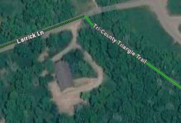
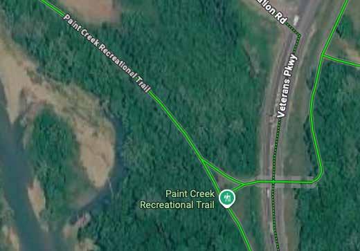
Trail: Paint Creek Trail
Start/End: Yoctangee Park Trailhead
Distance: 15 total miles (out & back)
Conditions: Mostly flat, paved, some cracks
Setting: Rural Ride Time: +/-100 minutes
Appropriate for: Ages 12+
A route that takes you back in time to the Hopewell Culture, Tecumseh, and early Ohio statehood!
Begin at the Yoctangee Park trailhead and head straight onto the trail� Continue to 7� 5 miles to Maple Grove Rd, then turn left at Sulphur Lick Rd directly into the Hopewell Mound Group site Park and walk its 2 2mile loop, which features interpretive panels about this new UNESCO World Heritage site and those who created its earthworks 2,000 years ago� Ride back the way you came and explore the many activities within Yoctangee Park before riding up Paint St to downtown, where the Ross County Heritage Center tells the city’s story and several historic restaurants serve up delicious food
Hopewell Mound Group
Note: Hopewell Culture National Historical Park located at 16062 OH-104 in Chillicothe
Trailhead
Restrooms
On-road segment
Maple Grove Rd Sulphur Lick Rd
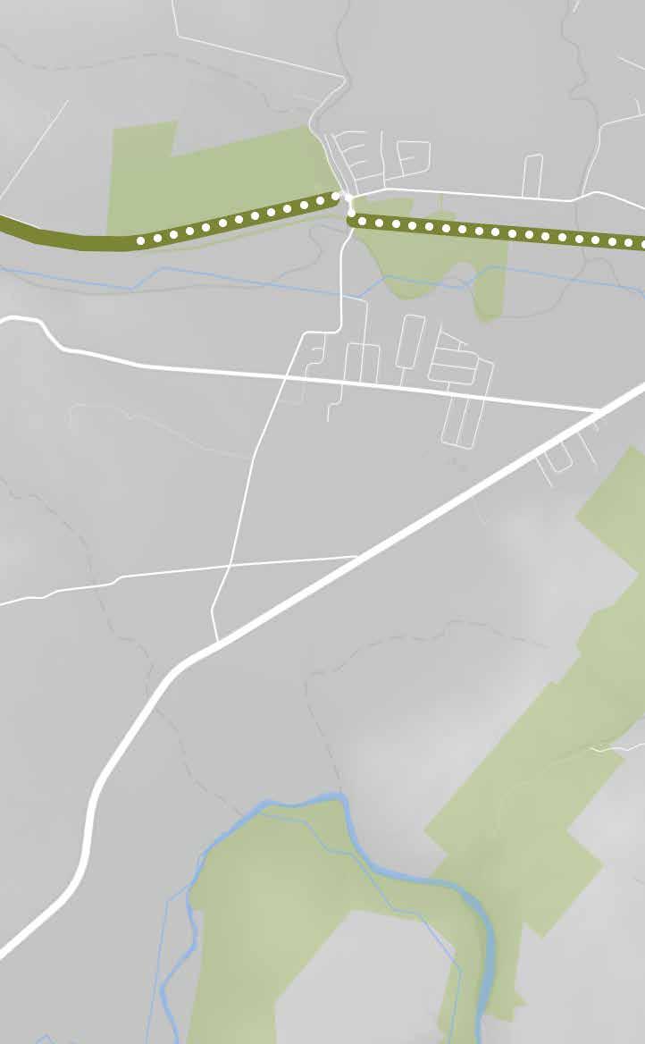
Information Trash cans
Park Visitor Center
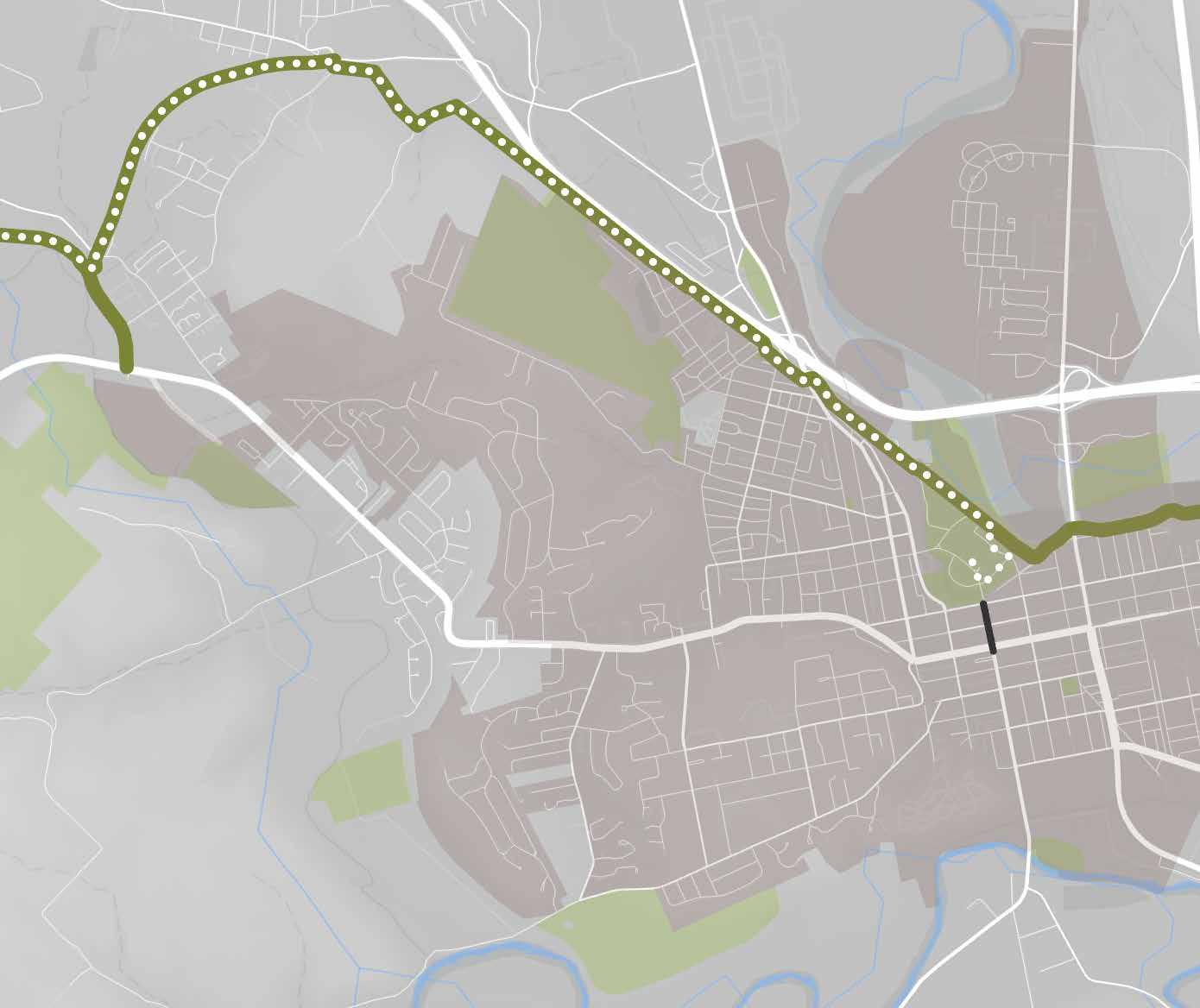
Yoctangee Park Pump House Center for the Arts
Wayfinding Larrick Ln
Ross County Historical Society sites Restaurants & shopping kiosks
Playgrounds
Ball courts & fields
Skate park
Adena Mansion & Gardens Historical Site
Long, steep hill, not easily accessible from trail; biking not recommended
On-road segment
Riverside St Mulberry St
2nd St
Paint St
Community pool Pavilions
Downtown Chillicothe
A 7-mile segment of the Simon Kenton Trail was ridden by project team members on January 13, 2026� They began their ride at Bellefontaine Simon Kenton Trailhead and continued to the Sherman Ricketts Memorial Park/Trailhead in West Liberty, then rode the same route in reverse Their total ride time was approximately 1 5 hours at a leisurely pace�
The segment is flat and paved, with loose gravel on the surface but no holes Roadway crossings are well signed Wayfinding is creative and effective�
Bellefontaine and West Liberty both offer charming, amenity-rich downtowns along comfortable — and, in the case of Bellefontaine, wellsigned — 1-mile, on-road routes from the trail�
The route is a rail-trail exemplar — a straight, flat route through beautiful countryside alongside abandoned railroad tracks
The trail and its amenities are simple but effective It is clear the trail is well cared for, and riders are actively
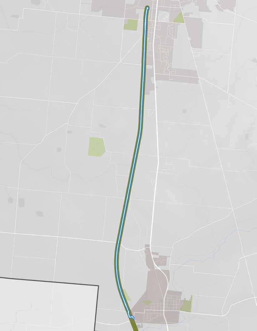
Start/End Point
The route, as ridden.
welcomed into the space�
Bellefontaine marks the northernmost point of a trail-based route that riders can travel all the way to Cincinnati (i e , it connects to the Little Miami Trail in Springfield)� It is part of Ohio Bike Route 3�
ON-TRAIL & NEARBY DESTINATIONS
• Downtown Bellefontaine
• Downtown West Liberty
• Sherman Ricketts Memorial Park RIDER AMENITIES
• Benches
• Bike fix-it station
• Bike parking
• Car parking
• Maps of trail & town
• Pavilion
• Port-a-johns
• Public art
• Trash cans
• Water
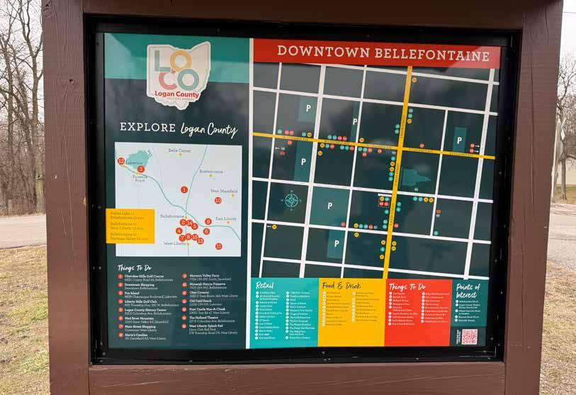
A trailhead kiosk map connecting riders to Bellefontaine’s downtown experience.
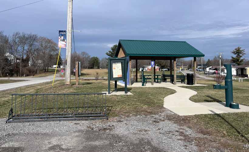
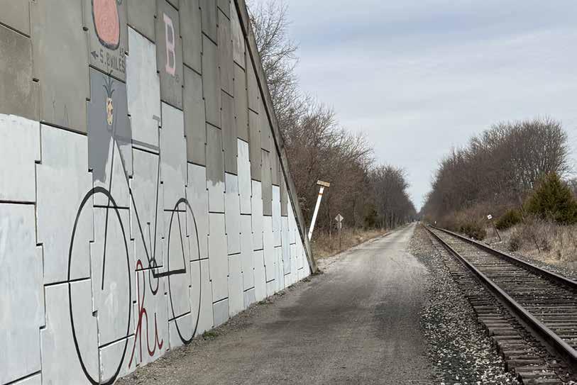
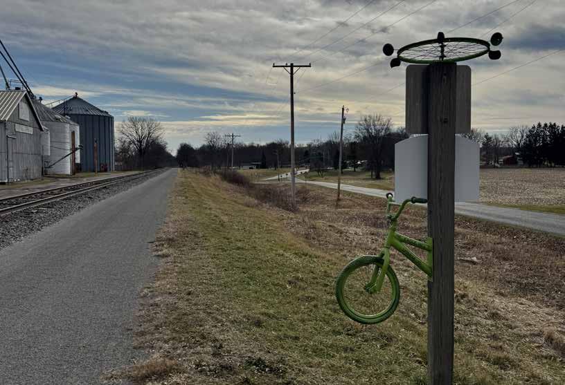
Creative bike wayfinding signage.
Though this route was experienced as very comfortable by the project team members who rode it, they did note the following issues:
Off-trail Wayfinding: The trail itself was very well signed, and downtown maps at each trailhead were helpful� However, the routes into and out of West Liberty, and the route from downtown Bellefontaine to the trailhead, were not marked� Riders may feel less confident accessing these destinations as a result�
Trail Surface: The trail surface is crushed limestone (which made riding into the punishing wind somewhat more difficult!)
Points of Interest: While the trail is scenic, it is not the most interesting to ride� There are few points along this segment where riders would want to stop for a mid-ride experience (a major exception being an abandoned train still sitting on the tracks)
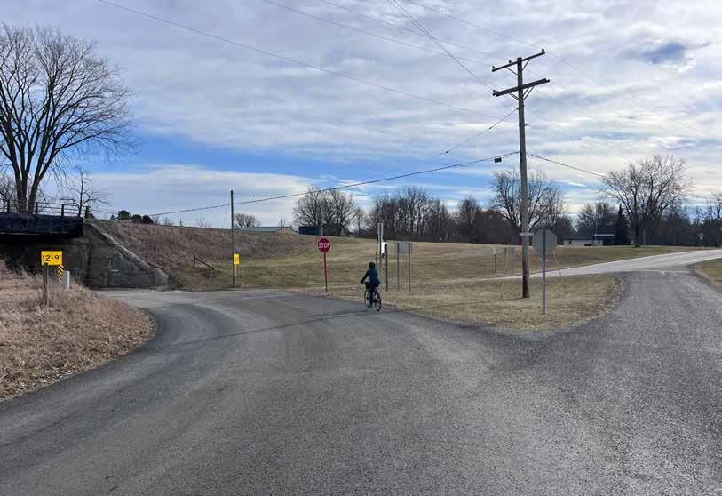
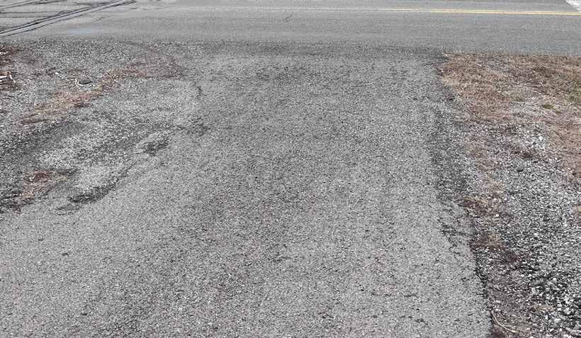
The route along the Simon Kenton Trail between Bellefontaine and West Liberty is recommended for inclusion among the regional trail guide’s featured cycling rides because:
• The trail is in good condition and feels safe to ride�
• The route’s start and end points are unique, amenity-rich, and reasonably comfortable to ride to�
• The trail’s distance, quality, and destinations would allow for a fun half-day experience that even children (i e , tweens and older) could accomplish
• This trail connects riders to destinations throughout central and southern Ohio�
Two trail counter locations are recommended to help assess the popularity of this route:
1 The “off ramp” from the trail into West Liberty, across from King Feed & Supply (top map)
2 A point just south of the Bellefontaine trailhead, where people would be starting their journeys (bottom map)
A rich experience of Ohio’s countryside and small towns that connects riders to destinations almost 100 miles south!
This route should be considered for inclusion on the map�
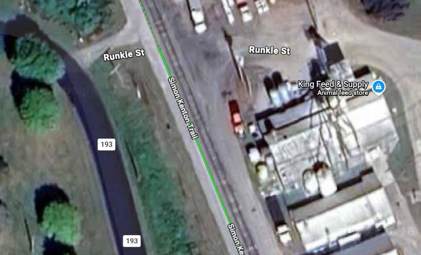
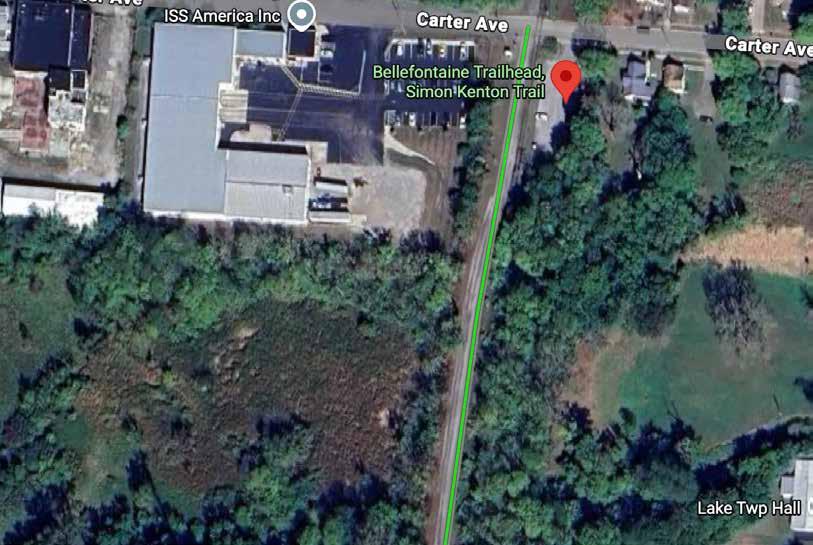
Start/End: Bellefontaine Trailhead
Distance: 14�5 total miles
Conditions: Flat, paved with light gravel, on-road from trail to towns
Ride Time: +/- 90 minutes
Setting: Rural
Appropriate for: Ages 10+
A rural rail-trail that connects riders to two charming small towns and trails leading to southern Ohio!
Start from the trailhead at Carter Ave in Bellefontaine and head south for an easy 7 miles to West Liberty Relax at the trailhead there and continue on-road into downtown for treats and amenities — or continue south Urbana or Springfield (and beyond), if you want a longer ride When you’re ready, head back the way you came to Bellefontaine, where you can follow the one-mile signed route into downtown to shop and eat, watch a show at the historic Holland Theatre, and check out the oldest concrete street in America�
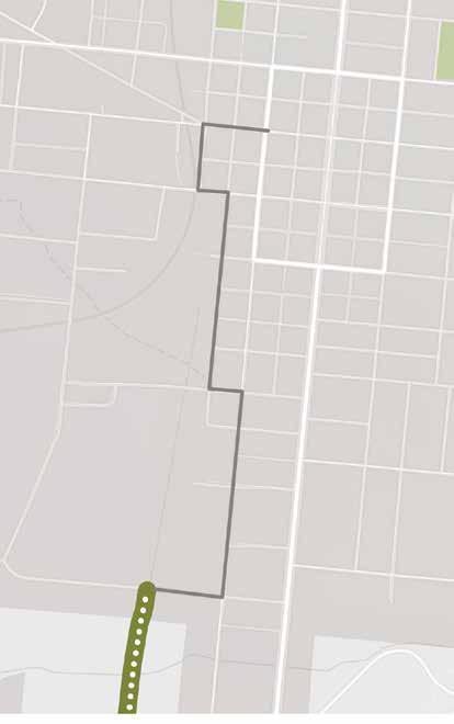
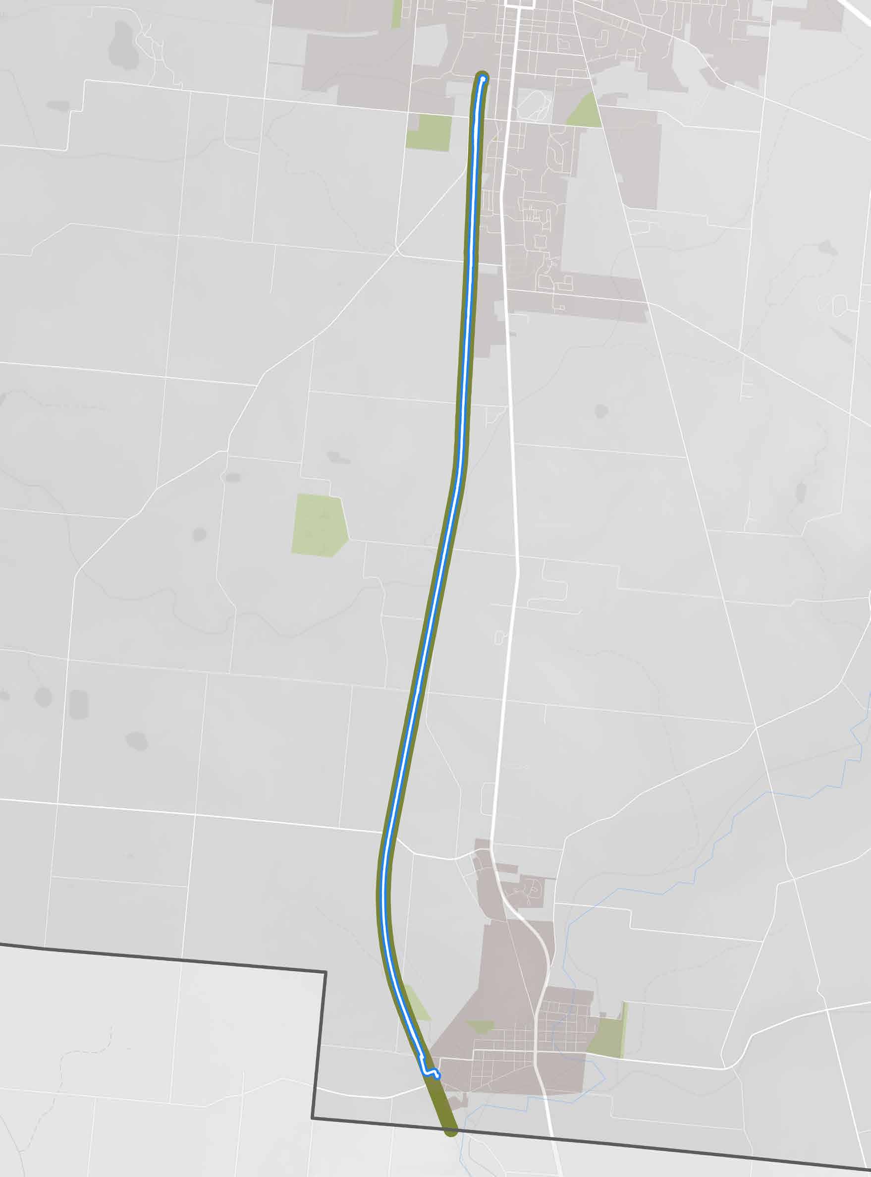
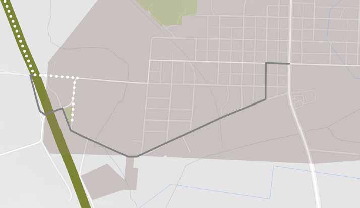
An approximately 7-mile segment of the Scioto Trail was ridden by a project team member on December 22, 2025 who began and ended her ride at Scioto Audubon Metro Park Total ride time was about one hour at a leisurely pace�
The segment in downtown Columbus, is mostly flat and smoothly paved The route is well-signed but could still be confusing as there are many paths leading off-trail�
The route showcases fantastic views of the Columbus skyline and the Scioto River�
The start/end point of the route is an exceptional park with myriad ridesupporting amenities�
There are dozens of destinations riders can access along the trail and nearby — people can have a different experience each time they ride The trail is a loop that enables unique views and experiences throughout�
The route connects to The Olentangy Trail, which leads through OSU campus to several cities north of Columbus�
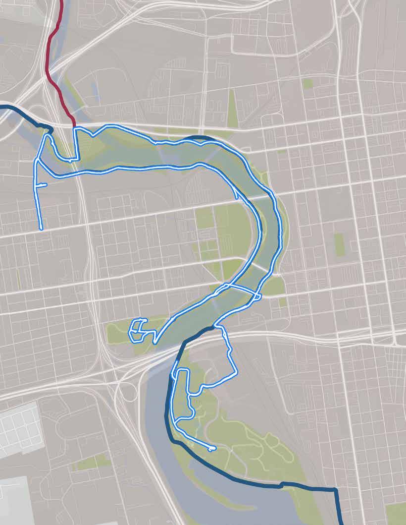
The route, as ridden.
ON-TRAIL & NEARBY DESTINATIONS
• Scioto Audubon Metro Park
• Bicentennial Park / Scioto Mile
• North Bank Park
• Genoa Park
• Dodge Park
• Veterans Memorial
• Center of Science & Industry (COSI)
• Columbus City Hall
• Downtown Columbus
• Scioto River
• Historic Franklinton
RIDER AMENITIES (SCIOTO AUDUBON)
• Bike parking
• Bike share station
• Boat launch
• Car parking
• Climbing wall
• Dog park
• Nature center
• Obstacle course
• Picnic tables, shelters
• Playground
• Restrooms
• Sand volleyball
• Water
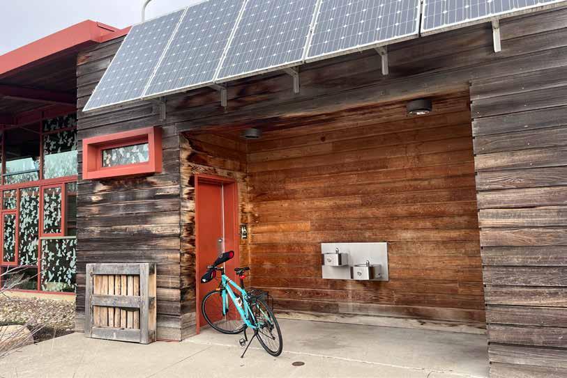
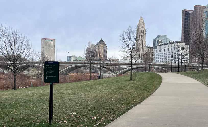
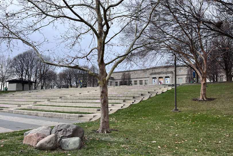
Though this route was experienced as very comfortable by the project team member who rode it, they did note the following issues:
Wayfinding: If riders stay to the left as they travel the Scioto Mile through downtown, they will stay on the trail� Paths leading to the right tend to take people off-trail into downtown Sometimes these bifurcations are marked, but often they are not, which can be confusing for riders
Homeless Encampments: Near the turnaround point of the loop there are numerous homeless camps in the woods, with the trash that tends to accompany them
Trail Construction: Construction on I-71 has closed a portion of the trail leading from Scioto Audubon Metro Park into downtown� A permanent alternative route through the park has been established, but the rider did not immediately feel confident or safe taking it�
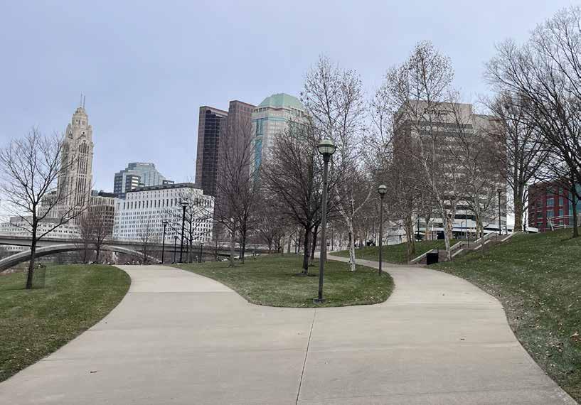
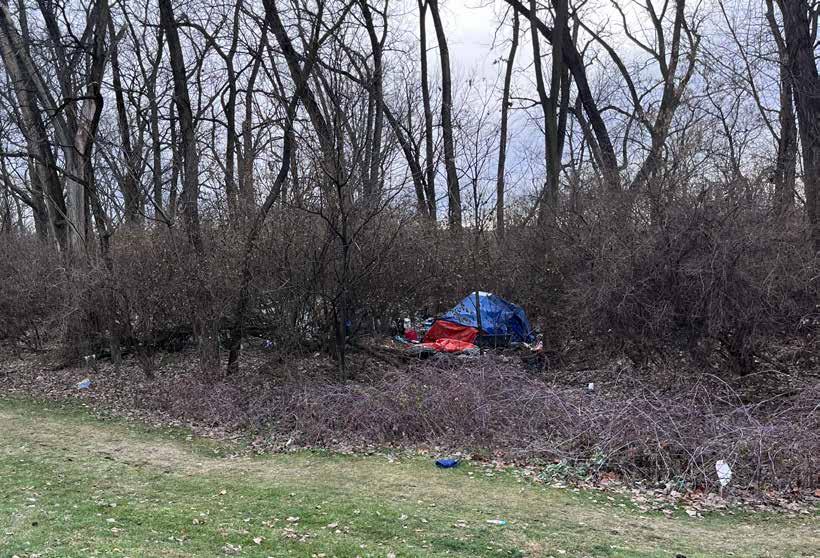
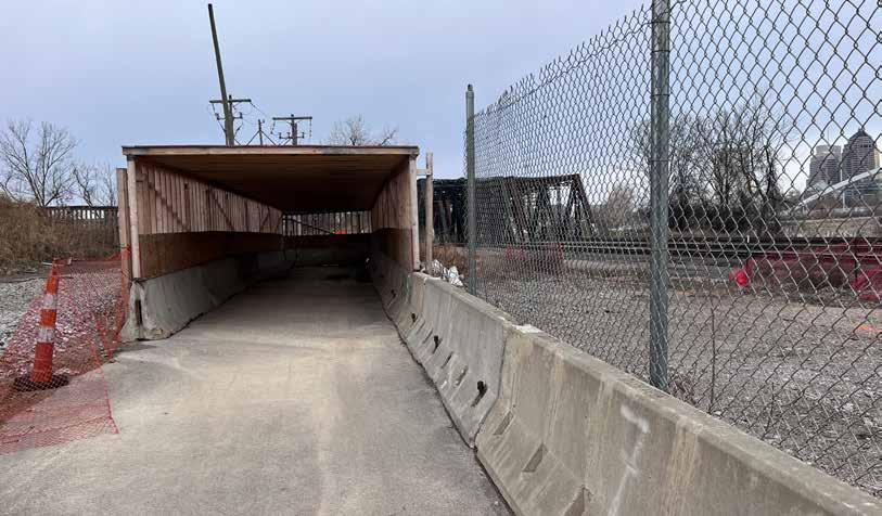
The route along Scioto Trail through downtown Columbus is recommended for inclusion among the regional trail guide’s featured cycling rides because:
• The trail is in good condition and feels safe to ride�
• The destinations along the route are varied, high-quality, and enjoyable for all audiences�
• There are ample cyclist amenities available throughout�
• The route challenges identified are outweighed by all this urban ride experience has to offer�
Two trail counter locations are recommended to help assess the popularity of this route:
1� The intersection of the trail and the new Souder bridge (top map)
2� East of McDowell St heading to and from Dodge Park (bottom map)
An urban route that showcases Ohio’s capital city with enough unique experiences for a different ride every time!
This route should be considered for inclusion on the map�
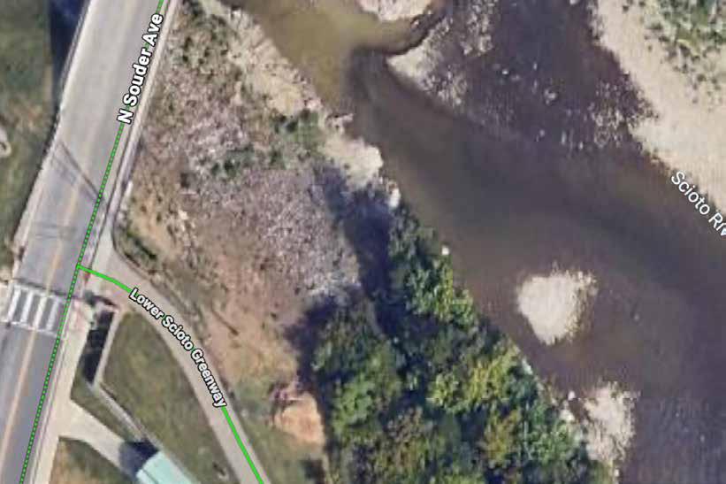
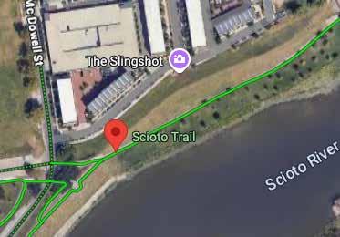
Trail(s): Scioto Trail
Start/End: Scioto Audubon Metro Park
Distance: 6�5-mile loop
Conditions: Flat, paved
Ride Time: 60 minutes
A route that showcases Columbus’ downtown, with enough experiences for a different ride each time!
Begin at the Audubon Center and enjoy the many amenities at Scioto Audubon Metro Park� Cross Maier Pl north of the Office Center and continue until the Columbus skyline comes into view� Turn right towards the railroad bridge and stay left to ride under Main St along the riverfront, or explore downtown by taking paths to the right� Cross the Souder Ave bridge to the river’s west side and visit Veterans Memorial or COSI At street level past Genoa Park, take the Main St bridge to head back or continue on to Dodge Park for more fun and easy access to the Franklinton Arts District�
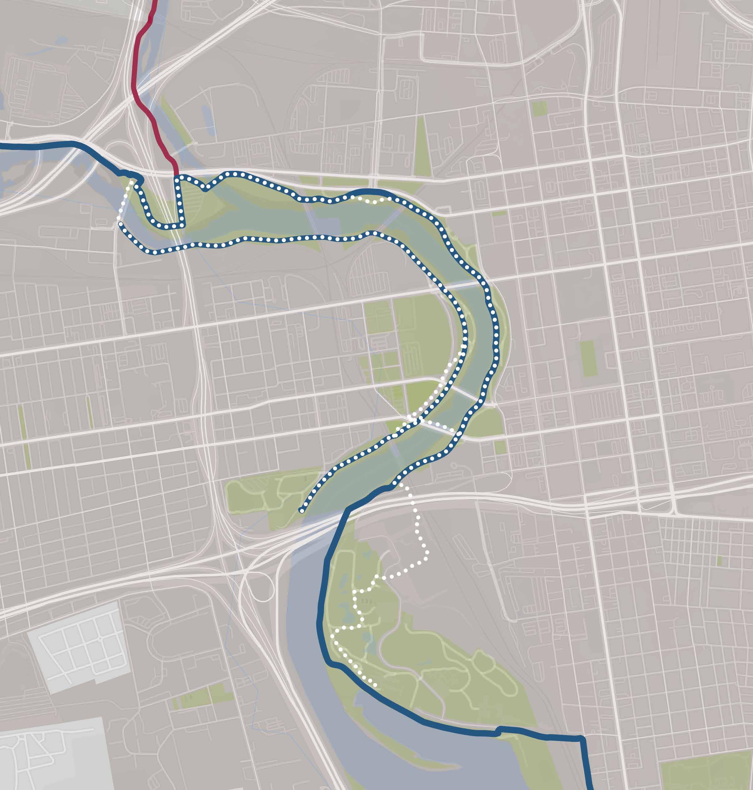
A 16-mile segment of the Pandhandle and TJ Evans Trails was ridden by project team members on March 30, 2026 They began their ride at Licking County Family YMCA and continued to the Johnstown TJ Evans Trailhead� Their total ride time was 2 hours at a leisurely pace�
The segment is mostly flat and smoothly paved� Some roadway crossings are large and unmarked� Thoughtful trailside amenities are available, and wayfinding is adequate�
Granville and Johnstown both offer charming downtown business districts with many amenities and things to do�
Raccoon Creek and the farmland from Granville to Johnstown offer beautiful scenery�
Amenities and wayfinding signs along the route allow riders to feel cared for�
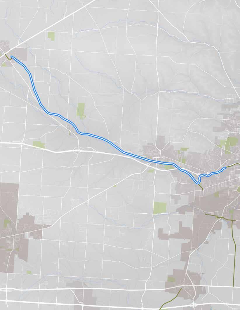
The route, as ridden.
• Licking County Family YMCA
• Newark & Octagon Earthworks
• OSU Newark
• Church St businesses
• Downtown Granville
• Downtown Johnstown
• Wildwood Park
RIDER AMENITIES
• Benches
• Bike parking
• Bike shop
• Bike fix-it stations
• Car parking
• Lodging
• Mountain bike park
• Shelters & seating
• Playground
• Restaurants
• Restrooms
• Trash cans
• Water
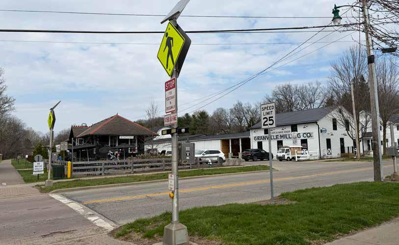
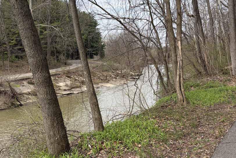
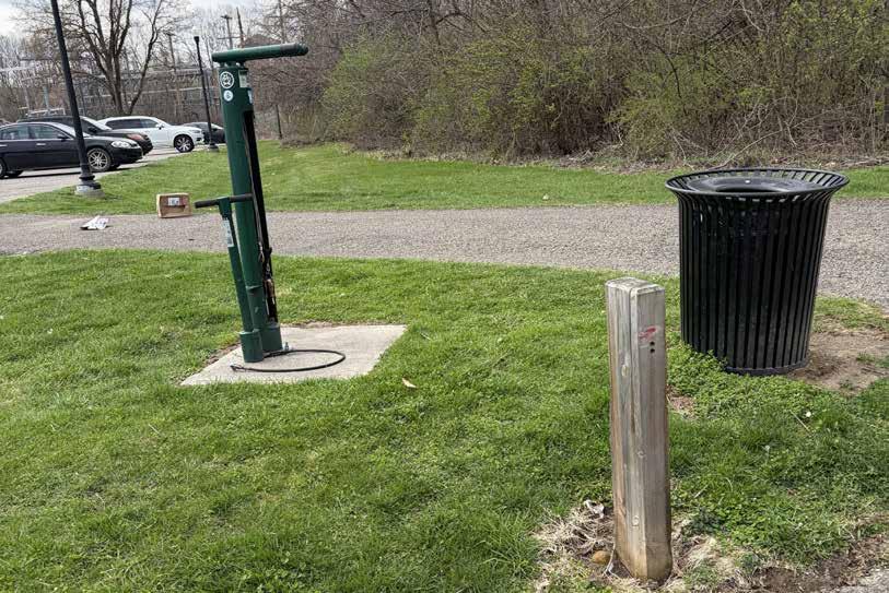
Though this route was generally experienced as comfortable by the project team members who rode it, they did note several issues that could use attention:
Road Crossings: Several road crossings between Granville and Johnstown, particularly the one at Moots Run Road, are very stressful to navigate�
Wayfinding: Signage along the trail is plentiful and generally helpful, but some signs are weather-worn or have been vandalized�
Trail Drop-off: On one segment along the creek, there was no flat land adjacent to the trail to accommodate a wheel going off the edge It seemed if this were to occur, the rider would fall and risk tumbling down the embankment to the creek below� This segment felt like it would be unsafe for small children
Lack of Connections: The ride begins at a private facility (a YMCA), and there is not yet a comfortable route to Newark’s nearby destinations�
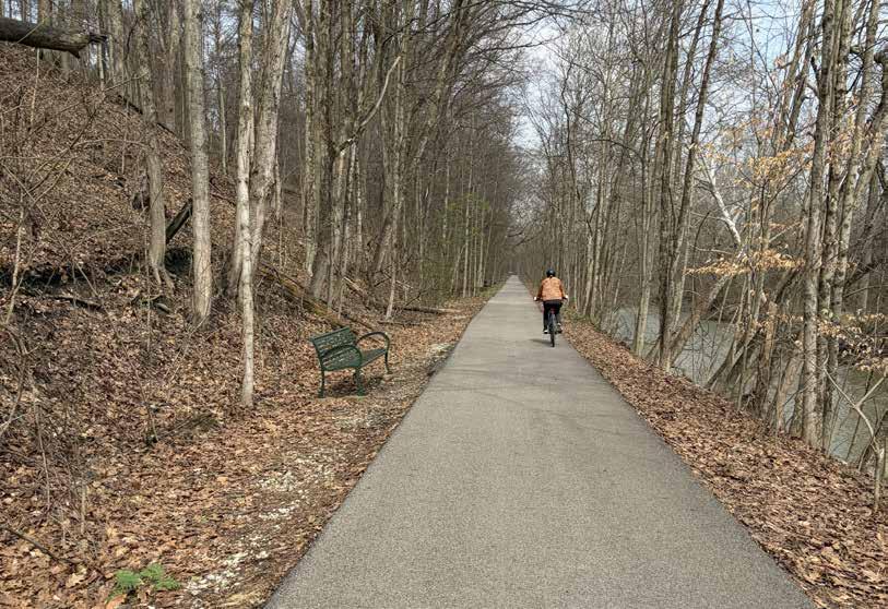
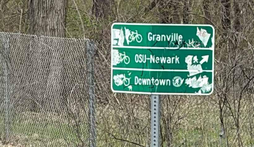
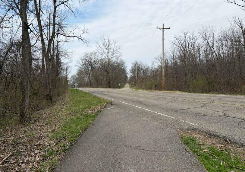
The route along the Pandhandle and TJ Evans Trails from Licking County YMCA to Johnstown’s TJ Evans Trailhead is recommended for inclusion among the regional trail guide’s featured cycling rides for the following reasons:
• The trail is in good condition and feels mostly safe to ride�
• There are ample cyclist amenities available�
• Riders have the option to do a short ride from Newark to Granville or a longer ride to Johnstown and back; both destinations offer quality experiences�
• The route challenges identified do not substantially detract from the ride experience (though caution is warranted for younger children)�
Two trail counter locations are recommended to help assess the popularity of this route:
• In the wooded area between SR-16 and the Hartwick Apartments (top map)
• In Wildwood Park near the playground (bottom map)
A ride through Ohio’s heartland that highlights the farms and small towns that characterize this special region!
RECOMMENDATION
This route should be considered for inclusion on the map�
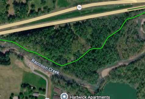
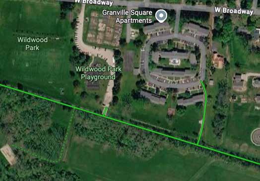
Trail: TJ Evans Trail
Start/End: Licking County Family YMCA
Distance: 35 total miles (out & back)
Conditions: Mostly flat, paved, optional on-road segments
Ride Time: +/- 3 5 hours
Setting: Rural
Appropriate For: Ages 12+
A ride through Ohio’s heartland that highlights the farms and small towns that characterize this special region!
Park at the Licking County Family YMCA in Newark and head west following Raccoon Creek� After several miles of enjoying the scenery, and with grain silos in sight, turn right to climb the Pearl St hill to Broadway and explore quaint downtown Granville — or ride past the silos to stop trailside at Main Street businesses for rest and refueling Turn around here for a shorter ride — and one that avoids major road crossings — or continue on the path through farmland to Johnstown, another charming village� Upon your return to Newark, consider driving to the two Native American earthworks sites nearby before heading home�
On-road segment
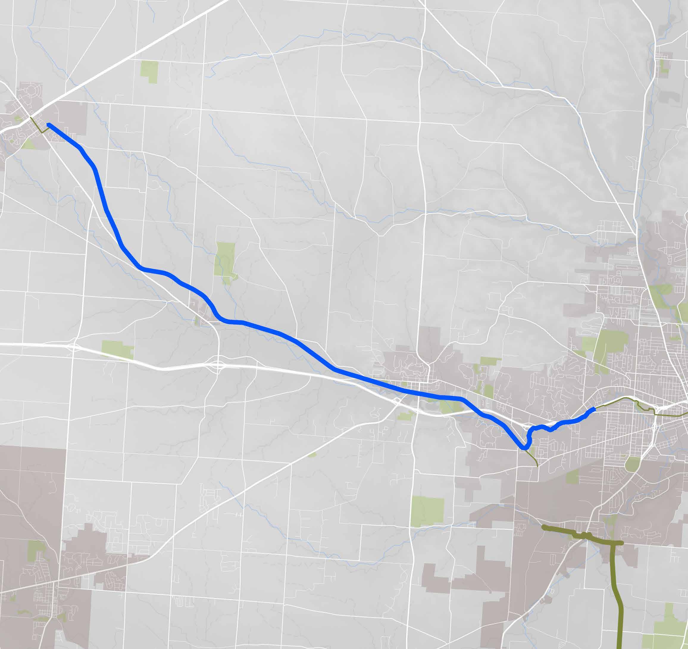
Wayfinding Turn right
Trailhead + Park &
Octagon Earthworks (top arrow) & Newark Earthworks (bottom arrow) + Visitors Centers Biking not recommended
Don’t show this trail
A 3�5-mile segment of the Big Walnut Trail and the sidepaths connecting it was ridden by a project team member on December 22, 2025 The ride commenced at Academy Park and continued to the Creekside Plaza in downtown Gahanna, at which point the rider retraced her steps to the starting point Total ride time was approximately one hour at a leisurely pace�
This trail segment through Gahanna is mostly flat and smoothly paved� The trail breaks approximately one mile south of Academy Park and a one-mile, on-road/sidepath segment through local subdivisions reconnects riders to the trail further south� There are multiple road crossing points along this segment Wayfinding is spotty along the entire route�
Parks along the route (Academy and Woodside Green) are high-quality and amenity-rich Academy has a new series of mountain bike trails in its forested area�
The Creekside development is a remarkable trailside destination with numerous businesses and activities for the whole family, from creeking to breweries and outdoor entertainment
It is possible to continue riding south to the municipal pool, making for a full day of summer fun
Start/End Point Academy Park
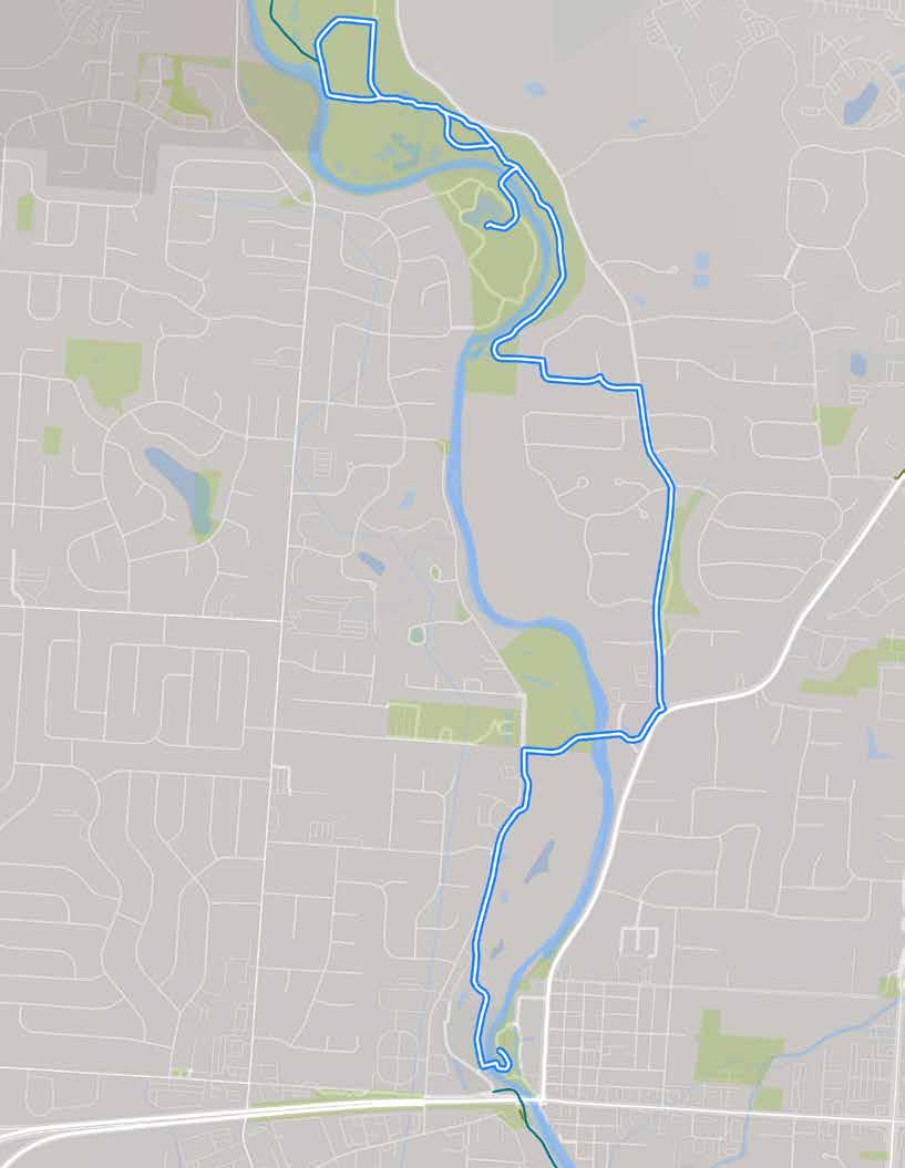
The route, as ridden.
ON-TRAIL & NEARBY DESTINATIONS
• Academy Park
• Woodside Green Park
• Creekside Park & Arboretum
• Gahanna Municipal Pool
RIDER AMENITIES
• Ball fields/courts
• Car parking
• Mountain bike trails
• Playground
• Port-a-johns
• Restrooms
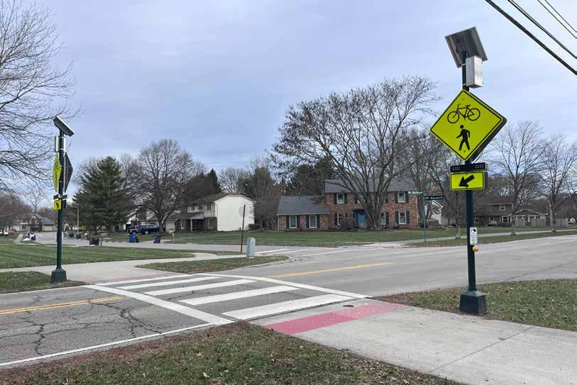
A well-marked crossing at Cherry Bottom Road.
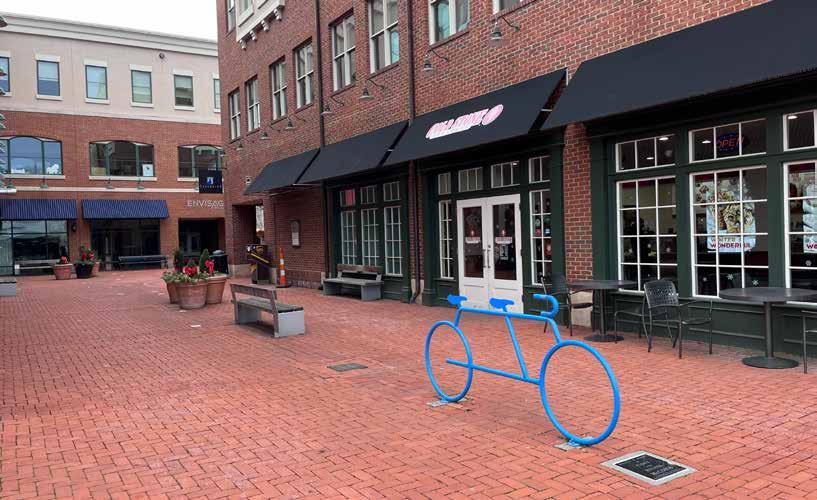
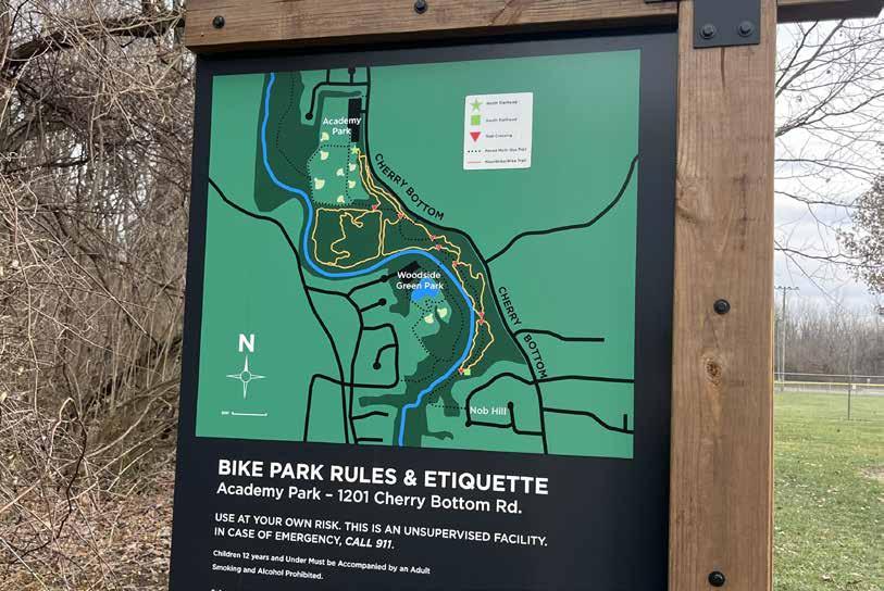
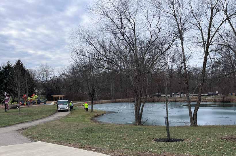
Though this route was experienced as somewhat comfortable by the project team member who rode it, they did note the following issues:
Wayfinding: Many decision points along the route were unmarked� Signage does not indicate the destinations available Connecting from the trail to its on-road portion is confusing�
Road Crossings: The route crosses Cherry Bottom Road, a busy arterial, twice� The first is a well-marked crosswalk, but the second is a major intersection with significant traffic � The route also crosses many side streets (though drivers seem aware of the need to look for cyclists)�
Narrow Sidepaths: Portions of the route are along a narrow sidewalk that feels very close to the traffic on Cherry Bottom Road�
Points of Interest: The route’s middle portion travels through subdivisions bordering Cherry Bottom Road Another segment runs alongside a fence preventing trespassing on the municipal golf course� The ride itself does not offer many points of interest�
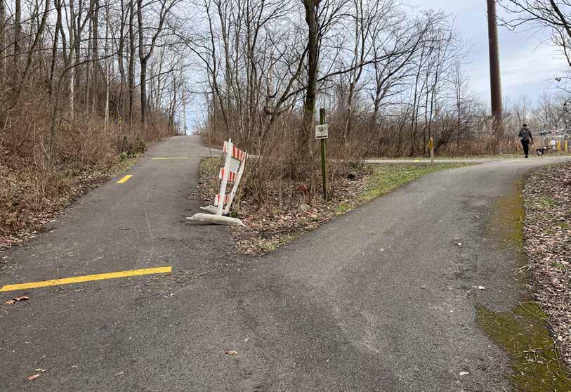
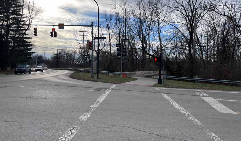
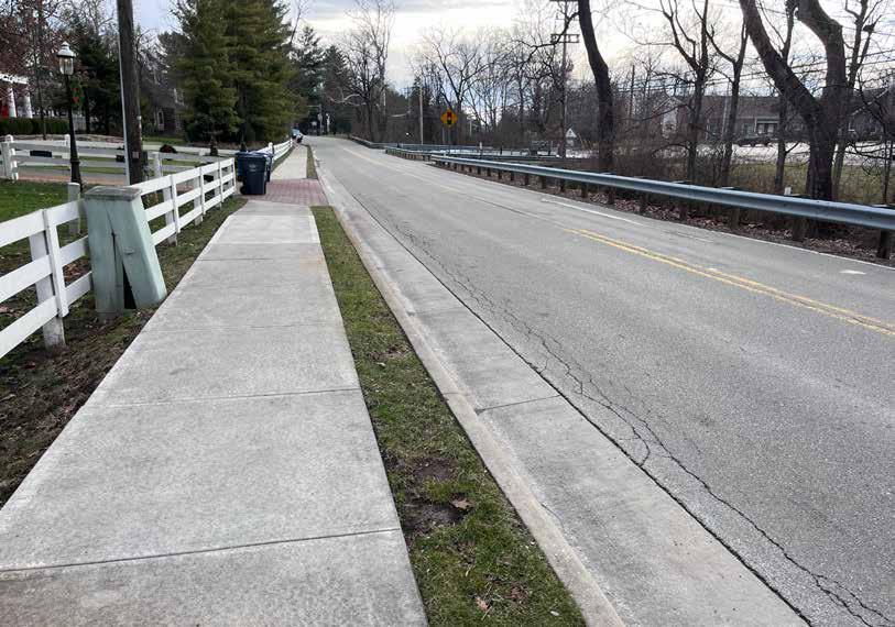
The route along Big Walnut Trail through a portion of Gahanna is not recommended for inclusion among the regional trail guide’s featured cycling rides because:
• The trail issues noted prevent a relaxed, comfortable ride experience�
• The ride is a fantastic community amenity, and features several highquality destinations, but does not yet feel like a regional draw
• The route does not connect to other major regional destinations
Two trail counter locations would help assess the popularity of this route:
1� Near the access to and from the Woodside Green Park (top map)
2� South of the Gahanna Municipal Golf Course and just north of the Creekside development (bottom map)
A suburban route that connects neighbors with fantastic community amenities!
RECOMMENDATION
This route is not recommended for inclusion on the map
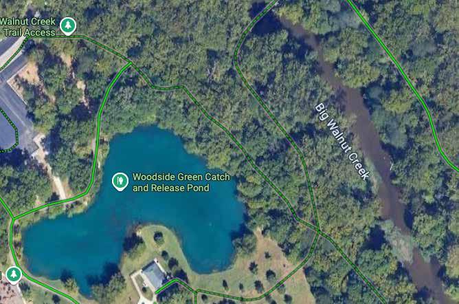
A 9-mile segment of the Emerald Trail was ridden by project team members on January 8, 2026� They began their ride at Glacier Ride Metro Park and continued to Bridge Park, then rode the same route in reverse� Their total ride time was less than 2 hours at a leisurely pace�
The segment is composed mostly of side paths with some trails, and is flat and smoothly paved� There are several major roundabouts to navigate, and wayfinding along the route is poor�
The route’s start and end points offer exceptionally unique, high-quality experiences�
It is impressive to be able to ride offroad for so long, and so comfortably, through the city�
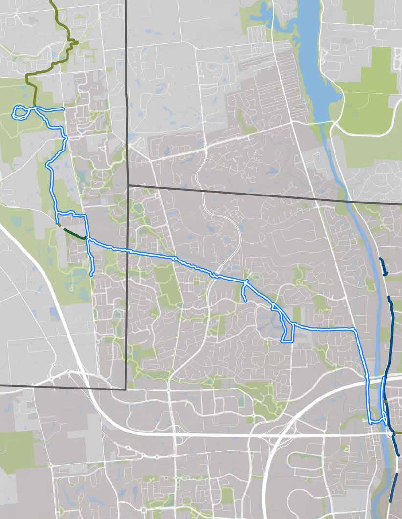
The route, as ridden.
& NEARBY DESTINATIONS
• Glacier Ridge Metro Park
• Avery Park
• Earlington Park
• Bristol Commons Park
• Downtown Dublin
• Indian Run Falls
• Bridge Park
• Riverside Crossing Park
RIDER AMENITIES
• Bike fix-it stations
• Bike parking
• Car parking
• Disc golf course
• Dog park
• Events & entertainment
• Fireplace
• Ice skating rink (seasonal)
• Obstacle course
• Pavilions
• Playgrounds
• Public art
• Restrooms
• Restaurants & breweries
• Scenic overlooks
• Trash cans
• Walking paths
• Water
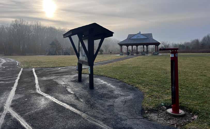
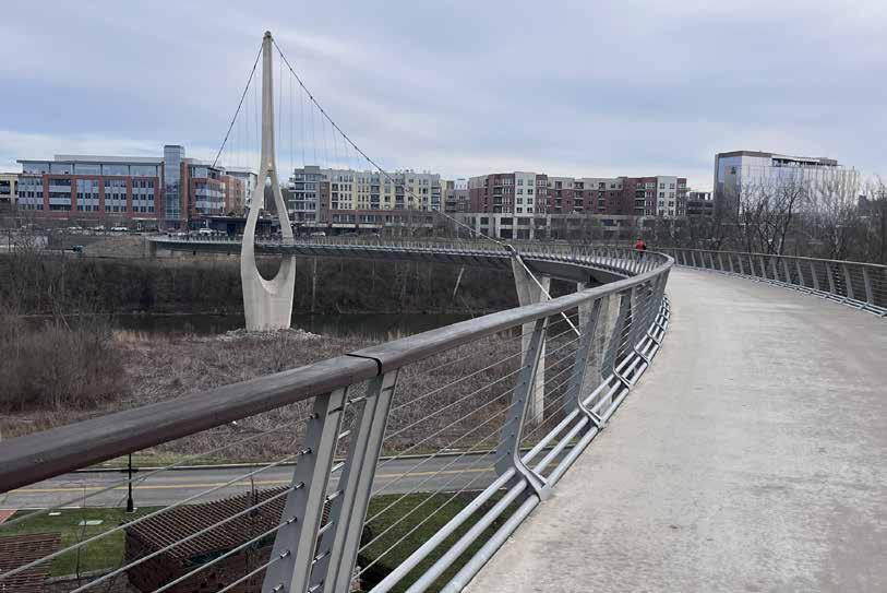
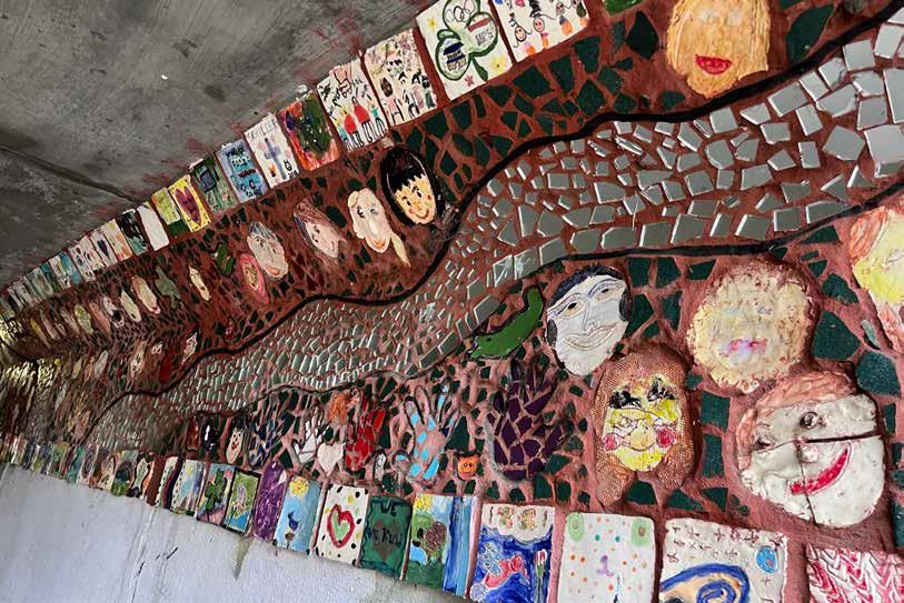
Though this route was generally experienced as comfortable by the project team members who rode it, they did note several issues that could use attention:
Wayfinding: There was no signage indicating what path was the Emerald Trail� It was unclear how to use the trail to access destinations including the Metro Park, Bridge Park, and others
Driveway Crossings: The sidepaths crossed many private household and business driveways, and were sometimes very close to the road�
Roundabouts: Crosswalks and signs to support crossing the roundabouts were in place, but navigating the large spaces, particularly without wayfinding guidance, still felt overwhelming
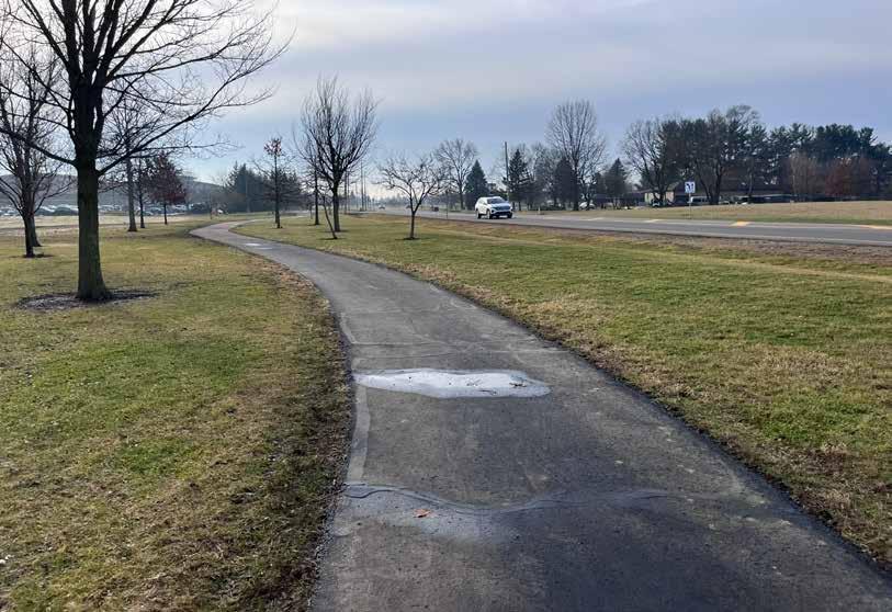
The sidepaths that constitute Emerald Trail are not identified as trail segments.
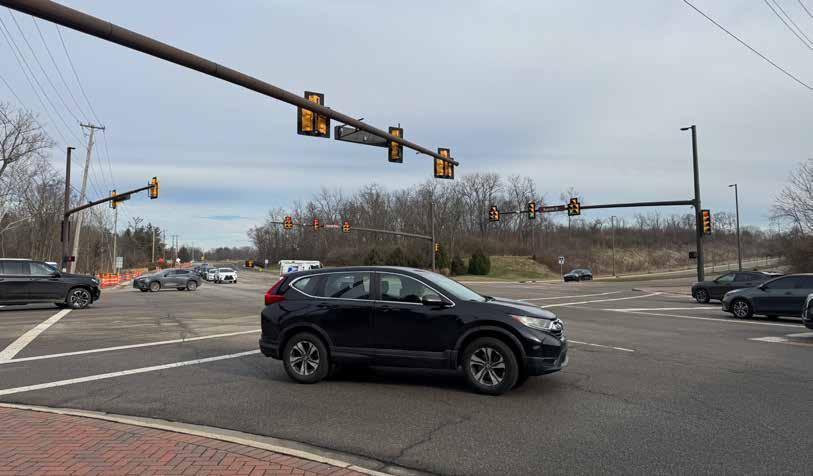
Some intersections are large, and it is unclear where to cross to follow the trail.
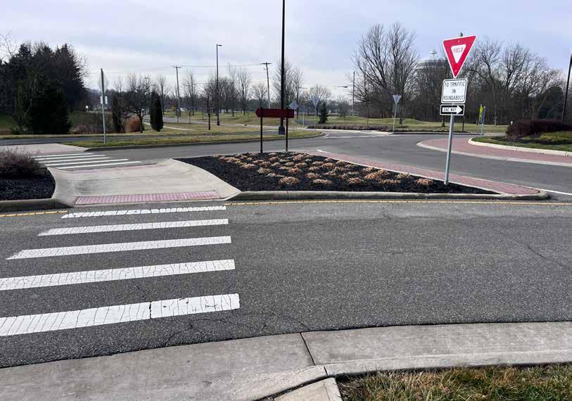
The route along Heritage trail from Homestead Metro Park to Hilliard Station Park is recommended for inclusion among the regional trail guide’s featured cycling rides for the following reasons:
• The lack of wayfinding, including any indication of what paths constituted the Emerald Trail, made navigating the route extremely challenging The project team members who rode it went the wrong way several times�
• Navigating the roundabouts, particularly without wayfinding support to provide confidence about the correct path, would be difficult, particularly with children�
Two trail counter locations are recommended to help assess the popularity of this route:
1� The Emerald Parkway underpass at the intersection of Dublin Road (top map)
2� The point at which riders exit Glacier Ridge onto Celtic Crossing Drive (bottom map)
A ride that families with kids of all ages can accomplish, with unique destinations and plenty of activities for a full day of fun!
This route is not recommended for inclusion on the map�
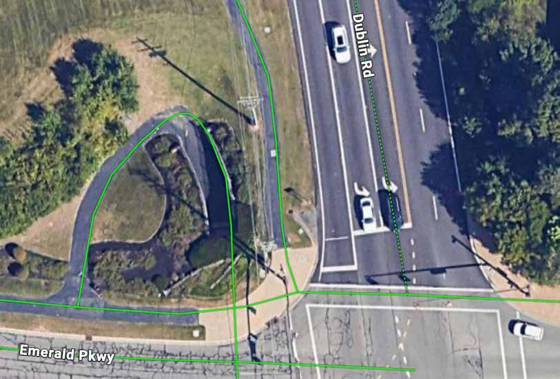
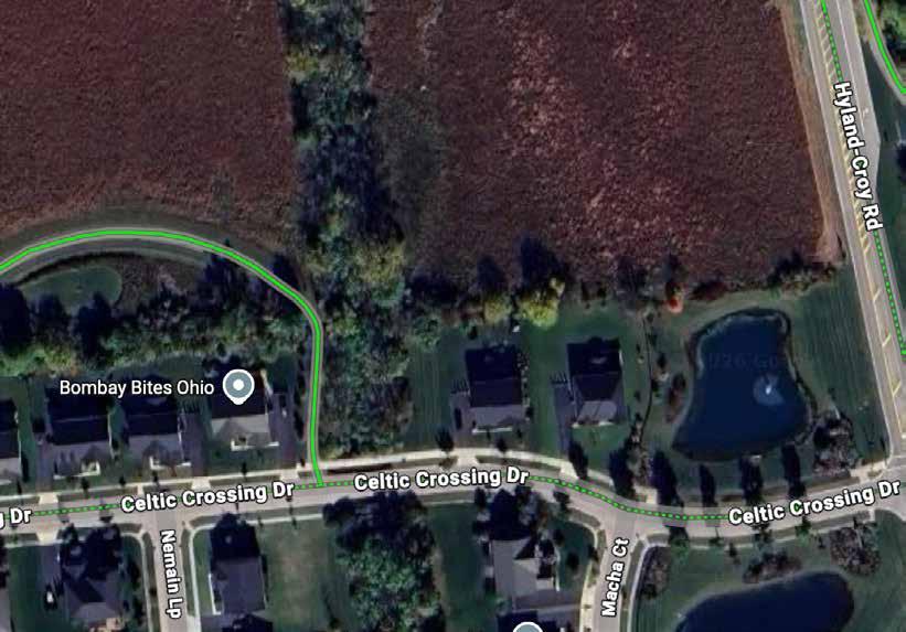
Six miles of the Grove City Bikeway was ridden by a project team member on February 28, 2026 who began their ride at the downtown Bike Hub and continued to the intersection of Mallow Ln and the Buckeye Parkway, then rode the same route in reverse� The intention had been to travel all the way to Scioto Grove Metro Park, but the rider turned back early Their total ride time was 90 minutes at a leisurely pace�
The route is a mix of on-street segments, side paths, trails, and sidewalks Cyclist amenities are available at various points along the route� Wayfinding from downtown to the YMCA is exceptional, but almost non-existent thereafter
The route’s main highlight is downtown Grove City, which offers a dedicated bike hub with cyclist amenities near the central business district, wayfinding signage that is clear and thoughtfully placed, and safe, comfortable cycling�
Grove City is clearly investing in safe travel for cyclists and being intentional about its routes and amenities�
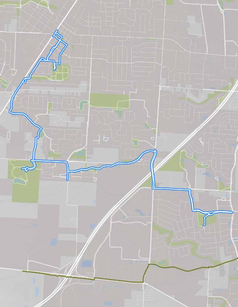
The route, as ridden.
• Downtown Grove City
• Grove City YMCA
• Century Village
• Henceroth Park
• Bike fix-it stations
• Bike parking
• Car parking
• Events & entertainment
• Pavilions
• Playgrounds
• Public art
• Restrooms
• Restaurants & breweries
• Trash cans
• Water
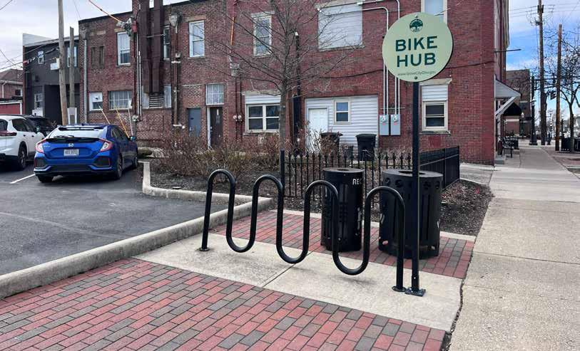
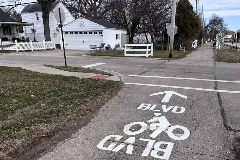
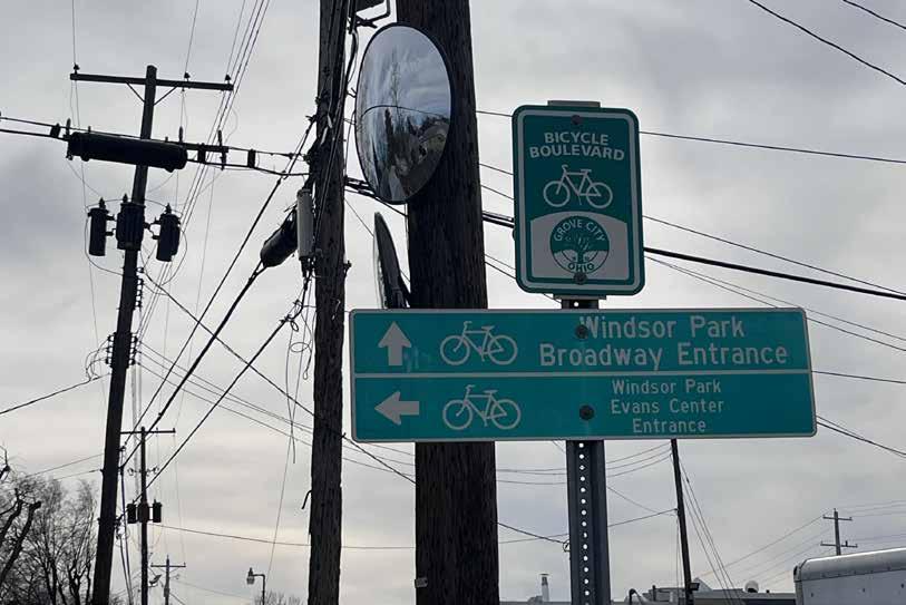
Though this route was generally experienced as comfortable by the project team member who rode it, they did note two issues that could use attention:
Wayfinding: Following the citypromoted cycling route became difficult after the YMCA, as there were few signs indicating how to get to Scioto Grove Metro Park The map itself was a lo-resolution pdf downloaded from the Internet that was difficult to read�
Hoover Road Overpass: Biking a narrow sidewalk across a highway overpass was scary�
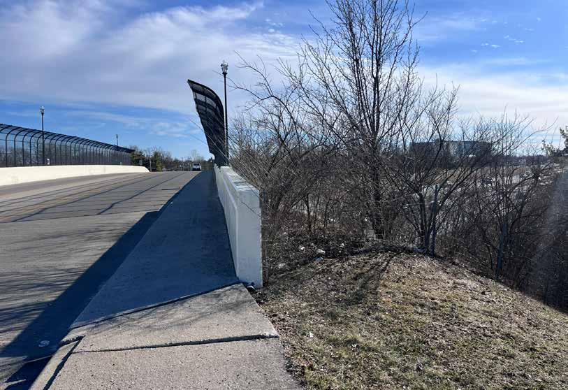
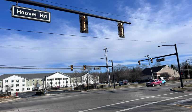
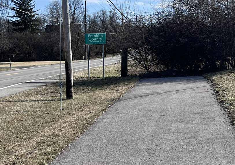
The route from downtown Grove City to Buckeye Parkway is not recommended for inclusion among the regional trail guide’s featured cycling rides for the following reasons:
• It is very difficult to tell if you are on the correct route after the YMCA
• The highway overpass felt very unsafe and would not be appropriate for children�
Two trail counter locations are recommended to help assess the popularity of this route:
1 The curve of the trail between Babbert Way and Harrisburg Pike (top map)
2 The entrance to Grove City YMCA, alongside the bicycle station at the intersection (bottom map)
A ride through charming downtown Grove City and its many city parks!
RECOMMENDATION
This route is not recommended for inclusion on the map�
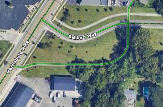
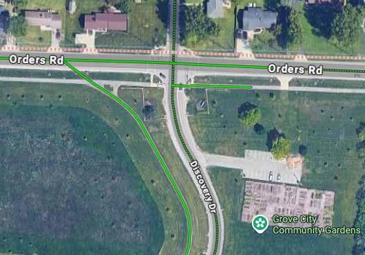
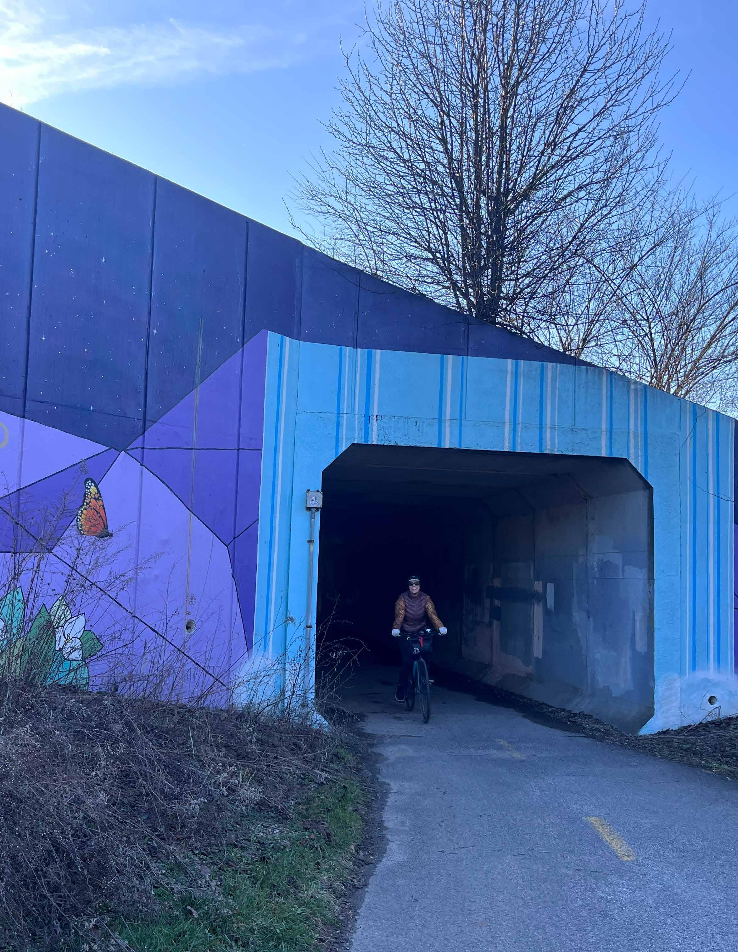
3.01
A style guide was generated and updated throughout the project to guide the look and feel of the map, the preferred symbology, the integration of branding features, and other elements� This style guide can help inform future maps and can ensure consistency across MORPC documents
Listed below are the elements outlined within this style guide:
Font family and styles for body copy, headlines, feature labels, and decorative elements
Standard icons across all maps for common points of interest (e�g�, grocery store, bike parking, visitor center)
SCALE AND NORTH ARROW
Standard configuration to be used on all map brochures
Color palette and applications
Issues and possible solutions
The primary brand font is Arial, which is available at adobe.com Arial must be the primary font used on all MORPC products.
The paragraph styles at right are for use in descriptive or narrative panels on your map�
The styles include:
• Map Title: Proxima Nova Extrabold, 35 pt
• Section Title: Proxima Nova Bold, 22 pt
• Sub-Heading Text: Arial Bold, 11 pt, MORPC teal brand color
• Body Text: Arial Regular, 11 pt
• QR Code / Website links: Arial Italic, 11pt, MORPC teal brand color
Section Title
Sub-Heading text
Body text
QR Code / Links
Label text must be consistent in size and style for each feature class represented (e�g�, all park labels should be same size, color, and type style) although some features may use different sizes as the feature size changes (e�g�, rivers)�
Size and style should be proportionate to the feature being labeled� For example, major city labels should be larger than small towns, and arterial street labels should be bolder than surface street labels�
Limit repetition of labels in close proximity (such as road names)� Labels should never overlap�
The following styles are suggested for the 15 County Regional Map:
• County: All caps, Arial Narrow, 14 pt, 40% grey, +50 letterspacing
• City: All caps, Arial Narrow, 6 pt
• Water Body: Arial Italic, 5 pt, MORPC brand teal (rivers can be all caps and set along a curve to follow the path of the river; if doing so, add +25 letterspacing)
• Park: Arial Italic, 5 5 pt, MORPC brand dark green
• Trail Label: Arial Rounded MT Bold, 6 pt, white font with the color of the trail behind the text
• Water / Hiking Trail Label: Proxima Nova Condensed Bold, 6 pt
The following styles are suggested for the Featured Ride Map Enlargements:
• Route Narrative Heading: Arial Bold Italic, 13 pt, 16�8 pt leading, dark blue (hex color code 3c5070)
• Route Narrative Body Text: Arial Regular, 10 pt, 12 pt leading
• Route Information Heading: Arial Black, 10�5 pt, 12 pt leading, white font on navy background (hex color code 3c5070)
• Route Information Body: Arial Regular, 10 5 pt, 13 pt leading, white font on navy background (hex color code 3c5070)
• Callout Bubble Heading: Arial Bold, 10�5 pt, 12 pt leading
• Callout Bubble Body: Arial Regular, 9�5 pt, 12 pt leading
• General Map Labels: Arial Regular, 8 pt, 9 pt leading
• Road Labels: Arial Regular, 6 pt, 7�2 pt leading, 25 tracking
• Adjacent Trail Labels: Arial Regular, 9 5 pt
• Water Labels: Arial Italic, 7 pt, MORPC teal
• Black and white highway / interstate shields used as applicable
These custom icons should be used across all MORPC-branded maps to enhance the map’s distinctive design� Icons are provided as Adobe Illustrator symbols� Icons can be modified to use MORPC brand colors� All icons in a map should be the same size – do not make any of them larger or smaller than the others Included below is a collection of potential icons to use, not all of these icons were used in the Regional Trail Guide�
FOOD TRAIL AMENITIES
Convenience Store
Farmers Market
Grocery
Cafe
Brewery
Winery
Dining
Bike Parking
Bike Share
Bike Charging Station
Bike Repair Station
Parking
Train
Bus Stop
Airport Wayfinding Alert
Park
Bench
Picnic Area
Camping
Selfie Spot
Scenic Overlook
Access Point
Trailhead
Cultural
Rec Center/Fields
Shopping Sports Arena
Lodging
Attraction
Road Crossing
Trail Starting Point
Turnaround Point
College/University
School
Post O ce
Library
Hospital
Police Station
Regional Trailhead
Blueway Access
Potable Water
Restroom
Information
Visitors Center
Emergency Callbox
This scale and north arrow style should be used across all MORPC-branded maps� Art is provided as an Adobe Illustrator file
Scale should never be more than three inches wide� Adjust increments as needed� Always maintain the north arrow at the given size (5/8” high) no matter what distance is represented by the scale
It is strongly preferred that all maps be north-oriented If the map is “heads up” or rotated away from true north, rotate the compass as a unit (“N” should be at an angle along with the compass)�
MORPC brand colors are the launching point for map branding These colors should be used as the primary color set for any map brochure� Different maps will be distinguished by the dominant color for design (e g , a blueways map would use MORPC Blue on the cover and as design elements throughout the brochure, with secondary colors as supporting colors)�
The primary colors used in the Regional Trail Guide are shown to the right The background of the map incorporates a dark green color� Accent colors for the map include light blue, orange, and purple� Swatches for water and parks / open space are also referenced
E46B25
C4DFBF
Each of the trails in the Regional Trail Guide have been assigned a particular color� The trails are also clearly labeled on the map to address accessibility concerns The trail colors are listed below:
HEX: 855E3D
B8802B
692E6B
HEX: 0A4D85
HEX: 038C75
00788A
HEX: A11C42
HEX: 009CC6
7C8536
General principles for accessible map design include:
Use of contrast
Use of symbols
Font selection and type size
Review the purpose and content of the map and decide what is most important� The hierarchy of the design should reflect that The most important features should have the greatest contrast with the rest of the map� Less important information can be in color but not distract from the main purpose Use a color filter/ checker to test your color palette for color vision deficiency quality� WCAG standards require contrast of 4 �5:1 or greater for compliance�
https://webaim�org/resources/ contrastchecker/
Do not rely on color hue alone to differentiate features� Use saturation or outlines to help create visual difference Patterns should be used sparingly but symbols can help identify features, such as always adding a tree symbol to park lands�
Symbols identify features of the map Do not rely on color alone to differentiate symbols - red circles and green circles are indistinguishable for some users� Instead, use shapes in addition to color (red triangle, green circle)
Symbols should be at least 0 25” in diameter With few exceptions, symbols should all be the same size on any given map�
On the map itself, use sans serif fonts for labels Minimum type size for labels is 6 pt, with 8 pt or greater preferred When using the smallest size, consider making the type all caps with a small amount of letterspacing to improve legibility (e g , roadway labels)
Labels should be as consistent in appearance, orientation, and placement as possible for each class of features�
Do not use underlined text Italic text should be reserved for waterways or parks� Halos should be used sparingly�


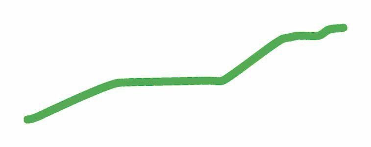



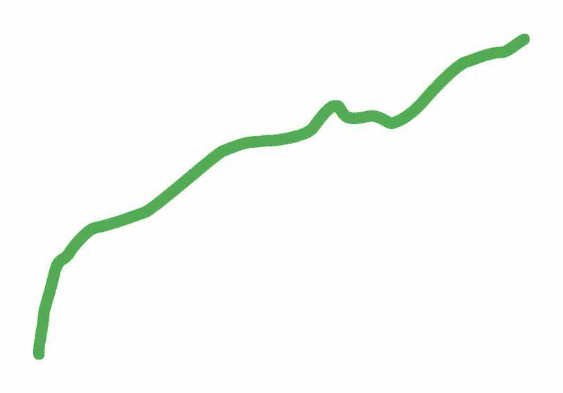
















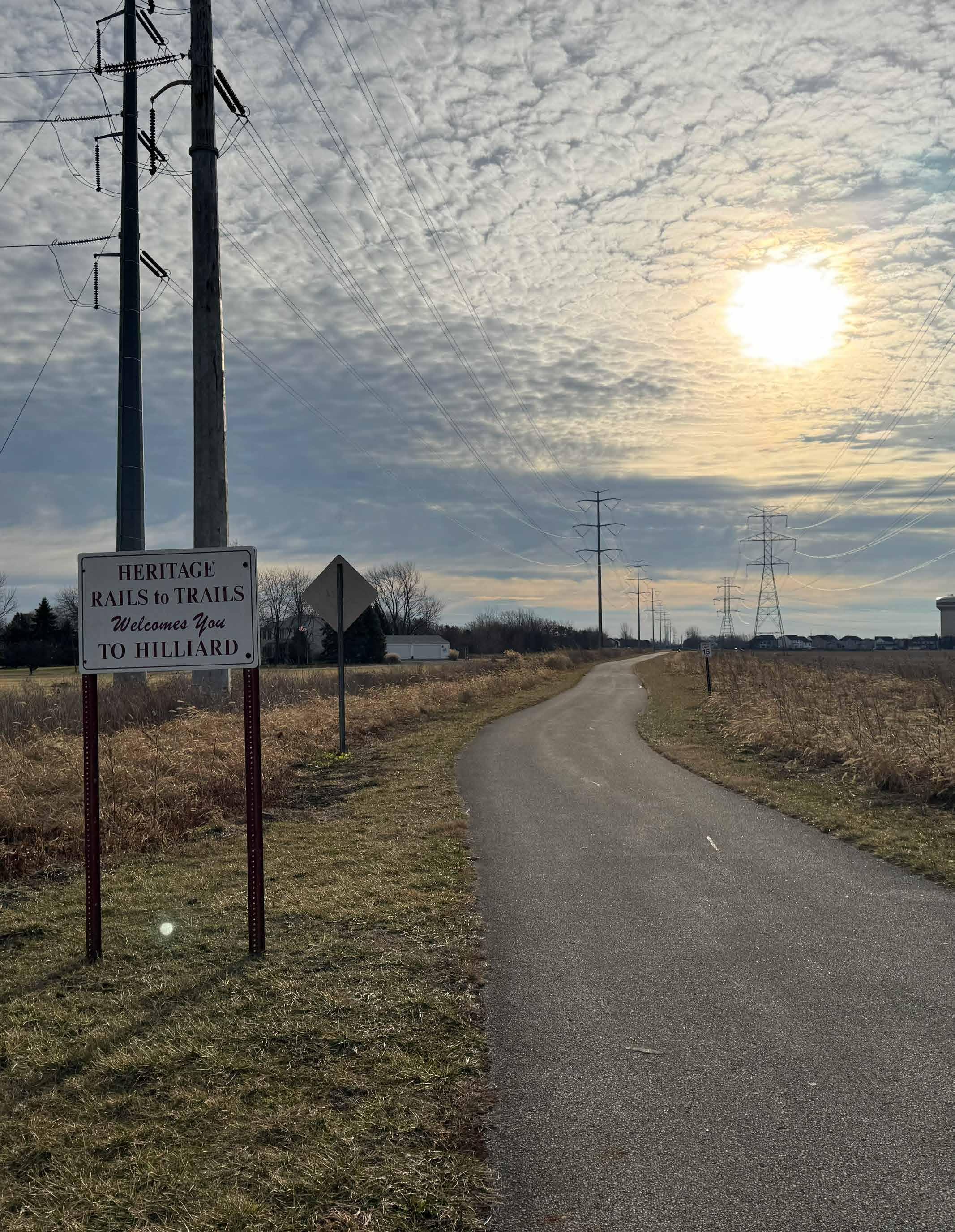
In what way(s) do you use a printed map? (Other responses)
• try new parks/open spaces since the trails often go near these areas
• To share with other cyclists, including customers at the bike shop where I work�
• To give to family to see where I am�
• Large printed maps are nice to see bigger perspectives, but otherwise I am on the computer almost exclusively when researching and planning a bike route
• i use online maps
• I don’t!
• Dont have a good printed map , would like to have one
• Distances
• Back up
What types of places do you go while riding your bike? (Other responses)
• Campgrounds (x2)
• We ride for fitness
• Visit family and friends
• Visit family
• Travel in the USA
• Trails
• To the gym
• School - Pick Up Drop Off
• Ride in bike tours
• Ride for pleasure only
• Retail stores, Dentist
• restaurant, other food establishments
• Recycling station
• Post office, fitness center, polling place
• pharmacy, record stores, my kids’ apartments, etc
• Pelotonia
• Other local attractions (COSI, Franklin Park Conservatory, etc�)
• On road / trail typically in a round trip
• Neighborhood
• MUT’s to avoid many busy roads and streets
• MTB trail systems Scioto Quarry and Alum Creek and horns hill
• Mtb parks and just normal parks as well as community rides
• Mountain bike trails
• Mostly ride my bike for training
• Most general errands are done by bike� Post office, bank, pharmacy, meetings, etc
• Malls, Hardware Stores, and out of town for Facebook Marketplace purchases
• Long rides for training
• local Parks
• I ride the bike trails of Ohio and Indiana
• I plan a route that starts from home and makes a loop that goes through some random rural town I haven’t seen yet
• I often ride without a destination per se
• I don’t own a bike currently When I had one these are the types of places I would ride to
• home
• Gym, swimming pool, classes, hobbies, friends’ houses
• From town to town along the regional bike trail
• friends’ houses
• Friends houses
• Friends’ homes
• friends and family’s homes
• Fitness center, polling location
• Festival/event
• Everywhere, I try to not drive
• Enjoy the trail No destination
• drug store, hardware store
• Currently ride along Great Miami River Recreational Trail but may relocate to Columbus area in near future
• Competitive training rides occasionally to a donut shop
• Community pool, friends’ houses
• Community center
• coffee shops, mountain bike trails, Alum Creek mountain bike trails, chestnut ridge mountain bike trails, coffee shops in Delaware ohio or lithopolis ohio or Marysville or Other
• Coffee shops
• City Hall for council meetings, friends’ houses
• Church
• Child’s school
• Camping
• Cafe/coffee shop
• Brewery s
• Bike paths around Cuyahoga National Park
• Any place I can reach safely on my bike�
• Coffee shops, downtown festivals
What is your favorite location to visit by bike in Central Ohio? (n=373)
• Buckeye Lake (x6)
• Ohio To Erie Trail (x4)
• Yellow Springs (x3)
• scioto mile (x3)
• Pickerington ponds (x3)
• Downtown Columbus (x3)
• Alum creek trail (x3)
• Uptown Westerville (x2)
• Three Creeks Metropark (x2)
• The Olentangy Trail (x2)
• Parks (x2)
• Park of Roses (x2)
• Marion Tallgrass Trail (x2)
• Library (x2)
• Hills Market (x2)
• Granville (x2)
• Glacier Ridge Metro Park (x2)
• Downtown (x2)
• Antrim Park (x2)
• Alum Creek (x2)
• Yellowsprings is great, but Urbana has certainly stepped up its game� Morrow is super cool Wow there are so many great trail towns on the bike routes in Ohio; really hard to name just one place
• Yellow Springs area, Pickeringon Ponds, Columbus Museum of Art, Coscto (Easton)
• Whetstone library
• Westerville north to Mt Vernon or beyond
• Union County covered bridges
• Typically Olentangy Trail and stops along it, Simon Kenton Trail, or riding around my house for recreation
• Tri County Trail, T� J� Evans Trail, Several sections of Central OTET�
• Tremont library, or UA community center
• Three Creeks trail from Groveport to Bexley for ice cream�
• Three Creeks to Pickerington Ponds Metro Parks�
• Three Creeks Park
• There needs to be a focus on extending the Olentangy trail from worthington hill to the city of Delaware along the river�
• The trails themselves I like the connectivity When the local city isn’t closing them due to vendor laziness�
• The series of parks along the Olentangy Trail� Wish that trail could be extended north to Highbanks Park�
• The scioto mile downtown� Columbus commons, scioto Audubon, alumn creek lake
• The Scioto Mile and Audobon Park
• The Scioto Mile
• The Red Hen restaurant in Plain City
• The Ohio to Erie Trail north of Westerville
• The Ohio to Erie Trail
• The Ohio Erie Trail from Westerville to Mt Vernon
• The next town about ten miles away It makes for nice twenty mile bike ride with a rest stop at the middle
• The metroparks I love that I can bike to many via trails
• The Metro Parks and more need bike access!
• The many parks along the trails Near me, including whetstone park and library Also, my child’s school
• The local metro parks
• The Kokosing Gap Trail
• The Horseshoe
• The Heritage Trail and the bike paths that branch off of it
• The Heart of Ohio Trail as well as the Buckeye Lake trail� Excited to ride the new path on Lancer Road to Heath, Newark, Granville and beyond
• The Greenway Trail and the Kokosing Trail
• the commons or the Scioto Mile
• The commons from Hills Market trail or from Westerville to Galena; Pelotonia trail for high rollers
• The Coffee Vault in Galena
• The Clintonville farmers market is easy to get to through the olentangy trail and it’s lovely
• The bike trails
• The Alum Creek Trail Westerville to Centerburg
• The actual roads are too dangerous these days But I try to stick to trails-paths I sometimes ride downtown via Olentangy path to brioso coffee from Powell� Or use the Olentangy trail to scroll road to alum creek trail to downtown then west over to Olentangy trail and back to Powell Its a safe route and pretty and ok other than riding along schrock and along dangerous roads between worthington hills and the zoo area�
• Tarpy Woods
• Tallgrass Trail in Marion County
• Tallgrass Trail
• Tall Grass Trail in Marion
• Stein Park
• Stay the fuck out of the god damn road!
• Starbucks Places with appetizers breakfast and alcohol Depending time of day
• So far Kokosing but Tallgrass is my most frequent due to proximity to residency
• Short North Or galena
• Short North
• ScottsMiracle-Gro Field (formerly Lower com Field)
• Scioto River
• Scioto Mile, downtown Columbus, Columbus art museum, library, breweries
• Scioto mile, any brewery near the Olentangy Trail Short North shopping Center street market, Hilliard
• Scioto Mile or anyplace on the Ohio to Erie trail
• Scioto Mile and Scioto Audubon Park
• Scioto Grove Metro Park
• Scioto grove metro park
• Scioto Audubon Park
• Scioto Audubon Metro Park/GIAC
• Scioto Audubon metro park
• Scioto audoban, downtown, Franklin park conservatory, most any brewery
• Rocky Fork Metro Park
• Right now there is nowhere I can safely cycle from my home because of the lack of protected bike lanes
• Riding thru the farms
• Ride downtown to grab a a quick bite to eat or a drink
• Restaurants
• Rail trails themselves
• Prospect, OH
• Pretty much all of them!
• Prairie Oaks, Big Darby, glacier ridge
• Please get these groups off country roads that are barely wide enough for two cars wide! Not only dangerous for riders but especially for young drivers who may not have time to make good decisions� Make it easier to enforce violations of bike riders who don’t follow the road laws
• Plain City area and Hilliard Heritage Trail
• Places I can take my kid
• Pickerington Ponds�
• Pickerington Ponds, Columbus Museum of Art, Smith/Witten Farm Market
• Pickerington Ponds from three creeks or wolf park� Easton from wolf park (used to park at the Easton soccer field until they closed the parking lot ) London sign from the west side casino
• Paved trails connecting mountain bike access
• Parierie Oaks Metro Park
• Our most frequent ride is from the three creeks metro park into Bexley and back to either go to Graeters or elsewhere to eat� If we have to ride roads, we ride out of Lancaster in Fairfield County�
• OSU�
• OSU sporting events
• OSU
• Olentangy Trail and Alum Creek Trail and a variety of E/W that connect (sorta)
• Olentangy river trail, entire length but particularly the north terminus
• Olentangy River Trail and Worthington Farmers Market - they are the most accessible to where I live
• Olentangy River Trail
• Olentangy River Park/Antrim Park
• Olentangy Greenway from end to end (WHP trailhead to Rt 104) and back (38 miles) Also Camp Chase trail to South Charleston and beyond It’s not safe to leave a bike unattended so I only ride for exercise and enjoyment, not destinations�
• Olentangy bike trail
• Old Railroad Bridges
• Ohio to Erie trail region Near Centerburg
• Ohio to Erie trail between Sunbury and Danville
• Ohio stadium m, Scioto and olentangy trails
• Note: I no longer ride due to injury, but wanted to contribute since I’m familiar with the trail system and with cycling for transport
• Not sure
• No where yet But want to start I cannot lift a bike and transport it so it would need to start and stop at my home
• No specific location - it’s just nice to be
able to reach different areas of the region via (mostly) safe and comfortable trail networks!
• No single favorite, but visiting many other city parks around the area, especially those easily reached by recreational trails�
• No real favorite� I ride all over Central Ohio�
• Newark Earthworks
• New Strava segments I haven’t tried yet
• New Albany area
• NA, Mostly local parks within a mile from our house…
• N/a, I mostly use recreational trails
• N/A because I’ve quit riding since there aren’t any trails nearby to access
• My neighborhood�
• My neighborhood in 43220 very near UA � Because of my age, I don’t go too far� Traffic worries me� I don’t need to fall off a bike and break something I have used trails on occasion and appreciate them But I am slow and I think that annoys people
• My favorite trail is the Alum Creek Trail
• Mt Vernon, Ohio
• Mt Vernon Newark
• Mt� Vernon areas
• Mt� Vernon
• Mt Vernon
• Mt Vernon
• Mount Vernon Centerberg Sunbury Ohio to Erie
• ML Red Trabue Nature Preserve
• Millersburg and Howard
• MetroParks
• Metro parks, restaurants, ice cream shops
• Metro Parks
• Marion Tall Grass Trail
• Main library downtown
• Lower com Field - love the bike valet and Astor Park Garage bike hub!
• Loveland and Milford More southwest I suppose
• London,OH
• London to south Charleston
• London Ohio South Charleston purple Monkey Galena Diner
• London Ohio
• Local restaurants/bars/ice cream shops�
• library(s)
• Lancaster, OH
• Lancaster bike trail around Lancaster High School
• Lancaster
• Lakes next to Mt Vernon, Knox county Hoover reservoir in Galena
• Lake Antrim
• Lake
• Kolacheez coffee bar in Centerburg
• Kokosing trial
• Kokosing Gap Trail, Knox County, Ohio
• Kokosing Gap Trail, Holmes County Trail, Heart of Ohio trail
• Kokosing Gap Trail, Brown Family Environmental Center, Downtown Mount Vernon
• Kokosing Gap Trail, tj Evans trail, olentangy trail
• Kokosing gap trail Mount Vernon to Danville sublime
• Kokosing Gap Trail from Mount Vernon to Danville
• Kokosing Gap Trail
• Kokosing Bike Trail
• Knox county!
• knox county
• KGT
• Just around the town I live in
• Java Central Coffee Shop
• Ice cream places
• I would visit more places from Delaware, but the trail along Sawmill Pkwy deadends at the gravel pit… with no way to safely connect to the rest of the cycling infrastructure, already in place
• I would like to have safe bike access to bars and restaurants, which I currently do not where I live in Licking County
• I wish there was a bike trail in the Baltimore area as riding on the roads is not a safe option and terrifying
• I will ride to coffee shops, but normally part of a route� I typically ride on the west side of Columbus, Hilliard, Plain City and further west�
• I use the 3 creeks trail about 3 days/week in the spring and summer� It is one of my favorite trails as I can ride up to Olentangy from there
• I use my bike mainly to commute so mostly my workplace, but that’s not really a fun visit
• I use my bike for general transportation so my favorite place to visit by bike is a place I was already going to go to and CSB reach by bike!
• I stick to what is along the bike trail - riding a bike along a street is too high risk for an accident�
• I ride to experience different settings, sites, views, roads and streets� I like all kinds of areas and appreciate being able to ride safely including on low traffic roads, trails, wide berms, marked bike lanes etc I would like to be able to travel all around and through Central Ohio on connected bikeways and trails�
• I ride the trails for fun and fitness From Pickerington Ponds to Westerville� I’m
Westerville it gets complicated following paths Also, love the Olentangy Trail
• I ride the Olentangy Trail, Westerville bike paths and New Albany bike paths I have ridden the rails to trails ride to Newark�
• I ride into the New Albany town center I also do rides with New Albany on the roadside trail network and on residential streets When I ride on trails, it is usually from Alexandria to Newark This is a rail trail that’s existed for a number of years I also have written the Alum Creek Trail quite a bit�
• I ride from Pickerington Ponds up to Bexley sometimes for lunch I also ride the trails around Sunbury and Galena�
• I ride charity rides & races all over the state
• I ride a lot for erranfs and recreation So my favorite places for errands are Grandview Market District, Vic Village Lucky’s / CVS� I also ride to farmers markets in Clintonville, Bexley, Franklin Park, and German Village I ride to the Art Museum and COSI I also ride to Short North Stage as I work there part time
• I primarily use the bike paths as exercise or to access natural surface trails The thing I enjoy most is using a bike to access other types of recreation like mountain bike trails, pickleball or hiking/exploring�
• I often stop on the trail bridge by dodgerige, it’s beautiful all year
• I often ride the Olentangy Trail from Worthington down to Ohio State� I also ride it for local errands or to go places in Worthington and occasionally to work I also had a kid trailer (when my son was young) to take us to the park or Farmer’s Markets, etc� I also have a “dog trailer” for my bike to we can ride to park/walk locations�
• I may ride my bike to the pool�
• I loved going to breweries when my husband and I rode our bikes to places�
We stopped riding our bikes to places after his bike got stolen, and just ride them for recreation now� If it were harder to steal bikes in Columbus — indoor bike parking, bike valets and security, etc — we’d LOVE to ride more places, like markets, parks, etc
• I love three creeks and riding all the way out to mount vernon But I’d prefer to be able to safely ride to practical places like grocery stores, malls, the ice skating rinks, and the zoo�
• I love commuting by bicycle to work every day throughout the year, and I enjoy riding occasionally with my friend along the Olentangy Trail and adjacent points of interest
• I like visiting outdoor areas, whether it be a park, trail, or restaurant/bar with outdoor seating If I were to choose one location, Understory is a great spot given its convenience to a trail and away from busier roads�
• I like the Xenia bike hub and spending time at Yellowsprings�
• I like the Olentangy trail - it’s really the only trail I’m familiar with, though�
• I like riding the protected trails, riding the Camp Chase to the home of my friend in London� My bike it too expensive for me to replace, so I don’t go anywhere that I can’t lock it indoors
• I like riding the Alum Creek Trail as part of the Ohio to Erie Trail route
• I like being out on country back roads and avoiding car/truck traffic as much as possible
• I have only visited the Olentangy trail with my bicycle in the past when I lived in Columbus and close by the trail head I stopped riding there though due to safety concerns� I liked to take the trail to the Park of Roses and visit the Whetstone Library
• I have not done much biking in Ohio I ride in my neighborhood for exercise
• I frequent camp chase, olentangy, Sciota, and Darby trails
• I enjoy the Johnstown to Granville TJ Evan Trail as well as the Kokosing Trail
• I enjoy biking to the library and different metro parks in the area
• I enjoy biking along the Olentangy trail
• I don’t have one single place, I have many Specifically in smaller towns around Columbus
• I don’t have a favorite location yet since I haven’t been on many of the trails
• I do not have one
• I do not currently have a favorite but would like to be able to bike from Delaware to Marion
• I currently don’t bike much but would like to do more of it
• I commute to work at Nationwide from Grandview 3-4 days a week I use the Goodale Ramp to get on the trail and get off at the Crew Stadium bridge�
• I bike for exercise out in licking county I don’t usually make it into Franklin county
• I bike for exercise not to get to a location My favorite trail is the Blacklick Creek Greenway Trail�
• I bike as many places as possible at all times, including as a commuter� Not sure I could name a favorite
• I am only familiar with the Kokosing Gap Trail in Central Ohio
• I am a gravel racer� I aim for quiet, hilly backroads� Otherwise, I often bike to work and sometimes bike to the grocery
• I absolutely love the river trails! Going anywhere within a half mile from the trail, especially the Olentangy, is the best!
• Horns Hill park
• Hoover resevoir
• Hoover Reservoir
• Hoover lake
• Honey Run Waterfalls
• Honestly, anywhere� I love being able to access the whole north south strip from Worthington to German Village, but it is difficult to go east-west comfortably
• Honestly I enjoy anywhere I can safely get by bike
• Holmes County Trail
• Hogback Ridge Park
• Hocking Hills and Hoover reservoir
• Hills Market in Worthington
• Heritage Rail Trail
• Groveports downtown
• Great seal state park mountain bike trails
• Great Seal
• Graters ice cream ��
• Granville on a training ride
• Granville from New Albany
• Granville and Mt Vernon areas
• Grandville
• Graeter’s ice cream
• Glenmont Tavern in Glenmont Ohio� Also, Mount Vernon, Lancaster, Mechanicsburg, Marysville, Canal Winchester, Utica
• Gambier
• Galena
• Gahanna Creekside (that’s the one I frequent most)
• Franklinton
• Franklin Park, Uptown Westerville, Downtown Mount Vernon, Sunbury Square
• Franklin County Metro Parks, restaurants and businesses in my neighborhood (Old North), Grandview Pool, the trails themselves�
• Frankfort Ohio via the Paint Creek Recreational Trail and also Hoover Reservoir via the Alum Creek Trail
• For riding, the Alum Creek Greenway Trail For visiting, the Ohio Statehouse�
• Focusing on bikes is a waste of time, money and effort� Please use these resources elsewhere�
• Farmers markets, old worthington, anywhere along olentangy or scioto trail, scioto Audubon
• evans trail
• Emmett’s/Understory
• Easton, but I don’t really have a safe way to get there from my neighborhood even though I’m close by�
• Downtown, to events that are in Scioto mile to avoid driving�
• Downtown Riverfront, Johnstown to Granville, Alum Creek Trail
• Downtown or Westerville, from my home just south of Westerville�
• Downtown events like Jazz and Ribs Fest and Pelotonia
• Downtown Columbus I like the restaurants along Nationwide Boulevard
• Downtown Columbus Scioto miles
• Downtown Columbus Grange Audubon center
• Downtown Columbus coffee shops
• Der dutchman, Plain City
• Delaware County District Library!
• Darby creek - camp chase trail
• Danville OH and Xenia OH
• Cuyahoga falls
• Currently ride along Great Miami River Recreational Trail but may relocate to Columbus area in near future�
• Crimson Cup at Northwest Blvd and Lane Ave�
• Crew stadium in Columbus
• Crew stadium and the confluence area for birds
• Crew Stadium
• COSI area
• Community Mural Park in London, OH
• Columbus Public Library downtown branch
• Columbus Metropolitan Library
• Columbus Library downtown
• Columbus Crew soccer games
• Columbus Clippers baseball games
• Columbus bike trails Your of buckeye lake
• Clintonville farmer’s market
• Chillicothe
• Centerburg
• Cedarville
• Canal Fulton or Loveland
• Campus area
• Buckeye lake� There are few other places that provide a safe place to keep a bike while visiting if you are unable keep the bike with you
• Buckeye lake, cherry valley and nelsonville to Athens
• Buckeye Lake State Park
• Buckeye lake area, Heather, Hebron
• Buckeye Lake and surrounding areas
• Brewerys
• Brew Dog in Canal Winchester, however, there needs to be a safer way to travel from downtown Groveport along Main St/Groveport Road to get to Brew Doga hazardous road because of impatient drivers
• Brassica and Graeter’s in Bexley
• Blacklick Greenway Trail
• Blackhand Gorge
• Biking the camp Chase trail
• Biking Scioto Mile, Olentangy Trail and stopping by Campus (Bar or Restaurants)
• Bike trails
• Battelle Darby Metro Park
• Battelle Darby Creek Metro Park�
• Battelle Darby Creek Metro Park
• Battelle Darby and Homestead Metro Parks and Yellow Springs
• Battel Darby
• Batelle Darby Creek metropark
• Bars
• Austin mill brewery
• Audubon nature park
• Audibon
• At this point I’m a year-round bike commuter, but I don’t do very much strictly recreational or fitness biking�
• Arena District, Scioto Mile, Thunderwing Brewing Company
• Areas near Ohio State
• Anywhere I can’t actually make it to anything by bike without driving there first� Usually Westerville by Route 3 Erie trail
• Anywhere where I haven’t been before
• Anywhere there’s a bike trail�
• Anywhere I can get to that requires the fewest number of interactions with aggressive car drivers
• Anything on the Alum Creek Trail
• Anything along the Olentangy River corridor, particularly near OSU Campus
• Any where along a trail
• Any walkable neighborhood
• Any place that has a bike trail - I love to ride outside but do not like to ride on the streets
• Any metro park
• Antium
• Alum creek trail
• Alum creek trail, Granville trail, 3 creeks
• Alum Creek Trail system
• Alum Creek trail from 3 creeks to Bexley for lunch and back�
• Alum Creek State Park
• Alum Creek mtb trails, Olentangy Bike Path, John Bryan State Park mtb trails
• Alum Creek mountain biking
• Alum Creek mountain bike trails
• Alum Creek mountain bike trail
• Alum Creek / Heart of Ohio / Kokosing trails
• allpaths
• All trails through Madison County, Yellow Springs, Praise Oaks, and wherever I travel�
• All the parks in Pickerington, as well as Pickerington Ponds�
• All the bike trails
• All of Alum Creek trail
• All Metroparks
• A sport or music venue, particularly downtown
• North and east of Franklin County
Is there any other information you would include on a printed cycling map? (n=202l)
• Yrailheads, restrooms, water
• Why would someone use a printed map in 2025?
• Which bike lanes randomly end in the middle of the block since that is rampant around Columbus
• Where to park
• Where to park and access the trails, where bathrooms are located and any fun local spots to visit
• Where to get the best local coffee, ice cream, pizza and beer
• Where to fill up tire air at public stations
• Where there are bicycle maintenance areas like a bike tool/pump or local bike shops along the way
• Website, WR code for electronic interactive map + IG accounts for MORPC & bike organizations like Yay bikes
• We need MORE BIKE TRAILS!!!!
• Water sources, repair stations, camping spots
• water and rest stop on the trail, closest convenience stores (to purchase food/ water and even for AC on hot days)
• Trailheads, parking, trail facilities (restrooms, repair stations, etc�), points of interest, restaurants, trail descriptions (length, endpoints, trail surface)
• Trailheads, and parking for them� Distances of the trail�
• Trail surface information, rest stops and bathrooms, ice cream
• Trail head parking/restrooms/water
• Trail head parking and restrooms
• Traffic volume information for all roads Surface conditions for all roads
• Traffic lights
• Tips on choosing a safe route, using low traffic neighborhood streets
• This might sound silly, but having a practical and an aesthetic version of the map might make it more popular!
• There is no way anyone in 2025 will use a printed bike map and ride a bike Garmin and Wahoo sell GPS bike computers� Ride with GPS for map creation then download-connect to bike computer� Make electronic maps or a bar code Let people download routes Put maps up on Kiosks near actual working safe water to drink and bathrooms that are clean and
safe Show me where I am and how to get to next bathroom and drinkable water I biked from columbus to rock n roll hall of fame two days up a d back years ago, the trail system above Centerberg and through Cleveland is amazing Puts ours to shame See also Denver or Boulder or Minneapolis
• The year or edition of the map
• The ABCs of basic bicycle check/safety AAir up tires *carry a flat repair kit B- Brakes! Front and rear working properly C- Chain is lubricated and shifting/functioning Dont forget your helmet, lights, water and a snack!
• Stops that have safe bike storage
• Speed limits on roads, types of bike infrastructure, and general safety of bikers in areas
• Something like ‘be vigilant, the cyclist is always at fault in the eyes of the law’
• Some sort of color-coded indication of the amount of car traffic that can be expected on each street�
• Sites or lookout points, dog friendly restaurants
• shelters (in case of inclement weather) and restrooms
• Save paper
• Safety stats for roads to trail heads
• Safe trailheads with restrooms
• Rules of the road
• Roads to stay off of
• Roads to avoid
• Roads clearly marked that have bike lanes and are safe for riders�
• Road speeds, paving type�
• Restrooms, water/food stops Historical or sights to see� Bike shops�
• Restrooms, restaurants, potable water, benches, sites to visit, bike support, camping, and lodging�
• Restrooms, food stops, bike repair tools
• Restrooms and water stops
• Restrooms and water fountains (more parks need both) and bike racks (places to lock up bikes safely)
• Restrooms
• restroom location, restaurant location, distances
• Restroom and Parking
• Restaurants, restaurants rooms , parking lot
• Restaurants, hotels, water and restroom availability on the trail
• Restaurants along the way� Would be a nice date adventure
• Rest room locations
• Rest areas and service areas
• Resources for cyclists, service spots, restrooms, food spots
• Repair stations, water locations
• Repair station info, Nearest bus stop to trail end points
• Repair shops
• Regional maps for the different outlier communities would be nice!
• Refreshments and other nearby places of interest
• Rangers phone numbers
• QR codes to online maps or resources that could be downloaded to phones Also, QR code that links to Metro Parks “Bike Trail Alert” system (where you can sign up to receive a text so you know if there is a trail closure or maintenance)�
• QR code for being able to download a digital version or knowing that the trails are uploaded and synced to popular mapping tools that I can use on my phone
• Put local hospitals on the map or major urgent cares and key bus stops Maybe
codes you can scan for local coffee shops and craft breweries along trail (you often can find the food trucks in these areas, too), bike repair stations (I can’t remember if I’ve seen these along the Columbus paths or in my mom’s town, but if there are any of the stands with the Allen Wrenches and the tool to put tires back on, etc, those locations should be on the map� They should still color code the parts where you have to connect trails by road - like red is high car traffic orange is moderate and yellow is low travel or something like that One of the counties I worked in did this on their bike maps and it was super helpful
• Public restrooms near trails Portable toilets are often unsanitary due to neglect
• Public Restrooms
• public restroom locations
• Public Restroom availability and parking Most people do not live close enough to a trail to get on one without having to drive If they comfortable enough to ride to the trail via road then they most likely aren’t the type cyclist making use of the trails�
• Printed material seem a bit old school� If these are going to be printed I think having maintained signage along the routes would be a better While visitors probably would appreciate map, most people have cell phones which have maps and internet access
• Points of interest, places where public bike parking and repair stations are located, historical sites or markers
• Points of interest near the trail, that are a short distance from the trail and accessible in safe (low traffic) roads�
• Point to point distances Water refill Bathroom facilities Elevation changes
• Please consider not just dedicated paths, but also rural road routes which have been curated by cyclists to enjoy areas which do not (yet) have dedicated paths Union County covered bridge routes for
example Focusing just on dedicated paths denies the existence of so much of central Ohio’s rural beauty, and the efforts of communities trying to welcome bicyclists It’s difficult to generate support for dedicated paths if there’s no evidence of cyclists- welcoming cyclists with curated and compelling rural routes generates usage and visibility and data, all needed to further the goal of trail building�
• Places to stop to fill up my tires if needed or public restrooms�
• Places to eat
• pavement quality (or lack of pavement), if a bike lane is removed from the road, how protected a bike line is
• parking facilities, restroom facilities, bike racks
• Parking and trail heads
• Other organizations along a trail - places to get a snack or something to drink, places of interest to stop, distances between segments, places to park
• Nothing that I know of
• No, I rely on GPS and online sites primarily for navigation and planning� I’ll only use a paper map if I am initially scouting a region and I want something larger than my computer screen to see Everything is online now and you can overlay routes, heatmaps, terrain maps, historical maps (from say 80 years ago to find abandoned roads/towns)�
• Neighborhood connectors that are possible by bike but might be closed to cars, bicycle boulevards, gravel/dirt connectors, mountain bike areas, BMX tracks, skate parks, tennis/pickleball courts, basketball courts
• Nearby places to refuel (water, snacks, etc )
• Nearby bike shops (for small repairs), water fountains, porta potties
• Names of the actual roads that are on the
map Maps with random highlights are not helpful for planning purposes
• Mountain bike trails
• More and more places (like Weilands and some Metro Parks) have those bike repair stations with tools on steel cables so they’re always there when you need them� I’d love a map that showed those sort of services, or air pumps with Presta valves, or water fountains
• Miles and points of interest
• Mileage, rest spots, detours
• Mileage table base on location or landmarks� Campsites along the route�
• Mileage imformation
• Mileage chart
• milage drinking water
• Metro Parks, other parks, waterways, scenic sites as destinations How do you convince people to ride places instead of driving? We have too many drivers going really short distances by car that they could easily go by bicycle�
• Maybe potentially dangerous areas to be aware of
• Low/mid/high stress routes, protected trails, bike maintenance stations, kid friendly routes, bike parking
• Lodging options for long rides, and CLEAR information on where you have to share the road I absolutely love the OTET but getting through Columbus is confusing
• Locations of sag wagon stops, like the repair station in worthington
• Locations of public restrooms and water stations
• Locations of bike shops in the area in case of emergency
• Locations for fixing flats
• Locations for bathrooms and restaurants
• Location of parking lots to park the car�
Distance of the trail Maps at parks More restrooms - than none at all
• Location of Bike Racks and lockers near high demand points of interest
• local destinations and attractions
• Links to Bicycle Organizations/Clubs
• Link to a place to report near misses with cars (not just crashes)
• Landmarks!
• Knowing exactly where I can park my car safely to start the trail
• Just an easy-to-understand map that reflects trail that is to scale, includes major streets for reference, and reflects some type of hierarchy of trails (regional versus local connections) - like a road map but for trails� Quite frankly, having a bunch of extra stuff on a map that takes away from its function seems generally unnecessary�
• It would be nice to have an easier route to connect the Ohio Erie trail to the Olentangy bike path so you could make it into a loop
• It would be great to have a sense of safety and how busy trails can be
• Information on native species that may be seen (or should be avoided) throughout the year on sections of trails Flora and Fauna
• Information on how to get real-time information - Like links/QR codes to a platform that has trail closures, etc�
• Information on community bike rides
• Inform pedestrians and joggers who use the trails that they must share the trail with bicyclists This applies ESPECIALLY to dog walkers, who should be caution strongly to keep their dogs close and under control when encountering bicyclists Dog walkers are often the worst offenders against trail-sharing etiquette and cooperation
• If trails are shaded or not
• I’d love to know how steep hills are on said route
• I’d like to see more bike paths I’d love to see a way to bike all along the olentangy river
• I’m generally familiar with central Ohio but if there is a place to stop off for coffee and a snack that would be helpful�
• I would never use a printed map
• I won’t use this, I’ll use Strava
• I want to know car traffic and how safe a cycling route is Car traffic is the most significant disincentive to riding a bicycle now� And I am generally very comfortable riding on the roads, but in the last 5 years, the amount of traffic has increased significantly in western licking county and eastern franklin county And a lot more aggressive driving too It is absurdly dangerous for cyclists now
• I think you’ve covered it
• I don’t really used printed maps other than to see an overview of the trail system so whatever else is on there really isn’t that important to me�
• I don’t use printed but responded above to a digital map�
• I could not get the above to work except for number 1
• How to safely coexist with vehicular traffic What to do in the event of an accident involving a motor vehicle vehicle
• How to report a trail maintnenace issue, Downed trees, wash-out, etc�
• How to properly lock your bike up and how to use a U lock� Too many people don’t know this�
• How to connect to other trails in Ohio such as Cincinnati to Cleveland�
• How the public can influence new trails being built�
• Hiw to be considerate of slower bikers and pedestrians on a mixed use trail
• High/Low Stress street network Bike Parking options
• High crime areas and areas where homeless encampment are prevelent
• Have it sent to the house or tell us how to access it by e mail
• have it onan app
• Future designated bike lane routes
• Food, water, rest rooms,
• Food places, places to stay, water/ restrooms and are they 24/7/365 available
• Food or rest stops� Public restrooms�
• First Aid information and specific law information if some jackass in a car hits you and a reminder that people need to be bringing enough water and electrolytes
• Expected trail surface quality� Warnings for high-risk intersections with previous fatalities or serious injuries Suggested alternative routes, or advice on handling weird intersections Contact information for state and local planning agencies to make suggestions for trail improvements� Maps of service areas for various 311-like services and instructions on how to report trail and path issues Locations and contact information for known bike shops and air pumps, for repairs� Locations of known secure bike parking�
• Expectation of courteous use of the trail with other trail users�
• emphasis on getting riders to signal (audible or bell ring) when passing others� Highlight rules on e-bikes, e-scooters�
• Emergency phones numbers of places I am riding through�
• Emergency phone numbers�
• Emergency numbers and how to tell someone where you are on a trail
• Emergency assistance phone numbers
• Elevation of curated routes, traffic safety considerations (ideally the routes are safe but that’s not true right now in Columbus)
• Elevation destinations
• Elevation change
• Distances between towns
• distances / mile markers along routes bathrooms
• Distance, elevation gain
• Distance, bathroom, and rest areas�
• Difficulty level, attractions within the trail,
• Degree of difficulty, trail surface, clear mileage markers, access points for cars
• Dedicated paved bike path
• Dangerous roads that should be avoided Not all unsafe roads are created equalsome roads have bike lanes (e�g� Morse Road) but should be avoided at all costs� Key cut thrus used by cylists and pedestrians - can be found via tools like Strava’s heatmaps
• Danger areas (areas that, while bike accessible, are high risk due to driver speeding habits or unprotected bike lanes)
• coupons
• contact for trail maintenance
• Coffee shops nearby, bar and restaurant locations Historical sites
• Coffee shops
• Coffe shops and bars with bike racks
• Clear designation of bike trails vs roads connecting bike trails� Conditions of the roads and trails (paved, gravel, low traffic, etc )
• Camping locations and other places to stay overnight
• breweries, coffee shops, cafes, etc�����
• BLOS for the roads on the map so that cyclists can connect off-road trails together when planning a route
• Biking rights to share with crazy car folks who scream at you
• Bike shop locations On a trail or on road distinction
• Bike parking locations, bike tool stations, bike friendly businesses, charging stations for ebikes, trail etiquette
• Bicycle safe/friendly roads (low car travel) to connect greenways�
• Better signs when trails and how to pick up trail again� I think it would nice to have a trail ranking for the amount of traffic and safety For example, their are parts of the Olentangy trail that has lots of traffic, that inlcude walkers, runners, family with small children biking (which is great, but know that those little ones may not be paying attention, so slowing down���almost like a no wake zone for trails) The safety one is difficult, I know Central Columbus, so I know that trails that I won’t ride alone
• Bathrooms is a must
• Bathrooms and warer
• Bathrooms and accessibility options/ accomodations
• Bathroom stops
• Bathroom access
• As much information as possible about the trail/path type: dedicated trail vs protected bike lane vs� unprotected bike lane vs� sharrows on a road� Speed limit on roads with bike lanes is also helpful information� And for quiet city streets that are good for cycling, it’s helpful to know where there are traffic lights for crossing busy roads because crossing four lanes of traffic on a bicycle at a stop sign can be very difficult�
• Any sharrow marked or signed streets in countryside
• Amenities like a bathrooms or a place that has tools to fix bikes�
• Alternative routes Food, restrooms, drinking fountains�
• Alternative routes to high-stress highconflict roadways
• Along with miles, length and time between points, bathrooms, coffee/ restaurants close to the trail, bicycle store close to the trails, points of interest�
• Access to water such as Tuttle
• A QR code/link to a dynamically updated website or Google Maps integration
• A phone number to call if I encounter a maintenance issue
• Marked and accessible bike lanes in all cities, towns and villages�
• No What other information is important in your decision to ride a curated cycling route, if any? (n=186)
• Will I encounter roads hostile to cyclists and why does that even exist
• Who created it? Had it been tested? Possible closures?
• Whether paved or crushed stone Parking areas and Intersecting highways easy to reference on the map Benches First aid stations or nearby clinics and hospitals� Is cell signal available along the trail?
• What type of trail is it (paved, crushed stone, etc����)
• What the weather is to be like�
• What sort of infrastructure I’ll be on (paths/ bike lanes/surface streets)
• Weather and wind direction Shaded ness, how shady is a trail�?
• Water supply, camping spots, safety concerns
• Usually ride on the road no trails suitable for training in Liberty township� Extending or widening roads with bike Lane would be great� Trails are worthless for cyclist in Liberty
• Usual wind direction�
• Types of roads
• Type of trail (gravel, concrete, paved, etc) and how long it is
• Trailhead parking for dedicated trails and signage at the parking lot The one in Sunbury is poorly indicated
• Trail termination spots and where it picks up again
• Trail surface quality
• Trail surface
• Trail entry locations
• Trail conditions, wildlife encounter opportunities (e g , check out the Lake Erie Birding Trail as a cool guide for wildlife viewing and nature connectedness on a pre-set path), opportunities to stop for food/drinks/shopping/bathroom
• Trail closures A paper map is great, but it needs to include a link to a real-time trail conditions website
• Traffic levels I want lesser traveled roads
• Traffic flow
• Traffic congested areas
• traffic concerns , designated bike path
• Traffic at crossovers from one trail to another if not connected
• Traffic and level of use in that area by pedestrians, other cyclists and tourists
• Tools station location Water stop Restooms
• The safety of the ride� Especially if sections on the ride are on public roads� How much traffic, speed of traffic, are there safe shoulders, safe road crossings, etc
• The route surface and condition If it is paved, what is the condition I’ve been an a couple paths where the the surface is paved but there were lots of cracks, bumps and ripped up spots�
• The ranking is not working correct
• the quirky stuff you can’t know about any other way y’know, like the Appalachian
Trail’s cookie lady That sorta thing
• The most important thing is safety Is this route safe for a lone female to cycle by herself?
• The miles to destinations so I know how far to go before turning around and back to my starting point�
• The map should include labeling of roads along the route so that you can be sure of your location� For example, I really like the street names printed on the underside of bridges on trails such as the Alum Creek Trail so you know where you are I realize this question is regarding what we want to see on a map, but sometimes maps only label the roads on the route (or sometimes don’t even do that), but I would like to see other roads (primarily the major roads) also labeled on the map
• The above question ranking doesn’t work
• Surface type
• Signage and wayfinding� There are places in Columbus and the surrounding area that are really good and other parts where it is bad and sometimes outright dangerous
• Scenic ride
• Safety/comfort! That is number one thing I think about, and I’m surprised it wasn’t an option in the question above The main information I want is the safety/ comfort of the route Will there be huge intersections, will I be biking next to many lanes of fast-moving traffic? For example, I used the Tri State Trails Low Stress Bike Map when I visited Cincinnati by bike and found comfortable routes I would not have otherwise found That was a useful map
• Safety Protection from bad drivers
• Safety, especially during busy traffic hours
• Safety, accessibility of shared use trails
• Safety!
• Safety- width and population of the trail�
How many intersections with roads Any distance that requires I share the road (with or without a bike lane)�
• Safety of the roads that are connectors to the bike trails or tips� I live by a very high speed busy road� There’s a bike trail that looks like a sidewalk but not much signage explaining its okay to use it Explaining that could be helpful
• Safety of area riding through
• Safety and types of trail (shared road, what kind of barrier, etc)
• Safety and distance from cars No scary intersections to get mushed in
• Safety and ability to ride protected from cars
• Safety and a good view
• Safety alerts
• Safety (weather patterns - parts of the trail that often flood), where to fill up tire air
• Safety - areas along the route that require sharing a road with cars, etc�
• Safety
• safe secure bike racks
• Safe routes on roads are becoming less and less This is why sometimes I take my gravel bike to mohican sp or lake hope sp or Flint Ridge Park or Scioto Trails SP� Mountain Biking is also safer� The membership of usa cycling members is dying because road cycling is too dangerous and cities and communities make it nearly impossible to run bicycle races� Several Local bike shops have gone out out business� If you can fix infrastructure issues and improve accessibility for people to bike safer the sport might make a comeback Also fix the Olentangy Trail crossing situation at EN Broadway Not sure what dumb person designed that death trap crossing� See coverage on all news stations�
• Safe places to lock bikes to enjoy
• Road or trail condition Paved trails Traffic
• Riding a route that is not an out and back is very nice
• reviews
• Restrooms�
• Restriction of Vehicle’s���and if surface streets and roads, adequate safe crossings with proper sinage
• Restaurants/place to stop and buy drinks
• rest stops along the trail in shaded areas
• Protected vs painted bike lanes, business of route, direct accessibility to businesses and streets from a separated trail
• Places to service my bike� E bike charging� Major street crossing
• Places to park your car to ride along the routes
• Places to park nearby from which to launch and return�
• Places to eat� Scenic attractions� Good country roads to ride on, not just bike paths�
• Places to eat and/or drink�
• Pavement quality I ride 25mm road tires
• Pass
• Parking at the starting point Availability of food/shops near the start/end or along the way
• Overall trail use For example, Olentangy Trail is very busy and isn’t the best option for endurance training on a bicycle; whereas Alum Creek Trail is less busy and safer for endurance training
• Options for shortening/extending the route If I’m having a good time, I might ride more Or I might need to switch to a shorter route
• On road signage
• Off road paved trails
like to soon
• Not much I tend to carry what I need But on family rides, its nice to stop at play grounds and for lunch I use a gps, so I can plan a route or use it as a general map�
• Not clear on what you mean by a ‘curated’ cycling route - would have been nice if you would have provided YOUR definition of that terminology
• North, south, east & west viewing of the map
• Nearby lodging options (coming from out of town)
• Minimization of conflict with vehicular traffic� Calm routes away from a major roadways
• Mile markers
• Love to access Buckeye Lake dam area but currently not a safe ride for kids from Harbor Hills
• Love the long wooded country trails,
• Locations of available air/ tire pumps
• Local businesses within access to a safe bike route that have bike parking� Think things like breweries, ice cream stores, local restaurants, shops, etc I’m more inclined to follow a route if I know it will have an easy end destination experience
• Length of trail for workout
• Knowing which sections are on protected facilities and which are on shared roads
• Knowing that I would be safe from busy roads or cars
• Knowing how much traffic is on the route
• It’s always fun to patronize local restaurants� I’ve discovered some real gems
• Is there cars?
• Is the trail paved or easily rideable?
• Infrastructure, safety
• information on whether route is fully destination
• Not sure - have not done it yet, but would
separated from vehicular traffic
• If there are any major highways to cross
• If the area has any crime or dangerous areas along the path
• If it is kid friendly or for more advanced riders
• If it connects to local metro parks
• If I can access a bike trail or park from my location without having to cross busy roads
• If a route goes along a busy road, I’d want to know that because it may impact my willingness to try a new route if there are sections that don’t feel safe
• I’d want a Ride With GPS route
• I would not try it if I could not ride my bike to start Can’t life a bike
• I was unable to use your ranking tool Destination and scenery along the way are critical, as well as total distance The rest we can figure out otherwise We don’t like routes that are heavily travelled by families on foot, runners, racing bikes, but I’m not sure if you could include that on a map
• I want a route that is LEGAL of course{no 104 from Groveport Rd to Jackson Pike} , relatively safe {not two lane highways with 3 inch or smaller shoulders and heavy traffic like SR104 Jackson Pike to Circleville or Sunbury Rd during the Alum Creek Champions Golf Course 2022 closure, or OH SR 73 in Corwin\Waynesville or worse, 22-3 from Hopkinsville to Foster when riding around the Peters Cartridge Factory closure in 2022 and 2023
• I uses Ride With GPS and use their extensive library of cycling routes + their heat maps to plan my routes
• I use a bike to get around town, not for recreation or rides
• I try to do local area bike rides so that the experience doesn’t take up the entire day, since I usually am going out on the
weekends and only have a limited amount of time
• I think most important in my decision to ride is the avoidance of heavy traffic and feeling safe on the trail especially when riding alone�
• I like to explore historical regions such as ghost towns that used to be in a location but have mostly disappeared Otherwise I am looking for beautiful natural scenery and very low car traffic
• I like loop routes where you aren’t experiencing the same thing there and back Routes I can access by bus, or get back to the starting point by bus Seeing something new I hadn’t heard of before� Routes that are more interesting than just a straight, flat rail trail
• I don’t know how to help with this, but I do not have any safe route to get to the closest trail
• I appreciate Ohio’s bike trails Some neighboring states (that shall go unnamed) do not seem to care about recreational opportunities for their citizenry�
• How safe the route is
• How safe I feel riding alongside traffic or sharing the trail with dog walkers/owners How much light is available for nighttime rides
• How safe a particular shared road may be, e�g�, if a bike route shares the road with vehicles, and if so, what the speed limit of that stretch may be or the average level of traffic the road experiences I’m rather comfortable cycling on the road, but I get more and more worried about distracted drivers and it’s not worth it if drivers are permitted to drive above a certain speed limit while sharing the road with cyclists�
• How much use it gets/how busy it is� Also if others use it- ie� walkers on a paved trail�
• How much of the trails are protected
versus shared traffic
• How much of the trail is still “on-road” I love to ride, but motorists can be scary, especially distracted drivers It is important to me that I know how much of the trail is dedicated to cyclists� Also, I want to know where there are places to stay for the long rides I love so much Not camping sites, I want a bed and a shower
• How much i have to be in the road and high traffic/potential conflict points with cars
• How much bike traffic on the trail, prefer times when traffic is low How fast e-bike riders are going- some are way too fast I ride an e-bike but am very careful about speed around other bikers and walkers on trail
• How far away from home since I only live a mile away
• How busy they are
• How busy the trail is on average
• How busy it might be of walkers, etc if I’m a faster rider, I may like to know what trails aren’t used as much, and therefore better for a faster ride
• history, environment
• Historical landmarks near the trail, unique wildlife I might encounter/see historical significance of markers/bridges/trails/ canals
• High crime areas, eg sections of Alum Creek
• Giving riders the understanding that they are traffic when they use roads and streets
• Gaps in protected infrastructure, alternative neighborhood paths (less efficient but safer)
• Food Potwntail hazards (train tracks, dogs, etc )
• Food, Water and Bathroom Facilities
• food options
• Finding recent trail reports in case of recent inclement weather
• estimated time to complete break opportunities for restrooms, coffee, snacks
• Ensuring the route is safe along road and busy areas
• Do I have to drive to the beginning of the route or can i leave from my house / distance it takes to get to the start of the ride�
• distance, rest stops (toilets)
• detour off trail points, road traffic interaction points
• Depends where it goes
• Dedicated paved trail versus street route
• Dangerous intersections and/or narrow passways The signage is not well marked on several of these dangerous spots
• Curated routes for commuting would probably encourage more people to bike
• Crime rate for that area
• Could not get above to work I would put destination as number 2 Scenery as number 1
• Construction
• Connectors If paths can safely connect I live in mid southern Ohio Northern routes we took on the OTE trail were nice but the likelyhood of riding them again not doing that ride is unlikely because there’s no great way to get from southern ohio to northern
• connections to the rest of a bikeway system
• Connection between trails, bicycle safe roads to get from one greenway to another
• Conditions posted way before the occur� This has been a challenge on the Alum Creek trail for years when it floods Often times you do not know of a closure until you are on it This can be very disruptive if
you are planning a longer bike ride Having signage that is updated by park officials would be helpful� Also posting alternative routes to bypass the flooded areas would be helpful especially for newer riders
• Condition of the trail and the surface
• coffee, ice cream (snacks)
• Clearly marked accessible bathrooms open to the public with safe and secure bike parking
• businesses near stops
• Bike friendly businesses
• Bicycle parking locations, secure bicycle parking locations?
• Be awesome to download GPS for turn by turn direction that includes parking information
• Bathroom stops
• Bathroom access
• Away from traffic
• Avoiding cars�
• Availability of secure bike parking�
• Areas that are potentially risky, high crime
• Areas that are more public than not--safety
• Are they actually connected? How hard (safety-wise) are they to get to from my house and how hard is it to go from the route to my destination?
• Amount of time I have
• Amount of stops
• Along with miles, length and time between points, bathrooms, coffee/ restaurants close to the trail, bicycle store close to the trails, points of interest�
• All of the above are important
• Actual bike trail vs street designated as part of bike path
• Access to beginning of route (how far away from me it is) and safety
• Access to amenities (i e bathrooms, water, rest area, bike shops, bus stops, destinations)
• Ability to take my child
Is there anything else you would like to share about navigating the Central Ohio Greenways? (n=156)
• Your earlier question asked our highest priority of a destination, but did not ask the origination My highest priority is a bikeway (preferable sidepath) along W Johnstown Rd between Gahanna and the connector to the Alum Creek Trail at the intersection of W Johnstown Rd and Cassady Ave� This bikeway would provide a safer route from Gahanna to the Columbus trail system and would also provide a safe route for Gahanna residents where there is currently not even a sidewalk
• Yeah fix the railroad spot on N Highland/ Harper Road Add a separate sup
• Would love to know how to report issues with the trail (pot holes, flooding, etc)
• Wish they were promoted more! Lots of trails but not a lot of education
• Will there be more east-west trails across the city?
• While we have a lot of great trails, their connections to the rest of the system and accessibility by bike can be lacking Overall, a less patchwork system would be great�
• While i understand we don’t have many east west “greenways” it would be nice to have more east/west main trails similar the the Ohio Erie and Olentangy trail going N/S that you can then have other connector trails branching off of it Possibly RR ROW corridors or even low traffic roads with bike lanes but traffic continues to be an issue - I avoid roads when possible� But Central Ohio is doing pretty good job in developing main trails and connectors Thank you
• We need better connections Need trail access to Highbanks Park from the Powell/ Liberty Township area� Need safe trail access to the Ohio to Erie Trail from the Powell/Liberty Township area Need safer access to trail system from neighborhoods
• We lack a bike lane or trail from grove city to downtown Columbus
• We have a lot of great trails on the ground but not a lot of activation off the trails We have “user generated” or “social trails” as offshoots from our paved trail network but they are not sustainable� I’d love to see an investment in formalizing these trails in a way that invites people to explore our urban wilderness
• We desperately need a safe East to west route to connect the Alum Creek and Olentangy trail Anywhere between 270 and Campus would be ideal I’d also like to see more direction arrows on the trail and more posted rules� I often see people on the wrong side the path, dogs off leash and road racers that don’t signal and go way too fast for a shared trail Make full electric bikes that are more like motorcycles illegal on trails They go 25-30 MPH and never signal
• We are BADLY missing an EAST-WEST connection between Columbus and the New Albany / Johnstown area� It is VERY hard to bike from Granville into Cbus because of the lack of infrastructure crossing I270 and Alum Creek We need safe routes, not just on tiny zig-zaggy bike paths, but for bike lanes or higher-speed bike paths� I have been wanting this for 20+ years and the development is still not there� With the increase in car traffic on the roads, the routes I used to take into Cbus from the East are now more dangerous and less accessible than they use to be All the routes in Cbus primarily go North and South� Not much East-West connectivity�
• Wayfindijg signage could be much improved and should include attractions
and sites close to the treail
• Using a Google Maps is fairly worthless, but it would be great if there was some better Central Ohio Greenways integration into this ubiquitous app
• Union County needs to be connected to the trail network�
• Understanding how to bridge some of the missing gaps in the safest way would be useful!
• Trail conditions in the winter? Could we have a place to get updates? Many people ride year round for transportation�
• Top for a tips section may be those cases where a trail intersects with a busy roadway, and pedestrians and cyclists must navigate a busy cross walk Considering the recent Olentangy Trail/ Broadway crossing, there tends to be a wide gap in skill levels and experience with busy intersection crosswalks, and putting aside the safety measures that should be put in place there, it would probably help those with less experience to have tips for crossing those
• This survey does not work Cannot rank answers
• This is not directly related, but the new Olentangy Trail crossing on West North Broadway needs a major overhaul to increase cyclist and pedestrian safety� The biggest danger is from cars exiting the southbound 315 ramp and turning left on to West North Broadway A full stop of all traffic for the crossing would be ideal At the very least, pedestrian flashers need to be installed�
• They are easy to navigate Please just expand more, especially on the south side� I would love to be able to bike from downtown to Scioto Grove Metropark or even further south
• There should be a connection from North Linden to Clintonville that safely crosses 71
A bridge would be ideal so bikers do not have to cross the highway
• There needs to be laws in acted to require odot or communities engineering offices to install dedicated separate bike infrastructure when they improve or widen a road We also need more east west Paths from Morse road to say Hyatts road Tell me how someone can safely ride a bike from Worthington to polaris mall? Nope not happening� No path along Morse road from high st� No path along 161 from olentangy trail to alum creek trail� No path available to get to Lewis center from Worthington hills or to highbanks or to alum creek state park from Wilson Bridge road Riding along Brydon from Town St has been fairly safe to get to alum creek trail� These are real issues� Not a printed map Call me if you want more feedback Mark Farmer 614-205-7860
• There are a few hazardous crossings at street lights across the region The new crossing on the Olentangy Trail at Broadway is dangerous and is getting a lot of attention, but also other spots as well including the crossing at 33/Long St and several on the Alum Creek Trail� Users may want to know about potential hazards and there needs to be a push for change as well
• The signs are not well designed and placed They should be more frequent
• The signage along the trails could be better
• The signage along the Alum Creek Trail is vastly improved The homeless hobo jungle issues are not going away for long It is an ongoing problem that will always have to be monitored� You might want to establish a google pin thread to allow the public a way to monitor the restart of such encampments and repairs needed along the trail
• The safety of the new North Broadway trail
crossing / intersection is concerning and dangerous
• The paved trails are in a lot of places way to rough, The Scioto trail is in places dangerous if your not paying attention� More money needs to go into maintaining these trails, smoothing out trails Olentangy trail should be widened where it can be Not sure how to educate bicycle riders about slowing down in congested areas�
• The Olentangy trail needs repairs The Newark trail should be wider�
• The Ohio Erie Trail runs through Columbus That miles of trail is the worst part of the 326 mile trail� Going east from near 270 1) part of the trail is washboard 2) homeless along the west side is unattractive, unsafe? 3) trash, broken glass, and lack of mowing along the 670 connector is deplorable
• The new North Broadway crossing is the dumbest, most dangerous, waste of money I’ve ever seen spent on a bikeway Whoever made that decision/design should be fired�
• The MOST critical missing junction is in Western Licking County� From New Albany to Reynoldsburg, it is almost impossible to get into Cbus Between Alum Creek and the I270 beltway, there is basically no safe route across that 5 miles stretch running North-South on the Eastern edge of Franklin county� And the car traffic is insane now, so road routes I used to take are pretty much unavailable now The Intel and data center development in the New Albany area is bringing in tons of new traffic and it is making all the historically great cycling routes in Licking County into impassible traffic zones� We need safe connectors from Johnstown into New Albany From New Albany into the Alum Creek trail All the trails in Cbus run north and south, none run from east to west
• the Heart of Ohio trails is a favortie due to
scenery and portapotties
• The current crossovers between Olentangy river trail and alum creek trail (north of 17th Ave) are inadequate There needs to be a dedicated trail on the north side of the city to tie these two high use trails together
• The car-centric design of the city and lack of protected bike lanes are the biggest obstacles for me I am scared to ride on the road with my child because there are very few safe routes I live close to alum creek trail, but there’s no route I feel safe riding with my child to access it�
• The bike trails are the best feature of our central Ohio area Thanks to all who created, maintain and support them�
• The biggest hazard is the presence of illegal fully motorized electric cycles on the trails� There should be explicit warnings on maps and trail signs that these electric motorcycles are forbidden, and there should be officers who patrol the trails to keep them safe
• Thanks and keep up the good job
• Thank you for doing this!!!
• Thank you all so much for your work!!!! You make a real difference in people’s lives!
• Stop road dieting and start making dedicated greenway trails
• Still waiting for ways to safely get to metro parks without driving there And to have trails that connect up, from park to park, to places that have bike friendly restaurants or at least water and restrooms, interesting loops rather than up and back on the same trail
• Some people don’t know how slippery leaves and wet bridges can get
• Signage is the key!
• routes in between trails that don’t connect or that have breaks in them
• Roads you should avoid
• Ride with GPS is a great way to create
maps
• Provide clean bathroom stops Difficult when nothing available or closed in September/October
• Please please please work harder to make every day cycling safe It is a terrifying venture just to get groceries or take the kids to school in this city, unless I go miles and miles out of the way
• Please keep up the good work on the trails and trail expansion Seriously, biking has made all the difference in my health and mental well-being Thank you for all the great work you do already!
• Please improve the protected bike lanes that make it safer for bicycles to use city streets The trails are great but last mile accessibility to final destinations is important� Paint is not protection�
• Please get me on trails from downtown dublin north to the zoo dam or south to the Griggs reservoir road system Along the river please not a glorified asphalt sidewalk adjacent to a road
• Please continue to find ways to build connections between existing trails
• Please consider not just dedicated paths, but also rural road routes which have been curated by cyclists to enjoy areas which do not (yet) have dedicated paths Union County covered bridge routes for example� Focusing just on dedicated paths denies the existence of so much of central Ohio’s rural beauty, and the efforts of communities trying to welcome bicyclists It’s difficult to generate support for dedicated paths if there’s no evidence of cyclists- welcoming cyclists with curated and compelling rural routes generates usage and visibility and data, all needed to further the goal of trail building
• Please consider more segregated and streamlined trails that don’t intersect with highways and large roads Columbus drivers are terrifying and never watching
for us
• Please connect them and the mtb trails
• Please compete the Heritage Trail expansaion to downtown Columbus
• Parking lot locations would be great on any map
• Olentangy trail from Columbus through Worthington is out of control- too many people, racer bike types with no courtesy, too narrow, poor condition, e-bikes lawlessness, dog problems
• Olentangy and Scioto trails have pieces that really need resurfaced� It’s really hard to take a road bike on certain parts of the trail
• Not really, but this: I’m filling this out on an iPhone 13 (fairly common), and a Safari browser I was able to choose #1 for the ranking questions, the other questions were then ranked automatically, and I could not change them
• Not in this topic but I wanted to say that in the two ranking questions above, I was never able to rank any of the choices after I picked my #1� They were all automatically set in order after that and not changeable Si my #1 would be accurate but not necessarily all that came after that
• Nope Thanks for asking
• Nope
• None at this time
• Needs better signage
• Need trail head information also parking
• Need to finish safe trail around Buckeye Lake and get folks off of Cristland Hill and Mill Dam roads, not safe especially for kids
• Need to extend the trail from Mount Vernon to Fredericktown ASAP We have been waiting a long time� Someday Fredericktown to Butler�
• Need more/better trail connections
• need more protected bike lanes to connect
the various trails and greenways
• Need E-W connectors that aren’t shit
• Need better connections from Grove City and the Southside to the major Columbus trails
• Need a safe way from Wilson and Trabue to the trail
• Nature is important Meaning keeping the wild animals homes and keep them protected
• Names of fb groups for the various trails Always useful info learned from others with first hand knowledge� Like detours, rough trail, recommended tires, good food, and lodging� We bike while on vacation�
• More restrooms�
• More public exposure and PR
• More neighborhood connection access to trails�
• More east-west routes across Columbus and connecting the existing infrastructure and forced (potentially hostile) participation of smaller municipalities i e the county needs to override the municipalities so that bike infrastructure can be connected NIMBYs do not need a voice We need a “greater good” mentality when it comes to building new infrastructure and not listen to the wants of few at the expense of the many�
• More east -west bike lane connectors on less busy routes� I won’t ride on Morse Road, but I will on Indianola
• Mileage markers on trail are helpful for foot traffic
• Maybe bike rental options at the start of destinations that is not expensive For us people that can’t put the rack on our cars or can’t lift the bike
• Love these maps This is how I first started to explore Cbus when I moved here years ago
• Love the trails Connect more! :)
• Looking forward to new developments!
• Looking forward to connecting existing trails for longer rides within Columbus/ Hilliard area I would like to use my bike for more than recreation if I were connected to a trail system better from my home�
• Locations of bike Fix-It locations or bike shops�
• Learning how to best bike in all weather
• Keep that grass trail between Groveport and Canal Winchester on the map I never would have found it if not for your previous MORPC map
• Keep making connections and encourage elected officials to pay for active transportation options
• Keep building them� It is not safe on our roads anymore� Drivers have no respect for laws or other people The Mayor , the Police, and especially the Courts need to do more!
• Just updated maps showing open trails
• It’s frustrating that many trails do not interconnect leaving cyclist to have to take less safe options in order to reach another trail segment
• It would be nice to have more loop options rather than just out-and-back routes Most trails are radial from downtown - we need more cross-town and around-town options�
• It would be nice if they had mile markers on the trails or on the maps for emergency situations
• It would be great to have a cycling speed zone for the hardcore cyclists to let loose and fly, because they’re jerks about slow or non-cyclists on the paths
• It is difficulty to do so unless you live within the Core of the County or ride next to a trail near the suburbs
• It is almost impossible to plan a route
using the available free tools — the MORPC COG map & Google Google seems to have no trail information on it� Not sure Strava or RideWithGPS�
• Interested in being able to link from Dayton areas to Cleveland area (Via Columbus area)
• In general, it’s a lot easy to navigate greenways when it’s more connected and there aren’t gaps in the network I know this is just focused on improving navigation, but half of navigation is having logical, safe, and convenient routes to then navigate along�
• I’m a novice, older rider not a 30-something speed demon� Safety info is really important�
• I’d love to see the gaps in the Hayden Run Trail complete to connect the Scioto Trail/ Bethel Rd with the Heritage Trail
• I wish they were built more with bike usability and safety in mind Other places I’ve lived have paint on the paths indicating bike path (each direction) and pedestrian to help with safety They also have a good street bike system to network with to be used for transportation, not just recreation for being able to get to/from the paths Biking is great in Columbus if you are going along a greenway but pretty poor otherwise And the new trail crossing along the Olentangy River at N Broadway is going to get a cyclist killed� At the same time, I’m glad we are working on improving this! We’ve got at great start
• I wish local communities would Organize to connect neighborhoods by trail Speed laws for ebikes
• I want more trail heads and protected bike lanes, especially along busy streets
• I used to live closer to Central Ohio Greenway trails and they were always easy to navigate but at the time there were a lot of gaps I would like to see more connections to trails moving
outside of Central Ohio going north through Delaware to Marion County I often commute from Delaware to Marion to Morrow Counties and it would be wonderful to be able to bike a part of my commute
• I think there needs to be literature for pedestrians along the Greenways that explicitly tells them how to coexist with cyclists on the path There are a lot of people who do not follow basic rules of using trails and it has almost led to several injuries, both to me and my husband AND to the pedestrians who don’t move out of the way when a cyclist gives them a “on your left ”
• I think signage is so important when not familiar with the biking paths
• I love them and love that my tax dollars help maintain and improve them Thank you!
• I love the trail and ride the trails in franklin and Madison county Madison County does a great job of keeping the trail clean and the best clean rest rooms for sure in London Ohio� I have the pleasure of riding from my house and taking country roads to pick up the trail at different points I would love to ride up to Columbus, but riding through the Westside and crossing Norton Road, Georgesville Road and some points leading to downtown is dangerous and points off the trail are just a little scary
• I love loops! I greatly prefer that to going for a while then turning around and coming back
• I like the Greenway trails, but getting there is dangerous if there are no designated bike lanes on the Columbus city streets Every time I go for a ride, I encounter a clueless or rude motorist They try to “share the lane” instead of sharing the road�
• I know this isn’t inexpensive but getting buy in from all communities to standardize on 1 sign for bike info and/or directions�
• I know the goal of this is the positive, and I am very appreciative of the amazing trail system we have but there are a few challenges� 1� Trail maintenance, trails like the Heritage Trail, Scioto Trail, and Olentangy need to paved again and smoothed out 2 E-bikes are dangerous, the bikes themselves are not the issue, it is the riders of the bikes� They do not communicate� Since these trails are not monitored by law enforcement, people ignore the speed limits and show no caution This is very dangerous to all 3 The homeless population along the scioto trail and the area along the trail in Valleyview to the casino can also deter riders� I have seen potentially aggressive dogs off leash, people living on the the trail in tents, drug use, etc How do we report issues, and will something be done if reported?
• I hate all the cyclists on the road They are dangerous and obnoxious They think they own the road and they create dangerous situations I’m not sure why my tax dollars are being used for something I’ve not voted to have� Why do they think they can use a road that is built for cars? They swarm like bees; they don’t follow the rules of the road; they ride on curving roads where drivers can’t see them; they ride during rush hour (really, are they suicidal!)� If car-drivers drove like these riders ride their bikes, the drivers would get ticketed� I want cyclists OFF our taxpayer funded roads!!!!
• I HATE all of the abandoned rental scooters, homeless encampments, and sections of trails with major upheavals
• I enjoy the historic markers and reading information about the path itself Who maintains the trail system
• I enjoy a mix of exercise, recreational and transportation variations of cycling
• I don’t use them as much as I would because it’s hard to get to them from where I live in Grandview� Especially
when I take my son The entrance by the highway is hard to get on (have to cross like 6 lanes of traffic diagonally and pass a highway ramp)� Especially scary with a kid The one from the Grandview Yard isn’t much better They’re both pretty far from our house We did it once this fall and absolutely loved it once we were on the trail itself�
• I don’t know if it is legal or safe to travel by night on the trail network
• I don’t feel comfortable on most roads in Central Ohio�
• I believe this network is an asset that regions of similar sizes (or bigger) do not have
• Hilliard is currently hard to navigate out of on greenways or sidewalks and can’t go to many other places
• Greenways should focus on greenery that everyone can enjoy and not just cyclists
• Greenways need to be connected so you can safely get between them and out to low traffic roads Need not be trails -- safe streets and roads will do For example, need a road up the scioto river to get out of down town to Columbus Zoo and then beyond to Delaware county� Or need a trail from that trail to the Hilliard trails system�
• Good directions when the trail goes onto roads or crosses roads- where to pick it up and how to follow it�
• For the most part it is good to excellent� However we severely need some east west routes in the Columbus south side area, there is no legal safe route {without very long detours} from New Birth Baptist Church - essentially Winchester and Frank {104} to the Alum Creek Trail or to Lockbourne/Parsons or High Street and nothing from High Street including Great Southern to Georgesville Rd, even Harrisburg Pike and into Grove City, once south of Greenlawn and Greenlawn itself is not cycling friendly, no bike lanes-- close
passing 40 mph traffic and sometimes loose gravel on the road It would also be nice to see the Scioto Trail extended north to Dublin although one can currently use Dublin Rd at least legally once the Scioto Trail ends to roll into Dublin and on to the Zoo It would be nice to have bike lanes, if not trails to connect the south part of the Heritage Trail in Hilliard to the rest of the system perhaps at the Scioto Trail �
• For some reason, people really love these maps, even though I think a vast majority of us use our phones for directions� I think the maps have some value, though I don’t see the point of the curated routes Like Tri State Trails, I would suggest you all have an online version of the map Personally, I won’t ever use a curated route� I’m familiar enough with biking in central Ohio, and I don’t think it would be useful or interesting I’m wondering who your target audience is, and how you are planning on reaching that audience with a paper map
• E-bikes are becoming a significant hazard I’ve seen many instances of collisions and near collisions because of Emile going to fast or by riders who are unfamiliar with cycling etiquette� I was struck on my bike going through a narrow corridor on Three Creeks by a rider on an e-bike We both were injured and he broke his wrist
• Discus on Olentangy trail to the city of Delaware
• crossing 33 is too dangerous; too many blind curves along the Olentangy trail
• Consider access points that people can access by bike and by parking and bringing a bike (sometimes there is no way to bike from your home to a trail)
• Connectors from Johnstown to Sunbury and Newark to Heath/Buckeye Lake needed�
• Connections, connections, connections
• connecting them without having to ride on roads with no bike lane or berm or
anything (lookin’ at you, Cooke Road) is a high priority
• Connecting greenways in Licking County to Franklin County would go a long way in providing residents a safe way to travel to many locations (Hoover reservoir, downtown Columbus, multiple suburbs, etc )
• Condition of path
• Columbus does a great job of having great trails that are user friendly for all ages
• Camp chase trail has some questionable spots and a lot of the “bike projects” I see are just dangerous painted lines on the side of the road that almost no one goes on and is extremely dangerous
• Build more trails to small towns like Lithopolis
• Bike lanes are bad, sharrows good
• Better signage please
• Be prepared for inclement weather and changes in conditions Some trails may experience downed trees or flooding in some areas
What about bicycling brings you joy? (n=374)
• Everything
• Being outside
• Riding
• Freedom
• Being outside!
• Being outdoors
• Being out in nature
• Wind in my face
• When they are not on our country roads
• When I’m biking and I eat an Almond Joy
• We have a beautiful park and trail system in Central Ohio� I sense from the survey questions that biking could be a form of transportation to work or other things
While this may be true in some urban environments it will never be the primary reason people choose the trails� It’s for fun and fitness and socialization� Let’s leverage those aspects for all communities
• Using my body to transport myself is satisfying, being outside closer to nature, waving to neighbors and other folks that I know in my community It’s a much slower intentional way to travel that takes a lot of focus� I can take more of the world in and have time to ponder and work through life’s challenges while riding� I also enjoy the overall challenges that bicycling brings such as navigation and the physical endurance required
• To be free and outside To be able to see more, more quickly To exercise
• Time out in nature
• The wind
• The social aspect and freedom to go places at my own pace
• The simplicity, the peace, and the quiet�
• The sights to see along a bike trail and the way the wind feels against my body�
• The sights and sounds of the great outdoors
• The sense of good created by exercise� Traveling at a slower pace to be mindful of my surroundings�
• the sense of freedom, exercising, clearing the cobwebs out of my head
• The scenery, you see so much more on a bike than in a car�
• The scenery, the exercise, riding with friends
• The scenery, fresh air, not having to pay for parking�
• The scenery and ability to forget about stress
• The satisfaction of self movement, being outdoors, and knowing that I’m not going
to kill someone if I hit them with my vehicle
• The reminder of my abilities and health as well as a different sense of exploration freedom�
• the recreation and being outdoors
• The pain and self improvement
• The pace at which you get to observe your community and be immersed in the world around you
• The outside air and spending time with my husband
• The outdoors and peace and quite
• The open air exercise, new destinations, with family and friends
• The movement, the camaraderie, the freedom, the solitude
• The last few years I have been riding less due to arthritis and vision issues But I still love to ride my bike for recreation and transportation I like to share the routes we’ve established in Gahanna with my community to show them ways to get around by bicycle on low-traffic and lowspeed routes It brings me the greatest joy to see more adults and children bicycling here The other joy is refurbishing used bikes for people in Gahanna and Columbus who are of lesser means, that allow us to give bikes for free or sell at low cost to get them on 2 wheels
• The journey; the freedom�
• The journey and the exercise along the way�
• The journey and exercise health�
• The journey
• The health benefits, scenery and challenging myself Social aspects as well� I am a pelotonia rider and that is the number one reason I ride a bike� I’ve participated in Pelotonia for 16 years
• The fresh air, chatting with others, scenery�
• The fresh air and the ability to notice birds and natural scenery that is not as evident when riding in a car�
• The freedom! I love being on the trails Doing the OTET last year was incredible going from small town to small town�
• The freedom to move at a decent pace and the Beauty of nature
• The freedom to explore, the challenge of getting faster, riding with groups, exploring new facets of the sport (like MTB, and Gravel)
• The freedom to explore places that you don’t otherwise see
• The freedom of riding and the changing scenery from each ride to ride
• The freedom of movement and being in nature, connecting with friends and strangers, and experiencing the beautiful trails in my city
• The freedom of it
• The freedom of being outside on nice days and it is great exercise I ride in the Pelotonia event so train year round with a Peloton bike for bad weather and winter days� But outside riding is definitely my first choice�
• The freedom of being able to exercise and travel emissions free�
• The freedom it provides!
• The freedom I enjoy from it
• The freedom and fun of riding a bicycle
• The freedom and fun of enjoying the outdoors Makes me feel like a kid!
• The freedom
• The feeling of motion� Enjoying the scenery/wildlife
• The feeling of freedom and fresh air�
• The feeling of freedom
• The feeling of accomplishment!
• The feel of a bike moving down the
road The scenery, looking at houses Conversations with ride mates Satisfaction with the effort, such as a hilly ride�
• The fact that I can get from A to B and never be stuck in traffic�
• The exertion and the wind blowing on my face are calming
• The exercise, the speed, the views
• The exercise, scenery, fresh air, and knowing I’m helping reduce emissions and take traffic off roads!
• The exercise, freedom, getting outside, and enjoying the beauty that Ohio has to offer�
• The exercise and scenery
• The exercise and health benefits
• The exercise and freedom
• The exercise and also the scenery and freedom you have knowing you work when you go can make it feel rewarding and it’s nice feeling the air on you skin
• The entire experience
• The efficiency, endorphins, not paying for parking and riding directly up to the door of my destination
• The combination of exercise, getting someplace and be being outside
• The chance to fit in some outside time and exercise while getting to where I’m going
• The challenge, the exercise
• The adventure, challenges and exercise
• The adventure of enjoying nature�
• The ability to travel at a pace that facilitates enjoyment of the outdoors (scenery, wildlife, etc ) and distances that provide a sense of learning and adventure Tourism by bicycle is my favorite hobby
• The ability to get places without relying on a car
• The ability to combine fresh air and exercise with errands A better connection to community Saving money Not having
to hunt for parking, especially in busy areas like the short north
• Sweating
• sun, warmth, nature, exercise
• Staying in shape, experiencing nature, chatting with friends, and listening to a good book while I ride on a trail by myself
• Staying healthy, helping the environment, seeing the city
• Spending time outdoors in nature, riding with friends, a sense of adventure, getting some exercise, visiting new places, riding 30 or miles on safe bike path
• Speed
• Solitude The wind Memories of being a kid Independence
• Solitude
• Socializing with friends
• Smelling the air, seeing the scenery and feeling alive
• Smelling nature seeing things you miss when traveling by car being healthy
• Sharing with grandkids�
• Sense of freedom and exploring
• Self-locomotion surrounded by beautiful scenery most of time� Riding safe, wellmaintained roadways with mature trees is a blessing
• Seeing wildlife and new birds I haven’t seen or heard
• Seeing places and nature off the vehiclecentric path Although there is less nature and more housing nowadays
• Seeing nature and the country
• Seeing Central Ohio and all it has to offer�
• Scenery� Peace !
• Scenery, Fresh Air, Exercise
• Scenery, being outdoors, exercise
• Scenery and exploring new trails!
• Scenery and exercise
• scenery
• Safe and reliable exercise, trees, wind
• Riding, scenery
• Riding with the different groups in Columbus� Yay Bikes!, Wheels of Color� black Girls Do Bike, Major Taylor, Flamazing Flamingos, Steady Pedaling, and Columbus Outdoir Pursuits
• Riding in a place of little concern Being out in nature, away from the hustle and bustle
• Riding for exercise
• Riding a bike provides the freedom car ads promise and fail to deliver on Being on a bike brings back all of the memories of being a kid and gaining that first real bit of independence� It’s incredible to use my body to myself� To this day, the bike is the most efficient way to move human beings around and that is truly amazing When people have safe place to ride, they will experience a joy that can be compared
• Relaxing without golf carts
• Relaxation while riding
• Reducing my carbon footprint, getting to destinations and viewpoints under my own power, raising my heart rate
• Recreational excerise
• Racing Seeing new things Exploring Enjoying outdoor nature Being fit
• Physical exercise out in nature where I can see places and sights I have not seen before
• Physical activity and being outside
• outside
• Outdoors� Nature
• Out in fresh air, scenery and exercise
• Ohio bicycle trails are the best
• Oh, feels good
• Nothing -- I hate all the cyclists on the
road They are dangerous and obnoxious They think they own the road and they create dangerous situations� I’m not sure why my tax dollars are being used for something I’ve not voted to have Why do they think they can use a road that is built for cars? They swarm like bees; they don’t follow the rules of the road; they ride on curving roads where drivers can’t see them; they ride during rush hour (really, are they suicidal!)� If car-drivers drove like these riders ride their bikes, the drivers would get ticketed I want cyclists OFF our taxpayer funded roads!!!!
• Nothing
• Not using fossil fuels! Getting some exercise Experience nature
• not having to wait for the bus
• Not driving Climate friendly, healthy, being outside, moving my body
• Not being fat�
• nice open trail
• Nature, the exercise and the tradition of biking to OSU football games
• Nature, social, exersize
• Nature and meeting others on the trail
• Nature and it takes away everything that is happening in the world for just a little bit You can think and breathe fresh air
• Nature and exercise
• My bicycles are “Way Back Machines” (See Mr Peabody’s Improbable History) I go back to 14 yrs old on a bike! Cycling is life
• Moving, exercising and staying in shape, seeing beautiful things
• Mental health Physical health Challenging myself Being outside Riding gravel is awesome Mountain biking in the woods is amazing�
• Low stress commuting!
• Love spending time outdoors and riding a bike gives you a great view of your
surroundings plus great exercise
• Love being outside and using all my senses
• Love being outside and seeing new things while getting exercise
• Literally everything I have been riding bikes for sport and fun for more than 50 years I’ve been building and repairing bikes for myself, family and friends for more than 40 years� Most of my closest friends are cyclists
• Less stressful commute to work
• Just moving my body and getting to experience things a little differently than on foot or in a car�
• Joy of movement and escape from confinement under my own power�
• It’s so invigorating and the scenery is beautiful from the street/trail level�
• It’s so easy to randomly run into friends or neighbors while out and about!
• It’s just fun
• It’s good exercise -- my primary motivation I like scenic routes that the bike paths generally provide� I ride with friends for social interaction
• Its fun� It relives stress and lets you experience your surroundings
• It’s fast enough to be really useful for transportation but slow enough to enjoy the sights, and it’s good for my body - I feel BETTER after a long ride, which no one says about a long drive
• It’s exercise, it’s good for the planet, it’s a good way to get fresh air, and it’s a good way to get time alone and reset or to be with friends, whichever you need�
• It’s cheaper than driving It gets me moving� It keeps me paying attention to my community� I get some exercise out of it
• Its a great way to stay fit, and is a great
break from running
• It’s mostly inexpensive and freedom
• It’s fun!!
• It’s efficient, keeps you connected to the natural environment, and it reminds you to enjoy the process instead of just the destination It keeps you present, you get to see birds and trees and lightning bugs, and you don’t have to go to the gym as much
• It’s an exercise I can do for extended period of time�
• It’s a great way to maintain my fitness while getting to explore
• It reminds me of my youth� I love being self powered and being in touch with my surroundings� I love the multi use paths in Dublin and the rails to trails and greenways of central Ohio Thank you
• It makes me feel like a kid again
• It makes me feel alive!
• It is my preferred balance to exercise and mental health� There is nothing that a bike ride can’t fix
• It feels so free and reminds me of being young
• Independence and being in control and up close and personal
• I used to bike all the time and what brought me joy was the scenery and all the wildlife that I could experience and it allowed me to get to places without all the car traffic
• I ride a tandem bike with my husband, so it’s a way of being together and we listen to podcasts while riding We each have our own bicycle when we are going places separately� I love getting places by bicycle and avoiding using a car whenever possible In summer, we only use the car to go to Costco every few weeks and to travel out of town, or to go to evening things (We don’t usually ride after dark)
• I often ride with a group 2 to 3 times a week So besides the beauty and solitude of a trail ride I like the comradery �
• I love the freedom riding a bicycle gives me�
• I love the camaraderie of a group ride and I love being outside
• I love it When I bike to work I get there happy � When I drive to work I get there cranky� It lets me feel like a kid again� You get to go fast (or not) and enjoy the fresh air and smile/nod at people and see wildlife and watch the seasons change You get to transport yourself in a way that is good for the environment and gets you exercise� It’s feels like so much less of a hassle than driving - you don’t have to get stuck in traffic or worry about parking (well, aside from it a bike rack is safe)
• I love how affordable it is and how you feel good doing it It is something that most people can do with minimal practice, and it humanizes others when riding together I think Central Ohio could experience a lot of benefits if more people rode bikes and we had more places to safely do it�
• I love enjoying the weather and nature�
• I love being in nature, seeing native animals, listening to the birds, it brings me peace and is a great stress relief� I also love challenging myself and feeling my body get stronger
• I like the feel of the wind on my face and the scenery zooming by--feels exhilarating!
• I like the exercise and being able to travel long distances under my own power
• I like being outside, going slow enough that I can see what I’m passing and stop when I see something interesting, I like the gentle excercise, not getting stuck in traffic, and the community
• I haven’t had the ability to bike in recent years, but I used to enjoy just cycling down rural roads just to feel the wind on my face and feel a little closer to nature than simply
speeding by in my truck
• I have not done it for a while Nobody to do it with
• I find it is a great way to start and end my work day The exercise is a great way to wind down at the end of the day
• I feel like a child again when riding I also love getting some exercise and helping the environment while going places important to me� And during events (Farmer’s Market, July 4th, OSU games) it’s great to get places without having to deal with traffic!
• I enjoy the solitude and I enjoy being out in nature I have seen egrets, osprey, and bald eagles along the bike trails
• I enjoy the scenery, the feeling of full lungs, and the breeze Bicycling is a great way to train endurance in the summer when it is too hot to run�
• I enjoy that I can ride through nature spots at times and also get to a place like school, library,work, park ect
• I enjoy exercising outside
• I am waiting for it to bring me joy This is the chance with a path!
• Health benefit, ease of parking, environmental benefit
• Great getting outside Pain free exercise Makes you feel young again
• Great exercise, exploring different areas/ communities without having to get in my car and deal with traffic
• Great exercise and share the time with my wife� Ride in the Pelotonia to find a cure for cancer�
• good way to exercise, being outdoors
• Going fast and high mileage - especially outside of cities�
• Getting to explore new places, knowing it was my own strength and endurance that made the trip possible�
• Getting outside
• Getting outside, the exercise is good for me I do choose destinations to travel to in the US based on bicycling opportunities as well as other factors�
• Getting out of the house and into nature Really love trails with diverse scenery
• Getting out in the fresh air and sunshine (when available���:) )
• Getting out and being active while exploring new areas and enjoying the scenery
• Getting exercise, being outside, enjoying the scenery and the social aspect - we often cycle with friends�
• Getting exercise outdoors and meeting people along the trail�
• getting exercise and knowing it is better for the environment
• Gets me outside enjoying nature
• Fun way to exercise and see the city Find new parks
• Fun and friends
• Friendship with other cyclists Stress release Exercising makes me feel better
• Fresh air New scenery
• Fresh air, scenery, exercise I wish that I could bike everywhere instead of having to rely on cars throughout Columbus
• fresh air, nature, exercise
• fresh air, increase cardio, having fun getting from point A to point B
• Fresh air, health benefits
• Fresh air, feeling the elements of the day, Meeting other people Helping me to be able to enjoy as a result of 7 months of rehab after a serious infection and injury
• Fresh air and the local scenery
• Fresh air and scenery, friends
• Fresh air and being outdoors
• Fresh air
• Freedome
• Freedom� Sights, sounds, smells of nature� Life at 15mph is delightfully entertaining Healthfulness Feeling of accomplishment
• Freedom, scenery, seeing small towns and supporting their restaurants or stores, saving on gas, not polluting, riding with friends and meeting new cyclists
• Freedom, Oxygen, Movement, Exploring
• Freedom, nature, scenery
• Freedom, movement, spending time with my spouse, sense of accomplishment
• Freedom, health, exploration, movement, weather, watching seasons change
• Freedom, fresh air, a slower perspective on life
• Freedom, exercise
• Freedom, being able to combine exercise, exploring, general let’s call it “tourism” when on a bike
• FREEDOM!! Traveling under my own power in the fresh air gives me a connection and closeness with nature
• Freedom! When I was in middle school, my bike was my ticket to the rest of the world I used it to get to our local library multiple times per week over the summer!
• Freedom!
• freedom to move
• Freedom to explore
• Freedom of movement
• freedom from traffic, exercise
• Freedom and quiet along interesting scenery
• Freedom and challenge
• Fresh air and exercise while passing through beautiful scenery and stopping to enjoy it all from time to time
• Freedom ,& exploration Best way to see the country!
• Fitness & enjoying the outdoors
• Fitness
• First, I want to say that I’ve wanted to get a plug in hybrid car and am disgusted that the current administration has removed incentives and tax credits for these vehicles� Riding a bike is exhilarating and reminds me of when my parents gave me a first bike and the freedom to ride all over the neighborhood Maximum joy Lastly, we need to make street or road riding safer I see young Amish people riding home from shopping with saddle bags full on very narrow and dangerous roads� I would ride more to shop if there were safer and wider bike lanes along our county roads The commissioners need to address this Thanks!
• Feeling the wind and smelling all the smells
• Feeling the breeze on my face and being outdoors
• Feeling of self-powered movement, flow of resh air, quiet and peaceful, getting myself somewhere without a car, feeling good with exercise, ( I don’t feel safe riding on the streets with car traffic, I don’t feel safe walking on trails with bikes�)
• feeling of freedom
• feeling more present in the moment as i take in the scenery; opportunity to stop and chat with friends or visit a shop that catches my eye
• Feeling like a kid again� Meeting other people/neighbors Not polluting the environment like cars Quickly getting to destinations even if there’s traffic Ease of impromptu stops if something interesting appears along a route�
• Feeling free
• Feeling an accomplishment after the ride
• Feeling a connection to the communities
I pass through on the route I’m a car I feel separated and like I’m not experiencing the space around me
• Faster and farther using an electric bike
• Exposure to nature and interesting scenery
• Exploring new locations Spending time outdoors
• exploring new areas, building athletic potential, tailwinds, fast downhills, counting the total distance for the year
• Exploring local surrounding neighborhoods� Being “green�” Avoiding the hassle & cost of parking�
• Experiencing the outdoors�
• Experiencing nature, seeing the sites along the trail, breathing in the air, also getting exercise�
• Experiences the outdoors
• Exertion, exploration
• Exercising outdoors without knee pain Being able to travel farther than walking to enjoy small towns Spending family time
• Exercise, the destinations, friends, just the joy of riding
• Exercise, social, stress relief, environmentally friendly
• Exercise, seeing sites and social relationships Longer trips 50 plus miles are for the challenge
• Exercise, nature, exploration, friends!
• Exercise, nature, community-building, connection to our city
• Exercise, nature, and destinations
• Exercise, interacting with my environmnet
• Exercise, environmentally friendly, stress reducing
• Exercise, environmental contribution, scenery, avoiding driving and parking
• Exercise, community rides, riding with
peers
• Exercise and views
• Exercise and feeling “outside”
• Exercise and being out in nature
• Excercise
• Everything Love it
• Everything Fitness, feeling good not having to drive
• Everything, seeing the city and the people, beating traffic, easy parking, not having to pay for gas or insurance or registration, being in the weather (no matter what!), maintaining my own machine, knowledge gained Realizing how unhappy, anxious, and afraid people are when they have to drive cars and being so happy I don’t have to experience that� I could go on and on!
• Everything! I love the freedom The sites along the way It allows me to escape the “chaos” of the world�
• Everything! Being able to bike on predesignated trails is an essential part of my happiness as it provides exercise and access opportunities Sometimes, it is faster to bike and avoid street traffic, especially during rush hour Being able to encounter wildlife and be more intentional with commutes (such as to and from work) are major advantages of bicycling�
• Everything! The pace, I can ride fast slow stop and sit under a tree� I love riding with groups and chatting� I also love riding alone where I can just take in the beautiful scenery It’s relaxing while getting in exercise Trails are more relaxing than riding on the roads roads, always on guard, even on country roads� Trails 100% relax, but can get boring����just dodging chipmunks :-)
• everything about riding a bike is enjoyable�
• Everything about it! Getting out on the Greenway trails helps me unlock new parts of Columbus I otherwise wouldn’t
have known existed Cycling also helps me appreciate all the things my body can do, and it helps quiet my mind� And it’s bonding time with my husband, which is always a plus!
• Enjoying the outdoors, enjoying the scenery, exercising Discovering new destinations, but returning often to familiar and favorite ones
• Enjoying scenery that is missed when driving a vehicle, being outdoors, getting exercise
• Energy
• Ease of navigating environment, exercise, not paying for parking
• Doing it with my family
• cycling
• clears my mind, the scenery , the landscapes ,the fresh air , seeing small towns across ohio
• Cardio exercise, mind therapy, freedom, the challenge, enjoying the outdoors, scenery, comradery with other cyclists
• Camaraderie, fellowship with friends, exercise
• brings me joy when the sun’s out, no one is honking at me, and i have plenty of space while biking!
• Breathing fresh air
• Bicycling to me is like low-altitude lowspeed flying - pure joy of movement, the perfect blend of human motion and mechanical assistance
• Bicycling feels like low-altitude low-speed flying to me!
• Bicycles provide the freedom that automobile ads promise
• Bicycles are one of the best mechanical inventions of the modern age They are a simple machine that is efficient, strong and human powered! Riding a bicycle is good for physical and mental health as
well as the environment! They can be as fun and unique as the people that ride them and are a fantastic way to connect with others and the community� People of all ages can enjoy them and can create a lifelong connection to cycling Bikes have been around for over 200 years and will be here long after most modern inventions have ceased to exist� I LOVE bicycles!!!
• Better connected with my surroundings while I travel�
• Being with friends out in the fresh air
• Being outside, the scenery, the payoff at the restaurant, the smells
• being outside, seeing nature and birds
• Being outside, riding with friends
• Being outside, meeting like minded people
• Being outside, low impact exercise, experiencing nature
• Being outside, enjoying scenery, generally the feeling of disconnecting from work and just pedaling
• Being outside, disconnected
• Being outside, peddling, enjoying scenery and seeing others out Enjoy using bike instead of car
• Being outside with friends Seeing nature and historical points along the way Taking pictures
• Being outside on a dedicated bike path getting exercise
• Being outside in fresh air and sunshine Feeling strong and athletic
• Being outside enjoying the ride
• Being outside and the smiles on fellow bikers
• Being outside and not having to use a vehicle to get to my destination
• Being outside and knowing I am doing something good for my body
• Being outside and going somewhere!
• Being outside and getting fresh air and exercise
• Being outside and exploring new places I also like the exercise benefits
• Being outside and exercise
• Being outside and enjoying nature
• Being outside and enjoying fresh air, plus all the benefits that the exercise itself brings Saving money on gas and car upkeep is always a bonus, too
• being outside and endorphin release, scenery
• Being outdoors On a bicycle you see so much more than going fast in a vehicle
• Being outdoors Exercise I ride paved trails 5-7 days per week About 1 hour per day
• Being outdoors Being active Reducing my carbon footprint
• Being outdoors Getting exercise seeing new places
• Being outdoors, saving money, and having less impact on the environment
• Being outdoors, riding in all seasons and enjoying the beauty around while getting a good workout
• Being outdoors, enjoying nature, exercising
• Being outdoors on a pretty trail and feeling healthy
• Being outdoors moving at a speed that I consider ideal, eliminating car travel whenever possible, being with friendly like minded people�
• Being outdoors experience nature and local spots
• Being outdoors - especially mountain biking and being in the woods�
• Being outdoors
• Being out with my friends Exploring new places� The wind in my helmet� Making it up that hill�
• Being out in the world and disconnecting form stressors
• Being out in nature, exercise
• Being out in nature and observing animals
• Being on a bike makes you feel like a kid again and brings a sense of freedom and joy you never get in a car
• Being off the road and away from idiot drivers The quiet of the trail, the cleaner air (in some areas), bearing closer to nature� The physical activity it provides�
• Being in the trees and seeing the outldoors and meeting people during�
• Being in nature, seeing the different paths along the old train and canal routes, being with my daughter�
• Being in nature, exercising
• Being in nature but also getting to a destination much quicker than hiking
• being in control of where I go, when I go, how often I stop, being outside, beautiful scenery, smell of nature, bird watching
• Being connected to and embedded within the fabric of the city� Seeing people’s faces� Feeling the wind on my face Noticing small things that are completely missed in a car because you’re driving too fast The flow state of creating your own speed and movement�
• Being closer to nature when riding on bike trails and parks�
• Being active, access to nature, and freedom to do quick stops
• being able to run errands on my bike on the weekend going on tours (40-50 miles a day over 3-4 days)� recreational riding� occasionally commuting (it’s hard to do it with young children)
• Being able to move efficiently under my own power, experience the weather and the city first-hand, stop when I want to,
adjust routes on the fly, feel the wind on my body, and do so while not contributing to air pollution, noise pollution, and emissions�
• Being able to have just a little bit of nature and quiet�
• Being able to go to a destination and not contribute negatively to the environment, enjoy the outdoors and usually see beautiful scenery along the way
• Being able to enjoy the scenery, being much more present while biking Knowing that I was able to take a trip by bike that didn’t require an automobile and especially cases where the travel time is negligible between those options�
• Be out in the open Connecting with others� The freedom� Moving
• As a trail biker, just the exercise and getting out and about� Although I mostly mountain bike these days, I still live 2 blocks from the Camp Chase trail and ride the trail network periodically
• All of it Bicycle=Joy
• Adventure� Discovering new places� As a means of fitness
• Accomplishment� Traveling roads I wouldn’t otherwise Enjoying the scenery
• Ability to get outside, get exercise, enjoy nature, socialize with other riders, avoid driving a car Brings joy when I can ride safely, away from car and truck traffic
• Ability to connect with my community on regualr errands Feeling of freedom No stress of parking Envionmentally conceous
• 1 Movement from point A to point B without expenditure for gas, having to sit in 4 wheeled traffic and reduced car maintenance plus the bike serves me if the car needs maintenance I’ve carried brake line, starters, alternators, spark plugs and a water pump on two wheels 2 Freedom I can get on the bike and go I usually place
some of the same music I would listen to if driving and roll 15 to 100 miles one way to some destination through day and night and feel like I’ve made an accomplishment upon arrival 3 Comradery- in the case of group rides I’ve met a lot of great people who love to get on two wheels and move about town or between towns on two wheels� 4� Health Benefits - The exercise gives your respiratory system and cardiovascular system a good workout to extend life {If not hit by a vehicle} and it makes people look younger I know a lot of 50,60 and 70 year old ladies who still look as fine as 30 year old girls , I’m told I look younger than 68�
• 1 Just being on the bike 2 Riding with friends
• Being outside