Productive Powell Butte Hay Farm
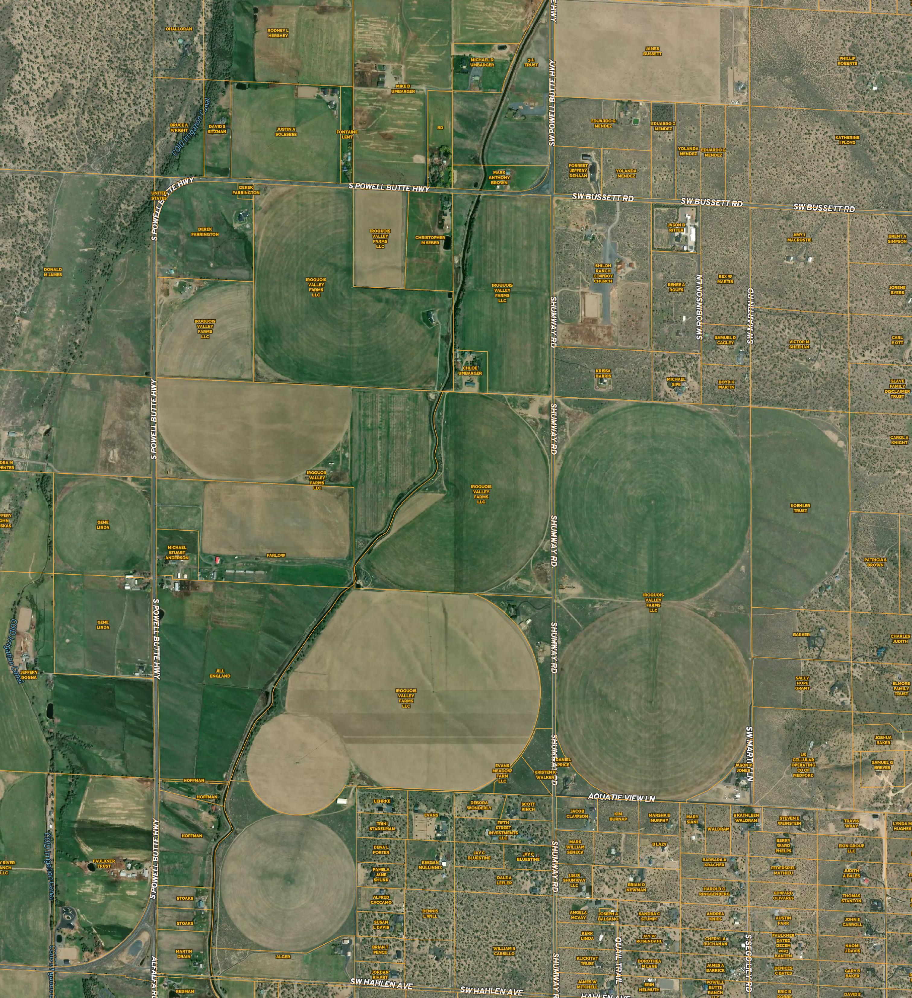
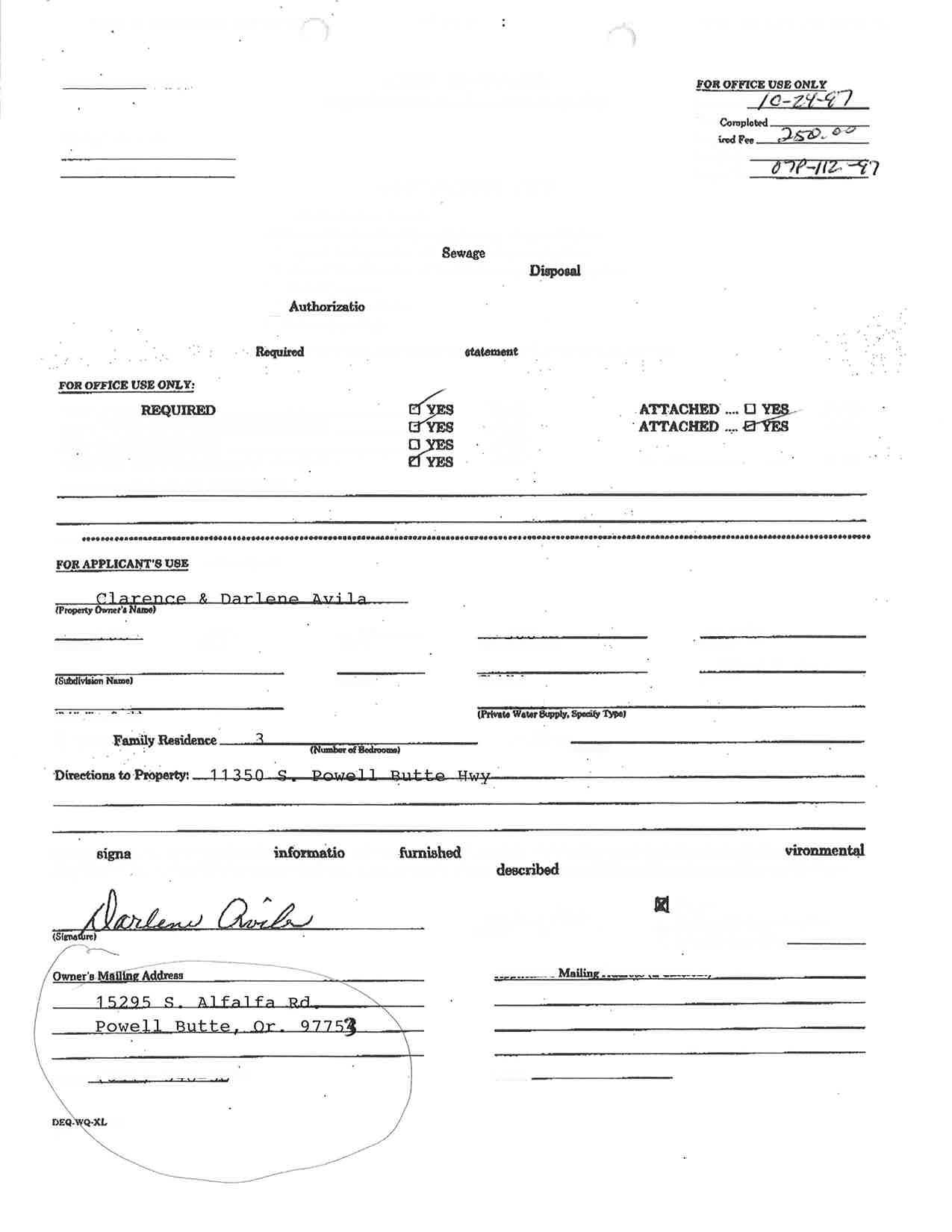
Address: 11705 SW Shumway Rd and 11350 SW Powell Butte Hwy
Tax Map: 16140000-00504, 16140900-00201, 16140900-00500, 16140900-00600, 1614090000601
Parcels: 15913, 2001, 2005, 2006, 13836
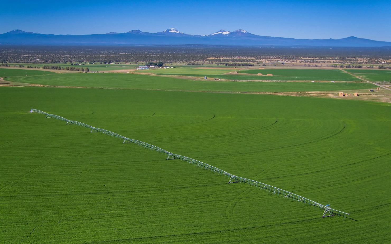
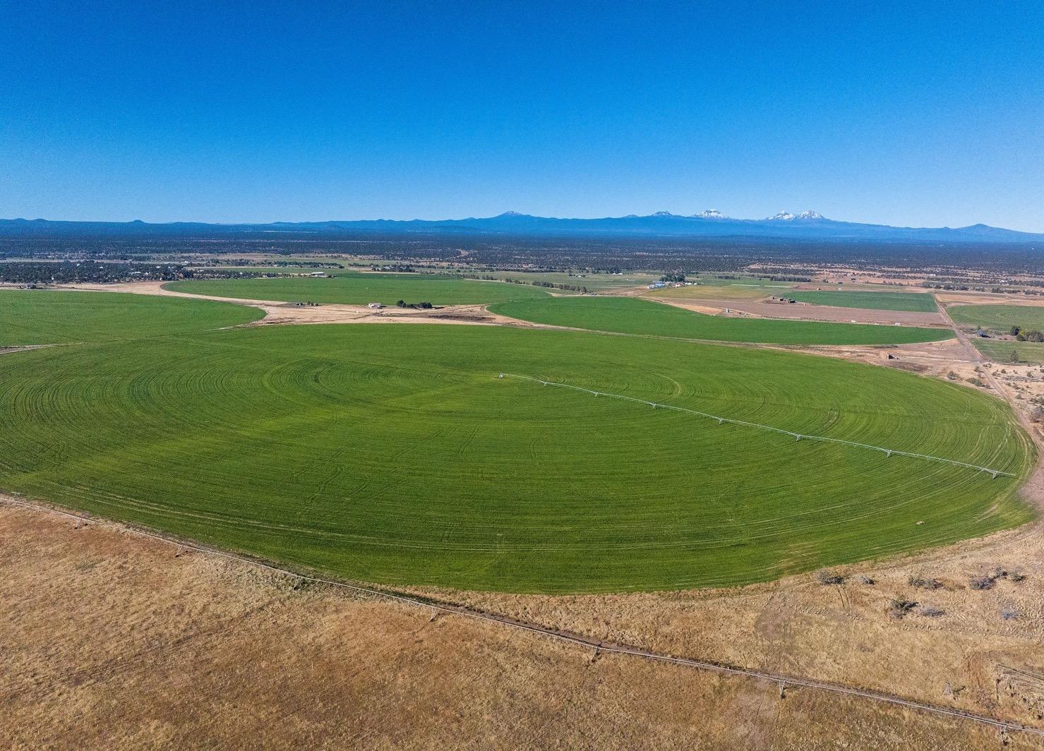
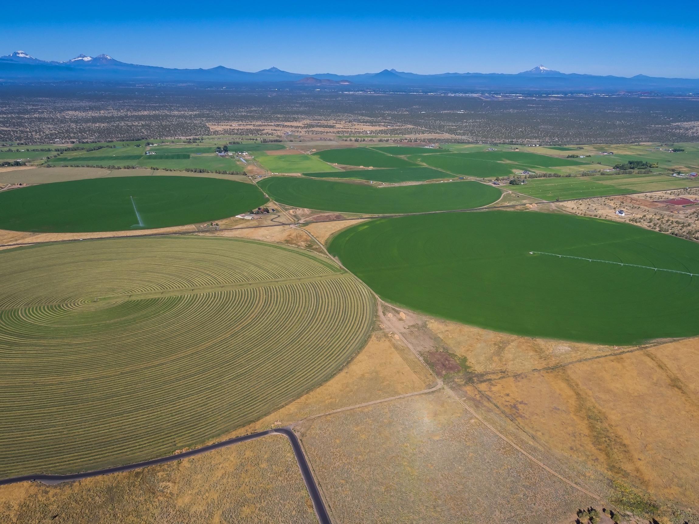
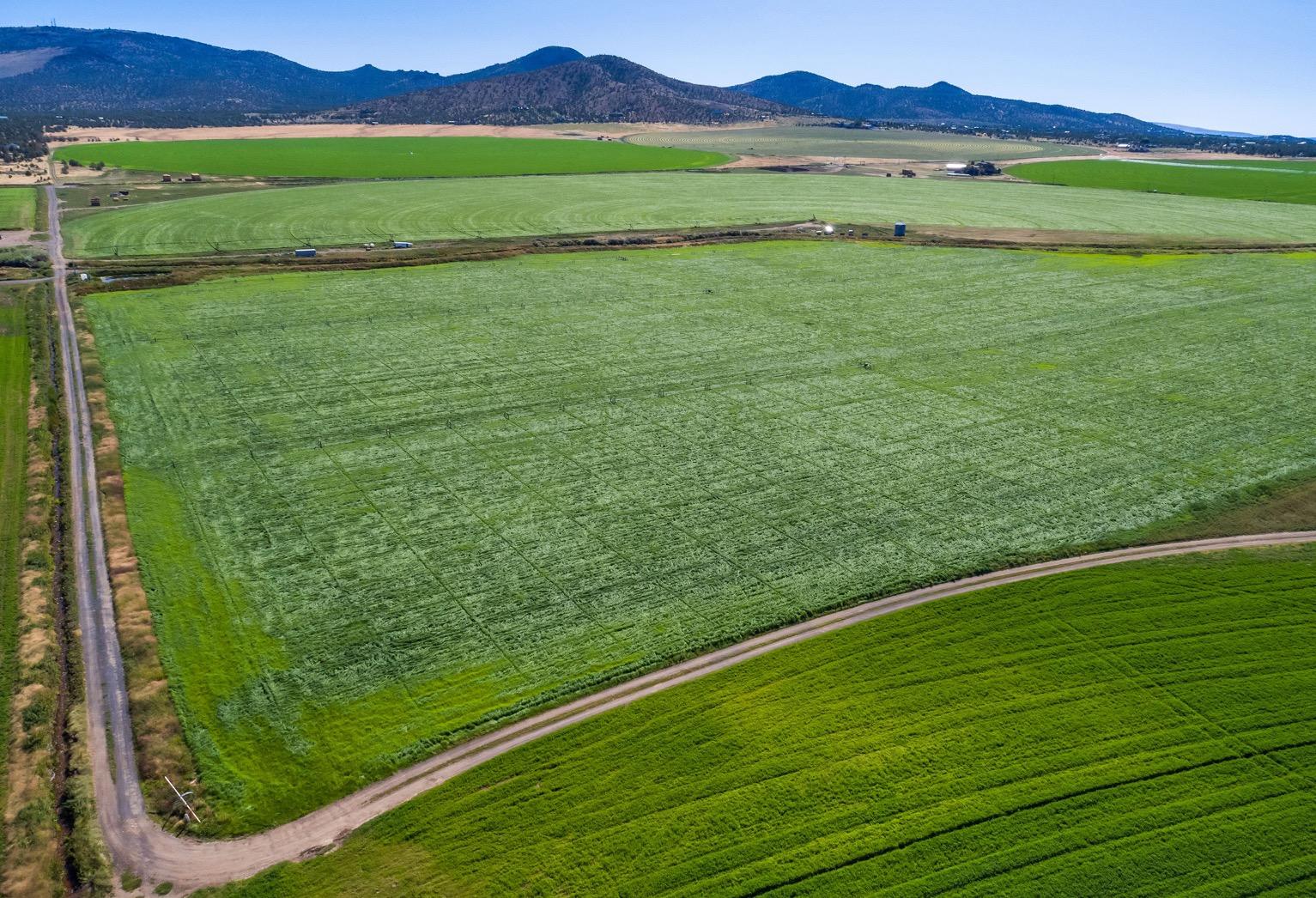
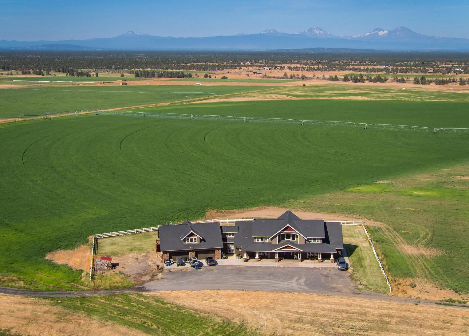
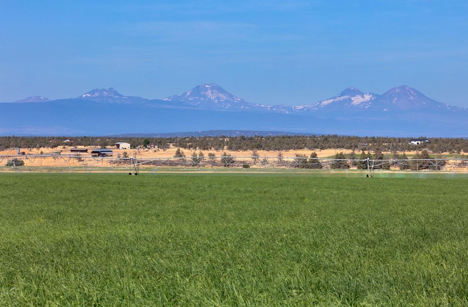
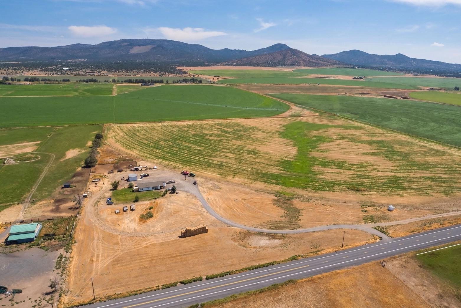
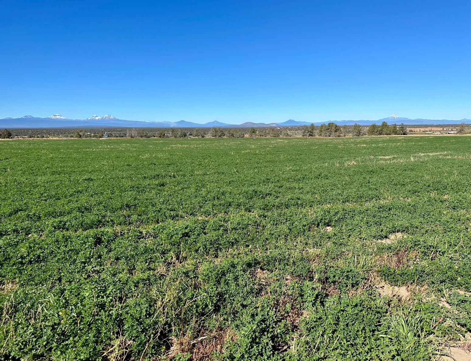
Property: Powell Butte Farm with stunning Cascade Mountain Views.
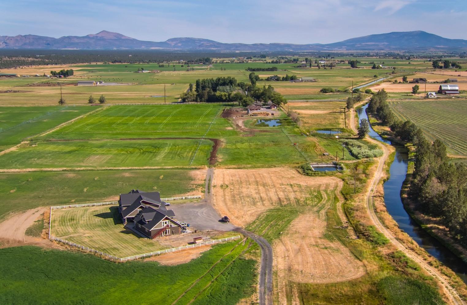
• 693+/- acres
• 586.5 +/-acres of COID water rights
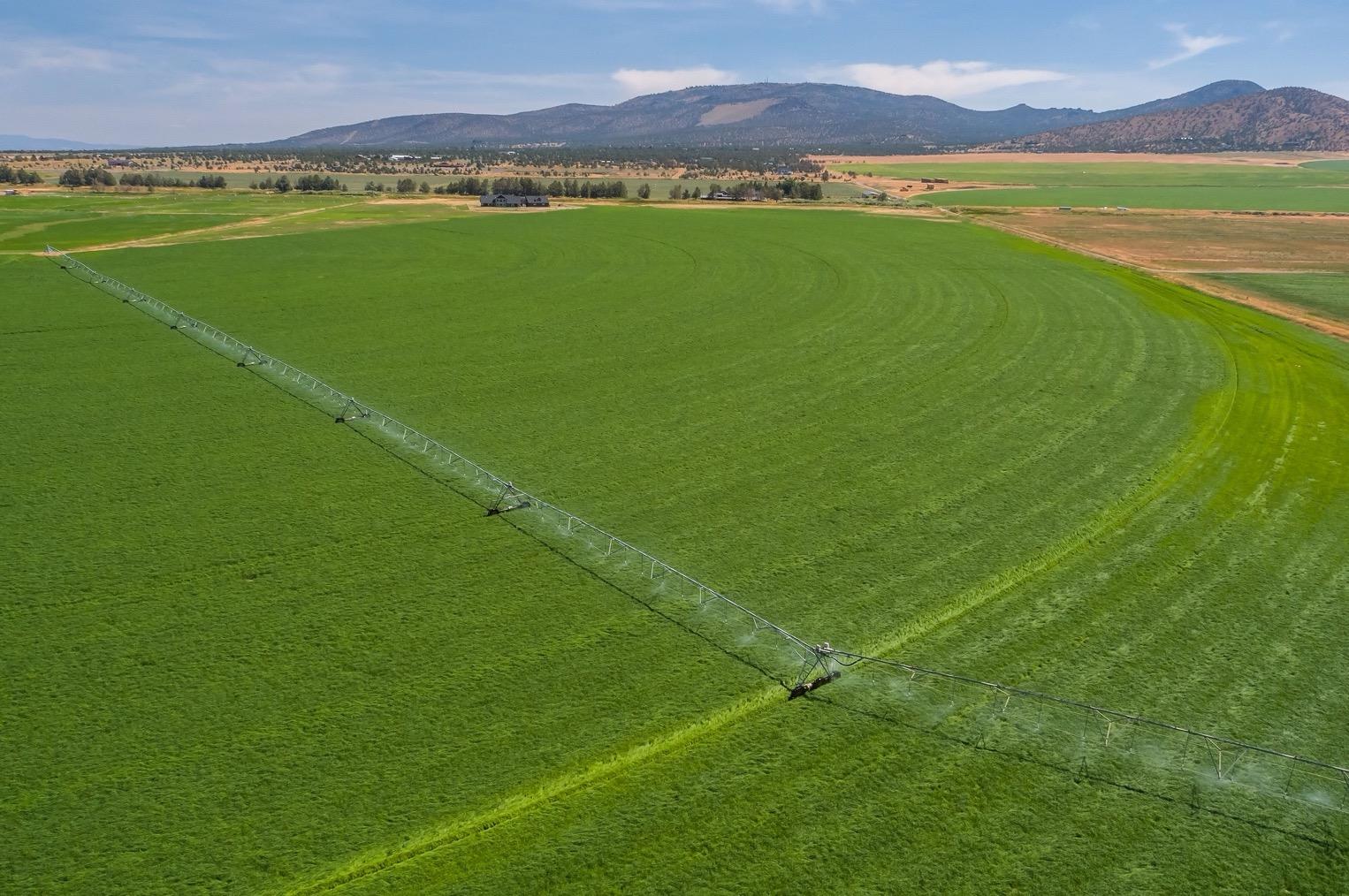
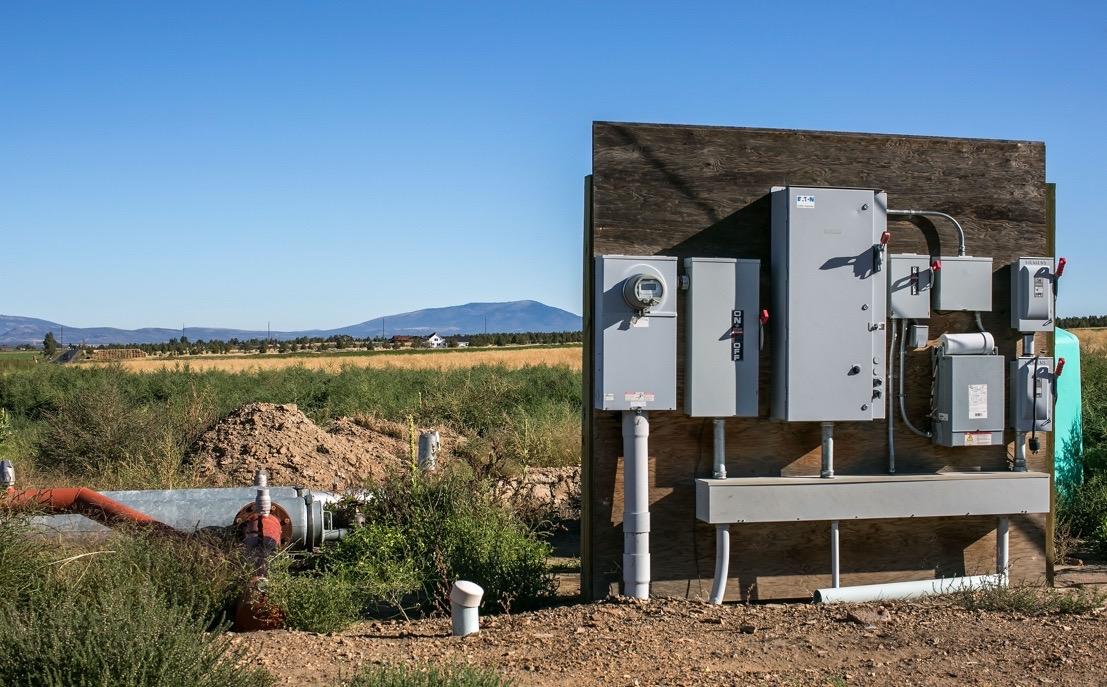
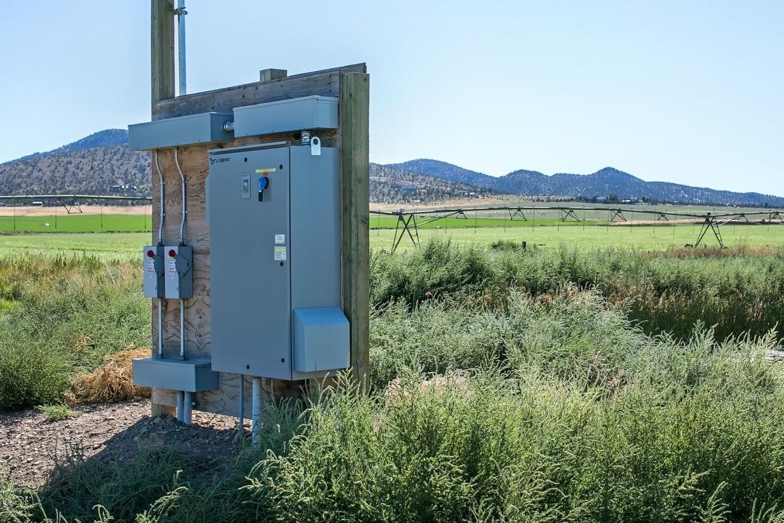
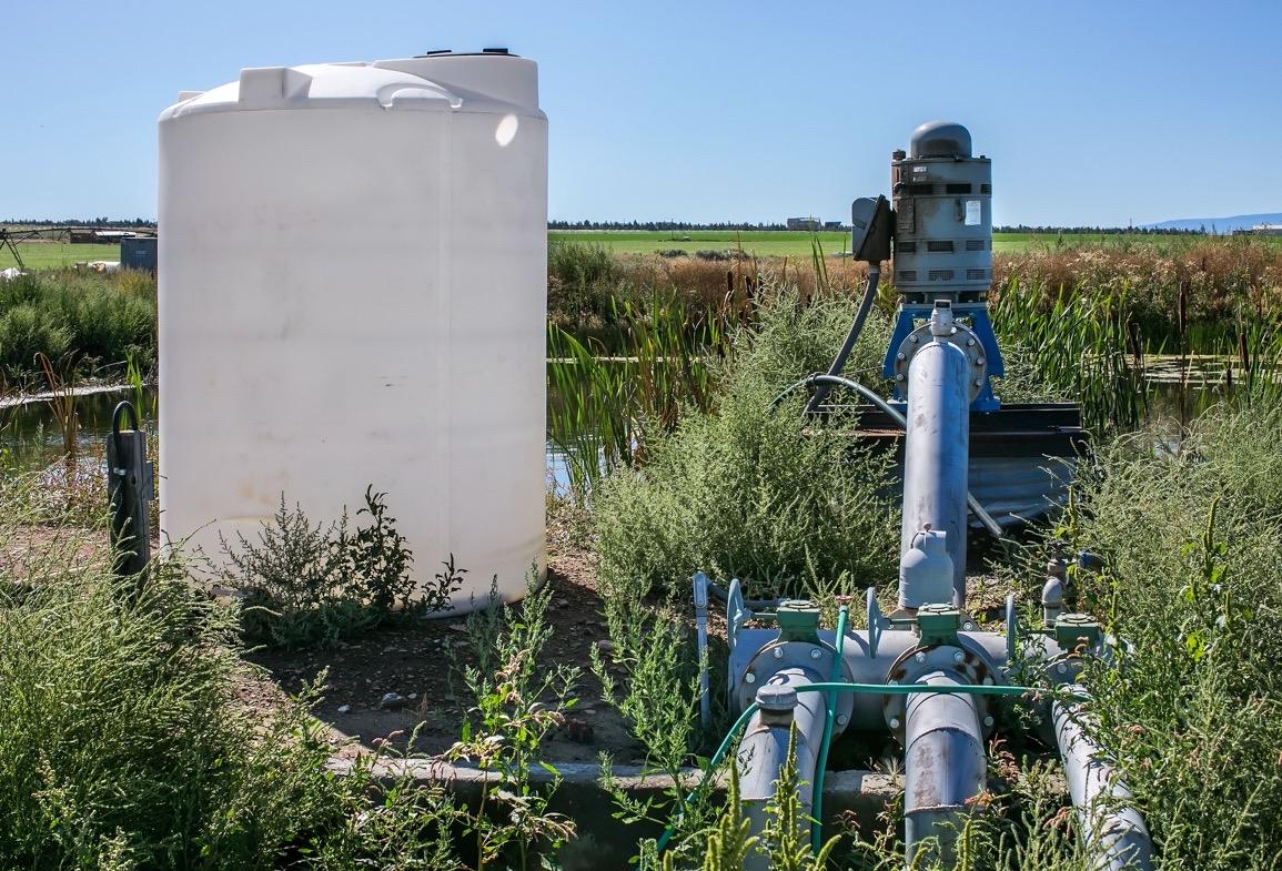
• Farm includes 5 pivots, wheel lines, solid set pipe, 3 pumping stations.
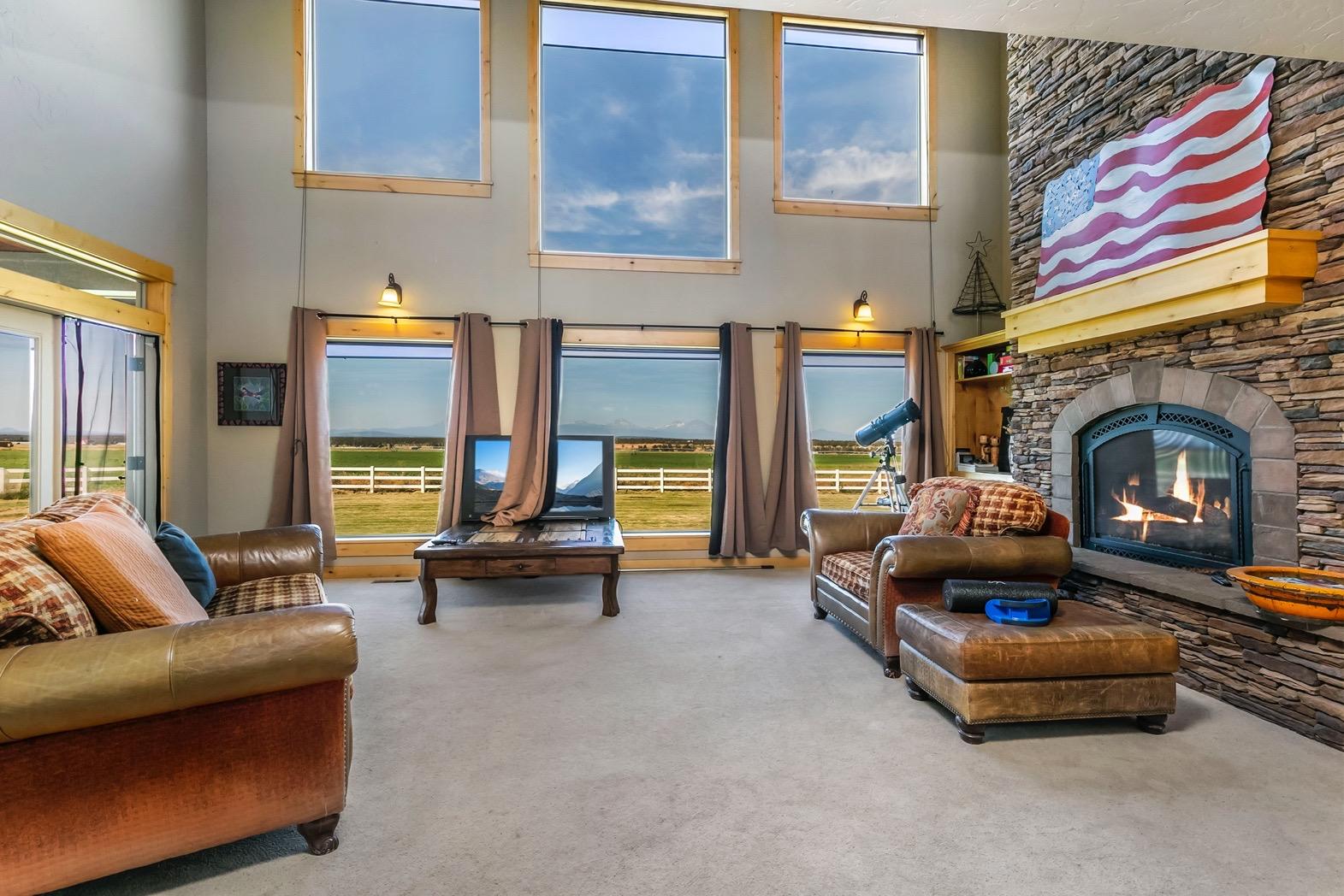
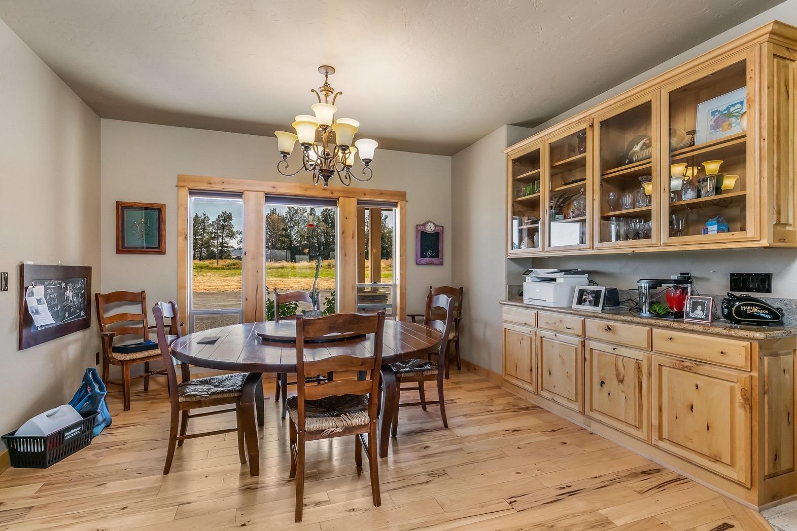
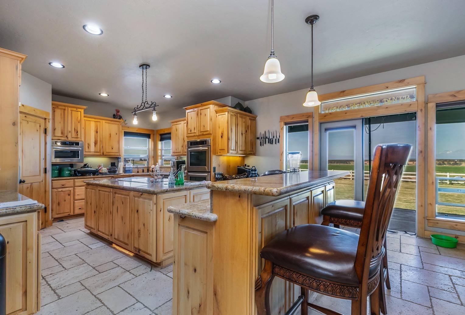
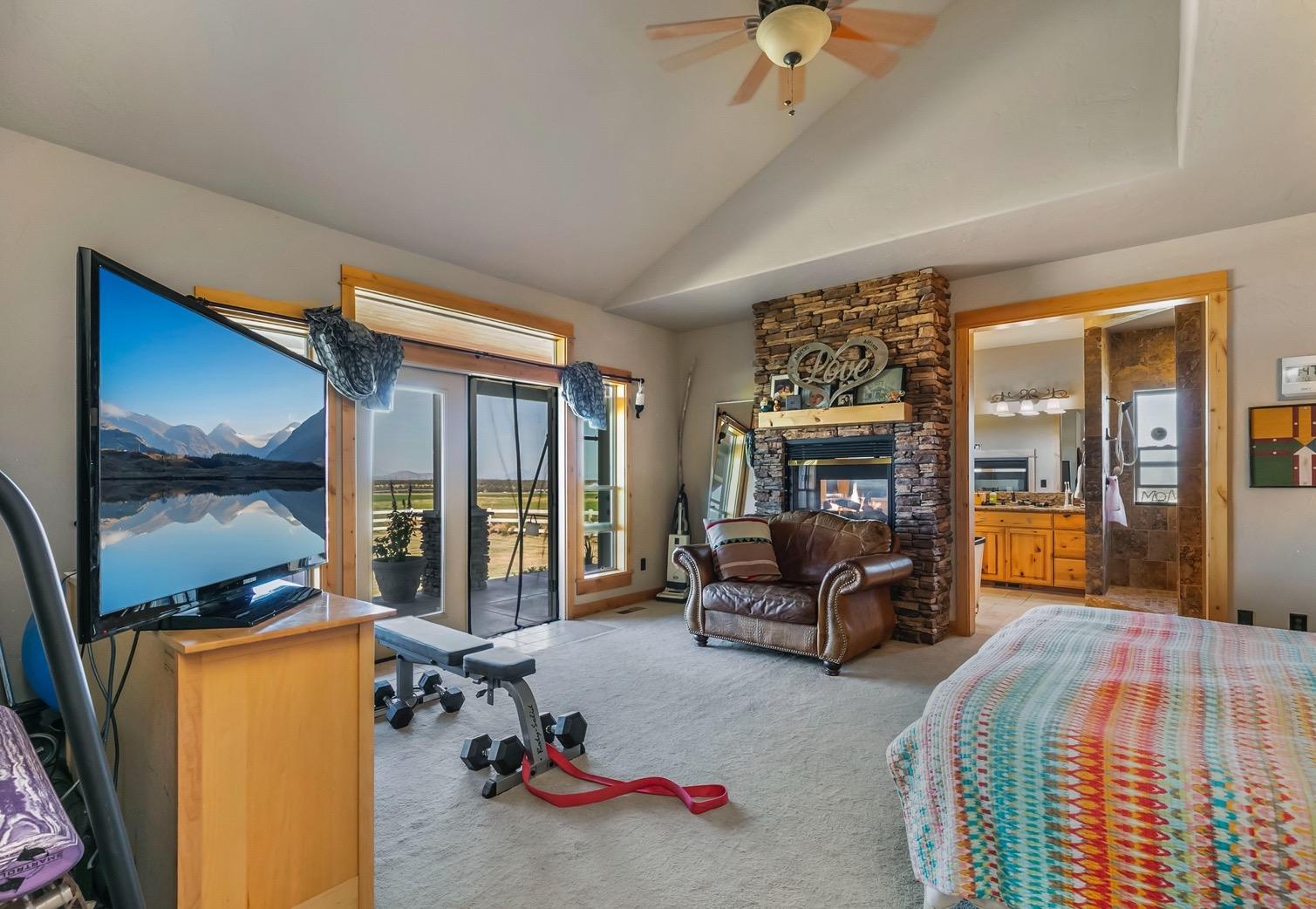
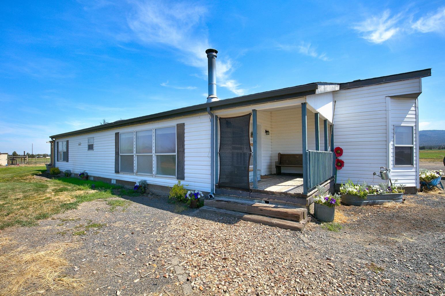
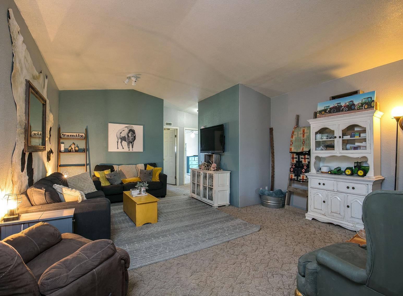
• Main home is 4749 sq ft, 4 bedrooms, 4 bathrooms, chef's kitchen, living room with fireplace, primary suite on main level with fireplace, this home also has a bonus office/studio above the 3 car garage.
• Replacement Dwelling - 2296 sq ft, 3 beds, 2 bath home.
• Potential additional building site.
• This farm is an amazing agricultural opportunity in Central Oregon
Irrigation: Central Oregon Irrigation District 2026 Assessment: Pumps: 125 HP VFD at Pond on Canal with booster for C1 pivot Bridge Pump 75HP VFD for C4 & C5, wheel line 60 HP for C6 (swing arm)
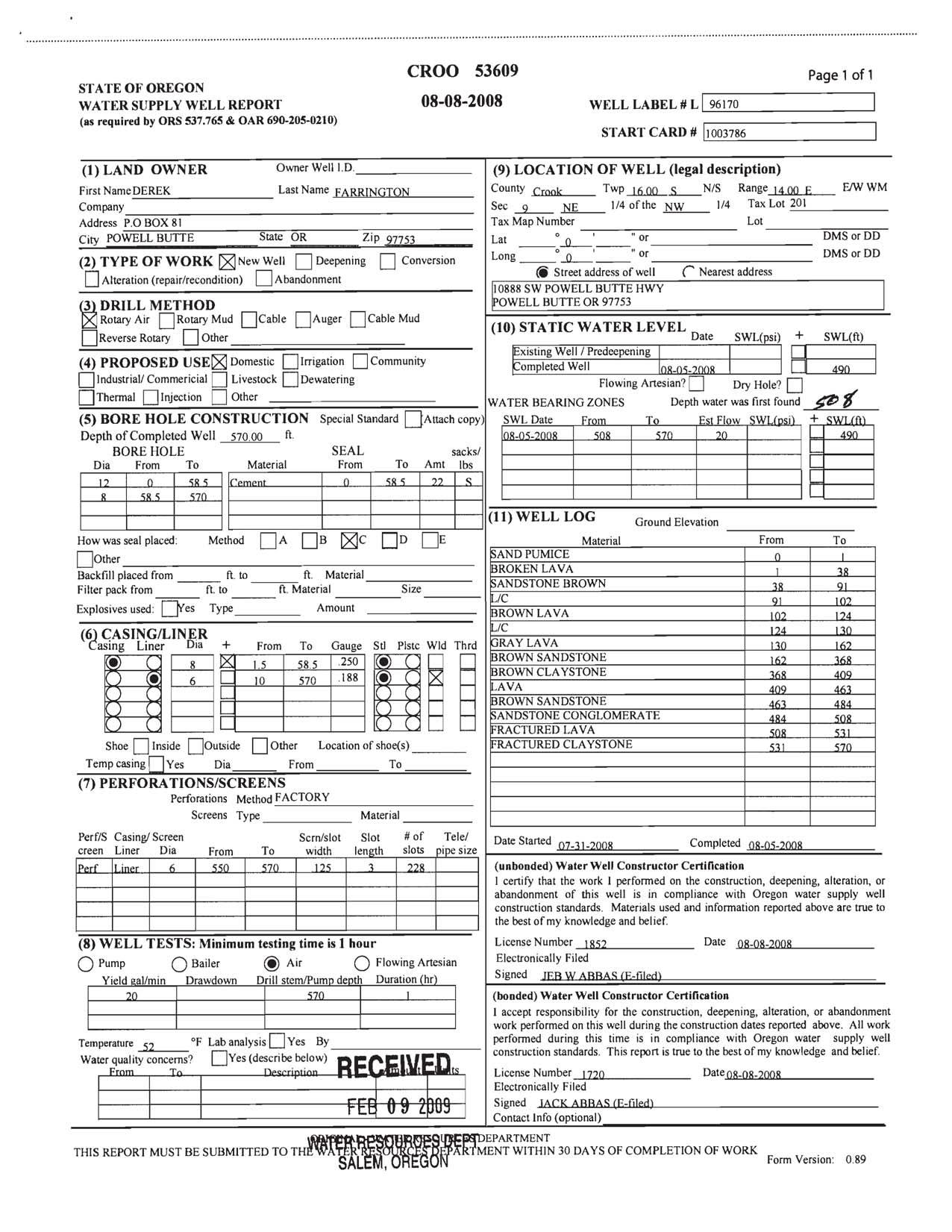
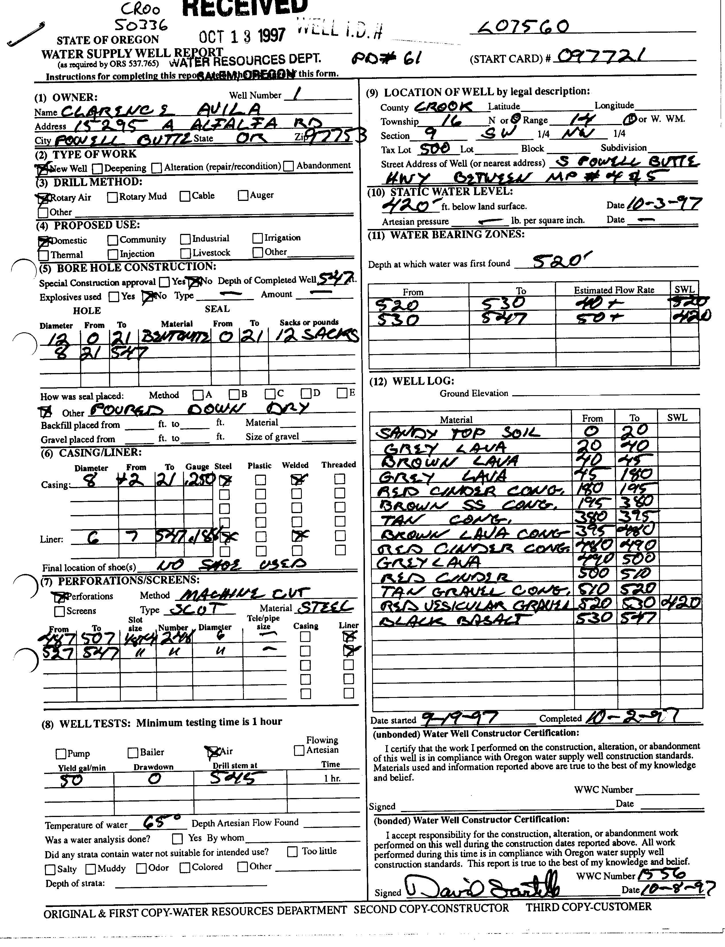
Domestic Water: 2 private domestic wells
Utilities: CEC: 3 Irrigation Meters 12 month average (2023): On Canal IP Pivot $521. Shumway West: $1089. Shumway White Tank: $232.
PPL Irrigation Meters on Canal: $950./ month Irrigation Meter Shumway: $780. (12 month average) Homes are Pacific Power
Taxes: 2025 Taxes: $14,089.80 Property is in Farm Tax Deferral
Zoning: EFU Exclusive Farm Use
Price: $6,500,000. MLS 220208676
Shown By Appointment Only http://www.11705shumwayfarm-powellbutteor.com
All information Provided by Cascade Sotheby’s International Realty and Agents is deemed reliable but not guaranteed, Buyer is responsible for any/all due diligence. | 541-923-1376 | www.desertvalleygroup.com
Crook County, Oregon, AC +/-
Boundary Brook Havens
Crook County, Oregon, AC +/-
Boundary Brook Havens
| All Polygons 687.7 ac
(*) Total acres may differ in the second decimal compared to the sum of each acreage soil. This is due to a round error because we only show the acres of each soil with two decimal. |
Boundary 297.02 ac
(*) Total acres may differ in the second decimal compared to the sum of each acreage soil. This is due to a round error because we only show the acres of each soil with two decimal.
| Boundary 390.68 ac
(*) Total acres may differ in the second decimal compared to the sum of each acreage soil. This is due to a round error because we only show the acres of each soil with two decimal.