2 minute read
NEW MAPPING TOOL IN WORKS FOR PROTECTING HEALTHY MARSHES

By LeeAnn Haaf, Ph.D., PDE Director of Estuary Science
The Partnership for the Delaware Estuary (PDE) and The Center for Remote Sensing and Spatial Analysis at Rutgers University are developing a Marsh Futures Mapper (MFM), an interactive geographic information system platform set to be released this summer. The MFM will offer detailed maps and simulate wetland changes due to sea level rise, allowing users to adjust key attributes for intervention efforts.
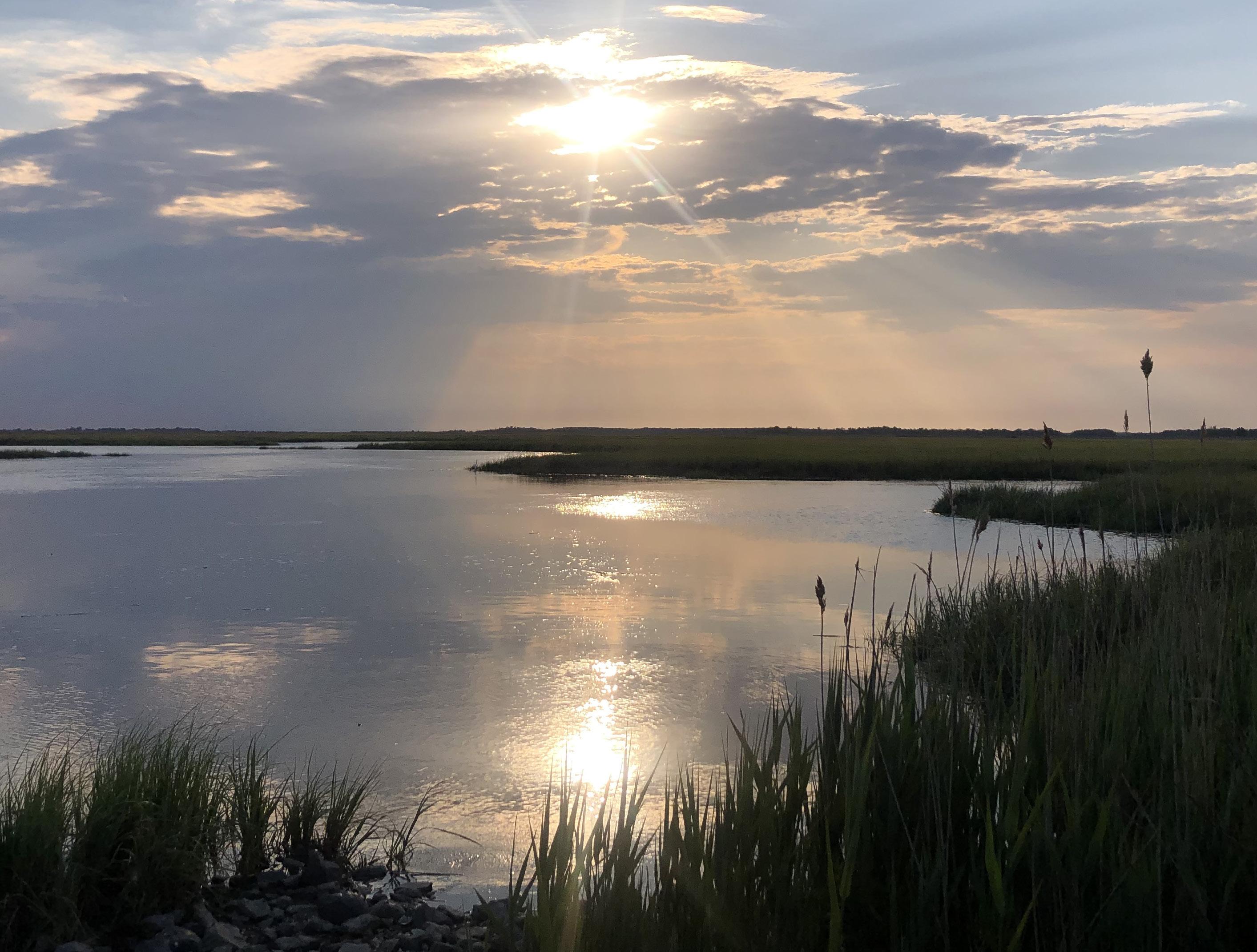
Tidal marshes in the Delaware Estuary are vital for protecting communities against coastal flooding, filtering pollutants, and providing habitats for diverse wildlife. Unfortunately, these ecosystems are threatened by rising sea levels and human activities, leading to significant loss and degradation. The MFM and a suite of other tidal marsh assessment tools have been developed at the NJ Restoration Tool Organization Suite to help restoration practitioners plan future projects. This tool is crucial for guiding effective restoration and ensuring the long-term health of our tidal marshes.
“This project is made possible through a grant from the National Fish and Wildlife Foundation's Delaware Watershed Conservation Fund grant program, with support from the U.S. Fish and Wildlife Service. Many thanks to them and their support,” said PDE Programs Director Martha Maxwell-Doyle.
Visit PDE's Wetlands website page for more information.
