
2 minute read
SLOPES & DRAINAGE


IMPERVIOUS SURFACES, SLOPE, AND POOLING
90% of the land cover in the site is made up of impervious surfaces, such as concrete and asphalt. Unlike vegetated areas or pavements made out of porous material (pervious surfaces) where water can infiltrate into the ground, water is unable to infiltrate through impervious surfaces. The lack of pervious surfaces (only 10% of land cover, according to QGIS calculations) in the project site results in excess street runoff or water flowing over paved surfaces and going into drains or pooling during rainstorms. According to the United States Environmental Agency (EPA), the water on these concrete and asphalt surfaces is often at a high water temperature, and can be harmful to aquatic wildlife in rivers downstream. Additionally, water in this urban area can pick up pollutants such as gasoline, road salts, and heavy metals, and can be carried into the Connecticut River.

Across the five-block project site, there is a total elevation change of 5 feet, creating a relatively flat area. Most slopes are from 0 to 2%. Pooling of water often occurs in flat areas because there is no slope for the water to flow down. This can eventually cause long-term degradation of asphalt and concrete. Pooling has been observed throughout the site. Much of this pooling can be found along the canal side of Race Street, on Cabot Street, in the municipal parking lot, and in the alleyway between Race and Main Streets. Some of the pavement around the 18 total stormwater drains in the site has eroded over time. This prevents water from traveling into the intended drain because the drains are above the pavement. Additionally, along the northwest corner of Appleton Street, which slopes downward east to west, there has been severe flooding observed under a bridge (beyond the project boundary). The core team shared that when this area floods, cars are often unable to pass though.

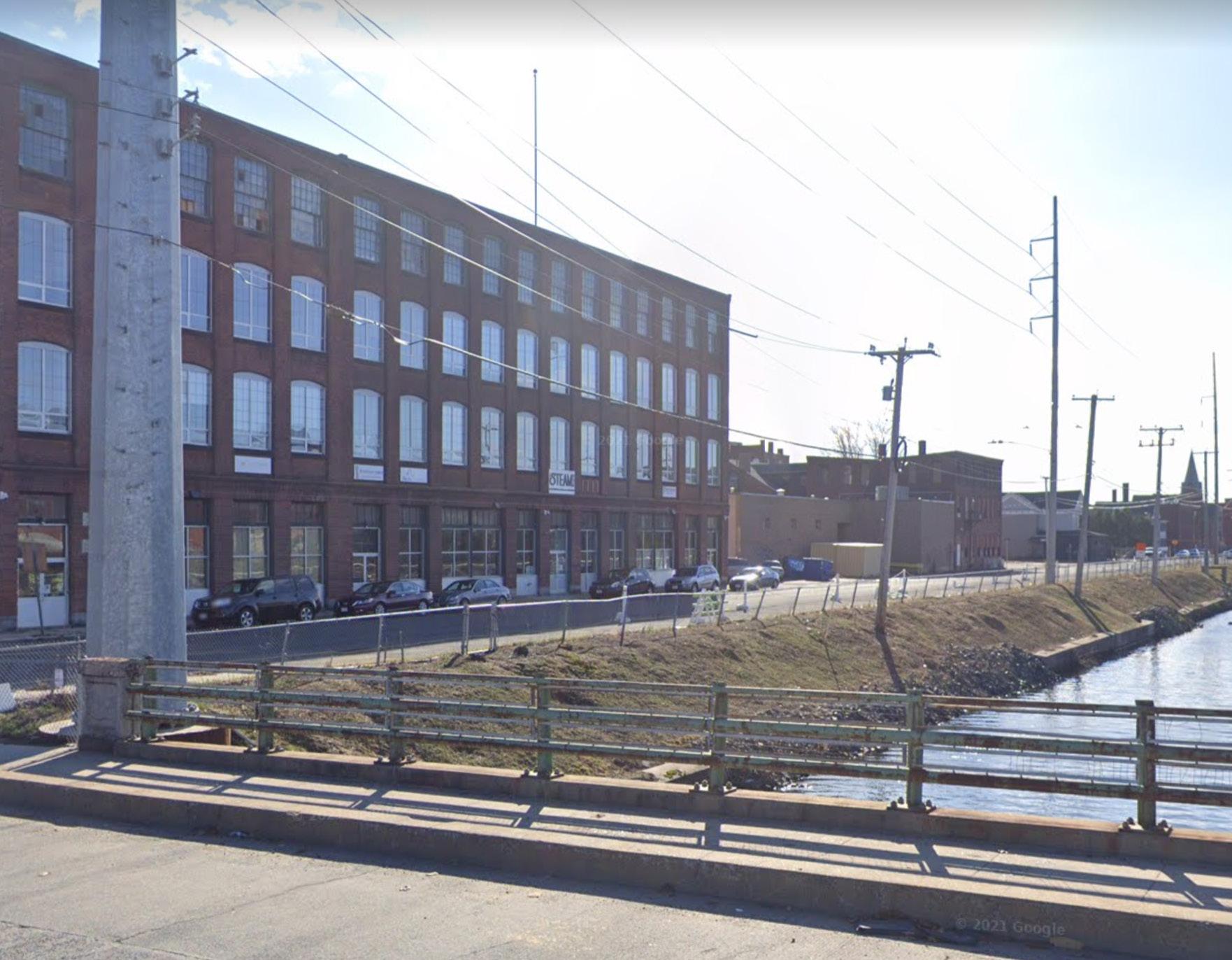
A steep, inaccessible slope leads down toward the canal on Race Street. While a fence is a safety measure that stops pedestrians from going to the water, the fence and steep slope also restricts people from being able to enjoy access to the water.

Slope and Drainage
Designed By: Eva Hogue & Bindu Nicholson

Combined Sewer Overflow
As of 2023, Holyoke is still on a combined sewer overflow (CSO) system. This means that stormwater and sewage are directed into the same pipes and are treated at a wastewater facility. However, when the CSO system is overwhelmed by water and sewage, rather than going through treatment, it overflows into pipes that pour directly into the Connecticut River. This occasional overflow discharge adds untreated, polluted water into the Connecticut River. According to Veolia Water, the company responsible for Holyoke’s wastewater treatment, Holyoke’s CSO system directly discharges up to 500 million gallons of wastewater annually into the Connecticut River. The City is currently working on separating the CSO. They have entered into an agreement with the EPA to “take remedial action” and create a long-term overflow plan (City of Holyoke).


