
2 minute read
LOCATION & HISTORY


Regional And Neighborhood Connections
Holyoke is at the confluence of four major transportation corridors–Interstate 391, Interstate 91, Route 202, and Route 5–connecting it to some of the largest and most densely populated cities in western Massachusetts, including Chicopee, West Springfield, South Hadley, and Easthampton.
The project is located in the neighborhood of South Holyoke near other Center City neighborhoods such as the Downtown and the Flats. The project site abuts the Holyoke Canal system and the Connecticut River runs 0.3 miles east of the site.
Puerto Rican Heritage
The project area is home to a large population of Puerto Rican people who are proud Holyoke residents with cultural ties to the Island of Puerto Rico. The island of Puerto Rico became a U.S. territory in 1898 which conferred U.S. citizenship to Puerto Ricans. From the 1930s - 1950s, Puerto Rican seasonal laborers moved to Holyoke to work in tobacco fields and factories and also other surrounding Connecticut River Valley farms (Carvalho III, 2022). These new residents settled in the Center City neighborhoods that white mill industry workers had begun leaving after the decline of manufacturing. Today, Holyoke has the largest Puerto Rican population per capita of any U.S. city. Over 50% of Holyoke’s total population is Puerto Rican.
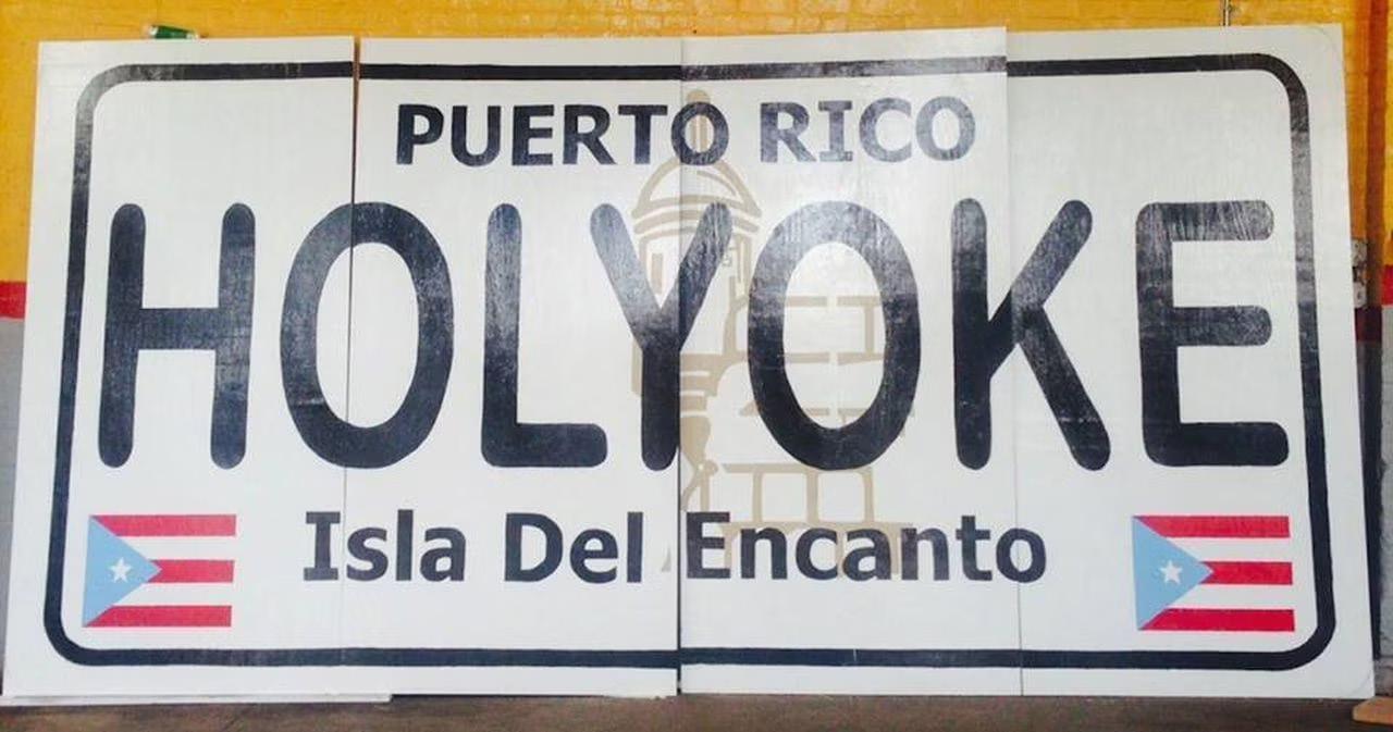
Holyoke Puerto Ricans have experienced a longstanding struggle to have their voices heard in the city of Holyoke. However, over time Holyoke Puerto Rican communities, businesses, and political and cultural representation has grown. In 2021, Holyoke elected its first Latino mayor, Joshua Garcia. Due to frequent travel back and forth from the U.S. and the island, Puerto Rican’s generational connection to the island and culture of Puerto Rico is strong. Markers of Puerto Rican cultural heritage abound throughout the project site.
Industrial Boom To Gateway City
The location of the project site embeds it within Holyoke’s industrial past and legacy. Holyoke was the first planned industrial city in the United States. In the late 1800s an extensive canal system–today, a registered national historic landmark–was built in Center City Holyoke to divert and carry waterpower from the Connecticut River to support manufacturing industries and eventually electricity production. Dozens of mills built along the canals produced energy from their water turbines to power the manufacturing of textiles and paper.

Irish, French Canadian, Polish, German, and Scottish immigrants worked in and lived by the mills. Nicknamed “Paper City,” Holyoke’s population and economy grew exponentially and the city became an industrial powerhouse until the 1940s when the U.S. mill industry began to decline.

Today, Holyoke is recognized by the state of Massachusetts as a “Gateway City” because it meets three legal criteria: population between 35,000 and 250,000; median household income below the state median; and a lower percentage than the state average of adults with a college degree (MassDevelopment).
According to MassDevelopment and MassINC, Gateway Cities in Massachusetts had prosperous industrial pasts and were “gateways” to the American dream and economic uplift for residents. However, these cities were unable to recover economically from the loss of manufacturing businesses, resulting in many abandoned industrial buildings, concentrated poverty, and other challenges. Nevertheless, according to MassINC, Gateway Cities have considerable potential for economic development and smart growth– “economically prosperous, socially equitable, and environmentally sustainable” development (Smart Growth America)–because of their infrastructural and institutional assets and diverse and young workforce.
Designed By: Eva Hogue & Bindu Nicholson


