THE CORPORATION OF THE CITY OF VERNON
BYLAW NUMBER 6200
AMENDMENTS
BYLAW NO. ADOPTION
6074 June 8, 2026
AMENDMENT
REPLACE Land Use Map 5.1, AMEND section 3, section 4, section 5, section 6, Glossary, Appendix B and Appendix C

BYLAW NUMBER 6200
AMENDMENTS
BYLAW NO. ADOPTION
6074 June 8, 2026
AMENDMENT
REPLACE Land Use Map 5.1, AMEND section 3, section 4, section 5, section 6, Glossary, Appendix B and Appendix C


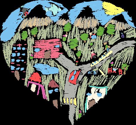
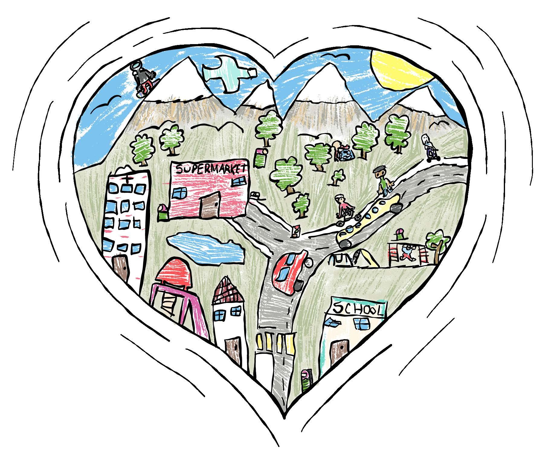
A special thank you to the students of Hillview Elementary School for illustrating how we will live, work, play, and move around Vernon over the next 20 years.

Purpose, A Plan for everyone, Related plans, Legislative framework, Development of this Plan
Population and housing profiles and projections
Vision, values, and growth strategy
Policies and objectives that apply to all lands
Policies and objectives that apply to specific future land use designations
Regulatory guidelines for new development to protect people and places
City actions that will bring this Plan to life, Monitoring progress
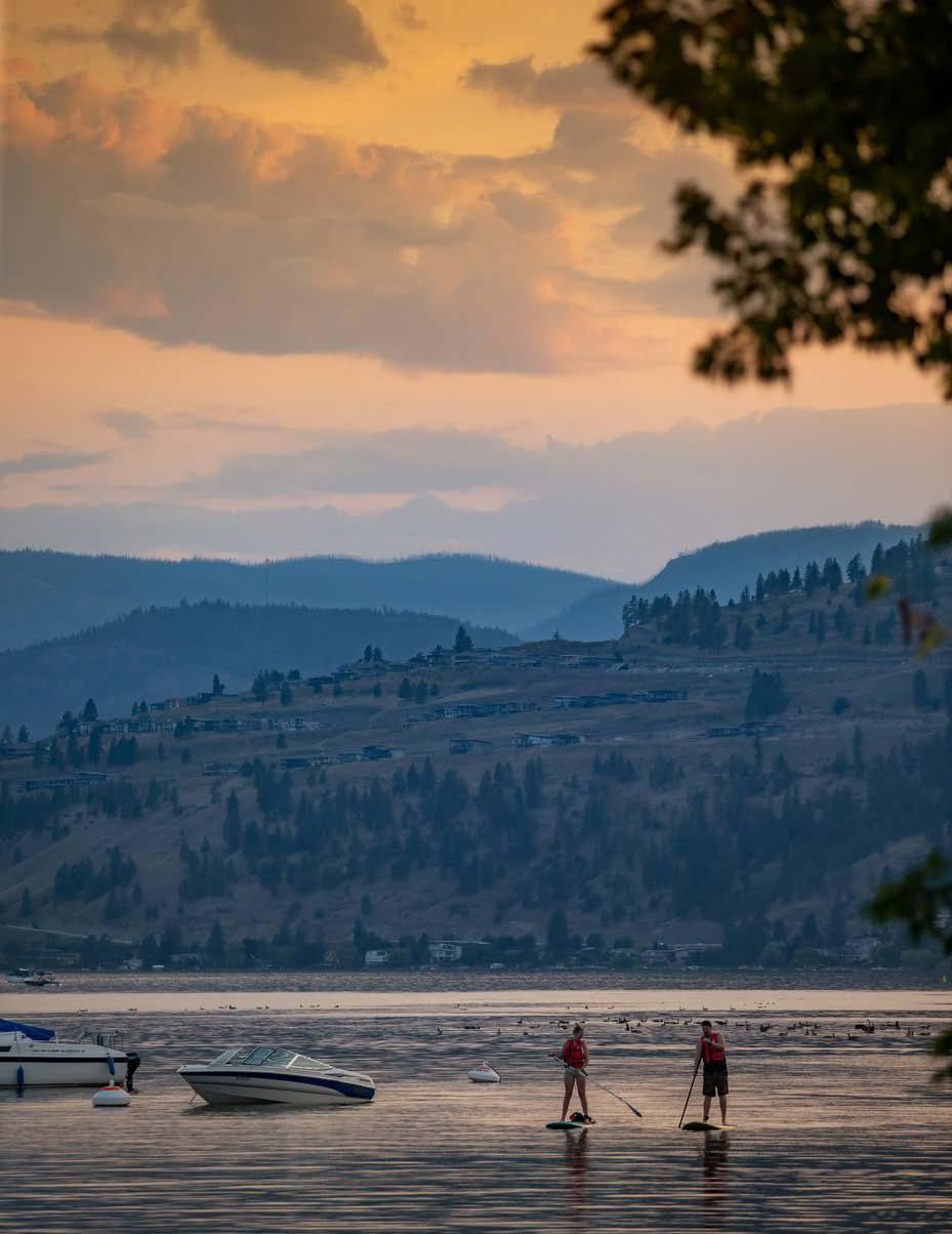
We respectfully acknowledge that the City of Vernon is located on the traditional unceded territory of the syilx people of the Okanagan Nation, the original stewards of the tmxʷulaxʷ (land) upon which we are privileged to live, work, and play.
From the northern tip of kɬúsx̌nítkʷ (Okanagan Lake) to nkəkmaplqs (Kalamalka Lake) and everywhere in between, Vernon has areas of natural abundance and cultural significance. We call on our collective honoured traditions and spirits as we work toward a strong community that can be enjoyed by current and future generations.
5.4
Figure 5.5 Sensitive building
Figure 5.6 Limited Growth Areas building forms
Figure 5.7 Agricultural Land Reserve building forms
Figure 5.8 Clustered accessory residential uses
Figure 5.9 Industrial building form (example)
Figure 5.10 Community use building form (example)
Table 2.1: City of Vernon Population Growth, 1981–2041
Table 2.2: Wider Vernon Area Population Growth, 2011-2021
Table 5.1: Building Type, Intended Building Height, and Complementary Use by Future Land Use Designation
Table 6.1: Alignment of Development Permit Areas and Local Government Act
Table 7.1: Summary of Actions by Type and Priority
Table A-1. Alignment of Regional Growth Strategy and Official Community Plan .
12
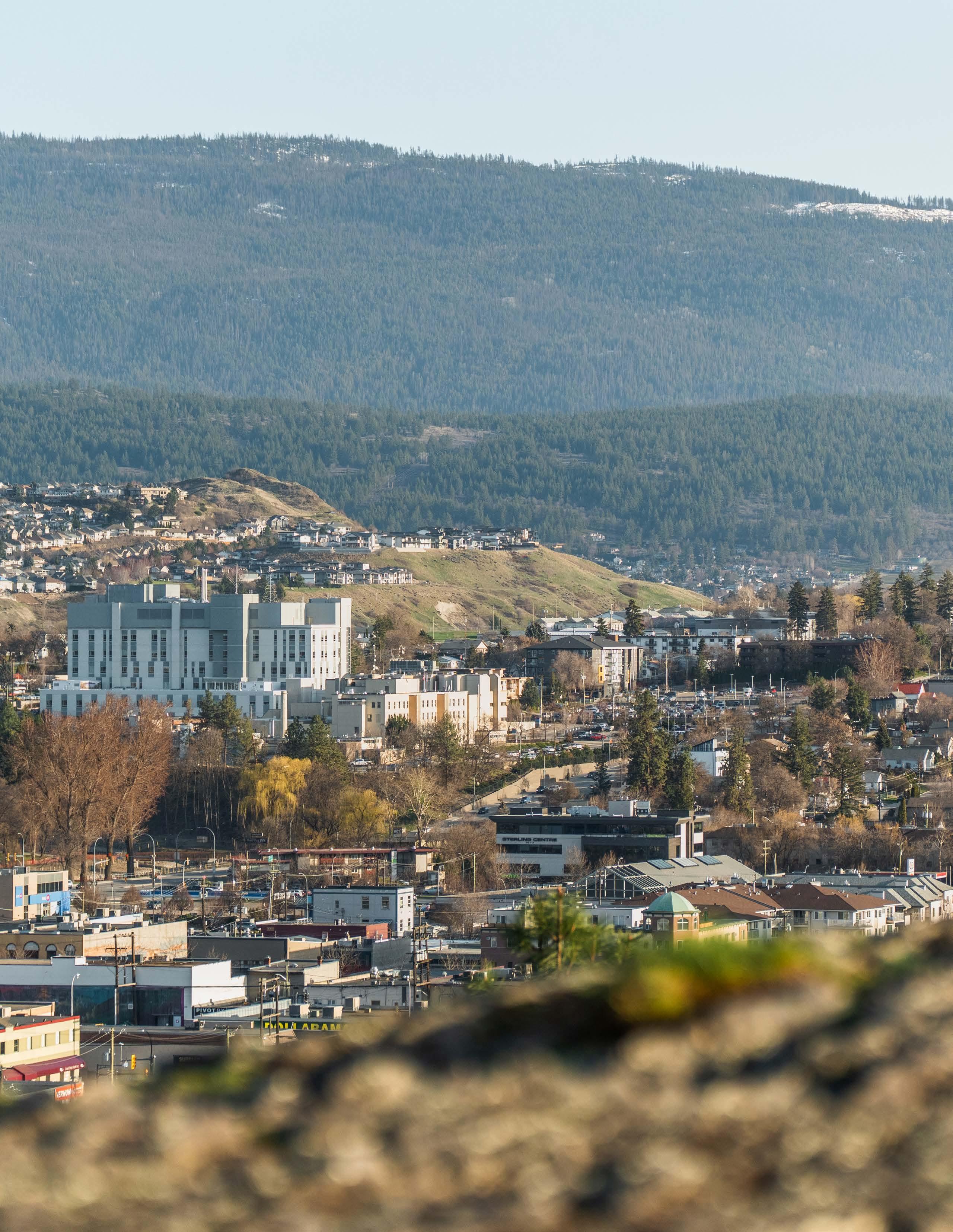
Vernon is growing. By 2045 an additional 20,000 people will live in our community.
This Official Community Plan (OCP) sets out Vernon’s strategic framework for managing the City’s growth and development to 2045. It reflects the aspirations of thousands of residents, businesses, and organizations that contributed to its development, and a shared commitment to creating a city that is affordable, diverse, accessible, and sustainable. This Plan will inform City Council’s decisions on land use, housing, transportation, economic development, environmental protection and climate change, community well-being, and many other aspects of life in Vernon.
This Chapter presents the purpose of this Plan (1.1) and how it is meant to be used by everyone (1.2). It also describes how this Plan works together with other City initiatives (1.3) and how it meets provincial and regional requirements (1.4). Finally, it describes how this Plan was developed (1.5).
Vernon’s history of growth and development
Vernon was first a wintering ground for the syilx Okanagan people. It then became a trading post for the North West Company; a transportation hub for the Canadian Pacific Railway; a training ground for the Canadian Armed Forces; and an agricultural hub for ranchers and orchardists. As Vernon gradually urbanized, it adapted to social, economic, and environmental change. This resilience will help the City to continue adapting to growth and development without compromising the qualities that make Vernon an exceptional place to live, work, play, and visit.
Situated on the shores of Okanagan Lake, Vernon is the largest city in the North Okanagan and the second largest in the Okanagan Valley. Over decades, population growth altered the landscape, upwards and outwards from the valley floor towards the hillsides, first with acreages and then subdivisions. Today, Vernon extends across 96.4 km2 and is renowned for its extraordinary natural beauty, year-round recreational opportunities, distinct neighbourhoods, and high quality of life. Vernon is also a popular destination, with easy access to mountains, valleys, rivers, and lakes; farms, orchards, and wineries; and lively arts and cultural activities.

This Official Community Plan (OCP) is a longterm strategic planning framework to guide how and where growth and development in Vernon will be accommodated to 2045. Built on the 2013 OCP, it takes into account trends and projections for population growth and housing, anticipated demand for transportation and infrastructure, and communityidentified priorities to ensure that the City’s
This OCP is for and about the entire community:
neighbourhoods, infrastructure, and networks can support the next 20 years of change. It provides a comprehensive and coordinated set of policies built on a collective community vision for the future, and includes specific objectives and actions to be implemented by City Council and City staff, as well as residents, business owners, developers and property owners, community groups, and many other partners.
Residents Business owners
See where the community is headed, be informed about the ideas and actions for managing short- and long-term change, and understand how the City is preparing.
Developers and property owners
Be informed about the strategic and intentional locations of new growth, housing, and investment.
Understand how the City is directing growth and development to support Vernon’s economy, job creation, and innovation.
Community groups
Plan for the facilities and services that are needed to support Vernon’s growth and development.
This OCP will also be used by City staff to inform strategic land use and infrastructure planning, and by City Council to guide its decisions on land use applications and resource allocations, in alignment with evolving community needs.
There are many plans, strategies, and bylaws that work together to support the implementation of the OCP (Figure 1.1). For example, this Plan adopts the land use-related policies from the Transportation Plan to ensure
that land use and transportation decisions are integrated and aligned with the city’s collective vision for the future (Chapter 3.1).
Policies determining what gets built and how spaces function together.
• Housing Action Plan
• Housing Needs Report
• Subdivision Bylaw
• Zoning Bylaw
• Climate Action Plan Age- and DementiaFriendly
Policies ensuring we can thrive while protecting our infrastructure and natural systems.
Policies guiding how we evolve over time to support community livelihoods. Policies connecting people to places efficiently, safely, and sustainably.
• Capital Plan
• Economic Development Strategy
• Tourism Strategic Plan
Figure 1.1 Official Community Plan and related plans, strategies, and bylaws.
Provincial requirements
Under British Columbia’s Local Government Act, all municipalities must have an Official Community Plan (OCP) to guide long-term planning and land use decisions. City Councils must adopt the OCP as a bylaw and update it every five years. The Act also directs that all future City Council decisions be consistent with the OCP.
This Plan aligns with all requirements, as it:
• Establishes policies and objectives for all lands within the City’s boundary (S. 471)
• Identifies the approximate location, amount, type, and density of residential development and other land uses, infrastructure, public facilities, and more (S.473)
• Includes housing policies that address the need for affordable, rental, and special needs housing (S. 473), based on the City’s most recent Housing Needs Report
• Promotes the reduction of greenhouse gas emissions (S. 473)
• Includes social and economic policies that support community well-being (S. 474).
Regional context statement and requirements
The City of Vernon recognizes that as many people live, work, play, and move around the region, complementary policies and initiatives are essential for balanced, sustainable growth, development, and investment.
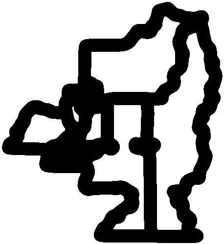
Vernon is one of several communities in the Regional District of North Okanagan (RDNO), which is comprised of six municipalities and five electoral areas (see Figure 1.2).
RDNO Municipalities
• Armstrong
• Coldstream
• Enderby
• Lumby
• Spallumcheen
• Vernon Electoral areas
• B – Swan Lake/Commonage
• C – BX/Silver Star
• D – Rural Lumby
• E – Cherryville
• F – Rural Enderby
ENDERBY
SPALLUMCHEEN
ARMSTRONG
AREA B
PRIEST’S VALLEY 6
CITY OF VERNON
WEST KELOWNA
REVELSTOKE
SALMON ARM OKANAGAN LAKE
AREA C
AREA F
AREA D
LAKE COUNTRY
KELOWNA
COLDSTREAM
AREA E
REGIONAL DISRICT OF NORTH OKANAGAN
Figure 1.2 City of Vernon and neighbouring municipalities in the Regional District of North Okanagan.
The Local Government Act (S. 446) requires that Vernon prepare a Regional Context Statement (Appendix A) to identify the relationship between this OCP and the RDNO’s Regional Growth Strategy.
The Regional Growth Strategy provides an integrated growth management framework and specific objectives that prioritize regional cooperation, protect rural and agricultural lands, and facilitate rural and urban lifestyle choices through designated growth areas. It also identifies a Rural Protection Boundary (Map 1.1) that distinguishes lands with access to water and sewer infrastructure from those limited to rural service levels. The boundary protects rural areas from urban sprawl, encouraging more compact development in urban areas, and supporting safe, healthy, walkable, and sustainable communities.
Vernon’s OCP shares the RDNO’s vision for sustainable growth outlined in the Growth Strategy in Chapter 3.3, the City-Wide Policies in Chapter 4, and the Land Use Policies in Chapter 5. Highlights of the alignment of this OCP with the Regional Growth Strategy are:
• Managing growth through the implementation of an Urban Containment Boundary (Map 1.2) that directs urban growth to areas where infrastructure already exists, and is refined in a Focused Growth Area (Map 1.3) where intensive urban growth and public investment is directed
• Protecting rural and agricultural lands by designating lands within the Regional Growth Boundary as “limited growth” or “protection areas” including Suburban Limited Neighbourhoods, Rural, and Agricultural Land Reserve (Chapter 3.3, Chapter 5.4 and Chapter 5.5)
• Protecting the natural environment through the implementation of Development Permit Areas for Aquatic, Terrestrial, Wildfire Hazard, Flood Hazard, and Hillside Development (Chapter 6, Map 6.1, Map 6.2, Map 6.3)
• Promoting climate resilience, emergency preparedness, and the reduction of greenhouse gas emissions through policies and building design (Chapter 4.2 and Appendix C)
• Encouraging diverse housing choices and complete and vibrant neighbourhoods in each of the future land use designations within the Urban Containment Boundary (Chapter 5)
• Supporting a diverse regional economy that acknowledges Vernon as an economic hub of the region (Chapter 4.3) and encourages collaboration with government, institutional, and regional partners (Chapter 7)
• Supporting a regional approach to the transportation network by considering links to nearby communities, maintaining regional transportation corridors and highways, and collaborating with the RDNO, BC Ministry of Transportation and Transit, and BC Transit on strategic transit plans (Chapter 4.7).
See Appendix A for the comprehensive Regional Context Statement.
This Official Community Plan (OCP) is built on the 2013 OCP; analyses of population trends and projections, and housing supply and demand; technical studies and growth scenarios; related plans and strategies; and extensive feedback from residents, business owners, community groups, community members, and external agencies such as RDNO, BC Transit, and Ministry of Agriculture.
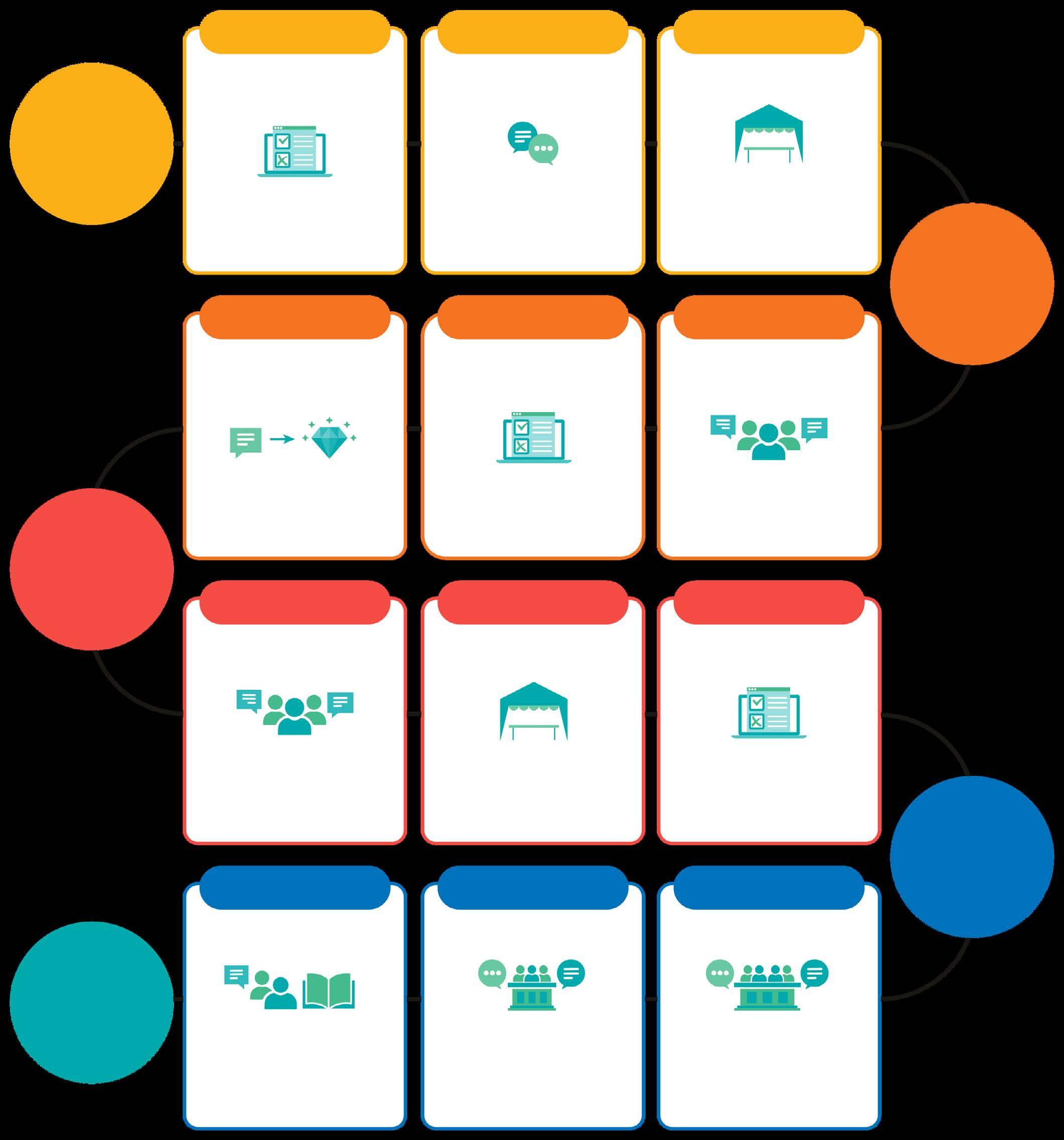
In early 2024, City staff launched a three-phrase engagement process (Figure 1.3):
January–July 2024
Engagement focused on meeting Vernonites where they are at, whether online or on the street, to shape a collective community vision, values, and objectives for Vernon’s growth and development. Identified priorities included:
• Housing affordability and diversity to ensure housing options are available, connected, and safe for all community members
• Natural resource management, protection, and access to green spaces
• Economic development, social services, and community well-being
• Safe and connected transportation and infrastructure networks.
August–December 2024
Engagement involved asking community members to identify priorities for where and how growth should be directed. Identified priorities included:
• A preference for sustainable growth and densification over sprawl
• The need for attainable homes in a variety of building types
• The enhancement of parks, greenspaces, and public amenities
• The preservation of natural landscapes, hillsides, and cultural heritage.
January–June 2025
Engagement focused on gathering community feedback on draft land uses and associated policies proposed under the Plan. Key outcomes included:
• Strong support for the proposed Urban Centres (Uptown and Downtown) and Village Centres (Alexis Park, Jubilee Hill, and Waterfront)
• An interest in revitalization, livability, and housing diversity in each Centre.
July-December 2025
City staff presented a draft plan to the public and City Council committees, and to external agencies for comment. Feedback was incorporated into this OCP and presented to City Council for approval.
On-going
Following adoption of this OCP, City staff will monitor progress and report to City Council on its implementation (Chapter 7).
Online survey with 1,396 respondents on EngageVernon ca
Survey highlighted community strengths, areas for improvement, and longterm growth priorities
10 workshops targeted at specific community groups with 168 attendees
Topics discussed include housing, community services, climate and parks, tourism, and economic development
Pop-up booths at 9 events with 882 visitor interactions
Community feedback synthesized into draft values supported by Council
Online survey with 744 respondents on EngageVernon ca
These values shape OCP priorities and policies to ensure the plan aligns with our community vision.
Survey collected feedback on specific amenities and infrastructure to rank their importance to the community.
Visitors provided input on community priorities, responded to polls, and engaged in discussions with staff
Open house with 245 attendees
Provided an overview of Phase 1 findings and an opportunity to give feedback on key areas of the plan.
Two open houses with 107 attendees Pop-up booths at 4 events with 168 visitors interactions
Provided an overview of Phase 2 findings and an opportunity to give feedback on draft land uses
Visitors provided input on the draft land use classifications and engaged in discussions with staff
Online survey with 528 respondents on EngageVernon.ca
Survey collected feedback on proposed land uses including Urban and Village Centres
1 Public Hearing and 4 bylaw readings
Draft OCP presented to Council for final review and consideration before being adopted into policy
Feedback requested from 3 committees
Feedback requested from 16 external agencies
Draft OCP presented to the Climate Action Advisory Committee, Affordable Housing Committee, and Advisory Planning Committee
Draft OCP provided to the Regional District of the North Okanagan, Okanagan Indian Band, Agricultural Land Commission, and others
Figure 1.3 Plan development milestones and community engagement sessions.
Vernon is the largest city in the North Okanagan, and growing! Our path forward begins with understanding the community context.
Vernon’s population is continuing to grow and change. A balanced and sustainable approach to managing growth and development will ensure the city remains a place where everyone can live, work, play, and move around.
This Chapter provides contextual information on the opportunities and constraints (2.1), population profile and projections (2.2), and the housing profiles and projections (2.3) that informed the policies and objectives in this Official Community Plan (OCP).
The City will continually monitor and review this OCP every five years to ensure that growth and development remain aligned with Vernonites’ evolving priorities and needs to 2045.
Vernon’s growth is shaped by geographic constraints including Agricultural Land Reserve boundaries, lakes, steep hillsides, and major transportation corridors such as Highway 97 and Highway 6. As part of the Regional District of North Okanagan, Vernon shares services and planning responsibilities with Coldstream, Electoral Areas B and C, and agencies like Greater Vernon Water and Greater Vernon Diversion and Disposal Facility.
The city functions as a regional commercial and service hub with a diverse economic base spanning retail, healthcare, light industry, and tourism. Vernon Jubilee Hospital is an anchor employer that provides social and economic benefits that serve Vernon and the region as a whole, while the close proximity of Okanagan College and University of British Columbia Okanagan attract students and those pursuing higher education.
Vernon and the larger region are defined by a strong recreation culture, extensive trail networks including opportunities to expand the Okanagan Rail Trail, and natural features that attract tourism such as Ellison, Kalamalka Lake, and Silver Star Provincial Parks. Tourism is further supported by the Kelowna International Airport, located a 30 minute drive to the south.
Infrastructure systems such as water, wastewater, agricultural irrigation, and roads play a critical role in determining development capacity and sequencing. Past development decisions that have extended infrastructure to satellite hillside neighbourhoods have created long term challenges for infrastructure cost and maintenance, however, there is still significant amounts of development potential in these areas.
Together, these factors shape Vernon’s opportunities and challenges as it plans for future growth.
Vernon’s population has been growing for decades, a trend that is projected to continue. The proportion of seniors is increasing and there are fewer young people, consistent with trends seen in communities across Canada.
At the same time, the number of households is increasing, although most are single- or two-person households. Household incomes are slightly below the provincial median, but comparable to that of similarly sized cities in British Columbia.
Vernon’s population is still growing. Almost 45,000 people call Vernon home (2021), more than twice as many as in 1981. Since 2011, Vernon has experienced a 17% increase in population.
Vernon’s population will continue to grow. By 2041, Vernon is projected to have more than 62,000 residents. Growth is expected to increase at an average rate of 1.9% each year to 2031 and then 1.5% each year to 2041 (Table 2.1).
Most of the growth in the wider Vernon area is in Vernon. The area population increased more than 15% between 2011 and 2021, to 66,810 people. While more than 22,000 people live in Vernon’s neighbouring communities, 72% of the area’s population lives in the city (2021) (Table 2.2).
Table 2.1: City of Vernon Population Growth, 1981–2041
Source: Statistics Canada, Census of Population. +Note: Forecasted growth, Vernon Housing Needs Report. The exceptional 1991-2001 increase is due to the City’s 1993 boundary extension to include Okanagan Landing.
Table 2.2: Wider Vernon Area Population Growth, 2011-2021
Source: Statistics Canada, Census of Population 2011 and 2021.
Vernon’s population is aging. The median age is 49 years (2021), higher than in 2006 (when it was 45 years). The province-wide median age is 44 years.
The proportion of seniors is growing and the proportion of young people under 19 years is decreasing (Figure 2.1), consistent with trends seen in communities across Canada.
2.1 Population by age group, 2006–2021.
More than half of Vernon’s population is employed. Over 20,000 people (56% of the population) are in the labour force (2021).
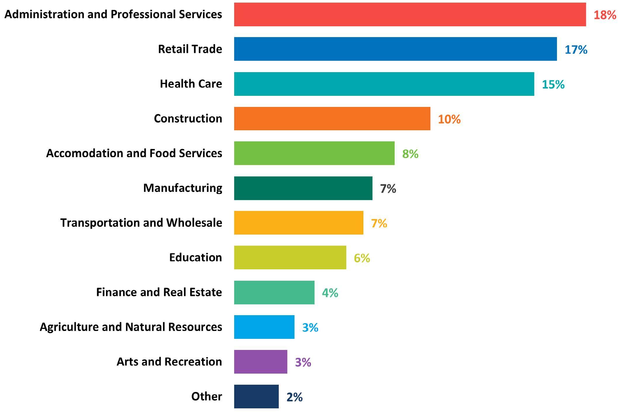
Most of the working population (61%) is employed in one of four sectors: administration and professional services (18%), retail trade (17%), health care (15%), and construction (10%) (Figure 2.2).
The share of Vernon’s working age population, generally between ages 20 and 69, has remained largely the same since 2006 (Figure 2.1).
Vernon has almost 20,000 households. Between 2006 and 2021, the city welcomed 4,100 new households, and almost half of these were formed since 2016.
Most households are small, with either two people (39%) or singles (33%). Households with three people or more make up just over one-quarter of households in the city. Household sizes have remained largely consistent since 2006, although the share of one- and two-person households increased slightly (Figure 2.3).
1 person
2 person
3 person
4 person 5+ person
Figure 2.3 Households by size, 2006–2021.
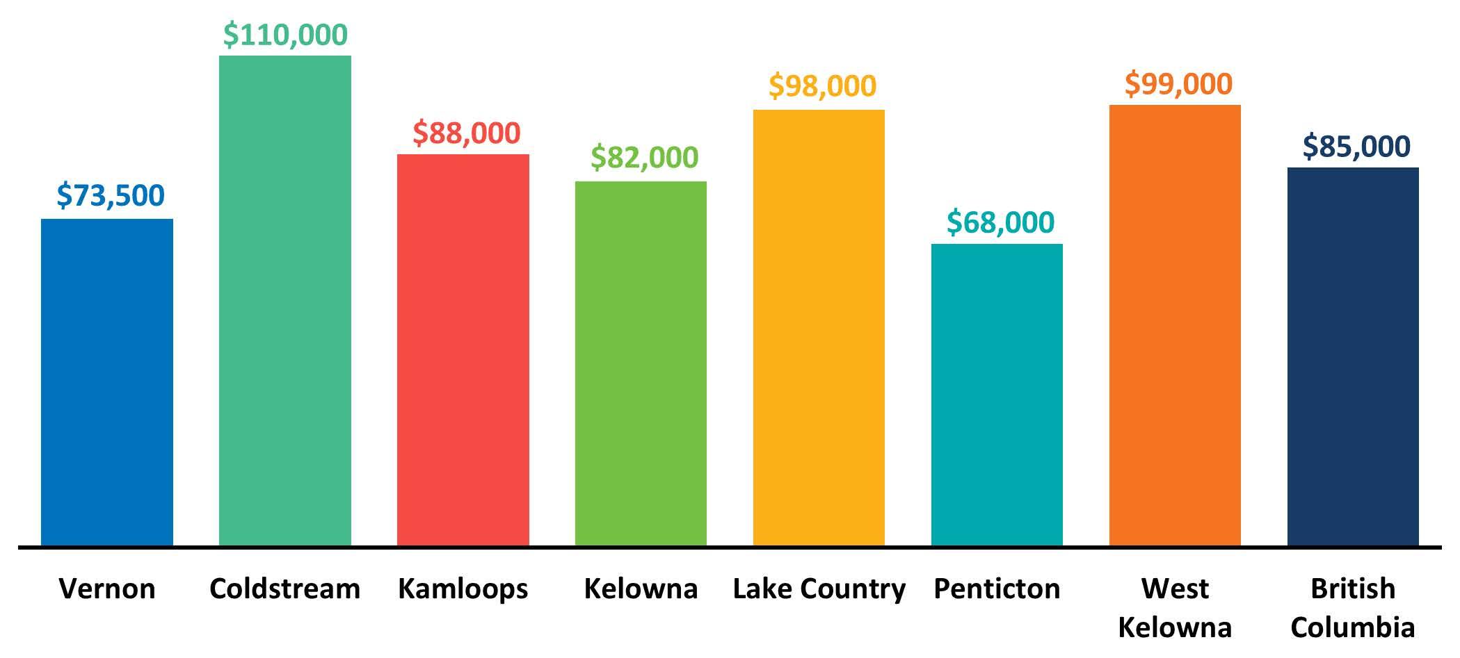
The household median income in Vernon was $73,500 in 2020, lower than the provincial median of $85,000 (Figure 2.4).
Homeowner households had higher median incomes at $89,000, and renter households were lower at $50,800. However, between 2016 and 2021, renter household income increased by 39%, outpacing that of homeowner households (increasing by 22%). (Source: Statistics Canada, Census of Population 2006, 2011, 2016, and 2021.)
Vernon needs more housing, affordable at a variety of income levels, to accommodate the growing and changing population (Chapter 2.2). Two-thirds of all housing units in Vernon are owned, rental vacancy rates are low, and rents have increased to an unsustainable level for many residents. With a growing population, aging housing stock, and limited new development, the demand for a range of housing types, forms, and tenures is only growing.
This Plan integrates the findings and strategic directions provided by Vernon’s Housing Action Plan and Housing Needs Report; addresses the federal government’s goals to increase Canada’s housing supply (see Canada’s Housing Plan, 2024); and provides guidance to achieve the 5,933 housing units needed over the next decade, as identified in the Housing Needs Report.
Vernonites are having difficulty securing suitable, affordable, and attainable housing. Vernon’s rental vacancy rate has remained below 2% since 2014. Rents increased 72% in this time. In the next decade, there is a need for a variety of rental options, including market and non-market housing, and deep subsidy and supportive housing to meet community needs (Figure 2.5). Deep Subsidy + Supportive < $500
Rental
2.5 Ten-year housing needs by type.
There are almost 20,000 housing units in Vernon (2021). Single detached and duplexes make up more than half of the housing stock (Figure 2.6). Two-thirds of the city’s existing housing stock is owned (Figure 2.7).
Only 12% of Vernon’s 5,590 existing rental units are affordable (e.g. less than 30% of the median renter income). With a rental vacancy rate of only 0.7%, Vernon is facing a severe shortage in rental housing, far below the 3% benchmark set by Canadian Mortgage and Housing Corporation for a healthy rental market.
Vernon needs almost 6,000 (5,993) new housing units to 2031 and more than 11,000 (11,484) new housing units in total to 2041 (Figure 2.8).
2.3.3
The demand for housing in Vernon will be affected by the growing population in the Central Okanagan region. As housing costs to the south increase, people will look for more affordable options further north. To be prepared for this increase in housing demand, the City has identified (1) short-term priority actions to 2030 and (2) ongoing long-term actions to be implemented over the 20-year span of this OCP.
2.3.3.1
In the next five years, Vernon needs to build more housing, faster, and expand the types, forms, and tenures that are attainable and affordable. There is a growing need for inclusive and equitable housing options that can accommodate different life stages, household types and sizes. In particular, there is a need for more purpose-built rental housing which offers a secure and long-term housing option for households who cannot or chose not to own their homes (Figure 2.9). Purpose-built rentals provide greater housing security than secondary rentals, where owners may chose to convert the rental unit for their own purposes.
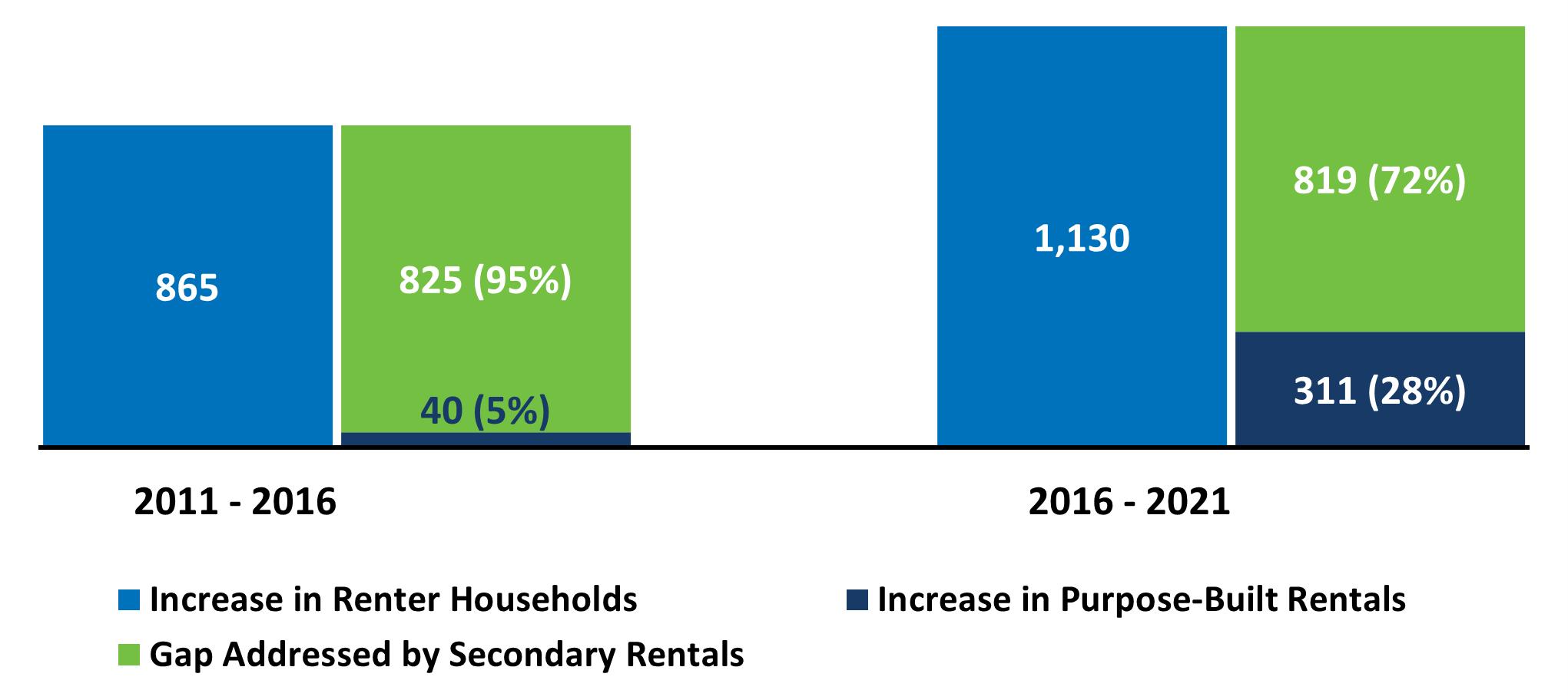
Figure 2.9 Increase in renter households versus rental housing stock, 2011–2021.
Gentle density is an approach to increasing density in existing neighbourhoods by building smaller, more affordable homes in a way that is compatible with the existing neighbourhood.
To ensure Vernon remains a place where everyone can live, work, and play, the City will encourage an increase in:
• Apartment and condominium units, needed for both the ownership and rental markets
• Gentle density units, such as secondary suites and infill housing (e.g. duplexes, triplexes, fourplexes)
• Purpose-built rental units, such as apartments, townhouses, and carriage houses
• Entry-level home ownership options, such as small lot subdivisions, mobile homes, and condominiums.
See Chapter 4.1 and Chapter 5
Over the next 20 years, Vernon needs to increase and diversify the supply of housing. More housing, in the right places, that is suitable for seniors, working age residents, youth, newcomers, and low-income households, can help to address this challenge. Introducing a broader range of housing forms and tenures, such as apartments, condominiums, and gentle density units, and ensuring it is located near transit, shopping, parks, recreation, and other services and amenities, can help to address these needs.
To ensure Vernon remains a place where everyone can live, work, and play, the City will encourage an increase in the availability of:
• Housing options for small households looking to downsize in retirement or enter the housing market as first-time homeowners
• Transitional, supportive, and social housing options located throughout the city
• Mixed-use developments, with commercial opportunities on the ground floor and residential units above, in the Urban and Village Centres and along major streets (Map 4.1) in Urban Neighbourhoods.
Mixed-use developments can address community housing needs, support the local economy, and create more jobs. By encouraging the community to grow upwards rather than outwards, densification can be promoted within the valley floor and limit sprawl, while protecting the hillsides and environmentally sensitive areas
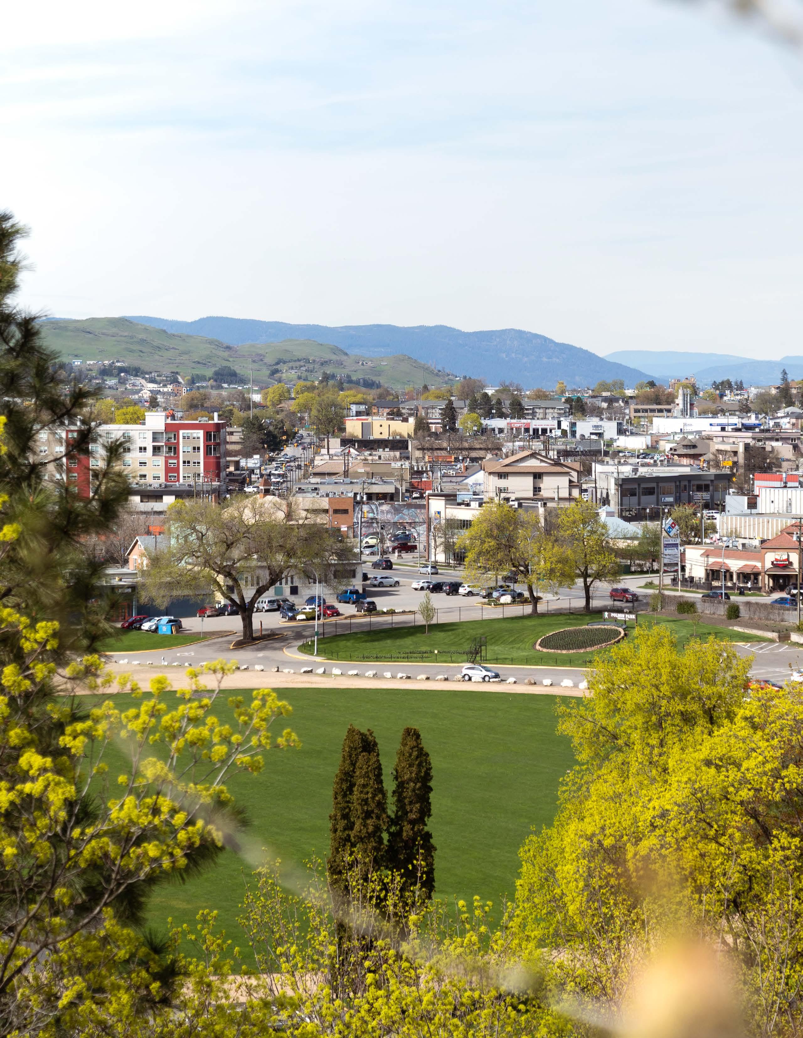
Vernon has a vision. Our growth strategy is based on shared values.
This Official Community Plan (OCP) builds on the successful components of the 2013 OCP. It considers the social, economic, physical, and environmental factors that will create an affordable, diverse, accessible, and sustainable city to 2045. Thoughtful allocations of land uses and development that balance residential, commercial, agricultural, industrial, and park space supports compact growth that enriches neighbourhoods, strengthens the local economy, and ensures a sustainable future.
The Chapter presents the collective vision for Vernon’s future growth and development (3.1), the values that inform the policies and objectives in this OCP (3.2), and the City’s growth strategy to 2045 (3.3).
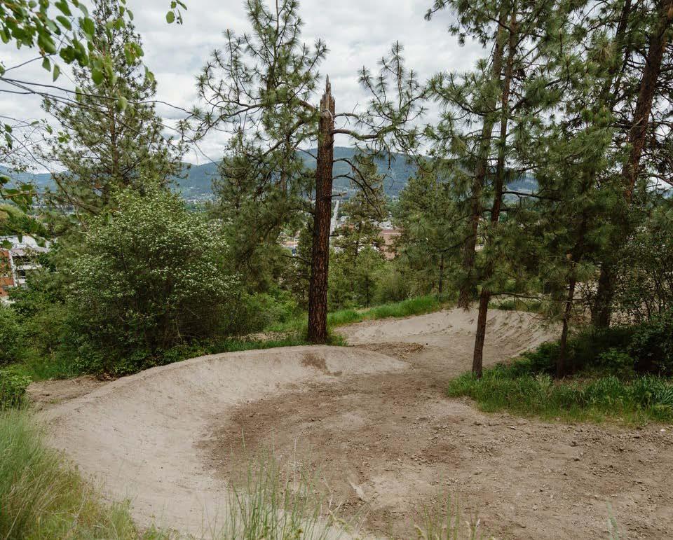
In 2045, Vernon is a vibrant, welcoming community, where people of all ages, abilities, and backgrounds are thriving. Rooted in care for one another, the environment, and the economy, lasting progress has been achieved by listening, engaging, and working together. As Vernon welcomed 20,000 new residents, the city grew intentionally, guided by the voices of the community, while maintaining the landmarks and historical buildings that make Vernon special. Together Vernonites are committed to honouring and protecting the natural landscape while promoting sustainable growth and resilience in the face of a changing climate. A leader in climate action, Vernon has reduced its greenhouse gas emissions by 75% and is well on the way to a 100% reduction by 2050. This makes the city a desirable place to live, work, play, move around, and visit.
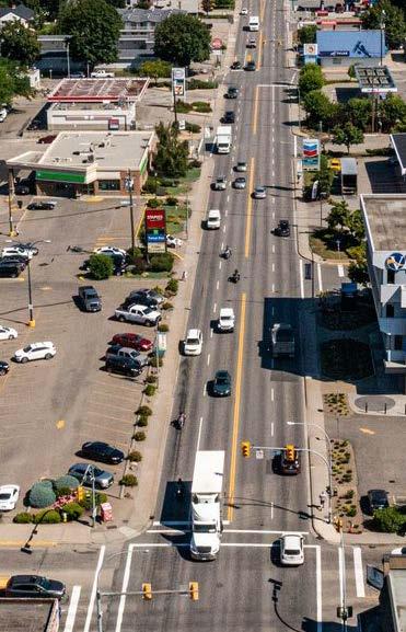
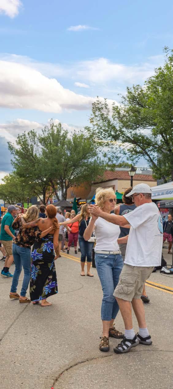
Vernon is a connected, complete, and resilient city, where incremental urban infill in the valley bottom complements surrounding rural and agricultural lands, natural areas, and mountain landscapes. Higher-density housing, mid-rise buildings, and mixed-use developments along key corridors, village centres, and urban centres provide diverse living options for the growing population. A vibrant urban core serves as the city’s hub, supported by a mix of housing, services, green spaces, and transportation choices. Key corridors like 48th, 43rd, and 39th Avenues, 27th Street, Alexis Park Drive, and Highway 97 have shaped growth and strengthened connectivity.
Vernon offers people choices in how and where they want to live, and how they want to experience the community. Housing is abundant, affordable, attainable, and supportive of those who need assistance. A variety of housing types and tenures are available in neighbourhoods across the city, and Vernon has met the housing targets identified in the Housing Needs Report to provide for all residents. Greater densities, including apartments and rentals, are concentrated in areas that have the infrastructure, facilities, and services to support it.
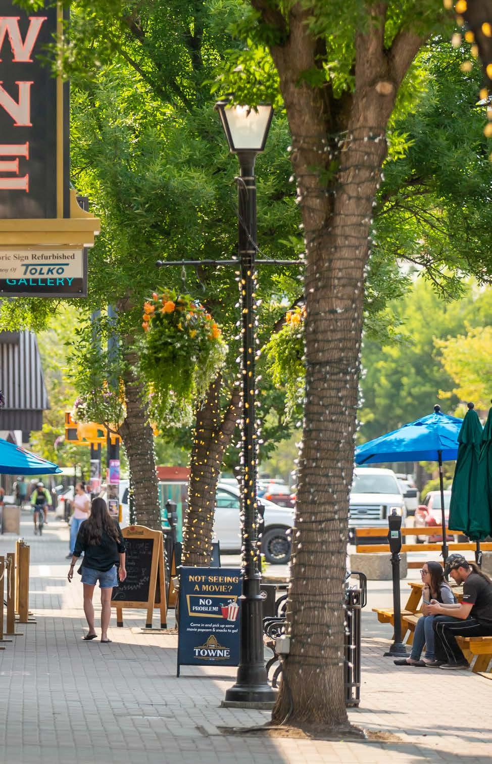
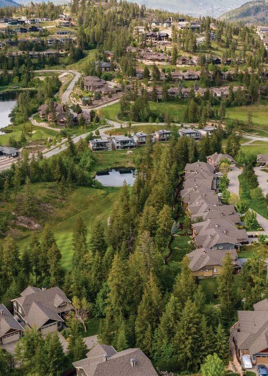
Vernon’s neighbourhoods and centres are vibrant, lively, and safe, with smallscale local shops and cafes, expanded home based businesses, increased residential density, and pedestrianfriendly, tree-lined streets. Cohesive character is built in through careful planning and guidance, including renewed and improved infrastructure. Buildings feature designs that balance quality architecture with accessibility, efficient and low carbon energy, and affordability. Placemaking and wayfinding are established by distinctive buildings and colourful art that help residents of all ages navigate the community. A vibrant arts and culture scene honours Indigenous and historical roots.
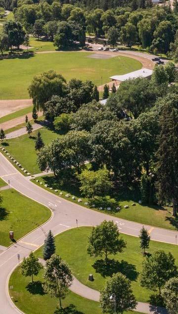
Vernonites make play a part of daily life. Greater Vernon is the Trails Capital of BC and the City of Vernon is the 365day adventure capital of the Okanagan, and Vernon’s parks system plays a large role in helping residents stay active and enjoy the healthy lifestyle they value. Flagship parks, including Polson Park, Marshall Fields, the DND Sports Fields, Kin Race Track Park, and Civic Memorial Park, remain central to community life, supported by new green spaces to serve expanding neighbourhoods. Riparian areas along creeks and Okanagan Lake are being restored, the public has access to the waterfront through a strategic parkland acquisition strategy, and a trail network connects people along waterways, hillsides, and throughout the city.
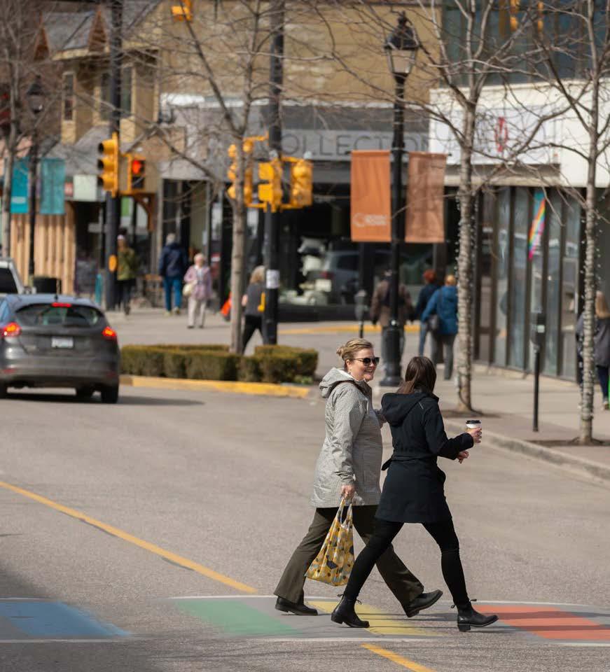
Vernon’s economy supports local businesses and jobs are close to home. The number of working-age Vernonites who commute long distances to other communities or provinces has been reduced through the realization of effective economic development strategies and policies that create more jobs locally. Childcare opportunities are ample, and every resident has access to a family doctor, assisting with employee recruitment and retention.
Vernonites have choices in how they move around the city, with connected multimodal options for pedestrians, cyclists, rollers, transit users, and drivers that will help Vernon reach the goal of no net greenhouse gas emissions by 2050. Multi-family apartment buildings are present along transit corridors and near transit stops to increase ridership and support a frequent transit network that connects key landmarks such as the Active Living Centre to neighbourhoods throughout the city.
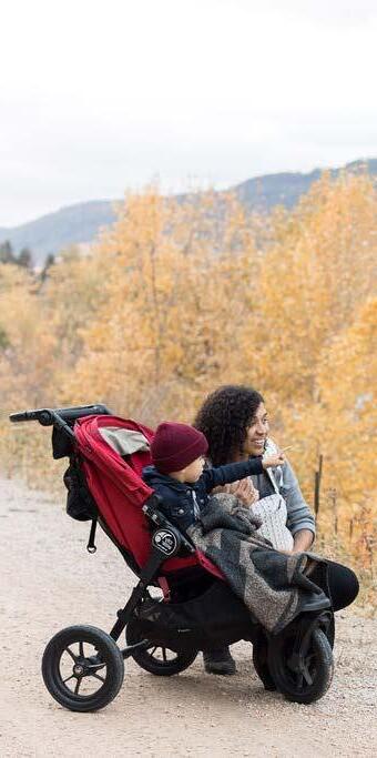
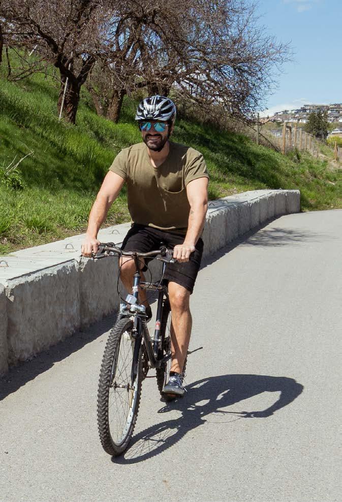
Vernon prioritizes well-being and the strength of community. The goals and actions of plans and strategies that support youth, families, seniors, and equity seeking groups have been achieved, and the City has made strides in individual and collective commitments to reconciliation with Okanagan Indian Band and the syilx Okanagan peoples. In 2045, Vernon is an inclusive, accessible, and equitable city where people of all ages, abilities, and backgrounds are welcomed.
With its wide geography and distinct neighbourhoods, Vernon’s future depends on continually strengthening physical, social, and cultural connections. Strategic investments in mobility and infrastructure support movement by car, bike, transit, and foot, creating a more inclusive, sustainable, and livable city for generations to come.
This Official Community Plan (OCP) is built on seven community-defined values. The values inform the City-Wide and Land Use Policies (Chapters 4 and 5) in this Plan and will shape Vernon’s future growth and development as this OCP is implemented over the next 20 years.
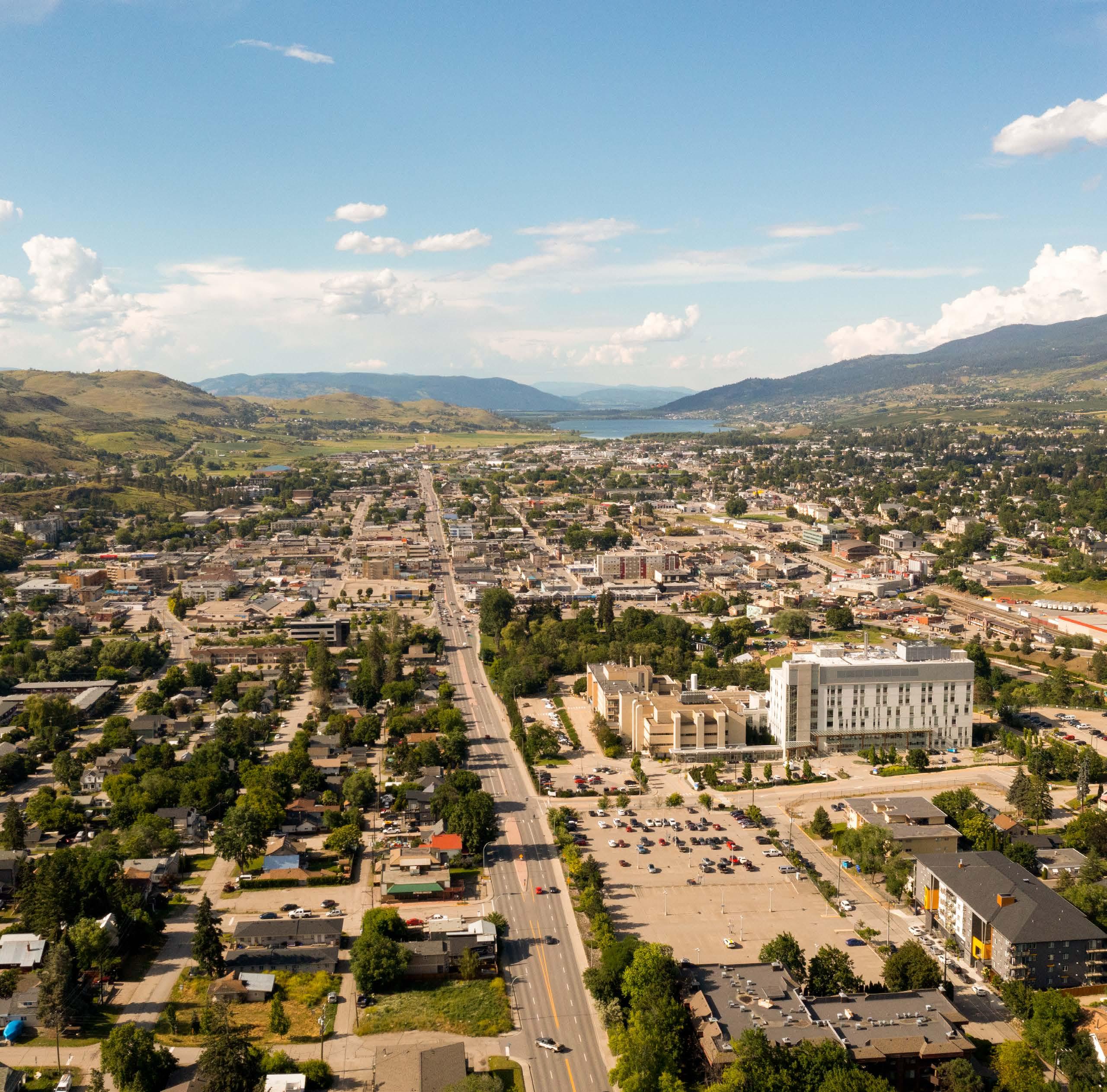
Housing is diverse, affordable, sustainable, and guided by inclusive policies that address the needs of residents at every stage of life.
Natural areas are protected through policies that restore and enhance sensitive ecosystems, improve community climate resilience, and grow the tree canopy.
The local economy thrives through policies that support and diversify business, tourism, and the agricultural industry, and encourage new investments and locally owned enterprises.
Active living, arts, and culture are celebrated in a vibrant community that invites residents and visitors to gather, engage, and enjoy shared experiences.
Community and individual well-being are enhanced through inclusive policies that address social inequities in the community, build relationships with local Indigenous Nations, and advance Truth and Reconciliation.
The community is prepared for emergencies and is resilient to climate change with plans and services in place to keep the community safe and ready for emergency events.
Balanced growth is promoted by focusing development where infrastructure already exists, near urban services, vibrant community spaces, and multimodal transportation networks.
Coordinated, planned growth and development will ensure the very qualities that make Vernon an attractive place to live, work, and play are supported over the long term. The City of Vernon’s growth strategy is to promote balanced, sustainable growth (Figure 3.1) by:
1. Increasing housing in designated areas where infrastructure exists or is planned (Urban and Village Centres, and Urban, Suburban, and Resort Neighbourhoods);
2. Discouraging growth in Limited Growth Areas and Preservation Areas; and
3. Protecting natural features (steep slopes, rock outcrops, wetlands, creeks, lakes, and sensitive ecosystems) that contribute to the beauty, health, and resilience of Vernon.
Encouraging development in the right locations will also help Vernon reduce greenhouse gas emissions and implement the Climate Action Plan.
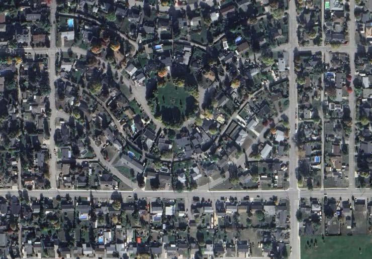
A lack of housing supply is putting pressure on housing affordability in Vernon, the Okanagan, and communities across BC and Canada. To ensure housing is accessible to all Vernonites, an increase in the supply of all types of housing is crucial, including market, rental, special needs, and affordable housing
The federal government has acknowledged the need for more housing in Canada’s Housing Plan. The Province also publishes five-year housing targets for BC municipalities to achieve, and requires them to demonstrate regular monitoring and annual progress.
Vernon’s housing target establishes the number of units that are needed in the city each year, and was used to inform the density allocations and future land use designations in this OCP.
Vernon’s Housing Needs Report identifies the need for 11,484 new housing units over the next 20 years to accommodate current residents, growing families, and new residents. It also recommends a greater diversity of built forms (apartments, mixed-use, and higher density multi-family options), including 1- and 2-bedroom homes. The growth strategy and future land use designations in this OCP are capable of accommodating more than this anticipated housing need based on an initial Housing Development Capacity Analysis presented to Council on October 28, 2024.
This analysis showed that over 65,000 housing units could be achieved on lands designated for small-scale or medium-scale housing, without taking into account the potential number of
housing units that could be achieved on lands designated for mixed-use or tourism.
This Plan provides policies (Chapters 4 and 5), regulatory guidelines (Chapter 6) and actions (Chapter 7) that focus on building more housing in the right places, making it easier to own or rent a home, and helping those who cannot afford a home, aligned with federal and provincial policies and targets. This Plan also recognizes that new housing must be managed and directed in a way that puts sustainability at the forefront and ensures everyone can continue to live, work, play, and move around the city.
Vernon’s growth and development is shaped by a Rural Protection Boundary (Map 1.1), Urban Containment Boundary (Map 1.2), and Focused Growth Area (Map 1.3). The future land use designations (Map 5.1) and associated policies (Chapter 5) provide the framework and guidance to foster balanced and sustainable growth and development that is aligned with Vernon’s values (Chapter 3.1).
The Urban Containment Boundary (UCB) (Figure 3.2 and Map 1.2) is the City’s principal tool for limiting sprawl, growing sustainably, and supporting a robust economy. It links efficient land use planning with sustainable transportation planning to reduce greenhouse gas emissions and foster resilience to climate change. Reducing the distances between where people live, work, and play, can also help create jobs and retain skilled employees.
Lands within the UCB are earmarked for growth at a variety of densities, from low to high, depending on existing and planned infrastructure. Areas outside the UCB are constrained by challenging topographies, sensitive environmental areas, lack of servicing, the Rural Protection Boundary (Map 1.1), and the Agricultural Land Reserve (Chapter 5.5). The City will continue to work with the Regional District of North Okanagan on alignment between the UCB and the Rural Protection Boundary through the implementation of Vernon’s Growth Strategy and the Regional Growth Strategy.
Within the UCB, high-density growth will be encouraged in the Focused Growth Area (FGA) (Figure 3.2 and Map 1.3), where the City will direct the majority of public investment into transportation and infrastructure, parks, and amenities. The FGA identifies lands that have access to transit, community sewer and water services, are within a 10-minute fire response time, and are ideal for medium- to high-density growth, employment, and investment.
Within the FGA, density is directed to primary and secondary areas (Urban and Village Centres) and along transit corridors and major streets These locations are foundational to balanced and smart growth that promotes sustainable, efficient, and livable communities across the city while reducing greenhouse gas emissions.




Urban Centres (Map 5.1) are places where people actively live, work, play, move, shop, access services, and gather. Typically compact and walkable, they feature higher housing densities and mixed-use buildings, with higher volume intersections, transit exchanges, and community amenities.
Downtown and Uptown Urban Centres are the focus of high-density mixed-use development. To achieve the residential and employment density required to support a thriving and sustainable city, these Centres are Vernon’s target areas for the most growth and reinvestment.
Mixed-use development will play a pivotal role in shaping Vernon’s future as a compact, balanced, and sustainable community. By embracing this type of development, the places where Vernonites live, work, and play are located closer together, creating a more walkable community. Vibrant centres support housing opportunities, employment, and business prosperity; shortened vehicle trips and expanded multimodal transportation options to reduce greenhouse gas emissions; and are aligned with principles of Crime Prevention Through Environmental Design
High-density housing typically looks like apartments and high-rises, with commercial units at street level. Parking is accommodated in enclosed and structured parking, wrapped with active uses (e.g. retail stores, offices, townhouses), and back-of-house items are hidden from public view. Pedestrian movement and high-quality public amenities are prioritized, and a higher level of streetscape design is encouraged in prominent locations.
Mixed-use development is best where multiple land uses are integrated into one building or onto one site (e.g. a residential building with a ground floor and street-facing restaurant; or two separate buildings).
Crime Prevention Through Environmental Design is a multidisciplinary approach that uses urban design and architecture to reduce crime and fear of crime (e.g. “eyes on the street”, lively public spaces, wellmaintained landscaping and lighting, building orientations that allow for clear sightlines).
The Downtown and Uptown Centres are designated as Transit-Oriented Areas (TOAs). The goal of TOAs is to create walkable and bikeable centres where the majority of daily trips do not require a car. They are planned to provide excellent transit options and expanded multi-use pathways, giving residents choices in how they like to move around.
By increasing residential density near desired transportation and transit corridors (e.g. 25 Avenue, Alexis Park Drive, 29 Street, 30 Street), the City can work toward sustainable development by reducing dependence on single rider automobiles. Growth along transportation corridors will look like medium-density apartment buildings, mixeduse buildings, and standalone commercial buildings, with daily services integrated throughout.
Potential Transit-Oriented Areas are places where two or more transit routes intersect, and may evolve such that the frequency of transit service is 15 minutes or less. Currently, there are several potential TOAs that could become centres and support compact commercial hubs and medium-density housing in the mid-term future (e.g. North End, Polson, Okanagan Landing in Figure 3.1).
Transit corridors are generally connections between the primary and secondary areas that exist along higher capacity transportation corridors, such as arterial and collector streets, and feature transit routes. Transit corridors can support residential, mixed-use, commercial, and community-use developments. This type of growth along transit corridors encourages transit use, which can help to expand and improve transit service by increasing the number of riders and users of the transit system. Continuing investment in expanding transit service through partnership with BC Transit will ensure compact urban growth and reduce sprawl.
Downtown Urban Centre is the heart of Vernon’s civic life, commerce, and culture. With its historic street grid, active storefronts, and a mix of uses, it provides a strong foundation for intensification of residential density and commercial activity. Increasing the residential population Downtown will support local businesses, help to create more jobs, activate streets beyond daytime business hours, and create a more inclusive city centre. Investing in Downtown will help revitalize underutilized spaces, enhance the public realm, and build community togetherness. Downtown will continue to be a place to celebrate Vernon’s arts and culture by preserving the historic feel while promoting revitalization.
Uptown Urban Centre includes the Village Green Mall and surrounding areas, including properties fronting Anderson Way. Uptown holds a prime opportunity for redevelopment into a business district with high density residential, and a more complete, mixed-use primary growth centre. Currently dominated by auto-oriented retail and large surface parking lots, this area is reimagined to be a modern centre that features apartments, mixed-use buildings, a business district, public spaces, and the integration of transit. Large land parcels make it highly suitable for phased development that brings together new residents, services, and infrastructure.
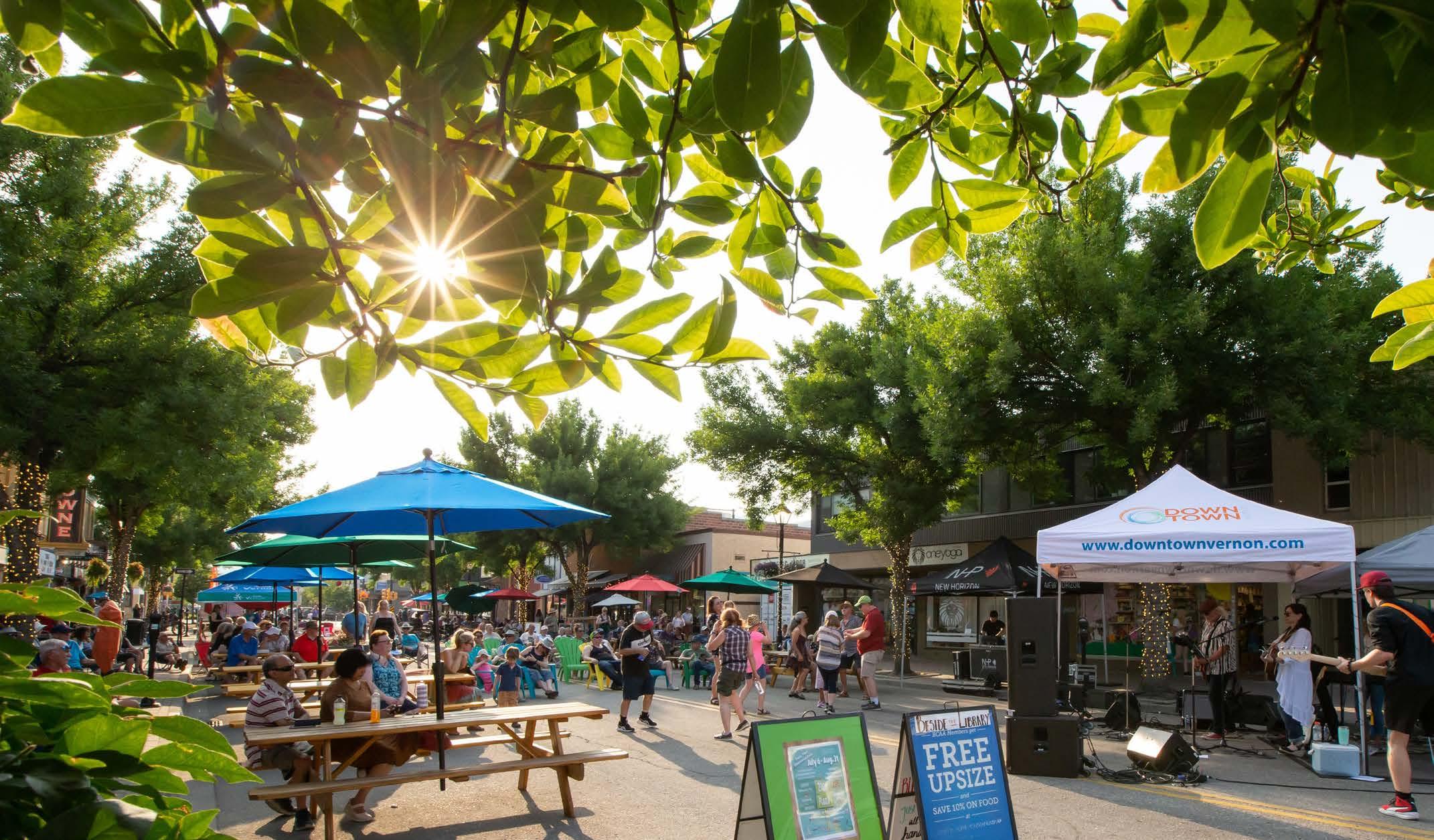
Village Centres (Map 5.1) are secondary areas for medium-density, mixed-use development, each with identifiable character. They offer a diverse mix of housing options and commercial opportunities, local services, and public spaces within a community-oriented setting. They will grow to be walkable and bikeable, where most trips can be accomplished on foot and biking is convenient and safe. Expanding transit to and in these areas will help fill the gaps where walking or biking is not always sufficient, making car ownership a choice, rather than a requirement.
These secondary growth areas can offer people the opportunity to live and work close to daily needs, play in green spaces, and move about the city using a variety of modes that prioritize pedestrians, rollers, and transit users.
Medium-density, mixed-use centres can support moderate, sustainable growth that reinforces housing diversity, mobility options, and neighbourhood vibrancy with:
• Large apartment buildings where land assemblies are achievable, and single stair egress buildings on smaller lots and constrained sites.
• Apartments are supplemented with townhouses and small-scale infill to provide sensitive transitions to the existing fabric of nearby neighbourhoods.
• Commercial units are incorporated into apartments at street level or as standalone developments.
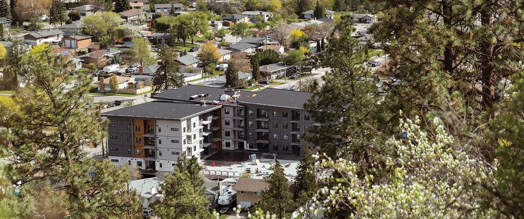
Alexis Park Village Centre is a connected neighbourhood that benefits from defined arterial and collector streets such as Alexis Park Drive, existing multi-family housing, the new Vernon Active Living Centre, and access to schools and parks. Being near transit routes and amenities makes Alexis Park well suited for modest infill and incremental density such as townhouses, apartments, and smallscale mixed-use.
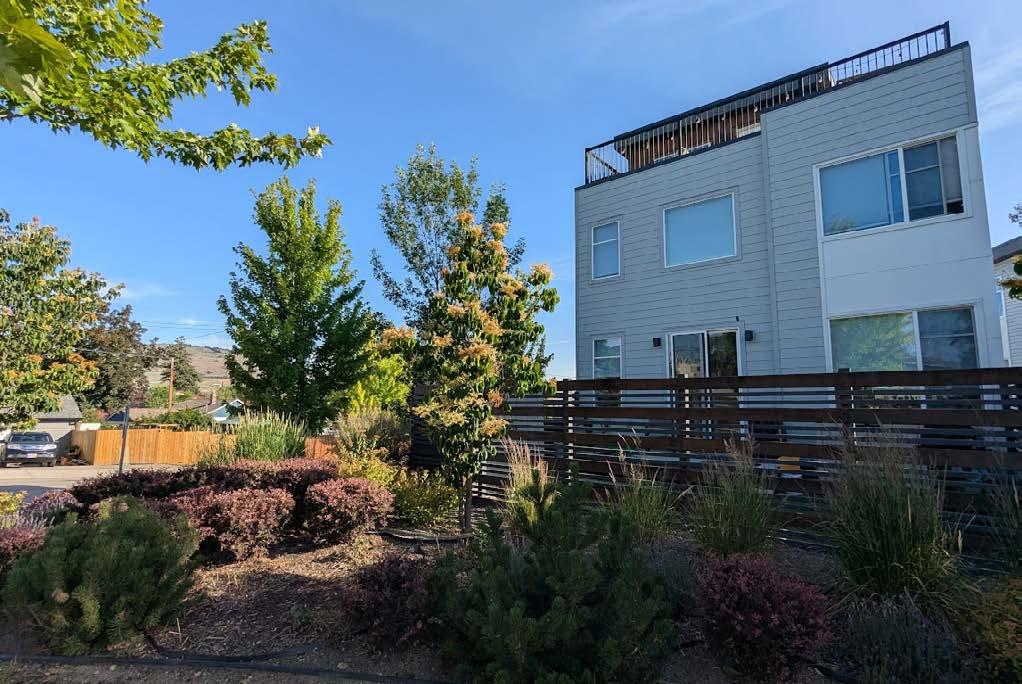
Jubilee Hill Village Centre is strategically positioned on the south side of Downtown and along both sides of Highway 97. It will grow to support the Vernon Jubilee Hospital with medium-density housing, workforce housing, mixed-use buildings, short-term accommodation, and institutional and cultural opportunities. A mixed-use and multimodal corridor along 33 Street will help support a balance of housing, mobility options, and public spaces to reinforce it as a compact community hub.
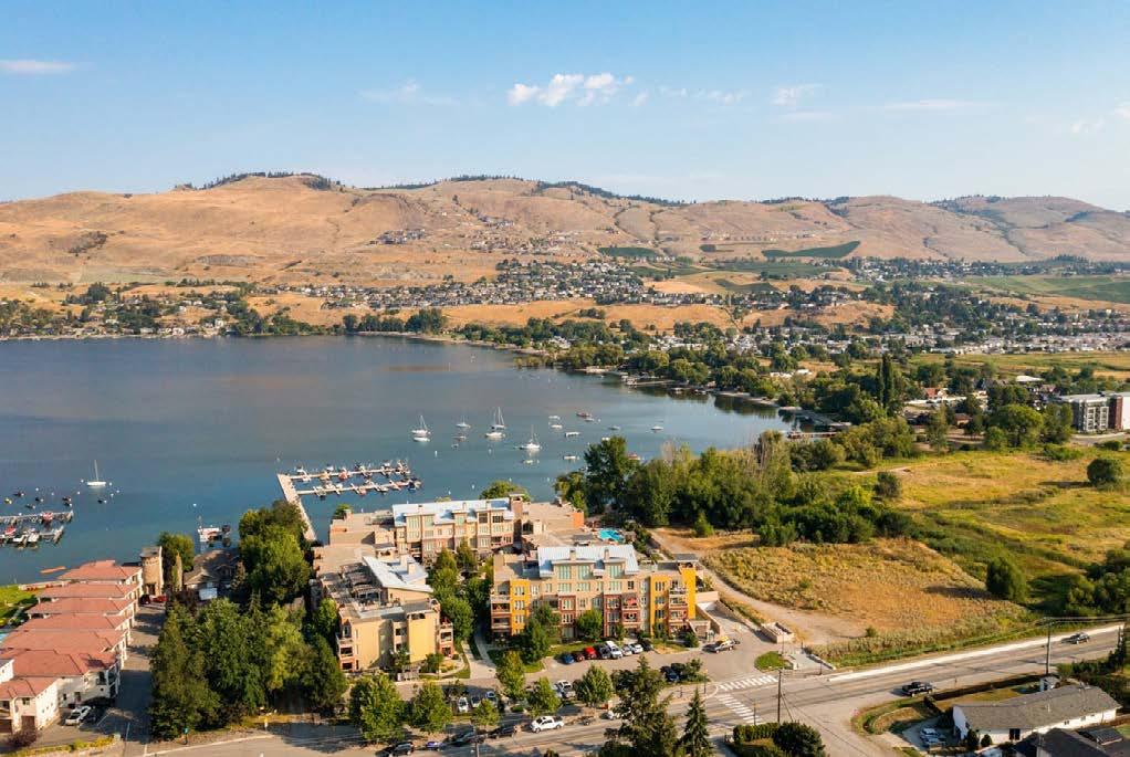
Waterfront Village Centre is located on the shores of Okanagan Lake, one of Vernon’s defining features. The Waterfront Village Centre Plan has been incorporated into this OCP to create a distinct, destination-oriented area that blends urban life with access to nature. With careful planning to protect environmental values, cultural values, and archaeological sites, this area will grow to support medium-density residential development that respects the operational height limits of Vernon Regional Airport (Map 3.2). Incorporating small-scale retail, cafes, public spaces, and touristoriented uses will activate the waterfront and improve public access. Taller buildings will be strategically located along transit corridors, such as Okanagan Landing Road.
Urban; Suburban; and Resort Area Neighbourhoods (Map 5.1) will absorb residential growth and development through gentle density and strategically located apartments (Figure 3.3). These small-scale and typically ground-oriented units will help boost housing supply, offering flexibility, accessibility, and adaptability, without significantly altering the character of the neighbourhood.
Gentle density refers to adding attainable “missing middle” housing, such as secondary units, infill housing (duplexes, fourplexes, heritage infill, townhouses), and small apartment buildings onto properties.
Urban Neighbourhoods are often the original neighbourhoods of the region and have been incorporated into the City of Vernon over time (Map 3.1). They have established streetscapes, historical context, and a sense of identity. They provide transitions between Urban Centres, Village Centres, and Suburban Neighbourhoods in terms of location and scale. Often, Urban Neighbourhoods have original housing that may be decades old alongside newer infill developments. These neighbourhoods are well connected to Centres by transit or multi-use pathways and will accommodate higher levels of residential density and commercial activity than Suburban Neighbourhoods (Figure 3.4).
Some apartments may be suitable on major streets, transit corridors, or near parks and transit stops in these neighbourhoods, while most of the density will be in the form of infill housing, such as duplexes or fourplexes, and townhouses. Small-scale and local commercial opportunities and community services will be encouraged to help meet the day-to-day needs of the residents.
3.3.4.2
Suburban Neighbourhoods are farther away from the Downtown and Uptown Centres and are largely car dependent. Growth will include gentle density (missing middle) housing, home-based businesses, and small-scale commercial development to support the daily needs of residents, such as cafes, convenience stores, or food stores. Suburban Neighbourhoods will be connected to Centres through multiuse pathways, collector and arterial streets, and transit that is improved over time in response to demand.
3.3.4.3
Resort Area Neighbourhoods draw tourists and year-round residents for the same reason – easy access to outdoor adventure and natural areas that make Vernon a desirable place to live, work, play, and visit. These areas will include a mix of housing types and tenures including short-term rentals. Commercial and community uses will be available to support the needs of the tourism sector and for yearround residents who value a unique lifestyle option.
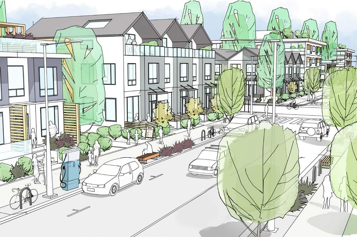
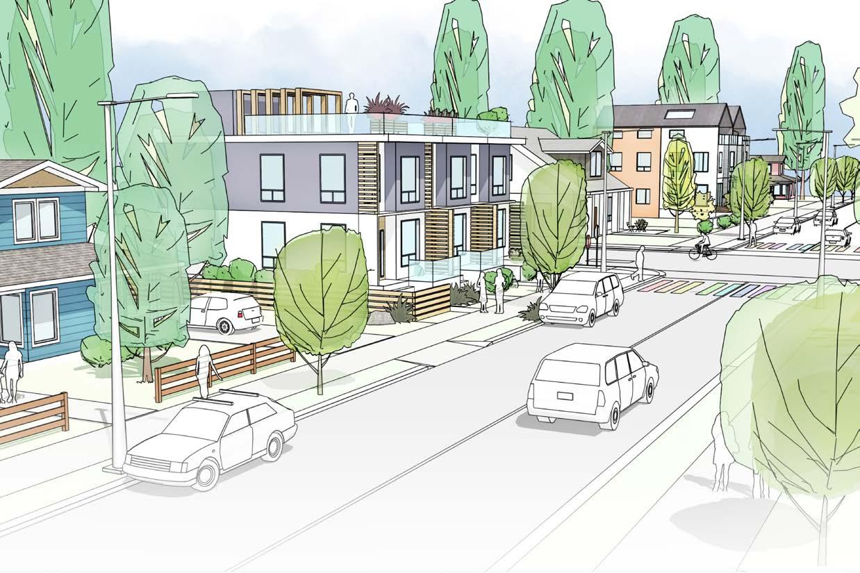
Suburban Limited Neighbourhoods; Hillside Neighbourhoods; and Rural Areas (Map 5.1) have low-density land uses, such as single detached homes, and may be suitable for accessory dwelling units or infill housing. Growth is typically discouraged due to limited servicing, steep slopes, and environmental constraints.
Suburban Limited Neighbourhoods are mostly located outside of the Urban Containment Boundary and have been identified for limited growth due to constraints in expanding community water and/or sewer servicing. These neighbourhoods have the potential for increased growth in the future as community water and sewer capacity is expanded and transit frequency is improved.
Hillside Neighbourhoods designated as Suburban, Suburban Limited, Resort Tourism, or Rural are not suitable for intensive residential growth due to challenging topographies with 30% slopes, sometimes lacking community water and sewer services, and the presence of substantial environmentally sensitive areas. Previous neighbourhood plans that have been used to guide development decisions in the past have been integrated into the Future Land Use Designation Map (Map 5.1) to honour the land uses, parks and open space areas, densities, servicing, and road alignments of these plans. New Hillside Neighbourhoods will be discouraged and only considered where
there is demonstrated public benefit. This could include dedications of substantial park or open space, conservation of environmentally sensitive areas, off-site infrastructure improvements, affordable or rental housing, inclusion of commercial and daily services, or other benefits that align with OCP objectives (Public Benefit Policy 4.1.5.1.).
Environmentally
are lands with specific and identified environmental values that require a higher level of protection. They serve key ecological functions in the community, promoting habitat connectivity (Map 3.3, Map 6.1) and biodiversity conservation.
Rural Areas often have challenging topographies, sensitive ecosystems, or are adjacent to the Agricultural Land Reserve (ALR). Rural lands can help provide a necessary buffer between agriculture and urban residential uses to reduce conflicts due to farming activity that can produce noise, dust, and other nuisances. Residential homes in rural lands can benefit from proper setbacks and buffering to ALR properties. Limited growth in the forms of secondary suites or accessory dwelling units may be possible in these areas based on
servicing requirements and lot size, provided that environmentally sensitive areas remain protected.
Generally, new development proposals in Rural Areas will be discouraged, recognizing that there is minimal infrastructure in place, public investment in streets and transit is limited, and protecting the environmental and ecological value of these lands is a community value (Figure 3.5).
3.3.6 Preservation Areas
Agricultural Land Reserve; Parks, Open Spaces, Natural Areas; and Community Uses (Map 5.1) have the lowest density land uses and are areas where growth and development is discouraged or prevented by regulation.
3.3.6.1 Agricultural Land Reserve
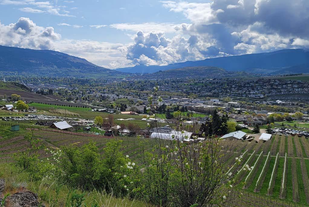
The Agricultural Land Reserve will be protected and preserved to support agriculture, the economy, and local farmers by discouraging residential, commercial, or industrial encroachment into agricultural lands and limiting non-farm uses on agricultural lands. Residential growth and other uses on agricultural lands is limited by the provincial Agricultural Land Commission. Agricultural areas will be serviced primarily with rural streets that respect agricultural activities, with limited transit, biking infrastructure, and sewer expansion.
3.3.6.2 Parks, Open Spaces, Natural Areas, and Community Uses
Parks, Open Spaces, and Natural Areas will be protected, and where feasible will be expanded to promote regional habitat connectivity (Map 3.3) and increase public access to natural areas, including north-south and east-west connections and trails (Map 4.4).
Community Uses are lands that are intended to provide institutional services such as childcare facilities, libraries, and civic buildings.
Vernon is taking action! City-wide policies shape our future.
TURTLE MOUNTAIN
The city-wide policies in this Official Community Plan (OCP) work together to direct how the City will achieve balanced and sustainable growth and development to 2045 (Chapter 3).
This Chapter presents an integrated set of policies and objectives that apply to all lands in Vernon, including:
• Housing (4.1)
• Climate and environment (4.2)
• Economy, employment, and prosperity (4.3)
• Parks and recreation (4.4)
• Culture, equity, and inclusion (4.5)
• Community safety (4.6)
• Transportation and infrastructure (4.7)
This Chapter also highlights the actions that will bring these policies to life; the full discussion of implementation is in Chapter 7.
BC’s Local Government Act (S. 471) allows municipalities to set out policies for a variety of objectives within their OCPs to guide the decisions and operations of the community. While these policies do not commit the community to proceed with any of the works mentioned in the OCP, all other bylaws and works undertaken by Council must be consistent with this Plan.
Housing is diverse, affordable, sustainable, and guided by inclusive policies that address the needs of residents at every stage of life.
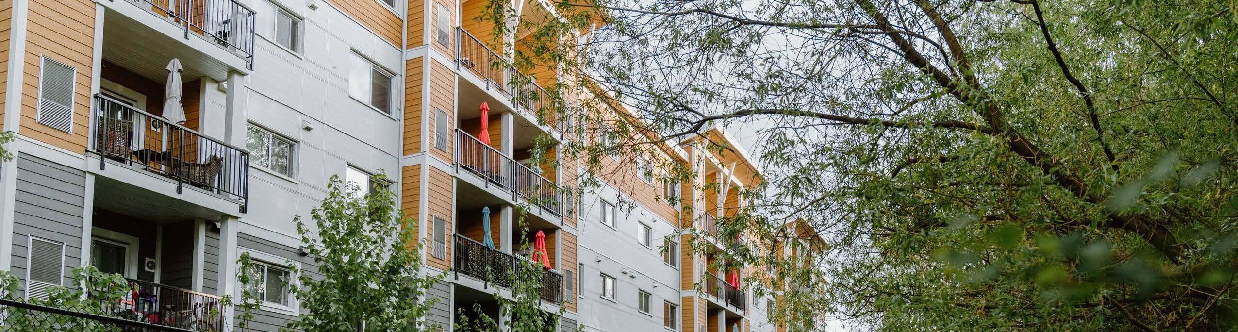
A healthy community is built on a foundation of adequate housing supply to meet the core needs of all residents. Healthy housing is affordable, high-quality, safe, stable, free of hazards, and in a location that supports health and well-being. Throughout a person’s life, their housing needs will shift across the housing spectrum as age, family size, mobility, and resources change. Renting a room in a shared apartment as a young adult may transition into purchasing a home for a growing family. A person who requires emergency shelter or complex care for a portion of their life may transition into renting an apartment. Later in life, a person may require housing that is accessible for mobility purposes.
To meet the housing needs of community members at all stages of life, Vernon will support and assist property owners, non-market housing providers, and developers to build a range of healthy housing types, sizes, and tenures that address the housing challenges identified in the City’s Housing Needs Report and across the housing spectrum.
A priority for the City is to shift the culture of how development applications are processed and the supports and incentives it can offer to property owners interested in adding housing density to their properties. The City recognizes that financial incentives, zoning incentives, and supportive policies are an important part of implementing this Plan’s objectives and may not be achievable by the private sector alone.
The city-wide housing policies in this Chapter present five housing objectives and specific policies that align with federal and provincial initiatives to build more homes, faster, and to make it easier to own or rent a home. The action items in this section are identified to help create the conditions for housing development. The actions will assist in achieving the provincial housing target order of 75% of Vernon’s Housing Needs Estimate over the next five years.
Chapter 5 presents policies that guide development in each designated land use. A complete list of City actions is provided in Chapter 7 (Table 7.1).
4.1.1 Objective: Streamline processes for development applications to deliver more homes, faster.
A culture of cooperation
4.1.1.1. Support the development community and foster collaboration and partnerships by enhancing dialogue, sharing ideas, and opening up channels of communication through planned engagement sessions.
4.1.1.2. Foster a culture of cooperation, especially with first-time and smallscale developers who may be unfamiliar with local government processes, recognizing that a significant level of infill density can be accommodated on existing properties and support local prosperity.
4.1.1.3. Digitize existing building and permitting records to allow for quicker retrieval of property information to enhance service delivery, generate City revenue, and make it easier to purchase a home.
Streamline applications
4.1.1.4. Support the construction of standardized housing designs identified in the RDNO Pre-Approved Housing Design Competition, and the federal and provincial Housing Design Catalogues
4.1.1.5. Consider reduced street cross-sections before requiring land dedication for increased road width, where housing development is likely to be negatively impacted (e.g. achieving fewer units or causing project delays).
4.1.1.6. Discourage traffic impact assessments or studies for housing developments that are anticipated to generate less than 80 trips/peak hour or are within a Transit-Oriented Area, to reduce project delays and costs.
4.1.2 Objective: Embrace innovative solutions to increase the housing supply and encourage energy efficiency and reduced carbon emissions.
Housing innovation
4.1.2.1. Support a regional collaborative approach to innovative and energy efficient housing solutions that may help to increase the supply of housing in Vernon and nearby communities.
4.1.2.2. Support non-traditional forms of construction, such as modular and panelized houses, modular apartments, tilt-up construction, prefabricated homes, and other fast-build housing types that reduce construction timelines and increase cost certainty.
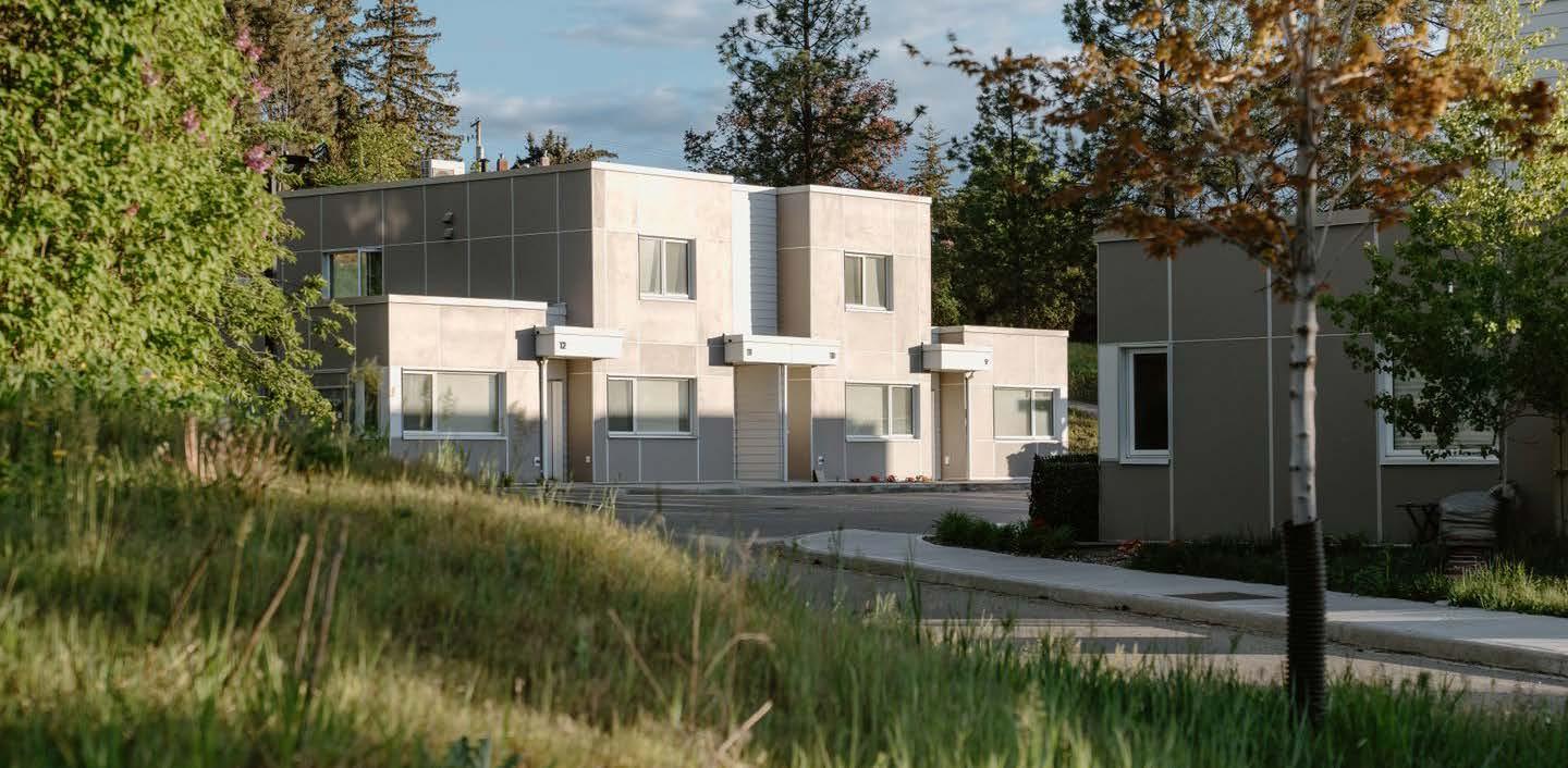
4.1.2.3. Encourage innovative building forms such as single stair egress buildings that can respond to site-specific challenges (e.g. small lot sizes, historical or archaeological preservation, topography, and economic constraints).
Holding properties
4.1.2.4. Support Temporary Use Permits for holding properties, to allow property owners to generate revenue while assembling land or preparing for redevelopment.
4.1.2.5. Support the use of surplus, underused, and vacant government lands for housing development.
4.1.3 Objective: Prioritize affordable, accessible, healthy, and special needs housing to meet the housing needs of the community.
4.1.3.1. Support the equitable distribution of overnight shelters, supportive housing, and special needs housing across the city, with a focus on locations that offer easy access to transit, employment, and essential amenities and services.
4.1.3.2. Continue to support and collaborate with the Social Planning Council and other agencies to address issues of homelessness, poverty, social development, and housing across the city.
Affordable, healthy, and special needs housing
4.1.3.3. Encourage the development of affordable housing, rental housing, and special needs housing by considering regulatory flexibility, such as reduced parking, additional height, or a relaxation of design guidelines, while encouraging quality and healthy housing
4.1.3.4. Continue to support the provision of housing that addresses special needs of the community, such as complex care, accessible housing, Indigenous housing, emergency shelters, and others by working with housing providers to understand their needs and provide incentives.
4.1.3.5. Collaborate with non-profit and non-market housing providers by building relationships, increasing communication, supporting engagement, and facilitating cooperation.
4.1.3.6. Encourage the inclusion of single-storey, accessible, and adaptable units in multi-family developments, with common and shared amenity spaces that can be modified over time to meet the needs of residents with physical limitations or mobility tools.
4.1.3.7. Collaborate with housing providers to address missing middle housing that provides rental and ownership opportunities for middleincome earners.
4.1.3.8. Support diverse rental housing tenures, including market and affordable rentals, supportive housing, special needs housing, boarding houses, and others.
4.1.3.9. Support alternative and attainable ownership options, including cooperative housing, co-housing, leased land, small lot subdivisions, and building stratifications that meet the types of housing identified in the Housing Needs Report
4.1.4 Objective: Achieve a balanced rental market of 3% to 5% vacancy.
Rental housing stock
4.1.4.1. Only support the stratification of existing rental housing developments with five or more units when the rental vacancy rate is above 4%.
Protect tenants and mobile home parks
4.1.4.2. Ensure short-term rental accommodation does not negatively impact the long-term rental housing supply, by monitoring long-term rental vacancy rates and short-term rental business licenses.
4.1.4.3. Support the retention of mobile home parks as a source of rental housing and affordable ownership in the community.
4.1.5 Objective: Public benefit is realized through development.
Public benefit considerations
4.1.5.1. Consider relaxations of development regulations or allowing additional height for residential and mixed-use projects that provide a tangible public benefit to the residents of Vernon, which achieves a high level of architectural design on the first 1–3 storeys that is pedestrian-oriented and relates positively to the streetscape; and includes a combination of the following:
• A well-designed and functional public plaza or open space on site that includes seating and shade
• High efficiency and sustainable design (Appendix C)
• Inclusion of a community service such as a childcare centre, school, or health facility
• Inclusion and provision of a publicly accessible car-share vehicle and parking space
• Alignment with Official Community Plan objectives noted in Chapters 4 and 5.
4.1.5.2. Consider relaxations of development regulations for residential projects that meet housing needs identified in the Housing Needs Report that may include purpose-built rental, affordable, workforce, supportive, or special needs housing
4.1.5.3. Only consider new Hillside Neighbourhoods that provide a significant tangible public benefit that includes wildfire mitigation, and most of the following:
• Purpose-built rental, affordable, attainable, or special needs housing
• Commercial and daily services such as daycares, food stores, or personal services
• Conservation and restoration of environmentally sensitive areas
• Dedication of parkland to the City
• Improved or expanded community water and sewer or transit infrastructure
• Improved or expanded neighbourhood emergency egress infrastructure
• Proven financial viability of long-term lifecycle costs of infrastructure
• Alignment with Official Community Plan objectives noted in Chapters 4 and 5.
1. Implement a housing program to facilitate the delivery of housing, to streamline processes, provide financial incentives, and improve regulations:
a. Measure the success of housing policies and strategies by tracking the number of housing units that reach occupancy.
b. Review and refine the Development Application Procedures Bylaw and Delegation of Authority Bylaw to provide clarity and consistency to applicants, and City staff and Council.
c. Define a formal pre-application process for land use applications that includes collaboration from multiple departments to help identify potential requirements early and provide consistent direction to applicants.
d. Implement and expand e-permitting for all application types, including rezoning and development permits.
e. Consolidate and reduce the number of policies, bylaws, and City plans that apply to land use applications, to simplify the application and approval process.
f. Review current financial incentive programs, such as the Rental Housing Incentive Grant Program, to identify areas for improvement, and create new financial incentives to encourage development of housing types identified in the Housing Needs Report.
g. Develop regulatory incentives in the Zoning Bylaw for purpose-built rental housing that could include a subzone designation, parking reductions, increased height, or others.
2. Review current business software systems to identify areas for improvements to data collection on new and existing housing supply in each Neighbourhood (Map 3.1) and provide regular reporting to the Ministry of Housing.
3. Explore the potential for City land acquisitions to create land assemblies, to offer “development ready” parcels to housing developers that are zoned and serviced appropriately.
4. Develop a dedicated Land Enhancement Housing Team to:
a. Create a program for using City-owned land for affordable, attainable, and/or special needs housing
b. Identify existing vacant and underutilized City-owned land that is appropriate for achieving affordable or special needs housing objectives.
5. Work with nearby jurisdictions and municipalities to share information and advocate regionally on best practices and lessons learned, toward reducing the time it takes to move individuals and families experiencing homelessness into more stable housing.
6. Review existing bylaws and policies related to tenant protection and mobile home park redevelopments, to modernize and improve assistance for tenants displaced by redevelopment.
7. Develop a fast-track development approval process for small-scale infill and single stair egress apartments by creating and implementing a program for pre-approved, “shelfready” designs.
See Table 7.1 for the type and prioritization of City actions.
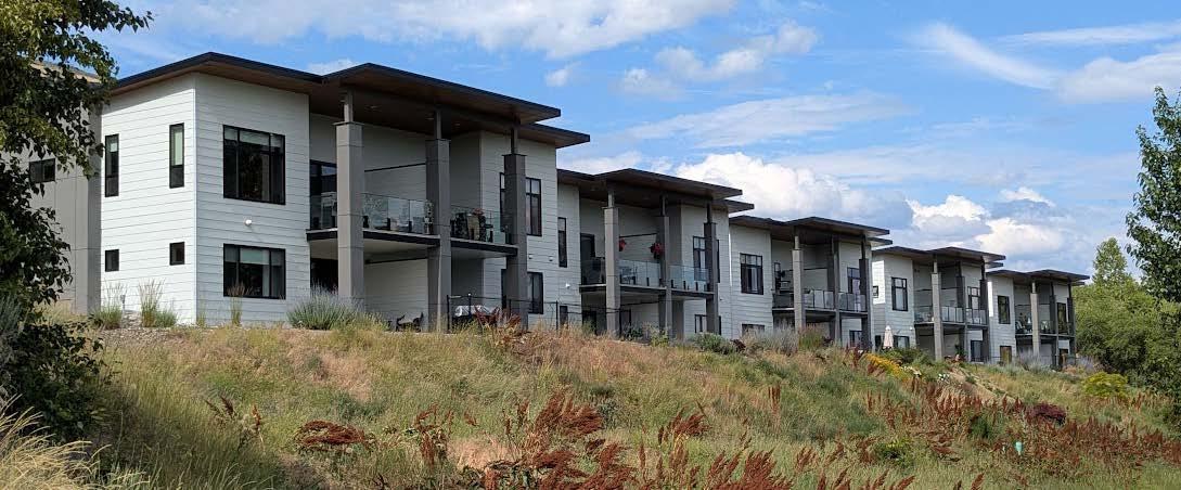
Natural areas are protected through policies that restore and enhance sensitive ecosystems, improve community climate resilience, and grow the tree canopy.
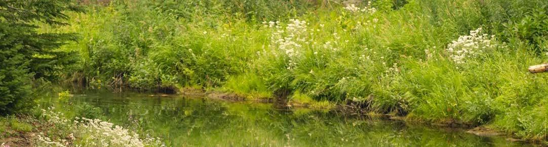
Natural landscapes are integral to Vernon’s identity, underpinning the health, economy, and overall livability of the community. Features such as lakes, wetlands, forests, and grasslands support a wide range of plant and animal species, including those at-risk with a limited habitat range. These landscapes provide vital ecosystem services, such as carbon sequestration, soil stabilization, temperature regulation, and opportunities for recreation that enhance the health and well-being of residents. Preserving and restoring the natural environment not only strengthens resilience to climate change but also ensures that these irreplaceable resources remain accessible for future generations.
Although urbanization over the past century has altered areas of the natural environment, it is important to prioritize the protection and enhancement of the natural habitat, water, and air resources to preserve local biodiversity for years to come. By adopting a comprehensive approach to planning and development, the City and wider community can move beyond
minimizing impacts on sensitive ecosystems to actively restoring and enhancing these vital landscapes through the implementation of strong policies and development permit areas (Chapter 6, Map 6.1, Map 6.2, Map 6.3).
Vernon recognizes the need to reduce greenhouse gas emissions to combat climate change, which will have a disproportionate impact on our youth and following generations. Enacting climate adaptation and mitigation measures will improve our community resilience to climate change and overall quality of life.
Chapter 5 presents policies that guide development in each designated land use. A complete list of City actions is provided in Chapter 7 (Table 7.1).
4.2.1 Objective: Implement the Climate Action Plan.
climate lens
4.2.1.1. Implement actions from the focus areas outlined in the Climate Action Plan:
• Health and well-being
• Infrastructure and services
• Governance
• Land use and transportation
• Ecosystem health and biodiversity
• Buildings and real estate
• Economic development
• Agriculture and food security
4.2.1.2. Incorporate a climate lens into City land use planning, policy development, and decision making.
4.2.1.3. Implement the Climate Action Plan goals and actions in the design, construction, maintenance, and replacement of municipal infrastructure and assets.
4.2.1.4. Ensure the Climate Action Plan and on-going implementation efforts are well-aligned with provincial mandates, policies, and legislation.
4.2.2 Objective: Reduce greenhouse gas emissions 50% by 2030, 75% by 2040, and 100% by 2050 in alignment with the Climate Action Plan.
gas emissions
4.2.2.1. Continuously work to reduce greenhouse gas emissions, primarily from buildings, transportation, and organic waste, to achieve City targets.
4.2.2.2. Encourage the integrated development of walkable neighbourhoods, mode shift, and a sustainable transportation network to reduce greenhouse gas emissions.
4.2.2.3. Encourage sustainable building design and construction in accordance with DPA 6 – Form and Character Design Guidelines (Appendix C) to reduce greenhouse gas emissions produced by construction of new buildings.
Energy efficiency
4.2.2.4. Promote energy efficiency in community planning, building design, and infrastructure by supporting land uses, development plans, transportation, utility infrastructure, and building forms that use less energy.
buildings
4.2.2.5. Support the adaptive re-use of existing buildings into multi-family, commercial, community, or mixed-use developments through a variety of municipal tools, grants, and incentives to reduce building material waste and align with Climate Action Plan initiatives.
4.2.2.6. Support property owners in the relocation of existing homes by removing common obstacles to building relocation, thereby enhancing the circular economy and reducing building material waste resulting from redevelopment.
4.2.2.7. Encourage homeowners to retrofit existing housing to become more energy efficient and reduce their carbon footprint.
4.2.3 Objective: Improve community climate resilience.
Climate education and collaboration
4.2.3.1. Continue to support education and outreach identified in the Climate Action Plan on the importance of both mitigation and adaptation to address the changing climate.
4.2.3.2. Provide equitable access to information and resources on climate readiness for all Vernonites.
4.2.3.3. Incorporate a climate change lens to review municipal activities, including budgeting, procurement, and asset management.
4.2.3.4. Support City Council, management, and staff capacity in delivering climate-ready municipal operations and services.
4.2.3.5. Explore incorporating traditional forms of knowledge when implementing strategies for wildfire mitigation, landscape standards, and restoring the natural environment.
4.2.4 Objective: Protect and restore environmentally sensitive areas.
retention and protection
4.2.4.1. Prioritize the retention of existing vegetation and planting of new vegetation through development approval and major construction projects; unless otherwise recommended by a Qualified Environmental Professional to reduce fire risk within a DPA 4 –Wildfire Hazard Development Permit Area.
4.2.4.2. Protect environmentally sensitive areas through tools such as:
• Dedicating land as a City or regional park or natural space to prioritize sensitive features in balance with public use
• Placing a covenant for conservation purposes with the City or a non-governmental organization eligible to hold conservation covenants
• Implementing adequate setbacks for adjacent developments to preserve the integrity of sensitive areas and minimize risks at the interface of natural space and development.
4.2.4.3. Collaborate with the Okanagan Basin Water Board, the Province, and nearby local governments to support initiatives that prevent the spread of invasive mussels and other species in the North Okanagan.
4.2.4.4. Prioritize net gain and require land use and development projects to have no net loss of natural ecosystems and their functions, as determined through an environmental assessment for work proposed in a DPA 1 – Terrestrial Ecosystem or DPA 2 – Aquatic Ecosystem Development Permit Area.
4.2.4.5. Prioritize avoiding impacts to environmentally sensitive areas in the following order:
1. Careful project siting and design prior to considering the mitigation of minor or temporary impacts through habitat restoration
2. Where permanent habitat loss is unavoidable, acceptable, and compensable, on-site compensation may be considered
3. Off-site compensation only where it offers greater ecological benefits to the overall habitat type, species, or community, at the discretion of the City.
4.2.4.6. Encourage development to buffer environmentally sensitive areas, to reduce light and noise pollution that may negatively impact wildlife and to maintain ecological function in the corridors (Map 3.3).
4.2.4.7. Maintain and restore sensitive environmental ecosystems such as grasslands, wetlands, and forested areas; and enhance ecosystem connectivity throughout the city’s parks, open spaces, and riparian areas.
4.2.4.8. Maintain and enhance ecological connectivity corridors (Map 3.3) in the Commonage and Bella Vista areas for biodiversity, critical habitat, and ecosystem services
4.2.4.9. Discourage land disturbance near ecological connectivity corridors (Map 3.3) during critical periods such as nesting, calving, and migration.
4.2.4.10. Encourage private and public land stewardship through outreach, education, and incentives that promote habitat conservation, connectivity, and restoration.
4.2.5 Objective: Enhance the community tree canopy. Tree canopy
4.2.5.1. Harmonize City tree policies across municipal departments, to ensure that protecting, planting, and maintaining new and existing trees is prioritized.
4.2.5.2. Promote continuous boulevards, to support robust tree canopies that provide shade for pedestrians.
4.2.5.3. Encourage new developments to plant trees on public and private property, to contribute to the city’s tree canopy.
4.2.5.4. Where tree planting is not feasible due to site constraints, encourage planting of sustainable alternatives, such as low-maintenance and drought resistant shrubs, grasses, and plants.
1. Implement the Climate Action Plan.
2. Review and update the Environmental Management Areas Strategy to align with current best practices and regional standards for environmental permitting and protection.
3. Implement a policy that meets or exceeds requirements outlined in the provincial Riparian Areas Protection Regulation, to reduce the need for provincial oversight of Vernon’s riparian development approval processes.
4. Restore riparian areas adjacent to streams, wetlands, and other waterbodies by removing retaining walls, culverts, structures, and other impediments that are detrimental to riparian function.
5. Develop an Urban Forestry Strategy to increase the urban tree canopy:
a. Review and update landscaping regulations in the Zoning Bylaw to include FireSmart principles, guidelines for local drought tolerant species, and proper buffers for properties adjacent to the ALR.
b. Update the Tree Bylaw for trees on public and private property.
c. Explore funding options and conduct a tree inventory and equity analysis of the existing urban tree canopy to quantify the extent, condition, and equitable distribution of trees within the Urban Containment Boundary.
d. Establish Tree Canopy Targets to distribute the benefits of the urban tree canopy equitably.
e. Create regulations for street tree installation, care standards, and maintenance periods.
f. Create a process for taking inventory of existing mature trees on private property prior to redevelopment, to determine which trees can be preserved and which are hazardous or invasive and should be removed.
6. Review the Climate Action Plan on a five-year cycle, striving to align the timing of future reviews with the Official Community Plan update process.
7. Implement and maintain a Natural Asset Management Plan, to ensure the community benefits of natural assets are reflected in planning and resource management decisions, and the need for built infrastructure is minimized.
8. Develop a policy and a metric to measure greenhouse gas emissions, such as vehicle kilometres travelled, to collect data and track progress on climate action goals. (Bylaw 6074)
See Table 7.1 for the type and prioritization of City actions.
FireSmart refers to a set of principles established by FireSmart Canada (BC) to help minimize the negative impacts of wildfire by increasing community resilience through measures such as the use of noncombustible building materials or thinning and spacing of vegetation around buildings.
The local economy thrives through policies that support and diversify business, tourism, and the agricultural industry, streamline regulatory processes, and encourage new investments and locally owned enterprises.
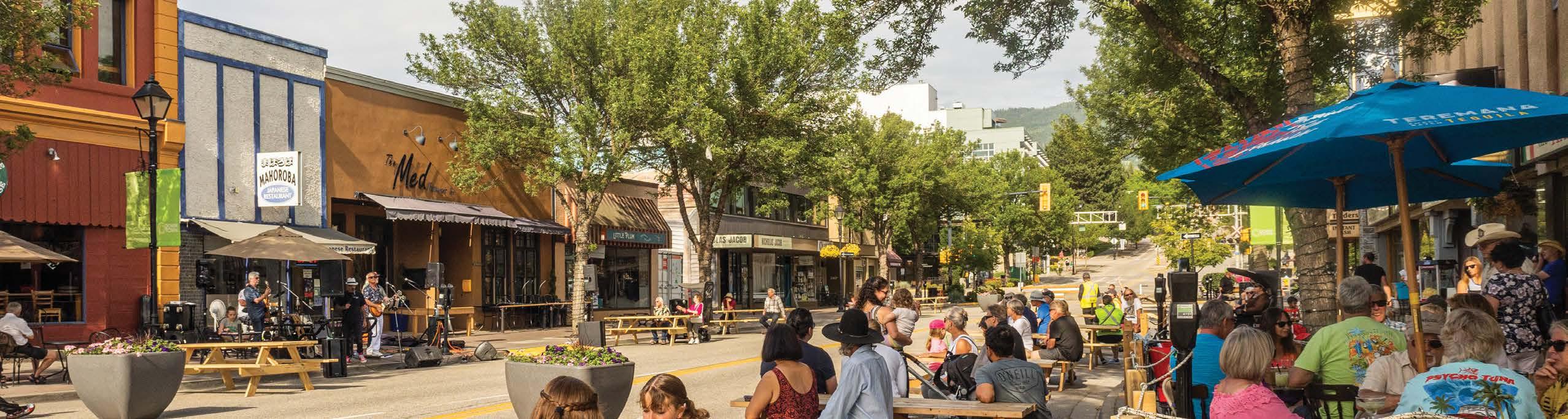
Economic prosperity is critical to a healthy community. It ensures community members have access to high-quality employment opportunities close to home, entrepreneurs can start and grow businesses, the agricultural industry is supported, and the community sees on-going investment by both public and private enterprises to meet their evolving needs.
Vernon’s prosperity will leverage public and private investment to retain and create jobs, develop new buildings for residents and businesses, and set up future generations for prosperity through sustainable practices
and initiatives. Businesses and residents will continue to promote diversity, adaptability, and a future-focused community where a circular economy continues to flourish. Vernon will build on its history to create a city where businesses are resilient to climate change, entrepreneurs and investors can thrive, and residents can find meaningful employment opportunities close to home.
Chapter 5 presents policies that guide development in each designated land use. A complete list of City actions is provided in Chapter 7 (Table 7.1).
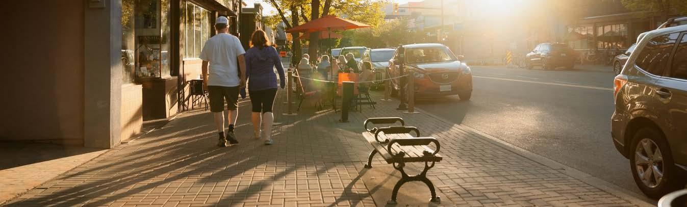
4.3.1 Objective: Ample access to quality employment options and training opportunities.
Jobs close to home
4.3.1.1. Support compact urban form by promoting increased residential densities near employment centres and transit hubs where infrastructure already exists.
4.3.1.2. Encourage the addition of new mixed-use and commercial projects in Urban and Village Centres, and Urban and Suburban Neighbourhoods, to increase the number of residents who can use and support nearby shops, food services, and institutional uses.
4.3.1.3. Monitor the percentage of working age residents who commute to other communities or other provinces for work to measure the success of economic development policies and strategies that aim to create more jobs in Vernon.
Employment lands
4.3.1.4. Prioritize and protect commercial, agricultural, and industrial land, to provide employment opportunities within the city and reduce transportation needs, while discouraging incompatible uses.
4.3.1.5. Support the integration of the agricultural and industrial sector by encouraging food processing facilities, farm equipment sales, and other farm-related needs to be located on industrial lands.
4.3.1.6. Encourage the same amount or more space in the redevelopment of commercial and industrial sites, to promote no net loss
Training opportunities
4.3.1.7. Encourage the introduction of new post-secondary institutions and training facilities in the city.
4.3.1.8. Encourage and support the expansion of Okanagan College to open additional locations in Vernon and develop programs to support the desired economic and employment directions identified in the RDNO Employment Lands Action Plan and a Vernon Economic Development Strategy.
4.3.1.9. Support the existing employment and training facilities at the Vernon Regional Airport.
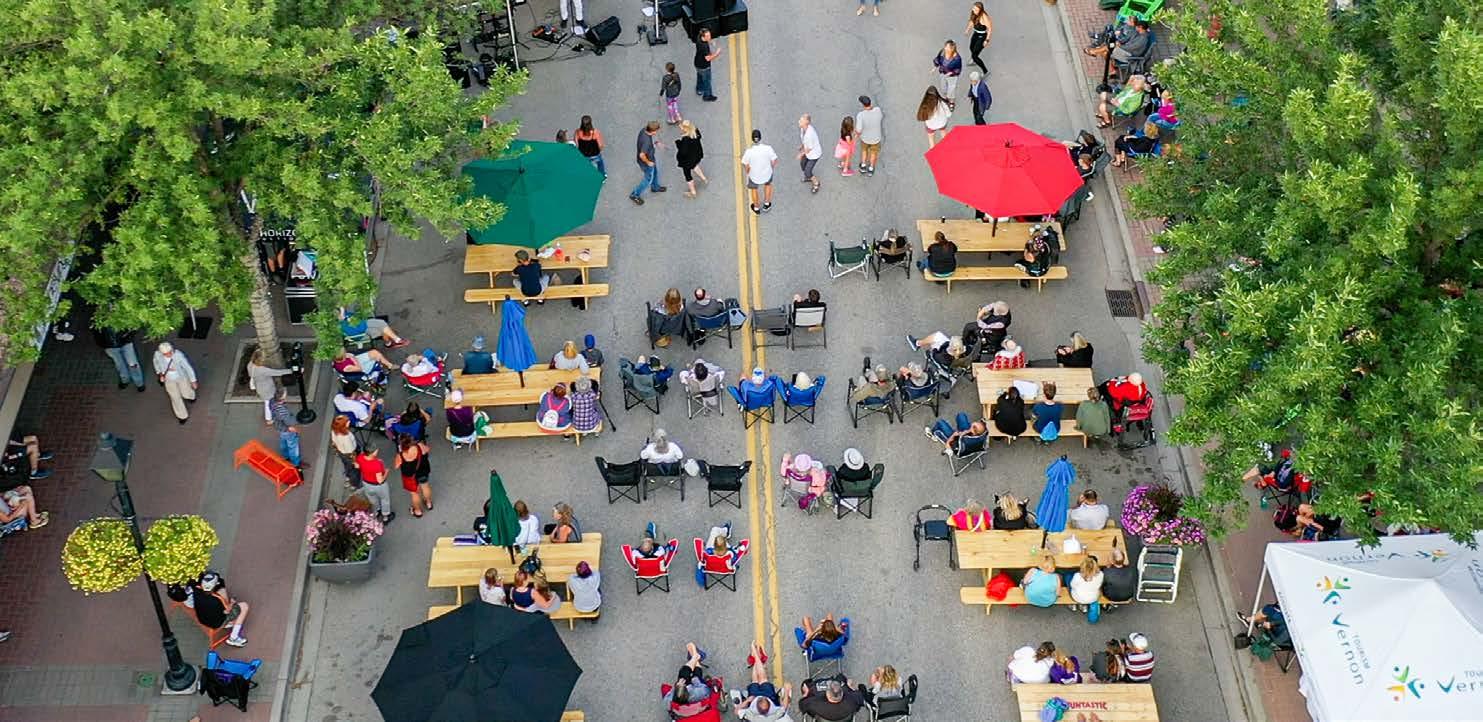
4.3.2 Objective: Entrepreneurs can start and grow businesses here.
Entrepreneurial activities
4.3.2.1. Encourage flexible commercial and industrial spaces to use partition walls that can be easily altered to suit a range of tenants and evolving entrepreneurial activities.
4.3.2.2. Support the development of commercial and industrial properties within the city that reflect the needs of existing and emerging entrepreneurs.
4.3.2.3. Support public and private investment in new, innovative, sustainable, and emerging businesses and industries.
Temporary uses
4.3.2.4. Consider Temporary Use Permits for uses not permitted in a zone, to support innovative, emerging, or evolving businesses and determine suitability prior to updating the Zoning Bylaw.
4.3.2.5. Support commercial leases and pilot projects on park lands in all seasons, to increase revenue for the City and provide additional amenities for the public.
4.3.3 Objective: The local economy is diverse and resilient with businesses and industries that have embraced the opportunities of the low carbon economy.
Economic resilience
4.3.3.1. Support and nurture strategic partnerships with local economic development organizations, to deliver programs and services that support entrepreneurs and local businesses.
4.3.3.2. Collaborate with local businesses to provide educational initiatives on navigating disruptions due to climate change, natural disasters, and supply chain issues; changes to the economy; and other influences.
4.3.3.3. Support business opportunities for a sustainable economy, including businesses that provide alternate methods of energy generation and conservation, such as solar initiatives, low carbon infrastructure, and recycling of building materials.
4.3.3.4. Discourage regulations that differentiate between office and other commercial uses, to provide flexibility for changing business needs.
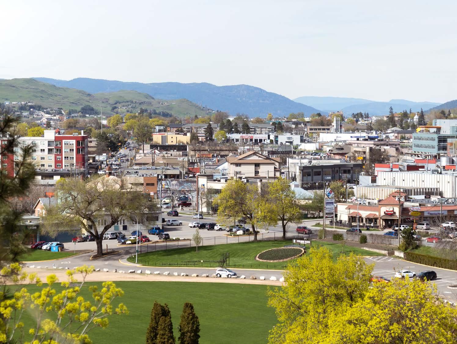
4.3.4 Objective: On-going investment by both public and private parties will meet the needs of an evolving community.
Public investment
4.3.4.1. Prioritize public investments in community amenities and infrastructure within the Focused Growth Area to stimulate private investment and redevelopment.
4.3.4.2. Support innovative approaches to accessing immigration programs that help fill employment gaps for local businesses, such as partnerships with community, provincial, and federal partners, to help new immigrants find pathways to employment in Vernon.
4.3.4.3. Encourage the development of healthcare and childcare facilities in all Centres and Neighbourhoods, recognizing that access to community services supports employee recruitment and retention.
4.3.4.4. Encourage larger businesses, employers, and developers of residential subdivisions to include childcare facilities in new developments, to support working families.
4.3.5 Objective: Create a business-friendly and encouraging City Hall.
Business-friendly City Hall
4.3.5.1. Encourage entrepreneurial activity by approaching reviews of regulations and policies with a business-friendly lens.
4.3.5.2. Collaborate with neighbouring communities, the Regional Districts of Central and North Okanagan, and the Okanagan Indian Band to identify areas for shared action on economic development projects that will support joint prosperity.
4.3.5.3. Foster a “how can I help” attitude across municipal departments when responding to inquiries in person, over the phone, via email, and on the City of Vernon website, and respond to requests within established service standard timeframes.
4.3.6 Objective: Promote local agriculture and food security.
Local food production
4.3.6.1. Encourage opportunities to engage residents, businesses, community organizations, and schools in local and regional agricultural processes, connecting lands, people, and products.
4.3.6.2. Promote opportunities for local and regional food production, processing and sourcing, and ancillary agricultural activities (farm stands, agritourism, secondary processing) that contribute to healthy eating, economic diversification, profitability, and resilience while maintaining the agricultural potential of farmland.
4.3.6.3. Prioritize opportunities for food production, including community gardens, in all commercial and residential areas and in public places that are highly accessible to people of all ages and abilities, regardless of social or financial status.
“Buy local”
4.3.6.4. Encourage the development of a year-round community farmers market, to foster economic growth by supporting local entrepreneurs, farmers, artisans, and small businesses while strengthening community connections.

1. Review Zoning Bylaw regulations and associated policies to facilitate the provision of childcare centres in all neighbourhoods of the city, such as through a subzone or other regulatory flexibility.
2. Develop an Economic Development Strategy, focusing on retention and expansion of local businesses, entrepreneurial development, business investment and attraction, and workforce development:
a. Build and maintain a library of city data and insights for investors, developers, and entrepreneurs, to support investment decisions.
b. Enhance communication and relationship building with local economic groups, including the Vernon Chamber of Commerce and Community Futures.
c. Promote investment by improving the visibility of Vernon’s development activity in the local media, provincial media, and with advertisers.
d. Review Vernon’s economic development policies to identify areas for improvement, to retain and expand local businesses.
e. Explore opportunities to provide incentives under BC’s Community Charter, to support commercial investment in the city.
3. Review and revise the Business License Bylaw and Zoning Bylaw to allow for more intensive home-based businesses that support entrepreneurial activities and commercial opportunities, especially in Urban Neighbourhoods and Rural areas.
4. Review the Revitalization Tax Exemption Bylaw to ensure current incentives are modernized and reflect the objectives of the Official Community Plan.
5. Regularly review and update land use policies and associated Zoning Bylaw regulations to continue to encourage new investments and job creation in Vernon.
6. Review and implement actions outlined in the RDNO Employment Lands Action Plan and use the RDNO Regional Employment Lands Inventory to identify underutilized employment lands or areas of opportunities to create more jobs in Vernon and regionally.
7. Develop a Public Market Strategy, including policies that encourage collaboration among participants and potential partnerships, and identify needed resources, to achieve the full potential of Vernon’s public markets and make them accessible to all.
8. Develop incentives to attract and promote the development of a Downtown hotel.
9. Create and implement a new Development Permit Area for the Protection of Farmland, to preserve and protect lands in the Agricultural Land Reserve that includes standards from the Agricultural Land Commission Guide for Bylaw Development in Farming Areas and the Ministry of Agriculture Guide to Edge Planning
See Table 7.1 for the type and prioritization of City actions.
Active living, arts, and culture are celebrated in a vibrant community that invites residents and visitors to gather, engage, and enjoy shared experiences.
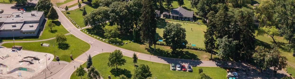
Public spaces such as parks, trails, libraries, museums, community arts centres, and recreation centres are crucial for creating a vibrant, healthy, and diverse community. These spaces serve as hubs for socializing, relaxation, recreation, and cultural activities, helping to strengthen connections among residents and enhance the overall quality of life in Vernon. Connections among these public spaces, provincial parks, and the Greater Vernon Trails Network will be enhanced through the implementation of the
Transportation Plan, and proposed trails and active transportation connections (Map 4.4). Well-designed, safe spaces for recreation, gatherings, and special events foster community engagement and support local businesses, attract investment, and encourage development.
Chapter 5 presents policies that guide development in each designated land use. A complete list of City actions is provided in Chapter 7 (Table 7.1).
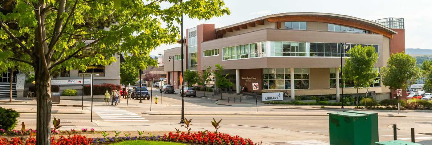
Regional Library Vernon Branch
4.4.1 Objective: Enhance public access to the waterfront and to natural areas.
Lake access and trails
4.4.1.1. Within the Urban Containment Boundary, require a 15 m to 30 m wide dedication of riparian areas along Okanagan Lake, Vernon Creek, and BX Creek, measured from the high water mark or top of bank as determined by a Qualified Environmental Professional, at the time of application for the development of three or more residential units per site, or an application for a change in land use.
4.4.1.2. Where a trail is identified on Map 4.4, require a up-to-10 m wide dedication at the time of development, to facilitate trails situated outside riparian and environmentally sensitive areas
4.4.1.3. Promote equitable access to parks, green spaces, and natural environments for mental, social, and physical health.
4.4.2 Objective: Improve parks and recreational opportunities.
Recreational linkages
4.4.2.1. Support park connectivity through the development of integrated active transportation networks (Transportation Plan) and recreational trails (Map 4.4), and ensure accessibility for all users.
4.4.2.2. Encourage linkages from Vernon neighbourhoods to regional trail networks including the Okanagan Rail Trail and Splatsin te Secwépemc/Shuswap North Okanagan Rail Trail.
4.4.2.3. Collaborate with Regional District of North Okanagan and neighbouring communities to support the development, connectivity, and maintenance of regional parks and trails including the Grey Canal Trail and others as outlined in the Greater Vernon Trails and Natural Spaces Master Plan.
4.4.2.4. Support the creation of linear parks, pathways, and midblock pedestrian connections to facilitate connectivity among neighbourhoods.
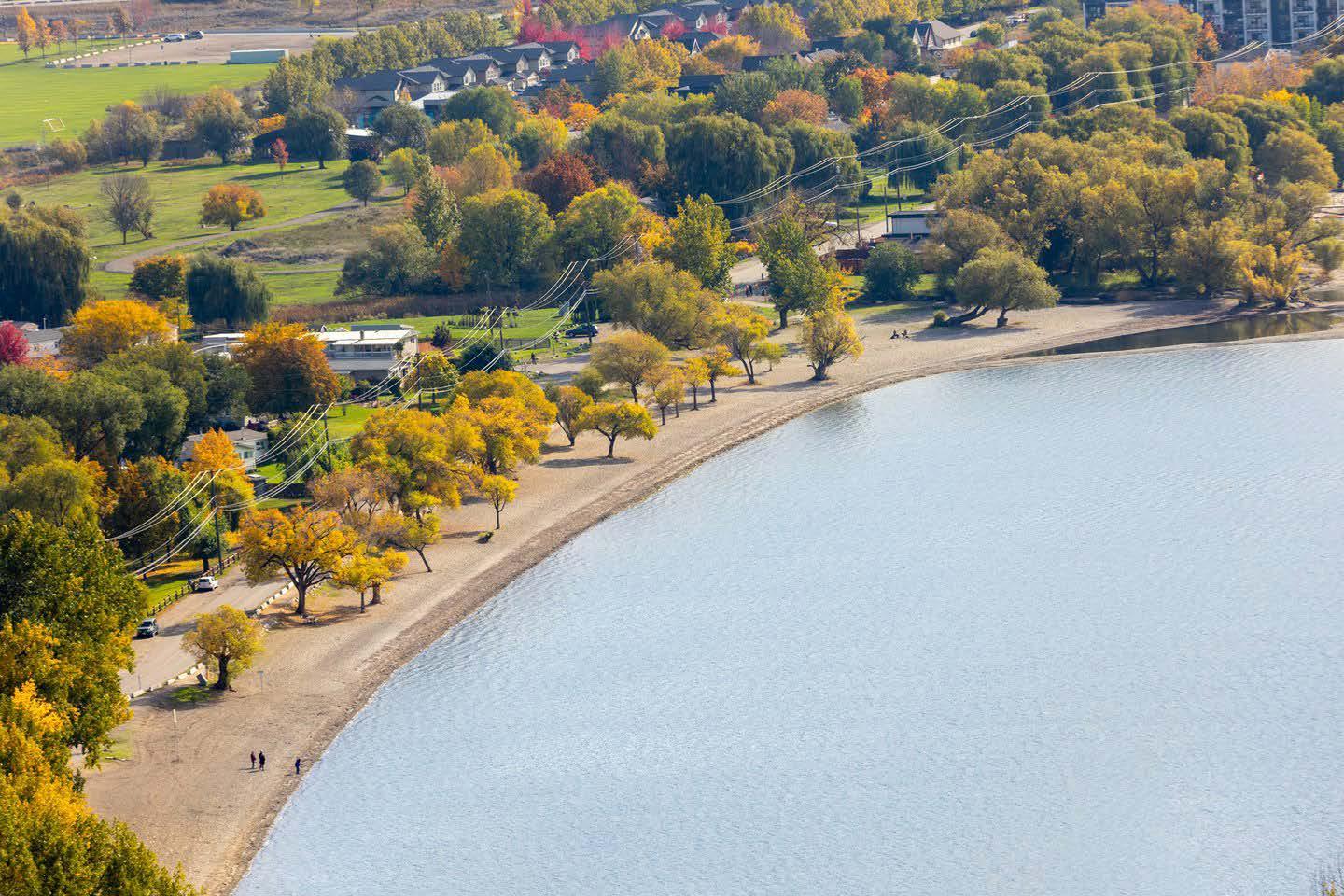
4.4.2.5. Require the provision of fully serviced park land or cash-in-lieu of park land when three or more additional lots are being created through subdivision, in alignment with the Local Government Act (S. 941). Cash-in-lieu may be considered where the property is located within the Focused Growth Area (Map 1.3), and one or more of the following applies:
• The 5% parkland dedication would be too small for a park
• The parcel would not complement an existing park or trail system
• No additional parkland needs have been identified for the neighbourhood (Map 3.1).
4.4.2.6. Prioritize the acquisition of waterfront properties along Okanagan Lake, with a focus on those between Paddlewheel Park and Kin Beach.
4.4.2.7. Support alternative funding strategies where possible for parkland acquisition, such as density bonusing, density transfer, or the issuance of charitable tax receipts.
4.4.2.8. Support the creation of linear parks along utility corridors, statutory right-of-ways, and boulevards.
4.4.2.9. Seek to expand and further solidify the City’s long-term park, recreation, and open space interests in the Department of National Defence’s (DND) land holdings in Vernon.
4.4.2.10. Consider park, trail, and recreation objectives before the disposition of surplus City lands including unused utility corridors and statutory rights-of-way.
4.4.2.11. Regularly monitor the amount of park land to measure the success of park land acquisition strategies that aim for 2.0 – 3.0 ha of park land per thousand people.
4.4.3 Objective: Improve access to recreational, arts, and cultural activities in the community.
Community facilities
4.4.3.1. Support local neighbourhood community facilities in all neighbourhoods to ensure equitable distribution of facilities, while clustering major recreation facilities within the Focused Growth Area where users have access to transit and active transportation corridors.
4.4.3.2. Help with wayfinding and navigation by supporting improvements to signage in public buildings, including clear maps, symbols, and landmarks, and placing signage at lower levels for people who use mobility aids.
4.4.3.3. Support funding and spaces for cultural events, Indigenous-led programming, and artistic installations in public spaces, including the delivery of the Greater Vernon Cultural Centre, to increase community access to the arts.
4.4.3.4. Work with community partners to create opportunities for graffiti art and youth-led art installations.
1. Develop a Park Acquisition Strategy and a Park Acquisition Fund, to ensure the equitable distribution of parks and amenities, particularly in areas experiencing growth.
2. Promote public access to Okanagan Lake through strategic land acquisition practices in accordance with the Park Acquisition Strategy and the Lake Access Plan.
3. Implement a Development Cost Charge program for new development, to acquire park lands that cannot be obtained through the subdivision process; toward a park provision standard between 2.0 – 3.0 ha of new park land per thousand people in population growth, to provide for active parks.
4. Review and update the Parks Master Plan.
5. Review and implement policies for accessibility options for barrier-free access to recreation, arts, and cultural events in community facilities.
6. Develop an easy and affordable permitting process for closing streets for block parties and street festivals, including an event activation kit that may include essentials.
7. Explore opportunities for a bundled pass that includes transit and recreation facilities to enhance access to city facilities and programs.
8. Identify and develop a Cultural District Strategy which may include expanded funding and space for cultural events, Indigenous-led programming, and a public art policy.
9. Explore opportunities for pop-up parks and events in neighbourhoods, ensuring adequate staff and funding resources.
10. Work toward joint-use agreements with School District 22 for mutual community benefits, such as increasing access to sport fields, courts, pools, and other facilities.
11. Review the City’s parkland inventory and park usage patterns at regular intervals to identify opportunities for creatively adapting and activating underutilized spaces.
Community and individual well-being are enhanced through inclusive policies that address social inequities in the community, relationship-building with local Indigenous Nations, and advance Truth and Reconciliation.
Community well-being starts with connection. Vernon is a city where neighbours lend a helping hand, people wave as you pass them on the street, and community members genuinely care about one another. Vernonites can continue to enhance the community-feel and neighbourly actions by working to address social inequities, building relationships with local Indigenous Nations, pursuing learning opportunities about Truth and Reconciliation,
and adopting inclusive policies. A healthy community is one where every voice is given an opportunity to be heard, difficult truths are acknowledged, reconciliation is practiced, and decisions are made equitably.
Chapter 5 presents policies that guide development in each designated land use. A complete list of City actions is provided in Chapter 7 (Table 7.1).
4.5.1 Objective: Vernon’s relationships with Indigenous Nations is enhanced through mutual respect and learning.
4.5.1.1. Support, encourage, and implement the Truth and Reconciliation Commission’s Calls to Action that the City can directly or indirectly influence.
4.5.1.2. Support Vernonites on their individual and collective pathways to Truth and Reconciliation.
4.5.1.3. Support the protection of lands used for traditional foods and celebrating traditional practices of syilx Okanagan peoples.
4.5.1.4. Seek opportunities to practice reconciliation directly with Okanagan Indian Band while respecting traditions, timelines, and protocols, with the goals of collaboration, inclusion, empowerment, respect, and mutual understanding.
4.5.1.5. Collaborate with Okanagan Indian Band, syilx Okanagan people, and community partners that support urban Indigenous peoples, including initiatives that address social inequities rooted in the impacts of the residential school system, such as housing, poverty reduction, transportation, and food security.
4.5.1.6. Collaborate with Okanagan Indian Band to understand the significance of place names, to support the revival of the nsyilxcən language, and to create opportunities for incorporating Indigenous place names in City infrastructure and parks projects.
4.5.1.7. Include Okanagan Indian Band in referrals for land use applications that are adjacent to reserve lands.
4.5.1.8. Discourage development that involves ground-disturbance within 50 m of a known archaeological site; and follow provincial guidelines in areas with high potential for an archaeological find.
4.5.1.9. Support education and awareness about the importance of archaeological sites and how to work in areas with high potential.
4.5.2 Objective: An equity lens is used to build an inclusive City.
Inclusive and equitable decision making
4.5.2.1. Incorporate an equity lens into City land use planning, policy development, and resource allocation decisions.
4.5.2.2. Implement the actions identified in the Official Community Plan in a way that considers the needs of equity-seeking groups, those who are new to the city, and community members of all cultures and backgrounds.
4.5.2.3. Continue to encourage community members’ involvement and participation in planning and decision-making processes by collaborating with community groups, non-profit organizations, agencies, committees, and volunteer groups.
4.5.2.4. Support community engagement in municipal decision making, with a focus on seldom heard voices, including urban Indigenous, Métis, persons with disabilities, and others who will be impacted by a decision.
Equitable distribution of services
4.5.2.5. Support community uses such as childcare facilities and basic service uses such as medical clinics in all future land use designations within the Urban Containment Boundary, to streamline the delivery of these services.
4.5.2.6. Encourage breastfeeding-friendly spaces to be incorporated into private and City-led developments and educate decision-makers about breastfeeding as a human right.
Systemic injustice
4.5.2.7. Support greater understanding of how systemic racism, discrimination, injustice, and colonialism impacts Vernonites, and use these learnings to inform the implementation of the Official Community Plan.
4.5.3 Objective: Seniors and youth are recognized as important contributors to the community.
4.5.3.1. Support the Age- and Dementia-Friendly Community Plan as a guiding document to help plan and design an inclusive and accessible city that supports seniors, people living with dementia, and their care partners.
4.5.3.2. Encourage public consultation opportunities that are accessible and inclusive of seniors, people living with dementia, and consider their communication and engagement needs.
4.5.3.3. Collaborate with organizations that serve people living with dementia, such as the Vernon Seniors Action Network, the Alzheimer’s Society of British Columbia, and other partners.
4.5.3.4. Support educational opportunities for City staff, community service providers, and community members on age- and dementia-friendly practices, to reduce stigma.
4.5.3.5. Continue to support the Vernon Children’s Charter by implementing the Youthful Vernon Strategy and creating a culture where the rights of young people are considered in daily civic operations.
4.5.3.6. Support a consultation process specifically for children and youth when planning for public projects that would have an identifiable impact on their current and future well-being.
4.5.3.7. Support and enhance youth engagement processes where youth have a meaningful and on-going role in City services, programs, and policy development.
4.5.3.8. Encourage youth climate education and career development.
4.5.3.9. Support National Child Day, held annually on November 20th, by encouraging community celebrations and recognition of youth engaged in the community.
4.5.3.10. Encourage youth-friendly spaces and activity centres in City-led and private developments.
4.5.3.11. Support education initiatives to raise awareness that the impacts of climate change disproportionately affect children and youth.
4.5.4 Objective: Culture, history, and community togetherness are promoted and shared.
Heritage awareness
4.5.4.1. Collaborate with Okanagan Historical Society (Vernon branch) to promote heritage tours of noteworthy buildings, places, and public art.
4.5.4.2. Support the adaptive re-use of identified heritage buildings through various municipal tools such as Heritage Revitalization Agreements, grants, or incentives.
Neighbourhood engagement
4.5.4.3. Encourage residents to form local neighbourhood groups that can foster community togetherness, identify specific needs of their neighbourhood, and work with the City to deliver amenities, such as signage, landscaping, community spaces, and more.
4.5.4.4. Support temporary road closures that facilitate neighbourhood block parties and activities that foster community togetherness, social connections, and walkable spaces.
4.5.4.5. Support food production and community gardens on underutilized lands and rural properties to support food resiliency, social interaction, and community togetherness.
1. Explore opportunities for independent and collective learning for local government officials and staff on the Truth and Reconciliation Commission’s Calls to Action and the principles of the United Nations and BC’s Declaration of Rights for Indigenous Peoples.
2. Develop a neighbourhood group program with the goal of fostering community togetherness, engagement, communication, and local initiatives.
3. Review current heritage policies and financial incentives, including the Heritage Restoration Grant Program, the Heritage Retention Incentive Grant Program, and the Vernon Heritage Register for potential improvements, to encourage the preservation or adaptive re-use of existing heritage buildings on public and private property.
4. Develop an inventory of heritage assets, building on the existing Heritage Register, that could be preserved or protected with municipal tools such as Heritage Revitalization Agreements, grants, and incentives.
5. Conduct an equity audit to review existing bylaws, policies, and programs, to ensure the needs of all community members are considered.
6. Undertake a city-wide equity analysis of the availability of services and facilities, and develop strategies to inform decisions related to planning and resource allocations across all Centres and Neighbourhoods.
See Table 7.1 for the type and prioritization of City actions.
The community is prepared for emergencies and is resilient to climate change with plans and services in place to keep the community safe and ready for emergency events.

Emergency plans and services ensure Vernonites feel safe where they live, work, and play. When neighbourhoods are safe, families can thrive, kids can play outside, and local businesses can grow. Safety also brings people together and builds trust among neighbours. Community planning and building practices that incorporate resilience into decision making work hand-in-hand, while maintaining the capacity for a timely and effective response to emergencies and
disasters. Safety is about more than preventing crime and responding to emergencies; it is also about making sure everyone has access to the supports and services they need. A safe community gives everyone the chance to live a happy and healthy life.
Chapter 5 presents policies that guide development in each designated land use. A complete list of City actions is provided in Chapter 7 (Table 7.1).
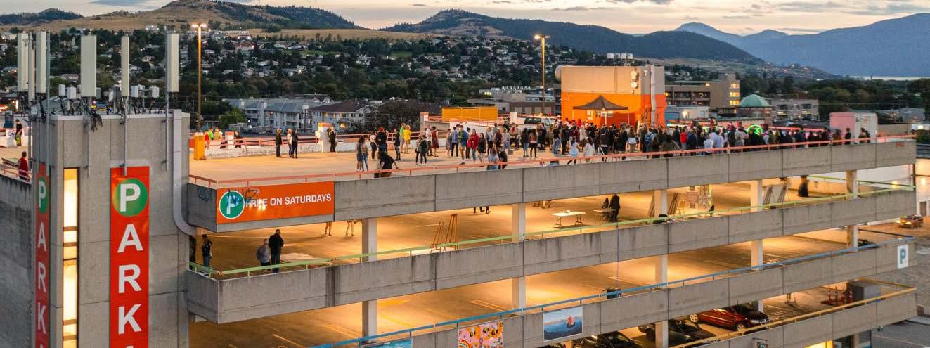
4.6.1 Objective: Improve community resilience in emergency events.
Asset management and advocacy
4.6.1.1. Advocate to senior governments, public agencies, and utility providers to invest in physical and technological upgrades that enhance infrastructure resilience against major hazards.
Communication and capacity building
4.6.1.2. Collaborate with the Regional District of North Okanagan, local Indigenous Nations, and senior levels of government to establish coordinated strategies for mitigation, preparedness, response, and recovery from emergency events.
4.6.1.3. Prioritize the communication of accessible emergency preparedness information, to empower Vernonites and ensure their basic needs are met in emergency conditions.
4.6.1.4. Encourage Vernonites to build social connections at the neighbourhood scale to increase information sharing, climate awareness, and capacity to withstand emergencies.
Emergency preparedness
4.6.1.5. Support the use of City facilities, buildings, and spaces as temporary emergency management sites, ensuring that design and renovations incorporate resilient features.
4.6.1.6. Prioritize emergency preparedness and climate resilience initiatives that address the needs of vulnerable groups, including youth, seniors, people with disabilities, people experiencing homelessness, and others.
4.6.2 Objective: Reduce risk to persons and property from major hazards.
Emergency access and egress
4.6.2.1. Prioritize the inclusion of emergency access and egress routes when considering new developments, planning infrastructure improvements, municipal projects, and the maintenance of recreational areas.
4.6.2.2. Support a centralized early detection and warning system, including improving communication methods with residents and businesses in the event of an emergency.
4.6.2.3. Embed emergency management objectives, risk reduction, preparedness, response, and recovery into City plans, policies, bylaws, and construction projects.
1. Review bylaws, policies, and city processes for alignment with the BC Emergency Disaster Management Act.
2. Review public and private assets for vulnerabilities, particularly climate-related hazards (e.g. flooding, drought, landslides, storms, wildfire and ember casting, air quality), and integrate climate considerations into all infrastructure development and operations.
See Table 7.1 for the type and prioritization of City actions.
Balanced growth is promoted by focusing development where infrastructure already exists, near urban services, vibrant community spaces, and multimodal transportation networks.
As Vernon grows, a coordinated transportation network (Map 4.1, Map 4.2, Map 4.3, Map 4.4) that supports multimodal options will improve individual health and well-being and community and economic prosperity. Vehicle gas emissions are one of the primary contributors to climate change, and multimodal options can help Vernon achieve its climate action targets.
Transportation plays a role in most aspects of people’s lives and is essential to ensure equitable access to employment, education, shopping, and recreation. This Official Community Plan is aligned with the Transportation Plan, which provides a vision for how people will move through the city and identifies transportation improvement projects in the near- and medium-term. The primary goal of the Transportation Plan is to increase mode choices and reduce reliance on automobiles to support a balanced and sustainable system.
Addressing infrastructure needs in a growing city is vital to ensuring the long-term health and well-being of individuals and the community. This includes enhancing sewer and water utilities (Map 4.5), proactively addressing energy requirements, ensuring adequate firefighting capabilities are maintained, and identifying potential aggregate areas (Map 4.6). Through this continual growth, the City is committed to offering sustainable services that are founded on the assets that the City owns, operates, maintains, replaces, and improves. Monitoring aging assets and utilizing the infrastructure levy to improve infrastructure service delivery can help ensure that Vernon can grow in a balanced and coordinated way.
Chapter 5 presents policies that guide development in each designated land use. A complete list of City actions is provided in Chapter 7 (Table 7.1).
4.7.1 Objective: Implement the Transportation Plan.
Transportation Plan
4.7.1.1. Implement the Transportation Plan, in alignment with goals to:
• Establish a strong foundation for road safety
• Make it easier to get around on transit and by walking, biking, and rolling
• Be prepared for the future
• Optimize curbside spaces.
4.7.1.2. Continue to work with BC Transit to provide and enhance transit services and infrastructure by implementing the Transit Future Action Plan and any subsequent or future transit plans.
4.7.1.3. Consider the relationship between land use, transportation, and the Climate Action Plan in development application review, policy development, infrastructure planning, and decision making.
4.7.2 Objective: Create a reliable multimodal transportation system that connects people to each other and wherever they want to go.
Transportation network
4.7.2.1. Prioritize a balanced transportation network by considering the needs of all road users, including pedestrians, cyclists, rollers, transit users, and drivers.
4.7.2.2. Discourage reliance on automobiles as redevelopment occurs by creating walkable streets, protected bike routes, and improved transit service, recognizing that streets will become busier and on-street parking demand will increase as the city grows and develops.
4.7.2.3. Support a regional approach to the transportation network by considering links to nearby communities, Okanagan College, University of British Columbia Okanagan, and Kelowna International Airport.
4.7.2.4. Collaborate with the Regional District of North Okanagan, BC Ministry of Transportation and Transit, BC Transit, and other regional partners on strategic and operational transit plans.
4.7.2.5. Prioritize transportation investment in the Focused Growth Area Ensure adequate rights-of-way are established and acquired to accommodate future transportation needs as illustrated on Map 4.1, Map 4.2, Map 4.3, and Map 4.4, in the Transportation Plan, and as identified in the Subdivision and Development Servicing Bylaw.
4.7.2.6. Support investments in specialized maintenance equipment, such as smaller plows for bike lanes and multi-use paths, by integrating these needs into infrastructure planning and budgeting processes.
4.7.2.7. Consider lifecycle maintenance costs, staff time, and resource allocation in project budgets to ensure infrastructure remains safe, reliable, and cost-effective over time.
4.7.2.8. Consider the health, safety, and accessibility of all users in the design and maintenance of the transportation network and infrastructure.
4.7.2.9. Prioritize the safe movement of pedestrians, cyclists, and micromobility users within Urban and Village Centres by exploring opportunities for advance walk signals, reduced speed limits, reducing right turns on red lights, and other safety improvements.
4.7.2.10. Discourage the addition of new vehicle accesses onto streets with bike lanes or multi-use pathways, and encourage consolidation of access where possible.
Highways interface
4.7.2.11. Discourage new vehicle accesses directly on or off highways, and work to consolidate existing accesses as properties are redeveloped.
4.7.2.12. Collaborate with landowners and the BC Ministry of Transportation and Transit to beautify the highway corridor with landscaping, street trees, signage, and art while ensuring operational needs are met.
4.7.2.13. Work with the Ministry of Transportation and Transit to ensure adequate safety of cyclists and pedestrians is prioritized on Highway 97, Highway 6, and cross-streets accessed from both highways.
4.7.2.14. Encourage mixed-use development along Highway 97 in Urban Centres that provides commercial uses closer to the road and residential uses towards the rear of properties.
Accessibility of transportation modes
4.7.2.15. Prioritize accessibility in the design of public streets, including accessible sidewalks, bus shelters, safe pedestrian crossings, safe ground treatments and paving, and adequate lighting.
4.7.2.16. Support accessibility audits for City-led developments and infrastructure projects, focusing on mobility, visual, and auditory accessibility.
4.7.2.17. Support transit affordability by maintaining and expanding programs that reduce financial barriers for residents, including youth, seniors, and other vulnerable population groups.
4.7.2.18. Require new development to adhere to street cross-section design and classification standards when designing, funding, and constructing frontage improvements.
Road corridors
4.7.2.19. Discourage new road alignments that would encroach on riparian areas, environmentally sensitive areas, or ecological connectivity corridors (Map 3.3, Map 6.1).
4.7.2.20. Discourage new public or private streets on hillsides that would require large cuts, fills, or substantial retaining walls that are highly visible from the valley.
4.7.2.21. Discourage land dedications for road widenings by reviewing opportunities to first improve cross-section design, to preserve developable land for housing, buildings, or landscaping.
4.7.2.22. Explore future road connections near O’Keefe Range Lands at such time as development is contemplated.
4.7.2.23. Work with Ministry of Transportation to explore future alternative Highway corridor options.
4.7.3 Objective: The parking supply supports local businesses and transportation options, and reduces development costs.
4.7.3.1. Support parking reductions on a case-by-case basis where a private development has proposed transportation demand management initiatives, including but not limited to:
• Transit passes
• Exceeding requirements for long-term bike parking or end-of-trip bike facilities
• Car-share vehicles or spaces
• Unbundled parking from housing units in residential strata projects.
4.7.3.2. Encourage all public parking lots and parkades to be accessible to people with mobility challenges.
4.7.3.3. Encourage the provision of visual cues in parking areas to help people remember where they parked, such as designating areas with colours or icons.
4.7.3.4. Consider limiting or eliminating on-site parking requirements for specific developments, streets, future land use designations, or areas determined to be appropriate on a site or area-specific basis.
4.7.3.5. Encourage the phasing out of parking on arterial and community collector streets to increase their traffic carrying capacity and provide better transit service.
4.7.3.6. Encourage the efficient use of the Downtown City-owned parkade through a shared parking program between monthly and daily users, and with nearby developments.
4.7.4 Objective: Infrastructure and services have the capacity to accommodate additional density and growth.
Water supply and resilience
4.7.4.1. Support a detailed Water Capacity Study with Greater Vernon Water, to address operational and environmental flow needs, irrigation and waterworks, transferring of water licenses, climate change impacts, and changes in water use.
4.7.4.2. Support Greater Vernon Water and the Regional District of North Okanagan in expanding water reservoirs that service Vernon neighbourhoods (Map 3.1).
4.7.4.3. Collaborate with agencies and other partners to consider the expansion and delivery of sufficient water quantities and efficient use of water for agricultural uses.
4.7.4.4. Discourage the provision of new private water licenses on Okanagan Lake or regional streams.
4.7.4.5. Collaborate with regional partners to promote water conservation practices and ensure the long-term operation, quality, and quantity of community water and wastewater systems.
Wastewater management and resource recovery
4.7.4.6. Discourage additional residential density adjacent to the Vernon Water Reclamation Centre, to ensure nuisances from regular operations are minimized.
4.7.4.7. Proactively review sewer infrastructure in areas experiencing redevelopment, for large-scale improvements and acquisition of lands for sewer infrastructure that may be needed.
4.7.4.8. Discourage the creation of new or expansion of existing private water and wastewater systems to serve as community sewer and water services.
4.7.4.9. Support education and incentives to promote grey water recovery for irrigation and other appropriate uses on public and private developments.
Stormwater and watershed (drinking water) protection
4.7.4.10. Prioritize the protection of natural drainage ravines and overland flow routes by preventing the encroachment of new and existing development through municipal tools such as land acquisition or restrictive covenants.
4.7.4.11. Discourage service providers from locating stormwater outflows near source water intakes on Okanagan Lake, to preserve water quality.
4.7.4.12. Discourage the expansion of private septic systems where properties have the option to connect to existing sewer infrastructure.
4.7.4.13. Discourage property uses that input contaminated or dirty water into storms drains by promoting the “slow it, spread it, sink it” campaign by Okanagan Basin Water Board.
4.7.4.14. Encourage pet owners to pick up and clean up pet waste near water sources and on beaches, to reduce impacts to water quality on beaches and natural resources.
4.7.4.15. Discourage additional residences, except for secondary suites, on properties that are not connected to sewer and are less than 1 ha in size to preserve water quality and align with Okanagan Basin Water Board’s coordinated water management strategy and infrastructure funding requirements.
4.7.4.16. Support alternative stormwater management techniques on public and private projects with proper infiltration methods, such as rainwater capture and use, absorbent landscaping, permeable pavements, and natural area preservation that more closely reflect natural drainage systems and predevelopment hydrological conditions.
4.7.4.17. Consider opportunities for alternative firefighting fleet options and technology that may improve maneuverability for hard-to-reach spaces.
4.7.4.18. Ensure existing and new infrastructure is located appropriately for emergency response access to proposed developments such as fire hydrants, powerlines, and accesses.
4.7.4.19. Support the expansion of paramedic and ambulatory stations to address demand and service level delivery in collaboration with BC Ambulance Service.
4.7.4.20. Promote cost-effective and sustainable waste reduction and diversion initiatives and practices by collaborating with partners, including the Regional District of North Okanagan, non-profit organizations, and the private sector.
4.7.4.21. Encourage new and existing commercial and industrial developments to accommodate composting facilities on site to divert materials from the landfill.
4.7.4.22. Collaborate with innovative waste collection providers, including those that provide underground containers, to create more waste management options.
4.7.4.23. Discourage development within 1,000 m of the Regional Compost Facility (Biosolids), due to potential noise, odour, health risks, and other nuisances, and to protect the integrity of the facility’s operation.
4.7.4.24. Support the financial and business practices in the Organizational Asset Management Plan for the addition of new infrastructure related to growth.
4.7.4.25. Commit to the use of Vernon’s infrastructure levy to replace aging infrastructure and infrastructure that has reached end-of-life.
4.7.4.26. Support opportunities for existing properties to improve their local infrastructure through Local Area Servicing Agreements.
4.7.4.27. Collaborate with BC Hydro and other energy providers to develop a strategy for undergrounding power lines and electrical infrastructure.
4.7.4.28. Prioritize the provision of street trees and consider the undergrounding of powerlines when planning and designing infrastructure projects within the Focused Growth Area (Map 1.3).
4.7.4.29. Coordinate infrastructure upgrades and system extensions with land use and density requirements, to ensure cost-effective urban development, minimize infrastructure lifecycle costs, and mitigate the financial impacts of development outside the Urban Containment Boundary
4.7.4.30. Coordinate new infrastructure projects with renewal projects, to improve efficiency, reduce overall costs, and minimize disruptions.
4.7.4.31. Prioritize developing incentive programs, regulations, and opportunities for funding the undergrounding of new and existing powerlines within the Focused Growth Area (Map 1.3).
4.7.4.32. Collaborate with BC Hydro and other energy and telecommunications providers to upgrade, expand, and create redundancy in the delivery of services, to provide for increased growth, density, and development of the city and alternate options during power outages.
4.7.4.33. Collaborate with BC Hydro and other energy providers to coordinate planning and development of infrastructure, to ensure project efficiencies, minimize costs, and reduce public nuisance.
4.7.4.34. Encourage alternative energy forms including solar at the city-wide, neighbourhood, and individual building levels.
4.7.4.35. Discourage aggregate extraction that creates undue impact on neighbourhood residential uses or excessive truck traffic, safety, and road condition issues.
1. Implement the Transportation Plan.
2. Complete the review and replacement of the Development Cost Charges Bylaw, in alignment with a 20-Year Servicing Plan, to ensure new development fairly funds growthrelated infrastructure including the introduction of Fire Services.
3. Review and recommend changes to regulations in the Solid Waste Bylaw to account for development that may not be suitable for individual garbage, recycling, and organics collection, such as bare land or building strata developments on private roads, apartment buildings, mixed-use projects, and commercial and industrial developments.
4. Review the Subdivision and Development Servicing Bylaw to improve the delivery of trails, sidewalks, bike lanes, and frontage improvements at the time of new development.
5. Explore revenue generating and funding methods to implement and improve neighbourhood infrastructure, such as sidewalks, street trees, boulevard plantings, stormwater management, and undergrounding of power lines in the Focused Growth Area.
6. Implement the Organizational Asset Management Plan and support the ongoing review and inventory of existing and aging infrastructure, to identify opportunities for renewal and improvement.
7. Develop a Transportation Demand Management (TDM) for Development policy that provides criteria to require a TDM plan for large sites.
8. Review and identify areas within the Urban Containment Boundary where hydrant spacing and fire flow is insufficient to support additional residential or commercial growth, and work to enhance firefighting capacity in these areas.
9. Review parking regulations regularly for all uses in the Zoning Bylaw to ensure they are appropriate, as enhanced transit service and increased density in Transit-Oriented Areas result in lower demand.
10. Implement a regular transportation safety review and invest in safety improvements for existing transportation infrastructure.
11. Develop a Curbside Management Strategy that includes parking standards for Downtown and rates for on-street and public parking.
12. Explore the demand and potential funding models for a new, renovated, or expanded multi-storey parkade Downtown, to help eliminate the need for existing surface parking lots.
13. Explore alternative locations in or near the Waterfront Village Centre for Firehall No. 2, to better serve the City as a whole, that can accommodate the following:
• Three to four bays for engines
• Living quarters for six or more firefighters
• Direct vehicle access onto a main roadway rather than a service road to minimize turns and stops.
See Table 7.1 for the type and prioritization of City actions.
Vernon is diverse. Objectives and policies help us achieve our collective vision.
The land use policies in this Official Community Plan (OCP) guide how land in Vernon may be used, categorized by future land use designations (Map 5.1). The policies provide direction for the intended form, scale, and character of development, and support objectives for different land uses including:
• Urban Centres, with the highest density land uses (5.1);
• Village Centres, with the second highest density land uses (5.2);
• Neighbourhoods, with low- to mediumdensity land uses (5.3);
• Limited Growth Areas, with low-density land uses (5.4);
• Preservation Areas, with the lowest density land uses (5.5); and
• Employment and Institutional Areas, at various densities (5.6; 5.7).
See Table 5.1 for a summary of the intended densities, building types, target building heights, and complementary uses for each designated land use.
The policies and objectives are broadly categorized into Live, Work, Play, and Move.
How community members are housed and experience the community.
How community members work, and the economic vibrancy of the community.
How and where Vernonites are active and interact with the environment.
How Vernonites move from place to place.
This OCP outlines the general future land use designation framework and identifies what is broadly supportable from a planning perspective. Policies and objectives are aligned with the Regional Growth Strategy (Chapter 3) and Vernon’s Regional Context Statement (Appendix A).
The Zoning Bylaw provides specific regulations for individual properties. As per the Local Government Act, any proposed amendments to the Zoning Bylaw must align with the future land use designations identified in this OCP.
Land use policies refer to densities, building heights, complementary uses, and building types, as follows:
Density refers to the quantity of people, dwellings, or buildings on a site or within a geographic area:
• Low-density residential areas are characterized by single detached housing, secondary suites, and accessory dwelling units with a lower number of units per hectare compared to other areas.
• Medium-density residential areas include a mix of housing types, including single detached housing, infill, townhouses, and apartments with a moderate number of units per hectare compared to other areas.
• High-density areas have concentrated residential units within a relatively small area and typically feature large or tall buildings, such as apartments, mixed-use, and high-rise.
Building heights are the intended heights for buildings and structures to achieve Vernon’s housing targets and foster the desired atmosphere, vibrancy, and livability of each designated area. Height policies are context sensitive; for example, allowing taller buildings in strategic locations, encouraging sensitive transitions to adjacent properties that are lower in height, and respecting the operational height limits of the Vernon Regional Airport (Vernon Regional Airport Zoning Regulations Bylaw). Maximum building heights may not be achievable in all locations due to challenges with lot size, location, topography, or other constraints.
Complementary uses are uses that complement the future land use designation, although they may not be the primary purpose of that designation. These uses can add services, shops, and daily needs into neighbourhoods and centres to bring vitality and livability without compromising the character of the community.
Building types encouraged in each future land use designation are intended to achieve a balance of density and character:
Accessory dwelling: A self-contained living unit on the same lot or in the same building as a primary dwelling, such as a secondary suite or accessory dwelling unit.
Single detached: A building with one dwelling unit, with access to ground level; may or may not include a secondary suite.
Infill: A building with up to four dwelling units on one site, in the form of a duplex, semi-detached, triplex, or fourplex.
Townhouse: Multiple dwelling units organized in a row or above one another, with connected walls and individual entrances, typically at grade. May be attached to other buildings in mixeduse projects, apartments, or high-rises.
Single stair egress: Multiple-unit dwellings that are typically accessed from an internal hallway, with a primary entrance and a single shared stairwell and elevator. Ideally suited for new developments on one urban lot or on sites with topographical or environmental constraints.
Apartment: A residential building with dwelling units organized horizontally and vertically; typically accessed from an internal hallway, with a primary entrance, shared amenity spaces, and more than one shared stairwell and elevator. Ideally suited for land assemblies and block style developments.
High-rise: A building with dwelling units oriented around a central core, with stairwells and elevators, and narrow floor plates; typically situated on top of a multi-storey podium that may include town-houses, commercial units, or structured parking.
Mixed-use: A building or group of buildings on one site that include multiple uses, such as commercial and residential, or institutional and residential; typically in apartment and high-rise buildings, with residential units on upper floors and commercial or community uses on the ground floor.
Commercial: A building, structure, or unit within a mixed-use building, used for offices, retail, personal services or other commercial uses; ideally located on a lot with housing.
Industrial: A building or structure used for industrial purposes; typically large in width, depth, and height, and accommodating of multiple tenants through use of partition walls.
Agricultural: A building or structure used for greenhouses, livestock barns, fruit packing, machinery storage, or other farmrelated uses. Not intended to be used for general storage, vehicle storage, or uses that do not support agriculture.
Institutional: A building used for community services and basic services, at varying sizes and scales, such as schools, childcare centres, libraries, places of worship, healthcare, and government facilities.
See the Glossary for definitions of other planning terms used in this Plan.
Table 5.1: Building Type, Intended Building Height, and Complementary Use by Future Land Use Designation
5.1 Urban Centres: Highest density land uses
Downtown and Uptown Urban Centres
• Mixed-use
• High-rise
• Apartment
• Townhouse
5.2 Village Centres: Second highest density land uses
Alexis Park, Jubilee Hill, and Waterfront Village Centres
• Mixed-use
• Apartment
• Single stair egress
• Townhouse
• Infill
5.3 Neighbourhoods: Low- to medium-density land uses
Urban Neighbourhood
• Apartment
• Single stair egress
• Townhouse
• Infill
• Single detached
• Accessory dwelling
4–16 storeys Restaurants and pubs, theatres, retail shops, galleries, offices, libraries, medical clinics, childcare centres, and others.
Suburban Neighbourhood
• Apartment
• Single stair egress
• Townhouse
• Infill
• Single detached
• Accessory dwelling
1–6 storeys Convenience stores, galleries, schools, childcare centres, personal services, parks, medical clinics, and others.
Resort Tourism Neighbourhood
• Mixed-use
• Apartment
• Townhouse
• Infill
• Single detached
• Accessory dwelling
1–6 storeys Local retail shops, personal services, food stores, cafes, places of worship, childcare centres, pet stores, schools, home-based businesses, parks, and others.
1–4 storeys Small-scale commercial shops and services, convenience stores, parks, schools, childcare centres, home-based businesses.
1–4 storeys for residential
1–12 storeys for mixed-use Tourist accommodation, hotels, retail shops, restaurants, convenience stores, skating rinks, trails, personal services, conservation areas, parks, and others.
Future Land Use Designation Building Type Intended Building Height Complementary Use
5.4 Limited Growth Areas: Low-density land uses
Suburban Limited Neighbourhood
Rural
• Infill
• Single detached
• Accessory dwelling
• Single detached
1–3 storeys Home-based businesses, childcare centres, places of worship, parks, community gardens, and others.
• Accessory dwelling 1–3 storeys Farming, agritourism, outdoor recreation, outdoor education centres, forests, and others.
5.5 Preservation Areas: Lowest density land uses
Agricultural Land Reserve
• Single detached
• Accessory dwelling
• Agricultural buildings 1–3 storeys Active farm uses, farm retail sales, tasting rooms, production facilities, agritourism, greenhouses, and others.
5.6 Employment Lands: Various densities for land uses
Industrial
• Industrial 1–5 storeys Warehouse sales, indoor and outdoor sales, breweries, heavy equipment servicing, manufacturing, and others.
5.7 Institutional Lands: Various densities for land uses
Parks, Open Spaces, and Natural Uses
Community Use
• Minimal permanent structures 1–2 storeys Outdoor recreation, bike paths, trails, conservation areas, forests, wetlands, beach accesses, and golf courses.
• Institutional 1–6 storeys Childcare centres, schools, libraries, government offices, supportive housing, and others.
Vernon’s two Urban Centres (Downtown and Uptown) (Map 5.1) encompass Transit-Oriented Areas, and present opportunities to achieve high-density housing balanced by a wide variety and intensity of commercial, institutional, and community uses and activities. Prioritizing
The Downtown Urban Centre is a place to celebrate Vernon’s arts and culture by preserving the historic feel while promoting revitalization and bringing more residents Downtown to live, work, play, and move around. Lands within this designation are intended for the highest density development in Vernon, to support a vibrant and pedestrian-friendly Urban Centre.
people, pedestrians, and great public spaces through high-quality urban design, green spaces, and an expanded urban tree canopy will ensure the Urban Centres evolve into attractive and sustainable places for year-round residents and tourists alike.
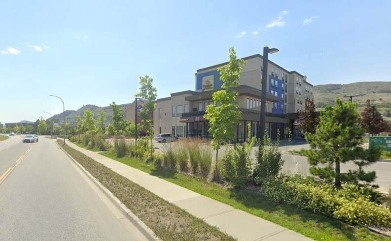
The Uptown Urban Centre (Village Green Mall area) will embrace the City’s Business District by placing a high priority on the integration of office-intensive commercial with high-density residential development. Collaboration between the City and landowners to form comprehensive development plans on large-scale properties will promote a complete and vibrant Urban Centre.
How community members are housed and experience the community. LIVE
5.1.1 Objective: Housing is diverse, plentiful, and activates Downtown and Uptown.
5.1.1.1. Support the development of a diverse range of building forms (Figure 5.1), including:
• High-rise
• Apartment
• Mixed-use
• Townhouse.
5.1.1.2. Support a balanced mix of housing types by encouraging developments to include a range of unit sizes in each project, including 1-, 2-, and 3-bedroom homes.
5.1.1.3. Encourage building heights between 4 and 16 storeys to accommodate the highest residential density and highest intensity of commercial uses, with consideration for additional height that aligns with the public benefit policies in this OCP (4.1.5.1 and 4.1.5.2).
5.1.1.4. Encourage higher density residential developments along the fringes of neighbourhood parks, to promote access to shared community spaces, community togetherness, and “eyes on the park”.
5.1.2 Objective: Land and resources are used efficiently and purposefully in Urban Centres.
5.1.2.1. Encourage property owners and developers to consolidate multiple lots into land assemblies to deliver block style apartment buildings on major streets, near current and future multi-use pathways, and within 400 m of transit stops.
Vacant and underutilized lands
5.1.2.2. Encourage the addition of housing units or housing redevelopment on underutilized lands, such as city-owned land, places of worship, and surface parking lots.
5.1.2.3. Discourage new surface parking lots Downtown and Uptown for residential and mixed-use developments, except where necessary for accessible, visitor, or commercial parking, or loading stalls.
5.1.3 Objective: Mixed-use communities are achieved through collaboration.
Large Properties
5.1.3.1. Consider redevelopment of the Village Green Mall only when initiated by the property owners through an Area Redevelopment Plan, as a comprehensive, mixed-use community that integrates housing, employment, sustainable building design, and recreation.
5.1.3.2. Support the development or redevelopment of large parcels of land in collaboration with landowners, to encourage mixed-use projects that are in alignment with Official Community Plan objectives and public benefit.
5.1.4 Objective: Preserve the historic culture and feel of the Downtown Urban Centre while promoting revitalization.
Downtown heritage retention
5.1.4.1. Encourage Downtown shops and businesses to invest in facade upkeep, building upgrades, and pedestrian-friendly signage through municipal financial incentives and grants, and support expansion of residential uses on the second floor or higher in existing commercial heritage buildings.
5.1.4.2. Encourage the preservation and integration of historical buildings, incorporating facades and materials as architectural elements in new developments, as outlined in DPA 6 – Form and Character Design Guidelines (Appendix C).
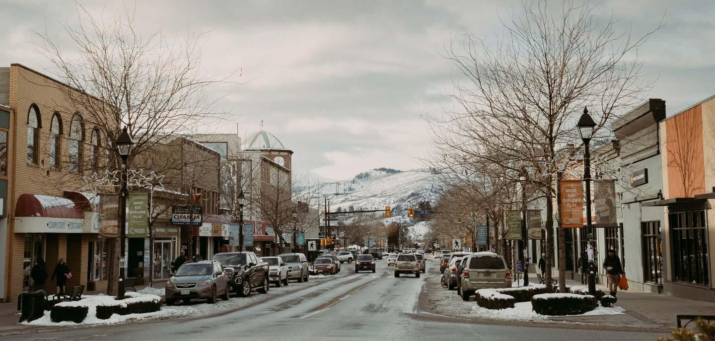
5.1.5 Objective: Urban Centres are Vernon’s primary hubs of commercial activities.
Mixed-use development
5.1.5.1. Encourage mixed-use and high-density developments that increase the number of residents living in close proximity to commercial and employment areas, to assist with employee recruitment and retention by shortening distances between home and work, and to support businesses.
5.1.5.2. Encourage commercial frontages at grade along Anderson Way and 27 Street to maintain street level activity and vibrancy.
5.1.5.3. Discourage new development of big box stores and vehicularoriented uses, such as drive-throughs, gas stations, and service centres. How community members work, and the economic vibrancy of the community. WORK
5.1.5.4. Encourage businesses to relocate or open new locations in Urban Centres, to bring more employees to Downtown and Uptown and promote economic activity.
5.1.5.5. Encourage office-intensive industries, civic uses, and headquarters to locate in Downtown and Uptown.
5.1.6 Objective: Investment in commercial properties is attractive and desirable.
5.1.6.1. Prioritize public investment in Downtown and Uptown, including infrastructure, parks, public spaces, and public-private partnerships for the provision of community amenities that entice private development.
5.1.6.2. Collaborate with the Downtown Vernon Association and other groups that support the economy and job creation to market and promote Downtown investment and business opportunities.
5.1.7 Objective: Make Urban Centres places for people.
5.1.7.1. Encourage active commercial uses at street level and direct office uses to the second floor or higher.
5.1.7.2. Support walk-up windows rather than drive-through windows for existing and new food and beverage businesses, to encourage vibrant streets that prioritize pedestrians.
5.1.7.3. Encourage public events and programs on Downtown and Uptown streets to help activate the public realm, such as with patio programs, street festivals, cultural events, busking, street vending, and markets.
5.1.8 Objective: Establish and improve 48 Avenue for multi-use connections.
5.1.8.1. Promote the mixed-use environment of 48 Avenue through pedestrian-oriented design, places and spaces to rest and connect in shade, activation of the public realm, multi-use paths, and varied active commercial uses.
5.1.8.2. Consider opportunities to construct a pedestrian bridge across 27 Street to connect the Village Green Mall site to residential and commercial amenities within the 48 Avenue corridor area, once redevelopment is initiated by the property owners.
5.1.8.3. Support the continuation of the multi-use corridor along 48 Avenue into the Village Green Mall site, once redevelopment is initiated by the property owners.
5.1.9 Objective: Strengthen 30 Avenue as Downtown’s main street for vibrancy.
“Main Street”
5.1.9.1. Encourage small format retail storefronts for shops and businesses on 30 Avenue, to fit the historical and architectural rhythm of the main street.
5.1.9.2. Continue to support the outdoor commercial use program on 30 Avenue that allows for outdoor patios and activity to spill out onto the main street.
5.1.9.3. Support opportunities for pedestrian-only streets, seasonally or permanently, including 30 Avenue, 31 Avenue, and others as identified in the Transportation Plan.
5.1.9.4. Support a consistent street wall on 30 Avenue with similar setbacks, articulated facades, no spacing between buildings, and a consistent building height of 2–3 storeys at the street with taller portions of buildings set back farther from the street (Figure 5.2).
5.1.10 Objective: Attract the investment and development of a Downtown hotel.
Shop and stay Downtown
5.1.10.1. Encourage and support hotel development Downtown by enabling mixed-use hotel-residential projects, and consider regulatory flexibility for additional height or density, recognizing the need to support back-of-house and event spaces.
5.1.11 Objective: Establish a public food market Downtown.
Public market strategy
5.1.11.1. Support the creation of a Downtown public food market by evaluating potential sites using criteria provided in a Public Market Strategy.
How and where Vernonites are active and interact with the environment.
5.1.12 Objective: Community spaces are integrated into new developments.
Public places and spaces
5.1.12.1. Encourage new developments to provide publicly accessible open spaces with shade on site, particularly at prominent corners, to create pedestrian plazas.
5.1.12.2. Encourage the design of Downtown and Uptown public places and spaces to be accessible for all by incorporating objectives from the Age- and Dementia-Friendly Community Plan, including prioritizing accessibility and providing lighting, benches, quiet spaces for refuge, signs, and landmark buildings.
5.1.12.3. Encourage increased common amenity space for residential and mixed-use projects where there is limited public park and open space available nearby, particularly along Anderson Way.
5.1.13 Objective: Preserve and enhance streams and trees.
Streams and trees
5.1.13.1. Encourage the preservation of significant trees and the removal of hazardous trees or invasive species, when identified prior to development.
5.1.13.2. Work to daylight Vernon Creek and BX Creek as adjacent properties redevelop, and consider regulatory flexibility such as additional height or density to accommodate the restoration of creek banks and dedication of riparian areas
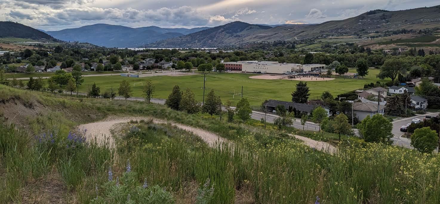
5.1.14 Objective: Prioritize the safe movement of pedestrians.
Pedestrian priority
5.1.14.1. Support high-quality streetscapes with emphasis on the pedestrian experience, followed by that of cyclists, rollers, and transit users, to enhance walkability and reduce car dependence.
5.1.14.2. Encourage design strategies that make auto-dominated spaces more pedestrian-oriented, including establishing crosswalks, differing paving patterns, and shade trees.
5.1.14.3. Consider upgrading signalized intersections with advance walk signals and restrictions on right turns on red lights, to improve pedestrian safety.
5.1.15 Objective: Enhance options to walk, bike, roll, or take transit in Urban Centres.
5.1.15.1. Support distinct and identifiable architecture, creative signage, public art, banners, or identifiable landscaping that creates signature buildings with clearly marked intersections, to make wayfinding easier.
5.1.15.2. Support the upgrade of transit stops with lighting, shelters, benches, and waste receptacles, following BC Transit’s On-Street Infrastructure Design Guide, and the integration of transit stops and bus pullouts into building designs, as necessary, at the time of redevelopment.
5.1.15.3. Encourage new developments in Urban Centres to underground existing power lines on public and private property as a function of frontage improvements, to enhance the pedestrian experience, and improve firefighting access and lane circulation.
5.1.15.4. Encourage enhanced streetscapes on prominent streets as a function of development, including wider sidewalks, benches, lighting, and soil cells or ample space for planting trees.
5.1.15.5. Support initiatives that make laneways more visually interesting, usable, and safe, and consider incorporating green spaces where possible.
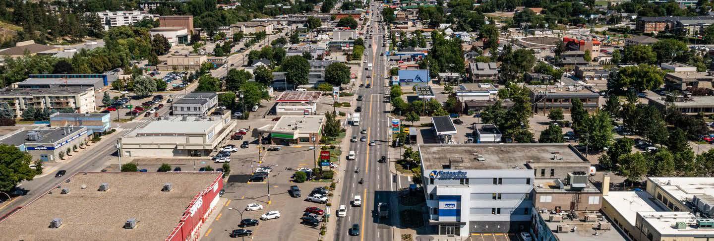
Highway 97
Alexis Park, Jubilee Hill, and Waterfront Village Centres
The Official Community Plan designates three secondary growth areas as Village Centres (Map 5.1) to provide a mix of housing, employment, shops, parks, and services within a walkable, urban, environment. These Centres
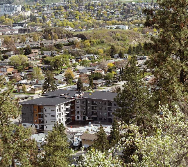
Alexis Park Village Centre benefits from established transportation corridors, multiple indoor and outdoor recreation opportunities, schools, and places of worship. It will grow to accommodate additional residential density in a variety of built forms and has several planned transportation projects that will expand the multimodal network of options for moving about the community.
will be secondary hubs of activity, more modest than the Urban Centres, with enough day-today services that owning a vehicle becomes a choice, rather than a requirement.
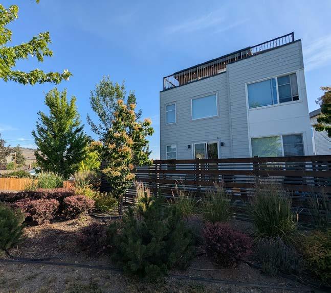
Jubilee Hill Village Centre is earmarked for increased residential density, such as workforce housing, that is vital to support the operations and expansion of the Vernon Jubilee Hospital. It will grow in the form of apartments and mixeduse developments while building stronger pedestrian connections to the hospital. Short-term accommodation and innovative ownership models will assist in providing support for patients, doctors, and hospital staff.
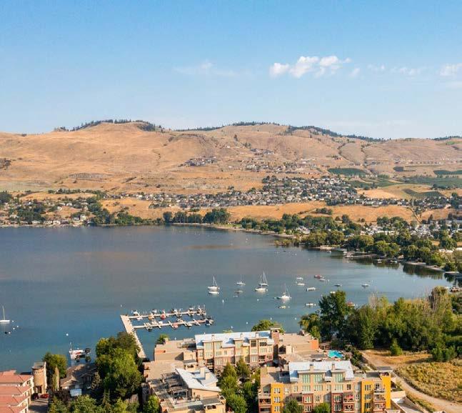
Waterfront Village Centre is envisioned to be a bustling hub that attracts tourists and year-round residents to experience Okanagan Lake with a waterfront pathway, small-scale commercial opportunities, tourist accommodations and residential housing, and a grand pedestrian boulevard along Lakeshore Drive. New growth and development will respect the existing constraints of airport operational height limits (Map 3.2 and Regional Airport Zoning Regulations Bylaw), protected wetlands, and developed and natural parks.
5.2.1 Objective: Housing is diverse, plentiful, and activates Village Centres.
Diverse Housing Types
5.2.1.1. Support the development of a diverse range of building forms (Figure 5.3), including:
• Apartment
• Single stair egress
• Mixed-use
• Townhouse
• Infill.
5.2.1.2. Support a balanced mix of housing types by encouraging developments to include a range of unit sizes in each project including 1-, 2-, and 3-bedroom homes.
5.2.1.3. Encourage ground-oriented units to face public streets, where a front door facing the street contributes to a personal sense of ownership and autonomy, while fostering social interaction with the community.
5.2.2 Objective: Building heights and densities are context sensitive.
Building heights
5.2.2.1. Consider buildings up to 6 storeys. How community members are housed and experience the community. LIVE
5.2.2.2. Require that building heights in the Waterfront Village Centre respect the operational height limits of the Vernon Regional Airport (Map 3.2 and Regional Airport Zoning Regulations Bylaw).
5.2.2.3. Encourage high-density residential developments along the fringes of neighbourhood parks to promote access to shared community spaces, community togetherness, and “eyes on the park”.
5.2.3 Objective: Land is used efficiently in Village Centres.
Vacant and underutilized lands
5.2.3.1. Encourage the addition of housing units or redevelopment on underutilized lands, such as civic properties, places of worship, and surface parking lots.
5.2.3.2. Discourage surface parking lots in new residential and mixed-use developments, except where necessary for accessible parking, visitor and commercial parking, and loading stalls.
Land assemblies
5.2.3.3. Encourage property owners and developers to consolidate multiple lots into land assemblies, to deliver block style apartment buildings on major streets near current and future multi-use pathways and within 400 m of transit stops.
5.2.4 Objective: Mixed-use communities are achieved through collaboration.
Large properties
5.2.4.1. Consider redevelopment of the Vernon Square Shopping Centre site, only when initiated by the property owners through an Area Redevelopment Plan, to deliver a comprehensive, mixed-use community that integrates housing, employment, and recreation.
5.2.4.2. Support development or redevelopment of large parcels of land in collaboration with landowners, to encourage mixed-use projects that are in alignment with Official Community Plan objectives and public benefit.
How community members work, and the economic vibrancy of the community.
5.2.5 Objective: Village Centres are Vernon’s secondary hubs for commercial activities.
5.2.5.1. Encourage mixed-use and high-density developments that increase the number of residents living in close proximity to commercial and employment areas, to assist with employee recruitment and retention by shortening distances between home and work, and to support businesses.
5.2.5.2. Support the integration of commercial units on residential streets through expanded home-based business opportunities, mixed-use projects, or standalone developments.
5.2.6 Objective: Establish Village Centres as places for people by activating spaces, improving streetscapes, and providing amenities.
Activate streets
5.2.6.1. Encourage active commercial uses at street level with frequent storefronts and wider sidewalks for outdoor dining and displays to spill out on the following streets:
• Alexis Park Village Centre: 42 Avenue, 43 Avenue, Alexis Park Drive.
• Jubilee Hill Village Centre: 16 Avenue, 31 Street, 33 Street.
• Waterfront Village Centre: Okanagan Landing Road, Lakeshore Road.
5.2.6.2. Encourage public events and programs on streets to help activate the public realm, such as with patio programs, cultural events, food trucks, and block parties.
5.2.6.3. Support walk-up windows rather than drive-through windows for existing and new food and beverage businesses, to encourage vibrant streets that prioritize pedestrians.
5.2.6.4. Prioritize public investment in Village Centres, including infrastructure, parks and public spaces, and public-private partnerships for community amenities that entice private development.
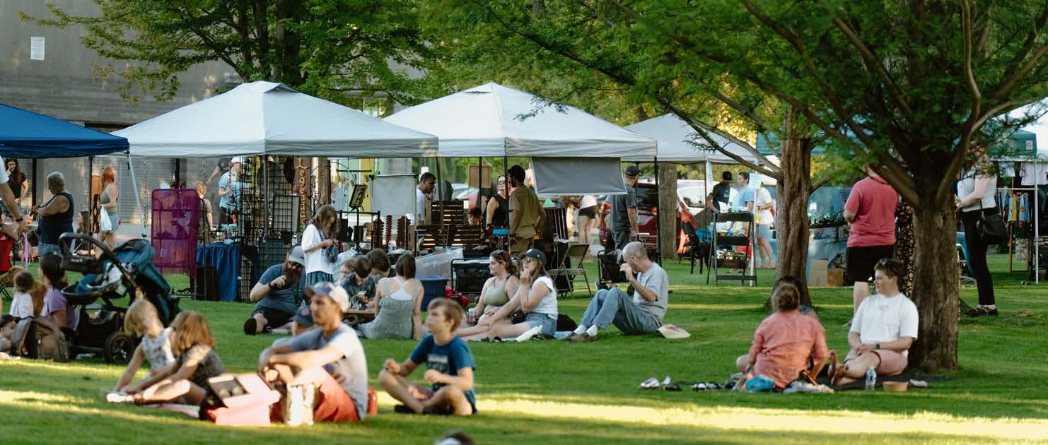
5.2.7 Objective: Jubilee Hill growth supports Vernon Jubilee Hospital as a regional facility.
Partner with Interior Health
5.2.7.1. Encourage the development of workforce housing featuring 1- and 2-bedroom units.
5.2.7.2. Support mixed-use development that includes accommodation for stays of 1 to 90 days, to support visiting healthcare workers, patients, and families.
5.2.7.3. Support the continued growth of Vernon Jubilee Hospital, respecting the context of the surrounding neighbourhood.
5.2.7.4. Collaborate with Interior Health to provide land uses in the surrounding area, to support a growing hospital campus that will provide services for the North Okanagan region and beyond.
5.2.8 Objective: Enhance Lakeshore Road as the focus of the Waterfront Village Centre’s pedestrian-oriented area.
Lakeshore Road streetscape
5.2.8.1. Encourage a consistent street wall of two storeys along Lakeshore Road with similar setbacks to the sidewalk and articulated buildings, while respecting the height limitations of Vernon Regional Airport.
5.2.8.2. Encourage small and frequent commercial storefronts along Lakeshore Road, to maximize the number of different businesses that will attract tourists and residents to the waterfront.
5.2.8.3. Encourage tourist-oriented accommodation within the Waterfront Village Centre, especially along Lakeshore Drive and Okanagan Landing Road.
How and where Vernonites are active and interact with the environment. PLAY
5.2.9 Objective: Community spaces and public places are integrated into new developments.
Public places and spaces
5.2.9.1. Encourage new developments to include publicly accessible open spaces with shade on site, particularly at prominent corners, to create pedestrian plazas.
5.2.9.2. Support land uses and building heights that are complementary to the Vernon Regional Airport, such as natural parks, developed parks, campsites, and low-rise buildings with low-height landscaping and trees.
5.2.9.3. Regularly review the Vernon Regional Airport Master Plan to ensure current and future needs of the community and of the airport are being met.
5.2.10 Objective: Enhance connections to the natural environment.
Tree canopy
5.2.10.1. Encourage the preservation of significant trees and the removal of hazardous trees or invasive species, when identified prior to development.
Lake access
5.2.10.2. Encourage building spacing to allow for pedestrian connections on site, from the street to the lakefront, in the Waterfront Village Centre.
5.2.10.3. Implement the Lake Access Plan and a Park Acquisition Strategy to improve public access to Okanagan Lake.
How Vernonites move from place to place. MOVE
5.2.11 Objective: Prioritize the safe movement of pedestrians.
Pedestrian priority
5.2.11.1. Support high-quality streetscapes with emphasis on the pedestrian first, followed by bicycles, rollers, and transit users, to enhance walkability and reduce car dependence.
5.2.11.2. Encourage construction of sidewalks and frontage improvements, including street trees for new multi-family developments.
5.2.12 Objective: Enhance options to walk, bike, roll, or take transit.
Wayfinding
5.2.12.1. Support distinct and identifiable architecture that creates signature buildings with clearly marked intersections, to make wayfinding easier.
5.2.12.2. Encourage site planning and building design that includes creative signage, public art, or identifiable landscaping, to assist people with navigating Village Centres.
5.2.12.3. Support the upgrade of transit stops with lighting, shelters, benches, and waste receptacles, following the BC Transit On-Street Infrastructure Design Guide; and the integration of transit stops and bus pullouts into building designs, as necessary, at the time of redevelopment.
5.2.12.4. Encourage enhanced streetscapes on prominent streets as a function of development, including wider sidewalks, benches, lighting, and space for planting trees in soil cells.
5.2.12.5. Encourage new apartment and mixed-use developments to underground existing power lines on public and private property, as a function of frontage improvements to enhance the public realm, and improve firefighting access and lane circulation.
Parking
5.2.12.6. Discourage surface parking lots as standalone and temporary uses.
5.2.12.7. Consider parking reductions for properties that have a high water table, rather than supporting surface parking.
5.2.12.8. Monitor parking demand in the neighbourhood around Vernon Jubilee Hospital, to ensure hospital parking does not impact the availability of on-street parking for residents.
5.2.12.9. Collaborate with Interior Health and the BC Ministry of Transportation and Transit on opportunities to construct a pedestrian bridge across Highway 97, to connect Jubilee Hill Neighbourhood Centre to Vernon Jubilee Hospital.
5.2.12.10. Encourage mixed-use development along Highway 97 in Jubilee Hill that provides commercial uses closer to the road and residential uses towards the rear of properties.
Vehicle-oriented uses
5.2.12.11. Discourage new development of big box stores and vehicular-oriented uses, such as drive-throughs, gas stations, and service centres in Village Centres.
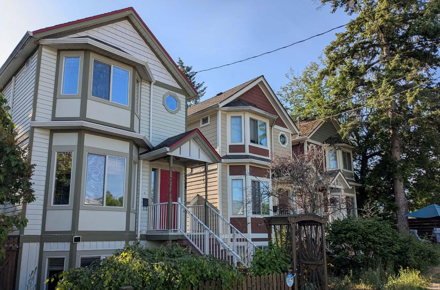
Urban, Suburban, and Resort Tourism Neighbourhoods will embrace most kinds of ground-oriented housing, including duplexes, fourplexes, townhouses, carriage houses, and some apartment buildings in strategic locations. These neighbourhoods will encourage smallscale commercial uses, expanded home-based businesses, and community services integrated throughout.
The Urban Neighbourhood, Suburban Neighbourhood, and Resort Tourism Neighbourhood future land use designations are intended to support low- and mediumdensity housing, following the principles of gentle density where new housing units contribute to the experience of existing neighbourhoods. These neighbourhoods
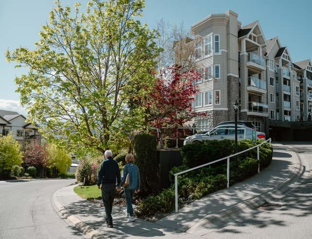
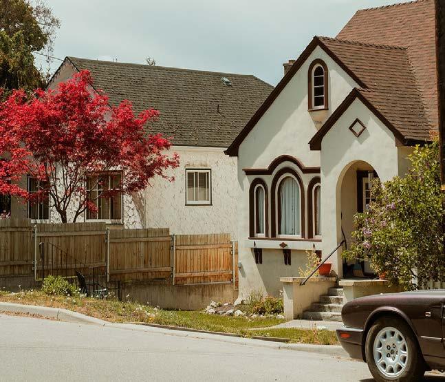
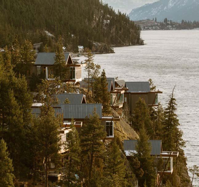
Urban Neighbourhoods are closely connected to Urban and Village Centres through proximity and multimodal transportation links. For this reason, the Urban Neighbourhood can support lower- and higher-density forms of housing, such as townhouses and apartments where residents have good access to transit and bike routes. Small-scale commercial uses may also be integrated throughout to promote opportunities close to home.
Suburban Neighbourhoods on the outer edges of the Urban Containment Boundary and less connected to Urban and Village Centres are more car dependent, with fewer transportation options. For this reason, they will typically support lower density forms of housing with lower heights, such as infill, townhouses, and some apartments in strategic locations.
Resort Tourism Neighbourhoods support tourism and the economy through tourist-oriented accommodation, flexible ownership models, building forms that range from cottages to small apartments, and commercial, service, and recreational areas.
How community members are housed and experience the community.
5.3.1 Objective: Housing is abundant, affordable, and diverse.
Diverse Housing Types
5.3.1.1. Support an array of ground-oriented building forms (Figure 5.4), including but not limited to:
• Apartment
• Single stair egress
• Townhouse
• Infill
• Single detached
• Accessory dwelling.
5.3.1.2. Encourage ground-oriented units to face public streets, where a front door facing the street contributes to a personal sense of ownership and autonomy, while fostering social interaction with the community.
5.3.1.3. Encourage secondary suites in townhouse, infill, and single detached housing, to provide a diversity of tenures and unit sizes in Neighbourhoods.
5.3.1.4. Encourage higher density residential developments along the fringes of neighbourhood parks to promote access to shared community spaces, community togetherness, and “eyes on the park”.
5.3.1.5. Encourage medium- to high-density developments such as apartments, mixed-use buildings, and purpose-built rentals to be located within the Focused Growth Area (Map 1.3).
5.3.1.6. Consider expanding the Uptown Urban Centre to include adjacent neighbourhoods at such time as frequent 15-minute transit service can be supported.
5.3.1.7. Encourage property owners and developers to consolidate multiple lots into land assemblies, to deliver block style apartment buildings on major streets near current and future multi-use pathways and within 400 m of transit stops.
5.3.1.8. Consider redevelopment of the Shops at Polson Park site only when initiated by the property owners through an Area Redevelopment Plan, with the goal of delivering a comprehensive, mixed-use community that integrates housing, employment, and recreation.
5.3.1.9. Consider redevelopment of the Landing Plaza site only when initiated by the property owners through an Area Redevelopment Plan, with the goal of delivering a comprehensive, mixed-use community that integrates housing, employment, and recreation.
5.3.1.10. Support development or redevelopment of large parcels of land in collaboration with landowners to encourage mixed-use projects that are in alignment with Official Community Plan objectives and public benefit.
5.3.2 Objective: Building heights are context sensitive.
Building heights–Urban Neighbourhood
5.3.2.1. Consider buildings up to 6 storeys in Urban Neighbourhoods that are located within 200 m of major streets, transit corridors, transit stops, parks, or multi-use paths, to support transit use, enhance the public realm, and provide sensitive transitions to adjacent lower density areas.
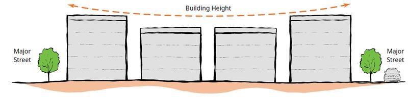
5.3.2.2. In accordance with Policy 5.3.2.1, generally discourage buildings greater than 3 storeys that are not within 200 m major streets, transit corridors, transit stops, parks, or multi-use paths, to support a sensitive height transition (Figure 5.5).
Building heights–Suburban Neighbourhood
5.3.2.3. Consider buildings up to 4 storeys in Suburban Neighbourhoods that are located within 200 m of major streets, transit corridors, transit stops, parks, or multi-use paths, where they support transit use, enhance the public realm, and provide sensitive transitions to adjacent lower density areas.
5.3.2.4. In accordance with Policy 5.3.2.3, generally discourage buildings greater than 3 storeys that are not within 200 m of major streets, transit corridors, transit stops, parks, or multi-use paths, to support a sensitive height transition (Figure 5.5).
Building heights–Resort Tourism Neighbourhood
5.3.2.5. Consider building heights that sensitively integrate into existing Resort Tourism Neighbourhoods while meeting the unique needs of tourist-oriented development.
5.3.3 Objective: Resort Tourism areas provide short-term rental options and are integrated into hillsides.
Tourism and short-term accommodation
5.3.3.1. Support mixed-use development that includes accommodation for stays of 1 to 90 days in Resort Tourism Neighbourhoods, to support tourism.
5.3.3.2. Support developments that offer unique lifestyle opportunities suitable for resort-style living and tourism by considering creative land uses, building types, and tenures including workforce housing
Hillside development
5.3.3.3. Support sensitive hillside development in alignment with the DPA 3 –Hillside Development (Chapter 6 and Appendix B).
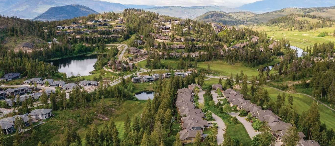
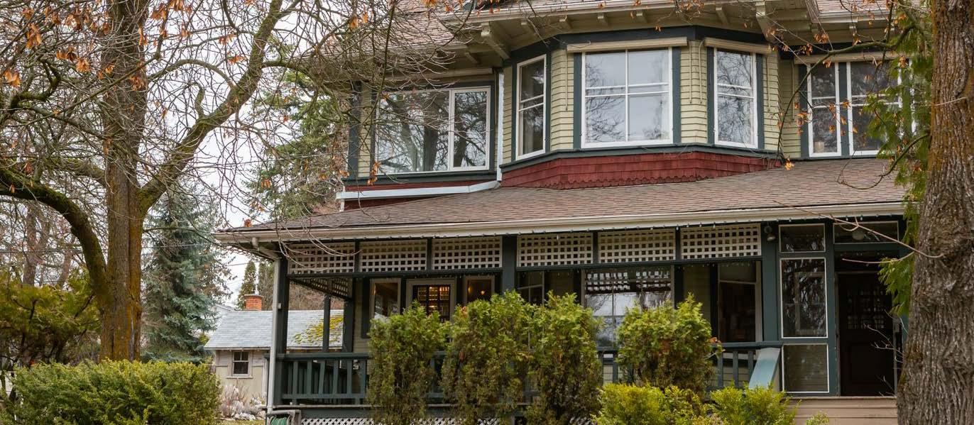
5.3.4 Objective: Preserve and enhance historic buildings and properties.
Heritage retention
5.3.4.1. Encourage the preservation and integration of historical buildings, incorporating facades and materials as architectural elements in new developments as outlined in DPA 6 – Form and Character Design Guidelines (Appendix C).
5.3.4.2. Support regulatory flexibility on identified heritage properties, to facilitate the construction of additional residential units on the property while preserving the existing heritage building.
How community members work, and the economic vibrancy of the community.
5.3.5 Objective: Neighbourhood commercial opportunities are close to home.
Integration of neighbourhood commercial uses
5.3.5.1. Support small-scale commercial uses throughout neighbourhoods for day-to-day services, particularly on arterial and collector streets, such as convenience stores, restaurants, pet stores, childcare centres, and retail shops.
5.3.5.2. Encourage home-based businesses, including expansions that support and incubate entrepreneurial activities and allow people to work from home.
5.3.5.3. Support the conversion of existing residences, or portions of the residence, into commercial uses provided they do not have a negative impact on the peaceful enjoyment of neighbouring properties.
5.3.5.4. Support businesses that cater to tourist needs, such as bike rentals, recreational clothing stores, non-motorized watercraft, dining, and indoor recreation.
How and where Vernonites are active and interact with the environment. PLAY
5.3.6 Objective: Community spaces and places are integrated into new developments.
Public places and spaces
5.3.6.1. Encourage new developments to include publicly accessible open spaces with shade on site, particularly at prominent corners, to create pedestrian plazas.
5.3.7 Objective: Preserve and enhance the natural features in neighbourhoods.
Streams and trees
5.3.7.1. Encourage the preservation of significant trees and the removal of hazardous trees or invasive species, when identified prior to development.
5.3.7.2. Work to daylight Vernon Creek and BX Creek as adjacent properties redevelop, and consider regulatory flexibility such as additional height or density, to accommodate the restoration of creek banks and dedication of riparian areas
How Vernonites move from place to place. MOVE
5.3.8 Objective: Prioritize the safe movement of pedestrians and cyclists.
Pedestrian priority
5.3.8.1. Prioritize construction of sidewalks and frontage improvements, including street trees for multi-family developments.
5.3.8.2. Discourage new development of vehicle-oriented uses or drive-throughs in Urban Neighbourhoods and Resort Tourism Neighbourhoods.
5.3.8.3. Support the upgrade of transit stops with lighting, shelters, benches, and waste receptacles, following the BC Transit On-Street Infrastructure Design Guide; and the integration of transit stops and bus pullouts into building designs, as necessary, at the time of redevelopment.
5.3.8.4. Encourage new apartment and mixed-use developments to underground existing power lines on public and private property as a function of frontage improvements, to enhance the public realm, and improve firefighting access and lane circulation.
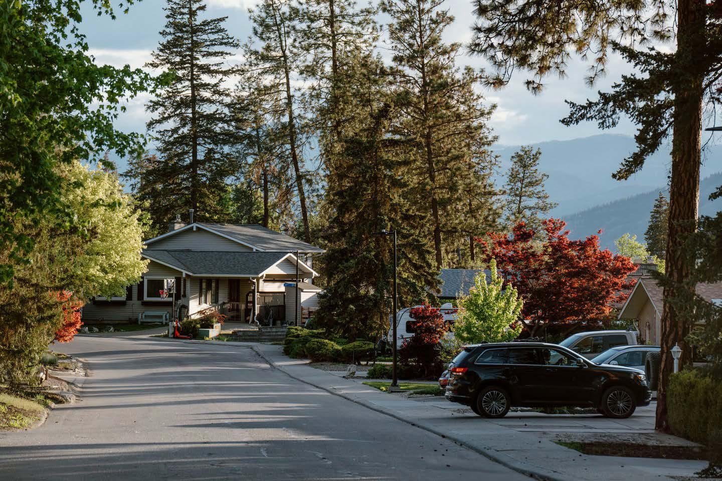
Some areas of Vernon are not suitable for medium or high residential density due to ecological sensitivity, challenges with topography, limited community water and sewer availability, or proximity to the Agricultural Land Reserve. These areas will support limited growth primarily through secondary suites, accessory dwelling units such as carriage houses, and
Suburban Limited Neighbourhoods have limited capacity for community water and sewer, and little to no transit, and may not be suitable for growth. Should improvements in infrastructure and transit occur over time, these neighbourhoods could shift to become designated as Suburban Neighbourhoods that support gentle density.
some duplex housing. By promoting low site coverage and low demand on urban services, these areas can continue to contribute to the resilience and environmental sustainability of the city as a whole. Due to the distances from Urban and Village Centres, little to no transit, and limited multimodal infrastructure, these areas will most likely remain car dependent.
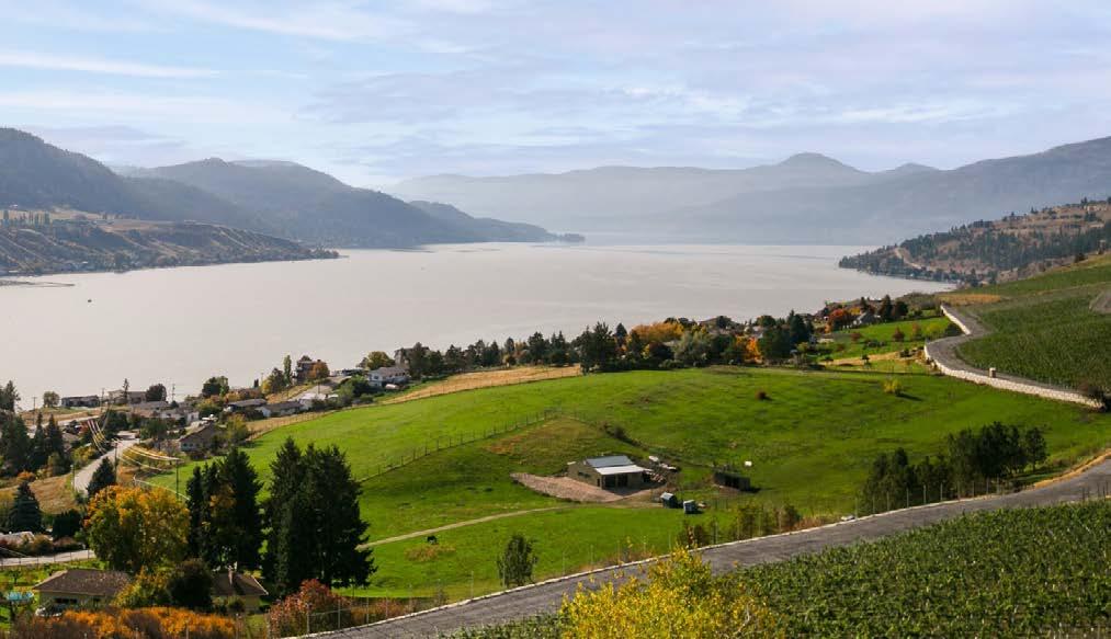
Rural Areas are important preservation areas that provide a buffer between urban residential uses and the Agricultural Land Reserve, and preserve natural ecosystems and features. To protect the Agricultural Land Reserve and active farming activities, intensive residential density is strongly discouraged in rural areas; however, secondary suites and accessory dwelling units are encouraged where lot size and servicing can support them.
How community members are housed and experience the community.
5.4.1 Objective: Housing is low density, accessible, and serviced appropriately.
5.4.1.1. Support low-density building forms where properties are sufficiently serviced with community water and sewer infrastructure (Figure 5.6), including but not limited to:
• Townhouse
• Infill
• Single detached
• Accessory dwelling.
5.4.1.2. Discourage subdivisions and rezoning applications outside the Urban Containment Boundary that would result in increased residential density or increased intensity of other uses that do not align with Vernon’s Growth Strategy (Chapter 3).
5.4.1.3. Discourage subdivision, Official Community Plan amendments, and rezoning applications within the Rural Protection Boundary that would result in increased residential density or increased intensity of other uses that could have a negative impact on rural or agricultural lands.
Building heights
5.4.1.4. Support development that is sensitive to existing street patterns in Suburban Limited Neighbourhoods in terms of height, setbacks, and spaces between buildings.
Housing tenures
5.4.1.5. Support secondary suites and accessory dwelling units on properties that are connected to community water and sewer infrastructure.
5.4.2 Objective: Protect land used for active farming from the impacts of adjacent development.
Urban-rural interface
5.4.2.1. Encourage land uses that are compatible with active farming on properties adjacent to agricultural lands, such as urban agriculture or passive recreation.
5.4.2.2. Discourage intensive residential development on rural lands adjacent to the Agricultural Land Reserve until such time as a Development Permit Area for the Protection of Farmland is developed and implemented.
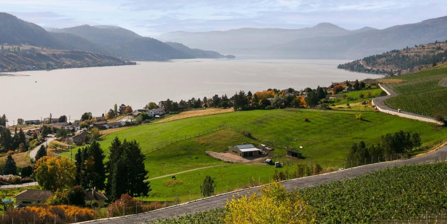
5.4.2.3. Ensure that development on properties adjacent to land in the Agricultural Land Reserve limits negative impacts on adjacent farm operations by including appropriate buffers and setbacks in alignment with the Ministry of Agriculture’s Guide to Edge Planning.
5.4.2.4. Discourage intensive residential development that can only be accessed through a local or rural street that traverses the Agricultural Land Reserve. How community members work, and the economic vibrancy of the community.
5.4.3 Objective: Entrepreneurial activities give people the opportunity to work from home on Suburban Limited and Rural properties.
Home-based businesses
5.4.3.1. Encourage home-based businesses, including expansions that support entrepreneurial activities and allow people to work from home.
5.4.3.2. Support vehicle-oriented uses as home-based businesses in rural areas where it will not negatively impact agricultural uses or environmentally sensitive areas
5.4.3.3. Support limited parking areas to reduce site coverage and retain soil quality for farm retail sales and farm stands.
5.4.3.4. Support the development of educational businesses on rural lands that teach children, youth, and adults about the environment, conservation, farming and agriculture, history, or Indigenous cultures and worldviews.
5.4.3.5. Support agritourism activities on rural properties.
How and where Vernonites are active and interact with the environment.
5.4.4 Objective: Community and individual well-being are enhanced through social interaction.
Community togetherness
5.4.4.1. Support food production and community gardens on underutilized lands and rural properties to support food resiliency, social interaction, and community togetherness.
5.4.4.2. Support temporary road closures in Suburban Limited Neighbourhoods that facilitate neighbourhood block parties and activities that foster community togetherness, social connections, and walkable spaces
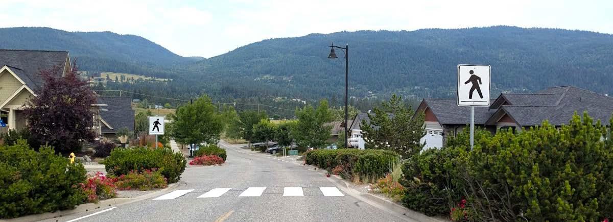
5.4.5 Objective: Transportation options prioritize the health and safety of its citizens.
Transportation safety
5.4.5.1. Support the provision of wider multi-use shoulders, where they can be safely accommodated within the road right-of-way.
Agricultural Land Reserve
Areas within the Agricultural Land Reserve (ALR) will continue to be protected for longterm agricultural uses. Agricultural lands are a valuable resource in BC and represent only a small fraction of the land base, yet hold the greatest agricultural capacity. Protecting the ALR ensures food security, supports the local
economy, and has environmental benefits, such as flood and fire control. Growth within the ALR will be restricted by provincial and federal regulations including, but not limited to, the Agricultural Land Commission Act and the Farm Practices Protection (Right to Farm) Act
How community members are housed and experience the community. LIVE
5.5.1 Objective: Support continued protection of agricultural lands for food production, farming, and value-added agricultural uses.
Housing types
5.5.1.1. Support single detached homes and secondary suites in accordance with provincial regulations and only support accessory dwelling units on properties that are connected to community water and sewer infrastructure or are greater than 1 ha (Figure 5.7).
5.5.1.2. Support Temporary Farm Worker Housing for workers registered with a federal Temporary Foreign Worker Program by forwarding non-adhering residential use applications to the Agricultural Land Commission where the property is adequately serviced to protect groundwater quality.
5.5.1.3. Encourage new dwellings on properties to be located near the front lot line and to cluster all accessory residential uses such as swimming pools, tennis courts, and garages near the dwelling, based on farm home plating principles (Figure 5.8).
5.5.1.4. Support the integrity of the ALR by maintaining the existing boundaries and supporting the continued designation of agricultural land for agricultural purposes, regardless of soil types and capabilities.
5.5.1.5. Discourage land uses that do not conform to the policies and regulations of relevant provincial and federal legislation.
5.5.1.6. Encourage locating structures on less productive soils, where feasible.
5.5.1.7. Encourage farms to implement an Agricultural Environmental Management or Nutrient Management Plan to preserve and protect watershed and water quality.
5.5.1.8. Discourage Agricultural Land Reserve exclusion applications, except where an application meets the following:
• Is a City-led initiative
• Is part of a comprehensive Official Community Plan amendment application
• Demonstrates a civic need that cannot be provided elsewhere
• Could provide a publicly accessible park or trail
• Is consistent with other Official Community Plan objectives and policies
• Does not require the extension of community water and sewer services.
5.5.1.9. Discourage intensive residential development on rural lands adjacent to the Agricultural Land Reserve until such time as a Development Permit Area for the Protection of Farmland is developed and implemented.
5.5.1.10. Support landscape or vegetative buffers between agricultural lands and other uses in alignment with the Ministry of Agriculture’s Guide to Edge Planning.
5.5.1.11. Discourage OCP amendments and rezoning applications within the Rural Protection Boundary (Map 1.1) that would result in increased residential density or increased intensity of other uses that could have a negative impact on rural or agricultural lands.
5.5.1.12. In general, discourage subdivision applications in the Agricultural Land Reserve, and when considered, ensure that the lot sizes proposed are as large as possible to accommodate a variety of agricultural uses.
How community members work, and the economic vibrancy of the community.
5.5.2 Objective: Support community agriculture, innovative forms of farming, and associated businesses.
Farming economy
5.5.2.1. Support home-based businesses in accordance with provincial regulations that allow people to work from home.
5.5.2.2. Support agritourism activities on agricultural properties that are aligned with the Agricultural Land Commission Act and regulations for the Agricultural Land Reserve.
5.5.2.3. Support community gardens on agricultural properties to support food resiliency and community togetherness.
5.5.2.4. Support limited parking areas for farm retail sales and farm stands to reduce site coverage and retain soil quality on agricultural properties.
5.5.2.5. Encourage employment opportunities on agricultural lands that support local food production and farming.
How and where Vernonites are active and interact with the environment. PLAY
5.5.3 Objective: Foster community connection to agriculture.
Community connections
5.5.3.1. Support the development of educational initiatives on agricultural lands outside of the Agricultural Land Reserve that teach children, youth, and adults about the environment, conservation, farming and agriculture, history, or Indigenous cultures and worldviews.
How Vernonites move from place to place. MOVE
5.5.4 Objective: Reduce traffic that passes through the Agricultural Land Reserve.
5.5.4.1. Discourage land uses that can only be accessed through a local or rural street that traverses the Agricultural Land Reserve.
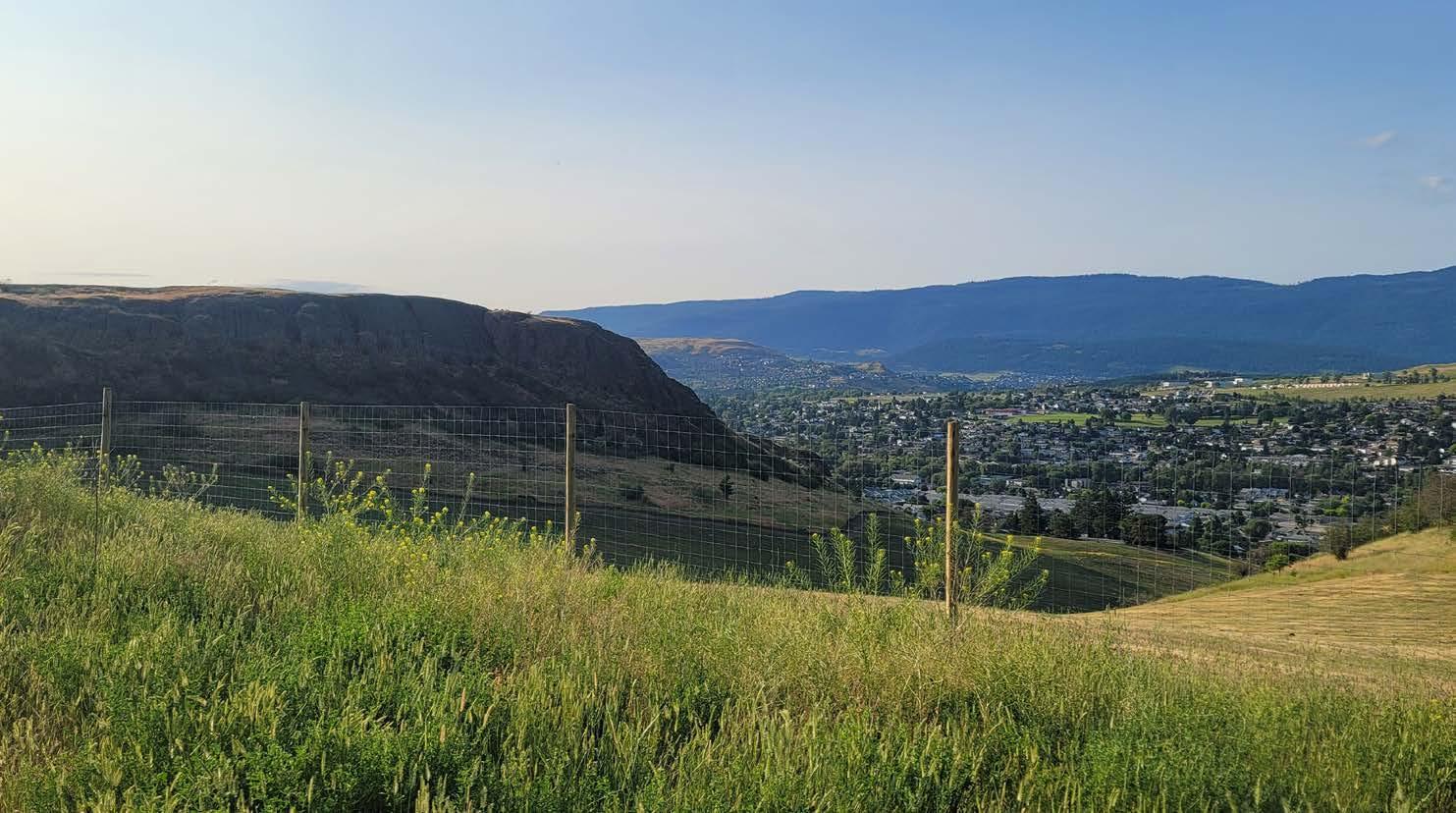
Industrial lands benefit the community by providing employment, supporting local agriculture processing, solidifying Vernon as a regional economic hub, incubating innovation, and fostering a thriving economy into the future.
Industrial uses can create conflict when located near residential uses or other intensive commercial uses due to a high potential for noise, odour, dust, and other irritants. To protect these lands from being eroded due to
such conflicts, it is imperative to discourage the encroachment of other land uses and ensure that development proposals for lands adjacent to industrial sites are aware of the high potential for nuisance.
Growth on these lands will typically look like industrial buildings, such as warehouses, vehicle-oriented uses such as service depots, and surface parking lots that can accommodate large vehicles (Figure 5.9).
How community members are housed and experience the community.
5.6.1 Objective: Work to reduce potential conflicts with industrial activities.
Residential development
5.6.1.1. Discourage intensive residential development immediately adjacent to industrial lands that may be subject to noise, dust, and other irritants produced by industrial activity.
5.6.1.2. Encourage adequate landscaping, screening, or vegetative buffers to reduce conflict between other land uses.
5.6.1.3. Encourage security and operator dwelling units within industrial developments to enhance security. How community members work, and the economic vibrancy of the community.
5.6.2 Objective: Encourage the economic viability of Vernon’s industrial land base.
5.6.2.1. Discourage the removal of industrial employment lands from the industrial future land use designation, to preserve long-term employment opportunities.
5.6.2.2. Encourage employment-intensive industrial uses and discourage storage uses in the Kalamalka Lake Road and Okanagan Landing industrial areas.
5.6.2.3. Discourage the encroachment of uses that are incompatible with industrial activity on land designated for industrial uses.
5.6.2.4. Encourage land uses that are compatible with industrial activities on properties adjacent to industrial lands, such as vehicle-oriented uses or indoor sales.
5.6.2.5. Encourage industrial uses that support the agricultural industry (e.g. food processing facilities, farm equipment sales, and others).
5.6.2.6. Encourage flexible industrial spaces that use partition walls, which can be easily altered to accommodate a range of tenants and adapted over time.
How and where Vernonites are active and interact with the environment. PLAY
5.6.3 Objective: Enhance employee wellness in industrial lands.
Employee wellness
5.6.3.1. Encourage outdoor shade structures or trees for employee amenity areas.
5.6.3.2. Encourage enhanced long-term bicycle storage and end-of-trip bike facilities for employees, to provide options for transportation.
How Vernonites move from place to place.
5.6.4 Objective: Direct vehicle-oriented uses onto industrial lands.
Parking and vehicles
5.6.4.1. Encourage parking lot designs to be functional for the size of vehicles that will be using them, and incorporate landscaping, trees, and shade structures, where feasible.
5.6.4.2. Support proposals for vehicle-oriented uses on industrial lands.
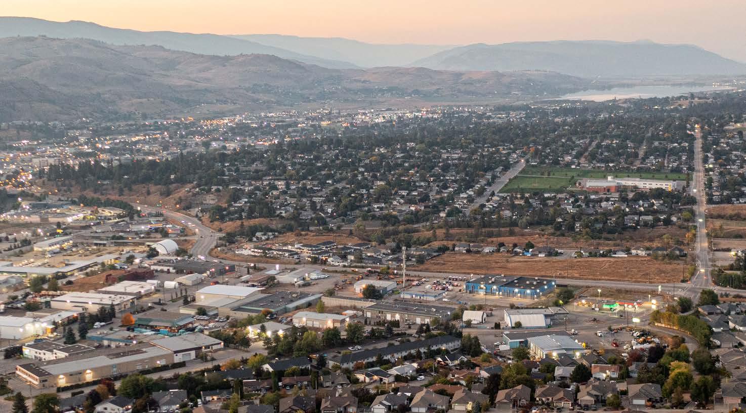
Parks, Open Spaces, Natural Areas, and Community Uses
Parks, Open Spaces, and Natural Area uses are places that support physical and mental health and well-being, social connections, and environmental stewardship. The designation includes City-owned recreation areas, natural areas, active parks, and trails; provincial parks; and privately-owned natural areas and golf courses.
Growth is intended to be limited to preserve the land for generations to come and reduce climate impacts due to growth and development. The policies in this Chapter supplement the city-wide Parks policies (Chapter 4.4).
Community Uses is a designation that indicates a property is used for civic purposes, such as a school, government building, or community hall (Figure 5.10).
How community members are housed and experience the community. LIVE
5.7.1 Encourage the incorporation of community services within other land uses.
Community services conversions
5.7.1.1. Support community services in homes as home-based businesses, or by converting a portion or all of an existing dwelling into a community service facility, such as a childcare centre, community hall, or housing care centre.
5.7.1.2. Support the adaptive re-use of heritage homes into community services, especially educational or cultural services that enhance awareness of heritage and Indigenous cultures.
5.7.1.3. Support the development of community services on underutilized and vacant properties, including civic properties, places of worship, and surface parking lots. How community members work, and the economic vibrancy of the community.
5.7.2 Encourage the provision of community services throughout all neighbourhoods.
Equitable distribution of community services
5.7.2.1. Encourage community services throughout all neighbourhoods, including childcare centres, libraries, cultural facilities, educational activities, supportive housing, parks, and outdoor recreation facilities, by allowing these uses in all future land use designations within the Urban Containment Boundary. How and where Vernonites are active and interact with the environment.
5.7.3 Objective: Support the existing park inventory.
Park access and design
5.7.3.1. Consider repurposing portions of underutilized streets, lanes, and unused right-of-ways to create public amenity spaces by changing select areas from vehicle use to parks, such as with expanded boulevard space, planting more trees, supporting local food production, or creating functional green spaces or trails.
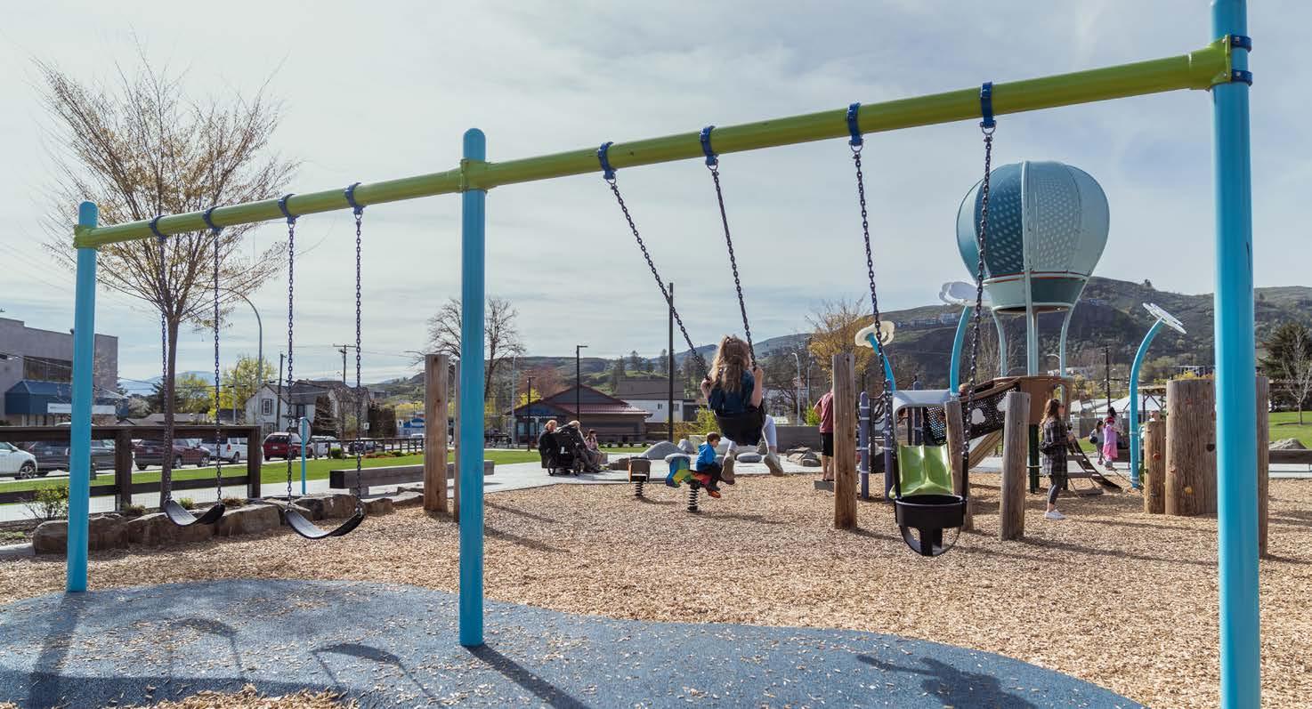
5.7.3.2. Consider improvements or expansions to existing parks where neighbourhoods are experiencing increased density and development, to meet future local needs.
5.7.3.3. Incorporate Crime Prevention Through Environmental Design principles when evaluating park location, design, and use.
5.7.3.4. Encourage the design of parks and public spaces that support year-round use and accessibility, offering a variety of recreational opportunities in all seasons and weather conditions, including winter.
5.7.3.5. Encourage plazas to be flexible and multi-purpose, to support a variety of uses including cultural activities, events, skateboarding and scooter-friendly places, and informal sports.
5.7.3.6. Support improved accessibility in parks by ensuring that washrooms provide access to potable water, including accessible water fountains, change tables, and nursing areas for all parents and caregivers.
5.7.3.7. Prioritize the protection of natural features, including rock outcrops, grasslands, wetlands, forests, steep slopes, riparian areas, and ecological connectivity corridors (Map 3.3, Map 6.1, Map 6.2, Map 6.3).
5.7.3.8. Encourage the preservation of existing off-leash dog parks and work toward creating new dog parks in neighbourhoods that do not have one, particularly in urban areas where redevelopment is expected to include apartment buildings; and ensure dog parks have appropriate signage, baggies, and garbage cans to reduce impacts on watershed quality.
5.7.3.9. Consider Temporary Use Permits for pilot projects and commercial opportunities on park lands that are anticipated to be in operation for three years or less.
5.7.3.10. Support the acquisition of parkland through a Park Acquisition Strategy (Chapter 4.4).
Climate resilience
5.7.3.11. Encourage parks to be integrated with other infrastructure systems such as storm detention ponds and utility lots, to increase climate resilience and long-term usability of City assets.
5.7.3.12. Provide more shade trees or structures, such as sails, to facilitate sun protection in parks and public spaces, and encourage cooling features such as misters suitable for all ages to cool off during periods of extreme heat.
5.7.3.13. Consider selecting heat-friendly design materials when designing new parks and playgrounds to respond to hot weather.
How Vernonites move from place to place. MOVE
5.7.4 Objective: Support accessibility and connectivity throughout the community.
Community connections
5.7.4.1. Encourage community service providers to consider the accessibility of their facilities for a variety of ages and physical abilities.
5.7.4.2. Support active transportation connections that make it easier for people to reach parks and community spaces from their neighbourhoods.
Vernon is developing. Development Permit Areas ensure sensitive areas are protected and everyone stays safe.
Development Permit Areas (DPAs) provide regulatory guidelines to protect people and the natural environment; regulate the form and character of intensive residential development; commercial, industrial, or multi-family residential development; and promote energy conservation, water conservation, and the reduction of greenhouse gas emissions.
This Chapter provides the planning purpose, justification, and objectives for each of Vernon’s DPAs, aligned with all requirements of the Local Government Act (LGA). See:
• Table 6.1 for the sections of the LGA that apply to each DPA.
• Appendix B for the regulatory guidelines for DPAs 1 to 5, including any permit exemptions.
• Appendix C for the regulatory guidelines for DPA 6 (Form and Character).
• Map 6.1, Map 6.2, Map 6.3, and Map 6.4 for the defined boundaries of each DPA.
If land is within a DPA, any alteration or improvement, such as subdivision, vegetation removal, land clearing, or construction, may require an approved development permit before work can occur.
If construction is planned for the site, a separate building permit is also required.
If land is subject to more than one DPA, a single, combined development permit application is required.
The development permit application will be subject to the requirements of each applicable DPA, including the provision of a performance security for 125% of the estimated cost of prescribed works. The security may be utilized to fulfill permit conditions, correct an unsafe condition, or correct damage to the natural environment resulting from a contravention of the permit. (Bylaw 6074)
The Local Government Act (S. 488.1) gives municipalities authority to designate a Development Permit Area for one or more of the following purposes:
• To protect the natural environment, its ecosystems, and its biological diversity;
• To protect development from hazardous conditions;
• To revitalize an area in which commercial use is permitted;
• To establish objectives for the form and character of intensive residential development; and
• To establish objectives for the form and character of commercial, industrial, or multi-family residential development.
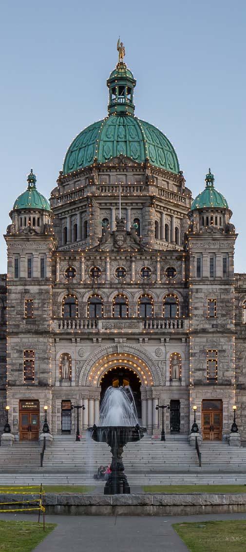
The purpose of DPA 1– Terrestrial Ecosystem (Map 6.1) is to protect the natural environment, its ecosystems, and its biological diversity, pursuant to Sections 488(1)(a)(b) of the Local Government Act
DPA 1 seeks to protect land-based environmentally sensitive areas (ESAs), which facilitate natural ecological processes, increase community climate resilience, and provide habitat for a variety of wildlife, including rare and endangered species with limited habitat ranges. ESAs include areas such as mature forests and woodlands, rocky outcrops, and sensitive grasslands. The Terrestrial Ecosystem DPA range was identified through a combination of regional Sensitive Ecosystem Inventory Projects undertaken from 2002–2013, the Okanagan Collaborative Conservation Program Biodiversity Conservation Strategy Project undertaken in 2014, and refined through the City of Vernon’s Environmentally Sensitive Areas Mapping Study undertaken as part of the OCP update process in 2025.
Development can contribute to the degradation of natural areas through the loss of trees, vegetation, and wildlife. As a result, ESAs with a value of Very High, High, or Moderate have been incorporated into the Terrestrial Ecosystem DPA to define areas where a site visit by a Qualified Environmental Professional is necessary to ensure that potential impacts of new and redeveloped sites on land-based ESAs are minimized.
• To identify and protect land-based environmentally sensitive areas.
• To prioritize avoidance of negative impacts to environmentally sensitive areas over mitigation and compensation.
• To promote and support land use that prioritizes the conservation of rare and at-risk ecosystems.
• To protect the ecological characteristics and socioeconomic benefits prevalent in all environmentally sensitive areas
• To preserve environmentally sensitive areas in mostly natural condition while accommodating land use that meets wider community needs.
• To carefully plan land development and new subdivisions in ways that protect and connect environmentally sensitive areas.
• To protect environmentally sensitive areas by establishing buffer zones.
• To identify and protect viable ecological connectivity corridors that connect core conservation areas and critical habitats.
The purpose of DPA 2 – Aquatic Ecosystem (Map 6.1) is to protect the natural environment, its ecosystems, and its biological diversity, pursuant to Section 488(1)(a) of the Local Government Act, the Riparian Areas Protection Regulation, and the Water Sustainability Act
The Aquatic Ecosystem DPA seeks to protect water-based environmentally sensitive areas (ESAs), which facilitate natural ecological processes, increase climate resilience, provide habitat for a variety of wildlife, and provide ecosystem services, including water quality improvements, flood prevention, and erosion control. Water-based ESAs include streams, lakes, and wetlands, which alongside their riparian areas link water to land by creating and directly influencing fish habitat. The Aquatic Ecosystem DPA range was identified through a combination of municipal and provincial mapping data.
Development can contribute to the degradation of aquatic ecosystems through the loss of trees, vegetation, and wildlife. As a result, the Aquatic Ecosystem DPA defines areas where a site visit by a Qualified Environmental Professional is necessary to both ensure alignment with provincial legislative requirements and minimize the impact that new and redeveloped sites may pose on water-based ESAs.
• To identify and protect water-based environmentally sensitive areas.
• To protect natural features, functions, and conditions that support fish life processes.
• To prioritize avoidance of negative impacts to water-based environmentally sensitive areas over mitigation and compensation.
• To protect, restore, and enhance riparian and wetland ecosystems to maintain their ecosystem functions and capacity for sustaining wildlife.
• To protect, restore, and enhance ecological connectivity corridors to maintain ecological integrity, biodiversity, and sustainable ecosystem functioning across the landscape.
• To safeguard ecological characteristics and socioeconomic benefits prevalent in all environmentally sensitive areas.
• To protect development from waterrelated natural hazards such as flooding.
The purpose of DPA 3 – Hillside Development (Map 6.2) is to protect development from hazardous conditions, protect the natural environment, and establish objectives for the form and character of development, pursuant to Sections 488(1)(a)(b)(f) of the Local Government Act.
Many of the remaining undeveloped lands in Vernon are on steep slopes and hillsides, including future phases of development in existing hillside communities. The Hillside Development DPA seeks to protect hillside development from hazardous conditions, including consideration for drainage patterns, slope stability, and environmental impacts. It also seeks to ensure development is sensitively integrated into hillsides to maintain the vibrancy of our unique landscapes.
Residential and commercial developments located on hillsides can be disruptive to the landscape. As a result, retaining significant undisturbed portions of land and concentrating development on less sensitive or less sloped areas is strongly encouraged. As a result, areas with slopes of 30% or greater have been incorporated into the Hillside Development DPA to define areas where geotechnical expertise is necessary to ensure safe and concentrated development can occur while minimizing impact to the surrounding landscapes.
• To complement the scenic character of Vernon by integrating development with the city’s unique natural features and hillside landforms.
• To promote development that respects the terrain, vegetation, drainage courses, and natural constraints of the site.
• To achieve sensitive neighbourhoods that limits the visual impacts of hillside development and promotes a high standard of design.
• To enhance the livability of hillside developments through public trail connections and parks.
• To minimize the risk of erosion, landslip, or rockfall hazards.
• To preserve steep slope areas to protect natural vegetation and sensitive ecosystems.
• To achieve adequate access and egress for day-to-day emergency use as well as for the provision of services such as snow clearing and garbage collection.
• To support mixed-use communities with a variety of densities and a variety of housing opportunities.
• To minimize infrastructure maintenance requirements and costs, thereby enhancing the financial sustainability of proposed development.
The purpose of DPA 4 – Wildfire Hazard (Map 6.3) is to protect development from hazardous conditions and protect the natural environment, pursuant to Sections 488(1)(a)(b) of the Local Government Act
While wildfire plays a natural role in the forest and grassland ecosystems in the Okanagan Valley, development along the urban-natural interface increases public exposure to wildfire risks. The notable rise in wildfire events over the past decade underscores the threat to community safety and well-being. The Wildfire Hazard DPA seeks to alleviate the strain placed on first responders, risks to community safety, and the potential for property damage during wildfire events by reducing the opportunity and risk of wildfire. As a result, the Wildfire Hazard DPA applies to all areas within Fire Interface Areas 2 and 3, where additional preventative measures are necessary to minimize wildfire risk for new developments and large additions.
• To minimize the risk to people, property, and natural areas from wildfire hazards.
• To promote development that reduces wildfire hazards while addressing environmental issues, such as through the inclusion of fire-smart landscaping with native, drought tolerant vegetation.
• To promote development that reduces the risk of fire spread from a structure to the natural environment, such as through the inclusion of natural trails as firebreaks.
• To support development that adheres to the Vernon’s Community Wildfire Resiliency Plan and FireSmart BC guidelines.
• To ensure development is only approved in areas where the water infrastructure can support fire protection.
The purpose of DPA 5 – Flood Hazard (Map 6.3) is to protect development from hazardous conditions, pursuant to Section 488(1)(b) of the Local Government Act
Key water features, including streams and lakes, make some areas of Vernon susceptible to potential flooding hazards during extreme weather events. The Flood Hazard DPA recognizes this risk and seeks to protect the community from potential flood hazards that may threaten people or property. The Flood Hazard DPA was identified through a combination of regional Floodplain Mapping undertaken by the Okanagan Basin Waterboard in 2020 and detailed flood mapping and risk analysis studies undertaken by the City from 2020–2022.
The Flood Hazard DPA works in conjunction with the Floodplain Management Bylaw, which provides the detailed requirements for development activities within floodplain areas. As a result, the Flood Hazard DPA applies to all properties where any portion overlaps with a floodplain, where additional considerations may be needed to ensure the safety of people and structures during a flood event.
• To minimize the risk to people and property from flood hazards and mitigate increasing the impacts of flooding within already developed areas.
• To encourage safety in the construction, location, and manner of development.
• To avoid increasing the hazard to or vulnerability of others on the floodplain.
• To promote a natural floodplain regime.
The purpose of DPA 6 – Form and Character (Map 6.4) is to establish objectives to guide the form and character of intensive residential, mixed-use, commercial, and industrial, and to promote energy conservation and reduce greenhouse gas emissions, pursuant to Sections 488(1) of the Local Government Act.
Vernon is a growing community experiencing and planning for growth, new development, and redevelopment of existing areas throughout the city. Recognizing this, the Form and Character DPA seeks to ensure high-quality design that is inclusive, efficient, attainable, and sustainable that will strengthen placemaking and wayfinding within the community. This includes considering how new development can positively contribute to the public realm, promote a wide variety of housing types, and encourage designs that complement Vernon’s community character.
The Form and Character DPA works in conjunction with the Form and Character Design Guidelines (Appendix C) that provide direction for site planning, street-facing design, massing and scale, landscaping, materials, and site connectivity. The Form and Character DPA applies to all areas of the city for intensive residential, mixed-use, commercial, and industrial development.
• To clearly communicate the design expectations for intensive residential, mixed-use, commercial, and industrial projects.
• To facilitate the fair and consistent application of design objectives.
• To foster balanced, high quality design that encourages community togetherness, social inclusion, and a safe, accessible and welcoming public realm.
• To promote energy conservation, water conservation, and reduction of greenhouse gas emissions through sustainable design considerations.
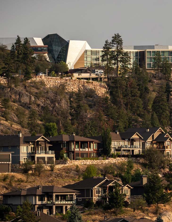
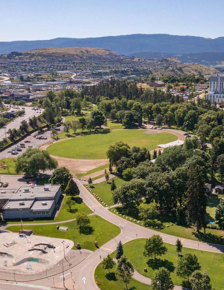
Vernon has a plan for the future. A partnership approach will bring this Plan to life.
Bringing this Official Community Plan (OCP) to life requires on-going commitment and action by the City in partnership with other orders of government, the private sector, non-profit and local organizations, institutions, homeowners, renters, and many other community members.
Vernon also values collaboration with its neighbouring communities. As more people seek to live, work, play, and move about in the region, a coordinated approach to planning is essential for managing growth, fostering vibrant and thriving communities, and protecting key natural areas and features.
This Chapter presents the City’s implementation framework, describing how the City will manage growth and development in the short term (to 2031), the long term (to 2045), and through ongoing initiatives.
The City will undertake regular monitoring and reporting on progress, and make required adjustments to ensure growth and development remain aligned with Vernonite’s priorities and needs.
Implementation is about making this Plan part of how the City does things every day through planning, budgeting, and decision making, so that the big-picture goals are connected to real results that support balanced and sustainable growth of the city.
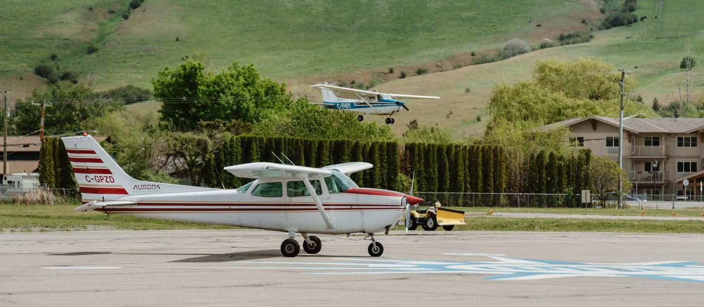
Table 7.1 itemizes the actions the City will take to implement the policies in this Official Community Plan (OCP) and evaluate how it performs. Actions include bylaw, policy, and plan updates; implementation of an existing plan; strategies or programs; process improvements; and inventories or data collection.
Timeframes: Many of the actions are already underway, or being considered for implementation in the near-term; others will be considered in future years and as this OCP is evaluated. Some actions will be completed within a short timeframe, while others will take multiple years and be ongoing, depending on the nature of the initiative, available resources, grant funding, feasibility, urgency, and other considerations.
Prioritization: Actions with the greatest potential to advance this OCP’s vision, policies, and objectives are ranked in Table 7.1 as a top priority (1). Those that require additional resources, grant funding, or planning follow (2 or 3). Priority 1 actions are intended to launch in 2026/2027; Priority 2 actions in 2027/2028; and Priority 3 actions in 2028/2029/2030 (all dates are approximate).
City Council is not required to implement the actions presented in this OCP. Final decisions, including on timing and priorities, will be made by City Council through its annual strategic planning and budgeting process.
City staff will develop appropriate metrics and provide annual progress reports to City Council and the community on actions and implementation of the plan.
This OCP will grow and evolve along as the city continues to change. As new trends emerge or community priorities shift, City staff will propose adjustments to ensure it remains relevant to 2045. If a proposed change aligns with the vision and values of this OCP, City Council may direct staff to update this Plan; if it is significant or does not align, an in-depth review may be required. As required by the Local Government Act, the City will conduct a comprehensive review of the OCP every five years, including a review of the growth strategy, and provide opportunities for community participation.
1. Implement a housing program to facilitate the delivery of housing, to streamline processes, provide financial incentives, and improve regulations: Strategy or Program 1-2
a. Measure the success of housing policies and strategies by tracking the number of housing units that reach occupancy.
b. Review and refine the Development Application Procedures Bylaw and Delegation of Authority Bylaw to provide clarity and consistency to applicants, staff, and Council.
Inventory of Data Collection 1
Bylaw, Policy, and/ or Plan Update 1
c. Define a formal pre-application process for land use applications that includes collaboration from multiple departments to help identify potential requirements early and provide consistent direction to applicants. Process Improvement 1
d. Implement and expand e-permitting for all application types, including rezoning and development permits. Process improvement 1
e. Consolidate and reduce the number of policies, bylaws, and City plans that apply to land use applications, to simplify the application and approval process.
Bylaw, Policy, and/ or Plan Update 2
f. Review current financial incentive programs, such as the Rental Housing Incentive Grant Program, to identify areas for improvement, and create new financial incentives to encourage development of housing types identified in the Housing Needs Report. Strategy or Program 2
g. Develop regulatory incentives in the Zoning Bylaw for purpose-built rental housing that could include a subzone designation, parking reductions, increased height, or others.
Bylaw, Policy, and/ or Plan Update 2
2. Review current business software systems to identify areas for improvements to data collection on new and existing housing supply in each Neighbourhood (Map 3.1), and provide regular reporting to the Ministry of Housing. Inventory or Data Collection 1
3. Explore the potential for City land acquisitions to create land assemblies, to offer “development ready” parcels to housing developers that are zoned and serviced appropriately. Process Improvement 2
b. Identify existing vacant and underutilized City-owned land that is appropriate for achieving affordable or special needs housing objectives.
5. Work with nearby jurisdictions and municipalities to share information and advocate regionally on best practices and lessons learned, toward reducing the time it takes to move individuals and families experiencing homelessness into more stable housing.
6. Review existing bylaws and policies related to tenant protection and mobile home park redevelopments, to modernize and improve assistance for tenants displaced by redevelopment.
7. Develop a fast-track development approval process for small-scale infill and single stair egress apartments by creating and implementing a program for pre-approved, “shelf-ready” designs.
Review and update the Environmental Management Areas Strategy to align with current best practices and regional standards for environmental permitting and protection.
3. Implement a policy that meets or exceeds requirements outlined in the provincial Riparian Areas Protection Regulation, to reduce the need for provincial oversight of Vernon’s riparian development approval processes.
4. Restore riparian areas adjacent to streams, wetlands, and other waterbodies by removing retaining walls, culverts, structures, and other impediments that are detrimental to riparian function.
Policy, and/ or Plan Update
5. Develop an Urban Forestry Strategy to increase the urban tree canopy: Strategy or Program 1-3
a. Review and update landscaping regulations in the Zoning Bylaw to include FireSmart principles, guidelines for local drought tolerant species, and proper buffers for properties adjacent to the ALR.
Policy, and/ or Plan Update 1
c. Explore funding options and conduct a tree inventory and equity analysis of the existing urban tree canopy to quantify the extent, condition, and equitable distribution of trees within the Urban Containment Boundary.
e.
f. Create a process for taking inventory of existing mature trees on private property prior to redevelopment to determine which trees can be preserved and which are hazardous or invasive and should be removed.
6. Review the Climate Action Plan on a five-year cycle, striving to align with the timing of future Official Community Plan updates.
1. Review Zoning Bylaw regulations and associated policies to facilitate the provision of childcare centres in all neighbourhoods of the city, such as through a subzone or other regulatory flexibility.
2. Develop an Economic Development Strategy, focusing on retention and expansion of local businesses, entrepreneurial development, business investment and attraction, and workforce development:
a. Build and maintain a library of city data and insights for investors, developers, and entrepreneurs, to support investment decisions.
b. Establish communication and relationship building with local economic and development groups, including the Vernon Chamber of Commerce and Community Futures.
c. Promote investment by improving the visibility of Vernon’s development activity in the local media, provincial media, and with advertisers.
d. Review Vernon’s economic development policies to identify areas for improvement, to retain and expand local businesses.
e. Explore opportunities to provide incentives under BC’s Community Charter, to support commercial investment in the city.
3. Review and revise the Business License Bylaw and Zoning Bylaw to allow for more intensive home-based businesses that support entrepreneurial activities and commercial opportunities, especially in Urban Neighbourhoods and Rural areas
4. Review the Revitalization Tax Exemption Bylaw to ensure current incentives are modernized and reflect the objectives of the Official Community Plan.
Regularly review and update land use policies and associated Zoning Bylaw regulations to continue to encourage new investments and job creation in Vernon.
7. Develop a Public Market Strategy, including policies that encourage collaboration among participants and potential partnerships, and identify needed resources, to achieve the full potential of Vernon’s public markets and make them accessible to all.
and/ or
Create and implement a new Development Permit Area for the Protection of Farmland, to preserve and protect lands in the Agricultural Land Reserve that includes standards from the Agricultural Land Commission Guide for Bylaw Development in Farming Areas and the Ministry of Agriculture Guide to Edge Planning
1. Develop a Park Acquisition Strategy and a Park Acquisition Fund, to ensure the equitable distribution of parks and amenities, particularly in areas experiencing rapid growth.
2. Promote public access to Okanagan Lake through strategic land acquisition practices in accordance with the Park Acquisition
3. Implement a Development Cost Charge program for new development, to acquire park lands that cannot be obtained through the subdivision process; toward a park provision standard between 2.0 – 3.0 ha of new park land per thousand people in population growth, to provide for active parks.
1. Explore opportunities for independent and collective learning for local government officials and staff on the Truth and Reconciliation Commission’s Calls to Action and the principles of the United Nations and BC’s Declaration of the Rights for Indigenous Peoples
2. Develop a neighbourhood group program with the goal of fostering community togetherness, engagement, communication, and local initiatives.
3. Review current heritage policies and financial incentives, including the Heritage Restoration Grant Program, the Heritage Retention Incentive Grant Program, and the Vernon Heritage Register for potential improvements, to encourage the preservation or adaptive re-use of existing heritage buildings on public and private property.
4. Develop an inventory of heritage assets, building on the existing Heritage Register, that could be preserved or protected with municipal tools such as Heritage Revitalization Agreements, grants, and incentives.
5. Conduct an equity audit to review existing bylaws, policies, and programs, to ensure the needs of all
are considered.
6. Undertake a city-wide equity analysis of the availability of services and facilities, and develop strategies to inform decisions related to planning and resource allocations across all Centres and Neighbourhoods.
1. Review bylaws, policies, and city processes for alignment with the BC Emergency Disaster Management Act.
2. Review public and private assets for vulnerabilities, particularly climaterelated hazards (e.g. flooding, drought, landslides, storms, wildfire and ember casting, air quality), and integrate climate considerations into all infrastructure
and operations.
2. Complete the review and replacement of the Development Cost Charges Bylaw to ensure new development fairly funds growth-related infrastructure including the introduction of Fire Services.
3. Review and recommend changes to regulations in the Solid Waste Bylaw to account for development that may not be suitable for individual garbage, recycling, and organics collection, such as bare land or building strata developments on private roads, apartment buildings, mixed-use projects, and commercial and industrial developments.
4. Review the Subdivision and Development Servicing Bylaw to improve the delivery of trails, sidewalks, bike lanes, and frontage improvements at the time of new development.
5. Explore revenue generating and funding methods to implement and improve neighbourhood infrastructure, such as sidewalks, street trees, boulevard plantings, stormwater management, and undergrounding of power lines in the Focused Growth Area.
6.
Organizational
7. Develop a Transportation Demand Management (TDM) for Development policy that provides criteria to require a TDM plan for large sites.
8. Review and identify areas within the Urban Containment Boundary where hydrant spacing and fire flow is insufficient to support additional residential or commercial growth, and work to enhance firefighting capacity in these areas.
9. Review parking regulations regularly for all uses in the Zoning Bylaw to ensure they are appropriate, as enhanced transit service and increased density in Transit-Oriented Areas result in lower demand.
10. Implement a regular transportation safety review and invest in safety improvements for existing transportation infrastructure.
and/ or
and/ or
13. Explore alternative locations in or near the Waterfront Village Centre for Firehall No. 2, to better serve the City as a whole, that can accommodate the following:
• Three to four bays for engines
• Living quarters for six or more firefighters
• Direct vehicle access onto a main roadway rather than a service road to minimize turns and stops.
The following terms are used frequently throughout this Official Community Plan. These definitions are provided for reference and to assist with interpretation of the Plan.
Active park: Parks that encourage physical activity, promote community health, and support organized sports and recreation programming. There are four sub-classes: Neighbourhood, Community, Athletic, and Citywide.
Adaptive re-use: The process of repurposing an historic building or structure for a new, contemporary use or multiple uses, while retaining and respecting its heritage character and architectural integrity. This allows the building to remain functional and economically viable, rather than being demolished or left to deteriorate.
Affordable housing: Housing that costs no more than 30% of a household’s monthly income before tax; includes a variety of tenure forms, such as ownership, cooperative, supportive housing, and rental housing.
Attainable (market) housing: Housing that is targeted to low- to middle-income households that are struggling with higher rents or have been priced out of the market. Attainable housing is typically market housing; it may be rental housing or ownership housing with small to modest homes or homes on small lots.
Abbreviations
ALR Agricultural Land Reserve
BC British Columbia
DND Department of National Defence
DPA Development Permit Area
ESA Environmentally Sensitive Area
FGA Focused Growth Area
GVW Greater Vernon Water
LGA Local Government Act
OCP Official Community Plan
OKIB Okanagan Indian Band
RDNO Regional District of North Okanagan
RGS Regional Growth Strategy
SPEA Streamside Protection and Enhancement Area
TOA Transit Oriented Area
TDM Transportation Demand Management
UCB Urban Containment Boundary
Complementary land use: A use that are appropriate for a future land use designation, although they may not be the primary purpose of that designation. These uses can add services, shops, and daily needs into neighbourhoods and centres to bring vitality and livability without compromising the character of the community.
Community use: Defined in the Zoning Bylaw as a use for a public or non-profit purpose that serves the community, such as housing care centres, childcare facilities, libraries, community centres, places of worship, and cultural institutions.
Basic service: Defined in the Zoning Bylaw as an essential public service that supports the health, safety, and functioning of the city, such as utilities, emergency services, and facilities for water, health care, and sustainable transportation.
Cross-section: A diagram that shows how space is shared on a street between property lines. The diagram is a “sliced” of the street as viewed from the front, and typically shows the dimensions for vehicle travel lanes, bike lanes, curbs, boulevards, and sidewalks.
Crime Prevention Through Environmental
Design: A multi-disciplinary approach that uses urban and architecture design to reduce crime and the fear of crime. Strategies include natural surveillance (“eyes on the street”), activating public spaces, maintaining landscaping and lighting, and orienting buildings to allow for clear sightlines at entrances.
Development Cost Charge (DCC): The most common means of financing growth-related infrastructure that enables local government to levy a one-time charge on a new subdivision or building at the time of approval. DCCs shift the financial responsibility of capital costs such as sewer, water, roads, or parkland from the general tax base to the developers of new growth.
Ecological connectivity corridors: Natural habitat areas that allow for the safe and unimpeded dispersal of plants and movement of wildlife between core habitat areas, which provide vital habitats for wildlife (e.g. denning, breeding and nesting sites; mammal and reptile overwintering areas; seasonal foraging areas; and thermal regulation sites).
Ecosystem services: Benefits of ecosystems that include purification of air and water, maintenance of biodiversity, decomposition of wastes, soil and vegetation generation and renewal, pollination of crops and natural vegetation, groundwater recharge, seed dispersal, climate mitigation, and aesthetically pleasing landscape and recreation.
Environmentally sensitive area (ESA): Land that has specific and identified environmental values that require a higher level of protection. ESAs serve key ecological functions in the city, promoting habitat connectivity and biodiversity conservation.
End-of-trip bike facility: A facility located within a building to support bike users who commute to work by providing amenities such as secure storage and bike wash and repair station(s).
Farm home plating principles: Guidelines from the BC Agricultural Land Commission that encourage confining all residential uses on agricultural lands to a designated area (the Farm Home Plate) to preserve soil quality. The designated area should be close to a road, have limited size and depth, and can include residential homes, garages, swimming pools, patio areas, yards, and septic systems.
Focused Growth Area: A defined area within the Urban Containment Boundary where the City will focus public investment into transportation and infrastructure, parks, and amenities. It includes lands that have access to transit, community sewer and water, are within a 10-minute fire response time, and are ideal for medium- to high-density growth and employment.
Healthy housing: Housing that is affordable, high-quality, safe, stable, free of hazards, and in a location that supports health and well-being.
Heritage Revitalization Agreement: A formal, voluntary agreement between a property owner and a local government that allows variances to density, land use, and/ or development regulations in exchange for the conservation and long-term protection of a heritage property; adopted through a City bylaw.
Hillside Neighbourhoods: An area or neighbourhood outside of the Urban Containment Boundary that is not suitable for intensive residential growth due to challenging topographies with 30% slopes, limited or no transit, sometimes lacking community water and sewer services, and the presence of substantial environmentally sensitive areas.
FireSmart: A set of principles established by FireSmart BC to help minimize the negative impacts of wildfire by increasing community resilience; measures include the use of noncombustible building materials and the thinning and spacing of vegetation around buildings.
Gentle density: An approach to increasing density in existing neighbourhoods by building smaller and more affordable homes than may be typical, and in a way that is compatible with an existing neighbourhood; includes accessory dwelling units such as carriage houses, secondary suites, and infill such as duplex, triplexes, and fourplexes.
Missing middle housing: A range of multiunit or clustered housing types, typically with front door entrances at ground level, which are compatible in scale and form with single family homes. They are intended to “fill the gap” in size and affordability between single detached dwellings and block-style apartment buildings.
Major streets: A type of road that can accommodate larger traffic volumes and transit; classified as Arterial or Collector Streets in the Transportation Plan and in Map 4.1
No net loss: An environmental principle that ensures any negative impacts on ecosystems or biodiversity from development are mitigated through measures that restore, enhance, or protect equivalent ecological value elsewhere. When used as a planning term, it refers to ensuring that redevelopment does not result in a reduction of the total square footage of commercial or industrial area by replacing or reconfiguring it within the same site at the time of redevelopment.
Pedestrian-oriented: Urban planning and building design that prioritizes safe, accessible, and enjoyable environments for pedestrians through consideration of streetscape and outdoor space design, and the relationship of buildings to streets.
Riparian area: Lands bordering on streams, lakes, and wetlands that link water to land.
Rural Protection Boundary: A land use limit within the Regional District of the North Okanagan that preserves rural and agricultural areas by restricting urban development within its borders.
Streetscape: The visual environment, identity, and atmosphere of a street, created through various elements such as buildings, sidewalks, trees, lighting, street furniture, and open spaces.
Special needs housing: Housing designed or modified to meet the unique needs of individuals or groups who may face barriers to accessing standard housing options, such as people with physical or developmental challenges, mental health conditions, or who require supportive services to live independently.
Transit corridor: A main road with bus routes that is designed to facilitate efficient, reliable, and high-frequency transit services; connects high density areas with employment centres, commercial areas, and other key destinations.
Transit-Oriented Area (TOA): Mixed-use areas within 400 m of a place where two or more transit routes intersect, identified by Provincial Bill 47 (Housing Statutes Act – Transit Oriented Areas, 2023), where the City must adhere to minimum building heights and densities and must not implement minimum parking requirements for residential uses.
Transportation Demand Management (TDM): A set of strategies aimed at optimizing the existing transportation network by encouraging a shift away from singleoccupancy vehicle trips and toward more sustainable modes like public transit, cycling, carpooling, and car-sharing. TDM initiatives can assist with reducing congestion and greenhouse gas emissions, and giving people more transportation choices.
Urban Containment Boundary: A defined area where urban development is focused to help build mixed-use communities, promote walkability, reduce climate impacts, prevent urban sprawl, and protect rural and agricultural areas.
Workforce housing: Housing that is affordable and accessible for individuals and families who are actively employed but earn moderate incomes, and is generally located near employment centres or transit, is moderately sized, and is priced to be affordable for middle-income earners.
Map 1.1 – Rural Protection Boundary
Map 1.2 – Urban Containment Boundary
Map 1.3 – Focused Growth Area
Map 3.1 – Neighbourhoods
Map 3.2 – Airport Operational Height Limitation Area
Map 3.3 – Ecological Connectivity Corridors
Map 4.1 – Street Types Network
Map 4.2 – Bike Network
Map 4.3 – Sidewalk Connections
Map 4.4 – Trails and Active Transportation Connections
Map 4.5 – Utilities
Map 4.6 – Aggregate Potential Areas
Map 5.1 – Future Land Use
Map 6.1 – Environmental Development Permit Areas
Map 6.2 – Hillside Development Permit Areas
Map 6.3 – Hazardous Conditions Development Permit Areas
Map 6.4 - Form and Character Development Permit Areas
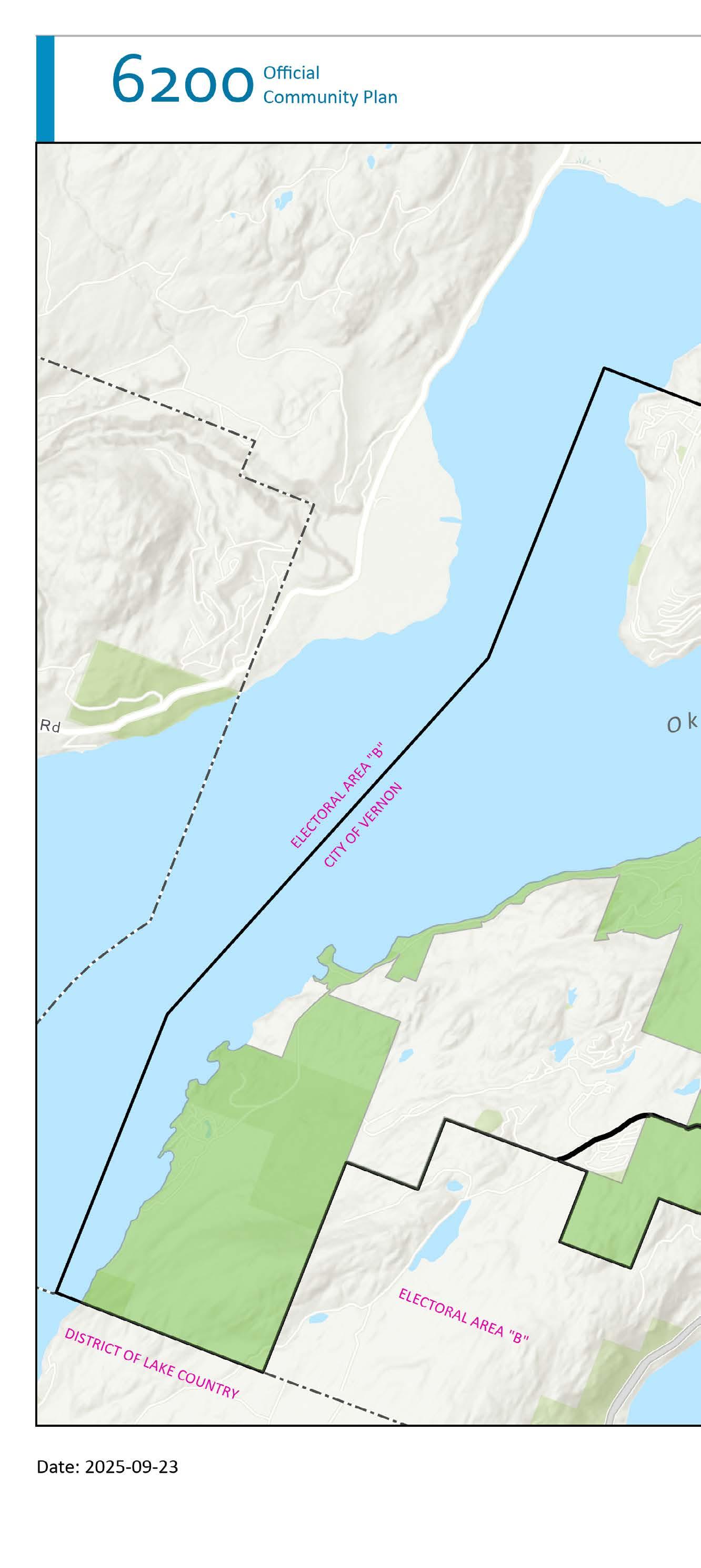
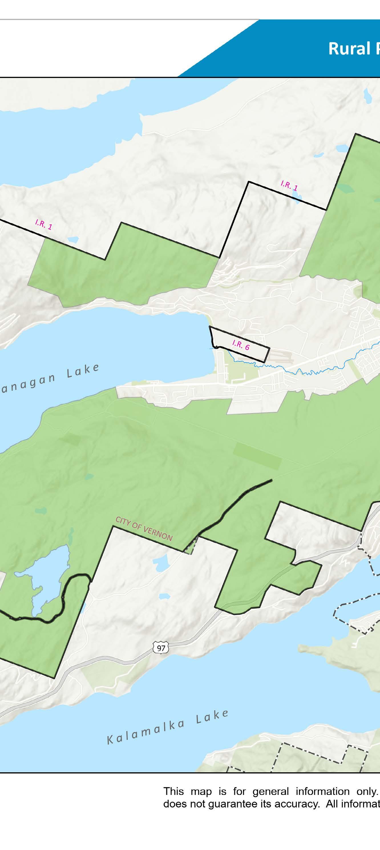
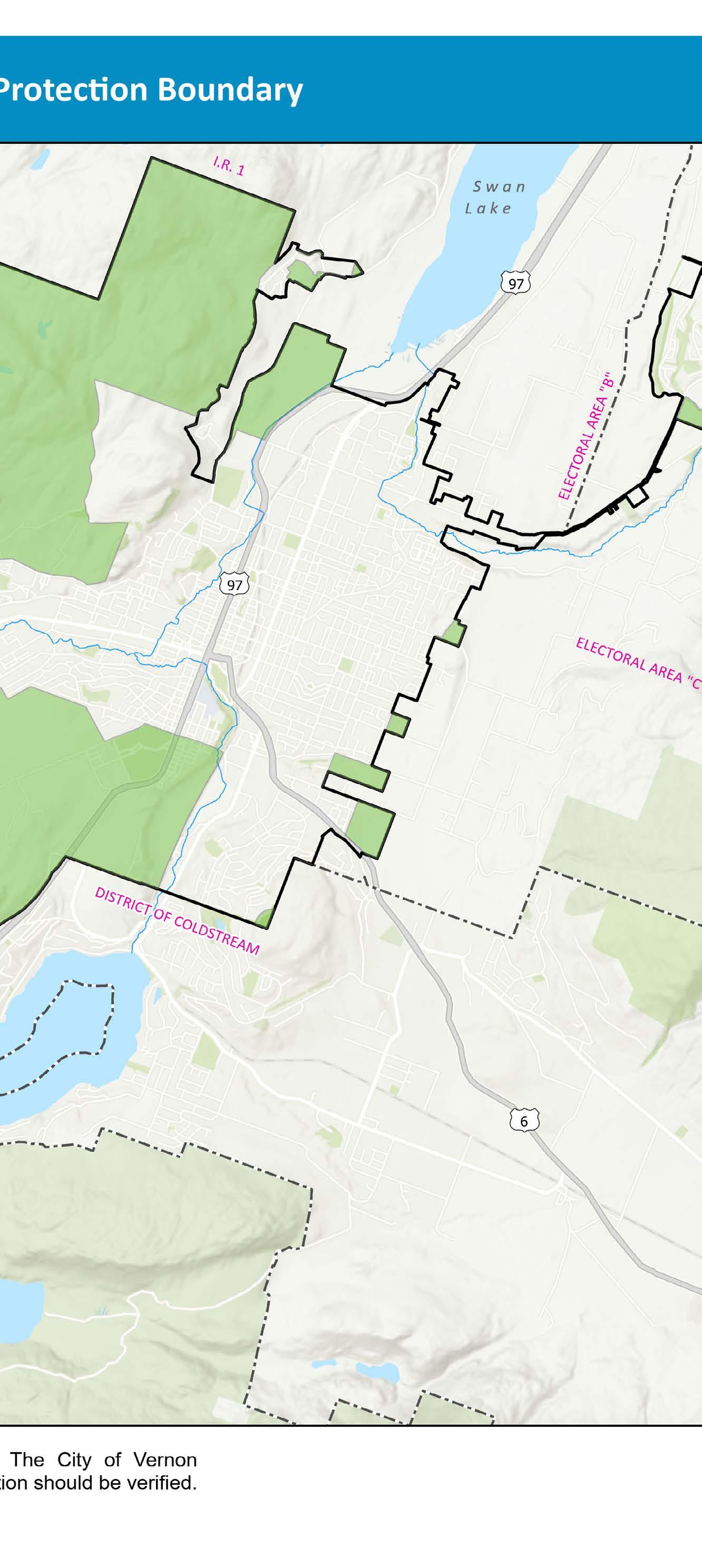
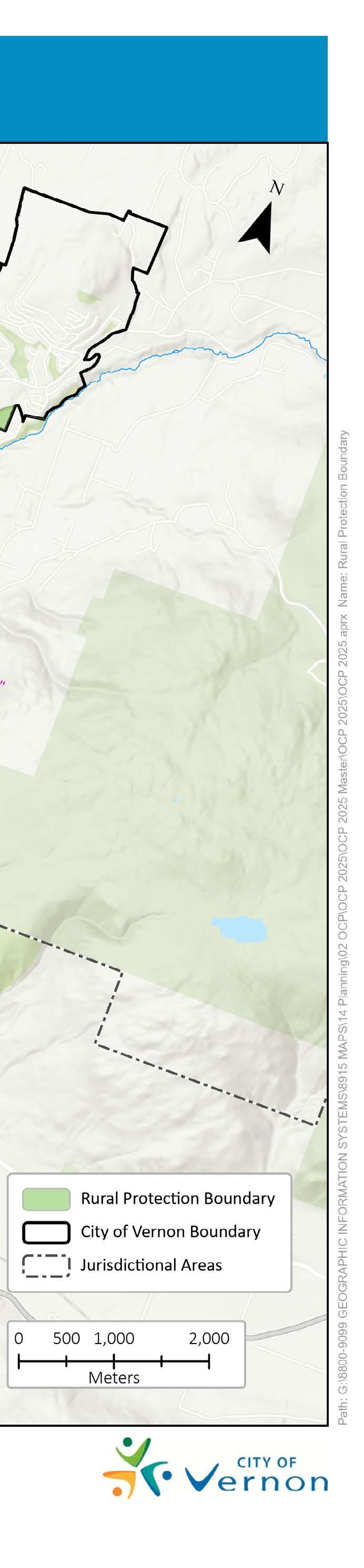
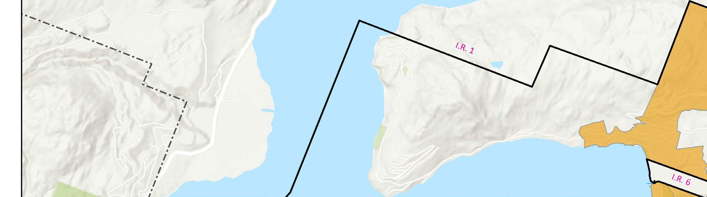
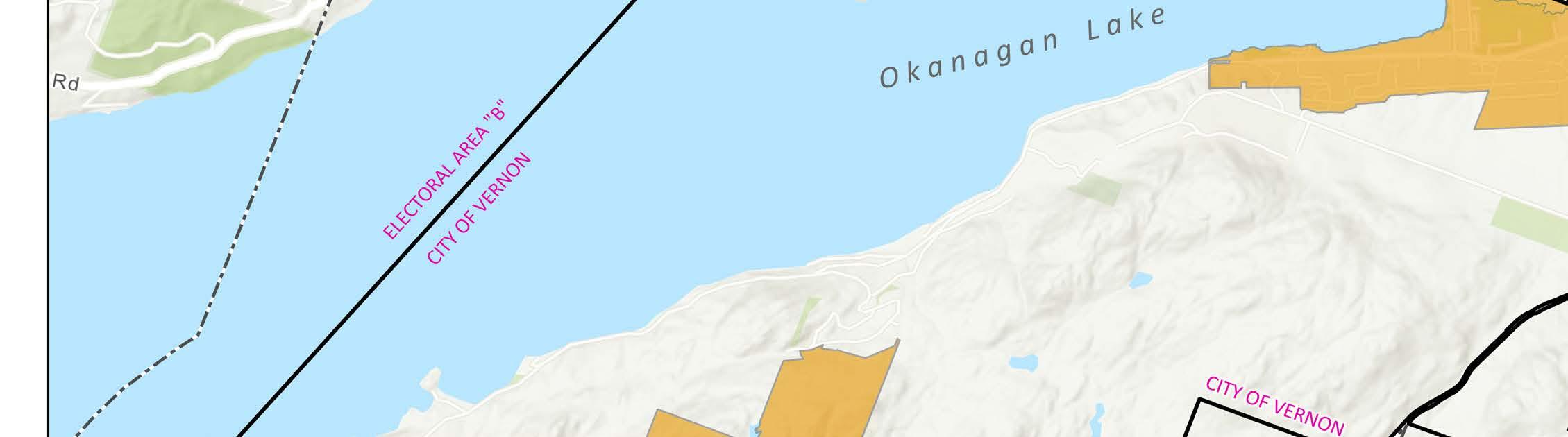
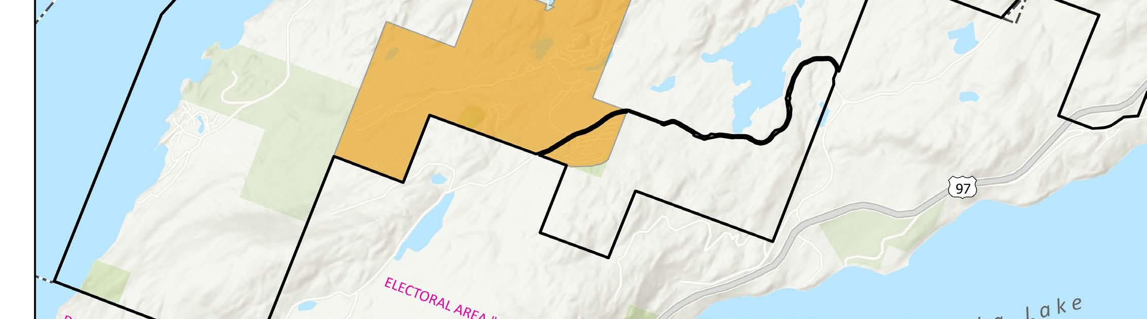

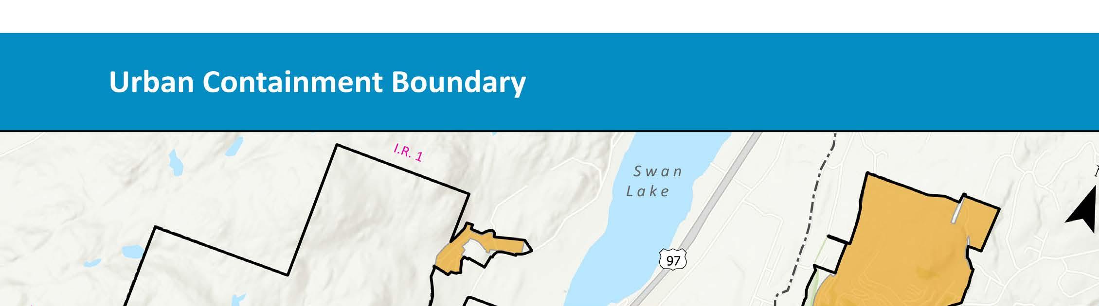
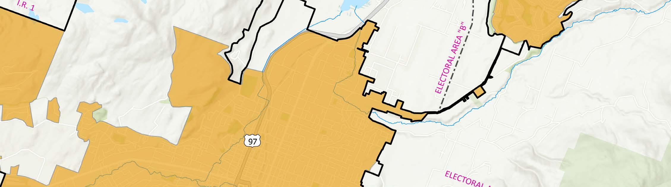
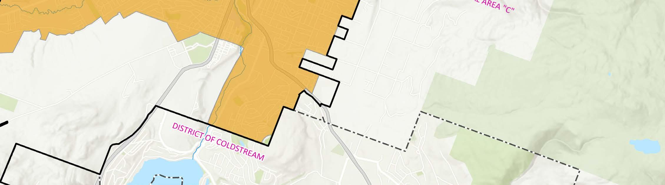
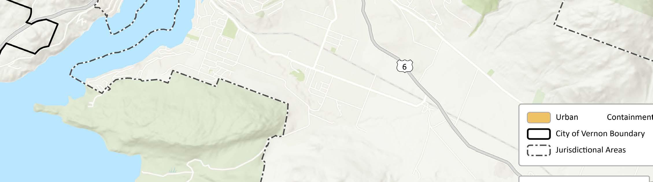



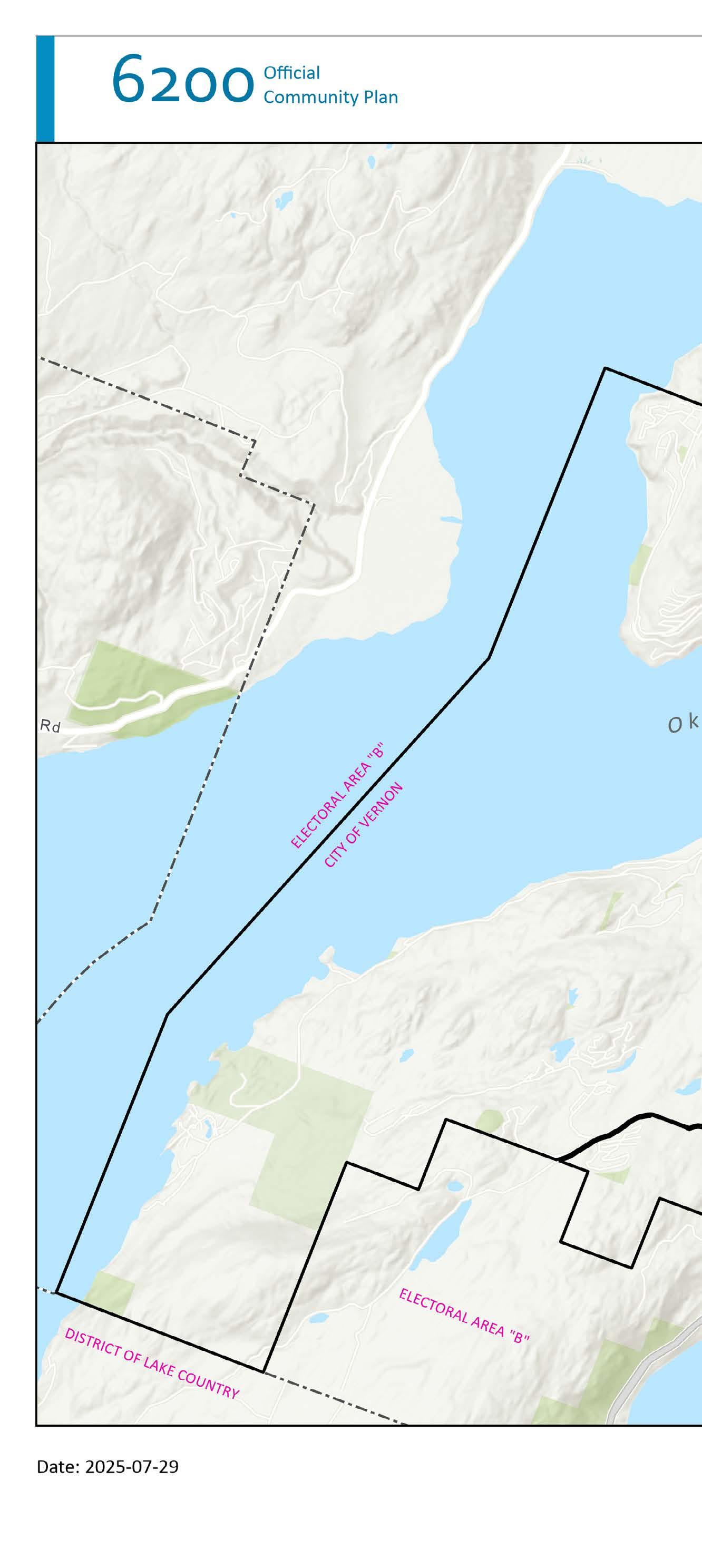
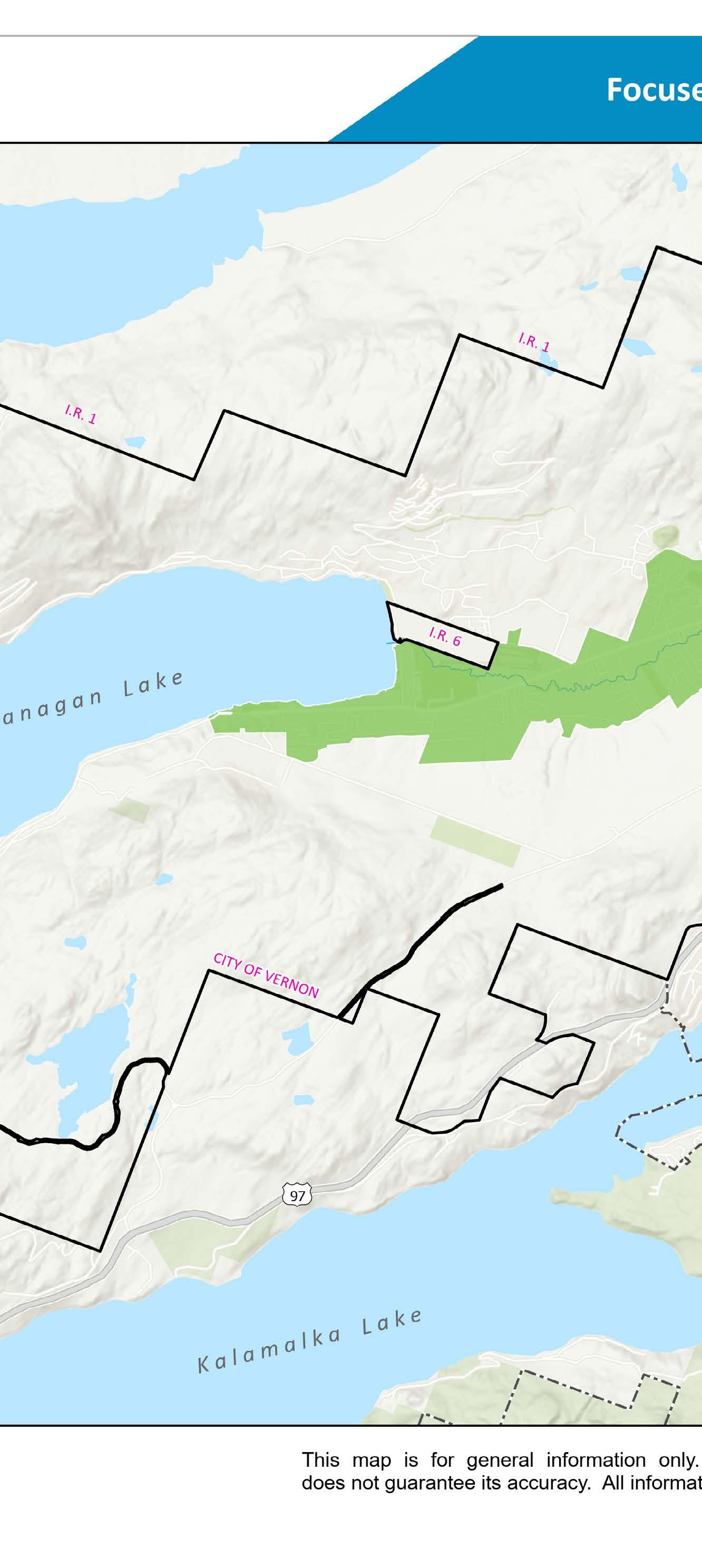
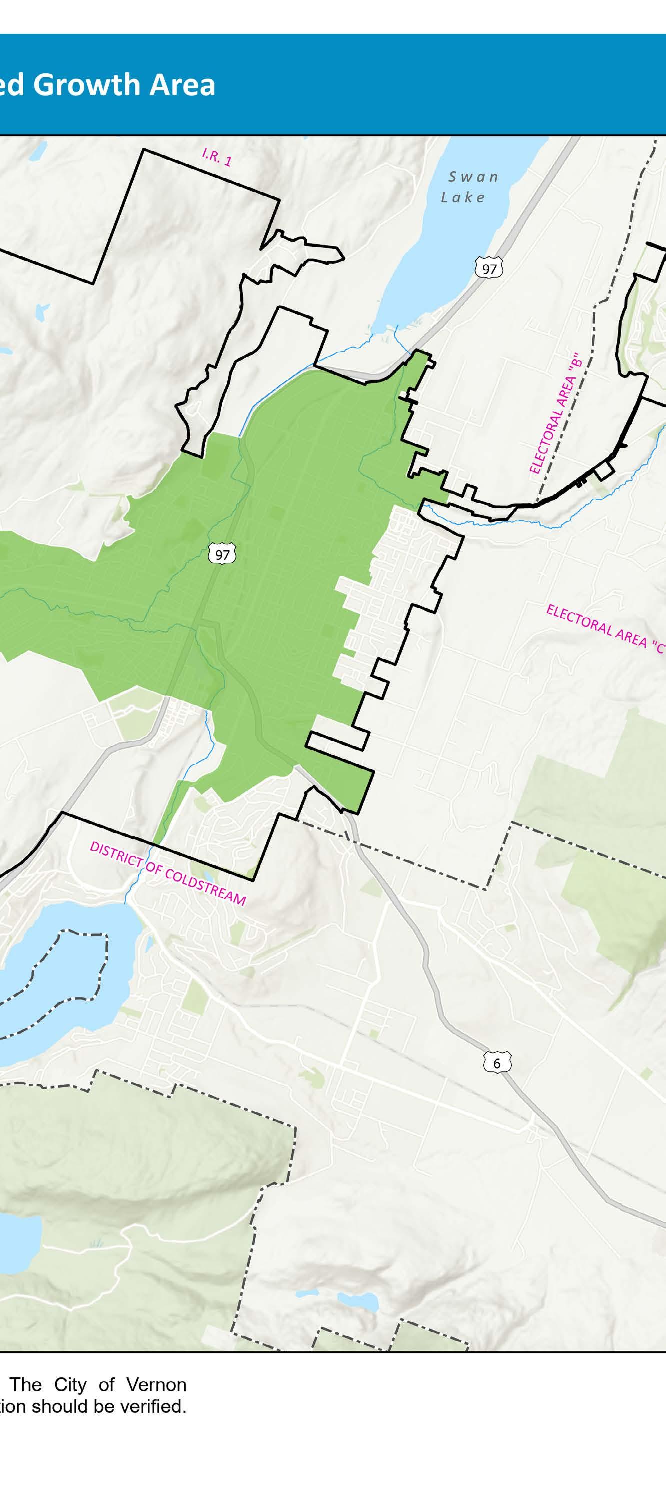
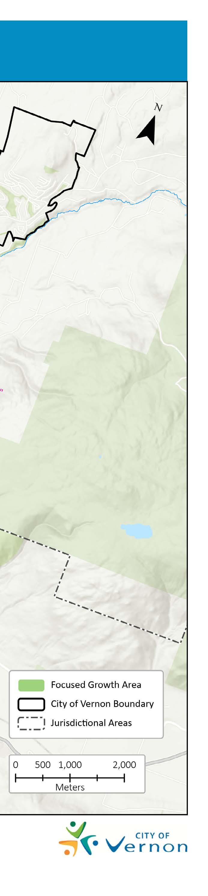
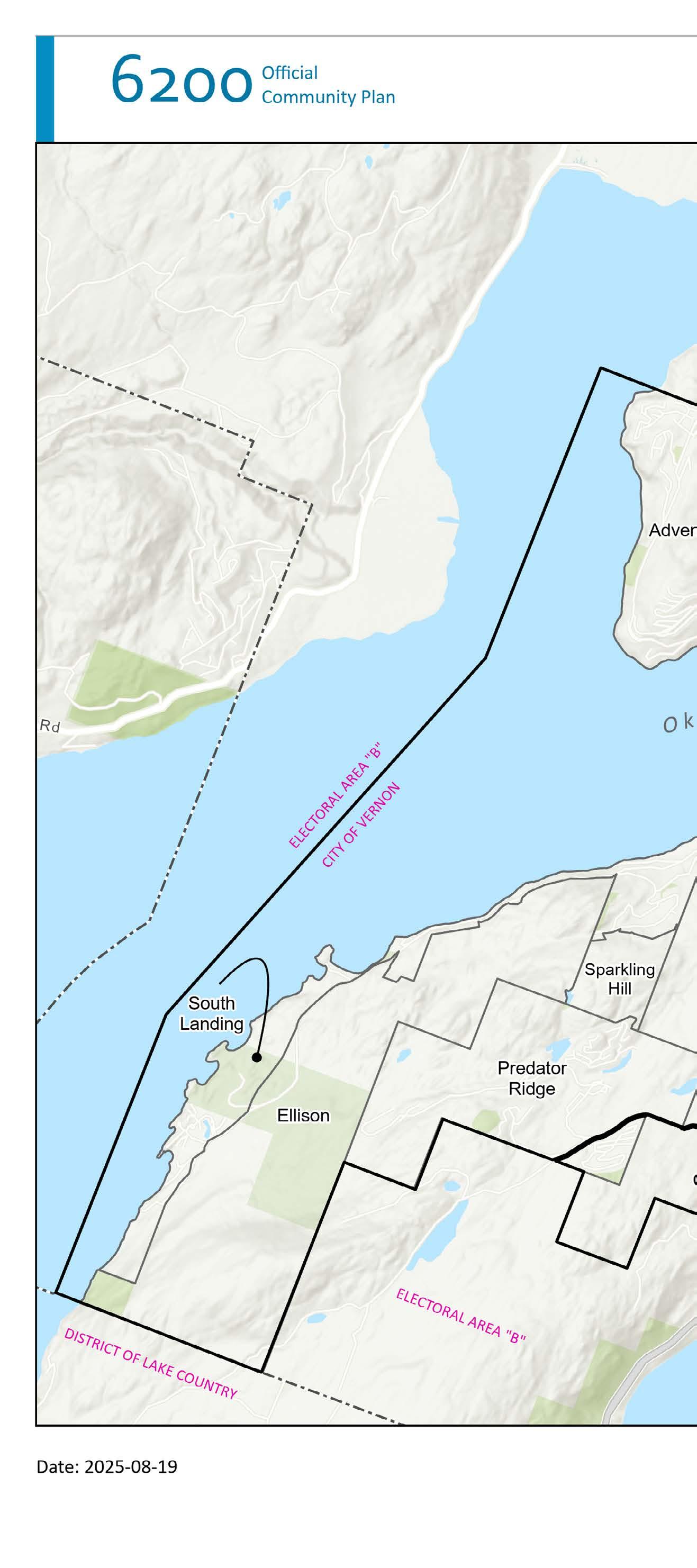
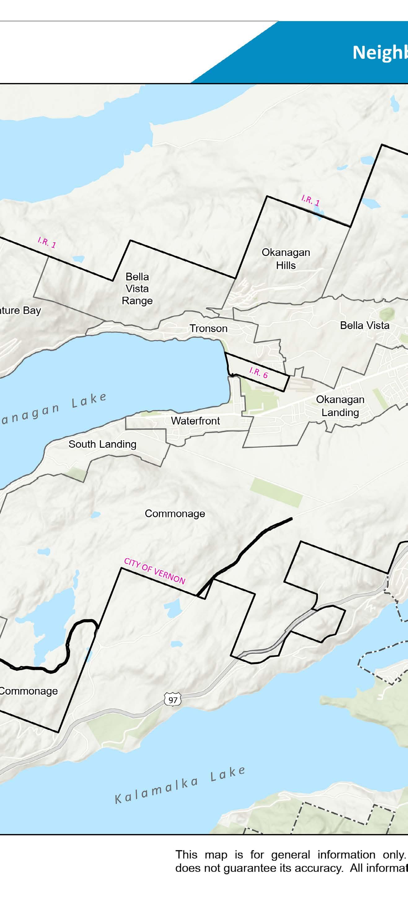
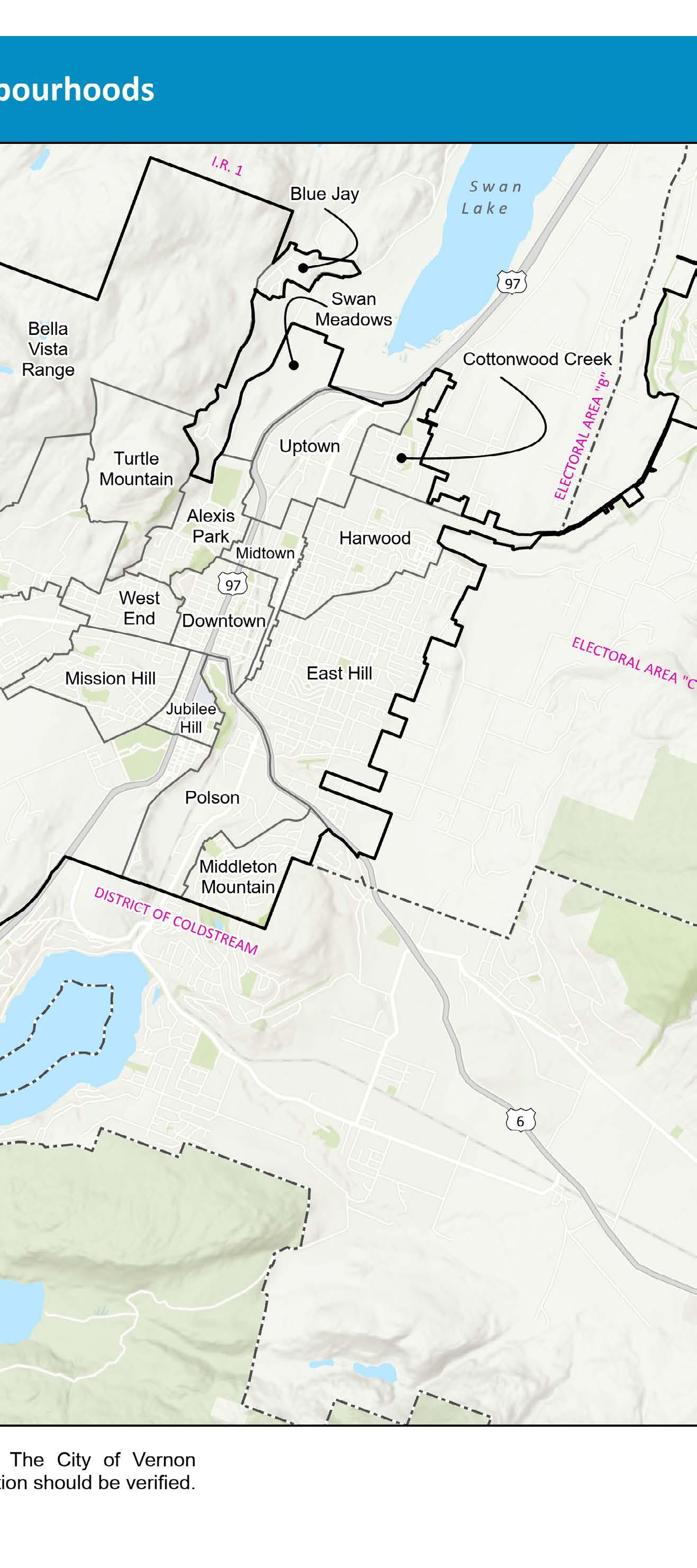
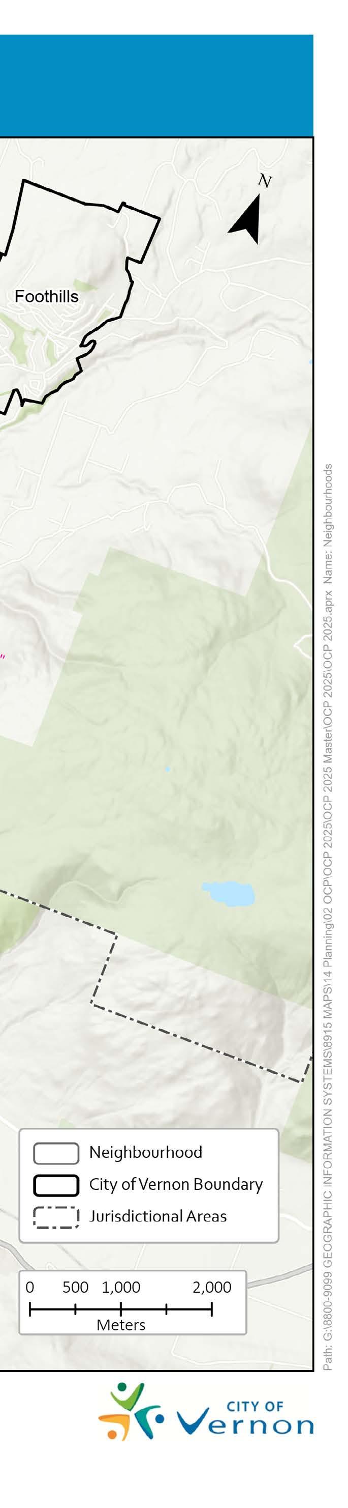
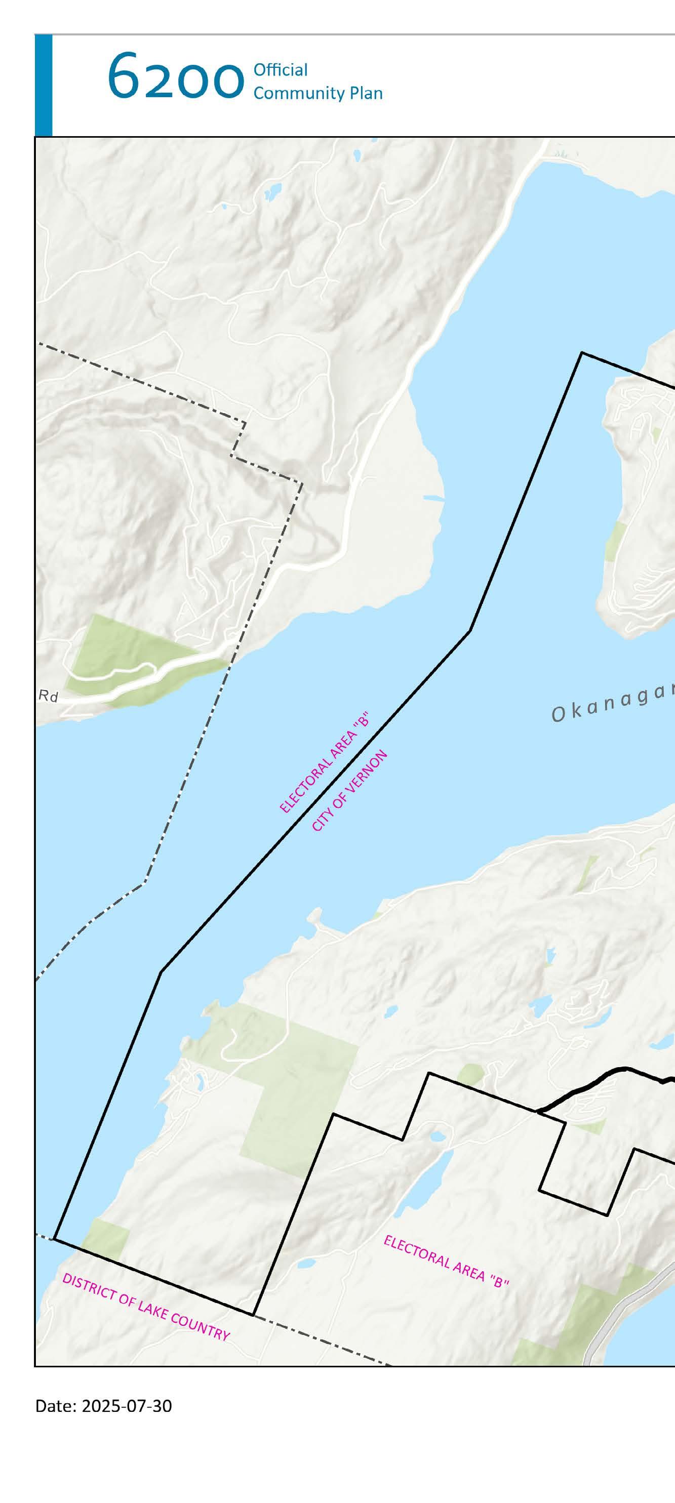
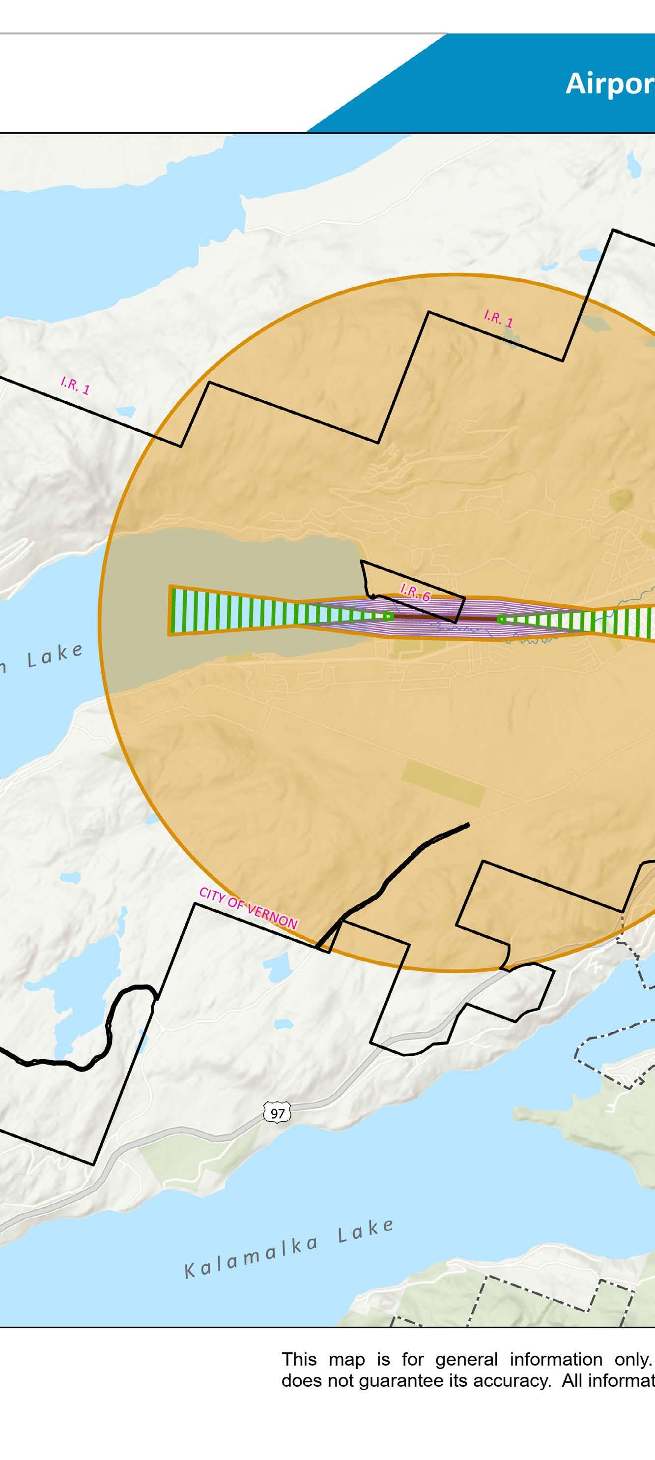
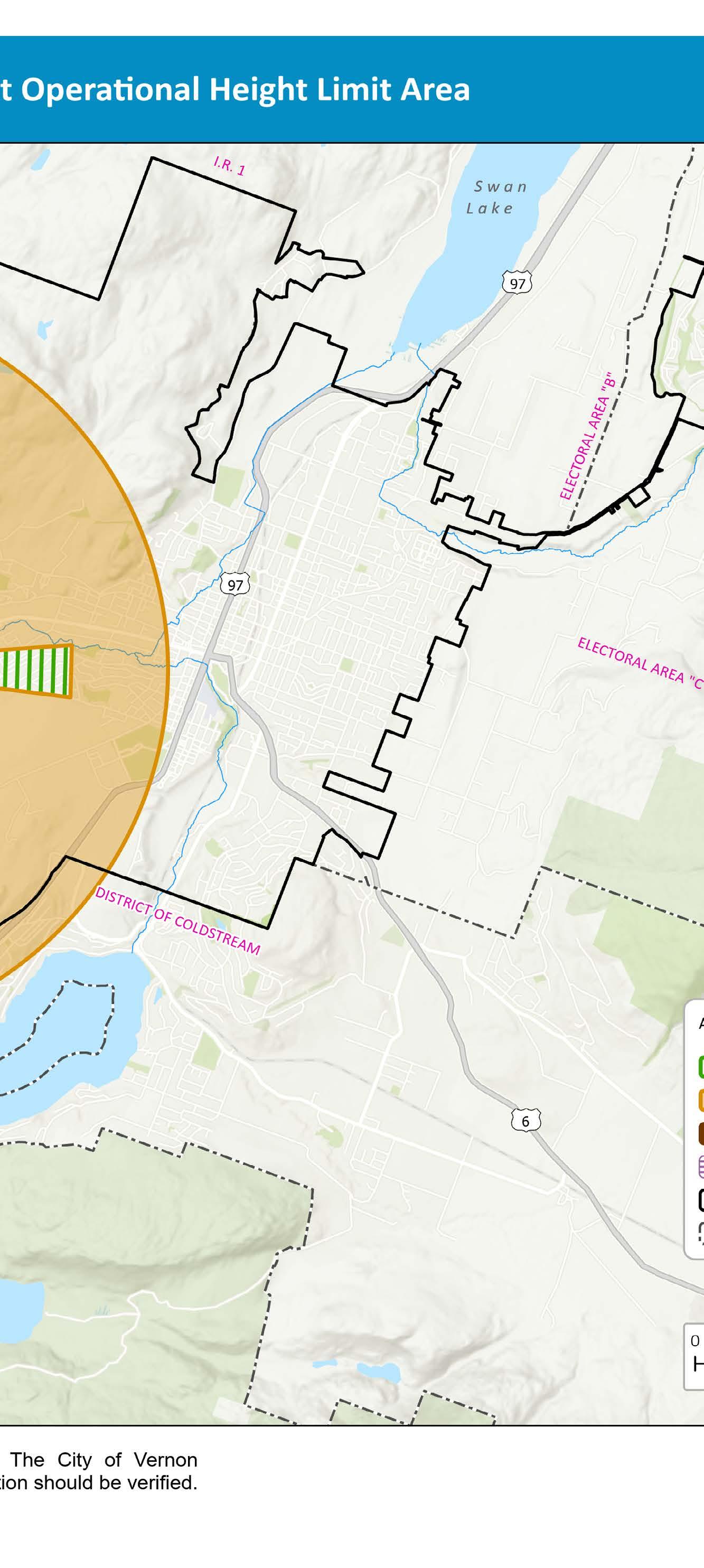
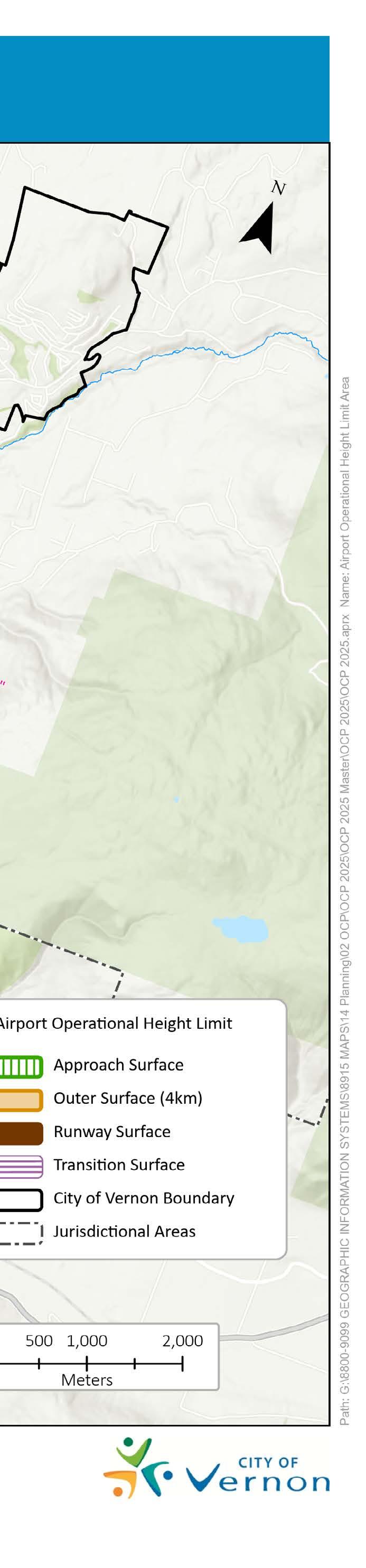
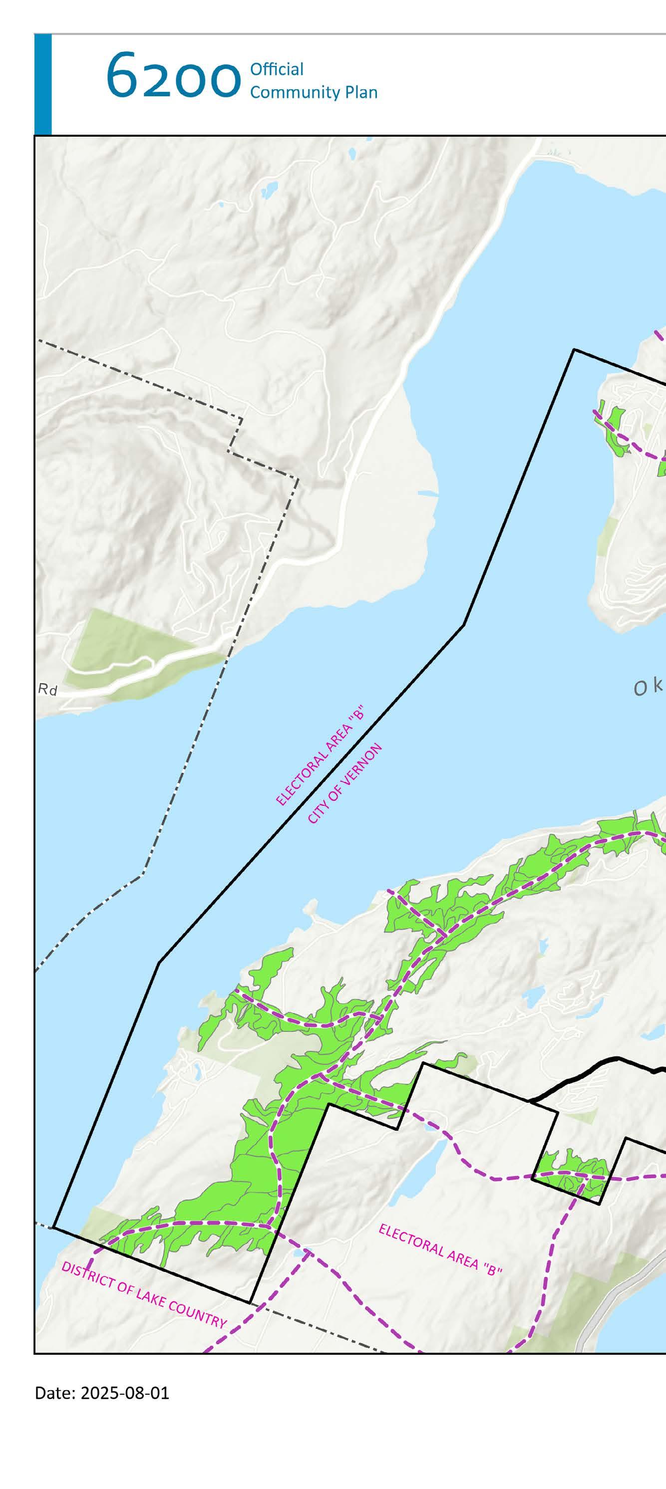
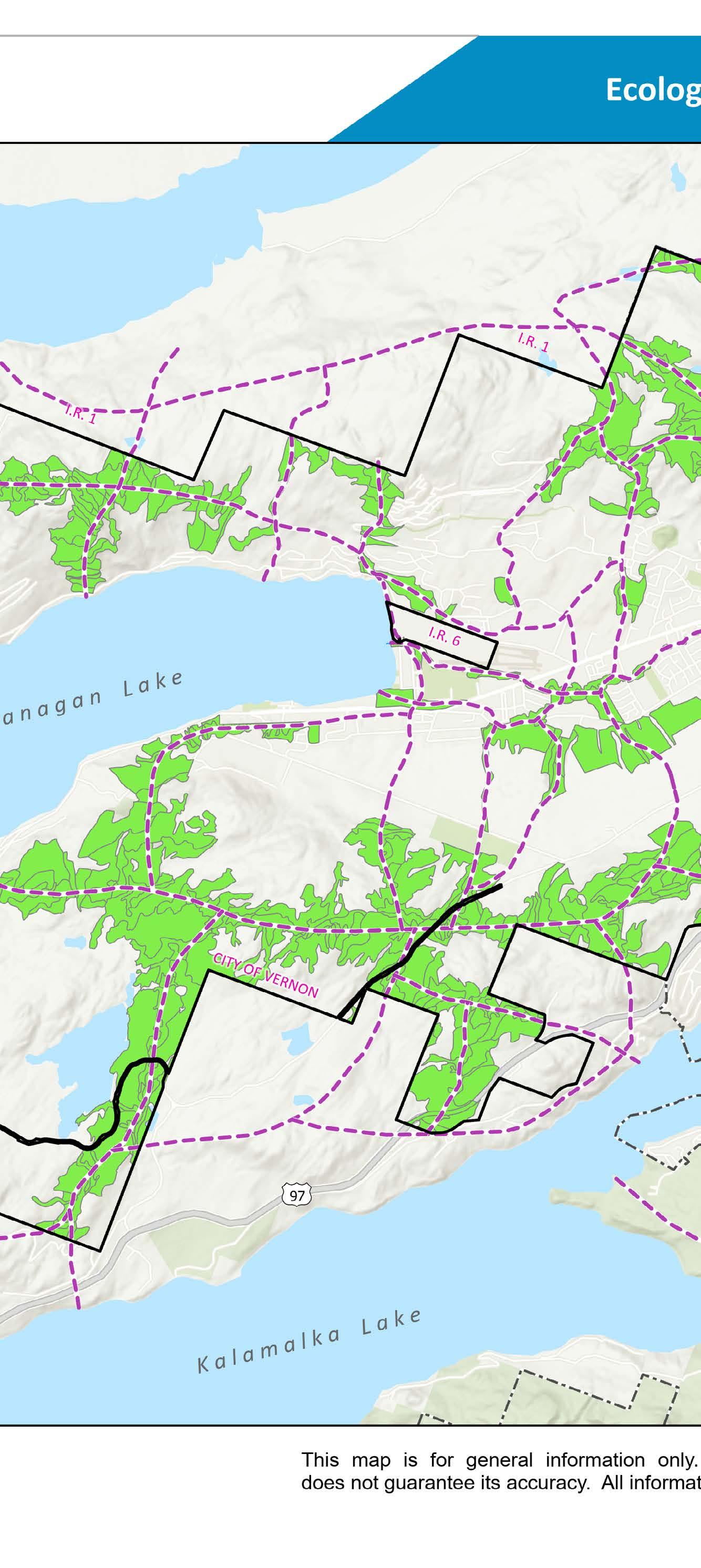
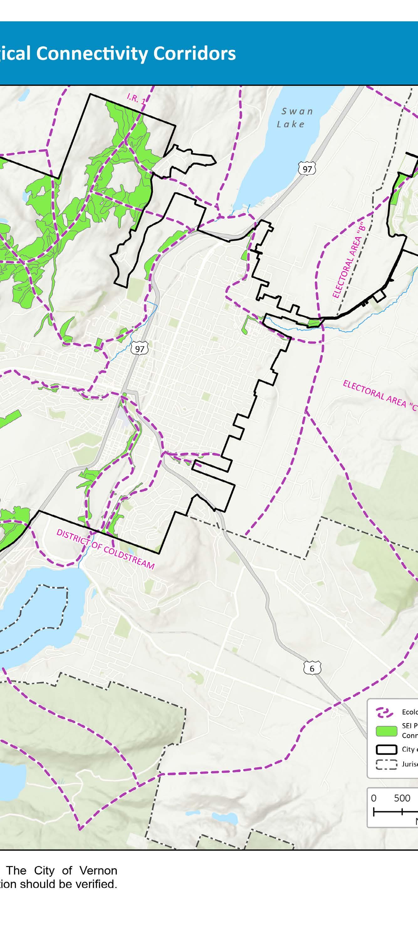
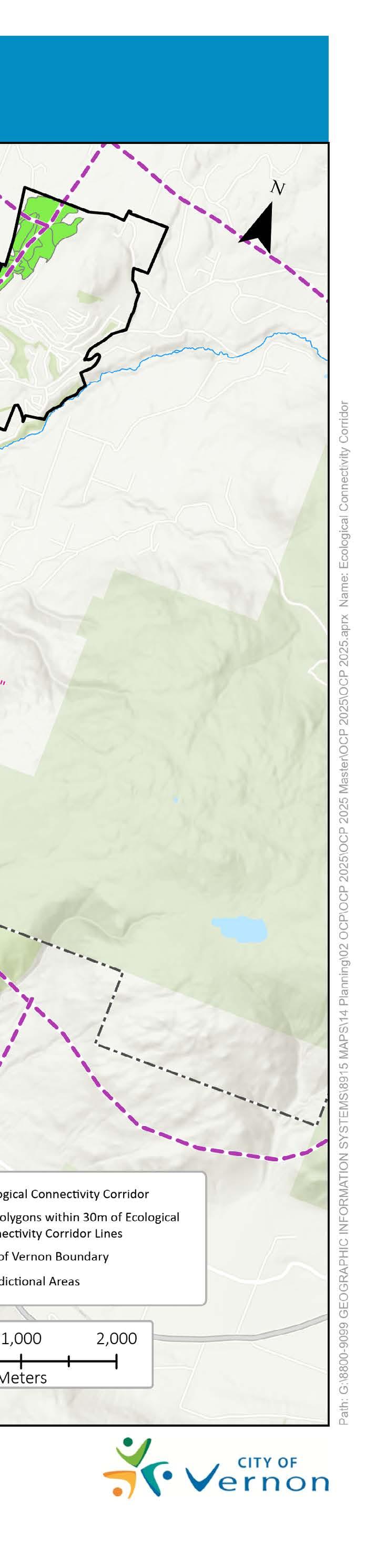






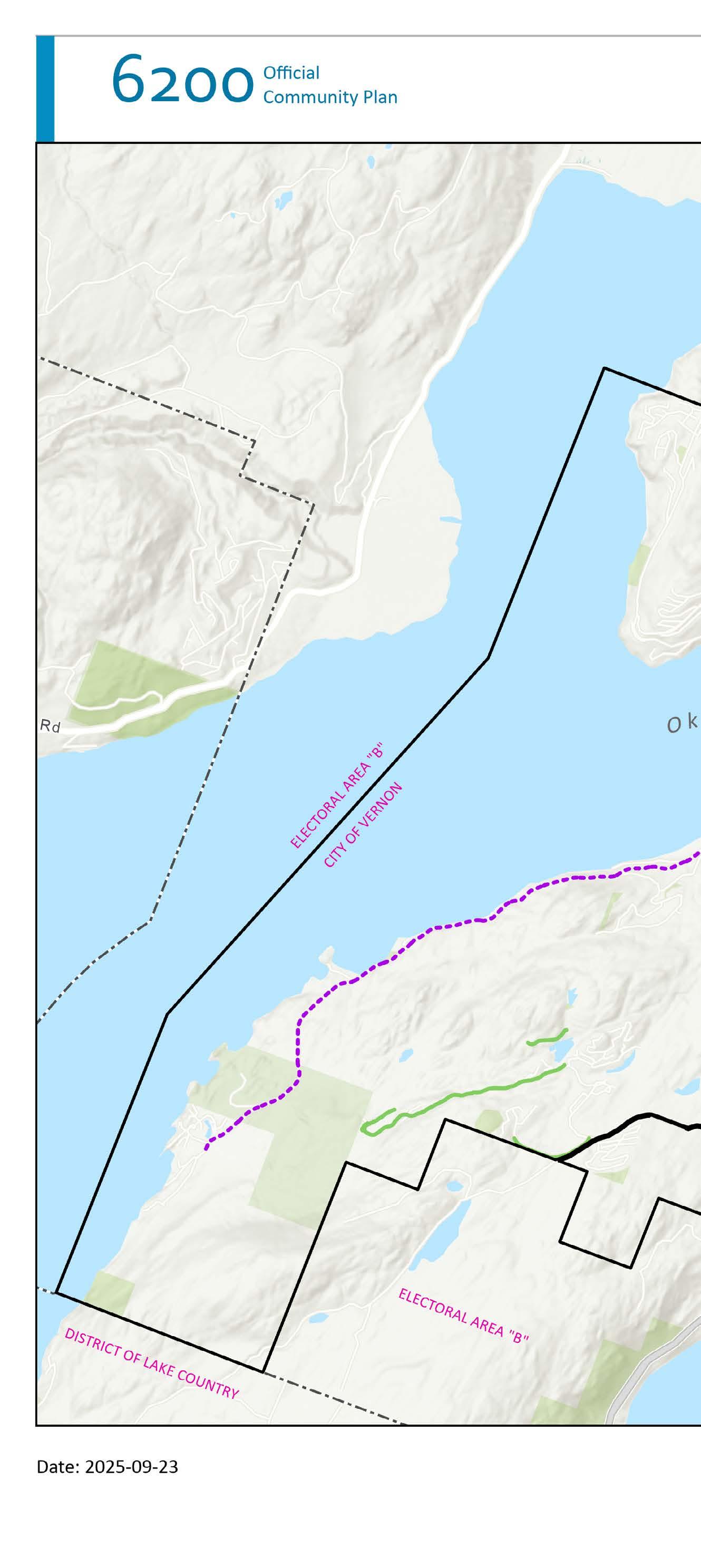
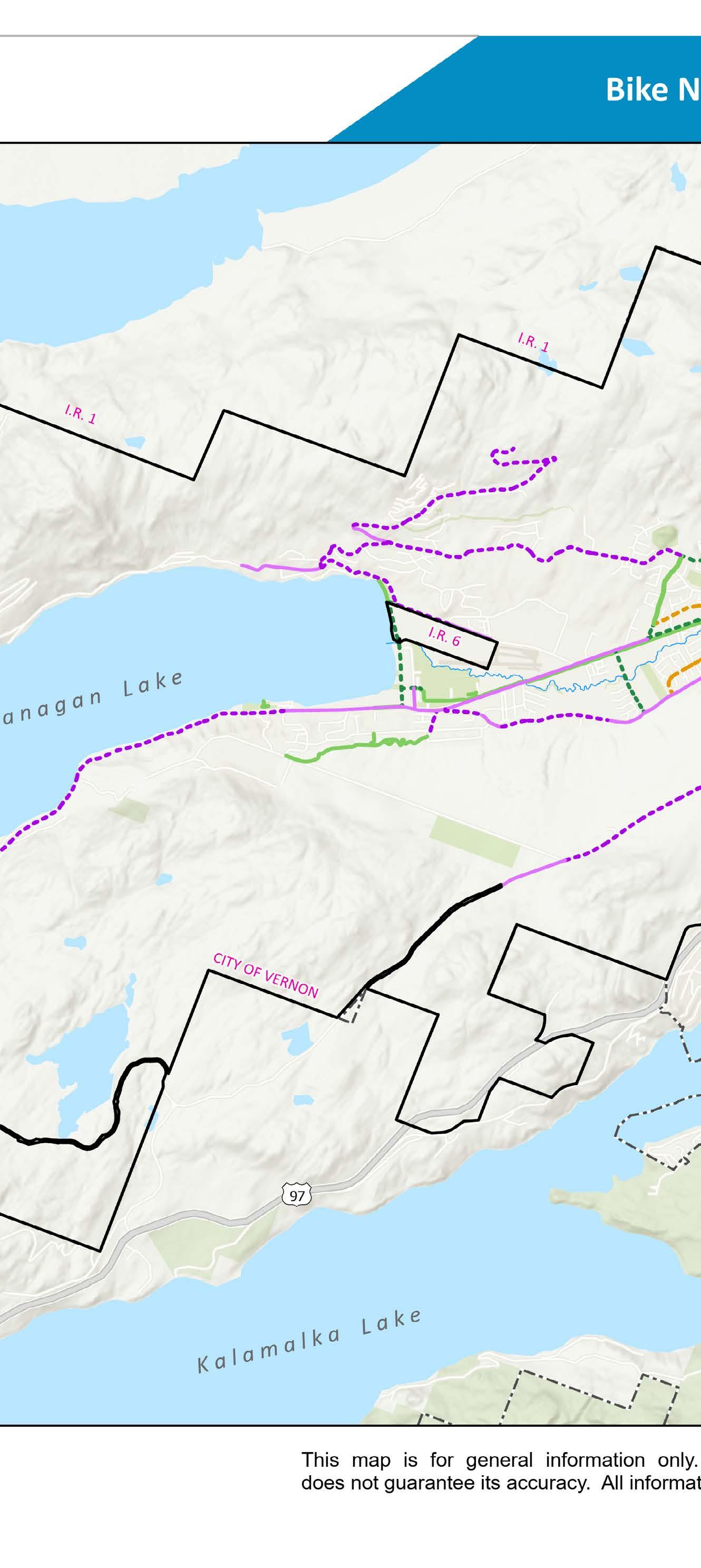
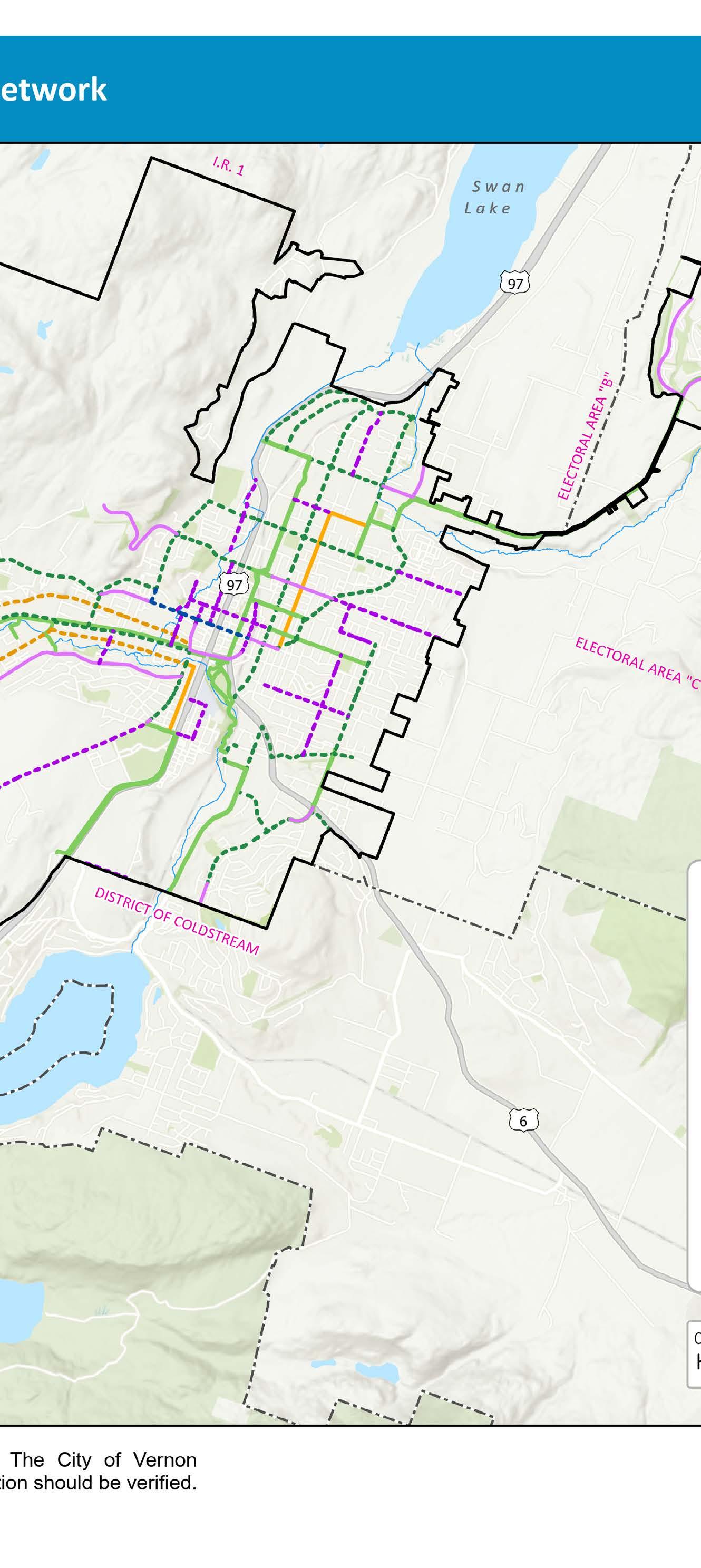
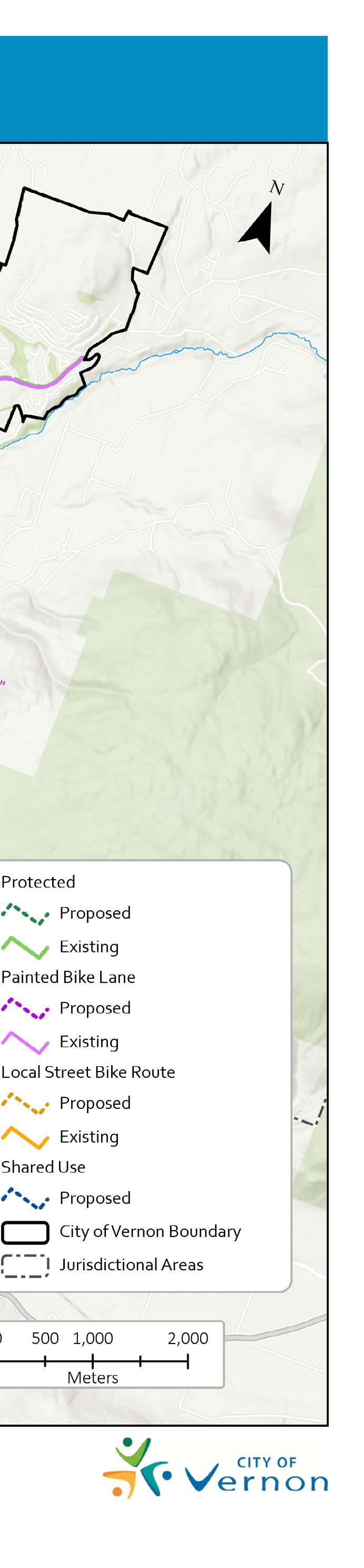
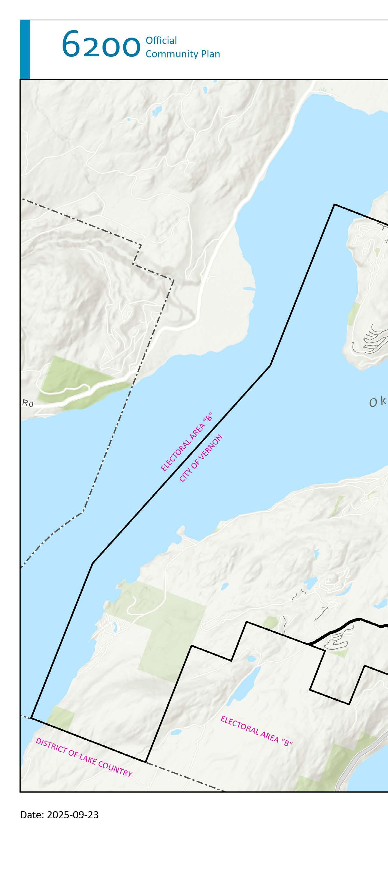
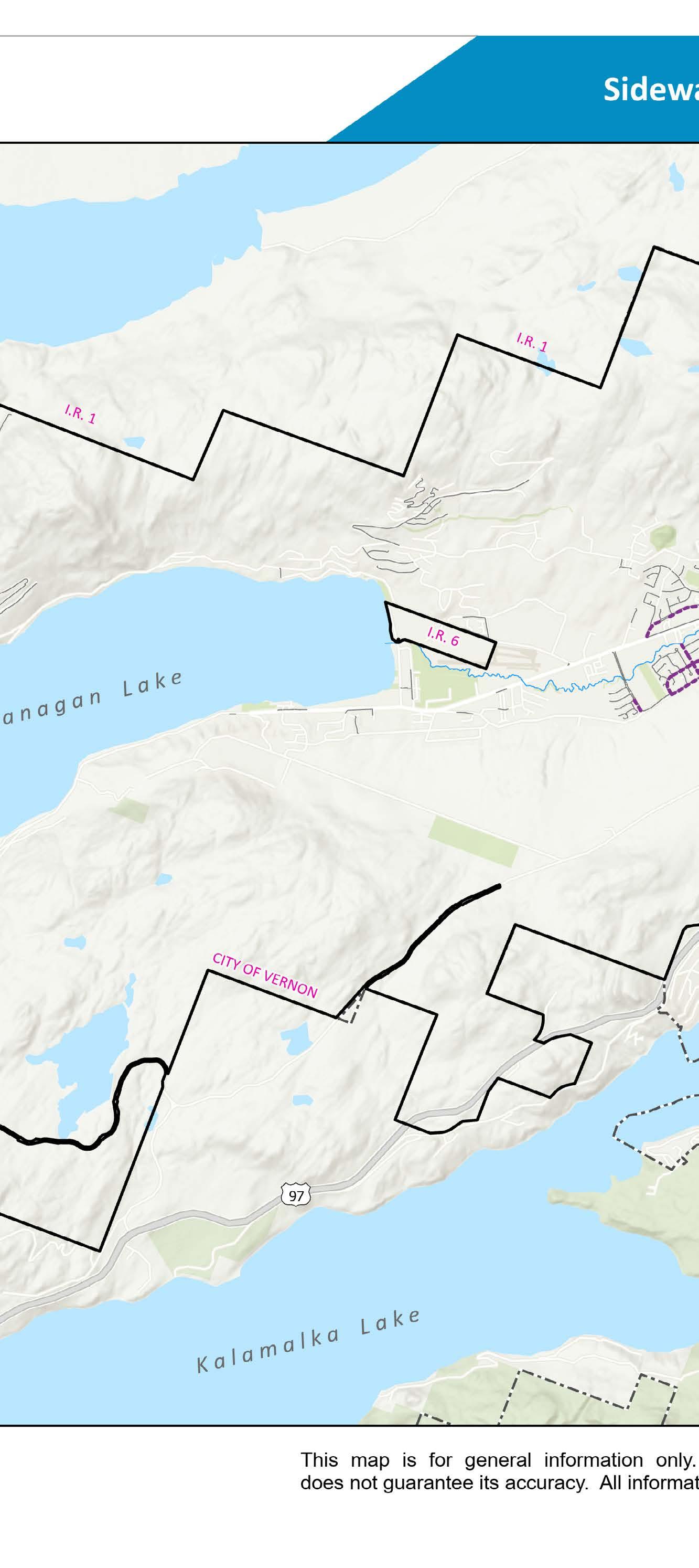
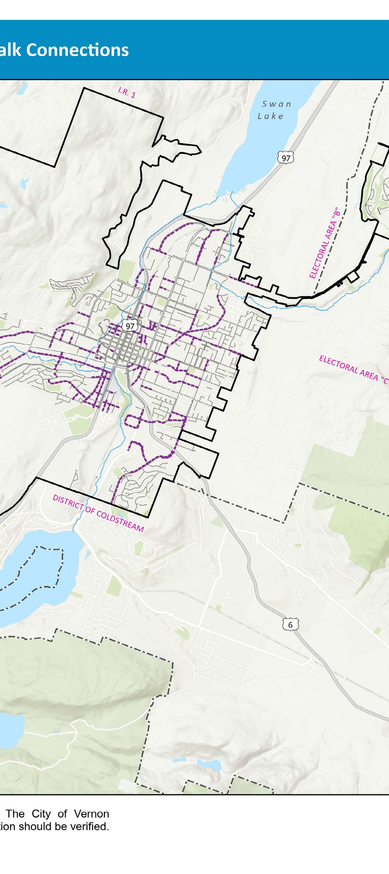
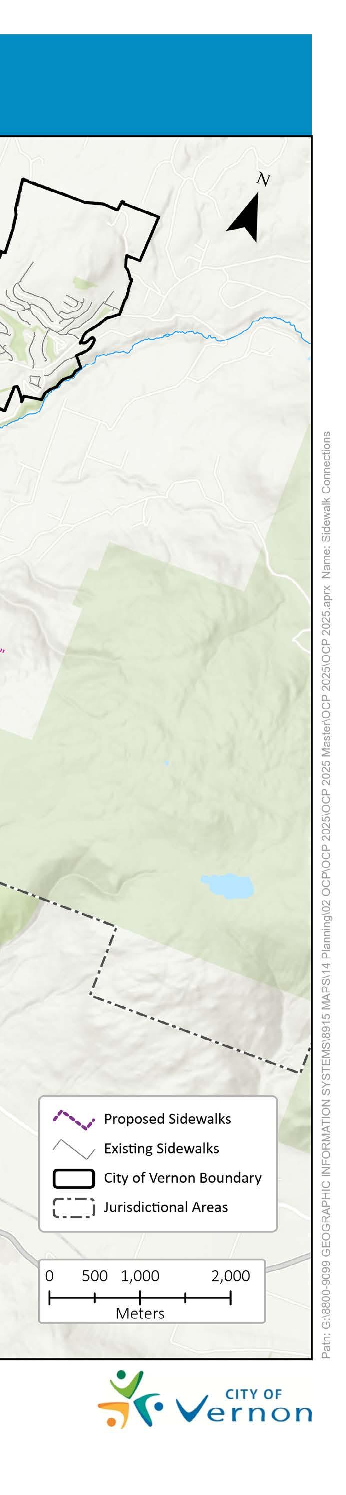
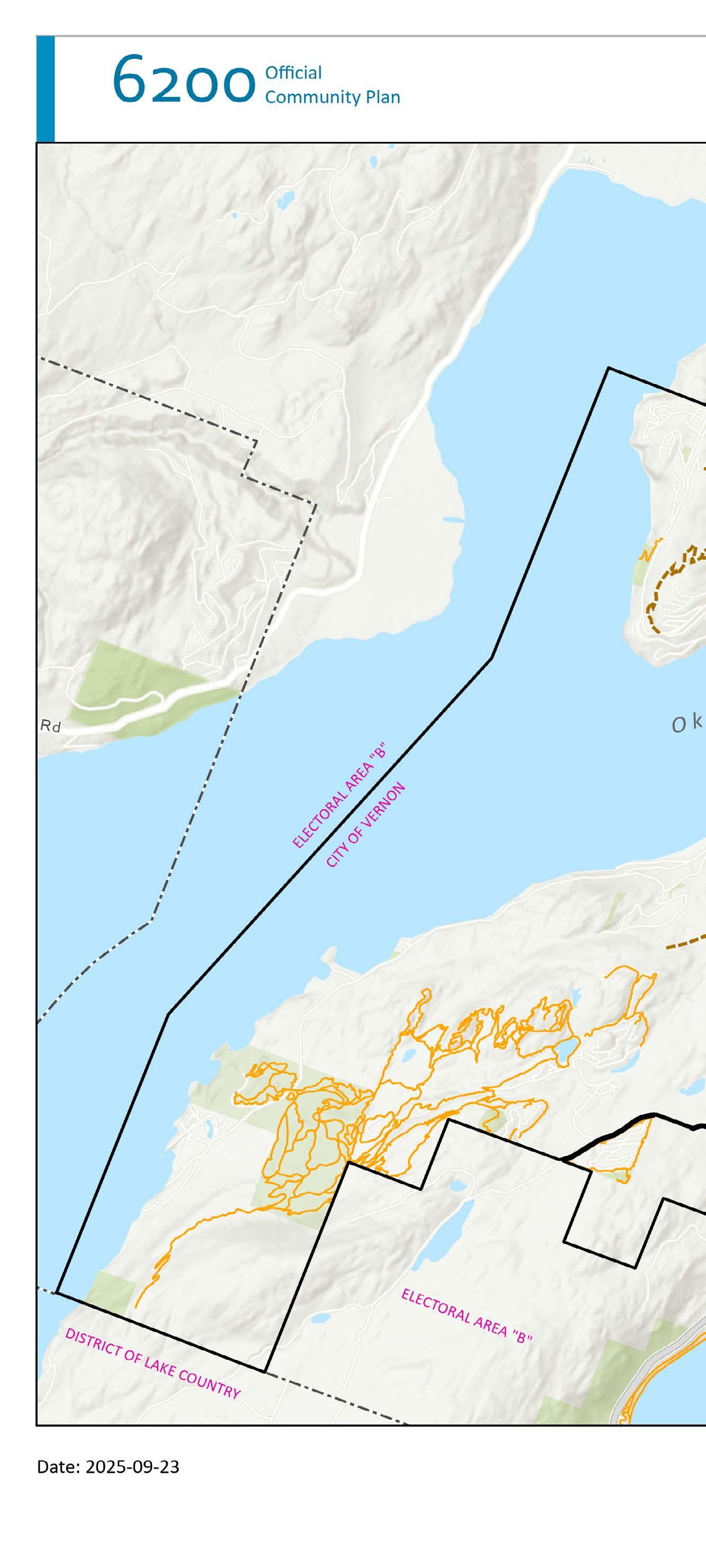
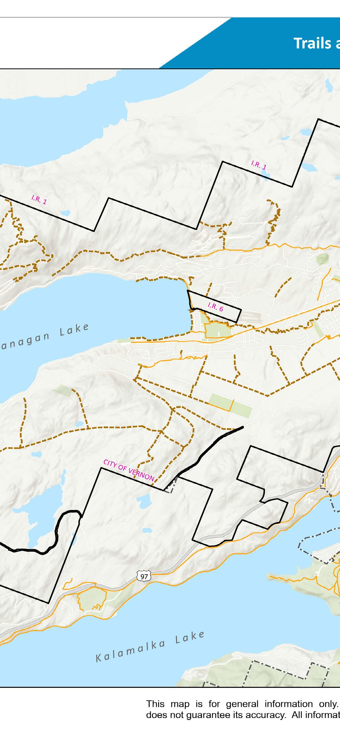
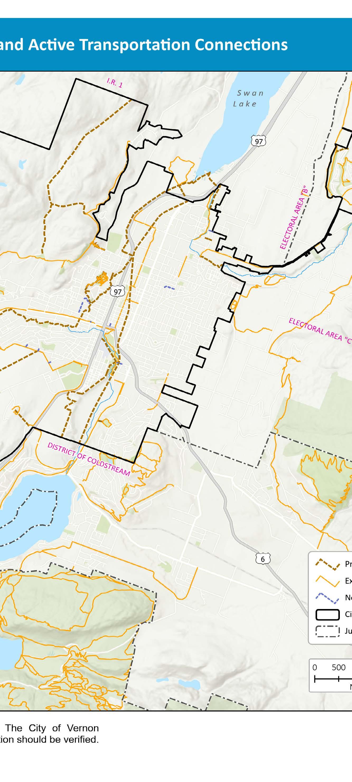
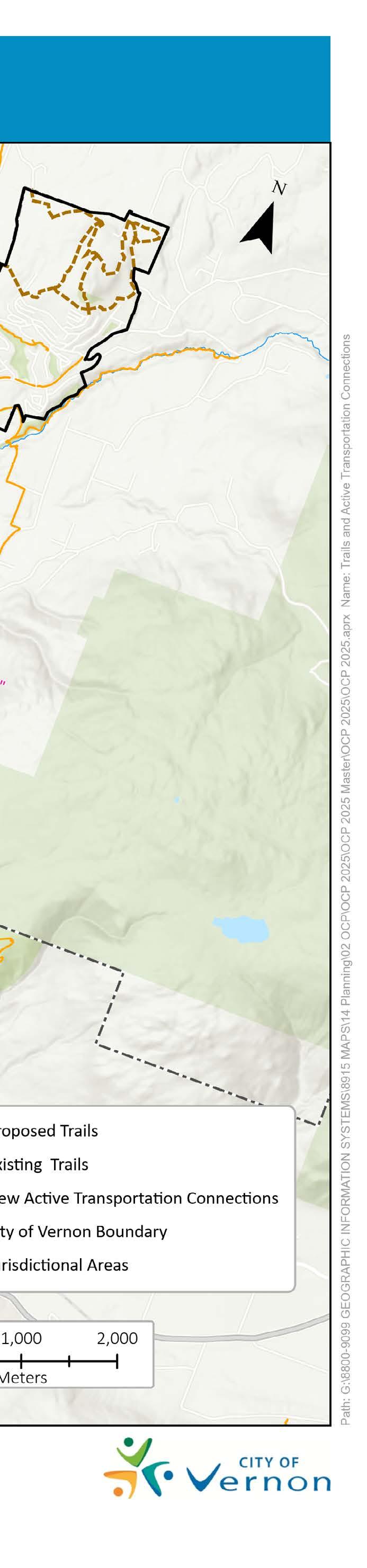
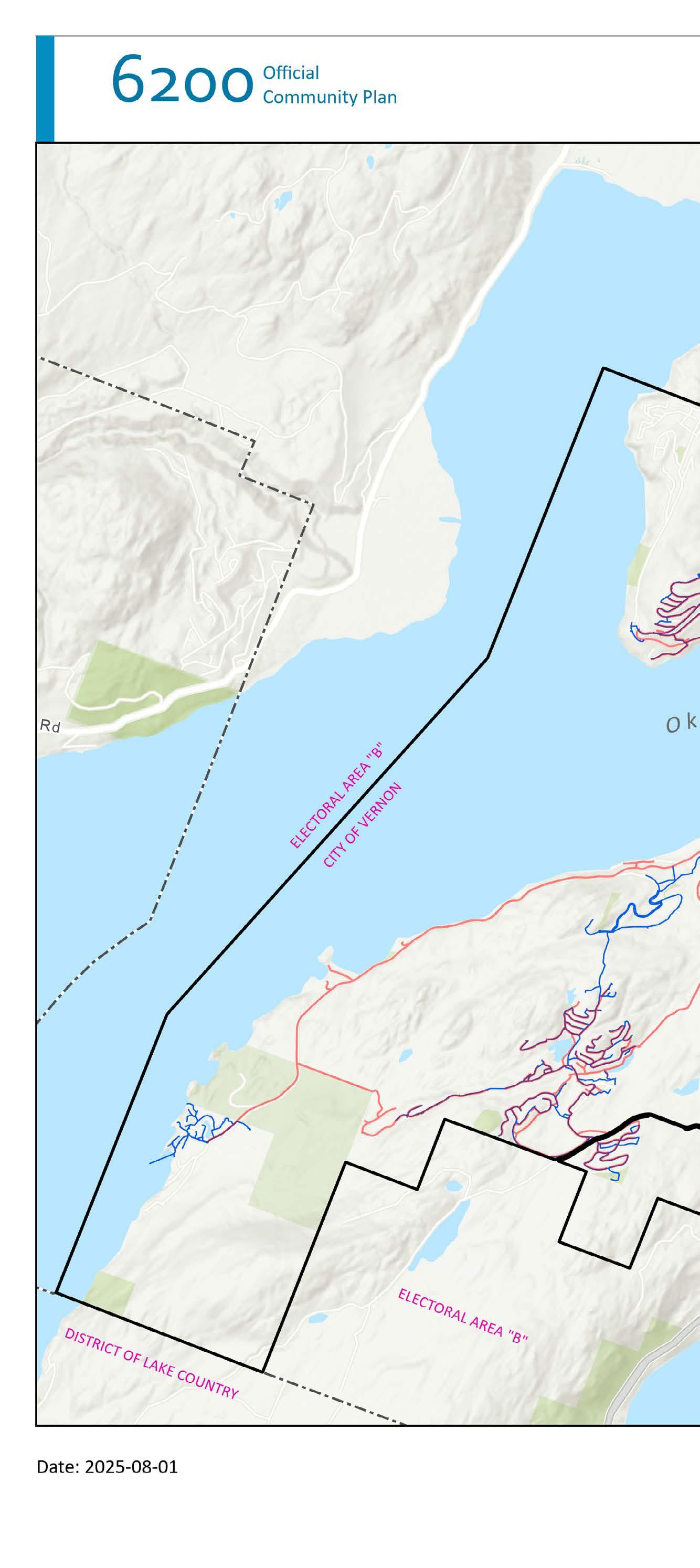
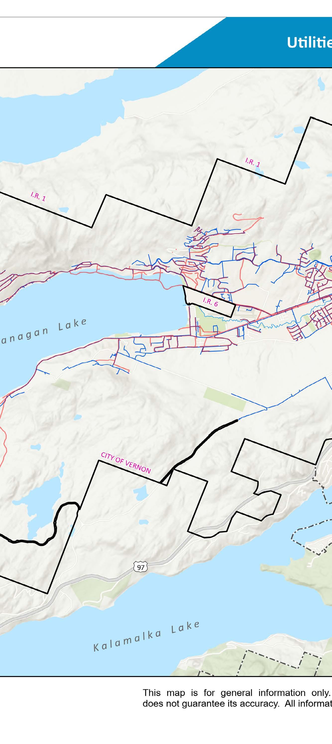
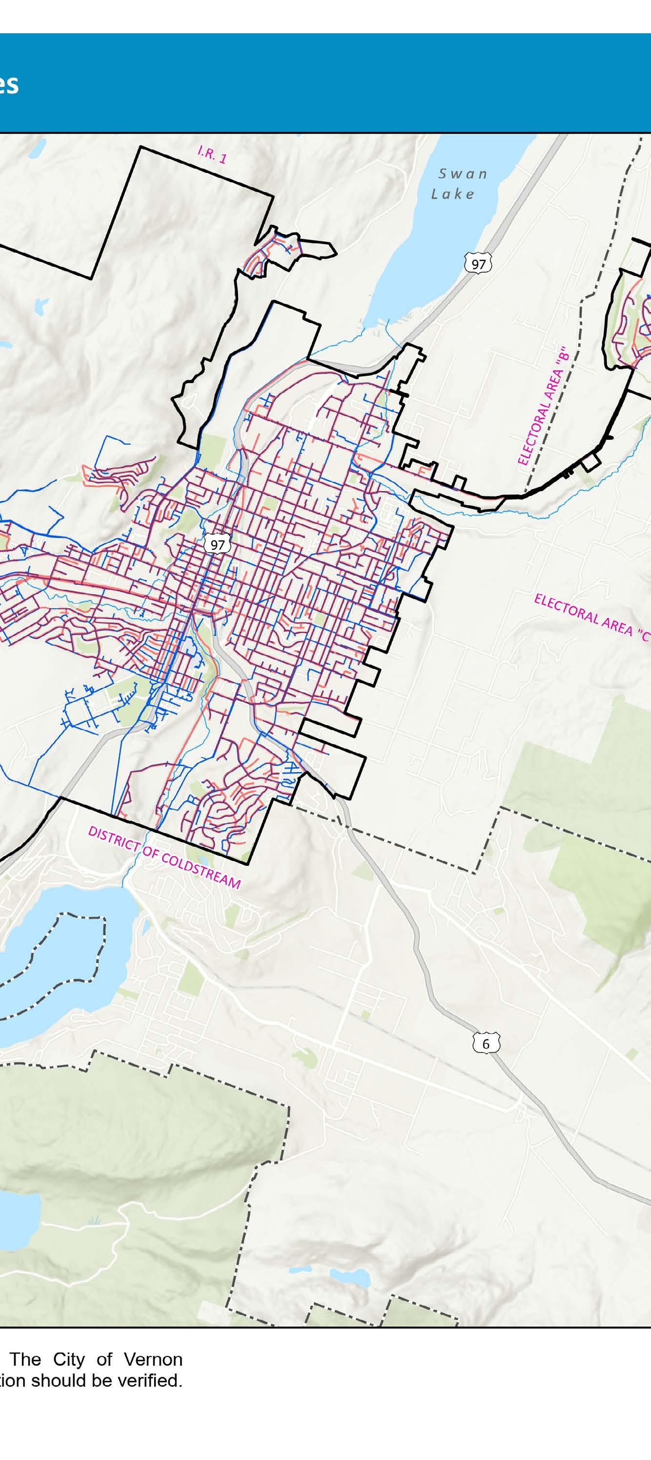
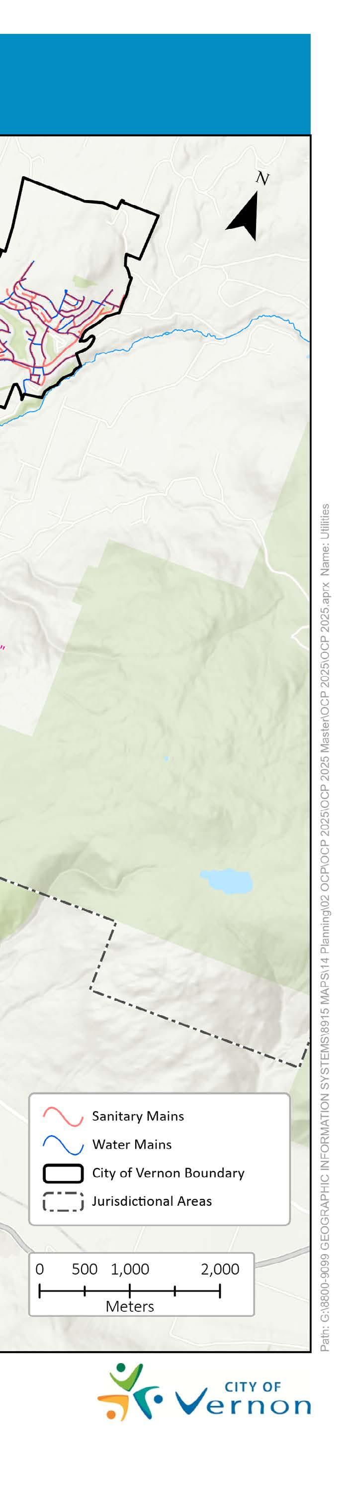
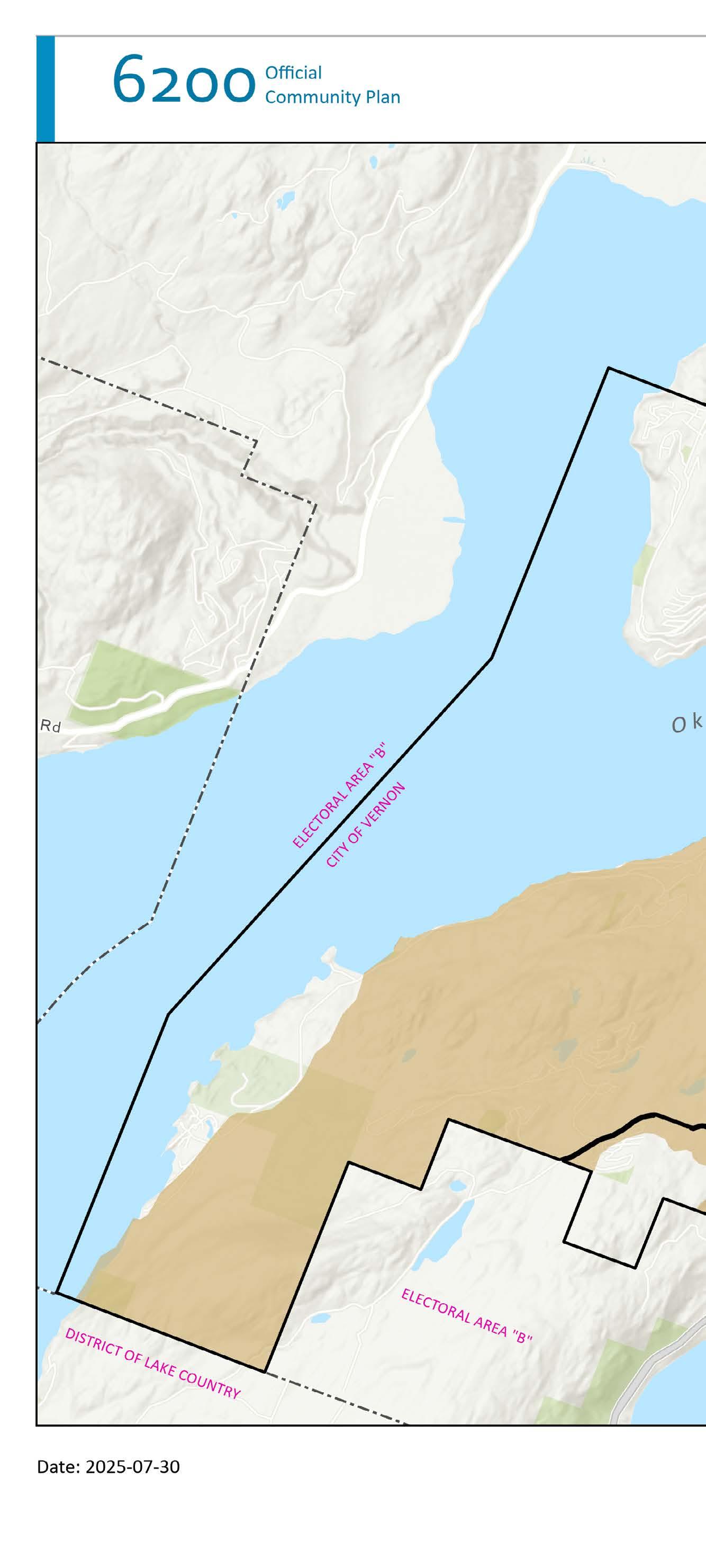
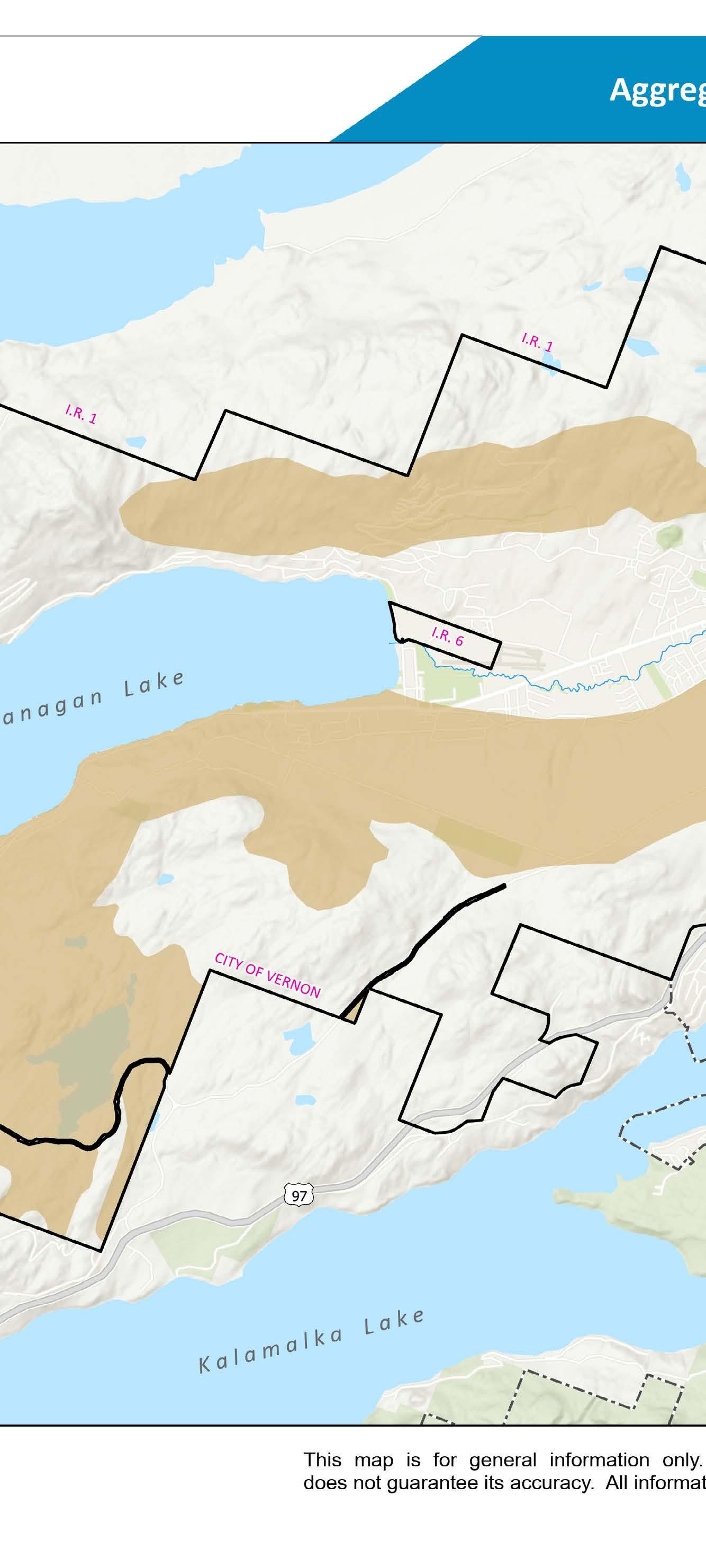
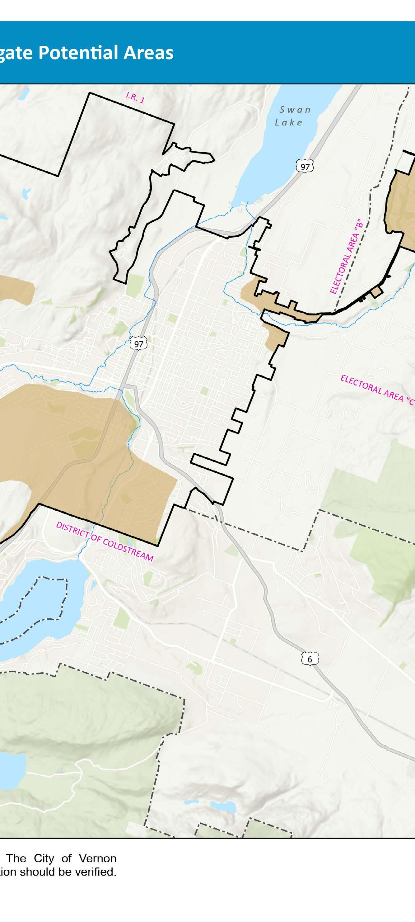
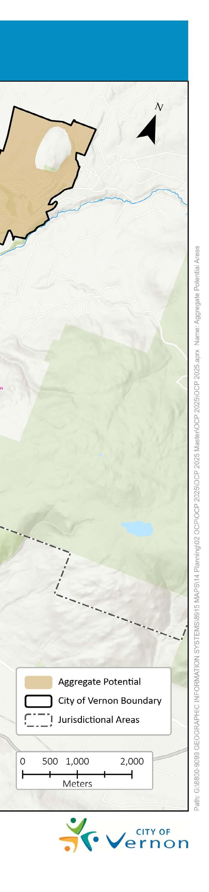
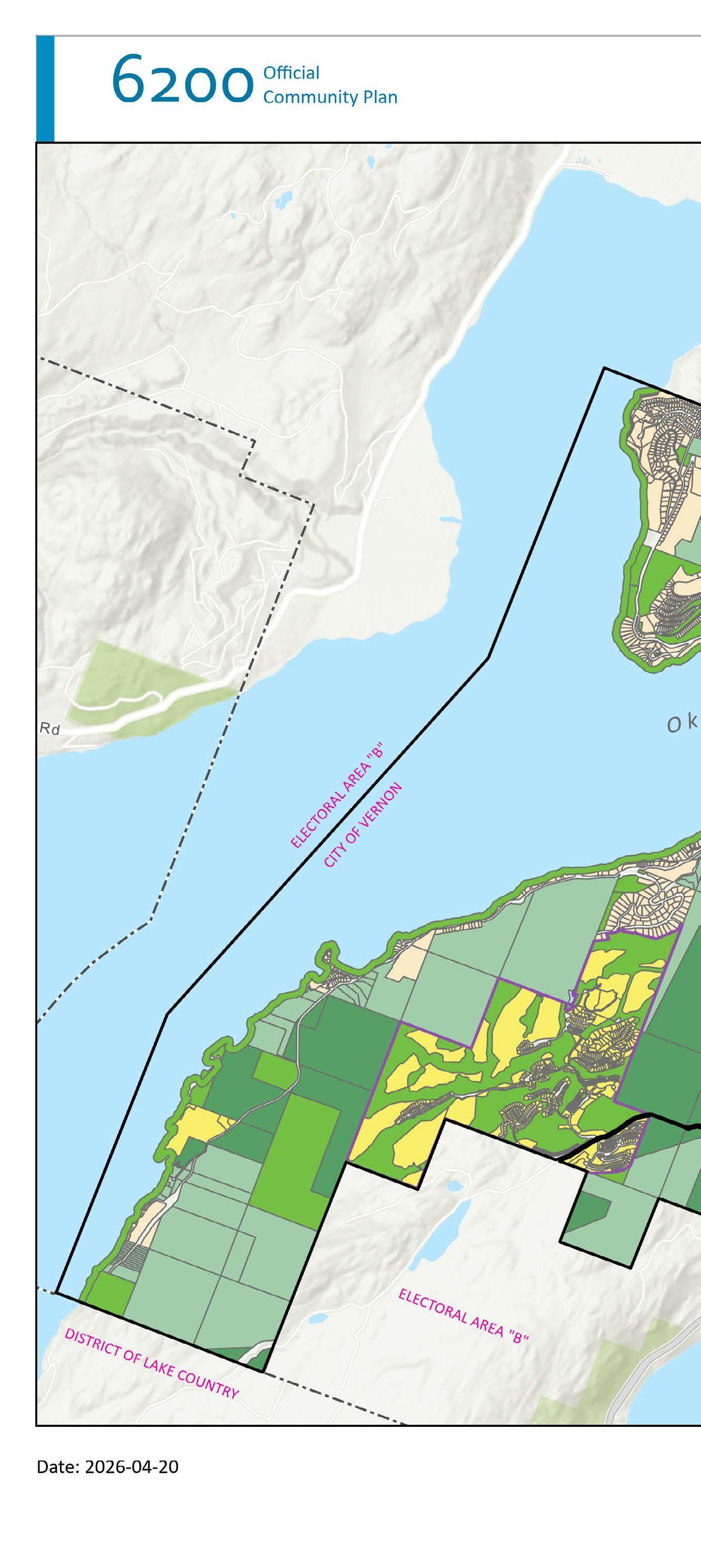
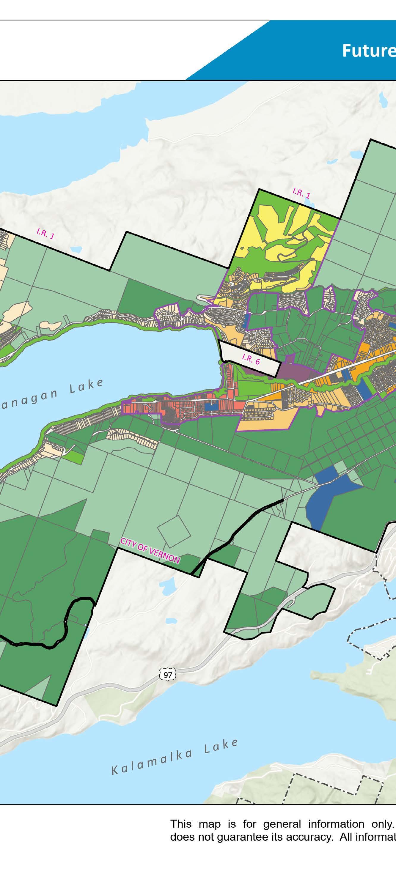
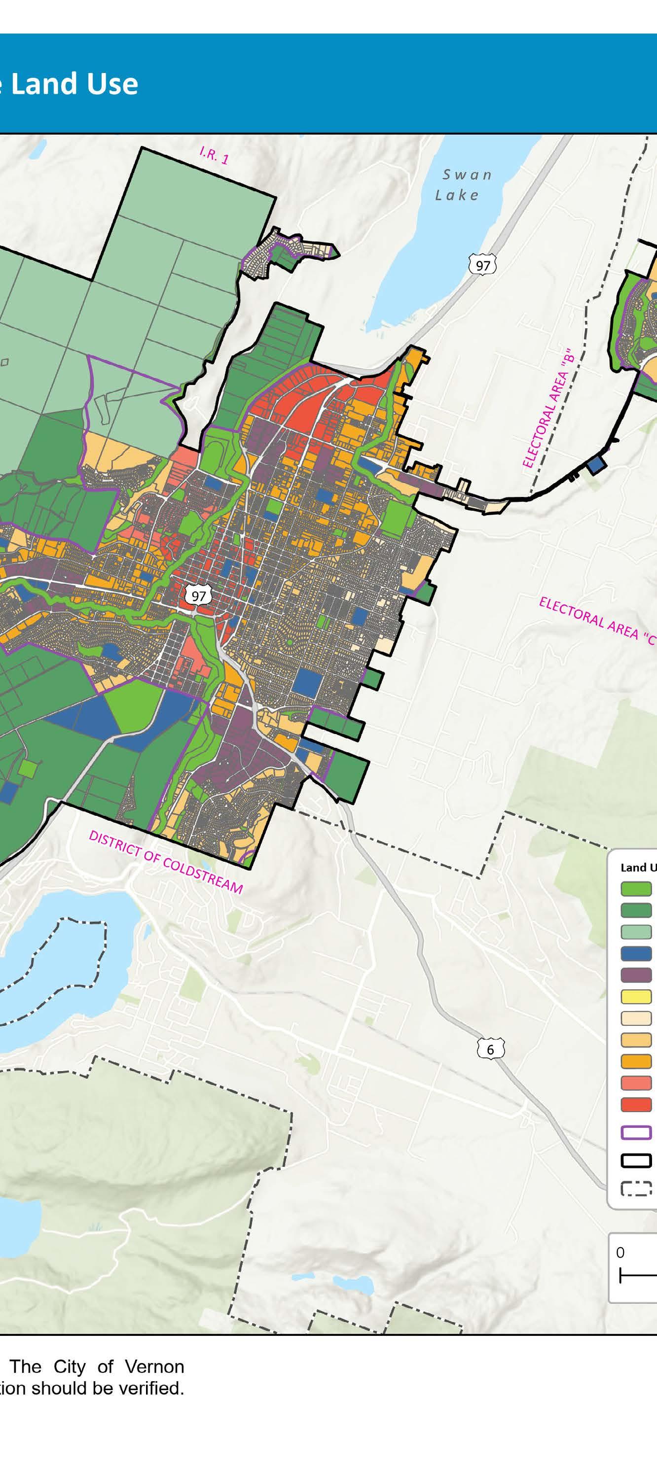
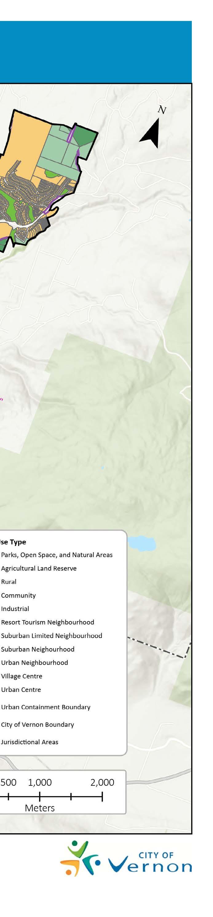
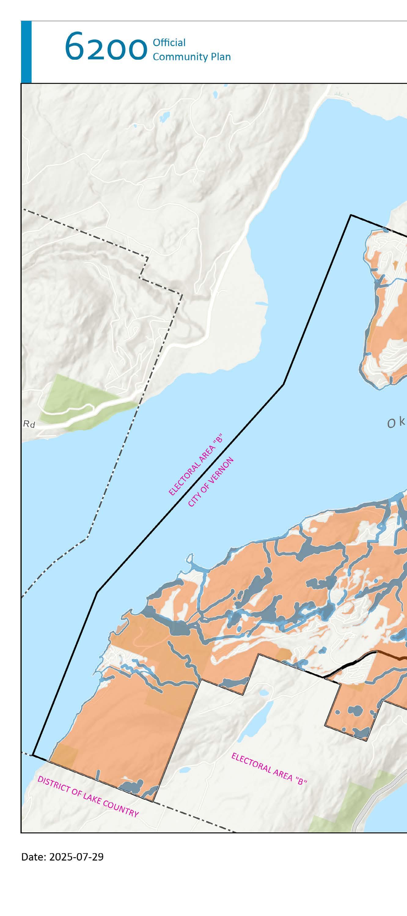
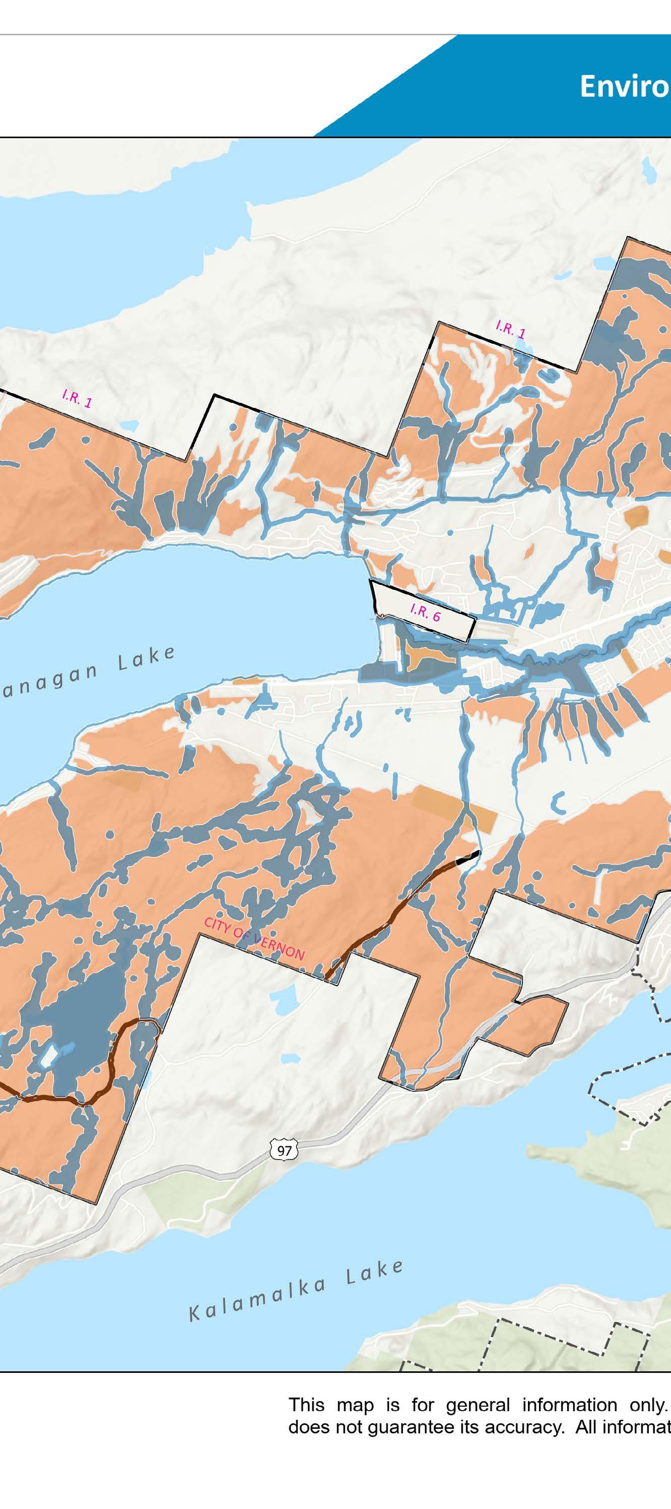
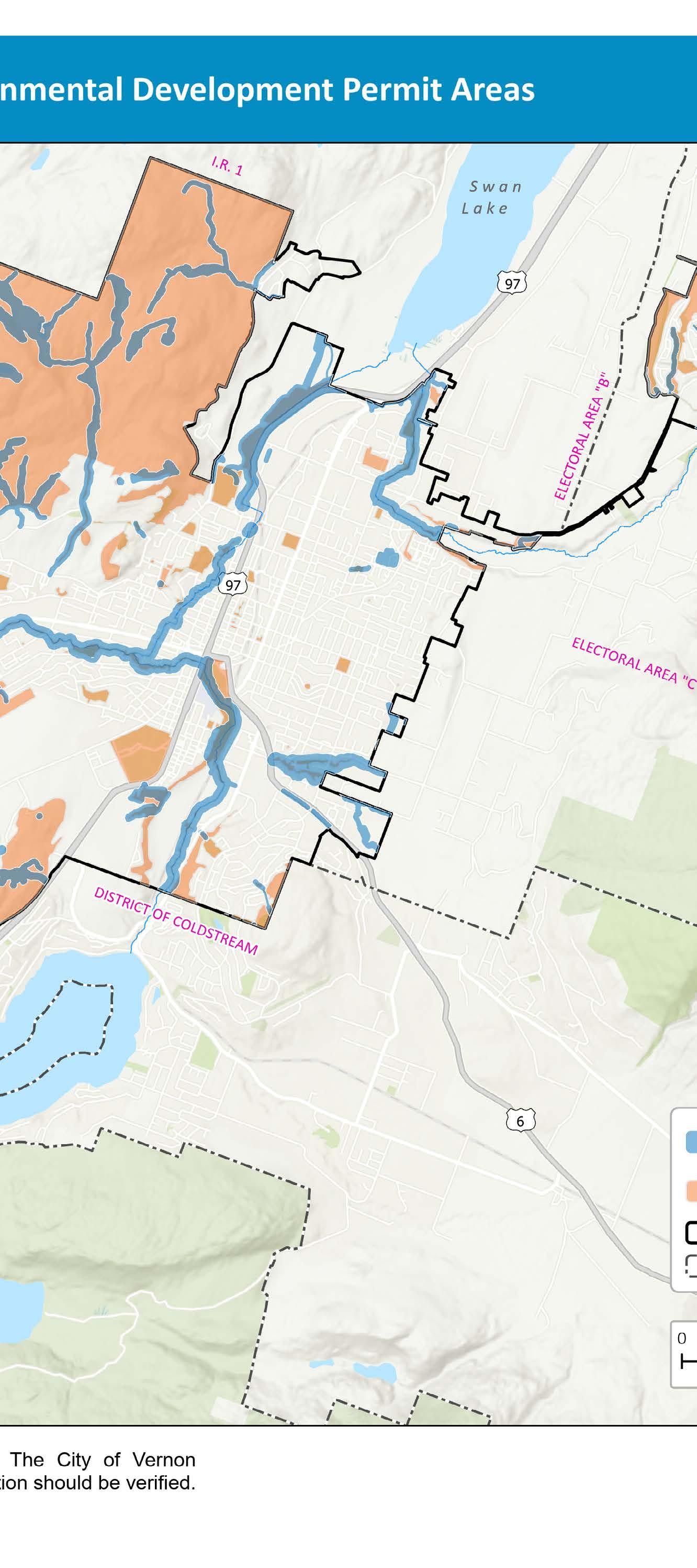
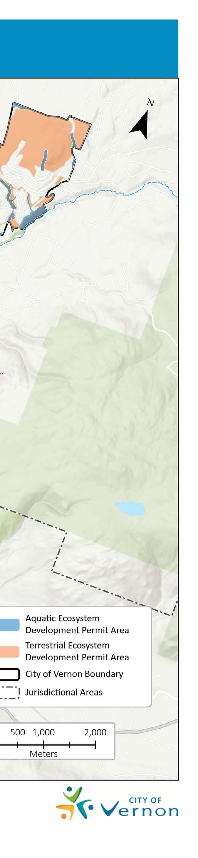
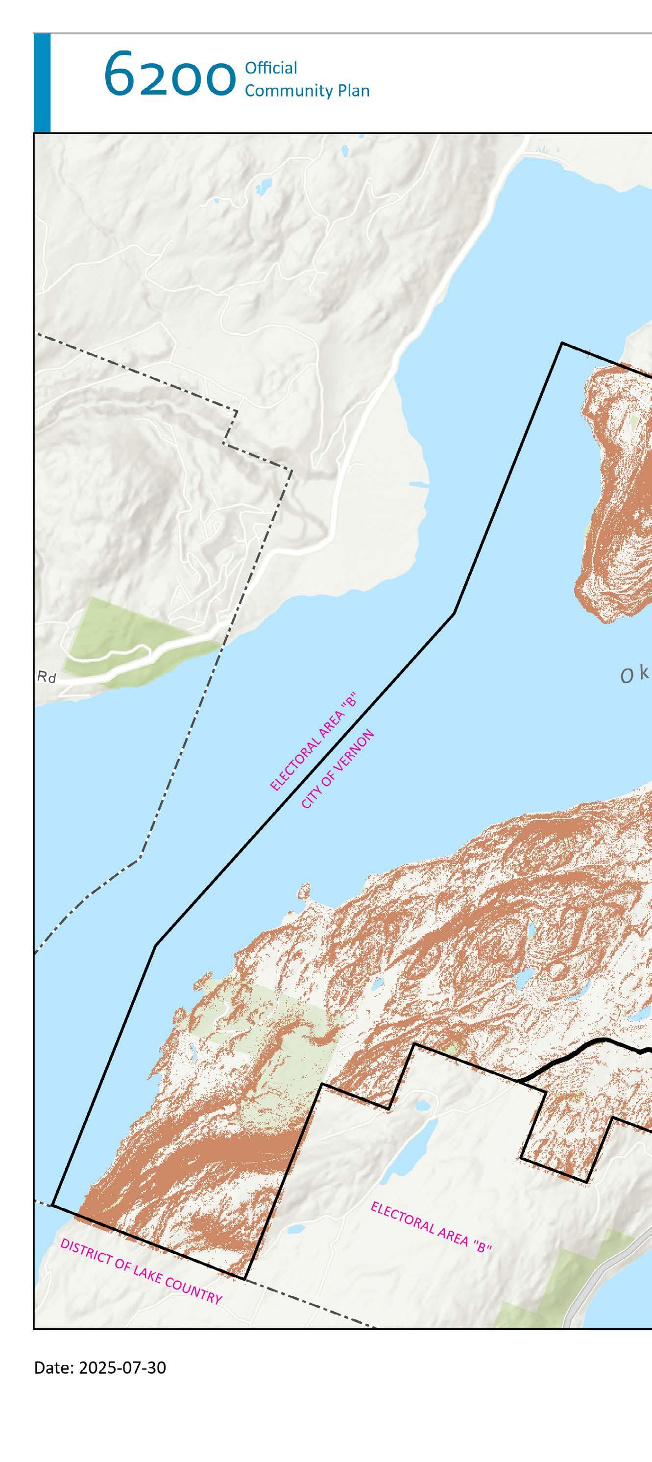
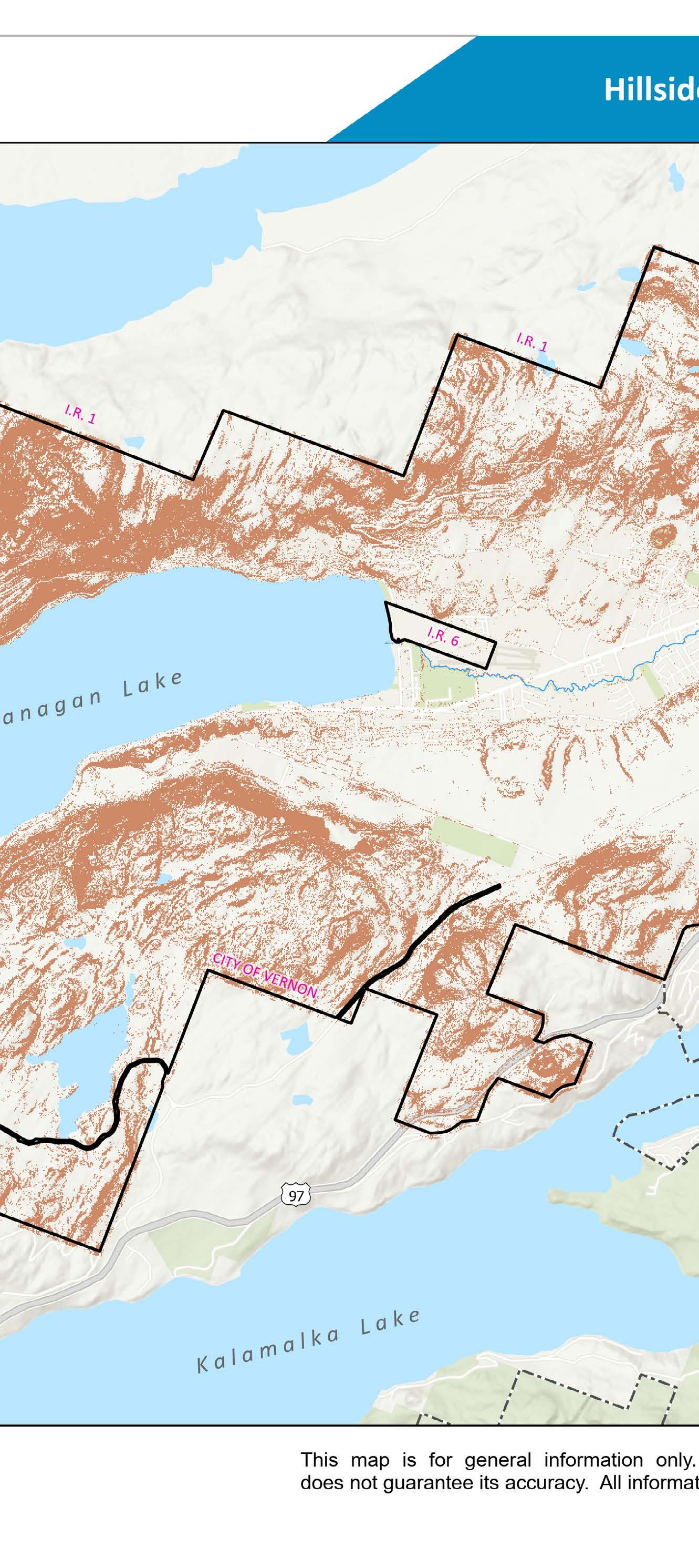
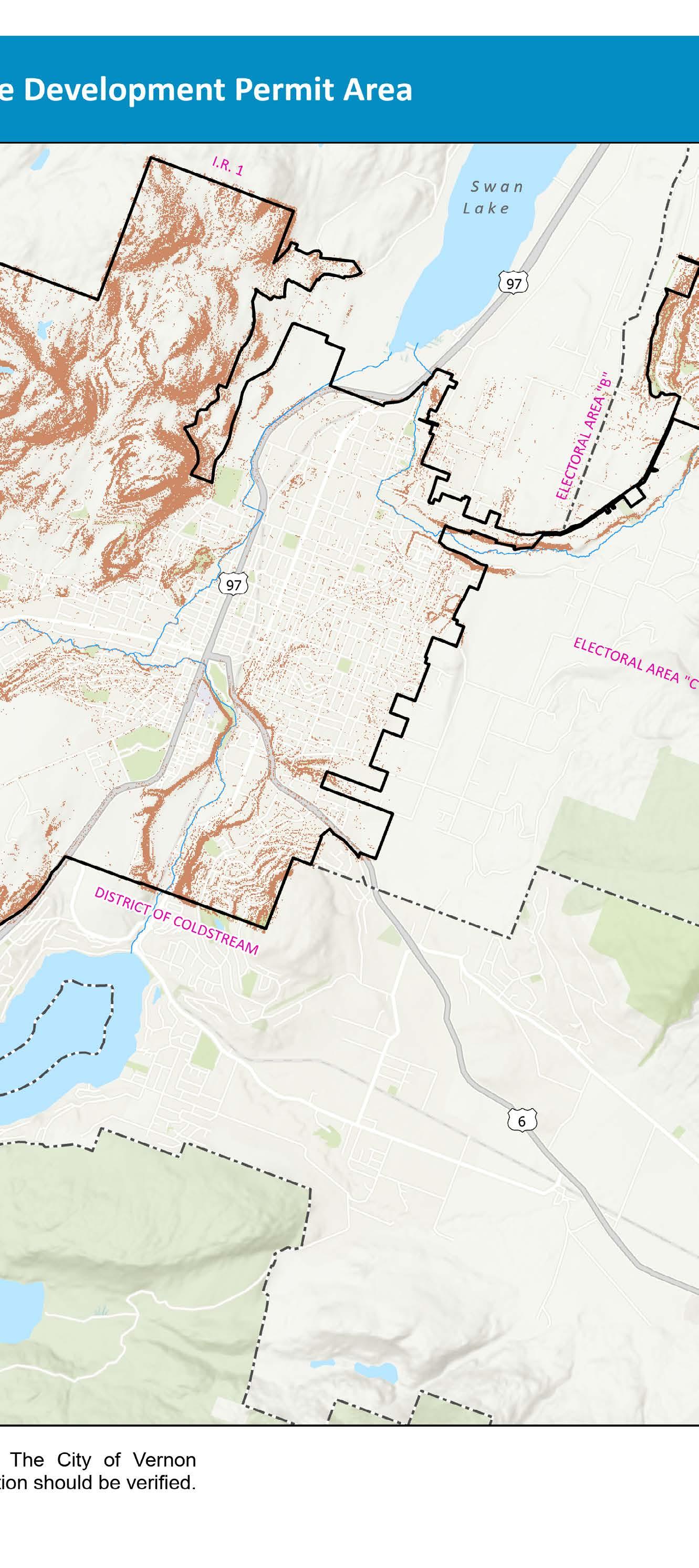
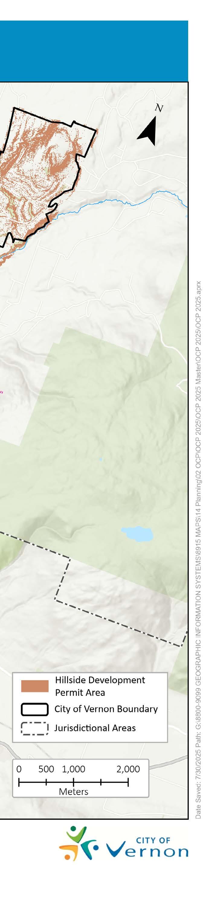
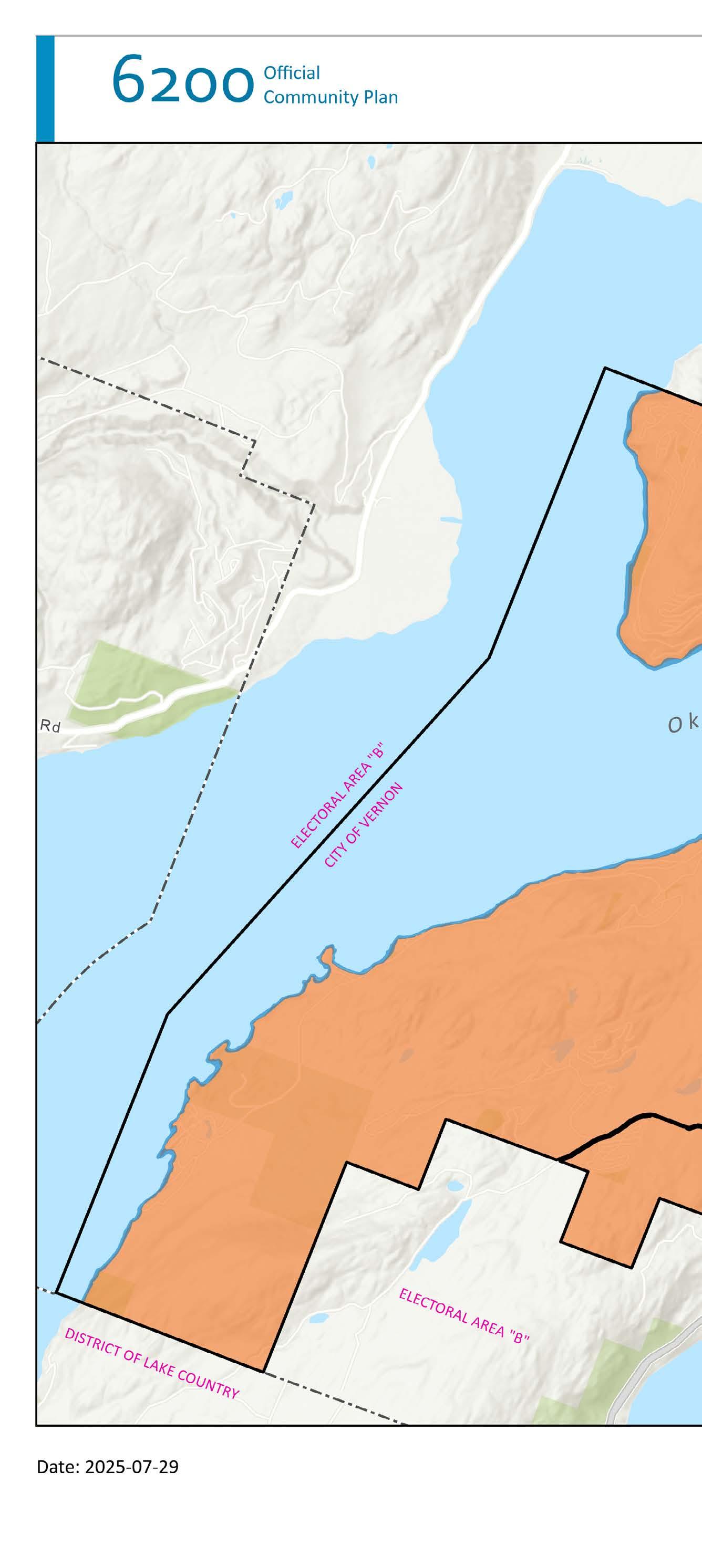
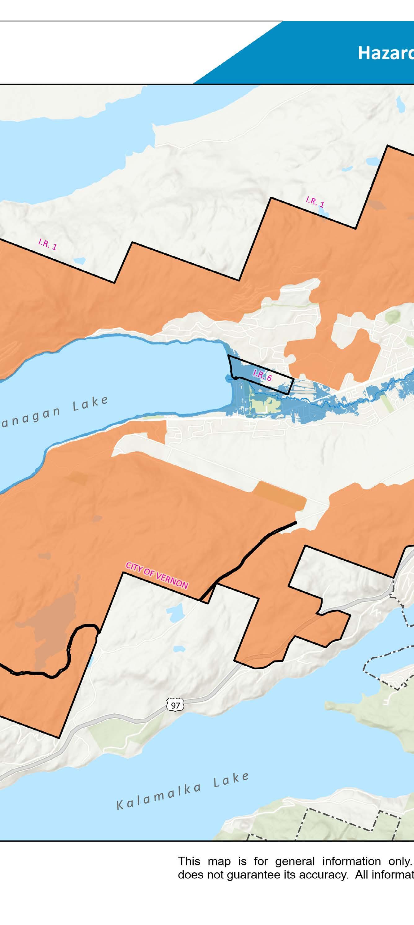
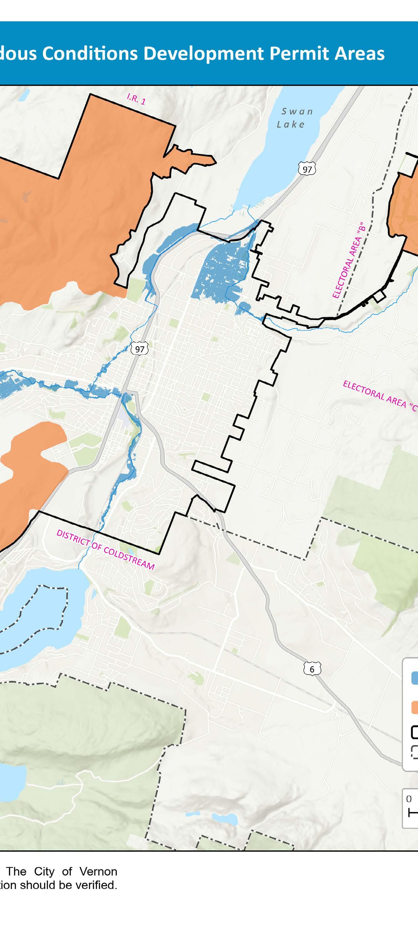
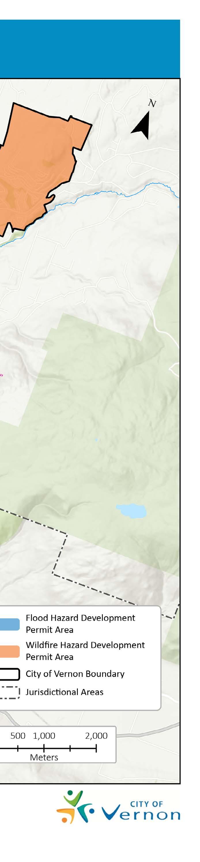
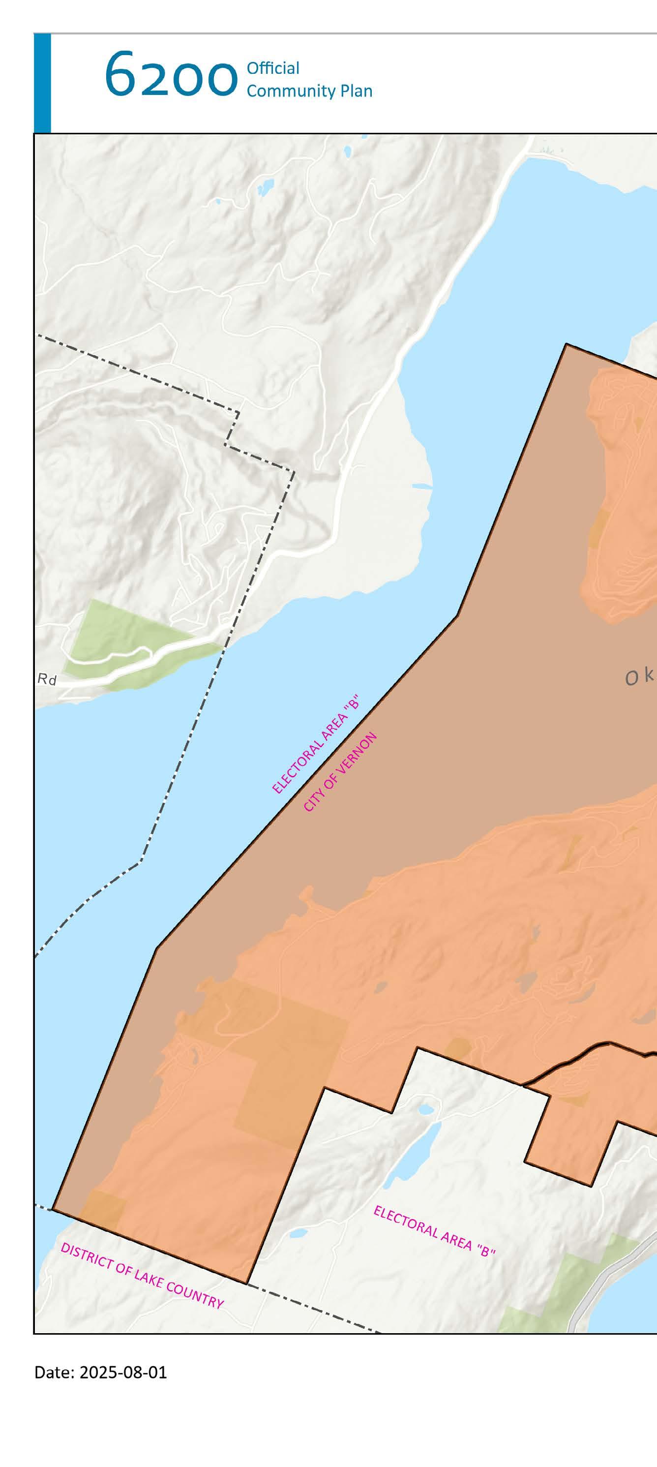
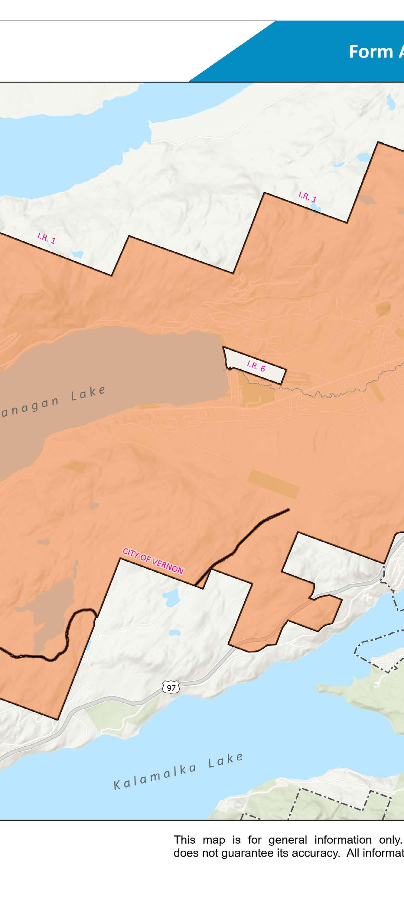
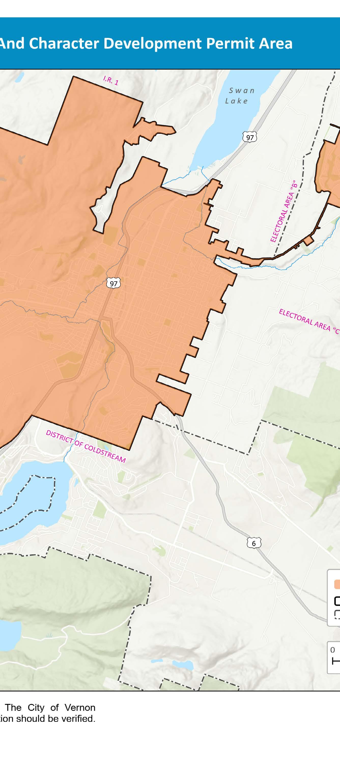
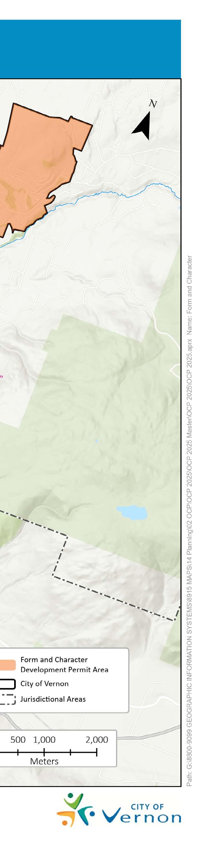
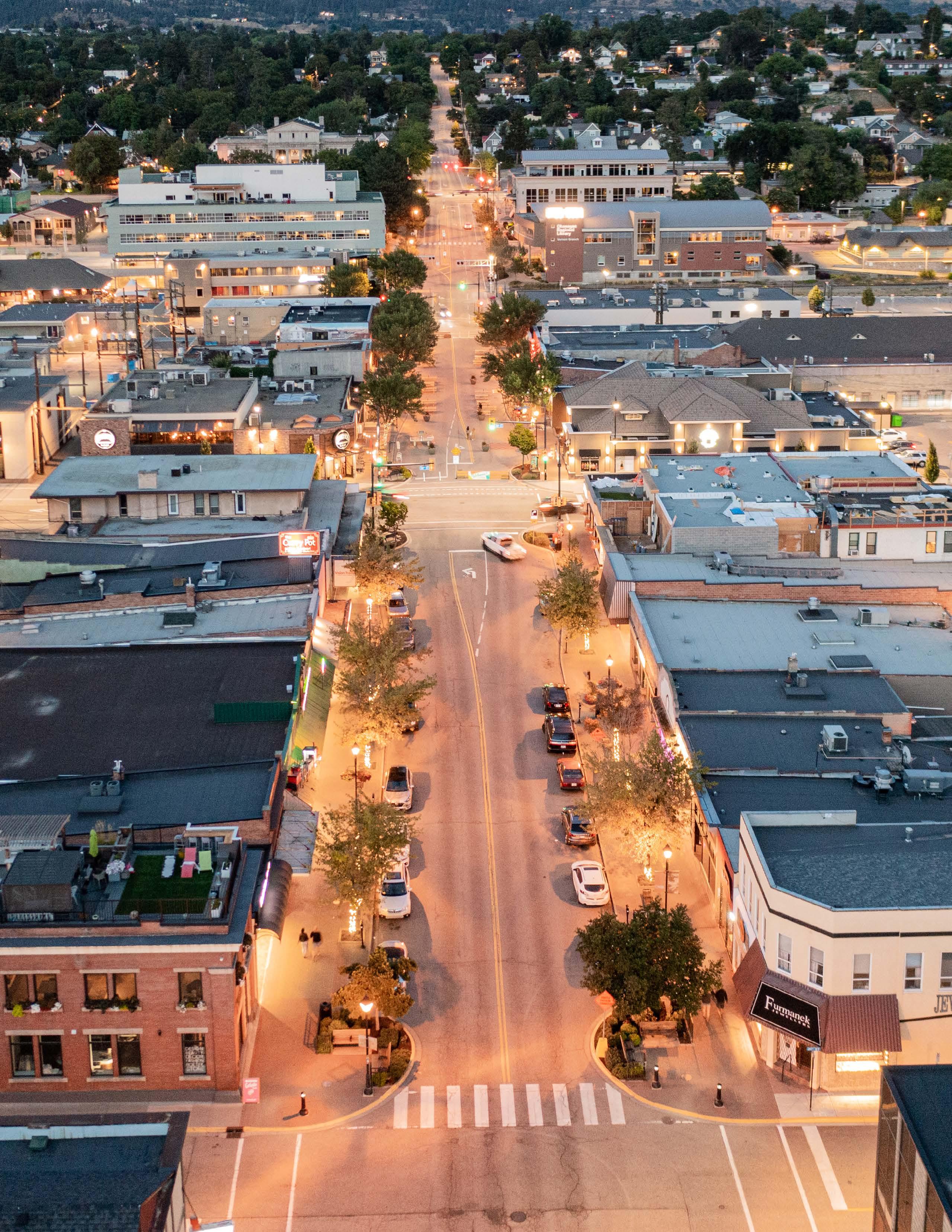
As required by BC’s Local Government Act, the policies of this Official Community Plan are consistent with those of the Regional District of North Okanagan’s Regional Growth Strategy (introduced in Chapter 1.4 and itemized in Table A-1).
The Regional Growth Strategy was adopted through Bylaw No. 2500 on September 21, 2011, and approved through an amended bylaw on October 16, 2024.
5. Economic Development
6.
7. Housing H-1 Support and encourage a variety of housing options to meet the housing needs of all residents in the region
8. Governance and Service Delivery
Energy and Emissions, and Climate Adaptation EE-1 Reduce regional greenhouse gas emissions by 15% by 2020 and 25% by 2030
The City of Vernon has regulatory guidelines for six Development Permit Areas (DPAs):
• DPA 1 – Terrestrial Ecosystem
• DPA 2 – Aquatic Ecosystem
• DPA 3 – Hillside Development
• DPA 4 – Wildfire Hazard
• DPA 5 – Flood Hazard
• DPA 6 – Form and Character
This Appendix presents the regulatory guidelines for DPAs 1 to 5, including any permit exemptions. See Appendix C for the regulatory guidelines for DPA 6 (Form and Character Design Guidelines).
The justification and objectives for establishing DPAs under the Local Government Act (LGA) (S. 488) are provided in Chapter 6. Also see Map 6.1, Map 6.2, and Map 6.3, which define the geographic areas where the DPAs apply.
The City may require one or more of the following studies to support development approval consideration in any DPA, in accordance with the LGA (S. 484):
a. Construction Management Plan
b. Environmental Assessment
c. Erosion and Sediment Control Plan
d. Functional Servicing Report
e. Geotechnical Study
f. Parking Demand Analysis
g. Shadow Study
h. Site Access and Servicing Plan
i. Stormwater Management Study
j. Traffic Impact Assessment
k. Tree Inventory and Assessment
l. Wildfire Hazard Assessment
m. Other studies as deemed necessary.
A Major Development Permit is required prior to any proposed development in DPA 1 – Terrestrial Ecosystem of the Official Community Plan, excluding:
1. Renovations or other construction within a previously disturbed area where the existing building footprint is not extended beyond 50 m2 and environmentally sensitive areas (ESAs) are protected from any new disturbance. (Bylaw 6074)
2. Properties for which a Development Permit has already been registered on title identifying the ESA, the conditions of the permit have been met, and the existing permit protects the entire identified ESA.
3. Properties for which a covenant has been registered on title which effectively protects the entire ESA, and all of the conditions of the covenant have been met, and the proposed development will not affect any portion of the ESA.
4. Development on historically highly disturbed lands that do not contain significant habitat features or ESAs, as determined by the City or confirmed through a written statement by a Qualified Environmental Professional to the satisfaction of the City. (Bylaw 6074)
5. Normal farm practices in accordance with the Farm Practices Protection Act.
6. Actions necessary to prevent immediate threats to life and property to the discretion of the City.
7. Works undertaken by the City of Vernon, Regional District of North Okanagan, provincial or federal government, or their authorized agents where appropriate measures have been undertaken to satisfy the applicable development permit area guidelines.
A Minor Development Permit is required for development proposed within DPA 1 – Terrestrial Ecosystem of the Official Community Plan that does not satisfy the above exemptions nor requires a subsequent building permit.
Where disturbance within a Terrestrial Ecosystem Development Permit Area cannot be avoided, the following information must be provided to support the DPA 1 Development Permit application in order to ensure habitat protection, connectivity, and functionality through mitigation, compensation, and restoration of project impacts:
1.2.1. A detailed environmental assessment of the property, signed and sealed by a Qualified Environmental Professional working within their scope of practice, including:
a. Consideration for alignment with relevant provincial and federal legislation including the Wildlife Act, Migratory Birds Convention Act and Species at Risk Act;
b. The identification and assessment of sensitive ecosystems on site, including a list of plant and animal species found or expected to be found on or adjacent to the site with specific attention to those that are endangered, threatened, or of special concern, invasive species, and corridors to accommodate known movement of species;
c. The identification of any separate approval processes that may be required to facilitate development (e.g. Riparian Areas Protection Regulation or Water Sustainability Act instream works);
d. An assessment of the potential impacts on natural features and functions including the methods used and appropriate mitigation or compensation measures;
e. Recommended measures to protect the ESA prior to site disturbance, during the construction process, and post construction; and
f. Site plans at an appropriate scale, indicating the project location (including building footprints and limits of disturbance), site features, and activities in relation to the ESA.
1.2.2. A restoration plan and associated cost estimate for environmental monitoring, maintenance, and restoration works, prioritizing vegetation that is native to British Columbia.
1.2.3. Where disturbance cannot be mitigated, the principle of net gain will be followed. A Qualified Environmental Professional must demonstrate how an increase to the quality and quantity of functional habitat within the ESA will be achieved, such that any areas restored will be of better ecological value and shall be contiguous with the original ESA.
1.2.4. To protect the ESA the following will be required:
a. Development should be located in the least environmentally sensitive areas on site, such as previously disturbed areas, to minimize environmental impacts.
b. Development activity should be minimized during sensitive breeding or nesting windows, as determined by a Qualified Environmental Professional and following the Province of BC’s Develop with Care Environmental Guidelines
c. Erosion and sediment control measures shall be installed prior to site disturbance to sufficiently identify the ESA and protect it from encroachment.
d. Consideration for wildlife corridor connectivity and buffers between development and ESAs shall be prioritized to facilitate habitat linkages.
e. Identification of tree stands and individual trees with environmental value, including mechanism for protection during and post development shall be provided.
f. The registration of a Section 219 covenant on the title shall be considered as necessary to ensure long-term protection of the ESA.
1.2.5. Varying other bylaw requirements (e.g. building setbacks or height) may be considered to facilitate safeguarding an ESA, particularly where it can facilitate development on the remainder of the lot while avoiding ESA disturbance.
2.1 Application
A Major Development Permit is required prior to any proposed development in DPA 2 – Aquatic Ecosystem of the Official Community Plan, excluding:
1. Non-structural renovations for which the building footprint is not altered and the Streamside Protection and Enhancement Area (SPEA) is protected from any new disturbance.
2. Properties for which a Development Permit has already been registered on title reflecting the extent of proposed disturbance, the conditions of the permit have been met, and the existing permit protects the entire identified SPEA.
3. Development outside the Riparian Assesmsent Area that will not encroach into, alter, or impact a stream, watercourse, or riparian area as determined by the City. (Bylaw 6074)
4. Actions necessary to prevent immediate threats to life and property to the discretion of the City.
5. Normal farm practices in accordance with the Farm Practices Protection Act
6. Development associated with an authorization under Section 35(2)(b) or (c) of the Fisheries Act
7. Works undertaken by the City of Vernon, Regional District of North Okanagan, provincial or federal government, or their authorized agents where appropriate measures have been undertaken to satisfy the applicable development permit area guidelines.
A Minor Development Permit is required for development proposed within DPA 2 – Aquatic Ecosystem of the Official Community Plan which does not satisfy the above exemptions nor requires a subsequent building permit.
Where disturbance within a water-based environmentally sensitive area cannot be avoided, the following information must be provided to support the DPA 2 Development Permit application in order to ensure habitat protection, connectivity, and functionality through mitigation, compensation, and restoration of the impact:
2.2.1. A Riparian Areas Protection Regulation assessment completed by a Qualified Environmental Professional and:
• approved by the City; or
• approved by the Province for any assessments including proposed development within the SPEA defined in accordance with the regulation.
2.2.2. A restoration plan and associated cost estimate for environmental monitoring and restoration works, prioritizing vegetation that is native to British Columbia, which meets or exceeds applicable municipal landscaping requirements.
2.2.3. Where disturbance cannot be mitigated, the principle of net gain will be followed. A Qualified Environmental Professional must demonstrate how an increase to the quality and quantity of functional habitat within the riparian area will be achieved, such that any areas restored will be of better ecological value and shall be contiguous with the original riparian area.
2.2.4. Varying other bylaw requirements (e.g. building setbacks or height) may be considered to facilitate safeguarding a SPEA, particularly where it can facilitate development on the remainder of the lot while avoiding SPEA disturbance.
A Development Permit is required prior to any proposed development in DPA 3 – Hillside Development of the Official Community Plan, excluding:
1. Development that is consistent with the lot grading plan approved at the time of subdivision.
2. Lot consolidation, road dedication, or a lot line adjustment subdivision where a new building footprint is not proposed.
3. Development where the proposed building envelope is outside of the steep slope area and construction or grading will not impact the steep slope area.
4. Building alterations which are limited to the addition, replacement, or alteration of doors, windows, trim, or roofs and would not impact existing the existing building footprint, landscaping, or lot access.
5. Normal farm practices in accordance with the Farm Practices Protection Act
6. Actions necessary to prevent immediate threats to life and property to the discretion of the City.
7. Works undertaken by the City of Vernon, Regional District of North Okanagan, provincial or federal government, or their authorized agents where appropriate measures have been undertaken to satisfy the applicable development permit area guidelines.
Where disturbance on a steep slope, characterized as having a grade of 30% or greater, cannot be avoided, the following information must be provided to support the DPA 3 Development Permit application in order to ensure safe development that meets the form and character of the community:
3.2.1. Alternative building layout opportunities, including sensitive building orientation, and shared access shall be incorporated where appropriate to minimize visual impact and preserve natural character of the hillside.
3.2.2. Alternative lot layout opportunities, including staggered lots, strategic road placement, sensitive lot layout, and appropriate landscaping shall be incorporated where appropriate to reduce building massing.
3.2.3. Buildings shall be set into the hillside and stepped up or down the slope to mimic the natural topography of the surrounding area.
3.2.4. Significant natural features and landforms, including ridgelines, ravines, overland drainage channels, rock outcrops, wetlands, steep slopes, and forested areas, shall be retained, protected, or enhanced to reduce visual impacts.
3.2.5. Slopes of 30% or greater shall be preserved as undisturbed areas unless it is clearly demonstrated they cannot be avoided through development.
3.2.6. A Geotechnical Report prepared by a qualified geotechnical engineer will be required for any development within the DPA. The report is required to assess slope stability, rock fall hazards, building setbacks, associated safety recommendations, and mitigation measures.
3.2.7. Wire mesh, shot-concrete, and other forms of visually intrusive mechanical stabilization is not permitted unless required by a qualified geotechnical engineer and approved by the City.
3.2.8. On street-parking shall be restricted where alternative road standards would allow for narrow roads with less encroachment into the hillside. Parking areas off the main travel surface may be considered on a site-specific basis.
3.2.9. Cut and fill excavation shall be minimized to preserve natural topography, reduce visual impacts, and prevent site scarring.
3.2.10. Altered slopes shall appear natural with varied contours and vegetation. Sharp angles should be avoided to align with natural topography where applicable.
3.2.11. Retaining walls utilizing native building materials (e.g. earth berms, rock forms, or stone) should be prioritized to minimize the visual impact of cuts.
3.2.12. Retaining wall height and length shall be minimized. Stepped or terraced walls with landscaping is encouraged for areas where steep cuts are required.
3.2.13. Discourage retaining walls greater than 1.2 m in height or spaced less than 1.2 m apart for the construction of new streets and infrastructure.
Hillside Form and Character
3.2.14. Building masses that reinforce the sensitivity of the natural topography shall be incorporated into project design.
3.2.15. Support integrating buildings into slopes by using buildings to retain land on properties with slopes.
3.2.16. Required parking shall be incorporated into the natural landscape to minimize the requirement for lot grading (e.g. avoid large flat parking areas) where feasible.
3.2.17. Building siting shall be staggered and screened with mature vegetation to minimize a “wall effect” of development on the surrounding area.
3.2.18. Varying other bylaw requirements (e.g. building setbacks or height) may be considered to facilitate sensitive hillside development, particularly where it can facilitate development on the remainder of the lot while avoiding steep slope disturbance.
A Development Permit is required prior to any proposed development in DPA 4 – Wildfire Hazard of the Official Community Plan, excluding:
1. Development that demonstrates compliance with the FireSmart BC guidelines and the Community Wildfire Resiliency Plan.
2. Construction or alterations to accessory buildings or structures where the building footprint is no larger than 10 m2 in area.
3. Activities covered by an existing registered covenant on title for wildfire hazard reduction, provided all covenant conditions have been met and remain unaffected.
4. Normal farm practices in accordance with the Farm Practices Protection Act
5. Actions necessary to prevent immediate threats to life and property to the discretion of the City.
6. Works undertaken by the City of Vernon, Regional District of North Okanagan, provincial or federal government, or their authorized agents where appropriate measures have been undertaken to satisfy the applicable development permit area guidelines.
Where development within Wildfire Interface Area 2 or 3 cannot be avoided, the following information must be provided to support the DPA 4 Development Permit application in order to ensure safe development that meets the form and character of the community:
4.2.1. A report from a registered professional forester or a professional engineer with experience in fire safety shall be required to indicate that the susceptibility to wildfire has not increased.
4.2.2. Where modifications to site vegetation are required to reduce wildfire hazard, the following FireSmart BC guidelines shall be taken into consideration in relation to the proposed building or structure:
a. Immediate Zone (0–1.5 m) – Entirely clear of vegetation and combustible material.
b. Intermediate Zone (1.5–10 m) – Preferably landscaped using fire-resistant vegetation and non-combustible materials.
c. Extended Zone (10–30 m) – Selectively remove coniferous trees to maintain a minimum of three metres of horizontal space between tree crowns.
4.2.3. Coniferous evergreen vegetation within 10 m of a building should be removed. If retention is necessary, implement the following measures:
a. Prune limbs so they are at least 2 m above the ground and a minimum of three metres away from the nearest building or attachment (e.g. a balcony); and
b. Prioritize the retention of fire-resistant plants and trees.
4.2.4. Construction materials should conform to the following guidelines based on the BC Building Code to mitigate wildfire risks:
a. Exterior wall finishes shall be comprised of non-combustible or ignition resistant siding material (e.g. stucco, metal siding, brick, concrete, or heavy timber).
b. Roofing shall conform to Class A, B, or C fire resistance standards; acceptable roofing materials include but are not limited to, composite shingles, concrete or clay tile, metal roofing, or treated wood shake roofing.
c. Windows shall be double-paned or tempered to reduce potential for fire and burning debris to enter a building.
d. External vents and soffits shall be screened with 3 mm metal mesh or be comprised of ember-resistant material.
e. Balconies, decks, and patios shall feature a continuous, ignition resistant or noncombustible top surface.
f. Manufactured homes shall be skirted with a fire-resistant material suitable that conforms to the exterior wall finish requirements described above.
4.2.5. Varying other bylaw requirements (e.g. building setbacks or height) may be considered to facilitate development that reduces wildfire hazards.
A Development Permit is required prior to any proposed development in DPA 5 – Flood Hazard of the Official Community Plan, excluding:
1. Development outside of the Floodway or Floodplain Setback area, that meets the Flood Protection Requirements or General Exemption criteria in Sections 7 and 8 of the Floodplain Management Bylaw.
2. Public works and services and maintenance activities carried out by, or on behalf of the City.
3. Minor alterations or repairs to existing roads, paths or driveways, provided that there is no further disturbance of land or vegetation.
4. Planting of vegetation, habitat creation, restoration, or enhancement works, or removal of trees or vegetation, in accordance with City and provincial enactments.
5. Normal farm practices in accordance with the Farm Practices Protection Act
5.2
Where the Flood Hazard DPA applies, the following information must be provided to support the DPA 5 Development Permit application in order to ensure safe development that meets the form and character of the community:
5.2.1. Development shall be located in the least hazardous part of the subject property and constructed in a location and manner that will maximize the safety of residents and property.
5.2.2. Development shall not increase the risk, hazard to, or vulnerability of other properties or structures.
5.2.3. Maintain and restore vegetation along all creek banks and Floodplain Setback areas to minimize erosion and protect slope stability.
5.2.4. Preserve natural floodplain regimes through siting that allows normal creek processes, including erosion, channel migration, and anticipated flooding, to occur. Where appropriate this may include action such as grading to deflect flood water and allow for floodways or pooling of floodwater.
5.2.5. In connection with renovations to any permanent structure, where reasonable shall:
a. Reduce flood hazard to the existing permanent structure by raising the habitable area to Flood Construction Levels; and
b. Reduce or eliminate the potential for flood damage by using construction methods that allow for occasional wetting and drying.
5.2.6. Varying other bylaw requirements (e.g. building setbacks or height) may be considered to facilitate development that minimizes the hazard to or vulnerability of others on the floodplain.








This document identifies the Form and Character Development Permit Areas and outlines the associated exemptions and guidelines.
The primary goal of the Development Permit Guidelines is to ensure that new development contributes positively to the surrounding community and aligns with the overall intent of the guidelines. The interpretation of specific guidelines should be discussed in detail with the City of Vernon. Not all developments will be able to meet every objective or recommendation in the guidelines. The relevance and application of individual guidelines will depend on the specific characteristics of the site and the scope of the proposed work.
Applicants are encouraged to connect and collaborate with City of Vernon staff early in the process to determine whether a Development Permit is required, the scale of Development Permit required, which guidelines apply, and whether other permit approvals, policies, or bylaws may apply to their project.
01 INTRODUCTION
1.1 Regulation
1.2 Development Approval Information
1.3 Scope and Coverage
1.4 Objectives
1.5 Exemptions
1.6 Minor Development Permit
1.7 Regulatory Flexibility
1.8 Organization of the Form and Character Guidelines
1.9 How to Use These Guidelines

INTRODUCTION
Per Section 488(1) of the Local Government Act, the Form and Character Development Permit Area has been designated for the following purposes:
• (e) form and character of intensive residential development;
• (f) form and character of commercial, industrial, or multi-family residential development;
• (h) energy conservation;
• (i) water conservation; and
• (j) reduction of greenhouse gas emissions.
These purposes align with Vernon’s Official Community Plan and support high quality, sustainable, and context-sensitive development across a range of future land use types.
In addition to the requirements outlined in the City of Vernon’s Development Application Procedure Bylaw, the City may require the submission of supporting studies or reports to inform the review of any development permit application, in accordance with Section 484 of the Local Government Act.
These additional requirements may include one or more of the following:
• Archaeological Impact Assessment
• Construction Management Plan
• Environmental Assessment
• Functional Servicing Report
• Geotechnical Study
• Parking Demand Analysis
• Shadow Study
• Site Access and Servicing Plan
• Stormwater Management Study
• Traffic Impact Assessment
• Transportation Demand Measures
• Tree Inventory and Assessment
• Wildfire Hazard Assessment
• Other studies as deemed necessary
Unless exempted (see Sections 1.5), a development permit addressing design guidelines must be approved for all properties that are, or will become zoned for, multiple-unit residential, commercial or industrial; or zoned for institutional or comprehensive development containing multiple-unit residential, commercial or industrial uses, before:
• construction of, addition to, or alteration of a building or structure; or
• a building permit authorizing the works will be issued.
See Map 6.4
Applicants are required to apply for development permits that address the form and character of individual buildings, even after receiving a general development for the site layout of a comprehensive or phased development project.
In support of Vernon’s Official Community Plan and Transportation Plan, these guidelines are intended to achieve the following overarching objectives:
1 Communicate the design expectations for residential, commercial, industrial, and mixed-use projects.
2 Facilitate the fair and consistent application of design objectives.
3 To foster balanced, high quality, and sustainable design that encourages community togetherness, social inclusion, and a safe, accessible and welcoming public realm
4
To promote energy conservation, water conservation, and reduction of greenhouse gas emissions through sustainable design considerations.
Incorporating these guidelines into a project’s design will encourage the creation of contextual and compatible architecture, high quality pedestrian realms, and sustainable and resilient design, and will contribute to placemaking and design excellence in Vernon.
A Form and Character Permit will not be required for:
• Residential developments with 4 or fewer dwelling units per site.
• An addition or alteration to an existing principal or accessory building which will not be visible from an adjacent public street or laneway, adjacent park, or adjacent residential property with existing structures that are two storeys in height or less, and does not require approval from a provincial ministry.
• Construction, addition, or alteration not to exceed 35 m² for a single-storey principal or accessory structure.
• Construction, addition, or alteration not to exceed 50 m² for a two-storey principal or accessory structure.
A minor form and character development permit may be considered for:
• Signs.
• Landscape and parking alterations such as adding EV chargers to a site.
• Other scenarios as determined by the Director of Planning and Community Services.
• Replacement, alteration, or addition to a principal or accessory building such as new siding, roofing, doors, trim, awnings, paint colours, or windows where it does not negatively impact the overall form and character of the building and existing trees, amenity space, or access provisions.
• Interior renovations.
• Replacement of a building that has been destroyed by natural causes, provided that the replacement building is identical to the original in both form and character.
• Other scenarios as determined by the City where the exemption could be waived in the public interest (e.g. supportive housing, cultural initiatives, provincial agencies).
Varying other bylaw requirements (e.g. building setbacks or site coverage) may be considered as part of a form and character development permit where it can facilitate development that aligns with the objectives and guidelines of the Form and Character DPA, such as preserving and working with natural features.
The form and character guidelines outlined in this document provide design guidance that is broadly applicable to all areas of Vernon. The guidelines are organized in the following way (see below):
• The Core Design Principles (Section 2) apply to all projects and provide the overarching principles for supporting social inclusion, accessibility, and unique and high quality design in Vernon.
• The General Guidelines (Section 3) apply to all projects and provide key guidelines that support the Core Design Principles.
• The typology-specific guidelines (Section 4) for residential and mixed-use projects apply to relevant projects (e.g. ground-oriented residential) and provide more detailed form and character guidance for these typologies.
• The typology-specific guidelines for retail, commercial, and industrial projects apply to relevant projects and provide additional design consideration and guidance.
CORE DESIGN PRINCIPLES
SECTION 2
GENERAL GUIDELINES
SECTION 3
APPLY TO ALL PROJECTS
GROUND-ORIENTED
RESIDENTIAL GUIDELINES
SECTION 4
APARTMENT, HIGH-RISE AND MIXED-USE GUIDELINES
SECTION 5
SINGLE USE RETAIL, COMMERCIAL, AND INDUSTRIAL GUIDELINES
SECTION 6
APPLY TO SPECIFIC PROJECT TYPES
The guidelines are structured similarly in all typology sections to enhance usability. Key design objectives are presented as design intent statements at the beginning of each section. Each intent statement is followed by a series of guidelines that can be used to achieve the intent.
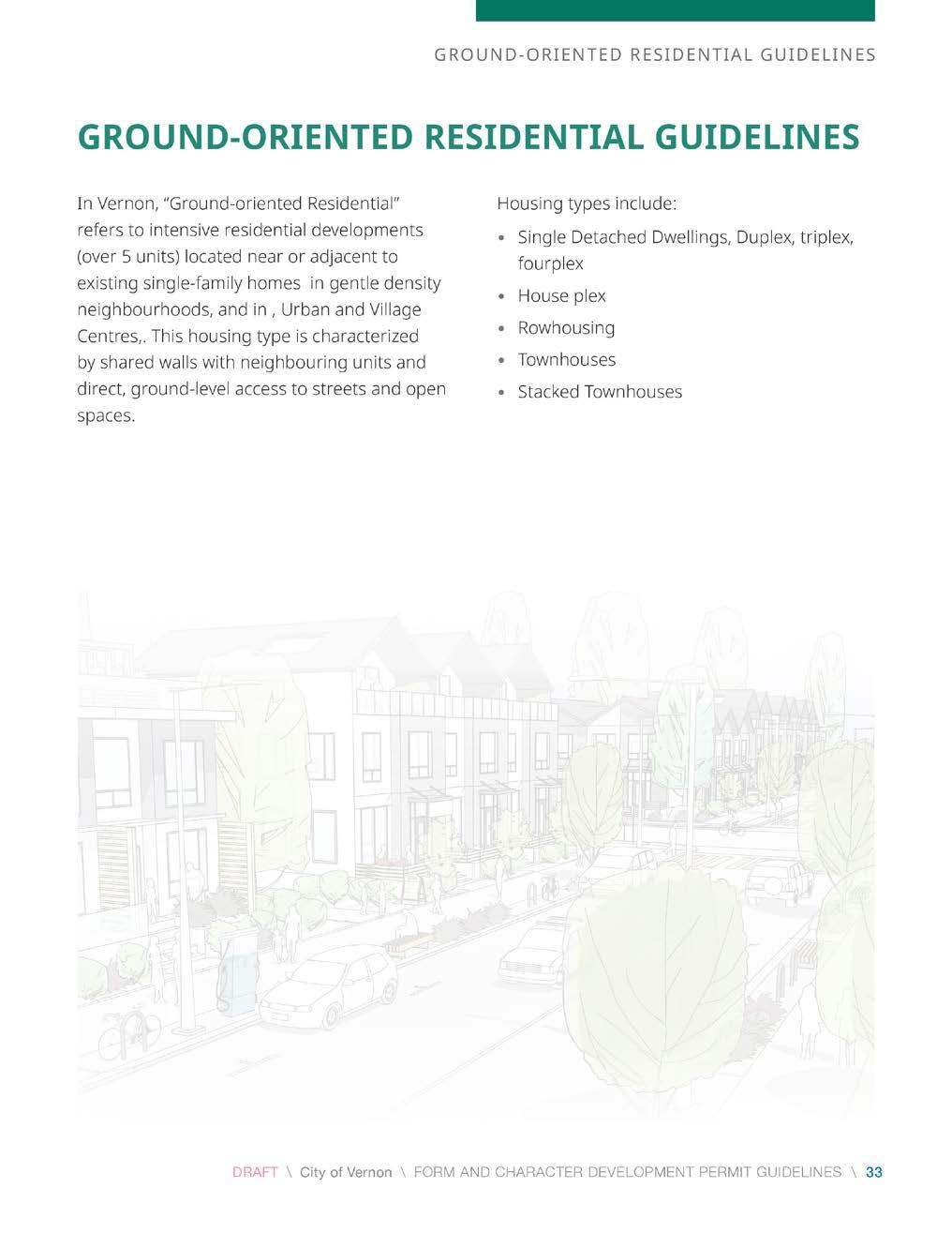
Each section includes:
• A guideline topic subheading (e.g. Site Design and Planning).
• A design intent statement that states the goal of the guidelines.
• The guidelines that outline strategies for achieving the design intent.
• Supportive illustrations and photos that demonstrate guideline concepts.
Section Title / Building Typology
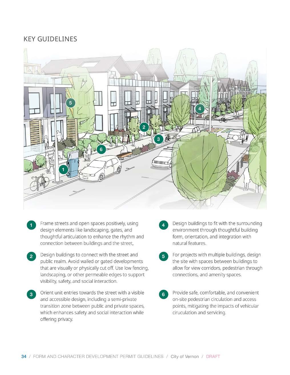
Feature Image
Demonstrating the key guidelines. Key Guidelines
The key design outcomes that projects should achieve.
Urban design is the thoughtful planning and design of suburbs, towns, and cities at various scales — from the macro scale (such as urban structure, land use, and infrastructure) to the micro scale (including architectural character, landscaping, and lighting). Successful urban design is defined by the relationship between public and private spaces and how well new development integrates with the existing community, planned future community, and natural environment. Creating pedestrianfriendly, human-scaled streets, buildings, and public spaces is essential for fostering a functional, attractive, and vibrant community.
The Core Design Principles below apply to all development projects in Vernon.
Design public and semi-public spaces to promote social interaction, accessibility, and community connection. Prioritize features like pedestrian-friendly frontages and visual distinction between buildings to support all-age environments and placemaking.
Ensure developments allow for affordability by minimizing costly architectural requirements. Avoid unnecessary building features that add complexity without enhancing livability.
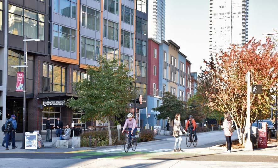
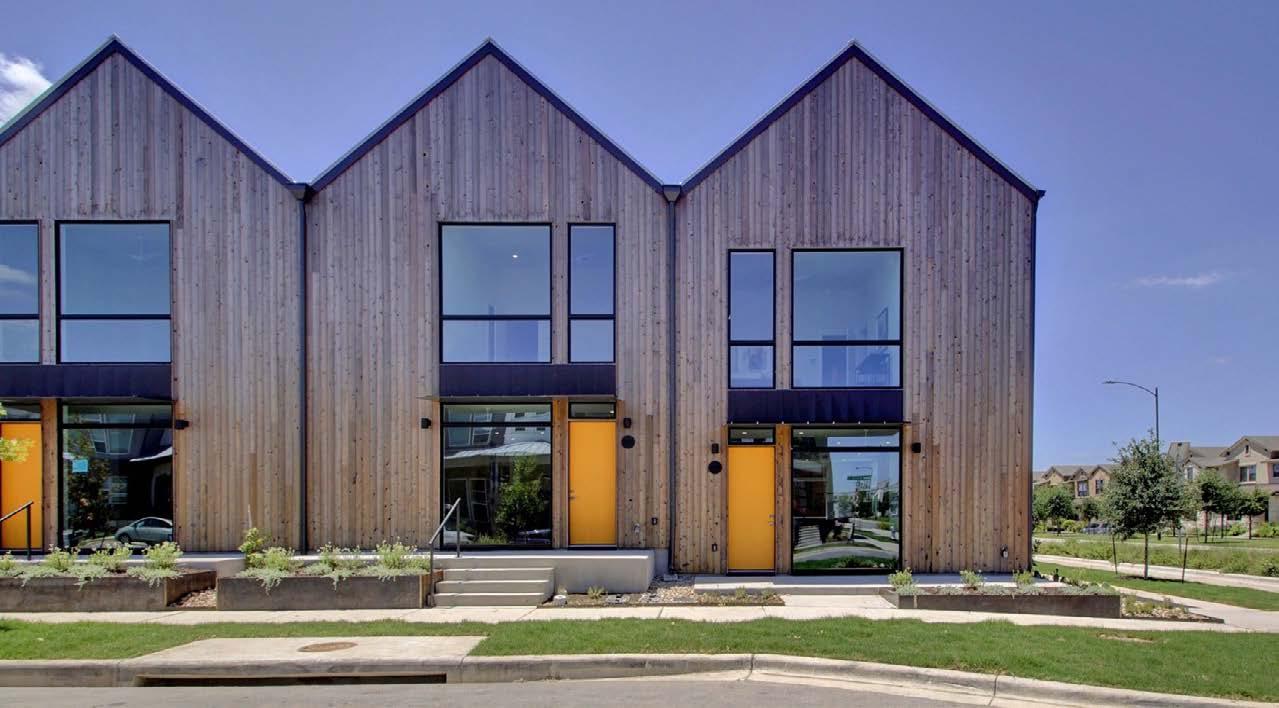
Protect site-specific ecological assets such as wetlands, rock outcrops, and mature trees. Design buildings to respond to natural topography, respecting existing grade and landscape character.
Incorporate high-performance building practices, emphasize nature-based stormwater and landscape solutions, and utilize native species. Focus on environments for people and reduce the dominance of surface parking.
Design sites and circulation patterns to enhance pedestrian experience and safety. Limit vehicle access from primary roads, favouring laneways or secondary streets, and integrate clear, connected pedestrian pathways on site.
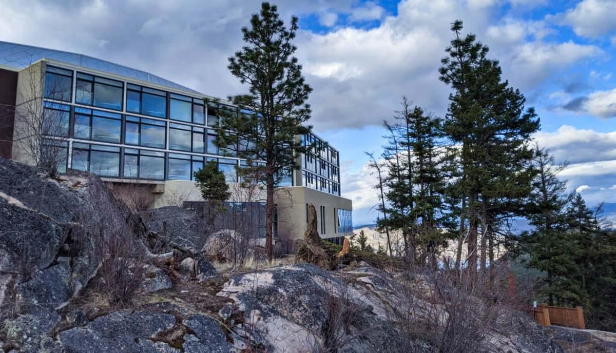
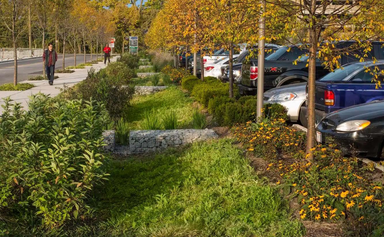
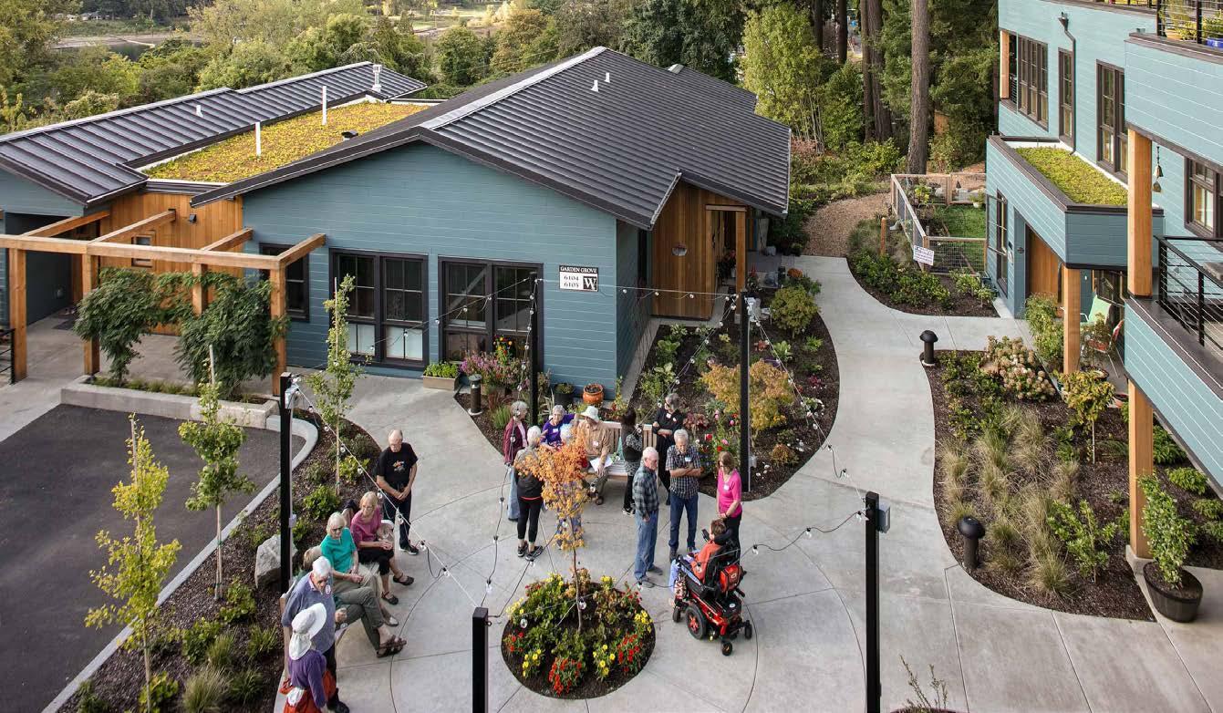
The General Guidelines capture the key design strategies and elements that should be addressed in all new residential and mixeduse projects in Vernon. They are premised on achieving the objective in Section 1, Core Design Principles in Section 2, and establishing the basis for the more detailed typologyspecific guidelines in Sections 4 to 6.
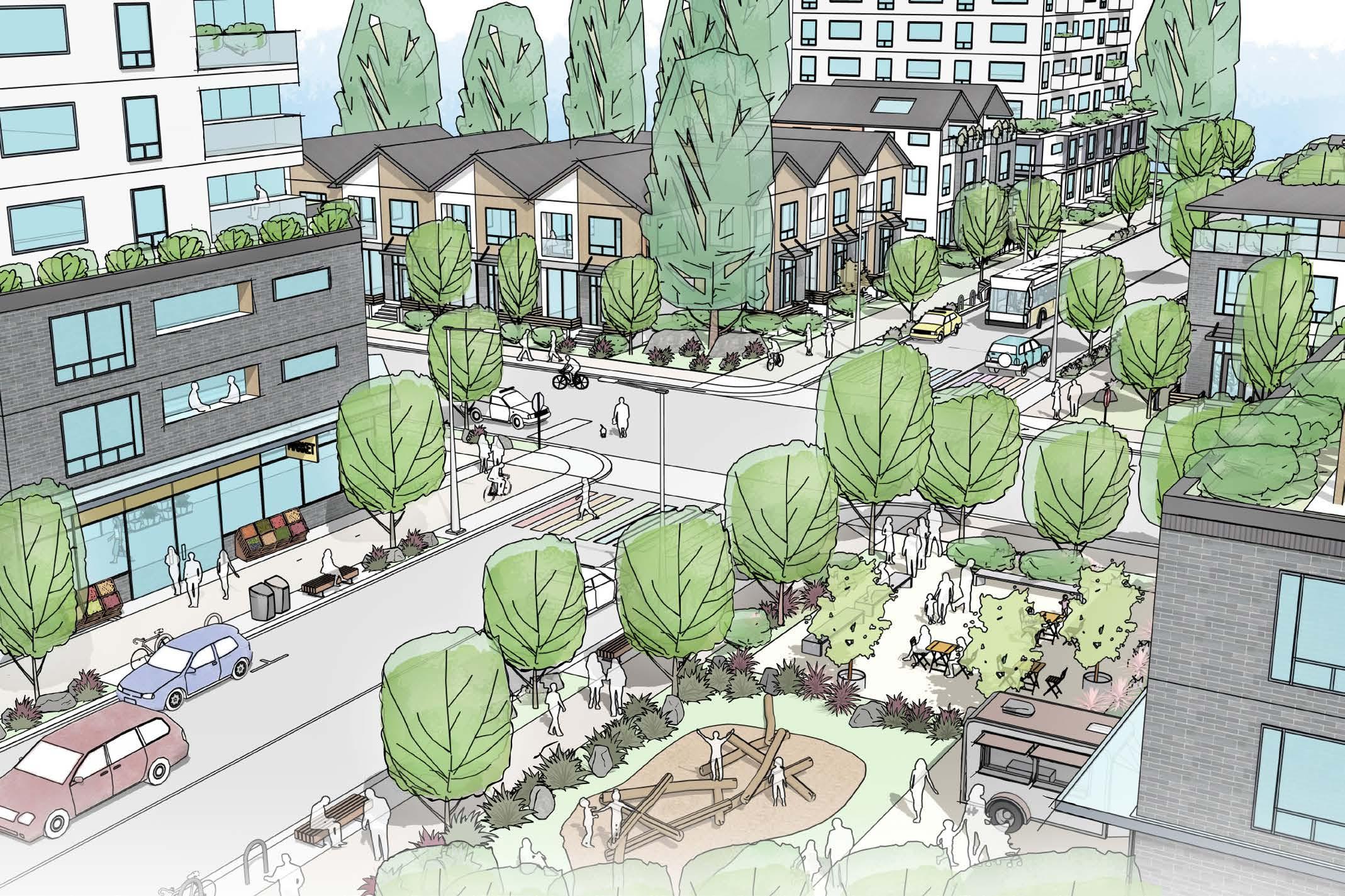
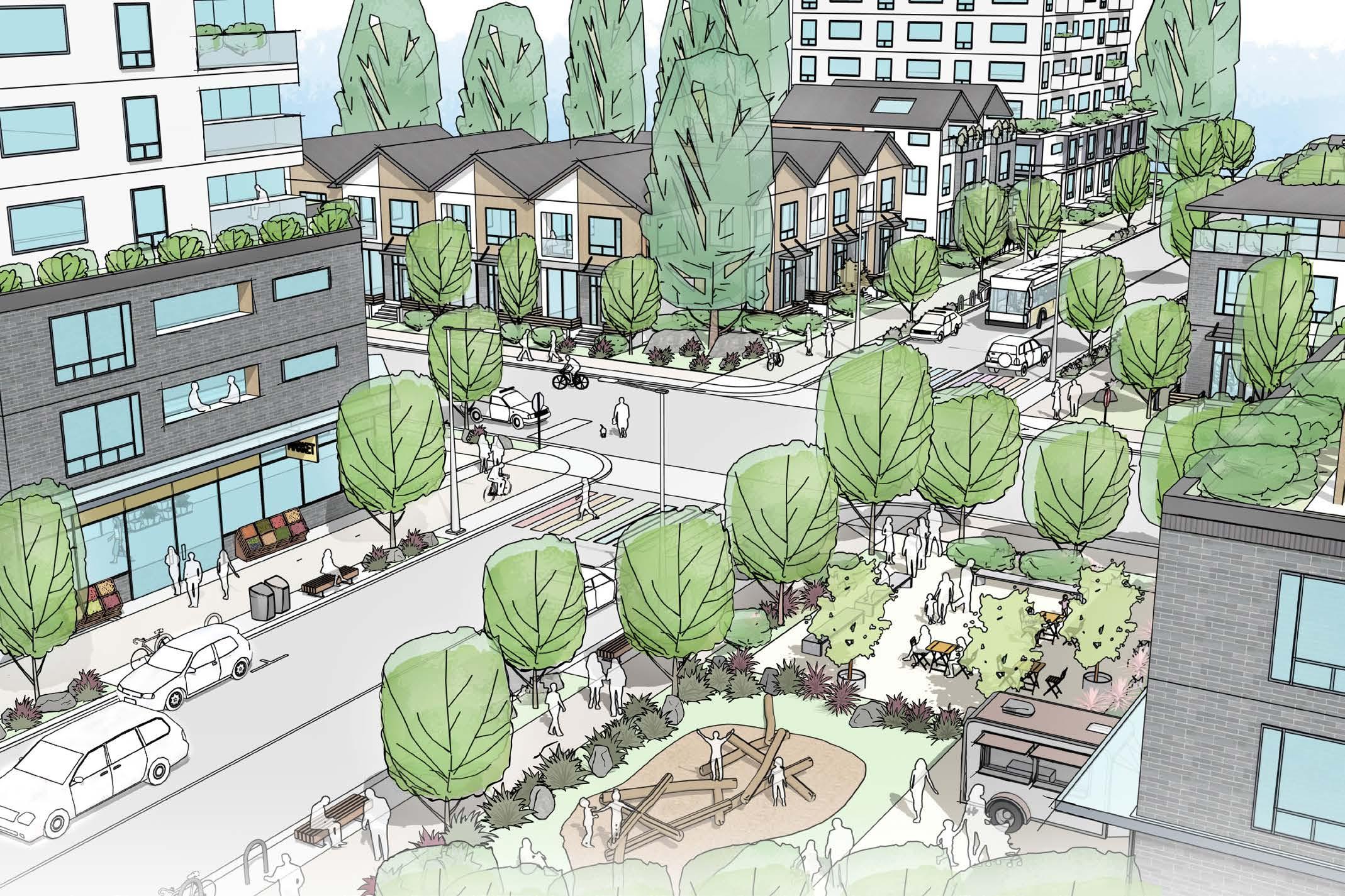
1 Create active, engaging street frontages by orienting buildings, windows, entrances, and street-level uses toward the street, minimizing the distance between building and sidewalk (or property line), balancing privacy with social interaction and connection.
2 Design open spaces to be attractive, engaging, and functional to their intended use, incorporating features such as high quality and drought tolerant plantings, gathering areas, and play features.
3 Use cohesive building design and durable materials to enhance livability, reflect local character, and create a strong sense of identity. Incorporate unique and colourful elements to aid in wayfinding on site and across neighbourhoods.
4 Focus on pedestrian comfort, safety, and aesthetics while integrating access and parking in a way that supports a peoplefriendly environment.
5 Preserve and highlight natural features like trees, slopes, creeks, ravines, wetlands, and rock outcrops.
6 Design sites to retain and treat stormwater on site using green infrastructure practices such as rain gardens, bioswales, and permeable paving.
3.1.1 Site Planning
Design Intent
Site buildings to respond sensitively to topography and environmental features, enhance privacy, livability, safety and accessibility, and increase connectivity to the surrounding open space network.
Guidelines
a. Site and design buildings to fit the natural and unique features of the site, protecting mature trees, rock outcrops, and other ecological areas, and make the most of irregular shapes, corners, views, and open spaces (see Figure 1)
b. Site outdoor spaces to provide shelter from wind and weather and to let in sunlight throughout the year while considering shade structures or trees for extreme heat.
c. Apply Crime Prevention Through Environmental Design (CPTED) principles to enhance public safety (see Figure 2)
i. Design outdoor areas so people can see and be seen, day or night.
ii. Use fences, landscaping, and design cues to show where private property begins and public space ends.
iii. Place windows, doors, and balconies so they look onto streets or walkways, helping people naturally watch over the area.
iv. Design sites so there are no hidden corners, dead ends, or empty spots that feel unsafe or attract problems.
v. Keep landscaping, lighting, and buildings in good condition to show that spaces are cared for and monitored.
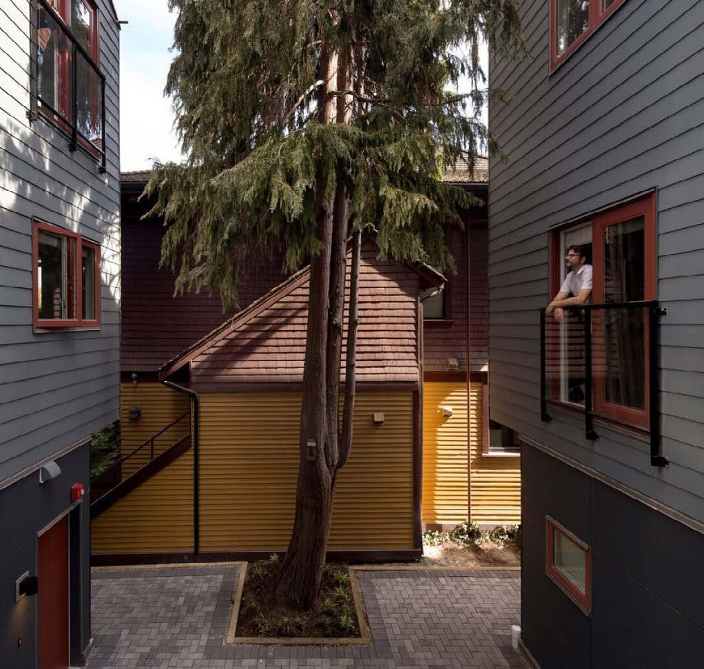
d. For development adjacent to the rail corridor, incorporate site planning and design strategies to mitigate nuisances such as vibration, noise, and dust. Strategies may include appropriate fencing, acoustic barriers, enhanced insulation, window specifications, and other mitigation measures.
e. Design buildings to adapt to up-slope and down-slope conditions relative to the street by (see Figure 3):
i. Stepping structures along the slope and locating entrances at each step, where possible.
ii. Using landscaped terracing to create functional open spaces.
iii. Incorporating under-building parking and screening service areas within the slope.
iv. Positioning buildings to maximize key views.
v. Minimizing large retaining walls and integrating terraced landscaping when necessary.
vi. Avoiding significant grade alterations.
vii.Using foundations of buildings for retaining slopes.
f. Design internal streets, sidewalks, and pathways to connect seamlessly with existing and planned transit, bicycle, and pedestrian networks (see Figure 4)
i. Include mid-block connections with ground-floor shops and services to offer weather protection and pedestrian comfort.
ii. Integrate low-maintenance traffic calming measures, such as parking bays, curb extensions, textured surfaces, and raised crosswalks.
g. Apply universal accessibility principles to key areas, including building entrances, sidewalks, plazas, mid-block connections, lanes, and courtyards, using appropriate materials, ramps, stairs, wayfinding, and lighting.
street.
Figure 4: Design internal streets, sidewalks, and pathways to connect seamlessly with existing and planned transit, bicycle, and pedestrian networks.
Site and design buildings to enhance and activate streets and public open spaces.
Guidelines
a. Orient primary building facades and main entrances toward the street or open space to define the street edge, encourage activity, and ensure direct sightlines from the street (see Figure 5)
b. Encourage frequent commercial storefronts in mixed-use buildings to create visual interest for pedestrians.
c. Provide well defined main residential entrances to assist with wayfinding through architectural treatment, colour, or unique signage.
d. On corner lots, design buildings to face and activate both streets, with consistent facade treatment and entrances that engage each frontage (see Figure 6).
5: Orient primary building facades and main entrances toward the street or open space to define the street edge, encourage activity, and ensure direct sightlines from the street.
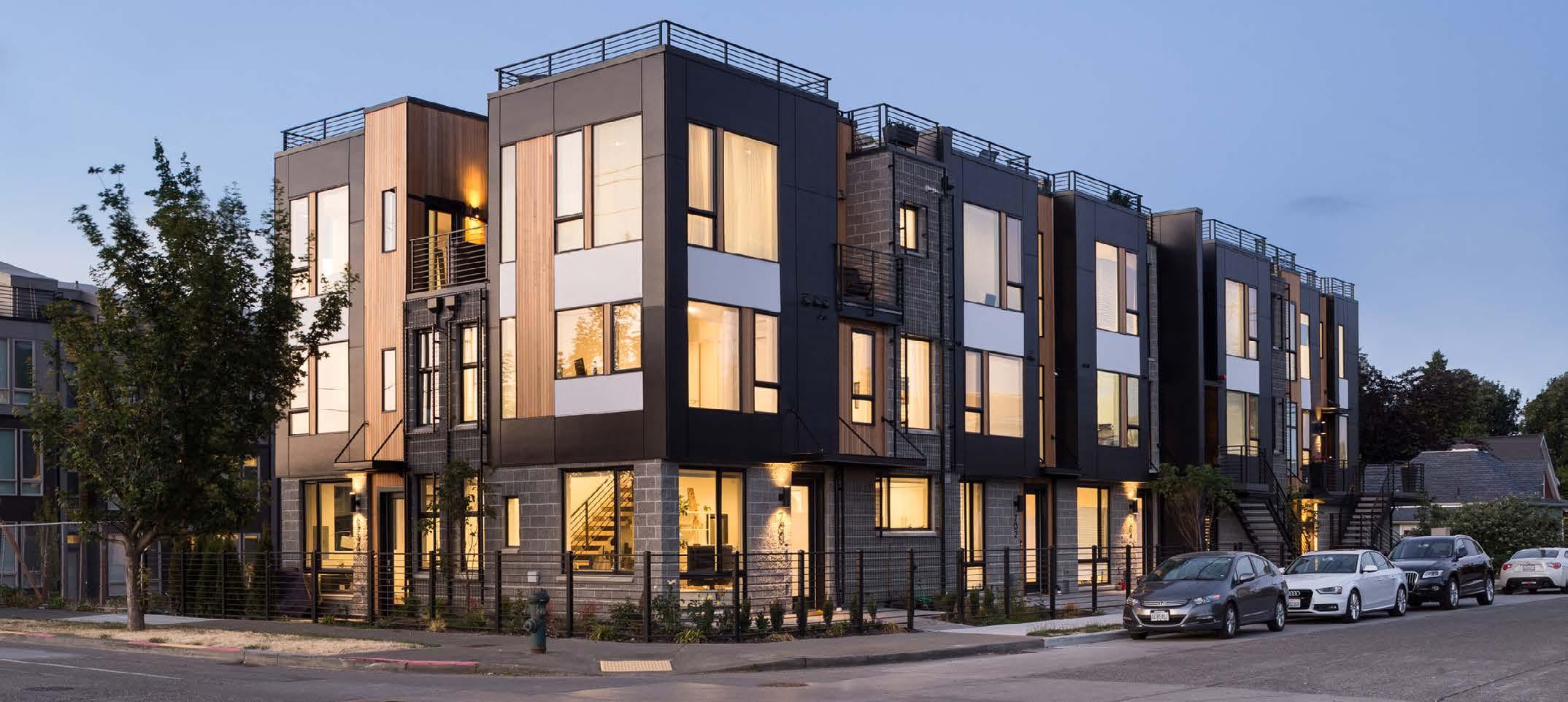
Figure 6: On corner lots, design buildings to face and activate both streets, with consistent facade treatment and entrances that engage each frontage.
e. Minimize the distance between the building and the sidewalks (or property line) and maintain a consistent street wall height that is generally two to three storeys to reinforce street definition, and create an inviting atmosphere and a sense of enclosure for pedestrians (see Figure 7)
f. Locate windows, balconies, and street-level uses to create active frontages and natural surveillance with additional glazing and articulation on primary building facades.
i. Avoid sliding patio doors as the main entrance of a dwelling unit.
g. Design all street- and public-facing facades to include windows, articulation, or other architectural features that provide visual interest and natural surveillance. Avoid blank or inactive walls that diminish the pedestrian experience.
h. Use building setbacks and frontage changes to create sunny, sheltered spaces that feel comfortable for walking, sitting, and outdoor uses year-round.
i. Ensure commercial entrances connect smoothly to the sidewalk, with level access that works year-round and stays safe in snow and ice.
Ensure buildings complement the existing neighbourhood and provide a context-sensitive transition in scale to existing and future buildings, parks, and open spaces.
Guidelines
a. Transition building heights gradually from taller to shorter structures within and around the site, considering future land use directions and policies (see Figure 8)
i. Place taller buildings on the north side of streets to prevent excessive shadowing on sidewalks, patios, and outdoor areas.
ii. Vary building heights along the block to help lower ground-level wind speeds.
b. Arrange buildings and outdoor spaces to maximize sun exposure while considering shade or trees for extreme heat.
c. Design buildings to create a consistent rhythm along the street, using techniques like recessed entries, balconies, material changes, and slight facade projections or recesses.
i. Reduce the perceived mass of large buildings by incorporating visual breaks in facades.
d. Step back upper storeys and arrange building massing to (see Figure 9)
i. Minimize shadowing on adjacent buildings, sidewalks, plazas, and open spaces.
ii. Maximize sunlight for outdoor spaces of ground-floor units and street trees.
iii. Create a pedestrian-scaled street wall and massing.
8: Transition building heights gradually from taller to shorter structures within and around the site, considering future land use directions and policies.
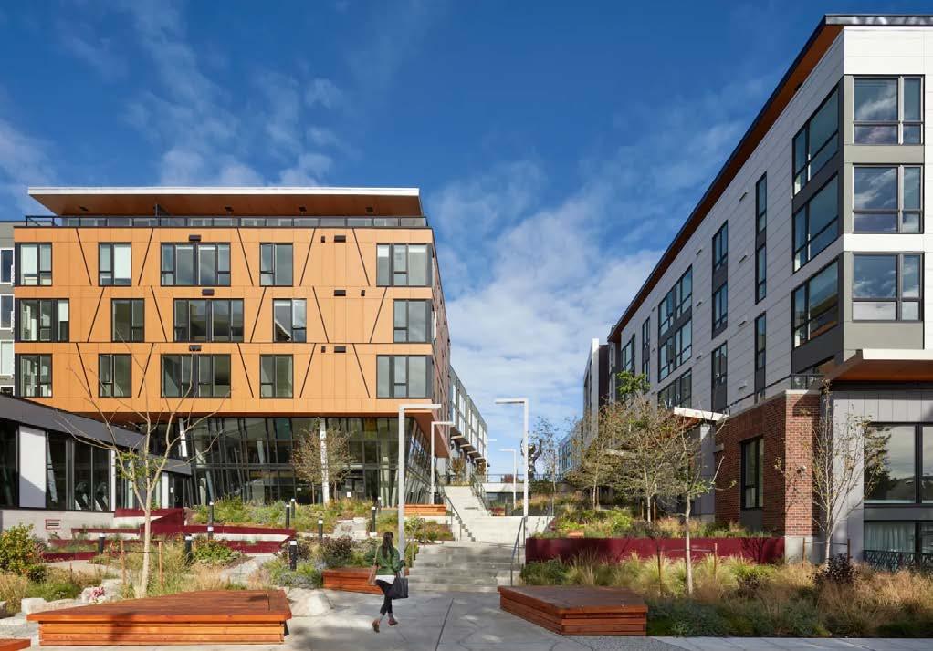
Design Intent
Enhance livability, visual interest, identity, wayfinding, and sense of place through thoughtful building form, architectural composition, and material selection.
Guidelines
a. Create a unified architectural concept that incorporates variations in facade treatments while considering the impact of massing and articulation on energy performance (see Section 3.2). Strategies may include (see Figure 10):
i. Articulating facades by stepping back or extending portions to create intervals or breaks.
ii. Repeating window patterns on each stepped-back or extended section.
iii. Adding elements like porches, patios, decks, covered entries, balconies, or bay windows to each interval.
iv. Varying the roofline with dormers, stepped roofs, gables, or other elements to reinforce each interval.
v. Using colour to provide accents and distinction for building elements and to assist with wayfinding.
b. Design buildings to ensure adequate visual privacy for adjacent residential properties by positioning windows and balconies to minimize direct sightlines into neighbouring units and provide protection from light trespass and noise.
c. Design buildings so that they create human scale and interest and ensure their form and architectural style reflect their internal function and use.
Figure 10: Create a unified architectural concept that incorporates variations in facade treatments.
Materials
d. Incorporate high quality, natural materials like wood, stone, and masonry into building facades, while maintaining FireSmart principles (see Figure 11)
i. Where possible, use materials that complement and harmonize with the colours and tones of the natural landscape, and use accent colours to provide distinction and assist with wayfinding.
ii. Highlight the natural beauty of timber by exposing structural elements such as beams, columns, and ceilings where possible.
iii. Consider using innovative, recyclable, renewable, or building materials that feature new technology for durability, longevity, and reduced environmental impact.
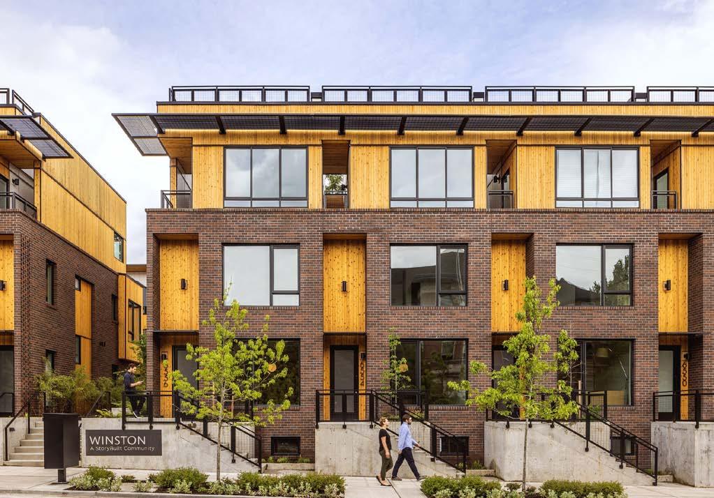
e. Provide continuous weather protection along building frontages wherever possible, including over main entrances, ramps, and stairs (e.g. canopies and arcades that shield from wind, snow, and ice). Weather protection may extend over the public sidewalk or project into a setback, provided it is in accordance with Zoning Bylaw regulations. (see Figure 12)
f. Design roofs to safely handle snow and ice by preventing buildup over entrances and pathways, maximizing sunlight into buildings and outdoor areas, and using durable materials like metal roofing with snow guards to manage shedding.
g. Incorporate barrier-free design principles, considering seasonal conditions like snow or ice accumulation.
Figure 12: Provide continuous weather protection along building frontages wherever possible.
h. Use pedestrian-oriented signage such as projecting signs, awning or canopy signs, and window signs (see Figure 13)
i. Design signage to support building identity and improve wayfinding by:
i. Illuminating signage after sunset and adjust brightness as the sky darkens.
ii. Using clear fonts and contrasting colours to enhance visibility and visual appeal.
iii. Limiting the number, size, and placement of signs to reduce visual clutter and improve visibility
iv. Creating a comprehensive sign plan for buildings with multiple uses or tenants to create architectural cohesion.
j. Design signage for home-based businesses and neighbourhood commercial uses to match the residential character in size, scale, and placement, with minimal lighting.
k. Align signage on heritage buildings with the architectural style and detailing of the building (see Figure 13).
l. Place commercial signage at street level to complement the streetscape and avoid upper-storey placement.
m. Avoid large freestanding signs (or multiple), rooftop signs, inflatable signs, LED signs, flashing signs, moving signs, and audible signs.
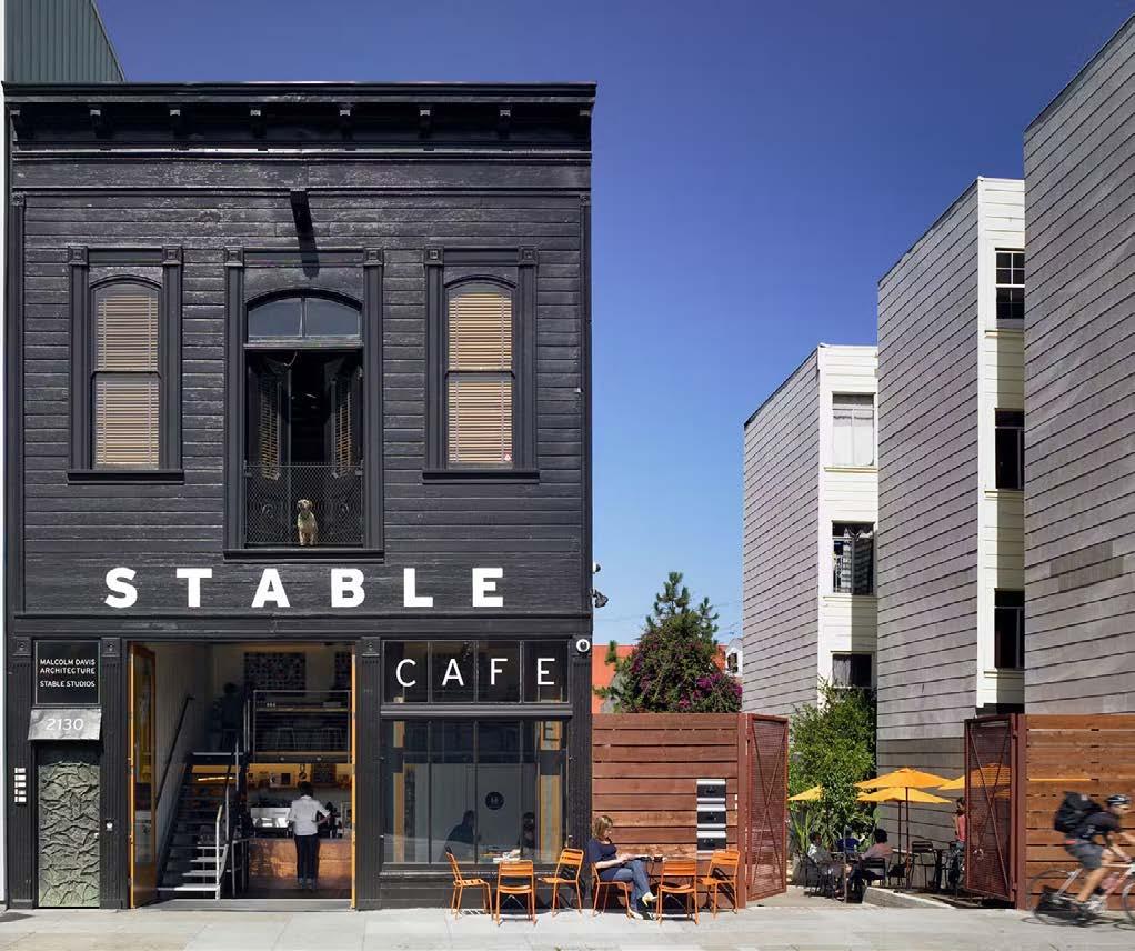
13: Use pedestrian-oriented signage and align signage on heritage buildings with the architectural style and detailing of the building.
n. Encourage retention and revitalization of heritage buildings by (see Figure 14):
i. Encouraging adaptive reuse of heritage buildings into community uses, multifamily, commercial, or mixed-use projects.
ii. Incorporating existing historical facades into new developments.
iii. Where heritage preservation or revitalization is not possible, incorporating materials or character elements from the original heritage building into the new development.
o. Encourage adding residential density on underutilized areas of properties with existing heritage buildings that is designed to be (see Figure 15):
i. Contemporary: Reflecting the design themes of today, rather than mimicking fake heritage with modern materials.
ii. Complementary: Incorporating the heritage character of the property by designing complementary building elements such as matching roof pitches, similar window designs and fenestration, similar material and colour selection.
iii. Subordinate: The new build should be subordinate to the existing heritage building in terms of scale, massing, and height.
p. Development on properties with heritage buildings should consider and follow the Standards and Guidelines for the Conservation of Historic Places in Canada
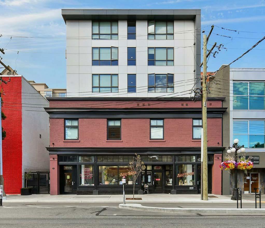
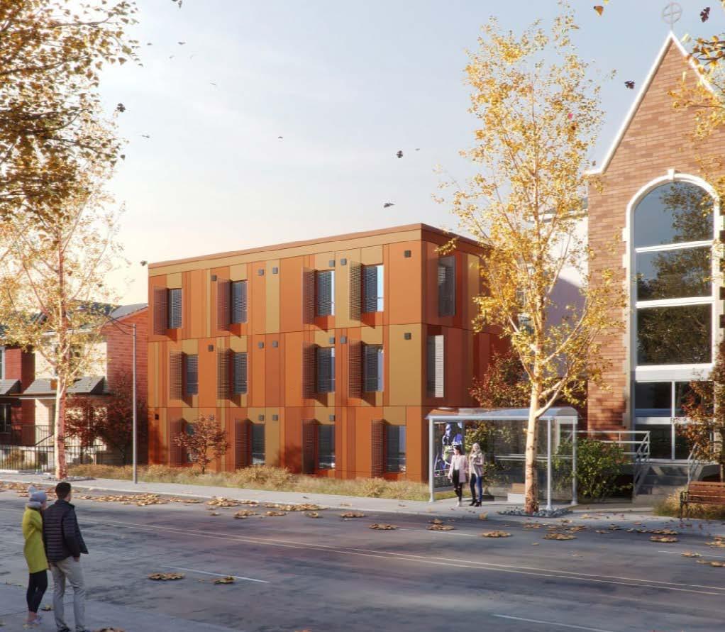
15:
adding residential density on underutilized areas of properties with existing heritage buildings.
Design Intent
Ensure adequate servicing, vehicle access, and parking while minimizing negative impacts on the comfort, safety, and aesthetic quality of the public realm
Guidelines
Site Servicing
a. Locate ‘back-of-house’ functions (such as loading areas, garbage collection, utilities, and parking access) away from public view, accessed through a secondary street, and separate from pedestrian circulation routes (see Figure 16)
b. Integrate mechanical equipment, vents, and service areas (e.g. garbage and recycling collection) into the building design, and screen these areas with durable, high quality finishes that complement the building’s architectural style.
i. Clearly identify utility areas and padmounted transformers during the development permit stage.
c. Place mechanical equipment, such as outdoor heat pump units, air conditioners, vents, and service areas, to minimize impacts on nearby residential buildings, avoiding placement near windows, doors, or outdoor living spaces.
d. Design sites to safely and efficiently manage snow storage, meltwater, and winter maintenance while supporting walkability, aesthetics, and site circulation.
e. Ensure snow storage does not compromise site drainage or safety, while directing meltwater away from entrances and pedestrian areas.
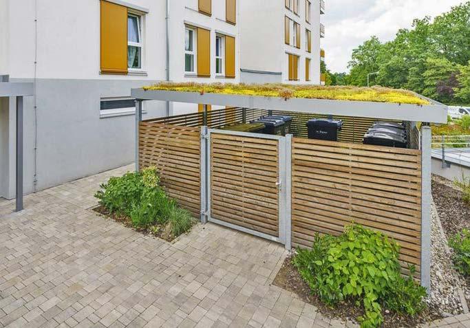
16: Locate ‘back-of-house’ functions (such as loading areas, garbage collection, utilities, and parking access) away from public view and separate from pedestrian circulation routes.
Vehicle Parking
f. Avoid placing off-street parking between a building’s front facade and the fronting public street (see Figure 17)
g. In general, prioritize off-street parking in the following order of preference:
i. Underground parking.
ii. Parking on a half-storey, where it can be integrated without negatively affecting the street frontage (see Figure 18)
iii. Above grade structured parking that is integrated into the building and wrapped with active uses such as commercial units or townhouses.
iv. Surface parking at the rear of the site that is, wherever possible, integrated into the building and accessed from a secondary street.
h. Wrap parking structures with active frontages, incorporating architectural detailing, glazing, or ground-floor uses to avoid blank walls facing the street. Ensure parking frontages contribute to a safe and visually engaging public realm (see Figure 18).
i. When publicly visible parking is necessary, use screening strategies such as (see Figure 19):
i. Landscaping and tree planting.
ii. Trellises.
iii. Grillwork with climbing vines.
iv. Other attractive, visually permeable screening options.
v. A buffer or setback to separate parking from adjacent residential uses.
j. Minimize the negative impact of parking ramps and entrances by incorporating enclosures, screening, high quality finishes, sensitive lighting, and landscaping.
k. Where required, locate accessible parking spaces within 30 m of a main entrance along a barrier-free path.
l. For larger surface parking lots, incorporate green parking lot best practices, such as permeable surfacing, substantial tree cover and plantings (e.g. four to six trees per parking stall), landscaped islands, and landscape-based stormwater management (e.g. raingardens, swales) (see Figure 20)
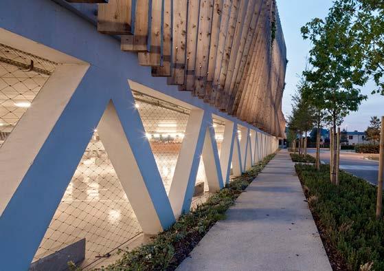
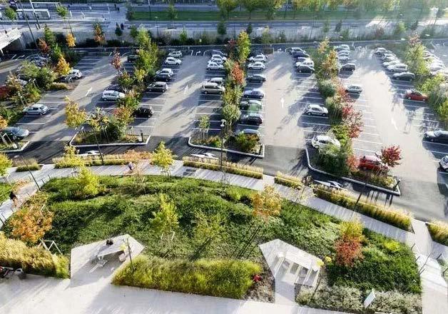
m. Provide bicycle parking in accessible onsite locations, including covered short-term parking and secure long-term parking.
n. For short-term bicycle parking:
i. Locate parking near the main entrances for convenience and visibility (see Figure 21)
ii. Place bike parking in well-lit, covered, visible areas to deter theft and increase safety.
iii. Provide clear signage to help people find bike parking easily.
iv. Keep bike parking out of walkways by installing racks parallel to the building or walkway and ensure it blends with the site design while allowing for future expansion.
v. Use secure, easy-to-use racks that support the bike frame (e.g. inverted U or circle bike rack) and accommodate a variety of bicycle types (e.g. cargo bikes).
vi. Discourage the use of the loop wave style of bicycle rack.
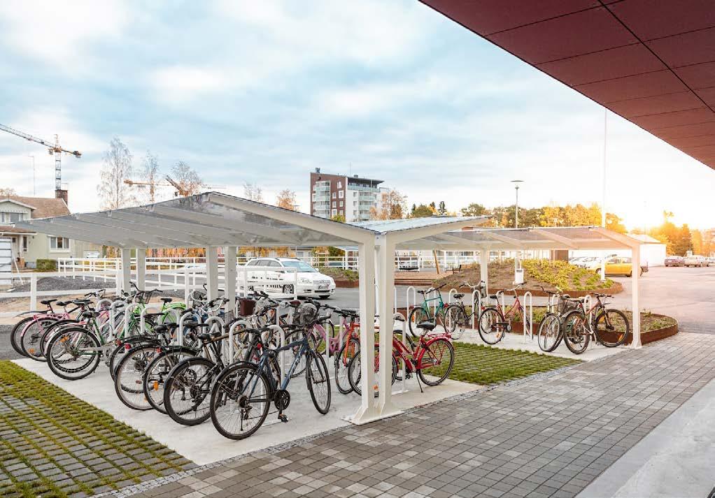
o. For long-term bicycle parking:
i. Locate parking in a secure, weatherprotected area such as a locked room or locker with controlled access or surveillance, within one level of grade (see Figure 22)
ii. Ensure bike parking areas are easy to access without stairs or tight spaces.
iii. Balance space-efficient systems like double stacker racks with single racks or staggered wall mounted racks.
p. For additional guidance on bicycle parking, refer to the BC Active Transportation Design Guide
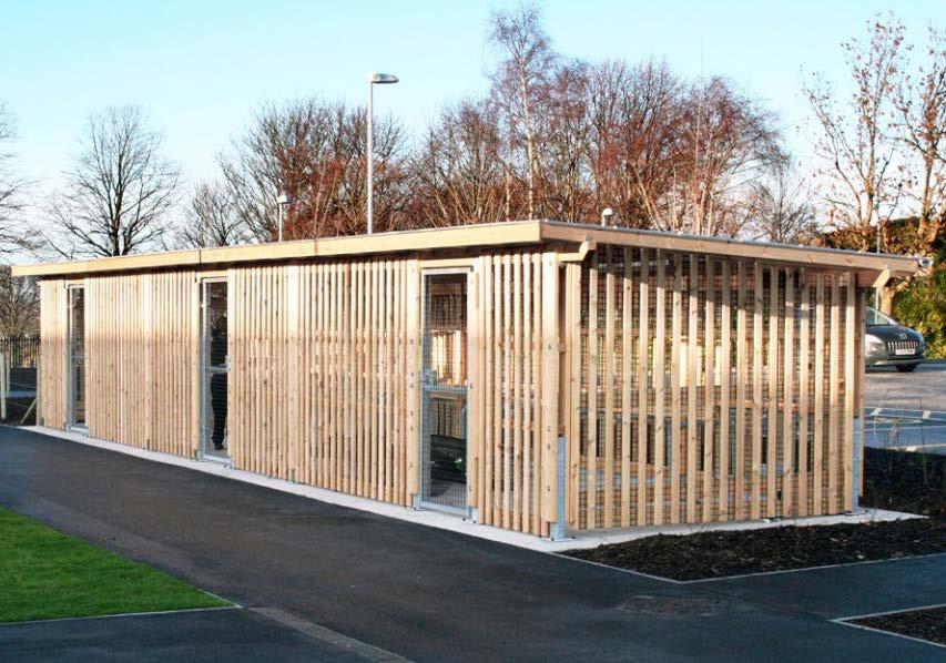
Design Intent
Design internal streets, driveways, amenity areas, and open spaces to enhance visual interest, comfort, and safety for pedestrians, while also contributing positively to the urban tree canopy, urban ecology, habitat, and stormwater management.
Guidelines
General Landscape Planning
a. Design on-site open spaces to be attractive, engaging, and functional, using high quality, durable, and contemporary materials, colours, lighting, furniture, and signage (see Figure 23)
b. Create multi-functional landscape elements, such as planting areas that capture and filter stormwater or interactive landscape features.
i. Incorporate permeable surfaces near roadways to naturally filter snowmelt and heavy rain.
c. Use landscaping to create privacy buffers and define private, semi-private, shared, and public outdoor spaces (see Figure 24).
d. Locate and design underground parkades, infrastructure, and services to maximize soil volumes for in-ground plantings.
e. Position trees, shrubs, and other landscaping to maintain sightlines and prevent blocking of circulation routes and hydro lines as they mature.
f. Ensure site planning supports favourable microclimate outcomes through strategies like:
i. Locating outdoor spaces to maximize sunlight year-round.
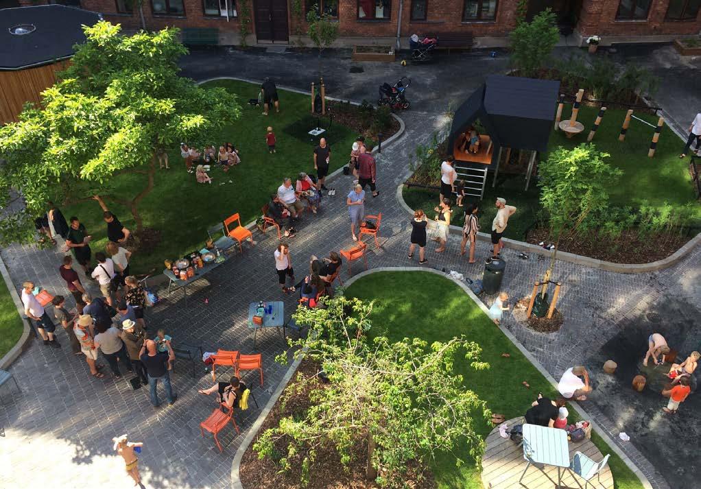
23: Design on-site open spaces to be attractive, engaging, and functional, using high quality, durable, and contemporary materials, colours, lighting, furniture, and signage.
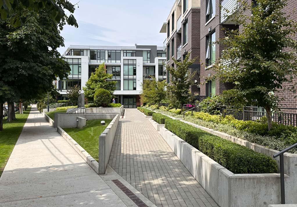
ii. Using materials and colours that reduce heat absorption.
iii. Planting both evergreen and deciduous trees to balance summer shading and winter solar access.
iv. Using building mass, trees, and planting to buffer the wind.
v. Using shade structures for amenity areas to provide respite from heat.
Residential Private and Common Outdoor Spaces
g. Ensure all residential units have easy access to usable semi-private or private outdoor amenity spaces.
h. Design shared outdoor spaces to be flexible and inviting, with landscaping, seating, and features like play areas or gardens that support both everyday use and community gathering.
i. Design ground-oriented private outdoor amenity spaces to be:
i. Usable, with direct access from the unit, and sunlit.
ii. Equipped with railings or low-height fencing to provide distinction between public and private space while encouraging a positive interaction with the street.
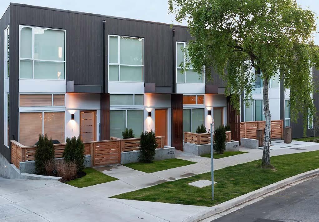
iii. Landscaped to soften the interface with the street or open spaces.
j. Design ground-oriented residential front patios to (see Figure 25):
i. Provide an entrance to the unit.
ii. Be flush with the public sidewalk wherever possible. Where a raised condition is necessary, the height should be no more than 1.2 m above grade when adjacent to a public street, creating a semi-private transition zone while accommodating accessible units.
k. Design private rooftop patios to (see Figure 26):
i. Minimize direct sightlines into neighbouring units.
ii. Include shade and weather protection to support year-round use.
iii. Reduce visual scale and impact by setting access back from the building envelope and primary facades.
iv. Incorporate shared access wherever possible.
l. Design shared rooftop amenity spaces to be accessible to residents, ensuring a balance of amenity and privacy by:
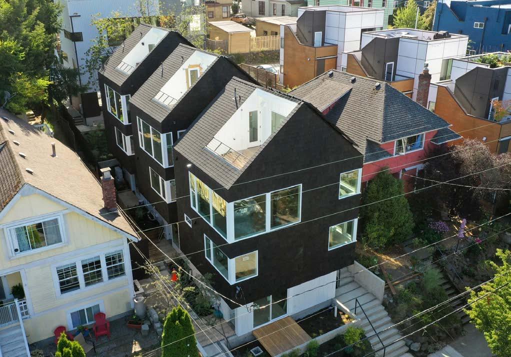
i. Limiting sightlines from residential units overlooking outdoor amenity spaces through the use of pergolas or covered areas where privacy is desired.
ii. Controlling sightlines from the outdoor amenity space into adjacent or nearby residential units by using fencing, landscaping, or architectural screening.
m. Design internal roadways to serve as additional shared space (e.g. vehicle access, pedestrian and bicycle access, open space) using strategies such as (see Figure 27):
i. High quality pavement materials (e.g. permeable pavers).
ii. Usable spaces for sitting, gathering and playing.
iii. On-site pedestrian circulation that is distinct, identified through paving pattern, from car circulation.
n. Design internal courtyards to (see Figure 28):
i. Include amenities such as play areas, barbecues, communal gardens, dog runs, and seating where appropriate.
ii. Provide a balance of hardscape and softscape areas to meet the needs of surrounding residents and other users.
iii. Be easily accessible for all residents of the development.
iv. Consider CPTED principles, with doors and windows oriented toward the courtyard to promote natural surveillance and safety.
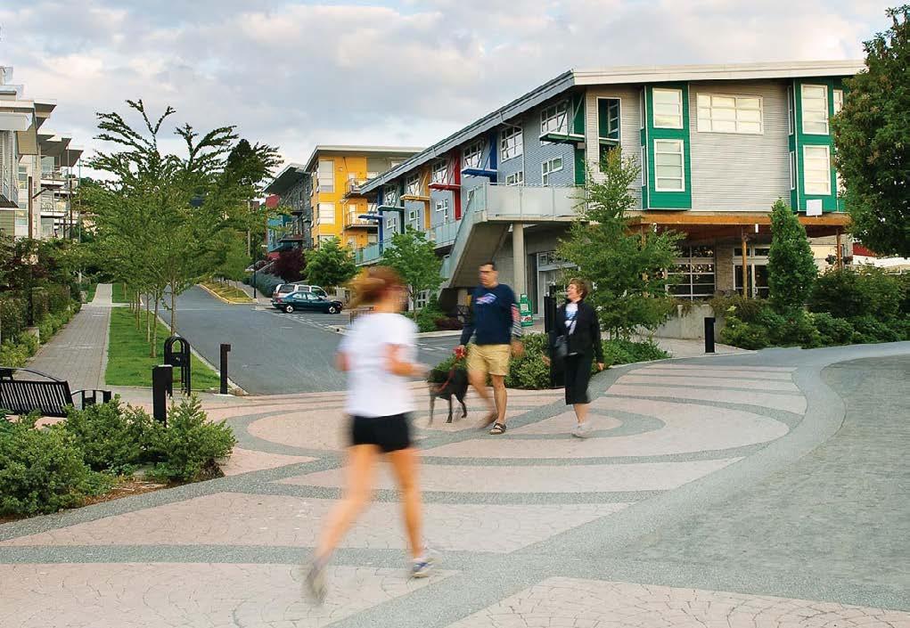
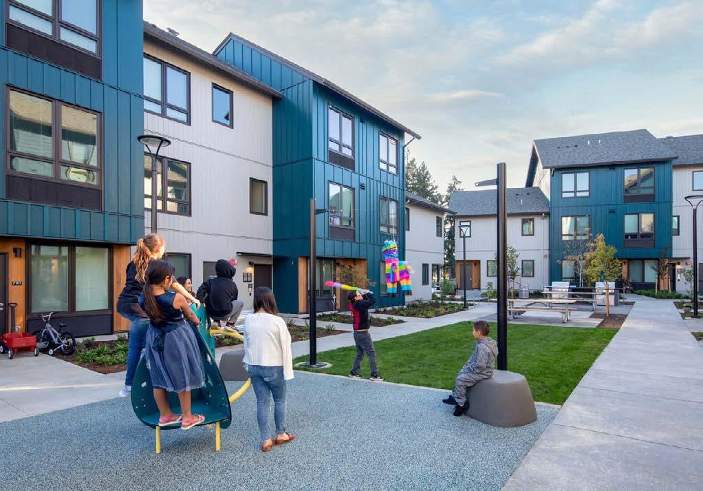
o. Integrate publicly accessible private spaces (e.g. private courtyards open to the public) with public open spaces to create seamless, continuous areas.
p. Design public plazas and urban parks to:
i. Be located along a street frontage.
ii. Include active uses at the ground level of the building facing the plaza or urban park.
iii. Be located in sunny, south-facing areas with considerations for shade structures or trees for heat protection.
q. Use landscaping materials that soften development and enhance the public realm (see Figure 29)
r. Plant native and/or drought-tolerant trees and plants that are well-suited to the local climate.
i. Choose trees for long-term durability, climate and soil suitability, and compatibility with climatic conditions.
ii. Select FireSmart plantings in accordance with the FireSmart BC Fire-Resistant Plants Landscaping Hub
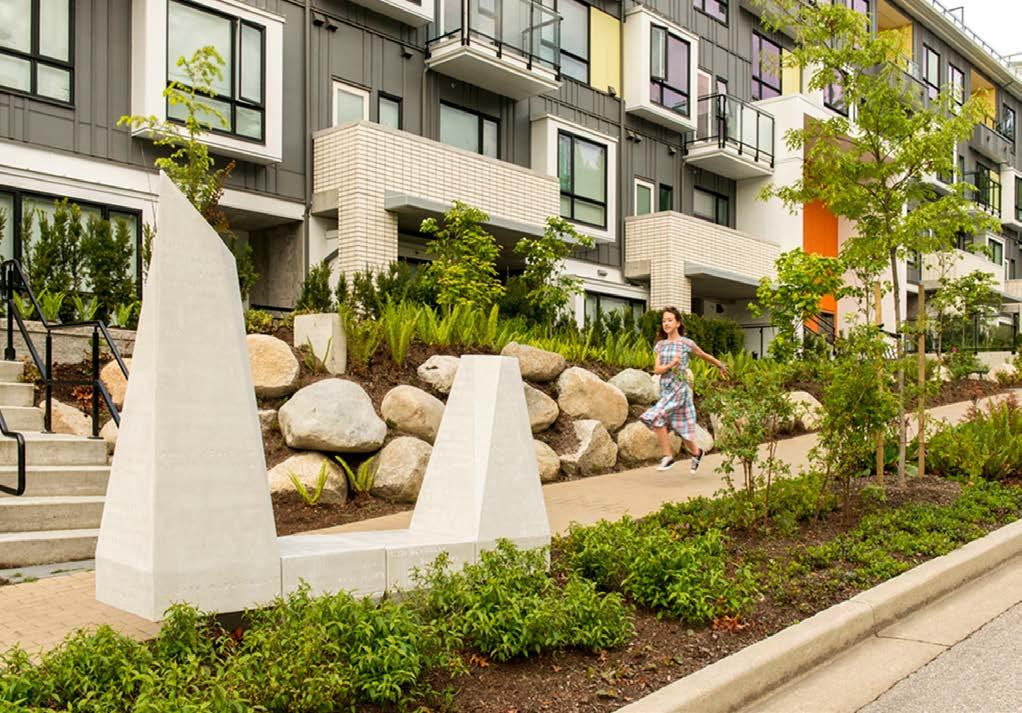
iii. Consider the use of soil cells to ensure trees have adequate soil volumes in areas with paving or tight spaces.
Stormwater Management & Water Usage
s. Design sites to retain and treat stormwater on-site using green infrastructure practices such as rain gardens, bioswales, and permeable paving.
t. Minimize water use for irrigation by incorporating strategies like:
i. Planting drought-tolerant tree and plant species that are resilient to future climate projections and enhance ecosystem services.
ii. Designing planting areas and tree pits to naturally capture rainwater and stormwater runoff.
iii. Reusing filtered stormwater to irrigate plants and trees.
u. Design parking areas to maximize rainwater infiltration using permeable materials, such as paving blocks, permeable concrete, driveway planting strips, and rain gardens (see Figure 30).
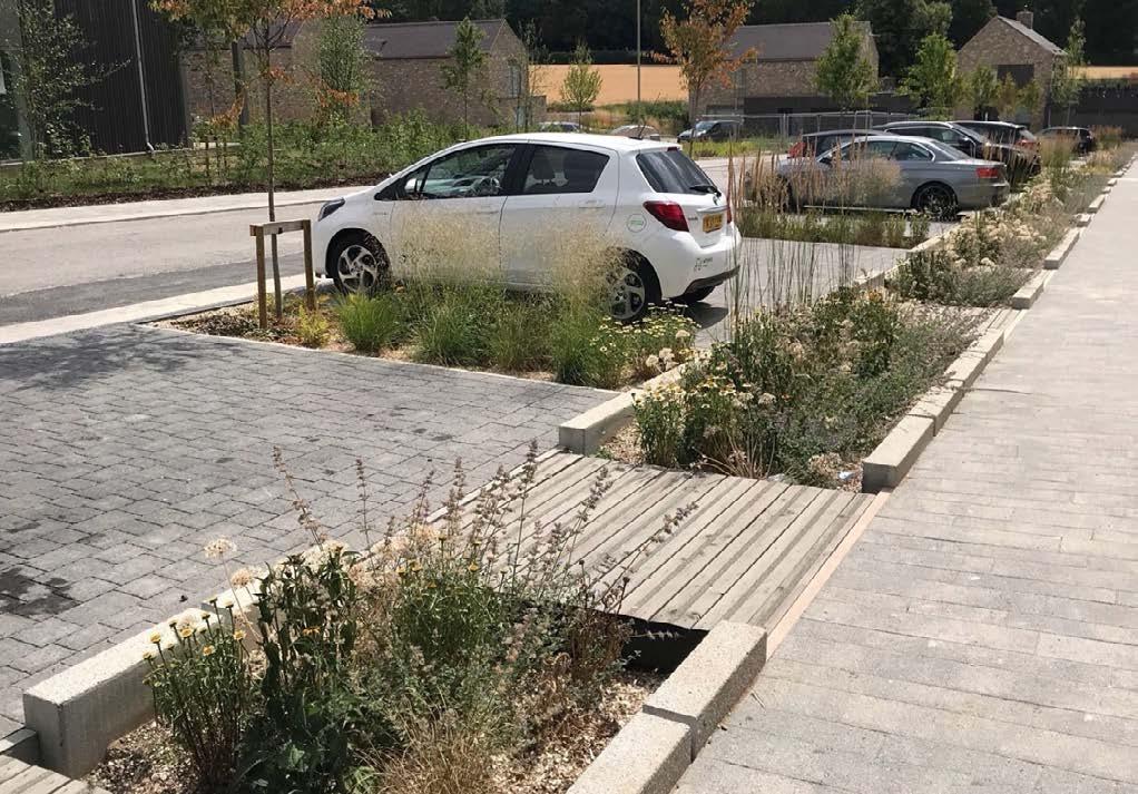
Lighting and Wayfinding
v. Use exterior lighting to enhance building and landscape design while:
i. Minimizing light spill onto adjacent properties.
ii. Using full cut-off fixtures to reduce light pollution (see Figure 31).
iii. Using warm-colour temperature lighting while maintaining illumination levels that meet safety and visibility standards.
w. Implement on-site wayfinding with attractive, appropriate signage for pedestrians, cyclists, and motorists, using a cohesive set of design elements.
x. Where applicable, integrate public art onsite to foster interest and activity.
y. Ensure adequate building setbacks and space to enhance the pedestrian experience and visibility of public art installations.
z. Place artwork in key pedestrian areas, such as courtyards, mid-block connections, lanes, and plazas (see Figure 32)
aa. Discourage the use of walls along public streets that negatively impact the public realm
ab. When fencing is proposed, use low-height, permeable materials (e.g. trellises, spaced wood or metal, chain link) to balance privacy and security while maintaining openness and visual connection to the public street (see Figure 33).
ac. Decorative and distinctive pedestrian gates are encouraged to assist with placemaking and wayfinding.

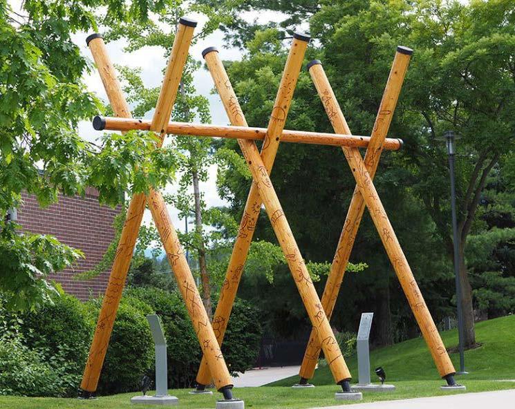
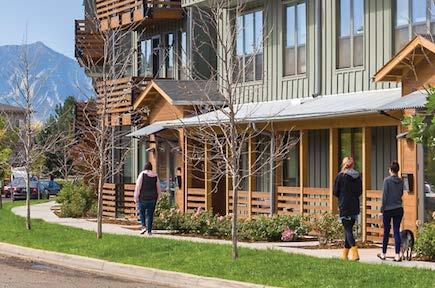
The BC Energy Step Code sets energy efficiency targets for new buildings while allowing designers to choose how to meet them.
• Lower Step Code levels can often be met with small design improvements that typically do not impact a building’s form and appearance.
• Higher Step Code levels require designing for energy efficiency from the start, and strategies used may affect a building’s form and appearance.
These guidelines aim to balance highperformance design with good urban design practices. For detailed strategies on mechanical design, air tightness, and envelope details that do not affect building form, refer to the BC Energy Step Code Design Guide by BC Housing.
Landscaping can play a significant role in improving the efficiency of buildings, refer to Section 3.1.6 for landscaping guidelines.
Design Intent
Design buildings to reduce energy demand and greenhouse gas emissions, while maximizing occupant health and comfort and ensuring visual interest.
Guidelines
Passive Heating and Cooling Planning
a. Orient buildings to maximize solar access to streets and public spaces while also optimizing solar orientation for improved energy performance and occupant comfort (see Figure 34)
34: Orient buildings to maximize solar access to streets and public spaces while also optimizing solar orientation for improved energy performance and occupant comfort.
b. Use exterior shading devices to block excess heat gains in summer and allow passive heat gains in winter. Considerations include (see Figure 35):
i. Prioritize shading on southern elevations.
ii. No shading needed on north-facing facades
iii. Vertical fins for western-facing facades to block summer sun.
c. Design buildings to improve energy efficiency by (see Figure 36):
i. Keeping building forms simple with fewer complex junctions to reduce heat loss.
ii. Applying facade articulation strategies that do not compromise the thermal envelope. For example, use simple changes in massing, colours, and textures to create visual interest.
d. For larger buildings, aim for a 40% overall window-to-wall ratio (WWR) to improve energy efficiency by increasing insulated wall areas (see Figure 37):
i. Allow higher WWR at ground level to maintain transparency.
ii. Use a lower WWR on north-facing facades to minimize heat loss.
Materials
e. Prioritize low embodied carbon building materials where possible.
Balconies
f. Consider the use of high-performance balcony strategies to reduce thermal bridging potential, such as:
i. Exterior supported balconies.
ii. Bolt-on balconies.
iii. Inset balconies.
iv. Using structural thermal breaks for balcony connections.
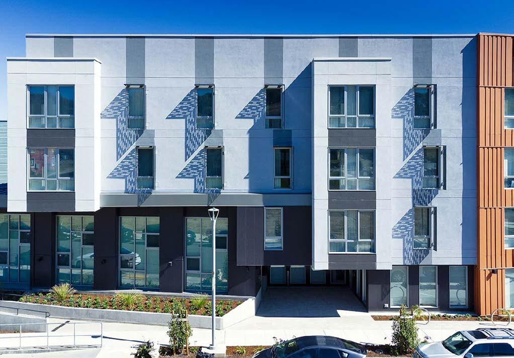
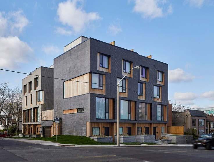
37: For larger buildings, aim for a 40% overall window-to-wall ratio (WWR) to improve energy efficiency by increasing insulated wall areas.
Design Intent
Promote inclusive, adaptable design in sites, buildings, and landscapes to ensure accessibility for all users, support a variety of uses over time, and contribute to vibrant, comfortable, and active neighbourhoods.
Guidelines
a. Design buildings to be flexible and adaptable by accommodating a range of future uses and responding to both current and anticipated community conditions through thoughtful layout, flexible spaces with moveable partition walls, structural capacity, and service infrastructure.
b. Ensure primary entrances are accessible, with weather protection, and usable by individuals with varying abilities (see Figure 38)
c. Position benches, bike racks, bins, and other furnishings off to one side of accessible entryways and pathways.
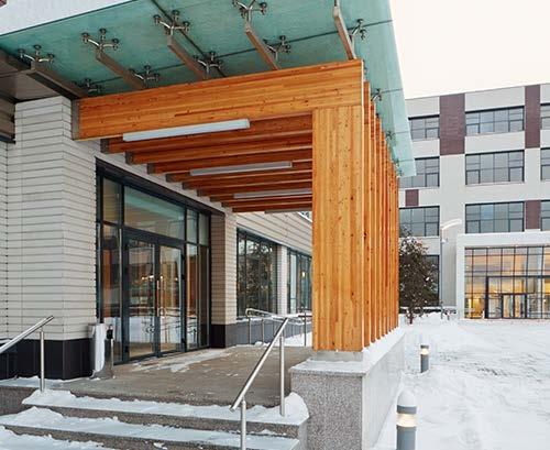
Figure 38: Ensure primary entrances are accessible, with weather protection, and usable by individuals with varying abilities.
i. Place gratings or grills on one side of accessible paths.
d. Ensure access ramps, exterior lifts, and related elements are visually integrated with the building design and site plan to avoid a disjointed appearance (see Figure 39)
e. Keep pedestrian routes smooth and level to make them easier to use for people with mobility aids, strollers, and bikes.
f. Ensure accessible exterior paths:
i. Minimum clear width of 1.8 m for mobility devices and service animals.
ii. Minimum headroom clearance of 2.1m to avoid overhead obstacles.
iii. Firm, stable, and slip-resistant surfaces.
iv. Free of stairs or other barriers to mobility aids.
g. Incorporate windows in the exterior walls of exit stairs and lobbies for daylighting.
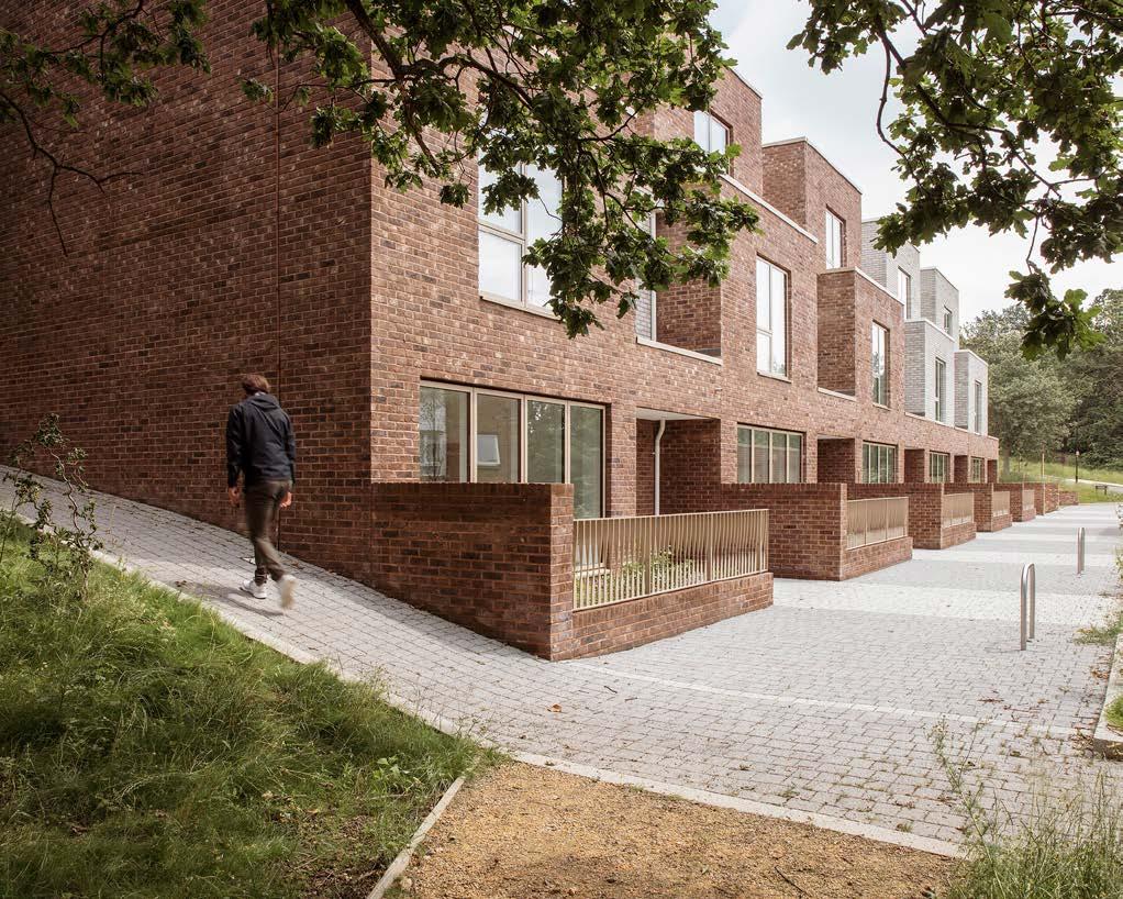
Figure 39: Ensure access ramps, exterior lifts, and related elements are visually integrated with the building design and site plan to avoid a disjointed appearance.
In Vernon, Ground-Oriented Residential refers to intensive residential developments with 5 or more units, often located near or adjacent to single family homes, in Neighbourhoods, Village, and Urban Centres.
Housing types include:
• Single detached dwellings, duplex, triplex, fourplex
• House plex
• Rowhouses
• Townhouses
• Stacked townhouses.
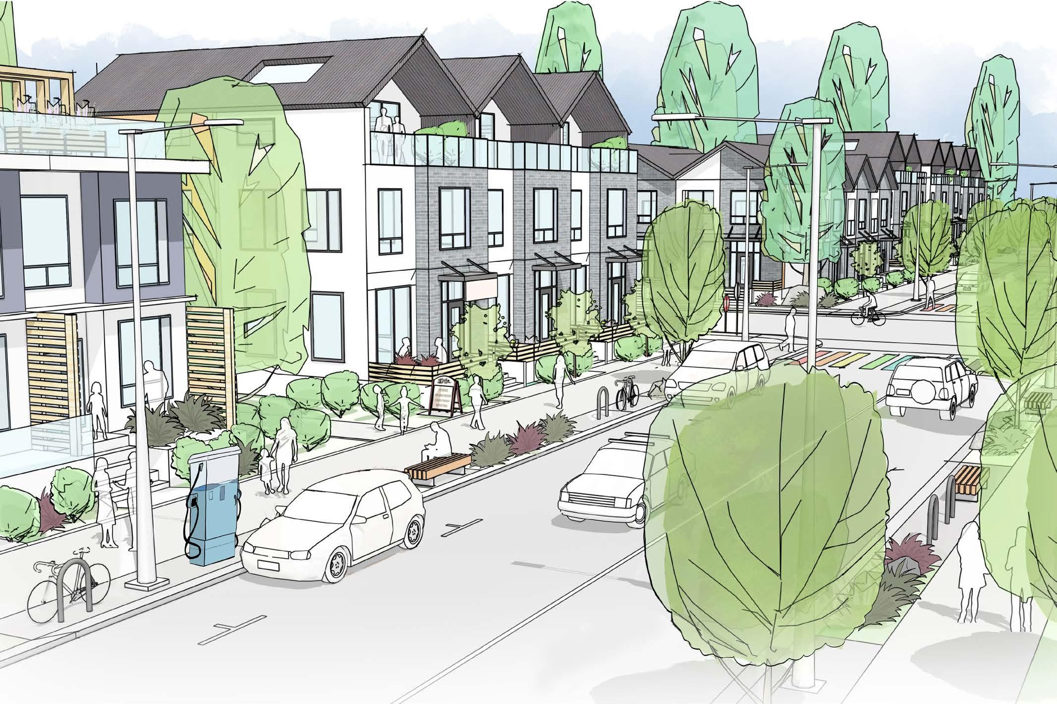
1 Design buildings to connect with the street and public realm. Avoid walled or gated developments that are visually or physically cut off. Use low fencing, landscaping, or other permeable edges to support visibility, safety, and social interaction.
2 Orient unit entries towards the street with a visible and accessible design, including a semi-private transition zone between public and private spaces, which enhances safety and social interaction while offering privacy.
3 Provide safe, comfortable, and convenient onsite pedestrian circulation and access points, mitigating the impacts of vehicular circulation and servicing.
4 Design buildings to fit with the surrounding environment through thoughtful building form, orientation, and integration with natural features.
5 Frame streets and open spaces positively, using design elements like landscaping, gates, and thoughtful articulation to enhance the rhythm and connection between buildings and the street.
6 For projects with multiple buildings, design the site with spaces between buildings to allow for view corridors, pedestrian through-connections, and amenity spaces.
In addition to the strategies outlined in the General Guidelines (Section 3):
Site Planning
a. Provide pedestrian pathways on-site to connect (see Figure 40):
i. Primary unit entrances to public sidewalks, transit stops, and amenity spaces.
ii. Visitor parking areas to building entrances.
iii. The site to adjacent pedestrian/trail/ cycling networks (where applicable).
iv. Public sidewalks and open spaces to secondary buildings, amenity buildings, or storage entries (e.g. garage doors for bicycle storage, where applicable).
b. Frame pedestrian through-connections with active edges, such as entrances, indoor amenity spaces, and windows facing the path or lane.
c. Locate garbage, recycling, and organics storage away from public streets.
d. Identify space for pad-mounted transformers, EV chargers, and other utility equipment at the design stage to ensure they are integrated into the overall site layout without compromising access, landscaping, or the public realm
e. Maintain adequate separation between facing buildings to promote privacy and reduce visual impact.
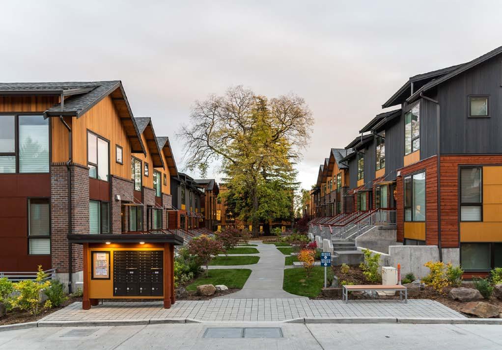
Figure 40: Provide pedestrian pathways on-site and Frame pedestrian through-connections with active edges, such as entrances, indoor amenity spaces, and windows facing the path or lane.
f. In multi-building developments, treat all street frontages as “front yard” conditions by orienting front doors toward the street and using low fences or landscaping to create a welcoming, pedestrian-friendly edge.
g. Design primary unit entrances to provide (see Figure 41):
i. A comfortable entry zone with space for steps, patios, or raised entrances.
ii. Provide a visible front door that is directly accessible from the street or pathway, and emphasize it with welcoming architectural features such as stoops, porches, shared landings, patios, recessed entries, or canopies.
iii. Create a clear transition from public to private space using features like grade changes, railings, planters, and semiprivate outdoor areas that enhance safety and activate the street.
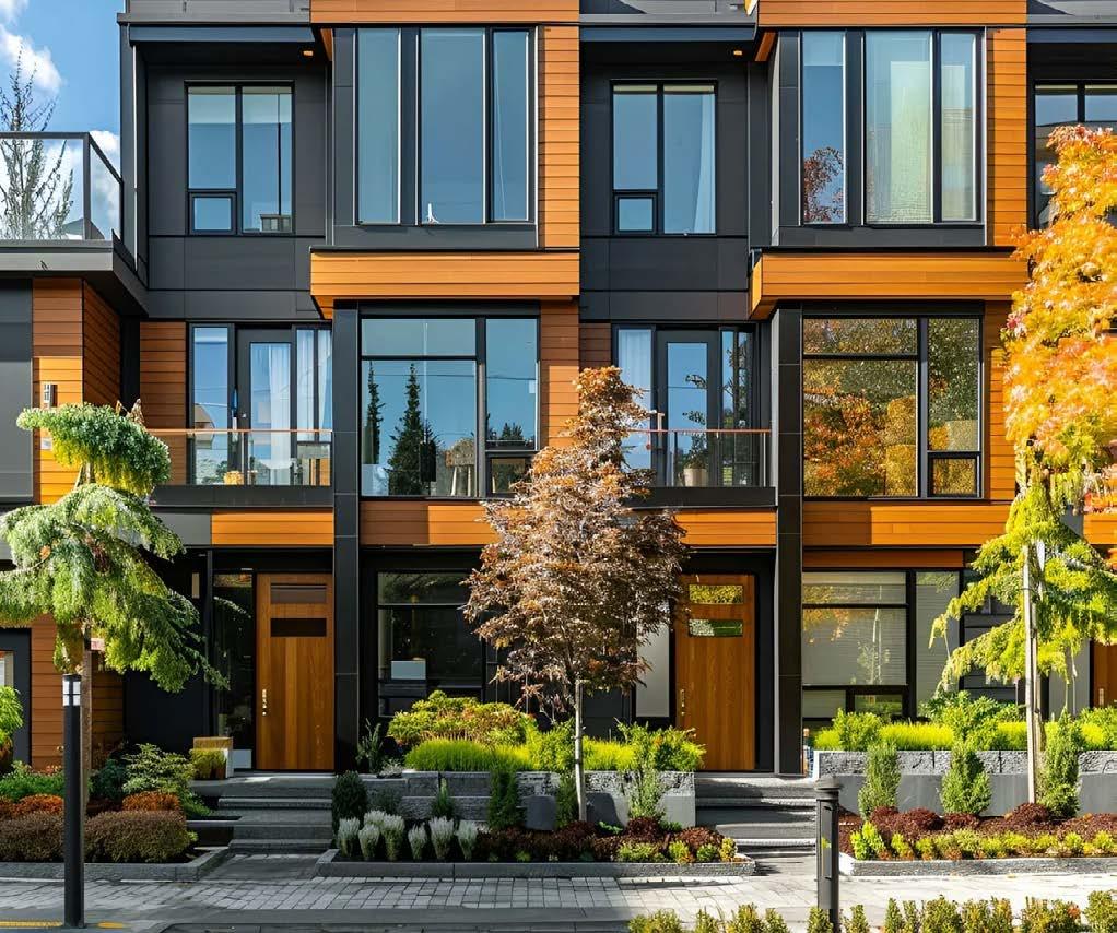
h. For buildings oriented perpendicularly to the street, establish a strong street relationship with the end unit by (see Figure 42):
i. Ensuring the primary entry is directly accessible from the fronting street with a front door facing the street.
ii. Ensuring there is active living space facing the front street such as living room, den, or foyer.
iii. Positioning windows to face the street.
iv. Creating a front yard with landscaping or plantings along the entry path.
i. Design buildings facing public parks to create a positive, active interface by:
i. Orienting primary entrances, windows, balconies, and usable outdoor spaces toward the park to enhance visibility, safety, and natural surveillance.
ii. Avoiding blank walls or inactive facades along park frontages.
iii. Establishing a front yard condition with landscaping and entry paths that are directly accessible from the park.
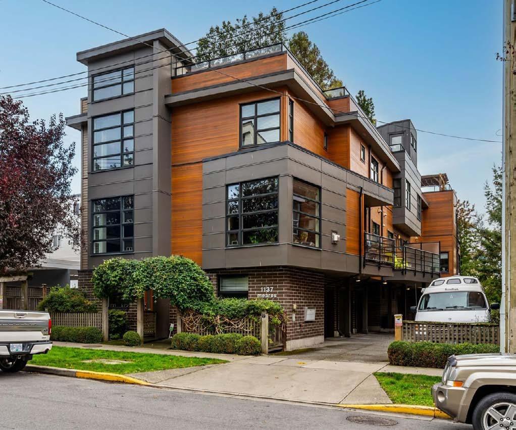
Figure 42: For buildings oriented perpendicularly to the street, establish a strong street relationship with the end unit.
j. In larger townhouse developments, limit the number of connected units to a maximum of six before splitting into separate buildings.
i. Use compatible changes in materials and colours to distinguish housing blocks.
k. Prefer rear-access garages or integrated tuck-under parking for townhouses, keeping them out of pedestrian view (see Figure 43).
l. Integrate front garages or driveway parking facing internal roads into the overall building design, using architectural detailing and recessing garage doors to reduce their visual impact.
m. Ensure garages are set back from residential entries to maintain a clear sense of entry and prioritize pedestrian access and visibility.
n. Maintain a landscape setback between driveways or drive aisles and shared property lines.
o. Minimize the impact of headlights on building interiors by strategically locating access points and driveways.
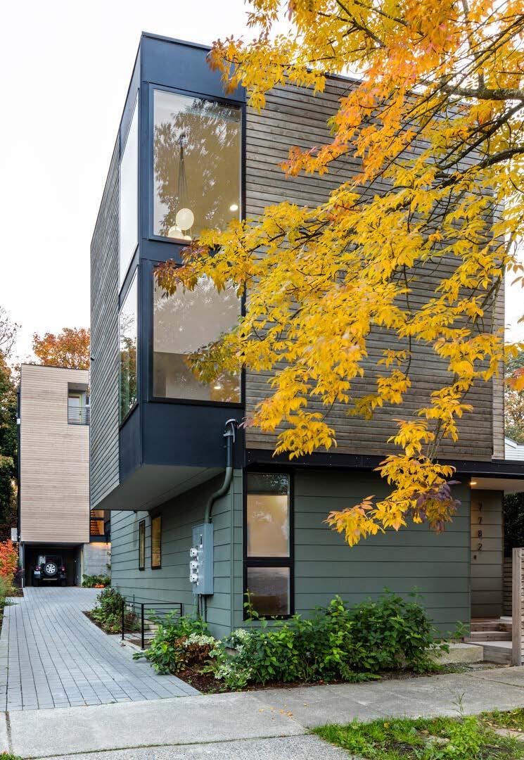

Apartment, high-rise, and mixed-use buildings may become common building types in Vernon in the future. Key design challenges include creating active street-facing uses and ground-oriented units, as well as reducing the bulk and massing of larger buildings while accommodating adequate parking. To address these issues, projects should prioritize a strong connection to the street with high quality design on the first one to three storeys, a clear front-to-back orientation and incorporate both vertical and horizontal articulation.
Building typologies include:
• Apartment buildings up to 12 storeys, including single stair egress apartments.
• Mixed-use and commercial buildings up to 12 storeys.
• High-rise apartment or mixed-use buildings 13 storeys or more.
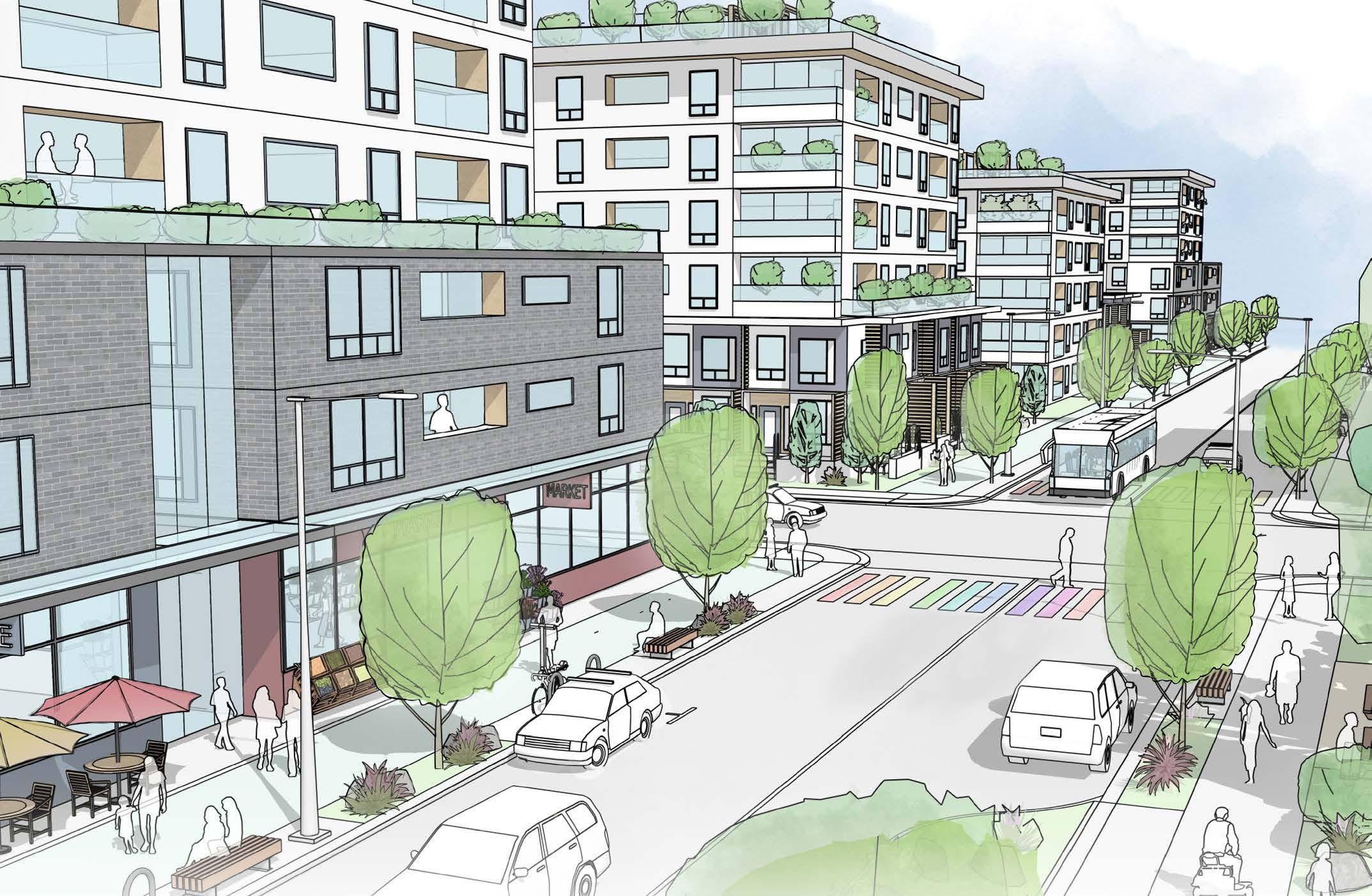
1 In mixed-use projects, create engaging and human-scale features at ground level, such as frequent entrances, weather protection, and outdoor seating areas, oriented towards public spaces.
2 Break up building mass by incorporating simple vertical and horizontal facade articulation, such as stepbacks, insets, projections, and varying colours and textures.
3 Locate parking, loading areas, and service functions at the rear of buildings so they are not visible from the street and do not detract from the public realm.
4 In residential projects, provide individual entrances for ground-floor units and set buildings back from the street to create a semiprivate transition zone that enhances livability.
5 Design podiums for a strong street presence with active uses at grade, generous height for the first storey, pedestrian-scaled articulation, and weather protection.
6 Set towers back from the front of podiums to reduce shadow, wind, and privacy impacts, and provide a pedestrian-scaled massing, ensuring adequate separation between towers to maintain livability.
In addition to the strategies outlined in the General Guidelines (Section 3):
a. Site buildings parallel to the street with a clear front-to-back orientation that connects public streets and open spaces to rear yards, parking, or courtyards:
i. Building fronts should frame and activate streets and open spaces, encouraging pedestrian activity.
ii. Building backs should be designed for private or shared outdoor spaces and access.
b. Break up large buildings and sites with mid-block connections, ensuring they are publicly accessible when possible (see Figure 44):
i. Design ground floors adjacent to midblock connections with entrances and windows facing these connections.
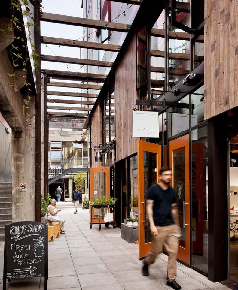
c. For corner sites and highly visible buildings, incorporate distinct architectural treatments like varying rooflines, articulated facades, larger windows, and pedestrian-friendly features such as awnings and canopies (see Figure 45).
d. For commercial ground-floor mixed-use buildings:
i. Provide a continuous, active, and transparent retail frontage at grade to maintain a visual connection between the public and private realms.
ii. Encourage variations in setbacks, recessed entryways, wider sidewalks, and small plazas to support outdoor dining, retail displays, and other pedestrianoriented uses that enhance vibrancy, walkability, and social interaction along mixed-use streets.
iii. Commercial retail units have a minimum depth of 6 m.
iv. Design small-format storefronts and frequent entrances to create visual interest, a walkable rhythm, and active street life.
v. On sloping sites, ensure commercial frontages step with the grade.
vi. Design signs to be pedestrian oriented and easy to read for someone walking by, such as projecting signs, under canopy signs, or other sign types that are perpendicular to the sidewalk rather than parallel.
e. For residential ground-floor mixed-use buildings:
i. See Ground-oriented Residential Guidelines (Section 4.1) specific to that portion of the building.
f. Set back ground-floor residential units more than commercial units, and clearly distinguish their entrances (see Figure 46).
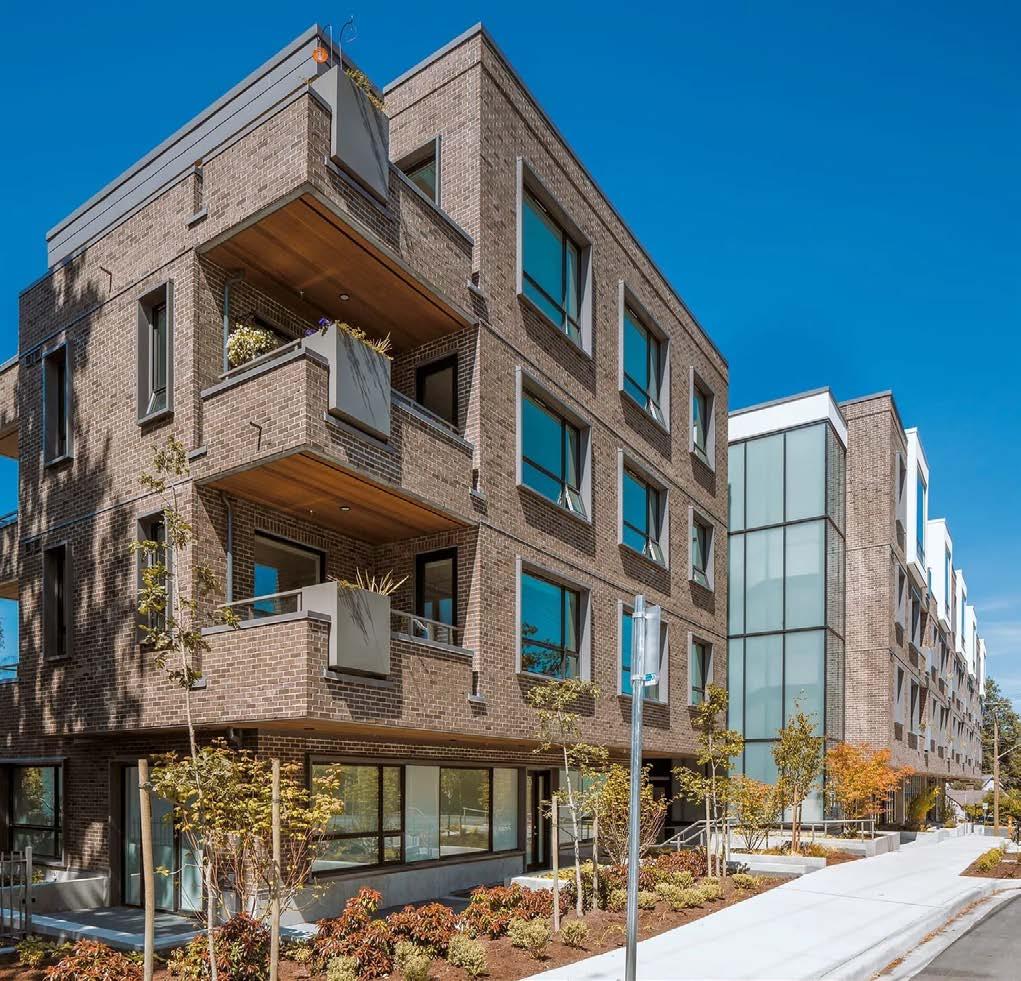
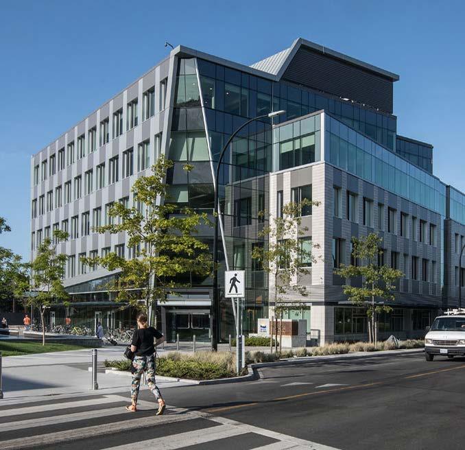
g. Residential building facades should have a maximum length of 70 m, with 40 m being preferred.
h. Avoid designing residential buildings with a depth greater than 24 m.
i. Buildings with facades more than 40 m in length should incorporate significant horizontal and vertical breaks in the facade and/or provide an urban plaza at grade.
j. Design ‘back-of-house’ uses (such as loading, garbage collection, and utilities) to minimize visual impacts and screen from view with materials and finishes compatible with the building, while integrating them into:
i. Underground parking.
ii. The architectural treatment of the building.
iii. Enclosed or fully screened spaces at the rear of buildings or away from public streets and sidewalks.
k. For buildings with ground-floor residential units, underground parking may be integrated up to one half-storey.
l. Locate towers strategically to minimize shadowing, wind impacts, and privacy concerns for adjacent properties, parks, and public spaces:
i. Space towers on the same site or block to have a minimum tower separation of 25 m measured balcony to balcony, with 30 m preferred to maintain open space and mountain views between buildings (see Figure 47).
Figure 47: Space towers on the same site or block to have a minimum tower separation of 25 m measured balcony to balcony, with 30 m preferred to maintain open space and mountain views between buildings.
m. Where possible, design slender towers to minimize impacts on sunlight, privacy, views, and aesthetics.
n. For buildings with podiums:
i. Design tall buildings with a distinct and cohesive podium, tower, and top, achieved through changes in articulation, materials, and step-backs.
ii. Design podiums with a scale and pattern that complements neighbouring buildings and differentiates it from the tower.
iii. Provide a minimum first-floor height of 4.5 m, limit podium heights to three storeys, and refer to the relevant guidelines for residential, commercial, or mixed-use buildings (see Figure 48).
iv. Set towers back from the podium or streetwall (see Figure 49).
1. Maintain a consistent and contextsensitive streetwall height, particularly in areas with historical buildings.
v. Design parking podiums to be wrapped with active uses such as commercial retail units, residential townhouses, or active indoor amenity areas.
vi. Where parking is integrated into the podium, design podiums to contribute positively to the public realm on all visible levels, not just at grade, by:
1. Activating the ground level with commercial or community uses that engage the street.
2. Avoiding blank upper podium levels that rely solely on decorative cladding. Instead, incorporate articulation, openair treatments or screening, windows, balconies, or other features that create depth and visual interest.
3. Integrating greening strategies such as green walls, vertical planting systems, climbing vegetation, or landscaped setbacks to soften massing and improve environmental performance.
4. Where possible, wrapping podiums with active uses or liner units, especially along key street frontages and adjacent open spaces.
o. For building tower middles (see Figure 50):
i. On sites with multiple towers, ensure variation in tower facades to maintain visual interest while achieving overall architectural cohesion.
ii. Consider subtle design changes such as projections, colours, or windows on the tower middle to provide visual interest when viewed from hillsides around the city.
iii. Design balconies to break up the building’s mass and extend indoor living space, while considering privacy, comfort, and energy efficiency.
iv. Encourage inset balconies to provide protection from wind and weather.
p. For building tower tops, design the top of tall buildings to distinguish it from the middle of the building and contribute positively to the skyline (see Figure 51):
i. Screen mechanical rooms and integrate rooftop amenity spaces and architectural lighting to define the top.
ii. Consider setbacks on upper floors and features such as cornices to terminate the building and create a varied skyline.
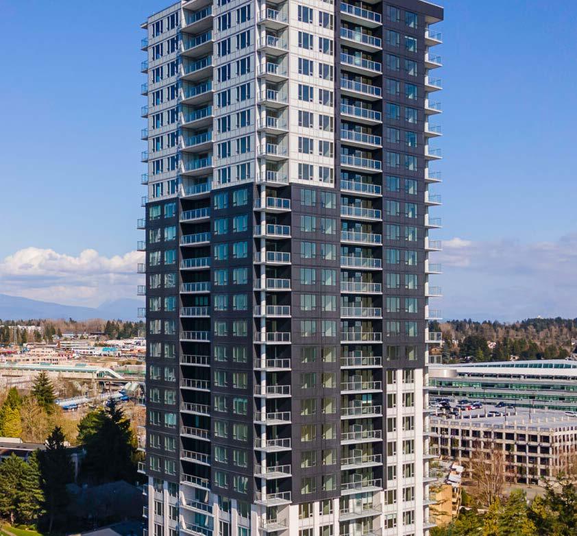
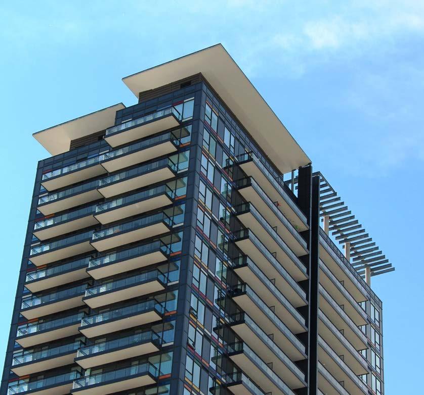
Single use retail, commercial, and industrial developments are often designed with easy access for motorists, featuring large surface parking lots that separate building entrances from public sidewalks and prioritize access for commercial vehicles. However, there are significant opportunities to improve both the design and functionality of these spaces. Enhancing the pedestrian environment once motorists exit their vehicles, improving landscaping to mitigate the visual and environmental impact of parking areas and buildings, and designing spaces that reduce negative impacts on neighbouring uses can all contribute to a more balanced and userfriendly development.
While not exempt from the General Guidelines in Section 3, this section incorporates additional considerations for these forms of development and provides additional guidelines for key elements that may be present (e.g. large surface parking lots, large building footprints, vehicular-oriented access).
Building typologies include:
• Large-format singe use commercial or retail.
• Small-scale single use commercial or retail.
• Commercial or retail “strip malls”.
• Industrial.
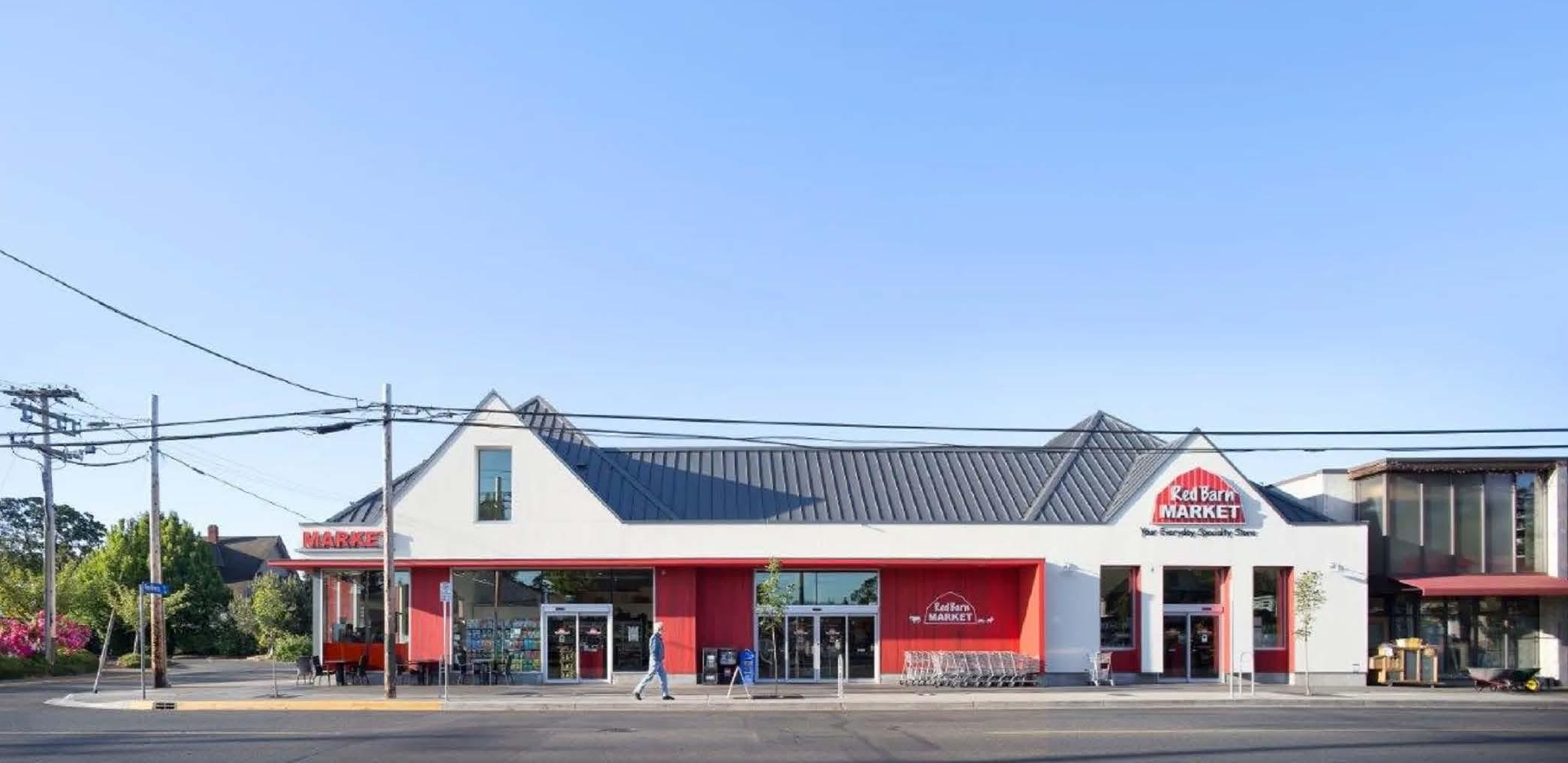
In addition to the strategies outlined in the General Guidelines (Section 3):
Site Planning
a. Add abundant landscaping and trees along frontages and in parking areas to soften the appearance of lot boundaries.
b. Provide separation between vehicular routes (particularly truck access/loading) and pedestrian routes on site to avoid conflict.
c. Ensure there is direct, safe, continuous, and marked pedestrian access from public sidewalks and parking areas to building entrances (see Figure 52).
d. Locate the office, reception, or sales component of the building closer to the street than the plant or warehouse component.
Landscapes and Outdoor Areas
e. Distribute trees and landscaping throughout the site to:
i. Define property boundaries along the street.
ii. Define internal roads, walkways, and open spaces.
iii. Improve the pedestrian experience.
iv. Screen parking, loading, service, garbage and recycling, and utility areas from view.
v. Provide shade, particularly in parking areas.
vi. Manage stormwater on site.
vii.Break up long rows of parking by replacing one parking stall with a canopy tree in a planter every four to six stalls.
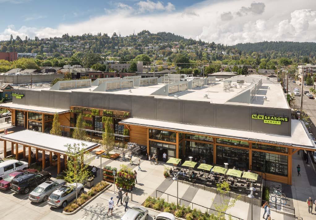
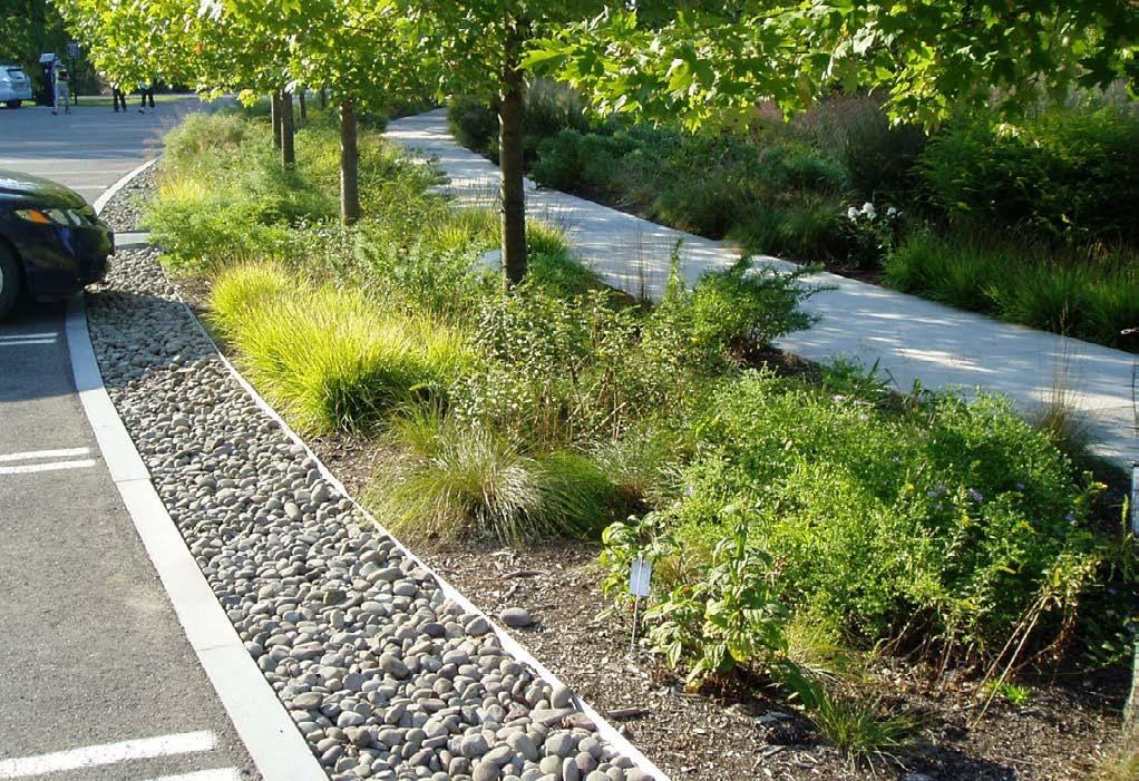
f. Provide on-site bio-retention facilities (e.g. bioswales, rain gardens) to collect, store, and filter stormwater from parking areas (see Figure 53).
g. Use permeable materials, such as paving blocks or permeable concrete in parking areas or pedestrian pathways, to maximize rainwater infiltration.
h. Where practical, link access drives and parking lots of adjacent properties to allow for the circulation of vehicles between sites.
i. Where surface parking is unavoidable:
i. Locate main parking areas at the rear and/or side of the building, avoiding large parking areas between the building and the street (see Figure 54).
ii. Screen parking areas from the street using strategies such as tree planting, berming, low walls, decorative fencing, and drought tolerant and FireSmart hedging.
iii. Break parking areas into smaller blocks defined by landscaping to minimize the amount of paved areas.
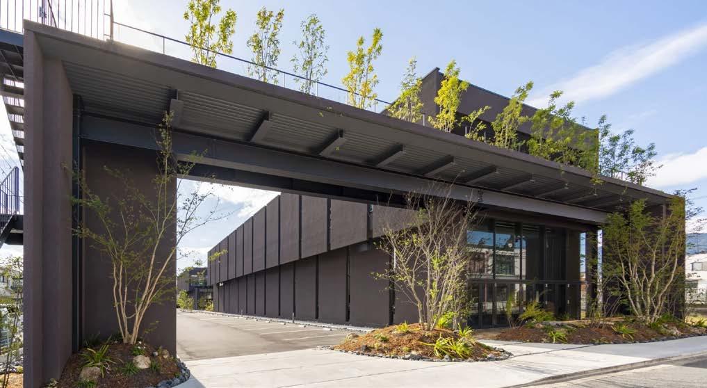
Figure 54: Locate main parking areas at the rear and/ or side of the building, avoiding large parking areas between the building and the street
iv. Provide covered bicycle parking in visible and well-lit locations near building entrances and pedestrian walkways.
v. Locate accessible parking as close to main entrances as possible.
j. Create transparent frontages with visual access to the interior of stores or commercial spaces, and avoid the use of:
i. Materials such as blackout advertising panels.
ii. Dark and/or reflective glass.
iii. Roll down shutters or gates.
k. Avoid orienting unarticulated facades to the street and use projections, recesses, plantings, awnings, colour and texture to reduce the visual size of any unglazed walls.
l. Avoid turning the back of the building toward the public street, allowing for entrances directly from the public sidewalk with glazing that allows pedestrians and drivers to see into retail spaces during the day.
m. Use different exterior materials to distinguish the warehouse or plant area from the office or sales area. Choose higher-quality or more detailed materials for the office or customer-facing parts of the building (see Figure 55).
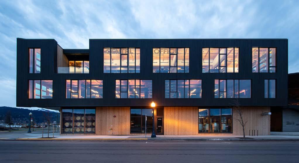
Figure 55: Use different exterior materials to distinguish the warehouse or plant area from the office or sales area.
n. Incorporate simple technologies for access to industrial and larger commercial buildings, such as bay door controls, air curtains, and dock seals to prevent heat loss in winter.
o. Building design should mitigate noise impacts by, for example, selecting wall siding (e.g. rockwool, acoustic concrete), and window materials that have strong sound insulation/absorption capacity (see Figure 56).
p. Design multi-storey buildings (e.g. those that mix industrial and commercial or residential uses) to maintain and accommodate industrial uses on the ground floor by providing a first-floor height of 4.5 m.

A use that generate many visits, in particular pedestrian visits, over an extended period of the day. Active uses may be shops, cafes, art galleries, community spaces, and other social uses.
Barrier-free design
The design of buildings, spaces, and elements to be accessible and usable by all people, regardless of age, ability, or mobility.
Building envelope (enclosure)
The elements that make up the outer shell of a building that separate indoor from outdoor spaces. A building’s envelope prevents or controls the entry of heat, water, air, noise, and light from entering or leaving.
Crime Prevention Through Environmental Design (CPTED)
A group of strategies and concepts (including the design of buildings and landscaping) intended to reduce the fear of crime and opportunities to commit crimes.
Facade articulation
Design elements, both horizontal and vertical, that help create an interesting and welcoming building elevation. These include building materials, special groundfloor design treatments, facade modulation, corner treatments, building setbacks for upper stories, and facade elements such as window treatments, building entries, and other architectural details.
Facade
The exterior face of a building.
Fenestration
The arrangement of windows and doors on the elevations of a building.
Ground-oriented
A building that has direct access to the street or ground level with a front door facing the street and active, usable space at grade.
Human scale
The use of architectural features, details, and site design elements that are human proportioned and clearly oriented toward pedestrian activity to allow people to feel comfortable using and approaching it.
Private open space / amenity space
An open area or place that is privately owned and exclusively occupied, usually attached to a private dwelling or unit. Some privately owned open space can be made available for the public to access and use (“privately owned public space”).
Private realm
Space owned by a private person or group and kept for their exclusive use.
Public realm
Spaces that is open and freely accessible to everyone, of all ages and abilities. These spaces can include streets, laneways and roads, parks, public plazas, waterways and foreshores.
Street frontage
Spaces where there is an active visual engagement between people in the street and those on the ground and upper floors of buildings.
Street wall
The vertical elements of a building that defines the edge of the public street.
Streetscape
The visual elements of a street, including the road, adjoining buildings, sidewalks, street furniture, trees, and open spaces, that combine to form the street’s character.
Thermal bridging
The transfer of heat through materials and structures that interrupt a building’s continuous insulation layer, causing heat to escape the interior of the building to the outside air. Thermal bridges lower overall building energy efficiency.
Universal accessibility
The ability of all users to safely negotiate spaces; a key factor in ensuring the usability of buildings and the public realm.
Window-to-wall ratio (WWR)
The share of a building’s facade that is made up of glazing.