
1 minute read
PROCESS

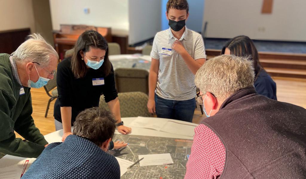
The 17-month Oxford Tomorrow process to update the comprehensive plan was spearheaded by the City of Oxford Community Development Department. MKSK, a planning, urban design, and landscape architecture firm, oversaw the planning process with guidance from a steering committee of appointed community members. The planning process combined research and analysis with community engagement that gathered ideas and feedback from more than 800 community members.
The steering committee was comprised of 30 representatives from the City, neighborhoods, businesses, community groups, students, and local institutions. The committee was formed to oversee and provide direction throughout the planning process. Committee members shared their thoughts, reviewed plan deliverables, and provided valuable feedback.
The plan was also shaped by the broader Oxford community through outreach and public meetings that invited all Oxford residents, employees, and stakeholders to help shape the future of the city.
Analysis tasks included evaluation of demographics, housing, and market trends; examination of previous plans; GIS and mapping; land use analysis; and policy and case study research. The plan compiles these layers of analysis with the community engagement findings to present detailed recommendations that are visionary, attainable, and respond to the current needs of the Oxford community.
The planning process was divided into five stages: (1) project kick-off and understanding, (2) existing conditions analysis, (3) community and stakeholder engagement, (4) plan recommendations and strategies, and (5) plan development.
PROJECT
May - September ‘21
October ‘21 - February ‘22
March - July ‘22 COMMUNITY
July ‘21 - September ‘22
July - October ‘22
Plan Study Area
The comprehensive plan evaluates Oxford as it exists today within the current city limits, while also considering the potential for physical expansion of the city in the future. On the map above, the red dashed line represents the current city boundary. The city currently spans 7.78 square miles. Everything beyond the boundary is within Oxford Township or Milford Township. Typically, in Ohio, annexation of property from an unincorporated area of a township into a neighboring city happens at the request of the property owner. Most often, property owners request annexation to receive certain public utilities, like water and sewer service. The urban service boundary depicted on the map above, which was defined during the previous comprehensive plan effort, represents territory where the City could have potentially expanded its utility service systems since 2008. The question of where and how the City should direct its services–and consequently, growth and development–is revisited by the new plan.


