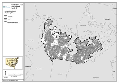
Canada Bay Local Environmental Plan 2013
W illoughby
Land Application Map Sheet LAP_001 LGA Boundary
Ryde LGA
Included
Lane Cove LGA
Cadastre Cadastre 22/07/2020 © Spatial Services
fr
am
e
he r
e
Hunters Hill LGA
In se
rt
M
ap
Parramatta LGA
Cumberland LGA Strathfield LGA Sydney 0
Projection: GDA 1994 MGA Zone 56
Map identification number:
800
1600 Metres
Burwood LGA
Scale: 1: 40,000 @ A3
Inner W est LGA
1520_COM_LAP_001_040_20200722