8 minute read
2.3 Seismic and Geologic Hazards


become hard. When precipitation does return, more water runs off the surface than is absorbed into the ground, which can lead to floods.
While the risk and associated short- and long-term impacts of climate change are uncertain, experts in this field tend to agree that among the most significant impacts include those resulting from increased heat and precipitation events that cause increased frequency and magnitude of flooding. Increases in damaging flood events will cause greater property damage, public health and safety concerns, displacement, and loss of life. Displacement of residents can include both temporary and long-term displacement, increase in insurance rates, or restriction of insurance coverage in vulnerable areas.
Seismic and geologic hazards are risks caused by the movement of different parts of the Earth’s crust, or surface. Seismic hazards include earthquakes and hazardous events caused by them. Geologic hazards are other hazards involving land movements that are not linked to seismic activity and are capable of inflicting harm to people or property.
Seismic Hazards
Seismic activity occurs along boundaries in the Earth’s crust, called faults. Pressure along the faults build over time and is ultimately released, resulting in ground shaking that we refer to as an earthquake. Earthquakes can also trigger other hazards, including surface rupture (cracks in the ground surface), liquefaction (causing loose soil to lose its strength), landslides, and subsidence (sinking of the ground surface). Earthquakes and other seismic hazards often damage or destroy property and public infrastructure, including utility lines, and falling objects or structures pose a risk of injury or death.
Earthquakes While Orinda is at risk from many natural and human-caused hazards, the event with the greatest potential for loss of life or property and economic damage is an earthquake. This is true for most of the San Francisco Bay Area region, since damaging earthquakes affect widespread areas, trigger many secondary effects that can overwhelm the ability of local jurisdictions to respond. The Bay Area region lies within the active boundary between the Pacific and the North American tectonic plates. The Pacific Plate is constantly moving northwest past the North American Plate at a rate of about 2 inches per year. Earthquakes in the Bay Area region result from strain energy constantly accumulating across the region because of the motion of the Pacific Plate relative to the North American Plate. The San Andreas Fault is the major plate boundary and has the potential to cause the strongest earthquakes.
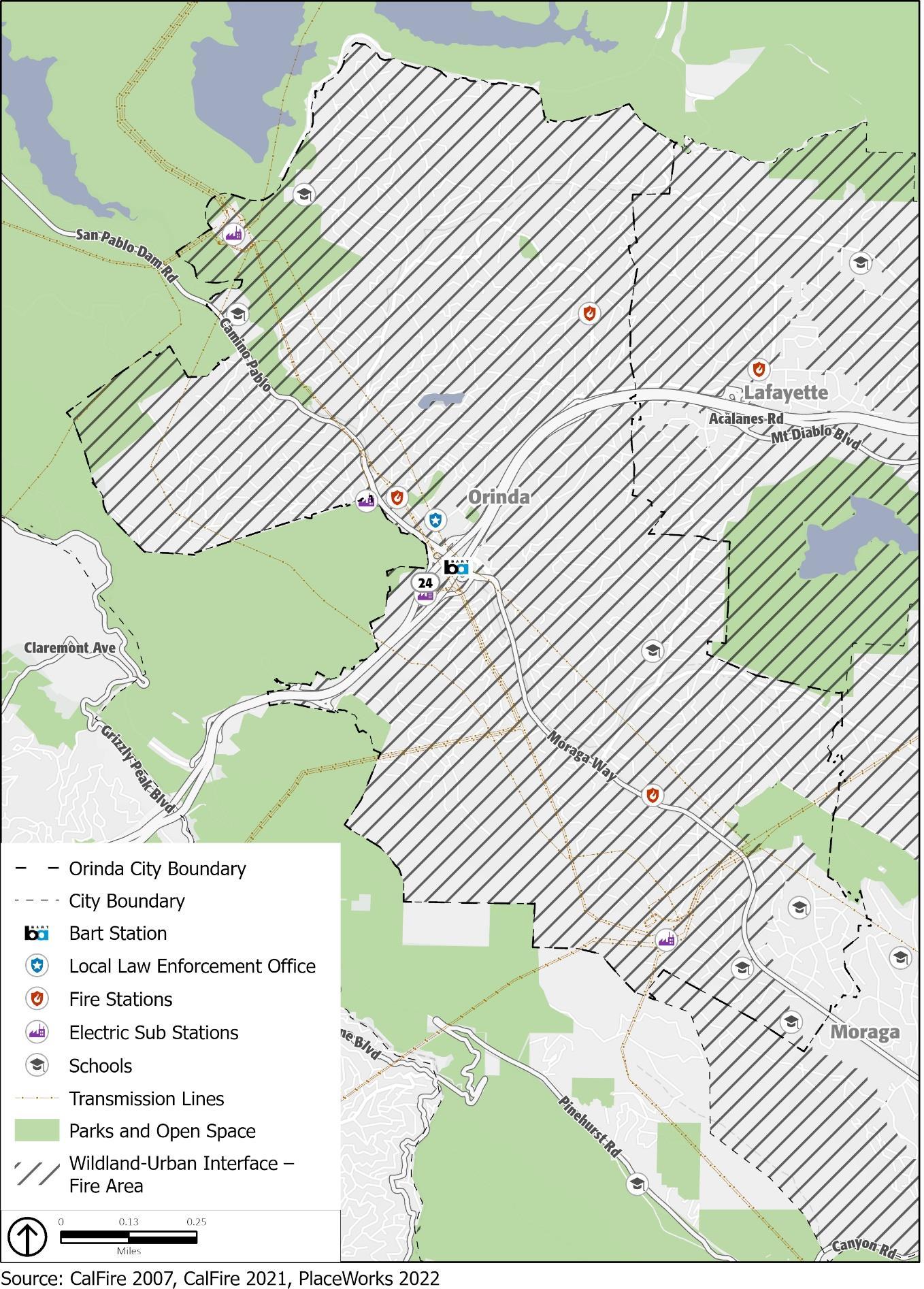
Earthquake risk is very high in Contra Costa County, including the City of Orinda, due to the presence of several active faults in the region, the Calaveras North Fault, Concord-Green Valley Fault, Greenville Fault, Hayward Fault, and Mount Diablo Fault. No Alquist-Priolo Earthquake Fault Zones3 are in the city. Figure 5 shows the location of regional faults.
• Calaveras Fault (North Central): The Calaveras (North Central) Fault is a major branch of the
San Andreas Fault. It extends 76 miles from the San Andreas Fault near Hollister to Danville at its northern end, approximately 8 miles from Orinda. The Calaveras Fault is one of the most geologically active and complex faults in the Bay Area (USGS, 2003). According to the 2018
Contra Costa County LHMP, the probability of experiencing a Magnitude 6.7 or greater earthquake along the Calaveras Fault in the next 30 years (beginning from 2018) is 26 percent.4 • Concord-Green Valley Fault: The Concord-Green Valley Fault, named for being located under the City of Concord, is connected to the main Green Valley Fault. The fault extends from
Mount Diablo to the Carquinez Strait, about 11 miles from Orinda at its closest point. It is under high stress and has a 16-percent probability of experiencing a Magnitude 6.7 or greater earthquake in the next 30 years (beginning from 2018). • Greenville Fault: The Greenville Fault zone extends from northwest of Livermore Valley along the Marsh Creek and Clayton faults toward Clayton Valley. It is about 14 miles from Orinda at its closest point. • Hayward Fault: The Hayward Fault is an approximately 45-mile-long fault that runs through some of the Bay Area’s most populated areas, including San Jose, Oakland, and Berkeley. It is approximately 3 miles from Orinda at its closest point. The Hayward Fault is increasingly becoming a hazard priority throughout the Bay Area because of its increased chance for activity and its intersection with highly populated areas and critical infrastructure. The probability of experiencing a Magnitude 6.7 or greater earthquake along the Hayward Fault in the next 30 years (beginning from 2018) is 33 percent. An earthquake of this magnitude has regional implications for the entire Bay Area, as the Hayward Fault crosses transportation and resource infrastructure, such as multiple highways and the Hetch-Hetchy Aqueduct. • Mount Diablo Fault: The Mount Diablo thrust fault runs from Walnut Creek to Livermore, approximately 8 miles from Orinda at its closest point. It plays a role in the continued uplift of Mount Diablo.
3 Alquist-Priolo Earthquake Fault Zones are regulatory zones surrounding the surface traces—a line on the
Earth’s surface defining a fault—of active faults in California. 4 Tetra Tech. 2018, January. Contra Costa County Hazard Mitigation Plan. Volume 1-Planning Area-Wide
Elements.
In the event of an earthquake, the location of the epicenter, as well as the time of day and season of the year, would have a profound effect on the number of deaths and casualties, as well as property damage. There are a number of small-scale earthquakes that happen weekly, but larger-scale or catastrophe shaking is less likely. Property and human life in Orinda are at risk for a significant earthquake causing catastrophic damage and strains on response and mitigation resources.
The county experiences hundreds of minor quakes and tremblers each month from the myriad of faults in the area. Other faults, both in and outside Contra Costa County, may also be capable of generating significant earthquakes with damaging effects in the county. A major quake could happen at any time.
In Orinda, earthquake effects may include ground shaking, fault rupture, landslides, liquefaction, subsidence, and seiches. Earthquakes can also cause human-caused hazards such as urban fires, dam failures, and toxic chemical releases. A major earthquake along any of these five faults could result in substantial casualties and damage resulting from collapsed buildings, damaged roads and bridges, fires, flooding, and other threats to life and property. Most of the loss of life and injuries from earthquakes are due to damage and collapse of buildings and structures.
Building codes for new construction have generally been made more stringent following damaging earthquakes. However, in Orinda, structures built prior to the enactment of these improved building codes have generally not been upgraded to current standards and are vulnerable in earthquakes. In Orinda, approximately 6,207 homes, or 83 percent, of all housing was constructed prior to 1980.5
Orinda Geologic Hazard Abatement District The Orinda Geologic Hazard Abatement District (GHAD) was formed on March 4, 2008, by the Orinda City Council and includes the Orinda Oaks and Wilder developments. The Board of Directors for the Orinda GHAD are members of the Orinda City Council. The Orinda GHAD is responsible for prevention, mitigation, abatement, and control of geologic hazards within the GHAD boundaries, including mitigating or abating landslides and erosion hazards that could directly affect properties within those boundaries.
The Orinda GHAD currently has maintenance and monitoring responsibilities for all parcels within the Orinda Oaks development. However, the GHAD does not yet perform maintenance or monitoring responsibilities within the Wilder development and cannot perform such services until the responsibilities for doing so are transferred by the developer to the GHAD and the GHAD Board of Directors accepts such responsibilities. The GHAD is limited to overseeing and supervising the open space general physical maintenance of the open-space areas to prevent, mitigate, control, or abate erosion, sedimentation, and potential landslide hazards.
5 United States Census Bureau. 2016 - 2020 American Community Survey 5-Year Estimates: Year Structure
Built.
2017 Orinda Seismic Study In December 2017, the City conducted a seismic study that assessed seismic risks in downtown Orinda and potential soft-story multifamily residential buildings. Contra Costa County Principal Structural Engineer Thom Huggett, accompanied by City staff, performed a visual assessment for unreinforced masonry buildings6 and soft-story buildings.7 These two building types were selected because they are easy to identify and can be evaluated efficiently. The buildings identified were evaluated as subject to “maximum considered earthquake ground motion,” which is defined in the California Building Code as the most severe effect of an earthquake for which buildings are designed. The study noted that there are several buildings that may appear to have soft-stories or other risks in the city. However, the study found that there are no apparent unreinforced masonry buildings or soft-story buildings in downtown Orinda. During a City Council meeting on January 16, 2018, the staff recommended no action regarding seismic retrofitting of structures in Orinda based on the analysis resulting from the 2017 visual assessment, which aligned with the 2006 state-wide update on unreinforced masonry buildings.
6 Unreinforced masonry buildings are generally composed of earthen materials such as brick, stone, adobe, or hollow concrete blocks. Most were constructed prior to 1933, predating modern earthquake-resistant design. The masonry is not strengthened with embedded steel bars or by other means and is therefore called
“unreinforced.” In earthquakes, the masonry walls (especially parapets) tend to disconnect from the building and fall outward, creating a hazard for people below and sometimes causing the building to collapse. 7 The term “soft story” has come to mean a multi-story wood-frame residential building prone to collapse under earthquake loads. In technical documents, a “soft story” is a type of irregularity that triggers special considerations for seismic evaluation and design; a structure can have a soft-story irregularity regardless of its age, occupancy, structural material, or height.