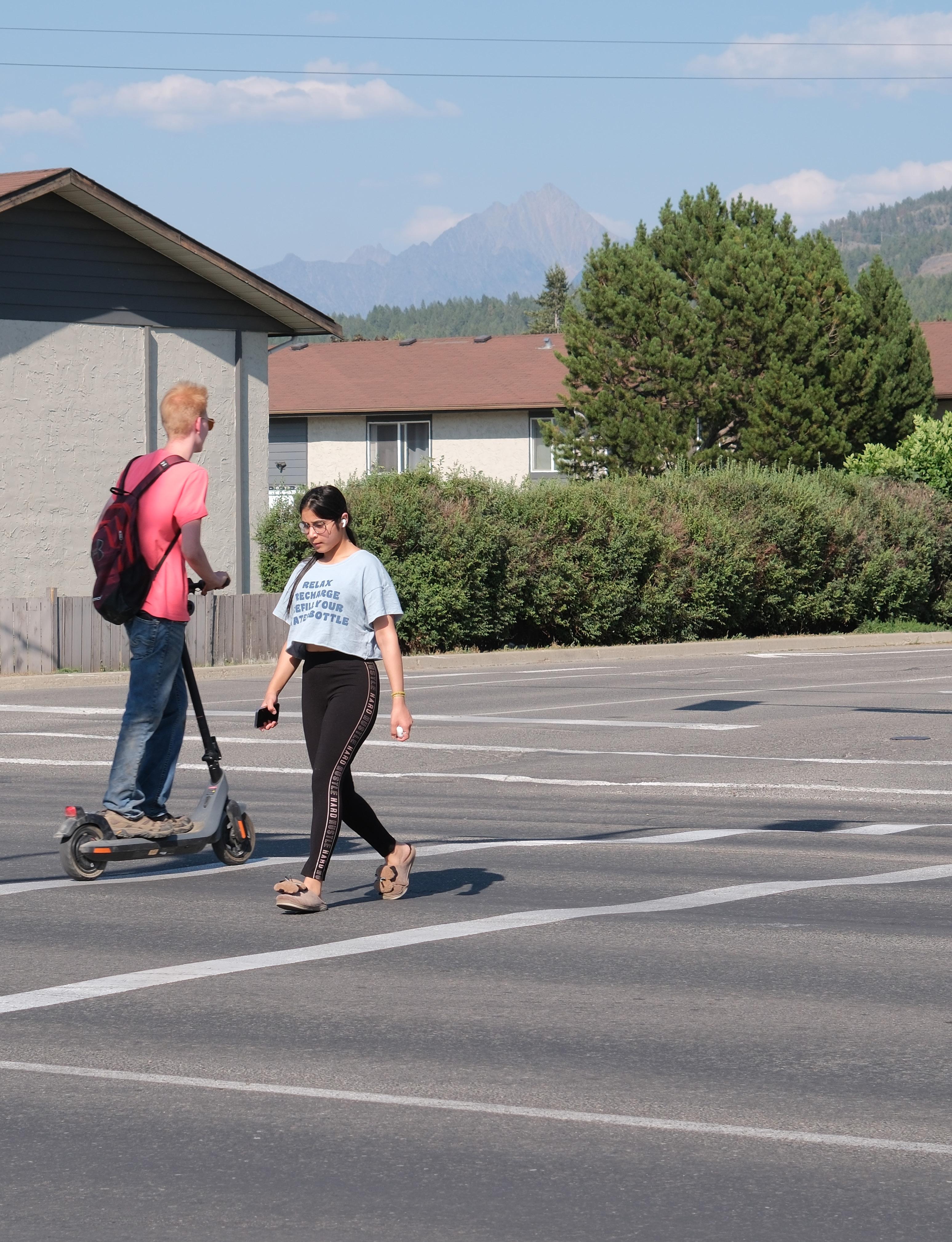
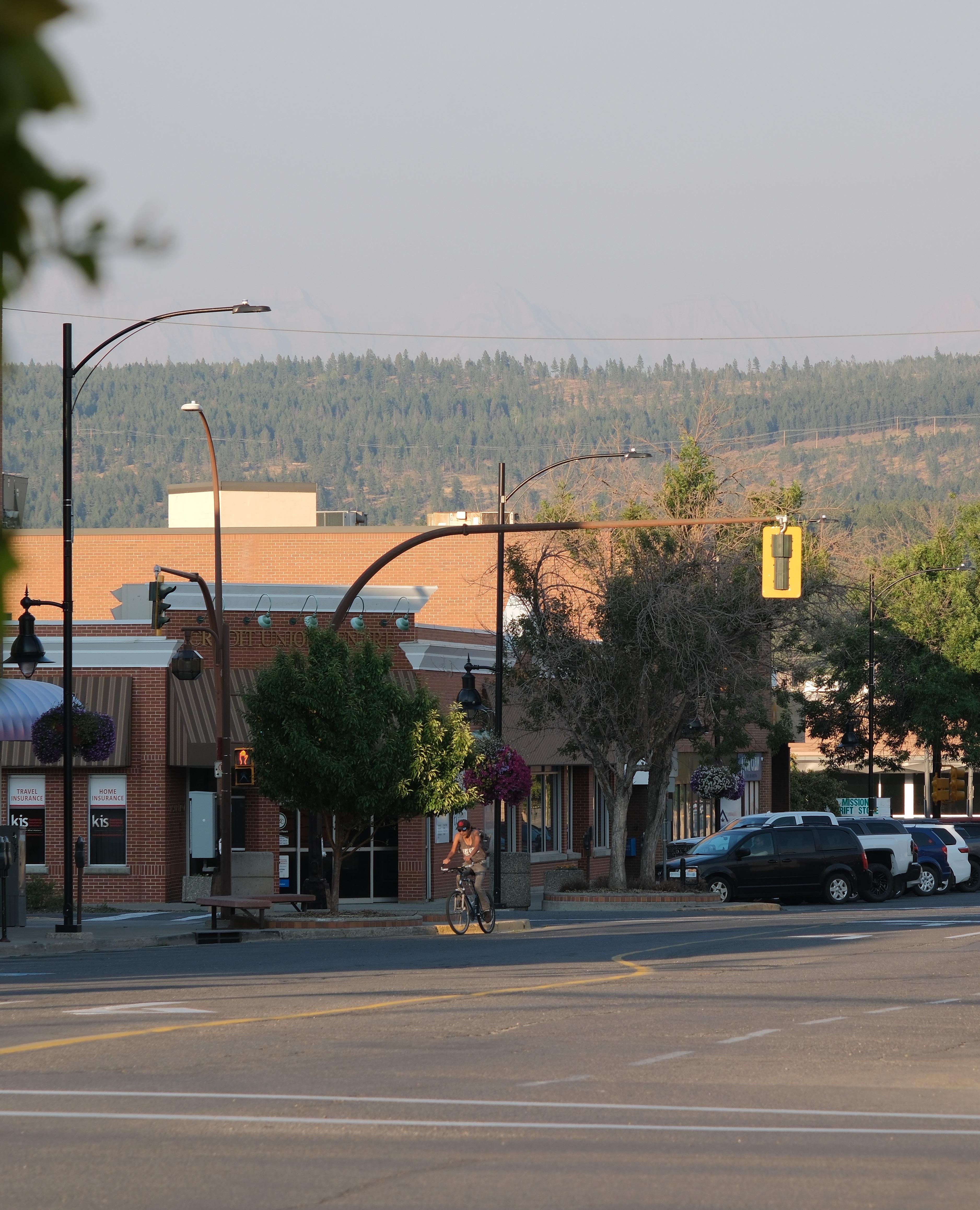
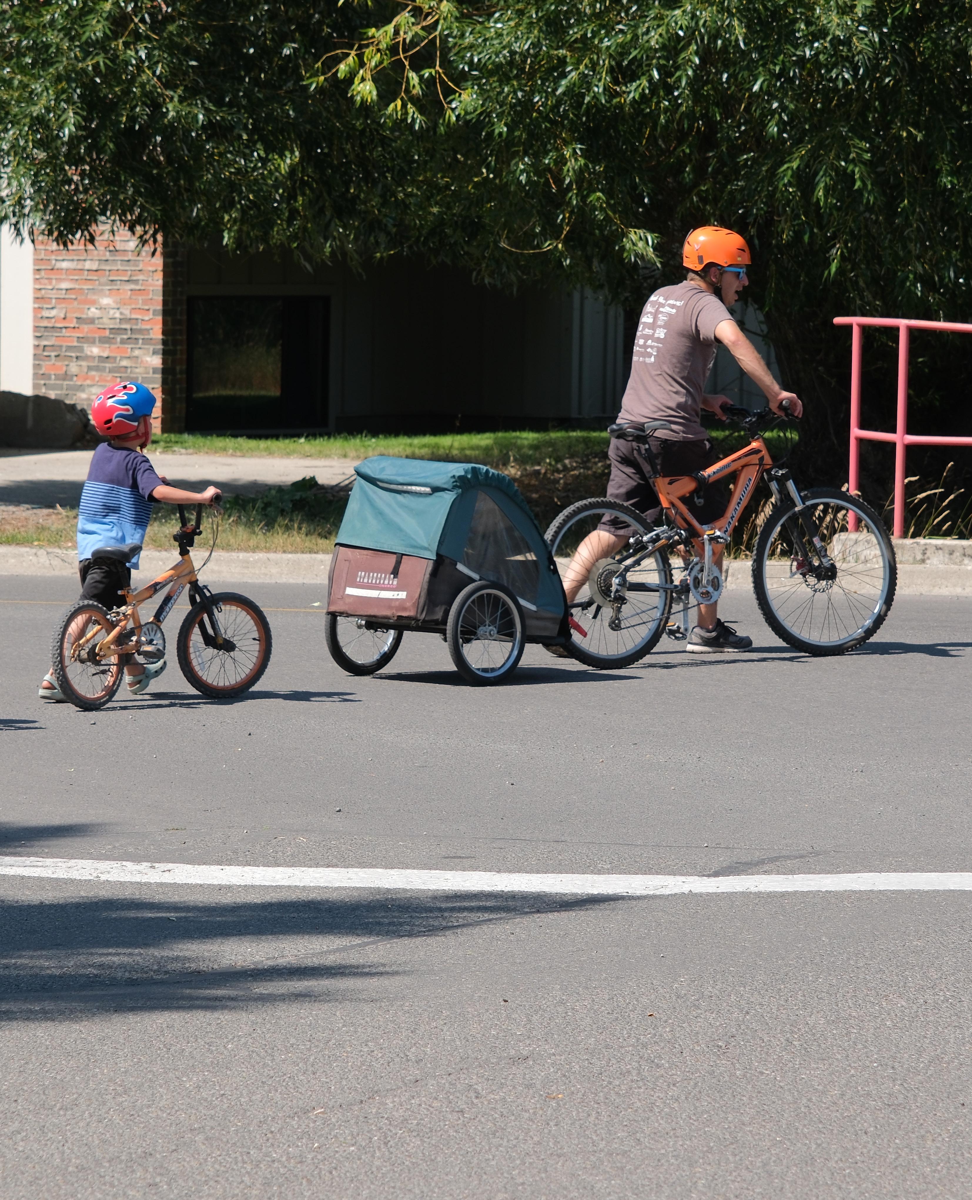
This Active Transportation Network Plan was prepared by ISL Engineering and Land Services Ltd. with input provided by City staff, the public, and the active transportation advisory committee.
Background information that led to the development of this plan is provided in the appendices.
“We all live in systems that shape our travel behaviour, and most of us live in systems that give us almost no choice in how we get around”
Charles
Montgomery, Author: Happy City
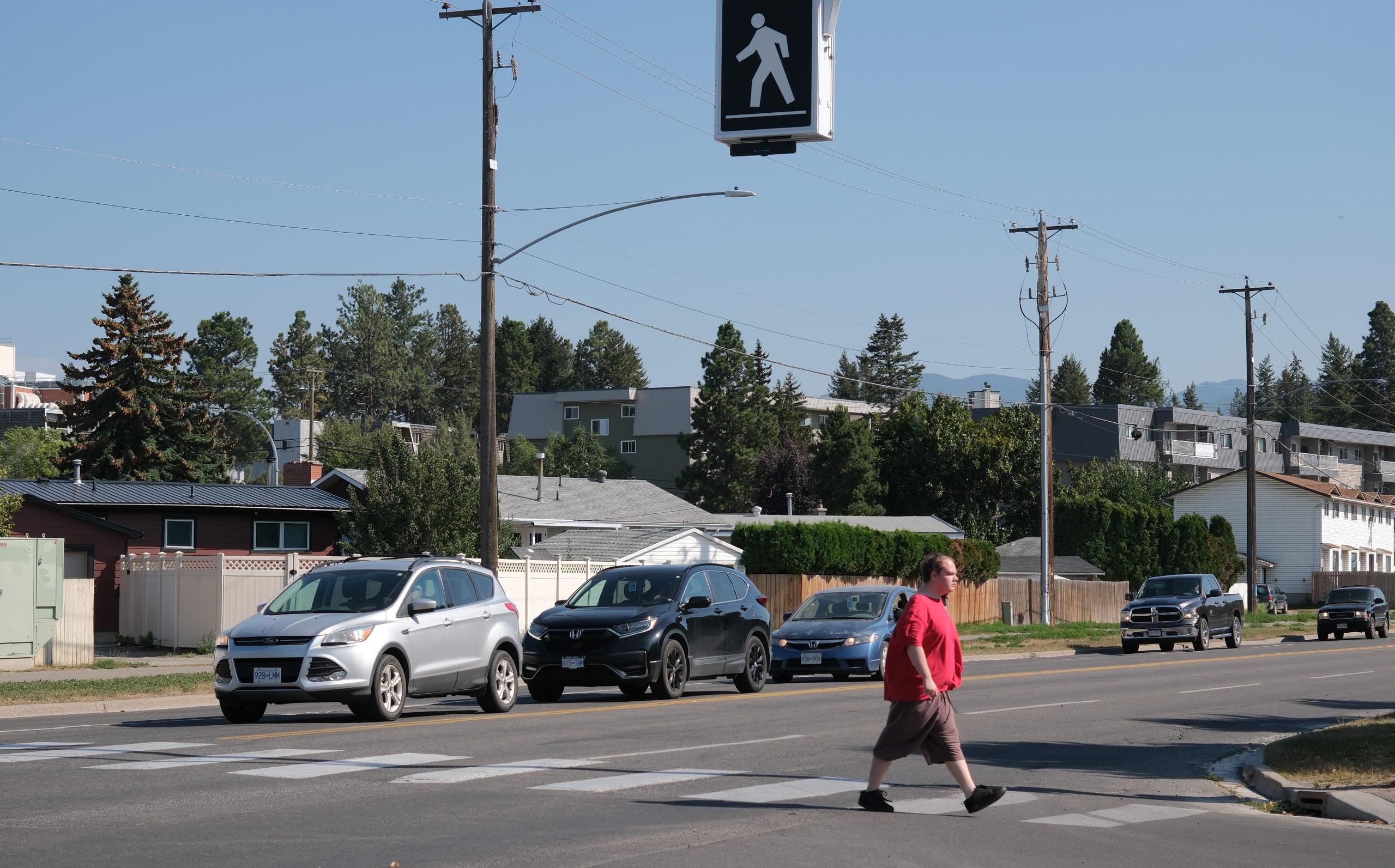
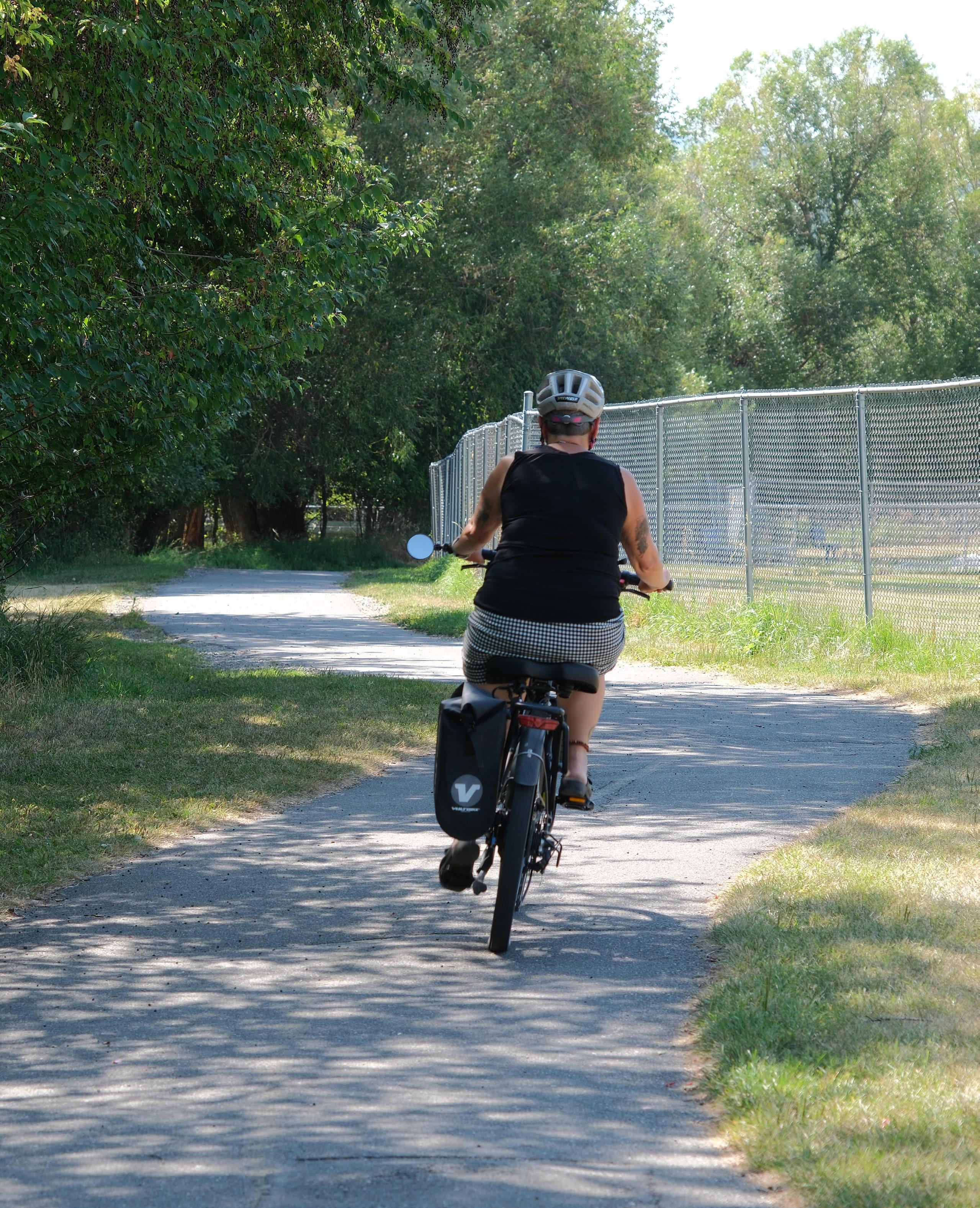
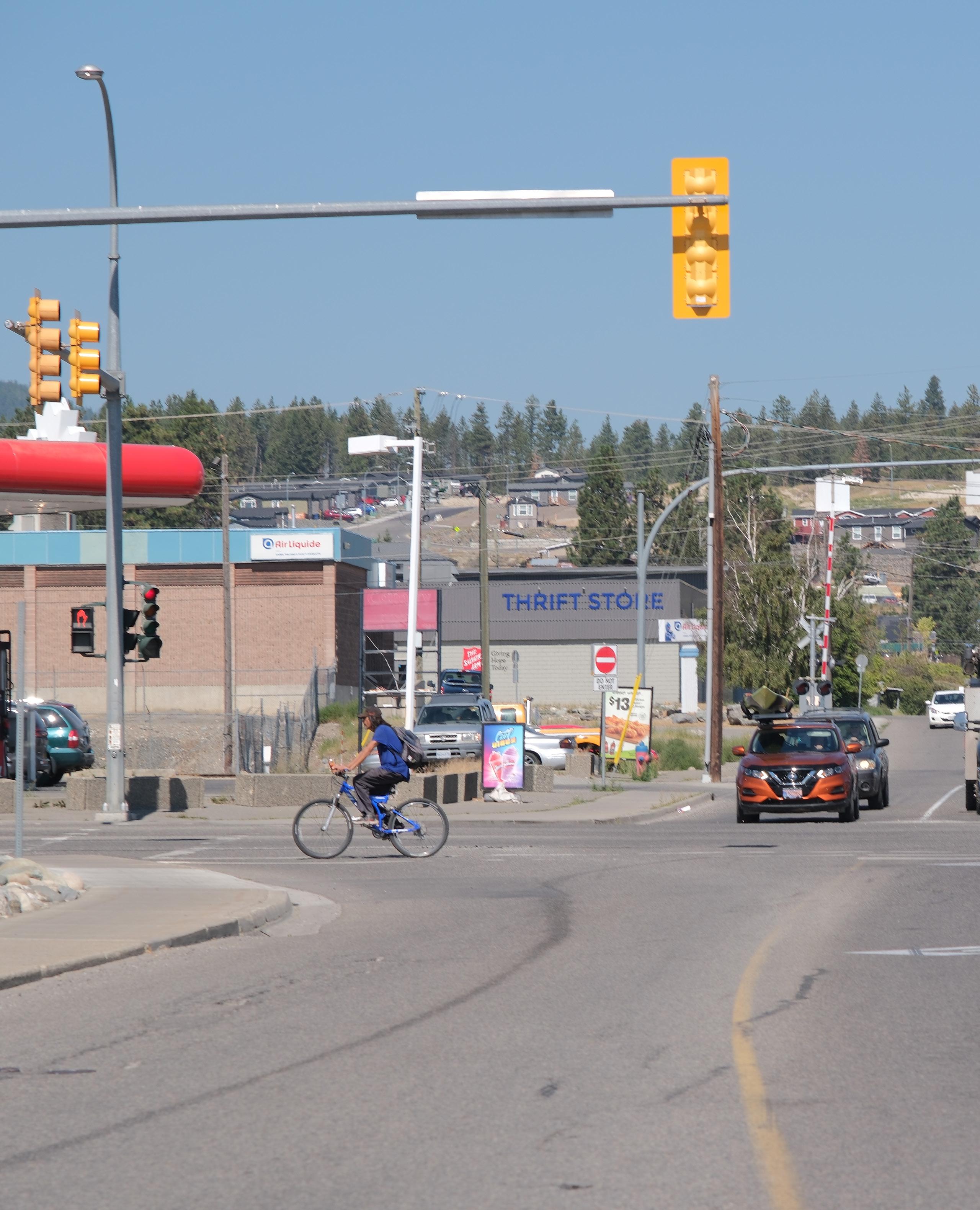
People need safe facilities and priority where they need to cross the road and connect trails.
1. PURPOSE
This Active Transportation plan supports the City’s need to address multiple competing crises including affordability, health, and climate challenges, by reducing transportation costs, increasing physical activity and reducing transportation related greenhouse gas emissions.
1.1. What is Active Transportation?
The BC Active Transportation Design Guide states “Active transportation includes any form of humanpowered transportation, including walking, cycling, or rolling using a skateboard, in-line skates, wheelchair, or other wheel-based forms of human-powered transportation. It also includes winterbased active modes, water-based active modes, and horseback riding, although these modes are typically more recreational in nature.”
Planetizen defines micromobility as “Micromobility is an umbrella term encompassing a variety of small, generally low-speed vehicles and conveyances that can be electric or human-powered and privately owned or part of shared fleets.”
1.2. Why This Plan is Needed
As the community grows while the available right-of-way remains largely the same, the city must begin to move trips to more space efficient modes such as walking, cycling or rolling, and transit. This allows the street network to accommodate more people during a given time frame and reduces the effects of congestion. In addition, there are several crises affecting the community, the country and the world as a whole, and all communities must play their part in addressing them. This Active Transportation Plan has a role to play in several crises in different ways.
» Active transportation improves individual physical and mental health and where adopted on a larger scale reduces community health care costs.
» Active transportation trips, when they replace car trips reduce emissions supporting climate and air quality objectives.
» Active transportation is typically cheaper than private car travel, supporting affordability challenges.
» Active transportation improve livability by reducing the effects of traffic and congestion on city streets.
“If you plan cities for cars and traffic, you get cars and traffic. If you plan for people and places, you get people and places”
Fred Kent, Project for Public Spaces
2. VISION AND GOALS
The City of Cranbrook will develop it’s active transportation infrastructure and include active transportation impacts in it’s decision making to make active transportation a more viable option for more people in the community, supporting livability, affordability, environmental and community health objectives.
2.1. Goals for People Walking
» Include curb extensions on local streets to narrow the roadway that will reduce vehicle speeds, reduce crossing distances and improve sight lines between people crossing and driving.
» Complete missing sidewalk links, focusing on the urban core and expanding outward.
» Ensure crossing facilities are safe and appropriate for the roadway they cross.
» Adopt continuous sidewalks, first with strategic pilot projects.
» Make streets accessible to everyone in the community.
2.2. Goals for People Rolling
» Create a network of safe urban routes that improve access to schools, commercial and recreational destinations.
» Complete missing links in the Rotary Way Trail and expand it.
» Provide more secure bicycle parking.
2.3.
Other Goals
» Take actions that reduce reliance on the automobile
» Adopt a street classification system and typical sections that include all ages and abilities active modes facilities.
» Work with the Ministry of Transportation and Infrastructure to improve the highway corridor for people walking and rolling.
» Maintain active transportation infrastructure in a good state of repair.
» Provide solutions that work in a winter city.
Proposed Multi-Use Pathway 1 Side
Proposed Sidewalk 2 Sides
Proposed Sidewalk 1 Side
Multi-Use Pathway 1 Side
Multi-Use Pathway 1 Side & Sidewalk 1 Side
Sidewalk 1 Side
Sidewalk 2 Sides
City Boundary
St. Mary’s 1A Boundary
School
Recreational Area
Proposed Crossing Upgrade
Proposed Curb Extension Upgrade
3.1: Proposed Pedestrian Network Improvements
MS4: East Sidewalks
MS5: South Sidewalks
MS1: North Sidewalks
MS2: North East Sidewalks
MS3: Centre Sidewalks
Figure
3. PEOPLE WALKING
To improve comfort and safety for people walking, the City will complete missing sidewalk links, ensure crossing facilities are safe and appropriate for the roadway they cross, add curb extensions on local streets, adopt continuous sidewalks, and make streets accessible to everyone in the community.
3.1. Rationale
Most people walk at some point during any trips, whether that is parking their car and walking to a store, or to work, walking to get the bus, or simply walking from their home to work, for recreation, or to satisfy their daily needs.
Ensuring the City is walkable supports the modal hierarchy and benefits almost everyone in the community. Focusing on this priority in the modal hierarchy is simply getting the basics right!
3.2. Alignment with Other Policies
By prioritizing people walking in the modal hierarchy and within the capital plan, this Active Transportation Network Plan will directly align with related policy direction such as:
» The City Draft OCP Transportation objectives include upgrading and expanding sidewalks, and off-street pathways that are complete, connected, safe and comfortable, and accessible.
» The City Downtown Revitalization Master Plan states that it will focus on walking and cycling with transportation connections to and from Baker Street and take complete streets “pedestrians and cyclist first” approach to provide safety to all road users
Walking infrastructure is not just limited to those that are able to walk. Accessible pedestrian infrastructure also enables those that may be rolling using a wheelchair or other mobility device while making life easier for those walking with children in pushchairs, shopping carts or luggage.
Design of all recommendations in this plan should follow relevant guidance in place at the time and should be agreed with the City Engineer.
» The City Tourism Master Plan recommends that the City Invest in an interconnected network of local and regional trails for all ages and all abilities that links and funnels travelers to the downtown ‘heart’ of Cranbrook.
» One of the Provincial Active Transportation Strategy goals is to double the percentage of trips taken with active transportation by 2030.
» The Provincial Road Safety Strategy notes that whether you’re a driver, pedestrian, cyclist, skateboarder, or another type of road user, you want to be confident that B.C.’s roads are safe.
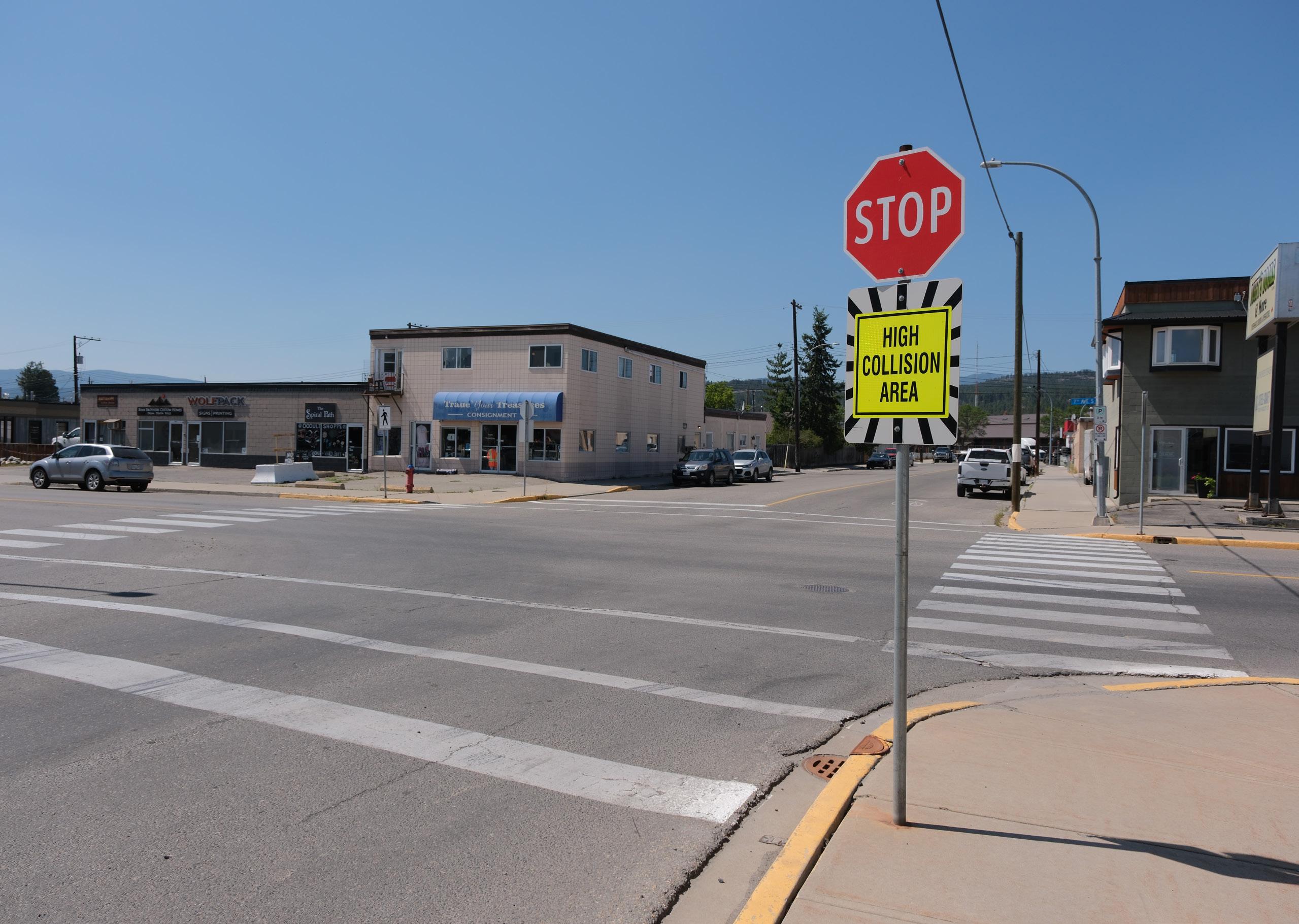
Geometric design is more effective than signage at locations such as 1st Street and 7th Avenue N. Curb extensions and even a 4-way stop would improve safety.
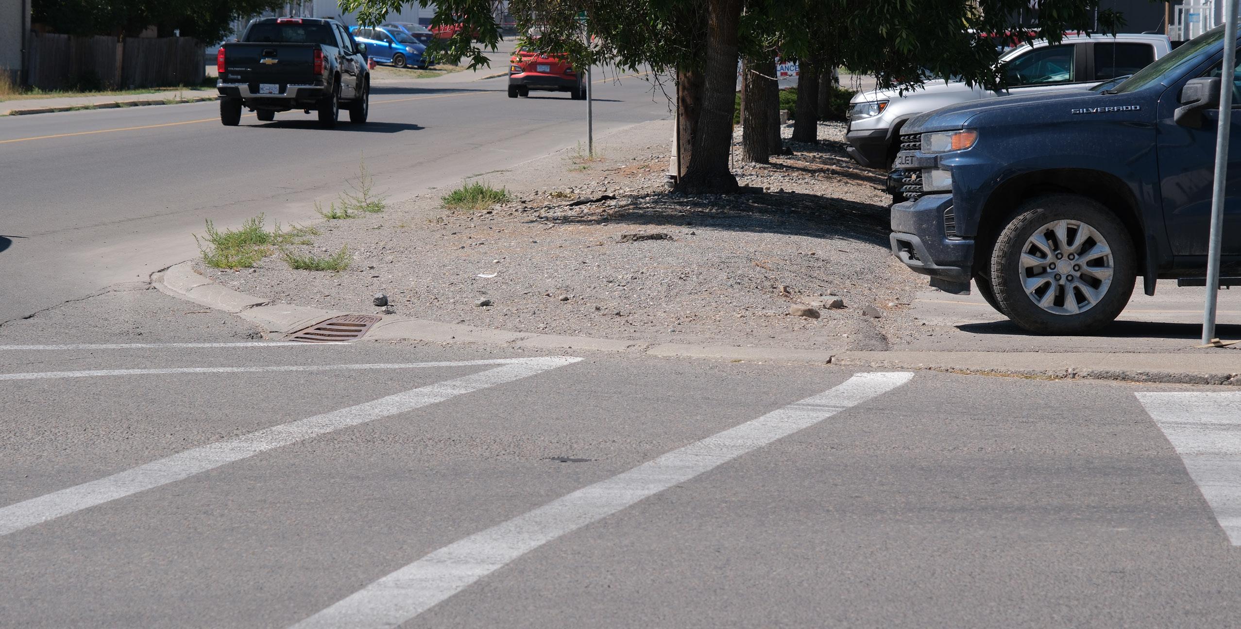
Include curb extensions on local streets to narrow the roadway that will reduce vehicle speeds, reduce crossing distances and improve sight lines between people crossing and driving.
3.3. Curb Extensions
The City will focus initial curb extension upgrades on those locations in the centre and near the highway:
» 8 Locations on 1st Street South between 6th Avenue South and 14th Avenue South (CE1 to CE8)
» At first intersections off the highway including 1St N/Cranbrook St N (CE9), 2nd St N/Cranbrook St N (CE10), 2nd St S/4th Ave S (CE11), 3rd St S/3rd Ave S (CE12)
Beyond these initial locations, the City will thereafter pursue similar improvements on other corridors, especially those on routes to schools and near major amenities. Furthermore, any new construction as part of other road projects or undertaken by development should include curb extensions where feasible (i.e., if there is a curbside parking lane).
3.4. Missing Sidewalks
To support the above goals, the City will complete missing links in the sidewalk with a goal of ultimately having all city streets in the centre with sidewalks on both sides and outside of the centre, providing sidewalks at least on one side. Multi-use pathways are included in the cycling section.
» Centre: Mostly complete sidewalk network with sidewalks on both sides but some missing links that should be completed. 3,770m of new sidewalk (MS3).
» North: The north section is largely industrial and commercial, and with no sidewalks there today, and connections likely better utilized by people rolling. There is a greater focus on multi-use pathways in this section. 560m of new sidewalk (MS1).
» North East: There are a few missing links in this section that should be upgraded to provide connectivity. 695m of new sidewalk (MS2).
» East: There is one neighbourhood that is missing sidewalks and stands out as amongst all the other neighbourhoods. 4,700m of new sidewalks (MS4).
» South: There are a few key connections with sidewalk missing. 2,380m of new sidewalks (MS5).
Beyond these initial locations, the City will include sidewalks on all road upgrade projects and require new sidewalks of all new development. Sidewalks shall be no less than 1.8 metres in width, the minimum to allow two wheelchairs to pass, and if space permits will include a boulevard between roadway and sidewalks with softscape or hardscape to be agreed with the City engineer.
Complete missing sidewalk links, focusing on the urban core and expanding outward.
When the paved surface stops, people with mobility issues can become trapped or have to make circuitous detours. Providing a connected pedestrian network should be a basic requirement for all urban streets.
Victoria Avenue N at 4th Street N: Without a signal vehicle in one lane can obscure sight lines to people crossing leading to increased risks of a collision with people crossing.
Ensure crossing facilities are safe and appropriate for the roadway they cross.
3.5. Safe Crosswalks
The City will focus initially on those locations considered high collision locations including:
» Upgrade flashing beacons on Victoria Avenue North at 4 Street N to a pedestrian half signal with crosswalks on the north and south side of the intersection (CW1).
» Upgrade marked crosswalk on Victoria Avenue North at 8 Street N to a pedestrian half signal with crosswalks on the north and south side of the intersection (CW2).
» New marked crosswalk with flashing beacons on 6 Street North to serve the Rotary Way Trail crossing (CW3).
» New marked crosswalk with flashing beacons on 4 Street South to serve the Rotary Way Trail crossing (CW4).
» New marked crosswalk with flashing beacons on 3 Street South to serve the Rotary Way Trail crossing (CW5).
» Highway crosswalks would be upgraded through consultation with the BC Ministry of Transportation and Infrastructure as discussed in Section 5.3.
3.6.
Continuous Sidewalks
The City will consider continuous sidewalks at any locations where a stop controlled local streets connects to a street of higher classification. Continuous sidewalk designs better reflects modal hierarchies and improve accessibility for people walking. Common features include:
» Consistent sidewalk material and elevation across the local street.
» Flared vehicle curb ramps from major street up to sidewalk.
» Continuous curb and gutter along the major street.
» Ramp up to sidewalk on the local street.
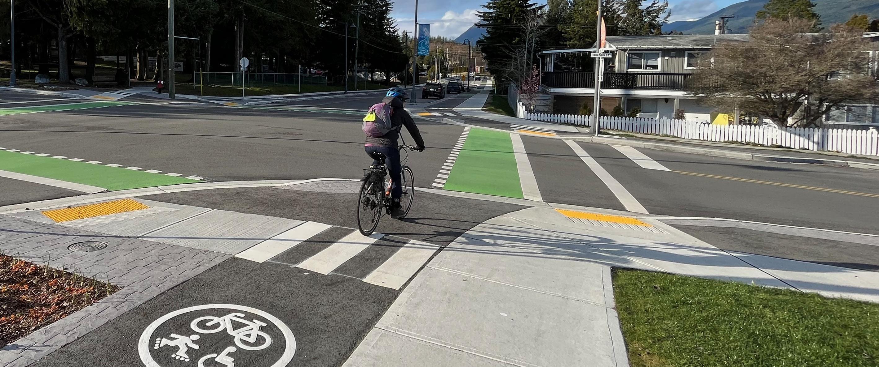
» Warning and directional tactile information for people with sight loss.
» New catch basins if necessary.
» Crosswalks on the major street with separate curb ramps as appropriate.
» Include curb extensions where possible to maintain sidewalk alignment.
» Where bike paths are present, they should also be continuous.
Adopt continuous sidewalks, first with strategic pilot projects.
In BC, Nanaimo have been leading the way by adopting continuous sidewalks as a standard for local street intersections. Adoption through Canada is rapidly escalating.
3.7. Accessible Streets
The City will include accessibility considerations in all future pedestrian realm projects including:
» Warning Tactile Warning Surface Indicators (TWSI’s) where ever a sidewalk may transition to road crossing, or at the top of any stairs.
» Directional TWSI’s across sidewalks from the back of sidewalk to the warning TWSI at the curb.
» Directional TWSI’s from the back of sidewalk to any bus stop boarding areas.
» Ramps to bypass stairs where possible.
» Placement of push buttons in line with crosswalks.
» Crosswalks aligned with curb ramps.
Make streets accessible to everyone in the community.
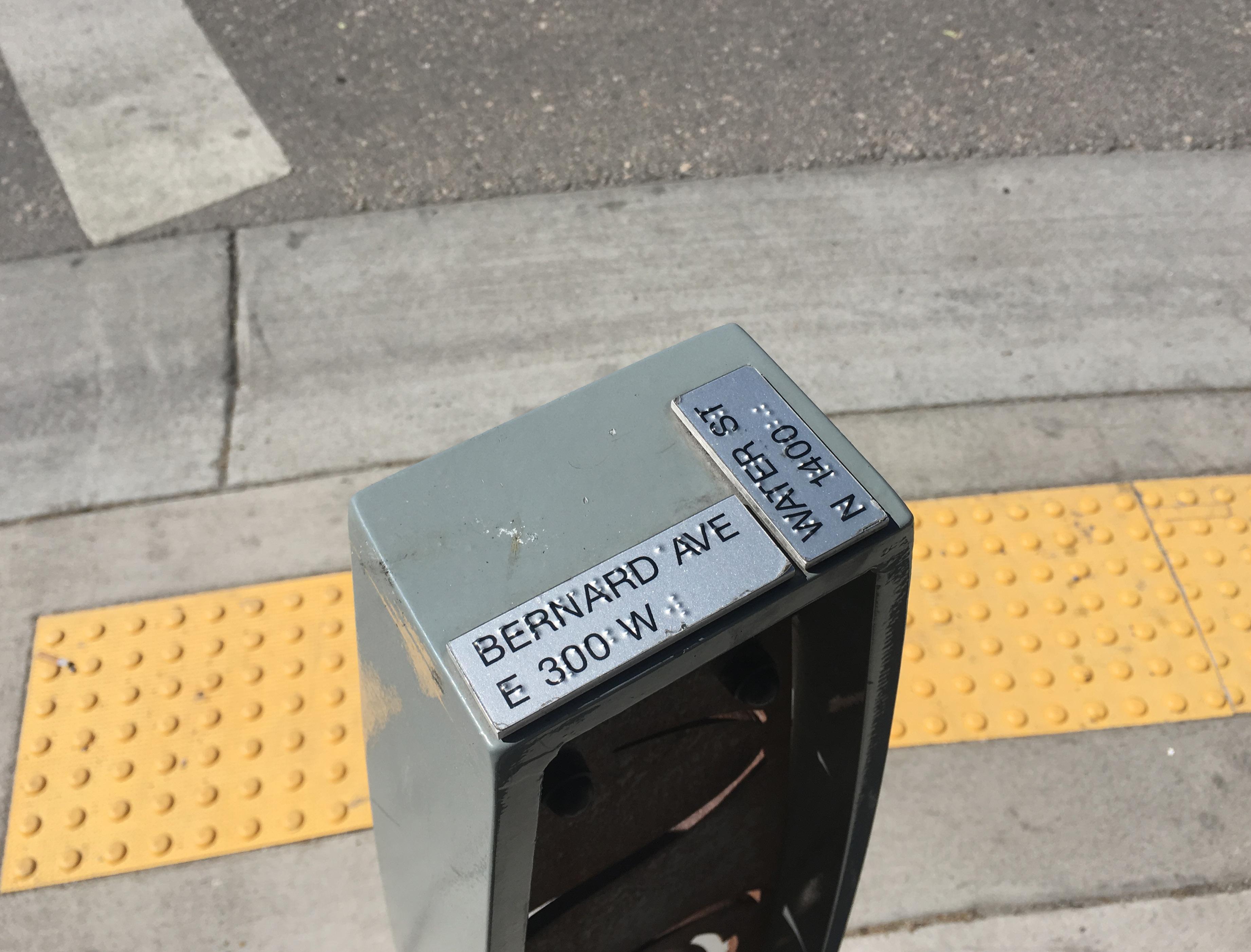
In Kelowna, TWSI’s help identify the road hazard, while bollards align people with the crosswalk and braille is included to assist wayfinding.
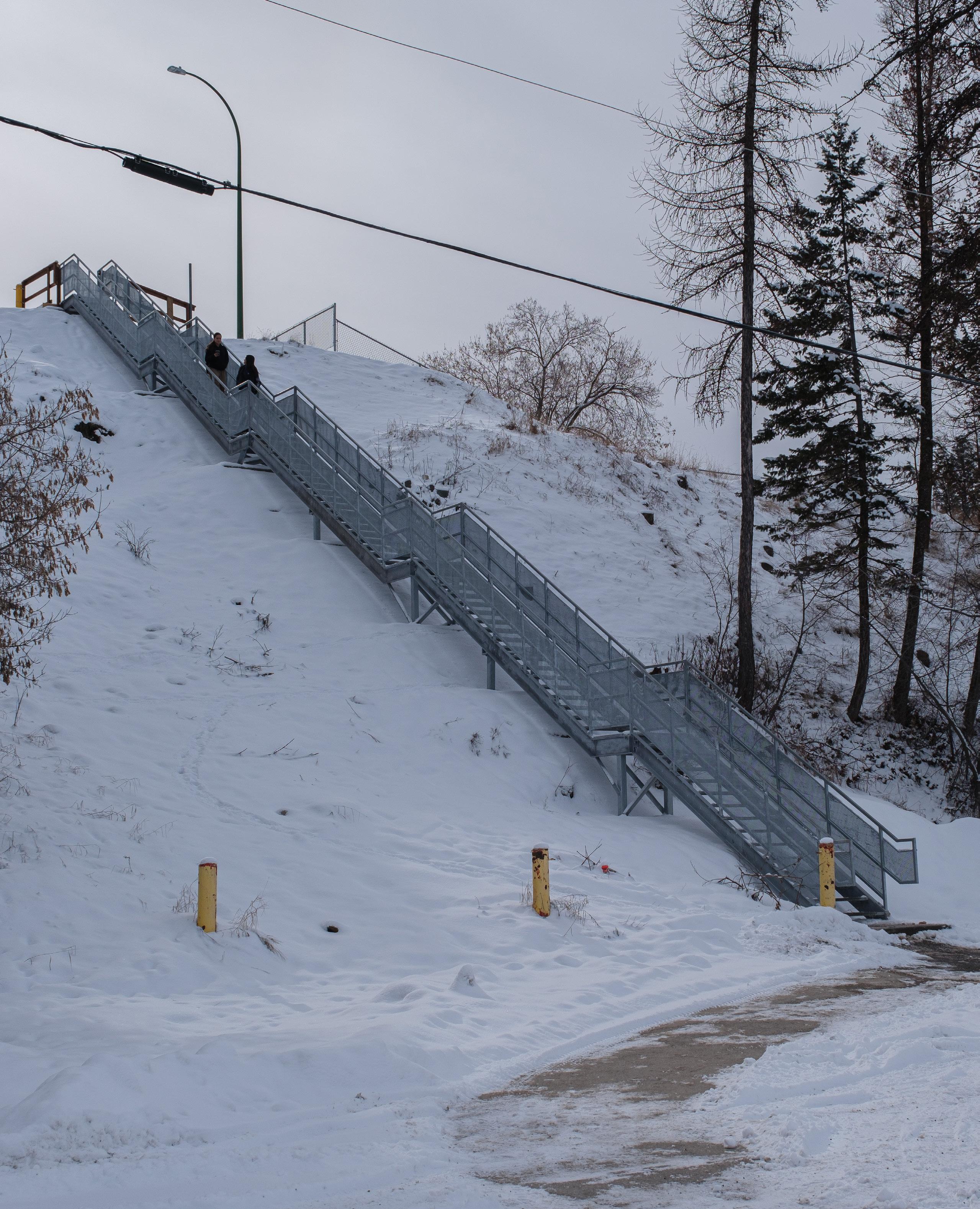
This recent stair replacement will keep this active transportation connection open for years to come.
Proposed Multi-Use Pathway
Proposed Protected Bike Lane
Highway Facility Alternate AAA
Proposed Bicycle Street
Multi-Use Pathway
Painted Bike Lane
Shared Street
Bicycle Accessible Shoulder
City Boundary
St. Mary’s 1A Boundary
Bicycle Repair Station
School
Recreational Area
Proposed Bike Parking
Figure 4.1: Proposed Bicycle
MUP5:
4. PEOPLE ROLLING
To improve comfort and safety for people riding a bicycle and rolling by other micromobility modes, the City will build upon the existing Rotary Trail system using a number of infrastructure types to ultimately create a network of safe cycling routes through the city.
4.1. Rationale
Riding a bicycle has historically been the most under served mode of transportation in most communities. Where previously it was considered appropriate to share the road, evidence has shown that this typically is only comfortable for a small percentage of the population.
Looking towards countries in Europe has shown that very high percentages of cycling for transportation is possible with the right network in place and many communities in Canada are now realizing the benefits as they build out their bicycle networks to be comfortable for all ages and abilities.
While walking is possible within someones immediate neighbourhood, the bicycle or other micromobility options enable people to easily travel around much of the community, and with electric options, more areas become more accessible by bicycle.
At present much of the transportation network is less safe for people cycling or rolling, an equity issue that places those who wish to get around by active transportation at greater risk than
those getting around by other modes. Safety is the greatest barrier to increased ridership, but one that can be overcome by investment in infrastructure.
As new technologies such as electric bicycles, electric scooters and shared mobility are increasingly adopted, there are fewer barriers to using these modes for transportation if there is a safe and comfortable network in place.
The proposed bicycle network serves two purposes, connecting the northern part of town, the rail trails, parks and commercial areas with multi-use pathways where volumes could be expected to be lighter, and in the centre, new protected bike lanes and bicycle streets focused on providing access to schools and key destinations.
4.2. Alignment with Other Policies
By prioritizing people cycling and rolling behind people walking but above all others we continue to support the modal hierarchy within the capital plan, this Active Transportation Plan will directly align with similar policies to those for people walking, but also:
» The current City OCP Transportation objectives include continuing to upgrade and expand the network of pedestrian and non-vehicular routes including sidewalks, off-street pathways and bicycle lanes. It also included ambitious targets for new construction including constructing 20 kilometres of new sidewalks/trails as a City initiative and dedicate a City wide bike route network by 2015 to reduce the daily use of vehicles as a means of reducing the greenhouse gas emissions. The City OCP also notes bicycle routes may complement traditional forms of transportation and encourage commuters to use them to travel to and from their places of work and leisure. Bicycle parking facilities are encouraged to support this.
» The new Draft OCP includes many active transportation recommendations in addition to those outlined in Section 3 including implementing the recommendations of this plan, Develop a continuous network of multi-modal trails and sidewalks that connect residents to schools, public facilities, commercial centres, transit, and parks. In similar intent it also states Provide safe and well-maintained public access for persons of all ages and abilities on all publicly accessible rights of way maintained by the City of Cranbrook.
» The Downtown Revitalization Master Plan, as noted in Section 3 states that the city will focus
on walking and cycling with transportation connections to and from Baker Street while taking a complete streets, or a “pedestrians and cyclist first” approach, ensure safety for all road users, and adopt universal design for streets.
» The City Tourism Master Plan, in addition to those elements mentioned in Section 3 notes the presence of two primary trail clusters (Community Forrest and South Star Trails) neither of which connect to downtown safely. It also suggests strengthen the active network including connections and crossings to support family friendly and age friendly activities in the community.
» Another of the Provincial Active Transportation Strategy goals is to work together with communities to create policies and plans that enable and support complete active transportation networks across the province.
» The Federal Active Transportation Strategy has a vision for Canadians of all ages, ethnicities, abilities, genders, and backgrounds to be able to safely and conveniently access active transportation in their communities, and to significantly increase the ‘modal share’ of active transportation: the proportion of Canadians who regularly make the choice to use active transportation.
» The Federal Road Safety Strategy retains the long-term vision of Making Canada’s roads the safest in the world and adopts three principles: Adopting the Safe System Approach; A 10-year timeline; Providing an inventory of proven and promising best practices to address key risk groups and contributing factors.
4.3. Protected Bike Lanes
Protected bike lanes offer comfort and safety to people cycling and rolling of all ages and abilities (AAA). Protected bike lanes provide space separate from motor vehicles and from people walking. They have the greatest potential to get people cycling and rolling, and when individual projects combine to form a larger AAA bicycle and micro-mobility network, protected bike lanes have the capacity to encourage those interested but concerned about active transportation to use the network. In Cranbrook, quick build options may prove challenging to clear in the winter, thus it is proposed that new protected bike lanes be constructed at sidewalk elevation adjacent to the sidewalk, that can be cleared by a variety of equipment. Protected Bike Lanes are proposed on the following corridors:
» 2nd Street N improving access to Mt Baker Secondary, College of the Rockies, various commercial and recreational destinations. 1.5km in length (PB1).
» 13th Street S and 16th Ave S improving access to Kootenay Orchards Elementary and College of the Rockies Gold Creek Campus. 1.0km in length (PB2).
» 11th Street S improving access to Gordon Terrace Elementary and Parkland Middle School. 1.5km in length (PB3).
» Wattsville Road and 4th Street S improving access to T.M. Roberts Elementary, Amy Woodland Elementary and St Mary’s Catholic Independent School. 1.7km in length (PB4).
» 2nd Street S and 27th Ave S improving access to Laurie Middle School, Highlands Elementary and Rotary Park. 3.1km in length (PB5).
» Larch Drive S improving access to Gordon Terrace Elementary. 800m in length (PB6).
Create a network of safe urban routes that improve access to schools, commercial and recreational destinations.
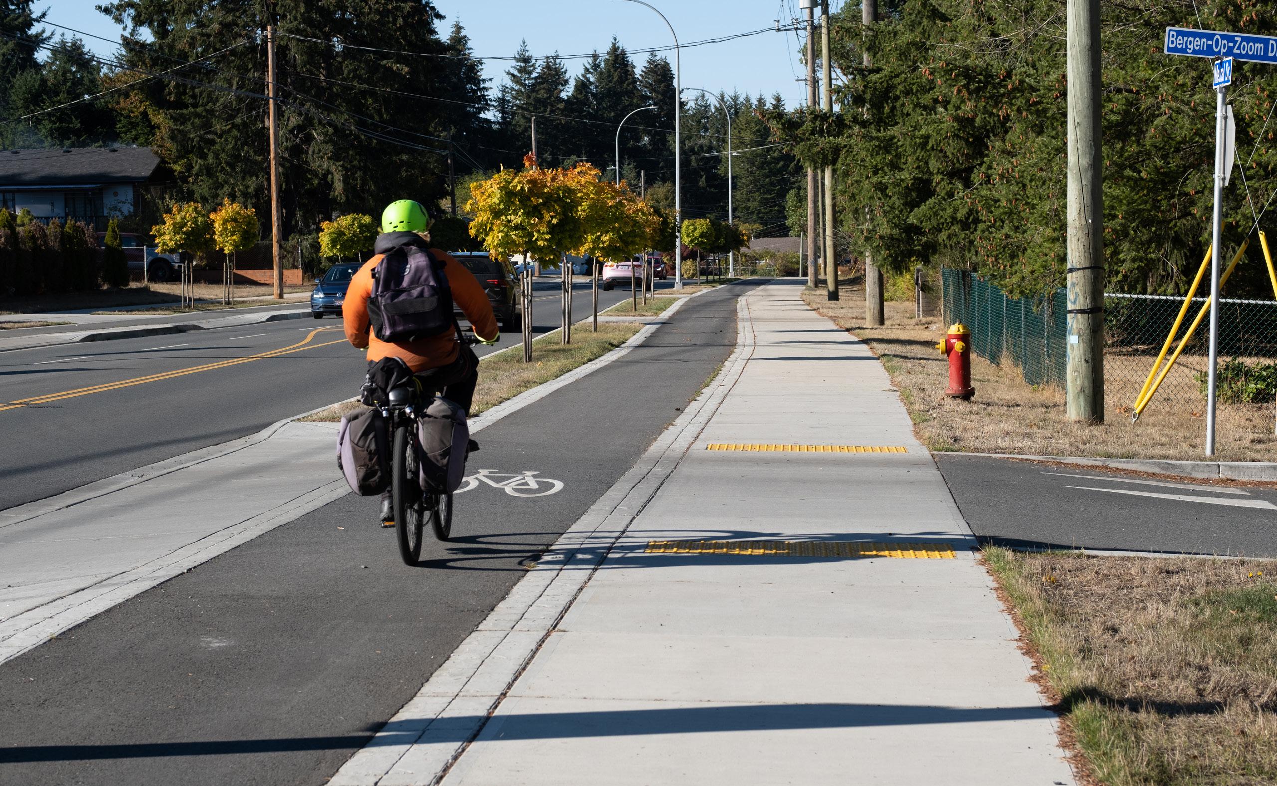
Sechelt built a new active transportation corridor with protected bikelanes behind the curb that are more comfortable for more people.
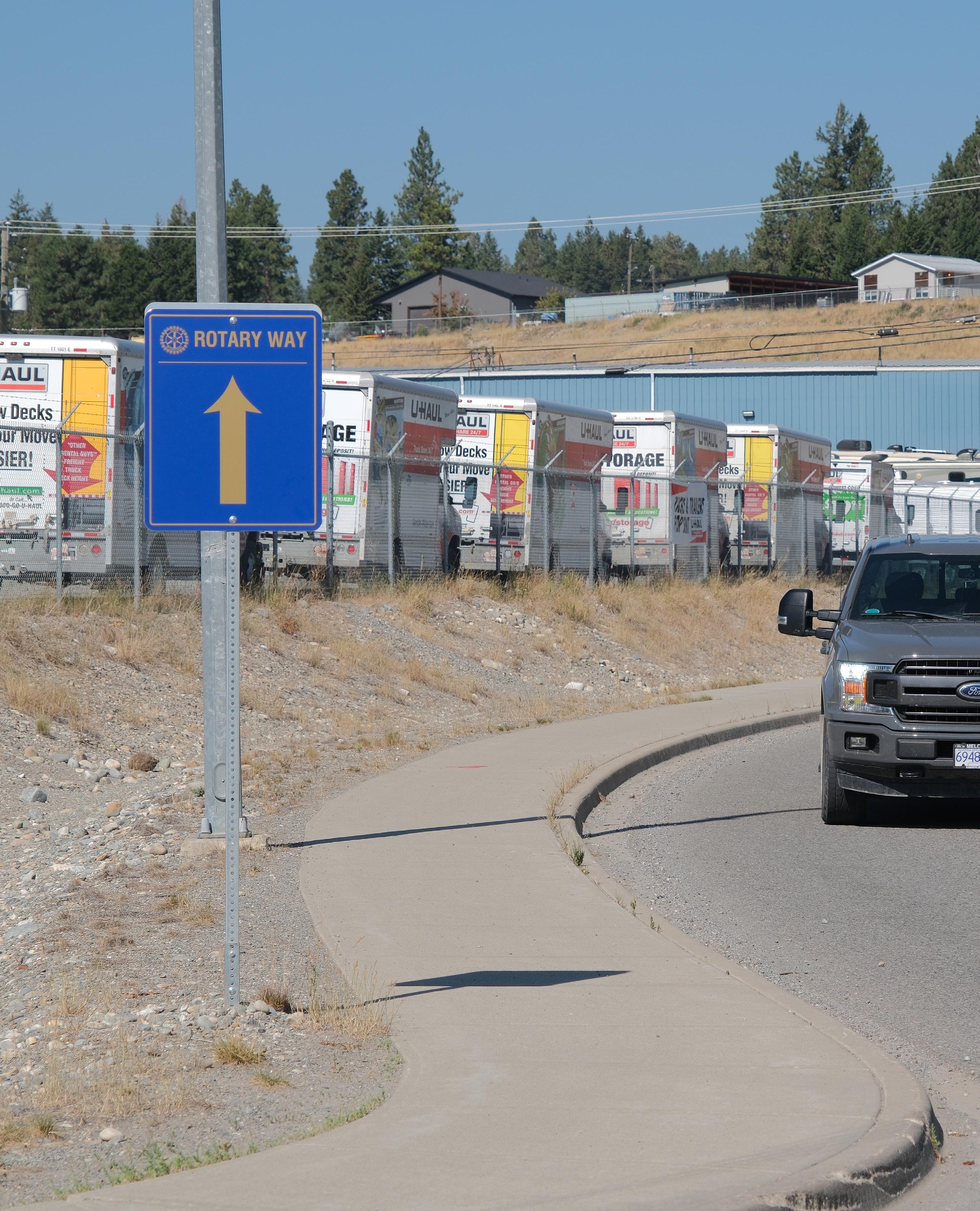
The Rotary Way Trail provides a good base. Expanding it to cover more destinations and connect with other routes will make it more useful to more people.
Complete missing links in the Rotary Way Trail and expand it through the city.
4.4. Multi-Use Pathways
Multi-Use Pathways (MUPs) offer comfort and safety to active users due to their physical separation from motor vehicle traffic. As MUPs are shared between both pedestrians and higher speed users, conflicts between the two are possible, but can be somewhat mitigated by use of pavement markings, signage, and wider pathways. Although separated facilities for pedestrians and other active modes are preferred, MUPs are useful in areas where space is constrained or where active modes volumes are anticipated to be lower. New multi-use pathways are proposed along the following corridors:
» 7th Street S improving access between the Rotary Way Trail and Highlands Elementary. 750m in length (MUP1).
» 10th Street S improving access between 14th Ave S MUP and Rotary Way Trail. 770m in length. (MUP2)
» Industrial Road 2 improving access between Wildstone Boulevard, Moir Park and urban core. 2.3 km in length (MUP3).
» Industrial Road G connecting McPhee Road to Moir Park. 650m in length (MUP4).
» McPhee Road improving access between the Rails to Trails and Rotary Way Trail. 1.25km in length (MUP5).
» 6th Street NW improving access from Industrial Road 2 and urban core. 1.0 km in length (MUP6).
» Theatre Road (including Victoria Road N and Kootenay St N) improving access to commercial areas and into urban core. 1.6km in length (MUP7).
» Ridgeview Road improving access to commercial areas. 800m in length (MUP8).
» Spot improvement of Rotary Way Trail between 24 Ave N and McLeary Crescent. 100m in length (MUP9).
» Spot improvement of Rotary Way Trail on 17 Ave N between 4th Street N and 2nd Street N. 150m in length (MUP10).
» Rails to Trails extension between Industrial Road G and 6th Street. 1.8m km in length (MUP11).
» 14th Avenue S completing missing link between two MUPs. 1.0km in length (MUP12)
» 30th Avenue N completing missing links between nearby MUPs. 600m in length (MUP13).
4.5. Bicycle Streets
Bicycle Streets, also known as neighbourhood bikeways are designated bicycle routes with appropriate traffic calming to reduce vehicle volumes and speeds to a level that is comfortable for most people on a bicycle to share the road. Traffic calming most often includes speed humps or cushions to slow vehicles to 30 km/h and make the route less desirable to short cut through, and modal filters restrict vehicle through movement entirely in strategic locations to reduce volumes to a level suitable for sharing the road. While this can reduce access for residents, it also reduces vehicle volumes past homes. Bicycle Streets are proposed along the following corridors:
» 23rd Avenue N improving access to Steeples Elementary, College of the Rockies, and Mountain View Field. 1.5 km in length (BS1)
» 6th Street N improving access to Rotary Trail and future MUP to the west. 400m in length (BS2).
» 3rd Avenue S improving access to downtown, Tim Roberts Elementary and Parkland Middle School. 1.3 km in length (BS3).
» 6th Street S improving access to T.M. Roberts Elementary and Amy Woodland Elementary. 800m in length (BS4).
» 2nd Avenue S improving access to Parkland Middle School. 350m in length (BS5).
Create a network of safe urban routes that improve access to schools, commercial and recreational destinations.
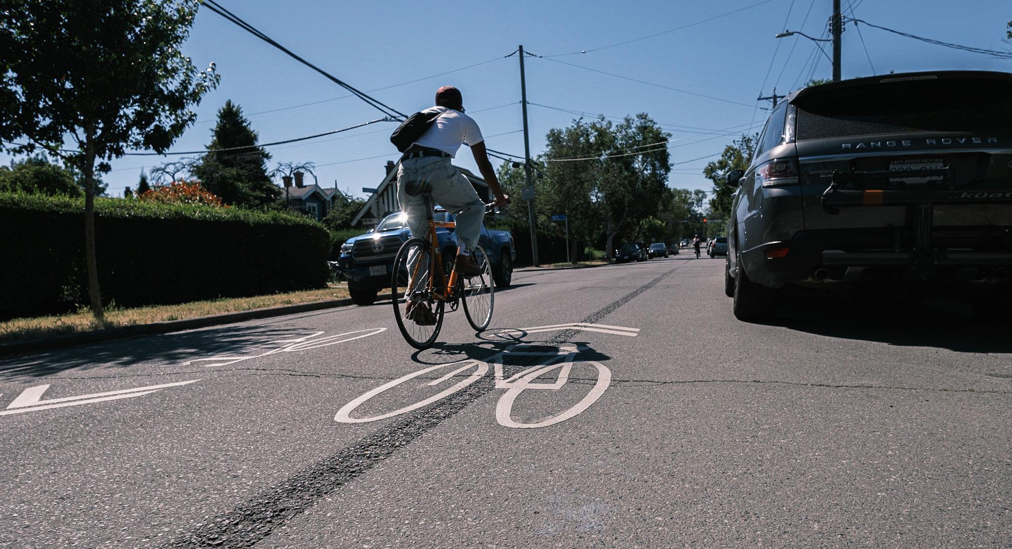
This street in Victoria includes sharrows for wayfinding, new 30 km/h speed limit, speed humps and modal filters.
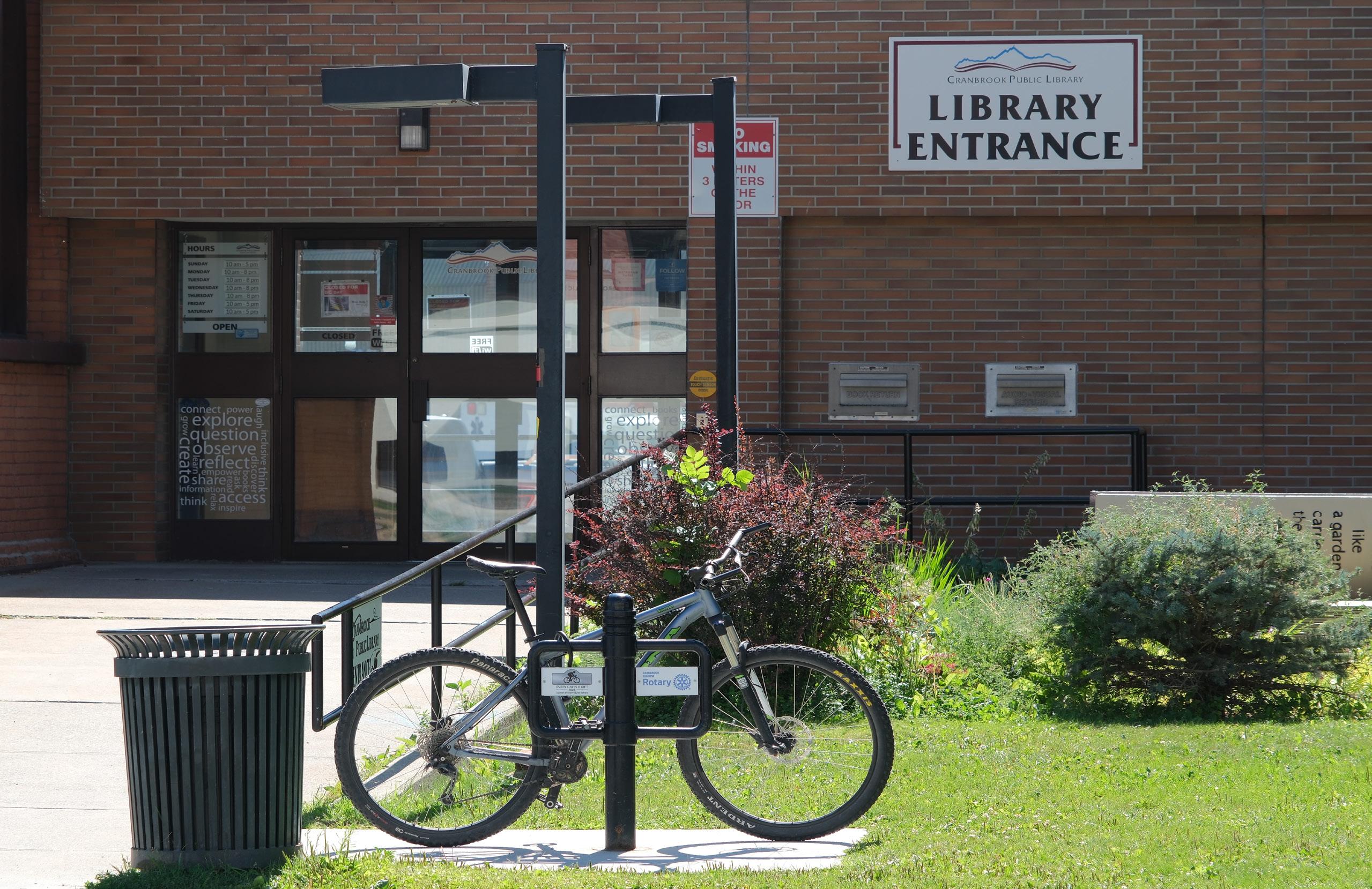
Conventional bike racks while necessary can be supplemented with more secure options.
Provide more secure bicycle parking.
4.3. Secure Bicycle Parking
Infrastructure to walk and roll along is one part of the active transportation need, but for those rolling, being more confident that they can lock their bicycle or other micromobility device up securely is another major barrier. It is recommended that the City explores innovative secure bicycle parking facilities at key destinations around town, potentially in partnership with property owners where possible. Examples of technology solutions that can be implemented at relatively small scales include Bikeep app enabled secure bicycle parking stations. Potential locations include:
» City Hall and City Library (BP1).
» Baker Street in the downtown core (BP2).
» Rotary Park in the downtown core (BP3).
» Western Financial Arena (BP4).
» Smart Centres Cranbrook Shopping Mall (BP5).
» Tamarack Centre Shopping Mall (BP6).
» Other locations as appropriate if deemed successful.
“A protected bicycle lane in the city is a powerful symbol, showing that a citizen on a $30 bicycle is as important as one in a $30,000 car”
Enrique Peñalosa, Former Mayor of Bogotá
“The point of cities is multiplicity of choice.”
Jane Jacobs, Author: The Death and Life of Great American Cities
5. OTHER ACTIONS
Over and above the physical infrastructure, there are other actions necessary to enable, encourage and support active transportation in the community.
5.1. Reduce Reliance on the Automobile
Making it easier to travel by active modes is a large part of this plan and the recommendation within, however, other ways to increase the number of active trips are those ways that reduce the reliance on the car. For example increased use of transportation options such as transit, ride hailing, and car share can make it easier to use the car less. For example if those options are good enough to go carlite, or from 2 cars to one in a household, the car begins to get used only for essential trips, and other modes include walking, rolling and taking transit become more viable. If the car is always available, it’s difficult to give up the convenience. The intent though is not to force people out of their car, but to provide choices and allow those that do want to reduce the burden of car ownership the opportunity to have safe and comfortable alternatives.
5.2. Update Guidance and Bylaws
Many of the City’s roads look alike, regardless of their classification and purpose. To guide future upgrades it is recommended that the City updates bylaws and design guidance to better reflect the desired outcomes and functions of each street. For example:
» Plan for streets to better reflect both their intended transportation function and their place function. For example, a street in the downtown core would have a high place function and greater emphasis in the cross section would be placed on sidewalk width, patio space, landscaping, and potentially protected bike lanes. An industrial street would have less focus on aesthetics, but due to higher truck traffic may still require separate active modes facilities. A classification system should be consistent between all transportation guidance including the Transportation Master Plan, Downtown Revitalization Master Plan and Official Community Plan, and could include new complete street cross-sections that would be incorporated into the sub-division bylaw or new engineering standards.
» Update the zoning bylaw to require less car parking and more bicycle parking. If we have a goal of enabling everybody in the community to ride a bicycle, they must have places to store it at home and at their place of work. The zoning bylaw can further support short trips by mixing land uses and creating more complete communities.
Work with the Ministry of Transportation and Infrastructure to improve the highway corridor for people walking and rolling.
5.3. Highway Improvements for Active Modes
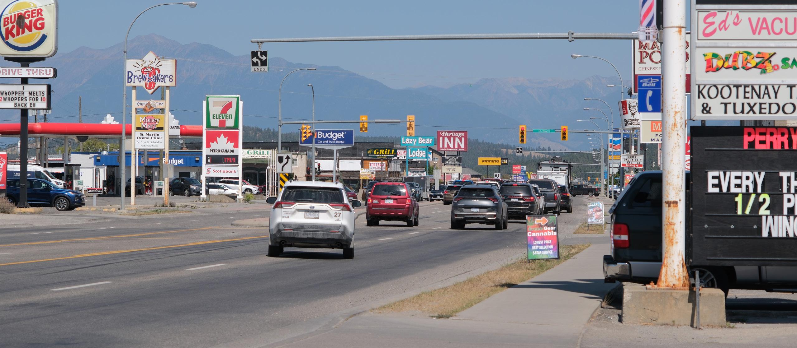
The City OCP speaks to Mobility on ‘The Strip’ and the need to participate in a comprehensive review of the Highway 3/95 corridor, including its intersections and frontage roads, for the purpose of developing a plan to address access and highway safety concerns. The review should include input from, but not necessarily be limited to, City staff and elected officials, representatives of the Ministry of Transportation, Canadian Pacific Railway and area businesses. The highway corridor through the city is quite hostile to people walking and cycling with sidewalks typically immediately adjacent to the roadway, high vehicle volumes and speeds, lack of sidewalk in places, lack of bicycle infrastructure entirely, and unsafe crossings. The right-of-way varies along the corridor from 25 metres to 50 metres. It is proposed that the City work with the BC Ministry of Transportation and Infrastructure to safely accommodate for all ages and abilities along and across the highway. This could include:
» Sidewalks the entire length of the highway where development fronts it.
» Protected bike lanes behind the curb along the entire length of the highway where development fronts it.
» Alternatively a multi-use pathway along the entire length of the developed highway.
» Consider reducing vehicle lane widths to TAC 3.3m minimums for bus and truck routes (*excluding gutter) and reducing the number of lanes from five to three. Note MOTI short count sites suggest a peak daily volume of 16,000 vehicles per day (Aug 22), a volume that can possibly be accommodate in a three lane cross-section.
» Upgrade the highway marked crosswalks at 1st Street S and 4th Street N to a half signals.
» Safety improvements at channelized turns via removal, upgrade to smart channel design or addition of raised crosswalks.
» Addition of no right-turn-on red signage at all highway traffic signals.
5.4. Repair and Maintenance
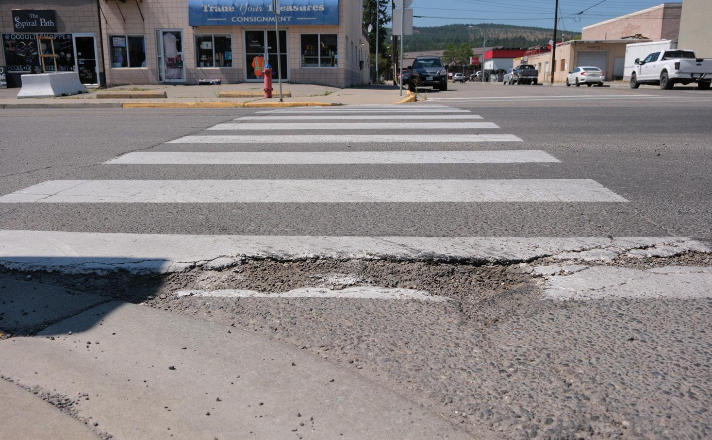
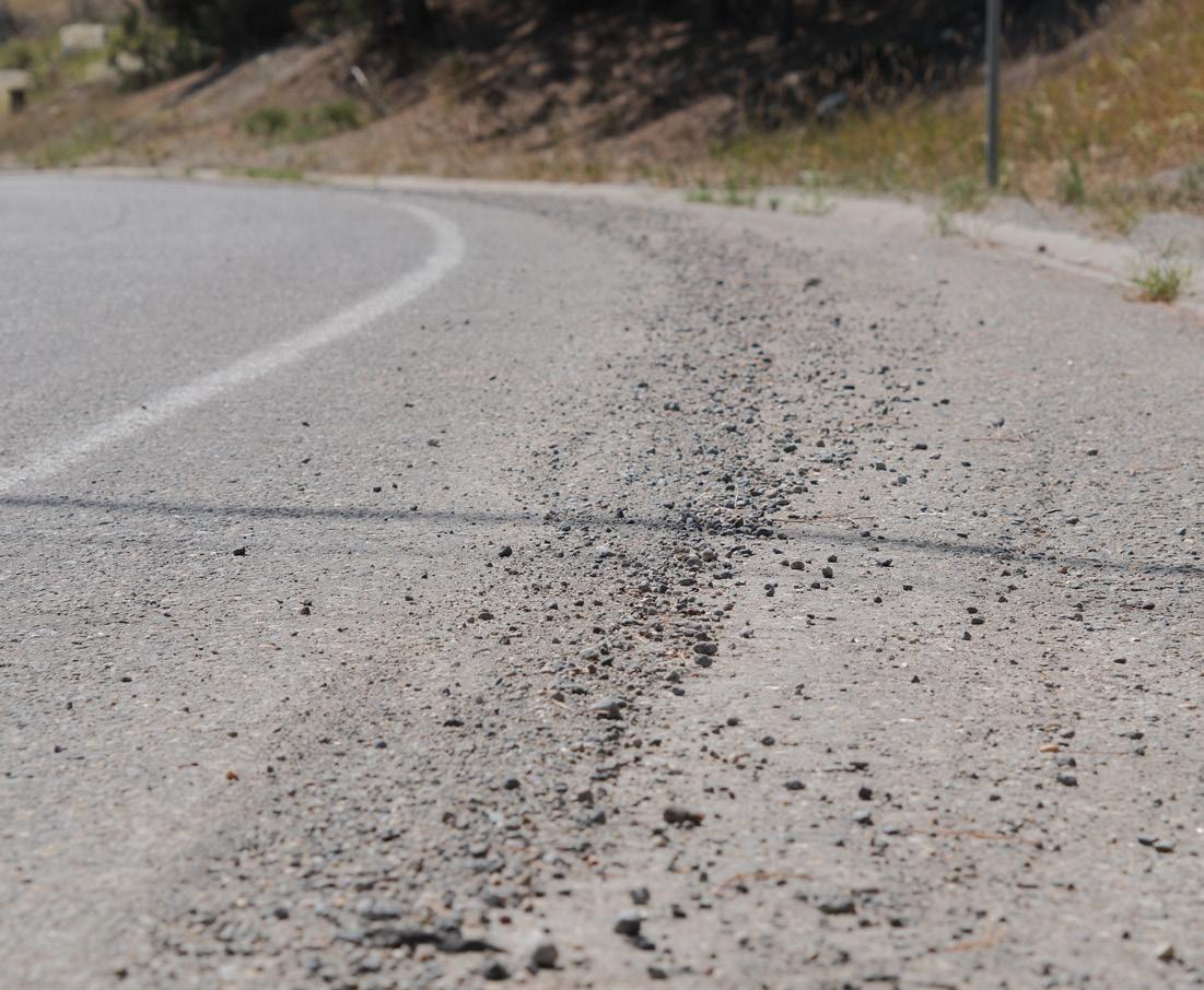
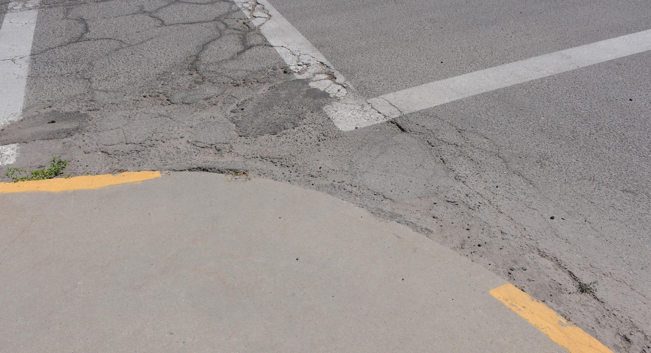
The City will allocate budget and actively monitor city streets for maintenance issues such as root heave, freeze/thaw issues, pavement conditions and sweeping that could present a barrier to people walking and rolling, and allocate an annual sum of money to undertake such repairs. Where suitable funding is not sufficient, a priority list will be kept of needed repairs to address as funding becomes available.
Maintain active transportation infrastructure in a good state of repair.
Provide solutions that work in a winter city
5.5. Weather and Winter Friendly Solutions
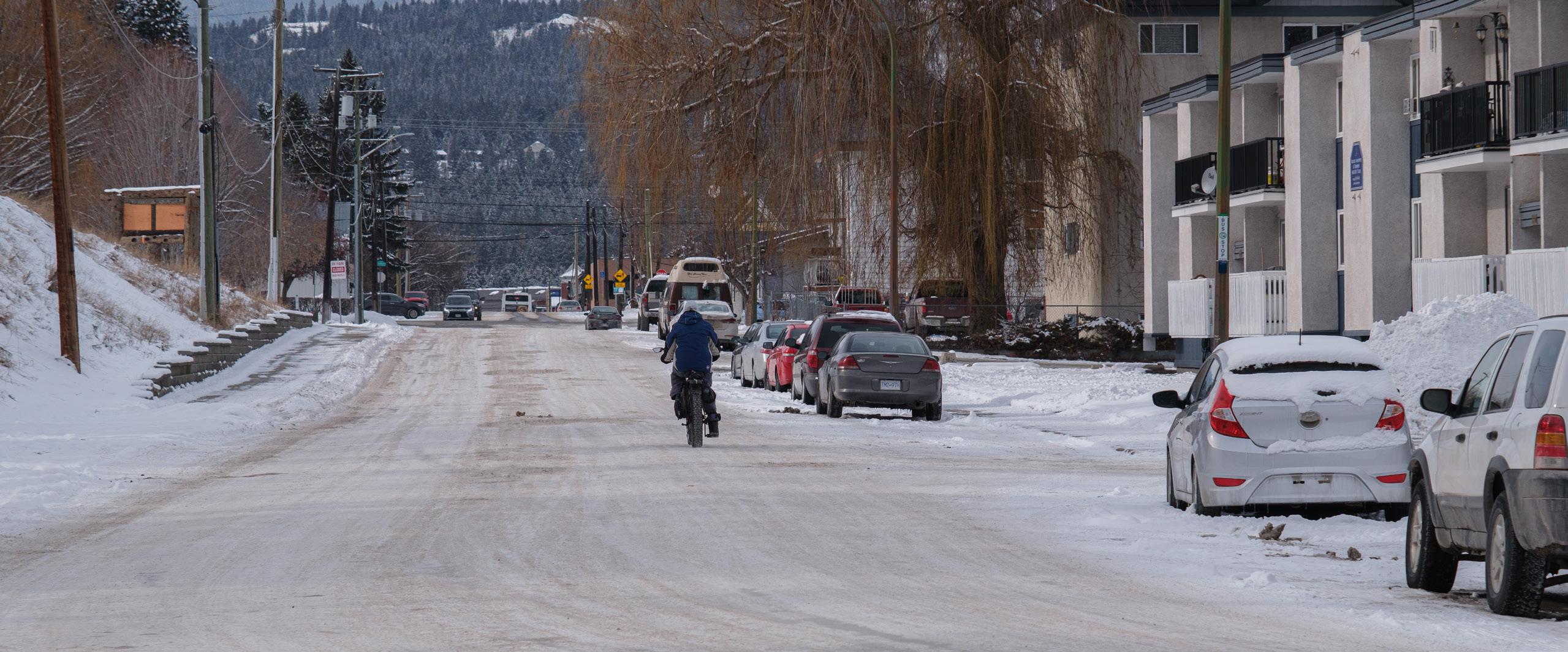
As the City sees a substantial amount of snow in the winter, any new infrastructure planned must be considerate of the need to store and plow snow as well as the potential for elements such as pre-cast curbs often used in other cities to be obscured under heavy snowfall and become a hazard to people walking, cycling, driving and those clearing the snow. Some considerations include:
» The use of flexible posts that can be removed in the winter.
» The use of larger pre-cast concrete barriers that are less likely to be obscured by falling snow.
» The need to provide space to store the plowed snow.
» The need to procure and train staff to use specialist equipment such as mini-sweeper for dedicated active modes infrastructure.
» The grades of new facilities and potential for sliding in the winter on ice or snow.
» Pavement markings will be covered during snow events and may wear quick quicker due to weather, salting and plowing.
» Priority snow clearing for active transportation routes.
Other considerations must be made in relation to rainfall including:
» Suitable drainage infrastructure and paths for stormwater to reach it.
» Appropriate grading of any new facilities
» New catch basins where any new raised elements are introduced, i.e., raised crossings or curb extensions.
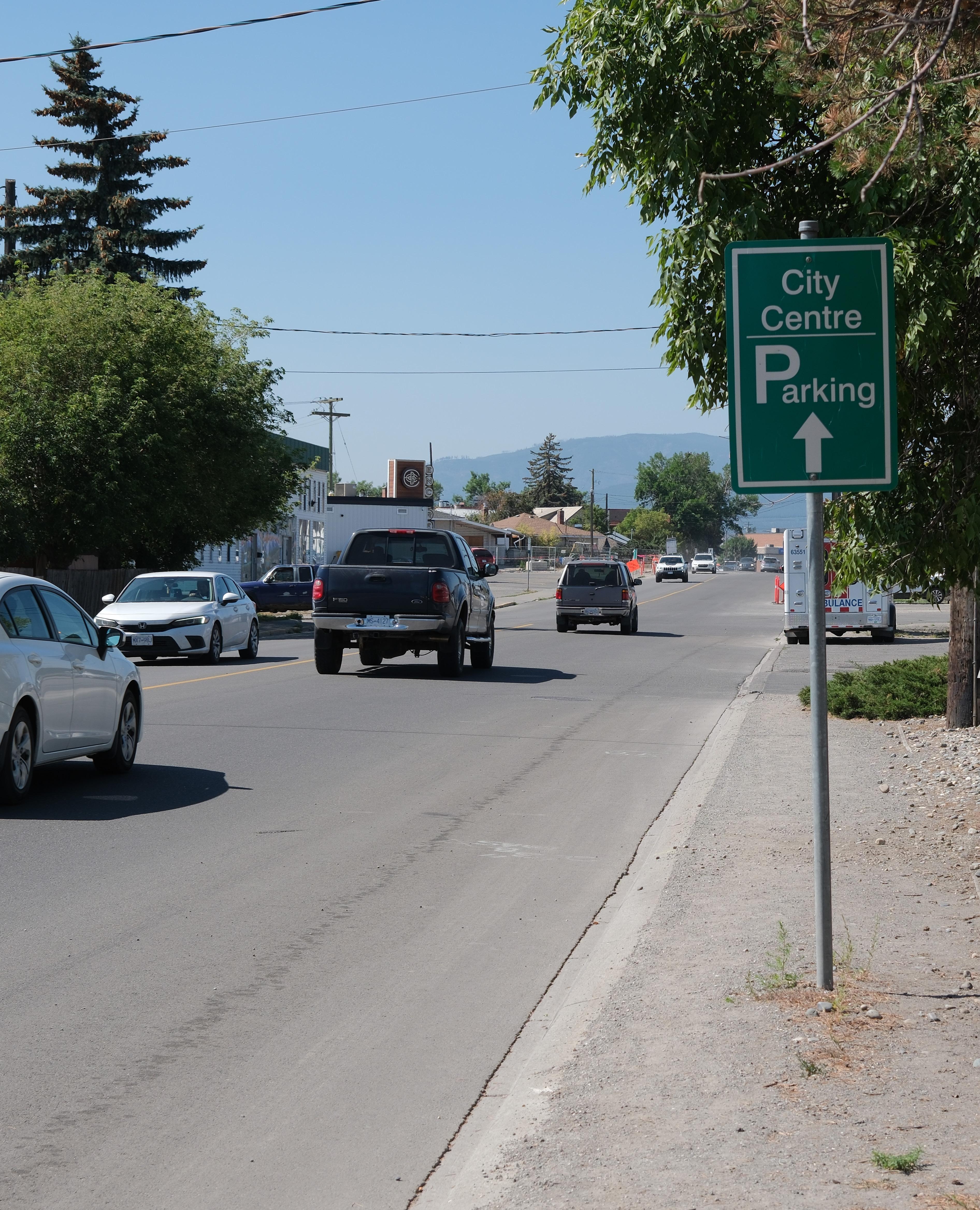
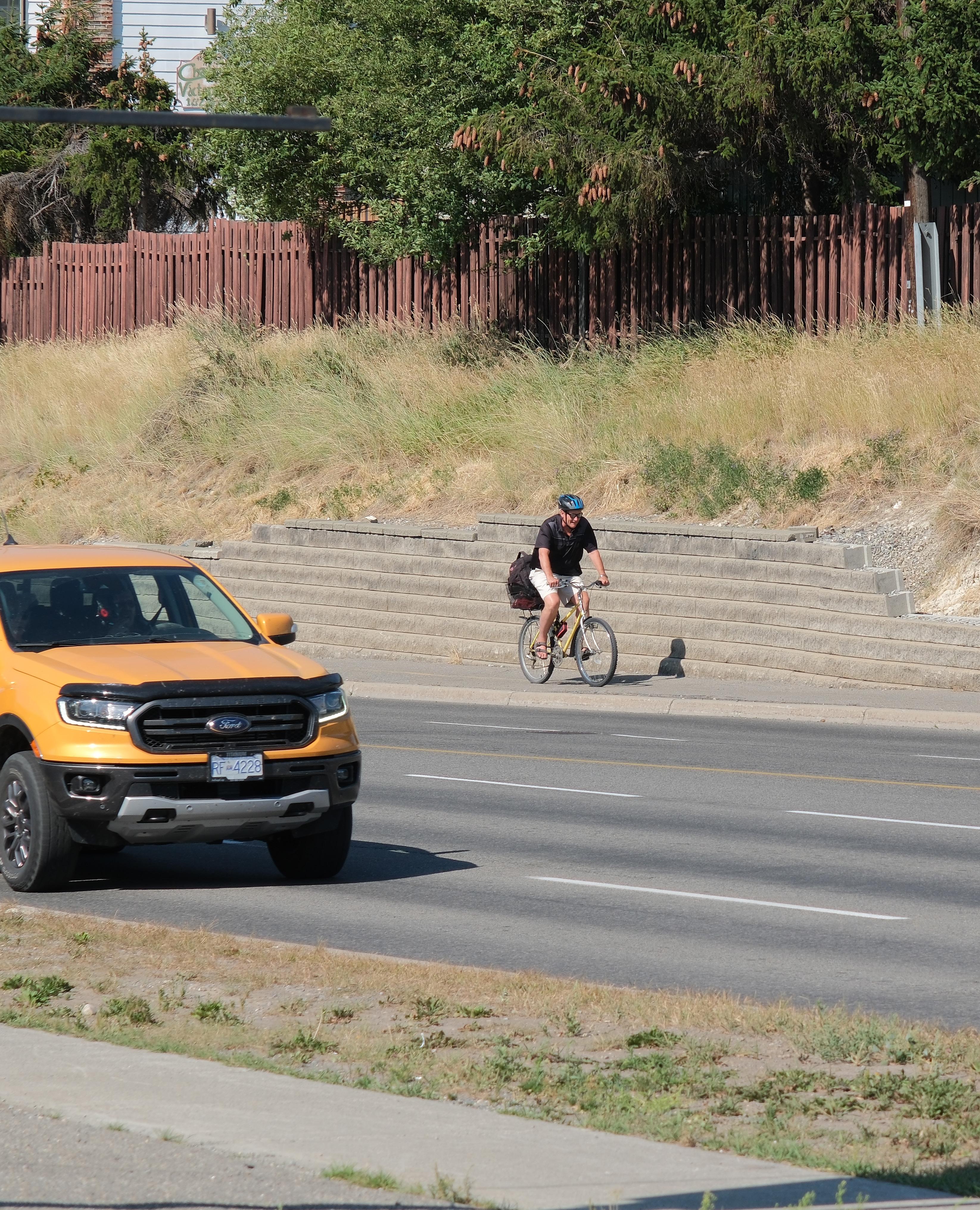
Where the volume and speed of vehicles is high, people need safe separate space to walk and roll.
“The truth about a city’s aspirations isn’t found in its vision. It’s found in its budget.”
Brent Toderian, Toderian Urban Works
6. IMPLEMENTATION
This plan provides recommendations for improvements to the active transportation network and a prioritized list of projects based on identified criteria. Implementation is subject to funding and priorities that may change from time to time.
6.1. Funding Assumptions
Funding is available for active transportation from various sources including municipal property taxes, provincial and federal grants, development cost charges, and development frontage improvements. The plan does not assume a specific annual funding amount, but rather prioritizes projects that may be implemented as funding allows. While opportunities and grant funding amounts can change from time to time, some common grant funding sources are provided in Section 7 of this plan.
6.2. Project Priorities
The identified projects have been evaluated based on four primary factors to determine potential priorities for the City. The City is not bound to this order of construction and other factors may influence the prioritization or depriortization. However, the following method provides a starting point from which the city can begin capital planning:
» Public: The level of public priority based on the percentage of the public that selected each element as a priority, i.e., an element that 100% selected as a priority would score 10, and element that score 64% would score 6.4.
» Centre: The proximity to the centre, with the rationale that the City is better to invest from the centre outwards, with a score of 5 reflecting a project in the centre, with outlying areas scoring decreasingly lower.
» School: The proximity to a school or direct route to school, with those routes directly adjacent to a school scoring a 5 and other routes scoring less, based subjectively on their value in providing a safe route to school.
» Cost: The project cost, with low cost projects (<$100,000) scoring a 5 to higher cost projects (>$2,000,000) scoring 0, and cost between scoring between.
Cost estimates for this plan are generally based on known completed projects of similar intent. They reflect Engineers and Geoscientists BC cost estimate classes, in this case, providing a “Class D estimate (±50%): A preliminary estimate which, due to little or no site information, indicates the approximate magnitude of cost of the proposed project, based on the client’s broad requirements.
This overall cost estimate may be derived from lump sum or unit costs for a similar project. It may be used in developing long term capital plans and for preliminary discussion of proposed capital projects.”
Table 6.1 on the following pages outlines the prioritized list of projects which provide reasonable ease of implementation, a variety of cost levels allowing progress to be made quickly on a number of fronts including protected bike lanes with limited impact to other users, secure bicycle parking, crosswalk upgrades and bicycle street upgrades.
Table 6.1: Proposed Project Prioritization
6.3. Construction Techniques
It has been assumed, for example in the case of Priority 1, a protected bike lane on 2nd Street North, that wherever possible quick build techniques are utilized to allow the network to be expanded as quickly as possible. In this example there is substantial road width between existing curbsapproximately 13+ metres. With the curb lanes underutilized, this road width can easily be utilized to construct quick build protected bike lanes. For example maintaining only one 3.3m vehicle lane in each direction, providing a 0.9m protective buffer with pre-cast barriers on each side, and 2.3m wide uni-directional protected bike lanes with space to pass is possible on this street, with additional care required at intersections to manage left turns from the protected bike lanes.
The City, as they plan to build their first protected bike lanes, will be required to develop a maintenance strategy which should be done in conjunction with such projects. Winter maintenance may require the purchase of new equipment to clear uni-directional bike lanes of leaves, debris and snow from season to season. The cost of this equipment and staff to operate it is much less than the cost of constructing new facilities behind curb and gutter. Thus, the cost of equipment reduces the cost of construction, and more expensive techniques would still require ongoing maintenance.
For larger projects such as the City centre sidewalks, it may be necessary to phase them over a number of years.
6.4. Principles for Pedestrian Design
As the City pursues implementation of the projects recommended in this plan, it’s important that staff and any consultants are fully considering the needs of people walking. The following principles are provided to help guide conversation when their are undoubtedly trade-off decisions to be made during the design process. The pedestrian realm upgrades primarily focus on the pedestrian only sidewalk network. Multi-use pathways are addressed separately.
Facility Width
Minimum sidewalk width is ideally 1.8 metres, sufficient for two wheelchairs or mobility devices to pass each other. Lower widths may be acceptable for very short distances to pass obstructions such as signs or signal poles, but should be avoided where possible.
Separation from Traffic
Walking next to traffic, even on an elevated sidewalk can often be uncomfortable where traffic volumes or speeds are high, especially where large vehicles such as buses or trucks are passing. Ideally sidewalks would be separated from vehicle travel lanes by a boulevard with landscaping and/ or street trees. Such boulevards can also be utilized to control and manage stormwater.
Grade
While sidewalk grade will typically follow that of the adjacent roadway, there are recommendations for accessible grades. The longitudinal grade should ideally be less than 5%. Between 5% and 8.3%, landings should be provided every nine metres. Grades above 8.3% should typically be avoided where possible.
Accessibility
It is important that the city be accessible to everyone in the community. People have many different disabilities that affect how they navigate the city such as mobility challenges and sight loss. Important infrastructure elements than can provide accessibility for different groups include: curb ramps, wheelchair ramps, disabled parking stalls, both directional and warning Tactile Warning Surface Indicators (TWSI’s), braille information on wayfinding signage, streets signs, and bus stops, and audible pedestrian crossings.
Crosswalks
Crosswalks connect the sidewalk and pathway network. While TAC warrants exist and should be considered, connectivity forms part of the warrant process and therefore logical desire lines should be served by a crosswalk of an appropriate form without the need for further study. Crosswalks may be part of a signalized intersection, and should be provided on all legs of an intersection. At mid-block locations, pedestrian signals or Rapid Rectangular Flashing Beacons (RRFB’s) can be considered based on engineering judgment. Typically a multi-lane road would require a pedestrian signal, while RRFB’s may be suitable for two lane roadways. In addition to the crossing type, curb extensions should be implemented where possible to reduce crossing distances and improve safety, while continuous sidewalks should be considered at the same time.
6.5. Principles for Bike Lane Design
Protected bike lanes offer comfort and safety to users of all ages and abilities (AAA). They may be raised behind curbs or at-grade on the street, but in both cases, protection is provided to separate motor vehicles from the more vulnerable using the bike lane. As part of a complete network, protected bike lanes enable those interested but concerned to travel actively.
Bike Lanes or Bike Paths
Bike lanes are typically constructed on existing roadways by re-purposing space currently utilized for parking or travel lanes, or possibly through lane narrowing where they are overly wide. This can be low cost, requiring only changes to pavement markings and/or pre-cast or cast-in-place concrete barrier, flex posts, or planters to provide protection. Bike paths are typically located behind the curb, with the curb and often landscaping providing protection from vehicles. These paths require less pavement structure and lower rehabilitation costs compared with on-street facilities.
Uni-Directional or Bi-Directional
Uni-directional facilities are most often preferred as they provide people using them with access to both sides of the street, place people in a conventional position in the street, and can operate with the vehicle traffic signals on-street or pedestrian signals off-street. The biggest issue with unidirectional lanes is the continued possibility of right-hooks, and where possible such conflicts should be managed through bicycle friendly signal phasing.
Bi-directional facilities have benefits in certain circumstances. They take up less space, requiring only one buffer from traffic and often utilizing narrower lanes, as passing can be done in the opposing lane. When connecting to multi-use pathways at either end on the same side of the street, a bi-directional facility might reduce the need to cross the roadway. As people are coming in both directions, care should be taken when using such a facility on a street with busy cross-traffic or driveways.
Space to Pass and Edge Conditions
With different physical abilities and increasing use of electrically assisted micromobility modes, the range of speeds people travel on protected bike lanes varies considerably making space to pass an increasingly important consideration. Where previously in a 1.5 metre painted bike lane, someone could pass in the adjacent vehicle lane, now the facility must be wide enough to pass within the facility. That plus the protective barrier adds extra width to the cross-section.
Buffers
Buffers can take many forms, be located between active modes or between active modes and motor vehicles, if not both. It could be pre-cast concrete in many shapes and forms, it could be planters that can add beautification in concrete, plastic, or wood. It can be landscaping including green stormwater infrastructure. Where conflicting volumes are lower, there could be very little buffer space required.
Major Intersections
Intersections experience the most potential for conflict, and even protected intersections can still suffer from issues such as right-hook challenges, which if cycling and turning volumes exceed thresholds, should be separated in time. Where there are additional vehicle turn lanes, this often helps reduce conflicts by providing turning traffic with its own signal phase. Combined with no rightturn-on-red, this can remove right-hook conflicts. Space is often a concern, and to provide protected intersections, larger corner cuts help considerably.
Local Street Intersections
At minor intersections, such as those providing access to local streets, continuous sidewalk and bike path designs, that prioritizes vulnerable modes are typically safer. Rather than people walking and rolling dropping down onto the roadway via curb ramps, their pathway remains uninterrupted and drivers cross the pedestrian and bicycle realm rather than people walking and cycling having to cross the vehicle realm.
Bicycle Signals
Bicycle signals are becoming more common on some bike routes but they are not always necessary, they provide most benefit where a two-way bicycle facility is provided on a one-way street or where there are complex movements or phasing to manage conflicts. Where a bike path behind the curb is intended to use the pedestrian signal, pedestrian recall should be considered.
Bus Stops
Bus stops adjacent to protected bicycle facilities have become a hot topic due to the Human Rights Tribunal in Victoria. Designs that reduce the need to cross the bike path are preferred. For example a continuous sidewalk to the bus stop and slow roll zone for anybody rolling through. Placing the emphasis on the higher speed modes to take greater care.
6.5. Principles for Bicycle Street Design
Bicycle streets are designated bicycle routes with appropriate traffic calming to reduce vehicle volumes and speeds to a level that is comfortable for most to share the road. They may be preferable where there is insufficient space to add separated bicycle facilities. Traffic calming most often includes speed humps or cushions to slow vehicles and make the route less desirable to short cut through, and modal filters to restrict vehicle through movement entirely in strategic locations to reduce volumes to a level suitable for sharing the road. While this can reduce access for residents, it also reduces vehicle volumes past homes. Principles when designing a bicycle street include:
Remove Through Traffic
Bicycle streets are more comfortable the less traffic there is. Targets vary from 500 vehicles per day up to 2,500 vehicles per day, but lower is always preferable. Modal filters are the best tool to reduce traffic volumes and can take many forms. They can be design to remove through traffic and/or turning traffic but care is required to maintain reasonable resident access. Residents may accept their route becomes slightly more circuitous as it also reduces through traffic passed their homes. Like any project that has impacts, suitable public engagement should be undertaken during the early stages of the design process.
Slow Drivers Down
Bicycle streets should be posted at 30 km/h all day every day, not just in school zones or adjacent to parks. Signage, however, is not enough; the best way to reduce vehicle speeds is vertical deflection in the form of speed cushions that can allow people riding bicycles, emergency vehicles, and even transit to pass along the street without disruption while those driving conventionally sized cars will have to negotiate the hump.
Make Passing Comfortable
The width of the street is rarely a design decision if the route make sense. However it’s important to understand that certain widths create uncomfortable passing conditions for someone cycling or rolling if the driver is aggressive. Widths of 5.5m between parked vehicles (clear width) and above are preferred with appropriate speed reduction measures. Lesser widths may be possible for cars and people riding bicycles to pass, but to varying levels of comfort. Consider parking removal where clear widths are less than 5.5m.
Mark the Route
Sharrows (bicycle pavement markings with two arrows) have traditionally been used on neighbourhood bikeways. As we strive for a better bicycle street, signage and pavement markings should be used to better convey that people on bicycles have priority, and the need for drivers to yield to oncoming bicycles. Any markings should be positioned out of the door zone of parked vehicles and generally legitimize someone on a bicycle to be riding along the middle of the street.
Get People Across Busy Streets
Where bicycle streets cross major streets, people on bicycles should be provided with some form of safe crossing, likely RRFB’s on single lane collector roadways, and pedestrian or half signals with bicycle push buttons on busy or multi-lane roadways.
Create Nice Places
Lastly, the creation of bicycle streets can sometimes create opportunities to improve the public realm. Where modal filters are placed they can be simple concrete islands or bollards, but they can also be opportunities to create pedestrian plazas or pocket parks, where traffic is restricted. If the road between two off-set T-intersections can be closed, this present a great opportunity for such an upgrade.
6.6. Principles for Multi-Use Pathway Design
Multi-Use Pathways (MUPs) offer comfort and safety to active users due to their physical separation from motor vehicle traffic. As MUPs are shared between both pedestrians and higher speed micromobility users, conflicts between the two are possible, but can be somewhat mitigated by use of pavement markings, signage, and wider pathways. Although separated facilities for pedestrians and other active modes are generally preferred, MUPs can be useful in areas with space is constrained, costs are a concern, or where active modes volumes are anticipated to be lower.
Paved or Unpaved Trails
For an active transportation network to be accessible to everyone, paved trails are essential as they better accommodate people with mobility impairments using wheelchairs or mobility devices. Furthermore, they are less impacted by changing surface conditions during bad weather. Unpaved trails do provide value for many, providing access to nature and a more natural experience. However, they should not be the only route option in an active transportation network for all ages and abilities.
Grades
Similar guidance is recommended as is provided for sidewalks, i.e., less than 5% is preferred. Because there are many different types of users on multi-use pathways, grades can greatly affect travel speeds with those rolling picking up speed on downhill grades. Where a pathway is constructed along steeper grades, additional width should be considered to reduce the likelihood of close passes. Furthermore, localized separation of modes could be considered, especially where there may be issues with sight lines, i.e. horizontal and vertical curves in close proximity.
Widths
A pathway should be able to accommodate passing while people are walking side by side. The recommended minimum width for a pathway is 4 metres to allow two people walking side by side to pass in each direction without having to resort to single file. An absolute minimum pathway width of 3 metres is only recommended in constrained conditions. As noted above on steeper grades, pathway widths of up to 5 metres should be considered to increase passing space.
Lighting
Lighting makes a pathway feel more comfortable for more people after dark. Given typical commute times can be after dark during the winter months, lighting greatly increases the comfort and safety of those traveling by active modes after dark.
Safe Crossings
As is the case with the pedestrian and cycling network, multi-use pathways also require safe crossings at intersections and mid-block where there are desire lines.
The location of many pathways in the city are such that there may be few eyes on the pathway. This can lead to feelings of a potential or perceived threat to safety. Where possible pathways should be designed with adequate sight lines along the pathway, and ideally eyes on the pathway from adjacent homes or businesses if possible.
Pathway Etiquette
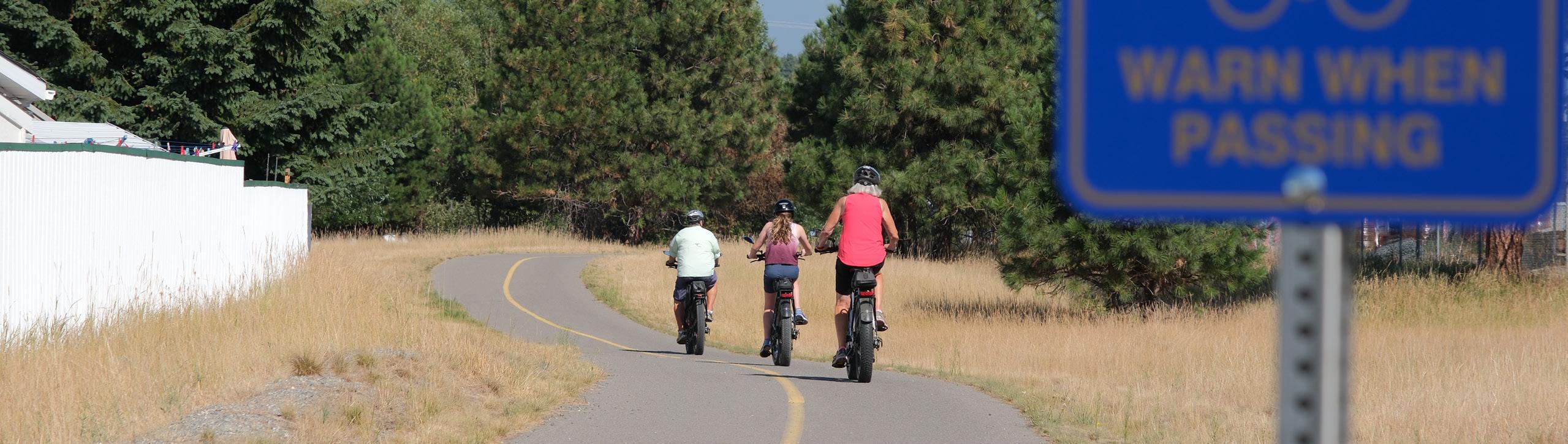
As stated above, because multiple active modes share the same space, pathway etiquette messaging can somewhat help to reduce conflicts. Combined with wayfinding signage, additional messaging can encourage people to keep to the right to allow people to pass, and further more, messaging can encourage those moving faster to pass slowly and with care.
6.7 Principles for Wayfinding
As the network of all ages and abilities facilities expands, wayfinding installed with each project will help understanding of the network and connectivity it provides as well as providing opportunities to improve pathway etiquette and provide reassurance. A formal wayfinding strategy should be considered to develop appropriate branding, however it is anticipated it would include the following key elements.
Map Signage
Placed at key amenities such as parks; features a network map with ‘You Are Here’ confirmation; includes branding; includes etiquette information; includes facility type level of comfort information.
Decision Signage
Placed at locations where facilities cross or connect; features directional signs pointing to destinations; includes branding; includes distance confirmation to each destination; includes travel time estimate to each destination.
Reassurance Signage
Placed at regular intervals along pathways where no decision making is required; features branding; features etiquette advice, (i.e., ‘Keep Right’ or ‘Pass With Care’.)
“All cities have traffic departments and statistics for traffic and parking. Do you know of any city with a department for pedestrians and public life? Hardly any city even has good data concerning the people who use the city. People in cities tend to be invisible and poorly represented in the planning process.”
Jan Ghel: Ghel Architects
7. BEYOND THE PLAN
This plan reflects existing conditions, community input, and best practice at the time of writing. As all of these guiding factors can change over time, it is recommended that plan recommendations are monitored and the success of recommendations reviewed.
7.1. Monitoring
Monitoring of active transportation trends can help confirm project successes and inform any adaptations or corrections that may be necessary on past or future projects. Examples of potential monitoring strategies are identified below:
» Progress Record: As the City completes projects, a record should be kept of this work. This record could include date of design and construction completion, cost compared with planning estimates, and the length of new infrastructure.
» Readily Available Data: This includes census travel to work metrics which are updated every five years. An increasing trend towards active modes can highlight the success of the plan and its implementation. It should, however, be noted that other factors can affect mode share such as gas prices and land use changes.
» Project Specific Active Modes Counts: These counts which may be manual or automatic using various technologies, count the number of people walking, cycling, or moving along the corridor by various means. Often done before and after a project to understand if it increases usage, care must be taken to count on similar days, similar time of the year, with similar weather, and it’s important to understand that counts on one improved corridor may be simply attracting trips from other corridors rather than creating new trips. This can be better understood by undertaking screenline surveys.
» Facility Type Vehicle Surveys: Over time it may be necessary to adjust facility types or increase the extent of traffic calming if traffic volumes and/or speeds increase. It is recommended that occasional checks are undertaken of vehicle volumes and speeds, particularly where people traveling actively share the road with motor vehicles.
» Intercept or Interview Surveys: Intercept surveys provide a valuable source of user opinion and can be undertaken directly on a corridor or in a neutral location, potentially before and after project implementation for a specific project. Examples of information that cannot be collected by simple counts include the feeling of safety or happiness using a new facility and previous condition. Interview surveys or panels surveys are another tool that can be scheduled annually to gauge the state of public opinion about topics in the community including active transportation, and over time can build a picture of changing trends.
» Observational Surveys: These surveys require a suitably experienced person to observe the corridor either before or after improvements to gauge how people are using it, if there are conflicts between user groups, and to help identify if specific interventions will be appropriate, or if after implementation, if they are working as intended. Examples include conflicts on multi-use pathways or at crosswalks.
7.2. Grant Funding Opportunities
Grant funding opportunities can vary over time. The City should endeavour to stay on top of all possible funding opportunities to maximize the extent of funding support for active transportation projects. Examples at the time of writing include:
FCM Green Municipal Fund
The Green Municipal Fund helps local governments switch to sustainable practices faster. Our unique mix of funding, resources and training gives municipalities the tools they need to build resiliency — and create better lives for Canadians. GMF is a $1.6 billion program funded by the Government of Canada.
Government of Canada Active Transportation Fund
The first-ever Active Transportation Fund will provide $400 million over five years to support a modal shift away from cars and toward active transportation, in support of Canada’s National Active Transportation Strategy. The Active Transportation Fund will invest in projects that build new and expanded networks of pathways, bike lanes, trails and pedestrian bridges, in addition to supporting active transportation planning and stakeholder engagement activities.
Funding is available for planning and capital projects. For planning projects, grants of up to $50,000 are available for successful applicants who wish to undertake planning, design or stakeholder engagement activities. Funding can cover up to 100% of eligible costs. Moreover, 3% of the Active Transportation Fund has been notionally allocated for planning projects. For capital projects, contributions of up to $50 million are available for capital projects that build new or enhance existing active transportation infrastructure, or which provide ancillary features and facilities that promote active transportation or enhance user safety and security. The maximum program contribution rate from the Federal Government for municipal projects is 60%. The website currently refers to applications for the 2022 calendar year.
BC MOTI Active Transportation Infrastructure Grants
The B.C. Active Transportation Infrastructure Grants Program provides cost-sharing opportunities for network planning grants and infrastructure grants. Funding from these grant programs support the development of active transportation infrastructure for all ages and abilities. For example, infrastructure grants fund: Multi-use protected travel lanes; Pedestrian and cycling safety
improvements; End-of-trip facilities and other amenities; and lighting and way-finding. BC Active Transportation Infrastructure projects are eligible for funding up to a total of $500,000 per project and the grant can fund up to 60% for a local government with community population between 15,000 and 25,000.
ICBC Road Improvement Program
Since 1990, ICBC have invested approximately $225 million in over 8,300 road improvement projects across B.C., and are committed to continuing to making roads safer for drivers, cyclists and pedestrians. ICBC works with a variety of stakeholders and experts on road improvements, including engineers, municipalities around the province and the Ministry of Transportation to implement technologies and initiatives that can prevent crashes. Funding availability for road improvement projects are not publicly available, but there are likely opportunities to support active transportation projects in the community.
UBCM Community Works Fund
The Community Works Fund (CWF) is one of the funding streams of the Canada Community-Building Fund. The CWF allocates funding to all local governments in BC based on a per capita formula that includes a funding floor. Local governments may direct the funding towards eligible costs of eligible projects as set out in the CWF agreement and report annually on these projects and their outcomes. The CWF program will deliver an estimated $1.3 billion over ten years to local governments.
The eligible categories for capital infrastructure include: Drinking Water Wastewater; Local Roads, Active Transportation, Bridges; Solid Waste; Recreation and Sport Infrastructure; Tourism and Cultural Infrastructure; Public Transit; Community Energy Systems; Disaster Mitigation; Fire Hall Infrastructure; Short-sea Shipping and Short-line Rail; Broadband Connectivity; Regional and Local Airports; and Brownfield Redevelopment.
The eligible categories for capacity building include: Asset Management; Integrated Community Sustainability Plans; and Long-term Infrastructure Plans.
7.3. Plan Updates
The City of Cranbrook Active Transportation Plan provides a strategy to improve the safety and comfort of people in the community traveling to key destinations by active modes. Priorities are set out in the plan, but implementation is intended to be flexible and adapt to or align with other local priorities that may change from time to time.
This plan should be reviewed every five to ten years, and updated as necessary, to confirm the recommendations within still meet best practice, local priorities, and evolving needs.