LANDSCAPE ARCHITECTURE PORTFOLIO
SELECTED WORKS 2023 - 2024
www.linkedin.com/in/christopher-bonura
chrisbonura20@gmail.com
Education
Virginia Tech, Blacksburg, Virginia, M.L.A., 2025 (Expected Spring
University of Delaware, Newark, B.L.A., 2020
Professional Experience
Landscape Designer Ditomaso Landscape Group, Oakland, 2020 - 2023

Please click/scan the QR Academic CV, E-Mail
Christopher Bonura

www.linkedin.com/in/christopher-bonura
Virginia, Landscape Architecture Spring 2025)
Newark, Delaware, Landscape Architecture
Experience Oakland, New Jersey

QR code for access to my E-Mail and LinkedIn!
Table of Contents
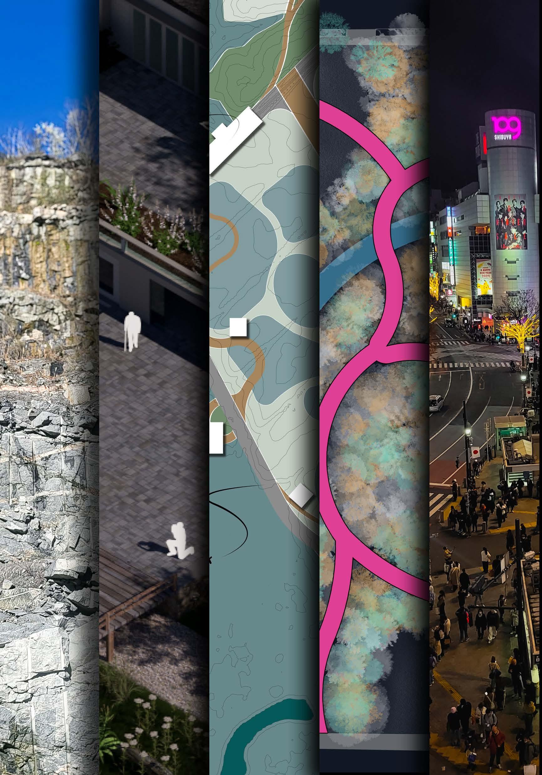
1. Thesis Work
2. Mudflat Miracles
3. Salinity’s Embrace
4. Resilient Site Design
5. Japan Winter Session
Spring 2024 - Spring 2025
Fall 2024
Fall 2024
Fall 2023
Winter 2024
From Quarry
Transforming Richmond’s Riverfront Through Master’s Thesis
Richmond,
Through a research-by-design this study explores the and uses an iterative various scenarios integrating restoration with climate from the various landscape remediation, the work the quarry can become greenways, fostering a with the James
The findings provide architects and demonstrate of landscape architecture industrial riverfront systems that enhance support urban development, the cultural significance
Please note that this expected to complete
to Greenway
Through Adaptive Landscape Processes
Thesis 2024 - 2025
Richmond, VA
research-by-design methodology the site’s characteristics iterative process to develop integrating ecological climate challenges. Learning landscape typologies of work aims to show how become part of Richmond’s symbiotic relationship James River.
tools for landscape demonstrate the potential architecture to transform sites into integrated ecological resilience, development, and preserve significance of river landscapes.
is an ongoing project, complete in May of 2025
Fear of Water
Christopher
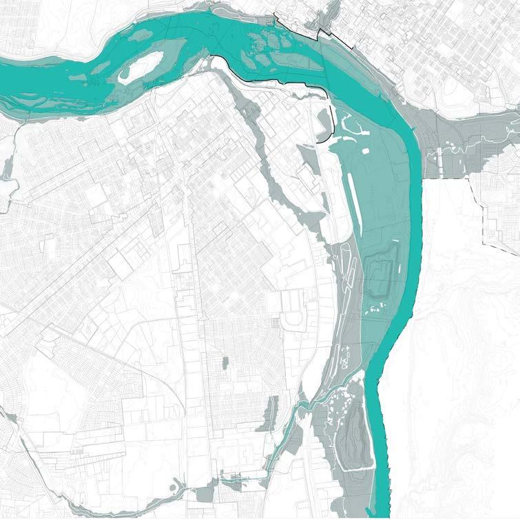
Flooding Scenarios on the James River
A mapping of the James River showing the impacts of flooding on surrounding areas, with gradient shading to illustrate increasing flood levels. It highlights the existing floodwall functioning as a levee, protecting downtown but diverting water toward lower-income housing and industrial zones, exacerbating their flood risk.
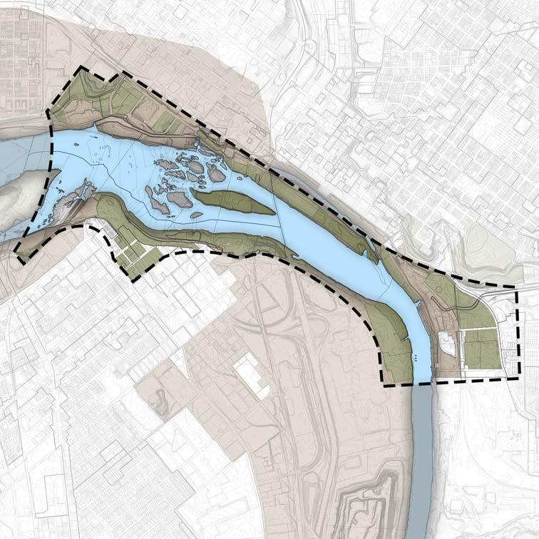
Existing James Riverfront Plan 2025
A mapping of the Richmond Riverfront Plan 2025, showing master plan areas within the floodwall and greater downtown. It highlights issues such as neglecting existing flood prevention measures and overlooking industrial areas prone to severe flooding per NOAA data. The map identifies opportunities to extend the greenway into industrial and post-industrial spaces for improved resilience and connectivity.
Opportunity Spaces
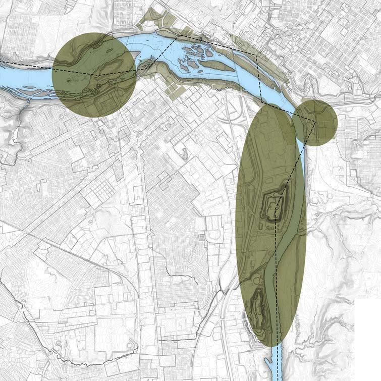
A mapping highlighting overlooked opportunities in the Riverfront Plan, connecting post-industrial sites via trails and integrating stormwater management solutions to enhance connectivity and resilience along the riverfront.
Flooding in the Pit
A mapping that visualizes the potential appearance of the Luck Stone Quarry site during a 100-year flooding event, factoring in climate change projections. This map would account for key elements such as the absence of sufficient stormwater interventions in the area, the influence of the Richmond floodwall, and intensified flooding risks caused by climate change.
Fragments of Industry
Christopher Bonura
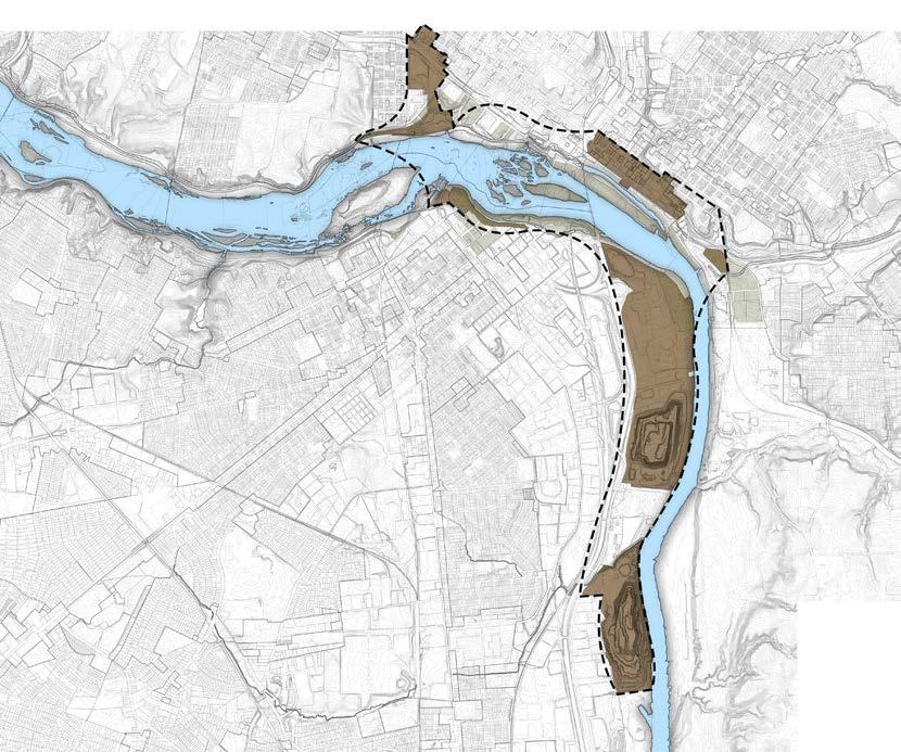
A String of Industry
A mapping of the industries that sit along the James River. Shown is the belt that forms the industrial zones of the James River area in Richmond.
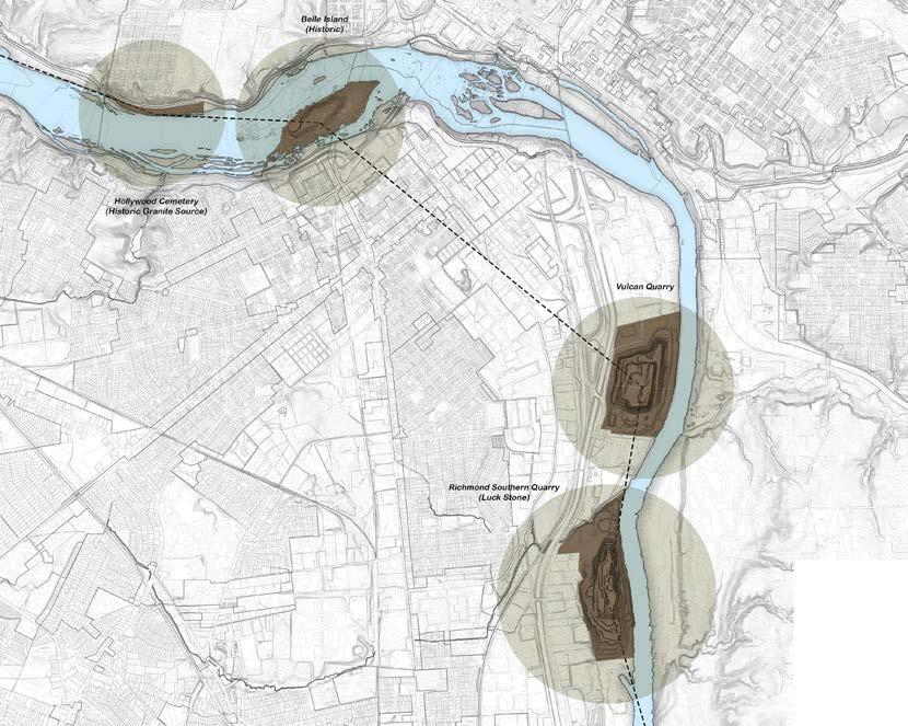
A Cord of Quarries A mapping depicting the multiple quarry locations that reside within the Richmond area along the James River.
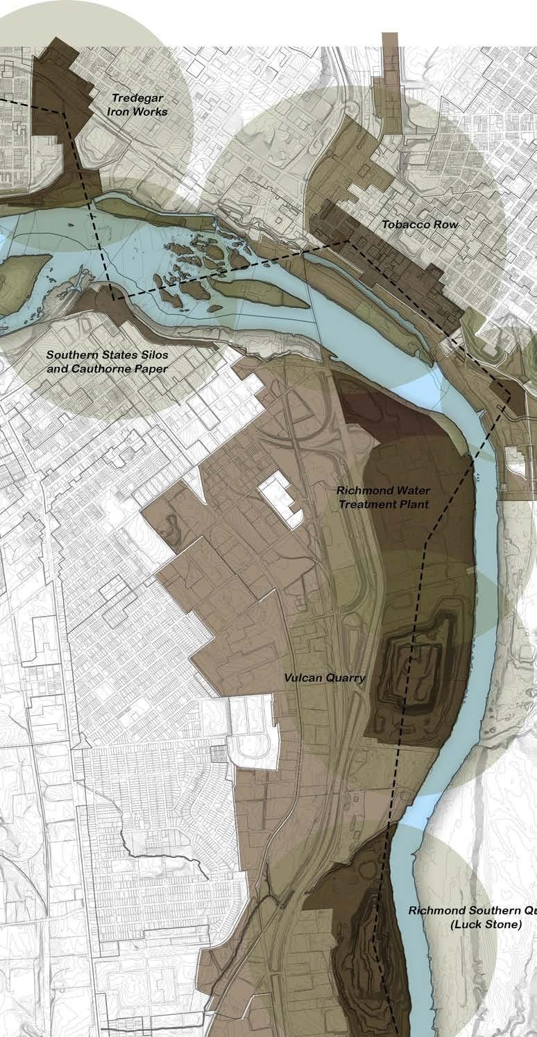
A mapping of the industrial locations along the James River. These nodes along the river help us to better understand how these post-industrial sites can be better used as a greenway along the river, and how they can connect.
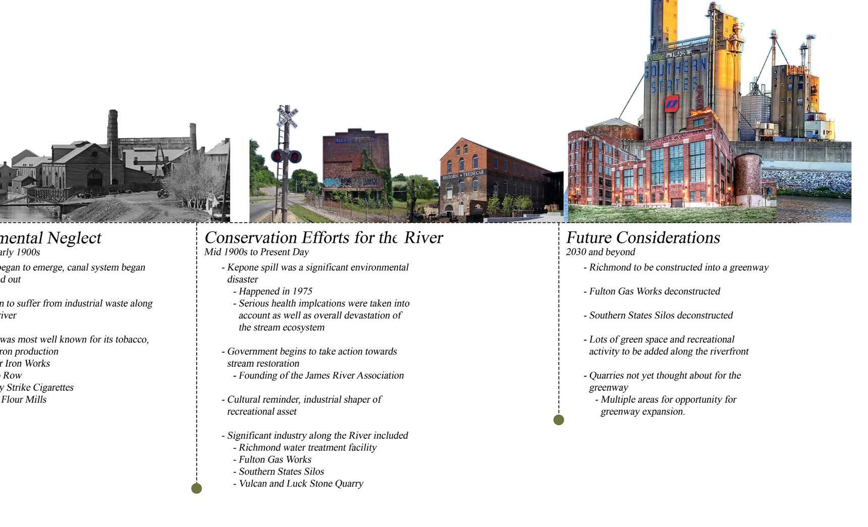
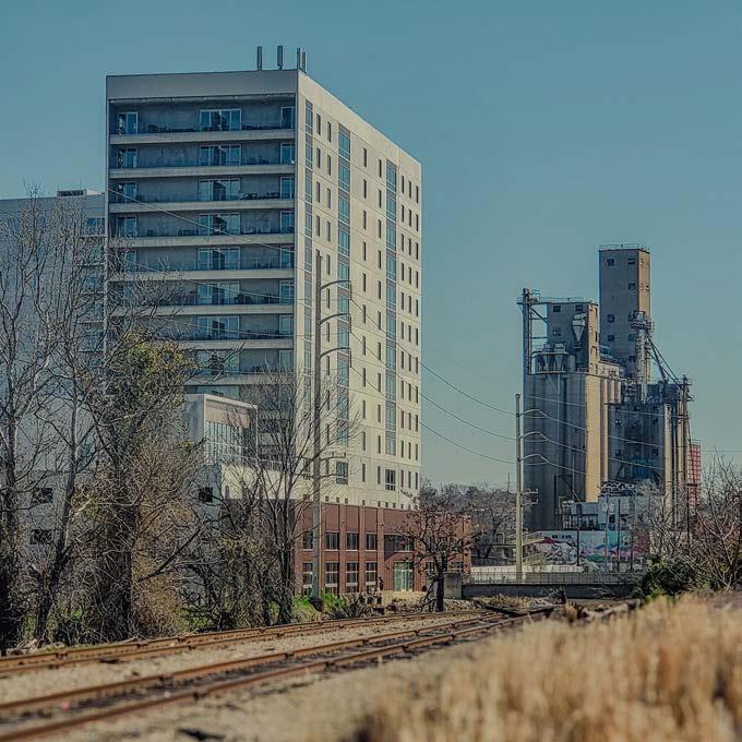
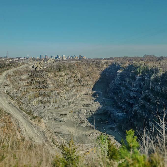
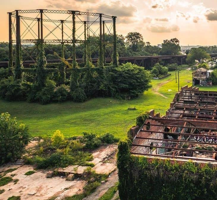
Industrial History
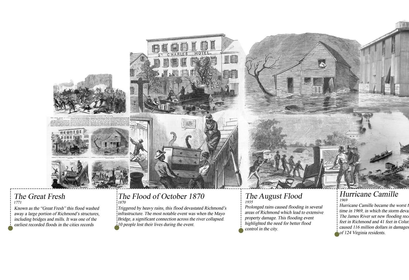
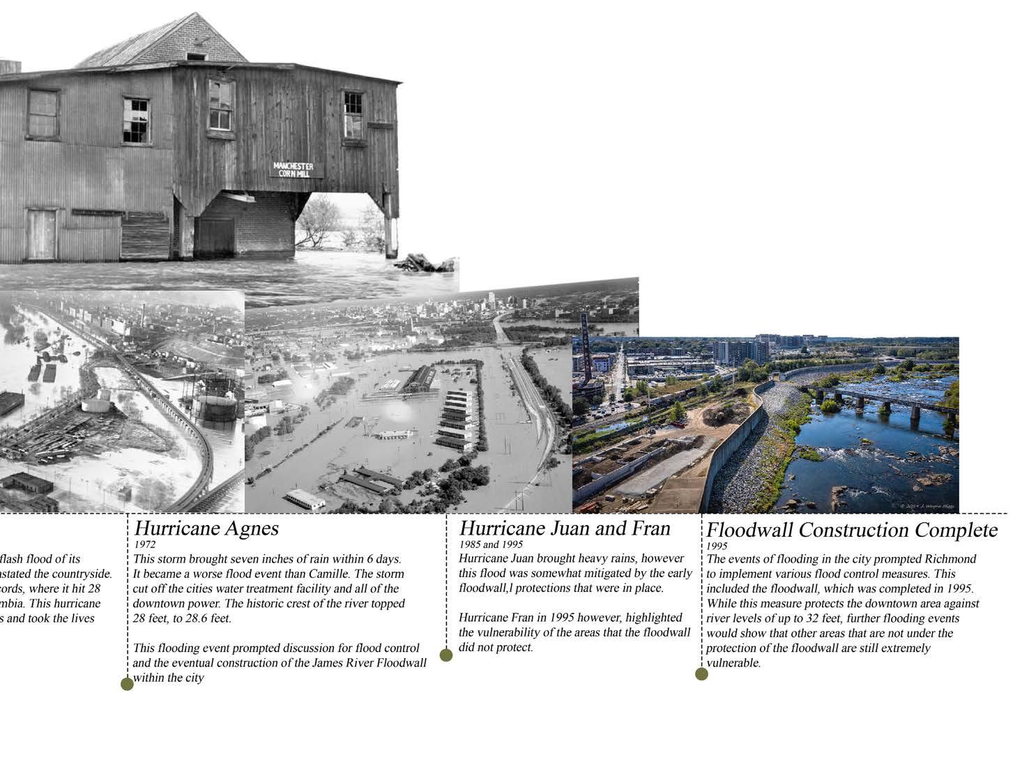
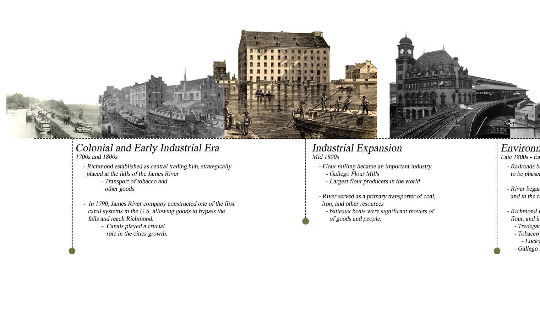
Industry along the James River has been around since the founding of Richmond. The important relationship between the river and industry cannot go unstated. The river made Richmond a global behemoth in tobacco and grain trade and production during its peak performance.
Even today, industry lines the riverfront. City planners however are looking to remove these industrial spaces, in favor of housing, and other commercial real-estate. The transformation of derelict sites into usable land for new resilient urban project has become a common strategy to accommodate the growing population.
Southern Richmond Quarry
Christopher Bonura
Virginia Tech LAR Masters Thesis 2025
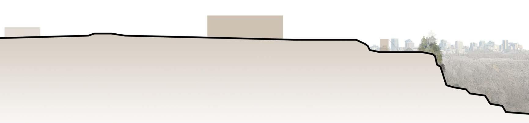




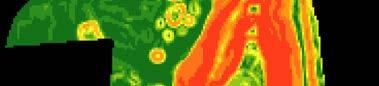
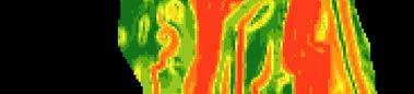
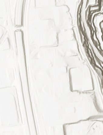

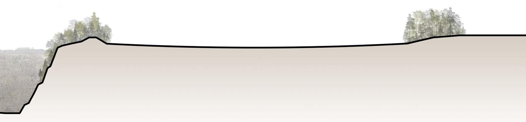
Section A : Southern Richmond Quarry, Luck Stone Slope
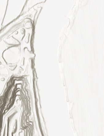
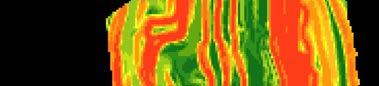
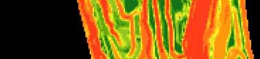
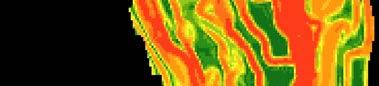
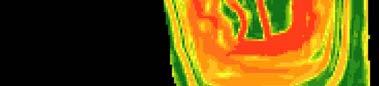

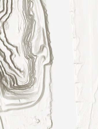
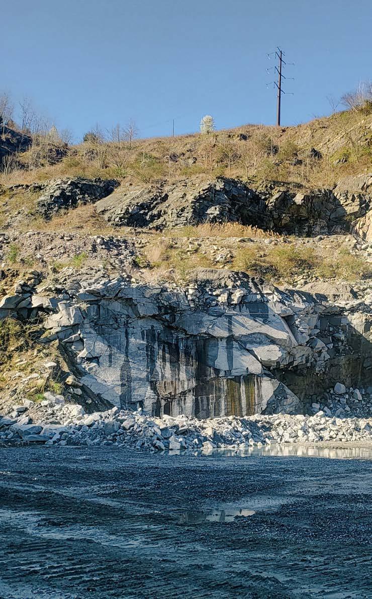
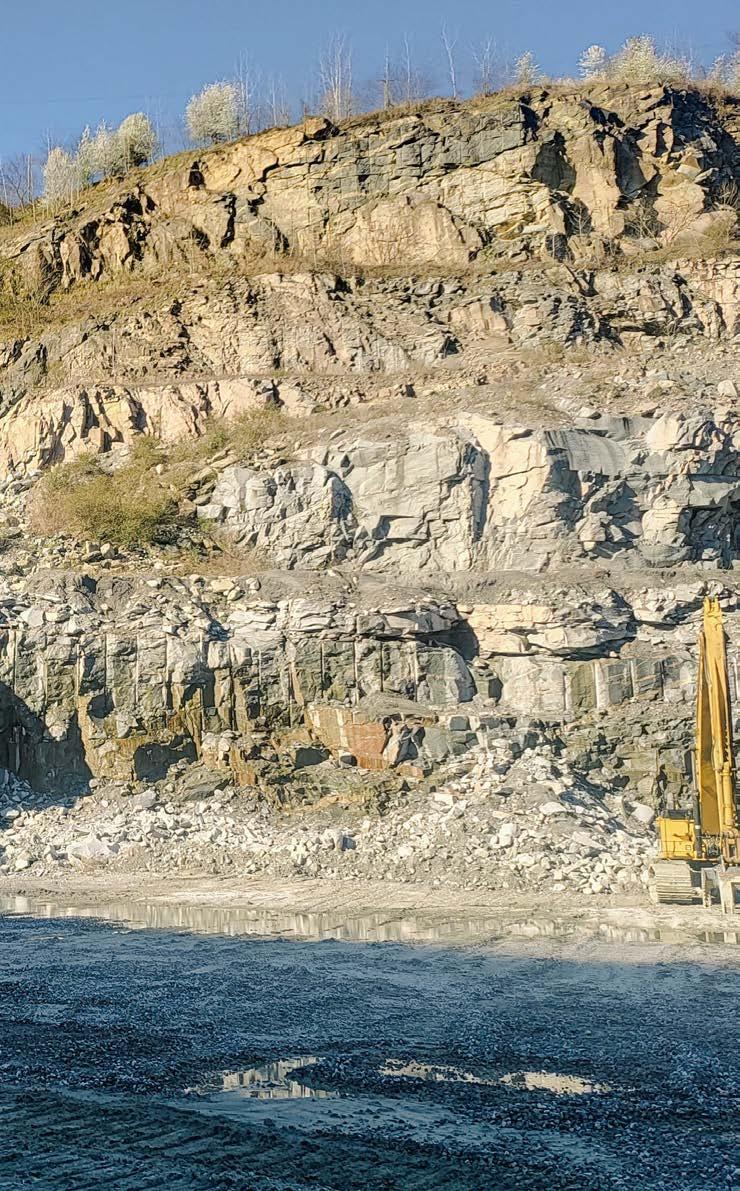
The quarry’s steep slopes, with benches reaching up to 90 degrees, are typical of aggregate mines. These benches were formed through drilling and blasting to extract the material.
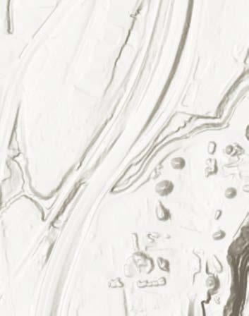



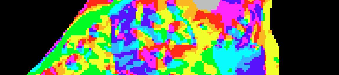
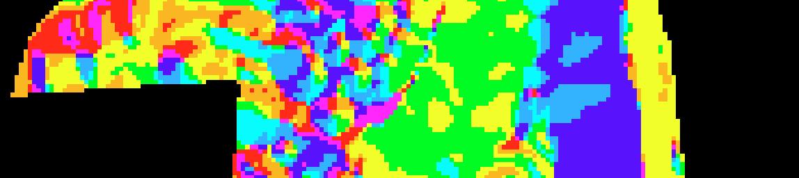
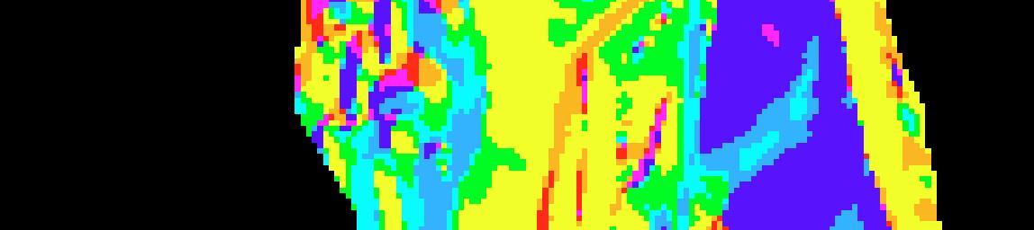
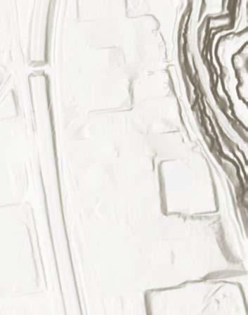
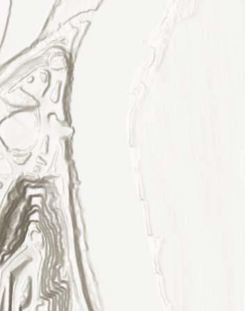





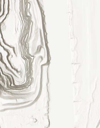
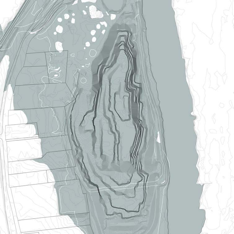
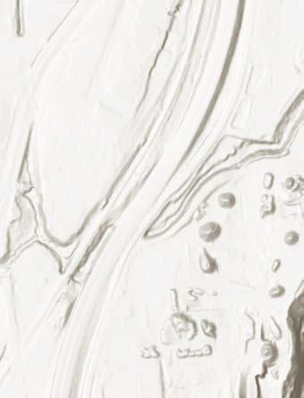
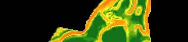
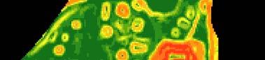
A mapping illustrating the slope directions within the quarry, crucial for understanding water flow and sedimentation during rainfall. The slope orientation also reveals insights into the history and patterns of the mining operation.
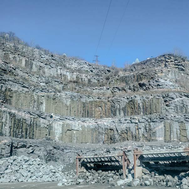
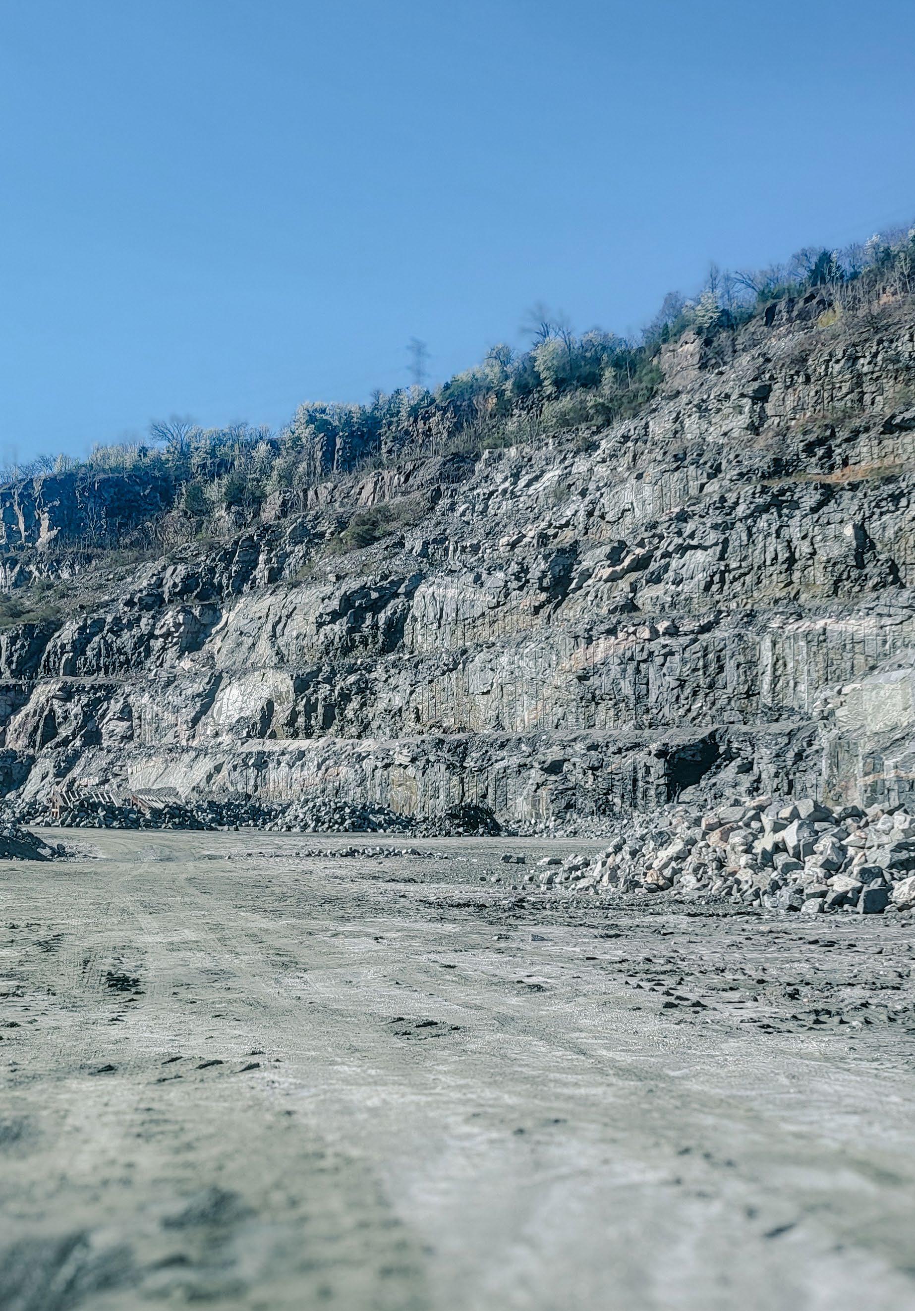
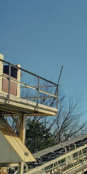
Material storage structures located at the bottom of the quarry pit. These storage bins are supposed to segregate different sized aggregates as they are produced in the quarry process. In the backdrop, existing exhausted benches are shown. The benches are almost 90 degrees vertical. Image taken by author.




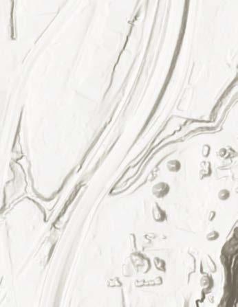








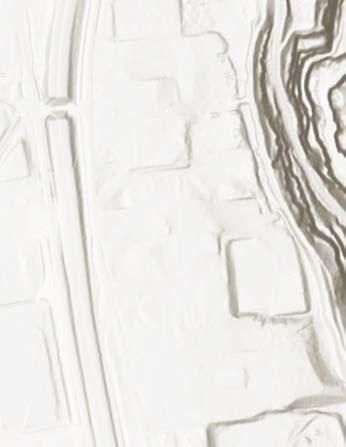
The contours of the site reach ground, all the way down to This mapping depicts the change that is present on the 30 feet, while the bottom of
Sources: Esri, Airbus DS, USGS, NGA, NASA, CGIAR, N Robinson, NCEAS, NLS, OS, NMA, Geodatastyrelsen, Rijkswaterstaat, GSA, Geoland, FEMA, Intermap and the GIS user community, Esri Community Maps Contributors, City of Richmond, County of Henrico, VGIN, © OpenStreetMap, Microsoft, Esri, TomTom, Garmin, SafeGraph, GeoTechnologies, Inc, METI/NASA, USGS, EPA, NPS, US Census Bureau, USDA, USFWS
Esri, NASA, NGA, USGS, FEMA, Esri Community Maps Contributors,
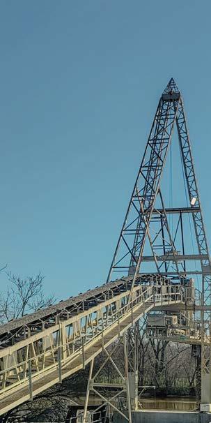
A conveyor belt located near of the sediment bay. This conveyor gate stone that is dumped transports it to the barges location (D) on Image taken
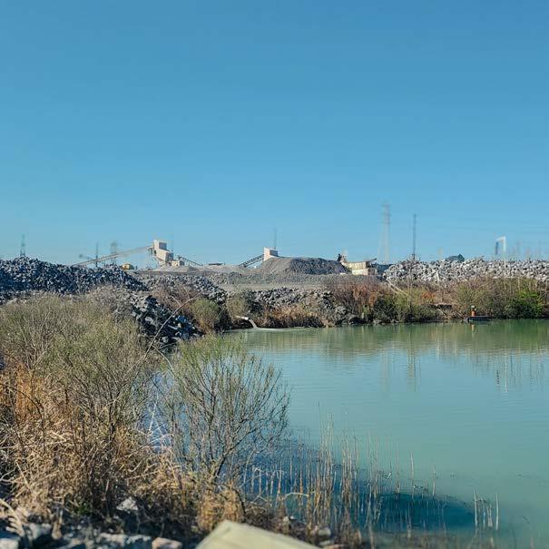
A sedimentation lake located on the northern end of the site. Water within the sediment lake has refilled back to the water table level. (C) Image taken by author
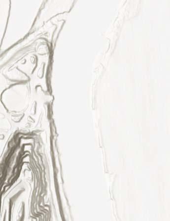
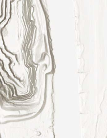
reach about 60 feet above 330 feet below the surface. wide range of elevation the site. The river sits at about of the pit is at about -330.
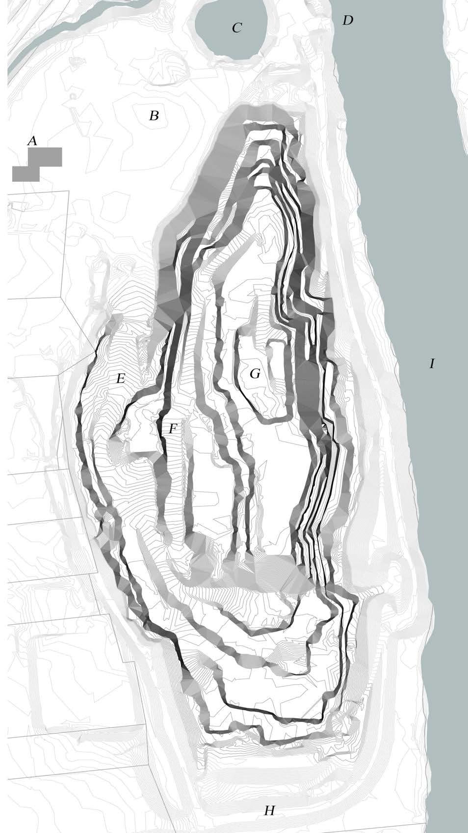
Site Plan of the Richmond South Quarry “Luck Stone Quarry”, in Richmond, Virginia. 2-ft. interval contours were established and generated from ArcGIS utilizing DEM data files from Virginia Geographic Information Network.
(A) Quarry Entrance and administration building/ (B)
and processing

Crushers, conveyor belts,
machinery/ (C) Sedimentation pond/ (D) Barging dock for transportation of materials/ (E) Primary road down into the quarry/ (F) Re-vegetated Bench/ (G) Main bench still active/(H) Primary overlook/ (I) James River
Sources: Esri, Airbus DS, USGS, NGA, NASA, CGIAR, N Robinson, NCEAS, NLS, OS, NMA, Geodatastyrelsen, Rijkswaterstaat, GSA, Geoland, FEMA, Intermap and the GIS user community, Esri Community Maps Contributors, City of Richmond, County of Henrico, VGIN, © OpenStreetMap, Microsoft, Esri, TomTom, Garmin, SafeGraph, GeoTechnologies, Inc, METI/NASA, USGS, EPA, NPS, US Census Bureau, USDA, USFWS
near the aggregate piles north conveyor belt takes aggreby backloaded trucks, and that are docked on site at the mapping.
taken by author.
Contour
Fall Studio Virginia Beach,
Norfolk, a low-lying frequent high-tide expected to worsen Mudflat Miracles is a Mammal Rehabilitation as a model of coastal project demonstrates to mitigate flooding broader resilience efforts
Mudflat
Miracles
Studio 2024 Beach, Virginia
city in Virginia, faces flooding, which is with climate change. Research and Marine Rehabilitation Facility designed coastal resilience. This innovative strategies impacts and inspire efforts across the city.
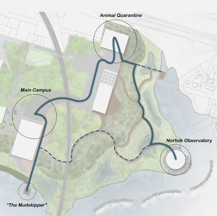
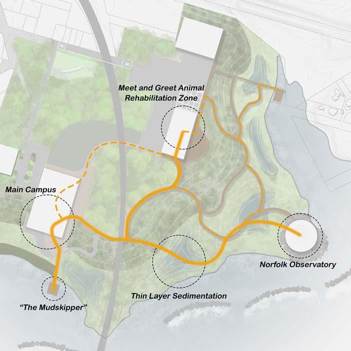
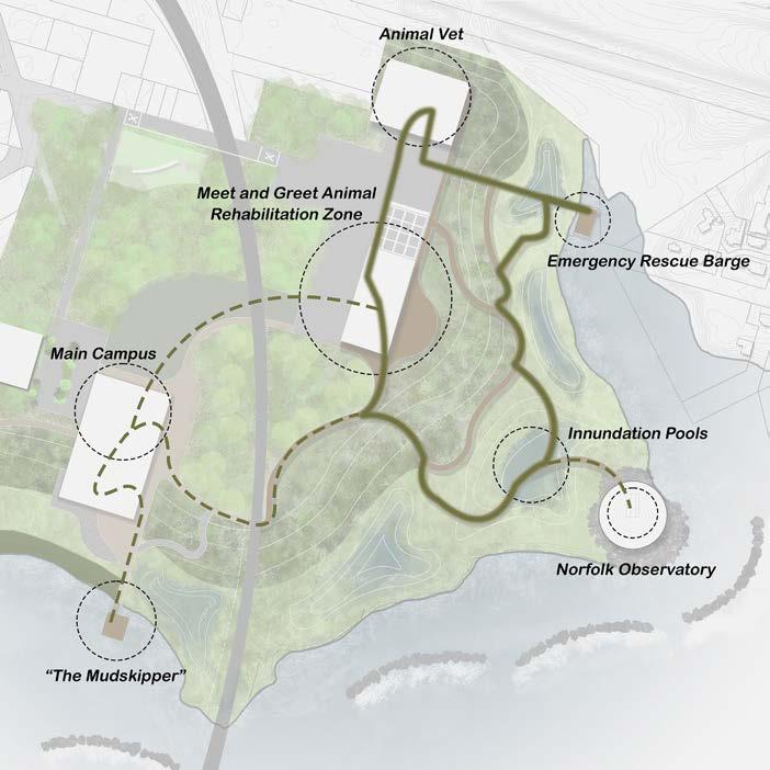
Mudflat Miracles
The project centers around three core values: Research, Innovation, and Stewardship. some spaces have distinct programming, they are designed to overlap and integrate, fostering a cohesive and unified strategy.
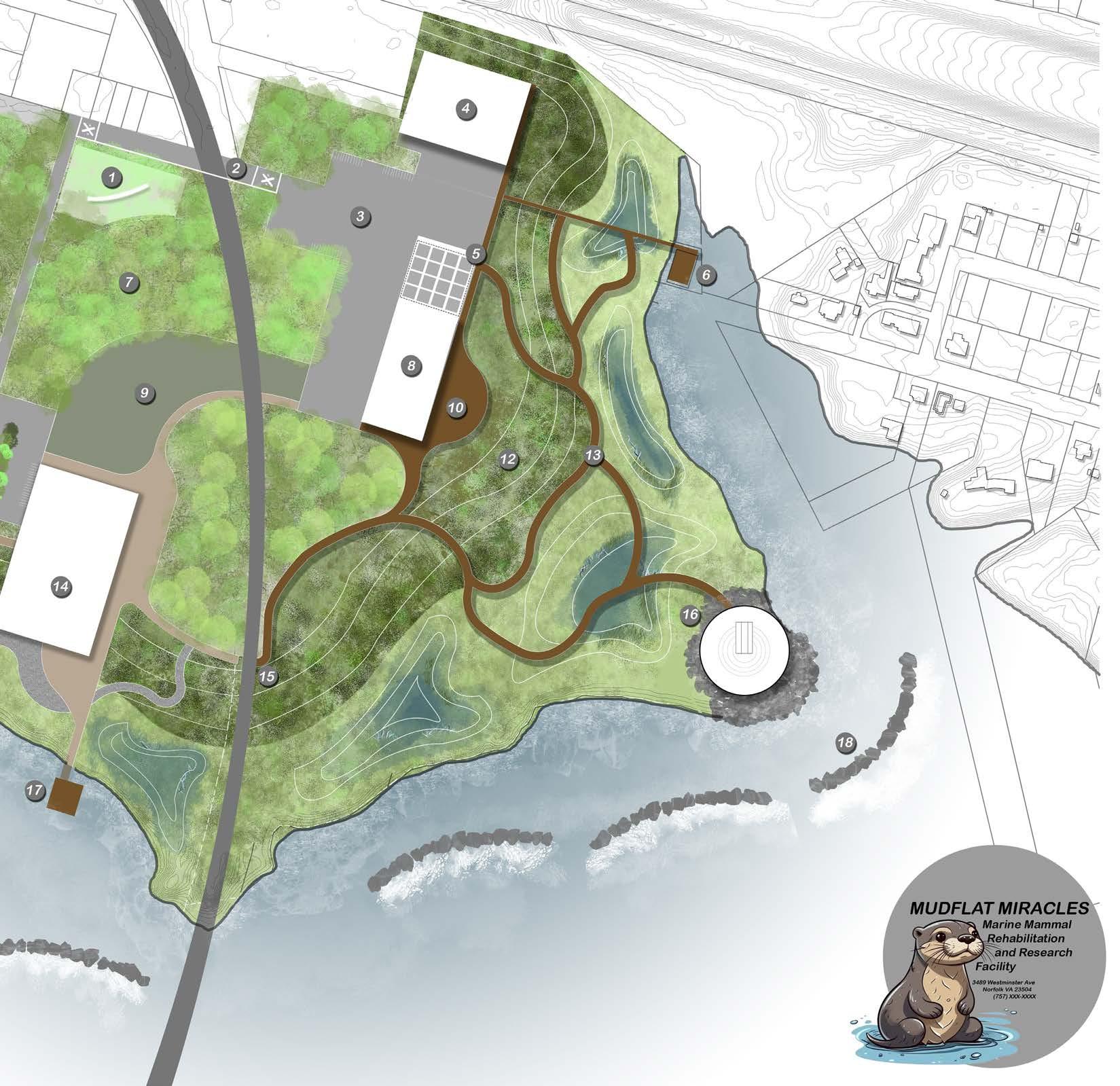
Master Plan Content
values: While programming, integrate, strategy.
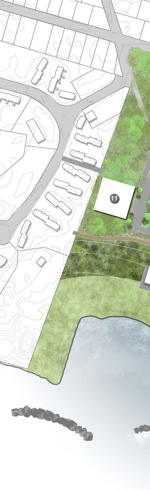
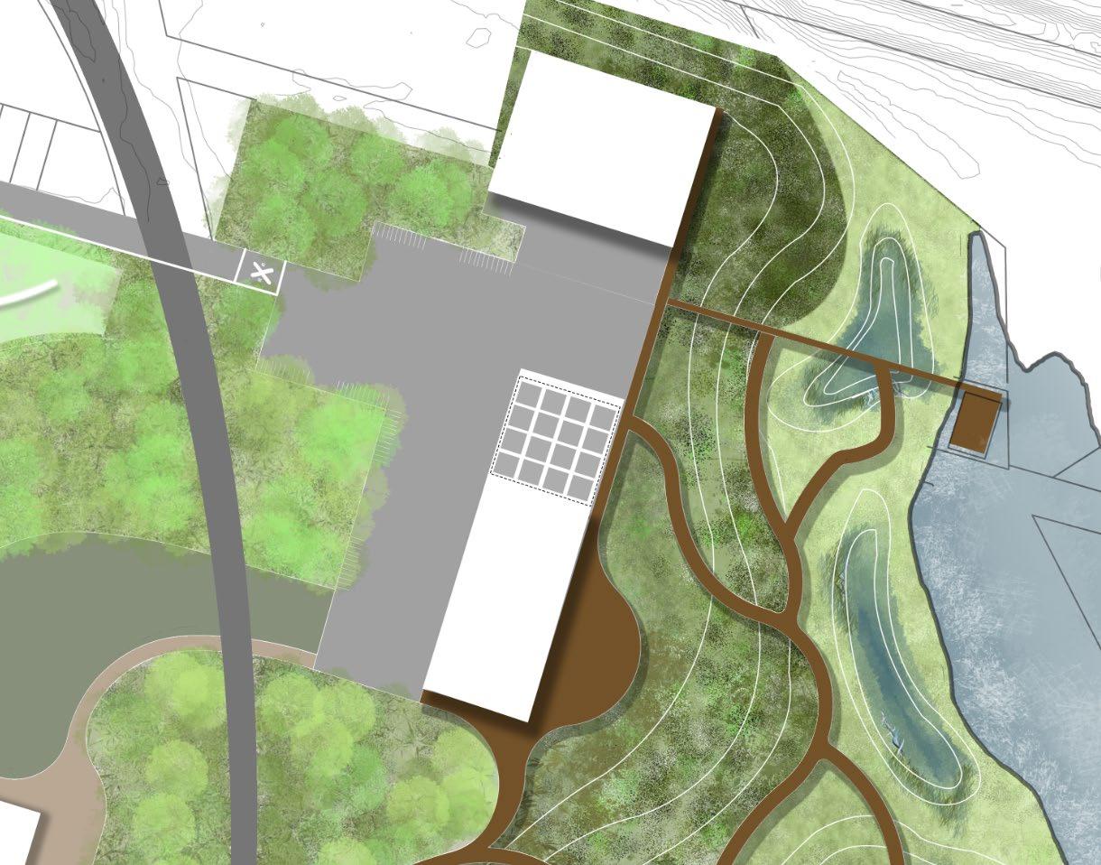
1. Welcome Sign 2. Railroad Crossing 3. Main Parking Lot 4. Animal Nursery/Hospital 5. Animal Rehabilitation Pens 6. Emergency Rescue Dock
7. Engineered Forest
8. Mammal Meet and Greet
9. Open Lawn Space
10. Observation Deck 11. Western Welcome Building
Engineered High Marsh
Marsh Walk
Main Campus Building
Railroad Crossing
Observatory 17. “The Mudskipper” Learning Barge
Armorstone Breakwater Structures
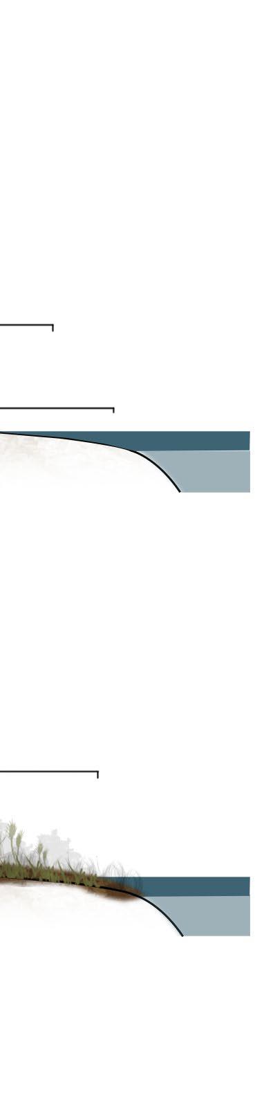
Thin Layer Sedimentation Strategy
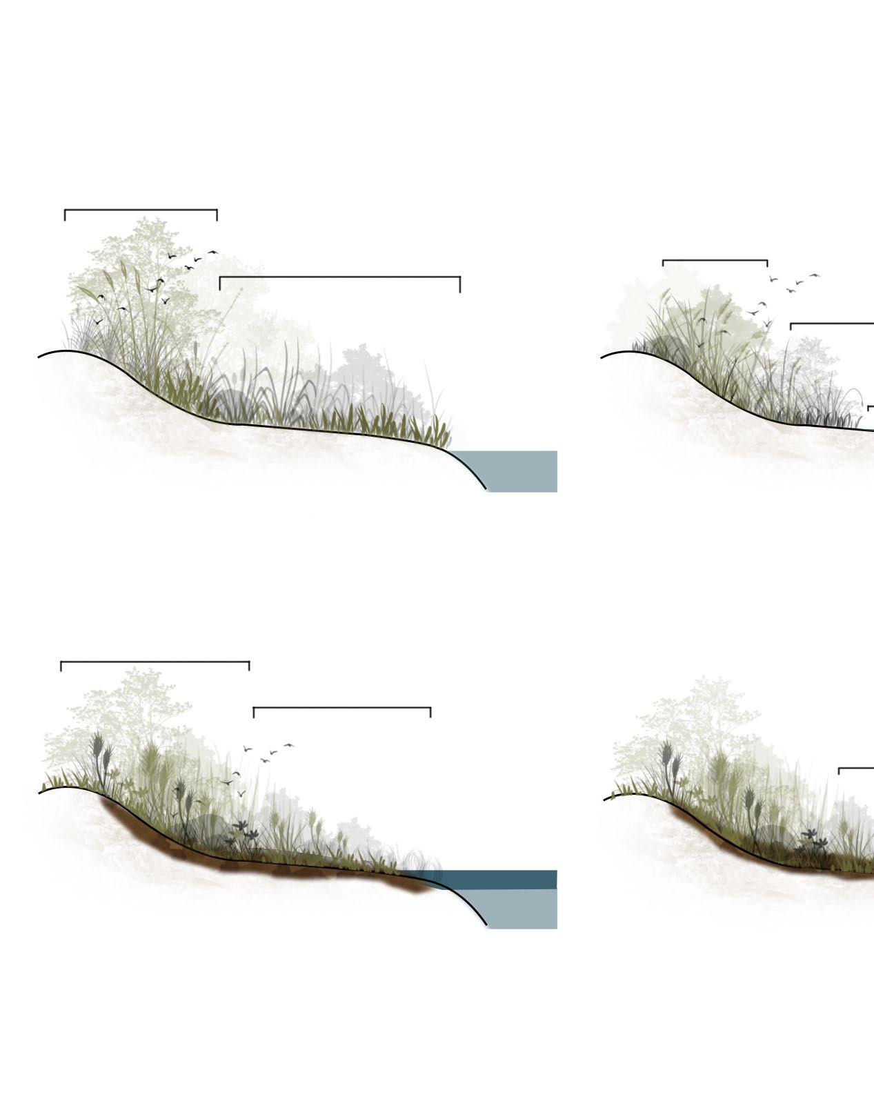
Thin layer sedimentation placement is a technique that involves intentionally depositing thin layers of sediment onto wetlands to restore, enhance, or maintain their ecological function.
According to a field study conducted by NOAA, thin layer sedimentation addition can result in immediate benefits in terms of elevation gain, and longer term benefits by increasing the ability of marshes to trap sediments, and continue to build elevation on their own.
High Marsh
Low Marsh
High Marsh Zone Expands Low Marsh Colonizes Former Bare Zone
Thin Layer Placement
High Marsh Replaced By Low Marsh
Drowning
Low Marsh
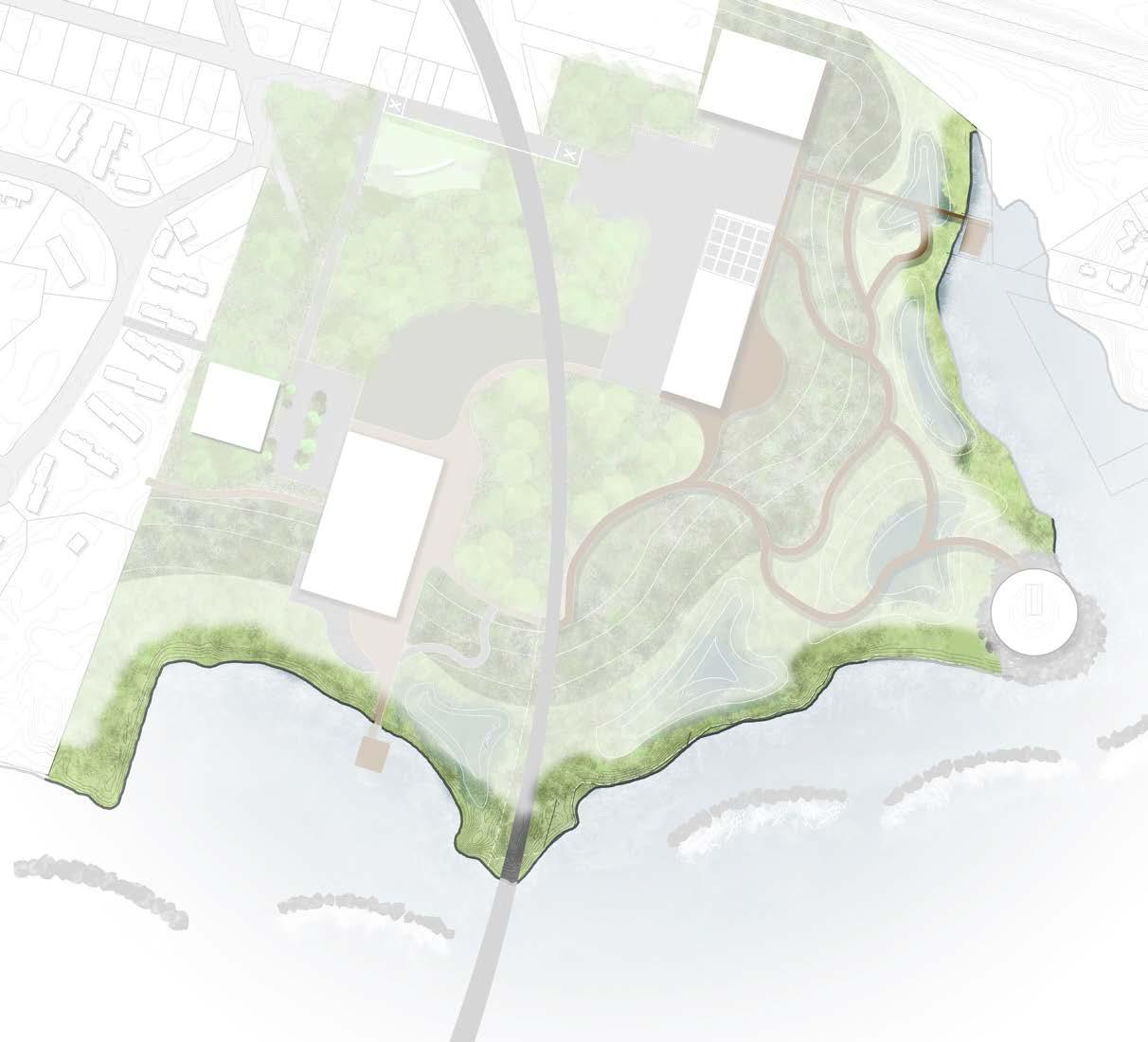
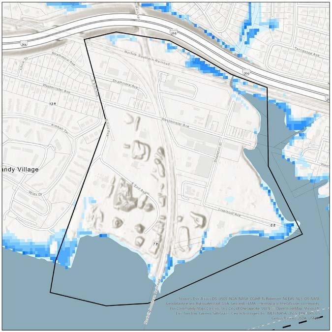
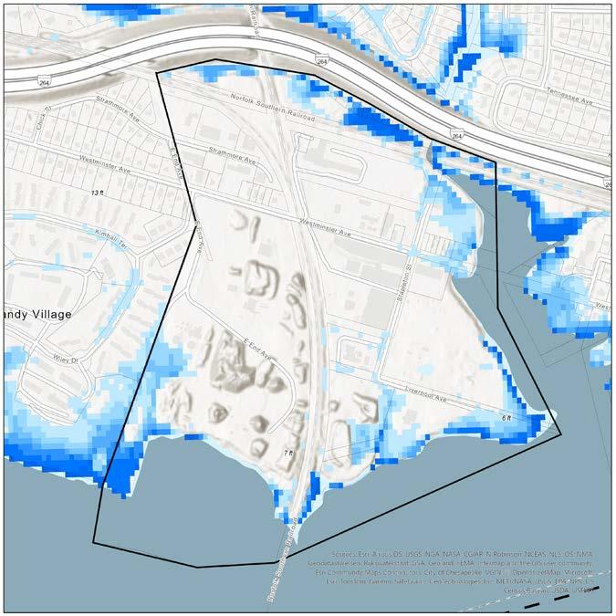
Thin Layer Sedimentation Placement
The map depicts where thin layer sediment placement will be implemented on the site. This is ideal for these spaces, as they have been existing, or are existing mud flats and tidal marshes
- 0”
170’ - 0”
Thin Layer Sediment For Low Marsh
102’-4”
82’ - 6”
Site Location A : Primary Care Facility for Marine Mammals
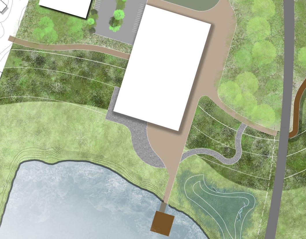
The “Mammal Meet n’ Greet Space within the Mudflat Miracles property is a space in which people can learn a little bit about what happens at this facility.
The primary purpose of a visit for a guest might be to see and learn about some of the animals, or it may be a stroll through the marsh walkways that exist within the space. The two story serves veterinarians, employees as well as guests that come to the site.
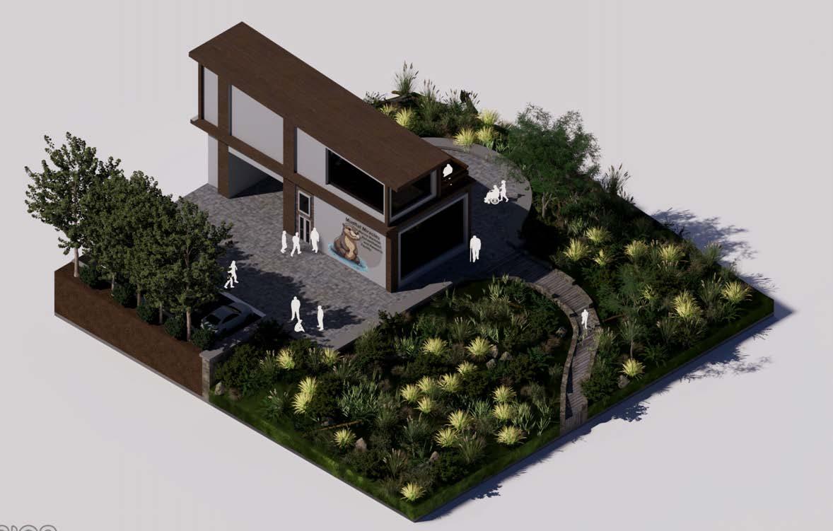
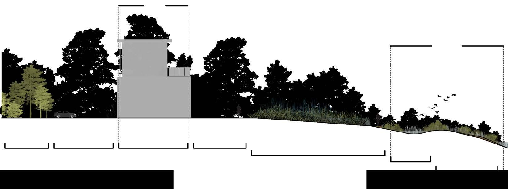
Mudflat Miracle Main Building
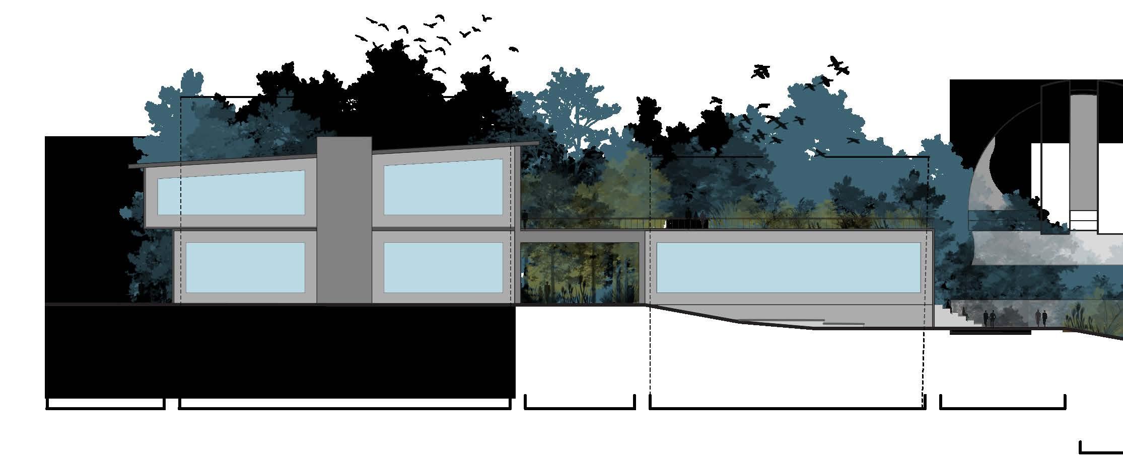
This section shows the parking lot, serving guests and site deliveries, including products and animals. It features the main building, where visitors can view exhibits, followed by a marsh overlook.
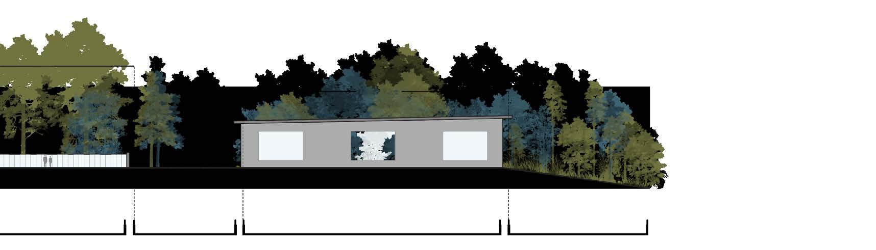
They Need Our Help
The cluster of buildings forms the animal rehabilitation zone, hosting research, care, and emergency assistance. Guests can observe the animals from various angles, including through a long glass wall offering an expansive view.
High Marsh Zone 113’ - 4”
- 3”
Low Marsh Zone
“The Mudskipper” Re-purposed Learning Barge
C2
D2 D1
Site Location B : Main Campus & “The Mudskipper” Learning Barge
Learning in this space is easy. Views of the marsh below, as well as out onto the river are as great as they get.
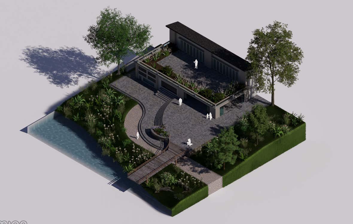
The primary function of this space is to act as an outdoor classroom during nice weather, while also maintaining the indoor classroom spaces as well. The first half of the building is research oriented, while the second half is lecture oriented.
“The
The mudskipper is a learning barge, that is docked near the campus. Heavily inspired by the Elizabeth River Project learning barge, the primary function of this space is for younger learners.
While the campus itself offers many spaces for advanced learning, this space is catered for children, who may be inspired by being on a moving boat, and learning about everything they see.
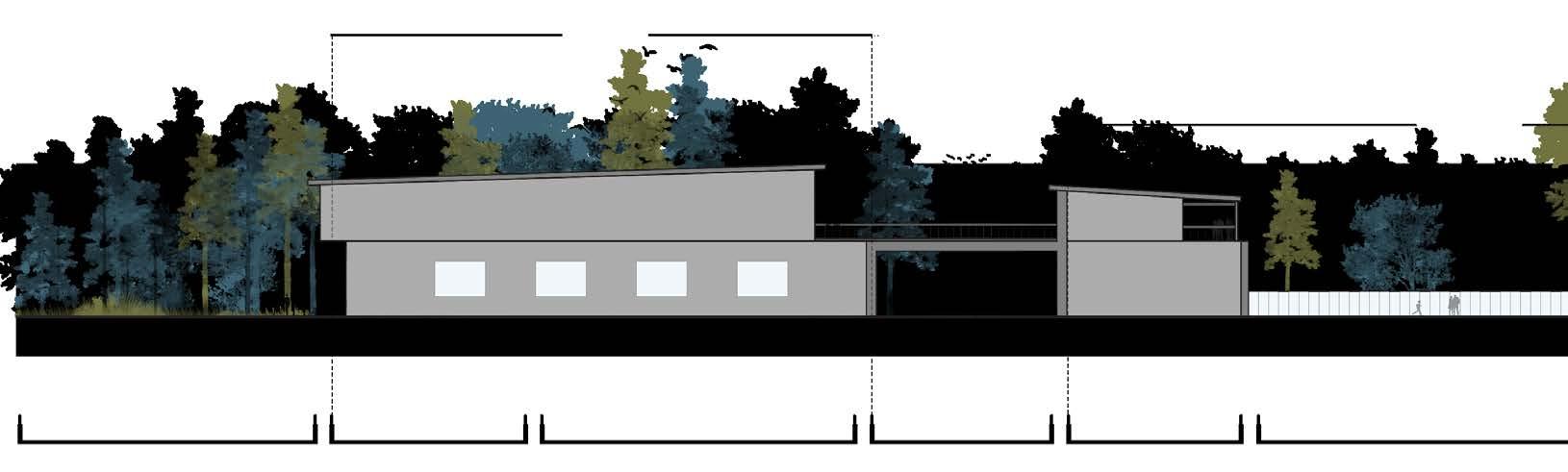
School is Always In Session
The classroom spaces are broken up by an underpass that sits between the two pieces of the building. The left half is primarily research oriented, with modules and lab spaces available.
The right space is more lecture focused. On particularly nice days, the glass sliding doors open to allow more of the outside in. This buildings design utilizes a lot of glass, to let in lots of natural sunlight.
Mudskipper”
170’ - 3”
E1
E2
High Marsh Walkway
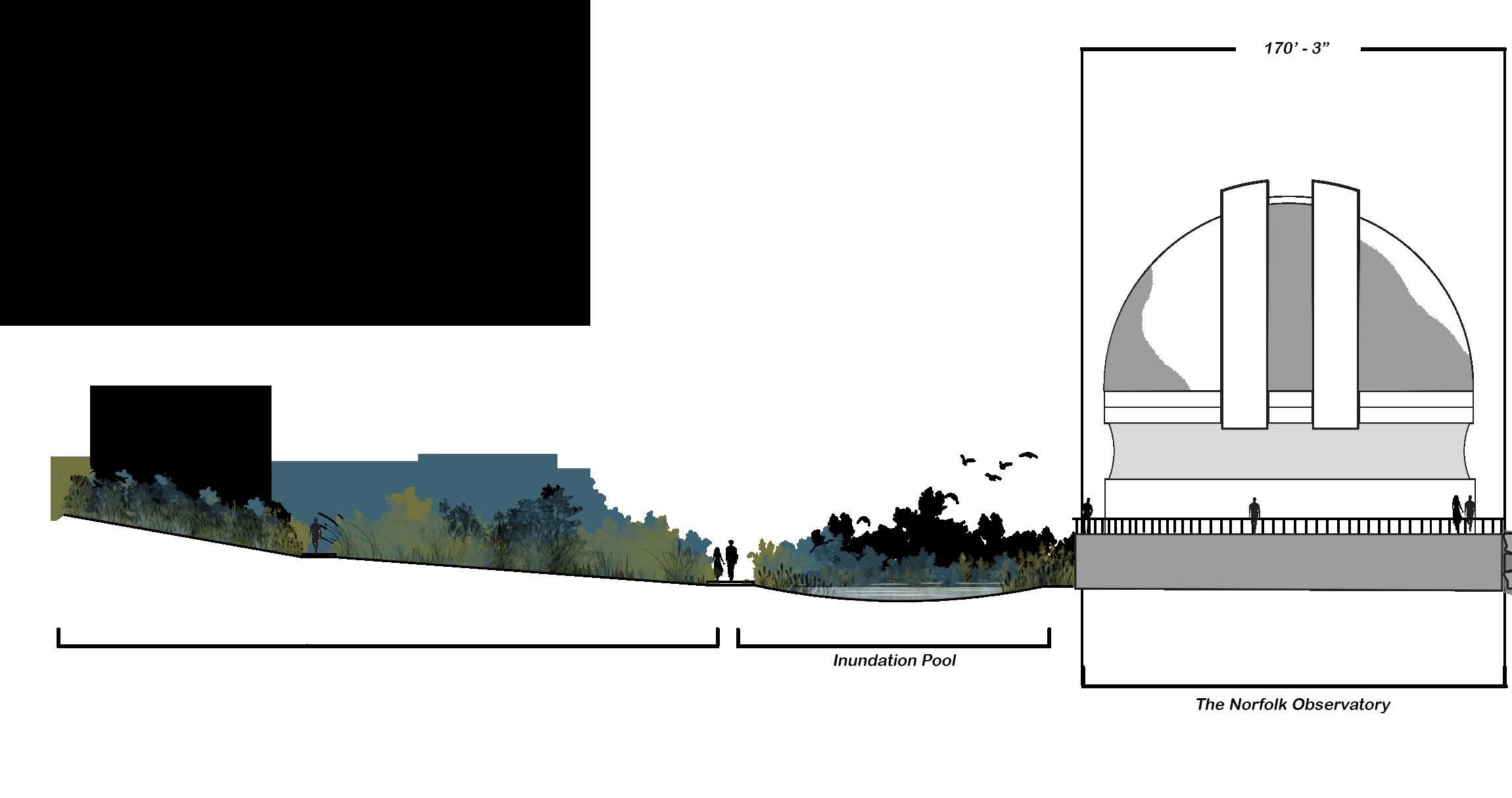
Inundation Pool
The Norfolk Observatory
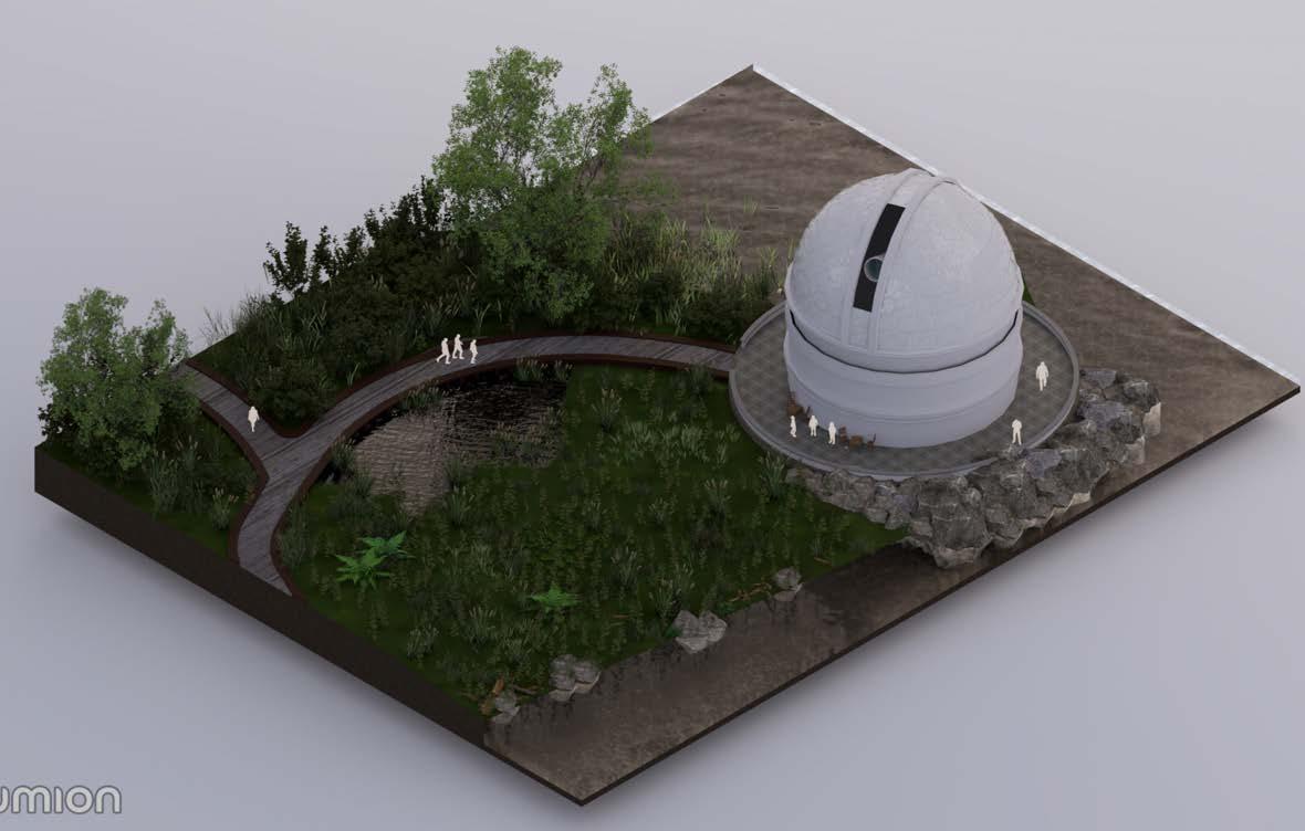
Site Location C : The Norfolk Observatory
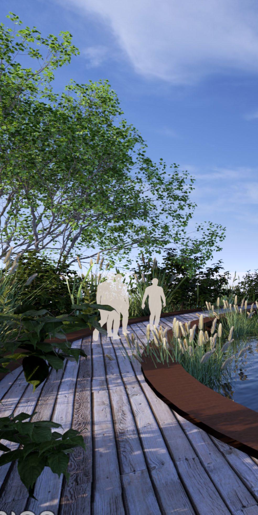
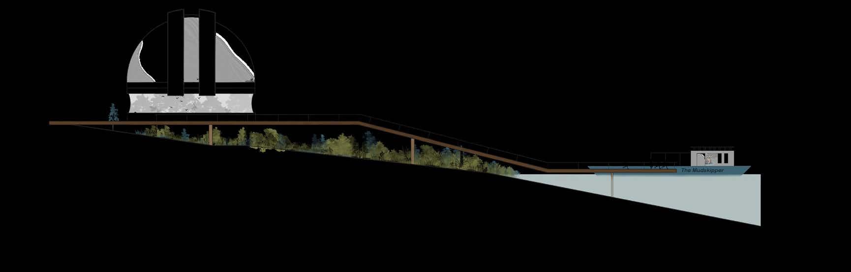
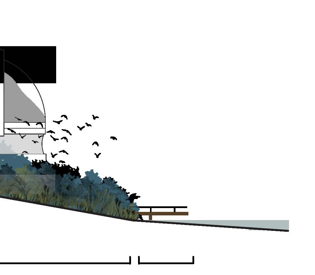
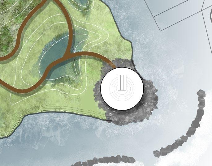
The observatory is reached by walking through the marsh walk. The marsh walk is constructed with re purposed timbers and wooden planks.
The Mudflat Miracle site tries to re purposed material in effective ways.
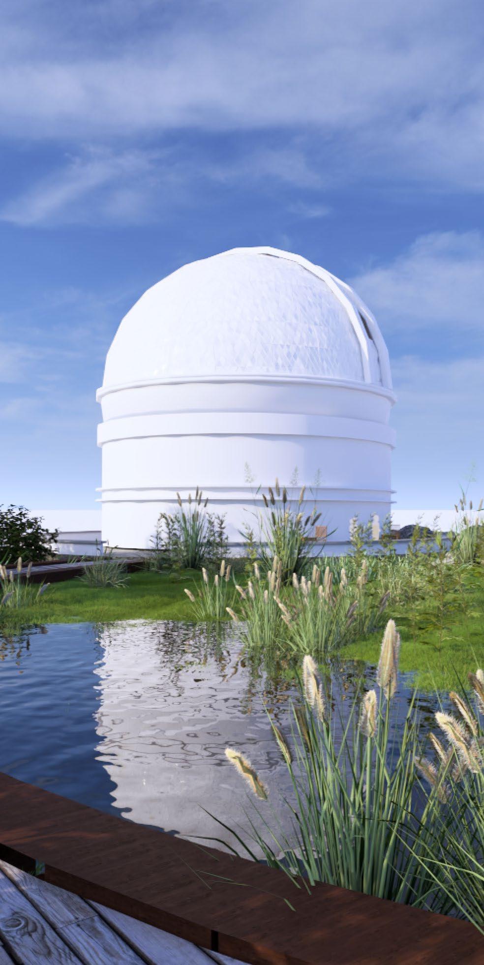
The Norfolk Observatory
While mainly used for studying space, observatories can also be used for studying other events that happen on earth. They are utilized for observing terrestrial or marine events as well.
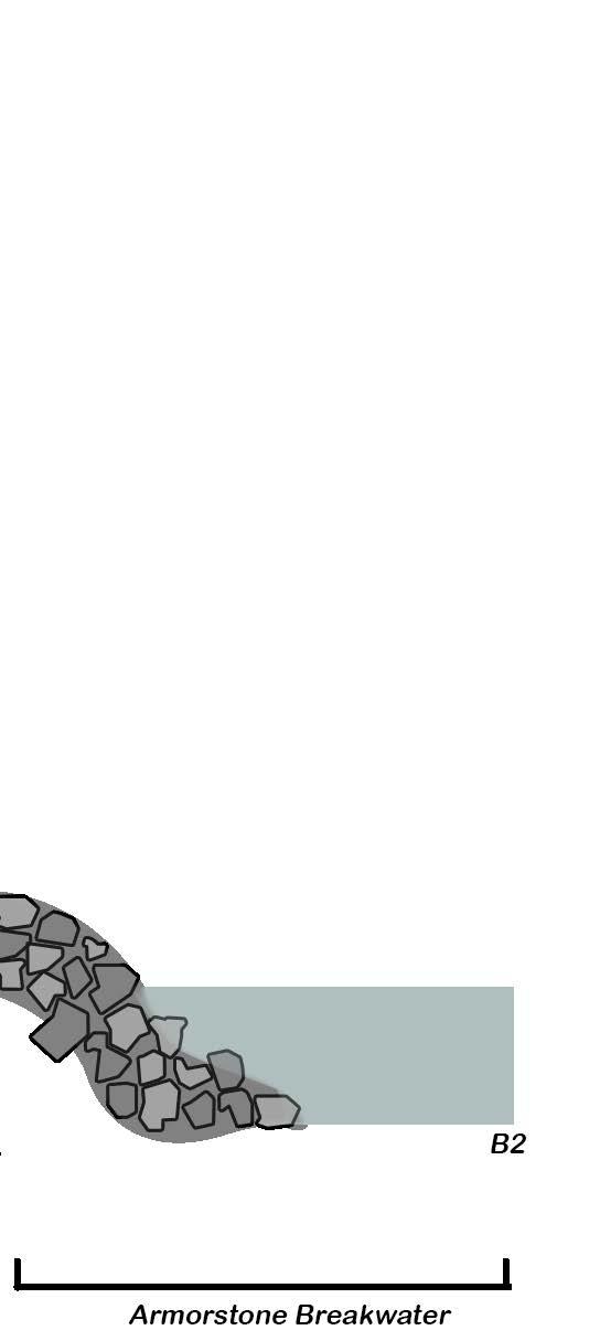
The section seen here shows the walkways through the marsh, as well as the observatory space, with armor stone shoreline erosion protection.
Fall Studio
Virginia Beach,
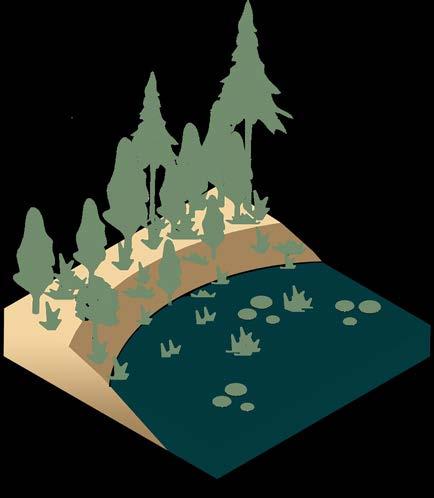
The concept of Salinity’s the user experience as a changing ecosystem. encroaches into wetlands, very essence of the environment How does the salt water plant and animal communities


Embrace
Studio 2024
Beach, Virginia
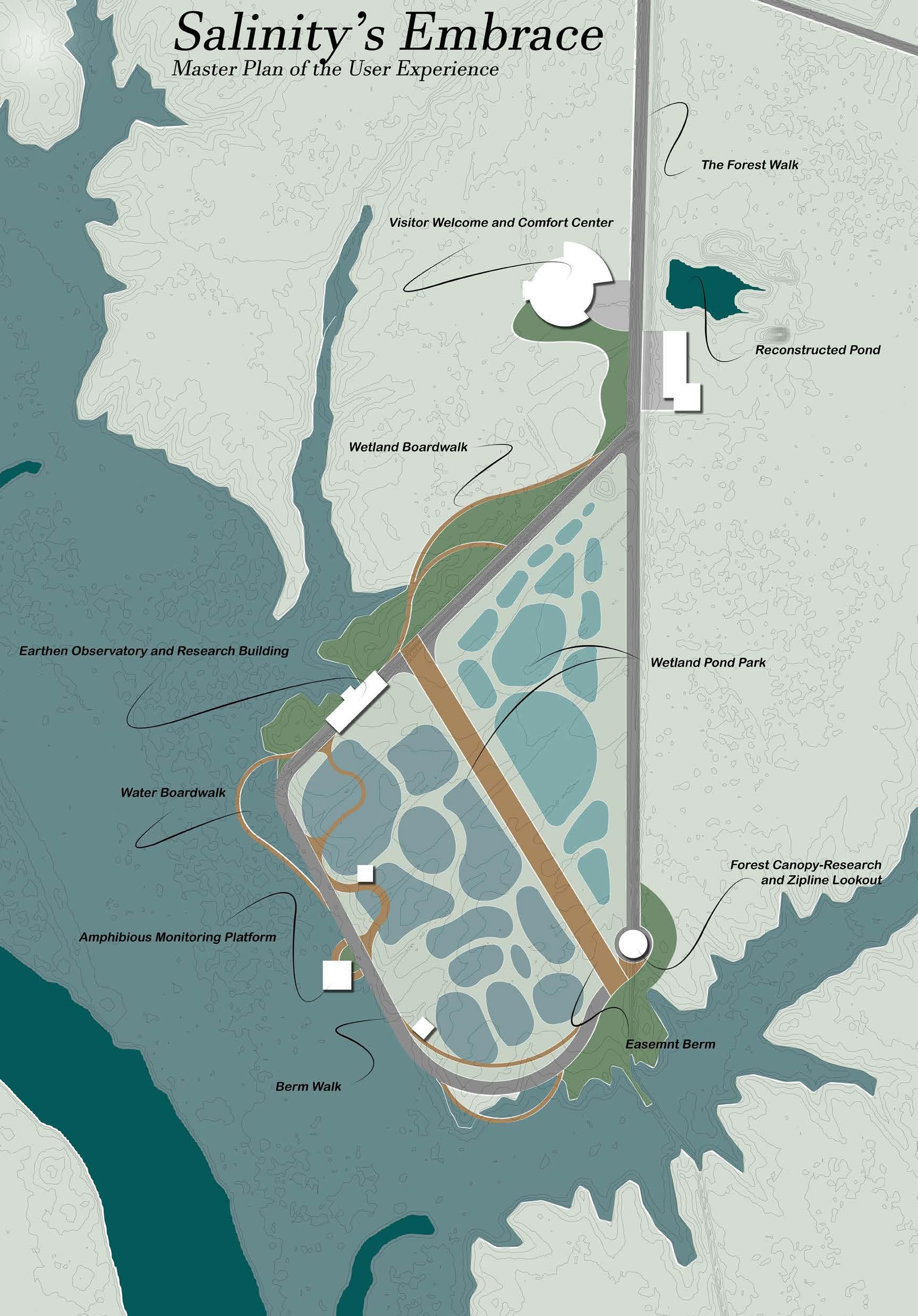
Salinity’s Embrace explores as one travels through ecosystem. As salt water wetlands, it changes the environment around it. water change the way the communities exist?
Saline Gradient
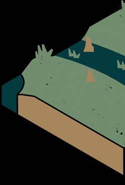
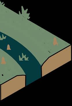
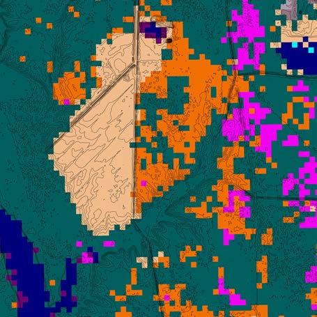
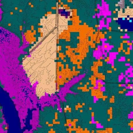
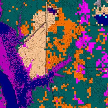
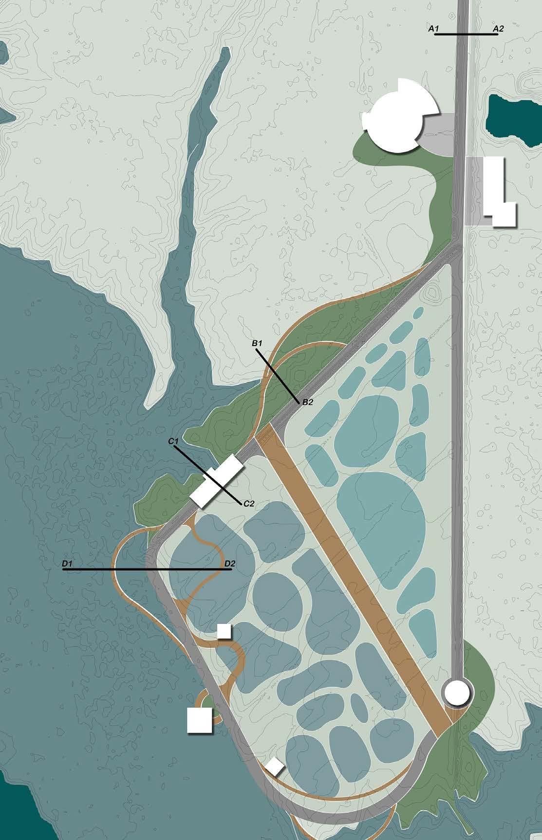
The core principle of design that was followed involved the concept of a “gradient” of salt water that flowed through the site. As the salt water moved, it would affect plant communities throughout, and by controlling the flows on site, users would see the gradient of ecosystem.
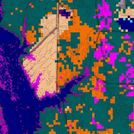
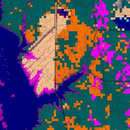
Marsh Migration
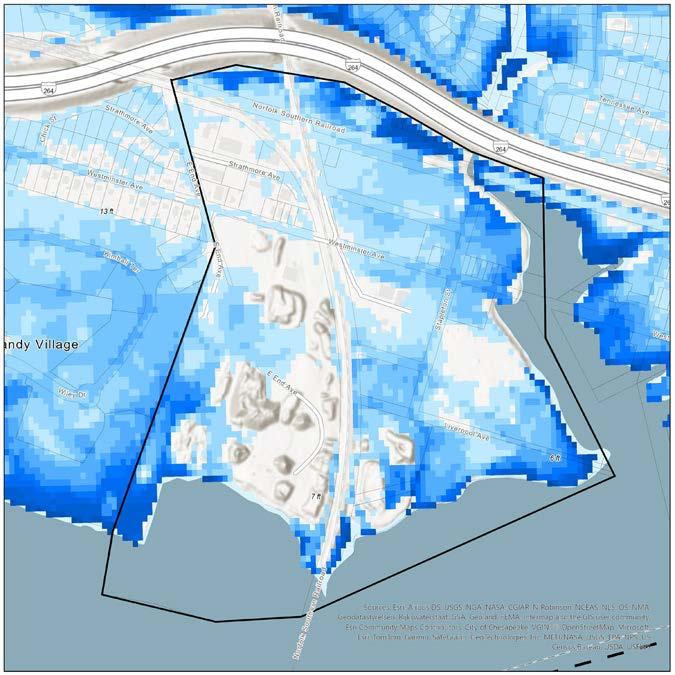
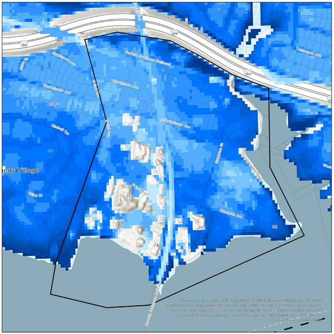
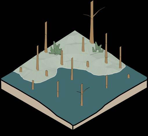
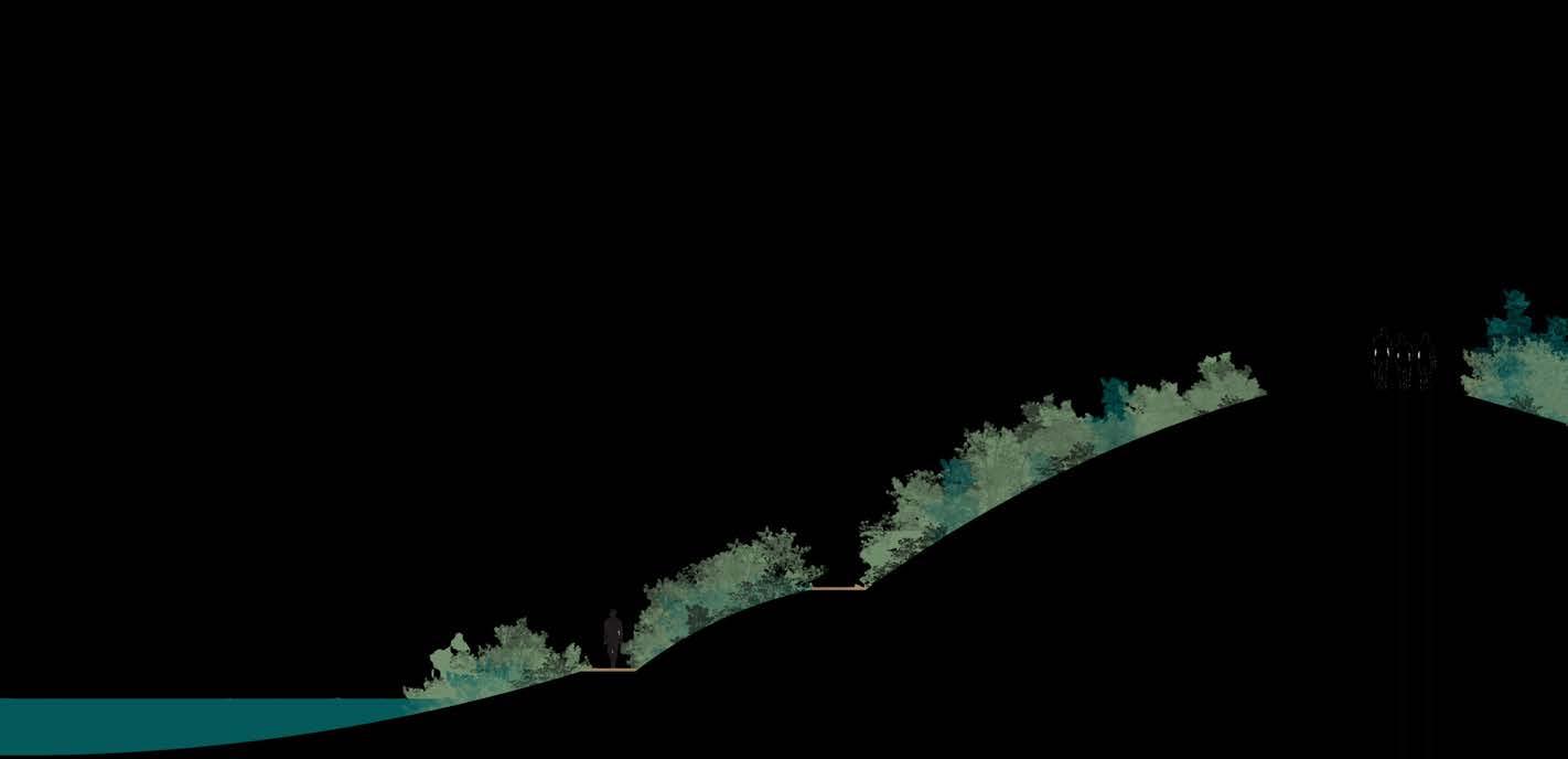
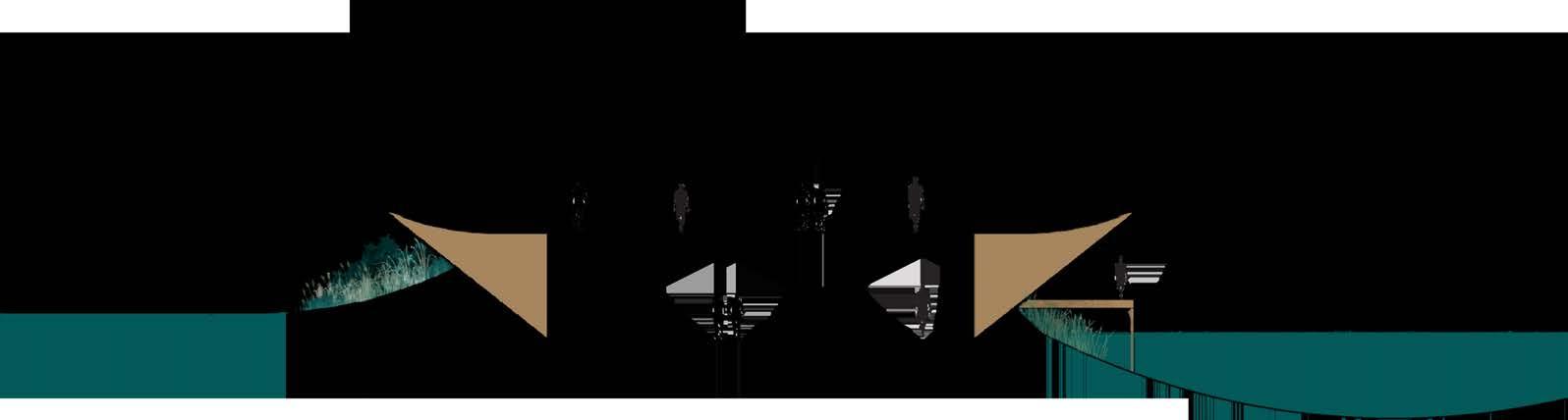
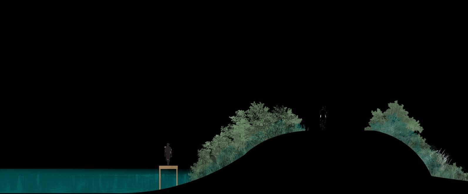
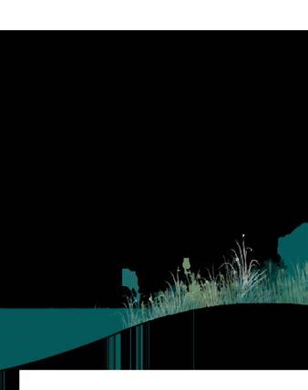
Through the different stages of sea level rise, marsh transitions to freshwater/forested wetland, to brackish/transitional marsh, to open water, in the span of the current situation, to 2.0 feet of sea-level rise.
Brackish/Transitional Marsh
B1
C1
B2
A2
Bilateral Ecosystems
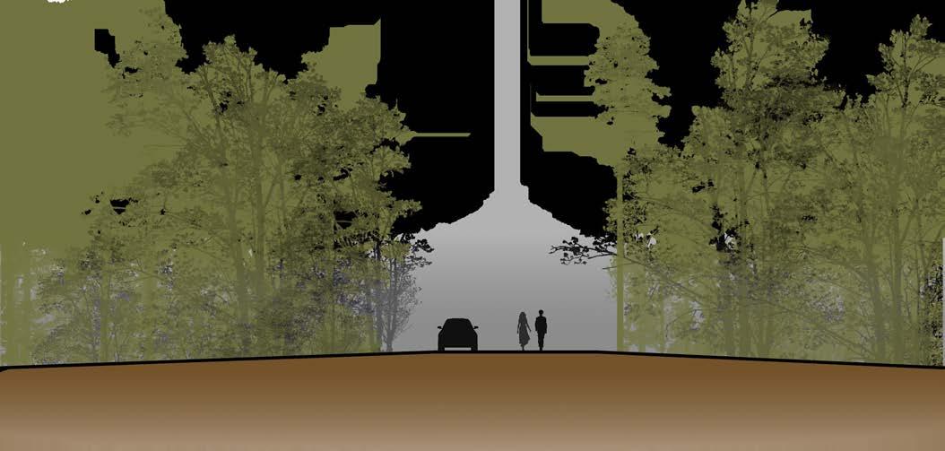
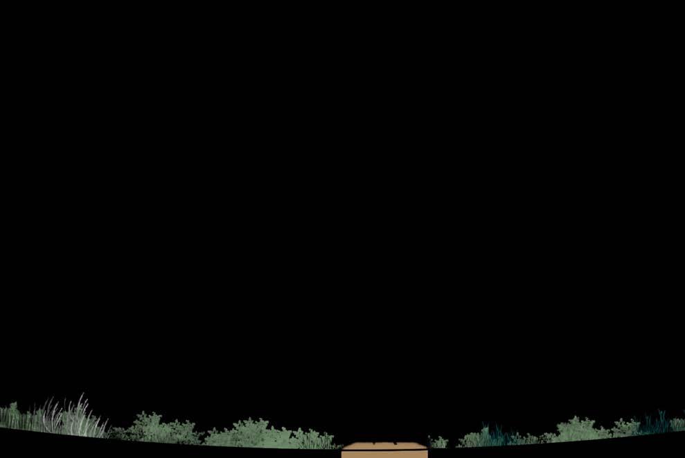
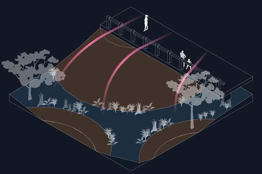
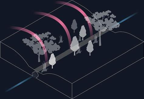
The primary research building is intentionally built within the floodplain, nestled into the berm. The intent is to allow people to see the ghost forest on the outside, and its difference in characteristics to the salt marsh on the inside.
The site encapsulates this thinking in most of the designed user experiences.
C2
Resilient Site
is
Fall Studio
Roanoke,
The downtown area
prone to extensive buried Trout Run river beneath Roanoke, stormwater were conceptualized issue.
Site Design
Studio 2023
Roanoke, Virginia
of Roanoke, Virginia
extensive flooding. From the that sits underground stormwater strategies to help mitigate this issue.


A1
A2


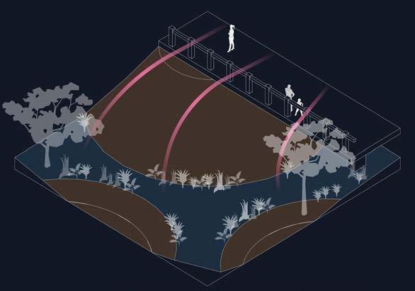
ECOLOGICAL HABITAT
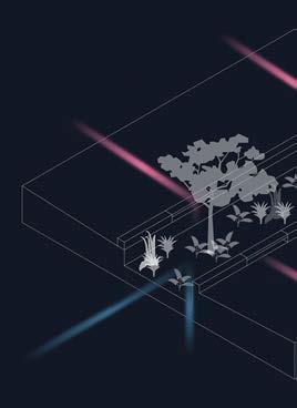
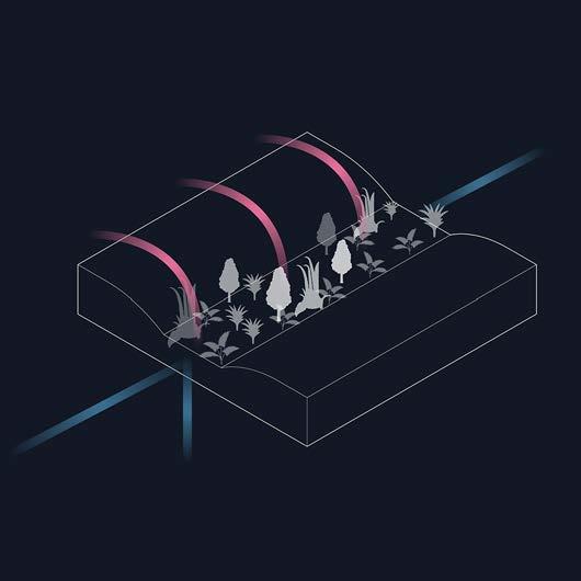
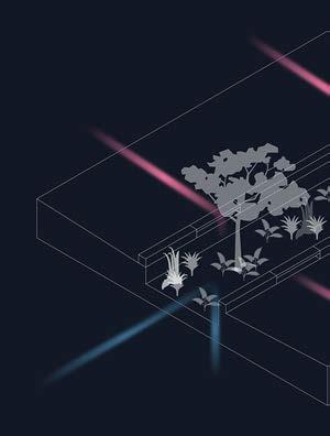
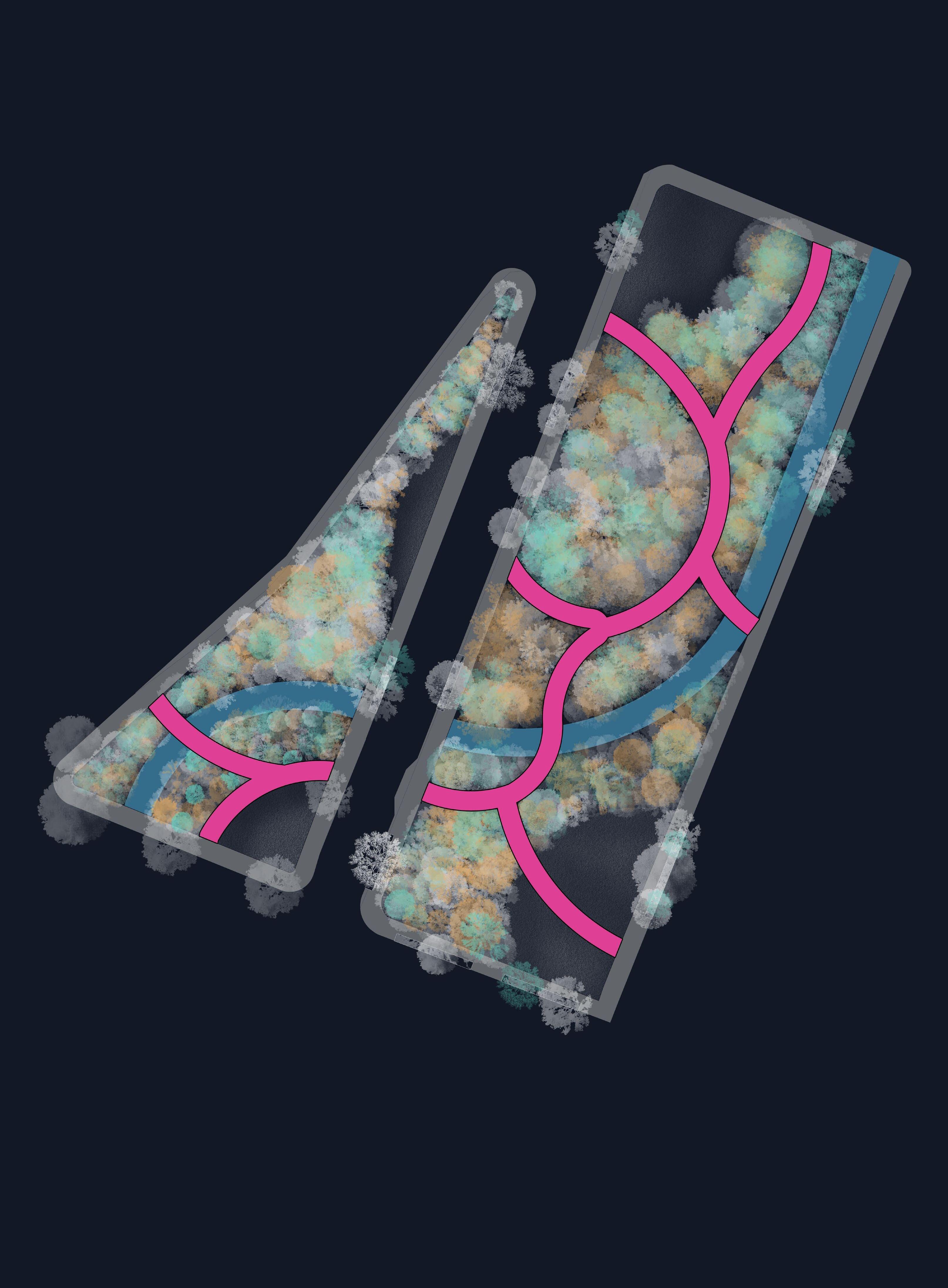
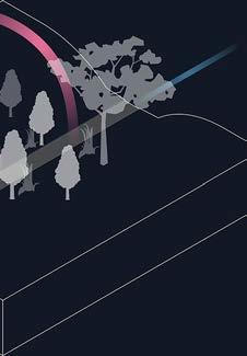
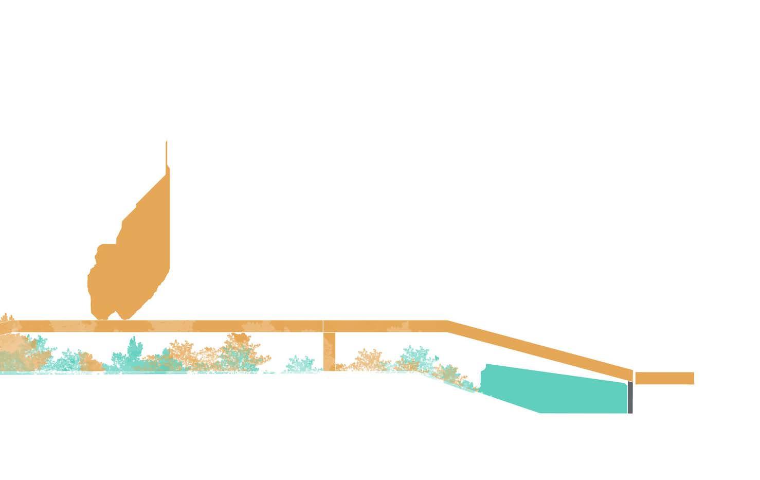
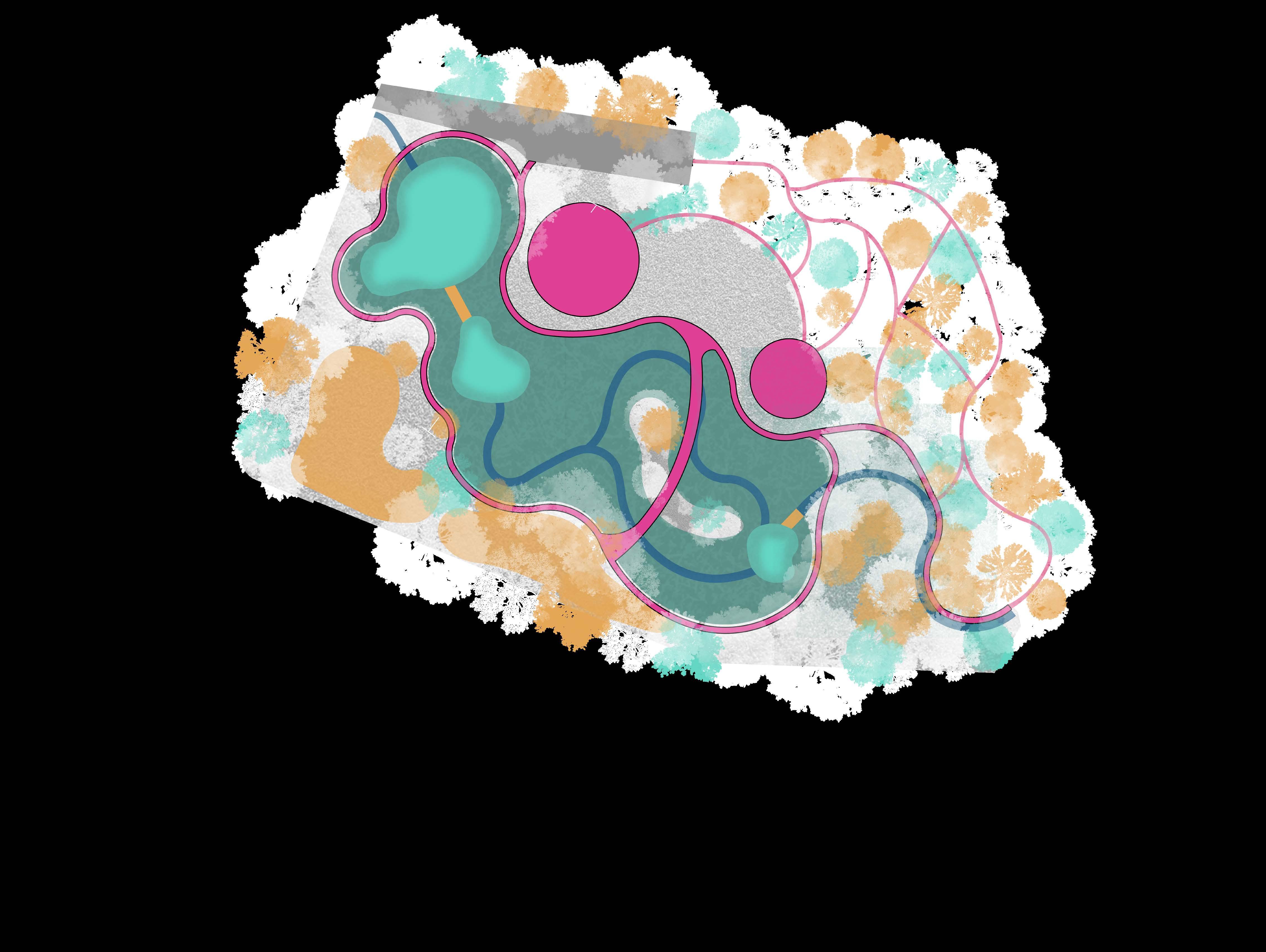
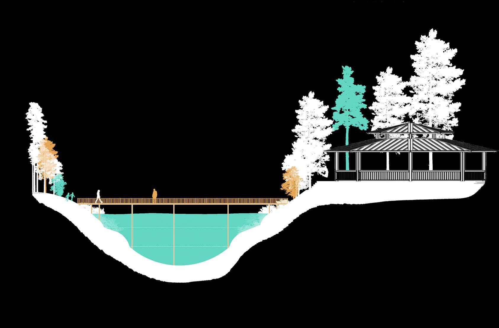
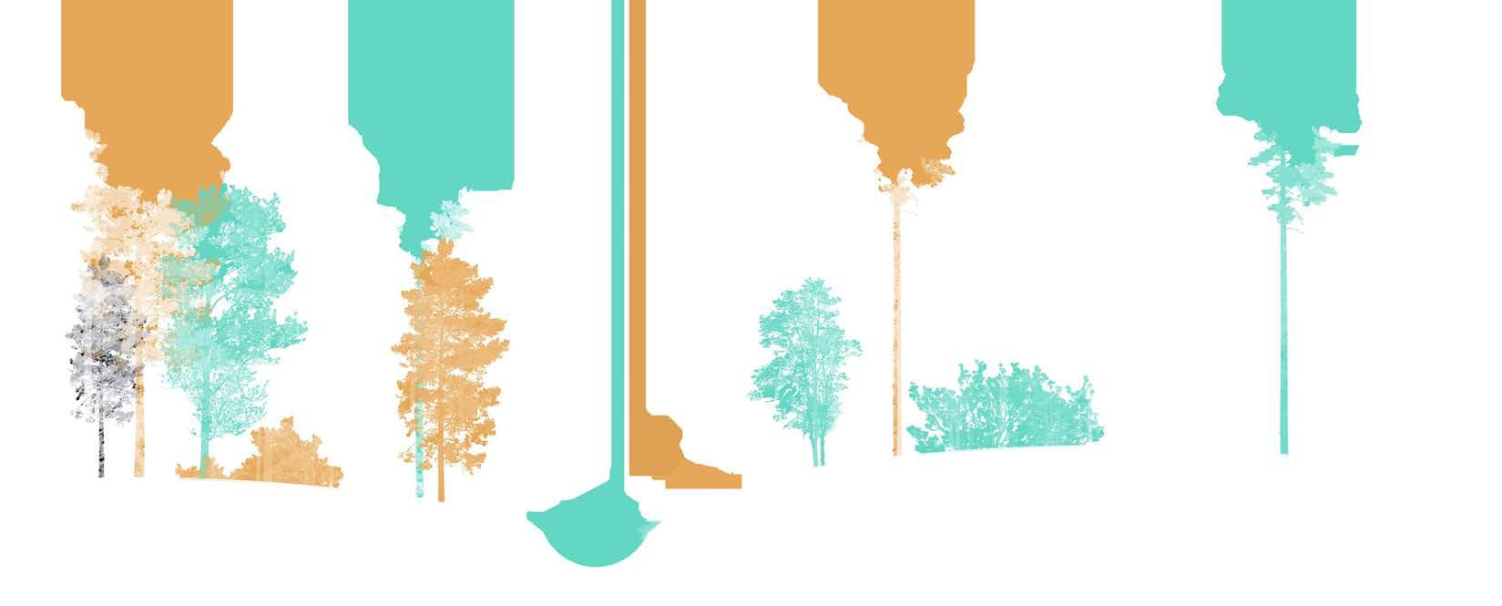
Combining urban stream restoration with ecological planting design, the design hopes to revitilize native flora and fauna communities.
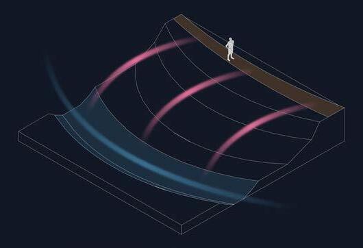
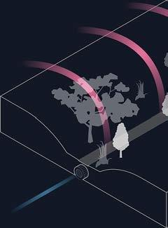
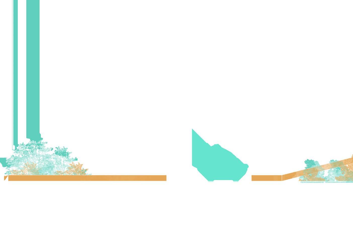
The stormwater features within the site aim to control runoff from the street, and channel them into the bioretention facility, to help reduce overland flow within the Trout Run Watershed
URBAN WETLAND
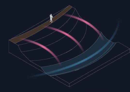
Provides a stormwater treatment facility, while also offering an important amenity to the community.
The system gathers stormwater runoff directed to the site from upstream, and assists in the treatment train of the watershed.
Urban Stream
Constructed Wetland
Streets, Buildings, Japanese Culture
Artifacts
School of Architecture Winter
Buildings, and Gardens :
Culture in Constructed Artifacts
Winter Study Abroad to Japan
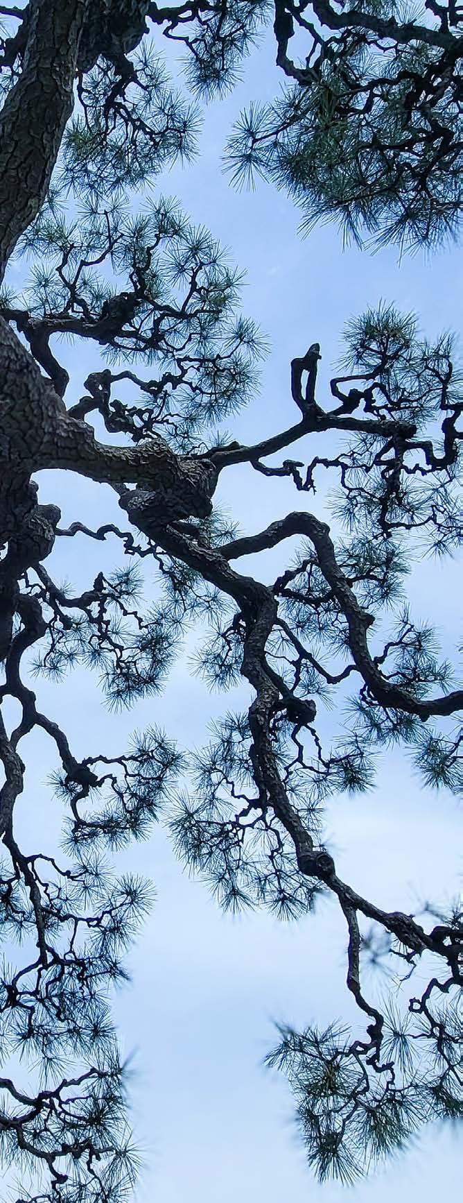
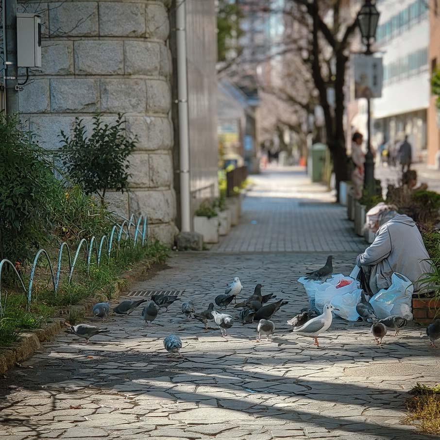
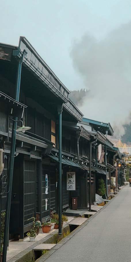
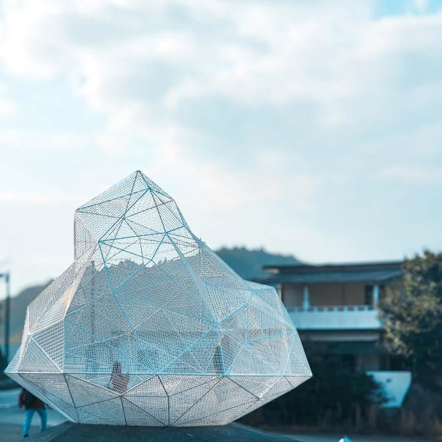
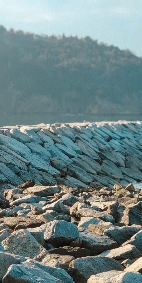
Sumida Park ASAKUSA, TAITO CITY, TOKYO, JAPAN
Gifu TAKAYAMA,
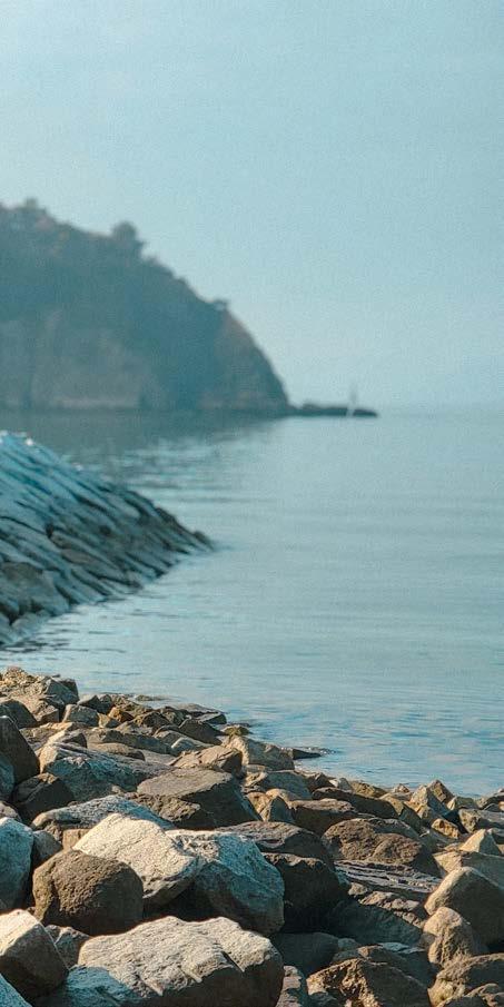
Naoshima Pavilion, near Marine Station Naoshima NAOSHIMA, KAGAWA
Naoshima Pavilion, near NAOSHIMA,
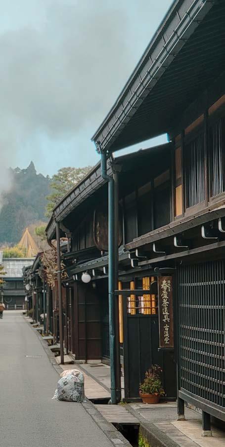
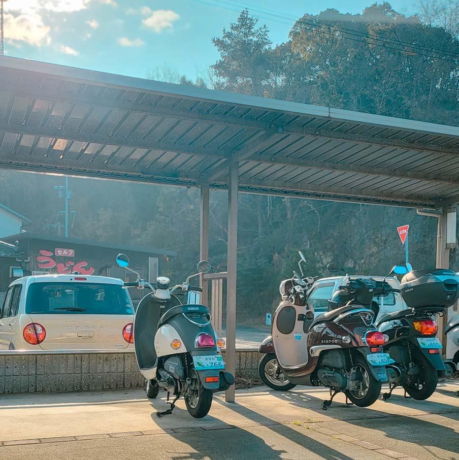
Gifu GIFU, JAPAN
Marine Station Naoshima
NAOSHIMA, KAGAWA
Naoshima Pavilion, near Marine Station Naoshima NAOSHIMA, KAGAWA
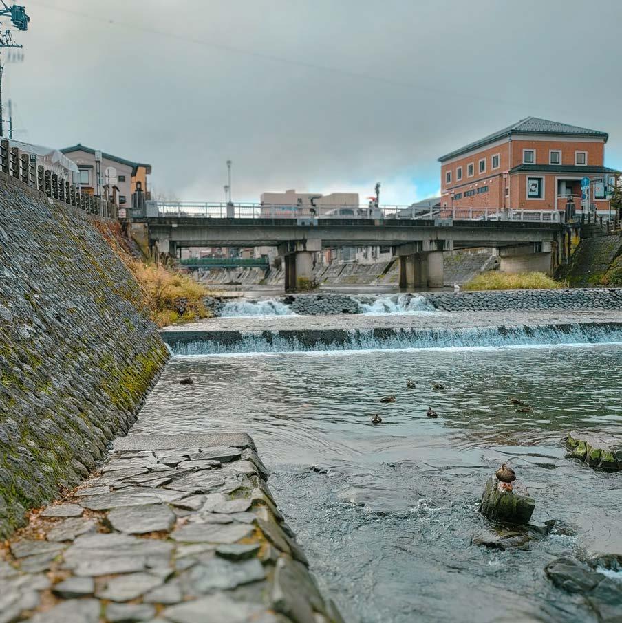
Miyagawa River TAKAYAMA, GIFU, JAPAN
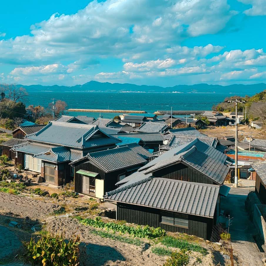
Teshima Island, near Teshima Art Museum
TESHIMA, TONOSHO, KAGAWA, JAPAN
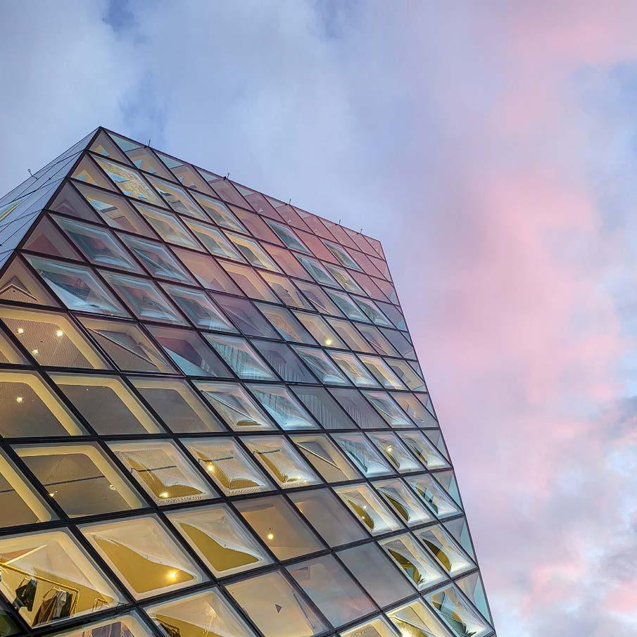
Prada Tokyo Aoyama MINATO, JAPAN
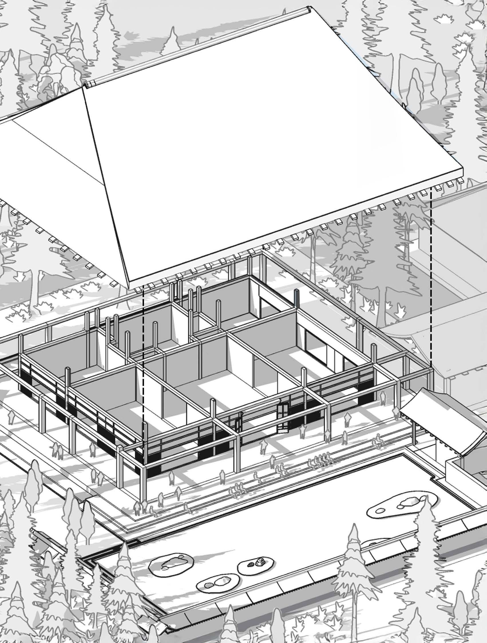
Axonometric Study : Ryōan-ji KYOTO, JAPAN
Thank you for your time

Please click/scan the QR code for access to my Academic CV, E-Mail and LinkedIn!