1 minute read
HISTORICAL MAPS

from Historical maps
by Cara Conlon
Short Strand
BY CARA CONLON
Advertisement
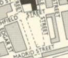
1960
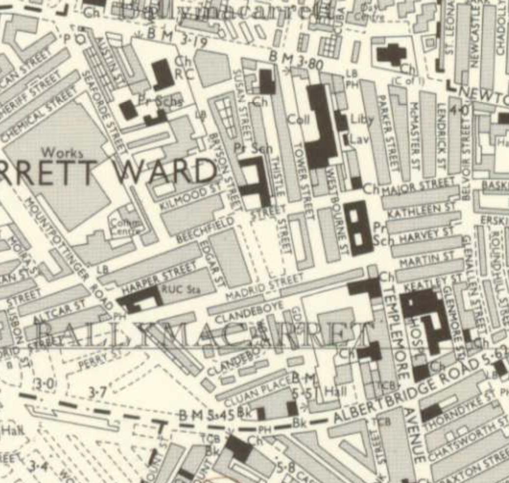
In the 1960s map, the peacewall had not been erected yet, therefore making the two communities unwillingly live side by side.
In this site, you can clearly see that it was an empty space showing an underdevelopment within the area. When the Peacewall was erected, this site had the opportunity to develop terraced housing.
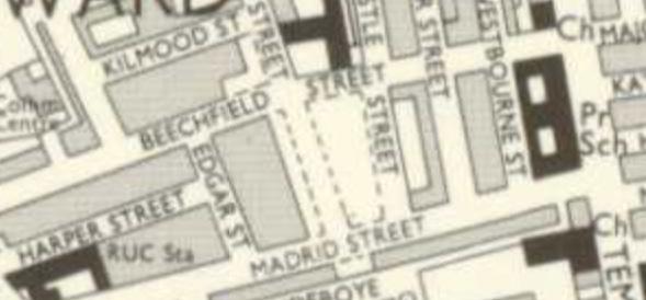
You can also see here that the streets of Beechfield and Madrid continued through the two communities until the Peacewall stopped this.
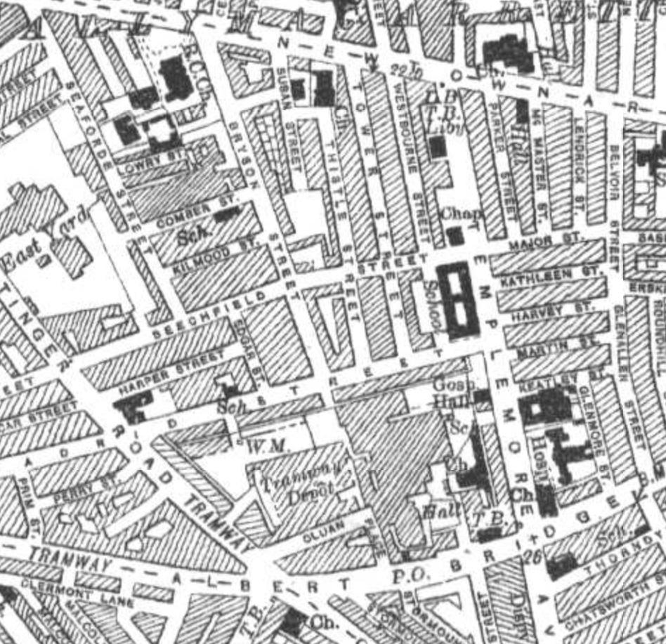
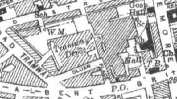
In the 1980s map, you can see here in this, a Transport Depot which evidently had taken up a large site
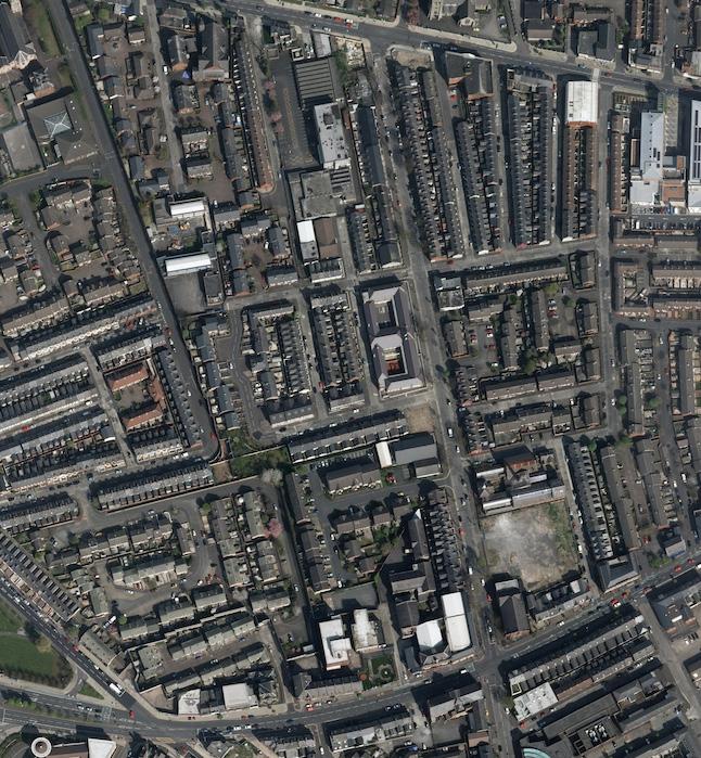
Later this site, due to high demand in housing and after numerous attacks within the Short Strand area, the area of Langtry Court and Clandeboye Gardens were brought about