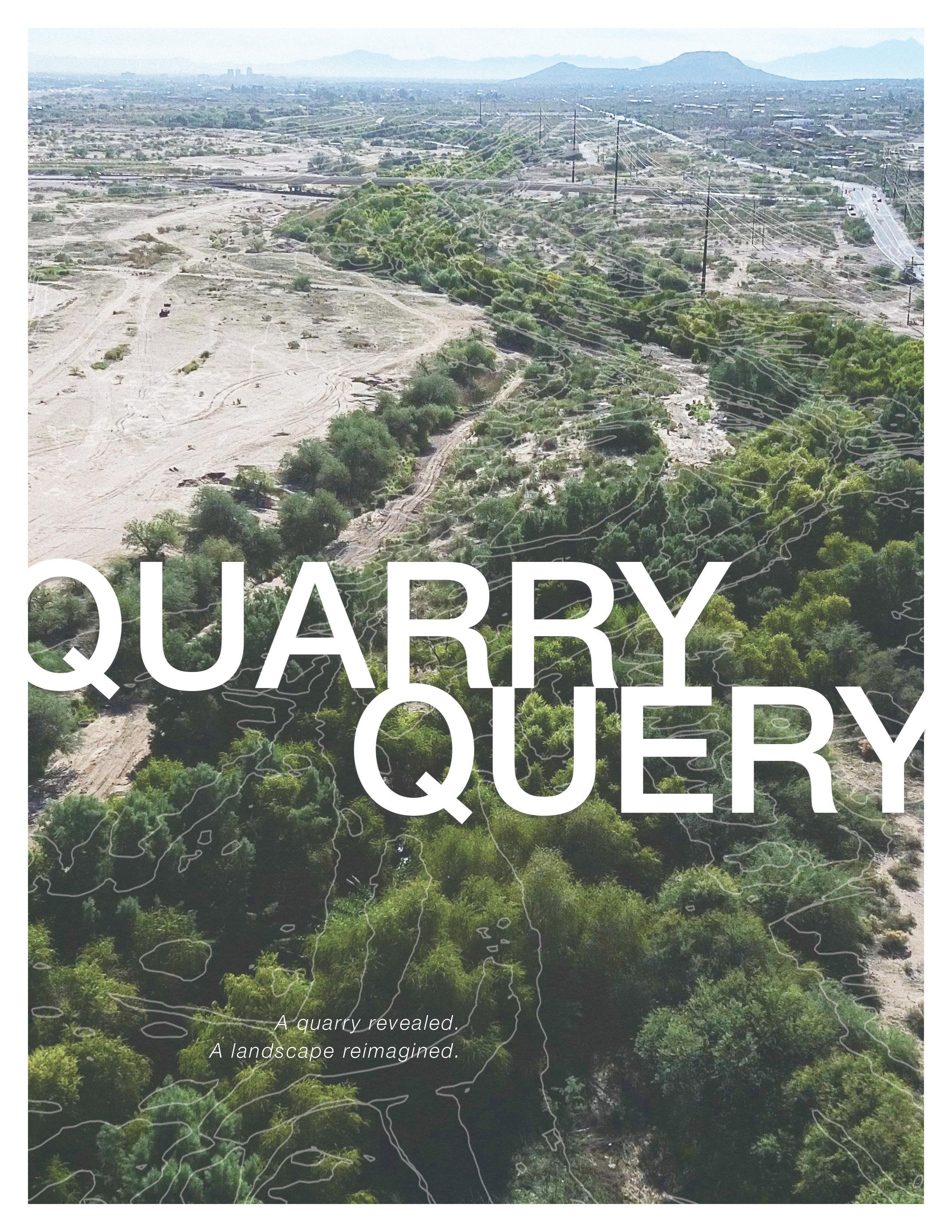
Santa Cruz River
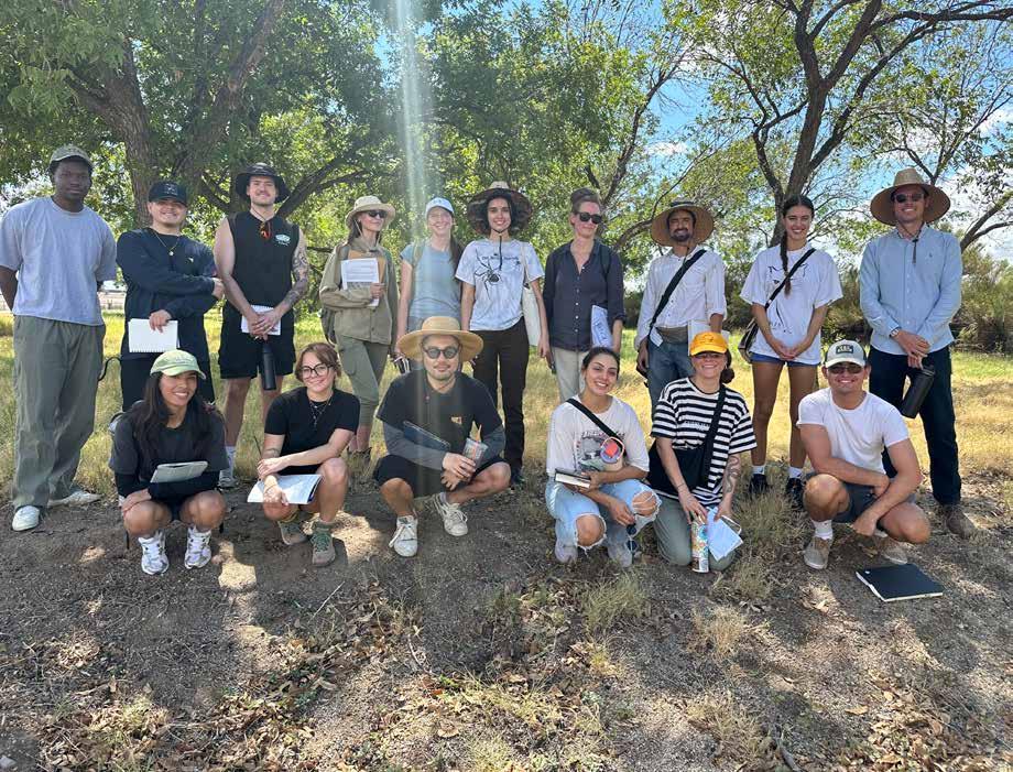
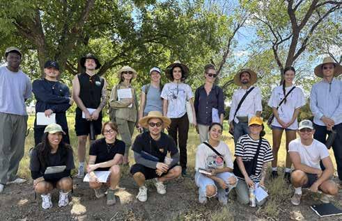
Chase Matthew Birch, Allison Castro Bazurto, Miranda Monserat Cortes, Ashley Zahri Danforth, Isabella Cleopatra de Sousa Proulx, Mia D Ferring, Diego Angel Gomez, Dae-Hyun Jin, Ashley Marie Limbaugh, Quinn Jacob McElvain, Julia Nunn, Michael Chukwuka Obi, Renee Elizabeth Peters, Sam John Pratt, Isabella Victoria Temur
Faculty Lead: Mackenzie Waller, LA + M.Arch
Nichole Casebeer, Garrett Smith, Alexandra Stoicof, Kate Hotten, Ian M. Milliken, Luke Cole, Christopher Tucker, Stephanie Kopplin, Kari Hackney, Olya Weekley, Robert Villa, Brett & Eric CAPLA Materials Lab, Erik Schmall, Siri Jun Biedler, Laura Hollengreen, Jesus Robles, Matt Lutheran, Kate Hotten, Suzannah Dickinson, Santa Cruz Urban Wildlife Refuge Coalition
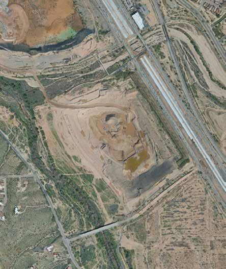
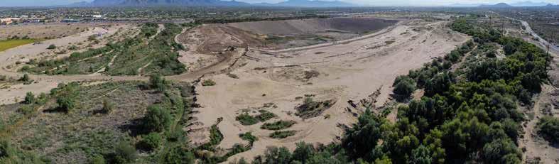
The goal and narrative of this project was to do in-depth research about the ecological historical aspect of the site that combines the research and analytical aspect while connecting the ecological and socio-cultural aspect of the site.
Within the standards of Project Two, there was a focus and emphasis on the biodiversity within cities and designing a space with ecosystem services as well as human-wildlife interaction. As well as an emphasis on a model-based animal-aided design.
settlers. Mining activities stripped much of the site’s natural resources, while the proximity to the river made the surrounding land valuable for settlement, agriculture, and transportation.
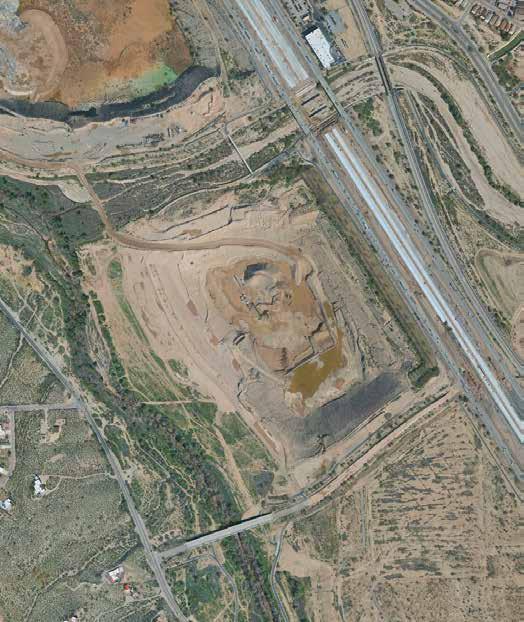
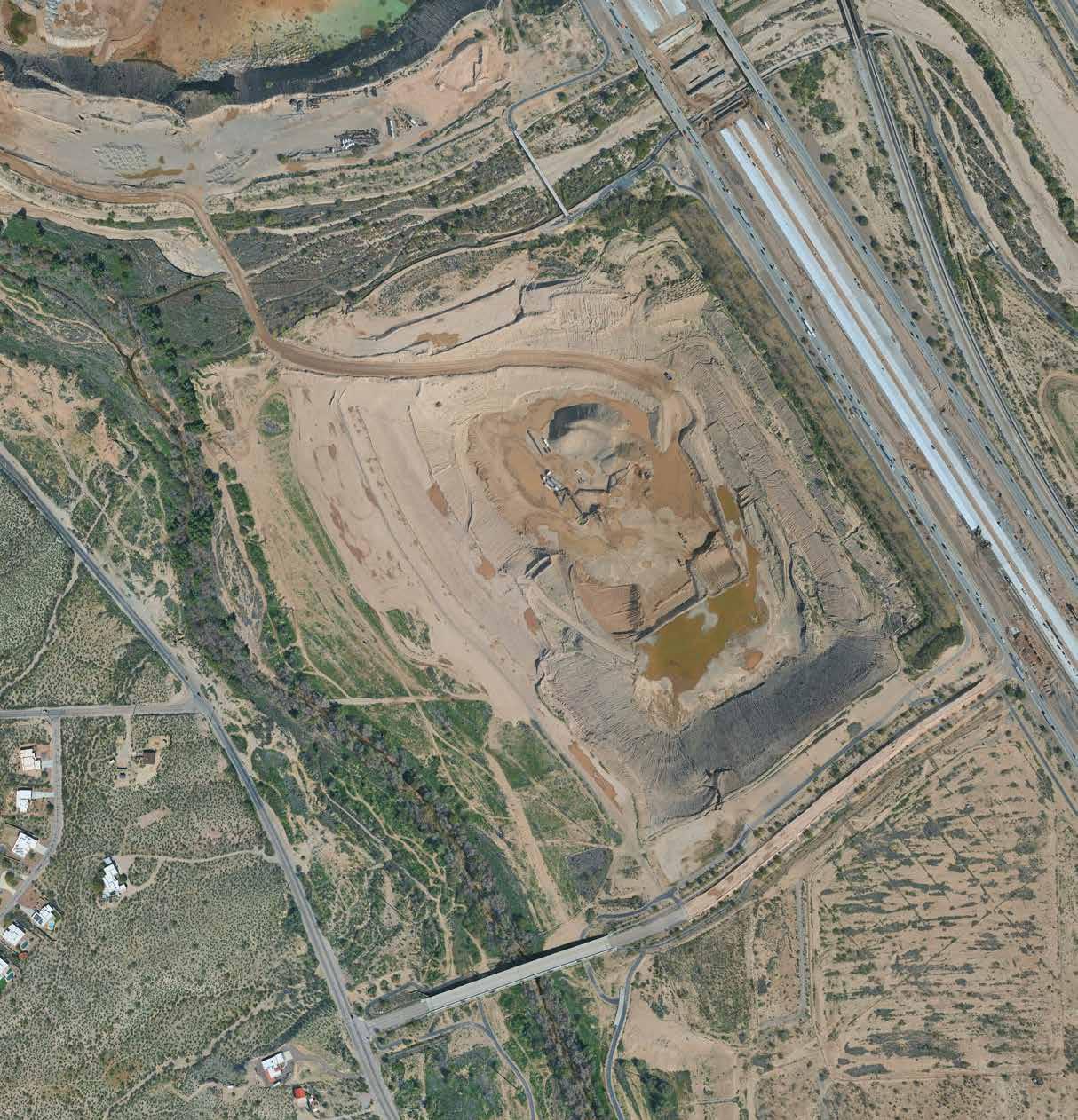
The modern shape of the quarry was further influenced by the removal of Sunset Road, which once crossed the Santa Cruz River and connected nearby communities. When the road was eliminated to accommodate freeway expansion and rivermanagement projects, access patterns shifted, leaving the quarry more isolated and contributing to its current underused condition.
Today, with little active development, the quarry remains a landscape marked by research interest, ecological change, and layers of historical use—an intersection of natural waterways, human adaptation, and the ongoing evolution of Tucson’s urban edges.
Project 3 focuses on the narrative of the artist and creative approaches that are related to the designer’s Project One research. Using that research and the connection between the ecological and socio-cultural aspects and translating a design that captures their research and drives their design.
Project Four focuses on a collaboration between the studio as well as each individual’s work over the course of the semester, tying ideas together to create a cohesive design individually.

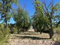
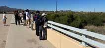

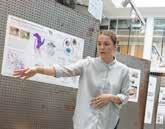
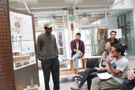
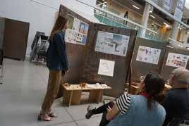
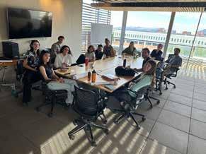
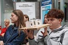
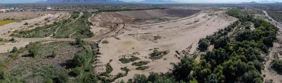
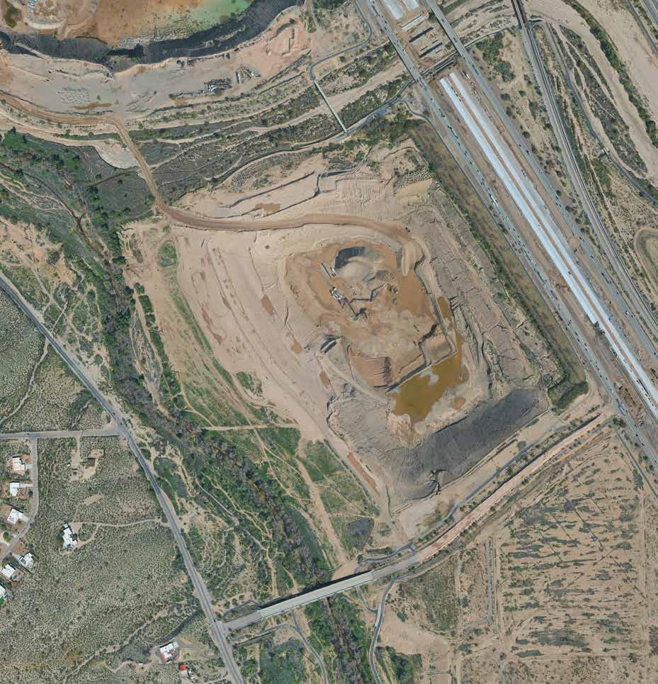
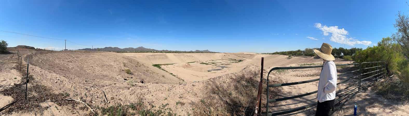
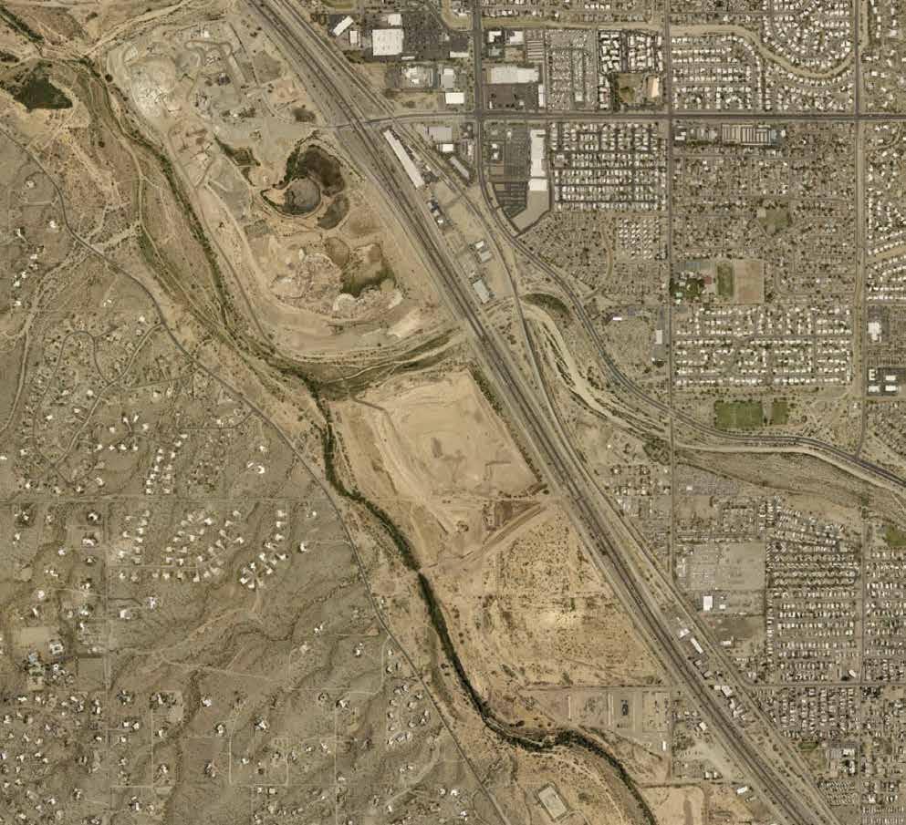
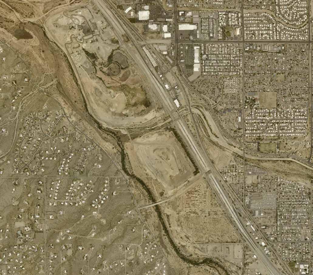
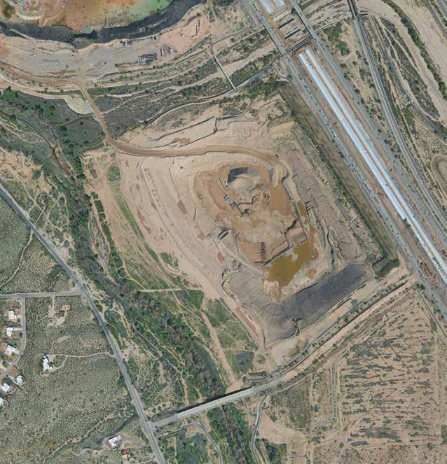
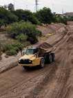
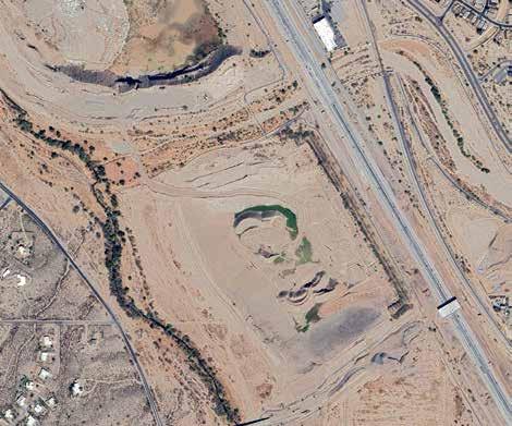
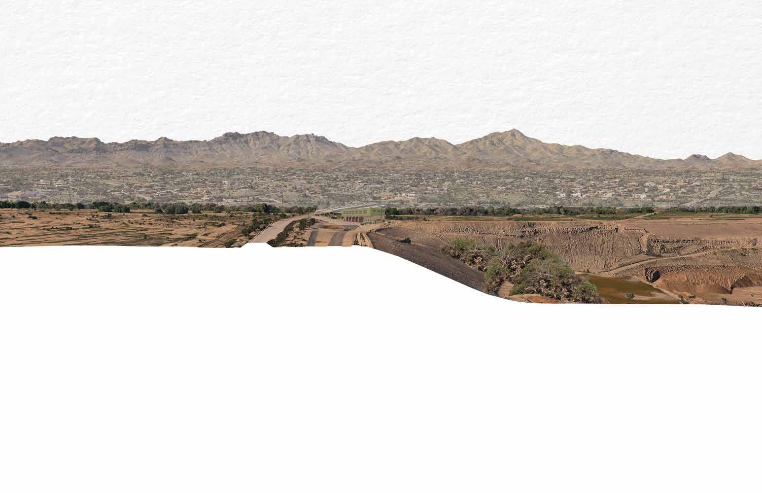
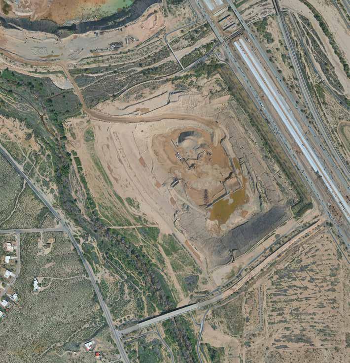
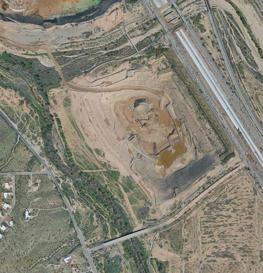
Once a the site operated as a functional gravel pit from the early 1990s until its transition began in 2012 when the parcel was acquired by the Pima County Flood Control District (RFCD). Industrial operations officially drew to a close in 2026 when CalPortland handed the project over to the District, clearing the way for its transformation into a public asset. While early conceptual designs envisioned a landscape dominated by active recreation, including sports fields and managed lakes, the vision for the property has since been revisited for a wider range of uses. The landscape architecture design stduio has explored a range of preliminary project visions that consider other opportunities including wildlife habitat restoration, low-impact recreational opportunities, and environmental education.
Chase Birch
Allison Castro
Miranda Cortes
Ashley Danforth
Isabella de Sousa Proulx
Mia Ferring
Diego Gomez
Darin Jin
Ashley Limbaugh
Renee Peters
Sam Pratt
Quinn Mcelvain
Julia Nunn
Michael Obi
Isabella Temur
Chase Birch Run-Off
Run-Off
Allison Castro Restoration Corridor
Restoration Corridor
Miranda Cortes Heat and Temperature
Heat and Temperature
Ashley Danforth Reciprocal Nature
Reciprocal Nature
Isabella de Sousa Proulx Coexistence
Coexistence
Mia Ferring Fish! In the Santa Cruz
Fish! In the Santa Cruz
Diego Gomez Desert Bio-Retention Bench Basin
Desert Bio-Retention Bench Basin
Darin Jin Floodplain Memory Walk
Floodplain Memory Walk
Erosion in Motion
Ashley Limbaugh Erosion in Motion
Renee Peters The River Speaks
The River Speaks
Experimental Terrace
Sam Pratt Experimental Terrace
Quinn McElvain Riparian Reestablishment
Riparian Reestablishment
Julia Nunn The Confluence
The Confluence
Michael Obi Re-wilding the Santa Cruz
Re-wilding the Santa Cruz
Isabella Temur Bio-Infiltration Reconciliation
Bio-Infiltration Reconciliation
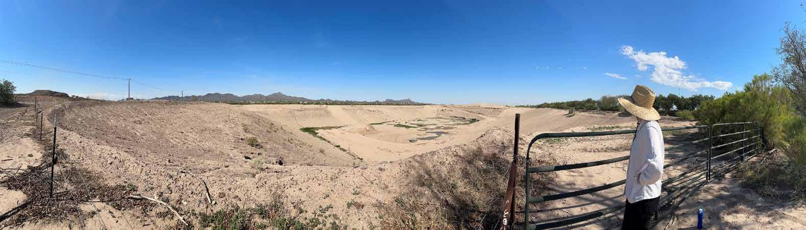
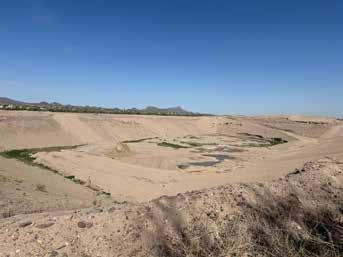
SITE: CENTER
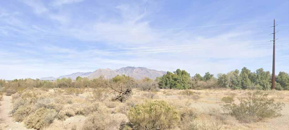
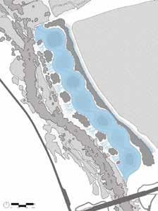
Expansive quarry
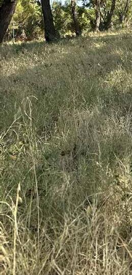
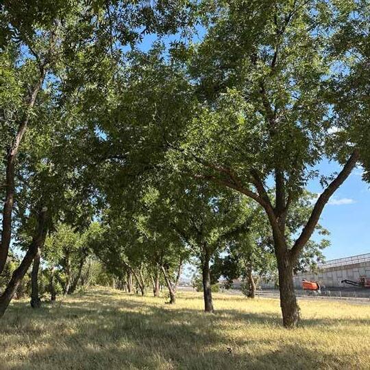
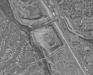
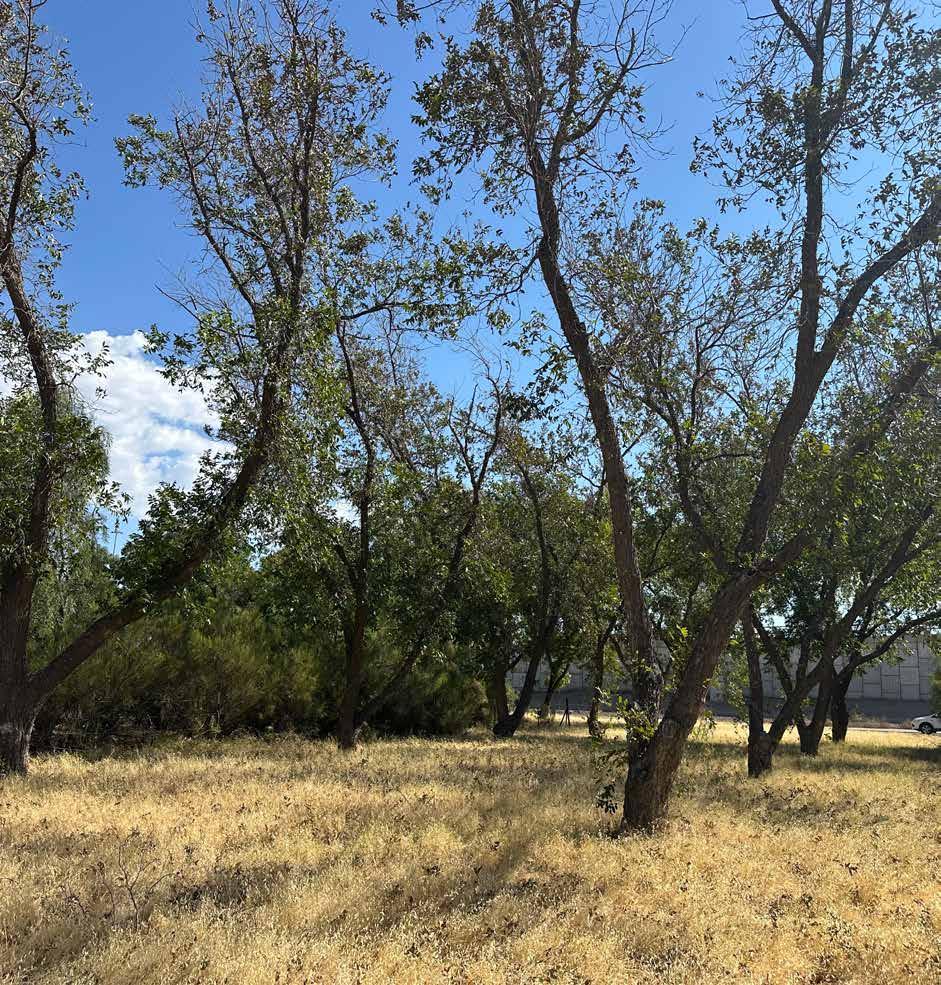
SITE: EASTERN EDGE
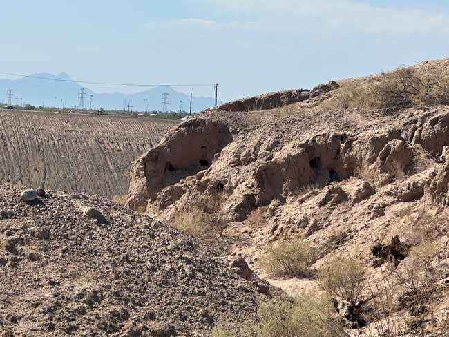
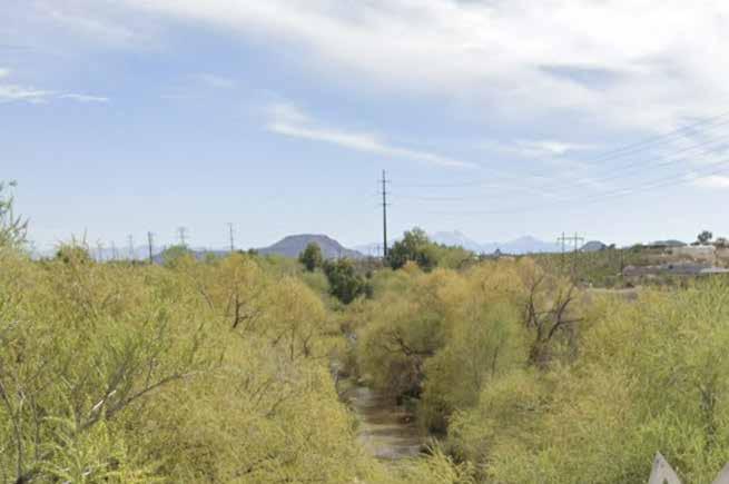
Historical pecan grove, freeway adjacency
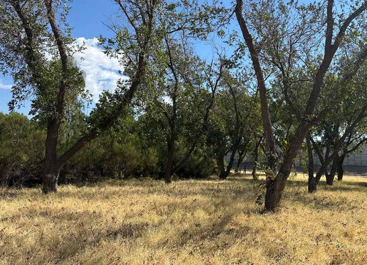
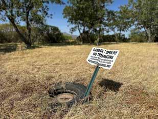
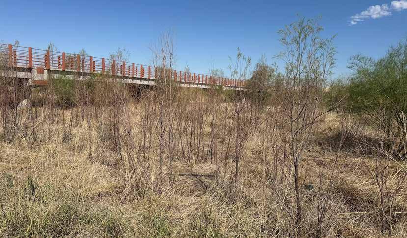
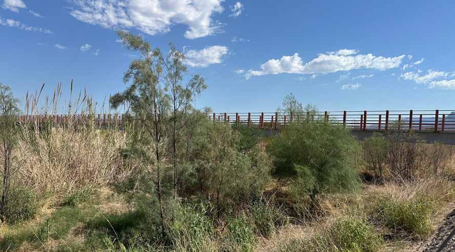
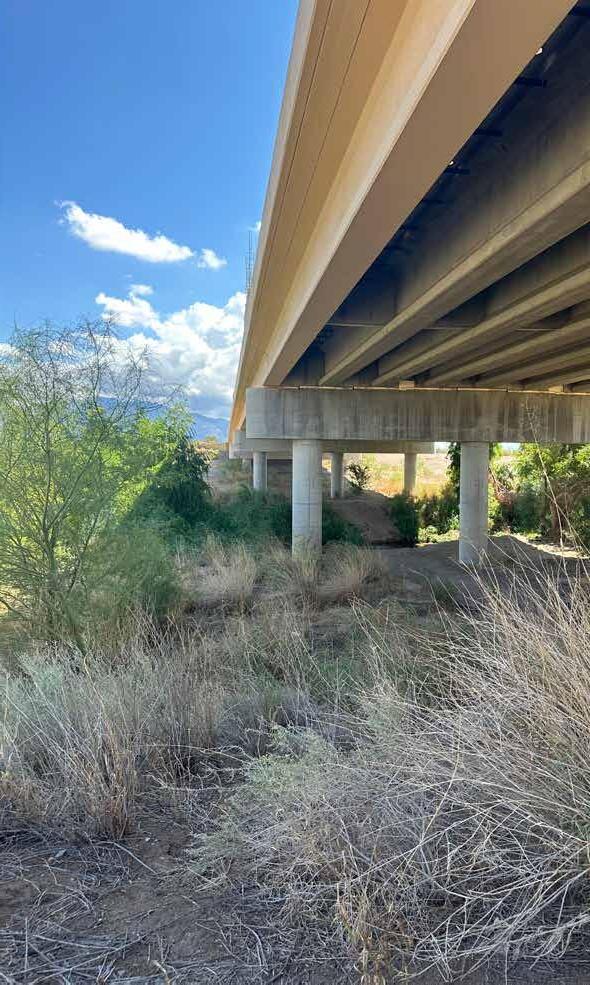
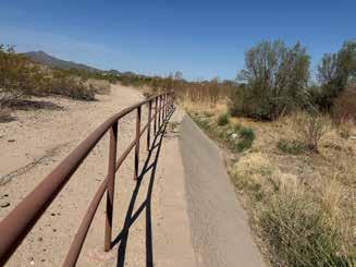
Rillito confluence, bike path, river access, abandoned path
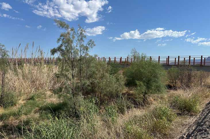
SITE: WESTERN EDGE
Everyone has relied on the gauche explanations offered by sharp capitalists and women who work from lists. But I wish to speak to many things, and I will not move from this planet before I know what I came here to seek, before I track down this business to its end. Human company is not enough; I must go much further afield and much nearer to home.
excerpt from Bestiary, Pablo Neruda Chile (1904-1973) ty r.villa
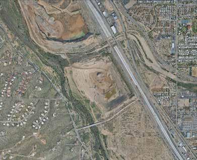
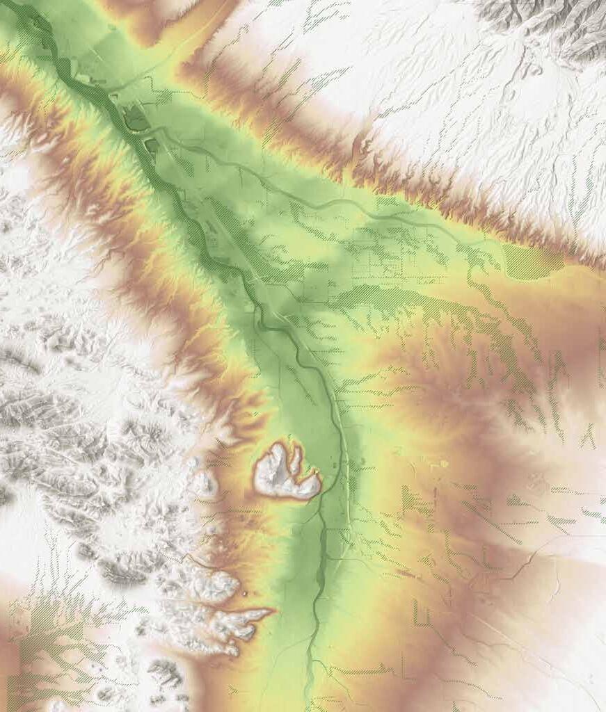
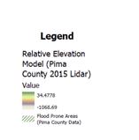
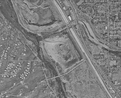
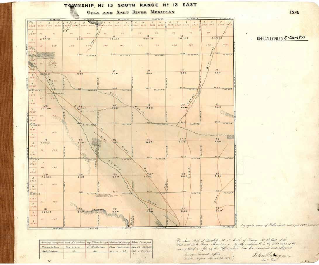
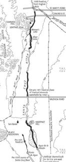
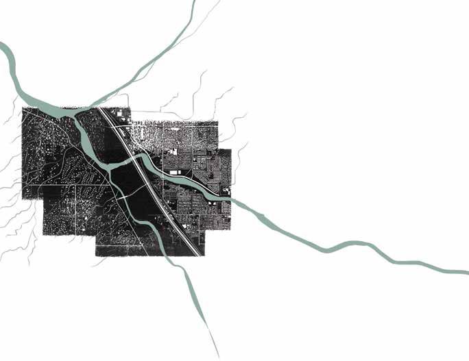
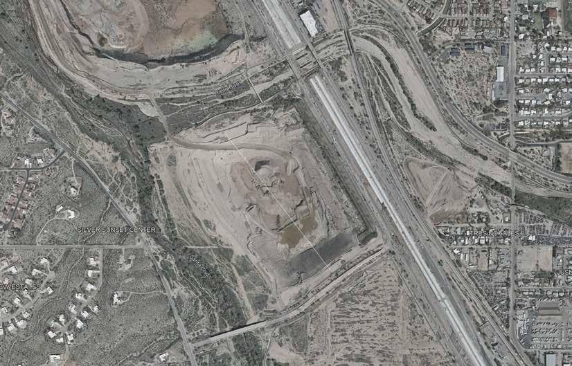
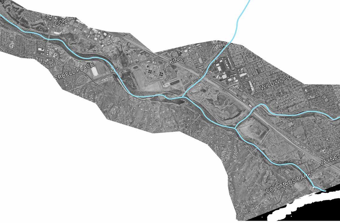
The Butterfield Overland Trail, in use 1858-1861, passed through the area, immediately west of what are now the gravel pits. There wasn't an official Butterfield station there, but there was a place called Nine Mile Water Hole that was used as a place to get water both in the Butterfield years and long before and after. It was basically a perennial spring or seep, undoubtedly long used by Native Americans. The precise location is uncertain, but it was immediately northeast of the Silverbell/Sunset intersection as shown here in an early survey plat from 1871 of the Nine Mile Water Hole in Section 18.
- Scott O’Mack, Historic Preservation Manager Cultural Resources and Historic Preservation Office Pima County Conservation Lands and Resources
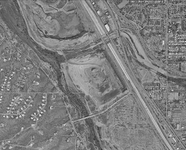
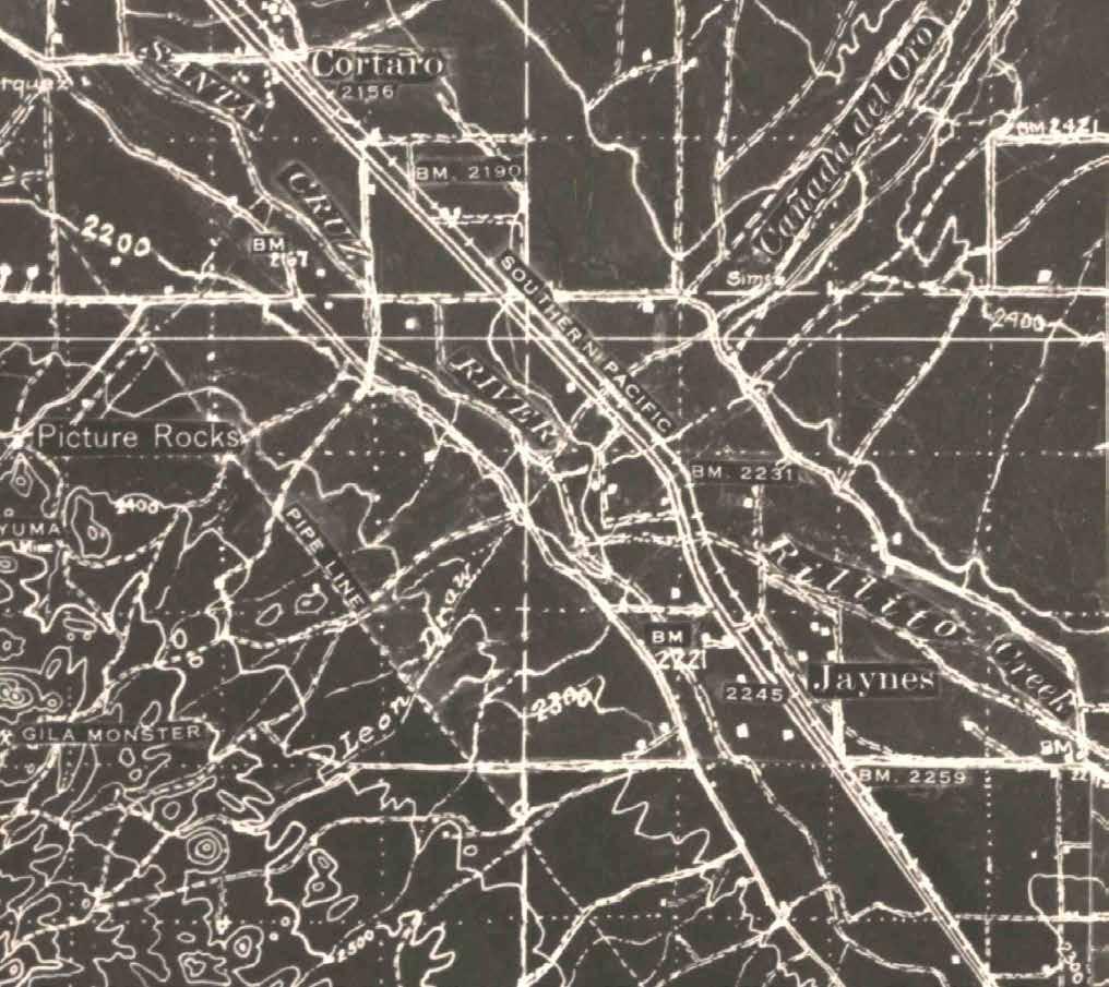
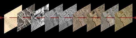
1934
US Army Corps of Engineers
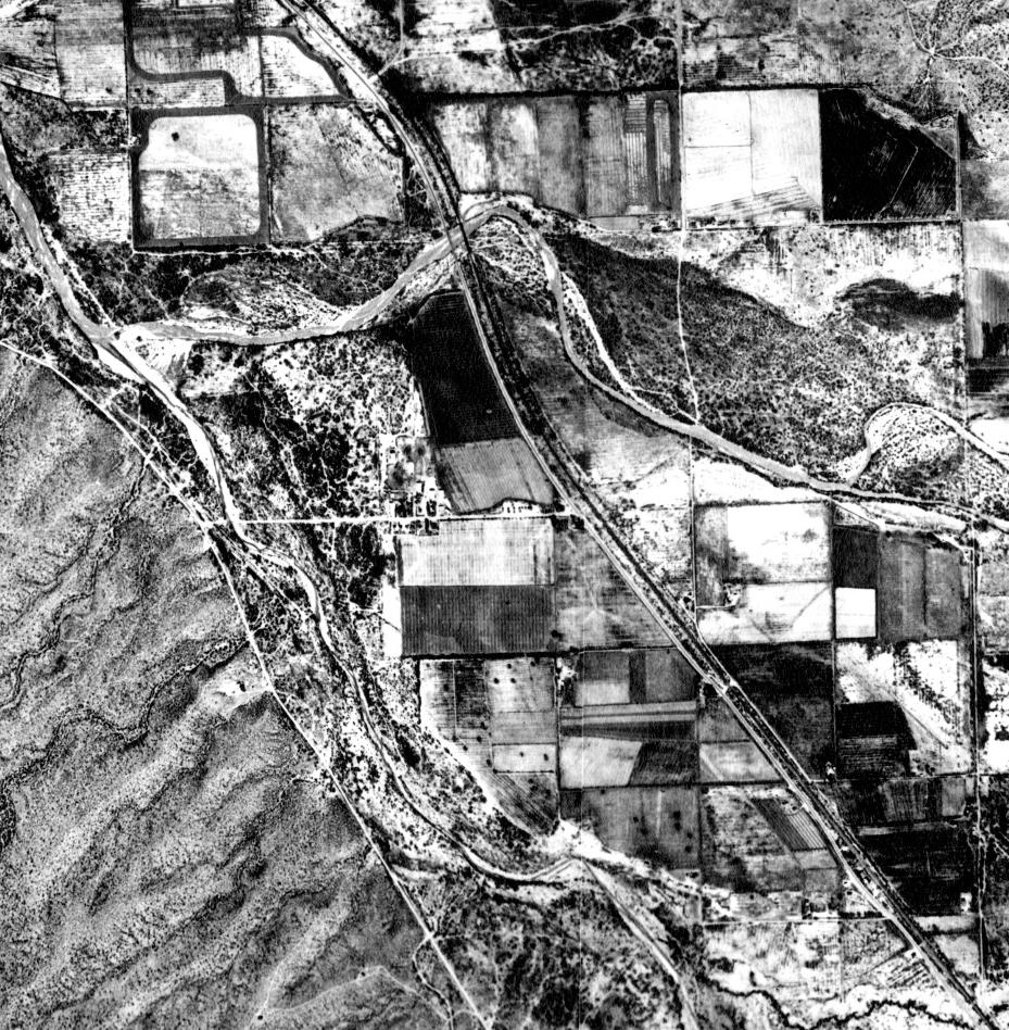
1941
Aerial Photo Survey Pimamaps
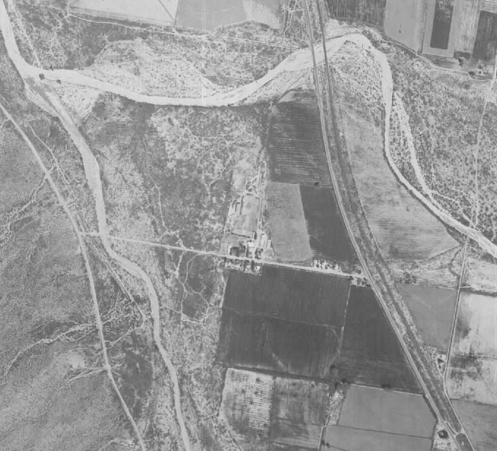
1947 US Army Corps of Engineers and USGS
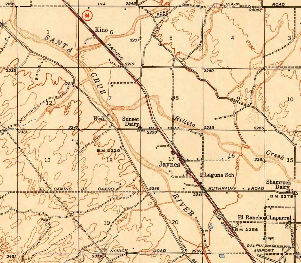
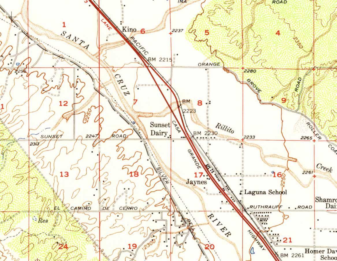
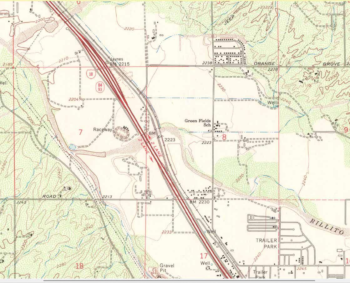
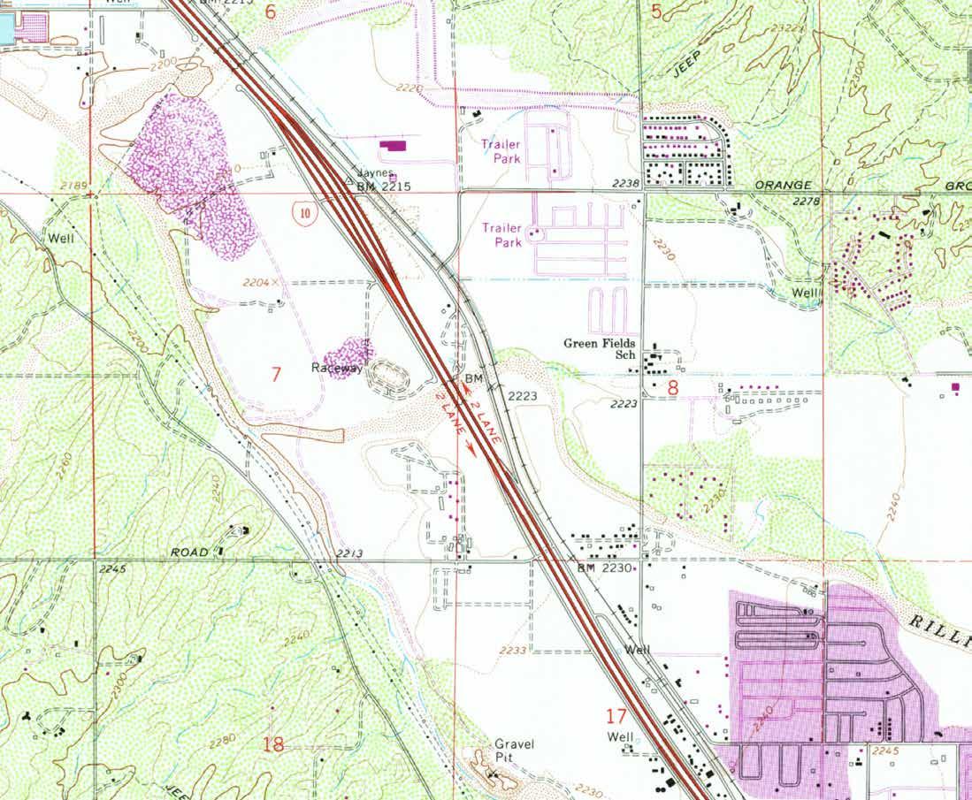
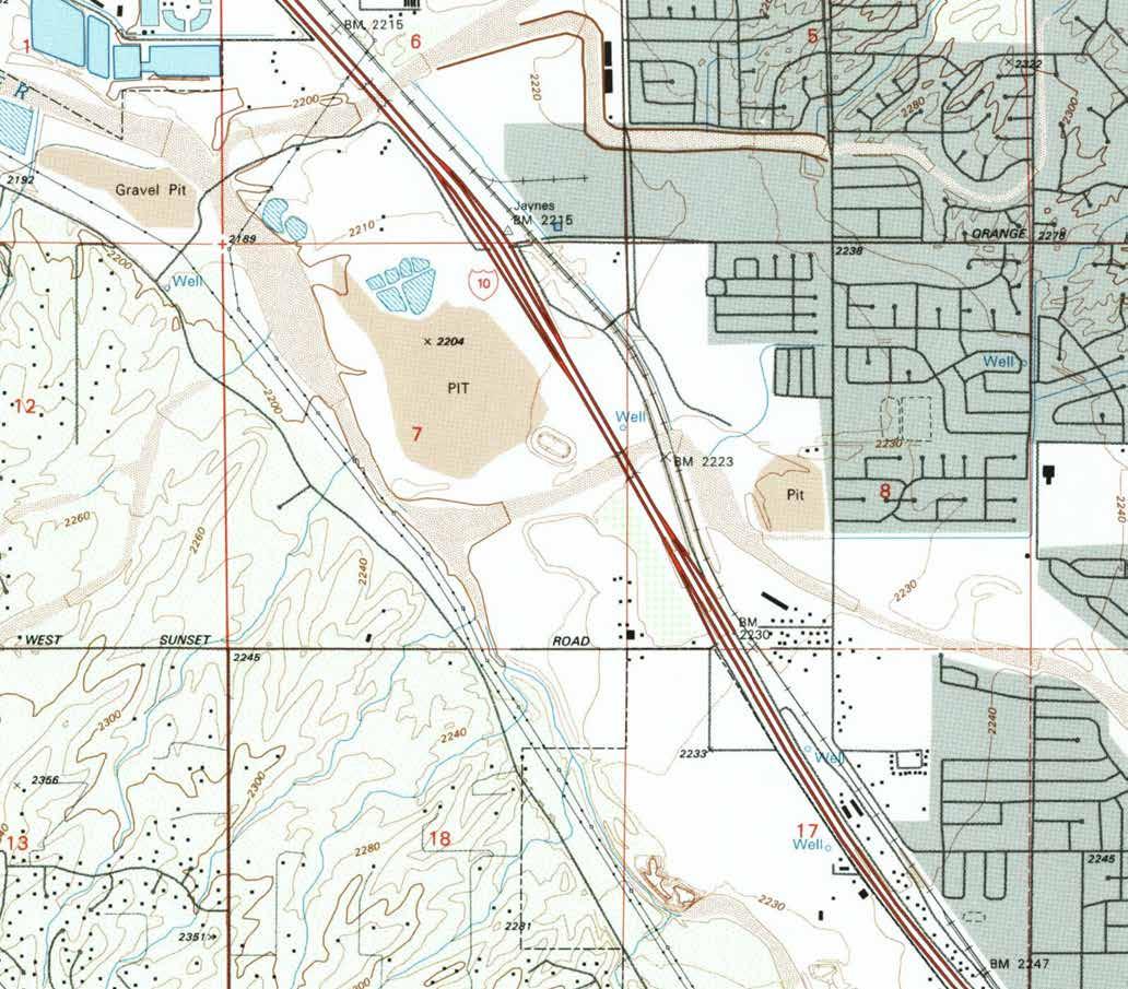
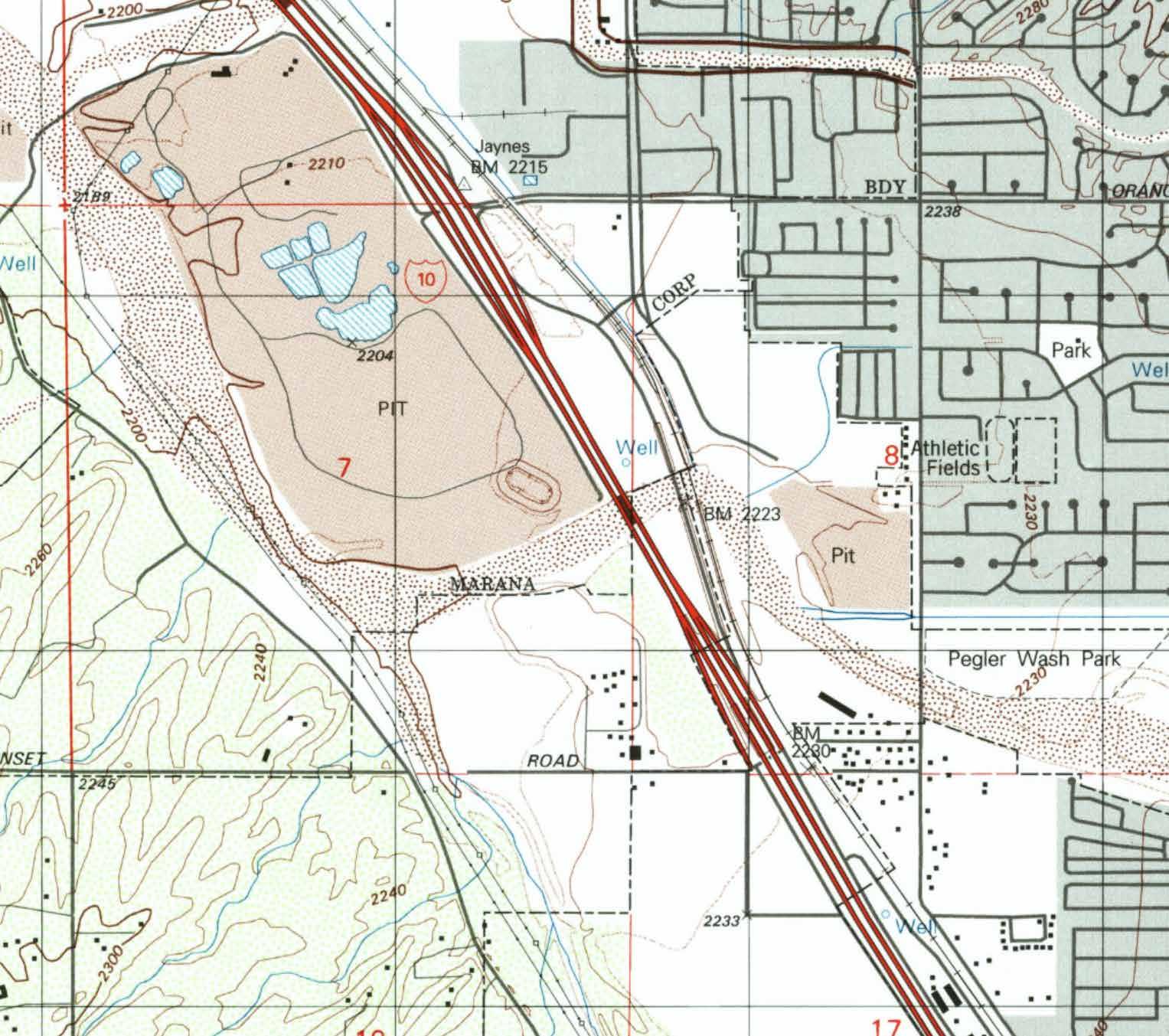
1996 USGS DOQQ
PimaMaps
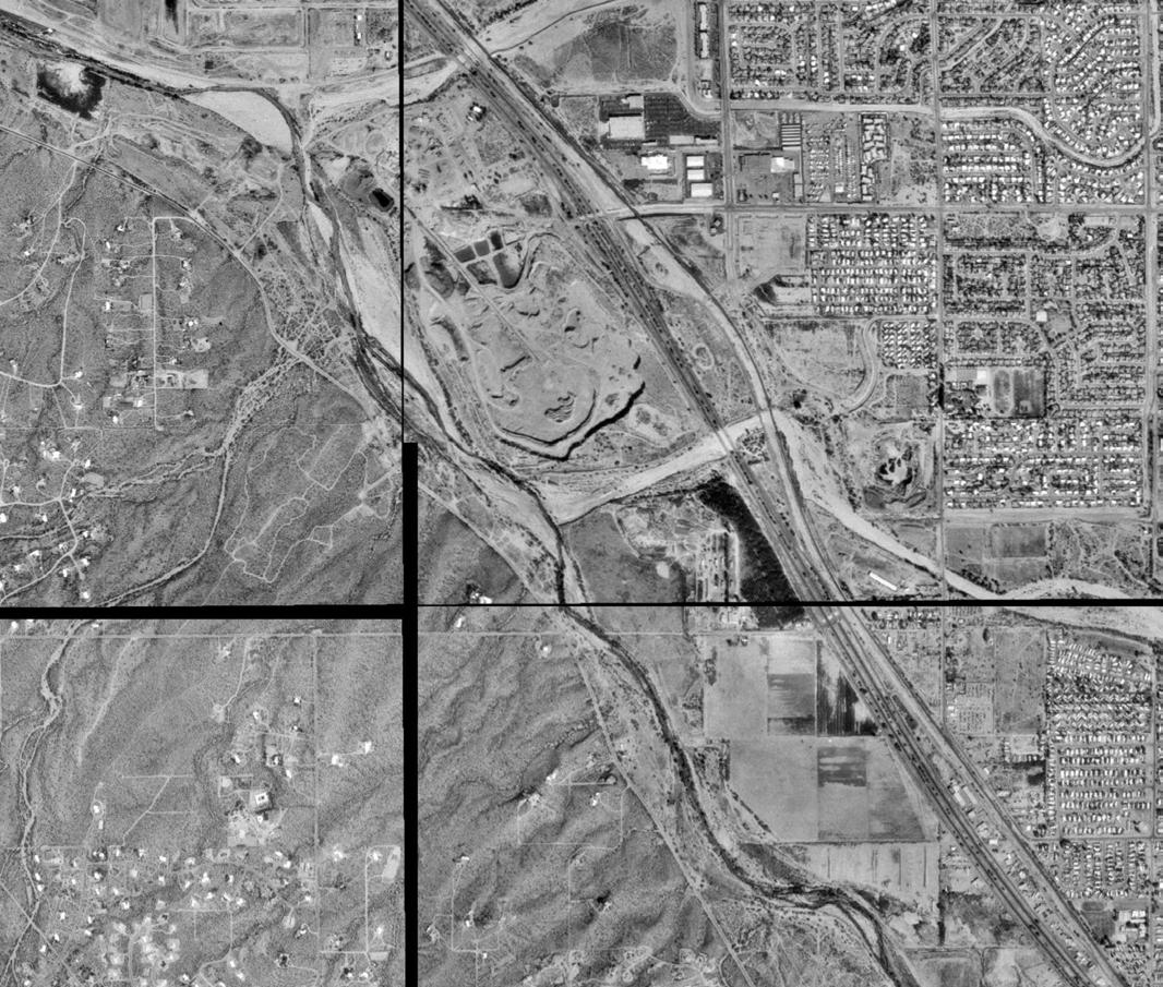
PimaMaps
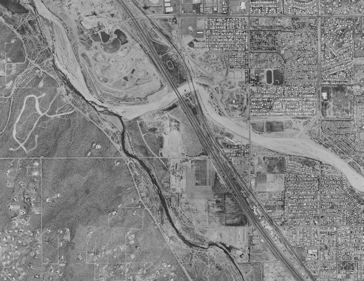
PAG
PimaMaps
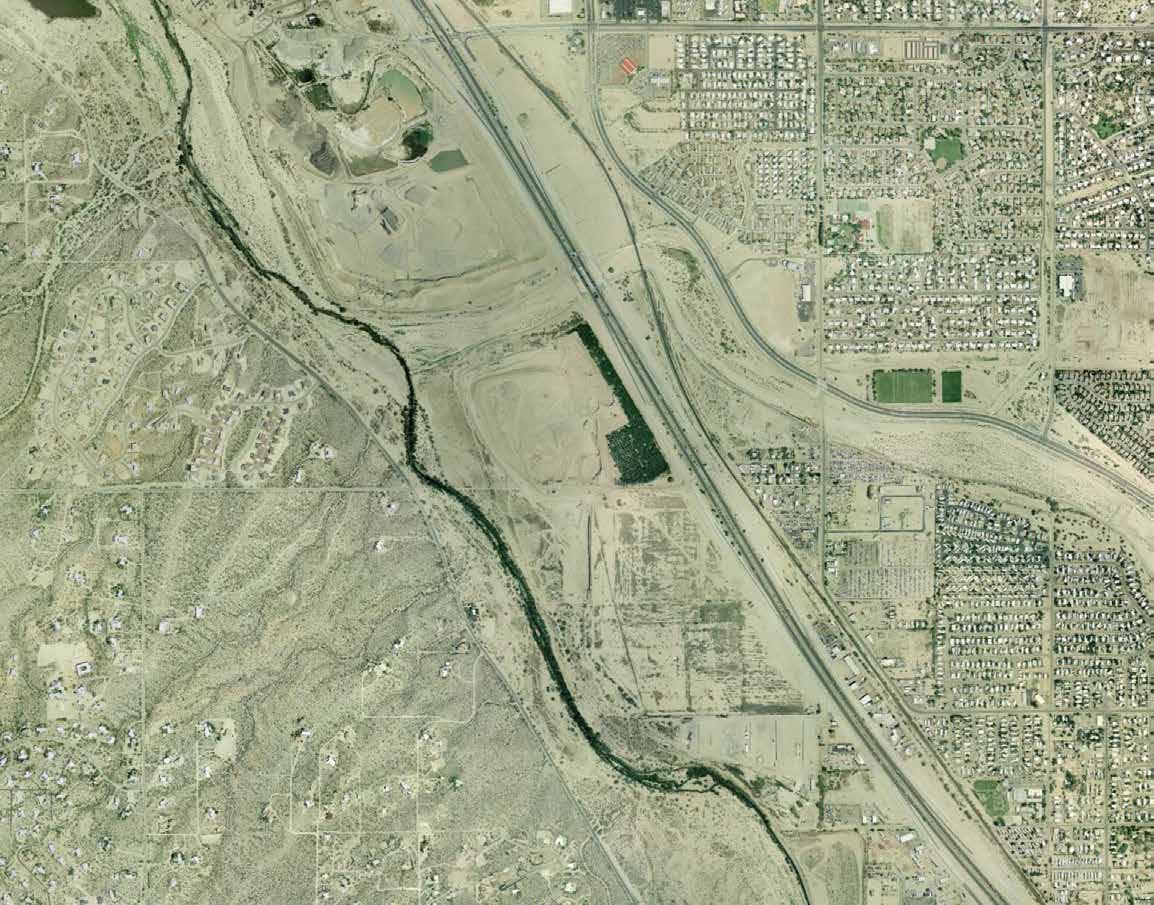
PimaMaps
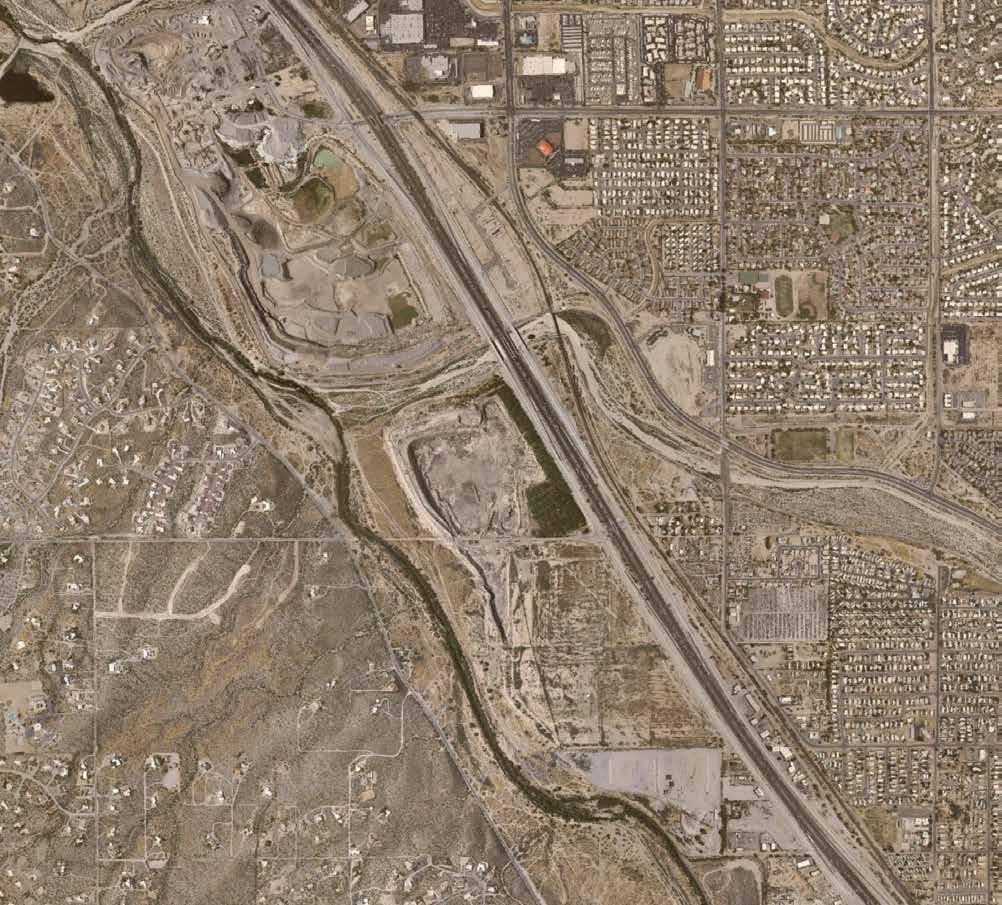
PimaMaps
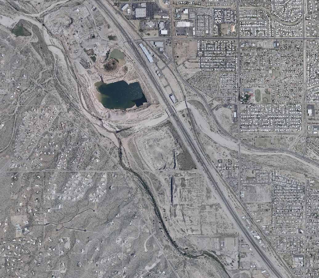
PimaMaps
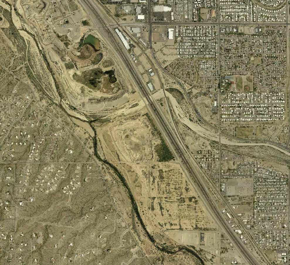
PimaMaps
Noticeable reduction in orchard tree area
PimaMaps

Reciprocal Nature
Ashley Danforth
Reading Floods in Soil + Stone 03.
Dae-Hyun Jin
Erosion in Motion
Coexistence Corridor 04.
Isabella de Sousa Proulx
Julia Nunn The Confluence 05. Mia Ferring
Fish! in the Santa Cruz River
The River Speaks 07. 09.
Poetics of the River: Rewildling the Santa Cruz
Michael Chukwuka Obi
Accelerating Riparian Reestablishment in the Santa Cruz
Quinn McElvain
Renee Peters
Rock Quarry Reclamation
Sam Pratt

Ashley Danforth
Email: ashleydanforth123@gmail.com
Ashley Danforth’s work is grounded in an ongoing exploration of reciprocal design and the relationship between people, place, and the natural world.
Her approach considers design not as something imposed upon a site, but as a response to it, shaped by the understanding that we are not separate from nature, but inherently part of it. Through this perspective, she seeks to create spaces and experiences that foster connection, attentiveness, and a deeper awareness of the environments we inhabit.
Reciprocal Nature reimagines a disturbed river confluence in Tucson, Arizona, as an eco-revelatory recreation hub that bridges ecological repair and public engagement.
Situated at the meeting of the Santa Cruz and Rillito Rivers, this project responds to a layered history of agriculture, extraction, and infrastructure by making the often unseen consequences of these land-shaping practices visible.
Through a sequence of trails, material reuse strategies, and biodiversity-activation interventions, the design invites visitors to experience recreation as a form of learning and stewardship.
Reciprocal Nature opens a dialogue about the lasting impacts of extractive processes, positioning thoughtful design as a tool to mend relationships between people, water, and desert ecosystems while fostering relationships between human and non-human life.
how opening a dialogue on land-shaping practices can influence both human connection and ecological repair
Development is often seen as a way to create connection - linking people through homes, infrastructure, and growth. Yet, if not done thoughtfully, it can fragment natural ecosystems, diminish the resources our community relies on, and even restrict our access to these vital environments. When we become detached from our natural systems, it can shape how we view and utilize them, often leading to patterns of use that further degrade the environment. In Tucson, where riparian corridors and desert ecosystems provide critical habitat and services, careless land use risks separating us from the very environments that sustain and ground us. Recognizing this paradox is key to guiding development that supports true connection - both to each other and to our natural processes.
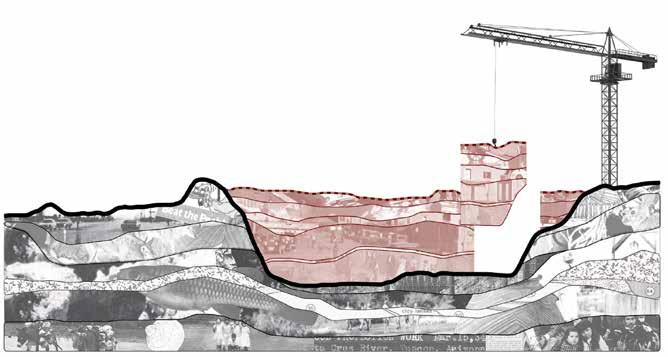
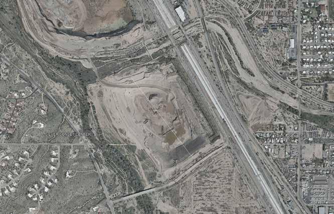
The project site is located where the Rillito intersects with the Santa Cruz River. This site has served many purposes over time, most recently as Sunset Dairy and as a pecan grove, both of which we can see remnants of in earlier decades. During archaeological digs at Sunset Mesa, trash from the former dairy company was noted to be found throughout the site (8). Later, part of the land was and is still excavated for aggregate extraction, using the silty regions of the confluence as a gravel pit. The pecan grove has steadily declined, leaving only a narrow row of trees along the eastern edge, just west of the busy highway. Though significantly smaller than previous decades, the grove requires and intensive one million gallons of potable water through flood irrigation (16). Today, Pima County is preparing to acquire the property with plans to improve its edge conditions.
These successive land uses are major disturbances to this critical riparian area, underscoring the need to restore and protect its vital ecological function. Urban development is both inevitable and necessary - however, the standards and practices that shape it often remain unseen or unquestioned, despite their lasting ecological consequences. By bringing these practices into dialogue and examining how land has been shaped, used, and altered over time, we begin to reshape our collective perspective on development itself. This shift opens space for design interventions that move beyond mitigation toward care, where ecological function is not an afterthought but a guiding framework. In doing so, development becomes an opportunity to mend relationships - between people and place, human use and natural process, and past disturbance and future resilience.
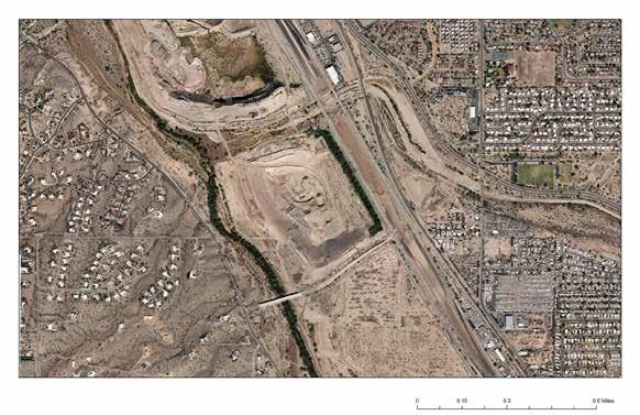
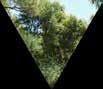
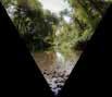
Highway and water intensive pecan groves line the eastern edge of our site. Dense rows of pecan trees create a protective and shaded habitat but pose an important question on how to responsibly use our precious water sources. Tucson has a long and rich history of irrigation, canal use, and agriculture shaped by urban desert conditions, yet it has also experienced the consequences of unfettered groundwater pumping, making responsible water use an essential consideration in any future intervention.
As the city continues to grow we must think critically about how that growth is planned in order to protect the unique Sonoran Desert city we love. Rich and fertile land has long been found at river confluences. Located at the meeting of the Rillito and Santa Cruz Rivers, our site once supported original settlement in the region and fueled further growth. Today, these once perennial rivers are largely defined by their ephemeral flows, while the surrounding land is extracted for building materials that support ongoing development.
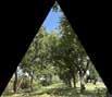
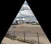
By acknowledging these polarizing relationships we can begin to break the cycles of extraction and move toward building systems that give back. Addressing these tensions at their center defines the hub’s primary design intervention zones, positioned between each extreme.
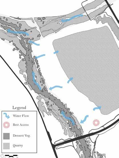
The northern site focuses on our relationship with the Santa Cruz River and its critical riparian habitats, aiming to hold, reveal, and purify water, while allowing visitors to move through the landscape.
The southern site emphasizes material reuse, using salvaged elements of the built environment to support re-vegetation and restoration at this once rich and fertile confluence.
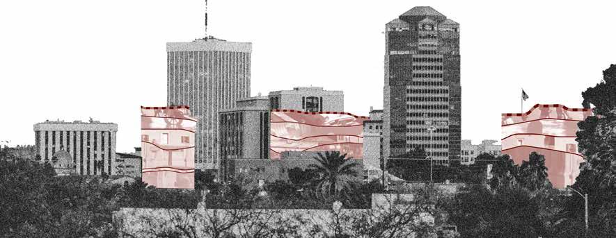
how opening a dialogue on land-shaping practices can influence both human connection and ecological repair
Through thoughtful design interventions, this site will become an eco-revelatory recreation hub - one where play, learning, and ecological restoration intersect. Designed for outdoor enthusiasts and the broader community, the landscape supports both active and passive recreation while prioritizing safe wildlife passage through carefully considered disturbance buffers and strategies for coexistence. Recreation is not treated as a separate layer imposed on the site, but as a means of engaging directly with its living systems.
At it’s core, the project reveals the deep ecological and cultural foundations of Tucson’s Sonoran Desert, challenging the perception of the desert as empty or expendable. Instead, the hub highlights the life-sustaining role of riparian corridors such as the Santa Cruz and Rillito Rivers - the very systems that once attracted settlement and supported continued growth. Through spatial sequencing, interpretive landscapes, and immersive experiences, visitors are invited to understand the often-unseen relationships between urban development, infrastructure, water use, and ecological function.
New site interventions seek balance between the built environment and desert ecosystems through material reuse, water filtration, visibility, and biodiversity-supporting infrastructure. These strategies demonstrate reciprocity with place, framing adaptation, conservation, and ecological repair as everyday forms of recreation. Rather than categorizing extractive processes as inherently good or bad, the hub makes their impacts visible, acknowledging them as forces that shape both the landscape and our choices. By revealing these realities, the project encourages dialogue and fosters a more intentional approach to design one that creates space for both human and non-human life to thrive.
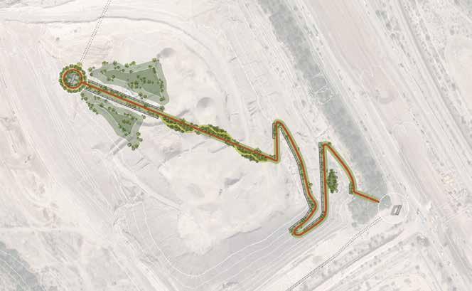

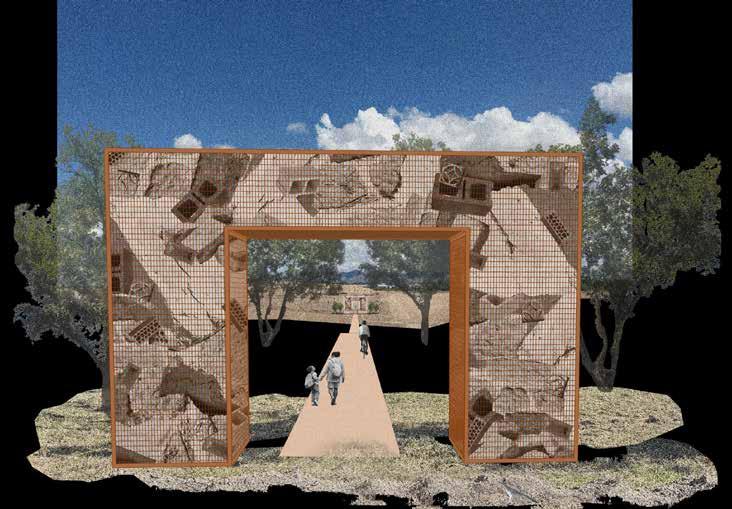
ACTIVATING BIODIVERSITY +
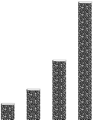
Terracotta breeze blocks form tiered pillars serve as seating, habitat, and wayfinding throughout the site. These structures foster human and non-human connection by bringing species’ together not just through built features but through materiality.
Water retaining clay and salvaged native tree wood create a framework aimed at activating local biodiversity. Mediums used invite life in and then degrade over time to make room for natural infrastructure and habitat growth.
The terracotta block design mimics the craggy nooks and crannies of mesquite bark that lizards seek shelter in to provide safety between dangerous open terrain. The porous clay medium creates an olla effect, holding and releasing precious water. Spacing between tiered pillars create hospitable microclimates for our beloved native plant species to grow and thrive.
Through use of hospitable microclimates and the application of native hydroseed mixes, the native plant palette can be re-introduced in more highly disturbed regions of the site.







Ashley Limbaugh holds a bachelor’s degree in landscape architecture and is currently persuing an accelerated masters degree at the Universty of Arizona. Growing up in Phoenix fostered her interest in desert conservation and sustinable ecological design.
Her project, Erosion in Motion, researches the history of channelization of the Santa Cruz River and how we can adapt the edges in a more ecologically beneficial way.
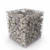
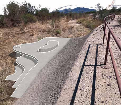
Traditional concrete embankments constrict the natural systems of rivers. The proposed design breaks the straight edges with curved gabions that allow for a more natural flooding pattern that better support the river while still providing the same flood protection as traditional embankments.
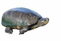
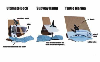
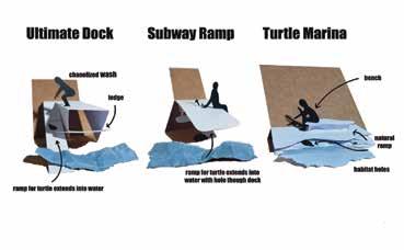
The second phase of this project focuses on a species that relies on the bank, the Sonoran mud turtle. The resulting design is a bench that provides habitat for the turtle while offering a resting spot for human users. The interaction between human and turtle strengths the understanding and connection while providing insight into native species that people may not have been aware of.
The final propsed deisgn creates a soultion that weaves together research done througghout the semester with an innovative gesture that offers an alternative vision of desert rivers.
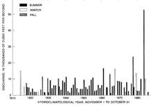
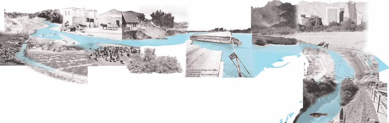
The Santa Cruz River and its tributaries were once interminably perennial. The groundwater table was much higher, with most of it being left over from the ice-age (Pleistocene) era and its floodplain would reach up to 1 mile wide (U.S. Department of the Interior. 2014). During large floods, water would spread out instead of seep in, and erosion and and ever-changing floodplain was a natural part of the process. Due to these oasis, the region was one of the most bio-diverse avian hot spots of North America (U.S. Department of the Interior. 2014).
The earliest known inhabitants date back 12,000 years, making this river valley one of the longest inhabited in North America (Potteige, 2017). The predecessors of the Tohono O’odham, the Hokoham, created complex irrigation channels, diverting water from the river for irrigating cotton, tobacco, corn, beans, and squash, which are also the earliest recorded in the Southwest. They had perfected irrigation channeling by narrowing and widening to control flow rates to reach crops and worked with and in harmony of the effects of erosion and water to sustain life (Potteige, 2017).
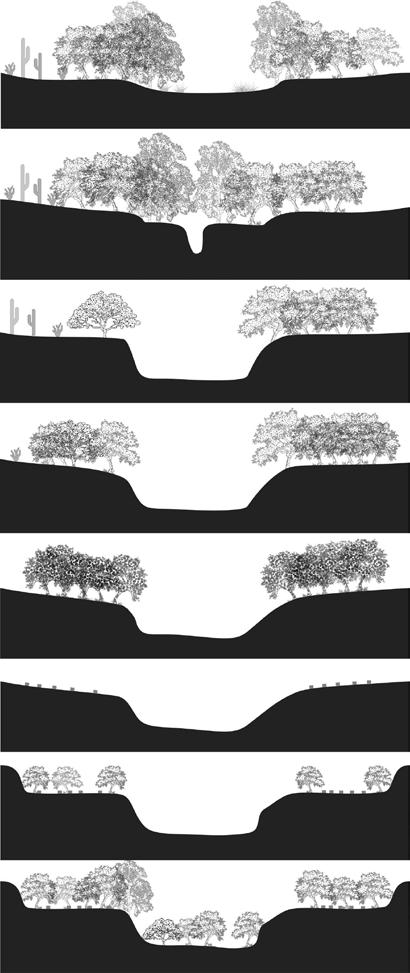
As industry and technology advanced, people moved in along the floodplain, and desert rivers were still severing as a lifeline. With them, they brought cattle. Riparian vegetation was eaten away by cows in rapid and large numbers on different parts of the river. With no roots or vegetation to support the river banks, the shape of the river was susceptible to erosion. A combination of the lowered groundwater table, lack of vegetation, and irregular and short flooding events caused Arroyo down-cutting. This is where small headwater channels would turn into large, steep canyons when there were floods and would migrate up the valley, dramatically deepening the channels (Webb, n.d).
In efforts to prevent the arroyo down-cutting and natural widening from floods, the invasive tamarisk tree was brought over from Eurasia with hopes that it would hold the crumbling and steep banks together (Nagler, et. al, 2021). However, it was a fast spreading and thirsty plant that would out-compete the native vegetation.


For 43 years, the maximum width increase of the Santa Cruz was was 400’. Then the 100 year tropical storm Octave dropped eight inches of rain in Tucson from September 27 to October 2, 1983 (Foster, 2023). Tucson typically only receives 11” during an entire year. There was a 700’ width increase of the Santa Cruz overnight. The flash flooding washed away entire forests of vegetation, homes, and 13 lives (Wiley, 2022). 64 million dollars of damage occurred, and many bridges, roads and homes within 700’ of the river were washed away (Foster, 2023). These events were sudden and traumatic, and many people pointed fingers at the city for lack of infrastructure capable of holding up to the flooding and worry about future storms. Charles Huckleberry was the director of the Pima County Department of Transportation and Flood Control District Report time, which the new flood control barriers and bike path around the rivers and is known for today.


The bighorn fire, ignited by a early summer lightning strike, in 2020 burned 120,000 acres of the Santa Catalina Mountains and upper Mount Lemmon (Sky Island Alliance, n.d.). Heavy rains after caused flash floods and mud flows carrying charred debris through the Canada Del Oro wash. Advanced mapping was done before the fire was extinguished to predict areas of sedimentation build-up that would lead to flooding (Pima County, n.d.).
In 1979, the first soil cement bank was constructed on the Santa Cruz river to prevent flooding and marked the start of the Huckleberry loop bike path (Pima County). Highly treated wastewater is being reintroduced to the Santa Cruz River, helping to restore its perennial flow in different parts totaling 38 miles (Sonoran Institute, n.d.). The reintroduction of the gila top minnow, an endangered fish, has also been successful. However, debris clearing and dredging needs to be done consistently in order to pull floodwaters from the city into the Santa Cruz and many efforts are still experimental.


“The
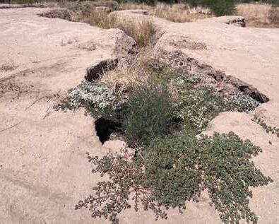
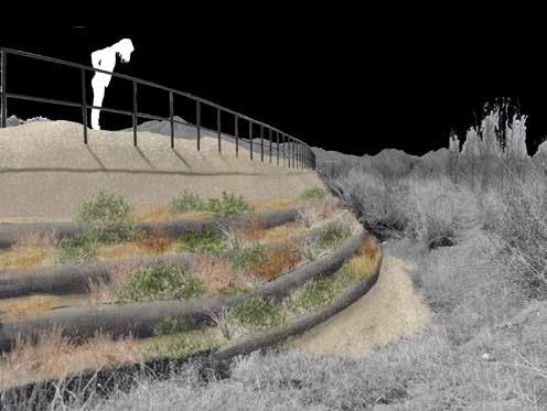
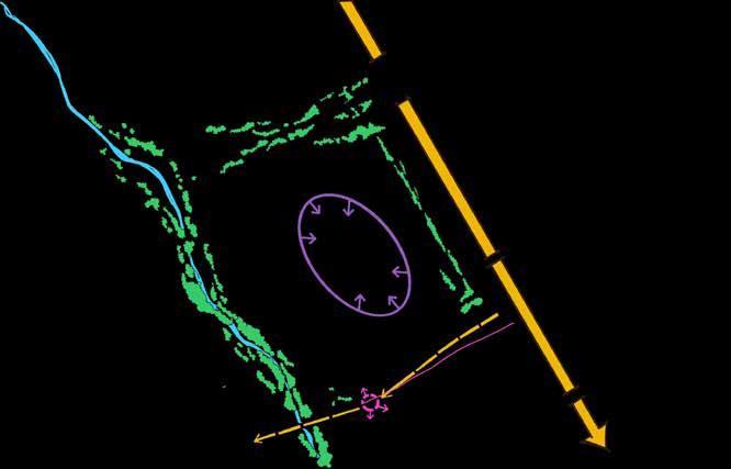
Leaving the tip of the confluence of these rivers as an observational experiment would be stronger than any design. Interesting things are already happening whit the relationship of plants as monsoon floods occur. An elevated viewing area that separates from the path would highlight the significance of this confluence and show the incredible power of erosion.

In the event of another 100 year flood, this site will ultimately play a key role in the fate of structures down its Northward path to Marana. The potential for the pit mine only 300 ft away to hold water that would otherwise devastate structures should be considered. At the very top of the seed germination section, the water would be allowed to flow over into a channel that would direct it into the mine.


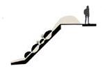
During fluctuations in Monsoon season, the terraced design will offer different amount of water to each species. In most rain events, water would flow up to the edge of the bank. In larger Monsoons, the floodplain would reach 1-2 terraces higher. Certain terraces will be planted with native riparian grasses and shrubs to determine which grows most effectively.
This site seeks to be an eco-revlatory research experiment station for erosion on arid riverbanks. The target audience is University of Arizona researchers and scholars in ecology, conservation and geology a field research station that artfully collects data. Research at the site is focused on seeking to answer questions about socio-ecological systems and relationship of people to Tucson’s riverbanks over time.
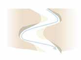
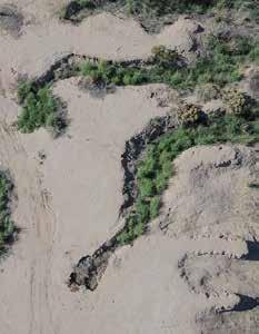
The curving shape creates pockets for sediment to deposit in a flowing way that follows the natural system of erosion that creates healthy and regenerative riverbanks.


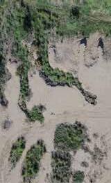




The existing channelized bank can be converted into a sediment wall that would allow small amount of sand from the dredging process to filter thorough the wall and grow plants.
of Minerals






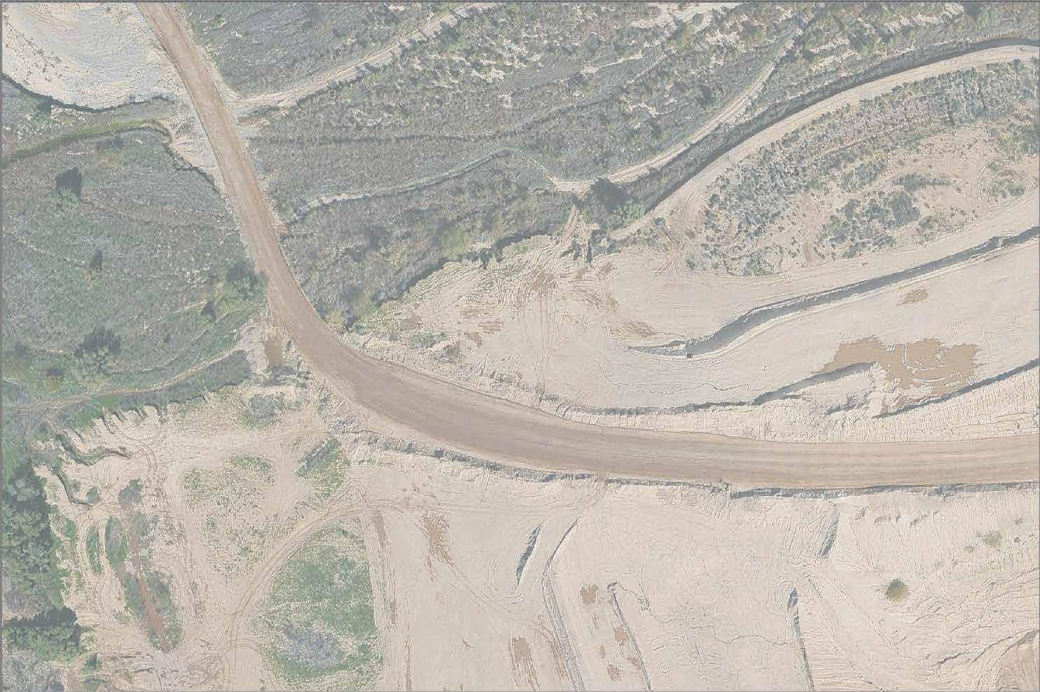
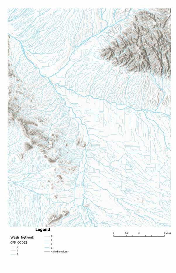
This edge of this part of the southern end of the rillitio river is symbolic as a new beginning and joining of the Santa Cruz but this project seeking to symbolize the end of current methods of flood control.
This site seeks to be an eco-revlatory research experiment station for erosion. The target audience is University of Arizona researchers and scholars in ecology, conservation and geology a field research station that artfully collects data. Research at the site is focused on seeking to answer questions about socio-ecological systems and relationship of people to Tucson’s riverbanks over time.
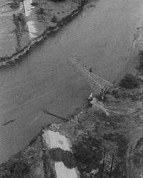




















Existing

















Invasive crayfish eating eggs (US Fish and Wildlife, n.d.) Riparian habitat destruction. Drying up water sources (Hall, 2007). Dangerous roadways or corridors. Dam constructions (Hall, 2007).










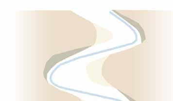
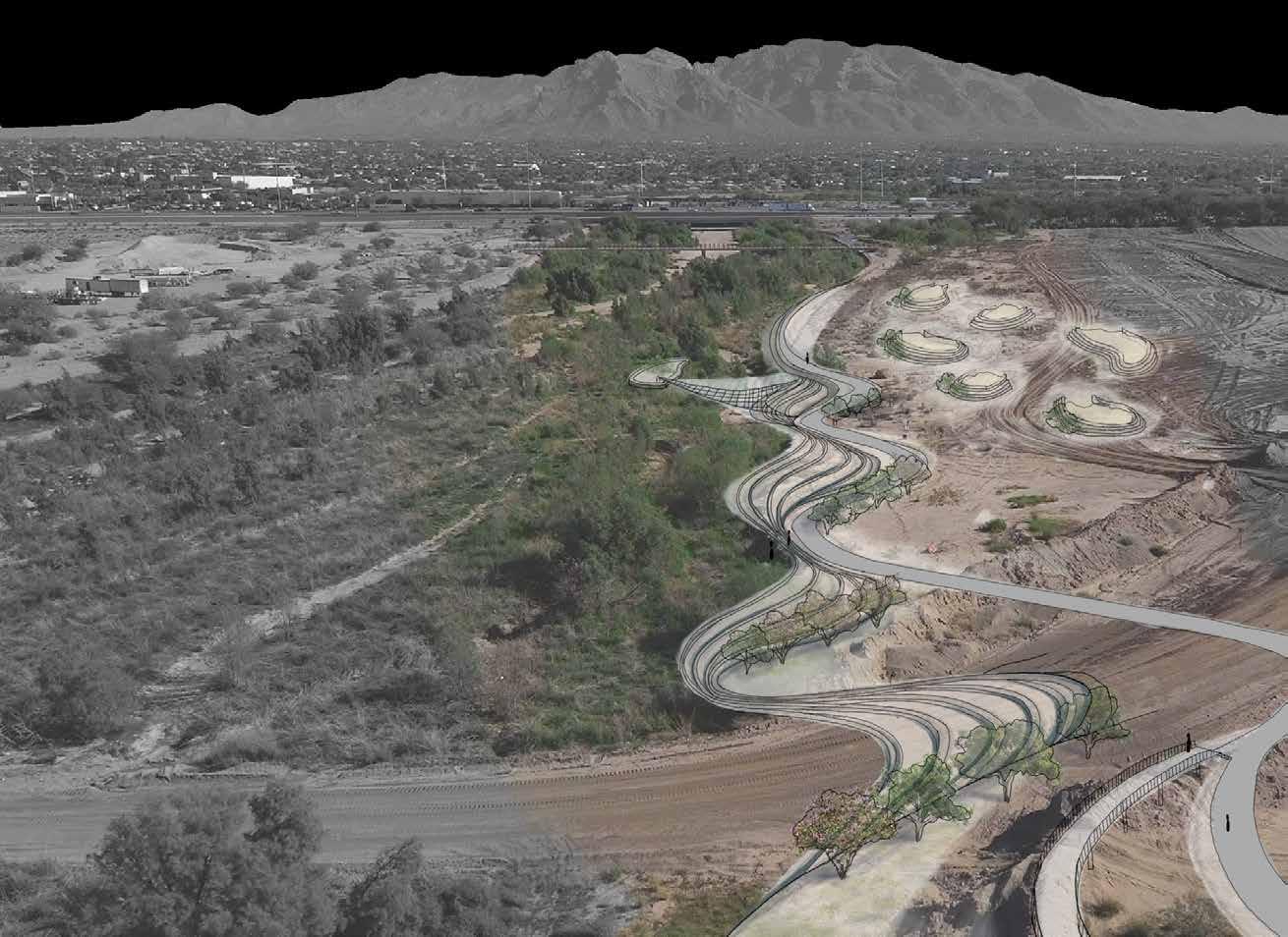
Across the Santa Cruz Floodplain in Tucson, AZ, flooding is often approached from a control method to mitigate disaster. As the city continued to expand, human demands and public safety became priority. Over decades, this has created a landscape where the natural role of water is obscured, and the desert’s dependence on episodic inundation is often overlooked. Yet these cycles are vital for soils and habitat, which shape the character of the region. In other words, flooding is an important aspect of the greater ecological systems.
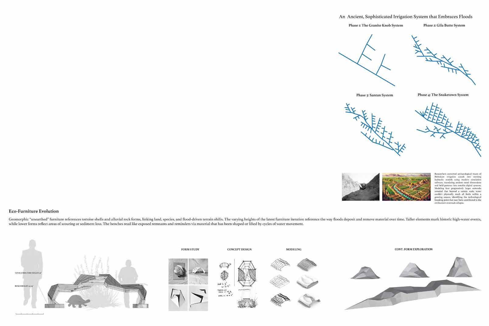
This project embraces floods as a reality that can be beneficial to both human and nonhuman species demands at the confluence point of the Santa Cruz River and Rillito River. The Hohokam irrigation practices that worked with seasonal flows rather than against them benefitted their agriculture, a vital system. The eco-relevatory trail helps visitors see and experience flooding as a natural and proactive force. This design is inspired by the ancient irrigation channel systems, incorporating geomorphic and desert habitat forms to highlight the natural rhythms that define the floodplain. The aim is to promote and foster a renewed relationship with the landscape: one rooted in coexistence, optimism and respect for a system that is renewing itself.
Across the Santa Cruz Floodplain in Tucson, AZ, flooding is often approached from a control method to mitigate disaster. As the city continued to expand, human demands and public safety became priority. Over decades, this has created a landscape where the natural role of water is obscured, and the desert’s dependence on episodic inundation is often overlooked. Yet these cycles are vital for soils and habitat, which shape the character of the region. In other words, flooding is an important aspect of the greater ecological systems.
This project embraces floods as a reality that can be beneficial to both human and nonhuman species demands at the confluence point of the Santa Cruz River and Rillito River. The Hohokam irrigation practices that worked with seasonal flows rather than against them benefitted their agriculture, a vital system. The eco-relevatory trail helps visitors see and experience flooding as a natural and proactive force. This design is inspired by the ancient irrigation channel systems, incorporating geomorphic and desert habitat forms to highlight the natural rhythms that define the floodplain. The aim is to promote and foster a renewed relationship with the landscape: one rooted in coexistence, optimism and respect for a system that is renewing itself.
Phase
Each phase are acting as nodes, signaling the transition through time and floodplain level, immersing visitors in the site’s significance.
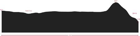
Sectional relationships clarify elevation shifts, inundation heights, and geomorphic conditions
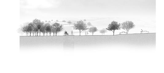

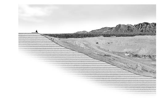
1 OVERLOOK NODE: Geomorphic Benches at various heights and depth protrude from the ground nearby the gravel pit. Inspired by rock and tortoise shell form, the seating structure abstracts and marks erosion and deposition, encouraging observation, cooling, and informal play.
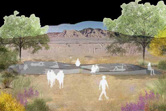

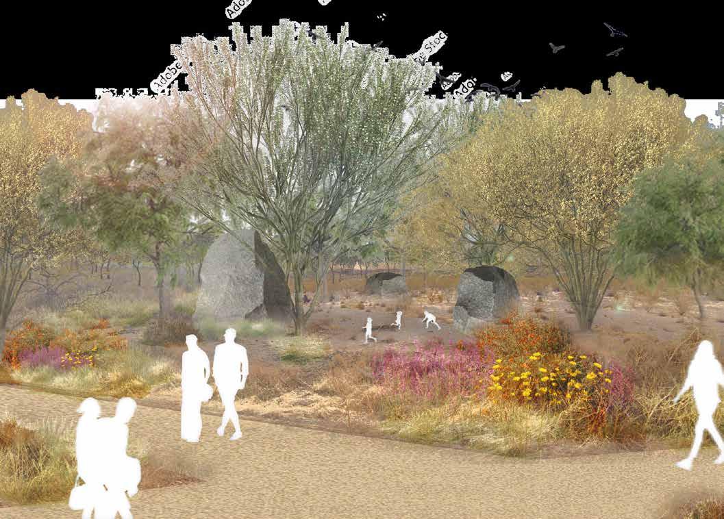

RAIN GARDEN NODE: Flood Performance Zone with strategic rock placements that vary in height and scale, revealing water rise and flow during storm events. Structural elements and planting create shade and enclosure.
RIVERBED NODE: A space designed to connect visitors directly to the Santa Cruz Riverbed to promote interaction, while also encouraging flooding and the site to disappear. This reveals the water’s cyclical presence, harkening back to the cultural perspectives shared by indigenous peoples who viewed flooding as irrigation opportunities.

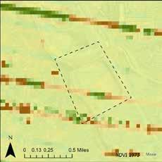
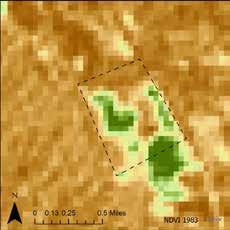
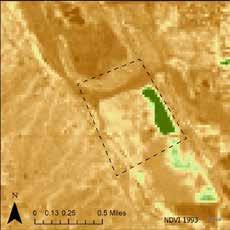
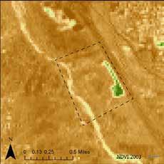
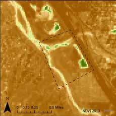
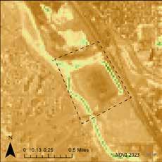
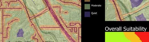
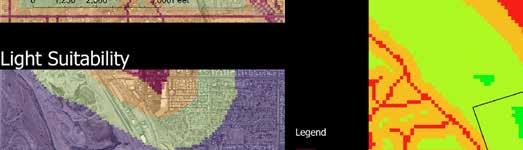
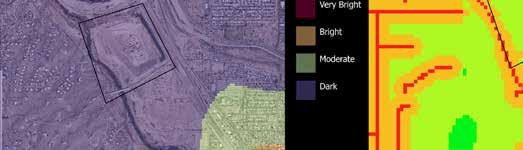
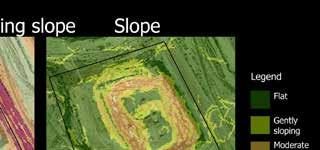
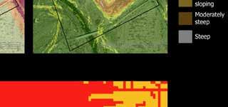
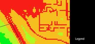
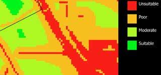

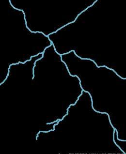
Key: Rivers and Streams:
Habitat Connectivity:
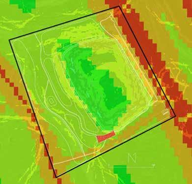
These are NDVI maps derived from USGS data using ArcGIS pro, and they are using infrared data to show the change in vegetation health and density during monsoon season on the site every 10 years- between 1973 and 2023. This shows how habitat space for all wildlife forms on the site has decreased within the last 50 years due to human settlement and influence, as spaces with NDVI values closer to 1 are greener, and spaces with NDVI values closer to -1 are more brown. However these maps also show how the recent efforts of the Santa Cruz River Refuge project to revitalize the river have had a positive impact on the site, with more green areas showing up on the 2023 map. This shows that there is a possi bility for cohabitation and use of the site between both the various functional wildlife groups present and humans.
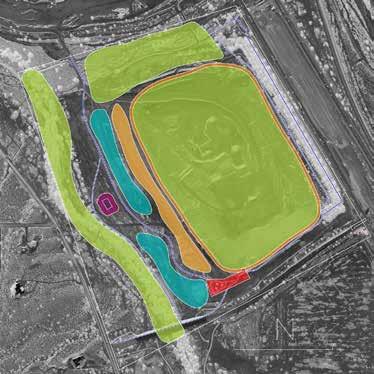
I am exploring the history of human settlement, and influenced land change by the Santa cruz river, specifically at this quarry site, and how this has influenced the ecosystem here. have found different ‘pockets’ of habitat space in this area suitable for different functional groupings of native species, and am using these to learn what spaces need restorative focus, and how much human influence has impact on different specific habitat spaces. Using this, we can learn what spaces might need more seperation from human influence, and other wildlife habitats in order to survive, and where potential transition spaces may have an opportunity to occur. In terms of habitats, 60-75% of wildlife depend on the riparian Woodland at some point in their lives, with 90% of bird species found there. The Wetland habitat is also incredibly rare and important, and is haracterized by essential vegetation such as: cottonwood, desert willow, and velvet mesquite. An interesting habitat space on the site is the Pecan grove as this provides many provisions of native riparian woodland, and supports many bird species such as yellow billed cuckoo, Swainson’s hawk, and the white tailed kite.
and
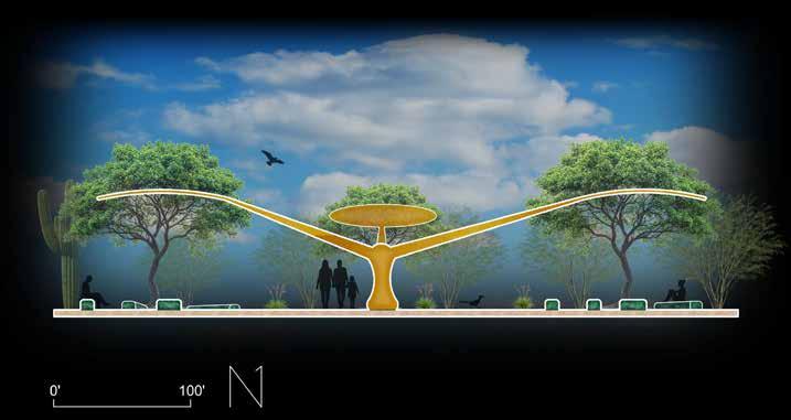
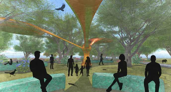
Section showing immersive seating space with nature- inspired shade structure and spiral seating to encourage discussion and reflection
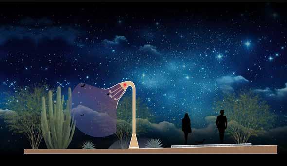
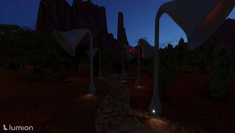
Section showing Night pollination trail being used bats and humans alike with primarily red lighting and minimal white lights to avoid disturbing wildlife while providing light for humans. LIghts surroundby night - blooming cacti and agave to encourage their protection and revegetation and subtly educate visitors on night pollinators.
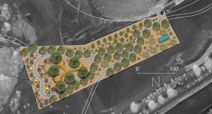
Site scale design demonstrating potential for ‘coexistent’ space between pollinating and smaller wildlife species and humans through non- invasive design integrated into the landscape to encourage reflection on current wildlife - human interaction. Human amenities such as a restroom with water fountains and shaded seating space included along with a viewing point to see into the wildlife sanctuary pit, and dual function nectar feeder night lighting. Native vegetation is spread throughout the site to attract primarily pollinators as well as smaller mammals and reptiles.
PERSPECTIVE 1: Shaded seating space being used by both humans and wildlife, allowing for reflecton on inter-species interaction and the human role within this.
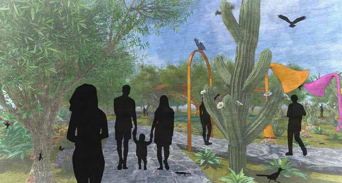
PERSPECTIVE 2: North entrance into the site showing view into Night pollination trail (also used by hummingbirds during daytime) and pathway leading to bee and butterfly garden as well as reflective gathering space.
Program Statement
Eco- revelatory wildlife conservation trail. The target audience are tourists and educational field trip groups as an experiential engagement in conservation strategies and habitat variety importance. Develop a spatial exploration that invites multi-faceted and multi-narrative readings of the sites features and ecology, referencing its history. Avoid reliance on signage or text as the primary communication device and instead use Landscape Architecture interventions to communicate with audiences of all ages and knowledge bases.
Critical stance
The Quarry is part of the Santa Cruz river which is a major Wildlife corridor, and this site specifically has been severely impacted by human development both on and around the site. This design aims to both inspire and educate people to both care about the problem and better understand ways to support local wildlife coming back.
Create spaces that can serve a variety of species as well as humans, with eye catching educational elements about key needs for some key species as a way to bring awareness.
Time frame
Designed to grow with time- at opening main goil is awareness and education, and eventually this will be a vibrant space with a variety of species coexisting
Roosting and Breeding:
- Day roosts: caves, abandoned mines, rock crevices.
- Night roosts: caves, shrubs, trees, abandoned buildings (used for digestion).
- Colonies from hundreds to 100,000+ individuals
- Females migrate from Mexico to the SW US in spring to give birth.
-Maternity roosts = highly sensitive and essential for population survival.
Threats and Predators:
- Predators, these include: owls, snakes and bobcats, especially near roost entrances.
- Roost disturbance (mostly human)
-Loss of nectar plants (Agave harvesting, Livestock grazing, Fire (worsened by invasive grasses like buffelgrass), Climate change)
Migration and Foraging:
- They follow nectar corridors of agave and columnar cacti north into Arizona & New Mexico.
- Nocturnal: forage at night, rest by day.
- Travel 10–15 miles nightly for food



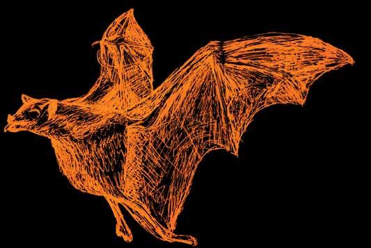
The Lesser Long Nosed Bat is an essential pollinator of agave, organ pipe cactus, and saguaro, and therefore critical to maintaining Sonoran Desert biodiversity and ecosys tems, however is currently listed as Vulnerable with a decreasing population.
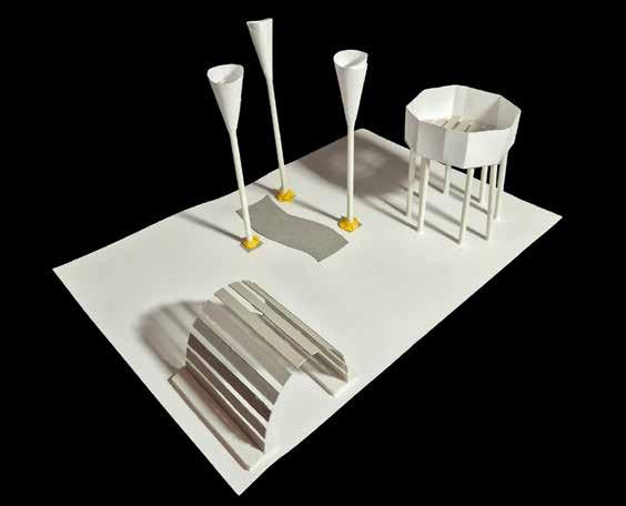
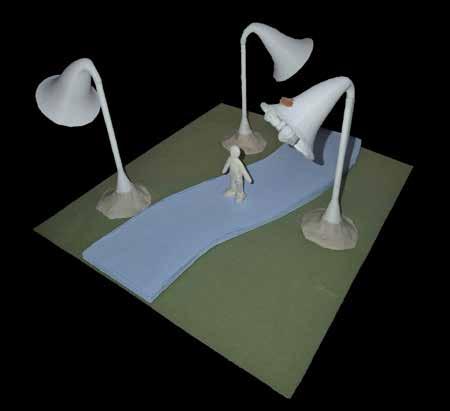












offering and gleaning
Working


looking to soil and land history to inform mutually beneficial s


This design proposes to change course from a history of extraction and waste to one of re-purposing, reconciliation, and support of healthy multi-species communities and systems.
The proposed design offers a green waste recycling program, artist residency, community perks, and long term land support.










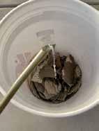
studying site-specific material and systems for inspiration and solutions
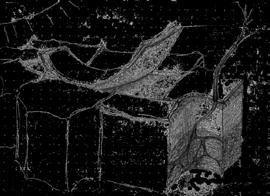
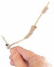

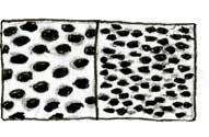
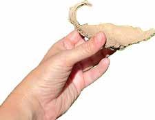
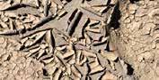
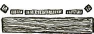

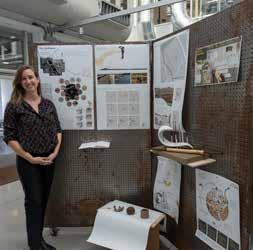
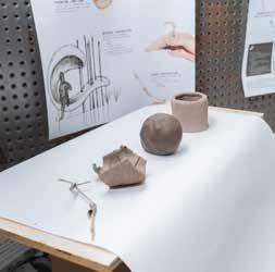
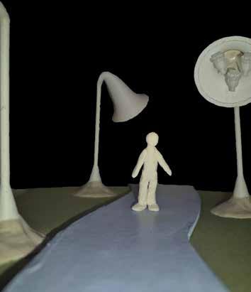
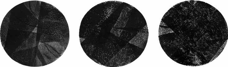
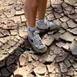
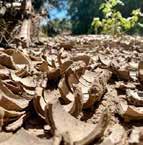
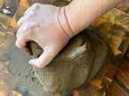
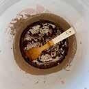
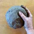
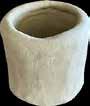
The site offers resources for artists in the form of man-made and natural waste. These can be collected and used as mediums for sculptural work. In this project soil curls, termite tubes, and beach glass were collected from the site and experimented with as an art medium.
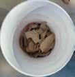
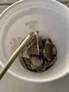
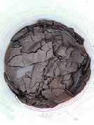

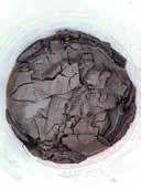
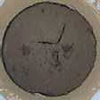
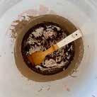
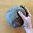

The site offers resources for artists in the form of man-made and natural waste. These can be collected and used as mediums for sculptural work. In this project soil curls, termite tubes, and beach glass were collected from the site and experimented with as an art medium.
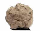
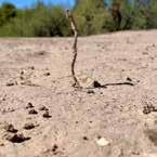
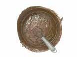
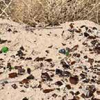
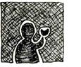
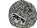
Artist Proposal
The man-made waste, beach glass, is cleaned up from the site and used to make a glass form of a desert encrusting termite. The animal-made waste, termite tubes, is harvested from the site and used to make the clay form of a young human. They are symbolically scaled up and down to meet in the middle, both being around 4” in length. Together humans and termites are instrumental in supporting the sites healthy ecological cycles and thus each other. This work positions human and termite as an equal interconnected pair. This visual distortion aims to illicit intrigue, imagination, and empathy form the community perhaps unknowingly already engaged in these human animal systems.
The man-made waste, beach glass, is cleaned up from the site and used to make a glass form of a desert encrusting termite. The animal-made waste, termite tubes, is harvested from the site and used to make the clay form of a young human. They are symbolically scaled up and down to meet in the middle, both being around 4” in length. Together humans and termites are instrumental in supporting the sites healthy ecological cycles and thus each other. This work positions human and termite as an equal interconnected pair. This visual distortion aims to illicit intrigue, imagination, and empathy form the community perhaps unknowingly already engaged in these human animal systems.

Mia Ferring holds a bachelor’s in Landscape Architecture from the University of Arizona and is pursuing a master’s in Urban and Environmental Planning from Arizona State University. They are interested in sustainable ecological design and its integration into urban spaces
Fish! in the Santa Cruz River highlights the native fish species of the river and centers them throughout the design process and solution.
The first phase of Fish! in the Santa Cruz River investigates the history of the river and its native species, with the goal being to identify how changes have effected the ecosystem and what efforts humans can make to best support it. Native fish species of the Santa Cruz have been facing a multitude of challenges, including loss of habitat from rechannelization and competition with a variety of invasive species.
Email: mdferring@gmail.com
The project’s second phase focuses on a specific species, the Agosia chrysoga, and proposes a design that provides consistent habitat that withstands the river’s intermittent flows. Inspiration for this design comes from the dace’s ability to survive on small pads of damp algae during dry periods.
The final design is the result of this research and cites precedent projects, such as the Tres Ríos wetlands in Phoenix. By creating invaluable habitat for aquatic populations, the constructed wetlands allows for the dual programming of both creating stable areas for native species and allowing researchers to have constant and consistent access to these species for monitoring and research purposes.
How do changes to the Santa Cruz affect the river ecosystem and how can human efforts to restore the river be used to support the native fish populations?

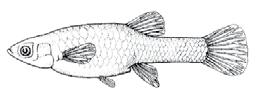
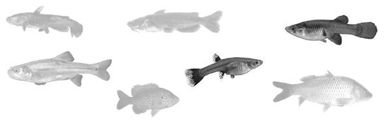
Gila topminnow Poeciliopsis occidentalis
The Gila topminnow were once one of the most common fish in the Santa Cruz River, but with the introduction of mosquitofish and loss of suitable habitat, competition became very fierce and had a catastrophic impact on the topminnow population. These fish have also hybridized with the Poeciliopsis monacha, making it even more difficult to identify these hybrids are all female. Mosquitofish and the Gila topminnow already require experts to distinguish them, and these hybrids can only be identified under a microscope by examining their teeth.
During Michael Bogan’s study on the effluent streams in the Santa Cruz, Poeciliidae composed 99% of the fish found - this includes both topminnow and mosquitofish (Eppehimer et al., 2021). This makes them by far the most commonly observed type of fish in the Santa Cruz, although the amount of nearly identical fish make them extremely difficult to distinguish, meaning it is near impossible to gauge how large each population is.
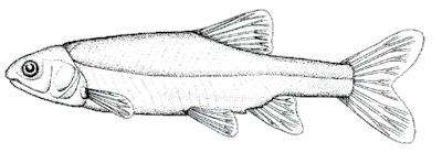
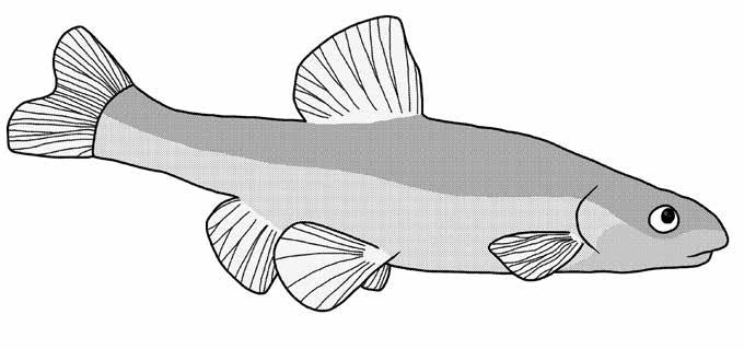
Longfin dace Agosia chrysogaster
The longfin dace is one of few native species that is still present in some parts of the Santa Cruz river. In 2023, the Sonoran Institute reported many longfin dace in the Nogales area and a single, juvenile dace in the Tucson area. There are currently reintroduction efforts in progress to return these fish to the Tucson area.
These fish are extremely durable able to withstand extreme temperature changes and low dissolved oxygen, which is usually fatal for other fish (Arizona-Sonora Desert Museum). They have also been known to survive washes that have dried up by using damp pads of algae (Sublette, 1990).
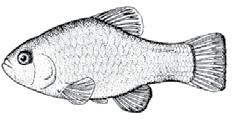
Not to be confused with the Sonoyta pupfish (Cyprinodon eremus), the desert pupfish was once widely distributed throughout the lower Colorado River basin but due to predation, loss of habitat, and competition from non-natives, the desert pupfish is now highly endangered. The pupfish is very resilient and can withstand very salty water and temperatures over 100 degrees Fahrenheit. The pupfish are omnivores and will feed on aquatic invertebrates and plant materials (Arizona-Sonora Desert Museum).
The Santa Cruz is kept flowing due to the release of effulent, treated wastewater, up to 2.8 million gallons daily (City of Tucson). Due to this, some of the best habitat currently available to any aquatic life is downstream of these facilities. Unfortunately, due to the fluctuating nature of the releases, it can lead to intermittent flows, which can pose an issue for anything living in the stream.
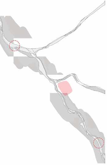
Freshwater biologist Michael Bogan conducted a study on the portion of the Santa Cruz downstream of Agua Nueva to near where the Rillito River feeds into the Santa Cruz. He and his team recorded their findings over a 12 week period; using trail cameras and site visits, they observed the fish populations of the site and the effect that the fluctuating flows had on mortality rates. Unfortunately dry periods led to increased deaths (as hypothesized), although Bogan theorized that some fish may be more prone to stranding than others, specifically the Gila topminnow may have increased chances of survival over the Western Mosquitofish, since it is more adapted to dealing with conditions such as these, but more research is needed to lead to any valuable conclusions (Eppehimer et al., 2021).
(Sonoran Institute, 2024)

There are options for mitigating dry periods and regulating flow in the Santa Cruz and other effluent fed rivers in arid climates. Specifically, the use of retention basins and artificial wetlands to hold water before it enters the riverbed (Brown et al., 2011). Ideally, normalization of water flow will increase the changes of survival for aquatic wildlife. “The river is generally ephemeral with no connection to groundwater and only flows in response to precipitation runoff. However, two reaches have perennial flow due to effluent from water reclamation facilities [Tres Ríos and Agua Nueva]” (Eppehimer et al., 2021).
Prevalence
Works Cited Brown, J., Start, B., Stanisic, D., Ternack, M., Wass, R., & Coughenour, J. (2011, May 9). Tres Rios constructed wetlands: Maximizing beneficial reuse while balancing demands of diverse stakeholder needs. WIT Transactions on Ecology and the Environment. https://www.witpress.com/elibrary/wit-transactions-on-ecology-and-the-environ ment/145/22135
Fishes in the Desert. Arizona-Sonora Desert Museum. (n.d.). https://www.desertmuseum.org/books/nhsd_fish.php#longfin Here fishy-fishy! the 2023 si fish survey Sonoran Institute. Sonoran Institute. (n.d.). https://sonoraninstitute.org/2024/2023_fish_survey/
A living river: Supplementary data, Tucson to Marana 2013-2021 WY. Sonoran Institute. (2021). https://sonoraninstitute.org/resource/living-river-supplementary-2021wy/ The santa cruz river heritage project city of Tucson. City of Tucson. (n.d.). https://www.tucsonaz.gov/Departments/Water/Community-Relations/The-Santa-Cruz-Riv er-Heritage-Project Eppehimer, D. E., Enger, B. J., Ebenal, A. E., Rocha, E. P., & Bogan, M. T. (2021). Daily flow intermittence in an effluent-dependent river: Impacts of flow duration and recession ate on fish stranding. River Research and Applications, 37(10), 1376–1385. https://doi.org/10.1002/rra.3850

Soft Sand and Algae Clumps
Depressions made in sandy riverbeds for eggs (Minckley, 1973)
Low to Moderate
0.0 - 30 cm•s-1 (Bonar, 2010)
Shallow, Prefers Riffles 8 cm - 55 cm (Bonar, 2010)
Warm, Can Tolerate High Heat Eggs hatch in temperatures over 75.2°F (Sublette, 1990)
Adult dace “r arely exceed 65 mm [about 2.6 inches] standard length,” (Sublette, 1990). These fish are also very resilient; they are able to survive extreme temperature changes and live in conditions which would be fatal for other fish, such as low dissolved oxygen (Arizona-Sonora Desert Museum). They have also been known to survive washes that have dried up by using damp pads of algae and detritus (Sublette, 1990). Longfin dace are considered “habitat generalists” (Bonar, 2010), and Minckley referred to them as “most successful, highly adaptable, cyprinid fish native to the deserts of the American Southwest,” (1973).
Longfin dace were once commonly found throughout the Santa Cruz River; unfortunately, their range has become greatly limited in recent years. In the Sonoran Institute fish survey in 2023, there was only a single dace found in the Tucson area, although there were many more reported closer to Nogales. With the release of effluent into the river allowing more fish to inhabit the Tucson area of the Santa Cruz, the hope is that future years will see the return of longfin dace populations.
Works Cited
Bonar, S.A., Mercado-Silva, N., & Rogowski, D. (2010, September). Habitat use by the fishes of a southwestern desert stream: Cherry Creek, Arizona. Arizona Cooperative Fish and Wildlife Research Unit.
Fishes in the Desert. Arizona-Sonora Desert Museum. (n.d.). https://www.desertmuseum.org/books/nhsd_fish.php#longfin Here fishy-fishy! the 2023 si fish survey Sonoran Institute. Sonoran Institute. (n.d.). https://sonoraninstitute.org/2024/2023_fish_survey/ Eppehimer, D. E., Enger, B. J., Ebenal, A. E., Rocha, E. P., & Bogan, M. T. (2021). Daily flow intermittence in an effluent-dependent river: Impacts of flow duration and recession rate on fish stranding. River Research and Applications, 37(10), 1376–1385. https://doi.org/10.1002/rra.3850 Minckley, W. L. (1973). Fishes of Arizona. Arizona Game and Fish Department, Phoenix. Sublette, J. E., Hatch, M. D., & Sublette, M. F. (1990). The Fishes of New Mexico. University of New Mexico Press.
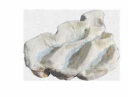
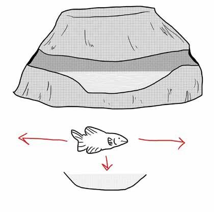
The design of the object is inspired by the ability of the longfin dace to survive in ephemeral streams. These intermittent flows create dry periods, which can be catastrophic for any species that inhabits the river (Eppehimer et al., 2021). The cave will provide safe passage for the longfin dace, and other small fish species, while the water is at a suitable level. When the water level falls beneath the tunnel entrances, the inside of the cave will become shelter for the fish, allowing them a shaded pool of water. The cave will also provide multiple access points to give the fish an advantage when evading predators. The human interaction with the object is creating safe passage across the river by modulating the stones to form a path. In this way, the design provides access for both humans and longfin dace and will ideally connect the two in a meaningful way. By interacting with the stones, people will be connecting with the river and the habitat of the longfin dace.
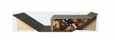
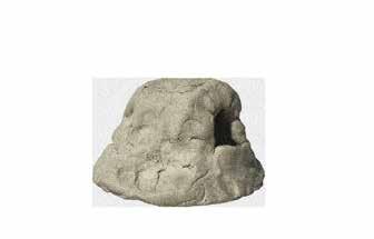
Stone + Cave
Mia Ferring - LAR 401 - Animal Aided Design - Fall 2025
Scale Model
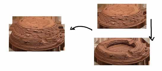
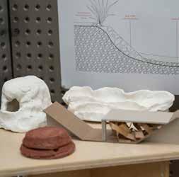
The scale model was printed using the 3D Potter to create an earthenware feel for the object. The machine also gives an interesting texture to the object, which when combined with the porous material, would encourage the growth of algae on the surface of the object. 3D printing with ceramics can create some very unique objects, but it also comes with its own set of problems. In order to achieve a somewhat clean print, the tube must be packed with clay as tightly as possible to avoid air bubbles, which could be catastrophic for a print. The machine also has difficulty printing more complex forms because there is no ability to add supports like a regular 3D printer. This made printing a form with a top layer especially difficult and required additional tweaks to the layout and print settings.
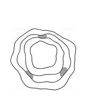
Plan View Dimensions
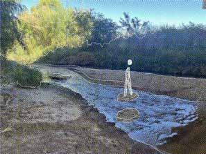
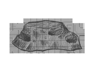
The stone is designed to be modular, allowing it to be placed repeatedly across a stream, creating a pathway for humans and additional habitat for the dace. In order to make its purpose clear to viewers, a texture such as footprints could be added across the top of the stone or signage could be placed near the area to provide information. Due to the modularity, it would also be interesting to test different iterations of the design. Potential modifications include adding small pockets to the side to hold water to encourage possible plant growth (perhaps something similar to what is seen in the embankment sketch model) and creating a removable top to monitor the pool and observe the fish.
Other future iter ations could also include ways to create benefits with the stone if it becomes dislodged and tumbles out of place or is unable to be used for its original purpose anymore. This could mean potentially including additional holes to create access for other organisms or using a different material that will break down and provide some sort of nutritional benefit for the fish, similar to how slow release foods work for domestic fish.
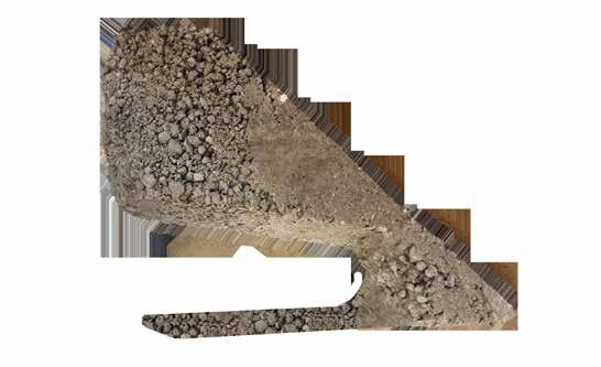
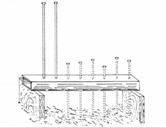
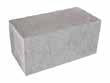
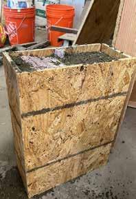
The tectonic model was created using concrete, which was also chosen for its porous quality. The selected area is a slice taken out of the stone to show the interior, including the pool and a tunnel. The form (see below) was made out of foam, represented with the lavender polygons, surrounded by a wooden box. Unfortunately there were some complications with the model when the forms were removed. The aggregate in the selected concrete was too large, and it did not pour correctly into the bottom part of the mold, creating gaps. This was a concern during the fabrication and it was attempted to be circumvented by stabbing the rocks down into the long area under the pool with a rod, but some of the aggregate was still too large and prevented the air pockets from filling up, which then caused structural issues when the form was removed. In future iterations, a smoother cement would be recommended and a better method may be to pour from the top of the stone and then lay the piece for the pool in after the bottom layer has been poured to ensure there are no gaps.
Section Dimensions
Proposal for an Ecorevelatory Aquatic Research Experiment Station in the Gravel Pit
Context – The Ecological Death of the Santa Cruz: The g ravel pit, located near the Sunset Rd. exit off the I-10 is also nestled between the Santa Cruz River and one of its larger tributaries, the Rillito River. This site is an ecological hotspot for aquatic wildlife, especially due to the nearby effluent release sites that allow water to flow more consistently. These rivers are crucial for life in the Sonoran Desert, but in recent years, the increased urbanization has had drastically negative effects on the watershed. Throughout the years, the Santa Cruz has been reshaped to a more linear form, making it easier to fit human development around it, but reducing its ability to hold and absorb water, making it very difficult to replenish the groundwater table. The problem was only exacerbated by the increase of impervious surfaces, leading to more runoff that the river is unable to handle. This creates many problems for humans, such as increased flooding and erosion. For aquatic wildlife, this leads to an even greater decrease in habitat and an inability to rely on the constant presence of water, which is a major issue for creatures that depend on such conditions.
Approaching the Issue – The Future for the Fish of the Santa Cruz
Currently, the site is on the cusp of a large renovation, and its future could play an integral role in the preservation of marine wildlife in the Santa Cruz. In a study done on arid rivers in the Tres Rios, it was found that one of the best options for mitigating dry periods and maintaining a more consistent flow is through the use of retention basins and artificial wetlands (Brown et al., 2011). Through implementation of these systems in and around the gravel pit, additional habitat could be provided for aquatic species and other wildlife that depend on the rivers. Benefits of this solution include increased purification for water moving through the site and eventually downstream, making an accessible area to study and document these species, and preventing flooding and erosion near the site. If this site was designed to hold water and provide habitat to fish species, it could be crucial in monitoring native fish populations and strategizing the best ways to return these species to their natural ranges. This could be crucial for species like the longfin dace (Agosia chrysogaster) and desert pupfish (Cyprinodon macularius) which were once abundant in the Tucson area and are now nearly nonextant due to loss of habitat and competition from invasive species.














Goals Elements
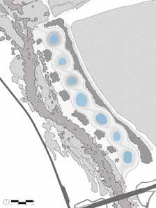
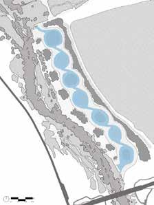
Create Habitat to Attract Fish Use Water Retention Basins, Hold Effluent, Capture Stormwater, Plant Native Aquatic Plants















Concept:
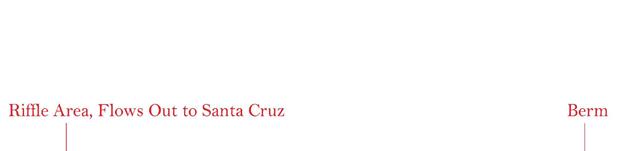
Accommodate Fish Breeding Create Riffles, Use Soft Sand for Top Substrate Layer, Natural Filtration to Maintain Healthy Water Levels
Make Research Convenient and AccessibleVariety of Pools for Dividing Populations and Differing Conditions, Allow Easy Access into Pools, Create
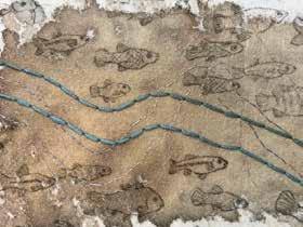
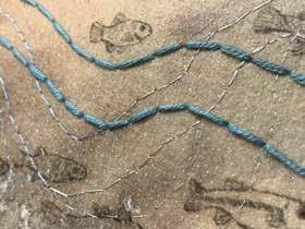
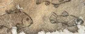
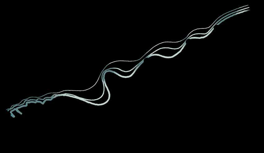
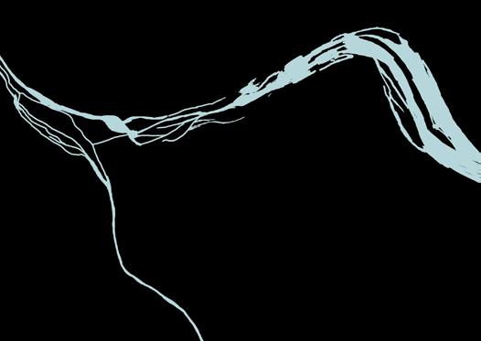
The goal of this piece is to represent the history of the Santa Cruz river and its fish populations. The current linear form of the river is surrounded by more curvilinear forms that are lighter/fainter the further they are from the current shape, representing the reshaping of the river that has occurred throughout time. There are representations of native fish species that once historically inhabited the river. They are overlapped with the current species of invasive populations that are running rampant in the Santa Cruz.
Process:
A stiff white fabric was chosen for the base of this piece for its resilience and ability to hold up to the embroidering and layering of materials. A wash of brown watercolor was applied to the fabric to make the light blue thread stand out more and to give a sort of geographic feel to the background. The historic shapes of the river are represented with outlines stitched in with the blue thread. The more historic, winding forms are fainter, with the most curvilinear having gaps between the stitches, creating a timeline represented with thread. This contrasts with the stark, thick outline to represent the current river. The most prominent river form was embroidered using a large quilting needle to accommodate the thickness of the yarn. The stitching was also done in chronological order, so the newer lines were done over the existing ones. The fish swim parallel to the river to represent how their circulation is intertwined with the current. The fish were sketched with a fine tip pen, although I think it would have been interesting to experiment with this and perhaps embroider them or paint them separately to build up additional layers.


Michael Chukwuka Obi
The Santa Cruz River in southern Arizona once sustained a vibrant riparian ecosystem, but groundwater depletion and surface-water diversions caused it to dry up by the mid-20th century. Its disappearance triggered a bottom-up trophic cascade: primary productivity collapsed, habitat structure unraveled, and species across multiple guilds experienced rapid declines or local extirpation. Long-term observations from citizen-science platforms such as iNaturalist vividly reflect this ecological unraveling—lines of sightings falling, gaps widening, and entire functional groups fading from the record.
The intent is not merely to restore habitat, but to reveal the ecological processes—loss, recovery, succession, trophic interdependence—that shape the river’s past and future. The design becomes an interpretive instrument, exposing the river’s hidden dynamics through form, sequence, hydrology, and experiential cues.
The chosen design approach is rewilding: reintroducing ecological function, habitat diversity, and natural processes into a desert landscape profoundly altered by human action.
Since 2014, the steady release of high-quality treated effluent has restored perennial flow to parts of the river, initiating a slow but measurable resurgence. More than 200 species have returned. Yet the system remains fragile and incomplete: many species remain rare or absent, habitat complexity is still shallow, and ecological interactions have not fully reassembled. The Santa Cruz today embodies a landscape in recovery—alive, but tentative; productive, yet simplified. This project takes that narrative as its foundation and advances it through an ecorevelatory design lens.
But the project extends the concept further, asking not only how to rewild the land, but how to rewild people—to reorient human perception, behavior, and presence toward the rhythms and meanings of the Sonoran Desert. Through immersion, sensory engagement, and spatial storytelling, the design aims to help visitors recover the instinctive ecological literacy that the dried river once erased. In restoring the Santa Cruz, the project seeks to restore something in us as well.
Michae O
GROUND WATER LEVELS - 1906 approximately 20ft below ground level...
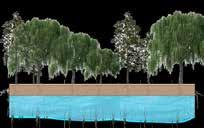
The river was largely perennial pre-1910 due to a shallow water table at or near the land surface, with groundwater high enough for discharge into the channel as streamflow and spring flow, supporting marshes, springs at mountain bases, and acequias (irrigation ditches) for agriculture (Turner 45).
GROUND WATER LEVELS - PRESENT DAY
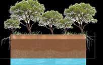
Groundwater levels in the Santa Cruz River basin near Tucson had rebounded in many areas by 2020, despite population growth to over 1 million, due to recharge efforts and reduced pumping; however, natural baseflow remained absent, with depths to water ranging from 140–240 ft in the urban core, supported by effluent releases (U.S. Bureau of Reclamation 22). For 2023–2024, models indicate continued stability or slight re covery in central zones, with no major declines reported, though peripheral areas show ongoing drops of 1–7 ft/year.

The Santa Cruz River dries up mid 20th century...
southern Arizona once susecosystem, but groundwater diversions caused it to century. Its disappearance cascade: primary prostructure unraveled, and experienced rapid
Long-term observations such as iNaturalist unraveling—lines of widening, and entire functional
Since 2014, the steady release of high-quality treated effluent has restored perennial flow to parts of the river, initiating a slow but measurable resurgence. More than 200 species have returned. Yet the system remains fragile and incomplete: many species remain rare or absent, habitat complexity is still shallow, and ecological interactions have not fully reassembled.
The Santa Cruz today embodies a landscape in recovery—alive, but tentative; productive, yet simplified. This project takes that narrative as its foundation and advances it through an ecorevelatory design lens.
restore habitat, but to processes—loss, recovery, interdependence—that shape design becomes an exposing the river’s hidden sequence, hydrology, and rewilding: reintroducdiversity, and natural landscape profoundly altered
But the project extends the concept further, asking not only how to rewild the land, but how to rewild people—to reorient human perception, behavior, and presence toward the rhythms and meanings of the Sonoran Desert. Through immersion, sensory engagement, and spatial storytelling, the design aims to help visitors recover the instinctive ecological literacy that the dried river once erased. In restoring the Santa Cruz, the project seeks to restore something in us as well.
The river was largely perennial pre-1910 due to a shallow water table at or near the land surface, with groundwater high enough for discharge into the channel as streamflow and spring flow, supporting marshes, springs at mountain bases, and acequias (irrigation ditches) for agriculture (Turner 45).
Groundwater levels in the Santa Cruz River basin near Tucson had rebounded in many areas by 2020, despite population growth to over 1 million, due to recharge efforts and reduced pumping; however, natural baseflow remained absent, with depths to water ranging from 140–240 ft in the urban core, supported by effluent releases (U.S. Bureau of Reclamation 22). For 2023–2024, models indicate continued stability or slight re covery in central zones, with no major declines reported, though peripheral areas show ongoing drops of 1–7 ft/year.
Primary life supported by the river and ground water are affected first, as water dries plant life and materials follow it. The river loses algae and aquaitc plants, larger trees like the Fremont Cottonwood and Goodding’s Willow


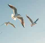
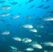
Soon after are the primary consumers - small fishes, and larvae populations drastically decrease - they are forced to migrate or die off. Species like, Gila


Secondary consumers are next - small birds, rodents and larger insects. Migratory birds also start becoming less common due to a lack of trees and food. The yellow nosed rat, Yellow-billed Cuckoo, Southwestern Willow Flycatcher, Bell’s Vireo, Black Phoebe


The loss of the river also had effects on people, as dust storms became more likely with the loss of riparian trees. Socio-culturally, the restoration of flow to the river has fostered a renewed sense of place, community pride, and connection to the river’s historical role as a desert lifeline for Indigenous peoples (e.g., Tohono

These gatherings encourage collaboration among diverse groups, from artists and scientists to volunteers and Indigenous communities, turning a “ghost river” into a shared space for healing and stewardship.
And finally larger predators like Jaguars, Cooper’s Hawk, Coyotes and Bobcats who occassionly follow the river stream in search of food have less incentive to do so. Their numbers dwindling in recent years...



Common pre-1900s in riparian zones; sightings fell 50% with drying (iNaturalist: 20/decade 1990s to 10/year now, shifting to uplands).
coyotes are still abundant but riparian use declined, preferring open desert...
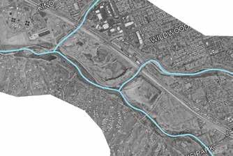
Pros
-Exposed groundwater creates rare opportunities in the desert for riparian restoration, habitat creation, and water-based experiential design.
-Large site area allows for expansive programming, ecological zoning, and long-term rewilding strategies.
-Dramatic topography formed by the former quarry provides unique spatial experiences—vantage points, framed views, and immersive descent sequences not found in typical desert landscapes.
-Existing disturbance reduces the ethical and ecological cost of development, allowing the design to focus on regeneration rather than disruption.
Cons
-Steep slopes limit accessibility, require careful grading, and increase construction complexity and cost.
-Heavily excavated terrain creates unstable edges, uneven substrate, and potential safety hazards that must be stabilized or transformed thoughtfully.
-Shallow, exposed groundwater demands sensitive hydrological management and may limit certain uses or plant selections.
-Large scale makes full restoration challenging, requiring phased implementation and long-term
Rewilding has become a central philosophy in contemporary ecological design, but its significance is deeper than habitat restoration. It represents a fundamental shift in how humans understand their place in the designed world. For centuries, we have imposed our will on the natural landscape—clearing forests for cities, fragmenting ecosystems for infrastructure, and exhausting the planet’s resources in the name of progress. As scientific knowledge grew, so did our desire to control the environment entirely. Only later, confronted with the consequences of our actions, did our relationship transform into one of rescue: we sought to save the world from ourselves.
For me, rewilding is not only ecological but relational. It is an attempt to reconcile the human and the natural—to dissolve the alienation that enables our mistreatment of the land.
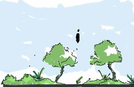
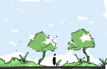
The design expresses this reconciliation through a deliberate choreography of elevation, scale, and perspective across the site. Visitors move through three experiential conditions:
Above nature — Elevated vantage points allow people to look over the landscape, evoking the familiar sense of human dominance and control.
With nature — At ground level, eye-to-eye with vegetation, wildlife, and flowing water, visitors experience companionship and co-presence.
Below nature — Descending into the quarry, surrounded by towering geologic forms and massive ecological structures, visitors feel small—humbled by forces larger and older than themselves.
This sequence is intended to reorient perception: not to diminish humanity, but to restore a balanced understanding of our relationship to the desert environment.
Alienation breeds exploitation; familiarity and awe invite care. Rewilding, in this sense, becomes both ecological restoration and human restoration—a path toward reconciliation between people and the land they inhabit.




The project takes inspiration from the reversal of a trophic cascade along the Santa Cruz, where managing water flow restored the living systems of a oncedry river. By reintroducing consistent water into the channel, vegetation returned, habitat re-formed, and wildlife followed — demonstrating how a single intervention can reactivate an entire ecological network from the bottom up. In this design, controlled hydrology functions as the catalyst for regeneration. Water is treated not as a background resource, but as a structural design element capable of reorganizing landscapes, rebuilding habitat layers, and reviving ecological relationships that had collapsed through drought and disturbance. The concept positions water management as a creative act: by shaping flow, we shape life, inviting a dormant system to become a thriving corridor once again.
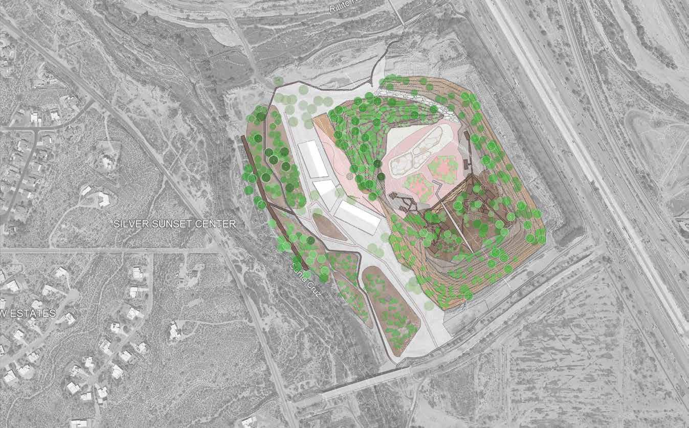
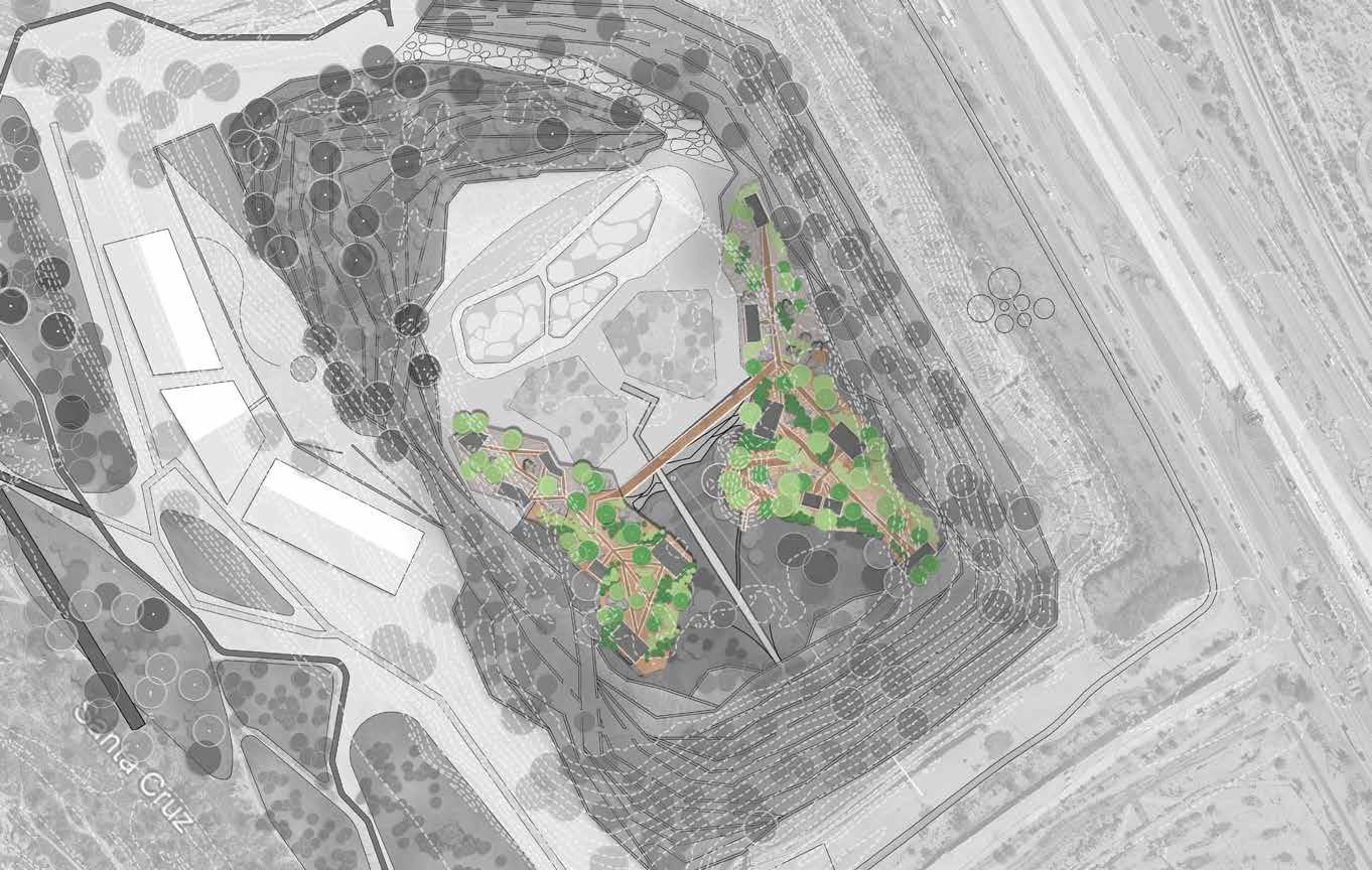
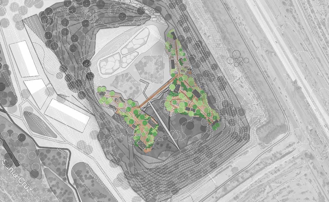
The proposed project reimagines a former quarry site as a rewilding landscape a living exhibition where human presence becomes an act of observation rather than dominance. Set against the arid backdrop of the Santa Cruz basin, where water has long receded, the design envisions a future in which the desert itself is the central inhabitant. The program integrates ecological restoration, artistic creation, and low-impact outdoor recreation to reveal the complex coexistence between humans and wild systems in the absence of sustained flow. Here, rewilding is not only a process of ecological recovery but a cultural one: an invitation for humans to adapt to the rhythms, silences, and temporalities of the desert.
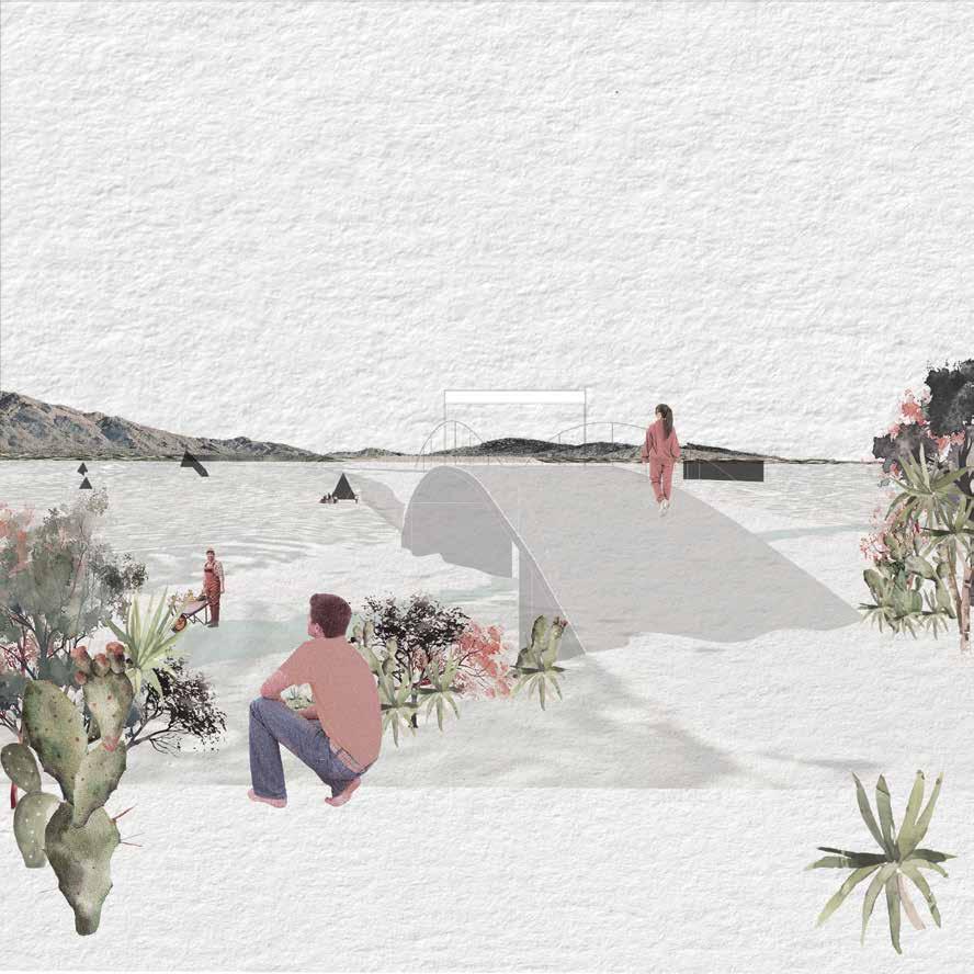
Rather than prioritizing physical activity as spectacle, the program positions recreation as a vehicle for witnessing and learning. Trails, cycling paths, and observation points guide visitors through zones of ecological renewal ephemeral wetlands, pollinator fields, and wildlife corridors without disrupting them. Interspersed within these landscapes are artist residencies and eco-revelatory installations that evolve with natural processes such as erosion, sedimentation, and plant succession. The site functions as both habitat and studio, a place where international artists, writers, and visitors engage in slow observation and creative response. Together, these interventions transform the quarry from a site of extraction into a sanctuary of coexistence a landscape that reveals how wild desert ecologies and human culture might thrive together in the wake of environmental loss.

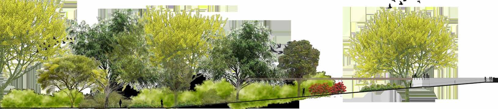
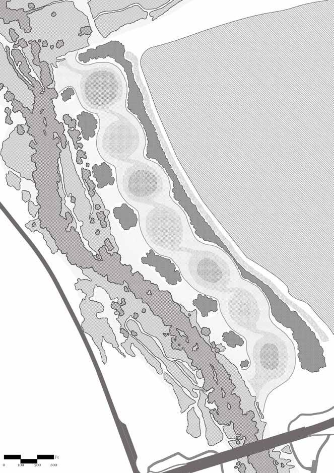
The wetlands component of the design mimics the life cycle of a river as it moves from saturation to aridity. At the beginning of the system, where groundwater is most accessible, the wetland is at its deepest and most thriving, characterized by dense vegetation, diverse species, and continuous ecological activity. As one progresses into the middle and latter zones, moisture gradually decreases and the planting palette transitions to species adapted to seasonal or intermittent water, eventually giving way to true desert terrain. This hydrological gradient not only reveals the ecological story of water scarcity but also frames a sequence of spatial experiences.
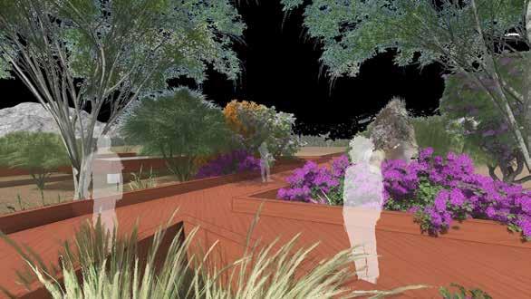
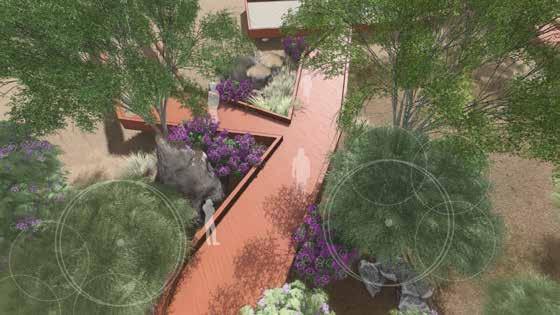
Throughout the landscape, elevated observation decks offer resident artists places to walk, look into tree canopies, and observe wildlife within their habitats. These platforms become gathering points for events, inspiration, and informal meetings, encouraging creative engagement with the changing environmental conditions of the site.

corten steel metal beam
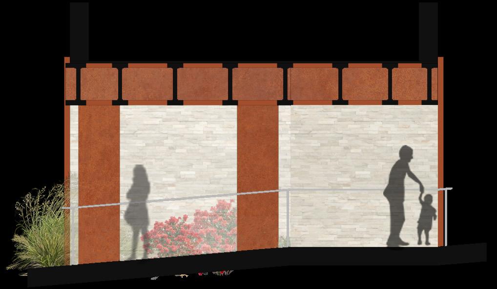
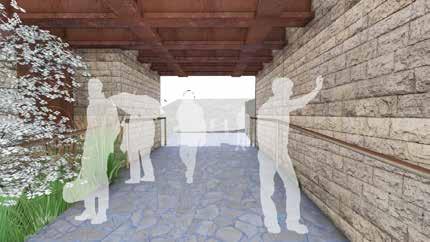
The substances we introduce into a landscape become participants in its recovery, guiding how humans move through it and how nonhuman systems reclaim space over time. In a rewilding framework, materials cannot be inert backdrops; they must be chosen for their ability to weather, erode, host life, and ultimately reintegrate into ecological cycles.
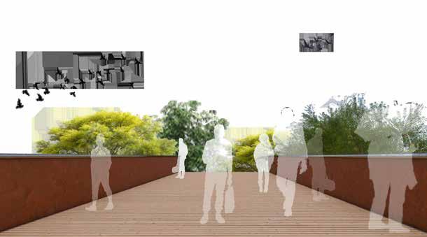
- Corten steel is an ideal structural and aesthetic material for desert environments due to its ability to develop a self-protecting patina that stabilizes in response to heat, dryness, and airborne particulates. In arid climatesa where UV intensity and temperature swings quickly degrade coatings and paints, corten’s weathering qualities allow it to age gracefully rather than deteriorate.n the project, corten serves as the structural framework for elevated pathways and bridges.
- The wood decking applied over the corten steel structure brings a layer of human comfort and tactile warmth to the elevated pathways and bridge. Unlike metal, wood remains cooler under direct sunlight, making it more suitable for pedestrian contact in extreme desert conditions. By elevating the wood above ground moisture and supporting it with corten steel, its longevity is extended, and maintenance becomes minimal. Aesthetically, the natural grain of the wood provides a soft, organic contrast to the industrial character of the steel, creating a balanced material dialogue.
Quinn M.
Quinn McElvain was inspired to take an in depth look at native bird species after learning about Tucson’s role as a critical migratory stopover point along the Pacific Flyway. Tucson is one of the most popular birding hotspots in the United States and this project takes a look at how bird species can be supported as Tucson’s riparian environments experience change over time.
To maintain Tucson’s identity as one of the nation’s premier birding hotspots, this research identifies methods to establish a stopover point for migratory and resident bird species traveling along ecologically fragmented portions of the Santa Cruz River basin.
Quinn McElvain
Email: quinnjay.m50@gmail.com
LinkedIn: Quinn McElvain
Habitat improvement, artificial nesting options, and natural recovery over time, will lead to a vertically complete riparian ecosystem that supports a variety of key bird species.
The success of riparian reestablishment can be measured by the presence of a few selected key species, which can be monitored throughout the duration of this project. The presence of these species indicates several factors of improving conditions along the river basin, including dense thickets, ample nesting spots, and mature tree canopies.
The Santa Cruz River is a significant migratory route along the Pacific Flyway, a major seasonal bird migration route covering the western portion of North America. Historically, the river’s perennial flows, marshes, and bosques have supported over 300 bird species. This habitat made the river a critical stopover and breeding ground during seasonal migrations, establishing Tucson as one of the nation’s premier birding hotspots. This project intends to expand high functioning riparian sections found along the river basin into more degraded fragments of the Santa Cruz River. Restoration efforts will encourage the long term growth of a vertically complete riparian ecosystem that will support a variety of bird species important to Tucson and the surrounding regions. The site will serve as a recreational observation opportunity, revealing ecological structures of the past and supporting the environments transition back to a thriving riparian corridor.
Decades of groundwater pumping and mesquite overharvesting have severely degraded the riparian corridor, leading to a die-off of cottonwood, mesquite, and willow bosques, drastically reducing habitat for native bird species.
from Requiem for the Santa
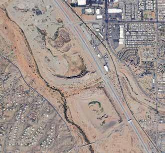
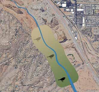
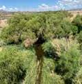
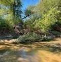
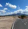





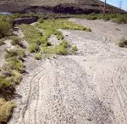
Stretches of the Santa Cruz River South of the Sunset Road bridge are in high functioning condition, with more mature tree canopies, dense thickets, and stronger flows. flows north towards the confluence of the Rillito River, the riparian condition rapidly deteriorates. As water presence and vegetation lessen, bird species are left with less ideal habitat to choose from. The deteriorated wetland environment has led to fragmented portions of the Santa Cruz, where bird sightings have declined, such is the case on our site.










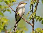
Yellow-billed cuckoo
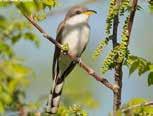
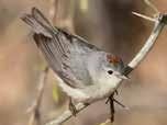
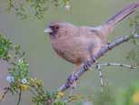

















Migratory canopy dweller - A summer breeding visitor that’s reliant on tall cottonwood and willow canopies along riparian corridors. They have one of the shortest nesting cycles of any bird species. Its seasonal return indicates a mature riparian forest with functioning hydrology, vertical vegetation complexity, and insect-rich canopies.
Mid-story cavity nester - A small cavity nester that thrives in mesquite and dense riparian bosques. One of the earliest migrants to return in the spring, utilizing secondary cavities including woodpecker holes, cacti cavities, and underneath loose bark for their nests. Their presence signals restored mid-story structure with cavity availability and insect abundance.
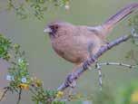
Ground foraging specialist - A yearround, ground-foraging resident that depends on dense understory thickets and leaf-litter microhabitats. They dwell in dense brush with moist soils in thickets of cottonwood-willow and mesquite bosques. Their presence indicates a well-developed shrub layer, moist soils, and presence of insects and seeds.
Riparian Corridor Improvement Program
To ensure Tucson’s long term identity as one of the nation’s premier birding hotspots, this program aims to establish a thriving riparian stopover point for migratory and resident bird species as they travel along the Santa Cruz River basin. The target audience are outdoor enthusiasts and educational field groups, who are able to utilize the site as a recreational observation opportunity. The design intervention will restore a functioning and mature riparian environment, while revealing multi-faceted and multi-narrative readings of the past, by improving the river closer to its ideal condition. The project is intended to make an immediate impact for bird species seeking optimal habitat, as they utilize artificial nesting options while natural recovery occurs over time. Thoughtful design will offer effective coexistence of animal species and humans.
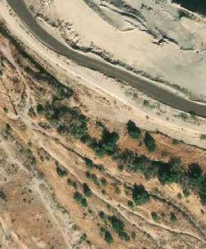


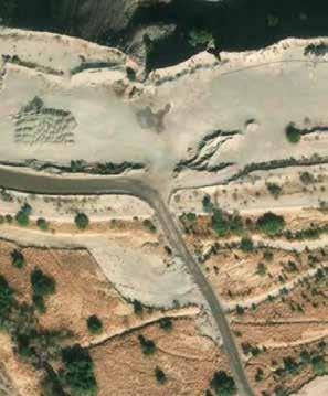


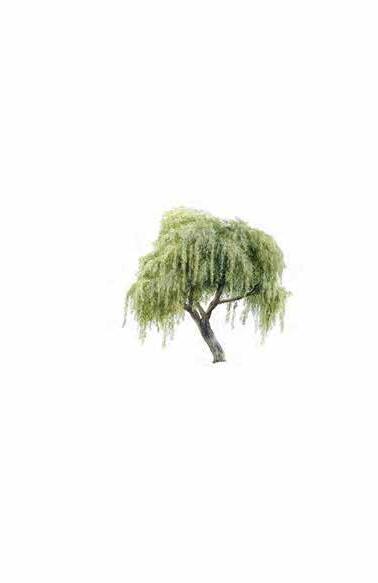
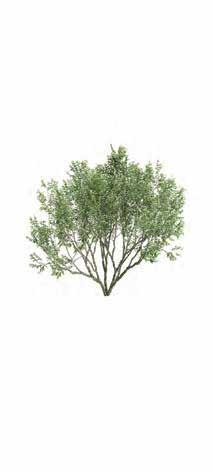
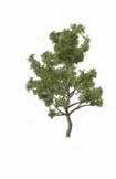
Gooding’s willow Seepwillow Desert willow Velvet ash Hymenoclea



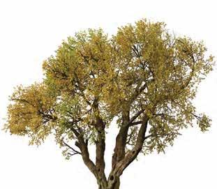
Greythorn

Basin Dredging and Removal of Invasives: Decomposing plant material negatively impacts water flow, leads to trash buildup during flood events, and lowers water quality. Removing invasives such as Giant reed, Tamarisk, Bermuda grass, and buffelgrass, and the removal of excess plant material will improve flow, reduce maintenance needs, prevent trash build up, and improve water quality.

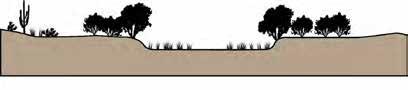
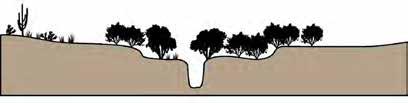
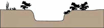
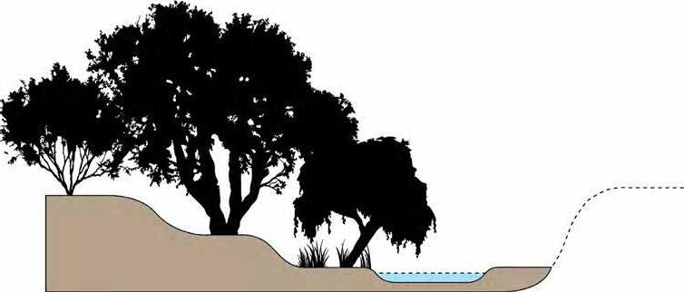
Floodbench Terraces: The river basin currently has steep sidewalls that are unable to support a gradient of plant species. By terracing the channel walls into a low-flow channel, a mid flood bench, and an upper terrace, new plantings will have a greater chance of maturing, as they are planted in more ideal habitat.





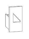
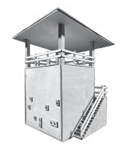
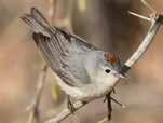
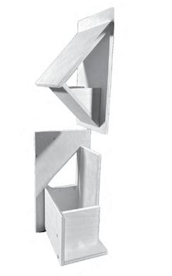
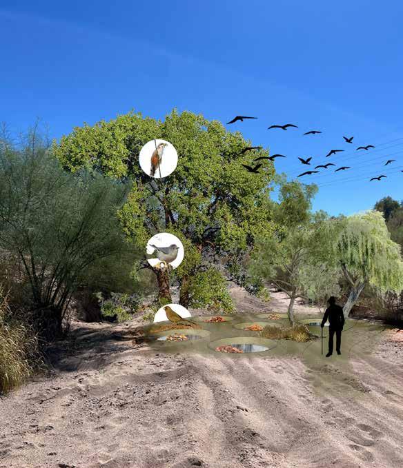
Triangular nest boxes integrate into observation deck structure, providing a habitat for Lucy’s warblers that are removable for maintenance.

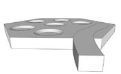
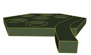
Basins capture water and decaying leaf litter, creating optimal foraging habitat for Abert’s towhee.
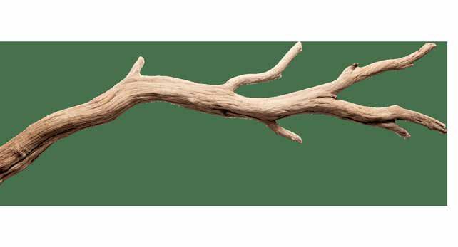
Coronet cuts on snags mimic natural branch fractures, providing an ideal habitat for insects and a nest perch for Yellow-billed cuckoos.


LinkedIn:
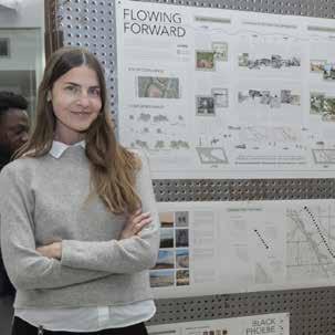
Renee Elizabeth Peters
Industrial society taught us that the best way to protect ecosystems is by removing people and seeking zero human impact. Yet along Tucson’s waters, Indigenous peoples fostered vibrant, flowing rivers and bosques for thousands of years through stewardship and kinship. Recognizing that humans are an integral part of these landscapes, Tucson’s priorities are slowly shifting. After more than two centuries with extractive industry and car-centric design that separated people from their rivers, communities are now reconnecting—choosing to walk, ride, and gather along newly restored waterways.
Since 2019, local initiatives such as those of the Santa Cruz River Heritage Project reveal that positive ecological change is possible alongside renewed pedestrian access with careful human stewardship. This renewed access is already associated with tangible improvements in river habitat and flow along the confluence and other river stretches.
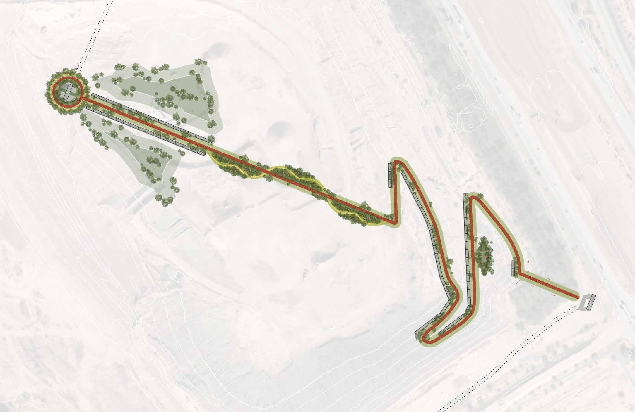
These efforts, along with the incredible beauty of the Sonoran Desert, inspire Renee’s efforts. With this project, she asks how the scars of our past might better inform our future. It is her hope that the proposed descending trail experience, culminating at the prosed overlook, might frame visual and sensory experiences of our rivers and their surrounding habitat, leaving visitors encouraged to consider the ecological potential of our watershed, and their role in supporting aquifer recovery amplified.
Through immersive experiences such as this, Renee believes that the sustained care of our aquifer can continue; and with its rise, so too can our quality of life.
Industrial society tought us that the best way to protect ecosystems is by removing people and seeking zero human impact. Yet along Tucson’s waters, Indigenous peoples fostered vibrant, flowing rivers and bosques for thousands of years through stewardship and kinship.
Recognizing that humans are an integral part of these landscapes, Tucson’s priorities are slowly shifting. After more than two centuries with extractive industry and car-centric design that separated people from their rivers, communities are now reconnecting—choosing to walk, ride, and gather along newly restored waterways. Since 2019, local initiatives such as those of the Santa Cruz River Heritage Project reveal that positive ecological change is possible alongside renewed pedestrian access with careful human stewardship. This renewed access is already associated with tangible improvements in river habitat and flow 12 along the confluence and other river stretches.
Indigenous peoples develop sophisticated irrigation systems working with natural flood cycles supporting thousands while maintaining ecosystem integrity for 4,000+ years (6).

Non-native crops requiring water-intensive ground-water pumping used increasingly by farms and homes (2).

Large-scale channelization projects reshape the river corridor, as cattle farms like Sunset Dairy expand across the Santa Cruz and Rillito floodplains. Major infrastructure work to control flooding undertaken (3), as interstates are expanded with increasing suburban sprawl (1).


CalPortland expands gravel mining operation south, with pits north and south of the Rillito River, and to the east of the Santa Cruz (9).


The city of Tucson initiates comprehensive planning along waterways, marking a paradigm shift towards active ecosystem restoration and pedestrian oriented development (12).
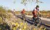
In 2020, river managers release native Gila top minnow and long fin dace into the restored reach, marking the return of historic species and a hopeful milestone for river health 13).


Rivers flow perennially. Shallow braided channels support rich, Sonoran biodiversity along mesquite bosque networks and cienegas 12).
The Santa Cruz and Rillito rivers rapidly transform from shallow, life-rich streams to incised, eroded arroyos as groundwater pumping drops the water table and native riparian vegetation dies. River flows become exclusively ephemeral, and invasive species replace dense mesquites (2,12). Major winter floods—especially the record event of 1983—cause extensive channel widening and severe erosion, often destroying infrastructure and homes (2).
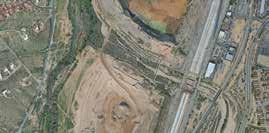


N
Spanish settle Presidio site for its access to perennial water along the Santa Cruz, fertile soils, and other resources, making it well-suited for defense and community 6).


Archaeological record of the Rillito Fan maps indigenous peoples extensive river dwellings with access on foot and horse paths (5).


New settlers engage with waterways on foot and horse, relying on it regularly for resources 6).








By the 1970s, river flows are no longer predictable. Widespread agricultural expansion and suburban development continue to clear native vegetation and accelerate ecosystem collapse. In 1980, new water conservation policies are inacted, and CAP begins delivering Colorado River water to Tucson in 1993, reducing dependence on mined groundwater and setting the stage for recovery (2).

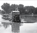

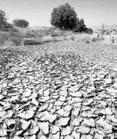
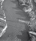

Treated effluent begins flowing year-round in portions of the Santa Cruz 13), reviving stretches riverbed, kickstarting gradual riparian recovery 15).
Southern Pacific railroad create a physical divide between residents and the Santa Cruz river, while motorized vehicles decrease human interaction with habitat by foot (9)
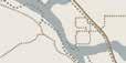


1950s Automobile boom promotes the car-centric city with interstate projects heavily funded, and walking out of fashion (1)
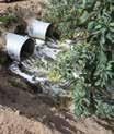
Car dominance, with more and wider roads, becomes a permanent mark of separation on the land (10). ADOT expands I-10, promoting connection to Phoenix yet reducing river habitat. (1).
The continued, extractive use of floodplain resources further divides humans from precious waterways, leaving a massive scar upon the land.
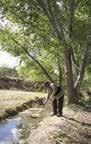
“The Loop” multiuse trail reconnects walkers and cyclists to the Santa Cruz and Rillito Rivers of Tucson (11).




Trails for walking, cycling, and horseback are reconnecting people with river corridors, restoring a centuries-old tradition of healthy, shared access to thriving waterways.

When access is restricted—when people cannot experience, walk along, or witness the river’s flow—the river’s health declines. As communities gather along waters, we see recovery in action.*




In the Flowing Wells area, once defined by its accessible, flowing water, a repurposed gravel pit becomes an ideal landscape for immersing visitors in the depth of a formerly thriving water
table, revealing how our relationship with the Santa Cruz and Rillito rivers has evolved and how our actions continue to shape their
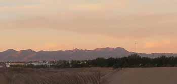
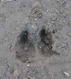
A recovering wetland is beginning to take shape here, in a place that until recently was only a scar along the banks of our powerful rivers. The rising aquifer breaks through to support emergent vegetation and the cautious return of wetland-dependent wildlife.
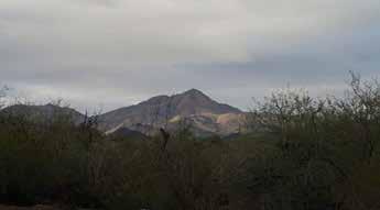
This mosaic of shallow water and sheltering plants offers seasonal refuge for migratory birds such as great egrets and other wading species, while also sustaining year-round more-than-human residents that depend on this rare desert water. As the habitat thickens and diversifies, it becomes a visible sign that our aquifer—and the life it supports—can slowly return when given space and care.
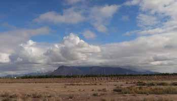
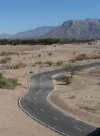
Left: The Tortolita Mountains glow purple, to the north of the site, at sunset. Behind them, a historic pecan grove reminds us of the once-abundant water levels that sustained it.
Right: A javalina’s print, pressed into freshly rained Santa Cruz mud, reminds us that more-than-human residents have never left—they have only waited for the water to return.
Left: A Tucson Mountain peak rises from a canopy of thriving riparian trees; a vision that inspired the design of the final ascent’s overlook—a place to witness what recovery looks like.
Right: A great horned owl seen in a fleeting moment on site––one of many nocturnal residents drawn back by the river’s slow revival.
Left: Rain clears to the east across the retired gravel pit, revealing the Santa Catalina Mountains.
Right: The Huckleberry Loop path travels south and then east of the site, currently bypassing an important connection to the Santa Cruz’s east banks.
The Huckleberry Loop multi-use path can be extended from its current Rillito terminus at this site, and reconnect users to the Santa Cruz River at along the east bank’s proposed riparian habitat trails.
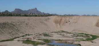
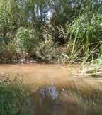
Left: The Tucson Mountains stand prominent to the west. Below them, the former gravel pit now harbors a persistent water table breach—a threshold where the aquifer breaks through, already fostering life.
Right: The confluence of the Santa Cruz and Rillito rivers: where two waters meet and flow once again.
The road that once served as the route for mining vehicles to excavate the land now provides the leveling for the trail’s descent—transforming extraction into experience.
Interstate 10 has acted as a disruptive scar on the land for decades, severing visitors and wildlife from accessing the Santa Cruz river from the East. A new off-ramp to Silverbell may bridge this long-broken connection — or deepen the divide.
The Huckleberry Loop path travels north and south along I-10 and the Rillito River, yet currently bypasses an important connection to the Santa Cruz’s east banks, preventing visitors from accessing this riparian habitat on foot or by bike..
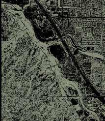
Where there is water, there is life. A network of trees and shrubs provides critical habitat for humans and more-than-human residents alike. Where they persist, traces of historic Sonoran waterways allow connection
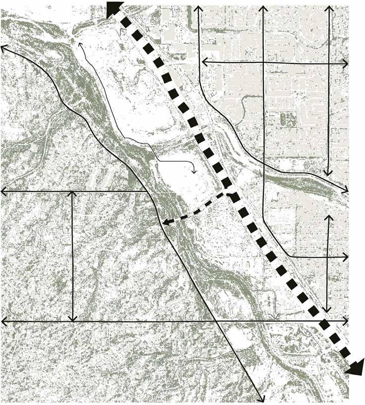


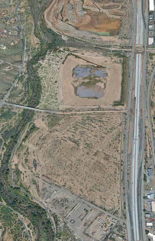


The historic trail begins with an immersive descent into a retired flood-plain-gravel pit. Through this journey, visitors confront 80 feet of historical groundwater extraction. Three lookout points mark the water table location in 1935, pre-1725, and present-day making visible the magnitude of aquifer depletion that has occurred beneath Tucson. The “flowing wells” of colonial discovery, are made visible, only as long as we continue our restorative efforts.


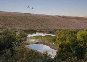


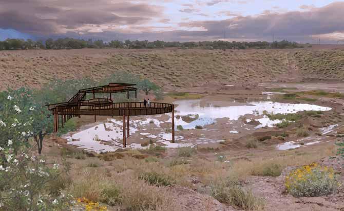
A WALK TOWARDS OUR PAST: The final lookout along the historic descent trail, situated just above current water table levels, points east and faces south towards what echoes a historic floodplain wetland. If water is not present, our aquifer levels have dropped, to possible dangerous levels, leaving corrective measures incentivized.
A physical design experience emerges from a deeper understanding of groundwater depth.
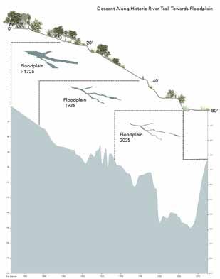
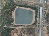
AN ASCENT FOR OUR FUTURES: The overlook is used to frame both visual and sensory experiences of the rivers and surrounding habitat, with visitors encouraged to consider the ecological potential of our watershed––with their role in supporting aquifer recovery amplified. The final ascent of the historic trail is positioned amongst a canopy of native desert willows, mesquites, and other riparian trees at the confluence of the Rillito and Santa Cruz rivers. Mature mesquites grow up through an opening in the overlook floor, and acoustic walls facing west allow sunset sound immersions.
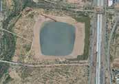
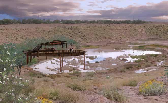
A physical design experience emerges from a deeper understanding of groundwater depth.
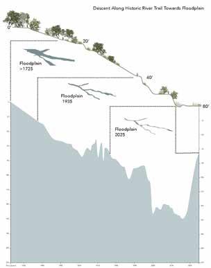
A descent along a proposed historic trail, following one of the retired gravel-pit’s access roads, will offer visitors a unique, embodied understanding of groundwater depth. Forced to confront 80 feet of historical groundwater extraction, abstract hydrological concepts can be grounded in direct sensory experience.
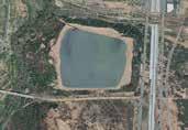
“‘Floods’ is the word they
use,
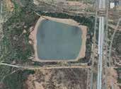
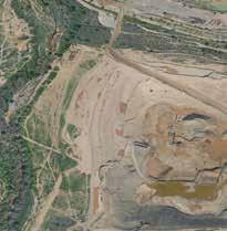
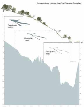
but
in fact it is not flooding: it is remembering.
A descent along a proposed historic trail, following one of the retired gravel-pit’s access roads, will offer visitors a unique, embodied understanding of groundwater depth. Forced to confront 80 feet of historical groundwater extraction, abstract hydrological concepts can be grounded in direct sensory experience.
Remembering where it used to be.”*
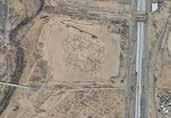
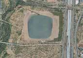
In the Flowing Wells area, once defined by its accessible, flowing water, a repurposed gravel pit becomes an ideal landscape for immersing visitors in the depth of a formerly thriving water table revealing how our relationship with the Santa Cruz and Rillito rivers has evolved and how our actions continue to shape their shared aquifer
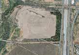
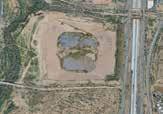
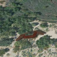
East bank riparian trails on-foot connection with riparian ecologies creosote, getting even closer to this special sonoran habitat
East bank riparian trails offer visitors an immersive, on-foot connection with riparian ecologies, including creosote, desert hackberry, and ironwood, while providing a unique opportunity to touch the waters of the Santa Cruz, getting even closer to this special sonoran habitat.
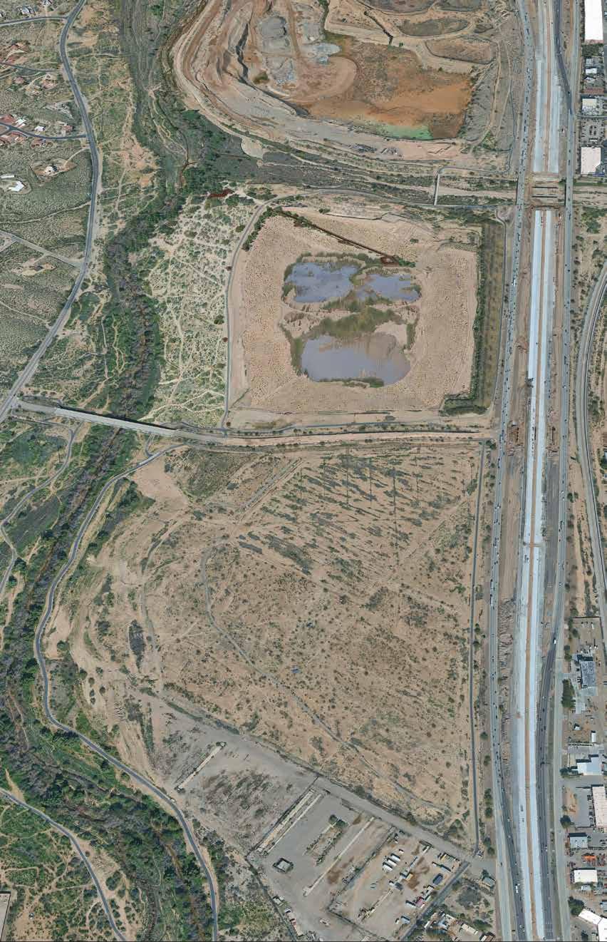
Along the descending trail, viewers experience a gradient of plant species from mesquite bosque to riparian wetlands, accentuating the change (decline or increase) in historic water table levels.
their role in supporting aquifer recovery amplified. positioned amongst a canopy of native desert willows, mesquites, and other riparian trees at the confluence of the Rillito and Santa Cruz rivers. Mature mesquites grow up through an opening in the overlook floor, and acoustic walls facing west
The Huckleberry Loop multi-use path is extended from its current Rillito terminus, reconnecting users to the Santa Cruz River at the site along the east bank’s riparian habitat trails.
A WALK TOWARDS OUR PAST
Slope ecologies including native, erosion-control species, are hydroseeded to test how aspect, steepness, water access, and microclimate encourage or inhibit survival.
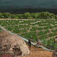


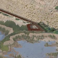
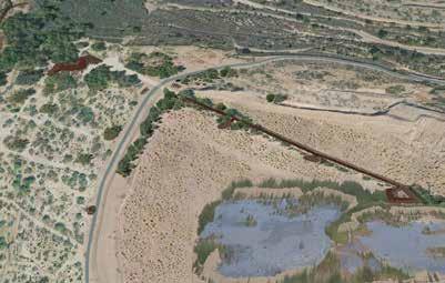
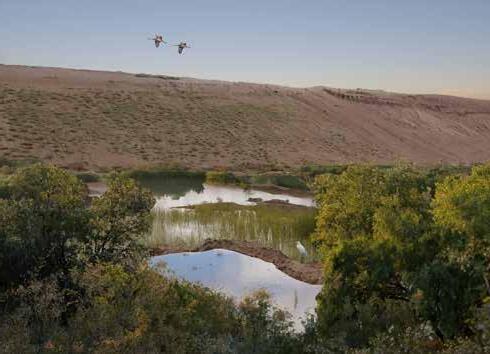

Sam Pratt was inspired to find a location suitable to apply site engineering and propose grading changes in the southeast corner of the site. This design exploration and intervention involved regrading and recontouring pit walls to a ratio of 3H:1V slopes on the Interstate 10 side with a gentle integrated staircase and 100 ft native vegetated pads to re-establish ecological function.
Assessed terrain, topographic, and geologic data were used to determine feasibility and develop regrading strategy. He produced construction documents including grading plan, planting plan, hardscape plan, and staircase descent design
Email: spprattsam@gmail.com
LinkedIn: Sam Pratt
A specified native plant palette (palo verde, mesquite) is irrigated with recycled city water to achieve water reclamation and conservation goals. Lastly there is a designed trail expansion integrated with existing infrastructure, broadening multi-use recreation access and shaded areas for accessing the quarry.
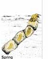
• By late March or early April, these ground-nesting bees begin to emerge, leaving behind tiny, volcano-like holes.
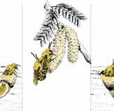
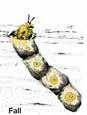
• Male bees tend to emerge before females, and wait outside of the nest to mate with a female as soon as she emerges.
• After mating, each female digs a subterranean nest, containing multiple “brood cells.”
• Each brood cell contains an egg and food provisions that last her offspring until adulthood.
• Once her eggs are laid, she seals the nest, and her job is done.”
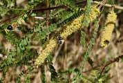
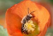
These bees are crucial for the sexual reproduction of many Arizona native plants. Mesquite trees in the Spring and many arizona flowers rely on this bee to pollinate.
How can we create a multi-seasonal protected nesting habitat in which bees will return to cavity
nest?
Life Cycle Stages
They are most likely to be visible from mid-March until June; the rest of the year they are developing underground!
1. Cellophane bees start as an egg then transition to larva, followed by a pupa. The adult emerges from the cavity.
2. Each female digs and maintains her own tunnel, often right next to dozens or even hundreds of others.
3. All adults die before winter. The new generation survives the winter in the natal nests underground in their celophane sacs.
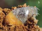
Pictured is a strong, mold-resistant, and waterproof lining that functions like a natural biodegradable plastic bag, keeping their developing young safe and dry.
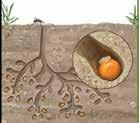
Tunnel depth: The main vertical tunnel can extend much deeper, up to 18 inches below ground.
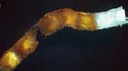
This naturally produced material has even caught the attention of scientists who are studying it as a potential alternative to petroleum-based plastics.
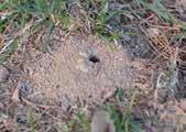
Width: The nest entrance, located at the center of the mound, is 1/4 to 1/2 inch across.
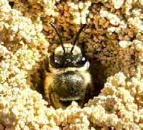
Nesting Cavity Properties
Collettes Cavity nesting bees prefer a south facing slopes with well drained, loose, sandy soils. The most important factor is access to undisturbed, bare earth for constructing their burrow. The offspring commonly exhibit strong site fidelity meaning they return to nest within the same aggregation as their parents.
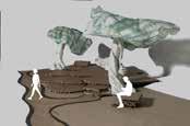
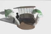
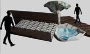
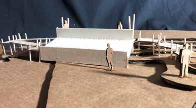
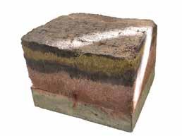
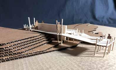
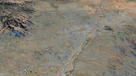
The alluvial fans of the Rillito River bring down nutrients through the natural process of erosion and deposition. When the river overflows its banks, it carries sediment, including nutrient-rich materials, from the mountains down to the valley floor. As the water slows down, it deposits these sediments, forming the fan shape and spreading the nutrients across the land. This process enriches the soil, creatingww fertile areas that support vegetation.
The Rillito alluvial fan is a geological feature formed by the Rillito River, which flows from east to west along the northern edge of Tucson, Arizona.
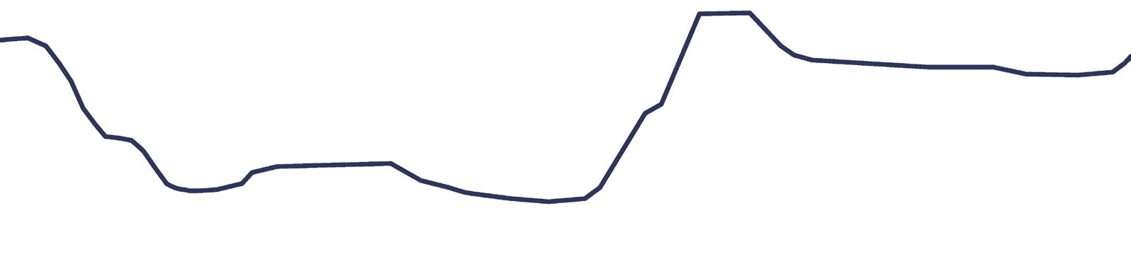
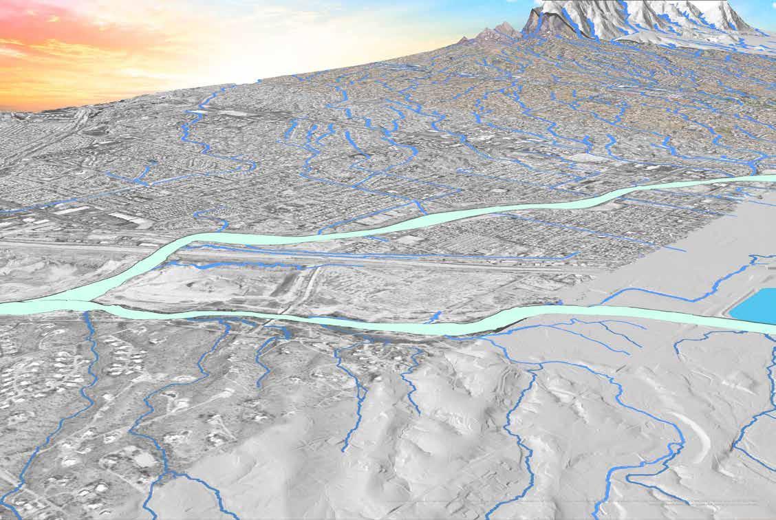
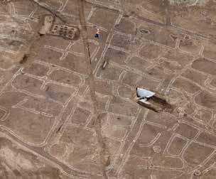
Las Capas is located in the northern Tucson Basin on the east bank of the Santa Cruz River, just downstream of the confluences of the Rillito and Cañada del Oro tributaries. A wellorganized and long-lived series of cultivated fields associated with the canals was identified— the best example of Early Agricultural period farming technology. The large areas available for excavation allowed fields and canals to be exposed over broad areas. (Gann, 2015)
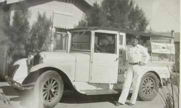
In 1915 The Knapp family moved to Tucson and bough farmland near Sunset road and Casa Grande Highway. Between1915 and 1922 the family sold milk to the Flowing Wells and Holstein dairies in Tucson. In the 1950s, business slowed and larger dairies moved into the area and began selling milk in grocery stores. (Daily Star, 1992)
Prior to the sunset dairy archaeology finds of a three-room adobe house constructed by Basilio Cuevas around 1893, a general surface scatter of trash related to this occupation and the subsequent Sunset Dairy dating after 1915, and more recent trash deposits related to subsequent ranch operations. (Statistical Research, Inc. et al., 1999)
By 1964 the Arizona agricultural income declines. According the cooperative extension of the U of A, The excess of ground water withdrawals over recharge continued at about the same rate as in previous years, resulting in a continuing decline in ground-water levels in all important ground-water areas. (Arizona Agriculture 1964, n.d.)
This marks a pivotal moment of ushering in an era of profit making in the form of mining operations shown in the photo to the right of a quarry used to obtain concrete for the construction of Interstate Highway 19, on Santa Cruz River on San Xavier Indian Reservation, Pima County (Ariz.)
How do we begin to reclaim the floodplain, not as it once was, but as a series of ongoing measures and inquiries regarding soil health and water conservation?
No irrigation system is in the current Pecan Orchard. It is currently under a flood irrigation schedule. This reperesents a lost resource.
Depletion of recycled water from a Pima county.
The dominant logic of water collection, transportation and discharge weakens the process of retention, infiltration and seepage. Channeled concrete walls along Rillito along with the I10 cutoff historical floodplains. This disconnects surface water from spreading and does not allow for rainfall to replenish groundwater.
Heavy mining equipment compacts soil, reducing infiltration and root penetration
Mining can strip away soils profiles built over thousands of years
Bare, unstable slopes erode rapidly during monsoons
Impermeability for water percolation
Compaction
Soil Profile
Slope Instability
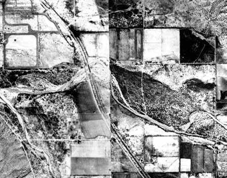
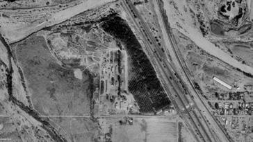
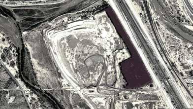
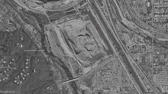
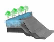
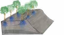
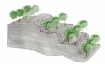
Program Site: SouthEast Corner
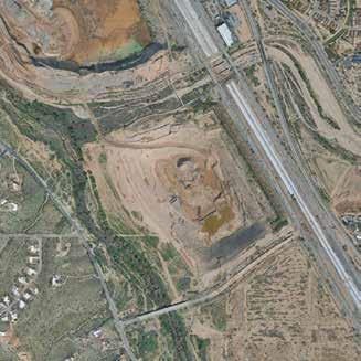
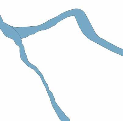
Currently the outfall of the culvert lands down near the bottom of the pit. This presents a missed opportunity for using this water for vegetative growth on site. The challenge is how to move the water back up out of the pit or capture it through diversion of the culvert. It is unknown where the water is collected from.
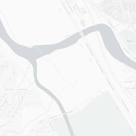
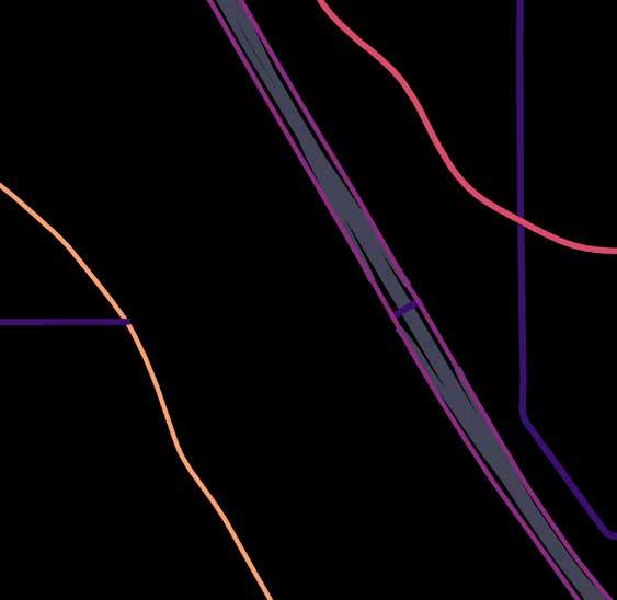

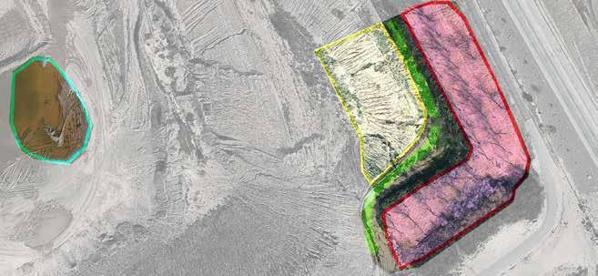
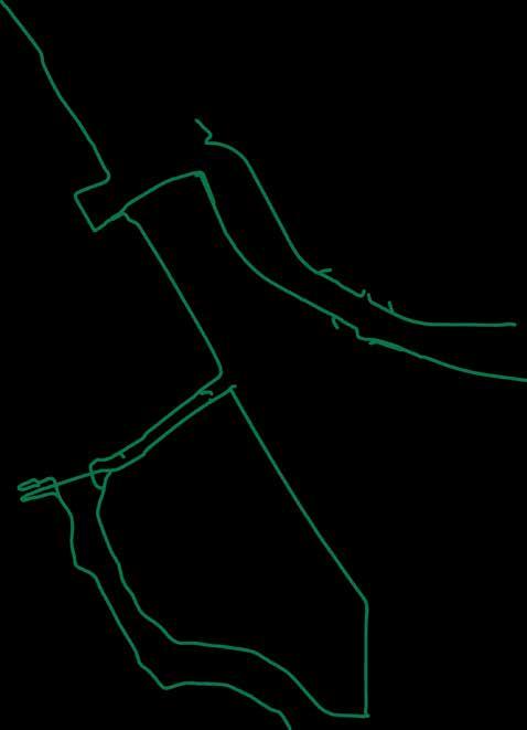
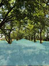
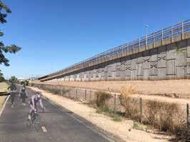
This long 2000 ft stretch of bike and walk lane is a direct line along the pecan orchard and freeway offramp. It provides a fast road for bicyclists.
The constraint is that walkers are not given much notice of oncoming high speed bicyclists. Equally bicyclists find that they have to slow their speed down to accommodate unaware walkers.
There is an opportunity for walkers to have an alternate shaded dirt path to move safely and at a slower pace.
Currently the Pecan Orchard is flood irrigated. Placing the individual trees on drip irrigation presents an opportunity to conserve water for use elsewhere and will allow for more walk-ability under the pecan canopy.
• Highlighted in yellow is a portion of the 8000 ft. perimeter pit. It is a small 1/3 of acre space with a more gentle slope situated near the southeast entrance into the Pecan Orchard.
• Highlighted in Pink is the Pecan Orchand Entrance. It creates a dog leg shape and continues north for 2000 ft. The two rows of mature trees provide ample amounts of shade. A robust understory of greenery is currently supported through flood irrigation using recycled water.
• Highlighted in green is the buffer area between the pecan orchard and pit mine. It is open in some areas and a patch of shrubs that form the beginnings of a hedge or barrier between orchard and pit.
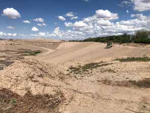
Regrading the steep sleep is the primary focus for creating soil stability within the site. The southeast section corner has a more gentle corner for regrading using cut and fill method to create a series of pads four 100 foot long terraces

The shrub barrier will consist of a variety of plants to dilineate the walking path and provide a natural barrier to the slope of the pit. A break in the hedge will serve as a entry point to descend down into the terraced zones. A mixture of desert hackberry, wolffberry, deergrass, brittlebush, and creosote bush will form the basis of the hedge.
Growing Mesquites and interspersed palo verdes take time. At 20 years of growth an average mesquite tree will have reached 30-35 feet. The Pecan trees in the background will be placed on drip irrigation affording more water for growing mesquite and palo verde down the terraces. Foothills palo verde and native mesquites will be selected for their natural adaptation to sloped conditions.
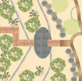

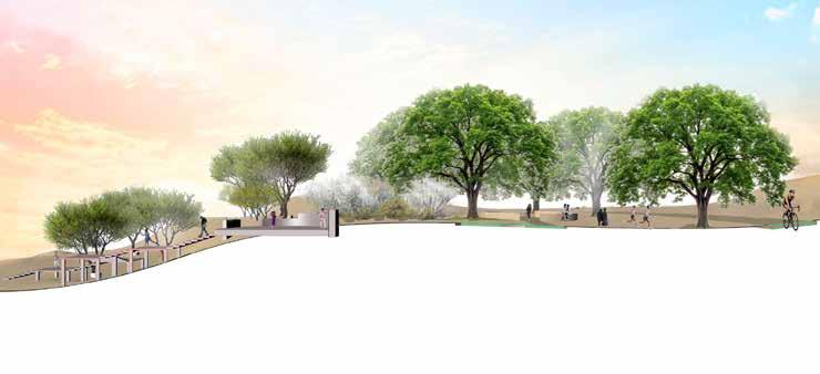
This view shows the severity of the slope and the required numbers of stairs to land people to the bottom of the terraces. Given the steepness of the retention wall, the stairs take right turn to give more space for clearing multiple two foot contours.
The flagstone pad offers a space for reflection, seating, and an access point to maintenance of the growing vegetation within the Terrace.
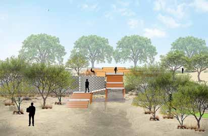
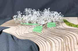
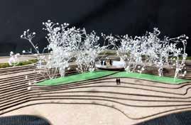
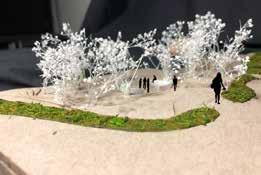
by topo‐edaphic properties. Ecological Applications, 26(8), 2480–2494. https://doi.org/10.1002/eap.1389 6. Rillito alluvial fan Tucson—Google Search. (n.d.). Retrieved September 22, 2025, from https://www.google.com/search?sca_esv=792560e52f66799b&rlz=1C5CHFA_enUS797US797&q=Rillito+alluvial+fan+Tucson&source=lnms&fbs=AIIjpHxU7SXXniUZfeShr2fp4giZ1Y6MJ25_tmWITc7uy4KIeuYzzFkfneXafNx6OMdA4MRo3L_oOc-1oJ7O1RV73dx3MIyCigtuiU2aDjExIvydX85cOq96-7Mxd4KSNCLhHwZjNl1D--59A3Pz1jRAtenz4CDGY3FqmqKlZA_YSw_BTrhD0jeUmNKQcmAZOuRKHoYGCO855Oydaye_zSILDHsHqtOdWWA-NsVWwQwSTX5FIoD8hTc&sa=X&ved=2ahUKEwjFuOXi0u2PAxWSKUQIHS_8OSAQ0pQJegQIBhAB&biw=1564&bih=895&dpr=1&sei=buzRaMC4CJ_RkPIP9-6jWQ 7.
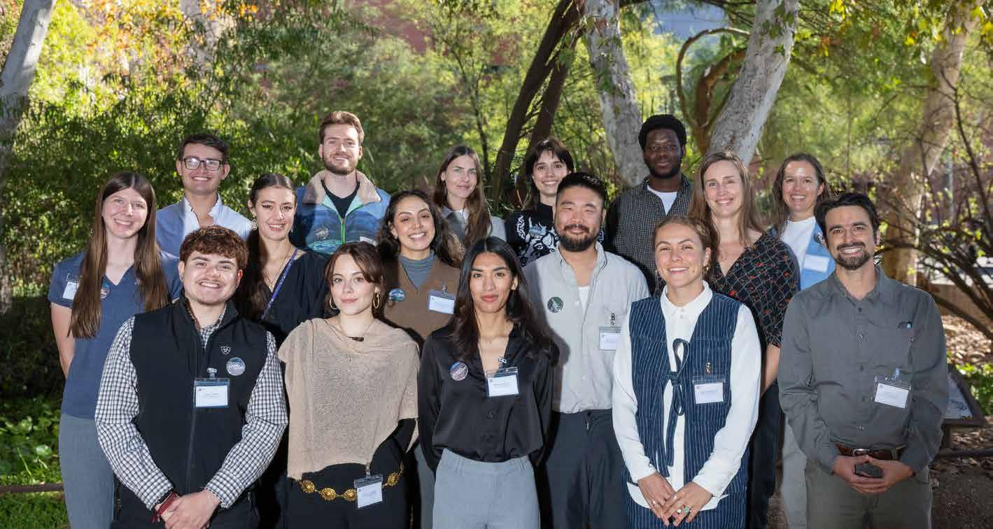
Ashley
Isabella
Diego
Darin
Ashley
Renee
Sam
Quinn
Julia
Michael

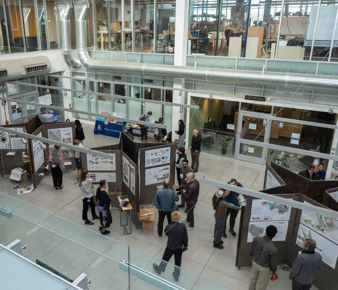
A quarry revealed, A landscape reimagined