RECLAIMING HEALTH IN A POST-WAR DISTRICT UNDERGOING MEGA-DENSIFICATION
HESSE DE JONGE - ACADEMY OF ARCHITECTURE AMSTERDAM - URBANISM - 2026
To Flourish
RECLAIMING HEALTH IN A POSTWAR DISTRICT UNDERGOING MEGADENSIFICATION
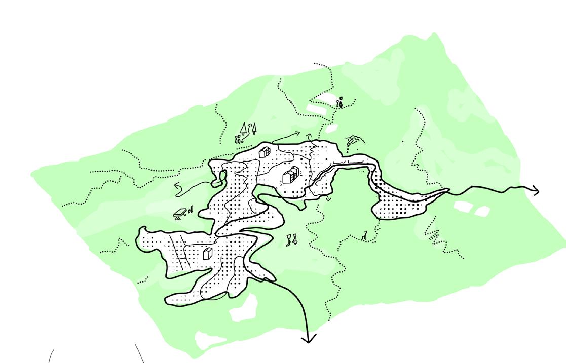
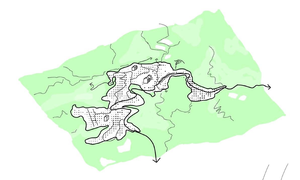
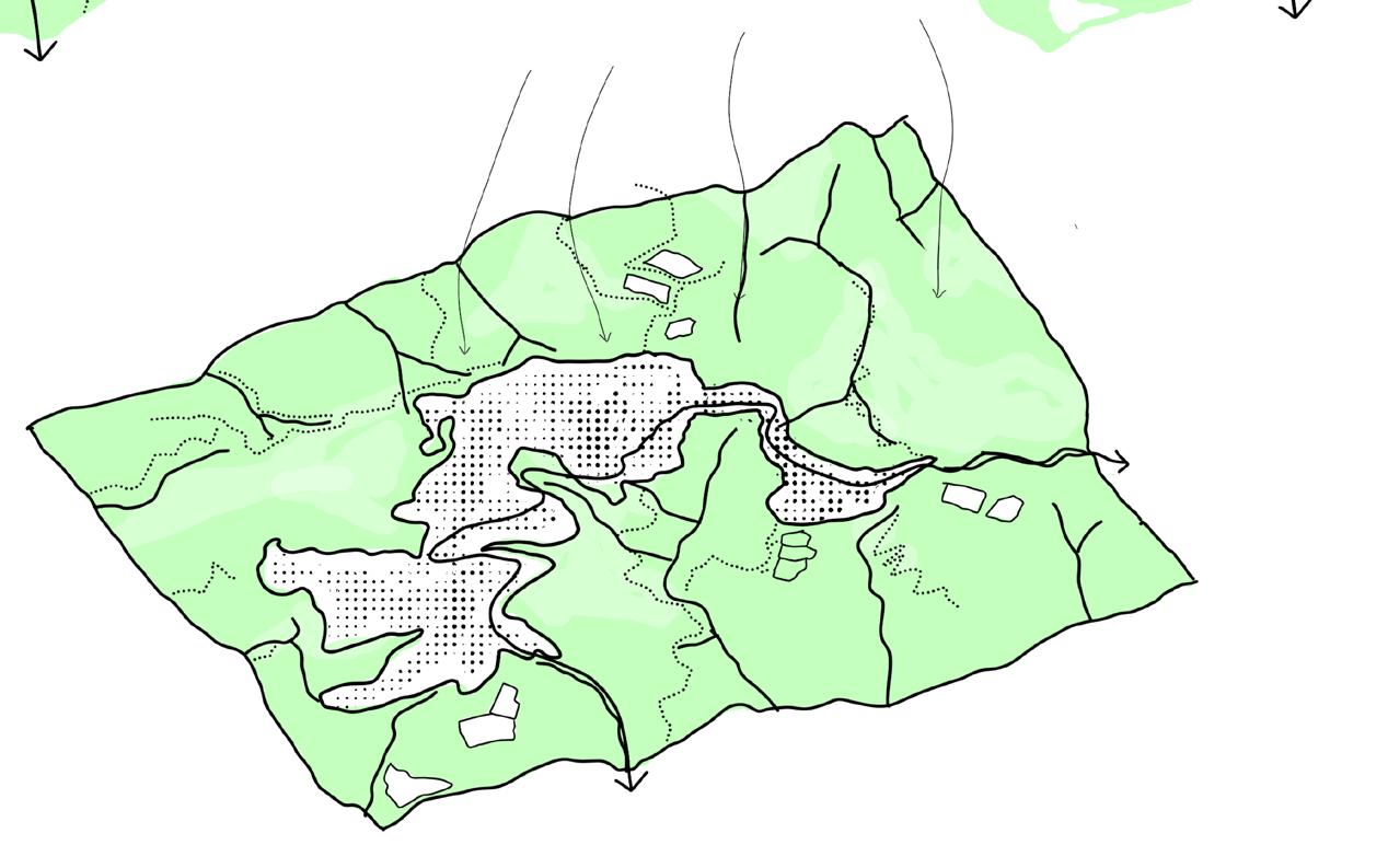
Inspired by Sardinia, one of the healthiest places on the planet and part of the so-called Blue Zones, this study explores how urban environments can become a foundation for healthier lives.
COMMISSION
Ingeborg Thoral
Irene-Luque Martin
Chris Romanos
HESSE DE JONGE
Academy of Architecture Amsterdam
Master Urbanism
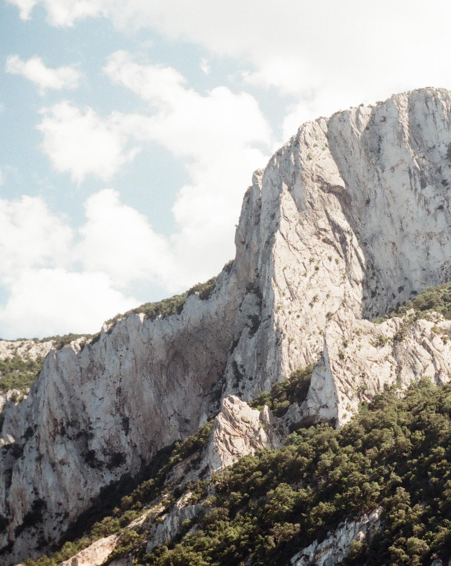
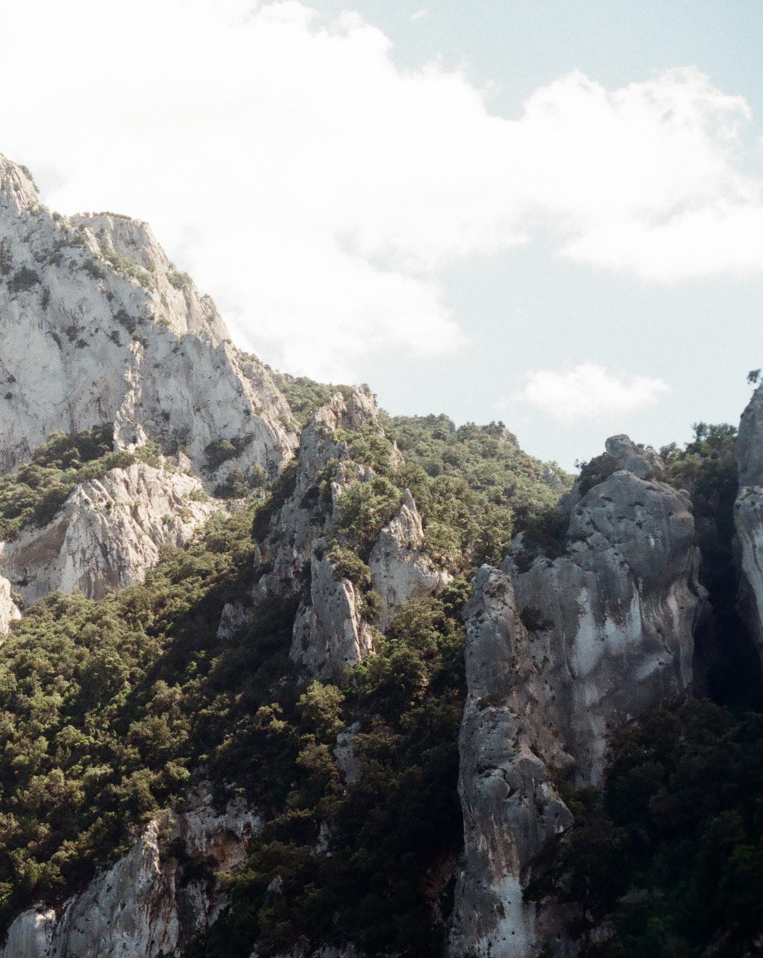
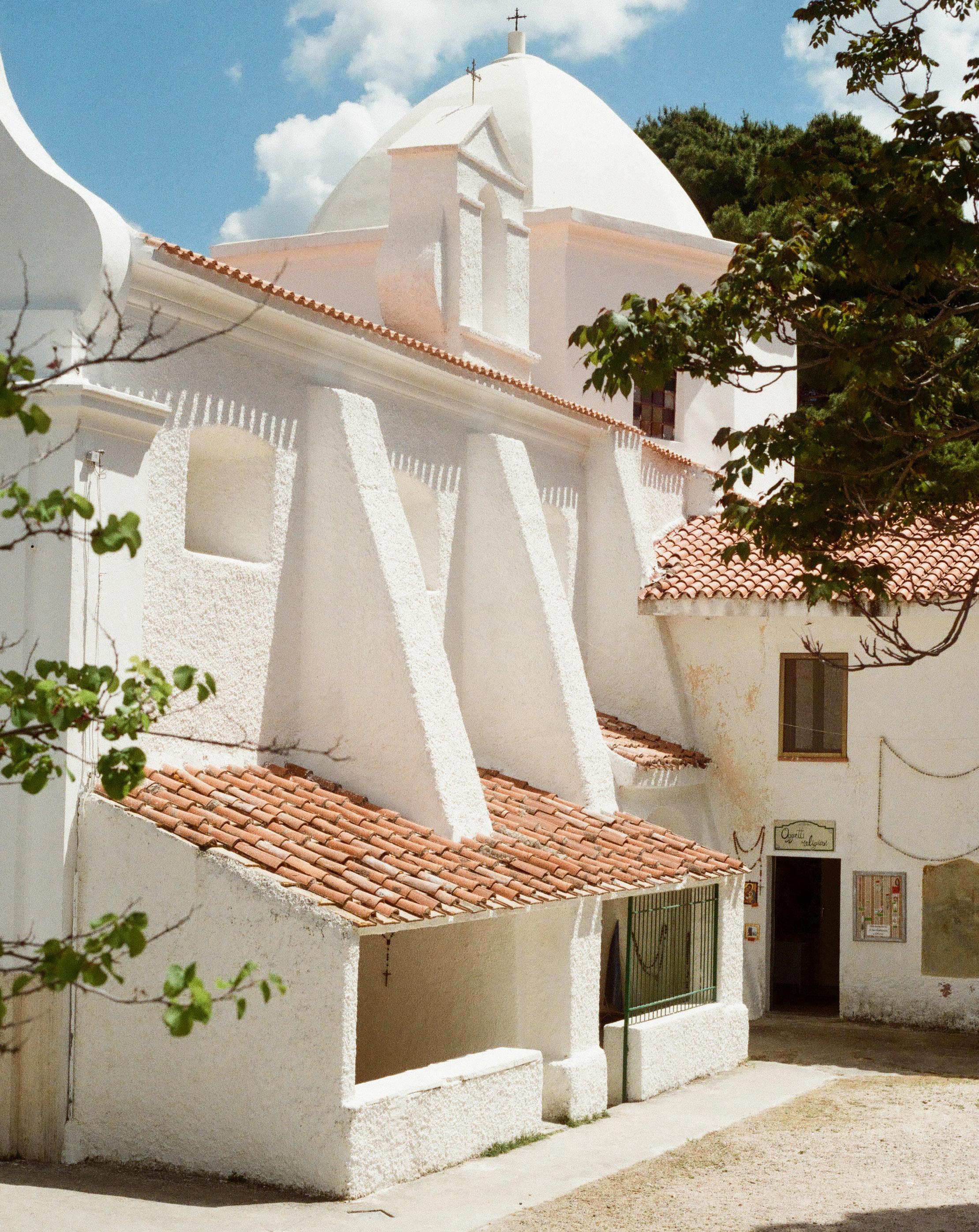
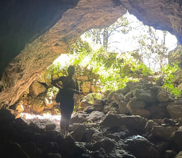
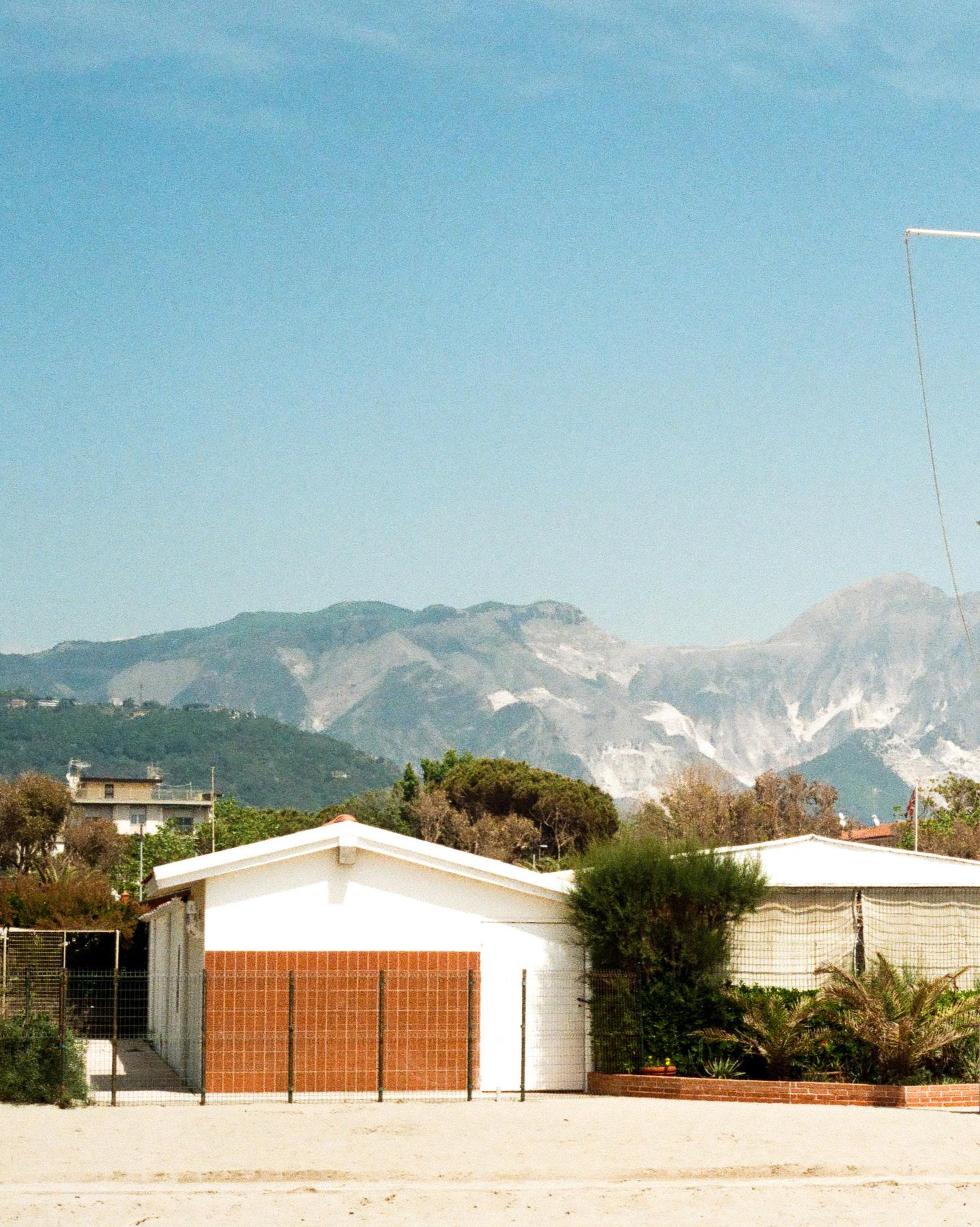
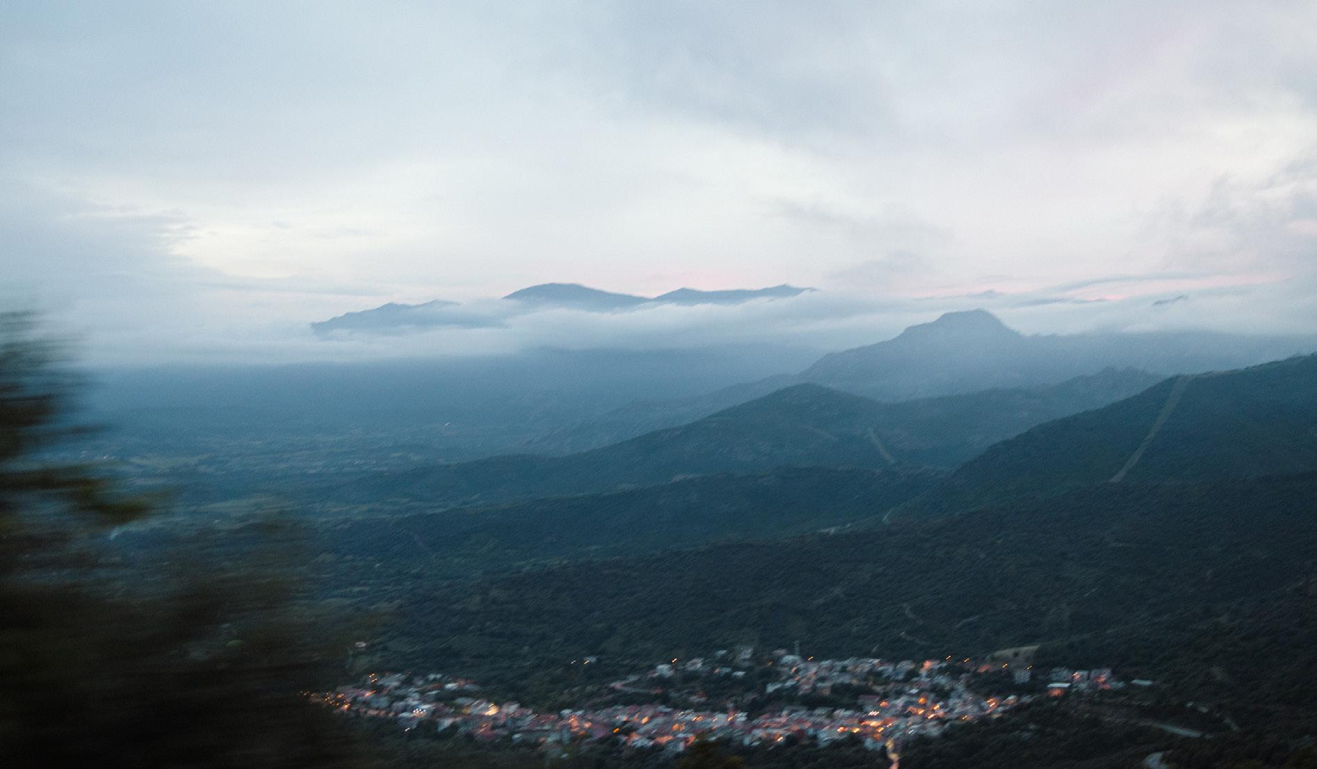
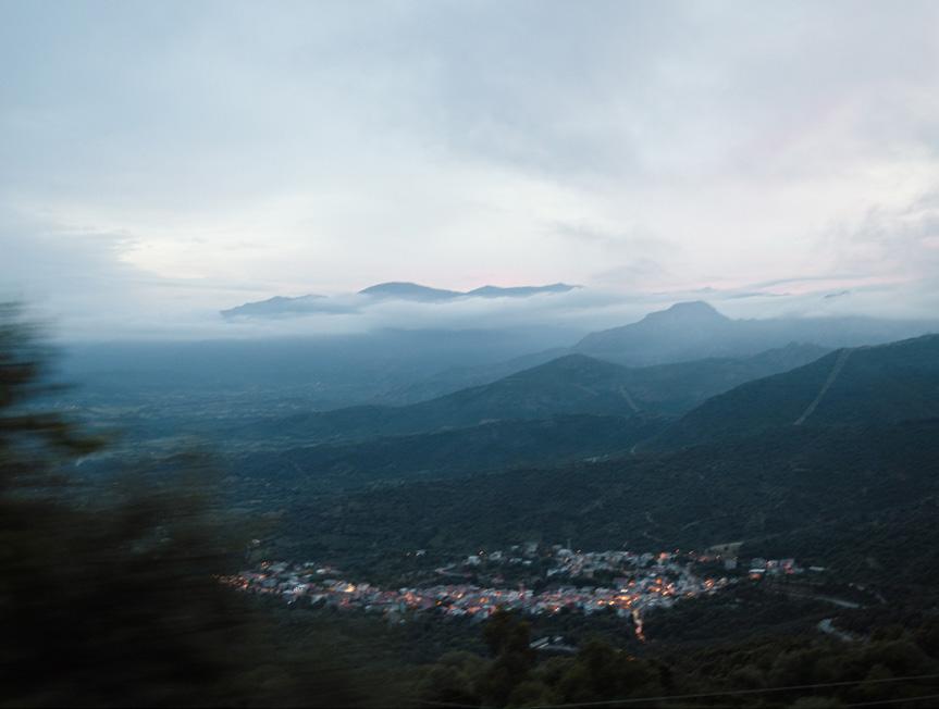
Trail Selvaggio Blu, Sardegna JUNE 2025 - 06:05 AM
Grazia Deledda Noi siamo Sardi
We are Sardinians. We are Spanish, African, Phoenician, Carthaginian, Roman, Arab, Pisan, Byzantine, Piedmontese.
We are the golden-yellow broom cascading along rocky paths like great lit lamps. We are wild solitude, immense and deep silence, the splendor of the sky, the white flower of the cistus.
We are the unbroken realm of the lentisk, of waves that murmur over ancient granite, of the wild rose, of the wind, of the vastness of the sea.
We are an ancient land of long silences, of wide and pure horizons, of dark plants, of mountains burned by the sun and by vengeance.
We are Sardinians.
We Are Zuidwest
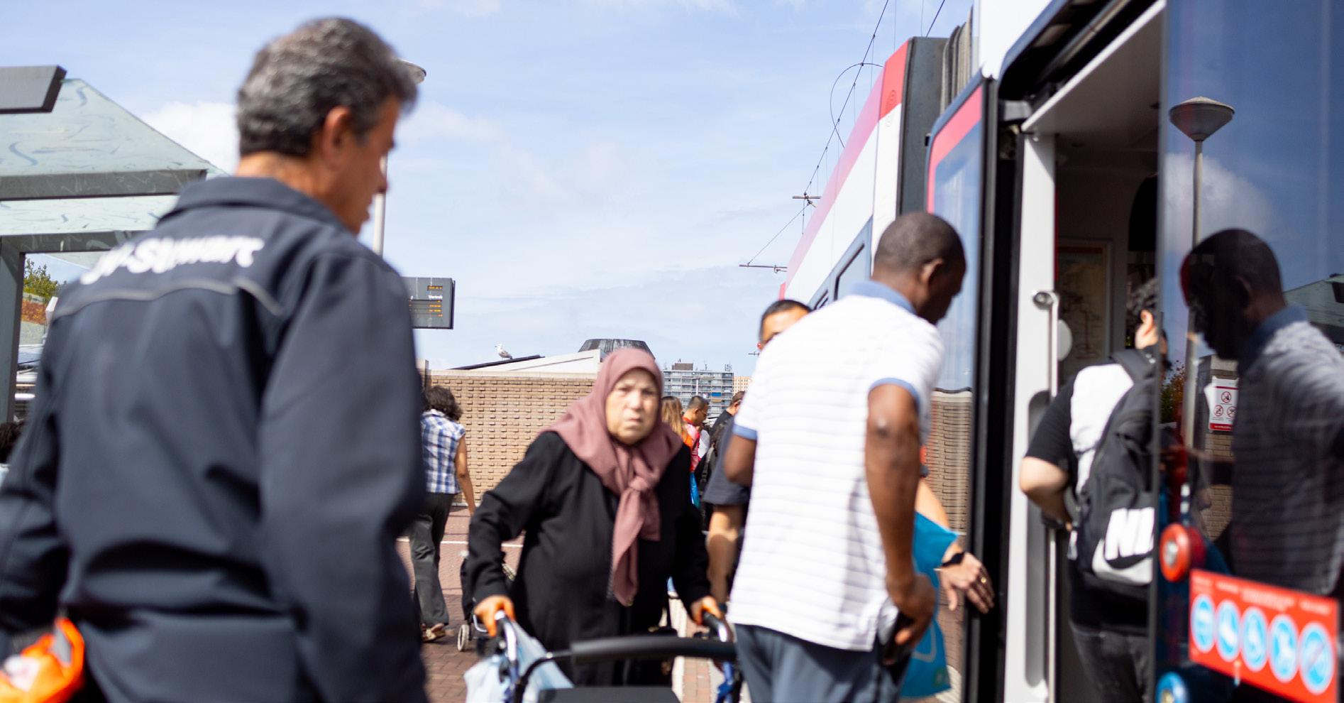
We are Zuidwest. We are Surinamese, Turkish, Moroccan, Antillean, Dutch, Polish, Syrian, and many more.
We are greetings at the school gate, hands carrying groceries upstairs. We are children playing between quiet courtyards, voices gathering softly in familiar rooms.
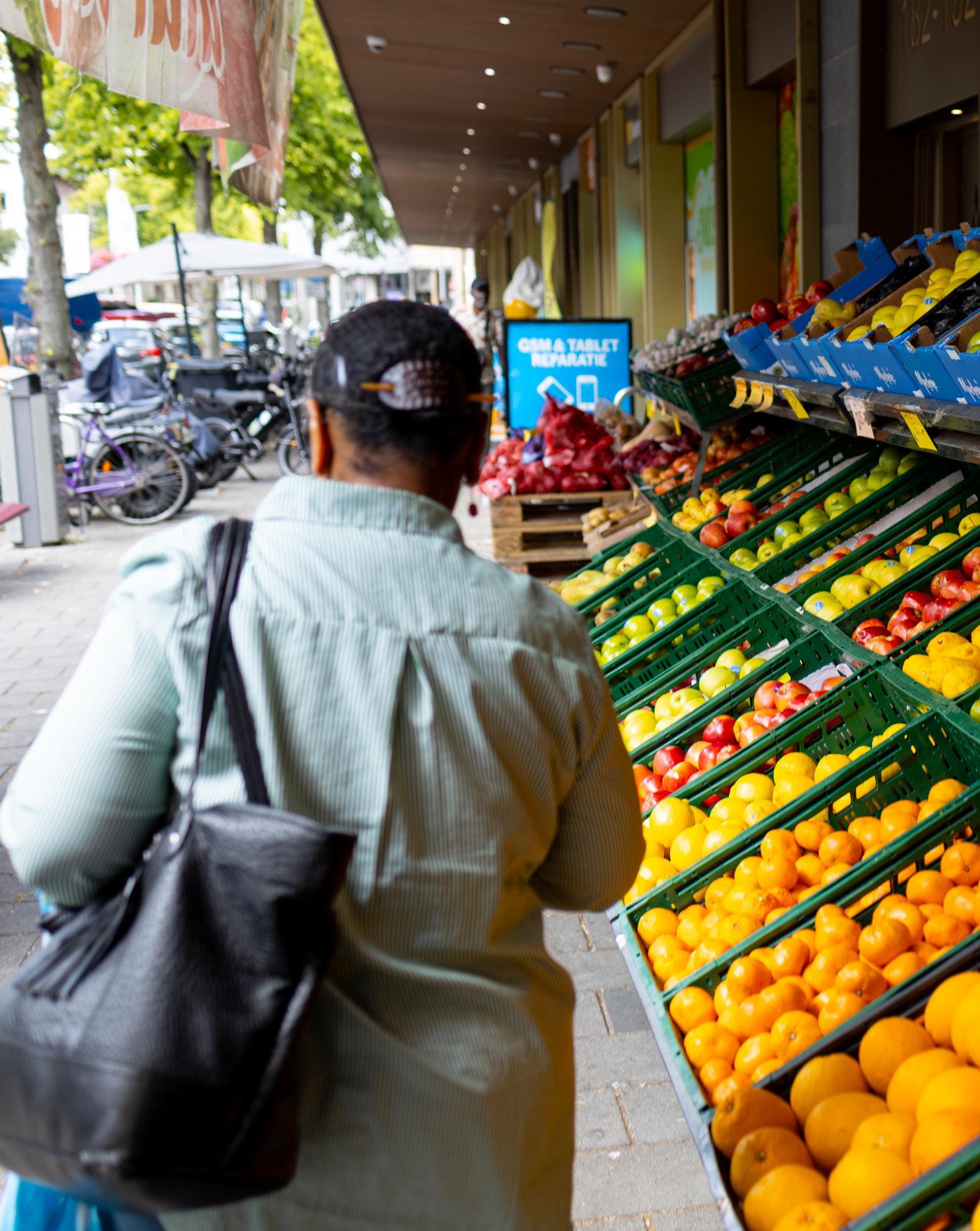
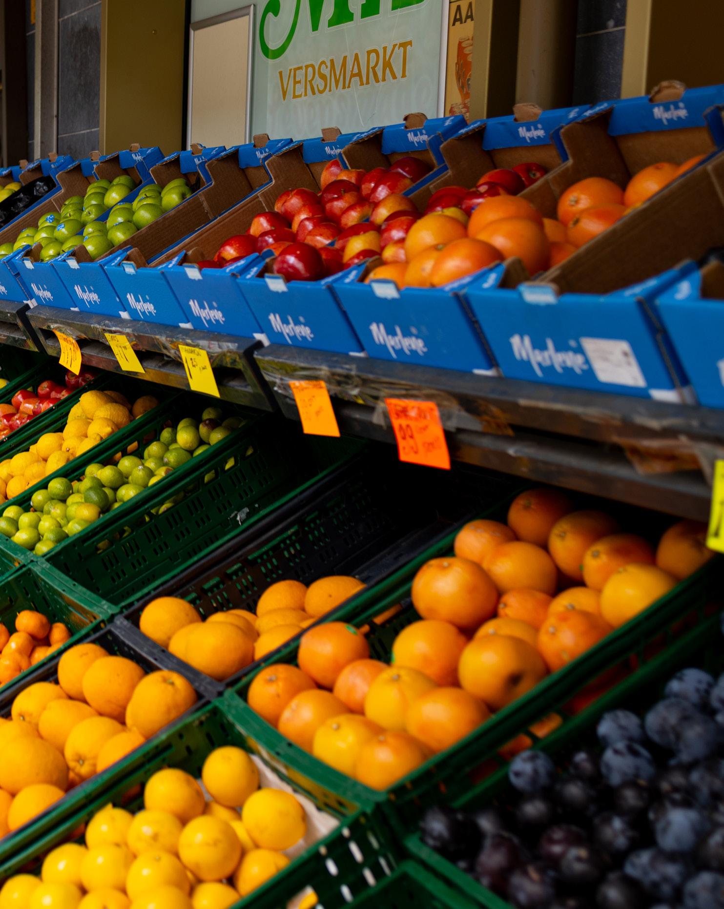
We are warm bread, fried fish and spices in the evening air, fruit piled bright like small suns, laughter drifting through open windows.
We are built on low wet ground, on polder wind and rain, on post-war light, air and space, with now and then a soft sea breeze.
We are cultures with deep roots and many branches, stories unfolding when doors open and tables are set, the quiet wish to know more.
We are Zuidwest.
ABSTRACT
CHAPTER 1. HEALTH BY DESIGN
1.1 A National Health Gap
1.2 Dudok and the Postwar System
1.3 Mega Densification as Turning Point
1.4 Why Zuidwest Can Shift
1.5 Reading Guide
1.6 Role and Position
CHAPTER 2. OGLIASTRA
2.1 Our house
2.2 Routines in Daily Life
2.3 Ogliastra as Spatial System
2.4 Principles
CHAPTER 3. THE HEALTHY CITY
3.1 Health as Urban Outcome
3.2 From Ogliastra to Healthy City
3.3 The Healthy City Across Scales
3.4 Health as urban system
CHAPTER 4. ZUIDWEST
4.1 Zuidwest as Critical Moment
4.2 From Polder to Postwar District
4.3 The Current System
4.4 Design Leverage Points
4.5 Lived Reality and Everyday Resilience
4.6 The system
4.7 Personas as Operational Tool
4.8 The Lesson from Zuidwest
CHAPTER 5. TO FLOURISH
5.1 Healthy corridor
5.2 Transforming the Existing Fabric
5.3 Zones of Daily Life
5.4 The Community Garden as Proof of Concept
5.5 Sequencing the Transformation
5.6 Conclusion 8 LESSONS
In Amsterdam and at work, I see how fast everything has started to run. Work pressure is high, and mental strain is no longer abstract. You can read it in tired faces, short tempers, people who are simply depleted. I like working hard, but I also notice that the best ideas only appear when there is time to think, reflect, and step back. That space is getting rarer, and I feel the consequences around me as well.
For me, the burnout peak has become a clear sign that the everyday rhythm many people live in is structurally unsustainable. We live in a culture where productivity and performance are often treated as the main measure of value, and where even in casual settings we quickly ask each other what we do. That mindset shapes the body and the mind. It is not only about being busy, it is about a way of living that leaves little room for recovery.
At the same time, I notice a growing loss of social connection. People live closer together, yet often move past one another. Neighbours do not know each other, routes are mainly functional, and places to pause and stay are limited. In that situation, health becomes something you have to manage on your own. The reaction is visible everywhere: a growing focus on sport and extreme lifestyle optimisation. Many people want to feel better, but they are looking for tools inside a daily system that does not support health by default.
Contact with nature is part of the same urgency. I experience how quickly your baseline can shift when you spend time outside, when you are surrounded by greenery, wind, water, changing light. At the same time, I see how a whole generation of children grows up with less everyday access to nature. Playing shifts indoors, routes to school are less inviting,
and “being outside” becomes something you plan, instead of something that sits inside your daily routine. With that, we also lose something basic: learning through outdoor life, a relationship with seasons and landscape, and a body that moves without it needing to be called sport.
This is why I believe we need a more systemic change in which health is institutionally embedded. Not as a campaign, and not as an individual discipline, but as a foundation for how we organise living, work, education, and leisure. With ageing, that becomes even more important. If we want older people to remain independent longer, and if we want healthcare costs to stop expanding into one of the biggest public expenses, then prevention has to become part of everyday life. That requires neighbourhoods with a real social safety net, public space that supports encounter and movement, and nearby green and water as a normal part of daily routines.
My motivation as a designer comes directly from this. I want to show that healthy living is not only shaped by individual choices, but also by the environments we build. Streets, squares, parks, school routes and courtyards structure rhythm. They influence whether you walk or sit, whether you meet someone, whether you can recover, and whether nature is close enough to become part of daily life. If we design these conditions well, healthy behaviour depends less on willpower. It becomes more likely to happen naturally, through small repeatable moments, across work, education and neighbourhood life.
Thank you for you time to read my thesis, be nice, be healthy.
Let us talk soon, Hesse
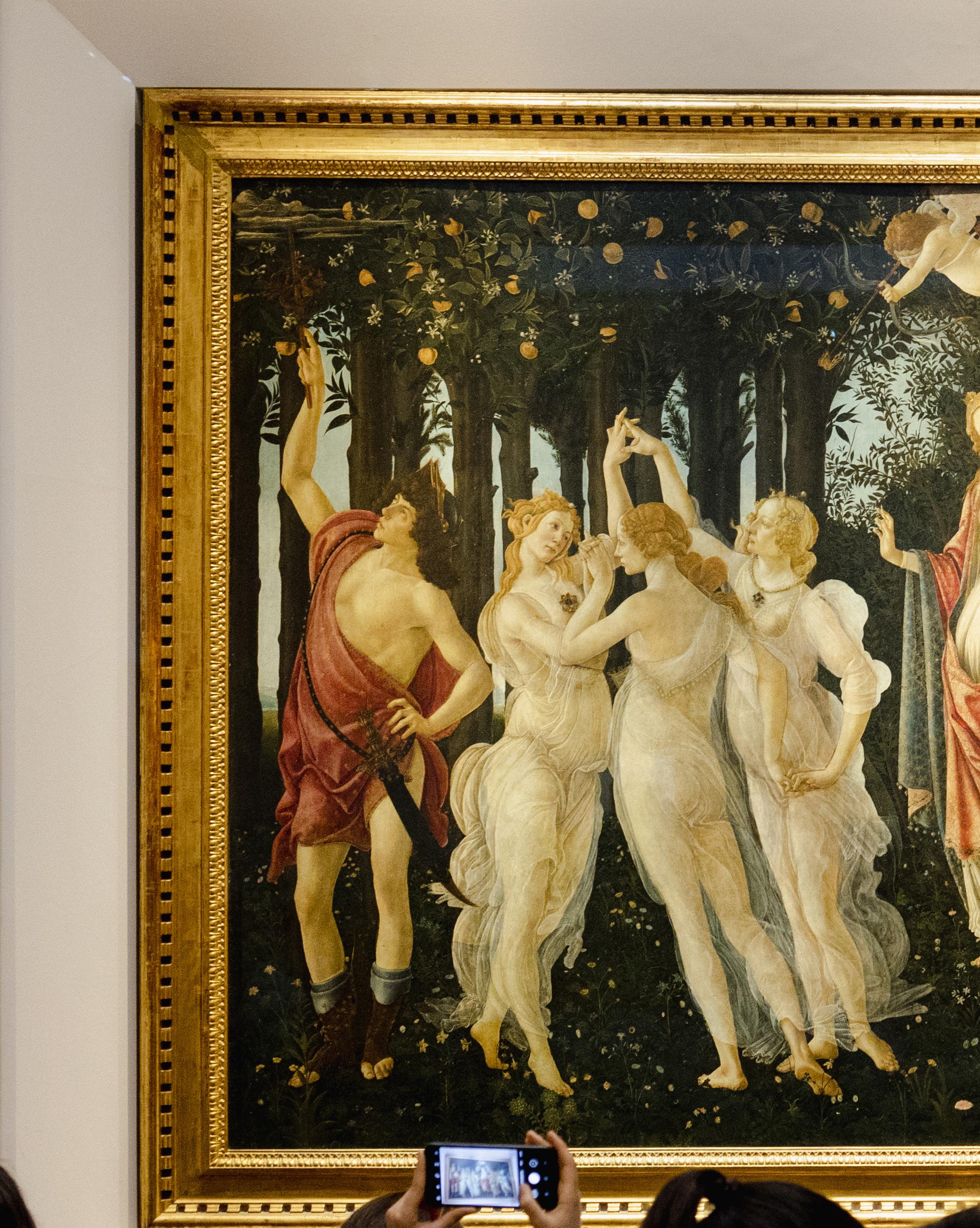
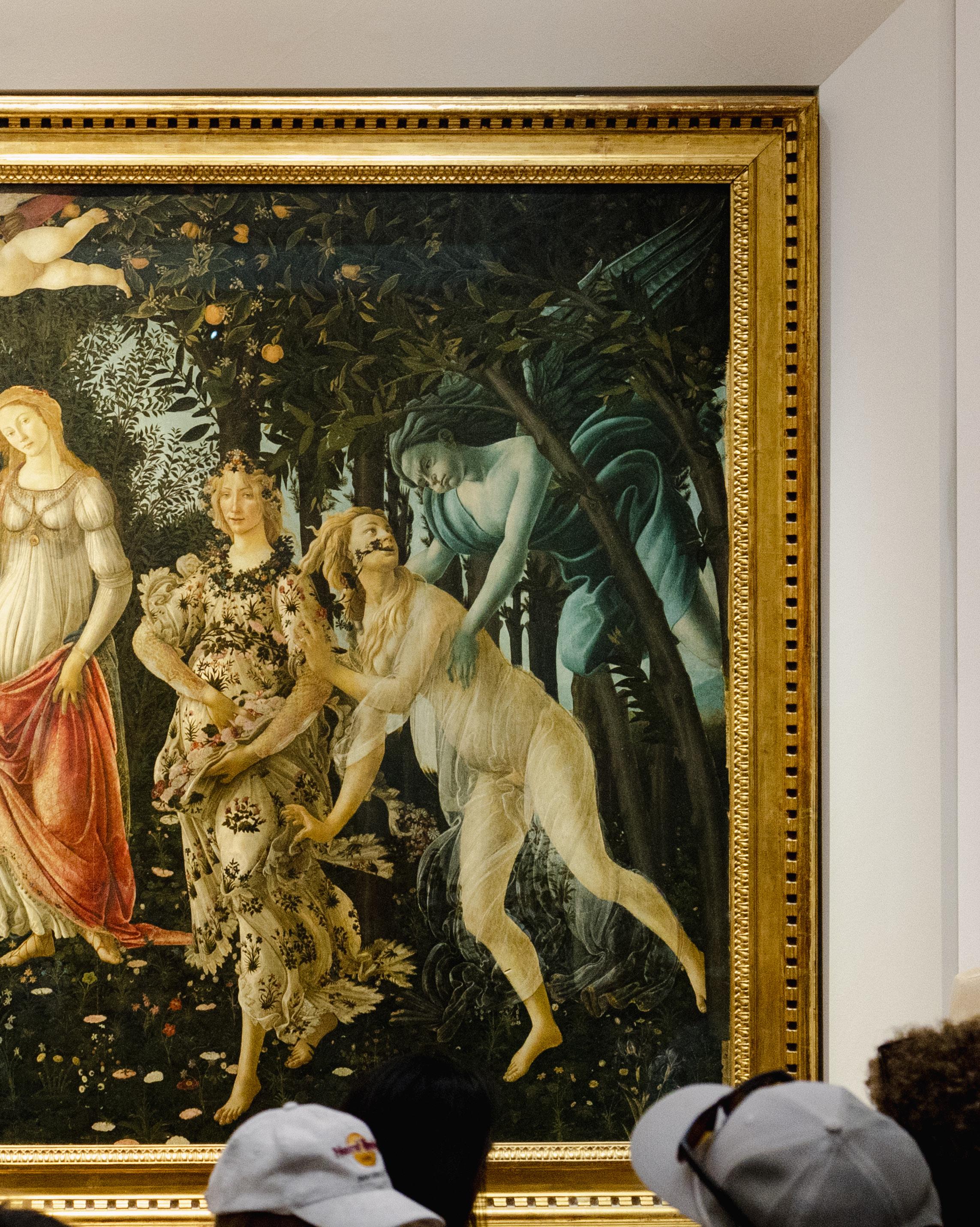
In Botticelli’s Primavera, this interweaving between people and their environment is also strongly felt. Spring is portrayed through mythological figures, with the 138 different plant species acting as counterparts in the scene. Botticelli not only foregrounds the relationship with the surrounding world, but also the inner balance of the human being. On the left, the Three Graces embody virtue; on the right, we see a pursuit of transformation and completion; and at the centre stands Venus as a symbol of balanced love. Balance appears as a core condition of life.
In the cities of Tuscany and in the Blue Zones, that balance between body and mind, and between people and place, also seems deeply rooted. Modernisation is embraced, while identity and cultural layering remain present.
ABSTRACT
To Flourish is a design-led research project that investigates how spatial design can strengthen health and life expectancy in post-war neighbourhoods under heavy densification pressure. The project is grounded in the conviction that health is not produced by buildings alone, but by the everyday environments in and between them: streets, parks, courtyards, thresholds, and the informal places where people move, meet, pause, and recover. The case study is Den Haag Zuidwest, a district where health disadvantages are persistent and visible, while major renovation and housing growth are planned at scale. In this context, densification is not only a quantitative housing question, but a systemic question: what kind of daily life is produced when thousands of dwellings are added, and what routines become normal as a result?
The central research question is: to what extent can designing with health as a leading principle generate a densification strategy that makes Zuidwest not only denser, but structurally healthier and more resilient over time?
Methodologically, To Flourish combines ethnographic fieldwork, participatory observation, and urban design research. A two-month period of design ethnography in Ogliastra, Sardinia, within a recognised Blue Zone region, provided a contrasting reference frame. Rather than treating longevity as a “lifestyle recipe,” the fieldwork examined health as a lived condition shaped by spatial and social systems. Through sustained presence, daily observation, and conversations with local residents and experts, the research revealed how health becomes ordinary where everyday life is organised by repeating conditions: proximity to landscape, low-threshold movement
embedded in routines, frequent informal social contact, and a lived sense of identity and belonging. These insights were not copied as a model, but used to sharpen the understanding of mechanisms that stabilise wellbeing across decades.
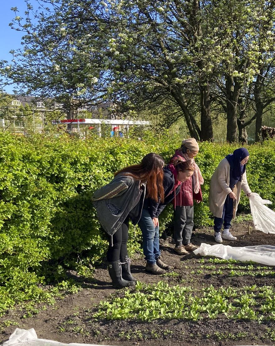
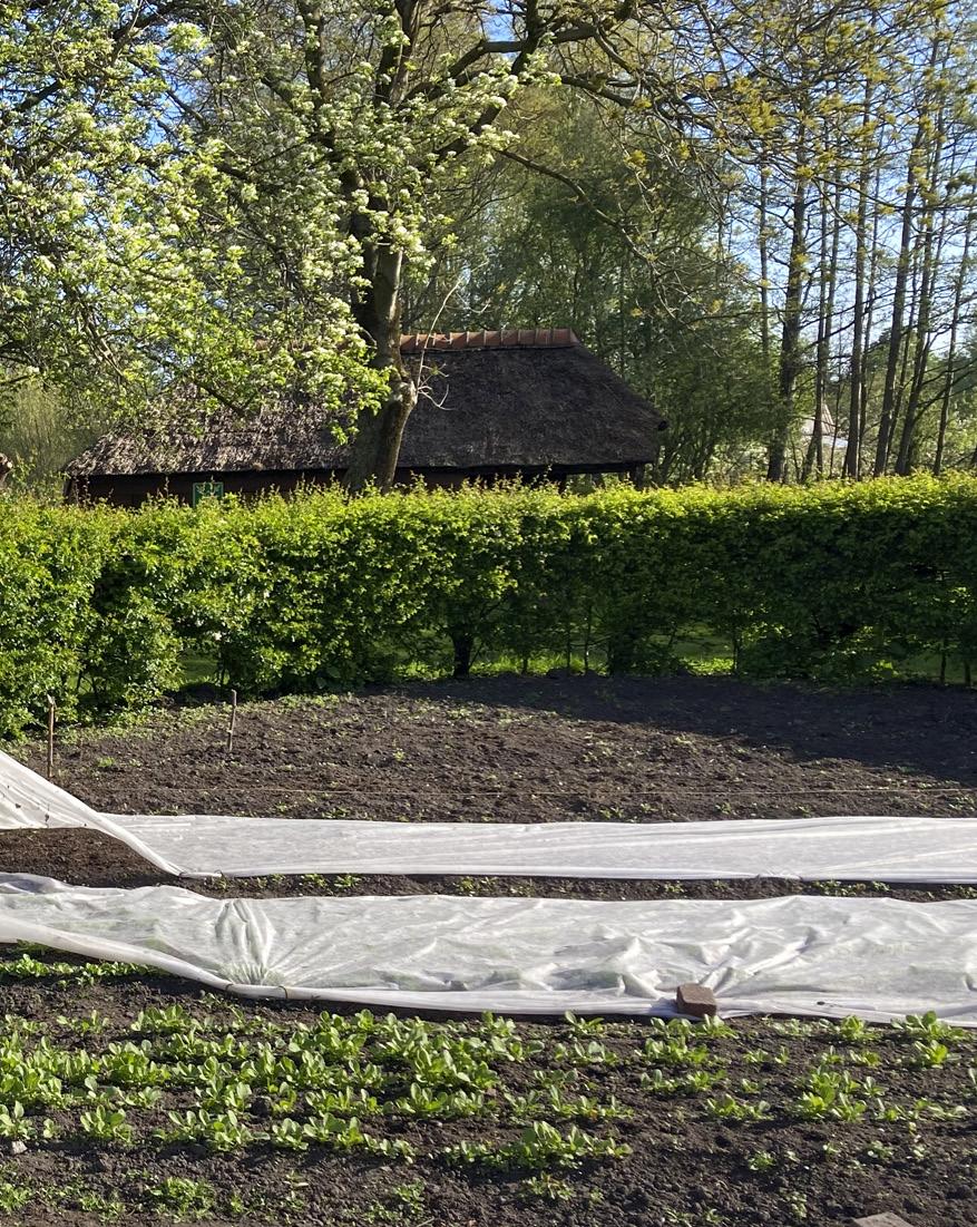
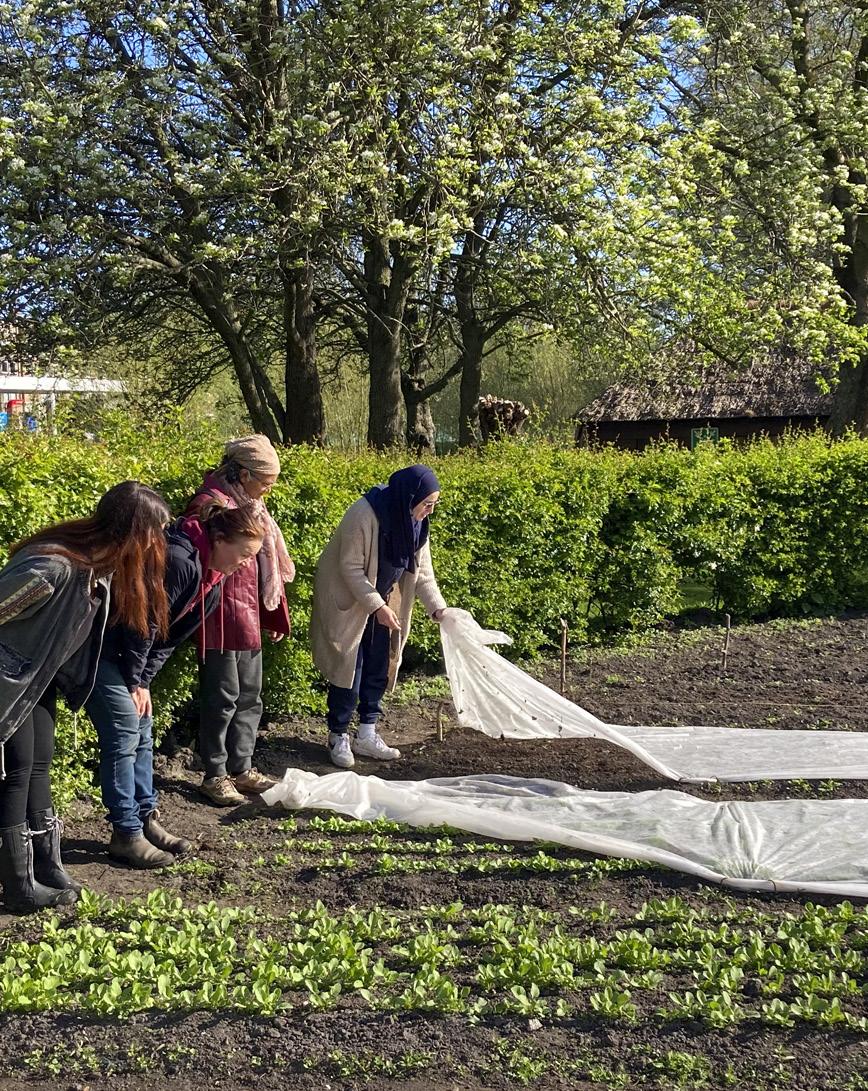
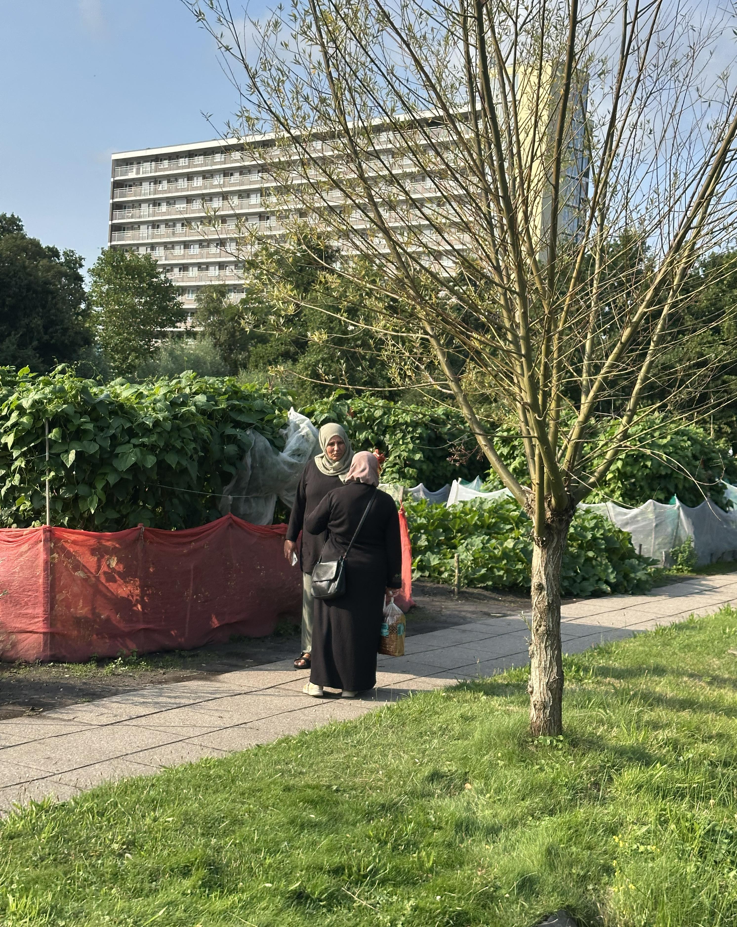
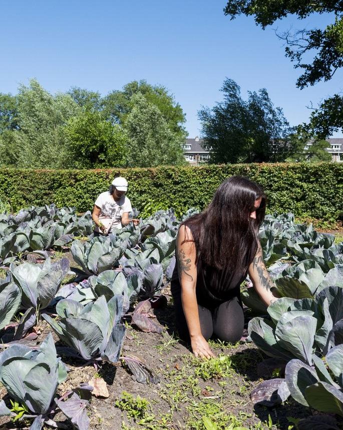
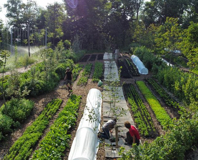
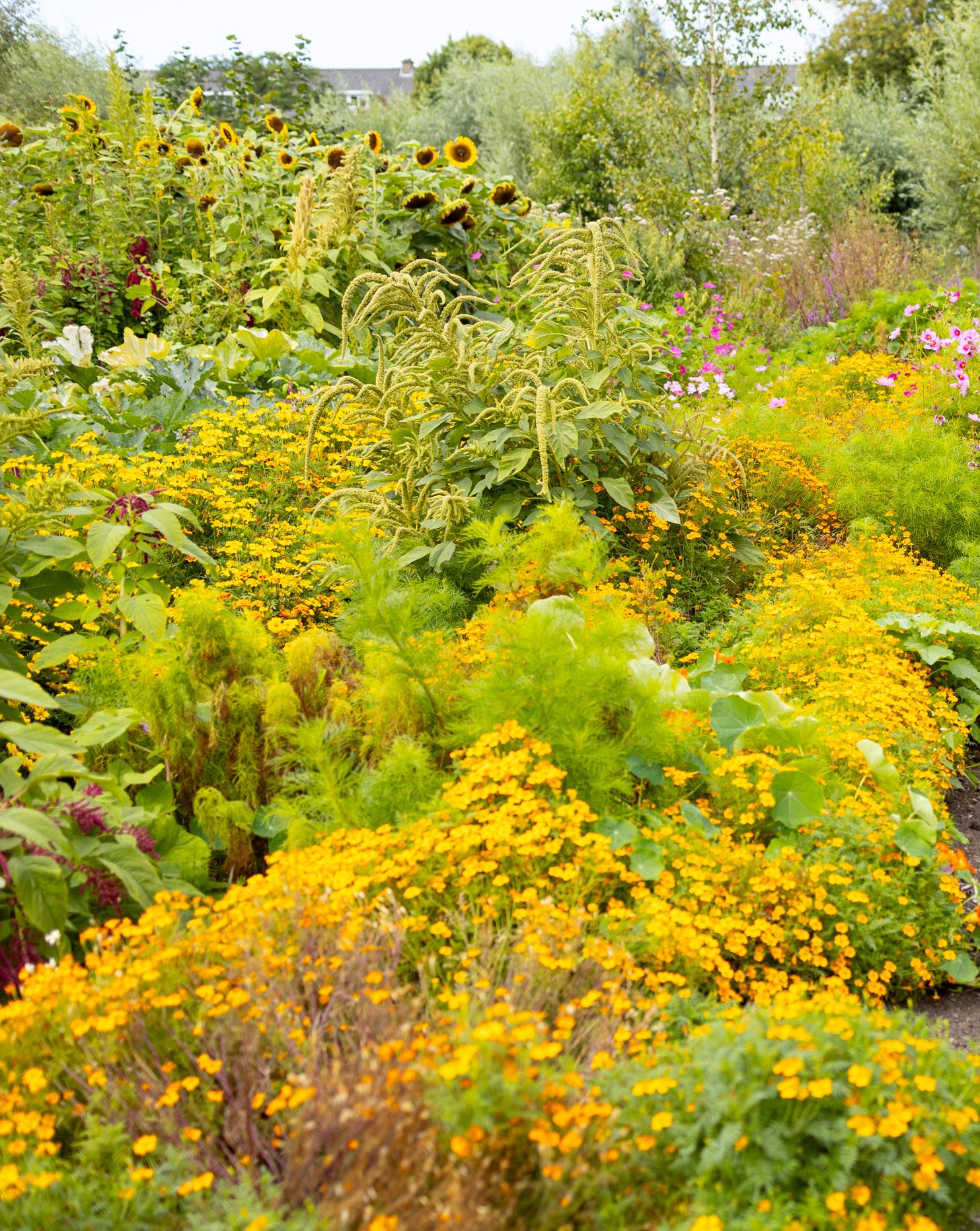
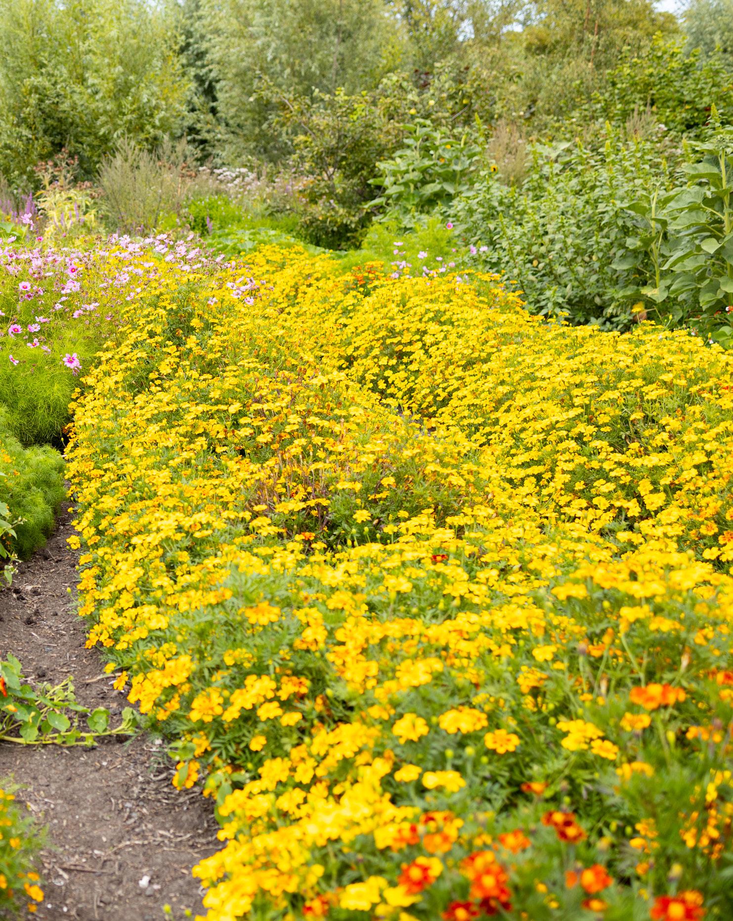
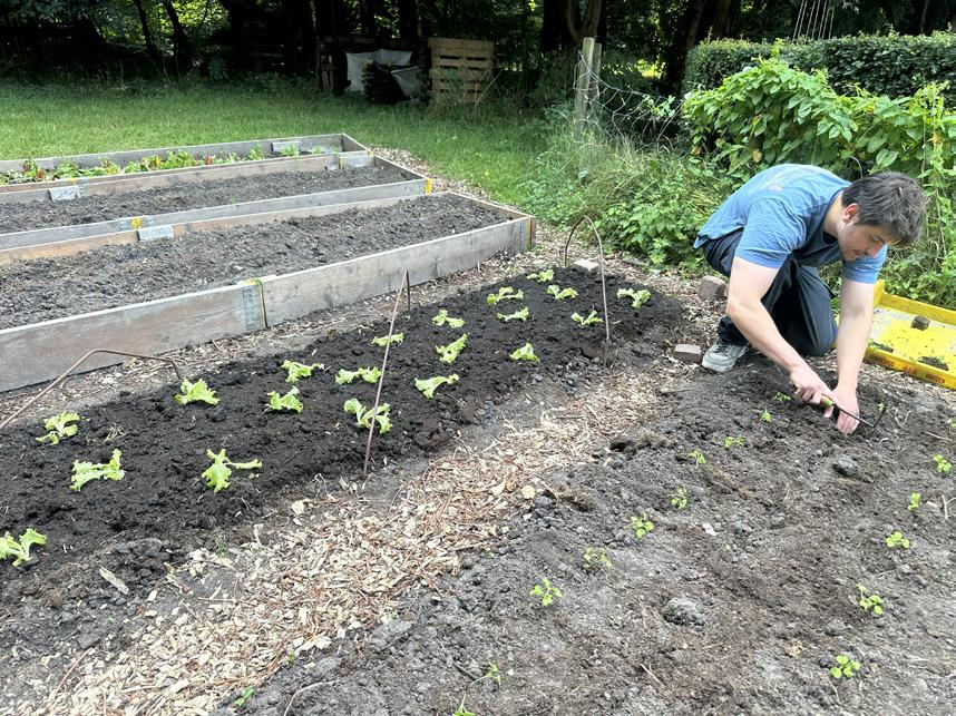
In parallel, the project is deeply anchored in Den Haag Zuidwest through prolonged immersion in the district’s everyday reality. By spending time in public and collective spaces, participating in local initiatives, and working in a community garden that produces food for the food bank, the research developed a situated understanding of how health is shaped by stress, housing quality, social infrastructure, and the usability of public space. The community garden became a key “working fragment” that demonstrated how health can emerge as a by-product of everyday practice when conditions are right: a clear rhythm, shared responsibility, light but constant movement, low-threshold encounter, meaningful contribution, and local ownership.
These two strands are brought together through a holistic health definition aligned with the WHO understanding of health as physical, mental, and social wellbeing. A core finding is that many urban health approaches become fragmented because they focus on what is easiest to measure, while mental resilience, social connection, and belonging remain secondary. To Flourish positions health as a systemic outcome shaped by the way environments organise daily life, and therefore as a designable spatial agenda.
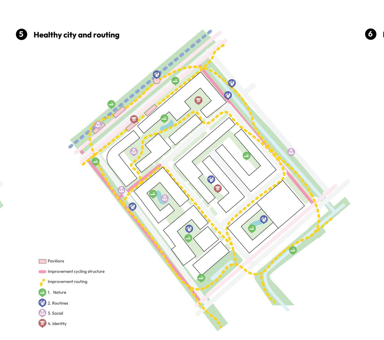
To make this systemic approach operational for urban design, To Flourish develops a framework of four interdependent principles: connection to nature, healthy routines, social
infrastructure, and layered identity. These principles are translated into spatial logic across three interlinked scale levels:
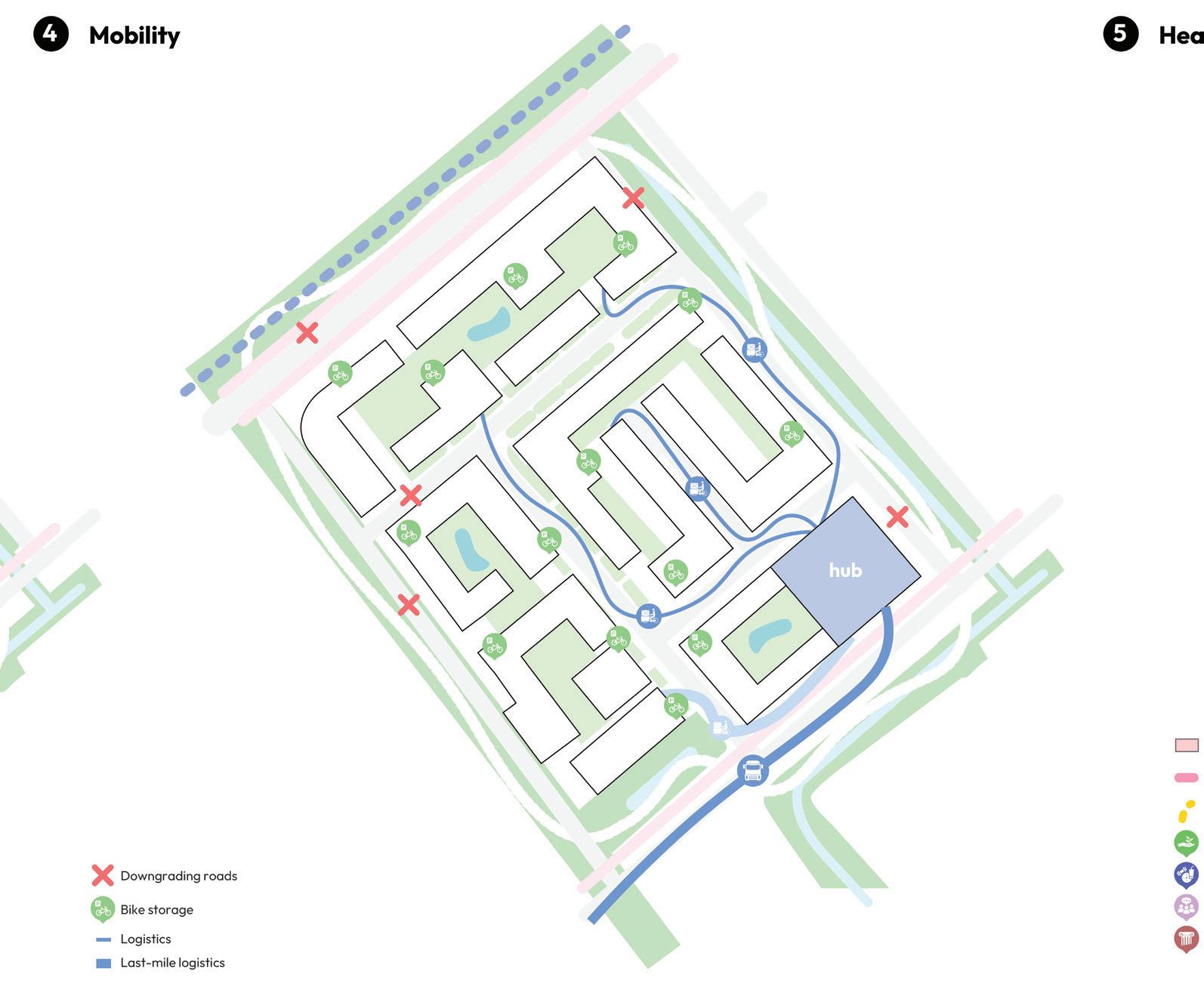
At the system level, the project focuses on the large carriers that organise daily possibilities: green-blue structures, mobility networks, access to regional landscapes, flows of water, food, energy, and the locations where these flows can land in ways that support everyday life.
At the public space level, the framework becomes tangible through the quality of routes, thresholds, and places where people walk, cycle, wait, play, meet, and recover. The emphasis lies on repetition and proximity, since healthy behaviour becomes durable when it is made easy and normal.
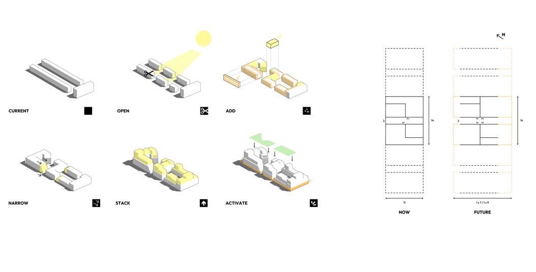
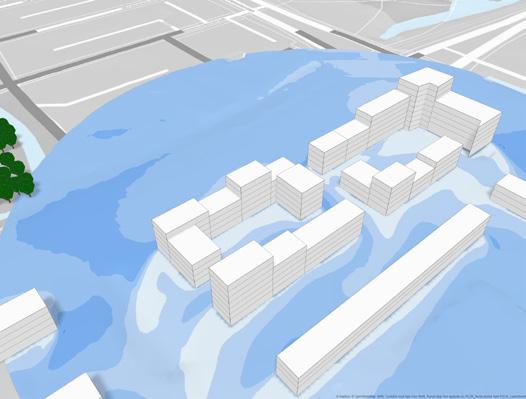
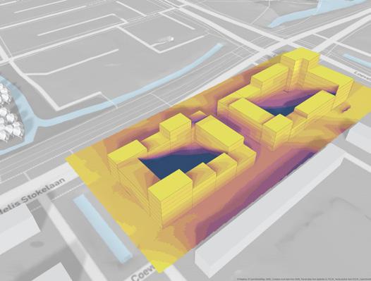
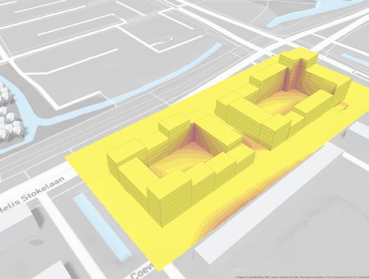
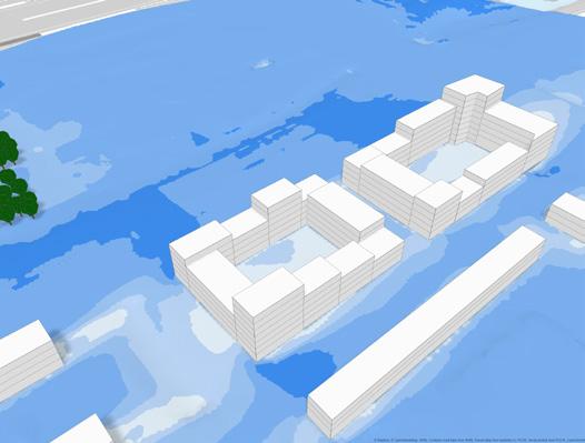
At the urban block level, health is anchored in living itself through typology and everyday thresholds: courtyards as collective in-between spaces, active and adaptable ground floors, gradual transitions between private and public, microclimate comfort, and flexible housing strategies that strengthen continuity rather than erase it.
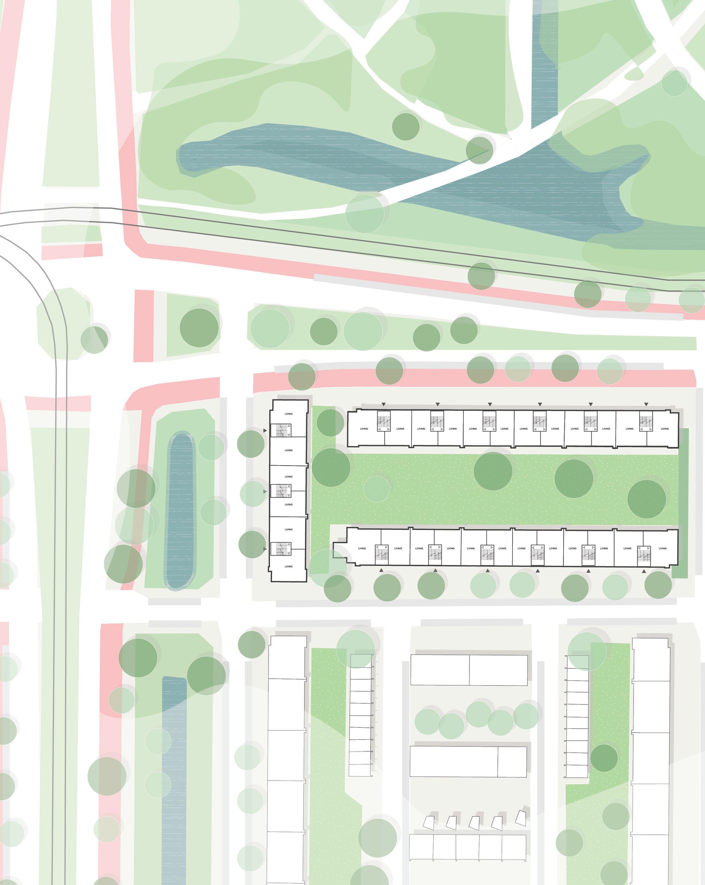
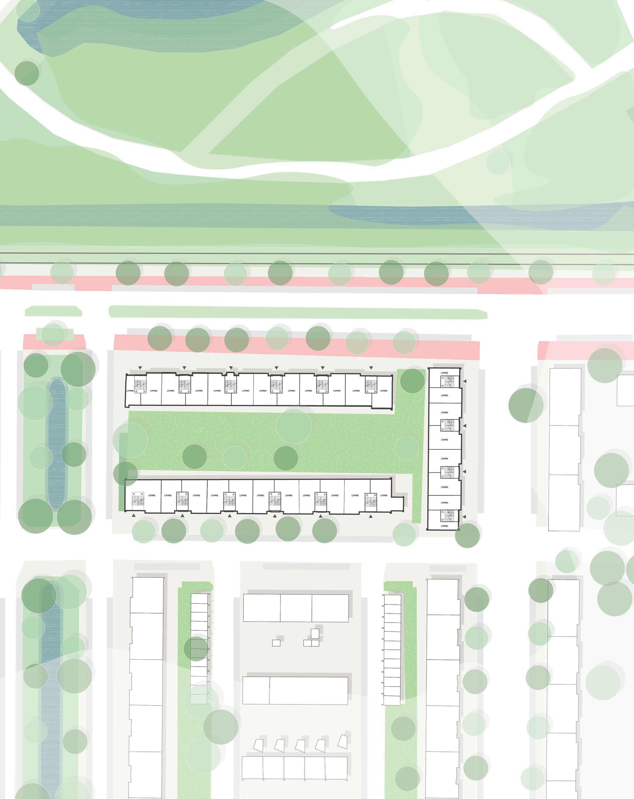
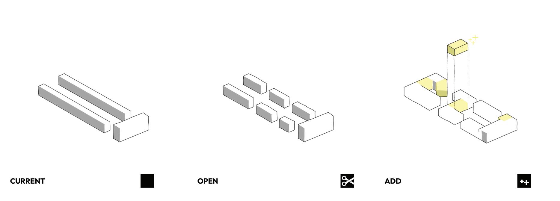
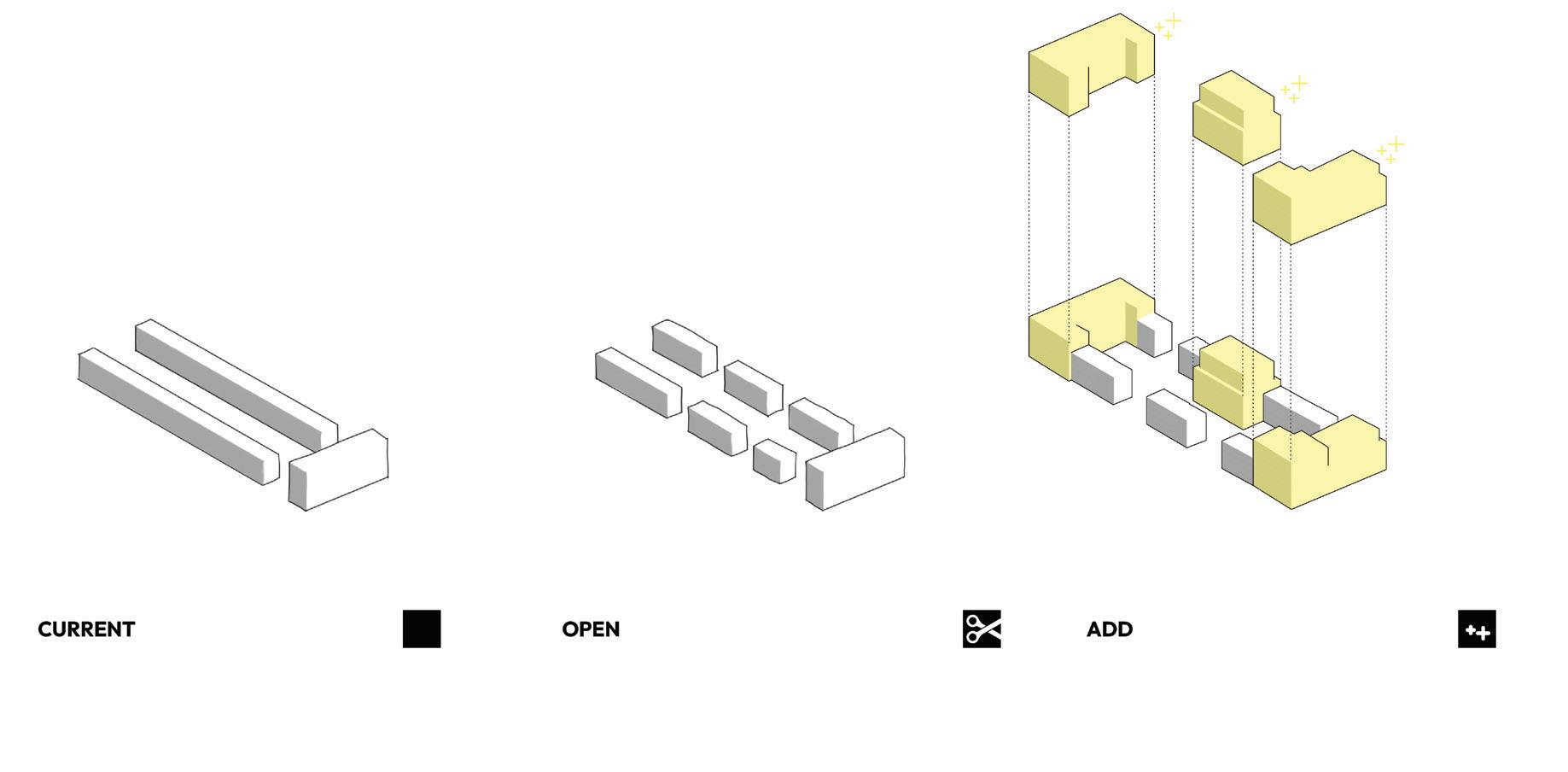
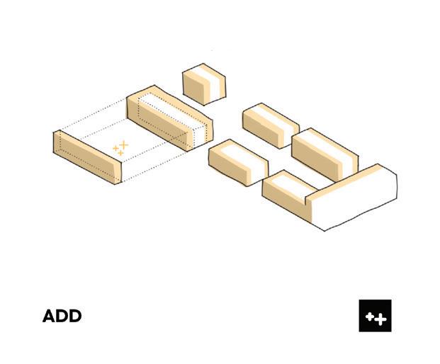
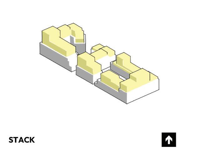
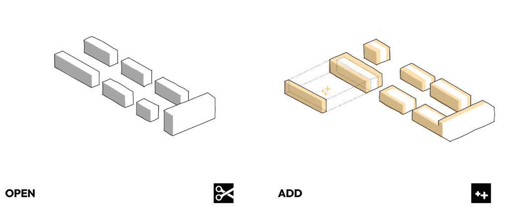
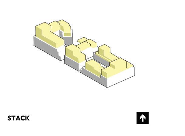
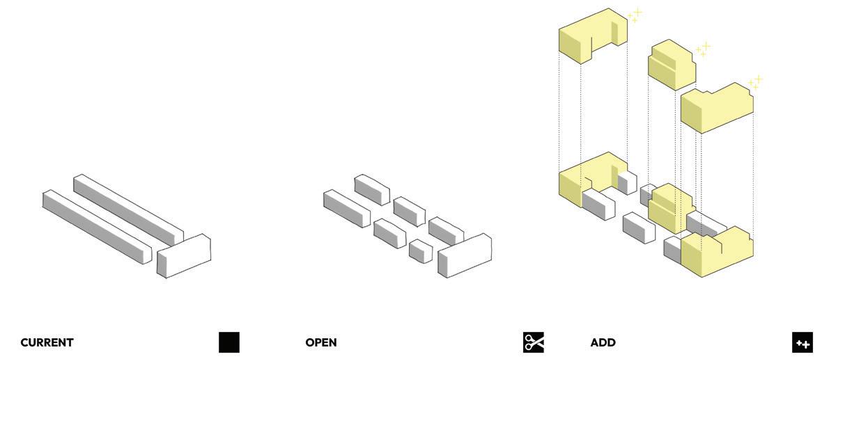
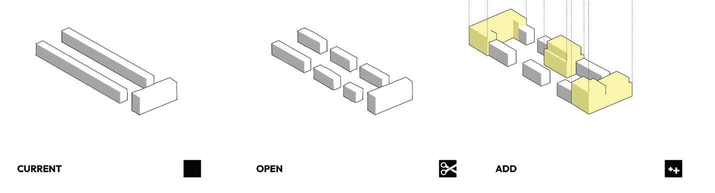
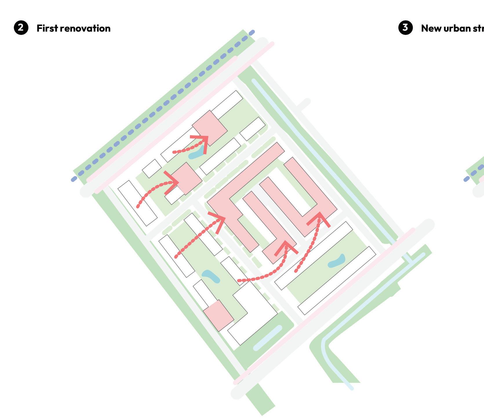
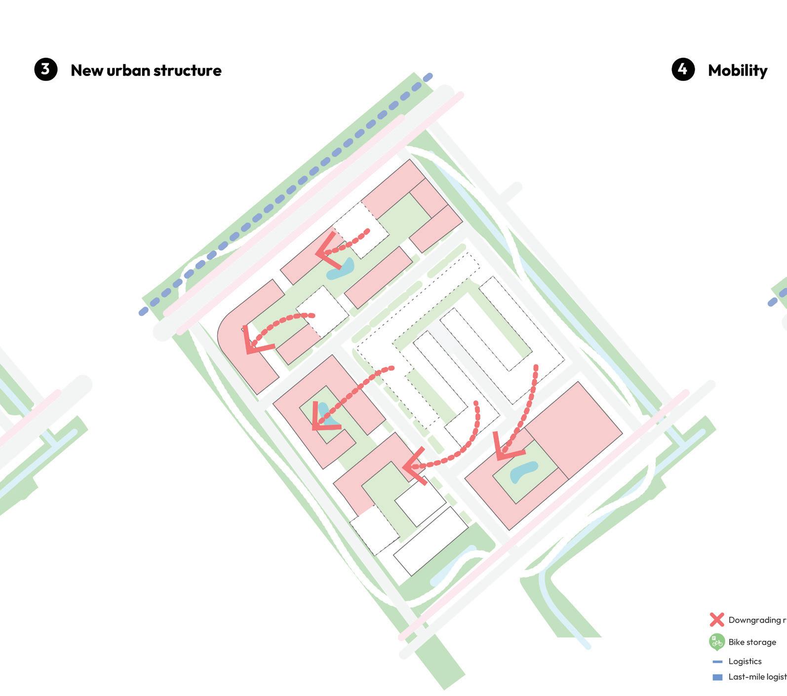
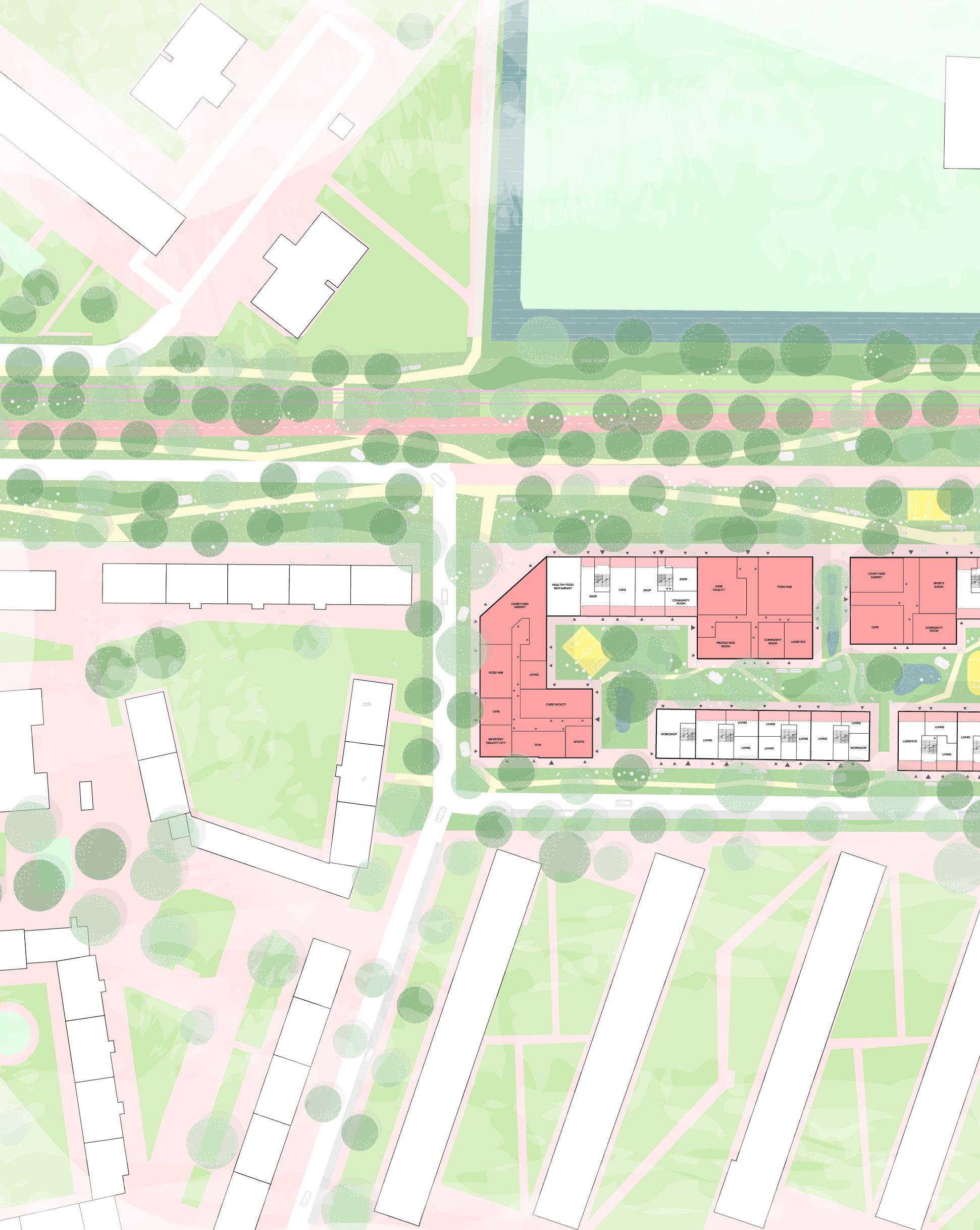
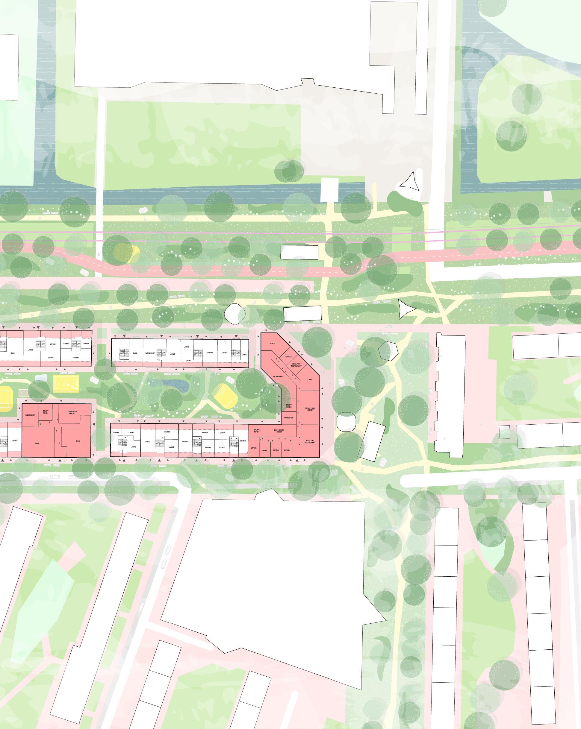
The design proposal for Zuidwest in 2035 applies this framework to a densification corridor and a set of block and public-space transformations. It treats densification as an opportunity to reorganise the relationship between buildings, public space, and the wider landscape, so that healthy routines can become the default without being imposed. The proposal includes a spatial strategy that combines transformation and addition: renovation and extension of existing housing, selective interventions to improve microclimate and usability of courtyards, activation of ground floors as
interfaces between systems and daily life, and a phased approach that sequences water and soil logic, mobility restructuring, and programmatic activation.
A key methodological feature is the use of persona as a design instrument to ensure the system remains inclusive and grounded in daily realities. Rather than designing for a single “ideal resident,” the project tests spatial decisions against different lived conditions and time horizons, including long-term residents, families seeking binding and safety, and temporary residents who are often overlooked in renewal processes. Persona make the framework concrete by asking: who can participate, how does a routine become repeatable, where does ownership emerge, and which thresholds create exclusion?
The ambition of To Flourish is therefore twofold. It proposes a spatial strategy for Zuidwest that aims to turn megadensification into a lever for health, social cohesion, and long-term resilience. At the same time, it develops a transferable design methodology for post-war districts across the Netherlands, where similar patterns of health inequality and densification pressure are present. The project reframes densification as healthled urban development: a practice where public space is not residual, but organising; where green and infrastructure are not supportive layers added after housing, but foundational systems; and where everyday life is designed to make movement, encounter, recovery, and belonging more likely, day after day.
HEALTH BY DESIGN
1.1 A NATIONAL HEALTH GAP
Den Haag Zuidwest concentrates some of the Netherlands’ starkest health inequalities within a single district. In Moerwijk, the healthy life expectancy reported in the local health monitor is more than a decade lower than in nondisadvantaged areas: a difference of 11.6 years for men and 13.8 years for women (GGD Haaglanden, 2014, 2015). Zuidwest is therefore not a local anomaly, but a clear case of a broader Dutch pattern in which persistent health gaps correlate with socio-economic pressure, housing quality, chronic stress, and the spatial organisation of everyday life.
The urgency is both economic and demographic. Healthcare expenditure continues to rise; in 2024 the Netherlands spent €113.5 billion on health care, approximately 10% of GDP (Centraal Bureau voor de Statistiek [CBS], 2025). At the same time, ageing increases pressure on the everyday care fabric: as the share of older residents grows, so does the need for proximity, informal support, and public space that enables people to remain independent for longer (RIVM/VZinfo, n.d.). Healthy ageing is therefore not only a medical concern, but also a spatial one. It depends on whether the living environment makes movement plausible in daily routines, supports recovery and stress regulation, and enables repeated encounter and mutual support close to home.
This thesis therefore departs from a holistic concept of health, aligned with the WHO definition that frames health as physical, mental, and social wellbeing rather than merely the absence of disease (World Health Organization [WHO], 1948/2006).
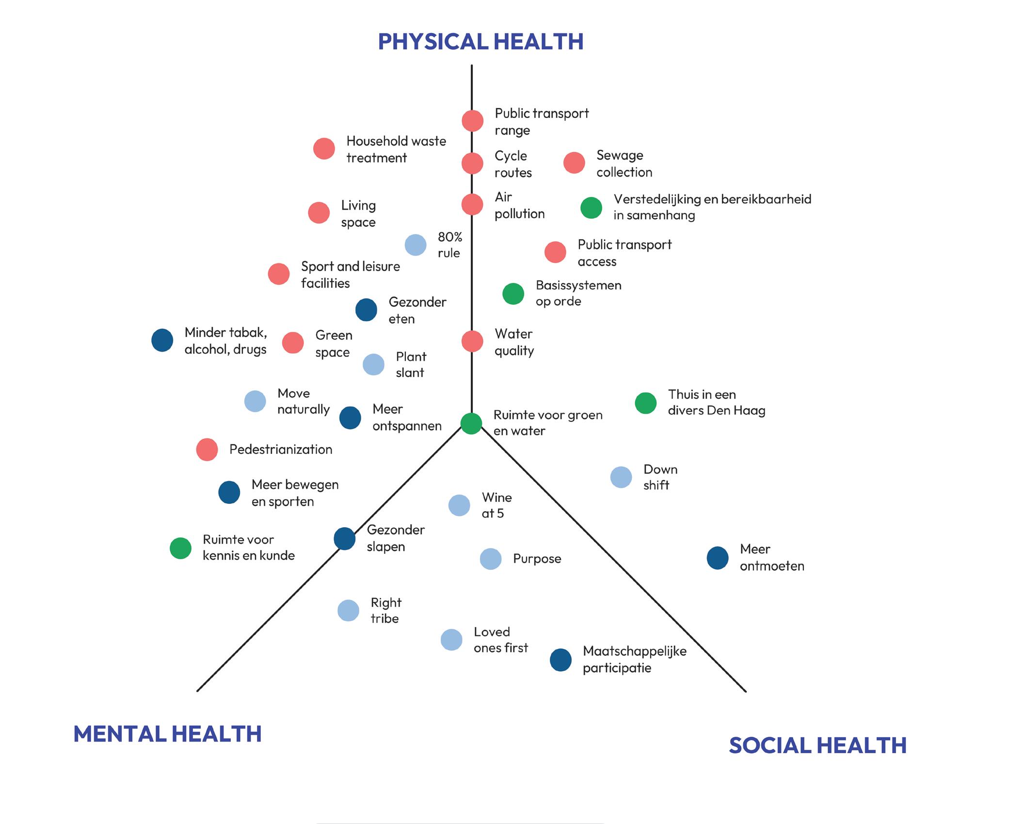
Because these dimensions continuously shape one another, they can also be approached spatially. Physical health is influenced by accessibility, route logic, and the proximity of everyday destinations. Mental health is shaped by calm, greenery, safety, and the ability to recover within the immediate living environment. Social health depends on places and thresholds that make repeated encounter, reciprocity, and informal support more likely. Dutch evidence further confirms that the physical living environment can either stimulate or hinder healthy behaviour, and that spatial conditions therefore play a direct role in health inequalities (RIVM, 2022).
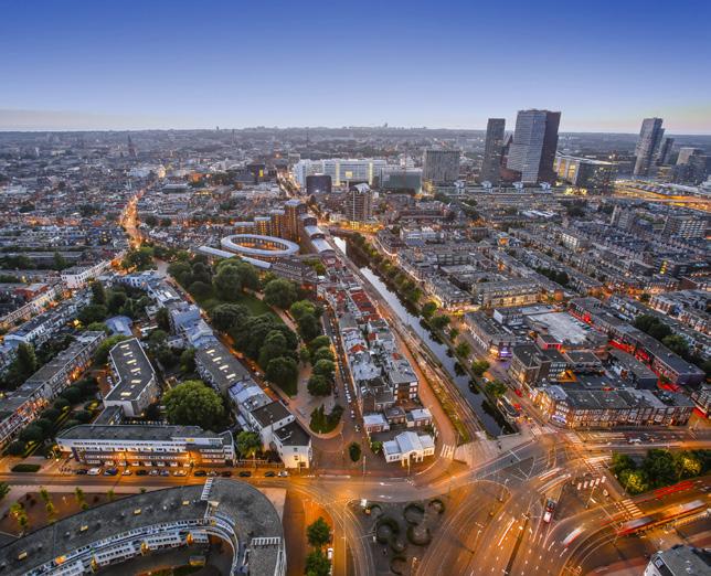
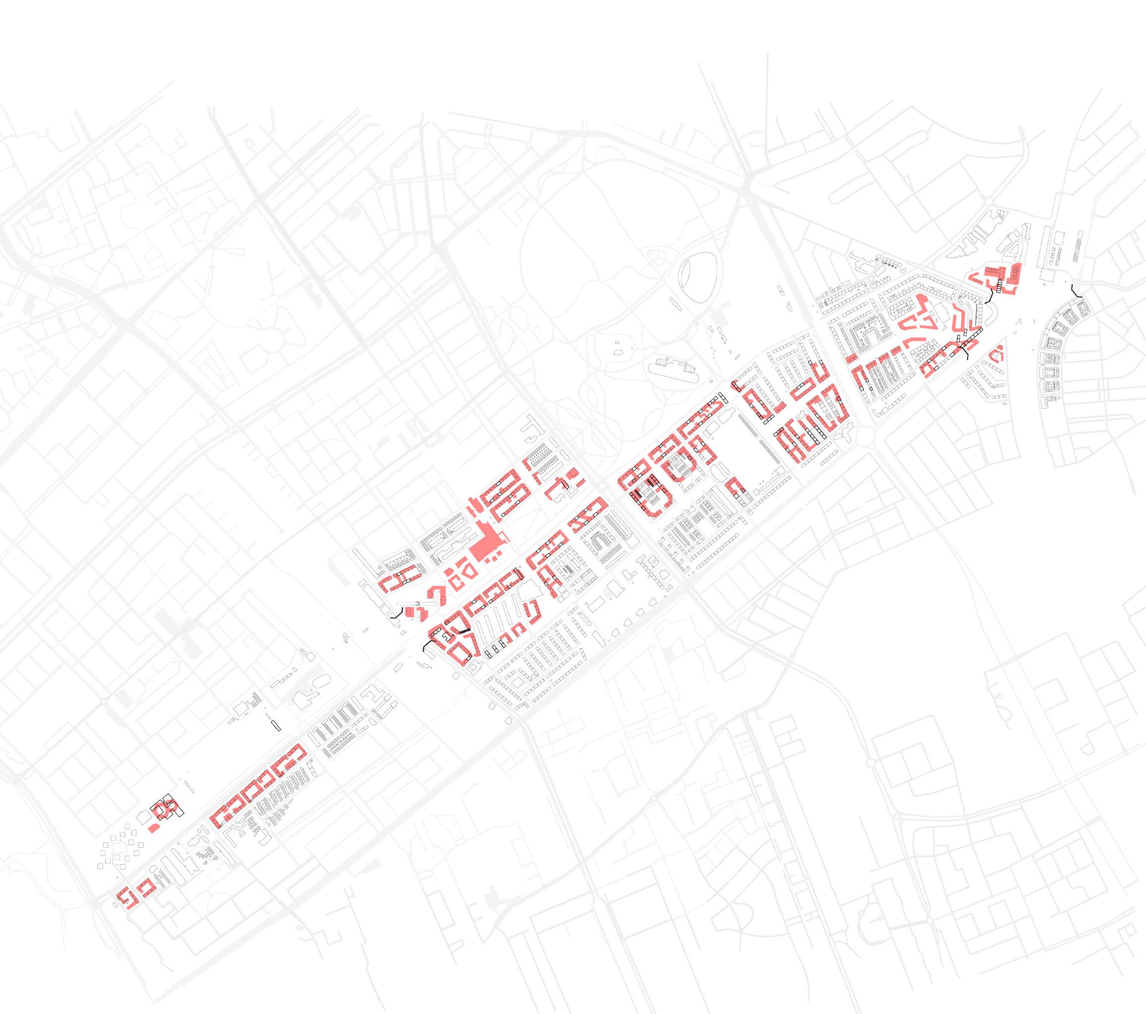
Seen through that lens, Zuidwest is an exceptionally relevant case. The district has the scale of a mid-sized city, borders strong landscapes and regional economic
Dimensions of health (World Health Organisation) - own gaphic
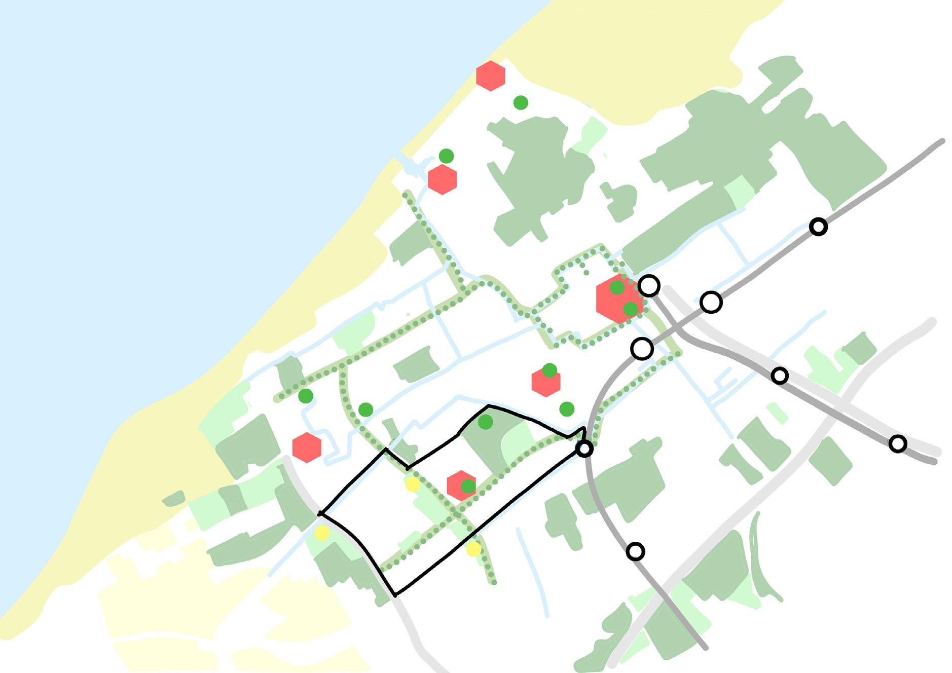
DUNE AREA
BOUWLUST VREDELUST
UITHOF SPORTPARK
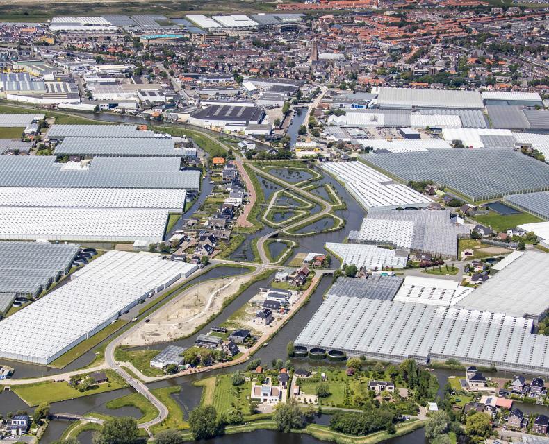
WESTLAND GREENHOUSES
WATERINGSEVELD VINEX
LOOSDUINEN BLOEMKOOL
MORGENSTOND
ZUIDERPARK
ZKD
ZUIDERPARK
MOERWIJK
systems, and contains a rich mix of cultures, identities, and informal networks. This combination means that Zuidwest is not only marked by vulnerability, but also by potential: the willingness and capacity to care for one another, and to sustain a healthier everyday environment, are present. The central question is why these qualities currently translate insufficiently into housing, routes, and public space, and how spatial design can help convert this potential into a daily system that supports health.
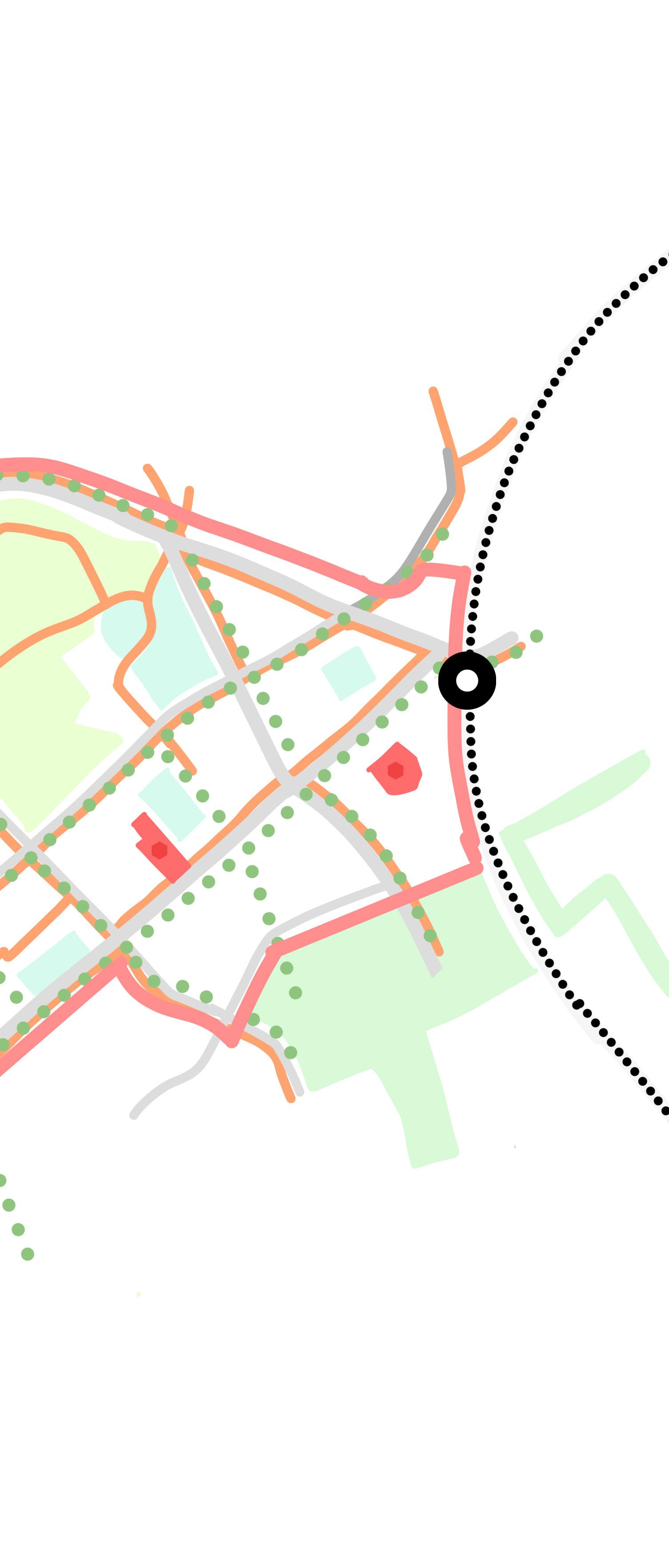
STATION MOERWIJK
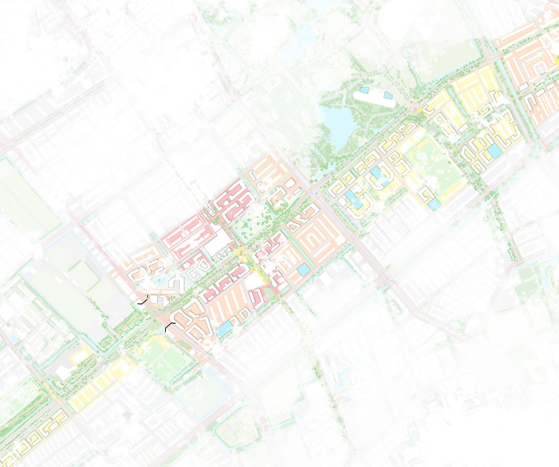
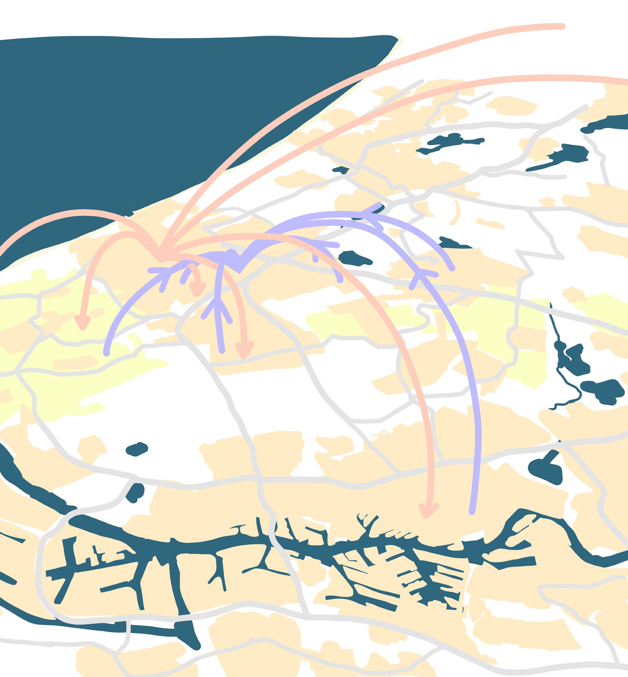
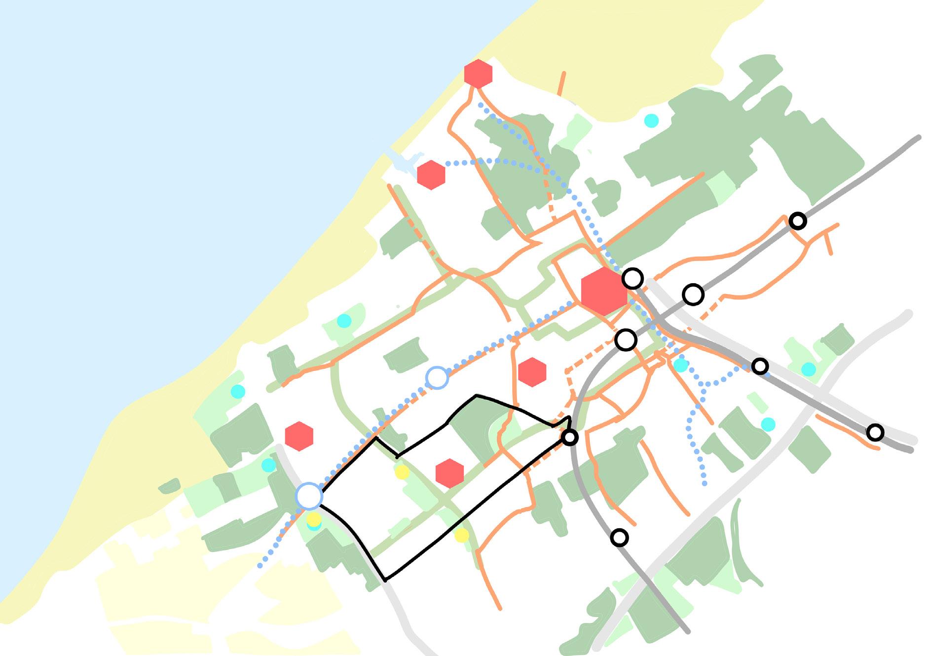
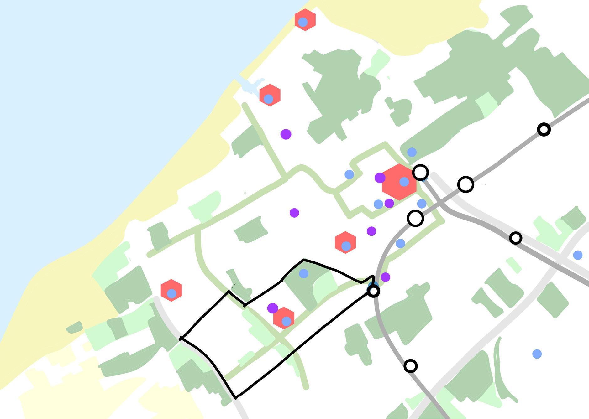
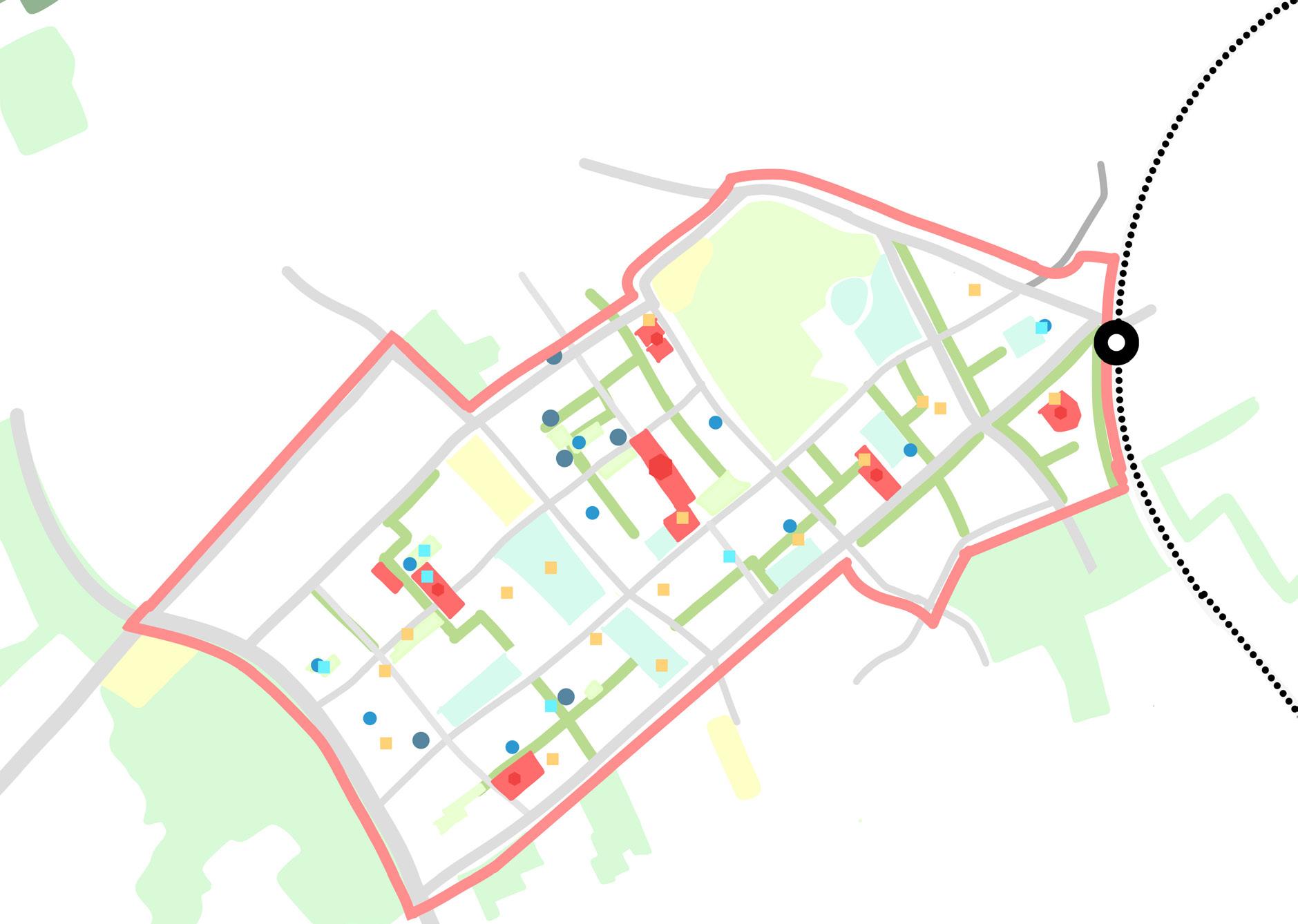
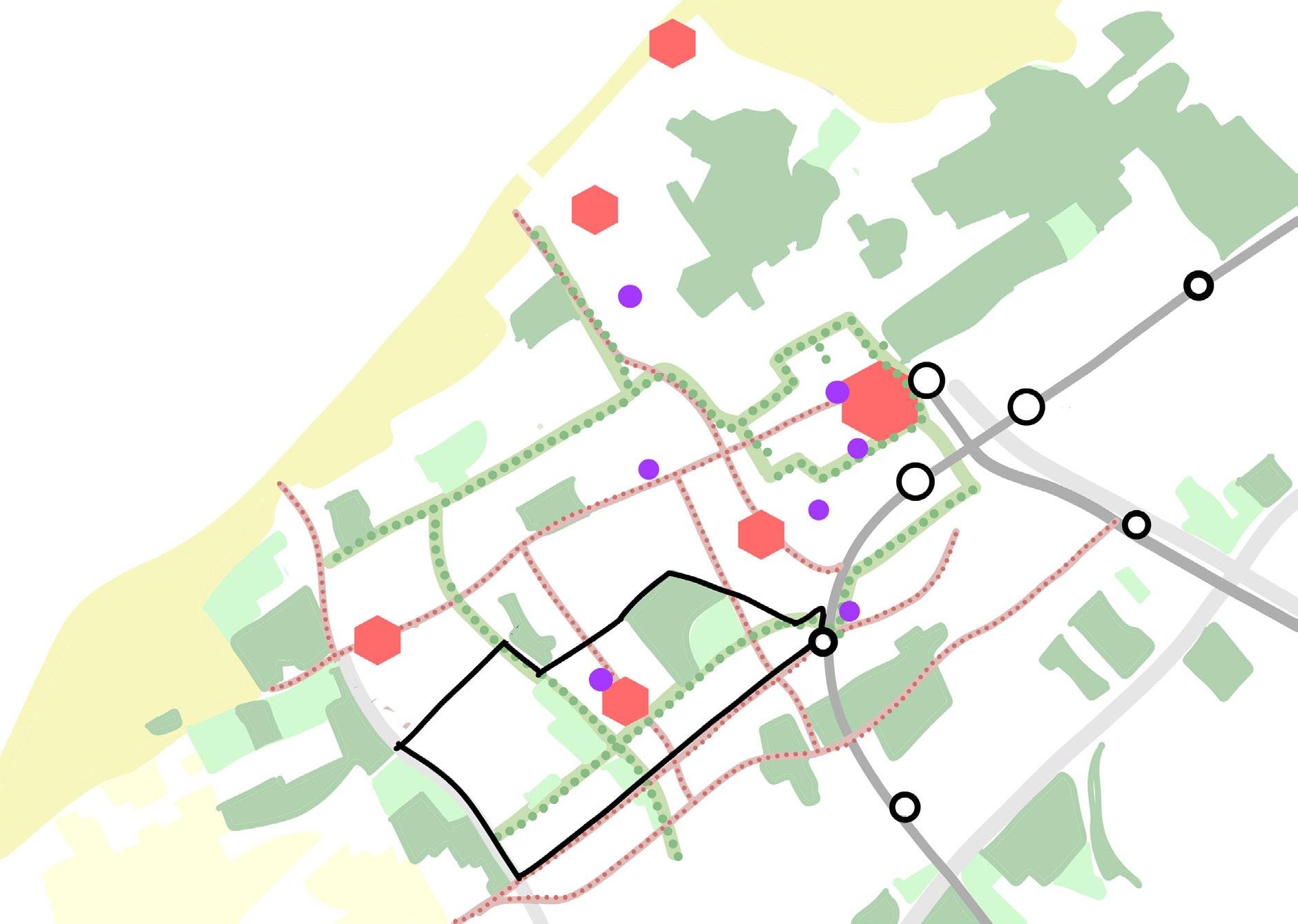
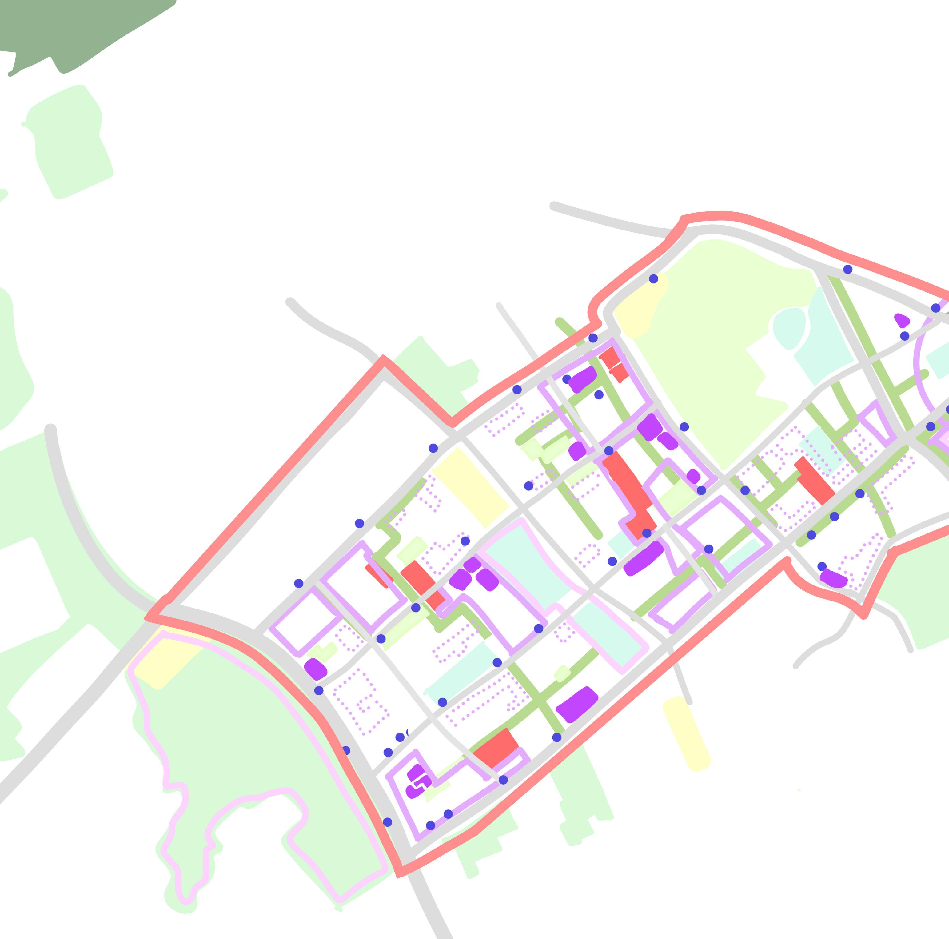
Structural urban layout Zuidwest
1.2 DUDOK AND THE POSTWAR SYSTEM
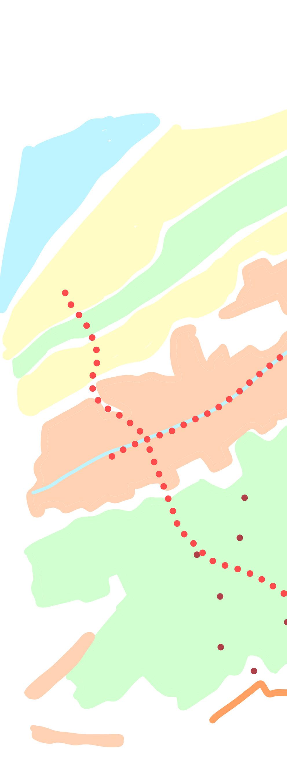
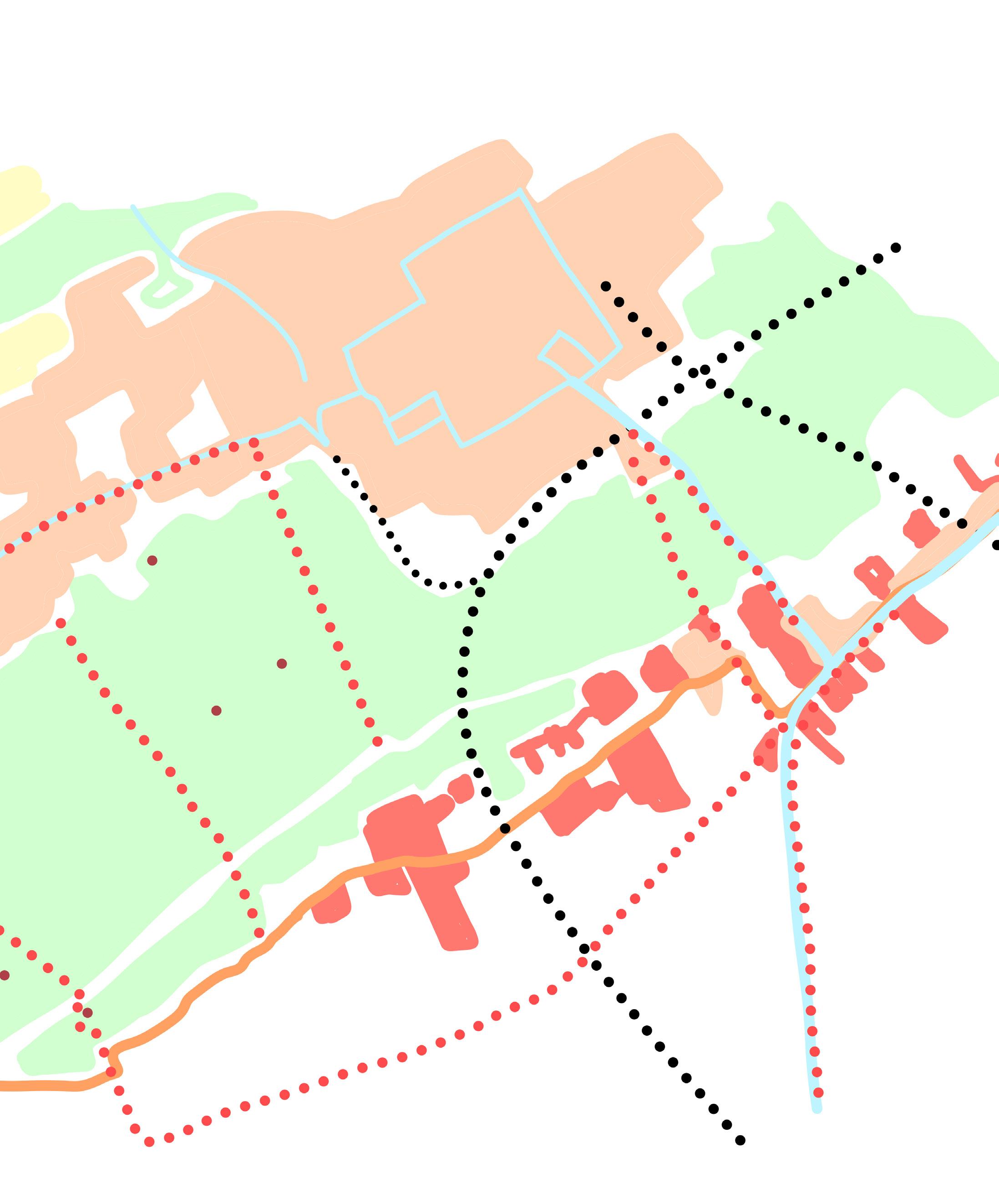
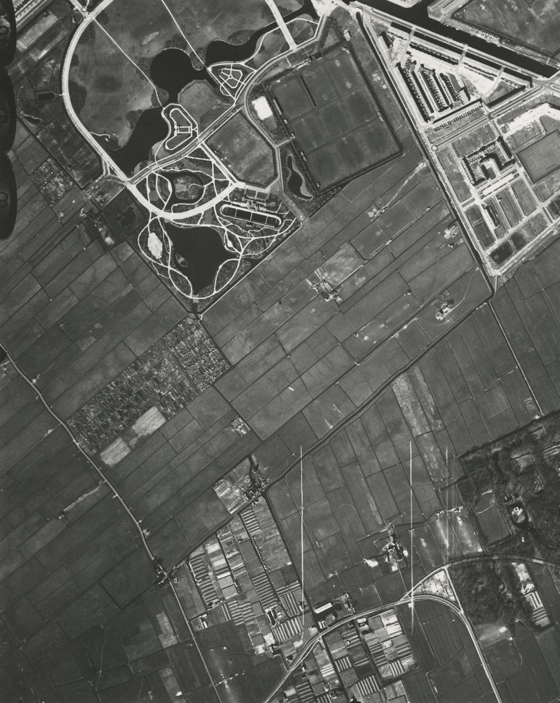
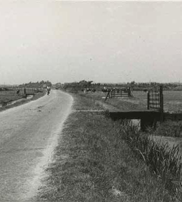
Den Haag Zuidwest was built on an older landscape layer that still helps define the district today. Large parts of Zuidwest lie on former polders; Morgenstond and Bouwlust, for example, are situated in the former Oost- and West-Escamppolder and the Uithofspolder, while Moerwijk sits on the edge of several polders (Haags Gemeentearchief, n.d.). The wider region also includes strandwallen landscapes and estate structures that shape both the identity of the area and the ecological functioning of the urban edge (Provincie Zuid-Holland, n.d.). This context is rich, but within Zuidwest it has long been treated more as a background condition than as something that is part of everyday life.
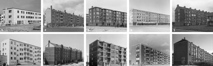
On top of this landscape layer, a clearly modernist neighbourhood logic was introduced after the war. Zuidwest was designed as a planned extension during the post-war reconstruction period, when speed, housing shortage, and a new belief in modern living came together. Post-war reconstruction architecture and urbanism were shaped by ideals such as “light, air and sun,” industrialised building methods, and a strong focus on order and traffic systems (Rijksdienst voor het Cultureel Erfgoed, n.d.). In Zuidwest, this became visible in a systematic structure of boulevards and canals, stempels as repeatable neighbourhood units, walk-up and gallery housing, subcentres, and large green structures. Dudok’s expansion plans for Moerwijk and Morgenstond are clear examples of this: they combine a rational road structure with a green framework that acts as a second ordering system and connects the plan to the surrounding landscape (Dudok Architectuur Centrum,
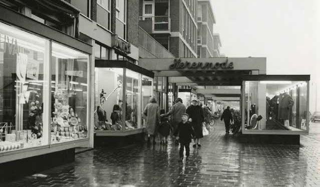
Shopping arcade along Leyweg, 1963 (Haags Gemeentearchief)
n.d.). In Moerwijk, the neighbourhood was largely built on the basis of “Plan Moerwijk” (1930) and Dudok’s plan from 1949 (Haags Gemeentearchief, n.d.; Gemeente Den Haag, 2024).
During the first decades, this structure offered many residents a clear and practical living environment: an ordered layout, greenery as a constant presence, amenities organised around subcentres, and a readable hierarchy of scales. Because the district was designed so clearly as a system, it also becomes visible what happens when that system does not adapt to changing conditions. From the 1980s and 1990s onward, many post-war districts went through similar processes: physical ageing, declining quality of public space, changing household structures, and a growing concentration of vulnerability. Moerwijk shows how strong that pressure was: between 1995 and 2005 there were “many plans to demolish Moerwijk almost entirely”; in the end, only parts were demolished and replaced by new construction (Haags Gemeentearchief, n.d.).
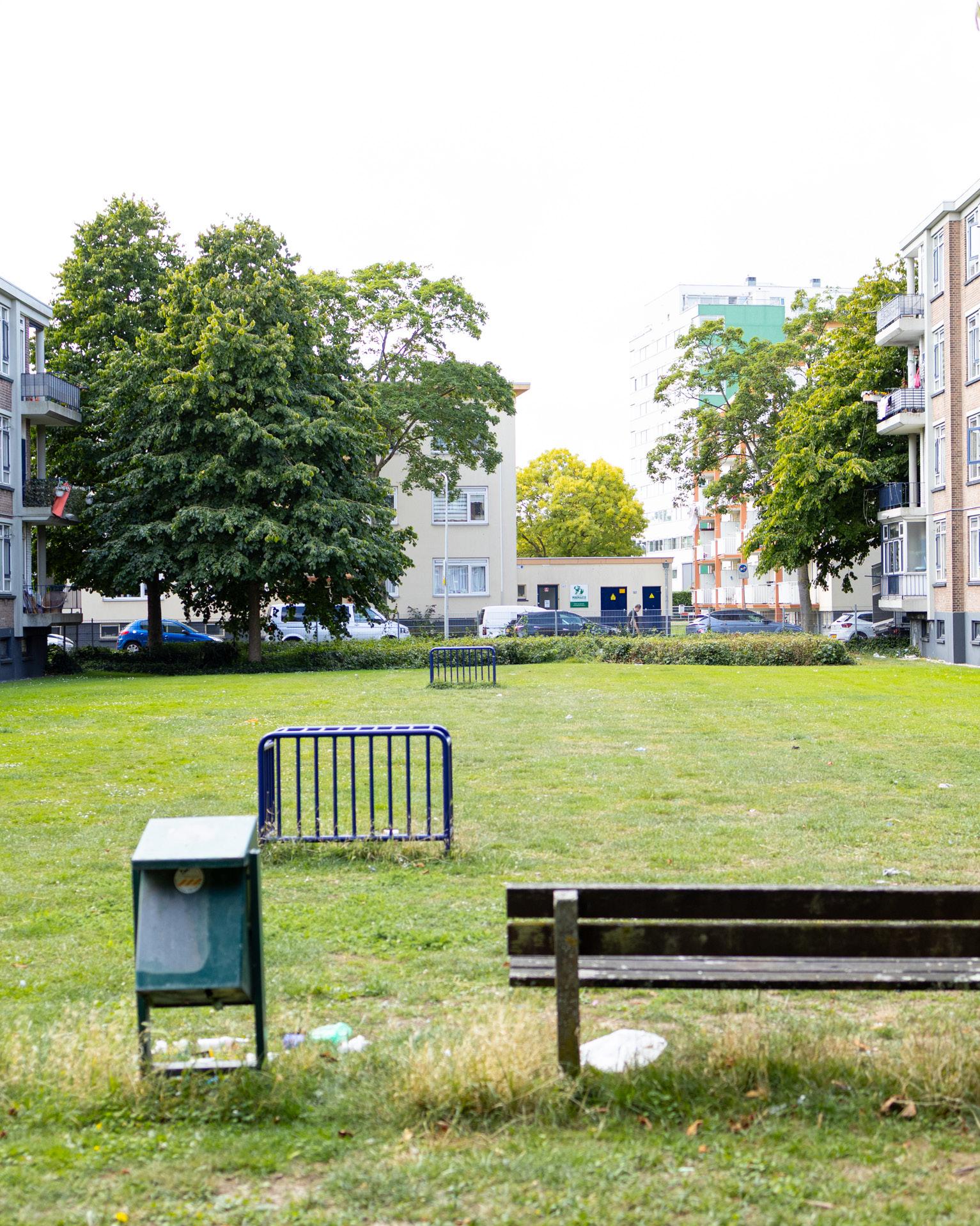
This history touches the core question of this thesis: how does a neighbourhood become unhealthy? The answer can rarely be reduced to one single factor. It is not only about the neighbourhood type, and not only about “the residents.” It is about the relation between a physical structure that makes certain routines more likely and a socio-economic reality that shapes the conditions for living, meeting, and recovering. When maintenance and investment fall behind, when public space becomes leftover or oversized space without clear use, and when the daily system remains dominated by cars,
health becomes dependent on individual resilience instead of being supported by spatial conditions. In addition, the sober and efficient housing types of the post-war period do not automatically fit the richer cultural rhythms and household forms that now characterise Zuidwest. This makes the task explicitly systemic: improving housing, public space, accessibility, densification, and the connection to the surroundings together, so that everyday life can be supported in healthier ways.
1.3 MEGA DENSIFICATION AS TURNING POINT
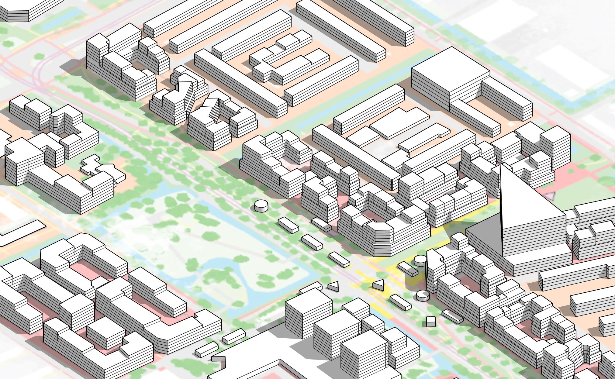
Against this backdrop, Zuidwest is approaching an intervention at a scale that is unusual within one urban district. The Structuurvisie Den Haag Zuidwest 2040 anticipates around 10,000 additional dwellings, together with large-scale renewal of the existing housing stock (Gemeente Den Haag, 2023). Within the same policy direction, there is also reference to replacing around 6,500 outdated social-rental dwellings and renovating around 8,500 homes (Regio Online, 2023). Recent Woontop agreements add further acceleration, with the ambition to deliver nearly 7,000 dwellings between 2025 and 2029 (Nationaal Programma Den Haag Zuidwest, 2024).
The scale is important, but the real issue is what densification does to everyday life. More housing increases pressure on routes, outdoor space, amenities, perceived safety, and places to recover within the neighbourhood. Densification is therefore not neutral. When it is mainly driven by housing targets, construction logistics, and performance numbers, without also improving public space and the connections that structure daily life, it can strengthen existing vulnerabilities. In that situation, more residents may end up living in an environment that continues to produce unhealthy routines: limited low-threshold movement, few reasons to stay outside, and a public realm that works mainly as transition space instead of as a place for encounter, rest, and recovery.
At the same time, densification in Zuidwest is not a random choice. The Hague faces a structural shortage of affordable housing and has limited space to expand outward.
Within that policy context, places such as Zuidwest are seen as areas where the housing agenda and urban renewal need to happen together (Gemeente Den Haag, 2023; Gemeente Den Haag, 2024). In practice, “mega-densification” in Zuidwest is therefore less an optional route and more a strategic necessity.
This makes the design question urgent. The scale and speed recall the post-war logic of building: fast, efficient, and planned. But today’s task goes beyond housing numbers. Zuidwest is already under pressure and has to absorb several transitions at the same time, including climate adaptation, socio-economic resilience, and the need for a healthier living environment. National elaborations of the Woontop agreements also recognise this broader connection by linking investments not only to housing delivery, but also to public space and amenities (Nationaal Programma Den Haag Zuidwest, 2025).
The central tension of this chapter follows from that context. If densification is treated as housing production alone, the district changes physically while the daily system largely remains the same. If densification is used to reorganise that daily system, the intervention can create room for liveability, health, and long-term resilience. That choice forms the basis for the continuation of the research.
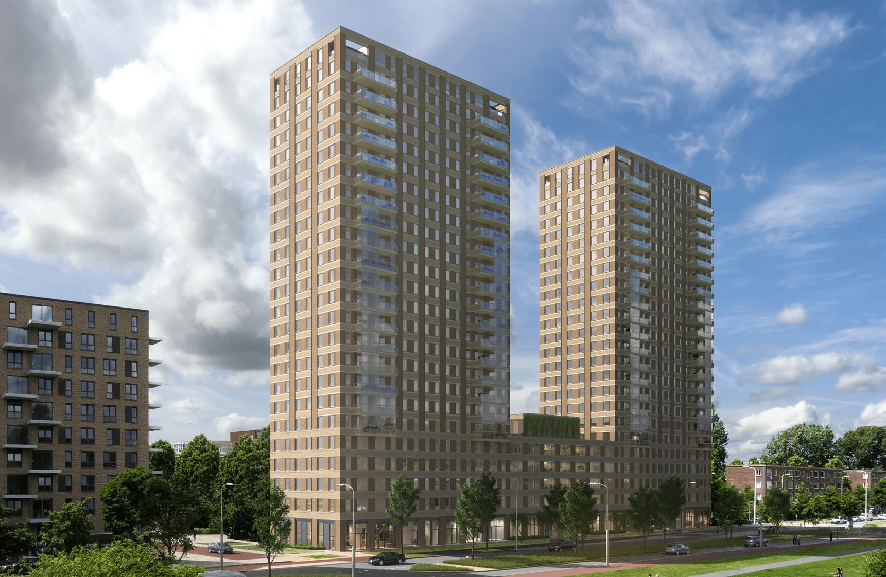
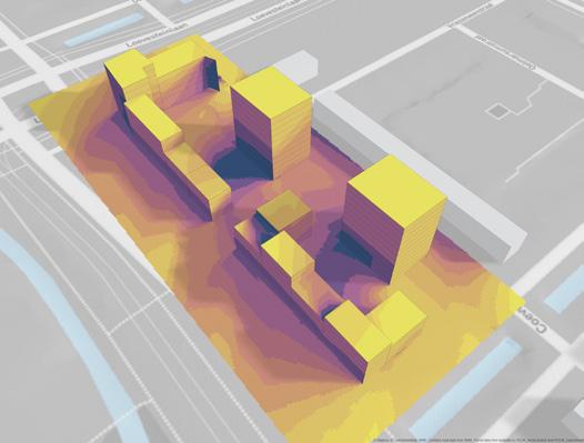
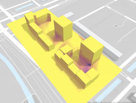
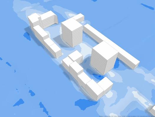
Development Loevesteinlaan (Stebru)
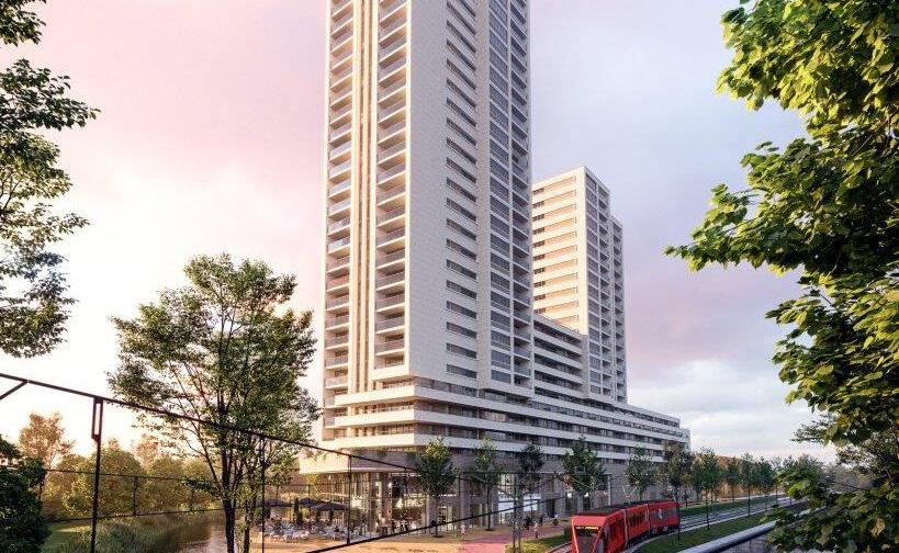
Development LEVELS (Stebru)
1.4 WHY ZUIDWEST CAN SHIFT
Precisely because Zuidwest was built as a strongly planned district, it also contains a major opportunity. The area has solid spatial structures that many other densification locations do not have: a clear main structure of boulevards and canals, subcentres as everyday nodes, and large green systems that have grown into a mature urban landscape. Zuidwest is often described as “too coarse” or “too functional,” but on the ground another reading becomes possible: the structure and logic are strong, while the way they support everyday life has fallen out of balance. This makes the task large, but also designable. There is an existing system that can be recalibrated, instead of an empty canvas that needs to be invented from scratch.
This spatial potential is concrete. Zuiderpark functions as a regional green structure with strong recreational value. The canals and boulevards now carry a mature tree canopy and a recognisable rhythm of water, green space, and infrastructure. The subcentres and the Leyweg shopping area show that Zuidwest already has places where daily life comes together, where local economy, meeting, and mobility intersect. The hierarchy of scales, from district to neighbourhood, stempel and block, is still readable. This matters because densification works best when routes and places remain clear, legible, and easy to navigate (Lynch, 1960).
Equally important is the human layer. Zuidwest is socially and culturally rich. The district contains strong informal networks, diverse cultural rhythms, and a high level of everyday resilience. In neighbourhoods
under health pressure, there is often also a strong willingness to care for others, sustain local initiatives, and create meaning, as long as the environment does not work against this. Conversations and fieldwork show that many residents do not want to leave; they want their place to improve. They are attached to the district through family and friends, faith communities, daily routines, and places that already carry meaning. This matters, because health in an urban context is shaped not only by physical quality, but also by use, ownership, and long-term involvement (Klinenberg, 2018).
For that reason, this research positions health as a densification strategy. This does not simply mean “more green” or “more sport.” It means linking housing delivery to spatial conditions that make healthy everyday life more likely: comfortable walking and cycling routes, public space that feels safe and inviting, places for meeting and recovery, access to green and water, and an environment where identity and local economy can become visible and usable (RIVM, 2022). In Zuidwest, this approach is plausible because the district was originally designed as a coherent system. The challenge is to make that system work again for the residents of today and tomorrow, so that densification delivers not only more dwellings, but also more health, stronger connection, and greater long-term resilience.
1.5 READING GUIDE
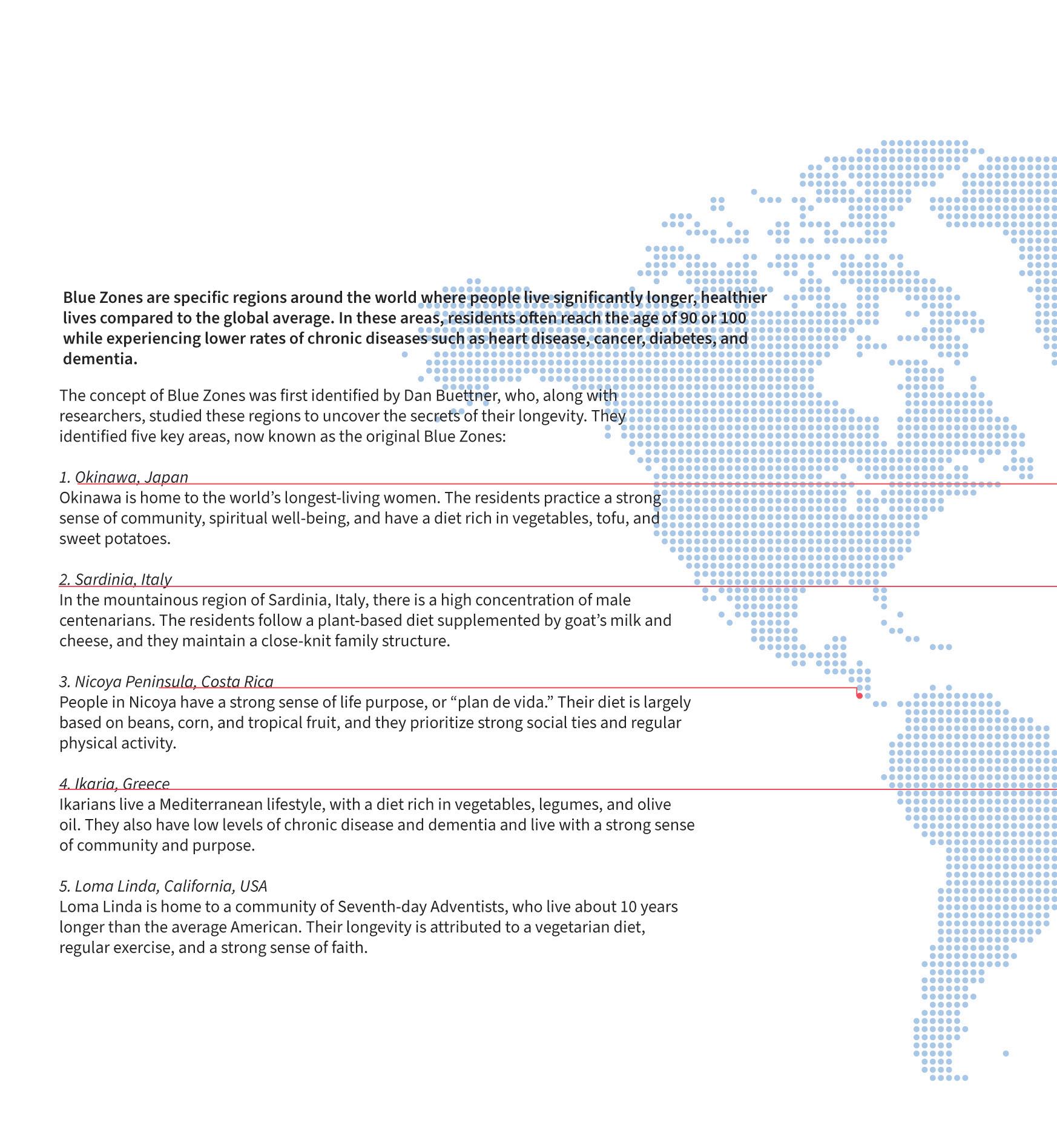
The central hypothesis of this research is that health is partly shaped by the built environment in interaction with residents and their everyday use. The city organises daily rhythms, steers behaviour, makes meeting others easier or harder, and influences stress and recovery. To explore this hypothesis through design research, I work with a contrasting reference frame: the so-called Blue Zones; regions where an unusually large number of people age in relatively good health.
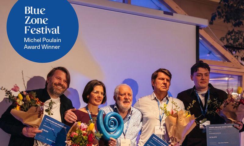
In the Blue Zones approach, popularised through the work of Michel Poulain, the focus is not on one trick or on individual lifestyle advice. Instead, it points to a combination of conditions that make healthy behaviour repeatable: daily movement embedded in routines, strong social structures, food patterns, a sense of purpose, and an environment that supports these elements (Poulain, 2015). For this research, the Blue Zones lens is valuable because it enables a systemic reading of health: not health as individual performance, but health as an outcome of an environment that organises everyday life.
The research setup uses a strong contrast as a method. It starts from places where people statistically live longer and healthier lives, in order to identify the mechanisms that make this possible. These mechanisms are then translated to Den Haag Zuidwest, an area where health inequalities are highly visible. The aim is not to copy a Blue Zone, but to use this contrast to better understand which spatial conditions, in an urban context, can support physical, mental, and social wellbeing.
Methodologically, the approach consists of three movements. The first is immersion and observation. During two months in one of Sardinia’s Blue Zone areas, I studied routines and environmental conditions as one coherent system, using a designethnographic approach that focuses on everyday practices, spatial structures, and social rhythms (Van Dijk, 2010). The second movement is abstraction. The observations are not adopted one-to-one, but translated into design principles that may be relevant in a Dutch context (Chapter 3). The third movement is application and testing in Zuidwest (Chapters 4–5). There, the principles are not used as a prescription, but as an analytical and design framework: to read the existing situation, identify opportunities and blockages, and connect design choices explicitly to physical, mental, and social effects.
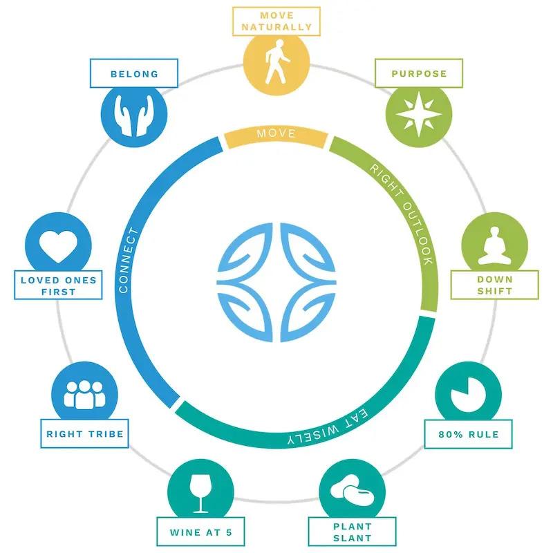
The Power 9 (Blue Zones)
1.6 ROLE AND POSITION
In this research I take a dual role. As a designer, I investigate how spatial conditions can support health. As a field researcher, I collect insights through observation and conversations, both in Sardinia and in Den Haag Zuidwest. My approach is deliberately normative: I do not only look for explanations, but also for concrete design opportunities to strengthen health and liveability.
This position also brings risks. The Blue Zones are an inspiring reference frame, yet they can lead to selective attention to “success factors” and to an overly optimistic reading of health as something that can be fully designed. In addition, I am not a daily resident of Zuidwest. My perspective is partly external, and shaped by my background, values, and design preferences.
To limit these biases, I combine different sources and perspectives. I work with statistics and policy documents, and I continuously test them against fieldwork and local stories. Design choices are also assessed across multiple dimensions of health at the same time (physical, mental, and social wellbeing) following the WHO’s holistic understanding of health (World Health Organization [WHO], 1948/2006).
Finally, I organise reflection and feedback moments with local stakeholders as a counterweight to one-sided design claims. This keeps the research iterative and open to correction, aimed at developing a spatial framework that can hold up in the lived reality of Zuidwes
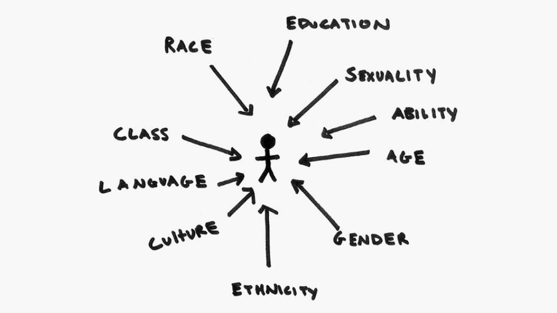
Intersectionality
OGLIASTRA
2.1 OUR HOUSE
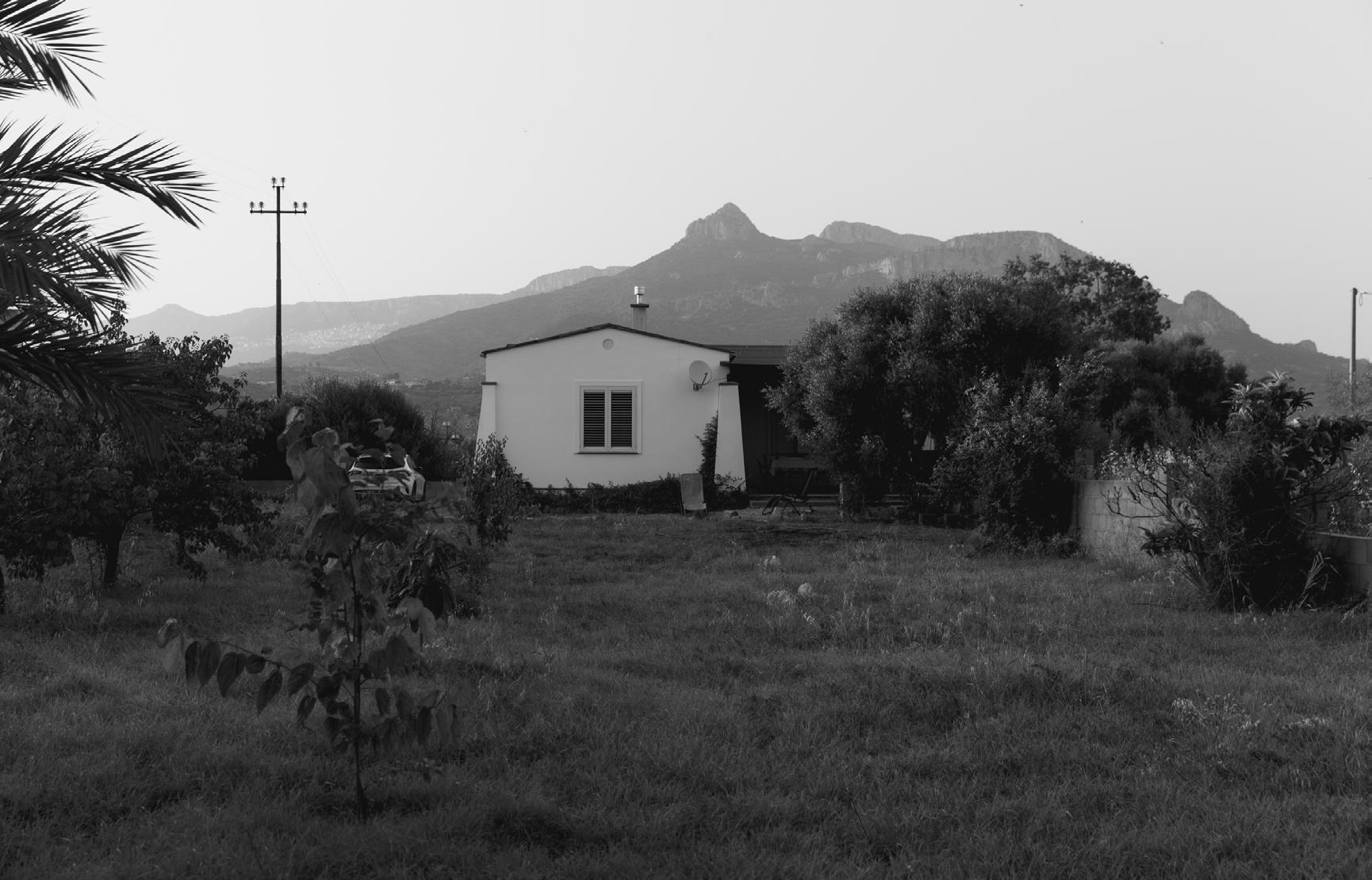
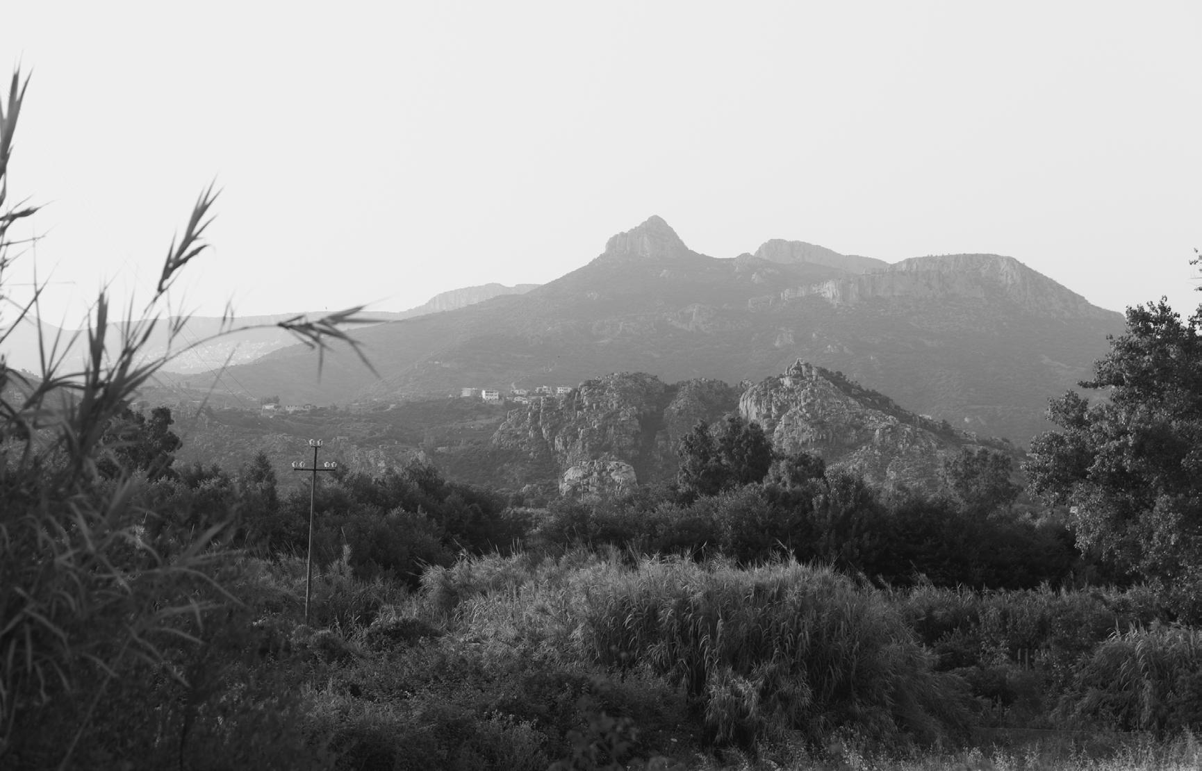
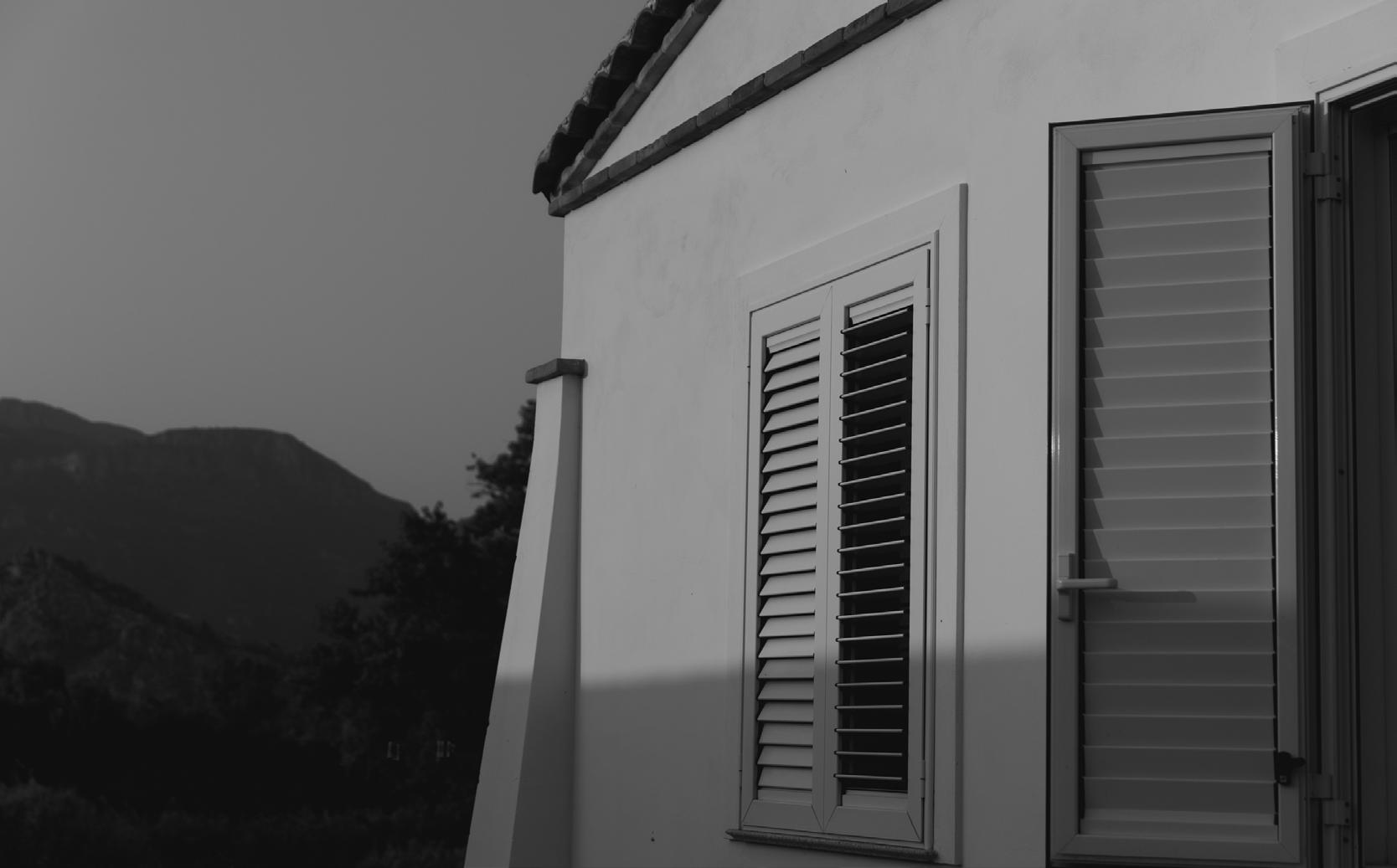
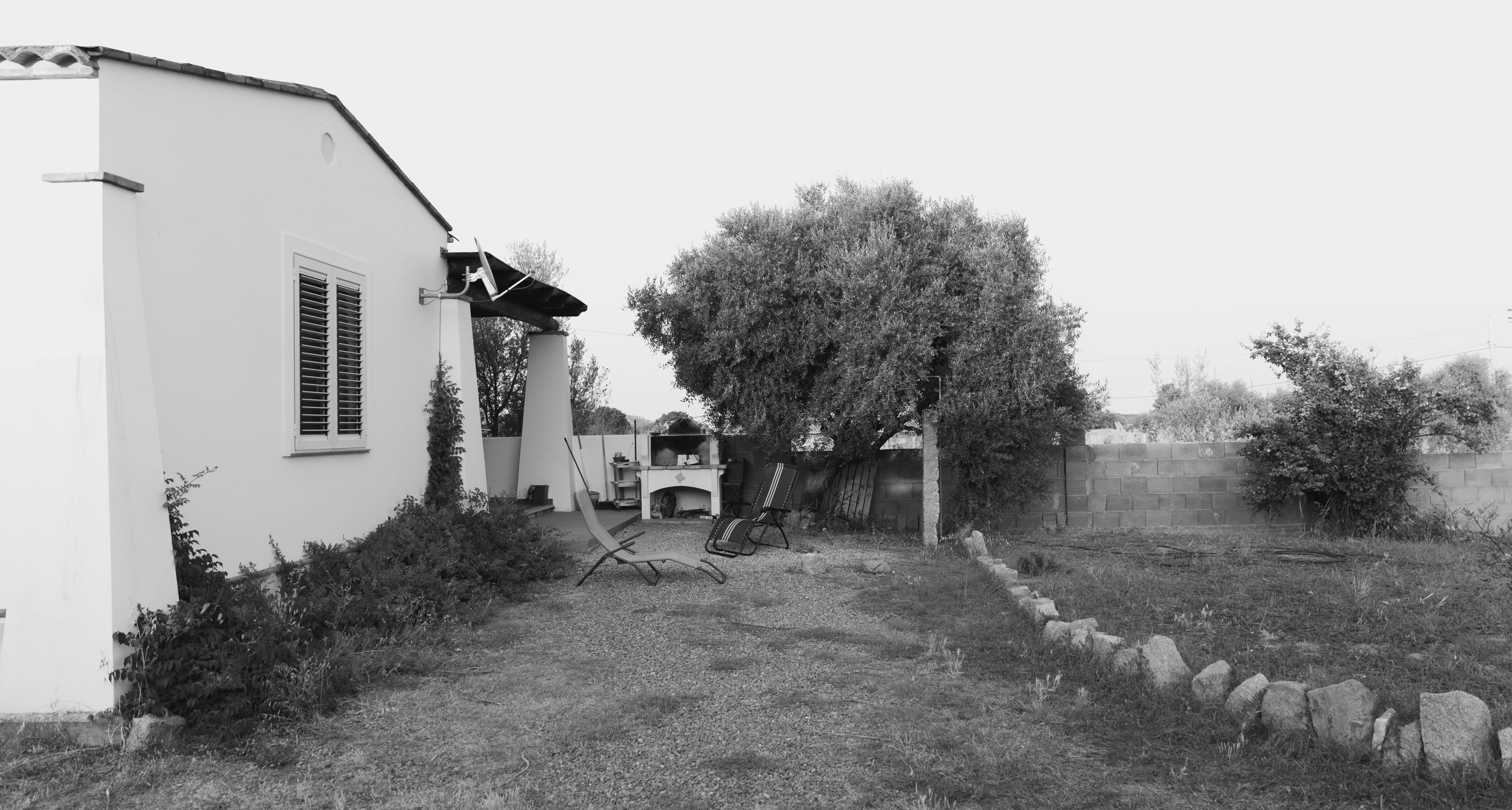
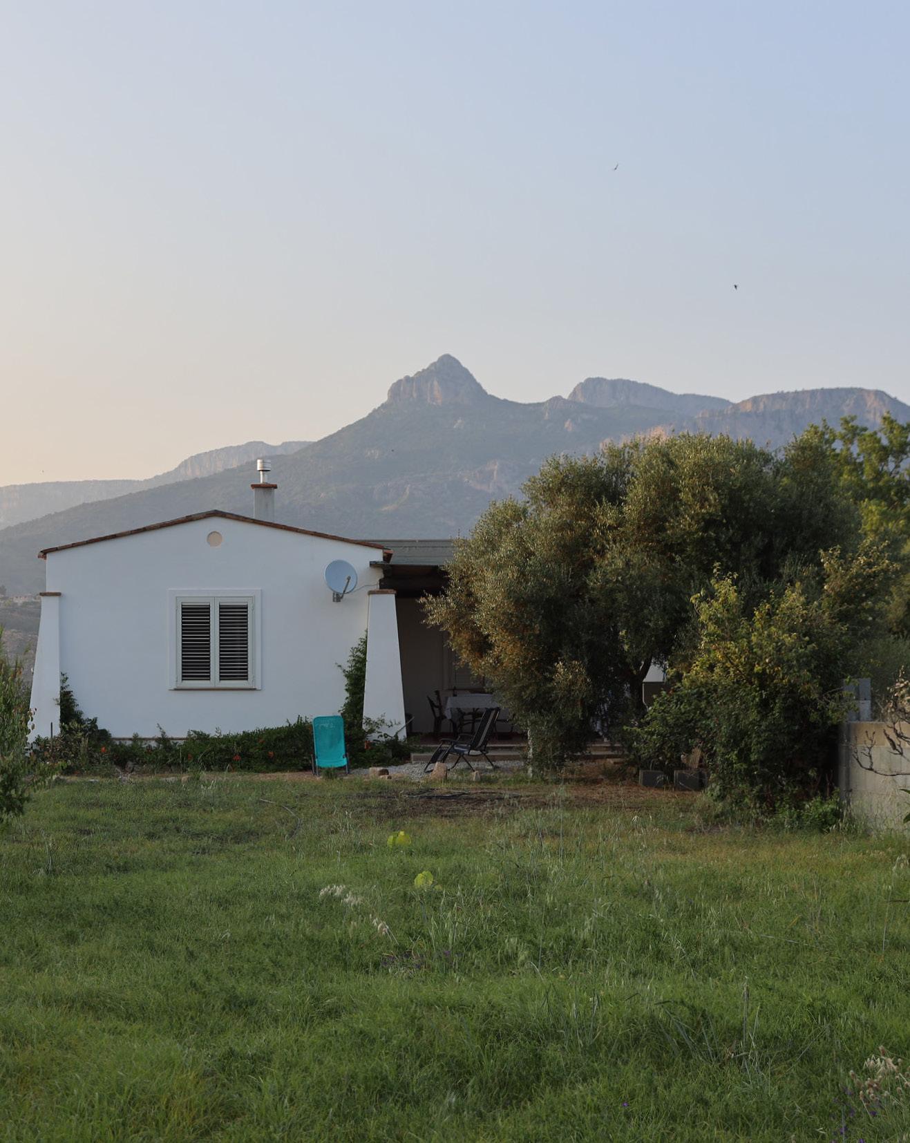
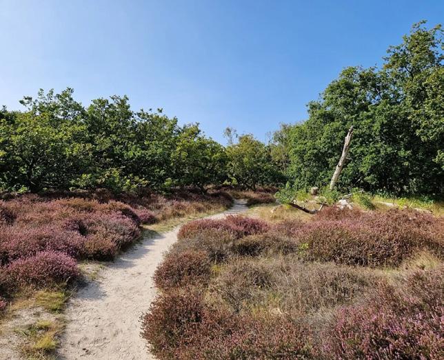
Our house in Ogliastra, Sardinia was modest in size, yet rich in qualities. It faced a small garden, offered direct access to outdoor space, and framed uninterrupted views of the surrounding mountains. The sea was visible from the house and it remained present carried inland by the wind and noticeable in the air, the temperature, and the smell of salt and vegetation. These sensory layers formed a constant, almost subconscious background to daily life.
From a scientific perspective, this spatial arrangement created a continuous relationship between inside and outside. Natural light, fresh air, and visual contact with the landscape structured the day and supported rhythm, attention, and rest. From a more reflective perspective,
the home acted as a mediator between body and environment: the garden invited small movements, the mountains offered calm and orientation, and the shifting light marked time without clocks.
A change in mood became noticeable early on. Stress felt lower, focus increased, and rest felt deeper and more natural. These effects did not come from strict lifestyle choices or discipline, but from spatial conditions that supported balance. At this intimate scale, health appeared not as an abstract ambition, but as an everyday experience shaped by orientation, proximity to nature, and sensory richness.
This domestic setting became the smallest unit of observation and an important starting point for the thesis. If subtle spatial
conditions can already influence rhythm, stress, and recovery at the scale of one house, the question for neighbourhoods and cities becomes relevant: which spatial conditions make wellbeing more likely as a daily default, especially in places where health is structurally under pressure?
It is therefore not incidental that such qualities are common here. Ogliastra lies within Sardinia’s internationally recognised longevity region, often described as one of the so-called Blue Zones: places where a remarkable number of people reach old age in relatively good health and where chronic diseases such as cardiovascular problems, obesity, diabetes, and some cancers are reported less frequently. In the popular definition by Dan Buettner, Blue Zones are places with high concentrations of people reaching 100 years while avoiding major non-communicable diseases, and where longevity relates to a combination of environment, habits, and social structures (Buettner, 2015). Buettner summarises recurring patterns in these regions as nine principles (“Power 9”), including daily natural movement, plantforward food, a sense of purpose, stress reduction, and strong social connection (Buettner, 2015).
For this thesis, the value of the Blue Zones idea is not that it offers a recipe, but that it highlights an underlying mechanism: health outcomes are shaped by everyday structures and “soft” values that are often missing in conventional planning indicators. In many Western contexts, wellbeing is frequently framed through drivers such as efficiency, technology, control, and individual optimisation. The Blue Zones lens points to another set of factors that can shape daily life over time: small, repeatable
routines, reliable social networks, shared food cultures, and environments that make healthy behaviour easier to sustain (Buettner, 2015). This lens prepares the next sections, where daily routines and the place-based system of Ogliastra are examined in more detail.
2.2
ROUTINES IN DAILY LIFE
This fieldwork was carried out as design ethnography: the use of ethnographic methods within a design process to build a situated understanding of everyday routines, motivations, and concerns, and to translate those insights into design-relevant principles (Van Dijk, 2010). The method relies on immersion and participatory observation. Instead of treating daily life as background context, it takes everyday practice as primary evidence: what people do, where they move, how they meet, what they eat, and how time is organised (Bisschop Boele, 2019). In Ogliastra, this approach was essential, because longevity is not experienced as an intervention. It becomes visible through repetition over time.
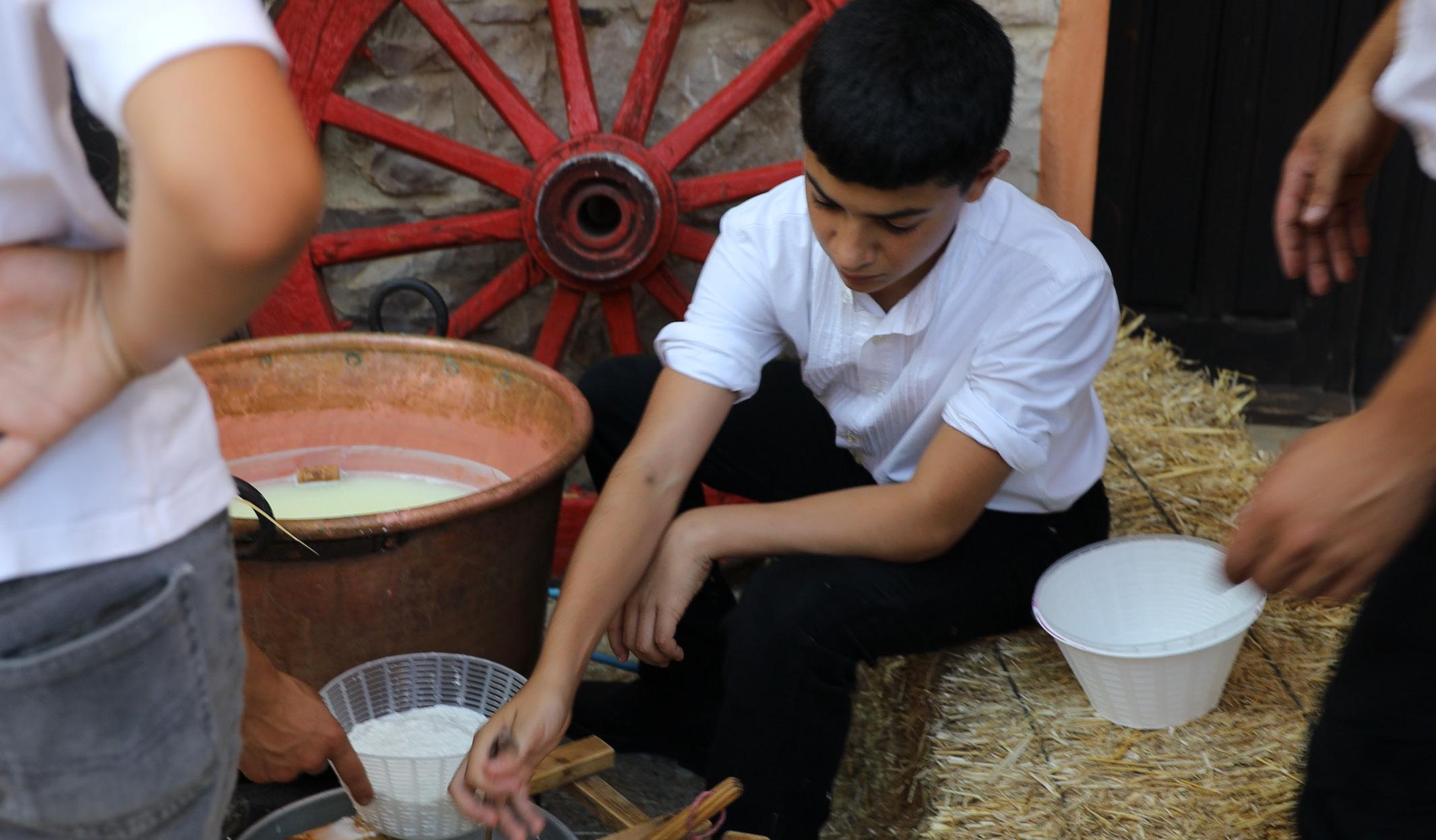
The weeks followed a steady rhythm of reading, conversation, and everyday practice. Alongside desk-based study, we sought local knowledge through long-form conversations with people who understand the region from within. We spoke with experts as Paola Demurtas (a local guide involved in the Netflix Blue Zones production), Dr. Jack Brianni (preventive healthcare doktor from Roma), and Sebastiano Brandolini (expert on Sardinian architecture and writer of the book The House At Capo Dorso). The aim was not to collect quotable statements, but to understand longevity as a lived condition: how landscape, food culture, work, family structures, and informal social life shape what a day looks like, and how these patterns persist, adapt, or disappear over time.
Learning did not stay inside interviews. Much of the research happened through
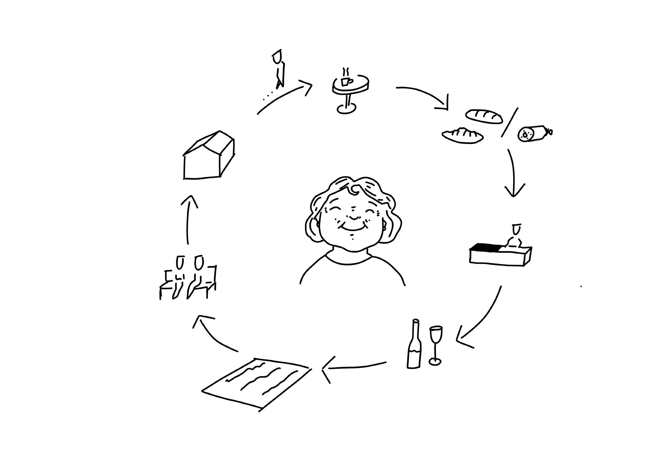
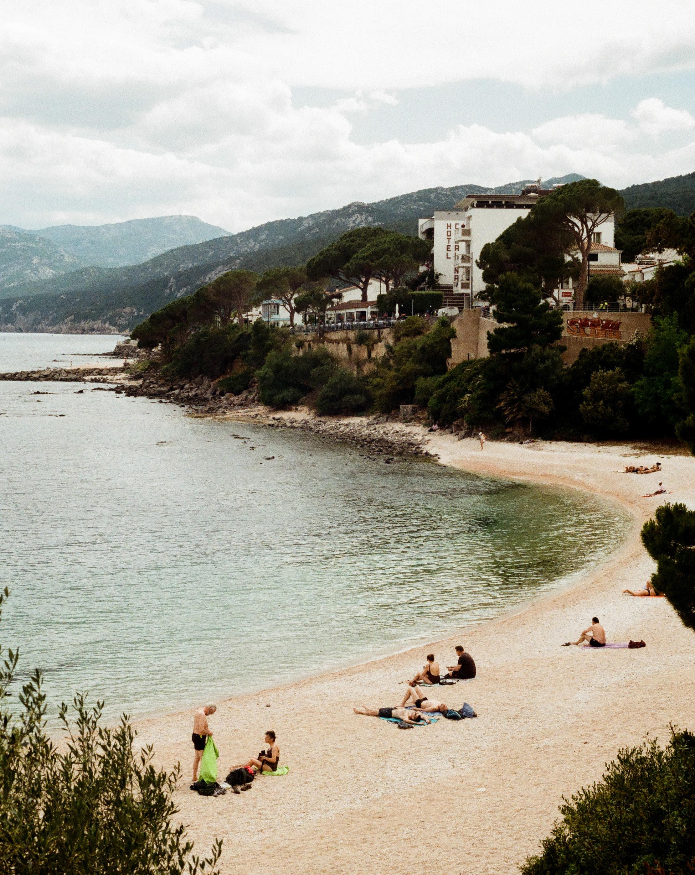
routine: cooking simple meals, walking through villages, hiking in the surrounding mountains, and spending time at the beach as a counterweight to work. The setting made indoor life less likely. Light and air pulled you outside, distances and slopes made movement part of daily logistics, and weather organised the day. Without deliberately trying to “live healthy,” our days became healthier by default, we created healthy routines: more walking, more time outdoors, fewer impulsive food choices, longer meals, and more conversation with people around us.
A change in mental state was one of the clearest effects. Regular contact with landscape (views, wind, vegetation, water, and changing light) created a steady background of calm and attentional reset. This aligns with research suggesting that exposure to green space is linked to stressrelated outcomes and to mechanisms such as attention restoration and recovery (Kuo, 2015; Twohig-Bennett & Jones, 2018).
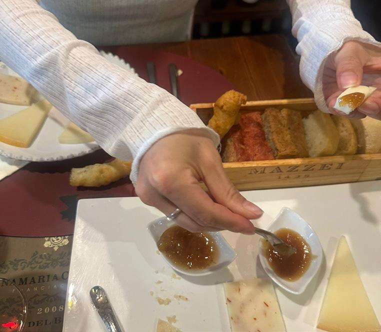
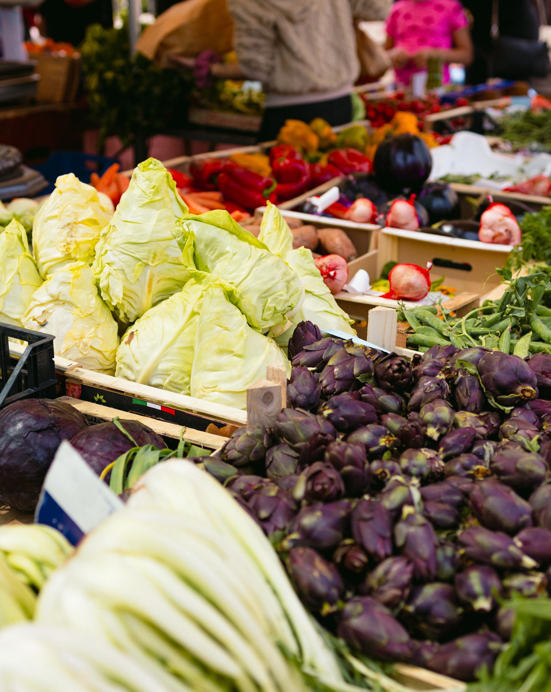
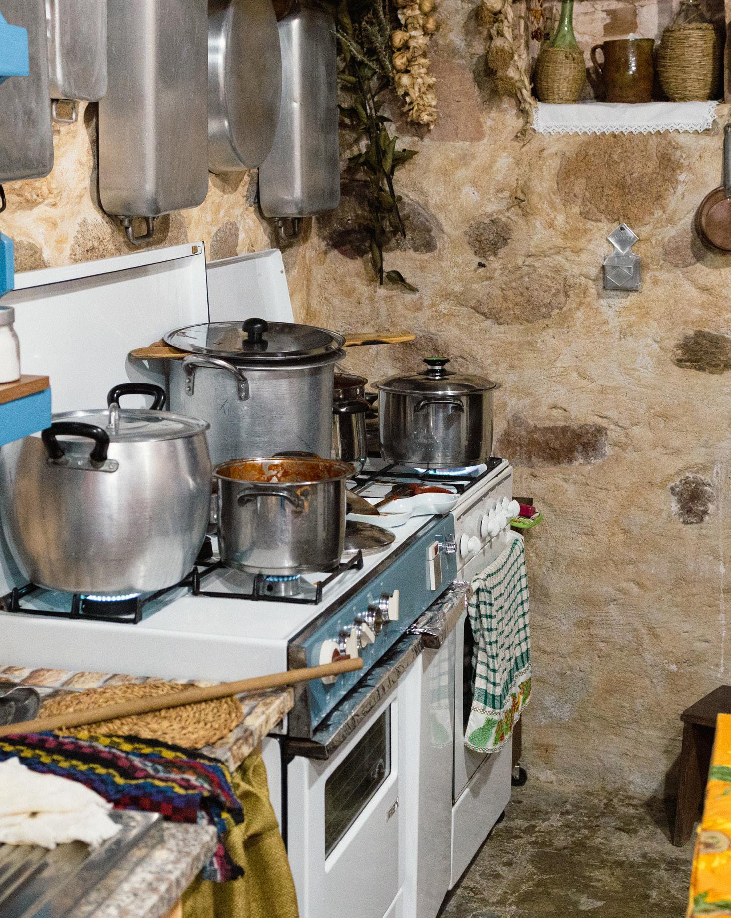
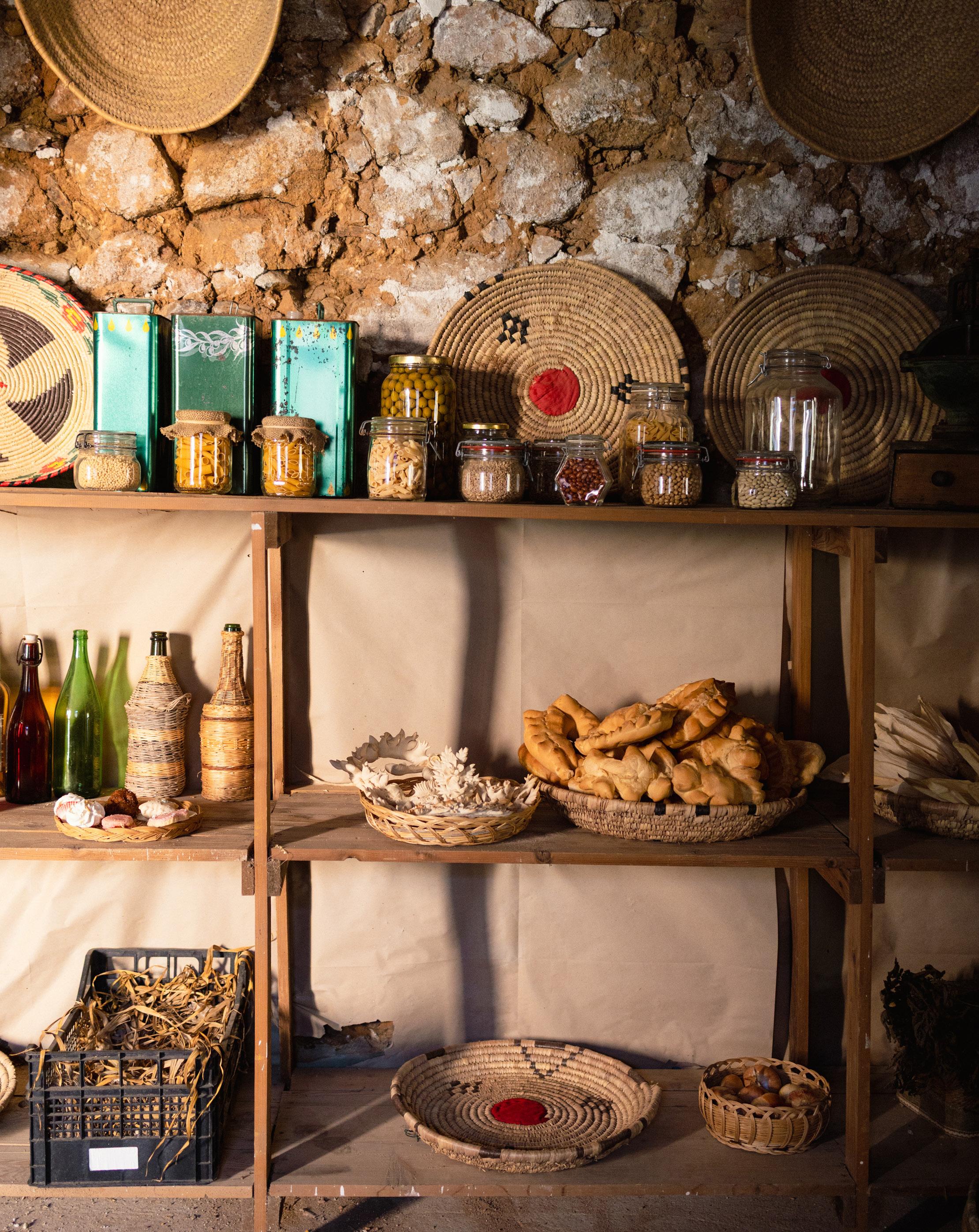
Food routines shifted in a similar, practical way. Cooking at home was not a moral decision; it was the default. Shopping was simpler, meals used fewer ingredients, and eating was slower and more communal. Observational studies link more frequent home cooking with better dietary quality and lower adiposity (Mills et al., 2017). Cohort studies also associate higher consumption of ultra-processed foods with poorer health outcomes and higher mortality risk (Rico-Campà et al., 2019). In Ogliastra, the lower presence of constant ultra-processed options reduced friction: healthy eating required less planning and less willpower.
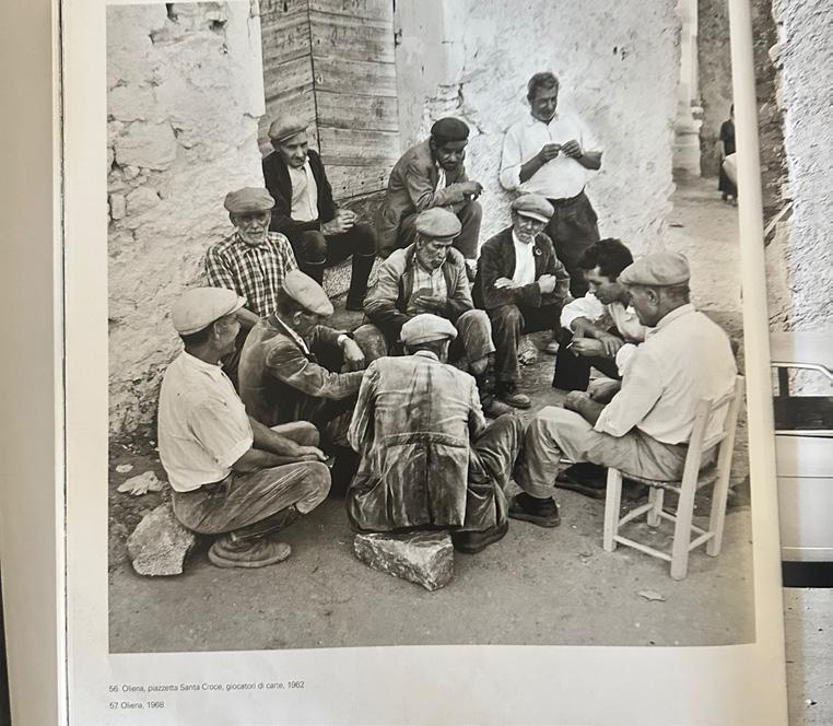
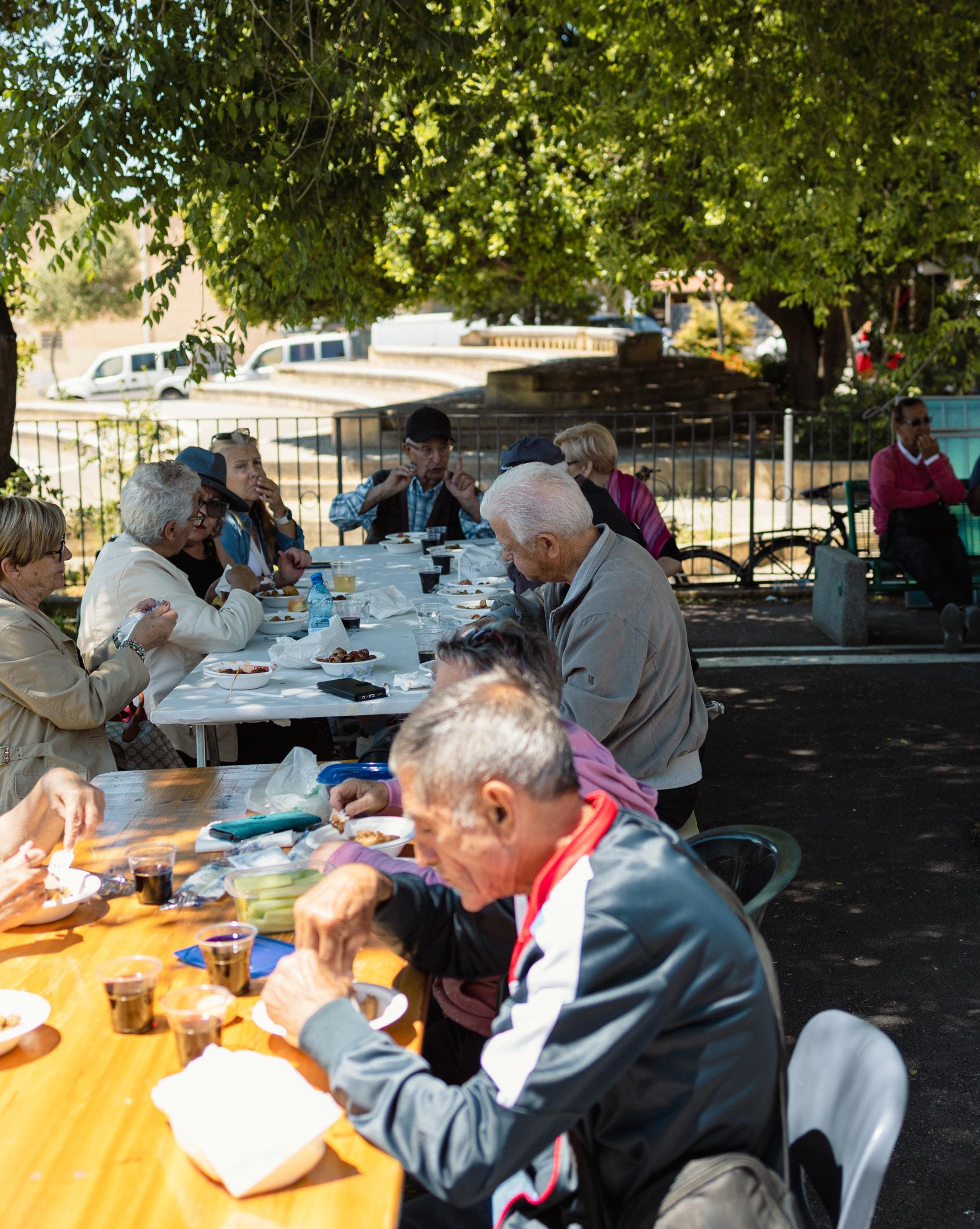
Social life also became more structured than in a typical working week at home. We had to speak to people frequently asking directions, discussing local products, learning practices, and listening to stories. Streets and squares supported lingering, the pace of life allowed conversation, and shared rituals around food and public time produced repeated, low-threshold encounters. Strong social relationships are consistently associated with health outcomes and mortality risk, with evidence of a substantial effect on survival (HoltLunstad et al., 2010).
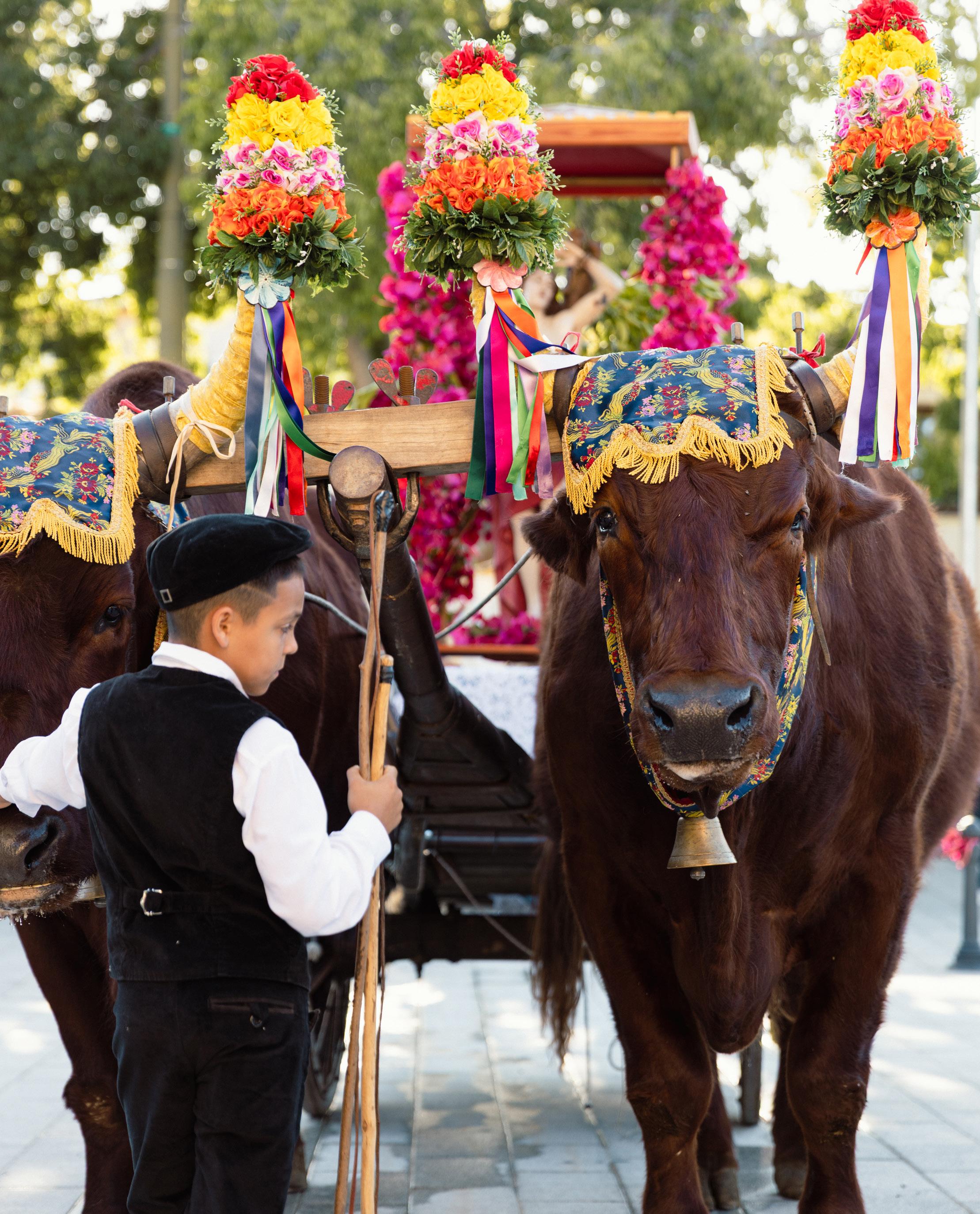
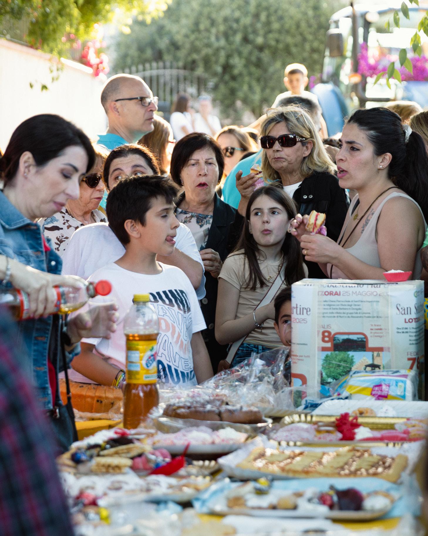
Identity was equally present, not as a branding layer, but as repeated public practice. Village festivals, local museums, small exhibitions, books, and family stories acted as recurring ways of affirming belonging. Each village carried its own traditions, and differences between villages were tangible. This connects to place attachment: the bond between people and place shaped by experience, memory, and social meaning (Scannell & Gifford, 2010).
At the same time, Ogliastra should not be treated as a timeless ideal. Two months allows patterns to become visible, but it does not provide full cultural understanding, especially as an outsider and non-native speaker. Many practices linked to Sardinian longevity are also rooted in realities of several decades ago, while contemporary Sardinia changes under tourism, modern supply chains, and shifting work. For this thesis, the fieldwork is therefore presented as a situated reading: it identifies mechanisms that make health more likely, which will later be tested and reinterpreted in the very different context of Den Haag Zuidwest.
2.3 OGLIASTRA AS SPATIAL SYSTEM
Ogliastra’s status as a Blue Zone is often shared in popular terms, and it started as a demographic claim that needed careful validation. Demographic research identified a geographically concentrated longevity area in Sardinia, especially in mountainous municipalities in the centraleastern region, with an unusually high number of validated centenarians and a historically distinctive pattern of male longevity (Poulain et al., 2004). Recent work underlines that “Blue Zone” works best as a demographic concept with clear validation procedures, linked to transparent datasets and methods (Poulain & Herm, 2025).
For this thesis, Ogliastra is approached as a spatial system in which landscape, settlement form, and daily occupation align over time. This helps to understand longevity as a long-term outcome of everyday conditions that repeat across years and generations, instead of as a single habit or an isolated explanation.
To structure this reading, the fieldwork was analysed through three layers: Substratum, Network, and Occupation. These layers function as lenses. They show how healthsupportive conditions are produced materially, spatially, and socially through long-term interaction between people and place.
SUBSTRATUM: LANDSCAPE AS ORGANISER
At the deepest layer, Ogliastra is shaped by steep topography, exposure to wind and sun, and a pattern of small-scale productive landscapes. The mountainous geography historically supported relatively isolated settlements. This supported reliance on local resources, local skills, and local social networks, and it strengthened short supply chains and seasonal constraints (Poulain et al., 2004). Daily movement also followed from this setting because livelihoods often required walking slopes, tending land, and maintaining terraces and parcels.
The substratum also works as microclimatic infrastructure. Settlement edges, terraces, and agricultural parcels reflect long-term responses to exposure, including shelter from wind, access to sun in cooler seasons, and access to water and workable soil. These conditions still shape everyday life by influencing when people move, where they stop, and how often outdoor time becomes part of a normal day.
NETWORK: ROUTES, ORIENTATION, AND ENCOUNTER
The network layer describes how settlement form and circulation translate landscape into daily patterns. Orientation to light and proximity to outdoor space influence rhythm at the scale of the dwelling, and they also influence how people step outside during the day. At the scale of the village, circulation is often incremental and organic. Winding streets, small squares, and thresholds create a fine-grained structure where walking remains practical and where stopping is easy.
This network supports repeated encounter. Proximity makes small interactions common, public space supports lingering, and short errands distribute movement across the day. These patterns matter because health effects depend strongly on routines that continue over long periods, including across the lifespan.
OCCUPATION: TRACES, RITUALS, AND EVERYDAY MEANING
The occupation layer describes what people do with space, and what space holds over time through repeated use. In the field, this layer was visible in persistent patterns such as goat paths and desire lines, repeated picnic spots in the landscape, children playing at village edges, and regular use of specific squares, thresholds, and shaded margins. These practices stabilise routines because they bring people back to the same places at similar times.
Occupation also carries continuity through shared rituals. Festivals, shared meals, small museums, and local narratives organise time, reinforce social roles,
3 OCCUPATION
2 NETWORK
1 SUBSTRATUM
and keep identity publicly legible. This is relevant because place attachment and belonging are linked to wellbeing, especially where continuity, memory, and social meaning can accumulate in recognisable settings (Scannell & Gifford, 2010).
TIME AND CHANGE
Fieldwork also showed that Ogliastra changes over time. Tourism, shifting work, modern supply chains, and demographic change shape contemporary Sardinia. A stable “Blue Zone image” can miss these dynamics. The three-layer reading helps to keep the analysis precise, because it separates different types of conditions. Some conditions are tied to specific histories, economies, and traditions. Other conditions describe mechanisms that remain visible under change, including the way substratum influences settlement choices, the way networks support movement and encounter, and the way occupation supports continuity and belonging over time.
Taken together, these layers frame Ogliastra as a coherent system in which environment, settlement structure, and daily practice align. This section functions as a bridge for the thesis. It makes explicit what is spatially specific and culturally embedded, and it prepares the distillation into design-relevant principles in the next section.
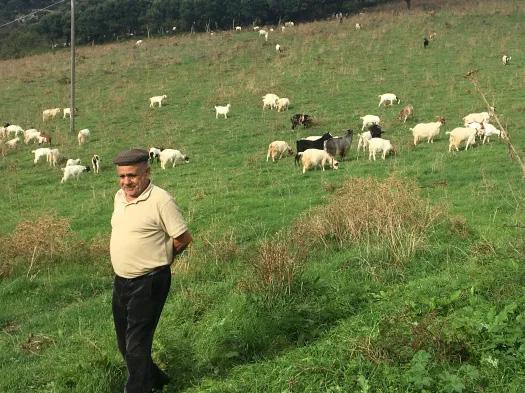
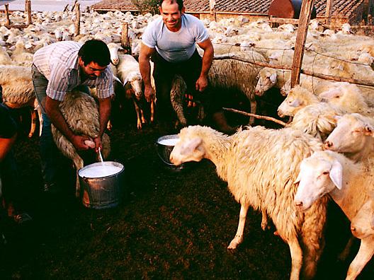
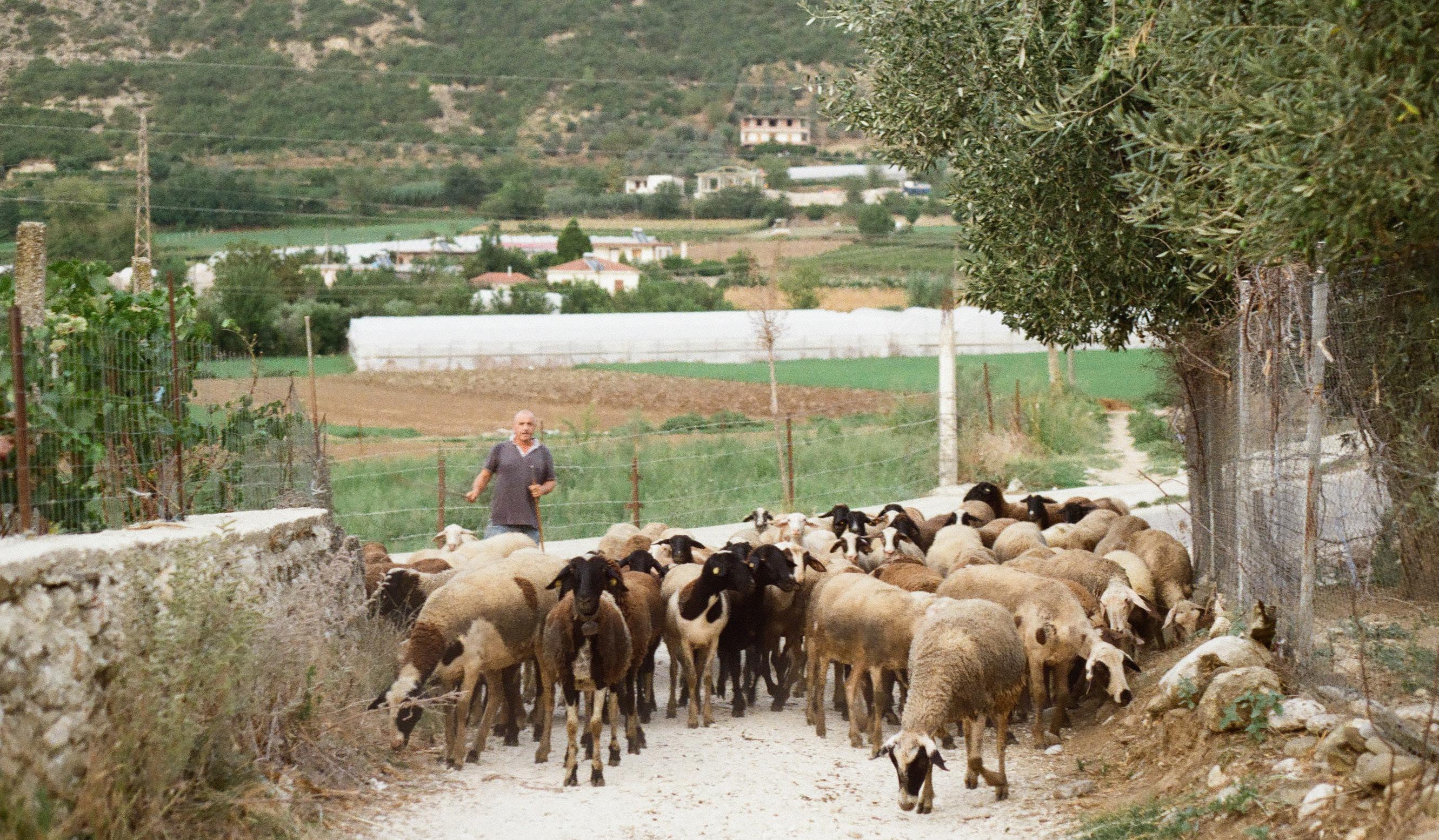
Sardinian shepard (Dr Antonello Franca and Prof Ian Scoones)
Sardinian shepards
2.4 PRINCIPLES
The previous sections developed a layered reading of Ogliastra: the domestic scale of the house (2.1), the steady rhythm of daily routines and encounters (2.2), and the wider place based system shaped by substratum, settlement networks, and everyday occupation (2.3). Together, they do not suggest that people live long because of a single cause. They point to a more design relevant insight: longevity can be read as an outcome of repeating conditions, spatial, social, and cultural, that make movement, recovery, and support ordinary across decades.
At this point, however, a translation problem emerges. Fieldwork produces situated understanding, but it does not automatically become a tool for design. If the thesis is to move from observation to urban strategy, it needs an intermediate step: a framework that can carry the richness of the fieldwork forward without reducing it to a checklist, or to an idealised story about “the good life”. The principles introduced here are meant to do exactly that. They synthesise what was observed in Ogliastra and connect it to supporting literature, in a form that can be used analytically in the chapters that follow.
This framework also responds to a recurring limitation in healthy city debates: health is often treated as one dimensional because the most visible variables are the easiest to measure. Discussions tend to centre on physical activity, exposure to green, or environmental quality (amount of smell and noise), while mental wellbeing, social connection, and belonging are handled indirectly or left to other domains. In Ogliastra the WHO’s holistic framing, - where health spans physical, mental, and social wellbeing, and where
these dimensions continuously shape each other - are very close to perfect. This makes these people live this long. The holistic definition of health from the WHO (dating from 1948!!) is the base of this research. The principles below therefore do not split health into silos. They identify interdependent mechanisms that repeatedly surfaced in Ogliastra: how landscape can regulate stress and invite low intensity movement, how routines become durable when they are embedded in daily life, how social life is sustained through proximity and repeated encounter, and how meaning and identity stabilise belonging.
In the next sections, these mechanisms are distilled into four principles. They are not lifestyle recommendations, and they are not a claim that Ogliastra can be replicated. They function as working concepts: first, to read how environments organise everyday life, and later, to test what spatial conditions might support healthier living in contexts where health is structurally under pressure.
Dimensions of health (World Health Organisation) - own gaphic
CONNECTION WITH NATURE
STRENGTHENING THE BOND BETWEEN PEOPLE AND THEIR IMMEDIATE SURROUNDINGS; ITS WATER, AGRICULTURE, RECREATIONAL LANDSCAPES AND EVERYDAY NATURE.
In Ogliastra, nature is not experienced as a separate “green space” that you visit; it is the continuous setting in which life takes place. Landscape is present at the scale of the doorstep and the daily route: wind, shade, slope, vegetation, seasonal change. This constant exposure does not only shape scenery, it shapes behaviour and state of mind. People move because terrain and tasks require it, and they recover because the environment repeatedly offers sensory calm and orientation; views, light, sound, temperature, and the predictable rhythm of weather and seasons.
Health benefits follow from this continuity. First, nature makes low-intensity movement ordinary. Walking, gardening, carrying and repairing are distributed across the day and across the lifespan. Because this activity is embedded in necessity rather
than motivation, it remains stable over time. Second, nature supports mental regulation through frequent microrestoration: short moments of attentional reset and physiological calming that accumulate into a lower stress baseline. Evidence supports these pathways: greenspace exposure is associated with a range of health outcomes and with reduced stress, while time outdoors can encourage more frequent physical activity (TwohigBennett & Jones, 2018). Physical activity in natural settings also relates strongly to perceived health and emotional wellbeing (Pasanen et al., 2014). In Ogliastra, these mechanisms are not abstract. They are continuously reinforced by a way of living in which outside space is not optional.
HEALTHY ROUTINES
CREATING HEALTHY HABITS BY RESHAPING THE FUNDAMENTAL RHYTHMS OF DAILY LIFE.
A second mechanism is that health in Ogliastra is maintained through what repeats. Daily life is structured by stable rhythms: meals at recognisable times, movement embedded in chores and errands, time outdoors as a default, and a pace that leaves room for recovery. The key point is not that residents are unusually disciplined, but that the environment and culture reduce friction against healthy behaviour. When movement is required by terrain and practical tasks, and when food culture is based on simple cooking and shared meals, healthy patterns become durable because they demand little negotiation.
From a health perspective, this matters because long-term wellbeing is shaped by accumulation. Regular, moderate physical activity across the week is protective for chronic disease risk and mental health precisely because it is repeatable (WHO, 2020). In Ogliastra, repeatability is built into daily logistics. Health emerges less from exceptional interventions than from routines that remain feasible across decades, including in older age.
SOCIAL INFRASTRUCTURE
ENSURING AN INTERCONNECTED SOCIAL FABRIC THAT REINFORCES MUTUAL RELIANCE.
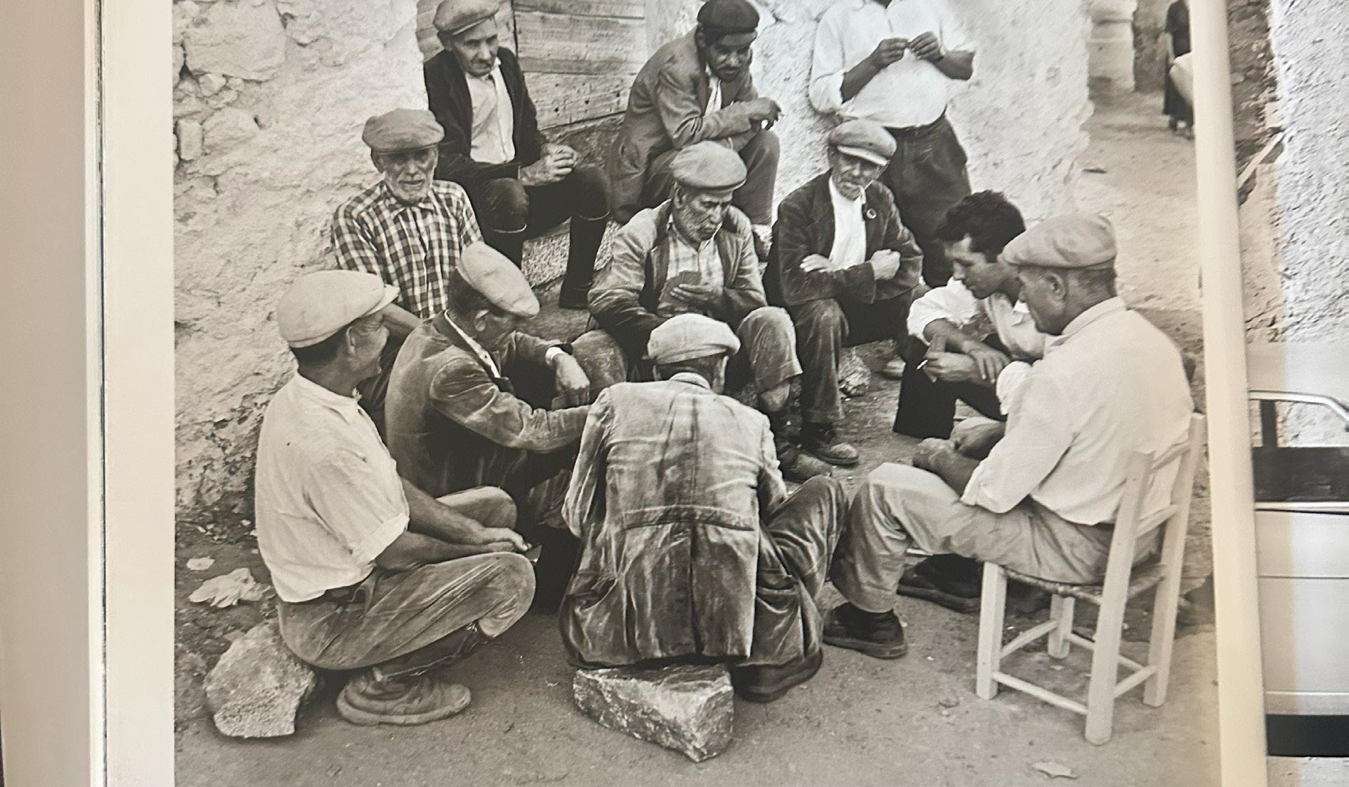
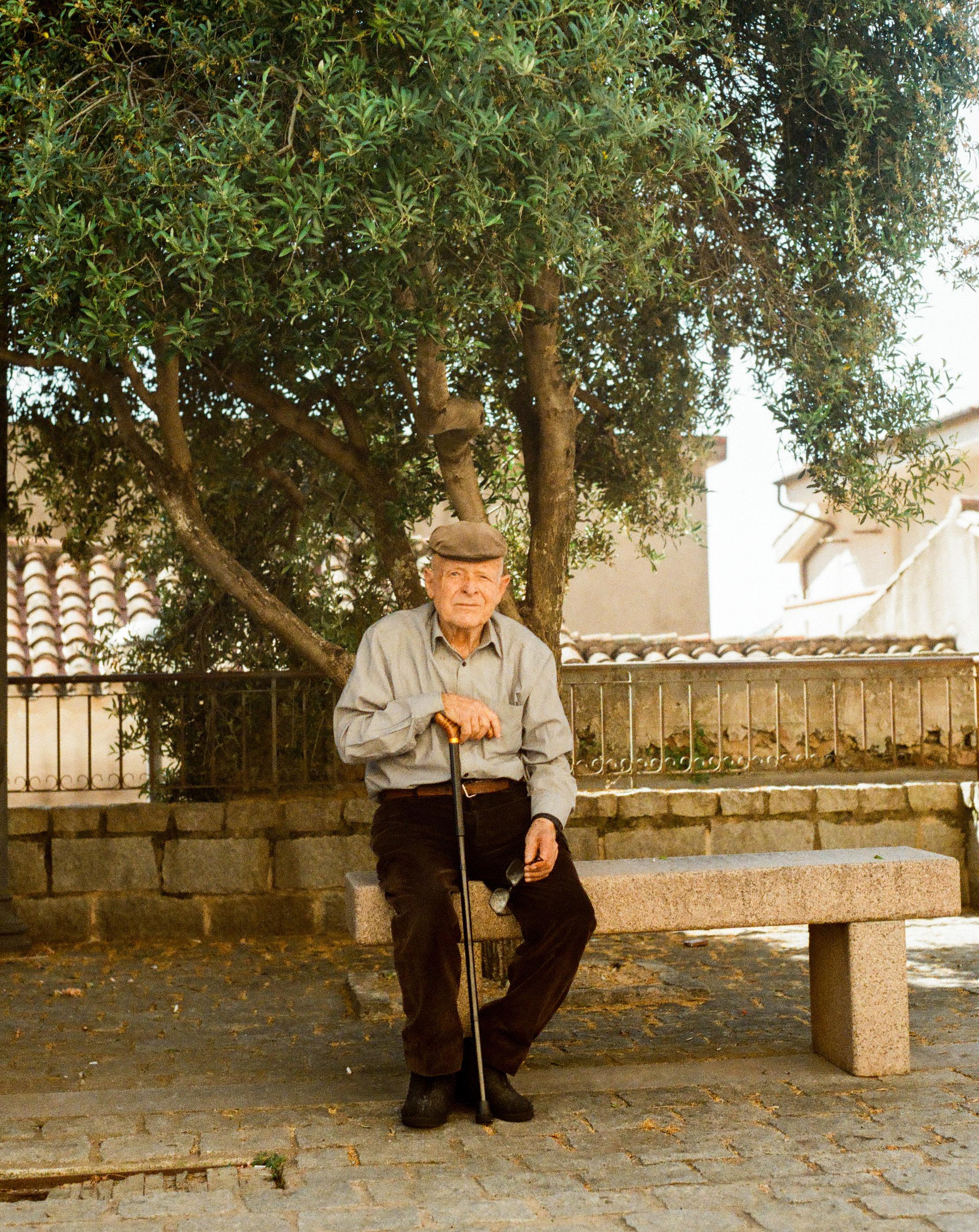
In Ogliastra, social connection is not primarily organised through formal programmes. It is sustained by proximity, repeated encounters, and shared rituals. Streets and squares support lingering; thresholds allow short conversations; daily routes overlap. People encounter each other often, lightly, and without planning, and those small interactions accumulate into recognition, trust and informal care. Elders remain visible in public life and maintain social roles rather than retreating into private space. This continuity matters for ageing because it stabilises support networks and buffers stress.
The health relevance of this mechanism is well established. Strong social relationships are associated with lower mortality risk
and better health outcomes (Holt-Lunstad et al., 2010). In Ogliastra, the point is not simply that people are “close-knit,” but that social life is structurally maintained by the spatial and temporal organisation of daily routines. Social connection becomes reliable because it is woven into how the day is lived.
LAYERED IDENTITY
BUILDING A SENSE OF BELONGING GROUNDED IN THE LAYERS OF PLACE: ITS LANDSCAPE, CULTURE, HERITAGE, RITUALS AND THE LIVED EXPERIENCES OF ITS PEOPLE.
Finally, Ogliastra shows how belonging can function as a health condition. Identity here is not a branding layer; it is maintained through material continuity and shared meaning: familiar routes shaped by terrain, recurring rituals, local narratives, and institutions that keep history and culture present in everyday life. This layered identity reduces uncertainty and strengthens coherence. People know where they are, what places mean, and how they relate to others within the village. That stability supports wellbeing because it anchors meaning beyond individual performance and reduces the mental strain of constant adaptation.
Research on place attachment supports that meaningful bonds to place contribute to wellbeing and resilience, and that continuity and readability strengthen those bonds (Scannell & Gifford, 2010; Manzo & Devine-Wright, 2014). Relph’s concept of placelessness remains relevant in understanding how loss of legibility and meaning can weaken belonging and increase alienation (Relph, 1976). In Ogliastra, identity is protective because it is lived and repeated embedded in everyday environments and shared practices rather than preserved as a static image.
CONNECTION WITH NATURE
STRENGTHENING THE BOND BETWEEN PEOPLE AND THEIR IMMEDIATE SURROUNDINGS; ITS WATER, AGRICULTURE, RECREATIONAL LANDSCAPES AND EVERYDAY NATURE.
In Ogliastra, daily life unfolds in constant proximity to the landscape. Gardens, mountains, climate and seasonal rhythms structure routines, orientation and perception of time. Nature is not an escape or recreational layer, but a lived environment that shapes behaviour, diet and movement.
Spatial relevance: continuous contact with nature influences physical activity, stress levels and sensory experience.
HEALTHY ROUTINES
CREATING HEALTHY HABITS BY RESHAPING THE FUNDAMENTAL RHYTHMS OF DAILY LIFE.
In Ogliastra, daily life unfolds in constant proximity to the landscape. Gardens, mountains, climate and seasonal rhythms structure routines, orientation and perception of time. Nature is not an escape or recreational layer, but a lived environment that shapes behaviour, diet and movement.
Spatial relevance: continuous contact with nature influences physical activity, stress levels and sensory experience.
SOCIAL INFRASTRUCTURE
ENSURING AN INTERCONNECTED SOCIAL FABRIC THAT REINFORCES MUTUAL RELIANCE.
Strong social ties are embedded in village life. Family structures, informal meeting places and shared daily practices create a dense social network in which care, support and belonging are part of normal life. Health is a collective condition rather than an individual responsibility.
Spatial relevance: social interaction depends on physical settings that allow proximity, encounter and continuity.
LAYERED IDENTITY
BUILDING A SENSE OF BELONGING GROUNDED IN THE LAYERS OF PLACE: ITS LANDSCAPE, CULTURE, HERITAGE, RITUALS AND THE LIVED EXPERIENCES OF ITS PEOPLE.
Ogliastra’s identity is shaped by landscape, history, tradition and local autonomy. This layered identity creates recognition, pride and a strong sense of belonging. Elders remain valued contributors, and cultural continuity provides meaning across generations.
Spatial relevance: identity is reinforced through spatial continuity, recognisable places and culturally anchored environments.
The observations in Ogliastra show health as an outcome of a coherent system of space, rhythm, and relationships. In this Blue Zone setting, nature is present as everyday proximity, movement is embedded in work, care, and daily routes, social connection grows through repeated encounters and shared rituals, and identity functions as a stable layer that keeps place readable and strengthens belonging (Buettner, 2015; Holt-Lunstad et al., 2010; Scannell & Gifford, 2010). These conditions are strongly place-based and historically formed through landscape, economy, culture, and family structures, and they point to a broader insight: health is shaped by how an environment organises everyday life, and it becomes stable when that organisation can repeat over time (Poulain et al., 2004).
These findings also broaden the health concept used in this research. Health is approached as resilience: the capacity to function, recover, and age in relation to one’s surroundings, across physical, mental, and social dimensions (World
Health Organization, 1948/2006; Huber et al., 2011). In Ogliastra, this resilience is supported by a living environment that makes restorative contact with landscape and low-threshold routines easy to sustain, with social support and meaning as part of daily life (Kuo, 2015; TwohigBennett & Jones, 2018). Health becomes something that can be built through a durable relationship with the immediate environment, including nature, repeatable routines, community ties, and places that carry shared meaning (Scannell & Gifford, 2010).
Chapter 3 shifts scale from house, village, and landscape to the city. The focus becomes how the underlying mechanisms from the fieldwork can be used as an analytical lens for urban settings with different densities, mobility systems, and socio-economic pressure. From that lens, the next chapter develops a healthy-city framework: an urban environment that supports healthy routines, enables mental resilience, structures social infrastructure, and offers residents continuity and meaning in daily life, aligned with a holistic view of health (World Health Organization, 1948/2006; RIVM, 2022). This framework then becomes the basis for reading and designing for the case of Den Haag Zuidwest.
3
THE HEALTHY CITY
3.1 HEALTH AS URBAN OUTCOME
The chapter opens with a clear health concept. It follows the WHO definition of health as physical, mental, and social wellbeing (World Health Organization, 1948). These dimensions shape each other in daily life and can be influenced through spatial conditions, because the built environment structures what becomes easy, repeatable, and socially normal.
Chapter 2 approached this question through a deliberately different reference setting. Ogliastra, as part of Sardinia’s longevity region, was studied to understand how health can become ordinary when everyday life is organised by landscape proximity, embedded movement, repeated social contact, and lived meaning (Buettner, 2015; Poulain et al., 2013). The value of this Blue Zones lens in the thesis is not that it offers a model to copy, but that it makes mechanisms visible. It shows how the three WHO dimensions tend to appear together when routines are supported structurally rather than left to individual effort.
That insight creates the bridge to healthycity theory. If health in Ogliastra emerges through the organisation of daily life, then the relevant question for an urban context becomes: which urban conditions can make similar mechanisms more likely under very different realities of density, infrastructure, governance, and socio-economic inequality. Healthy-city research provides the knowledge base for that translation. The WHO Healthy Cities approach positions health as an urban agenda shaped through housing, mobility, access to green space, amenities, safety, and social conditions (World Health Organization, 1998). Social determinants frameworks further describe health as an outcome of layered living conditions and socio-economic position, reinforced through social networks and opportunity structures (Dahlgren &
Whitehead, 1991; Marmot, 2010). Builtenvironment research links walkability and active mobility to higher everyday activity and improved health outcomes (Frank et al., 2010). Evidence on green space connects exposure to greenspace to health through stress-related recovery pathways and support for physical activity (Pasanen et al., 2014; Twohig-Bennett & Jones, 2018). Social epidemiology shows that social relationships have substantial associations with mortality risk, which underlines the importance of places that enable repeated encounter and everyday support (HoltLunstad et al., 2010; Klinenberg, 2018).
Within this theoretical landscape, the Blue Zones perspective functions as an organising reference rather than a competing theory. It helps keep the WHO dimensions integrated by showing how physical, mental, and social wellbeing can reinforce each other through repetition. This chapter uses that integrative perspective to structure healthy-city knowledge into a spatial research framework: a set of mechanisms that can be traced in urban form, tested in a case study, and translated into design decisions.
The result is not another definition of the healthy city, but a working lens for the chapters that follow. It prepares the spatial analysis of Zuidwest by clarifying which mechanisms matter, how they relate to existing evidence, and how they can be investigated and designed across scales.
3.2 FROM OGLIASTRA TO HEALTHY CITY
In healthy city theory, health is often translated into measurable components. Policy and research commonly work with indicators such as air quality, noise exposure, access to green space, traffic safety, or the availability of facilities. These indicators are important, and they help make health discussable in planning practice. At the same time, the literature review for this thesis made one pattern clear: the holistic WHO definition is frequently applied unevenly. Physical health is often foregrounded because it is easier to quantify, while mental wellbeing and social health tend to be addressed
more indirectly, through separate policy domains, or as secondary effects (World Health Organization, 1948; Marmot, 2010; RIVM, 2022).
That gap matters for design. A neighbourhood can score relatively well on physical indicators and still produce unhealthy everyday life when stress is high, repeated encounter is weak, and people struggle to attach meaning to place. Social cohesion can protect health, yet it is sensitive to practical spatial conditions such as safe routes, nearby amenities, and public space that supports recovery and
repeated use (Marmot, 2010; RIVM, 2022). In other words, the question is not only whether “healthy ingredients” are present, but whether daily life is organised in a way that makes health more likely across physical, mental, and social dimensions.
To address that, this thesis consolidates insights from three sources into one design framework: fieldwork in Sardinia, observations and participation in Den Haag Zuidwest, and healthy city literature. The result is a set of four principles that function as a working method for spatial analysis and design. The principles do not replace measurable indicators, but they help interpret what those indicators mean in everyday life, and they keep the WHO dimensions connected.
Connection to nature captures how frequent, nearby contact with green and blue environments can support recovery, stress regulation, and everyday activity (Pasanen et al., 2014; Twohig-Bennett & Jones, 2018). Healthy routines captures how movement and health-supportive practice become repeatable when daily destinations are close and routes are safe, coherent, and pleasant, which connects directly to evidence on walkability and active mobility (Frank et al., 2010). Social infrastructure captures the spatial and institutional conditions that make repeated encounter, mutual support, and reciprocity more likely, supported by evidence linking social relationships to health and mortality risk and by work on the role of physical places in neighbourhood resilience (Holt-Lunstad et al., 2010; Klinenberg, 2018). Layered identity captures the role of legibility, continuity, and meaning in shaping
wellbeing through place attachment, orientation, and belonging (Lynch, 1960; Scannell & Gifford, 2010; Manzo & DevineWright, 2014).
To keep these principles usable in everyday planning practice, each principle is linked to recognisable urban themes and programmes. Connection to nature becomes tangible through green and natural structures, water systems, and urban agriculture and food production. Healthy routines connects to slow mobility networks, public transport, accessibility, and sport and movement networks (Frank et al., 2010). Social infrastructure connects to amenities, education, and everyday meeting places where repetition can build trust over time (Klinenberg, 2018). Layered identity connects to historical lines, cultural anchors, landmarks, and the local economy, including active ground floors and mixed streets that support everyday life and informal social control (Jacobs, 1961; Lynch, 1960).
The following sections unpack the principles one by one. Each section uses the same design question: which spatial conditions and urban themes need to align so that the mechanism becomes part of daily life, also under densification pressure and in contexts of pronounced socio-economic inequality.
CONNECTION WITH NATURE
STRENGTHENING THE BOND BETWEEN PEOPLE AND THEIR IMMEDIATE SURROUNDINGS; ITS WATER, AGRICULTURE, RECREATIONAL LANDSCAPES AND EVERYDAY NATURE.
The translation of “connection to nature” into urban themes starts from a clear point: in a healthy city, nature works as structure. It helps people move in everyday life, supports mental recovery, and creates settings where social life can happen. For that reason, this principle links directly to three urban themes: green and natural structures, water, and agriculture and food.
Green and natural structures have the strongest health effect when they function as a network. A continuous system supports daily use and makes contact with nature regular. The key is not only the presence of green, but accessibility, proximity, and continuity. Research shows that exposure to green space is associated with a wide range of health outcomes, including higher levels of physical activity and better general health (Twohig-Bennett & Jones, 2018). More specifically, physical activity in natural settings is strongly related to perceived health and emotional wellbeing (Pasanen et al., 2014). This supports the idea that “usable green” along routes and near homes can contribute more to daily routines than fragmented green that is mainly visual. Green infrastructure also affects environmental comfort through shade, cooling, air quality benefits, and noise reduction, which matters for stress levels and the use of public space in warm periods (Twohig-Bennett & Jones, 2018; Koedoot & Wilschut, 2013).
Water is part of this same green-blue system. It supports biodiversity and helps reduce heat stress through cooling and evaporation, and it improves the comfort of public space. Comfort is relevant for health because it influences whether people stay outdoors, whether routes
remain attractive, and whether meeting places become part of daily life. In health and care-oriented literature, nature and water are also discussed as supportive environments that can reduce stress and contribute to wellbeing (Koedoot & Wilschut, 2013).
Agriculture and food are included because connection to nature becomes truly everyday when nature is part of daily rhythms such as care, harvesting, and cooking. Gardening and community food production have been linked to health benefits in research, including effects on wellbeing and physical activity (Soga & Gaston, 2016). These spaces also create low-threshold meeting places and shared routines, which strengthens the connection between nature and social life (Klinenberg, 2018).
This translation does not mean “adding more green.” The task is to make nature future-proof: robust under densification, usable in daily practice, and fairly distributed. That requires design choices that connect nature to routes, functions, and long-term management, so it works as a carrying layer rather than leftover space (Twohig-Bennett & Jones, 2018; RIVM, 2022).
CONNECTION WITH NATURE
CONNECTING PEOPLE TO URBAN GREEN, WATER NETWORKS AND PRODUCTIVE LANDSCAPES.
HEALTHY ROUTINES
2. HEALTHY ROUTINES
CREATING HEALTHY HABITS BY RESHAPING THE FUNDAMENTAL RHYTHMS OF DAILY LIFE.
HEALTHY ROUTINES
SHAPING HEALTHIER DAILY RHYTHMS BY PRIORITISING SLOW MOBILITY, PUBLIC TRANSPORT AND ACCESSIBLE SPORTS.
“Healthy routines” focuses on a mechanism that appears clearly in Blue Zones: health becomes more likely when healthy behaviour is easy to repeat and fits into daily life. In a city, this principle connects to themes that shape everyday choices: accessibility and proximity, slow mobility (walking and cycling), public transport, and opportunities for sport and movement.
Slow mobility influences health because it can make “moving in daily life” the normal option. Walkability, understood through factors such as density, mixed land use, street connectivity and safe crossings, is linked to higher levels of physical activity and lower risks related to obesity and cardiovascular health (Frank et al., 2010). The mechanism is straightforward: people walk and cycle more when routes are short, logical, safe and pleasant. That is why design details matter. Shade, benches, lighting, shelter, and social safety through “eyes on the street” influence whether a route supports daily routine, especially for children and older adults (Gehl, 2011). In post-war neighbourhoods, one clear and safe route to schools, public transport and everyday facilities can already make daily micro-movements more stable over time.
Public transport supports health through two connected pathways. It often increases everyday activity because trips usually include walking or cycling to and from stops, and it can reduce car use, which benefits air quality, noise exposure and traffic safety (Pucher & Buehler, 2012). This depends on public transport being reachable and reliable, with safe transfers and stop environments that feel comfortable and socially safe. In spatial terms, this leads to the idea of stops as mobility nodes: good bicycle parking, clear
wayfinding, safe crossings, and active ground floors that make waiting and transfer feel part of daily life rather than an isolated moment (Pucher & Buehler, 2012).
Sport and physical activity contribute to health when they can become routine rather than a special effort. The WHO recommends that adults achieve at least 150 minutes per week of moderateintensity activity, and that children and adolescents achieve an average of 60 minutes per day, because regular activity reduces risks of chronic disease and supports mental health (World Health Organization, 2020). In cities, this means that movement works best when it is nearby, visible, socially safe, and connected to everyday routes. Informal sport spaces such as small courts, table tennis or skate facilities reduce thresholds, especially for young people and residents with limited financial room (RIVM, 2022). When sport is placed along routes and near daily hotspots, movement becomes more likely as part of everyday life, rather than something that requires extra planning (Gehl, 2011).
Healthy routines therefore operate through a network logic. The central question is not where one attractive place is located, but whether the wider system of routes, stops and everyday destinations makes healthy behaviour a realistic default for many residents, across different ages and daily rhythms (Frank et al., 2010; RIVM, 2022; World Health Organization, 2020).
SOCIAL INFRASTRUCTURE
3. SOCIAL INFRASTRUCTURE
ENSURING AN INTERCONNECTED SOCIAL FABRIC THAT REINFORCES MUTUAL RELIANCE.
Social infrastructure focuses on the relationships that sustain health in daily life. The starting point is that social connectedness is a structural health factor. Strong social relationships are associated with lower mortality risk (Holt-Lunstad et al., 2010), and social integration influences health through support, shared norms, access to resources, and stress buffering (Berkman et al., 2000). In urban terms, this means that health partly depends on whether a neighbourhood has places and spatial conditions that make repeated encounter likely.
For that reason, this principle links to three themes: amenities, education, and social meeting places or hotspots.
Amenities such as community centres, libraries, neighbourhood health centres, and markets are not only functional services. They also create repetition, recognition, and low-threshold contact. When amenities disappear, become harder to reach, or are too far away, informal support weakens and loneliness becomes more likely, with direct mental and physical health consequences. Klinenberg (2018) describes social infrastructure as the physical places that make social life possible and that strengthen neighbourhood resilience, especially in periods of stress.
Education is a key structure within this principle. Schools organise daily rhythms and connect parents, children, and professionals through repeatable patterns. A school can become a social anchor when it is spatially integrated into the neighbourhood, for example through safe walking and cycling routes, shared use of outdoor space and facilities, and
an open public presence. This strengthens everyday contact and can support broader social integration, which is linked to health outcomes (Berkman et al., 2000; Klinenberg, 2018). When a school is spatially isolated, the potential for everyday encounter becomes smaller and fragmentation can increase.
Social meeting places or hotspots are where social infrastructure becomes tangible in daily life. These include sidewalks, entrance zones, small squares, pocket parks, and neighbourhood cafés. Their spatial quality influences whether a neighbourhood supports staying, interaction, and trust. A hotspot logic applies here. The goal is not to add a small element everywhere, but to strengthen strategic places where comfort, safety, visibility, and a mix of functions come together. Small design choices such as seating, lighting, active ground floors, and playful cues can strongly influence whether people linger and meet or move on quickly. Gehl (2011) shows how the quality of public space is closely linked to staying and interaction. Klinenberg (2018) emphasises that these everyday interactions support resilience over time.
SOCIAL INFRASTRUCTURE
STRENGTHENING SOCIAL INFRASTRUCTURE THROUGH ACCESSIBLE (BASIC)PUBLIC AMENITIES, EDUCATIONAL SPACES AND NEIGHBOURHOOD SOCIAL HOTSPOTS.
LAYERED IDENTITY
4. LAYERED IDENTITY
BUILDING A SENSE OF BELONGING GROUNDED IN THE LAYERS OF PLACE: ITS LANDSCAPE, CULTURE, HERITAGE, RITUALS AND THE LIVED EXPERIENCES OF ITS PEOPLE.
LAYERED IDENTITY
CULTIVATING LOCAL IDENTITY THROUGH THE ACTIVATION OF HISTORIC STRUCTURES, RELIGIOUS AND CULTURAL PRACTICES AND THE LOCAL ECONOMY.
Layered identity highlights a dimension that is often less visible in health frameworks, yet strongly shapes everyday experience: legibility, continuity, and meaning. Identity works as a form of mental infrastructure. It helps people orient themselves during change, supports pride and a sense of home, and can increase the willingness to care for place and community. Place attachment theory explains bonds to place through a combination of physical characteristics, social relationships, and meaning making, and links these bonds to wellbeing (Scannell & Gifford, 2010). Relph (1976) describes how placelessness, the loss of recognisability and distinctiveness, can lead to alienation and a decline in meaning.
Historical structures such as routes, street profiles, and block patterns are therefore not only “heritage”, but legibility. They make a neighbourhood understandable and recognisable. In areas undergoing major change, preserving or carefully reinterpreting existing lines can support continuity. Change is then more likely to be experienced as building on a readable underlying structure instead of as uprooting (Scannell & Gifford, 2010; Relph, 1976).
Religion and culture function as both social and mental carriers. They organise rhythm through festivals and weekly routines, community through meeting and support, and meaning through shared practices. Putnam (2000) links social participation to trust and wellbeing, and religious and cultural places often act as nodes for such participation. Spatially, this does not mean every cultural place must become a monument. It means cultural anchors should be visible, accessible, and embedded in the everyday network. In
multicultural neighbourhoods, recognising multiple cultural anchors becomes a design question, because it influences inclusion and the extent to which residents feel ownership of the neighbourhood.
Monuments and landmarks strengthen identity through orientation and meaning. Lynch (1960) explains how landmarks contribute to the city’s imageability. A legible environment reduces cognitive load and supports wayfinding, which matters especially for children, older adults, and people under stress. Manzo and DevineWright (2014) show how meanings and narratives attach to places and contribute to place attachment. In design terms, this can translate into strengthening sightlines, connecting landmarks to daily routes, and giving them public meaning through surrounding spaces and programmes, so they remain part of everyday life rather than isolated objects.
The local economy is a further identity layer because it connects daily life, encounter, and economic security. Jacobs (1961) describes how mixed streets with local functions generate vitality and informal social control, often summarised as “eyes on the street”. Nearby shops, services, and markets make walking and cycling more realistic, reinforce routine formation, and stimulate social interaction. Economic stability can also influence health indirectly through reduced stress and stronger perspective. Here, a hotspot logic applies as well: not retail everywhere, but stronger places where ground floors are affordable, active, and meaningful.
3.3 THE HEALTHY CITY ACROSS SCALES
The four principles offer a holistic way to understand and steer health in the city, but they only become meaningful when they can take spatial form. That requires a translation across scales. In Ogliastra, health became visible through the layered interaction of substratum, network, and occupation. In a city, health can be read in a similar way, as a system in which ground conditions, connections, and everyday use keep shaping one another over time. This interdependence determines whether nature feels close, whether routines can become repeatable, whether encounter becomes likely, and whether identity remains legible and meaningful (Scannell & Gifford, 2010).
For that reason, the next sections are structured across three connected scale levels.
At the level of the system, the focus is on the main carriers: regional links, green blue structures, mobility networks, and the places where flows of water, food, energy, and people can logically connect. This level describes what becomes possible and which lines organise daily life. It aligns with the idea that health is shaped by conditions that sit beyond individual choice, including spatial access, infrastructure, and environmental quality (World Health Organization, 1998; RIVM, 2022).
At the level of healthy public space, the system becomes tangible. Here the quality of routes, thresholds, and everyday places matters: where people walk, cycle, wait, play, rest, and meet. Public space is where health supporting principles translate into repetition. The literature on public life shows how the design and quality of the public realm influence staying, interaction,
and the everyday use of streets and squares (Gehl, 2011). This is also where social infrastructure becomes visible as a set of physical places that make everyday social life more likely and more resilient (Klinenberg, 2018).
At the level of the healthy urban block, health is anchored in living itself. The block is where daily proximity and ownership are shaped through typology, entrances, shared spaces, and courtyards. It is also where microclimate and comfort affect whether outside space is used and whether routines can be sustained. In this scale, the principles are not added afterwards, but integrated into the way housing, thresholds, and collective space work together.
With this structure, the question shifts from what the principles mean to where and how they can operate. The system organises conditions, public space supports repetition, and the urban block supports daily proximity and ownership. Together, these scales form a spatial toolkit through which the healthy city can function as a designable and testable framework.
THE SYSTEM
A healthy city emerges when places, structures and relationships work together as one coherent system. Its strength lies in the way different scales support one another, from the home and the street to the neighbourhood, the city edge and the surrounding landscape. When these scales connect well, daily life can more easily include movement, recovery, social contact and access to nature (World Health Organization, 1998; RIVM, 2022).
Ogliastra offers a clear example of this system logic. In this region, landscape, settlement form, routes and everyday use have developed together over a long period of time. Many daily practices require direct engagement with place, for example walking across terrain, maintaining land, sharing resources and relying on neighbours. Over time, this strengthens self reliance and makes it part of normal life (Buettner, 2015; Poulain et al., 2004). Health is supported through repeated patterns in daily life, including low threshold movement, regular recovery in nature and steady social support.
From this perspective, the healthy city is strongly linked to system quality. A system includes interacting themes such as landscape and ecology, water and climate, mobility networks, food and material flows, public space and everyday facilities, local economy and cultural anchors (World Health Organization, 1998; Dahlgren & Whitehead, 1991). These themes function together as one operational fabric. They shape whether the wider environment becomes usable in daily routines, or stays distant and occasional.
Connection to the surrounding environment is central in this logic. Many places sit close to valuable assets, such as productive landscapes, water structures, knowledge
networks, local skills, cultural institutions, economic clusters or recreational edges. When these assets are physically reachable, socially accessible and logistically supported, they can become part of daily life, for example through walkable and bikeable routes, regular public space use and local services (Frank et al., 2010; Klinenberg, 2018). This also helps people build attachment and meaning, because routines and encounters tend to repeat in recognisable settings (Scannell & Gifford, 2010).
A system approach also makes circularity more realistic. When flows are linked, for example organic waste to compost, water buffering to productive green space, local production to local consumption, and energy generation to neighbourhood use, a place can reduce external dependency and strengthen long term resilience (Geissdoerfer et al., 2017). Circularity in this sense is a spatial logic. It depends on proximity, connection and the ability to keep value within the local system.
The key implication is methodological. Health becomes more stable when relationships between networks, places and projects are aligned. It depends on whether an environment makes daily life coherent, connecting people to landscape, to each other, to resources and to meaningful routines (World Health Organization, 1998; RIVM, 2022). The healthy city can then be understood as a capacity, the capacity of a place to organise everyday life in a way that repeatedly supports wellbeing over time.
Beyond the system scale of city and neighbourhood, clear design guidelines are needed so that the healthy city principles become visible in daily use of public space. System thinking explains coherence across scales and themes. These guidelines focus on design decisions that influence everyday behaviour, such as walking more often, spending more time outdoors, meeting more easily, feeling safer, and building attachment to place. They are written for landscape architects, urban designers and public space professionals. Their purpose is to support everyday routines through spatial quality and use.
Healthy city literature treats the public realm as a key driver of health because it shapes daily exposure, mobility, encounter and recovery (World Health Organization, 2020). In the Netherlands, the RIVM highlights that the physical environment can stimulate or obstruct healthy behaviour, with stronger effects for vulnerable groups who depend most on nearby and accessible public space (RIVM, 2022). The fieldwork in Ogliastra supports a similar insight at a lived level: health supportive conditions become stable when routes, places and rhythms work together in a consistent daily pattern. The guidelines on the right translate that everyday coherence into practical design logic for urban public space.
Within the public realm, connection to nature becomes an accessible, usable and climate adaptive ecosystem that supports daily life. Nature has the strongest effect when it is close to where people already move and stay, and when it connects to routes, places to pause, and play
1. CONNECTION WITH NATURE
An accessible and diverse ecosystem
2. HEALTHY ROUTINES
Prioritezed slow infrastructure safe and continuous routes
3. SOCIAL INFRASTRUCTURE
Public interaction network squares, play streets)
4. LAYERED IDENTITY
Visibility of historical structures monuments) and strong
diverse climate addaptive natural
infrastructure and public transport, routes
network (benches, intimate
structures (canals, dikes or urban structures
Contact with nature from a young age (allotmentsgardens, farms, natural playground)
Movement oriented public space design for multiple groups
Balanced public space, a mix of activated and places to calm down
Cross-cultural places (squares, markets, nature)
Support of healthy food disicions around hotspots (station, shopping centers, hospitals, schools)
Accessible and closeby basic services and public transport
Ownership of public space
Local economic spaces (markets, craftmanship or small shops)
environments. Trees, shaded edges, flower rich verges, water lines and green corridors can be placed along everyday walking and cycling routes so that contact with nature becomes frequent. Productive and learning based typologies such as allotments, urban farms and natural play spaces can support daily rhythms of care and routine. Climate adaptation is part of health in this approach. Water storage, infiltration, shade and cooling improve comfort and support outdoor life during hot days, including for groups that are more vulnerable to heat. Evidence links green exposure to multiple health outcomes, including stress reduction and physical activity (Twohig Bennett & Jones, 2018). Dutch research also describes nature as supportive within care and daily functioning, which strengthens the view of green and blue infrastructure as preventive infrastructure (Koedoot & Wilschut, 2013). Public space can also support healthier food behaviour by placing healthy options visibly and nearby at everyday hotspots such as stations, shopping areas, hospitals and schools, and by reducing the spatial dominance of unhealthy options along main desire lines.
Healthy routines translate into public space that makes movement easy to repeat across the day. This starts with a strong priority for walking, cycling and public transport through safe, logical and continuous routes that connect directly to stops, facilities and work. Route quality depends on comfort and readability, including legible crossings, short waiting times, good lighting, shelter from wind, shade, rest points and perceived safety. Public space becomes a movement landscape for different groups, including children travelling to school, older adults
using short loops with resting moments, commuters using reliable cycling connections, and people who exercise along safe routes. Walkability, including density, mixed land use, connectivity and safe crossings, is associated with higher daily activity and lower obesity and cardiovascular risk (Frank et al., 2010). The WHO emphasises that regular physical activity reduces the risk of chronic disease and depressive symptoms, which strengthens the need for routine compatible environments (World Health Organization, 2020). This also depends on distance. Everyday destinations and public transport need to sit within walking and cycling reach so that movement becomes part of daily patterns.
Social infrastructure becomes tangible in public space through a network of places that support low threshold encounter. This network includes large squares as well as smaller elements such as sidewalks, entrance zones, benches, pocket parks, play streets and informal places to pause. The key mechanism is repetition. Familiar routes and familiar places at similar times allow recognition and trust to grow. Research consistently links strong social relationships to lower mortality risk (Holt Lunstad et al., 2010). Klinenberg describes social infrastructure as the physical places that enable social life and strengthen neighbourhood resilience (Klinenberg, 2018). Gehl shows that public space quality influences how long people stay and how often interaction happens, and that small design choices can strongly affect behaviour (Gehl, 2011). Inclusive public space therefore needs variation. Some places should support activity and social life. Other places should support calm and recovery. Inclusion also means offering
places where people can sit alone without pressure, places where children can play without traffic stress, and places where young people can be present without being displaced. A sense of ownership can strengthen social functioning when residents have influence through shared maintenance, temporary programming, or adaptable elements, which supports engagement and informal social control (Klinenberg, 2018).
Layered identity becomes visible in public space through legibility, continuity and meaning. Place attachment research links bonds to place with wellbeing, and shows the role of physical characteristics, social relationships and meaning making (Scannell & Gifford, 2010). Relph describes placelessness as a loss of distinctiveness that can weaken meaning and connection (Relph, 1976). Historical lines such as dikes, canals, old paths, green corridors and parcel structures can be strengthened as carriers of the urban fabric, especially in areas under rapid change where recognisability supports orientation. Public space also needs room for contemporary identity. Markets, shared sports and play spaces, and green areas with shared use can support meeting across cultures and everyday recognition. The local economy benefits from physical space in the public realm through markets, small craft, temporary stalls, neighbourhood kitchens and small shops. These functions support repeated visits and daily movement, and they allow meaning to attach to places through regular use and encounter (Jacobs, 1961).
In summary, these design guidelines help the healthy city become visible and experienced in everyday routes, places
and rhythms. Theory and fieldwork point to a shared mechanism: health supportive conditions become durable through repetition (World Health Organization, 2020; RIVM, 2022). Public space supports repetition through proximity, comfort, safety, recognisability and shared use. Designing for health therefore means designing for daily routines and daily connection so that wellbeing can grow through ordinary life.
THE HEATHY BLOCK
Alongside the public realm, the urban block is a crucial scale where health is shaped day by day. The city scale deals mainly with networks and hotspots. The block deals with everyday routines: arriving home, stepping outside, running into neighbours, letting children play, moving in small moments, and finding moments of recovery. The guidelines below support developers and architects in creating a human, flexible and future proof living environment, while keeping the healthy city framework present in spatial decisions rather than repeating it as abstract themes.
A healthy block starts with compact, high density typologies that still feel human in use and scale. Density works best when it comes with mixed use and active edges. This mix is visible in the ground floor, the street section, and the way entrances and windows relate to public space. Adaptable ground floors with a high level of transparency support street life and perceived safety, because people can see activity and feel that spaces are used (Jacobs, 1961; Gehl, 2011). When ground floor functions can change over time, the block can respond to shifting needs in work, care, and neighbourhood life, which supports long term resilience. A clear composition in base, middle and crown helps larger volumes remain readable from street level and supports a comfortable human scale (Gehl, 2011). Material and construction choices also matter for health and future proofing. Reuse and renovation reduce material impact and keep recognisable structures in place, which supports continuity during transformation (Ellen MacArthur Foundation, 2019;
Intergovernmental Panel on Climate Change, 2022). The WHO also stresses that housing quality and the living environment influence health outcomes across the life course (World Health Organization, 2018).
Inner courtyards function as collective in between spaces with several layers of use. They form an everyday interior landscape: sheltered, close at hand, and suitable for both encounter and recovery. Courtyards support social life when they offer a mix of active zones and calm zones, so different ages and daily rhythms can coexist (Gehl, 2011). A healthy courtyard needs a balanced composition of qualitative green, usable green and permeable surfaces. Green exposure relates to both mental wellbeing and physical activity, and the effect becomes stronger when contact is frequent and close to daily life (Twohig-Bennett & Jones, 2018; Kuo, 2015). Water is part of this daily landscape as well. Retaining rainwater on site through swales, infiltration strips or retention areas strengthens climate resilience and improves comfort during heat and heavy rainfall events (RIVM, 2022). When water is visible and accessible, it can also add meaning and sensory quality to everyday outdoor space.
The threshold between private and public space is a key part of a healthy block. It strongly influences whether streets feel lively and socially safe, or empty and uncomfortable. Clear, gentle transitions such as raised or set back ground floors, stoops, landings, small front gardens or galleries create a gradual edge. These elements allow privacy while keeping contact with the street. This kind of semi private zone supports natural social control
and everyday encounter, especially when entrances are frequent and clearly visible (Newman, 1972; Gehl, 2011). Permeable edges and good passability help the block connect to the wider walking network and increase the chance of incidental meetings. Active corners and well placed entrances support orientation and make routes feel coherent. In this way, the block functions as an active link within the urban system, where public space and collective space strengthen each other.
Architecture Courtyards
Compact, human scale, high-density mixed blocks
Active flexible plinths 70% transparant
Clear 3-part articulation for human scale (podium, middle, crown)
Natural local materials
Minimal demolition, reuse structures where feasible
30% quality green, 40% usable green,
Active courtyards double function,
Quiet spaces
Rainwater retained on-site
Private-public zone
green, 30% permeable
function, productive/social zones
Thresholds 1.5–2 m with raised/recessed ground floors (0.5–1 m)
Open, permeable edges
Clear activated entrances and corners every 15–25 m
HUMAN CENTERED DESIGN
In this research, human-centred design is not added at the end as a form of participation. It is the starting point for understanding whether a healthy city can actually work in daily life. Health is shaped not only by spatial quality, but also by how places are used, understood and cared for. Design choices only remain meaningful over time when they connect to daily routines, cultural habits, informal networks and the small frictions of everyday life. When this connection is missing, interventions often remain underused, or their impact fades once management, programming or public support becomes weaker. For this reason, human-centred design is essential for turning health into a spatial agenda that can last over time (Gehl, 2011; Sanoff, 2000).
This also connects to what became visible during the fieldwork in Ogliastra. Many health-supportive mechanisms
WELL PREPARED
Effective engagement requires clear boundaries. Residents need to understand what is open for input, what is fixed, and why. Without this clarity, noise, disappointment and participation fatigue emerge. With transparent “rules of the game,” participation can focus on lived knowledge: avoided places, routes that feel unsafe, daily bottlenecks, meeting places that already work, and small spatial cues that shape routine. Participation then becomes not symbolic consultation, but a targeted part of the design process.
could only be understood by looking at everyday patterns: which routes people naturally take, where encounters repeat, which spaces offer calm, how thresholds create contact, and how certain places gain meaning over time. Environmental psychology describes these bonds through place attachment, showing how experience, memory and social meaning contribute to wellbeing and to people’s willingness to care for a place (Scannell & Gifford, 2010).
In an urban context, these questions are just as relevant, but they need to be made more explicit. Routines are less stable, social structures are more fragmented, and places do not always organise use by themselves. Human-centred design offers a way to read these patterns and translate them into a spatial system, public realm and urban block that support health in everyday use, not only in drawings or policy language (Gehl, 2011; Klinenberg, 2018).
TOGETHER WITH MULTIPLE/DIVERSE GROUPS
Health inequalities are unevenly distributed and experienced differently across age, income, background and cultural context. A process that mainly hears the voices that naturally show up tends to reproduce inequality and overlooks precisely those groups for whom the living environment is most decisive. Human-centred design therefore requires deliberate inclusion: children, young people, older adults, care professionals, local entrepreneurs, schools and informal networks. This produces a fuller understanding of what is needed for a place to function healthily and prevents the healthy city from being designed around a single dominant norm.
ROLEMODELS
Local pioneers and informal leaders can bridge design and daily life and help build trust. They often translate between institutions and neighbourhood reality and can activate networks that remain invisible to formal processes. At the same time, involvement cannot become structurally dependent on a small group. Overuse leads to exhaustion and declining support. A sustainable approach recognises their contribution, values their time, distributes responsibility and designs participation so that the network expands rather than narrows.
ITERATIVE PROCES (FEEDBACK LOOPS)
Use, meaning and routines change over time, particularly in neighbourhoods undergoing densification or socioeconomic shifts. Human-centred design therefore needs an iterative process: temporary interventions, testing, evaluation and adjustment. This produces a learning system in which residents see effects, experience ownership and development remains connected to everyday reality. It improves design quality and effectiveness, and it strengthens attachment, trust and self-reliance because management and use are treated as part of the system rather than something that happens after delivery.
GUIDED BY PROFFESIONALS
Participation is relational and complex. It requires skills to connect interests, make tensions productive and build trust. Community builders, placemakers and social designers bring this expertise and ensure that participation is treated as a discipline within the project rather than a communication layer after the fact. Especially in a healthy-city approach— where mental and social dimensions do not automatically translate into design—this professional capacity is essential to carry nuance into spatial decisions.
Human-centred design is therefore a structural strategy within this research. It makes spatial interventions more inclusive, more effective in use, and more durable over time. Without residents, there are no stable routines, no ownership, and ultimately no healthy city.
3.4 FROM BLUE ZONE INSIGHTS TO A HEALTHY CITY FRAMEWORK
This chapter developed the theoretical framework for a healthy city that can be used in spatial analysis and design. The main conclusion is that health cannot be reduced to separate interventions, such as more green space, more sport, or better mobility. These elements matter, but only become effective when they work together as part of a daily system. A healthy city is therefore not defined by the presence of individual health-supportive elements, but by the way these elements are organised, connected, repeated, and made usable in everyday life.
The literature shows that spatial conditions influence health through several pathways at the same time. Walkability and active mobility affect physical activity and access to daily destinations. Green and blue structures contribute to recovery, stress reduction, cooling, and contact with nature. Social infrastructure supports encounter, informal care, and resilience. Identity, memory, and place attachment influence whether people recognise, use, and take care of their environment (Frank et al., 2010; Twohig-Bennett & Jones, 2018; Holt-Lunstad et al., 2010; Klinenberg, 2018; Scannell & Gifford, 2010). Together, these insights confirm the WHO understanding of health as physical, mental, and social wellbeing, and show why a healthy city needs to address all three dimensions at once (World Health Organization, 1948).
To make this designable, the chapter introduced four principles: connection to nature, healthy routines, social infrastructure, and layered identity. These principles translate broad health theory into spatial questions. They help to read whether an environment makes healthy behaviour likely, whether it supports recovery and encounter, and whether people can build a meaningful relationship with place. The principles also prevent health from becoming too generic. They connect health to concrete urban themes, such as green blue structures, urban food systems, slow mobility, public transport, amenities, education, meeting places, cultural anchors, landmarks, and local economy.
The framework becomes spatial through three levels: the system, healthy public space, and the urban block. At system scale, health depends on the larger networks that connect people to landscapes, resources, public transport, daily facilities, and each other. At the scale of public space, health is shaped by the quality of routes, thresholds, edges, shade, safety, comfort, and places to stay. At the scale of the urban block, health becomes part of daily proximity: entrances, courtyards, ground floors, housing typologies, shared spaces, and the relation between inside and outside. These three levels are connected. A strong
system without usable public space remains abstract. A good courtyard without wider connections remains isolated. A beautiful route without meaningful destinations remains weak.
For that reason, the healthy city is understood here as a question of system quality. Health emerges when spatial conditions make beneficial routines easier to repeat over time. This means that design should not only create places, but also organise patterns: walking, cycling, meeting, resting, playing, gardening, learning, caring, and belonging. The strength of a healthy urban environment lies in how ordinary these routines can become.
Human-centred design is essential in this framework. Health is expressed through use, meaning, and ownership. Spatial quality only works over time when it connects to local routines, cultural habits, informal networks, and the practical frictions of everyday life. Participation and co-creation are therefore not separate communication tools, but part of the design method itself. They are needed to understand for whom the system is being reorganised, what already works, what is missing, and where spatial change can create real value.
With this, Chapter 3 provides the
analytical toolkit for the case study. The next chapter applies the framework to Den Haag Zuidwest to identify where the existing system supports or obstructs health, and where spatial conditions can be reorganised so that densification strengthens daily life, connection, and long-term resilience.
ZUIDWEST
4.1 ZUIDWEST AS CRITICAL MOMENT
The previous chapters developed a framework in which health is understood as the outcome of a system, not as an individual achievement. The fieldwork in Ogliastra showed that health can become ordinary when everyday life is supported by repeating spatial conditions: proximity to landscape, low-threshold movement, social contact through repeated encounter, and a lived sense of identity. Chapter 3 translated these observations into an urban lens, grounded in the WHO’s holistic definition of health as physical, mental and social wellbeing (World Health Organization [WHO], 1948/2006). This chapter applies that lens to Den Haag Zuidwest.
Zuidwest is a district where health inequalities are closely linked to the spatial structure of daily life. It combines a large population with a mainly post-war housing stock and long-term socio-economic pressure. At the same time, Zuidwest is entering a period of major renovation and densification. This combination makes Zuidwest a sharp case. It raises a central question for this research: which existing spatial and social qualities can be used to make Zuidwest healthier, and how can these qualities be reorganised in relation to the densification challenge ahead?
This chapter therefore approaches Zuidwest as a system with strong qualities that are not yet working to their full potential. The post-war structure is still visible at the main level, with a readable
hierarchy, strong green and water carriers, and a clear neighbourhood and block logic. Everyday experience, however, makes limited use of these assets. The district sits near strong landscapes and regional economic networks, while that proximity often has little effect in daily life. At the same time, many residents carry stress related to housing quality, insecurity and limited room to manoeuvre. In such conditions, health depends too much on individual capacity and too little on supportive environmental conditions.
Zuidwest is also relevant because it contains potential alongside pressure. The district is culturally rich and socially resilient. Informal networks, everyday care practices and local initiatives show willingness and capacity, while these qualities often remain local and are not consistently supported by the spatial system. The main question is therefore not only what is missing, but also what already works, for whom, and under which spatial and social conditions. This is important because the coming densification will increase pressure on routes, public space, housing, facilities and social networks. Without a clear understanding of the existing qualities, densification risks adding more pressure to a system that is already out of balance.
The chapter develops these questions in four steps. The first step describes how the polder landscape and the post-war urban structure shaped the current spatial logic.
The second step analyses how the system works today and shows how fragmentation, monotonous in-between spaces and weak external links influence routines that mainly pass through the area instead of activating it. The third step brings the human layer into view through lived experiences, daily frictions, and the forms of social and cultural resilience that remain present. The fourth step introduces personas as a method to make different lived realities concrete, so that later design choices can be tested against everyday practice rather than abstract averages.
This chapter therefore provides the necessary ground for the design steps that follow. It reads Zuidwest not only as a district under health pressure, but also as a place with strong spatial and social qualities that can be used more effectively. By analysing the landscape structure, postwar urban logic, daily routes, public spaces, local networks and coming densification pressure, the chapter identifies where the current system supports or obstructs healthy everyday life. These insights form the basis for applying the healthy city principles in the next phase of the research.
WESTLAND
LEIDEN
DEN HAAG
RIJSWIJK
WESTLAND
ZOETERMEER
DELFT
ROTTERDAM
The Hague in the region
The polder of Zuidwest
4.2 FROM POLDER TO POSTWAR DISTRICT
Den Haag Zuidwest is a large postwar residential district on the edge of the city, bordering Rijswijk and the Westland (Gemeente Den Haag, 2022). The area is grounded in landscape history. Several neighbourhoods were built on former polders, and the open polder structure plus peat and clay subsoil shaped settlement patterns and later maintenance challenges (Haags Gemeentearchief, n.d.). Zuidwest also sits in a regional context that is close by and layered. It lies near the coastal dune system and the sea around Kijkduin, near productive landscapes toward the Westland, and near a wider belt of historic estates and strandwall landscapes in the region (Gemeente Den Haag, 2022; Gemeente Den Haag, 2016).
The spatial logic of Zuidwest grew from the postwar housing shortage. Large parts of the district were planned and built in the 1950s and 1960s as a modernist city extension with generous green space, clear movement hierarchies, and an overall structure of lanes, watercourses and subcentres intended to organise everyday life at scale (Gemeente Den Haag, 2016). This extension also changed the city’s green geography. Zuiderpark, once a park at the edge of Den Haag, became part of the built urban fabric as the city expanded. The Uithofpolder was selected and developed as a major recreational landscape for residents of the new southern neighbourhoods, creating a new green anchor at the southwestern edge of the city (Van Wandelen, n.d.).
Leyweg before extension
Within this modernist framework, neighbourhoods such as Morgenstond and Bouwlust/Vrederust were developed quickly. Archival sources describe Morgenstond as a deliberately modern neighbourhood built from 1950 to 1958, and they record Bouwlust and Vrederust as developed from 1953 to 1967 (Haags Gemeentearchief, n.d.). The ambition combined housing production with a “spacious set up” in buildings and green space, including strong green axes and a large amount of semi public landscape intended to support everyday liveability (Gemeente Den Haag, 2016). Planning authorship was visible in this period. The municipal archive documents a 1950 sketch by Willem Dudok for a housing block in Bouwlust, showing how well known modernist planning ideas were present in the district’s formative years (Haags Gemeentearchief, n.d.).
Zuidwest’s identity also developed through subcentres and corridors. Leyweg remains a recognisable node. Municipal policy documents describe the area around Leyweg as a key centre where housing, public life and amenities concentrate, and where future transformation is expected to land with particular intensity (Gemeente Den Haag, 2022). Many parts of the postwar fabric have a repetitive character, and names, routes and centres such as Leyweg still support daily orientation and collective memory.
From the late twentieth century onward, the district entered repeated cycles of wear, social change and renewal. Maintenance deficits in housing and public space accumulated, and the archive records moments where deterioration became severe, including a 1984 evacuation from a high rise due to major physical
decline (Haags Gemeentearchief, n.d.).
Material decline developed alongside shifts in housing careers and neighbourhood composition. A Ministry of Housing and Spatial Planning practice story describes how Zuidwest moved from a mixed postwar district toward a pattern where many higher income households left in later decades and new residents, including many with migration backgrounds, filled the housing stock. The story links this shift to increasing pressure on ageing buildings and on neighbourhood reputation (Ministerie van VRO, 2025).
Around 1990, Zuidwest became the focus of a large urban renewal operation. Retrospective accounts describe this period as an early phase of large scale renewal, with the municipality and housing corporations preparing major transformation plans (Ministerie van VRO, 2025). In the early 1990s, a dedicated development organisation, Ontwikkelingsmaatschappij Den Haag
Zuidwest, active from 1992 to 1994, produced a district wide perspective that relied heavily on demolition and replacement as a renewal instrument (De Graaf, 2023). Later reflections also describe a recurring strategy of tenure and typology diversification, such as replacing portiekflats with single family dwellings to influence social composition. These accounts note that such spatial changes did not automatically translate into the social renewal that policymakers aimed for (Ministerie van VRO, 2025).
Zuidwest is currently in a new renewal wave under conditions of high housing demand and persistent socio economic and health disadvantage. Recent analyses describe the area as performing weakly on multiple indicators and identify the one sided
housing stock as a structural challenge (De Graaf, 2023). Health disparities are also documented. A University of Leiden factsheet based on local monitoring points to significant health disadvantage across Zuidwest and identifies Moerwijk as showing the greatest disadvantage within the set of neighbourhood profiles included (Universiteit Leiden, n.d.).
The current municipal programme is therefore a large restructuring combined with densification. The municipal Structure Vision for Zuidwest 2040 states the scale clearly: 6,500 social rental homes to be demolished and rebuilt, 8,500 homes to
be renovated, and 10,000 new homes to be added (Gemeente Den Haag, 2022). A later municipal progress report confirms these totals and specifies that about 7,000 of the 10,000 net additions are already embedded in ongoing projects (Gemeente Den Haag, 2024). For this thesis, that framing matters because Zuidwest is moving through a decisive phase in which the inherited modernist structure, the renewal history and the regional landscape context can be brought into a more coherent, future proof system. This includes routes, public space, facilities and everyday connections that shape daily life in the district.
Den Haag Zuidwest in cijfers
4.3 THE CURRENT SYSTEM
Zuidwest currently functions as an urban system with internal fragmentation and limited external connections. This stands out because the district sits in a region with many assets close by. Strong landscapes, economic clusters, knowledge networks and cultural infrastructure are nearby. In principle, these assets can support Zuidwest through accessibility, work, education, recreation, food and nature. In daily life, many of these qualities remain at a distance. The wider environment often stays in the background instead of becoming part of everyday routines. In the theoretical terms from Chapter 3, this puts pressure on a key condition for health and resilience, because spatial connection, social structure and mental proximity are not consistently supported by the daily network (RIVM, 2022; World Health Organization [WHO], 1948/2006).
The current disconnection relates mainly to how the district is linked, not to kilometres. Zuidwest has many routes, yet many of them work mainly for flow. They serve movement through the area more than daily life within it. Large infrastructure and wide profiles organise the district at a big scale, while the pedestrian experience often remains fragmented. Detours, barriers, monotonous in-between spaces, unclear edges and places with little reason to stay shape routines that move through the area. The public realm often functions as a corridor. This reduces opportunities for walking, meeting and recovery as daily practice.
This system logic also shapes how Zuidwest feels on the ground. Many places read as interchangeable. There are locations with character, yet the wider whole does not
consistently support recognisability and a strong sense of place. Everyday space often consists of functional green without a clear use logic, ground floors with limited contact with the street, routes without clear destinations and public space that works as a buffer. The scale of the district reinforces this effect, because local intensity and proximity do not always compensate for the generic structure.
This interchangeability has health effects. An environment with limited reasons to stay, meet and build meaning supports different routines than an environment where these qualities are present. When outdoor space is mainly transit, being outside becomes less frequent. When routes feel unattractive or unsafe, walking becomes less stable as a routine. When daily functions are scattered or poorly placed along routes, dependence on car or tram increases. When public places lack identity, involvement becomes fragile and the social layer that supports safety and care becomes weaker (RIVM, 2022; Klinenberg, 2018).
Zuidwest also contains strong qualities. The district has a robust spatial framework with canals, avenues and subcentres, and it has access to major green anchors within and near the area. The structure exists and the daily system currently uses it only partly. To describe the present situation clearly, Zuidwest is read below through the four principles from Chapter 3. The text supports the maps at both large and small scale.
GREEN NETWORK
PUBLIC GREEN
PRIVATIZED GREEN
AMINITY CLUSTERS
GREENHOUSES (WESTLAND)
URBAN AGRICULTURE, LOCAL MARKETS
PRIVATE ALLOTMENTGARDENS
Connection to nature city scale
Connection to nature Zuidwest scale
MAIN TREE STRUCTURE
ALLOTMENT GARDENS
SINGEL-STRUCTURE
SPORTSFIELDS
WATER STRUCURE
LARGE GREEN STRUCTURE
POCKETPARKS
CONNECTION TO NATURE: REGIONAL ASSETS AND LIMITED EVERYDAY PROXIMITY
At regional scale, Zuidwest has a strong position. Zuiderpark is a large multifunctional city park with a wide range of uses. De Uithof is a large sports park and recreational destination. The dune landscape lies close to the western side of the city. Water structures are also nearby, including the sea, urban waterways and Laakhaven as a water and working edge. This creates a rare mix of landscape, recreation, water and urban green near a large residential area.
At neighbourhood and street scale, everyday proximity to nature is less consistent. Zuidwest has a strong designed green-blue framework, especially the canal structure, but this framework does not always function as an accessible or climate-adaptive network. Pocket parks and small green spaces often have limited staying quality and limited value in use and maintenance. Sports fields appear as large green surfaces, and nature experience remains limited when fields are mono-functional or access is restricted. Water in the canals is often present, but physical access, ecological quality and programming remain limited. At the same time, water has to become more than a visual or recreational element. In future neighbourhoods, it will be essential for rainwater retention, cooling, drought resilience, biodiversity and a more sustainable urban water system. Swimming water is largely absent. Food and agriculture are visible in the wider region, with the Westland as a major production area and several forms of urban agriculture in the city. Within Zuidwest, allotments and productive places are often fenced or weakly connected to daily routes. This keeps nature present mainly as a visual layer, while the principle requires usable proximity and repeated contact in everyday life (Twohig-Bennett & Jones, 2018; Pasanen et al., 2014).
HEALTHY ROUTINES: MOVEMENT IS POSSIBLE, BUT NOT SYSTEMATICALLY SUPPORTED
Zuidwest has strong potential for healthy routines, partly because of the presence of large recreational landscapes and sports clusters. At the same time, daily accessibility shows that routine formation is under pressure. Distances and travel times are substantial. From parts of Zuidwest, it takes around 25 minutes by bike to reach an intercity station, and trips to the city centre often require a complex sequence of modes and transfers. Cycling is widely used, yet the everyday cycling network is not always prioritised or designed as a comfortable main network. Walking is also not consistently encouraged, because of perceived unsafety in some areas, wide crossing distances and monotonous inbetween space.
Sport is widely present, but routine compatibility is limited where sports locations are isolated, poorly connected to everyday routes, or hidden behind fences. Public transport is available through bus and tram, and a future high-quality public transport line can provide a major boost to accessibility and daily micro-movements.
Station Moerwijk is an important node in this system, yet in its current state it is often experienced as unattractive and socially unsafe. This reduces the routine potential of public transport, because people avoid waiting, transferring, or using the station environment as part of daily life.
In terms of the literature, the key question is whether the urban system supports healthy behaviour as a realistic default, or whether movement, sport and public transport remain dependent on extra motivation, planning and individual capacity (Frank et al., 2010; Pucher & Buehler, 2012; World Health Organization [WHO], 2020).
POSSIBLE NEW HOV ROUTE (KONINGSTRACE)
POTENTIAL NEW HUBS
SPORTCLUSTER
STAR CYCLING NETWORK
QUALITY GREEN ‘OFFICIAL’ GREEN
SPORTS PLACE - FENCED OFF
SPORTS PLACE - PUBLIC
SPORTS FIELD - PRIVATE
UNHEALTHY FOOD
TRAM TRACK
BUSTRACK STATION
Healthy routines city scale
QUALITY GREEN ‘OFFICIAL’ GREEN
AMINITY CLUSTER
CULTURAL CLUSTER
OTHER SOCIAL CLUSTERS
Social infrastructure city scale
WELL MAINTAINED SOCIAL PLACES
NEGLECTED SOCIAL PLACES
SCHOOLS (LOWER, HIGH)
Social infrastructure Zuidwest scale
SOCIAL INFRASTRUCTURE: AMENITIES
EXIST, BUT THEY ARE
WEAKLY
EMBEDDED IN THE EVERYDAY NETWORK
Zuidwest contains clear clusters of amenities. Leyweg is a major centre area, and the Laakhavens function as an urban shopping and employment zone. The Haagse Markt, Zuiderpark and De Uithof also operate as important public destinations. In terms of scale, there is enough mass of facilities and public places.
The current system performance shows, however, that these elements do not consistently work as a connected network. Sub-centres were planned as part of the post-war structure, yet they are often not positioned along logical daily routes, and their public space can feel outdated and not very inviting. Care services and health-supporting functions are not always nearby or comfortably reachable. Several public places and meeting spaces have low perceived safety and low quality for staying, often linked to closed ground floors, limited activation and maintenance issues. Cultural clusters do exist, yet they are less visible in everyday life or can feel less inclusive for some groups.
This relates directly to the functioning of social infrastructure. Encounter and informal support become more likely when places are repeatable, close by, and feel socially safe, rather than occasional or high-threshold destinations (Berkman et al., 2000; Holt-Lunstad et al., 2010; Klinenberg, 2018; Gehl, 2011).
LAYERED IDENTITY: PRESENCE WITHOUT LEGIBILITY
Historical structures are present in Zuidwest and its wider surroundings, for example through polder lines, older landscape patterns, and city-edge formations. In everyday experience, however, these layers are often difficult to read. They are rarely reinforced as clear routes, thresholds, or recognisable places, so they remain more of an underlying trace than an active part of daily orientation. The same applies to cultural and religious anchors. They exist in the district, but they are not consistently supported in the public realm through inviting edges, legible approaches, or spaces that make them feel like shared civic points rather than isolated destinations.
Landmarks and recognisable points are present as well, yet they often lack the spatial coherence needed to work as a connected identity system. Visibility, sightlines, and the quality of the spaces around them frequently do not support arrival, staying, or social use. As a result, they offer limited help in building a sense of direction, pride, or collective memory at neighbourhood scale.
This produces an environment where meaning attaches less naturally to places, even though research on place attachment suggests that legibility, continuity, and meaning contribute to wellbeing and resilience (Lynch, 1960; Relph, 1976; Scannell & Gifford, 2010).
HISTORIC STRUCTURES
CULTURAL CLUSTER
AMINITY CLUSTERS
CULTURAL PLACE
LANDMARK MONUMENT
OVERDIMENSIONED
PARKING
SEPERATE BIKELANES
HIGH NOISE/ AIRPOLLUTION
ANONYMOUS COURTYARDS WEAK PEDESTRIAN FLOW
The systamatic urban layout Zuidwest
SPEEDING ROAD
LOW DIVERSITY GREEN
4.4 DESIGN LEVERAGE POINTS
The current situation shows that Zuidwest contains many spatial and social qualities, while the daily network still uses these qualities only partly. The opportunities in this section describe design directions that follow the four principles from Chapter 3. They work as a reading guide for the maps. At the large scale, the maps show the regional carriers that surround Zuidwest. At the smaller scale, they show where routes, edges, green blue systems, facilities and meaningful places can be organised so that they become repeatable in everyday life. The reasoning follows research showing that the physical living environment can stimulate or obstruct healthy behaviour and wellbeing (RIVM, 2022), within a holistic definition of health in which physical, mental and social dimensions are connected (World Health Organization [WHO], 1948/2006).
CONNECTION TO NATURE
The maps on connection to nature show that Zuidwest sits next to strong landscape systems, with Zuiderpark as a large urban park, De Uithof as a sports landscape and the dunes as nearby nature. Water is also close by through the sea, canals and Laakhaven. The key opportunity is to organise continuity and usability, so that nature and water become part of daily routes, places to stay and everyday routines more often. Evidence from reviews and meta analyses shows that exposure to green space is linked to multiple health outcomes and to higher physical activity levels, with effects through stress reduction and recovery (Twohig-Bennett & Jones, 2018; Pasanen et al., 2014). Green blue structures
also improve environmental quality through cooling, filtering and noise reduction, which matters for comfort in public space and for vulnerability during heat events (Koedoot & Wilschut, 2013).
At neighbourhood scale, the singel structure is a core carrier. The opportunity map can guide ecological strengthening, better access, and more places where water and banks can be used. Pocket parks and local green spaces need higher maintenance and staying quality, linked to a walking distance logic that supports daily use. Sports fields can be greened along edges and routes, so they contribute more to shade, cooling and informal places to pause. Water quality and water experience offer opportunities through places for swimming water where feasible, and through banks that work socially and as landscape. The coast and dunes gain extra value when connections are clear, safe and comfortable, so the landscape can be reached more often without heavy planning.
Food and agriculture connect directly to this principle. The Westland link and existing urban agriculture initiatives create opportunities for visible and accessible productive places. Gardens and allotments that are currently closed can, where possible, become more open in visibility and through routes along their edges, because food production can combine with light daily movement and encounter. Meta analyses show that gardening is linked to health benefits (Soga & Gaston, 2016), which supports the design value of productive public and collective spaces.
1. CONNECTION TO NATURE
connect estatestructure
missing links singel-structure
connecting large scale green greening borders sport fields future-proof singel-structure
future-proof pocket parks addition pocket park accessible swimwater sea ‘in the backyard‘ greening borders allotmentgardens
Opportunity Map - Connection to Nature
connect laakkanaal
2. HEALTHY ROUTINES
Opportunity map - Heathy routines
COnnect
MISSING SLOW INFRASTRUCTURE ROUTES
IMPROVEMENT MOST USED CYCLING
IMPROVEMENT SPORTS PLACES
SPORTS FIELD ‘PUBLIC WHEN POSSIBLE’
ALLOTMENTGARDEN ‘PUBLIC WHEN POSSIBLE’
RUNNING, CYCLING ROUTE
CONNECT MOERWIJK AND NEW HOV STATION
Upgrade station Moerwijk
HEALTHY ROUTINES
The maps for healthy routines show that physical activity is possible in Zuidwest, while the network still contains a lot of friction. Accessibility plays a double role here. From parts of Zuidwest, reaching an intercity station takes around 25 minutes by bike, and travelling to the city centre often takes 30 to 45 minutes or more depending on the mode and transfers. These conditions shape daily choices and therefore routine formation. Walkability research shows that density, mixed land use, connectivity and safe crossings are associated with higher daily activity and better health outcomes (Frank et al., 2010). The WHO guidelines also stress the importance of regular moderate physical activity in everyday life (World Health Organization [WHO], 2020).
For that reason, the opportunity map can focus on a continuous, safe and comfortable walking and cycling structure, with priority for the routes that are already used most. This is about network logic, intersections, crossing quality, lighting, wind and shade conditions, and resting points, because these details determine whether walking and cycling become repeatable for children and older adults. Fast cycling routes can connect Zuidwest more strongly to the city and region when they are legible, feel socially safe, and link logically to facilities and public transport. The map can also make space for a recognisable running loop through Zuidwest, connected to green carriers and sports locations, so that a simple routine can settle into daily life.
Public transport works as a routine organiser when stops are logically located and the transfer environment feels pleasant and safe. Public transport use almost always includes a walking or cycling segment, which increases daily micro movement and can reduce car kilometres, improving air quality, noise exposure and traffic safety (Pucher & Buehler, 2012).
Station Moerwijk plays a key role in this system. The opportunity map can guide a future proof redesign of the hub and its immediate surroundings, with attention to perceived safety, clear sightlines, comfort and direct routes to everyday neighbourhood destinations.
Sport and movement also depend on accessibility. Zuidwest has many outdoor sports locations, while fields and clusters are often fenced off or poorly positioned along daily routes. The opportunity lies in integrating sports places better into the everyday network and increasing visibility and shared use where possible. Informal sports places lower thresholds for groups who use clubs and memberships less, which aligns with the focus on vulnerable groups in the Dutch public health framework (RIVM, 2022).
SOCIAL INFRASTRUCTURE
Social infrastructure concerns the spatial conditions under which repeated encounter, support and reciprocity can emerge. Strong social relationships are associated with lower mortality risk (Holt-Lunstad et al., 2010), and social integration affects health through support, access to resources and stress buffering (Berkman et al., 2000). Klinenberg describes social infrastructure as the physical places that make social life possible and strengthen neighbourhood resilience (Klinenberg, 2018). The opportunity map links these insights to the network of amenities, education and everyday meeting places in Zuidwest.
Zuidwest contains clear clusters of amenities, with Leyweg as a key centre alongside other centres and sub centres. The opportunity is to strengthen coherence between these places and the daily mobility network, so that amenities become part of walking and cycling routes more often. This also concerns the quality of public space around these places, because comfort and safety shape whether encounter repeats. The maps can guide a more compact and greener design of strategic places, with more active ground floors and routes that pass along functions people use daily.
Education is a key structure in this principle, because schools organise daily rhythms and connect networks of parents, children and professionals (Berkman et al., 2000). The opportunity map can therefore guide safer school routes, shared use of school squares and sports facilities, and an open public presence of schools as neighbourhood anchors where this fits.
Social hotspots require a clear hotspot logic. The focus is on places where comfort, safety, visibility and a mix of functions come together. Small design choices often determine whether people linger or move on. Gehl shows that the quality of public space is linked to staying and interaction (Gehl, 2011). The opportunity map can therefore focus on edges, sidewalks, entrance zones, small parks, squares and threshold spaces where encounter becomes low threshold, with attention to maintenance, lighting and active facades.
Layered identity highlights recognisability, continuity and meaning as a form of mental infrastructure. Place attachment theory links bonds to place to physical characteristics, social relationships and meaning making, with consequences for wellbeing (Scannell & Gifford, 2010). Relph describes placelessness as a loss of recognisability and meaning, with a risk of alienation (Relph, 1976). The opportunity map can make this dimension concrete in Zuidwest without reducing it to aesthetic surface upgrades.
Historical structures are present in underlying layers such as polder lines, city edges and landscape relations, while their legibility in daily experience is often limited. The opportunity lies in strengthening recognisable lines and nodes and linking them to routes and places people use every day. Landmarks and recognisable elements can become more effective when sightlines, edges and the quality of public space around them are improved. Lynch explains how imageability and legibility support orientation and mental ease (Lynch, 1960).
Cultural anchors and religious places are present, while public recognition and everyday accessibility can remain limited. The opportunity map can create space for cross cultural places where different lived worlds can feel at home and meet one another. This aligns with the idea that identity is not only located in objects, but also in shared rhythms, rituals and public places where stories and meaning attach over time (Manzo & Devine-Wright, 2014). The local economy strengthens this layer when markets, craft and small enterprises gain a clear place in the everyday network, because this supports encounter as well as pride and recognisability (Jacobs, 1961). Opportunity map - Layered identity
New renewal locations (till 2027)
Potential new renewal (after 2027)
Ongoing projects
Projects public space
Aminity cluster
Dynamics Zuidwest
The opportunities in section 4.4 play out in a district that will change in multiple places at the same time over the coming years. The dynamics map makes visible where renewal is already under construction, where plans are being prepared, and which areas will only be addressed later. This timing difference matters. In locations where housing construction and renovation move fast, the everyday system settles again: routes, parking pressure, use of outdoor space, and the position of facilities are effectively set during that phase, even when this is not an explicit intention.
For that reason, the key question is not only where opportunities are located, but when system carriers can be included. When public space, walking and cycling networks, green blue structures and social hotspots are addressed after housing has been added, pressure increases first and it becomes harder to shift routines later. An earlier integration of public space and network structures into ongoing building projects can align densification with better accessibility, higher quality places to stay, and stronger everyday social places (RIVM, 2022; World Health Organization, 2020).
The dynamics map therefore supports strategic prioritisation. It helps decide where short term interventions are needed to reduce friction during construction, and where more structural interventions are logical because a wider redesign opportunity becomes available. In this chapter, the map functions as a link between analysis and design. It connects the spatial opportunities from section 4.4 to feasibility and sequencing, and it prepares the step toward Chapter 5, where the design strategy is developed as a spatial framework.
4.5 LIVED REALITY AND EVERYDAY RESILIENCE
The spatial system failure of Zuidwest becomes clearer when viewed through the people who have to function within that system. Den Haag Zuidwest has been designated by the national government as an urban focus area within the National Programme for Liveability and Safety and, according to recent CBS figures, has around 71,000 residents (Centraal Bureau voor de Statistiek, 2026). This scale matters, because a district of this size can only function in a healthy way when facilities, routes, green structures and social places are sufficiently close and repeatable in daily life.
The housing profile is strongly onesided. Most of the housing stock was built between 1945 and 1980 and consists mainly of apartments (Nationaal Programma Zuidwest, n.d.-b). Tenure is also unbalanced. NPZW reports that 68 per cent of the homes are owned by housing associations as social rental, with a relatively small share of private rental and owner-occupied housing (Nationaal Programma Zuidwest, n.d.-b). In a district where many residents depend on rental housing with limited choice, housing quality and housing security directly affect stress, health, and the mental space people have to build their lives.
Within this context, financial vulnerability is a daily condition for many households. CBS reports that Den Haag Zuidwest has the highest share of residents with low financial wellbeing among the national focus areas (Centraal Bureau voor de Statistiek, 2026). NPZW links this to concrete household pressure: one in five households in Zuidwest faces problematic debt, and average
income is substantially lower than the Hague average (Nationaal Programma Zuidwest, n.d.-c). These figures matter spatially because financial pressure reduces people’s room to compensate for a weak living environment. When money, time and energy are limited, nearby facilities, safe routes, affordable meeting places and accessible green space become even more important.
Health and liveability show a similar stacking of pressures. NPZW describes that fewer residents rate their health as good or very good than the Hague average and that relatively many residents do not meet physical activity guidelines, have overweight, and face a high risk of mental health problems. NPZW also notes that the use of Wmo support is higher in Zuidwest than the Hague average (Nationaal Programma Zuidwest, n.d.-d). The key point is that health disadvantage here is intertwined with the living environment. When outdoor space is not inviting, routes feel uncomfortable, and everyday support is fragmented, unhealthy patterns become not only visible, but also more likely.
PERSONAL EXPERIENCE
What I experienced in the district confirmed this picture, but also added nuance. In conversations and observations, a pattern returned that can be described as surviving with perspective. Many residents navigate a daily mix of concerns: insufficient housing quality, financial pressure, uncertainty about the future and restructuring, and a public realm that does not always support staying or recovery. At the same time, I also saw something that statistics do not capture well: a district that remains culturally rich, with strong informal networks and pride. This social infrastructure often stays invisible in spatial analysis, but it is a key resource. Design can strengthen it or undermine it, depending on how transformation is handled.
THE COMMUNITY GARDEN
For that reason, the most important inspiration for the design did not come from maps or policy documents, but from everyday life in Zuidwest. For several months, I volunteered in a community garden that produces food for the food bank. This placed me in the district not only as a researcher, but also as a participant, with fixed rhythms, shared responsibility and small conversations. The garden became a way to understand Zuidwest from the inside, through routines rather than through analysis alone.
During that period it became clear that the garden is more than a place for food production. It is a space where different generations, cultural backgrounds and
everyday worlds come together without heavy organisation. People work alongside each other, exchange knowledge and talk in between. The work is physical, light but constant. Movement emerges here not as sport, but as part of doing: carrying, bending, weeding, walking with crates, watering. This kind of movement is achievable, repeatable and embedded in social time. It is exactly the kind of routine that is realistic for many people, especially when sport as a separate activity asks too much of time, money or mental capacity.
The garden also showed how strongly health is linked to meaning and ownership. There is a clear purpose, growing food for others, which makes participation feel non-optional in a positive way. That purpose gives structure to the week, makes cooperation normal, and produces pride. In conversations, I noticed that people often feel competent and needed in the garden. Your contribution is concrete, visible and connected to something larger. The garden works not because it is perfectly designed, but because it creates a situation in which people can relate to each other and to their environment.
In addition, the garden functions as a social system that is both inclusive and practical. Doing lowers thresholds. You do not need to share an extensive language to work together. Knowledge is passed on through actions: how to plant, prune, harvest, compost. This produces an informal learning culture. It is striking how quickly trust grows when people care together
for something that literally grows. The social fabric does not emerge through programming, but through shared work, repetition and proximity.
BLUE GARDEN
In this sense, the garden connects to the mechanisms that became visible in Ogliastra. The connection is not about copying a Mediterranean landscape, but about recognising the same underlying logic. Health as a by-product of daily practice, when the environment supports that practice. The garden is a working fragment within a district that often feels fragmented at the level of the wider everyday system. It shows that Zuidwest is not only defined by problems, but also by qualities that are already present: care, cooperation, initiative and a willingness to participate when the setting is right.
This leads to a concrete design question. What happens when the qualities of the garden, rhythm, proximity, care, cooperation and ownership, are treated not as an exception, but as a starting point for urban design? What if the garden is not approached as an addition, but as a spatial principle that can translate into streets,
courtyards, squares and system carriers? From that question, the perspective shifts from what is missing to which conditions already work, and how they can become scalable.
To connect these lived realities later to typology, public space and programmatic choices, I work with persona. Persona make visible what remains abstract in analysis: a system only becomes real when it translates into people’s daily lives. The aim is not to design for one ideal resident, but to make multiple ways of living, contributing and moving through the district possible. The three persona, Nour, Bram and Alex, represent three large groups already present in Zuidwest, each with a different rhythm and a different relationship to the district. Through these persona, the design can later test whether the system is genuinely inclusive, whether it supports long-term rootedness and care, discovery and family life, and temporary presence that is often overlooked but remains part of how the city functions.
4.6 THE SYSTEM
The community garden shows that in Zuidwest, health is not absent as a desire, but as a structure. The qualities that emerge there through daily practice, such as rhythm, cooperation, movement, care and ownership, are currently concentrated in one exceptional place within a fragmented whole. The next step is therefore not to design yet another isolated intervention, but to build a foundation: a system of relationships through which Zuidwest can function again as a connected living environment. This section explores concrete linkages that can strengthen the district, with mutual exchange as the central logic. Zuidwest is approached not only as a residential area, but also as a receiver, maker, steward and test site: a district that can take in value and also give value back.
The starting point is straightforward. The region around Zuidwest contains far more qualities than are currently used in the daily life of the district. Landscapes, knowledge clusters, economic flows and cultural infrastructures are nearby, yet they often remain outside everyday routines. The community garden makes visible what happens when that distance becomes smaller. Production, care and encounter move closer to home and become part of ordinary life. This “garden logic” is not an argument for gardening everywhere. It is a way of looking at urban self-reliance: how can the district organise more value locally by linking existing regional qualities to daily practice?
WESTLAND: FROM COMMUTING LINK TO LOCAL LOOP
Westland is one of the region’s main
economic and knowledge clusters, with large-scale production of food and plant material and a high demand for labour. In practice, Zuidwest is mainly connected to Westland through commuting: residents travel to the greenhouses and return. This makes the relationship one-dimensional. At the same time, Westland produces flows that can be relevant for Zuidwest: plant residues, overproduction, cuttings, knowledge on cultivation, logistics and processing, and residual streams such as biomass, heat and compostable materials. Linking these streams to Zuidwest creates a reciprocal relationship. Zuidwest can host small work hubs, processing, distribution and training, functions that fit a dense urban setting, while green waste from the district can flow back into composting and soil improvement. The benefit is not only circularity, but also social and economic resilience: work closer to home, learning and entry-level opportunities, and a local food environment that depends less on anonymous chains.
DUNES AND STRANDWALLS: NATURE AS DAILY PROXIMITY
On the western edge, Zuidwest borders the dune landscape near Kijkduin and the historic strandwall structures. This landscape functions as a regional carrier: it supports water infiltration, groundwater filtering and biodiversity. Yet the relationship with Zuidwest remains weak in daily life. The key move is to make this proximity tangible through clear, safe and attractive connections, not only for recreation, but as part of daily routes and routines. In return, Zuidwest can contribute to management and protection through work programmes, education, local
monitoring, and the use of biomass and compost streams that connect landscape and district. The core point is that nature does not remain a destination, but becomes a nearby system that supports health, identity and everyday recovery capacity.
URBAN FARMING NETWORK: SHARING KNOWLEDGE INSTEAD OF STARTING FROM SCRATCH
The system Zuidwest
Across The Hague and the region, there are initiatives around urban farming and food production. They often face similar challenges as the community garden: social organisation, maintenance, education and sustaining daily practice over time. By connecting Zuidwest actively to this network, knowledge sharing becomes scalable. Not every place has to reinvent social and organisational infrastructure. Zuidwest can function as a learning
environment and a place for scaling up, where multiple gardens, productive courtyards, neighbourhood kitchens and distribution points are connected, and where knowledge translates into spatial typologies that can remain robust under densification.
SCHEVENINGEN HARBOUR: INNOVATION TO APPLICATION IN A RESIDENTIAL CONTEXT
Scheveningen harbour is a place where innovation is developed around sea-related production, energy and new materials. This includes developments in renewable energy, new forms of aquaculture, and biobased applications from marine resources, ranging from food to insulation and building products. Zuidwest can play a role as an urban test and application context: places where materials can be used, where small-scale processing and distribution can land, and where innovations connect to everyday life. Reciprocity lies in closing loops, not only economically, but also ecologically. The sea can contribute to buffering and recovery functions, while the city provides a setting where new practices become part of living.
GOVERNMENT: ENABLING CONNECTIONS, NOT ONLY REGULATING
These relationships do not emerge automatically. The role of government, municipality and district level, extends beyond regulation. Government can create conditions through permits, land positions, maintenance responsibilities, organisational capacity and funding. A key point is that enabling should strengthen the district itself. Local craftspeople, residents and experts can become coproducers of maintenance, production and programming. Reciprocity becomes concrete when investment is not limited to buildings, but also builds local capacity and long-term quality.
RAILWAY BUFFER: A BARRIER BECOMES A PRODUCTIVE EDGE
Along the railway lies a wide zone that currently functions mainly as a barrier. This space offers opportunities for biodiversity strengthening, water storage and solar energy generation. With active management and programming, the zone can become part of the system as an ecological corridor, energy landscape and learning environment. Zuidwest contributes labour, maintenance and social activation. The system returns energy, cooling and a stronger landscape identity along the edge.
ESTATE STRUCTURES: PRODUCTIVE LANDSCAPE AND IDENTITY
In and around Zuidwest, historic estate structures remain partly present, yet often only partly readable. These structures can be reactivated as productive landscapes, for example with berries, herbs and nuts, where maintenance, education and local economy come together. Reciprocity lies in stewardship and activation. The landscape becomes used again, identity becomes more visible, and residents gain access to places that provide more than greenery, they carry meaning.
Together, these relationships show that Zuidwest is not short of qualities, but short of linkages. In that sense, the community garden is not an exception, but an indicator: when production, care and encounter become a logical part of the daily system, health emerges as a by-product of routines. By reconnecting regional systems of food, landscape, energy and knowledge to everyday life in the district, a foundation can develop in which health, self-reliance and identity reinforce one another. Zuidwest can then become healthier, more recognisable and more resilient: a district that is not only renewed, but also re-embedded in its surroundings and in its own capacities.
4.7 PERSONAS AS OPERATIONAL TOOL
The system described in the previous section shows how Zuidwest can reconnect to its wider context through reciprocal relationships around food, landscape, energy, knowledge and the local economy. The next question is whether such a system can actually land in everyday life. For that reason, this chapter uses personas. Personas make visible what remains abstract in analysis: a system only becomes real when it translates into routines, thresholds, needs and opportunities for the people who live there.
In Zuidwest, this does not mean that everyone should “start living healthy”. The goal is that the district is organised so that different residents, with different rhythms, backgrounds and needs, can find a logical place within the whole. The personas are therefore not statistical representations and they are not stereotypes. They are a design tool. They help to test later design choices on inclusiveness, on the possibility of repetition (routine formation) and on ownership: who can take part, in which way,
and with which barriers. This approach connects to the idea that health is shaped by everyday living conditions and that the built environment can either support or obstruct healthy behaviour and wellbeing (RIVM, 2022), within a holistic definition of health that includes physical, mental and social wellbeing (World Health Organization [WHO], 1948/2006).
The proposed system is therefore not designed around one ideal resident, but around multiple ways of living, contributing and moving through the district. The three personas Nour, Bram and Alex represent three large groups that are already present in Zuidwest. They make visible how health, self reliance and identity can emerge when the environment supports them, without requiring everyone to do the same thing. Within this model they also take different roles in the system. These roles are not personality types, but system roles: ways in which people can relate to the district and to regional linkages, depending on time horizon, life stage and position.
NOUR, THE FOUNDER
Anchoring, caring, passing on
Nour is 53 and has lived in Zuidwest for decades. Her life is intertwined with the district: family, friends and faith form a social network that is not easy to move elsewhere. At the same time, she experiences stress due to housing quality and uncertainty about the future of her living environment. In the system, Nour takes a role that matches her strength: she is a founder. Founders are residents who can build and carry structure, not through policy, but through practice, tradition and a long time horizon. They anchor continuity in an environment that is in transformation for many years.
Nour recognises opportunities before they become visible. As a child she learned beekeeping from her father. Pollination was never a theoretical idea for her, but something you do, see and share. When green connections toward the dune landscape are strengthened and the
railway zone shifts from barrier to biodiversity and energy landscape, Nour sees a chance to bring pollination back into Zuidwest. Not as a hobby project, but as part of a larger ecosystem where food, nature and local economy come together. Her hives are placed in transition zones where flowering, calm and accessibility meet.
The impact of her initiative spreads through a chain. Productive courtyards and flowering inner gardens gain value because pollination becomes directly noticeable. Compost from the district gains meaning because it feeds the soil that then produces flowers, herbs and food. The relationship with the dunes becomes less abstract: residents can experience that a landscape is actively supporting their living environment. The honey is tangible and can circulate through markets and neighbourhood places, while the larger value lies in what it activates: conversations, knowledge sharing, cooperation and pride. Nour anchors the system in the district. She makes it long term, recognisable and local.
BRAM, THE PIONEER
Exploring, learning, normalising
Bram is 36 and recently moved to Zuidwest with his family. He values the space, yet he misses a sense of connection. For him, the district is not a natural home yet. Daily life is organised functionally, but it does not feel socially supported. In the system, Bram takes the role of a pioneer. Pioneers explore new possibilities once structure becomes available. They are curious and practical, and they make the system broader by using it, testing it and making it their own. They ensure that new spatial conditions do not remain theory, but can become routine.
Bram’s love for animals and outdoor life finds a logical place when green edges and historic structures are activated as productive landscapes. In the design, places emerge where care, education and production can meet. Small scale animal keeping is not presented as a universal solution, but as one example of how daily care and learning can land in public and collective space. Bram helps care for animals, learns about food chains, and sees how green waste from the district can return through compost and feed flows back into the landscape. For him, this is not a “health strategy”. It is an environment that makes ordinary life richer: he moves more, spends more time outdoors, meets other residents, and his children experience care and nature as part of their district.
This also strengthens the social fabric. Pioneers create use. They bring energy, provide feedback and help new places become socially normal. Where Nour anchors the system, Bram shows how it can work within the everyday life of a young family. He turns a design intention into a routine. A short stop at the productive edge. A visit to a place where you naturally linger. Connection then grows through repeated use.
ALEX, THE TEMPORARIAN
Flexibility, economy, cross fertilisation
Alex is in Zuidwest temporarily as a labour migrant. His relationship with the district is often fragile: living is functional, social connection is limited, and privacy is scarce. In many plans, residents like Alex remain invisible. They are treated as passers-by, and therefore as a group that is not designed for. This system turns that assumption around. Alex takes the role of a temporarian: someone who is not permanent, but still adds value economically, culturally and socially. Temporarians bring flexibility, exchange and shorter cycles into a system that is often dominated by long trajectories.
Alex has talent for fermenting and preserving. This becomes meaningful when local food streams from community gardens, Westland and regional initiatives can be processed within Zuidwest. Work hubs, markets and collective kitchens act as links between production and consumption. Alex experiments with products, works temporarily in a processing space, sells when it fits, shares techniques, and moves with seasons and opportunities. His contribution is not only economic. He also brings cultural cross fertilisation: new flavours, new practices, and new connections between groups that otherwise remain separate.
The system does not force Alex to “bind” to the district, but it makes participation possible. With better living conditions (small but independent), accessible public places, and logical routes to work and daily facilities, he can be part of the district in his own way. This also produces health benefits: less stress, more recovery, and less isolation. A healthy district is not only for permanent residents, but also a place where temporary residents can live, move and participate with dignity.
THE INTERPLAY
A system that works through different roles
Together, Nour, Bram and Alex show how Zuidwest can shift from an isolated residential area to a reciprocal network. Founders anchor structure and trust. Pioneers generate use and normalise new conditions. Temporarians bring dynamics, innovation and connections between worlds. Health emerges here as an outcome of an environment that enables people to move, meet, care, work and attach to place, each in their own way.
These personas form the bridge to the design work in Chapter 5. They make it possible to assess typologies, ground floors, courtyards, routes and public places not only on spatial quality, but on whether the system is usable for different lived realities. The next step is therefore to link these roles to spatial conditions: where founders can anchor long term, where pioneers can explore and learn, and where temporarians can contribute without falling out of the system.
4.8 THE LESSON FROM ZUIDWEST
This chapter approached Zuidwest as more than a district with a housing shortage or a concentration of social problems. It shows that the core challenge is systemic. Zuidwest currently does not function strongly enough as a connected living environment, even though connectedness is a key condition for health and resilience (RIVM, 2022; World Health Organization [WHO], 1948/2006). The district sits in a rich regional context, yet in daily life that context often remains at a distance. This is not because the surroundings are far away, but because spatial, social and economic relationships do not land clearly in routes, routines and meaningful places.
The problem analysis shows that fragmentation does not only produce an interchangeable spatial experience, but also produces unhealthy patterns. When public space mainly functions as transition space, when routes contain friction, and when places offer little reason to stay, meet or recover, healthy behaviour becomes dependent on individual capacity and willpower. Walking becomes a choice rather than a routine, encounter becomes coincidence rather than structure, and nature and identity remain more abstract than daily and close by.
At the same time, the chapter shows that Zuidwest is not defined only by deficits. There are already working conditions that demonstrate how health can emerge in an urban context as a by-product of everyday life. The community garden is a clear example. It is not presented as “the solution,” but it makes visible what is often missing elsewhere: rhythm, cooperation, light physical activity, contact with nature
and ownership that do not require heavy programming, but can emerge when the setting is right. The garden also reveals a second reality. Zuidwest is socially rich. Residents show willingness to care, share and contribute when there are places that enable and value these practices.
Based on this observation, the chapter explored a foundation through which Zuidwest can be re-embedded in its surroundings. It is approached as an active link in regional networks of landscape, economy, energy, food and knowledge. Westland, the dunes, the harbour area, the railway buffer and historic structures were not treated as separate context layers, but as potential relationships where reciprocity becomes possible. Zuidwest can receive value, and it can also return value through space, labour, management, processing, application and local economy. This shifts the perspective from “a disadvantaged area” toward “a growing urban ecosystem.”
The personas then make this system logic concrete and testable. Nour, Bram and Alex show that a district can function as healthy only when different residents, long-term, new and temporary, can find their own logical place within the whole. The roles of founders, pioneers and temporarians are therefore not a narrative device, but a way to test design decisions against time horizons and everyday use. Without anchoring there is no continuity. Without daily use space remains empty. Without space for temporary residents, an important layer of urban reality is missing.
The core conclusion is that Zuidwest does not call for one isolated intervention, but
for a spatial translation of connectedness. The aim is a readable and accessible system in which nature, mobility, amenities, identity and local economy reinforce each other, so that health does not rely on exceptions, but can emerge through repetition in everyday life (RIVM, 2022; WHO, 1948/2006). The next chapter translates this system logic into design. The central question becomes which spatial carriers, places and typologies can scale up the qualities that currently work only occasionally, such as in the garden, into a daily district-wide system, so that densification does not add pressure and anonymity, but supports a healthier and more distinctive Zuidwest.
TO FLOURISH
HEALTHY CORRIDOR 2035
STRATEGY MAP
This plan map shows the main strategy. The Melis Stokelaan becomes the system carrier that connects Station Moerwijk in the north-east to De Uithof in the southwest (Gemeente Den Haag, 2022). By redistributing space within the corridor, a healthy route is created where walking, cycling and public transport take priority, with more room for greenery, shade, staying and everyday meeting (RIVM, 2022; World Health Organization [WHO], 2020). New and renovated buildings along the axis strengthen the street edge, support active ground floors and create recognisable places, so the Melis Stokelaan does not only connect, but also supports daily life.
The inner-courtyard strategy is not yet visible at this scale and will be developed later in this chapter at block level.
zone (open - dynamic)
zone (semi-private - dynamic)
zone (private - calm)
New / renovated buildings
Pavilions
Yellow
Purple zone (special - harbour)
Orange
Red
(Mobility) Hubs
Existing buildings
Tunnel
5.1 HEALTHY CORRIDOR
Zuidwest has no lack of potential, but a lack of connection. Strong regional networks are close by, yet they rarely land in everyday routes and places. For that reason, the design starts with one spatial move that can carry multiple systems at once: a continuous corridor that restores internal coherence and strengthens external links. This system carrier is the Melis Stokelaan and its extended connections from Station Moerwijk toward De Uithof (Gemeente Den Haag, 2022).
The corridor begins in the north-east at Station Moerwijk. Here, the station area is prepared for the future by bundling car traffic that currently creates pressure and barriers at ground level into an underpass beneath the station zone. This frees space for the core corridor principle: a safe, comfortable and legible combination of public transport, cycling and walking, with higher-quality public space around the station as a daily node (RIVM, 2022; World Health Organization [WHO], 2020). Along the railway, the green buffer is strengthened. This zone becomes more than an ecological edge. It also provides room for small-scale productive uses, including agriculture, as part of a broader green and resource system (Koedoot & Wilschut, 2013). This area sits in the red zone, with the highest density and the most intensive block transformation, linked to workspaces, logistics and new live work environments (Gemeente Den Haag, 2022).
From Moerwijk, the corridor runs through the orange zone, with a medium level of densification and transformation. Here, the corridor mainly supports healthy routines through a continuous cycle route
designed for different speeds, combined with semi-paved walking paths that create a more informal and landscapelike route experience (Frank et al., 2010). The corridor also connects sports and play spaces so they function as linked elements within a daily movement network rather than isolated destinations. In parallel, the corridor works as a greenblue carrier. Water challenges and heat stress are addressed through swales, shaded edges and infiltration zones, so climate adaptation becomes visible and experienceable in the street profile (Koedoot & Wilschut, 2013).
In the middle section, the corridor connects to existing historic lines toward the entrance of Zuiderpark. This link is functional for layered identity. A recognisable route is made car-light or car-free so the park entrance becomes a daily connection instead of a place shaped by traffic barriers. This also strengthens the relationship with the historic estate zone and strandwall structures, making landscape history more readable within the network people move through every day (Lynch, 1960; Scannell & Gifford, 2010).
Further along, the corridor turns onto the Melis Stokelaan itself and enters a calmer area where car dominance is reduced. Public transport gains more space, including a robust position for tram infrastructure, and a wide cycling profile supports both fast and slow riders in a safe way (Pucher & Buehler, 2012). The space for this redistribution does not come from one single closure. It comes from removing surplus road capacity, introducing one-way streets where feasible, and concentrating
parking in multifunctional mobility hubs at the edges. Through-traffic is handled by existing main road structures, allowing the corridor to shift from through-flow to daily stay and everyday use (Gemeente Den Haag, 2022).
When the corridor crosses the Loevesteinlaan, intensity increases again toward the orange zone and then the red zone around Leyweg. Here, social infrastructure becomes central. The corridor passes places where amenities, education and public functions can reinforce one another (Klinenberg, 2018). Shopping centre Leyweg is made more future-proof by adding greenery, improving the quality of staying, and strengthening route and square structures, so the centre becomes less singlepurpose and more supportive of daily neighbourhood life (Gemeente Den Haag, 2022). A historic spine also connects here and is given stronger definition, so identity is not only present in buildings but also in public space and the legibility of routes (Lynch, 1960; Manzo & Devine-Wright, 2014).
From Leyweg, the corridor continues toward De Uithof. In this segment, publicspace interventions are essential to reduce fragmentation. Nature, public transport and slow mobility are often interrupted or pulled apart in the current structure. The corridor restores coherence and creates one continuous line in which the four principles can operate together without being treated as separate projects. Connection to nature is supported through a continuous green-blue structure with shade, water and landscape edges
(Twohig-Bennett & Jones, 2018). Healthy routines are supported through a logical network for walking, cycling and public transport that becomes repeatable in daily life (Frank et al., 2010; WHO, 2020). Social infrastructure is supported through nodes, squares and sub-centres where encounter and amenities concentrate (Berkman et al., 2000; Klinenberg, 2018). Layered identity is supported by activating historic lines, strengthening recognisable entrances and creating places with their own meaning (Relph, 1976; Scannell & Gifford, 2010).
The corridor is therefore not an aesthetic upgrade of one street. It is a spatial reordering that enables densification to be carried by a healthier everyday system. It supports a more legible Zuidwest where daily movement, staying, encounter and recovery become more logical, and where regional qualities no longer remain outside the frame but become part of everyday life through routes and nodes.
Historical green connection
Aminity cluster
Logistic route
Green connection corridor (Mobility) Hubs
Car route
Large green structures
From system to corridor
5.2 TRANSFORMING THE EXISTING FABRIC
Zuidwest carries a long history of demolition and replacement. In many post-war districts, full redevelopment is still presented as the most “efficient” way to densify because it is fast, uniform and easy to plan. In Zuidwest, however, the downsides are too large to ignore. Largescale demolition almost always increases pressure on affordability, breaks social networks, causes long periods of disruption during construction, and leads to high material impacts. A tabula rasa approach also removes more than buildings. It removes existing structures such as routes, rhythms and recognisable lines that can help densification remain legible and human at street level.
For that reason, this design adopts a different starting point: working with the existing fabric as the main carrier. The existing city already contains mass, rhythm, continuity and structural capacity. Under densification pressure, that matters because it makes transformation possible without a full reset. This choice aligns with a broader sustainability logic in which reuse and renovation are seen as key strategies to reduce material consumption and waste streams (Rijksoverheid, n.d.). In the public debate around the building task, this is increasingly framed as a climate strategy as well. Retention and renovation are discussed not only as heritage topics, but as direct ways to reduce CO2 emissions and prevent waste (Metz, 2024; Alkemade & Kempinga, 2025).
The argument goes beyond “less demolition is better.” Building on new expansion sites, for example in agricultural areas, usually requires new infrastructure, utilities and public facilities before a district can function well. That means extra materials, extra investment and often higher car dependence in the early years. Densifying
and transforming within existing urban fabric uses existing networks and public structures. This makes the intervention more compact in spatial terms and more efficient in system terms.
The logic of system building: repetition as a design opportunity
The system-built housing stock in Zuidwest is repetitive. In this proposal, that repetition is treated as a design opportunity. The repeated construction logic makes targeted interventions possible that do not need to be reinvented for every building, but can be developed as a family of solutions. The structure also allows parts to be removed or added without demolishing an entire block. This shifts the strategy from largescale replacement to selective transformation.
Selective removal is used to reach two goals at the same time. The first is to reduce monotony and anonymity. By removing parts of blocks at strategic locations, variation in rhythm and scale is introduced. Sightlines open up, throughviews become possible and the street image gains more depth. The aim is not to make every block unique, but to make Zuidwest more legible and easier to read at key locations, so that routes and places can connect more strongly to everyday use.
The second goal is to improve sunlight access and microclimate. This motivation is ecological and directly linked to the productive ambition of the inner courtyards. Within this research, sun and wind studies were carried out to identify where courtyards have potential for more intensive use and where shade and wind exposure limit that potential. Based on these studies, volumes are removed where they block sun access, especially where courtyards would otherwise remain in
sun oktober current block
open courtyard (SC3)
closed courtyard (SC2)
tower strategy (SC1)
sun juli wind
Current block structure
shade for long periods. This allows the courtyard to function not only as a green buffer, but as usable outdoor space where growth, staying and daily routines can take place.
Compactness
as a strategy for liveability
Public space in Zuidwest was designed at a scale that often does not match current everyday use. Street profiles and inbetween spaces are wide, yet they regularly create distance rather than comfort. Surplus space does not automatically lead to quality. It can lead to emptiness, anonymity and limited social control. Under densification, this surplus becomes even more problematic because more residents share the same space while that space does not sufficiently support daily life.
Compactness therefore acts as a correction. By reducing street profiles and organising public space more efficiently, crossing distances become shorter and access becomes easier. Social control increases because façades and places to stay are closer to one another. Space is also created for trees, shade and infiltration zones that support climate adaptation and the comfort of staying outdoors. Densification therefore means more than adding dwellings. It also means restructuring space so it is easier to use and creates less friction for movement, encounter and recovery.
THREE WAYS TO DENSIFY: SPATIAL DIFFERENTIATION
New dwellings are added through three complementary strategies. Together they create variation, flexibility and a less homogeneous street image. This is important to accommodate different household types and lived realities, and to prevent Zuidwest from becoming one uniform project again.
Type 1 is infill between existing blocks. New apartment buildings are placed between existing blocks. These can be higher than the existing buildings, so additional density is created without replacing the whole structure. Height becomes a tool for urban structure: marking nodes, strengthening the corridor and supporting orientation.
Type 2 is renovation and roof extensions. Existing blocks are renovated and where possible extended upward. This uses the existing structure and limits material use. Roof extensions also allow new housing types to be added without extra land take, and they can support a better program mix while keeping parts of existing resident structures in place.
Type 3 is adding an extra outer layer. Alongside renovation and roof extensions, blocks receive an additional layer on the front and or the back. These additions work as winter gardens, living balconies or extra rooms and improve living quality without demolition. The extra layer improves insulation, increases usable space and gives residents more space at home. This can directly affect stress, comfort and daily recovery.
These strategies relate to findings from the practice assessment New build or major improvement, which concludes that major improvement with retention of key structural components can in many cases perform favourably compared to full replacement, when performance levels are significantly upgraded (W/E adviseurs, 2011).
MAKING THE SYSTEM LAND: SPATIAL CONDITIONS PER BLOCK
The system explored in Chapter 4 cannot land in the same way everywhere. Local agriculture, processing and collective outdoor spaces require specific spatial conditions: sufficient sunlight, a favourable
microclimate, soil that can be improved over time, access for distribution and access to water. For that reason, each block was assessed to identify where these conditions are present and where they are not. These studies indicate that the semipublic courtyard is the most suitable typology in Zuidwest to make the system work at daily scale. The courtyard provides shelter and ventilation, overview and social safety, and sufficient sunlight when selective removal is applied carefully. The link to routes and ground floors is equally important. Production and encounter only work when they remain visible, accessible and part of daily movement.
SUBSOIL STRATEGY: TIME AS A DESIGN COMPONENT
Agriculture requires time. Even when soil contamination is limited, it takes years to build up a stable and productive soil layer. For that reason, the subsoil is treated as a design component rather than a purely technical precondition. It grows with use and phasing. The proposal works with a layered subsoil strategy consisting of a supporting and nourishing base layer, a
layer for controlled water flow, a sponge layer to buffer peak rainfall, and a fertile top layer. This structure supports cultivation and climate adaptation at the same time. Water is slowed down, stored and reused, improving microclimate and strengthening outdoor resilience. Implementation starts where productive courtyards and gardens can be realised first, and gradually expands as renovation and densification progress. The subsoil therefore becomes a quiet infrastructure that enables health, ecology and everyday use over time.
5.3 ZONES OF DAILY LIFE
The corridor is the main system carrier of the design, while one continuous line alone cannot reflect the full diversity of Zuidwest. Zuidwest is large, includes neighbourhoods with different rhythms, and contains resident groups who relate to the area in very different ways, ranging from longterm rooted residents to newcomers looking for connection, and people who stay temporarily. Densification therefore asks for spatial differentiation, with places that vary in density, degree of urban intensity, forms of collectivity, and types of outdoor space. This aligns with the broader evidence base that the physical living environment can stimulate or obstruct everyday health behaviour and wellbeing (RIVM, 2022).
To make this differentiation explicit, personas are used as a design lens. The aim is not to reduce the district to three residents. Personas are used as a practical tool to test design decisions against everyday life: where someone wants to walk and stay, where encounter is likely, how much quiet or activity fits, and which housing and outdoor-space types support that (Pruitt & Grudin, 2003). Zoning along the Melis Stokelaan is therefore set up as a sequence of zones with distinct accents. Each zone has a main persona, while remaining open to other groups. Routes, green-blue structures and flows continue throughout, while intensity and use shift.
The design introduces three zones: red, orange and yellow. They combine the densification strategies from Section 5.2 with courtyard logic and the corridor as the public backbone. Across all zones, the same premise applies: densification works
HARBOUR STATION AREA MOERWIJK
MOERWIJK
LEYWEG
MORGENSTOND
Zones
THE YELLOW ZONE: FOUNDERS
The yellow zone is calmer and more strongly oriented to long-term anchoring. The emphasis lies with founders like Nour, residents who have lived in Zuidwest for many years, hold strong social networks, and often need stability, dignity and recognisability during long periods of change. Densification is more restrained. Space remains active through quality, air and variation that improve comfort and reduce anonymity. Selective removal is used primarily to improve microclimate and sunlight access, and to shape courtyards and edges that support quiet, long-term forms of use.
Public space supports rhythm and recovery through fine walking routes, shade, seating and places that feel safe and comfortable for staying. Beehives can be placed where the green structure and the transition to the wider landscape are tangible. Nour anchors the system through knowledge and
tradition that can carry into daily use, such as pollination in courtyards, a local product that can circulate, and a layer of meaning around biodiversity and care. The yellow zone supports active continuity, where residents can remain engaged with what connects them to place and community. Place attachment research connects recognisability, continuity and meaning to wellbeing and resilience, especially in periods of change (Scannell & Gifford, 2010; Relph, 1976).
PUBLIC SPACE FOCUS
THE ORANGE ZONE: PIONEERS
The orange zone focuses on pioneers, residents like Bram who moved to Zuidwest more recently, often with a family, and who look for space, safety and social connection. This zone has less urban intensity than the red zone, and it supports more family-oriented everyday life than the yellow zone. Densification is more selective, with emphasis on renovation, targeted roof extensions and extra layers that improve housing quality. The spatial focus sits in the relationship between home, courtyard and street: places where children can play with low traffic stress, where parents naturally meet, and where outdoor space feels like a daily extension of living, rather than leftover space.
Courtyards in the orange zone take on a productive and social role that fits
family rhythms. The system can land here through learning and care landscapes connected to productive edges and existing green structures. Bram’s role as a pioneer gains spatial meaning through participation in care for green space and production, learning about compost and circular flows, and meeting other residents through repeated routines. The intention is practical, linking daily use, learning and local flows.
Ground floors provide space for neighbourhood functions and lowthreshold points for selling or distributing products, so that initiatives from courtyards and networks remain visible. Nature and production become part of daily movement, for example a short visit to the courtyard, a stop at a meaningful place, and a conversation. The orange zone supports normalisation of the system logic through proximity and repetition in family life.
THE RED ZONE: TEMPORARIANS
The red zone is the most urban and most intensified part of the corridor. Space pressure is high, and the area can support mixed uses and collective programmes. New volumes are added between existing blocks, existing blocks are more often extended upward, and ground floors become more active and adaptable. Height and density concentrate at corridor nodes, around stops, crossings and places where facilities cluster, so the urban structure becomes legible.
The main persona here is the temporarian, residents like Alex who stay in Zuidwest for a limited period and need independence, privacy and recovery. The red zone therefore combines compact housing with clear access to shared facilities that can function socially and economically with low thresholds. Along courtyard edges and along the corridor, workspaces and
shared rooms support processing, storage and small-scale production connected to local flows from community gardens and regional chains.
Proximity to commercial areas such as Leyweg supports a market logic. Products can be sold, knowledge can circulate, and temporary economies can become part of daily life. In public space, intensity is supported through a network of sport, play and informal places to stay along routes. These elements work as linked steps that make repetition possible. Temporary presence becomes part of an urban cycle in which people can contribute for a period of time.
ONE SYSTEM, THREE ACCENTS
The zoning shows that densification in Zuidwest works when different lived realities have space, and when the system supports different forms of contribution. The red zone supports urban exchange and temporary dynamics, the orange zone supports family routines and daily outdoor life, and the yellow zone supports calm, continuity and long-term ownership. Together, the zones form one corridor system, connected by routes and greenblue structures and linked to nodes where markets, facilities and encounter can cluster. The result is a legible and diverse living environment where the design can operate at different speeds for different residents.
5.4 THE COMMUNITY GARDEN AS PROOF OF CONCEPT
After positioning the personas within the corridor and defining the three zones, this section makes the underlying system visible. The individual interventions, such as courtyards, hubs, singels, active ground floors, pavilions and productive roofs, are not intended as separate projects placed next to each other. Together, they form one coherent framework that allows Zuidwest to function again as a system, both internally within the district and externally in relation to the region. This framework is essential to carry densification. Without a system, densification mainly adds pressure. With a system, densification can build resilience.
The corridor along the Melis Stokelaan is the internal backbone of this framework, while the system extends beyond this line. Zuidwest is repositioned within urban networks of food, labour, mobility and water. The district becomes a link between regional production and local processing, a place where flows can arrive, become visible and connect back to daily life. This aligns with Dutch and international public health perspectives that see health as shaped by living conditions and environments, not only by healthcare (RIVM, 2022; World Health Organization, 1948/2006).
MOBILITY HUBS: FREEING SPACE THROUGH STACKED FUNCTIONS
A key role is played by mobility hubs at the edges of the district. These hubs are not conventional parking garages. They are multifunctional infrastructures where mobility, logistics and economy are combined. Their primary role is to concentrate car traffic and parking in
strategic locations, so that space inside the district can be reallocated to greenery, staying, and slow mobility. In this way, the hubs enable the redistribution of space along the corridor and in residential streets, while keeping the district accessible.
At the same time, the hubs work as logistic nodes. Locally produced goods from courtyards, workshops and ground floors can be stored, bundled and distributed here. Regional flows, for example from the Westland, can also be received and routed further into the district without heavy logistics dominating the heart of Zuidwest. For labour migrants and commuters, the hub can serve as a gathering point linked directly to main transport corridors and public transport connections. The system gain lies in this stacking. One place carries multiple functions, allowing the living environment itself to become lighter, greener and more social.
COURTYARDS: MICROCLIMATE AS A DESIGN TOOL FOR PRODUCTION AND COLLECTIVE LIFE
Inside the district, the proposal works with three courtyard typologies. They are selected based on size, sun exposure, wind conditions and intensity of use. This means that agriculture and collective use are positioned where they make climatic and spatial sense.
Smaller courtyards provide sheltered and legible spaces where more intensive use is possible. Their scale supports social safety and makes them suitable for shared gardens, play spaces or workshops. Medium-sized courtyards combine staying
with production. They allow enough sun for small-scale cultivation and provide space for infiltration and storage, while remaining compact enough to support collective maintenance and informal encounter. Larger courtyards allow more extensive programmes such as food forests, larger collective activities or landscape buffers that also work ecologically.
Linking typology to microclimate creates a practical design rule. Not every courtyard needs to do the same thing. The system works because different courtyards take on different roles, together forming a network that spreads production, encounter and recovery across the district. This principle connects to broader evidence that usable green space and everyday contact with nature can support wellbeing and health
through stress reduction and through enabling physical activity (Twohig-Bennett & Jones, 2018; Pasanen et al., 2014).
SINGELS AND WATER: SHIFTING FROM DRAINAGE TO PRODUCTIVE ECOLOGY
Water plays an active role in the framework. The existing singels are not treated only as drainage lines, but as productive and ecological structures. By linking them with swales, infiltration strips and green corridors, a coherent greenblue network is formed that supports multiple tasks at once, including water storage, cooling, biodiversity and route quality. Green-blue infrastructure is widely recognised as relevant for liveability and health, especially under climate stress (Koedoot & Wilschut, 2013).
In parts of the singel system, there can be room for aquatic production or small-scale aquaculture connected to water quality and maintenance. Water then becomes not only a climate issue, but also a visible part of the urban ecosystem. People walk along it daily, it requires care, and it gives back in comfort and potentially production. Historical axes and landscape lines can be activated within this framework as connecting routes between production, meeting places and markets. Identity is strengthened through spatial continuity and daily use, which relates to research on place attachment and the wellbeing value of recognisable and meaningful environments (Scannell & Gifford, 2010; Relph, 1976).
GROUND FLOORS AND PAVILIONS: THE INTERFACE BETWEEN FLOWS AND DAILY LIFE
Active ground floors and pavilions along the corridor form the interface between the system and everyday life. This is where flows become visible and where production gains meaning. Products from courtyards or regional networks can be processed here through fermentation, preservation, small making functions, neighbourhood kitchens, storage and sales. Small entrepreneurs gain space to produce and share knowledge. Educational functions can be included so that the system becomes readable in daily experience, not as an abstract circular narrative, but as something people can see, smell, learn from and use.
In this logic, the ground floor is not a passive facade. It becomes an active zone that carries economic and social dynamics. What grows in the courtyard can be processed here. What is collected at the hub can be distributed here. What is learned in the district can be passed on here. This helps the corridor operate as an urban backbone where daily routines, meeting and local economy connect.
PRODUCTIVE ROOFS AND EXTRA LAYERS: DENSIFICATION WITH SECONDARY RETURNS
Densification is not solved only at ground level. Productive roofs and extra layers add an additional system layer. Roofs can support biodiversity, water buffering and, where suitable, small-scale production or energy generation. Extra layers increase
housing quality and offer spaces where residents can grow, dry, store or simply be outside without the threshold of the street. This matters in compact densification. Health depends not only on public space, but also on semi-private and collective spaces that make everyday use lowthreshold.
STRENGTH OF THE FRAMEWORK: MULTIPLE FUNCTIONS AND CO-BENEFITS
The core quality of the system lies in multifunctionality. Green space functions as water buffer, climate measure, recovery space and productive landscape. The hub functions as mobility node and economic carrier. The courtyard functions as living environment and social infrastructure. The ground floor functions as meeting place, workspace, distribution point and
learning space. By weaving these functions together, co-benefits emerge, including improved liveability without extra land take. This is consistent with the broader idea that integrated living environments can create multiple public health and climate benefits at once, especially when they support daily routines and reduce friction for healthy behaviour (RIVM, 2022; World Health Organization, 2020).
This multifunctionality supports resilience. Social cohesion grows through shared production and shared care, supported by repeated encounter in spaces designed for it. Belonging grows when production and rhythm become visible and locally anchored rather than anonymous and external. Economic opportunities grow when small enterprises are linked directly to spatial
structures and everyday footfall. Climate adaptation becomes part of comfort and daily use rather than a purely technical layer.
This framework therefore builds resilience not through one single major intervention, but through linking existing and new structures into a network where functions reinforce one another. Zuidwest becomes not only denser, but also more robust, with densification acting as a catalyst for a more connected, productive and healthier living environment.
Strategic section temporarians
5.5
SEQUENCING THE TRANSFORMATION
The transformation of Zuidwest cannot happen all at once. The corridor and the block changes are not a snapshot, but the result of a carefully built sequence of steps. In this proposal, phasing is therefore not a technical schedule, but a spatial strategy: what needs to happen first to make the next step possible. The order matters for how the system performs. Programming introduced before space and management can carry it tends to fade. Public space upgraded only after housing is added tends to feel overloaded. Agriculture introduced without soil and water logic becomes a theme rather than a working practice. Zuidwest therefore does not become healthy in one move, but grows step by step into a connected and resilient district.
PHASE 1 CLIMATE BASE AND CONTINUITY
Green blue network as the start
The first step is to restore, connect and build up the green and water structures. Starting with landscape does not add an aesthetic layer only. It creates a foundation for climate adaptation, comfort in public space and later productivity. Zuidwest contains much hard surface, fragmented green, and water that is often handled mainly as technical drainage. In this phase, singels, swales, verges, green edges and existing green zones are connected into one continuous system that can store, infiltrate and slow down rainwater. This supports flood resilience and reduces heat stress through shade and evapotranspiration. It also builds an ecological structure where biodiversity can strengthen. Green and blue infrastructure is widely recognised as relevant for urban comfort and health, particularly during heat and extreme rainfall (Koedoot & Wilschut, 2013).
A spatial trade is already made in this phase. Where possible, parts of the car network are narrowed or redesigned to free space for green and water. This does not need to be large everywhere at once. A first set of targeted moves can start the system. The district is prepared for climate pressure before the major densification wave fully arrives. A healthier and more pleasant public realm also helps daily functioning during later construction phases and builds social support for the long transition.
PHASE 2 FIRST RENOVATIONS AND SELECTIVE REMOVAL
Light, air and microclimate
Once the landscape base is in place, the second phase begins: early renovations and selective removal. Not all blocks are addressed at the same time. Volumes are removed where they block sun, weaken legibility, or contribute little to liveability. Removing a small number of unfavourably positioned volumes improves daylight in courtyards, supports airflow and stabilises microclimate. This makes courtyards not only greener, but also suitable for productive and social use.
In parallel, the most outdated blocks are renovated in a more comprehensive way. This produces two gains. Housing quality improves, and these buildings act as anchors during transformation. They can also serve as temporary homes for residents from blocks that will be renewed later. This limits large-scale displacement and helps keep social networks intact. In this sense, phasing is also social. The district changes while residents remain part of the system.
PHASE 3 ROLL-OUT OF DENSIFICATION AND THE DEFINITIVE COURTYARD STRUCTURE
Typologies land in practice
The third phase expands the densification strategy. Adding storeys, extending buildings with extra layers, and inserting new volumes between existing blocks provides additional housing without full demolition. The systematic post-war structure supports this approach, as repetition allows transformation without breaking the entire district. Residents who moved temporarily can return in this phase. Densification becomes linked to continuity instead of rupture.
In the same phase, the semi-public courtyards are completed. The soil strategy becomes concrete here. The layered build-up for buffering, infiltration and fertile growing layers is implemented where courtyards will be productive or intensively used. The courtyards gain a clear logic of water, soil, sun and use. The system becomes visible at block scale. Residents experience that the courtyard is not leftover space, but a daily organiser of rhythm, encounter and comfort.
PHASE 4 RESTRUCTURING MOBILITY
Winning space back in the core
When the housing structure and the green blue base are largely in place, the focus shifts to mobility. Earlier phases already reduced parts of the car network to create space for green. In this phase, the mobility structure is reorganised more fundamentally. A mobility hub is realised at the edge of the district near an existing transport artery. The hub is not only for shared mobility. It is also a logistic link within the system. Locally produced goods can be collected, stored and distributed here. Workers and commuters gain a clear base connected to larger transport routes and public transport. This reduces pressure on the internal road network.
Concentrating functions at the edge creates room to narrow more streets inside the district, improve crossings, and add staying quality. Safe and indoor bicycle parking is essential in this phase. Without reliable storage, the shift to slow mobility remains fragile. Public transport is also integrated more clearly into the corridor structure. Mobility becomes a tool to free space for health. Less asphalt as the default and more public realm as a daily living environment. Evidence supports that public transport use typically adds walking or cycling segments and can reduce car kilometres, improving environmental exposure and safety (Pucher & Buehler, 2012).
PHASE 5 ACTIVATING THE HEALTHY PROGRAMME
ROUTES, ROOFS AND MEANING
Only when the physical and logistic base is robust enough can the healthy programme be fully activated. In this phase, sports and movement routes are connected to the green blue network and to the corridor so that movement becomes part of daily travel rather than a separate programme. Roofs are prepared for multiple use, combining water storage, greenery and energy generation. Courtyards gain space for encounter, play, recovery and smallscale production. Street to block thresholds become safer, more active and more legible, supporting a different daily use pattern.
This phase marks the moment when the system starts working through repetition. Routes become routines. Courtyards become daily places. The corridor becomes a backbone where people stay, not only pass through. This aligns with research that shows health impacts depend on lowthreshold repetition and on environments that make physical activity compatible with everyday life (World Health Organization, 2020; Frank et al., 2010).
PHASE 6 GROUND FLOORS AND PAVILIONS AS THE INTERFACE
Making the system visible
In the next phase, ground floors are activated and tuned to their context. Along the busier parts of the corridor, functions linked to distribution, processing and social programmes can land. Closer to the hub, there is room for production and logistics. In calmer parts, neighbourhood shops, shared facilities and small workspaces are integrated. The ground floor becomes the interface between the system and daily life. Flows become visible, knowledge can circulate, and encounter can concentrate without becoming exclusive.
Intensity is not uniform everywhere. The link to zoning helps prevent overprogramming. Some places carry more dynamism, others carry calm and closeness. Ground floors become part of the framework rather than a separate liveliness task.
PHASE 7 AGRICULTURE AS A DEEPENING LAYER
When soil and the social fabric are stable The final phase integrates agriculture fully into the district. This step requires stable soil, water structures and social capacity. Small-scale animal care is placed carefully in logical locations linked to ground-floor programmes and courtyards. Beehives find a place on roofs and in transition zones between district and landscape. Aquaculture can be integrated in singels or swales where water quality and maintenance allow it. Roofs support multiple functions, including water, green and energy. Gardens, experimental beds, edible shrubs and food forests strengthen the productive identity of Zuidwest.
Agriculture is not a thematic add-on here. It is a deepening of a system prepared in earlier phases. It anchors rhythm, makes flows visible and links health to daily practice through care, production and sharing.
WHY THIS ORDER WORKS
The order is essential. First the climate base is built. Then the housing structure is adapted. Then mobility is reorganised. Only after that does the full programme become activated. Agriculture is introduced when the physical and social conditions can carry it. In this way, Zuidwest grows through a sequence where each step enables the next. Densification becomes a phased transformation towards a district that can function as connected, productive and resilient within the realities of time, construction logistics and everyday life.
Orange zone healthy densification block structure (new buildings additions in orange)
5.6 CONCLUSION
What is developed in this chapter is not a sum of separate spatial interventions, but a coherent system that reconnects Zuidwest with its surroundings and with residents’ everyday life. The Melis Stokelaan functions as the backbone where walking and cycling, public transport, comfort in public space and public intensity come together. At block level, courtyards carry the daily operation as productive and social spaces, with microclimate and soil treated as core conditions rather than side issues. Ground floors and pavilions bring the system to eye level by making room for processing, distribution, meeting and learning. Renovation, adding storeys and extended housing show that densification does not need to mean erasing what exists. The existing fabric can be strengthened and enriched, with lower material impact and more continuity for residents, in line with circular construction principles that prioritise reuse and retention (Rijksoverheid, n.d.; Alkemade & Kempinga, 2025).
The spatial strategy therefore reaches beyond physical quality alone. It restores the relationship between people and their direct environment: water in singels, productive courtyards, recreational landscapes and everyday nature in street profiles and edges. What previously remained background, such as soil, wind, seasons and the landscape at the edge, becomes part of daily experience. Zuidwest becomes less an isolated post war extension with scattered upgrades and more a district that builds meaningful relationships with the systems around it.
By restructuring mobility and redistributing space, the rhythms of everyday life shift. The district moves towards staying and lingering, and towards a logic of walking and cycling. Movement is not organised as a sports programme but embedded in routes to stops, facilities and hotspots. Food becomes more than a consumer product. It becomes a visible chain from soil to courtyard, from courtyard to ground floor, and from ground floor to market. Encounter does not depend on occasional events. It grows because routes and places intersect and allow repetition. In that way, healthy habits are not imposed, but made likely through spatial structure. Research on walkability and daily physical activity supports the importance of networks that make movement realistic and repeatable (Frank et al., 2010; World Health Organization, 2020).
Socially, the proposal also works as a system. Residents are not only users of space, but co carriers. In courtyards, workshops, markets and pavilions, mutual reliance emerges because people need one another to manage, produce, share and maintain places. This is where resilience grows. Economic and social relationships reinforce each other when small enterprises have space in active ground floors, when production and processing become visible and shareable, and when knowledge circulates through doing rather than through policy language. The result is a social fabric that goes beyond housing: a district where people meet more often, recognise each other, and where care and cooperation can become normal.
This aligns with evidence that social relationships and social infrastructure are relevant for wellbeing and resilience (Holt Lunstad et al., 2010; Klinenberg, 2018).
Identity is not treated as heritage decoration or as a new branding layer. It is built from layers that are used functionally: the dune landscape and strandwallen, singels and axes, cultural rhythms and rituals, and the everyday experience of routes and places. Layered identity provides orientation during transformation, increases recognisability and supports belonging while allowing change, in line with research on place attachment and legibility (Scannell & Gifford, 2010; Lynch, 1960).
The personas are not an afterthought in this chapter, but a practical test of whether the system can work. Nour, Bram and Alex show that the framework creates space for different time horizons and different ways of contributing. In this network, Nour produces honey with thyme connected to the dune landscape. Alex ferments vegetables from courtyards and regional flows. Bram contributes to care and production in the courtyard landscape. What seems small on its own becomes meaningful because it is embedded in a spatial framework that connects routes, places and flows. The point is not storytelling. It is evidence of mechanisms: rhythm, proximity, reciprocity and an environment that supports ordinary life.
The conclusion of Chapter 5 is therefore clear. A healthy city does not emerge here through optimisation of one domain, but
through connection. Through a spatial structure that supports daily rhythms, enables social relationships, links ecology and economy, and anchors residents in place and community. Zuidwest becomes a district that can grow in quality under pressure: an urban ecosystem where people can not only live, but also contribute, recover and flourish.
Yellow zone healthy densification block structure (new buildings additions in yellow)
from fragmented TO CONNECTED
Strengthening the bond between people and their immediate surroundings; its water, agriculture, recreational landscapes and everyday nature.
from dependent TO RESILIENT
Supporting healthy habits by reshaping the fundamental rhythms of daily life.
from
individual
TO COMMUNITY
Ensuring an interconnected social fabric that reinforces mutual reliance.
from anonymous TO BELONGING
Building a sense of belonging grounded in the layers of place: its landscape, culture, heritage, rituals and the lived experiences of its people.
Bram produces fresh goat cream from goats kept in the courtyard, using plinth spaces designed for small-scale local making. The milk is gently heated, cooled and mixed with a small amount of culture or yoghurt, then left to thicken overnight into a soft cream. Nour harvests thyme honey from bees that forage along the flowering rail buffer and connected green corridors. The honey takes on the taste of the plants in the landscape, making the surrounding green structure part of the product itself. Alex ferments and preserves seasonal vegetables from courtyards and regional food streams, extending the life of local surplus. For the pickled cucumber, thin cucumber slices are placed in a simple brine of vinegar, water, salt, sugar and herbs, then left to pickle until crisp and acidic.
Together, these practices create a system in which people are seen, meet each other and reconnect with the green structures around them, making healthy routines part of everyday life.
Their products can come together in a simple shared dish: goat cream with thyme honey and pickled cucumber.
Ingredients: fresh goat cream, thyme honey, pickled cucumber, herbs, bread or flatbread, olive oil, salt and pepper.
Steps: prepare the goat cream by thickening fresh goat milk into a soft cream, pickle thin cucumber slices in vinegar, water, salt, sugar and herbs, and harvest or use thyme honey from the local beehives. Spread the goat cream on bread or flatbread, add slices of pickled cucumber, drizzle with thyme honey, finish with herbs, olive oil, salt and pepper, and serve as a small shared dish in the courtyard.
Red zone healthy densification block structure (new buildings additions in red)
8 LESSONS
This project started with a spatial question about health and developed into a broader reflection on how post-war districts can densify while improving everyday life. The lessons below bring together insights from the fieldwork in Ogliastra, the research in Den Haag Zuidwest, the community garden, the design framework and the final proposal.
1
Together, they show that health is shaped through daily environments: the routes people take, the places where they meet, the access they have to nature and food, the comfort of public space, and the degree to which they can recognise, use and influence their surroundings. For densification to become a positive force, it needs to strengthen these everyday conditions and create long-term value for residents, municipalities and developers.
Health is shaped by the way districts organise movement, stress, encounter, food, rest and belonging. Densification should therefore be treated as a health assignment from the start, not added later as a soft ambition.
2
Designers, municipalities and developers need to understand how people actually use a neighbourhood. Fieldwork, observation and informal conversations reveal routines, barriers and potentials that data alone cannot show.
3
A healthy neighbourhood is created through daily patterns. The goal is to make walking, cycling, meeting, playing, gardening, cooking, resting and caring for each other easier, more ordinary and more repeated.
The question is not only whether green space, amenities or meeting places exist, but whether people naturally and often come into contact with them. Proximity, visibility, comfort, safety and maintenance determine whether a place becomes part of someone’s routine.
Post-war districts are not empty project sites. They often contain mature green structures, generous open space, cultural richness, social networks, memories, informal routes and hidden forms of care. Healthy transformation starts by recognising and using these assets.
Additional housing is only acceptable when public space, social infrastructure, climate comfort, mobility, nature access and local facilities improve at the same time. Density should create more quality, not more pressure.
4
5
6
Health cannot be solved at the scale of the building alone. Housing, plinths, courtyards, streets, mobility, water, ecology and local economy need to work together as one connected environment for daily life.
7
Renovation, selective demolition and careful transformation can be more affordable and socially durable than total replacement. Tactical interventions, temporary programmes and modest upgrades can build trust, test use and prepare the ground for larger transformation.
8
DEAR FAMILY AND FRIENDS
Dear Brech, mum and dad, thank you for your support, this year and all the years before. For your trust, your steady belief in me, for thinking along, and for helping me carry the pressure when it got heavy. Knowing I could always come back to you made all the difference. Dear Wieke, Victor and Chloe, thank you for your friendship and support, this year and the years leading up to it. For listening, supporting and ofcourse distracting me at the right moments, and for keeping me grounded when I needed it most. Dear grandpa and grandma, thank you for supporting this project from the very beginning, and for seeing its value early on. Your involvement and pride truly carried me. Rosa, thank you for helping me through such a stressful period this year, for carrying me with love and patience, and for giving me memories of Sardinia and our time together that I will always hold in my heart. Ingeborg, thank you for believing in this project from the start. For your guidance, your sharp feedback, and your trust, especially in the moments when the work was still searching for its form. Irene and Chris, thank you for your teaching, your attention, and the way you each enriched this project in your own way. Your lessons and feedback gave it direction and depth. To the Academie van Bouwkunst, thank you for the past years, including our love hate relationship. For the intensity, the high standards, the space to explore, and everything it taught me along the way. To my former colleagues and fellow students, thank you for the joy, the conversations, and the inspiration. For sharing doubts and ambition, and for making it feel like I was part of something bigger than my own desk. To the people I met in Sardinia, thank you for your
warmth and inspiration. In particular, Stefania and her family, thank you for your openness, hospitality, and the stories that gave this research real depth. The Eesteren and Van Lohuizen Foundation, thank you for the inspiration and financial support for the trip. That experience shaped the foundations of this research. To the community garden Boerendorp in Zuiderpark, thank you for the inspiration of daily practice. In particular, Natasja, thank you for your energy, your care, and for showing how rhythm, community and responsibility can come together in a working place. To the Municipality of The Hague and all experts, thank you for sharing information, insights and time. Your contribution made it possible to build this research on a stronger base. Thank you to the Blue Zone Festival Foundation for the nomination for the Michel Poulain Award before the project was even finished. And especially, Michel Poulain, thank you for presenting the award and for the work that forms both inspiration and foundation for this research.
And finally, thank you to all friends who supported me and distracted me when I needed it, thank you. You helped me keep going, and you helped me keep it light.
To everyone who takes care of others, and inspires people to treat our world, ourselves and each other with more care,
Thank you. Let us be healthy!
SOURCE LIST
Alkemade, F., & Kempinga, W. (2025, 16 juni). Sloop en nieuwbouw versus renovatie. Vastgoed Business School., van https:// vastgoedbs.nl/sloop-en-nieuwbouw-versus-renovatie/ Architectenweb. (z.d.). Nieuwsbericht 59363., van https://architectenweb.nl/nieuws/artikel.aspx?id=59363 Balster, M. (2025, 14 januari). Den Haag Zuidwest: Nieuwe fase van wijkvernieuwing, van https://martijnbalster.nl/den-haagzuidwest-het-nationaal-programma-haag-zuidwest-is-in-een-nieuwe-fase-beland/ Berkman, L. F., Glass, T., Brissette, I., & Seeman, T. E. (2000). From social integration to health: Durkheim in the new millennium. Social Science & Medicine, 51(6), 843-857. Bisschop Boele, E. (2019). Participatief onderzoek met studenten. In K. Ouwehand & E. Bisschop Boele (Red.), Praktijkgericht onderzoek in de kunsten: Methodes, voorbeelden, reflecties. Lectoraat Kunst en Publieke Ruimte, Hanzehogeschool Groningen.
Buettner, D. (2015). The Blue Zones Solution: Eating and living like the world’s healthiest people. National Geographic. Centraal Bureau voor de Statistiek. (2025). Zorguitgaven in 2024: 113,5 miljard euro. CBS. Centraal Bureau voor de Statistiek. (2026). Lage financiële welvaart in focusgebieden. CBS. Cittaslow International. (z.d.). Cittaslow Netherlands. van https://www.cittaslow.org/content/cittaslow-netherlands Clark, M. (2020). The Plant Based Health Professionals UK (PBHP UK) recipe book. PBHP UK. Dahlgren, G., & Whitehead, M. (1991). Policies and strategies to promote social equity in health. Institute for Futures Studies. De Jonge, H. (2026). To Flourish: Reclaiming health in a post-war district undergoing mega-densification [Afstudeerproject, Academie van Bouwkunst Amsterdam]. Ongepubliceerd manuscript. De Stoep. (2015). Ontmoeting tussen huis en straat. nai010 uitgevers. Den Haag Zuidwest. (z.d.). Den Haag Zuidwest 2040., van https://denhaag2040.nl/ Frank, L. D., Sallis, J. F., Saelens, B. E., Leary, L., Cain, K., Conway, T. L., & Hess, P. M. (2010). The development of a walkability index: Application to the Neighborhood Quality of Life Study. British Journal of Sports Medicine, 44(13), 924-933. Gebiedsontwikkeling.nu. (2023, 15 september). Den Haag Zuidwest: We gaan niet tornen aan fundamentele weeffouten. https://www.gebiedsontwikkeling.nu/artikelen/den-haag-zuidwest-we-gaan-niet-tornen-aan-fundamentele-weeffouten/ Gebiedsontwikkeling.nu. (2023, 24 mei). Den Haag Zuidwest: Van tuinwijk naar tuinstad. https://www.gebiedsontwikkeling.nu/ artikelen/den-haag-zuidwest-van-tuinwijk-naar-tuinstad/ Gebiedsontwikkeling.nu. (2023, 4 augustus). Den Haag Zuidwest: Woningbouw krijgt prioriteit. https://www. gebiedsontwikkeling.nu/artikelen/den-haag-zuidwest-woningbouw-krijgt-prioriteit/ Gehl, J. (1980). Life between buildings: Using public space. Arkitektens Forlag. Gehl, J. (2011). Life between buildings: Using public space. Island Press. Gehl, J. (z.d.). Jan Gehl: Hoe meer mensen in een gebied wonen en werken, hoe beter. Gebiedsontwikkeling.nu. Van https:// www.gebiedsontwikkeling.nu/artikelen/jan-gehl-hoe-meer-mensen-in-een-gebied-wonen-en-werken-hoe-beter/ Gemeente Den Haag. (2022). Structuurvisie Den Haag Zuidwest 2040. Den Haag: Gemeente Den Haag. https:// stedenbouwmeester.denhaag.nl/structuurvisie/structuurvisie-den-haag-zuidwest-2040 Gemeente Den Haag. (2024). Voortgangsrapportage Nationaal Programma Den Haag Zuidwest 2023 (RIS320167). Den Haag: Gemeente Den Haag. https://denhaag.raadsinformatie.nl/document/14876850/1/ RIS320167+bijlage+Voortgangsrapportage+Nationaal+Programma+Den+Haag+Zuidwest+2023+ Gemeente Den Haag. (z.d.). Projecten en plannen in Den Haag Zuidwest. van https://www.denhaag.nl/nl/stadsdelen-enwijken/escamp/zuidwest/projecten-en-plannen-in-den-haag-zuidwest/ Gezondheidsmonitor. (z.d.). Gezondheidsmonitor Volwassenen en Ouderen. van https://gezondheidsmonitor.com/ GGD Haaglanden. (2014). Gezondheidsmonitor volwassenen. Den Haag: GGD Haaglanden. GGD Haaglanden. (2015). Gezondheidsmonitor volwassenen en ouderen. Den Haag: GGD Haaglanden. Haags Gemeentearchief. (z.d.). Haags Gemeentearchief. van https://www.haagsgemeentearchief.nl/ Holt-Lunstad, J., Smith, T. B., & Layton, J. B. (2010). Social relationships and mortality risk: A meta-analytic review. PLoS Medicine, 7(7), e1000316. Huizen.nl. (z.d.). Buurtprofiel Moerwijk en Morgenstond. van https://www.huizen.nl/buurt/moerwijk_morgenstond-den_haag Jacobs, J. (1961). The death and life of great American cities. Random House. Klinenberg, E. (2018). Palaces for the people: How social infrastructure can help fight inequality, polarization, and the decline of civic life. Crown.
Koedoot, S., & Wilschut, A. (2013). Natuur & gezondheid: natuur als hulp in de zorg. Bohn Stafleu van Loghum. Kuo, M. (2015). How might contact with nature promote human health? Frontiers in Psychology, 6, 1093. Laplab. (z.d.). Beweegroute Den Haag Zuid West geopend. van https://laplab.eu/nieuws/beweegroute-den-haag-zuid-westgeopend/ Leidelmeijer, K., & Mandemakers, J. (2022). Leefbaarheid in Nederland 2020. Atlas Research en In.Fact.Research. Lynch, K. (1960). The image of the city. MIT Press. Manzo, L. C., & Devine-Wright, P. (Red.). (2014). Place attachment: Advances in theory, methods and applications. Routledge. Marmot, M. (2010). Fair society, healthy lives: The Marmot Review. University College London. Metz, T. (2024). De toekomst van vastgoed ligt in renovatie, niet in nieuwbouw [PDF]., van https://www.smevm.nl/wp-content/ uploads/2024/03/Renovatie_NRC.pdf
MeyerBergman. (z.d.). Over Zuidwest. van https://www.meyerbergman.nl/projecten/den-haag-zuidwest/over-zuidwest Mills, S., Brown, H., Wrieden, W., White, M., & Adams, J. (2017). Frequency of eating home cooked meals and potential benefits for diet and health: Cross-sectional analysis of a population-based cohort study. International Journal of Behavioral Nutrition and Physical Activity, 14, 109.
Nationaal Programma Den Haag Zuidwest. (2024). Woontopafspraken en bouwversnelling Den Haag Zuidwest. Den Haag: Gemeente Den Haag. Nationaal Programma Den Haag Zuidwest. (2025). Uitwerking Woontopafspraken Den Haag Zuidwest. Den Haag: Gemeente Den Haag.
Nationaal Programma Zuidwest. (z.d.). De opgave. van https://npzw.nl/de-opgave/ NEMO Kennislink. (2019, 8 maart). Streven naar langer leven in Blue Zones. Van https://www.nemokennislink.nl/publicaties/ streven-naar-langer-leven-in-blue-zones/ Pasanen, T. P., Tyrväinen, L., & Korpela, K. (2014). The relationship between perceived health and physical activity in natural settings. International Journal of Environmental Research and Public Health, 11(7), 6715-6731.
PBL. (2020). Verdeling van gezondheid en leefomgevingskwaliteit over buurten. Planbureau voor de Leefomgeving. Pes, G. M., Carru, C., & Deiana, L. (2004). Identification of a geographic area characterized by extreme longevity in the Sardinia island: The AKEA study. Experimental Gerontology, 39(9), 1423-1429. Poulain, M., & Herm, A. (2025). Blue Zone, a demographic concept and beyond. American Journal of Lifestyle Medicine. Poulain, M., Herm, A., & Pes, G. M. (2013). The Blue Zones: Areas of exceptional longevity. [Hoofdstuk].
Pucher, J., & Buehler, R. (2012). City cycling. MIT Press.
Reinders, A. H. M. E., Veen, E. J., & Groot, J. (2012). Stadslandbouw: Naar een gezonde en duurzame stad. Wageningen UR. Relph, E. (1976). Place and placelessness. Pion.
ResearchGate. (z.d.). The Blue Zones. Van https://www.researchgate.net/publication/303887098_The_Blue_Zones Rico-Campà, A., Martínez-González, M. A., et al. (2019). Association between consumption of ultra-processed foods and allcause mortality: SUN prospective cohort study. BMJ, 365, l1949.
Rijksdienst voor het Cultureel Erfgoed. (z.d.). Wederopbouw 1940-1965. Van https://www.cultureelerfgoed.nl/onderwerpen/ wederopbouw-1940-1965
Rijksoverheid. (z.d.). Gezonde leefstijl. Van https://www.rijksoverheid.nl/onderwerpen/gezonde-leefstijl Rijksoverheid. (z.d.). Sport en gezondheid. Van https://www.rijksoverheid.nl/onderwerpen/sport-en-bewegen/sport-engezondheid
RIVM. (z.d.). Groe(n)te effecten op gezondheid. Van https://www.rivm.nl/groente-effecten-op-gezondheid
RIVM. (z.d.). Samenwerken aan een gezond leefklimaat. Van https://www.rivm.nl/gezond-leefklimaat Rotterdam University of Applied Sciences. (2021). De betekenis van sociale infrastructuur. Van https://onderzoekcentrummaatschappelijke-innovatie-rotterdam.nl/publicaties/de-betekenis-van-sociale-infrastructuur/ Scannell, L., & Gifford, R. (2010). Defining place attachment: A tripartite organizing framework. Journal of Environmental Psychology, 30(1), 1-10.
Soga, M., & Gaston, K. J. (2016). Gardening is beneficial for health: A meta-analysis. Preventive Medicine Reports, 5, 92-99. Stedenbouwmeester Den Haag. (z.d.). Structuurvisie Den Haag Zuidwest 2040. Van https://stedenbouwmeester.denhaag.nl/ structuurvisie/structuurvisie-den-haag-zuidwest-2040
Twohig-Bennett, C., & Jones, A. (2018). The health benefits of the great outdoors: A systematic review and meta-analysis of greenspace exposure. Environmental Research, 166, 628-637. Universiteit Leiden. (z.d.). Factsheet gezondheid Den Haag Zuidwest. Universiteit Leiden. Urhahn. (2021). Compacte Stad: ontwerpprincipes. Van https://urhahn.nl/wp-content/uploads/2021/07/Urhahn-CompacteStad_compressed.pdf
Van der Velden, L., et al. (2025). Beweegroute Den Haag Zuid West [Rapport]. Universiteit Leiden. https://www. universiteitleiden.nl/binaries/content/assets/sociale-wetenschappen/2024-2025/beweegroute-den-haag-zuid-west.pdf Van Dijk, G. (2010). Design ethnography: Het toepassen van etnografische methoden in ontwerp. [Publicatie]. VZinfo. (z.d.). Gezondheidsbevorderende leefomgeving. Van https://www.vzinfo.nl/fysieke-leefomgeving/ gezondheidsbevorderende-leefomgeving VZinfo. (z.d.). Preventie: Wat zijn mogelijkheden. Van https://www.vzinfo.nl/preventie/wat-zijn-mogelijkheden VZinfo. (z.d.). Ruimtelijke ordening. Van https://www.vzinfo.nl/fysieke-leefomgeving/ruimtelijke-ordening W/E adviseurs. (2011). Nieuwbouw of ingrijpend verbeteren: praktijktoets. W/E adviseurs. Wikipedia. (z.d.). Lucca. Van https://en.wikipedia.org/wiki/Lucca Wonen en zorg voor ouderen. (z.d.). Veldobservatie Blue Zones. Van https://www.wonenenzorgvoorouderen.nl/ gezondouderworden/veldobservatie-blue-zones
World Health Organization. (1948). Constitution of the World Health Organization. World Health Organization. World Health Organization. (1998). WHO Healthy Cities project: A framework for action. World Health Organization. World Health Organization. (2020). WHO guidelines on physical activity and sedentary behaviour. World Health Organization.