WELCOME
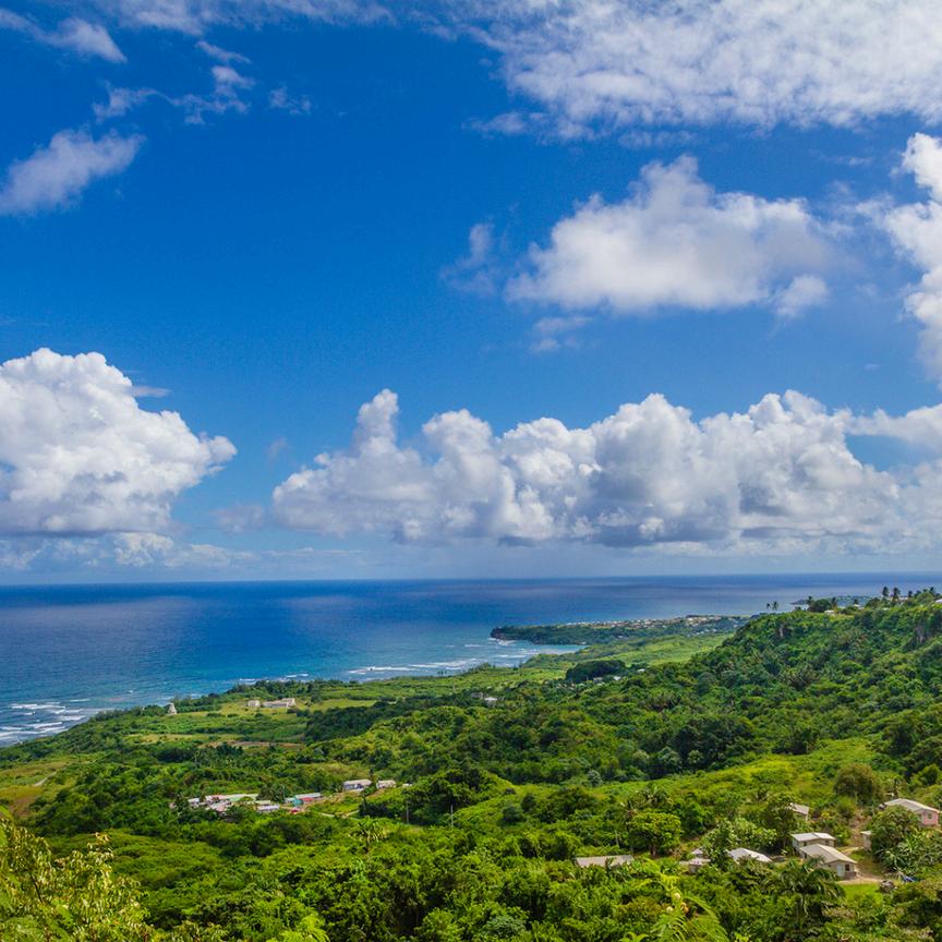
We are excited to launch this newsletter as a key resource for updates and insights into the development of Barbados’ Marine Spatial Plan (BMSP) The BMSP is a collaborative, science-driven initiative which aims to balance economic activities, environmental conservation, and public use within our marine space.
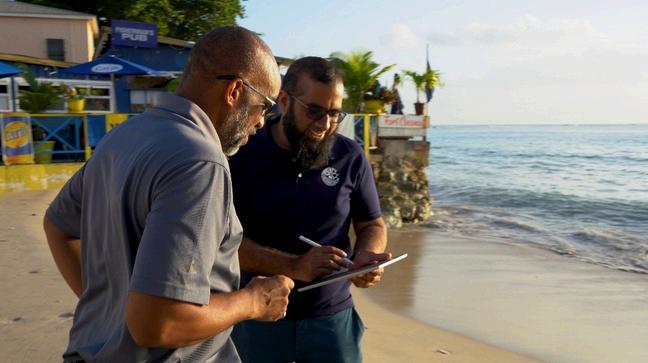
Marine spatial planning is an intersectoral and participatory process, bringing stakeholders together to plan for the sustainable use of our ocean by seeking to balance ecological, economic, and social objectives. Put simply, it is like land planning activities, but focusing on the ocean.
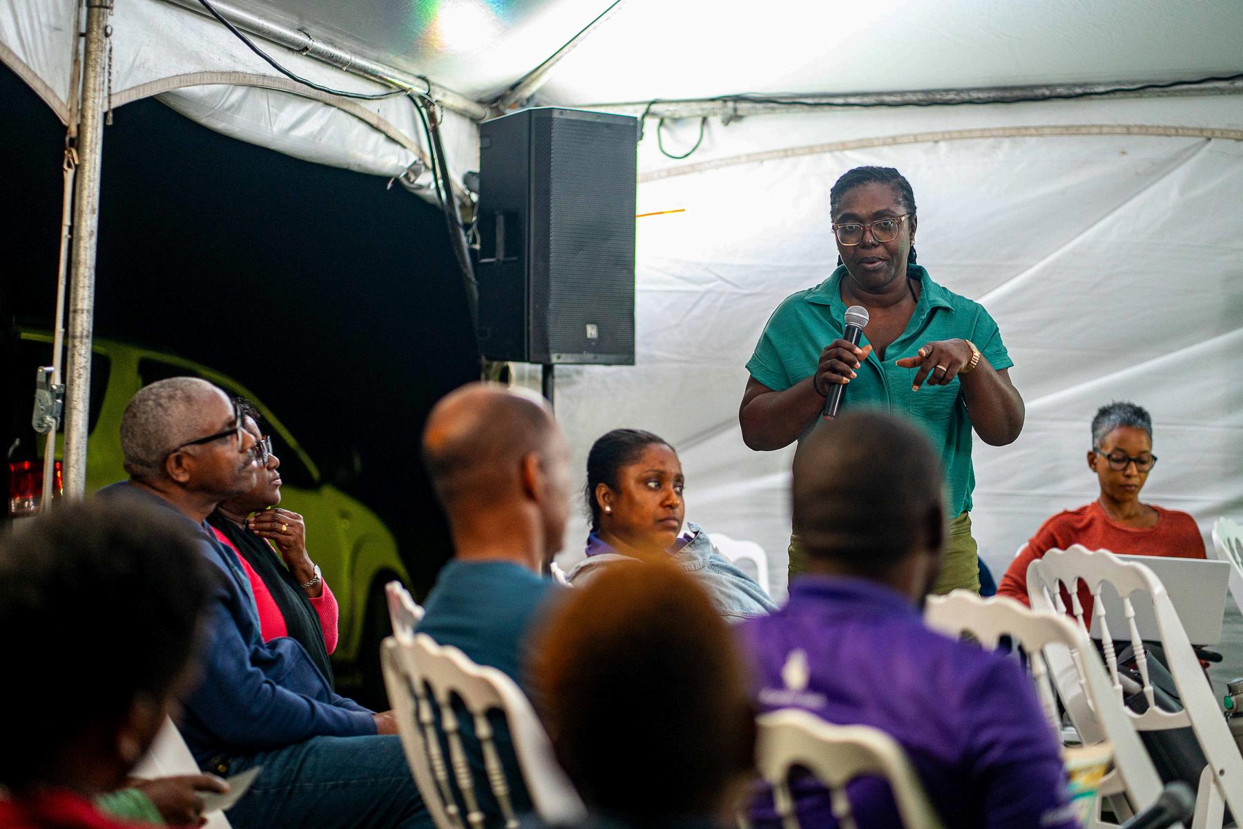
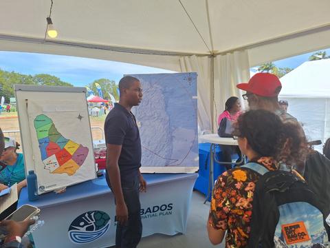
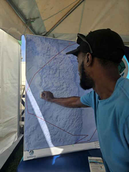
In this issue, we highlight recent stakeholder consultations, emerging priorities, and opportunities for you to contribute your vision for the sustainable use of our ocean resources.
Stay informed and get in on de plan!
We’re moving full steam ahead collecting the data necessary to develop the draft marine spatial plan within the next few months The Ocean Use Survey (O.U.S) and the Beach Use Survey (B.U.S), are vital to helping us understand how the space is currently used, where uses and users overlap, and possible ways in which the space can be managed sustainably.
Take our Beach Use Survey today, and stay tuned for more details on the Ocean Use Survey