Bing Li
Bing Li
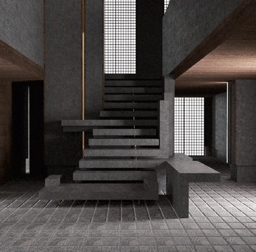
Urban Design
Architecture
Interior Design
Selected Works_2018-2025
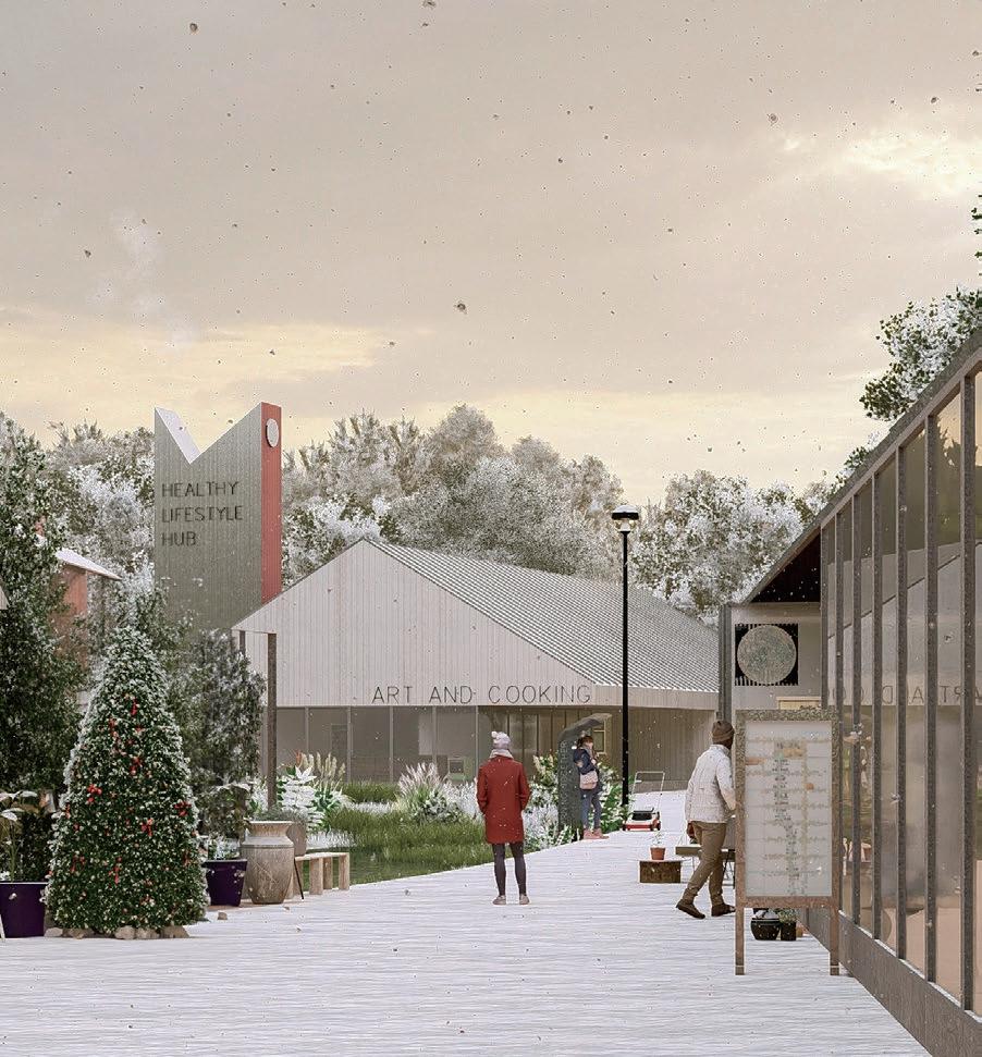
Name: Moxham, Healthy Together Year: 2024
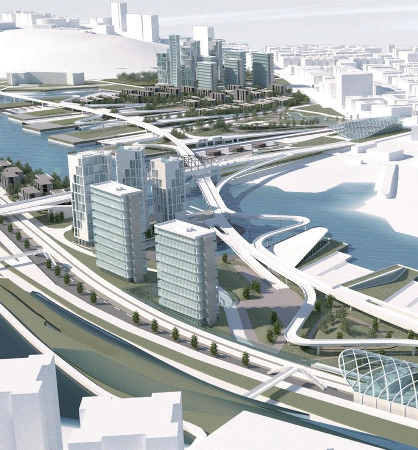
Name: The Linkage Year: 2023
Bing Selected Works_2018-2025
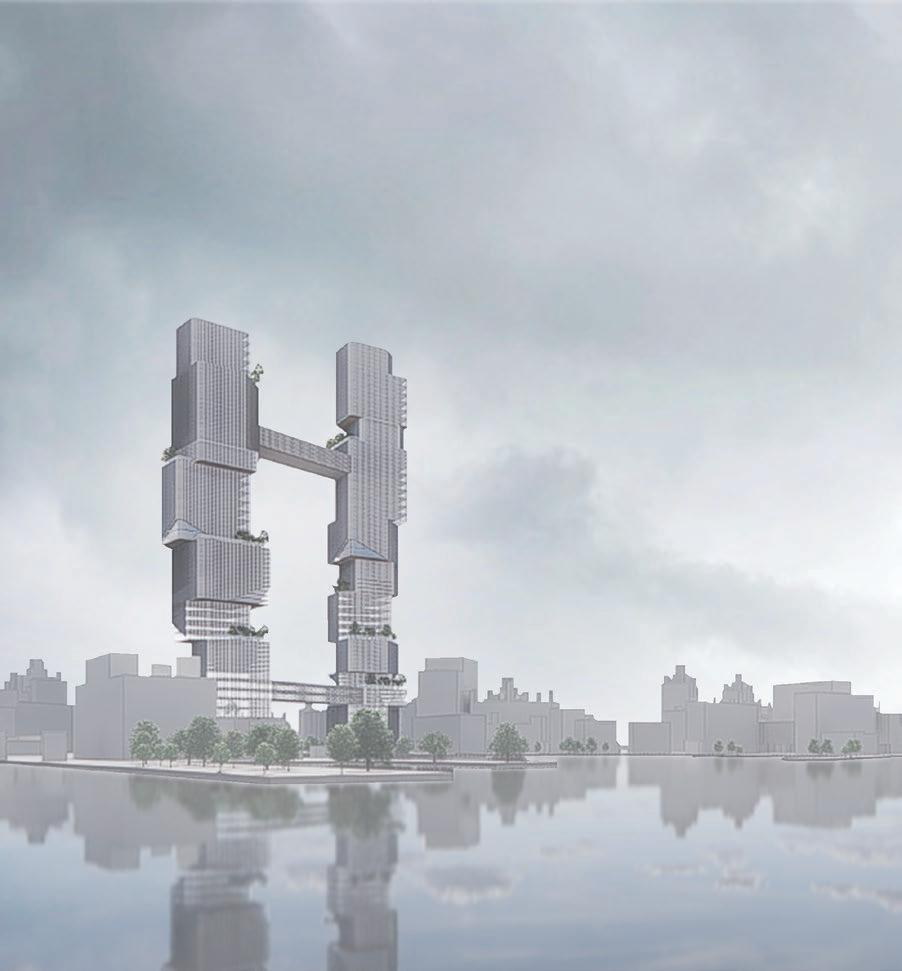
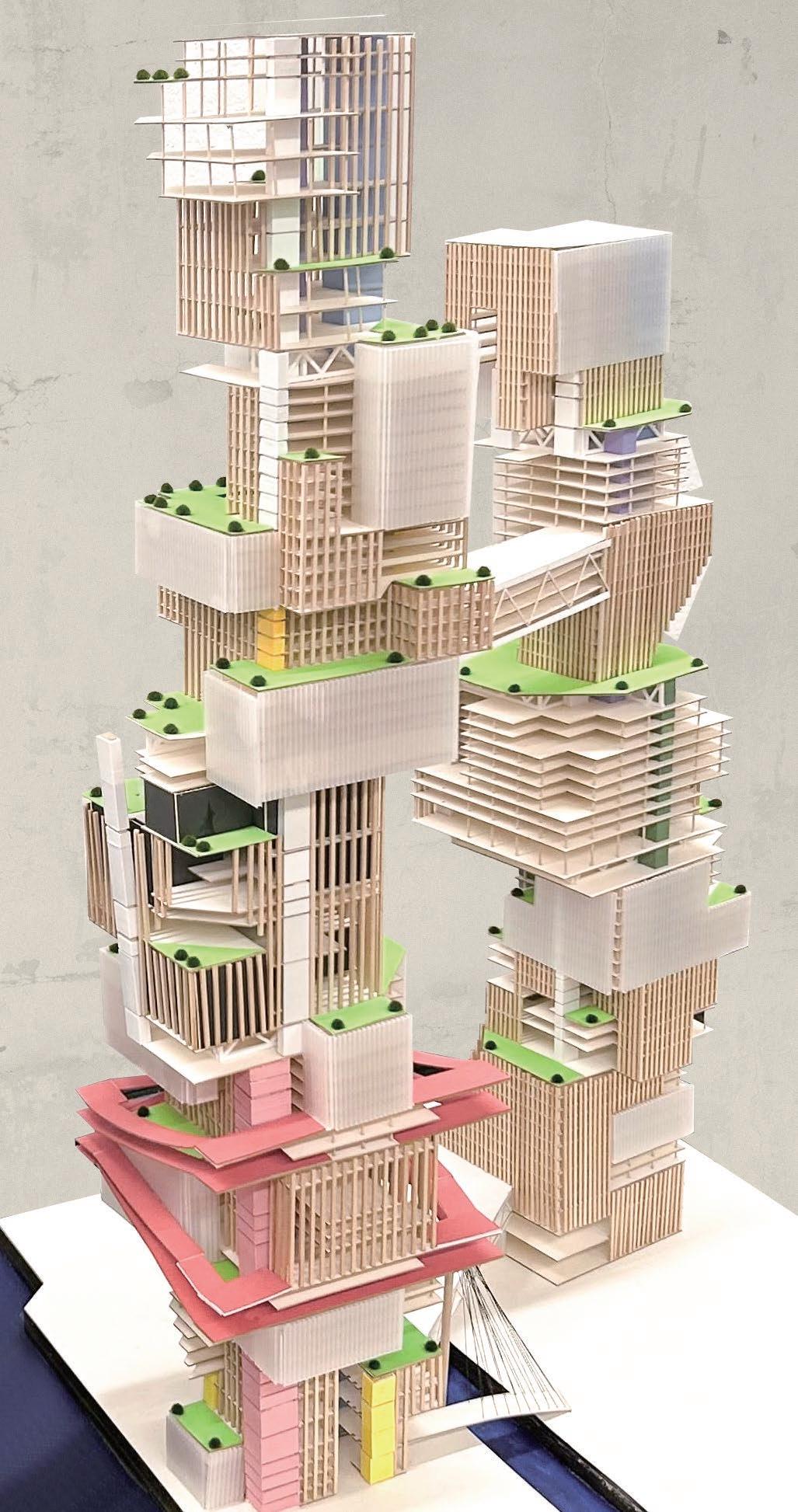
Name: Vertical Urban Utopia Skyscrapper Year: 2022
Name: Material Harmony Year: 2023
Year: 2021
2020
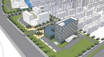
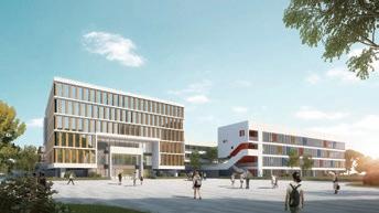
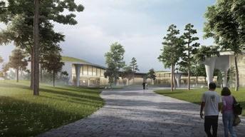
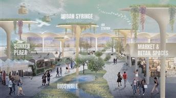
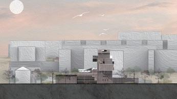
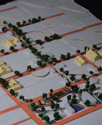
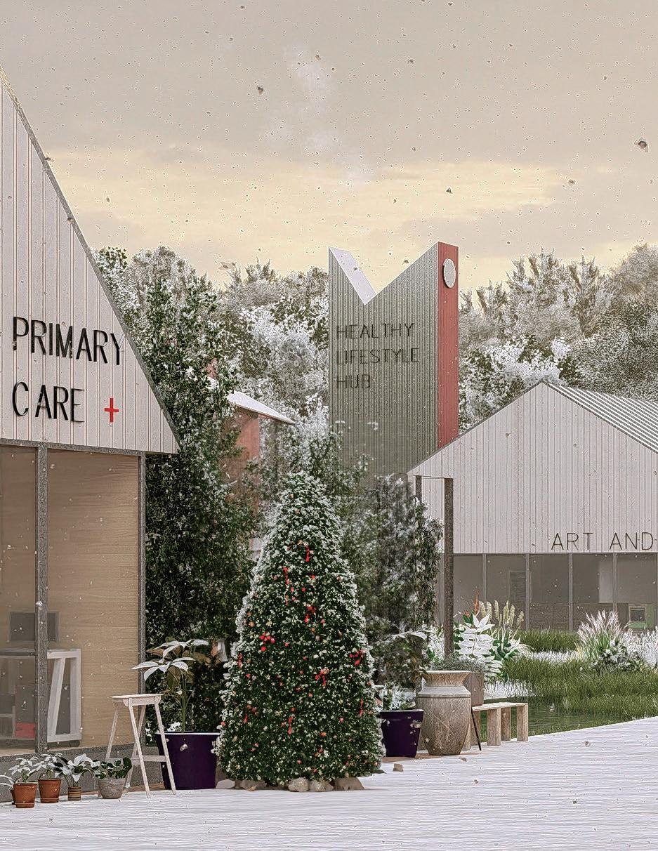
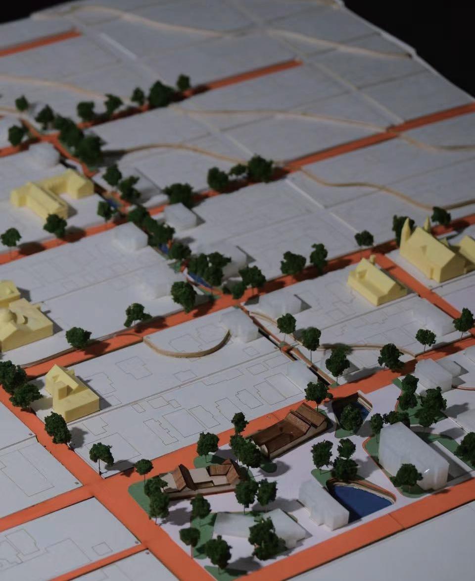
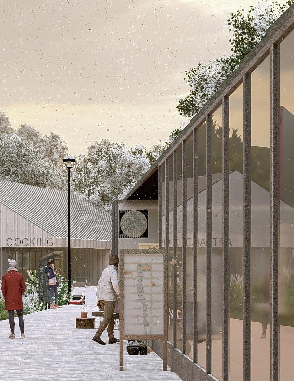
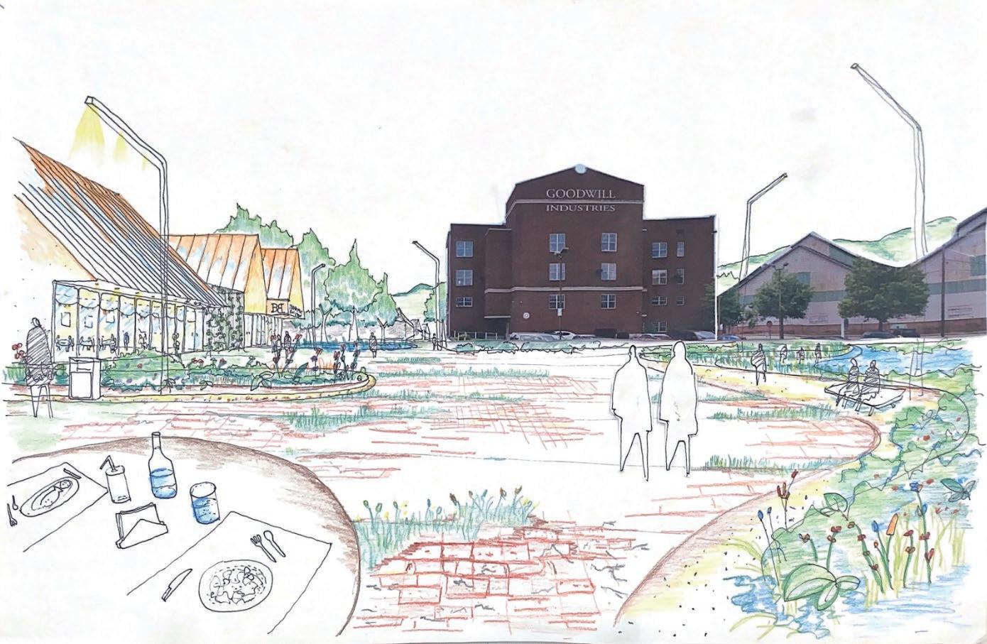
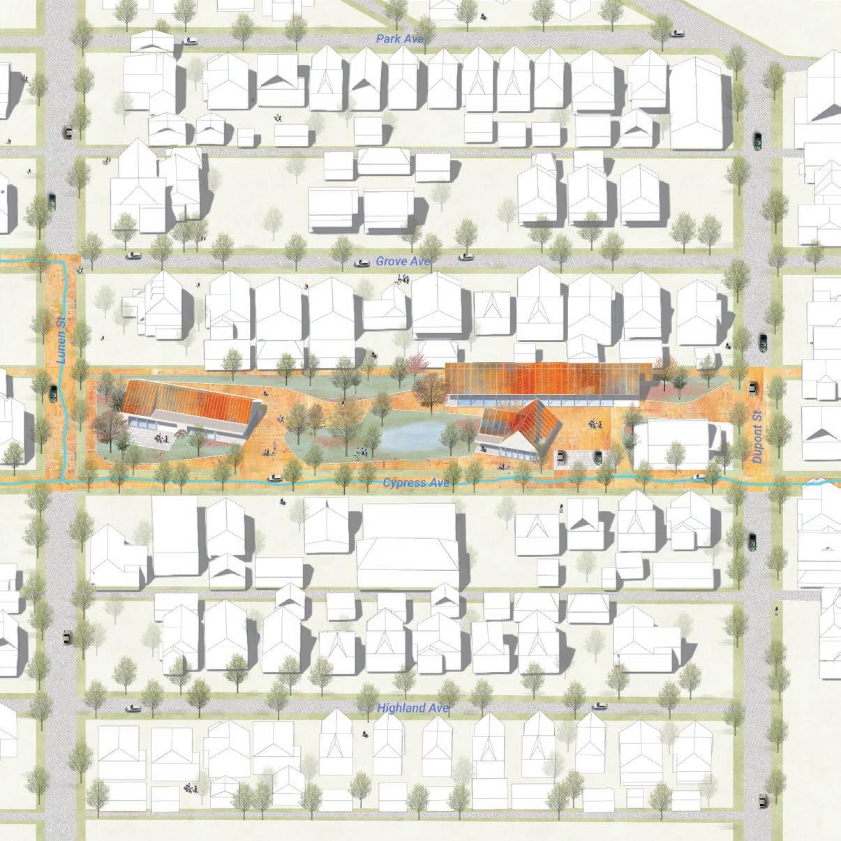
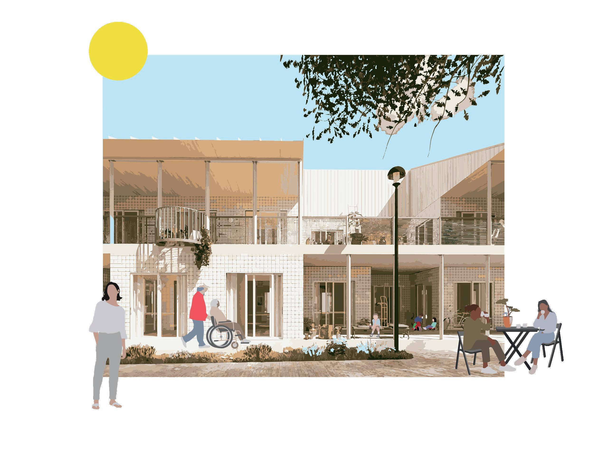
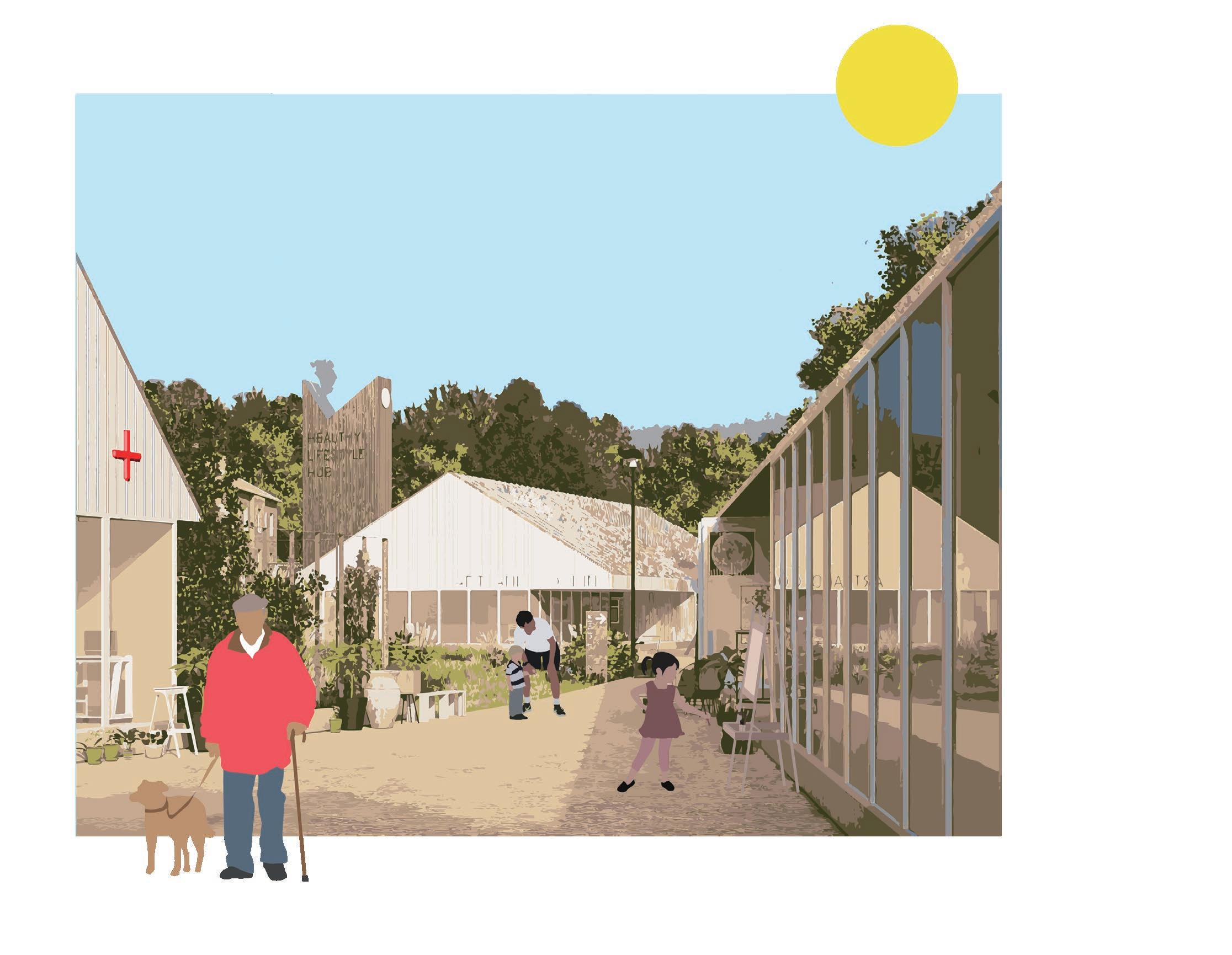
Healthy Together Moxham is an innovative project that aims to revitalize underutilized properties in the Moxham neighborhood of Johnstown, creating a healthier, more vibrant environment. By focusing on accessible healthy food, local development, and the integration of green spaces, the project seeks to address key social determinants of health and provide long-term benefits to the community.
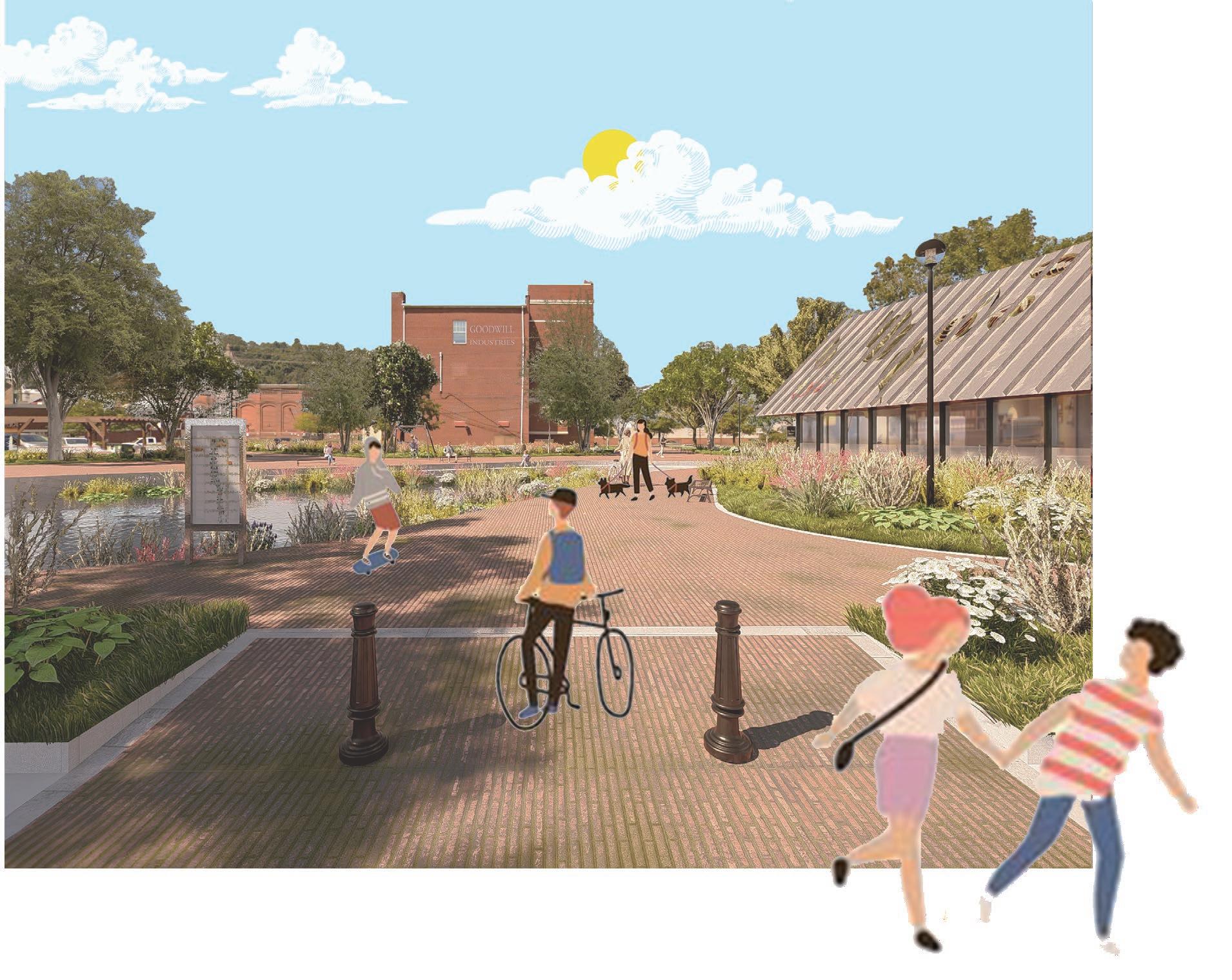
Through strategic partnerships and community engagement, Healthy Together Moxham envisions transforming vacant lots and abandoned properties into valuable spaces for housing, health centers, gathering places, and local businesses. By reactivating natural assets like Sam’s Run and promoting sustainable practices, the project fosters a sense of belonging and resilience while enhancing the quality of life for all residents.
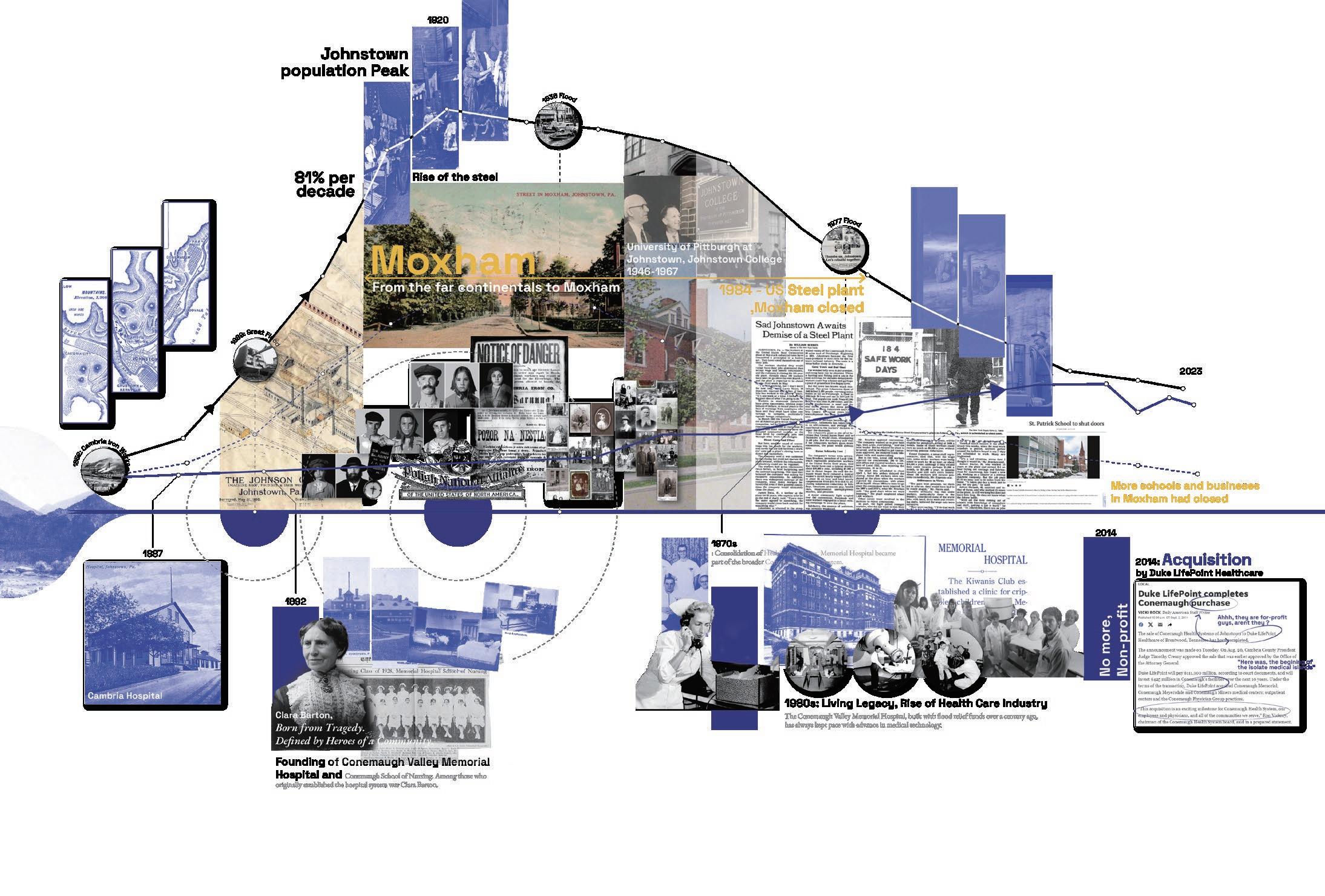
It used to be the site of three educational institutions and more than ten religious establishments.
The steel mills' closure led to and the breakdown of the social fabric. population decline, business shutdowns,
Pollution Reduction Plan
City of Johnstown
• reduce the discharge of pollutants in stormwater
• protect and enhance water quality
• satisfy the appropriate water quality
• 0% Of Green Space
• Chronic Depression
• Low property value
• 36.5% Live below poverty
• High rates of chronic disease
• 37.7% no physical activity
• 41.4% Disabled
Community
Resilience Hub
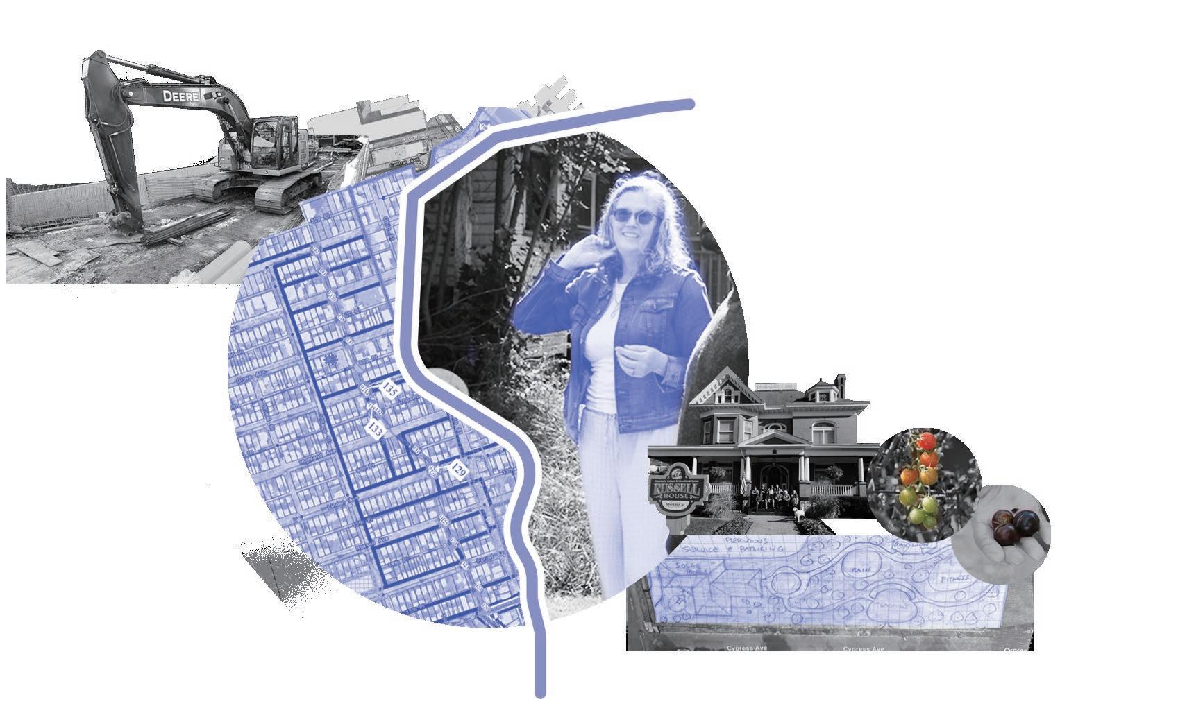
Community change grant proposal byMoxham Renaissance, Amy Raslevich
• Maintain and promote the Moxham neighborhood
• Enhance it livability
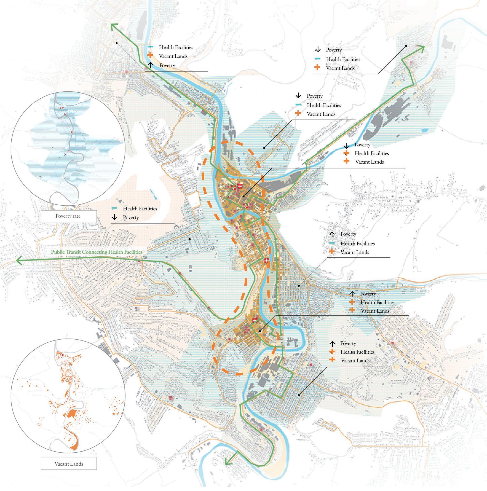
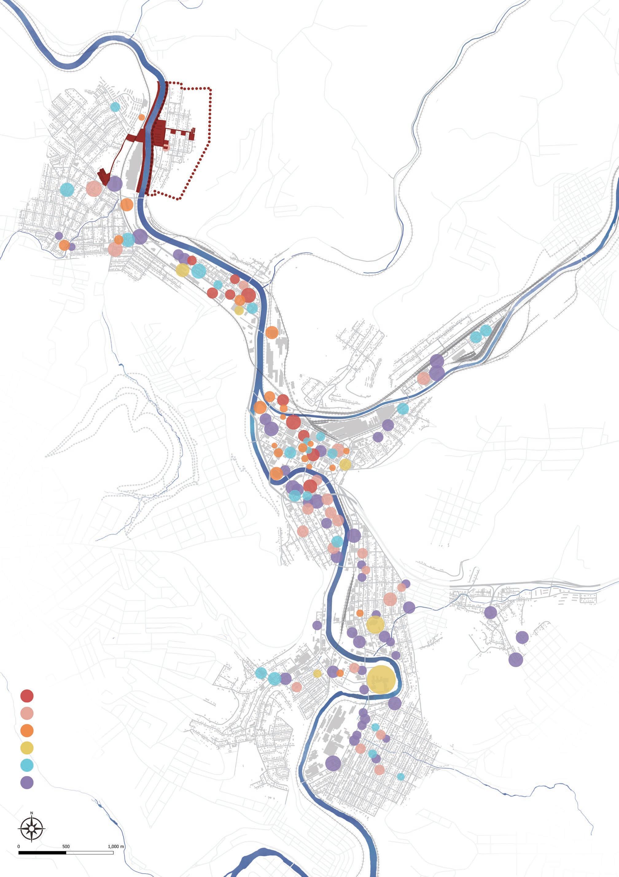
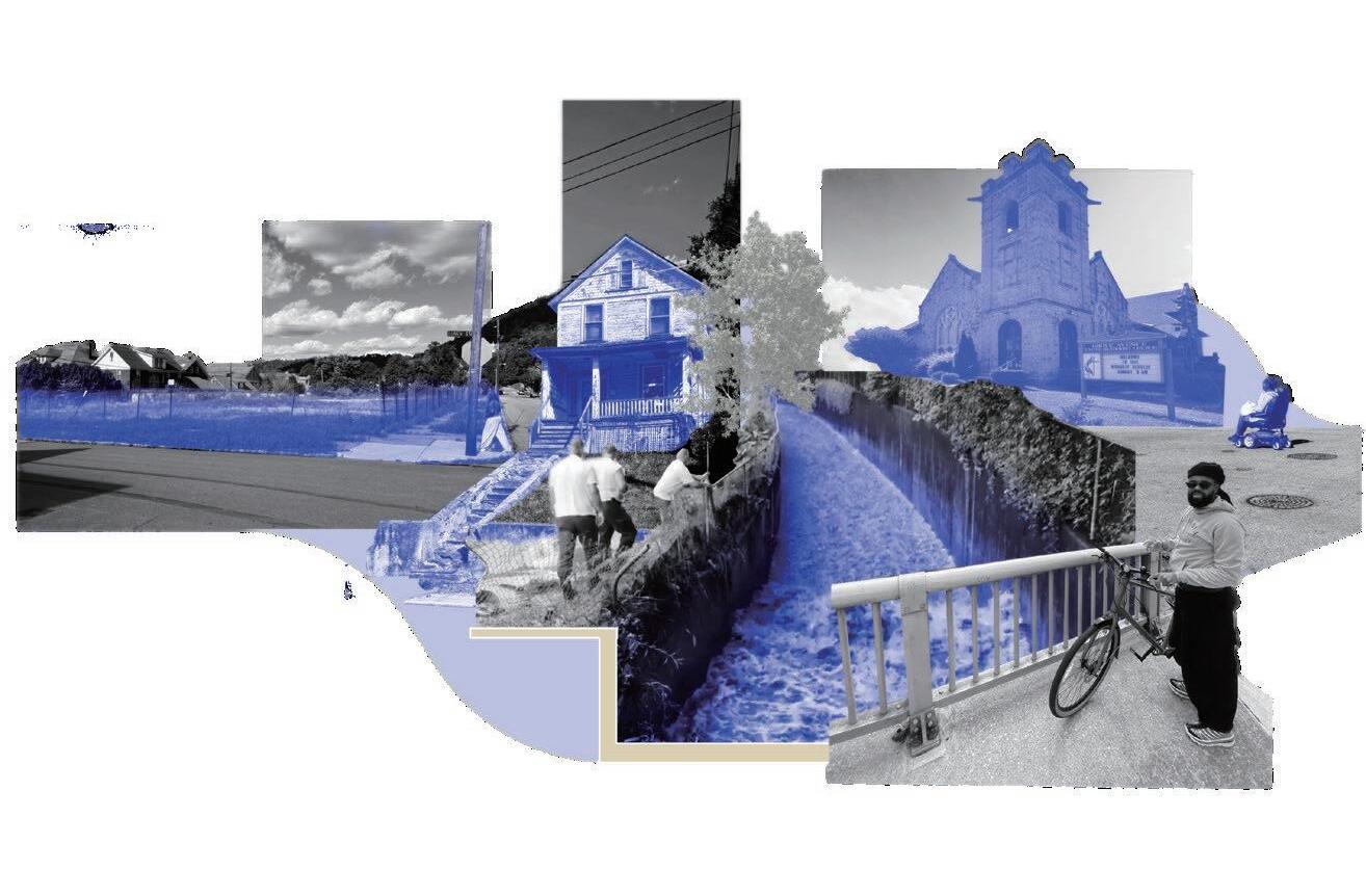
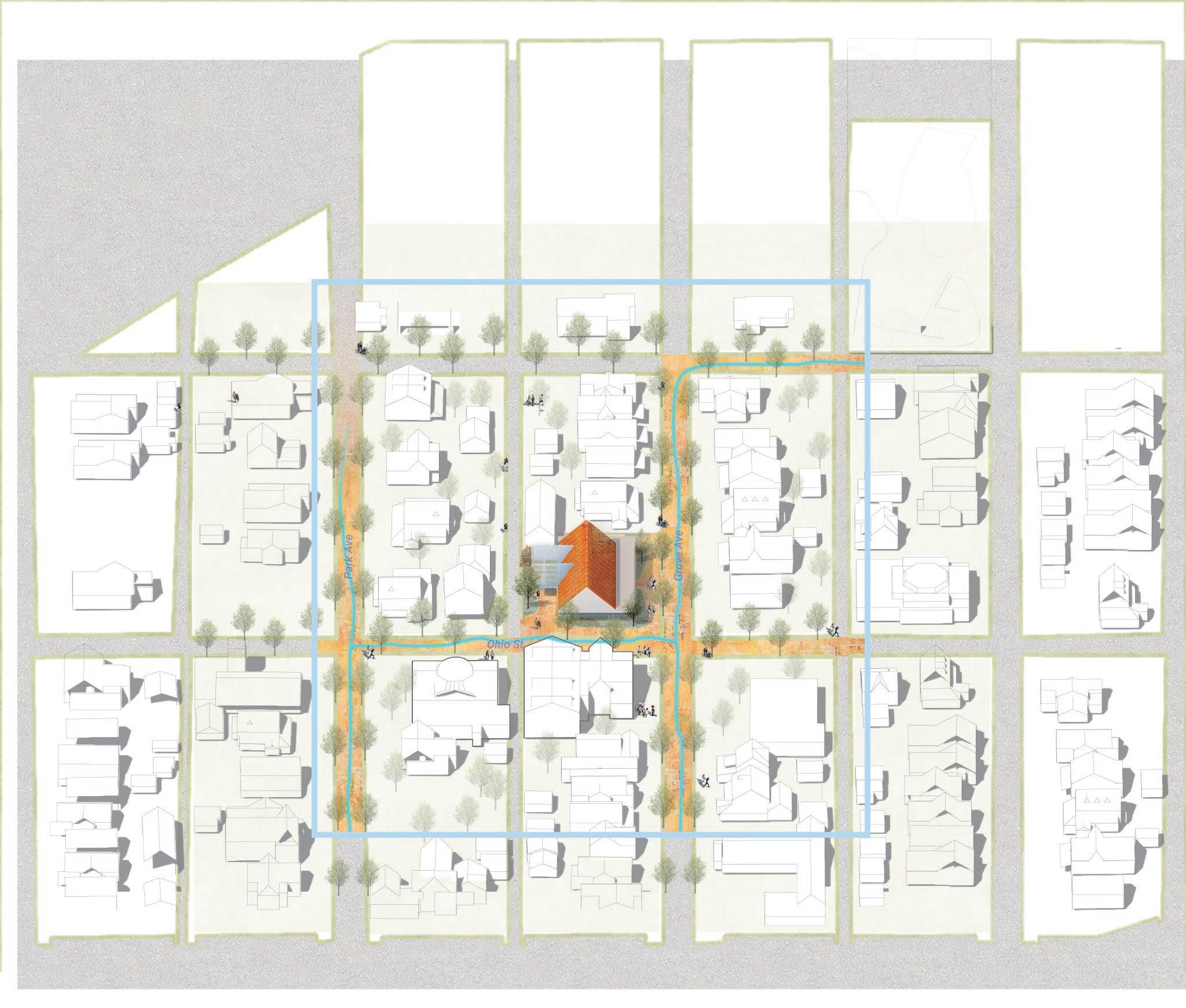
Moxham, a hilly neighborhood in Johnstown, faces significant challenges with low health rates and numerous vacant lots. The decline of the steel industry led to the closure of businesses and schools, contributing to economic stagnation and poor living conditions. The area struggles with high health risks, lack of access to healthy food, and environmental issues. However, the local community is actively working to improve the situation by revitalizing empty properties, creating health centers, and fostering spaces for community engagement. This initiative aims to transform Moxham into a healthier, more sustainable environment for its residents.
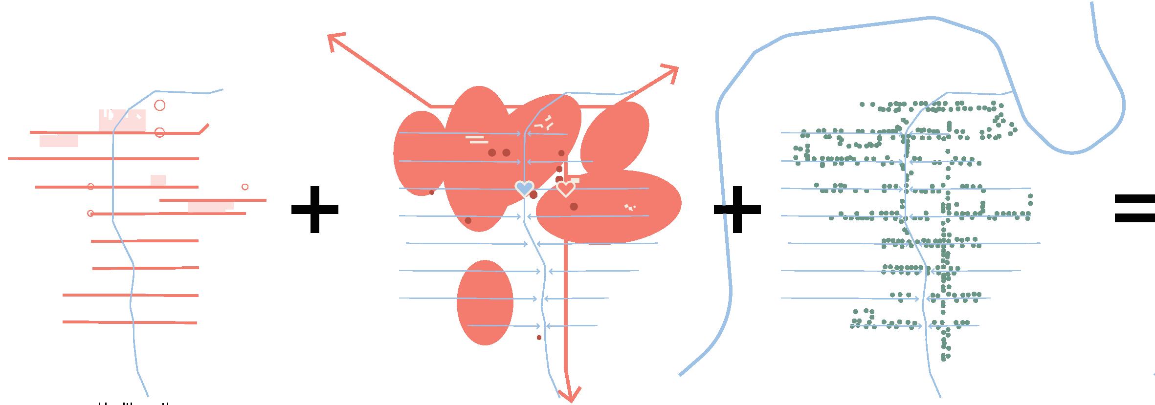
Path
and Activities
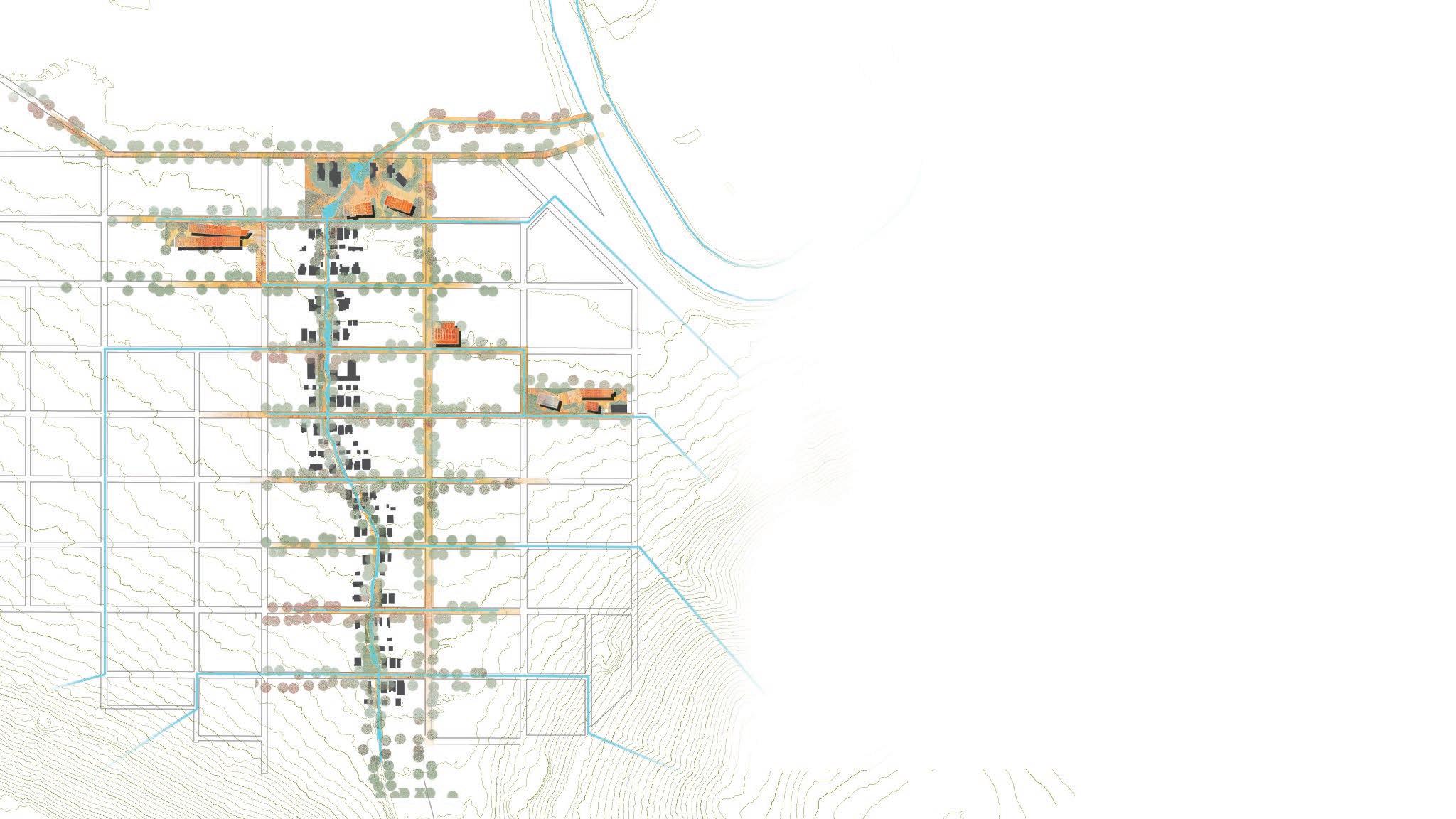
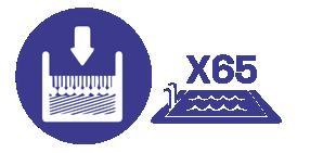
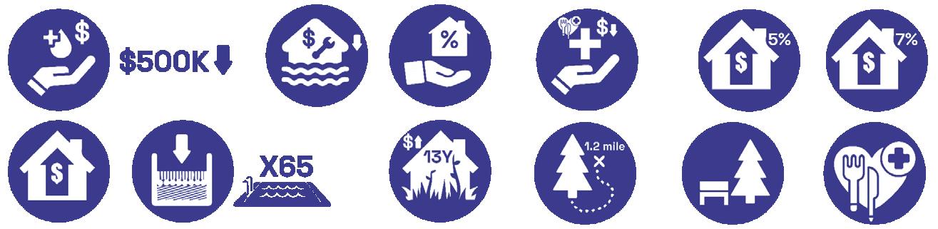
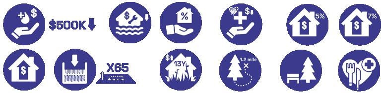
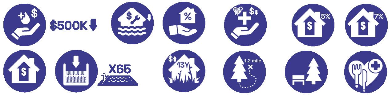
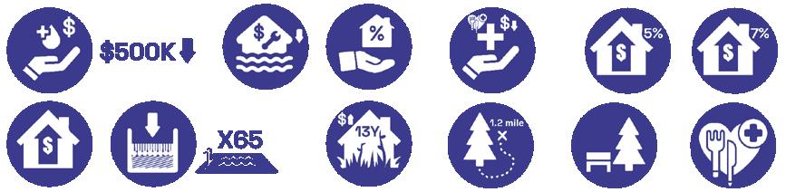
Could reduce 65 olympic swimming pool of heavy sediment

Expected to relieve $500K of stormwater treatment cost
Community Land Trust Community Land Trust
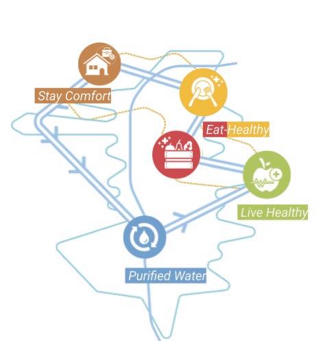
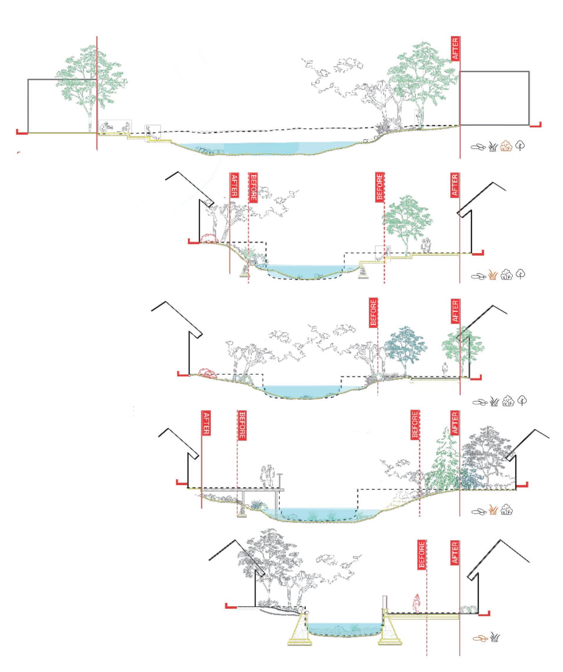
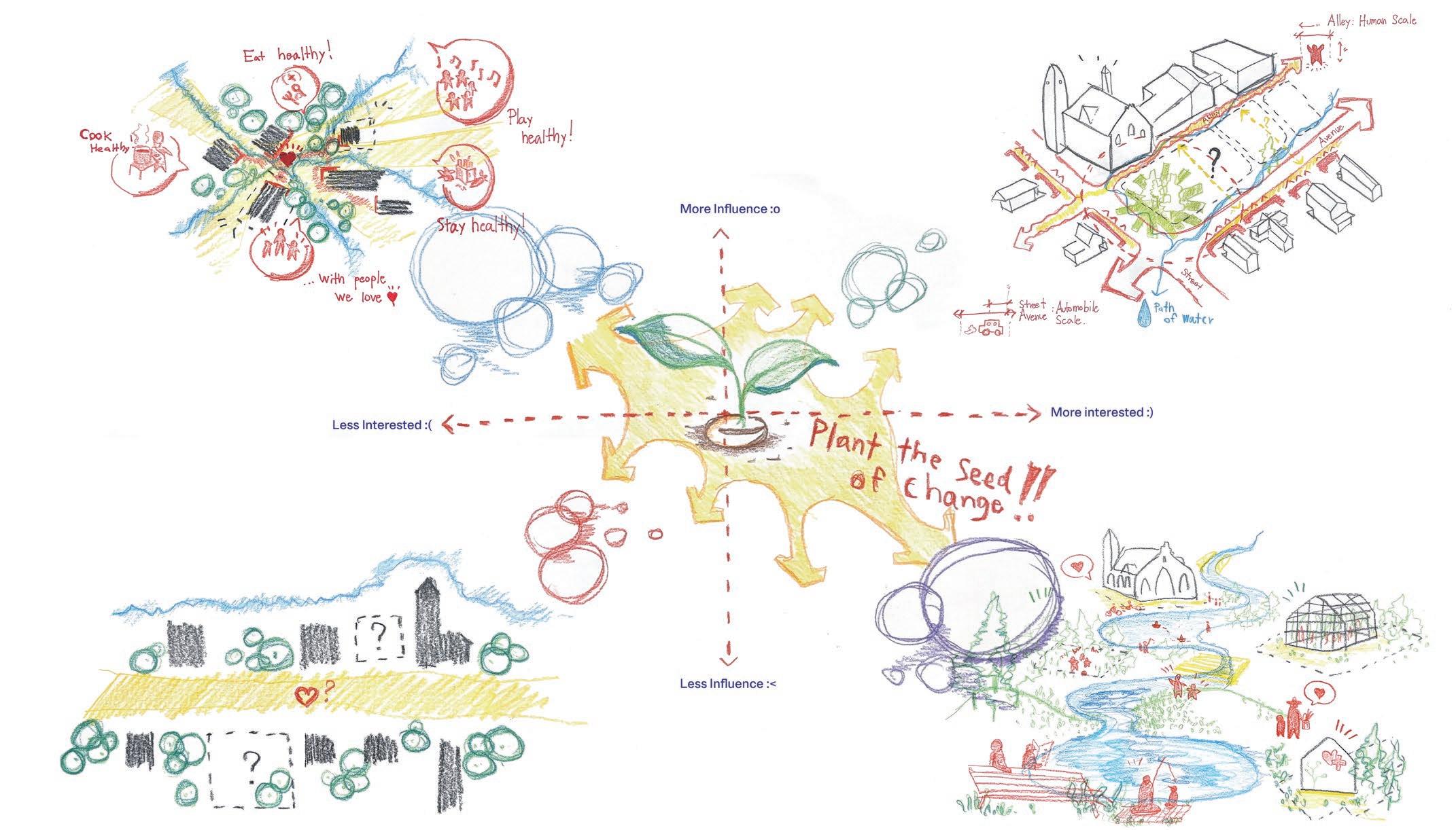
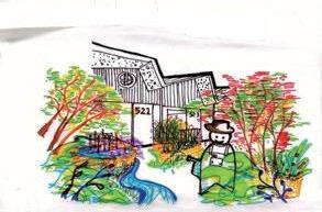
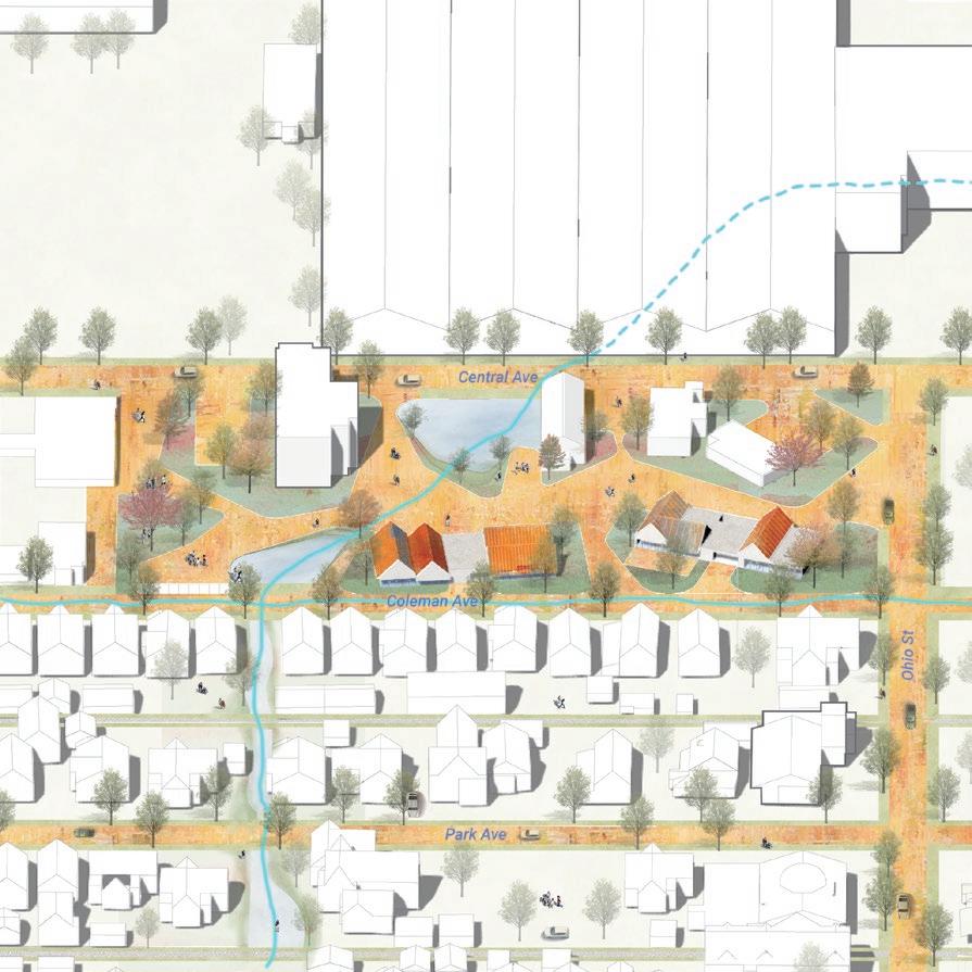
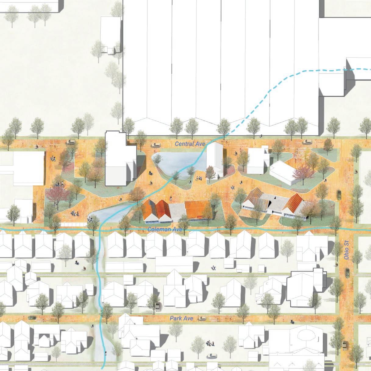
A Community Land Trust (CLT) in Moxham can revitalize the area by promoting affordable housing, supporting local businesses, and improving public spaces. Key strategies include ensuring access to clean water, healthy food, and comfortable living conditions, with Sam's Run transformed into a green, accessible space for community engagement.
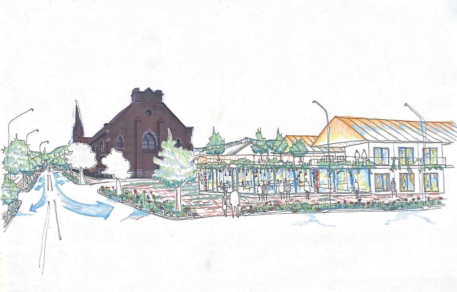
- 40 units of affordable/public housing
- 30,000 sq ft of public space
- 3,000 sq ft of cowork and incubator
- 6 retail spaces available for lease
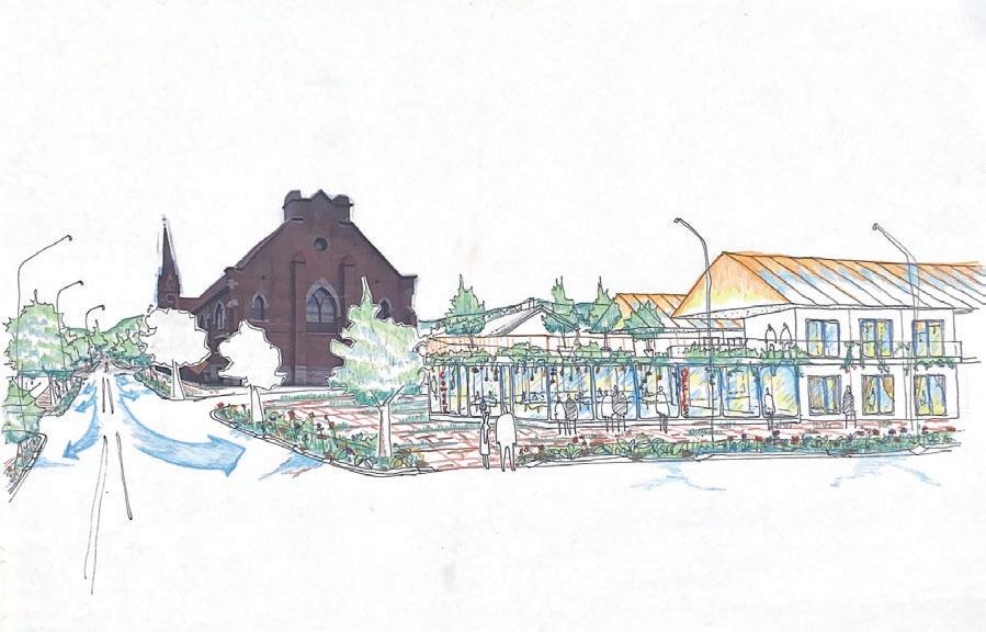
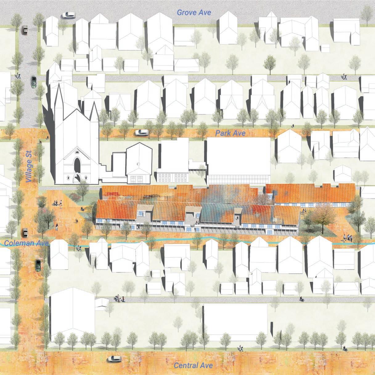
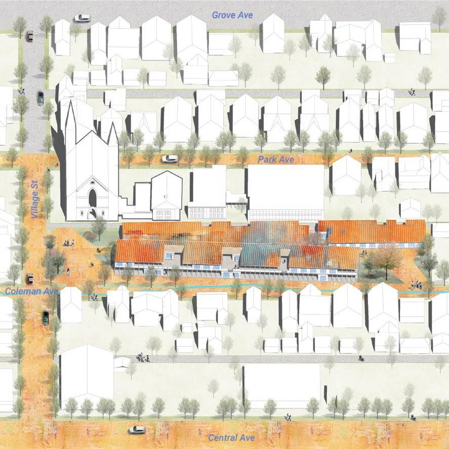


- 4 restaurants focus in healthy menu from local production
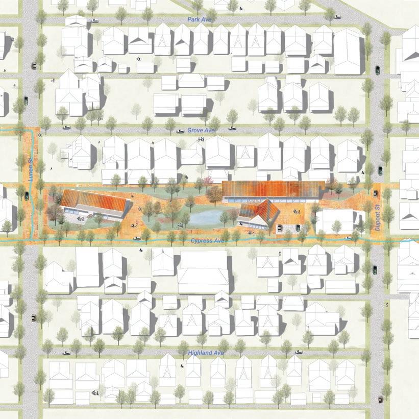
- 60,000 sq ft of public space
- 60,000 sq ft of green-blue spaces
- Integrating Sam’s run to the food-urbanscape
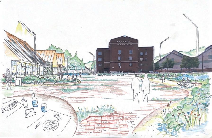
Increase access tohealthy food and lifestyle
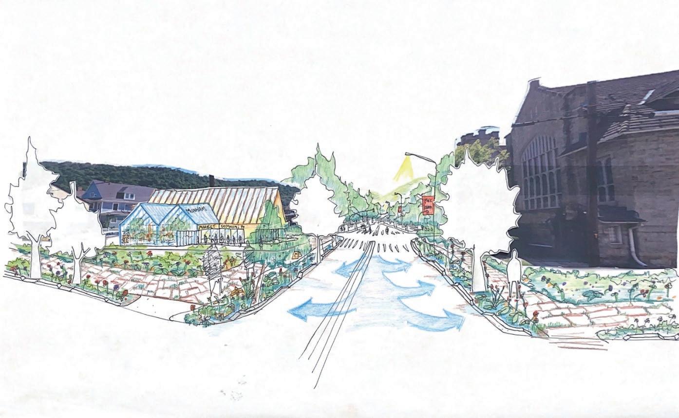
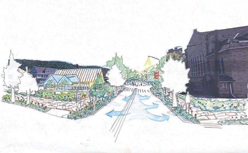
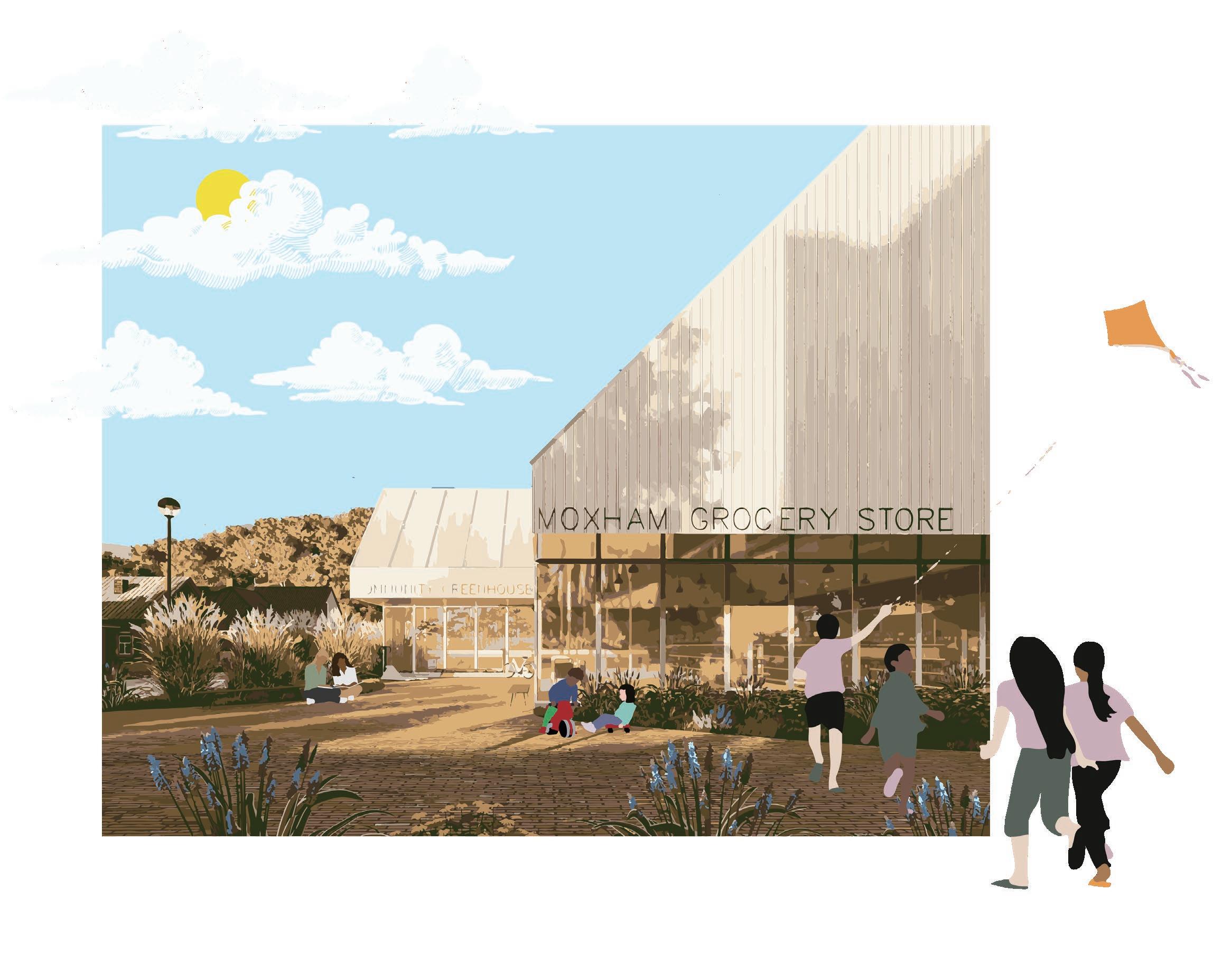
- first healthy-based grocery store in Moxham
- 1,200 sq ft of community-based greenhouse
- 3,500 sq ft of green spaces


Increase access to green space
Increase access to healthy food and lifestyle
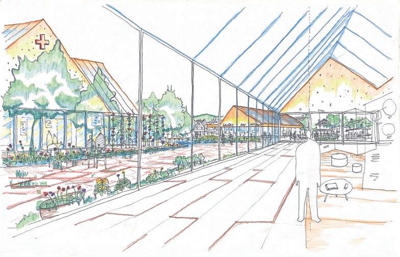
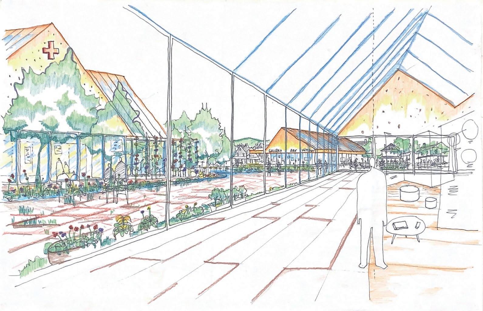
- 12,000 sq ft of community gardens
- community kitchen and gallery for 200 people
- 4,000 sq ft for learning center
Healthy Hub
Project 02W.
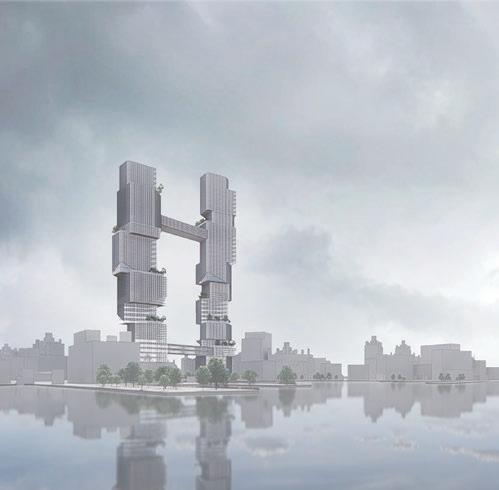
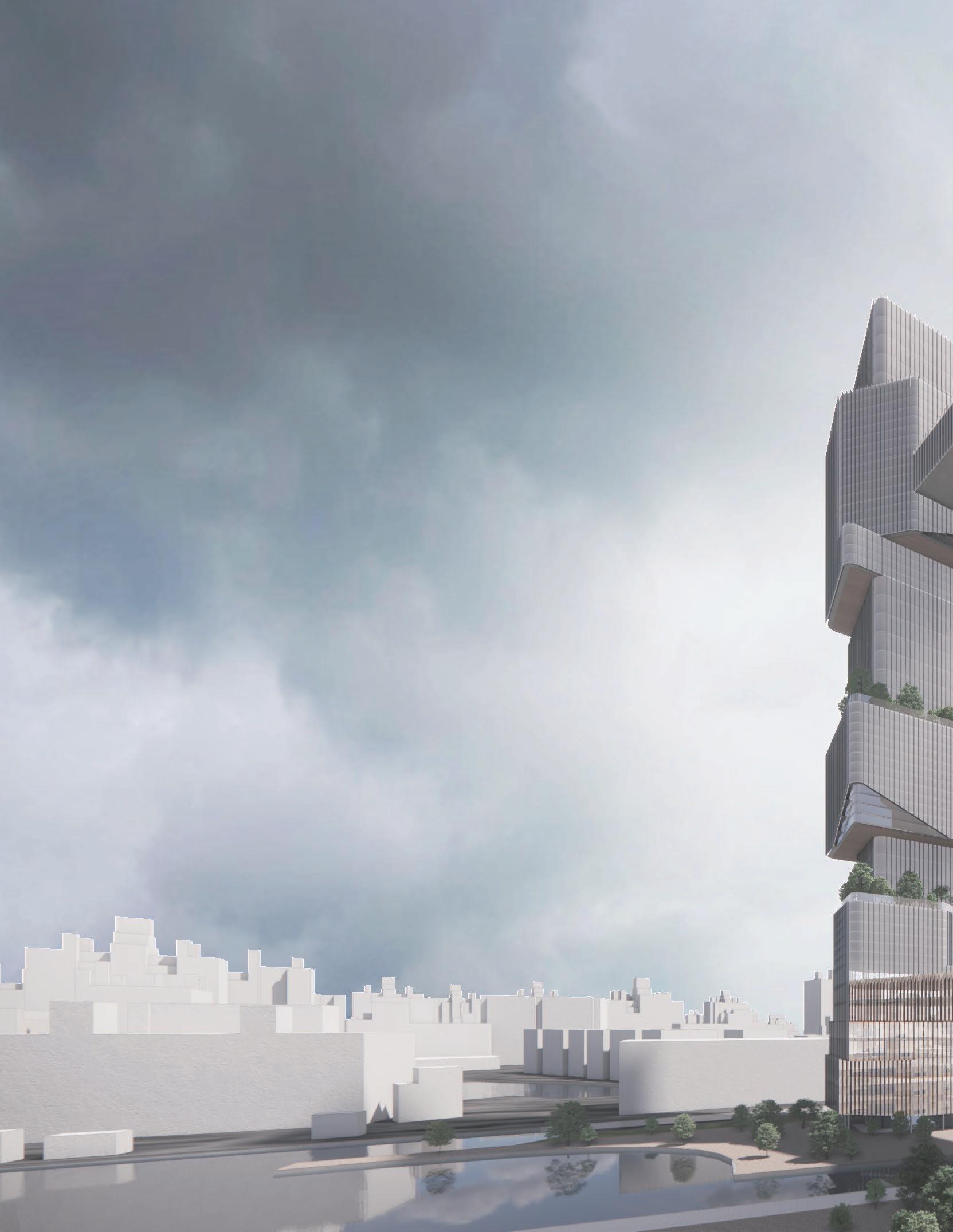
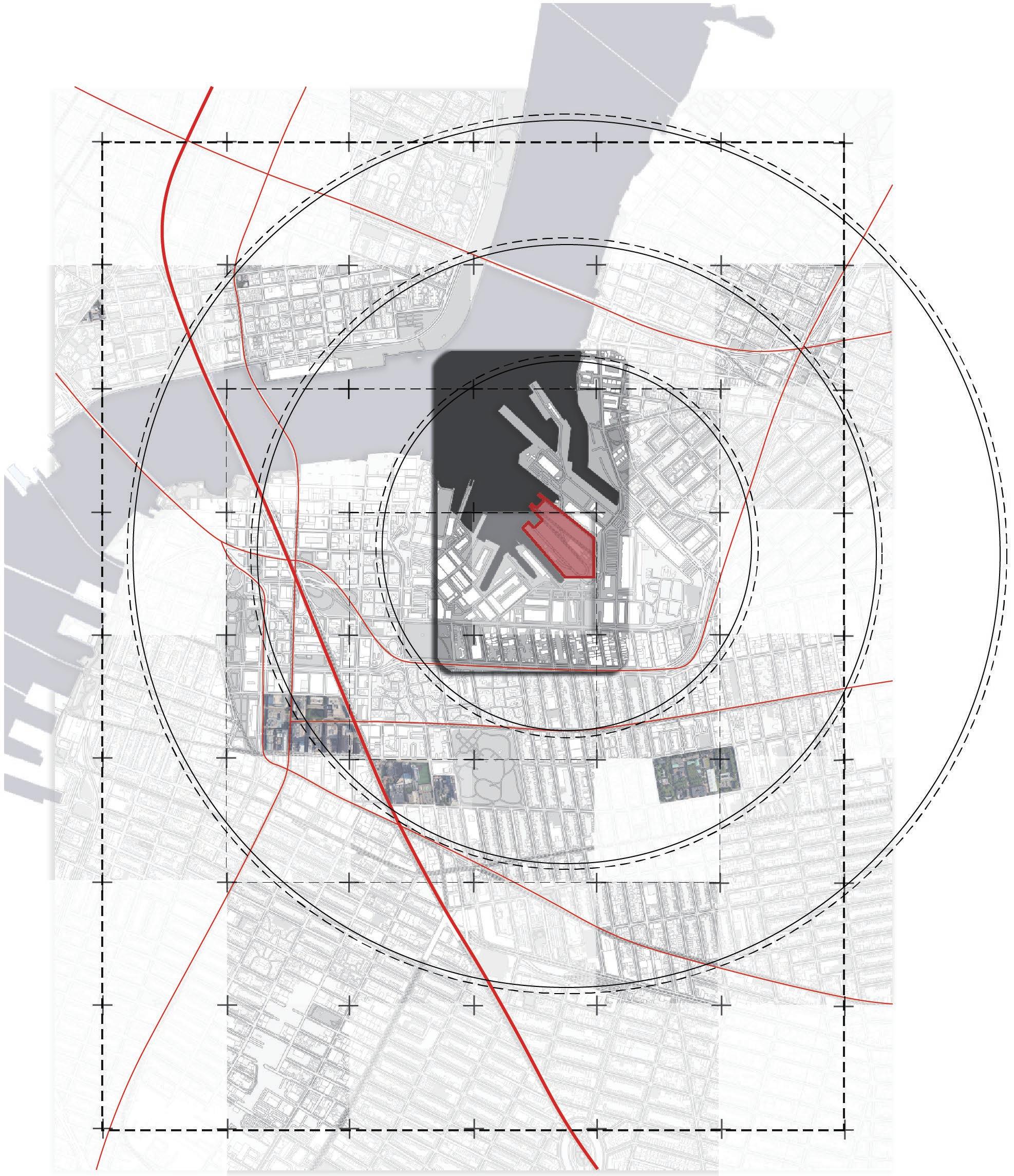
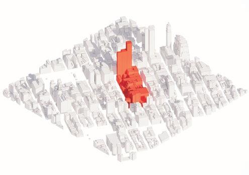
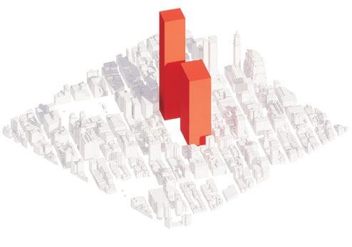
The Brooklyn Navy Yard in downtown Brooklyn, NYC, is a historic site facing challenges due to economic development and population growth. The existing downtown is insufficient to meet rising demands, lacking a cohesive center or commercial district. To address this, a decision was made to create a futuristic cityscape with towering skyscrapers near the Navy Yard, catering to diverse needs for leisure and commerce.
This innovative project combines awe-inspiring skyscrapers with art and activity centers, aiming to create a utopian space for artists, media professionals, and the local community. By providing theatrical spaces in the everyday environment, the project addresses the tendency of people with diverse needs to drift aimlessly in a sea of random content. Through the unique fusion of architecture, art, and community engagement, the initiative strives to build a future-oriented environment that sparks creativity and a sense of belonging.
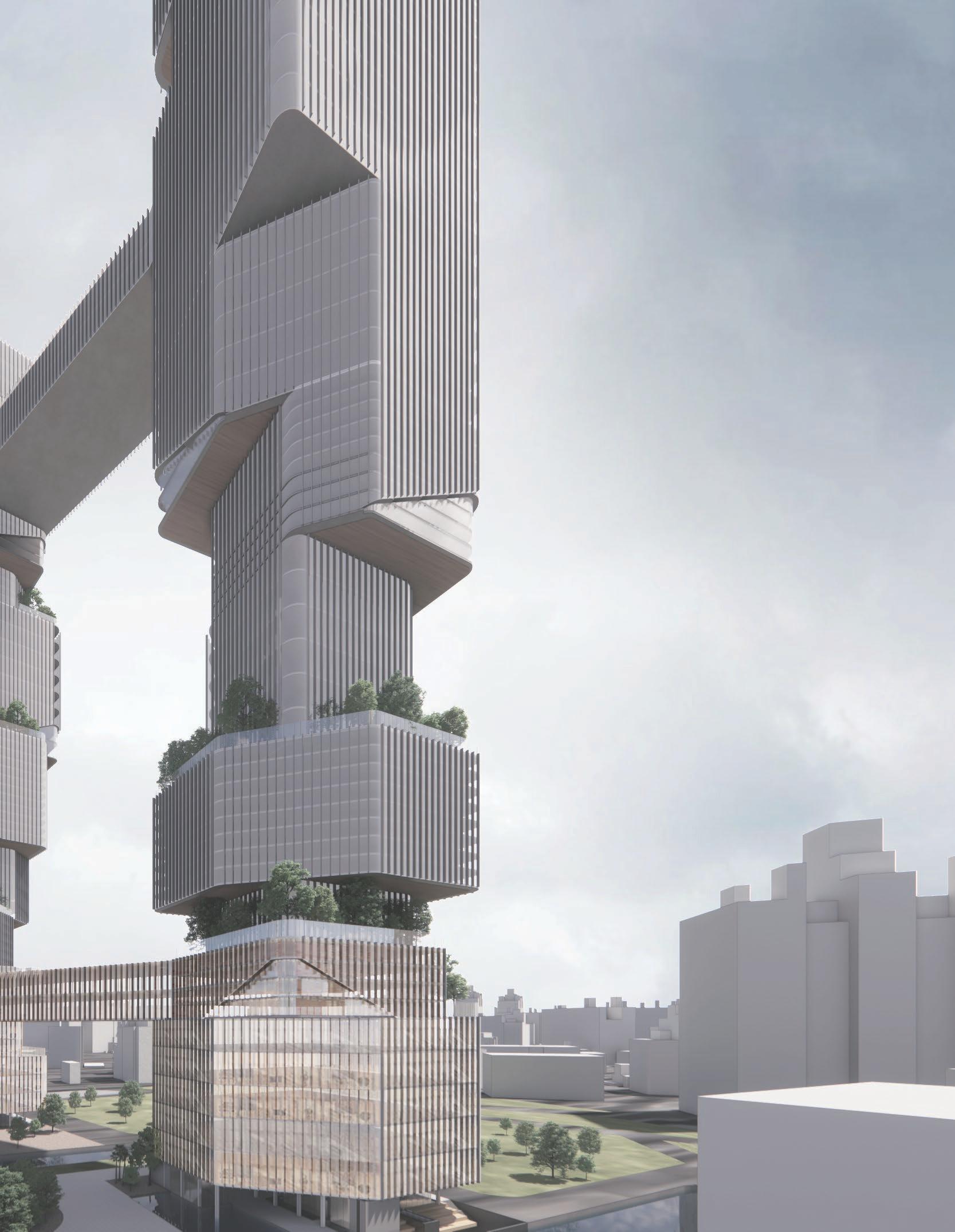
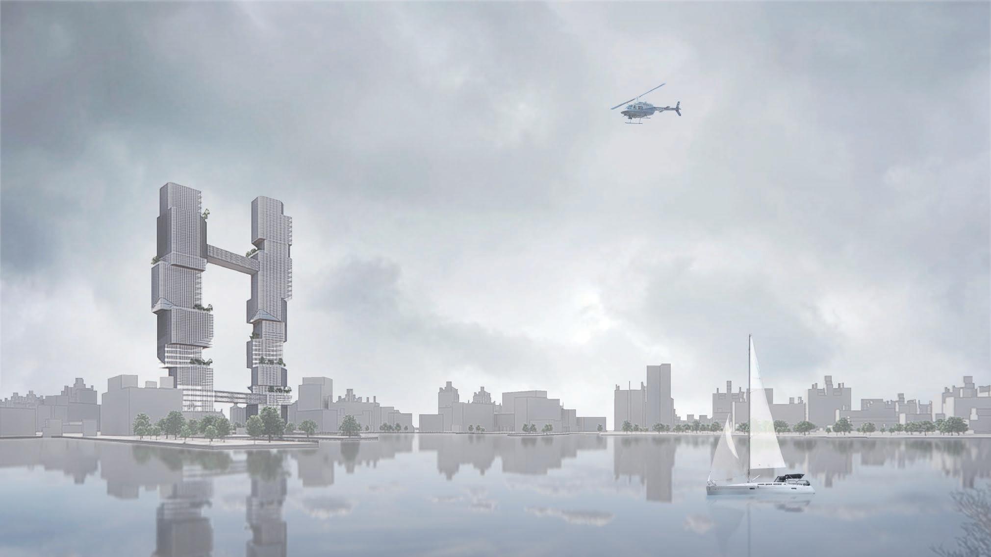
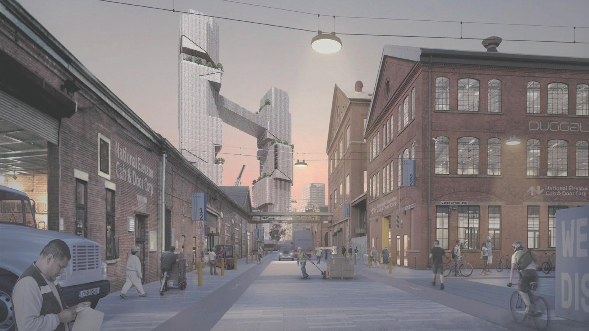
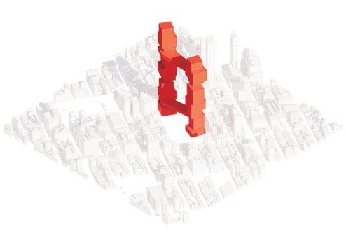
The skyscraper is conceived as a micro-city that incorporates all community functions, except for special-purpose buildings such as schools, hospitals, churches and cemeteries. This building is not just a high-rise, but also a utopia, providing people with a full range of life, leisure, business, entertainment and accommodation services.
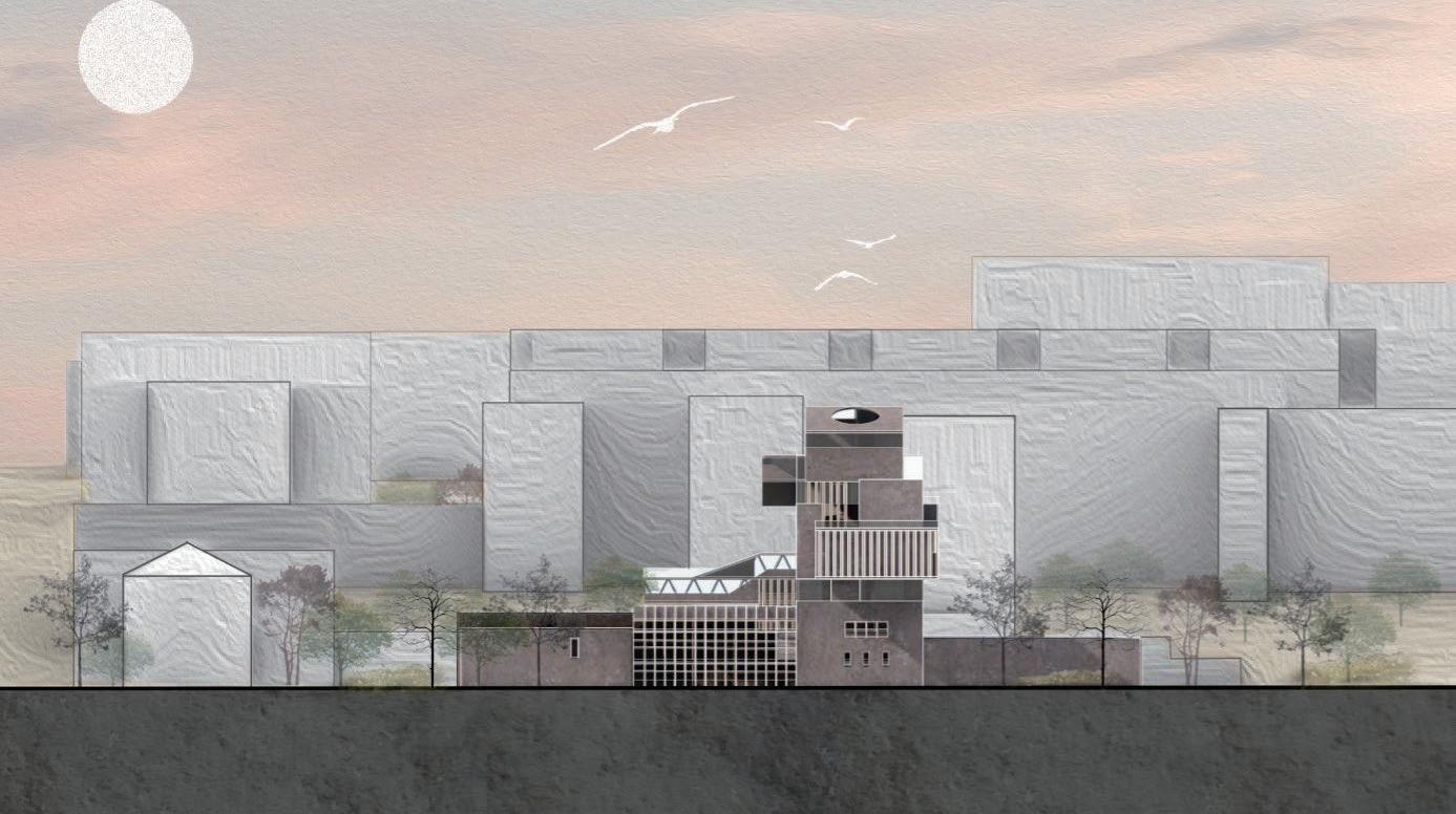
Two exterior renderings show how the skyscraper blends seamlessly into the existing neighborhood and serves as a stunning addition to the ocean views.
3.Toilet
4.
5. Plaza
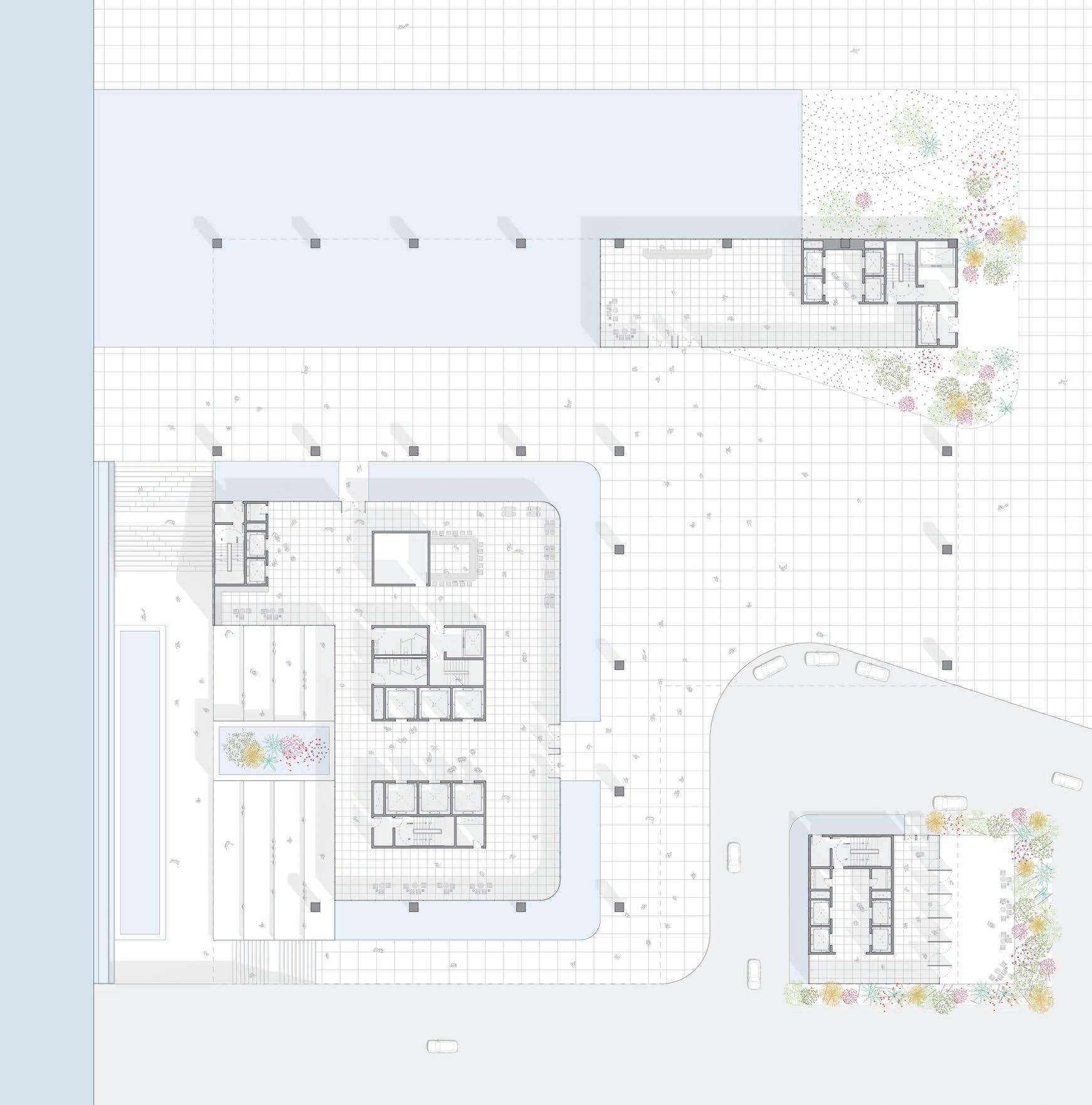
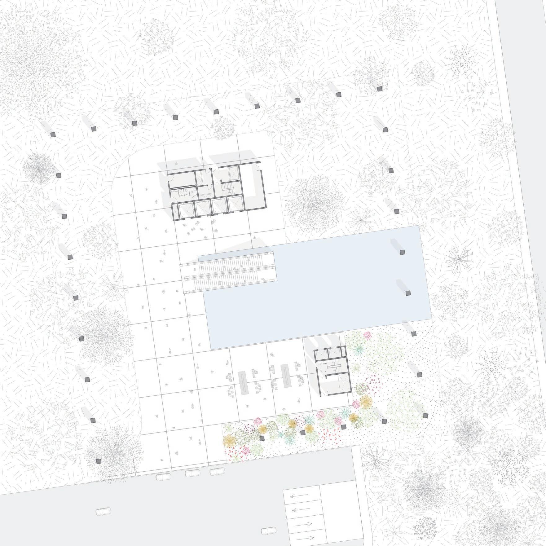
The western building's ground floor on the left side has a VIP channel, public lobby, and a separate passage for accommodation. A sunken plaza along the riverbank provides a resting place, while an open-air public plaza features water elements and greenery, fostering a serene environment with a riverside promenade. The floor plan on the right shows the first floor of the building on the east side, with a large escalator leading to the second floor, attracting people to enter the mall faster.
In the original urban model, commercial and entertainment functions are scattered. Through the "Gathering of Urban Functions," they centralize, fostering a clustering effect. In the "Reformation of Urban Functions," meticulous reform enhances efficiency. In the ongoing "Reiteration Based on Architectural Configuration," continuous iterations and redesigns systematically optimize the urban function layout, aspiring to create a more rational, efficient urban form.
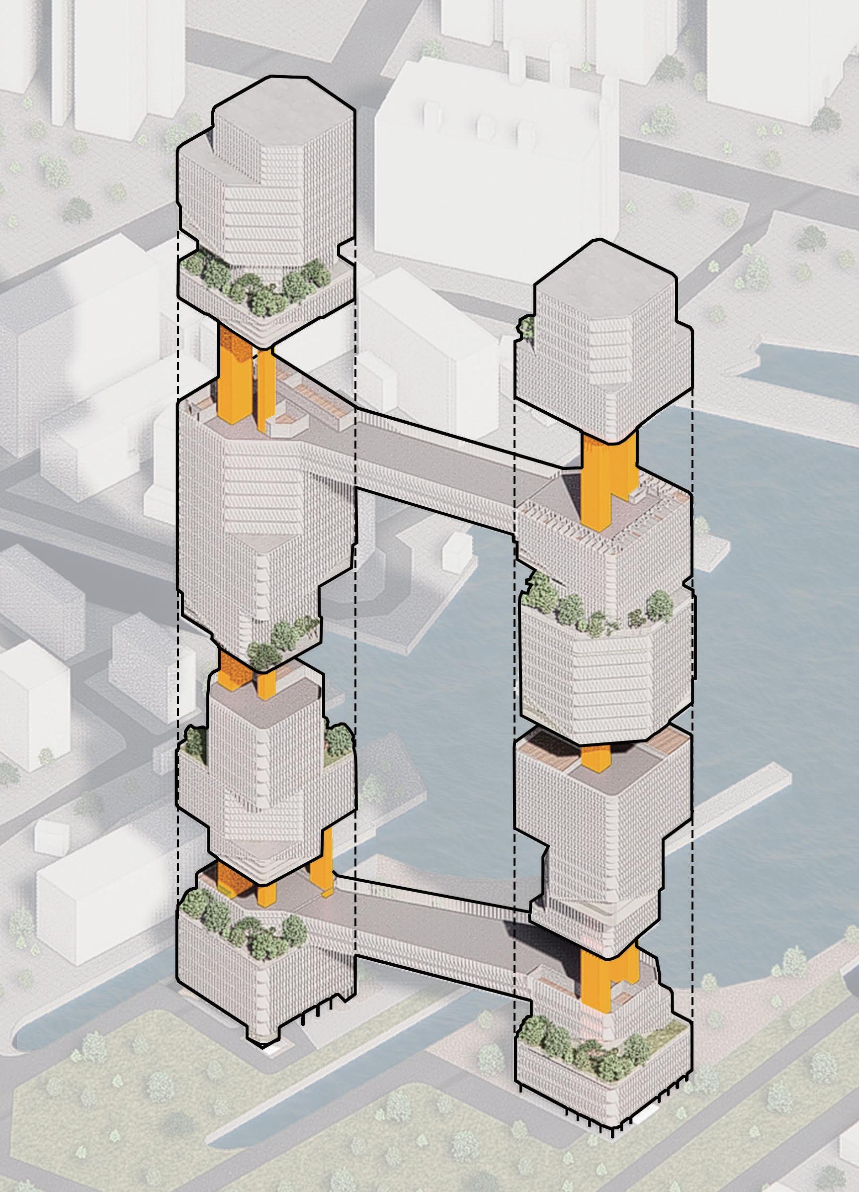
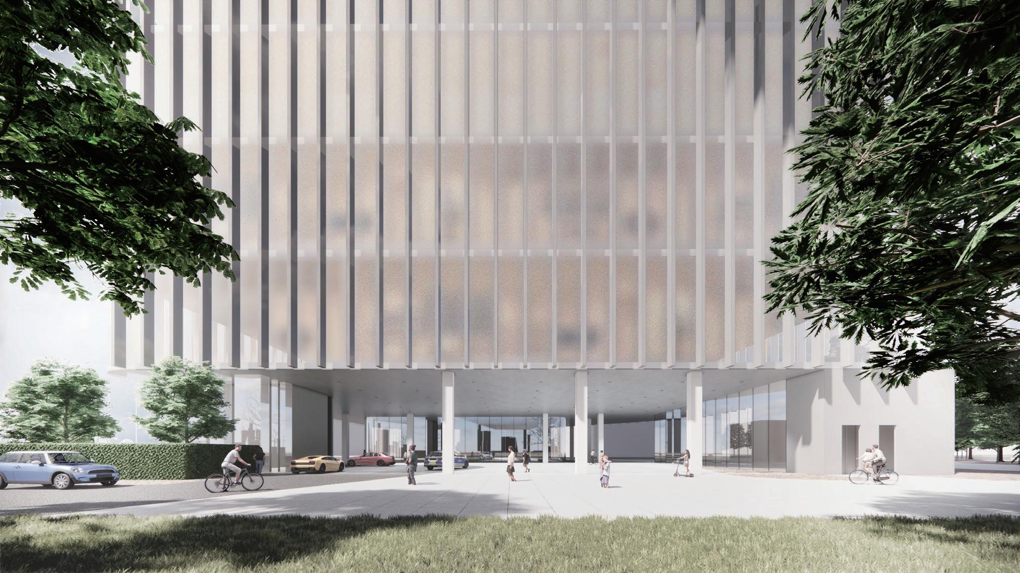
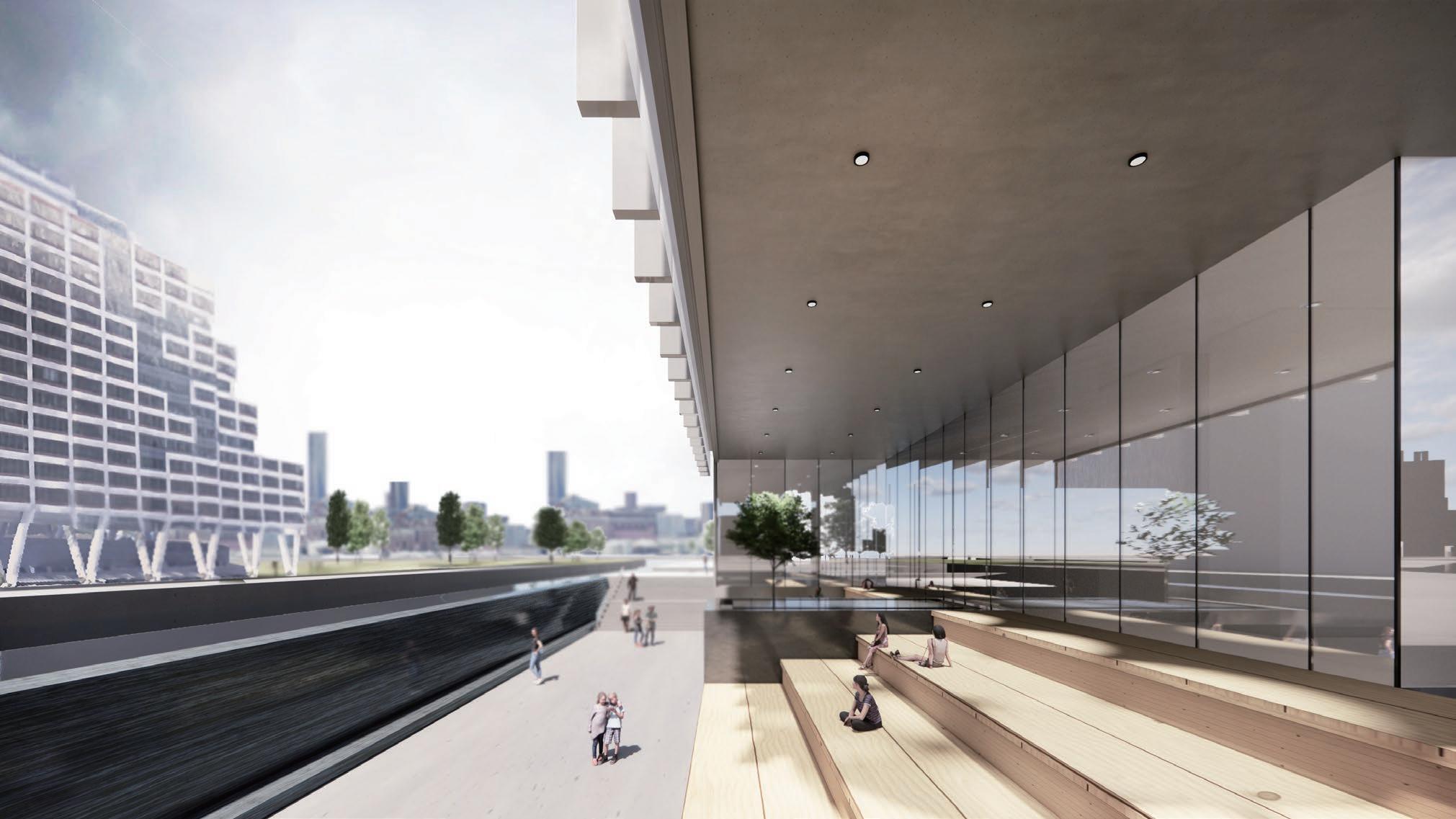
The left axon clearly depicts functions within the skyscraper, including Loft, Observation Deck, Restaurant, Art Gallery, Hotel, Sports Center, Office, Main Entrance, Shopping Mall, and Film Production. On the right are two renderings of the ground floor, showing the relationship between the plaza and the building, capturing the ambiance of people relaxing and enjoying entertainment in this space.
Project 03.
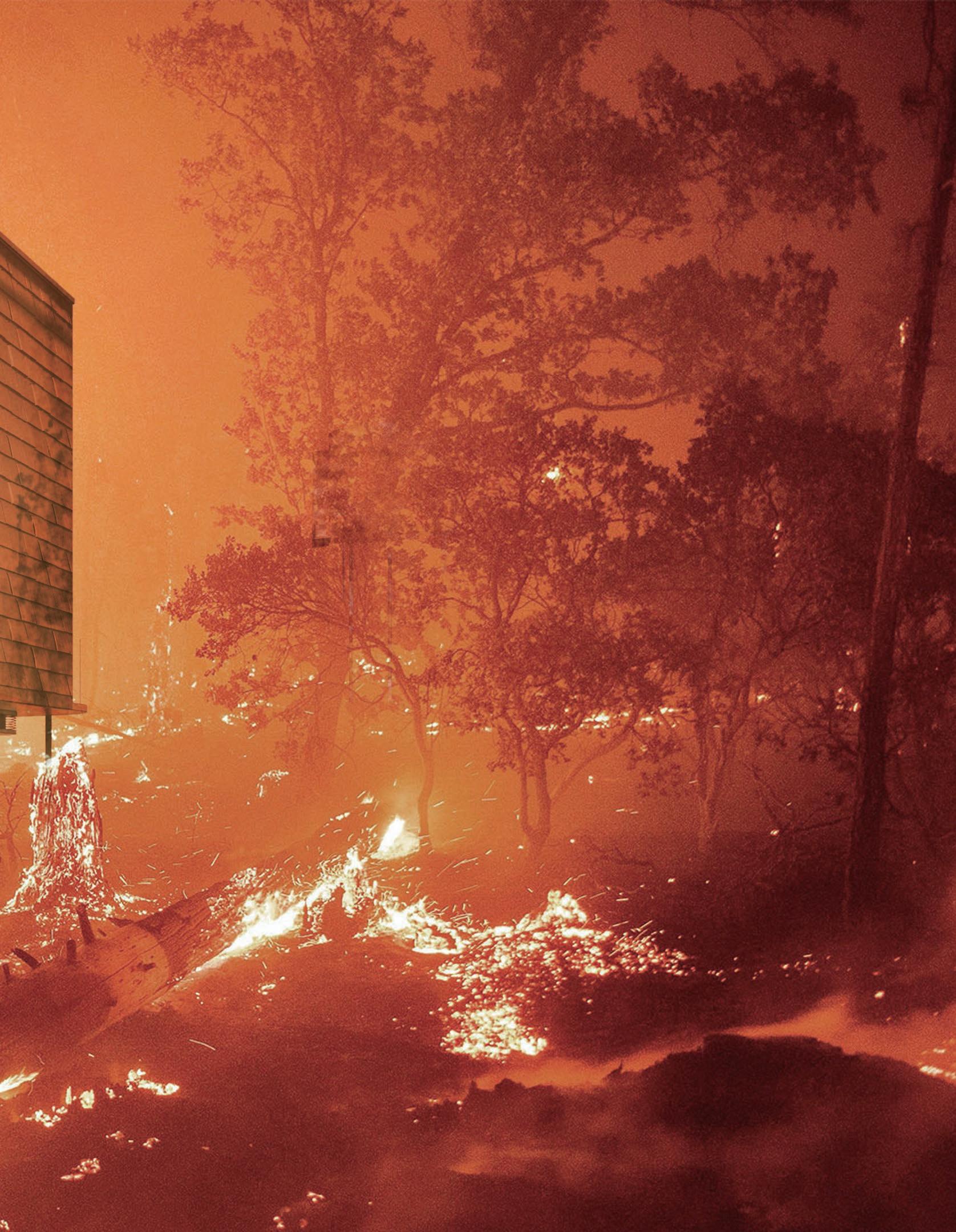
Redding, California has always been a center of wildfires. Redding has a historical background in dealing with wildfires, encounters over 100 fires on an annual basis.
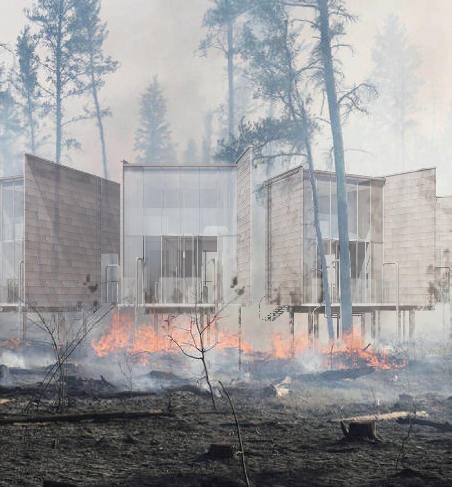
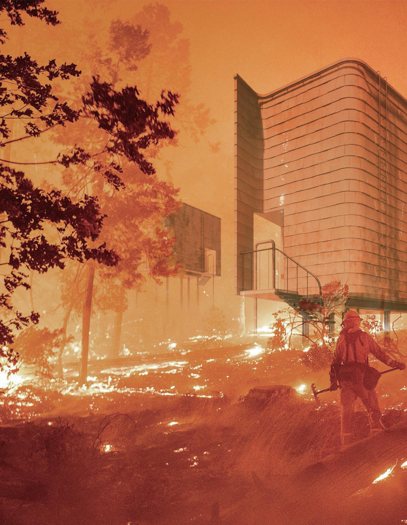
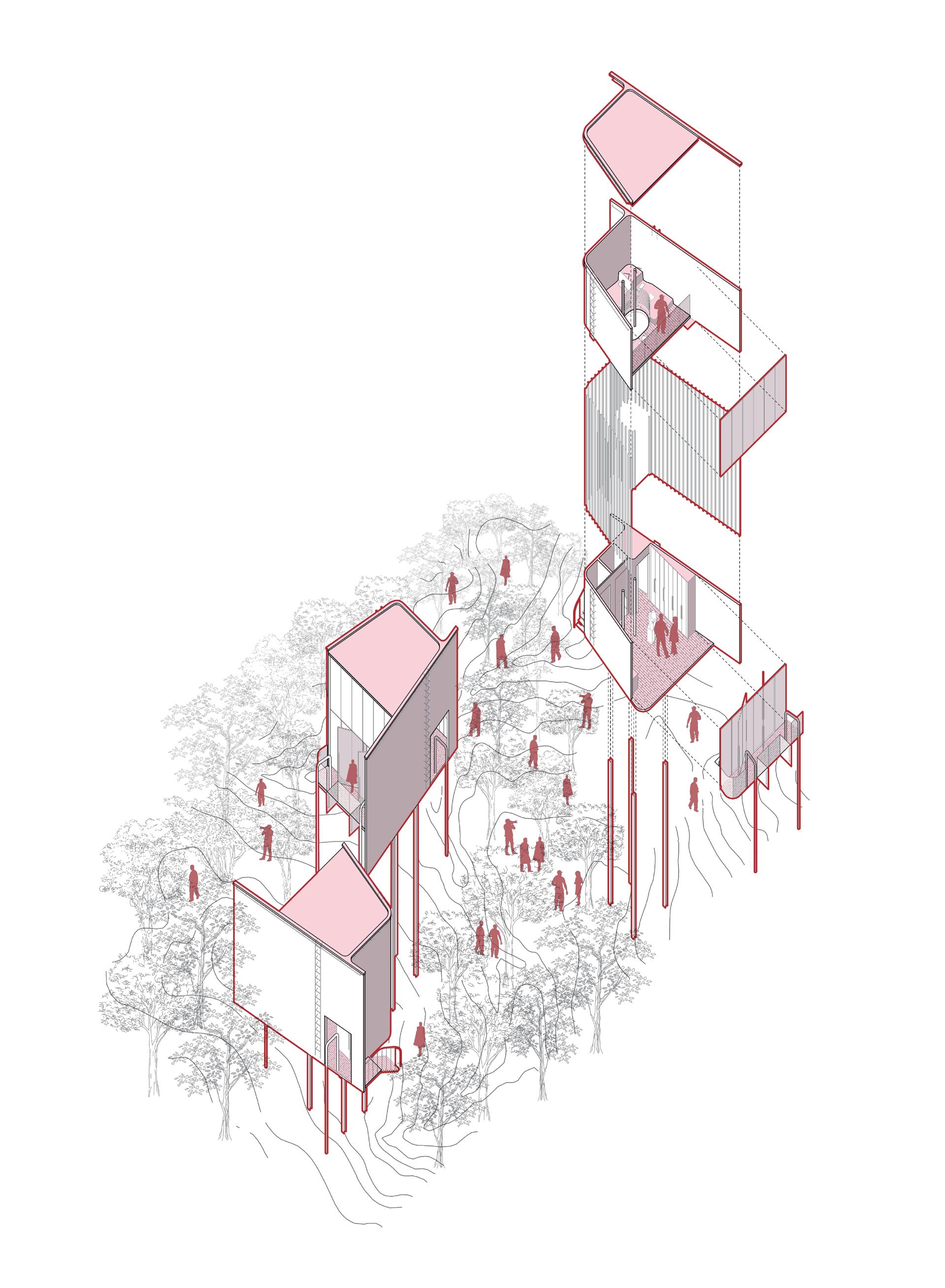
In response to Redding wildfires, and much more relative instances, we are designing a Mountain Hub as a solution to host firefighters and researchers to work in the grass land and forest as a new way of preventing wildfires in the future.
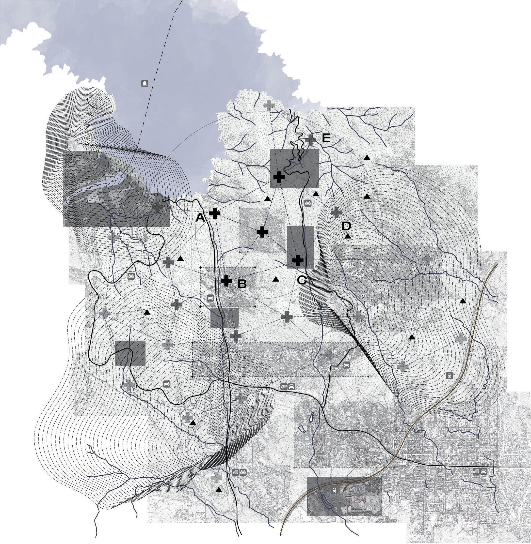
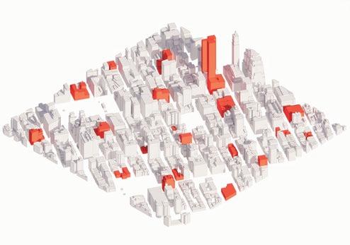
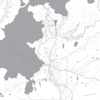
The illustration above clearly highlights the areas where wildfires are most prevalent, emphasizing the significant impact on Redding's infrastructure, including highways, hospitals, and schools. This underscores the substantial risk to the city, where a larger fire could potentially result in even more extensive damage.
The cross symbol marks where we'll introduce Hubs to form a network, preventing and responding to wildfires.
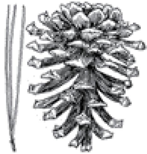
Ponderosa Pine Pinus ponderosa
Burn Time: 23 hrs
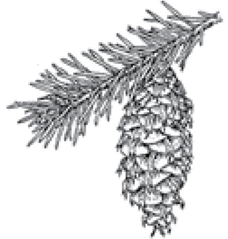
Douglas Fir Pseudotsuga
Burn Time: 20 hrs
Pine trees are prone to fire damage because they have thin bark, flammable foliage, and accumulate dead lower branches. Their needles and resin are highly flammable, and during hot, dry conditions, they are more likely to catch fire.
Fire Extinguishers Class A
Designed for fires involving ordinary combustible materials like wood, paper, and plastics.
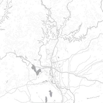
1970s Damage: Low
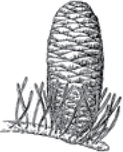
White Fir Abies magnifica
Burn Time: 19 hrs
Fir trees are highly flammable due to their needles and resinous bark, making them prime fuel for fires. In dry seasons or fireprone areas, these trees can significantly increase the risk of rapid fire spread.
Water Tenders Vehicles
Equipped with large water tanks to provide a continuous water supply for firefighting efforts.
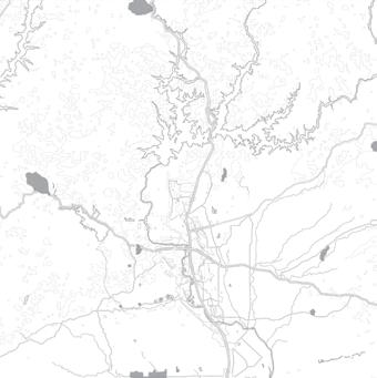
1980s Damage: Low

Black Oak Quercus killoggii
Burn Time: 15 hrs
Oak trees have leaves that are drier and curl more than other hardwoods, raising the fire off the ground and enabling it to spread more effectively. This makes oak leaves more flammable and better at carrying a fire.
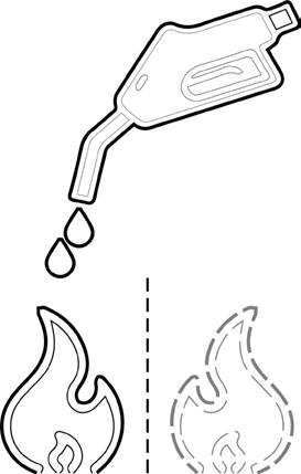
Prescribed Fire Prevention
Diminish the accumulation of hazardous fuel and safely reintroduce fire to the ecosystem.
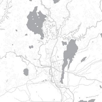
1990s Damage: Medium
Since 1960, daily average low temperature has risen by 4.5 degrees, and the average high temperature has increased by 1.6 degrees, indicating a significant warming trend.

Port Orford Cedar Chamaecyparis
Burn Time: 12 hrs
Cedar trees are highly susceptible to fire due to their flammable foliage, thin bark, and oils that ignite easily. Their cone shaped structure, keeps foliage closer to the ground, further increases their fire risk.

Research and Tracking Prevention
Gathering data and assessing fire and fuel management and reduce overgrown vegetation.
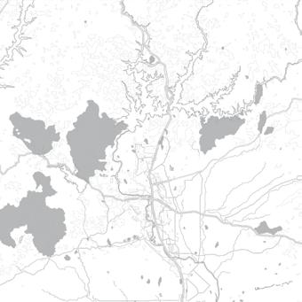
2000s Damage: Medium
2000s Damage: High
In July 2018 , during the start of the Carr Fire, temperatures hit 111 degrees at park headquarters. This fire became the most destructive in National Park history, burning 97% of the park and causing the loss of over 100 structures.
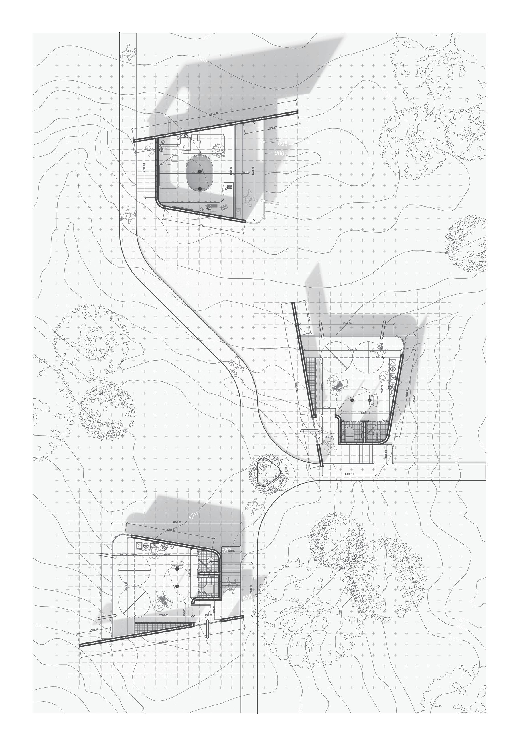
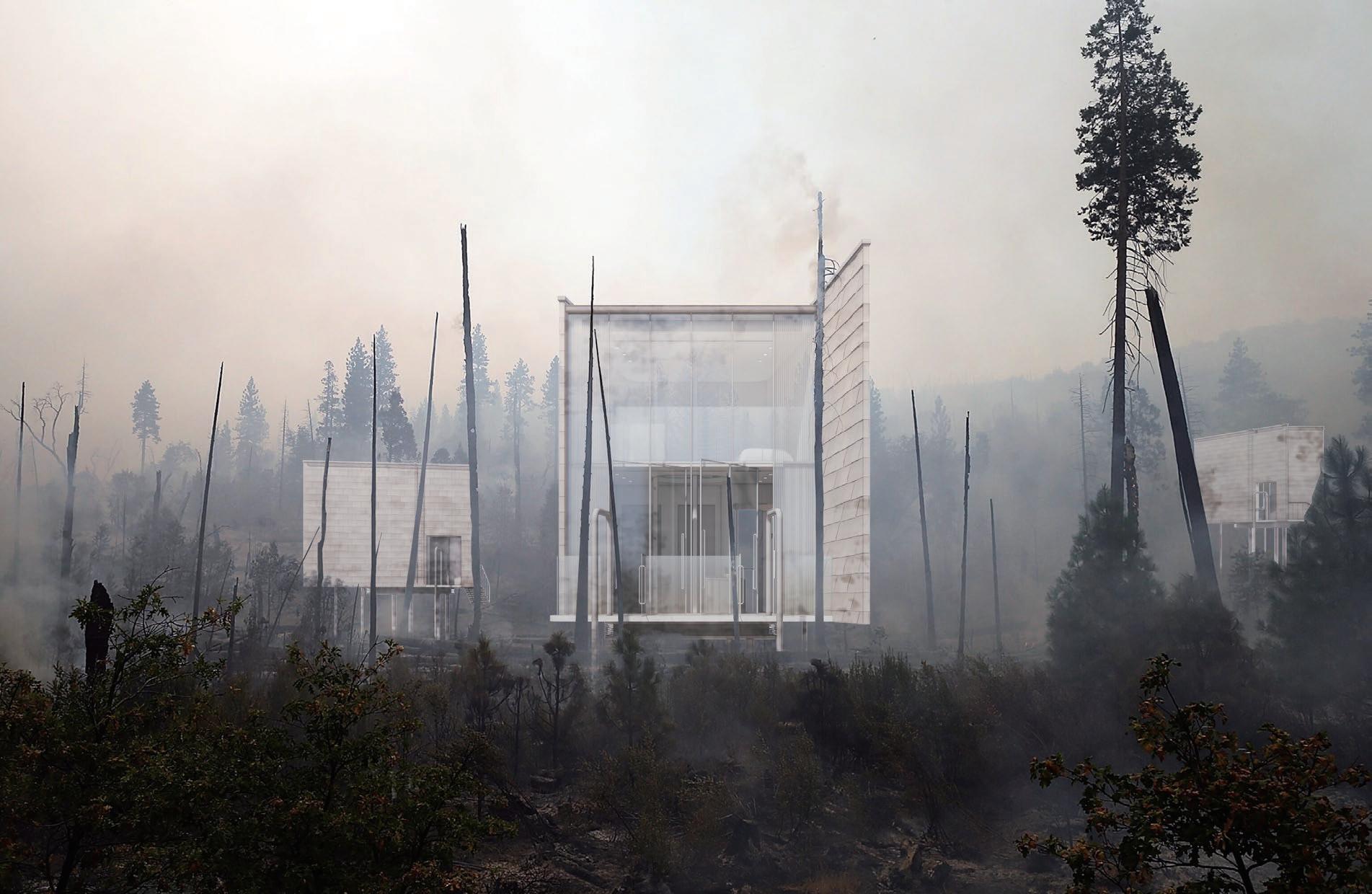
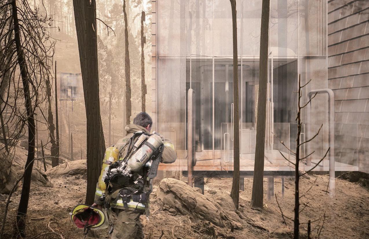
Designed for post-fire conditions, the Hubs are constructed with 3-hour fire-resistant materials and elevated from the ground, ensuring prolonged durability and providing enhanced safety for firefighters and researchers.
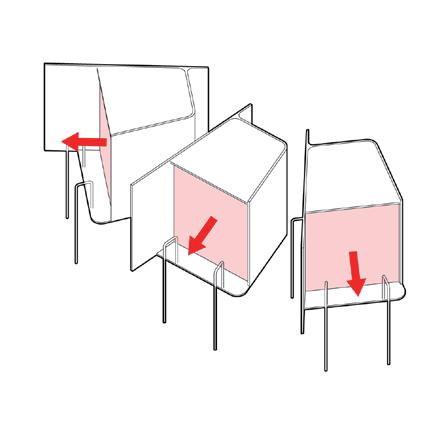
General Formation
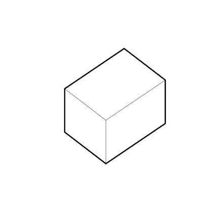
Step 01
Taking a generic form of dwelling
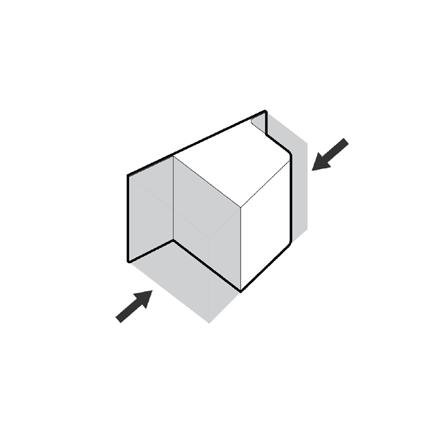
Creating Hierarchy Step 02
Push and pull the faces of the box to create spatial hierarchy
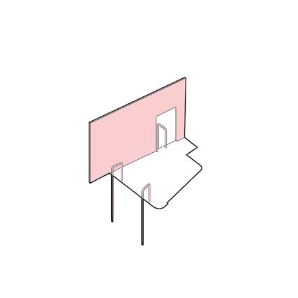
Out-Fire Strategies Step 03
Introduction of different means of outfire method, including firepole and firewall
Observation Methods Step 04
Creating a cluster of Hubs as community, with observation decks facing different directions
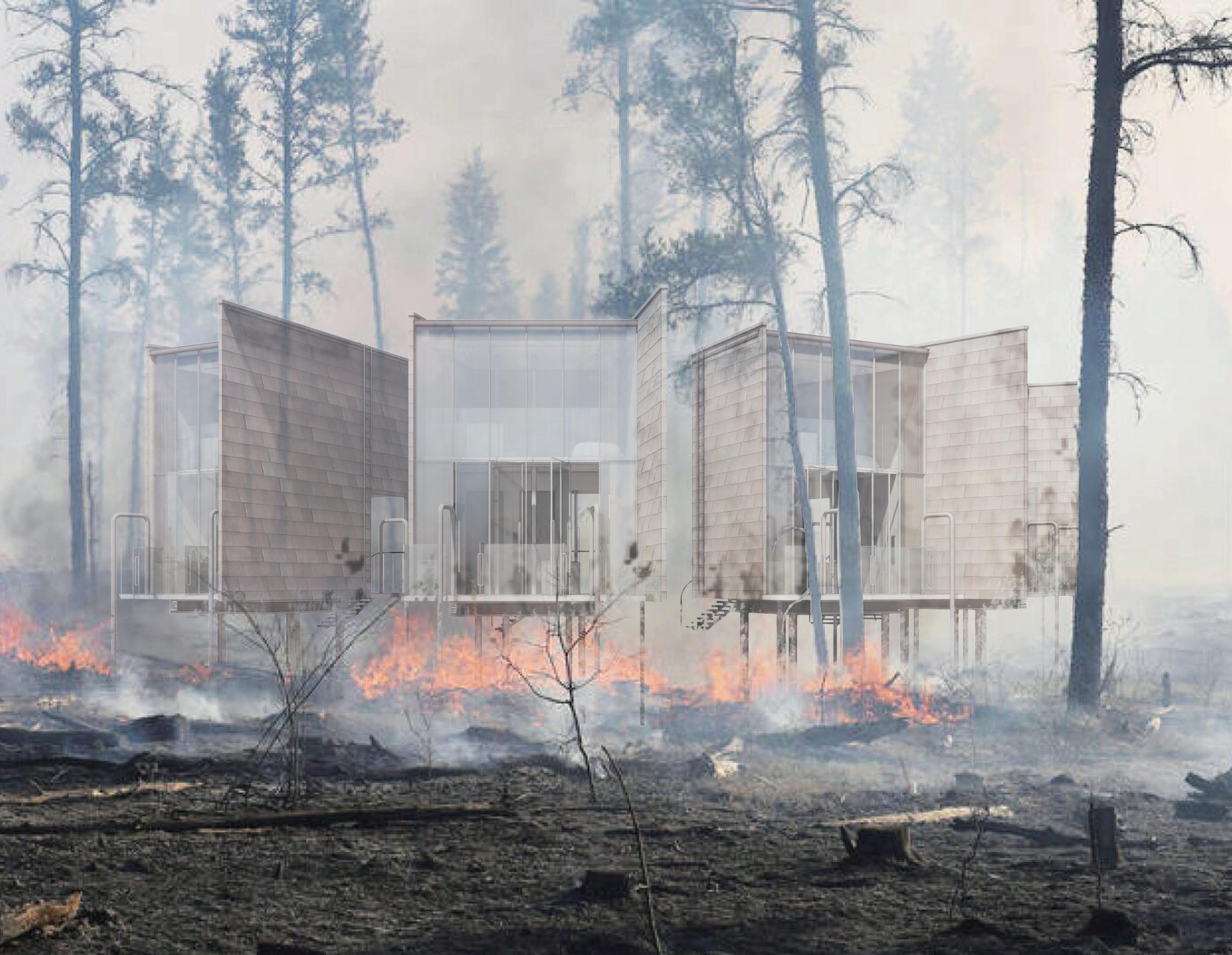
The Hub can be attached to one another forming a sense of community, which in many cases could also be shelter for people around.
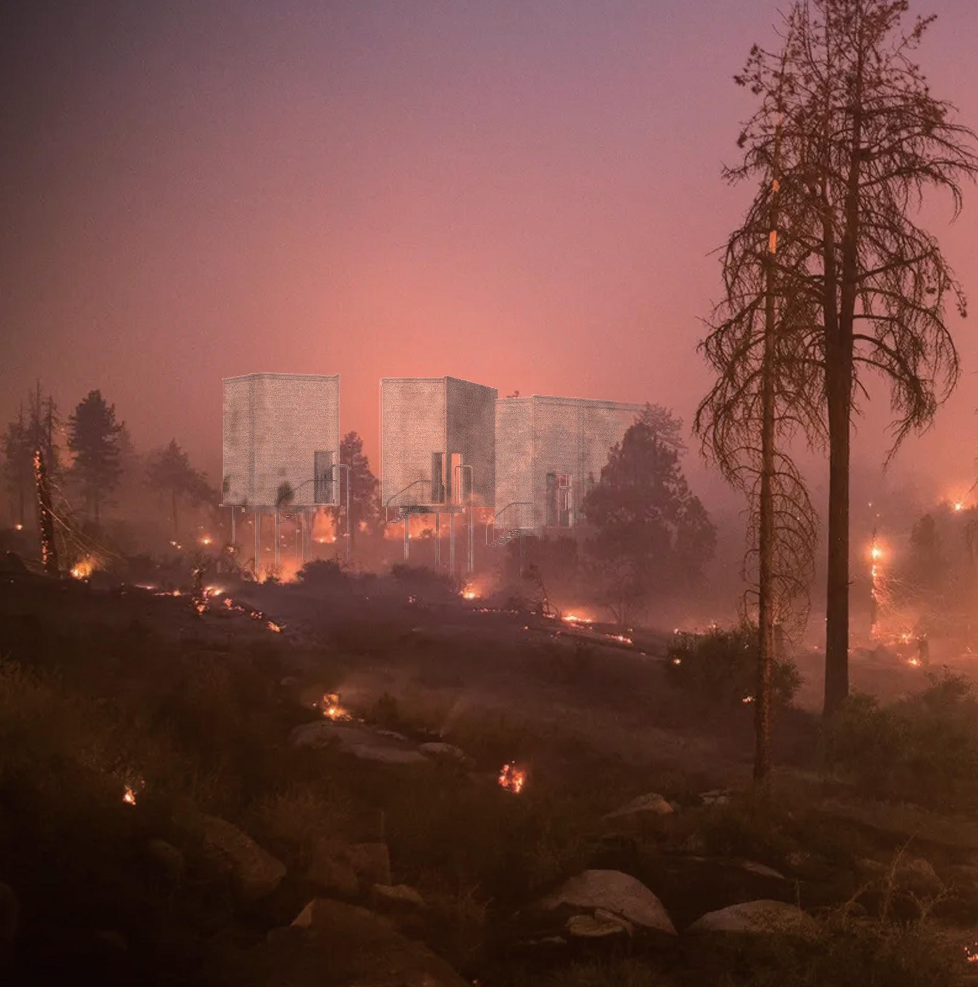
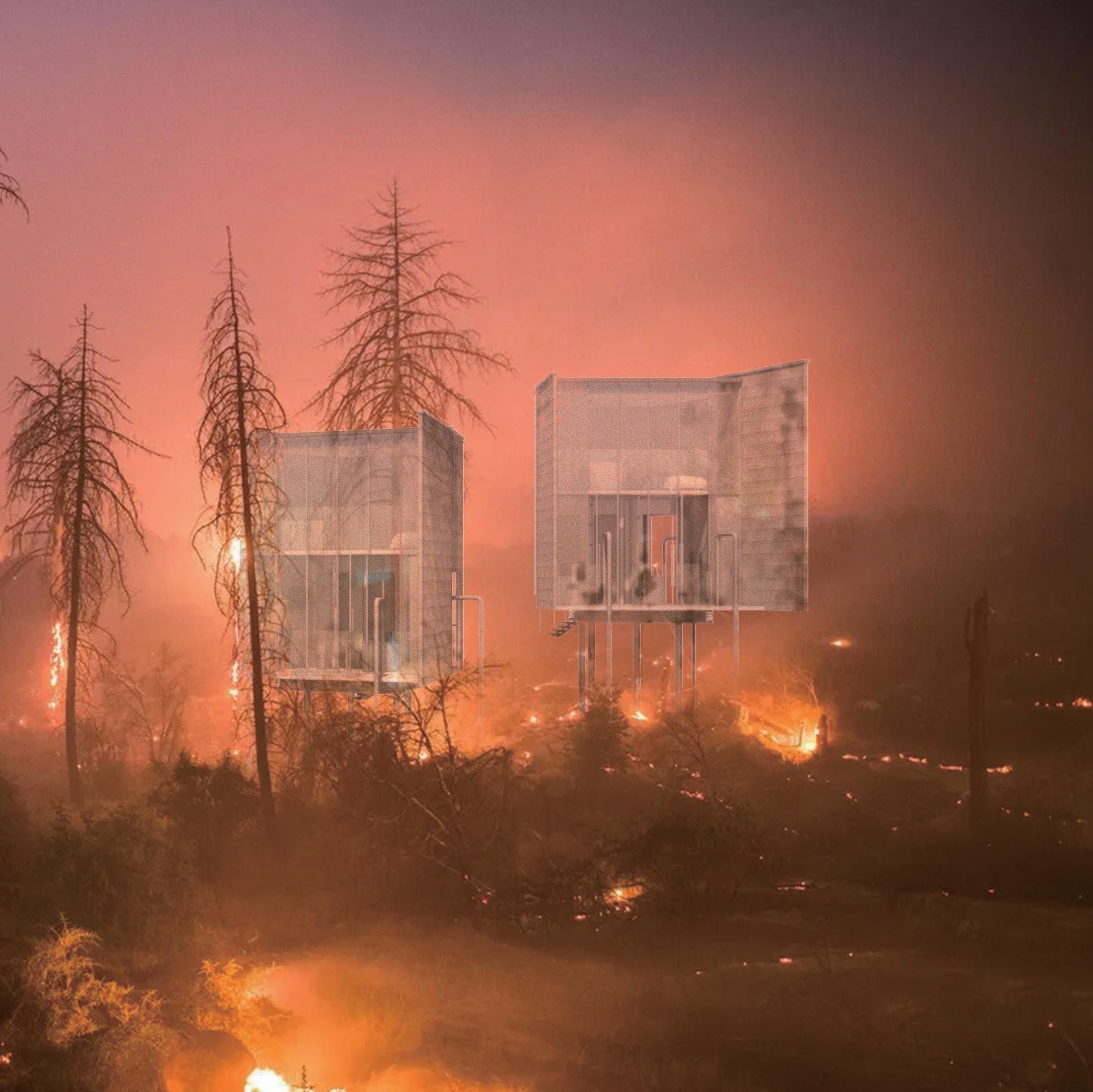
Implementing this approach to community building in Redding not only provides a substantial defense against wildfires but also offers a prefabricated solution for post-fire reconstruction. These easily deployable Hubs can be repurposed immediately after a fire for various functions.
Project 04.
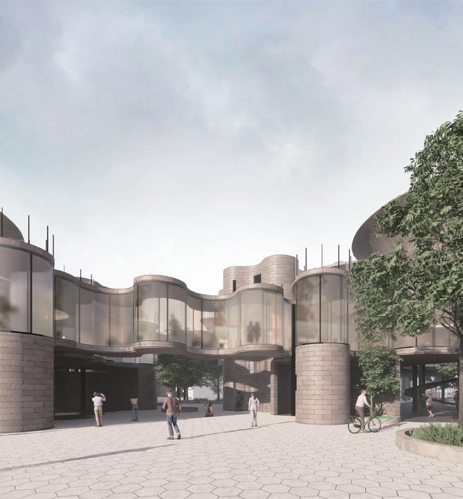
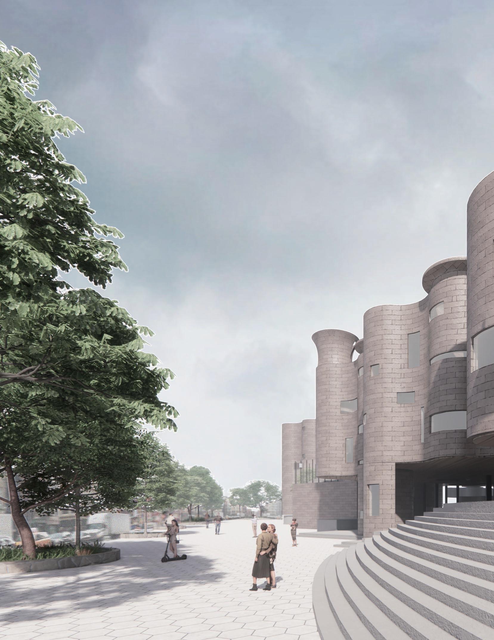
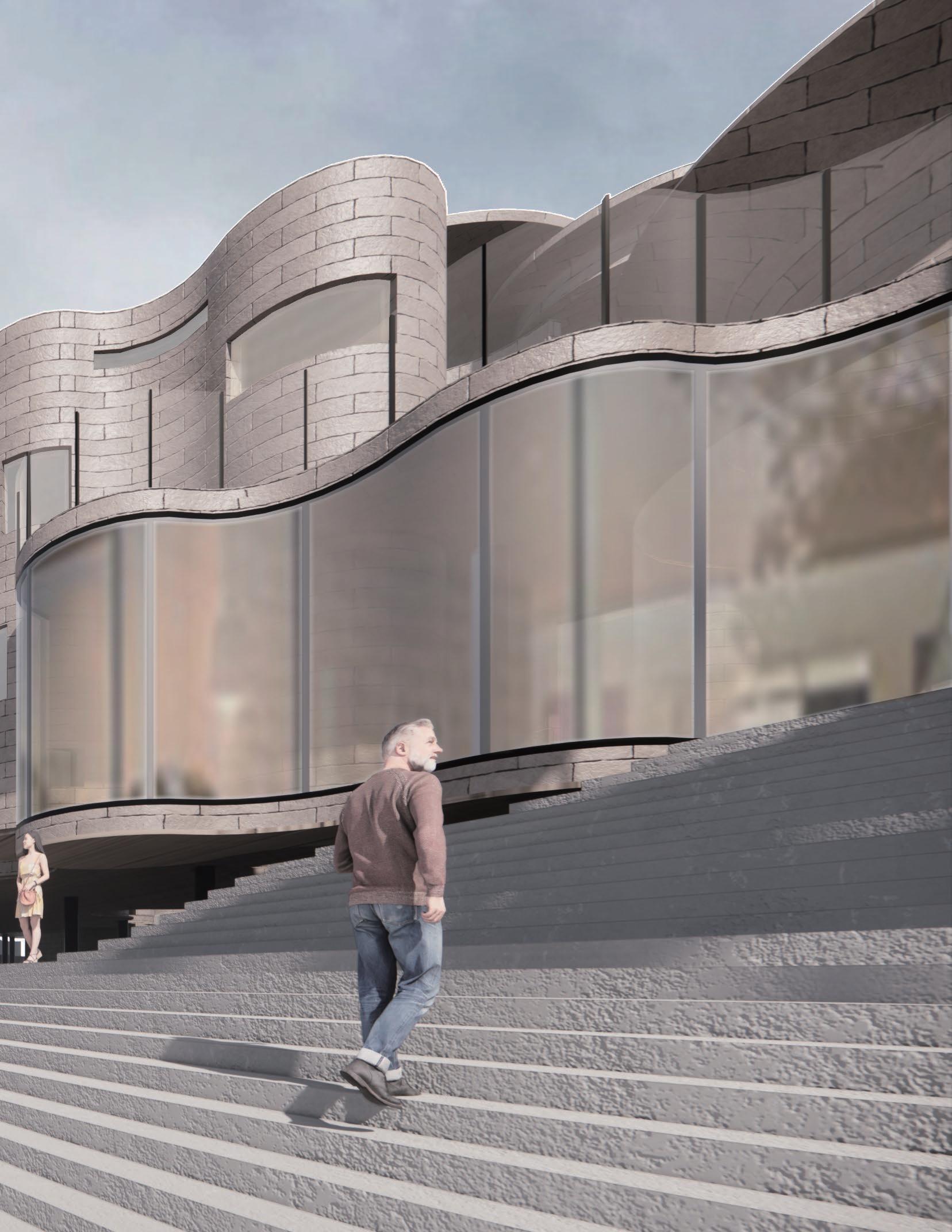
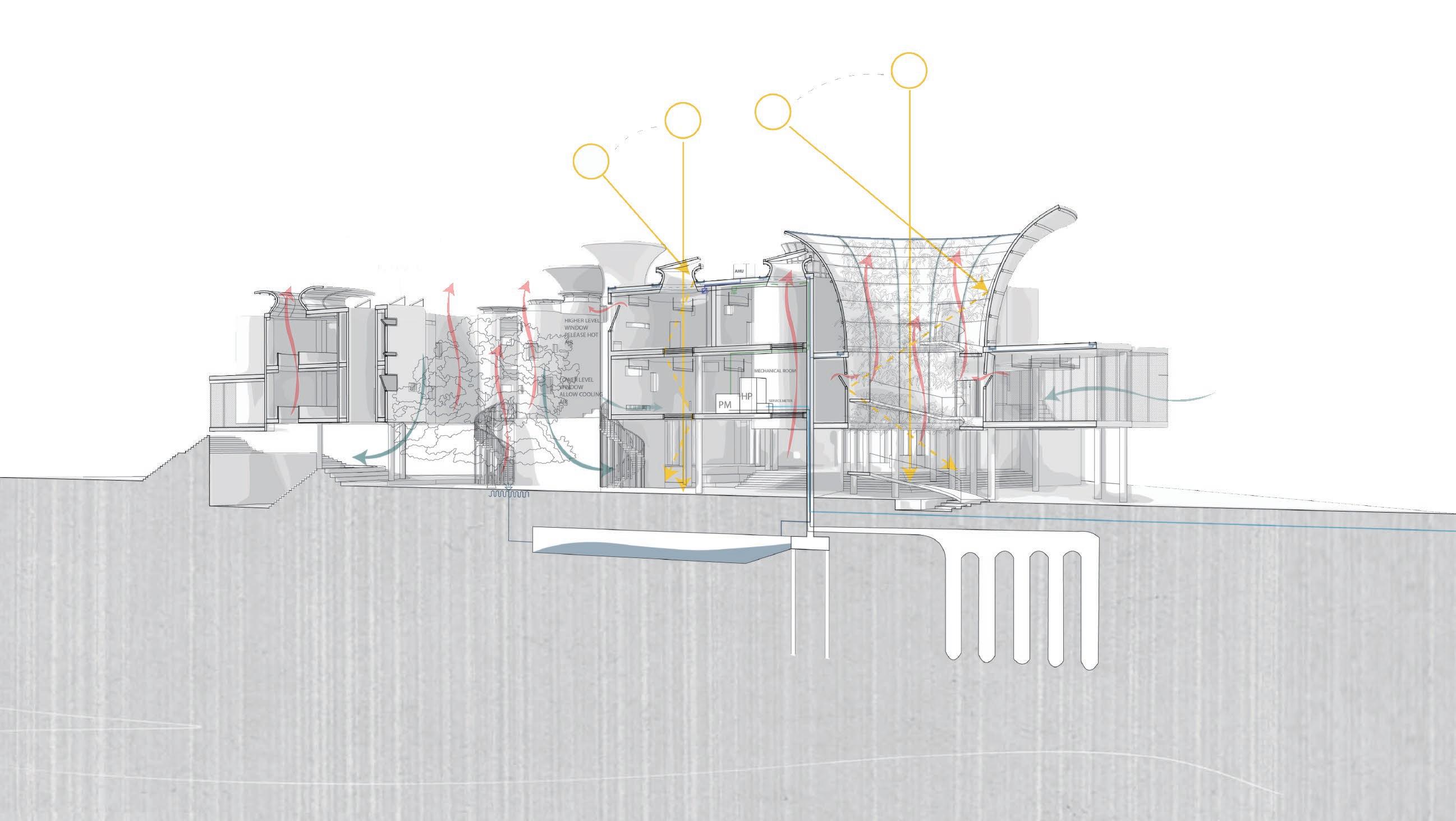
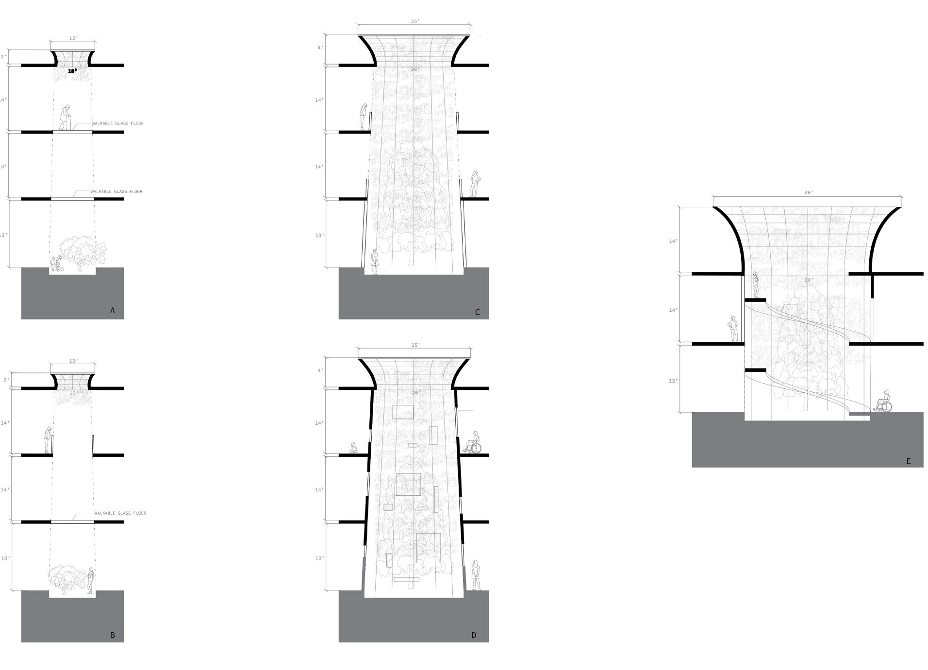
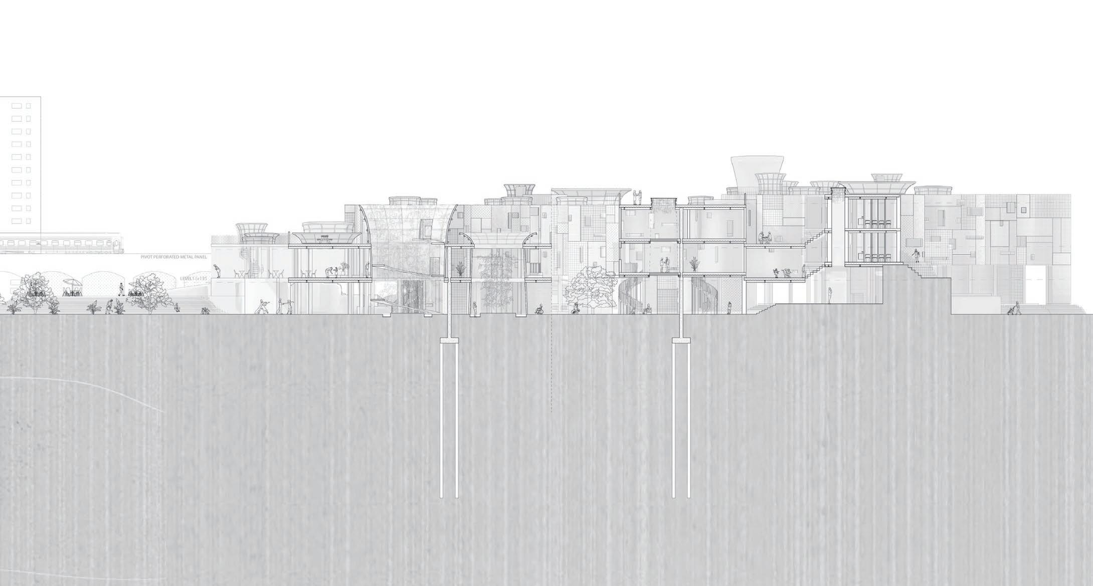
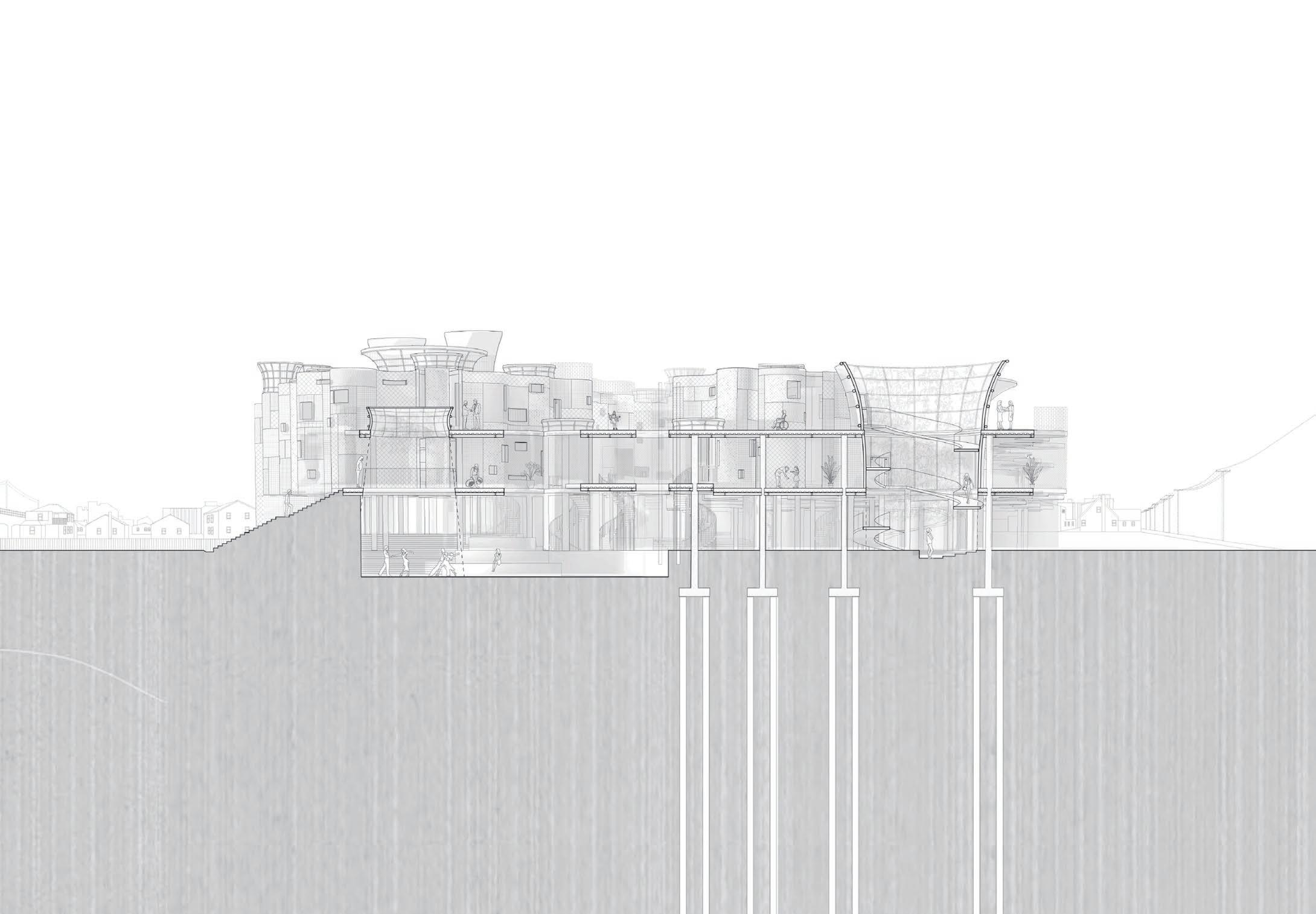
Harmonic Rings, situated in Arvena, Queens, New York, transcends its role as a vibrant community center, transforming into a resilient refuge amidst rising sea levels. Proactively addressing flood risks, it prioritizes safety and survival, embracing sustainability through water recycling, wind energy harnessing, and maximizing natural light. This architectural gem envisions a dynamic future, serving as a beacon of green innovation and fostering a harmonious community united in both crises and daily tranquility.
nurturing a thriving environment. As a symbol of resilience and beauty, it stands tall, looking forward to a prosperous tomorrow for all.
Implementing this approach to community building in Redding not only provides a substantial defense against wildfires but also offers a prefabricated solution for postfire reconstruction. These easily deployable Hubs can be repurposed immediately after a fire for various functions.
Implementing this approach to community building in Redding not only provides a substantial defense against wildfires but also offers a prefabricated solution for post-fire reconstruction. These easily deployable Hubs can be repurposed immediately after a fire for various functions.
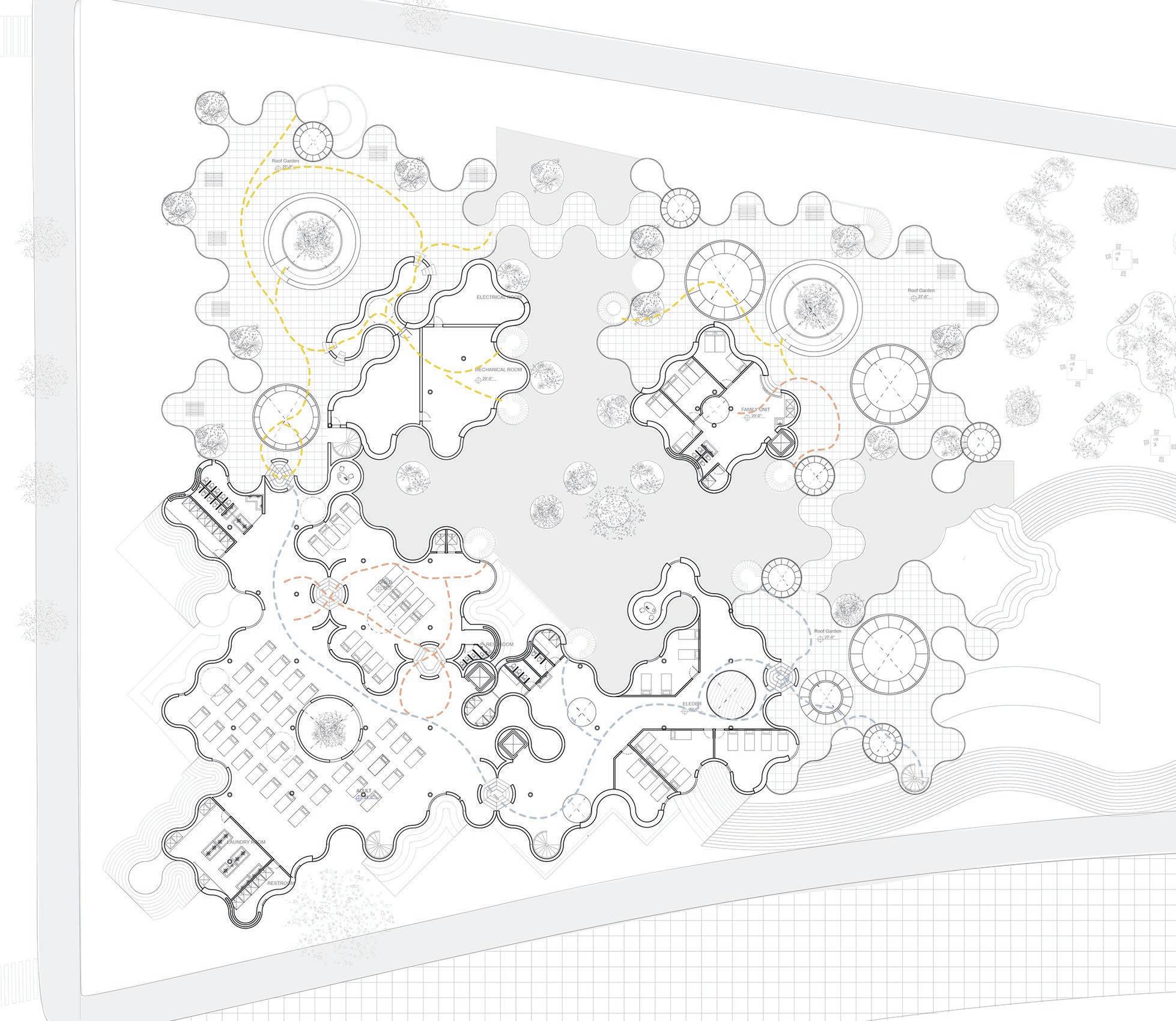
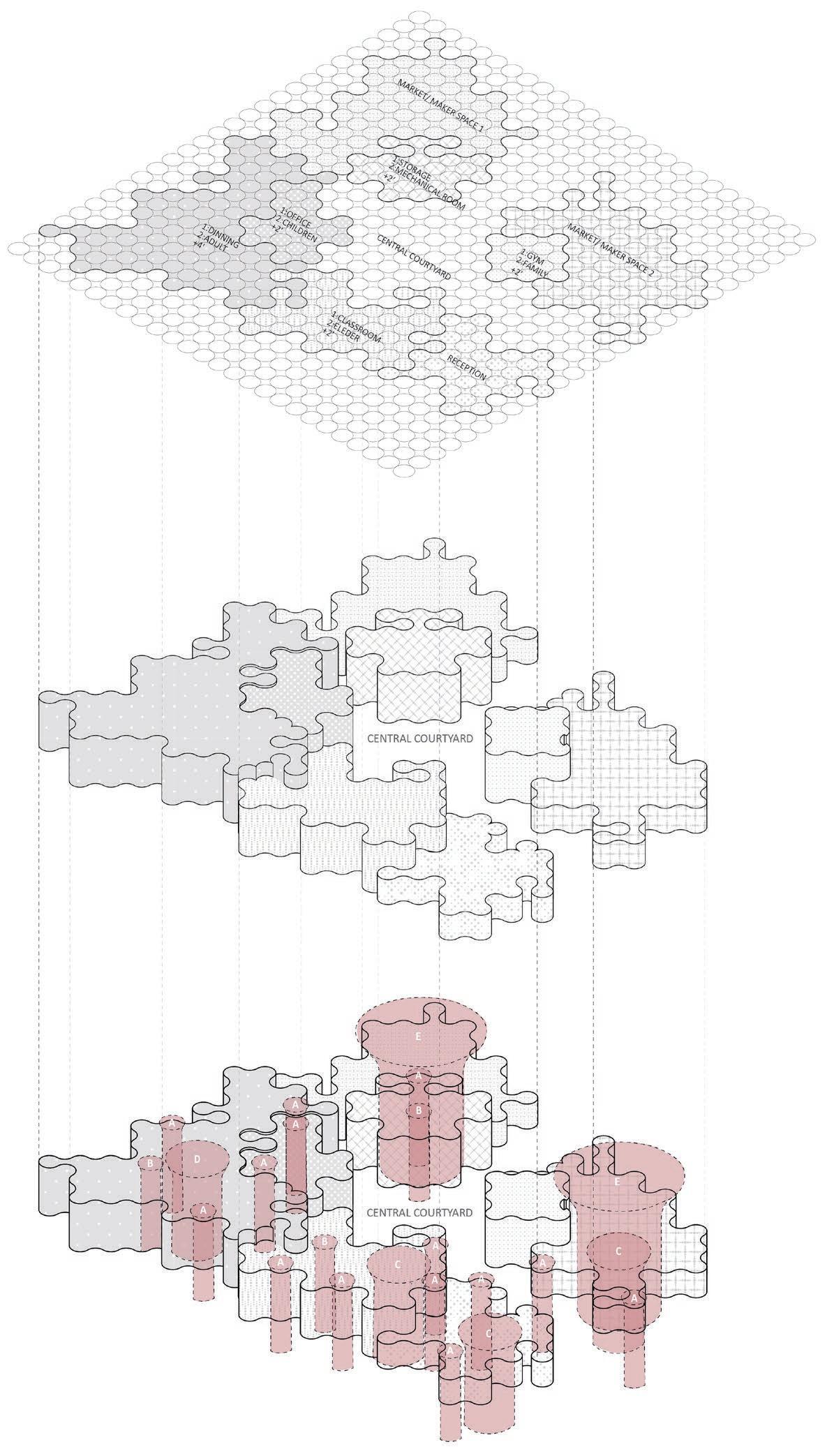
Ground-level light openings encourage exploration. The curved roof integrates ivy-covered surfaces, connecting levels within a 10’ circular grid. Addressing diverse needs, the layout includes shelters for adults, elders, children, and families. A central "L" shaped courtyard serves as a community park and flood-resilient area with multiple entrances. Varied ground levels create dynamic spaces, fostering individual artistry and community events.
The Hub can be attached to one another forming a sense of community, which in many cases could also be shelter for people around.
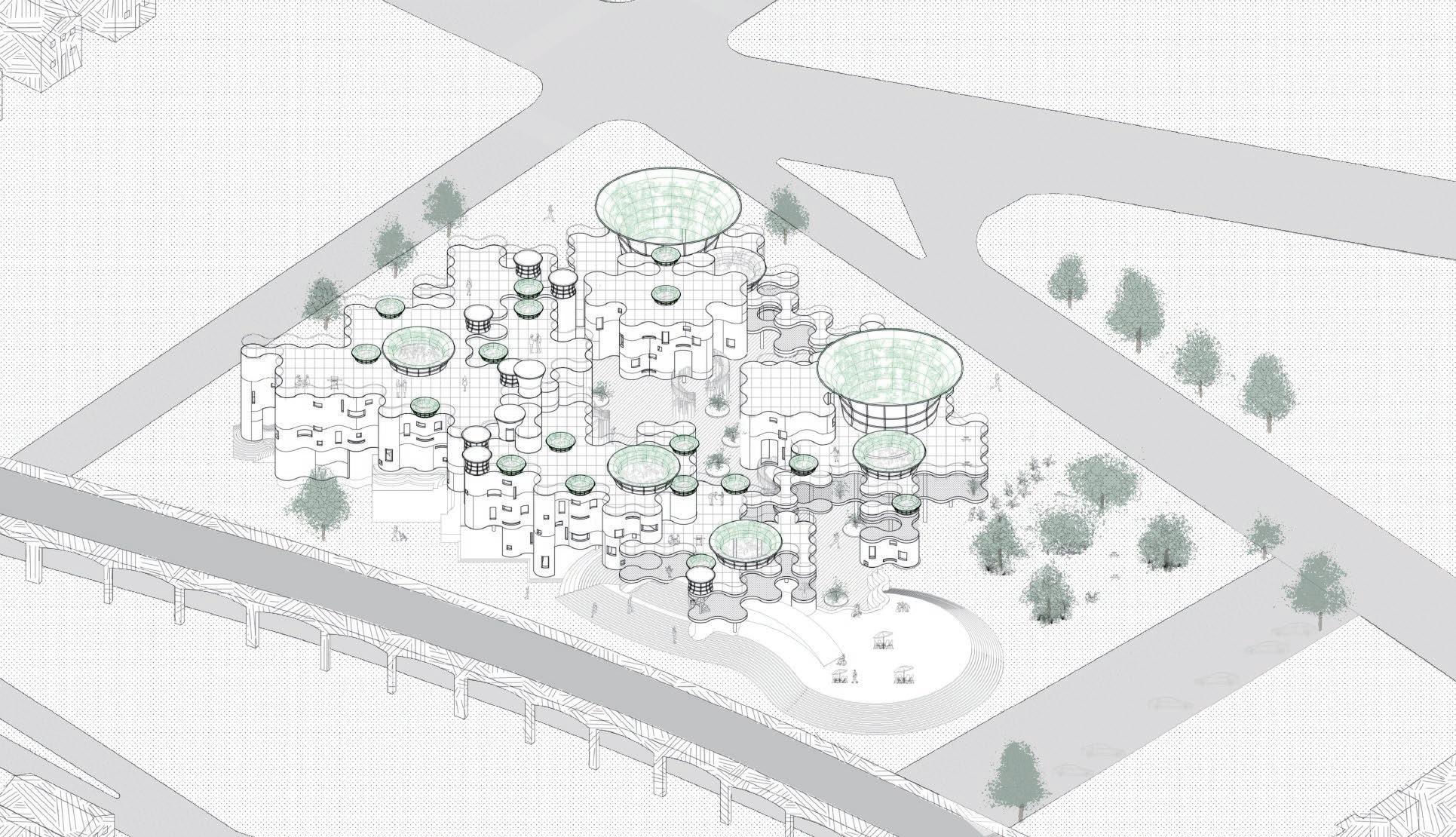
Courtyards vary— western for privacy, southern for connections. Crosspoints serve as entrances. Crucially, the central courtyard adapts to heights, addressing floods—a unique feature.a fire for various functions.
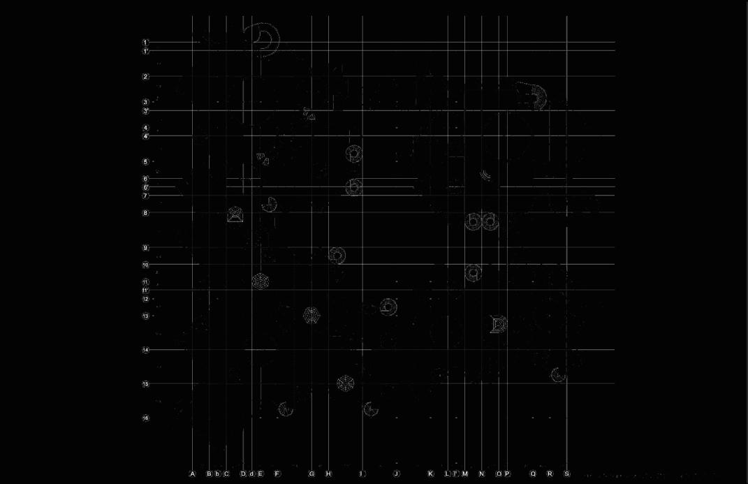
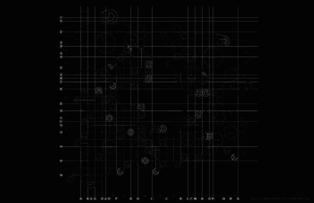
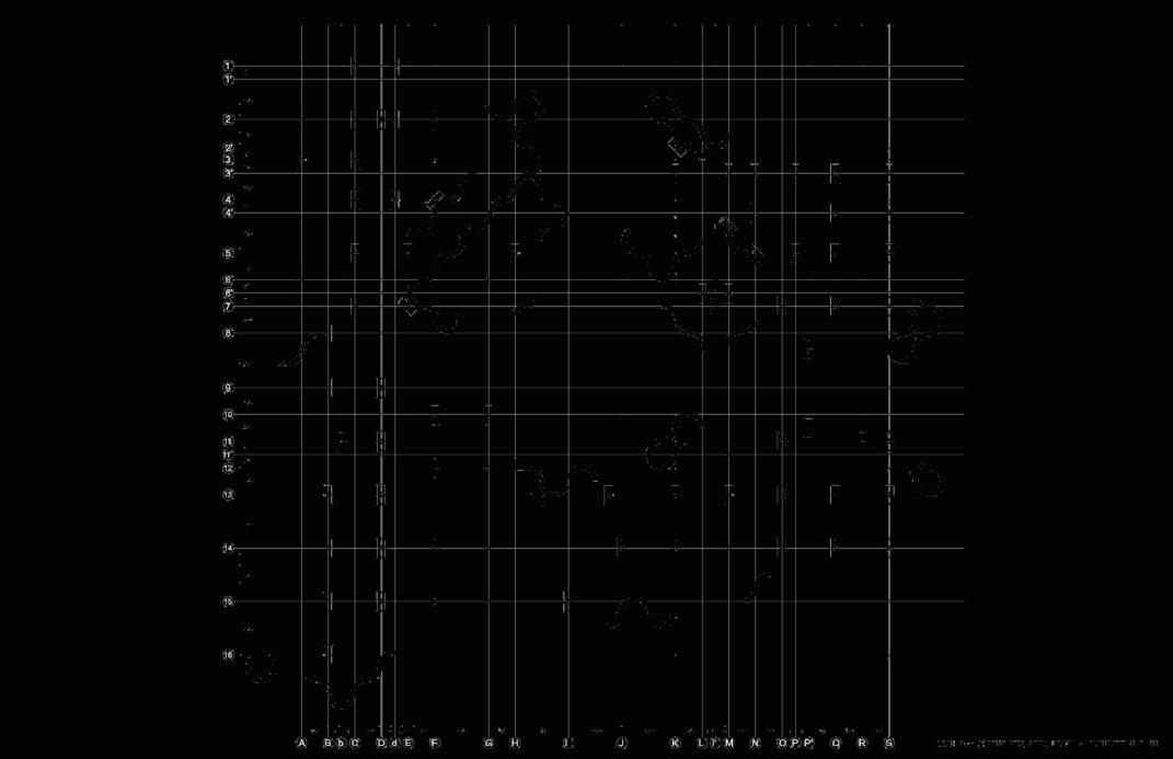
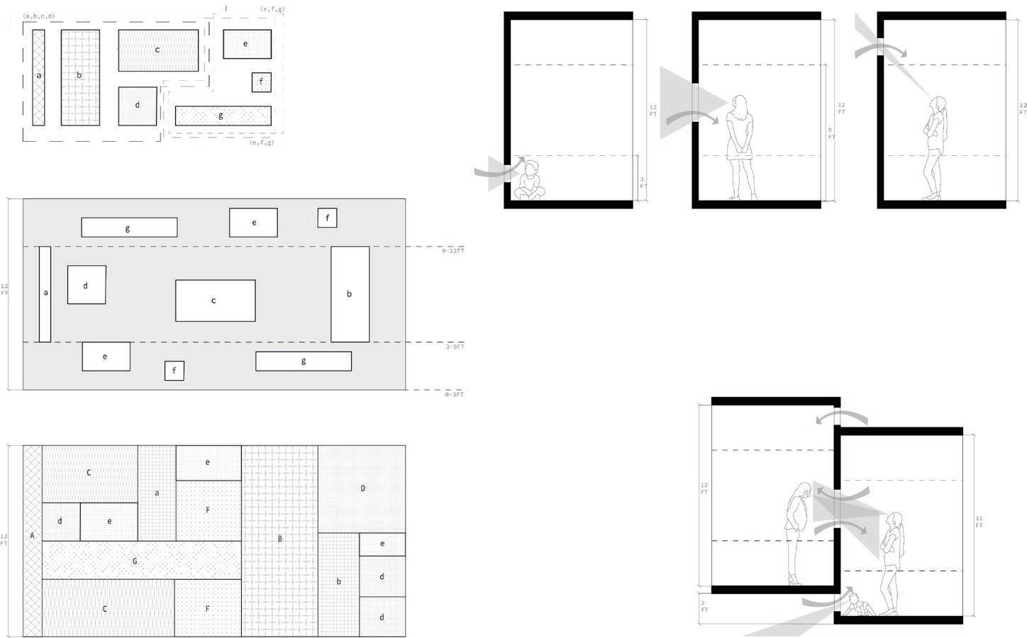
Versatile windows cater to various needs, featuring seven scaled types for a cohesive facade. The punched design, with a translucent facade, transforms the building into a distinctive nighttime landmark.a fire for various functions.
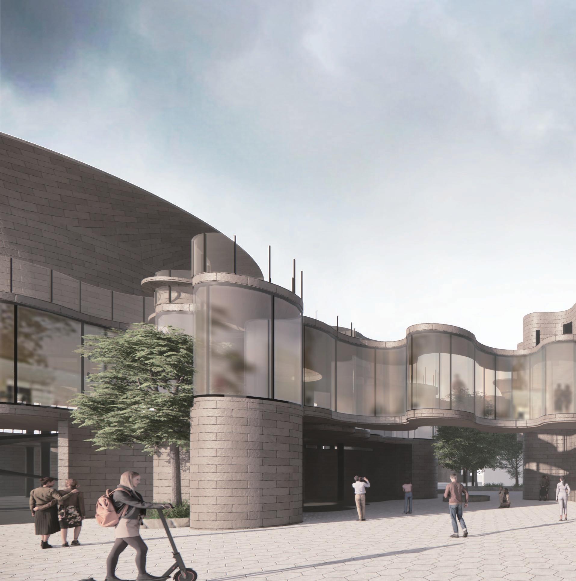
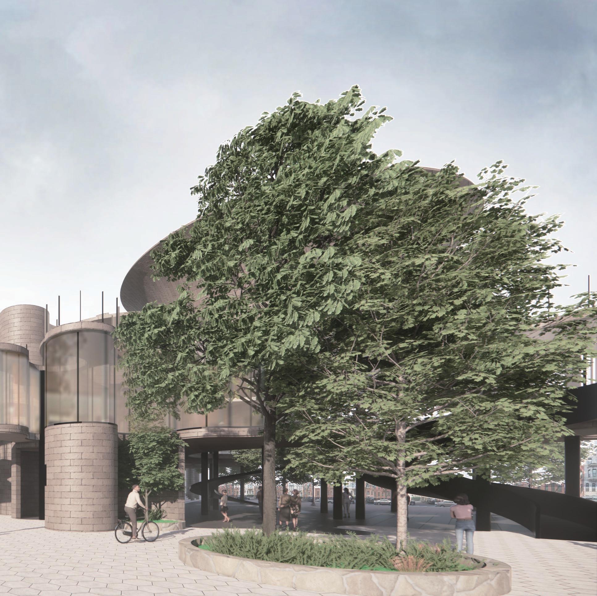
Crowd-facing markets and makerspaces use translucent panels, enhancing community visibility. Interconnected spaces, linked by bridges, connect directly to the street. Maker spaces, designed for floral and plant acknowledgment, foster community hangouts. Adult corners enhance connections to children and elders, facilitating care. Family units ensure optimal conditions for young children, making the design a cherished home for all.
Project 05.
Currently, urban waterfront and pedestrian-friendly planning serves a critical role in improving people’s daily life. A key demand in such a planing was creating linkages between several segments of the city utilizing existing infrastructures such as bridges and highway. The Linkage Project taking these challenges and further developed a traditional understanding of bridging to a new method of urban livable space, which, improved connections between neighborhood, markets and people.
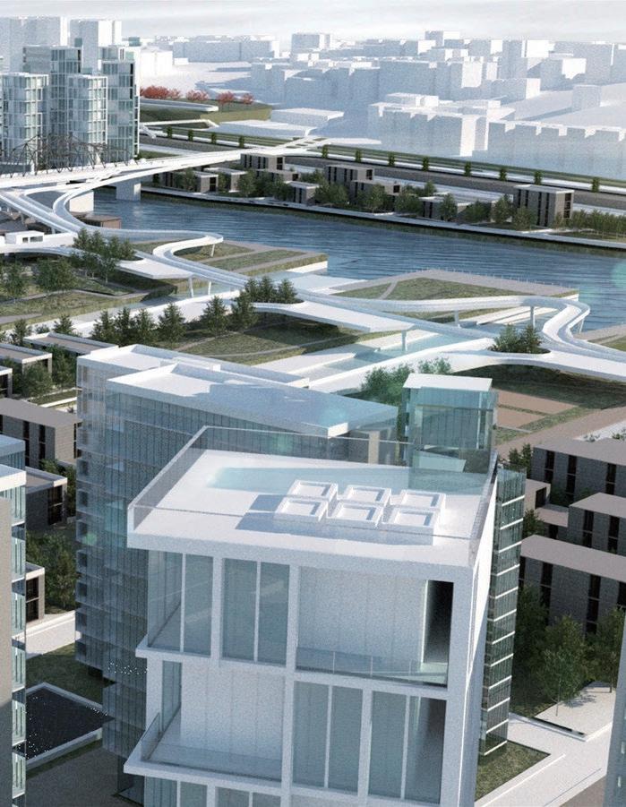
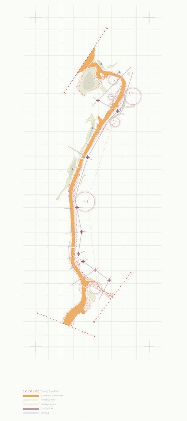
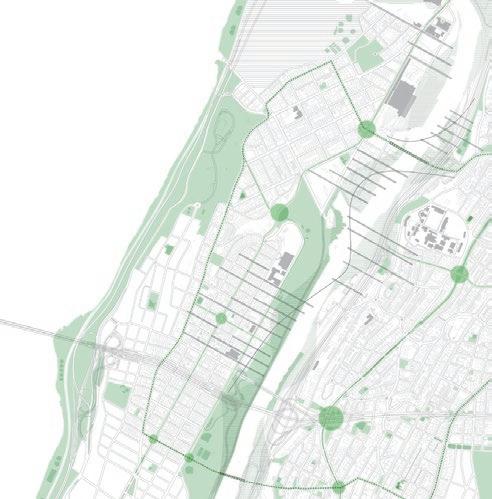
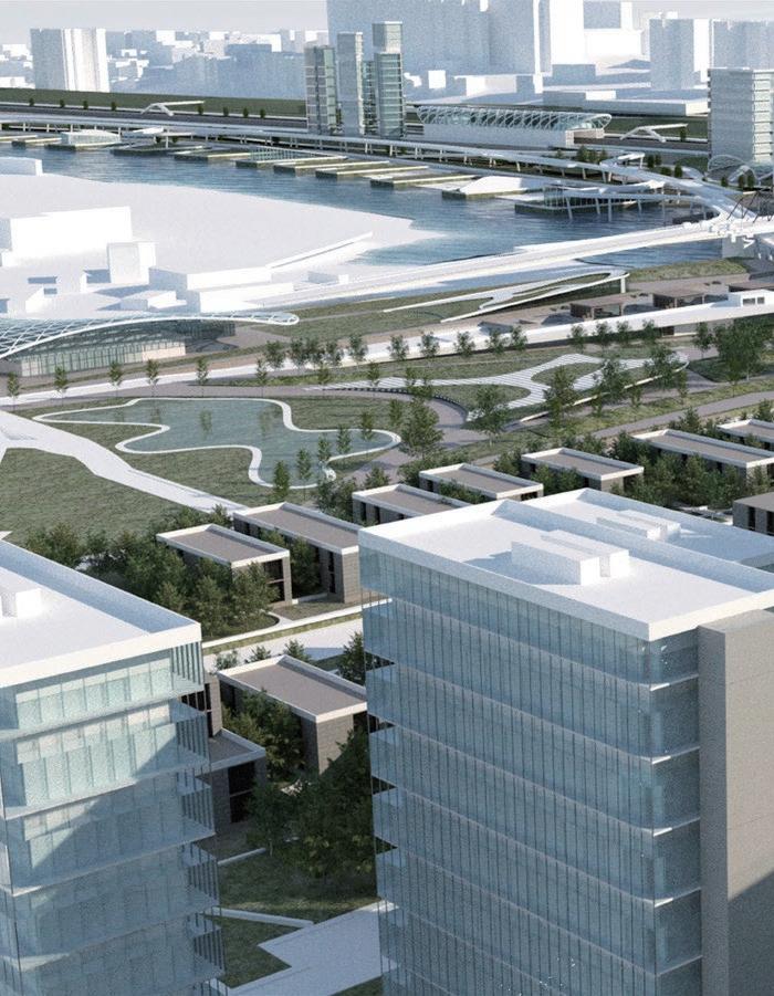
The Harlem River divides Manhattan and the Bronx, with 14 bridges linking the two boroughs less efficiently. Our inquiry aims to improve infrastructure, fostering better connections for adjacent communities to interact. We envision the traditional divide between land and water, street and bridge transforming into a more intricate and integrated urban framework. In a world dominated by singular-use infrastructure, our objective is to enhance its urban functionality.
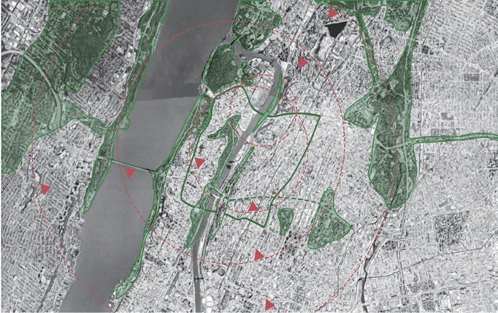
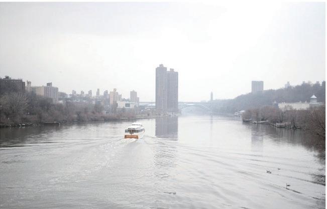
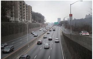
Existing infrastructure in the Bronx, like bridges, train tracks, and highways, currently divides regions without synergy. The Bronx has often been overlooked as a mere transit route, with bridges like the Cross Bronx linking distant places. Collaborating with New York's Department of Transportation and AECOM, our project aims to transform these structures into pedestrian and cyclist-friendly bridges, fostering connectivity between Manhattan and the Bronx along the shoreline.
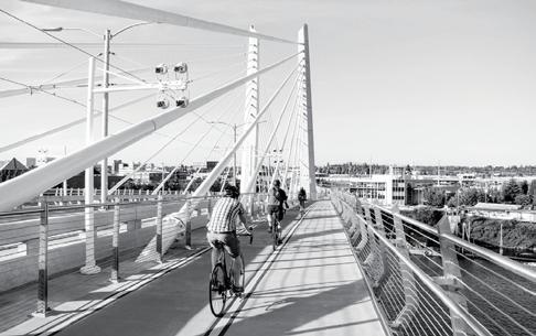
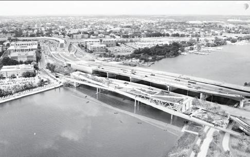
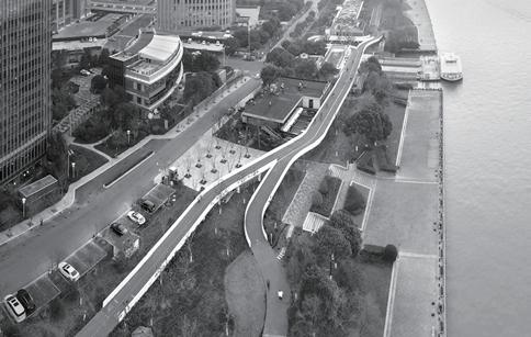
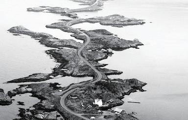
In the future, bridges will play a pivotal role in cities, responding to rising sea levels and a potential vehicle ban. The trend towards walkability and balanced urban transport signals a rise in pedestrian bridges. Portland's Tilikum Crossing, excluding cars, leads this shift. Opportunities exist to rejuvenate existing structures, as seen in OMA's proposal for the 11th Street Bridge Park along the Anacostia Crossing.
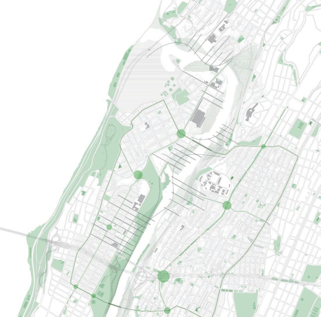
Currently, neither Fordham Landing or Manhattan have access to the waterfront from University Height's bridge. The unwelcomig site only serves for storage and manufacturing purposes and is dangerous to both pedestians and cyclists.
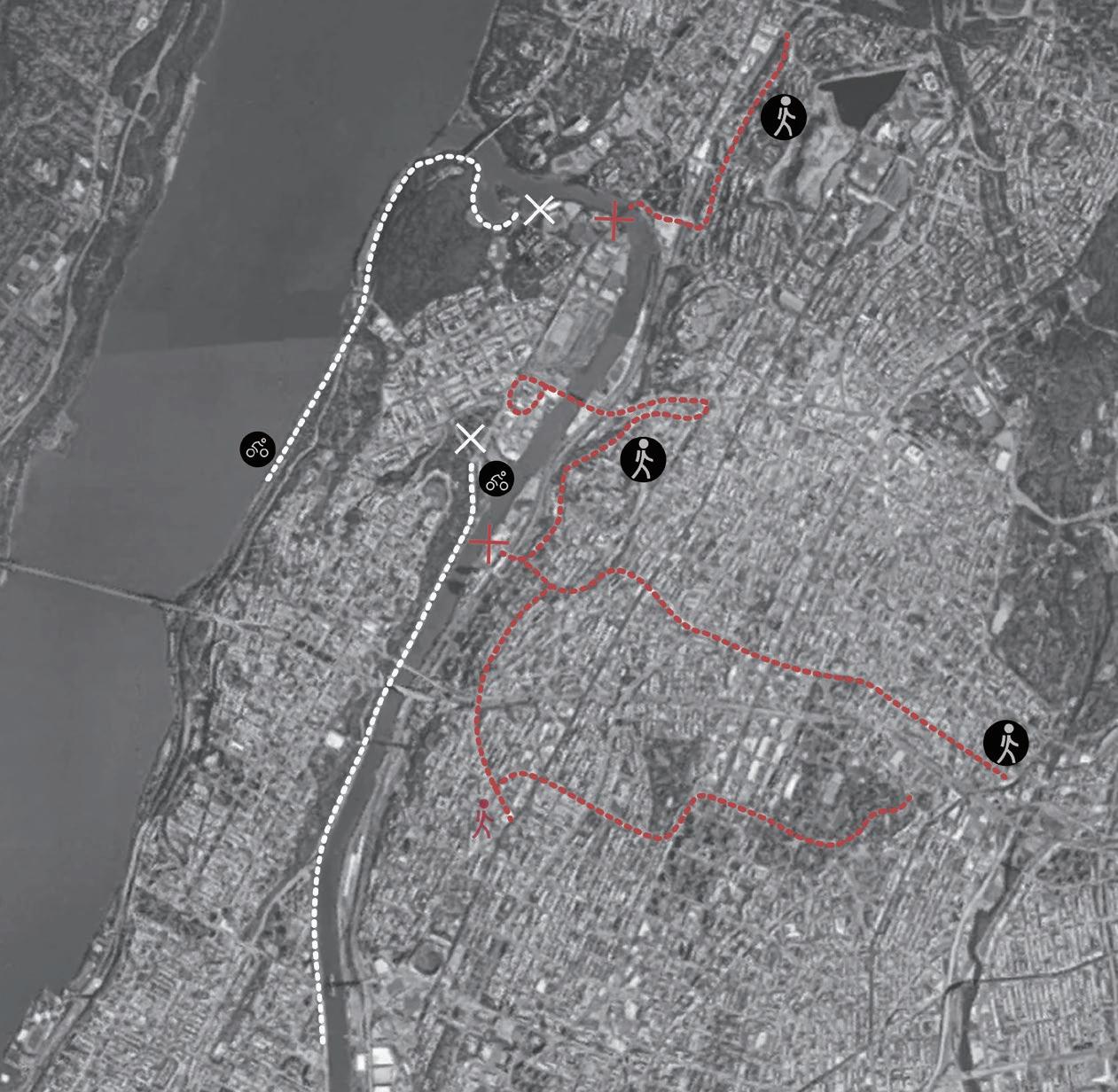
Proposing to convert lanes of the Major Deegan Expressway into a car-free zone for a green waterfront and address disconnects between pedestrian and bicycle traffic systems


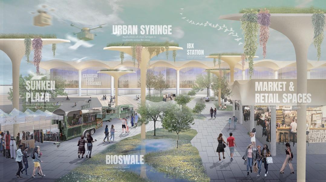
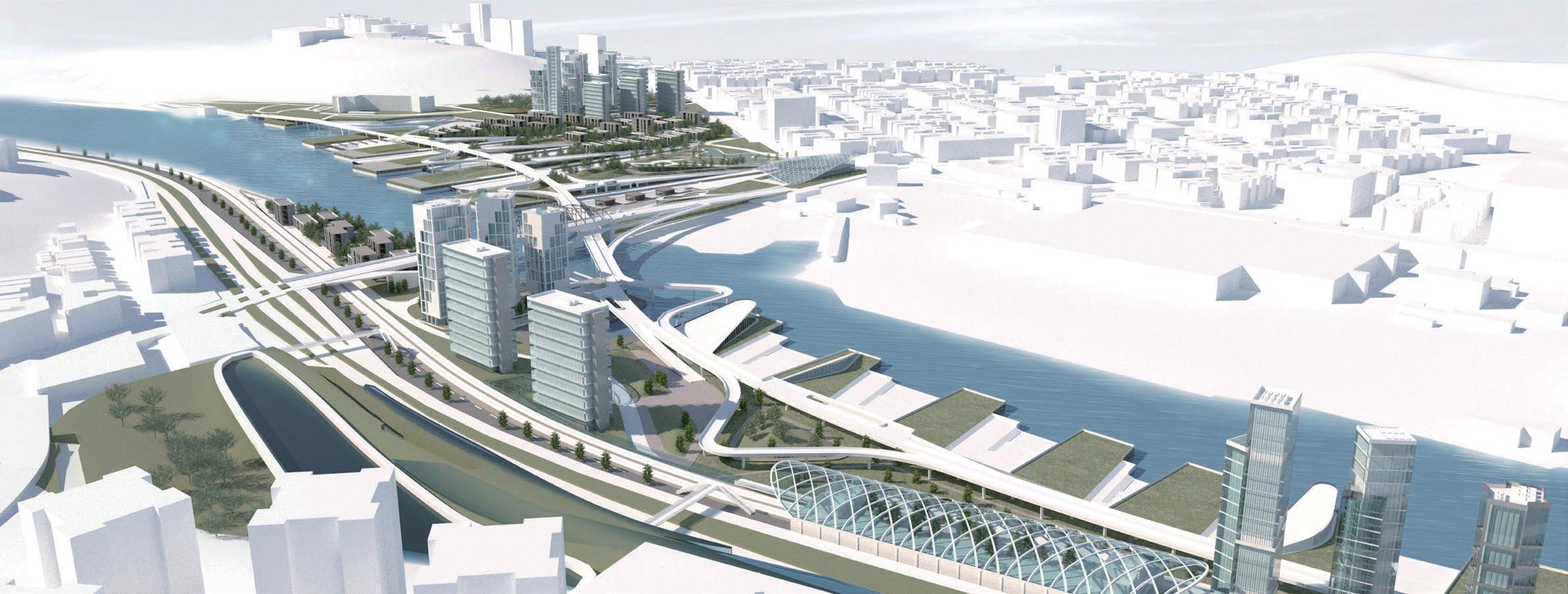
The verdant wetland waterfront envisioned along the Harlem River aims to enhance connectivity among institutes, facilitated by proposed bridges linking green spaces on both sides. Stretching roughly the length of a block in northern Manhattan, these bridges serve as an extension of the urban grid, blurring distinctions between land and river. The conventional delineation between land and water will dissipate, giving rise to a dynamic coastline seamlessly integrated into the urban fabric.
This innovative infrastructure not only supports finegrain development but also propels a shift towards a typology perpendicular to the water's edge. The extended urban grid will gracefully coexist within a transformative landscape, featuring a network of piers and public squares. This holistic approach fosters a harmonious relationship between the built environment and the evolving waterfront, offering a new perspective on urban development along the Harlem River.
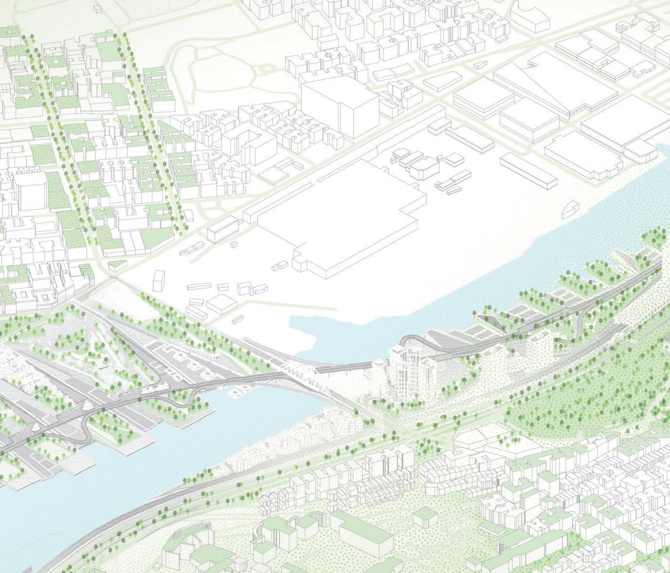
Through the nepotism of the public space in this area, the ecological network of different scale is formed. Our site is one of the most important links in this network. It is creating a “Green Connection System” + one-mile pedestrian and biking bridge system altogether.
Challenging the existing artificial canal form, we not only improve the water quality of the canal, but also rebuild the aquatic ecosystem in the area, thus increasing biodiversity. Through careful and rigorous spatial layout, terrain utilization, planting strategy, water design and prevailing wind utilization, the project can improve air quality and thermal comfort, and alleviate the urban heat island phenomenon of urban area with the creation of microclimate.
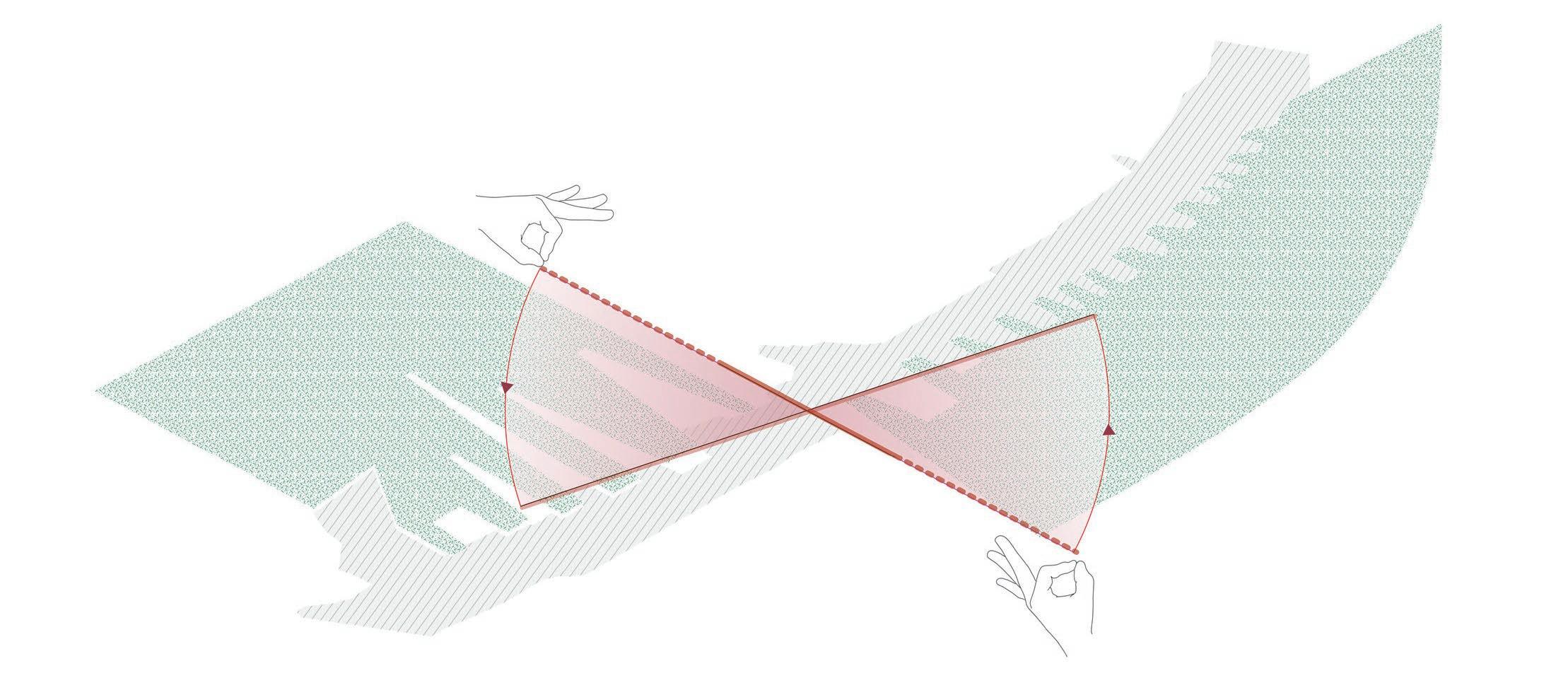
Rotate the axis of the existing bridge to form a surface area for the connection between two bridge systems and to open up a potential space for program and ecology. Through this 1D to
2D process, both sides of the river have larger waterfront areas which can provide opportunities for people to slow their pace and get closer to the center of the river horizontally and vertically.
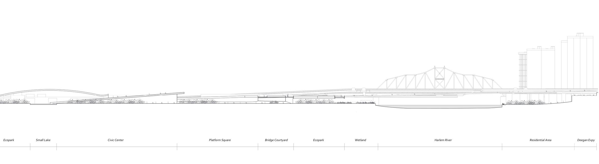
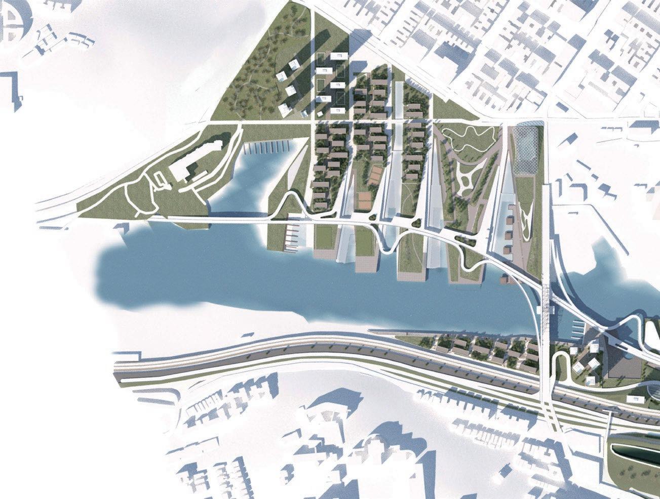
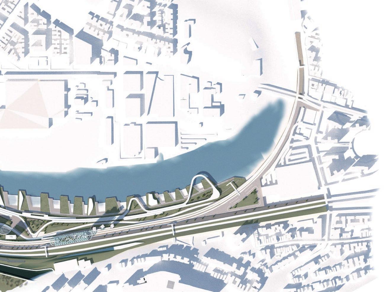
The density of the land decreases towards the waterfront area from Inwood. Accessible roof auditorium provides great experience visually and funtionally. And the bridge courtyard space in the waterfront area provides an interesting interaction moment between the bridge and the land.
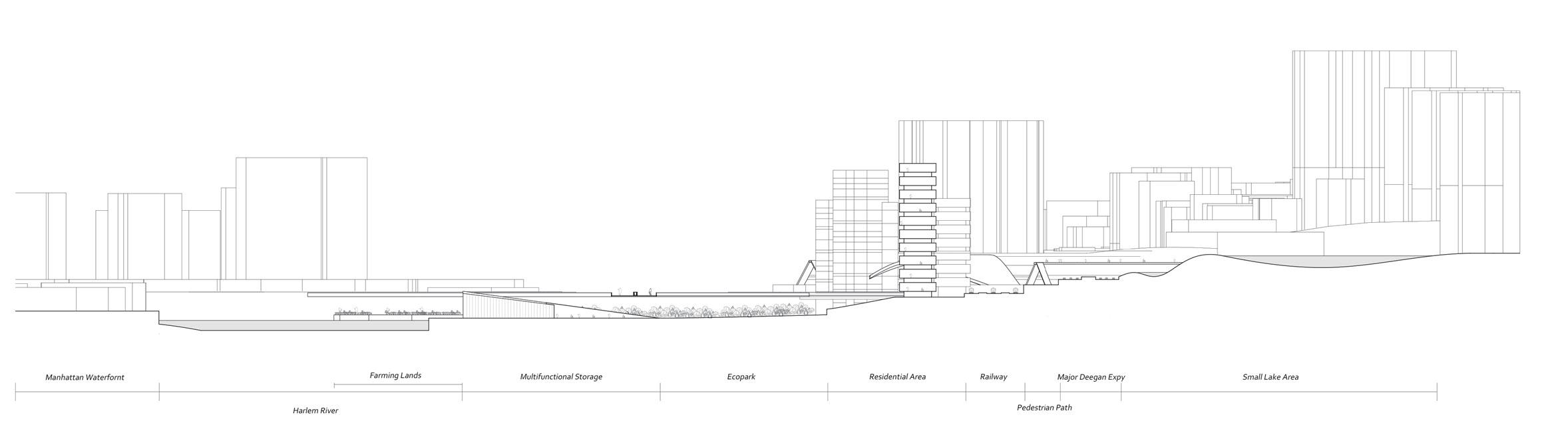
Taking advantage of the terrain elevation difference, the section design allows a smooth transition from city (Bronx side) to waterfront area. At the same time, an efficient and reasonable storm water management system is formed through the synergism of ecological swamp, small lake and Harlem river. Based on that, an interesting atmosphere is created with the spatial design in the park.
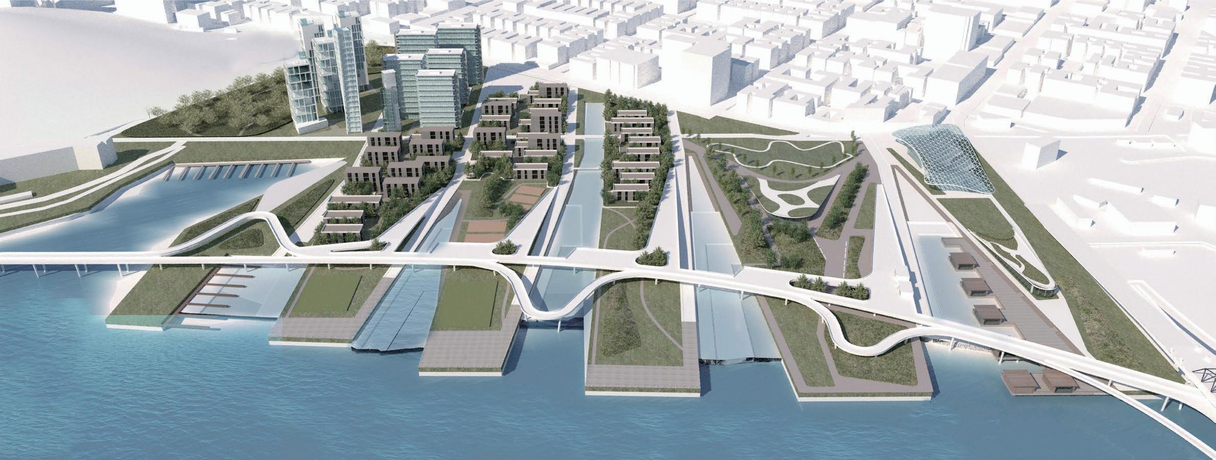
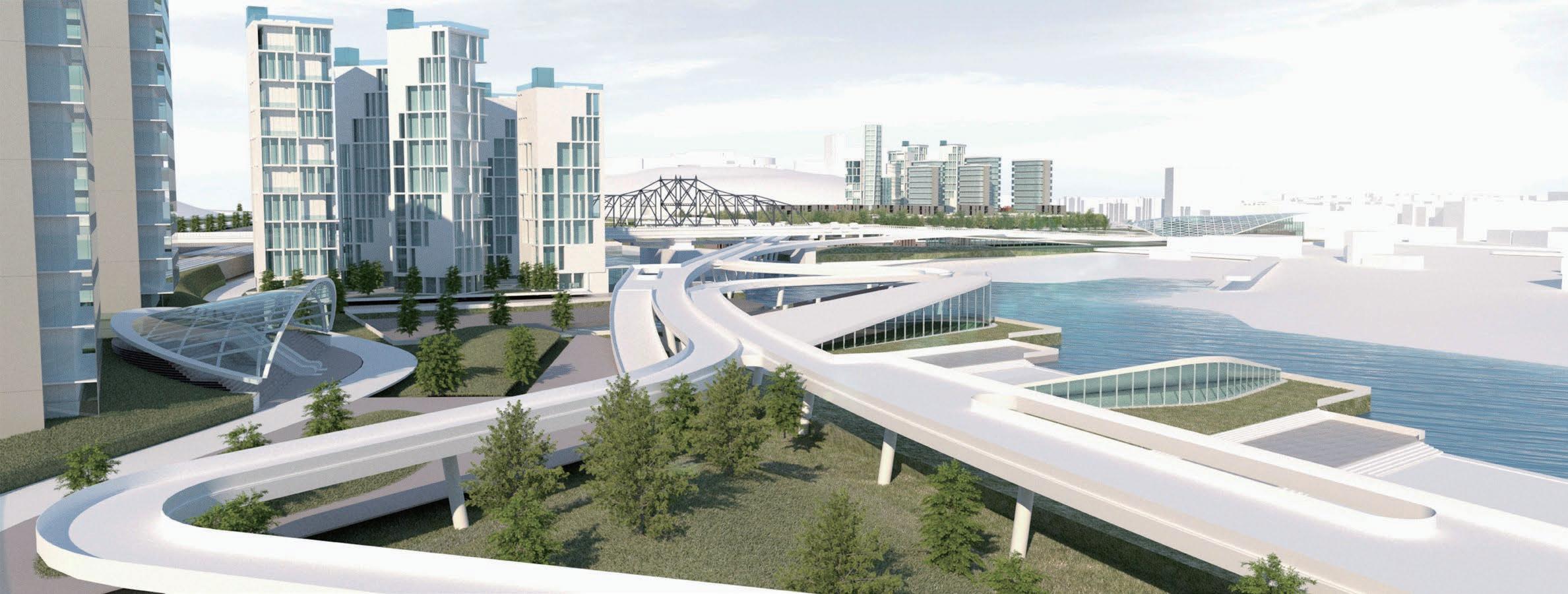
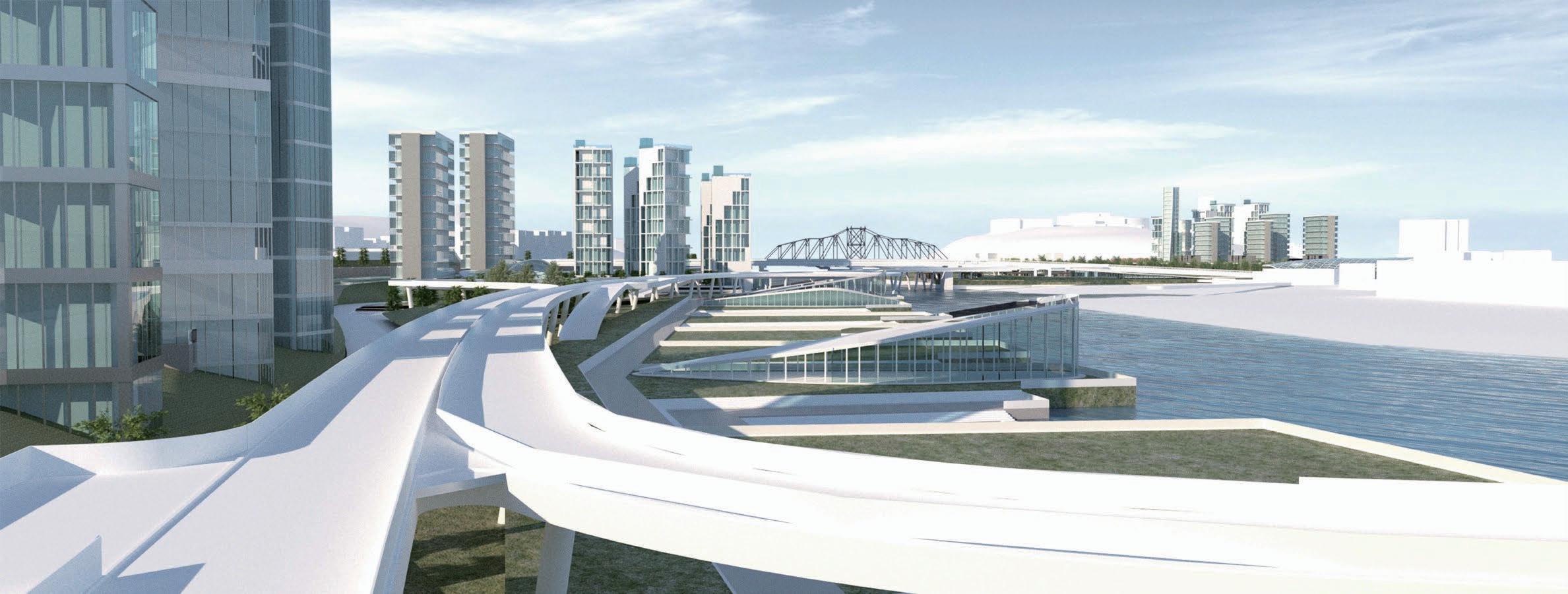
Taking advantage of the terrain elevation difference, the section design allows a smooth transition from city (Bronx side) to waterfront area. At the same time, an efficient and reasonable storm water management system is formed through the synergism of ecological swamp, small lake and Harlem river. Based on that, an interesting atmosphere is created with the spatial design in the park.
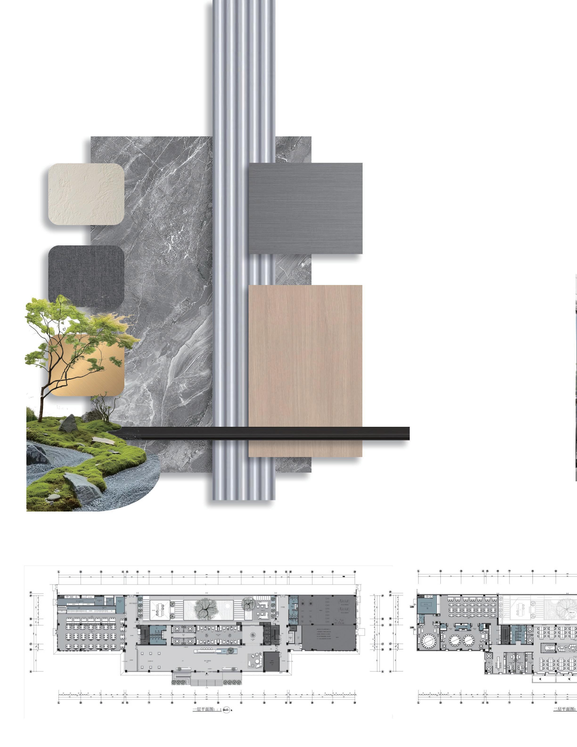
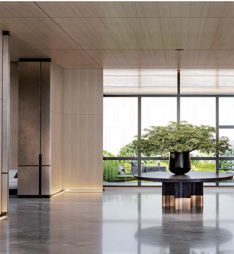
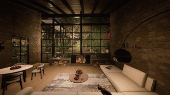
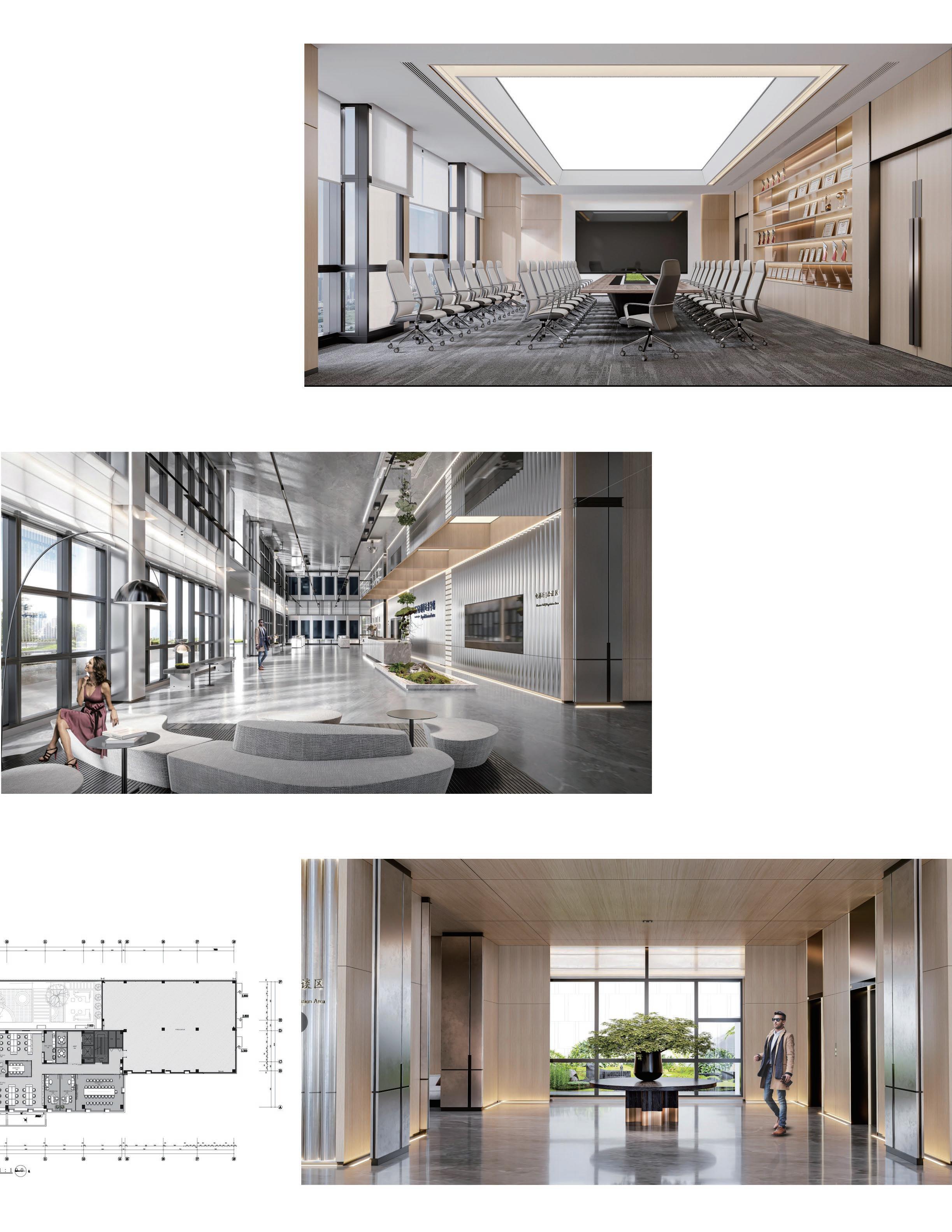
This interior design for a tech company factory blends modern industrial elements like wave-patterned aluminum, marble, and wood to create a balance of cool and warm tones. The open layout connects meeting rooms and public spaces, promoting clarity and flow. Natural light and indoor greenery enhance the futuristic, vibrant atmosphere, reflecting the company's innovative spirit.
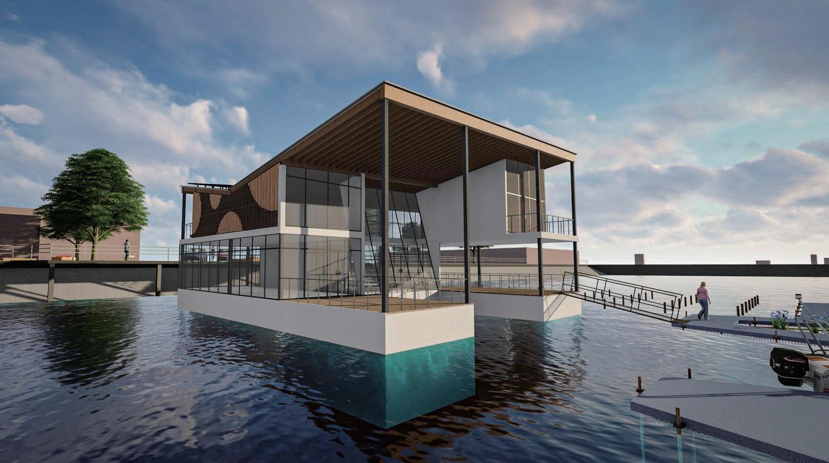
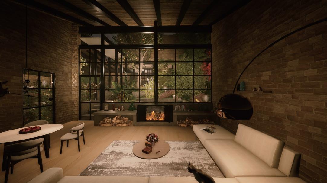
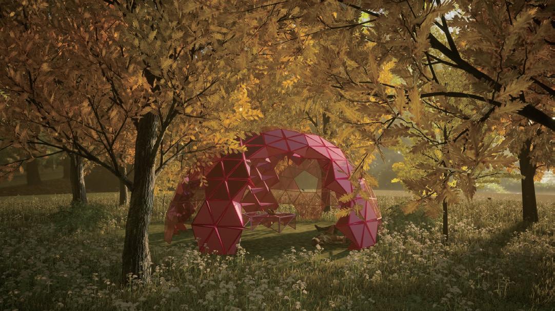
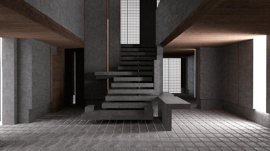
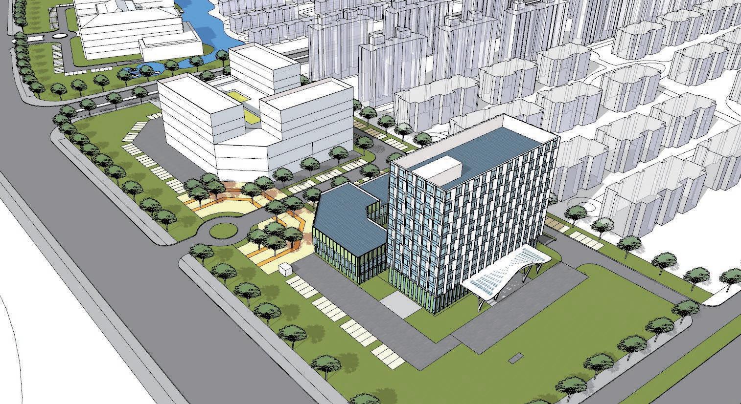
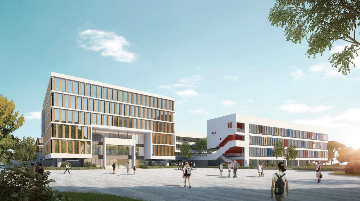
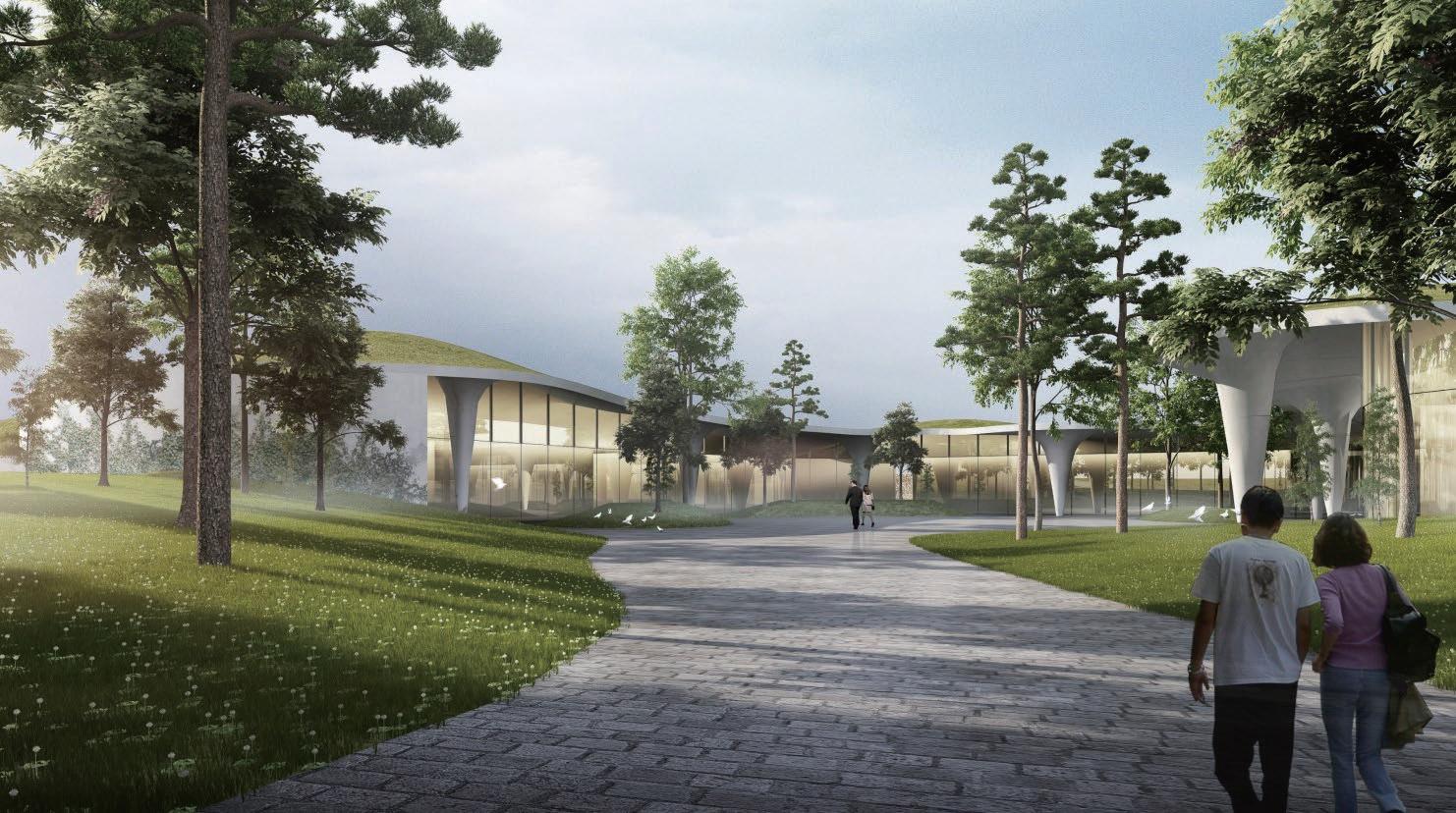
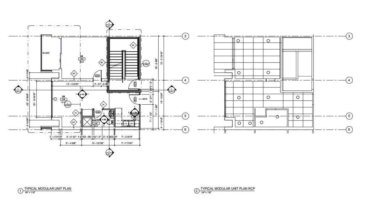
A selection of side projects from 2018–2025, including works from my architecture studies at Pratt, urban design at Columbia, and various internships. It showcases 3D modeling, rendering, Revit drawings, Photoshop visuals, and physical model-making.