PORTFOLIO
Billie Morgan
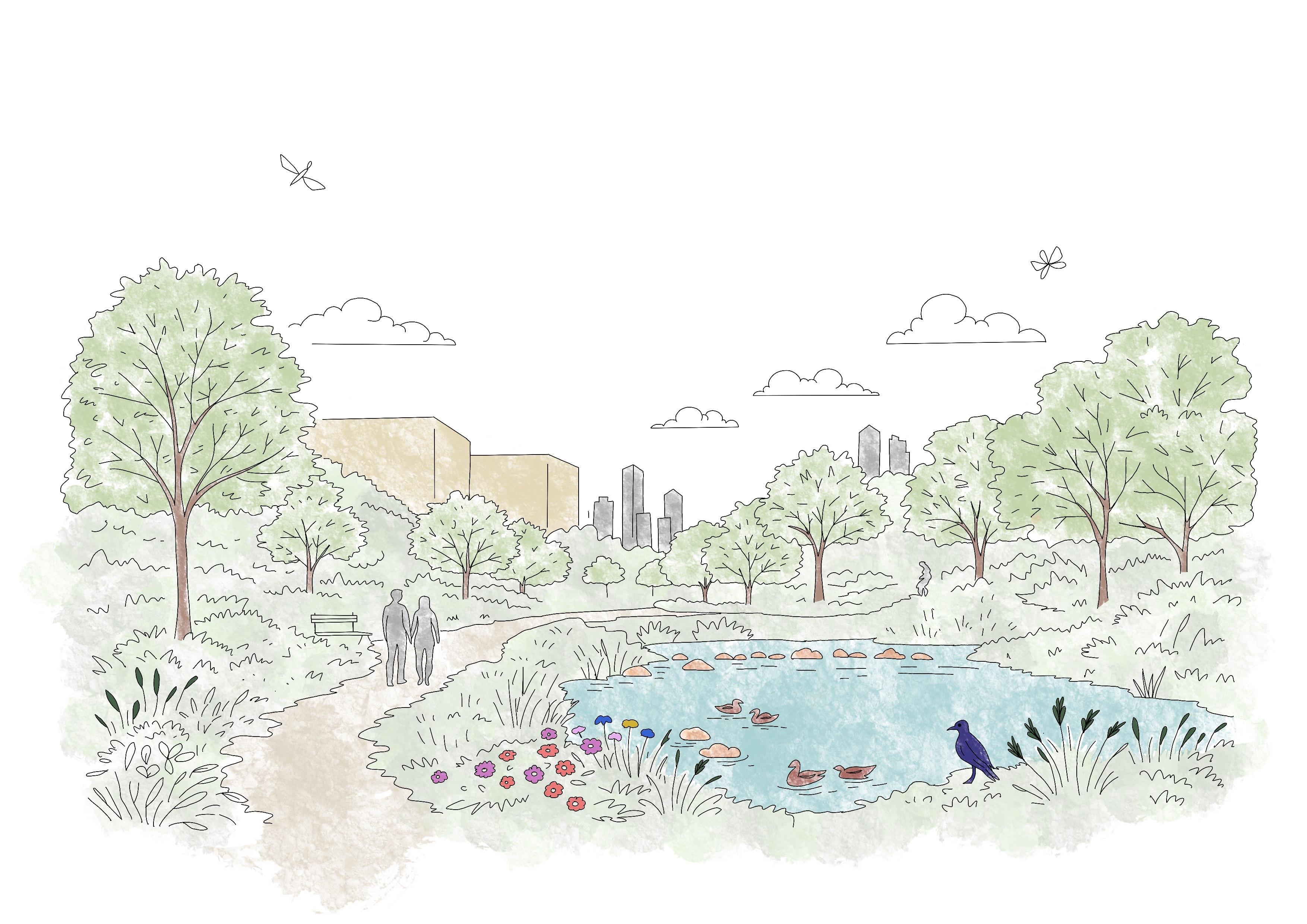
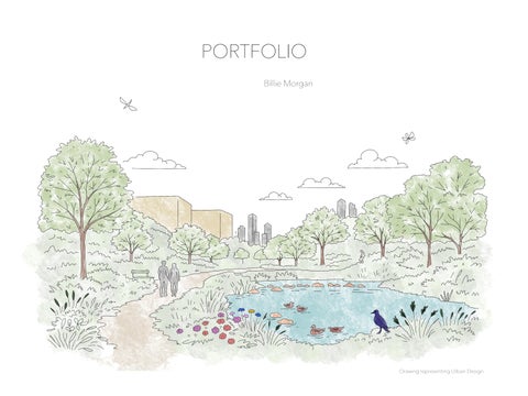
Drawing representing Urban Design
This Pilot Project is a process based technical project that explores a range of techniques and related calculations in the positioning and function of a stormwater attenuation pound. It looks at the volumetric earthworks calculations and associated grading and shaping required to fit the attenuation pound into the existing site and a range of infrastructure planting inventions required to increase the habitat biodiversity of the site
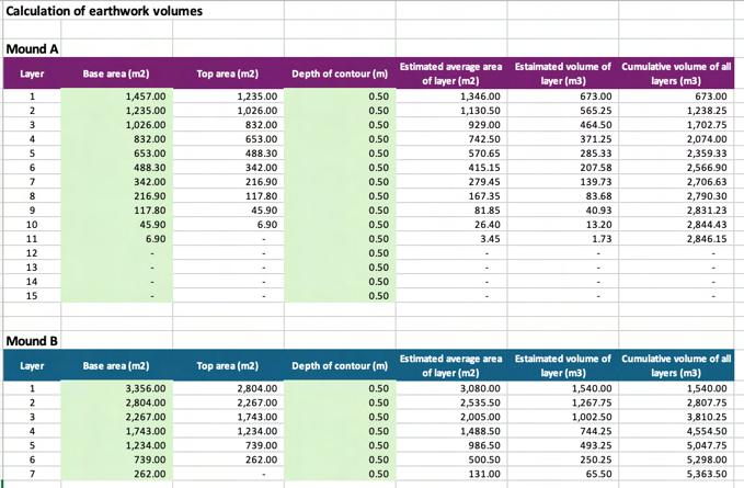
The proposed earthworks plan illustrates the existing site contours alongside the proposed regraded contours, which are designed to redirect levels around the attenuation pond and landscaped mounds. A key aspect of the design process involved calculating the volume of earth that could be accommodated within the proposed mounds. This was determined by analysing the volume of material excavated from the attenuation ponds, along with the cut and fill generated by the regrading of the surrounding contours.
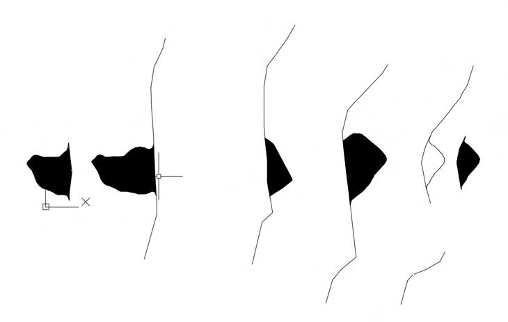
As part of the assignment, four sections were produced from the earthworks plan. These sections helped to visualise the proposed changes in levels across the site, providing a clearer understanding of how the attenuation ponds and landscape mounds would sit within the existing topography.
As part of the assignment, we were required to develop a planting matrix to organise the trees and shrubs proposed for the site. Four different planting matrices were created and applied to the mound areas, allowing us to clearly visualise the planting structure and distribution across the landscape.
This approach provided a clear understanding of the quantity and arrangement of trees and shrubs required. From this, we were able to produce a detailed planting schedule that specified the number of each species along with the relevant plant specifications needed for implementation on site.
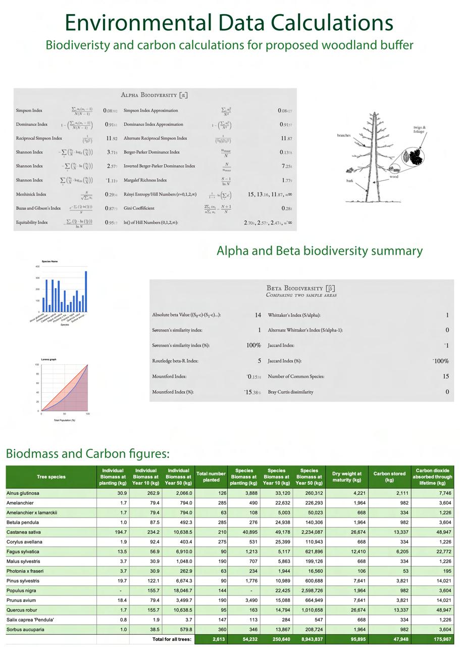
Following the development of the woodland buffer planting matrices, we were required to produce an environmental data calculations poster. This involved analysing the biomass produced by each tree species at three stages: at planting, after 10 years, and at maturity. Using this information, we calculated the total biomass generated by each species and estimated the total carbon dioxide absorbed over the lifetime of the trees.
These calculations provided a clearer understanding of the long-term environmental impact of the proposed planting scheme and helped demonstrate the ecological value of the selected species.
In addition, we analysed thealpha and beta biodiversityof the proposed tree planting across the site. This assessment provided a summary of species diversity within individual areas (alpha diversity) and the variation in species composition between different areas of the site (beta diversity), offering further insight into the ecological performance of the design proposal.
AD6000 Landscape Architecture Dissertation
Billie
Morgan
BA(Hons) Landscape Architecture January 2026
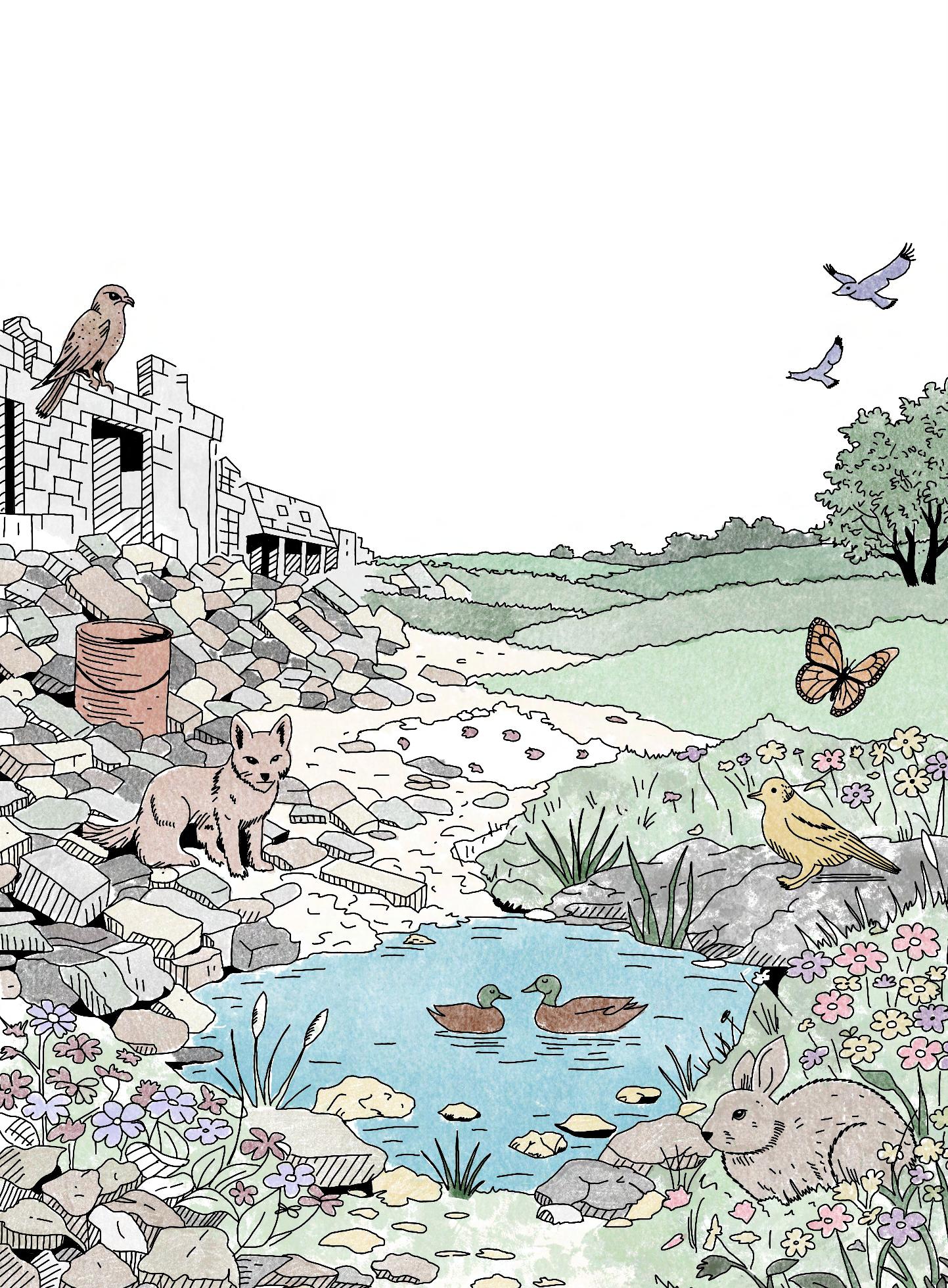
This dissertation explores the relationship betweenbrownfield rubble landscapes and biodiversity,investigating whether the benefits found in these landscapes can be replicated within designed mosaic naturalised landscapes Thestudy examines how brownfield rubble sites that are often seen as derelict, can support high levels of biodiversity, and considers how their benefits to nature might inform future sustainable landscapedesign
Certain brownfield rubble landscapes, such as Canvey Wick, have beendesignated Sites of SpecialScientific Interest (SSSI) due totheir exceptional biodiversity This recognition underscores the significance of biodiversity of brownfield rubble landscapes, many of which now support rare and threatened species of invertebrates, mammals, and vegetation The examples used in this dissertationillustrate that rubble substrates cancreateconditions that replicate habitats of these landscapes, allowing biodiversity to flourish particularly when left to evolve naturally
There has been an increasing awareness of the biodiversitybenefits of brownfield sites and the reuse of waste materials This dissertation focuses on rubble waste Rubble landscapes have become fashionable as a response to sustainability and garden design aesthetics The RHS Chelsea Flower Show (2023) showcasedseveral gardens that incorporated reclaimed materials such as concrete and brick for biodiversity and aesthetics Beyond show gardens, smallscale projects such as community pocketparks have beendesigned and built to use rubble to encourage vegetation and invertebrate habitats These demonstrate how simple design and incorporation ofcheap waste materials can yield high biodiversity value
Therefore, the dissertationinvestigates whether naturalised mosaic landscapes can successfully replicate the biodiversity success of brownfield rubble sites The research looks at the benefits and drawbacks with reference to a range ofcase studies Specifically, the dissertation focuses on three main objectives:
- What are rubble landscapes replica mosaic naturalised landscapes and what are the conditions that contribute totheir biodiversity?
- Can mosaic naturalised landscapes replicate the benefits of rubble landscapes and what potentialis there for landscape architects to do this?
- Analyse the strengths and weaknesses of bothlandscapes with reference to case studies
2:1 Graded
Our brief for this assignment was to use the base given to us and create a highend therapy retreat. We got to choose an area from the design and I chouse area 4. This meant that I needed to create the forecourt, car park, strolling gardens, woodland buffer and the contemplation/productive garden.
The 2 images shown are my GA plan with all my materiality and design, and the setting out plan. The GA plan is one of the most detailed plans that I needed to produce, whereas the setting out plan gives the contractor an idea where everything needs to be places.
On this page are a selection of construction details and sections that I needed to produce for this assignment. The construction details are all part of the construction sections but at different scales
These construction section drawings communicate how the design is assembled vertically through foundations, structural elements, surface finishes, and connection details, allowing the construction process to be clearly understood. The sections were developed to demonstrate spatial proportions, structural integrity, and material layering while ensuring the design could be realistically built.
The construction details for the Folly project were developed to communicate how the structure could be realistically assembled and built. The drawings focused on material connections, structural support, and assembly methods, ensuring that each component could be clearly understood by contractors and fabricators. Particular attentionwas given to junctions, fixings, and layered build-ups to demonstrate how the design transitions from concept to construction.
The two plans on this page illustrate the planting that went into my Folley design. We needed to create a structural planting plan where we identified all the planting mixes. This meant that we needed to look at which plants went into the mixes, the quantity of plants, the percentage of mix they were and the total area that they would cover. I ended up with 7 different planting mixes through my design.
The second aspect we needed to do for out planting was a detailed planting plan. This meant that we needed to choose an area and look and place each individual plant we needed. This was the most time-consuming part. I looked at the total spread that the plants would cover, added them to AutoCAD, hatched each individual plant and calculated how many of each species I had.
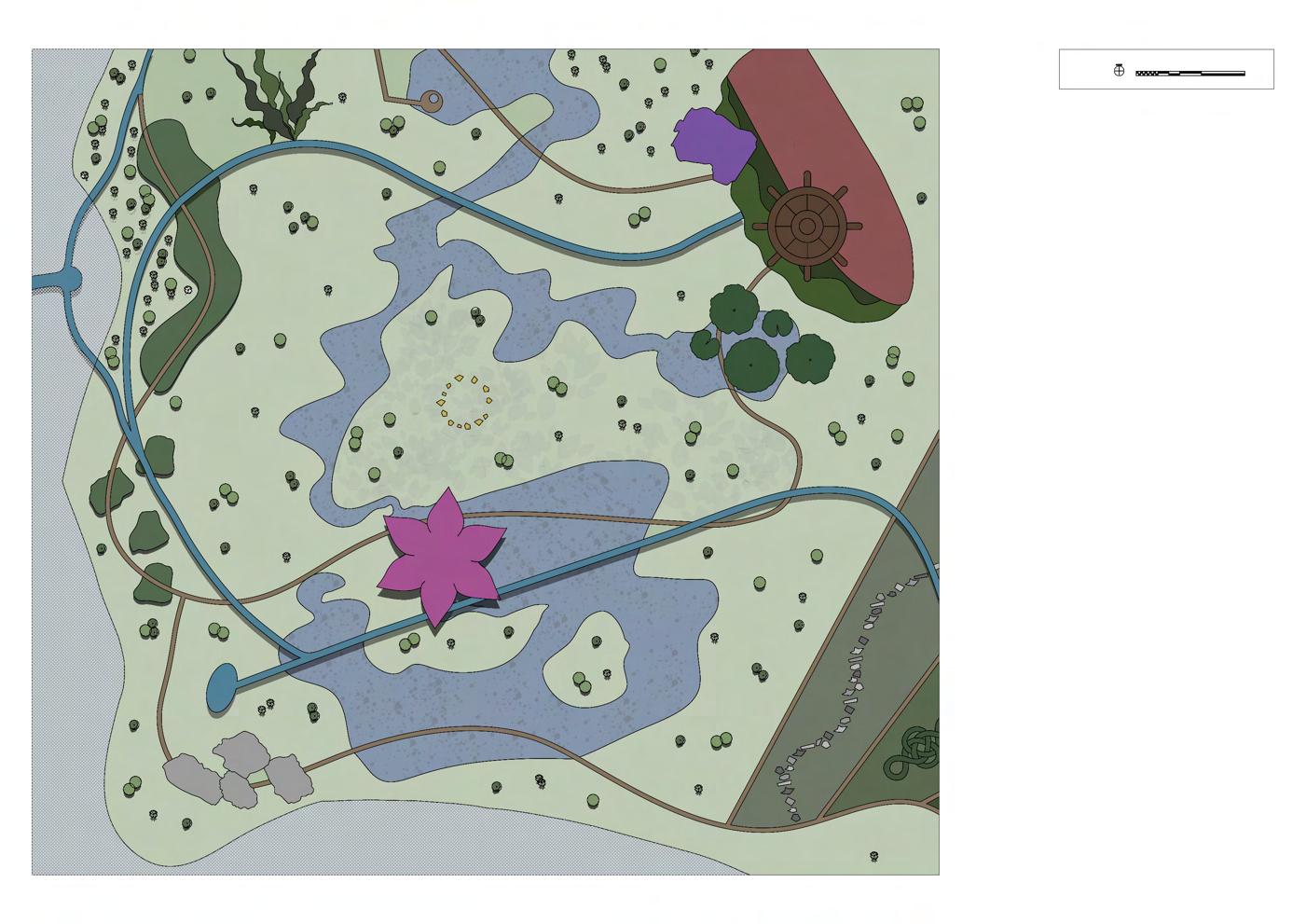


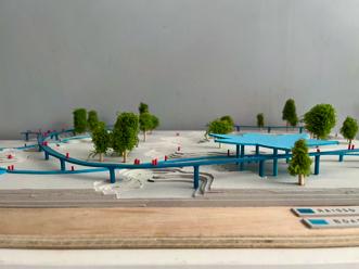
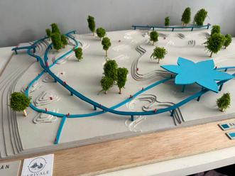
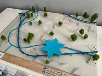
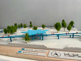
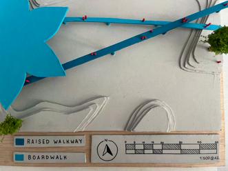
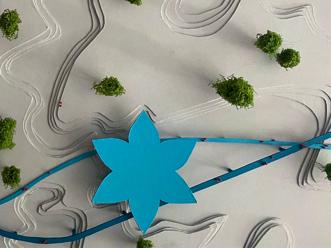
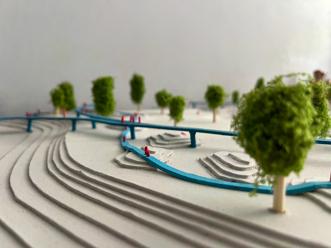
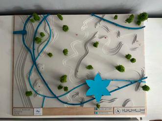
Our final design project consisted of 5 different elements. It was a site in Gloucester called Alney Island. It was a challenging site as it flooded during rainy seasons and when the River Severn flooded.
On this page are 3 of the elements. My masterplan, detail area and 3D model I made. .
The masterplan and detail area were done on Autocad and rendered on Photoshop with my model being hand made out of card with paint. .
Design Statement:
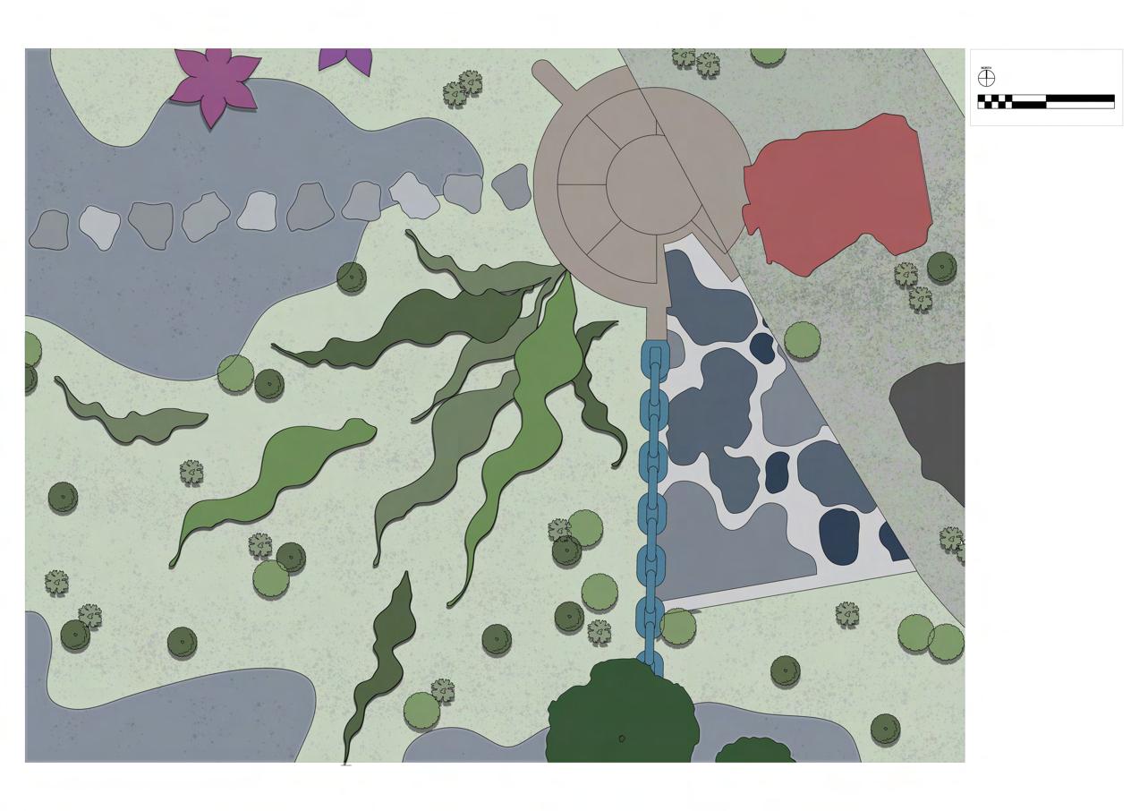
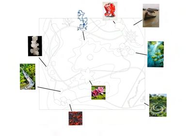
This design is inspired by the island’s history of water and trade, drawing on Gloucester’s maritime and industrial heritage through sculptural forms and materials Building shapes reference flotsam and jetsam, while chain-inspired pathways, salt crystal stepping stones, boat forms, and lotus canopies create a cohesive water-led identity across the site Water features, extensive planting, and tree cover increase biodiversity, while recreational spaces such as the eastern playground encourage community interaction within the landscape
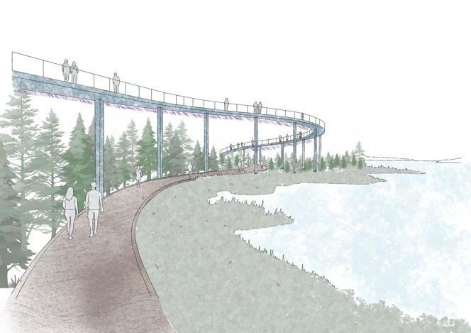
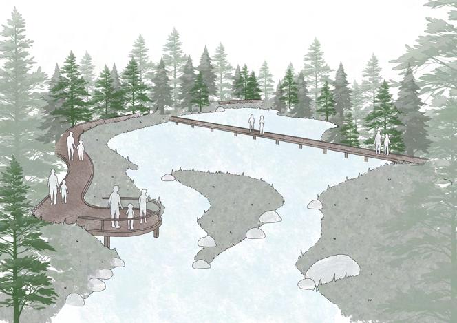
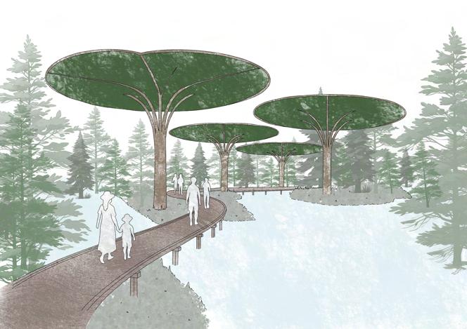
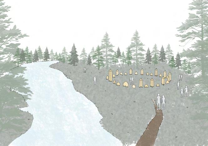
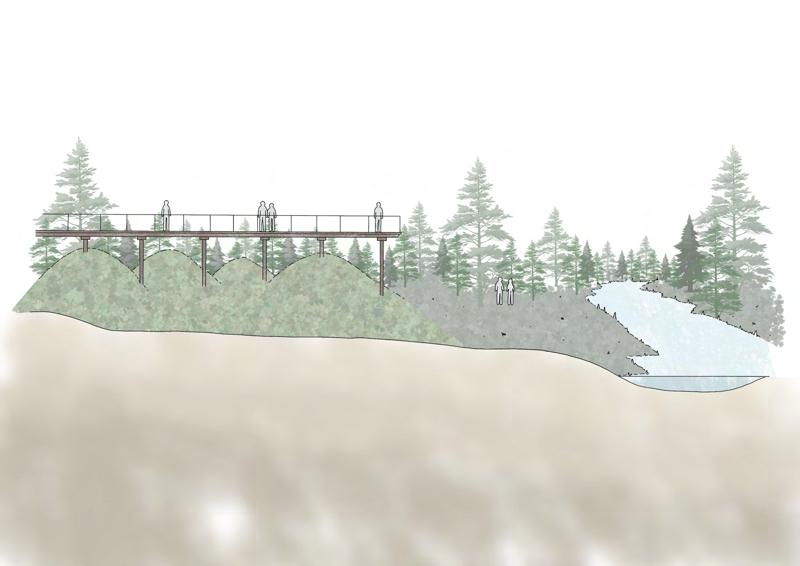
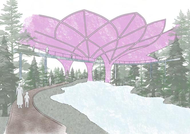
All my visualisations above for alney island were done by hand on the ipad using ProCreate. This allowed my to fully immerse myself into how I wanted my visualisations to look. It also allowed me to create a signature aspect in each of the visualisations.

Creating a concept page really allowed me to look at why I was designing like I was and which features I was adding. It looked at hydrology, vegetation and circulation and the main aspects and how I could use each of them in different ways to transform my landscape.
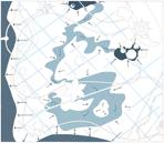
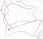
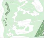
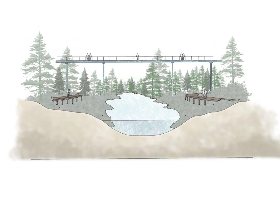
Nerivale is a tidal island landscape inspired by the movement of water and the trading history of Gloucester Rather than resisting flooding, the design embraces and uses it to shape landform, ecology, and experience Elevated boardwalks provide access above changing water levels, while sculpted salt-like mounds and an osier pond act as adaptive flood management systems that support biodiversity and seasonal change
The design reflects Gloucester’s industrial and cultural heritage through symbolic landscape elements Crystal cave structures reference the city’s coal and trading past, while flotsam and jetsaminspired buildings represent the drift and accumulation of materials along waterways Lotus-shaped canopies provide shelter, and driftinspired planting arranged in Celtic forms expresses the identity of the region




Hydrology Strategy
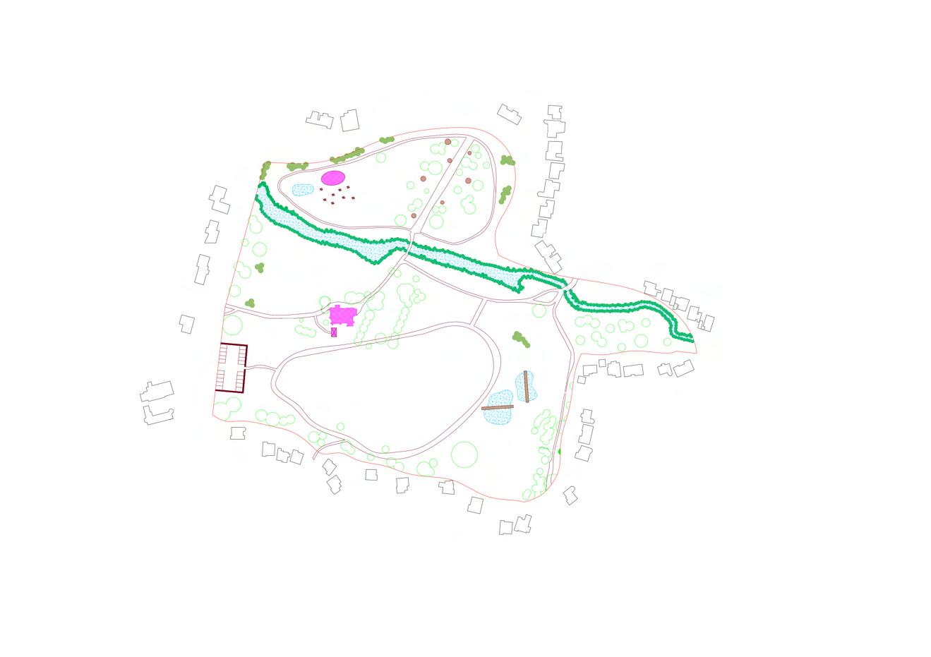
As part of our brief we were tasked with devising a strategy and sketch site design plan that outlines potential new facilities and landscape elements to be integrated into the existing site at Barnwood Park Arboretum. These facilities / elements should support community events organised by the Friends of Barnwood Park Arboretum, both adjacent to the chapel and across the wider park and within the attenuation basin landscape. We were asked to propose facilities that cater to a broad range of activities and attract diverse groups of visitors throughout the year.

Strategy overlays are an essential part of the design process, helping to communicate complex ideas in a clear and accessible way. Producing quick, legible overlays enables viewers to understand how the overall design functions while also recognising the role of individual elements within it.
For example, a hydrology strategy illustrates how water moves through and across the site, helping clients and stakeholders understand drainage patterns, water management, and potential environmental impacts. In contrast, a vegetation strategy communicates the proposed planting framework, including the types and distribution of trees, shrubs, and groundcover.
Together, these layered strategies build a comprehensive understanding of the proposal, demonstrating how different design components interact to form a cohesive and functional project.
These construction details were produced as part of the Barnwood Arboretum assignment. They illustrate how each element of the design will be constructed, providing clear and precise information for contractors.
All details are drawnto scaleand include accurate measurements, ensuring that the build can be executed correctly and efficiently. These drawings serve as a critical link between the design concept and its practical implementation on site.
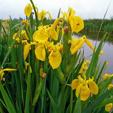
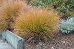
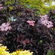
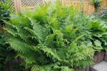

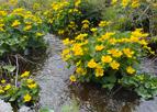
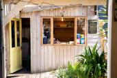
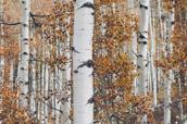

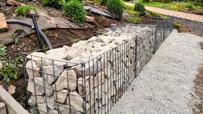
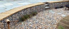
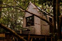
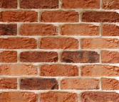
Developing both polished general arrangement and planting plans, alongside more informal mood boards, demonstrates a versatile set of design and communication skills.
This general arrangement planprovides a clear overview of the site design while also indicating the materials required for construction. By combining precision with visual clarity, it ensures that both the design intent and practical requirements are easily understood by clients and contractors alike.
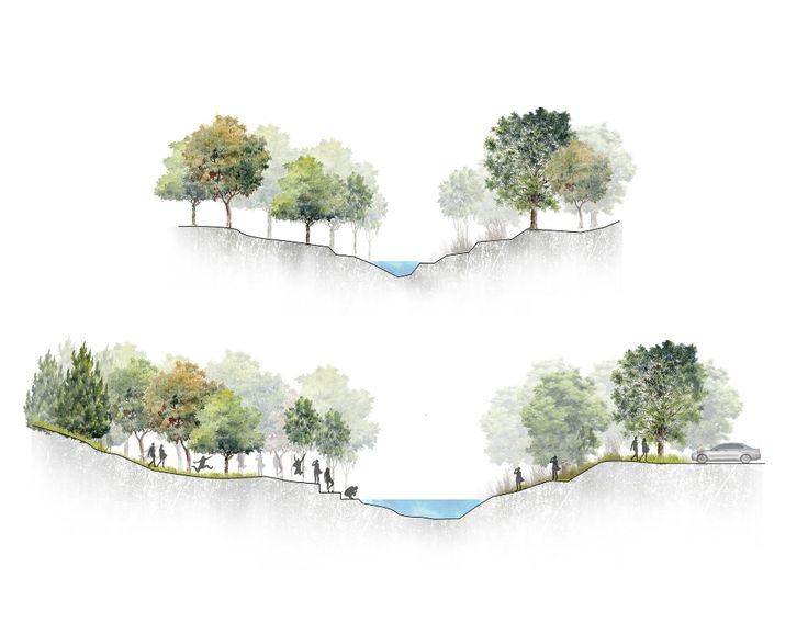
Continually refining the skills used throughout the design process is an important part of professional development. The graphics on this page demonstrate the progression of a simple section drawing originally completed in the first year of my undergraduate degree.
By reviewing different illustration styles and rendering techniques, I explored how the original section could be improved to create a clearer and more visually engaging graphic. The three images illustrate the design thinking behind this process, showing the initial drawing, the exploration of potential improvements, and the final refined section.
This exercise highlights the value of reflection and iteration in developing stronger visual communication within design work.
Illustrative best practice
Graphic
About:
This section drawing was produced during a first-year module and was generated from an AutoCAD file, meaning the entire section is accurately drawn to scale. It provides a basic representation of the site and its key elements, offering a clear and straightforward visual reference.
Strengths
•Accurately drawn to scale
•Provides a basic indication of the surrounding context
•Simple and clear in its presentation
•Easy to read and understand
Weaknesses
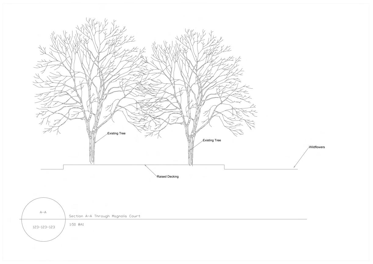
•Visually very simple with limited detail
•Presented only in black and white
•Lacks developed graphic techniques such as rendering, texture, or depth to enhance visual communication
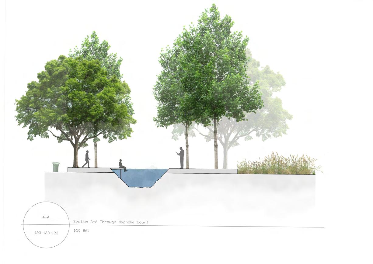
This example provides a clear reference for the aesthetic I aim to achieve in my own section drawing. It demonstrates effective techniques for communicating scale, depth, and atmosphere while remaining visually approachable.
Positives
•Inclusion of people gives a clear sense of scale, helping clients understand proportions.
•Depth is effectively conveyed through varying layer opacity, enhancing spatial perception.
•The colour palette is subtle and balanced, making the graphic visually appealing without being overpowering.
Weaknesses
•The graphic is quite small on the page, which may make it difficult for clients to fully read or interpret.
•Otherwise, the illustration effectively demonstrates strong visual communication with no significant weaknesses identified.
Using Photoshop and its associated tools, my goal was to translate the concept of the illustrative best practice example into my own refined section graphic. Through this process, I focused on enhancing visual clarity, depth, and realism while maintaining accurate scale.
Key Improvements:
•Depth and layering:
•Increased detail
•Sense of scale
•High-resolution imagery
•Realistic water feature
•Holistic perspective
•Maintained scale
his approach allowed me to create a visually engaging, informative, and professional section graphic that effectively communicates the design intent
Exploring hand-drawn one- and two-point perspectives is a fundamental skill for designers, as it helps develop spatial understanding and visualisation.
This drawing demonstrates how I identified a vanishing point from a reference photograph and used it to construct an accurate perspective. The entire piece was hand-drawn directly from the photo, showcasing my ability to translate a real-world scene into a coherent, proportionally correct perspective drawing.
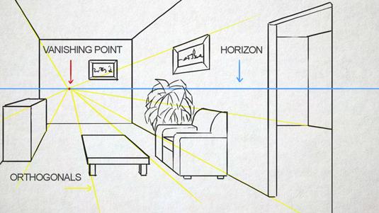
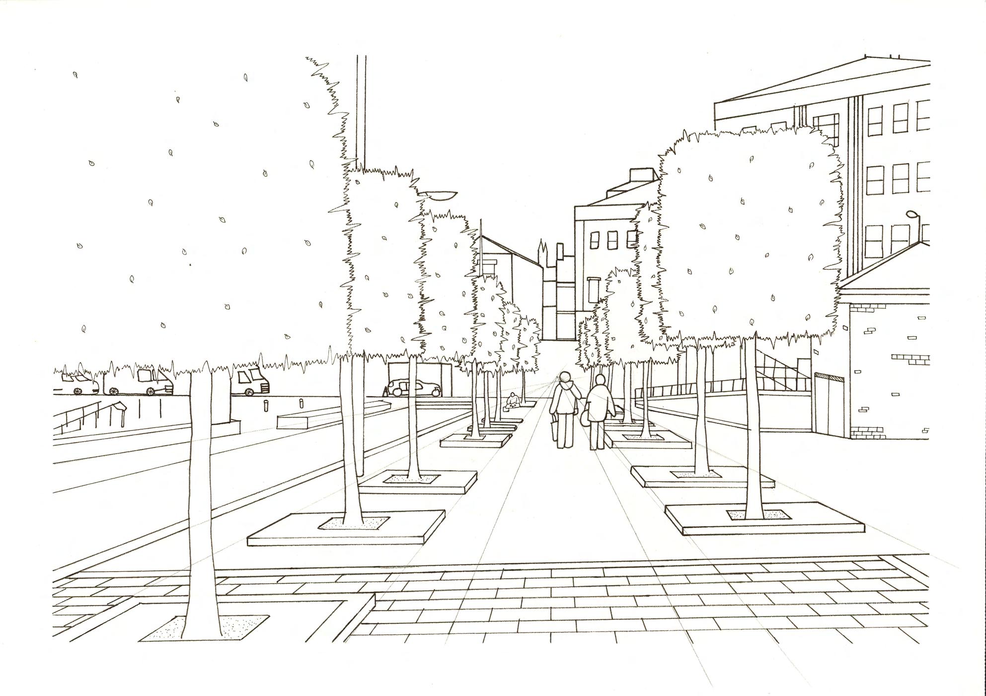
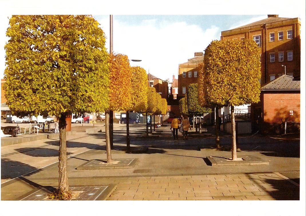
A one-point perspective drawing is an important tool for communicating spatial ideas within landscape design.
It allows viewers to understand how a space will feel from a human viewpoint by illustrating depth, scale, and the relationship between different elements within the design.
By guiding all lines toward a single vanishing point, the drawing creates a clear visual hierarchy and helps translate technical plans into a more immersive and accessible representation
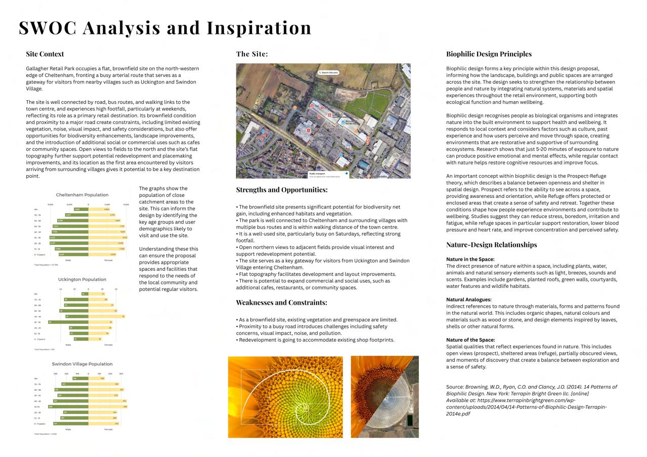
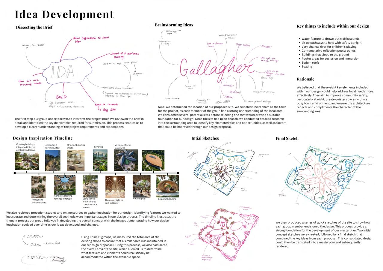
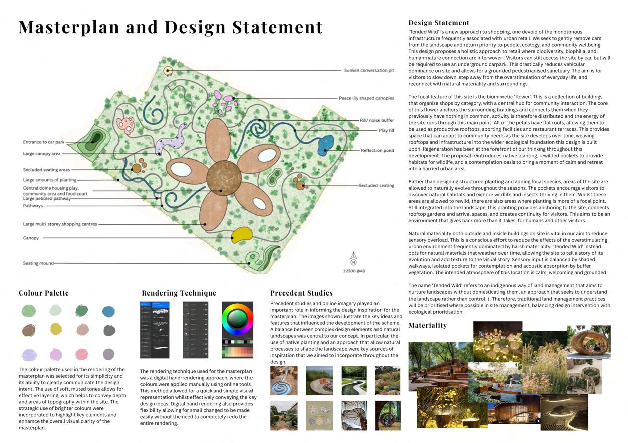
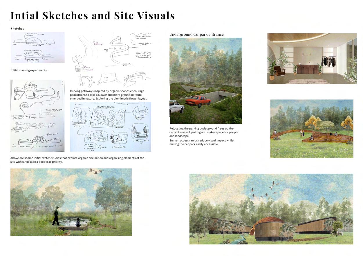
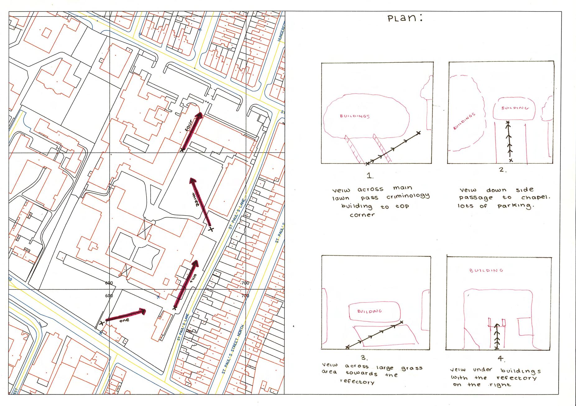
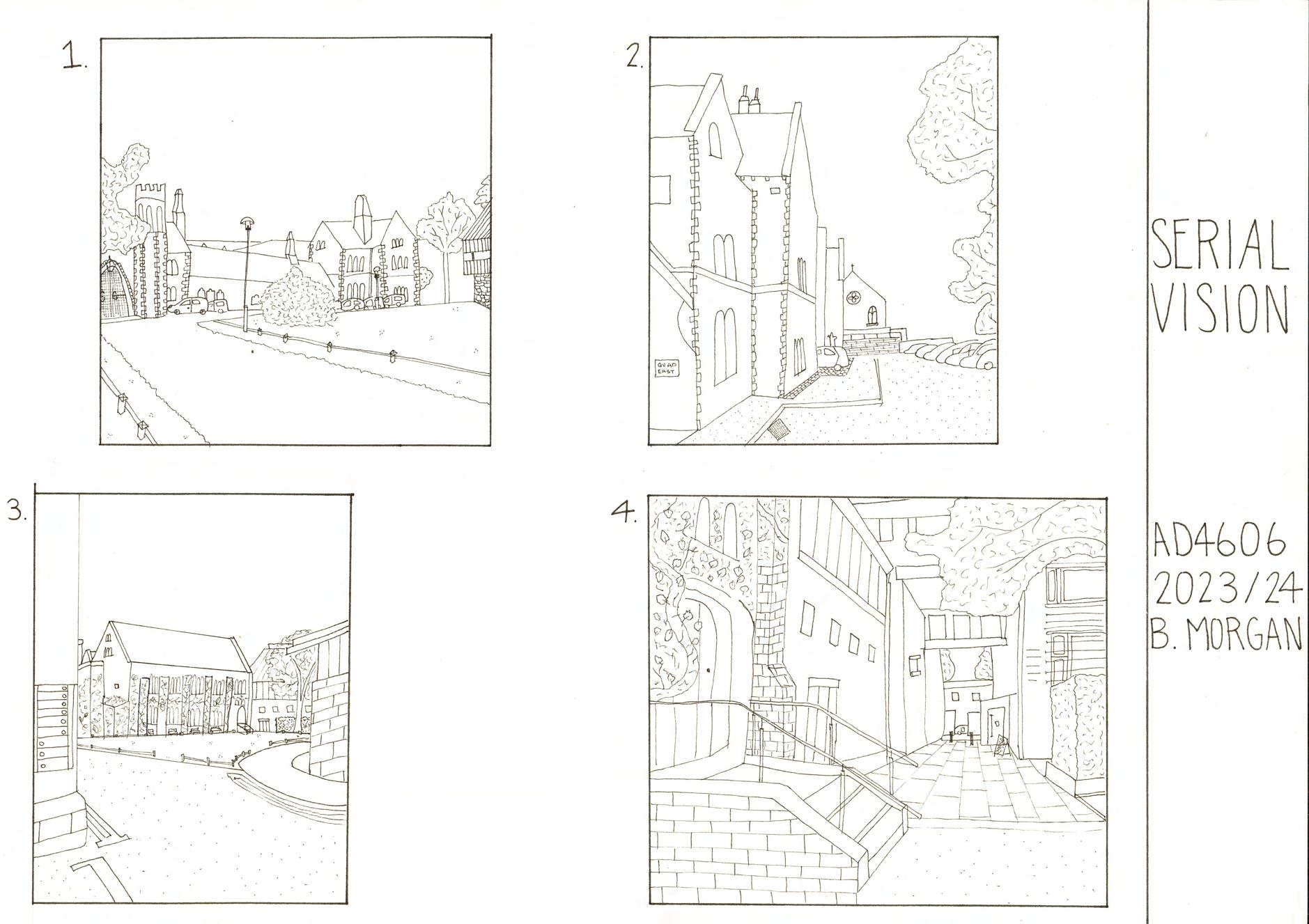
These hand-drawn serial vision drawings enabled me to visualise the site in three dimensions and understand how it is experienced spatially.
By combining a base map with the site plan, the drawings illustrate a sequence of views along a potential journey through the area. This technique helps convey the spatial character, scale, and atmosphere of the site, providing a clear sense of movement and experience within the landscape.
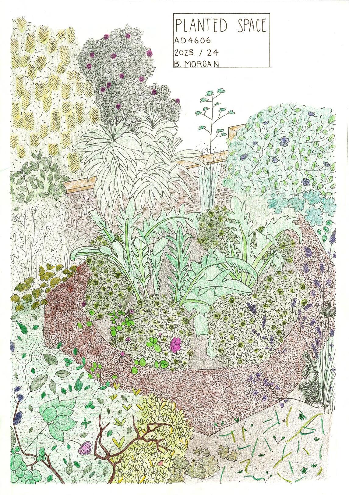
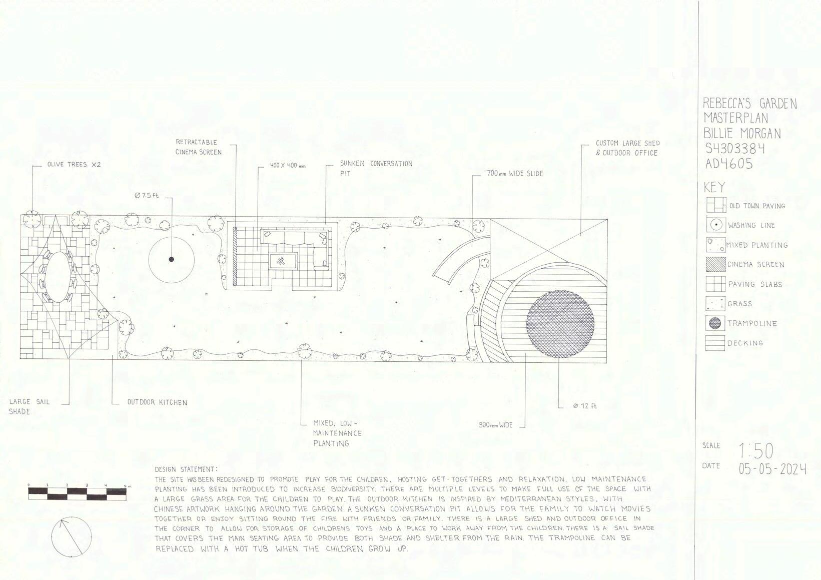
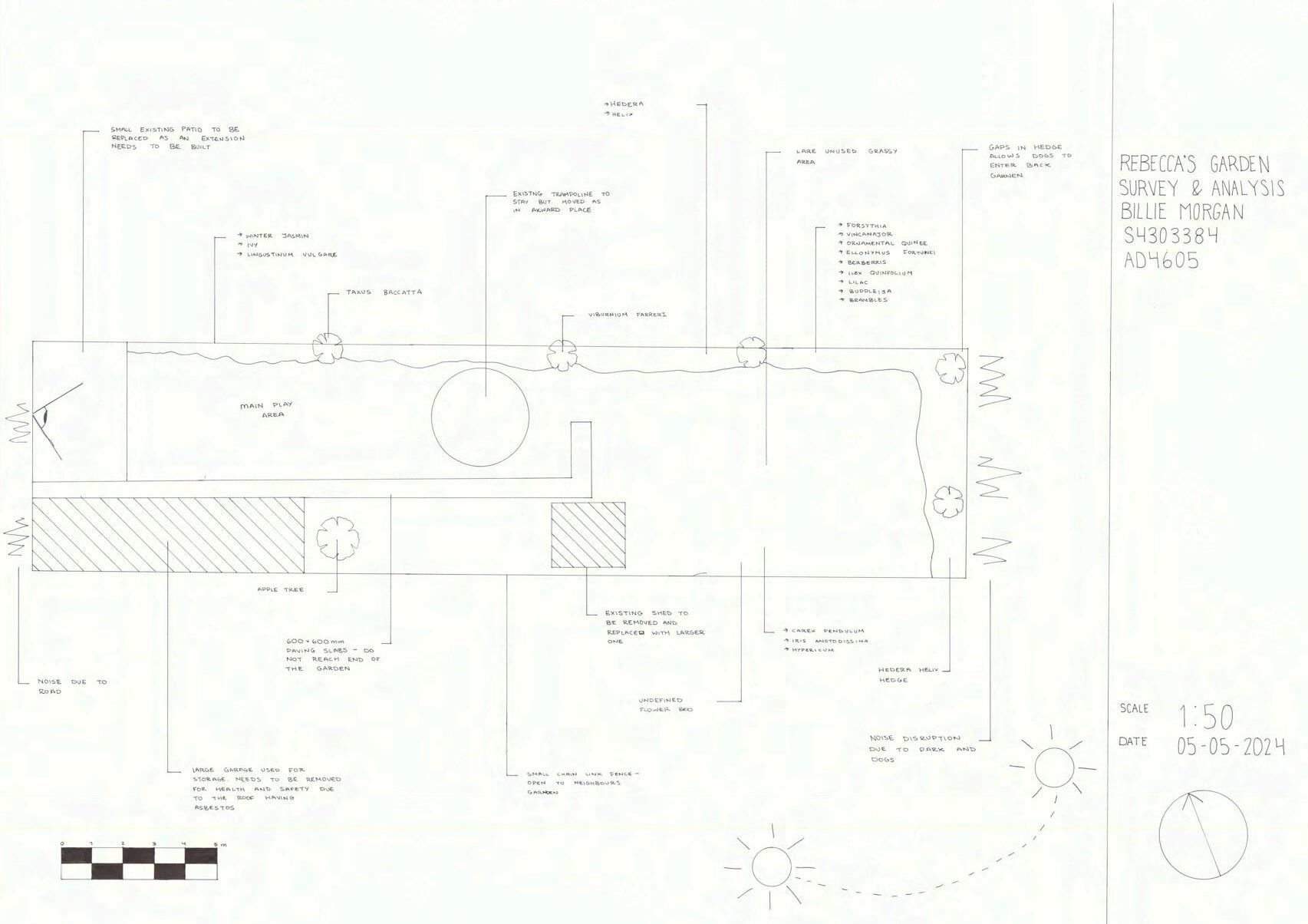
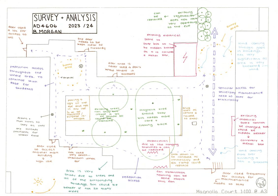
These illustrations demonstrate a diverse selection of hand-drawn work across multiple aspects of design. They include scaled drawings, site surveys and analysis, and visualisation sketches, highlighting both technical precision and creative representation.
This collection showcases the variety of drawing techniques I can produce, illustrating my ability to communicate ideas effectively through both analytical and visual approaches.
TRANSFORMATION PROJECT
AD5605 - Billie Morgan



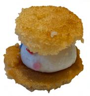
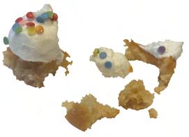
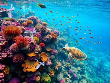

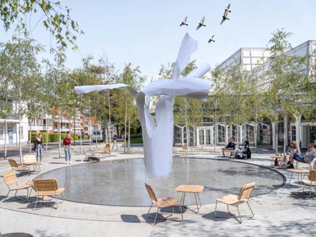


These smaller projects completed as part of the AD5605 module focused ontransformation, scale, and narrative.
They were particularly valuable because they allowed us to explore how a single concept or element could be interpreted and shaped in multiple ways. Through these exercises, I developed a better understanding of how transformation and scale can influence design outcomes, and how narratives can be embedded within spatial and visual compositions.