
5 minute read
DESCHUTES RIVER TRAIL SYSTEM


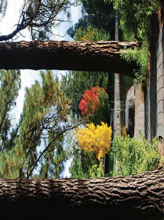
WELCOME TO THE DESCHUTES RIVER TRAIL!
No camping, drinking alcohol, smoking or fires allowed.
Do not litter. Trash cans are located throughout he park system.
the trails provide you with disposal bags and trash cans.
and their waste properly removed. Dog “rest stops” alon g within the city limits (except at designated off-leas h areas)


City ordinances require that dogs must be on leash at all times
Please observe pedestrian-only trail sections.
Bicyclists are not allowed on some sections of the trails.
Motorized vehicles are not allowed on the trails.
Please do not walk along the river bank.
Areas along the river are sensitive wildlife habitat.
Please stay on the designated trail.
Some sections of the trail are on private property.
Please help keep the trail experience safe and pleasant for all users:
TRAIL USE REGULATIONS
Points Of Interest Along The Deschutes River Trail
Sawyer Park offers the opportunity to spot a variety of birds and wildlife and is included in the Oregon Cascade Birding Trail system.
The historic Rademacher House and plaza overlook Mirror Pond and Drake Park, with the Three Sisters visible in the background. This site includes a sign interpreting Bend’s founding and early history.
Located across the foot bridge from Drake Park, Pagean Park was named to commemorate the Bend Water Pageant, a favorite community event that ran from 1933-1965. An interpretive sign describes the event highlight, the launch of large, lighted floats on Mirror Pond.
This Drake Park interpretive sign (located directly in front of the public restrooms) describes Bend’s early sense of community spirit.
McKay Park is the site of the Oregon Trunk Railroad. An interpretive sign in the park describes Bend’s early railroad history.
The Bend Park & Recreation District, along with the City of Bend and private land owners, is working toward implementing the community’s vision for an uninterrupted river trail. The trail will parallel the Deschutes River running through the heart of Bend. Once fully completed, the 19 mile trail will extend from Tumalo State Park to Meadow Camp with further connections to Sunriver. This map shows only existing trails and access points open to public use. The map also shows the river as a water trail and access points to it. Trail users should respec private property and sensitive riparian areas by staying on the trail. The river trail is divided nto five reaches, defined by the surrounding landscape character.
AWBREY REACH


This northernmost section of the Deschutes River Trail is constructed on top of the buried Tumalo irrigation canal. It has an unpaved surface and includes a few moderate hills. Along the middle stretch of this reach, the river drops into a deep canyon, but the trail stays high on the canyon wall, offering spectacular views of the river below and of he Three Sisters in the distance. A steep climb up the Archie Briggs Canyon Trail connects to Mt. Washington Drive. Visitors can best access the trail from Sawyer Park. There is limited on-street parking at Sawyer Uplands Park with a connecting route down to the river trail.
RIVER RUN REACH
This section of river trail is located on the west bank of the river over the Tumalo irrigation canal pipe. The wide trail surface is unpaved and relatively flat. It runs between the river and a high canyon wall, and passes through the River’s Edge golf course and adjacent neighborhoods. A newer section of the trail located on the east bank connects Pioneer Park to Revere Avenue. Boat landings at First Street Rapids Park and Riverview Park provide water trail access. There are several wetlands in this reach, inhabited by songbirds, trumpeter swans, otter and beaver Osprey frequently nest and fish here.
PIONEER REACH

This reach passes through the oldest and most established sections of Bend. The trail isn’t always along the river, sometimes following sidewalks through neighborhoods and downtown. The trail passes through beautiful Drake Park on Mirror Pond and ends at McKay Park and Colorado Street. There are several footbridges along the way offering opportunities to cross the river. Access the trail from any of the adjacent parks. Boat landings at McKay, Drake, Harmon and Brooks parks provide water trail access.
OLD MILL REACH
Once the site of two large ponderosa pine lumber mills, today the Old Mill reach is a mix of river parks, trails and the Shops at the Old Mill District (see inset). Trails exist on both sides of the river in addition to an extensive private trail system throughout the Old Mill District. Three footbridges connect trail legs on either side of the river, providing convenient walking loops. On the east side, the trails are paved from the Shops at the Old Mill District to the upper end of Farewell Bend Park at the Bill Healy Bridge. The trail on the west side offers a mix of paved and unpaved surfaces. Farewell Bend and Riverbend parks provide boat landings for paddlers using the Deschutes River water trail.
SOUTH CANYON REACH
This reach has trail sections on both sides of the river, connected by a footbridge approximately 1.5 miles upstream of the Farewell Bend Park bridge. The river flows fast here through a beautiful canyon, cascading over rocks and logs
WEST SIDE: The trail on the west side of the river passes through Mt. Bachelor Village. Bicycles are not allowed on this section of the river trail, but there is an alternative mountain bike route that connects the Bill Healy Bridge to the Haul Road Trail along Century Drive.
EAST SIDE: The east side trail at the northern end of this reach is unpaved, narrow and rocky in places. The trail continues to the South Canyon Footbridge and crosses to the west side to loop back to town. Users can choose to divert up to Brookswood Blvd. on a side trail that originates just upstream of the COID power plant and short timber bridge. At Brookswood, the trail follows the sidewalk through various neighborhoods before reaching Wildflower Park then ultimately River Rim Park.
WATER TRAIL
The Deschutes River corridor provides for both land and water-based trail opportunities. The water trail allows pad enjoy the river and connect to parks and other destina at several locations along the water trail. Be aware that water to Class 4 rapids above the Bill Healy Bridge. Float only for expert boaters. The Colorado Street, Bend Hydro portaging.
FLOATING THE RIVER
Floating is popular from Riverbend Park at Columbia S to Drake Park on Riverside Blvd. Be cautious. The curre Street dam than it appears. Watch for the warning signs and exit the river on the left above the Colorado Street bridge. Floaters must leave the river and portage around the Ride-the-River shuttle operates between these two parks t summer season. For a schedule visit the Cascades East Tra website at cascadeseasttransit.com or call 541-385-8680. For non-motorized boat launch sites, look for the “cros oars” symbols on the map.
Look for this symbol along the Deschutes River Trail:
Located across the Deschutes River from McKay Park, Miller’s Landing Park was a holding area for the Miller Lumber Company in the early 1900’s. As the newest riverfront park, it will be open in summer 2013.
Across the river from Farewell Bend Park is Riverbend Park, a popular site for events, river access and picnicking.
Farewell Bend Park honors the history of the logging industry at this site with two interpretive signs. Additional signs along the boardwalk explain a riparian restoration project and other steps being made to care for the health of our river and its ecosystem. The park includes a playground and restrooms.
The boardwalk here offers a view of Central Oregon Irrigation District’s Hydro site, where irrigation water is dropped back to the river through two turbines, generating electrical power. The public has access to this trail section thanks to an agreement with COID—please stay on the designated trail.
Mt. Bachelor Village Resort, in partnership with Brooks Resources and the High Desert Museum, has provided a series of interpretative signs along this section of trail which describe the native habitat, foliage, and other points of interest.
Private trails, open to public


