Mind the Gap
Connecting the Florida Wildlife Corridor


Part 1: Introduction
Part 2: Jason Lauristen, Florida Wildlife Corridor Foundation
Part 3: Ben Naselius, Tall Timbers
Part 4: Billie Ventimiglia, Florida State University
Part 5: Activity
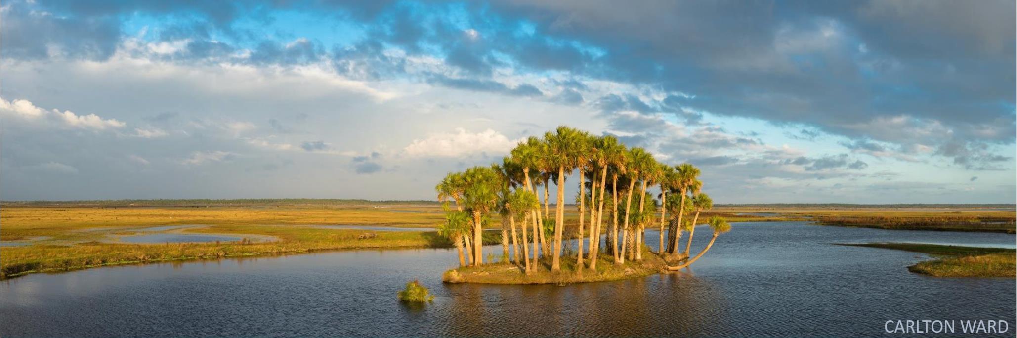
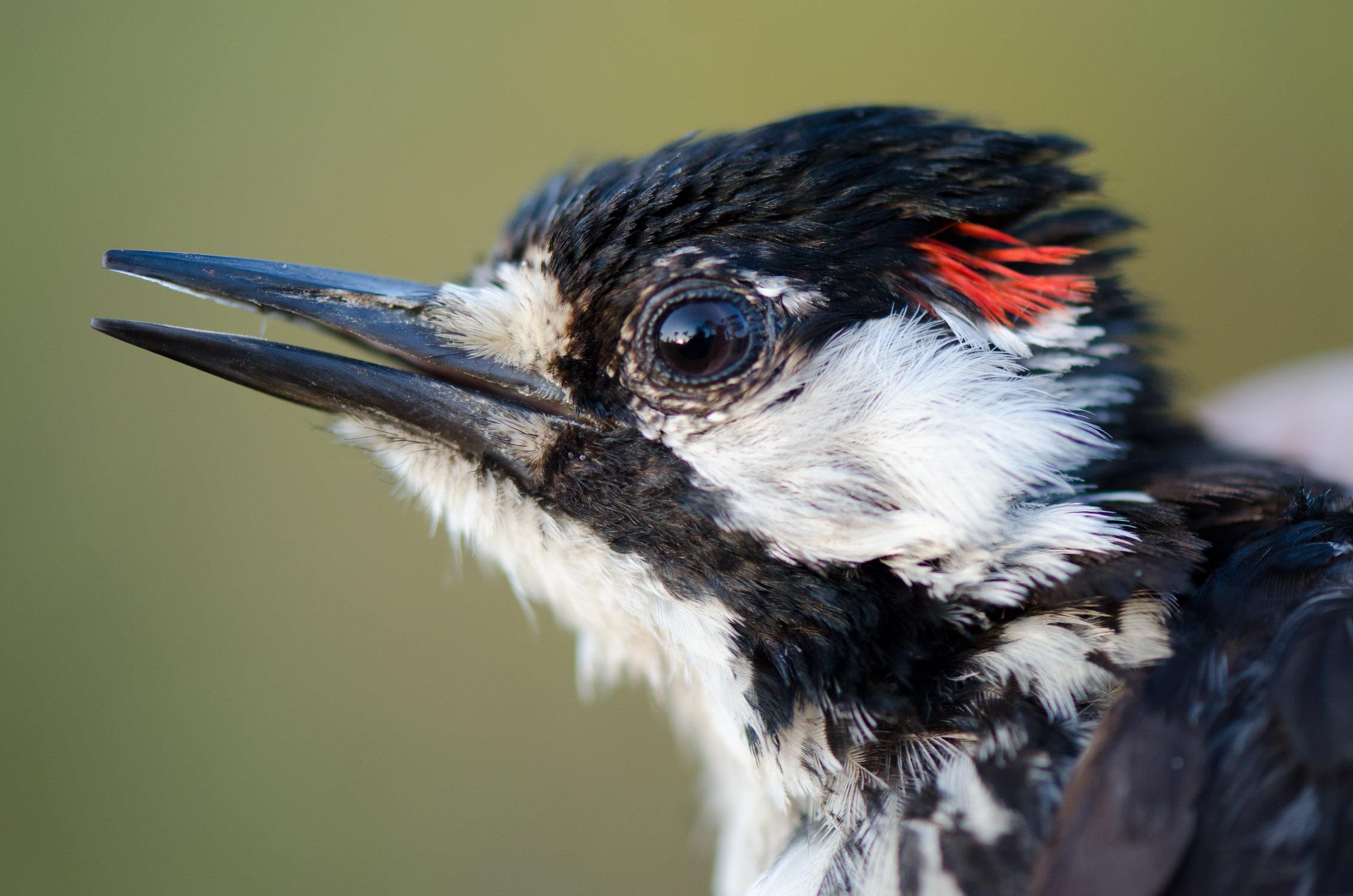
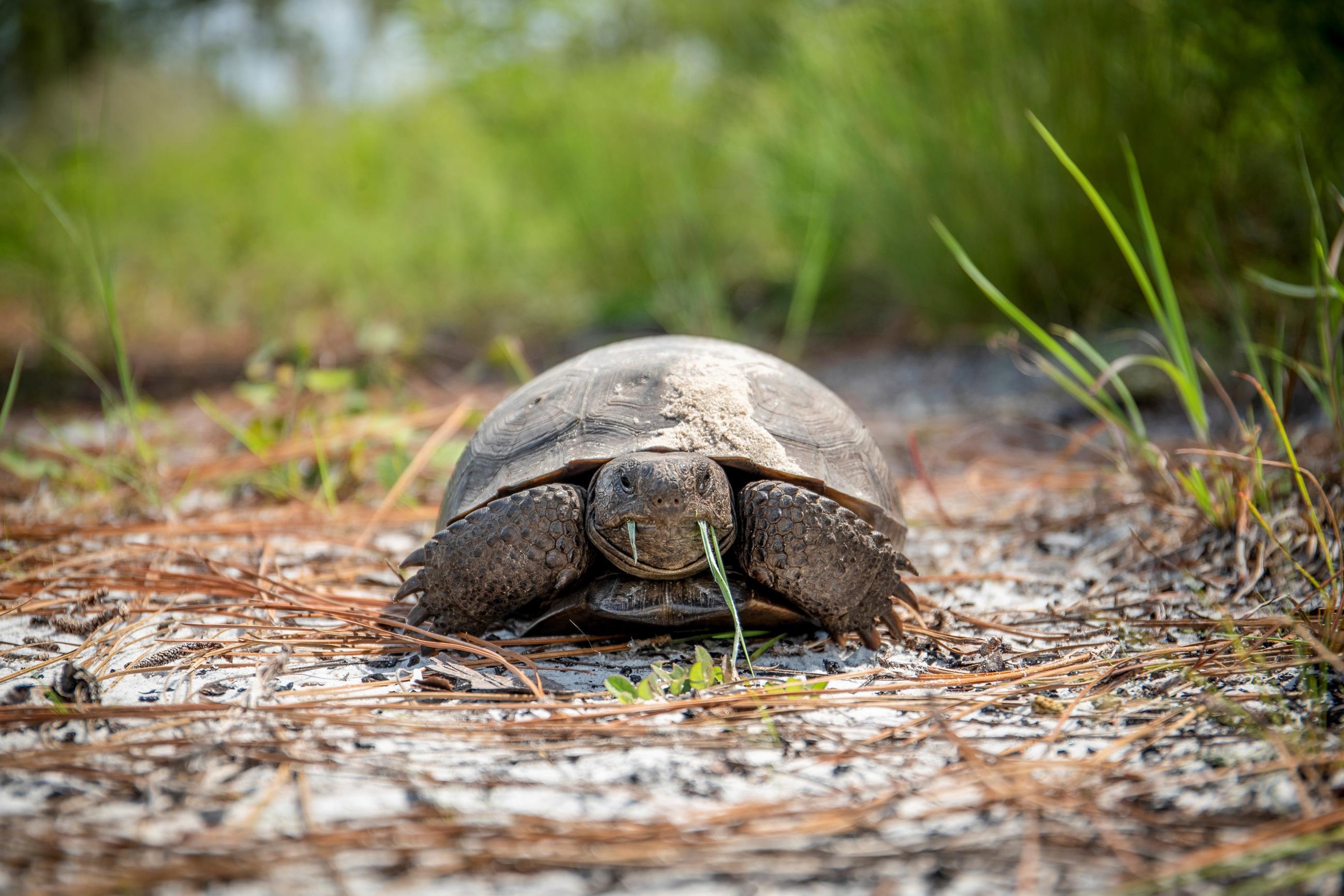
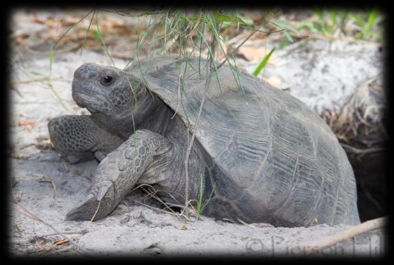
Florida’s Wildlife Corridor spans 18 million acres, sustaining biodiversity and resilience and protecting native species like the Florida panther, gopher tortoise, manatee, burrowing owl, red-cockaded woodpecker, swallow-tailed kite, and black bear.
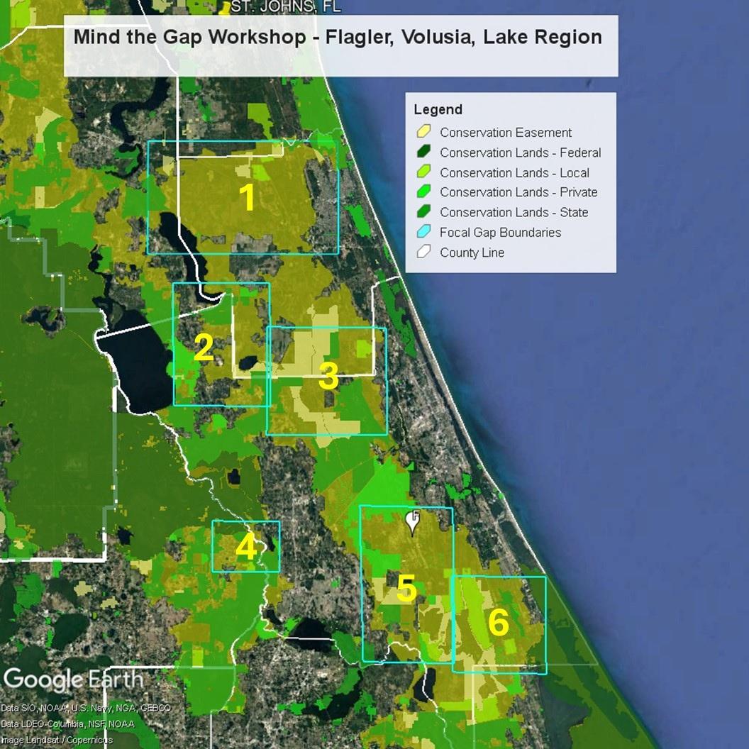
This panel explores ongoing conservation projects, innovative strategies, and partnerships to protect the 8 million unprotected areas. Speakers will discuss how planners can integrate conservation into local decision-making, including how to prioritize regional and micro-level corridor connections. Attendees will gain insights into mapping tools, resources, and the Wildlife Corridor’s “Mind the Gap” workshop series. Learn how planners can advocate for preserving Florida’s imperiled landscapes while balancing growth and development.
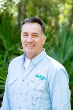
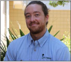
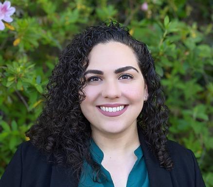
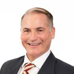
Jason Lauristen
Chief Conservation Officer
Florida Wildlife Corridor Foundation
Jason Lauritsen implements the vision and mission of the FL Wildlife Corridor Foundation to connect, protect and restore essential conservation habitat statewide.
Ben Naselius
Tall Timbers
Red Hills Planner
Ben Naselius is the Red Hills Planner for Tall Timbers. His focus is in local land use and policy for conservation.
Senior Planner
FSU Dept. of Urban and Regional Planning
Billie Ventimiglia is a faculty member and instructor at the FSU Dept. of Urban and Regional Planning. Her recent work includes leading students in working with spatial models.
Dennis Smith
AICP, Planner - in- Residence
FSU Dept. of Urban and Regional Planning
Dennis Smith is the Planner-in-Residence and Director of the Mark and Marianne Barnebey Planning and Development Lab at Florida State University.
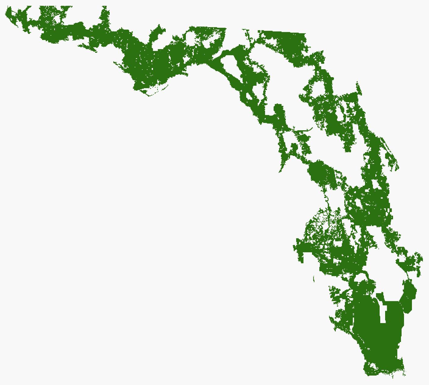
In 2021, FL Statute 259.1055, The Florida Wildlife Corridor Act was enacted. The Florida Wildlife Corridor comprises nearly 18 million acres of contiguous wilderness and working lands crucial to the survival of many of Florida’s 131 imperiled animals.
Mission :
In addition to protecting wildlife, conserving these wild spaces is critical to our overall wellbeing—offering recreation opportunities, strengthening resilience against intensifying storms, and protecting water quality. To champion a collaborative campaign to permanently connect, protect and restore the Florida Wildlife Corridor.
395k+ acres approved for conservation since the passing of the Act
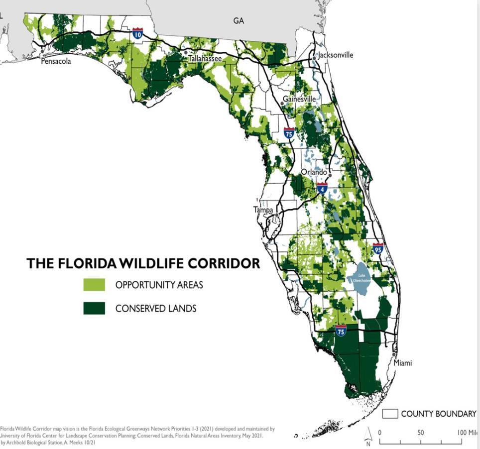
Florida Ecological Greenways Network (FEGN) model was created using…
• 26 Priority Ecological Area data layers
• 7 connectivity models
These data were used to identify a series of hubs, or core areas, of large, landscapescale ecological significance, and a network of corridors connecting the hubs into a statewide ecological greenways system.
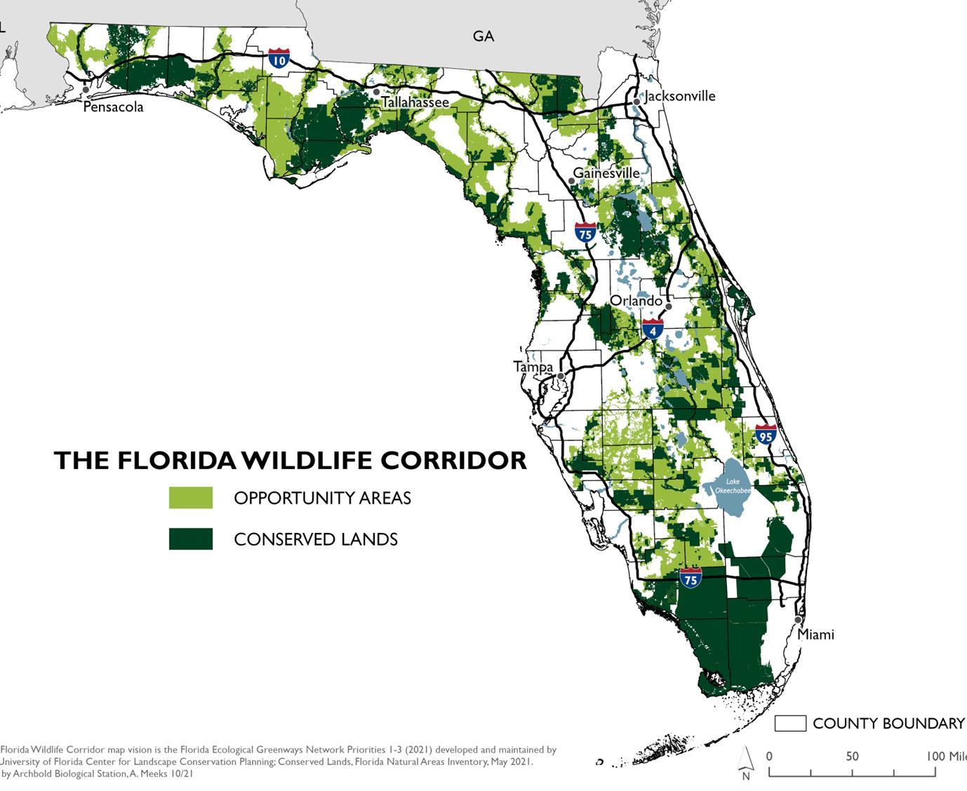
The Florida Wildlife Corridor is composed of the top 3 priority layers from the FEGN model.
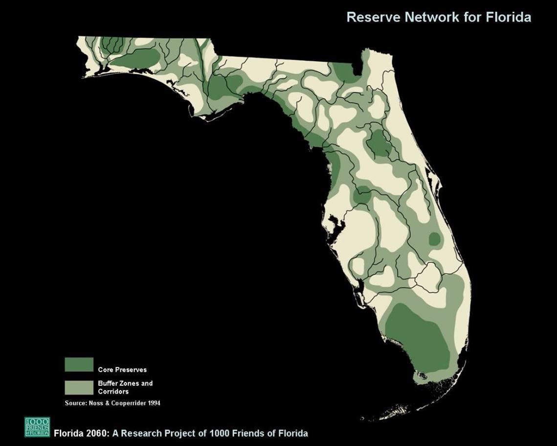
Nodes of concentrated ecological value exist in each landscape at all levels in the biological hierarchy. Integration of these high-quality nodes into a functional network is possible through the establishment of a system of interconnected multiple-use modules.*
Noss & Harris 1986
The Reserve Network developed by Noss in 1994 preceded and informed the FEGN model.
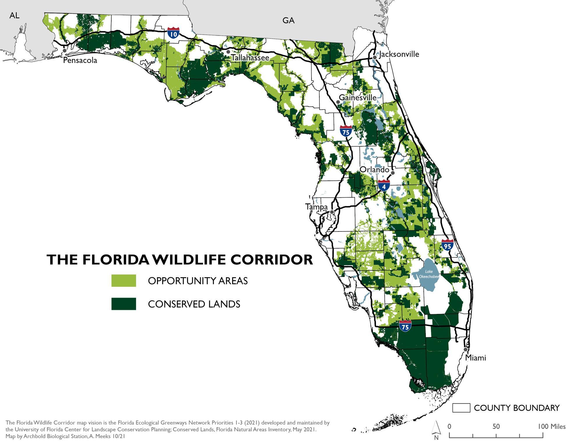
Every year we lose some of it..
Every year we save some of it..
It’s not just about how many acres we lose or save.
it’s also very much about where those lost acres are within the Corridor.
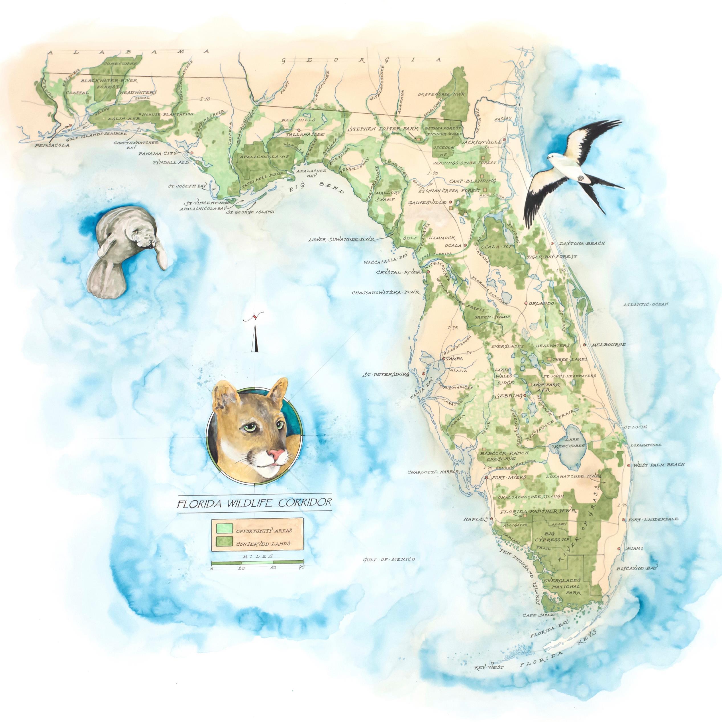
Every year we lose some of it.. Every year we save some of it..
It’s not just about how many acres we lose or save.
it’s also very much about where those lost acres are within the Corridor.
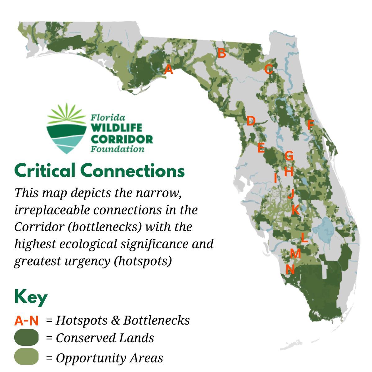
It is vital to recognize geographical connections that are irreplaceable.
Rather than avoiding growth, or sitting by idly as urbanization advances across the state, it is vital that we remain strategic and proactive.
We need to identify properties that are of the highest priority when it comes to preservation.
Maintaining functional corridor connection in the urban-rural interface…
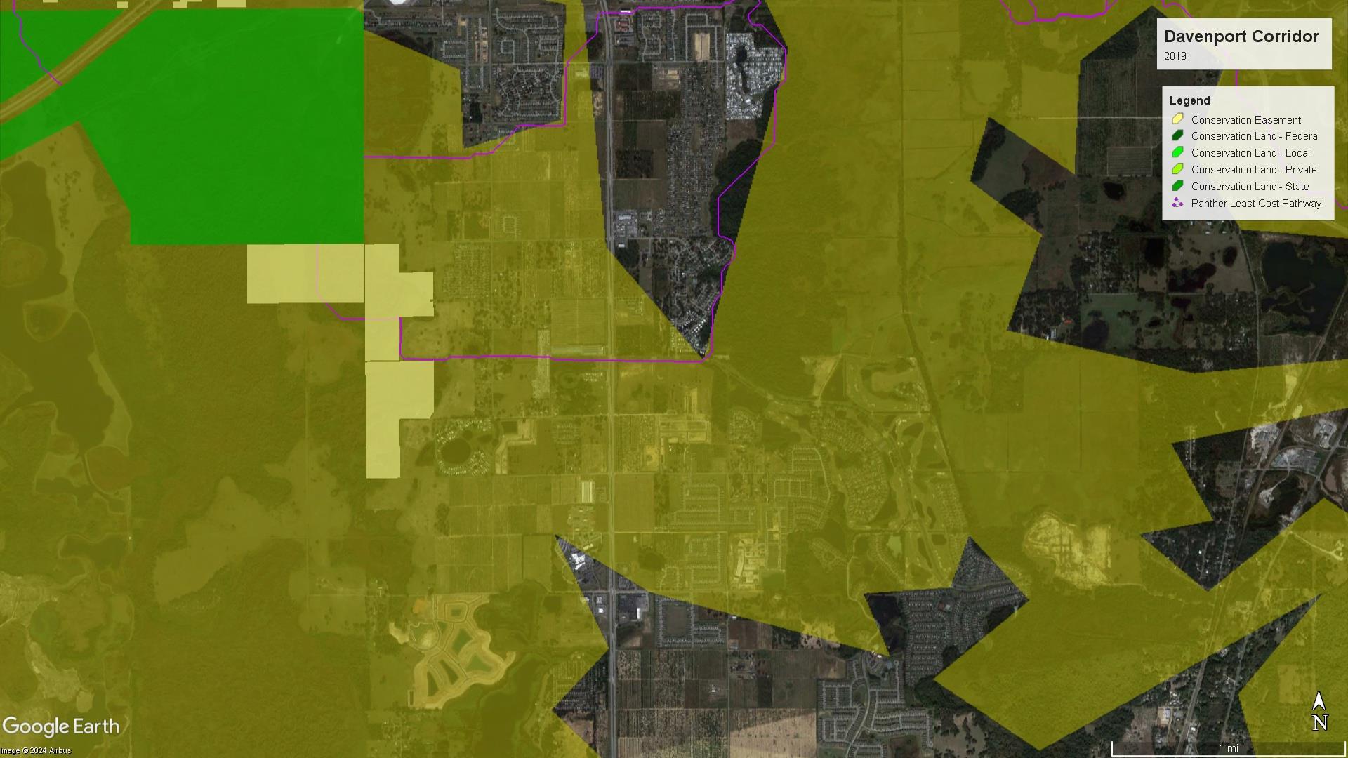

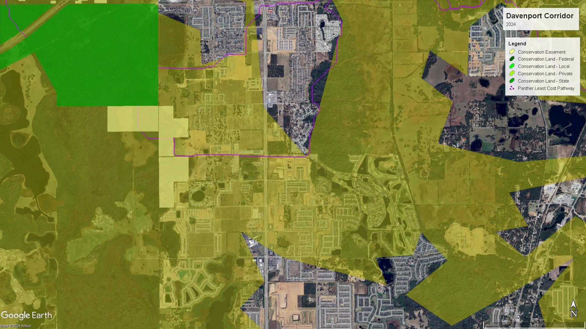
…is critical and difficult
Ecosystems are more resilient when conserved in large, unfragmented areas.
* Generally…
• Isolated habitat patches need to be larger than patches that are connected in order to sustain biotic communities.**
• The ability to recover from a catastrophic episode (hurricane, severe fire, flood, drought) is a resiliency goal.
Patch size and connectivity factor into resilience.
• If your habitat patch size decreases, connectivity to the remaining patches becomes more important.
*Walker and Salt 2006
**Rolstad 1991
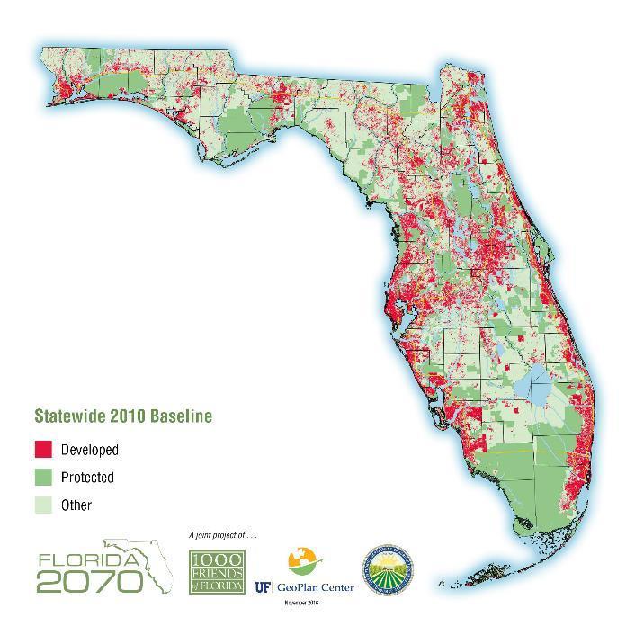
2070 Trend
33 million people by 2070
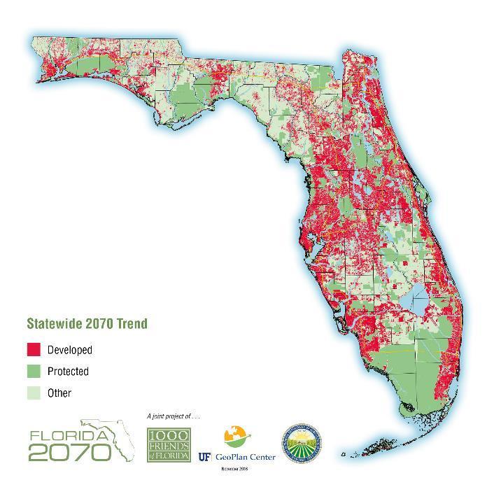
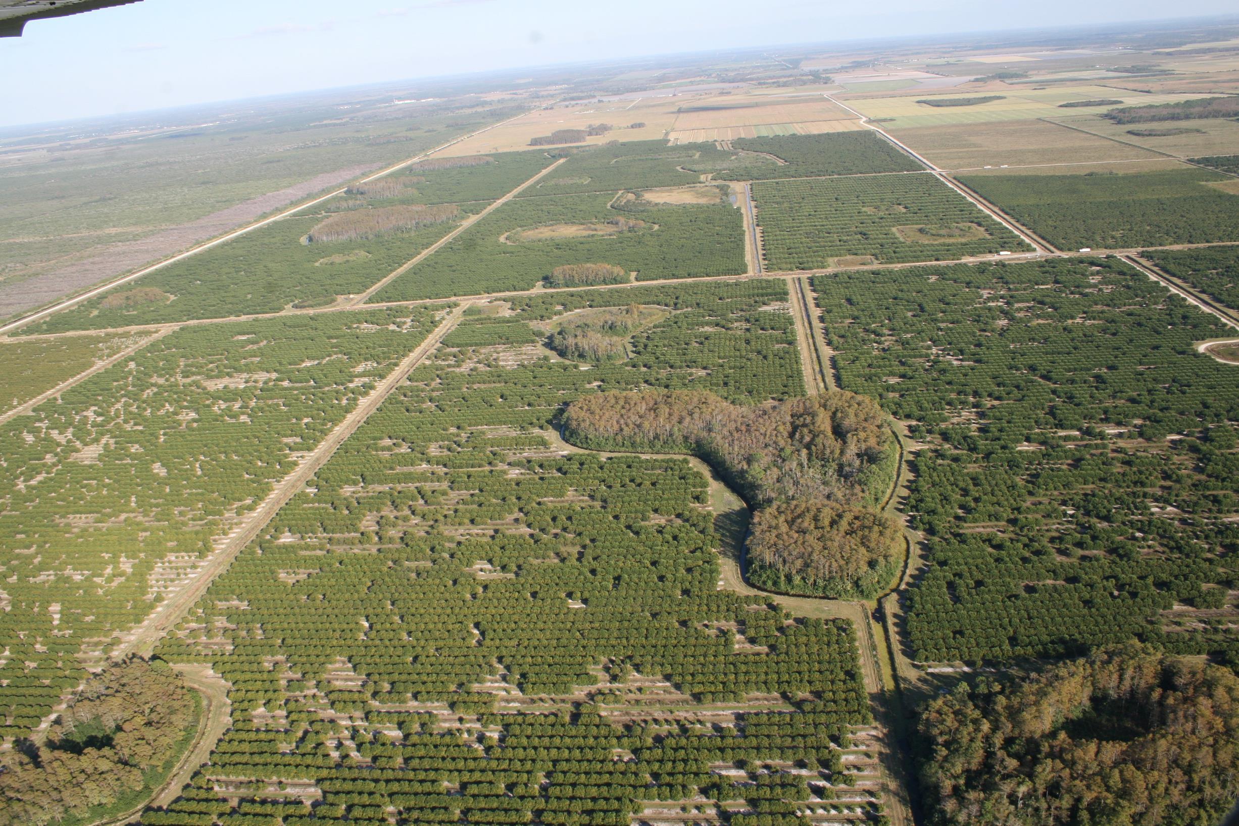
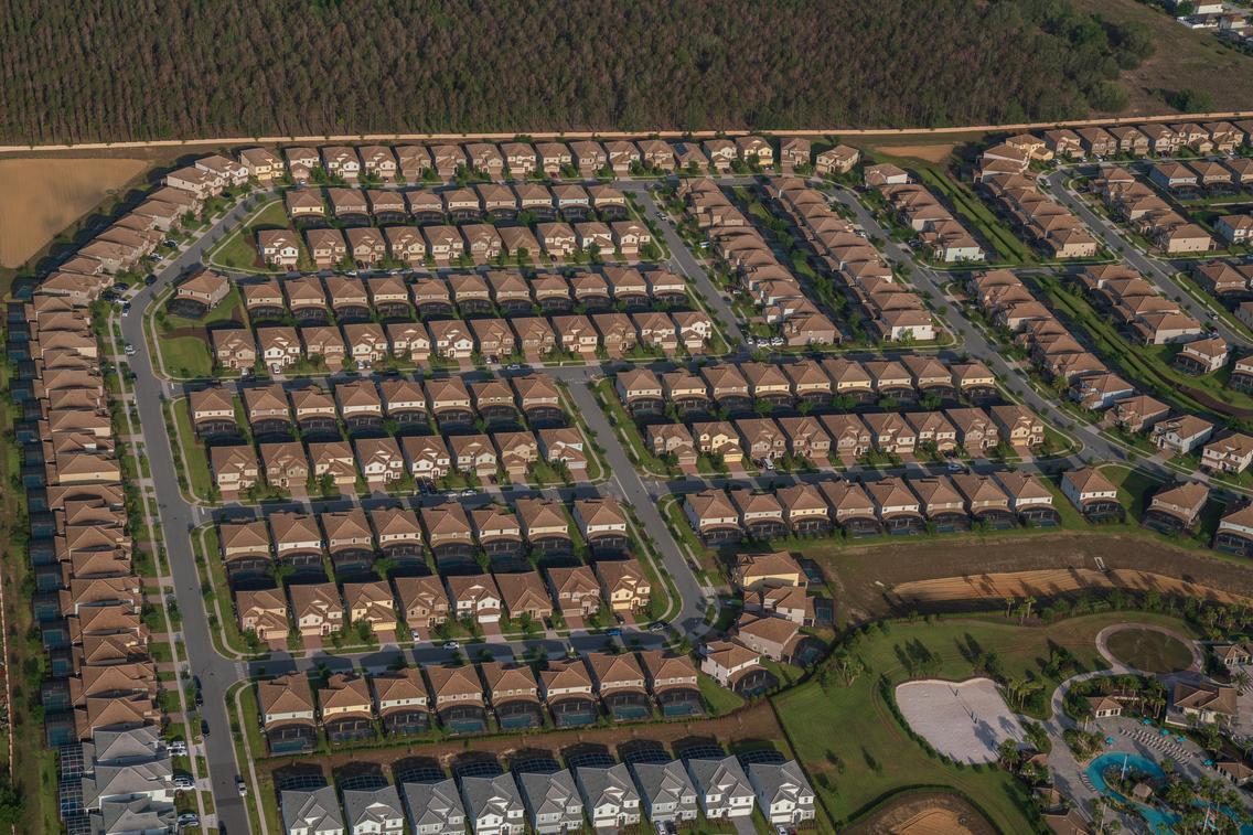
Connecting, protecting and restoring the Corridor How we grow makes all the difference. Protecting the Corridor can be done even as our population grows. However, it will require careful and intentional planning around the vital ecological connections illustrated by the Florida Wildlife Corridor.
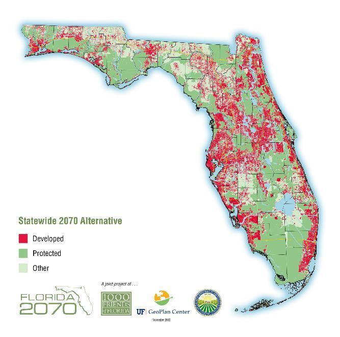
2070 Alternative
* Connecting the Florida Wildlife Corridor
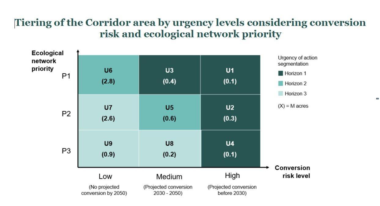
Vulnerability is a product of conversion pressure amplified by geometry. Narrow segments such as bottlenecks or pinchpoints exhibit heightened vulnerability to fragmentation. Within the 900,000 acres identified as Urgent, there is a sub-set of vulnerable segments, or gaps.
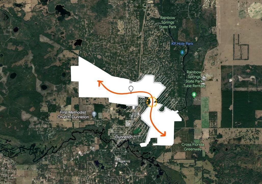

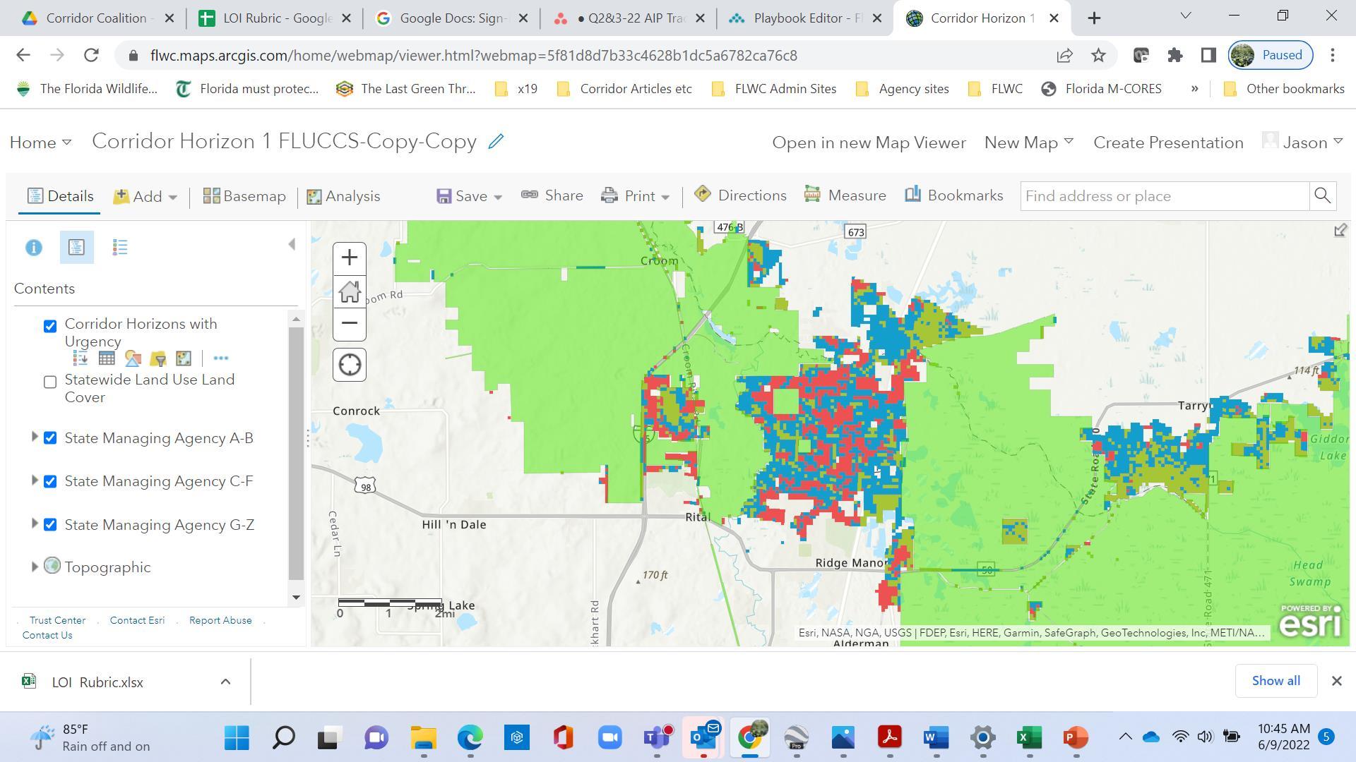
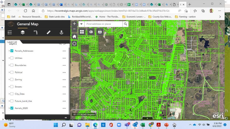
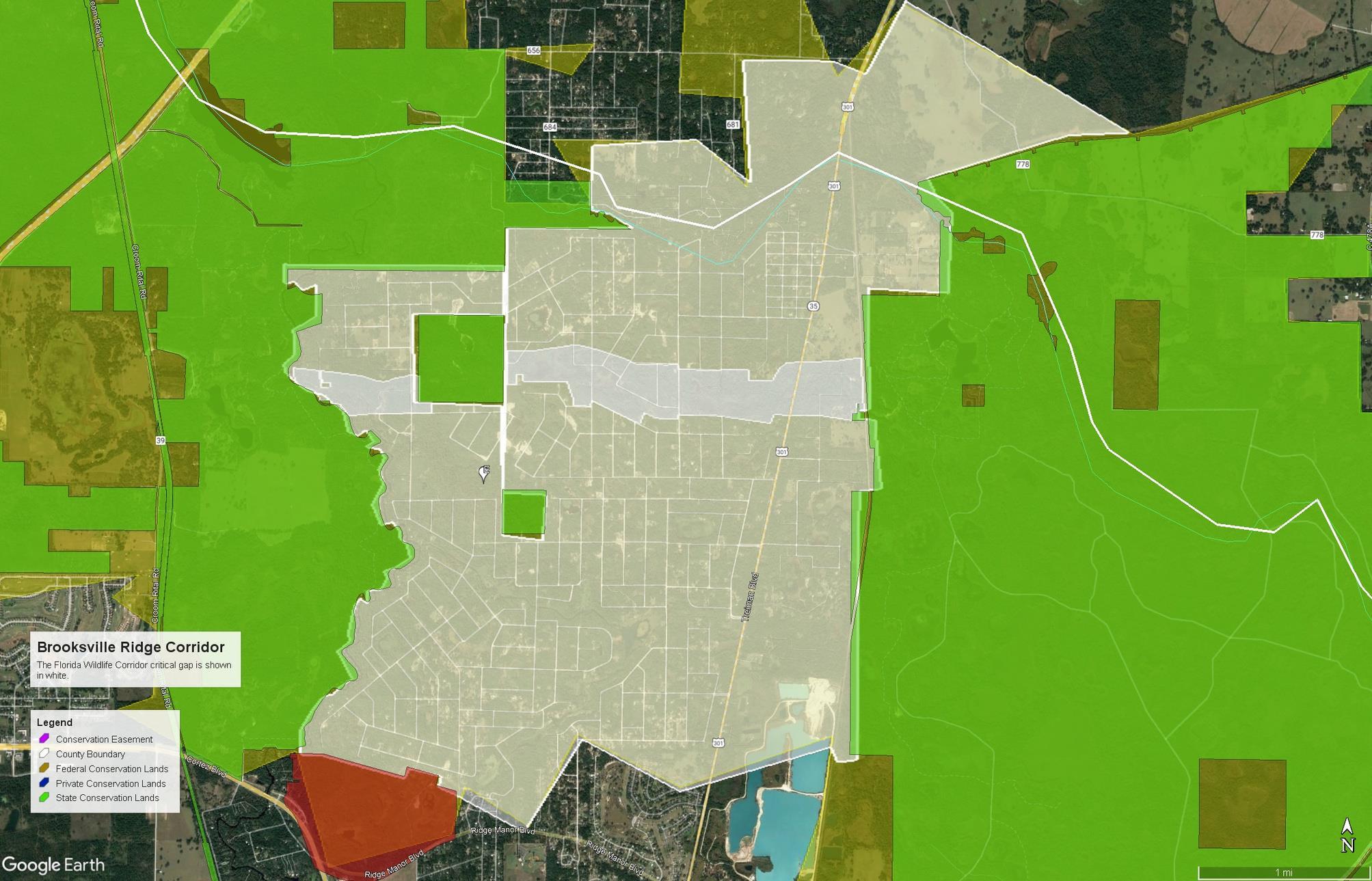
This Brooksville Ridge gap is under development pressure and doesn’t fit the profile of a Florida Forever acquisition or Rural and Family Lands Protection Program easement. Failure to retain functional connectivity across this gap will cul-de-sac blocks of the Withlacoochee State Forest and fragment the Green Swamp from the Nature Coast.
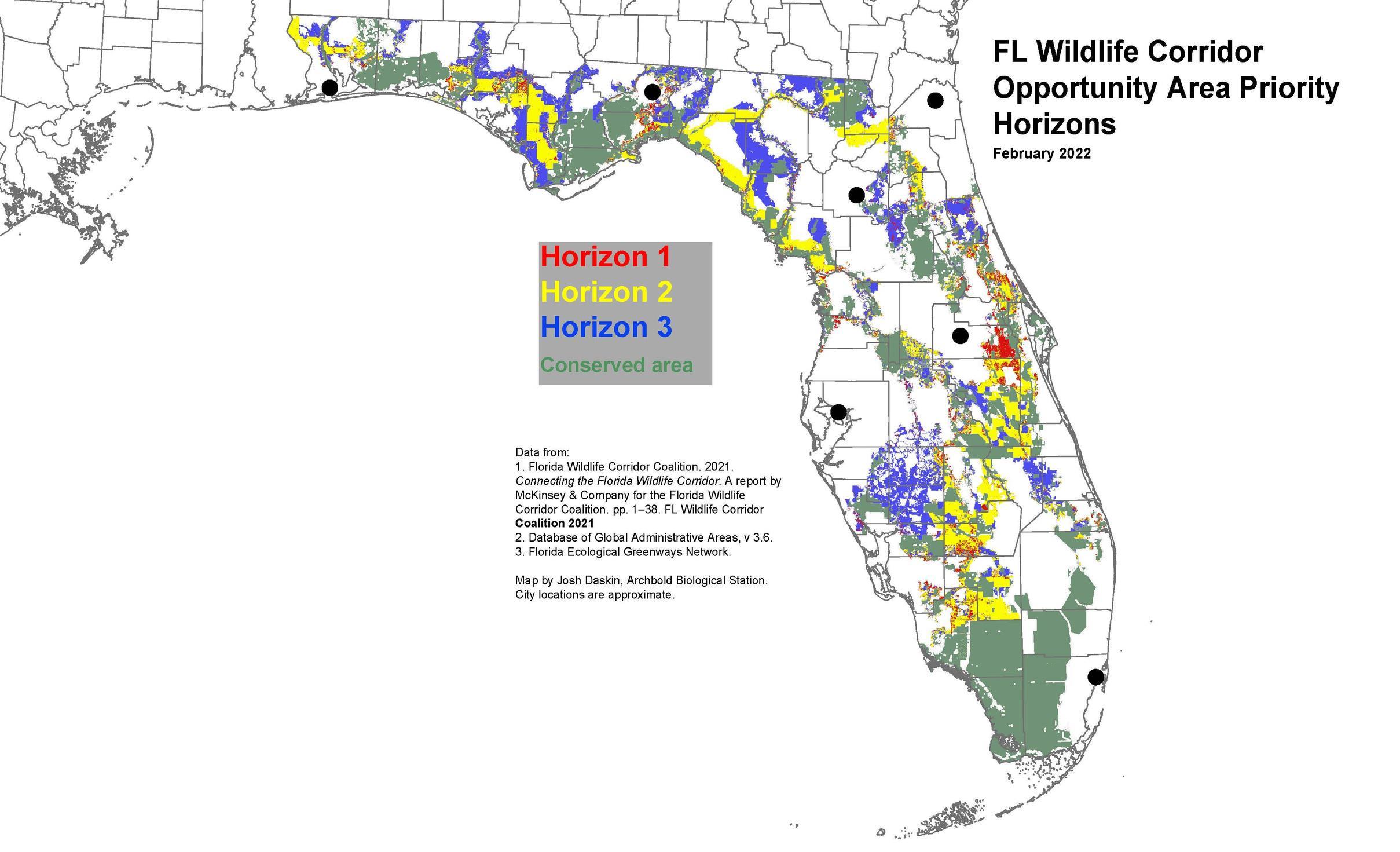
The Corridor Foundation has identified numerous gaps within the Corridor for which no alternative viable quality connections have been identified. Loss of these Corridor opportunity areas would have profound impacts on the Corridor’s ecological function in these regions.
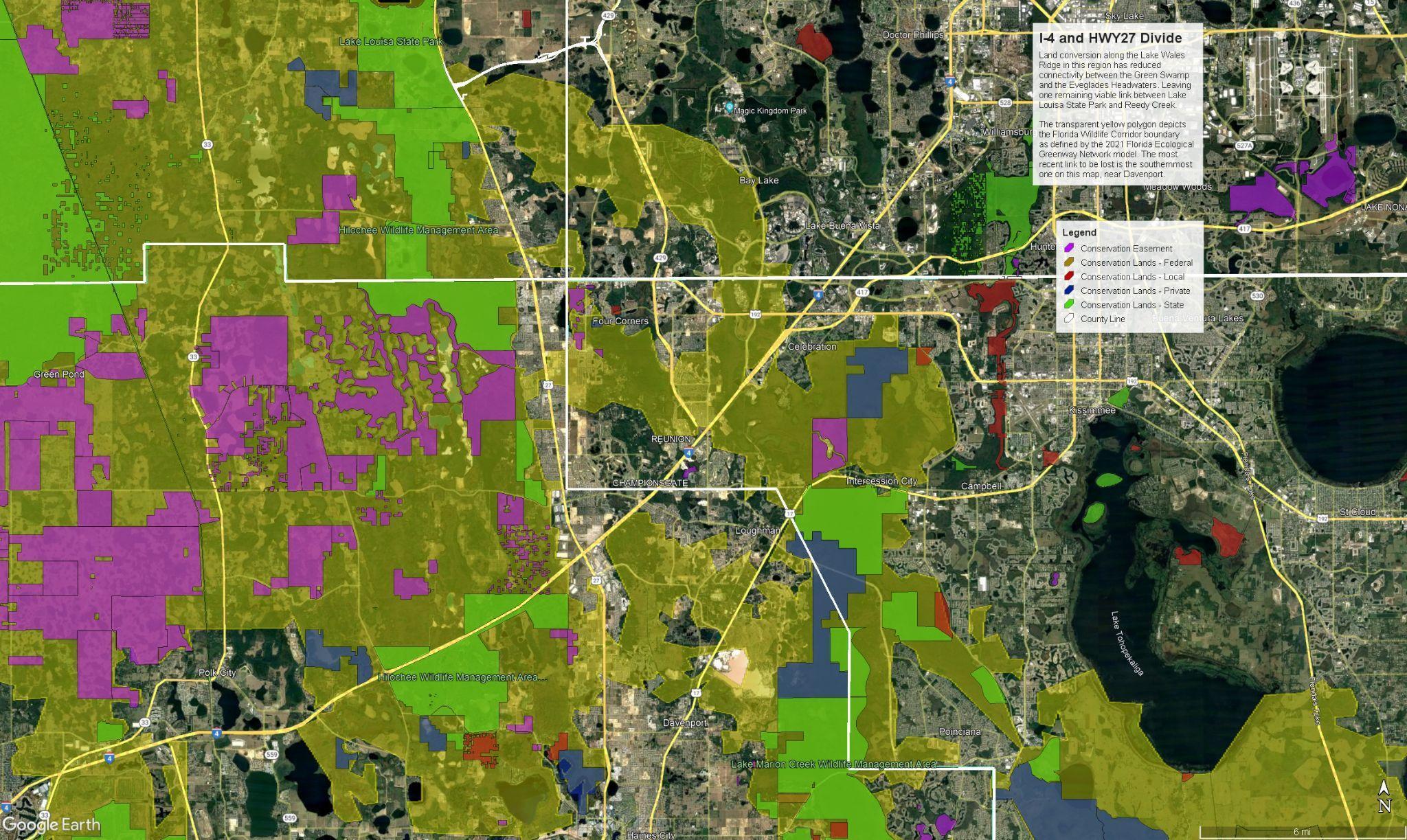
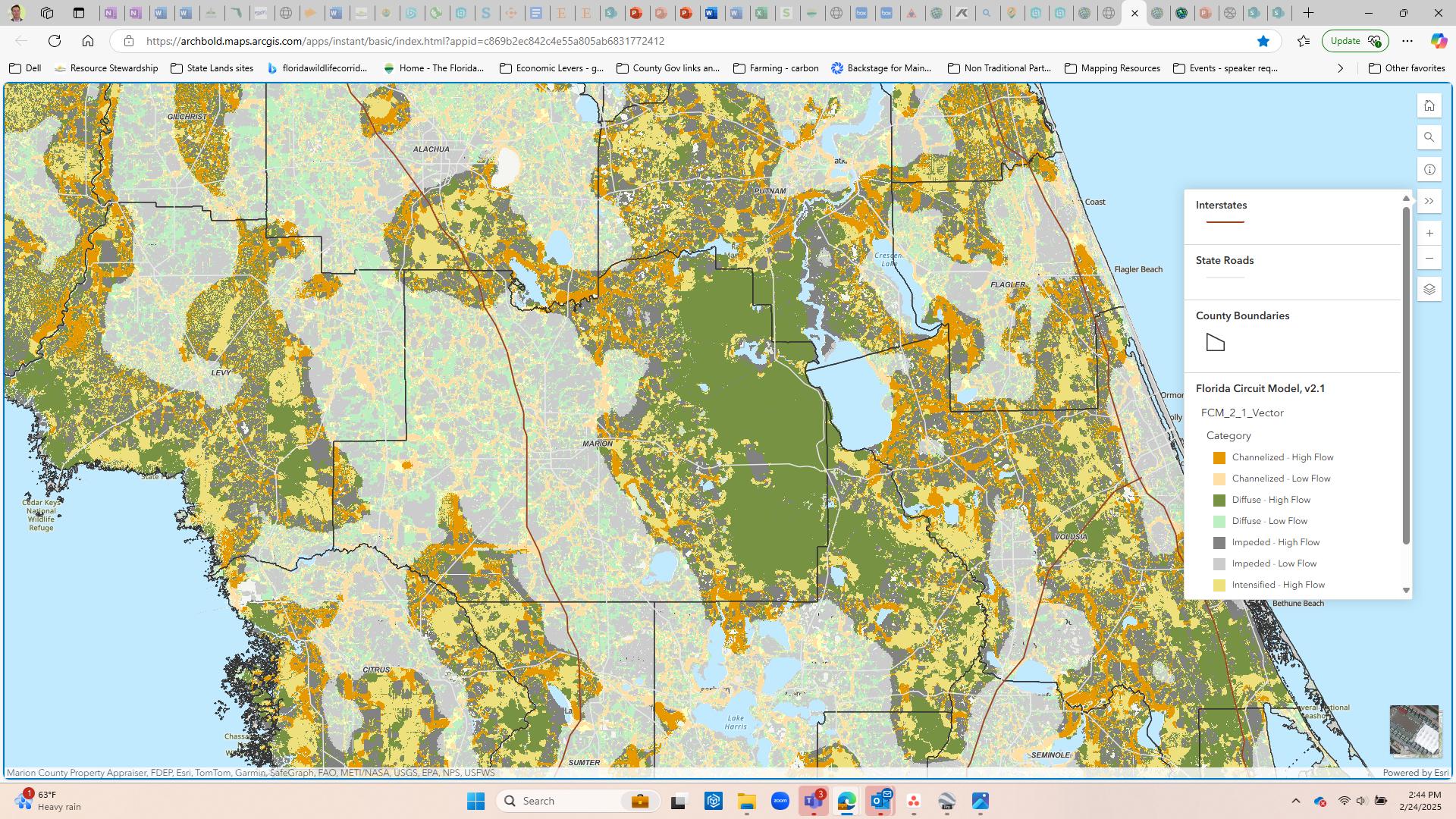
GThe 2021 FEGN model identified three potential corridor connections across the Lake Wales Ridge connecting the Green Swamp to the Everglades Headwaters.
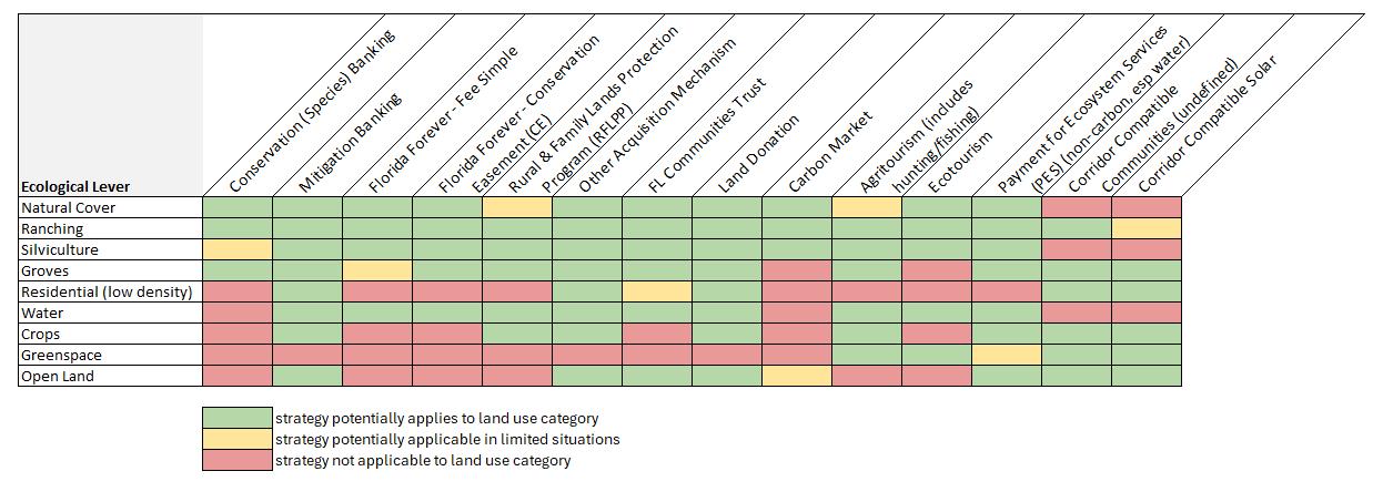
Tourism – Agri and Eco
Tall Timbers is a non-profit organization with a mission to foster exemplary land stewardship through research, conservation and education.
Mission :
To foster exemplary land stewardship through research, conservation and education.
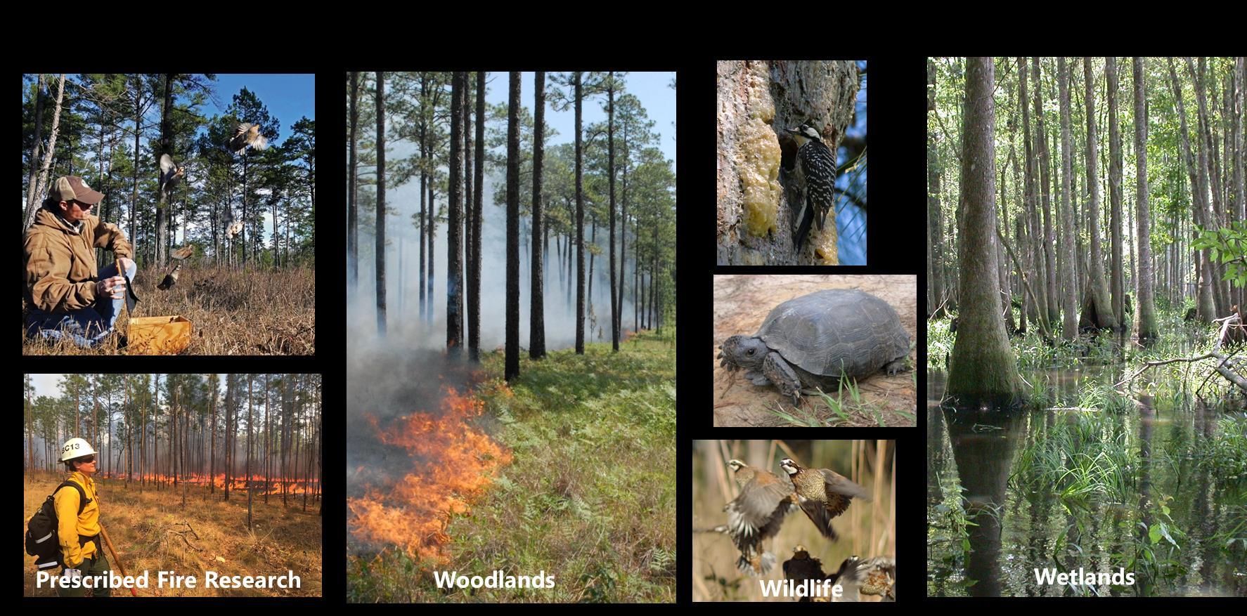
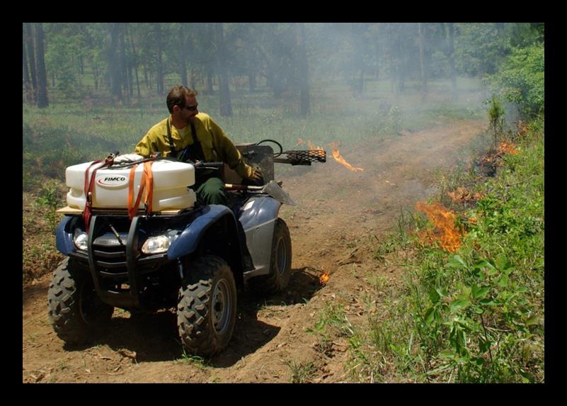
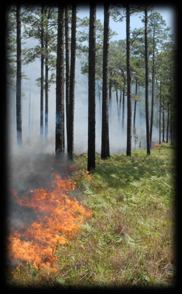
With over 60 years of experience, it has become a premier research institution that is nationally and internationally recognized for studying fire-adapted ecosystems and advocating for prescribed fire use.
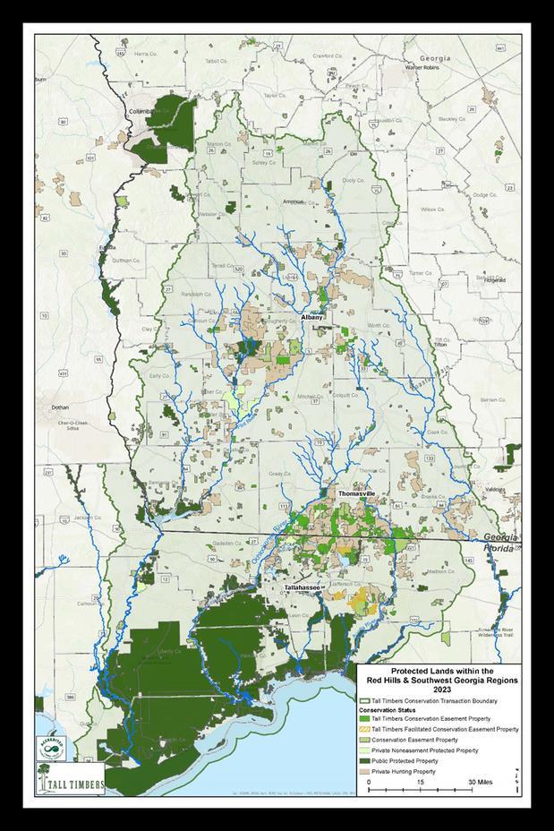
Through its conservation efforts, it aims to conserve the ecological integrity of the Red Hills and Big Bend regions of North Florida.
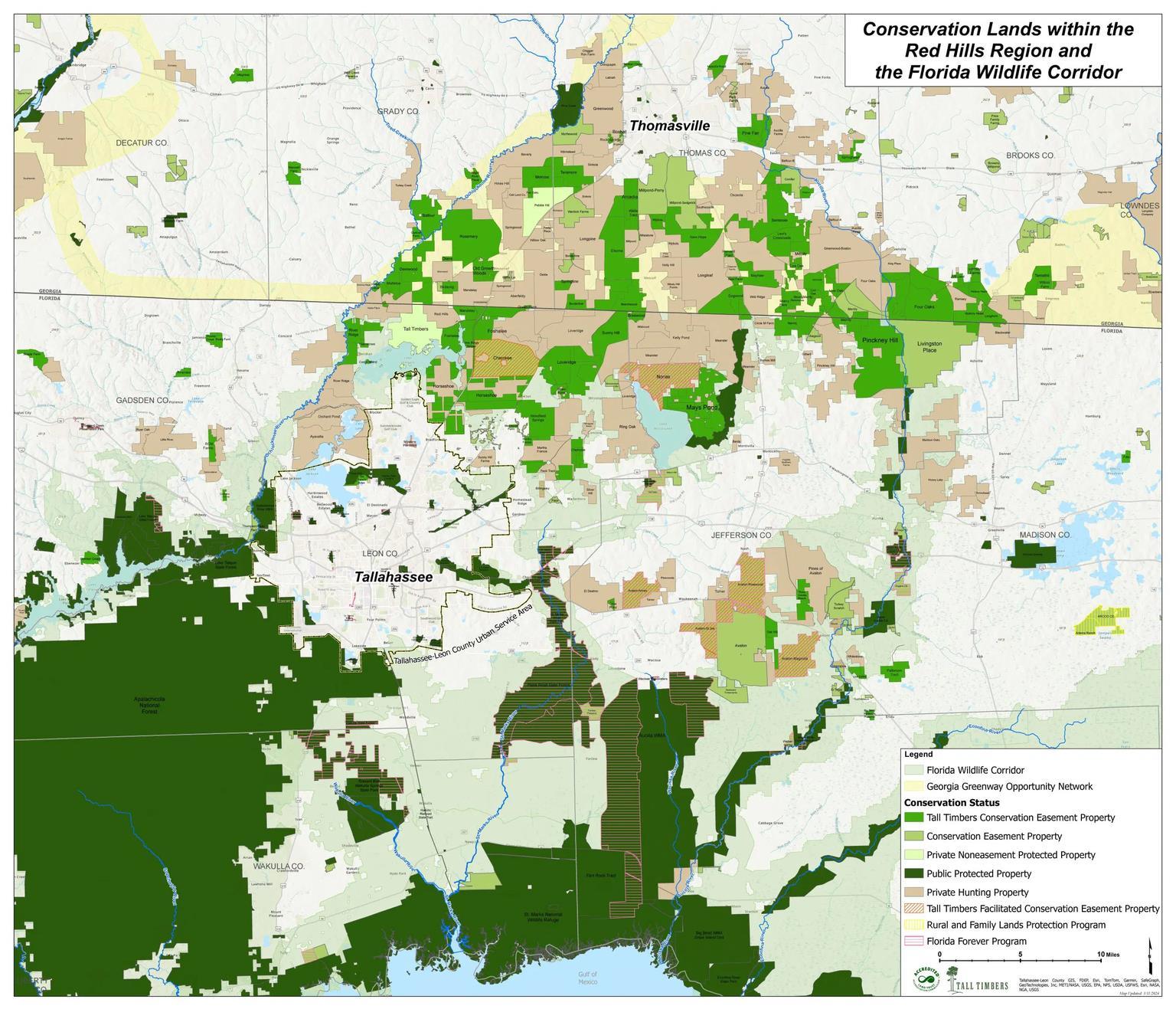
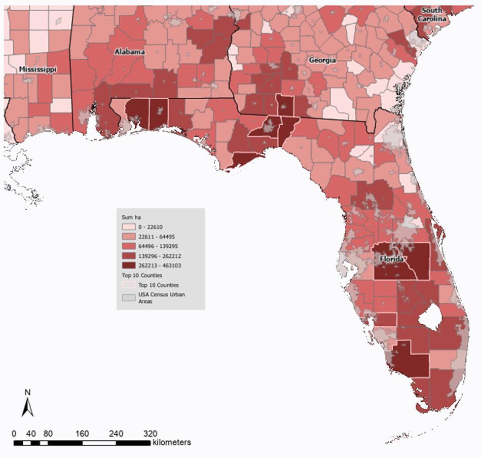
Conservation easements are the primary tool used by Tall Timbers for land conservation. It allows for private ownership while also prohibiting subdivision, greatly limiting future development, and ensuring conservation features of the property are protected.

• In business since 1991
• Completed > 190 conservation easements
• Almost all donated conservation easements (CEs)
• Hold 162,945 acres in CEs
⚬ (50,078 ac. in FL, 111,296 ac. in GA)
• 139 Conservation Easement landowners
• Complete 5-10 new CE projects/year
• Assist 10-20 landowners/year with other land conservation projects (Florida Forever, RFLPP, NRCS etc…)
• Legal PERPETUAL agreement between landowner and Land Trust or Government Agency
• Runs with the land
• CE transfers a portion of rights to safeguard the property’s conservation values
• Limits or restricts subdivision and new construction rights
• Landowner retains the property and use, including compatible rural land uses (ag, forestry, pecans, hunting, etc.)
• Keeps private lands in private ownership
• Management responsibilities remain with the landowner
• CE customized to landowner and property
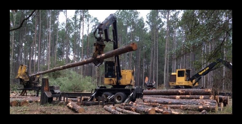
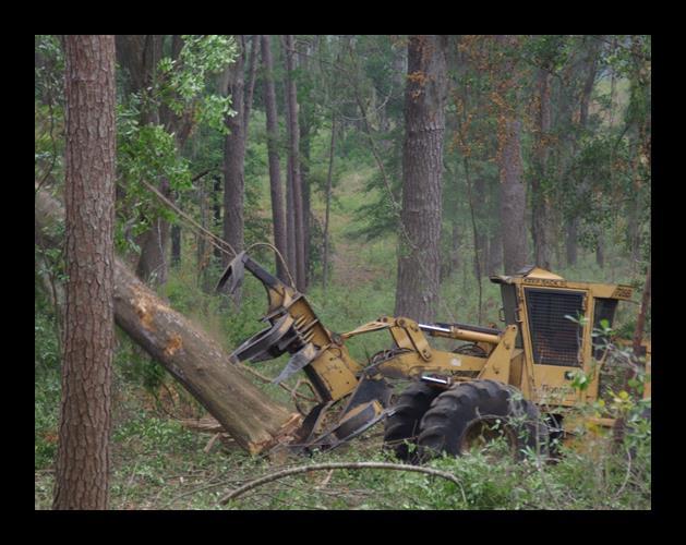
• Supports rural economies –timber, agriculture, hunting, livestock, ecotourism, etc…
• Develop management plans to ensure sustainable use
• Protects exceptional natural habitats
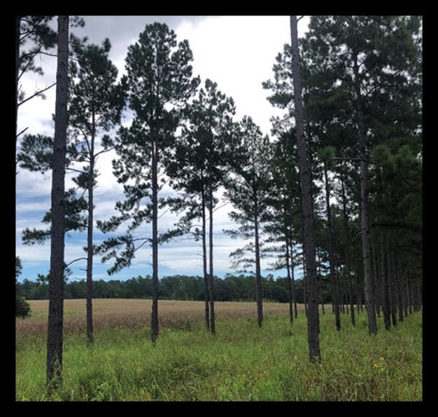

• Maintains wildlife and plant diversity
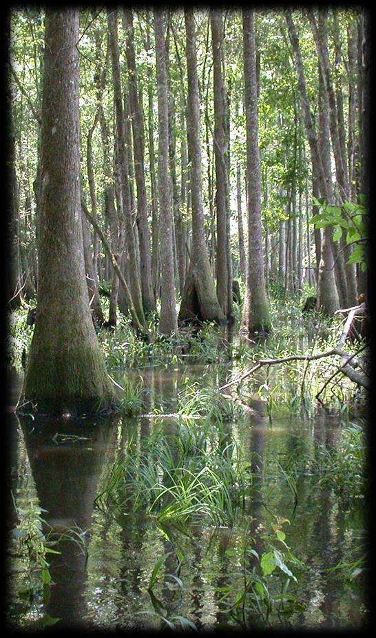
• Protects water resources
• Reduces nutrient loading
• Minimizes flooding impacts
• Groundwater recharge areas
• Ensures food and wood resources
• Scenic qualities and aesthetics
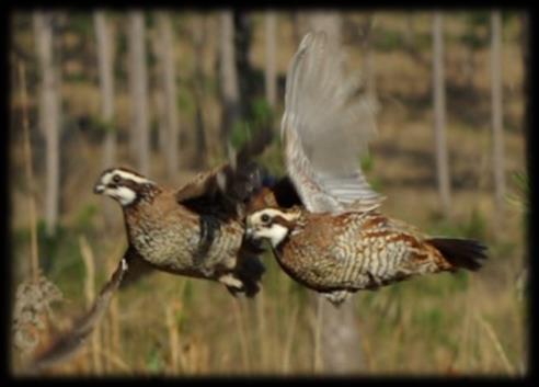
• Protects historic and archeological resources
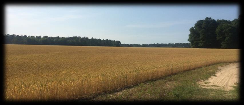
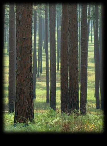
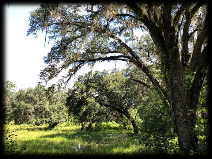
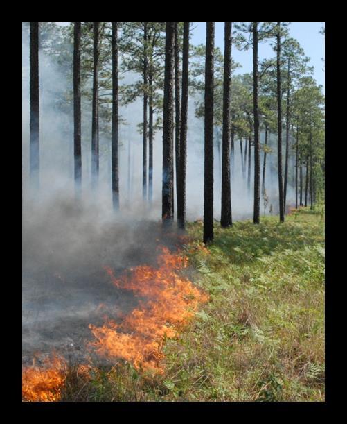
• Ensures rural land uses compatible with prescribed fire
• Minimizes property subdivision – easier to burn larger blocks
• Decreases potential conflicts with smoke
Florida’s Conservation Success
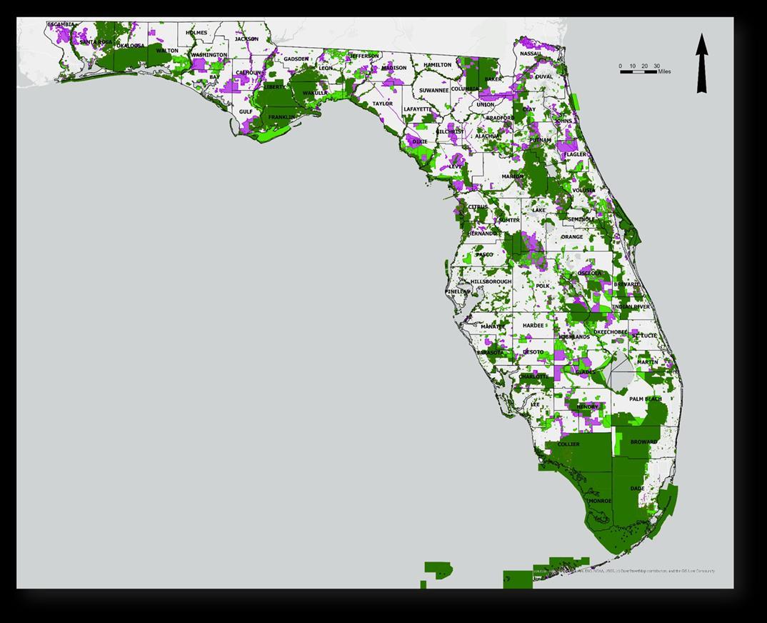
Conservation Lands: 11.39 million acres
89% in public ownership (10.13 million acres)
11% in conservation easements (1.26 million acres)
CE acres have increased dramatically in two years
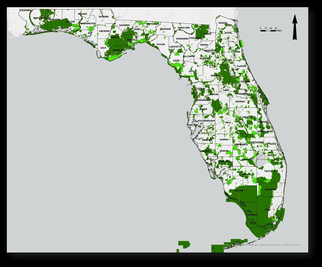
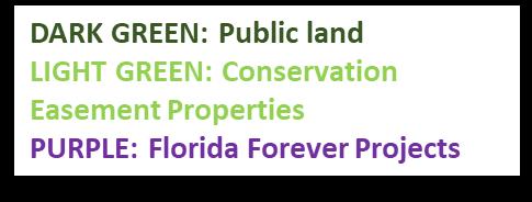
• Florida Forever
⚬ 128 projects (PURPLE) – 2.1 million acres
⚬ Estimated value $7.8 billion
• Rural and Family Land Protection Program
⚬ 241 projects - 300,000 acres
⚬ Estimated value $1 billion
• $100 million annual funding for each program

Department of Urban and Regional Planning, Florida State University
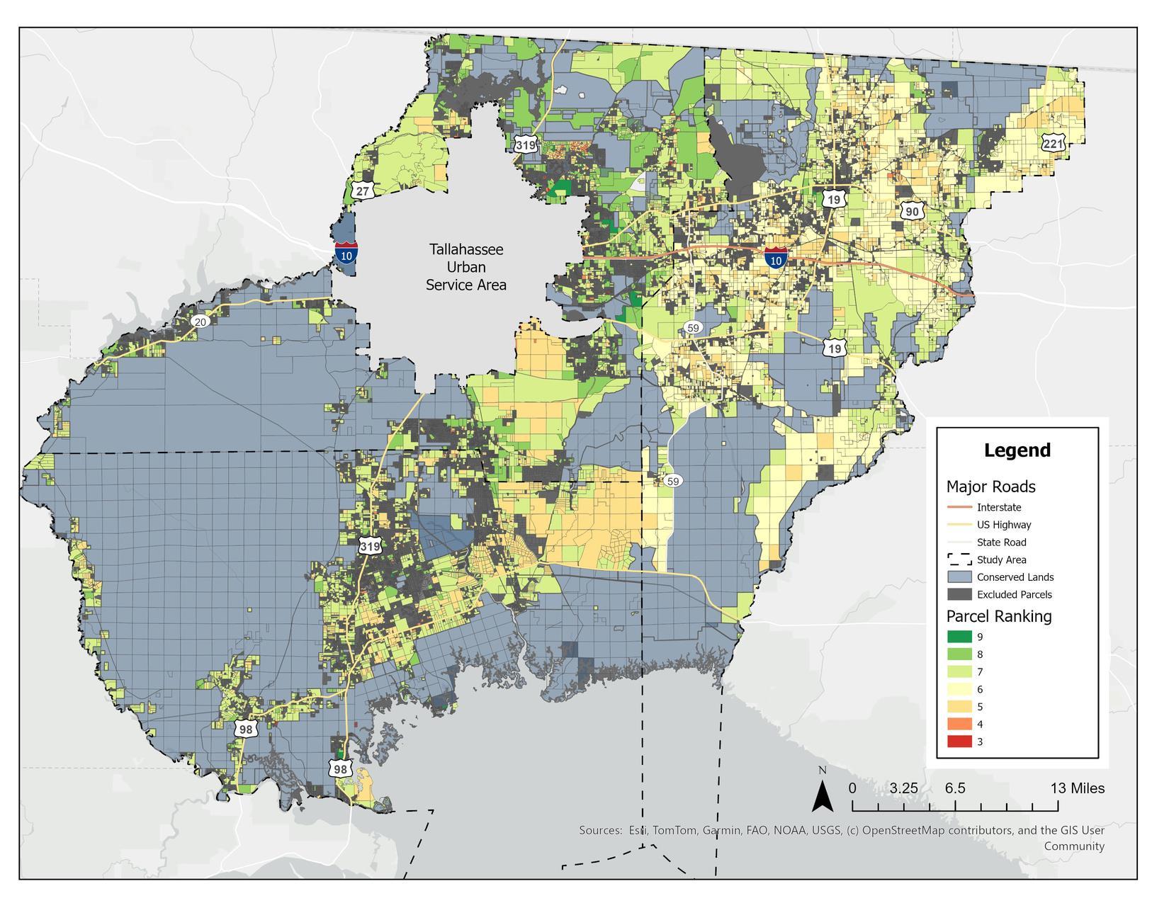
In the 2025 Spring Semester, the Barnebey Studio Lab focused on a project to develop and implement an evaluation protocol to assist Tall Timbers in identifying and assessing localized conservation corridors for prospective land conservation.
The goal was to create a replicable model and tool that can be applied regionally and recreated by other research teams.
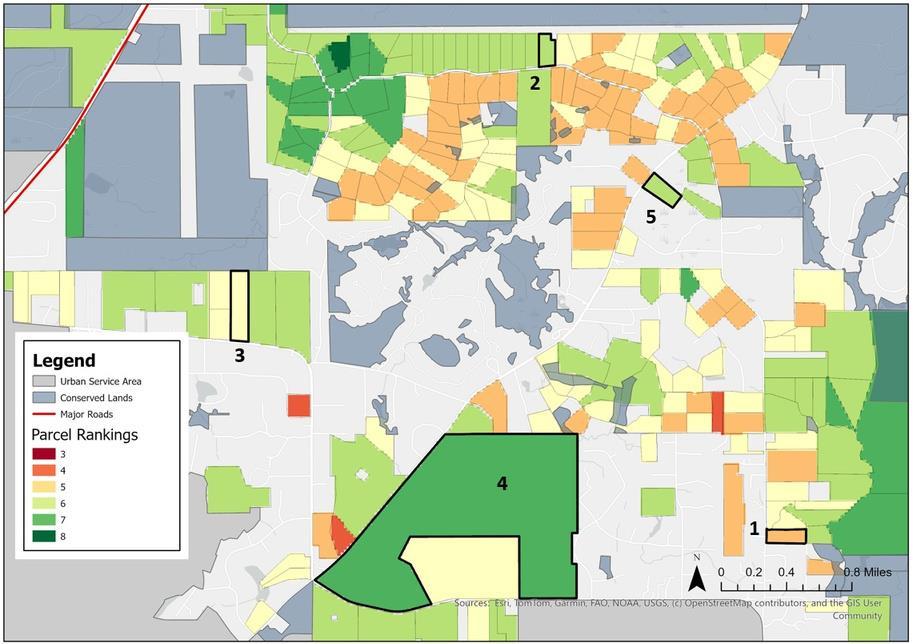
To maximize its limited resources, Tall Timbers wanted to systematically evaluate land at the parcel level, identifying alternative corridors for targeted land conservation so that it may make strategic moves quickly.
This parcel-based analysis and evaluation process was initially tested in Wakulla, Jefferson, and Leon Counties. Three factors were identified for the analysis: ecological value, development pressure, and cost per acre.
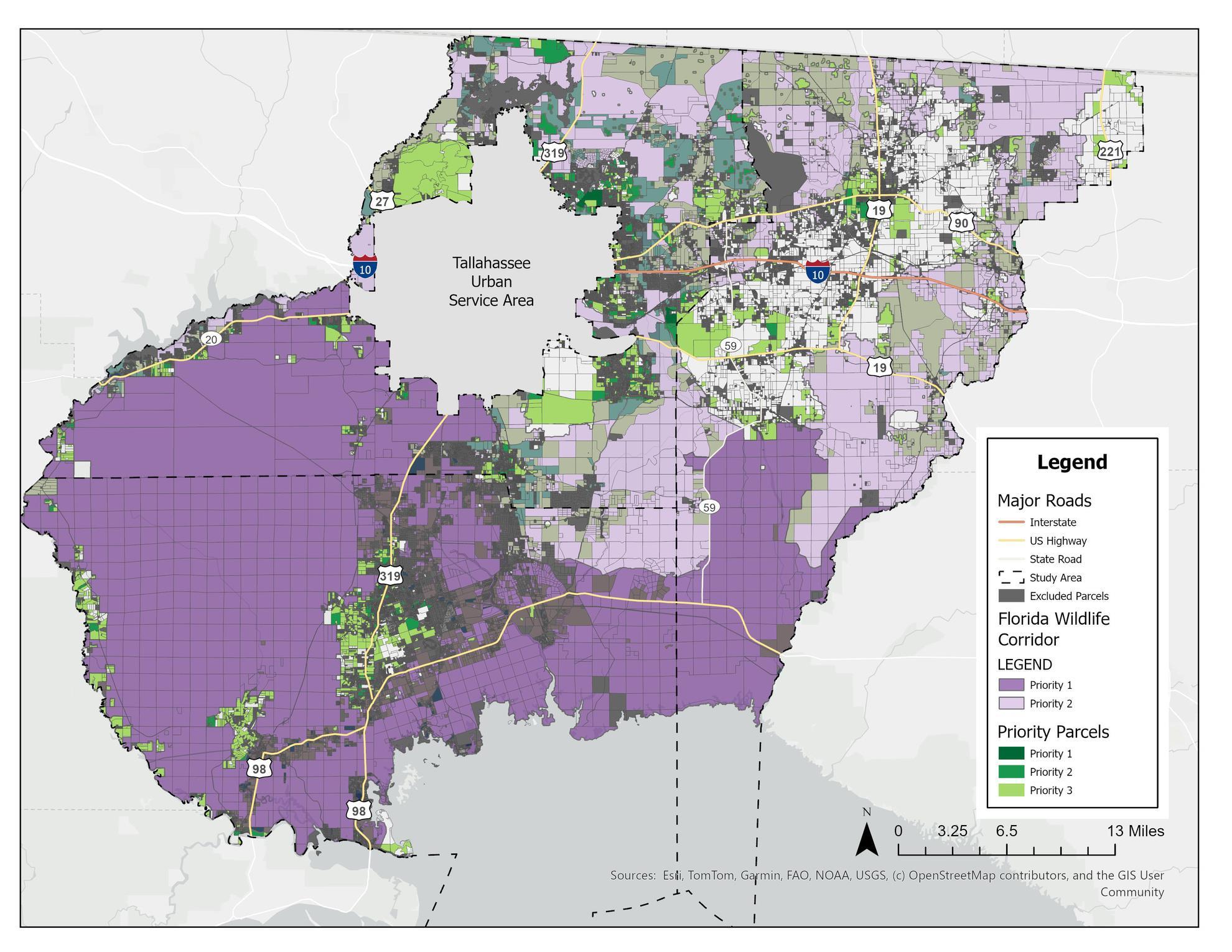
This map shows all identified parcels within the three counties and with the Florida Wildlife Corridor priority areas overlay map.
Factor 1
Ecological Value
EV = UW
Factor 2
Development Pressure Formula
DP = (w x LDI p ) + (w x LDI a ) + (w x FLU) + (w x SP) + (w x B)
Factor 3
Cost Per Acre Formula
CPA = (LV/A) x FLU




LDI weighted for proportion of parcel
Average LDI of adjacent parcels
Future Land Use category with a score of 1 to 10
Proportion
2040/2070 Sprawl Projections
Building Permits, residential & non-residential, within 2.0 mile buffer
Parcels within a half-mile buffer based on census designated places
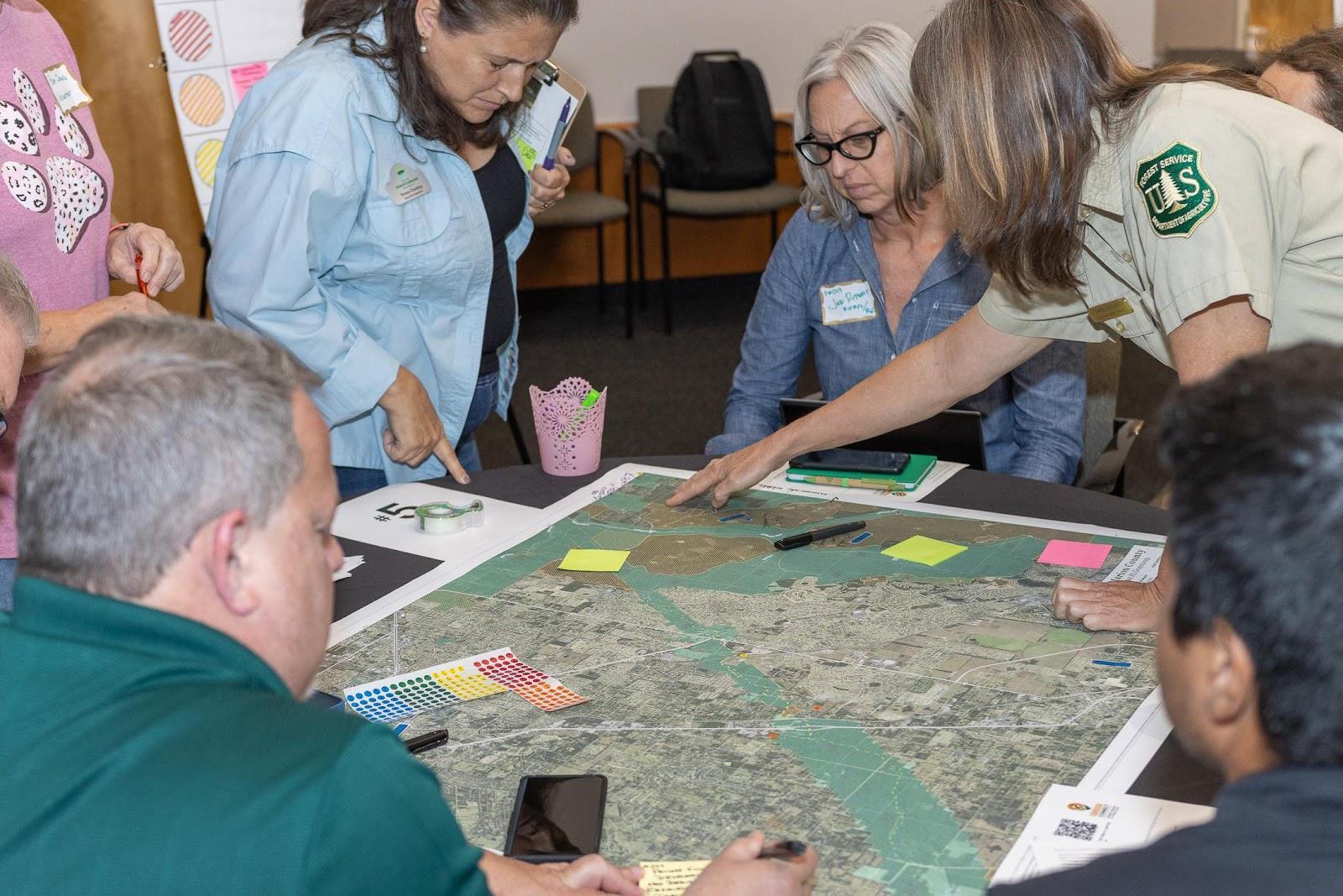
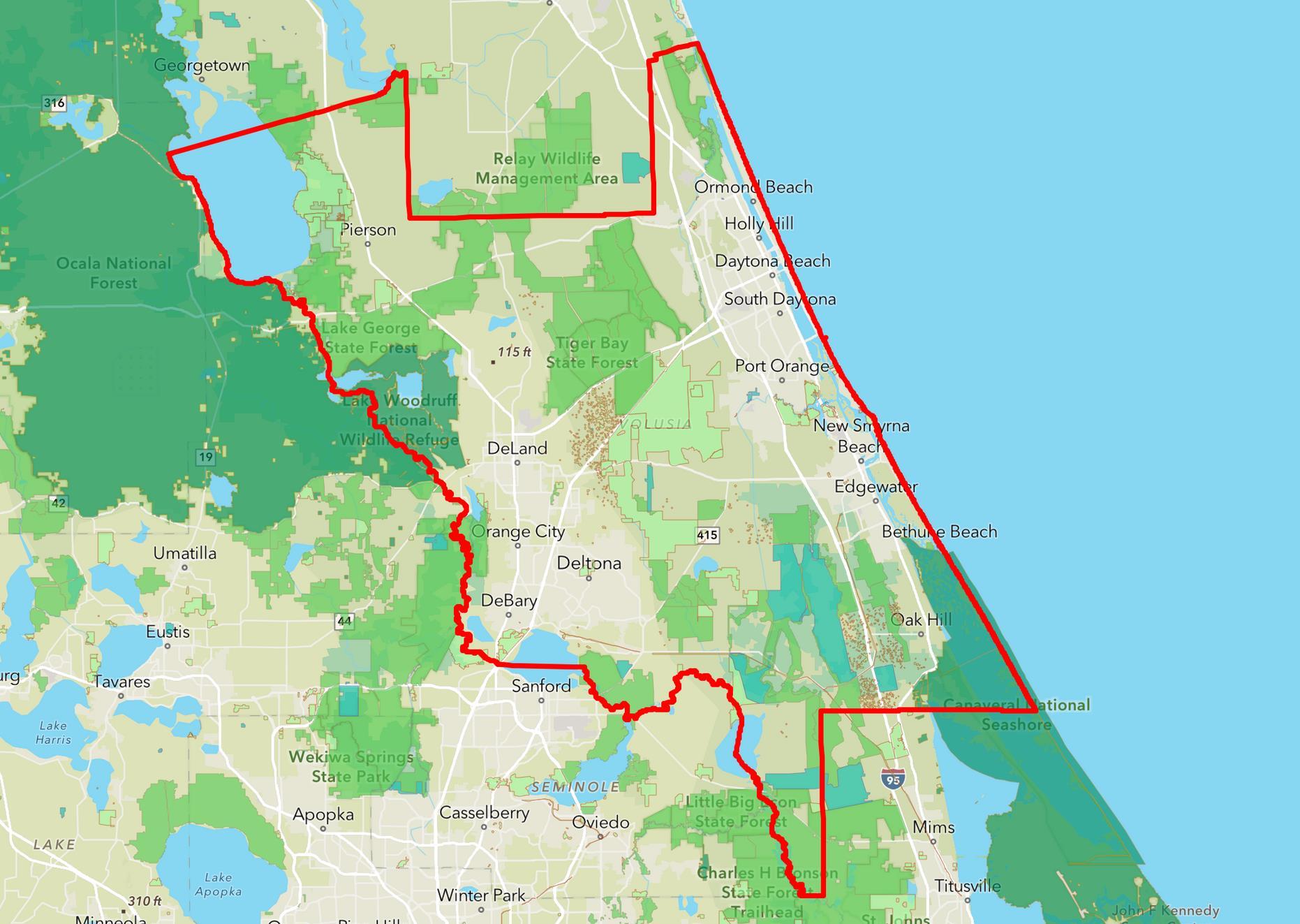
• How can you implement these solutions in your community?
• What helps aid connectivity?
• What are some potential barriers?
• Which partnerships (local governments, land trusts, private landowners, developers, or community groups) would be most important to engage in this area?







Jason Lauritsen
Florida Wildlife Corridor Foundation jason@floridawildlifecorridor.org
Billie Ventimiglia
Department of Urban and Regional Planning, Florida State University bventimiglia@fsu.edu
Ben Naselius Tall Timbers bnaselius@talltimbers.org
Dennis Smith
Department of Urban and Regional Planning, Florida State University djsmith3@fsu.edu