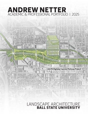
ANDREW NETTER
ACADEMIC & PROFESSIONAL PORTFOLIO | 2025
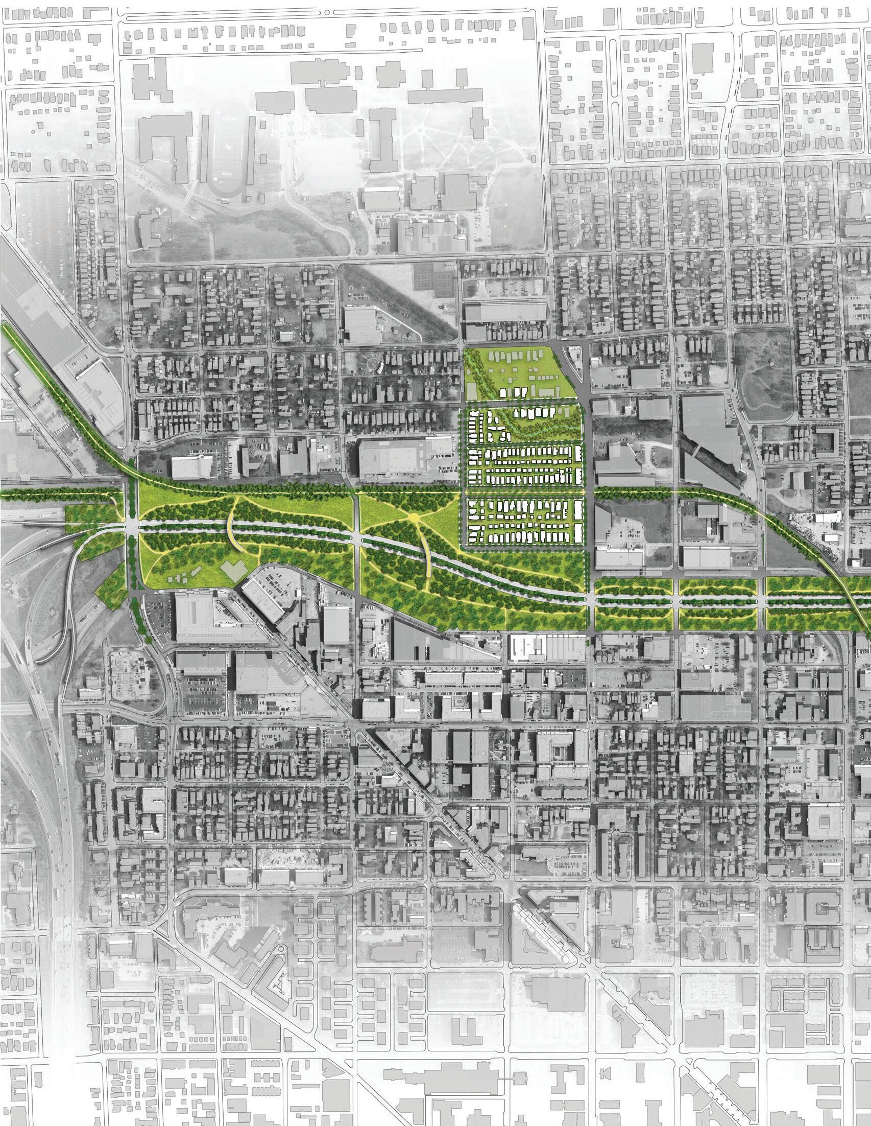
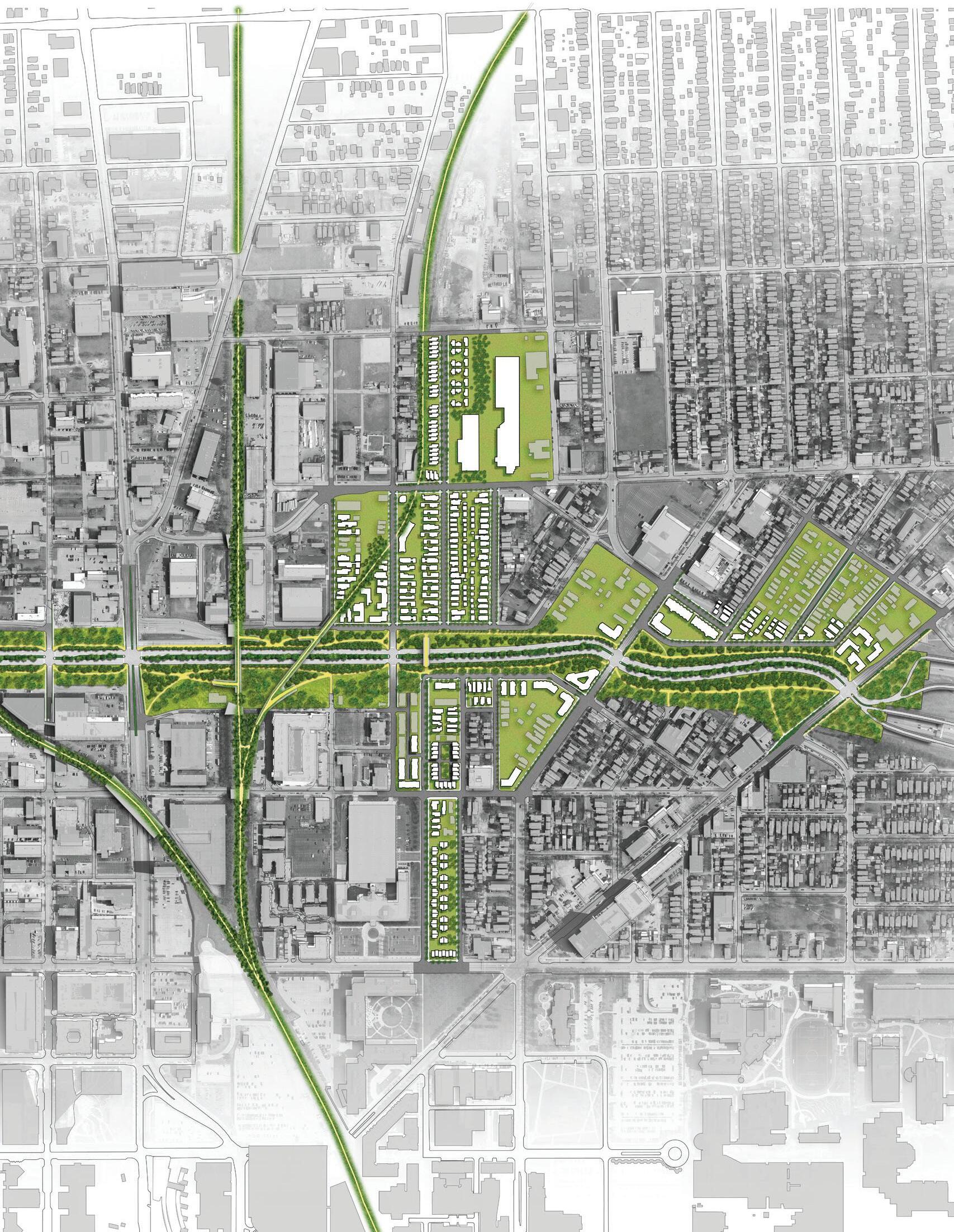
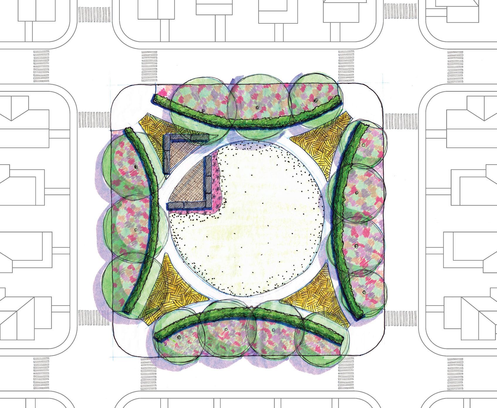
I-65/70 Highway Cap and Parkway Project Community and Urban Design Studio
I-65/70 Highway Cap and Parkway Project Community and Urban Design Studio
811 N. Tyrone Drive Muncie, Indiana 47304
248-946-1040 andrew.netter@bsu.edu https://linktr.ee/andrew.n
Contact Info.
Master of Landscape Architecture
Ball State University
Anticipated Graduation: May 2025
B.S. Urban and Regional Planning
Michigan State University
ArcGIS AutoCAD
Bluebeam Civil 3D
Hand Graphics
Illustrator InDesign LandF/X
Photoshop Rhino
SketchUp
ASLA: Indiana & National Sigma Lambda Alpha
BSU: Land Design Institute
BSU Student Research Symposium
Keys-Litten-Smith Graduate Award
Speculation on the Middle
Landscape Architecture Intern: May-August 2024
Context Design: Indianapolis, Indiana
- Collaborated on design concepts for parks, plazas, office parks, and community developments.
- Created planting plans for commercial projects based on landscape requirements.
- Participated in client and public meetings to gather feedback and community input.
- Conducted site inspections to verify planting accuracy and coordinated corrections.
Landscape Architecture Intern: May-August 2023
Kimley-Horn and Associates: West Palm Beach, Florida
- Produced plans and renderings for streetscape and pedestrian redesigns using Civil 3D, SketchUp, and Photoshop.
- Partnered with civil engineers to realign sidewalks, preserving mature trees and documenting removals/relocations.
- Adjusted planting and irrigation CAD drawings for final as-built documents.
- Designed planting and irrigation plans with Land F/X for streetscape and parking lot projects.
Senior Planner: January 2021-August 2022
Property Development Analyst: November 2017-January 2021 City of South Bend: South Bend, Indiana
- Developed and maintained a database of city-owned properties and managed updates.
- Oversaw community improvement projects and design consultants.
- Managed design consultants in preparing RFP bid packages for high-profile city properties.
- Led neighborhood planning, public meetings, and stakeholder outreach to inform strategies.
Graduate Assistant: August 2022-Present Ball State University: Muncie, Indiana
- Assisted with grading, research, and developing materials for design competitions and client projects.
...after almost five years in the municipal planning game, I felt it was time for a little bit of a shake-up. Out of a desire to gain the technical design capabilities I had observed while working with consultants on numerous neighborhood planning projects, I decided to pursue my Master of Landscape Architecture. During my time with the city of South Bend, I had the opportunity to experience the transformative, empowering, and democratizing effects that thoughtfully designed spaces can have for the surrounding community and its residents. Projects in South Bend like Howard Park and the Coal Line Trail as well as projects in Detroit, MI like the Detroit Riverwalk and Dequindre Cut, have been influential in my pursuit and understanding of the role of landscape architecture.

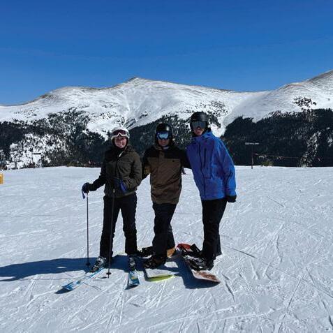
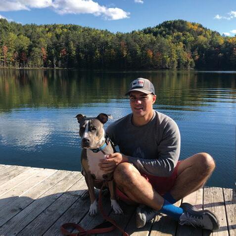
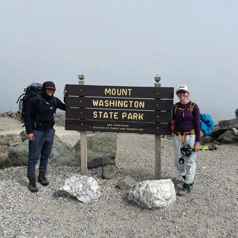

...outside of my studies and work, I enjoy getting outside as much as possible. Vacations for me usually include some combination of hiking, camping, backpacking, mountain climbing, skiing and snowboarding, amongst other things. On less rigorous vacations I can usually be found in Northern Michigan in the little village of Topinabee, relaxing lakeside enjoying the psychedelic jams of the Grateful Dead. Whenever possible, I am are sure to bring along Isla, my 6 year-old pitty who (outside of her only flaw of having a dramatic phobia of nail-clippers) is the perfect pupperino.
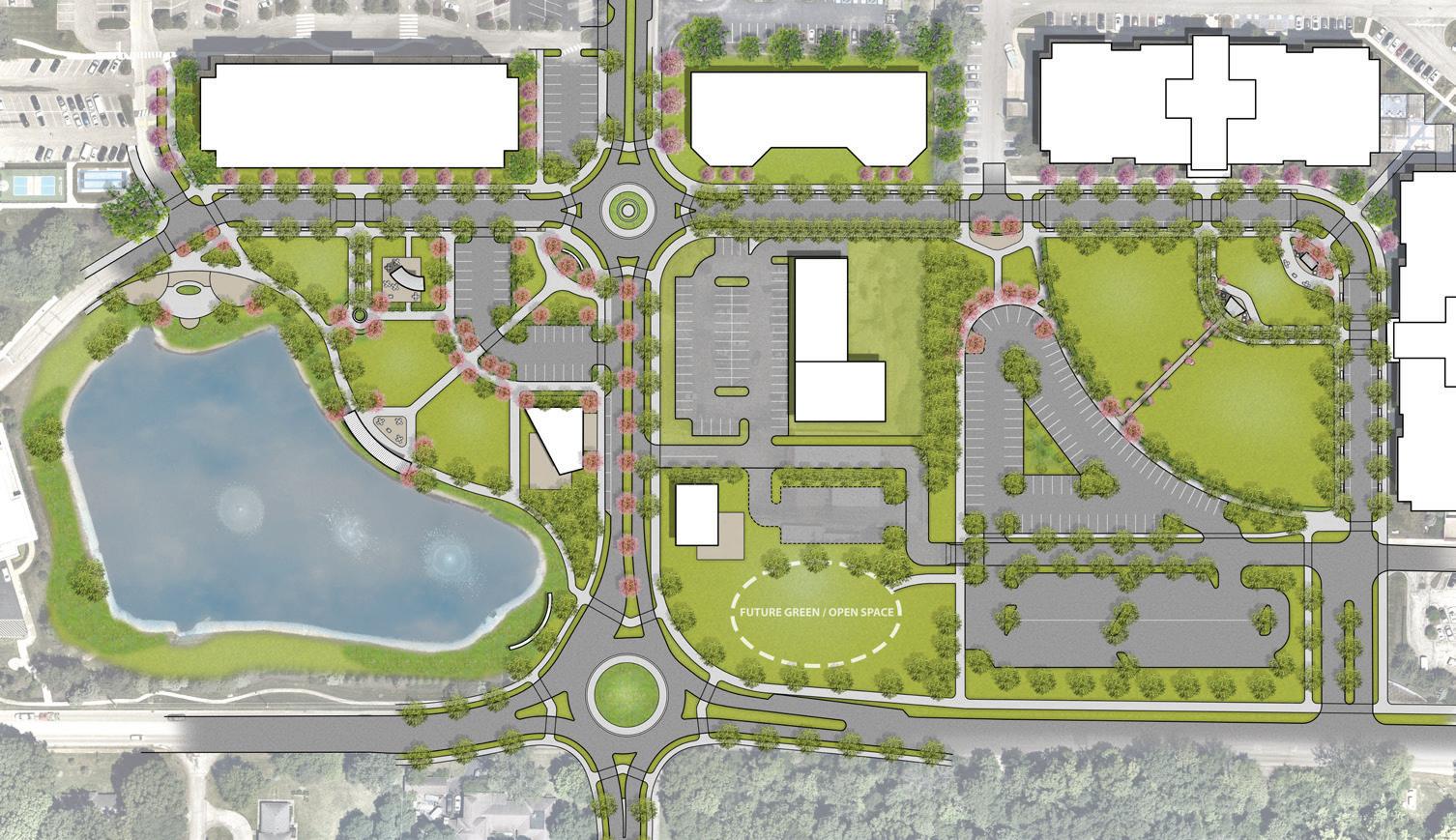
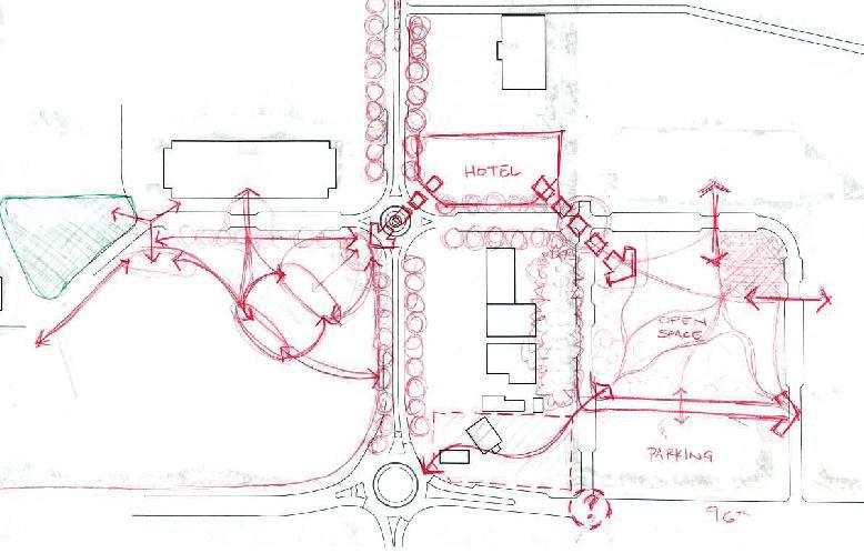
Business Campus Master Plan (Above):
• Developed initial conceptual master plan sketches exploring ideas for redesign, activation, and expansion of business park amenities.
• Participated in client-consultant meetings to gather feedback on designs to be incorporated in to site plan revisions.
• Drafted CAD linework for complete site plan based on developed concepts and client input to be used for illustrative renderings.
• Assisted in production of site plan renderings and graphic diagrams for client meetings.
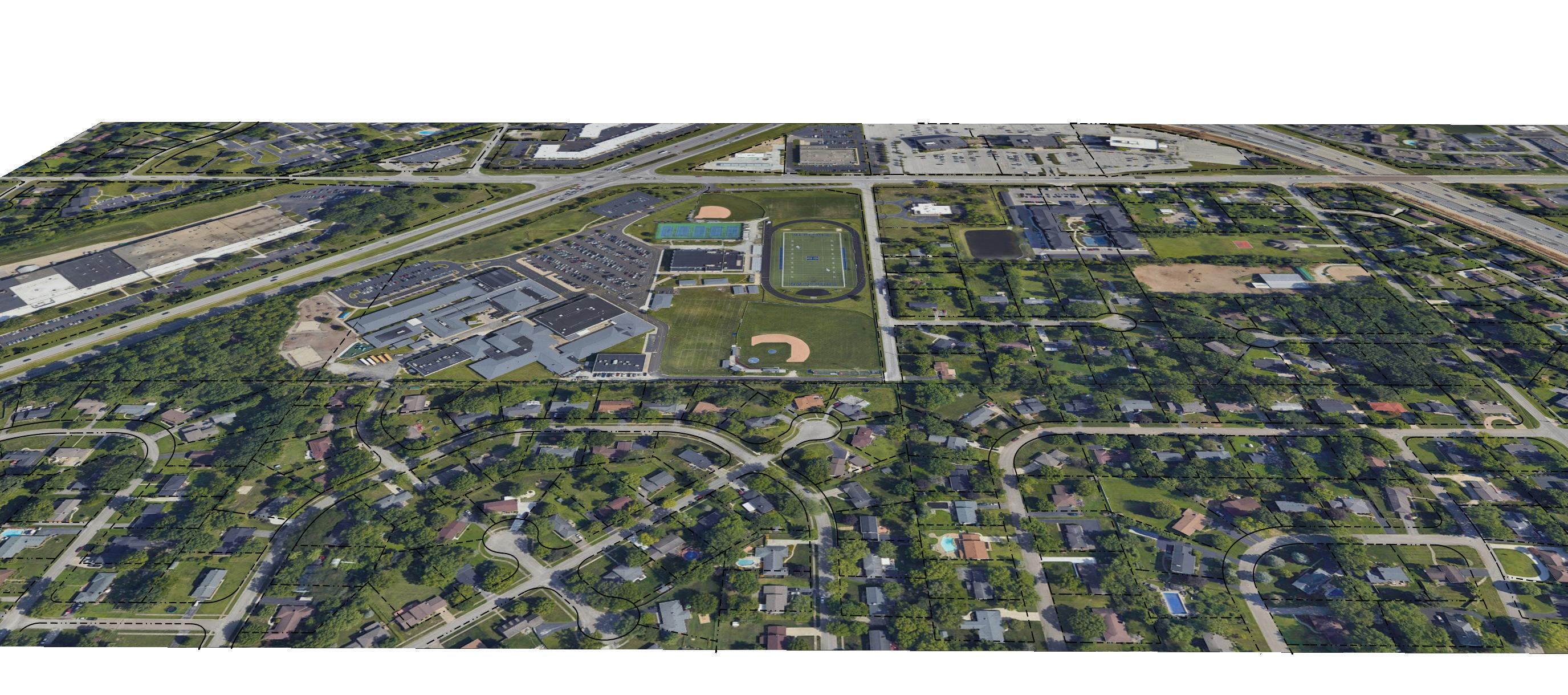
(Opposite Top):
• Created a building massing model (shown opposite), following the revision of the overall educational campus master plan.
• Massing model provided spatial context to the potential future build-out scenario for the campus and the surrounding structures.
(Opposite Bottom):
• Calculated required plantings necessary for code compliance based on previously gathered landscape development regulations.
• Developed a plant palette and initial planting plant that was then reviewed and adjusted for the final planting plan seen opposite.
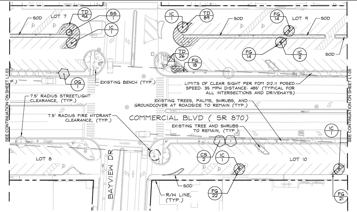
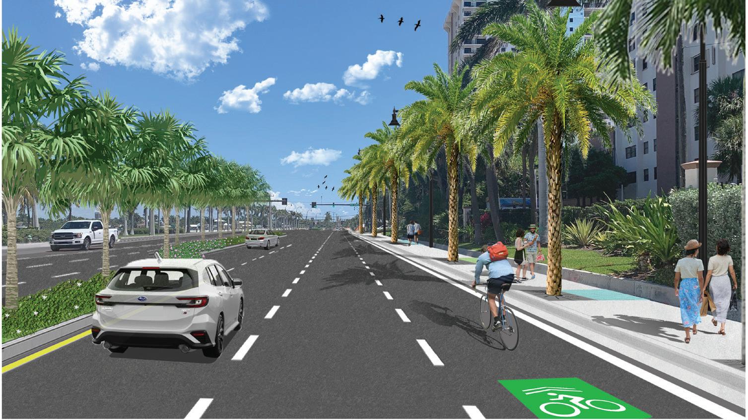
Commercial Boulevard. Streetscape Planting Plan Fort Lauderdale, Florida
Streetscape Planting Plan (Above):
• Assisted in infrastructure and landscape enhancements for the public right-ofway along Commercial Boulevard, Fort Lauderdale.
• Designed the planting plan and developed the planting schedule for the project.
• Ensured compliance with Florida Department of Transportation (FDOT) design guidelines.
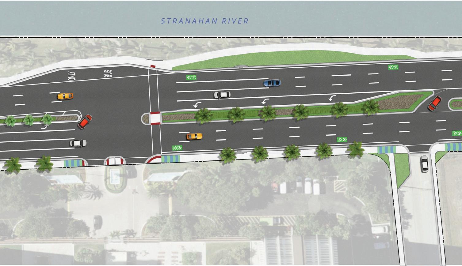
Streetscape Redesign (Opposite):
• Collaborated with landscape architects and clients to develop conceptual renderings for streetscape improvements along A1A in Hollywood, Florida.
• Produced before-and-after site plan and perspectives to visualize proposed enhancements.


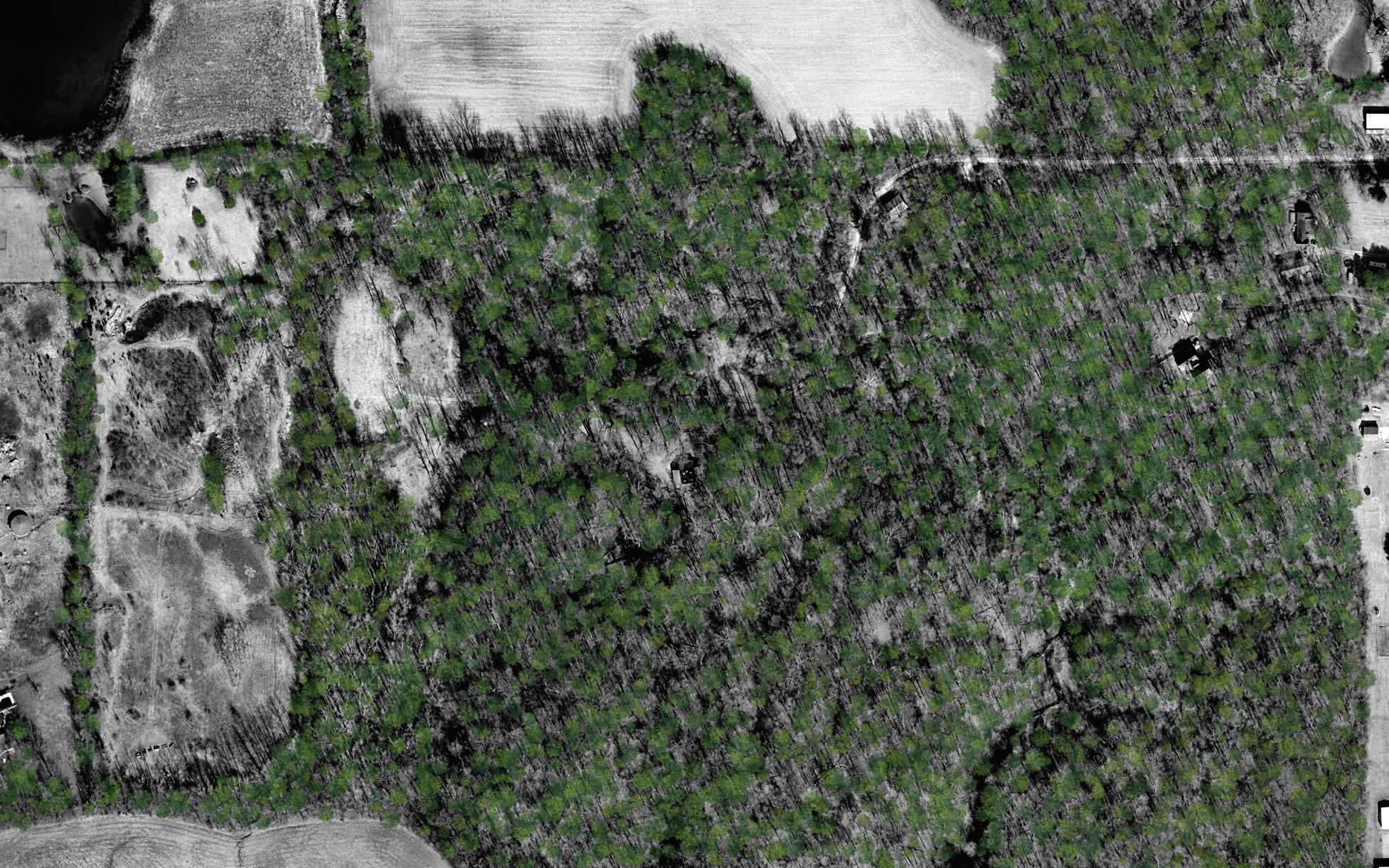
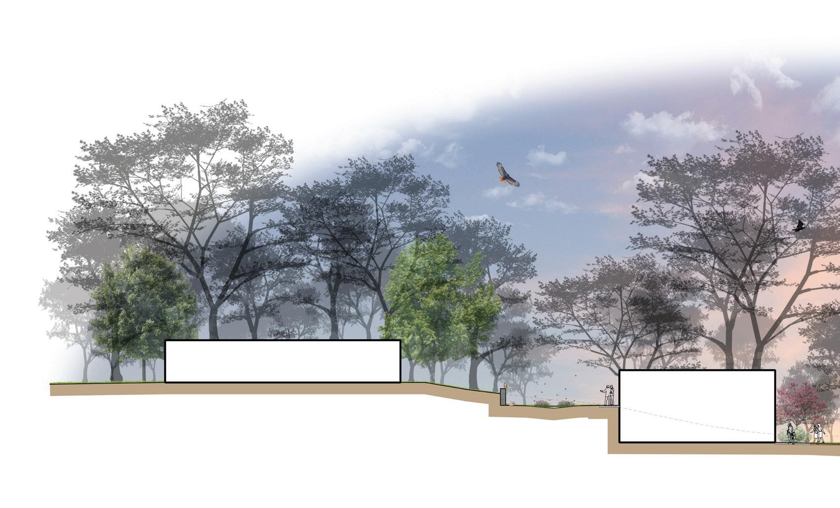
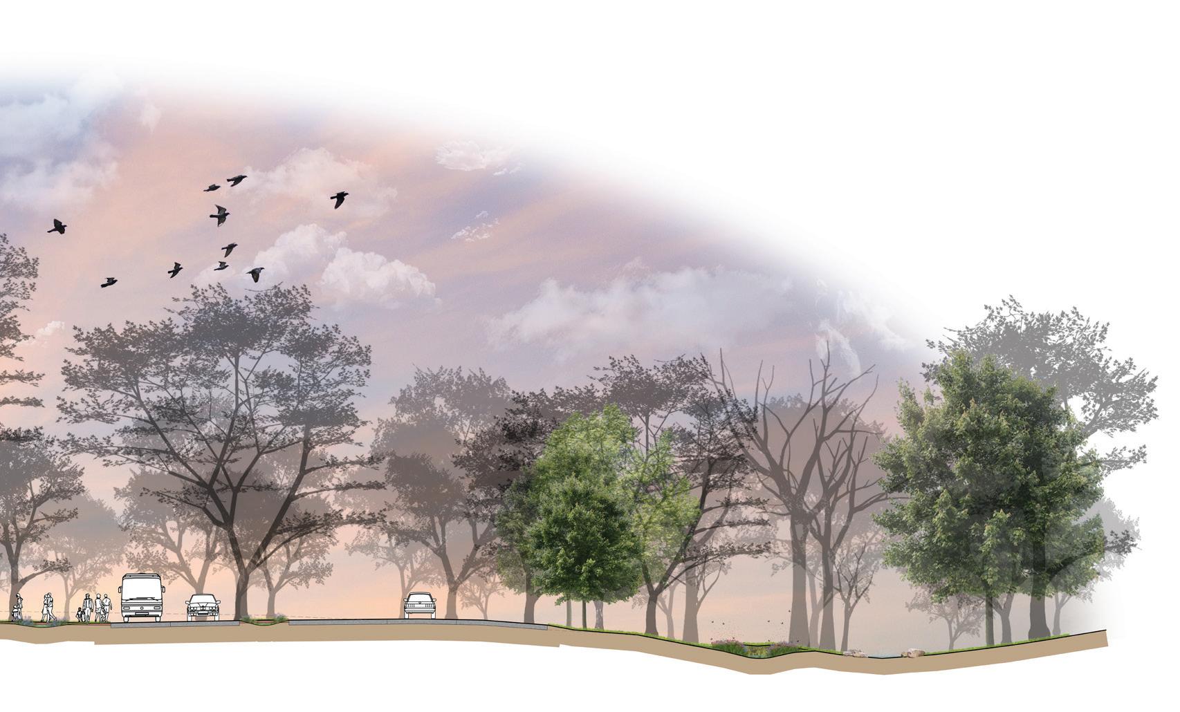
Project Description: The Munsee Woods Nature Center project focuses on the sustainable redesign of a 47-acre site in east-central Indiana. The project entails comprehensive site planning, including grading, drainage, circulation, and parking, strongly emphasizing environmental stewardship. This project encompassed the full design process from site visit, inventory, and analysis to conceptualization and development to final production of construction documents. The design integrates low-impact development strategies, minimizes site disturbance, and enhances visitor engagement with nature through immersive educational spaces, trails, and sustainable infrastructure. The project showcases landscape engineering, site planning, and ecologically sensitive solutions.
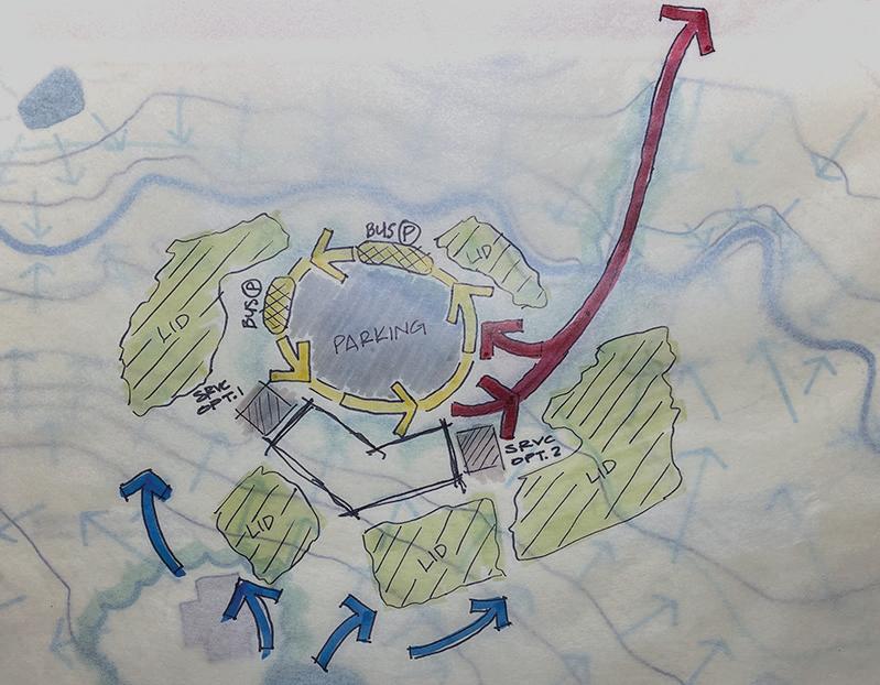


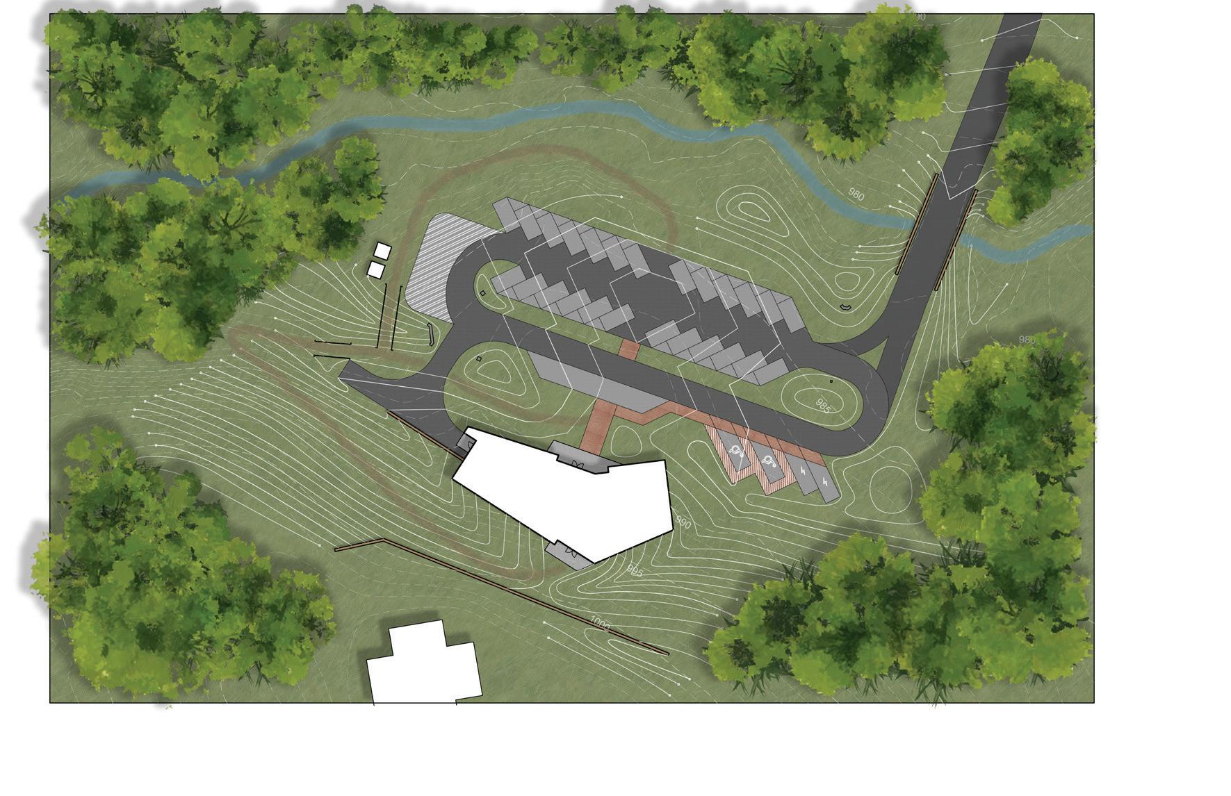
Low-Impact Development Strategies:
Maintainting pre-development levels of stormwater infilitration was a centerpiece of this project. This goal was achieved through the design of low-impact development strategies throughout the site. Vegetated bioswales, raingardens, and permeable surfaces have been designed as measures to address the need for stormwater management and infilitration. Strategic placement adjacent to site development was crucial for addressing stormwater runoff from proposed impervious surfaces and also as a way to seamlessly integrate these sustainable elements as a way to increase awareness and education on stormwater management measures. Additionally, the proposed planting palette calls for a native selection as an effort to increase biodiversity and support local species.
Design Strategy: The proposed design attempts to consolidate development in order to minimize site disturbances to the existing terrain, forest, and hydrological systems.
TOWARDS ENTRANCE DRIVE SECTION
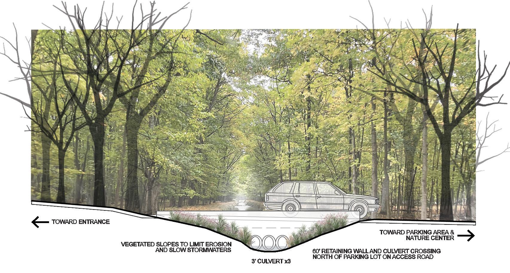
VEGETATED SLOPES LIMIT EROSION AND SLOW STORMWATER
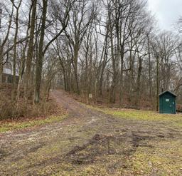
TOWARDS PARKING AND NATURE CENTER
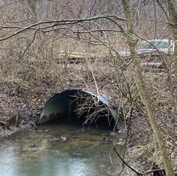
60’ RETAINING WALL AND CULVERT CREEK CROSSING
3’ CULVERT x3
Entrance Drive Section - Medford Drain Drive Crossing
RAINGARDEN
ACCESS DRIVE AND DROP-OFF ZONE
VEGETATED BIOSWALE
45-DEGREE ANGLED PARKING PERMEABLE CONCRETE SPACES
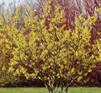
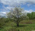
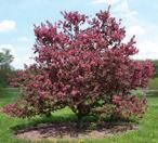
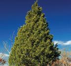
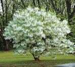
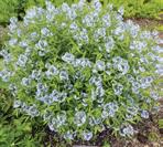
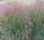
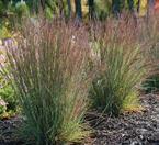
NATIVE PLANT PALETTE
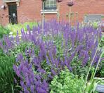
Perennial Combinations
Potential Options:
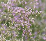
LIM-L Limonium latifolium sea lavender
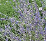
PER-A Perovskia abrotanoides ‘Little Spire’ Russian sage, little spire
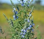
SAL-A Salvia azurea blue sage, pitcher sage
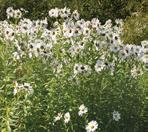
LEU-S Leucanthemella serotina giant daisy
BOL-A Boltonia asteroides false aster
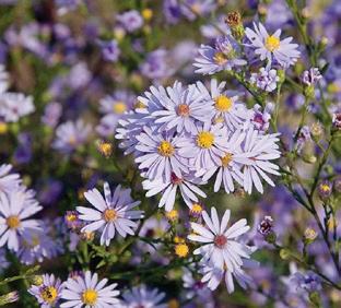
AST-A Aster azureus sky blue aster
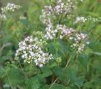
GER-S Geranium sanguineum ‘Max Frei’ bloody cranesbill
EUT-M Eutrochium maculatum spotted Joe Pye weed
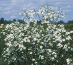
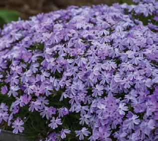
PHL-S Phlox subulata moss phlox
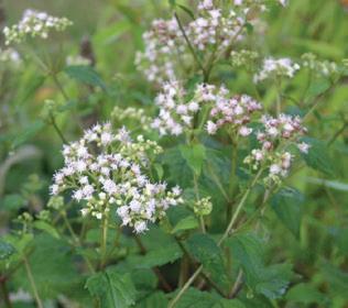
AGE-A Ageratina altissima white snakeroot
SPO-H Sporobolus heterolepis prairie dropseed *can be mixed in w/perennials
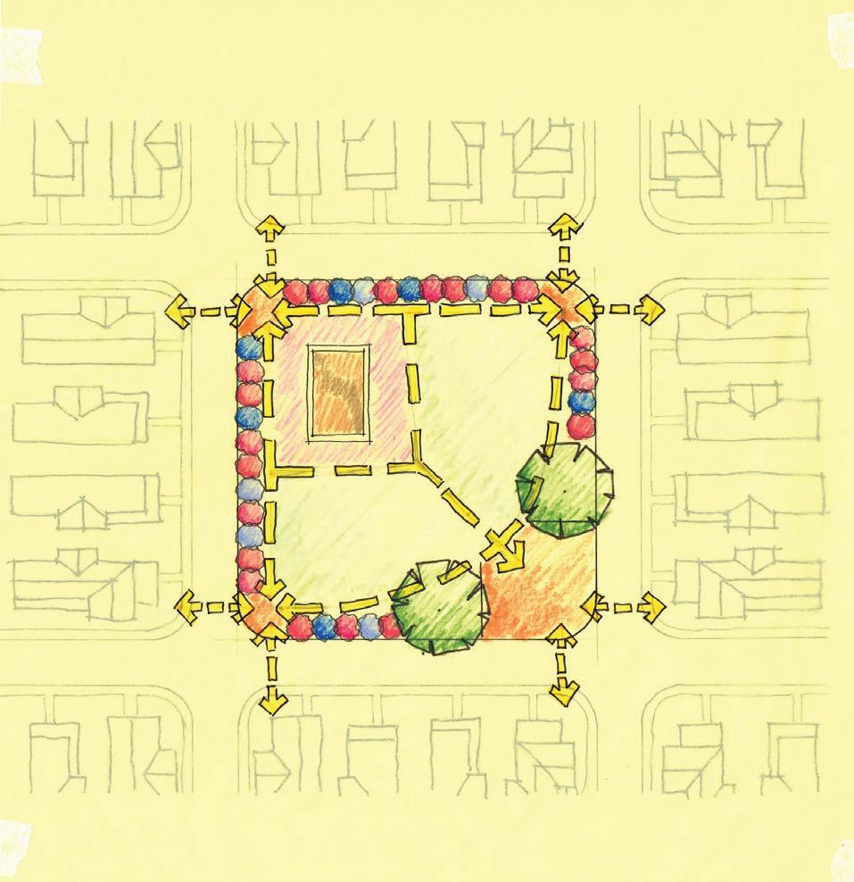
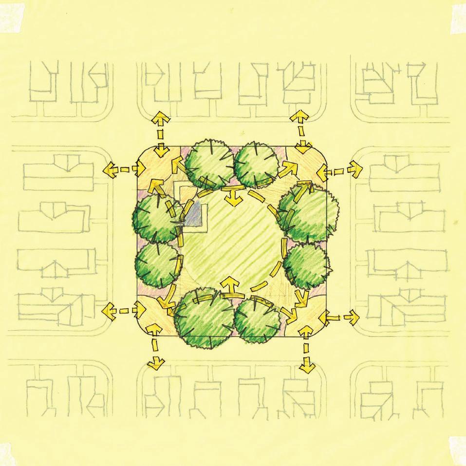
Concepts: Two distinct concepts were produced as initial considerations for design. The top features a single central lawn surrounded by a path that incorporates seating into the architectural remnants. The second creates a


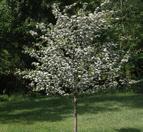
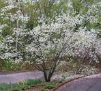
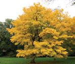
Ornamental Flowering Trees/ Large Flowering Shrubs
Potential Options:
CRA-V Crataegus viridis ‘Winter King’ Winter King Green Hawthorn
AME-L Amelanchier laevis allegheny serviceberry
MAL-S Malus spp. crabapple
CHI-V Chionanthus virginicus fringe tree
HAM-V Hamamelis virginiana common witch-hazel
PRU-V Prunus virginiana common chokecherry
AME-I Amelanchier interior inland shadbush
JUN-V Juniperus virginiana eastern red-cedar *optional evergreen alternative
monument-type of experience of the remnants, surrounded by perennials and two lawns and is a visual centerpoint from the southeast entrance.
Historical structural remnants to remain in park and be integrated into path network as sitting area.
Project Description: The project focuses on designing a neighborhood park that serves both as a year-round recreational space and a seasonal event venue. Key elements include walking paths, seating areas, defined entrances,
Event Lawn and a flexible layout to accommodate an annual festival. The design integrates a planted framework for seasonal interest and considers the existing historical structural remnants.

Eastern Park Edge Section Cut (see next spread)
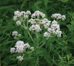
Perovskia abrotanoides
‘Little Spire’ Russian sage
Street

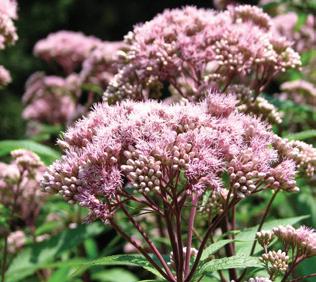
Eutrochium maculatum spotted Joe Pye weed
Ageratina altissima white snakeroot
Park entrance
Edge plantings creates visual interest from park exterior.
Plant Selection: The planting palette was developed with the goals of utilizing mainly native midwest species, creating a vibrant spectrum of colors, providings increased biodiversity and habitat to support local wildlife and insects, and finally selecting plants that would maintain year-round visual interest.
Perimeter Perennials spring - fall foral color
Native Grasses and Evergreen Shrubs year-round interest/color and screening
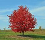
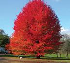
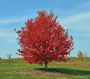
Acer rubrum red maple
Liquidambar styraciflua sweet-gum

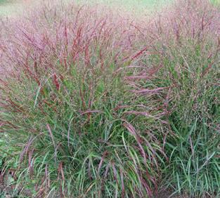
Panicum virgatum switchgrass
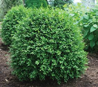
Canopy trees and boxwood provide shade and screening.
spotted Joe Pye weed moss phlox Russian sage sky blue aster white snakeroot littleleaf boxwood switchgrass purple prince crabapple red maple sweet-gum
Small market sheds
Retail patio spaces
Open space / event lawn
Small performance stage
Large market sheds
Outdoor patio for expanded activity space
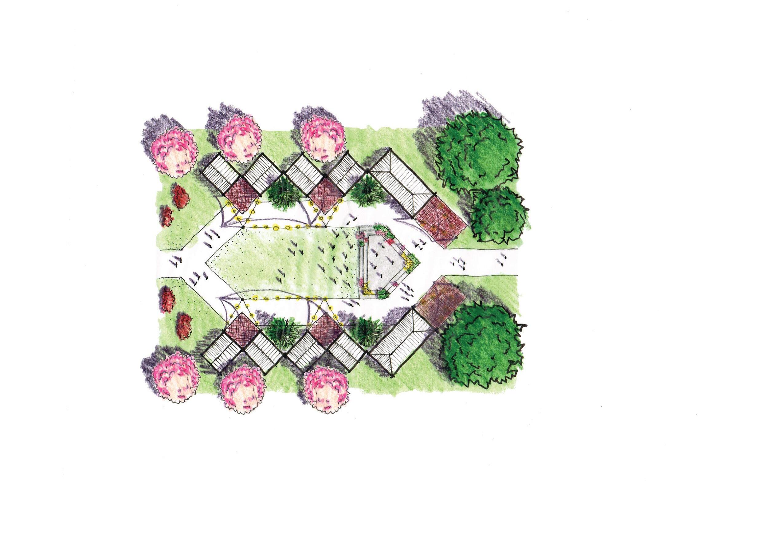
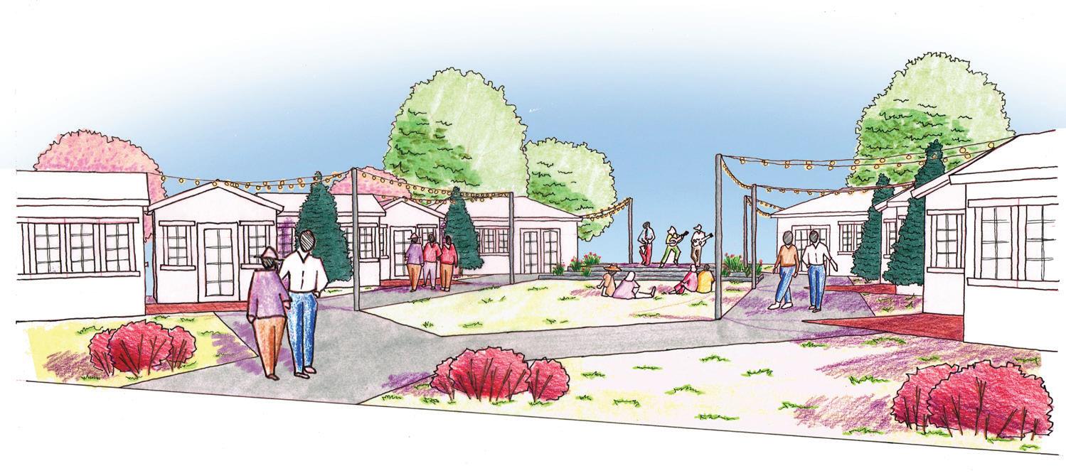
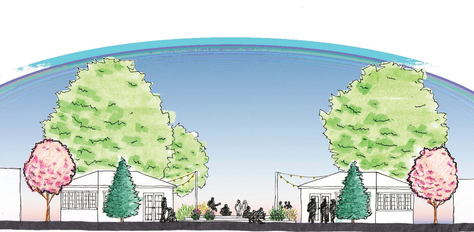
Project Description: The City of Alexandria, Indiana sought to transform a city-owned vacant lot into a dynamic small-business incubators to stimulate economic development and community engagement downtown. The site plan accommodated eight 10’x12’ incubator sheds, two 12’x24’ incubator sheds, an event lawn, and a performance stage. The design aimed to create an inviting, multi-
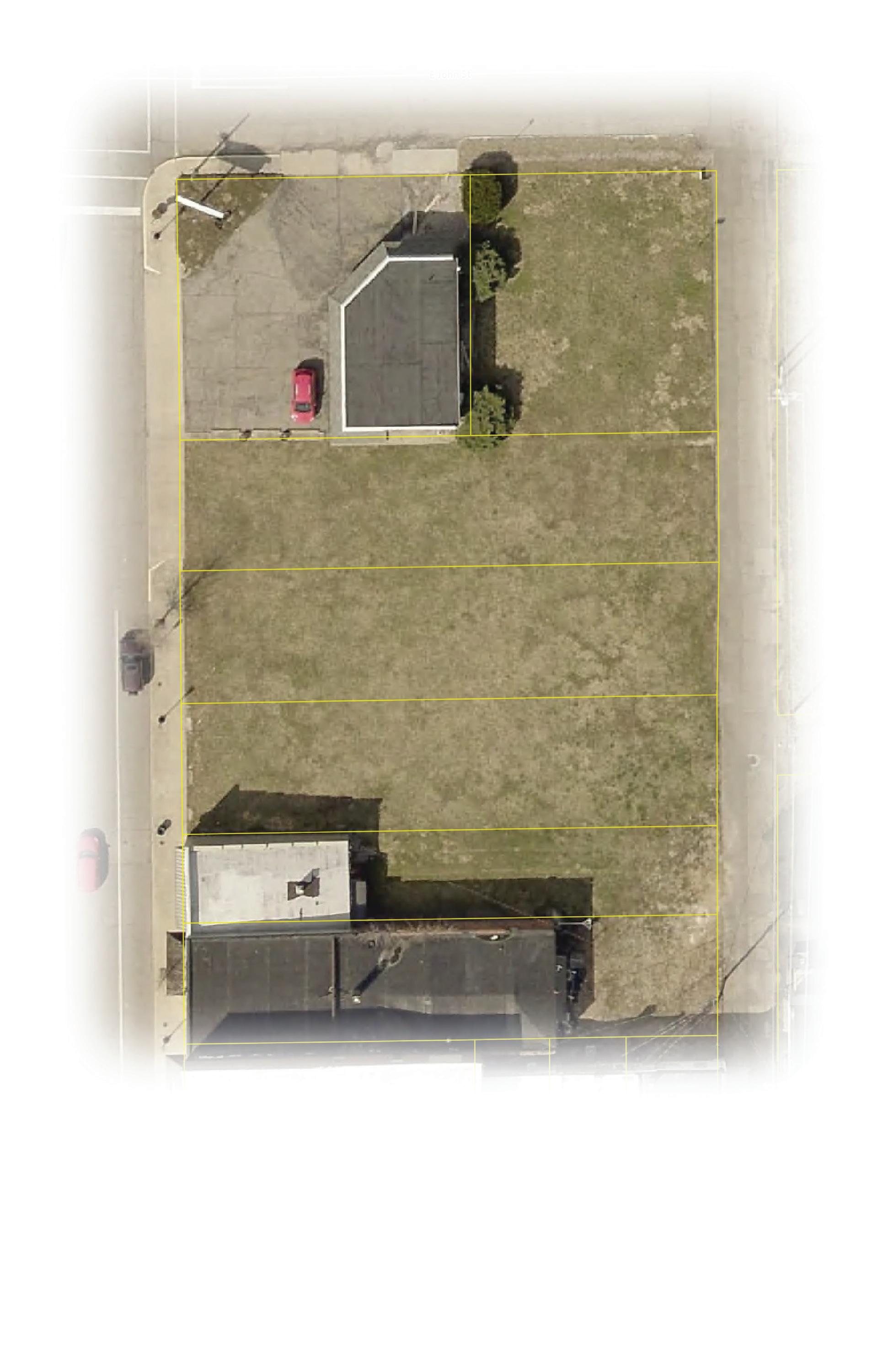
functional environment that attracts visitors and supports emerging businesses. Thoughtful spatial organization and strategic placement of incubator units and performance areas maximize activation opportunities, fostering a vibrant and adaptable public space that enhances downtown activity and economic vitality.
Perspective
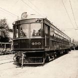
Signage Concept: Drawing on the city’s historical connection to interurban rail travel, informational signage concepts were developed, incorporating historical details such as train rails, station signage styles, and vintage-styled fonts.
Signage Concept Development
Signage Concept
Initial Concept Sketch
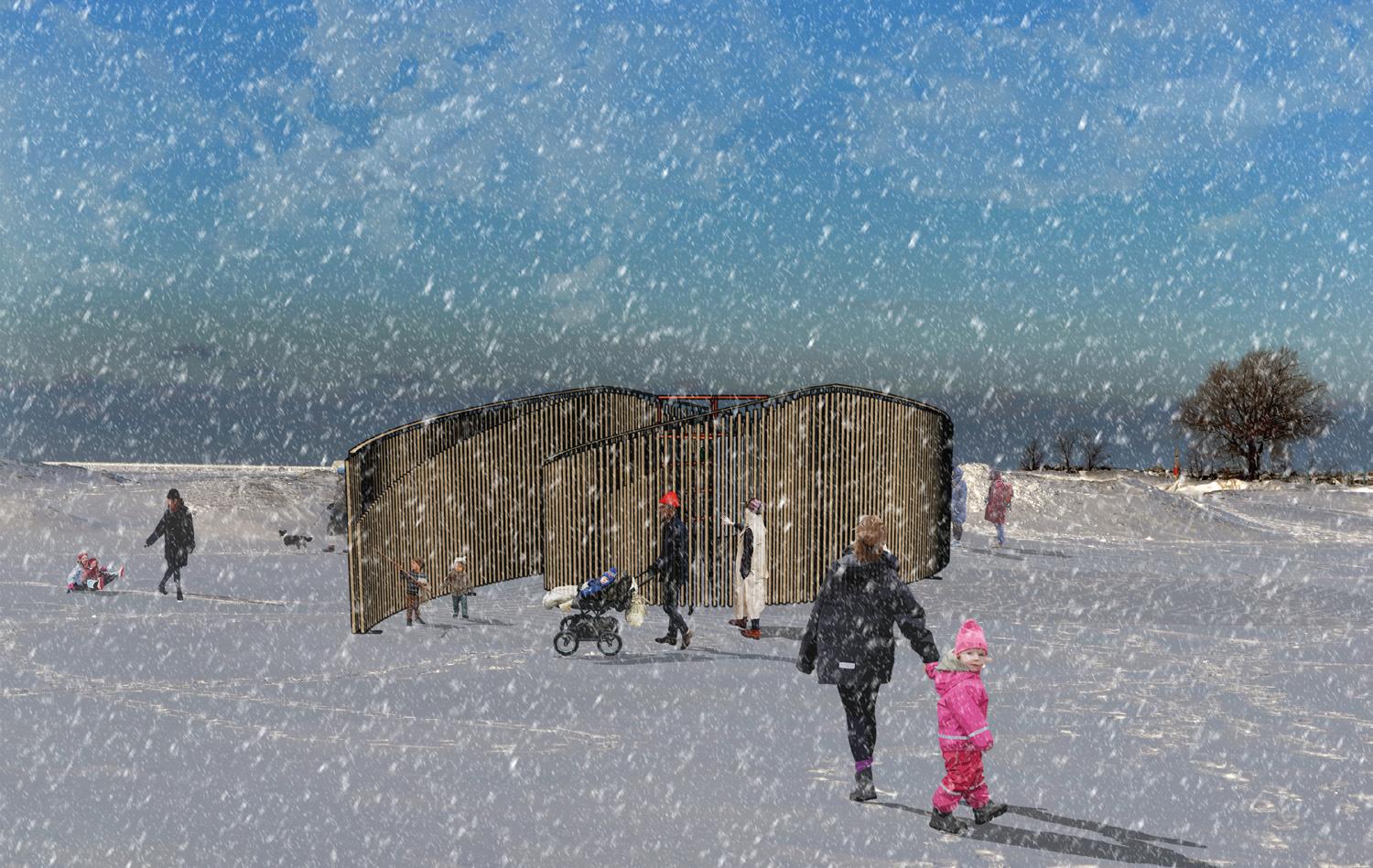
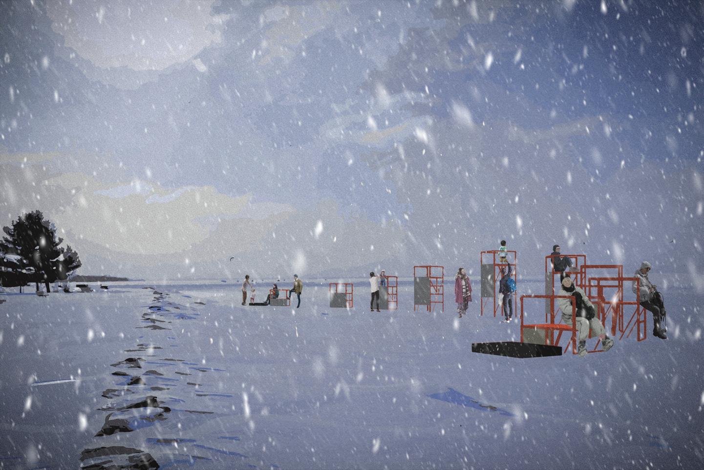
Competition Description: Toronto’s Winter Stations competition is an annual design challenge that transforms the city’s lifeguard stations into innovative, interactive art installations, re-imagining public space along the winter waterfront.
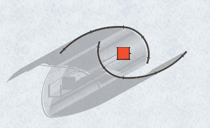
Site Plan and Shadow Study
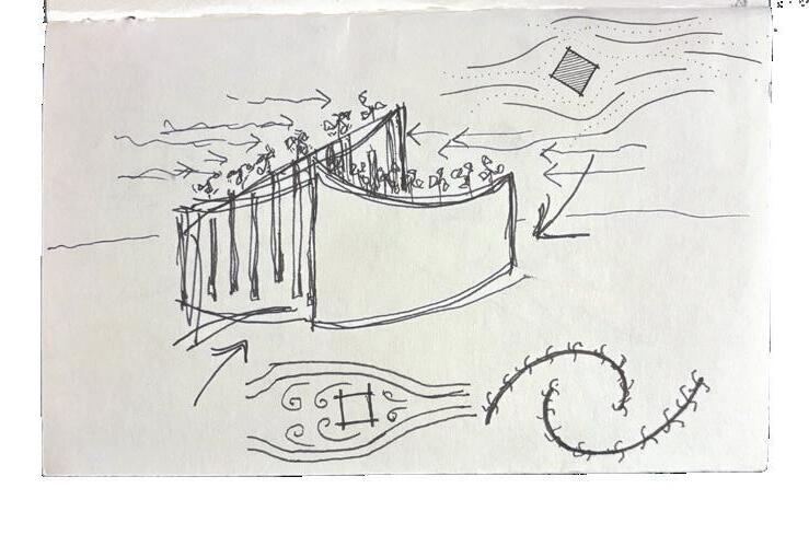
Design Narrative: VEIL is an interactive installation that shifts with wind and touch, creating a dynamic soundscape. Concealing the lifeguard stand, VEIL gradually reveals the obscured station as visitors move inward, offering an immersive experience of discovery, sensory engagement, and the interplay of movement, sound, and space.

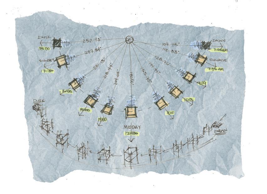


stand - sit on the imitation station arrangement and observe the surrounding landscape, frozen lake ontario, the movement of the sun, the interplay between light and shadows cast by the stations.
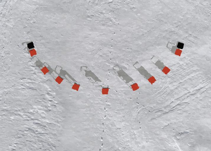
formation of stations mimics the path of the winter sun. stations oriented towards sun based on specific times of day.


Design Narrative: THIS ALL ENDS installation guides visitors through a symbolic journey from dawn to dusk, reflecting the cycle of existence. Stations rise and fall in an arching form, mirroring the sun’s path across the sky above the frozen Lake Ontario. Visitors can sit, observe shadows, and contemplate humanity’s peaks and
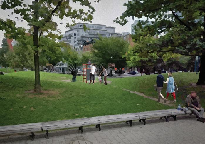

imitation stations can be relocated to parks throughout toronto during summer - off-season months.
valleys, the passage of time, and the interplay of light and structure. As part of the submission, special attention was given the graphic design of the proposal submission resulting in a scrap-book-esque presentation.