
www.bayofislandsmarina.co.nz


Passage to New Zealand
Customs procedures in Opua
Services and contacts on arrival
Events and activities in the Bay of Islands
Cruisers Festival Information

Cruisers Stories AND MORE...

www.bayofislandsmarina.co.nz
Passage to New Zealand
Customs procedures in Opua
Services and contacts on arrival
Events and activities in the Bay of Islands
Cruisers Festival Information
Cruisers Stories AND MORE...
Nau mai, Haere Mai, to the Bay of Islands
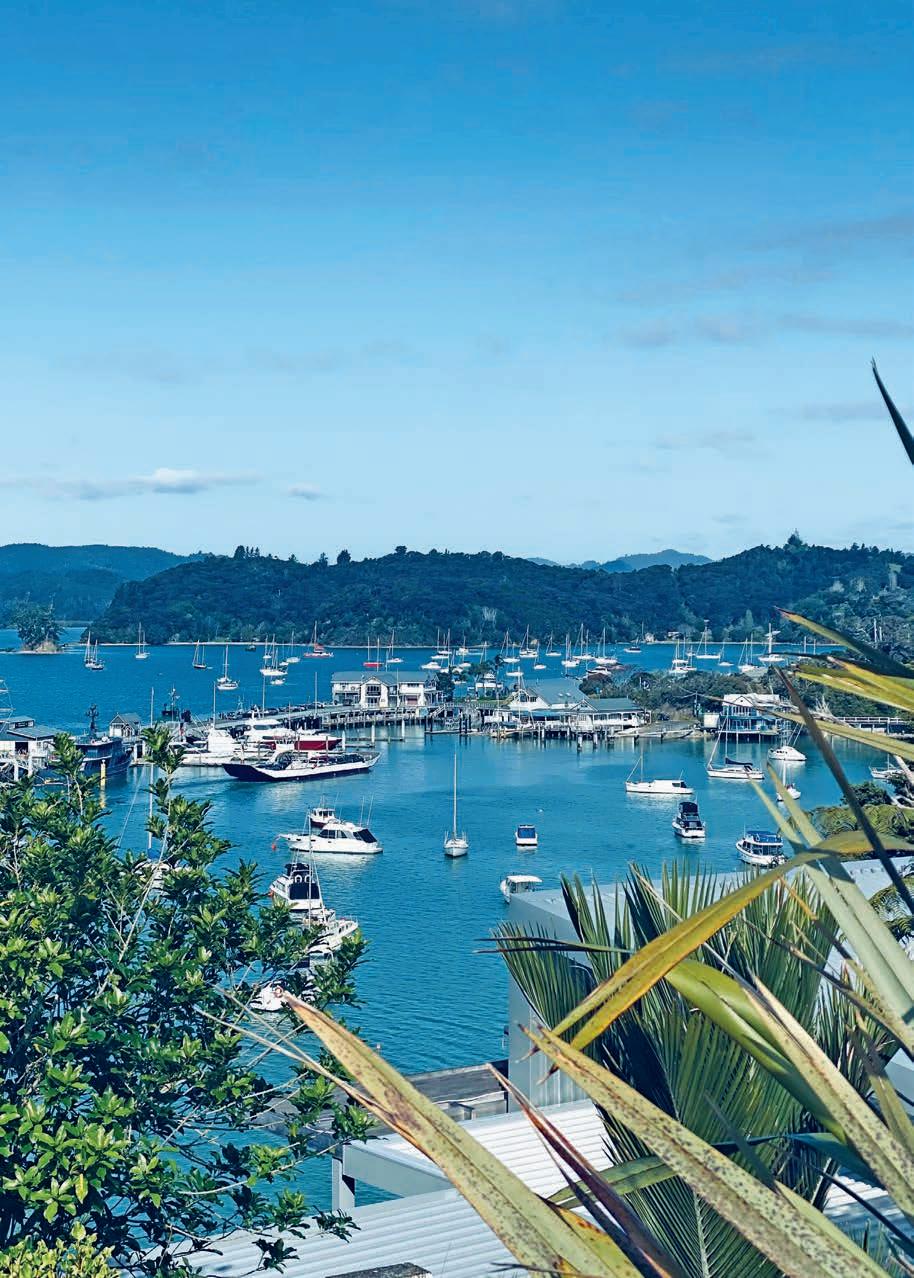
You’ve made it to Peowhairangi (Bay of Islands) – your first glimpse of New Zealand’s remarkable beauty. We’re delighted to have you!
This year we are celebrating 20 editions of the Gateway Magazine! This book has been produced as a valuable resource for you to keep on your boat, car, house, or bike, and use throughout your stay in New Zealand.
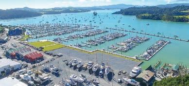
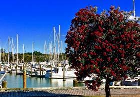
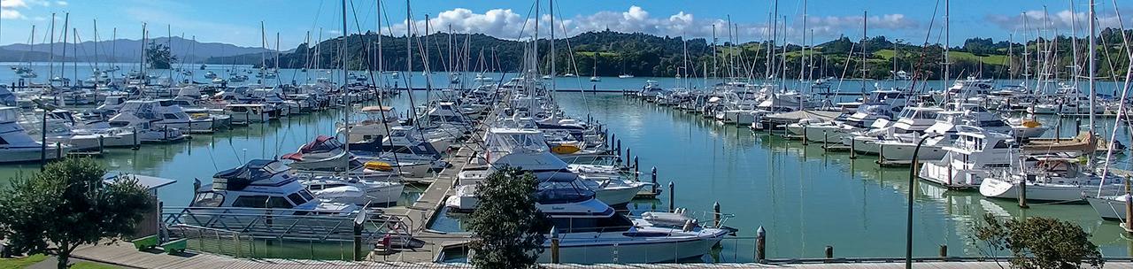
Here in Opua you’ll find a friendly community, sheltered anchorages with excellent holding, a modern 450-berth marina, and a swathe of services to assist with your needs.
Bay of Islands Marina is in the heart of the Bay of Islands; some of New Zealand’s premiere cruising grounds. You’ll find world class fishing, top dive sites, hiking trails, cycle tracks, and more. Whether you’re needing dive tanks refilled, provisions delivered, or a full re-fit on your boat, there’s plenty of friendly business owners to help you.
Clearance to New Zealand is hassle-free in Opua, and the quality location boasts a quarantine berth on the northern end of the marina which can hold up to 2 0 yachts at any one time.
A personal touch; welcome from Opua and the Bay of Islands businesses.
Bay of Islands Marina - A Personal Welcome from Opua
On behalf of the Bay of Islands Marina, Boatyard, and the wider business community, we’d like to extend a warm welcome to New Zealand and the Bay of Islands.
For many cruising sailors, Opua is their first port of call in New Zealand. We are proud to be both the gateway to this remarkable country heart of one of the world’s great cruising destinations. Wheth here for a few days, a season, or longer, you’ll find a community that understands the needs of visiting sailors and is ready to help.
We encourage you to browse the map and directory of local suppliers at the end of this booklet and discover the many services, experiences, and attractions available throughout the Bay of Islands and Northland. We look forward to meeting you, sharing our corner of New Zealand, and helping you make the most of your time here.
Fair winds, safe cruising, and we look forward to welcoming you to Opua.
Sincerely, Daniel Alexander, Marina Manager, Bay of Islands Marina
Ahoy Boaties and welcome to Opua. On behalf of the local marine industry, we’d like to extend a warm welcome to all vessels arriving this season. With 35 world-class marine trades and specialists located right on the marina’s doorstep, Opua is one of the best-equipped marine service hubs in the South Pacific. From electrical, engineering, rigging and sailmaking to haul-outs, painting, electronics, mechanical and chandlery, you’ll find the expertise you need close at hand.
Whether you’re preparing for your next passage, doing some upgrades or undertaking a major project, our local marine professionals are here to help. I encourage everyone, be it first-timer at the Opua Marina or seasoned veteran, to take a half-hour and walk around to say hello, get to know your local providers by visiting all businesses and checking out which services and goods are on offer. Whether you are staying close or wanting to explore further inland, don’t be shy to ask us locals for insider tips, things to do to and places to see. We look forward to seeing you and your vessel in Opua.
- Cheers, Dean Peters, Business Bay of Islands

Fiji Maritime Surveillance & Rescue Coordination Centre
VHF Ch 16
+679 3315380
E: operations@rccfiji.org
Taupo Maritime Radio is the radio communication arm for the Rescue Coordination Centre in New Zealand (RCCNZ).
Maritime Operations Centre Kordia
Taupo Maritime Radio ZLM
VHF Ch 16
SSB 2182, 4125, 6215, 8291, 12290, or 16420
Tel: +64 4 550 5280 maritime@kordia.co.nz
Rescue Coordination Centre NZ (RCCNZ) Search and Rescue
New Zealand (toll free):
0508 4 RCCNZ (0508 472 269)
Calling from outside New Zealand: +64 4 577 8030
RCCNZ1@maritimenz.govt.nz
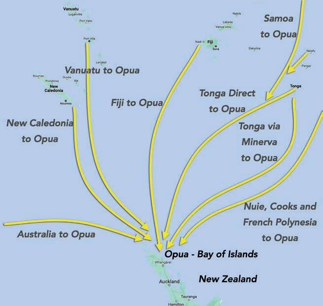
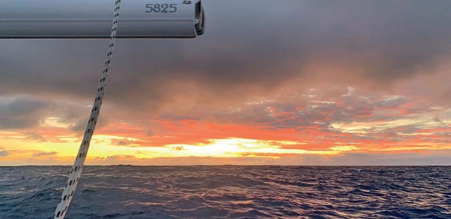
Heading to New Zealand? There’s every chance you may have heard about the passage south as treacherous and challenging. After a typical season through French Polynesia and across the South Pacific Island Groups, it’s easy to see why the dive south can seem daunting.
But if anyone can dispel the myths surrounding this passage with clarify and hands-on-experience it’s John Martin, a seasoned cruiser and expert weather router who has completed this passage over 50 times.
Things to consider.
The passage to New Zealand typically takes 7-11 days from any of the pacific groups, depending on your average boat speed and vessel polars. Departure planning is an essential first step in passage comfort and safety. A couple of days can make the world of difference. Each year I organise weather seminars mainly in Fiji, for cruisers who are looking to make the passage. We discuss weather at the time, typical systems, and what to look out for when picking your window. Go to www.coastalandoffshorecruising.com for more information.
One of the things I’ve learned while cruising is, if you want information – ask someone who’s done it before. Not the know-it-all propping up the bar! I’ve been sailing in the SW Pacific now for over 30 years, with over 150,000 sea miles under the keel and weather is one of my passions. To say you can’t do the passage from the Pacific Islands to New Zealand without getting hammered is simply untrue. Of the 50 times I’ve completed the passage, there has only been ONE bad trip – the first one. At that point, it was either a case of giving it up or finding a better way. Since then, I haven’t had a bad trip or a trip where neither people nor boat have suffered damage.
The key takeaway is with proper passage planning followed by good passage management, a good trip can be had.
New Zealand as a destination
New Zealand is a fabulous destination for cruisers. From the Marlborough Sounds and Fiordland in the South Island to the amazing Northland Coast and Bay of Islands in the North. You’ll also have all the marine repair and service professionals you need, all the parts, materials, and equipment you could want, and all this with the cost less GST (15% tax) for international visitors.
Lastly, getting back to the tropics from New Zealand for the next cruising season is easy. All the SW Pacific groups are an easy 7–10-day trip – and again patience is the order of the day. Systems usually migrate at a weekly frequency – with boats starting to look for windows from April onwards.
3. Venturing South for Cyclone Season
8-9. Cruiser Essentials; Everything you need to know on arrival to Opua 10-11. The true Kiwi Experience awaits 24-25. Cruisers stories – A USA couple’s journey to Aotearoa
26-27. Message from the Harbourmaster
30-31. Nearby Townships – Paihia, Kawakawa, Russell, Kerikeri
34. Northland Must-Do’s
36. Cruisers Stories – Growing roots in Aotearoa
41. The Manawanui Project: Sailing for Resilience in Temotu
71-72. Give your gear the all clear before visiting the Bay of Islands
89. Explore NZ further with Island Cruising INFORMATION
6-7. Bay of Islands Marina Services and Specifications
13. Cruisers Festival Information 2025
14. Fishing, boat ramps, clubs, and amenities
18-19. All About Islands – A handy numbered guide to cruising the Bay of Islands
21. Protected areas and boatie rules
28. VHF Channels, weather, tides, and emergency services
42-43. What’s On? Events and Activities in the Bay of Islands
44-45: Headlands and Hidden Harbours –Maunganui to Doubless Bay CRUISING GUIDES
48-57. Whangaroa & Cavalli Islands Spot X Guide –26 anchorages
58-69. Bay of Islands Spot X Guide – 30 anchorages YACHT CLEARANCE PROCESSES
78-81. New Zealand Customs Arrival Guide
82-25. MPI Information and Biosecurity Update DIRECTORY/SERVICES
94-96. Numbered map for services in Opua
97. Opua Business Association Directory
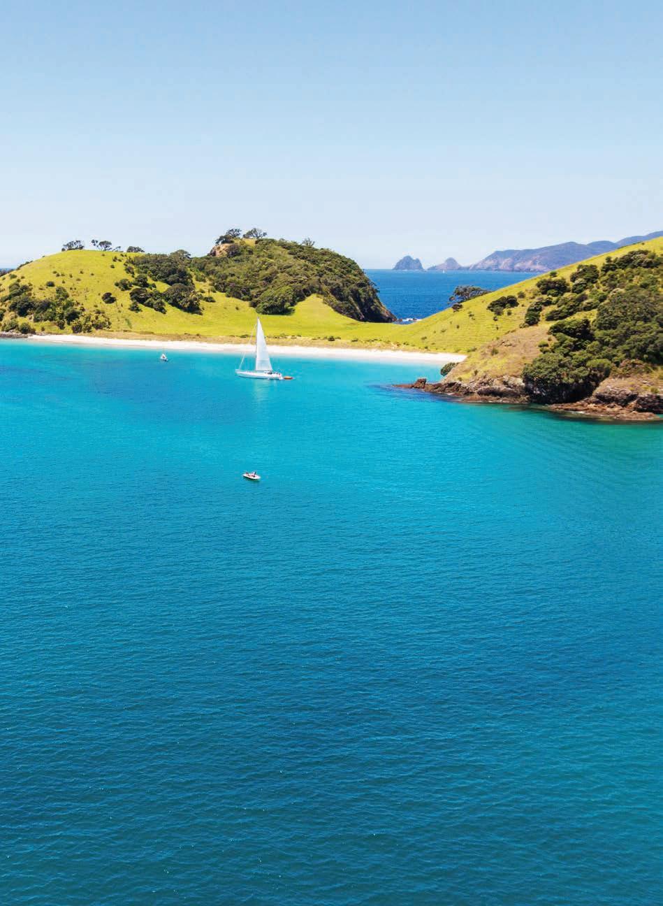
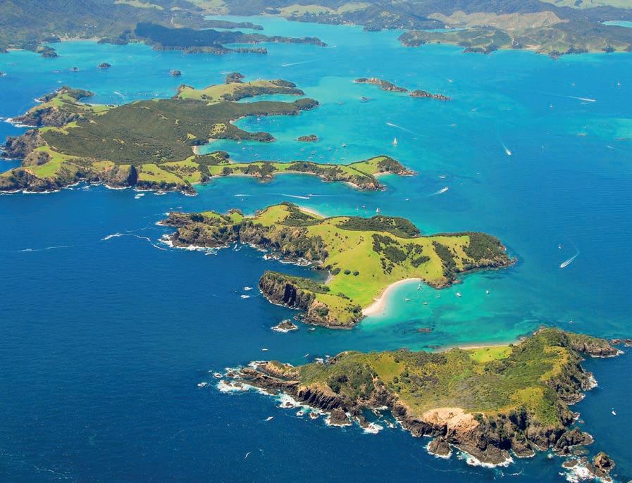
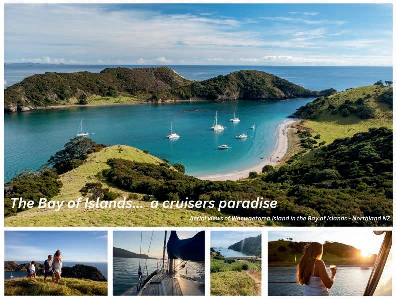
Cover Image: Aerial views of Waewaetorea Passage and Island in the Bay of Islands 20th Edition I 2025
The Gateway; A cruisers guide to the Bay of Islands is an annual publication produced and published by the Opua Business Association. www.opuaba.com
ISSN: 2230-2999
Advertising Sales: opuabusinessassociation@gmail.com
Printers: Blue Star
The Gateway is published by the Opua Business Association and is copyright. Please ask us first if you would like to reproduce anything contained within this magazine. The opinions expressed in this magazine are not necessarily ours, so please don’t hold us responsible for any information disclosed by other parties which we have accepted in good faith.
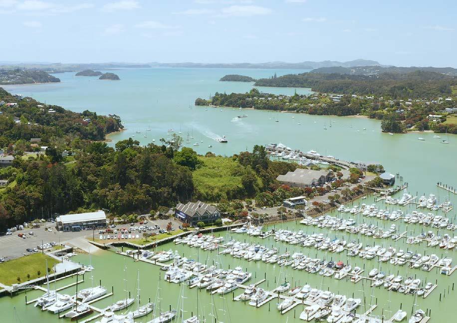

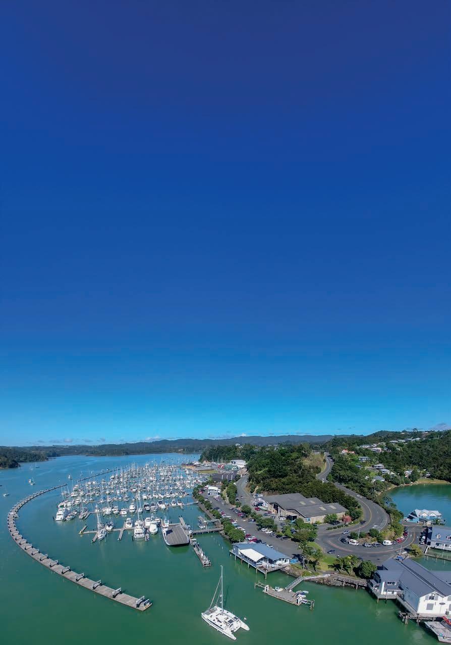
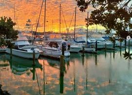
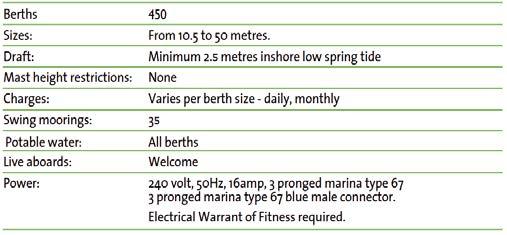
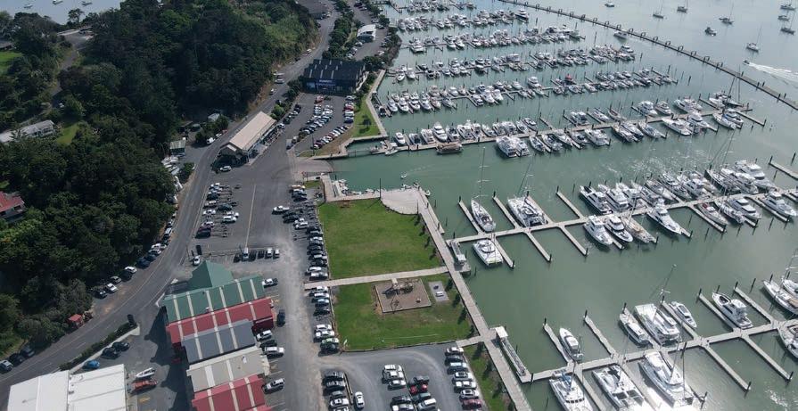
It is a full-service marina with 450 berths including two superyacht berths. Liveaboards are welcome.
Marina facilities include hot showers, a visitors’ lounge, pump-out facilities, a diesel fuel dock, Wi-Fi, and a playground. Marine services within walking distance include travel lift, haul-out and hardstand, catamaran haul-out, boat builders, riggers, painters, refrigeration, mechanics, electronics, chandleries, car hire, insurance, boat brokers, cleaning, detailing, polishing, sailmakers, cruisers club and storage facilities. There is also a general store for provisioning, a laundromat, takeaways, and a café.
Opua is a ten-minute drive from Paihia, which is the central hub for the Bay of Islands. It is 30 minutes from Kerikeri and


The marina provides a free service including MPI restricted foodstuff disposal. The quarantine area is on the northern end of the marina, inside the outer breakwater.
FOR CUSTOMS
Contact Customs 029 602 1669 or visit customs.govt.nz

FOR MINISTRY FOR PRIMARY INDUSTRIES
Contact MPI 0800 222018 and overseas +64 43801574 or visit www.biosecurity.govt.nz

Bay of Islands Marina
24/7 Baffin Street, Opua, New Zealand
P: +64 9 402 5659 F: +64 9 402 6124
E: enquiries@boimarina.co.nz
VHF: Ch73 Call Sign: Bay of Islands Marina




Haul Out & Repair Services
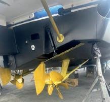
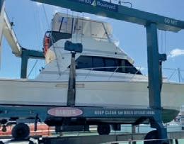
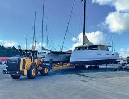
Marina travel lift (50T), floating work jetty, Catamaran haulout trailer (60T), professional boatbuilders. Phone or email for bookings.
Service Provides within Opua Marina Park
Boatbuilders, painters, joiners, engineers, electricians, riggers, sailmakers, chandlery, upholsterers, refrigeration, rental cars, motor mechanics, stainless steel fabrication, aluminium fabrication, marine insurance, yacht sales, canvas, cleaning, detailing and polishing.
Security & Lighting
Gates locked. Access with security key, which also provides access to all facilities. Night-time security patrols. CCTV security cameras oscillating 24/7.
Fuel
24-hour card service at the diesel floating dock accepts EFTPOS and credit cards with a PIN number. GST exempt available for departing offshore vessels.
Postal Services
Mail is delivered to the Marina Office for all vessels including courier delivery and pick up.
Food & Alcohol
General store, cruising club, Bay of Islands Swordfish Club and cafes near the marina. Duty Free 5 minutes from the marina. Shopping centres: Paihia, 10 minutes by car, Kerikeri, 30 minutes by car, Whangarei, 1 hour by car
Sewerage Pump-out
On fuel dock – free of charge. Universal fittings, water available.

Public Transport
Local taxi service. Bus service and ticketing online to Whangarei, Auckland, Bay of Islands Airport and onwards. Note when booking that pick up is from Opua Hill, a 10-minute walk.
Marina Facilities
Showers, toilets, laundry, rubbish disposal and recycling facilities, waste oil container and used battery drop-off point. Storage units, BBQ area and playground.
Dinghy Rack & Boat Ramp
The dinghy dock is adjacent to the boat ramp, and both are in front of the marina office.
Marina Office Services
Power cords and plugs, photocopying, and a friendly, helpful team to assist you.
Bank & Cash facilities.
ATM Paihia, 10 minutes by car. ATM Russell. Bank in Kerikeri, 30 minutes by car. Cash facilities are available from the Marina Office.
Schools
Primary school, 200 metres walk. Secondary school, 20 minutes by bus.
A&E Centre, Doctor, Dentist
Doctor and dentist, Paihia, 10 minutes by car. A&E, Kerikeri, 30 minutes by car.
Cruisers Courtesy Car
If you need to run errands, for your convenience we have a loan customer car for Cruisers. Make your booking on our website and view the T&Cs.
The list that all cruisers love to have when heading into any port. We’ve compiled some information based on frequently asked questions to assist on arrival to Opua.
Chances are you’ll be low on stocks after journeying through the Pacific, and any remaining fresh items will be taken by MPI on arrival if you don’t want to eat them then and there. Here are your options to restock the boat stores:
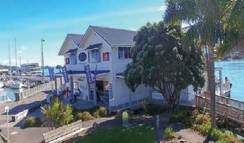
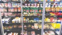
Opua General Store: at the far Northern end of the marina you’ll find a well-stocked store with fresh items, cabinet goods, a deli selection with meats and dairy products, and most household items.
DELIVERED from Woolworths Waitangi: Your closest bigger supermarket. Jump onto www.countdown.co.nz to register for online shopping and create an account in two minutes. Add products to your trolley and choose time for delivery – this is an additional delivery fee for Opua delivery.
4-Square in Paihia Kawakawa and Russell: Over the years 4-square supermarkets have become an icon of ‘kiwiana’, the New Zealand owned chain providing another option for locals to stock up on everyday goods. You can either anchor off Russell, or if you’ve got a car or a ride to get around, you’ll find one in the heart of Paihia just 5 minutes away, or in Kawakawa, the other direction another 15 minutes away.
MEDICAL: Two nearest medical centres are; Bay View Medical Centre and Paihia Medical services. The Bay of Islands Hospital is 15 minutes away in Kawakawa.
NEARBY EATERIES:
You may just want to sit down and enjoy someone else doing the cooking – there’s plenty of options for that too:
OPUA SWORDFISHCLUB: A wide range of lunch and dinner options
OPUA SCHOOL: Situated at the top of the Opua Marina. Opua School is a full primary school with between 100 and 120 students, aged 5 to 13 years.
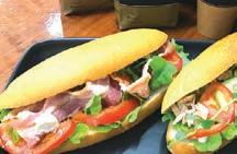
OPUA GENERAL STORE: Wide range of cabinet food and freshly made pizzas available Thursday to Sunday.
OPUA TAKEAWAYS: Arguably the freshest fish and chips around town – even fresher when you take your own and they’ll batter and cook them for you! Situated by the car ferry terminal – northern end of the marina.
OPUA CRUISERS CLUB: A great place to network with cruising friends and find out about the local racing scene. Bar and restaurant open from 5pm most evenings.
PAIHIA TOWNSHIP: Just five minutes away you’ll find a selection of eateries on the main street of the bustling summer town. From Thai to Indian cuisines, Kebabs to Pizza, a rib-shack and waterfront dining. There is something for everyone’s taste buds. If you’re delving a little further into the research, hop onto Tripadvisor.com for the most recent reviews.
There is a fuel dock for diesel at Opua Marina and Russell which you can berth alongside. If you are requiring petrol and oil for outboards this is a 5 minute drive away in Paihia.
Waitomo Petrol station on the Paihia waterfront is a a self service station, while Caltex just around the corner is a walk in store with items available to purchase – and they also do gas bottle refills.
Cater Marine is your nearest local chandlery to offer this service, along with the Dive Shop in Paihia.
The Bay of Islands Marina has a fresh water supply which is accessed on the fuel dock, J pier, and all marina berths. You can also get water at the wharf in Russell.
Whether you’re running errands around town or planning to travel further inland – there are several options for acquiring some wheels:
Far North Rentals: Located at the Kerikeri airport – a 25-minute drive away – or opt for a car drop off. Book online through farnorthrentals.co.nz
Blue Star Rentals: Keen on hybrid cars? Self charge as you drive! Blue Star is based in Kerikeri and you can check out the range of vehicles available for drop off and use, and book online: https:// bluestarcarrentals.co.nz.
TradeMe: Sometimes an appealing option for cruisers who can buy a car at the start of their season and sell before they leave – there’s a range of options on the motors section of the national buy/sell website – and you can specify the Northland region to find 2nd-hand options near you. www.trademe.co.nz
Facebook Marketplace:
Another option for second-hand vehicles, and settings can be tailored to the Bay of Islands so your search brings up options close to you.

Chandleries and hardware stores:
Two well-stocked chandleries are at your doorstep as you arrive in Opua. Both Cater Marine and Burnsco boast friendly retail teams ready to assist with your boating needs. Hammer Hardware is the next big hardware shop located in Kawakawa and Russell, or ITM just out of Paihia – a 10 minute drive from Opua. If you want to drive half an hour to Kerikeri you’ll find a range of big names like Bunnings, Mitre 10, Carters and ITM for everyday tools and items.
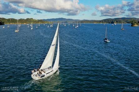
Sailing into the Bay of Islands is an experience no cruiser will forget. The iconic fixures of Cape Brett and Nine Pin beckon you into a safe haven as you pass stunning islands and secluded anchorages on your way to Opua.
Offshore sailors are welcomed from the moment they arrive in New Zealand waters, and you will start to discover this warm hospitality is simply a part of the world-renowned ‘Kiwi’ experience, to be extended wherever you travel throughout the country.
Hot showers, laundry facilities, and a comfortable cruisers lounge are only steps away after you’ve arrived, and the friendly marina team and Opua business locals are there to help you with anything from where to get boat parts and repairs, to where to buy fresh food, meat and vegetables.
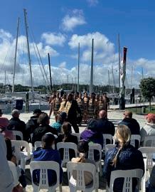
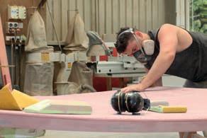
New Zealand is renowned for exceptional boatbuilding and marine services. If you’ve arrived with any concerns about your vessel, the Bay of Islands offers a full complement of marine services for all vessels – large and small. Whether you need a full refit, rigging, haul-out, or any onboard repairs, there are experts at hand. This means you can enjoy exploring the local area, knowing your boat is in safe hands and will be ready to head back out to sea when you are.
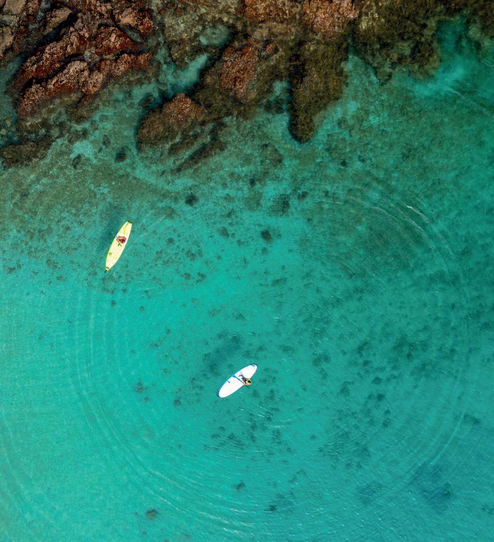
Exploring the Bay of Islands
Settled weather conditions in New Zealand provide ample opportunity for fair weather sailing, and the summer months from October to April are particularly enjoyable in the warm, sunny north. The Bay of Islands is a stunning marine playground with safe accessible anchorages and clean sandy beaches around every corner. There’s great fishing to be had and beautiful snorkelling spots to dive into. Bird life, flora and fauna abound on the islands, with many of the anchorages striving to retain their pest-free status and promote native habitats and kiwi populations.
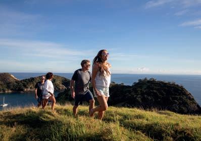
Or as the Māori proverb translates – it’s the people, the people, the people.
New Zealanders enjoy a way of life unlike anywhere else in the world, and you will find yourself relaxing into the slow pace, open friendships, and clean natural environment. In fact the longer you stay, the more friends you will make and the harder it will be to leave!
Meet local boaties:
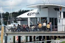
Opua Cruising Club:
Open most evenings in summer with a beautiful deck overlooking the harbour and a full dinner menu and bar. Predominantely a keelboat club with regular racing throughout the summer including Wednesday series and Friday rum racing.
https://opuacruisingclub.co.nz / (09) 402 6924
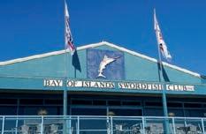
Bay of Islands Swordfish Club:
Opua Marina, Paihia waterfront and Russell waterfront (big game fishing) open for dinner.
https://swordfish.co.nz / (09) 403 7857
Bay of Islands Yacht Club:
Waitangi Club Rooms – an active junior sailing programme and centreboard/foiling fleet, wharf available to club members and boat ramp. Cruising families welcome to take part in term sailing.
https://boiyc.org / (09) 402 7897
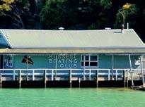
Russell Boating Club:
In Matauwhi Bay – open five days a week for dinner from 17:00 – 20:30.
https://russellboatingclub.org.nz / (09) 403 7822
Kerikeri Cruising Club and Marina:
All year keelboat racing and an active centreboard fleet – 45 minute drive from Opua or it can be accessed via the Te Puna Inlet by boat.
https://kerikericruisingclub.org.nz / (09) 407 9434
Boat Ramps – Bay or Islands:
Jacks Bay Concrete
Opito Bay Concrete, all tide
Opua Concrete, all tide
Russell Concrete, all tide
Tapeka Point Concrete
Rangitane Concrete
Waipapa Landing Concrete, all tide
Waitangi River Concrete, all tide
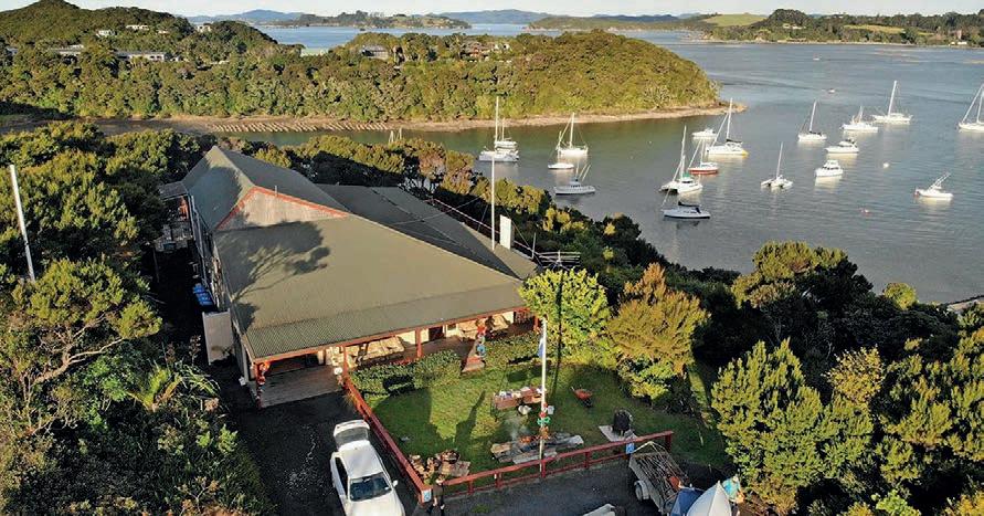
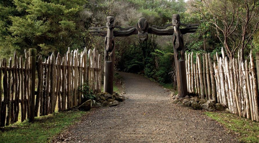
The subtropical climate is enjoyed by all lovers of the outdoors. Enjoy up to 15 hours of daylight in the summer months to walk, run, sail, bike, or explore to their hearts’ content. There is also a rich and extraordinarily well-preserved history, and a distinctive art and cultural industry embedded in this iconic area.
The Waitangi Treaty Grounds is the nation’s most important historic site, where New Zealand’s founding document was signed. Nearby in Kerikeri, our oldest stone and wooden buildings, the Stone Store and Kemp House, and the adjacent Kororipo Pā are significant remnants of the early contact between Māori and Pākehā (Europeans).
On the other side of the Bay, the charming settlement of Russell has a colourful history as our first seaport, first European settlement, and first capital.
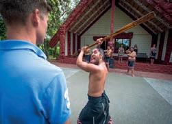
There’s plenty to see and do in the cruising grounds of the Bay of Islands. With 144 islands and a host of beautiful beaches and anchorages to explore, it really is a cruisers paradise. A regular ferry service operates in the Summer months from Paihia to Urupukapuka, where campgrounds and a café/ restaurant make a great location for locals, cruisers, and tourists alike to meet and mingle. There’s a wide range of sheltered anchorages and isolated bays to restore serenity too, and wonderful fishing grounds to catch your full.
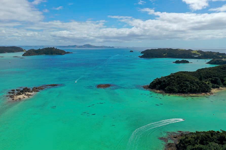
Wonderful wineries, restaurants, cafes and shops abound on the mainland, along with adventure activities, markets, and historical sites to enjoy. It’s picturesque, it’s homely, and it’s yours for the season to enjoy.

Postal Agency - Letters, Parcels, Poste restante.
Sim Cards - All the New Zealand Carriers
Lotto Outlet - Gotta be in toWin!
Bike Hire - Explore the Twin Coast Cycle Trail
Fishing - Tackle, Bait, & Ice

Catering - for any event around the Marina or BOI















Project Island Song is a wildlife sanctuary. The seven main islands in the eastern Bay of Islands have been pest mammal free since 2009, and the natural eco-systems are being restored. www.projectislandsong.co.nz Did
Did you know?
Get on an Island Don’t just look at them from afar, get out and explore an island. Go Under The island doesn’t stop at the beach. There is amazing marine life to observe underwater with snorkeling and scuba diving opening up another world within the Bay of Islands. Watch for wildlife The Bay is alive with wildlife, so look out for dolphins, penguins, native birds, stingrays, and whales (seasonal), or join a licenced wildlife cruise to learn more. Under your own steam With so many options to get out on the water the hardest part will be deciding what activity is for you…..paddling, swimming and diving or just relaxing on a boat. Overnight camping Camping in the Bay of Islands is only available on Urupukapuka Island. Tohu Whenua are places around New Zealand that matter to us. Northland has nine ‘Tohu Whenua’ –places rich in historical or cultural significance. Visit www.tohuwhenua.nz
Cape Brett Walk For those wanting to get out on a geographic limb, there are 2 options to hike to Cape Brett. Beginning in Te Rāwhiti, the Cape Brett walk offers a 16km rugged bush-clad track with exceptional coastal views ending at the Cape Brett lighthouse and DOC hut, where you can stay the night. There is the option to shorten the walk by getting picked up and / or dropped off at Deep Water Cove by water taxi.
Motukōkako Captain Cook named it Piercy Island and no trip to the Bay of Islands would be complete without visiting the famous “Hole in the Rock”. Options include landing on the steep sided island in a helicopter or a classic tour boat cruise through the ‘hole’.
Russell Historic Township Formerly known as Kororāreka, Russell was once referred to as the ‘hell hole of the Pacific’ and was the first permanent European settlement and seaport in New Zealand. It’s also famous for its charm and as you stroll around the quaint township, you’ll see that New Zealand’s colonial history has been beautifully conserved. Accommodation, restaurants, cafes and an information centre can be found here, along with a regular ferry service with Paihia.
Urupukapuka Island Urupukapuka is the largest and easiest island to get to with regular scheduled ferry and tour services. On arrival you’ll see why it’s so popular (it’s beautiful). There are many sheltered bays where yachts and pleasure boats drop anchor and enjoy sheltered day stops and overnight anchorages. It ticks all the boxes for having an amazing island adventure with walking tracks, beautiful swimming beaches, amazing birdlife, views, picnic spots, diving, snorkelling, full facilities, coffee, restaurant, the list goes on. It’s all so good you won’t want to leave... and the good news is, you don’t have to. Pack a tent, book and stay at one of the 3 beautiful DOC camping sites and enjoy.
The Black Rocks A stunning formation of volcanic rocks fall straight to the sea floor, around 30 metres down. This group of small islands is roughly 9 kilometres north of Paihia, and just off the northeast coast of Moturoa Island. The Black Rocks were formed by volcanic eruptions around one million years ago, the blackened tops of the basalt lava flows give this distinctive rock formation its name. Many boat charters and tour operators pass by the Black Rocks.
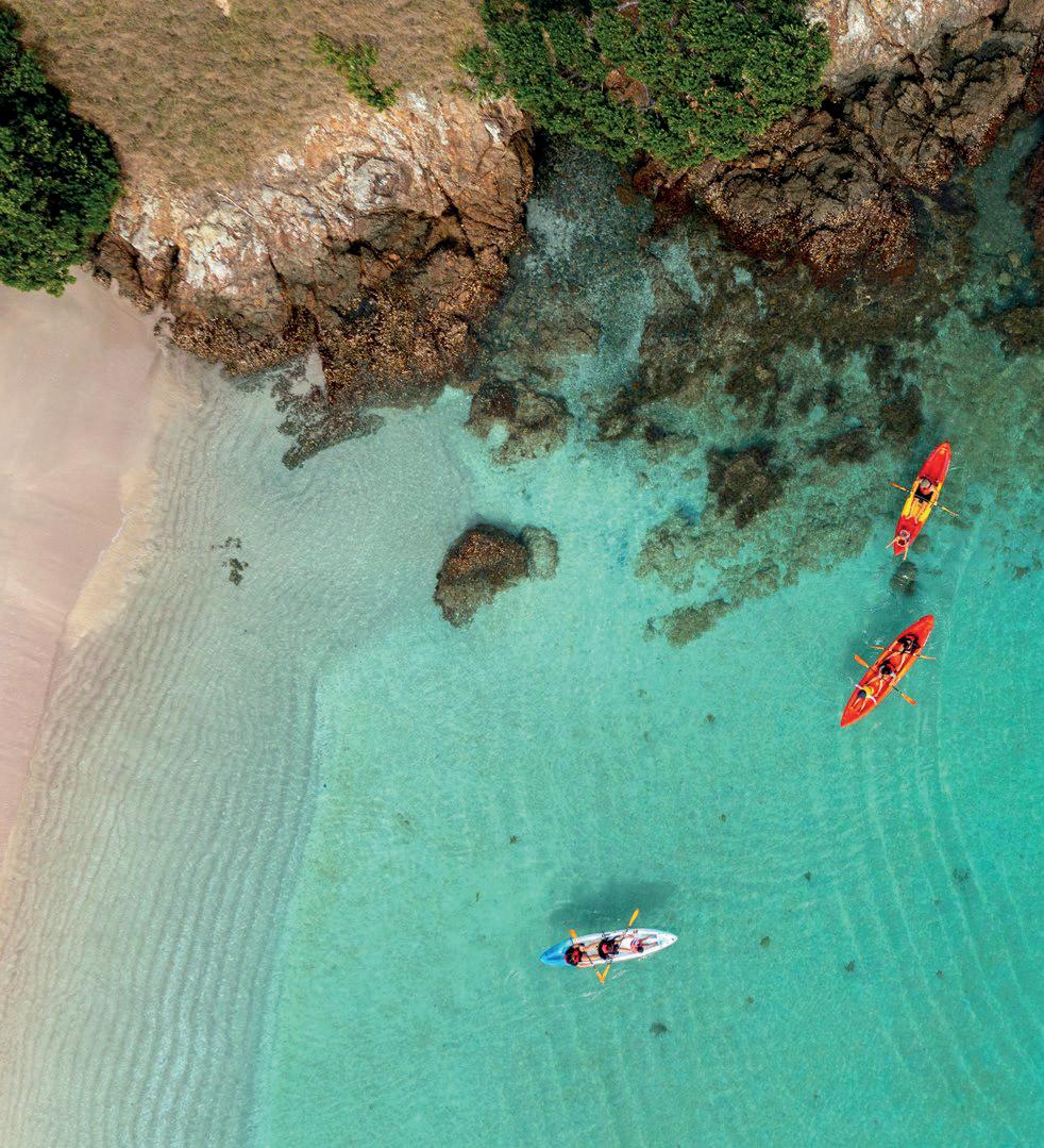
Waewaetorea Island Crystal clear, turquoise waters surround this stunning island of captivatingly beautiful, white sandy beaches, walking tracks with great views and early Māori settlement sites. Waewaetorea Island can only be reached by boat and some commercial sailing and tour boats stop here for the day. It’s a perfect place to swim, snorkel or explore. The views from the top of the island are some of the best in the Bay! Otehei Bay This is the hub of Urupukapuka Island, once the site of legendary author and fisher Zane Grey’s fishing camp, now a wonderful place to day trip and relax. Enjoy the summer café situated on the waterfront overlooking the crystal clear bay. The bay offers swimming, snorkeling, kayaking, a conservation centre and paddle boarding.
HMNZS Canterbury Wreck Located in the calm waters of Deep Water Cove is the wreck of the former frigate HMNZS Canterbury. Sunk in 2007 and lying on the bottom of the sea floor upright and intact, this underwater island is a brilliant dive spot teaming with marine life. Deep Water Cove A beautiful sheltered cove and landing site with pebble beach to explore. A track joins the steep Cape Brett walk making Deep Water Cove the perfect place for a water taxi pick up or drop off for those not wanting to do the full Cape Brett Walk.
Rangihoua Heritage Park
A place where Māori and Europeans lived side by side through an agreement between Chief Ruatara and Reverend Samuel Marsden. The Marsden Cross memorial marks the place where New Zealand’s first Christmas Day service was held, led by Reverend Marsden in 1814.
Waitangi Treaty Grounds With sweeping views of the Bay of Islands in a park like setting, not only is Waitangi Treaty Grounds a significant national historical site, it is a very beautiful one. Follow the trails to historic sites and buildings. Explore the two contemporary museumsTe Rau Aroha and Te Kōngahu Museum of Waitangi, the carving studio, the Treaty House, Te Whare Rūnangathe beautifully carved meeting house, traditional Māori waka taua (war canoes) and enjoy a full programme of tours and cultural performances. This is an island of history, knowledge, culture and beauty.
Motuarohia / Roberton Island Home to one of the most photographed scenes in the Bay of Islands. Twin Lagoon Bay has it all including a walking track to a historic pā site with spectacular 360-degree views of the surrounding Bay of Islands. At high tide snorkelling is possible in the larger lagoon. Captain Cook anchored the Endeavour just off the island in 1769 and now many sailing and boat tours stop here. A truly stunning island that is well worth a visit!
With over 140 islands to choose from in the Bay of Islands, this Northland Journey is All About Islands. Discover islands rich in history, culture and natural beauty. Large and small islands, rocky and sandy islands. Strap on a mask and explore magnificent underwater islands, reefs and wrecks. Other places like the historic Waitangi Treaty Grounds, the quaint Russell township and remote Cape Brett have a distinct island-feel. The journey to the islands is all part of the fun, with so many options to choose from! Take a water taxi, jump on a day cruise, relax on sailing trip, join a kayak tour, learn to dive, try a fishing charter or take your own boat, it all here for you to explore! Whether it’s an island of fun and adventure or an island of peaceful relaxation, it’s out there waiting for you.
Paihia Township
Moturua Island A scenic reserve island that offers history, diverse vegetation and four stunning bays. There is a 4.6km walking track that loops around the island. Moturua has a long history of Māori settlement, early European explorers and the Navy during WWII. More recently, thanks to Project Island Song, Moturua has thriving populations of native birds including kiwi, kākāriki and saddleback.
The heart of the Bay of Islands, Paihia is the perfect base for your Bay of Islands experience. This is the main departure point for boat tours to the islands, and accommodation, restaurants, cafes and information centres are all found here.
Haruru Falls / Waitangi River
A lovely horseshoe shaped waterfall that’s only 3km from Paihia. There is a 5km walk along the river through bush from the Waitangi Treaty Grounds. Explore the river your way by kayak or paddleboard, or drive to the top of the waterfall itself.
Hull maintenance and cleaning rules apply in Northland.
» In-water cleaning can only be undertaken in certain areas and with no more than a slime layer. Cease and report immediately if you find marine pests.
» No hull maintenance can be undertaken on the foreshore, including sanding, scrapping, blasting, and painting.
Report inappropriate boat hull cleaning activity to the 24/7 NRC Incident Hotline: 0800 504 639
For the full rules visit nrc.govt.nz/boatcleaning



















Do you have a way to treat or contain your boat sewage?
It’s illegal to stay overnight on your boat in Northland without a proper way of treating or containing your sewage. Northland’s harbours and bays are strictly ‘no discharge’ areas for untreated waste.
The best options to comply are: » a working treatment system, or » a holding tank, or » a portable toilet
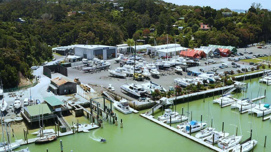

There’s numerous reasons the Bay of Islands Boatyard is held in such high regard by many. Here’s just a few:
Location: Opua is the first port to reach in New Zealand from the Pacific.
Cruising grounds: You’re on the doorstep to world class cruising grounds.
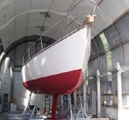
Facilities: Fully sealed, concreted hard stand area
Environment: Clean, tidy, environmentallyconscious facility
Services: Over 38 marine service companies within walking distance.
Attitude: Friendly, helpful and knowledgeable customer service
Options: Allowing DIY and Marina Liveaboards
Meet Rhys Dempster – Bay of Islands Boatyard manager
Rhys is responsible for the day to day running of the Bay of Islands Boatyard. Rhys has been around the water all his life and is a community minded person who holds roles in numerous club committees including Executive of the Bay of Islands Swordfish Club.

A former New Zealand Police member and Senior Customs Officer, Rhys is proficient with systems and safety, and brings a real team focus to the boatyard. He’s always up for a chat, and looks forward to assisting boaties with their needs so they can get back out and enjoy the water.
You can contact Rhys at rhys@boimarina.co.nz
The Bay of Islands Boatyard has been the best we have visited for Luthier maintenance.
The facilities are very clean, the equipment’s well maintained and, the most important, the staff are very nice and always available to help us. Thank you for the very good services from the Bay of Islands Boatyard.
Dorival and CatarinaSV LUTHIER
“
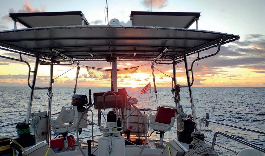
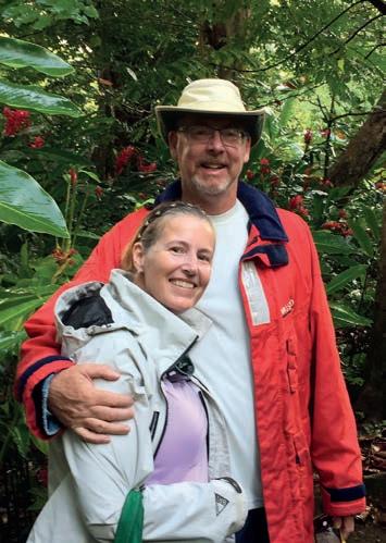
When Chris Ware and Jenn King decided to take on the world by sea, they weren’t just starting an adventure – they were continuing a love story that blends humor, science, and the open ocean.
Setting out from Ebenecook Harbor in Maine in September 2019, the American couple always had a circumnavigation in their sights – with New Zealand as a firm part of that. Their vessel Diva, a Deerfoot 2-62 whose design draws inspiration from New Zealand sailing concepts, has carried Chris and Jenn across thousands of nautical miles from their home in Manchester By The Sea, Massachusetts.
Reaching Aotearoa marks not just another waypoint in the sailing duo’s global journey, but a special connection to the heritage that influenced their vessel’s design.
Below is a Q & A of their experience so far:
1. How did your cruising plans evolve?
Our original plan was to carry out a circumnavigation, with the final end point in New Zealand. Mom is a kiwi and I have lots of “Rellies” down here to catch up with. We left in September of 2019 from Ebenecook Harbor in Southport, Maine and went down the East coast of the United States and then on to Antigua. We were headed to Panama when we were the last boat to clear to Bonaire before they shut the port due to Covid. We left 11 months later and spun around the Caribbean for Three years until New Zealand and French Polynesia opened up.
3. What brought you to New Zealand?
Family, people, and natural beauty of the landscapes. I was here in 1999 and loved it. During our trip, we realized just how good of a stop it is to get out of the Hurricane (Cyclone) box, which makes the insurance companies happy. Then when we arrived in Opua we found out that we would not be taxed on parts and equipment that we would buy here. In addition, the Vendors are lined up in a row and so easy to access so we decided to do our refit here in Opua in lieu of Australia.
4. First impressions of Opua?
Biosecurity does have a sense of humor. Our offer to make the biosecurity team a Pumpkin Pie for Thanksgiving (after trying to smuggle in pumpkin pie stuffing) was met with a wry giggle. We also saw seals in the outer harbor along with the Rock that looks like a shark fin. (Cape Brett).
5. What you would say to other cruisers who are at the beginning of their journey about coming to New Zealand?
You have to stop here. The land is one of the most beautiful countries in the world and
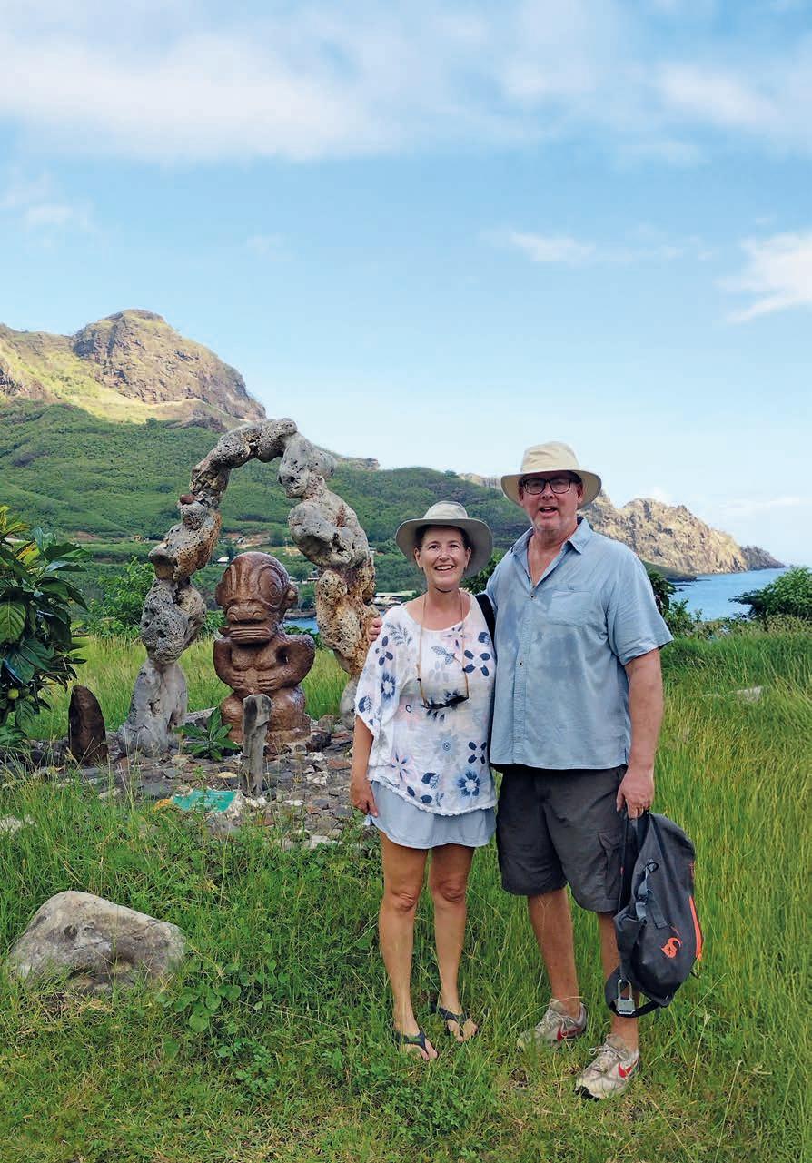
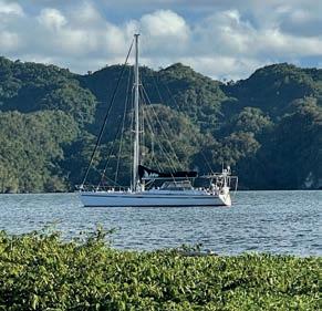
the people are so nice. Marine resources are plentiful and the vendors extraordinarily capable. Set aside at least a month and go for a walk about on the North and South Islands. Easy As.
6. New Zealand recommendations so far?
Diving on the wreck of the Rainbow Warrior, The beauty of the Glaciers, Mt Cook and Milford sound. Wine country in Blenheim along with the WW1 and WW2 planes in the aerodromes and the White wines – You have to love the Chenin Blanc wine at the Forrest Vineyard – literally the best white wine I have ever had, and the Hot Springs.
Tēnā koutou katoa, welcome to the coast and harbours of Northland.
Northland extends from Mangawhai on the East coast, around North Cape and down to the Kaipara Harbour on the West coast. We are also within easy range of the Hauraki Gulf. As well as multiple small harbours we have two commercial shipping harbours, the Bay of Islands with visiting cruise ships in Summer, and Whangarei which is more commercial with tankers, log and container ships and cement carriers visiting.
Rules in New Zealand require any vessel under 500GT to keep out of the way of any vessel over 500 GT inside harbour limits. Some of these vessels are up to 350 meters long and move deceivingly fast, with limited sea room Do keep well clear for your own safety, and don’t try to cross in front, or anchor in navigational channels
Weather can change quickly here, and a brisk sea breeze is common in Summer. Please check depths, tide, and allow for changing weather when anchoring, and please put enough cable out for changing tides and conditions. Do book a mooring or marina berth if you are going on a road trip holiday or exploring further inland for an extended period of time – don’t leave your boat at anchor.
Anywhere in New Zealand the speed limit on the water is 5 knots within 200m of the shore, or 50m of another vessel or person. This includes boat tenders! And any vessel under 6m requires lifejackets to be worn.
If you are in an overloaded small tender speeding around with no lifejackets in sight, you are likely to get pulled over by a friendly maritime officer and risk a hefty fine.
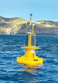
You might find our wave data buoy useful. It is installed outside of the harbour, North of the Ninepin rock. Go to www.nrc.govt. nz and enter ‘Wave’ into the search box. The buoy will give you live readouts of wind and wave data on the coast.
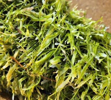
On the same website check out “Good to go for Summer”, which details prohibited biosecurity areas and maritime links. We sadly have an invasive Cualerpa weed, and some areas of the Bay are now no anchoring areas.
Our harbourmasters team maintain the buoys and beacons, deal with wrecks, oil spills, and water safety. Any concerns you can call us on 0800504639 or email info@ nrc.govt.nz.
Thanks for reading and have a safe and enjoyable time on the Northland Coast.
Nga mihi nui
Jim Lyle Regional Harbourmaster Northland
Maritime New Zealand is the government agency with overall responsibility for boating safety in New Zealand.
Maritime Radio maintains VHF and HF radio services for our coastal waters and the South Pacific, providing around the clock monitoring for distress messages. It monitors VHF Ch. 16.
Search and rescue (SAR) has several agencies involved.
• The Rescue Coordination Centre New Zealand (RCCNZ) coordinates national- level operations; for example, missing aircraft and offshore rescues.
• New Zealand Police coordinates local SAR operations covering land and sea.
• Coastguard Northern Region has a number of rescue boats spread throughout the region and monitors a network of VHF channels. Use Ch.16, *500 from a cellphone, or 09 3031303. www.coastguard.org.nz
• Surf Life Saving New Zealand also assists in SAR operations and, as the name suggests, specialises in areas of surf.
• Independent coastal radio channels. Russell Radio (Ch. 63) in the Bay of Islands, and Far North Radio (Ch. 60) provide local services on VHF for trip reports, weather forecasts and advice.
Northland Regional Council’s Regional Harbourmaster (that’s me) is responsible for Northland’s navigational safety out to 12 nautical miles. My team maintains buoys and beacons, oversees local navigation safety rules, deal with wrecks and responds to any oil spills. If you see pollution or a safety issue on the water, call us on 0800 504 639 or email info@nrc.govt.nz
The harbourmaster’s office is not a local emergency rescue service – that role is filled by the coastguard and police.
Before arriving or moving to the next harbour, make sure you have all the contact details you need, and relevant VHF channels to hand – see page 18 for more information, or see our freely available ‘Boating in Northland’ Booklet for more details. Charts are readily available at any chandlery.
Enjoy you time in Northland waters and stay safe!
Ngā mihi nui
Jim Lyle
Regional Harbourmaster
Northland Regional Council
Channels current as at March 2025
Channels current as at March 2025
Channels current as at March 2025 Northern Region
Whangaroa Ch: 05
Whangaroa Ch: 05
Whangaroa
Ch: 05
Ch: 64
Ch: 64
Ch: 64
Whangaroa Ch: 05
Whangaroa Ch: 05 Ch: 64
Ch: 64
Bay of Islands
Bay of Islands
Bay of Islands
Ch: 04
Ch: 04
Ch: 04
Bay of Islands Ch: 04
Bay of Islands
Ch: 04
Hokianga
Hokianga Ch: 65
Hokianga Ch: 65
Ch: 65
Hokianga Ch: 65
Hokianga Ch: 65
North Kaipara Ch: 66
North Kaipara Ch: 66
North Kaipara
Ch: 66
North Kaipara Ch: 66
North Kaipara Ch: 66
Inner Kaipara Ch: 61
Inner Kaipara Ch: 61
Inner Kaipara Ch: 61
Inner Kaipara Ch: 61
Inner Kaipara Ch: 61
Kaipara Ch: 07
Kaipara Ch: 07
Kaipara Ch: 07
Kaipara Ch: 07
Kaipara Ch: 07
Manukau
Manukau
Manukau
Manukau
Ch: 18
Ch: 18
Ch: 18
Manukau
Ch: 18
Ch: 63
Ch: 63
Ch: 63
Ch: 18
Ch: 63
Ch: 63
Raglan
Raglan
Raglan
Raglan
Ch: 02
Ch: 02
Ch: 02
Ch: 02
Ch: 04
Ch: 04
Ch: 04
Raglan Ch: 02
Ch: 04
Ch: 04
Lake Taupō/ Tūrangi
Lake Taupō/ Tūrangi
Lake Taupō/ Tūrangi
Lake Taupō/ Tūrangi
Ch: 61
Ch: 61
Ch: 61
Lake Taupō/ Tūrangi
Ch: 61
Ch: 63
Ch: 63
Ch: 63
Ch: 63
Ch: 61 Ch: 63
Taranaki
Taranaki
Taranaki
Taranaki Ch: 61
Ch: 61
Ch: 61
Ch: 61
Taranaki Ch: 61
South Taranaki Ch: 05
South Taranaki Ch: 05
South Taranaki Ch: 05
South Taranaki Ch: 05
South Taranaki Ch: 05
65
Mackenzie
Mackenzie Ch: 65
Ch: 65
Ch: 65
Mackenzie Ch: 65
Region
Whangaruru/Tutukaka Ch: 62
Whangaruru/Tutukaka Ch: 62
Whangaruru/Tutukaka Ch: 62
Whangaruru/Tutukaka Ch: 62
Whangaruru/Tutukaka Ch: 62
Whāngarei Ch: 05 Ch: 18
Whāngarei Ch: 05 Ch: 18
Whāngarei Ch: 05 Ch: 18
Whāngarei Ch: 05 Ch: 18
63
Whitianga Ch: 63 Ch: 61
Whitianga Ch: 63 Ch: 61
Whitianga Ch: 63 Ch: 61
Hauraki Gulf (Inner Gulf) Ch: 64
Hauraki Gulf (Inner Gulf) Ch: 64
Hauraki Gulf (Inner Gulf) Ch: 64
(Outer Gulf) Ch: 60
Hauraki Gulf (Inner Gulf) Ch: 64 (Outer Gulf) Ch: 60
(Outer Gulf) Ch: 60
Waiheke Ch: 62
(Outer Gulf) Ch: 60
Hauraki Gulf (Inner Gulf) Ch: 64 (Outer Gulf) Ch: 60
Waiheke Ch: 62
Waiheke Ch: 62
Waiheke Ch: 62
Waiheke Ch: 62
Kawau Ch: 03
Kawau Ch: 03
Kawau Ch: 03
Kawau Ch: 03
Kawau Ch: 03
Northern Region
Rotorua Lakes Ch: 02 Ch: 64
Rotorua Lakes Ch: 02 Ch: 64
Rotorua Lakes Ch: 02
Rotorua Lakes Ch: 02 Ch: 64
Ch: 64
Rotorua Lakes Ch: 02 Ch: 64
Wellington Ch: 03/61
Region Central Region Central Region Southern Region
Region Central Region
Wellington Ch: 03/61
Wellington Ch: 03/61
Wellington Ch: 03/61
Wellington Ch: 03/61
Region
Kaikōura Ch: 60
Kaikōura Ch: 60
Kaikōura Ch: 60
Kaikōura Ch: 60
Kaikōura Ch: 60
Canterbury Ch: 63
Canterbury Ch: 63
Canterbury Ch: 63
Canterbury Ch: 63
Banks Peninsula Ch: 04
Ch: 63
Banks Peninsula Ch: 04
Banks Peninsula Ch: 04
Banks Peninsula Ch: 04
Ch: 04
Tairua/Pauanui Ch: 04
Tairua/Pauanui Ch: 04
Tairua/Pauanui
Tairua/Pauanui
Ch: 04
Ch: 63
Ch: 04
Ch: 63
Ch: 63
Ch: 63
Tairua/Pauanui Ch: 04 Ch: 63
Whangamatā Ch: 04
Whangamatā Ch: 04
Whangamatā Ch: 04
Whangamatā Ch: 04
Whangamatā Ch: 04
Waihi Beach Ch: 07
Waihi Beach Ch: 07
Waihi Beach Ch: 07
Waihi Beach Ch: 07
Waihi Beach Ch: 07
Tauranga/Maketu Ch: 01
Tauranga/Maketu Ch: 01
Tauranga/Maketu Ch: 01
Tauranga/Maketu Ch: 01
Tauranga/Maketu Ch: 01
Kaimai Ch: 62
Kaimai Ch: 62
Kaimai Ch: 62
Kaimai Ch: 62
Kaimai Ch: 62
Whakatāne/ Ōpōtiki
Whakatāne/ Ōpōtiki
Whakatāne/ Ōpōtiki
Whakatāne/ Ōpōtiki Ch: 18
Ch: 18
Whakatāne/ Ōpōtiki
Ch: 18
Ch: 18
Ch: 60
Ch: 60
Ch: 60
Ch: 60
Ch: 18 Ch: 60
Waihau Bay Ch: 65
Waihau Bay Ch: 65
Waihau Bay Ch: 65
Waihau Bay Ch: 65
Waihau Bay Ch: 65
East Cape Ch: 05
East Cape Ch: 05
East Cape Ch: 05
East Cape Ch: 05
East Cape Ch: 05
Gisborne Ch: 03
Gisborne
radio The MNZ maritime radio service provides forecasts at scheduled times. These are announced on Channel 16 at 0133, 0533, 0733, 1333, 1733 and 2133 hours (New Zealand Local Time).
Gisborne Ch: 03
Gisborne
Ch: 03
Ch: 03
Gisborne Ch: 03
Hawke’s Bay
Ch: 01
Hawke’s Bay Ch: 01
Hawke’s Bay
Hawke’s Bay
Ch: 62
Ch: 01
Ch: 01
Ch: 62
Ch: 62
Ch: 62
Hawke’s Bay Ch: 01 Ch: 62
Wanganui Ch: 64
Wanganui Ch: 64
Wanganui Ch: 64
Wanganui Ch: 64
Wanganui Ch: 64
Channel Key
Channel Key
Channel Key
Channel Key
Ship-to-Shore Channel
Ship-to-Shore Channel
Ship-to-Shore Channel
Ship-to-Shore Channel
Ship-to-Ship Channel
Ship-to-Ship Channel
Ship-to-Ship Channel
Ship-to-Ship Channel
Coastguard Nowcasting
Coastguard Nowcasting
For real-time weather reports, tune into your local Nowcasting VHF channel or use the Coastguard app. For details go to coastguard.nz/weather
Coastguard Nowcasting For real-time weather reports, tune into your local Nowcasting VHF channel or use the Coastguard app. For details go to coastguard.nz/weather
Coastguard Nowcasting For real-time weather reports, tune into your local Nowcasting VHF channel or use the Coastguard app. For details go to coastguard.nz/weather
For real-time weather reports, tune into your local Nowcasting VHF channel or use the Coastguard app. For details go to coastguard.nz/weather
Marine emergency
Marine emergency
• Use VHF Channel 16 or another local VHF channel you know is being monitored.
Marine emergency
•Or call 111 from your mobile and ask for Police.
• Use VHF Channel 16 or another local VHF channel you know is being monitored.
•Or call 111 from your mobile and ask for Police.
• Use VHF Channel 16 or another local VHF channel you know is being monitored. •Or call 111 from your mobile and ask for Police.
• Use VHF Channel 16 or another local VHF channel you know is being monitored. •Or call 111 from your mobile and ask for Police.

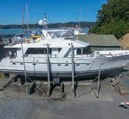
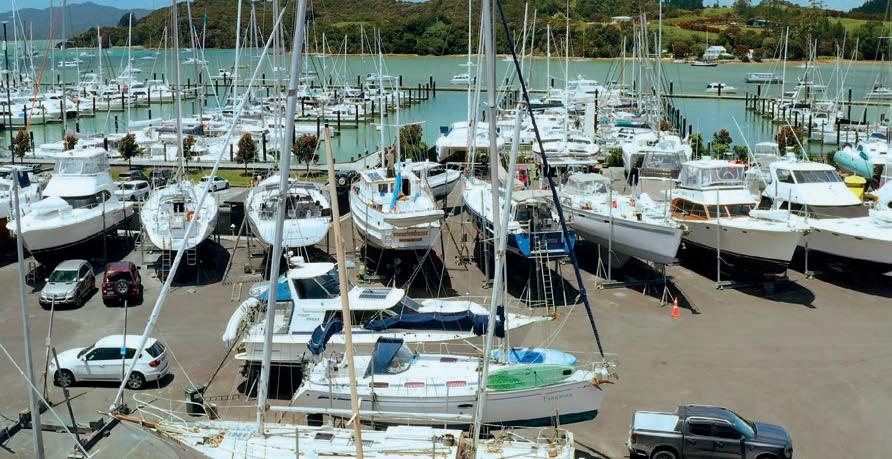
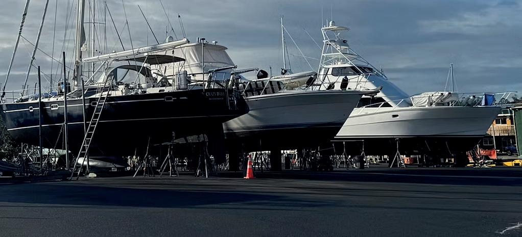
Situated at the southern end of the marina, the Bay of Islands Boatyard is New Zealand’s northernmost full-service, commercially operated boatyard and one of the nation’s leading haul-out and wash-down facilities.
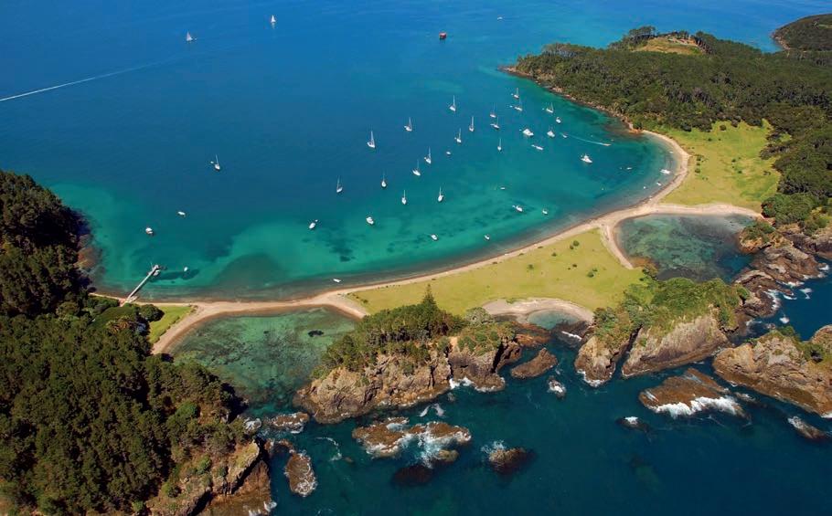
We also offer 20 dedicated work berths, each accommodating boats up to 20m in length, ideal for maintenance that can be carried out while your vessel remains in the water.
We are proud to have been named New Zealand Boatyard of The Year 2024 from the NZMOA and will be striving to uphold this prestigious title in the coming years.
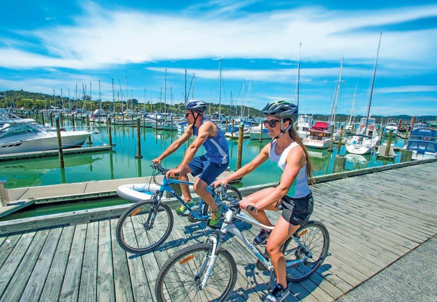
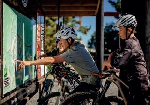
Visitors enjoying the nearby Waitangi Mountain Bike Park
From Opua you can either walk 8km via the coastal walkway to the township of Paihia, or travel five minutes by car. A bustling little township with cafes, doctors centres, a dentist, gift stores, surf shops, restaurants and more. The waterfront area has had many upgrades added over the years thanks to a hard-working local group called Focus Paihia, who have rallied to create beautiful spaces we can all enjoy. These include waterfront playgrounds, planting and seating on the village green, murals and artwork, and the Waitangi Mountain Bike Park. There is also a golf course, horse trekking, and the nearby Haruru Falls which has a 5km walk alongside the river. There are often markets on the village green selling fresh produce and locally made arts and crafts.
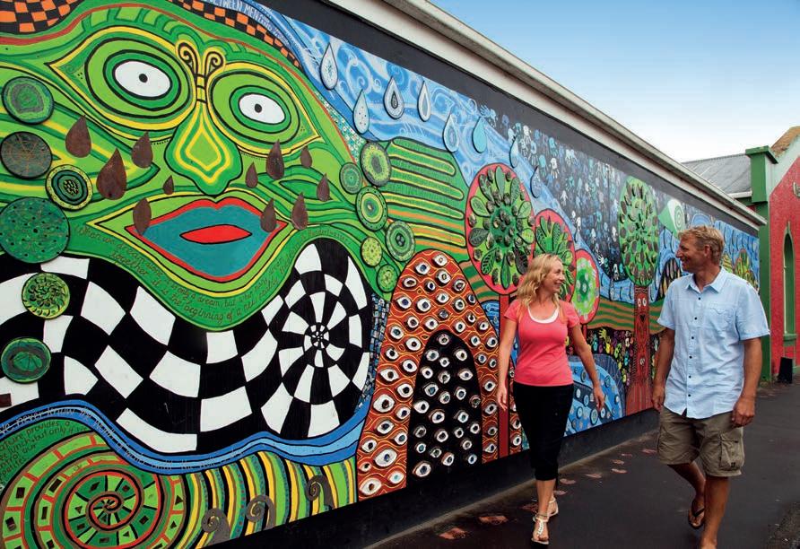
Fifteen minutes via car or you can walk along the old train line that runs from Opua - Kawakawa is named after a unique New Zealand shrub which you’ll find on the labels of many locally made skin products, oils and balms. The township itself runs off New Zealand’s main state highway, and is a common stop for visitors on their way north. One of the main attractions, believe it or not, are the public toilets. The Hundterwasser toilets in Kawakawa are a must see, built by renowned Austrian artist Friedensreich Hundertwasser who conceived the idea to support the community, where he was considered a ‘local’ after residing here for many years. The Bay of Islands Hospital is also located in Kawakawa – your closest all-hours centre for medical needs.
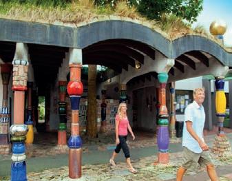
The famous Hundterwasser toilets in the heart of Kawakawa
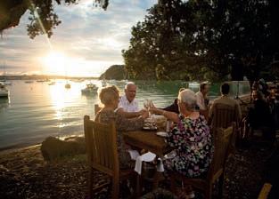
Enjoying a sunset drink on the Russell waterfront.
Where you’ll find arguably some of the best sunsets around. The west facing township is a historic spot, and was known as Kororāreka until the early 1840s. Here you can either enjoy the quaint village shops, museums, and waterfront eateries, or take a 15-minute walk over to Long Beach where you’ll find a golden sandy beach, often frequented by a coffee cart to enjoy a freshly made espresso. You can either anchor off Russell and explore by foot, or take the car ferry from Opua to Okiato and drive a further 8km into town. Alternatively there is the ‘long way around’ which is a 45 minute trip by car which goes around the mainland.
The largest of all four townships, Kerikeri has an estimated population of 8270, this is the site of the first permanent mission station and has some of the most historic buildings in the country. Kemp House and the Stone Store are well worth a visit, and it’s fertile soil and climate means there are many orchards and road side stalls from which to buy the freshest fruit and produce around. The Kerikeri Farmers Market is the Bay of Island’s largest market, held every Saturday and Sunday offering a great range of produce, meat, wine, beer, seafood, baked goods, deli items, coffee arts and crafts.
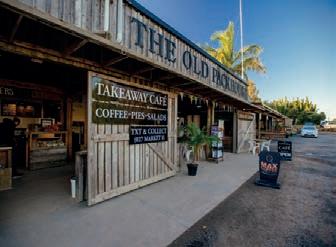
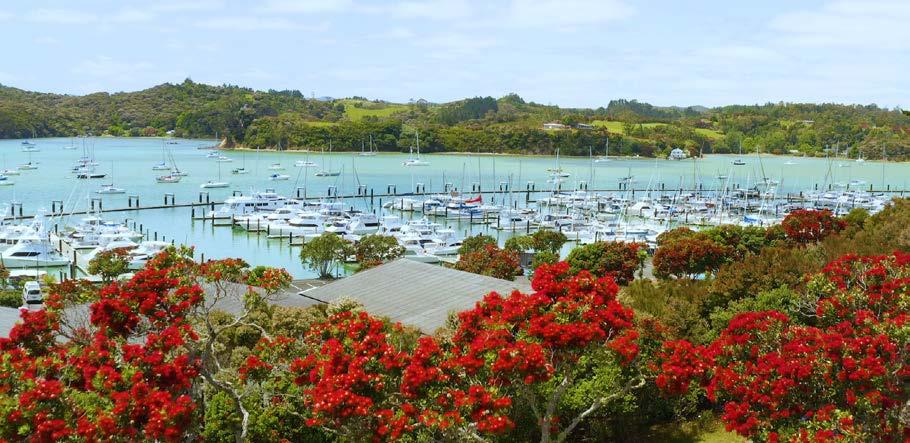
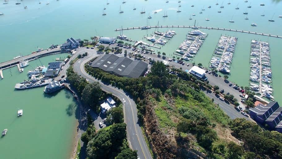
After your adventure and upon arrival into the beautiful Bay of Islands, you are very welcome to leave your boat in the Bay of Island Marina. Many owners and crew often find they want to venture inland or return home for a few weeks, or months. Ideally to secure a berth for your boat please feel free to make a booking or enquires by contacting the Bay of Island Marina Reception for Peace of Mind.
1 Treaty of Waitangi
Take a guided tour through the historic Waitangi Treaty Grounds and learn about New Zealand’s founding document, the Treaty of Waitangi. Admire the giant Waka (Māori war canoe) and expansive views over the Pacific Ocean.

6 Explore the top of the North
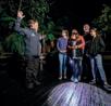
2 Discover the Waipoua Forest Embark on an intimate tour with Footprints Waipoua, one of two New Zealand experiences featured in Lonely Planet’s guide to authentic travel.Come face to face with Tāne Mahuta – God of the Forest and New Zealand’s largest Kauri tree. Learn how the forest plays an important role in the lives of local Māori and the eco-system.
3 Explore the Hokianga Walk in the footsteps of great ancestor, Kupe. Manea, on the shores of the Hokianga Harbour, shares warmth and welcome through our own tribal narratives and traditions left by Kupe. It’s a 75-minute multisensory journey of guided storytelling – through large scale artworks, film, performance, digital interaction, and the Hokianga environment.
4 Plentiful activities at Doubtless Bay
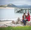
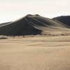
The Tasman sea meets the mighty Pacific Ocean at Cape Reinga, the northernmost tip of New Zealand. Near the tip of Cape Reinga are the Te Paki Sand Dunes, the largest of their kind in the Southern Hemisphere. This is renowned for ‘dune boarding’ via boogie board.
7 The remote Karikari Peninsula beaches
Located on the Karikari Peninsula and at the mouth of the hidden harbour, Rangaunu, Rangiputa has incredible white sands that make for tropical-looking waters. Head to nearby Puwheke hill to get up high and enjoy the views. Also a popular kitesurfing spot.
8 Experience the Bay of Islands by Scenic Railway
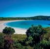
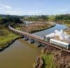
Starting from the Vintage Railway station in Kawakawa, you can ride the oldest passenger railway line in New Zealand (1864). It’s a 90-minute journey through Kawakawa and heading east across farmland and rivers towards Opua, with running commentary from the friendly railway staff. Visit www.bayofislandsvintagerailway.org.nz.
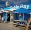
Just one hour north of Opua you’ll find a stunning stretch of cosy coves, charming townships, and pohutukawa fringed beaches. Boutique shopping, local pā sites, heritage buildings, over-the-water buildings, and of course a feed of famous fish and chips are just some of the activities at this much-loved holiday spot.
5 Rock formations of the Whangaroa Harbour
The hikes at Whangaroa are a must-do activity for any adventure seeker. Amazing volcanic fork formation Kaiaraara Rocks (Dukes Nose) is a local fave where views of turquoise waters below the beack are said to be some of the best in the country. This walk is either a 6-6 hour return from land, or you can also anchor your boat at the base of the cliff.

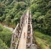
9 Twin Coast Cycle Trail
Starting from Opua you can enjoy farmland and scenic beauty via rail trailes, tunnels and bridges. Discover the history and heritage of Maori and European settlements. Visit www.twincoastcycletrail.kiwi.nz.
10 Ngawha Springs
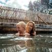
Bathe in the healing waters at Ngawha Springs and let the ancient energy revitalise your senses. Bathe at the main public springs (offering 16 geothermal pools) or book a private experience. Open Wednesday to Sunday 7am – 9pm.
If you’ve settled in, sorted the boat, and ready to explore deeper into our beautiful country, you’re in for a treat. Northland has so much to offer from activities to eateries to historical sites –take a deep breath and get ready to soak it in.
Two contrasting coastlines:
Northland is a narrow land mass with two contrasting coastlines – the east being calm and sheltered, and the west being exposed and wild. Everywhere you look the view is different.
EAST: Featuring the golden sandy beaches of Doubtless Bay, fringed by pohutukawa trees, secluded coves, and charming townships. There’s local artists and galleries dotted right across the region and beautiful walks to be had along the way.
WEST: Wild, typically ‘black sand’ beaches, spectacular coastline and peaceful forests, a trip to Northland can’t miss this dramatic coast line. Whether the giant sand dunes of Opononi or the ancient Kauri Forests of the Kapiara region.
TWO
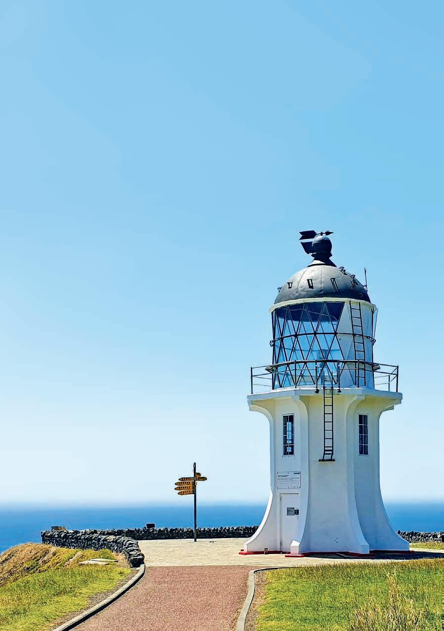
Where these two vastly different stretches of land meet is hugely significant in Māori oral history, and if you reach the end of the road in Cape Reinga you’ll feel why. A beautiful walkway takes you out to the lighthouse which you may or may not have seen on your passage to New Zealand, with plaques lining the way to reach the area where tides and currents meet, which is historically recognised as where the spirits of deceased Māori leap into the ocean to return to their ancestral homeland of Hawaiki.
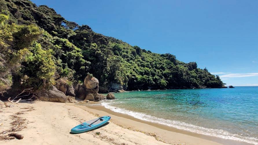
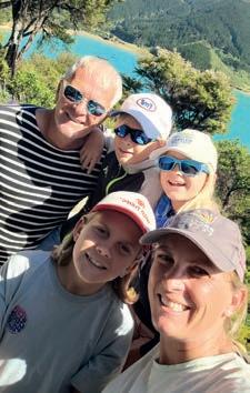
If you are an avid Gateway reader, then you may recall our article from last year. It was our first time visiting New Zealand, and I had written about how captivated we had become by the beautiful Bay of Islands. Let me reintroduce ourselves: we are a German family with three children (now 9, 10 and 13 years old). We left home in August 2021 with the view to do a 3-year circumnavigation on Wild Thing², our distinctive Outremer 45 sailing catamaran. A sailor’s plans, however, as you’ll appreciate if you are a yachtie, are written in the sand at low tide. After more than 3-and-a-half years of cruising, we have come halfway around the world. We first arrived in Opua, New Zealand in November 2023 to get out of the Pacific cyclone belt during cyclone season.
We didn’t have much time to travel around the country then as we had arranged to fly home for a long overdue family visit. We left Wild Thing² in the Bay of Islands Marina and came back in late January so
that our children could attend school in Opua for one term. They were welcomed with open arms there and thrived in this exemplary school with the motto “sharing is caring”. We realised that our children were starting to grow roots, which is a dangerous thing for sailors to do! My husband and I had also made friends and loved being in this idyllic slice of paradise.
Had it not been for our visa coming to an end, we may well just have stayed there and then. But the reality was that we had to leave New Zealand again by the end of April. This is when a new plan was hatched. Why rush to sail on towards Indonesia and further west when we all enjoyed it so much here? And so, our family council decided to “sail back up to the islands” (as the Kiwis call Tonga, Fiji and other Pacific islands) before returning to Opua in November 2024.
TThere were moments we doubted our decision. The temptation to join other boat
friends and to explore new places together was strong, but ultimately, the pull of New Zealand prevailed.
We knew how right we had been to follow our hearts the moment we re-entered the magnificent Bay of Islands on 10 November 2024. We were overwhelmed by the lush greenery and the gently rolling hills unfolding before us and the scent of earth and land being gently carried over to us by the wind. We hadn’t expected to feel this intensely. To all five of us, it felt like coming home!
We spent a couple of weeks in Opua reuniting with friends before embarking on our two-month adventure to circumnavigate the North Island and explore the northern South Island – a different path from most cruisers who leave their boats in marinas and travel by campervan.
Waiting for good weather, we sailed north to the Cavalli Islands, then to Whangaroa where we climbed the Duke’s Nose for magnificent views. Continuing northward, we enjoyed fish and chips in Mangonui and surf time at Spirits Bay before facing Cape Reinga – the mythical Maori spirits’ leaping place. Despite a burst tube filling our starboard bilge, we safely navigated the spectacular swirl where the Tasman Sea meets the Pacific, welcomed by playful dolphins as we reached the west coast.
We spent two days motoring south before continuing to the South Island under white sails, spotting our first majestic albatross with its three-meter wingspan. This wonderful bird stayed with us for a long time, gliding effortlessly. The crossing through the Tasman Sea was sporty with 35-knot gusts and disorganized waves, but dawn brought us into calm waters near Golden Bay. The pristine white beach of Onetahuti in Abel Tasman National Park was unforgettable –we’d made it to the South Island!
While exploring the national park, we encountered playful seals and crossed paths with 60 dolphins while sailing our dinghy. A kind Kiwi couple invited us to stay on their guest mooring at Squally Cove
before we sailed to remote D’Urville Island where we learned to fish for delicious blue cod. We navigated the notorious French Pass at slack tide, escorted by dolphins reminiscent of the famous Pelorus Jack.
After exploring Pelorus and Queen Charlotte Sounds (following Captain Cook’s route), we enjoyed Christmas Eve dining at historic Furneaux Lodge and hiked to a 1000-yearold rimu tree on Christmas Day. In Picton, we visited ex-cruising friends near Blenheim for wine tasting before crossing Cook Strait to Wellington. There we enjoyed the cable car, Weta Workshop, Te Papa Museum, a surprise Banksy exhibition, and a spectacular New Year’s Eve with fireworks.
Sailing up the eastern coast, strong winds forced us to shelter in Napier, the Art Deco city rebuilt after the 1931 earthquake. When conditions improved, we continued through squally conditions past East Cape, smelling sulfur from White Island before anchoring at Slipper Island. At Great Mercury Island, we reunited with sailing friends, then spotted little penguins en route to Waiheke Island with its vineyards and walking trails.
From Auckland, where we watched the SailGP racing, we explored islands to the north including Tiritiri Matangi, Te Haupa, and Kawau, meeting wonderful Kiwi families. We wingfoiled in Bland Bay, explored the old whaling station in Whangamumu, and witnessed dolphins playing in the anchorage. Finally, we passed dramatic Cape Brett to
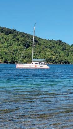
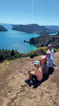
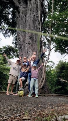
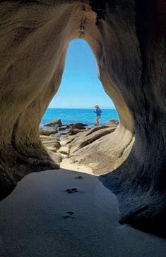
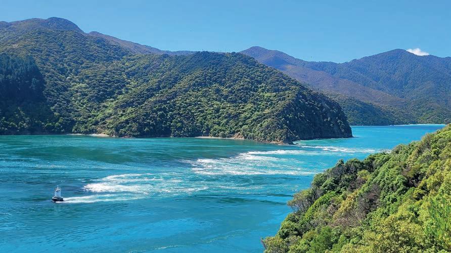
return to Opua exactly two months after setting off.
We passed the dramatic, breathtaking landscapes of Cape Brett and the Hole in the Rock on a beautiful, sunny day at the end of January, returning to Opua exactly two months after we had set off on our circumnavigation of the North Island. Our advice: We can only encourage you
to consider sailing beyond the Bay of Islands during your time here in New Zealand. Be sure to check the weather forecast, look at the wind patterns, think about where you might be able to seek shelter if you need to, and go exploring this beautiful country’s shores and meeting some of the wonderful people that make New Zealand so special.

Marine Engines, Drive Systems, Outboard Sales, Service and Repairs. GenSets and Pumps.
Full range of Anodes, Drive Belts, Fuel and Oil Filters, Oils, Batteries.
Marine Engines, Drive Systems, Outboard Sales, Service and Repairs. GenSets and Pumps.
Marine Engines, Drive Systems, Outboard Sales, Service and Repairs. GenSets and Pumps.
All technicians are Dealer Trained and Authorised.
Certi ed welders available.
Full range of Anodes, Drive Belts, Fuel and Oil Filters, Oils, Batteries.
Full range of Anodes, Drive Belts, Fuel and Oil Filters, Oils, Batteries. All technicians are Dealer Trained and Authorised.
Automotive Services
Certi ed welders available.
All technicians are Dealer Trained and Authorised.
Complete Automotive Mechanical Service and Repairs, WOF Inspection, Auto Electrics, Automotive Air Conditioning system Re-gas.
Automotive Services
Complete Automotive Mechanical Service and Repairs, WOF Inspection, Auto Electrics, Automotive Air Conditioning system Re-gas.
Full range of Anodes, Drive Belts, Fuel and Oil Filters, Oils, Batteries. All technicians are Dealer Trained and Authorised. Certified welders available.

*As at January 2025
If you’re heading out in the Bay of Islands, make sure you are aware of areas with fishing, diving and anchoring restrictions.
Marine Protected Areas
Fishing and collecting kai moana (seafood) is not allowed around the Mimiwhangata peninsula and from Maunganui Bay (Deep Water Cove) to Opourua (Oke Bay).
In a third area, around Cape Brett, bulk harvesting of fish using commercial seining and trawling methods is prohibited to a depth of 100 metres.
These restrictions are in place to protect local marine ecosystems, which have been severely impacted by fishing.
Exceptions to the rules include kina harvesting, research or restoration activities, and non-commercial customary fishing rights guaranteed under Te Tiriti o Waitangi.
Controlled Area Notice
Fishing (including spearfishing, crayfishing, and shellfish gathering), diving and anchoring is not allowed in Te Rāwhiti Inlet.
These restrictions are in place to prevent the spread of the invasive seaweed exotic caulerpa.
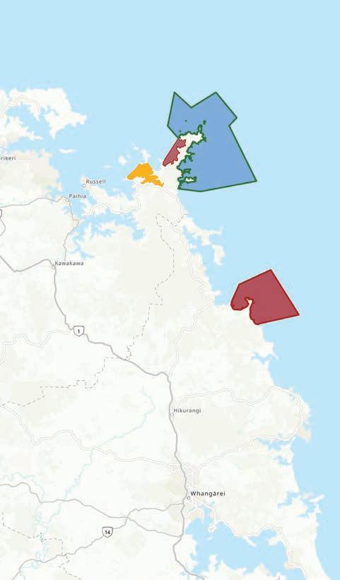
Marine Protected Area: No-take - except kina
Controlled Area Notice: No fishing, diving and anchoring
Marine Protected Area: Commercial fishing restrictions
For coordinates, see your Navionics app or visit:
Marine Protected Areas: www.nrc.govt.nz/marineareas
Controlled Area Notice: www.mpi.govt.nz/can-map-terawhiti
*As at January 2025
SEEN IT ELSEWHERE IN NORTHLAND?

it could see you turned away from marinas or regions around New Zealand

Before you cast off, check out the biosecurity rules: marinepests.nz/rules



Vining Marine Group is one of New Zealand’s leading marine brokerages for all types of vessels and marina berths.
We go the extra NAUTICAL MILE for you and we LOVE BOATS
So put your next adventure in our experienced hands


We are strategically located in Opua Bay of Islands, Whangarei, Auckland, Picton, Christchurch and Nelson.




Contact Dan on +64 22 432 6007


Email: dan@viningmarine.co.nz or

Rob on +64 27 332 2535
Email: robw@viningmarine.co.nz


54 M aps & Spots fro m th e Cavalli Islands to Cape Bret t

Contacts: Coastguard Whangaroa VHF 64
Maritime Radio VHF 16, 67, Russell Radio VHF 63
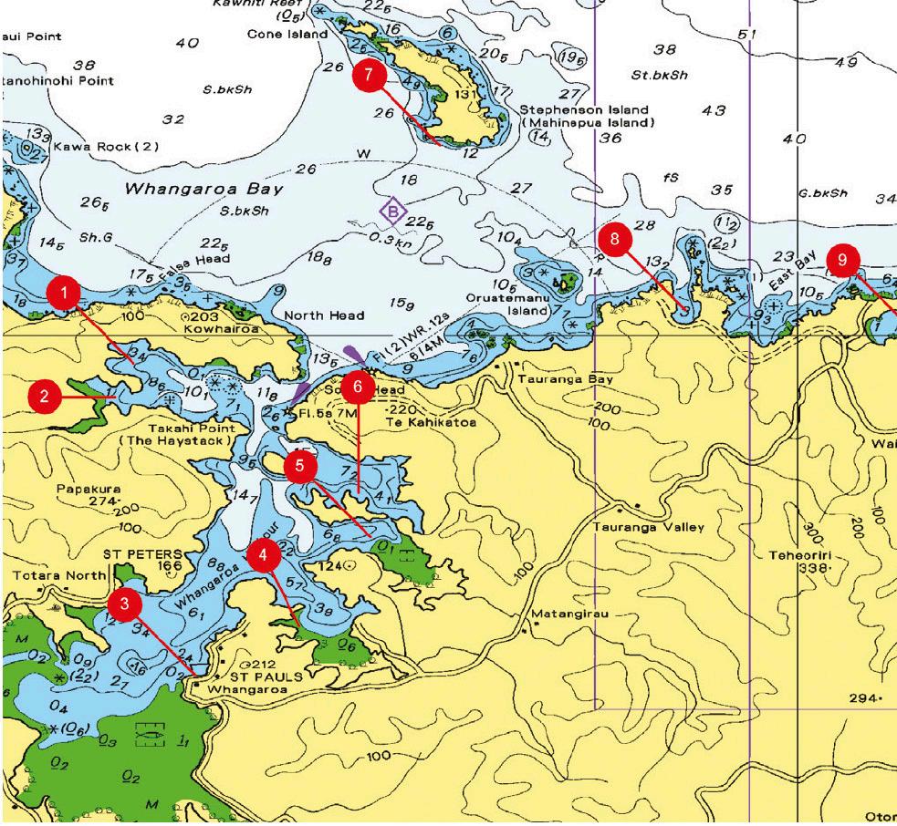
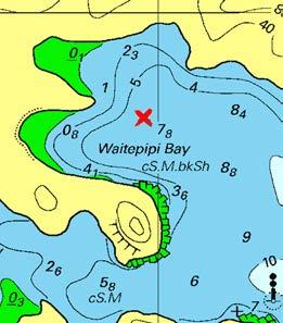
1.Waitepipi Bay - Whangaroa


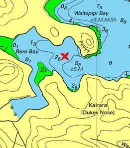
2.Rere Bay - Whangaroa Harbour

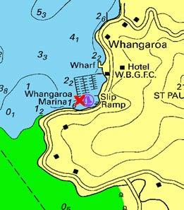
3.Whangaroa Marina


GPS: 35°00.222'S, 173°43.954'E
Exposed toWind E,SE.
Draft: 0-3m+
Anchoring Tips:
Bottom: Broken Shell,
Swell: Nil.
Suitable: Gale Force
Well sheltered in winds from south through west and north to northeast. Can gust down off hills in strong winds. Good holding in 3-8m. Often get early morning fogs in the harbour in settled weather.
Features:
Probably the best, sheltered harbour in New Zealand. Great scenery. Land on the beach in southwest corner and climb up to Okomoko Pa site for stunning harbour views. Reasonably good scallop bed and a few stingrays, especially in the summer, resting or feeding on the bottom. Often poor visibility.
GPS: 35°0.526'S, 173°43.788'E
Exposed toWind E,SE,W.
Draft: 0-2m
Anchoring Tips:
Bottom: Mud,Sand.
Swell: Nil.
Suitable: Gale Force
More sheltered than Waitepipi, but still subject to gusts in strong winds. Shallows towards the head of the bay, but good holding in 3-6m in mud.
Features:
Good anchorage to explore the inlet up to The Canyon. Take your tender on a rising tide, or land in Lane Cove and climb up to the Duke's Nose. Another track from here will take you through to Totara North, approx. an hour's walk. Scallop beds throughout Pekapeka Bay, Rere Bay and Waitepipi Bay, but visibility is often poor with a few stingrays feeding on the bottom.
GPS: 35°03.064'S, 173°44.518'E
Exposed toWind Nil.
Draft: 0-3m+
Anchoring Tips:
Bottom: Mud.
Swell: Nil.
Suitable: Gale Force
The entrance to the harbour is 200m wide with plenty of depth and a clear channel to the marina.
Features:
Whangaroa Gamefish Club clubrooms, restaurant and bar adjoins the marina. A beautiful harbour with lovely walks, a hotel and a shop close by.
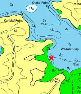
4.Waitapu Bay - Whangaroa


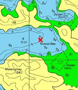
5.Touwai Bay - Whangaroa
6.Owhatanga Bay - Whangaroa

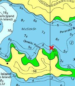
GPS: 35°02.614'S, 173°45.468'E
Exposed toWind NW.
Draft: 0-2m
Anchoring Tips:
Bottom: Mud,Sand.
Swell: Nil.
Suitable: Gale Force
Slightly shallower than the other bays, but very sheltered, especially if the wind is from the southwest or northeast. Open to the northwest. Good for vessels with shoal draft. Good holding.
Features:
Another snug hideaway in a blow, or just a pleasant anchorage in good weather. There's a boat ramp on the southwestern headland. A number of moored boats , but plenty of room.
GPS: 35°01.804'S, 173°46.120'E
Exposed toWind SW,W,NW.
Draft: 0-3m+
Anchoring Tips:
Bottom: Mud,Sand.
Swell: Nil.
Suitable: Gale Force
Much the same as Owhatanga Bay, except with better shelter from the north and slightly more exposed from the west. Again, deep water close to shore: anchor close for better shelter. Good holding. High hills on both sides can bring on strong gusts in bad weather. Watch for 2.2m shallow if leaving the bay in a southwest direction.
Features:
A good, safe night anchorage. As with most of the harbour, it is well worth dangling a line for breakfast.
GPS: 35°01.404'S, 173°46.006'E
Exposed toWind W,NW.
Draft: 0-3m+
Anchoring Tips:
Bottom: Broken Shell,
Swell: Nil.
Suitable: Gale Force
Depending on wind direction, there are plenty of choices here with good shelter; except from the northwest. Water mostly deep enough around the bay to tuck in close to the shore in a blow. Good holding.
Features:
This is a sheltered bay with good holding. Couldn't be better when it's blowing hard. Close to Kingfish Lodge for a meal out. Scallops can be found throughout the harbour; visibility is poor. Fishing for snapper, kahawai and john dory is worthwhile.
7.Stephenson Island


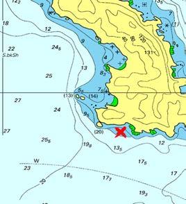
8.Whangaihe Bay

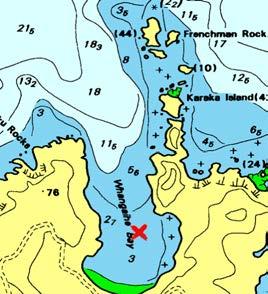
9.Mahinepua Bay

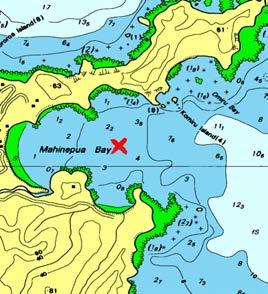
GPS: 34°58.235'S, 173°46.753'E
Bottom: Rocks,Seawee
Exposed toWind E,SE,S,SW,W.
Draft: 0-3m+
Anchoring Tips:
Swell: NW.
Suitable: Wind Warning
Two anchorages are favoured by the locals: this one and the bay around to the west of the island in 4m of water. Both anchorages are over a foul bottom; lay your anchor carefully. Be aware that Homestead Bay on the western side of the island has submerged rocks in c lose.
Features:
The island is private land and is an operating drystock farm with sheep and cattle. Please give due respect and do not leave litter on the beaches. Diving and fishing is excellent all around the island with Cone Island at the northern end favoured by the locals.
GPS: 34°59.736'S, 173°48.996'E
Exposed toWind N,NE,NW.
Draft: 0-2m
Anchoring Tips:
Bottom: Sand,Shingle.
Swell: N,NE,NW.
Suitable: Wind Warning
Clear entry down the middle of the bay. Anchor approx. 200m from beach in 3-4m. Great lunchtime stop or overnight. Good holding. Open to the north, but good shelter in winds from east to west through south.
Features:
Land at the small bay on the north eastern side, being mindful of the rock about 75m off its beach. Walk to the headland for great views. Explore by tender the chain of islands that extend north from this headland. Frenchman Rock has tunnels and caves. Great for snorkelling.
GPS: 34°59.928'S, 173°51.078'E
Exposed toWind NE,E,SE.
Draft: 0-2m
Anchoring Tips:
Bottom: Sand.
Swell: NE,E,SE.
Suitable: Fair Weather
Well sheltered from north to southwest winds, but shallow at its head. Anchor in the middle, north of the small bay on the southern side, in 3-4m. Moderate to good holding.
Features:
Good bay for an overnight stop in westerly conditions. The coastline out to Flat Island is littered with rocks and foul holding snapper, crayfish and a huge variety of marine life for the diver and snorkeller to marvel at.
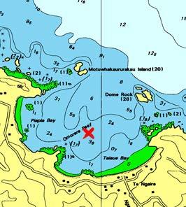
10.Te Ngaere Bay
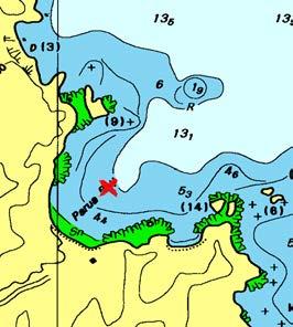
11.Parua Bay
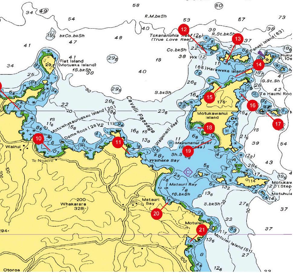
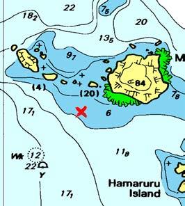
12.Motutapere Island

GPS: 35°1.058'S, 173°51.924'E
Exposed toWind N,NE,E,NW.
Draft: 0-2m
Anchoring Tips:
Bottom: Sand.
Swell: N,NE.
Suitable: Wind Warning
Clear entry into bay between two sets of small islands. Good shelter in winds from southwest to southeast, but can be subject to ground swell. Anchor in 45m approx. 150m north of small rocky outcrop on western end of Taiaue Beach, being mindful of the awash rock just northwest of Omorere Reef. Moderate to good holding
Features:
Beautiful, sandy beach and the small settlement of Te Ngaere. No shops. Dome Rock at the entrance of the bay is worth exploring for the diver and the fisherman. Crayfish, red moki, spotties, leatherjackets and the occasional snapper.
GPS: 35°1.158'S, 173°54.114'E
Exposed toWind N,NE,E,SE.
Draft: 0-3m+
Anchoring Tips:
Bottom: Sand,Shingle.
Swell: N,NE,E,SE.
Suitable: Fair Weather
Good anchorage to come to from Motukawanui if wind turns south to west. Be aware o f Waipunaiti Reef which extends out from the bay's southeastern point, including the rock that is approx. 315m further out in the same line. From the northwest point is a rock approx. 320m out that is also dangerous. Keep in the middle and anchor approx. 115m off beach in 5-8m. Moderate to good holding. Subject to ground swell.
Features:
Beautiful bay with shingle beach and private farmland behind it.
GPS: 34°58.368'S, 173°56.250'E
Exposed toWind SE,S,SW,W.
Draft: 0-3m+
Bottom: Rocks,Sand,S
Swell: NE,S,SW,W,N
Suitable: Day Time Only
Shallower and more sheltered anchorage for diving the 'Rainbow Warrior', which will be approx. 350m away at 235-degrees true and marked by a yellow buoy. Depth 6-10m. Moderate holding. Subject to a roll. Anchoring Tips:
Features:
Great dive on the Greenpeace vessel 'Rainbow Warrior'; purposefully sunk here in December 1987 as a memorial. Lying in 26m, it is covered in a myriad of jewel anemones. Blue maomao, mackerel, snapper and kingfish are common, as are sandagers and scarlet wrasses, combfish, pigfish and golden snapper. Octopus are often hidden on decks. A photographer's dream.
13.Hamaruru Island


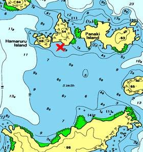
14.North Beach - Motukawanui Is.

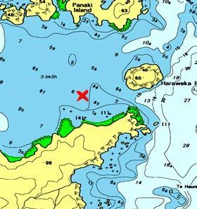
15.North Bay - Motukawanui Is.

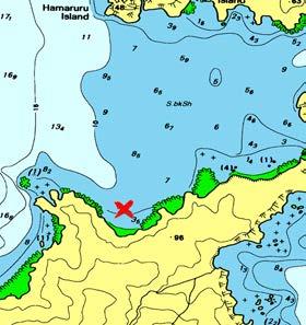
GPS: 34°58.624'S, 173°56.775'E
Bottom: Rocks,Sand,S
Exposed toWind E,SE,S,SW,W.
Draft: 0-2m
Anchoring Tips:
Swell: E,SW,W.
Suitable: Day Time Only
Sheltered from northwest to northeast winds, this is a good daytime anchorage from which to explore these smaller islands by tender. Anchor approx. 110m off each point on either side of the beach in 3-5m. Moderate holding.
Features:
Great little island to explore with large arch through to the north side. Excellent snorkelling and diving on the northern side, which can be accessed across the beach. Take care if northerly swell running. Department of Conservation island; landing permitted, but no animals allowed.
GPS: 34°59.016'S, 173°57.036'E
Bottom: Sand.
Exposed toWind N,NE,E,W,NW.
Draft: 0-3m+
Anchoring Tips:
Swell: N,NE,E,W,NW
Suitable: Day Time Only
Open from southwest to northeast through to north. Anchor approx. 200m north of western point of the beach in 6m on sand. Anchorage for dropping people off at the beach. Subject to ground swell.
Features:
Track starts from the western side of the beach to Waiiti and Horseshoe Bays. Stunning views. Kiwis on this island. Take tender 150m around northeast point to explore cave with three entrances. In calm conditions enter narrow cut running northeast to southwest. Cave is on northern side. Department of Conservation island; landing permitted, but no animals allowed.
GPS: 34°59.278'S, 173°56.638'E
Bottom: Rocks,Sand.
Exposed toWind N,NE,E,W,NW.
Draft: 0-3m+
Anchoring Tips:
Swell: N,NE,W,NW.
Suitable: Wind Warning
Good shelter here from winds southwest through south to southeast. Open to north. Anchor approx. 200m off each side of bay in 8-9m. Good holding if anchor properly dug in.
Features:
Best anchorage in southerly conditions. Good for overnight. Handy to landing beach to the northeast. Wreck of Greenpeace vessel 'Rainbow Warrior' lies 1.4km bearing 331-degrees true from here. Great dive. Department of Conservation island; landing permitted, but no animals allowed.
16.Northeast Bay - Motukawanui


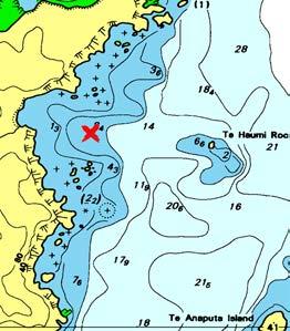
17.Motuharakeke Is.


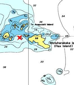
18.Waiiti Bay - Motukawanui Is.

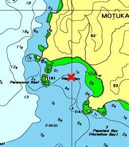
GPS: 34°59.502'S, 173°57.186'E
Exposed toWind N,NE,E,SE,S.
Bottom: Rocks,Sand.
Swell: N,NE,E,SE,S,N
Suitable: Fair Weather Draft: 0-3m+
Anchoring Tips:
Northeast Bay looks worse on the chart than it really is, but as in this whole area, extreme caution should be exercised at all times. An anchorage approx. 200m out from the southern point of the small bay, midway between the visible rocks in 6-8m, is tenable in settled winds from the westerly quarter. Usually subject to ground swell. Be aware of awash rock 800m to the east.
Features:
Very rugged coastline with many rocks: extreme care is called for at all times. Department of Conservation island; landing permitted, but no animals allowed.
GPS: 35°00.018'S, 173°57.886'E
Bottom: Rocks.
Exposed toWind E,SE,S,SW,W.
Draft: 0-3m+
Anchoring Tips:
Swell: N,NE,E,SE,S,S
Suitable: Day Time Only
For the more adventurous in settled weather, as there is usually some swell running here. Anchor between Motuharaheke and Te Anaputa Islands in 8-12m.
Features:
Use this anchorage as a base for exploring this group by tender. There is a tunnel running right through Motuharakeke with good depth and height for a tender. There is a cave with three entrances on Te Anaputa Island that can be entered at half tide rising. Conditions should be calm and watch for 'rising' rocks in a swell! Department of Conservation island; landing permitted.
GPS: 35°00.438'S, 173°55.990'E
Exposed toWind SE,S,SW,W.
Draft: 0-2m
Anchoring Tips:
Bottom: Sand,Shingle.
Swell: S,SW,W.
Suitable: Fair Weather
Anchor in the middle of the bay approx. equidistant from southeastern headland, northwestern reef, and beach in 3-4m. Shallows towards the beach. Moderate to good holding. Clear entry except for shallow areas off southeastern headland and northwest reef. Rolly in northerly or southerly swells.
Features:
Beautiful bay with pa site on southern headland. The track from the northern end arrives here and in Horseshoe Bay. Hear the kiwis at night. Department of Conservation island; landing permitted, but no animals allowed.
19.Horseshoe Bay - Motukawanui


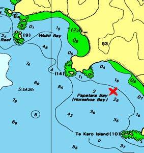
20.Orokaraka Bay


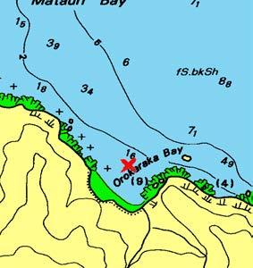
21.Waiaua Bay
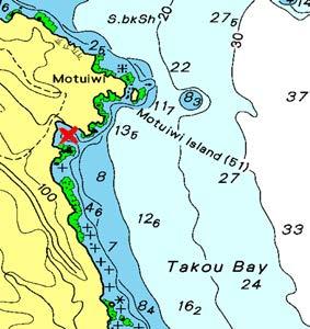
GPS: 35°00.762'S, 173°56.370'E
Exposed toWind SE,S,SW,W.
Draft: 0-2m
Anchoring Tips:
Bottom: Sand,Shingle.
Swell: S,SW,W.
Suitable: Fair Weather
Wider but shallower than Waiiti Bay. Anchor in the middle, which is approx. 315m equidistant from headlands and beach in 3m. Moderate to good holding. Clear entry to bay, but shallows approx. 150m out from beach. Subject to a roll from northerly and southerly swells.
Features:
Beautiful bay with steep, shingle beach. Track from northern end comes into this bay. Pa sites on north and south headlands with great views. Hear the kiwis at night! Department of Conservation island; landing permitted, but no animals allowed.
GPS: 35°2.490'S, 173°55.183'E
Exposed toWind N,NE,E,NW.
Draft: 0-2m
Anchoring Tips:
Bottom: Sand.
Swell: N,NE,E.
Suitable: Wind Warning
Sheltered in a westerly and southerly breeze you will find good holding over firm sand in a 3 - 4 metres of water. The coastline to either side is littered with rocks but this is quite a clean a safe little anchoarage. Can be subject to roll.
Features:
A remote and picturesque bay with no road access and a small fresh water stream. Broken rocks and foul to the south will produce a snapper or two for breakfast.
GPS: 35°3.577'S, 173°55.787'E
Exposed toWind E,SE,S.
Draft: 0-3m+
Anchoring Tips:
Bottom: Sand.
Swell: NE,E,SE,S.
Suitable: Wind Warning
Protected from a north westerly this is a clean clear anchorage that is often protected from the predominate swell. Moderate holding over firm sand in this secluded bay.
Features:
Takoa Bay is very exposed to the north and the east, subject to swells and surf on the beaches. With its proximity to the Cavallis Islands and the Bay of Islands it is often overlooked as an anchorage. As a result you can sometimes find a pleasant and private anchorage to yourself in the right weather.
22.Whale Bay


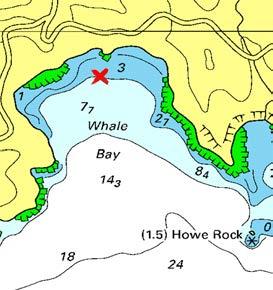
23.Rangihoua Bay


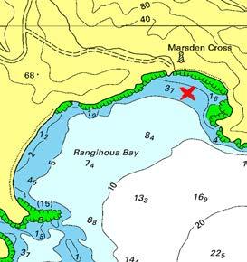
24.Opito Bay

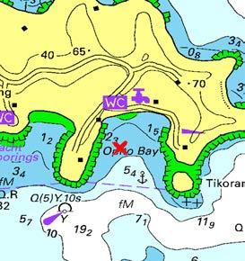
GPS: 35°10.112'S, 174°6.586'E
Exposed toWind E,SE,S,SW.
Bottom: Sand,Shingle.
Swell: E,SE,S,SW.
Suitable: Wind Warning Draft: 0-3m+
Anchoring Tips:
Open to south. If approaching from east, there is deep water inside Howe Rock, otherwise the entry is clear. Deep bay and well sheltered from north-west to northeast winds. Moderate holding 100m off beach in 3-5m between the two rocky outcrops in the middle of the bay. Can be subject to ocean swell, which will make it an uncomfortable and rolly anchorage.
Features:
Better shelter than Rangihoua Bay, but much smaller. Mostly steep-sided. When the weather is good it is an excellent, quiet spot that does not attract the number of boats that crowd the eastern bays.
GPS: 35°10.249'S, 174°5.763'E
Exposed toWind E,SE,S,SW.
Draft: 0-3m+
Anchoring Tips:
Bottom: Sand,Shingle.
Swell: E,SE,S.
Suitable: Wind Warning
Open to the south-east, but good shelter from north-east to north-west winds. Subject to a roll from north to north-east swells. Rocky outcrops on eastern side. Anchor approx. 150m out from beach in front of the Marsden Cross. Moderate to good holding. Move to southern end of bay in westerly winds.
Features:
Site of Reverand Samuel Marsden's first sermon in New Zealand on Christmas Day 1814. This is commemorated by the Marsden Cross. Walk up to the pa site for a great view of the bay. The Te Pahi Islands to the southwest can be interesting to snorkel and fish.
GPS: 35°11.644'S, 174°2.477'E
Exposed toWind SE,S,SW.
Draft: 0-3m+
Anchoring Tips:
Bottom: Mud.
Swell: Nil.
Suitable: Gale Force
A large number of private moorings and private homes on shore does not make this the most picturesque anchorage; however, it is safe in a blow with good holding over mud in deep water.
Features:
Close to marina facilities in the next bay to the west. For vessels with a shallow draft of less than 1.2 metres, the Kerikeri River is navigable up to the historic stone store and the township.
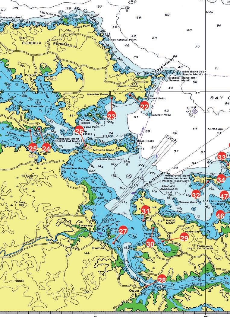
Contacts: Coastguard Bay of Islands VHF 04
Maritime Radio VHF 16, 67
Russell Radio VHF 63
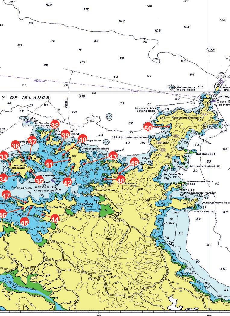
25.Kerikeri Cruising Club/Marina


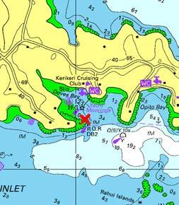
26.Moturoa Island


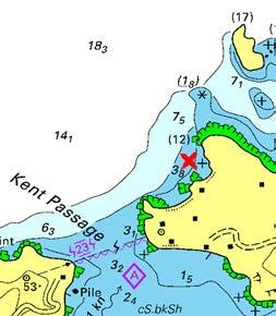
27.Paihia


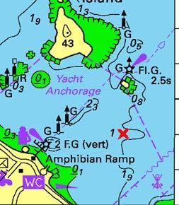
GPS: 35°11.722'S, 174°02.076'E
Exposed toWind Nil.
Bottom: Mud.
Swell: Nil.
Suitable: Gale Force Draft: 0-2m
Anchoring Tips:
Port markers identify the channel to the marina. The channel has been dredged to a minimum of 2m at spring-low tide.
Features:
The marina clubhouse, restaurant and bar are open daily during the summer and visitors are welcome. It is 15-minutes' drive by road to the historic Kerikeri township.
GPS: 35°12.400'S, 174°4.564'E
Exposed toWind N,W,NW.
Bottom: Mud.
Swell: Nil.
Suitable: Wind Warning Draft: 0-2m
Anchoring Tips:
Kent Passage gives access to Kerikeri Inlet and is safe for large vessels. An overhead power line gives a safe height of 23m at high tide. A clear entrance into a deep bay with good holding over mud. Be aware of the rocks close to shore.
Features:
Moturoa is a privately owned island and is not part of the Bay of Islands Maritime Park. A nice beach. Nearby Kent Channel often has schooling kahawai - look for the birds. For the diver there are scallop beds worth checking out.
GPS: 35°16.798'S, 174°5.843'E
Exposed toWind N,NE,E,SE.
Bottom: Mud,Sand.
Swell: N,NE,E,SE.
Suitable: Wind Warning Draft: 0-3m+
Anchoring Tips:
Anchor well away from the wharf to avoid wash from the ferries. Good depth of water and good holding over mud. Beware of the two submarine cables to the south-east of this bay.
Features:
Normally a daytime anchorage used to restock the larder.
28.Opua Marina


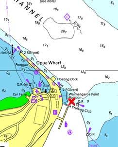
29.Uruti Bay

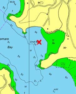
30.Matauwhi Bay


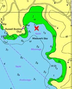
GPS: 35°18.766'S, 174°7.325'E
Exposed toWind Nil.
Draft: 0-2m
Anchoring Tips:
Bottom: Mud.
Swell: Nil.
Suitable: Gale Force
Two car ferries operate regularly from Opua across the channel to Okiato. When manoeuvring around the Opua Wharf, Opua Store or in the channel, always keep in mind the strong tidal flow and the ferries.
Features:
A new and modern marina well equipped to service visiting boaties from around New Zealand and overseas.
GPS: 35°16.721'S, 174°8.062'E
Exposed toWind W.
Draft: 0-2m
Anchoring Tips:
Bottom: Mud.
Swell: Nil.
Suitable: Gale Force
A calm, protected and safe anchorage with good holding over mud. Anchor in the mouth of the bay, as it does dry out halfway from shore. If the wind changes to the west, move over to the western side of Pomare Bay.
Features:
As it is surrounded by private land, access to the shore and a public road is a long run in the tender. Generally used as an overnight spot before heading into or out of Russell, Opua or Paihia. If you get stuck here waiting out a storm, try running a flounder net in Orongo Bay.
GPS: 35°16.121'S, 174°7.642'E
Exposed toWind SE,S,SW.
Draft: 0-2m
Anchoring Tips:
Bottom: Mud.
Swell: Nil.
Suitable: Wind Warning
A large number of moored boats, but without the constant boat traffic of Kororareka Bay (Russell). Anchor carefully - poor holding over soft mud.
Features:
If you wish to spend time in Russell, this is a better anchorage than Kororareka Bay and is without the constant wash from heavy traffic. A floating pontoon attached to the Russell Boating Club on the west side of the bay is an ideal place to go ashore. From the club it is an easy 700-metre walk to the centre of the village.
31.Kororareka Bay (Russell)


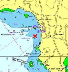
GPS: 35°15.790'S, 174°7.205'E
Exposed toWind SW,W,NW.
Draft: 0-1m
Anchoring Tips:
Bottom: Mud.
Swell: Nil.
Suitable: Day Time Only
Lots of private moorings, ferries and a large number of recreational and commercial vessels coming in and out make this a poor anchorage. Anchor away from the ferry channel; good holding over mud.
Features:
Russell is a delightful little village to pick up supplies and to enjoy the various cafes and restaurants. Have a drink at the oldest gamefishing club in the Southern Hemisphere and/or visit the museum.
32.Roberton Island (Motuarohia Is Exposed toWind SE,S,SW.
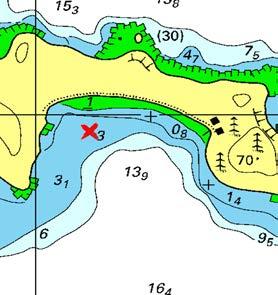
GPS: 35°14.032'S, 174°10.114'E
Draft: 0-3m+
Anchoring Tips:
Bottom: Mud,Sand,Shi
Swell: Nil.
Suitable: Wind Warning
Wide bay open to the south. Deep water close in to beach. Well sheltered from all northerly quarters. Generally good holding. North-west corner shallower, but with mostly 3-5m depth. Usually the best place to land is in this corner of the bay.
Features:
Almost compulsory to visit this lovely island. Private both east and west ends, but middle is Department of Conservation owned. No animals allowed. The lagoon on the north side of isthmus has an underwater guided trail. Track to the historic pa site starts at the western end and goes up through the bush. Stunning views of the islands and
33.Mangahawea Bay - Moturua Is. Exposed toWind SW,W,NW.

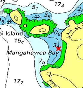
GPS: 35°13.258'S, 174°11.016'E
Draft: 0-2m
Anchoring Tips:
Bottom: Sand.
Swell: N,W,NW.
Suitable: Fair Weather
Open to the west. Clear entry. Anchor in the middle approx. 150m off the beach in sand offering moderate holding.
Features:
Lovely bay with sandy beach. Department of Conservation island with access to walking track. Interesting snorkelling around two small islets on northern side; kelpcovered reefs that drop into deep guts. Some crayfish in the holes with sponges, anemones, red moki, snapper and banded wrasse. Dinghy passage between islet and island at half-tide and rising.
34.Waipao Bay - Moturua Island
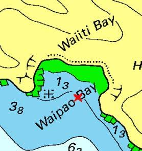
35.Awaawaroa Bay - Moturua Is.

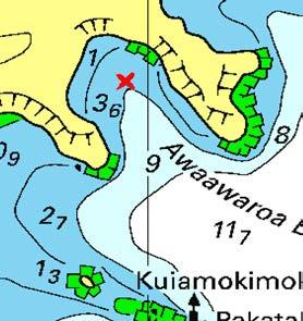
36.Waiwhapuku Bay - Moturua Is.
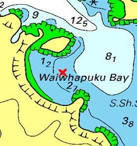
GPS: 35°13.736'S, 174°11.374'E
Bottom: Sand,Seaweed
Exposed toWind SE,S,SW,W,NW.
Swell: SE,S,SW,W,N
Suitable: Fair Weather Draft: 0-2m
Anchoring Tips:
Open to southwest. Clear entry. One awash rock in northern end of this double bay (Waiiti Bay). Anchor between headlands in 3m on sand with moderate holding.
Features:
Department of Conservation island with access to walking tracks right around island. No animals. French explorer Marion Dufresne anchored off this bay in January 1772 and set up a hospital for his sick crew here. He and many of his crew were massacred in Assassination Cove later that month.
GPS: 35°13.582'S, 174°11.962'E
Exposed toWind SE,S.
Draft: 0-3m+
Anchoring Tips:
Bottom: Mud,Sand.
Swell: SE,S.
Suitable: Gale Force
Also known as Pipi Bay, this is a wellsheltered bay for strong winds from northerly quarters. Not much room, but good holding. Anchor in middle towards the head in 3-4m. Next bay to the west is almost as good except it is shallower (Hahangarua Bay) and the land is private there.
Features:
Department of Conservation island with walking tracks around island. There is no access to the walking track from these southern bays. No animals allowed. Very popular sheltered and picturesque anchorage.
GPS: 35°13.096'S, 174°11.634'E
Exposed toWind N,NE,E,SE.
Draft: 0-2m
Anchoring Tips:
Bottom: Sand.
Swell: Nil.
Suitable: Fair Weather
When entering the passage from the north, between the islands, keep closer to Moturua Island to avoid rocks off the islet on northern side. Clear entry to this bay. Anchor in middle in 2-3m with moderate holding. Good protection from westerly-quarter winds. If coming in from south, keep well west of shallow area of islet Ngatokaparangi. Occasional surge in northerly swell.
Features:
Department of Conservation island with walking tracks. No animals. Lovely bay and sandy beach. Walk up to see the WW2 gun installations and good views of the bay.
37.Sunset Bay - Motukiekie Island
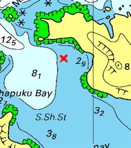
38.Waewaetorea Bay

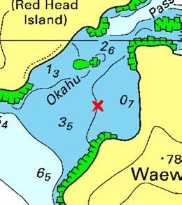
39.Waewaetorea Passage
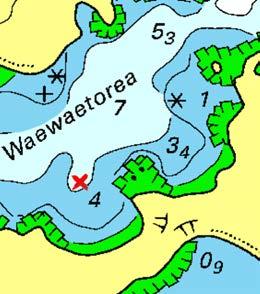
GPS: 35°13.004'S, 174°11.888'E
Exposed toWind SW,W,NW.
Bottom: Mud,Rocks,S
Swell: Nil.
Suitable: Gale Force Draft: 0-2m
Anchoring Tips:
Beware of rocks close in to shore; anchor further out in the bay to be safe. Channel access is from both north and south for medium-draft vessels. Watch out for the drying sand spit and rocks extending out from the southern tip of Motukiekie Island, and for unmarked submerged rocks on the western side of the northern channel.
Features:
A beautiful private and protected bay that is now dominated by a large private house situated above the beach. Island is now private land.
GPS: 35°12.142'S, 174°12.696'E
Exposed toWind W.
Bottom: Broken Shell,
Swell: N.
Suitable: Wind Warning Draft: 0-2m
Anchoring Tips:
Excellent anchorage in deep water with a white sandy beach. Strong tidal flow with surges through the channel from the north-east at times. Beware of the rocks to the north of the bay in the middle of the channel.
Features:
Quite picturesque with good walks along the beach and great views at the top of the hill. Ideal spot for a picnic, swimming, sunbathing and snorkelling.
GPS: 35°12.596'S, 174°13.246'E
Bottom: Sand,Shingle.
Exposed toWind N,NE,W,NW.
Swell: N.
Suitable: Wind Warning Draft: 0-3m+
Anchoring Tips:
Two lovely bays on the southern side of the passage between Waewaetorea and Urupukapuka Islands. Well sheltered from east to south winds, but can be subject to surges coming in the passage from the north-east. Both bays much the same, but there is an awash rock on the northern side of the north-eastern bay. Moderate holding in 4-5m.
Department of Conservation island with walking tracks right around island. No animals. Access to tracks from the northeastern bay. Nice swimming beaches and interesting snorkelling at northeastern entrance to passage. Features:
40.Otaio Bay - Urupukapuka Is. Exposed toWind S,SW,W.


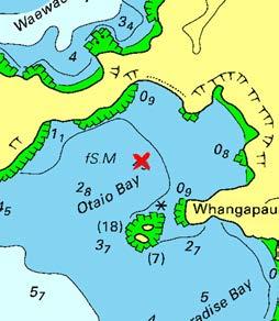
GPS: 35°12.834'S, 174°13.432'E
Draft: 0-2m
Anchoring Tips:
Bottom: Mud,Sand.
Swell: Nil.
Suitable: Gale Force
If approaching from the north, give good clearance to rocks off the end of Te Akeake Point. Also known as Indigo Bay. Anchor mid-point between islets off Whangapau Point to the south and the north-western shore in 3m. Good holding and shelter from west-nor' west through north to east.
Features:
Department of Conservation island with walking tracks right around island. No animals. Nice sandy beach at bay's head with access to island's walking tracks.
GPS: 35°13.066'S, 174°13.690'E
41.Paradise Bay - Urupukapuka Is. Exposed toWind S,SW,W,NW.
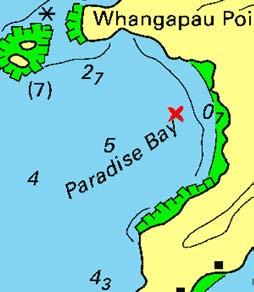
Draft: 0-3m+
Anchoring Tips:
Bottom: Mud,Sand.
Swell: W.
Suitable: Gale Force
Also known as Oneura Bay, it is deeper than Otiao Bay and anchorage in 2-5m is possible closer to the beach, gaining more shelter from easterly-quarter winds. Good shelter from north to south-east winds. Can be a bit rolly when swells come through from the west.
Features:
Department of Conservation island with walking tracks right around island. No animals. Lovely sandy beaches that give access to island walking tracks. A popular bay.
42.Otehei Bay - Urupukapuka Is. Exposed toWind SW.
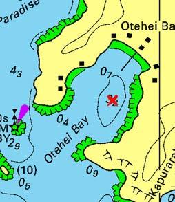
GPS: 35°13.378'S, 174°13.852'E
Draft: 0-1m
Anchoring Tips:
Bottom: Sand.
Swell: Nil.
Suitable: Gale Force
A shallow bay better suited to shoal draft boats. Well sheltered in all winds except from the southwest. Deeper hole over 3m on north-east side, otherwise can be less than 1m everywhere else. Busy with ferries in summer.
Features:
Department of Conservation island with walking tracks right around island. No animals. Main landing point on island for day visitors and campers.
43.Urupukapuka - Urupukapuka Is


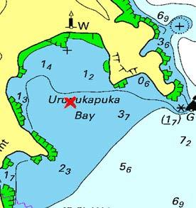
44.Opunga Cove
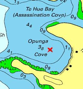
45.Orokawa Bay
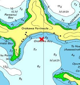
Bottom: Sand.
GPS: 35°13.258'S, 174°14.356'E Swell: Nil.
Exposed toWind NE,E,SE,S.
Draft: 0-2m
Anchoring Tips:
Suitable: Fair Weather
A mostly shallow bay, but well sheltered in winds from west to north. Subject to a roll from swell coming in through Albert Channel. If not shoal draft, anchor approx. 200m in 2-3m south-east from rocky knoll at southern end of beach.
Features:
Department of Conservation island with walking tracks right around island. No animals. Popular camping site, as it's generally a sheltered bay. Access to excellent island walking tracks and stunning views. Plenty of scallops out in Albert Channel in about 6-12m of water.
Bottom: Mud.
Exposed toWind N,SW,W,NW.
GPS: 35°15.551'S, 174°12.480'E Swell: Nil.
Draft: 0-3m+
Anchoring Tips:
Suitable: Gale Force
Probably one of the most popular anchorages in an easterly-quarter gale. Good holding in 34m. When crowded, Assassination Cove is a good alternative, although much shallower. Move across to Orokawa Bay if wind comes in from north.
Features:
Very popular area of the Bay of Islands, especially in bad weather from the east. Sandy beach at bay's head, private land with half-a-dozen small baches. Tuis can make rowdy neighbours in the spring when they get drunk on the flowering kowhai trees.
GPS: 35°15.226'S, 174°11.972'E Swell: Nil.
Bottom: Broken Shell,
Exposed toWind SE,S,SW.
Draft: 0-3m+
Anchoring Tips:
Suitable: Gale Force
A large bay with deep water and excellent holding over mud. A very popular anchorage for cruisers to weather a northerly, gale-force storm. If the weather turns to the south, move across to Opunga Bay.
Features:
Pretty beach with privately owned land and baches dotted along the coast. Can be very crowded in the silly season, although there is plenty of room for everyone.
46.Te Angamate Bay


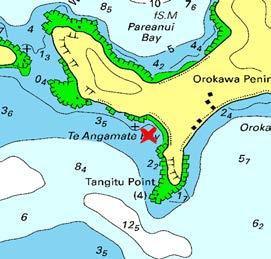
47.Pareanui Bay
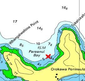
48.Kaingahoa Bay


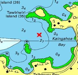
GPS: 35°15.268'S, 174°11.590'E
Bottom Type: Broken Shell,Mud.
Exposed toWind: SE,S,SW,W,NW.
Swell: W.
Suitable: Wind Warning Draft: 0-3m+
Anchoring Tips:
Open beach with an underwater rock at the northern end of the bay clearly marked on the charts. Deep water close to the beach with good holding over mud. Sheltered from an easterly.
Features:
A lovely bay to spend a day or two in, with a nice beach backed by native trees. An open anchorage that does not attract the crowds of Orokawa Bay and Opunga Cove. For the diver there is a scallop bed out in the bay.
GPS: 35°14.996'S, 174°11.706'E
Bottom Type: Mud,Sand.
Exposed toWind: N,NE,W,NW.
Swell: NW.
Suitable: Wind Warning Draft: 0-3m+
Anchoring Tips:
Good shelter from easterly-quarter winds, but a fresh south-east wind can funnel across the isthmus. Good holding approx. 15m off beach in the middle in 5m. Clear entry into bay.
Features:
Pretty little bay with sandy beach at its head. It can sometimes be subject to a roll from between the islands to the north-west. Not to be confused with a bay of the same name 2.5km to the east, which also offers a reasonable anchorage. The foul extending from the western headland across to Motokauri Island holds snapper and john dory.
GPS: 35°13.953'S, 174°15.308'E
Bottom Type: Mud.
Exposed toWind: N,SW,W,NW.
Swell: Nil.
Suitable: Wind Warning Draft: 0-2m
Anchoring Tips:
Well sheltered from south to north-east and good holding in mud in 3m just north-nor' east of visible reef .
Features:
Good spot for a late arrival into the Bay or for an early departure. Not a particularly pretty bay with a road and residential houses lining the bay.


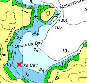
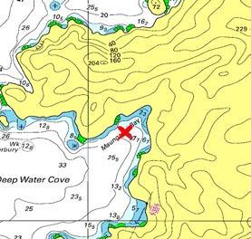
GPS: 35°13.680'S, 174°15.970'E
Exposed toWind: N,NE.
Bottom Type: Sand.
Swell: N,NE,NW.
Suitable: Wind Warning Draft: 0-3m+
Anchoring Tips:
Deep bay open to north and north-east. In a strong south-easterly the wind curves around the hills and makes the bay unpleasant, but generally good shelter in most conditions. Anchor approx. 150m off sandy beach in 3-5m for a day at the beach and further out for an overnight stay. Good holding on sandy bottom.
Features:
Plenty of room in this bay. Interesting snorkelling around Moturahurahu Island. Sandy beach at the bay's head. A track leads out to the peninsula and some spectacular views. Oke Bay is a Marine Protection Area - no take (except kina).
GPS: 35°11.574'S, 174°18.186'E
Exposed toWind: S,SW,W.
Bottom Type: Sand,Shingle.
Swell: W,NW.
Suitable: Wind Warning Draft: 0-3m+
Anchoring Tips:
Deep water all around this cove. Only two bays are shallow enough to anchor in: this one and one in its south-east corner. Steep bottom gives 5-10m depth around 200m from bay's head. Sheltered from north-west around to easterly winds, but watch for backing to south-west when it quickly becomes untenable. Watch for awash rock off northwestern point of this bay.
Features:
Steep-sided bay, but valley at head worth exploring, track to Cape Brett. Wreck of 'HMNZS Canterbury' a good dive on NW side of cove and interesting dive around Putahataha Island. This is a Marine Protection Area-no take.
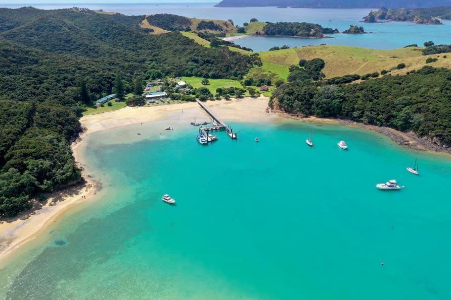
With sheltered bays perfect for any weather, golden beaches, and panoramic walking trails, Urupukapuka has much to offer cruisers. From relaxing picnics to coastal hikes revealing spectacular views, this DOC recreation reserve delivers nature’s best in every direction.
Photos: Insight Media
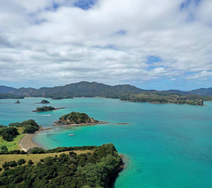
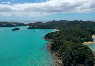














In 2024 Project Island Song were excited to launch a brand-new biosecurity campaign and information hub, calling on everyone visiting the pest-free islands of Ipipiri to Give Your Gear the All Clear before landing.
Since the eradication of rats, mice, and stoats on the islands of Urupukapuka, Moturua, Motuarohia, Waewaetorea, Okahu, Motukiekie, and Poroporo in 2009, seven rare and threatened species have been reintroduced to the islands and are now flourishing.
As the most visited pest-free islands in New Zealand, the risk of rodents, plague skinks, and Argentine ants stowing away in boats, bags, or camping gear is an ongoing threat to these recovering ecosystems and the species that call them home.
The Give Your Gear the All Clear campaign includes the creation of a new resource and information hub where boaties, kayakers, campers, and other visitors can find everything they need to know to do their bit to protect the islands. You can find this at projectislandsong.co.nz/biosecurity.

“We know many boaties love to walk amongst the regenerating bush on the islands, or just enjoy listening to the birdsong while moored up in one of their many sheltered bays,” says the project’s General Manager, Laura Rumsey.
“A few simple steps make a big difference. We are asking all boaties to pack your cargo and food in pest-proof containers, store your waste securely, and use chew cards and traps to check for any sign of stowaways onboard.”
If you do happen to find a nasty surprise onboard, it’s important to stay calm and do the right thing with it:
• DO NOT land on the islands.
• DESTROY any rats, mice, ants, or skinks if possible.
• NEVER throw pest stowaways overboard – dead or alive!
• RETURN to the mainland and carry out appropriate control measures.
• DO NOT ASSUME only one individual pest is onboard.
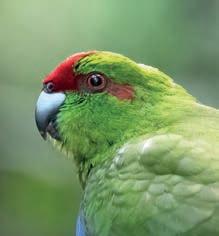
The Give Your Gear the All Clear campaign also highlights the importance of being aware of pests that are harder to spot, including weed seeds and plant disease.
The islands are home to numerous kauri, which are so far free of kauri dieback disease (Phytophthora agathidicida), a fungus-like organism that kills the trees. You can help to keep these forest giants healthy by scrubbing your shoes with soapy water and removing any soil, especially if you’ve been walking in the bush elsewhere.
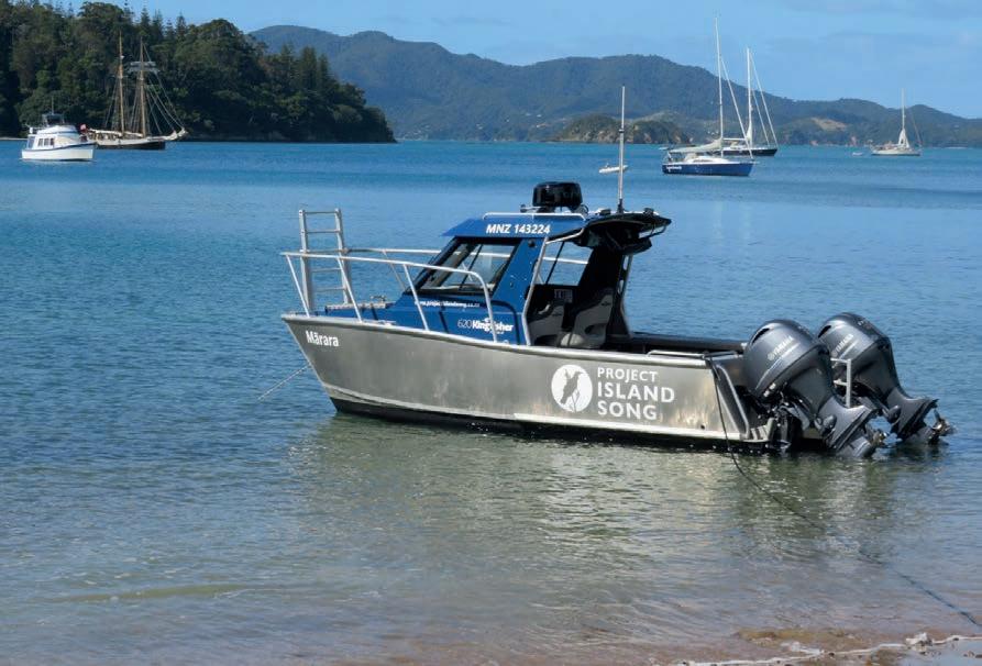

Cleaning your shoes also prevents the spread of invasive weeds to the islands. With its warm and wet climate, the Bay of Islands is known locally as the weed capital of the world. Project Island Song’s volunteer weedbusters have plenty of work to do removing the weeds brought by birds and the wind, without us adding to the mix.
If you are visiting the islands, please do your bit to protect our vulnerable native species, and Give Your Gear the All Clear.
Find out everything you need to know at projectislandsong.co.nz/biosecurity
The Give Your Gear the All Clear campaign also highlights the importance of being aware of pests that are harder to spot, including weed seeds and plant disease.
The islands are home to numerous kauri, which are so far free of kauri dieback disease (Phytophthora agathidicida), a fungus-like organism that kills the trees. You can help to keep these forest giants healthy by scrubbing your shoes with soapy water and removing any soil, especially if you’ve been walking in the bush elsewhere.
Cleaning your shoes also prevents the spread of invasive weeds to the islands. With its warm and wet climate, the Bay of Islands is known locally as the weed capital of the world. Project Island Song’s volunteer weedbusters have plenty of work to do removing the weeds brought by birds and the wind, without us adding to the mix.
If you are visiting the islands, please do your bit to protect our vulnerable native species, and Give Your Gear the All Clear.
Find out everything you need to know at projectislandsong.co.nz/biosecurity
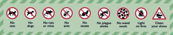

Find out more about local rules nrc.govt.nz/safeboating 0800 002 004 info@nrc.govt.nz
The majority of drownings happen in incidents with small boats.
Correctly fitted life jackets must be worn in vessels six metres and under.
All boats must keep to 5 knots within
» any mooring or marina area
» 50 metres of other vessels
» 200 metres of the shore, wharves or marine structures
» 200 metres of a dive flag.

Mechanical installation -
Engineering - Electrical - Plumbing
Marine engines - Gearboxes - Generators
Project management - Outboard servicing
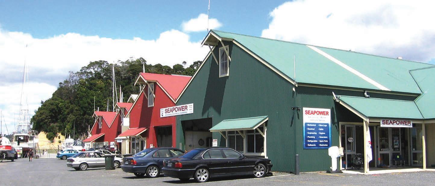
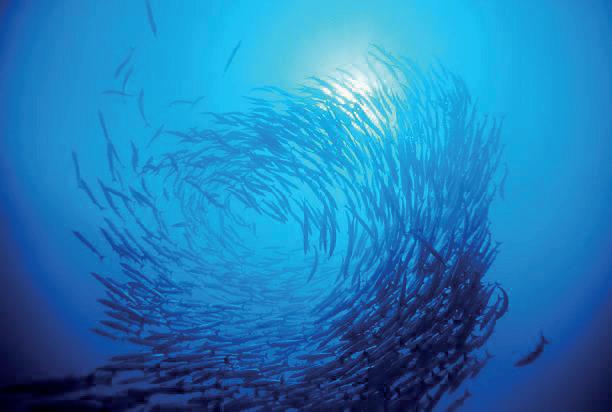

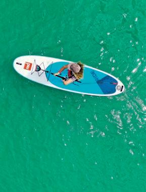
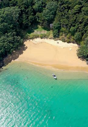
Russell Radio was established in 1951 by a small group of local fishermen, led by Ritchie Blomfield and his wife Olive. Since then it has continued to be run mostly by a team of local volunteers, and with the support of members they help keep boaties safe on the water.
Russell Radio is also available for information on services – medical facilities, petrol and diesel outlets, phone numbers etc. Our VHF service covers the area from Tutukaka and the Poor Knights Islands in the South, to Knuckle Point at the northern end of Doubtless Bay, including the Cavalli’s in the North.They are also able to update Customs and MPI of your arrival time at Opua, Whangarei, or Auckland.
and
Zone Restrictions: These are current rules and restrictions in the Bay of Islands as of May 2024. Updated information can be found on www.russellradio.co.nz.
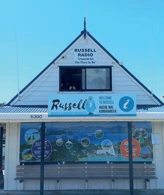

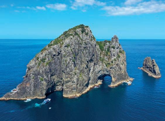
Travellers must complete a number of forms prior to arrival in New Zealand, and some once you arrive in the country. You can find these forms on the Customs website customs.govt.nz/yachts
The forms must be completed in full and supplied with other specified supporting documentation, such as evidence of value. Each form must be supplied within the required timeframes.
You need to comply with all requirements to enter New Zealand. Each person aboard must have:
• A valid passport
• A visa (if required). Travellers other than New Zealanders and Australians require a current visa or NZeTA to enter New Zealand. For more information visit immigration.govt.nz
• Evidence of funds of NZ$400 per month, if living onboard a yacht
• An outward ticket (or evidence of sufficient funds to buy an outward ticket) if departing by commercial transport.
If your small craft has temporary importation clearance, you’ll need to know about steps for purchasing ships spares and parts and what to do if your situation changes. You can find this information on the Customs website customs.govt.nz/yachts
For more information about travelling to New Zealand including mandatory documentation to complete visit customs.govt.nz/yachts
If you have any questions, email yachts@customs.govt.nz
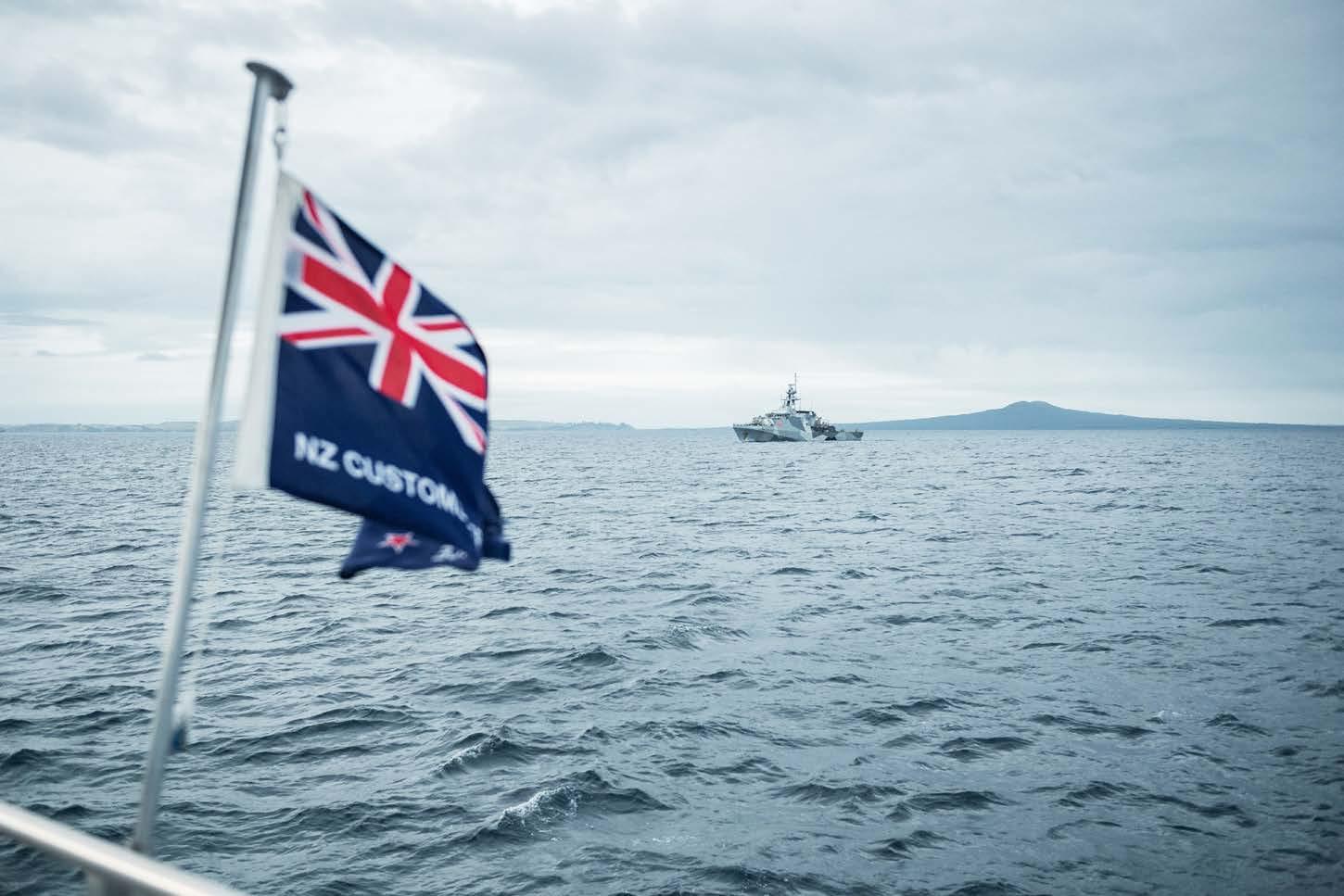

Travellers arriving into New Zealand by recreational vessels, yachts and small craft must complete a New Zealand Traveller Declaration (NZTD).
The New Zealand Traveller Declaration collects travel, customs, immigration and biosecurity information. It aims to improve the safety and security of New Zealand.
It’s free and everyone travelling into New Zealand must complete a declaration, including New Zealand passport holders. A declaration needs to be completed for each traveller, including babies and children.
The earliest you can submit your declaration is 24 hours before departing the vessel’s last foreign port prior to arriving in New Zealand. The latest you can submit your declaration is by the time the vessel has berthed at its first port in New Zealand.
If you have completed a digital declaration, you do not need to fill in a paper declaration form. A paper form will be available for anyone who is unable to complete a digital declaration.
A border officer will come aboard to check your declaration when you arrive in New Zealand.
Your vessel may be inspected. If you have not declared items that you should have, or make an erroneous declaration, you may be fined or face prosecution.
Some foods, used outdoor equipment, and animal and plant products, cannot be brought into New Zealand. They can carry harmful pests and diseases.
Checklist for travelling to New Zealand
Check your passport is valid
Apply for visa or NZeTA, if you need one*
Complete arrival documentation customs.govt.nz/yachts
Prepare for full biosecurity clearance mpi.govt.nz/yachts
Check what you can bring into New Zealand mpi.govt.nz/CanIBringit
Submit your declaration no earlier than 24 hours before starting the final leg of your journey to New Zealand
*Visa or NZeTA (New Zealand Electronic Travel Authority)
Our home is precious, a taonga. Please help to keep our tangata and our whenua – our people and our land – safe.
Visit travellerdeclaration.govt.nz/
For additional resources visit travellerdeclaration.govt.nz/travelling-by-sea/
Biosecurity New Zealand is responsible for ensuring unwanted pests, diseases and other organisms are prevented from entering New Zealand.
You must arrive at one of New Zealand’s approved places of first arrival, where a biosecurity inspector will inspect and clear your vessel and passengers for entry into New Zealand.
Once inside New Zealand waters (12 nautical miles from the coast) please ensure all rubbish is contained in sealed containers or plastic bags. A biosecurity inspector will direct the disposal of all your rubbish on arrival.
As soon as possible, you must notify Maritime NZ Radio on 4125 kHz or 6215Khz or VHF Ch 16 of your expected arrival time (ETA). On contact, ask the radio operator to notify New Zealand border agencies of your ETA and intended port of entry.
The main entry ports are:
• Opua Marine Park, Opua
• Marsden Cove Marina, Whangarei
• Viaduct Harbour Marina, Auckland
• Westhaven Marina, Auckland
Infringement notices can be issued to commercial and recreational vessel operators that don’t meet their biosecurity obligations under the Biosecurity Act 1993.
• Failure by an operator to provide notice of a vessel’s arrival in New Zealand.
• Failure by an operator to respond to an official request to declare what has been done to comply with risk management requirements (eg. biofouling rules). The penalties are $400 for an individual. Biosecurity New Zealand is also able to prosecute.
• Vessel Works Marine Precinct, Tauranga
• Port of Marlborough, Picton
• Nelson Marina, Nelson
• Lyttelton Port of Christchurch, Lyttelton.
Documentation required:
• New Zealand Traveller Declaration – Every person entering New Zealand must complete a personal declaration. Any quarantine risk item must be declared.
• Master’s Declaration – The vessel Master must complete a declaration of all risk items aboard. If you surrender, or treat, all prohibited goods, you will receive a full biosecurity clearance to cruise New Zealand waters. If this option is not taken, the vessel will remain at the designated berth under biosecurity control.
Risk items that are either restricted or prohibited entry may include:
» FOODSTUFFS including meat, fruit, vegetables, eggs, dairy products, honey and stored products.
» RUBBISH – particularly food waste.
» PLANTS – Live plants and some plant products
» CITES (endangered species items), e.g. clam and conch shells, coral, turtle shells and ivory.
» LIVE ANIMALS – All live animals arriving on yachts need to have applied for a Permit to Import. They may only arrive at ports with live animal approval –Opua and Westhaven.
» HITCHIKING PESTS – Any known contamination with hitchhiker organisms (termites, ants, moth egg masses and spiders).
For more information on entry requirements visit: biosecurity.govt.nz/importing/border-clearance/vessels/ arrival-process-steps/yachts-and-other-recreational-vessels
The threat: Exotic pests, such as red imported fire ants and mosquitoes, could affect human health and seriously harm New Zealand’s economy and unique environment. Many insect pests can fly, meaning that they do not have to be physically transferred from a vessel to the land to establish a population. You could unknowingly be carrying a variety of pests on board.
You can help prevent the spread of pests to New Zealand prior to leaving your last port check your vessel for pests.
Pay attention to decks, holds, and galleys or other areas where food is found, as well as warm areas such as near engine rooms.
Also check wooden structures and packing for insect damage. Kill or remove all pests found on board. Use a knock-down insecticide containing permethrin to kill insects and use baited traps for vermin. Traps could be used for crawling insects such as ants. Undertake a regular pest management programme and keep a look out for pests during your voyages. Remove standing water by drilling drain holes in objects such as tyre fenders. (Add chlorine bleach to water which you suspect may contain mosquito larvae).
If you have a pest infestation or something you cannot deal with before arrival, declare this in your Advance Notice of Arrival form and report it to a biosecurity inspector on arrival in New Zealand.
Hitchhikers are insects and animals that unintentionally arrive on your vessel. Some common hitchhiking pests found on ships and yachts at New Zealand ports are ants, termites, beetles, mosquitoes, wasps and bees.
Exotic termites have been found on recreational vessels arriving into New Zealand. These are usually found in wooden structures when vessels are undergoing refit.
Arriving vessels have also been found carrying exotic ants. They pose a risk to public health, agriculture and horticulture. There are numerous interceptions of exotic mosquitoes at ports each year including the Asian tiger mosquito (Aedes albopictus) which can spread a number of diseases such as Dengue fever and Ross River Virus.
biosecurity.govt.nz/import/border-clearance
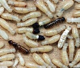
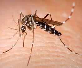
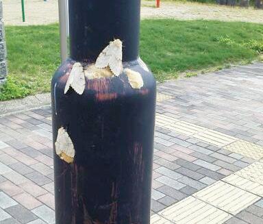
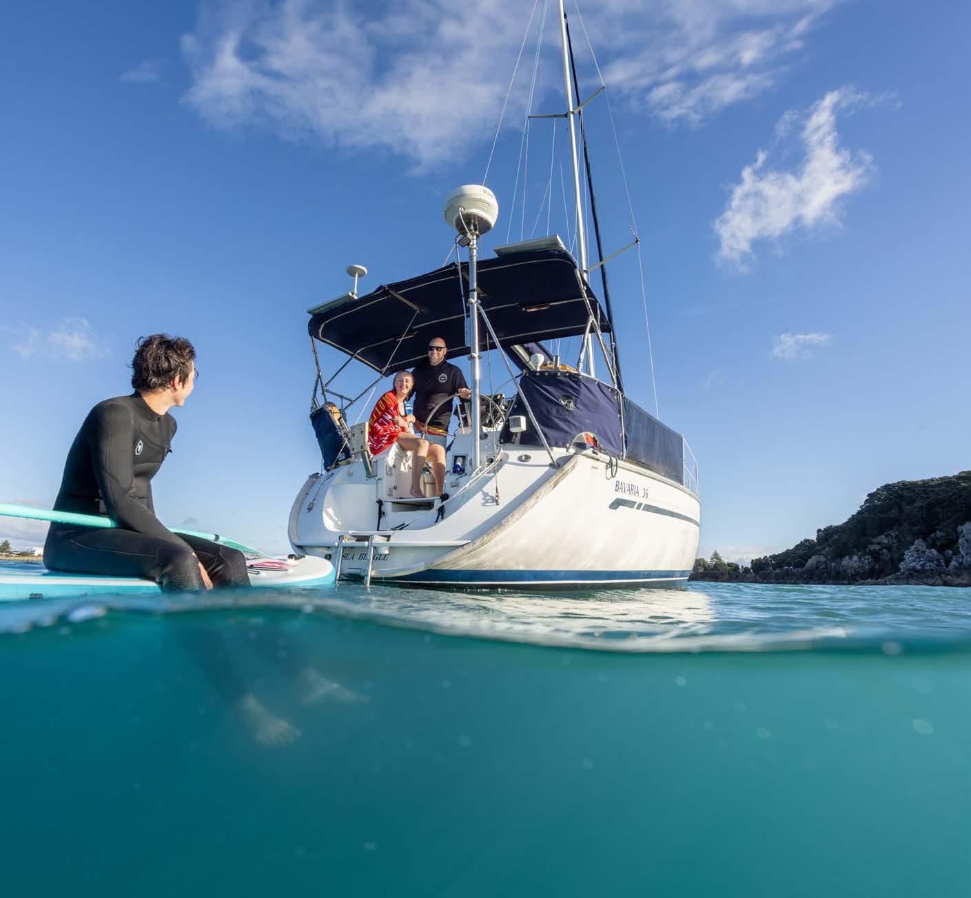
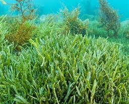
Check your gear and anchor
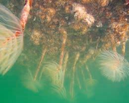
Mediterranean fanworm
Keep your hull clean
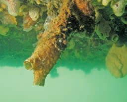
Northland RC
Clubbed tunicate
Keep your hull clean
New Zealand is keen to avoid spread of harmful marine species into and around our waters. But through trade and travel some have got here. We know from spread patterns that boaties may accidentally shift them – and they can end up in our favourite spots. We’re asking you, both before you come and while you are here, to keep your hull, anchor and gear clean.
New Zealand requires international sailors to arrive here with a clean hull. We also ask you to maintain this while here. This keeps your boat moving well and avoids spread of invasive fouling species like the clubbed tunicate and Mediterranean fanworm.
The detection in 2021 of exotic caulerpa seaweed in northern New Zealand waters also highlights the threat of invasive seaweeds that can spread as fragments. These get caught up on your anchor, chain or any gear that goes down near the seabed, like fishing or dive gear.
So we’re asking that every time before you move, check your anchor and gear for any seaweed and remove all you find. If you’re in the area from North Cape to East Cape, bag it and bin it onshore.
from a Kiwi yachtie
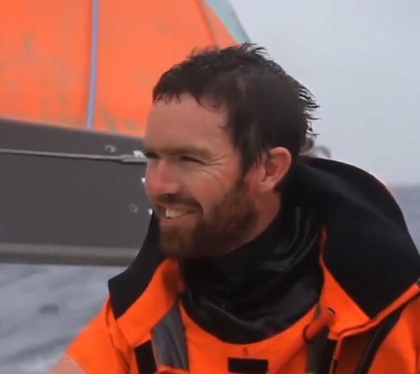
We warmly welcome visitors to New Zealand and the Opua Cruising Club. Come and dine at the Galley Bistro or relax with a drink on our waterfront deck. Great prices for food and drinks with a warm social atmosphere .
If you are visiting sailor and would like to crew on someone else’s yacht for our Wednesday and Friday evening races we have plenty of enthusiastic skippers keen to have guests aboard.
Weekends we often have BBQ,s at a selected anchorage and again cruisers are very welcome.
Racing times and social events are on the club calendar
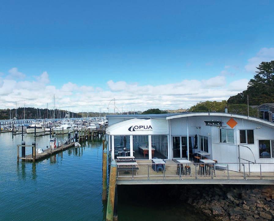
Visit www.opuacruisingclub.co.nz
• Entry regulations for visiting yachts
• Cruising areas of New Zealand
• Directory of Marinas and Marine Services
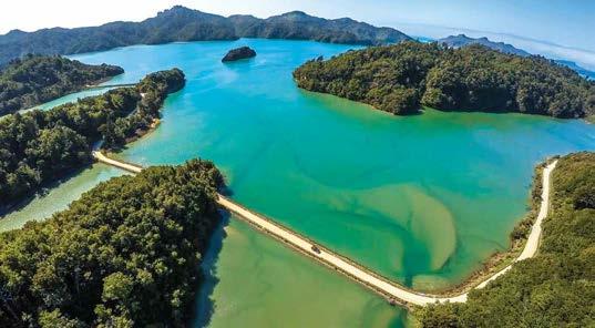


New Zealand is a stunning sailing destination with much to offer the adventurous cruiser. Once you’ve had a chance to explore the Bay of Islands, let us help you explore a little further afield on the South Island Rally.
The Abel Tasman and Marlborough Sounds at the top of the South Island is a mze of golden sandy beaches and bush clad hills plunging into teal blue seas. Enjoy some fresh mussels and a glass of Marlborough Sauvignon Blanc at some stunning remote resorts and walk some of the many hiking trails through native forest.
Further south you’ll find fabulous Fiordland. Remote and wild at times, the scenery is stunning, with most of the area only accessible by boat.
Stewart Island is the third largest island in New Zealand and populated by just 500 people. There’s fun to be had at the South Seas Hotel’s famous quiz night, where you can rub sholders
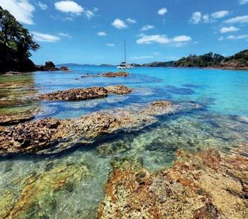
with salty fisherman. Or explore further south and experience the interesting history and wildlife of this remote outpost.
Island Cruising can help you make the most of your time cruising in New Zealand and the South West Pacific. Learn more about our services and rallies on our website; www.island cruising.nz.
Owner of Island Cruising
Viki Moore is a keen cruis ers and proficient sailor who loves to help sail ors make their cruising dreams a reality.
Viki Moore
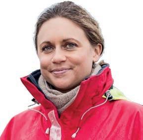
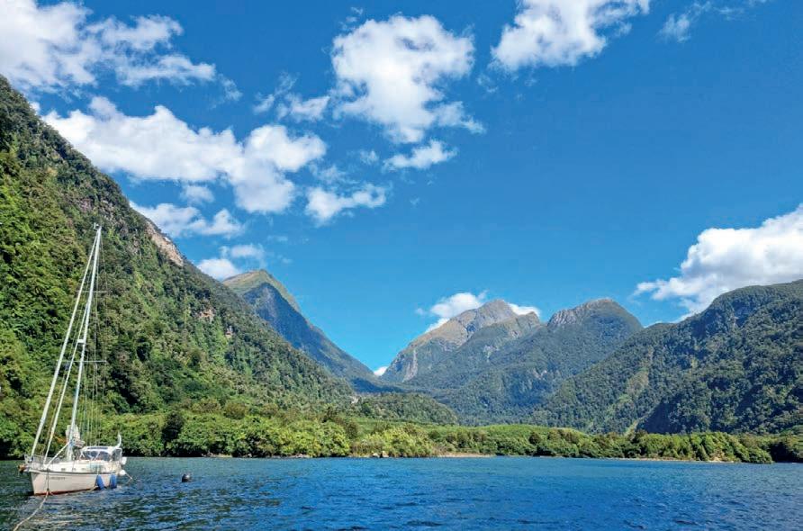
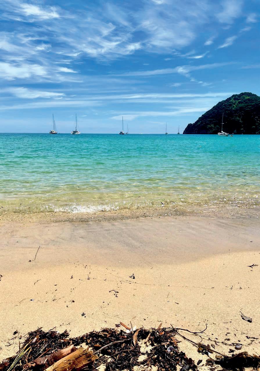
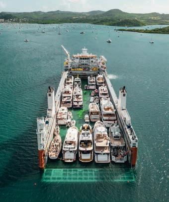
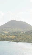



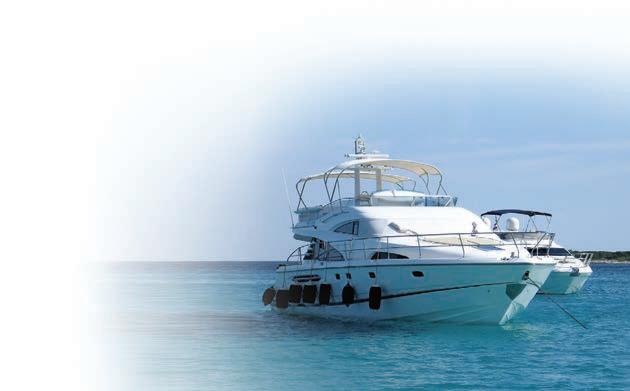
The R. Tucker Thompson is an iconic tall ship based in the stunning Bay of Islands, Northland. Owned and operated by a not-for profit Trust, she delivers a life-changing youth development programme for young people based in the Northland region. Each year the Trust takes approximately 260 youth, aged from 14 to 18, on 7-day development voyages.
The programme has been operating in the Bay since 2006 and the consistent outcomes as tracked by Otago University researchers include:
• Improved self-confidence
• Improved ability to build relationships
• A better understanding of their own strengths
• A strengthening of personal identity
• The development of leadership skills
The programme is not just a trip on a tall ship. Tikanga Māori, education, new experiences and a focus on belonging underpin delivery. Following the voyage the Trust aims to support pathways to education and employment through partnerships with local tertiary providers, Defence Careers, apprenticeships, and thier very own maritime NZ training programme, working towards jobs on the water.
The project is funded by surplus from tourism activity, generous patrons, grants and sponsorship. Each year the Trust delivers a Qualmark Gold-standard tourism offering to visitors and locals. This includes a Day Sail, a 2-hour Evening Sail, school trips and private charters. The tourism income, along with the support from a generous group of individuals, businesses and community groups, helps the youth of Northland to attend the life-changing programme.
If you would like to support the Trust please come sailing with us or check out different ways to donate here: tucker.co.nz
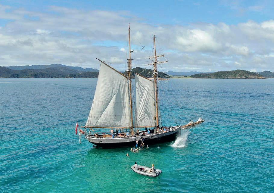
Vision | Te Arongo: To empower all Northland youth to lead rewarding lives

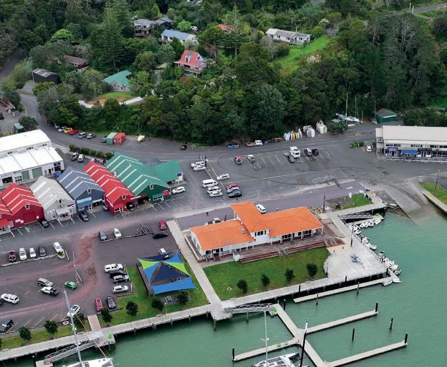
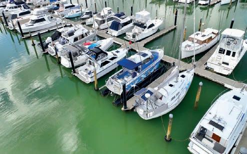
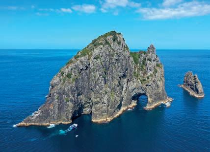
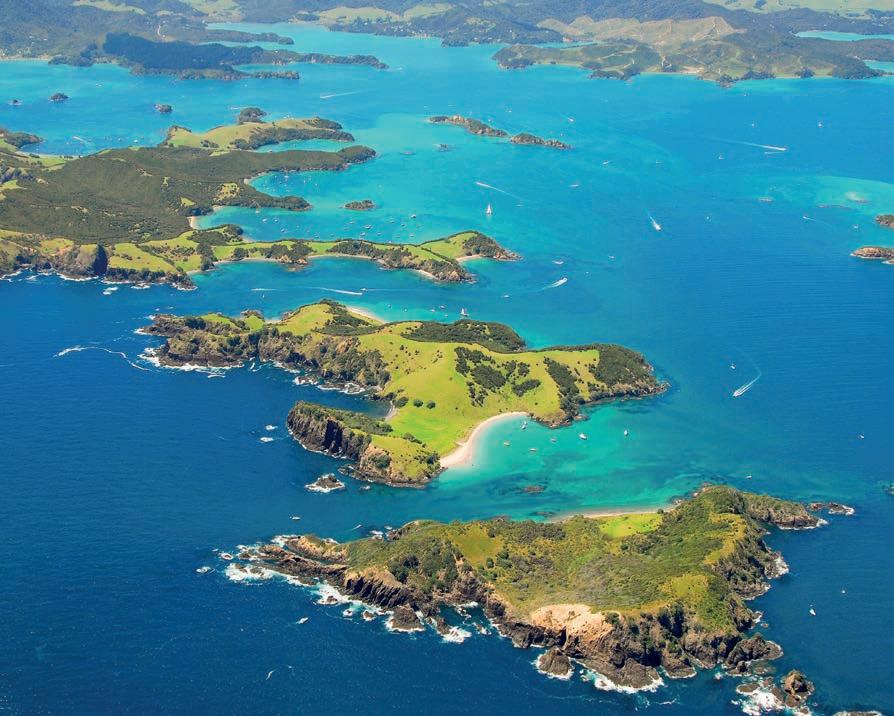

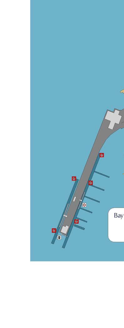

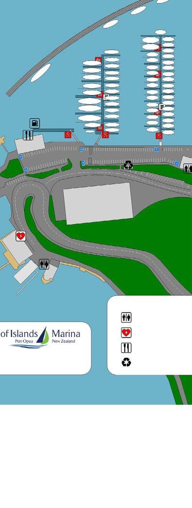
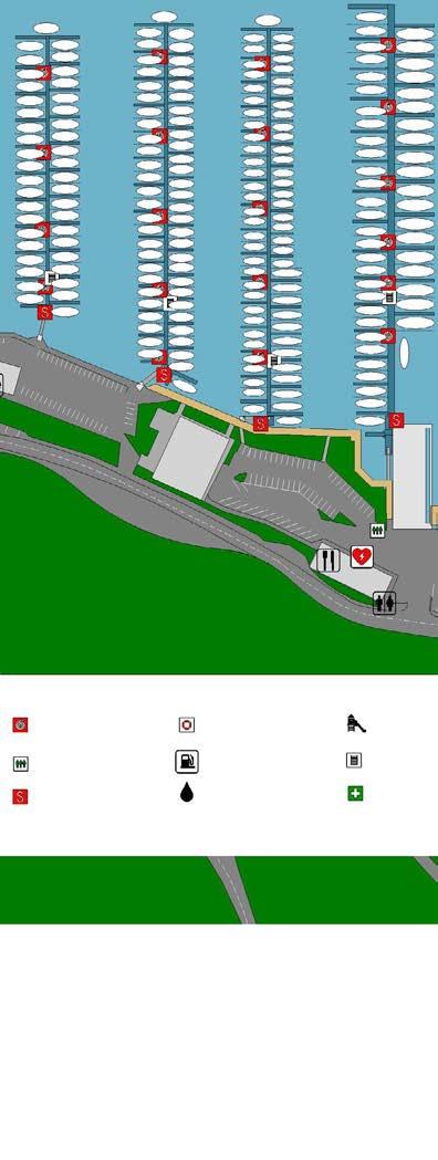


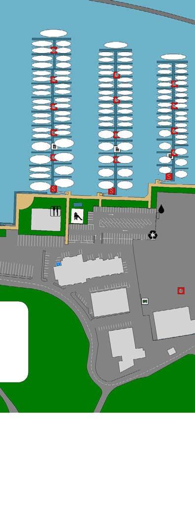
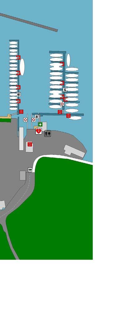
Opening Hours - Mon - Fri 7am - 5:30pm
Sat - 8.00am - 5.00pm Sun - 8.00am - 4.00pm
Opening Hours - Mon - Fri 7am - 5:30pm Sat - 8.00am - 5.00pm Sun - 8.00am - 4.00pm
Address - Unit 16, Opua Marine Park
Baffin St., Opua Bay of Islands - New Zealand
Address - Unit 16, Opua Marine Park Baffin St., Opua Bay of Islands - New Zealand
Phone Phone: +64 9 402 8292
Phone Phone: +64 9 402 8292
Email - sales@catermarine.co.nz
Email - sales@catermarine.co.nz
0800 22 83 76
0800 22 83 76
ARE YOU BUILDING A BOAT? OR JUST DOING SOME MAINTENANCE?
ARE YOU BUILDING A BOAT? OR JUST DOING SOME MAINTENANCE?
Do you need to replace a door latch, or redo all the wiring and plumbing aboard? Are you planning a fishing trip or a holiday with the family? At Cater Marine, we stock a wide selection of products for leisure and commercial yachts and launches from Anchors to Zincs and everything in between. We also offer dive refills.
Do you need to replace a door latch, or redo all the wiring and plumbing aboard? Are you planning a fishing trip or a holiday with the family? At Cater Marine, we stock a wide selection of products for leisure and commercial yachts and launches from Anchors to Zincs and everything in between. We also offer dive refills.
We’ll match their price and throw in a little thing called service!
We’ll match their price and throw in a little thing called service!