Alex W. Pomeroy
About Me
My name is Alex and I am an emerging professional in landscape architecture currently working as a Design Associate at Haskell. I found my passion for landscape architecture through my childhood outdoor explorations combined with my desire to create. I grew up in rural Orange County, Virginia, and that gave me every opportunity to be outside. Little did I know as a nine-year-old boy that making trails through the woods around my house and drawing maps of them could inspire my future career. I enjoyed the art of building through both physical and virtual means, and took drafting, engineering, and architecture courses at my high school to prepare for a future in one of those fields. I discovered landscape architecture because of Virginia Tech, and after one visit, there was nowhere else I could have seen myself for the five years that followed. Virginia Tech afforded me the opportunity to learn through so many additional mediums besides just the classroom. In my time there, I not only focused on developing my studio projects alongside my personal curiosities, but I diversified my education by seeking courses outside my major that furthered my understanding of important natural system concepts.
Since graduating, I have worked on real-world projects through my experiences in the field at an entry-level position, but also previously as an intern, research assistant, and consultant. As I grow into the profession, I find myself increasingly passionate about projects that utilize nature-based solutions to solve problems for all living and non-living things in the environment. Moving forward, I am looking for any opportunity to further develop my skills as an ecological steward.
Contact Information
School e-mail: alexp02@vt.edu
Personal e-mail: alex.w.pomeroy@gmail.com
Personal phone: 540-847-0273
LinkedIn: www.linkedin.com/in/alexwpomeroy
Linktree: https://linktr.ee/alexwpomeroy
Table of Contents
Project 01 - Shifting
Shorelines
Beneficial Use of Dredged Sediment in Jacksonville's Harbor
Project 02 - Stream of Consciousness
Creek Reclamation for Appalachia’s Youth
Project 03 - The Radford River District
Strengthening Connections in the New River City
Project 04 - Living Edges
Adapting to the Changing Conditions of Norfolk’s Waterways
Shifting Shorelines
Beneficial Use of Dredged
Sediment in Jacksonville's
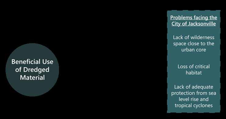
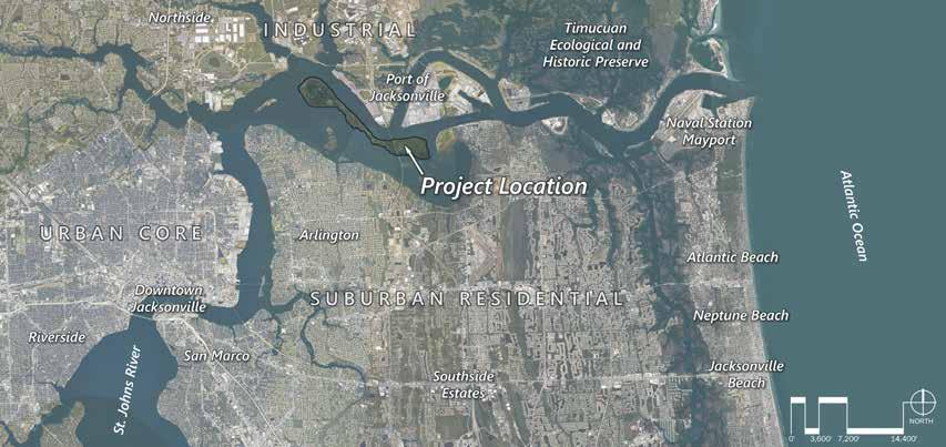
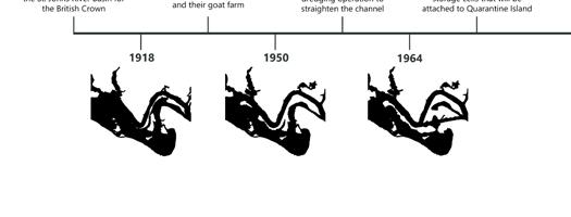
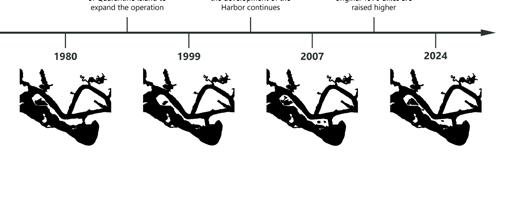
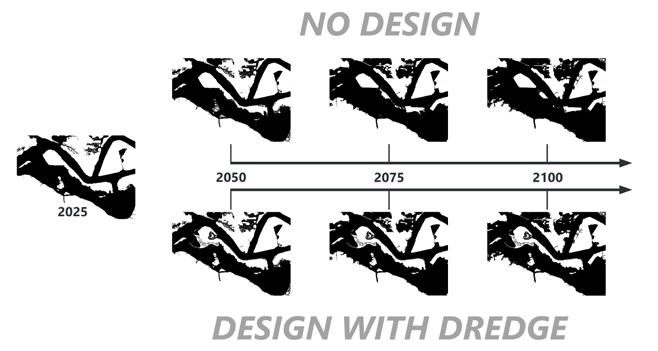
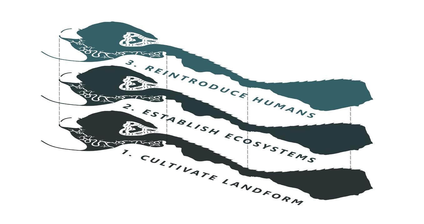
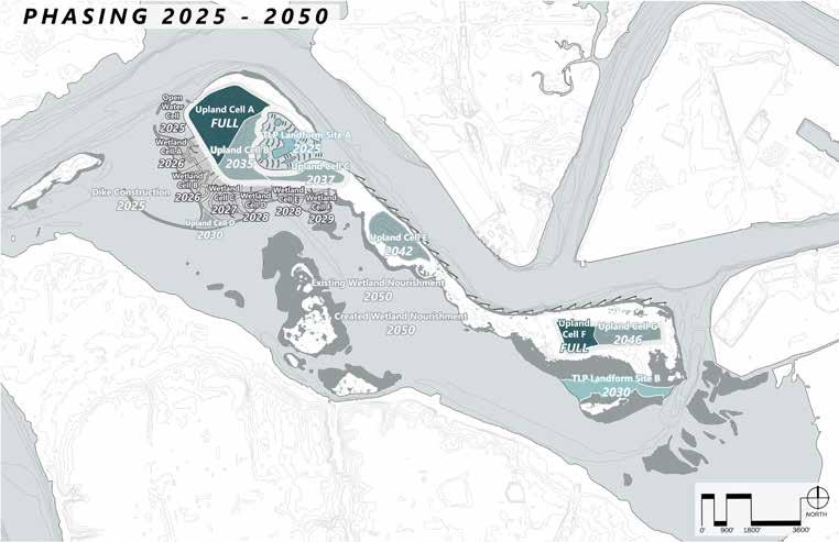
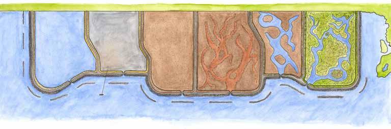
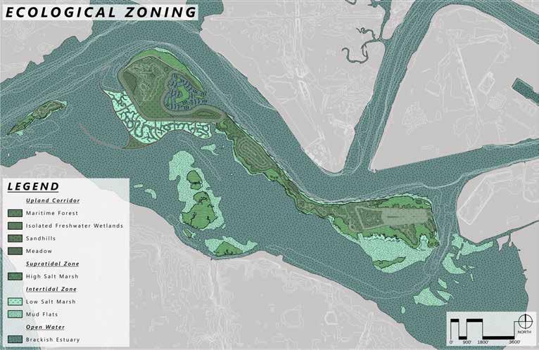
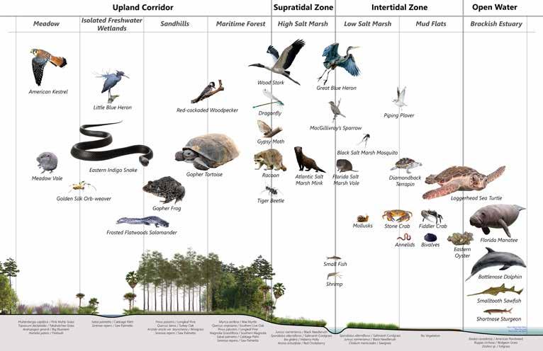
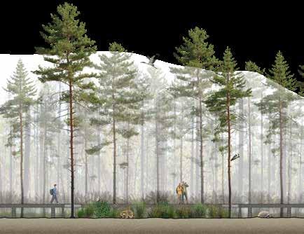
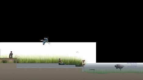
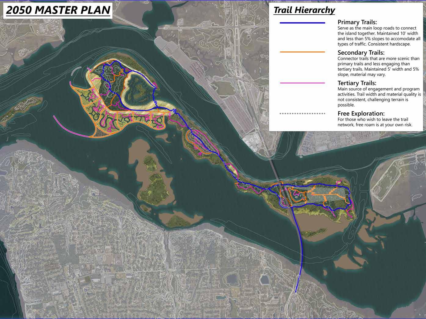
This project is a large scale landscape architecture research project motivated by my desire to design with dredge. I selected a spoils island in Jacksonville, Florida, as the vehicle for my work, and I learned about the capability of dredged material to create resilient landscapes, restore habitat, and provide wilderness space. With this project, I sought to learn how to work with the complex and dynamic processes of coastal landscapes, while grappling with current anthropogenic impacts to the environment. Additionally, I wanted to learn how to design space that responds to specific needs of plant and animal species. This way, a lush and biodiverse island sanctuary can provide ecosystem services for the City of Jacksonville, thereby providing the ingredients needed for an urban wilderness. Facilitating intersection between people and the outdoors is a core tenet of landscape architecture, and providing space for that interaction to inspire ecological stewardship became a necessary pillar for the project. Through dredge-created landscapes, the intention is to help people from all walks of life to experience nature in its purest and most chaotically beautiful form.

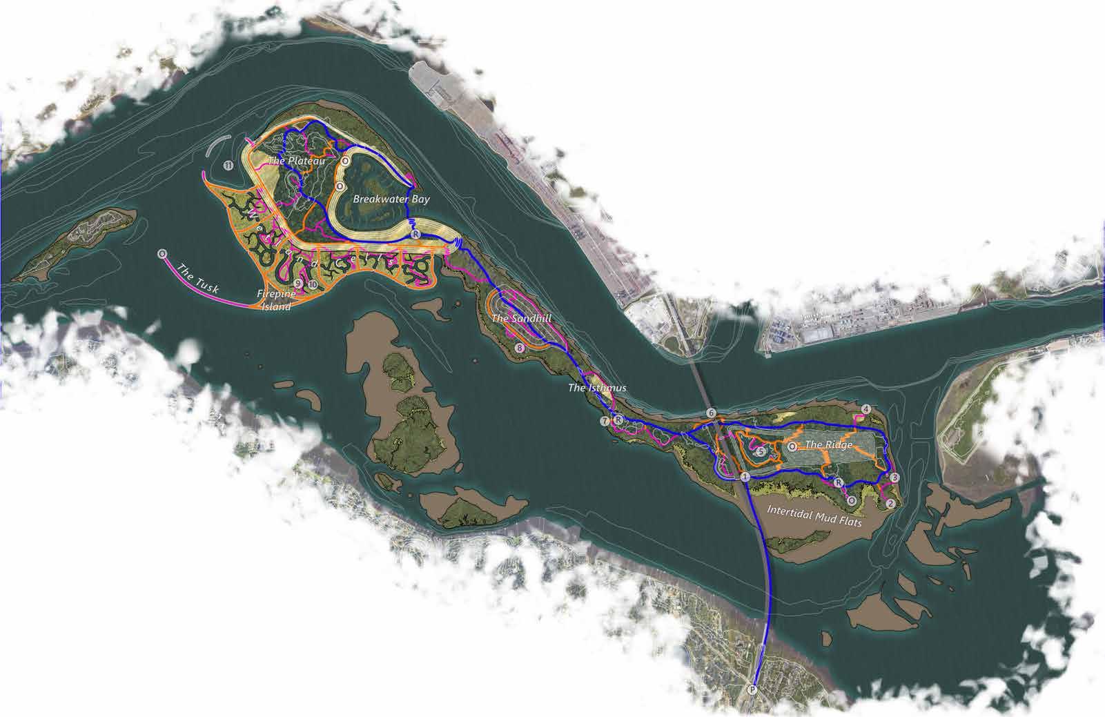
Arrival Junction
Sandhill Observation Deck
Fisherman’s Trail
Beach Access
Freshwater Lake
Water Taxi Dock
Recreational Dock
Sandhill Observation Loop
Intertidal Trail
Intertidal Stepdown
Open Water Embayment
Major Observation Point Remote Restrooms
02
Stream of Consciousness
Creek Reclamation for Appalachia’s Youth
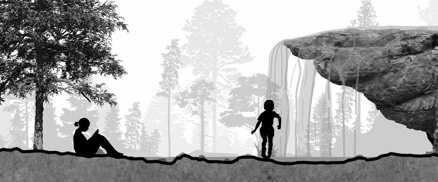
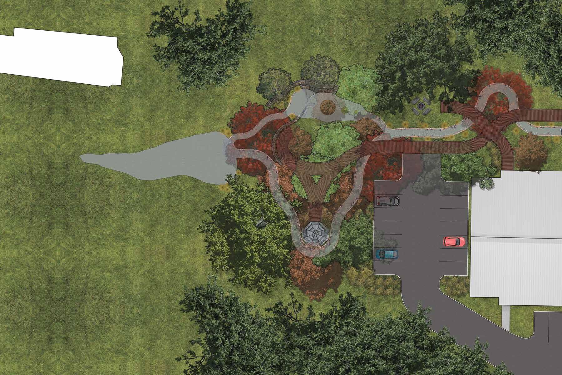
This project focuses on the daylighting, restoration, and subsequent reclamation of Dave Branch in Grundy, Virginia. The client, Mountain Mission School (MMS), is commited to providing a faith-based education to children K-12. Many students and staff live on-campus, and the leadership of MMS is looking to improve the outdoor experience for their everyday users. Dave Branch is currently buried beneath both a parking lot and the school itself. The proposed reclamation aims to reconnect the youth of MMS with Appalachia through experiential learning and safe outdoor exploration
Both illustrative site design drawings and a set of construction documents were prepared for the project.


The Radford River District
Strengthening
Connections in the
New River City
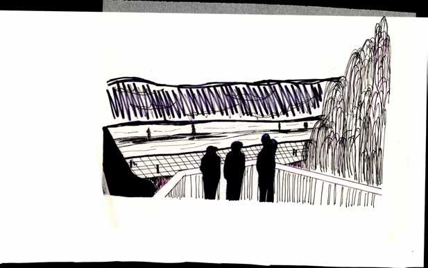
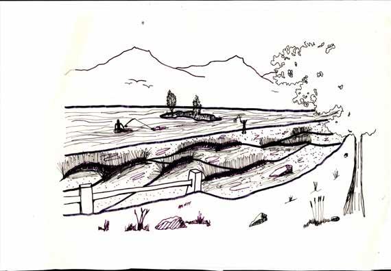


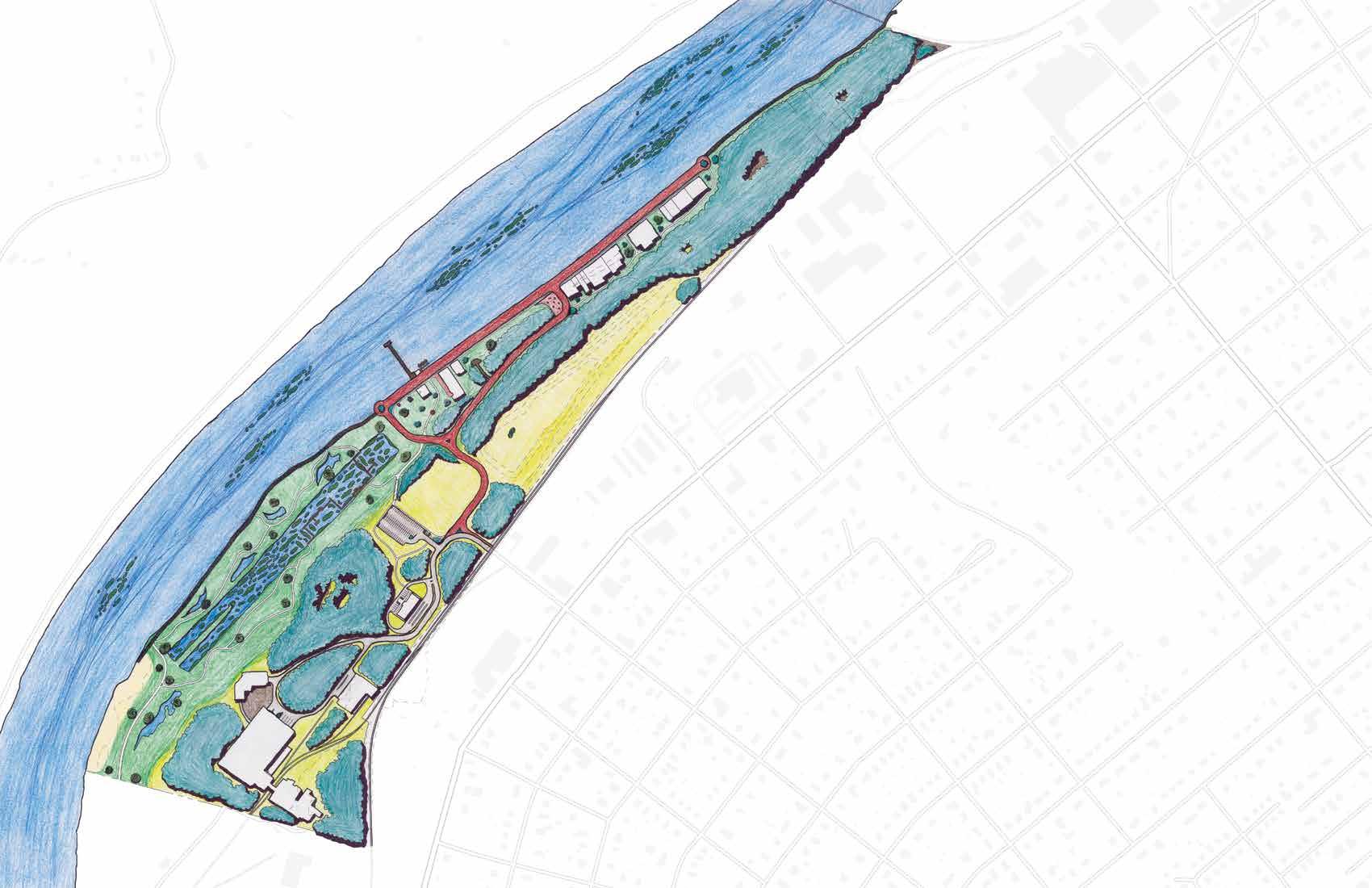
The Radford River District aims to strengthen the connection between the people of Radford and the New River; thereby, benefitting the economy, community, and natural ecosystems of the city through mixed-use development, bioremediation, expansion on educational opportunities, and the establishment of connections to create a hub within not only the city, but also the greater New River Valley region.

Riverview Park
• Suststainable Product Cycling - a model of production that maintains the industrial significance of the site with a more environmentally friendly cycle of materials and consumption.
a Product
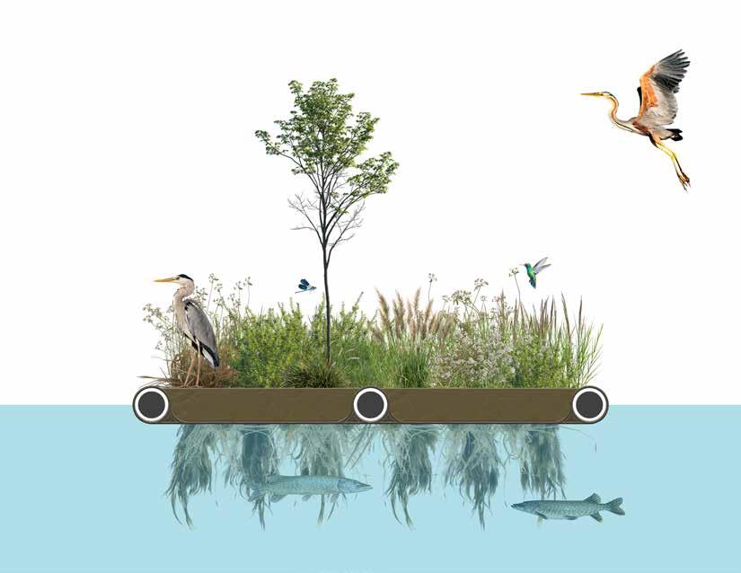
• Floating Wetlands - modules that float on the surface to provide habitat above and below the water, bioremediation of contaminants, and provide educational research opportunuties.

• Regional Hub - instead of trying to make West Radford more like East Radford, the River District will serve as a unique boon to this forgotten half of the city. An inward investment of identity will bring forward a river-centric cultural hub that provides opportunity in many different forms to the people of the New River Valley.
Living Edges
Adapting to the Changing Conditions of Norfolk’s Waterways
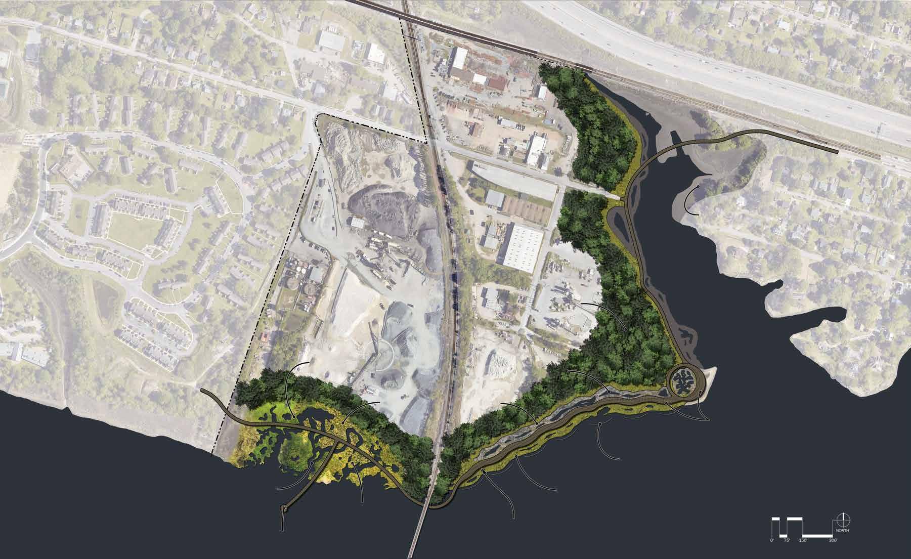
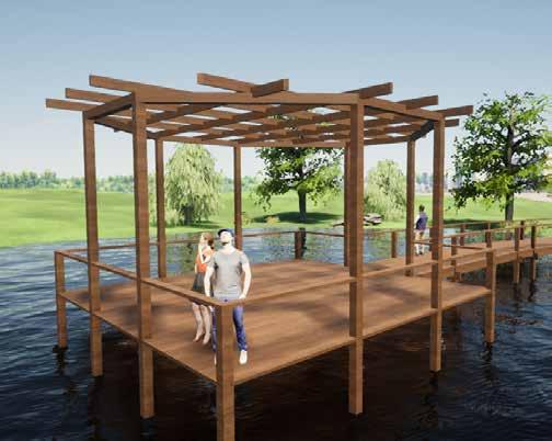
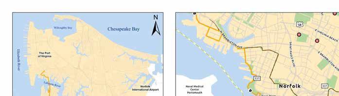
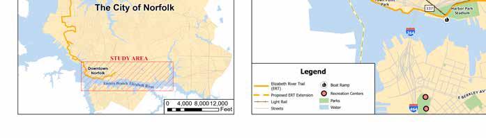
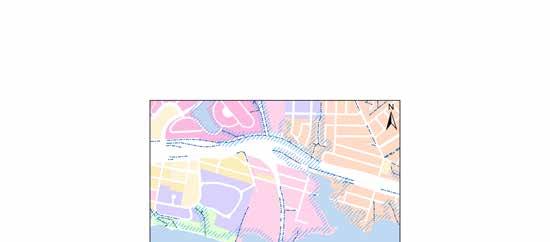
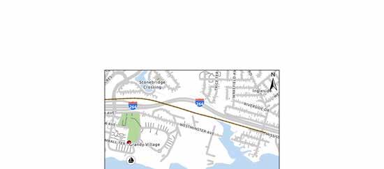
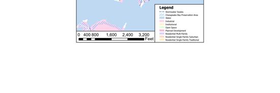
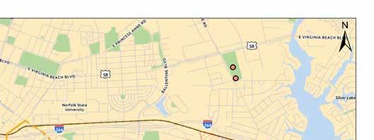
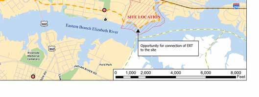
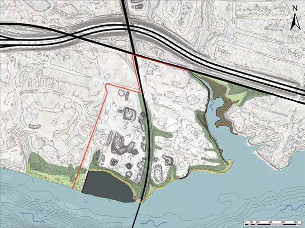
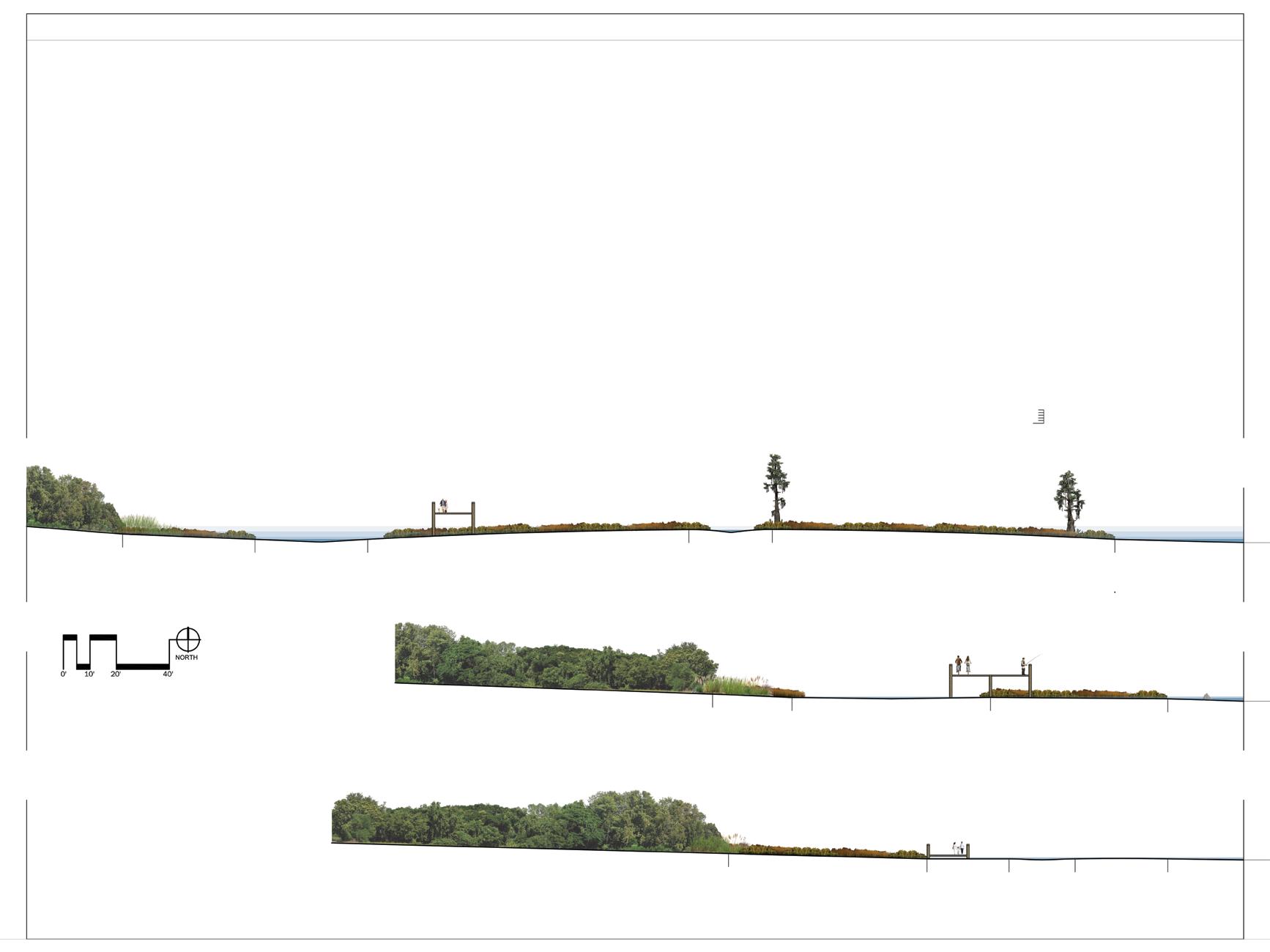
The goal of this project is to utilize edges, that currently serve as barriers, as connectors that can adapt to both rising waters and the need to link neighboring communities. Norfolk is home to the Elizabeth River Trail (ERT): a multi-use pathway that connects otherwise disconnected neighborhoods to each other and the scenic waterfont. By extending the ERT to the Moseley Creek Site, a new nexus of connectivity is established. The people of Norfolk and the waters of the Elizabeth River will have an opportunity to meet and share space.













8 feet of Storm Surge (100 Year Design Storm)
Project Staging: Year 2025 (At Sea Level)
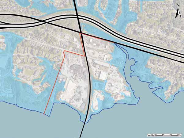
10 feet of Storm Surge (100 Year Design Storm)
Project Staging: Year 2050 (1 foot of Sea Level Rise)

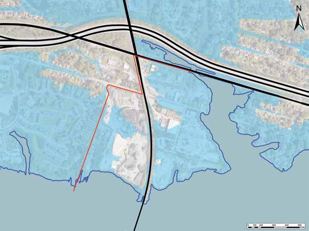
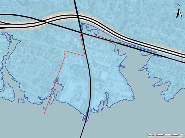
12 feet of Storm Surge (100 Year Design Storm)
Project
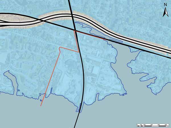
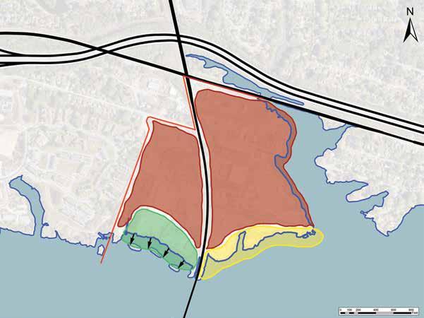

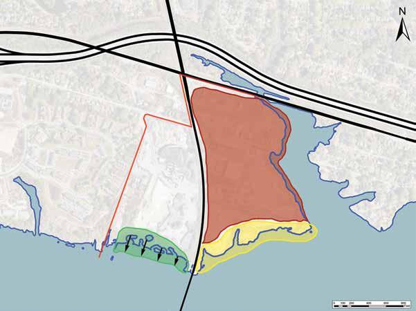
14 feet of Storm Surge (100 Year Design Storm)
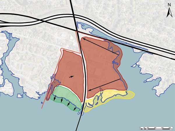

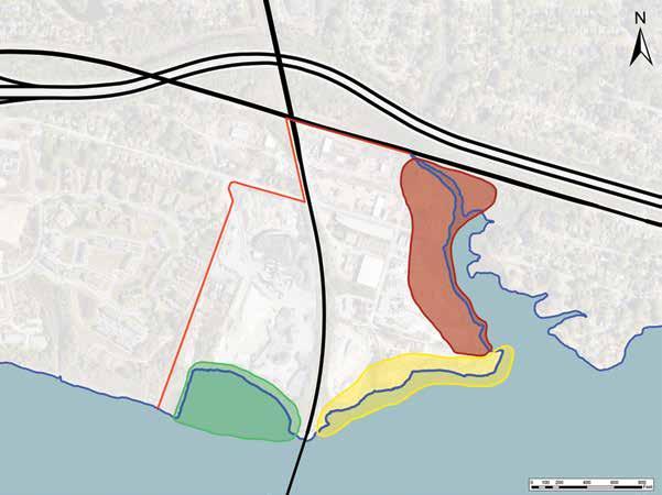
Zone C - Retreat
Zone B - Rebalance
Zone
A - Restore


Components of the Living Edge