

(706) 254-8759
alexisbanuelos94@gmail.com
107 Deer Creek Drive Athens, GA
University of Georgia — Bachelor of Landscape Architecture
Expected Graduation: May 2027
Relevant Coursework: GIS in Environmental Design, Design Communication, Studio I-V, Planting Design
Focus Areas: GIS mapping, site analysis, neighborhood systems, and spatial storytelling
University of Georgia Veterinary Teaching Hospital – Pharmacy Technician
Athens, GA | Feb 2022 – Present
• Compound and prepare sterile and non-sterile medications for client and research animals.
• Calculate precise dosages for diverse species based on weight and formulation requirements.
• Maintain compliance with state and federal regulations and USP 795/797/800 standards.
• Operate specialized compounding equipment and uphold detailed recordkeeping and labeling accuracy.
• Coordinate closely with veterinarians, technicians, and clients to ensure timely prescription fulfillment.
James Greenhouse– Propagation Assistant
Comer, GA | Aug 2021 – Feb 2022
• Performed propagation tasks including filling trays, plant cuttings, and monitoring soil quality.
• Worked collaboratively with greenhouse staff to meet production targets while maintaining plant health.
• Practiced conversational Spanish to communicate effectively with coworkers and support team operations.
Atlanta, GA | Sept 2019 – Mar 2021
• Operated independently across multiple sites to collect biological samples for diagnostic testing.
• Scheduled and managed daily routes, seeing 10–40 patients per day without direct supervision.
• Communicated with medical staff, nursing-home teams, and patients to ensure accuracy and confidentiality.
• Transported specimens to laboratory facilities for processing and coordinated timely delivery of materials.
Roswell, GA | Sept 2017 – Sept 2019
• Solely managed all stages of small-batch candle production for a brand featured in 300+ retail stores.
• Oversaw pouring, labeling, packaging, inventory, material sourcing, and shipping logistics.
• Collaborated with the founder to refine workflow systems and ensure consistent product quality.
• Maintained bookkeeping, supplier communication, and stock management independently.
• ArcGIS Pro (mapping & spatial analysis)
• Adobe InDesign / Photoshop / Illustrator
• AutoCAD (basic drafting & layout)
• Strong written & verbal communication
• Time management & team collaboration
• Data organization & workflow systems
I design to connect people to place, to create spaces that feel grounded, restorative, and real. Landscape architecture draws me in because it balances care with creativity, story with system. The best designs don’t try to impress; they make people feel something— belonging, calm, pride.
I took a chance on landscape architecture without really knowing what it was. I just knew I loved art, design, and nature, and hoped it might connect those things. What began as uncertainty quickly became purpose. I realized how much this field reflects who I am: creative, observant, curious, and drawn to meaning.
Geographic Information Systems (GIS) has deepened that connection. I’m inspired by Ian McHarg’s belief that design should begin with the land, and that maps, data, and ecology reveal the stories already written into a place. I want to use those tools to design landscapes that last— functional, rooted, and meaningful.
My goal is to become a licensed landscape architect and work in government or nonprofit planning, where I can use both design and GIS to build spaces that serve people and the planet.
My son, Ezra, keeps that purpose close, the reminder that every choice shapes the world he’ll grow up in.






Urban Design


GEOGRAPHIC INFORMATION SYSTEMS
Thematic & Analytic Maps

Construction & Grading


Date: Fall 2023 (August - December)
Location: Chattanooga, Tennessee

1Collaborative:
Studio Project (Individual focus area and design)
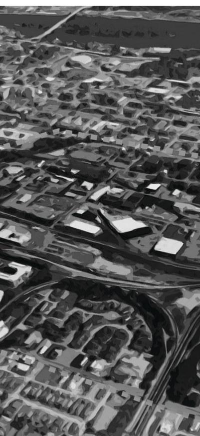
This studio partnered with the City of Chattanooga’s Department of Parks & Outdoors and Department of City Planning to support the development of the Parks and Outdoors Plan (POP)—an initiative envisioning Chattanooga as a “city in a park.” The goal was to integrate parks, green corridors, and open spaces into a cohesive network that promotes equitable access, ecological resilience, and cultural identity across the city.
Our class conducted citywide research and analysis to build upon existing planning frameworks, evaluating land use, transportation, hydrology, environmental conditions, and community assets. Working collaboratively, we identified opportunities to strengthen green linkages and enhance connectivity between neighborhoods, the riverfront, and the downtown core.
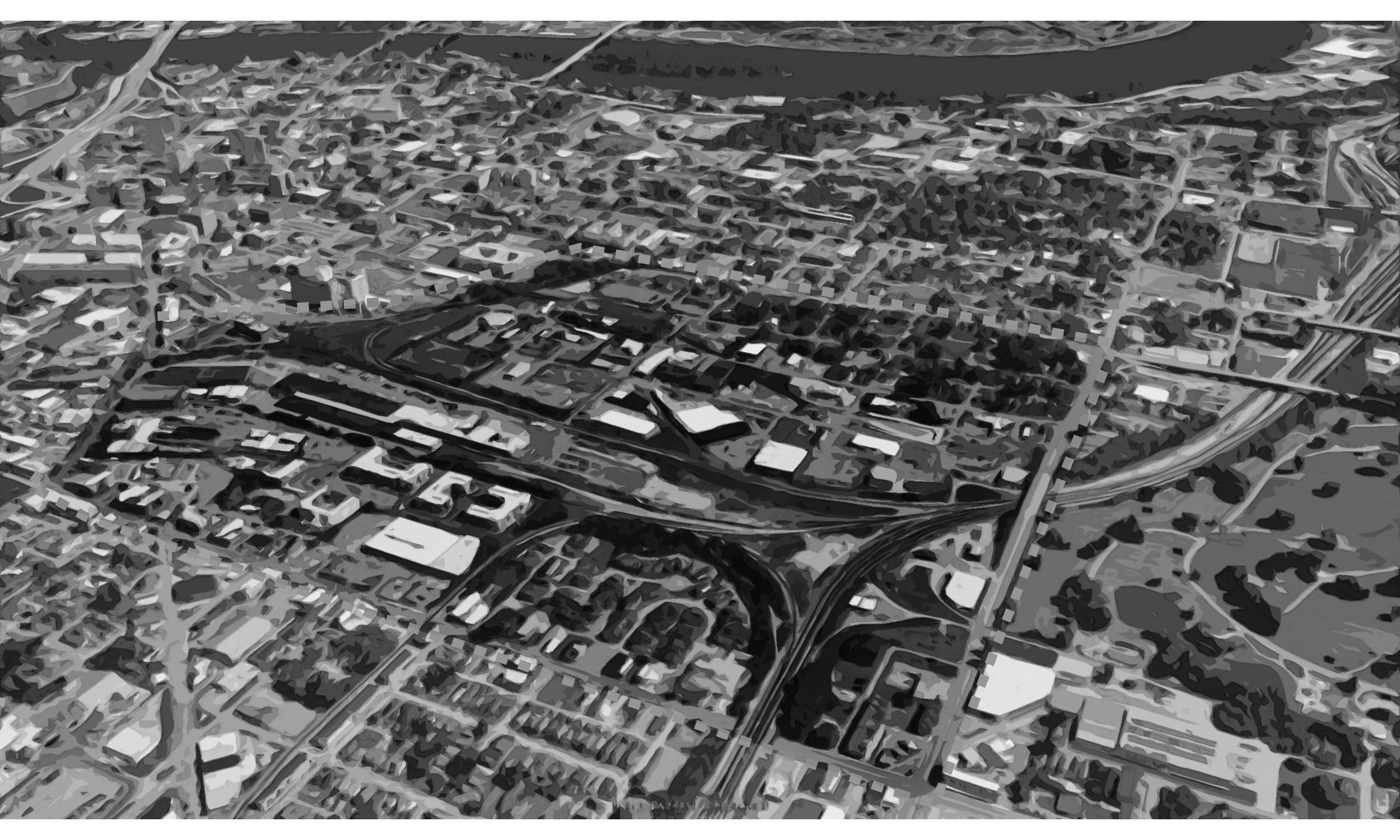
Within this broader framework, I focused on the downtown Chattanooga planning area, analyzing circulation, access, and redevelopment potential across urban and post-industrial zones. From this research, I selected a transitional area East of the city center as my site for detailed design development.
Software:
ArcGIS Pro, ArcGIS Field Maps, Illustrator, Photoshop, InDesign, Storymaps
Presentation:
Final proposals were presented via Zoom to city officials, including Dan Reuter and Scott Martin, as well as peers and the professor.




















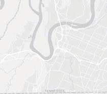






























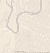
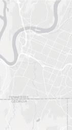








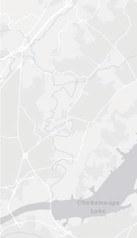















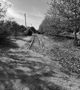












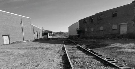


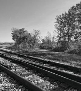




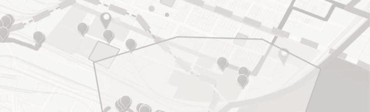









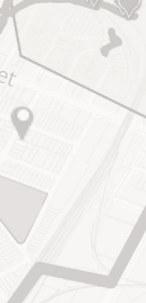





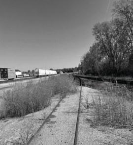



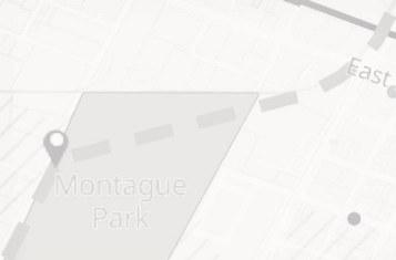

Using the ArcGIS Field Maps app, our studio conducted an on-site analysis of downtown Chattanooga. We documented real-time conditions by dropping geotagged pins, capturing photos, and recording observations on site features, accessibility, and vegetation.
This field data informed our mapping, synthesis, and final design strategies, ensuring that proposals were grounded in lived, spatial experience.

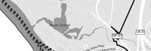
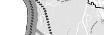
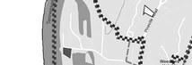
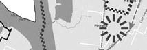
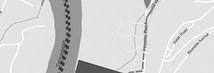
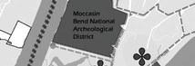
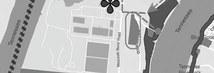
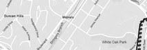
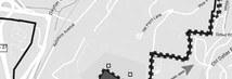
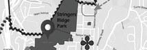
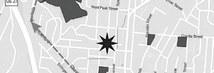
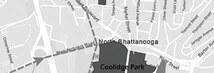
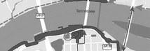
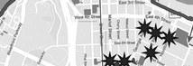
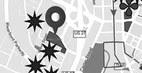
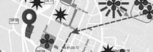
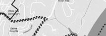
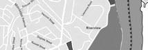
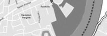
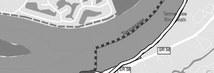
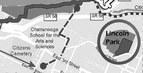
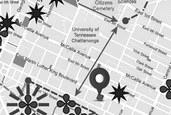

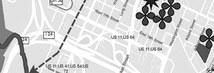
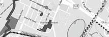
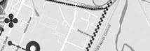

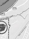
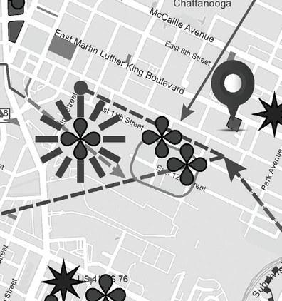



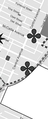

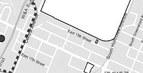
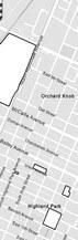
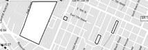
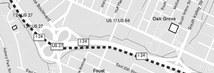



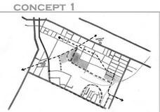





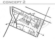


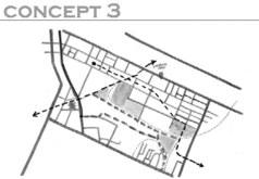
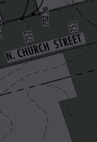
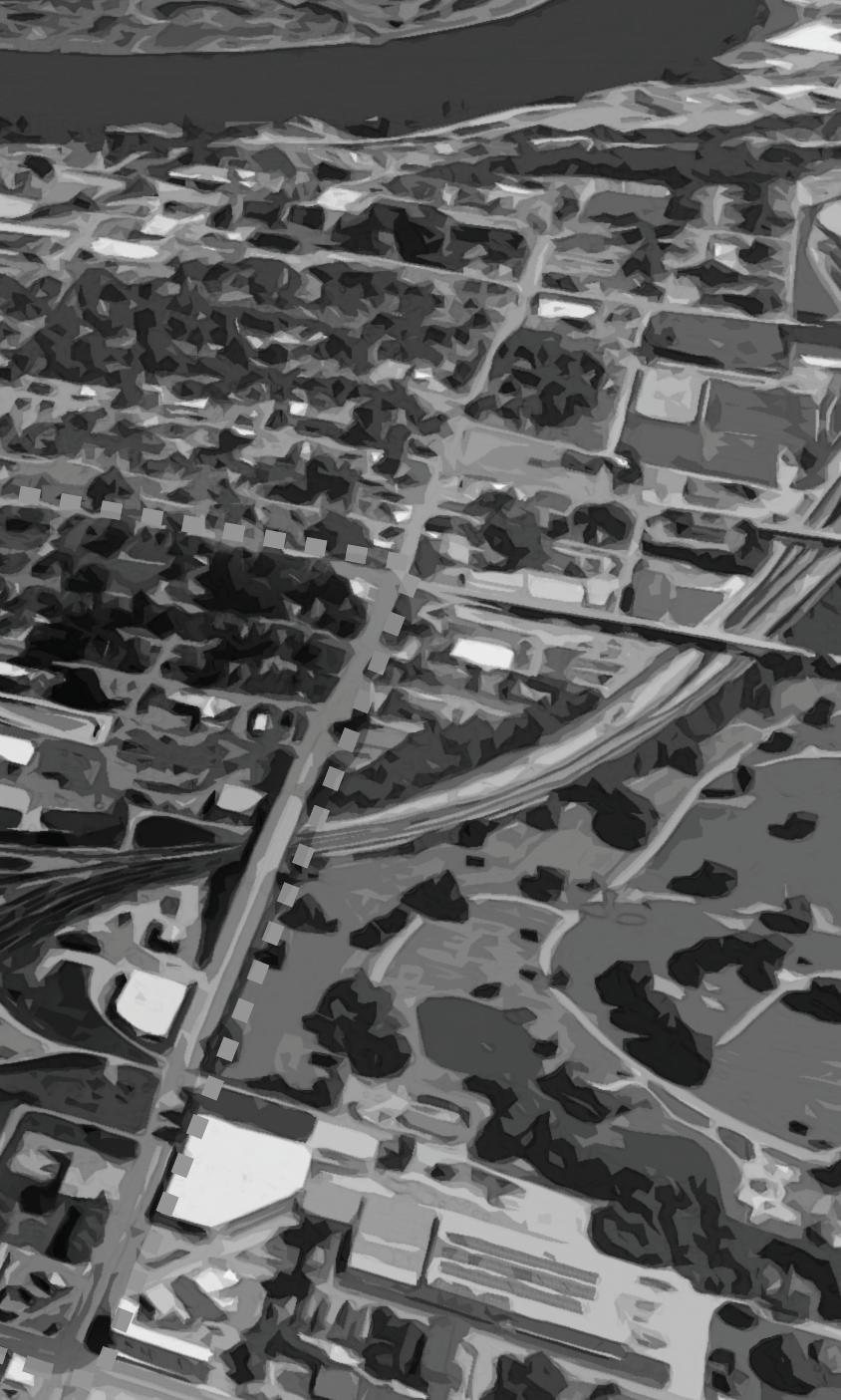
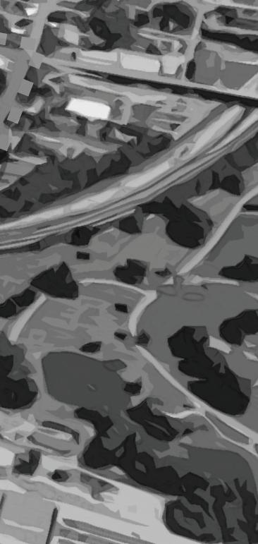
The maps illustrate the downtown Chattanooga study area and the selected neighborhood within it, chosen for its layered social and historical significance. Once home to the 11th Street Curb Market (also known as Onion Bottom) this district served as one of the city’s most racially integrated gathering places during the mid-20th century. Historical research also drew from events such as the 1984 Wadie Suttles case and the resulting civic activism, which highlighted Chattanooga’s history of resilience, advocacy, and community reform. These social and historical contexts helped shape the design goals of equity, connection, and public space as tools for restoration.



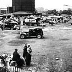

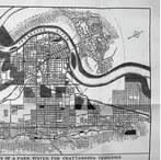

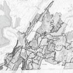





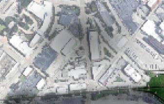















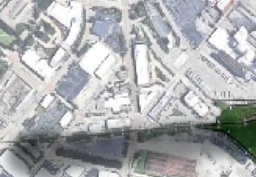







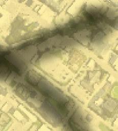














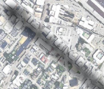


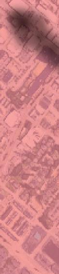

















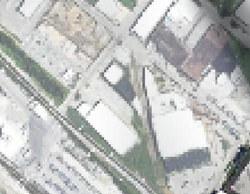
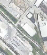

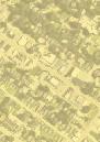
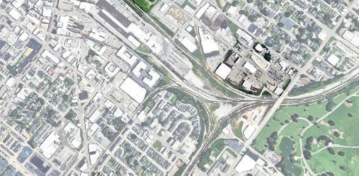


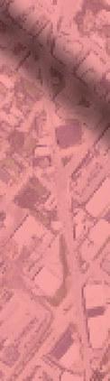

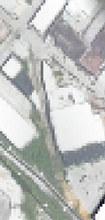


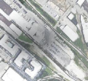




















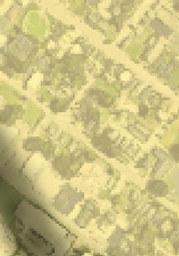








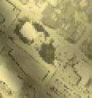
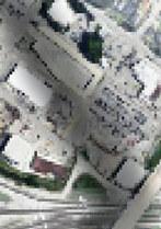
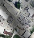
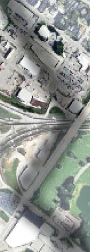








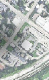
The master concept plan expands upon the city’s proposed planning framework to create a mixed-use district that restores the area’s legacy as a place of gathering and exchange. The design introduces a community center, curb market, and interconnected parks linked by green corridors, encouraging walkability and social engagement. Through thoughtful integration of historical context and modern urban design, the proposal seeks to honor the site’s past while reimagining it as a vibrant, inclusive public realm.
Date: Fall 2025 (August - December)
Collaborative:
Individual Project (GIS Midterm Analysis)


This chapter highlights a series of analytical maps produced for the midterm project in my Geographic Information Systems (GIS) course. The focus was on developing technical proficiency in spatial data visualization, analysis, and communication using ArcGIS Pro.
Through this project, I explored land use, zoning, and environmental factors within the study area—collecting, managing, and interpreting spatial datasets to identify relationships between built form, natural systems, and community infrastructure. The resulting maps visualize spatial patterns of accessibility, resources, zoning, and population density while emphasizing clarity and hierarchy in cartographic design.
This project strengthened my ability to synthesize data-driven insights and translate them into clear visual narrative skills that support both analytical and design-based work in landscape architecture and urban planning.
Software:
ArcGIS Pro, Illustrator, InDesign
Presentation:
Final project was presented in class to peers and the instructor for review and critique.
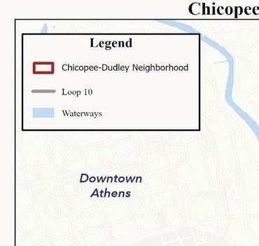
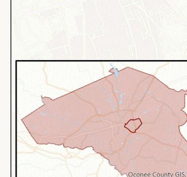
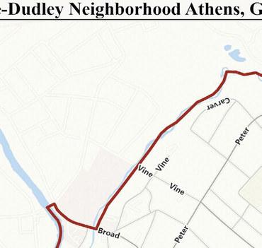
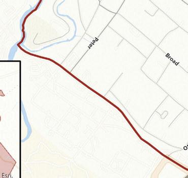
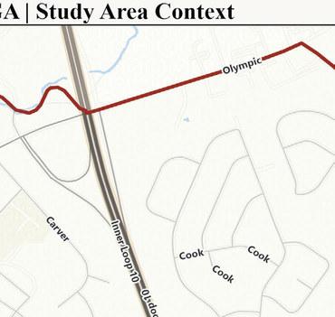
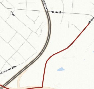

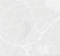
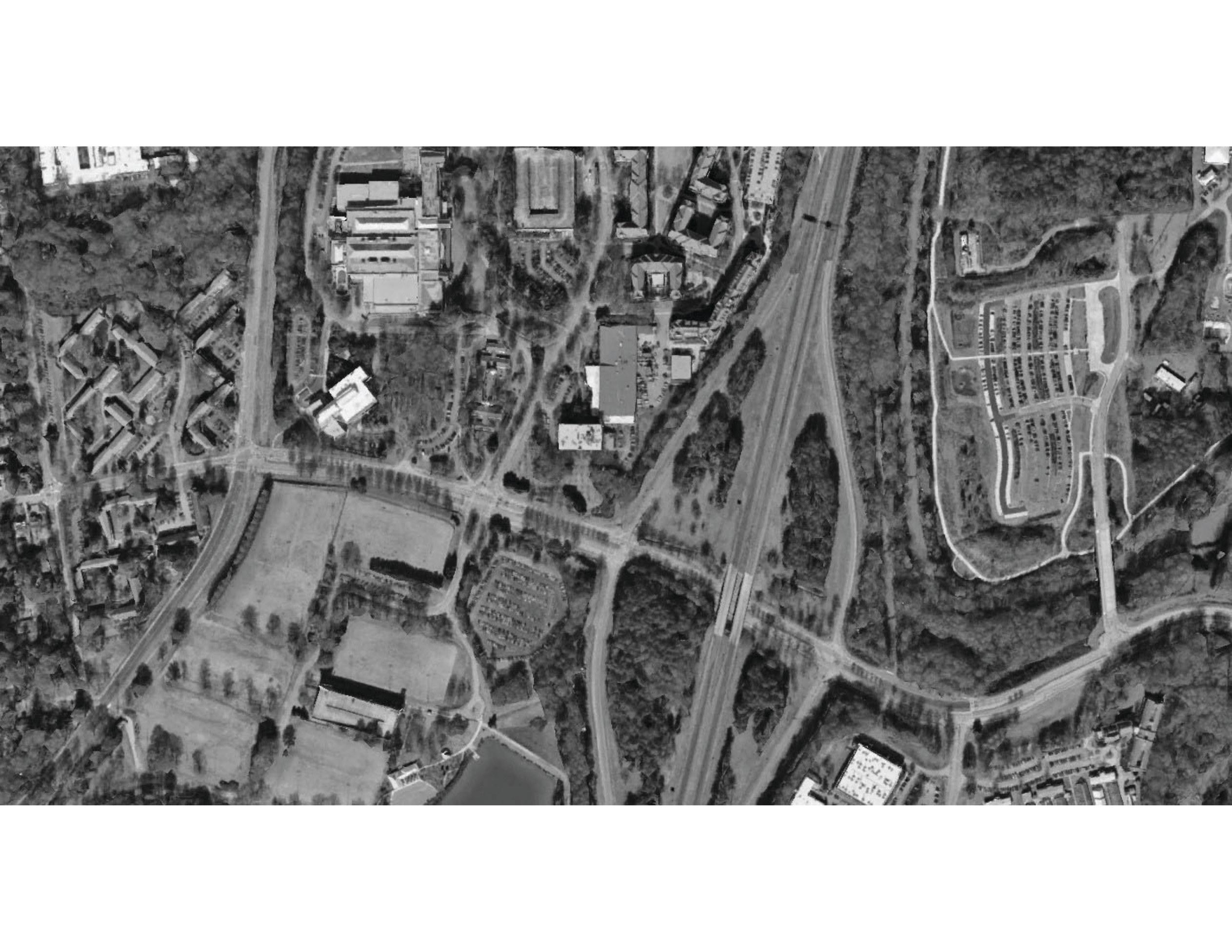
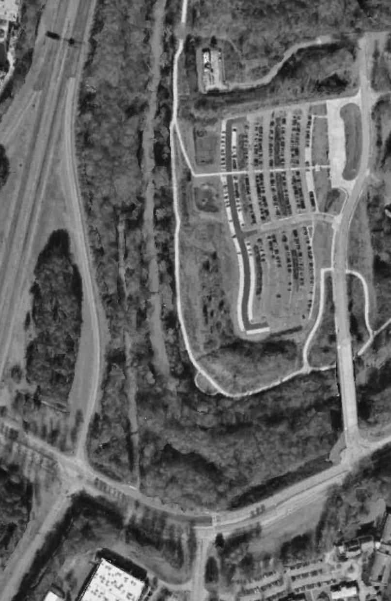
The study area map establishes the spatial context of the Chicopee-Dudley neighborhood in Athens, Georgia, situating it within the city’s broader urban fabric. The analysis highlights major roadways, waterways, and proximity to downtown, forming the foundation for subsequent mapping layers and spatial interpretation.
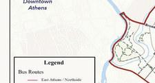
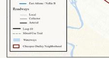
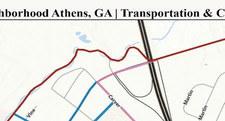
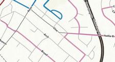
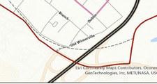
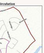
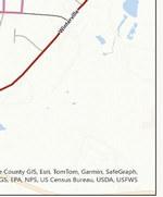


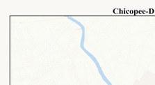
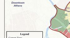
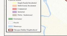
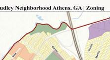
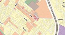
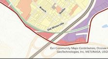
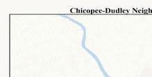
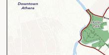
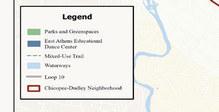
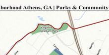
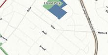
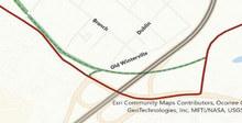

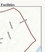

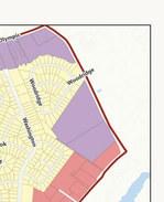
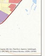


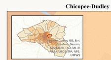
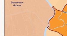
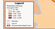
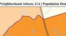
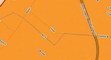
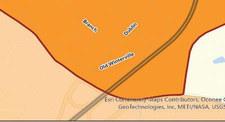

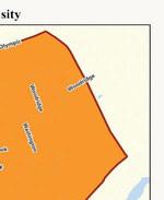

A series of analytical maps examine transportation networks, community facilities, zoning, and population density within the Chicopee-Dudley neighborhood. Together, these maps visualize relationships between land use, accessibility, and demographic patterns, demonstrating how GIS-based analysis can reveal opportunities and constraints that shape future planning and design strategies.
Date: Fall 2022 - Spring 2023
Collaborative:
Studio Project
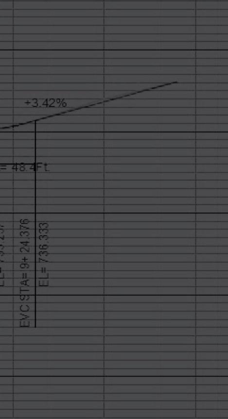
(Partnered grading plan with Lauren Usher; individual planting design documentation)
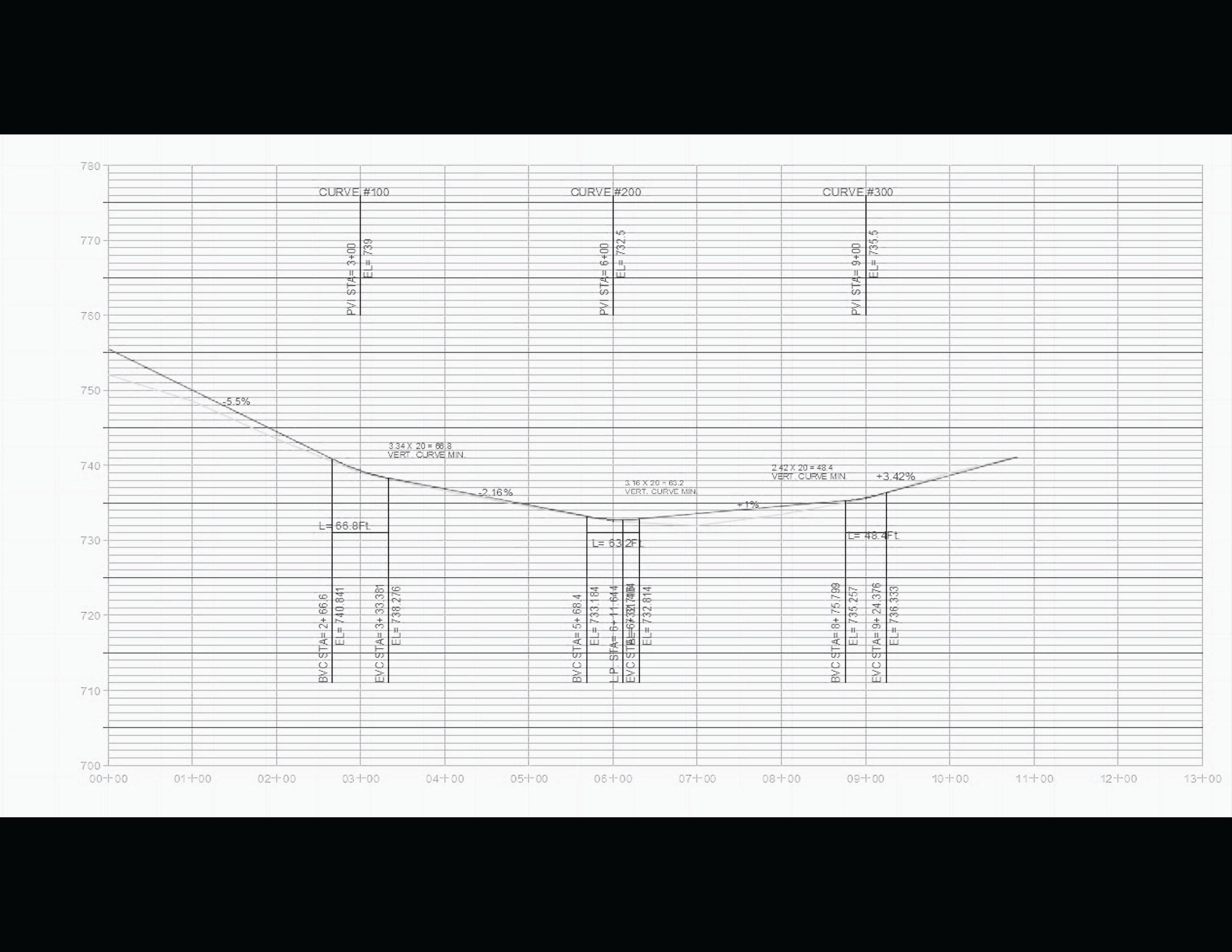
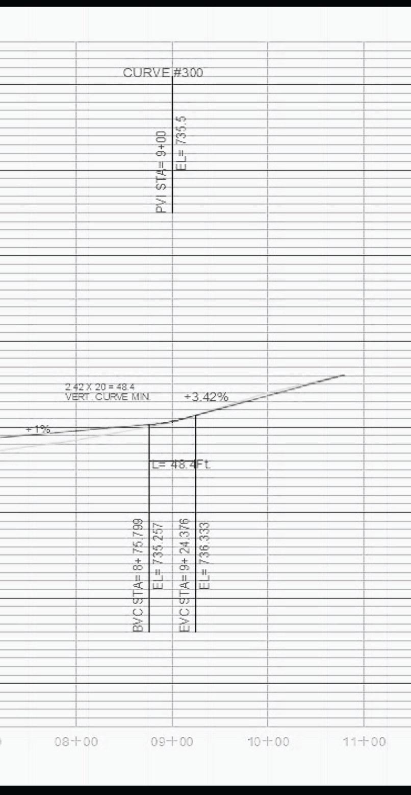
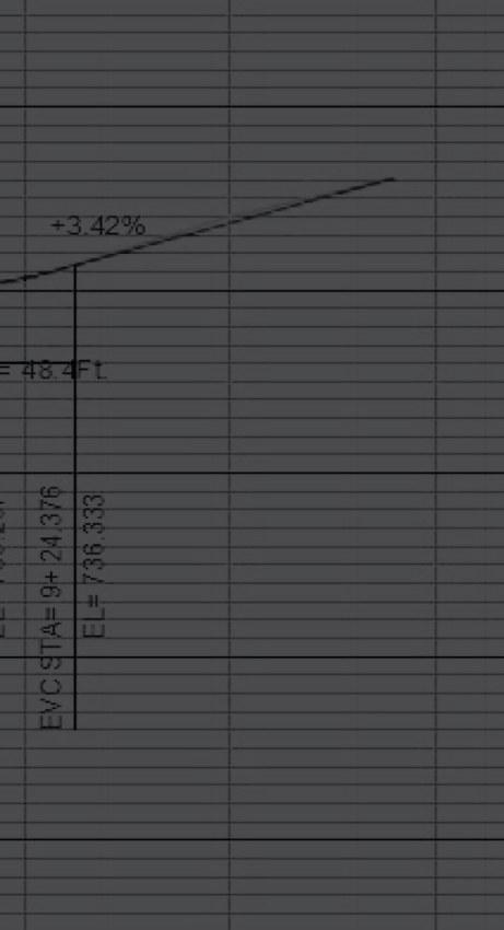
This chapter shows the technical application of landscape architecture through detailed construction documentation and grading design. The studio emphasized the ability to translate conceptual ideas into buildable plans; developing the precision, clarity, and discipline required to communicate effectively with contractors and allied professionals.
I produced a full planting design construction document set, focusing on layout accuracy, material organization, and visual hierarchy. The drawings illustrate thoughtful plant selection and spatial structure, balancing aesthetics with ecological function and long-term maintenance considerations.
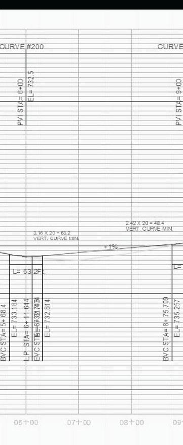
In collaboration with a partner, I also developed a comprehensive grading plan for a complex site, addressing contour logic, stormwater movement, and ADA accessibility. This exercise strengthened my understanding of how subtle elevation changes shape experience, drainage, and usability.
Together, these drawings reflect a growing fluency in the technical language of the profession; where creative intent and constructible detail meet through precision, collaboration, and clear visual communication.
Software:
AutoCAD, Photoshop, InDesign, Illustrator, Excel
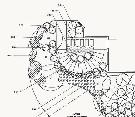
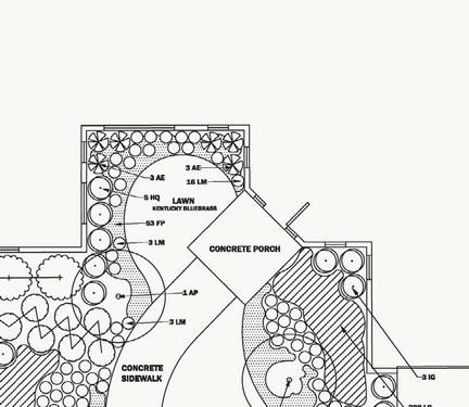


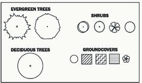


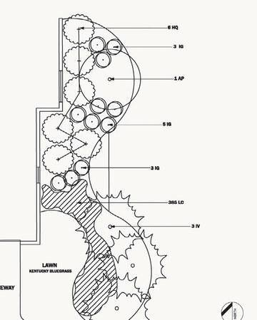
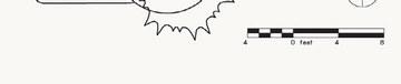

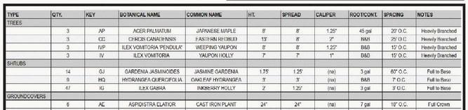
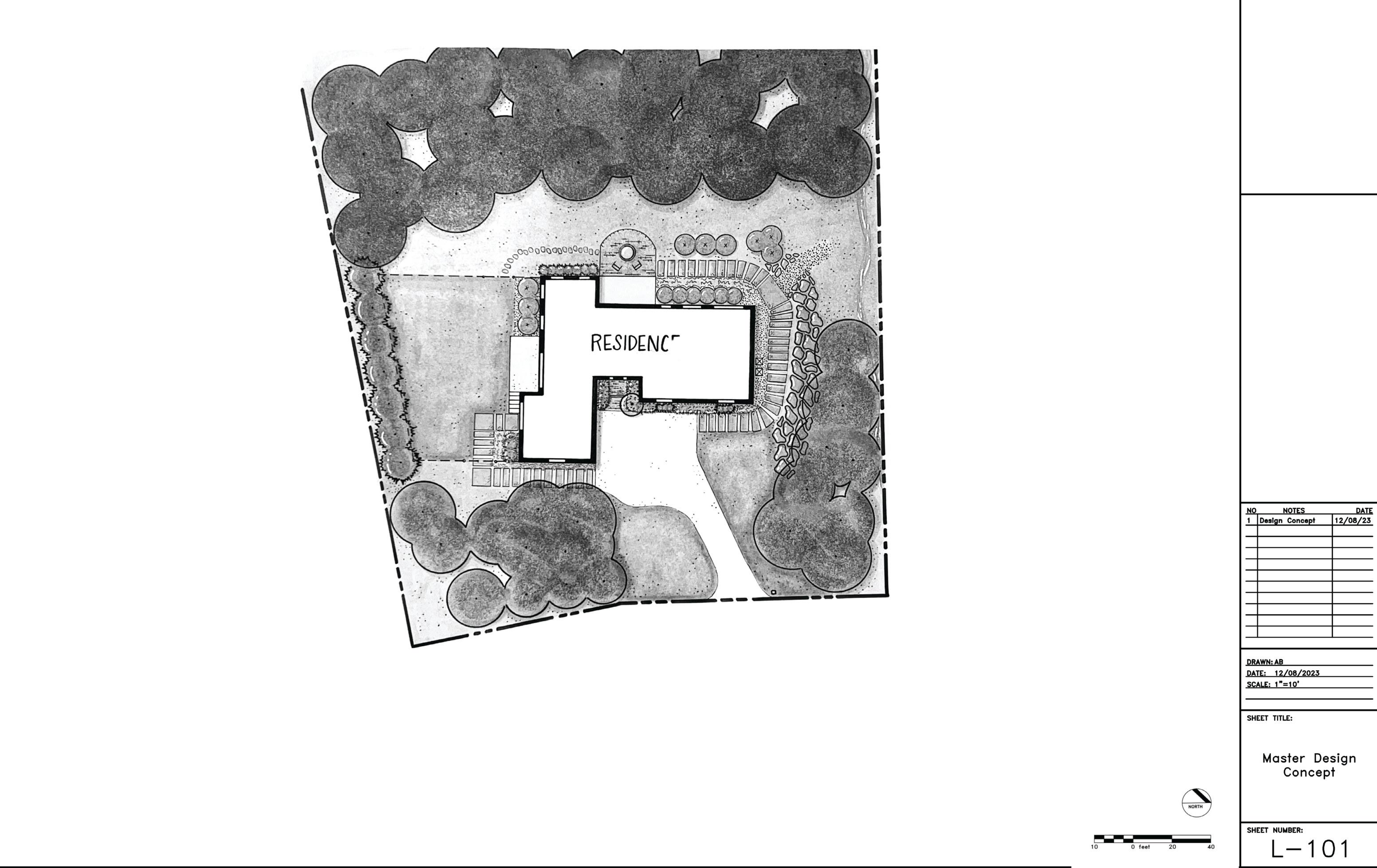
This detailed planting plan illustrates species selection, placement, and composition within the design. Emphasis is placed on creating layers of texture, color, and form that reinforce year-round interest for the client. The accompanying planting schedule specifies botanical names, quantities, and sizes, reflecting a thoughtful balance between aesthetics, function, and ecological performance.
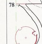
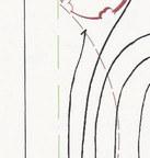
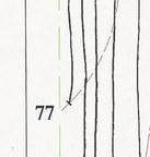
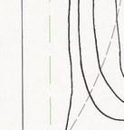
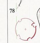
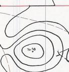
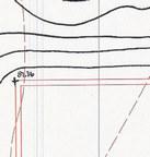
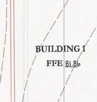
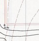
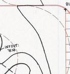
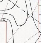
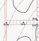
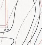
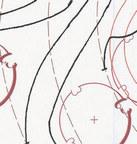
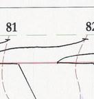
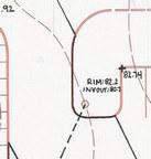
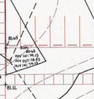
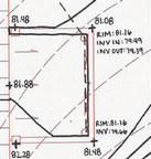
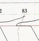
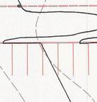
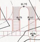
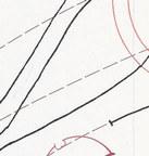
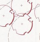
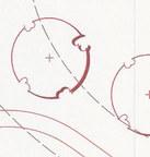
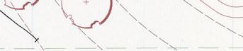
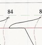
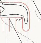
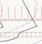
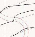

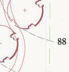
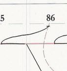
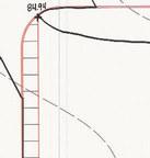
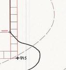
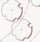

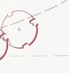
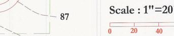
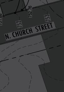
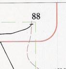
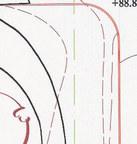
The grading plan focuses on shaping the site to support proper drainage, ADA accessibility, and spatial definition. Contours and spot elevations communicate subtle topographic adjustments that guide water flow and frame key design elements. Together, the plan demonstrates technical precision and sensitivity to both user experience and the site’s natural systems.




Date:
Spring 2022 (January-May)
Collaborative:
Individual Works











This chapter revisits foundational work from my first year in the Landscape Architecture program, where I began developing my visual language and understanding of spatial form through handcraft and model-making. The projects featured here represent the roots of my design process, when learning was driven by curiosity, experimentation, and the tactile exploration of materials.
The physical 3D model was built entirely by hand, using layered topography and structural elements to study the relationship between elevation, movement, and spatial enclosure. This early exercise taught me how to interpret contour lines and understand the tangible depth of landscape form.
Alongside the model, the hand graphics - rendered in watercolor and ink - capture the expressive side of my process. These drawings emphasize tone, atmosphere, and storytelling through line weight, texture, and color layering. Though created during my earliest semesters, this work continues to influence how I approach composition, balance, and emotional tone in both digital and physical mediums today.
Mediums:




Hand-built model, watercolor, ink
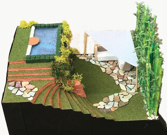
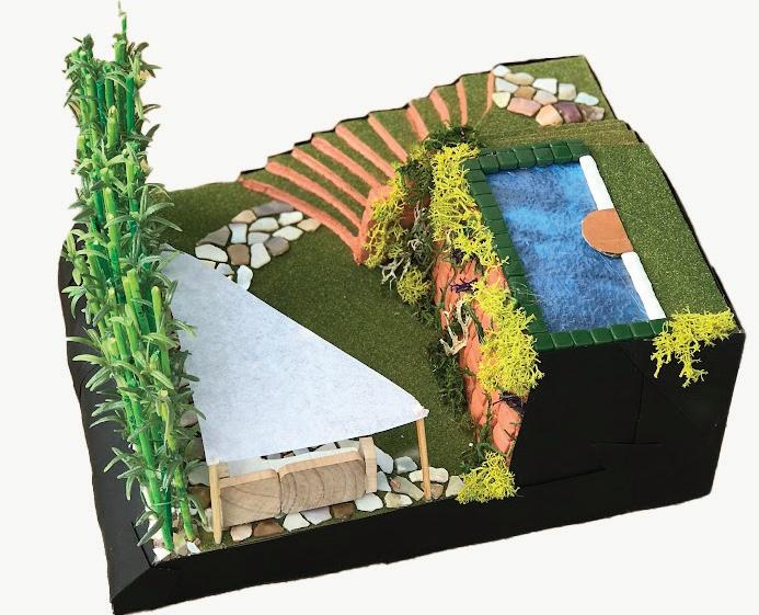

A hand-built physical model exploring elevation, movement, and spatial enclosure through layered topography and plant form. Constructed entirely by hand, this study emphasized how contour, slope, and structure interact to create spatial rhythm and visual balance. The process deepened my understanding of how landscape form translates from plan to three-dimensional experience.

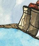


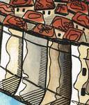
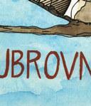

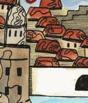
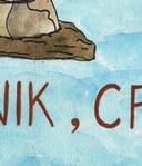
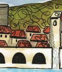
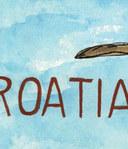
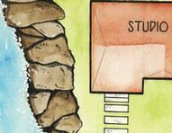
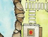
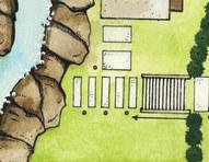

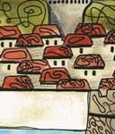
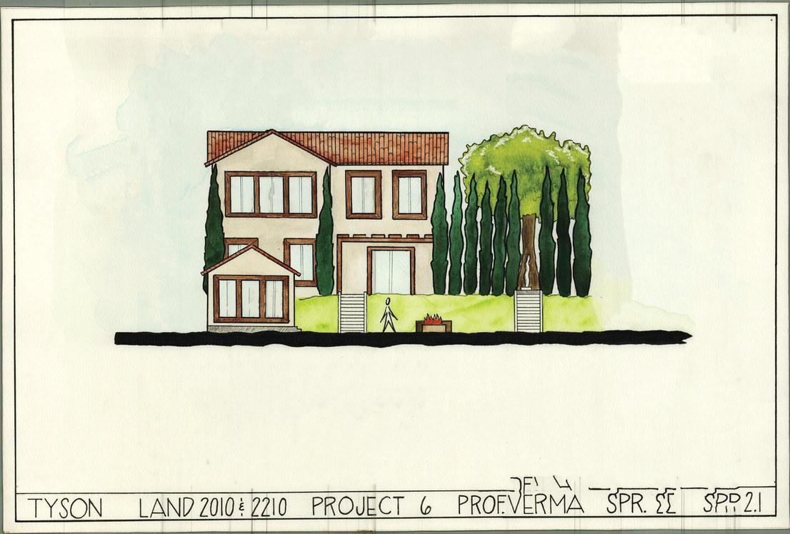
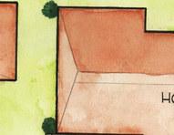
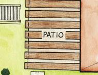
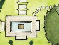
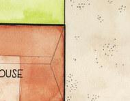
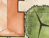
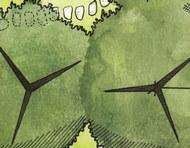

A series of hand renderings for Olives by the Sea, a residential site study located in Dubrovnik, Croatia. Using watercolor and ink, these drawings explore composition, light, and atmosphere while conveying a strong sense of place. The plan, elevation, and title illustration work together to express narrative and mood, merging technical precision with expressive storytelling.
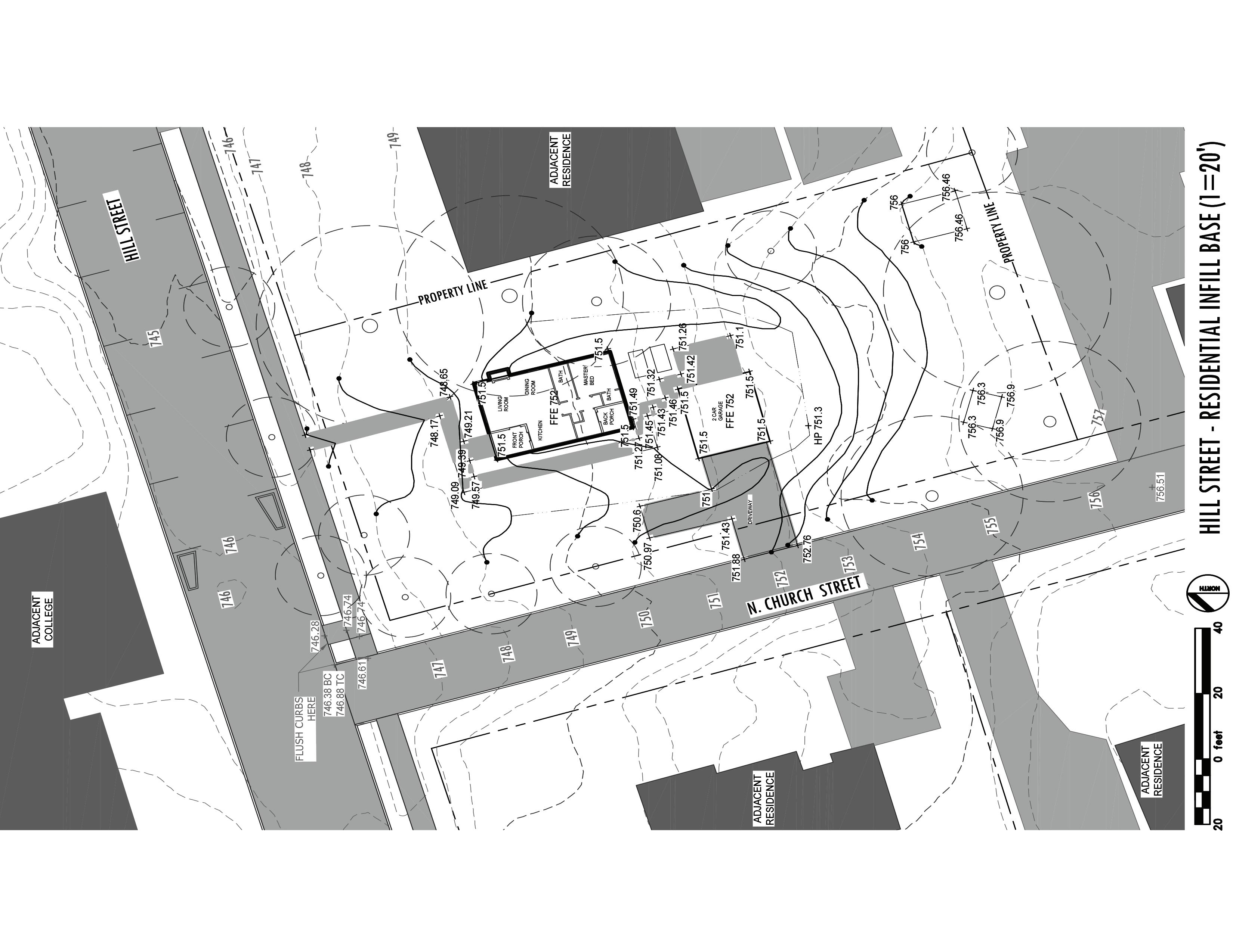
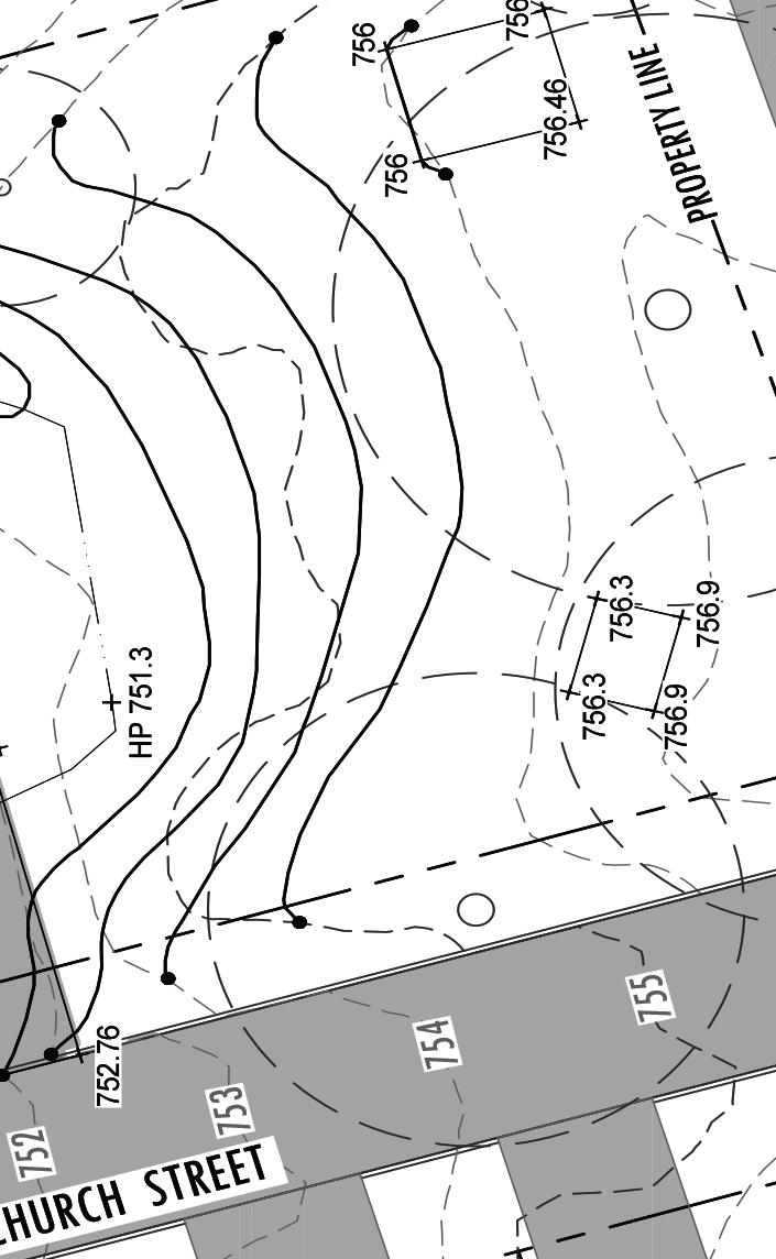
Date: Spring 2023 (January - May)
Location: Athens, Georgia
Collaborative:
Studio Project (Individual)
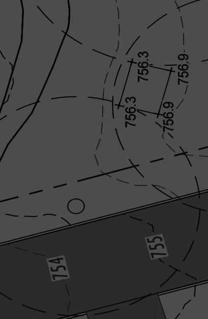
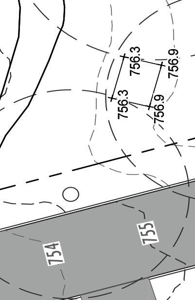
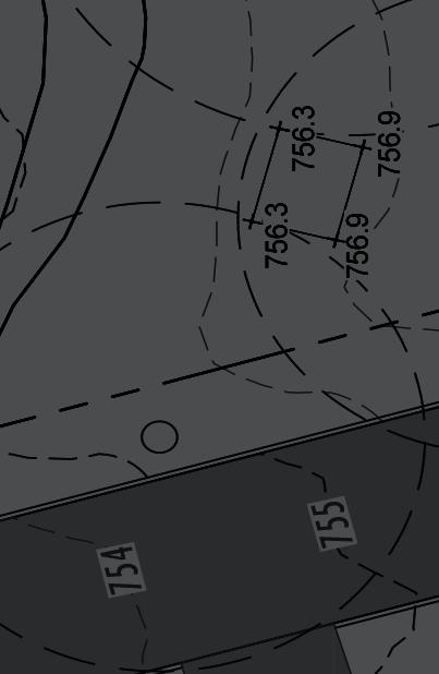
The Hill Street Residence project focused on designing a functional and visually cohesive residential landscape that complemented an existing home and site conditions. Beginning with a provided lot plan, I analyzed the site’s grading, drainage, and circulation to inform design decisions that balanced utility and aesthetic appeal.
The project required integrating a variety of client-requested features—including a garden, fire pit, and outdoor gathering areas— within existing house and driveway constraints. The goal was to create a comfortable and usable outdoor space that felt grounded in its natural topography while maintaining clear structure and flow.
While this project emphasized technical application over concept, it strengthened my understanding of how grading and spatial organization directly shape experience at the residential scale. It also provided an opportunity to expand my digital rendering skills and visualization techniques, complementing the more conceptual and large-scale projects in my portfolio.
Software:
AutoCAD, Photoshop, InDesign, Sketchup
Presentation:
Final project was presented in class to peers and the instructor for review and critique.
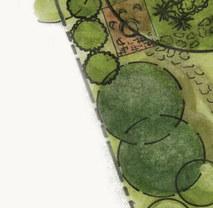
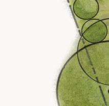
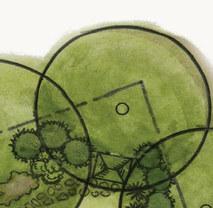
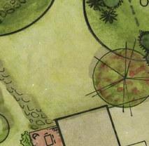
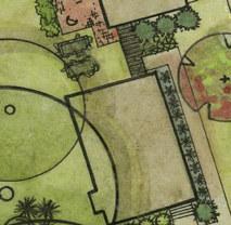
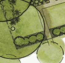

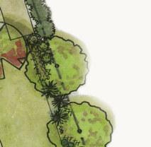
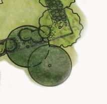
Site and grading plans establish the base conditions of the Hill Street property, illustrating slope, drainage, and structural constraints that informed the design. The accompanying rendered plan demonstrates how planting, circulation, and gathering spaces were organized to create a cohesive and functional residential landscape within the existing framework.
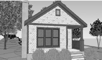
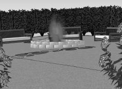
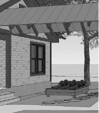
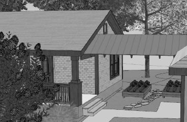
Digital renderings visualize key design elements, including the outdoor seating area, fire pit, and front entry. These perspectives highlight the relationship between structure and softscape, showing how elevation changes and material transitions shape the overall sense of comfort, flow, and enclosure.

Date: Summer 2022 (June-July)
Location: Athens, Georgia
Collaborative:
Studio Project
(Collaborative site analysis and stakeholder feedback; individual design development)
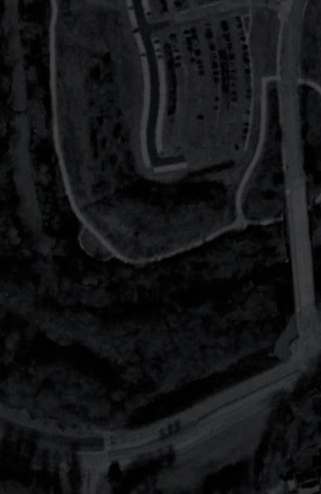
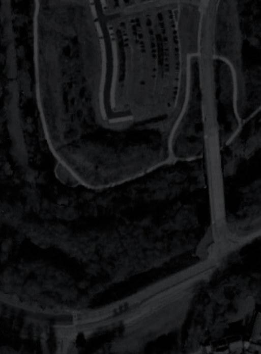
This studio explored the relationship between landscape architecture and human wellness through the redesign of the University of Georgia Health Center’s outdoor spaces. Nestled between the Health Center, Ramsey Student Center, and the UGA Visitor Center, the site serves as a shared threshold between movement and rest; a space where health, learning, and community intersect.
As a class, we conducted site analysis and stakeholder engagement with Health Center staff to understand how the landscape could better support emotional well-being, stress relief, and daily connection to nature. Themes of restoration, comfort, and accessibility shaped our design direction.
We studied three formal systems—rectilinear, radial, and arc & tangent (curvilinear)—to explore spatial composition and circulation. Using these frameworks, I developed a site-specific design that integrates soft planting palettes, shaded seating areas, and gentle pathways to promote reflection and relaxation.
Software:
AutoCAD, Photoshop, Illustrator, InDesign, Sketchup
Presentation:
Final designs were presented in person to UGA Health Center staff, integrating professional feedback into final refinements.


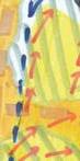
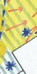
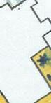
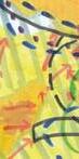


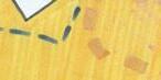
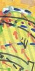
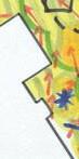
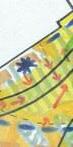
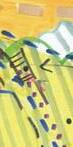

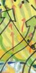
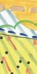
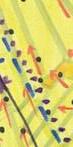
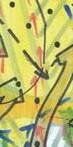
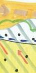

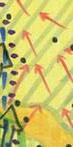
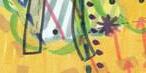
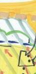
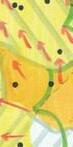
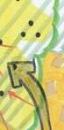


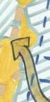
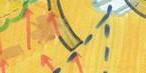




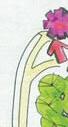
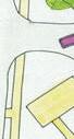
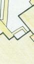

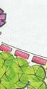
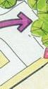
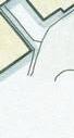
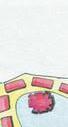
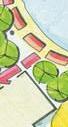


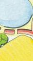

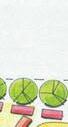


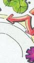





This spread focuses on the analysis and functional organization that informed the project’s overall design approach. The left diagram studies topography, drainage, and circulation, revealing how natural and built systems interact across the site. The right diagram translates those findings into functional zones and pathways, defining relationships between key program areas and establishing a framework for movement, gathering, and visual connection.








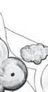



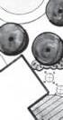


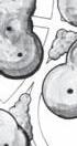

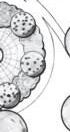
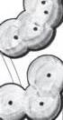









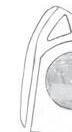


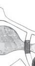


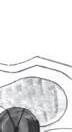



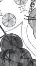
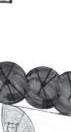
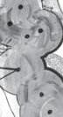
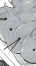







This spread focuses on the analysis and functional organization that informed the project’s overall design approach. The left diagram studies topography, drainage, and circulation, revealing how natural and built systems interact across the site. The right diagram translates those findings into functional zones and pathways, defining relationships between key program areas and establishing a framework for movement, gathering, and visual connection.


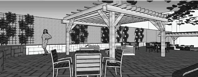




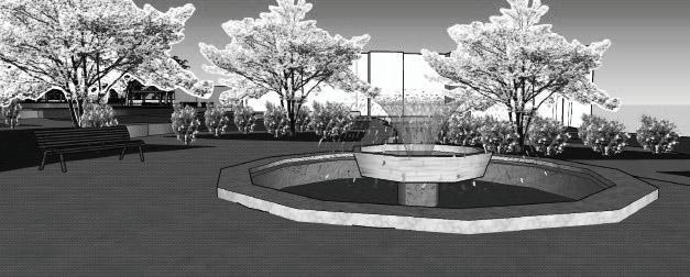
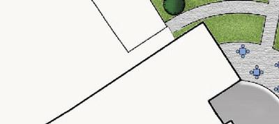
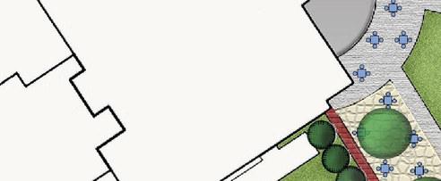
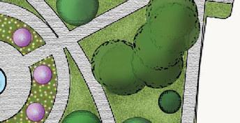
This stage of the project focuses on the final design development and visualization of the site. The rendered plan highlights the spatial layout, planting design, and circulation network connecting key program areas such as the retention pond, hammock grove, and main eating space. Perspective views illustrate how the design translates into human experience - showing shaded seating under a pergola, gathering spaces framed by planting, and focal features like the central fountain garden. Together, these visuals communicate the project’s intent to create a cohesive, functional, and inviting outdoor environment that encourages rest, interaction, and connection with nature.

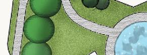
Main Eating Space







shaped by observation, intention, and hope.