

Location Map
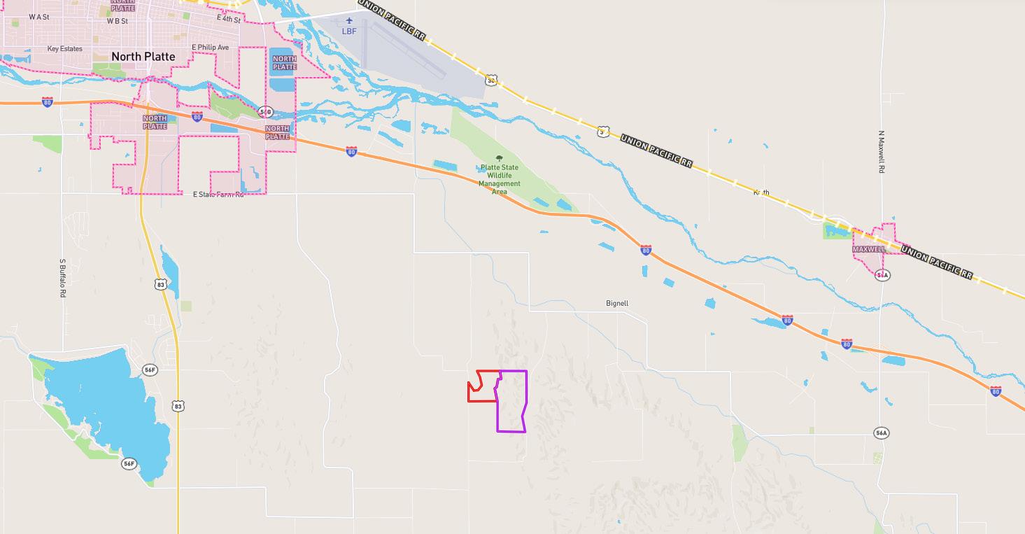


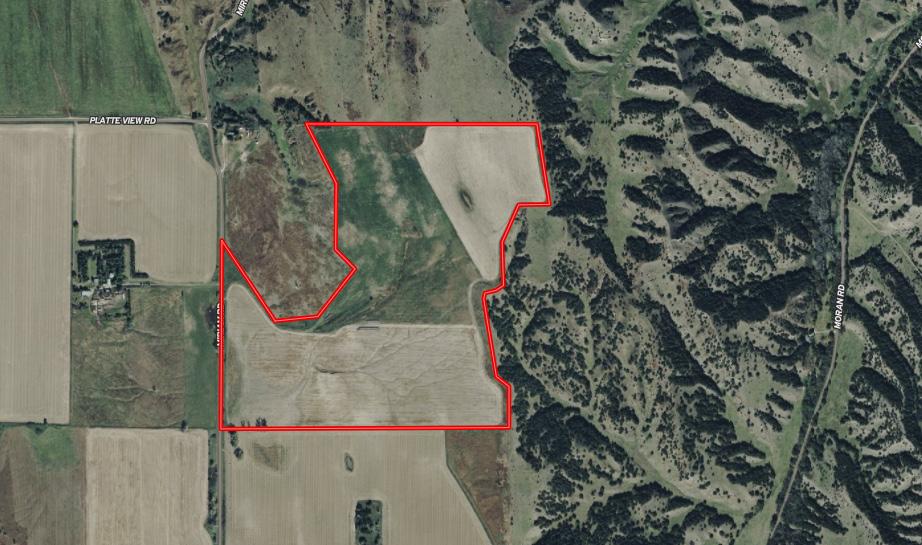

From North Platte: Head east on East State Farm Road for 6½ miles, then turn south onto Miriam Road and continue for 2¼ miles. The property will be located on the east side of the roadway.

LEGAL DESCRIPTION:
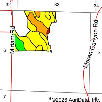
Pt. NW¼, Pt. W½NW¼NE¼ Section 5, Township 12 North, Range 29 West of the 6th P.M. in Lincoln County, Nebraska.
* To be surveyed upon purchase.
ACRES & TAXES: 127 ± estimated acres, to be surveyed
Approximate Real Estate Taxes: $1,300
* Individual parcel acres and taxes to be determined by survey, if sold separately from Moran Canyon Rangeland.
NRD: Twin Platte Natural Resources District
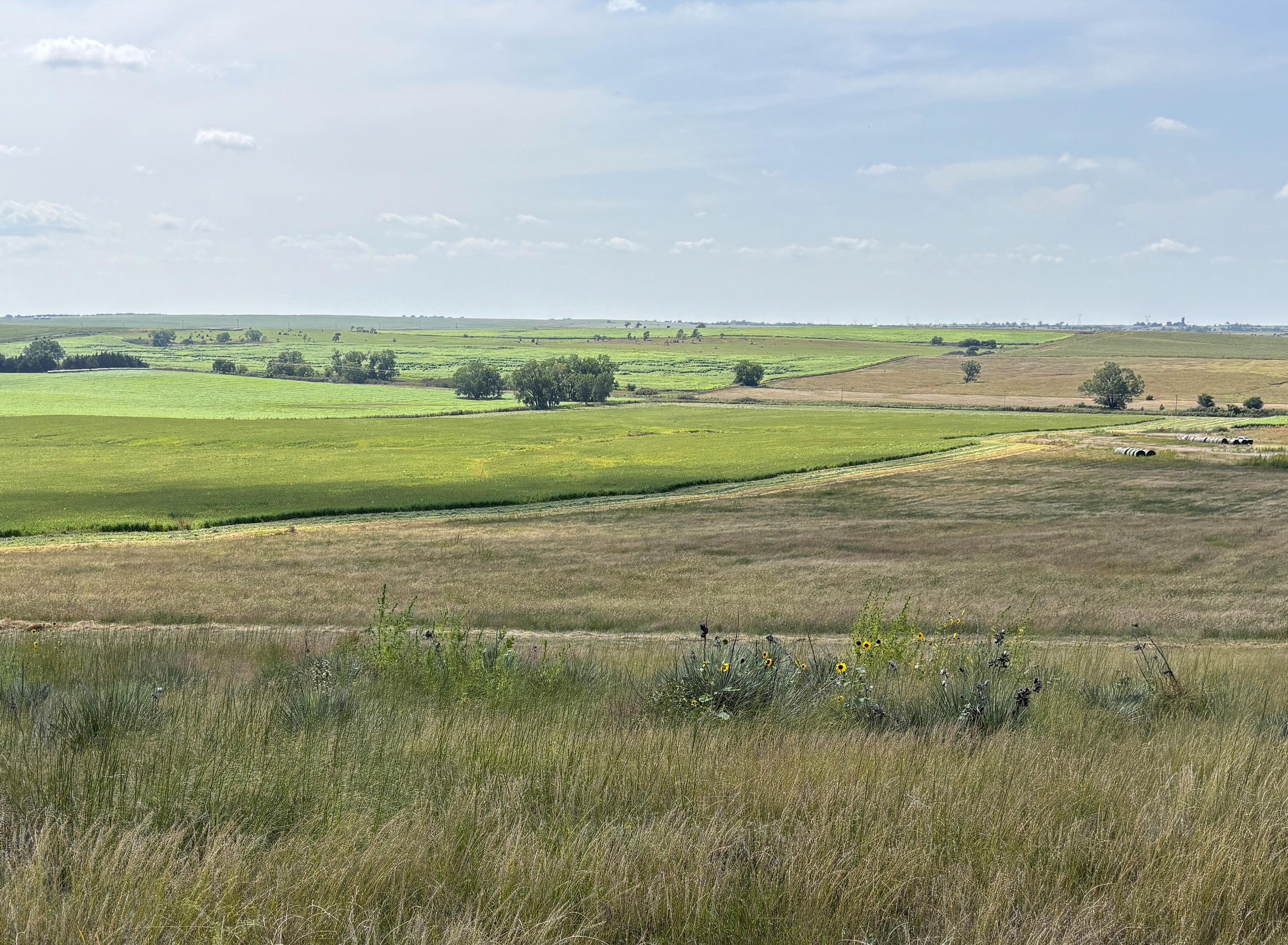
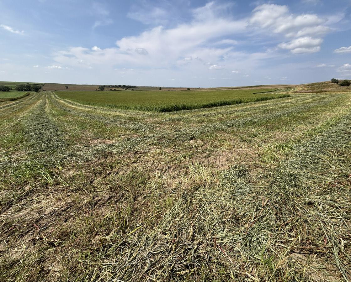
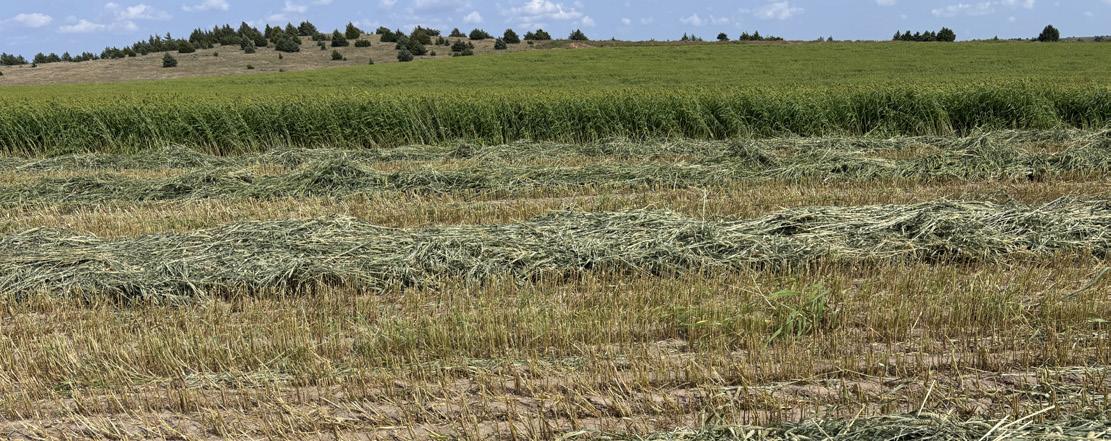
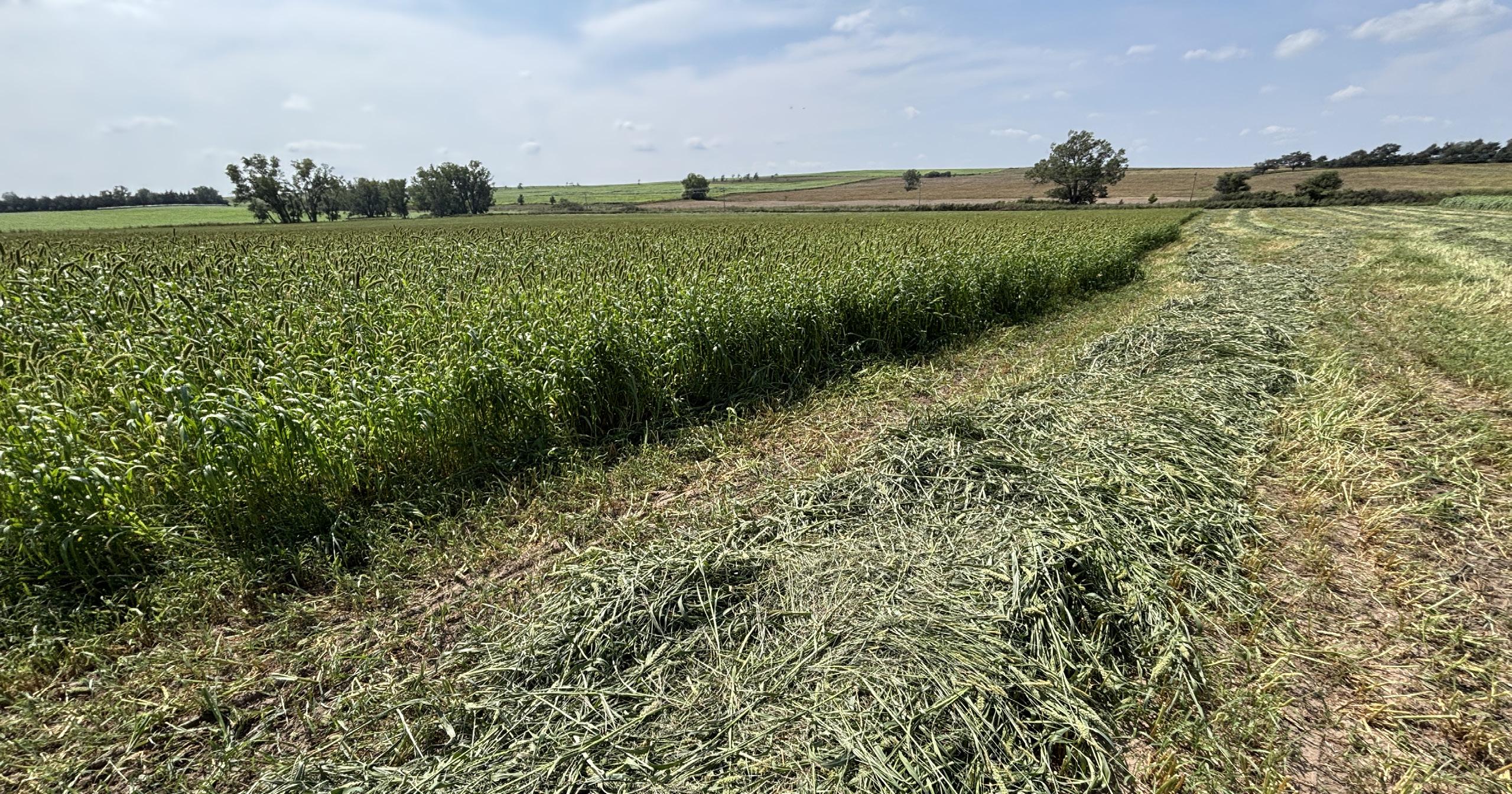
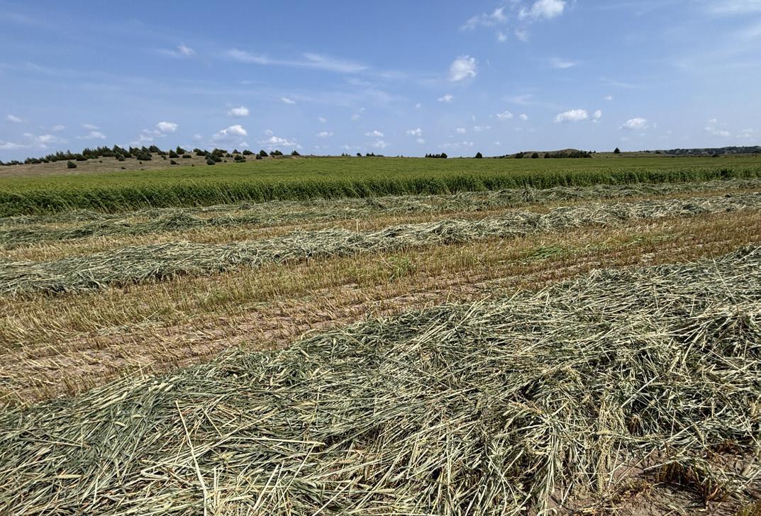
LAND USE: 117 acres dryland and 8 acres winter range/wildlife habitat.
PRICE: $335,600
This property may be purchased with adjoining property - Moran Canyon Rangeland. Ask listing agent for details.
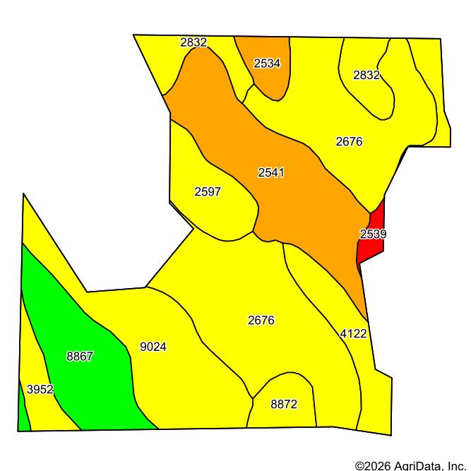
* Remainder of the soils in class III, IV, VI or VII. Full soils map available on the online listing or ask the listing agent.

Moran